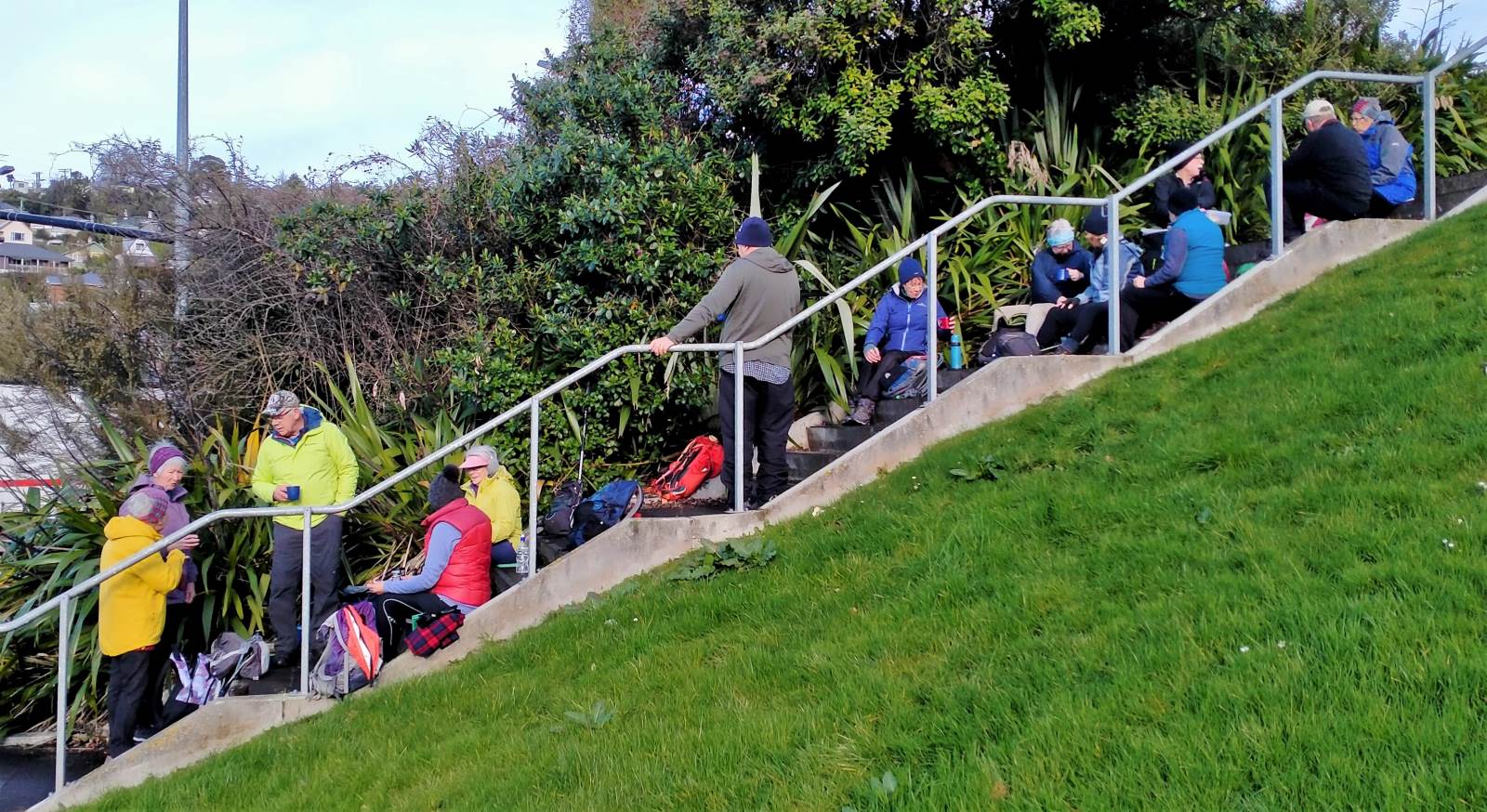
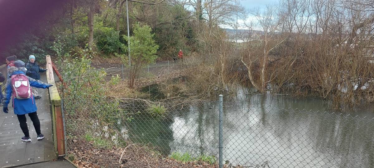
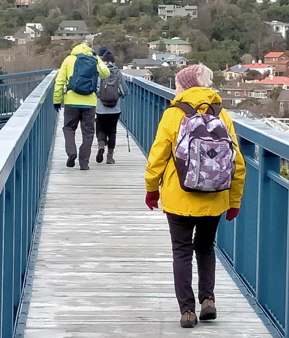
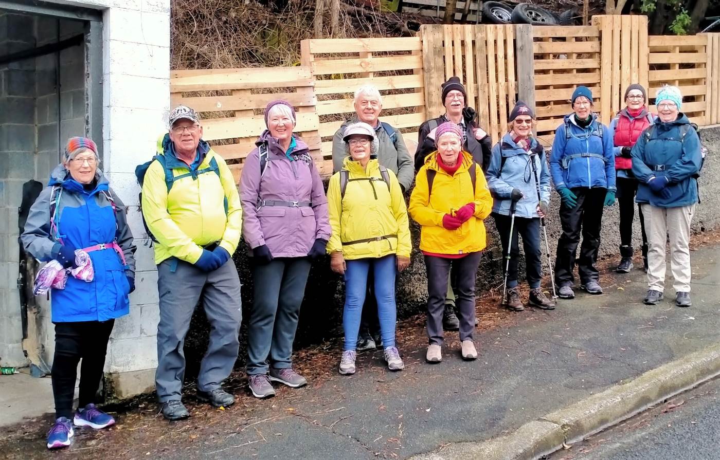
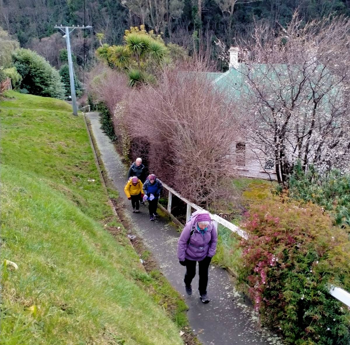
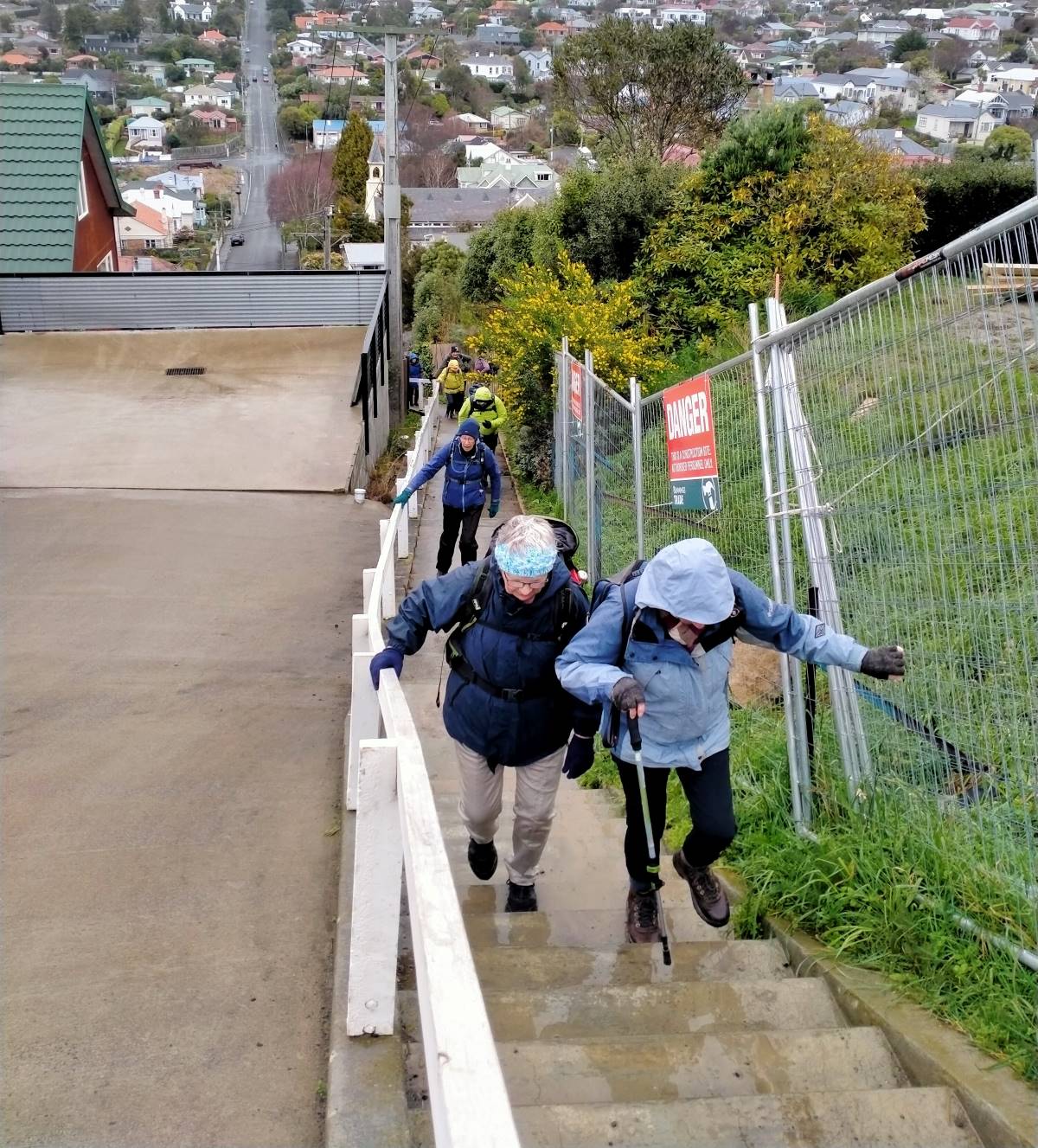
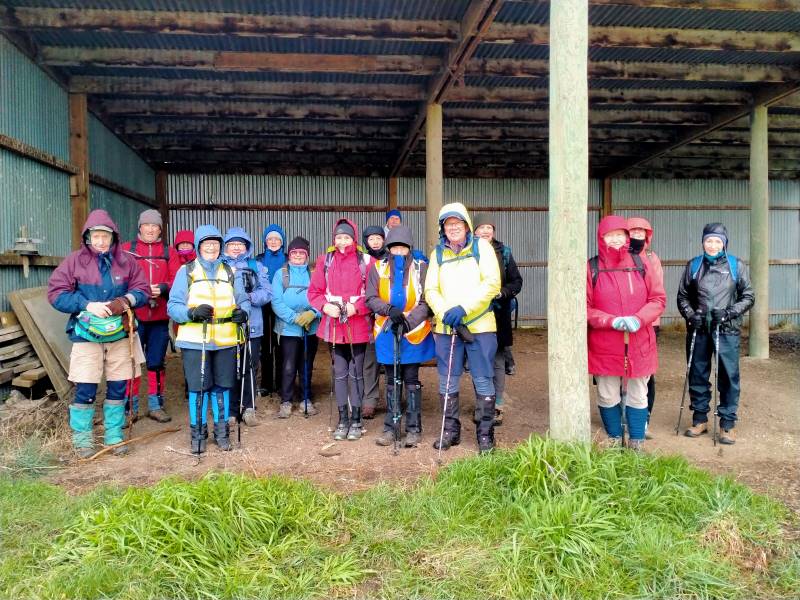
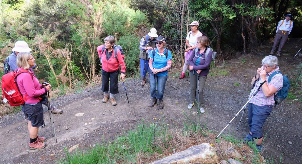
15. 23/08/2023. Trampers. Possum Hut Circuit. Grade 3.5. Leaders Neil Hodgkin and Gwenda Farqharson.
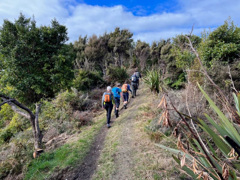
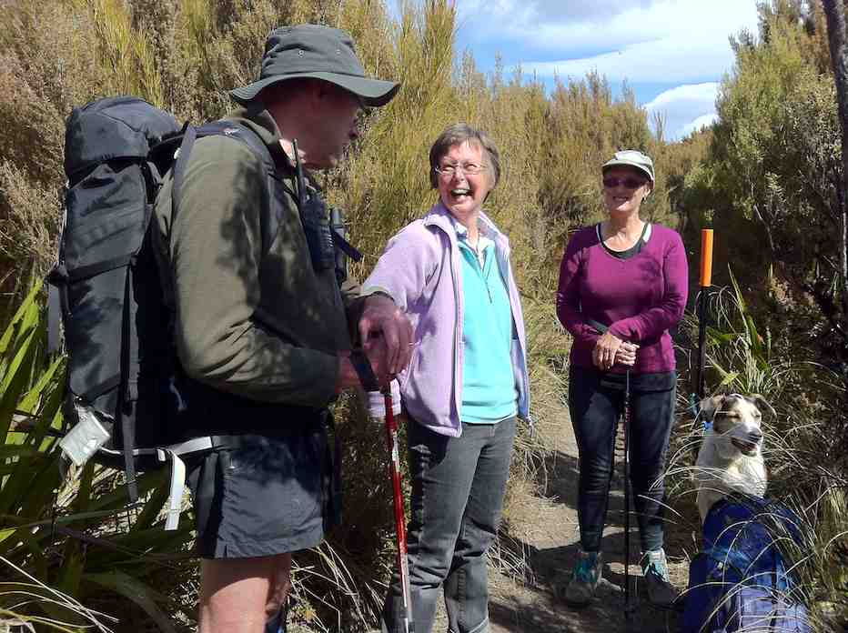
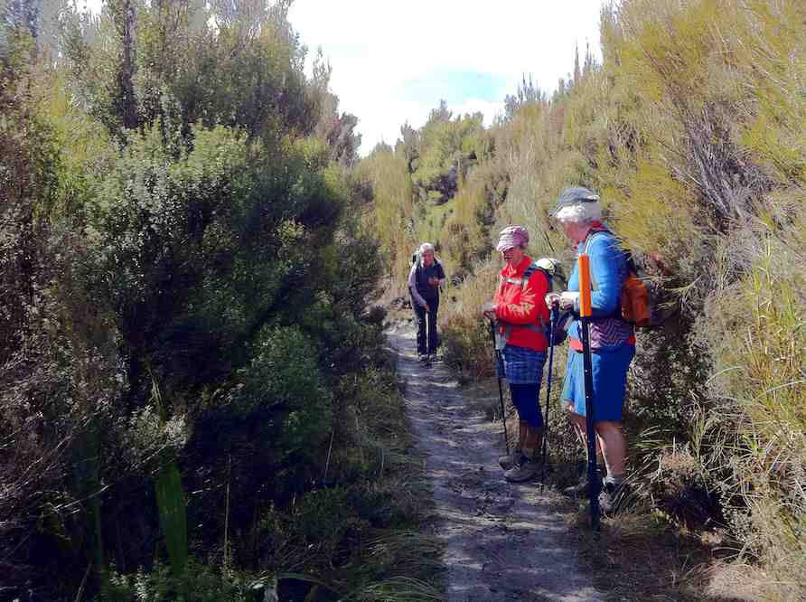
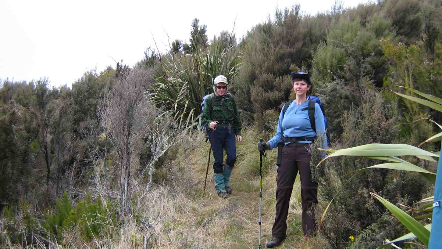
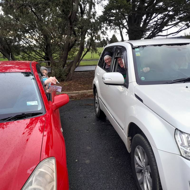
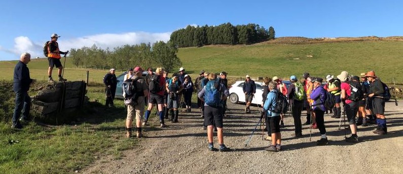
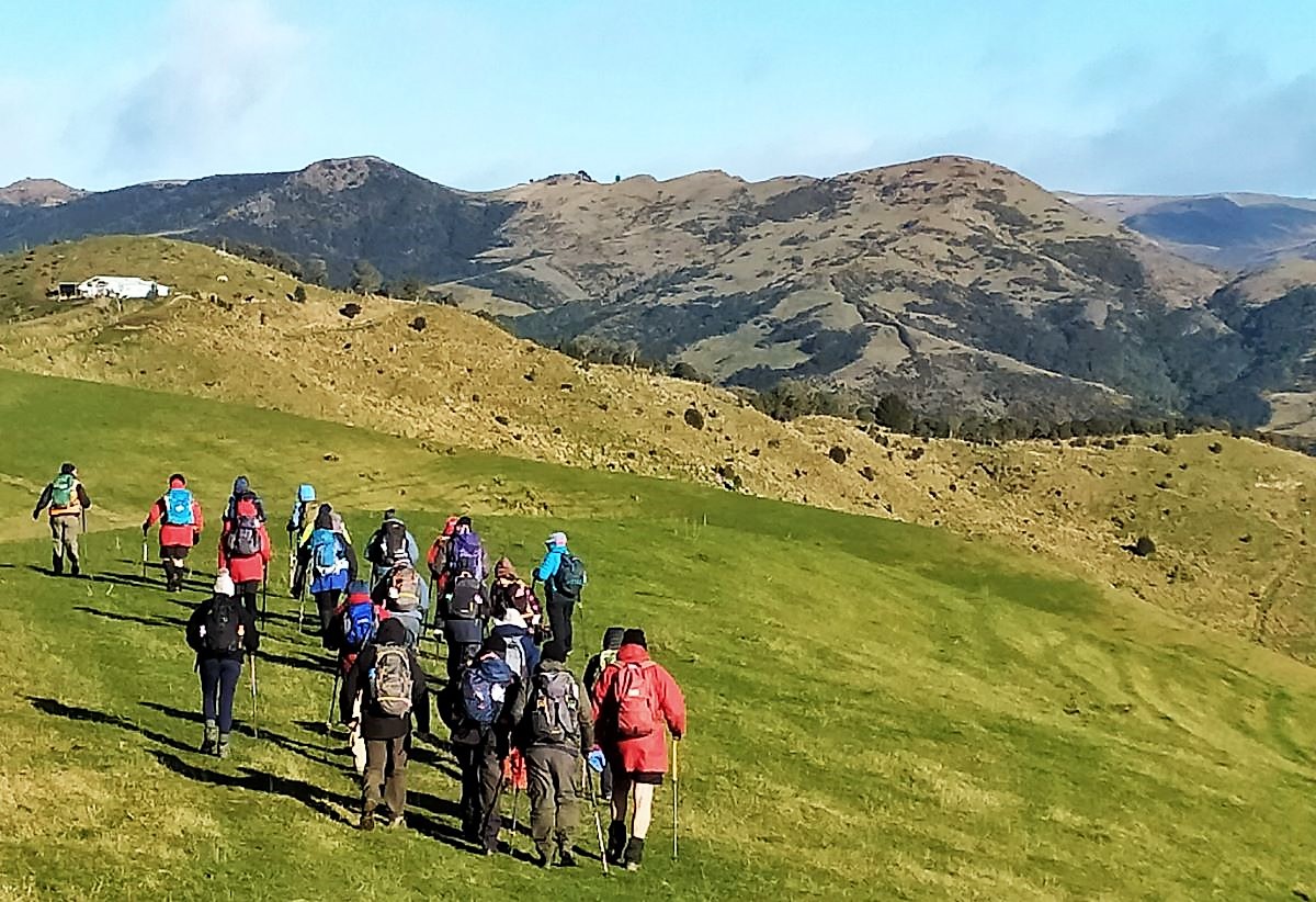
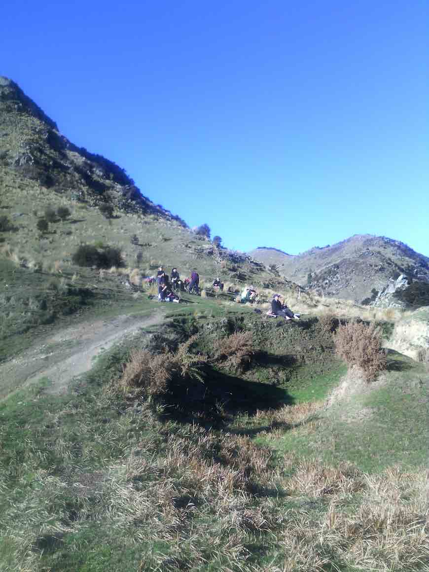
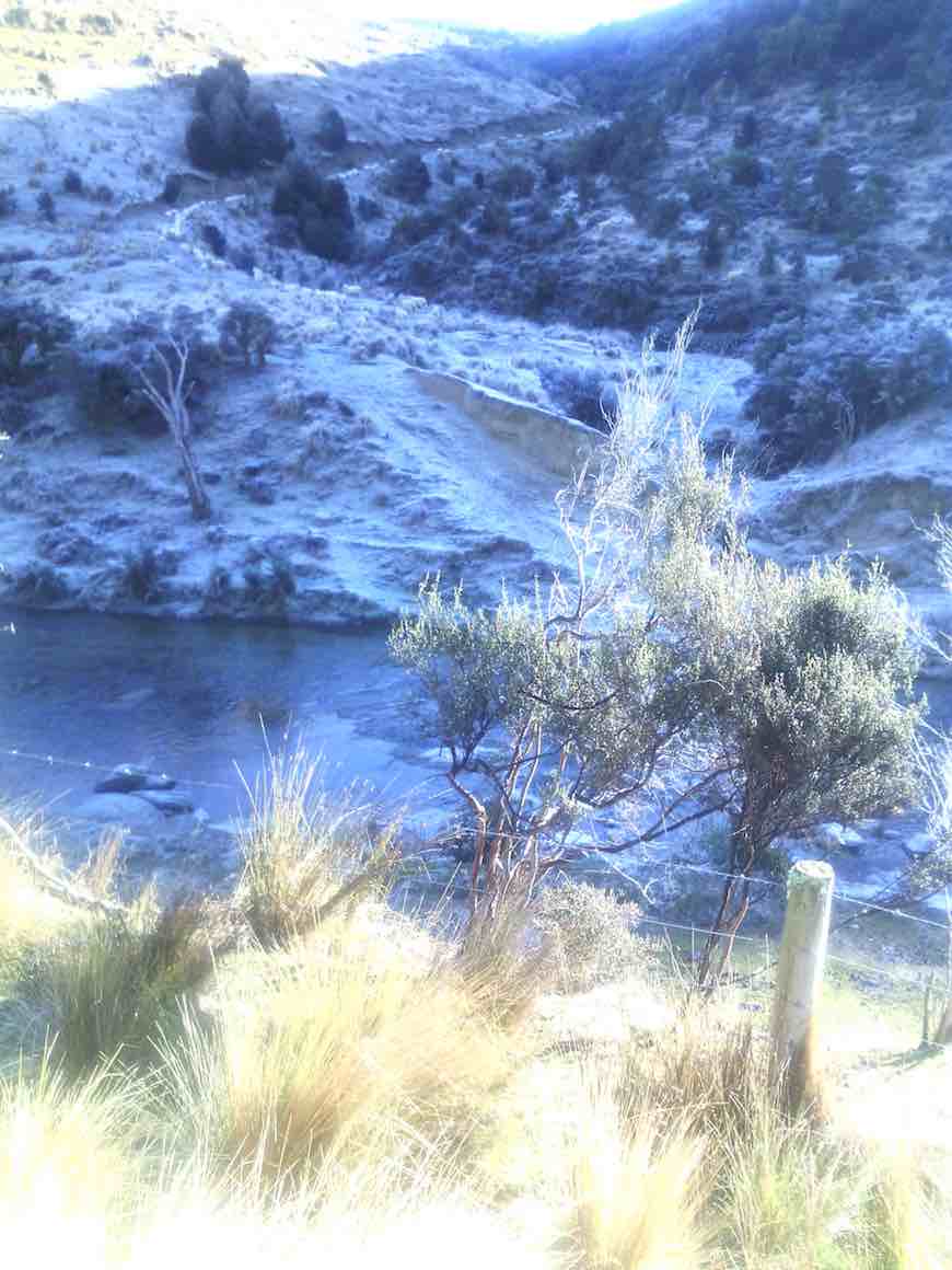
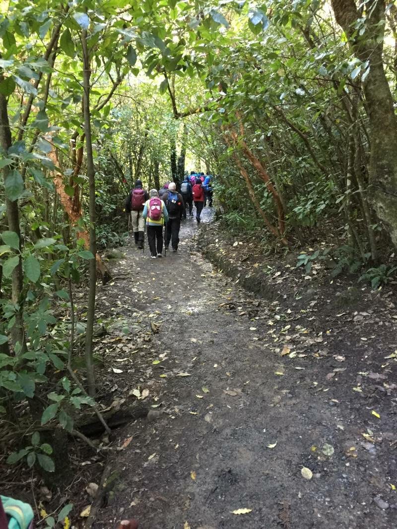
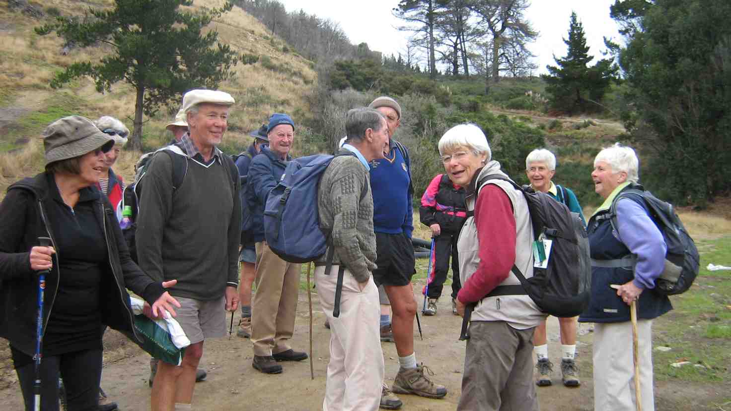
18 trampers completed this tramp in an anti-clockwise direction on a calm mild spring day.
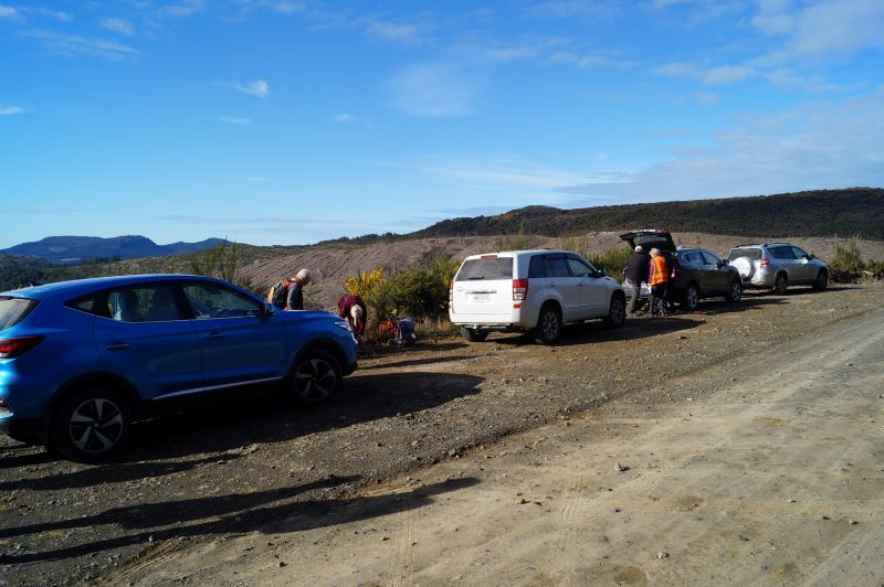
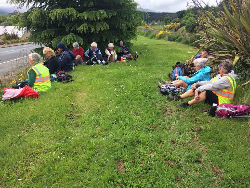
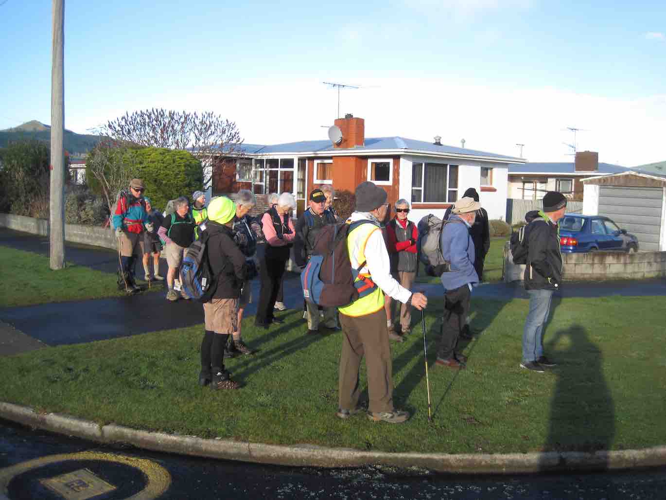
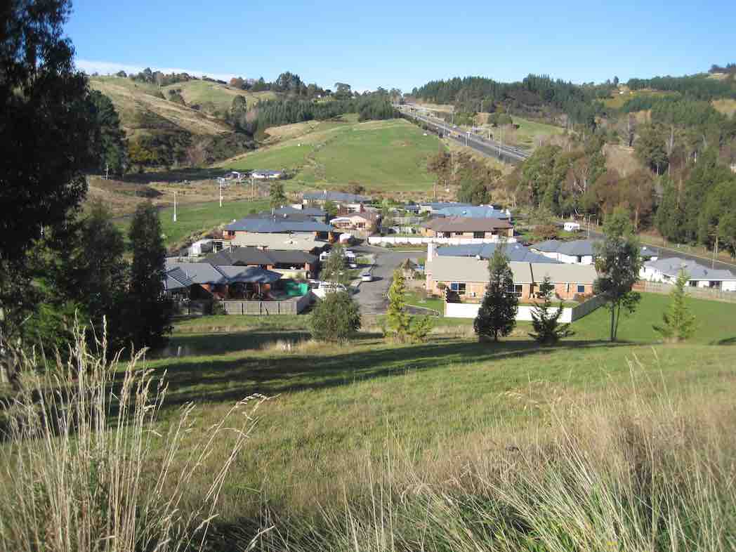
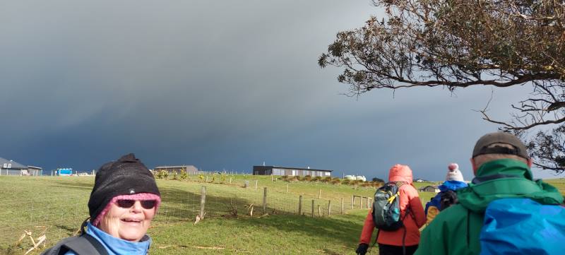
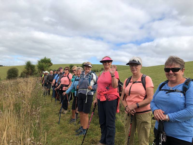
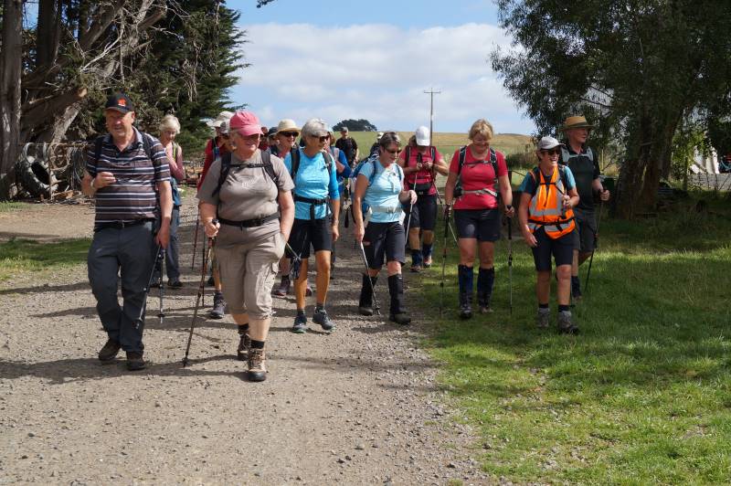
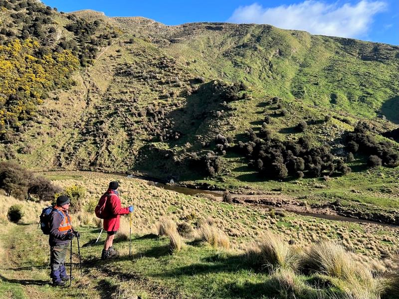
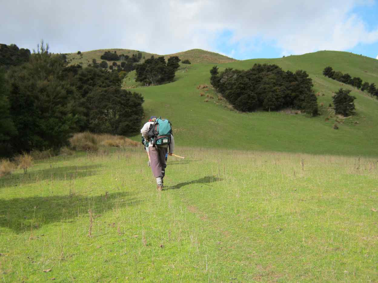
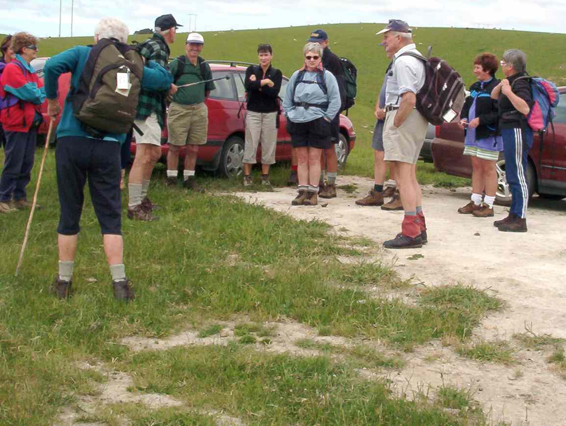
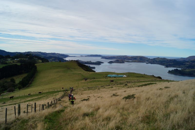
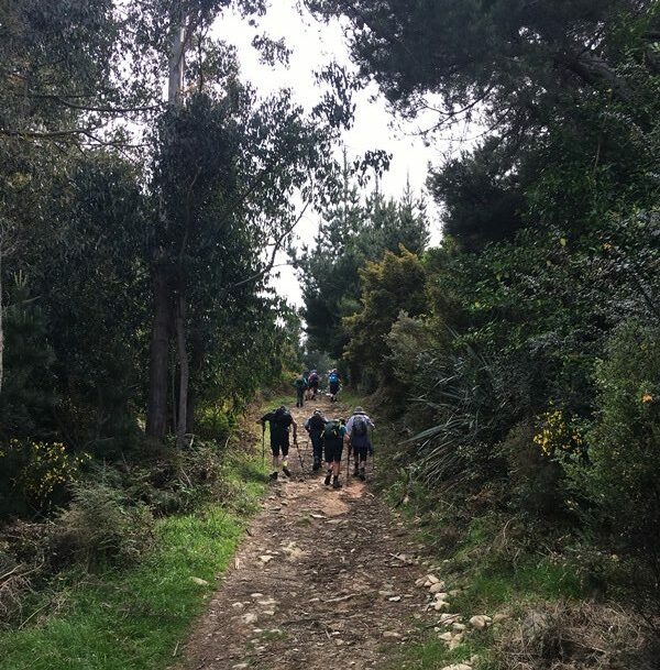
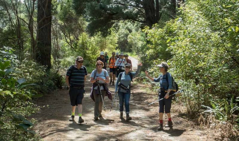
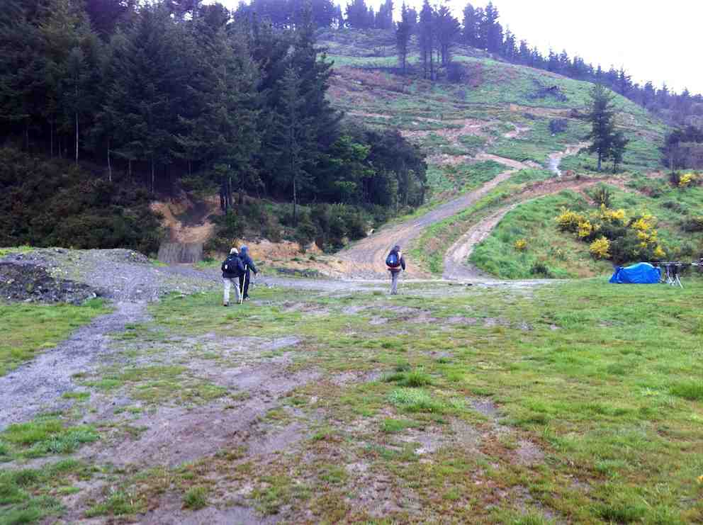
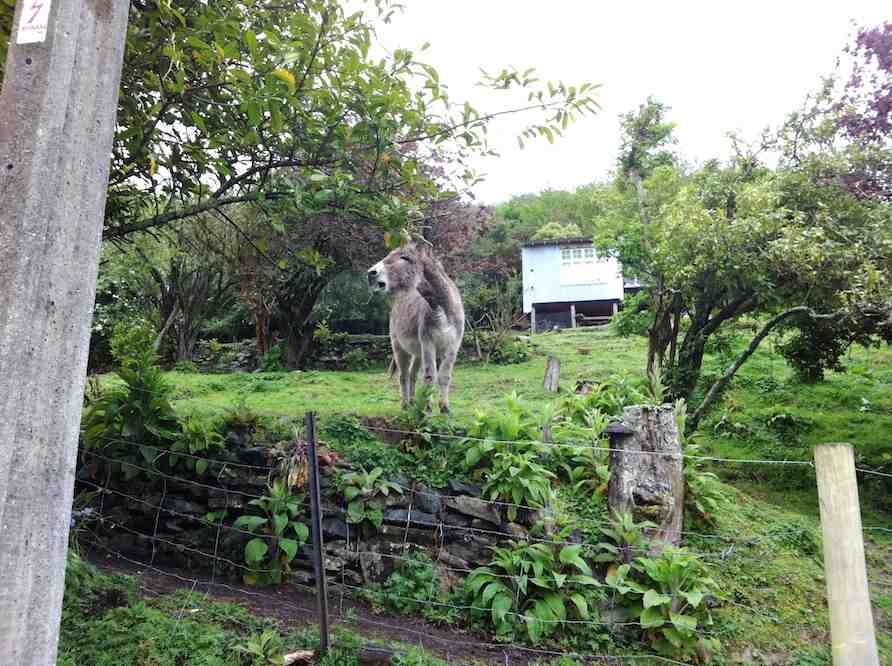
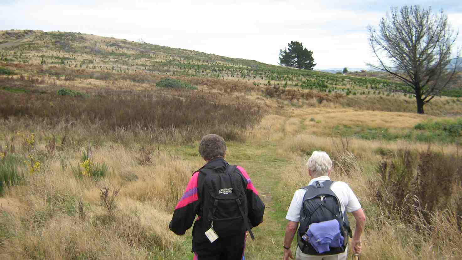
Leaving the cars with the a totally different backdrop since the tree felling. Photo & caption John
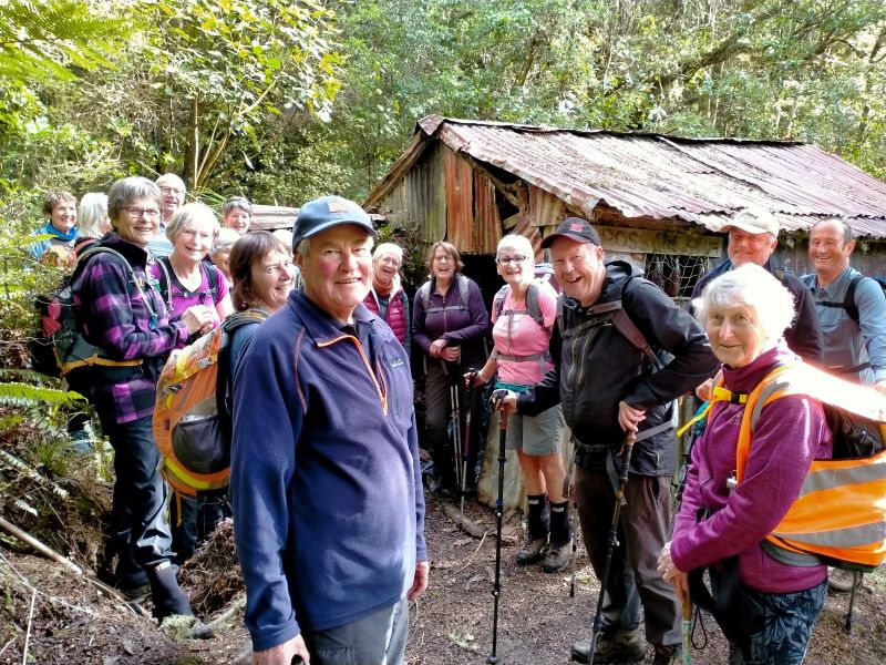
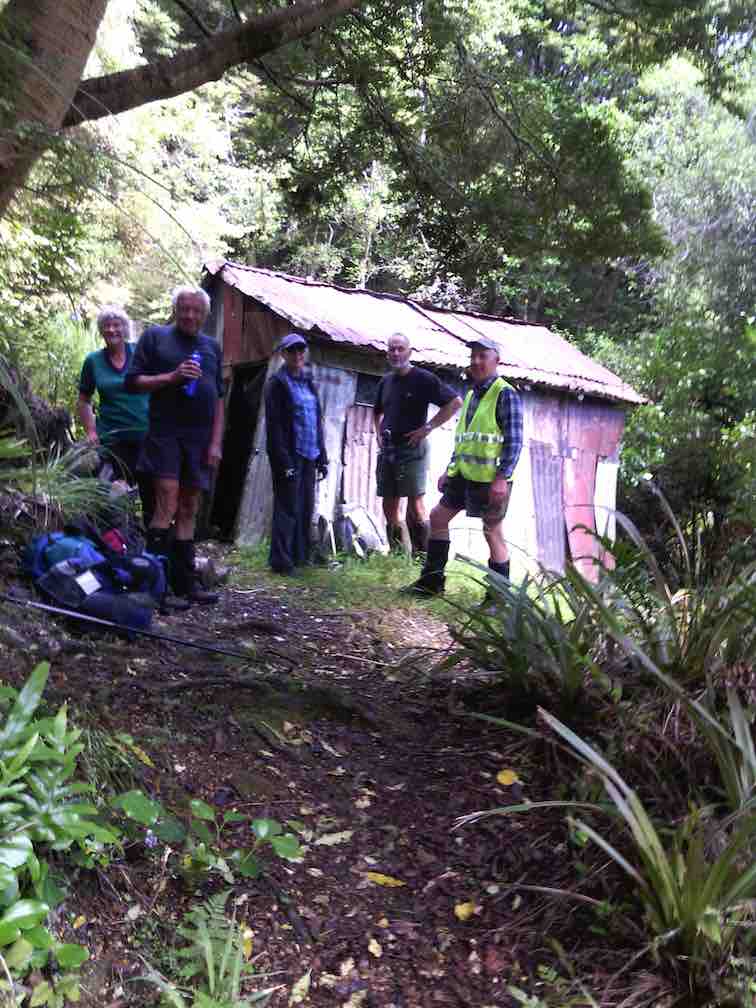
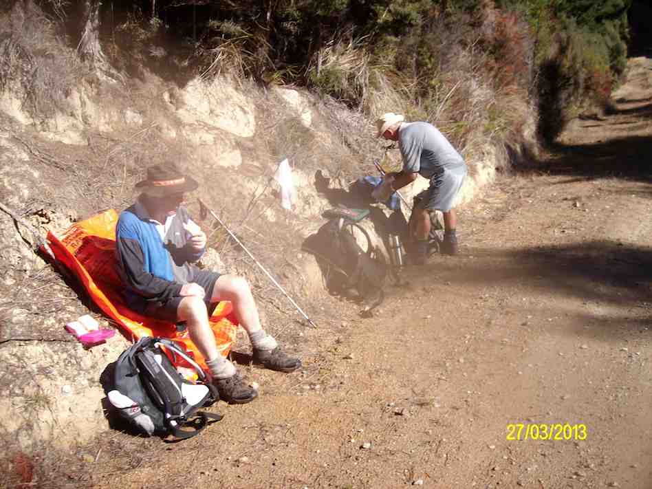
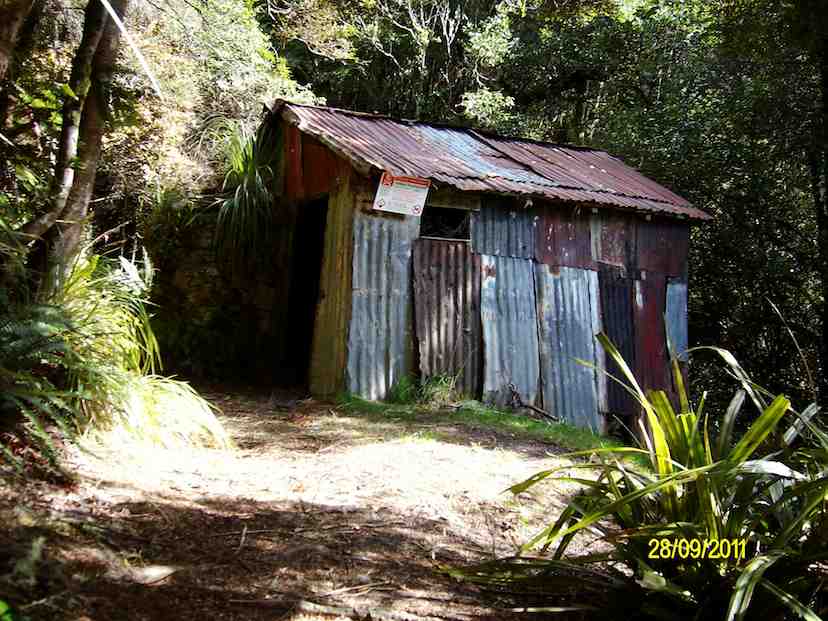
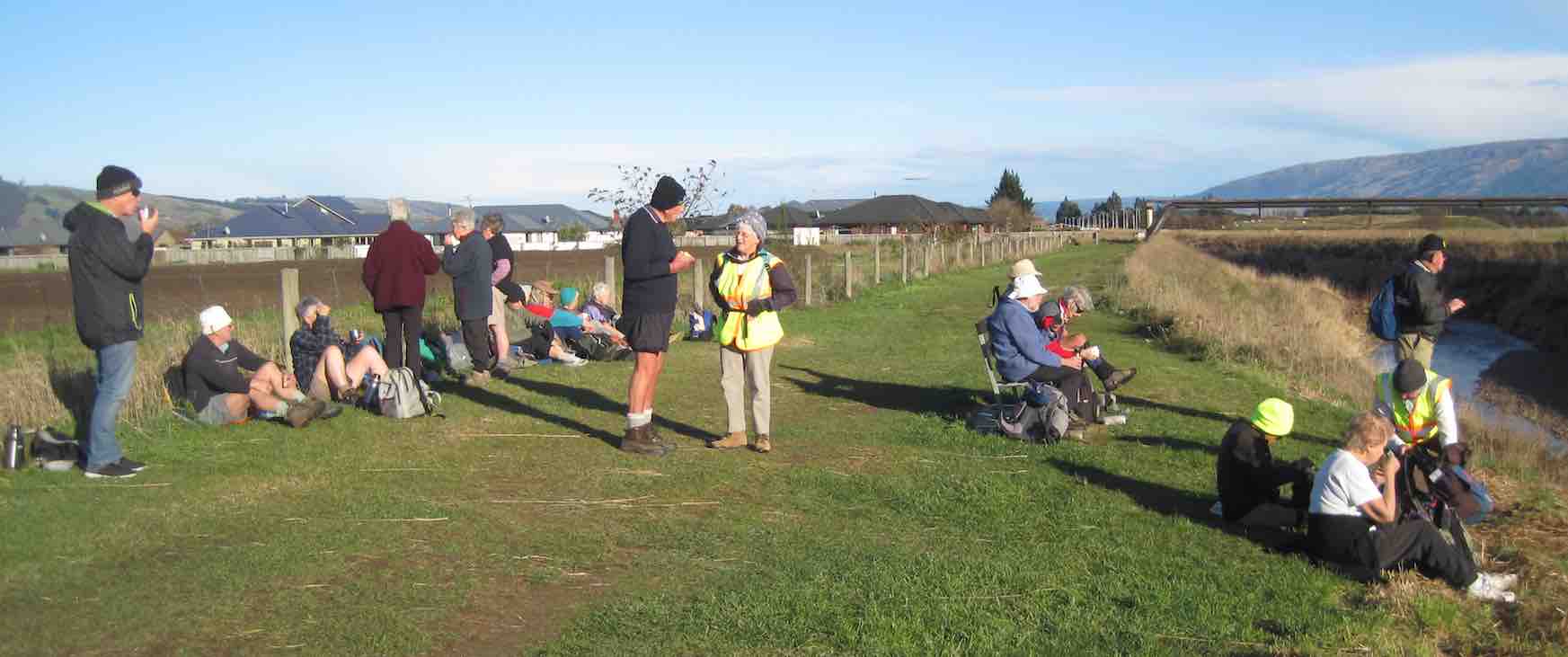
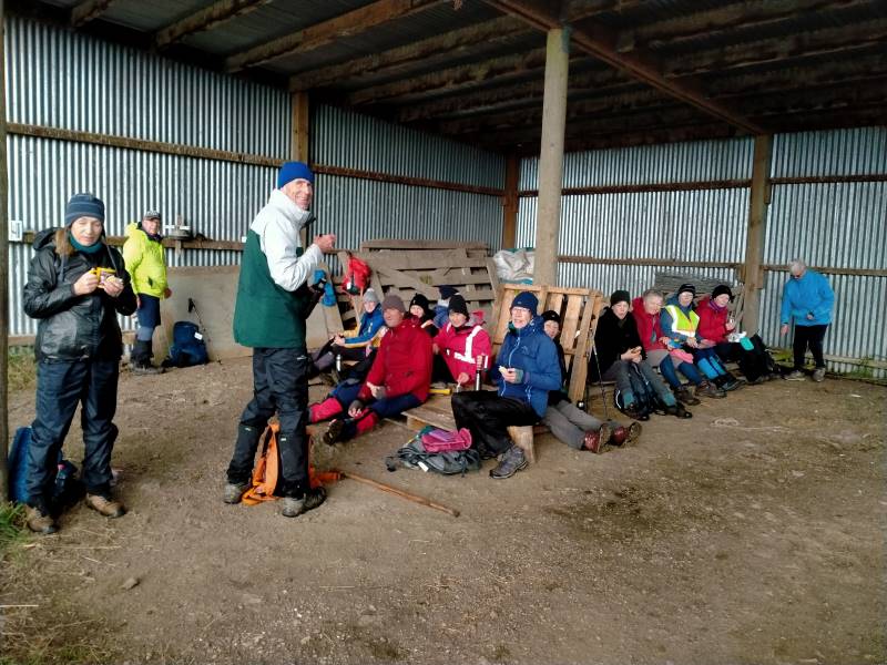
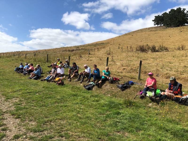
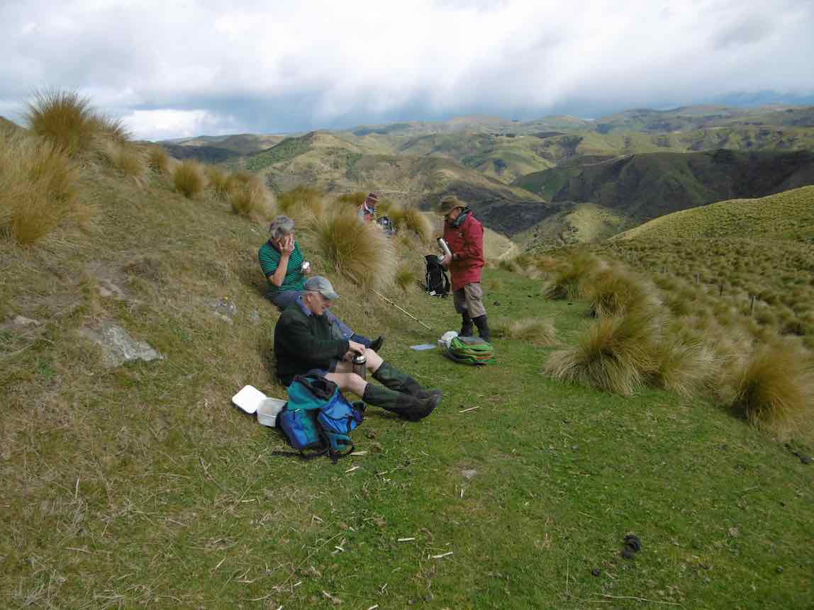
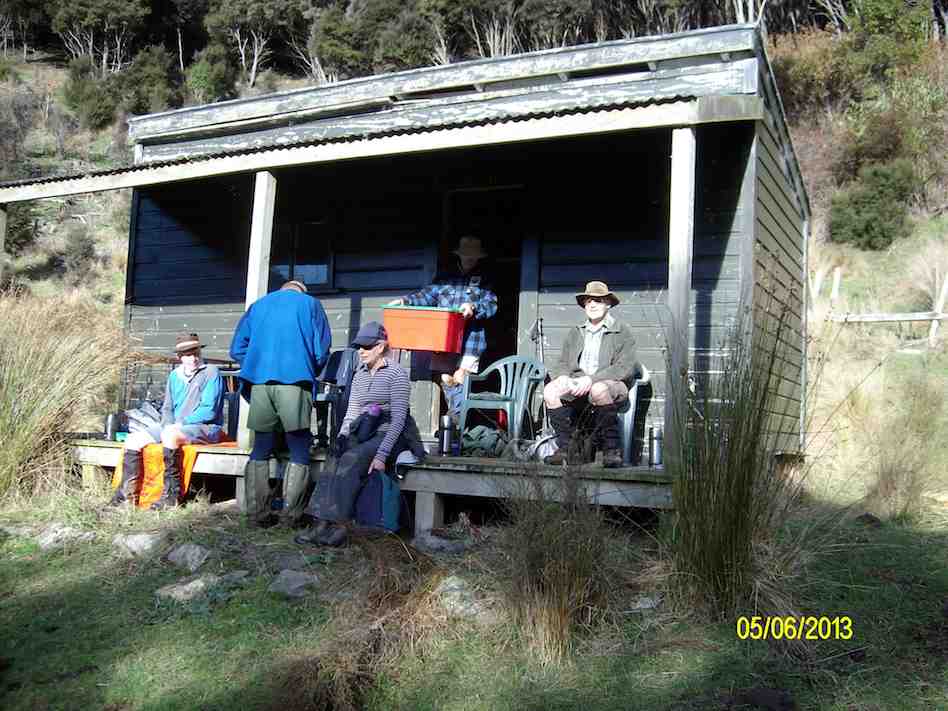
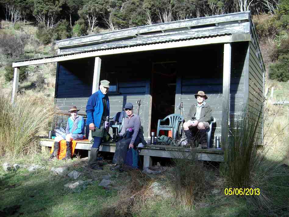
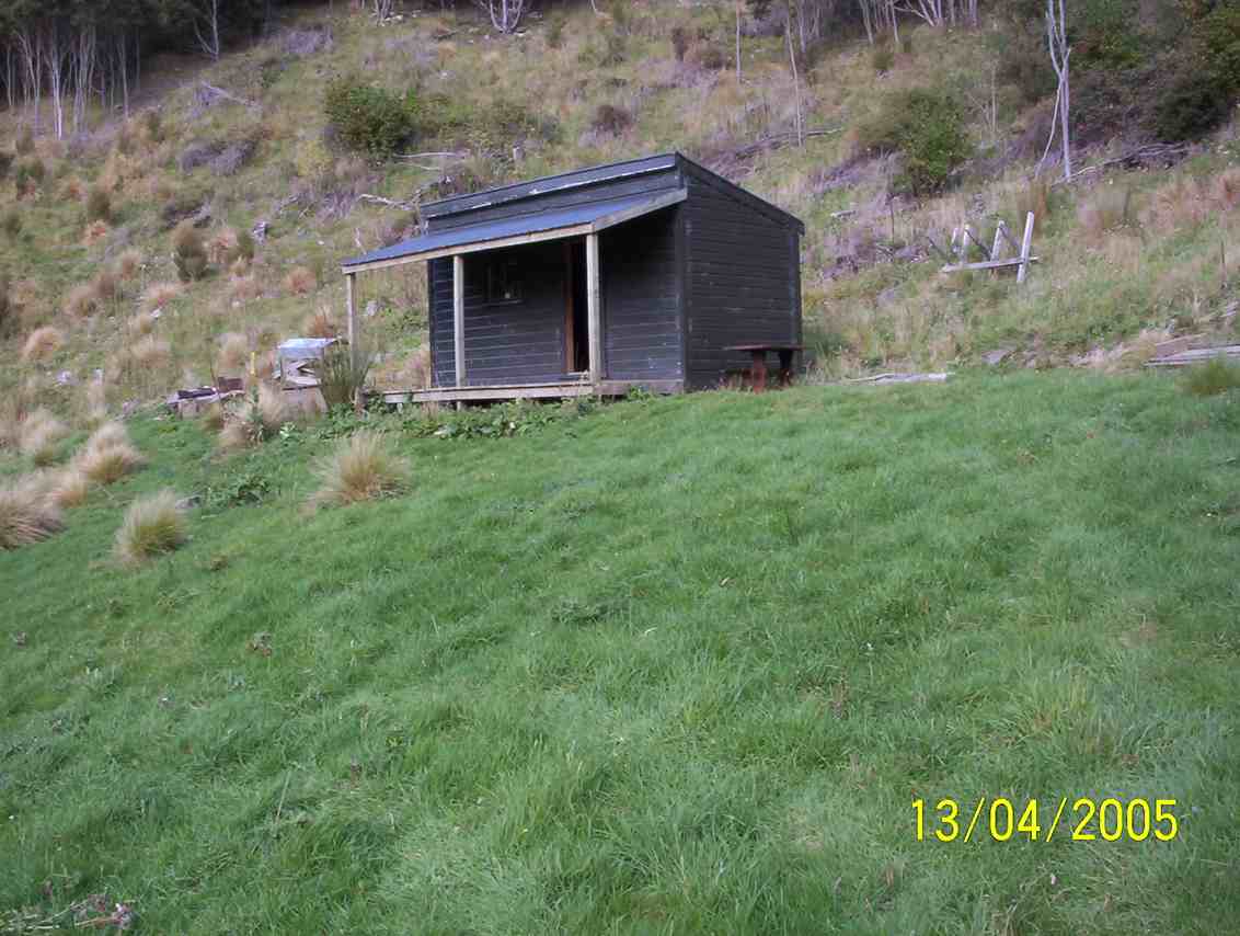
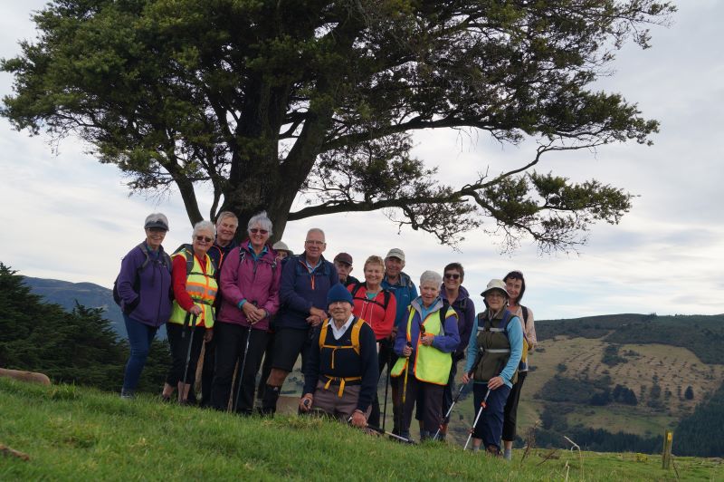
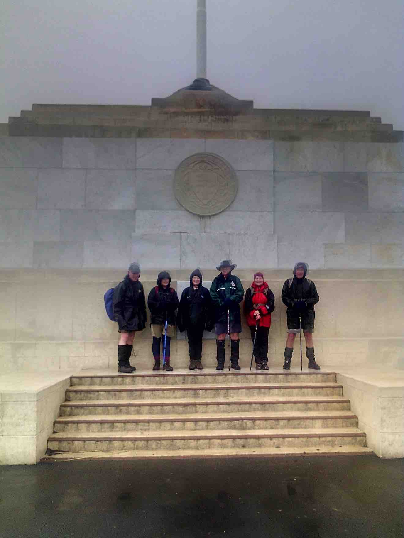
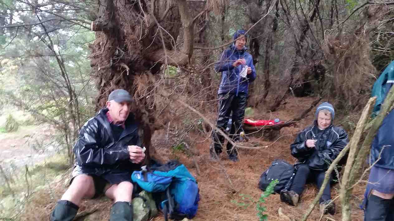
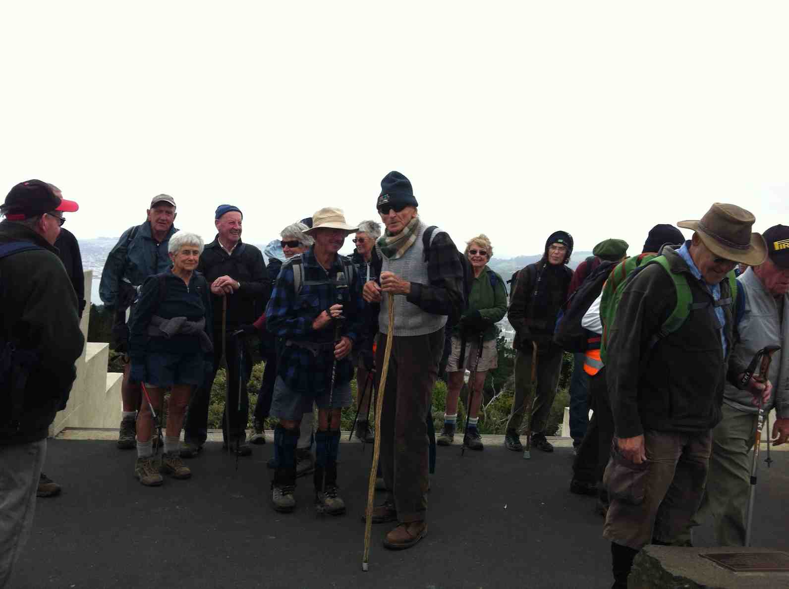
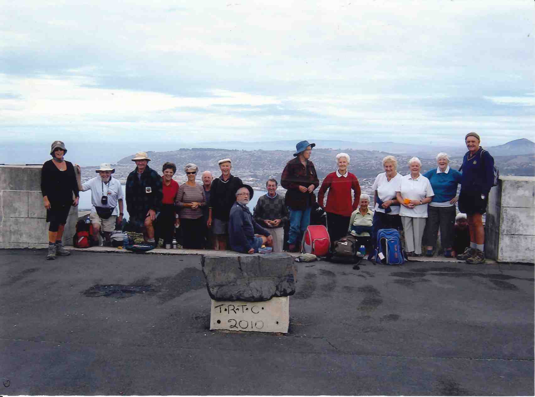
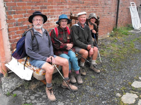
The track was in good condition and everyone seemed to enjoy it. We had Smoke-O after descending the track through the Douglas firs, a photo shoot at the derelict Possum Hut, and had lunch at the site of the old Green Hut.
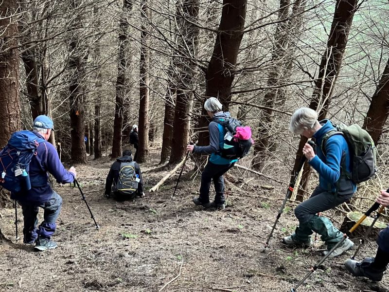
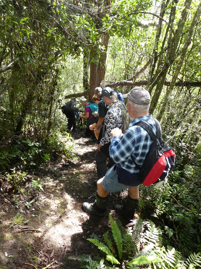
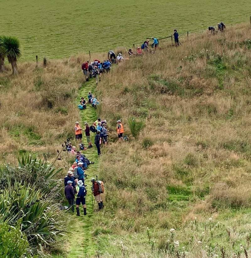
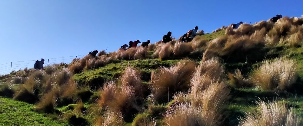
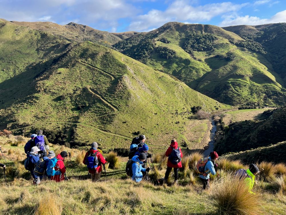
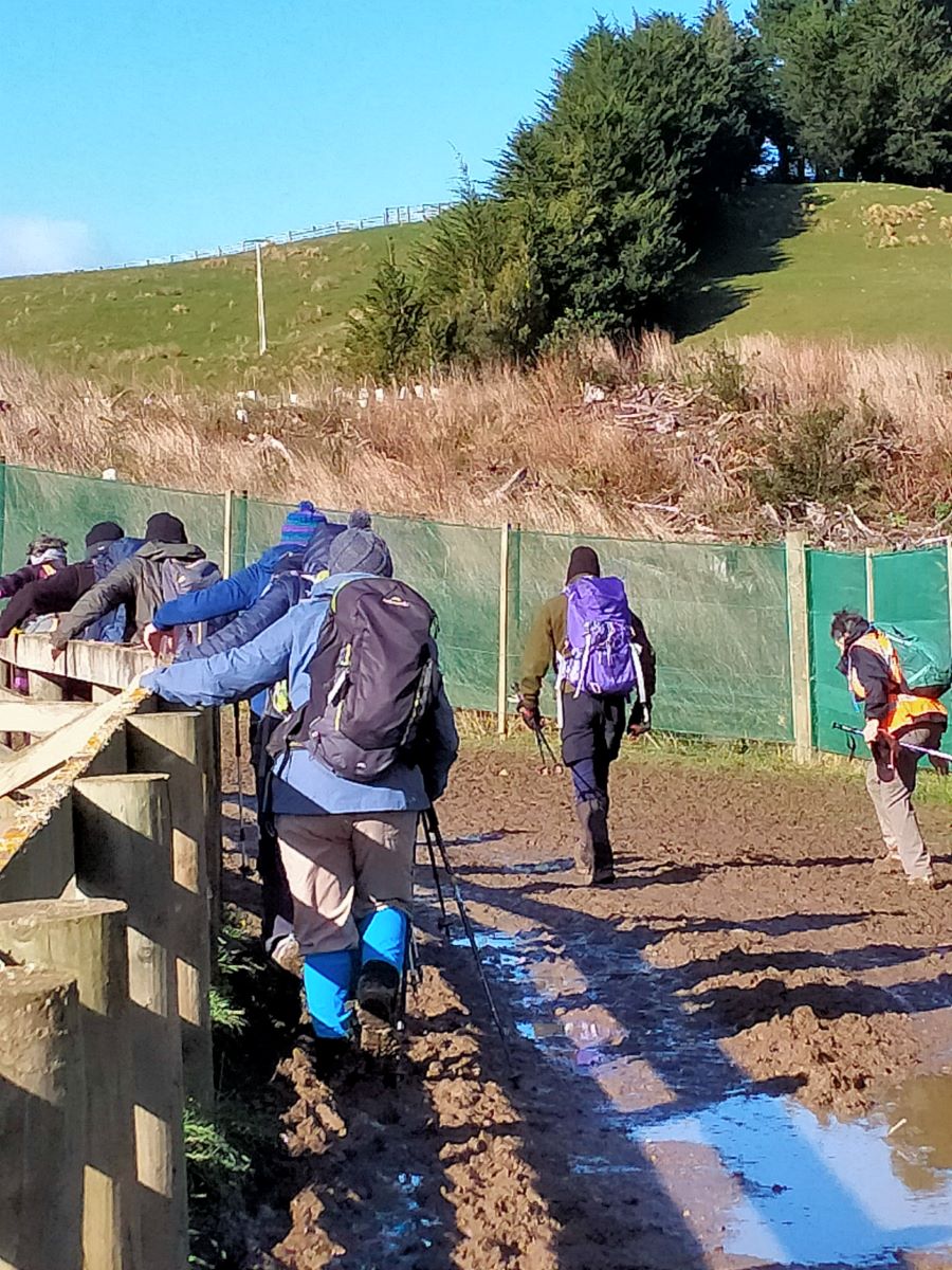
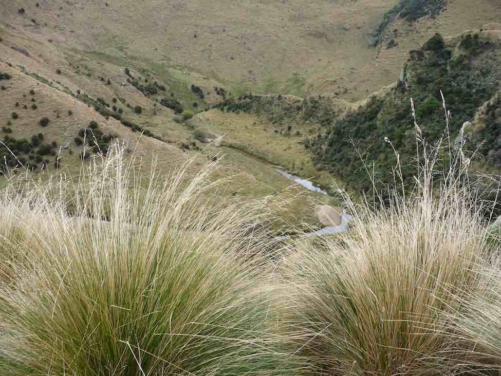
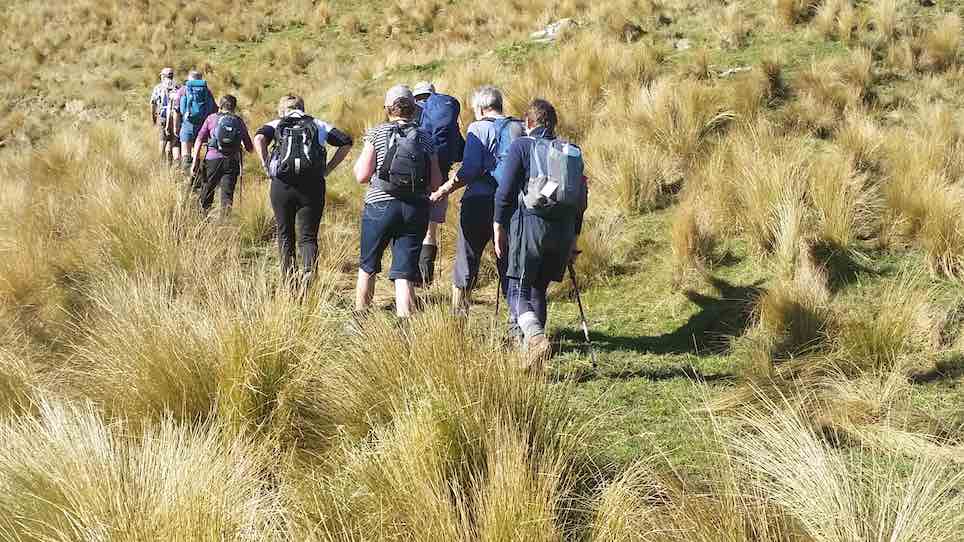
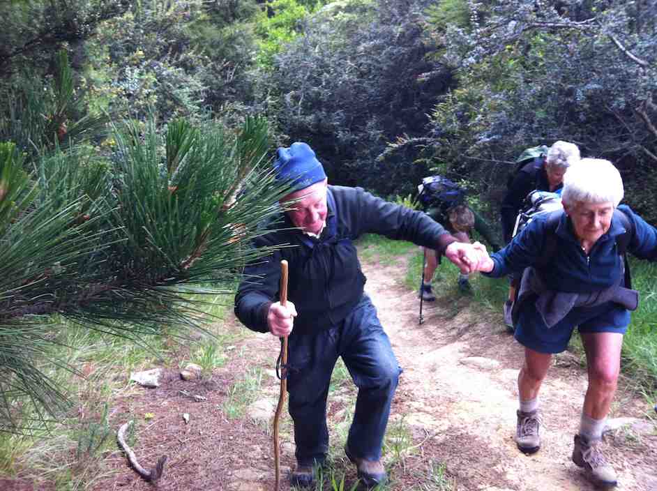
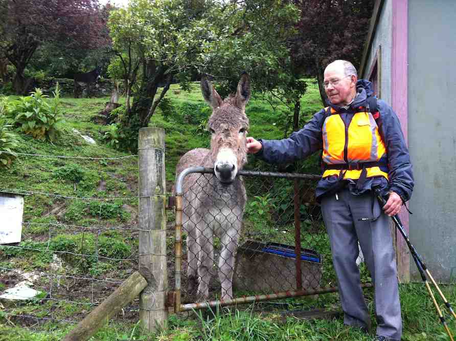
Various ways of getting down the steep slope. Photo & caption Pam
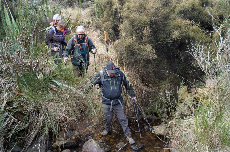
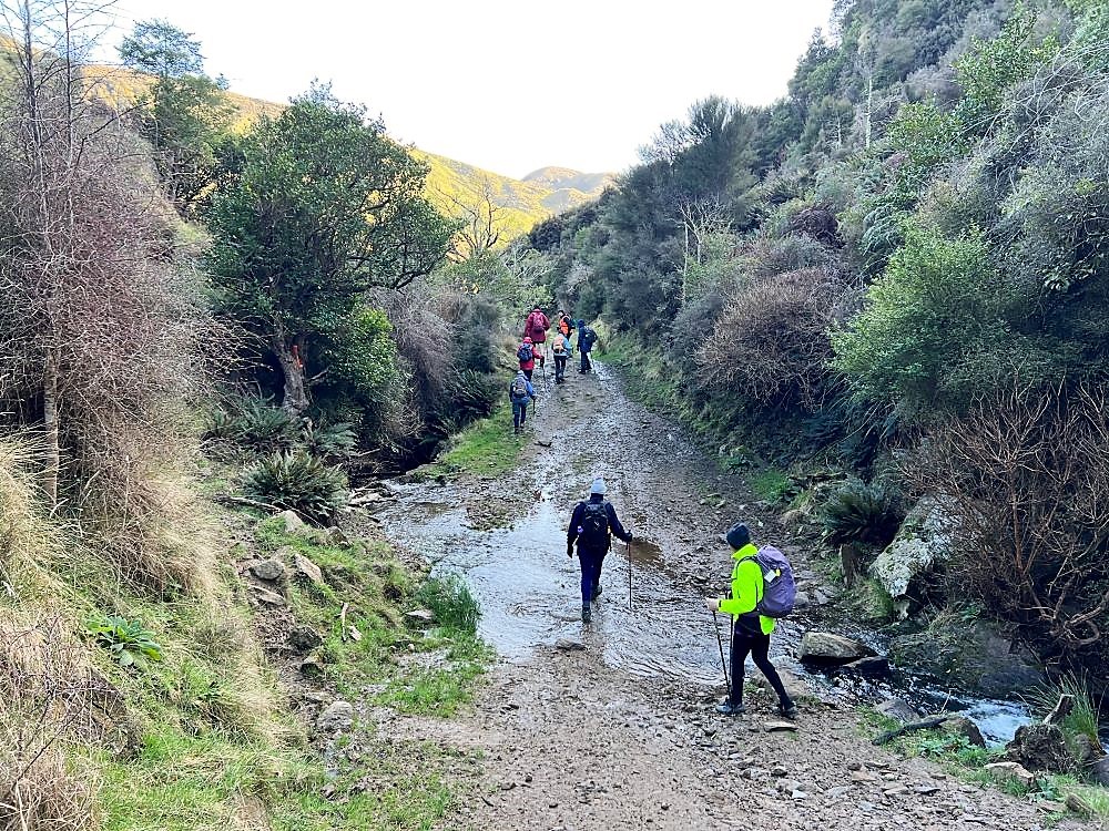
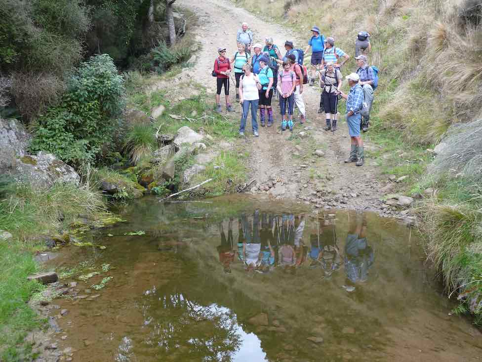
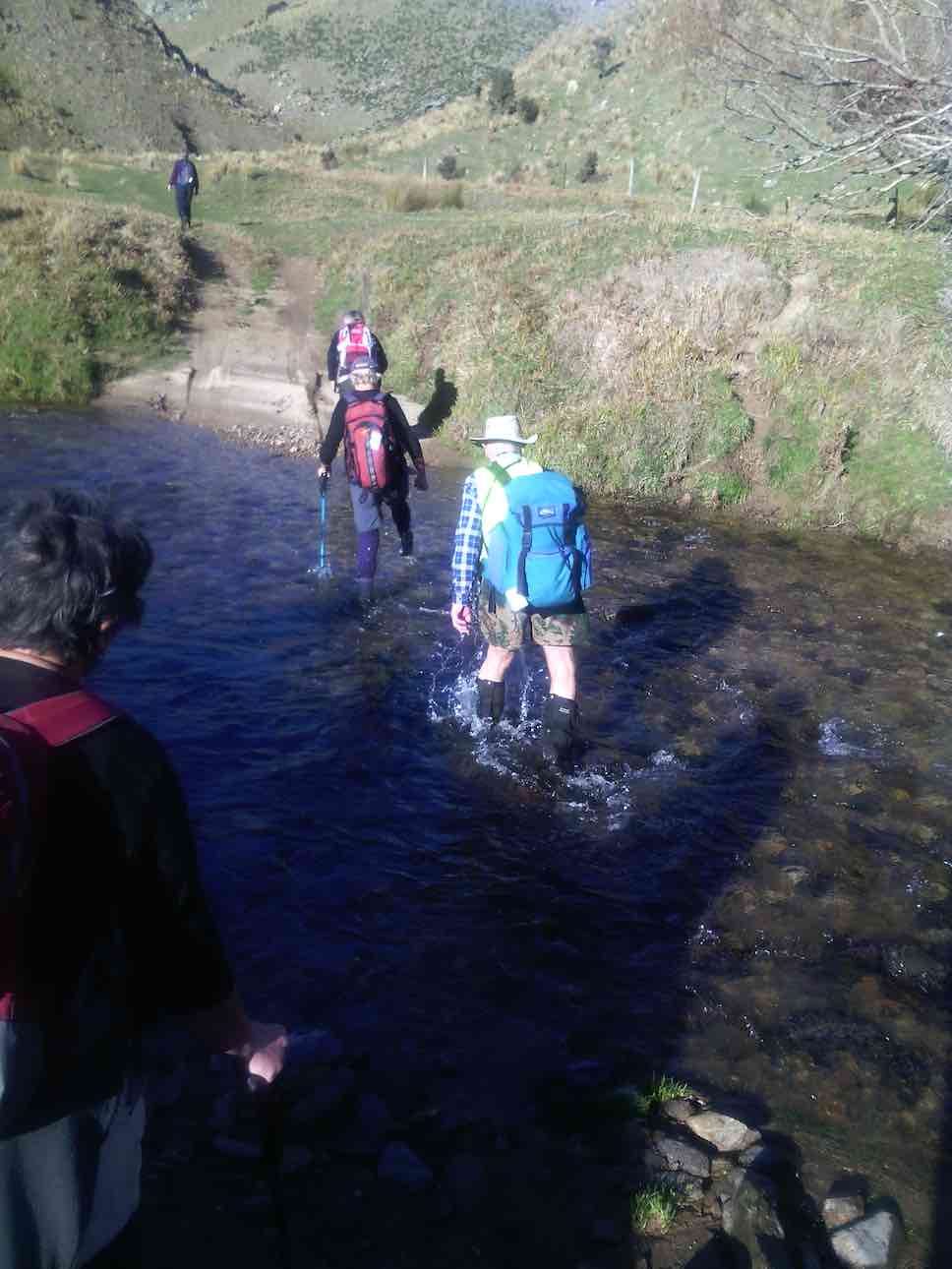
First creek crossing. Photo & caption JohnWe find Dame Edna’s old hideaway. Photo & caption Phil
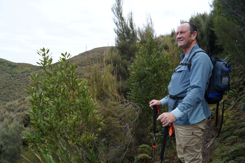
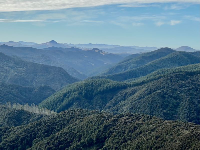
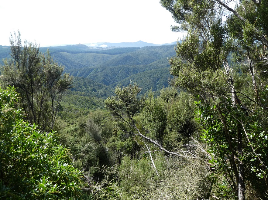
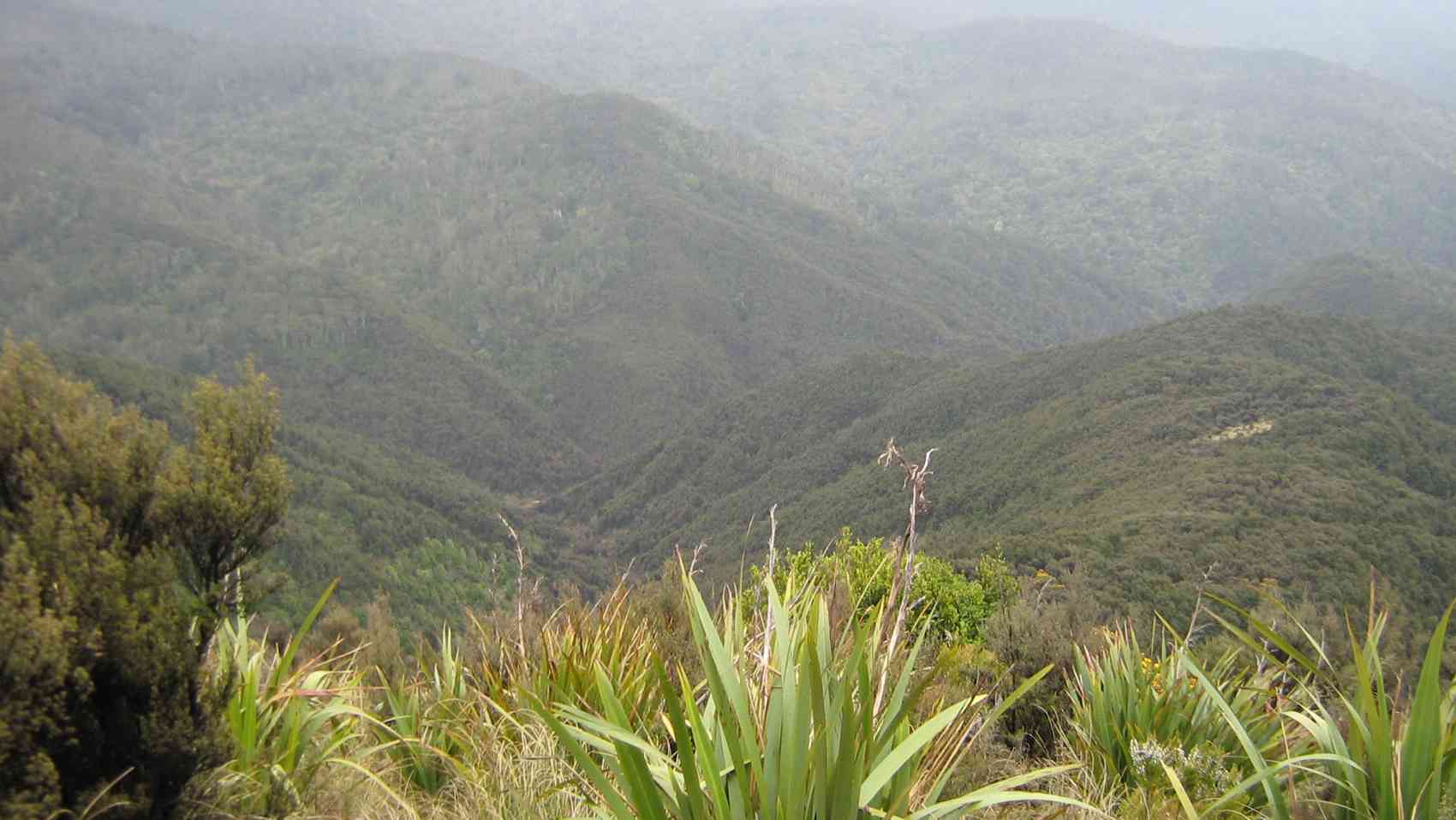
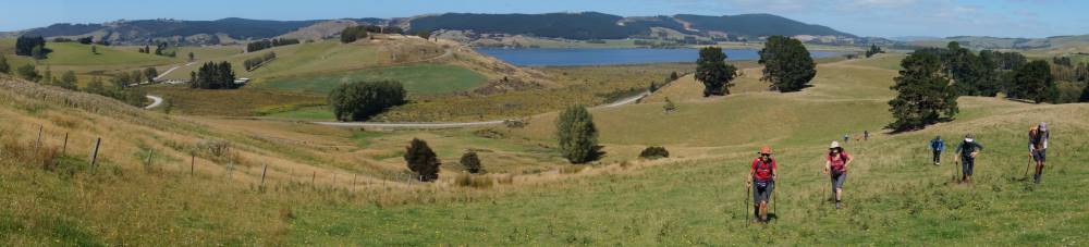
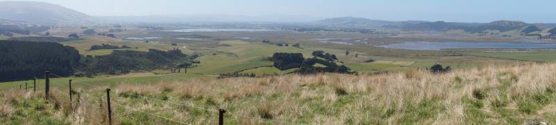
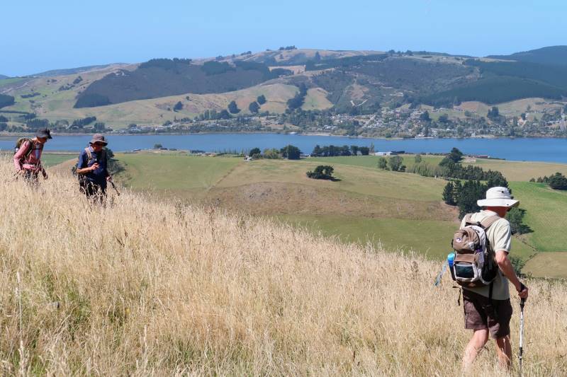
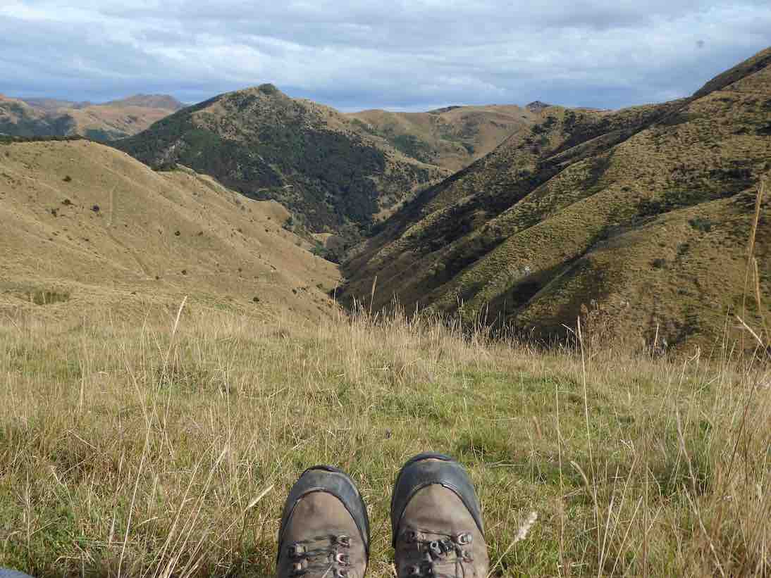
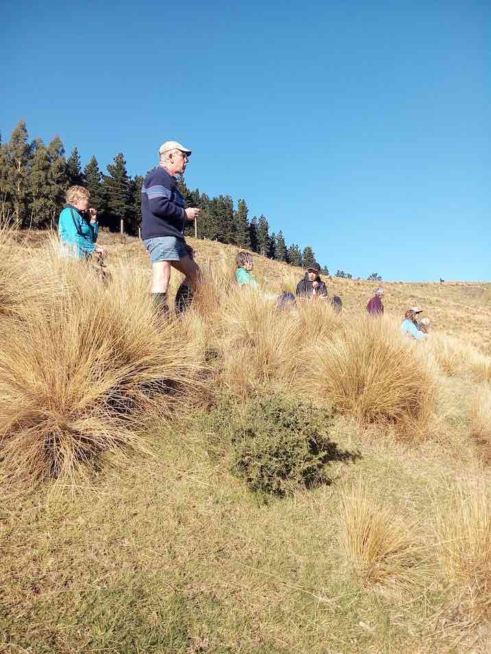
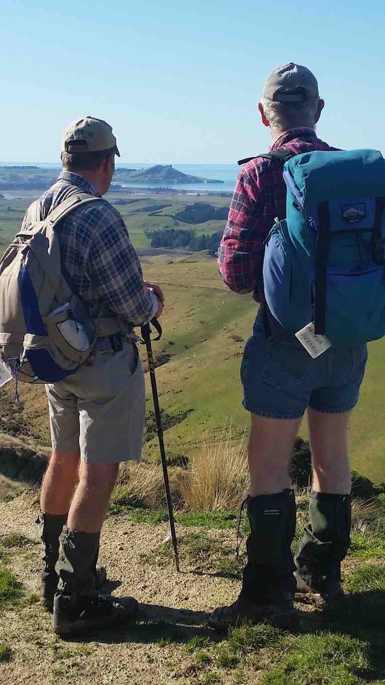
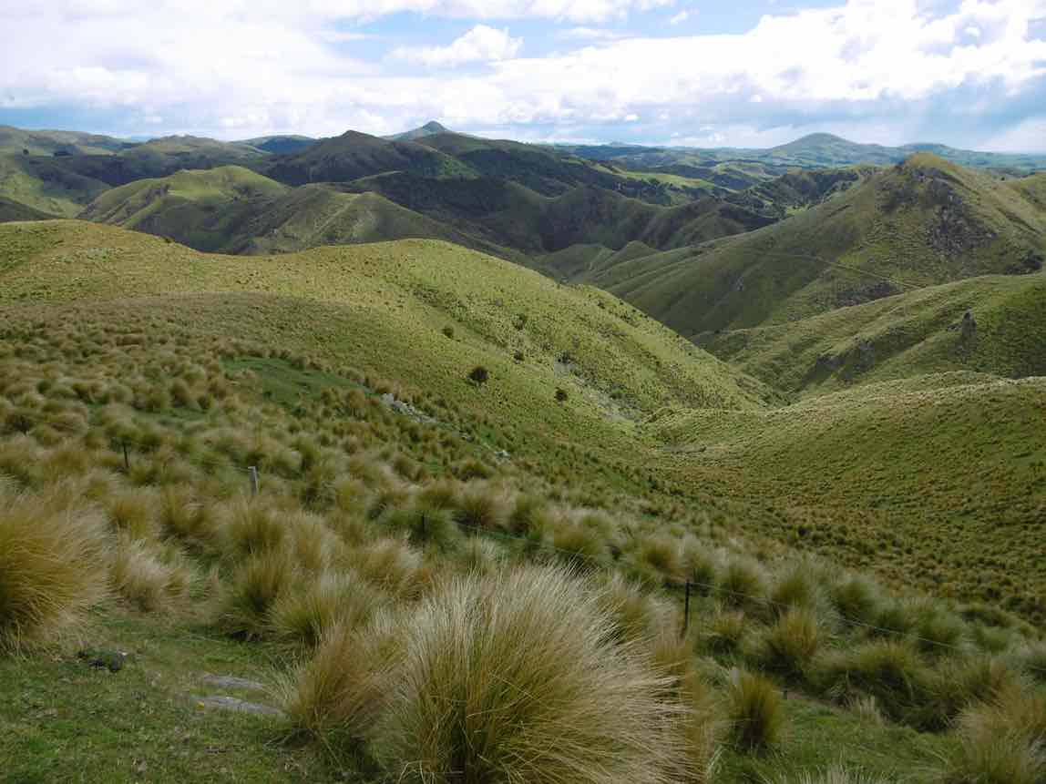
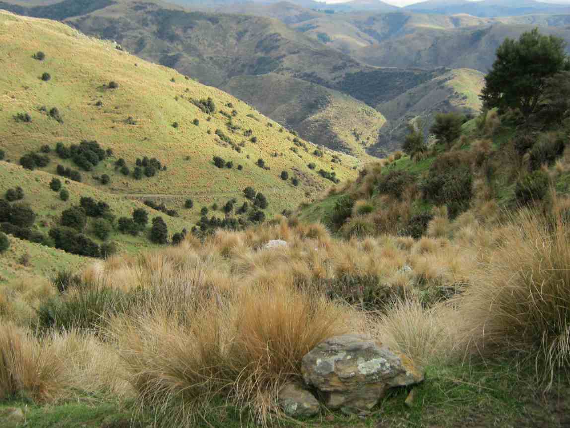
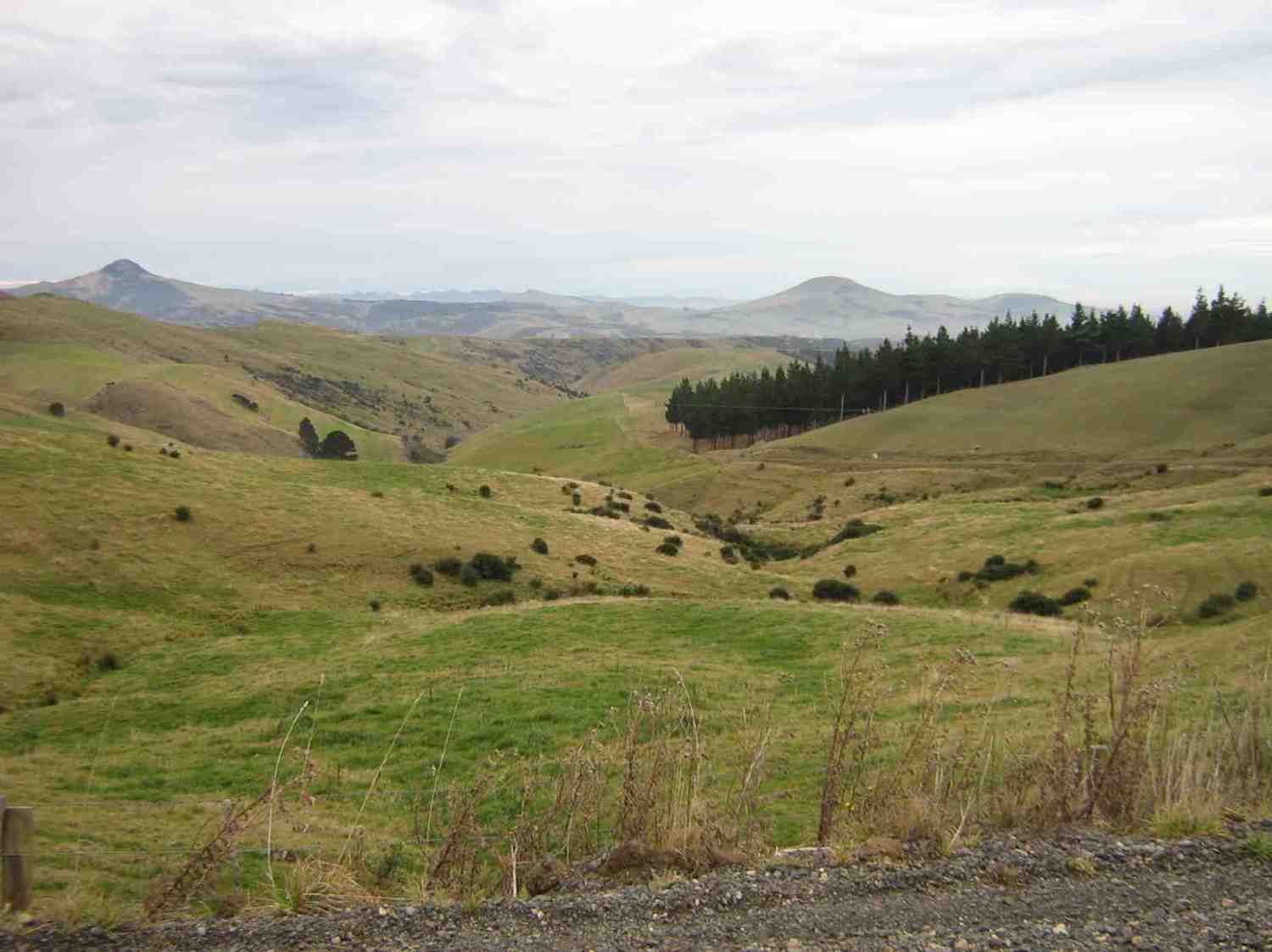
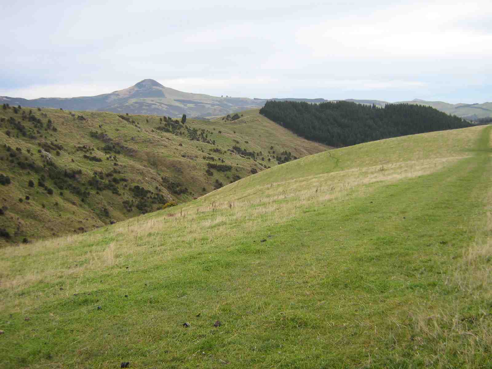
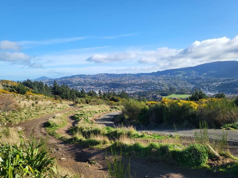
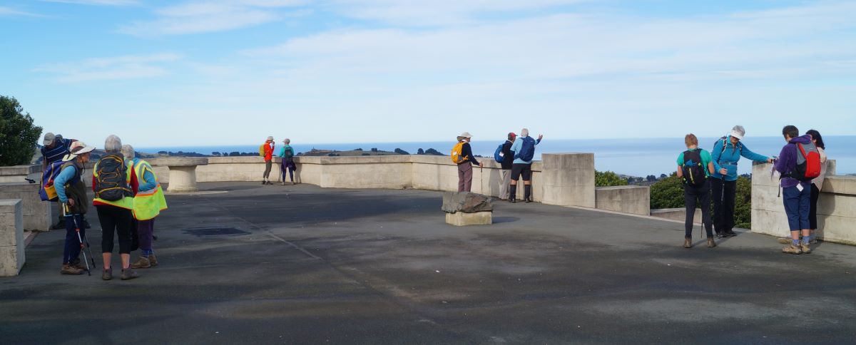
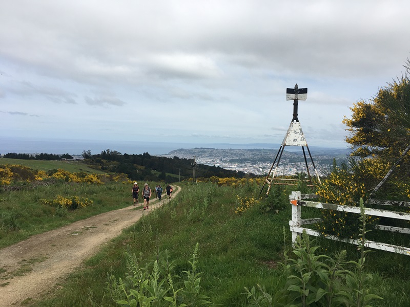
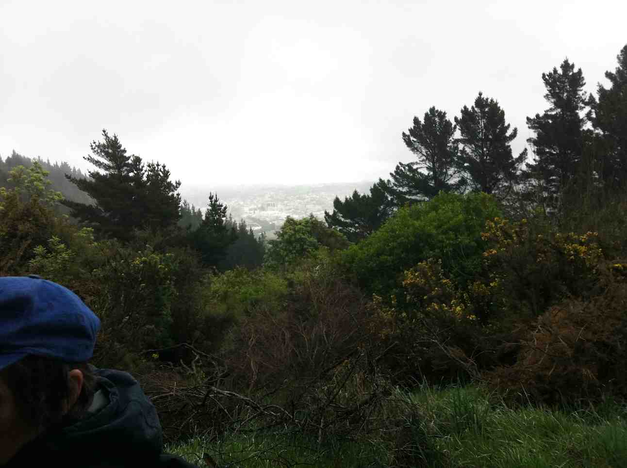
Chris, near the top, taking in the spectacular view. Photo & caption JohnAmazing views across the Silver Peaks. Photo & caption Pam
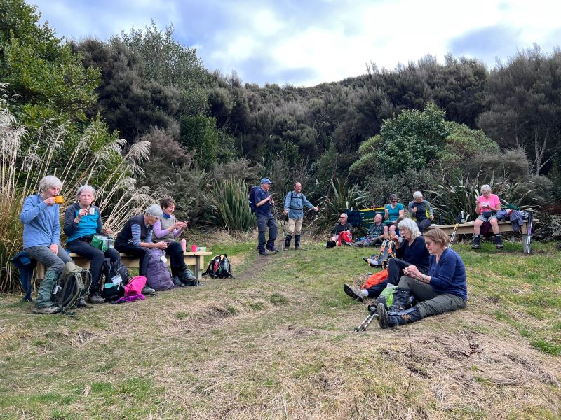
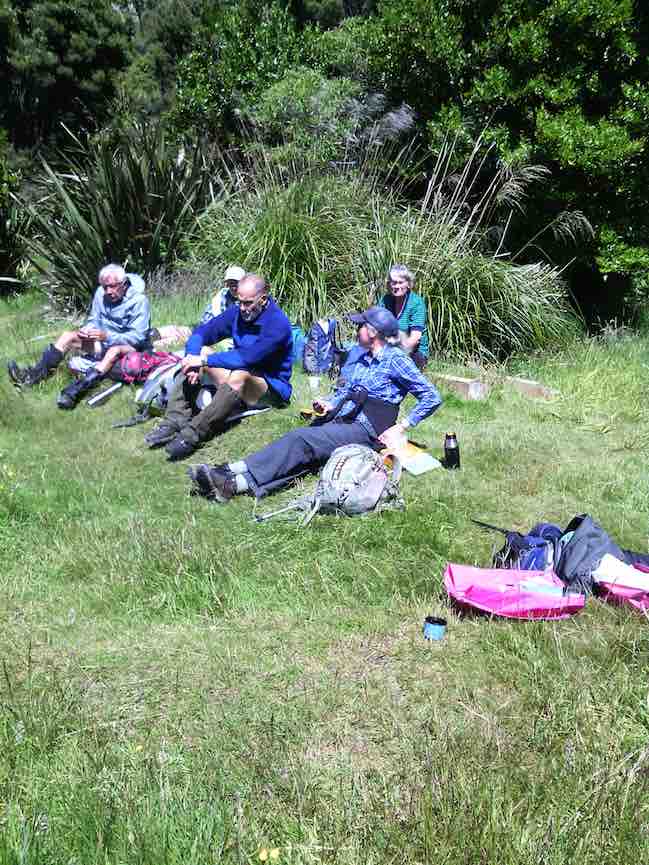
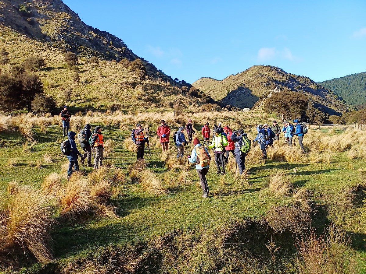
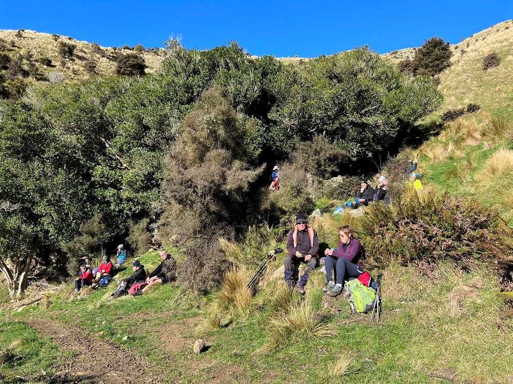
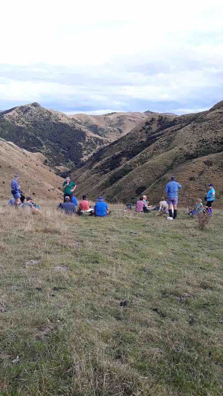
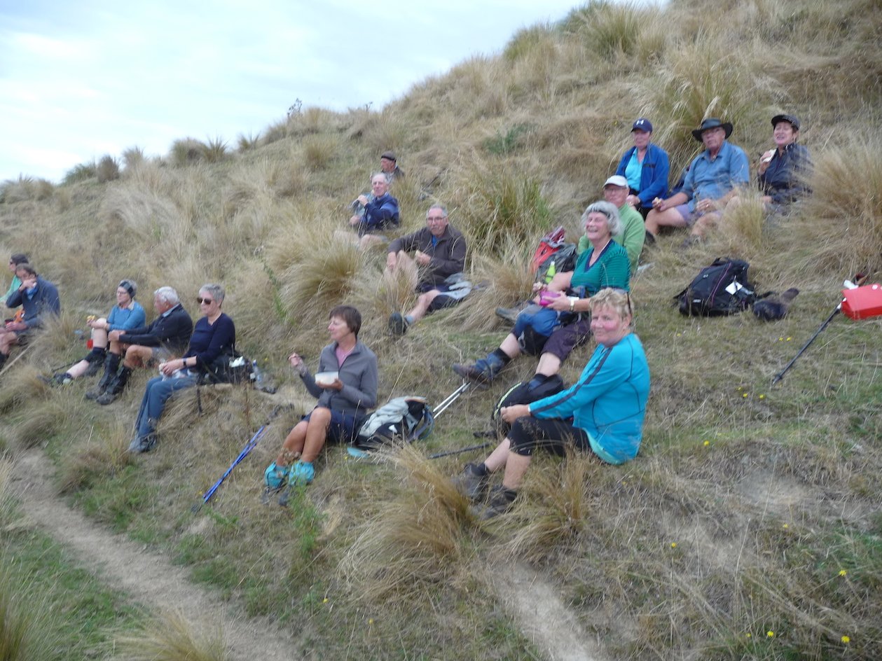
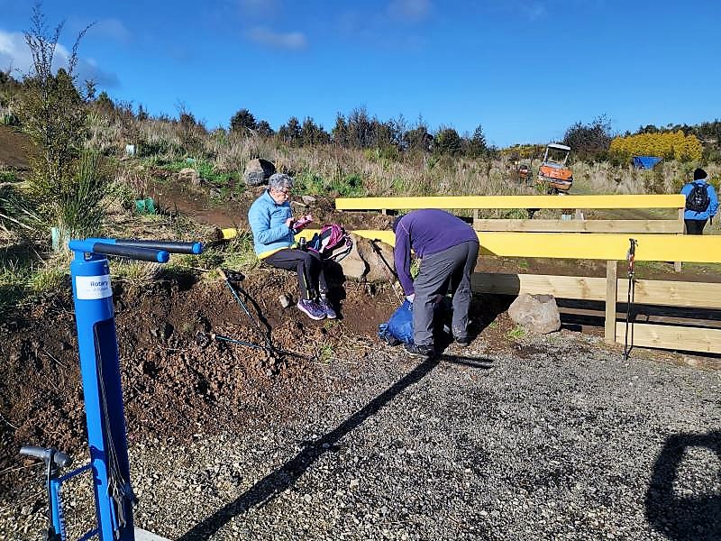
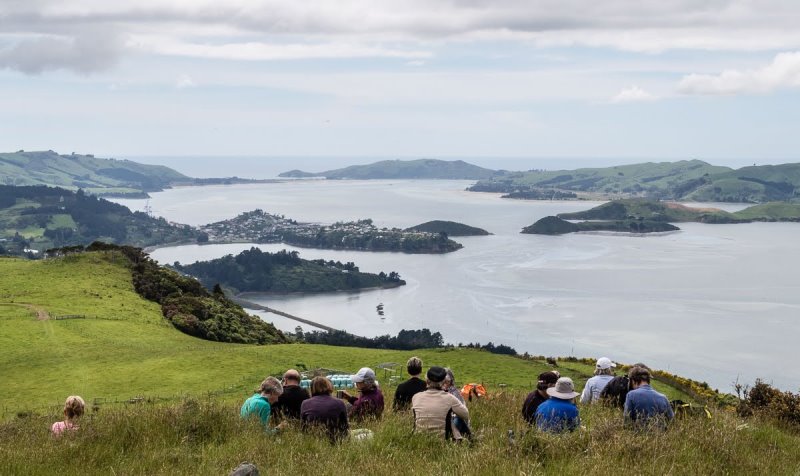
Lunch at the former site of Green Peak Hut. Photo & caption Pam
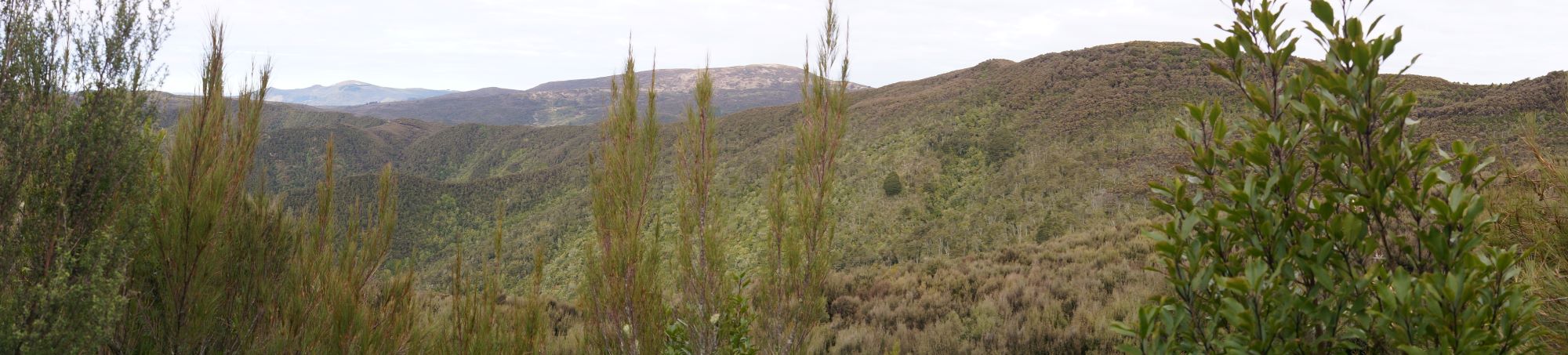
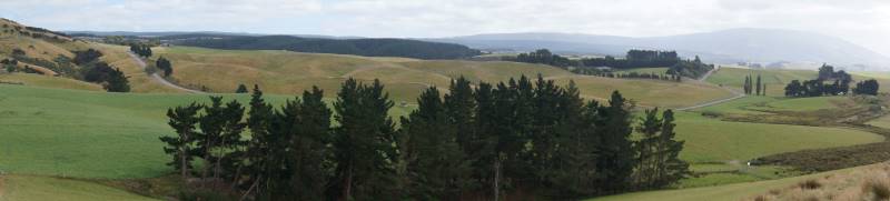
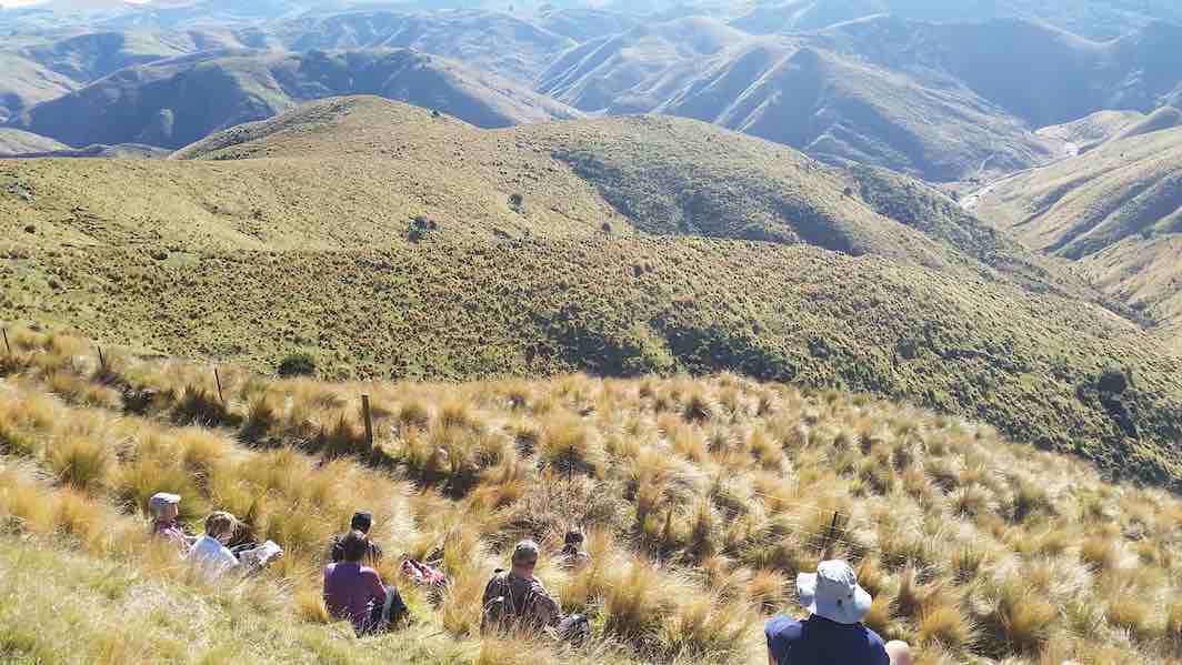
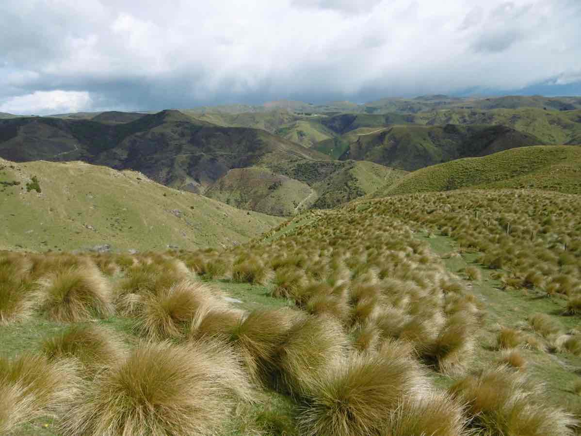
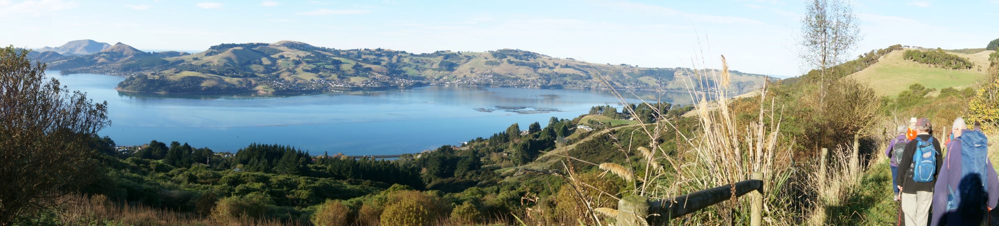
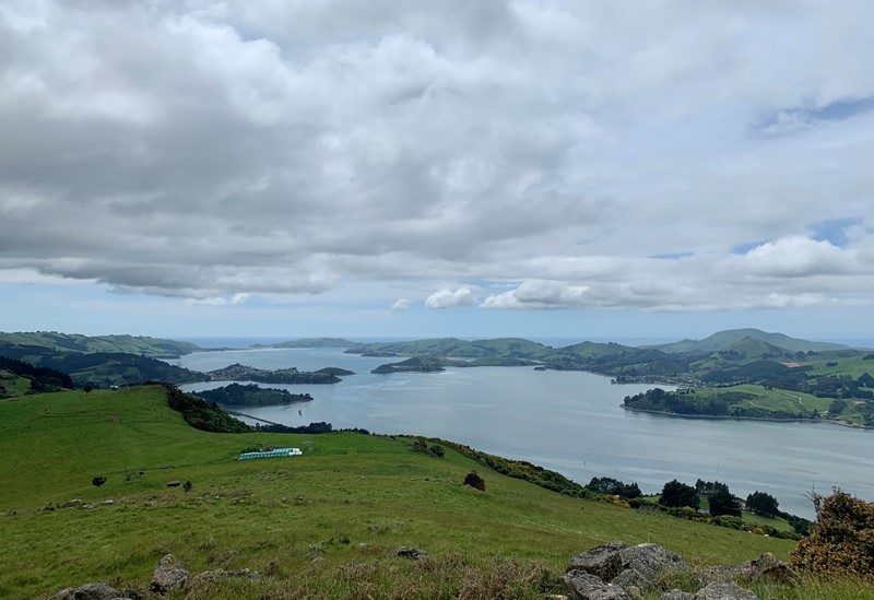
Panorama – no sign of civilization in any direction. Photo & caption John
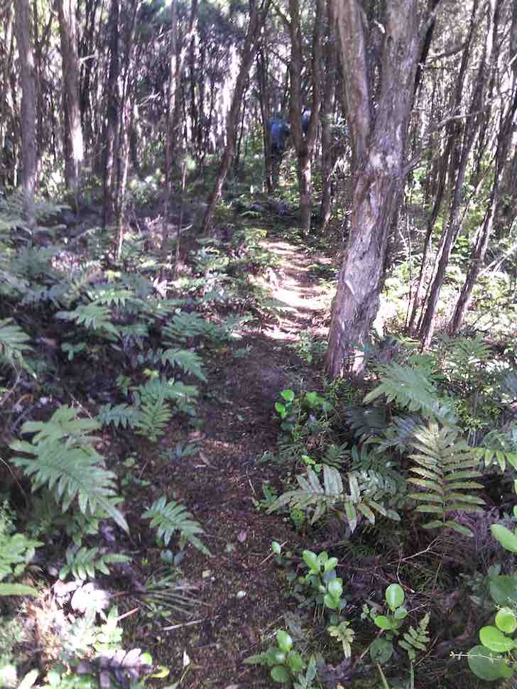
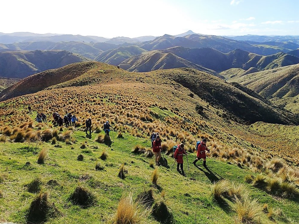
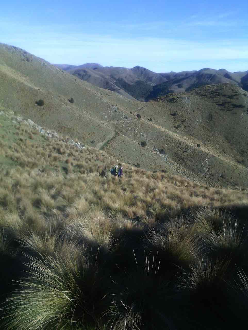
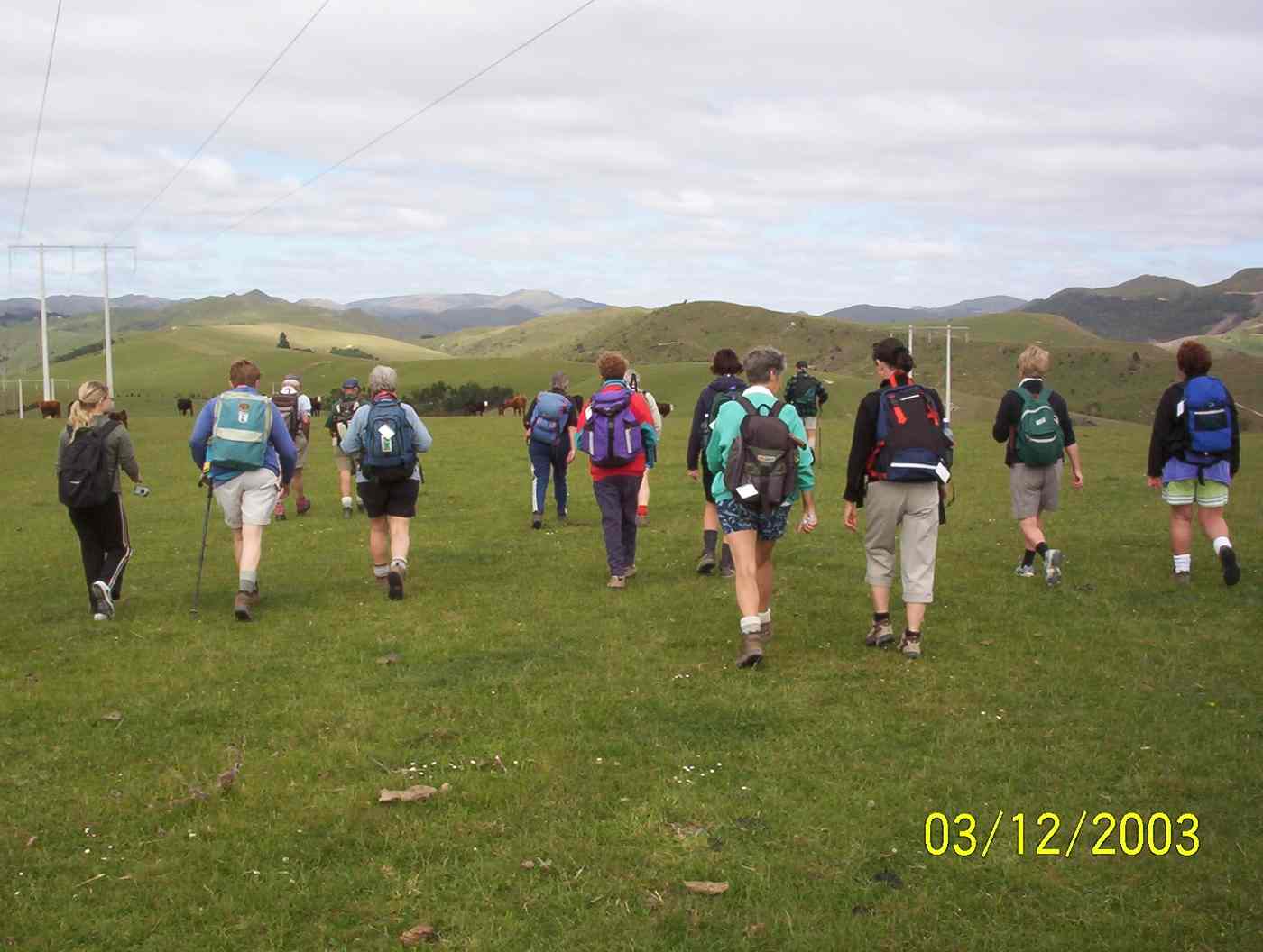
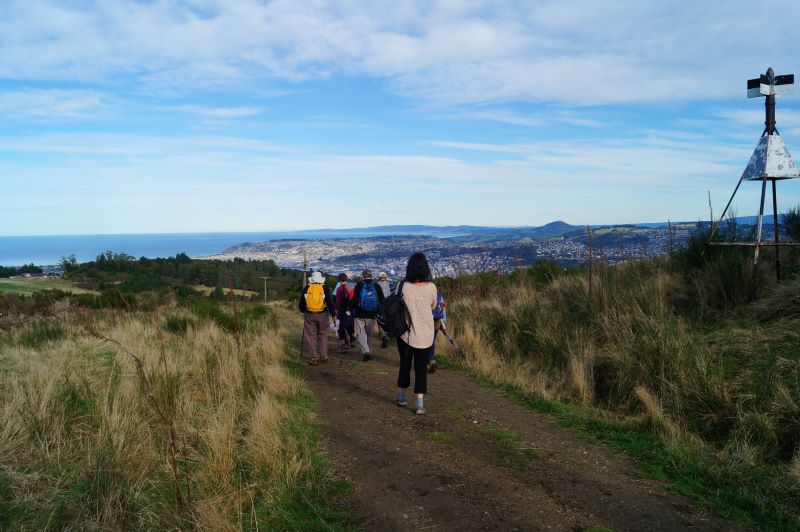
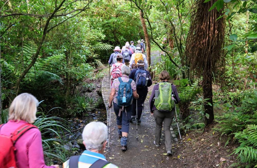
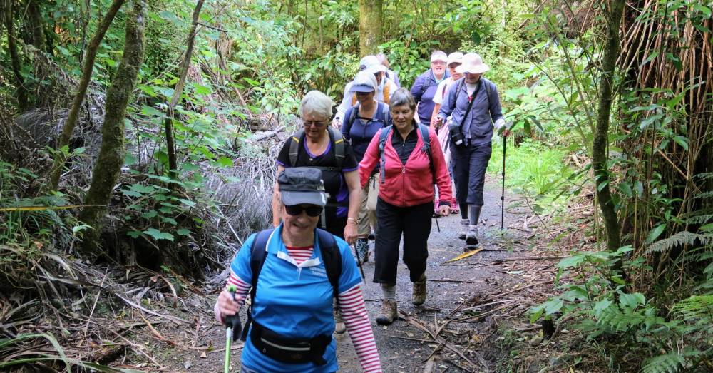
Homeward bound on Possum Hut route. Photo & caption Pam
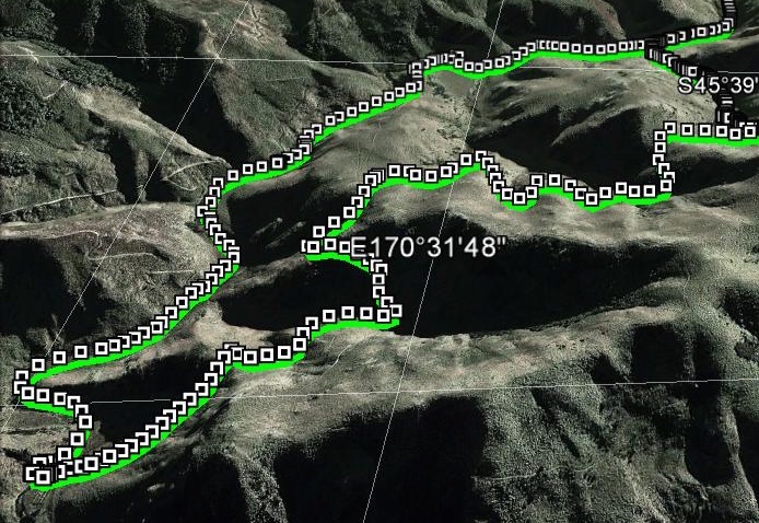
The total distance was about 8kms and we were away from the vehicles for 4 hours.
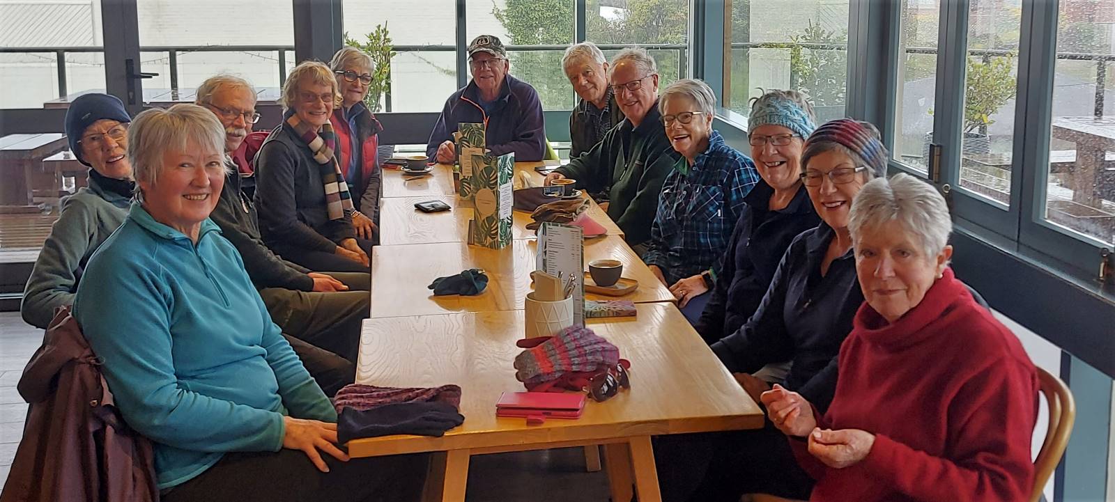
We culminated the day with coffee at the Gallery Cafe at Waititi.
14. 19/2/2020 Trampers. Possum Hut via Green Hut track and Miners Direct. M. Leaders Carol and Neil
On a slightly foggy morning, 19 Trampers set off for Double Hill Rd, to begin Green Ridge Track.
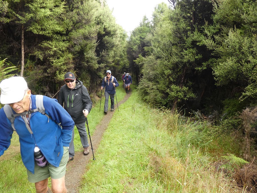
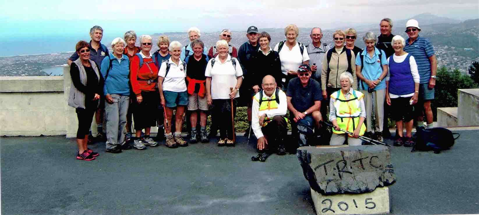
Photo and Caption Gordon – “Starting off up Green Hut track.”Photo and Caption Gordon – “The Happy Trampers.”
Being such a well-maintained track (by The Green Hut Track Group) made for a very pleasant tramp. We stopped for morning tea on a grassy patch at the junction to Swampy Ridge Track before moving on to the old Green Hut site and a photo shoot. We were reminded that further off the track is a fresh water spring and evidence of another well hidden hut.
Photo and Caption John – “Time for a break.”
Photo and Caption Gordon -“Looking out towards Mopoutahi Peak.”
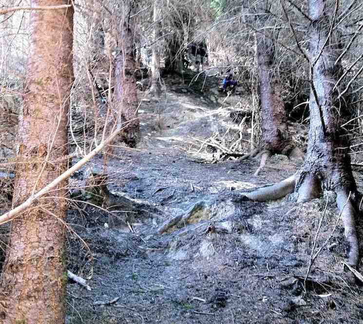
Possum Ridge, with its dampened surface took us down, and down over roots, stumps, rocks, slips ….. “Ooooh, one down” ….. Fortunately sturdy stumps and trunks were close enough to grab (“we love tramping”) on many occasions while we still went down accompanied by the occasional …. “are we there yet?’ … bellbird song in the nearby trees, also fluttering fantails.
Photo and Caption Gordon – “Much steeper than photo shows.”
Looking down on Possum Hut’s roof was a welcome sight and so was the lunch that followed.
Photo and Caption Gordon – “Lunch at Possum Hut.”
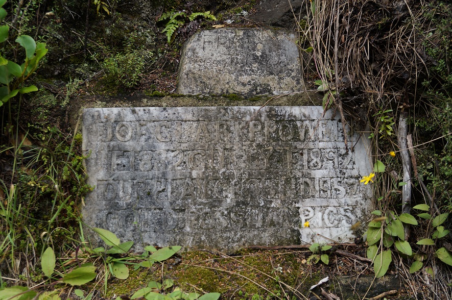
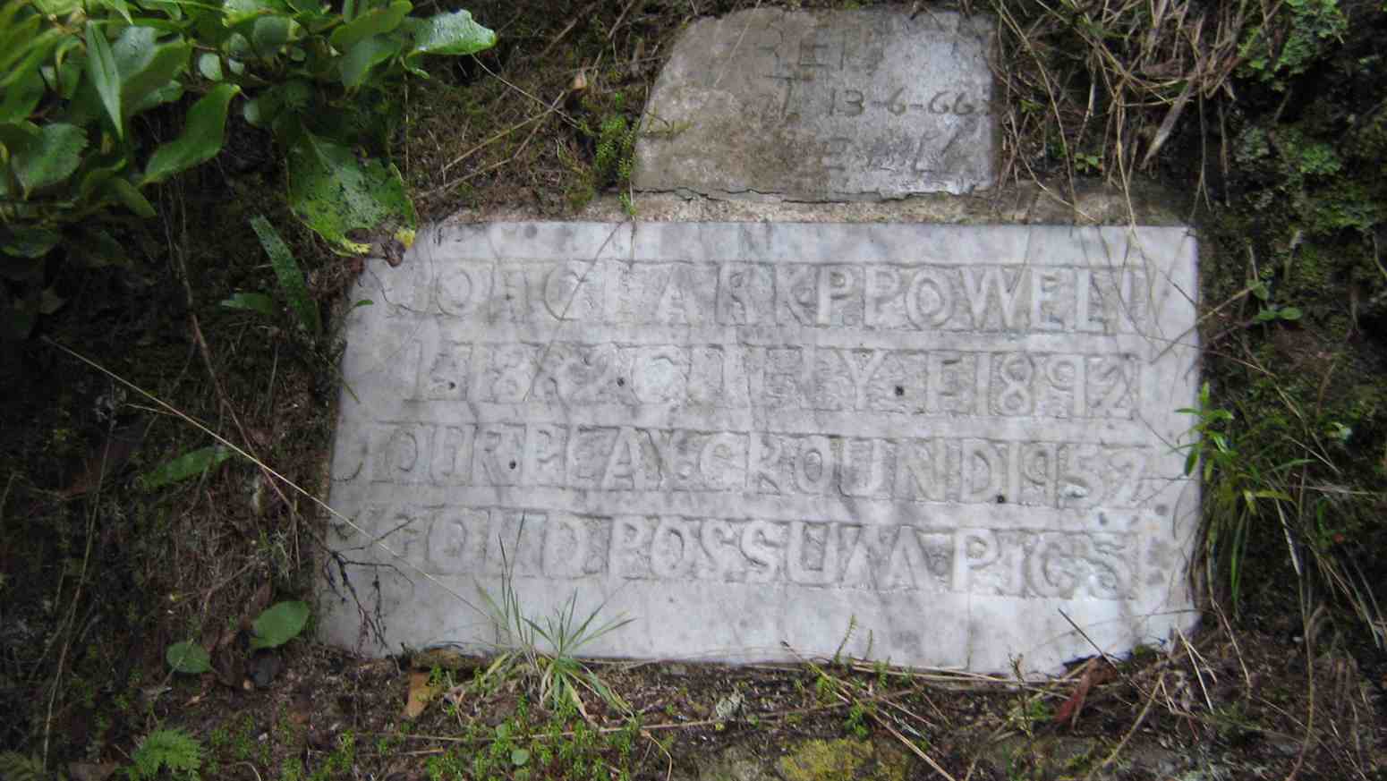
Photo and Caption John – “Indecipherable plaque – must be something important.”
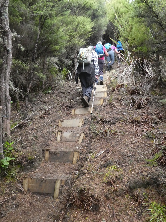
Up and away again required a short walk past an overgrown tarn and then to the junction of Eucalypt Spur off which branched Gold Miners Direct track. This new track was wide, clear, stepped,and well marked.
Photo and Caption Gordon – “Heading back to cars.”
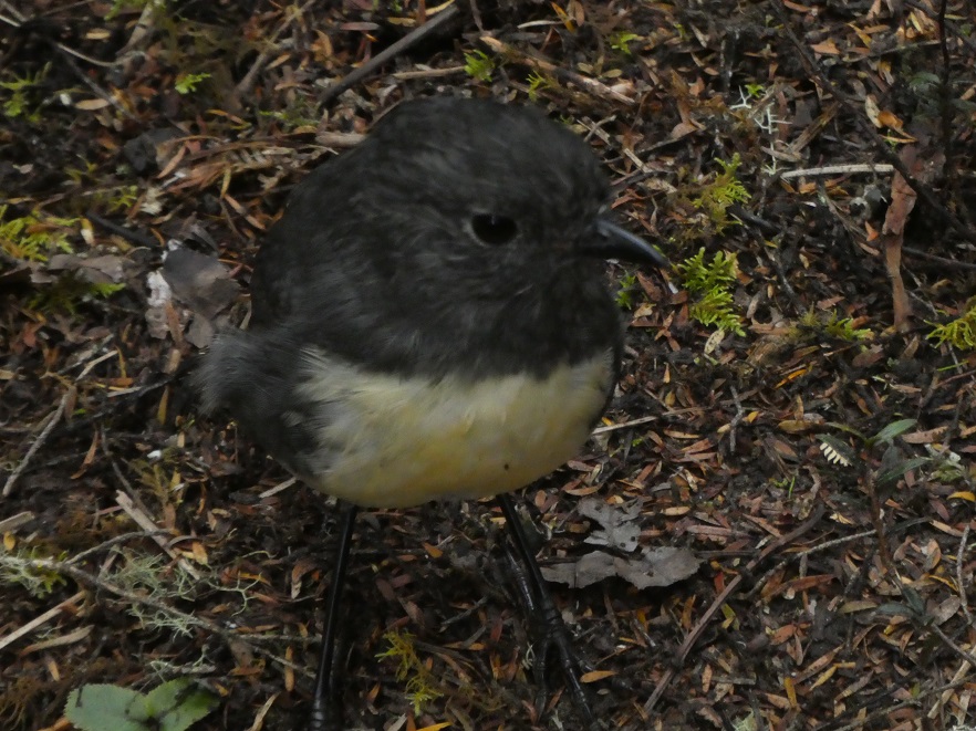
A robin captured a photographer’s attention when it ventured within 1 metre of us, hungry for pickings.
Photo and Caption Gordon – “Where’s all the bugs?”
Vegetation was varied, and interspersed with ferns, mosses, an avenue of kanuka, beech trees etc, continuing upwards …(.”we still love tramping”)….. to the sign ‘Car Park’. A few metres of slight downhill and there, unexpectedly, we burst out of the bush to where our cars had been positioned about 5 hours earlier.
We returned to Dunedin and a coffee stop where everyone was happy to linger and chat. Was it medium, was it hard, different people, different ideas, but we hope all enjoyed the walk.
Morrison and Morrison
13. 25/1/2017. Trampers. Possum Hut – Green Hut (site) circuit. M. Leader: Arthur.
The early rain had cleared, and we had a lovely sunny day for our tramp. The southwest wind was quite strong all day, but we were well sheltered (mostly) on the bush tracks.
Lovely track. (Helen pic and caption.)
Out tramp started from Semple Road, we walked in the main Silverpeaks track, turned down Eucalypt Spur to reach Possum Hut. Uphill then to the Green Hut site before returning to the cars on the Silverpeaks track.
Leaving the cars we started with a rather unpleasant uphill 10 minute walk, but stopped for our morning tea at the top. Sunny and windy here, with quite a good view to the Silverpeaks – “The Gap” stood out well.
It seemed a long descent going down Eucalypt, but at the bottom we stopped for some time to decipher the enigmatic wording on the marble plaque beside the track – the wording is recorded on page 7.06 of Antony Hamel’s book.
A few minutes more and we were at Possum Hut. We knew it was Possum Hut as it had a sign on it to say so! The hut was dry inside and even had a wire bed frame as well as other essentials. Accommodation not to be sneezed at if the weather turned inclement?
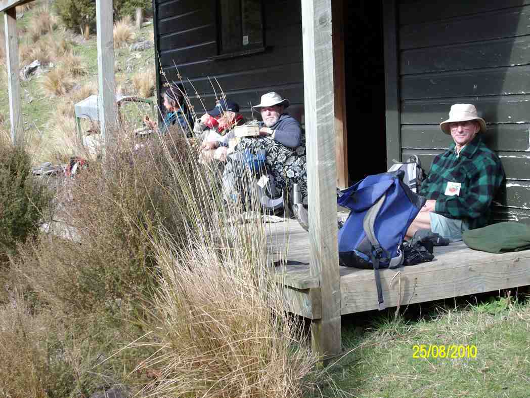
Possum Hut. Eleanor, Dave, Carol, Neil and Arthur. (Helen pic and caption.)
It was a good stiff 23 minutes climb up from the hut to get on top of Possum Ridge. We continued on, and made our lunch stop at the old Green Hut site.
Lunch at the old Green Hut site in the wind. (Helen pic and caption.)
Lovely and sunny here, mostly sheltered apart from the occasional very blustery gust coming in to us. It was a very pleasant spot for our lunch. While we were three 2 young chaps came past on their way out after overnighting at Jubilee Hut. Good to see.
An hour’s walk then returned us to our starting point. A short car journey had us at the Blueskin coffee stop, for discussion on a variety of subjects. The leader was very grateful to hear that all had really enjoyed the day’s outing – it had been a very worthwhile day out for the 6 trampers. Distance – 9.2 km. – Arthur.
12. 11/9/2013. Trampers. Green Hut, Possum Hut, Blue Gum Spur.
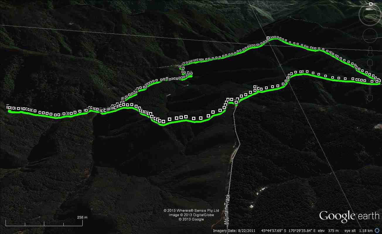
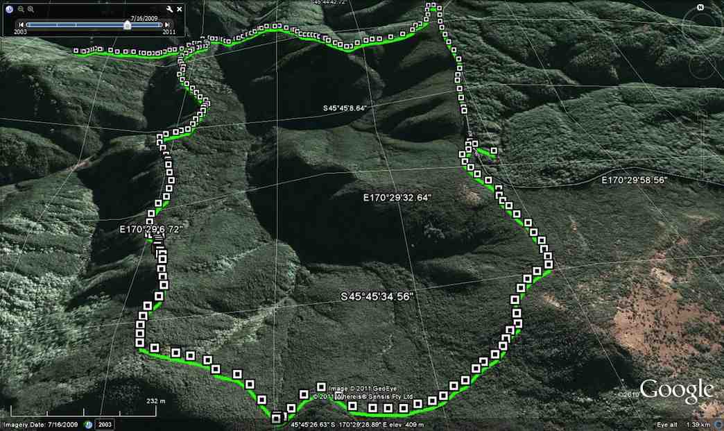
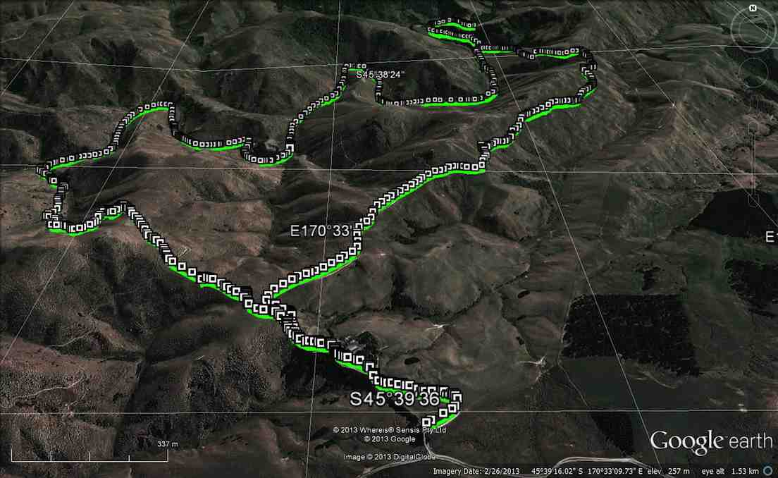
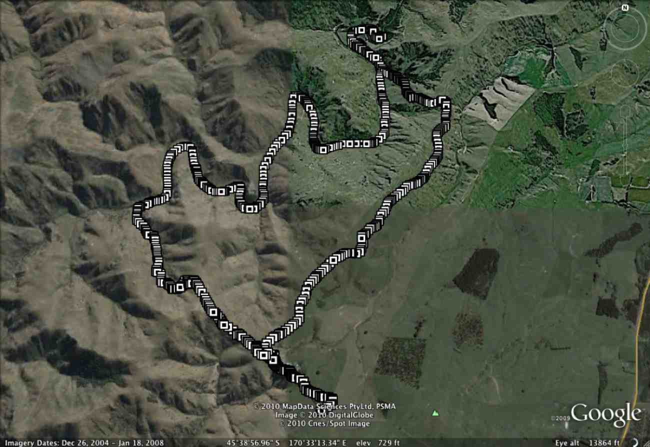
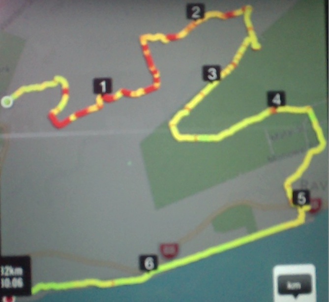
GPS of route, courtesy Ken. Distance 7.02km ave moving 3.2km/h Moving time 2h 12min Total ascent 380m
We decided to shorten this tramp,
as Ian H needed to take his wife to the hospital in the afternoon. We went down the Possum Hut access track, just a short distance along from the Green Hut track carpark. On reaching the bottom, after getting thoroughly wet from the dew hanging on all the bushes/ grass etc, we had morning tea in the tussock,
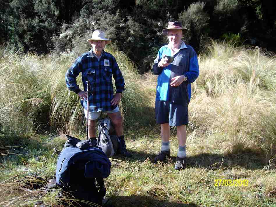
Morning tea in the tussock at bottom of Hunters Access (Ken pic and caption)
& then went upstream to Possum Hut, where we decided to walk down stream to the track that goes back up to Mountain Rd, from the side of Rosella Ridge. This is an interesting walk, but we just got wetter than before!! As it was still quite early, we decided to have lunch back up on Mountain Rd
Lunch back up on Mountain Rd (Ken pic and caption)
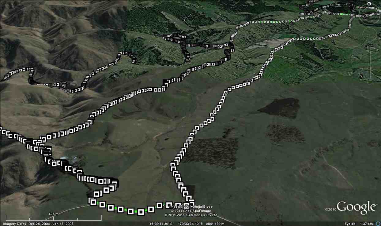
GPS of route, courtesy Ken. Begins middle right, and goes anti-clockwise.
The days had been drier, so the mud wasn’t as bad as it had been, thank goodness. Ten of us parked at the main entrance on Mountain Road and walked up the road to enter by Hunters Access for a change, something we hadn’t done for five years. It’s entrance is at the top right hand corner of the route photo.
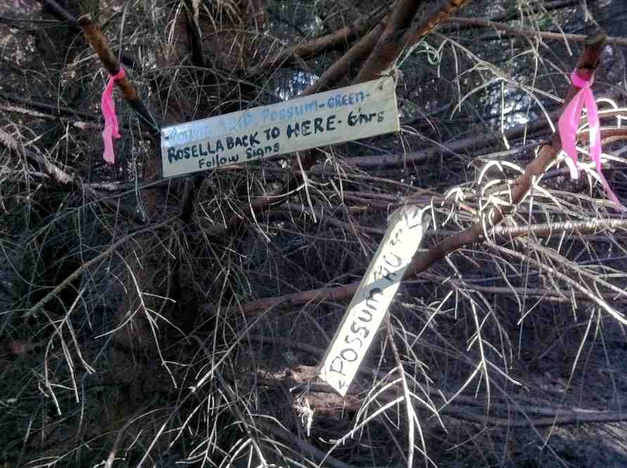
Hunters Access was a bit neglected and overgrown, so we had to skirt large mud pools on the track and push through some gorse overhang. We had a cuppa on the way down. At the Rosella Ridge junction, the Possum Hut notice, indicating to the left, was a bit askew but resisted Doug’s attempts to straighten it.
Junction between Hunters Access, Possum Hut and Rosella Ridge.
The last descent through the pines to the South Waikouaiti Valley
was the usual almost-vertical descent, thankfully dry and grippy on the pine- needles carpet.
Careful!. It’ steep.
Possum Hut (at the end of the GPS ‘tail’ top LH corner. We had the choice of continuing up the ridge above the hut, but decided to go back down and return via Blue Gum ridge.
Hut
We climbed Blue Gum Ridge. Some of us lunching half-way up, the others at the top where the track joins the Green Hut track.
We meet again at the track junction.
Ready to move on.
The mud on walk out was as we had hoped well dried out and much safer. We met one of the Green Hut track clearing group making a safe bypass around a still very muddy patch. Bravo. – Ian.
9. 14/10/2009. Trampers. Semple Road track entrance past Hightop, Blue Gum Ridge, Possum Ridge , Green Ridge. Leaders: Ian, Bruce.
Mud must be this tramp’s theme. The entrance tracks from both Semple Road and Mountain Road after our prolonged stretch of rain have become dangerously muddy. Starting to dry out come the morning (muddier on the recce), a shower towards mid-day slathered them up so dangerously again that on the way out it was almost impossible to keep one’s feet.
Not the worst stretch of mud by any means.
We entered by the Semple Road entrance as Mountain Road beyond had developed those dangerous deep ruts again. So it was up over the rise and down again to join the Mountain Road Track further in.
Coming down off Semple Road Track at the site of the track signs. Bruce, Susan.
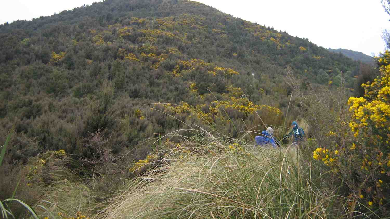
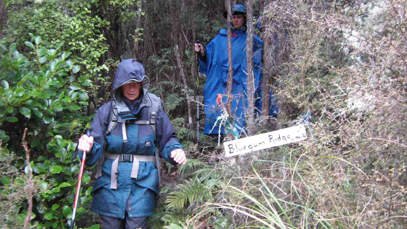
After a cuppa at the start of the Green Ridge Track, we went up a little way to turn off along the Blue Gums track, one the club had never tackled before, previously going to Possum Hut via Hunters Access.
Looking down Blue Gums Ridge just as rain set in.Looking back up Blue Gum RidgeEmerging from Blue Gum Ridge at its foot. Ria, Susan.The plaque on the track to Possum Hut. Joe Clark P Powell. 1882 Curley F 1892. Our Playground 1952. Gold. Possum Pics
Light rain had set in as we descended Blue Gums so we didn’t tarry at the plaque or Possum Hut except to note that someone has considerately slung a drip-stopping tarpaulin across under the roof. The light rain persisted, the steep climb up Possum Ridge had become no less steep, but had eased as the ascent began to ease and we stopped at a “drier” spot for lunch.
Lunch. Ria, Hazel, Susan
Then it was across to Green Ridge, down past the Green Hut site and on till we reached its foot, to encounter again the morass of the now much more slippery mud and greasy clay of the access tracks of Mountain Road and Semple Road. There were one or two falls, but no serious accidents, thank goodness. Ah well. Must remember to schedule those access tracks for the drier summer time. – Ian
8. 19/4/2006 Hunters Access, Possum Hut, Green Hut, Mountain Road. Leaders: George, Ian 7. 26/4/2000. Green Hut, Possum Hut. Leaders: Bev H, Irene, Frank. 6. 25/3/1998. Hightop, Green Hill, Possum Hut. Leaders: Nancy, Lesley S, Bill H. 5. 21/2/1996. Hunters Access – Possum Hut. Medium. Leaders: Bob Q, Frank, Les W, George. 4. 27/10/1993 High Top, Green Hut, Possum Hut. Leaders: Bev H, Peter R, Les W, Victor G 3. 25/11/1988 Windy Ridge, Green Hut, Pulpit Rock, Return Possum Hut. Leaders: Claude, Rob C, Eleanor 2. 9/9/1998. Possum Hut, Green Hut. Leaders: Les S, Claude. 1. 11/5/1988 High Top, Green Hut, Possum Hut. Leaders: Ria L, Ria de J, Kees.
This page of the Clubs tramps and hikes covers the Leith Valley area and groups together trips to the Rustler / Burns circuit, the Leith Saddle track, incorporating the Swampy Spur and the Airways Transmitter Tower. (map)
TRTC Grading Information – trips incorporating the Leith Saddle track, the Rustlers / Burns circuit are generally given a TRTC grading of 4. This is indicative only, as depending on the route taken, conditions of tracks etc. allocation of gradings can differ from this. For more detailed analysis refer to Grading Information.
How To Get There:
Car parking is off SH1 motorway at Leith Saddle yard (alternatively down side road at bridge (restricted space).
Walk across side road to track.
Going further: along road past doppler radar to DoC sign.
Right along Rustlers Ridge track to junction with Burns Track.
Through junction and up and round hill on Rustlers Ridge Track. (Lunch on hill)
Down ridge to pipeline. (Alternatively turn right at junction for Burns and down to pipeline)
Turn right along pipeline.
5.5 hours in all.
Burns – Rustlers circuit Maintained by Green Hut Track Group. DCC land.
This grouping of Club tramps and hikes covers trips involving Kuri Bush (Big Stone) area located on Taieri Mouth Road between Brighton township and Taieri Mouth beach. It includes Big Stone Road, Daphne Road, Margaret Road and Kathleeen Road. (map)
TRTC Grading Information – trips incorporating these trips are generally given a TRTC grading of about 3. This is indicative only, as trips can be allocated a higher or lesser grading depending on the route taken. For more detailed analysis refer to Grading Information.
How To Get There:
Drive to Brighton and continue through the township onto Brighton Road which becomes Taieri Mouth Road. Follow this road to Kuri Bush and the park on the south of the houses.
This grouping of Club tramps and hikes covers trips from Kuri Bush to Taieri Mouth beach. Kuri Bush is located on Taieri Mouth Road between Brighton township and Taieri Mouth. (map)
TRTC Grading Information – trips incorporating these trips are generally given a TRTC grading of about 3. This is indicative only, as trips can be allocated a higher or lesser grading depending on the route taken. For more detailed analysis refer to Grading Information.
How To Get There:
Drive to Brighton and continue through the township onto Brighton Road which becomes Taieri Mouth Road. Follow this road to Kuri Bush and the park on the south of the houses.
This grouping of Club tramps and hikes covers trips in the West via SH87 area including the flood banks on the Taieri River and incorporates Silverstream, Riverside Road and the Owhiro Stream,
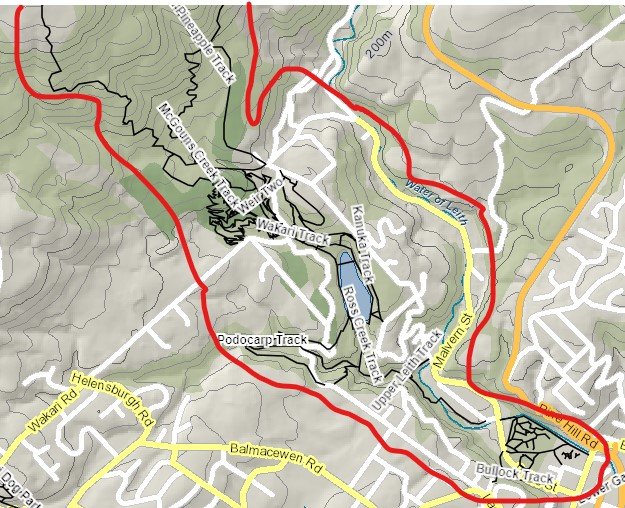
This grouping of Club tramps and hikes covers trips involving Woodhaugh, Leith Valley up to Islay Street, Pineapple Track up to Flagstaff (Skyline) Track, Davies Track, McGouns Track, Wakari Rd Bike Tracks, Ross Creek Reserve, Cannington Road and Prospect Road.
TRTC Grading Information – trips incorporating these tracks are generally given a TRTC grading of 4. This is indicative only, as trips can be allocated a higher or lesser grading depending on the route taken. For more detailed analysis refer to Grading Information.
(1) Leith Valley – take SH1 north and turn left onto Duke St. Continue on Duke St which merges into Malvern St, past the Woodhaugh Gardens, over the bridge spanning the Leith River and turn immediately into Woodhaugh St. Ross Creek entrance is behind the NZMCA Camping Ground.
This grouping of Club tramps and hikes covers trips in the Central City and involves the Botanic Garden (both upper and lower), Northern Cemetery, Chingford park, University walkways, Willowbank, and the Woodhaugh Gardens incorporating the Waters of the Leith.
TRTC Grading Information – trips incorporating these tracks are generally given a TRTC grading of about 3. This is indicative only, as trips can be allocated a higher or lesser grading depending on the route taken. For more detailed analysis refer to Grading Information.
Jenni’s Ginger Truffles Recipe: We all enjoyed the lovely treats at morning tea time, thanks to Jenni and Bruce! Jenni told me that lots of people asked for this recipe.
Ginger Truffles
250 g gingernut biscuits
395 g condensed milk
60 g glace ginger
3 cup desiccated coconut
220 g dark chocolate
1/2 cup shredded coconut *to decorate
1. Line baking sheets with baking paper. In a food processor, process gingernut biscuits until fine. (To easily crush the biscuits, I heat oven to about 140-150, pop biscuits in until they are starting to go slightly soft, about 10 mins, then easy to blitz in kitchen whiz).
2. Chop desired amount of glace ginger into fine pieces.
3. In a medium bowl mix together the crushed biscuits, condensed milk, chopped glace, ginger and desiccated coconut.
4. Place the mixture in the fridge for at least half hour – rolling the balls is much easier when the mixture is cool. If you would like to coat some of the balls in shredded coconut, do that now while the mixture is sticky.
5. Roll bite-size balls and place on a plate. Refrigerate again before coating with chocolate.
6. Melt the chocolate. Coat truffles in melted chocolate and place on baking paper to set.
You may also like to keep some truffles plain/uncoated.
If you double recipe you also need 2 ozs butter approx.
Put chocolate chips, dates, runny honey & in basin in oven or microwave what ever container using. Give a good stir when melted & put with dry ingredients in beater combine.
Double mixture is big enough for Swiss Roll tin.
Press Coconut over top & put in fridge to set.
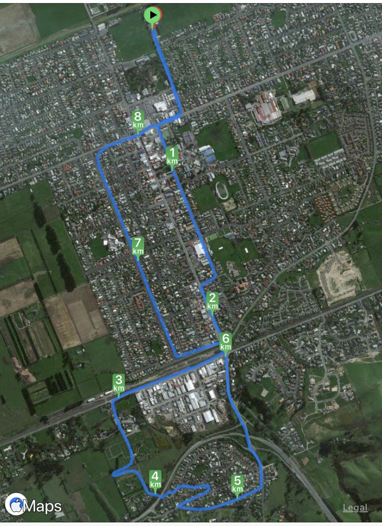
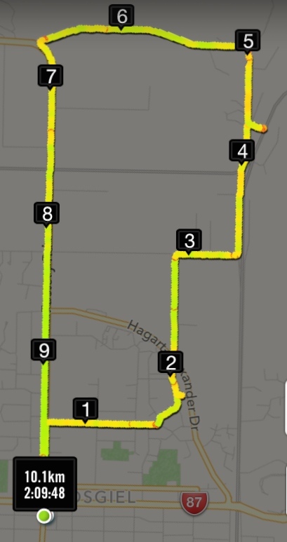
10. 16/08/2023. Hikers. Mosgiel Street Walk. Grade 1, $0, 9km, Leaders: Raewyn Keene, Helen Morris
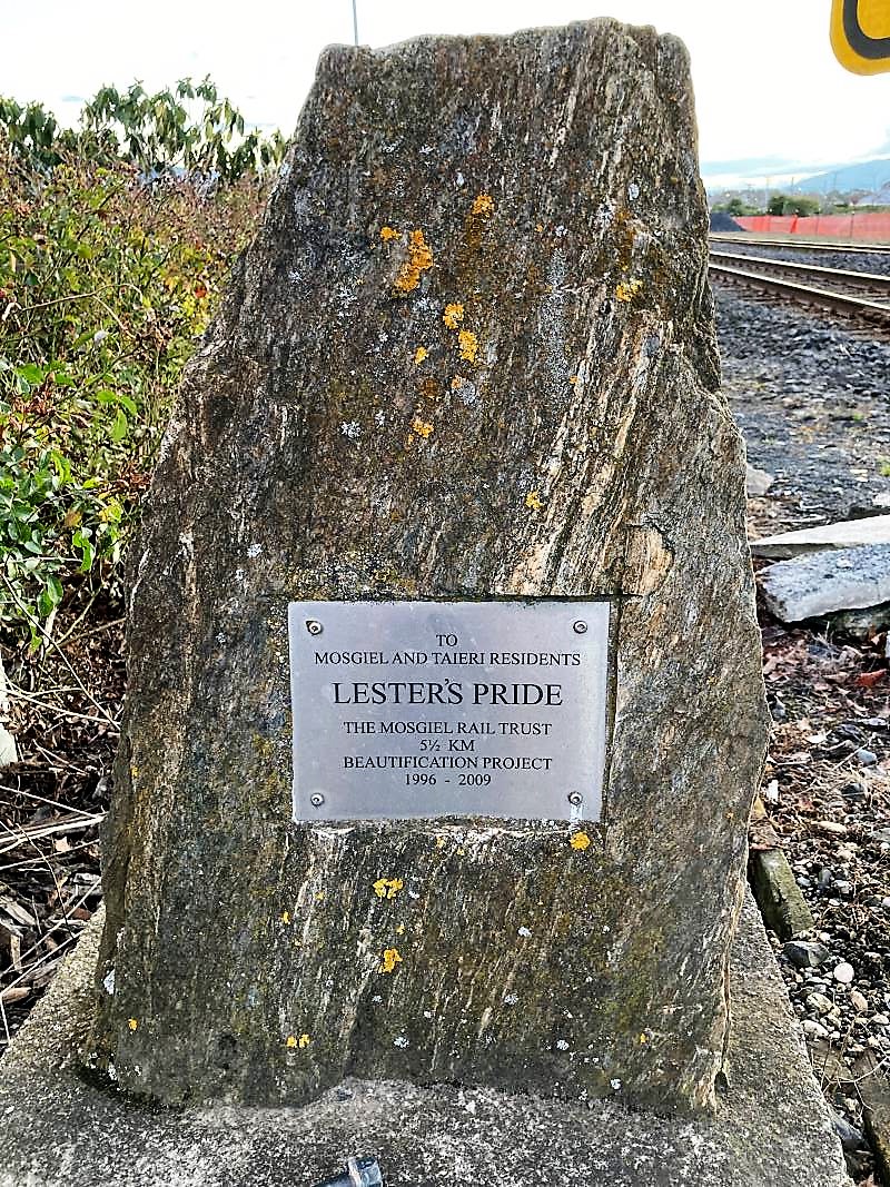
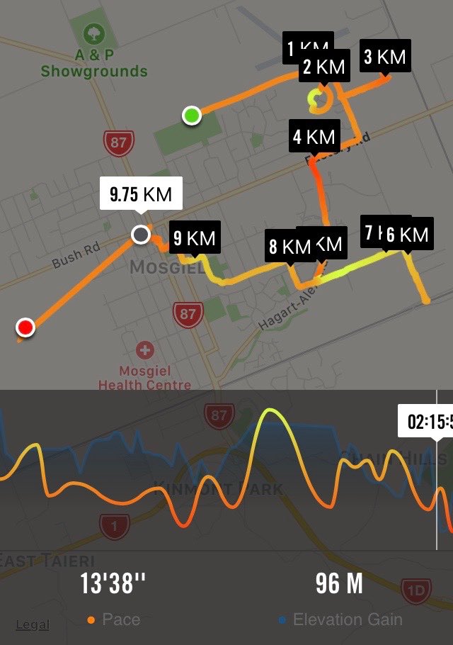
It was a little frosty as 14 hikers set out from Peter Johnson Park for a street walk till lunchtime. Along Reid Street to Factory Road, Church Street to Gordon Road, the pace was steady. As we approached the railway crossing (and unknown to some of us), was the plaque about our own Lester and his beautification efforts.
Lester’s Pride (Photo & Caption Helen)
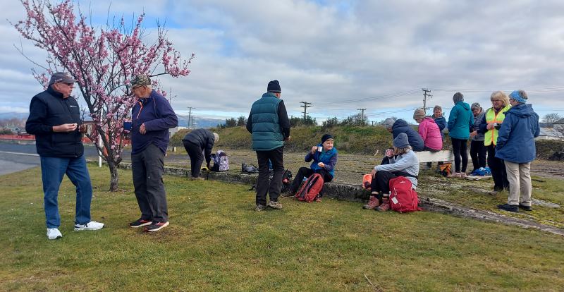
As we continued on to the old Mosgiel Railway Station for morning tea, it was great to see the daffodils & blossoms beginning to bloom, indicating Spring is not far away.
Spring has sprung early (Photo & Caption HelenMorning tea (Photo & Caption Helen)
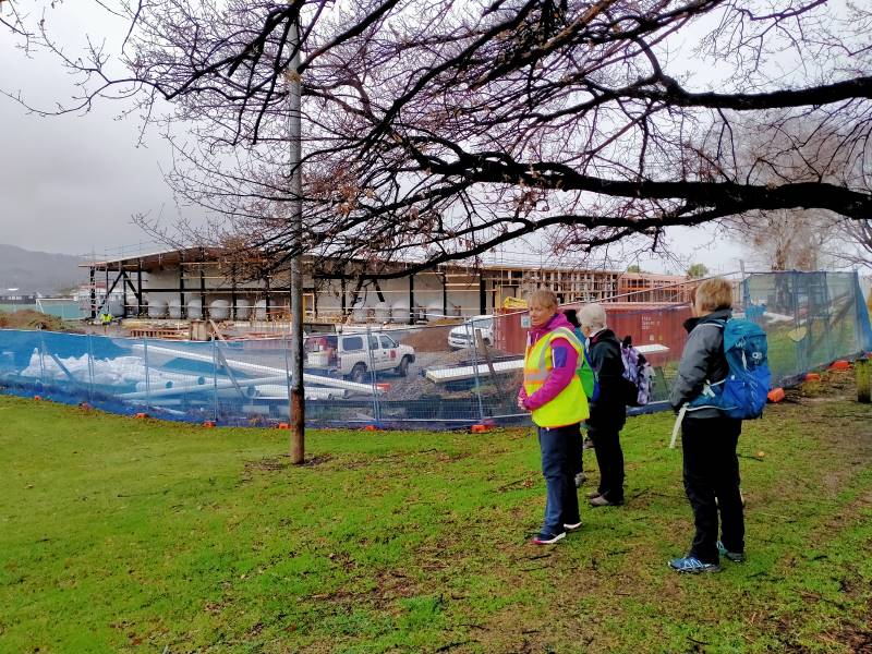
Refreshed and with the sun trying to shine, we headed off to Cemetery Road, ventured into the new Grange Lifestyle village as far as we could go, and back out to the underpass into Kinmont.
On Kinmont (Photo & Caption Helen)
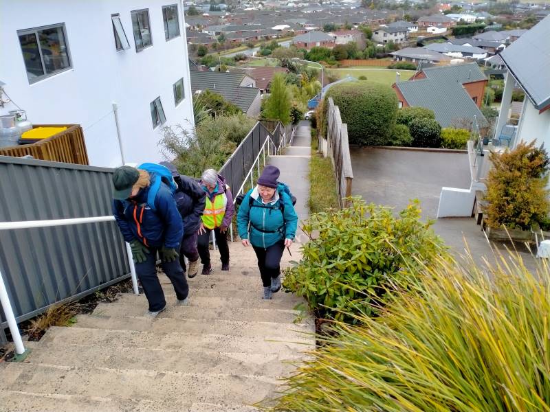
Some hill climbing was considered necessary to get our hearts pumping, so up Leith, Clyde & Braeside Streets we went. Back down to Quarry Road and left at Nellies, we looped back to our cars via Argyle Street & Bush Road.
Ross C joined us today and was apparently looking forward to a ‘flat’ walk (as advised by his lovely wife) – oops! Hopefully the friendly chatter along the way helped.
All in all, a pleasant morning’s walk, good company and 9kms achieved.
Map (Photo Helen)
The Harwood hike will be rescheduled into the summer programme.
Helen & Raewyn
9. 20/07/2022. Hikers. Mosgiel Silverstream/Wingatui. Leaders: Jan & Jenny.
On a dismal Wednesday morning, 13 of us set out on our walk around Mosgiel. We walked down the Silverstream which was running higher than normal, lifting our feet over the pesky tree roots, and had morning tea down the end of the track to fortify us for the walk ahead.
Baker’s Dozen minus one, post morning tea (Photo and caption Phil)
We walked down Silver Springs Boulevard which brought us out to Centre Road. Crossing over to Hagart Alexander Drive we took the first left onto Ben Lomond Drive in the Highland Park subdivision and came out onto Wingatui Road. Further up the road we spoke with Ady outside her house, chastising her for not being out walking with us.
Why hello – we thought this was a respectable neighbourhood (Photo & caption Phil)
We then carried on up to Gladstone Road and at the junction with McFadden Drive we climbed the steps up onto Joe Brown Drive, taking the 2 to a 2.5, took a left and back down McFadden Drive onto Gladstone Road again. At the lights we crossed over to Gladstone Road South.
We did have a bit of a workout – 88 steps (Photo & caption Phil)
Someone was heard to say they were buying a pie for lunch, and next minute a few more were buying pies for lunch at the Z garage! Further down the road we discovered a cafe and then a few more were disappearing to buy more goodies for lunch. Doesn’t say much for our home made lunches does it!! A little further down Gladstone Road we turned into Cemetery Road and stopped at The Hub for lunch where we found shelter and a seat to rest our weary legs. The pies went down a treat along with a liquid refreshment.
Lunch at the E Taieri hub, just past the Thai Pie Shop! (Photo & caption Phil)
We commenced the rest of our journey heading back down Gladstone Road, turning into Burns Street, right into McDonald Street then into Ayr Street & Argyle Street where we stopped to suss out the honey stall & onward up Bush Road, Forfar Street into Eden Street where we crossed the road and continued down the Silverstream, taking in the progress of the swimming pool and across Memorial Park back to our cars.
We’ll bring our togs next time (Photo & caption Phil)
Comparing notes we agreed on 12ks for the walk and managed to keep dry for the entirety of the walk. Some wanted to get on home and put their feet up and a few of us adjourned to the Wooden Table for a hot drink and something sweet to go with it.
Jenny and Jan
8. 16/11/2016. Hikers. An East Mosgiel Trek. E. Leaders: Jay, Judy K.
Route map, courtesy Ian. Really 10.75 km. Forgot to start it until on the Silverstream!
Our scheduled hike for today to Hawkesbury Lagoon was put off until later in the month because of the inclement weather forecast, so an impromptu hike was the order of the day. The hikers left the carpark at 9.00 a.m. and we walked up the Silverstream from Peter Johnstone Park and stopped for morning tea …
Morning tea stop. (Ian pic and caption.)
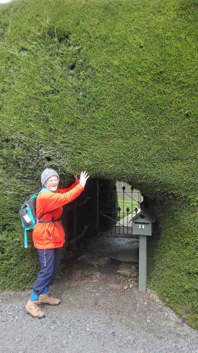
… near the Wingatui Road end. From there we checked out the new houses in the Springfield sub-division and took a wander down Rutherford Road which many people had never been down before. We then walked down Factory Road to Haggart- Alexander Drive and through the cutting and up Wingatui Road …
Hobbit gateway – in giant’s hedge. (Liz pic.)
… to Gladstone Road when we decided to have lunch on the bank …
Lunch. (Ian pic and caption.)
… by the railway line. No trains came!!! After a leisurely lunch we took as many shortcuts as possible to get back to the carpark before the rain came. A welcome coffee break was at Wals. – Jay.
7. 10/6/2015. Hikers. Mosgiel Trek. E. Leaders: Jim and Betty.
GPS of route, courtesy Bruce. 14.7 km. Ascent 81 m.
Jim and Betty led twenty-two Hikers on a most illuminating illustrated tour of Mosgiel, with historical anecdotes echoed and amplified by several other old identities in the group. At one house, and the next,
One of Jim’s sites. (John pic)
Jim would tell us who had originally lived there and what they did. And where this street and that street had originally terminated. And where which dairy and which mill had once been located. And what rubbish dump now boasted as foundation for which set of houses.
As is evident from the route map, the walk was extensive – 14.7 km – a good stretch for the Hikers, necessitating one or two drop-out groups en route, and ending with only the famous six completing a last street-block encirclement on the day. Suspiciously this might have just been a prank, added at the last minute from a wicked sense of humour on the part of the leader, and strongly confirmed by the Back Marker rebelling and leading the remainder by a more merciful direct route back to the cars.
We morning-teaed by the Silverstream,
MT (John pic)
up near Wingatui Road, and lunched behind the Joe Browns settlement, on the back bank of Reservoir Hill…
Lunch Panorama (John pic)
…looking down on the small Woodlands settlement,
Woodlands Settlement (John pic)
and speculating on what drainage problems the properties might have experienced in the recent rain storm.
Our route was obviously the result of much imaginative planning. Highlights for this reporter were the new houses alongside Wingatui Road near the Silverstream (how similar many of them were!), the walk across Brooklands Park…
Brooklands Park (John pic)
…and the surprising route through from McFadden Drive to Woodland Avenue.
From the end of Woodland Drive, there was the fraught quick-or-the-dead negotiating of the lanes in the Quarry Road roundabout to land us eventually in Kinmont Crescent. Thence through the SH1 underpass (surprisingly short) into Cemetery Road and back across the railway crossing and into Gordon Road’s SW section of houses.
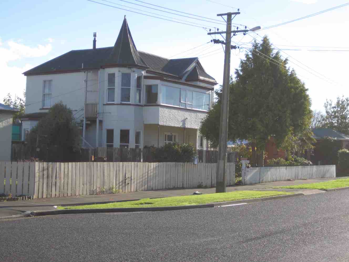
Here, at the lower end of King Street, Jim pointed out the distinctive turreted house there,
Original Maternity Home (John pic)
the original Maternity Home where he first entered the world. Further up in Argyle Street was Mossbrae, the onetime Maternity Hospital. When we reached the end of Argyle Street, instead of releasing us back up Bush Road to the cars, Jim took us away down Perth Street and across and back up Tay Street, to go (at last with only the famous six) via the Street lights intersection finally back to the car park.
Nearly 15 km, much on pavement, but a lot on grass too, was a good stretch for the legs, usefully developing fitness for next Wednesday’s climb up the forestry’s Margaret Road, linking Taieri Mouth and Big Stone Roads.
Betty and Jim capped off a wonderful day out by turning on a piping hot pottle of chips to accompany coffee chatter back at Topiary Cafe. Thank you so much, dear leaders, for a wonderful day out. – Ian.
6. 17/9/2014 Wingatui Block. Hikers. E. Leaders: Les and Margaret.
Route. Car Park, Bush Rd, Factory Rd, High St, Elmwood Dr, Cedar Cr, Track, Wingatui Rd, Gladstone Rd N, Crossan Tce, Station, Gladstone Rd N, Puddle Alley, Factory Rd, Bush Rd, Car Park.
Heavy overnight rain determined cancellation of the Millennium Track. Leaders Les and Margaret instead led us on the street walk recorded on the above map, stopping for morning tea in the shelter of the Wingatui Railway Station. On/off drizzle accompanied the whole walk but we were secure in our parkas. Thirteen of us enjoyed each others’ company and the varied views the route provided. Thank you Les and Margaret for your wisdom in making the tramp change and providing us with a good morning’s ten kilometre workout. Sorry, forgot about taking pics. – Ian.
5. 7/9/2013. Both. Birchleigh Village/Haggart Alexander housing development. Leaders: Bruce and Marjorie.
Thanks to two reports received, from Elaine and Bruce, each with a distinctive style, I have inter- leafed them for a wonderful account of the day.
ELAINE: Approx ten hardy people turned up at the car park at 9.00 a.m. The planned walk to Flagstaff was flagged.
BRUCE: With snow forecast to 100 m the planned hike on Three Mile Hill was postponed and an alternative street walk undertaken from 0900 to 1100.
ELAINE: George’s birthday bash was canned also. Was really looking forward to the wine. Never mind. Next week its all on if George is well.
BRUCE: Seven of us proceeded from the car-park via the Gordon Street verandahs during a nasty shower of hail to the RSA garden and memorial to Church Street and then into Wickliffe Street. (Ed. note: Three had returned back home.)
ELAINE: Bruce and Marjorie decided since the weather said showers … sleet … hillside snow …, that we would walk around the new housing estate at the northern end of Mosgiel. We also checked out Chatsford and Birchleigh for the future!
BRUCE: We turned off Wickcliffe Street into the Brooklands Estate past the BMX track to Doon Street and then via the new subdivision at Birchleigh Village.
We took the path on the left immediately past the main office to have morning tea, in the company of Ria who joined us in Wickliffe Street, in the rotunda assembly point beside the bowling green.
After a circuitous route through Chatsford we left the village and meandered through the new Highland Park subdivision. Although the slogan “My heart’s in the highlands” was repeated, the ground seemed pretty level.
After inspecting a show home from the outside we returned via Factory Road to our cars in the car-park with some comments from a pedestrian about our mental state for hiking on a wintery day. – Bruce
ELAINE: Only seven people came on this walk. The day didn’t get any better weather-wise and I think some of drivers passing us thought we were mad. The trampers cancelled their day altogether. We did laugh a lot and talk a lot. Let’s have a great turnout next week for George’s birthday shout, weather permitting. There could be a change to next week’s programme, so watch out for details. – Elaine.
4. 22/4/2013. Both. Car park, King St, Gladstone Rd Nth, Wingatui Rd, Shortcut to Haggart Alexander Drive, Factory Rd, return.
The Trampers’ trip was cancelled due to illness. In addition, both tramps came to nothing due to recent rain muddying up tracks. So a remnant seven of us did the above (tarseal) route, remarking on various properties passed and exploring a number of new housing developments on the way. A lot of changes! Rain everywhere else came to nothing in Mosgiel. We enjoyed the views and good company, especially Judy’s new South American poncho, lasting the distance only because of some emergency repairs.
Fred and Judy emerging from one of the new housing areas.
– Ian.
3. 25/4/2012. Hikers. Wingatui Block. Leaders: Arthur and Barbara. 2. 9/8/1989. Wingatui Racecourse. Over the Hill. Easy+ Leaders: Betty, Molly, Ria. 1. 14/12/2005 Wingatui Hall, Silverstream End of Year lunch. Leader: Lesley S
Meeting at PJ Park we decided to go ahead with our hike. We decided to park further up Mornington Road which turned out not to be far enough up. Down Elgin Road we went, all 13 of us, and down the steps ending up at the steps at Caversham Valley Road. Morning tea we had on the steps that looked along Main South Road.
Morning tea (photo and caption Phil)
It was here two departed to return home as somebody had forgotten their pack and it was very cold.
We started off along Barnes Drive at a reasonable pace as I thought the weather might turn on us…
Pond by Southern Motorway (photo and caption Helen)Walking the overbridge (photo and caption Phil)A scotsman’s fence, near the ‘auld’ scotsmans terrace (photo and caption Phil)
…up Glen Road and turned up steps to end up in Carson Road. From there we travelled up Cooper St with a few stops here and there for a breather.
A bit of up (photo and caption Phil)
Turning right into Glenpark Avenue I put a fast clip on as the weather was probably going to turn at about 11am. Another set of steps up to Mornington…
And up 152 more steps (photo and caption Phil)
…and just at the top the weather did change completely. After a quick conflab, it was off to the Mornington Tavern for a warm up and a coffee.
(photo by Helen)A+ menacing ‘front row’? (photo by Helen, caption by Phil)
We left about 12.15pm to head back to the cars and this was where I decided we had parked the cars far too far down Mornington Road as the weather really turned to custard. Home by 1.15pm.
We did have lots of laughs and Lynley was the only one from Trampers to show up (I don’t think she read the email in the morning and I didn’t let on I hadn’t either).
Like I’ve said before, don’t put me in charge as it is always wet when I’m at the front. Thank you Pam for all the help as I have no idea round some of those streets.
Cheers Ady. Continue reading “Mornington Ramble”
2. 2 August 2023. Combined. Waihola Hill and Lawlor Farm M Leaders: Anne, Lynne, Jenni and Barbara
The weather didn’t look too bad at seven in the morning so the decision was made for the tramp to go ahead. Some of the Hikers and Trampers at Peter Johnson Park decided to give the tramp a swerve and go swimming at Te Puna instead of going out in the winter elements.
Sixteen very brave Hikers and Trampers arrived at Baker Road, Waihola to walk around Brendan Lawlor’s property. Brendan has developed a 28 section subdivision after he purchased the farm in 2005. Most of the sections apart from two now have been built on. Brendan has made a track around the lake for people to enjoy the views and birdlife.
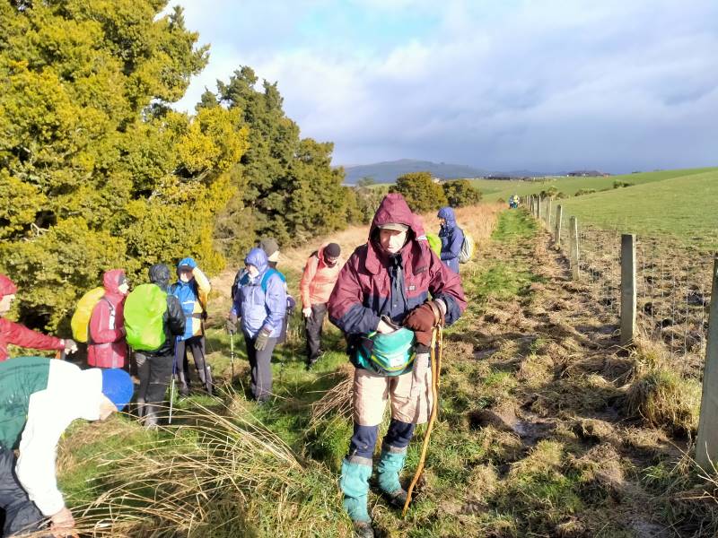
After we arrived the weather was changing for the worse, so we decided to head to the implement shed to have morning tea.
Shall we go or shall we stay Caption and photo Phil
Once there was a break in the weather we reluctantly left the shelter and headed up the hill to walk the track. We all had our wet weather gear on and at times hard to tell who was actually walking beside you. Walking around the lake was so different from the last time. When we had a blue sky day and the lake was like a millpond.
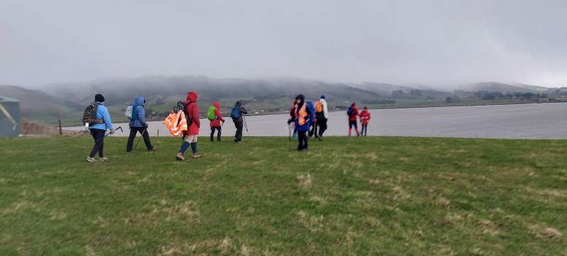
Very muddy lake. Caption and photo Helen
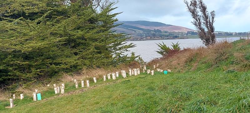
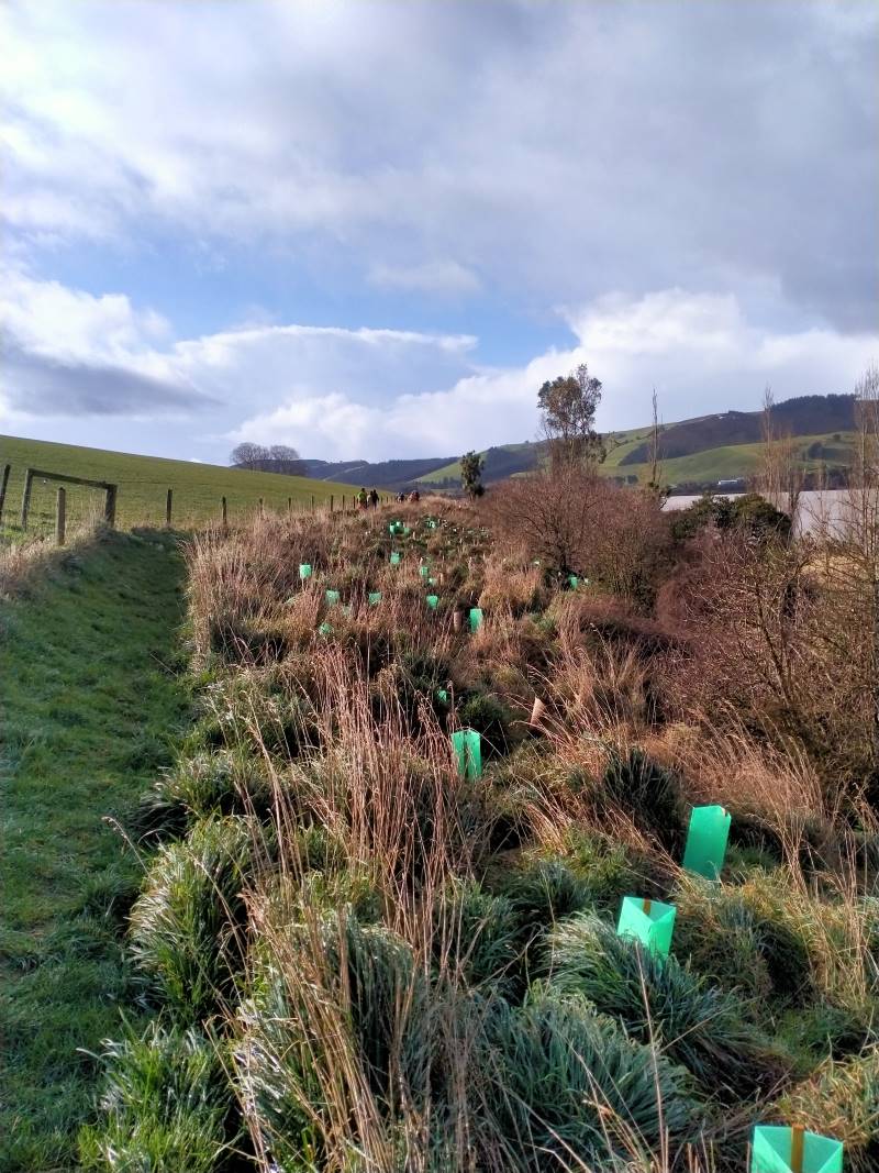
There has been a huge planting project around the front of the lake with lots of native trees and grasses all with protective covers to deter rabbits pigs and possums.
Lots of new planting. Caption and photo PhilGood work Caption and photo Phil
The track in some places was very slippery and muddy due to pig rooting and also a very wet July/August.
Sun at Last Caption and photo Phil
We saw moments of blue sky but down to the south the sky was black and at times we had strong winds and driving rain.
More weather on the way. Caption and photo Helen
Halfway around the circuit we all gathered together and took shelter in the farm building then made a dash for the vehicles. A decision was made to have our lunch at the Baker Road farm buildings then head home with no walk on the new Clutha Gold Trail or a coffee at the Black Swan café
Well earned lunch Caption and photo Phil
Distance 6.48km
Committee Meeting Caption and photo Barbara
1. 2 March 2022. Combined. Waihola Hill and Lawlor Farm. M Leaders: Jill Reid, Chris Wither Jenni & Bruce Wright
A fine morning saw 43 hikers and trampers make their way to the Lawlor property behind Lake Waihola. After regrouping at Waihola, and about 33km from the Mosgiel carpark, we turned right into Lake Road, left into Young Road, right into Berwick Road and right into Baker Road to park at the cattle yards there.
Brendan Lawlor welcomed everyone and described the mechanics of developing the 28-section subdivision since they purchased the farm in 2005. There is also an 1880s restored cottage on the farm.
Briefing from Brendan Photo and caption JenniOriginal cottage 1881. Has been extensively renovated. Photo and caption Pam
Trampers and hikers set off together about 9:45 and made their way up the road and across a paddock to join a track, mown by Brendan, on the lake side of the fence in front of the subdivision. There was little wind and the lake views were gorgeous.
Love the reflections and swans Photo and caption HelenViews like this only minutes into the tramp Photo and caption John
About 10:30 we stopped for morning tea together along the track.
The very large group of people that set off for the combined part of the tramp/hike. A lovely and unusual tramp. Photo and caption Marijke
25 trampers headed away first. A comment was made that the trampers left the morning tea stop true to form. “They were off like a bride’s nightie”.
Goodbye trampers Photo and caption JenniHappy Trampers Photo and caption John
Both groups, at their different speeds, enjoyed views towards the wetlands before turning inland to make their way through the farm and back along the road past the old cottage and new homes to the cars.
18 hikers enjoyed their lunch by a barn on the way and arrived back at the cars about 2:00 having covered around 8km.
Lunch stop for hikers Photo and caption Jenni
The trampers enjoyed their lunch by the cars before making their way up Waihola Hill at 1:00. Their route first took them up a gully [opposite the Waihola Wildlife Management Reserve sign] near the start of Baker Road. They were then able to follow a 4WD track that wound around the hill.
Look behind you guys Photo and caption John
When the trig on top of Waihola Hill came into sight the group turned uphill to appreciate the 360-degree views from there.
Panorama Lake Waipori Photo and caption JohnGroup photo at the trig Photo and caption John
Then it was back to continue following the 4WD track to water tanks and back down the hill to return to the cars by 2:30.
And they marched us down again… Looking across Lake Waihola to Waihola township and SH1 Photo and caption Ross
The Trampers covered about 13km.
Thank you for the many great photos that were submitted to go with this report.
At about 10.10am four cars from Mosgiel, met three cars from Dunedin, at the “On the Spot Dairy”, Waitati, and proceeded to Steep Hill Road, a short distance passed the ‘big dip’at the top of the Kilmog. A few Kilometers or so, on the gravel road, saw us arrive at Moana Farm (Lawson’s Farm.) By 10.25am Twenty four trampers left the cars, with Theresa leading the first part of the tramp, myself being Tail End Charlie.
And off they go – Photo & Caption Phil Keene
The previous night had been a cold, stormy one, and the cold South Westerly wind, certainly made it’s presence felt as we walked further along Steep Hill Road, through a farm gate, and along the fence line parallel to the road, until coming to the next downhill fence, which we followed until turning left at the gate, bottom of the paddock.
A strung out mob – Photo & Caption Phil Keene
(Please bear with me on the previous bit, that seems like information overload, but is critical knowledge for anyone planning the tramp in future.) From here the tramp goes in a roughly circular, clockwise direction, up hill and down dale , following farm tracks.
The lowest point of the tramp was soon reached, where most kept reasonably dry feet, crossing Mary’s Creek.
Crossing Mary’s Creek – Photo & Caption Pam
This creek has an intriguing little story (tall tale or true?) as to how it got it’s popular nickname, which I explained soon after the crossing. It seems Mary was a gold miner’s wife who regularly bathed in the creek.
Listening to John’s story about Mary – Photo GrahamJohn and Neil looking for Mary!!! – Photo & Caption Pam
After this bit of local cultural enlightenment, we seemed to do more uphill than downhill, until
Admiring the Striking landscape above Mary’s Creek – Photo & Caption Pam
Theresa stopped us for morning tea in a sheltered spot, out of the wind, amongst the tussocks, at 10.50am. By 11.05am we were on our way again, following the farm track, and admiring views of the valley below; farmland with native plantings in the gullies, and farm tacks, mostly following fence lines, seemingly going in all directions, zig-zagging around the property. At 12.30pm we stopped for lunch at the same spot Theresa, Sarah, Phil and I stopped on our Recce. Here sheltered from the wind, most found a ‘comfortable perch’ on rocks, logs, or the bank. to enjoy lunch.
Great lunch spot out of the wind – Photo & Caption Pam
A visit by the farmer, with his beautiful Huntaway perched on the back of his quad-bike followed, just before we started off again at 1.00pm.
Stunning views towards the coast – Photo Graham
I then led the second part of the tramp, back to the cars. Shortly afterwards the forecast wind change took place. The South Westerly wind, changing around to a “Nor Wester.” Just as cold, just as strong, and just as much in our faces! Some respite was found in the sheltered areas of the track as it wound it’s way around hillsides, up and down gullies, and ridges. By 1.45pm we were back at the cars after negotiating the cattle yards. (Thick squelchy mud!)
A great way to finish – Photo & Caption Phil Keene
Afternoon coffee was enjoyed at Blueskin Nursery Cafe’.
In all we had covered 8.56km, altitude 240metres, a Grade 3 Tramp.
Thank-yous are due to :-
Farmer Willie Lawson, for so generously allowing us access to enjoy his property
Theresa White, for keeping me on my toes, and acting as Leader and Tail End Charlie.
Phil Keene and Sarah McCormack for help with our Recce.
Neil Simpson who has lead the tramp before, and was a mine of information on my initial contact with him.
John Gardiner.
17. 2/12/2020. Trampers. Lawsons Farm. Leaders Margreet and Neil
A blustery but warm Nor ‘westerly wind and a threatening sky greeted 32 (or was it 33?!) enthusiastic trampers at the gates of “Moana” farm at the top of the Kilmog. Owned by the Lawson family, Moana is a hilly and picturesque holding, bisected by the meandering Waikouaiti river. We certainly owe a great deal of thanks to generations of the Lawsons who kindly allow us to wander around their property (after requesting permission of course).
“Starting off.” – Photo and Caption Gordon
Taking a westerly route we descended rapidly to Mary’s creek, then round the corner to the site of ancient gold workings.
Descending into Mary’s creek.” – Photo and Caption Gordon
“Checking out the gold sluice.” – Photo and Caption Gordon
“How does the guy with the camera get into a photo?”- Photo and Caption John
From here it was a steady climb with a few minor descents to our lunch spot nestled in a tussocky knoll with views of Karitane, Waikouaiti and Maori Peak.
“Which ones are the trampers?”. – Photo and Caption Gordon“Amazing lunch view.” – Photo and Caption Gordon
It was great to see Neil and Carole out with us again.
“Cloud formations”. – Photo and Caption Gordon
Leisurely lunch over, the group reassembled (tail end Charlie was heard to describe it as like trying to herd fish!!) and trudged the 20 mins back to the vehicles. Not a long tramp by any means (about 9km) but fairly described as nuggety don’t you think?
Post tramp we enjoyed having coffee at Blue Skin Nursery. The staff did a great job taking orders for our large group and we enjoyed sitting outside amongst the plants.
All in all a really enjoyable day out and we look forward to starting the new programme in 2021.
Neil and Margreet Simpson
16. 10/4/2019. Trampers. Lawsons Farm. Leaders: Margreet and Neil
Despite a forecast for heavy rain at lunchtime, a large contingent of 17 trampers set out on our hike on Lawson’s Farm in balmy and ideal conditions.
We left the Mosgiel carpark at 0900 and reached the main gate of the farm at around 45 mins later. After a morning tea break on a grassy knoll;…
Morning tea view. (Helen pic and caption.)Do we have to get you down and up there? (Phil pic and caption.)
…we descended rapidly on a farm track to Mary’s Creek which burbles through an area of native bush.
Neil explaining the name “Mary,s Creek”. (Gordon pic and caption.)
On the descent we passed the only other trekkers we encountered – 5 horses and 3 foals!
On the valley floor we meandered round past ancient gold workings and the remains of a stone dwelling. Then it was a series of stiff climbs and descents on reasonably good footing up to a ridge not far from the woolshed.
Looking back down to the stream. Gordon pic and caption.)
Suddenly a stiff sou’wester wind set in, pregnant with rain, and the temperature dropped markedly.
On a sheltered hillside we ate our lunch.
Lunch in the tussocks. (Gordon pic and caption.)
Incredibly, the conversation revolved around the merits of courtship in an HQ Holden with column change and bench seat; compared to a Morris Mini with bucket seats and ‘four on the floor’! I kid you not!
After lunch we decided to shorten the tramp and were back at our cars by 1300. Total distance was 8 km but everyone really enjoyed the hike and found it challenging enough.
Coffee and ‘blankets’ was at Blue Skin Nursery where we met up with the hikers returning from their beach walk at Warrington. – Neil and Margreet
15. 16/8/2017. Trampers. Lawsons Farm. M. Leaders: Neil and Margreet.
Nine trampers set out from the car park at 0900 on a stunningly clear but frosty morning. After an uneventful 45 minute drive we parked inside the main gate of Lawson’s Farm. Patiently, but DOGmatically the two male trampers ‘herded’ up the 7 lady trampers and set them going in the right direction …
…. Southwest down Steep Hill Road before entering a paddock with a sun-drenched knoll where we paused for morning tea.
Morning tea. (Helen pic and caption.)
Lo and behold two latecomers (Bruce & Bob) arrived to counter the gender imbalance. Arthur was heard to quietly breathe a sigh of relief!
We were doing a different walk today to avoid all the river crossings. It was however still very muddy underfoot. We soon descended to cross Mary’s Creek. Mary, apparently, lived with a small cadre of gold miners and used to sneak up into this bush-clad tributary to take a bath away from prying eyes. None of our ladies were keen for a dip today!
Further on we passed sluicings and building remnants from the gold mining days and then it was a stiff climb up from this, the South branch of the Waikouaiti River.
We sidled around the undulating terrain and found a lunch spot …
(Margreet pic)
… which had beautiful views over the hills and tussocks and Mount Watkin to the North; through Matanaka and Maori Point to the East.
After lunch we soon ‘topped out’ to find stunning views of the coast and untroubled sea …
(Margreet pic)
… as we descended …
(Margreet pic.)
… a long, ever steepening ridge. At the bottom we crossed a noisy creek and began an energy-sapping climb up the opposite ridge back to the cars. It was a bit like the reverse of the Grand Olde Duke of York; who marched his men to the top of the hill and marched them down again! Pointless really!
So; after a wonderful tramp on an exquisite day, it was a weary 11 who gratefully repaired to the café at Blue Skin Nursery for coffees and tea.
Total distance was around 13.5 km. and it was about 4 hours hiking time. – Neil and Margreet.
14. 8/6/2016. Trampers. Lawsons Farm. Upstream. M. Leader: Arthur.
A frost to begin the day. It was mighty raw as we gathered at the car-park in Mosgiel. Nine trampers travelled to Lawson’s Farm, Kilmog area, where we found very pleasant conditions awaiting us. Only the shady faces were white with frost.
Past the wool-shed, where the dogs barked their usual greetings to us, and up the first brief slope found our morning tea stop. The winter 9.30-starts necessitate a later morning tea, but better late than never!
Onto the 4WD track through the tussock we travelled
The track we followed. (Helen pic and caption.)Farm building and long drop. (Helen pic and caption.)
– down briefly, then up briefly, and then down, down, down – until we finally came to the south branch of the Waikouaiti River.
We turned upstream now, following a sheep track through the tussock and occasional scrub, until we had a stiffer climb up around a steep face above the river. We could then descend onto a lovely tussock flat, where we came to a 4WD track to follow.
Eventually the track let us to a ford over the river. The safest route was to cross at the ford also, so it was into the water which was a little cold.
Very cold river crossings and cold wet feet. (Helen pic and caption.)
More river crossings followed in the subsequent mile or so. After the sixth and final one, we stopped at a nice sunny spot to partake of our lunch. Mr Lawson tells me that gold mining had been carried out back in the 1870s or 1880s at our lunch spot. The tell-tale earthworks being very noticeable. The time was 12.20 p.m.
Lunch and view. (Helen pic and caption.)
The river was still up a bit after the heavy rain a week previously. About a foot of water (that’s 30 cm for you metricified folk) was the deepest we had to wade through. All crossed without a mishap, and anyway, real trampers don’t mind getting their feet wet!
Two N.Z. falcons were observed while we were having our lunch. They appeared to be chasing one another, with loud squawks emitting. Perhaps one had caught its lunch but wouldn’t share?
After lunch, continuing on the 4WD track, we were soon in the shade of a narrow valley, almost a gorge. Uphill from now on, but the grade was steady and not unpleasant. The air was very cold in here,
Sooo cold and very white frost. (Helen pic and caption.)
and it was a great relief to find the sunshine again.
Before reaching the Steep Hill Road, we turned off to walk up an open bare paddock. At the gate we made the acquaintance of two quiet and friendly horses.
Friendly horses and nice view. (Helen pic and caption.)
Eventually we gained the road, with about one kilometre to go, and were back at the cars at 1.45 p.m.
Someone stated that it had been a very pleasant tramp – and all agreed with that. No measuring device with us today, but we must have tramped about 10 km.
Afterwards, the trampers had their weekly meeting at Waitati. Business included:-
1. Brief discussion as to our track-clearing intentions for the next season.
2. A considerable number of ideas regarding food, and recipes for the same, were put forward. Did you know that coleslaw makes an excellent filling for “Toasty Sandwiches”?
We had 11 trampers out today, including a new member to our group, a really good number.
We parked up just inside the gate of Lawsons Farm, & proceeded to walk down past the farm house, where we were met by Jim & Willie Lawson. We had a very nice chat with them before setting off towards our morning tea spot out of the strong breeze that was blowing.
Then it was down to the river, where we turned right [downstream] & walked along the valley, where we had to negotiate the bluff that requires care getting down. Having safely got past this obstacle, we carried on to the “Lodge” where we had a leisurely lunch stop,
Lawson Lodge. (Margreet pic)
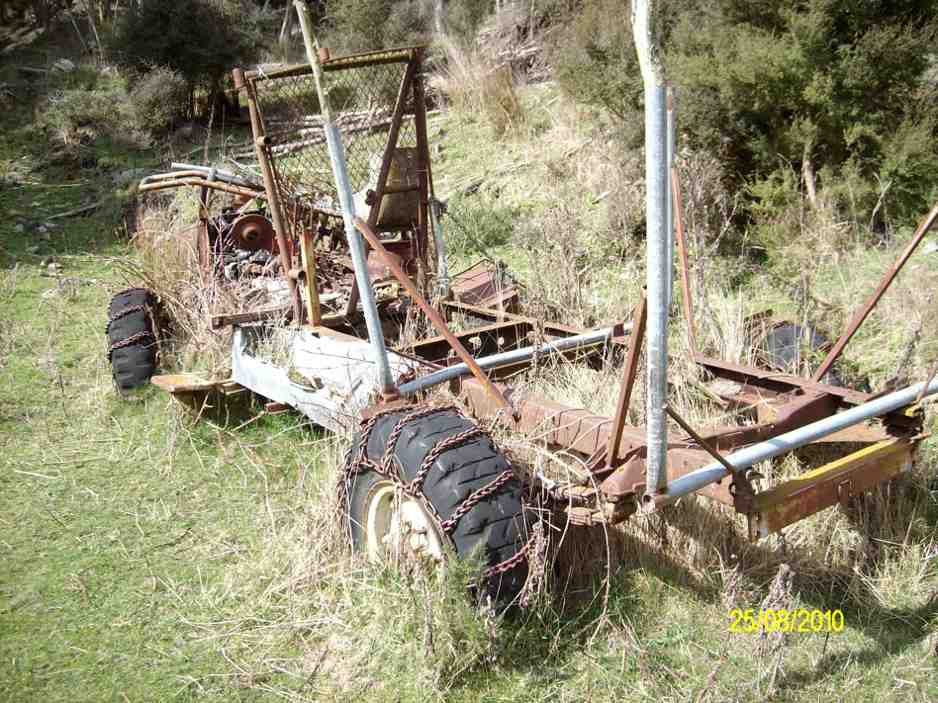
while some members who had not been there before examined the interior of the “Lodge” & the old vehicle chassis residing in the grass, still with chains on the tyres.
Then it was back the way we had come, until the slope we had to climb was upon us. All made it up here without to much drama, & we had a regroup at the fence corner, before making our way up to the ridge track, which leads back to the farm yard.
After arriving at the cars, it was decided that the ‘coffee club’ tradition would be continued with a stop at the Blueskin cafe., where we all enjoyed a chat over our favourite cuppa.
There were some appreciative comments made about the tramp, so a good day out for all.
Walked 12.5km
4km/hr
climbed 540mtrs. – Ken.
12. 19/11/2014 Trampers. Lawsons Farm. Upstream.
Lawsons Farm Upstream. GPS courtesy Ken. Walked 10.2km; 2hr 32min moving; 4km/h ave; climbed 600m. Some tricky bits, but OK.Morning tea break. (Ken pic and caption)
View from morning tea stop of Mt. Watkin in the distance. (Ken pic and caption)Showing grass track down to the river below. (Ken pic and caption)Valley we walked along. (Ken pic and caption)Old hut.It’s virtually uninhabitable, as it’s very dirty inside. (Ken pic and caption)Showing our route back up the hill. (Ken pic and caption)
We could make this walk even longer, by walking along the valley further & coming up the gully alongside Mountain Rd. Might try this next time. – Ken.
11. 5/6/2013. Trampers. Lawsons Farm.
GPS or route, courtesy Ken. We walked 12km; 3hrs 2min moving time; 3.9km/hr; climbed 461mtrs.
This was new country for 4 of the 6 that started out on this walk. We had quite a nice day except for a cool breeze along the exposed ridge tops.
We all enjoyed the walk along the Waikouaiti river banks, & the rocky obstacles that the writer remembered from last time. All enjoyed the lunch stop at the ‘Lodge’, where we made use of some plastic chairs, & the edge of the veranda. Doug even got out a plastic bin for a table.
Getting organised to have lunch at the ‘Lodge’
The comment was made that it had to be the most comfortable lunch stop we had ever had. However, all good things must end, …
Lunch at the ‘Lodge’
… so we decided to pack up & move on, as the sky was looking a little dark from where we were. However, once on the tops again, we could see that it had been unnecessary to hurry, as the weather looked much better from up there. An unhurried walk back to the cars finished off the day nicely, arriving back at the farm around 2:00pm for the drive home.
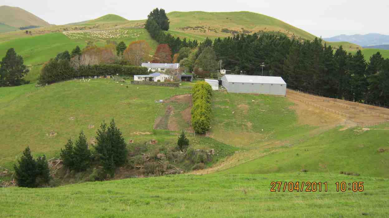
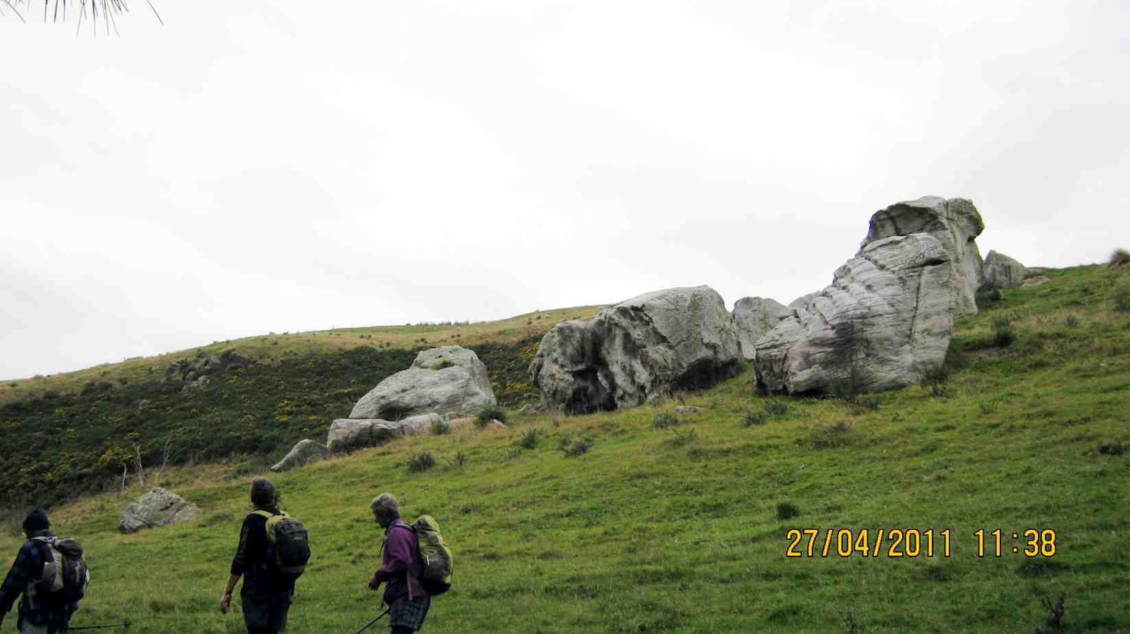
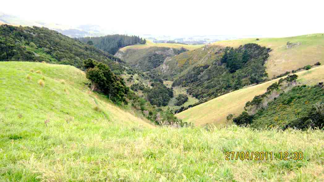
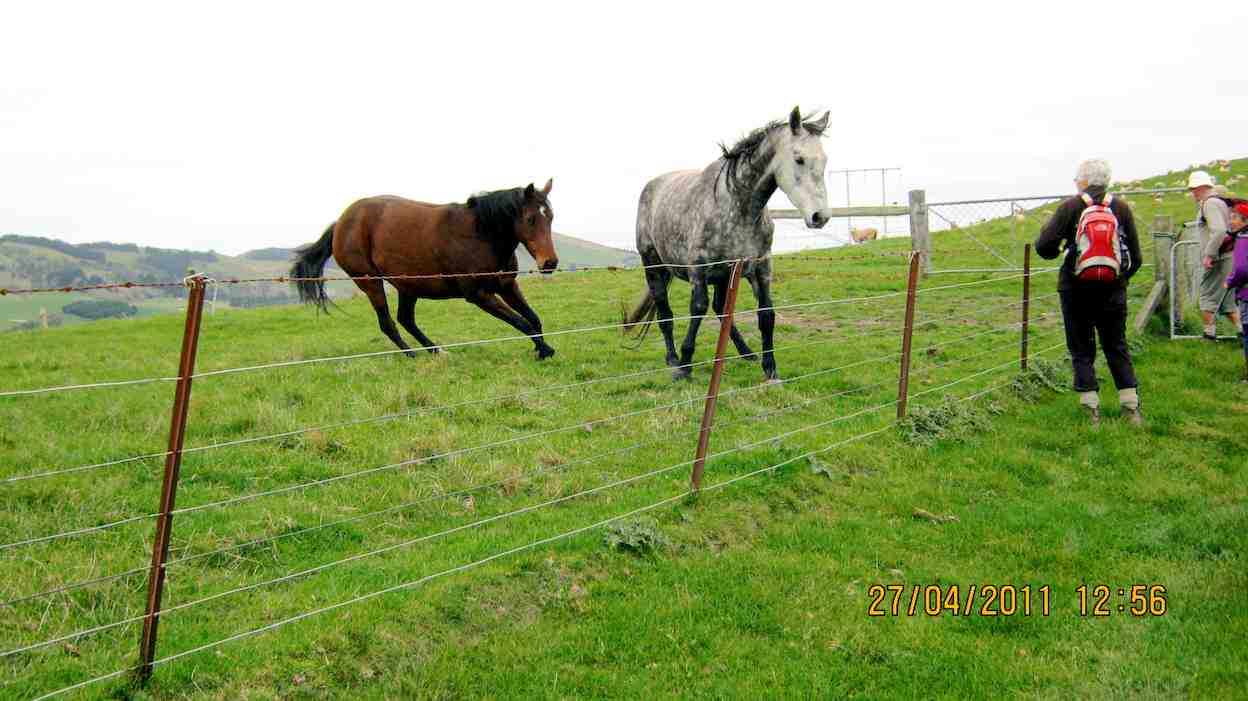
10.27/4/2011. Trampers. Lawsons Farm. Figure of Eight.
GPS, courtesy Ken. Left loop with tail at end is of the earlier Waikouaiti Stream tramp. (see GPS below) Right elongated loop is of this tramp, down left ridge and up the right.
Looking back at the Homestead from early on, on the left ridge.
The limestone rocks in the gully just up from the gorge.
A view from our lunch-stop of the gorge we stopped short of going into.
Just a view up the gully we had circumnavigated. Taken from the old coach road.
Frisky friendly horses who were content to muzzle us.
9. 18/8/2010. Trampers. Lawsons Farm. Clockwise via Waikouaiti River. Returned west ridge instead of Old Coach Road. Medium. Leaders: George, Hazel, Ria.
GPS tracking of Wednesday’s clockwise tramp. (Courtesy Ken’s GPS device)
We parked the cars just inside the entrance to “Moana” farm, walked through the dip past Lawsons’ homestead, up over the rise beyond it (where at its top we were to complete the circuit later on), to shelter from the brisk breeze for a tea-break in the tussock of the next dip. Then it was up over a next small steep rise to begin the long descent to the river.
Gully down to Waikouaiti River, South Branch.
As can be seen from the GPS tracking map, the Waikouaiti South Branch wound left and right as we made our way down its flats.
Wider part of the river valley
Finally, across a couple of wide clearings and through some bush and we were at the lodge for a late lunch. (It WAS a 9.30 a.m. start.)
Lunch at the ‘lodge’ (Ken pic and caption)
Abandoned 4WD transport. (Ken pic and caption)
Returning back upstream a bit, we faced the daunting (near-vertical for a start,) climb back up the ridge flanking the river’s true right.
The steep climb up from the river valley to a saddle of the west ridge
Reaching the top, we turned right and followed that ridge along its undulations to reach the point that lead us back down past the homestead and its yards and up to the cars again. – Ian.
8. 10/6/2009. Trampers. Lawsons Farm. Modified clockwise walk from homestead along ridge. (Figure of eight intended originally.) Medium. Leader: George.
We met at the farm gate and welcomed back Hazel who was out walking for the first time since her ankle break up Careys Creek in March. A remarkable recovery.
Looking north down gully between the two ridges walked. Mt Watkins on left.
George led the five of us down the farm ridge.
Along ridge that lies between river (over on left) and Mountain Track Road (Old Coach Rd) (off to right). Sabina, Doug, Hazel, George.
Eventually we reached the track leading across the gully up to the Mountain Track Road, (the old Coach Road).
Shot taken from Mountain Track Road looking back across to other ridge and adjoining track sloping down nr plantation. Mt Watkins in distance.
At that point we decided to forego the (longer) original figure-of-eight plan in view of the committee meeting to be held later that day and made our leisurely way back up the Mountain Track Road to the farm house. – Ian.
7. 24/1/2007 Trampers. Lawsons Farm. From Homestead. Downstream Waikouaiti River South Branch, Lodge, Paper Road, return Farm. Leader: Ian.
Parked nr gate. Walked down past house and yards. Climbed hill ahead and followed track down to River. Then along bank until eventually turning up to the Lodge for lunch. Back a little up the track and then a steep climb to old Paper road which followed to metalled road and back up to the cars. – Ian
6. 22/2/2006. Trampers. Lawsons Farm. Leaders: Arthur H, George, Dorothy S
5. 13/4/2005Lawsons Farm, Waikouaiti River South Branch, Lodge. Paper Road return. Leader: Ian
Lodge on Lawsons Farm
4. 3/12/2003. Trampers.Lawsons Farm, Waikouaiti River South Branch, Lodge Old Coach Road return Leaders: George, Dot B, Hazel
Start at cars
Stepping Out
Tea break. Sabina, Joyce, George, Irene Lesley Dot B
3. 24/10/2001 Steep Hill Road, Waikouaiti River. Medium. Leaders: George, Ria L, Barbara McC
24. 26/07/2023. Big Easy. Hikers. Grade 2.5, $5, 19km, Leaders: Pam Clough, Jay Devlin.
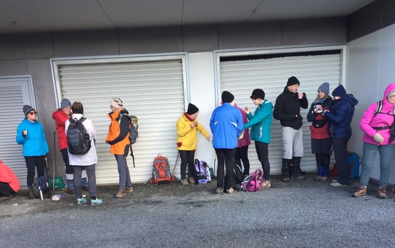
23 enthusiastic Hikers parked opposite the old Ravie Pub in very cold windy conditions as we started our walk to the Otago Yacht Club, where we took shelter for morning tea.
Taking shelter – Photo Alex
We then made our way past the stadium then down Butts Road to the beginning of the Big Easy Track behind Logan Park High School.
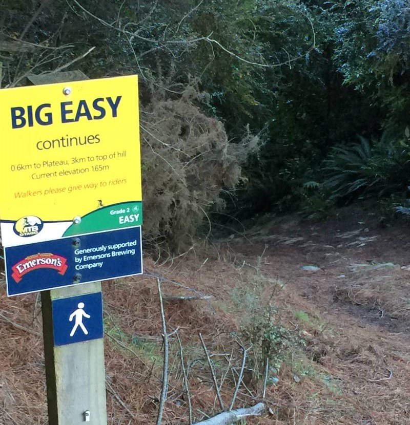
At the start of the Big Easy Track – Photo AlexPhoto Alex
The track is a zigzag gentle climb for 3.6ks to the Plateau where we stopped for lunch in very cold windy conditions so needless to say we didn’t linger too long to enjoy the lovely views of Dunedin.
Dunedin City from Big Easy – Photo & Caption Michael WebbJay organising afternoon coffee – Photo & Caption Michael Webb
After lunch we followed the track and various steep streets back to Ravensbourne 11.3kms all up.
Photo Alex
Coffee was at Sunnyvale where we enjoyed a roaring fire.
Cleghorn Street to Signal Hill Lookout. A very pleasant day weatherwise saw 14 of us undertaking this walk. We parked near Cleghorn Street and walked up the road before entering the farm track which was a bit muddier than expected.
Getting ready to start out at Cleghorn Street (photo & caption John)
There were a number of cattle on the farm and guess they churn up the ground. They took no notice of us – guess they are used to people walking across their land. Bit of a grunt up to the top of the hill, and a couple of stiles to cross, one of which was a bit of a mission for us shorter folk.
Stunning view 5 minutes into hike (photo & caption John)
Beautiful hiking conditions (photo & caption John)Morning tea in the sun (photo & caption John)
Then a long downhill stretch to come out on to Signal Hill Road. Headed up as far as the Signal Hill Lookout where we had lunch. After a reasonably lengthy lunch, as we were at the Lookout shortly after 11.30, headed back to the cars the same way we had come. Previously we had done a round trip, which necessitated car shuffling and a very steep descent via Blacks Road, so the leaders decided a ‘there and back’ would be easier.
Downhill leg overlooking Dunedin (photo & caption John)The Signal Hill Lookout (photo & caption John)Start of the trek back to the cars (photo & caption John)Group photo – Yes the camera is on a slope (sitting on a rock) (photo & caption John)An example of Pam’s photographic skills (photo & caption John)
Great views of the harbour and peninsula on the way back, as evidenced by John’s fine pictures. The day ended with coffee at the Botanical Gardens cafe – a most memorable day enjoyed by all. Pam and Jan.
22. 8 December 2021. Hikers. The Big Easy. M. Leaders: Jay Devlin & Pam Clough
18 eager hikers reported to the carpark behind Logan Park High School on a beautiful sunny calm day. We looked up to where we were going and it looked a steep climb up but in fact it was a very gentle zigzag climb.
Heading off up the Big Easy (photo and caption Ross)Warming up up the Big Easy (photo & caption Ross)Gaining height (photo and caption Ross)
A third of the way up the track we stopped for morning tea with lovely views over Dunedin to Taieri Mouth. This is a pleasant walk in amongst native bush with lots of lovely tree ferns and abundant bird life.
Morning tea spot on a big bend on the Big Easy (photo and caption Ross)
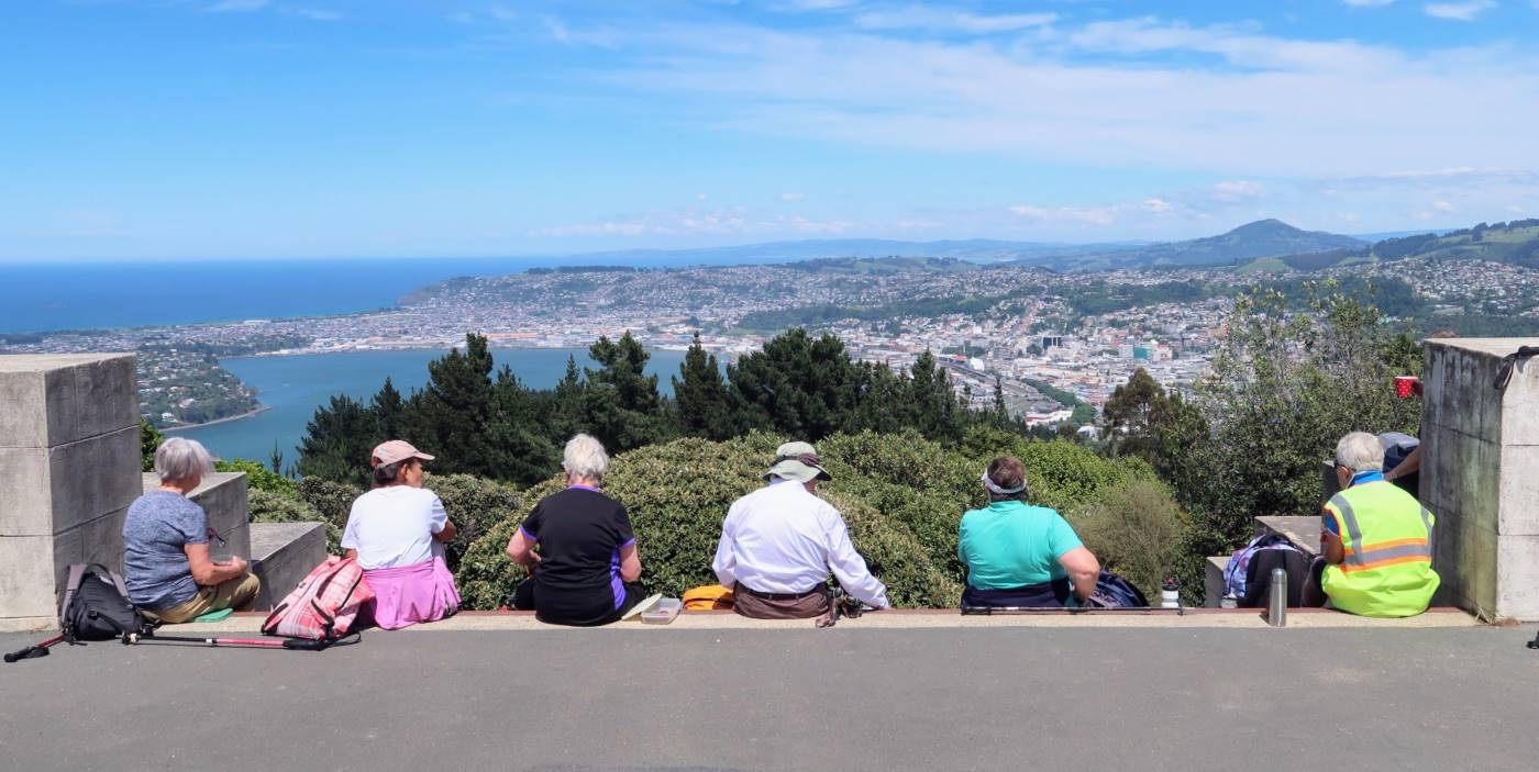
We reached the monument right on lunchtime. This area really showed off the beauty of Dunedin and surrounding coastline and suburbs.
Lunchime at the monument (photo and caption Ross)Lunch with a view (photo and caption Ross)
After lunch we walked back down a steep Signal Hill Road which was a bit ouch on the knees. We then turned left into Blacks Road where we again entered the Big Easy Track that wasn’t signposted as it seemed to look like a driveway, but was shown on a map when we did the recce. This part of the track was particularly steep and had to be negotiated carefully but thankfully no one slipped over. 11k completed. We had coffee at The Hub which is in the University precinct. Leaders for the day were Pam and Jay.
21. 24 November 2021. Trampers. Ravensbourne, Signal Hill, Big Easy. M. Leaders: Theresa White & Ross Davies
We were greeted with a beautiful day and 16 members set off from the Marina, along the walk/ cycle way at a good pace. We crossed the road at the hotel, across Adderlay Terrace, to a walkway up the hill. Morning tea at the Manuka St playground got the breathing back on track.
Morning tea (caption and photo Helen)
Street walking for a bit until we reached the entrance to the Signal Hill track. At the top the new planting of native trees had grown quite a lot since we were there last time. The way to the top from the Plateau was by the Telecom Track. Up and up we continued.
Walking up to the Signal Hill Lookout from the Ravensbourne Track (caption and photo Pam)
A short break with a view of our beautiful city of Dunedin was enjoyed from the Monument. Onwards along the Signal Hill road until we came to the “No Exit “street on the right (used to be Cleghorn Street).
Looking back south over Dunedin from the ‘No Exit’ road off Signal Hill Road
We all wondered if the rescue teams would find us!! Up the gravel Cleghorn Street until we got to the many masted site at the top. At this point there was a small mutiny among the troops. NO MORE UP!!! Our intrepid leader Ross said “Just a bit more and the view will be worth it“. We followed a small track through some broom, over a style, into farm land, along a pine plantation and true to his word there was the view. The whole harbour and all the surrounding small settlements were there for us to” ooh and ahh” at over lunch.
Lunch with a view (caption and photo Ross)
Our lunch stop presented us with a magnificent view, like a Colin McCahon painting (caption and photo Marijke)
The return trip was thankfully down.
Signal Hill Track called Centre Road (caption and photo Ross)
We choose the shortest route down the cycle trails to Logan Park School.
Coffee at the Plaza before returning to the cars at the Marina.
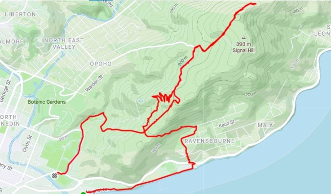
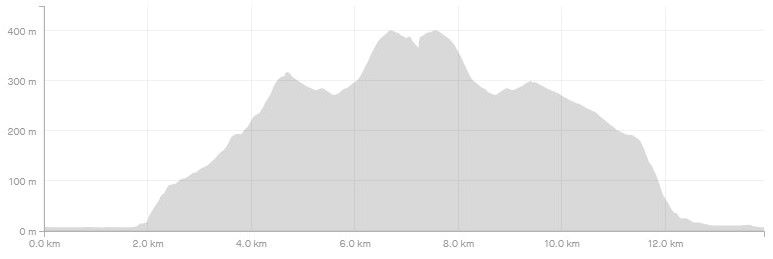
Screenshot Strava Signal Hill Route (Ross)Screenshot Signal Hill Elevation (Ross)
Theresa & Ross
20. 24/8/2016. Trampers. Signal Hill Tramp. Leaders: Neil and Margreet.
Well the chilly Nor’easterly was ‘thin’ and the drizzle was horizontal; but 7 hardy trampers set out from the yacht club and walked to Ravensbourne along the walkway/cycleway. After crossing SH88 we found shelter in the lee of the War Memorial for morning tea.
Morning tea in shelter of the Ravensbourne war memorial. (Helen pic and caption.)
It was a nuggety wee zig-zag up Manuka St to find the track entrance to Signal Hill. A steady climb in dripping bush for 20 minutes saw us break out at the Plateau. Following the Telecom track, another energetic climb took us to the Centennial Monument.
Top of Signal Hill. (Helen pic and caption.)
We should have had stunning panoramic views over the city but sadly it was just a pea soup vista!
Leaving the two large bronze figures (‘History’ and ‘The Thread of Life’) to the raging elements, we quickly descended to the sheltering bush line where a nice ‘possie’ for lunch was discovered.
Lunch today. (Margreet pic and caption.)
After a leisurely (obviously Neil Morrison was absent!) lunch, the team continued down the ‘Big Easy’ mountain bike trail to Logan Park High School and onward to the start point. On the way we did see the restored Opoho Creek fish ponds which are home to the Banded Kokopu (a type of whitebait); and also the old Pelichet Bay infectious diseases hospital established in 1908 above Butts Road.
Highlight of the day had to be a hot drink at the warm and welcoming Emerson’s Brewery. Distance 10.5 KM.
– Neil and Margreet.
19. 11/3/2015. LPHS to Ravensbourne. Leaders: Jim and Betty.
Centennial Memorial (Elaine pic)
18. 27/11/2013. Both. Marina, LPHS, Memorial, Ravenbourne, Harbour Walkway, Marina. Leaders: Jim and Betty.
Route. Turned GPS on only at LPHS car-park. Sorry! Add abt 1.5 km gap from our cars to the 6.82 total (obscured) to get 8.32 km.
Steep climb. Somewhere between the 1 & 2 km indicators on map.
Memorial photo.(At the little tail between the 2 & 3 km indicators on map.)Lunch at 4 km indicator on map – I think.
16. 14/4/2010. Hikers. Signal Hill, Logan Park. Leaders: Bev H, Chris.
The two trampers for the day joined the hikers. A surprising group of mushrooms behind the Logan Park High School were quickly “gobbled” up. The steep hill beyond was heavily marked with zig-zag BMX tracks.
We tackled the climb.
Further up was a pleasant walk through an avenue of bush.
A lane through the trees
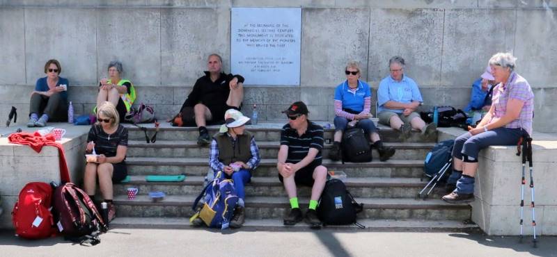
We sat on the steps of the Centennial Memorial for lunch. Several groups of people came and went before us, including one group who came to scatter the ashes of a family member. A member of a bus group offered to take our picture with Elaine’s camera.
Who thought to include the sign? (From Elaine’s positive)
Leaving the memorial, we made our way down through trees and cleared ground to Ravensbourne. This was the first time several of us had made the Ravensbourne-Signal Hill- Logan Park trip in the reverse direction.
Down at Ravensbourne, several ‘went to bed’ on a mattress stored outside beside a shop.
After that, it was along the walkway beside the railway and then back to the cars at Logan Park High School parking area. Thanks to Bev and Chris for a well-planned and guided walk. – Ian
15. 17/10/2007. Hikers. Logan Park, Signal hill. Medium. Leaders: Barbara and Arthur.
14. 27/9/2006. Trampers. Logan Park, Ravensbourne, Signal hill, Opoho. Easy. Leaders: Evelyn C, Lesley S
13. 7/7/2004. Both. Logan Park, Ravensbourne, Signal Hill. Medium. Leaders: Ian, Arthur and Barbara.
12. 17/9/2003. Hikers. Logan Park, Signal Hill. Medium. Leaders: Betty, Colleen.
11. 14/8/2002. Logan Park School – Signal Hill. Medium. Leaders: Molly, Hazel, Barbara McC.
10. 28/3/2001. Ravensbourne to Signal Hill. Leaders: Jack and Rosemary, Catherine.
9. 18/10/2000. Ravensbourne – Signal Hill Road. Leaders: Sabina, Anne, Wendy B
8. 19/5/1999. Ravensbourne, Adderley Terrace, Signal Hill. Leaders: Jack and Rosemary, Doreen.
7. 8/4/1998. Signal Hill, via West Harbour return via Opoho. Park at old Art Gallery. Leadrs: daphne, Shirley R.
6. 27/3/1996. Signal Memorial return Adderley Terrace. Leaders: Les and Mavis, Margaret D, Judy
5. 31/8/1994. Logan Park, Ravensbourne, Adderley Tce, Signal Hill, Opoho. Medium. Leaders: Daphne, Margaret D, Mary L, Myrie.
4. 21/7/1993. Logan Park, Ravensbourne, Adderley Terrace, Signal Hill, Opoho, Logan Park. Medium. Round Trip. Cars at Art Gallery. Leaders: Betty B, Daphne, Margaret D, Pet A
3. 28/8/1991 Signal Hill via West Harbour. Return via Opoho. Leaders: George, Barbara M, Evelyn M, Peg C
2. 2/5/1990 Signal Hill via Logan Point and up Adderley Terrace, Ravensbourne. Back through Opoho and Northern Cemetery. A good city walk with plenty of history. Average. One hill only. Leaders: Nancy, Margaret B, Bev M, Molie
1. 28/9/1988. Signal Hill Memorial. Interesting Dunedin history. Harbour views. Leaders: George, Peg C, Molly.