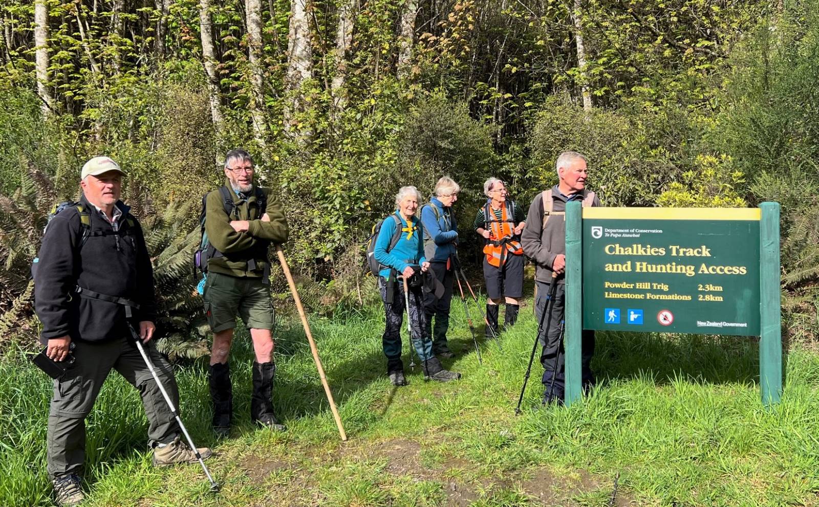
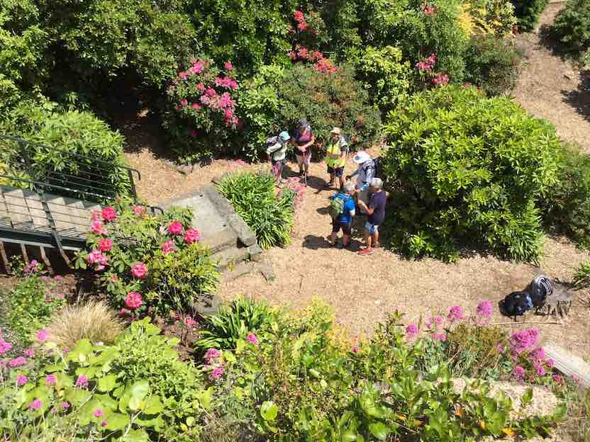
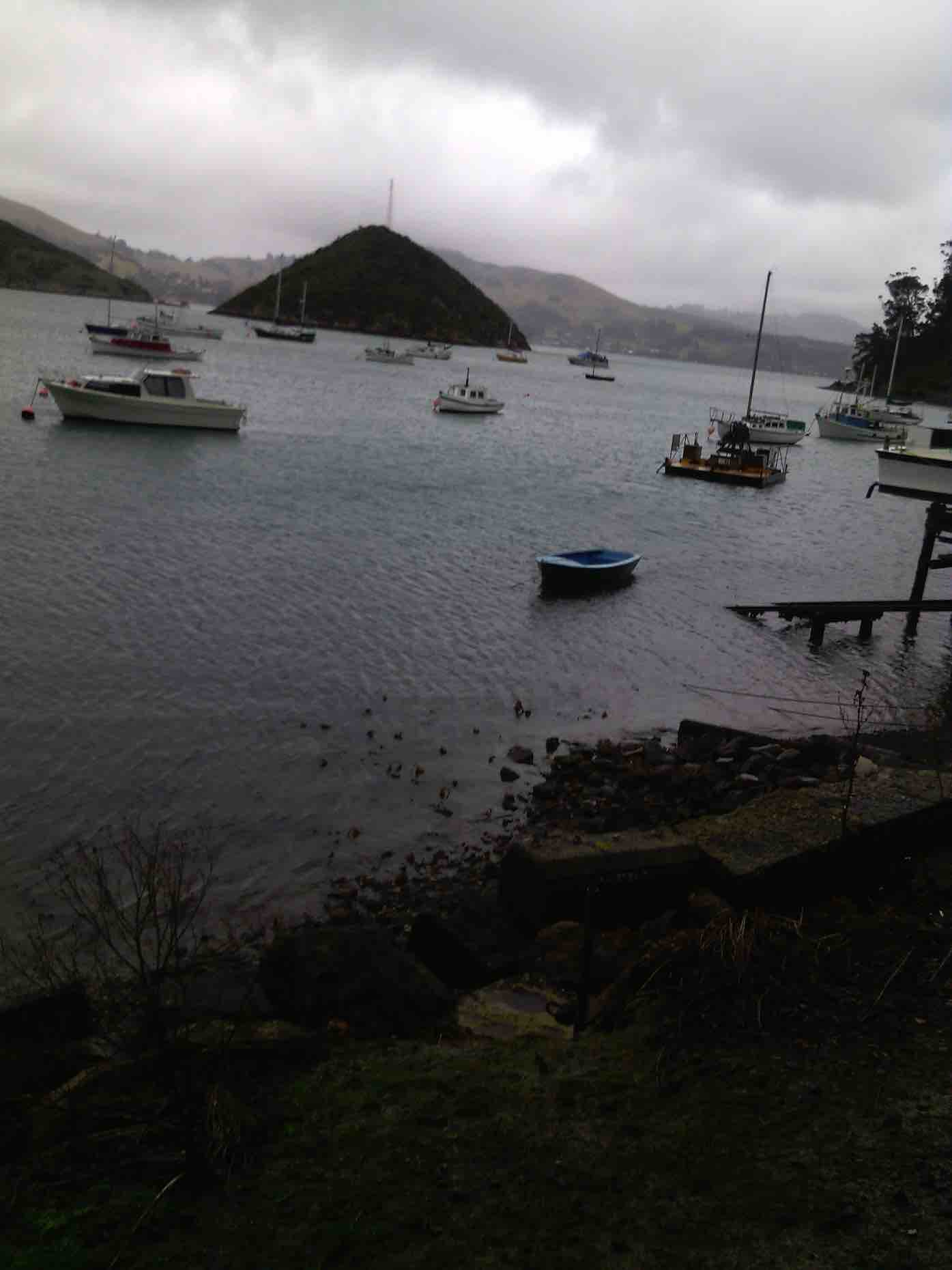
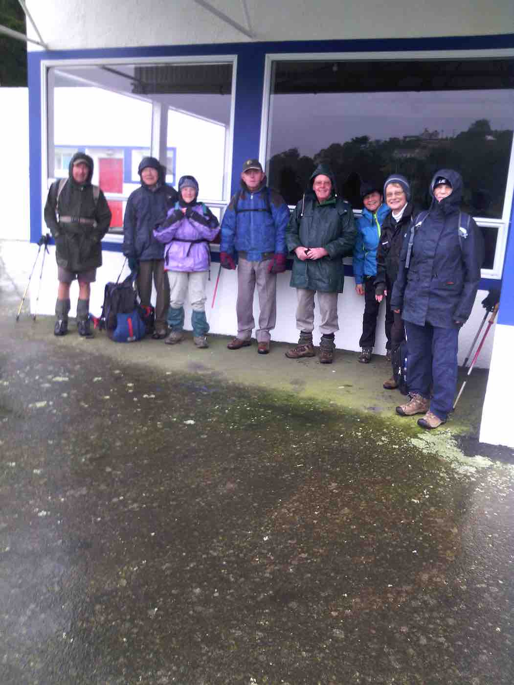
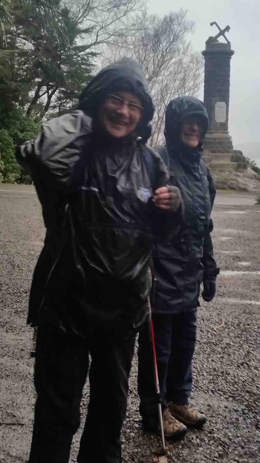
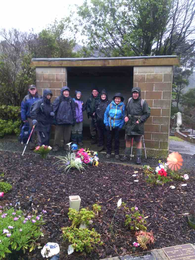
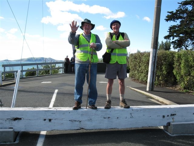
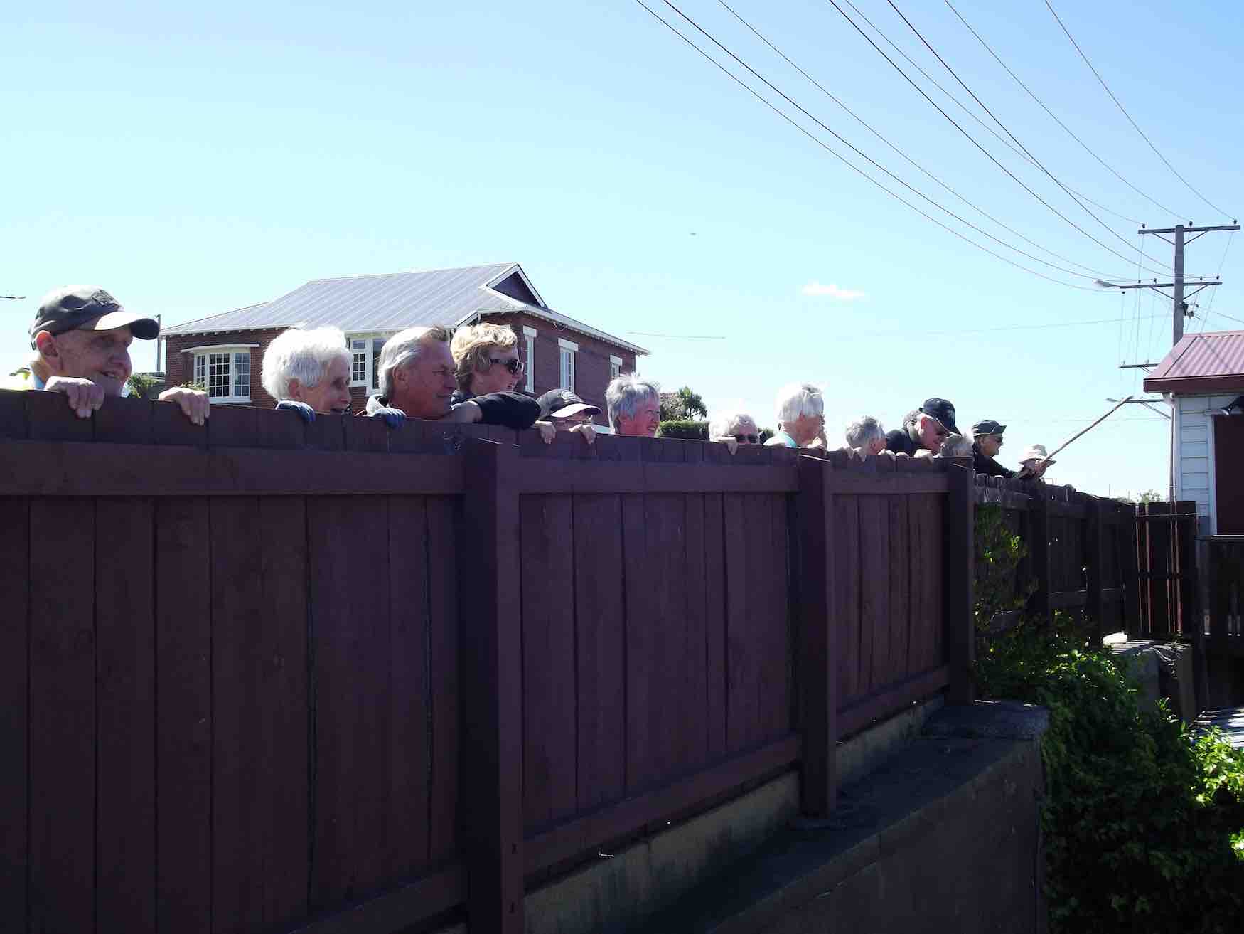
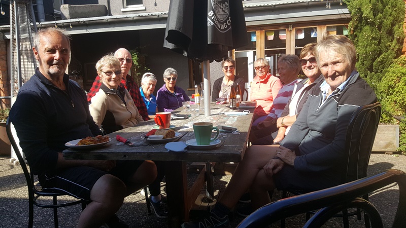
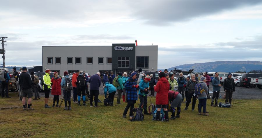
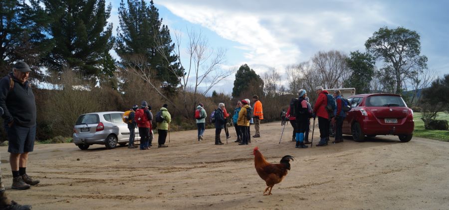
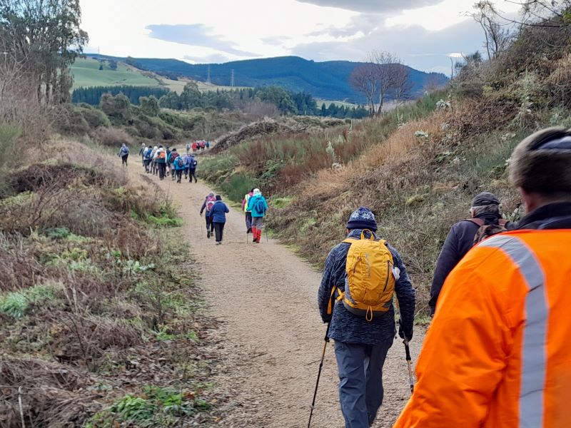
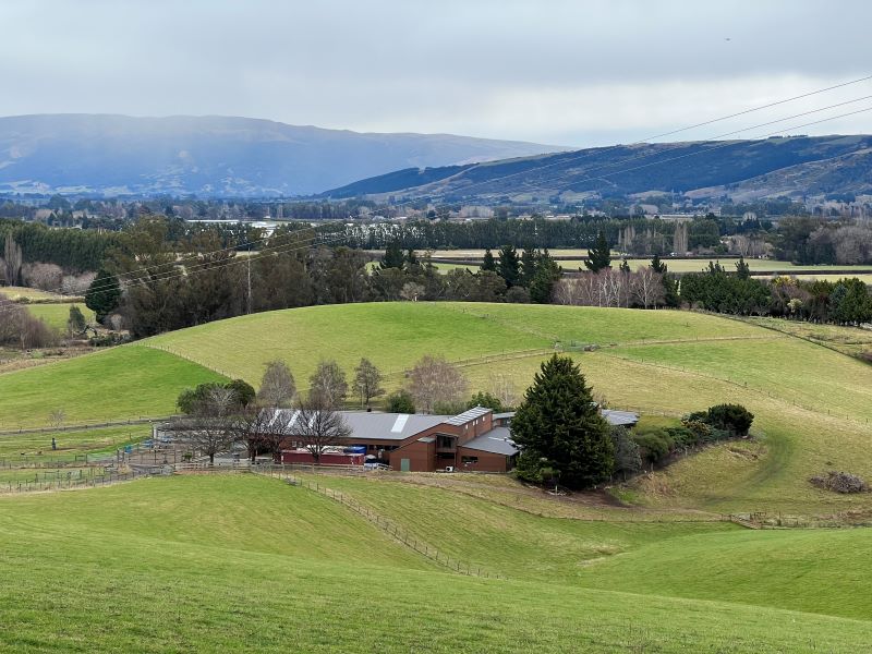
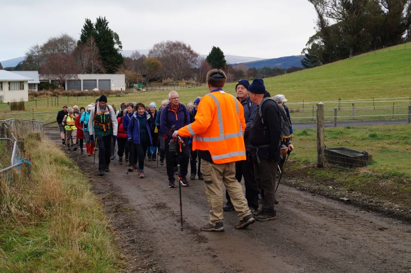
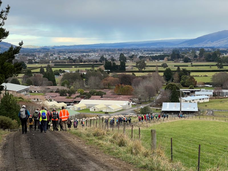
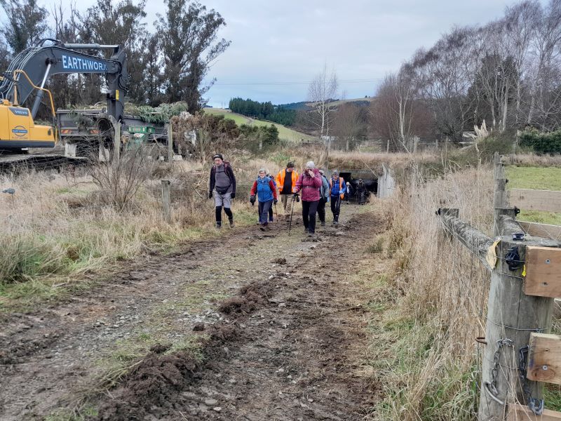
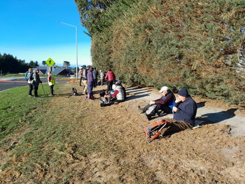
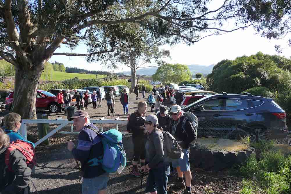
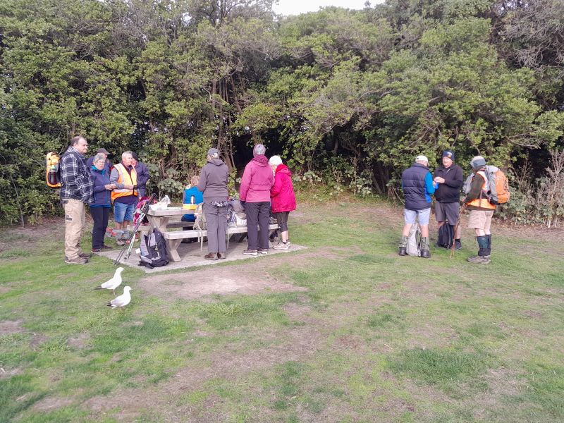
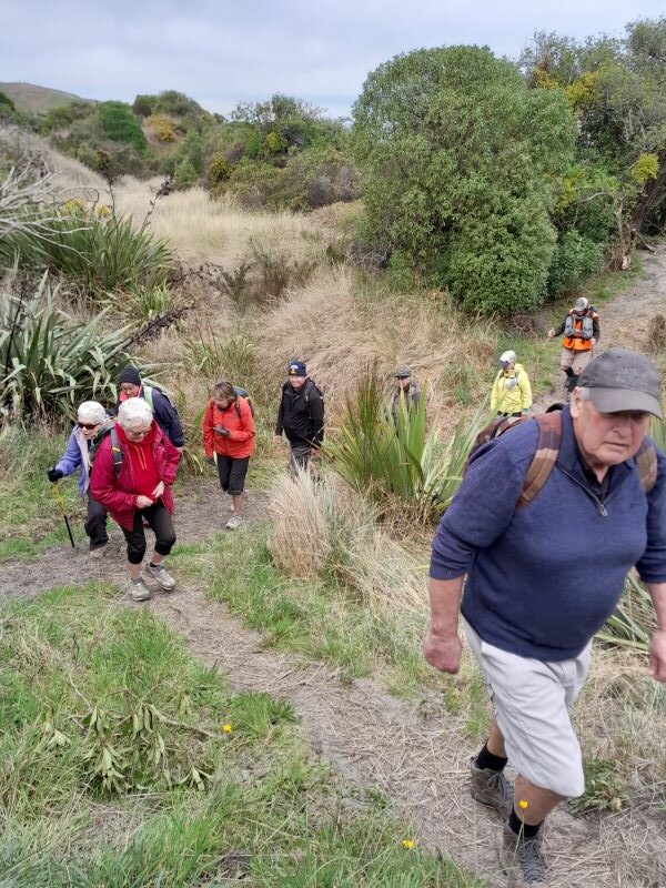
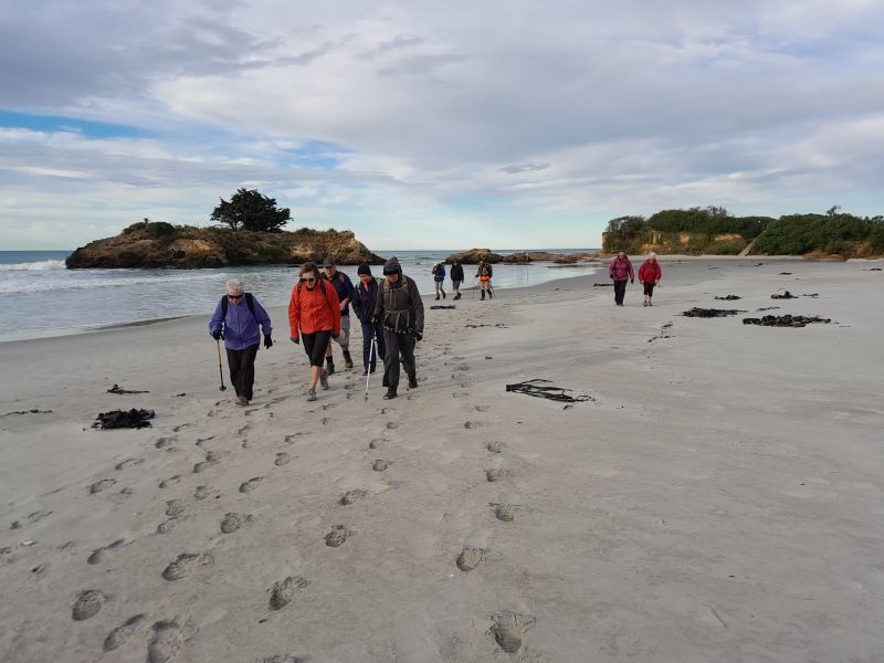
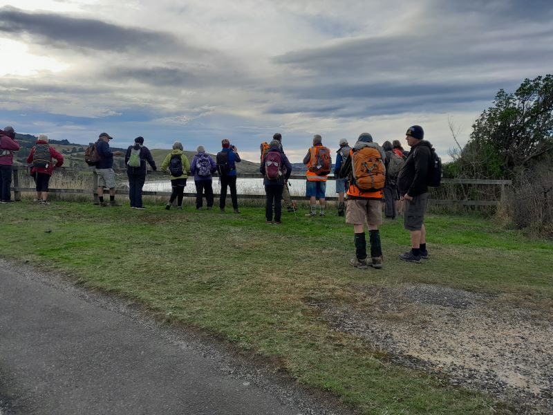
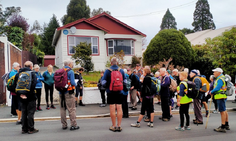
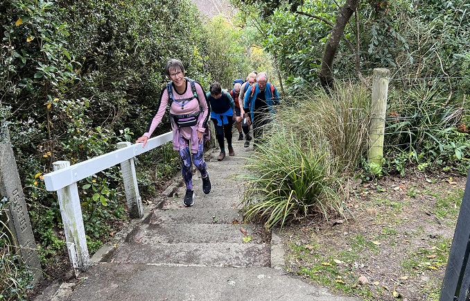
Ten trampers walked back along the road from the Whare Flat pump house carpark, past the Waiora Scout camp, and to the beginning of our tramp about half a Km away.
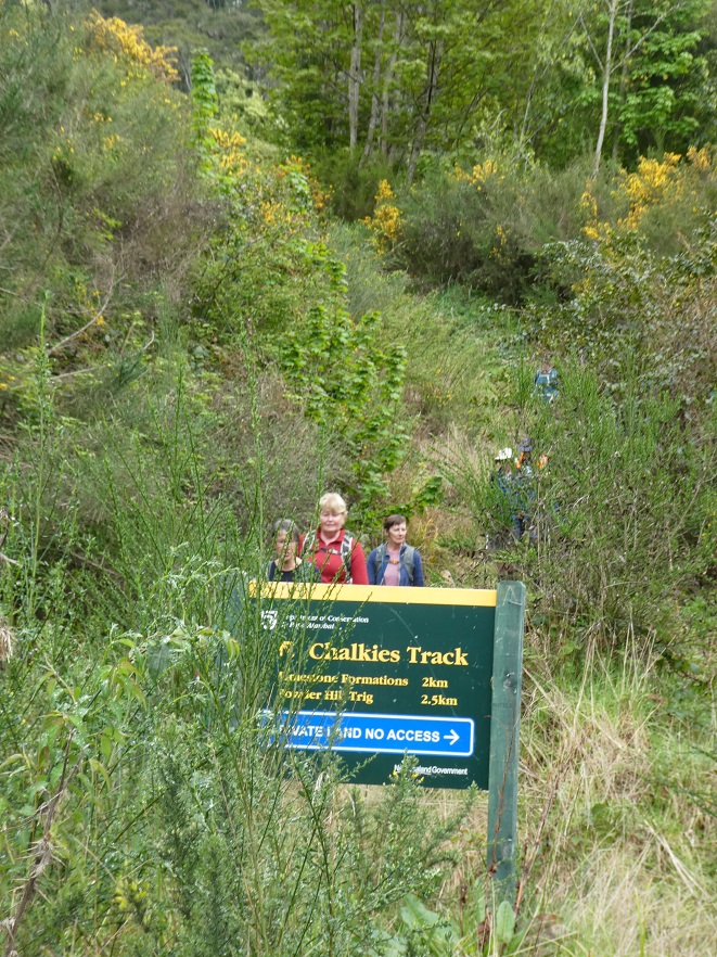
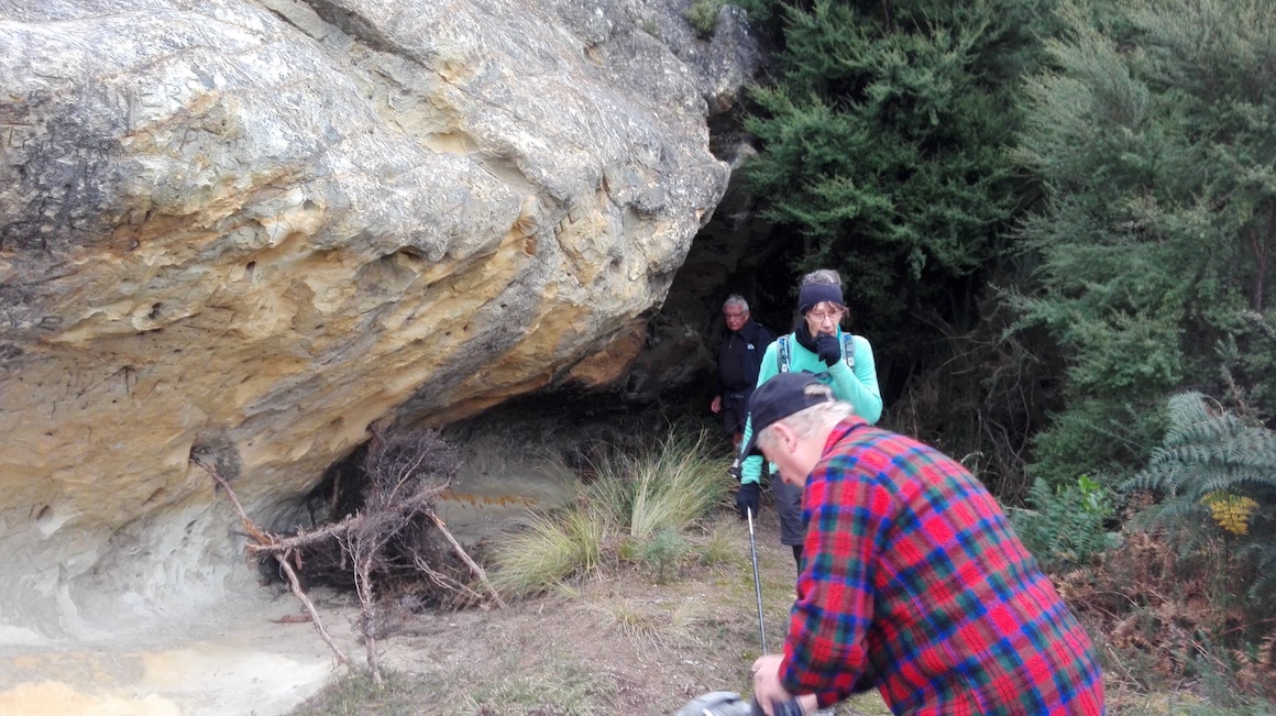
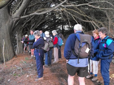
Keen to start on the Chalkies track. (photo and caption Pam)
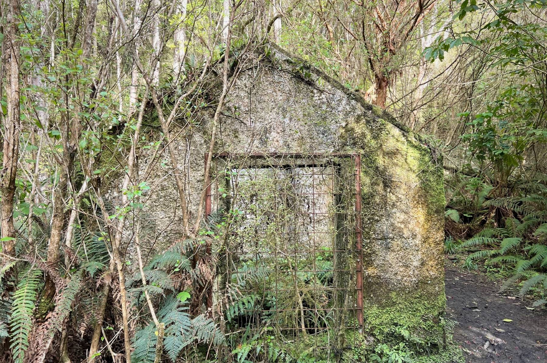
We started on Leishmans track and passed by the remains of the hut and weir that were once part of a Mosgiel water scheme.
The old pump house. (photo and caption Pam)
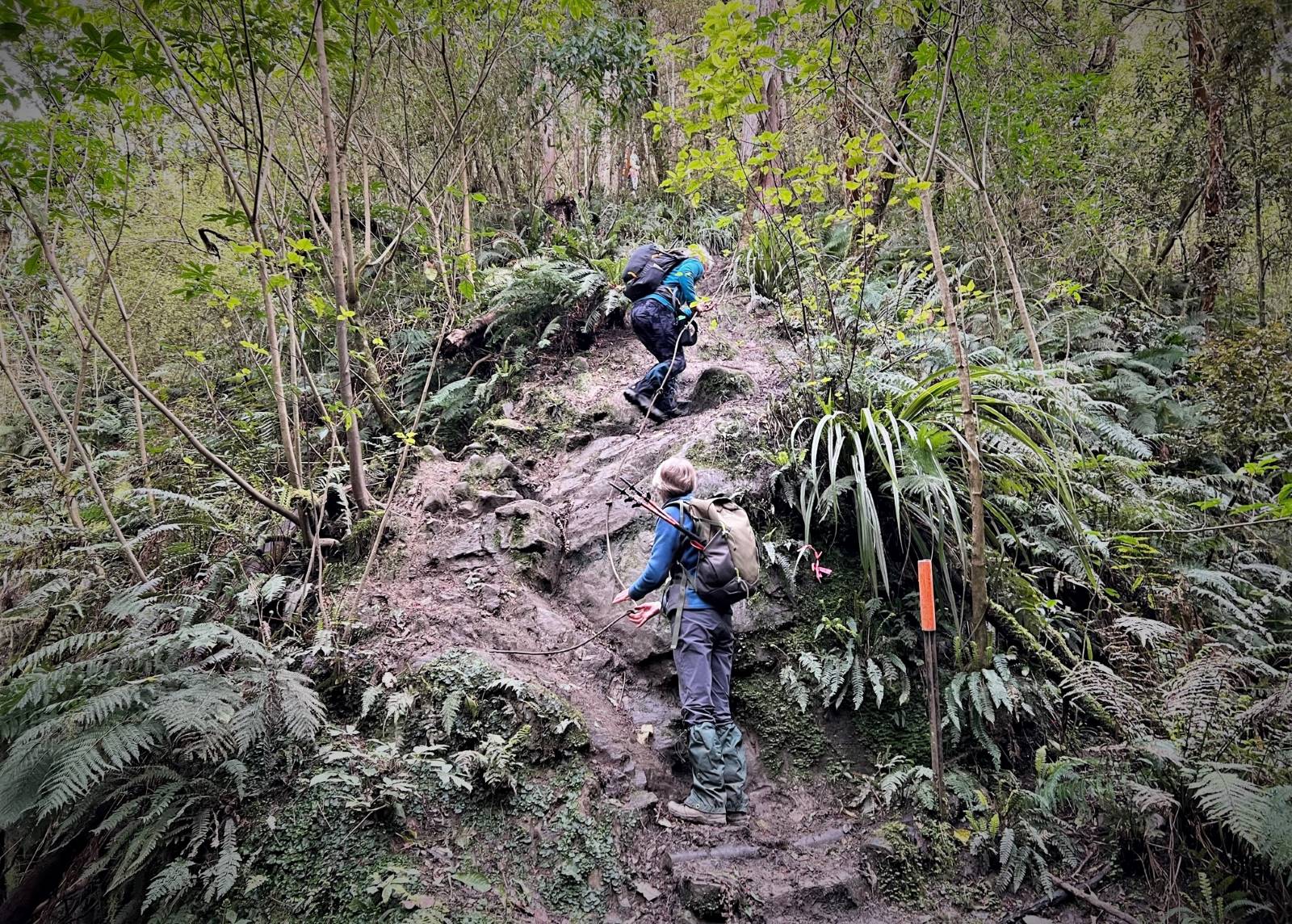
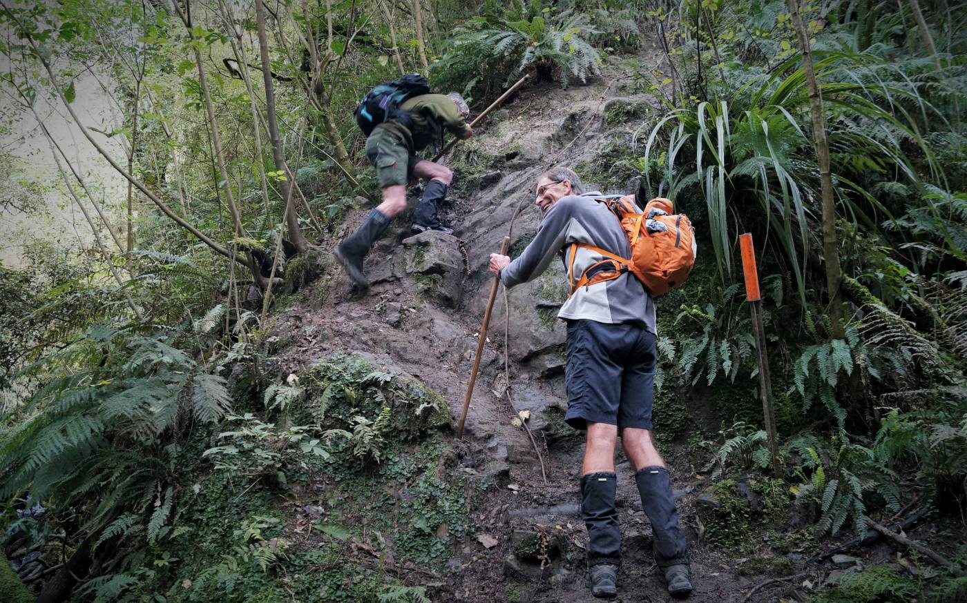
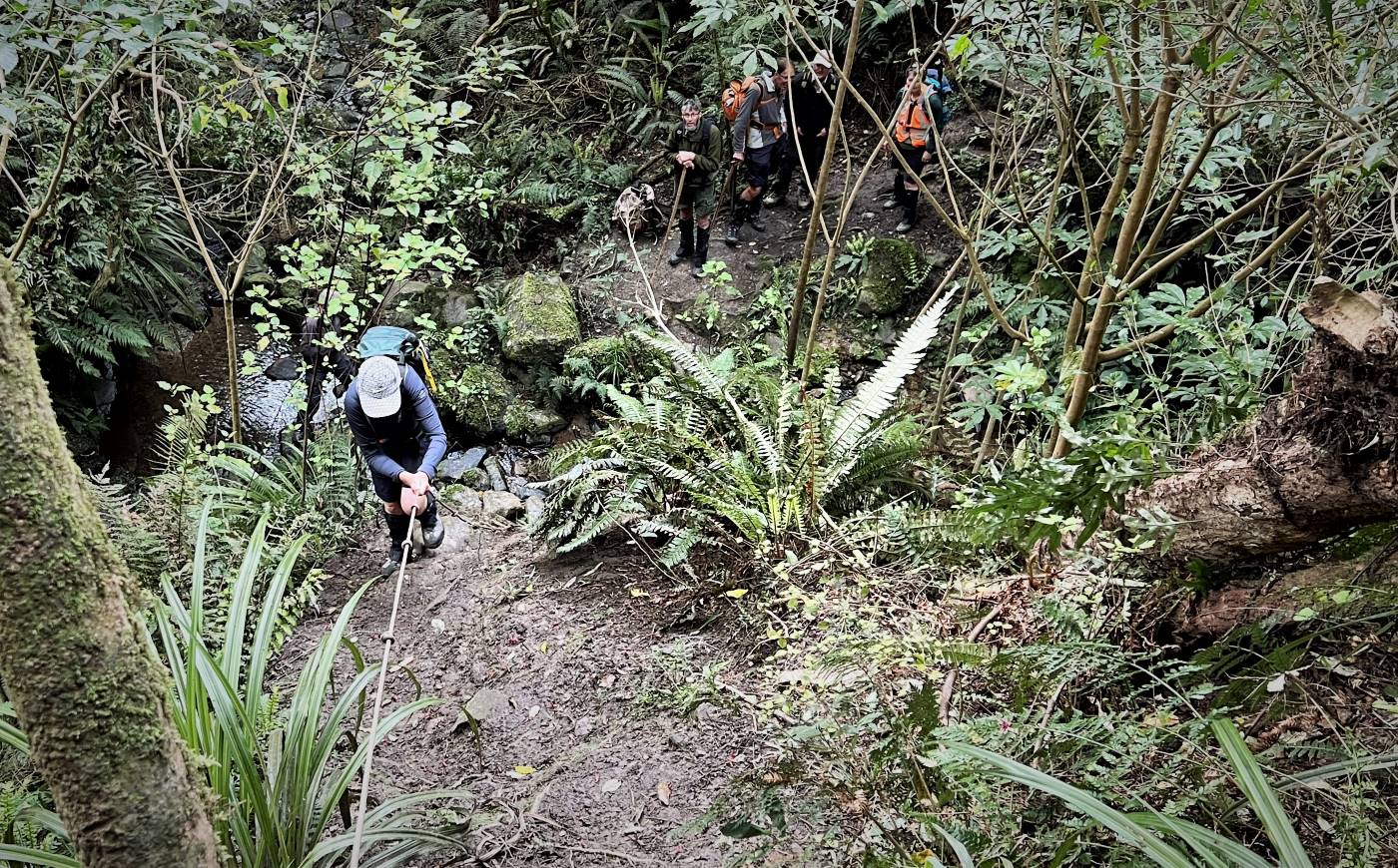
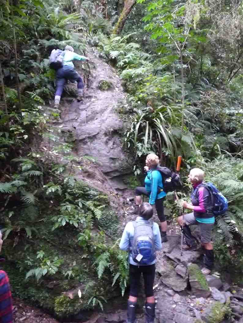
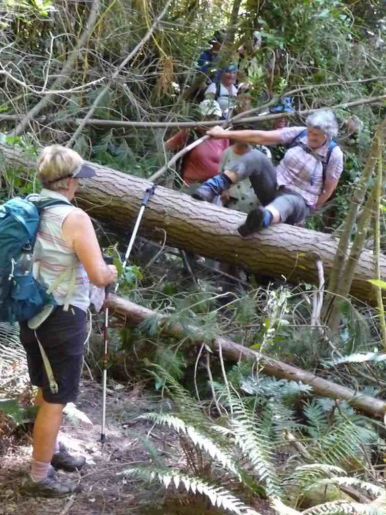
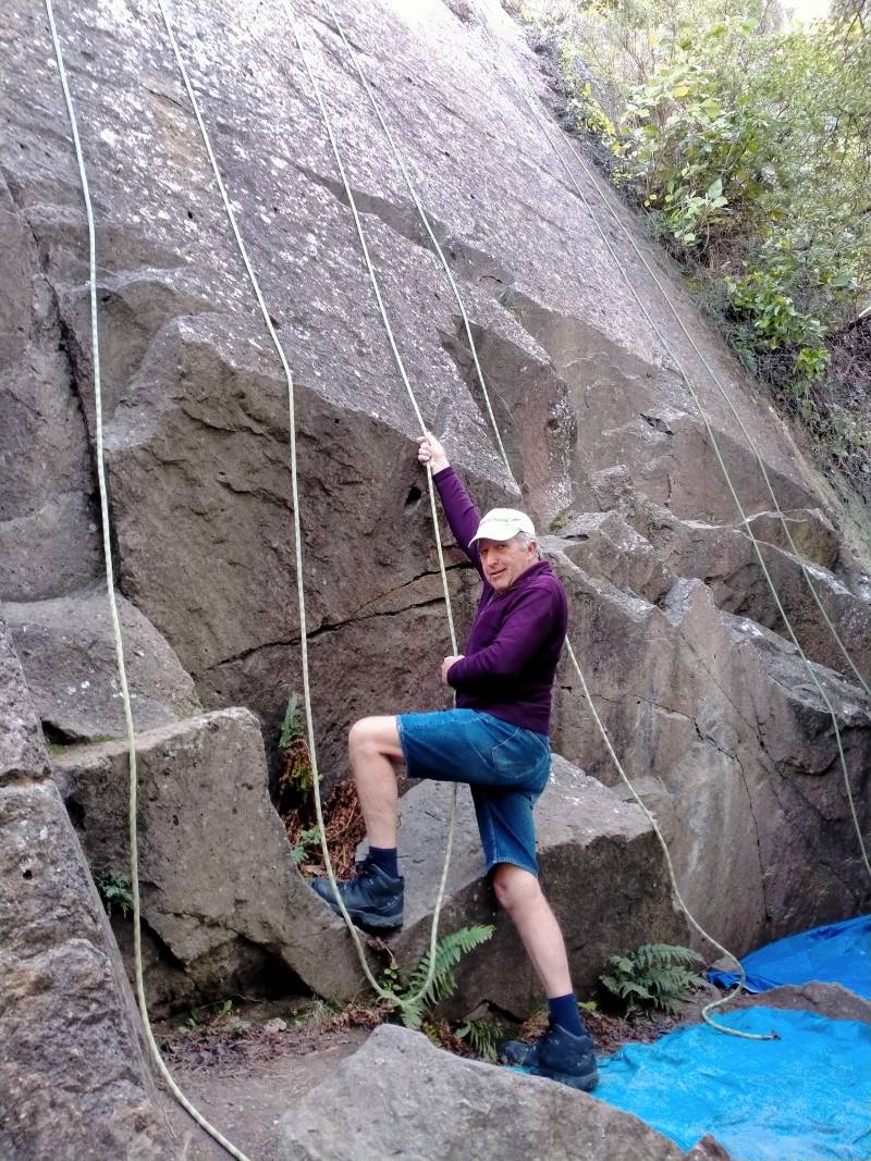
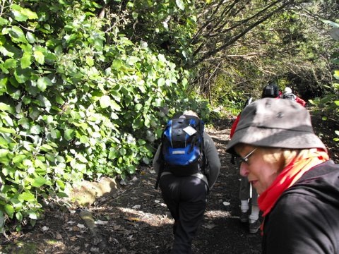
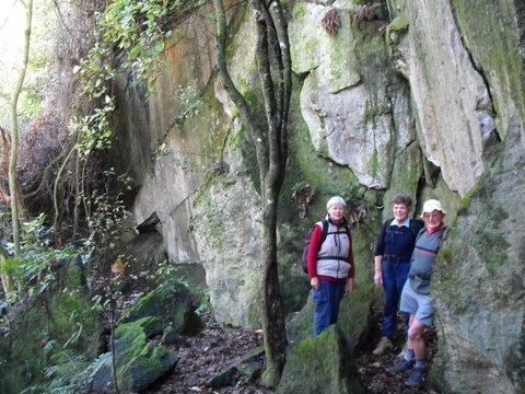
The track progresses up through bush consisting of lots of fuchsia. Our upper body strength was tested at the rock face which thankfully has a knotted rope to aid our ascent.
Gwenda climbing the cliff face with the aid of a rope. (photo and caption Pam)Phil looks keen! (photo and caption John)Almost at the top Jill. (photo and caption Pam)
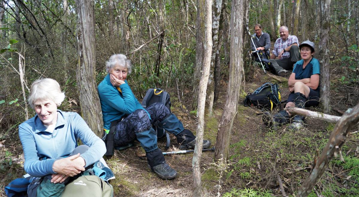
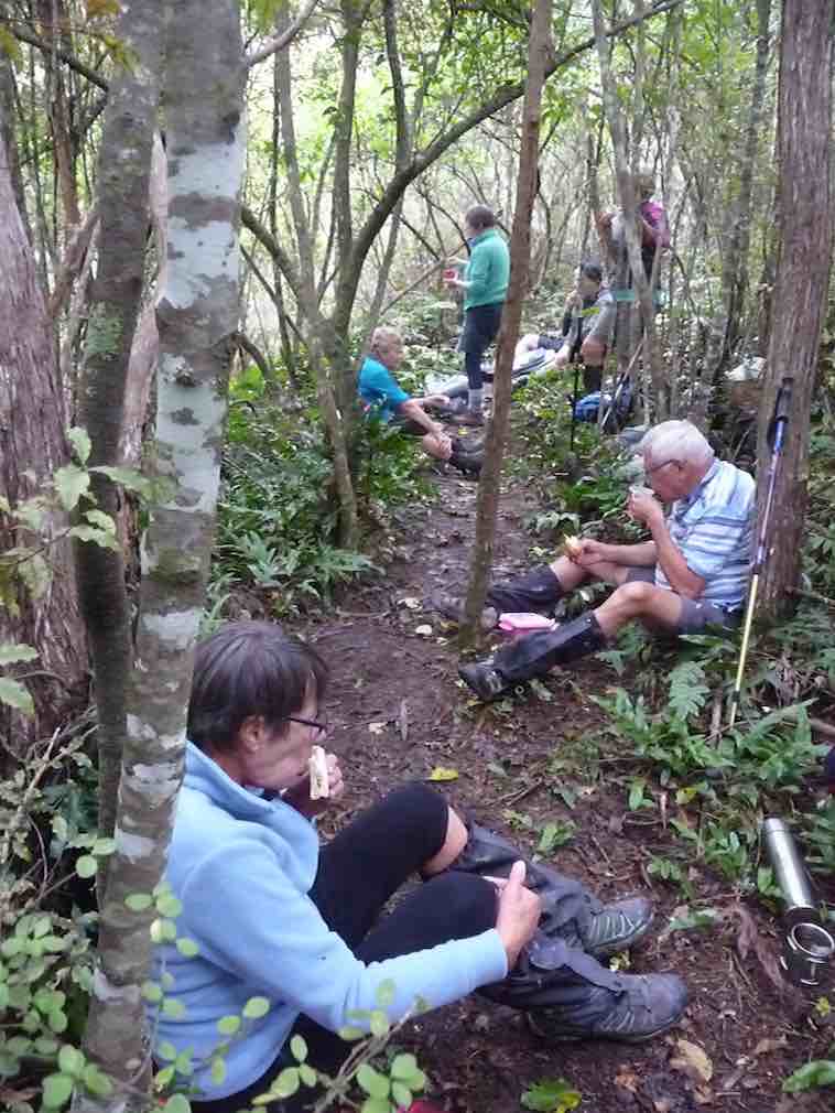
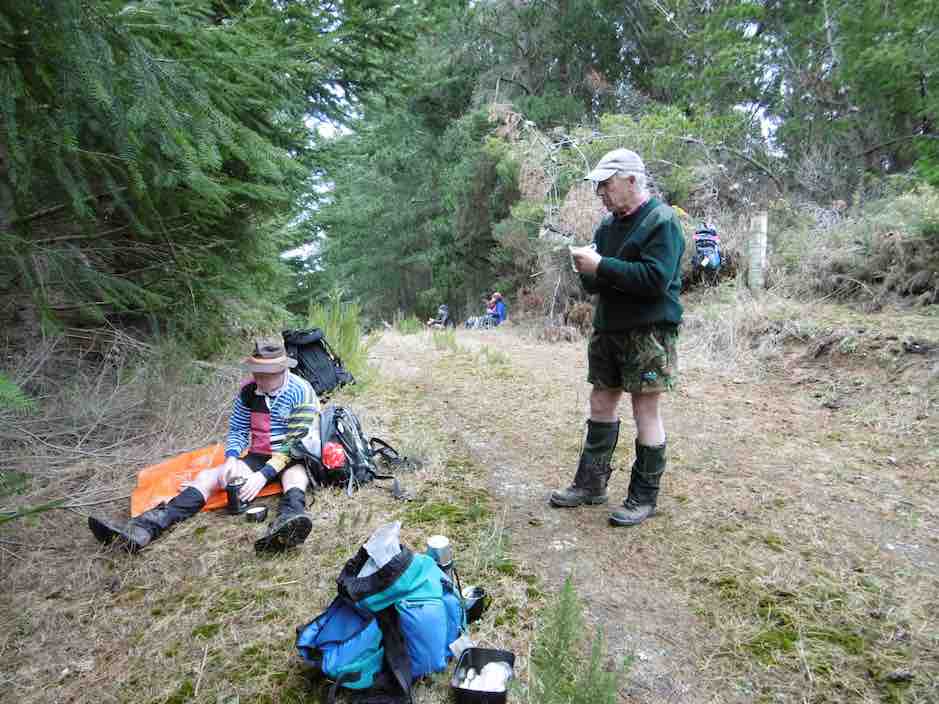
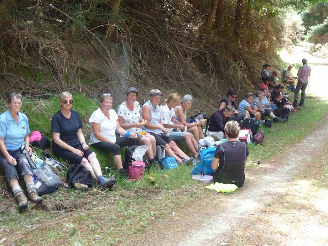
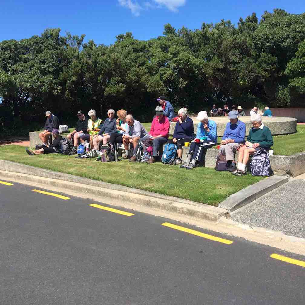
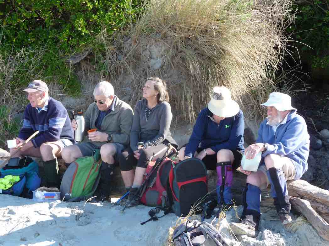
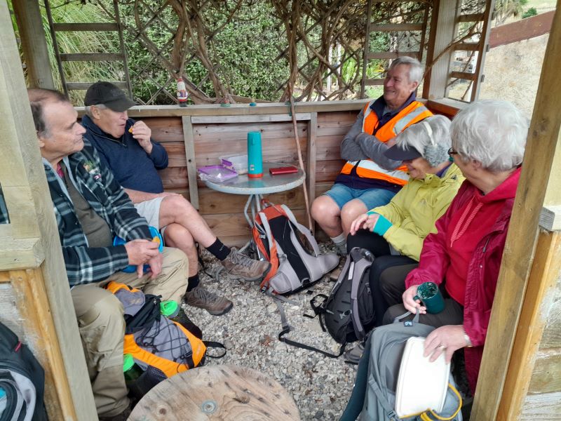
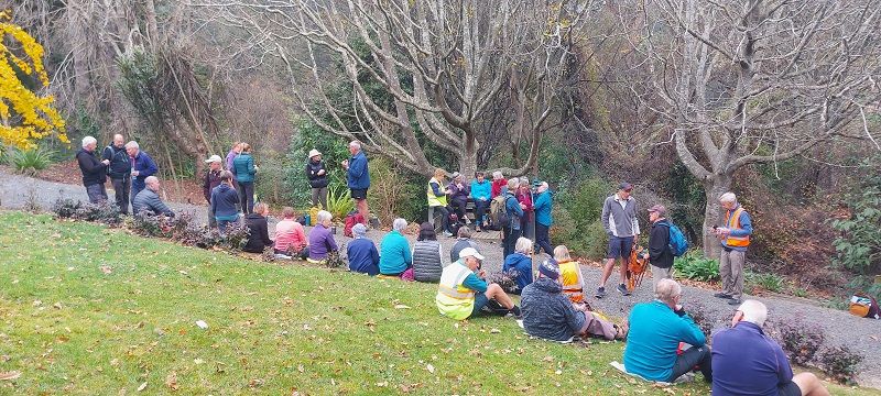
The track winds uphill steadily and steeply in places, and the bush changes to manuka and kanuka. Morning tea was an unhurried rest sitting on the side of the track.
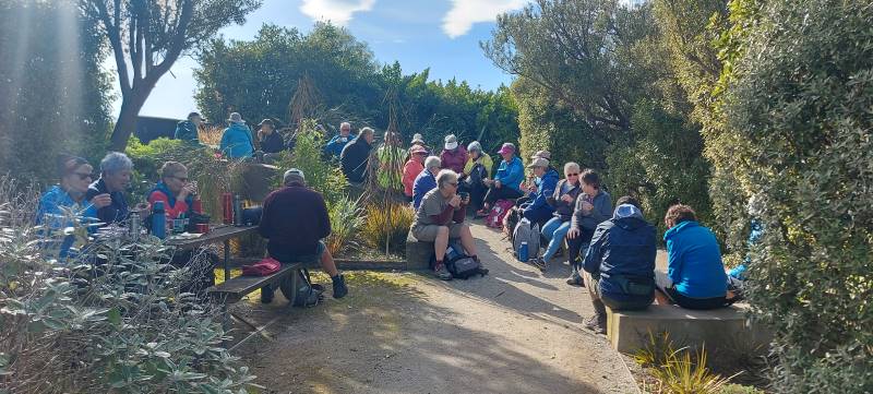
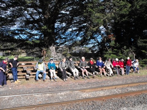
Morning Tea on the track. (photo and caption John)
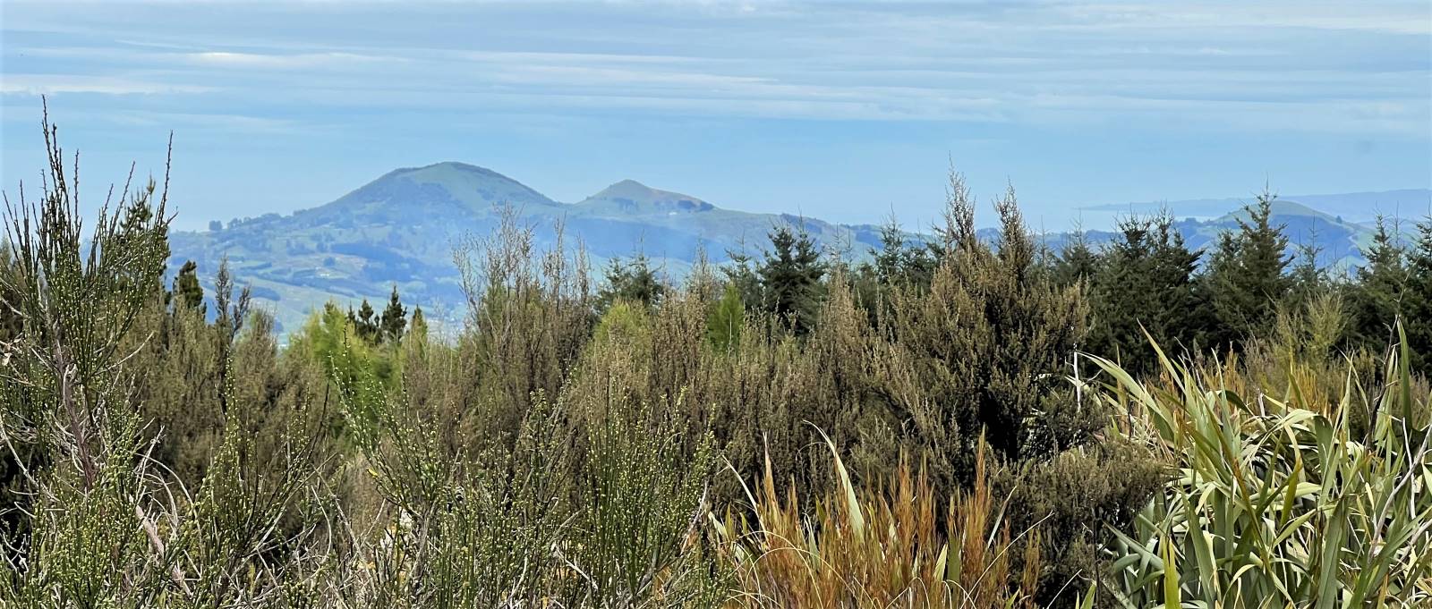
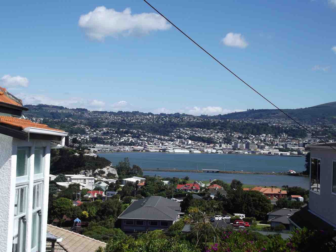
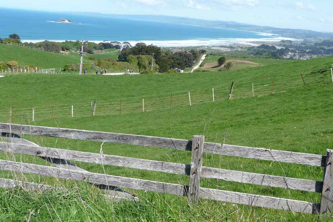
It was still and humid in the bush so layers were shed. Further on there were good views to be had over North Taieri, Saddle Hill and out to the coast.
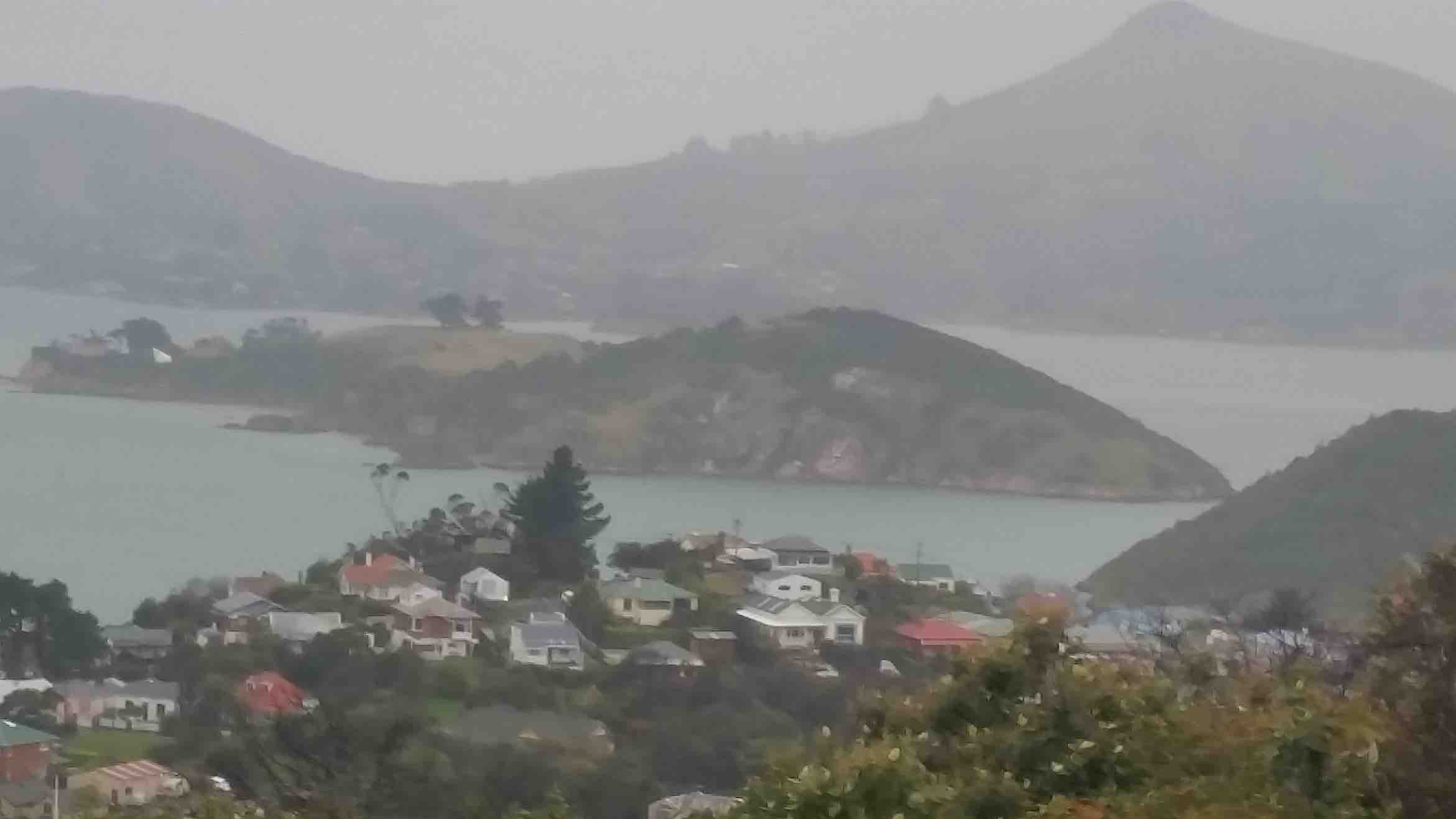
Looking back over to Saddle Hill from The Chalkies. (photo and caption Pam)
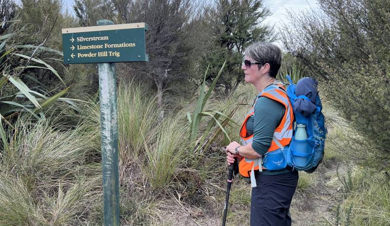
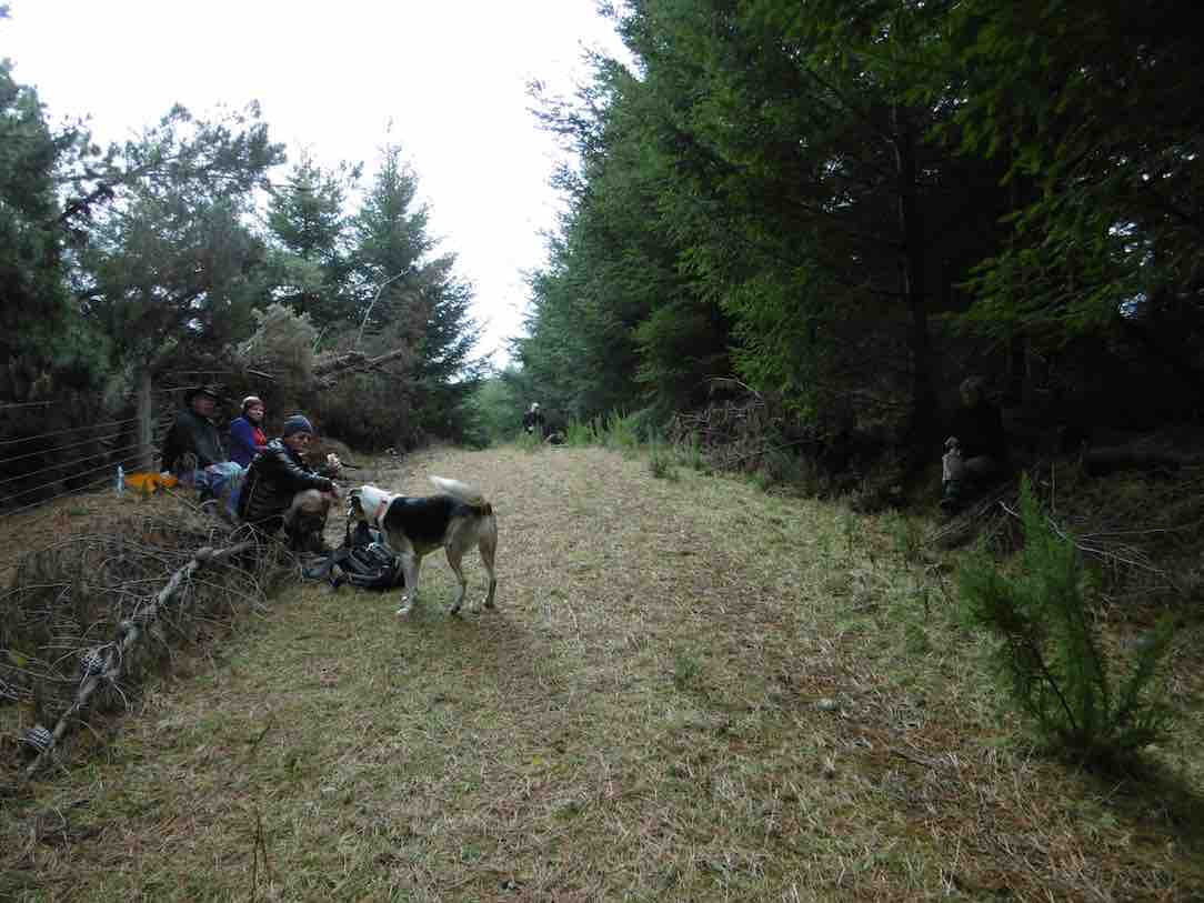
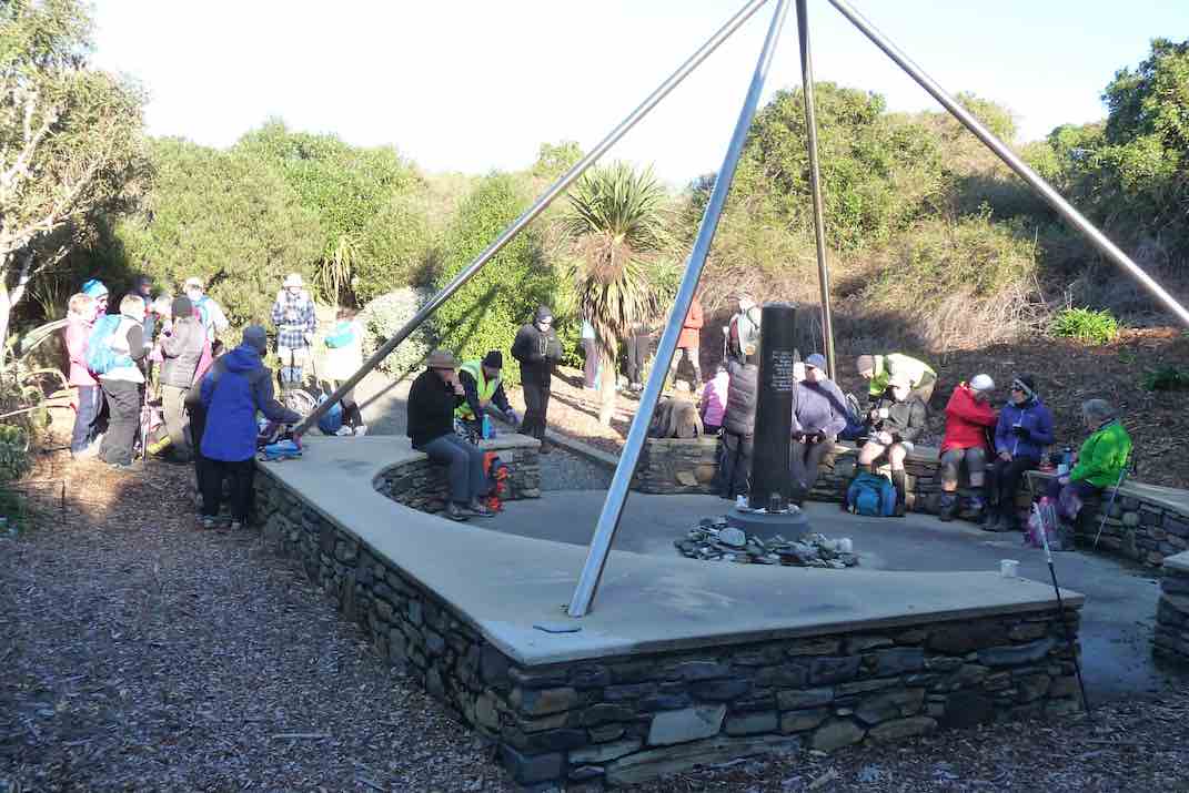
We continued upwards and into the boggy area which had dried out a bit since our recce. We emerged onto a grassy lane between Larch and Douglas Fir then branched off to the tussock area at the top of Powder Hill where we stopped for photos at the old trig.
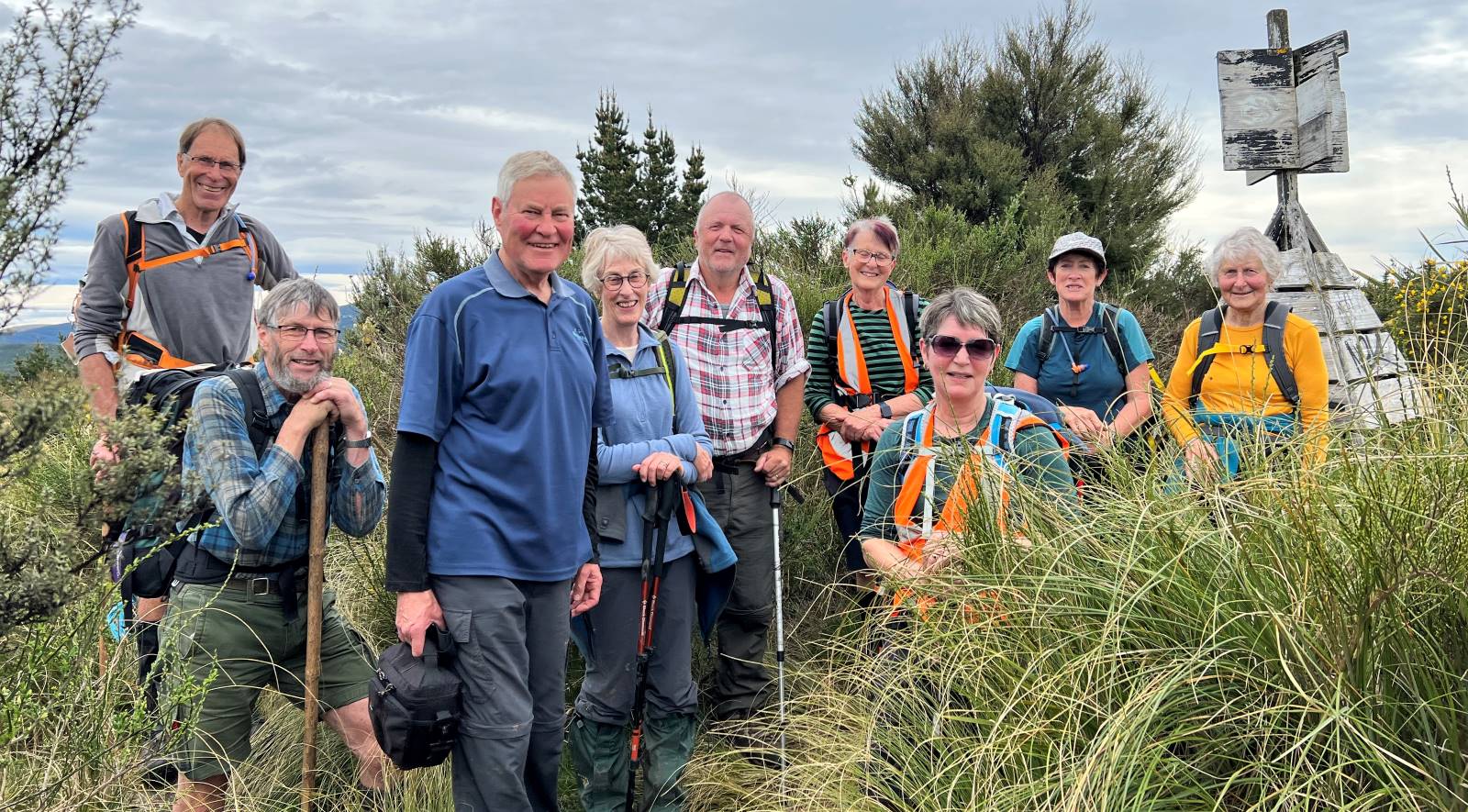
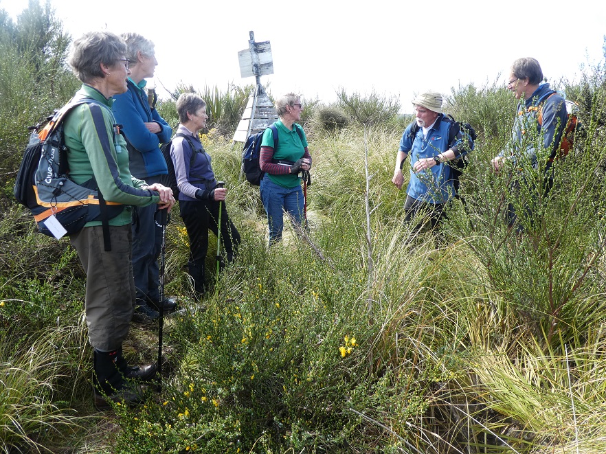
“This way team.” (photo and caption Pam)Happy Trampers at Powder Hill Trig. (photo and caption Pam)
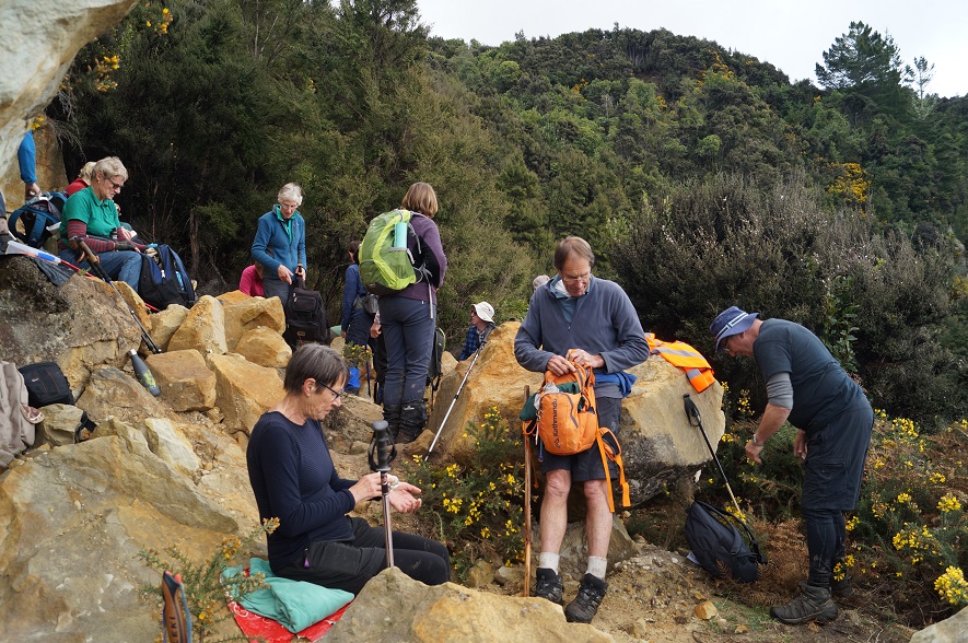
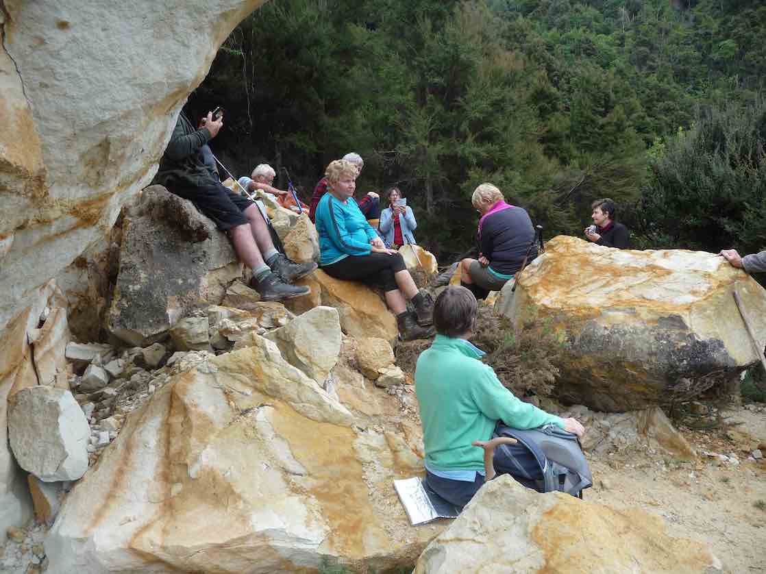
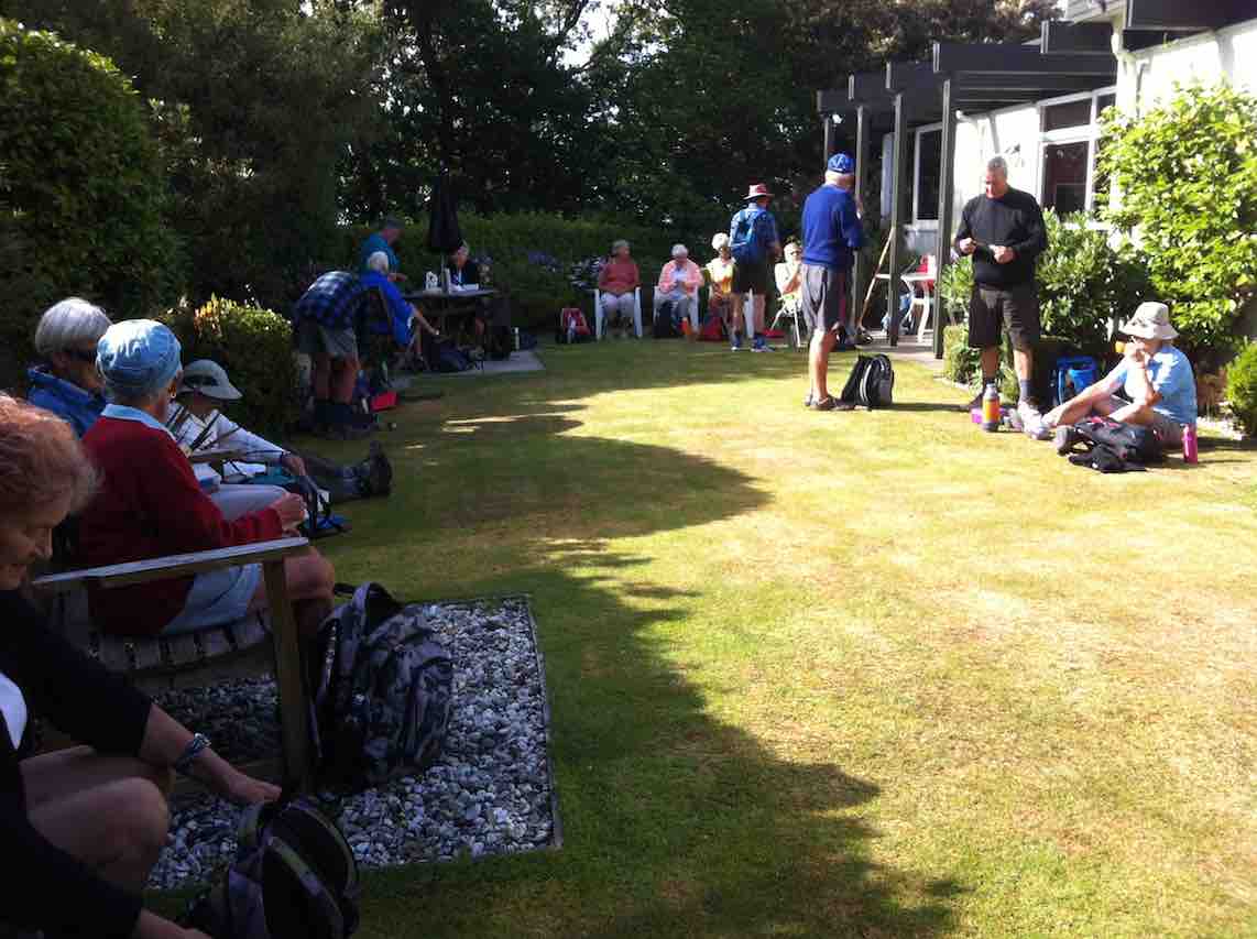
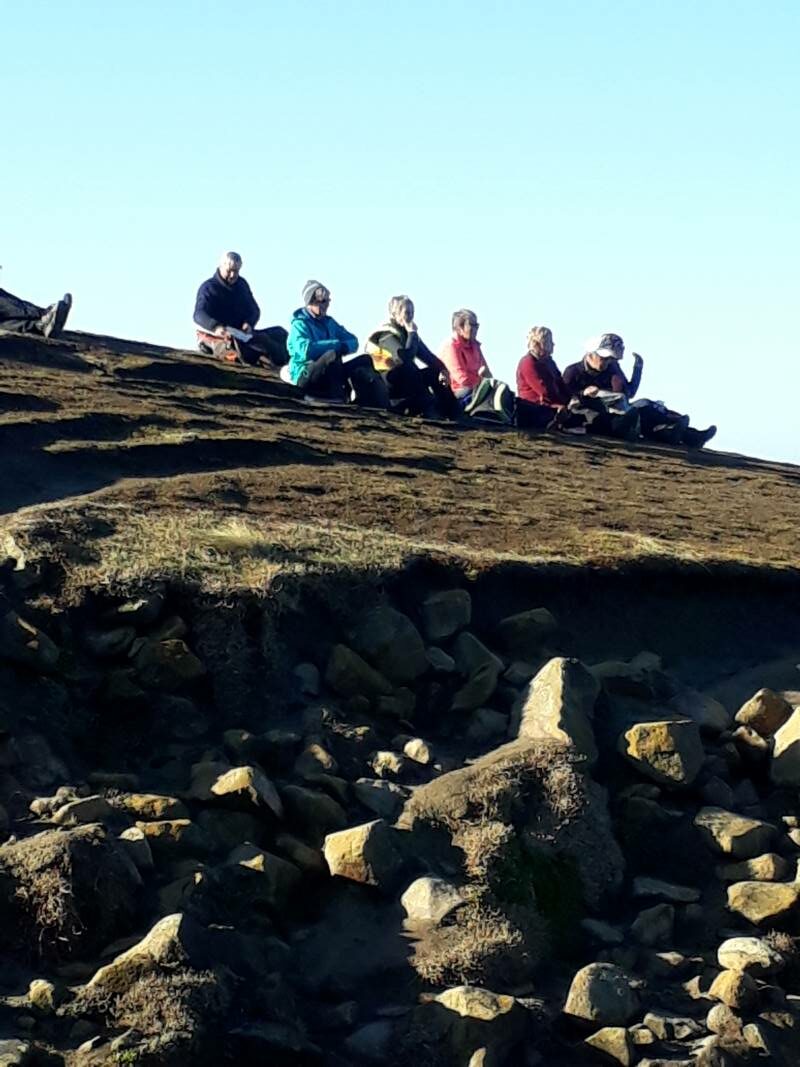
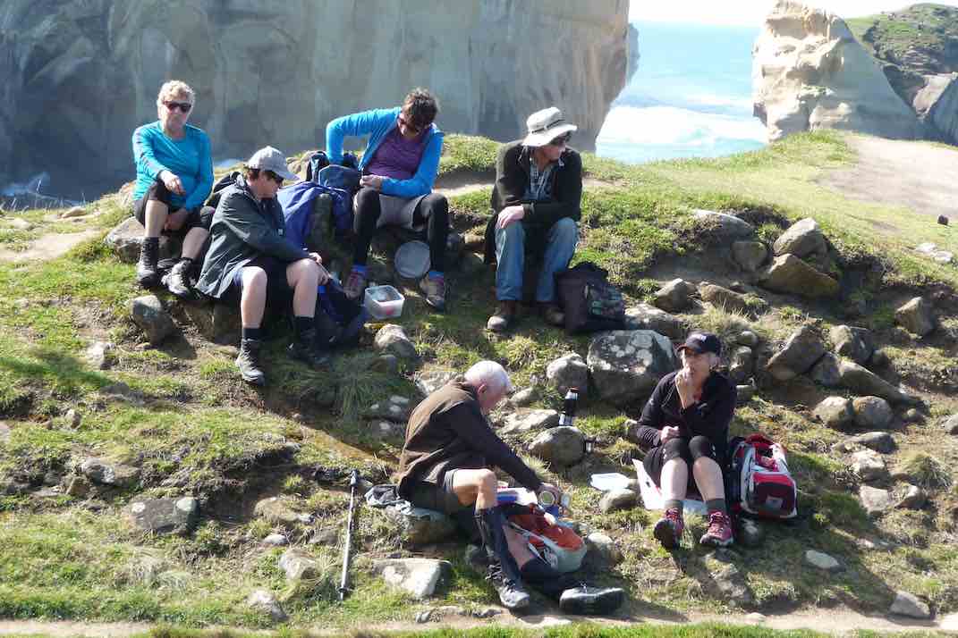
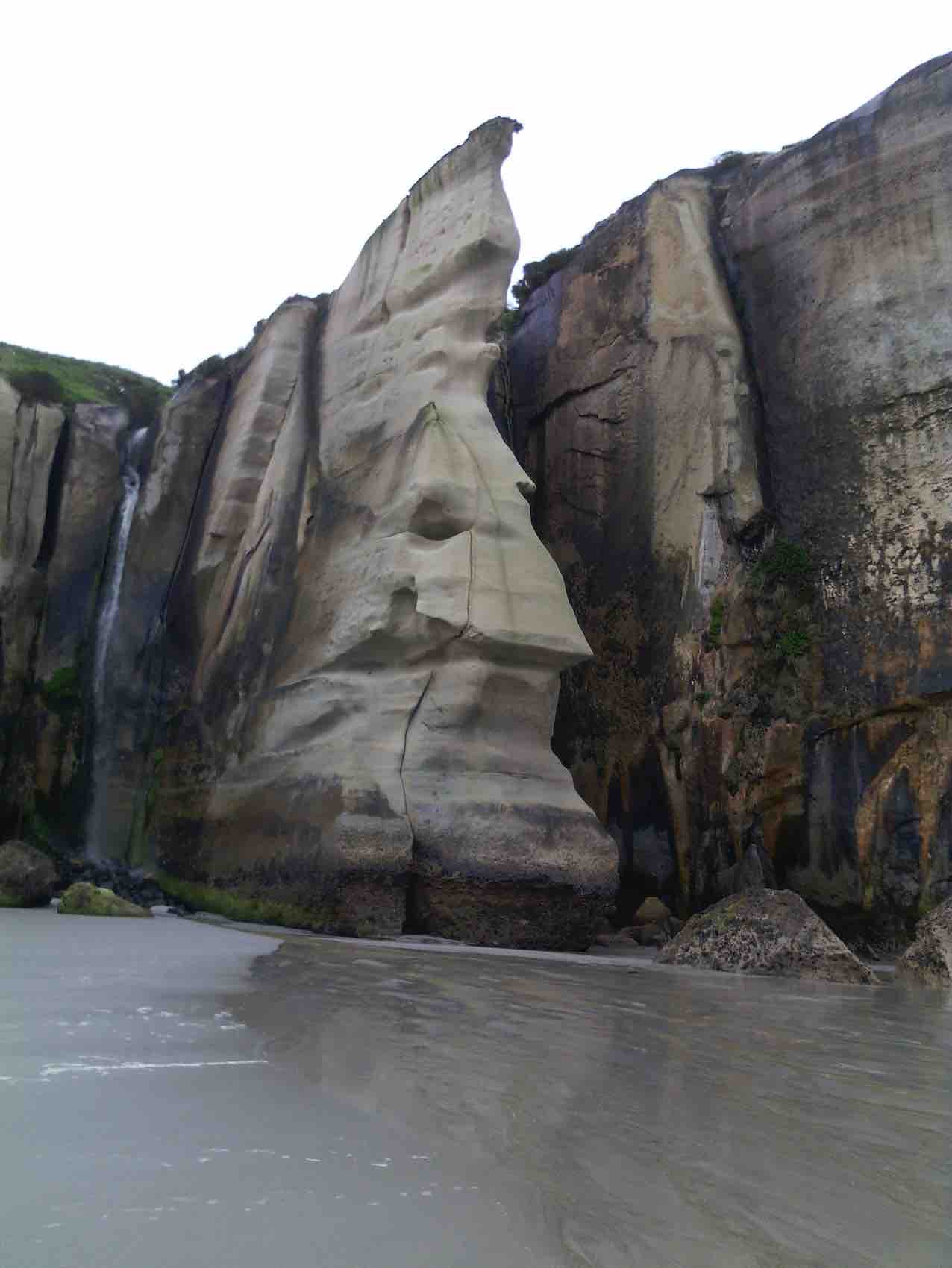
We carried on to the Chalkies limestone formations for an early lunch. The cliffs have crumbled in places and unfortunately have been visited by taggers.
Lunch at “Chalkie Rocks”. (photo and caption John)
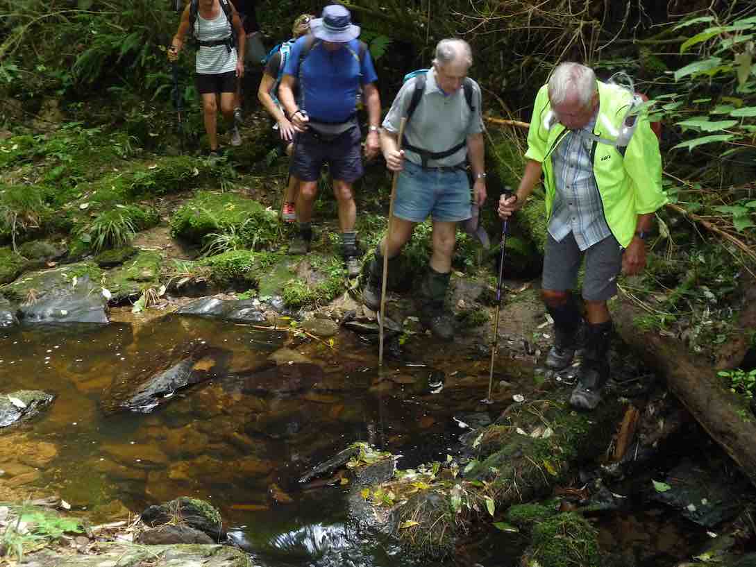
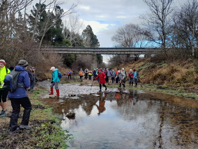
As we lunched, the temperature dropped a few degrees, and wary of the forecast rain arriving, we headed downhill. It’s a steady descent and steep in places. There were lots of patches of native clematis on the hillside opposite. We joined the private road at the bottom of the track and continued on down to the ford where our boots got a bit of a clean in the water.
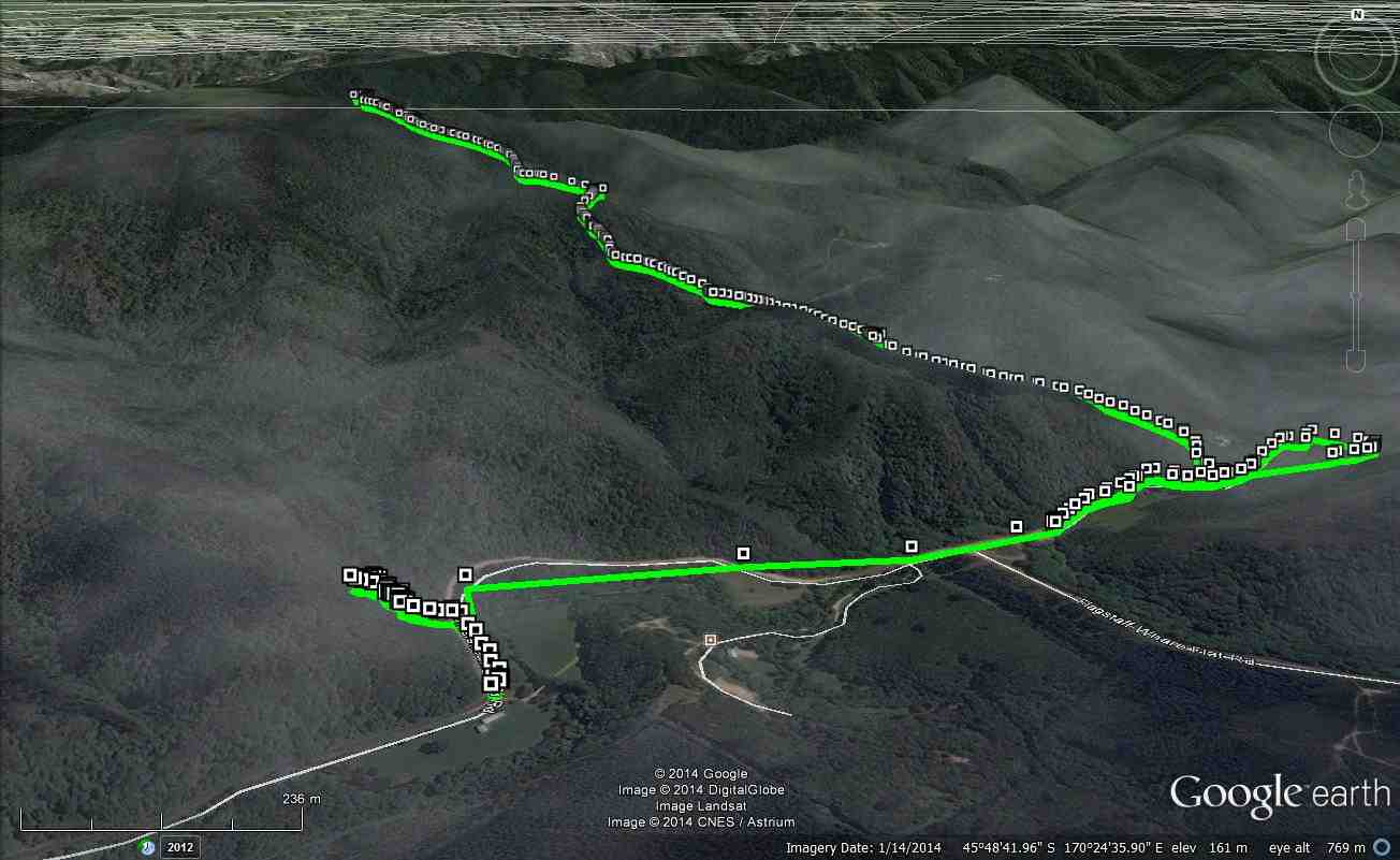
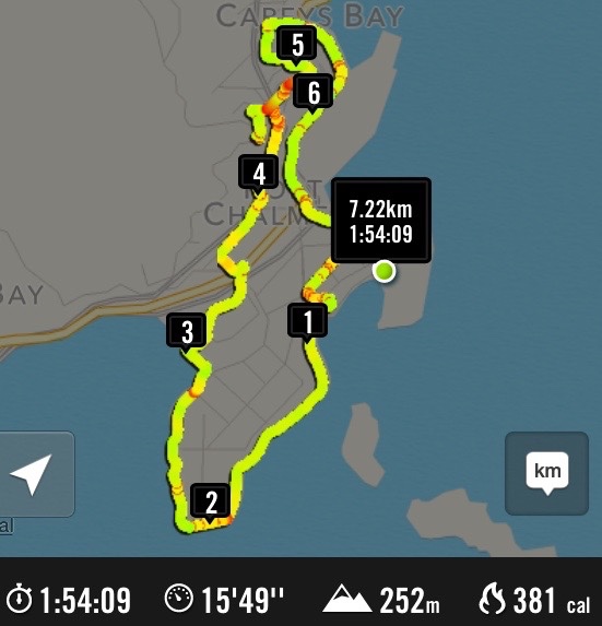
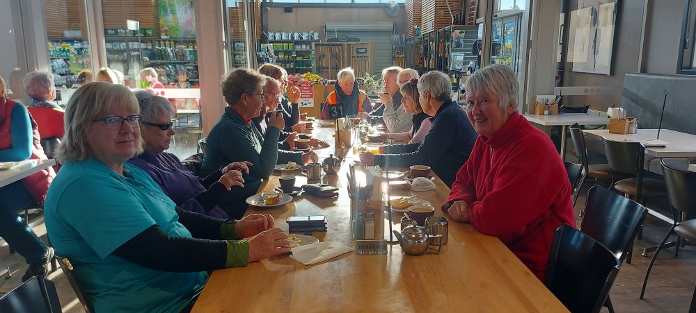
At about 7.5km and climbing to an elevation of 525m, it’s not a long tramp but it’s a good workout out for the lungs and legs. We were lucky to have avoided the rain. Refreshments and debrief at Blackstone Cafe.
Karen
14. 21/10/2020. Trampers. Chalkies Cicuit. Leaders Phil Keene, Rob Labes.
21 today! Not just the date but as it turned out the number of proven fit and experienced trampers! Not deterred by the prospects of a walk straight up for two hours everyone set off in a pretty chipper mood and in perfect tramping weather, recent rain squelching beneath our feet as we passed the pump house and crossed the weir, then up and around and down into Leishman’s stream and the rope. Ah the rope, nope not a problem as far as the writer knows at any rate as an average 45 seconds for each of us to ascend.
Photo and Caption John – “Almost there Judy”.
From there, after re grouping, we stretched out onwards and upwards for 20 minutes, then had morning tea at the head of a gully with nice bush surrounds; after tea we continued up, some embarrassing moments for those with poor tread on their boots, plus some rather large step ups; bringing the comment that the track must have been carved out by early versions of Gordon or Phil M ‘back in the day’.
Photo and Caption Gordon – “Morning tea”.
Towards the top the track was quite over grown with flax and fern, effectively hiding more mud! So it was with some relief we emerged onto the forest track and followed it until we veered off into tussock and on to Powder Hill Trig at 525m. asl; the outlook not to the usual trig standard with a maturing forest and pest plants ‘in the way’; though I must say the flowering Spanish Heath (of the Erica family) was rather pretty….
Photo and Caption Gordon – “Powder Ridge Trig (Summit)”.
We re-traced our steps and then headed off down to the Limestone outcrop for a well earned lunch. It must be said that the two hour workout did nothing to lessen the craic or enthusiasm in the group. A few wondered how the initials PK came to be engraved on the rock…..but certainly not from the recce the week before. Clematis Paniculata was blooming abundantly through out the journey, a sure sign that possum numbers must be low.
Photo and Caption John – “Could stay here all day!”.
The track down was of a much higher standard and certainly the way to go for a quick training trip to the trig if one feels so inclined! Good bird life was with us most of the walk, but alas the Robins sited on the recce had bobbed off somewhere else on the day.
Photo and Caption Gordon – “Not far to cars now”.
Once descended it was a leisurely stroll through the stream to clean off mud, then back to the cars and onto Blackstone for a well earned cuppa at 1.45pm. Not a long walk at between 7-8 km but one of the better workouts on a real tramping track!
Special thanks to Rob for recce and encouragement from the back…and all the best for your travel forays over the next few months.
12 keen trampers arrived at the Chalkies circuit entrance on Silverstream/Whare flat road ready for a good walk.
The start of the track was pleasant through native trees.
The weir that supplied water for Mosgiel in the past. (Gordon pic and caption.)
We soon came to a cliff face with a rope hanging down for support. It looked a bit challenging!!
Waiting @ climbing the cliff .face with the aid of a rope. (Gordon pic and caption.)
Everyone climbed it safely even though the knots in the rope could have been closer together. Morning tea was had on a flat piece of track above the steeper part.
A deserved break @ top up. (Gordon pic and caption.)
We then continued onwards and upwards through manuka/kanuka trees. It was good to see a lot of young totaras growing which in many years ahead may be the dominant canopy. The trig was reached by 11.10 – we had a good look around but cloud on the top spoiled the best views. We walked down to the limestone cliffs for lunch. Big rocks had fallen and destroyed the cave. However they made a great resting place for lunch.
Lunch break @ the Chalkies. (Gordon pic and caption.)
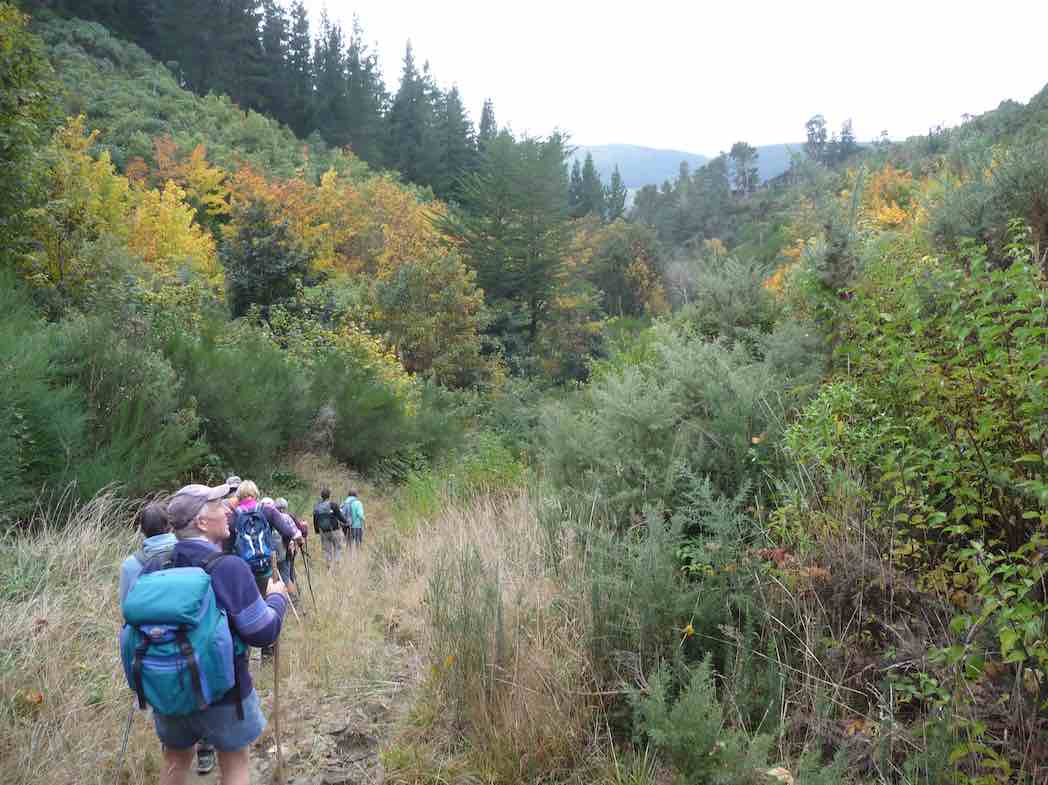
It was a steady and pleasant walk down the track, joining up with a drive that finally that lead us back to Whare flat road and the cars.
Autumn colours heading back to cars. (Gordon pic and caption.)
Coffee was had at Blend with the knowledge that we had completed a significant and pleasant climb of around 460 metres.
A good frost began the day, which was also the shortest day of the year.
13 Trampers turned up at the car park, from where we travelled in 4 cars up “Silver-Stream Valley” road to park near the beginning of what used to be called “Leishmans Track”. DoC have renamed it as “Chalkies Circuit Track”, with no mention of “Leishmans” any more.
The track was very wet and muddy to begin with, drops of water were falling from the tree canopy – presumably from the thawing frost.
We soon came to the old pump house…
The old pump house. (Keith pic and caption.)
…and weir of the long dis-used water supply going to Mosgiel from Leishmans Creek.
We had to cross the creek several times, and also negotiate some steep slippery steps, eventually coming to “The Rope“. The rope was essential as the track going steeply up here was very wet, muddy and slippery.
All of the group made it up safely, and I was assured that it had been fun, (no, I’m not joking). We continued on for another 10 minutes or so, until above the steepest part, before stopping for morning tea.
The track was drier, mostly, now as we proceeded uphill, ever uphill.
Speaking of the track, the whole circuit had been attended to very recently by The Green Hut Track Clearing Group, who had made an excellent job. Thanks, chaps, well done.
We made it out onto the summit of Powder Hill (altitude 525 metres) in time to have our lunch at the “trig”.
Margreet pic.
Good views in many directions; to Saddle Hill; some snow on the Rock and Pillar. Pulpit Rock was quite prominent too. A smoke haze covered the whole of the Taieri Plain indicating an “inversion”, it being very thick over Mosgiel.
We continued our tramp, downhill now, stopping to inspect the limestone outcrops of “The Chalkies”, for a few minutes.
Chalky rock. (Keith pic and caption.)
Further down we were lucky enough to see a pair of South Island Robins. They were aware of our group (quietly) watching them feeding on the forest floor only 2 or 3 metres away, but weren’t bothered by us.
Out of the bush, and down the private road, after a time we came to the ford by the pumphouse. From there it was down the still frozen road to the cars, having covered 8 km doing the circuit.
Back to Mosgiel, the smoke haze was extremely bad as we drove down Factory Road and Bush Road on our way to “Wals“.
It had been a very happy group out today, and all had obviously enjoyed the day’s exercise. It was also pleasing to see the numbers of our group growing.
Thanks to all. – Art.
11. 26/8/2015. Trampers. Leishmans, Chalkies.
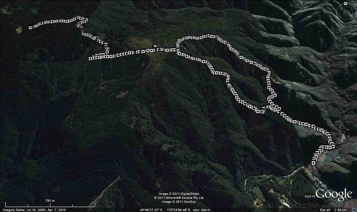
GPS of route, courtesy Ken. Leishmans Long Ridge Chalkies. (Ken caption) Walked 11km; ave 3.4km/h; 3h 15m moving; climbed 730m; max 532m.
Todays tramp was different to what was in the program due to a problem getting permission for the farm walk we were supposed to do.
So we set off for Leishmans track in the Silverstream valley, which not many of the 7 trampers on the day had done before. This turned out to be quite a grunty climb to get up on the top of the ridge, & it was slow going with very slippery conditions underfoot. One member only got about 2 hundred meters into the track when he sat down in the first creek crossing, not a good start to the day !!! It was just past here that the track got steep as it wound it’s way up the hillside. After a few rest stops we eventually made it up into the flax & tussock area at the ridge top, & we made a short detour to see where the trig at the top of Chalkies track was, just to get our bearings. Then it was off along the 4WD track to try & find how to get onto Long Ridge.
We failed in this, so turned around & walked back down the road past the turn off to Leishmans, & away down heading in what seemed the direction of the Taieri. We eventually came across a track junction that I recognised from a few years back when a friend & I were in that area looking for deer.
After a short stop here we again turned around, & went back to the entrance of the Leishmans track, along here till the turn off to the trig at the top of Chalkies, & down here to the lookout area where we had quite a long break.
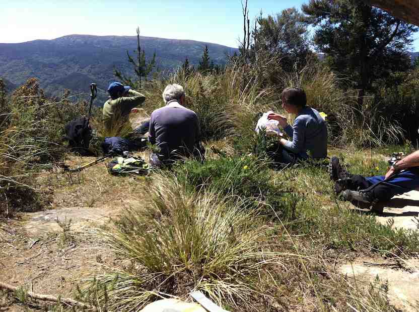
Lunch stop (Ken pic and caption)Lunch (Ken pic and caption)
Then it was down Chalkies, being careful to not slip on the slippery surface, & back out to the cars via the Scout camp grounds. – Ken
10. 28/5/2014. Trampers. Leishmans, Chalkies.
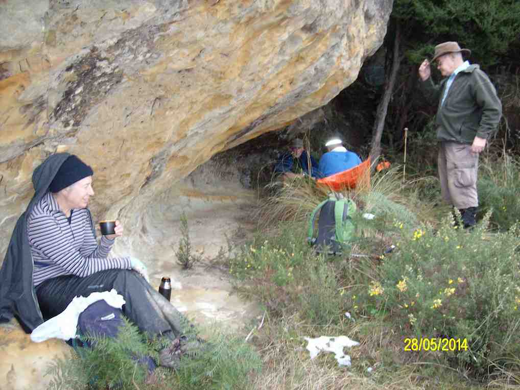
GPS of route, courtesy Ken. Leishmans Chalkies exploration. ((Ken caption)
We started off to go up Leishmans, & down Chalkies tracks, however, when we got to the Silverstream Rd, there was a ROAD CLOSED sign up, not a good start !!
We drove up to the start of Leishmans where there was a track closed sign up saying ‘Closed for Maintenance’ — so what to do?? We walked up the track to see what was happening, & soon came across the problem, it was a real mess with trees down across it & virtually impassable, so we retraced our steps back to the road.
Here we decided to go & have a look at Chalkies track, so we drove up the road to the car park at the pump house, where we could hear logging operations going on in the Chalkies area. We decided to go & have a look anyway, so as the stream was running a bit high we went the long way around, & came back down the road to get to the bottom of the Chalkies road, which was a quagmire for it’s full length due to the forestry operations. All of the forest on the LH side going up is gone, & the track up to where you turn off onto the bush track has been dozed, & is very muddy & rough.
It was a pleasure to get onto the bush track, but it doesn’t get any less steep as time goes on !!
As we had taken loppers with us, we did some track clearing on the way up, which helped to fill in the day. At the junction to the Chalkies ledge, we dumped our packs, & worked our way to the top where the spear grass started to appear, & we could see the trig on Powder Hill about 3 – 4 hundred meters away.
It was now well after 12pm, so we went back to the ledge & had a leisurely lunch break, …
Lunch at Chalkies Ledge (Ken pic and caption)
… after which we walked & slid our way out to the cars, this time crossing the stream to wash some of the mud off our boots, with some getting wet feet for their trouble. – Ken.
9. 16/11/2011. Trampers. Leishmans, Chalkies.
Seven of us did the shorter 7 km tramp up Leishmans, down Chalkies. We entered in past the weir and old Mosgiel water supply holding tank and negotiated our way to the small bluff at the foot of the ridge. We were surprised to find a sturdy new rope. So, ‘plus ca change plus c’est la meme chose’. First the old rope. Then the ropeless period after its removal. Now a new one. Well, bravo, anyway. Safe and reassuring.
Morning tea on the only plateau on Leishman track.
At the tea stop, we met a wonderful man, coming the other way, who uses enforced leisure to keep his adopted track clear. A great relief, as on previous tramps we have found the Leishman always overgrown.
Out at the top, we forewent pushing on to Boulder Hill and struck across to a leisurely 11.30 a.m. lunch at the Chalkies’ bivvy ledge.
Lunch on Chalkies bivvy ledge overlook Dodds Gully.
Eventually we reluctantly stirred ourselves to retrace our steps back up, and over and over the top of Dodds Gully to descend its true left ridge. We emerged back out to the cars to get back home in oodles of time for afternoon tea. – Ian.
8. 16/3/2011. Trampers. Chalkies, Boulder Hill, return. Medium.
GPS of route, courtesy Ken
This walk replaced the scheduled Possum Hut one. Plenty of rain the day before had ruled out attempting the track in from Mountain Road, dangerously slippery when wet.
Three recent new members augmented the group to 8, a good number. The ford by the pumphouse was slightly up, rewarding some with thoroughly wet feet right from the start.
We climbed the (initially steep) track on the true right of Dodds Gully to the bivvy near the top.
Tea break at Chalkies bivvy. (Ken pic)
At the top, the trip beside Powder Hill across to the road beyond was more than usually sloshy.
The firmer road was welcome. It’s straight route took us across to another coming up from below that led us briefly up over a brow to its end. Then down and across to a contoured track around the base of Boulder Hill that emerged onto the forestry road coming in from Long Ridge that took us up to its summit.
Lunch on Boulder Hill. (Pam pic)
Returning the way we had come we almost missed two turn-offs. The first was onto the contour track and the second was onto the straight road that led back across to Powder Hill. Thanks in both cases to Ken’s GPS tracker for rescuing us. This time we climbed the short distance to Powder Hill’s trig.
On Powder Hill. (Pam pic)
Back at the top of Dodd’s Gully, we elected to take the true left track down. Sun had dried exposed parts of it making for good grip, but in the bush there were too many slippery roots to manage to avoid all of them!
There were teasing occasional views across to the sandstone faces of the gully.
Chalkies from Loop Track. The bivvy is at top left of pic with tussock ridge in it. (Ken pic)
Apart from one or two slips, we made it down safely and returned back to our cars and homes in time for a late afternoon tea. – Ian.
7. 26/3/2008. Trampers. Leishman, Chalkies. Medium. Doug M, Leonie.
Morning Tea amongst kanukaFeeding the horses
Another wonderful day for our tramp. Just as well it was dry as it was quite a steep climb up the Leishmans track and in wet weather it would be very slippery. It is quite a tricky track to navigate but thanks to the excellent recce done by Doug, Ian and Leonie, who unfortunately couldn’t be there today, we were safely navigated through the trickier twists and turns. After crossing the stream several times we had to ascend a tricky rock face. Doug let down a rope which Wendy was able to grab hold of to help her up as she tried to go up the middle. Those of us further back were able to take advantage of an easier side of the rock, which had more footholds. The bush was close up and in our face but thanks again to the leaders the densest parts had been cleared and we were able to push on forwards and upwards….and suddenly there was the road and several horses
Lunch stop ledge
to greet our emergence from the bush. Graham tried to feed one of them a plum but that was spat out with disgust. Then it was time to start over to the “Chalkies”, following a fence for a while. We started quite a steep descent down one side until a turning to the left took us to the wonderful lunch stop on a ledge overlooking bush covered hills and valleys below us. After a leisurely lunch in the sun we continued down the track with Ian losing his footing and taking a slide (so did George – Ian). Luckily with no harm done other than to pride, we gradually worked our way back to Whare Flat where the cars were parked. – Tash
2. 19/10/2022. Trampers. Herbert Forest. Grade 3. Leaders: Di, Anne and Lyn
Today we set off over the Kilmog to the Herbert Forest; a hidden gem saved from the axe over 50 years ago. It is one of the last Podacarp (hardwood) forests left of the North East Otago region.
Photo Pam
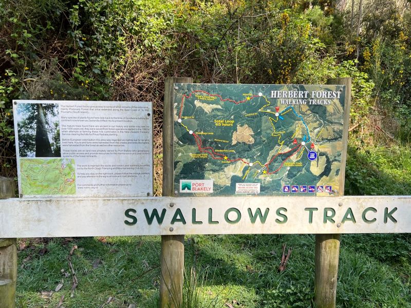
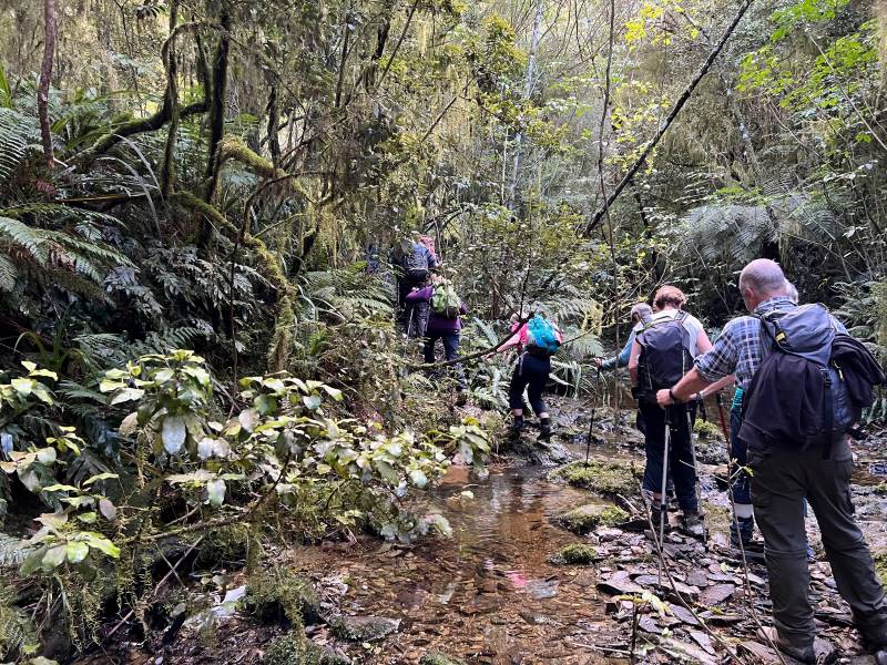
We parked off Reid Road and proceeded along Swallow Track following the creek and crossing over the creek into steeper terrain.
Dappled sunlight on Swallow track Caption and photo PamMany a Creek crossing on Swallow track Caption and photo Pam
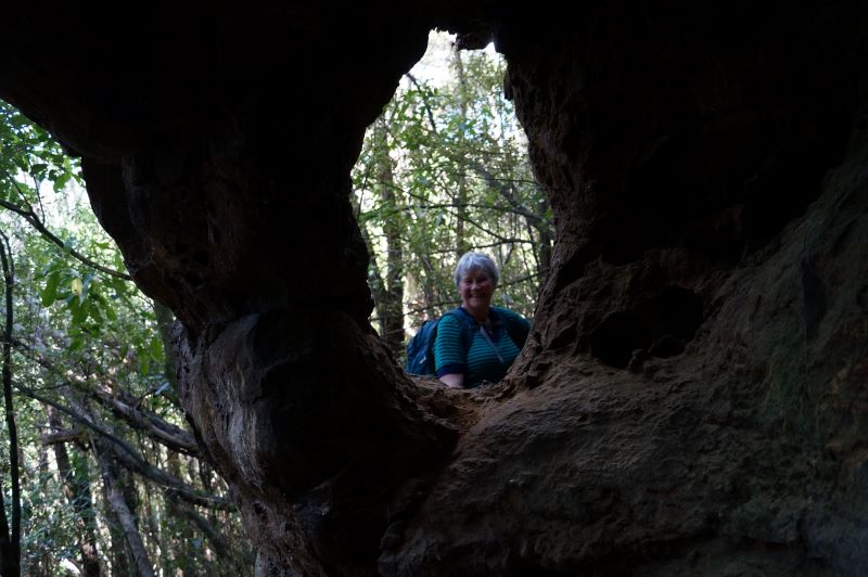
After much huffing we reached a little yellow sign beneath a stone outcrop announcing the presence of the cave (Dave Melish was involved with this signage).
How did you pop up there Eleanore Caption and photo John
We stopped here for morning tea then continued up and onto the forest road, walked along a bit and went down to the Podacarp Track which is known for its big native trees Totara, Matai, Rimu, Miro and Kahikatea.
Some parts of the track were slippery and bit muddy due to the recent rain, but after a few creek crossings we came to the junction of the loops and had a well earned lunch and thanks to Anne for the liquorice allsorts.
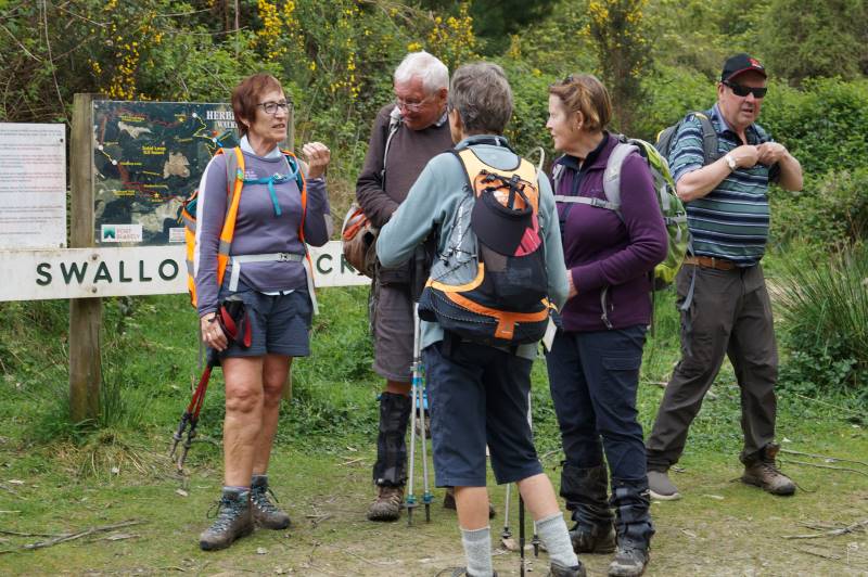
Old codgers Caption and photo Esther
We walked back on the Glenburnie Loop with its very impressive silver ferns and bird life, came back onto Podacarp Track and returned our steps back to cars taking a shortcut at the top of the Swallow Track.
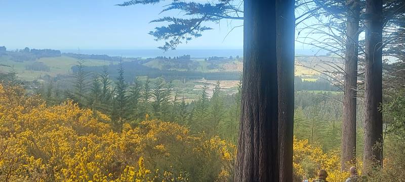
View towards end of track. 1st view. Caption and photo HelenTramp post mortem Caption and photo John
We stopped and had a delicious ice cream at Hampdon Store and headed home.
Overall we had a varied terrain and some neat flora and bird life along the way, thanks everyone who assisted on this tramp.
Cheers
Di, Anne, Lyn
1. 30/1/2019. Trampers. Herbert Forest. Leader: Dave.
34 keen trampers and hikers met at the carpark and organised themselves, into vehicles to head to Waianakarua’s Herbert Forest. The drive from Mosgiel is approximately 1hr 15mins to the start of the Swallows track.
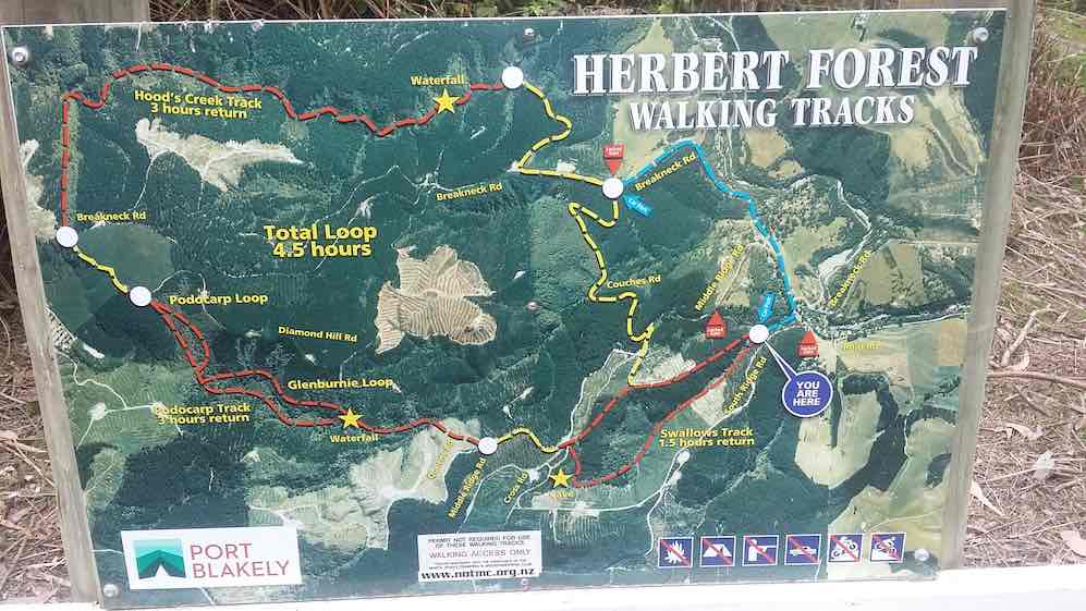
The clue is in the middle 4.5 hours Total Loop! (Clive pic and caption.)
The track was damp in places, we passed through Punga ferns to a cave where we had morning tea.
Morning tea at caves. (Gordon pic and caption.)
It was then on to the Podocarp track which is known for its big native trees that weren’t milled ie. Totara, Rimu, Matai, Miro and Kahikatea. It was pleasant in the damp gully on such a hot day.
Lunch was had at the top of this track on Breakneck road.
Part of the large group at lunch. (Gordon pic and caption.)
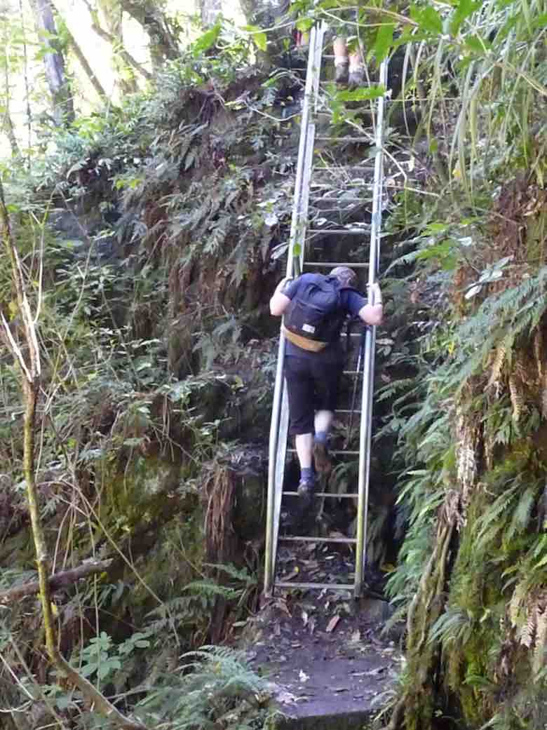
The final track was the Hoods track which included stream crossings, waterfalls and climbing down a vertical ladder through the bush!
One more obstacle. (Gordon pic and caption.)One of many sream crossings. (Gordon pic and caption.)Nearly down. (Gordon pic and caption.)
The walk ended by visiting a beautifully, large landscaped garden. “The trees and plants looked good to the eye wherever you looked”.
Enjoying the beautiful garden. (Gordon pic and caption.)
The trip concluded with well deserved icecreams at Hampden.
Thanks to those who assisted on this walk.
Distance for the day: approximately 14 km. – Dave.
8. 19/10/2022. St Leonards. Grade 1.5. Helen and Linda
Eighteen of us met at the Ravensbourne carpark opposite the old hotel, and in beautiful sunshine we walked along Totara St above the main road along to the park at the end where we had morning tea. From there we sauntered down the hill and crossed Ravensbourne Rd to the walkway and followed it until we got to Burkes.
Photo Helen
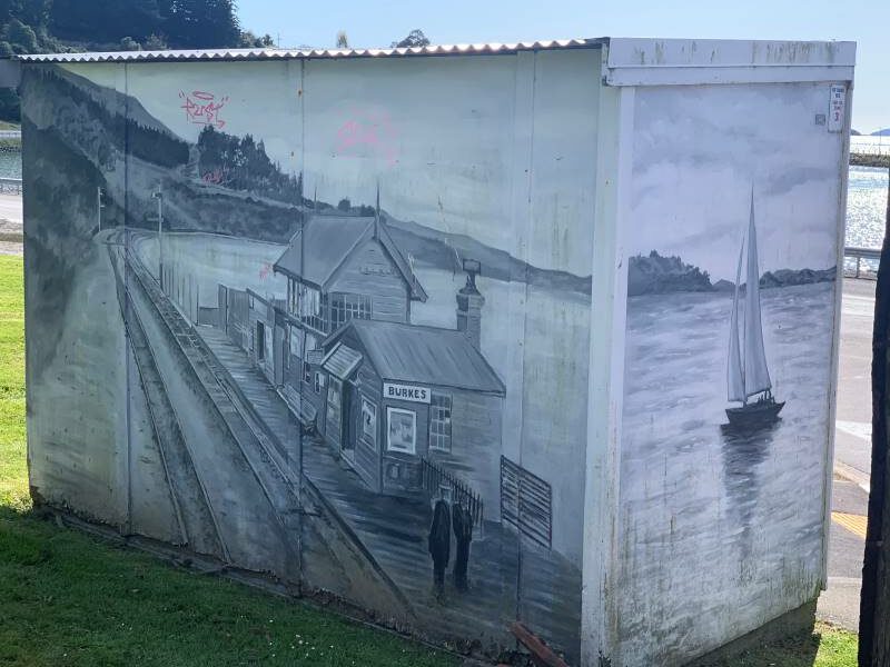
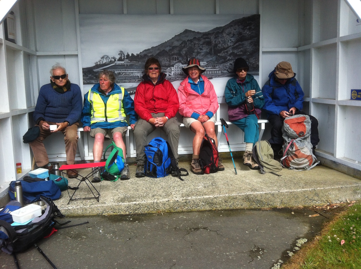
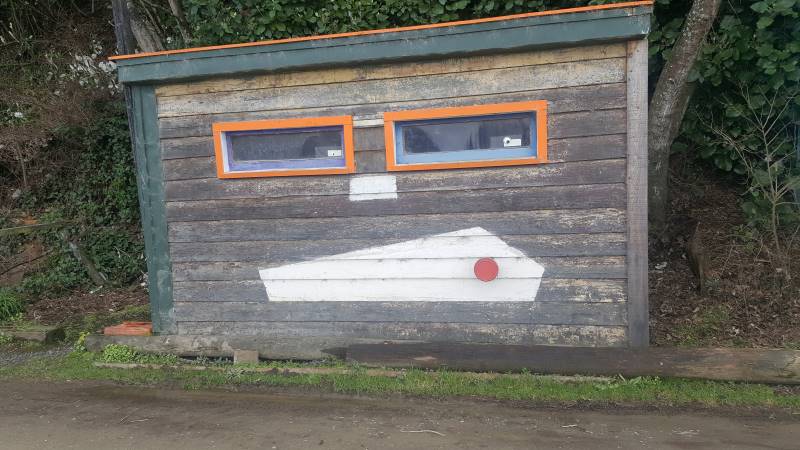
The bus stop there has a striking monochrome mural (or ‘Muriel’ to longtime Coro viewers) of the old brewery that used to stand on the site.
Photo Helen
Up to the streets above Ravensbourne Rd, all named after native birds where we walked to St Leonards passing well kept gardens including one with a stall of plants from Bluestone Nurseries for sale which the keen gardeners amongst us were very interested in. We saw both Lodges in St Leonards, and stopped for an early lunch at the end of Takahe Terrace on the edge of a sports ground. Then back down to the walkway which took us all the way back to the Ravensbourne carpark. A very relaxed and enjoyable day.
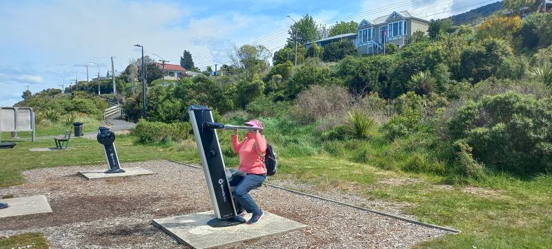
Jenny flexing her muscles on the exercise machine Ravensbourne walkway. Caption and photo Linda
We stopped at Emersons for a coffee on the way home. Thanks to Raewyn for organising this hike. And a special thanks to Linda for leading the group at short notice. Helen
7. 12/6/2019. West Harbour Walkway. E. Jay and Raewyn.
On a very nice winter’s day 30 enthusiastic hikers made their way to the Carpark opposite the
Ravensbourne Hotel to start the walk along the West Harbour walk and cycle way. We stopped 15 minutes along the track for morning tea and those that felt a need had a turn on the exercise equipment to test
their skills. Along the way we came across a railway maintenance crew doing work on the track. This really fascinated many though mainly the men. I’m sure with a bit of encouragement they would have
jumped the fence to have a try at hammering in the squiggly steel rods. Further along we left the track at Burkes and crossed a very busy road to walk up the various streets including Kiwi St, Kaka St. down Pukeko St. past St Leonards Hall and school.
Great views of the harbour. (Clive pic and caption.)
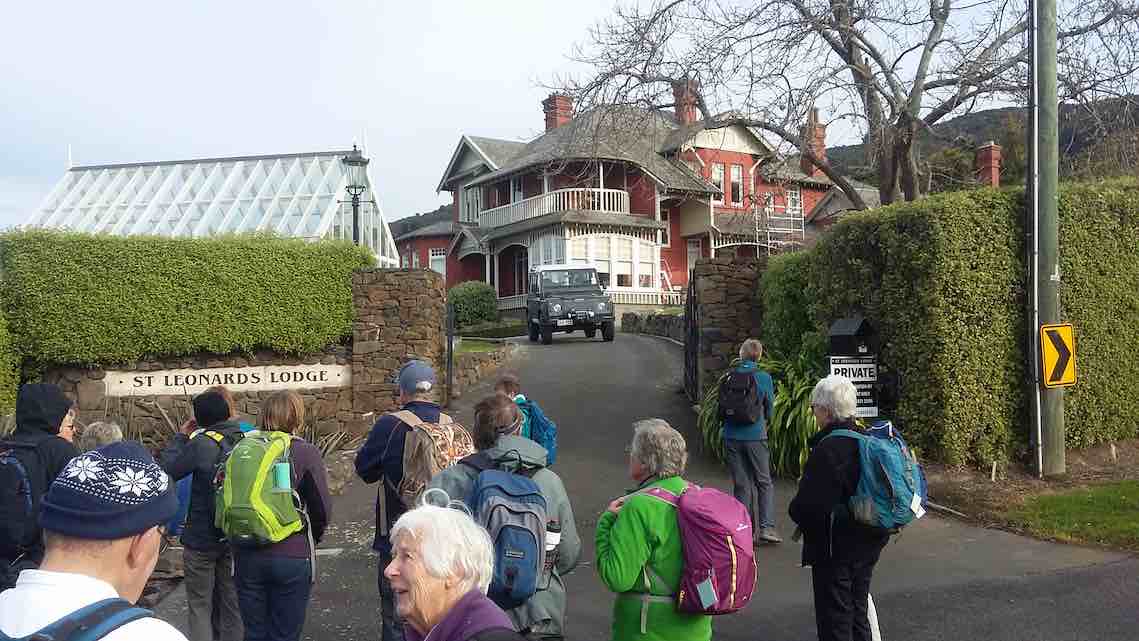
On the way we enjoyed looking at historical homes and lovely gardens including St Leonards Lodge
One of the grand houses. (Clive pic and caption.)
and University Lodge. We had lunch in the sunshine at
the St Leonards Park.
Lunch at St Leonards’ football club ground. (Clive pic and caption.)
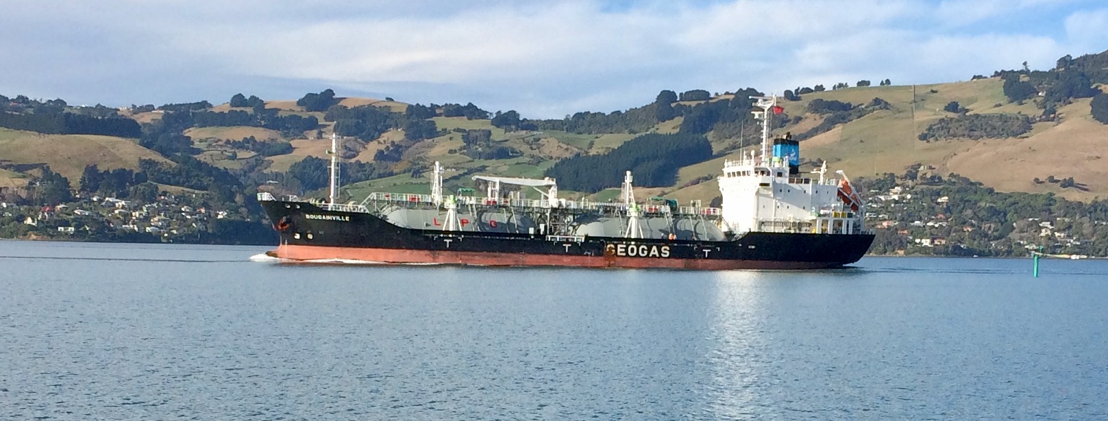
After lunch we returned to our cars walking the whole way on the track and also had the pleasure of watching the large tanker and tug boat making their way up the harbour. A very
pleasant 10.5kms. Coffee stop was at the stadium. – Raewyn and Jay.
6. 19/7/2017. Hikers. Boat Harbour to St Leonards ret. Leaders: Bev and Judy.
21 hikers parked at the Otago yacht Club and walked the cycle/walkway to St Leonards and back, a total of 11 ks.
Route map, courtesy Ian.
21 hikers parked at the Otago yacht Club and walked the cycle/walkway to St Leonards and back, a total of 11 ks – not bad for a mid-winter day with planned hikes cancelled due to illness of leaders. Morning tea was had on the yacht club verandah as it was still a bit chilly. With a cold breeze in our faces we stepped it out briskly …
Walkway name. (Ian pic and caption.)A ship. (Ian pic and caption.)
… to St Leonards where lunch was eaten with a bit of sunshine to help. The return trip saw us well spread out with unfit ones like myself dragging the chain a bit at the back of the pack. We were reunited at the University coffee shop where a pleasant social hour was spent. – Judy.
5. 13/1/2016 Hikers. Ravensbourne – Burks – St Leonards. Leaders: Judy and Adrienne, Helen.
Route map
We parked cars down below the Ravensbourne Hotel and took the walkway to Burkes where we morning-tead.
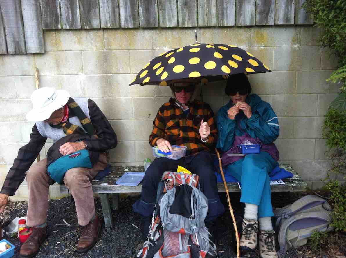
Cuppa in bus shelterCuppa on lawn
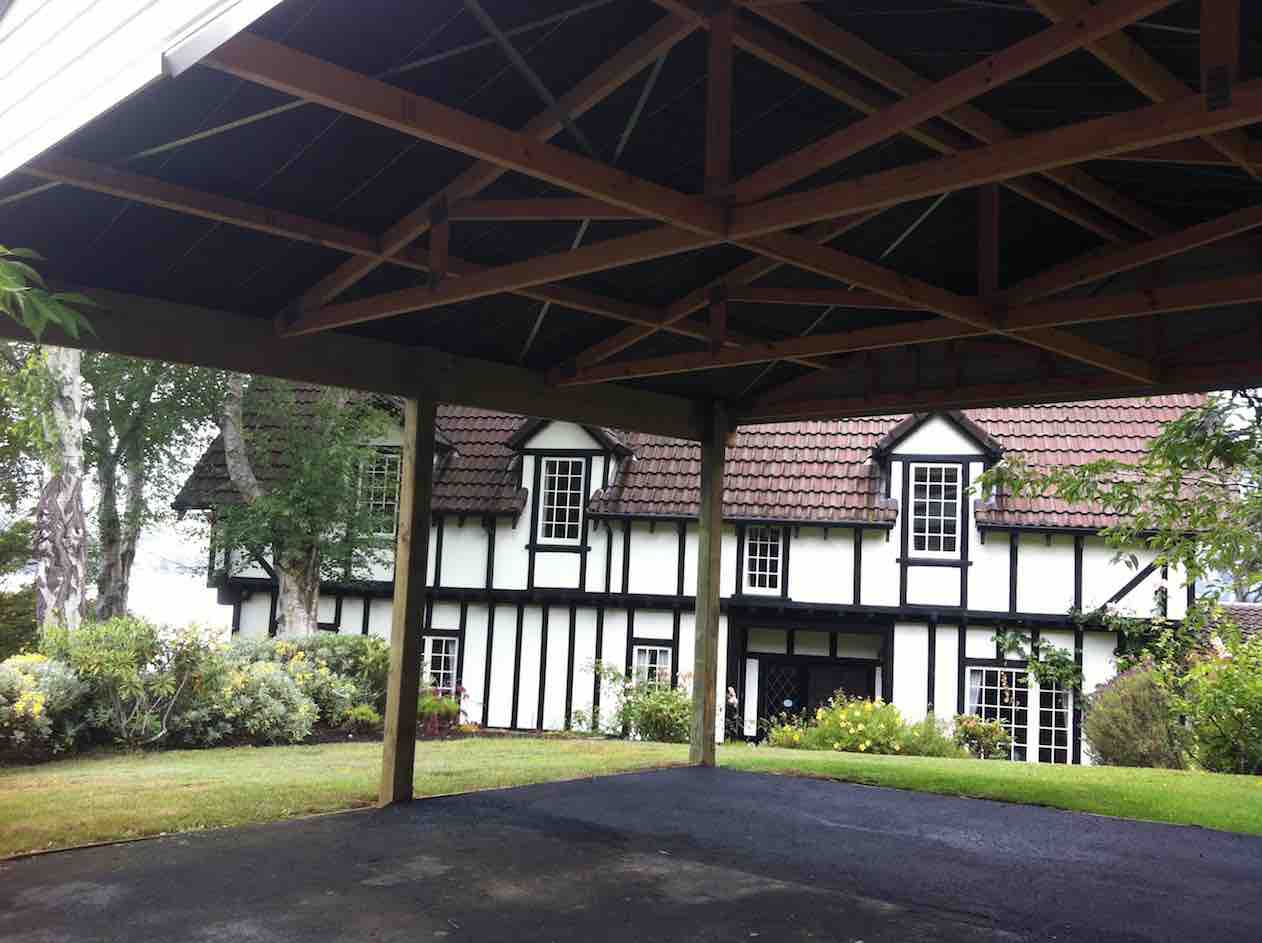
We took the old road to St Leonards reflecting on its probably origin as just a track through the bush following the easiest gradient. We turned up Kiwi Street, along Kaka Street, admiring well-kept properties there, down Pukeko and along past St Leonards Hall and the school. Up Ruru to view the mock Tudor House.
Tudor house by the harbour
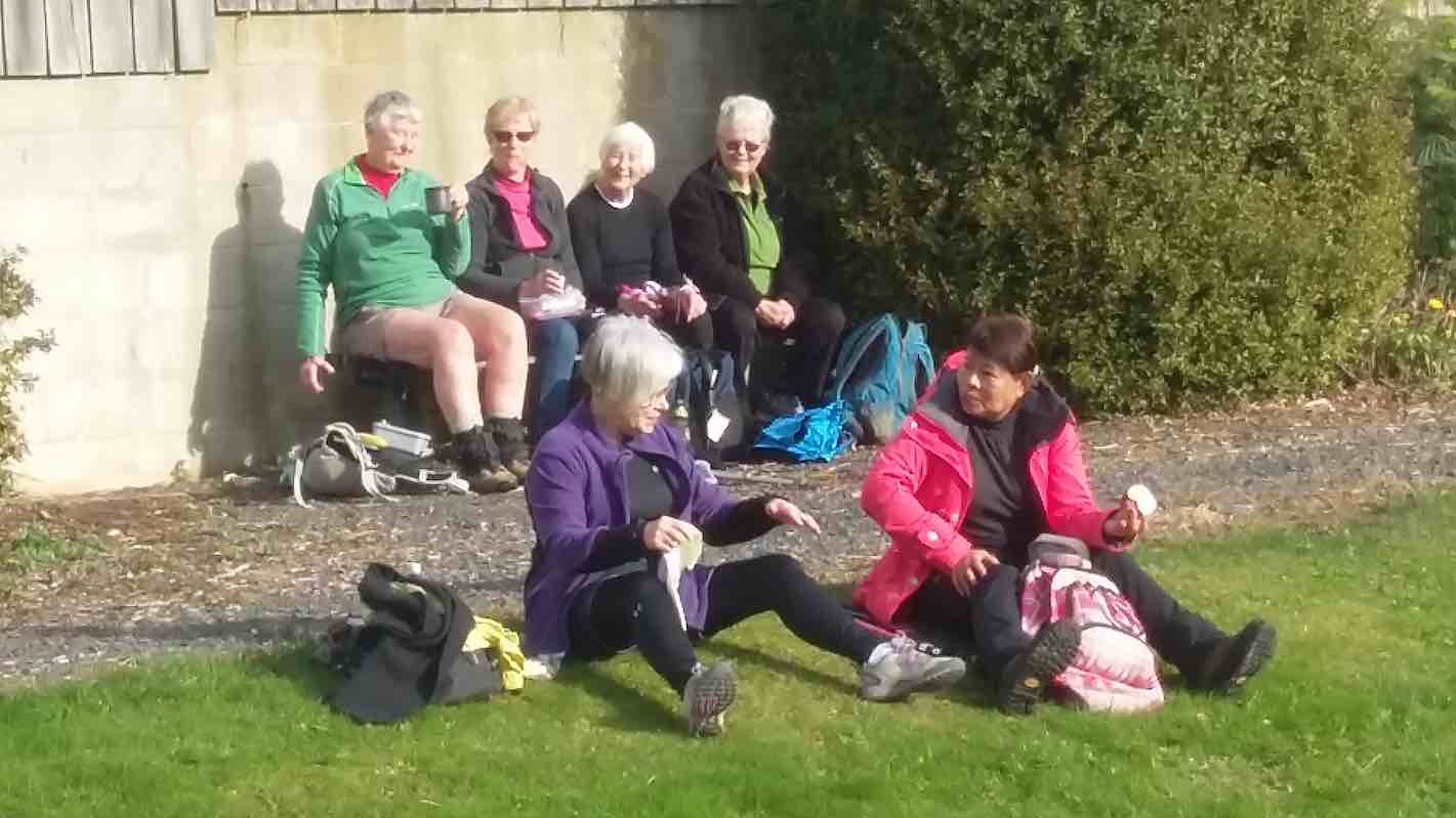
Down again to front past the University Lodge Gates, and next it, St Leonards Lodge. Then along to St Leonards Park for lunch.
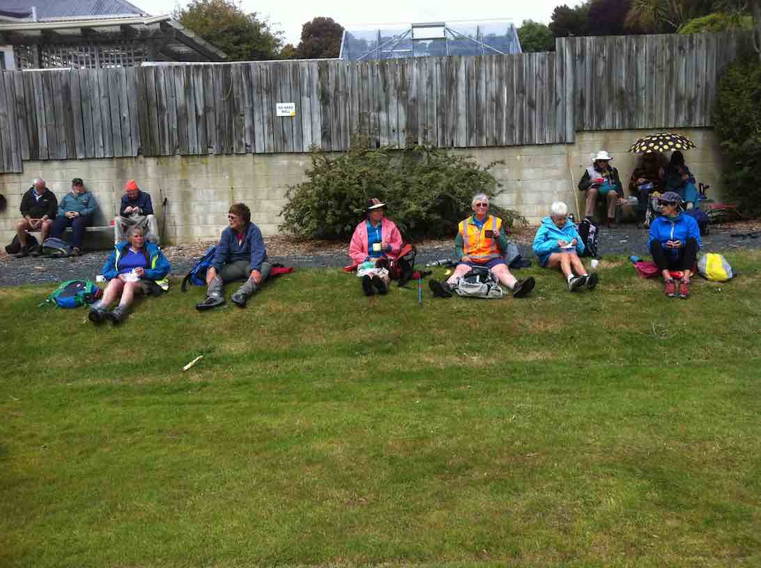
Sun/shower security.Ladies on the lawn.
Returning back to the cars we were relieved the cold southerly had abated somewhat. Thanks to Judy, Adrienne and Helen for excellent leadership. – Ian.
4. 29/10/2014 Hikers. Ravensbourne Walkway. E. Leaders: Peter and Wendy.
On the 29th October a very good group of hikers started off from the boat club on from the stadium. The day was cool to start with then got warm and sunny.
Harbour View Hotel (John Pic)
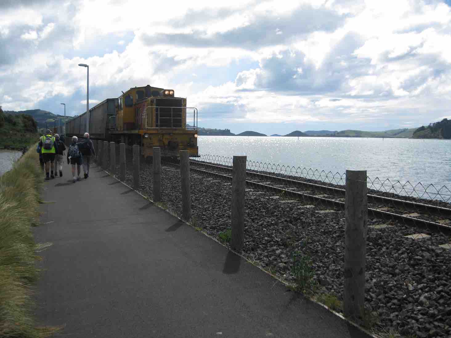
What a pleasure it is to walk on this wonderful walkway. There was so much going on in the harbour and train tracks. A very large goods train sped past us
Train (John pic)
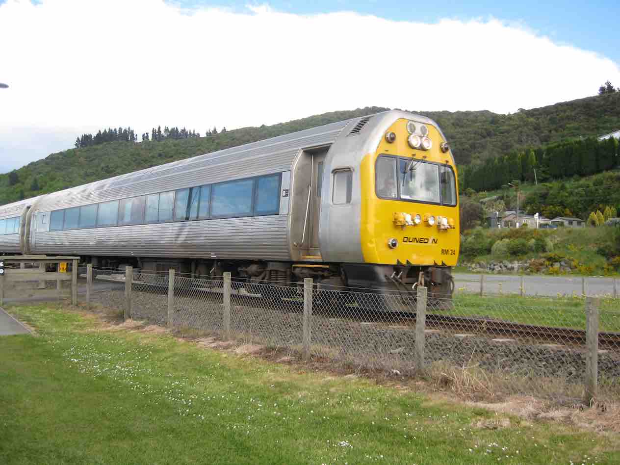
and a not very tidy rail car …
Shabby railcar (John pic)
… I thought was up and down the track a few times.
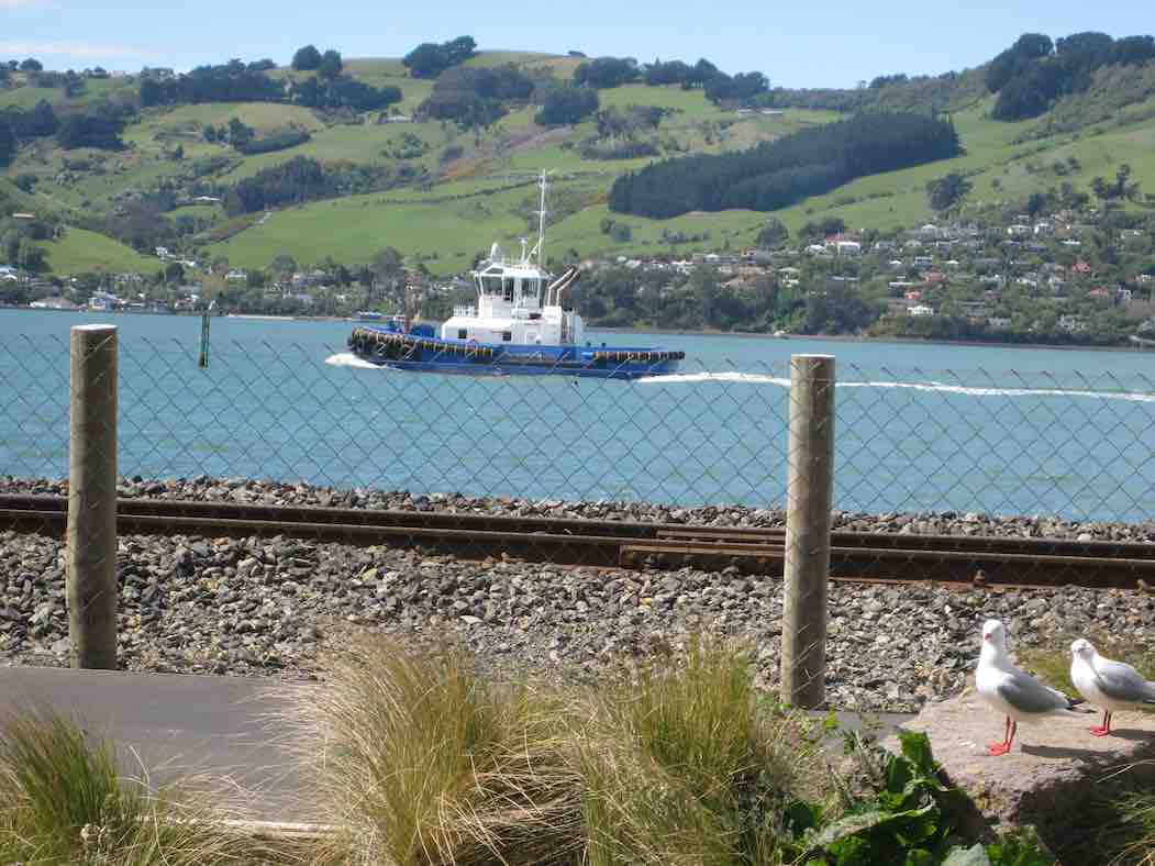
The $12million Otago tug
Tug (John pic)
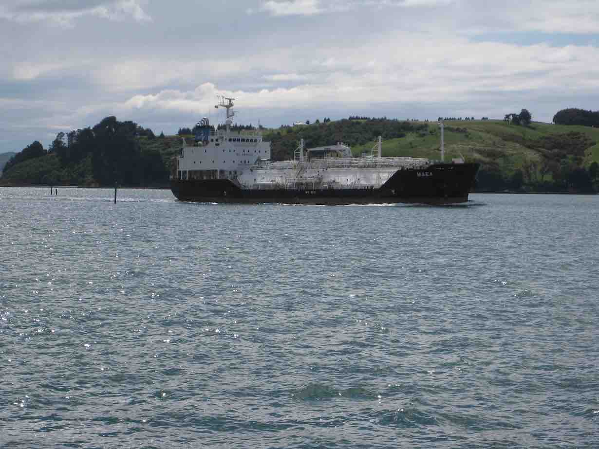
chuffed along the channel following [Tug illustration chosen shows the tug going the other way earlier. Sorry. Ed.] a cargo ship …
Ship. (John pic)
… going to the Dunedin wharf.
Lunch stop was very sheltered, with plenty to watch on the walkway – runners … cyclists … mums with prams …
Two of our group caught the eye of another group and had their photo taken which was published in the Star local paper on Thursday 30th.
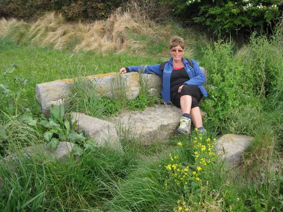
I was very taken with a stone sofa on the side of the walkway.
Looking very nonchalant! (John pic, Fred caption)
Who made it and how long has it been there?
All up we walked over 10km Lets hope this walkway does find its way to Port Chalmers in the future.
We spoke to a young girl on the track from Uni. She was part of a group of students from the Mining dept. She was amazed when Mollie told her how old she was. Then Doug came striding along and I said he was the same age. She was very impressed with us.
We had a coffee at the Plaza which is the cafe at the stadium in the uni part.
Have a good week everyone. – Elaine.
3. 27/3/2013 Hikers. Pedestrian-Cycle Track Rowing Club to St Leonards. E. Leaders: Arthur and Barbara.
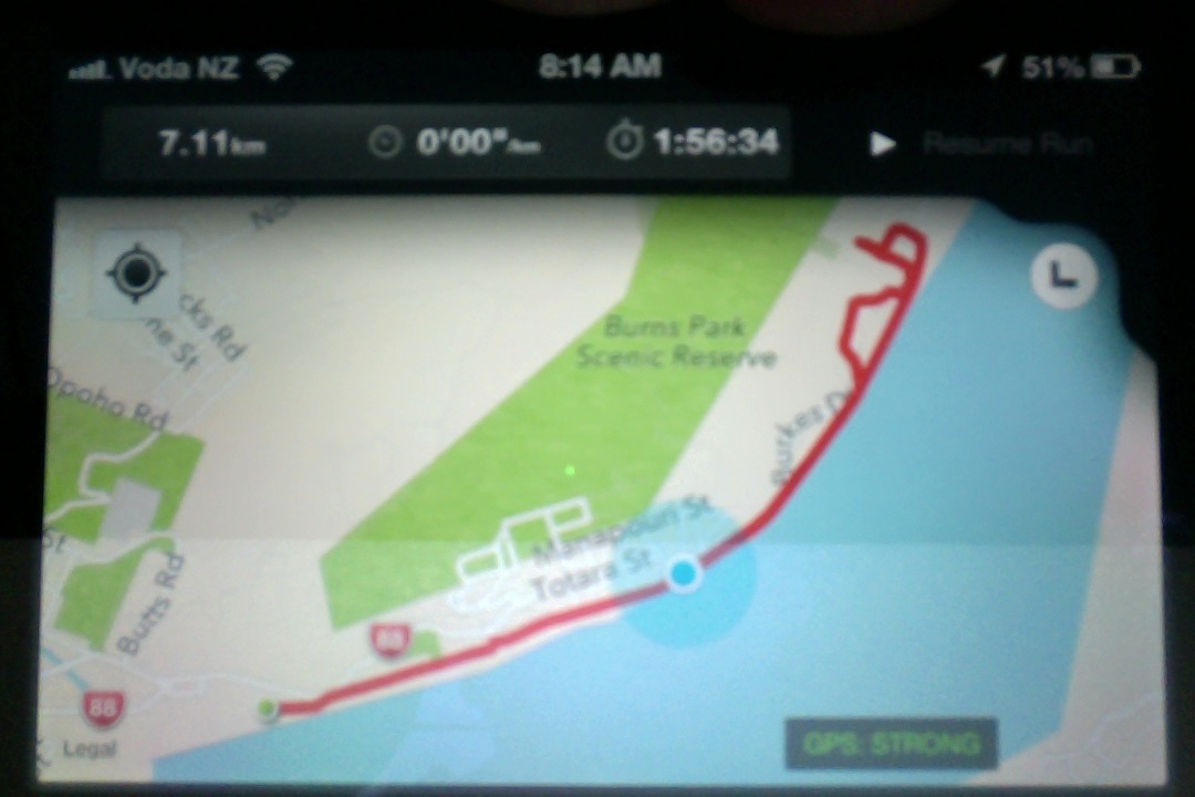
“GPS” of route.
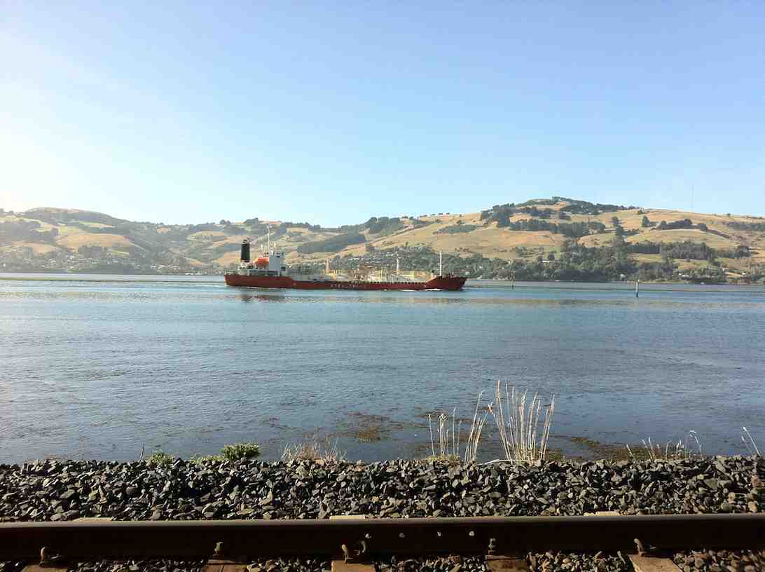
LPG tanker viewed from walkway
2. 9/3/2011. Hikers Pedestrian/Cycle track North End Rowing Club to Maia E. Leaders: Arthur and Barbara.
1. 17/6/2009 HikersPedestrian/Cycle track North End Rowing Club to Maia E $4.00 Leaders: Lois & Lance
7 members (Molly, Neil, Lois, Lance, Bev, Margaret and Angela) set off at 10am from the University Aquatic Centre (just north of the Boat Harbour, via Leander St- opposite Butts Road on the way to Port Chalmers beside Palmers Quarry – now known as Shiel Concrete) for a brisk stroll to the Ravensbourne Yacht Club, stopping a while for morning tea.
From there we proceeded to Maia crossing the railway line at Hume Pipeworks, opposite the Ravensbourne Hotel, which looked closed for the winter.
There are extensive notices in yellow & red advising one NOT to cross the railway line but in this case we had no alternative as the walkway from the Ravensbourne yacht club proceeded on the left-hand side of the yacht club on the site of the second railway line which has since been removed.
Upon leaving Maia we proceeded up Ascog Road & along Totara St and down Adderley Terrace to the Ravensbourne Hotel, across the road to the overbridge at the Ravensbourne Yacht club and back to the cars.
The walk took approx 1 1/2 hours and because of the cool temperatures and accompanying wind chill factor it was decided to go home for lunch.
An enjoyable walk taking 3 hours (includes an hour travelling time) – Angela.
24. 31/08/2022 Hikers. Port Chalmers. Leaders: Michael Webb and Bruce Wright M.
On a typically beautiful Port Chalmers day with no hint of Mosgiel type frost, 32 hikers met at the Back Beach car park for what some thought was going to be a gentle stroll visiting some historical sights in West Harbours hidden gem.
The first hill climb on the track from Back Beach to Island Terrace cut short the usual discussing of sore hips, knees, dieting, prostate problems, midnight trips to the loo, hot flushes, ungrateful children, recalcitrant grandchildren, the Mayor and Jacinda.
Oh what a beautiful day Caption and photo Ady
It was during this first ascent of many hills that the first mumblings of mutiny were heard. The leader took this on board, totally ignored it and proceeded to lead the group up to Hotere Hill via Campbell Buchanan lane where we had morning tea.
Morning tea in Ralph Hotere Garden Caption and photo Helen
We then descended a track to Back Beach for a relaxed stroll alongside the harbour where Faye revealed herself to be a “legend” with her lecture on oven cleaning.
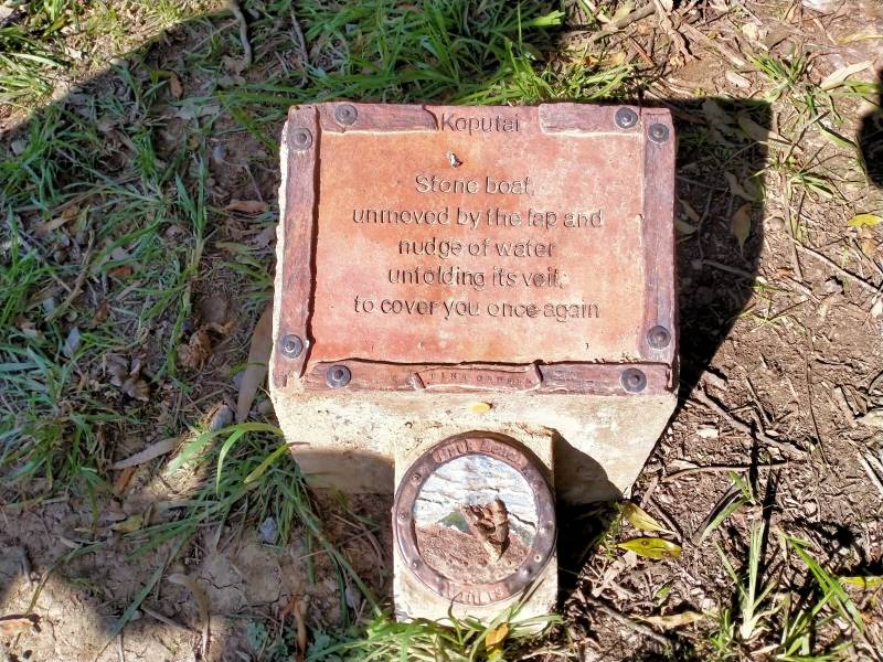
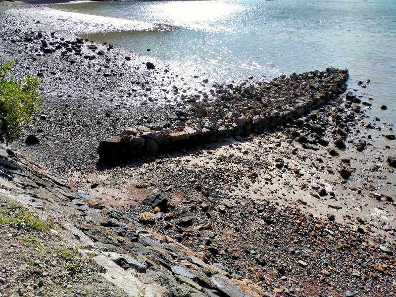
Boat shed on Back Beach Caption and photo MichaelStone boat – how many just walked by? Caption and photos Phil
A walk up Currie Street to see some historic buildings including the old Buffalo hall was followed by a welcome comfort stop at the Port Chalmers Library. Another steady ascent took us to the Lady Thorn dell for lunch.
Neil will give anything a go – once. Caption and photo Phil
Yet another climb took us to Scott Memorial before crossing the road for our last uphill leg before descending through some bush and a track past the old cemetery back to Port Chalmers.
The town Caption and photo Helen
Refreshments were taken at The Galley where one unnamed lady ordered a Bloody Mary. Due to the many steep tracks and hills in Port Chalmers this could possibly be a Grade 3. The hike was 8km. Michael Webb
23. 25/11/2020 Hikers. Port Chalmers. Leaders Mike Webb and Jay Devlin. E-M.
17 of us set out from the car park at Back Beach
Setting off from Back Bay. (Clive pic and caption.)
on a typically beautiful Port morning for a walk around Port Chalmers. First stop for morning coffee was at the Sculpture Gardens commonly called Hotere Hill
Morning tea at Ralph Hotere’s sculpture garden. (Clive pic and caption.)
where a discussion was held by some about the new time ball on the flagstaff. The first of many “are we there yet”? was heard on the track up to Hotere Hill. From there we walked down Aurora Terrace and up Constitution Street to Campbell Buchanan lane to visit the plaque commemorating the young local lad who was killed during a Pacific naval action in WW2 and who was awarded the USA Navy Cross for gallantry. The lane is named after him.
Next stop was Island Terrace where a few houses of interest where pointed out and good views across to the Peninsula were to be seen.
From there it was a descent on a track to Back Beach road
Around the harbour. (Clive pic and caption.)
and a leisurely stroll via Victory place and Wickliffe Terrace to George Street where a comfort stop was taken by a few before heading up Ajax Road and Church Street to have lunch in the Lady Thorn Dell. On the stroll around Back beach a brief stop was had at the plaque commemorating the sinking of the Pride of the Yarra in 1863 where 13 persons drowned after a collision with a vessel called the Favourite.
Three hikers left the main group at the comfort stop and re-joined by car for lunch at the dell
Lunch at the rhododendron dell. (Clive pic and caption.)
and met up with us again at the completion of the hike.
After lunch the rest of us proceed to Scott Memorial via Brailey’s Track where there was a good view from the observation platform of a container ship approaching Port accompanied by two tugs. A steep climb through the bush on some steps on the other side of Blueskin Road was the last of the climbs. From there we walked down a steep track to Blueskin Road where we crossed to Blacks Track, had a quick walk through the old cemetery and on to Iona Church and back to the cars.
The afternoon coffee/tea break was held in the courtyard at the back of the Galley Cafe in Port which was the site of the opium den many years ago. Hence why the Galley used to be called the Tall Poppy and the smaller building at the back is the Small Poppy and is where us locals and townies go on a Friday night for drinks and live music. – Mike
22. 19/9/2018. Port Chalmers walkabout. E. Judy.
On Wednesday 19 enthusiastic hikers gathered at the Careys Bay Hotel
Establishment on a beautiful spring day. We walked up to the lookout with stunning views of the harbour and had morning play-lunch at the
Ralph Hotere Garden. From there we made our way down to Back Beach
Met up with some children on our track walk down to Back Beach. (Jan B. pic and caption.)
where we did a short walk out to the point where there were people
fishing for their evening meal. We then walked round the point
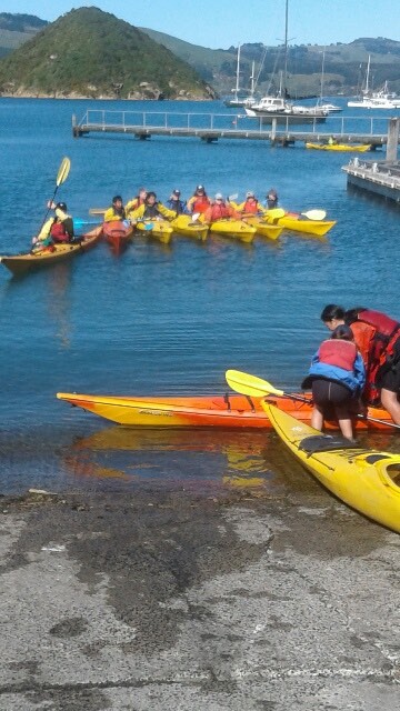
Our walk around Back Beach taking us out to the Port Chalmers School. (Jan B. pic and caption.School children on a kayak lesson. (Jan B. pic and caption.)
and made our way to the Lady Thorn Rhododendron Dell for lunch. After lunch we walked up to the cemetery where some walked back down the hill and the others carried on another steep track which then took us down to the town and back to Careys Bay Hotel
Jan B. pic.
where we all enjoyed a beverage of various delights. – Leaders Elaine and Jay.
21. 22/11/2017. Hikers. Port Chalmers. Leader: Judy.
Route map, courtesy Ian. Battery died within the last half km. So really 9 km.
22nd November saw two members celebrating the same birth date (Dave Mellish and the writer). Are there any other shared birthdays in the Club?
Anyway, after some rather off-key singing, 18 hikers set off for Port Chalmers and the Careys Bay car park on a beautiful warm sunny morning. The planned morning tea stop on Boiler Point didn’t happen, as the track was closed for new wharf development, so it was a bit of a slog up to the lookout (with a look inside the church on the way) and the Hotere garden for a well-earned break.
With a cruise ship in, there was plenty to see, and it took a while to gather the troops for the walk down to Back Beach, then around the point past the school …
(Kevin pic.)
… and rugby grounds, across the railway line and so up to the rhododendron dell for lunch. Everyone sought whatever shade could be had, and we were entertained by rock climbers on the cliffs behind.
(Kevin pic.)
The excitement of watching a container ship berthing delayed some after lunch, and the group split at this point, eight continuing up the hill to the Scott Memorial, …
Radiance of the Seas and recently berthed container ship, taken from Scott Memorial. (Ian pic and caption.)
… then up and around the track beyond the car park on the far side (sorry, the leader forgot it went up some steepish bits for a while) and down in leaps and bounds to the Blueskin Road, across it to the track again, and so down to the Iona Church and a look inside here too. There were quite a few cruise ship visitors about, and it was a good excuse for a rest as we stopped and chatted…. The choice then for these eight was either up and through the cemetery, or straight down to the road – guess which way we went? Well, we were pretty hot and tired by then.
The remainder of the group were well installed in the hotel by the time we arrived, having taking an easier route through the cemetery and straight down to the Bay. After some liquid refreshment and a leisurely chat, it was quite a late return home! – Judy.
20. 3/8/2016. Both. Port Chalmers. Leaders: Judy and Peter D.
On a cold wet winters day with snow predicted to 200 mtrs 9 hardy trampers left the carpark for Port Chalmers. We were farewelled by 6 fellow members who opted to go for a coffee fix rather than getting wet right from the start of the outing.
However our trip was very pleasant. Leaving the carpark at the back beach …
Back Beach. (Helen pic & caption.)
… of Port Chalmers following the road round the harbour with views of the Peninsula and further down the harbour towards Dunedin in the haze to the Harbour side rugby pavilion where we had shelter from the northerly driving rain, to enjoy our morning tea break.
Morning tea at rugby club. (Helen pic & caption.)
We didnt dilly dally for too long as it didn’t take long to start chilling off. From here we proceeded along the railway line to the main road into Port Chalmers up to Ajax St and along Church St over the main trunk line to the junction of the road to Lady Thorn Dell and up the short steep gravel track to the Blueskin Bay Rd. Over the road and into the bushes following the Rangi track till we came out to a clearing greeted by a colourful array of noisy roosters at the Scott Memorial.
Two of the brave (?) few. (Margreet pic.)One of the brave (?) few and a noisy (?) rooster (?) (Margreet pic.)
In this area we were very sheltered by the canopy of bushes . At the lookout we had panoramic views …
A rainy view. (Margreet pic.)
… of the container port at work and into the haze we could see right down to Tiaroa Heads. Quite surreal. Still no snow. From the monument we followed the Brailley Track to the Port Chalmers Cemetery where we found a shelter for lunch.
Lunch at Cemetery. (Helen pic and caption.)
Careys Bay was beneath us so a quick zig zag through the cemetery to the famous Hotel where they allowed us to hang our wet gear in their front foyer while we enjoyed the warmth of the environment and the open fires.
Coffee at Careys Bay hotel. (Helen pic and caption.)
Two of our men did the gentlemanly act by fetching their cars and brought them round to Careys Bay to save the rest of us from further exposure from the elements !!
We walked 6.6 kms and ascended 200 mtrs, all satisfied that Wednesday’s tramp was a good day out – different from the many sunny days we have had in the past !! – Jill.
19. 22/4/2015 Hikers. Port Chalmers. Leaders: Judy and Jennifer.
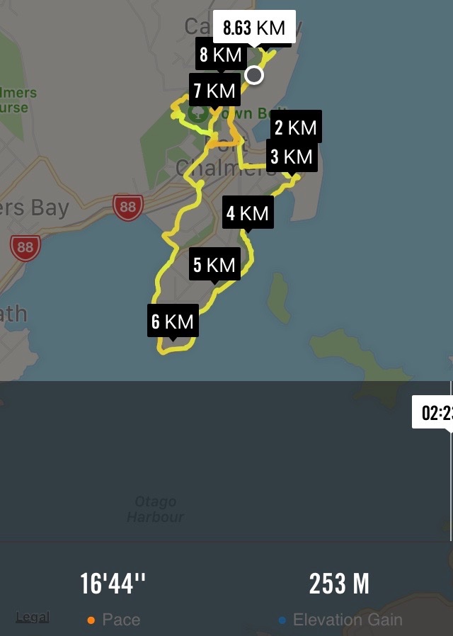
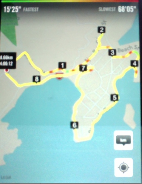
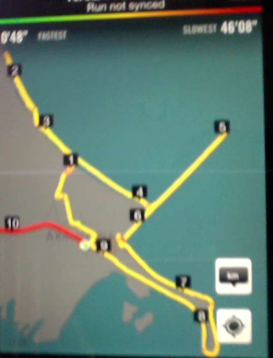
Nike app GPS of route around Port Chalmers.
Judy, well backed up by Jennifer, led 30 Hikers an interesting trek around Port Chalmers, pointing out several locations associated with her ancestors.
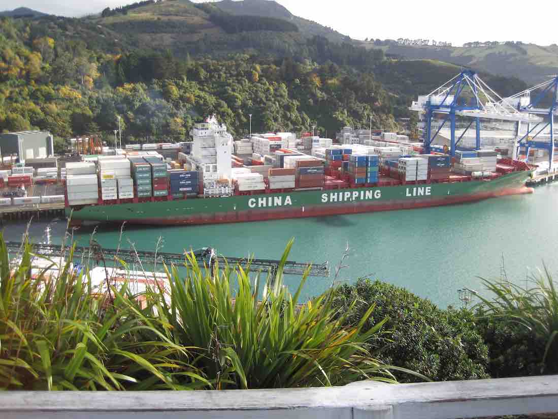
From the car park on Peninsula Beach Road she immediately took us up onto the Island Terrace road whose northern end put us onto the steep fenceline track that took us struggling up to the Flagstaff Point, (as it was originally called, but also variously known as Observation Point, Flagstaff Point and Flagstaff Hill, in case you really wanted to know). (abt 0.22 km.) From here we took in the view of a China Shipping Line (a term new to this reporter)…
China Shipping Line. (John pic)
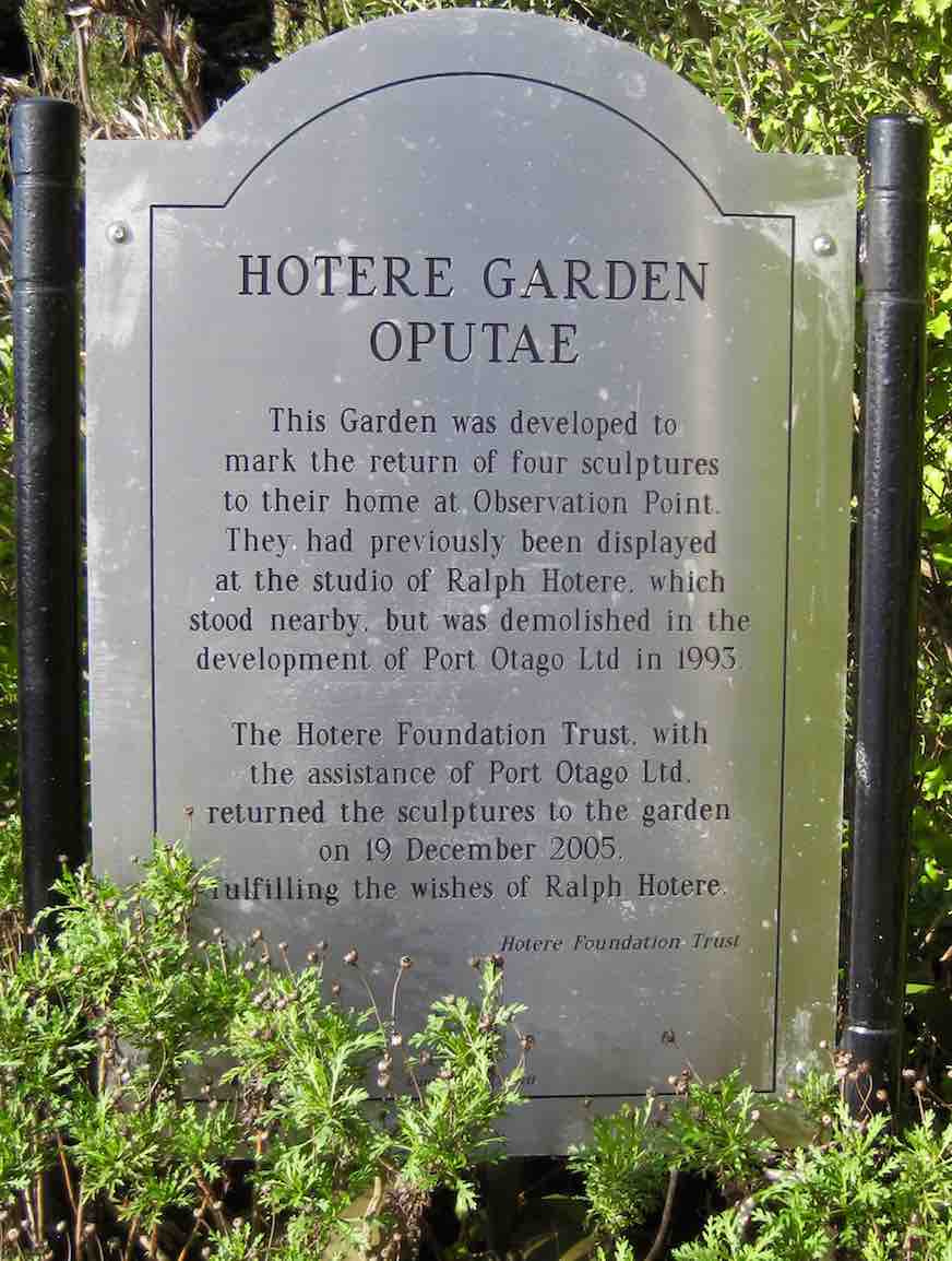
…ship, riding high in the water, loading containers. Back into the Hotere Sculpture Garden…
Hotere Garden. (John pic)
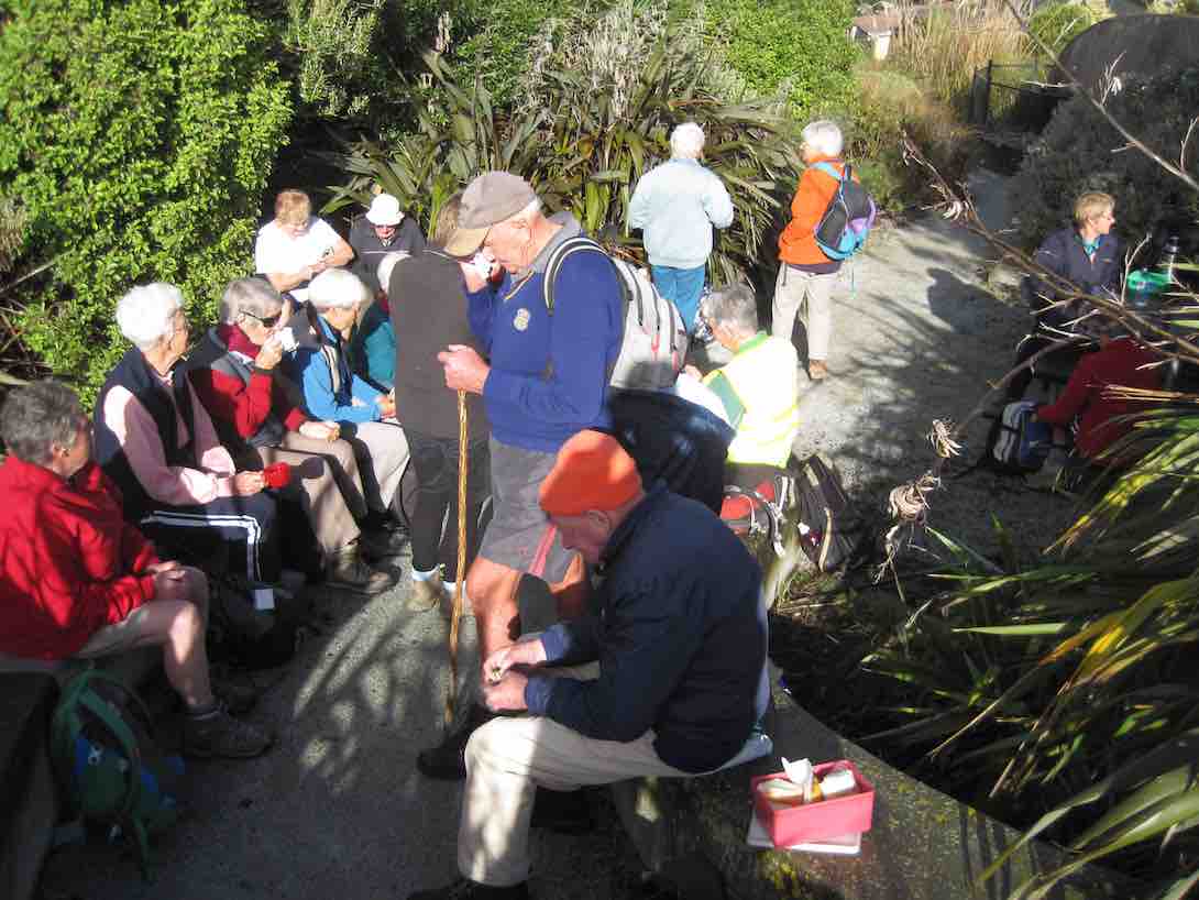
…we morning teaed…
Cuppa. (John pic)
…and wandered round the well labelled (well, they were brass plates really) exhibits.
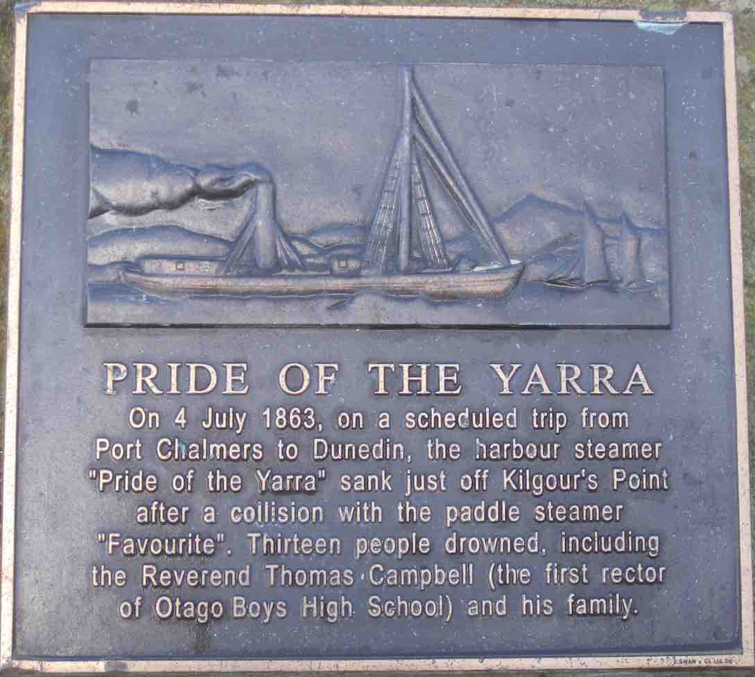
Judy then took us down and along the full length of Constitution Street before turning down – at its end – to right at the other end of Island Terrace, and down a bush track to the Peninsula Beach. Road. (abt 0.8 km) We walked to the Peninsula’s end and reflected on the sinking of the Yarra. (abt 2 km)
Yarra. (John pic)
From here the road became Victory Place and yet further along, Wickliffe Terrace. Around about here Judy pointed out, half-hidden about us, what could well be the largest old house in Port Chalmers, the home of a former Dock Master, one of Judy’s relatives. At this point we turned off down a track that got us (abt 3 km) across to Albertson Avenue and thence to the southern end of George Street, which we crossed, to climb- in turn – Ajax Road and Church Street. Crossed the Railway line, (abt 4 km) pass the gate of Lady Thorn Rhododendron Dell, on and up to end up via Braille’s Track at the Scott Memorial…
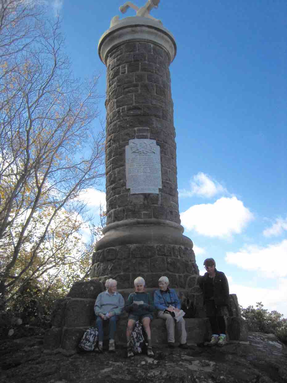
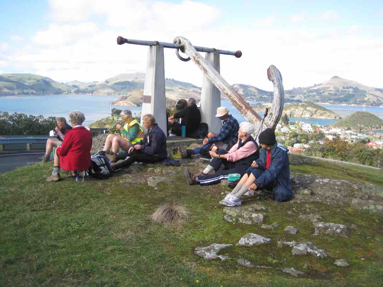
Lunch at Scott Memorial (John pic)
…and the “Nine Fathom Foul” large anchor (which used to foul fishermens’ nets)…
“Nine Fathom Foul” Anchor. (John pic)
…for lunch.
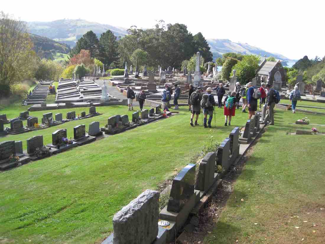
Back down Braille’s Road, this time turning off into the Port Chalmers Cemetery,…
Port Chalmers Cemetery (John pic)
…noting on the way one of Judy’s Knewstubb relatives graves. Out near the bottom, now on Church Street again, (abt 4.8 km) across onto Harbour Terrace, viewing a wee ‘but-and-ben’ of Judy’s parents when young, down Slant Street to Join Macandrew Road by the Careys Bay Hotel. Along that road, past the dock entrance (abt 6.5 km) and along Beach Street back to the cars.
Thanks, of course, very much, to Judy and Jennifer for keeping us safe and well informed on a very well-planned route. – Ian.
18. 8/5/2013 Hikers. Sawyers Bay, Old Road, Lady Thorn Dell, Lookout, Back Road, return. Leaders: Mollie and Pat.
Route
25 of us parked in Stevenson Road in Sawyers Bay, walked
from its end around Borlases Road, turned up Ajax Rd above the steepled Presbyterian Church, onto Church Rd, crossing the railway line to reach Lady Thorn Dell for morning tea amongst the Rhododendrons, small groups disported between the seats and tables there. The day was fine and the view from the viewing platform down to the container wharves excellent.
It was then back down Church Rd, Ajax Rd, onto Mount St, to cross State Highway 88 to climb steeply up Grey St, Scotia St and Constution St to the Lookout at its top. We spent some time there watching bundles of logs being slowly craned into the bowels of a rather rusty looking ship. A passing ship towed a tug on up the channel heading presumably to the fertilizer or the petroleum wharves nearer Dunedin. We then crossed the point, steeply down this time to reach Peninsula Beach Road at the back, and to have an early lunch there. Happily the group supporting blind trampers passing by noticed us and came across for a chat, with a number in each group recognizing friends in the other.
After lunch, we completed the circumnavigation of the peninsula, detoured off across a rugby paddock to walk alongside the railway to the railway crossing, and back along State Highway 88 to Sawyers Bay Station Rd and up to the cars.
A point to note is that Hiker numbers are growing larger, making group control by the leaders more of a task, as our wide range of individual fitness led to us becoming a rather straggled out band at times. However, the weather was pretty ideal, if a little windy at lunch time and draughty when walking alongside logging trucks, and the social chatting side was well attended to. Thanks to Pat and Mollie for a most satisfactory day. – Ian.
17. 10/8/2011 Hikers. Port Chalmers, Scott Memorial, Lady Thorn Dell. Leaders: Bob and Evelyn
16. 16/9/2009 Hikers. Aramoana, and Port Chalmers. Leaders: Lex, Marjorie.
15(?) of us set out on a fine, mild day with only light breezes – an ideal hiking day – led by Lex and Marjorie, to walk at Aramoana. As that was deemed to be too short, we called in first at Port Chalmers, where, from Mount St, we ascended Grey St, passing the grand old Presbyterian Manse whose 14 rooms, recalled Lex from his courting days, were occupied by bachelor minister George Jeffries and several student ‘tenants’ – hence its nickname “Holy Fryers (Friar’s?) Abbey”. Lex’s reminiscences of his courting days continued as we passed his wife’s old family home and pictured him sunbathing on the lawn. We discovered, again from the Learned Lex, why Meridian and Magnetic streets are so named. (Answers are at the end (1) if you need them). Morning tea was enjoyed at the top on a grassy knoll looking at the splendid view towards Portobello.
Morning tea in a ‘room with a view”. (Bob caption and pic).A couple of coneheads. .. or … a couple of pointy heads. (Bob caption and pic).
The descent was by Fox St to Peninsula Beach Rd and back to the cars by Beach St past the stacks of logs and chips. On to Aramoana. We parked at entrance to the township, puzzled over three signs of a crossed-out “H” in a circle alongside an arrow head, (a prize for the one who answers 1st as the answer is NOT at the end (2) if you need it) and walked to the north end of the beach, and along the beach to the Mole and a self-satisfied sea lion basking on the sand. Lunch at the start of the Mole looking out across sparkling waters
Lunch by the Mole. (Bob caption and pic).
and asking how far we could see was most enjoyable. (We didn’t know the answer but see the end (3) for an informed guess). Of course we walked along the Mole and stood by the new “lighthouse”
The new “lighthouse” at Molesend. (Bob caption and pic).
(What was the date inscribed in the concrete base – see the answer (4) at the end), and noted albatrossesses whitely plumped on Taiaroa Head and also saw one or more flying. The dredge entertained us as we tried to determine its movements (See (5) at the end for a guess), and one of the divers was pleased to chat.
The long Mole … and … (Bob caption and pic).The short Mole (?) (Bob caption and pic).
Lesley reckoned she had found a clump of Capt Cook’s scurvey grass, but noted that there seemed to be much less of the rare plant than there used to be around there. (See (6) at the end for some more information). And so to the memorial to the Aramoana Massacre where we sat briefly and talked of the events and the film “Out of the Blue”. Chris had played a part in its production and recalled the actor playing the role of David Gray (See (7) at the end for the name)) being very empathetic in the role. Consensus was that it was a good film in being even-handed in its treatment of Gray. But did the police need to be stalking in white shirts? Perhaps they were taken by real surprise at such an event.
The memorial to the massacred 14 (Bob caption and pic)
To the park and out along the boardwalks
Salt marsh boardwalk. (Bob caption and pic)
and gravelled paths among flax to the salt marshes, where Joyce delighted in betting on the crab races.
Elaine and Bev conspire to push Joyce over the edge. (Bob caption and pic)
And back to the cars. A view near Deborah Bay of a wee house wedged between road and water where the Lewis family lived with 17 children!!!!!!!!!!!!!!!! A pleasant walk. One learns new things every time one comes out with the TRTC. Thanks to all who share their knowledge and entertainment. Bob Answers1 Magnetic Street points to the magnetic North, while nearby Meridian Street points to the geographical North2 a prize for the 1st correct answer3 on looking at a map, probably Shag Point or perhaps the more distant Katiki Point where the Moeraki lighthouse is situated.4 March 20095 It appeared to dump its load, acquired from out by the buoys, near the Spit Beach as it returned to the sea so much higher in the water6 on the following website you can see a picture of the plant Lesley found which looks very like Cook’s Scurvey Grasshttp://www.nzpcn.org.nz/documents/NZ%20Favourite%20Plant%202005.pdf7 Matthew Sunderland
16. 27/8/2009. Hikers. Port Chalmers: Iona Church, Rangi Park, Cemetery, Scott Memorial, Lady Thorn Dell, Observation Point, Hotere Garden, Back Beach, Stinking Point, Walton Park, return.Leaders: Fred, Bob.
Eighteen keen hikers set off from around Iona Church (Peter claimed that we were moving in religious circles, and when Bob said “Iona Church” he wondered how he had come to be the “owner” ), and climbed up the Rangi Park track. We were diverted past the old cemetery
where we were regaled by stories of Lex’s youth, drinking there before the annual ball and being “late”. The steep track is well formed, though some of the steps are high, and passes through a most extensive grove of Brachyglottis Rangiora (or Rangiora )
Rangiora Row. (Bob pic and caption). Pat, Elaine.
that large-leafed, white-backed foliage you can write on with a ballpoint. Several lookout points were good for stops to admire the views across the port, harbour, islands and peninsula.
We descended from the Scott Memorial and Nineteen Fathom Foul anchor along Brailleys track to the new cemetery and thence into Church St and the Lady Thorn Rhododendron Dell
Rock Dwellers. (Bob pic and caption). Lesley G, Evelyn, Les.
for a welcome morning tea – a warm and picturesque spot with early shrubs coming into blossom, and seats for all.
Round the church again (2 churches really with 2 spires – 1872 and 1883), down to the town centre,
Stopp Twins
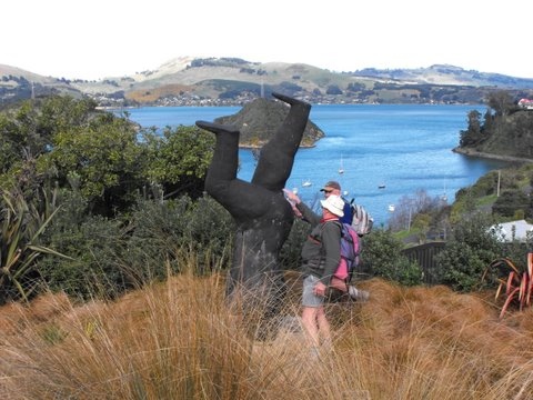
up Grey, Scotia and Aurora streets to great views at Observation Point. Neil was so engrossed there in pointedly chatting up a young lady that he made no observation that the rest of us had moved off. A few moments were spent in the Hotere sculpture garden where Les and Peter tested the smacking law with some choice whacks of the inverted male’s bottom,
An inverted sense of humour? (Bob pic and caption. Les, Peter.
and there was a photo opportunity for some old hulks to pose by the old hulk, “Black Phoenix II”.
Old hulks pose by an old hulk. (Bob pic and caption). Fred, Bill, Peter.
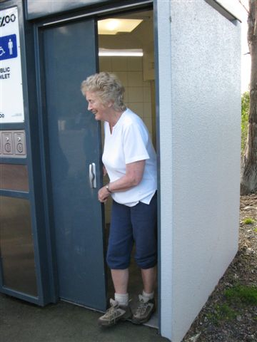
Down the hill to the Yacht Club and the public toilet,
Revenge: This is the woman who nominated me for Vice President. (Bill pic and caption). Margaret.
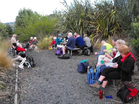
where there was much toilet humour, and then along the Back Beach walkway to a sheltered, planted picnic spot for lunch.
The Lunch room. (Bob pic and caption). Bill, Neil, Lesley, Les, Dot, Arthur, Peter, who? Pat, Fred, Angela, Margaret, Elaine.
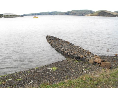
Now rested, we could complete the journey along the gravelled Peninsula Beach Road, past Russell Moses’ “Koputai” – the boat-shaped groyne sculpture,
Groyne boat (Bob pic and caption).
round Stinking Point (where there was no smell but a useful seat) and the Pride of the Yarra Plaque (where there was a
plaque and another seat.) Along Victory Place and Wickliffe Terrace to the track above the school we strode, descending to Walton Park at Mussel Bay and along the grassy waterfront track to the railway line. A stack of uplifted tracks provided tiered seating for a wee rest out of the breeze,
Tiered seating. (Bob pic and caption). Who? Evelyn, Fred, Lesley S, Pat, Bill, Les, Elaine, Peter, Lex, Dot, Joyce, Who? Margaret
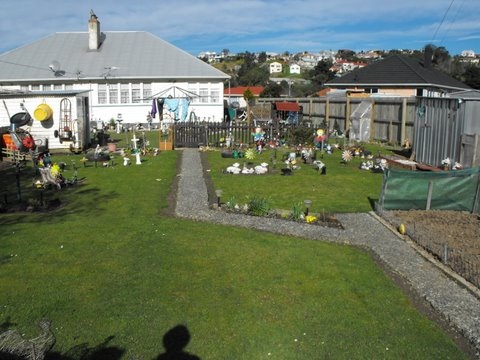
and a garden filled with ornaments of all kinds offered a wee feast for the eyes.
An ornamented landscape. (Bob pic and caption).
The last stretch of the journey was along the George St shops and up Mount St to the cars. Less than 10km walking, but 4 hours of good exercise, and a route with some new ingredients for most. Fred and Bob led luminously in the club’s fluorescent jerkins. – Bob.
15. 26/11/2008 Hikers.Port Chalmers. Leaders: C. Hughes, G. Baxter
14. 16/1/2008. Port Chalmers. Leaders: Tash, Lex.
Scott Memorial
On a lovely calm and warm summer morning 15 hikers parked their cars at Sawyers Bay and set out for Port Chalmers. We went round the back road and then up the hill to the Scott Memorial and Centenary Lookout. Perfect place for morning tea break. Lovely views, shade or sun to sit in and the colourful company of the resident ‘free-range’ roosters and hens who are always very interested to check out the visitors! Then it was down the hill and through the Port Chalmers cemetery to the port itself. No cruise ships that day but two left recently and another due in that night. Up the hill then to the Conservation Point Flagstaff Lookout. Perfect day for great views all round. We sat in the recently developed little reserve that has a sculpture by Ralph Hotere as well as a couple of other rather intriguing and interesting ones, and enjoyed a restful and relaxing lunch break. Then, down the hill again to the back beach road. About half way along we went up a track that took us up to the top of the hill again. From there it was down the road, across the railway line and back along main road to Sawyers Bay and the cars. A happy and convivial day out. – Bev.
13. 16/1/2008. Hikers. Port Chalmers. Park cars at Sawyers Bay. Easy.Leaders: Lesley S, Eleanor B
12. 7/2/2007. All. Port Chalmers from Sawyers Bay – Cruise Ship. Easy.Leaders: Peter and Wendy, Molly, Lois.
11. 28/6/2006 Hikers. Sawyers Bay, Back Beach. Leaders: Jean A, Chris
9. 21/8/2002. Alt. Port Chalmers Careys Bay Back Beach. Leaders: Dot B, Joan H, Anne R
8. 17/10/2001. Alt. Port Chalmers, Back Beach. Leaders: Nelson and Dot, Mavis.
7. 6/6/2001.All weather. Overgrown. Port Chalmers, Deborah Bay. Easy+. Leaders: Bill H, Lesley S, Winnifred 6. 8/11/2000. Port Chalmers. Leaders: Mavis, Peggy M, Catherine.
5. 7/6/2000. Deborah Bay. Leaders: Bev H, Les & Margaret 4. 8/1/2000 Port Chalmers Careys Bay Back Beach, Rangi Park walkway. Leaders: Mary M, Catherine T 3. 21/5/1997. Port Chalmers, Back Beach, Rangi Walkway. Leaders: Daphne, Les and Mavis. 2. 13/11/1996. Port Chalmers Back Beach – Rangi Park Walkway. Return trip. LeadersL Les and Mavis, Daphne. 1. 12/7/1995. Port Chalmers. Deborah Bay. Easy+. Leaders: Shirley, Bev H, Ria H, Jean A
2. 24/08/2022. Hikers. St Clair/Kew Street Walk. Grade 2.5. $5. Leaders: Shona & Maria
24 hikers met at the Forbury Trotting Club where Maria distributed a handout giving information on points of local interest (thanks Maria).
We walked together to Second Beach (a hidden Dunedin gem), for morning tea and took time to look at some stone installations there.
Morning Tea (photo & caption Shona)
We proceeded to Jacob’s Ladder where most climbed the 287 steps to Seaview Terrace and the remainder studied some of the more impressive homes on the flat.
This was found whilst climbing up Jacobs ladder a fruiting Tamarillo bush . A little micro climate (photo & caption Jill).
Both groups re-joined at the bottom of Allandale Rd before dividing up again, one group taking themselves up the walkway beside Frances Hodgkins Retirement village to Easther Cres and meeting the rest for lunch at the recreational area between St Andrews home and Sarah Cohen school. We walked back to Forbury via Surrey St.
Coffee at The Good Oil at Nichols.
Distance approx. 8.4kms
7. 17/08/2022. Vauxhall/Musselburgh. Grade 2. Leaders: Raewyn & Jan
Thankfully the weatherman got it wrong. Mosgiel was shrouded in fog as we left PJ Park, but there was no sign of rain or wind as we arrived at Bayfield Park. 18 hikers set off over the Causeway, along Portobello Road past the large slip and on to the Vauxhall Yacht Club for morning tea. After a short history about the ‘White House’ & Arthurs Walk, we stopped to reflect ‘what might have been’ as we passed the now derelict house, and continued onwards up the steps.
At the start of the steps and shows the old hotel in the background (photo & caption Margreet) Uphill climb after morning tea (photo & caption Margreet)
An ‘up & down’ Glengyle Street provided great views across to the city, while Glendevon Street had views over the rest of Waverley. Another short history here regarding the ‘Vauxhall Gardens’ – an 1860s playground for the rich, now non-existent.
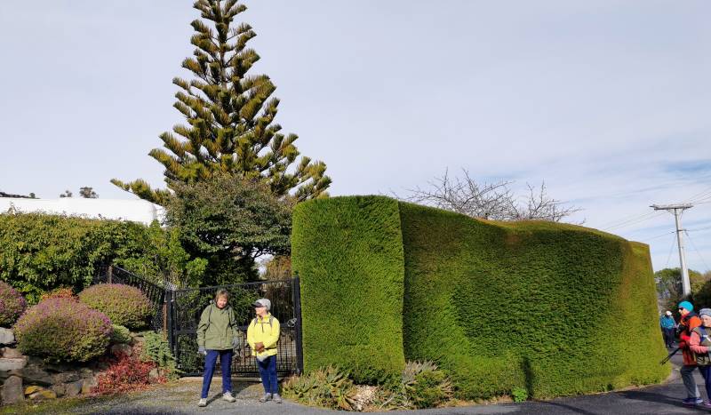
The high hedges (popular in the area) provided some interest too, particularly at the south end of the Peninsula where an octagon shaped hedge surrounds another ‘white house’.
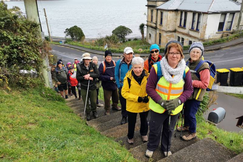
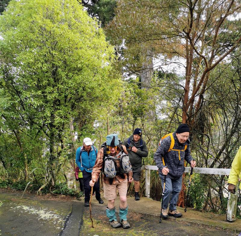
Octagon shaped macrocarpa hedge offering privacy by surrounding a large dwelling (photo & caption Margreet)
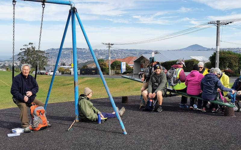
After walking the one-way lane around said hedge, we returned to Larnach Road and walked up to Mathieson street where unfortunately a chilly wind greeted us for lunch.
Lunch at the playground (photo & caption Margreet)
It was then time to make the steady descent downhill and cross the park before venturing to Sunshine. A walk along Rawhiti Street, up Moana Crescent & through Sunshine Lane, soon brought us to ground level again and back to the cars.
Group photo at monument (photo & caption Margreet) Route Map (photo & caption Raewyn)
A consensus of 8-9km, with coffee at the Daily Dose. Thank you to Jan for standing in for Linda, and Margreet for taking the photos. Raewyn.
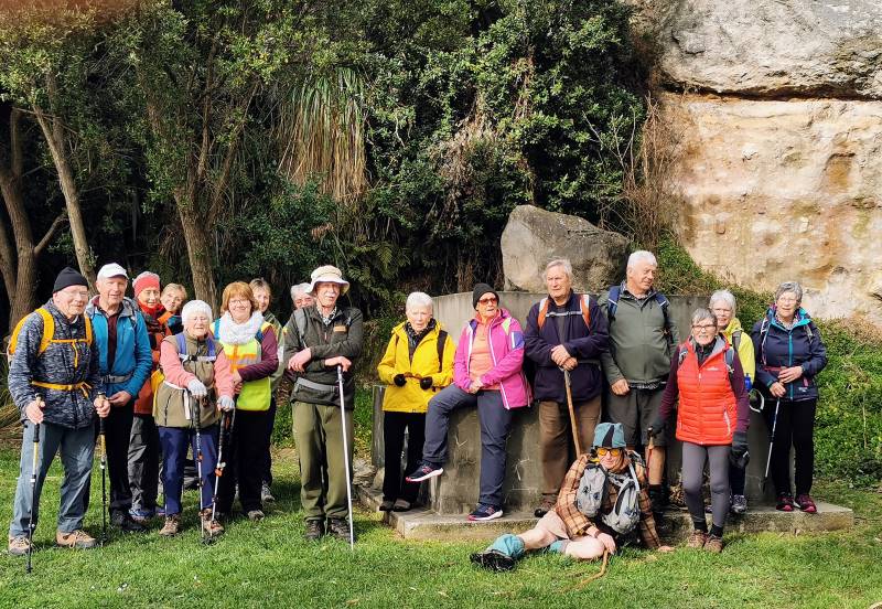
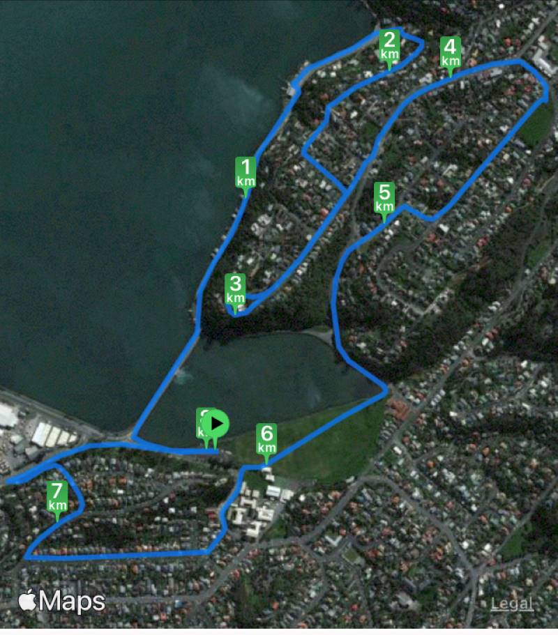
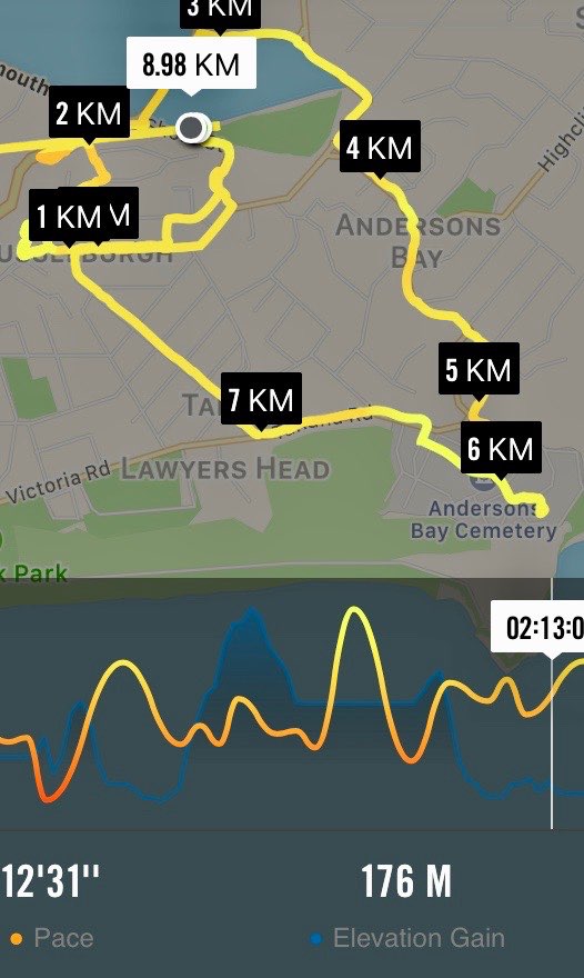
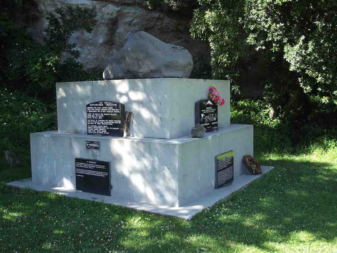
6. 25/1/2017. Musselburgh, Andersons Bay, Cemetery. E. Leaders for Musselburgh: Les and Margaret; for Andersons Bay: Peter and Wendy.
Route Map, courtesy Ian. (Ignore the straight line.) Car Park, Shore St. Musselburgh Rise, Rochester Tce, Belmont Lane, return Rochester Tce, Moana Cr, Walkway through to Portobello Rd, Causeway, Marne St, Somerville St, Silverton St, Tomahawk Rd, Andersons Bay Cemetery, Tahuna Rd, Cavell St, Tainui Rd, Musselburgh Rise, Rawhitie St, Walkway, Shore St, Car Park.Maori memorial. (Clive pic and caption.)Otago Harbour from Tomahawk Rd. (Clive pic and caption.)Over the garden wall. (Clive pic and caption.)Lunch by Crematorium. (Ian pic and caption.)
5. 10/2/2016. Musselburgh, Andersons Bay, Cemetery. E. Leaders for Musselburgh: Les and Margaret; for Andersons Bay: Peter and Wendy.
4. 23/2/2011. Hikers. Street Walk: Arthurs Walk. Waverley Book 1. Leaders: Bev, Joyce.
3. 30/1/2008 Andersons Bay Street Walk. Leaders: Bev H, Bev M
A bit overcast but quite pleasant as 18 hikers parked their cars in Spottiswood St ready to set out on a Street Walk round the Andersons Bay area. First stop was at the Andersons Bay Cemetery for morning tea and a browse around the graves. Very interesting, especially round the oldest areas. We ended up being there about an hour as 2 of the group had not heard the meeting up again time of 11am!! However, as it wasn’t an overly long walk it didn’t really matter. We walked along several streets, admiring houses and gardens, till we finally got to the Andersons Bay school where we made the most of some very pleasant areas to sit and have our lunch. From there it was around some more streets till we arrived back at our cars. All agreed they had had an interesting and enjoyable day. – Bev.
2. 3/10/2001. Combined. Street Walk Arthurs Walk Waverley Book 1 Leaders: Bev H, Bev McI, Pat 1. 20/9/2000 Vauxhall, Waverley, Andersons Bay, Musselburgh. Leaders: Margaret D, Daphne, Betty B
Thought I would provide an update following the Committee meeting on Thursday. I’m writing it in Wellington and the rain has followed us here, in buckets. Hopefully the rest of the week is better as we head to sunny Nelson on Wednesday. Hoping you will all be out walking on that day – especially as it’s been hard not getting out in the wettest July for a while, if ever….
The applications for membership from Neville Griffiths and Julie Mackenzie were approved so officially welcome aboard folks.
Covid: the Committee has agreed that we will no longer require participants on our walks to show evidence of double vaccination for Covid. The national standards no longer require this when entering sites/public transport etc; however, we agreed we should ensure that Mask Guidelines are followed. So we recommend masks are worn when sharing vehicles and also in public, inside venues etc.
Whilst the AGM meeting place is not strictly a public place, we would also encourage the use of masks on the day. We decided we should still proceed with afternoon tea (remember to bring a small plate of finger food – thanks), as it’s a timely opportunity to socialise given the run of wet weather. Antony Hamel has reconfirmed he will speak on his upcoming publications on Dunedin walks.
A reminder that the third locator beacon (previously used by the ramblers) is now held by Keith Munro (ph 021 0854 0355) for use by folks undertaking recces and we encourage you to take it when out checking on upcoming walks. Just make sure you contact Keith well in advance to make arrangements for pick up and return.
The Trip Grading system currently being ‘trialled’ was approved as our ongoing system to allocate trip gradings. Feedback has been positive and it seems to help meet expectations when folk are checking out their capability to undertake a walk.
In anticipation of the AGM, the Committee will recommend that the current level of joining and subscription fees remain the same, as approved last year, and that honoraria were set at $50.00 and be paid to the Secretary/Treasurer, the three members of the TRTC web team and the Audit Reviewer.
Note for the election of officers at the AGM, I can advise that myself (for President), Jenni Wright (for Secretary/Treasurer), and Ross Davies (for Communications Officer), will offer ourselves for re-election. Also Karen McInnes, Jay Devlin, Jan Butcher, John Gardiner, and Pam Cocks, offer themselves for re-election to the 5 /6 core committee positions.
It may be that some folk are not receiving the emails from the TRTC web team. If anyone is in doubt, please send a note to the web team ([email protected]) and get things checked out. Also, while trip organisers and the web team strive to get a note out about cancellations or last minute changes within our guidelines, if you are in doubt about whether a walk is happening, feel free to ring the trip organiser or myself to follow up.
Hopefully be back out 10 August so looking forward to catching up then.
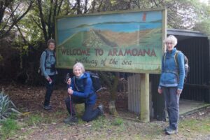
Aramoana: Pathway of the Sea. The Spit, known as Shelley Beach. The Mole: The mole has deprived the Spit of its natural supply of sand.
In 1992 a short board walkway was constructed at this point to try and stop further erosion. Managed by Port of Otago. Spit Beach. Known as Big Beach. Rock to explore. Great sand slope, towering volcanic cliffs. Key Rock. Salt marsh flats. Path. Conservation area. Managed by DOC.
17. 03/08/2022. Aramoana. Combined Trampers and Hikers. Grade 2. $10. Leaders Gail Williams and Heather Kirk, Max Wilson and Graeme Souter.
At last some decent weather. No rain, just clear skies and a sunny day. It was really great to see everyone again after the seemingly long enforced break with 40 keen hikers/ trampers heading off to our outing at Aramoana.
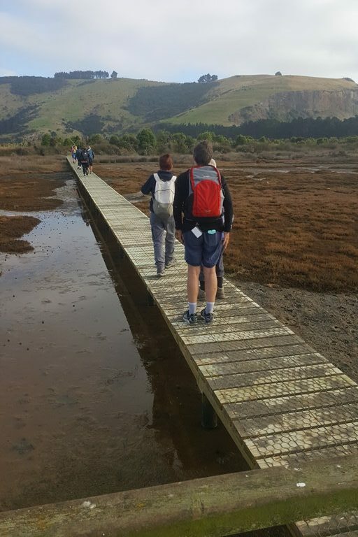
After quickish morning tea and a catch up on birthday shouts at the carpark the group was herded off to the Domain for a comfort stop before the short walk along the track / boardwalk out onto the salt flats.
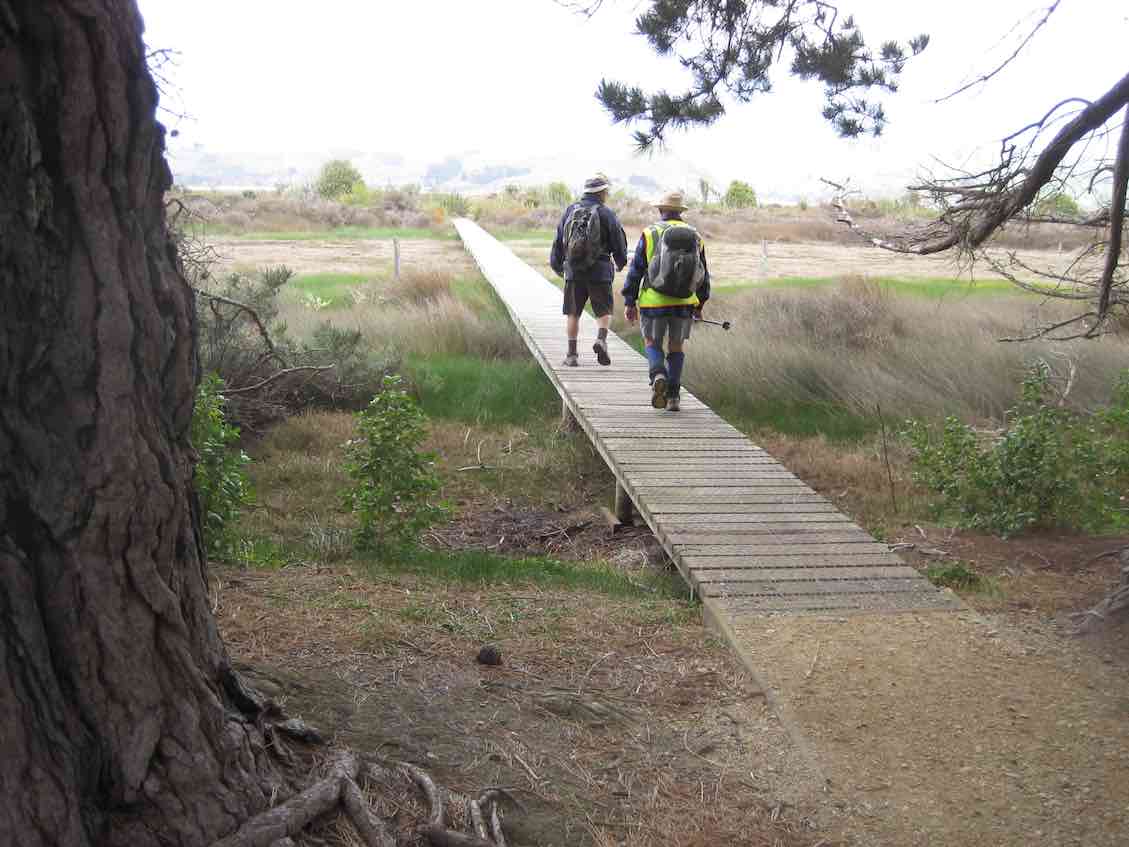
On the Board Walk (photo & caption John)
Following a quick count to ensure we hadn’t lost anyone we returned the way we came back to the carpark then onto Shelley Beach. This takes you to the harbour entrance with Taiaroa Heads opposite.
Two of our oldies enjoying their day out (photo & caption Helen)
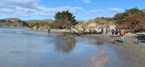
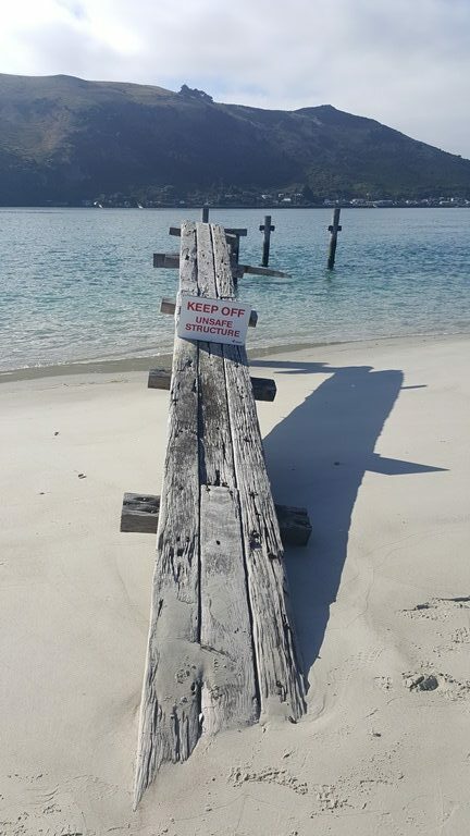
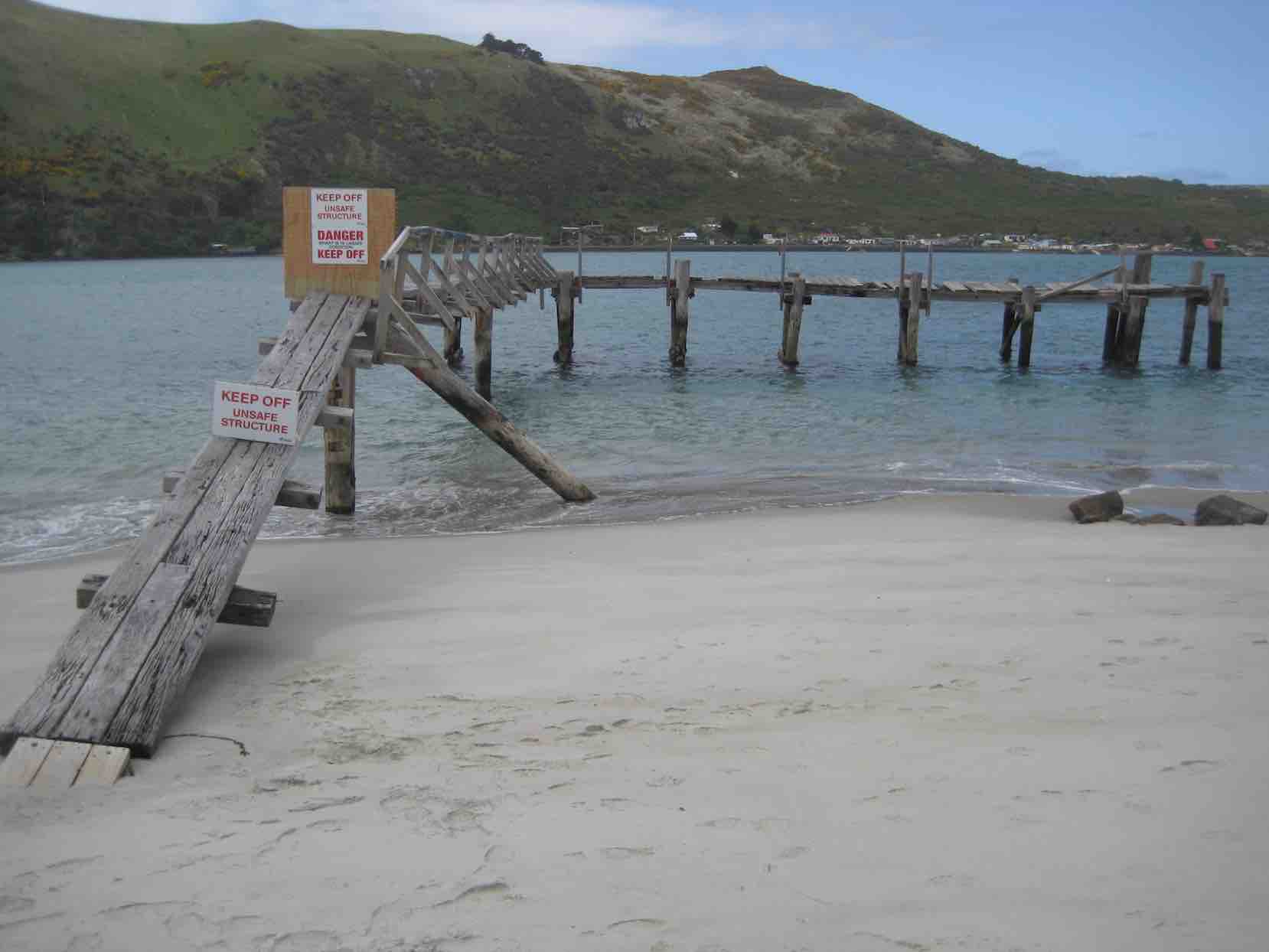
The tide was favourable, so we were able to clamber over some rocks at the end of the beach to round the spit past the old pilot wharf quietly eroding away.
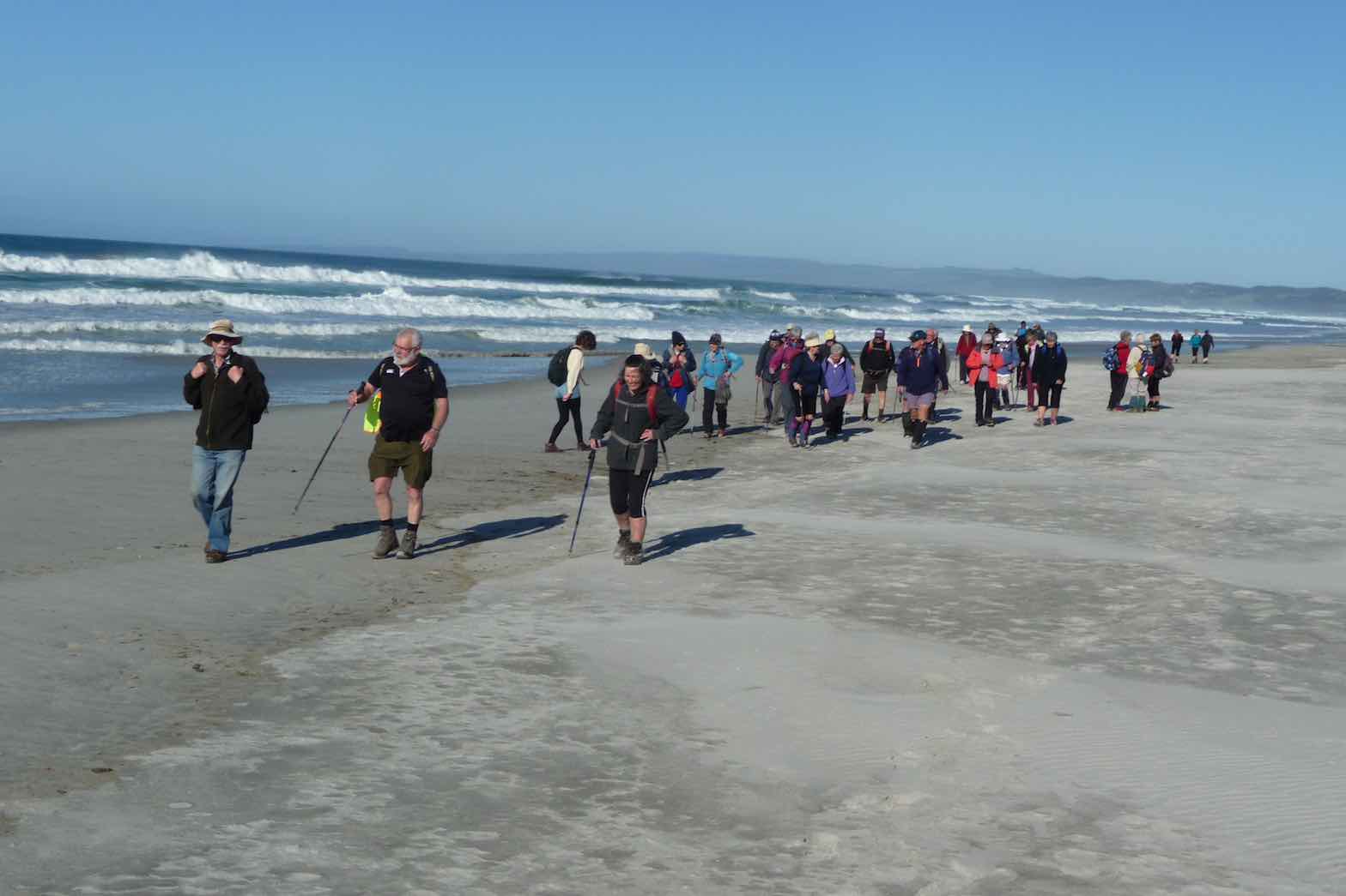
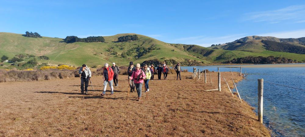
Forty trampers/hikers well spread out along the beach past The Spit (photo & caption Marijke)
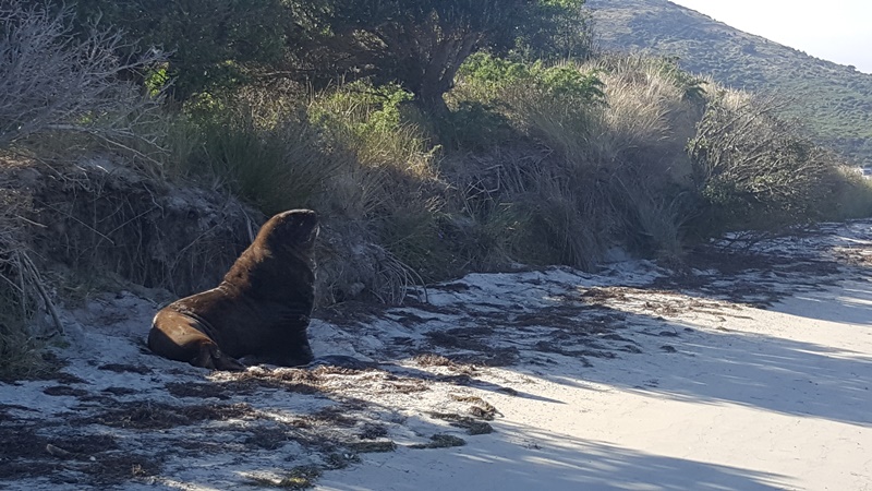
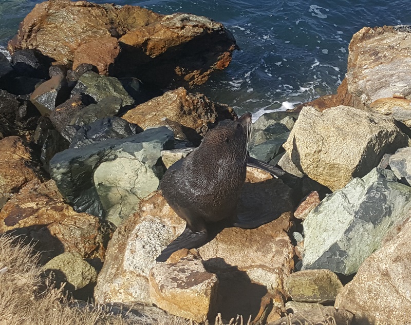
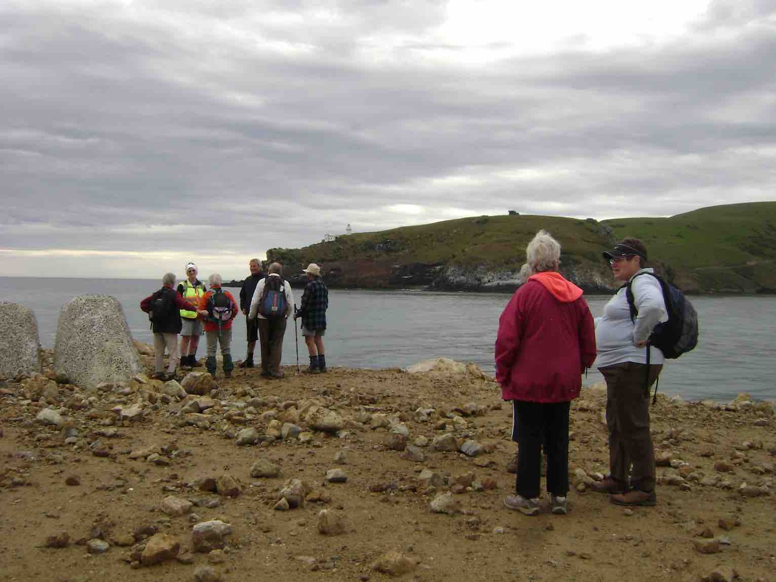
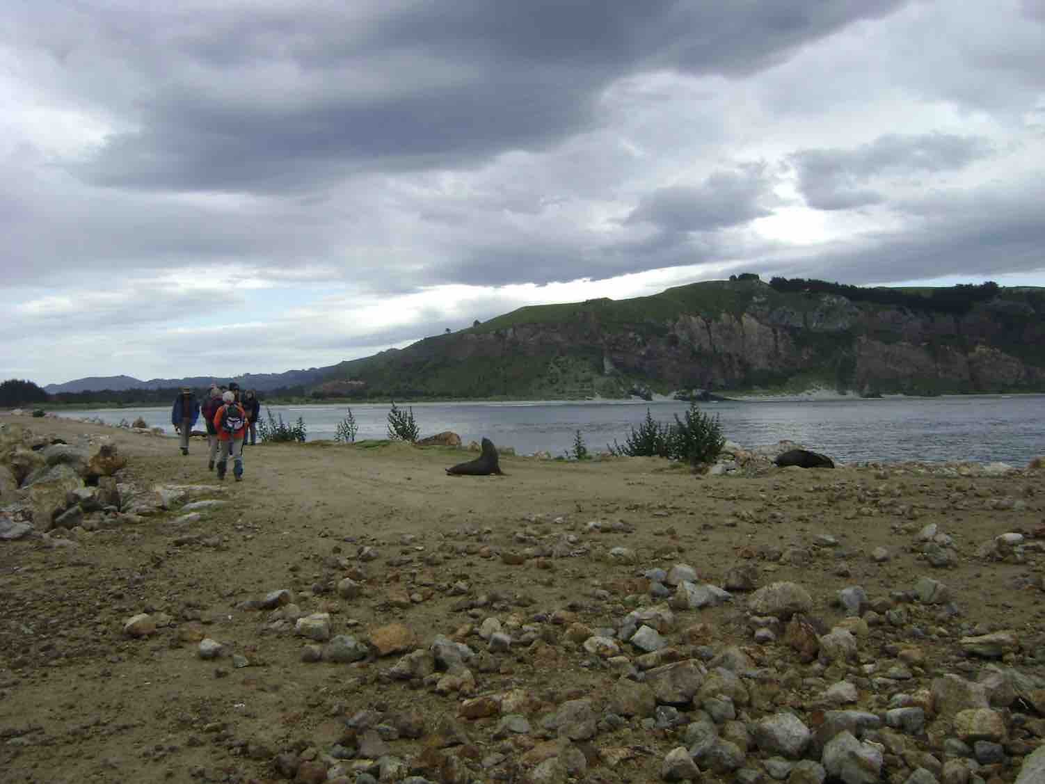
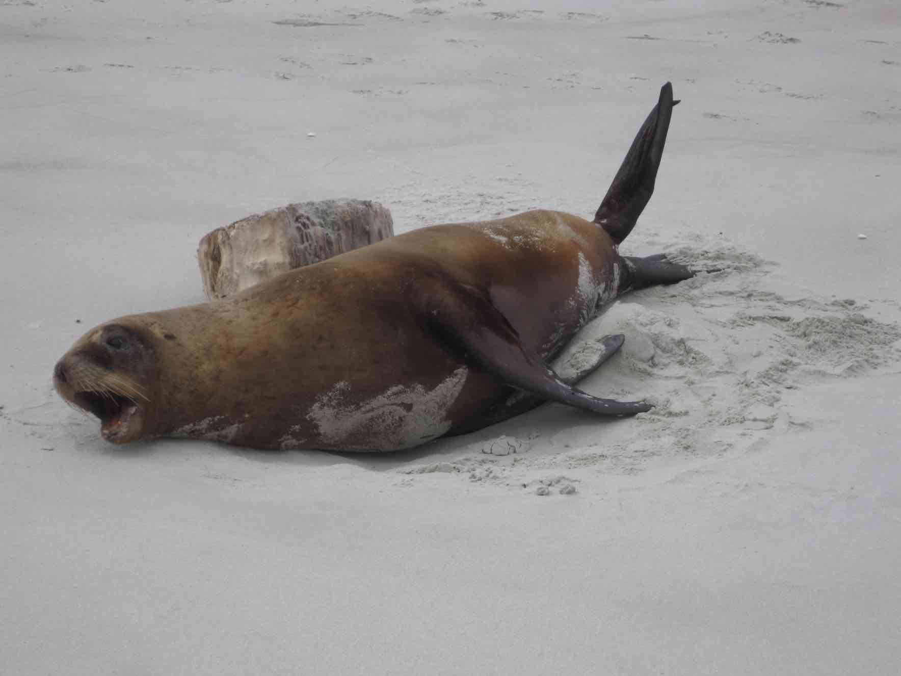
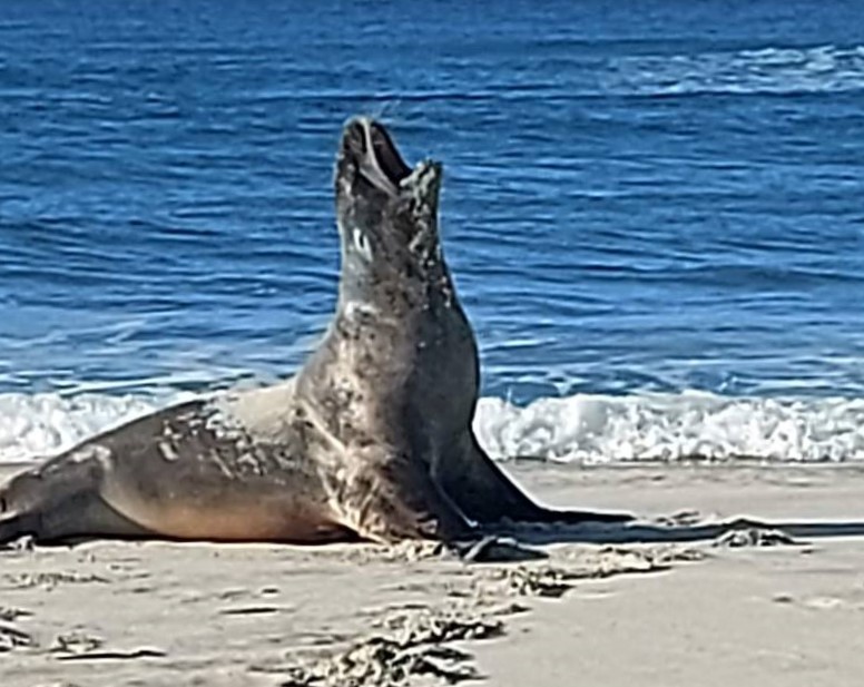
We were greeted by a large bull sea lion resting in the shallows. He didn’t seem to be too concerned about us trudging past so after he posed for a few photos we left him to it and carried on back to the carpark. The plan was to head out to the end of the Mole for lunch however with the wind starting to get up a bit and time pressing on it was decided to give that a miss and instead we would have lunch. This turned out to be an inspired move as it meant we would make our deadline for afternoon tea later on. The cafe had expressly informed us they were closing on the dot at 3pm.
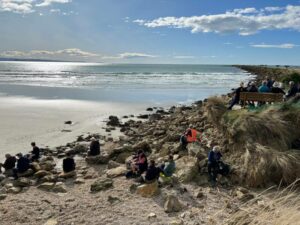
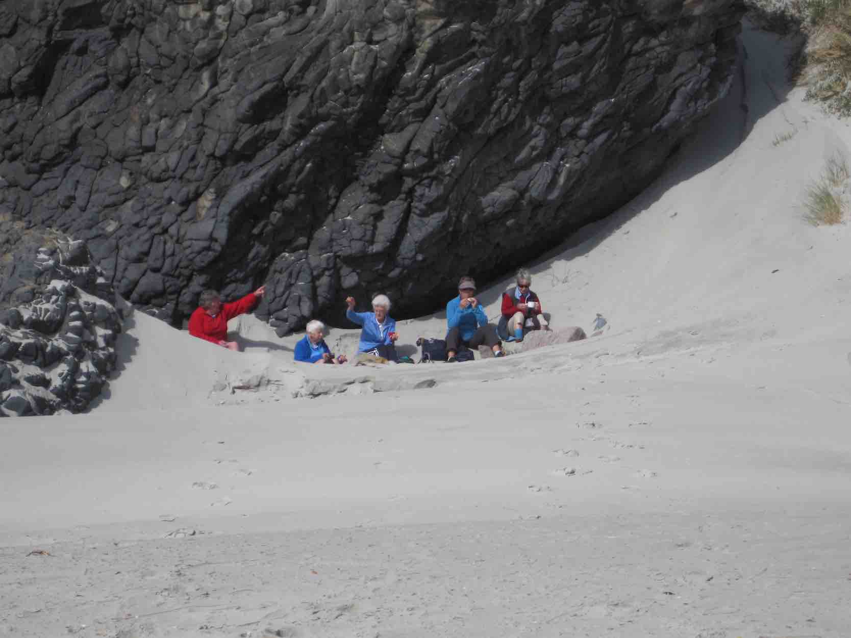
Lunch on the rocks by the Mole (photo & caption Pam)
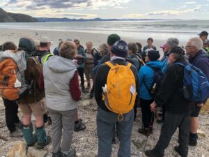
Following lunch John gave a small talk to the group on the workings of the locator beacons we carry on all tramps and hikes. I think this was very useful as it is important for everyone to be aware of what to do in the unlikely event of an emergency.
Gathering around for PBL refresher by John (photo & caption Jenni)
It was very tempting to push the button for a helicopter but as there were no takers for a ride, we headed off down Aramoana Beach.
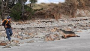
Now everyone saw another sea lion on the beach making a nuisance of itself by chasing those who got a bit close. That is except for Jim.
Jim took his eye off the seal. Panic. (photo & caption Ady)
It was an impressive turn of speed from Jim (he would not be out of place at the Comm. Games 50 metre dash) once the animal had him in his sight. After much hilarity and no injuries, we continued along the beach to the impressive rock formations then along a track in the sand dunes that took us back through the township to the cars.
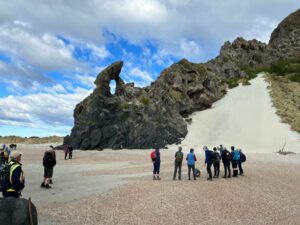
Keyhole Rock or Heart Rock as known to local’s (photo & caption Pam)
Upon returning it was generally accepted we walked a total of 8 kms and it is most pleasing to report that even we lost no one returning with our full quota of 40. It was then off to Port Chalmers for a coffee / tea / beer at a great wee cafe called the Galley.
After the trials and tribulations of the last few weeks it was a great day out with lots of laughter and of course great companionship.
Graeme
16. 30/03/2022. Hikers. Aramoana. Leaders Mike Webb and Max Wilson
Eight ladies left Mosgiel in two cars and met up with the leaders Max and Mike and Helen at the carpark in Aramoana by the Memorial. After a quick head count, eleven of us set out on a short walk to the Domain for a comfort stop before walking on a well formed track that lead out to the salt flats. We walked as far as we could go on the boardwalk and then retraced our steps to the Domain for morning tea.
Boardwalk on Aramoana salt flats (photo & caption Mike)
A short walk around part of the adjoining arboretum revealed a nice hidden grassy picnic spot. Ideal spot for the locals to dance naked on mid summers night. From there we made our way back to the carpark area and walked along Shelley Beach towards the harbour entrance with Taiaroa Head on the other side ahead of us. The tide was out so there were no complaints about getting feet wet when we went around the Spit by the old pilot wharf which, has almost been eroded away.
Remains of the pilot wharf Aramoana (photo & caption Mike)
We encountered a large bull sea lion resting in the shade. it was given a wide berth but was admired and well photographed.
Sealion at Aramoana Spit (photo & caption Mike)
We then proceeded back to the carpark area by walking on the other side of the Spit before a short stop at the Aramoana Memorial. A walk up to the mole end gave us the opportunity to see a noisy fur seal on the rocks.
Fur seal on Aramoana Mole (photo & caption Mike)
On the way back down the mole towards the cars we spotted what appeared to be a couple and their dog harassing a young sea lion that had exited the water on Shelley Beach. After much screaming and abuse from our female members, our leaders Mike and Max were dispatched onto the beach to remonstrate with and thrash the male offender to within an inch of his life. Luckily it turned out that he was rescuing the dog and its distressed lady from an inquisitive juvenile sea lion. We then found out that the lady had lost her car keys on the beach during the “attack”. Helen gallantly stayed behind to assist and caught up with us less caring hikers at the Galley in Port Chalmers for afternoon coffee.
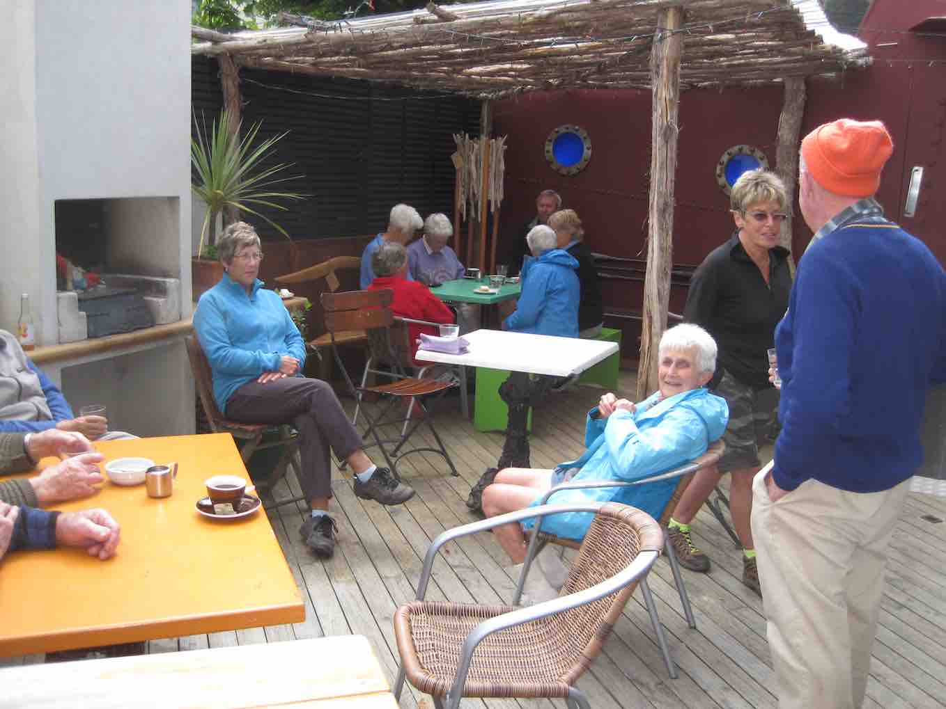
Afternoon tea at Galley in Port Chalmers (photo & caption Mike)
The weather was kind to us and we walked a total of 9kms.
Mike Webb
15. 5/6/2019. Both. Aramoana. Judy.
After a welcome extra half hour in bed, 31 eager trampers and hikers headed for Aramoana for our first trip of the month.
It was fine but with a cold sou-west breeze so we were pleased to find shelter from the wind for morning tea at the memorial to those killed by David Grey in the 1990 massacre.
To start activities.Smoko. (Gordon pic and caption.)
With a surprising break from tradition the group was then split into teams of four or five and issued with instructions for a treasure hunt.
ARAMOANA TREASURE HUNT:
What does Aramoana mean? ________________________________
What is unusual about the Southern Right Whale? _______________
How many pilot houses are there on the Spit?__________________
Who did the art work on the board-walk mural? _________________
In what street is the house called Waiwurri?___________________
What is the name of the boat house in Moana Street? ____________
What is the Maori name for albatross?__________________
Who are Hector’s dolphins named for?________________________
How long can a yellow-eyed penguin live?_____________________
What is papaka?_____________________
Collect the following: (It must all fit in your plastic bag).
A black pebble
A feather
A black trumpet shell
Something red
Part of a crab
A picture of a seal
A piece of string
A picture of a black-backed gull
Something plastic
A bottle top
A purple flower
Something orange
Something wooden
A lolly wrapper
A hinged shell
A piece of green seaweed
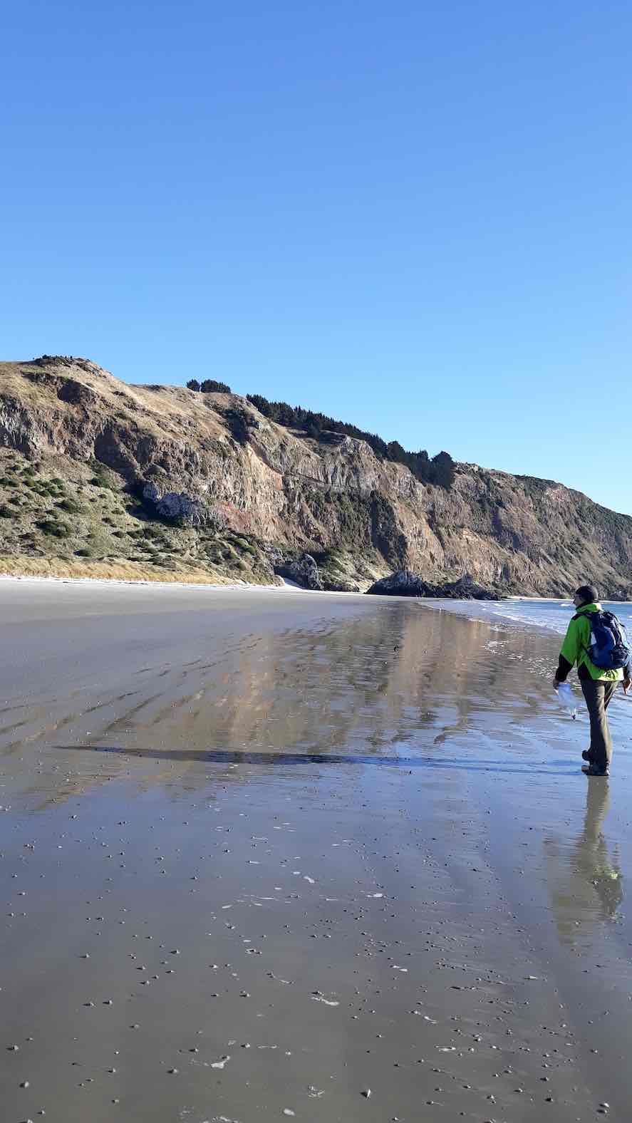
With low tide at 11.30, teams managed to cover a lot of ground – right along the ocean beach to the end,
Walking along the beach with the rich and reflections. (Helen pic and caption.)
out to the end of the mole,
Discussion on the Mole. (Gordon pic and caption.)
round the spit past the pilot houses, and along the board-walk across the salt marsh.
On the boardwalk ecological area. (Helen pic and caption.)
We gathered back at the memorial for lunch at 1.15pm, glad to be out of the cold wind again.
Lunch back at the Monument. (Gordon pic and caption.)
Teams had worked with great enthusiasm, with most answering all the questions and finding all items listed.There was no clear winner so chocs were issued to all before departing for Careys Bay and hot drinks.
– Judy and Linda
14. 14/12/2016. All. Christmas Lunch. Aramoana. Leaders: Judy K and Liz.
49 happy trampers gathered at the Aramoana Hall for this year’s Christmas lunch. Goodies were deposited in the hall and after a leisurely morning tea break outside, a variety of walks were had.
14 trampers marched along the beach as far as they could go. It being low tide, this was right to the bottom of Jacob’s Ladder. The predicted high temperatures and NW winds did not arrive but conditions were ideal for a beach walk.
Can you see it? (Margreet pic.)
They returned along the beach to the mole, and out to view the lazy seals basking on the rocks at the end.
Just about there. (Margreet pic.)Sleepy Recumbency. (Margreet pic.)
There was no time to continue round to the wharf as lunch was scheduled for 12 o’clock.
16 hikers walked out to the beach beside Bear Rock and turned right along the beach to the mole, then out to the end to view the seals.
(Adrienne pic.)(Adrienne pic.)
Various other Club members were met at different points, enjoying the local scenery in a leisurely fashion, some onto the mole, some along the beach and others the board walk across the tidal flats.
A fantastic spread awaited us in the hall and we all feasted amply from the groaning tables. Holiday reading was available courtesy of Jill, proceeds to the new Mosgiel pool, and we were tantalised by Liz’s photographs of some recent hikes.
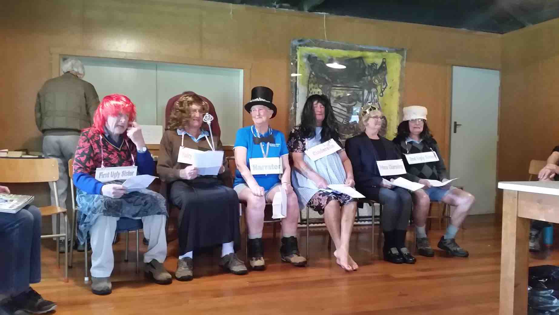
Cinderella was then ‘performed’ by an able cast of six – some barely recognisable under wigs, lipstick and skirts. A great deal of fun was had by all.
The brilliant weird Cinderella cast. (Margreet pic.)
The day was concluded with a couple of rousing Christmas choruses led by Bruce with his guitar. Some adjourned for coffee on the way home at the university cafe, while the majority headed for a well-earned nana-nap at home. – Judy K.
Morning TeaSunning sealion at end of Mole. (John pic)Sealion happy as a pig in muck. (John pic)Jetty. (John pic)Marshland (John pic)The Port Royale Cafe, Port Chalmers. (John pic)
GPS of route. Ignore red bit. The 9+ km shown should have been really 10 – 11 km as I failed to take the camera out onto the salt marsh board walk.
We parked in the Aramoana recreation grounds. (Near “9” on map). We wended our way by road and track to the beach where we had our morning cuppa in sandhills sheltered from the current wind (1 km). En route, some accepted the invitation by its owner to explore the roomy interior of the quaint boat house, beautifully wood-worked with no nails, designed to float if/when the sea-rise comes. We turned left along the beach until stopped by the ebbing tide mark, admiring a number of seal pups. (2 km). We returned …..
Return
and continued on to reach the Mole (4km) and explore to its (almost) end,(5 km) guarded by several seals, who weren’t about to yield ready passage. Here we were impressed by a large colony of Terns, all facing into the wind.
Terns
We returned …
Returning from end of Mole.
to the Mole’s base. (6 km), where we lunched at the …
Memorial
…Monument to Aramoana Disaster… We then circumnavigated the Spit. (7, 8 and 9 kms). Then it was out to the Aramoana Saltmarsh boardwalk. Unfortunately this reporter left his camera GPS recorder behind with his pack at the cars (sob) for this bit. Further, he failed to turn it off till he got to his Careys Bay Hotel coffee, transforming the recorded 9 km into a sprint-walking further 10 km. (sob again). Anyway, a good walkabout, ably led by Judy, a long-time crib-dweller of the area. Thank you, Judy – and Lester, our back marker, who unfortunately lost touch with us, along with one of the hikers, and was able to re-find us only after lunch. – Ian.
Very cold day, [but a] super day. The main event was a an awesome time in a house ..where we were shown through. You would not believe it.
It was a great day….
…Hope you heard all about our time at Aramoana at that house. It was awesome. You would have loved it all the books etc and the wonderful woodwork. -Excerpts from Elaine emails.
10. 16/12/2009. End of Year picnic lunch at Aramoana. Leaders: Lesley, Bill and Pat.
Weather forecast was so-so but about 20 of us turned up at various times at the Aramoana Domain Hall. Our leaders had booked the hall for lunch, which was just as well as rain teemed down while we were eating, but enough of that later. A chilly gusting wind made those sitting outside for morning tea seek the lee side of the hall despite the sunshine. It also warranted parkas for the walk down the Mole that Lesley had organised. As hoped for, there was the odd seal and sea lion.
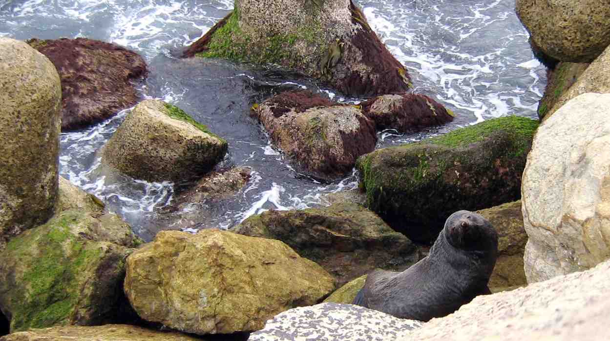
Sea Lion on rocks
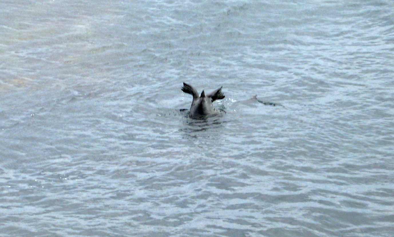
What we hadn’t expected was the sea lion’s extraordinary antics as it swam around the point after taking to the sea.
Sea Lion at sea. Tail inspection?
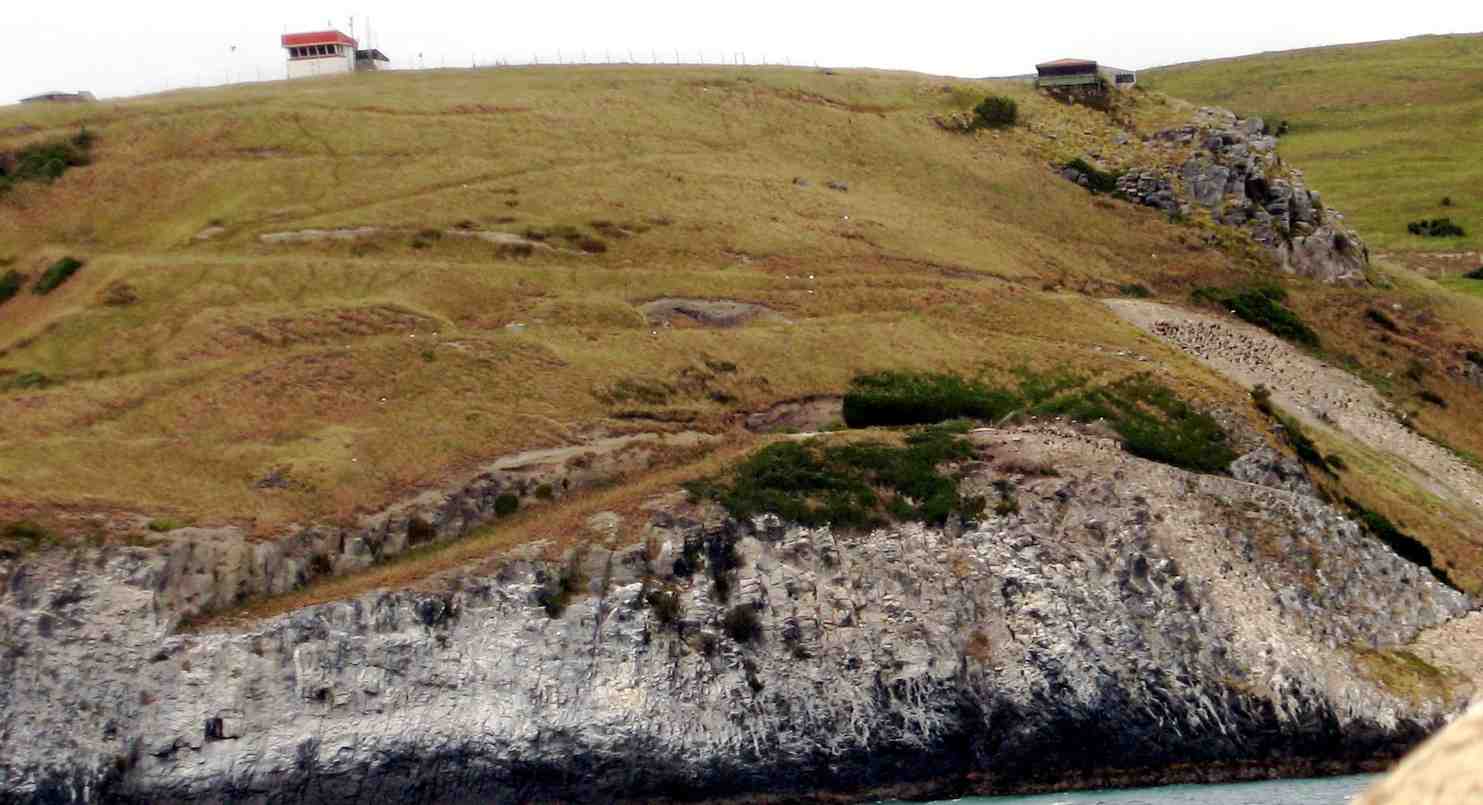
Forest and Bird member Lesley set up her trip-pod-mounted telescope to give us wonderful viewing of albatross nests and shags on the rocks on Taiaroa Heads.
Nesting albatrosses and shags on Taiaroa Heads
An colourful sight was this multitude of small birds in the shingle on the side of the Mole.
A cluster of birds
Returning back, we had to push hard against the wind’s strong blasts. Three set off around the Spit
Natural wind-carved sand sculptures on the Spit. (Bob pic)
while several others of us stopped for reflection at the 1990 massacre memorial.
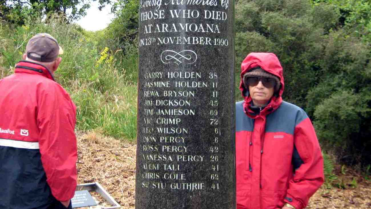
Memorial Names. Peter, Marjorie.
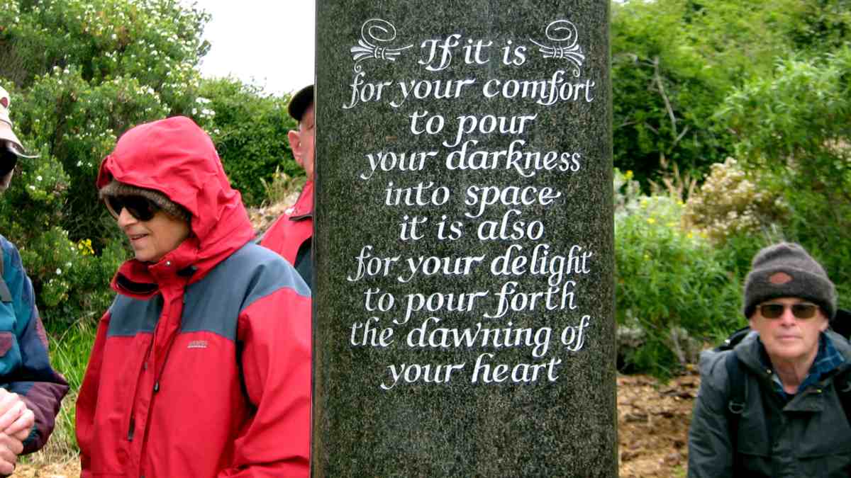
Memorial Inscription. Bruce, Marjorie, Peter, Bill.
Totara memorial
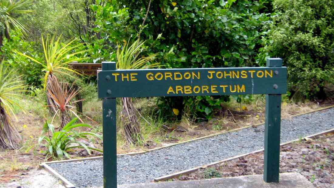
Back at the Hall, we visited the Gordon Johnston Arboretum behind the back corner of the hall, which we would never have guessed existed if Lesley had not told us.
Arboretum Entrance
An extensive path led around the native plants Arboretum, fully equipped with informative plant names until half way around there appeared the following entrancing scene.
Back into the hall for our usual wonderful spread of finger food. We sat in chairs around a table not only provisioned with a glorious variety of tidbits but also with them arranged on a protective oilcloth spread, and with paper plates and serviettes, all provided by the leaders. Most thoughtful.
Meal scene. (Bob pic.)
The wisdom of booking the hall’s shelter was confirmed by the sound of heavy teeming shower after shower on the roof as we nibbled in comfort. Bruce had brought his guitar and song-books (again arranged by the leaders) and we sang gustily to songs, sentimental and raucous, the words of some of which reduced us to helpless laughter, some to tears. Nearing 2.00 p.m. the wiser ones among us deemed it wise to close down, clean up and return home. Thanks to all those who made this end-of-year such a wonderful windup. – Ian
9. 23/7/2008. Hikers. Aramoana. Easy. Leaders: Lance and Lois.
8. 18/10/2006 Hikers. Aramoana area. Easy. Leaders: Lance and Lois.
1. 29/06/2022. Invermay/Silverstream (combined trampers and hikers). Leaders Grant and Barbara
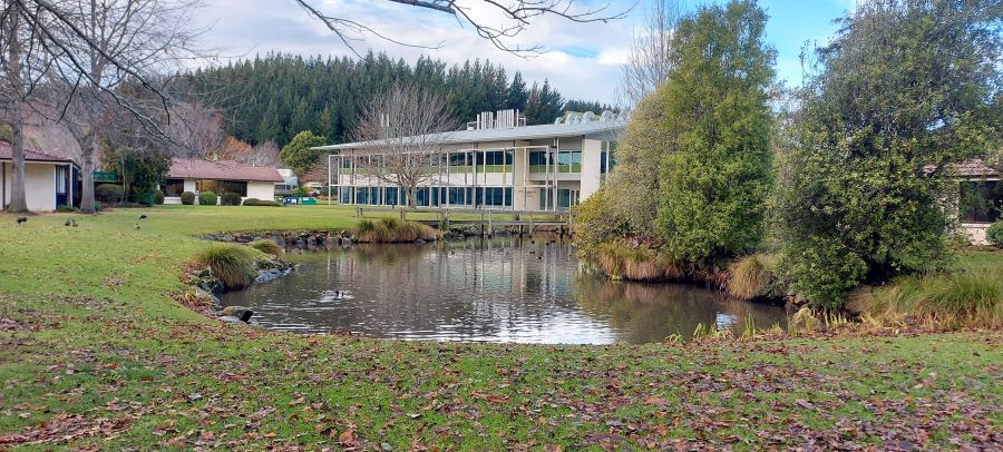
We saw our names listed on the upcoming trips beside the Invermay walkway. As we both had spent most of our working careers at Invermay (80+ years between us), we used some institutional knowledge to make our plans.
Our recce for this adventure was based on a presumed 15 (or maybe 20 if we’re lucky) hikers and we made our plans accordingly. The Invermay campus café was particularly happy to oblige as he had a busy week of catering events, and this number would be a walk in the park; so to speak.
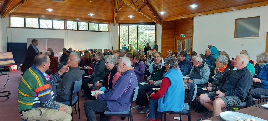
After we had posted our ‘preview’ things changed and interest mushroomed. Over the week preceding the hike, numbers had risen to 53 for lunch, dipped for some late Covid catchers, and risen again with some late notifications (or those whose attendance had escaped me!).
Wednesday 29 June 2022, dawned overcast, with an ominous red glow (well it was ominous if you were a hike leader). A pre-meet check of the previously placed blocks across the Silverstream, under the rail bridge, and a whip around to our old stamping ground to check on the room set up, confirmed we were as organised as it was possible to be when one party had been awake since 4am contemplating what could go wrong (or whether the distance was manageable … for him).
With both tramper and hiker emergency bags available to us, there were extra fluoro jackets available which was a bonus. After a brief meet & greet, we left the rugby club – almost on time. One leader attempted to pass on (her) anxiety about timeframes, as lunch was being provided for 12-sharp. A hiking visitor offered to don a fluoro jacket and was asked to keep count of hikers, a role he performed admirably considering the number of folk joining us enroute – including some who joined us on the banks of the Silverstream as we were virtually passing their back door. A brief morning tea stop was allowed at the Taieri Airport, where it was thought helicopter activity would keep any aviation enthusiasts happy; albeit briefly.
Morning tea at Heli Otago (photo & caption John)
At this time, a new member phoned a leader to ask where the group was (note to friends of new members / Committee – remember to emphasise the variation in summer & winter start times to newbies). He’d thought the start time was 10am. A quick trip was made from the rugby club carpark around to the airport, where he left his vehicle, and our numbers rose further. On his arrival, we departed single-file-ish along Stedman Road behind the airport buildings with a vehicle in front flashing hazard lights warning oncoming traffic of our impending approach!
Crossing the road, we dropped down to the Silverstream, managing the gate obstacle in whatever fashion best suited each individual, and under the rail bridge. Those who had feared getting their feet wet making the crossing, were audibly relieved to find vibrapac blocks strategically placed and the majority managed to cross without their fears being realised. Those with poles managed much easier – and thanks to all those who shared their poles with comrades.
Silverstream crossing under the rail bridge (photo & caption Barbara)
We continued the length of the track north of the railway line towards the Puddle Alley Picnic area.
Regrouping stop with the roosters (photo & caption John)
Leader #2 was there before us and had alerted the tree surgeons who were working on the eucalypts right beside the track that a large party was heading their way. They kindly turned off their gear as we came in sight up the rise, letting us safely past. As we dropped down the short steep little track leading to the picnic area proper (which was slippery with overnight damp) we were met by more members. Without really pausing, we continued across the picnic spot to rejoin the track heading under the bridge at Puddle Alley, continuing on the next extension of the track. The track had been temporarily closed up until a week before we were due to use it (which had caused us some mild ‘panic’). As it is now reopened, we’ve included a photo of the new signage so that members who weren’t with us have a heads up of the “rules”.
User beware (photo & caption Barbara)
The track meandered beside the Silverstream for a kilometer or two until we reached the gate indicating the end of public access.
Last leg of the accessible Invermay track (photo & caption Barbara)
Having previously received permission from AgResearch the group continued up through the former dump site. Beehives were visible but didn’t interfere with progress. Navigating the hill up to the forestry we had been asked to avoid the last 700m of the Invermay walking track which remains incomplete, and instead we continued on the right-hand side up the farm track to a lookout point over the Taieri Plain.
A reminisce or two from Grant (photo & caption Barbara)
Grant gave the group a brief explanation of the science that had occurred on the farm visible to us from this point, including the development of the exotic sheep quarantine farm with its double fencing, all completed in double quick time and the introduction of the East Friesian sheep semen through AI into the locally bred Coopworth ewes. On completion of this exercise, part of the original quarantine area was redeveloped to allow possums (in particular their reproduction) to be studied (with a view to limiting it!). Unfortunately, time did not permit a visit to the residual feed intake building where frequency and duration of eating bouts as well as amount consumed are recorded for individual animals (maybe another time!) so we proceeded down the farm road past the building now housing K9MD and VetEquine.
New building where the K9MD dogs are trained (photo & caption Pam)
We stopped again at the shearing shed where Grant pointed out the Portable Accumulation Chambers for measuring methane emissions from individual animals and further on, the CT Scanner building.
Grant explaining his sheep methane testing device (photo & caption John)Road to Invermay with Mosgiel in the background (photo & caption Pam)
By now we were really conscious of the time, and headed for the Cullen Conference Centre which had been booked for our increased numbers, passing the oak tree planted in memory of Crop & Food staff who had perished in a plane crash in Christchurch in 2003.
Even more members met us for the lunch part of the day. The room was warm, the food appetising, the tea & coffee welcome; and stripped of footwear, backpacks and jackets, we selected our eats, took a seat and partook of conversation.
Lunch and talk (photo & caption Helen)
Following lunch, we were joined by Pauline Blomfield of K9 Medical Detection (K9MD) Trust, who gave a fascinating talk on her work training and using dogs to detect prostate and bowel cancers, with a view to also detecting breast cancer. There is no public funding available for this work and as a result a large part of her time is directed towards worrying where the $500K that is required annually to simply keep the doors open is coming from.
Introduction to K9MD with Pauline Blomfield (photo & caption Barbara)
The success rates Pauline provided on the correct detection results for the dogs was inspirational, and in proposing a vote of thanks we were proud to present her with over $300 collected from TRTC members during lunch. Thanks heaps, all of you! For anyone else who would like to know more, visit https://www.k9md.org.nz/ and if you’d like to contribute visit here https://www.k9md.org.nz/help-us/donate.
View in Invermay (photo & caption Helen)
On re-booting ourselves, some folk left us at this point and the remainder headed back towards the farmyard and the stock route underpass to avoid having to cross Puddle Alley. Traversing an underbridge was something new for a few members. Up the little rise, through the gate, and we found ourselves back in the vicinity of the tree-fellers. The return along the track to the river crossing seemed to take no time, and again no members were lost in the crossing.
Exiting Invermay’s underpass at Puddle Alley (photo & caption Barbara)
By now, the front “runners” could smell home and headed off for the rugby grounds car park. The driver and the car left at the airport were reunited and they headed home to Dunedin. There was a brief stop for some stone fence lessons and those who had joined us enroute now peeled off.
Having briefly enquired about a coffee stop before we left, and there being no obvious demand, the remainder of us said our goodbyes at the car park and headed to our respective homes.
On behalf of the Leaders, and all those wearing fluoro, thanks for your good-humoured company.
14. 22/06/2022. Hikers. Tunnel Beach/St Clair. M. Leaders: Kathryn and Sue
We all met on a very cold frosty morning at Peter Johnstone Carpark. We then gathered outside St Clair Golf Club where twenty hikers walked along Hillhead Road then onto Blackhead Road in brilliant sunshine.
Morning tea – spot the miscreant walking sticks Caption and photo Barbara
We stopped outside the Cemetery for morning tea then onto Tunnel Beach.
Tail end Charlie Caption and photo BarbaraView down on those who made it Caption and photo Barbara
For those that hadn’t been there before it was a real eye opener and enjoyed by all.
Photo Margreet
We had our lunch in sunshine with great views.
Dispersing for lunch on the little peninsula Caption and photo Barbara
Hikers Lunch Caption and photo Kathryn
We then climbed back up and Ady did comment on the number of stairs she had to climb to get there.
Photo Kathryn
We proceeded back to the cars and went to The Village Green for coffee and a lovely finish to the day. Sue Nichol / Kathryn Fagg.
13. 3/10/2018. Both. Tunnel Beach from Kaikorai Estuary. M. Leader: Keith.
37 members set off on a combined walk from the Kaikoai estuary carpark at Waldronville …
Getting ready to move out, (Gordon pic and caption.)
… on a beautiful day and headed along the beach towards Blackhead.
Heading to Blackhead Quarry. (Gordon pic and caption.)
After smoko on the beach…
Great place to ponder after morning tea. (Gordon pic and caption.)
…we headed up to Blackhead carpark.
Unfortunately some got hit by larger waves with one gentleman
falling over and getting quite wet , while others got wet up to their knees.
At Blackhead, 12 left, walking along the roads back to the estuary to fetch their cars while the rest walked up Blackhead Rd to Tunnel beach car park.
!8 walked down to the tunnel entrance for lunch,
Great spot for lunch. (Gordon pic and caption.)
the rest regrouping in the carpark, much to the interest of a Chinese couple who snapped photos of the group having lunch.
Tunnel beach and carpark were very busy with lots of tourists. There was even a couple in their wedding finery taking selfies.
After the slog back up to the carpark and a breather, and a quick chat to those who had stayed, we set off walking down Green Island Bush Road
Heading back to Waldronville. (Gordon pic and caption.)
through Waldronville to the cars. Distance 15kms.
Hope everyone got home safely as it was impossible to keep an accurate count when there were so many people and several options for walking. – Keith.
12. 16/11/2016. Trampers. Tunnel Beach. E+
Seven trampers decided to just do tunnel beach walk. Weather was not that good. We all decided we had nothing to moan about after being unscathed from the earthquake. We saw a beautiful beach and some stunning rock formations and colours.
Stunning rock formation. (Helen pic and caption.) [Is there an eye, nose and mouth there? – Ed.]Rock stacks off the northern ends of the beach. (Margreet pic.)
Two waterfalls today.
One of the waterfalls. (Helen pic.)The other waterfall. (Helen pic and caption.)
Had morning tea down there in a cave entrance.
Morning tea. (Helen pic and caption.)
Also saw a lot of visiting tourists looking at our hidden attraction. – Helen.
11. 21/9/2016. Hikers. Tunnel Beach from Kaikorai Estuary. M. Leaders: Jan Y and Peter.
Nike app GPS of route. Kaikorai Estuary – Beach – Blackhead Rd – Tunnel Beach Rd – Tunnel Beach – Green Island Bush Rd – Blackhead Rd – Brighton Rd – Kaikorai Estuary.
24 hikers set off on a cool grey morning. Parked at the Waldronville estuary and walked through the dunes to the beach, then along the beach to Blackhead, stopping for morning tea halfway along the beach. 4 hikers walked back to the car park at this stage to drive to Tunnel Beach. The rest walked to the end of the beach, watching a couple of surfers at the end. Then up Blackhead Road which was reasonably busy, but not so many trucks as the day the leaders did the reccie. Headed down the track, which has been widened and upgraded. The sun came out at this stage, and the cliffs round Tunnel Beach looked quite spectacular and jackets came off. A group of hikers elected to just go part of the way down, as it is quite a steep track. The tide was out, and we picked our way across a large number of boulders at the foot of the tunnel …
Tunnel steps exit. (Adrienne pic.)
… to the beach where we had lunch.
Lunch. (Ian pic and caption.)Mouth of a low-tide cave. (Ian pic and caption.)Study in angles. (Ian pic and caption.)
Returned to the car park via Green Island Bush Road which had far less traffic. Great views across to Green Island and Saddle Hill from here. Then on to Brighton Road back to the car park, where the co-leader discovered that we had done around 15 ks, which was a bit of a surprise to her. Calculations had been a bit out. Well done to all those who completed the whole walk – quite good to get pushed out of your comfort zone occasionally. – Jan.
Taieri Recreational Tramping Club: President’s Update 4 June 2022
Hi everyone
As mentioned at this weeks meet n greet I would bring you up to speed on the work John Gardiner, Ross Davies and myself have been doing on Trip Grading, as well as a proposal on fuel costs for those in town, as well as requests from the TRTC Webteam for information for weekly reports.
Draft papers were submitted to the Committee this past week, and we have agreed we would pilot our new system, then formally consider it at our meeting in late July.
Trip Grading: Appendix 1
At the AGM two years ago it was agreed that the incoming committee would consider this, given the subjective aspect of current ratings such as easy, medium and hard, and everything in between!
John, Ross and myself have met 3 times so far, and can recommend both the Black Road Grocer and Adjo for their coffee and cake.
We have assessed a range of different methods of trip grading. We have considered a paper that sets out the different approaches across a wide range of NZ tramping clubs, as well as some Aussie Bush-walking clubs that I looked at while in Perth, in addition the Aussies have a national standard for rating tracks, and quite good too.
As you can see we are suggesting a numerical rating system; we have assessed it (e.g. distance, ascent, time) against the last 34 trips the club has done to date, and independently Ross and I allocated the same rating for well over 90% of the walks. We have allocated trip gradings to the balance of walks on the current programme to the end of June and will shortly address the balance of the current programme.
We would like to get your feedback as we complete the programme, so that e.g. over coffee and cake the trip leaders just ask how you rated your walk and to provide this to the webteam. A digital profile for each walk completed would be helpful.
The intention is still to have 2 walks per week that cater for all walkers.
We will update the ‘Upcoming Trips’ on the website and also re issue the Trip Programme asap. The new Trip Grading system will be on the website alongside the Trip Guidelines and the links will also be in the Trip Programme. For day to day trip planning, the ‘Upcoming trips’ list on the website should be considered the most current list.
Car passenger Reimbursement of Vehicle Running Costs
Ross has prepared a proposal which the Committee supports. There are now quite a number of vehicles in town that are driven to a central starting point when a trip is north or east of the City, say on the Peninsula, or over the Motorway/ Kilmog etc. After assessing meeting points in town that are all 19km less than leaving from PJ Park, and current fuel prices, the change means that passengers joining a town based car would pay $5.00 less than the cost shown on the trip programme, rather than the full trip fare on the programme. $5 will be a minimum discount. To stress a full fare would be paid if the car leaves from Peter Johnstone park. The Committee will formally look to approve the proposal at our July meeting. This change can take effect from the Split Rock trip on 8 June.
Information for weekly reports
The web-team – they are doing such a great job – have for the last few weeks been asking trip leaders to provide specific information in advance of the weekly report, so that members can be clear about what to expect on a trip, and help decide the best option on the day. They have had good feedback. They will continue this and as mentioned also build in a request for feedback on the revised Trip Grading system. In addition with a digital trip map etc. we would quickly build a profile of our walks with the new trip grading classification.
What to do
Please take 5 to consider especially the appendix 1. Take the opportunity to talk to John, Ross or myself during the upcoming trips as well as provide feedback to trip leaders on how you rate the walks.
Many thanks
Phil
Appendix 1 Trip Grading
Taieri Recreational Tramping Club Trip Grades
Factors
Expectations
Grade
Tracks
Distance
Ascent
Moving Hrs
Fitness & Experience Expected
Rests Every
1
Footpaths
0-7 kms
0-150 m.
0-2.5 hrs
Average, leisurely pace
20 mins
2
Smooth Tracks
5-10 kms
50-300 m.
2-3 hrs
Average, steady pace
20 mins
3
Tracks with some uneven ground
8-12 kms
150-450 m.
2.5-3.5 hrs
Good, can ascend a steep hill, steady pace
30 mins
4
Tracks & Routes – uneven ground
10-15 kms
350-650 m.
3-4 hrs
Good, can ascend/descend multiple hills, steady pace
30 mins
5
Route – uneven going
13-20 kms
500-900 m.
3.5-5.5 hrs
Fit, some experience in the outdoors, sustain a quicker pace over a longer distance
Hourly
6
Off Track – rough going
15 km +
800 m. +
5 hrs +
Fit, experienced in the outdoors, sustain a quicker pace, and persevere in tiring conditions.
Hourly
Notes:
Tracks Higher grades will include sections of easier track e.g. Grade 2 might include footpath sections.
Ascent Usually trips return to the start point so there will be just as much downhill as uphill.
Moving Hours These don’t include morning tea, lunch, or rest stops which usually add 1-2 hours for time away from vehicles. All times are estimates because of variables like weather, leadership and general group fitness (a group is as fast as its slowest member).
Rests These are approximate but indicate the likely frequency of stops for rest, regrouping, refuelling, and rehydrating.
Grading Trips won’t always fit neatly within the different factors and expectations. Where possible variations will be clarified by leaders before the trip. Some will fall between the grades and will be graded as in between e.g. Grade 3.5 will be harder than Grade 3 and easier than Grade 4.
Hazards Leaders are encouraged to explain specific hazards in advance, like stream crossings, overgrown vegetation, rope sections, exposure to weather. However, any of our trips may include steep slopes, uneven terrain, tree roots, unbridged stream crossings and other obstacles.
Cautions Although trips are graded, any trip may be more difficult on the day due to conditions like recent rain, deteriorating weather, or fallen trees.
Feedback The grading system is to clarify the different levels of our trips to give guidance to newer members and to help all members decide which trips to go on, and to be prepared. Feedback is needed on the factors and criteria of the grading system (which are the more important?) as well as how the grades are being set.
Allans Beach on Hoopers Inlet, Otago Peninsula, NZ.
27 km from car-park.
7. 14 June 2023. Hikers. Allans Beach. Grade 2, $9, 39km, Leaders: Bruce Spittle, Alex Griffin
Fifteen hikers, including new hikers Heather and Val, set off from the car park at the end of Allans Beach road with clear skies but a chilly breeze. We briefly explored the east end of the beach as far as the waves allowed and then had morning tea in the shelter of the sand hills where there was some sun.
Morning tea in a cool wind (Photo & Caption Helen)
We walked the length of the beach to the outlet of Hoopers Inlet where the tide was coming in noticing two sea lions on the way.
Mr Sea Lion (Photo & Caption Helen)
Morning tea view (Photo & Caption Helen)
We then followed the sand on the edge of the inlet to near the fence at the end where the inlet turns to the right and had lunch, at about 12, in a relatively sunny sheltered spot.
After lunch we explored the salt marsh area as far as the tide allowed and some more sea lions were spotted.
Along the marshlands (Photo & Caption Helen)
We retraced our steps to the west end of the beach and ascended into the sand hills about 100 m from the end of the sand hills near the inlet and after finding our way through some vegetation found the track through the farm leading back to Allans Beach road.
View of Harbour Cone (Photo & Caption Helen)
We arrived at the cars about 1405. Distance travelled approximately 9.5 km. The weather was reasonable for winter with sunshine and little wind most of the way. The views of the inlet and hills were tranquil. Coffee was had at Nichols.
Coffee at Nichols (Photo & Caption Helen)
Thanks to Co-leader, Alex Griffin and to Liz Griffin for liaising with Nichols.
No. 18 on old hardcopy list of 113 club tramps.”Ocean View – Saddle Hill. D Bennett. Farm. Lambing.”
7. 08/06/2022. Hikers. Ocean View. Leaders Alex and Bruce.
Sixteen hikers assembled in the Brighton Bowling Club rooms and exited following Alex to the right passing the $50,000 new retaining walls, crossing the Brighton-Taieri Mouth road, and proceeding to the playground at the domain for morning tea.
Morning tea overseen by locals (photo & caption Barbara)
We then crossed the domain, without disturbing any persons who were preferring to live in cars, and descended the steps to the Brighton Beach. The depth of the Otokaia stream was about 2 cm and we all successfully negotiated it without any drownings. We ascended the steps behind the Brighton Surf Club rooms, followed the footpath to the Braids Hill car park and then proceeded north along the beach until about 11.30 am when we reversed direction.
Following the leader through the sand dunes (photo & caption Barbara)
After a brief stop at the freedom camping site, where new posts and chains have been installed to more clearly delineate the freedom camping area, we proceeded along the track through the dunes until turning up a path to the right by some macrocarpa trees passing through Bruce’s property at 727 Brighton Road where Alex spoke of his experience with Black Boy Peach growing.
Following in the footsteps of those who have gone before…(photo & caption Barbara)Seascape from Ocean View (photo & caption Barbara)Overlooking Ocean View from the old track (photo & caption Barbara)
We continued south on the footpath and turned up Creamery Road, where we arrived at 11.57 and listened to Warren Harris tell us something of the history of the area and had an opportunity to view his museum with its extensive collection of various historical items including toys, tobacco tins and tools.
The little museum brought back lots of memories (photo & caption Margreet)Lunch (photo Barbara)Appreciation by acclamation (photo & caption Barbara)
After accepting Warren’s kind invitation to have lunch on his property we thanked him and walked via Creamery Road, and John St through a grassy area on the left and down some steps through bush to Brighton Road. We crossed the road and turned left at the clothing collection container and followed the path to the beach, and then along the river and through the sandhills to the Braids Hill car park and along the footpath to the Otakaio Creek bridge.
Several photos were taken of a white heron/Kotuku looking for food in the creek. It has been a resident of Brighton and Ocean View for some weeks. Some Royal Spoonbills were also seen near the bridge.
White Heron (Photo Ady)
We then subdivided into a group that went directly to the Brighton Café while the others came after driving their cars from the Brighton Bowling Club.
Cheeeeeeeeese (photo & caption Barbara)
The weather was cool and cloudy but the rain held off. Adi measured the distance on her cell phone at 9.43 km. Alex and Bruce were thanked for being the leaders.
Opoho Odyssey 1 June 2022
In pleasant temperatures 35 Trampers set out from the Botanical Gardens carpark to enjoy our Opoho odyssey. Our first stop was for morning tea at Tannock Glen which is an established rhododendron dell off Warden St.
Morning tea at Tannock glen (photo & caption Helen)
Then we meandered through various streets and Ross’s well researched commentary about various points of interest was much appreciated. (This history will be available for anyone to review on a separate link). Neil added a few memories of his misspent youth in this suburb and talked about his family links to the area.
Jack Lovelock’s home (photo & caption Phil Keene)
Then it was off down the zigzag to Knox College which while not strictly in Opoho has strong links to the suburb because countless staff and students lived in Opoho and worshipped and preached at the local Church in Farquharson St. Knox College actually opened in 1876 to train and house students wanting to become Presbyterian Ministers. It is now a hall of residence open to all Otago University students.
Knox College (photo and caption Pam)
It remains a very well maintained beautiful historic building. Our guide Alec gave us an extensive tour through the various wings and a detailed commentary about the history. In the exquisite dining room which looks straight out of Harry Potter, Phil gave us a tune on the magnificent concert grand piano.
Dining room, Knox College. Beautiful oak roof, dining chairs and tables (Photo & caption Pam)
Beautiful Knox College Chapel (photo and caption John)
We all really enjoyed this tour as many had never been in this building.
Admiring the stairway artwork (photo & caption John)
It was also great to climb via steep steps onto the ramparts where we got extensive views over Dunedin.
Parallax – Looking up the Knox Stairway (photo and caption John)View North from Knox Tower (photo and caption Pam)Jim and Lester at bottom of Knox stairs, greeting us on our return (photo and caption John)
We were invited to have our lunch in the quadrangle outside the building and could wander through the well-maintained gardens which was a pleasant interlude.
Lunch in Knox College quad (photo Helen)
After lunch we divided into two groups and the 13 hikers set off for the top gardens and visited the aviaries. Then it was an interesting walk through the Northern Cemetery. This is a major historic landmark in Dunedin and we saw notable graves and tombs. Neil was also able to point out graves belonging to his (and Graeme Souters) great grandparents.
Neil and Graeme Souter in front of their Great grandfathers grave in the Northern Cemetery (photo & caption Margreet)
Most prominent in the cemetery is William Larnach’s tomb which was designed by R.A.Lawson and is a miniature replica of First Church.
The Mausoleum of William Larnach (photo & caption Margreet)
The Sexton’s cottage which is maintained by the Southern Heritage Trust is also very historic.
In front of the Sextons Cottage (photo & caption Margreet)
Of interest as well are the more than 1000 heritage roses; about 500 of which were poisoned with herbicide in 2016. Heritage Roses Otago have worked tirelessly to replace the damaged plants with cuttings and many of the graves now sport new plantings. We also stopped for a few minutes to visit the memorial to Thomas Bracken who wrote the National Anthem of New Zealand.
To finish it was a walk through more tracks in the top gardens and back to the cars.
Massive tree between northern cemetery & gardens (photo & caption Ady)
We enjoyed coffee in the café in the lower gardens.
Afternoon coffee (photo & caption Margreet)
Distance covered was about 8km. We will now hand over to Ross and Wyn to give a short account of their afternoon hike which was no doubt more strenuous!!
Neil and Margreet Simpson
We were the other group, 22 in total, that set off on the more strenuous hike. The 58 steps to the higher part of Arden Street immediately after lunch was a cruel start. We contoured around to Chambers Street which we descended a short way to find the 41 steps up to Taine Street. And then it wasn’t far to the 52 steps to Montrose Street which turned the corner into Maybank Street. Once we reached Blacks Road, it was down a short way to Grey Street and then down, down James Street to North Road.
We enjoyed the flat walking up North Road but all too soon came to Baldwin Street and another 273 steps.
Baldwin Street poem There’s a pigeon … (photo & caption Phil Keene)
Who doesn’t love Baldwin Street? (photo & caption John)
We knocked the B…. off (photo & caption Phil Keene)
Photos at the top gave plenty of time for getting our breath back before we followed the footpath to the 85 steps down Calder Street to Primrose Bank which led us to the North-East Valley Community Garden. It was a lovely place to chat with the locals and enjoy the afternoon.
Impressive N.E.V. Community Garden (photo & caption John)
From here, it was all up; first up Dalmeny Street, where some tried to figure out if it was better to zig and zag, or to just take it straight. Eventually another 58 steps brought us to Evans Street, and a little further up Evans Street 137 steps took us to Signal Hill Road, just above the bus terminus. By this stage we were starting to feel the effects of altitude; breathing was becoming harder.
Quote from Ross- only one more “bunch” of steps (photo & caption Pam)
We turned into Northfield Avenue to admire the house that Neil grew up in, before descending another lane to Signal Hill Road. Not far down the road we came to the house that Margreet lived in briefly in her younger days, next door to the house that we now live in. It’s a small world.
We detoured from there around Grandview Crescent which does have a very grand view, down one last lane to Warden Street (10 more steps), identified where the track down the hill to the Big Easy goes off the top end of Blacks Road, and zoomed on back to the cars and then the café at the lower Gardens. Some of the other group were still lingering and luckily they hadn’t eaten all the cakes.
It was a pleasure planning and leading the trip with Neil and Margreet and a constant surprise learning about the parts Neil’s family have played in the history of the suburb we call home.
We learned a lot about the Opoho history preparing for the trip, and shared bits of it as we went along. Some have asked for a copy of our notes, and these are available via this link here Opoho Historical Background Notes
Not all these places were pointed out as we went around, but I’ve left them all in for anyone interested.
On the more strenuous hike, we covered about 10 kms including the morning, with about 345 metres of climbing, and a moving time of 2 ½ hours. And did we mention the steps? 628 steps up (not including climbing the Knox tower).
Ross and Wyn
Opoho – ‘Here my head is level with hills and sky’ – (Janet Frame)
[These historical notes were prepared by Ross for our wanderings around Opoho on 1 June 2022 on a tour led by Neil and Margreet Simpson and Wyn and Ross Davies. Only parts of it were recounted as we zoomed around, and some asked for a chance to read a bit more about what was talked about. What follows is the whole lot.] Name of Opoho
Maori have been present in the area for 800-900 years. Two groups of Maori ovens have been found on the contours of the hill, said to have been used by people of the Ngatiwairua.
Poho is said to have been a Ngatiwairua chief in the 1700s, head of a family occupying a small kaika (village) by the outlet of the stream which flows down the hill into what was once Pelichet Bay (now Logan Park). O-poho simply means ‘Poho’s place’ and it came to be applied to the neighbouring stream – Opoho Creek.
Later it was adopted by one of the early English landowners for a subdivision on the middle slopes beside where the stream flowed (the Logan Park side), and gradually the name became applied to the whole suburb (on both sides of the ridge). Opoho Odyssey Part 1 – Botanic Gardens Top Car Park to Knox College Lovelock Avenue
Formerly Cemetery Road because of the Northern Cemetery halfway down. Renamed Lovelock Avenue in 1968, after Jack Lovelock who lived in Opoho while studying medicine at Otago University. It was the street he ran down every day going to university. Jack Lovelock kept running, and broke the world record for the mile in 1933. He went on to win the gold medal in the 1500 metres at the Berlin Olympics in 1936 (the first Kiwi to win an Olympic track event). Signal Hill Road
The most enduring street name in Opoho is Signal Hill Road. It appears on all the maps. The top of Signal Hill provides a good view of the harbour and may have given the Maori a place to watch for hostile war canoes and signal from. With European settlement, the same hill was used to signal immigrant ships and perhaps to announce their approach to Dunedin residents. It remains one of the best-known landmarks in Dunedin. Opoho Road and Trams
The original Opoho subdivision, called Estate of Opoho, to form Opoho Township was created by Captain Boyd in 1873. We’re going to wander some of the streets of this Opoho Township this morning, making our way down to Knox College for a tour at 11am. Opoho Road was the southern boundary of the Opoho Township, originally called District Road. It was the first access to the suburb from the Gardens although there was also a road to Dundas Street down Lovelock Avenue. Opoho Road was too steep where it meets Signal Hill Road for the trams, so a new loop was created through part of the Upper Gardens where the road now goes. It was the steepest line attempted by electric trams. The terminus was at the corner of Signal Hill Road and Blacks Road, and that was steep too. At least two trams ran away from the terminus when the brakes failed – with serious consequences. The tramline opened in 1924. Continue reading “Opoho – Historical Background Notes”