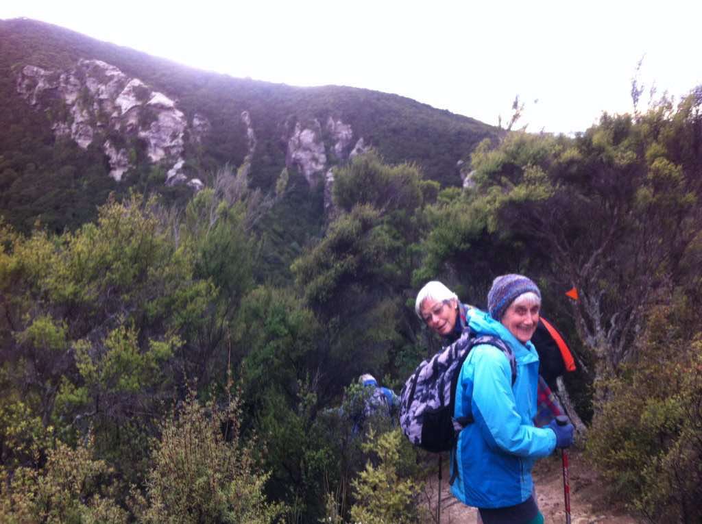
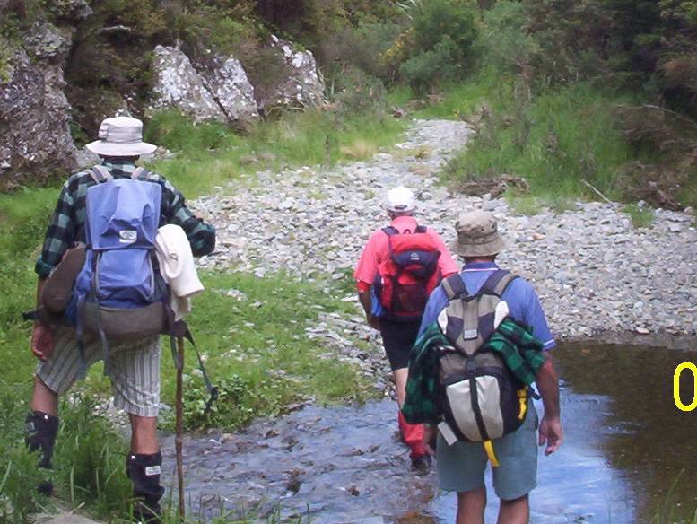
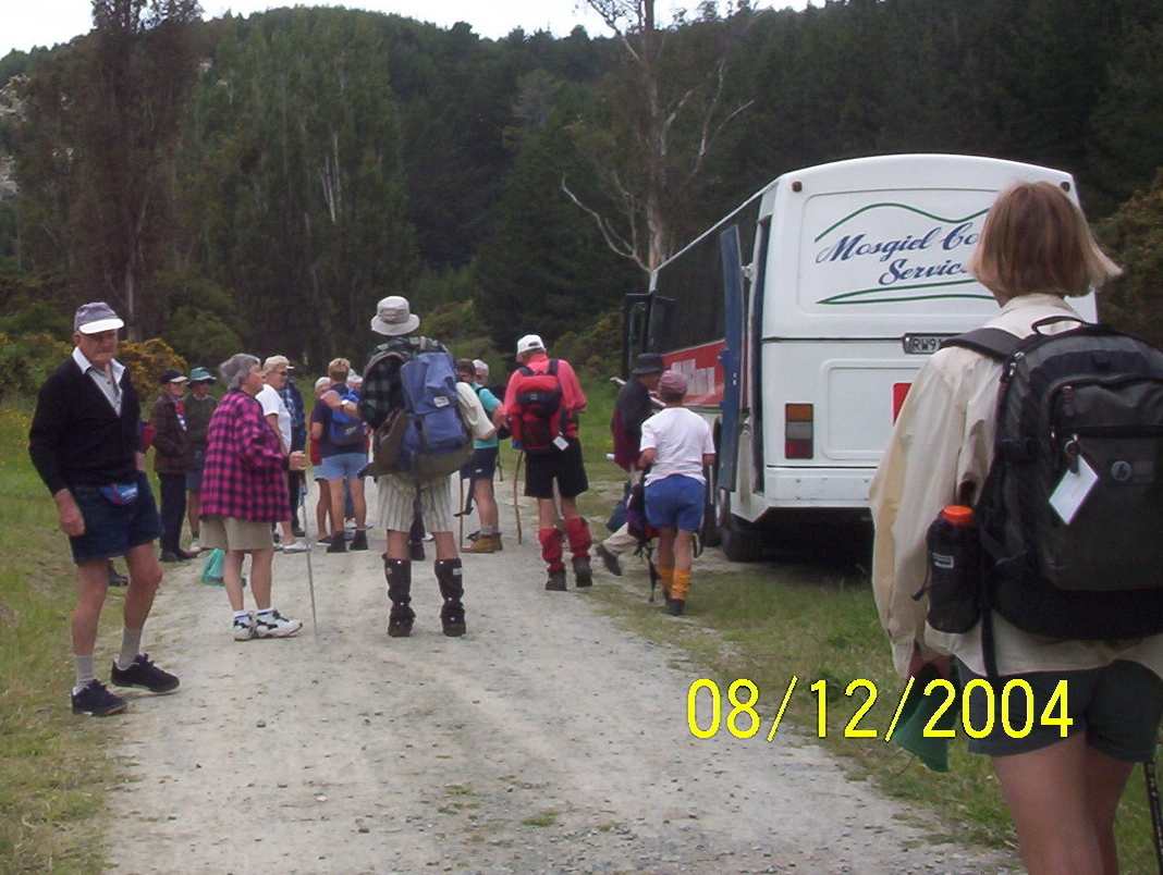
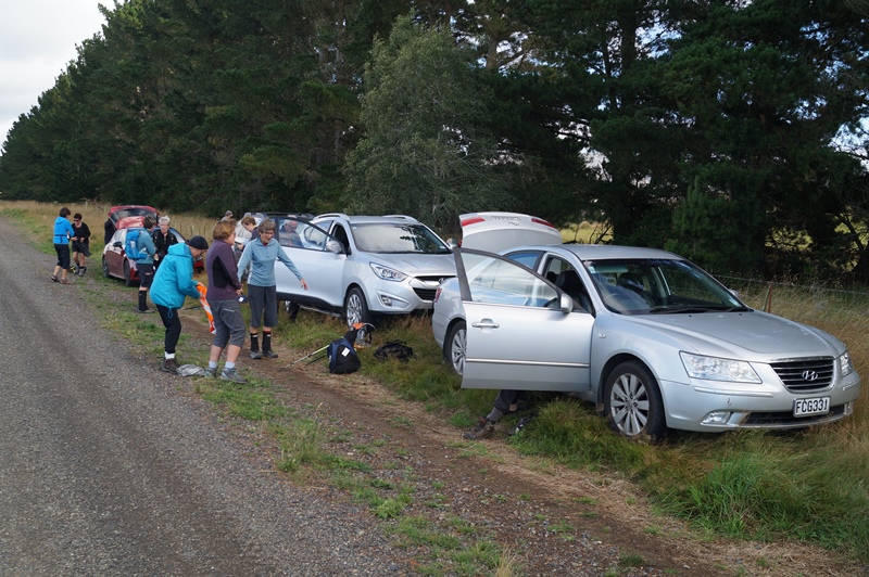
Opoho Odyssey 1 June 2022
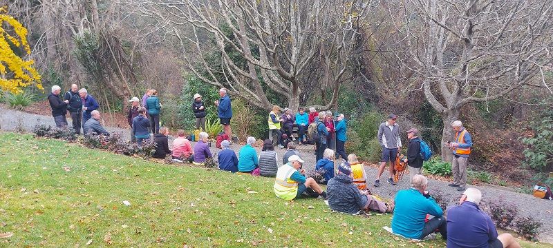
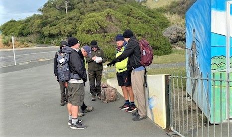
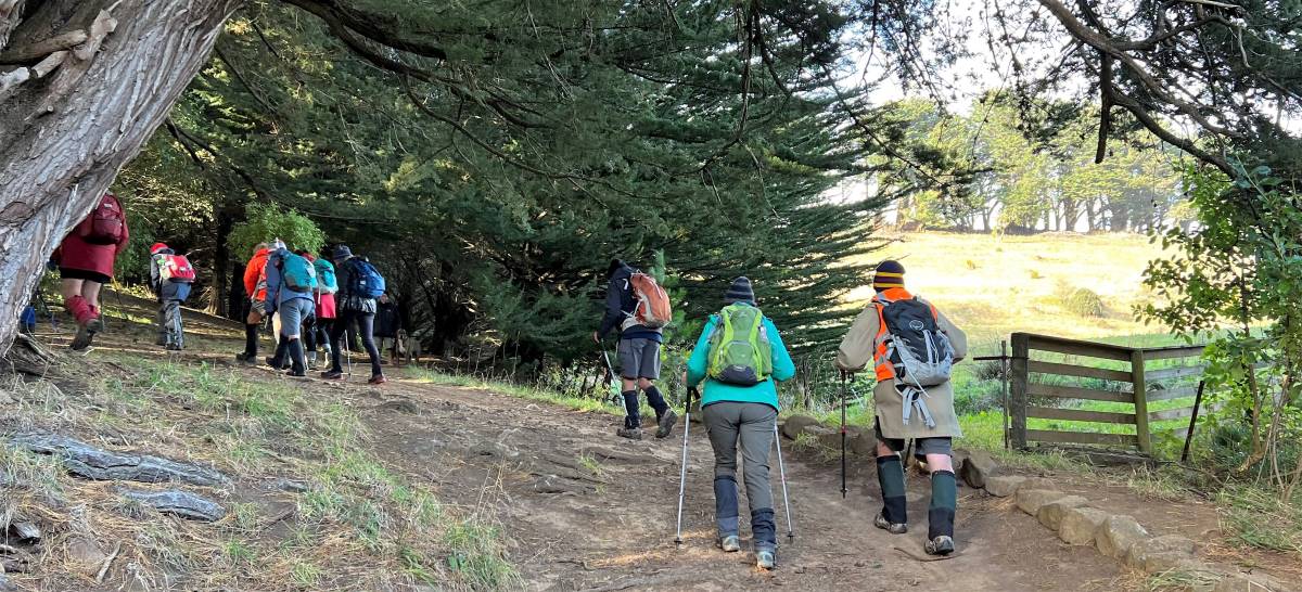
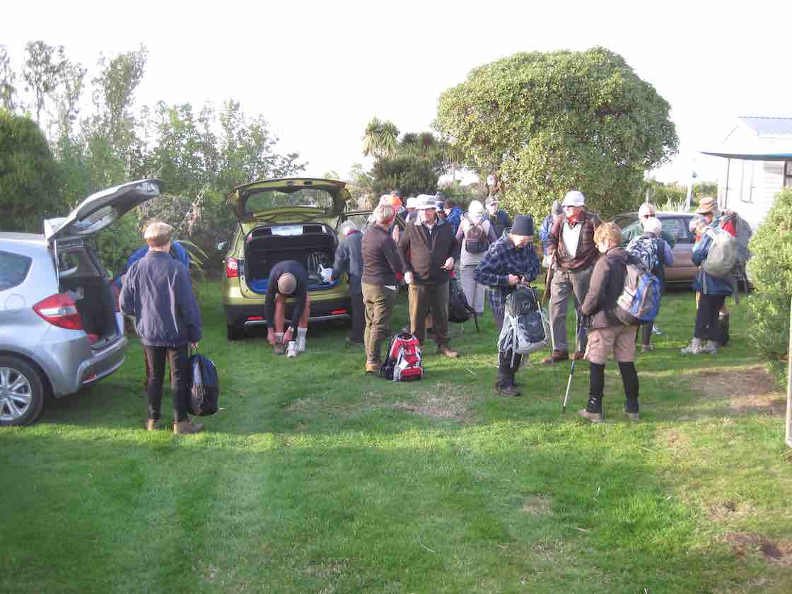
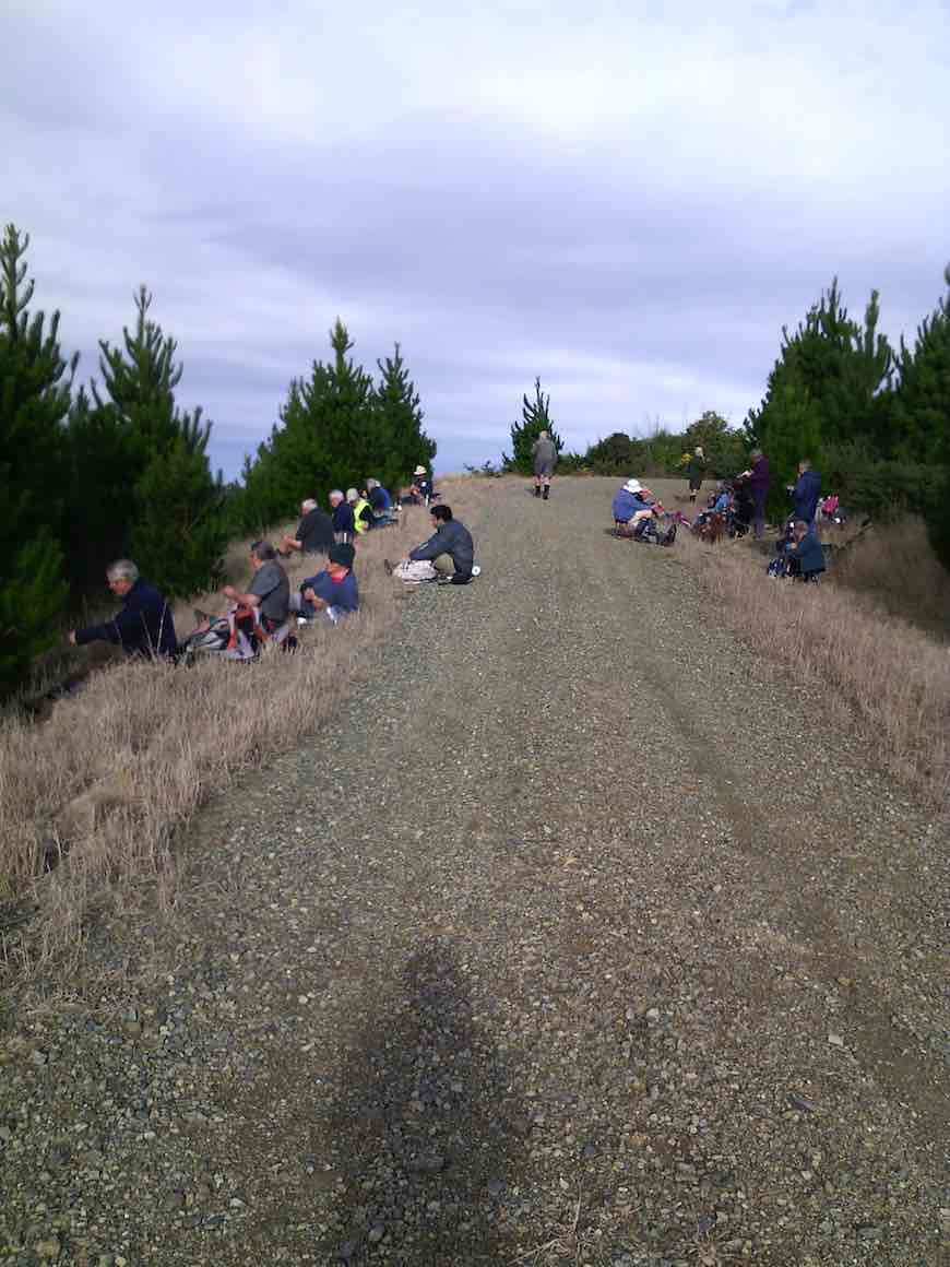
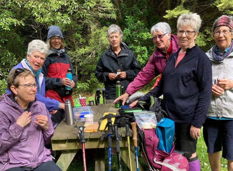
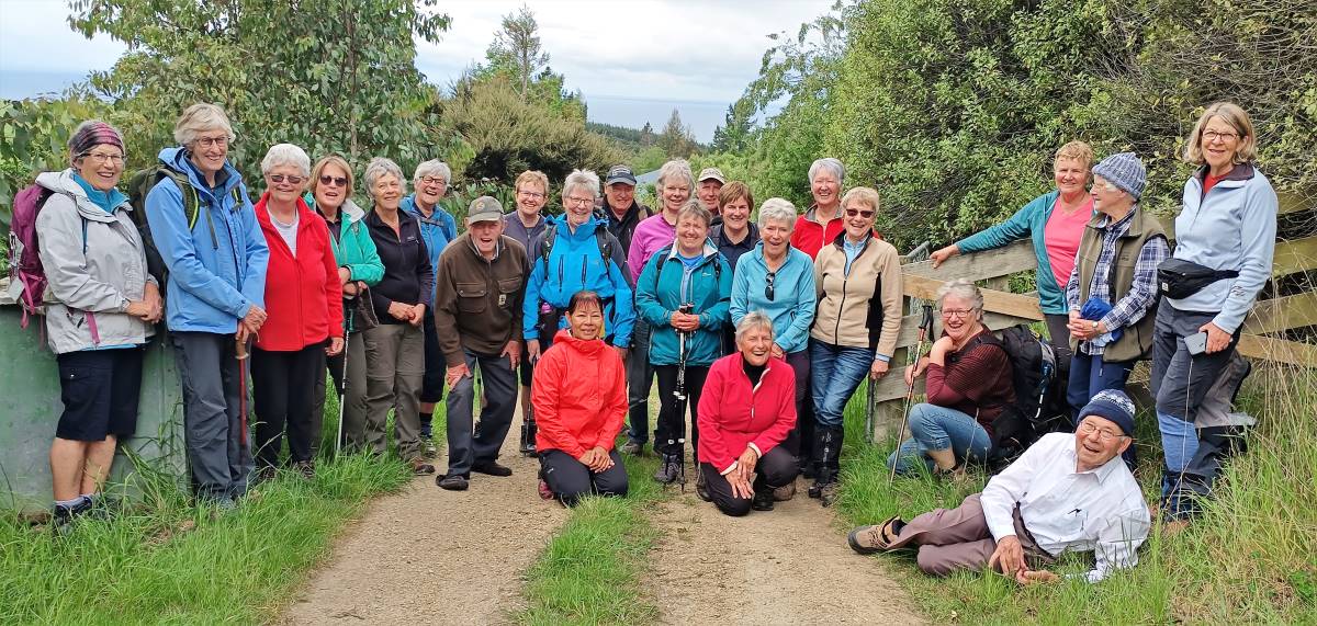
In pleasant temperatures 35 Trampers set out from the Botanical Gardens carpark to enjoy our Opoho odyssey. Our first stop was for morning tea at Tannock Glen which is an established rhododendron dell off Warden St.
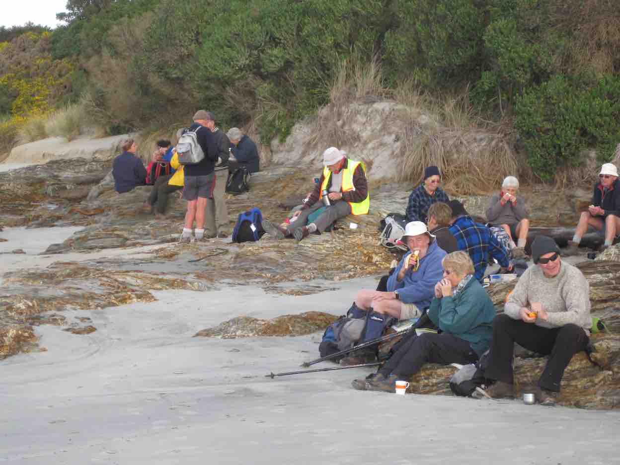
Morning tea at Tannock glen (photo & caption Helen)
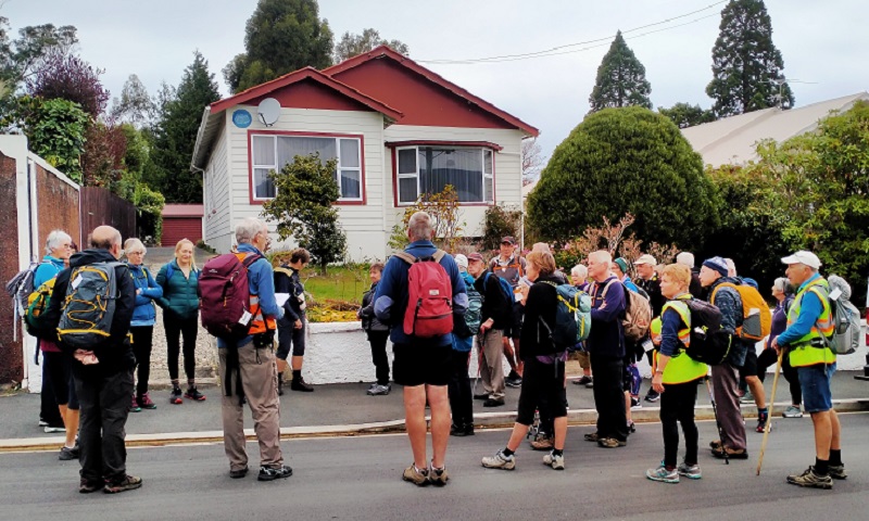
Then we meandered through various streets and Ross’s well researched commentary about various points of interest was much appreciated. (This history will be available for anyone to review on a separate link). Neil added a few memories of his misspent youth in this suburb and talked about his family links to the area.
Jack Lovelock’s home (photo & caption Phil Keene)
Then it was off down the zigzag to Knox College which while not strictly in Opoho has strong links to the suburb because countless staff and students lived in Opoho and worshipped and preached at the local Church in Farquharson St. Knox College actually opened in 1876 to train and house students wanting to become Presbyterian Ministers. It is now a hall of residence open to all Otago University students.
Knox College (photo and caption Pam)
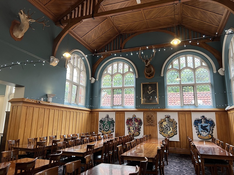
It remains a very well maintained beautiful historic building. Our guide Alec gave us an extensive tour through the various wings and a detailed commentary about the history. In the exquisite dining room which looks straight out of Harry Potter, Phil gave us a tune on the magnificent concert grand piano.
Dining room, Knox College. Beautiful oak roof, dining chairs and tables (Photo & caption Pam)
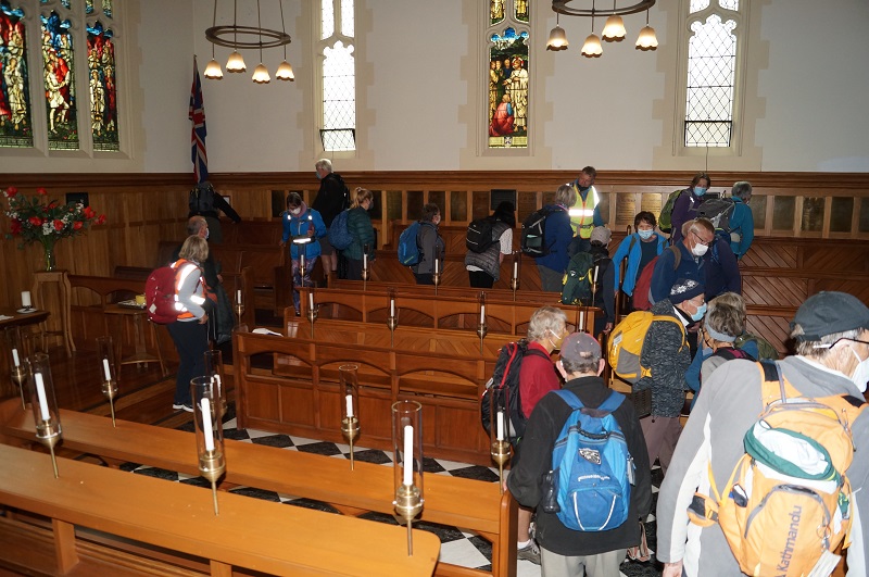
Beautiful Knox College Chapel (photo and caption John)
We all really enjoyed this tour as many had never been in this building.
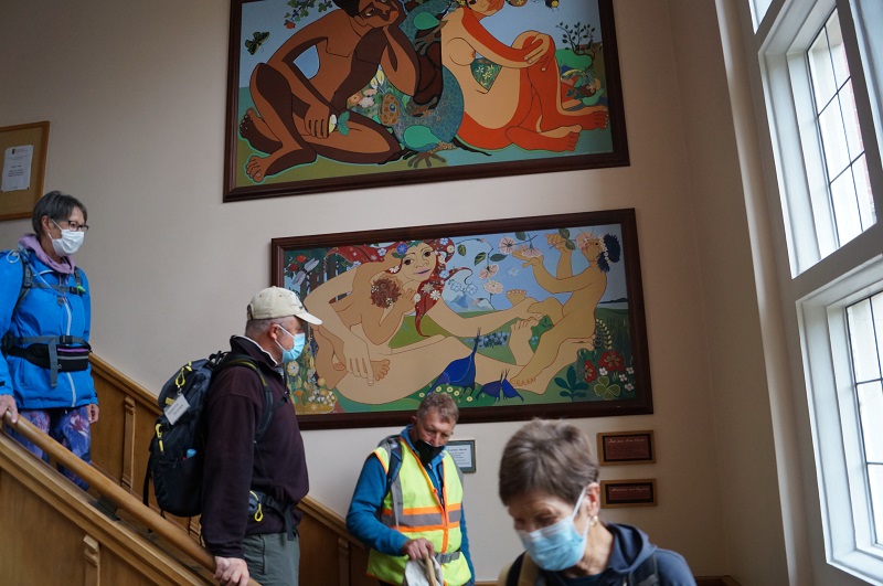
Admiring the stairway artwork (photo & caption John)
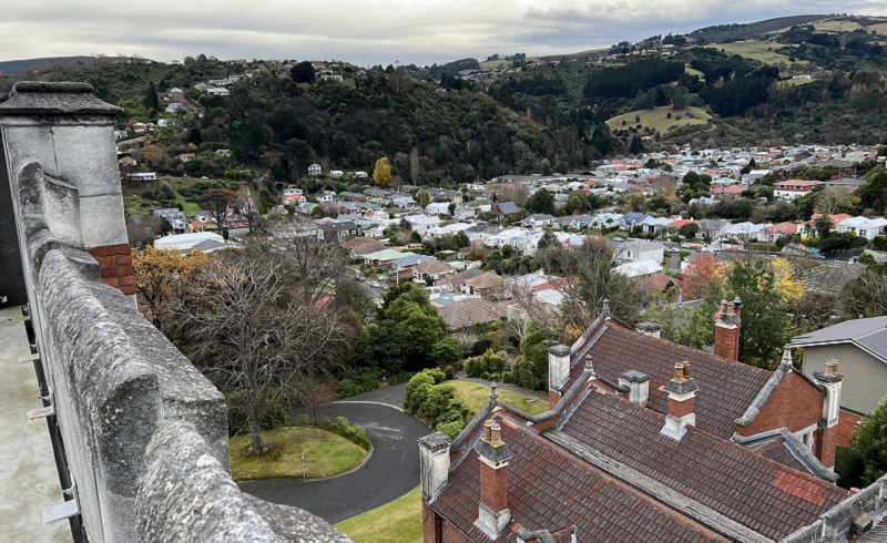
It was also great to climb via steep steps onto the ramparts where we got extensive views over Dunedin.
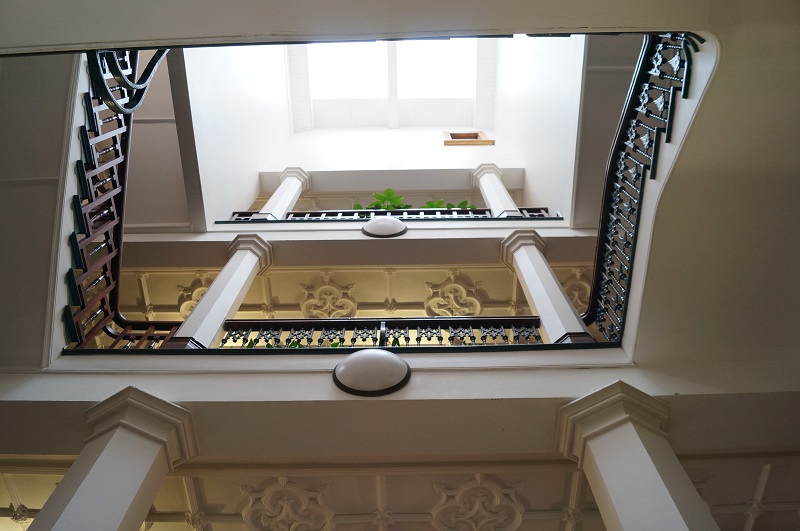
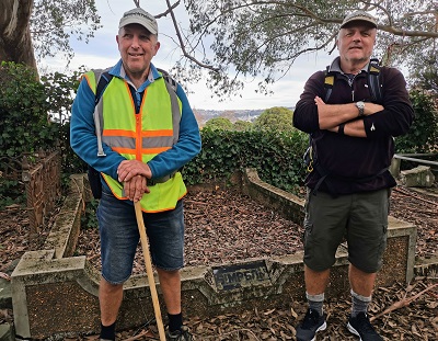
Parallax – Looking up the Knox Stairway (photo and caption John)View North from Knox Tower (photo and caption Pam)Jim and Lester at bottom of Knox stairs, greeting us on our return (photo and caption John)
We were invited to have our lunch in the quadrangle outside the building and could wander through the well-maintained gardens which was a pleasant interlude.
Lunch in Knox College quad (photo Helen)
After lunch we divided into two groups and the 13 hikers set off for the top gardens and visited the aviaries. Then it was an interesting walk through the Northern Cemetery. This is a major historic landmark in Dunedin and we saw notable graves and tombs. Neil was also able to point out graves belonging to his (and Graeme Souters) great grandparents.
Neil and Graeme Souter in front of their Great grandfathers grave in the Northern Cemetery (photo & caption Margreet)
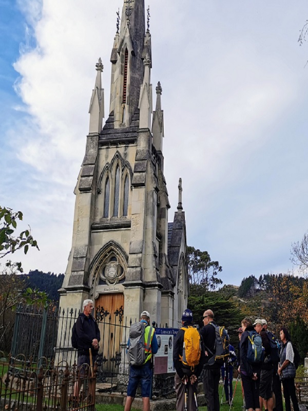
Most prominent in the cemetery is William Larnach’s tomb which was designed by R.A.Lawson and is a miniature replica of First Church.
The Mausoleum of William Larnach (photo & caption Margreet)
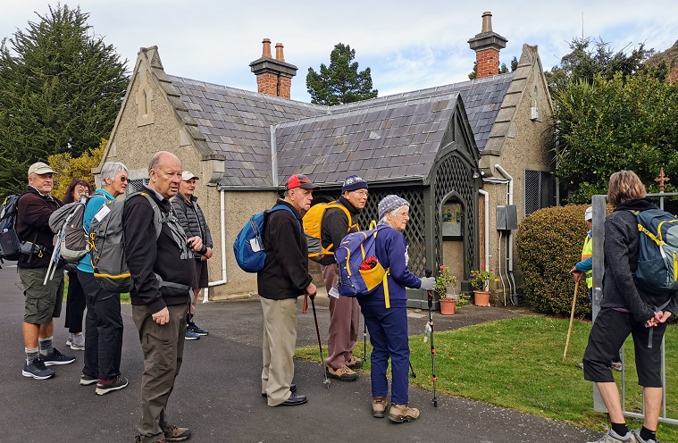
The Sexton’s cottage which is maintained by the Southern Heritage Trust is also very historic.
In front of the Sextons Cottage (photo & caption Margreet)
Of interest as well are the more than 1000 heritage roses; about 500 of which were poisoned with herbicide in 2016. Heritage Roses Otago have worked tirelessly to replace the damaged plants with cuttings and many of the graves now sport new plantings. We also stopped for a few minutes to visit the memorial to Thomas Bracken who wrote the National Anthem of New Zealand.
To finish it was a walk through more tracks in the top gardens and back to the cars.
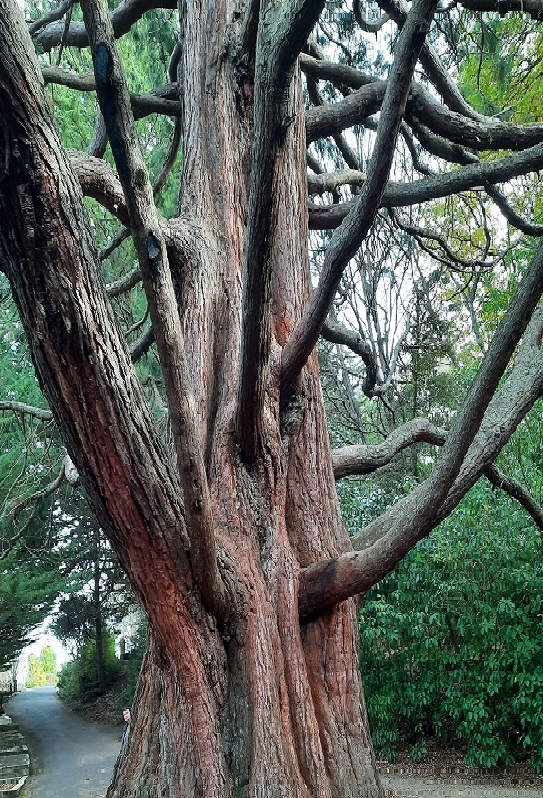
Massive tree between northern cemetery & gardens (photo & caption Ady)
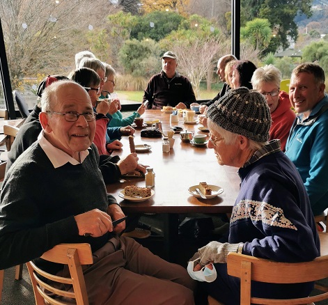
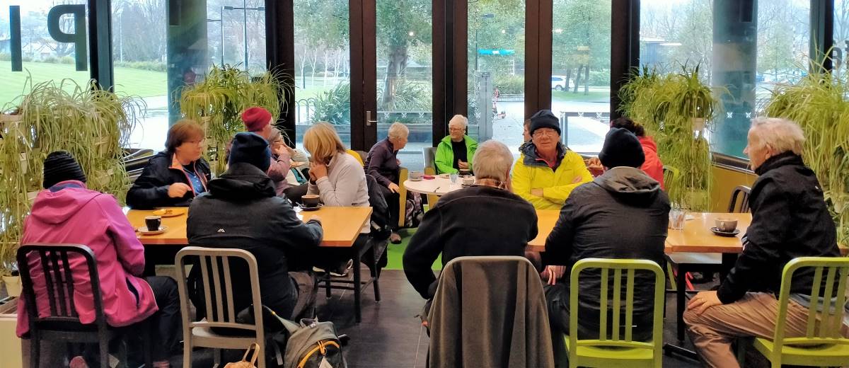
We enjoyed coffee in the café in the lower gardens.
Afternoon coffee (photo & caption Margreet)
Distance covered was about 8km. We will now hand over to Ross and Wyn to give a short account of their afternoon hike which was no doubt more strenuous!!
Neil and Margreet Simpson
We were the other group, 22 in total, that set off on the more strenuous hike. The 58 steps to the higher part of Arden Street immediately after lunch was a cruel start. We contoured around to Chambers Street which we descended a short way to find the 41 steps up to Taine Street. And then it wasn’t far to the 52 steps to Montrose Street which turned the corner into Maybank Street. Once we reached Blacks Road, it was down a short way to Grey Street and then down, down James Street to North Road.
We enjoyed the flat walking up North Road but all too soon came to Baldwin Street and another 273 steps.
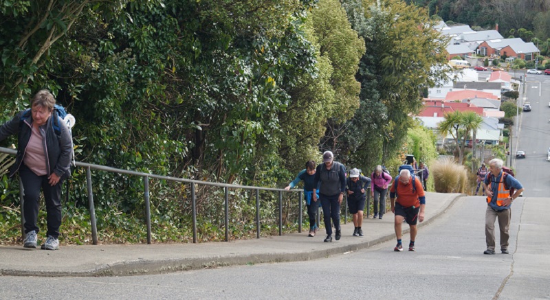
Baldwin Street poem There’s a pigeon … (photo & caption Phil Keene)
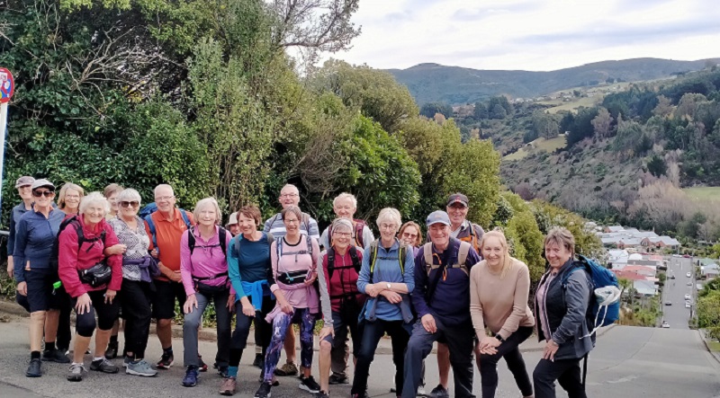
Who doesn’t love Baldwin Street? (photo & caption John)
We knocked the B…. off (photo & caption Phil Keene)
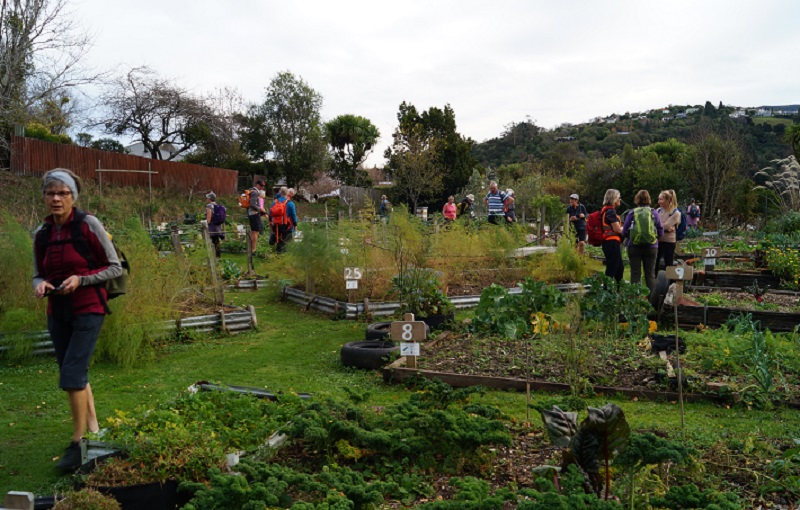
Photos at the top gave plenty of time for getting our breath back before we followed the footpath to the 85 steps down Calder Street to Primrose Bank which led us to the North-East Valley Community Garden. It was a lovely place to chat with the locals and enjoy the afternoon.
Impressive N.E.V. Community Garden (photo & caption John)
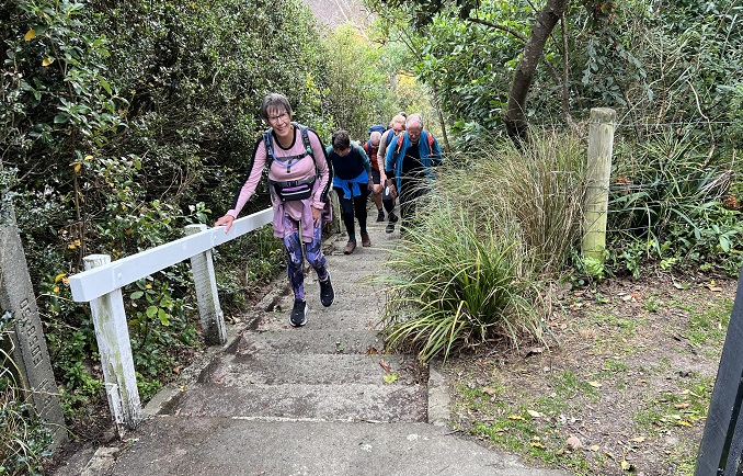
From here, it was all up; first up Dalmeny Street, where some tried to figure out if it was better to zig and zag, or to just take it straight. Eventually another 58 steps brought us to Evans Street, and a little further up Evans Street 137 steps took us to Signal Hill Road, just above the bus terminus. By this stage we were starting to feel the effects of altitude; breathing was becoming harder.
Quote from Ross- only one more “bunch” of steps (photo & caption Pam)
We turned into Northfield Avenue to admire the house that Neil grew up in, before descending another lane to Signal Hill Road. Not far down the road we came to the house that Margreet lived in briefly in her younger days, next door to the house that we now live in. It’s a small world.
We detoured from there around Grandview Crescent which does have a very grand view, down one last lane to Warden Street (10 more steps), identified where the track down the hill to the Big Easy goes off the top end of Blacks Road, and zoomed on back to the cars and then the café at the lower Gardens. Some of the other group were still lingering and luckily they hadn’t eaten all the cakes.
It was a pleasure planning and leading the trip with Neil and Margreet and a constant surprise learning about the parts Neil’s family have played in the history of the suburb we call home.
We learned a lot about the Opoho history preparing for the trip, and shared bits of it as we went along. Some have asked for a copy of our notes, and these are available via this link here Opoho Historical Background Notes
Not all these places were pointed out as we went around, but I’ve left them all in for anyone interested.
On the more strenuous hike, we covered about 10 kms including the morning, with about 345 metres of climbing, and a moving time of 2 ½ hours. And did we mention the steps? 628 steps up (not including climbing the Knox tower).
Ross and Wyn
Opoho – ‘Here my head is level with hills and sky’ – (Janet Frame)
[These historical notes were prepared by Ross for our wanderings around Opoho on 1 June 2022 on a tour led by Neil and Margreet Simpson and Wyn and Ross Davies. Only parts of it were recounted as we zoomed around, and some asked for a chance to read a bit more about what was talked about. What follows is the whole lot.] Name of Opoho
Maori have been present in the area for 800-900 years. Two groups of Maori ovens have been found on the contours of the hill, said to have been used by people of the Ngatiwairua.
Poho is said to have been a Ngatiwairua chief in the 1700s, head of a family occupying a small kaika (village) by the outlet of the stream which flows down the hill into what was once Pelichet Bay (now Logan Park). O-poho simply means ‘Poho’s place’ and it came to be applied to the neighbouring stream – Opoho Creek.
Later it was adopted by one of the early English landowners for a subdivision on the middle slopes beside where the stream flowed (the Logan Park side), and gradually the name became applied to the whole suburb (on both sides of the ridge). Opoho Odyssey Part 1 – Botanic Gardens Top Car Park to Knox College Lovelock Avenue
Formerly Cemetery Road because of the Northern Cemetery halfway down. Renamed Lovelock Avenue in 1968, after Jack Lovelock who lived in Opoho while studying medicine at Otago University. It was the street he ran down every day going to university. Jack Lovelock kept running, and broke the world record for the mile in 1933. He went on to win the gold medal in the 1500 metres at the Berlin Olympics in 1936 (the first Kiwi to win an Olympic track event). Signal Hill Road
The most enduring street name in Opoho is Signal Hill Road. It appears on all the maps. The top of Signal Hill provides a good view of the harbour and may have given the Maori a place to watch for hostile war canoes and signal from. With European settlement, the same hill was used to signal immigrant ships and perhaps to announce their approach to Dunedin residents. It remains one of the best-known landmarks in Dunedin. Opoho Road and Trams
The original Opoho subdivision, called Estate of Opoho, to form Opoho Township was created by Captain Boyd in 1873. We’re going to wander some of the streets of this Opoho Township this morning, making our way down to Knox College for a tour at 11am. Opoho Road was the southern boundary of the Opoho Township, originally called District Road. It was the first access to the suburb from the Gardens although there was also a road to Dundas Street down Lovelock Avenue. Opoho Road was too steep where it meets Signal Hill Road for the trams, so a new loop was created through part of the Upper Gardens where the road now goes. It was the steepest line attempted by electric trams. The terminus was at the corner of Signal Hill Road and Blacks Road, and that was steep too. At least two trams ran away from the terminus when the brakes failed – with serious consequences. The tramline opened in 1924. Continue reading “Opoho – Historical Background Notes”
25/05/2022 Stadium to the Sea. E. Leaders: Raewyn & Phil Keene
Shall we hike or not? That was the question asked at PJ Park on a cold & windy morning. 10 hardy hikers said “yes”, so off we went to meet 6 others at the carpark in Magnet Street as arranged.
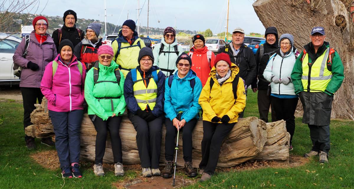
Group photo before setting out (photo and caption John)
With extra clothing, beanies & gloves, we set off into stormy skies for morning tea at the Harbour Basin.
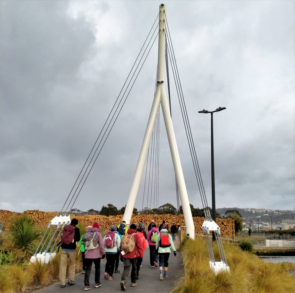
O’er the Leith bridge (photo and caption Phil)
Low & behold, the sun broke through so we continued on our blustery walk to Portsmouth Drive & beyond.
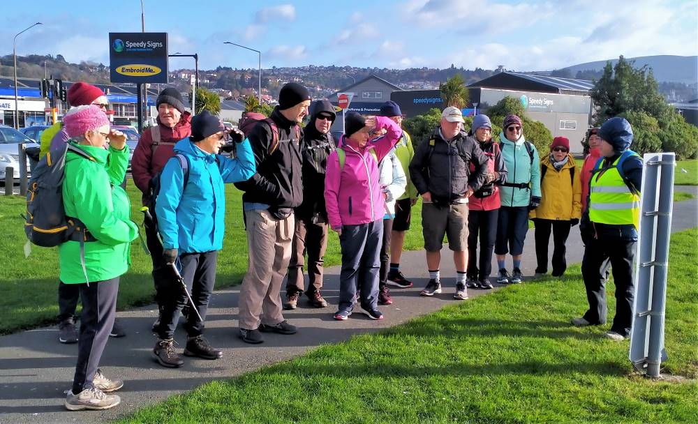
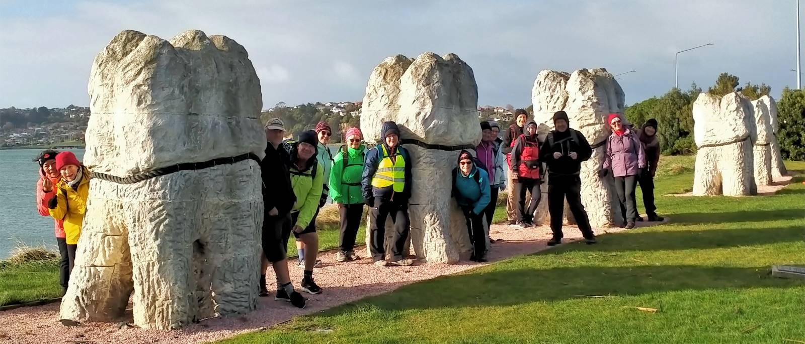
Our leader outlining the Urban Nature network (photo and caption Phil)So this is why the teeth were put here? (photo and caption Phil)
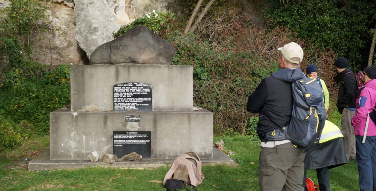
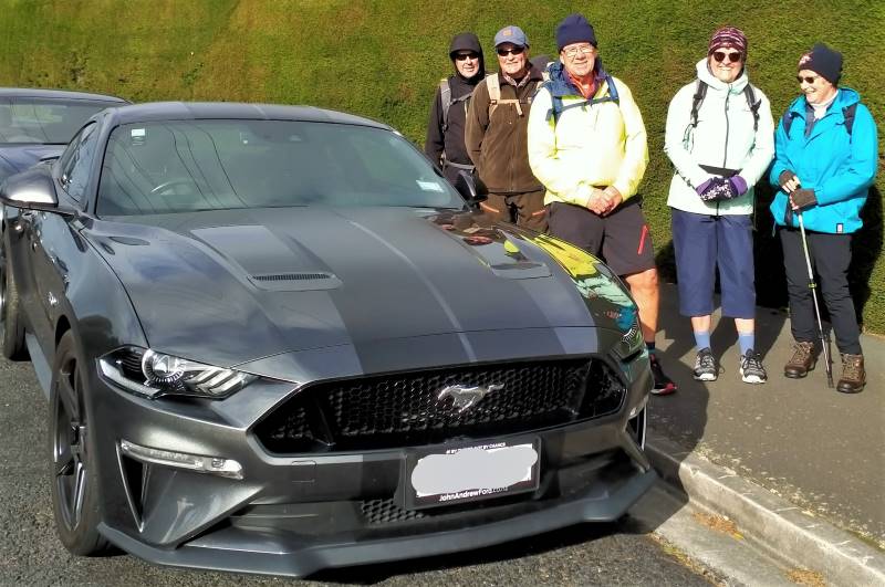
At the “Rongo” Monument (photo and caption John)Fox Hall, Rongo rock and urbanNATURE (Collage by Raewynne)We went over Tomahawk Rd to see the views, but the Mustang was preferred (photo and caption John)
Onwards, upwards & over to the Andersons Bay Cemetery where the wind blew even harder, down to the Chisholm Golf links, then across to John Wilson Drive & the sea.
Arnie’s army is alive and well at Chisolm Links (photo and caption Phil)
Our planned lunch stop was taken over by the high seas, so shelter was sought on high ground.
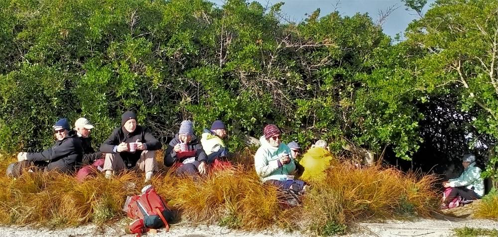
We were discussing Bob Dylan’s ‘shelter from the storm’ over lunch (photo and caption Phil)
AND THE WIND BLEW. Unable to walk along the beach, we braced ourselves and walked into the head wind down to Marlow park.
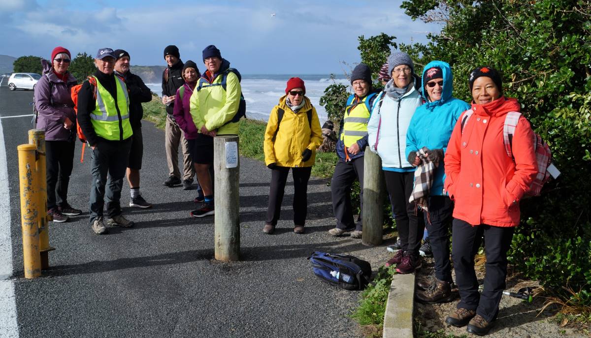
Impromptu group photo (but guess who’s missing?) (photo and caption John)The boys solving the problems of the world (photo and caption Noi)
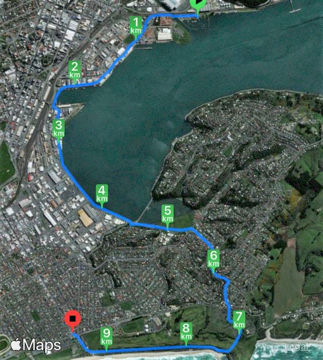
9.5km & two buses later, we were back at the Stadium for coffee at the Plaza Cafe, followed by a short walk to our cars.
Great coffee and service at the Plaza, we’ll be back (photo and caption Phil)
25/05/2022. Trampers. Greenacres, Buskin, Paradise Tracks. M. Leaders: Anne and Rod Ward
It started as a cold blustery day when we departed from Mosgiel, proceeding down the bay with white caps plentiful on the harbour. 14 hardy souls started the Greenacres Track at 0940.
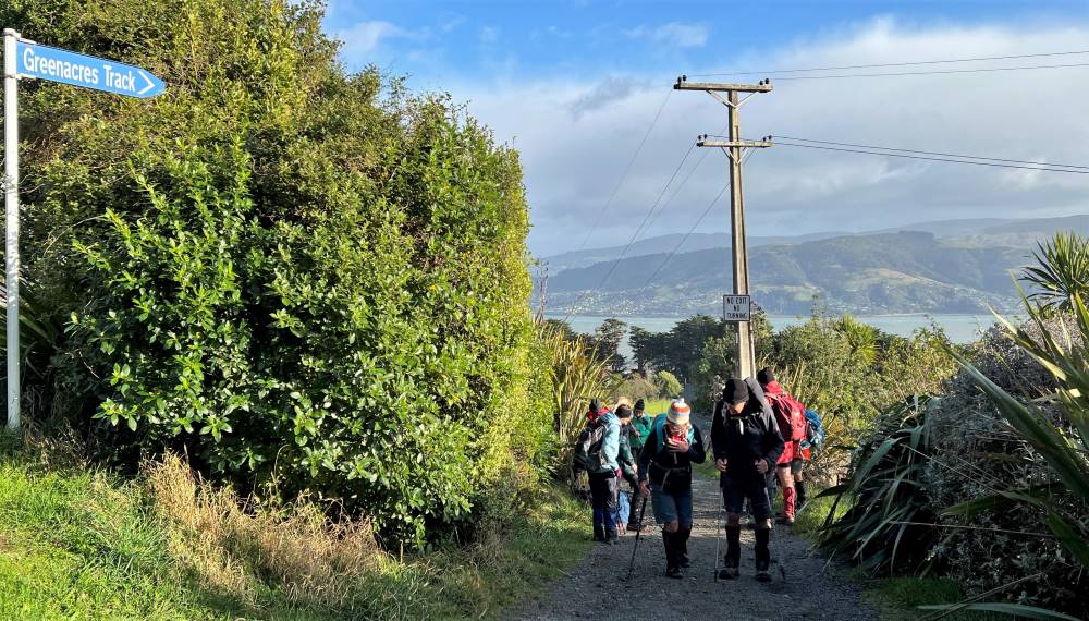
Starting off climbing up Greenacres Track (photo and caption Pam)
Conditions were better than expected once we started our journey up Greenacres Track and turned right to walk along Highcliff Road to the start of the Buskin Track.
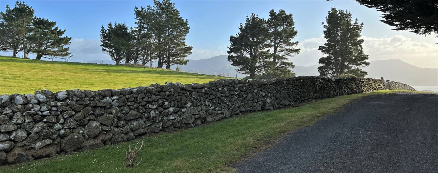
Top of Greenacres track at Highcliff Rd (photo and caption Pam)Stone fence standing the test of time (photo and caption Pam)Morning tea stop at top of Buskin Track (photo and caption Anne)
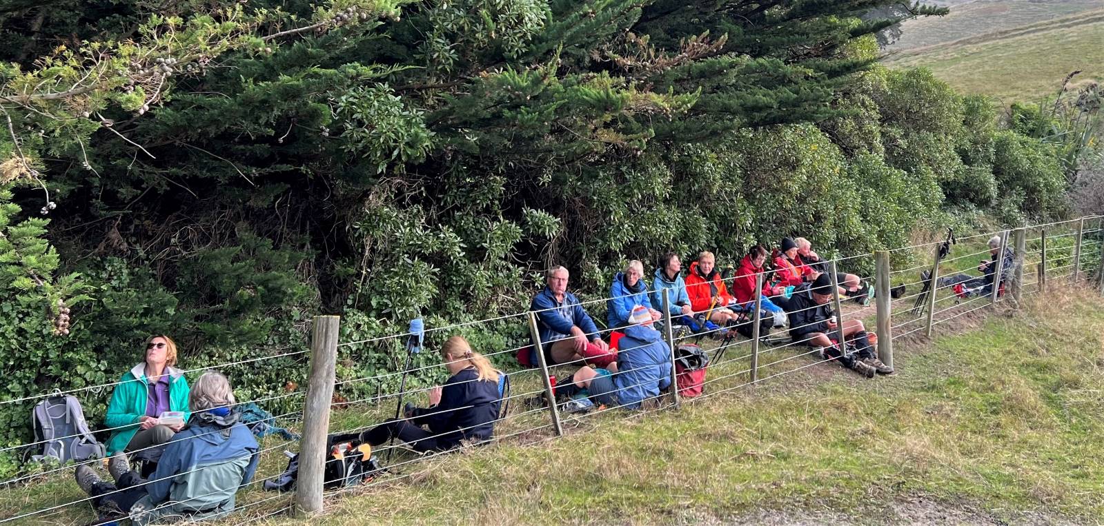
We stopped for a cuppa at the start of the Buskin Track then proceeded down the track to the junction of Paradise Track. Buskin Track was surprisingly sheltered from the cold southerly wind.
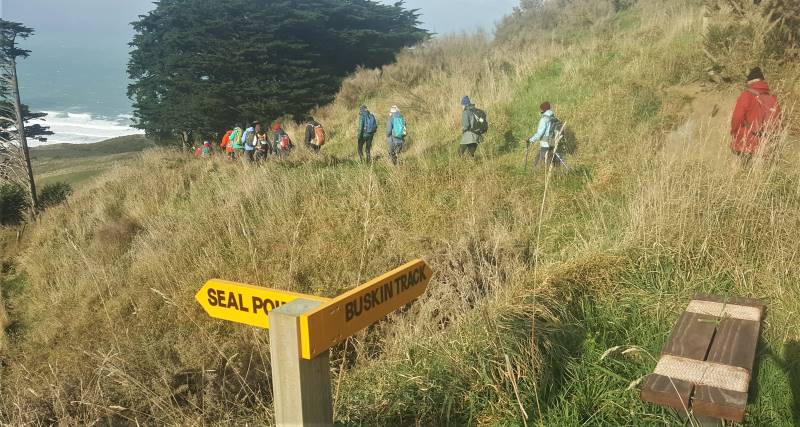
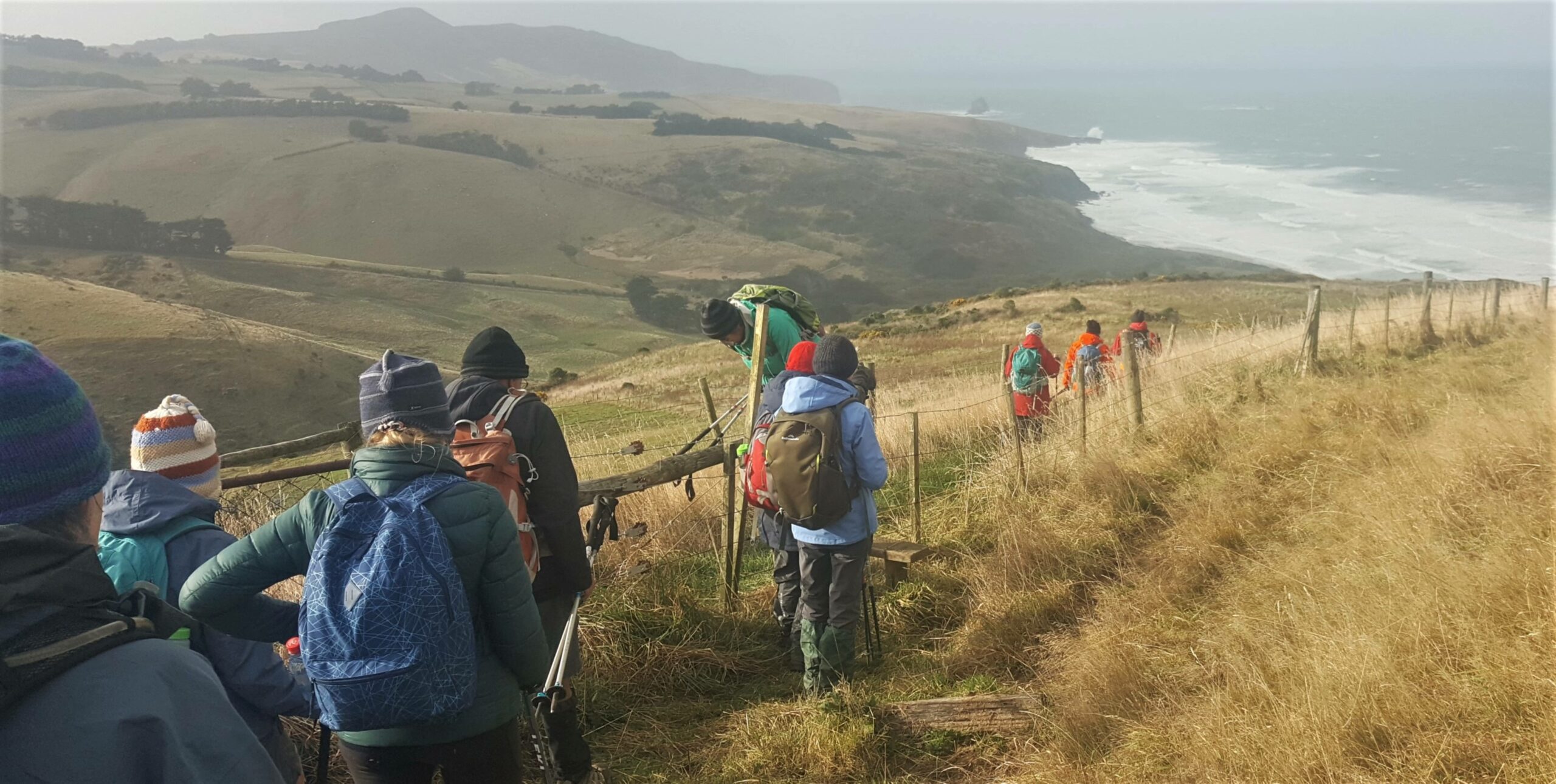
Heading down Buskin Track sheltered from wind towards beach (photo and caption Anne)Clearing style at beginning Buskin track (photo and caption Anne)
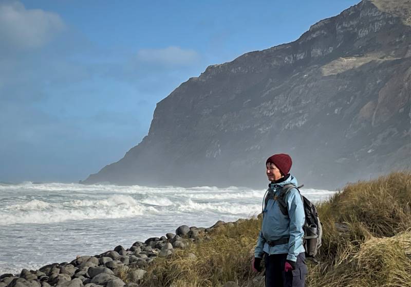
After a side walk to Boulder Beach which was spectacular with crashing waves, foam whipping up the beach and blustery cold wind we returned to a sheltered spot at the start of the Paradise Track for lunch.
Sarah looking north watching waves (photo and caption Lyn)Dave watching huge waves (photo and caption Lyn)A sheltered lunch spot on Paradise track (photo and caption Pam)
Looking back on Boulder Beach as we climb up Paradise Track (photo and caption Pam)
Ascending up Paradise Track without stopping and a cold southerly on our backs we again joined Highcliff Road then back down Greenacres Track to our vehicles.
Everyone enjoyed the walk and as tramp leader I must congratulate everyone for being so well prepared for the extreme conditions that never eventuated.
Finished our walk at 1440 and headed to “The Duck” at Macandrew Bay for a well-deserved coffee.
Anne & Rod Ward
Strava screenshot of tramp by Pam)
(Elapsed time 4h 45m)
13/04/2022 Trampers. Glenfalloch and Beyond. M Leaders: Pam and Helen
Glenfalloch’s name is Gaelic and means “Hidden Valley”. Glenfalloch was established in 1871 by George Russell. It covers 12 hectares (30 acres). In 1917 Philip Barling purchased Glenfalloch and it was opened to the public by his son in 1956. It was brought by the Mills family in 1960 and in the late 1960’s the Otago Peninsula Trust purchased the property. We can be very grateful to have this asset to enjoy every season of the year.
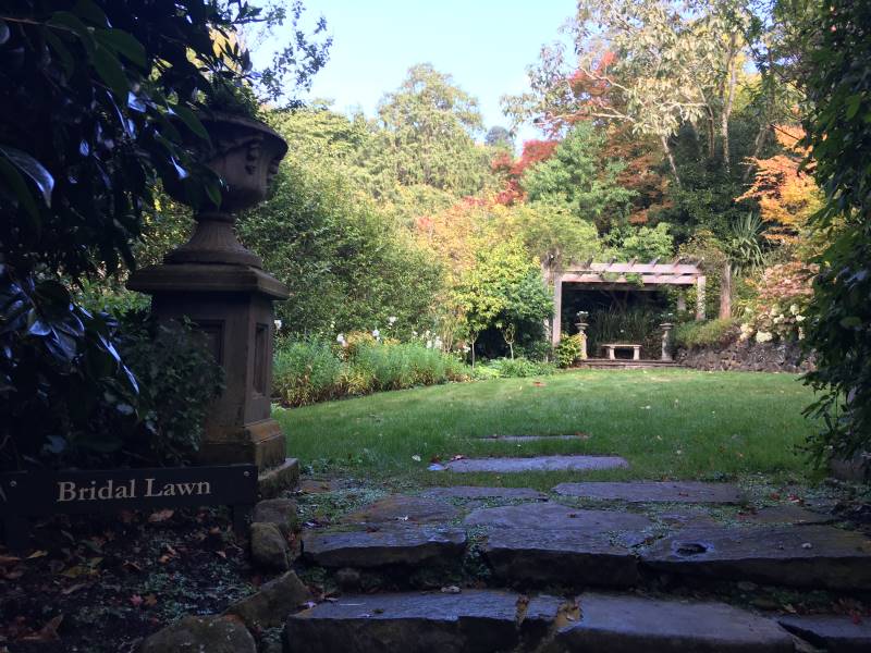
9.40am saw Phil and his harem of nine set off through the woodland gardens of Glenfalloch following a path which took us to the Bridal Lawn, over the Russell stream bridge to admire the ferns and woodland foliage before climbing up many steps to a four-wheel drive track and the start of our first big ascent.
Glenfalloch in autumn Caption and photo Pam
As we steadily climbed, this track petered out into a single overgrown track which took us to the boundary line.
There were some steep uphills after leaving the Glenfalloch grounds Caption and photo Marijke
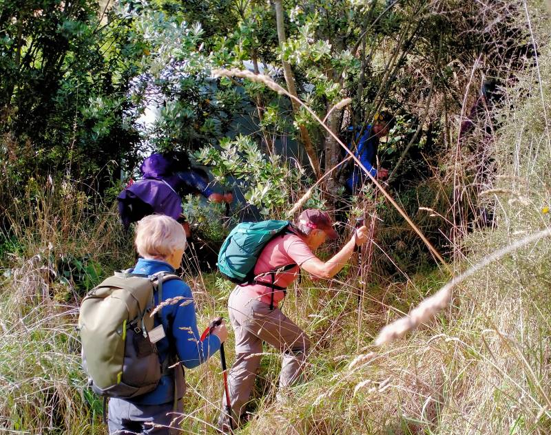
Here we pushed our way through low Manuka branches to the fence where packs and poles were thrown over before we squeezed through the wires.
“There was a track here when I did the recce” Caption and photo Phil
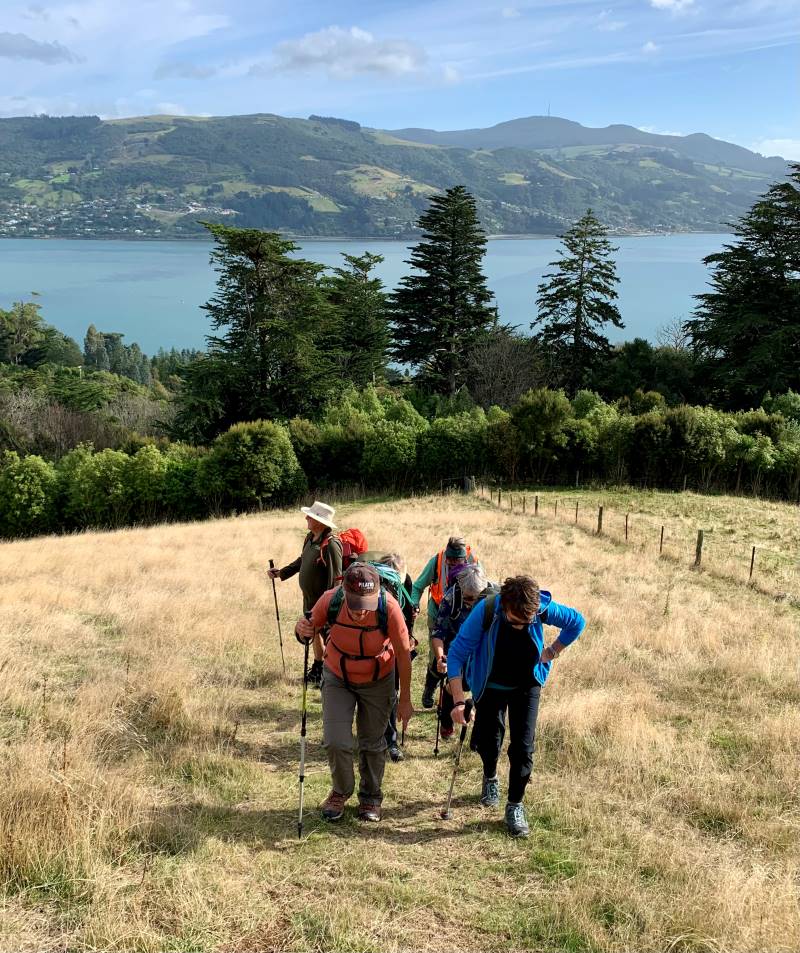
Then it was a steady zigzag climb up Claremont Farm to just below Highcliff Rd where we stopped for morning tea while enjoying the great vista’s back over the city, the sparkling water of the harbour and to Port Chalmers and beyond. Jill D’s birthday treat of easter eggs got us going again walking up Highcliff Road for 15mins to Penzance Kennels and the start of Buskin track.
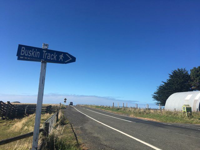
Buskin track sign
This track weaved its way down the side of the hill, again with spectacular views now of the Pacific Ocean and rolling farmland out to Sandfly Bay. This single file track was mostly grass with the odd churned up muddy patches trampled by cattle, but some boards had been placed in situ. We eventually came to a junction with Braidwood track to Boulder Beach and Highcliff Track to the right. We continued on the Highcliff track through clumps of macrocarpa trees until we came out in the open again.
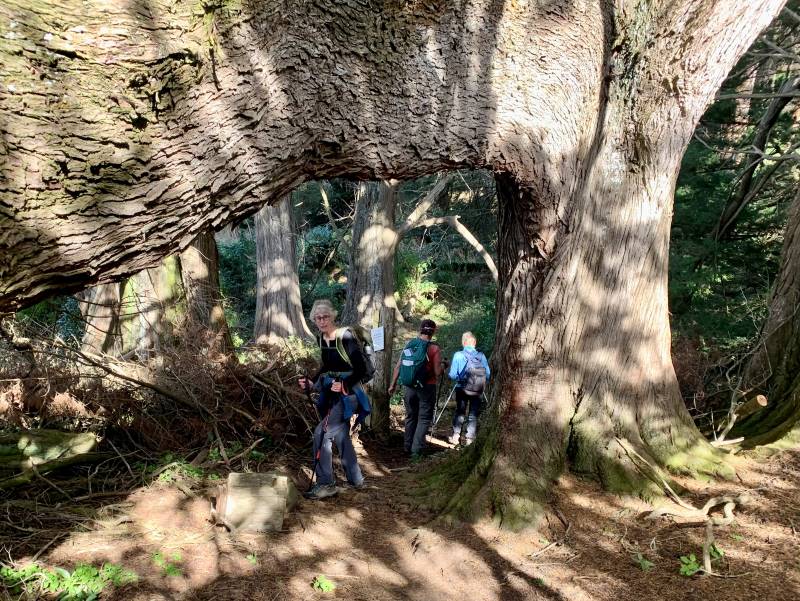
What stories these old trees could tell! Very impressive huge trunks. Caption and photo Marijke
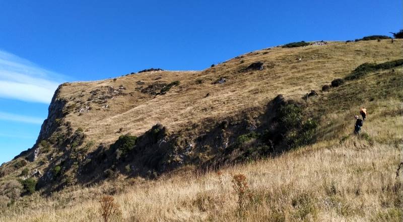
The track weaved its way towards the sea and then suddenly it was a steep grunt up to the top to the White Rocks (lichen covered) for lunch.
Look where we are climbing – to Highcliff Caption and photo Phil
Again, enjoying spectacular views over Boulder Beach, towards Sandfly Bay and Mt Charles, Phil handed around chocolate treats from Betty and Jim (thank you soo much).
Beautiful lunch view looking down to boulder beach Caption and photo Helen
With the sugar rush we were off again and, as we walked around a corner, the views changed again to Tomahawk, St Clair Beach and Black head. When Highcliff Track finished, we continued on Karetai Rd to where it meets Highcliff Rd. A 20-minute walk down Highcliff Rd brought us to the unmarked District Track.
Starting place for the District Track Caption and photo Helen
Once Phil cleared the grass around the stile, we scrambled down through long grass following the fence line for 20 mins to another stile and from there continued through trees towards Portobello Road.
From sea to shining sea Caption and photo Phil
A very steep final descent brought us onto Portobello Road.
Nearly back to where we started. Caption and photo Phil
We had a 20 minute walk on the shared pathway to Glenfalloch where we were joined by Raewyn, Claire and Jan for coffee, cake and ice cream on the deck in the last rays of sunshine.
Phil’s harem Caption and photo Phil
Thank you Helen for filling in at the last minute as Tail End Charlie and to Jason allowing us access through Claremont Farm. Pam Cocks
Tramp map courtesy Pam
25/6/2014 Trampers. Buskin, Boulder Beach, Braidwood Road, Highcliff.
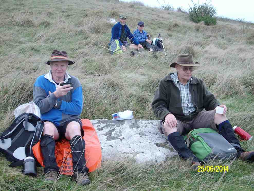
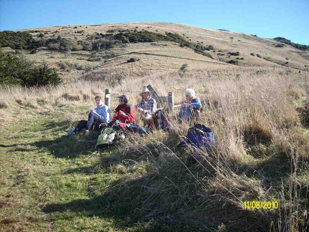
On what turned out to be a very nice day, 5 of us set out on the Boulder Beach walk. Starting at Buskin Track, we made our way down to the normal morning tea stop at the first track junction. Then it was down to the bottom & out to the beach, where we met a German tourist, & had a bit of a chat with him. We then retraced our steps back to Braidwood Rd. & climbed up there to where we could cross into the paddocks above Double Bay. After an unsuccessful hunt for the ‘hide’ that we found the last time we were there, we settled down for a very peaceful lunch …
Lunch (Ken pic)
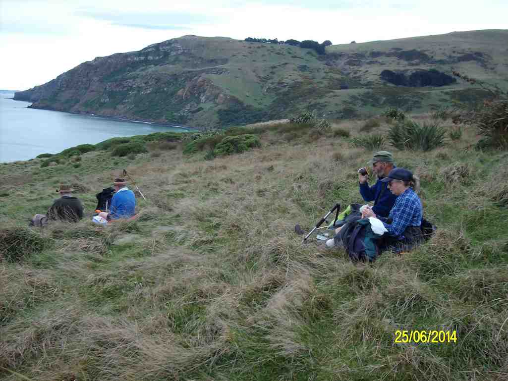
… overlooking Double Bay, with Boulder Beach off to our RH side.
Lunch (Ken pic)
When we got back to Braidwood Rd. we had a conference to decide which way we would go back to the car. It was agreed that we would go up the Highcliff Track, & out via Karati Rd. I think some would regret that decision about 1/2 way up !! Anyway, we all made it to the top, & back to the car.
When asked what they thought of the walk, one member, who had never been around there before, took about a minute to answer, & then said “it was interesting” !!!
We walked 12.2km; 3.7km/hr; 3hrs 19mins moving time; climbed 540mtrs. – Ken.
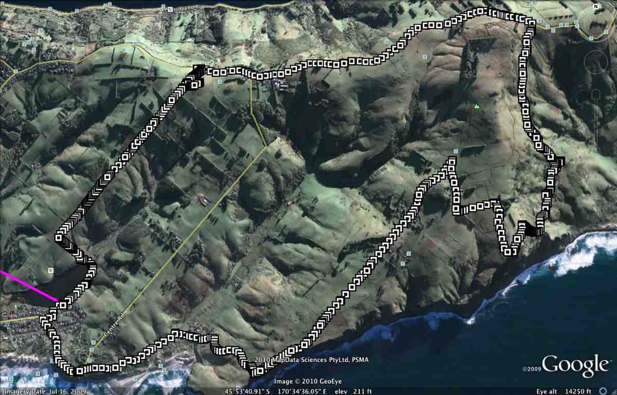
GPS, courtesy Ken. GPS track has attached itself to previous tramps on Google Earth. So ignore middle left lead off from Buskin. Also middle right and pink top.
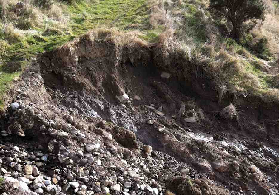
Seven of us met at Buskin Road and made our way down the Buskin Track. We hadn’t gone too far before we came across a new slip which had taken out most of the track.
Buskin Slip
We had our cuppa at the junction with the track to Highcliff. Had a look round the Spittles’ crib. From here, Ken was keen to explore areas he was very familiar with from his DoC days. So we cut across winter-wilted vines to the beach and explored it as far south as we could. Then reversed north again and lunched at the drift-wood shelter that has survived in remarkably good condition over the years.
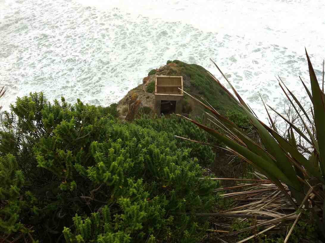
Ken recced further north in search of a viewing hide above the beach which both he and George remembered. (It seems no longer there.) The rest of us then joined him and made a strenuous climb up through sand-hills to neighbouring paddocks beyond. Ken led us back down again, fruitlessly seeking a hide above Double Bay. However, we DID find this hide perched precariously on a narrow ridge, reachable by only a rope-assisted descent, which we didn’t dare test!
Remote Hide
We made our way back up and across thee paddocks this time and onto the lower part of Braidwood Road, descended this, now more storm-gutted than ever, went up Paradise track and along Highcliff Road to the cars. An interesting and different Boulder Beach expedition. Thanks, Ken. – Ian.
We parked in the Tomahawk Lagoon carpark, & walked up the track to the Soldiers Monument,
Dunedin from soldiers monument. (Ken pic and caption)
stopping in the gorse for morning tea break,
Morning tea stop on track above Tomahawk inlet. (Ken pic and caption)
then a long road walk to get to Buskin track.
Buskin track. (Ken pic and caption)
Great views from this track down to the coast
Boulder Beach from top of Buskin track. (Ken pic and caption)
and along to Sandfly Bay, & Sandymount. Stopped for lunch at the junction of the Boulder Beach Track, & the Karatai Rd. track,
Lunch stop at junction of track to Boulder Beach, & Karatai Rd. (Ken pic and caption)
then it was a steep climb up to Karatai Rd. where we turned left, & walked down to Smaills Beach, then back to the cars. About 15.6km on a very nice day, most enjoyable. – Ken
16/7/2008 Buskin Track, Boulder Beach, Highcliff Track, Paradise Road. Leaders: Bruce & Marjorie
Cliff View
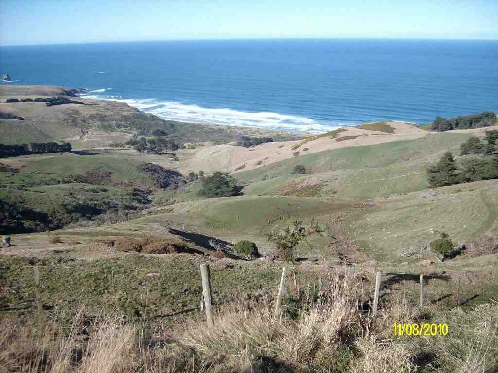
Seven trampers met beside the Penzance Kennels on Highcliff and, undaunted by the thick fog that covered the whole of the Peninsula and beyond, set off on what proved to be an interesting walk.
We walked down the Buskin track until it intersected with the Highcliff track. A little way along the Highcliff track we found a very sheltered spot amidst some old macracarpas for a morning tea break, being very careful not to make contact with the prolific growth of ongaonga bushes. Refreshed, we began the very steep haul up to the top of the cliff and a clearing in the fog enabled us to wonder at the white lichen covered rocks, sheer cliffs and steep drops.
View of Boulder Beach
Hardy trampers
Boulder beach, aptly named, stretched far below us, white waves curling in a placid sea. We were unable to see the vista of coastline – that will have to keep till another day. Retracing our steps down the steep and at times slippery gradient we stopped for lunch at the same place where we had morning tea. After lunch we made a detour to the end of Boulder Beach where we were lucky to find one yellow eyed penguin standing sentinel on the rocky shore. We then laboured up Paradise Road and returned to the cars.
Although unable to enjoy the views for most of the walk, Bruce made up for this by pointing out to us sites and remains of the old homesteads, stone fences and old fence posts. Even more interesting were the accounts he read to us of what life was like for the early farming families from a book by Hardwick Knight. Thank you Bruce for sharing this with us, enabling us to have a very enjoyable tramp on a grey day. – Marjorie
10. 11/05/2022. Hikers. Portobello Aquarium Leaders: Jim and Lester
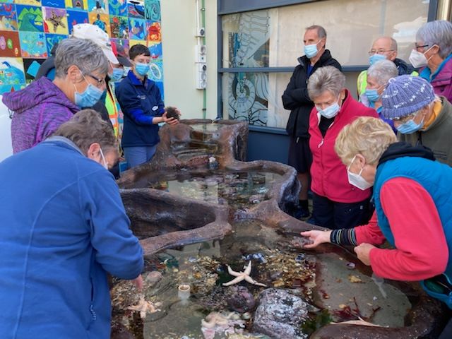
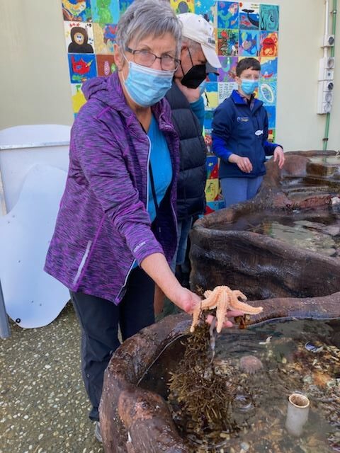
It was different to be one of the only 2 for refreshments after a pleasant walk on Hatchery Road at Portobello. It was at the Aquarium’s marine studies centre that our group of 15 were afforded a very interesting presentation by Tamlyn Somerford on their ongoing research that is currently being carried out.
Gathering around the Aquarium ’Touch Tanks” Caption and photo RaewynJay with a starfish Caption and photo RaewynView from the Peninsula track back to the Aquarium Caption and photo Raewyn
Our trip by bus from the Edgar Centre was a change of outlook from traveling by car. It was a very pleasant day for what was a short walk to a laid-back lunch stop looking out to Taiaroa Heads.
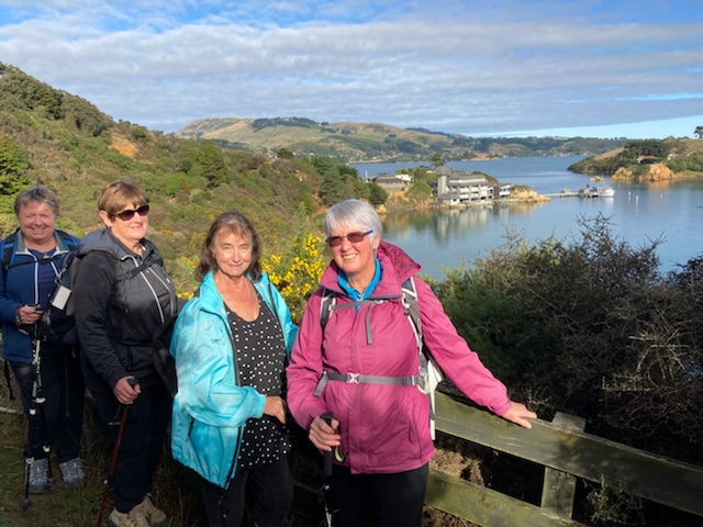
Below is a photo of 4 hikers (plus me – I took the photo) who did the extra hill today beyond Portobello at lunchtime Caption and photo Margreet
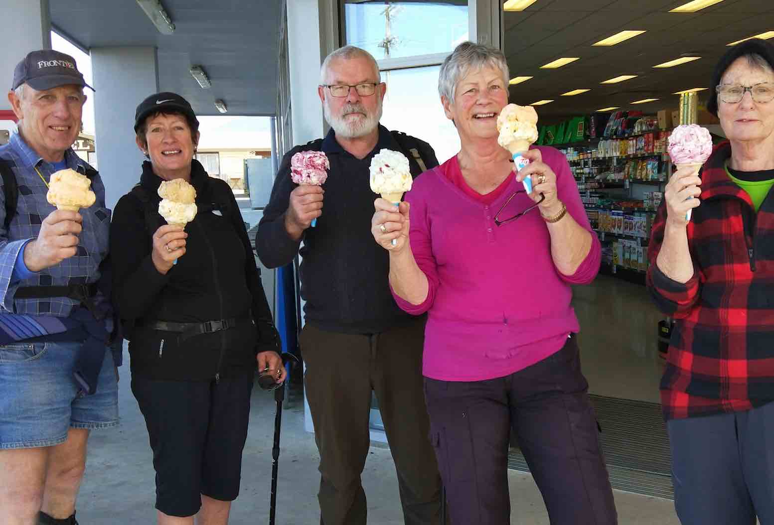
Back in Portobello waiting for the return bus seemed the perfect time to fuel up on ice cream.
Leaders were Lester & Jim
9. 10/7/2019. Hikers. Portobello, Quarantine Point. Leaders: Bob and Kevin.
(Kevin pic.)(Kevin pic.)(Kevin pic.)(Kevin pic.)
8. 24/9/2014. Hikers. Portobello, Hatchery Road. E. Leaders: Chris and Dot.
RoutePausePanoramaRearQuarantine Island
7. 29/8/2012 Hikers. Portobello, Aquarium. Leaders: Jim and Betty
6. 13/7/2011 Hikers. Portobello, Aquarium. Leaders: Arthur and Barbara.
What a perfect winters day it was on Wed, absolutely ideal for our Portobello/Aquarium hike. The drive down the peninsula was a lovely start, with the harbour like a mill pond and the reflections superb. Parked the cars in a picnic area on the outskirts of Portobello and from there walked along some lanes, paths and walkways,some a bit slippery with frost, till we came to the Reserve by the Happy Hens Gallery.
A seat in the sun
Here we sat and enjoyed our morning tea in the sun. From there it was off down the road to the Aquarium. The views were outstanding so there were frequent stops to admire and photograph the wonderful scenery on such a glorious day. From the Aquarium there is a track to the the end of the point called Quarantine Point. A fantastic spot to sit back and relax while having our lunch. Scenery to admire and a ship being guided into the harbour at Port Chalmers to watch with interest. We made the most of the sun and lingered somewhat longer than usual soaking it up.
Harbour Cone from Quarantine Point
Finally though it was time to head on the homeward trail. Back to the Aquarium which we now went in to look around and have a comfort stop. Down the road back to Portobello and this time a quick visit to the Happy Hens Gallery. Along some other roads through Portobello and back to the cars. We all agreed we’d had a wonderful day out, thanks to the magnificent day, good company and the excellent hike planned by our leaders Chris and Jean. – Bev
3. 20/8/2008. Hikers. Portobello Aquarium. Leaders: Chris, Jean A 2. 21/3/2007. Hikers. Portobello Aquarium. Easy. Leaders; Chris, Jean. 1. 23/11/2005. Hikers. Portobello Aquarium. Leaders: Chris, Jean A
6. 20/04/2022. Hikers. Kuri Bush, Taieri Mouth. Jim and Betty Finnie.
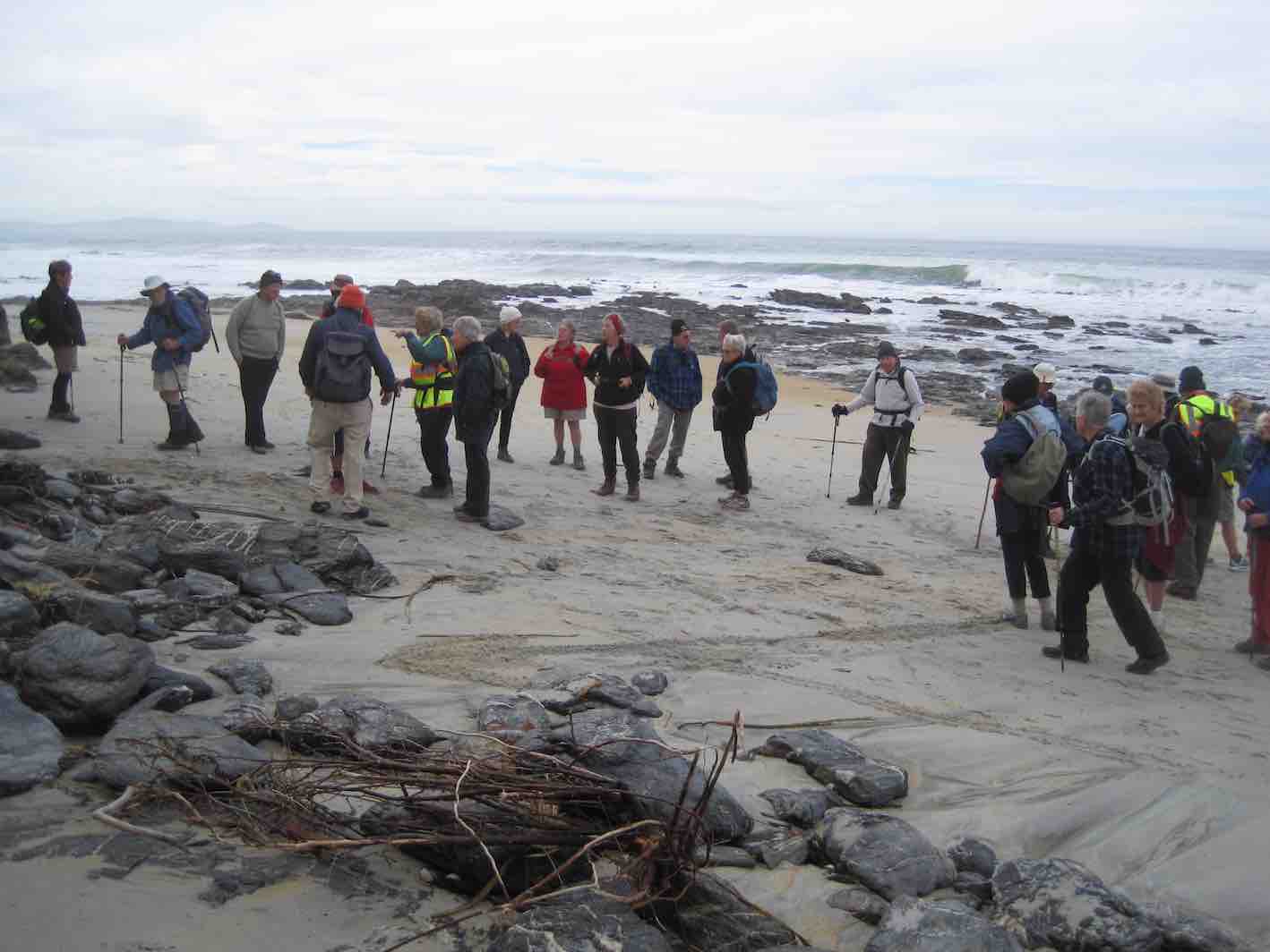
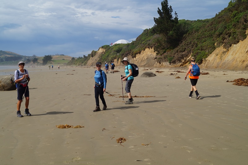
Conditions were perfect for the 16 hikers as we commenced the hike at 9:40 from a layby south of Kuri Bush.
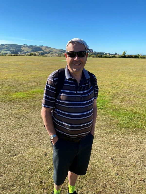
Dave with hankie hat (caption & photo Noi)
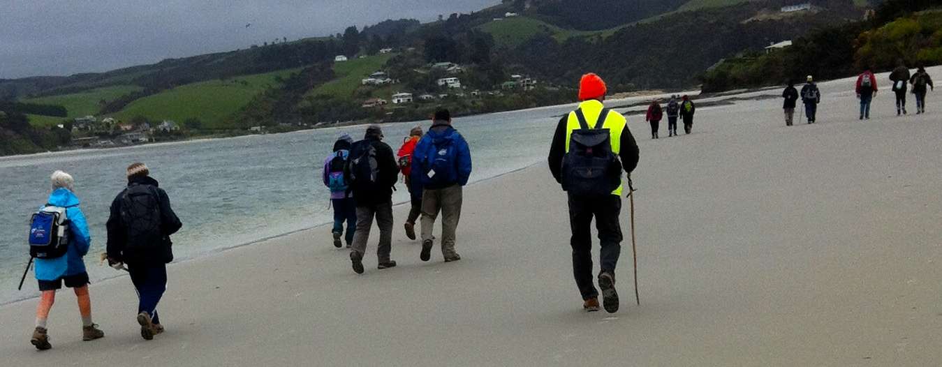
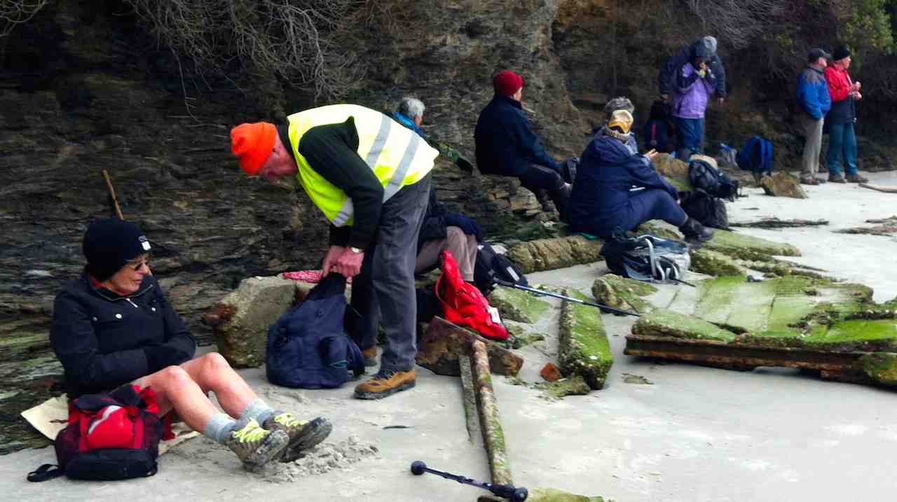
It was less than a half hour before the morning tea stop was at a prominent firm sand terrace. The tide afforded us a generous beach area for a leisurely meander that quickly changed after the Taieri River Bridge came into view.
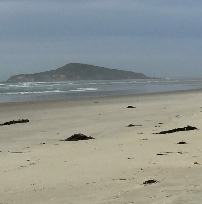
Taieri Island/ Moturata (photo Alex)
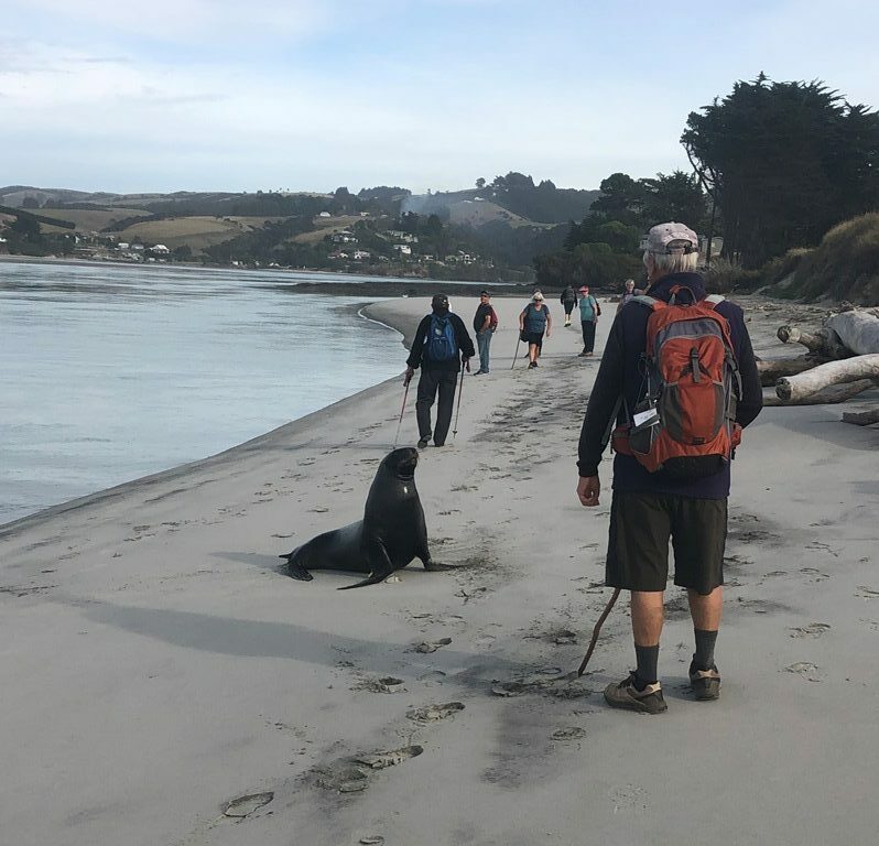
It was a little exciting when a rogue seal lunged out of the water and took exception to hikers walking on his beach which required a hiker to take evasive action. I think the seal’s name may have been Vladimir.
Stand off (caption & photo Jenni)
The Taieri River Bridge had a very accommodating walk way that took us to our early lunch stop at the boat trailer park on the south side of the bridge.
Pontoon sit-upon for lunch (caption & photo Raewyn)
Retracing our way back to the cars was an uneventful stroll that made a total distance of approximately 10 km. All 16 hikers participated in the after hike stop off at the Brighton Beach Cafe. Service at the Cafe was good as we were the only clients they had while we were there.
In the numerous times that we have done this beach walk it is the first time for us to have crossed this bridge.
Taieri River Bridge in background (photo Alex)
Leaders were Jim and Betty Finnie.
5. 20/5/2015. Hikers. Kuri Bush, Taieri Mouth. E. Leaders: Pat and George.
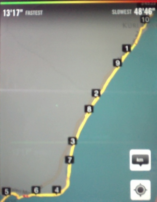
GPS of route, courtesy Bruce.
31 of us emerged from our cars parked in Pat and Bill’s crib property in Kuri Bush.
Cars (John pic)
Pat led us out and along the path and road behind the settlement’s properties,
Eye catching fence. (John pic)
then out onto the main road and eventually down onto the beach. The 11.00 a.m. low tide provided us with a good firm beach to walk on. But whoa! Alex discovered he had inadvertently left his pack behind – now a good half kilometre back. So we just sauntered along to an early morning tea
Morning tea stop. (John pic)
to await Alex’s return, – and Liz who had waited back for him.
The day was still and warm, a contrast with the weather back at the car park where the cold of a wind had not yet been ameliorated with any of the sun’s rays. At the mouth of the Taieri, the sandbar to the island was high and dry. We crossed several of the rocky bits alongside the river but our leisurely pace hitherto made it not worthwhile crossing the last one. So here we stopped, ate lunch and watched the tidal level slowly beginning its return.
Interesting steps from beach to properties, behind lunch spot. (John pic)Not speaking? Wendy having found sand firm enough to support her seat. (John pic)Panorama.
We returned. The weather forecast of a strengthening nor-wester failed. The day was still calm.
Bleached branches still there from last time. (John pic)
It was good.
About to return from beach. (John pic)
Back to the crib. It was good to talk with Bill. Admire the house and its well-chosen paint colour. Return home. – Except that a quite large contingent resorted to Topiarys for a delightful, and at times hilarious, get together. – Ian.
4. 30/7/2014. Hikers. Kuri Bush, Taieri Mouth. Leaders: Pat and George.
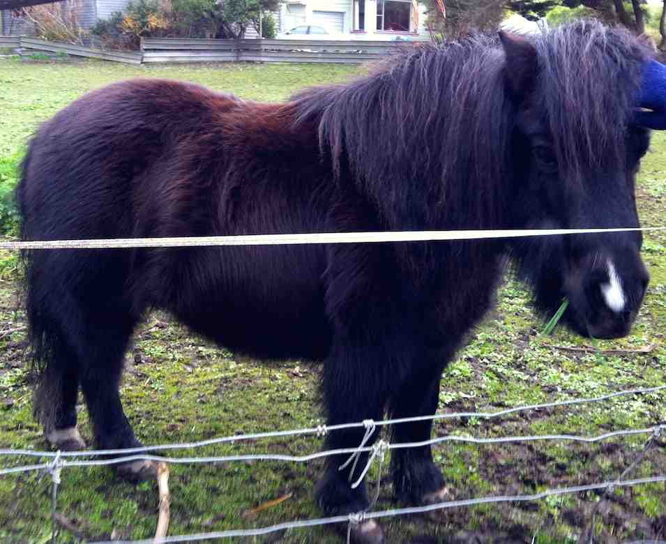
Pat and Bill welcomed our cars onto their Kuri Bush property. There were about 22 of us. The path around the back of their and neighbouring properties took us past a paddock with this sturdy pony in it. Some thought it looked lonely.
A miniature horse
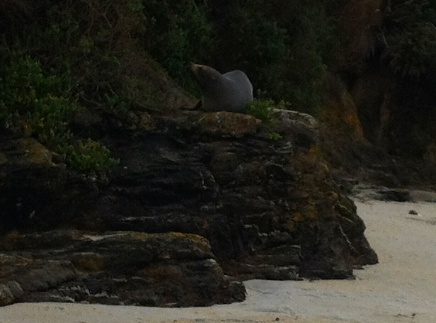
The back path took us eventually out to the road further on along which we single-filed (a passing speeding car reminding us why we had to be so cautious) before we were able to plunge off down through dunes to the beach. Just where we got down onto the sand, we were surprised by a seal resting on a hard by ridge. Although it eyed us cautiously, it was not going to stir.
A seal
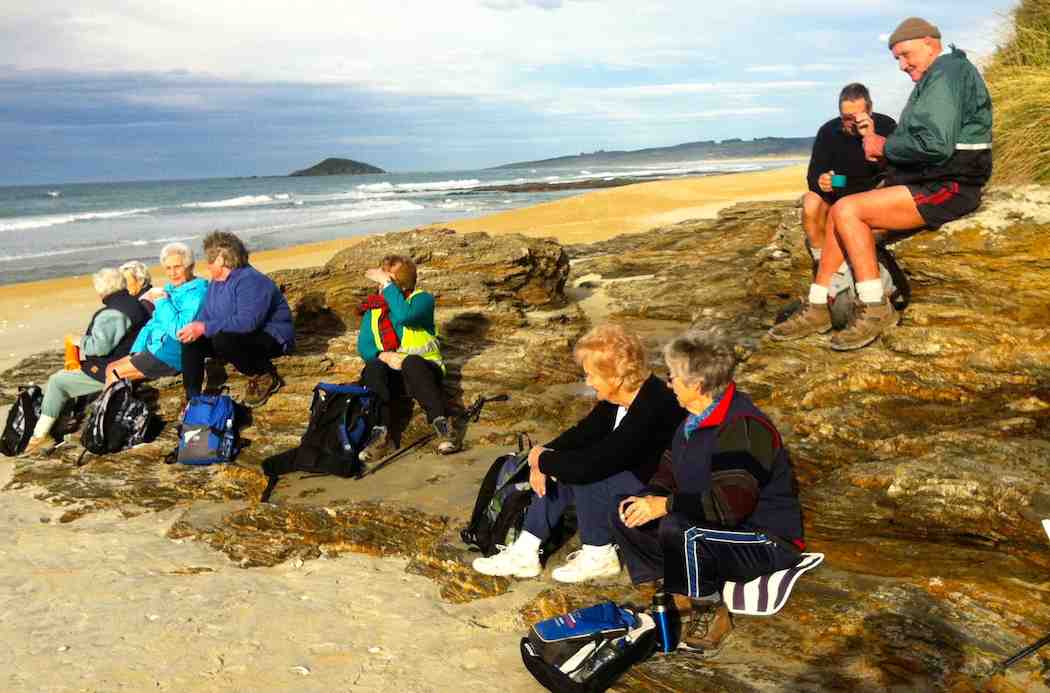
Further on again, we stopped in the sun for a cuppa.
A cuppa on the way.
A long leisurely stroll …
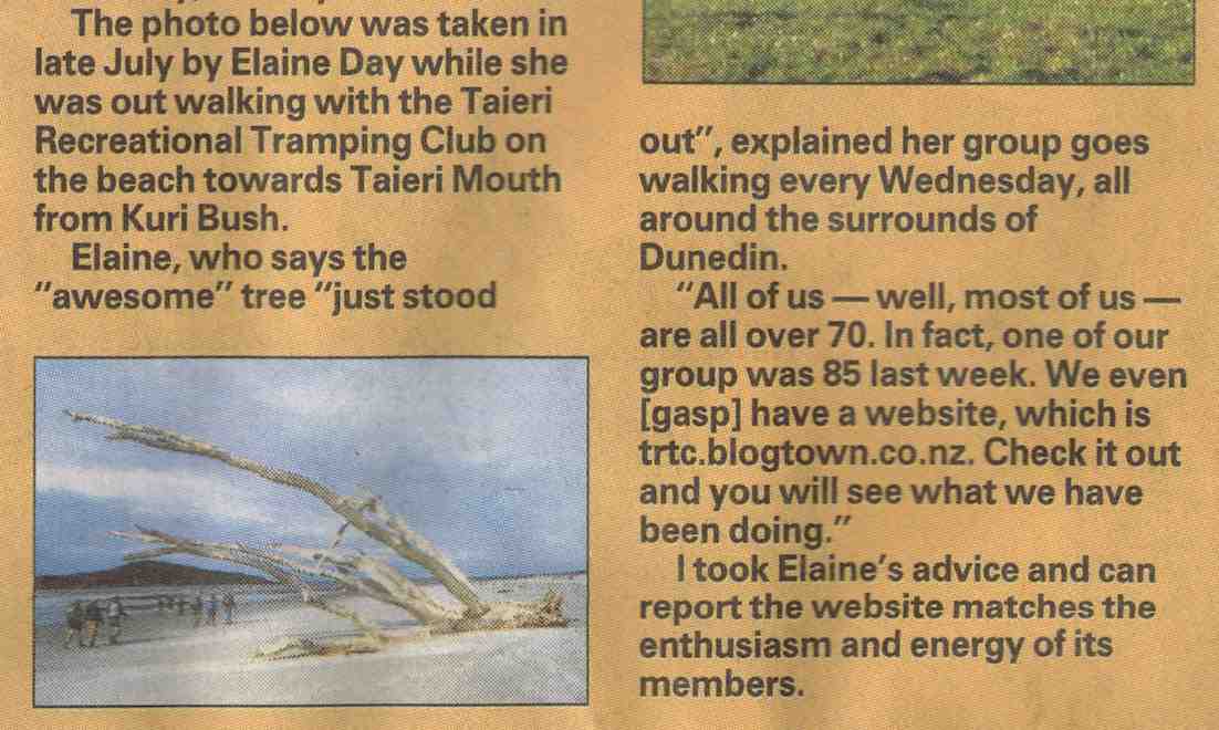
Article from The Wash, ODT 28/8/2014. Elaine’s photo taken en route to Taieri Mouth.
… brought us to Taieri Mouth at last. As we rounded the entrance, a narrowed beach reminded us that today’s 0.3 m low tide was still on the high side.
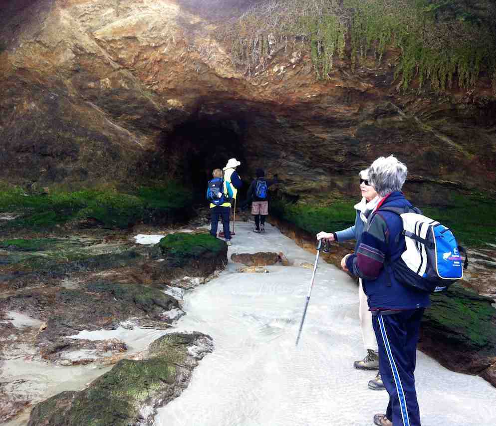
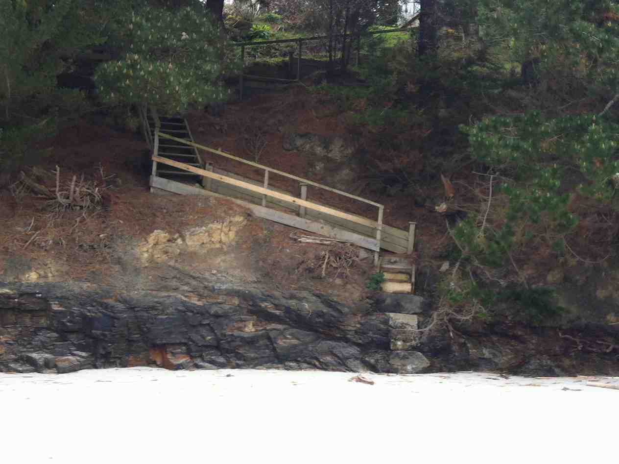
A cave near the end.
Before we went too much further on, and as we were now at the tide’s turn, our leaders cautioned us to return through the narrowed beach neck to lunch back at the safer broader beach for lunch.
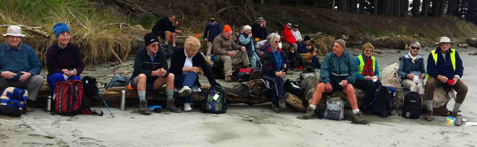
A lunch
We were a long straggling group as we trudged back. It was a surprise to see our seal still keeping station by our beach exit onto the road. Back at the house, we leisured in the sun till the last of our group arrived. Then leisured a bit more. Elaine designated the coffee break for the day to be the Topiary cafe again. Once seated there, we were struck by the effectiveness of new sound-absorbing ceiling and wall panels now installed. An inquiry from this reporter elicited the information that the panels were ‘Glass Fibre Substrate’, an accoustic blanket plasterboard and glass sandwich sort of thing. – Ian.
3. 25/9/2013. Hikers. Kuri Bush, Taieri Mouth. Leader: Fred.
GPS of beach route McLeans to Taieri MouthEn route to Taieri MouthLunch sheltered from the windUp to the road. Can’t remember why we did it!
2. 25/4/2012. Trampers. Kuri Bush, Taieri Mouth.
1. 25/1/2012. Hikers. Kuri Bush, Taieri Mouth. Leaders: Pat and Bill.
I thought it may be timely to provide an update following meetings of the Committee, given that in the Covid environment we have been understandably having variable turnouts, also not having all walkers leaving from Mosgiel and so missing some of the verbal updates.
It has been great to be getting back into the regular pattern of a Wednesday walk, and lo and behold the weather always seems to be fine! I certainly missed the hills in Aussie, but there were other compensations.
Firstly though, a special thank you to Betty and Jim for sharing the details of their 60th wedding anniversary with us at the car-park last week – such a wonderfully varied and interesting life together. Also, a big thanks to them for leading many walks down through the years. Betty and Jim have requested not to lead from the coming trip list, but I know they are willing to share their advice. Of course, we hope to walk and talk with them both into the future! Thanks again to them for those special chocolates last week.
Winter Trip list
This is ‘complete’ and the webteam has posted the trips to mid-June on the webpage, under ‘upcoming trips’. Please take five to see if your name appears! John Gardiner, Ross Davies and myself will look at the gradings of trips on behalf of the committee, as it has been an outstanding matter from AGMs for a year or two. We will get the full list out shortly after I have completed some wording changes to the introduction.
Note in your diary though, the mid-winter lunch is at the Mornington Tavern on 6 July and the AGM will be 18 August. Antony Hamel has agreed to speak on his upcoming revised publications on walks around Dunedin.
Note also: Winter hours start on 1 June, meeting at 9.15am for a 9.30am departure. Trampers will also note we have a track clearing day on 11 May to assist Art and Neil.
Vehicle costs
These have been assessed from a number of angles and various permutations considered by the Committee. Ross made recommendations to the Committee based on the formula on the website, but with up-to-date fuel figures (they are the most significant component) from the Ministry of Business……. AA figures are outdated, but when updated, we will do some additional work on the other variable costs and if necessary, we will adjust again.
The Committee has agreed with a proposal to cover recce costs for trips $10.00 pp and over. We consider that this will assist in ensuring recces are undertaken as well as not leaving trip leaders out of pocket. The reimbursement will be at the agreed $ multiplied by 3 (passengers). To keep the audit reviewer satisfied, we will require a simple email to the Secretary ([email protected])
advising the date and destination visited. We want to ensure that folk feel comfortable in applying for reimbursement, but note that it is voluntary.
COVID
The committee has agreed to keep the current practice of ensuring walk participants are fully vaccinated. This has worked well and we will reconsider the practice as national guidelines change.
Privacy Act 2020
We have received information prepared by the Federated Mountain Clubs and distributed to affiliated members (the club is not one). Clubs like ours are bound by the Act. The advice has been considered by the Committee and has adopted it.
We will prepare a short note for distribution to members and do a slight redesign of the application for membership form. Our Secretary will take on the role of ‘Privacy Officer’. We will ensure that members addresses are not held on the website (they are good to have for possible health and safety events, sending of cards etc), and we will need to change passwords more regularly to the restricted information on the website. Should members wish to have their information restricted they should notify the Secretary. A little more on this later!
First Aid
We are making some initial enquiries from providers to get a revision underway in order to keep this up-to-date for those interested. Again, we’ll be in touch shortly.
Many thanks, and keep getting out and about enjoying this wonderful autumn weather.
4. 09/03/2022. Trampers. Trotters Gorge. Leaders: Arthur and Pam
The skies were overcast when leaving Mosgiel at 8.45am but once over the Northern motorway it became brighter and remained like that for the rest of the day.
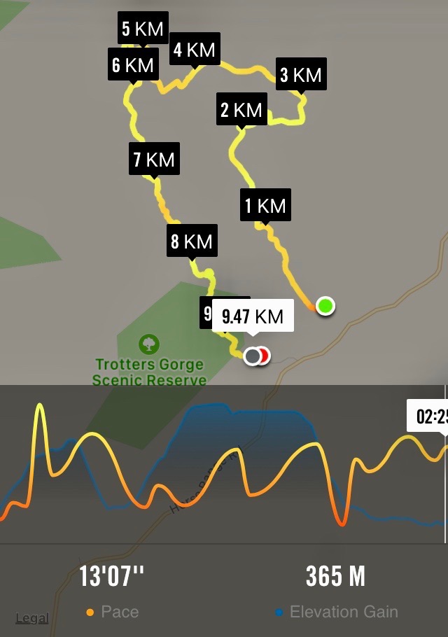
We met the city trampers at the Waitati store and 5 cars with16 trampers were on their way to Trotters Gorge picking up a hitch hiker ( Heather) at Palmerston before continuing on SH1 past Shag Point with spectacular vistas of Katiki beach. At Hillgrove we turned left into Horse Range Road, arriving at Trotters Gorge Scenic Reserve 10:15.
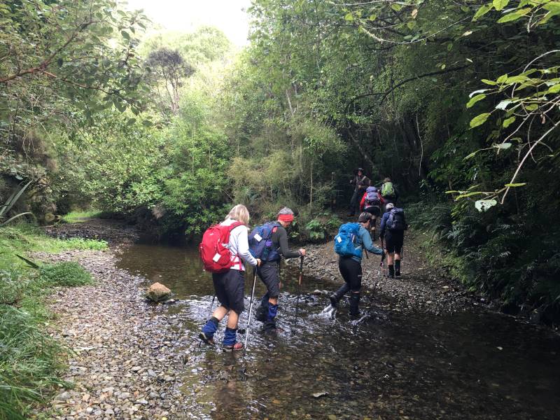
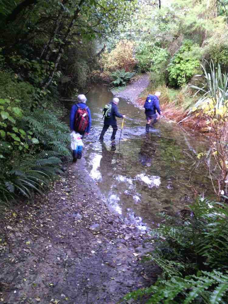
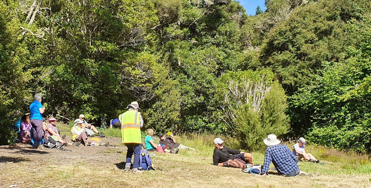
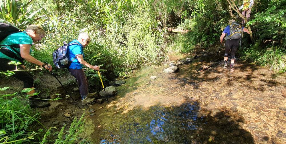
Day packs on, poles, gloves at the ready we started off by walking through the first of six stream crossings – no stepping stones here, so straight through. The small stones were quite slippery under foot.
One of 6 river crossings Caption and photo Pam
The wide formed track, which was muddy in parts, wove its way through native bush of kanuka, ribbonwood, wineberry and kowhai.
The birds were very vocal around this area- great to hear.
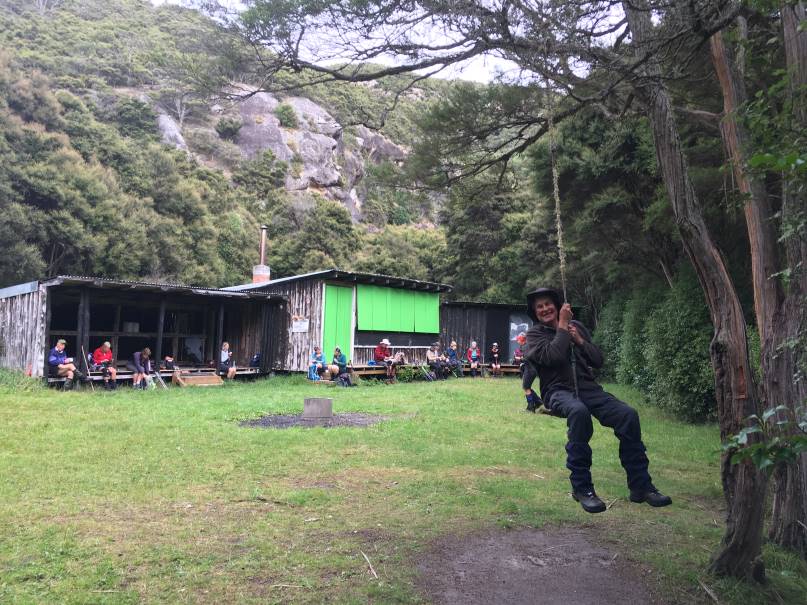
1km on we arrived at the University owned hut for morning tea on the veranda while John, ( a big kid at heart) enjoyed the rope swing.
Morning tea at University Hut- John enjoying a rope swing ( a big kid at heart) Caption and picture Pam
10:55, leaving the hut and the Trotters Creek area we were straight onto the un-maintained single track into the Trotters Gorge area.
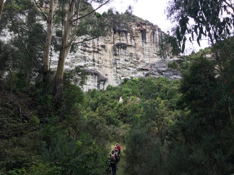
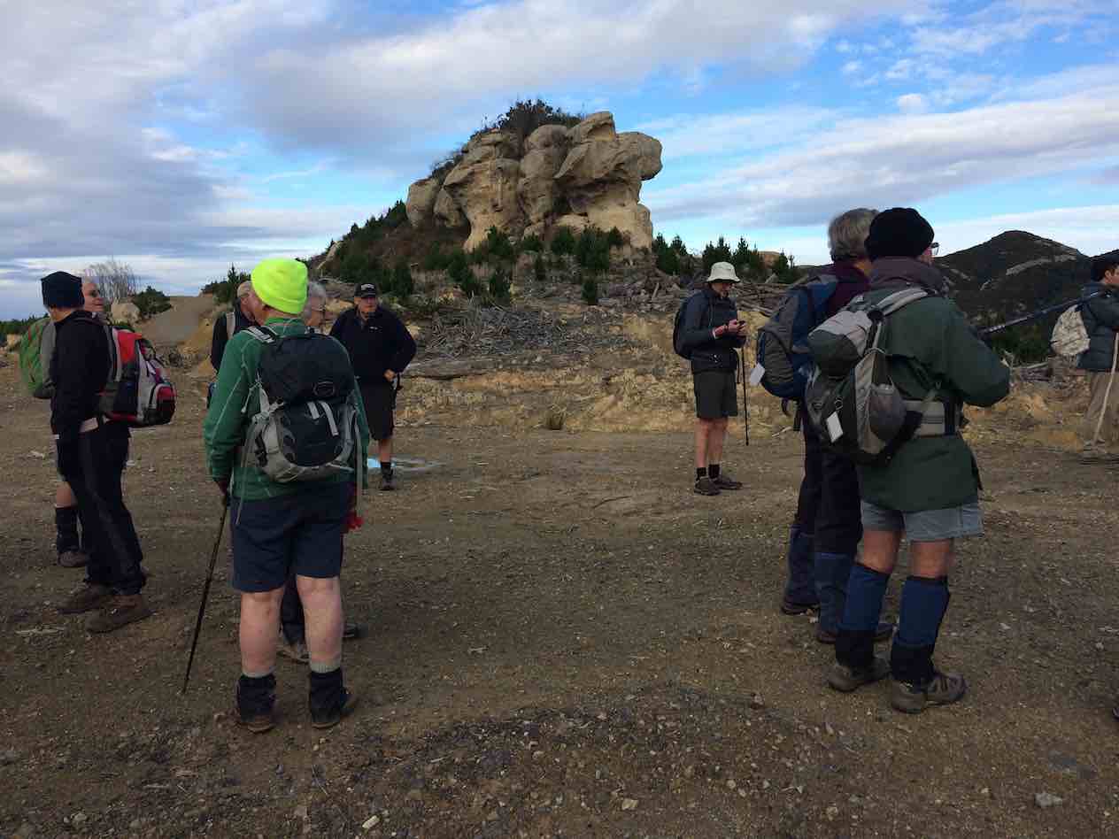
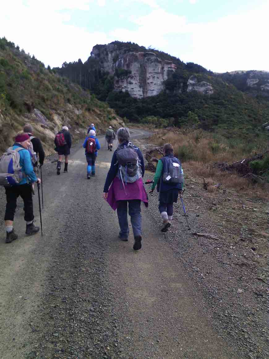
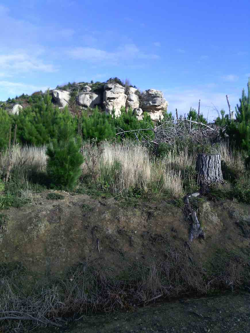
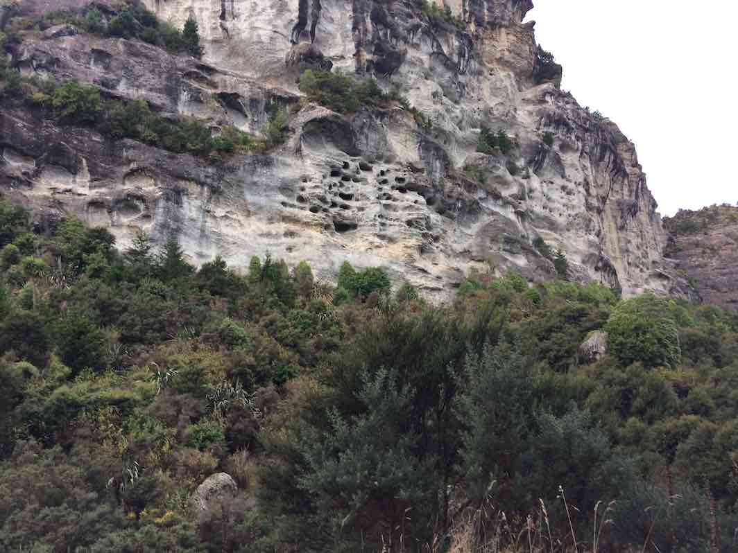
The landscape changed dramatically to sheer rock bluffs which looked like limestone but are greywacke breccia conglomerate formed about 80 million years ago.
Trampers dwarfed by these amazing bluffs Caption and photo Pam
Here we saw the NZ Falcon (Karearea) flying high above the cliff and could hear the nestling’s whining sounds.
Continuing on through the eucalyptus trees we noticed the distinctive smell of its leaves- a camphoraceous smell, slightly medicinal.
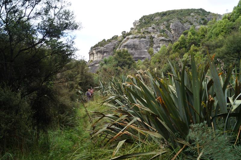
Further on along the flats the track became quite swampy and after crossing a small stream we started our climb up hill.
With gloves on and walking poles ready, we made our way up the track through the overgrown gorse to arrive at the top (11:50) for lunch.
From here we could see over to Moeraki and the sea but the Pine Forests obscured better views.
Out of the gorse Caption and photo John
After lunch we headed back down the same track with ever changing views and were fortunate to get another glimpse of the falcons.
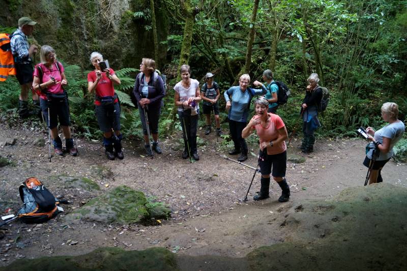
Back at the reserve we embarked on the 700m walk to the Cave.
Almost a group photo Caption and photo John
This maintained track follows a tributary of the Trotters Creek through beautiful native broadleaf forest.
On the track we came across a very large NZ Silver fern and as we approached the Cave we were greeted by a Black Fantail (Piwakawaka).
Impressive silver fern dwarfs Mike Caption and photo John
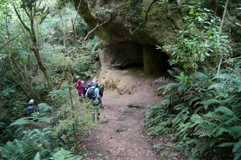
The caves had been sculptured by the river many years ago.
First glimpse of the cave Caption and photo John
Returning the same way back to the cars it was on to Palmerston -continuing on the Horse Range Road, passing through forestry and then rolling farm land to the “Coffee cup” cafe .
Here we enjoyed great coffee, cake and ice cream in the cafe court yard.
Another great day with the TRTC. Pam
3. 7/6/2017. All. Bus Trip. Trotters Gorge. Leaders; Keith, Dave and Arthur.
Hike app route map, courtesy Ian. (About a km short, due to slowness to engage the app.
It was cold waiting for the bus to arrive at the car park, which it did at 8.30 a.m. It only took a few minutes for all to embark, with their accoutrements, and we were away. The Brighton group meet the bus at Green Island, to bring the total for our day out to 41, which included 2 guests/potential members.
The sun was shining in the driver’s eyes as he gave us a smooth ride up S.H.1 before turning off. The bus stopped a short distance before the Trotters Gorge picnic ground, at the beginning of a forestry road, where the Hikers and Trampers would begin their combined tramp. The Ramblers stayed with the bus. It was just after 10 a.m.
The combined group walked a couple of hundred yards to have a brief morning tea in the sunshine. The day was sunny and cool after the morning frost, but later the cloud built up to overcast. It was ideal conditions for the tramp, which followed a main forestry road. These were pine trees, which had been planted after the area had been harvested just a few years ago. The young trees did not obscure our views of the surrounding terrain, which was good.
We followed the road in a north to north-west direction, winding around somewhat, and going…
Regroup at top of first rise. (Ian pic and caption.)
…uphill twice before descending again. The distinctive rock formations of the area could be frequently seen.
Eventually we came to a much longer uphill section, but the grade was good.
Heading up one of the long hills. (Helen pic and caption.)
A regroup was necessary at the top as the hill had sorted out the faster people.
At this time we turned onto Fantail Road, to change direction for the return half of our circuit. This was also at the highest elevation of our day, with good views out to Moeraki township and the sea.
There was a light breeze up here, so we found a sheltered spot in Fantail Road at which to stop for our lunch It was nice in the sun.
Lunch time in a sheltered area. (Helen pic and caption.)
Lunchtime over, it was only a few minutes’ walk till we left the road to begin the descent into Trotters Gorge. At first, for a short distance, the 4WD track was bare clay, steep, and a bit slippery. Once past that bit progress was good, and eventually we reached Trotters Creek. We were down in the canyon now, with ever-changing views of the rock cliffs.
beautiful rock formations. Lots and they were all different. (Helen pic and caption.)Impressive cliff, (Ian pic and caption.)
They look like limestone, but are actually greywacke -breccia conglomerate formed about 80 million years ago. About 12,000 years ago Trotters Creek was a much larger river and carved out the gorge.
Our track followed the bottom of the gorge now, with 6 stream crossings to make,
One of the six water crossings. (Helen pic and caption.)
the water being 3 or 4 inches deep at each. We reached the picnic area and the bus just after 2 pm, after an enjoyable day’s tramp.
There we found that 6 of the Ramblers were missing in action, necessitating a search party being sent out – thanks Alex, Helen and Dave. Happily they were located, on the cave circuit track, coming back out.
So, it was back onto the bus for the return to Mosgiel. The planned coffee stop on the way home had to be forgone due to the time lost finding the Ramblers – but I expect that they will be “shouting” for all next week?
The Combined Group’s circuit had covered 10.7 km, and the Ramblers had done some bush walking from the picnic area.
The day had apparently been enjoyed by all. My thanks go to fellow leaders, Keith and Dave. Also to Shona for collecting the fares, and Bob for co-ordinating the bus. – Art.
?Ramblers report of day at Trotters Gorge.
After the trampers and hikers were dropped off, the 10 of us who had opted for a shorter walk stayed on the bus while the driver drove to the pick-up spot. This took him a bit of manoeuvring. By this time we were really looking forward to a cup of tea, so we walked along the road to a nice sunny spot to sit and enjoy it. We walked back to the bus and got a map from driver which showed a bush track with a shortish loop track not too far along. The 10 of set off on this really lovely track. After a while 4 of our group opted to go back leaving the rest to carry on. We came to the loop track and decided to have a look at it as there was a cave to view not too far a long. Anyway, our loop track proved to be rather more difficult than we had bargained on being very steep up hill and very slippery with mud etc. However, having hauled ourselves up using scrub, roots or a friendly hand, to say nothing of crawling on hands and knees, we decided to carry on as we weren’t keen on returning the way we had come and hoped that the way down would be less challenging! This proved to be marginally right. We decided at about 12.20pm to have lunch sitting in the cave. The way down was slightly better but still required a lot of care. Once again we managed by sliding on backsides, hanging on to trees or whatever else presented its self, and helpful advice and hands of companions. It has to be said here that the one in front with help and advice quite a bit of the time was none other than our 90 yr old and sight impaired Molly!!
Bev and Lesley about to go down a very steep track at Trotters Gorge.
We were at no time lost, and as there were 6 of us, in no danger of not having someone to go for help if needed. We had not been given any time to be back at bus and as, in the past, a bus trip has always meant a whole day out, we didn’t feel any concern about time as it was before 3pm. We actually felt quite proud of ourselves and what we’d achieved by just taking our time and giving each other support and help. – Bev
1. 16/02/2022. Trampers. Jones Property, Matarae. M. Leaders Heather Kirk and Judy Dennison
Third time lucky! We finally had good weather for our tramp on Matarae Station in the Middlemarch area. Our thanks to the Jones family.
Usual 9 am start from Mosgiel. We drove to the corner of Young road and SH87, then turned left into Young road. Travelled for another 3 or so kms, stopping at a gateway on the right, just past the sign for Hopefield farm. From here we did a car shuttle and left 2 cars, further up SH87 at the old cottage. That way we would have vehicles for drivers at the end of the walk and avoid a very long walk on the highway. We counted 20 keen trampers.
Getting ready to set out (photo & caption John)Trampers setting off (photo & caption Pam)
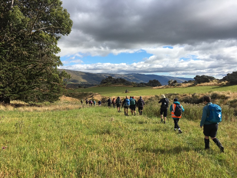
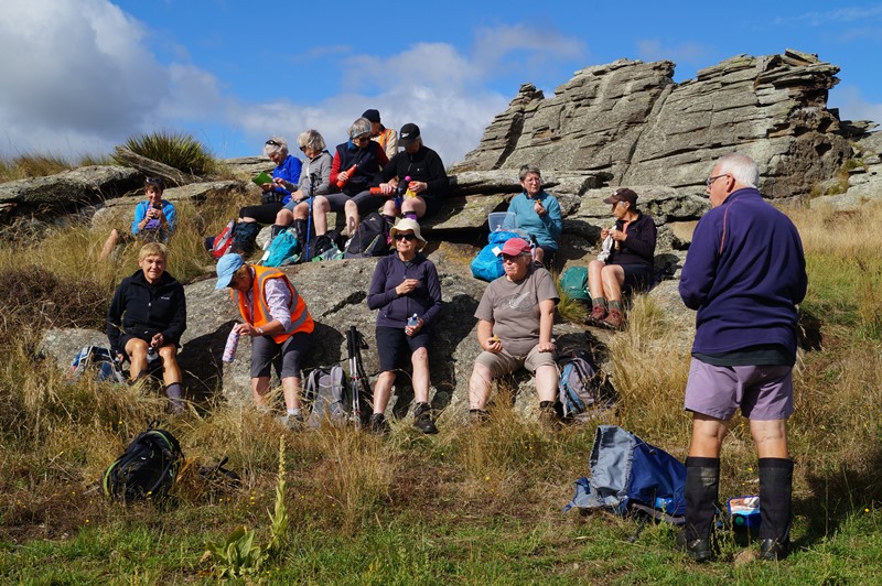
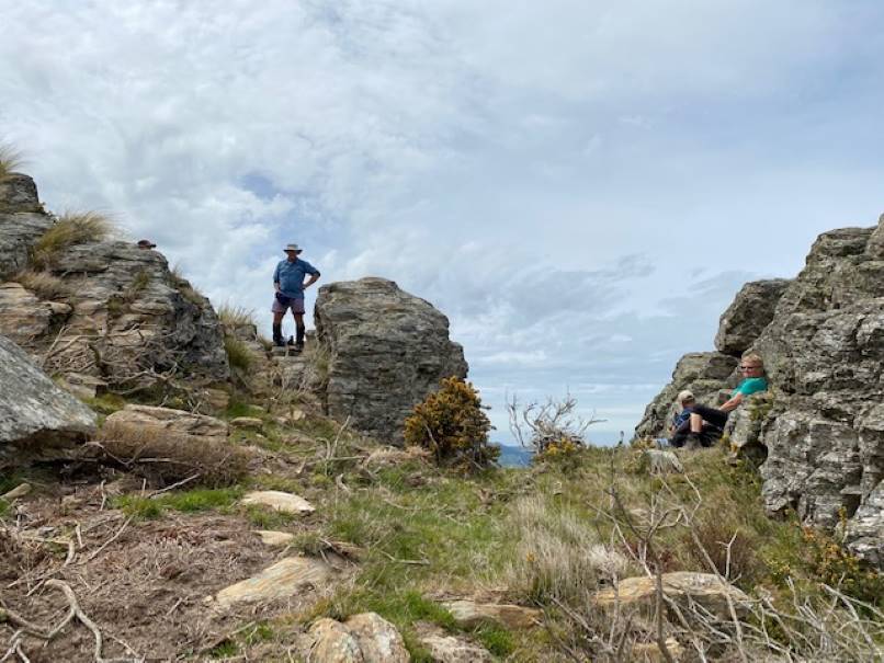
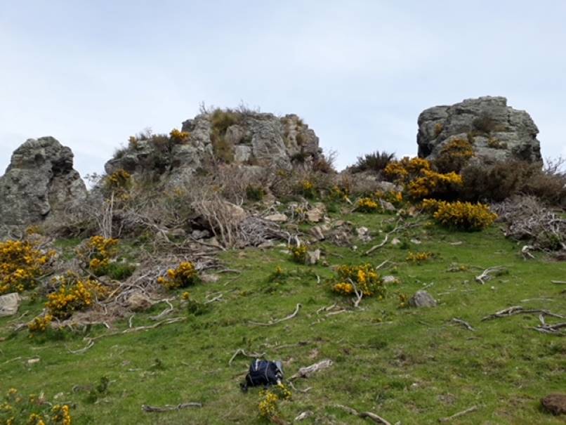
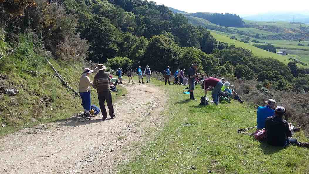
There was a very autumn chill in the air at the start, and we soon found a good rocky view point for morning tea. The rocks in this area are a really stunning sight. As they loom above us with their rugged volcanic presence. Time for a cuppa, chat and to spot a few local lizards.
Morning tea stop (photo & caption John)
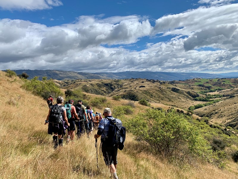
Then, well warmed up, we made our way down in long grass and tussock on narrow sheep trails. Down towards the swiftly flowing Sutton stream, which is lined by lovely bright green willows.
I am always impressed with the clouds and the big skies in these southern skies (photo & caption Marijke)Conga down the hill (photo & caption Karen)
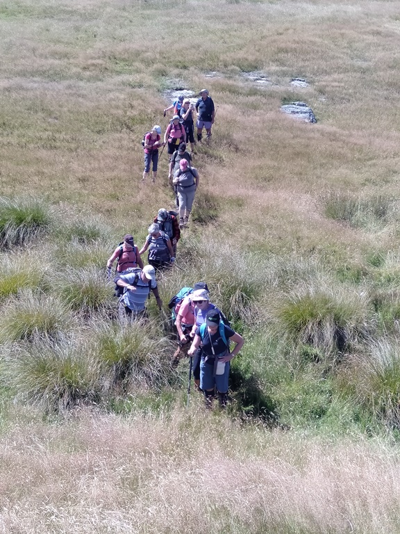
We followed the twisting stream for quite some time and the shade was most welcome. We enjoyed a few scrambles over rocks near the water’s edge, and got up close and personal with some more incredible layered rocks.
Under the shade of the rocks (photo & caption Pam)All these interesting rock formations, so typical for the barren part of the world (photo & caption Marijke)
There is no distinct track to follow really. So we picked our way in a general NE direction to the irrigated crop paddock. Then headed upwards seeking shade in the willows, of the little red roofed cottage paddock. For our well-earned lunch at 12.30 pm.
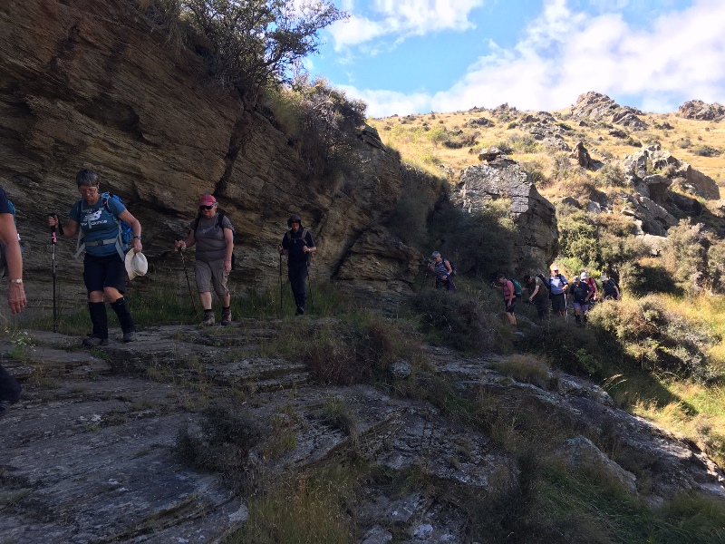
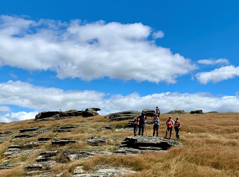
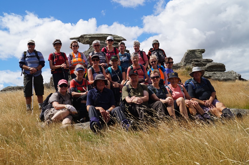
Rested and keen to see more rocks, we crossed the highway by the cottage and continued on Matarae land. Through rocky tussock paddocks, finding some interesting rocks for a group photograph.
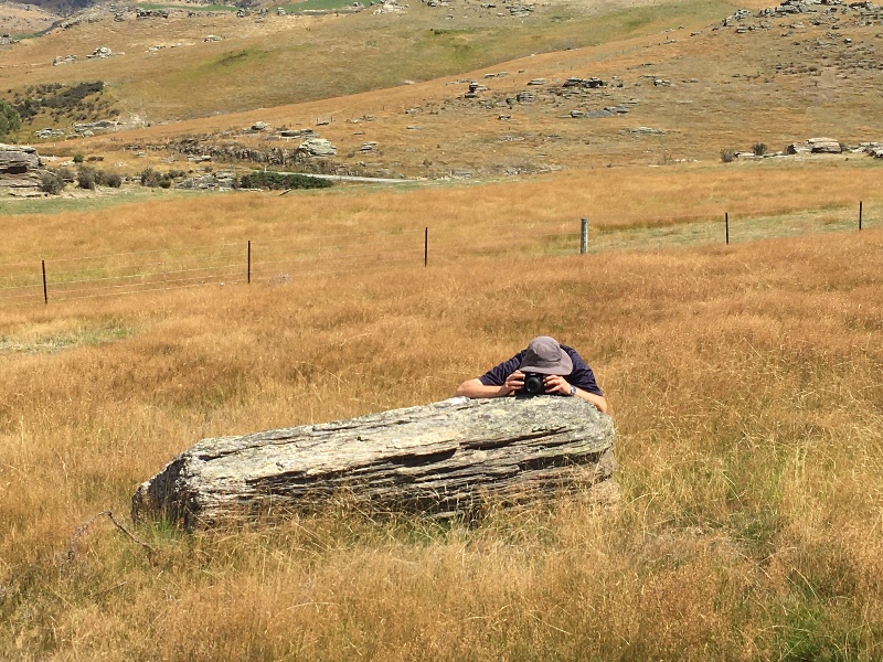
John setting up the self timer for the group photo ‘take 2’!(photo & caption Pam)Self timer worked – group photo (photo & caption John)
We walked a loop here, and were back at the cars ready to car shuttle drivers back to their cars by 2.45pm, to head home.
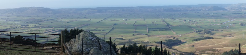
Panorama – Where we waited for the cars to return (photo & caption John)
An interesting 11.3 kms approx. walked – just far enough on such a warm, late summers day.
6. 09/02/2022. Trampers. Purakanui Leaders: Chris Wither and Jill Davie
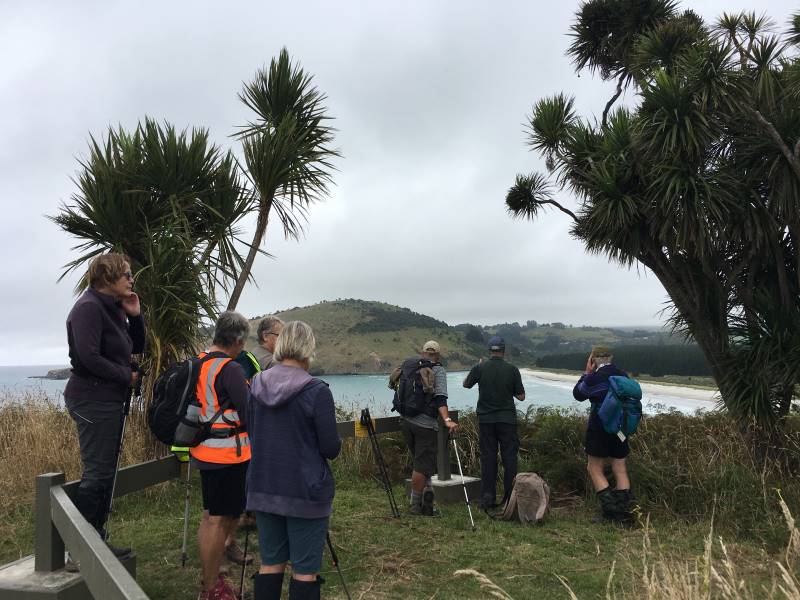
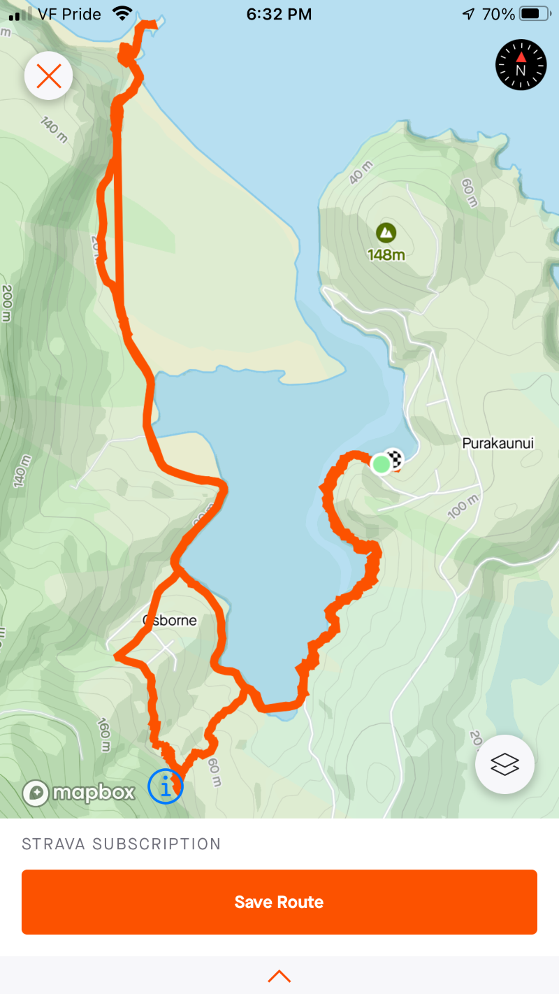
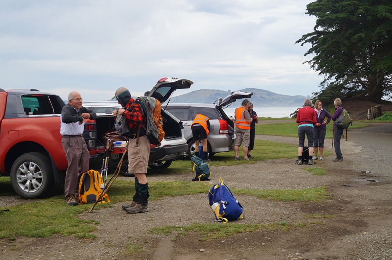
With low cloud obscuring the hilltops, sixteen trampers headed to the beautiful Purakanui Inlet and parked at the Mopanui Road picnic ground. The intention had been to climb to the top of Mopanui to enjoy the wonderful views there, but the weather meant a change of plan was required.
After a 2km hike around the edge of the inlet the group stopped for morning tea.
Diane and Heather discussing the lovely Purakanui inlet from a well placed seat along the track to the township Caption and photo Marijke
We then headed up steep Purakanui Station Road to Osborne Station. From there, thanks to Peter remembering that mates from some decades ago used to hike from Osborne to the station to catch the train to school, the group discovered a great 1km long track below the railway line that led through the bush to the Osborne township.
Visiting Osborne township on the way. It has some very innovative building ideas. Caption and photo Marijke
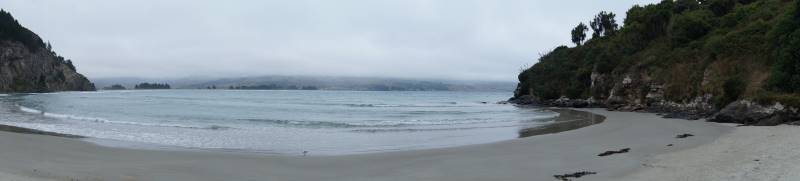
From there we made our way through the pines and over the dunes to Mapoutahi for lunch.
Regrouped before heading to lunch at Canoe Beach Caption and photo Pam View towards Purakanui from Mapoutahi Caption and photo Pam
This was followed by the short climb to the centre of the peninsula where there were great views to be had.
Purakanui Beach stretching into the distance Caption and photo JohnCanoe Beach Caption and photo John
We retraced our steps around the Purakanui Inlet to the cars to complete the 14.3km long tramp. Chris
5. 2 February 2022. Combined trampers and hikers. Moeraki. Leaders Valerie Bell & Barbara Shackell, Jay Devlin & Bob Mitchell.
Twenty-eight intrepid beachcombers met together at an overcast Hampden Beach having carpooled up that morning – or camped overnight – and immediately had morning tea.
Getting ready to start out (photo & caption John)
Low tide was 10.54am which permitted walking along the shore including around the rocky headlands for those who preferred, or joining the Millennium Track before the headlands and enjoying the bush area through into Moeraki Village.
A third option was for those who might have wanted a shorter walk to just go as far as they felt comfortable with, and to meet back at the carpark in time to join everyone for afternoon tea at Vanessa’s on SHI in Hampden village.
Some interesting rock formations were seen along the way and not all of them boulder formation.
New boulder emerging (photo & caption John)
It was a beautiful day for the walk, not being too sunny and therefore hot, and not being so cool as to be unpleasant to sit in the playground area for lunch.
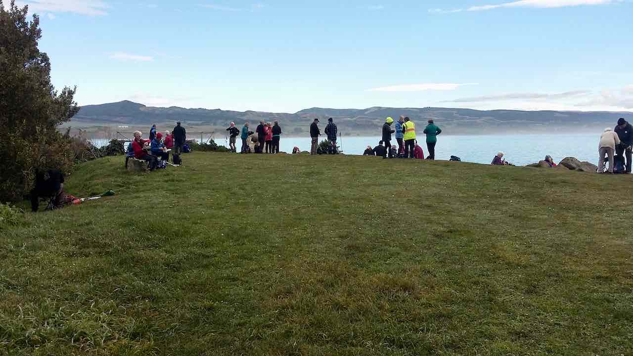
Lunch stop at the Moeraki Village playground (photo & caption Barbara)View from lunch stop across Moeraki Harbour (photo & caption Barbara)Lunch spot at Fleurs on the grass for 7 of us (photo & caption Helen)So many trampers! I’ve become ambivalent to them (photo & caption John)
At least one leader had assumed that the leading bunch of four women – who took to the headlands as though they were born to it – would continue past the two open eating establishments, past the now closed Fleurs, and up the Millennium Track to the lookout on the Hill above the bay. That leader was mistaken, as she discovered, with the miscreants arriving back at the playground having eaten their Tavern bought Fish & Chips without taking the trek to the lookout!
Beautiful beach (photo & caption John)
After lunch, we straggled out along the beach to return to the cars and enjoy an efficiently produced afternoon tea at Vanessa’s. Thanks to Dave R for the suggestion.
John’s afternoon tea (photo & caption Ady)
Depending on the fitbit or app relied on, we walked between 12-14 km.
Leaders: Jay, Bob, Valerie & Barbara
4. 2018-08-01. All. Bus trip. Moeraki. Leaders: Adrienne and Bev.
Report Combined Bus Trip – Moeraki 1/8/18
45 outdoor seekers got on the bus at Mosgiel to head to Moeraki for the club’s annual combined bus trip.
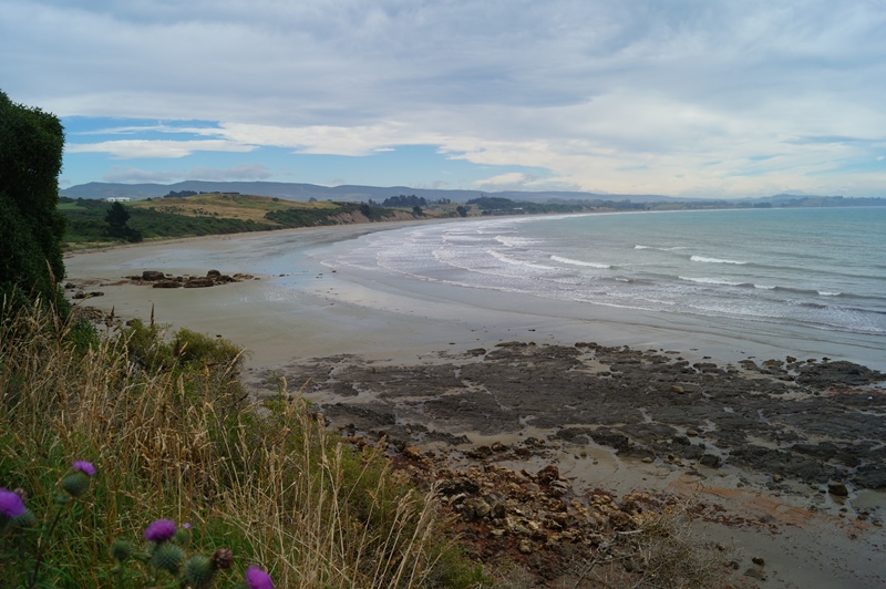
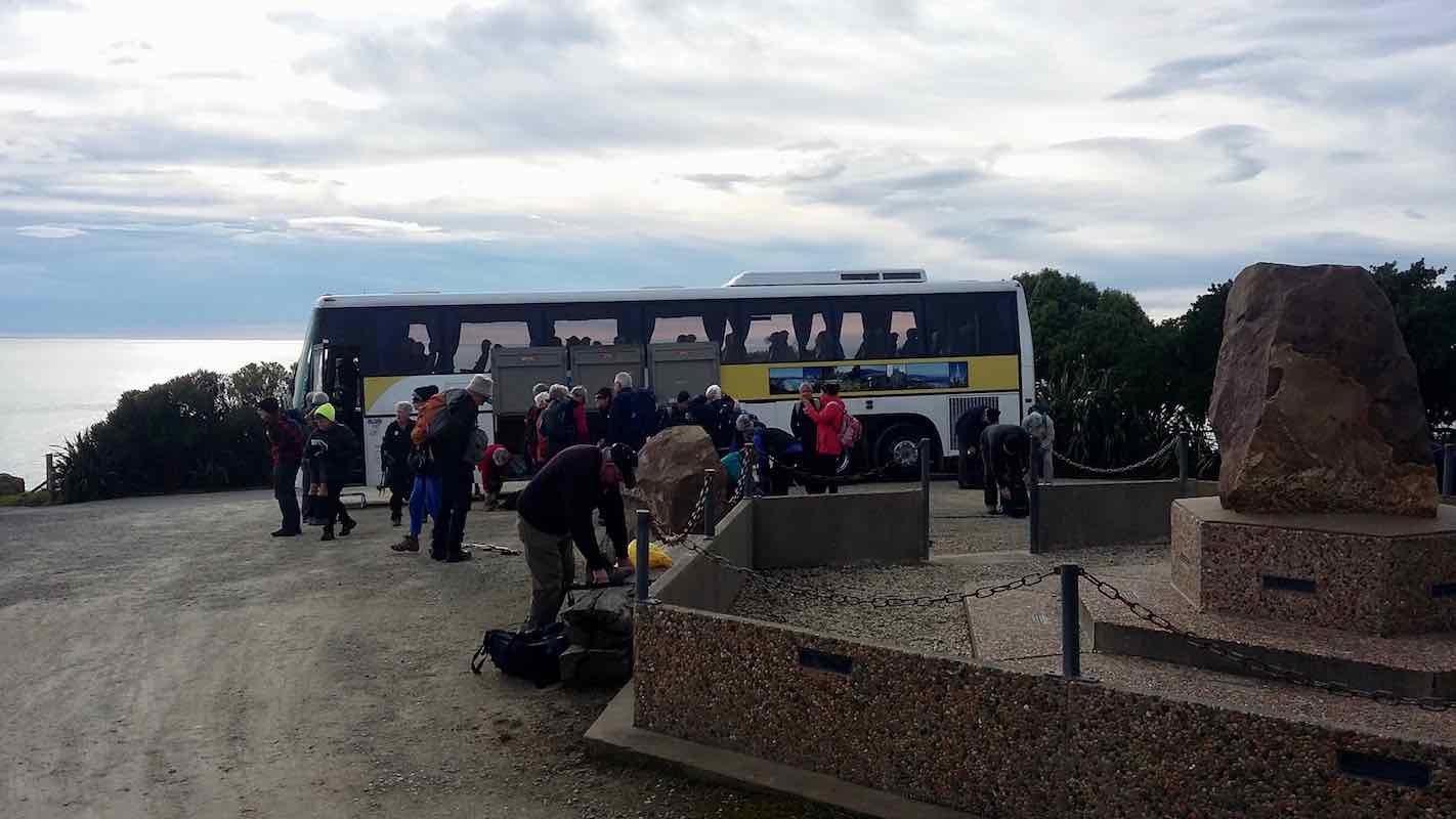
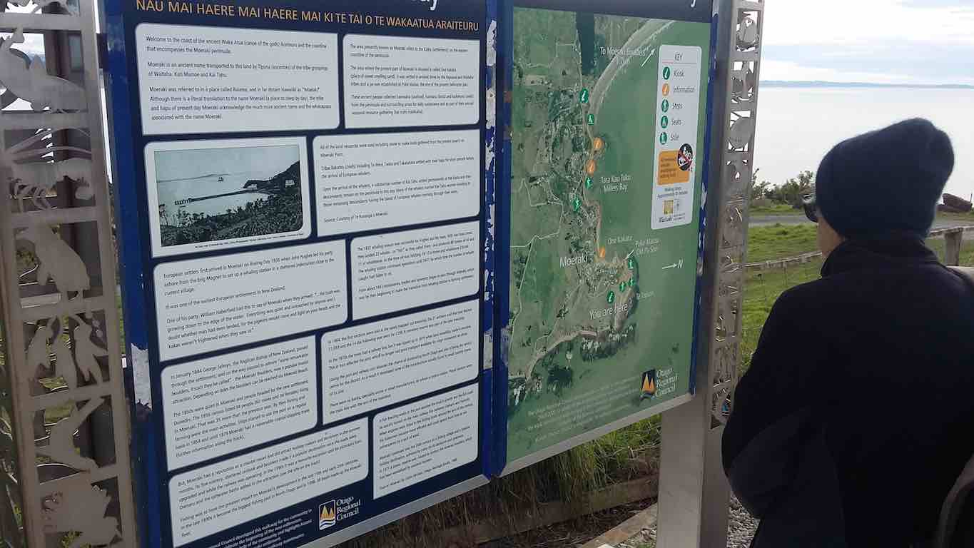
We started at the lookout at Moeraki …
Debussing at Moeraki. (Clive pic and caption.)Where we are going… (Clive pic and caption.)
… and wandered down the Millennium track with great views of the sea and Moeraki Bay.The first seal sighting included a baby seal which was eagerly photographed.A Crested shag was also seen. It was a short wander down to the surrounds of the famous Fleur’s Restaurant.Here morning tea was partaken …
Morning tea at Fleur’s Restaurant. (Clive pic and caption.)
… with lovely views of the fishing boats (known for catching blue cod) in the bay. It was a cool start but gradually the cloud cleared and the sun warmed us up.
The track followed the shoreline through trees and shrubs. On one part of the track the big slump in Moeraki was very evident which has affected some roads and properties.
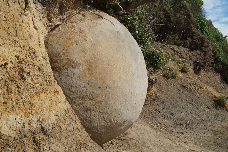
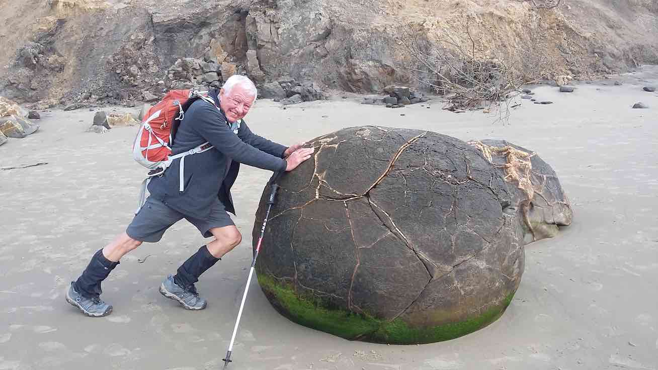
We then walked down onto the beach, the tide being low, and some walkers seeing what seemed like a leopard seal. It was a pleasant walk 2km up the beach to the Moeraki Boulders.According to Maori legend the boulders represent eel baskets and food that was spilled from the loss of Arai-te-uru, one of the large canoes that came from distant Hawaiki. The Boulders are concretions consisting of mud , fine silt and clay , cemented by calcite.
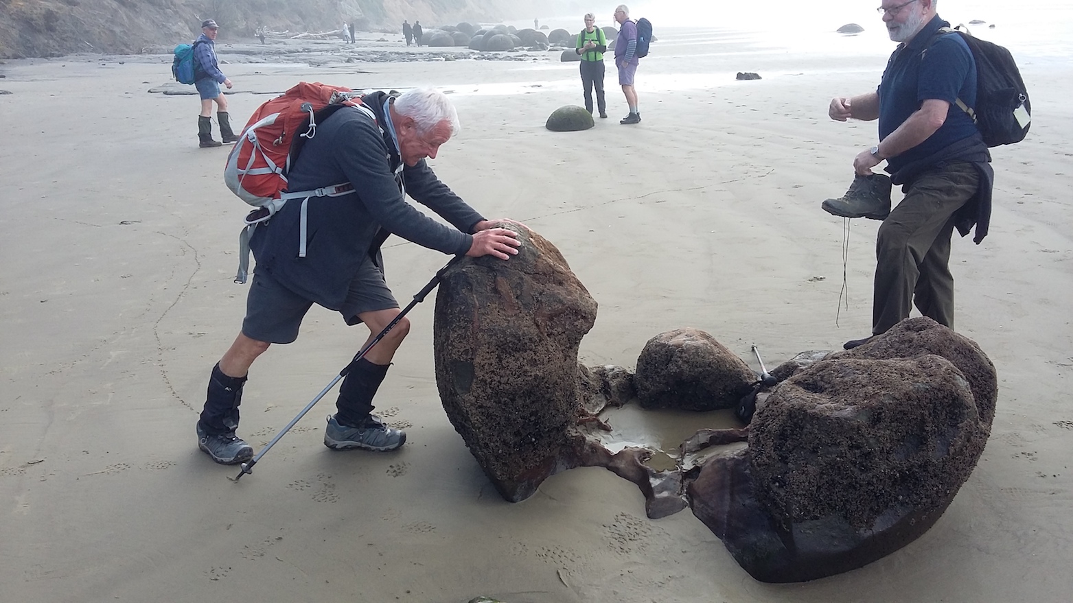
After a number of photographs …
Dave I’ll just move this boulder, (Clive pic and caption.)Oops…… (Clive pic and caption.)
… some of the group headed up to Hampden beach. Erosion by the sea was very evident along the low cliffs.
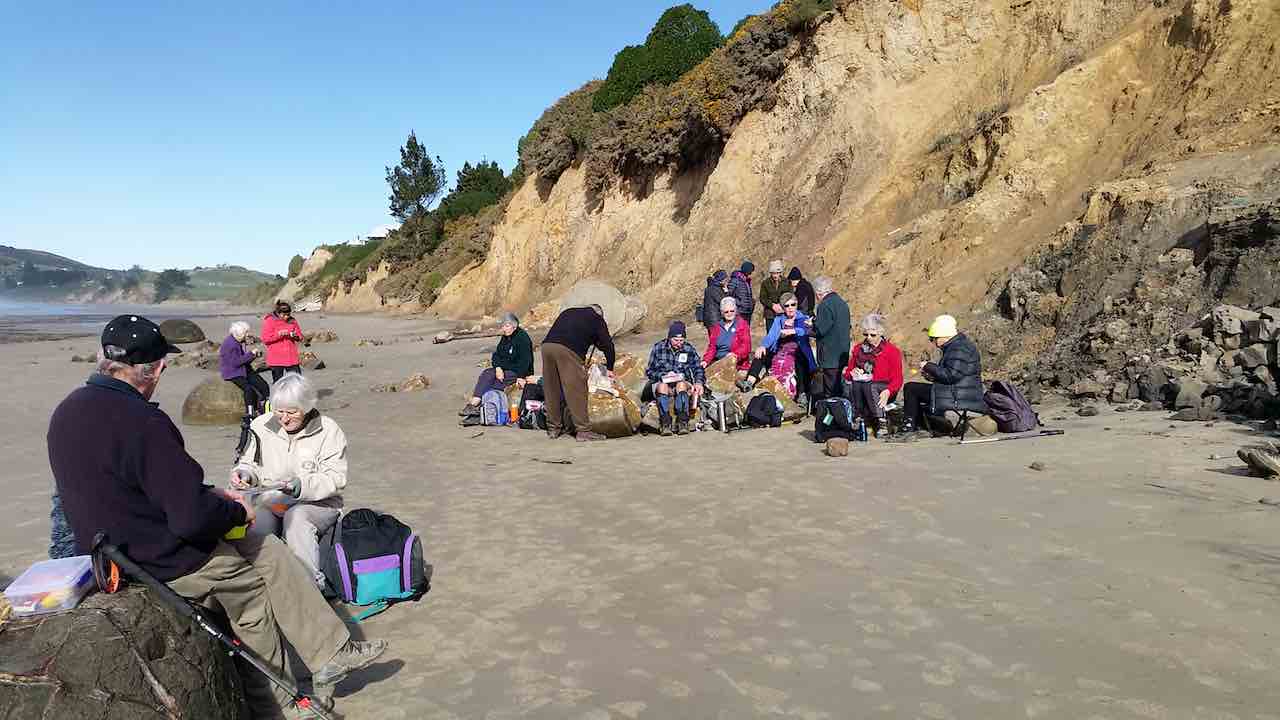
Lunch was had along the beach some near the boulders …
Adi pic.
…and others at the picnic tables at Hampden Beach.
The trampers lunch at Hampden. (Clive pic and caption.)
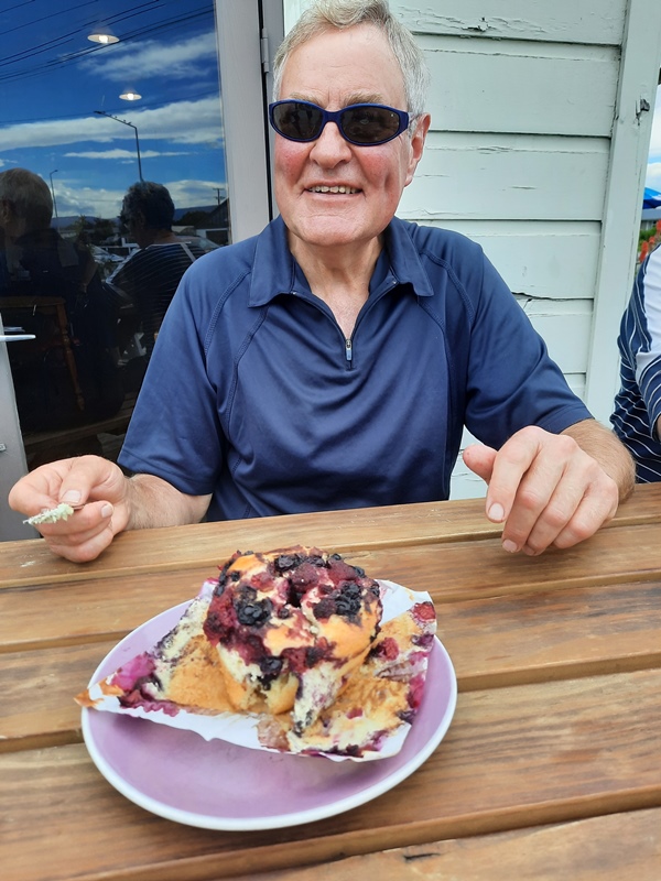
The lure of big double icecreams at the store was too much for some.
Well deserved treat!!! (Dave pic and caption.)
They were sampled with smiles as we walked back.
We all met up at the Boulders’ carpark around 2pm and then headed down to Shag point.The drive in was past icon kiwi cribs, some originally belonging to coal miners of the past, to the boat ramp.We had a wander around the area seeing more lazing seals. There was an old coal mine that used to operate in the cliffs. This was where, years ago, Mollie went to the local school at the age of 5. At that time when the mine was operating the school had a roll of 80.10 years later when she left the school, it only had 18 students.The mine closed in the early 70’s and had shafts running underground beneath the sea as well as inland.
It was then back on the bus, with a group of great people for the trip home. Some feeling very relaxed after some good sea air!!
Thanks to President Jill for her superb organisation.
Dave M
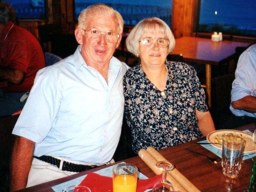
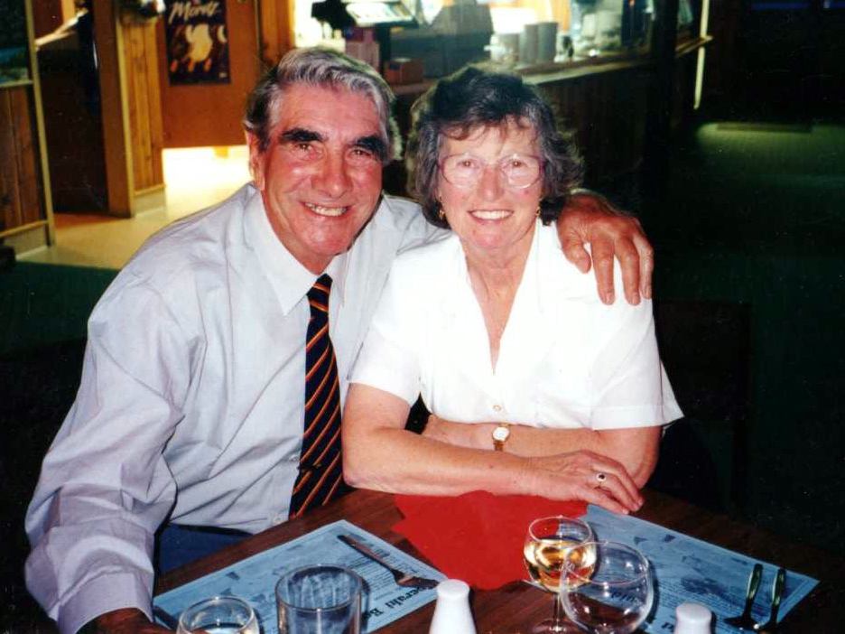
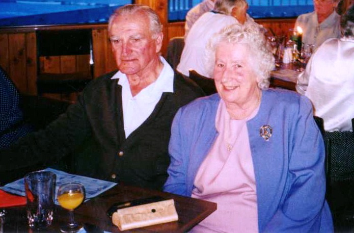
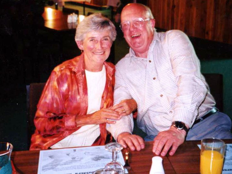
3. 15/12/1997. Tenth Anniversary Dinner, Moeraki. People pics.
(Click to enlarge)
Sylvia Williams, Win Gibson, Audrey Heenan, Les Smith, Nancy Strang, Margaret Deuchrass, Margaret Smith, Who? Mary Maxwell, Les Wiffin, Peg Chisholm, Les Winefield, Mavis Winefield, Bev McIntosh, Barbara McCCabe, Don McCabe?
Eric Bennett, Bev Harvey, Joan Hobbs, Elizabeth Haggie, Dot Bennett, George Haggie
Murray and Eleanor Watt, Ngaire and Doug Moir
Sylvia William, Nancy Strang, Margaret Deuchrass, Peg Chisholm, Frank Weedon, Win Gibson, Shirley, Ngaire MoirMargaret Smith, Bev McIntosh, Bev Harvey
Les and Margaret Smith, Wendy Bathgate
Eleanor Watt, Les and Margaret Smith, Bev Harvey
George Haggie, Mavis Winefield, Les Winefield, Eric Bennett.
Dot Bennett, Joan Hobbs, Colleen Gamble
Barbara McCabe, Cath and Lex Donaldson
Nelson and Dot Taiaroa
Murray and Eleanor Watt
Les Wiffin, Mary Maxwell
Bob and Audrey Heenan
Bev and Ray Harvey
Bev and Ivan McIntosh
Peter Bathgate
2. Friday 22/9/1992 – Sunday 23/9/1992. Moeraki Motor Camp. 23 attended. Leaders: Bob & Audrey
1. 22-23/9/1989. Moeraki Motor Camp. Leaders: Bob & Audrey. 24 attended this weekend camp. Everyone had a great time and Audrey and Bob were thanked for a job well done.
13. 26 January 2022. Hikers. Evansdale Glen. M. Leaders: Jim and Betty Finnie
It was a pleasant sunny morning that 16 hikers assembled at the Evansdale Glen car park. The morning tea stop was in pleasant sunshine at the end of the short bush circuit that returned us to the grassy domain.
Morning tea (caption and photo Clive)
From the domain the main track took us up valley in pleasant conditions, crossing the stream 3 times…
The 1st stream crossing (caption and photo Clive)How to tackle the 2nd stream (caption and photo Clive)The 3rd stream crossed with dry feet (caption and photo Clive)
… to where a pleasant lunch break was had.
Lunch by a babbling brook (caption and photo Clive)Looking downstream at lunchtime (caption and photo Adie)The water race for the old Seacliff asylum (caption and photo Clive)Lunch stop Evansdale Glen (caption and photo Adie)
On the way back down valley conditions deteriorated and required wet gear to be donned. My wet gear consisted of a 35 gram $1.99 plastic poncho that had remained unused for six months. The donning of this unused item for the first time presented challenges that were resolved with the assistance of fellow hikers to remove my head from an arm hole and get my head installed in its correct position.
Wet from above and below (caption and photo Clive)
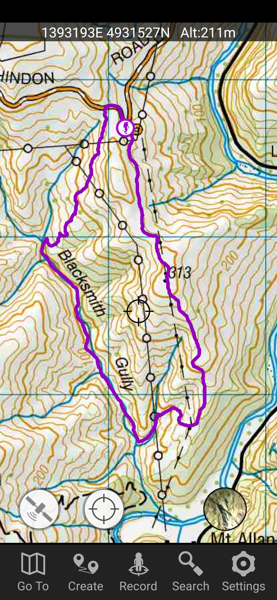
4. 15/12/2021. Hindon. Blacksmiths Gully. Leaders Jill Reid, Sarah McCormack, Linda Partridge, Jan Butcher.
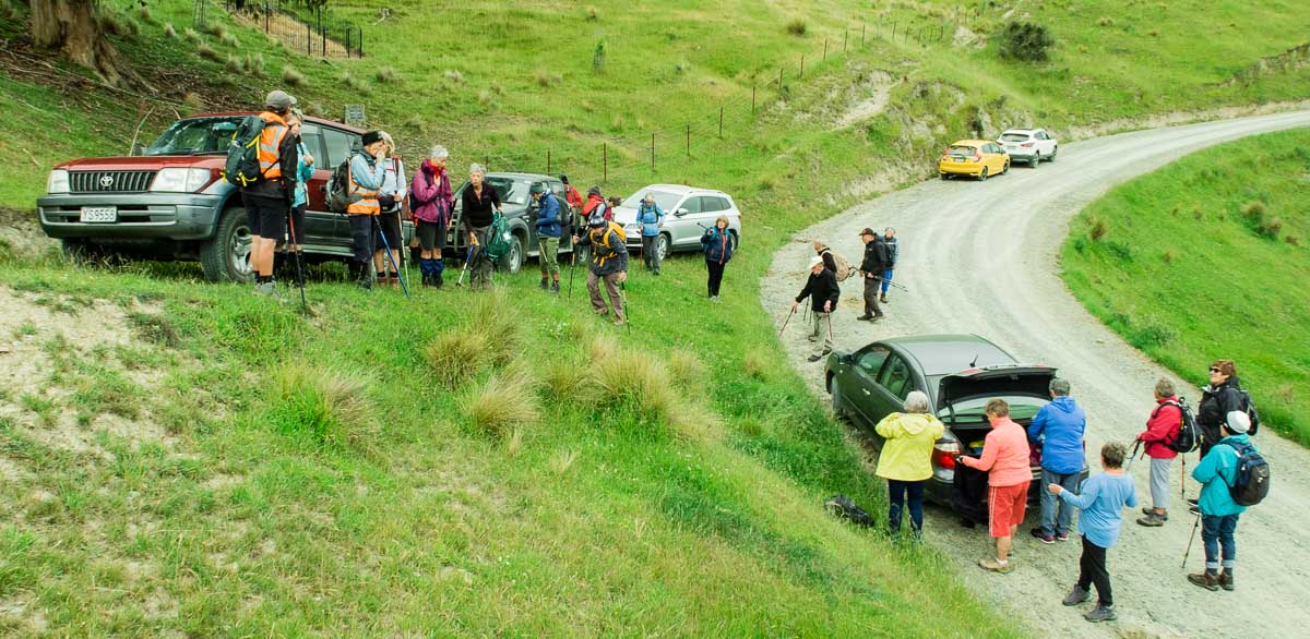
A reasonable day dawned for our combined Christmas visit to Hindon, and about 40 people headed up George King Memorial Drive to the hall. We deposited our “plates”, wrapped up warmly, and drove to Don Graham’s gravesite on Ardachy Station.
Getting sorted (caption and photo Ross)
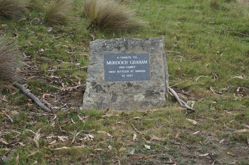
Don loved this challenging country & he overlooks the hills and Taieri River.
Lovely spot for a tribute stone (caption and photo John)
The hikers walked a gentle track & enjoyed the spectacular scenery.
Nice view of the hill (caption and photo Helen)The group of 19 hikers (caption and photo Helen)
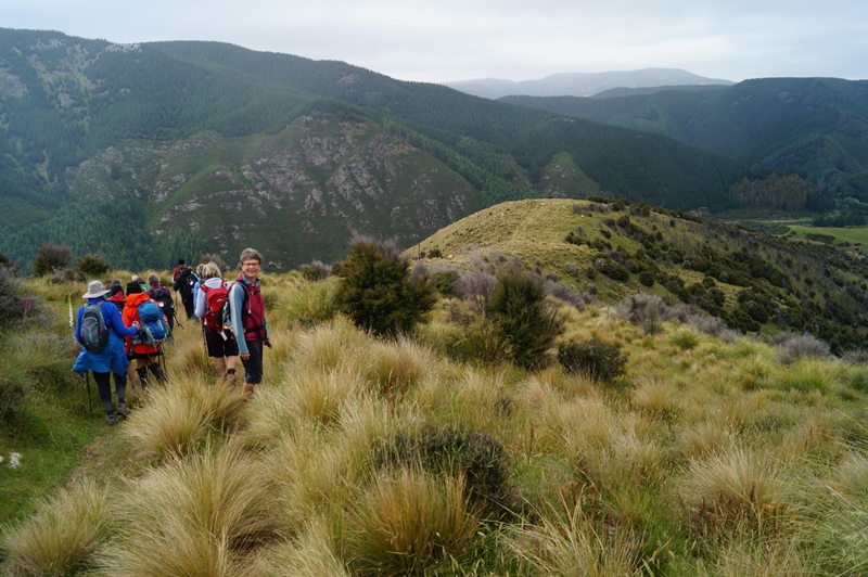
The trampers headed down the hill to Blacksmiths Gully, then looped back up to the cars – about 6 km.
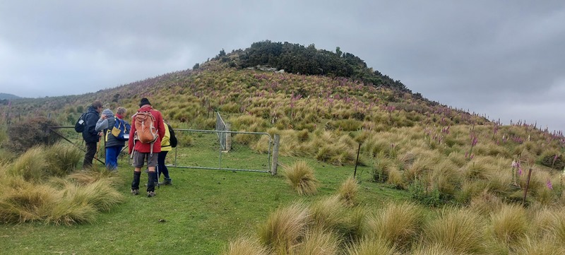
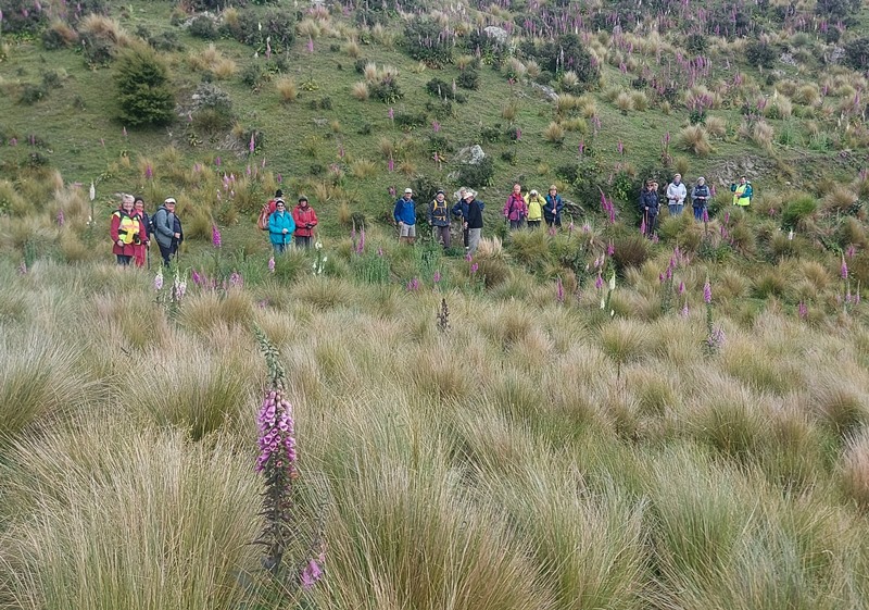
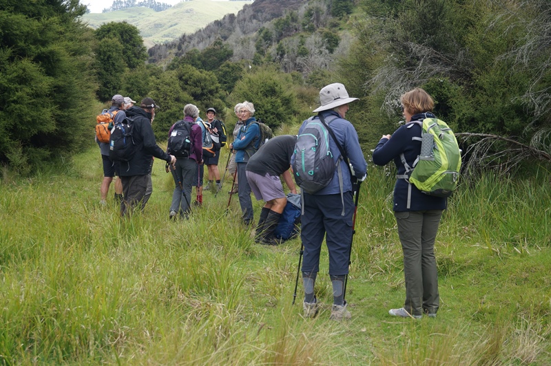
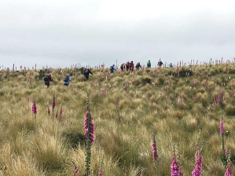
First impression of the vastness of the countryside (caption and photo John)Panaroma – open country dwarfs everyone (caption and photo John)Phil and Peter in their happy place (caption and photo John)Are we going the right way Jill? (caption and photo John)Trampers among the Foxgloves (caption and photo Pam)
Kevin Burke said Ian Fleming’s grace and we then enjoyed the generous pot luck lunch.
Chris Wither told us some Hindon Hall history & her various associations with it during her 38 years living at Hindon. She mentioned how mice often visited during yoga classes……and yes, one brave mouse came under the door soon after!
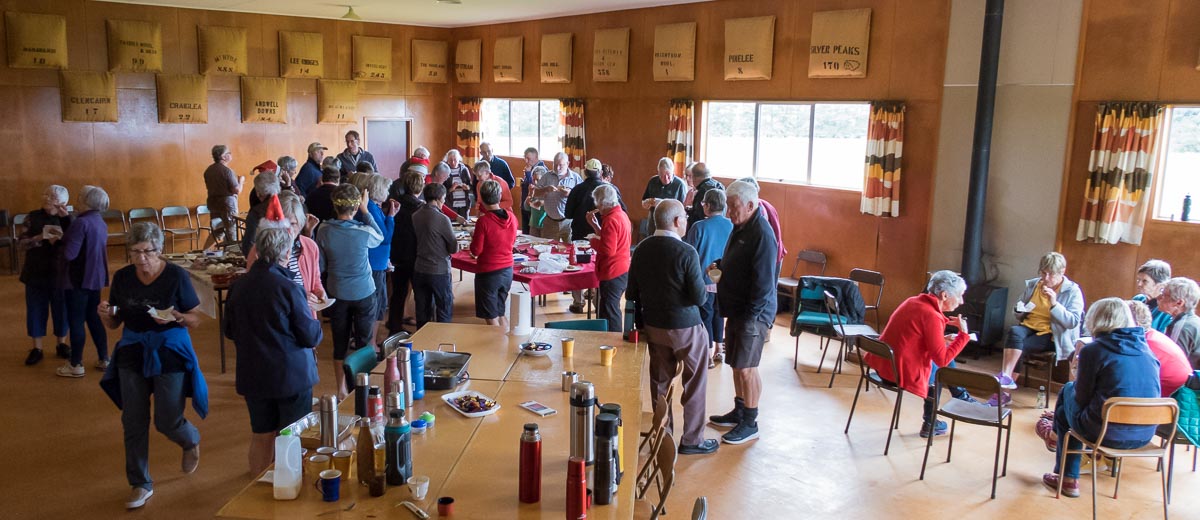
Lunch in the Hindon Hall (caption and photo Ross)
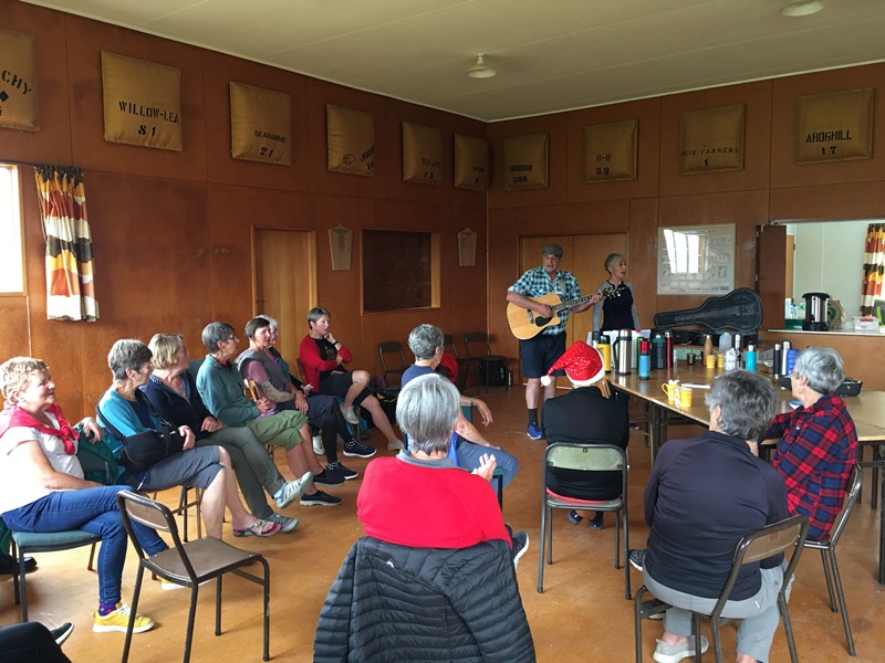
We greatly enjoyed Grant Shackell playing his guitar and singing along with his “blind date” Claire Currie.
The entertainers – Grant and ClaireEntertainment from Grant and Claire. Interesting woolsacks on the wall from past and present farms in the district (caption and photo Pam)
Thank you both for the wonderful entertainment, and to Jill Dodds and her helpers for organising the food etc. A very pleasant way to wrap up our tramping year!
Jill Reid
Tramper’s route
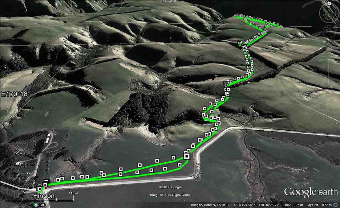
3. 2/4/2014 Both. Hindon. Machine Creek. Recently Bathgate, now Cowley Farm. Easy+ Leaders: Ian, Ken
GPS of route per Garmin, courtesy Ken.
GPS of route per iPhone app.
30 turned out for an earlier foggy, but later sunny, shorter trek over gloriously stock-free paddocks …
M/Tea in the dry away from the heavy dew on the grass. (John panorama pic)
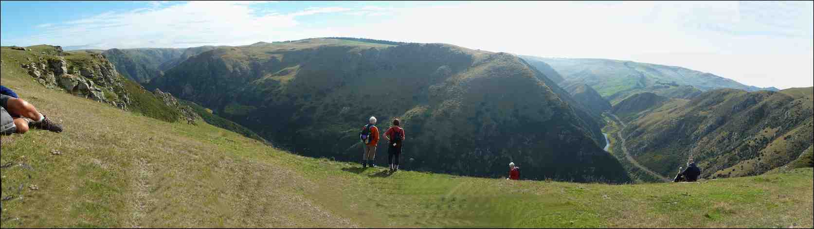
to reach a ridge overlooking the Taieri River gorge. Wonderful views rewarded us on an autumnal day quite free of the slightest disturbing breeze. So we could just take our time and drink the prospect in.
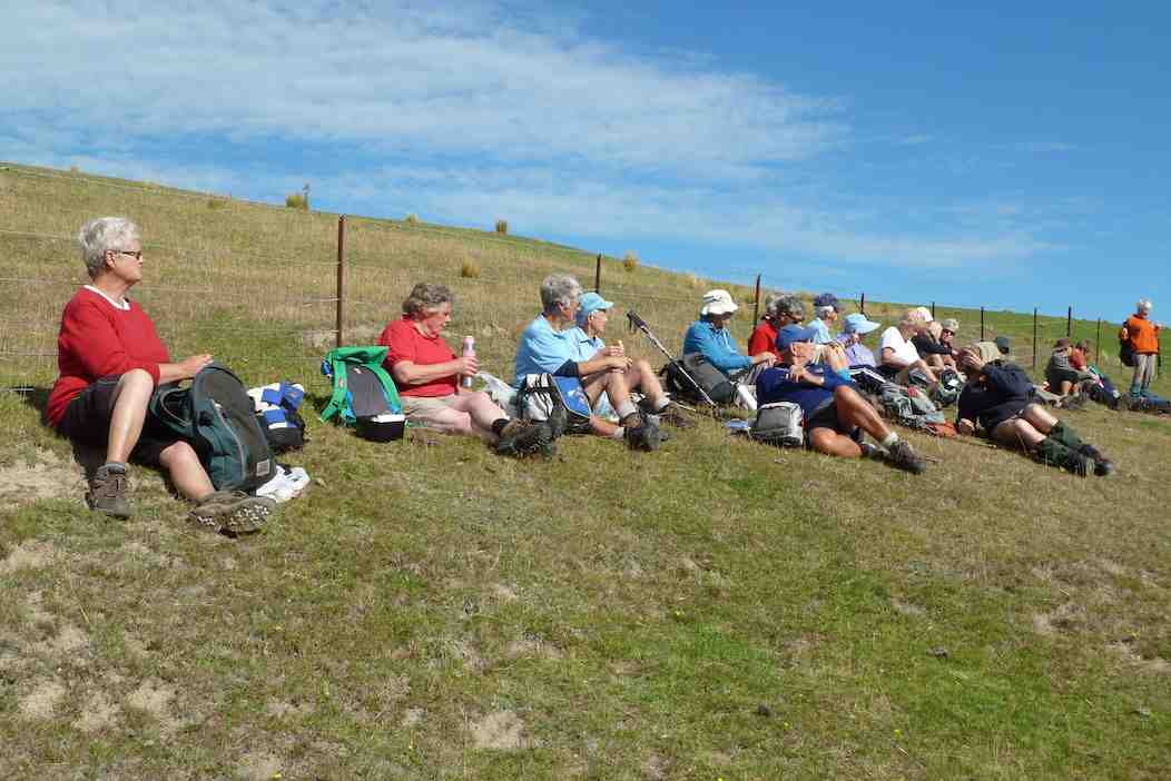
A few of us ventured via cattle tracks down the steep slope below the ledge to the plateau below (as can be discerned from the iPhone app map) with the majority remaining quite content to laze in the sun. With plenty of time to spare, we eventually settled down for lunch, the majority again staying on the main ledge …
Lunching along the fence (John pic)
with a few taking advantage of the slope …
Lunch on slope overlooking Machine Creek. (Ken pic)
overlooking the dramatic Machine Creek gorge. All in all, an interesting resurrection of a tramp many of us had forgotten. – Ian.
2. 14/7/2004 Hindon, Machine Creek Penno farm Leaders: George, Molly
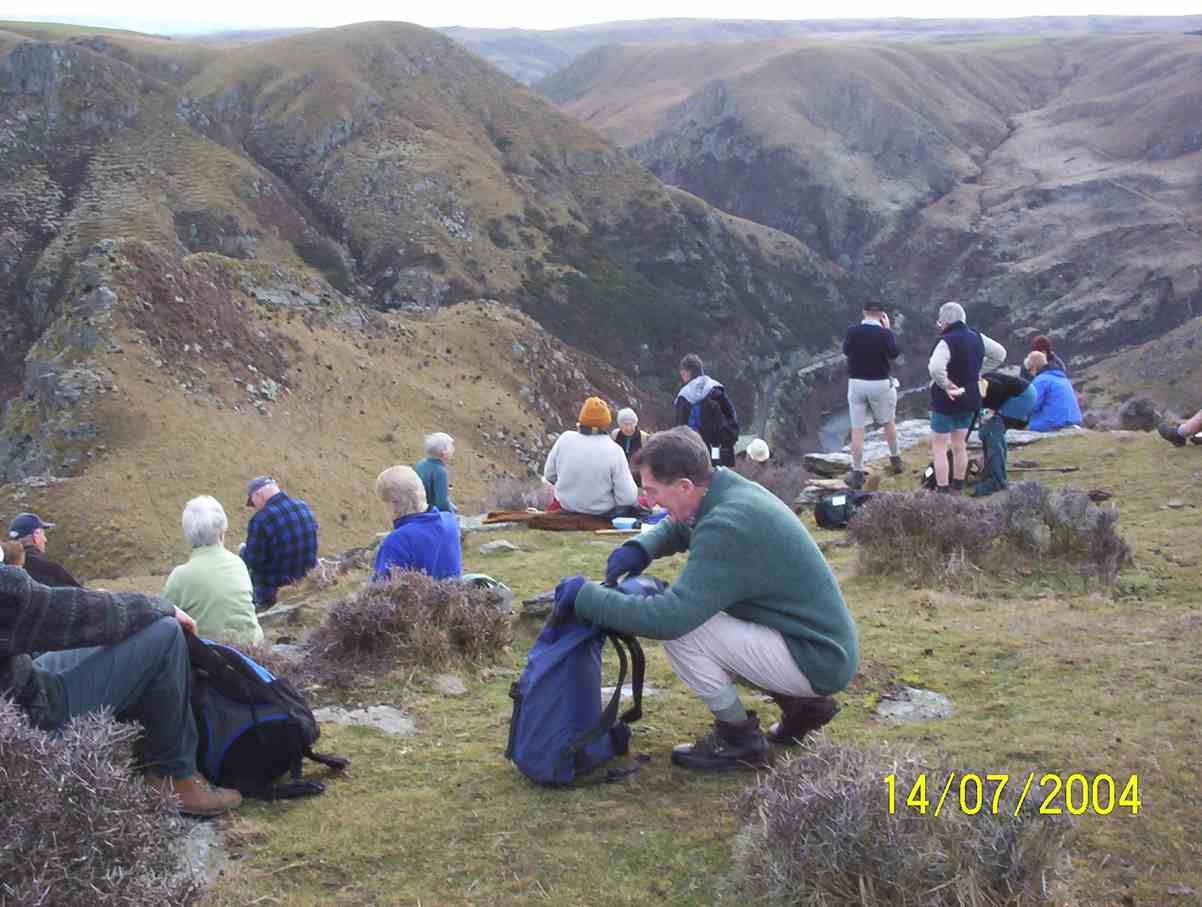
M/Tea Machine Creek
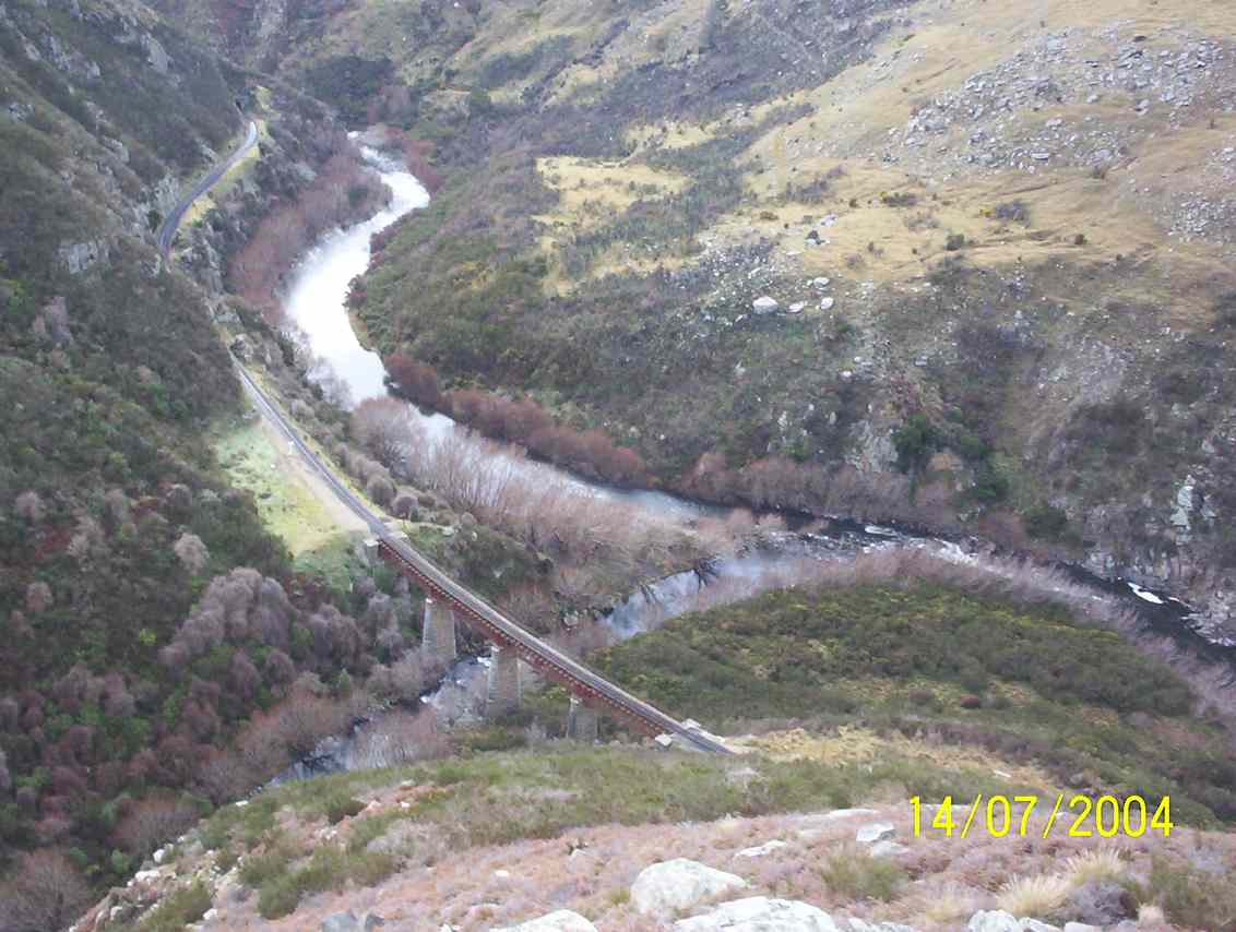
Machine Creek railway bridge, looking upstream
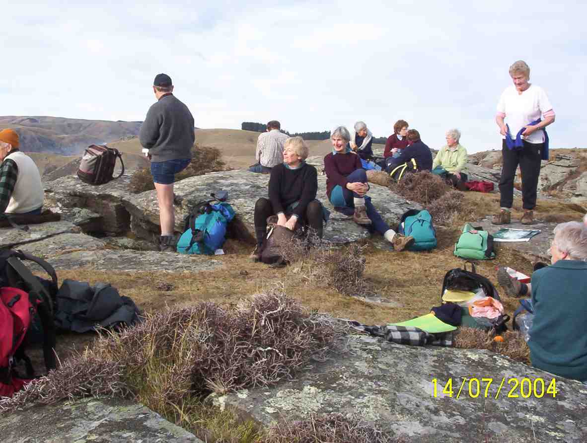
Machine Creek Lunch. George, Arthur, Pat, Molly, Margaret
1. 5/5/2004. Both. Hindon, Machine Creek, Deep Stream. Easy. George, Molly, Glenys P.
5. 17 November 2021. Hikers. McIntosh Bush. E-M. Leaders: Jan Yardley & Pam Clough
A good number of hikers and trampers (23 in total) travelled up to McIntosh Bush, formerly owned by Marjorie Orr and Colin MackIntosh, now owned by Marjorie’s niece, Hilary Lennox. I was unaware that it was previously owned by Eleanor and Murray Watt. Eleanor was a member of the tramping club for a number of years. Marjorie and Colin still live on the property which consists of 100 acres of native bush and mixed exotics, and a QEII-covenanted bush area.
Setting off down the track – Saddle Hill in background (caption and photo Jan)
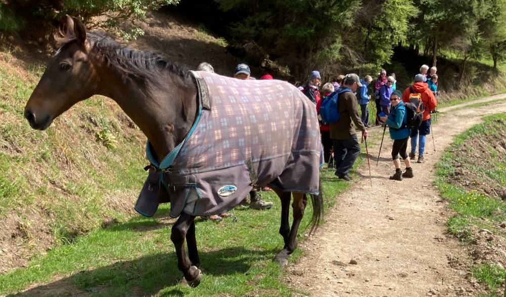
We were guided by Marjorie, and started off down a road then up the hill past the horse paddocks. Two horses met up with us but didn’t hang around long.
Meet-up with the horses (photo and caption Jan)
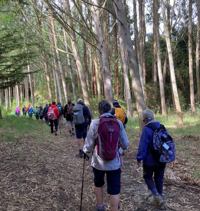
We carried on down through various stands of exotic timber trees which included eucalyptus, macrocarpa, Tasmanian blackwood to a picnic area at the bottom of the gully for morning tea.
Through the Tasmanian Blackwoods (photo and caption Jan)
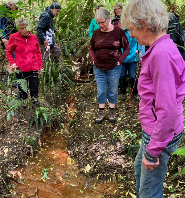
We then proceeded through native bush where the rare peripatus worms live and looked at a stream oozing “brown coal” seepage.
Our guide Marjorie, explaining the “brown coal seepage” (photo and caption Jan)
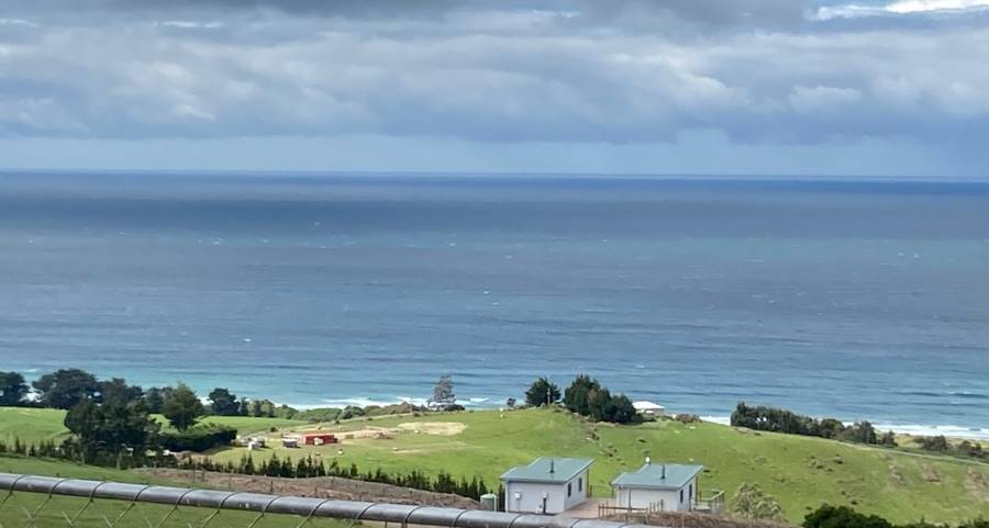
Climbed up through an area of pinus radiata to the top edge of the property where we had an excellent view overlooking the Ocean View area.
View from top of property (photo and caption Jan)
Walked back down to the picnic area for lunch…
Lunch at the picnic area (photo and caption Jan)
…then headed back to the cars up a very picturesque ferny bush track. Quite a narrow track with lots of wooden steps and tree roots etc. to negotiate. On the way up were numerous tree plantings named after various people associated with the property.
Colin Mackintosh on a clean-up mission (photo and caption Jan)
On arriving back at the cars Marjorie offered us a tour of her garden, accompanied by her two dogs – an unexpected extra bonus.
Finish up with the tour of Marjorie & Colin’s garden (photo and caption Jan)Group picture (photo Barbara)
We finished up a successful day with coffee at the Wooden Table in Mosgiel, and we very much appreciated the opportunity to enjoy this special property.
26. 10/11/2021. Three Kings – Heenan Road. M. Leaders: Cathy Ferguson and Sue Nichol
18 Hikers set off from double gates where we parked our cars about 9.15 on a very warm humid day.
Photo Cathy Ferguson
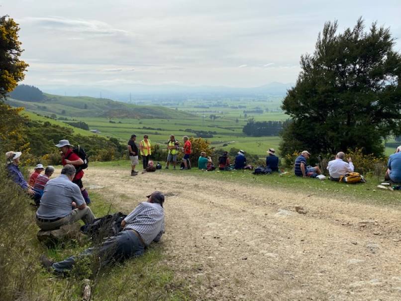
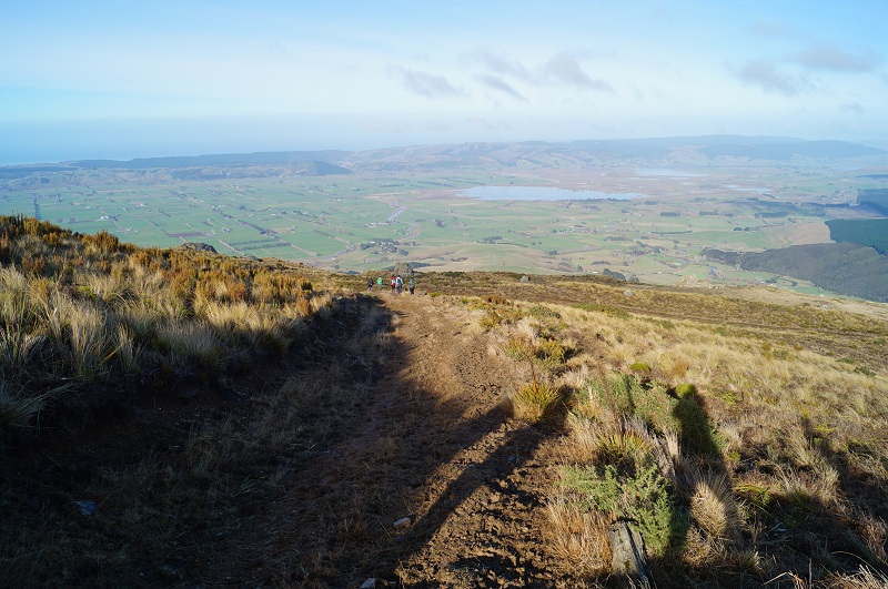
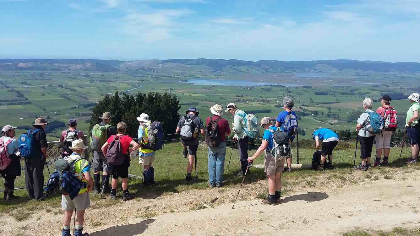
On a well formed farm track it is a steady climb through bush and morning tea was a stop, with views over the Taieri Plain.
Photo Cathy FergusonPhoto Cathy Ferguson
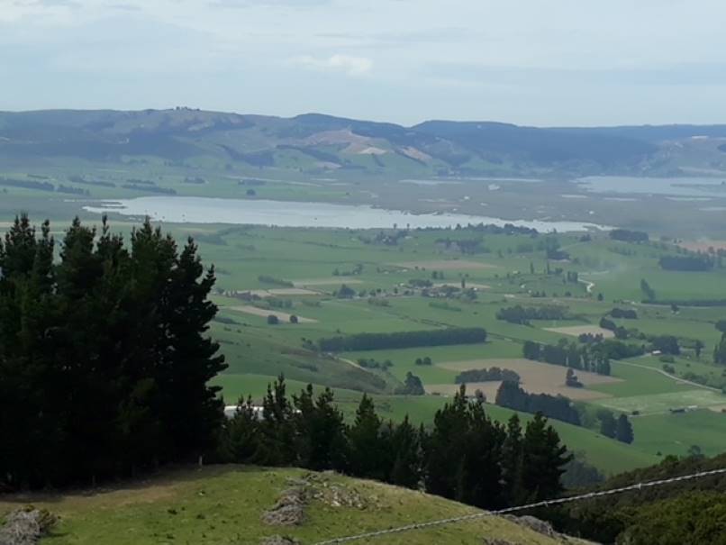
As we climbed higher there was several stops to enjoy the views of Lake Waipori, Lake Waihola and the wider Taieri.
Photo Cathy Ferguson
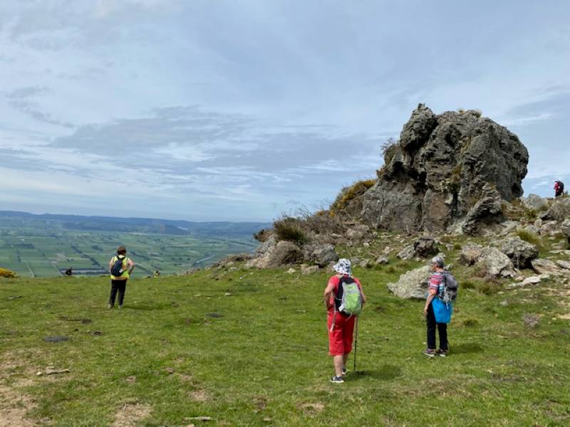
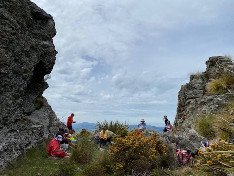
At the cattle yards where there was a small calf and 3 large cattle we turned right and walked up a rougher steep track until we reached the 3 Kings. Lunch stop was had at this point for a relax and a little banter.
We then headed back down the track to the vehicles. Amazing how going down always goes so much quicker.
A hot but warm day was finished with a drink at the Wobbly Goat.
25. 23/06/2021. Three Kings Trig F. M. Leaders: Eleanore and Peter
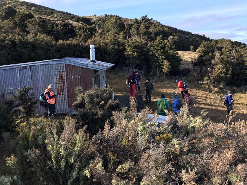
On a chilly calm morning, 23 rugged up trampers met at Heenan Road at 10:10am and headed through the gate, where we were greeted by a few cattle, who had made the track quite mucky. It is a steady climb up the farm track, enjoying views of lower Taieri at regroup stops.
By 11am we came across a sunny spot to enjoy smoko, probably halfway to 3 Kings.
Early view of the Taieri [Photo and caption John]Keeping to the farm track we continued climbing to the wooden cattle yards, then headed right up a lesser defined track, arriving at the first big rock, glistening in the sun and surrounded by smaller ones. Even though the air was very chilly, it was a good spot for photos and views.
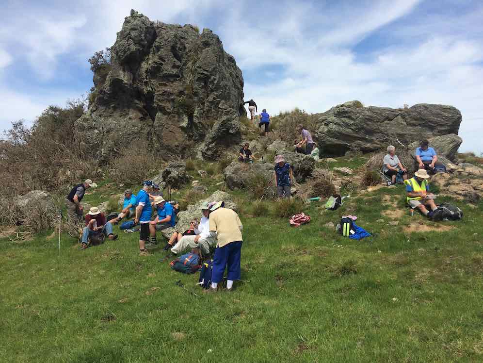
Apparently Not the Three Kings [Photo and caption Pam Cocks]Next, keeping right, we followed the track up and around to 3 Kings, arriving around 12ish. They are 3 rocks, rather spread out, sort of in a row. There was plenty of that nasty Spaniard grass amongst Dracophyllum — common on the tops of Maungatua. Once again, we climbed on them, to take photos. Thin air up here at 647 metres!!
By now we were thinking about coffee and lunch, so we left on our way back down.
Soon after Trig F was spotted up a muddy cattle track so 16 of the group made the climb to say they had been to this trig which is slightly higher than 3 Kings at 703 metres.
Trig F has seen better days [Photo and caption Pam Cocks]Soon after, round 12:30ish, all met up on the track for lunch in the sun.
We had been given permission from land owners to visit their little hut in the bush near the cattle yards. It is really well set up, with a couple of beds, I would think many good times have been enjoyed in that hut.
Landowners Hut [Photo and caption Pam Cocks[We left the hut at 1:30pm for our downhill walk to the cars enjoying beaut views, particularly the intricate set of channels, swamps and lakes between Waipori and Waihola and also the Taieri river at the start of Taieri Gorge.
The descent [Photo and caption John]It is a nice way to end the day walking amongst the very old Beech trees amongst the native bush.
View over the Taieri Plains from below The Three Kings [Photo and caption Pam Cocks]On returning to the cars at 2:30pm, it was good to remove the muddy boots before going to Willowfield for coffee and cake. Another great outing, thanks Peter Gillespie and Arthur Heenan for great navigational skills leading us. This was the first visit to 3 Kings for some members. Good company, good friends, good fun makes us all happy.
I contacted Michelle & Steve and sent a couple of pics. thanking them for going through their property.
Eleanore Ryan & Peter Gillespie
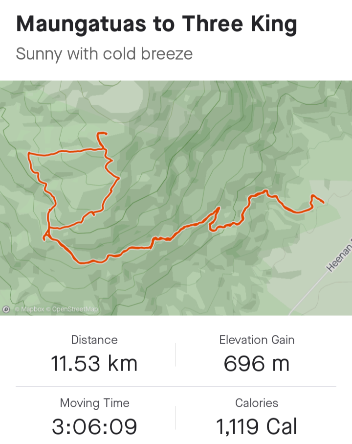
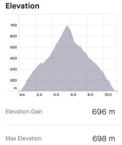
From Strava courtesy Ross Davies
24. 14/11/2018. Hikers. Three Kings from Heenan Road. M. Leaders: Ian and Doug.
Thirty of those who weren’t away at the Hollyford Camp turned out to tackle the 4WD track up to Three Kings. Three Ramblers, who have chosen for themselves the name “The Eighties Plus” dropped back to continue at their own pace, getting ultimately as far up as the last gate on the track. The rest, with occasional rest stops and regroupings,
Morning tea with views of the Taieri. (Clive pic and caption.)
Ian explaining part of the history of the Taieri. (Clive pic and caption.) [Pointing out the original route up from Wesleydale Camp. – Ed]made it up the steadily graded track, overcoming the last very steep bits to reach the rocks high up on the Maungatua Range at its southern end by lunch time.
The day was fine and calm with only a little sharp wind up here persuading us to find our own sheltered but sunny spot for lunch. Quite a number of us were newer members and for many this was their first visit to these prominent rocks. Well done.
Lunch at Three Kings. (Ian pic and caption.)Our leaders Ian and Doug. (Clive pic and caption.)
After a leisurely lunch, it was back down the track again, this time each at their own pace now that it was a known route, and into the cars, to regather for coffee at Outram. A successful outing. – Ian and Doug.
23. 17/5/2017. Hikers. Three Kings from Heenan Road. M. Leaders: Ian and Doug.
Route map courtesy Ian. Nike pp not turned until 1km into trip so add 1km to all distances. (Ian pic and caption.)
We navigated our cars to what for the Hikers was a new entry spot. Back in 2006 the Todd Group had denied us access through the paddock next to the old Wesleydale Camp which gave us access to a lovely track through the bush above it opening to gorse leading to the FWD track above. Now, back at the bottom of a big dip in Heenan Road, there was an entry point to a parking spot up at the very bottom of that track, thanks to a hospitable owner’s permission.
Only 13 were able to turn out for the day. A first long-grassed paddock was the only steep effort, the track thereafter proving a delightfully modest steady gradient elevating us soon to impressive views over the Taieri plain. We stopped for morning tea at one such view,
Viewing the plain. (Ian pic and caption.)
but low cloud below us was beginning to condense obscuring the former clear air.
Later, where we at last emerged from the bush part of the route, we stopped to point out to newer members the old way by which we used to reach this point. Beyond here, the track now steadily steepened the nearer we got to the Three Kings. We took it slowly, with frequent rests and regroupings. Until behold, there was a new track cut right across an extensive cleared area, changing the whole aspect of what we used to experience eleven and more years ago. The new track was even steeper, but at last all got there.
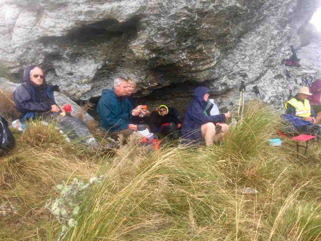
We hunkered down for lunch beneath the principle rock, sheltering from a brief but wetting rain shower.
Shelter for some. (Ian pic and caption.)A clever perch. (Ian pic and caption.)
But that was it. The day remained calm, if cool. We returned back down the way we had come, all very pleased at having achieved our object. One older member expressed their delighted at achieving a return to the rocks after such a long absence, having given up all hope of ever making it again.
We stopped for coffee at George’s ‘hairy’ goat cafe, delighted to meet up there with the Trampers’ other half of the club, returned just before us.
A satisfying day. Roll on the wintry weekend ahead. – Ian.
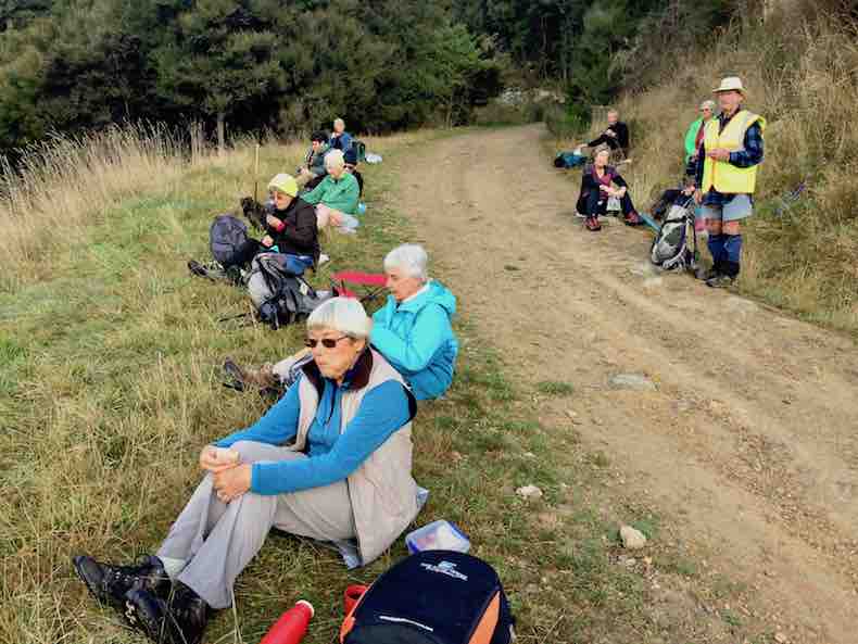
22. 8/2/2017. Trampers. Maungatua Summit from Heenan Road. M. Arthur.
I believe this tramp was a “first’ for the club. We have been up to the “3 Kings” area many times in the past, but today we continued on to the summit.
A small group out today, only 4 of our regulars, 1 potential member and 1 guest: 6 in total.
We left the cars parked up a farm drive off Heenan Road. Our tramp began at 9.00 a.m. on the uphill farm road which goes around the south end of Maungatua, and out towards Mahinerangi.
It was a fine day, sunny but with many clouds. A cool S.W. breeze kept the temperature down.
Morning tea was taken in the last available sheltered spot, the leader being rubbished for stopping 5 minutes early though!
Up a farm track and then in to the tussock taking us up more steeply to trig “F” at 702 metres, from where we could look down onto the “3 Kings“.
Onward on a farm track, before turning off into the tussock for the last 3.25 km, single file following the fence line.
Beautiful moss. (Helen pic and caption.)
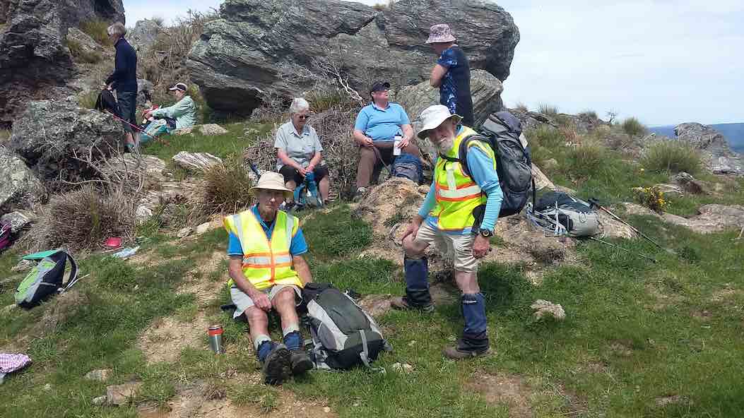
The summit was reached at 12.05 p.m. for our lunch stop. Sitting down in the shelter of the vegetation was necessary to get out of the wind. The sunny periods were very welcome as we ate and rested.
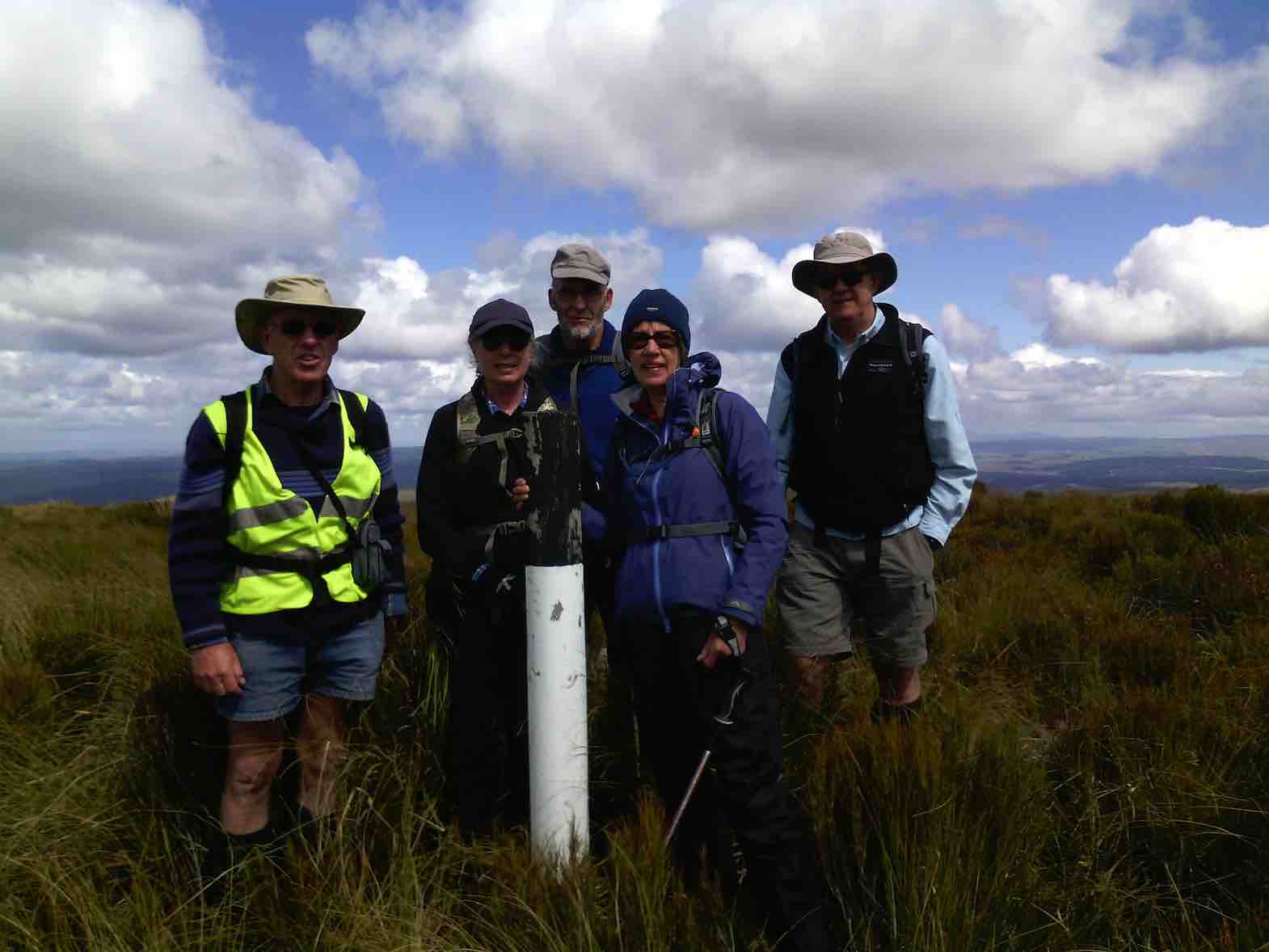
Before taking our leave, the obligatory photo of the group at the summit marker post was taken.
Arthur Carol Neil Helen and Neil. (Helen pic and caption.)Plaque on top. (Helen pic and caption.)
Just at this time the red helicopter flew over us at low altitude, our waves being returned.
Red helicopter giving us a wave. (Helen pic and caption.)
No rescue needed today, though, thankfully.
After about 2 km on the return journey we took to the farm track for the remainder. It was somewhat easier going, and also gave a little variation from the inward track.
The wind had eased early afternoon, and then changed to a southerly breeze. Showers were visible in the Balclutha-Milton direction, but were then going out to sea and not towards us.
Lower down we stopped briefly to admire the view out over the lower Taieri Plain. The whole area was bathed in sunshine, and was a real picture. The views from the top of Maungatua had been spoiled a little by all the cloud shadows on the landscape.
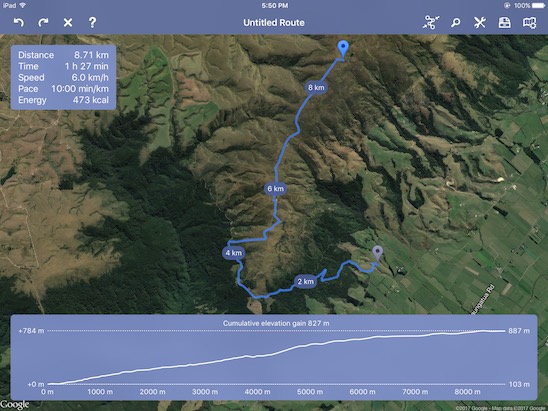
Back at the cars at 3.00 p.m. it had been a neat 6 hours from go to whoa. A very satisfactory day’s tramp in the leader’s opinion. Total distance was 17 km, and an altitude climb of 800 metres.
The timing was absolutely perfect!
As we sat down after ordering our drinks at “The Hairy Goat” the rain arrived!
Thanks to all who participated in the day’s very successful tramp. – Art.
21. 22/10/2014. Trampers. Three Kings. M.
This weeks tramp was to the “Three Kings” at the south end of the Maungatua’s. Six trampers travelled to McLaren Rd, drove around past the Lavender farm to our parking place just inside the farm yard gate. Jill went & got the key for us, & then drove back home again, leaving us to find our way up to the tops. The walk was on farm 4WD tracks all the way up, with just a short walk through tussock to the Three Kings where we had lunch in the shelter from a strong cold wind. Then it was a quick retreat back down again out of the wind, & back to the cars. Walked 12km; 4.1 km/h ave; 3hrs moving; climbed 690m.
The view from the top was very good, but the cold wind didn’t make for pleasant viewing. We practised our Coffee Club by calling into the Outram coffee shop on the way home where a good chat session was had. – Ken
18/10/2006 Jeff Todd of Todd Group 477 8902 (10/06). Todd Group had bought Wesleydale and paddock and allowed it to be used for army live firing! Access through all this area denied.
20. 26/4/2006. Trampers. Three Kings and Trig. Leaders: Evelyn C, Sabina.
19. 24/8/2005. Both. Wesleydale, Three Kings and option of Trig. Leaders: Ria, Irene, Val and Brian, Eleanor B.
18. 19/11/2003. Both. Three Kings from Farm sheds. Medium. Leaders: Trampers: Bill and Pat; Hikers: Les and Margaret, Carmel.
Down through Gorse. Wendy? Pat
George on rise, below Trig above Three Kings (19/11/2003)
17. 17/7/2002 Three Kings, Mill Creek, Kowhai. Spur Leaders: Bob H, Doug M, Wendy B
Long. Hard. Water. Steep down Kowhai Spur.
16. 10/7/2002. Wesleydale Methodist Youth Camp to 3 Kings. Leaders: Arthur and Barbara, Frank.
15. 22/11/2000 Leaders: Lex, Ian
14. 22/9/1999. Three Kings and Trig. Leaders: Lex, Bill H, Lesley S.
13. 12/8/1998. 3 Kings, Maungatua. Leaders: Irene, Shirley R.
12. 19/11/1997. Wesleydale to 3 Kings and Trig. Leaders Judith and Hugh, Ian.
11. 12/3/1997. Three Kings – Mill Creek Reserve – Kowhai Spur. Leaders: Bill H, Graham, Barbara McC.
10. 1/5/1996. Duncan’s Farm Road and return Kowhai Spur. Leaders: Bill H, Les S, Graham S, Doug M
9. 3/4/1996 Three Kings from Heenan Road to McLaren Road Start past Little Creek. Medium.
Seek permissions Leaders: Jack and Rosemary, Nelson and Dot.
8. 20/4/1994. Three Kings. Medium. Leaders: Margaret and Les, Ivan, Les W.
7. 6/10/1993. Mill Creek (back of the Maungatuas.) Medium. Leaders: Shirley McN, Ria L, Nel, Betty H.
6. 26/5/1993. Wesleydale Camp – uphill following 4WD track to Maungatuas. Great views. Medium. Leaders: Mary Y, Denise, Nola, Judith.
5. 9/9/1992. Wesleydale Camp to the Maungatuas. Follow 4WD Track. Average. Leaders: Joan, Betty, Jean, Diana.
4. 29/7/1992. Wesleydale Camp, up the hill following 4WD track to the Maungatuas. Lovely views. Average. Leaders: Daphne, Betty, Dave and Jean.
3. 23/10/1991. Maungatuas – Wesleydale to ‘3 Kings Rocks’. Steady up hill grade, but not a long tramp. Average+. Leaders: Nancy, Ray, Ted, Jack R.
2. 27/6/1990 Wesleydale to Three Kings. Average, if taken in easy stages. Don’t rush hill please. Leaders: George, Margaret D, Margaret B, Ria.
1. 8/3/1989. Three Kings. Good tramp up the Maungatuas. Great views of Lower Taieri. Leaders: Denise, George, Peggy.