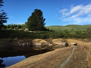
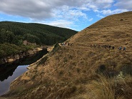
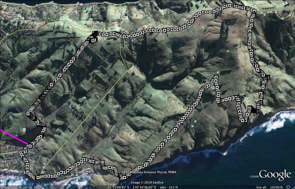
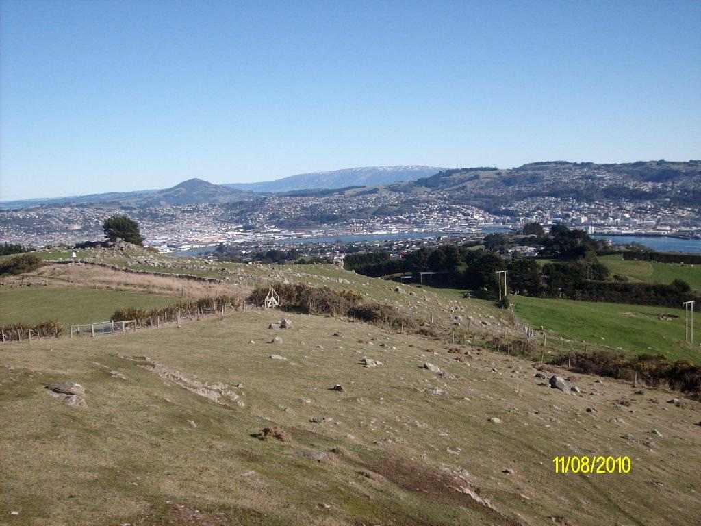
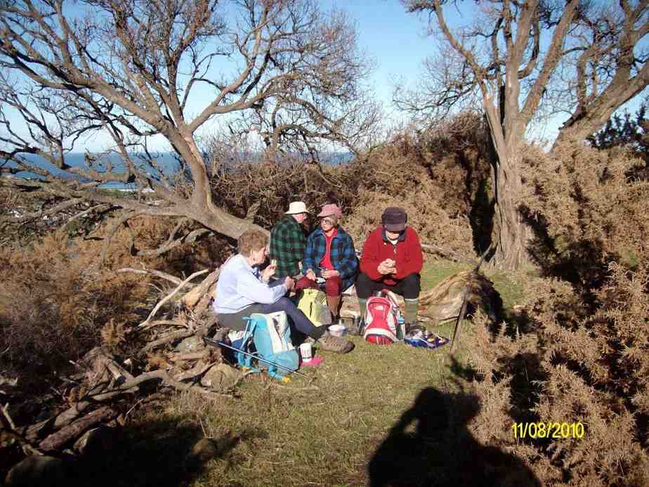
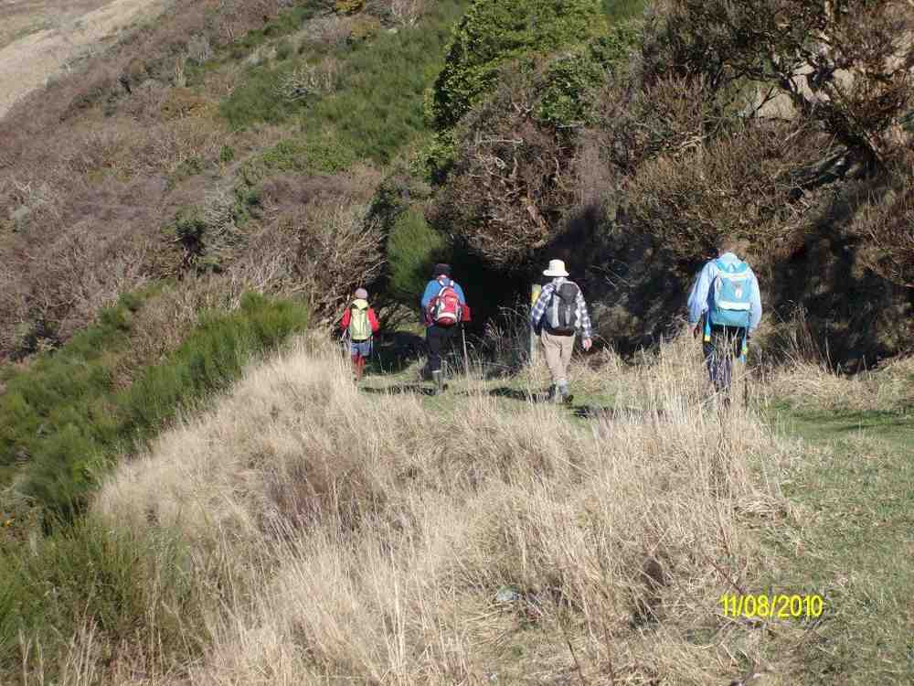
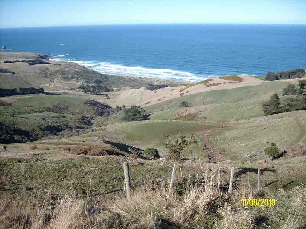
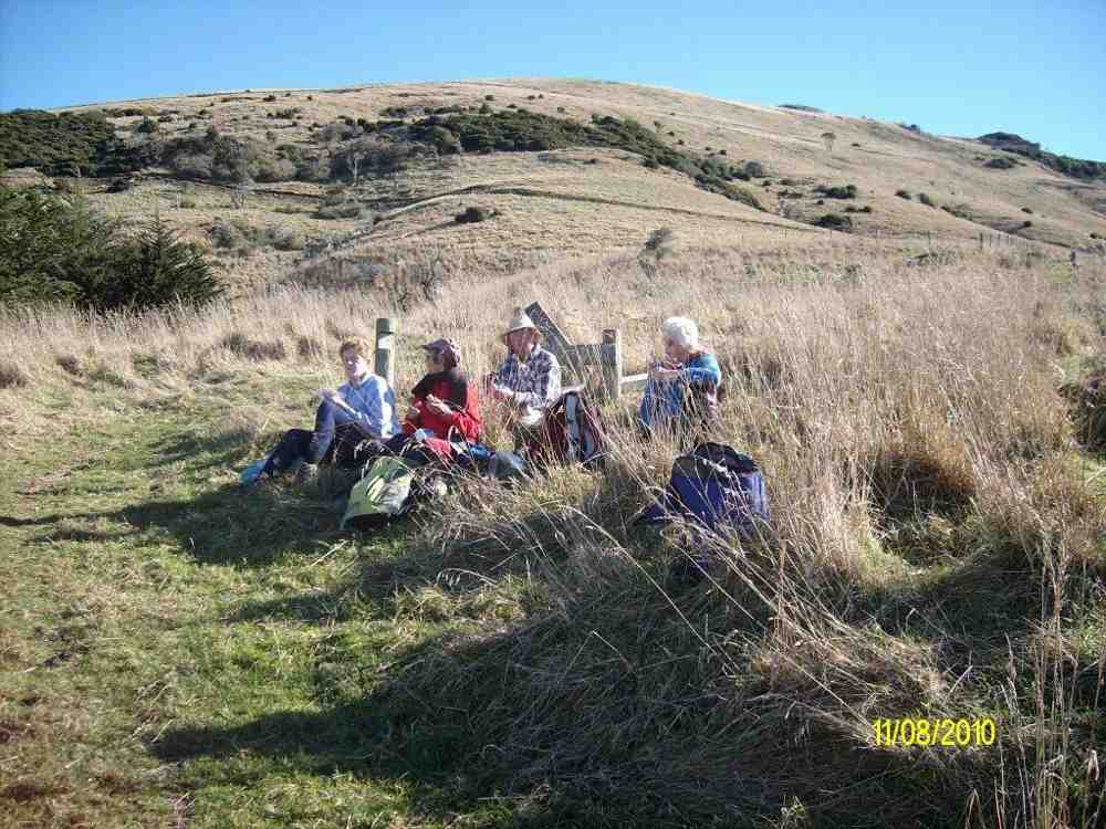
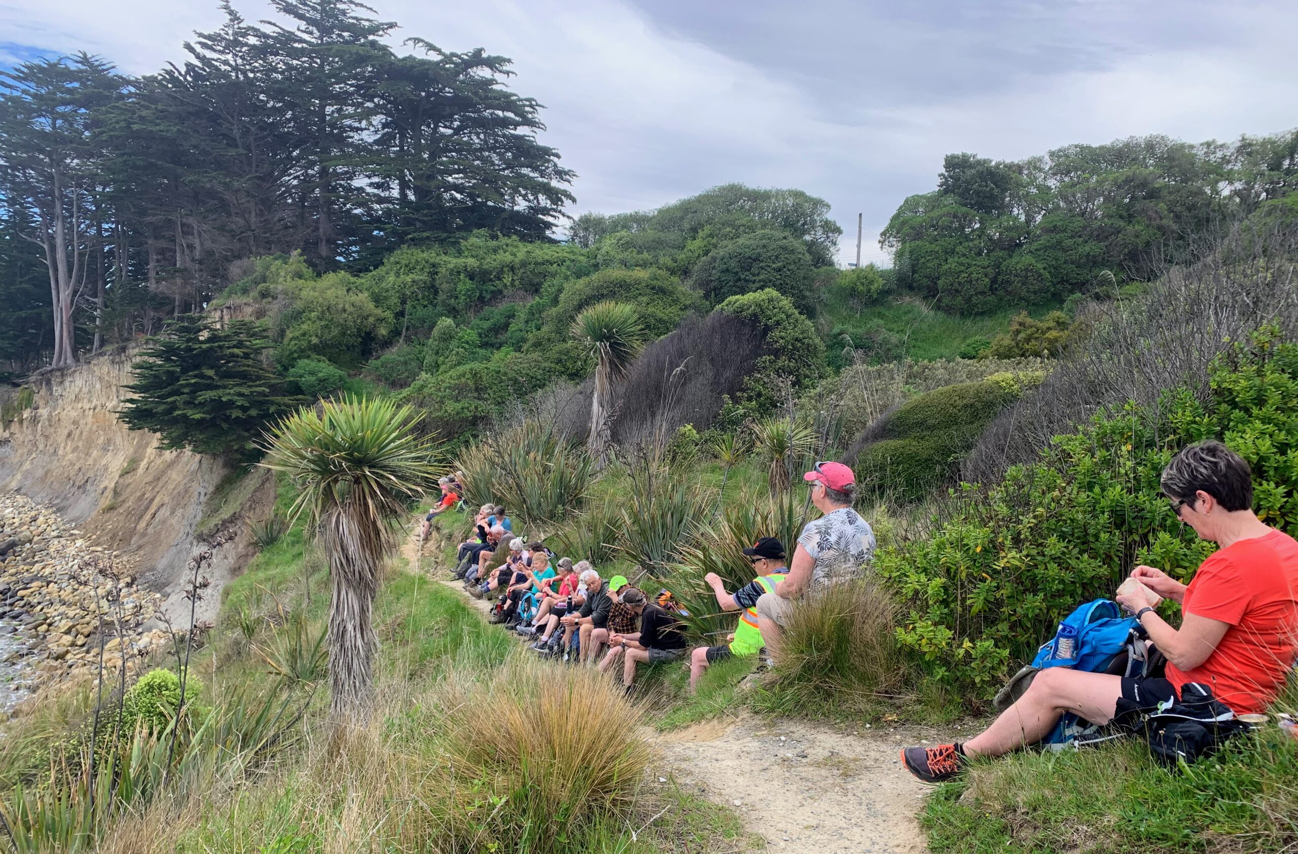
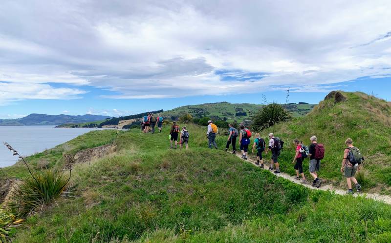
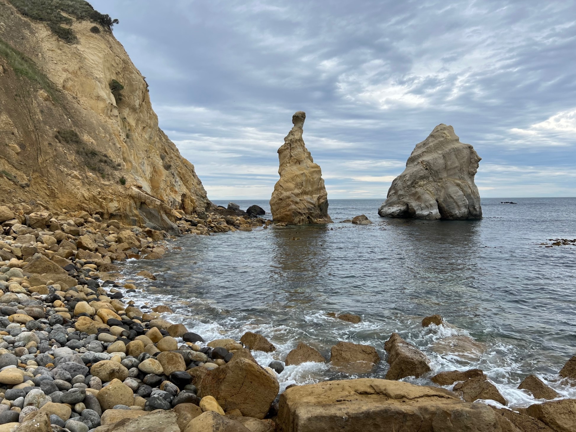
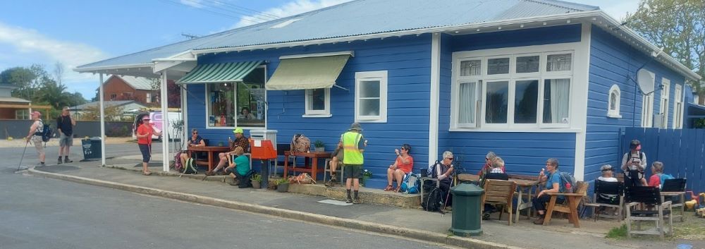
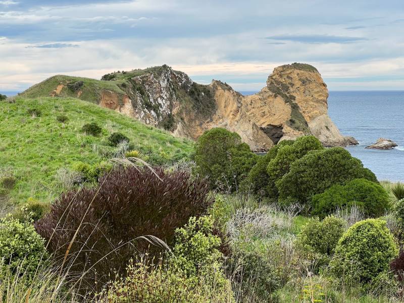
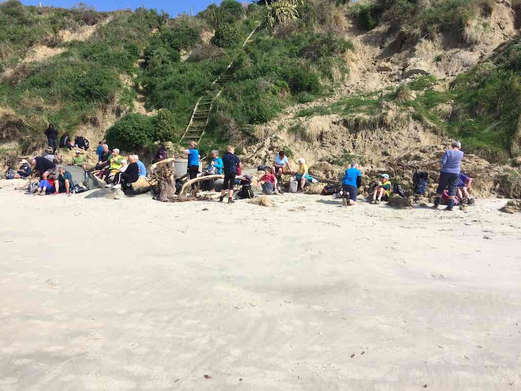
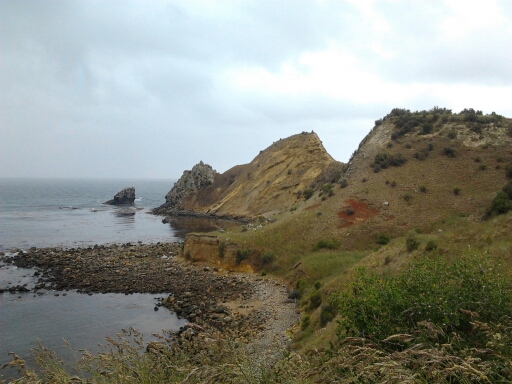
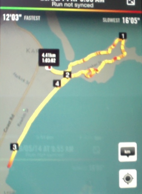
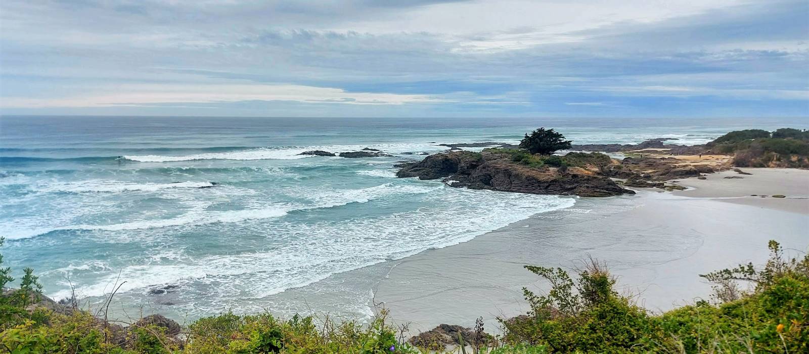
This page of club tramps and hikes in the Fairfield, Green Island and Mosgiel surrounds area and groups together trips incorporating Tunnel Beach. (map)
TRTC Grading Information – trips incorporating these tracks are generally given a TRTC grading of about 2. This is indicative only, as trips can be allocated a higher or lesser grading depending on the route taken. For more detailed analysis refer to Grading Information.
Tramping Track managed by DOC. Tunnel Beach Road accessed from Blackhead Road. Plenty of parking at end of Tunnel Beach Road. Concord Tavern park for longer walk.
Take SHI north to the Green Island exit ramp. Proceed through the roundabouts and take a right turn at the exit to Waldronville. Continue on the main road and turn left onto Blackhead Road (before Waldronville), and drive to Tunnel Beach Road located past the quarry on the left to reach the track and parking.
This page groups together the midwinter dinners / lunches hosted by the club. These events are often preceded by a walk and as such are included in the reports / photos relating to the walk that is submitted for publication.
This page covers the Club tramps and hikes in the area South Coast and groups together trips to the Millennium Track located on Lower Taieri River commencing at Taieri Mouth. (map). Incorporating trips to the Livingstone Green Wetlands
TRTC Grading Information – trips to the Millennium Track are generally given a TRTC grading of 3. This is indicative only, as depending on the track conditions, allocation of gradings can differ from this. For more detailed analysis refer to Grading Information.
Drive to Brighton and proceed through the township to Taieri Mouth Road that follows the coast road to Taieri Mouth. Crossing the over the bridge turn immediate right onto Riverside Road there is parking and the start of the track at the end of this road.
Livingstone Green Wetlands – turn left after crossing the bridge and continue along Moturata Road to Livingstone Domain (on left) for parking. Wetlands entrance gate about 100 meters back down Moturata Road.
This page of club tramps and hikes in the Dunedin Central City area groups together trips focused on viewing the Street Art found on many buildings within the city.
TRTC Grading Information – trips incorporating these tracks are generally given a TRTC grading of about 3. This is indicative only, as trips can be allocated a higher or lesser grading depending on the route taken. For more detailed analysis refer to Grading Information.
This page of club tramps and hikes in the Whare Flat area groups together trips within the Silverstream catchment and includes Racemans, Steve Aimes and Coal Creek tracks. (map)
TRTC Grading Information – trips incorporating these tracks are generally given a TRTC grading of about 4. This is indicative only, as trips can be allocated a higher or lesser grading depending on the route taken. For more detailed analysis refer to Grading Information.
Upon leaving Peter Johnston Park, turn left onto Factory Road and follow this until it merges into Dukes Road North. Continue towards Three Mile Hill and turn left onto Silverstream Valley Road. Continue on this road to the carpark just past Flagstaff Whare Flat Road.
9. 7/12/2022. Trampers Lamb Hill, Fiddlers Hut, 3 O’clock Stream. Grade 4.5 Leaders: Phil and Gwenda
Thanks again to 15-year managers Chris and Lucy Thomson for allowing us on their farm, split by the stream with an altitude of 180 to 700m above sea level. These 4550 hectares of steep exposed hill country run, alongside 10,880 ewes, 750 mixed aged Angus cows, including 200 yearlings in-calf heifers, recently scanning 97% in calf. The yearling girls well and truly pay their way going to the bull at 350-390kg LW an impressive feat given Lambhill’s challenging climate. (all other history can be looked up on the internet.)
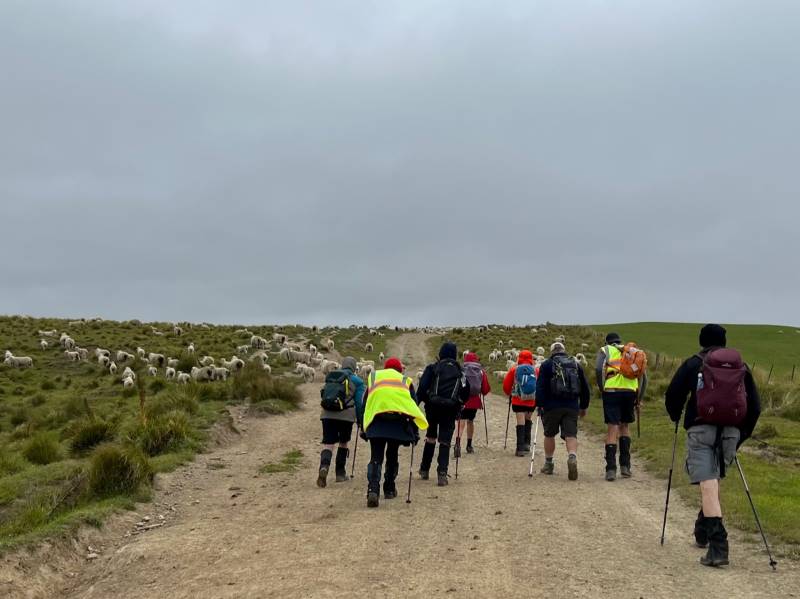
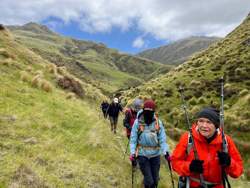
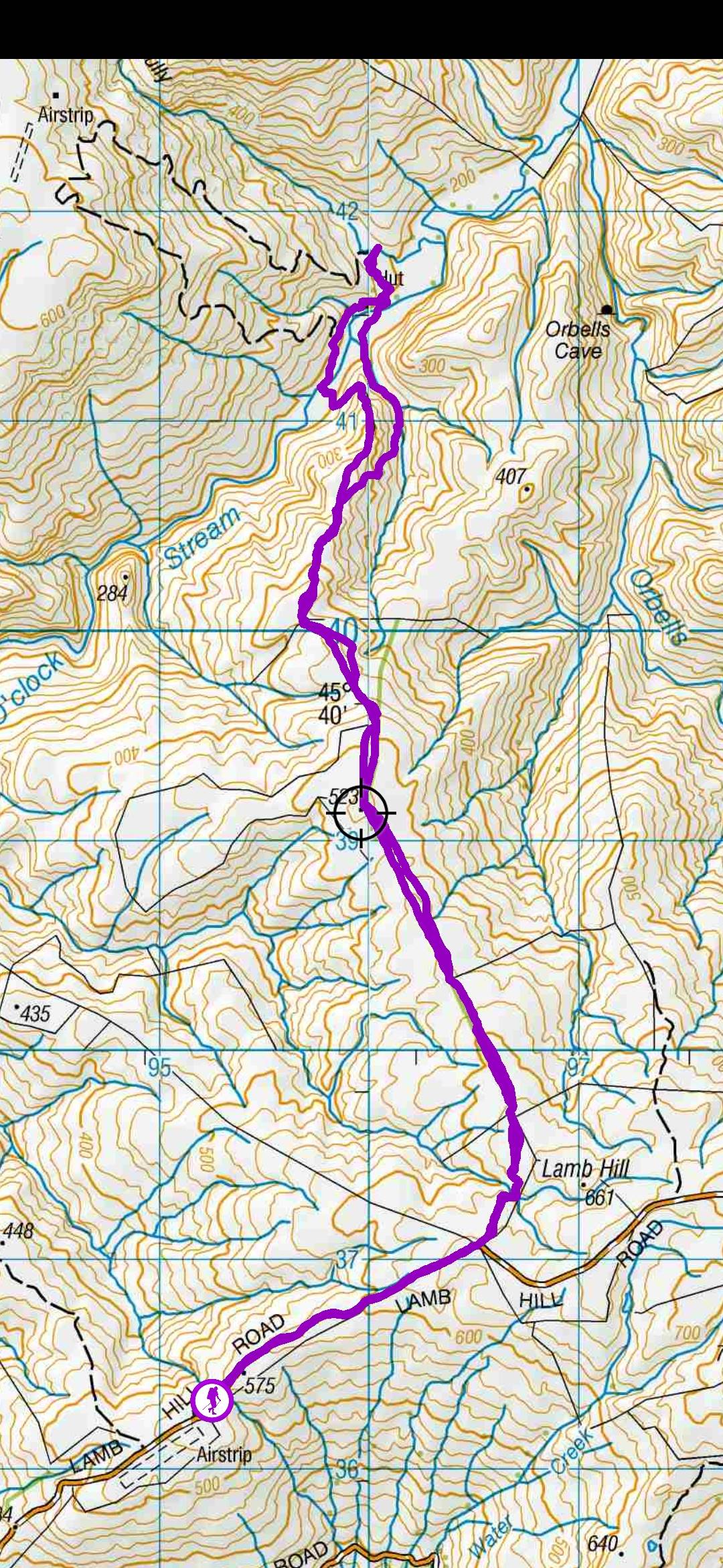
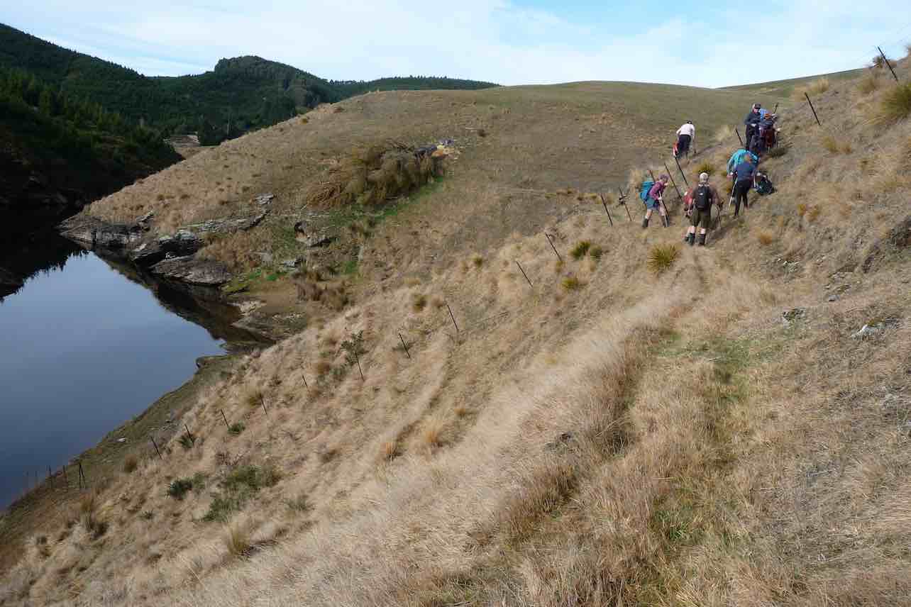
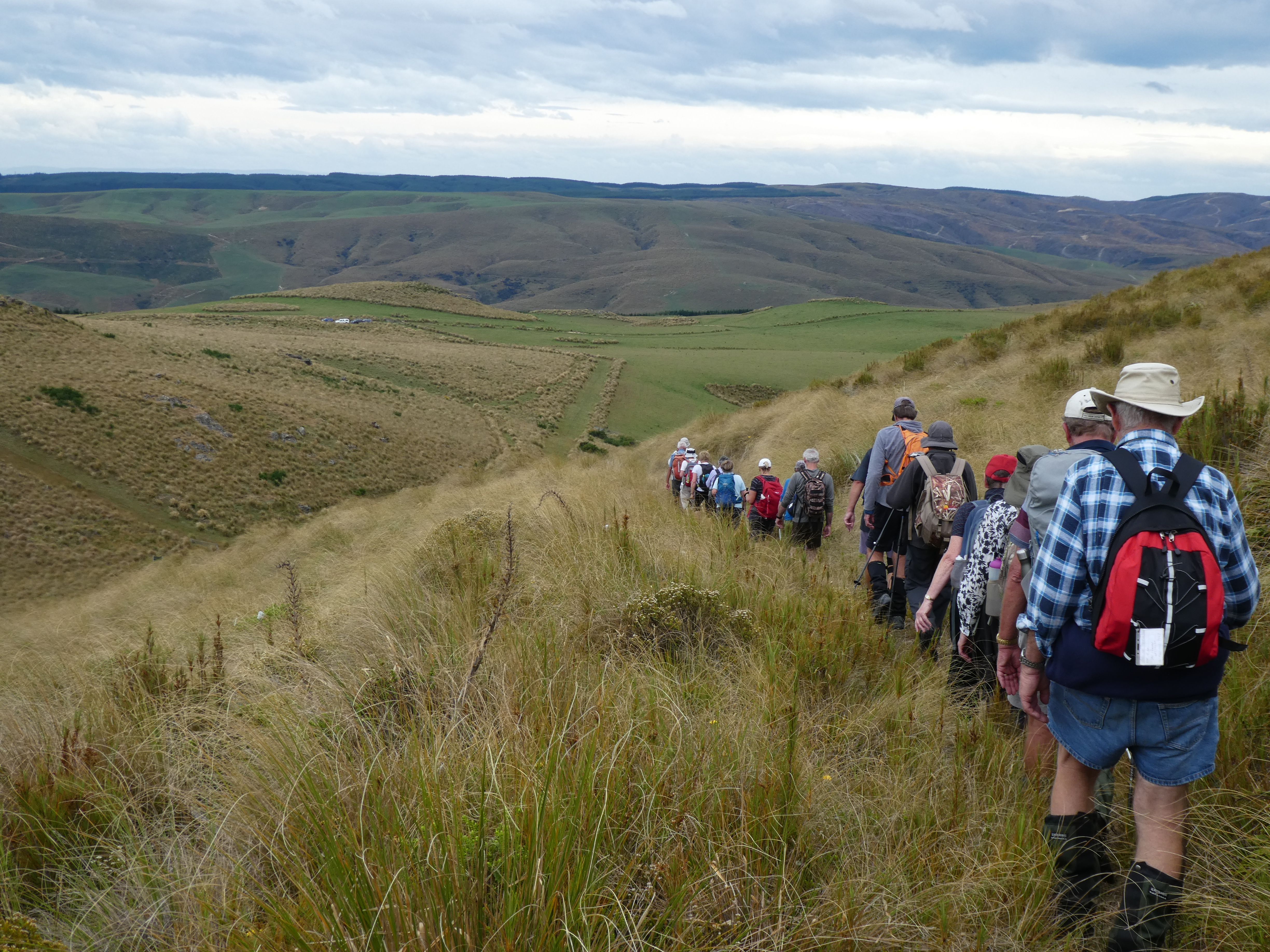
We had 11 hardy trampers battle into a cold NE wind. We worked up from the airstrip a km before heading through the first gate and then headed NW into good terrain of green paddocks. We worked over to what was a tree line now removed, heading off more west beside the Angus cows and calves and then numerous paddocks of sheep with a lot of twin lambs.
Heads down into a cold southerly wind Caption and photo Pam
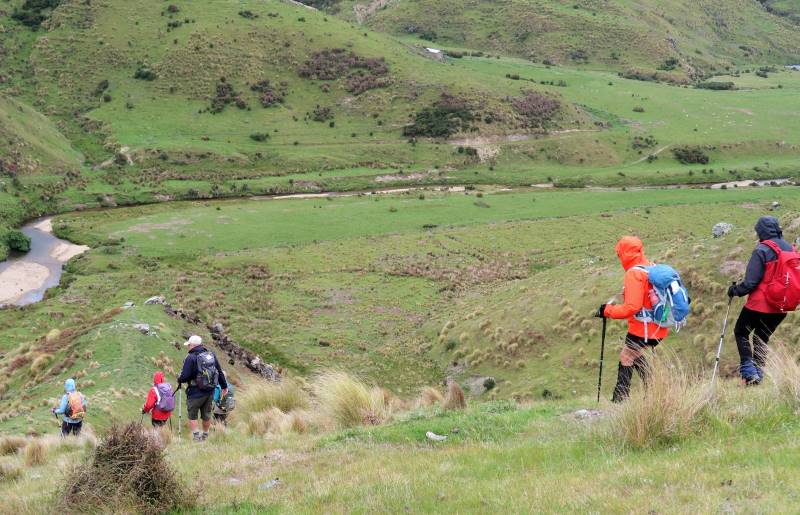
Lynn did her job of herding a lamb back to her mum. After an hour and a half we arrived at the top of the hill looking down on Fiddlers Hut and 3 O’clock Stream.
Descending to Fiddlers Hut across the stream. Caption and photo Ross
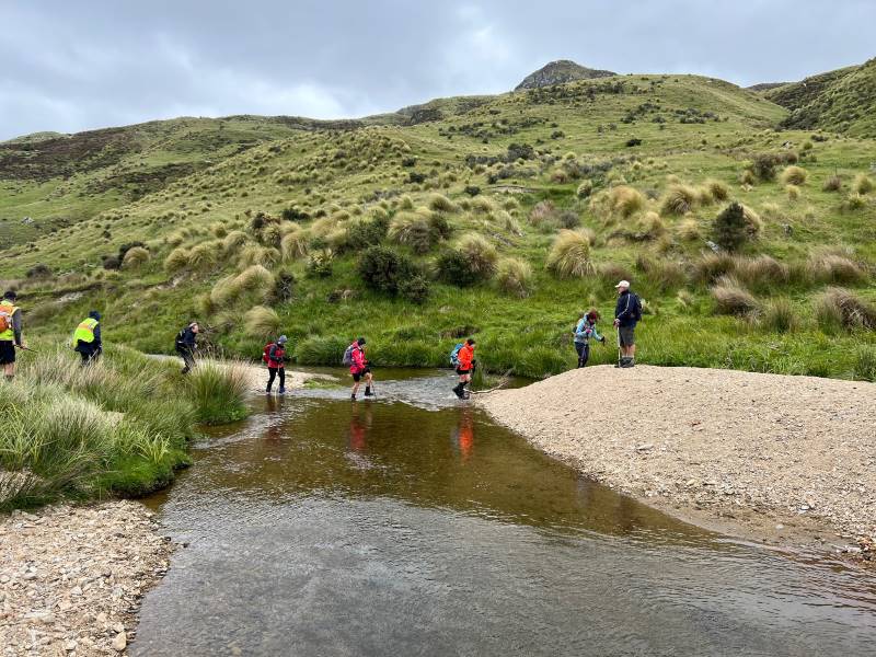
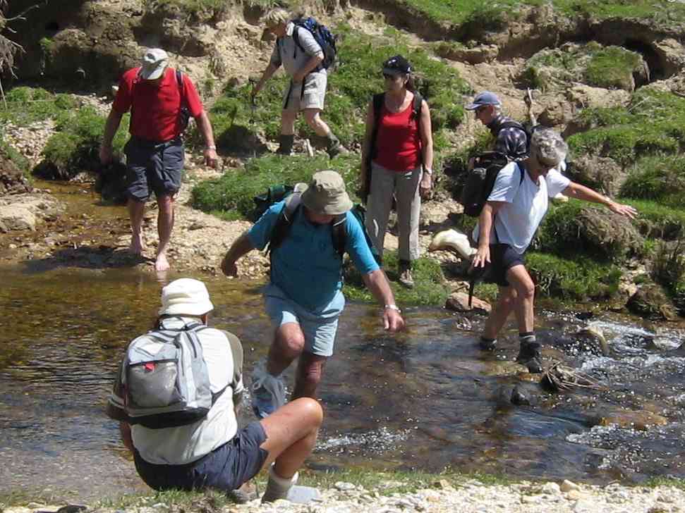
We found a crossing that wasn’t too deep and crossed the stream ready for lunch at hut by 12.44 pm.
“Walking on water”- 3 O’Clock Stream Caption and photo Pam
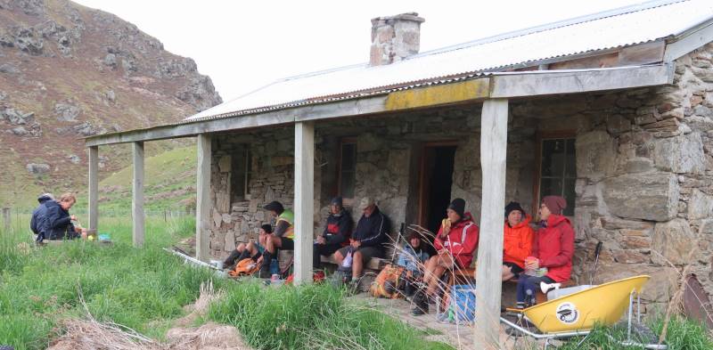
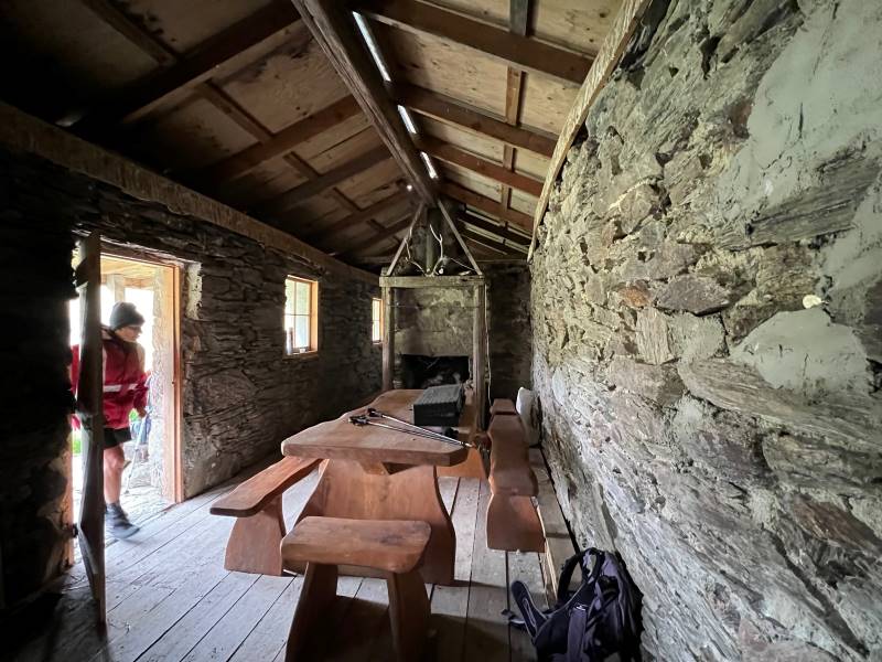
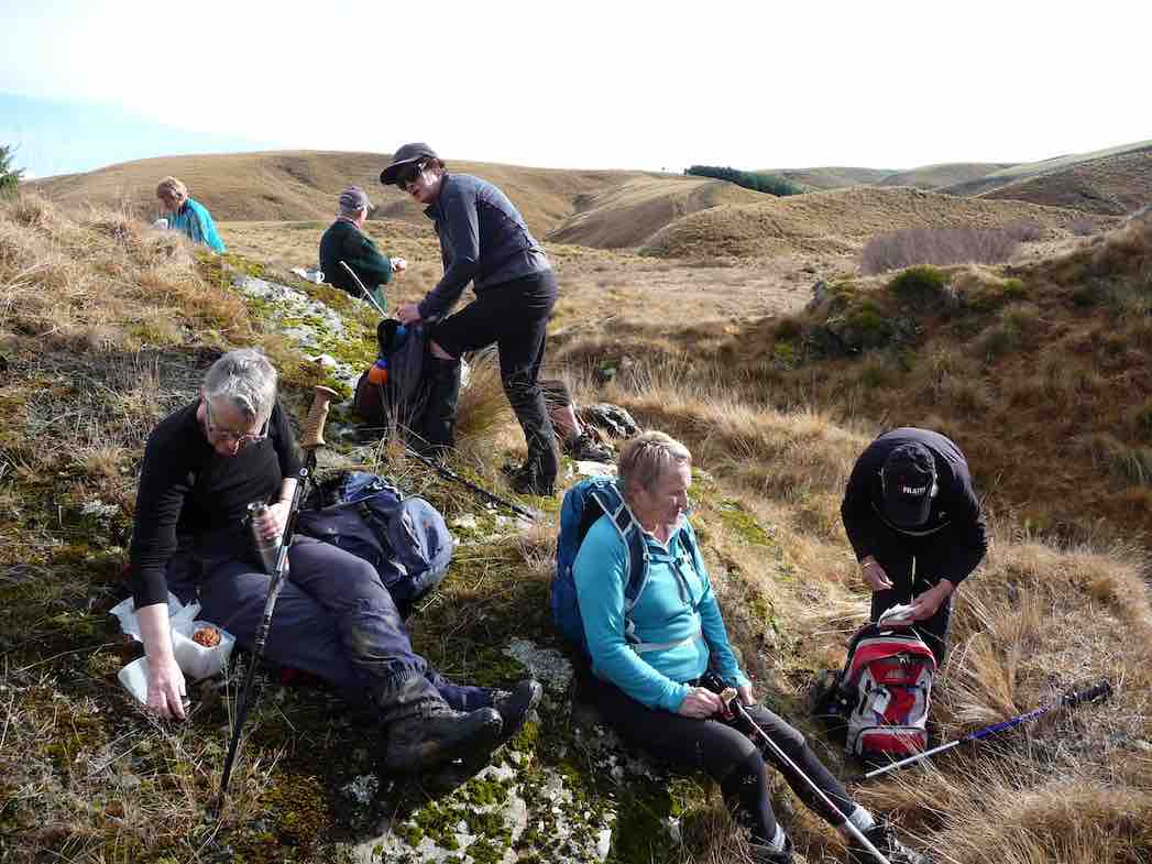
Lunching at Fiddlers Hut. Caption and photo RossInside Fiddlers Hut Caption and photo Pam
After lunch, we decided to return around the ridge to the east, 10 minutes in we thought we could hear the squeal of a falcon or its chicks, so we moved as quickly as possible not to disturb.
We could hear the Falcon’s calling in this gully. Caption and photo Pam
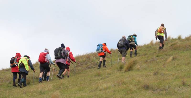
We then needed to head to the top of the ridge so we could work out how to return the way we had arrived. It was hard work and the wind was unforgiving.
Uphill With a Tail Wind – Phil to the fore Caption and photo Ross
So with a few rest stops’ we headed back to the cars. I must admit we were not quite as chirpy as the case on the way down. It was an impressive property but only the hardy would survive the wind. Back to the car, we munched on some chocolate goodies to revive energy.
Hindon must be a lonely spot in winter, but the land has magic not seen that often.
Thanks to tail-end Charlie Gwenda. Phil
Dist 16.51km elevation 628m time 4hrs actual walking (ala strava)
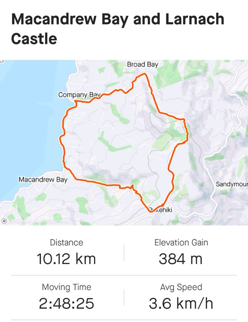
5. 7/12/2022. Hikers. Macandrew Bay. Grade 2 Leaders: Jill D. and Linda
Twenty eager hikers departed Macandrew Bay car park on a cool grey morning. We walked along the harbourside walkway as far as McTaggart Street where we stopped at the Company Bay reserve for morning tea. Unfortunately, the native plant nursery was closed for the day so we were unable to do the planned visit. However, Jill was able to provide us with some information on the work that was carried out there to provide native plants for planting out on the peninsula.
Jill giving a speech at morning tea. Caption and photo Helen
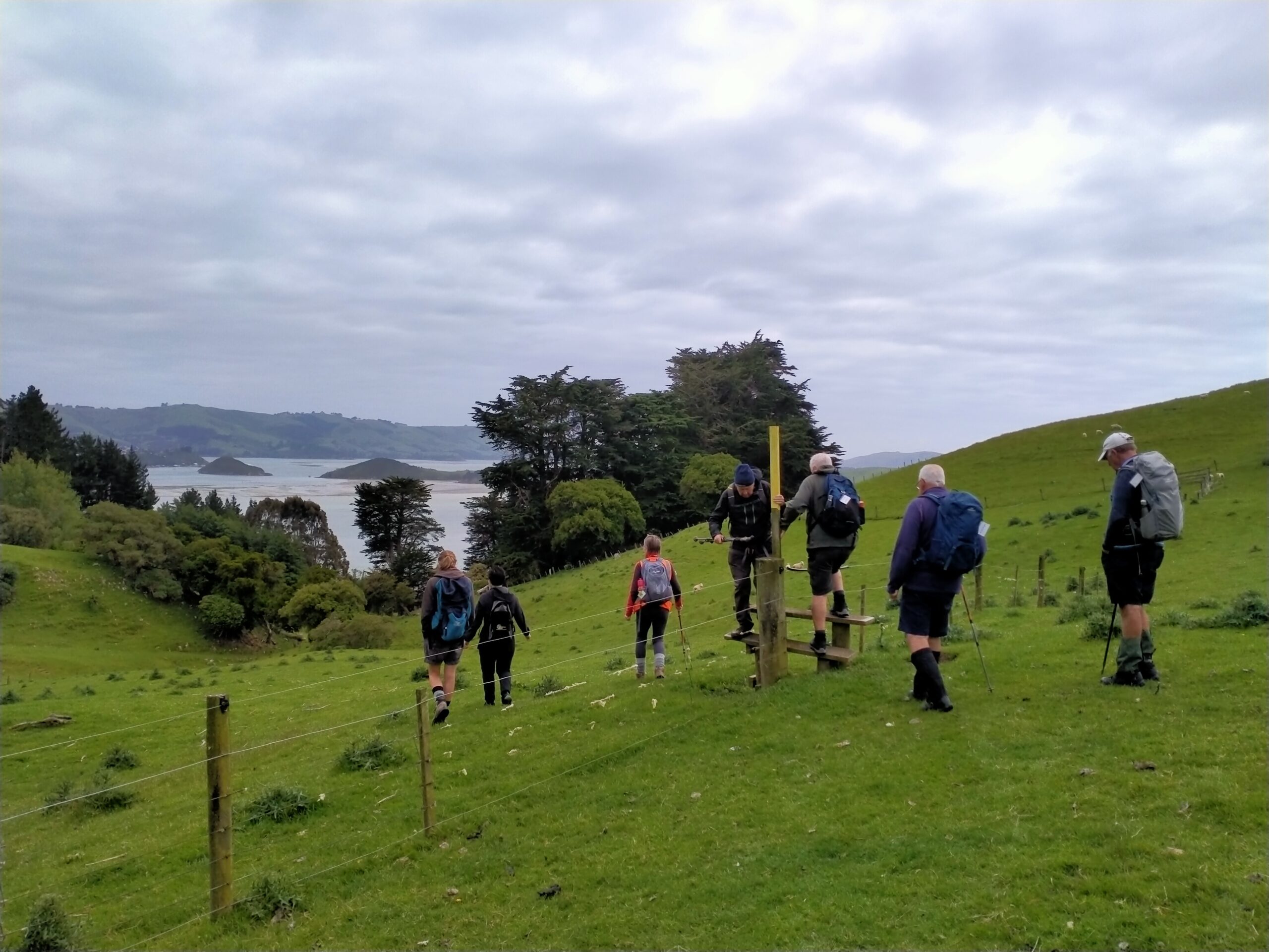
Onwards and upwards we made our way up the road and on to the track, climbing over some stiles, walking across farmland and up the hill towards Camp Rd.
How many stiles? Caption and photo Phil
We stopped several times to catch our breath and to admire the wonderful views of the peninsula. After the steady climb we reached our lunch stop on Camp Rd near Larnach Castle.
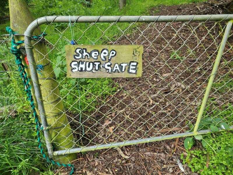
We did as the farmer instructed. Left the sheep to close the gate. Caption and photo Mike
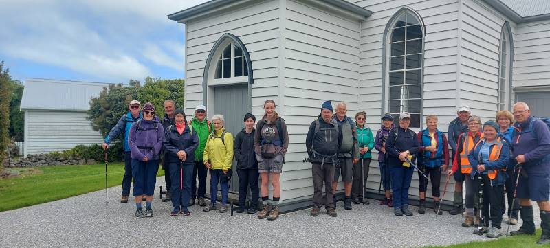
We then continued our walk along to Pukehiki where we visited the lovely little community church, with its loo with a view!
Pukehiki Church is the background for our group photo. Caption and photo Helen
From here we walked along Highcliff Rd to Greenacres track and proceeded downhill to Macandrew Bay.
Screenshot Margreet
Some opted for an ice cream while others enjoyed refreshments at the Duck Cafe, while taking in the view of the lovely Macandrew Bay Beach on a nearly sunny afternoon. Jill and Linda
Phil at Jamestown in the Hollyford, in 2003, telling the grandiose stories of James Macandrew Caption and photo PhilStanding alongside James Macandrew’s grave and memorial Caption and photo Phil
18. 30/11/2022. Trampers. Post Office Creek track from the Waipori Village side. Grade 3. $14. 60km. Leaders: Barbara and Leah.
Despite ominous weather predictions for several days prior to the 30th, and heavy rain early that morning, the visual was more promising.Three vehicles and 14 trampers left the Peter Johnstone carpark heading towards Berwick and up the Waipori Falls Road, through the Village and continuing towards Lawrence. The big, locked orange gate, although on a side road, can’t be missed! Through the locked gate, past the new picnic area, following the road below the Mahinerangi Dam to cross the bridge and climb up into the Wenita section of Dunstan Road. The potholes aren’t for the fainthearted.
About to leave the cars (photo & caption John)
The walking track is off Patearoa Road which itself is off Moonlight Road and we parked at the junction of the two. The permit was left visible through the windscreen.
Excited to be ready to go (photo & caption John)
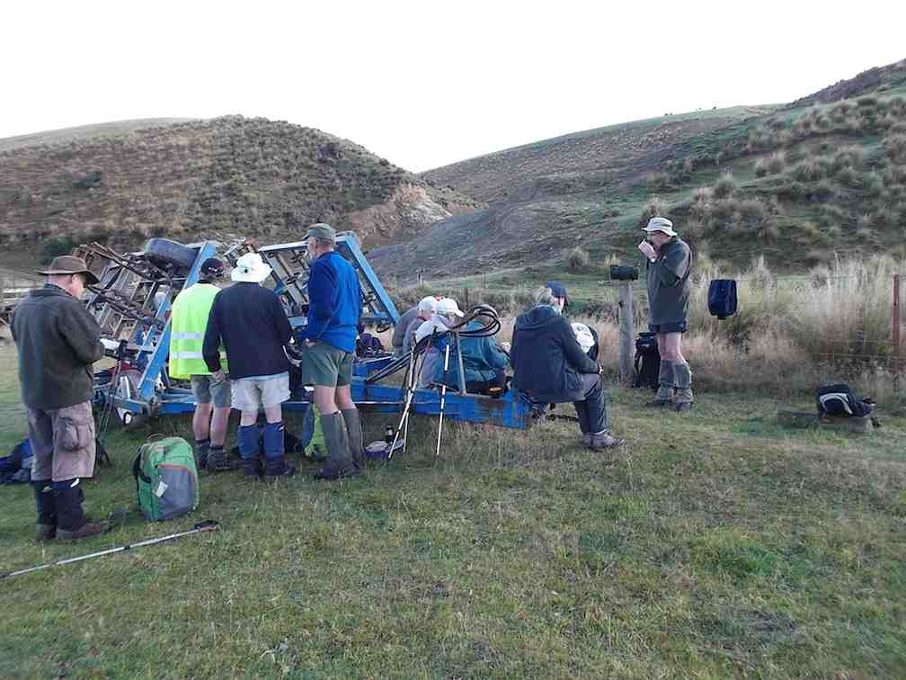
A quick morning tea, and the party set off on the 1km down-hill (remember what goes down at the beginning of the day must go up at the end!!) to the rustic signpost indicating Post Office Creek track. There was a brief delay while one driver (nameless) went back and spent a frenetic 5 minutes searching for car keys in order to lock the vehicle. Having found the keys in the backpack, they were left on the ground while the pack was rezipped. The person (also nameless) who had ferreted them away while the rezipping was underway should be afraid; very afraid! A brief detour a few minutes down the track proper took us to the now dilapidated fishing huts.
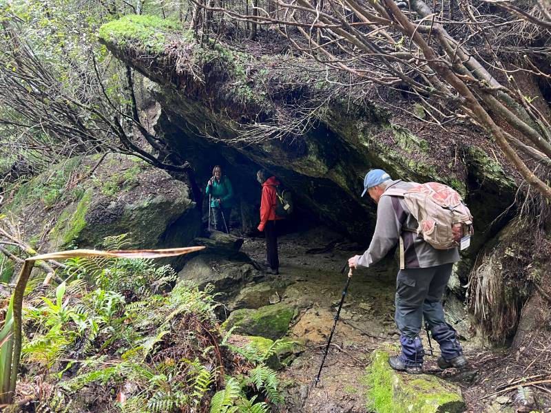
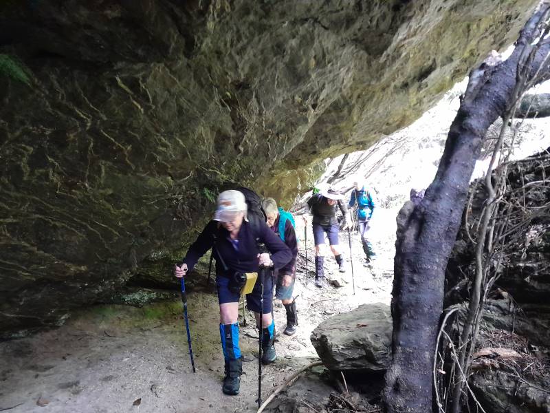
Fishermen’s Hut hidden in the trees above lake Mahinerangi (photo & caption Pam)“Watch your head John” as the track winds under the overhanging rock (photo & caption Pam)
A scramble back up the track and we were crossing the first of the creeks and negotiating the rock bivvy.
Post Office Creek rock bivvy (photo & caption Barbara)
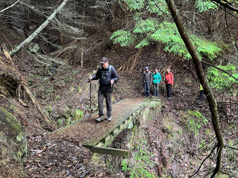
The entire track follows the contour of the slope with very little up or down. Many of the guts had bridges in varying degrees of disrepair but which, it’s understood, are likely to be removed entirely in the near future, after the maintenance work in the forestry has been completed. The tracks will be realigned to navigate the guts minus bridges.
One at a time crossing the old wooden bridge (photo & caption Pam)
Pigs had been digging up the track which left it nice and soft underfoot and there were a few fallen branches we cleared as we went.
Escaped from the forest (photo & caption Jenni)
We left the canopy cover of the trees as we neared the re-sited Waipori School buildings where we sat and had our lunch. Half the group elected to follow Jill to the actual Post Office Creek while the remainder sat and chatted, walked down to the lake edge and poked around the buildings.
Disappointingly there was no fishing or poetry recitation.
Lunch beside the relocated school house once used by musterers (photo & caption Pam)Our industrious leader with historical info (photo & caption Jenni)
On the return of the wanderers, we set out again, retracing our steps, looking out for litter to take back to our vehicles. The last uphill kilometer was unwelcome but all 14 made it. A change of footwear, a little shenanigans with someone’s pack and sticks, and we headed back to the locked gate, this time heading to the right, over the Lake Mahinerangi causeway, through the fishing village and back to the Middlemarch Road at Lee Stream, enjoying a commentary from Jill who, for several decades, had farmed the property on both sides of the road.
End of track at Post Office Creek (photo & caption Pam)
One carload stopped for an icecream at Outram ($2 for 2 scoops being excellent value!), but weren’t joined by the other two, who must have thought 4.30pm too late for such extravagance!
An enjoyable day on an easy track which could well be considered for a combined day.
It would be possible to leave a 4WD vehicle at the bottom of the hill, at the signpost for the track, as we did on the recce, shortening the distance by 2 km.
Barbara
17. 2/6/2021. Combined trampers and hikers. Leader: Jill
A combined group of 42 people met at Andrew Reid’s hay barn on Mahinerangi Road and soon set off down the steep hill past the cattle yards. It was nice to have several visitors out today, as the weather gods were truly kind, and the ground underfoot was firm.
Down the hill Photo: Clive
We all enjoyed walking through the rolling country and down to Lake Mahinerangi, initially opposite the old Waipori school building.
Opposite Old Waipori School Photo: Pam
The lake was very low but still picturesque. We followed a gold miners water race to a now empty dam. One can only marvel at how adaptable and hardy those early gold miners were to seek their fortunes in this remote area!
Following the gold miners’ water race Photo: Pam
The trampers then went up through the farm, intending to walk several kilometres more than the hikers, but I am not sure there was much between us in the end!
On top of the world Caption and Photo: John
Another steep pinch Caption and photo: John
Trampers had lunch beside a tree lane with good expansive views and the Mahinerangi wind turbines were turning in the distance.
Trampers lunch break Caption and photo: John
Back down to the farm lane that we followed to THAT hill and our cars.
Distance covered was about 12.5 km. Jill
Screenshot: Colleen
After parting ways with trampers 14 hikers led by Chrissy (thank goodness) climbed up a fairly steep hill where we had a short lunch with the promise of another break at the top of the next paddock! Well, we somehow went through a wrong gate so instead of doing a loop we did a loop and a half to get back on track. We were all in good spirits until we saw the road we had to go back up to get to the cars.
Hikers view of the track back to the cars Photo: Clive
But it was onwards and upwards at our own paces and, getting overtaken by the trampers, we made it back. This was a hard walk for us, but our senior members were so impressive. Well done team. PS. we never did get that promised break?
All up it was a solid 12 kilometres. Thanks Chrissy. Jenny & Jan Y.
11 trampers enjoyed a beautiful day on Andrew Reid’s property. We parked at the woolshed and headed downhill before walking along a water race created by gold miners, to a now empty dam.
10409112nd—Quick stop morning tea. (Gordon pic and caption.)On old water race above Post Office Creek. (Phil pic and caption.)
We marvelled at how this race had been dug into the hillsides – and can barely imagine the living conditions of the early miners, one must certainly hope their toiling brought rewards!! There were a few fences to climb
Another Bloody fence. (Gordon pic and caption.)
but we were rewarded with nice views over Post Office Creek and then Lake Mahinerangi.
Surveying the Post Office Creek arm of Lake Mahinerangi. (Phil pic and caption.)
We then walked away from the lake, across a dam, and through paddocks up to the farm boundary with DCC forestry. Lunch was eaten in the shelter of the trees.
A very welcome lunch break. (Gordon pic and caption.)
Then a few more ups and downs but we basically walked through the paddocks beside Mahinerangi Road back to our cars.
A most enjoyable day.
Distance walked 15.5 km. – Jill.
15. 17/1/2018. Trampers. Post Office Creek. Leader: Jill.
Route map, courtesy Keith.
13 trampers met at Reid’s woolshed on Mahinerangi Road. We walked down the hill to Post Office creek, and had morning tea at the “camp” before taking the track through gold mine sluicings to the top end of Lake Mahinerangi – a very low lake today! After viewing the old Waipori school (which had been moved to this site to use as a musterer’s hut before Waipori village was drowned) …
School inspection. The “old” Waipori School moved to Post Office Creek before the raising of Mahinerangi. (Phil pic and caption.)
… we backtracked about 1 km and shortly after went up a very steep stock lane …
Onwards and upwards to the trig. (Phil pic and caption.)
… and lunched by the trig there, enjoying expansive views of the area.
Trig A4GT -618 m altitude. (Phil pic and caption.)
We continued up the farm track towards the back of the Maungatuas – the intention had been to look over to Waihola, but it was decided that was a bit far on this occasion! It was an easy return down hill to the bridge over Post Office creek – and to our cars.
Jill proudly displaying the new charging station for e bike travellers. (Phil pic and caption.)
An 18.5 km tramp enjoyed by all. – Jill.
14. 7/5/2014. Both. Reid homestead, Verter Burn to Post Office Creek and old school buildings. Leaders: Ken and Peter.
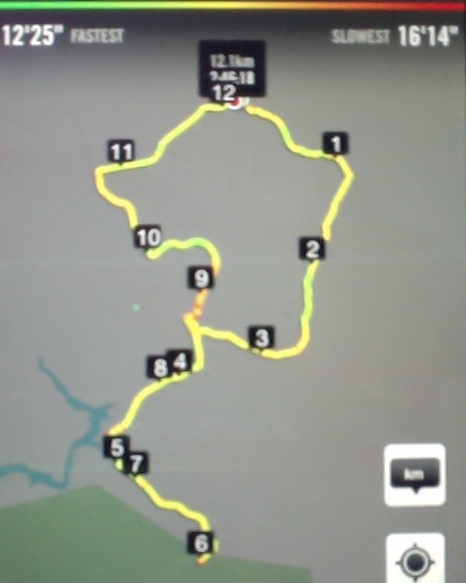
iPhone GPS distance: 12.1 km. Garmin stats: We walked 12.9km; Moving ave 4.3km/hr; Moving time 2h 58mins; Climbed 342mtrs; Max elevation 572mtrs. Allow a further km or two for the pedometer distance recorders, and then pick the figure that suits you!
21 of us parked in the Reid’s homestead backyard and made our way through one or two fences down to a bridge over the Verter Burn (near ‘1’ on the map) for morning tea.
Morning tea at Verter Burn crossing. (Heb pic, Ken caption)
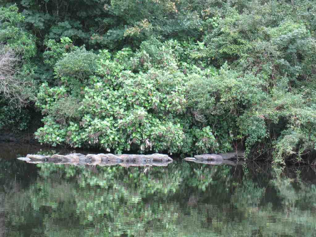
We followed a road on the stream’s true left, which begs the question as to where originated the pond with its beautiful reflection on our left. (About ‘2’ on map.)
Reflection
Between 3 and 4 on the map, is where we approached the Verter Burn ford, into which we were to plunge later, but at this stage we swung off to our left to make our way through early gold-sluiced cliffs (8/4 on map) to finally cross the Post Office Creek and arrive at (5) the former Waipori School building (as reported to the writer) of the one-time but now submerged Waipori Township.
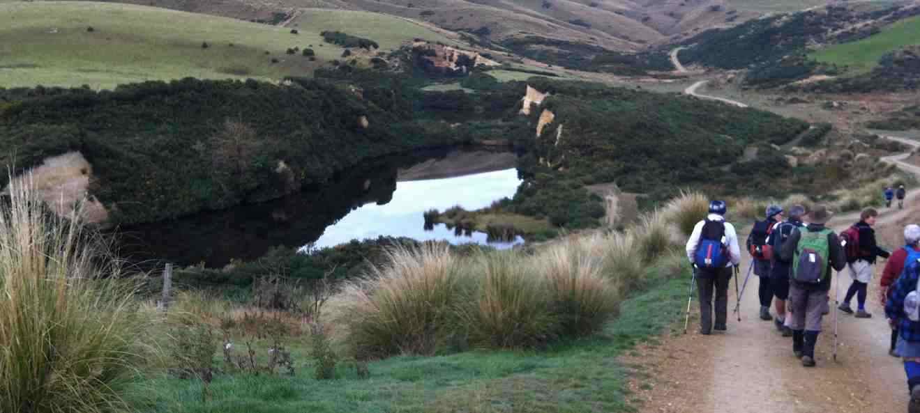
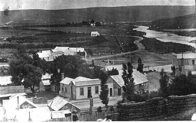
The Township of Waipori. The valley is now flooded and the town site is inundated. Photograph taken in 1890 by Charles Kerr.
We climbed the steep hill alongside the Post Office Creek’s true left to skirt on our right a forestry of densely branched trees (larches? [and unpruned!] with a scattering of eucalypt among them) for a lunch where the forestry road levelled out at the top (6).
Then it was back down to the school building and out to the aforementioned ford, which this time we crossed with variously successful attempts in keeping feet dry, (but mostly wet).
Beyond that, was the further challenge of the BIG CLIMB, of un-fond older members’ memory. A taranaki gate at its top was new to us, but Neil successfully unscrambled its complexity. Three more paddocks and gates took us out to the Mahinerangi Road ( 11) and along it to the homestead (12.1) again.
At Outram, the majority of the (now well-established) coffee club socialised at the Wobbly Goat, …
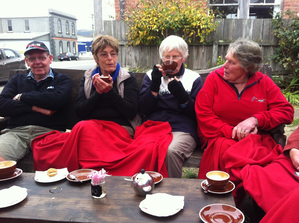
Apres-tramp coffee at Outram
although some betook themselves to the No 8 w Herbs cafe across the road. And that’s it. – Ian.
13. 28/11/2007. Trampers. Post Office Creek, fishermen huts return. Skyline track was closed on the day. Working on roads, trees. Easy. Leaders: Bill & Pat.
The day was fine and not too hot for
13 of us to tramp the Lake Mahinerangi water-race track to the fishermen huts. We had morning tea at the Post Office Creek Old School.
Tea Break. Hazel, Wendy, Doug, George, Ken, Shirley, Pat, Joyce, Arthur L
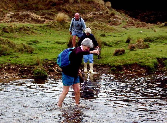
Immediately beyond that, the leaders had found for us the clearest approach to the larch forest that borders the lake, the tussock and bog being now badly infested with gorse. A leisurely lunch in the sun at the fishing huts and the return back. The Verter Burn barring the way in and out, as always, inspired a variety of creative crossing techniques, from direct plunging through the water boots and all, to bare feet, to plastic bags over boots and even to gumboots carried in.
Crossing techniques. Abe (bare feet), Peter, Pat (getting plastic bags), Doug (bags), Barbara and Wendy (boots on rocks), Arthur (gumboots)
The long hill climb back out of the Verter Burn gets no easier with age, but all agreed it was another good day out. – Ian
Back at cars. Pat, Barbara, Abe, Peter, Ken, Wendy
12. 8/11/2006. Trampers. Post Office Creek. Medium. Leaders: Ian, Doug M
11. 18/5/2005. Both. Post Office Creek. Leaders: Doug J, Bill M, Joyce S, Lesley G
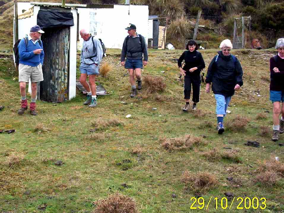
10. 29/10/2003 Forestry roads return. Leaders:
Crib by the ford. Bob Peter Arthur Barbara Who? Molly
Crossing Verter Burn. Peter Who? Molly
The gate beyond Verter Burn.
School. Arthur H Bob Peter Arthur L
Lunch stop. Arthur & Barbara on a tea break on forestry road back out.
9. 25/4/2002 Leaders: Joyce S Shirley, Wendy B
8. 30/1/2002. Post Office Creek. Medium. Leaders: Joyce, Bob H, Donny.
7. 25/4/2001. Post Office Creek. Leaders: Joyce, Shirley McN, Wendy.
6. 5/4/2000. Post Office Creek. Leaders: Joyce, Bill McL, Nancy.
5. 26/5/1999. Post Office Creek. Leaders: Joyce, Nancy, Patricia.
4. 26/8/1998. Post Office Creek. Leaders: Joyce, Pat.
3. 4/2/1998. Post Office Creek to Huts and return from Robert Reids. Leaders: Denise, Ria L, Nel K.
2. 30/4/1997. Post Office Breek (sic) to huts round trip. (Robert Reids). Leaders: Eric and Dot, Joan H.
1. 8/4/1992. Post Office Creek – off Mahinerangi Road. Average. Leaders: Hartmann, Ted, Barbara M, Mary M
4. 30/11/2022. Hikers. Highcliff Track/Buskin Track/Highcliff Road/Karetai Road. Grade 3. $7. Leaders: Max and Mike W.
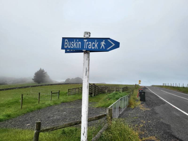
Sign on Highcliff Road (Photo & Caption Mike)
M & M aka Max and Mike demonstrated their commitment to the TRTC by agreeing to lead a hike instead of sitting in front of a TV watching England thrash their Welsh cousins in the FIFA World Cup. I am not sure that this commitment was fully appreciated as shortly after the commencement of the hike there were mutterings of “when are these Poms stopping for morning tea?”
Morning tea looking over Boulder Beach (Photo & Caption Helen)
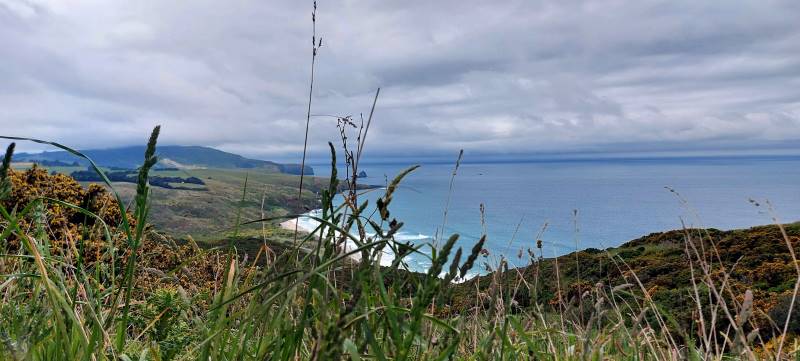
Ten hardy souls ignored the dodgy weather forecast and set off for a hike that took us around a boulder strewn hill with great views down to Boulder Beach and Sandfly Bay before descending down a zig zag poled track to join up with the Buskin Track.
Lookout over Boulder Beach (Photo & Caption Margreet)
The steep descent was made without incident although some knees were creaking a bit by the time we had got to the bottom of the hill.
Gymnast of the day award was given to Jim Finnie. At the start of the Buskin Jim demonstrated his prowess by performing an impressive backward somersault with a half pike and a reverse tuck. The landing left a bit to be desired and stopped him getting a perfect 10.
Special mention also to Jay who re-arranged some of Max’s clothing after she spotted that he had his hi vis vest on upside down and back to front.
An early lunch was taken at 1130 in a sheltered part of the Buskin Track from where we could see the views of the coast disappearing in the mist and drizzle.
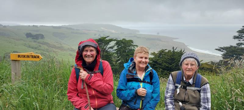
Eleanore Margreet and Betty on the seat with a view (Photo & Caption Helen)
The Buskin Track does not appear to be used much as the grass was quite long in places with a few areas of thistle and nettles to be aware of.
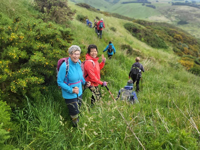
Bushkin Track (Photo & Caption Mike)
It was also a wee bit muddy and slippery towards the top where a few planks of wood had been laid.
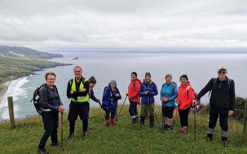
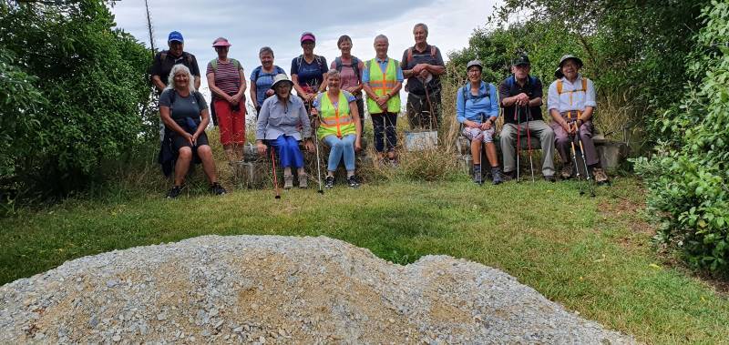
The group of 9 plus the photographer at our high point (Photo & Caption Helen)
Once at the top of the Buskin, it was a short walk along a private road to Highcliff Road and Karetai Road back to the cars.
The weather was not as bad as forecast. It was overcast with a few drizzle patches and one short bit of “wet rain”. Poms know the meaning of this.
Ponchos the order of the day (Photo & Caption Margreet)
Debrief at the cars agreed that grade 3 was about right and that there would not be a coffee meeting on the way home.
As usual, great company and interesting conversation made this an enjoyable hike.
Mike
We parked in the Tomahawk Lagoon carpark, & walked up the track to the Soldiers Monument,
Dunedin from soldiers monument. (Ken pic and caption)
stopping in the gorse for morning tea break,
Morning tea stop on track above Tomahawk inlet. (Ken pic and caption)
then a long road walk to get to Buskin track.
Buskin track. (Ken pic and caption)
Great views from this track down to the coast
Boulder Beach from top of Buskin track. (Ken pic and caption)
& along to Sandfly Bay, & Sandymount. Stopped for lunch at the junction of the Boulder Beach Track, & the Karatai Rd. track,
Lunch stop at junction of track to Boulder Beach, & Karatai Rd. (Ken pic and caption)
then it was a steep climb up to Karatai Rd. where we turned left, & walked down to Smaills Beach, then back to the cars. About 15.6km on a very nice day, most enjoyable. – Ken
2. 16/7/2008 Buskin Track, Boulder Beach, Highcliff Track, Paradise Road. Leaders: Bruce & Marjorie
Cliff View
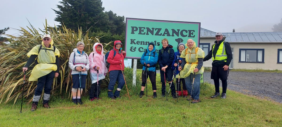
Seven trampers met beside the Penzance Kennels on Highcliff and, undaunted by the thick fog that covered the whole of the Peninsula and beyond, set off on what proved to be an interesting walk.
We walked down the Buskin track until it intersected with the Highcliff track. A little way along the Highcliff track we found a very sheltered spot amidst some old macracarpas for a morning tea break, being very careful not to make contact with the prolific growth of ongaonga bushes. Refreshed, we began the very steep haul up to the top of the cliff and a clearing in the fog enabled us to wonder at the white lichen covered rocks, sheer cliffs and steep drops.
View of Boulder Beach
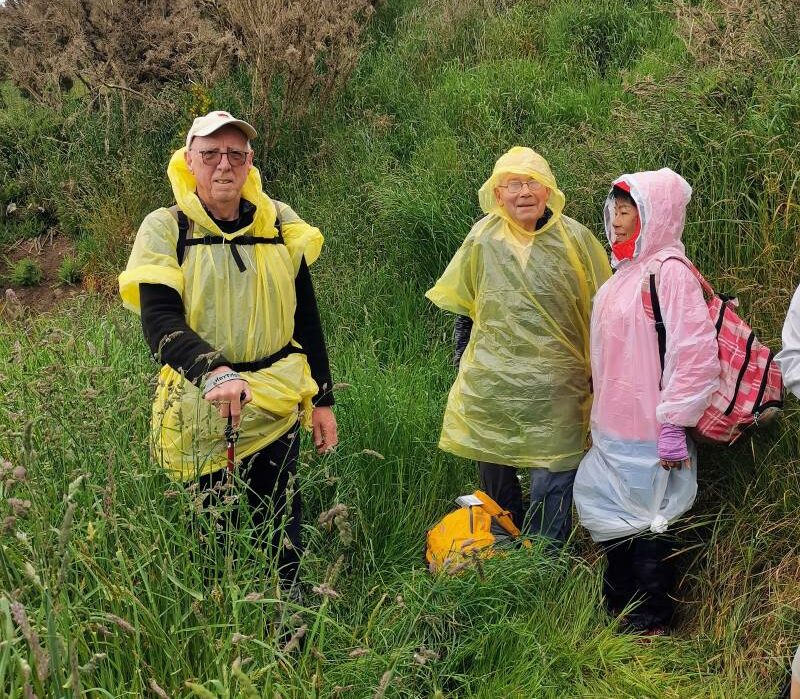
Hardy trampers
Boulder beach, aptly named, stretched far below us, white waves curling in a placid sea. We were unable to see the vista of coastline – that will have to keep till another day. Retracing our steps down the steep and at times slippery gradient we stopped for lunch at the same place where we had morning tea. After lunch we made a detour to the end of Boulder Beach where we were lucky to find one yellow eyed penguin standing sentinel on the rocky shore. We then laboured up Paradise Road and returned to the cars. Although unable to enjoy the views for most of the walk, Bruce made up for this by pointing out to us sites and remains of the old homesteads, stone fences and old fence posts. Even more interesting were the accounts he read to us of what life was like for the early farming families from a book by Hardwick Knight. Thank you Bruce for sharing this with us, enabling us to have a very enjoyable tramp on a grey day. – Marjorie
1. 13/4/1994 Tomahawk Lagoon, Smaills Beach, Karetai Road, Buskin Road, Soldiers Track and return. Medium. Leaders: Ria H, Jean A, June G, Betty H
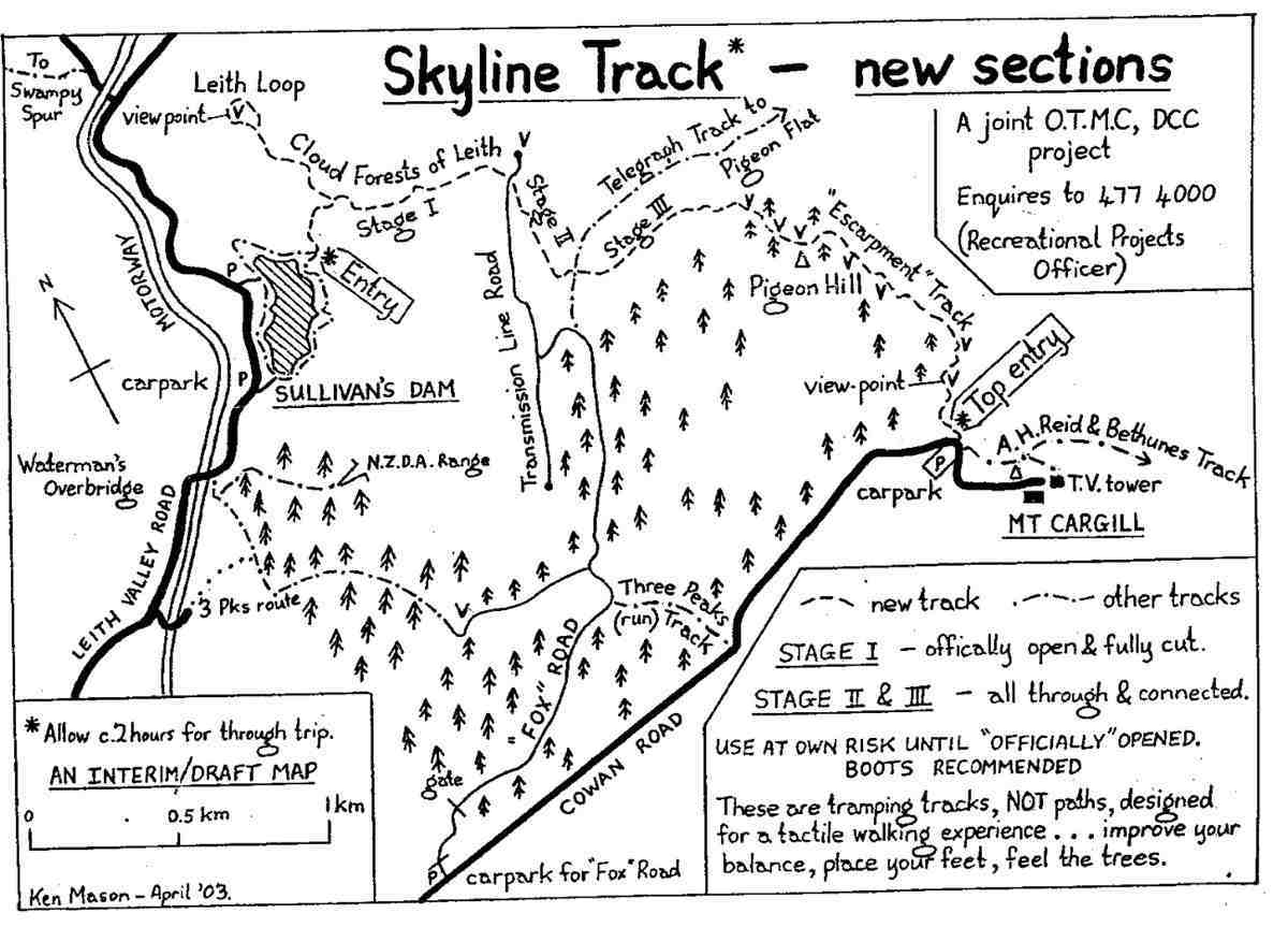
Map: Sullivans Dam, Cloud Forest, Telegraph (Old Bridal) track to Pigeon Flat, Escarpment Track, Cowan Rd, Short Cut to Fox Rd, down to Sullivans Dam – drawn 2002. (Click to enlarge)
Sunshine start at Sullivans Dam (photo and caption Pam)
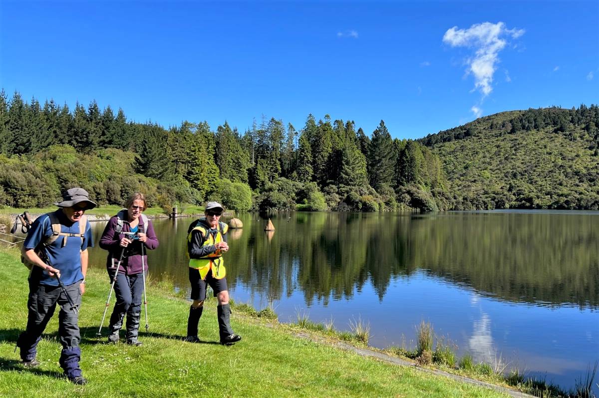
15 trampers set out around the lovely track around Sullivan’s Dam but we soon had to turn right up the hill that stated ‘for experienced trampers only’!
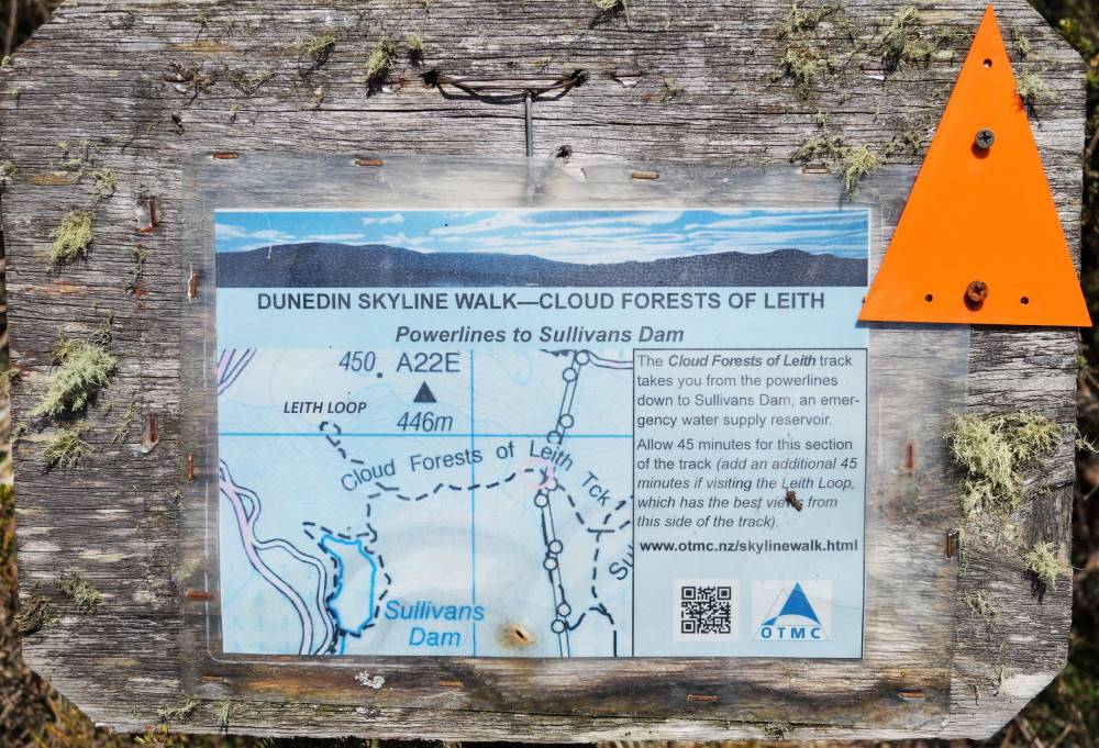
One of many old signs on our route (photo and caption John)
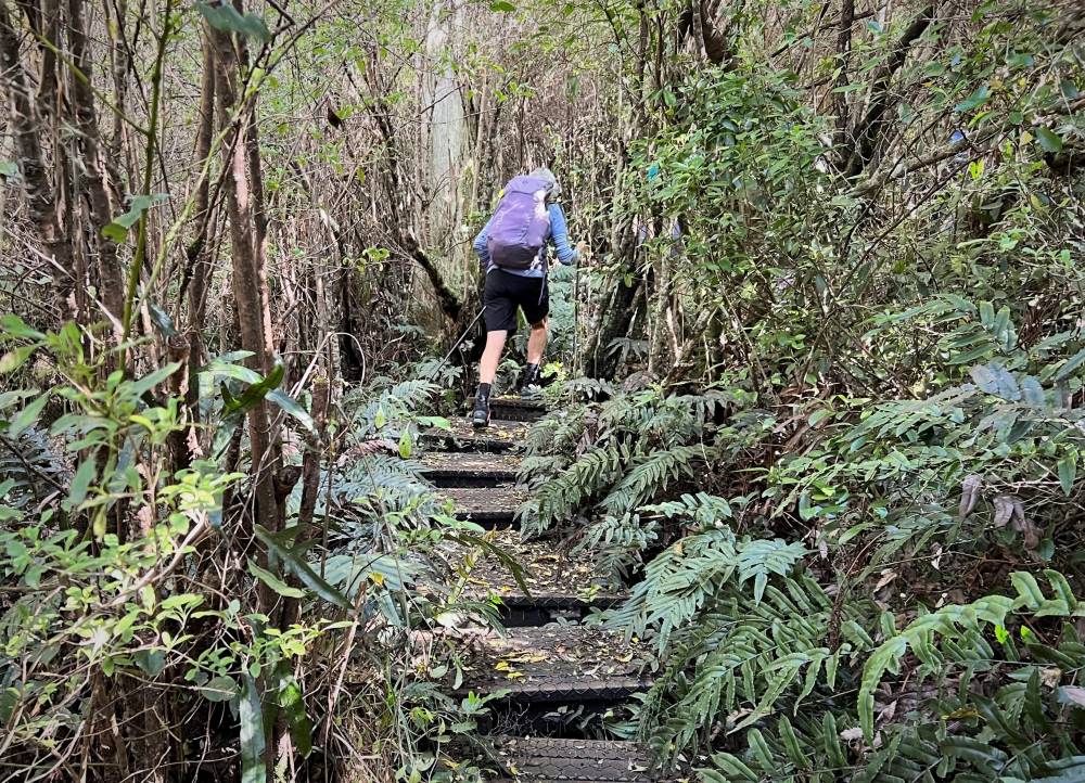
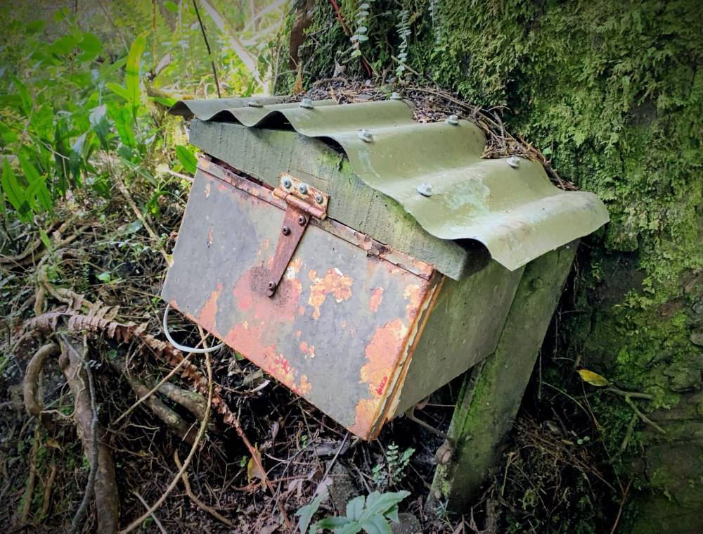
This track is an overgrown mostly-boardwalk that goes up and up through a patch of majestic Rimu, Totara and Miro to the Pylon Road. On the way we passed a bush telephone and a fairy grotto!
Boardwalks (photo and caption Pam)Telephone box, just in case you need it (photo and caption Marijke)
Morning tea was had under the pylons watching 2 helicopters below us loading up to do some spraying.
Morning Tea in a clearing (photo and caption John)
After refueling we set off on the escarpment track, firstly through gorse then mud, fallen trees and a rock climb up to the magnificent view from Pigeon Rock.
Some misjudged their footing! (photo and caption Pam)
Just when we thought the worst was over we came upon 2 huge pine trees crossing the track. However everyone made it safely over, then it was a short scramble up Pigeon Hill to lunch.
Lunch time hilarity over Neil’s boiled egg (photo and caption John)View from Pigeon Hill – I just love those big skies! (photo and caption Marijke)
The challenge after lunch was to follow the blue ribbons to Mt Cargill, this proved little trouble thanks to some tall scouts who could spot them among the growing pines.
Down hill from here (Cowan Road) (photo and caption Pam)
Once out on the road with the sky growing darker it was a fast trip down the 3 Peaks track back to the cars where the heavens opened! Good timing team! This is a lovely, varied track with lots to keep you interested. All seemed to enjoy it even the harder parts. Thanks for a great day out – Clare. Continue reading “Sullivans Dam, Cloud Forests, Escarpment, Cowan round trip”
10. 16/11/2022. Trampers. Nardoo Reserve: Walrus Bridge Rock. Grade 3.5 Leaders: Phil Keene and Graeme Souter
Was this going to be one of those on again off again days? Well no as eleven enthusiastic trampers turned up ready to go at 8.30am… although we were starting to think of a plan B as we travelled through rain to the Strath Taieri… however lo and behold the weather cleared, Lake Mahinerangi was calm, yay no wind on the tops, and the clay extension of Lammerlaw Rd through Waipori Station was dry.
Tailing was underway and the lambs were not gambolling, they were bolting and calling to mum. The Hereford calves had nice clean socks on and were top of the fashion parade.
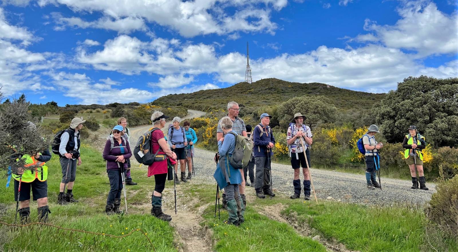
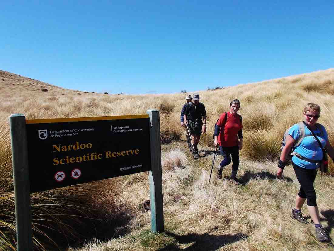
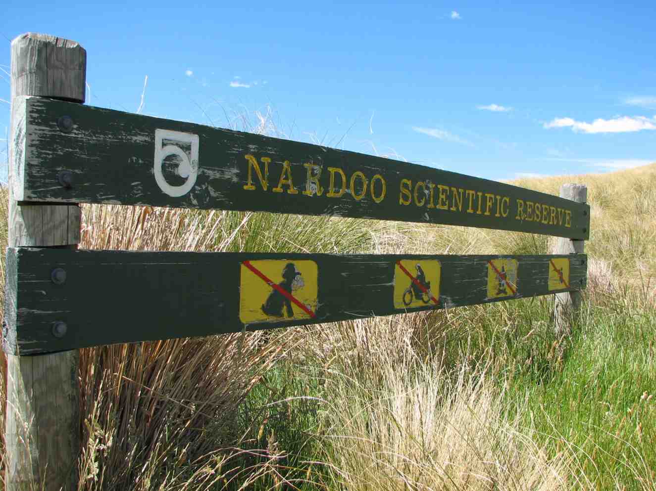
We set off at 9.45am and shortly practised our fence and gate hopping and climbing to enter the reserve, where a ‘before’ photo was taken.
The ‘before’ Caption and photo Phil
We followed the remnants of a graded track that all too soon was lost
in snow tussock country.
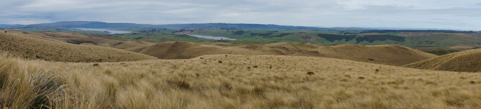
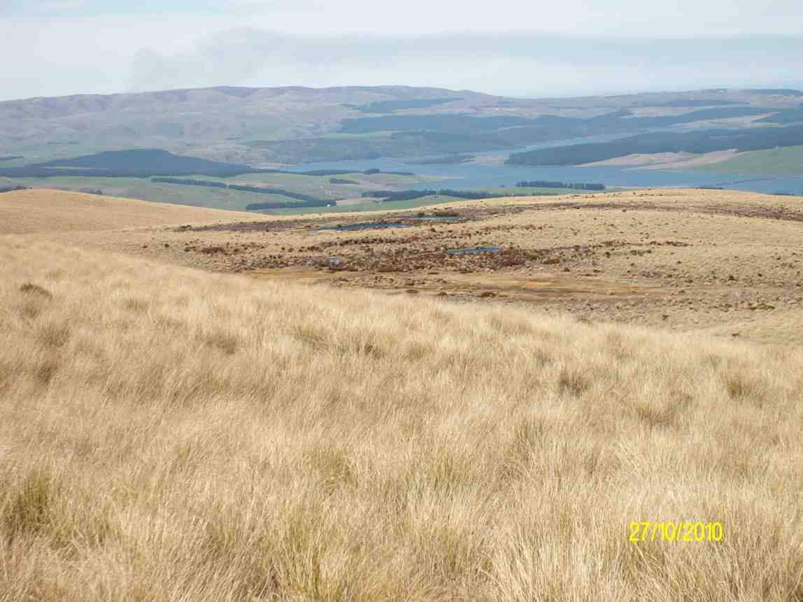
Looking back to Lake Mahinerangi and beyond. Caption and photo John
A short sharp start to the day, before settling in to a steady upward ascent,
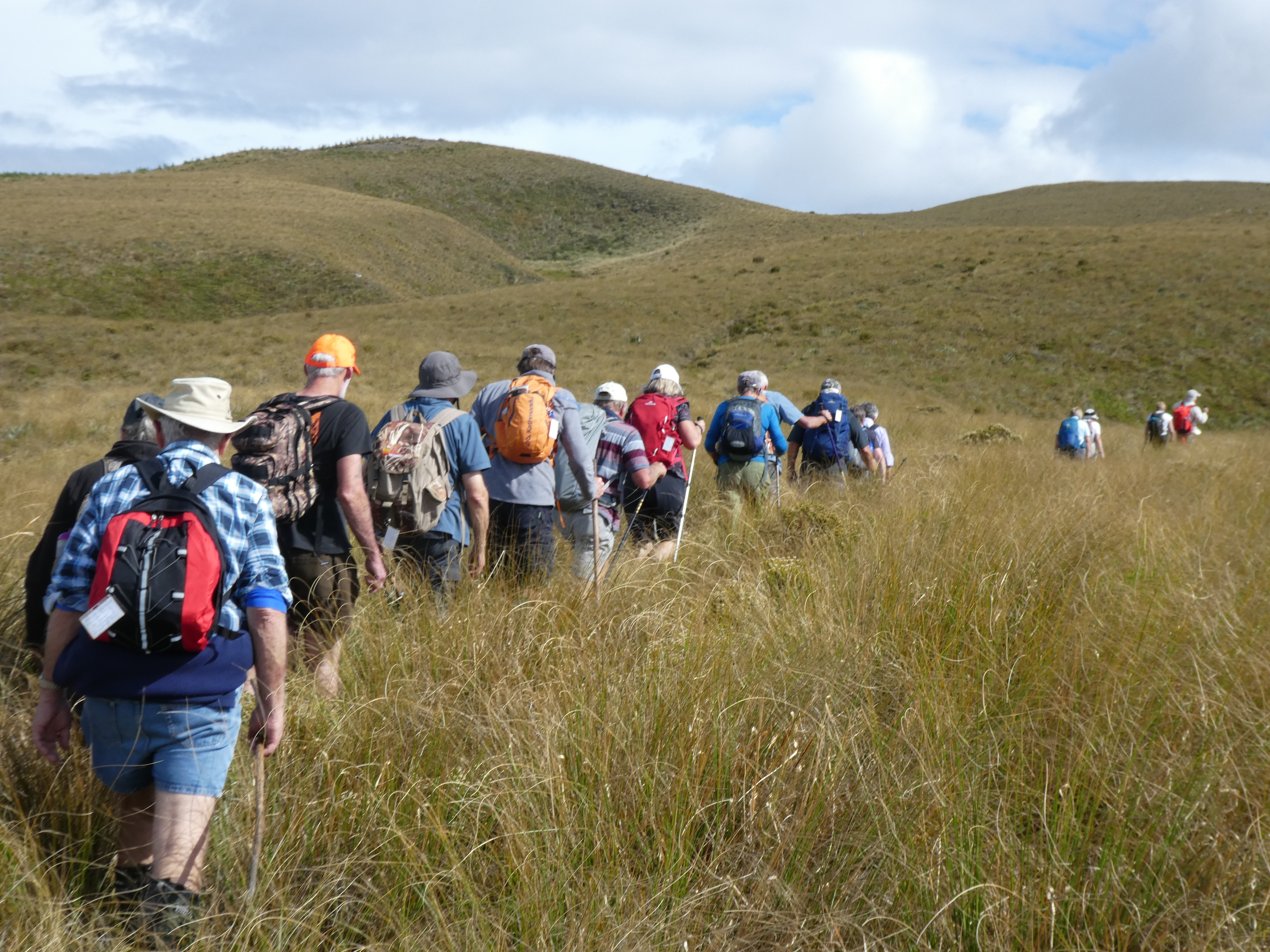
closely following each other to eliminate miss-steps and help form a clear ‘track’ to assist the return
journey – would it work?
Where we’re heading (ie. up!) Caption and photo John
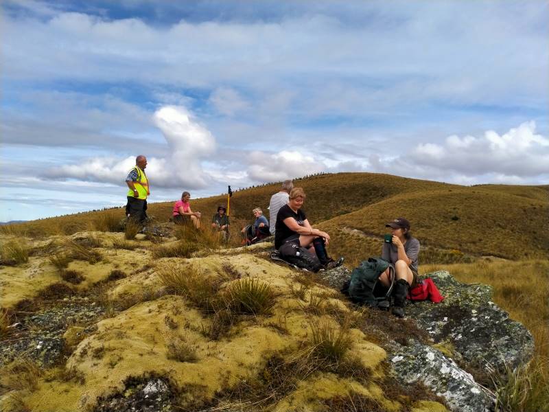
We had morning tea on a rock outcrop festooned with lichen and a soft ‘magic’ yellow carpet of vegetable
sheep…were we already visioning?
Morning tea on a magic yellow carpet of vegetable sheep Caption and photo Phil
For the balance of the morning we crossed low saddles and followed
a line of drachophyllum that had colonised the initial track and we stayed up on the ‘faces’ zig zagging to
and fro as we got close to the boundary fences. Keep out of the gullies being the mantra of the day.
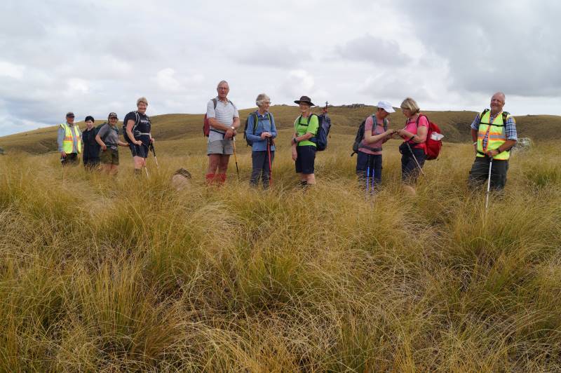
Happy trampers, during a regroup stop. Caption and Photo John
Initially the Blue Mountains dominated the views to the west, then Mt Wendon and higher still the Old
Man Range. Still no wind going by the blades of the wind farm… the tussock was dry to touch.
Head to Little Peak, that rock on the horizon. Caption and photo Sarah
We veered to the right near the top and made our way to the Walrus Bridge rock, where with dark clouds
building we decided to forgo Little Rock, and had our lunch right on high noon.
Hidden lake lunch stop. Caption and photo John
No sooner had we sat
down than a few spots of rain became steady rain and rather soggy sandwiches were dealt to. Coats and
covers came out, some of the fit and experienced trampers discovering for the first time that their packs
had built in rain covers…..gee no rain on a Wednesday for 3 years according to Charlie!
Clearly this was now going to be a game of two halves and a determined team set off, the descent much
quicker than that done on the recce, but maybe that was enhanced by the much clearer track created on the
way up – yeah right!
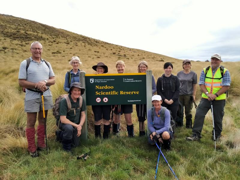
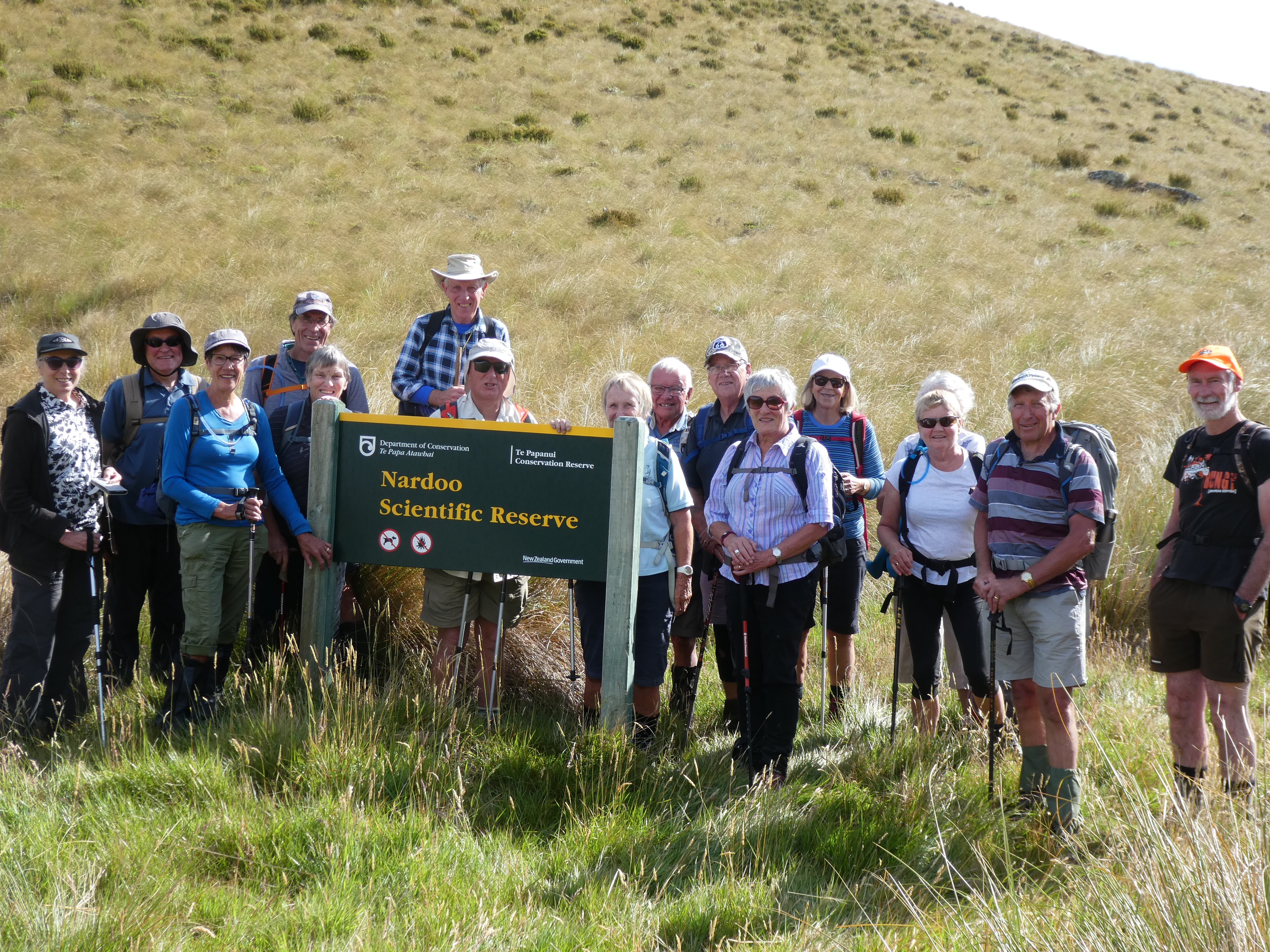
We were back at the cars about 1.30pm having stopped at the Reserve sign for the ‘after’ photo, was this
the same group of happy trampers? Yes they are all smiling!
The ‘after’ Caption and photo Phil
Wet gear was quickly placed into the car boots and the cars were soon steaming up….everyone agreed to
forgo coffee as hot showers and dry clothes seemed the more important…
It was heartening to hear the comment that the GPS map showed that we managed to follow the same
‘path’ both up and down… a testament to the leaders! Thanks to Esther and Neil also for taking their
vehicles that got suitably muddied on the way out…..and to Waipori Station for access.
Phil K
9. 29/1/2020. Trampers. Nardoo Reserve. Leader Phil
17 trampers headed off in to the wild blue yonder in vehicles suited to the terrain; picking up Chris at Lee Stream and then on to and up past Lake Mahinerangi ( according to one translation – ‘ moon glow of the heavens’; the lake being named after the Dunedin Mayor Burnett’s daughter, Neil S commenting he did not know marijuana was smoked back in those days).
We ventured past the windfarm and on down and up past the ‘old’ Waipori Cemetery ( prompting the question from John – where is the ‘new’ Cemetery?), the Lammerlaw bridge crossing and through Waipori Station, following large tractors doing silage on the lower slopes, till we came to the road end – where we startled 3 fine red deer spikers that easily hurdled the fences and raced off down the valley. Gary needed to be restrained and was seen to be frothing at the mouth and muttering under his breath….
Having saddled up we traced around an old water race, one of 16km of races that served the Waipori goldfields, and entered the Nardoo Scientific Reserve ( the sign not being visible from the road end) where a group photo was requested, it being decided we may not look so good if the photo was taken at the end! (this proved to be so true).
Photo and Caption Gordon – “All 17 and all still happy”
A bit of useless info was provided on the meaning of Nardoo, thanks to Dr Google….a name given in India to a plant powder used in cooking and also called ‘aboriginal flour’ in the West Island, having been extracted from a type of fern……not sure who has the naming rights.
Photo and Caption Gordon – “Heading to morning tea break”
It was then onwards and upwards through a ‘garden’ where over 500 different plants exist, competing with and strangling each other in the process and yes well almost the trampers themselves, as we picked up our feet to negotiate silver tussock and spaniards and ground coprosmas and celmisias, these all punctuated by windflowers and the higher we went the purple orchid, Thelymitra.
Morning tea was provided on the first main rock outcrop where views to the Blue Mountains, the windfarm approaching Lawrence and on around to the Waipori catchment , the Maungatua and to Swampy and Flagstaff and the Silverpeaks were evident. The main route for goldminers in 1861 from Outram, the upper Maungatua and across the upper Waipori River and leading ridge to Gabriel’s Gully was outlined as well as where 2000 folk lived and mined in the 1860’s at Waipori Township.
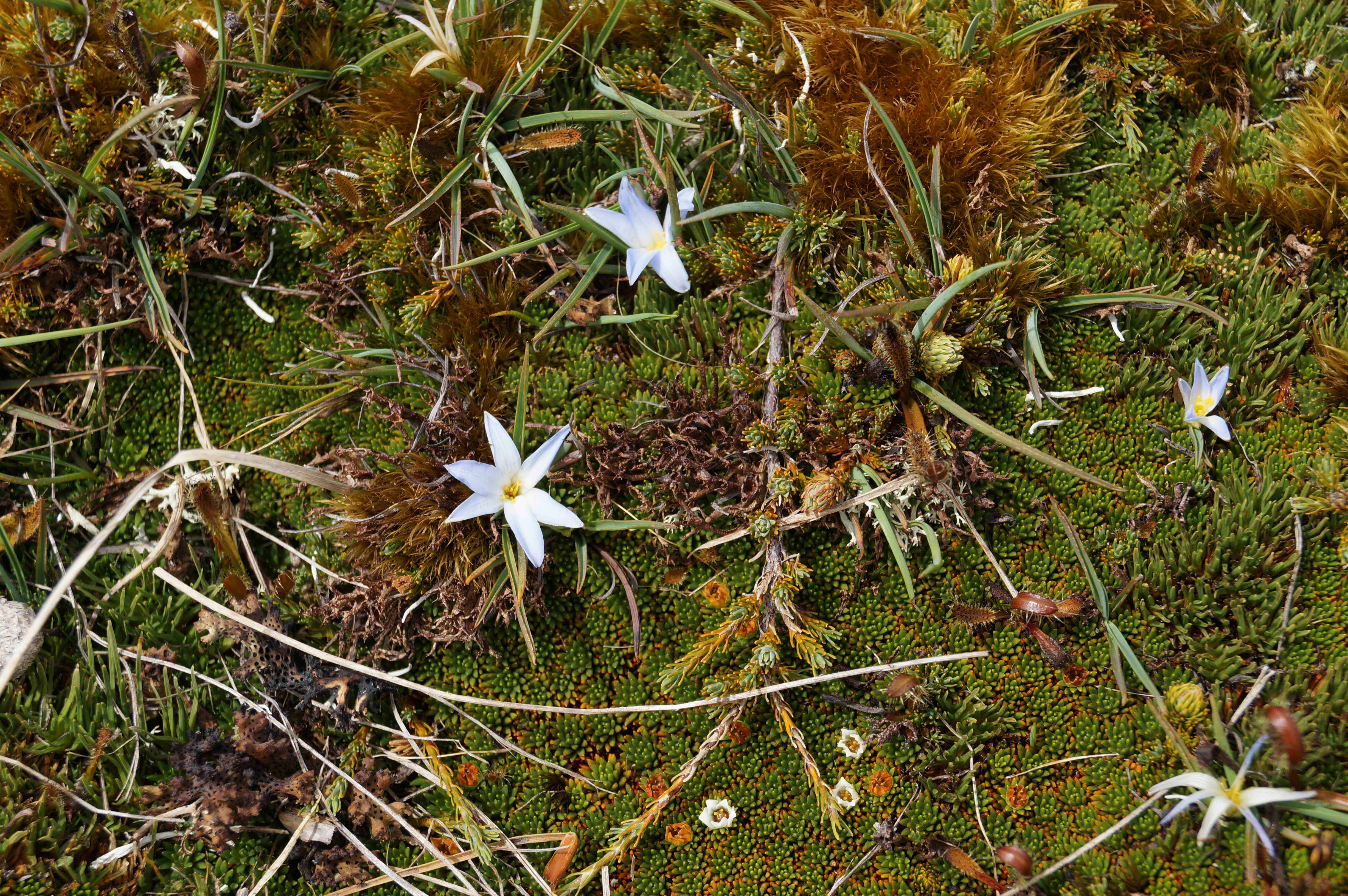
Photo and Caption John – “Pale blue flowers in bloom”Photo and Caption John – “Morning tea from the first rocky outcrop”Photo and Caption John – “Lake Mahinerangi from morning tea spot”Photo and Caption Gordon – “Heading uphill to Walrus rock”
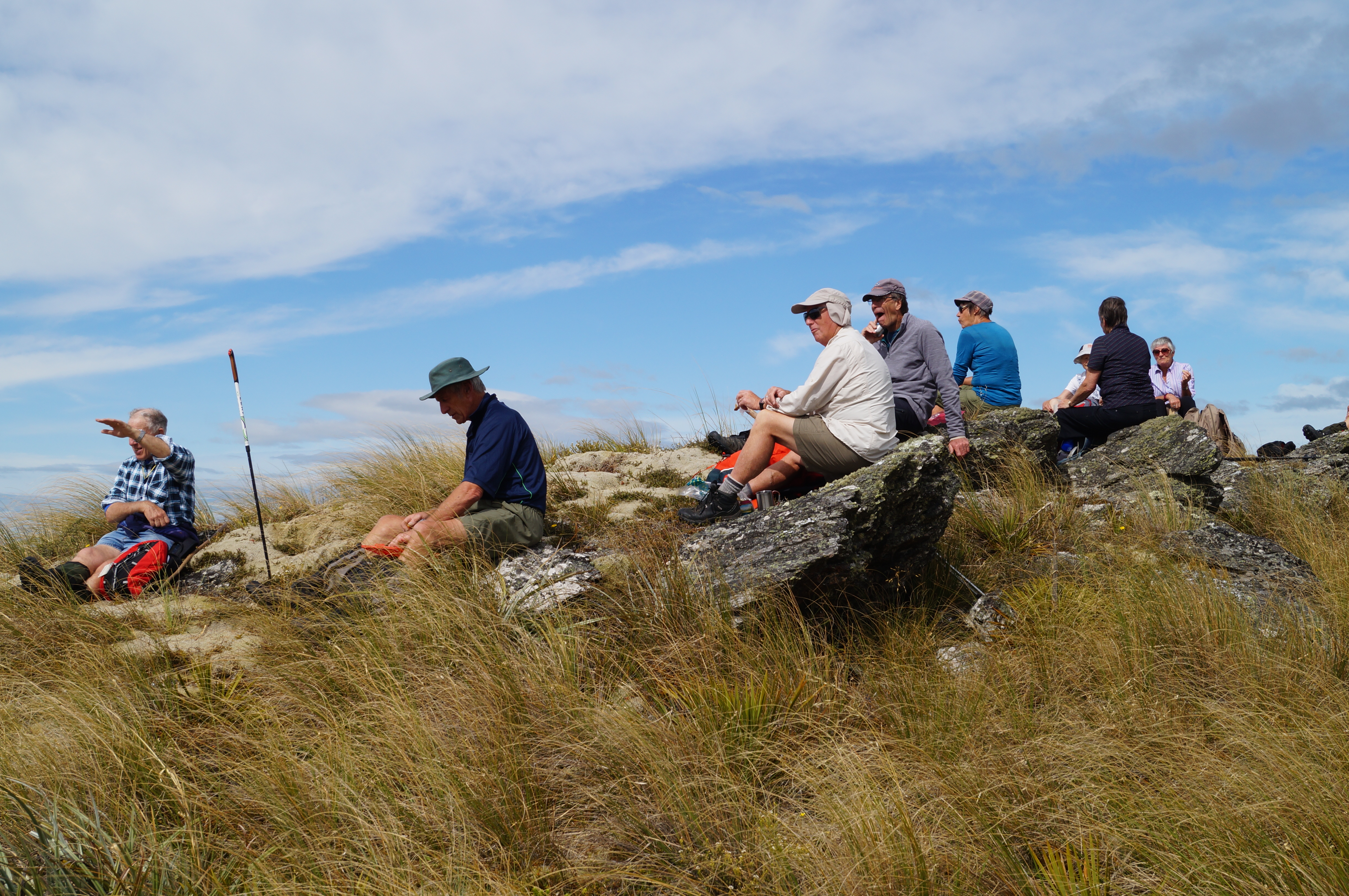
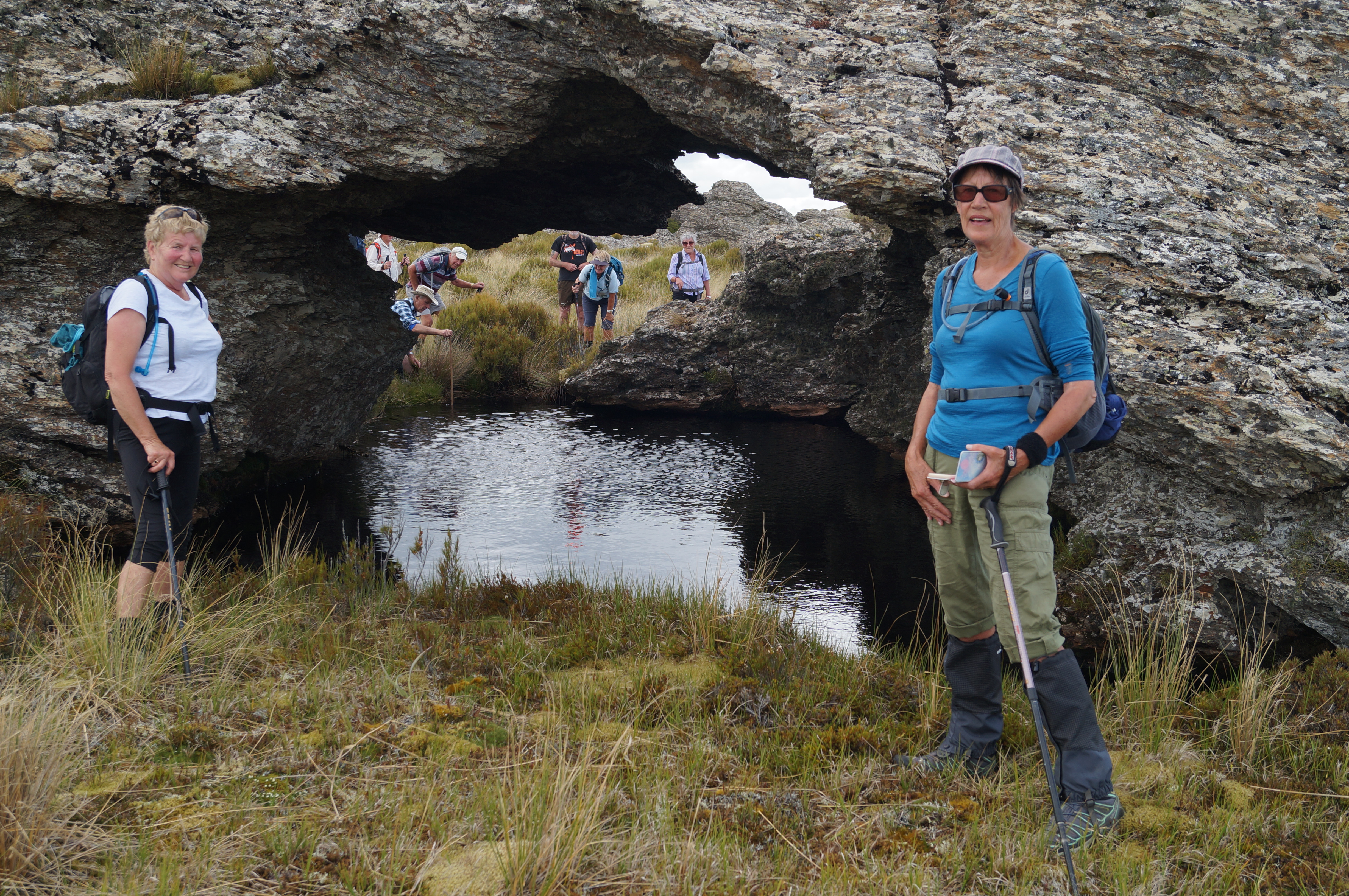
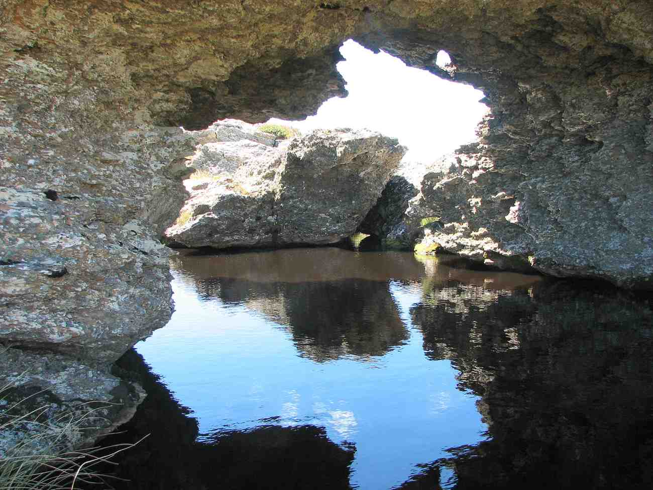
From then it was a steady ‘zig zag’ pattern across low saddles and up ridges till we made lunch at the base of the Walrus Bridge rock outcrops; the herb fields were parched (as were the trampers), dry and crisp and the models in the group posed for photos in the reflective waters of the tarn under the rock.
Photo and Caption Gordon – “Models posing in front of the reflective waters of the tarn at Walrus rock!”Photo and Caption John – “Lunch out of the breeze”
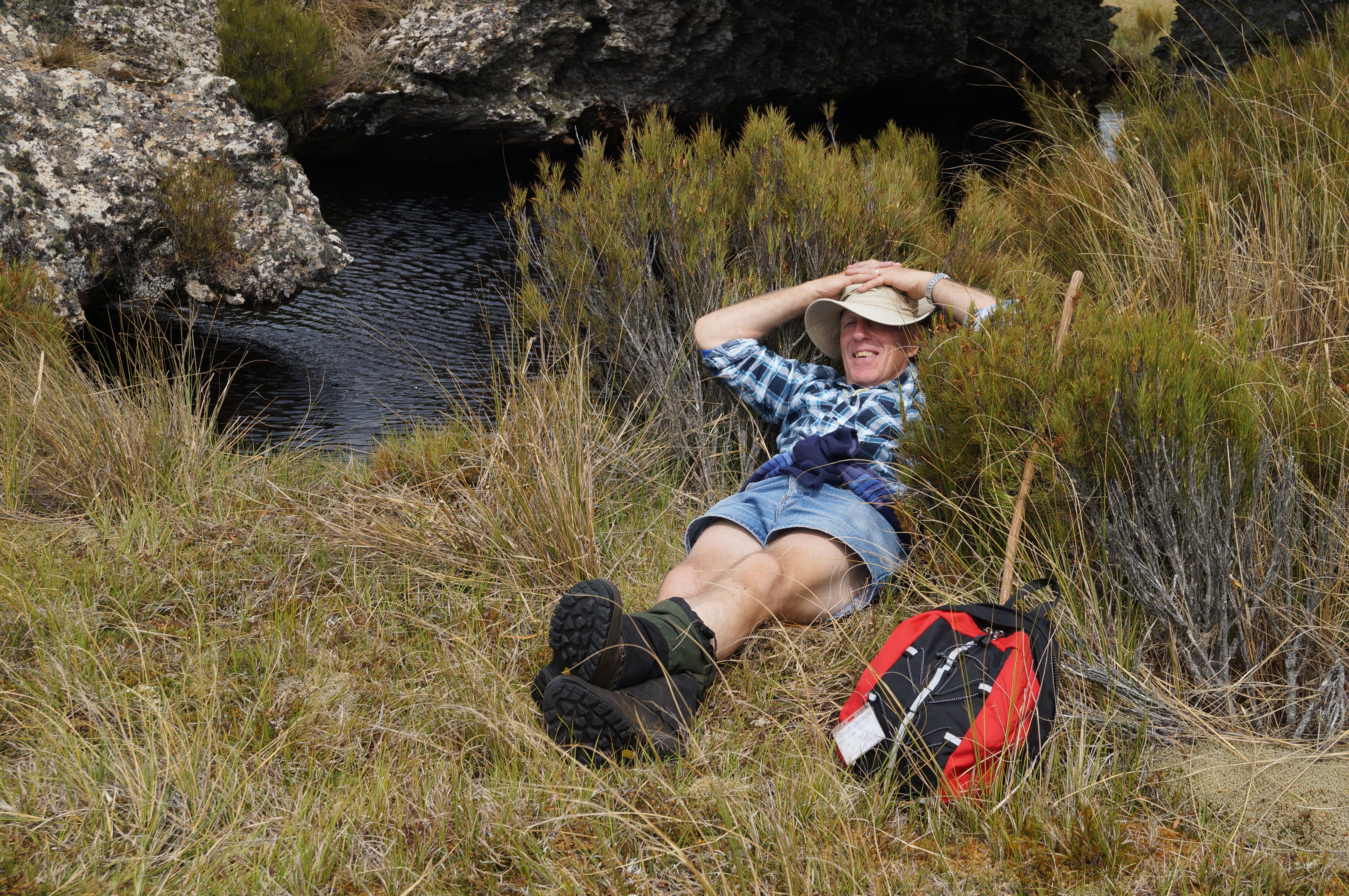
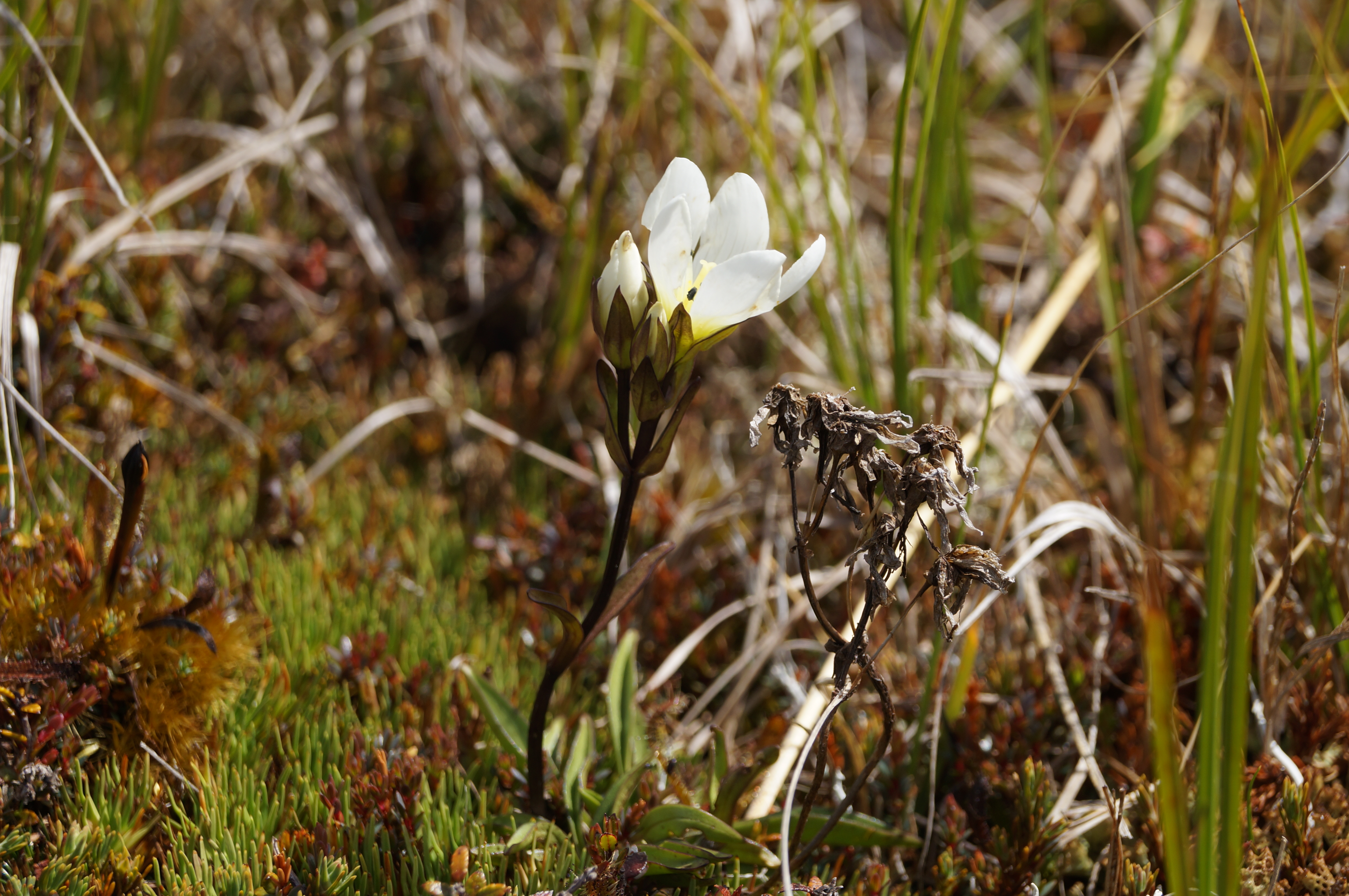
It proved quite easy to ‘rest a while’ in the wonderful environment with the extensive views and silence and to spend time to find the first flowering gentian for the summer.
Photo and Caption John – “A well deserved break for Arthur”Photo and Caption John – “Beautiful flower believed to be a gentian”Photo and Caption John – “Small orchids could be found”Photo and Caption John – “The very fine coral lichen”
A little thought had been given to moving on to Little Peak but it was unanimously agreed that time to return to good coffee and ice cream in Outram was the more important so downward we went trying hard to re trace our upward steps to save energy….which amazingly we managed to do, with only one or two ‘off track’ moments. A benefit of leading was seeing numerous skinks playing chicken……
Photo and Caption Gordon – “Heading down to cars and Wobbly goat”
Not too far from the vehicles we were strafed by a low flying Cessna type plane flown by ‘Snoopy’ Morrison who gave us and received the appropriate salutes. Why he did not land on the airstrip to offer some a ride back? We managed to make it back to Outram in time to catch up with Hikers and Ramblers to finish off a great club day out.
For future Nardoo walks a suggestion is to start this walk at 8.30am to give time to get to Little Peak and a return to Outram for coffee and craic. And why not – a quote from our recent European escapade ‘ coffee does not ask difficult questions, coffee understands’!
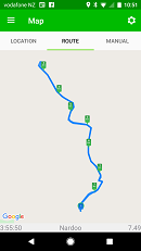
Photo and Caption Phil -” The route that we followed”
3 vehicles conveyed 9 Trampers out past Lake Mahinerangi to the Nardoo Reserve, for a day in the tussock. It was an hour’s journey.
On the last few kilometres up the farm road on Waipori Station we were able to admire all the ewes with their lambs. They obviously wanted to keep up their fitness, as instead of moving off sideways, they preferred to run uphill on the road in front of us!
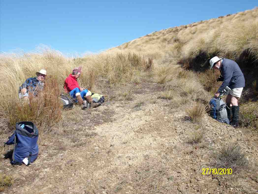
From our car park we walked for 10 minutes to have smoko by the D.O.C. sign, as we entered the Reserve.
Up the zig zag and into the tussock. There was a faint trail to follow all the way, but concentration was needed at times so as not to lose it.
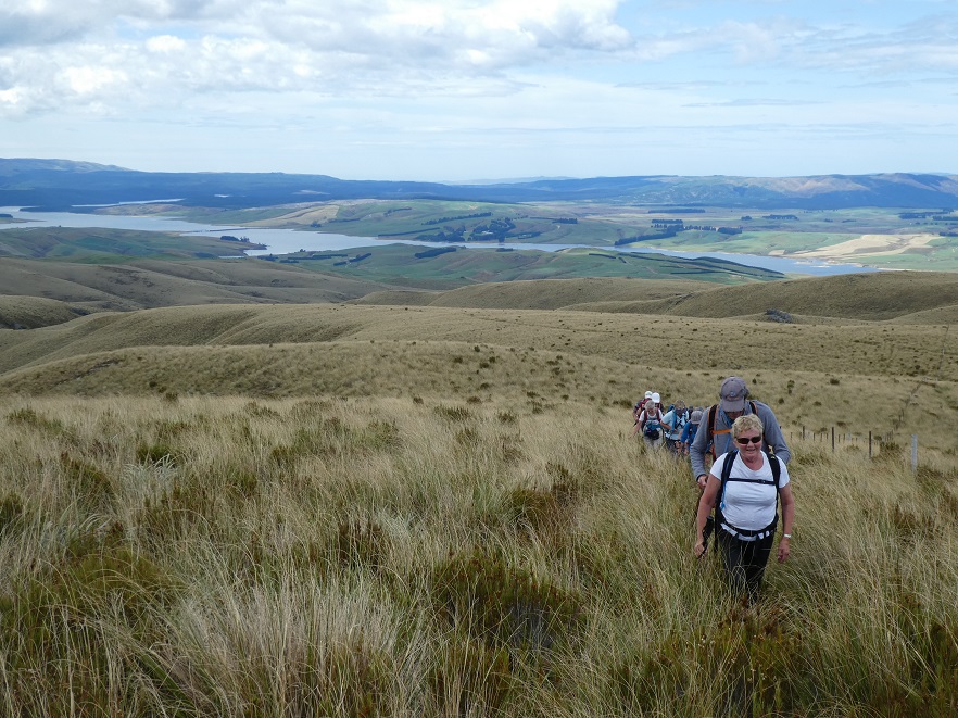
We stopped a few times to regroup and have a rest, uphill all the way. But our precautions taken to guard against sunburn were wasted as we remained under low cloud all day.
At one of the rest stops it was noticed the cloud was flowing up the gullies on either side of us, converging, and then going upslope in front of us. The cloud was close above us further up, but we had good visibility of several hundred meres on the group in all directions.
‘’ come on up Bruce, there’s a better view of the mist here”. (Phil pic and caption.)
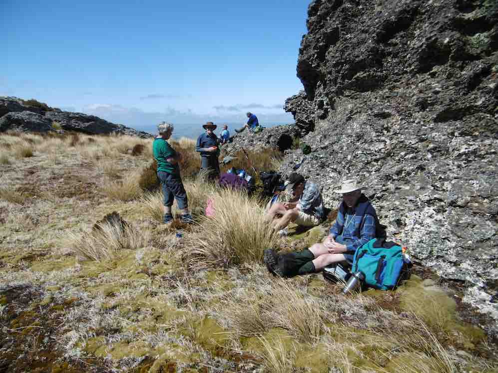
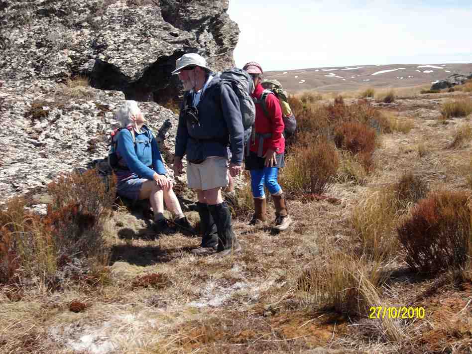
And so we came to Walrus Bridge, some time being spent on admiring and photographing it, before drawing up to the festal board (we ate our lunch).
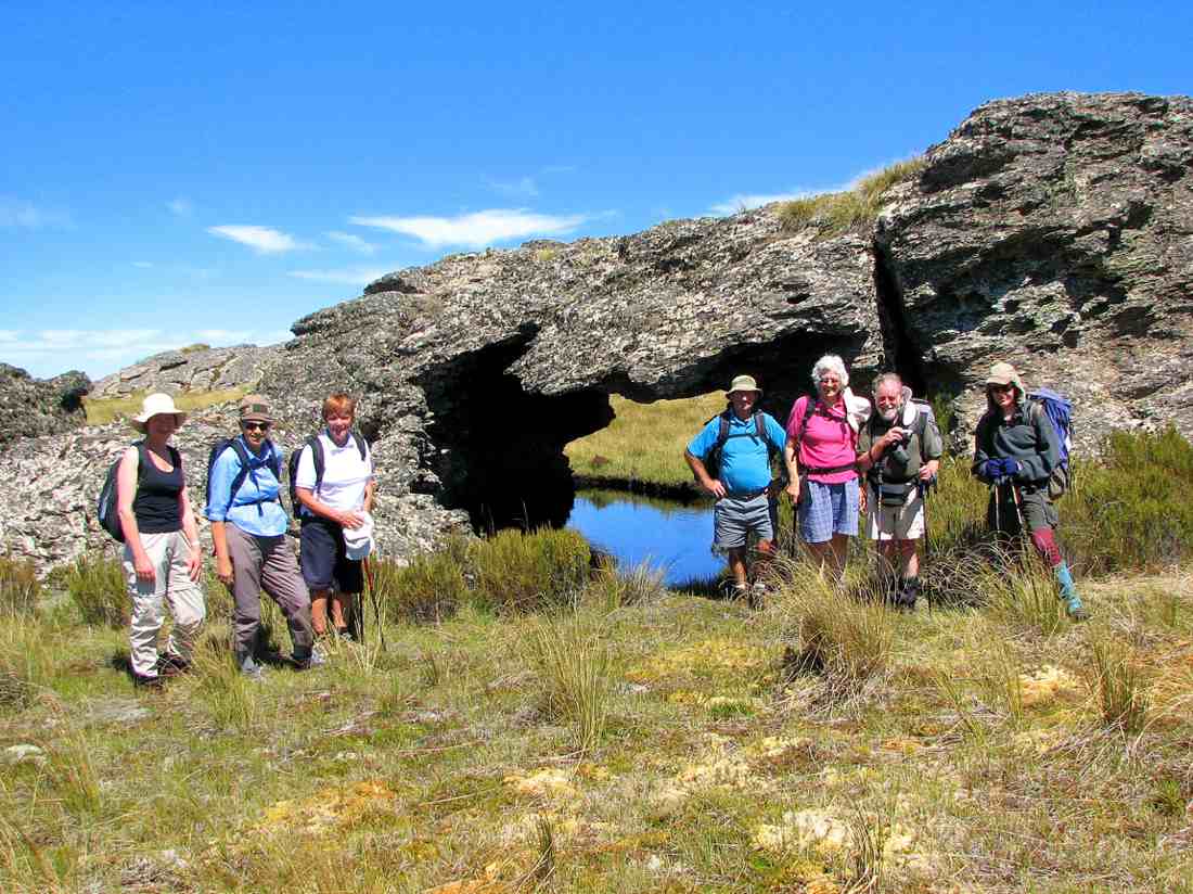
Walrus Rock. Dave up on top. Rest underneath. (Helen pic and caption.)
A swallow arrived, and to our pleasure began flying backwards and forwards over the water and under Walrus Bridge, no doubt looking for a snack.
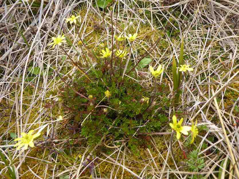
Before turning for home, some time was spent by the botanists among us, in studying the large area of mosses, etc, just beyond Walrus Bridge.
There was a lot of interest in the flower. ‘’Possibly the buttercup ranunculus gracilipis (slender) ( A Mark ‘ Above the treeline’)’’. (Phil pic and caption.)
We retraced our path in the beautiful tussock, downhill now of course, and eventually arrived back at the D.O.C. sign for a photo opportunity.
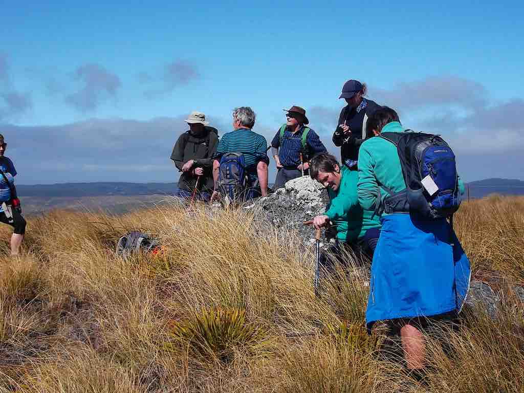
The group. (Helen pic and caption.)
And so it came to pass the 9 very happy trampers returned to the cars after a very enjoyable day in the tussock.
A brief stop was made at the Waipori Cemetery on the way back. A tranquil place. And Lake Mahinerangi was very low, we could see.
Back at Outram refreshments were obtained at the “Gobbly Woat”.
A few figures now – our day’s tramp distance was 8.7 km. We parked the cars at an altitude of 624 metre, and Walrus Bridge was at 934 metres.
My thanks to all my fellow “tussock jumpers” for such a good day out. – Art.
7. 28/10/2015 Trampers. Nardoo Reserve.
On a cool morning, 11 trampers, 9 who had not been there before, set off to visit Nardoo Reserve,
After a tentative drive along the road from Lake Mahinarangi, past the old Waipori cemetery, desperately looking for any sign that I remembered where we were, we finally arrived at the parking spot where we would start walking from.
As it was already just after 10am, we decided to have morning tea before setting off on our walk. Then it was off along the old 4WD track around to the boundary fence of Nardoo Reserve, where we were puzzled by the fact that the gate was open into the reserve. This was later explained to me by the owner of the surrounding land, who had a legit reason for it being open.
On the way up…
Some great scenery (Heb pic, Ken caption)
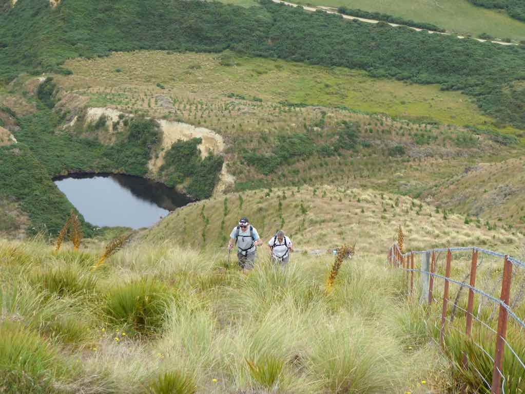
… the long climb to Walrus Bridge, I let some of the group take turns with the GPS so they could follow the track on the GPS display of our previous trips here.
Taking a break on the way up (Heb pic, Ken caption)
I also did this on the way home again, as I think it wise to let others see how the GPS can guide you in this type of featureless country, which is all tussock, with no track showing in most places, as it’s many years since anybody has had a vehicle up there. Most agreed that they had no idea how to return to the cars, & I think there would’ve been a lot of head scratching going on if they had to find there own way back.
After having lunch at Walrus Bridge,
Lunch at Walrus Bridge (Heb pic, Ken caption)
where everybody was suitably impressed by the sight of the pool under it, we decided to go on a little further as it was still quite early. Se we trudged across to another rocky point where we had a rest & a good look around, trying to decide in which direction Lawrence, & some other towns were. Then we made our way all the way back to the cars,
Exiting the reserve (Heb pic, Ken caption)
where some expressed amazement that the walk was quite short, but felt as though they had walked much further.
There were some appreciative comments made about the trip, so I think everybody enjoyed the day out on the open tops. And I for one have some sunburn on the back of the hand I use with my Trekking Pole.Walked 9km
3.1km/h
2h 54mins moving
climbed 382mtrs
max height 972mtrs.
The day was hot. Tempered by a strong but pleasant cool wind. Five of us enjoyed a return to Little Peak. To access Nardoo Reserve we had to drive through part of Waipori Station, whose permission was kindly given. The protected tussock of the Reserve was as long as ever but the 4WD track was still detectable. We stopped early at the customary zig-zag for the tea break.
Morning tea on the zig-zag. (Ken pic)
Then it was on up, across to the left, then right, along a bit of a gully before climbing to top the wee hill to our left, (see the first left point of the two major zigs on the GPS map.
View of Little Peak just discernable on skyline. About to climb wee hill on our left. 4WD track visible in tussock.
Then the swing down to our right, across a wet mossy decline, and up again, angling on a long reach to our left to reach Little Peak, (see the second major left point on the GPS route). Here we rested beside Walrus Bridge rock.
Break at Walrus Bridge. (Ken pic)
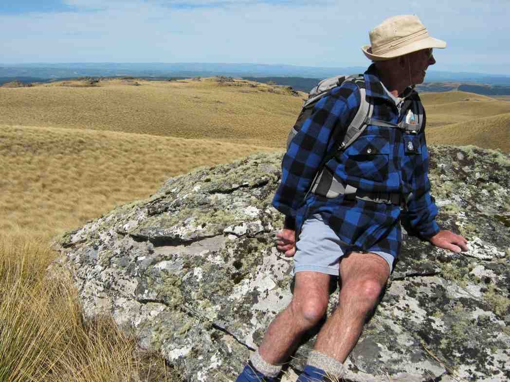
We had made good time and it was too early for lunch. We decided to head in the direction of Peak No. 2. The tussock on the top here shares pride of place with a large variety of mosses, and a profusion of celmisias. We made our way across these to a solitary rock on a bit of a rise and decided to lunch there.
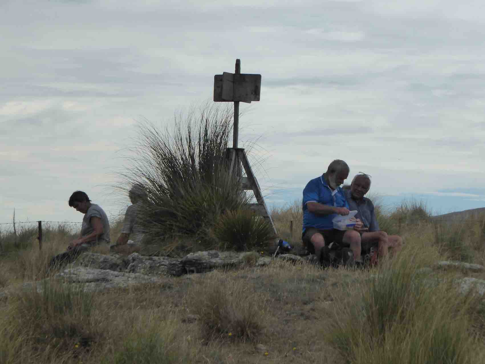
Rock where we had lunch. Little Peak rocks in back-ground.
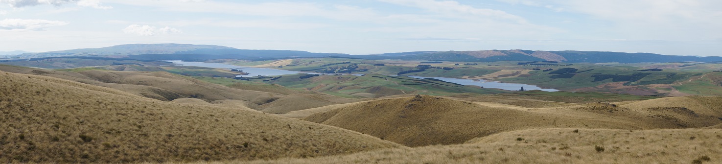
We were struck by the deep blue of a group of able 5 tarns in a dip, looking towards the Lake.
Deep blue of tarns viewed from lunch spot. Lake Mahinerangi. (Ken pic)
Then it was back down and across to Little Peak and to retrace our steps back to the car. Ken let us take turns with holding his GPS navigator to note just how accurately we were keeping to the track it had marked out on the ascent. (A good tool were we ever to get lost.) Only five of us, but good company. Wish there were more to share our enjoyment of yet another brilliant Wednesday. – Ian
5. 16/1/2008 Trampers. Walrus Bridge, Red Rock, Nardoo Scientific Reserve. Medium. Leaders: Ian, Bill M
Today, which saw the mercury rise uncomfortably high , 10 of us travelled in 3 very different cars to the start of the tramp, well past the turnoff to the Waipori cemetery beside Lake Mahinerangi.
This was going to be the day we all needed a large supply of water. Luckily it was only a slow leak from the water bladder and Ian did not run out of water. Ria, who is very fit, found the slow pace hard to take , although the rest of us appreciated the regular breathers Bill allowed us on the rather hot, tussocky ascent. Wonderful views surrounded us over the nearby slopes of the Lammermoors, and back over lake Mahingerangi. The area we were in was a scenic reserve called Nardoo and had been fenced off from the stock which roamed over the rest of Waipori Station.
Nardoo sign. (Bill pic)
This had allowed regeneration of the native plants and tussocks and on the summit of Little Peak 1 the Celmisias were everywhere and a real treat to see their lovely silver foliage and white, daisy like flowers. Walrus bridge is a large rock spanning a deep dark tarn and it was here we sought shelter from the midday sun and had our lunch.
Close-up view under Walrus Bridge/ (Bill pic)
We posed. Emma, Marjorie, Tash, Doug, Hazel, Ian, Bruce.
Bruce suggested it was called Walrus because a walrus moustache is shaped like a bridge over the mouth and droops down the sides rather like a walrus’ long incisor teeth. Hazel needed a good wake up call
as we headed back down after lunch and Ian managed to end up fighting to get up from the tussocks after falling dramatically into them. And so back the way we came, but this time all down hill.
Us on way back down. Ria, Hazel, Doug, Tash, Emma, Bruce, Marjorie, Ken, Ian
A great day out in beautiful, wild country with blue skies, and white shaped clouds.
Cloud effect (Bill pic)
A quick visit to Waipori Cemetery and memorial on the way out, and we still hadn’t seen a living soul.- Tash
4. 15/2/2006. Trampers. Red Rock, Nardoo, Walrus Bridge. Leaders: Ian, Bob H, Judy G.
Walrus Bridge.
3. 20/4/2005. Both. Nardoo, Walrus Bridge. Leaders: Helen S, Ria, Lance and Lois.
2. 19/3/2003. Both. Lake Mahinerangi, Red Rock, Walrus Bridge, Nardoo. Medium. Leaders: Ria, Evelyn, Molly, Mary M.
1. 14/4/1993. Lake Mahinerangi, Red Rock, Walrus Bridge, Nardoo. Medium+. Leaders: Ria L, Ria H, Jean, Lesley S.
It’s been a wee while since the committee meeting but there’s been a fair bit of water under the bridge since then and I’m away again next week to do five days volunteering for DOC, cutting and marking tracks and cleaning huts on the eastern side of the Takitimu Mountains, in behind Dunrobin station, in the head waters of the Aparima and Wairaki rivers ….this area is now part of Te Araroa trail. Thanks to all who have been fronting meets n greets for me over the last few weeks!
Disclaimers of liability This topic was discussed at the committee meeting following a member’s suggestion that the club obtain signed disclaimers from members. We discussed the need and pros and cons but were unanimous that the club did not require this, the main reason being that the no faults ACC legislation covers eventualities, this being the reason other clubs similar to ours do not require disclaimers. We did agree that from time to time we should outline aspects of our trip guidelines over lunch or at morning tea stops and we will do this after new year.
A Third Way We discussed the suggestion to allow a bit more flexibility in group dynamics without the need to formally change the trip guidelines. We have currently two larger groups out most days and without formally re-establishing the third ‘ramblers’ group, it was agreed that with the hikers group, should folk wish to have a shorter walk they could have a clear discussion with the leaders on the day to outline when and how they will return to vehicles or another pre-arranged meeting spot. They must confirm to trip leaders that they have finished accordingly. Such an option should only be exercised taking into account the context of the day’s walk, weather etc.
Trip Programmes I think most members are now aware that the Upcoming trips on the website is now the authoritative list and the webpage has been changed so that a legible hard copy can be printed from there at any stage. If anyone requires a hardcopy and does not have a printer please let a committee member know so one can be arranged. I will complete trip gradings for the post New Year walks before the end of the year and the programme will be updated.
Fuel Costs Ross completed another assessment taking into account information from the recognised sources and some minor tweaks have been made.
Password for Protected Areas of the Website As previously advised this will change from time to time to comply with the overall privacy policy we looked at earlier in the year. The committee agreed we would change the password once the renewal of membership cycle following the AGM was complete….so we will provide a separate note on this.
Xmas Function Thanks to Jay for making a booking at Taieri Mouth Hall. We had assessed other possibilities but these did not eventuate. Following feedback from Committee members when they have been walking and talking, it was agreed that we stick with the status quo and members bring a small plate of food for a shared lunch.
Bannockburn 3-8 March 2023 Thanks to Anne for this provisional Itinerary to date (subject to change). Anne will speak on it briefly at the Xmas lunch on 14 December, and will ask for a show of hands to gauge interest etc, and this will also help with finalising details.
Friday 3 March – Travel to Bannockburn Old School (available from 12noon)
Saturday 4 March – Trampers – Devils Creek Track – (steep climb) travel over Cromwell Bridge, turn left towards Tarras & travel 6km, carpark on right
Hikers – Park cars on right over Bannockburn Bridge in carpark and walk on track to Old Cromwell Town (5.2km) and return. Toilets/Coffee shop
Sunday 5 March – Everyone to drive to Domain at Camping Ground behind the bowling green and walk 1.2 km along road to start of track. Heading up to Stewart Town
Where everyone will stop for morning tea.
Trampers – from Stewart Town – Long Gully Loop Track 11K and back to cars at the domain. Hikers – from Stewart Town – down through Slucings to Fulton Road and back to cars at the domain. May wish to stop at coffee shop on way back to cars.
Monday 6 March – Combined walk – over Bannockburn Bridge. Park cars on left. Lovely river walk stopping for morning tea and lunch along way. Return on same track
Can have vehicles available if anyone doesn’t want to walk return.
Tuesday 7 March- BIKE Bannockburn Camp – Pisa Moorings – Smiths Way (take lunch or buy at coffee shop at Pisa Moorings) approx. 24Kms each way. Can have transport
Available for those not wanting to bike return – Grade easy
Wednesday 8 March – BIKE Hard Ride – Bannockburn Camp – Lake Dunstan Trail – Take Lunch to have at domain in front of Yacht Club
Easy Ride – Bikers transported to Alexandra to bike Clyde River Track and meet up with others at domain for lunch
Return to camp either by biking or transport provided
Thursday 9 March – BIKE Travel to Gibbston Tavern carpark, off load bikes to bike Gibbston River Wine Trail 8.7km to Bungy Jump, then onto Arrow River Bridge Trail
To Arrowtown for lunch 12.7km (pies from bakery yum yum)
Return on same track back to Gibbston Tavern carpark (maybe pizza for tea before returning to camp)
Friday 10 March – Clean up at camp prior to departure, must be departed by 12 noon
MEALS – will have meeting and arrange teams when we get better idea of numbers
ACCOMODATION – 4 B/room house with kitchen (ideal for 4 couples), 2x bunk rooms sleep 16 in each with separate room at either end of each bunkroom (20 per bunkroom). Also sleepout with 4 single beds. Need to supply own bed linen/towels/pillows & single fitted sheet for bunkroom beds
KITCHEN- separate dining room which seats 60 plenty fridge/freezer space/cutlery/crockery/cooking utensils/heating etc/barbeque/outdoor swimming pool.
COST – $21 per person per night (was going to charge $22 night as we have to provide own toilet paper/cleaning products/dishwash etc
Feel free to contact Anne on 0274891366 or [email protected] if you have any questions in the meanwhile.
That’s all for now and will see you on 30 November.
9/11/2022. Trampers. Sawyers Bay Mt Cutten. Leaders Lyn and Diane
18 Trampers met at Reservoir Road after experiencing civil works and road closures.The weather was favourable with the promise of great views from the Mt Cutten summit. Mt Cutten was named after William Cutten who was an early settler, involved in the establishment of the Otago Daily Times. Cutten built a house located in Sunshine, Dunedin called Belmont which later became known as La Scala restaurant owned by the Massetti Family in 1955.
Morning tea at the first reservoir. Photo & caption Marijke
We had morning tea at the Sawyers Bay Reservoir then made our way up the track through native bush and pine trees to reach the road which headed up the hill to Cedar Creek Reservoir which was constructed in the 1950s as a backup water supply for Port Chalmers. It is no longer used, and the pipeline is now connected to the DCC supply.
Crawling from the dark into the lightness. Photo & caption MarijkeStriding it out through the pines. Photo & caption PamPhoto Lyn
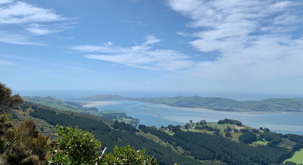
It was a steady climb to top of Mt Cutten where we had lunch enjoying the spectacular 360-degree views some of which included Port Chalmers, the Peninsula, The Spit at Aramoana and the harbour entrance at Taiaroa Heads.
Stunning views towards the harbour entrance. Photo & caption Marijke
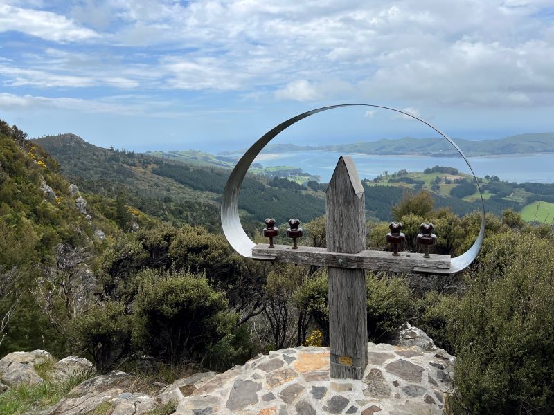
We walked along a massive cliff on the harbour side to view a stainless-steel sculpture of a entangled telegraph pole which was created by Andrew Drummond a New Zealand Sculptor and Painter who paid tribute to Len Lye. (Len Lye 1901-1980 was born in Christchurch, Len was internationally recognised as one of the 20th century most original artists, Pioneer Film Maker, Poet, Writer and Painter.)
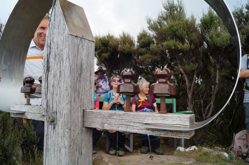
Sculpture tribute to Len Lye, NZ Sculptor 1901-1980, south of the summit. Photo & caption PamI can see you Phil! Photo & caption John
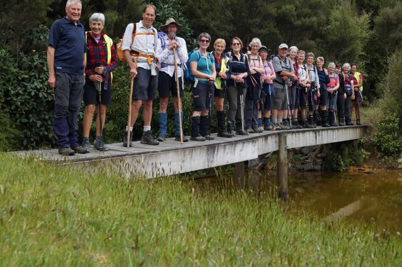
After lots of photo opportunities and a slight change in the weather we headed back down the track to cedar creek reservoir to walk the track around the water edge making sure we had a team photo on the bridge.
Timer photo (I’m taller than I thought). The full group. Photo & caption John
Unfortunately, we were either too late or too early for the Rhododendrons in flower. We will have to put Mt Cutten on the trip programme for 2023.
Mirror reflection on upper Cedar Creek reservoir. Photo & caption John
Some of the vehicles headed over North Road to avoid road works and to have a coffee and ice cream at Black Road Grocer. A great day with amazing views and excellent company.
Trip distance 10.3 ks elevation Mt Cutten 539 metres.
27/04/2022. Trampers. Sawyers Bay Mt Cutten. M. Leaders: Lyn Keene and Diane Bezett
Eleven Trampers left Mosgiel and travelled to Sawyers Bay to attempt to Climb Mt Cutten. The weather was not looking great as we drove down the Port Chalmers highway. We parked on Reservoir Road and walked up the track through beautiful bush and then around the Sawyers Bay Reservoir where we found a dry area under the trees and had morning tea.
Autumn weather as we circumnavigate the lower reservoir Caption and photo Ross
We continued through bush and then up a 4wheel drive track to the Cedar Creek Reservoir.
Cedar Dam Caption and photo Phil
It was constructed in the 1950s as a backup water supply for Port Chalmers. It is no longer used and the pipeline is now connected to the DCC supply. We walked around the reservoir through rhododendrons and native bush.
Photo Lyn
We picked a spot under the pine trees to have lunch.
Soggy sandwiches for lunch Caption and photo Phil
Meantime the rain was getting stronger so a decision was made not to tramp to the summit and leave Mt Cutten for another day.
Next time Caption and photo Phil
Suggestion was made to possibly look at returning in November when the rhododendrons are in flower.
Descending towards the cars Caption and photo Ross
History – Mt Cutten was named after William Cutten who was an early settler and was involved in the establishment of the Otago Daily Times. He built the house located in Sunshine Dunedin called Belmont also known as La Scala.
Andrew Drummond, a New Zealand Sculptor and Painter, dedicated a tribute to Len Lye. The sculpture, a stainless steel entangled telegraph pole, was erected on the South side of Mt Cutten looking over the Sawyers Bay, Port Chalmers and parts of the peninsula. Len Lye 1901-1980 was born in Christchurch. He was internationally recognised as one of the 20th century most original artists, Pioneer Film Maker, Poet, Writer and Painter.
Mt Cutten elevation 308 metres Mt Cutten is situated nearby Mt Martin and south of Mt Kettle (545 Metres)
Lyn Keene
12/9/2012.Hikers. Sawyers Bay, Golf Course and Reservoir. Leaders: Chris, Elaine.
21/3/2010. Hikers. Sawyers Bay, Golf Course and Reservoir. Leaders: Chris, Dorothy.
About 18 hikers parked cars in Station Rd, Sawyers Bay, on a pleasant morning and set off for an area most of us hadn’t been to before. From the cars we headed up Station Rd, turning right into Stevenson Avenue and then left into Reservoir Road. Had our morning tea sitting by the side of the road admiring the view across the harbour to Larnach Castle. Then it was on past the Golf club to the end of Reservoir Road. Back down a short distance and then we turned in to a track that lead us to the reservoir which was in such a lovely setting in the bush with a variety of trees, including deciduous, which added to the colours.There was a track right round and we walked round this, enjoying birds and bush.
Reservoir above Sawyers Bay (Bill pic)
Reflection (Bill pic)
Fore…. (Bill pic and caption)
… and aft. (Elaine pic. Bill caption)
The Crocodile (Bill pic and caption)
We sat in a lovely grassy, area beside the reservoir for our lunch. Then it was back down to the cars. We all agreed what a pleasant surprise it was and how much we had enjoyed discovering it. Very many thanks to our leaders, Chris and Dororthy. -Bev
24. 02/11/2022. Combined. Karitane. Grade 2. $13. 56km. Leaders: John and Dave R
In our tramping and hiking endeavours, many factors are beyond our control. The weather is our greatest variable, but not the only one. This time it was Covid that scuttled our planned visit to the Puketeraki Marae.
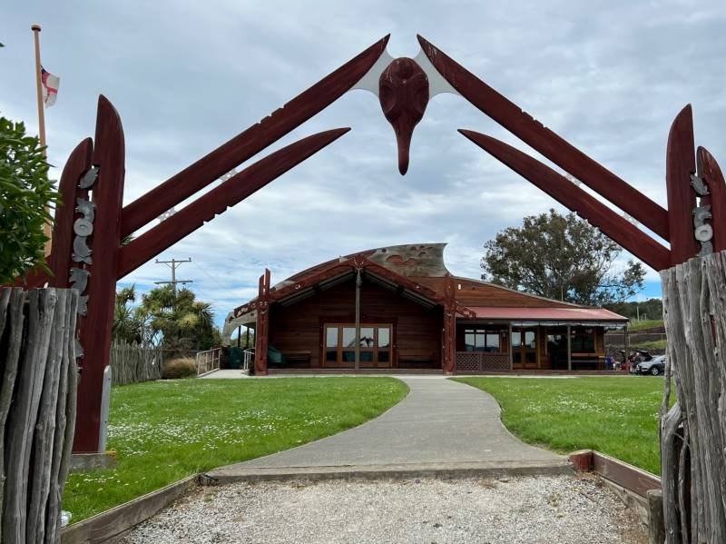
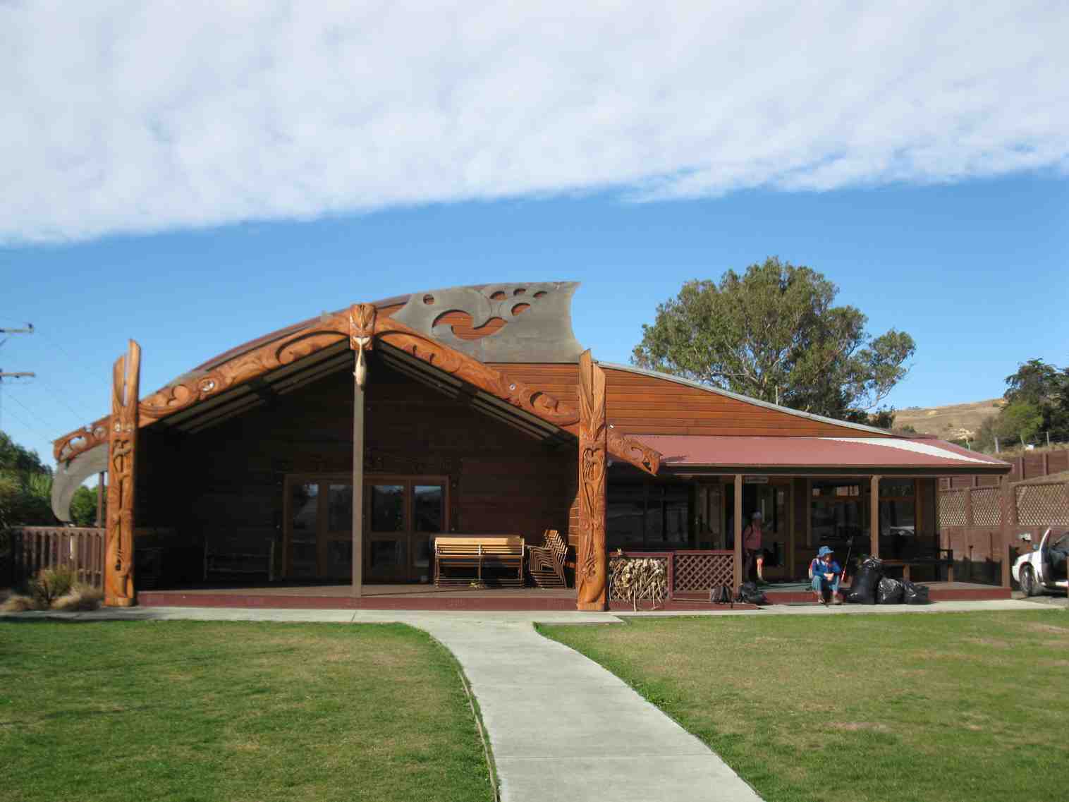
Puketeraki Matarae (photo & caption Pam)
Many thanks to Mauraka for agreeing to host us when I phoned to arrange the visit. Get well Mauraka. A key part of the Puketeraki Marae visit was the Powhiri (welcome). Googling this, did cause some consternation, appearing to be more involved and complex than expected. Thanks to Barbara and Grant, for putting my anxiety to rest, by offering to manage this part of the visit for me. Yet another example of the depth of expertise within our membership. Sometimes things just don’t go to plan.
Morning Tea above the Puketeraki Marae (photo & caption John)
Subsequently, with a “glass half full” philosophy 27 keen hikers and trampers began their combined adventure at the Marae. Spending morning tea overlooking the beautiful settlement, the bay, peninsula, and beach that is Karitane.
On the Huriawa Pa track (photo & caption Pam)
Under blue skies we drove back to the reserve, where we regrouped at 11.00am, and began our walk. With a slightly chilly wind and choppy high tide waters in the bay, it was a relief to get out of the wind, on the more sheltered track around the Te Awa Peninsula.
Dramatic hole in rock (photo & caption John)
Here we followed the well-formed track, passing the spectacular Te Awa Mokihi (Butterfly Bay), the imposing Pa-katata Cliffs, and the unique Ke Pehu’ Blow-holes, before passing The Pinnacles, (a group of offshore rocks).
Gathering up for the views (photo & caption Helen)
With lunch beginning at 12.15pm overlooking Karitane Beach the day was right back on track, and spirits were high.
Lunch stop (photo & caption Marijke)
Heading back (photo & caption Marijke)
Interesting Stone sculptures (photo & caption Pam)
After lunch we walked down to the beach, joined by an unusual looking, resident old dog, who stayed behind to devour a dead seagull he found on the beach!
The beach was like a magnet (photo & caption John)
Our group got well and truly spread out on the beach, that we had pretty much to ourselves, with people walking at their own pace, enjoying the pristine surroundings, clear sands, and gentle sea breeze.
Special thanks to Dave, for his efforts as tail end Charlie in these conditions, (I know it’s just against your nature to be behind, or to go slow Dave!) By about 1.30pm we had all regrouped at our starting point on the beach, and following a short street-walk were at the Karitane Store for an ice cream at 1.45pm.
Ice creams. Very hot so needed (photo & caption Helen)
Blueskin Cafe’ was reached, dead on time, at 2.15pm for alfresco Coffee.
Looking back onto the Huriawa Peninsula and Pa (photo & caption Pam)
In summary, Karitane is such a beautiful spot, one the club has visited many times, but one that never fails to delight. Ideal for our diverse group with varying abilities, it allowed flexibility for people to safely go at their own pace, yet permitted lots of interaction between hikers and trampers. The Grade 2 classification seems appropriate, with just over 7 Km walked.
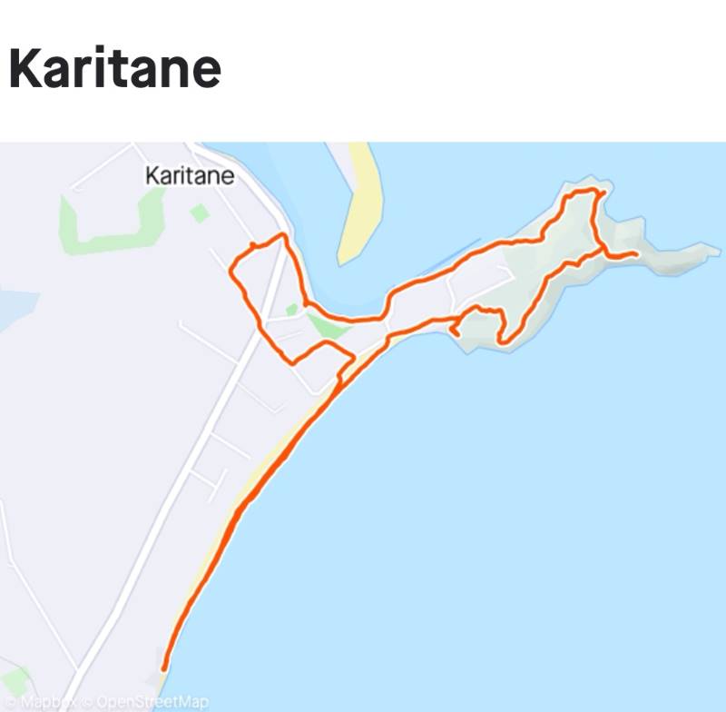
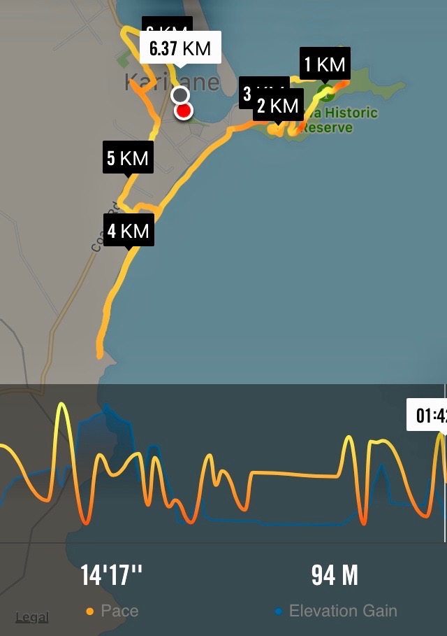
Map (screenshot by Margreet)
23. 19/01/2022. Hikers. Karitane. Leaders: Liz Griffin and Faye Lamb
Karitane is one of the most popular walks the club has done with more than 18 walks over the years.
We started out with 14 hikers from near the Karitane fishing club. There is so much history, scenery and things to see and do in Karitane. We were not sure what the weather had in store for us so we kept an eye on the clouds. We set off up the Huriwae Pa peninsular with stories posted at regular intervals and the easy walking tracks and paths well maintained. As usual within the hikers ranks we had few ‘intrepid’ hikers (read trampers) who decided to scale the headland above the blow hole for even more spectacular views.
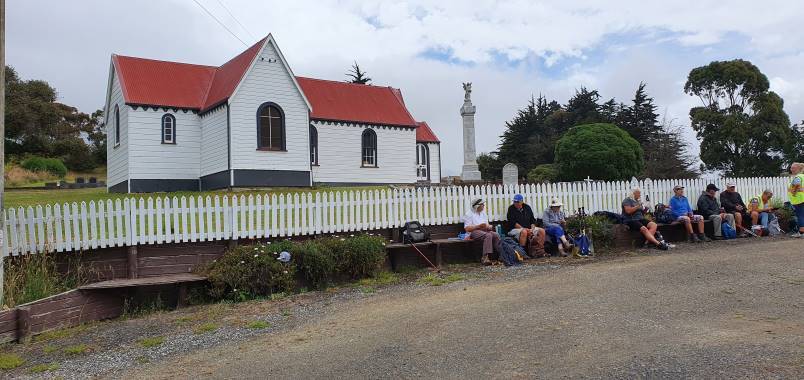
Once we completed the circuit of the peninsular we headed inland and followed the coast road parallel to the beach. We went to the church above the Puketeraki Marae for lunch. The views from up there reached away to the North beyond Shag River and to the South to the entrance of Otago harbour. A leisurely walk back along Coast Road got us back to the cars about 1.30pm with no sign of rain.
We had plenty of time for a coffee and biscuit at the ‘Salt & Sugar’ general store. We were wished ‘Happy New Year’ in English, German and Russian on the sign above the coffee tables. A good walk was enjoyed as the first walk of 2022. Thanks to Liz & Faye our leaders.
Report and photos courtesy of Clive
22. 20/1/2021. Hikers. Karitane. Leaders: Linda and Heather
The weather forecast wasn’t looking too promising but it did not deter 20 eager hikers travelling to Karitane for our first hike of 2021.
Fortunately wewererewarded with reasonably fine weather at Karitane.
Getting ready to get underway. (John pic and caption.)
Bob and Lester keen to get started. (John pic and caption.)
We started the day with morning tea,
Civilised morning tea. (John pic and caption.)
before proceeding along the peninsulatrack.
We walked past the totem pole and blow hole, taking in the magnificent ocean views, gazing at the distant coastline and a ship waiting to go into the harbour. Some of the more energetichikers walked up the steep track to take photos and admire the view from the highest part of the headland.
This view makes the climb worthwhile. (Joh pic and caption.)
Coastline looking south. (John pic and caption.)
Alex has walked over this in the past! (John pic and caption.)
Not much sign of wildlife today, only a few lone seals were spotted dozing on the rocks blending in as always with the sleek black rocks. Further on we took the track down to the waters edgeanother time for photos,with some amazing rock formations eroded by time and the tides.
Sure these rocks have names? (John pic and caption.)
We proceeded back up the track, which led us up on to the road. From here we walked along thebeach, admiring the lovely new beach houses.We stopped for a lunch break near the end of the beach, a time for a rest andfor everyone to catch up on what they had been doing over the holidays.After lunch we posed for a group photo in front of one of the stunning large rocks.
Happy Hikers after lunch. (John pic and caption.)
We thenheaded back along the beach and out on to the road for a short street walk, checking out the local cribs , gardens and back to our cars.We enjoyed finishing the day with afternoon tea at Salt and Sugar General store in Karitane, certainly a unique coffee stop, and I’m told the cake was very good! – Linda and Heather.
21. 27/3/2019. Hikers. Huriawa Pa Peninsula, beach walk. E. Leaders: Clive and Alex.
The week leading up to this walk at Karitane had threatened all kinds of extreme weather. So it was surprising to muster at least 26 Hikers and Ramblers at the start of the walk outside the local fishing club. First things first it was nearly 10 o’clock so fortification of morning tea was taken before setting off. We headed to the prominent headland , whose history has been recounted in earlier visits and reports. Alec who had spent many a happy hour in Karitane had extensive local knowledge and immediately tried to put it to good use by taking a little known short cut … over a cliff …. So not that way. The views from the headland are spectacular and a couple of more intrepid hikers made it further out on to the headland. See photos attached.
(Clive pic.)(Clive pic)
After the headland we made our way down through the bush to connect up with the road. Although it was high tide there was enough beach to walk on and we made our way to the basalt rocks at the far end of the beach in time for lunch.
(Clive pic)(Clive pic)
A number of the hikers were able to recall holidays spent at Karitane over lunch.
Just as we finished lunch a cool wind came up heralding rain. It was behind us so we made a faster return down the beach and up onto the main road. By the time we reached the local dairy the rain had set in in earnest so we didn’t hang about but made it back to the cars just as the heavens opened.
We followed the scenic route over the hill past Seacliff to Warrington. We had a short stop at St Barnabas’ church, which had been built in 1872 and is a tribute to the caring local community who keep it in such a fine state.
(Clive pic)
To end the day, with the rain lashing down,we made it to the Blueskin Nurseries cafe at Waitati for afternoon tea. – Clive.
Five Ramblers did a leisurely stop and start 2 km circuit of the Peninsula, rewarded with seeing a White Heron on a small outcrop while lunching. Avoided the worst of the rain while awaiting the Hikers’ return from the beach. – Ian.
20. 4/10/2017. Both. Huriawa Pa Peninsula, beach walk. E. Leaders: Jan and Bev.
Route map, courtesy Ian. Started recording late, so true distance 7 km. Trampers did 8 km.
A large contingent of trampers and hikers (40 in total) set off from the rivermouth area along the edge of the estuary to the Huriawa Pa peninsula. Track then headed upwards, and we had morning tea on a bank under a large marcrocarpa tree.
Morning tea on the start of the walk up the Huriawa peninsula. (Clive pic and caption.)
Track climbed steadily tho not steeply up to a totem pole, then along the edge of the cliffs to the blowhole. A group of trampers went up a steep little track to the highest point on the headland with great views. Past the blowhole we detoured off the main track along a mown pathway which looped round a newish planting of natives. Then took another detour down to the water’s edge and back up to the main track which led on to the beach. The weather had turned warm and sunny with no wind, so perfect beach conditions.
There’s a hole in my tooth. (Raewyn pic and caption.)
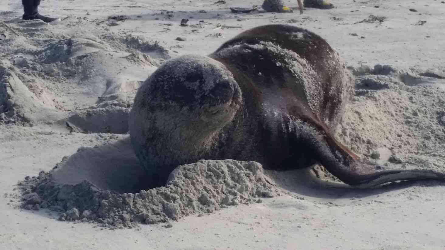
Came across a sea lion sunbathing on the beach, but he eventually trundled his way back to the water.
Basking sealion. (Margreet pic and caption.)
Walked to the end of the beach, and came back a little way to a lunch spot.
Cape Karitane launching pad. (Raewyn pic and caption.)
There were lots of large slips along the bank which runs along the edge of the beach and one of these slips provided good seating on the various tree trunks, rocks etc.
Lunch. (Ian pic and caption.)
Some of the hikers carried on back down the beach to the cars, whilst the rest took a track off the beach and meandered round the streets of the Karitane township before returning to the car park via the main road. The tide was well in by then, so quite a different look to the estuary. The majority stopped off for coffee at the Blueskin Nursery Cafe on the way home, but the staff coped well with the rather large crowd. – Jan.
19. 10/12/2014 All. End of year Christmas shared lunch. Karitane Fishing and Boating Club Hall. Tramp: Huriawa Pa, beach walk. Leaders: Elaine and Eric
Route
Elaine’s planning for the day did not disappoint us. Eric, obviously under precise instructions, ably led those who came for the tramp around the peninsula…
The peninsula. (Helen pic)
Last climb as we approach saddle near seaward end of peninsula track.
…and along the beach and return to get us back to the hall right on the dot of the appointed time of 11.30 a.m.to meet up with those who were able to come only for the occasion. Well done Eric, for someone who had never done the route before! So thanks, Eric – and Elaine, who stayed behind. And what was that for?
Surprise! Yes, meantime Elaine had been busy secretly putting up countless photos with questions attached, pens and slips of paper to write the answers down on, not forgetting bags to put them into. What preparation! What inventiveness! What tramper was the child in the photo? In what year was the camp in the photo held? Identify the car. How many pages in the day’s ODT? The puzzles went on and on, around the walls of the small hall, inside and out.
Of course there was wonderful food in all its variety…
The spread. (Helen pic)
After we were all satiated, came the declaration of the winners. from the bags accompanying their respective photos, Elaine drew answers, correct, facetious and otherwise. Each winner was awarded a Christmasy-wrapped present fetched and delivered by Eric from a large bag of presents donated by – who knows who? Where does Elaine get her sponsors from? Present after present. And we mustn’t forget the lucky numbers handed out when we first went in. It seems every number holder was awarded a present also.
After this was all over, Elaine got the Four Jolly Tramping Mates to perform their song, a song which has now come to be sung on one or two previous occasions. Well, it’s really Peter’s song as he has written the lyrics and chosen the tune. Over the years, the membership has perforce had to slightly change, with Heb now replacing Ray who has retired from the Club. And that’s not the only change either. Peter had added two further brillian verses to include Fred’s chocolates and Margaret’s red brolly. The lyric’s subjects are so pertinent, cheeky and entertaining, it has stood up well to repetition over the years. Thanks, Elaine, for arranging this part too.
The Four Jolly Tramping Mates. (Helen pic)
Well, that was it, unless you include the coffee stop (another of Elaine’s innovations) at Blueskin Cafe on the way home for some.
Well, Elaine. You have certainly put your stamp on the social side of our Club’s activities. Thank you, and Eric, for providing a most enjoyable finish to the year’s activities. – Ian.
Here we were at Karitane, all ready to set out, with Leader Bev out there on the right waiting for us to follow.
At cars before tramp. (John, Panorama)
And as you can see from John’s second panorama below,
Tramp ending (John panorama, showing both ending and starting points)
at either end of the pic you can see both the the tramp’s end on the left and its entrance point onto the peninsula. We made our way along right on the harbour inlet’s edge to a lovely spot for the morning tea cuppa. We we surprised by the occasion whiff of warm air which accompanied us for the day, until a norwester blast hit us just as we were returning to the cars, a trace of which can be seen on the above panorama.
Cuppa alongside inlet’s entrance (John pic)
Following the leisurely sit down, was a bit of moderately steep climbing to reach the top of the track where it returned back on the peninsula’s southern side. We admired the following blowhole.
Blown out blowhole. (John pic)
Les recalled how once he and Ivan McIntosh had braved the ledge along the top. Not now!
By various stops and starts (part of a track we found too flooded to negotiate so had to find another way) we made it back to the peninsula’s beginning, and onto and along the long firm beach, to lunch at its southern end. Here John and Elaine combined to make this stunning photo.
Elaine
After another leisurely break, we made our way back along the beach, across the peninsula’s neck and back to the cars.
A great day out for some 30 hikers, well led by Bev and Lesley, to whom much thanks. – Ian.
16. 30/11/2011. Hikers. Karitane from railway line. Easy.
Rock on beach showing columnar basaltic structure. (Bill pic)
End of Huriawa Peninsula. (Bill pic)
14. 30/7/2008. Hikers. Karitane from railway. Easy. Leaders: Bob H, Evelyn C.
In spite of the weather being less than conducive for a tramping day, 4 trampers & 5 hikers decided to be positive and go to Karitane which was the destinationfor the hikers that day. So off we went, hoping that the rain we drove through most of the way there would not continue for the day! From getting out of our cars,we seemed to be ‘blessed’! No rain till we stopped at the Marae for lunch where we were able to sit on the porch and enjoy our meal, out of the shower that came on at that time. Then, lo and behold, the rain stopped and we got back to the cars without getting wet all day. We all agreed we had had a very pleasant and happy day, having got some fresh air and had a good walk. Bev
13. 8/8/2007. Hikers. Karitane from railway line. Easy. Leaders: Evelyn C, Bill H.
12. 22/3/2006. Hikers. Karitane, Maori Pa. Leaders: Graham, Arthur & Barbara
11. /9/2002 Mary Y, Jean A, Chris
10. 25/9/2002. Alt. Karitane – Maori Pa. Leaders: Mary Y, Jean, Chris.
9. 10/11/1999. Karitane, over Railroad Bridge. Leaders: Catherine, Mavis, Shirley R.
8. 14/4/1999. Karitane – Maori Pa – Beach Walk. Leaders: Catherine, nancy, Lesley S.
7. 20/8/1997. Karitane Maori Pa and Church. Leaders: Catherine, Nel K, Denise.
6. 15/2/1995. Karitane. Medium. Leaders: Ria L, Catherine, Mary Y, Denise P.
5. 1/6/1994. Karitane. Medium. Leaders: Catherine, Ria L, Nel K, Mary Y.
4. 3/3/1993. Karitane. Medium. Leaders: Catherine, Ria L, Nel, Mary Y.
On a very pleasant and warm Brighton morning 22 hikers set off towards McIntosh Road led by Faye (with an E).
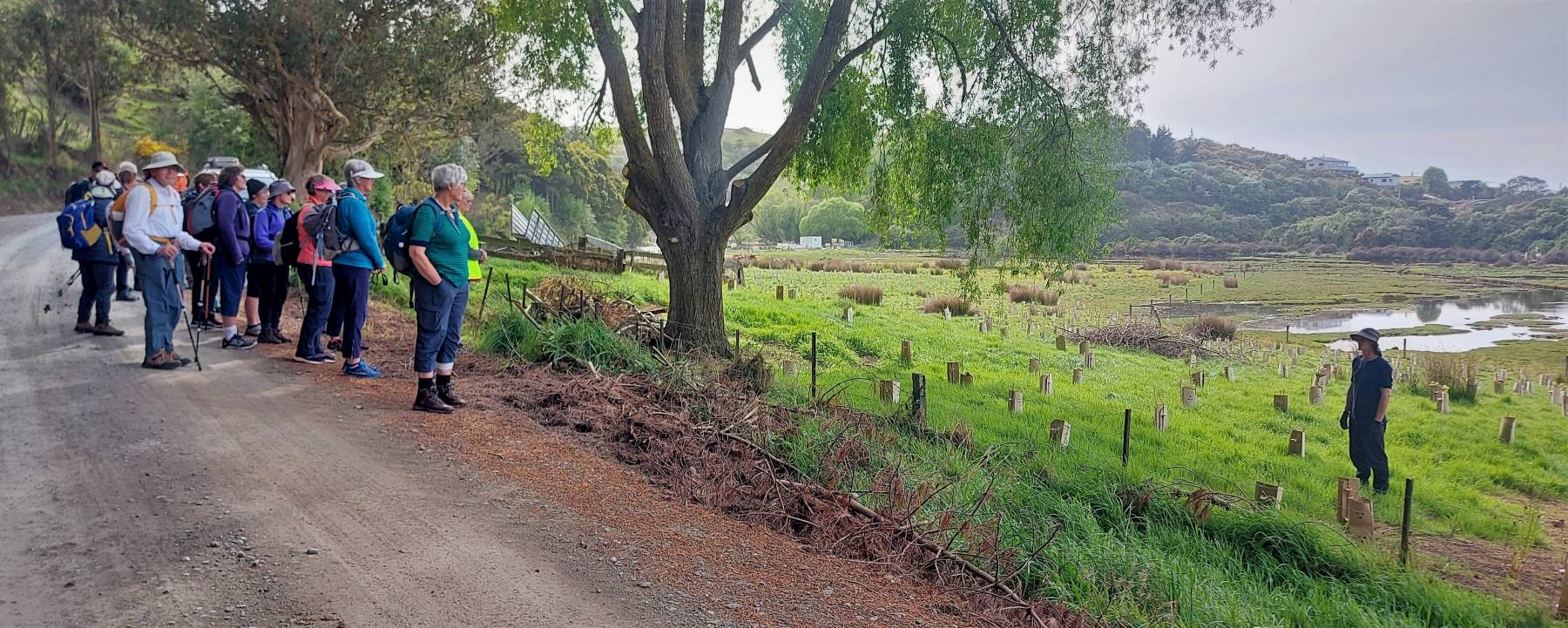
The wet land area planting and a talk about it. (Photo and caption Helen)
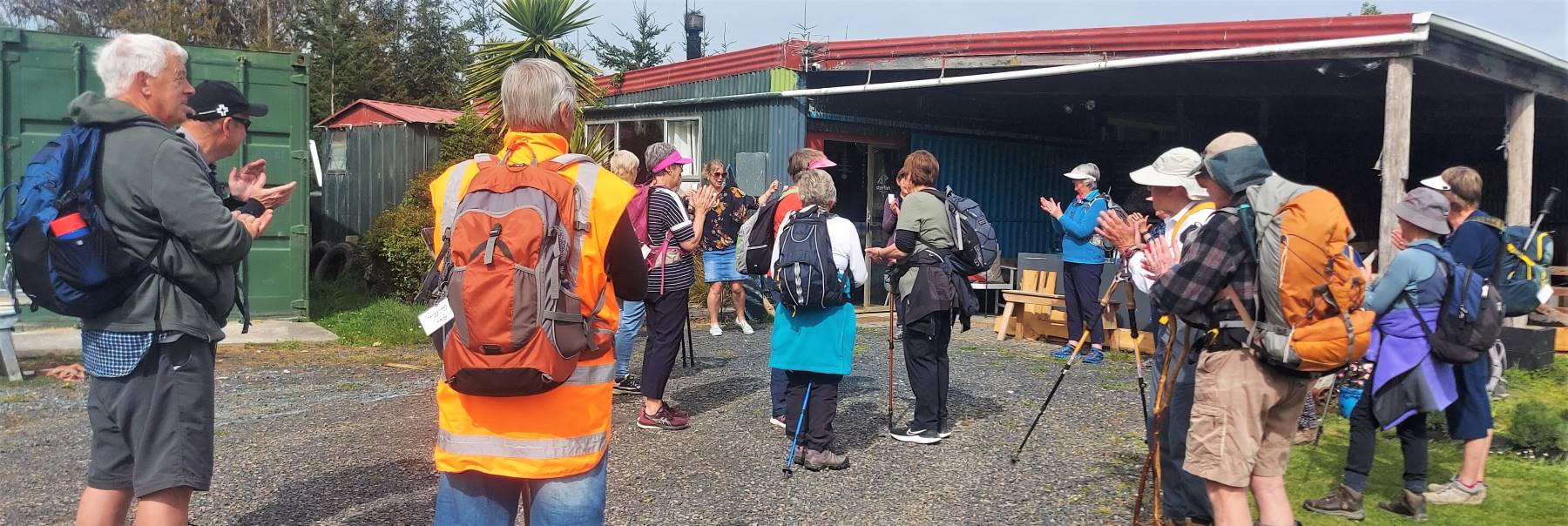
We visited Star Fish Gallery for morning tea and a friendly inspection of premises hosted by owner.
Morning tea at Starfish Gallery. (photo and caption Helen)
From here we headed back down the hill to explore different parts of Brighton and Ocean View led by Alex as Liz was off the scene with slight injury caused earlier in the week. With such a pleasant day it was good to enjoy sea views and other interesting sites before a stop for lunch at Ocean View.
Sea view (photo and caption Helen)
Up the Bennett Road to inspect the Mosaic Wall …
The mosaic wall. Beautiful. (photo and caption Helen)
… which leads us down the steep track back to Brighton and local Coffee shop for more relaxation and welcome visit by Bev Harvey and Dot Bennett.
Alex And Faye.