2. 7 Mar 2918. Both. Clarksbrae, Clarks Junction. Leaders: Jay and Jan.
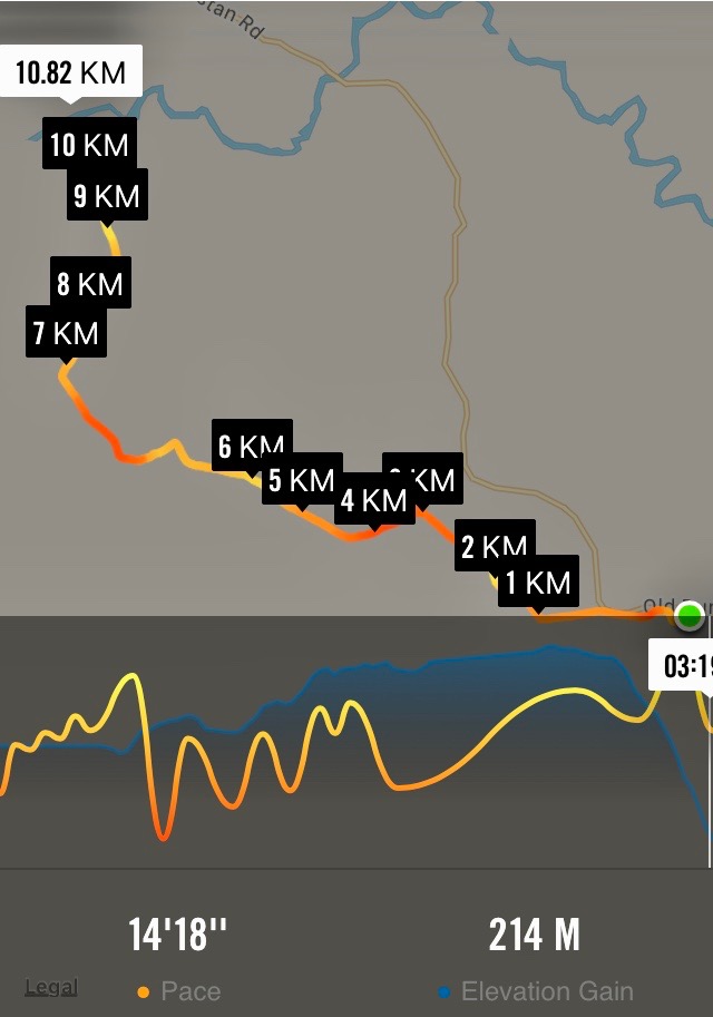
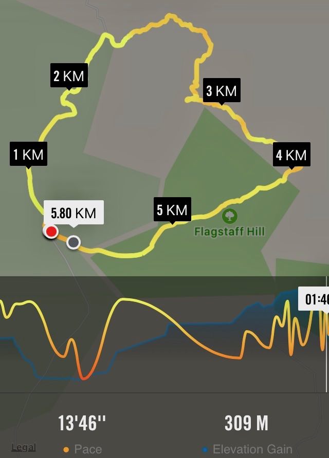
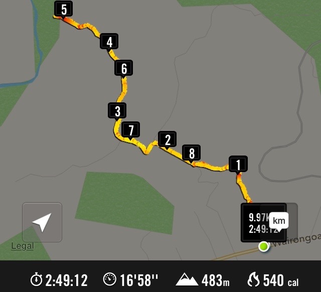
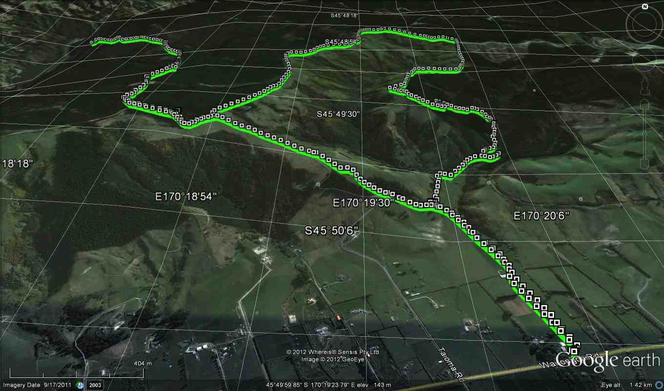
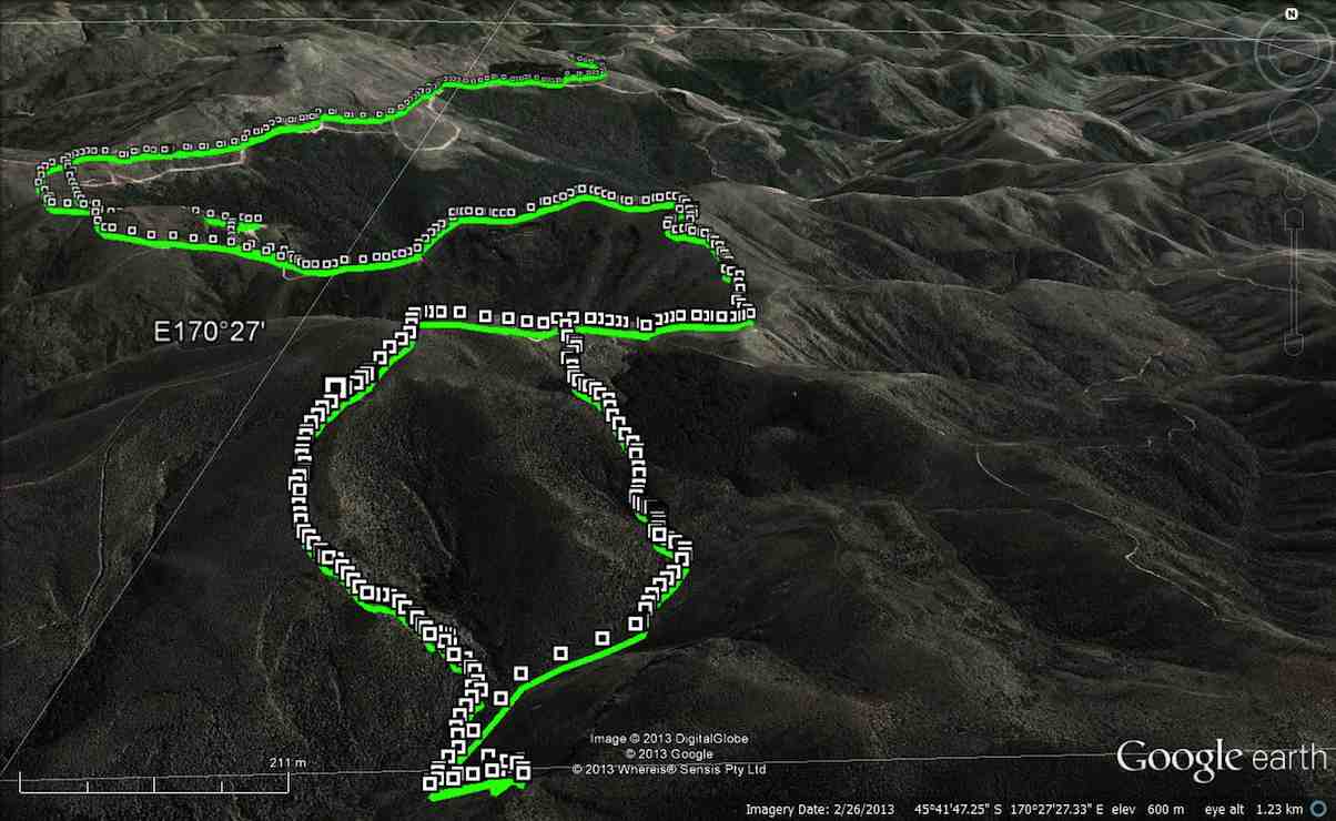
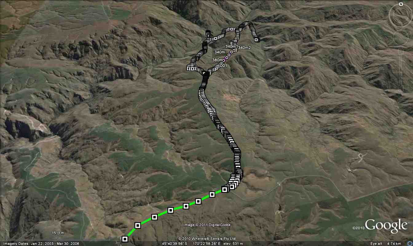
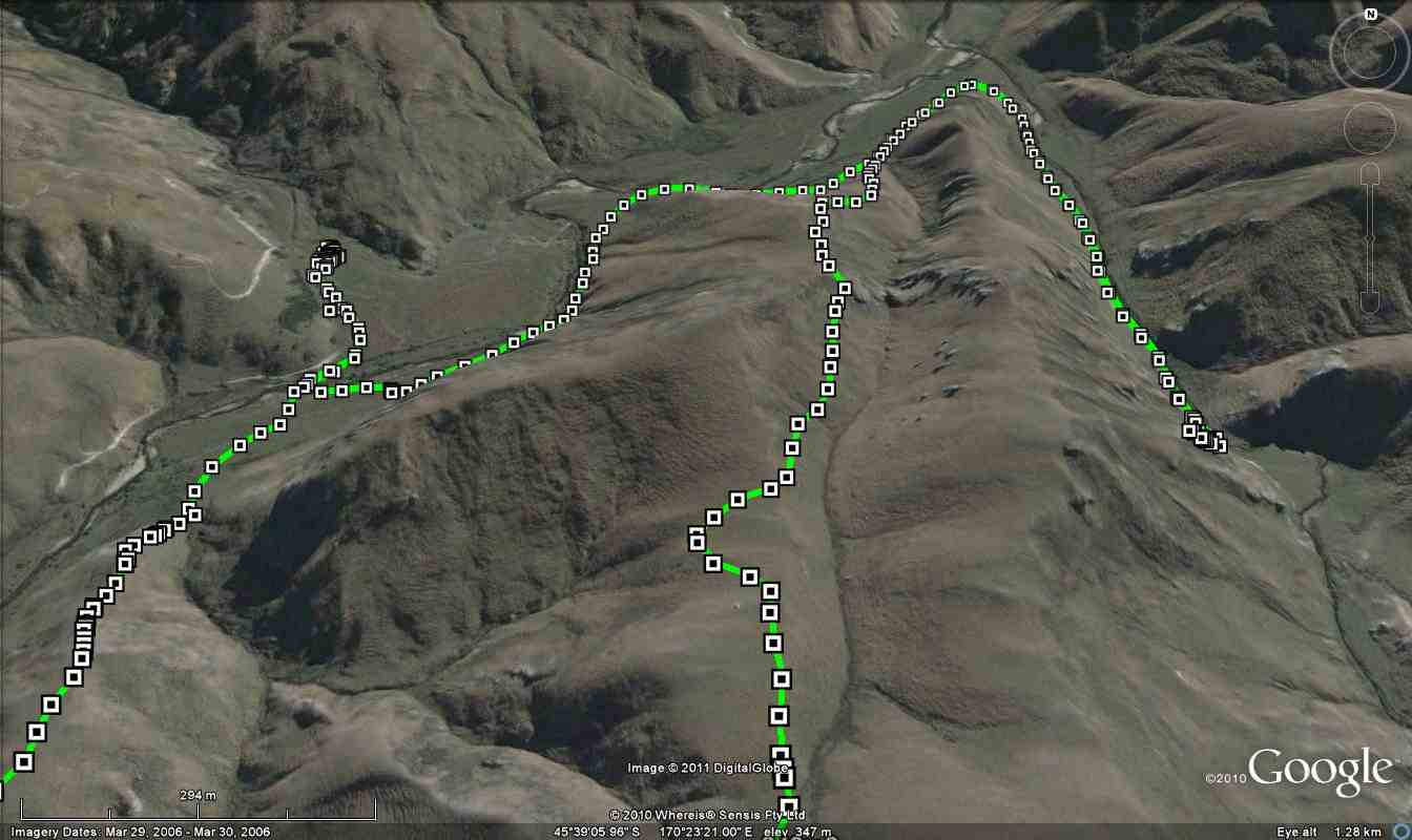
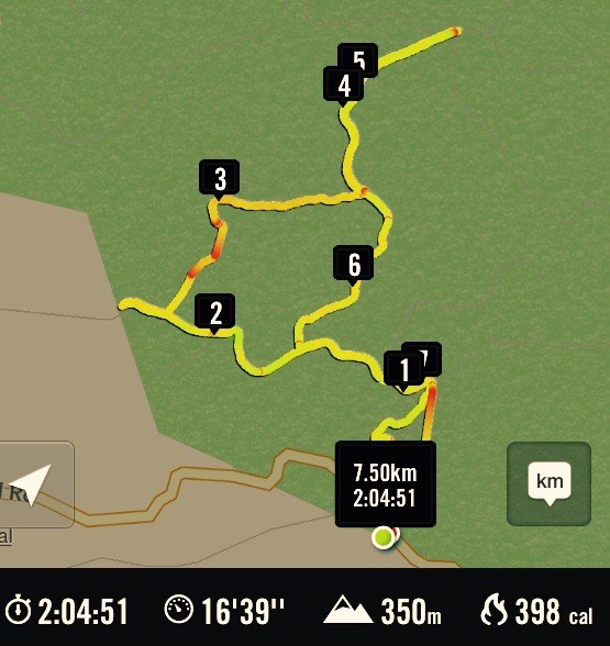
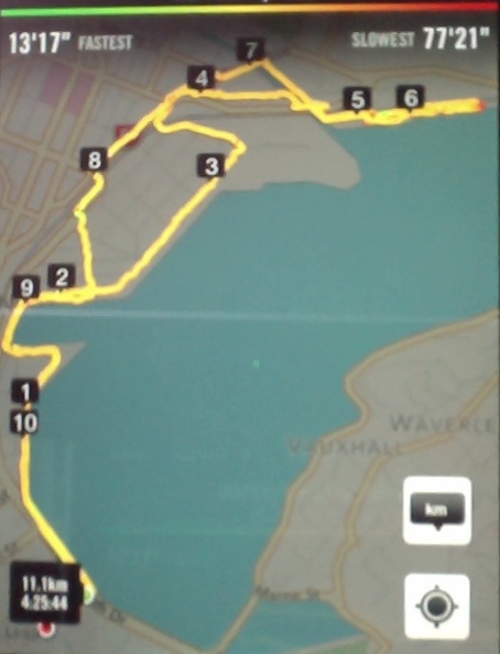
Route Map, courtesy Ian. Station House to Deep Stream.
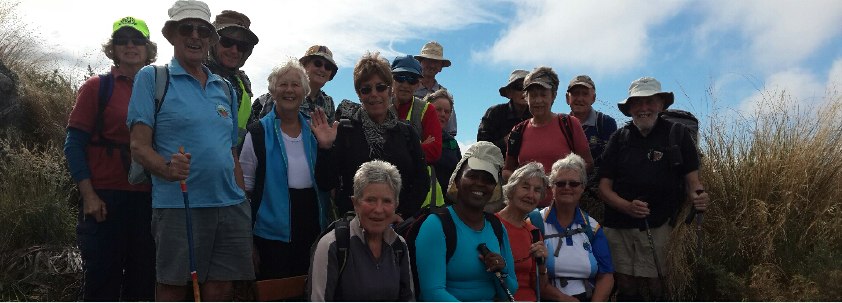
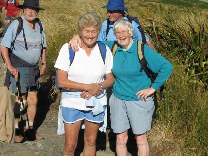
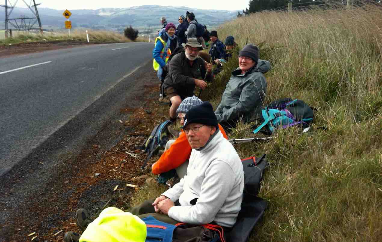
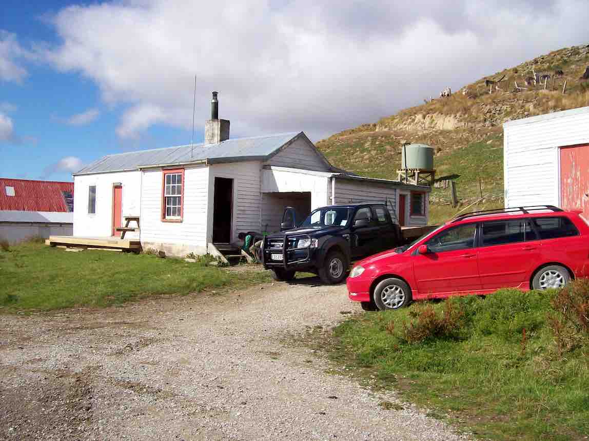
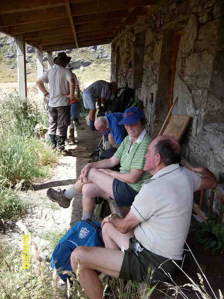
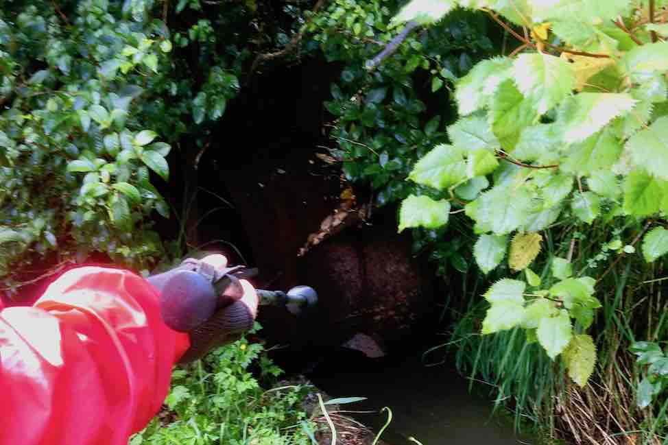
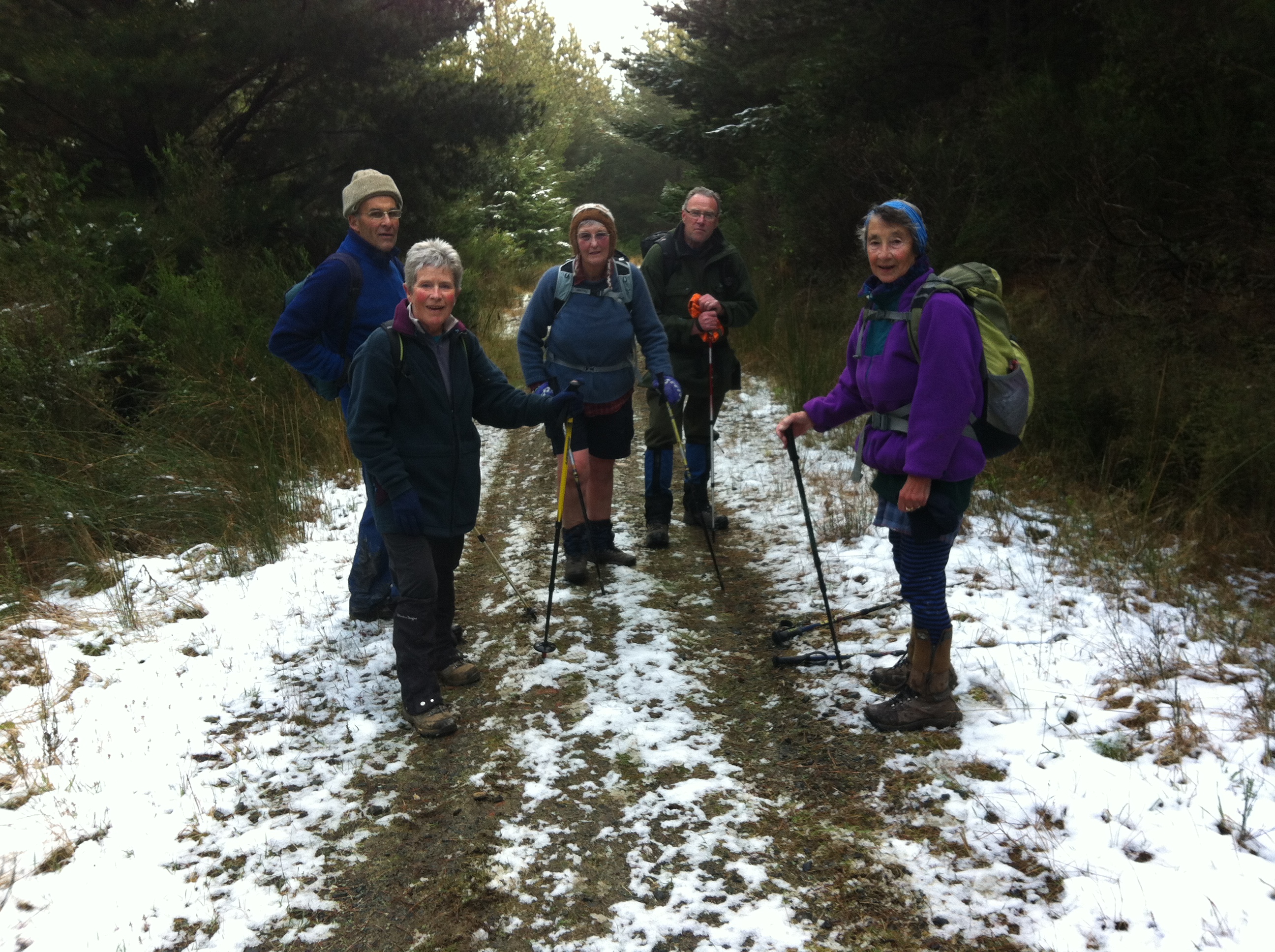
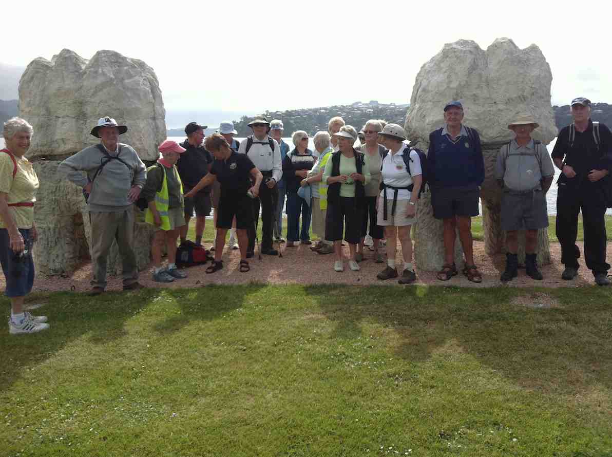
On Wednesday 7th March 40 trampers and hikers completed a walk on “Clarksbrae” farm, Clarks Junction. After a 30 minute car ride we arrived on a lovely summer’s day at “Clarksbrae” Farm and parked close to the woolshed. I must say the tidiest and cleanest woolshed I have ever seen.
From there we had to take 6 cars to the end of the walk to shuttle people on completion of the walk.
It was 10.30 when we started
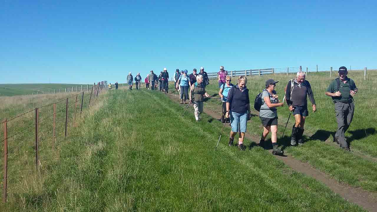
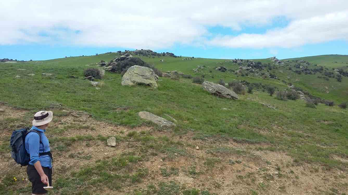
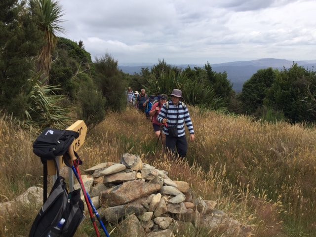
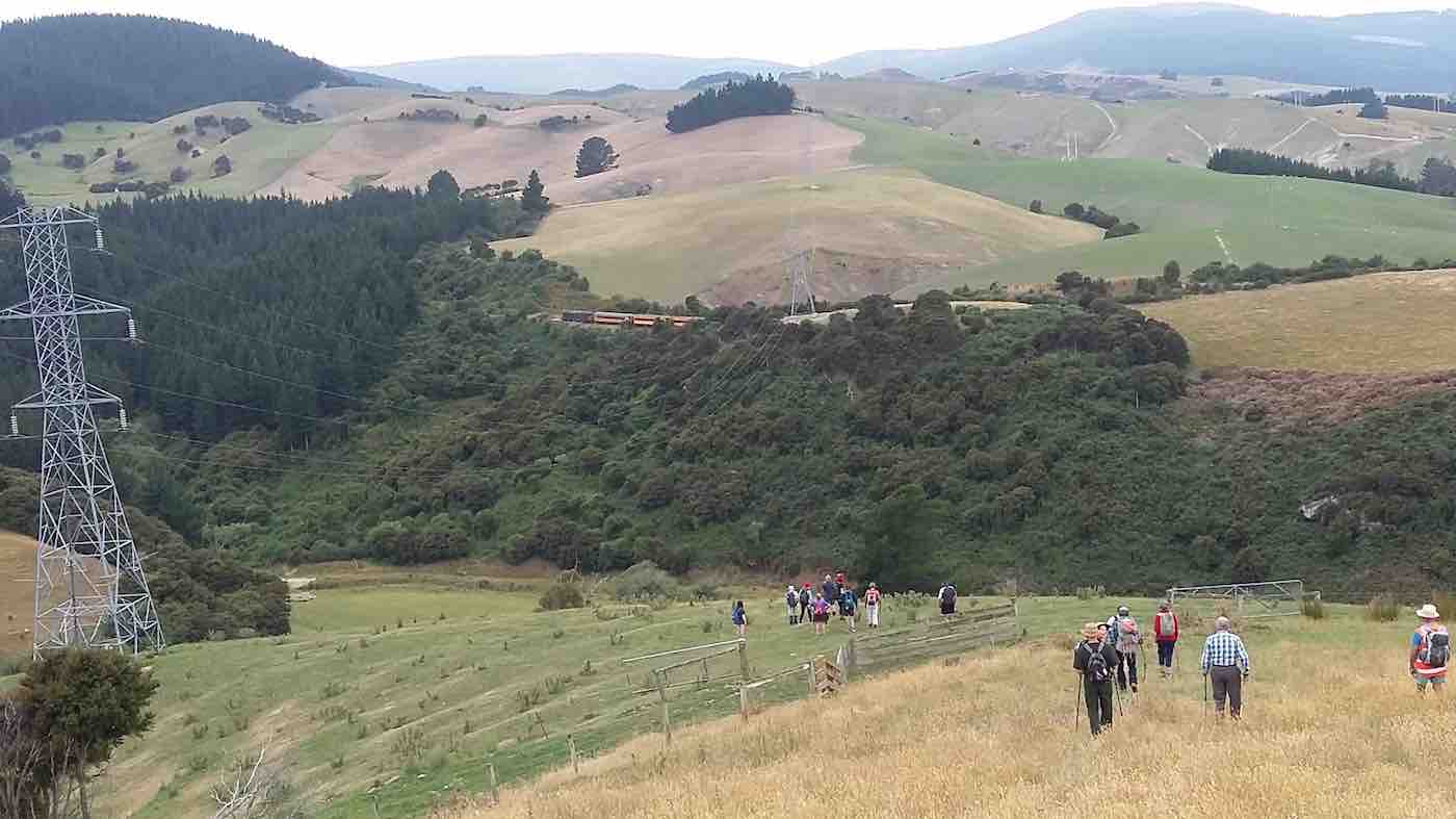
Some cars were hidden in a valley about 10k from Clarksbrae and we set out to find them. We set out across well tended farmland … (Clive pic and caption.)
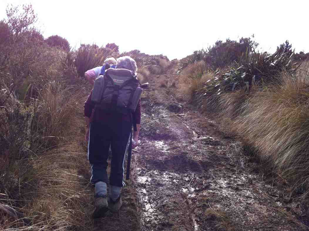
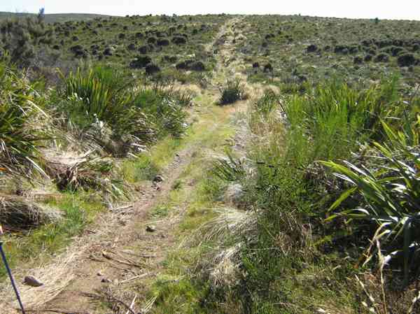
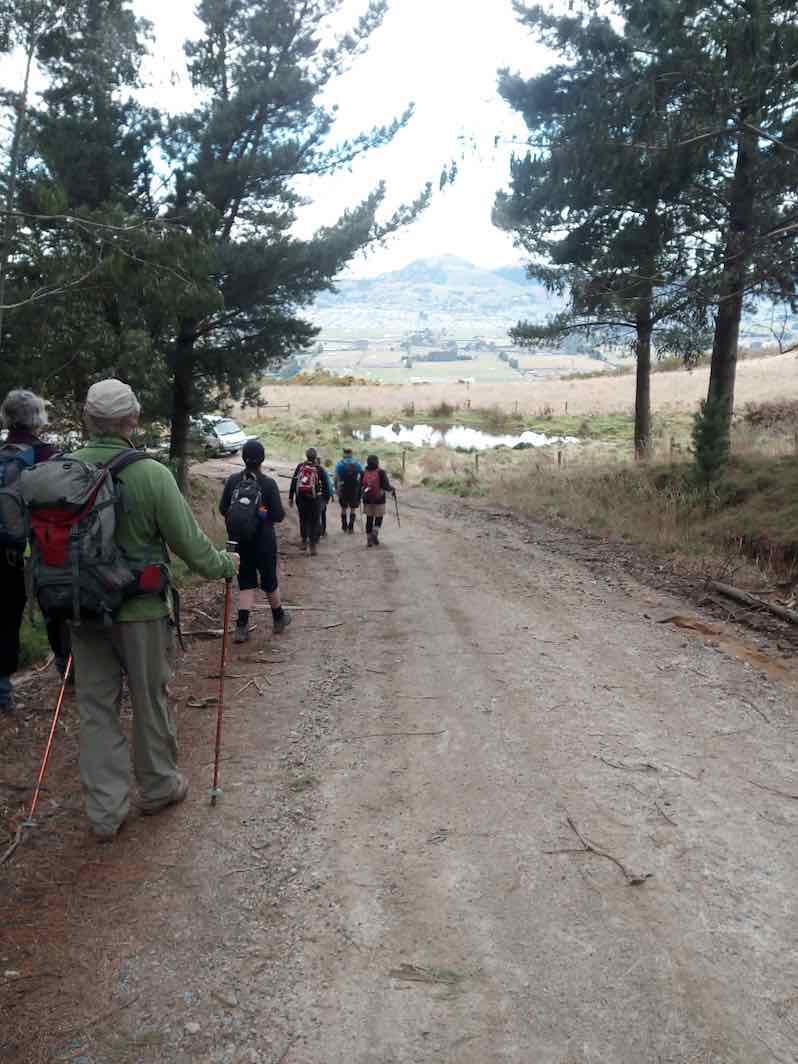
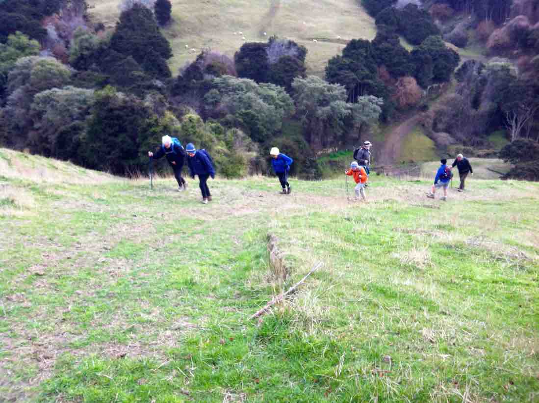
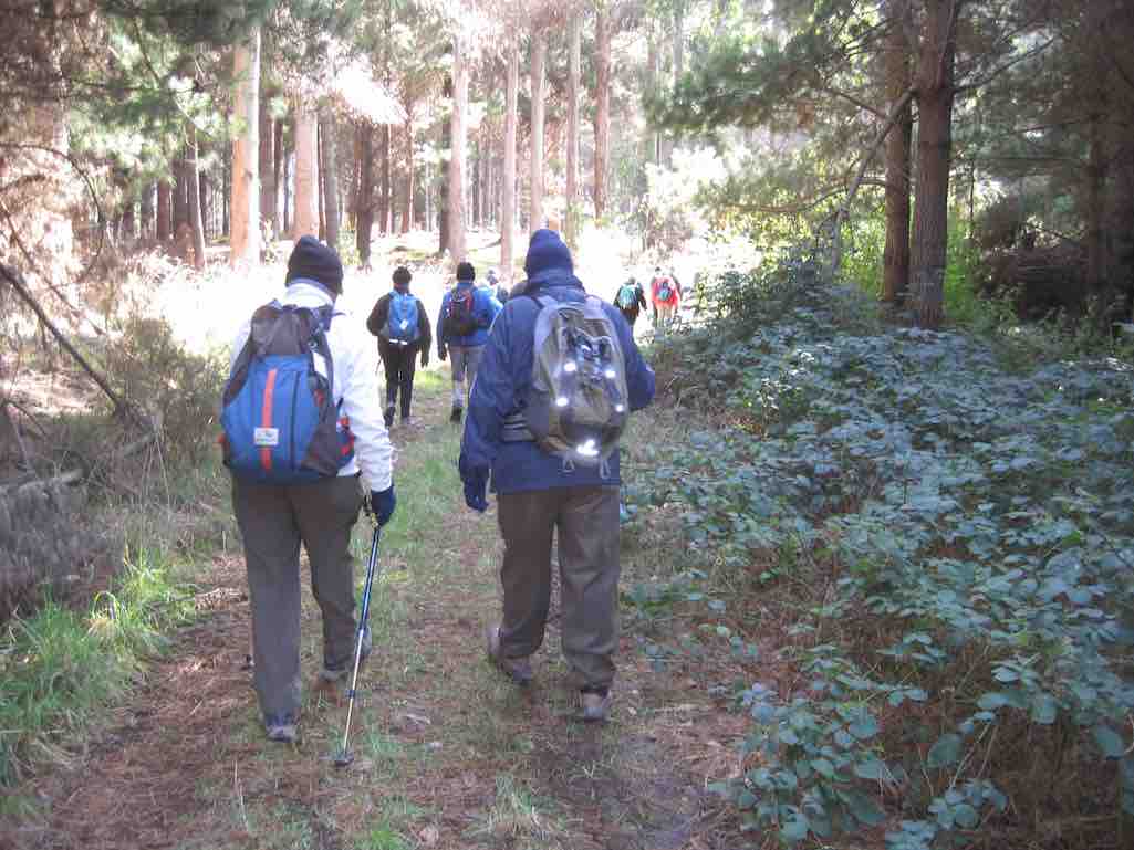
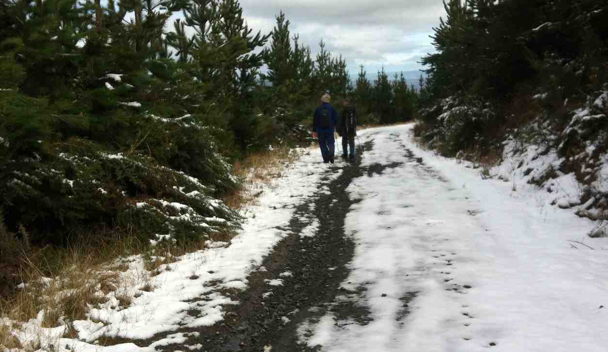
and the walk was on a designated stock laneway. It was a steady but gentle climb through beautiful farmland
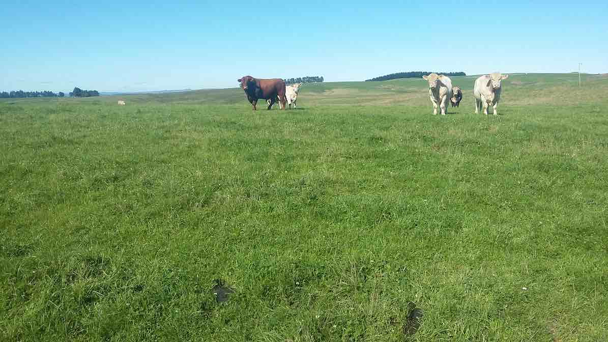
… and live stock. (Clive pic and caption.)
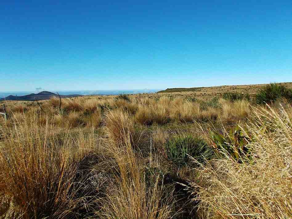
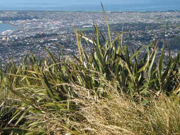
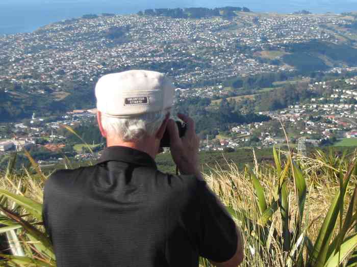
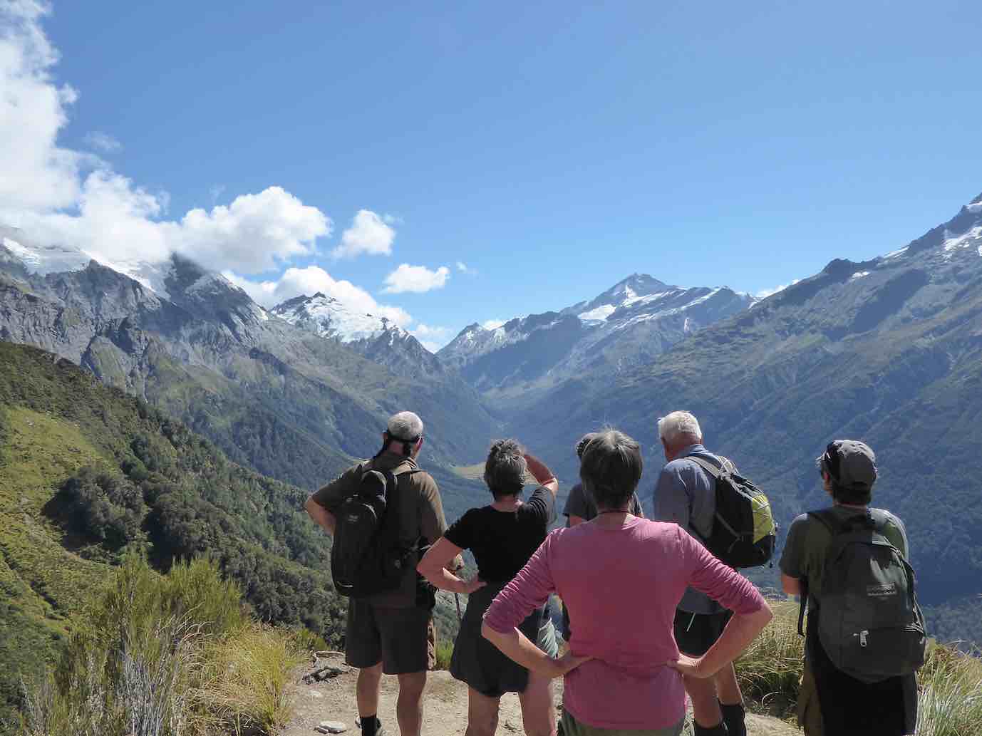
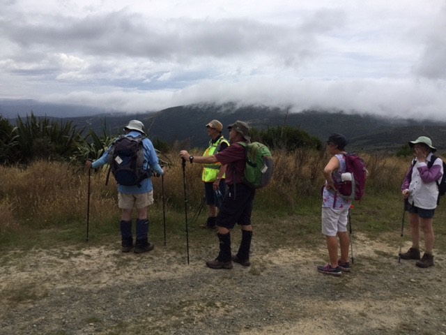
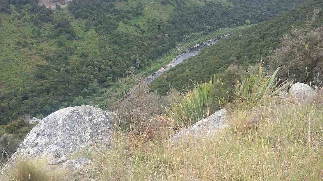
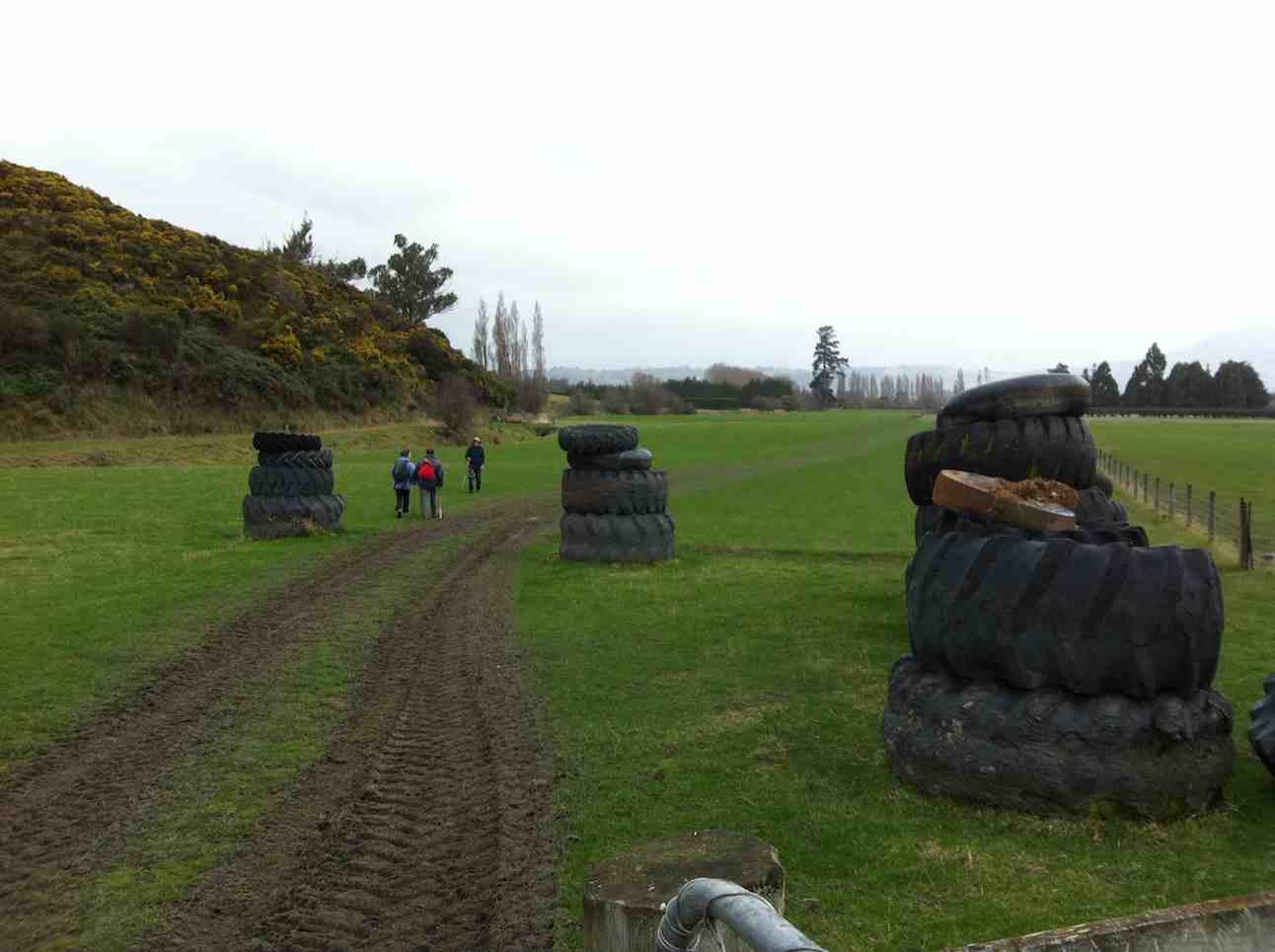
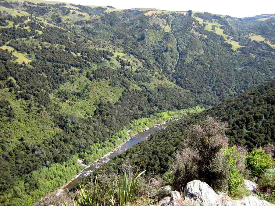
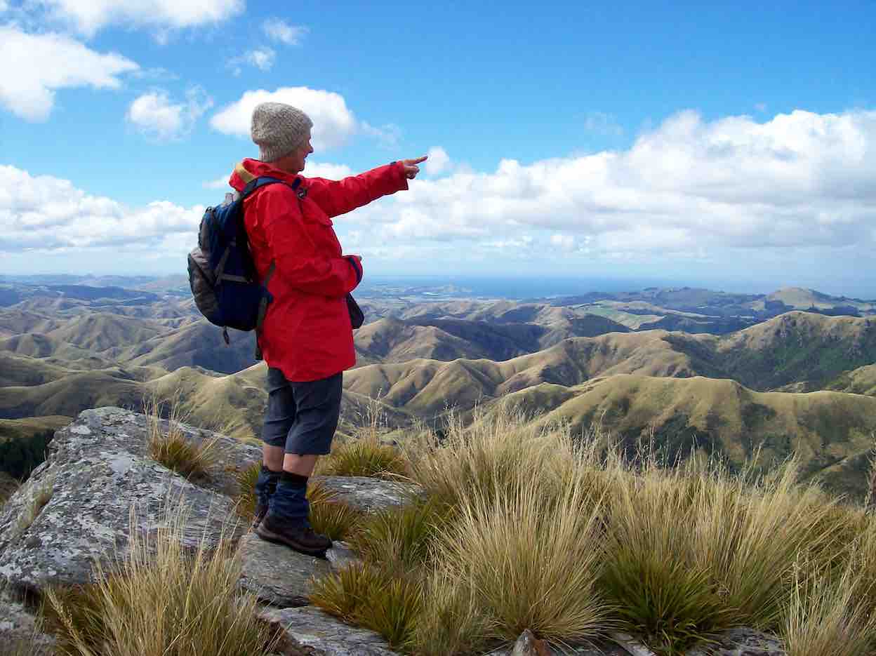
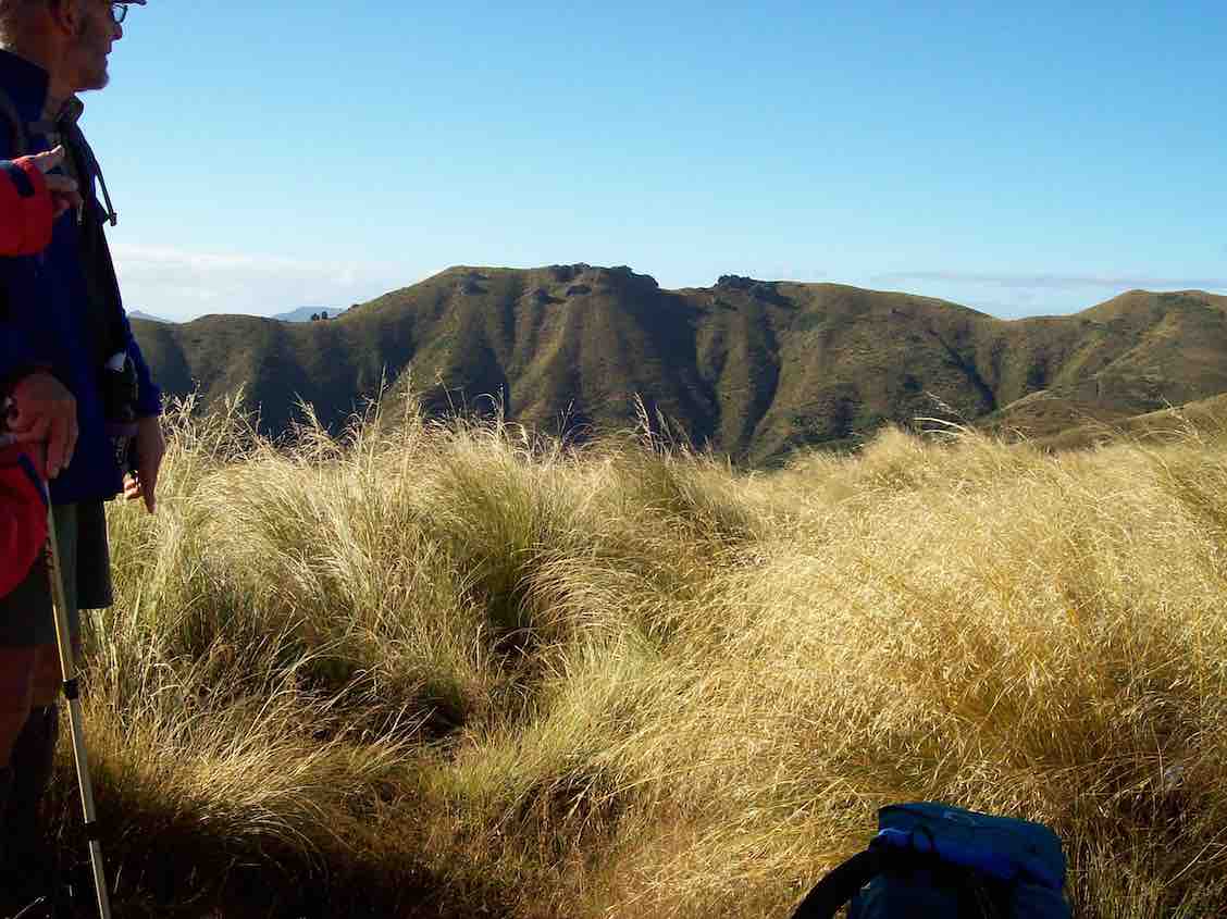
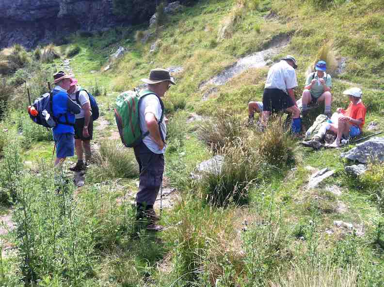
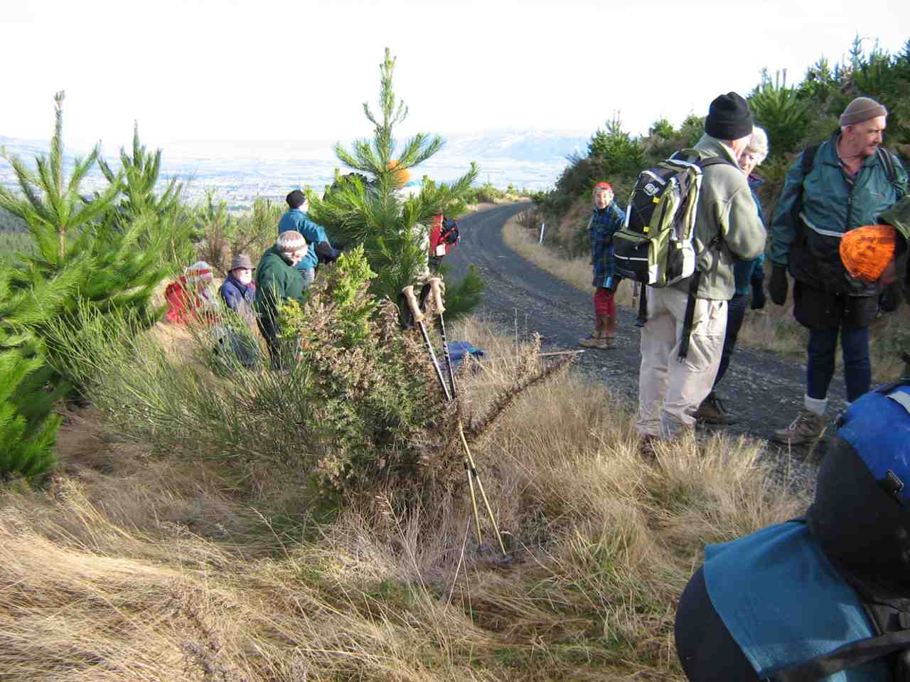
and wonderful views of the Maungatua, The Lammermoor Range, the Rock and Pillar Range through to Middlemarch. At the end of the laneway we turned left and walked up to the trig station where we had our lunch at 12.30.
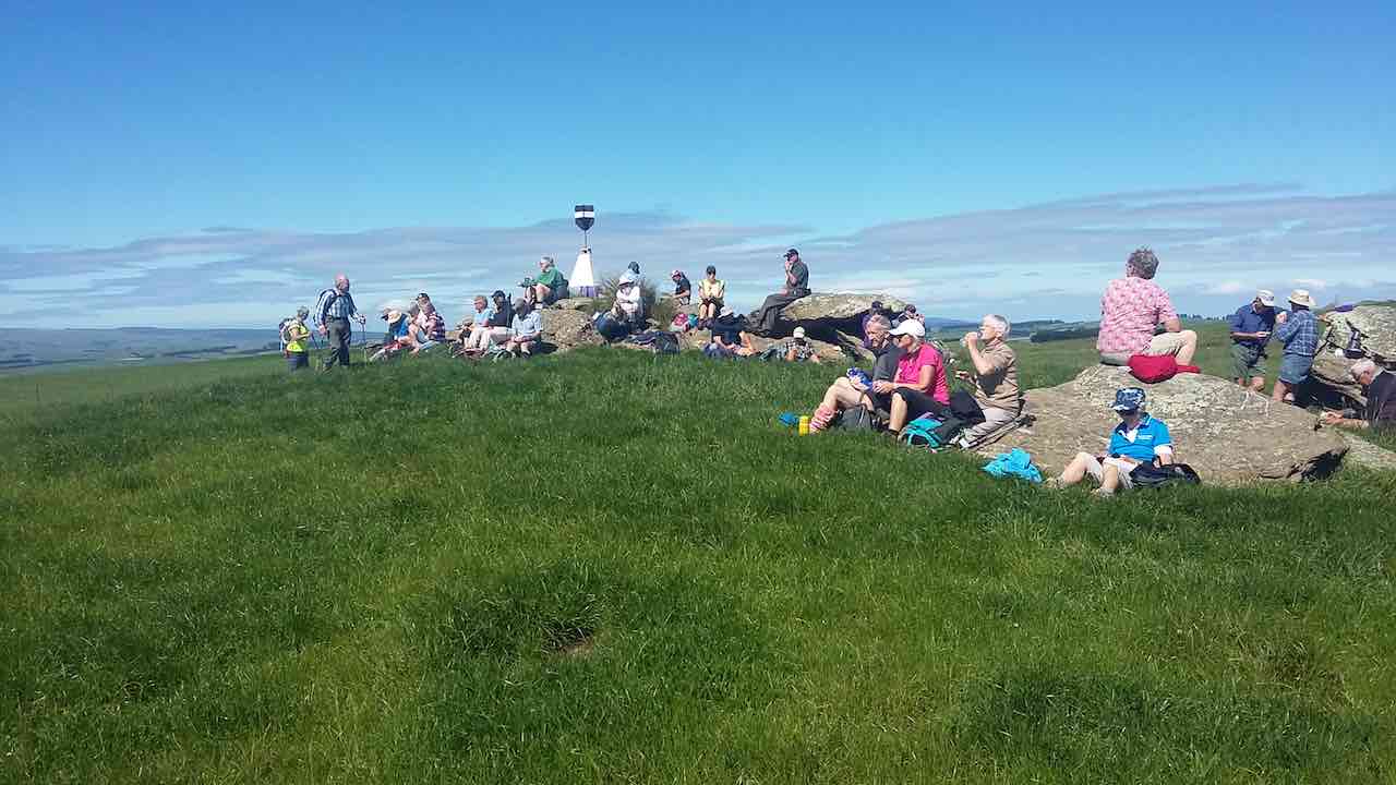
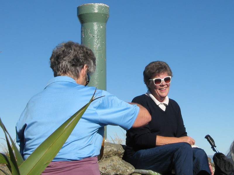
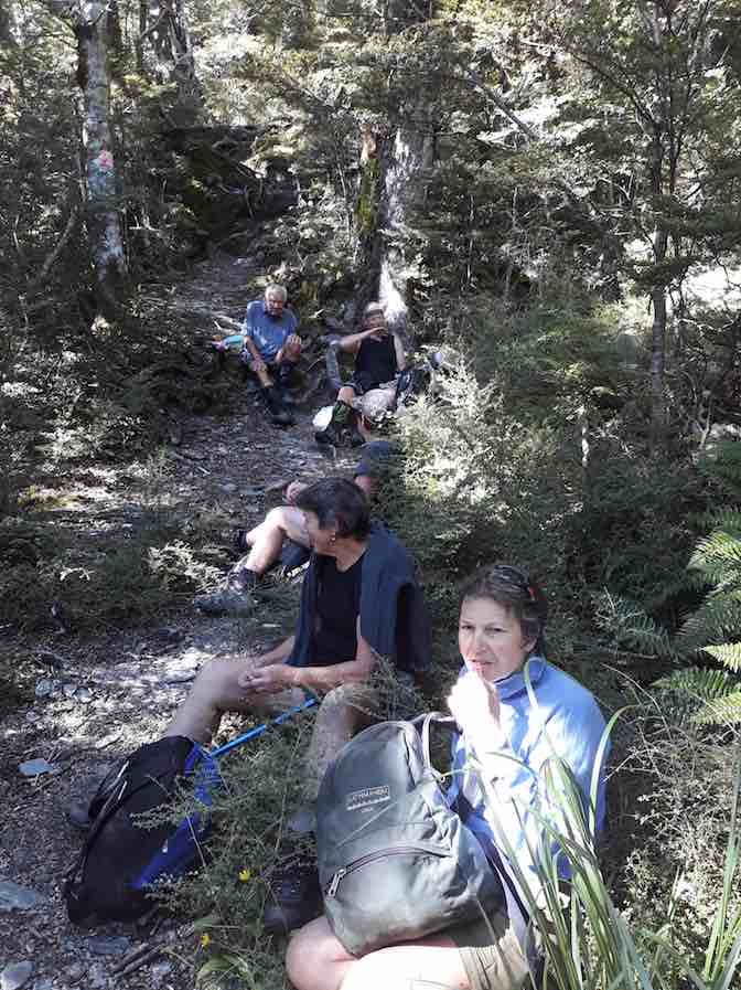
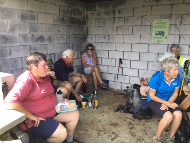
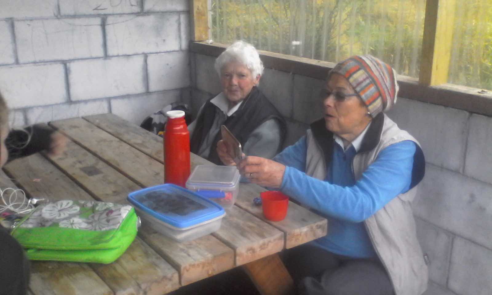
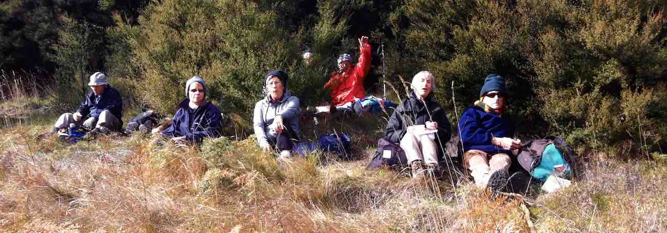
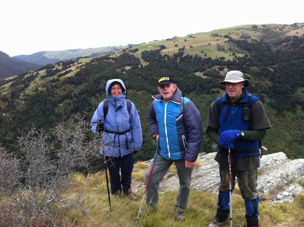
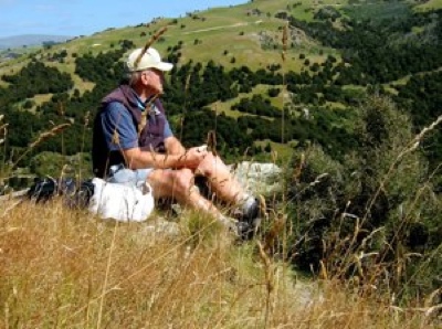
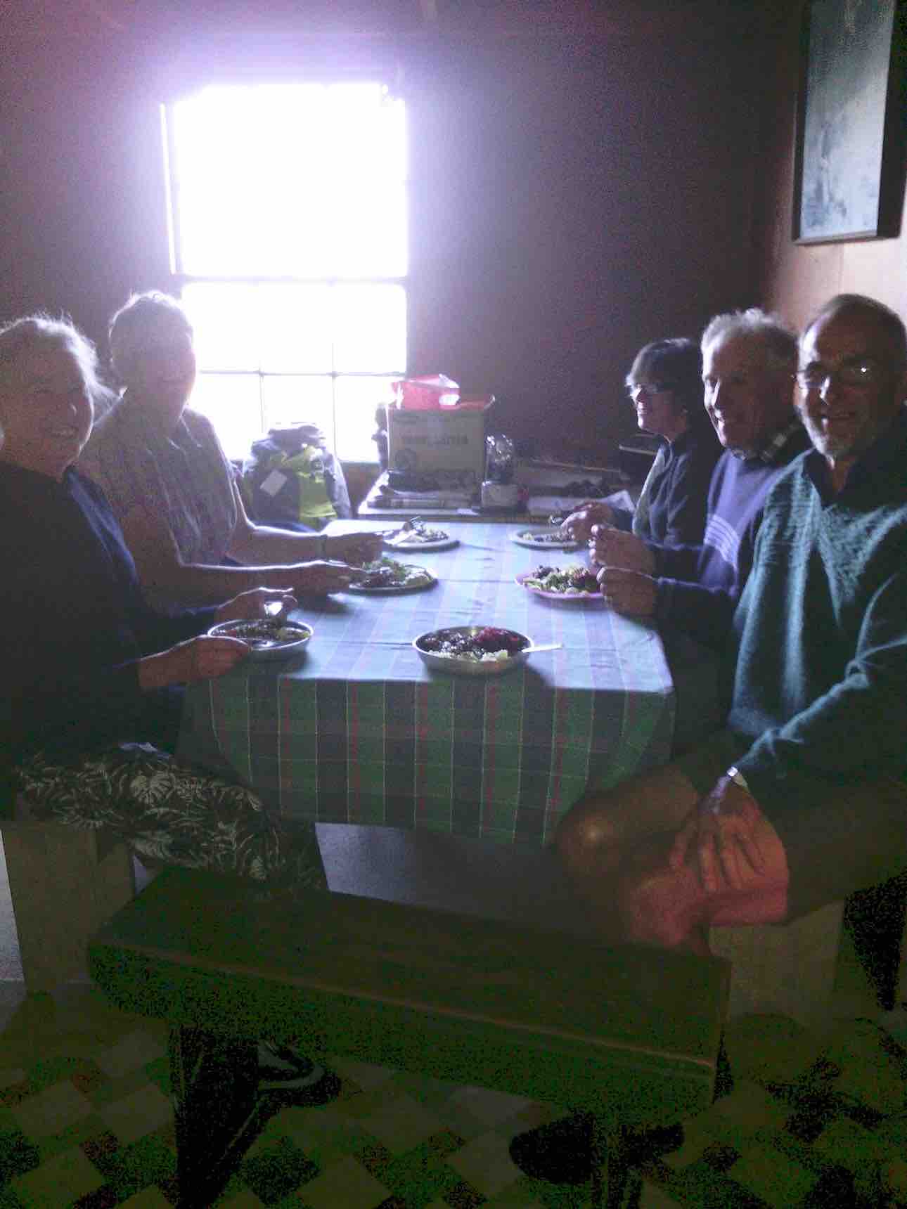
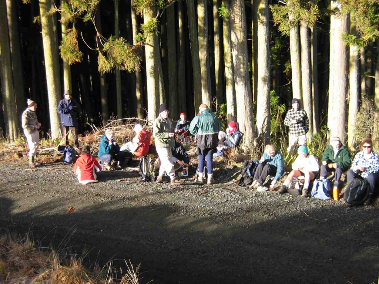
With a late start we missed morning tea but made the most of lunch at the trig point. (Clive pic and caption.)
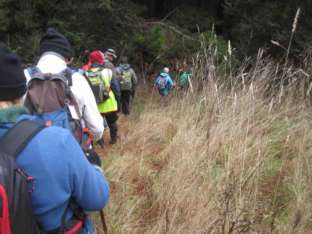
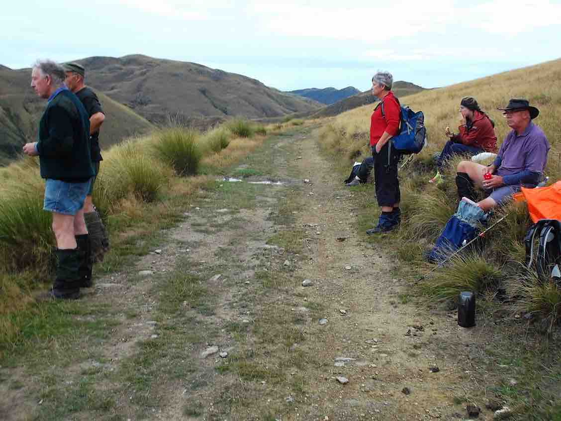
After lunch we followed a track that in places was marked out with painted arrows and warratahs with plastic bags on put in place by the farmer so as we knew which direction to take to get back to the cars. This part of the walk was generally down hill.
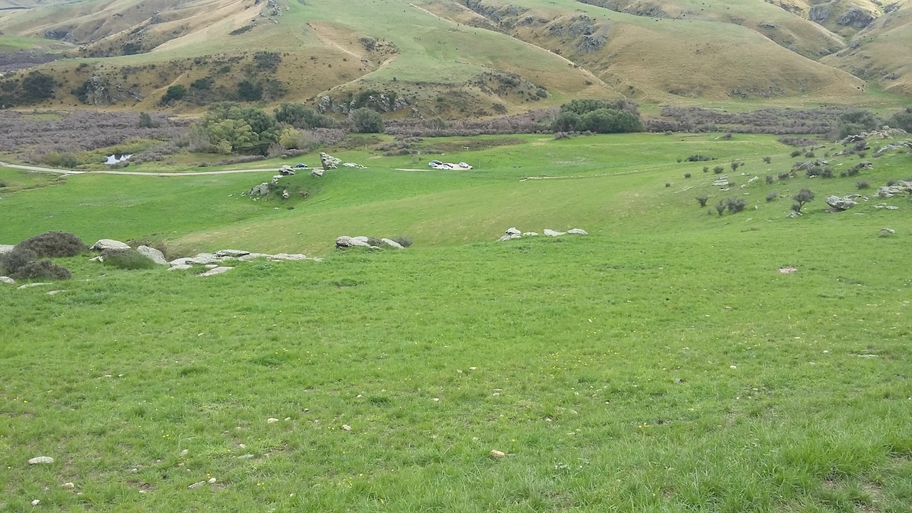
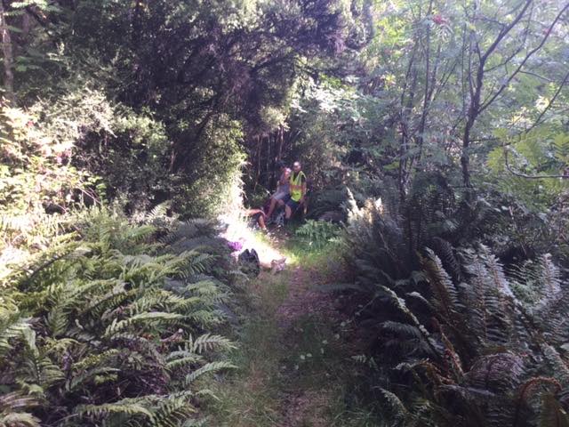
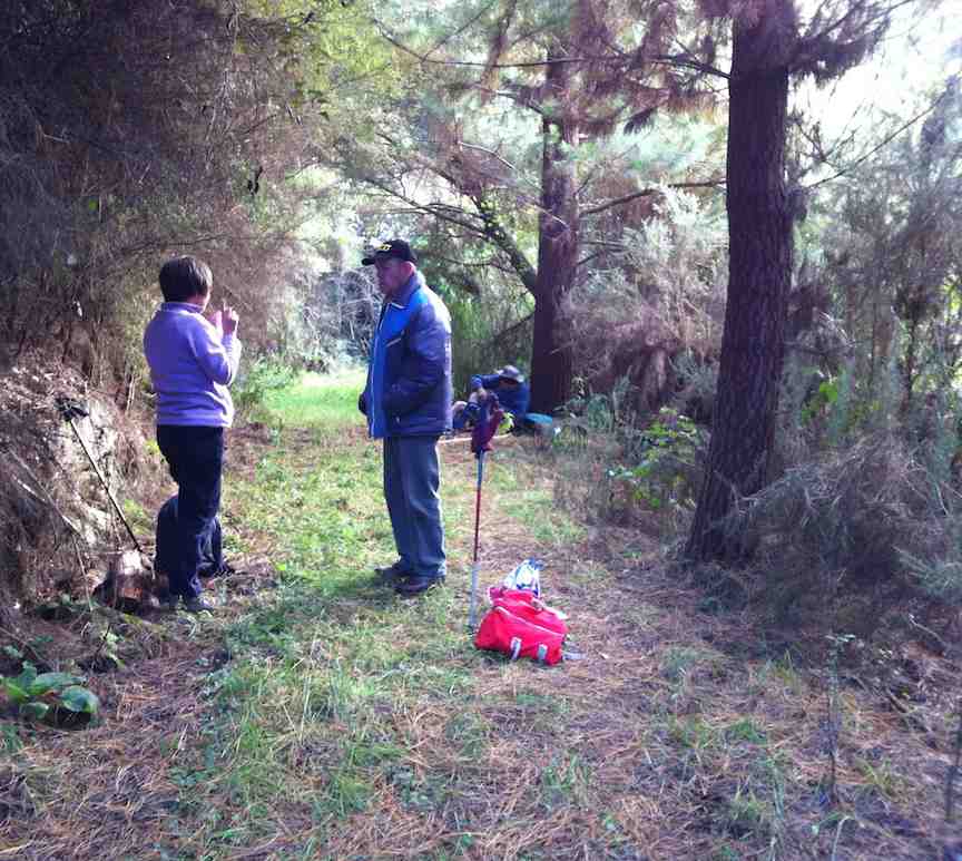
Downhill to search for the cars. (Clive pic and caption.)Hurray, we found them. (Clive pic and caption.)
Many of our walkers filled plastic bags with beautiful fresh mushrooms.
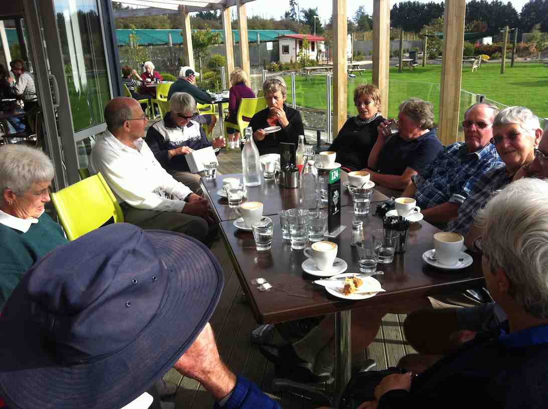
The distance travelled was 11.5ks. Coffee was at the ” Wobbly Goat” in Outram. – Jay and Jan B
30 August, 2017. Hikers. Clarksbrae, Clarks Junction. Leaders: Jay and Jan.
Tramp Report from the hikers group. Our walk today comprising of 21 enthusiastic folk started at “Clarksbrae” Farm, Clarks Junction. Farm owner, Richard Nichol gave permission to us to walk along the stock lane way which was very comfortable under foot. The walk was a gentle climb with three steep short gullies to get the heart rate up a bit. Very doable for all concerned. The scenery encompassed The Maungatua, the Lammermoors, the Rock and Pillar Range and the Kakanui Range. We had lunch at the trig station which gave us 360 degrees views. The walk back was all down hill. All up we walked 10.3ks. – Jay and Jan.
The main tramping group was away this week in camp at Aspiring Hut, but 6 of those left at home felt the need for their usual Wednesday tramp, so decided to go and do something about it.
An early shower at 8.30 am, and low cloud in Mosgiel didn’t look very promising but as we drove up the gravel road to the Bull Ring our cars were raising dust.
The day was overcast and very pleasant, with a very slight breeeze increasing only a little in the afternoon. No cloud to bother us.
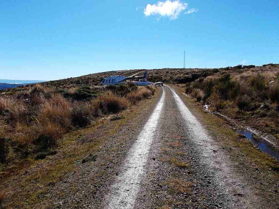
The summit of Flagstaff was our first objective and from where we viewed a helicopter operating from beside the Firebreak Track. It was transiting close to us, and spraying somewhere low down in the Nichols Creek area apparently – out of our view.
Morning tea was taken at the junction of the first cross track to the Firebreak. During our stop, 2 hidden birds, only metres away, were calling – a single “click” sound. After a time one flew a few metres and was briefly visible before going back into cover. My guess was that it was maybe a Fern Bird? Are there any ornithologists out there who can confirm if there are any Fern Birds up on Flagstaff?
We continued along the Pineapple Track to the next junction, and turning left crossed to the Swamp Ridge Track, to follow it to Swampy Summit.
We travelled at an easy pace, stopping for a rest at times at the top of the steeper bits. Eventually we came to the top of the Swine Spur Track, and followed it down about 50 metres to admire the recently erected track sign – well done Ian H.
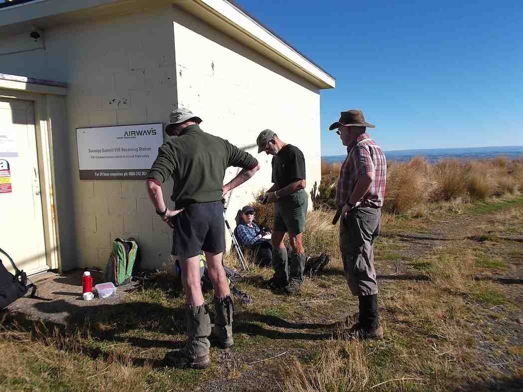
It was 12 noon now and it was decided democratically by one person (not me) that we would stop here and have our lunch in the shelter of the Airways building.
Afterwards we retraced our steps back along Swampy Ridge and then the Firebreak Track …
Margreet pic.
… to finish at the Bull Ring. Again our pace was easy and pleasurable allowing plenty of time for taking (by some anyway).
On returning to Mosgiel we all adjourned to the Blackstone Cafe for after tramp relaxation.
In summary it had been a very enjoyable day out for the six of us, and we had some good exercise in travelling the 13.5 km. – Art.
As it was such a nice looking day after all the wet weather we have had, it was decided to stay in the sun for the day. So we went to the bull ring with the intention of going to Hightop. We took the long way around by going up the Skyline track, & along the tops to the junction with the track up to Swampy summit, & down to Booth Rd. The track up to Swampy summit was in quite good condition, but it doesn’t get any less steep as time goes on !!! On the way up the Skyline track we stopped at the NEW seat overlooking the city [which was covered in fog on this occasion] for morning tea. Lunch was held at the last Airways building …
Lunch time. (Heb pic, Ken caption)
… just at the start of the Swampy Ridge track leading over to the Green Hut track. A few of us walked down to the University research building during our lunch break, just to be able to say “I’ve been there”. After lunch it was decided that we would return to the cars by the same route, so we set off to the accompanying display from a helicopter …
Chopper topping up with spray for gorse. (Heb pic, Ken caption)
… that was spraying gorse & broom at quite low levels. it was a brilliant day out, …
What a great looking day !!
… with no wind, & glorious sunshine all day, which had us discarding clothing to keep cool.
Looking forward to many more days like this.
Walked 16.6km; moving time 4hrs; ave speed 4.1km/hr; climbed 658mtrs; Max height 749mtrs. – Ken
6. 9/4/2014. Hikers. Bullring, Flagstaff Forest, Firebreak, Flagstaff walkway. E. Leaders: Bruce and Marjorie.
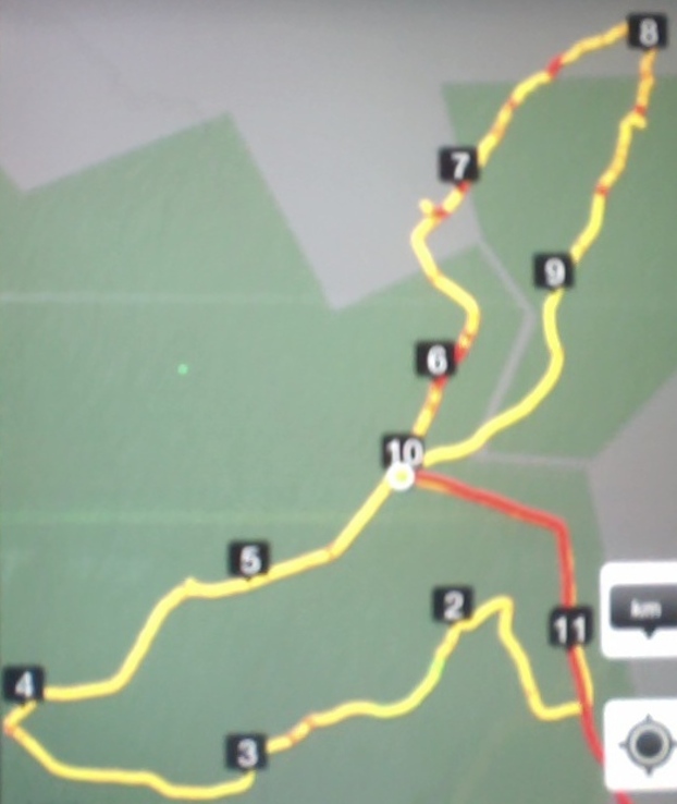
GPS of route. Decipherment!: ’10’ denotes start/finish. Disregard the red overlay and read ’11’ as ‘1’ Otherwise fairly readable.
Cars met at the Bullring.
Of special interest was the presence with us of the Reverend Maggie Wanjiku Muhia, co-minister with her husband of a church in Nairobi, Kenya comprising 3,000 members and 50 staff, visiting for a fortnight with St Lukes congregation.
As a variation, the leaders took us back down the Whare Flat road we had driven up, to enter Flagstaff Forest at Laings Road. We followed its various up and down meanderings till a sunny spot, relatively free of the heavily-dewed Yorkshire Fog grass alongside the road could be found. A leisurely cuppa and then onwards to soon join with Longridge Road whose steeper incline returned us to the Bullring. Circuit one done.
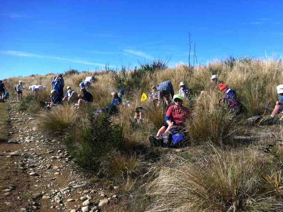
Then we followed the variously named Firebreak/Bullock Track route which we found surprisingly wet, prompting us to step carefully as it grew steadily steeper. Near its crest, we stopped for lunch. As can be seen, the day was sunny, warm and quite still.
Lunch near top of Firebreak.
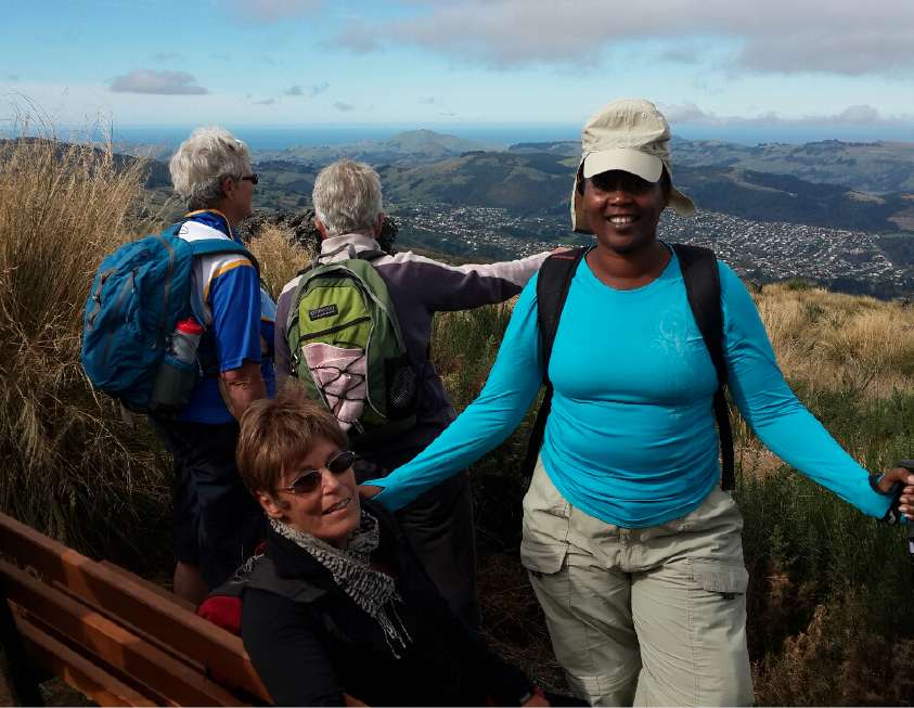
Pressing on, we passed the Ben Rudd turnoff, with many performing the ceremony of adding stones to the cairn there. Across and onto the Flagstaff walkway and the climb to the trig. En route, George was keen to show us the new side track leading to a seat with a commanding view under a large rock outcrop.
The seat and the view (Maggie pic)Posing at the seat, looking at the view. (Maggie pic)
We reached the trig and then it was all downhill back to the cars. Forgetting the leaders, we strung ourselves out down the track in our own groups and at our own pace. – Ian.
14/2/2018. Report on Mt Aspiring Hut Trip 12-15th February
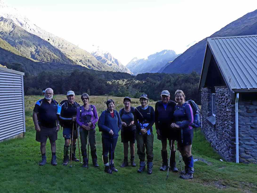
Eight keen trampers signed up for this trip. Wendy and I tramped in to Aspiring Hut early on Monday 12th February to secure bedding in one room for all of us. Jill, Clare, Janine, Keith, Helen and Phil arrived late in the afternoon after battling a head on Northwest wind and driving rain. This walk was 9km and approx. 2.5 hours. Aspiring Hut is owned by the NZ alpine club and operated by DOC. It was built in 1949 and its exterior is covered in river schist stones. It is about to undergo a refurbishment which includes earthquake strengthening and interior lining. There are 39 bunks altogether in two bunk rooms. Gas cookers are supplied during the summer season. We all soon settled and prepared our meals.
The next morning it was partly cloudy. The scenery from the hut was superb without going anywhere!
Group. (Helen pic and caption.)
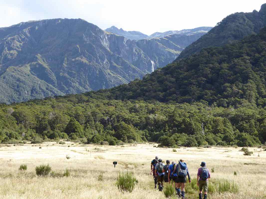
We decided to go up the valley to Pearl flat (2 hours). The valley walk is very pleasant through beech forest and open grassland surrounded by high mountains with clinging glaciers.
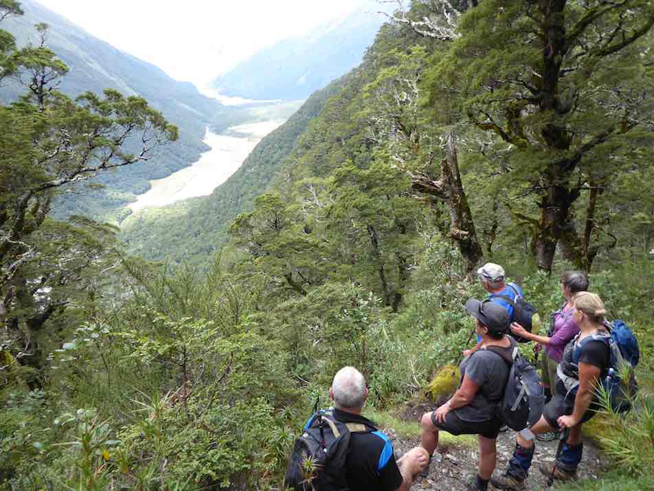
We then decided to go up to the Liverpool hut (10 bunks). (1134m – Helen). This track was steeper than expected but the team coped extremely well. We walked up through beech forest on a steep track with rocks and tree roots.
Half way up to Liverpool Biv. (Phil pic and caption.)
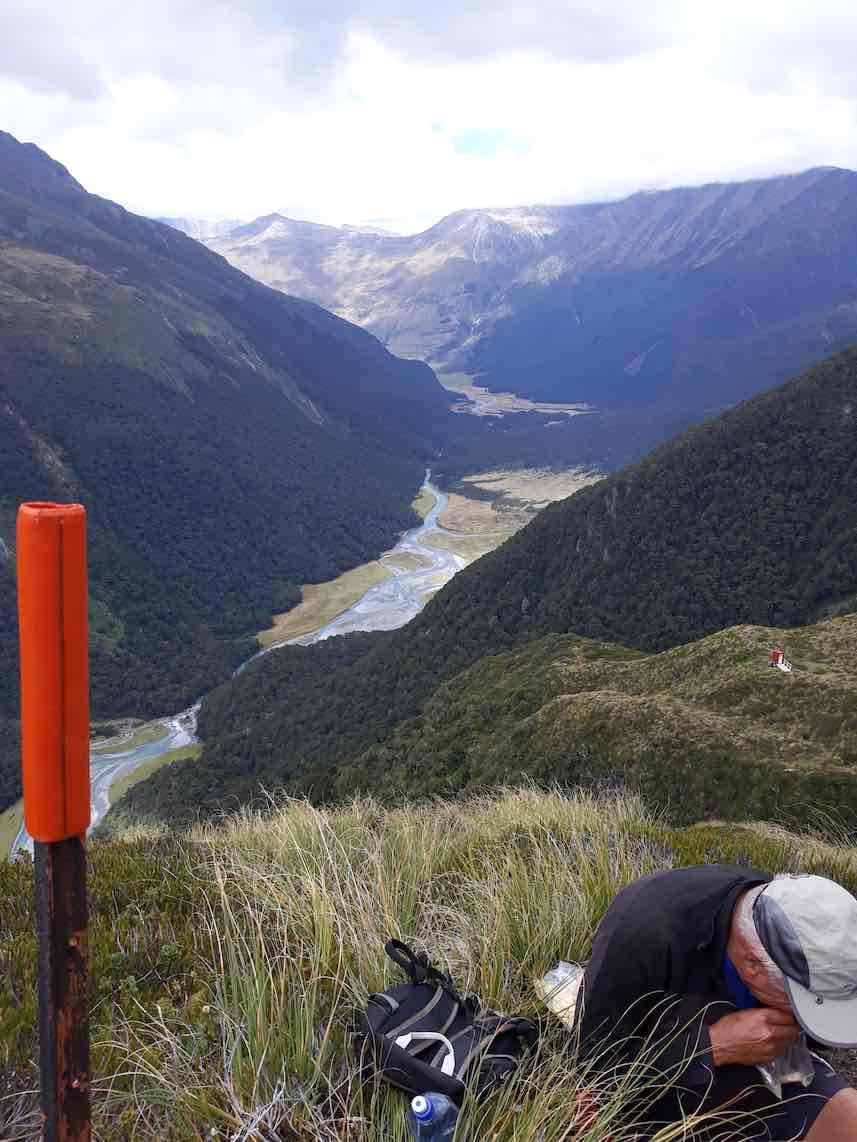
This took 2.5 hours. The views from above the hut were superb – either looking down onto the valley below …
View from the Hut hill.(Helen pic and caption.)
… or glaciers on Mt Barff and Mt Liverpool. We were also looking across to French ridge hut which is used by climbers to climb Mt Aspiring.
We got back to Aspiring Hut after a 9 hour walk knowing we had done it!!
That night of the 13th the hut and camping area had its record number of guests at 84. We felt like very rare Kiwis!!!
The next morning was perfectly fine – however our legs knew they had worked the day before. Unfortunately Wendy had to leave as she had work early the next day. This time we decided to go up the Cascade saddle track …
Liverpool done, off to the Cascade.(Phil pic and caption.)
… – a pleasant walk through red and beech forest.
Morning tea on way to Cascade Saddle. (Helen pic and caption.)
This finally led up to a lookout after 2.5 hours. (1184m. – Helen). The views of the 2 valleys and mountains all around were amazing, especially looking at Mt Aspiring.
Above the bush line on Cascade Saddle. (Phil pic and caption.)
There were quite a few people heading up to the saddle.
On returning to the hut the ladies enticed the men to go down to the river for a dip. [No pics supplied! – Ed.] This was very, very refreshing especially for those who got under the water!!
Another interesting meal was cooked by all. There were a lot fewer in the hut – the men played poker with hilarity. Someone was heard talking in their sleep!
After breakfast and packing up we headed off down to the car park. The weather deteriorated with the following North west wind very strong – even blowing 2 of us over on the grass. The dust was rising in the river bed. The rain followed and it was quite wet by the time we got to the carpark. Rob Roy glacier was left for another day! We were then off home having coffee and ice creams on the way.
Thanks to all of the team for making it a fun trip.
Also thanks to Eleanor for suggesting the trip but unfortunately was unable to make it.
3. 24/1/2018. Hikers. Bull Ring, Where Flat Road, Jim Freeeman,Ben Rudd, Flag Staff, Bull Ring. M. Leaders: Judy, Dawn.
Route map, courtesy Ian.
27 hikers gathered at the car park, but this number soon diminished to 26 as one member collapsed before we even started. (He is okay). Two others waited to provide assistance, leaving 24 of us to head for the Bull Ring.
Here five opted to do a shorter trip to the summit and back, while the remaining 19 set off down the road to the Possum Busters turn-off. This was an easy, half-hour, down-hill stroll, mostly in the shade of the trees.
Morning tea was had just inside the track, …
Morning tea break at start of Possum Busters. (Kevin pic.)
… and then we headed for the Jim Freeman turn-off and the long, slow, hot climb up to the Ben Rudd shelter. With frequent stops for water and breath, this took just over an hour. Not bad under the conditions experienced! We were all glad to be in the shelter of the bush and even gladder to emerge and collapse at the shelter for a long leisurely lunch break.
Lunch at Ben Rudd. (Kevin pic.)
The two good Samaritans met us here, having come up the fire-break track and down to the shelter. They informed us that the patient was okay and that the other five were on their way to the summit and would head straight back down.
After lunch it was up to the fire-break, …
Coming out onto fire-break. (Kevin pic.)Junction of Fire Break and Ben Rudd tracks. (Kevin pic.)
… and another split, with nine heading straight down to the cars, and the rest taking the track towards Swampy and then around and up (again!) to the Flagstaff summit. It was slightly misty with a welcome cooling breeze, but the views were great, and we enjoyed the leisurely descent to the cars. A good number then enjoyed a social hour at Topiary.
The decision to do this trip in reverse made sense, as it avoided the long hot climb up the road at the end, and also meant that most of the climbing was in the bush. – Judy
2. 19/4/2017. Hikers. Bull Ring, Ben Rudd, Jim Freeman, Whare Flat Road return. M. Jennifer and Adrienne.
Seven ‘not-so-young-and-not-feeling-fit’ members decided on a shorter(?) version of the day’s trip. While the others went up the fire-break track, we opted for the track to Flagstaff summit,with great views across the Taieri and then the city before the cloud came down. Morning tea was had sheltering in the rocks just past the summit,
(Judy pic.)
before following the track down over rocks and through mud to the junction with the fire-break. It was cold pushing into the wind and we were glad to reach the Ben Rudd turn-off and head down into the bush where it was more sheltered. (We could hear the main party somewhere down the Jim Freeman track below). The picnic shelter was much appreciated for a longish lunch as it was a bit wet outside.
(Judy pic)Glimpse of end of six seater above Ben Rudd Shelter. (Ian pic and caption.)View from the six-seater. Ben Rudd shelter roof top. (Ian pic and caption.)
The climb back to the firebreak was quickly dealt with and the descent to the Bull Ring was uneventful – almost. (Chris explored a ditch quite closely at one point). It seems we walked as far if not further than the main group – not sure how! – Judy.
10. 10/1/2018 Hikers. Taieri River view lookout. E. Leaders: Doug and Ian.
Twenty-one Hikers turned out for the first tramp of the new year, parking the cars at the lay-by on Taioma Road beside the entrance to the Taieri View Road. This tramp was to differ markedly from the last one we had done back in 1915.
First, a couple of the private forests along the forest road on the left had been ‘harvested’, as they say, the first one now replaced with paddocks.
Second, the former FWD track was now a road, much more heavily metalled and heavily dented by the double wheels of forest trucks carrying heavy loads.
And third, road’s end was now in the middle of the branch-and-trunk-strewn cleared second forestry. No longer a gentle grass-covered FWD track ending in a rough honeysuckle and gorse encroached track. A shock. A big shock.
Yes, the shocking new way of getting to the lookout was to have to pick our way through a debris of tangled branches down along a left-leaning bench-sort-of-slope that was marginalised by a messed-up fence line on the right and a steep fall-off on the left.
The goal ahead of us was to be a line of small Manuka and gorse bush, a middle part of it dead. Just where the dead changed on its right to the dark green, the leaders knew to be the sturdy post at the end of a fence, alongside which was the track down through to the lookout. This they had found only after well over half an hour’s reconnoitring the previous week.
Seventeen of us reached the lookout unscathed by the sharp-ended broken branches we had to negotiate, with four electing, a short distance in, to prudently head back and wait for us near the safety of the road.
At the lookout, despite some reluctance to leave the wonder of the view,
Taieri Lookout. (Clive pic and caption.)
but it being still only eleven o’clock, we eventually turned back to retackle the cleared (??) forestry slope.
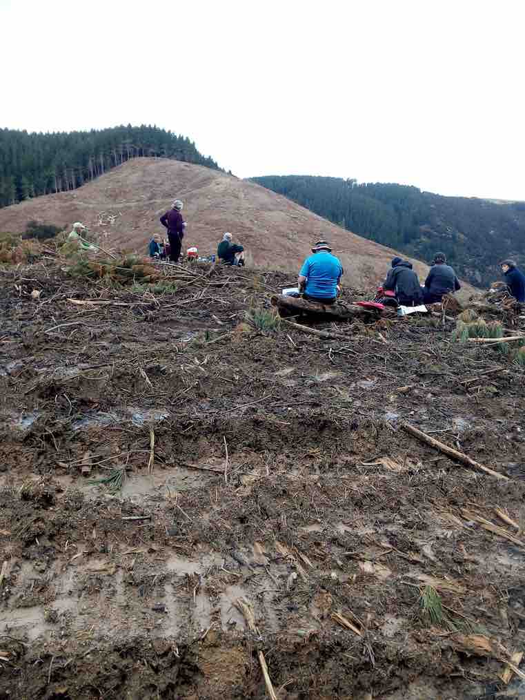
The hills denuded of pines made for heavy going in places (Clive pic and caption.)
This time, with leadership guidance no longer needed to find a way, a wonderful variety of routes back up to the road were found.
Back right up near road’s entrance, we stopped for lunch under power lines with the cleared area affording us a pleasant view.
Along the short distance of Taieri View Road, and out onto Taioma Road, and leaving our parked cars on our left, we headed down the road to a gate onto Salisbury property. We headed down through a couple of paddocks,
A walk down the hill with the Taieri Gorge railway in the background. (Clive pic and caption.)
the route getting steadily steeper until its very steepest part got us down to the relief of the flat. Many elderly knees didn’t enjoy that last part one bit.
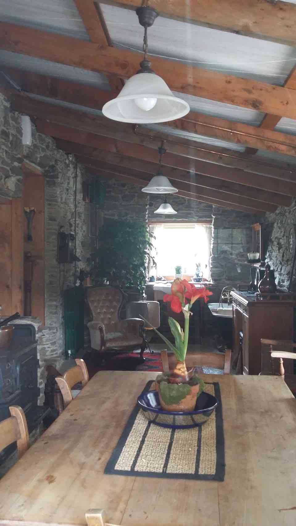
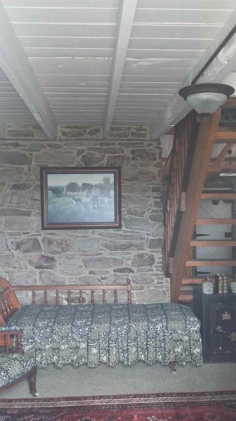
A nice flat lane led us to the wonderful restored stone cottage where we stopped to again admire the beautiful work done to it both inside …
Glen Lyon Cottage established 1862. (Clive pic and caption)
Then out to Wairongoa Road where two shuttle cars ferried drivers back to their cars in the lay-by to allow everyone to return home, some by a coffee break en route.
The day was cloudy and not too hot. Just right.
The normal route would have both started and ended on Wairongoa Road, the tramp beginning with the steep climb through Salisbury paddocks to Taioma Road, morning tea half way up, and lunch at the lookout. All agreed however that through a car shuttle saving the Salisbury paddocks for just a return downhill journey and for a shorter first tramp of the year was the way to do it. – Doug and Ian.
Walked all but 17km and averaged 4.8km an hour.
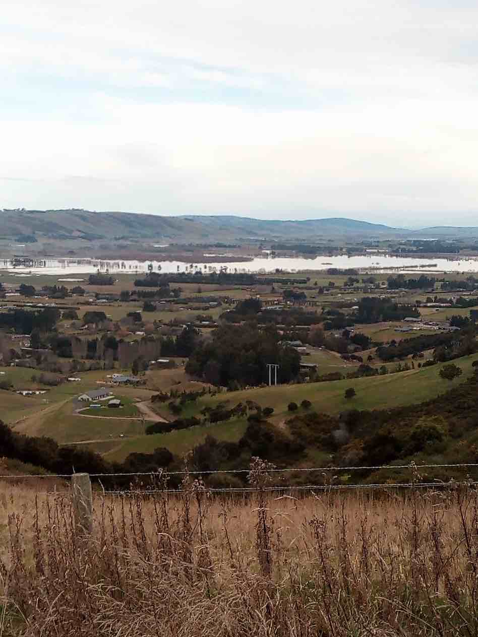
We drove and parked at the Showgrounds. Ten of us were eager to get out for a walk without rain. We headed up Taioma road and had smoko at the bottom of the hill. Then a steady uphill climb took us to the Taieri View sign, a few stops along the way were had to look at the flooding of the lower Taieri (which occurred after heavy rain on Friday and Saturday). Also, picking out landmarks and where some of us live on the Taieri.
Nice view over mosgiel. (Helen pic and caption.)
We turned left at the Taieri View sign, then veered left again onto a Forestry road that took us to where trees had recently been milled. Looking across farmland, down to the Taieri river, cleared forest and 4 goats grazing in the distance we enjoyed the vista while eating lunch.
Lunch. (Helen pic and caption.)
After lunch we walked back to the junction and decided to carry on down the road that we veered off, where we were looking further down the Taieri towards Henley at the floods.
Water on the plains. (Helen pic and caption.)
Once we headed for home, it was down hill all the way to the cars. We parked back at the car park and strolled round to Blackstone where we enjoyed coffee and cake.
The weather was calm and mild, which made our outing most enjoyable. – Eleanore.
8. 2015 Aug 26. Hikers. North Taieri Church, Salisbury and Taieri Lookout. Leaders: Pam, Dawn.
GPS of route
Where to start with all the happenings in this report? Well, first, when the cars arrived at North Taieri Church some of the Brighton people failed to turn up. It transpired, as was later report, their car load turned back to just walk around Mosgiel on seeing the “Road Closed” Taioma Road notice. Twenty of us set of along and up…
The paddocks were as steep as ever.
…the Salisbury farm paddocks to emerge onto Taioma Road just above the zig-zag and stop for morning tea on the road edge,
Morning tea cuppa on Taioma Road in the ditch, sheltered from the wind.
nicely sheltered from the cold southerly.
Incident two. After we had trudged up the road to the Taieri View side road, we looked back to see a small group stopped back down the road. The leaders went back down to find that Peter B. was experiencing one of his very occasional breathless spells (his last one, this report recalls, was on Traquair, but that time he recovered to continue afresh again.) Cell phone arrangements were made for a one of the leaders’ spouse to drive up and take Wendy and Peter back down. This was satisfactorily achieved.
Incident three. John had driven up to meet us at the side road turn-off. But under the unwise earlier advice of this reporter, had parked just beyond the turn-off at the edge of a logginh-truck lay-by area, but had been reprehended by a logging driver for possibly impeding their movements, so got his car neatly parked in the side road.
Incident four. Keith espied a cast sheep in the paddock over the road. Mastered the barbwire fence and righted the sheep which staggered, trotted, ran off. Bravo.
On up the road, into the forestry road
The track is wide and open for much of its way. (John pic)
and down,
The 2013 snow dump’s legacy of fallen trees on the track forced us to to divert through the forestry occasionally. (John pic)
steadily down
From the road end, taking the track down to the lookout rock. (John pic)
to the river look-out rock. The bold (reckless?) stepped out onto the large rock to admire the view, the timid (prudent?) stopped well back from the intimidating drop.
Lunch,
A candid lunch pic a little bit up from the rock.
snugly tucked in among grass and gorse against the wind. The leaders shortened the lunch-stop for fear of approaching rain but it failed to eventuate. In fact, sunshine and the climb back out proved a even a bit over-warming.
Incident five. Back at Taioma Road, Mollie and George graciously accepted the invitation of a ride back in John’s car.
Incident six.. Trudging back down the Salisbury paddocks, someone remarked that Dot (of the returning car, alas) had intended sharing her big-birthday chocs with us. Sigh.
Next a stop at Mr McElwee’s beautifully restored cottage, an eye-opener for some of our newer members. Then out to the cars where we were found a cheerful Peter waiting to greet us, none the worse for his setback earlier. Relief all round! Then off to Topiary for some for their accustomed coffee fix.
A great day out, with Salisbury’s steep paddocks testing breathing on the way up and knees on the way down. A day full of interesting incidents. A tramp very well led by Pam and Dawn. A good day. – Ian.
7. 2013 Apr 3. Both. North Taieri Church, Salisbury and Taieri Lookout. Leaders: Fred, Ian.
We started out from beside the North Taieri Church, numbering 20. We admired some black sheep along the way. Mollie pointed out that the hill ahead was Vaughan Hill, once owned by her late husband’s parents. We admired the restored stone cottage, of course. Mr McElwee had determined on everything being authentic to its old age, including …… donated from the Vaughan farm. We then set about climbing the hill ahead, this time via a gentler track (only slightly) from around its back. At a water trough, well up the hill, we stopped for morning tea and to admire the view, and to increase our number by Lex arriving down from his car parked in Taioma Road. Light rain came on, and so did our parkas. By the time we arrived at the “No Exit” entrance to Taieri View Road we found our numbers had dropped to sixteen, five opting to seek car and home rather than carry on in the rain. On taking the forestry road turn-off, some found water off the wet grass soon got into wet boots making for a gentle sloshing sound as they moved. But we carried on to successfully reach the Taieri River lookout, and return up that steep part o the track at its end to lunch under the shelter?? of some forestry pines. It was at this point that we had reached the dispiriting point for many. We found we had only exchanged the fine rain outside for large forestry drops that soon soaked any part of us that was not already wet. And here any respect for the leadership vanished. It wasn’t too long before the leaders discovered numbers had now dropped to four, the rest having returned up the track to shorten what had turned into a miserable experience as quickly as possible. The leaders caught up briefly at Taioma Road, only to see the majority head off down to make a road-walk, regardless of traffic, back to the cars. This left the leaders now with a group of only six, who returned back down through the Salisbury farm the way we had ascended, for a grand meet-up with those under their care back at the cars. So all’s well that ends well, perhaps. – Ian.
6. 2012 Jun 13. Trampers. North Taieri Church, Salisbury and Taieri Lookout.
GPS of route, courtesy Ken. We did the loop anti-clockwise. We did 16 km in all. A good day’s walk. Total altitude climbed: 500m.
Relying on Ria’s memory to guide us, 7 of us did the more extensive Salisbury walk,
which took us climbing, climbing to join the Taioma road at the very top.
Morning tea stop, halfway up the loop, on the right.
Then we had to make our way back around Taioma road to get back down to Taieri View Road. We tried to avoid the road, busy with fast, heavy rumbling logging trucks, but paddocks proved eventually too boggy.
Shortly into Taieri View Road, we stopped for a late lunch. At this point George didn’t want to go any further, so he and his car-load took the short way back to his car. The remaining trampers made their way on down the forestry track turn-off from Taieri View Road to the Lookout. The track was much more overgrown and forestry-shaded than when the writer remembered it. However this gave us good shelter from the blustery cold wind that made itself felt when we emerged out onto the Lookout.
Lester views the Taieri from the Lookout.
Smile please
An imaginative use of old tractor tyres on Salisbury near the end of our return
We were lucky with the weather, which held off till we reached the car. A good tramp for a cold-weather day. The tramp also had a sentimental side, as it was the last day Linzi was to be with us, before departing back home to Cornwall three days later, after tramping with us for a whole year. Farewell, Linzi. – Ian.
5. 2009 Apr 8. Hikers. Taieri View, Mount Allan Road. Medium. Leaders: Chris, Dot B.
Taieri View Rock
4. 2008 Feb 27. Leaders: Bev.
A bit cloudy but still 15 hikers parked their cars in Taieri View Rd. and set off on a very pleasant hike along forestry roads and through the forest to another Taieri Lookout. We had our morning tea sitting on a grassy bank before we headed into the forest itself. Very enjoyable walking and only some fairly easy down and up grades to keep us from having it too easy. Got to the lookout area which was a big rock jutting out over the Taieri river. Great view of river and surrounding areas. By now the sun had come out so made it more pleasant for our lunch break which we enjoyed relaxing and taking in the view. Then the sun disappeared and it turned a bit cool and looked very much like it would rain in the very near future. So we set off back to the cars. We found a few interesting things
George by wrecked car
to look at and photograph for fun on the way. A goats skull and horns which made an appropriate photo for an ‘old nanny goat’! A rusty old car body which had to be sat in, also for the obligatory photo. A really lovely big bush of ripe blackberries, much enjoyed by those who took the time to pick and feast on them. A lonely little pansy, (not a petunia!), in the middle of some blackberries and long grass. George managed to knock over the post of the electric fence after holding it down for us to step across. Luckily he didn’t short circuit himself or anyone else! Back to the cars before the rain came after another happy and enjoyable day out. Bev.
3. 2007 Feb 28. Trampers. North Taieri Church, Salisbury, Lookout. Medium. Leaders: Ria, Glenice.
The View from the Taieri Lookout.
Abe at Taieri Lookout.
2. 2005 Nov 2. All. Farm Walk from North Taieri Church. Easy. Leaders: Ria, Jacqui, Graham, Eleanor W.
1. 1992 Aug 12. Taioma Road. Turn off just before Salisbury L.H. side. A hill walk, good views. Average.
6. 13/12/2017. All. Picnic lunch. E. Leaders: Alex and Liz
Route map, courtesy Ian. (Ian pic and caption.)
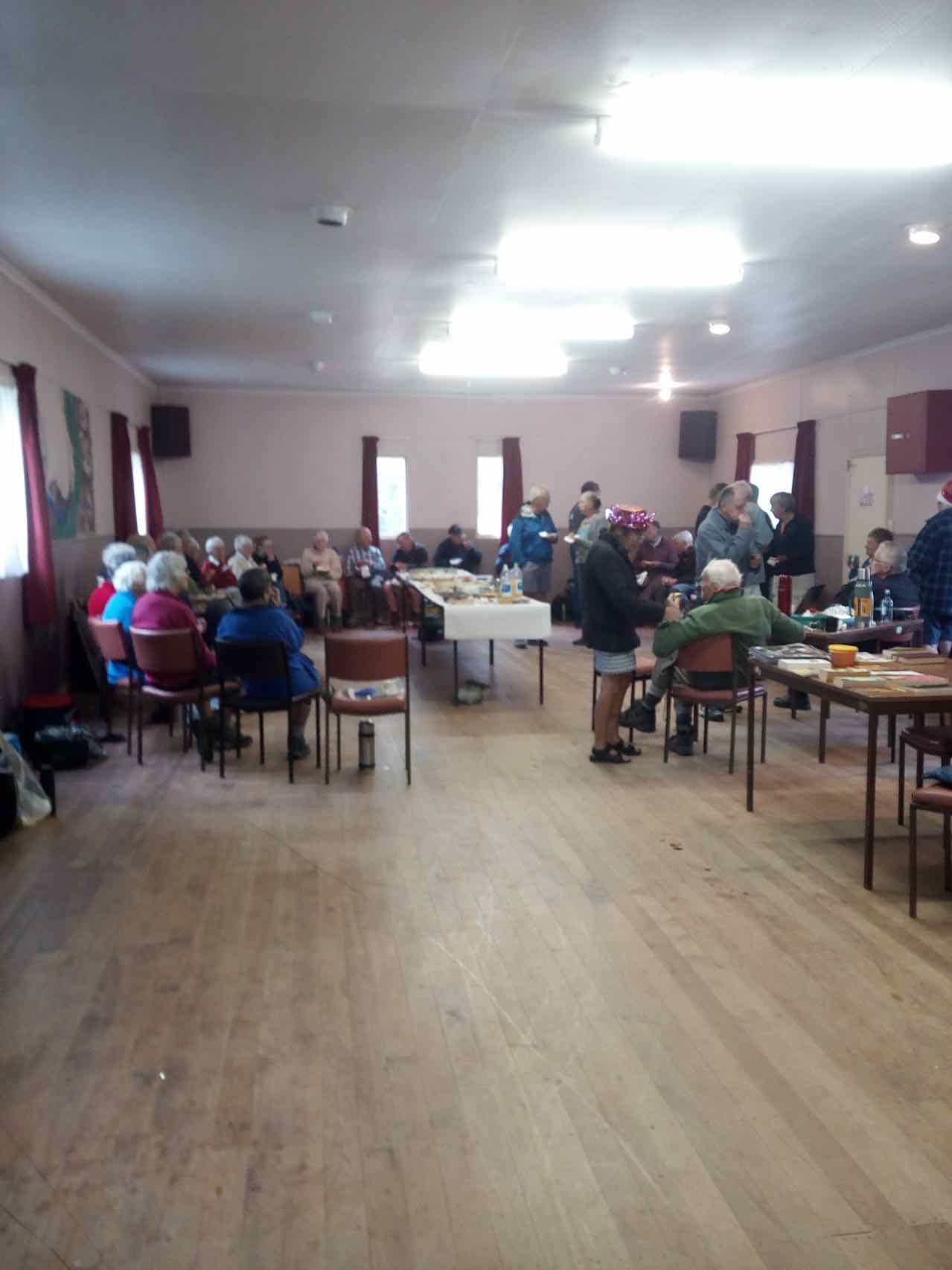
Having just emerged from ‘gorse forest’ track onto golf course. (Ian pic and caption.)The leaders for the day. (Judy pic.)Pot luck Christmas lunch.(Helen pic and caption.)
5. 27/9/2017. Hikers. Portobello to Harwood. E. Leaders: Chris and Dot.
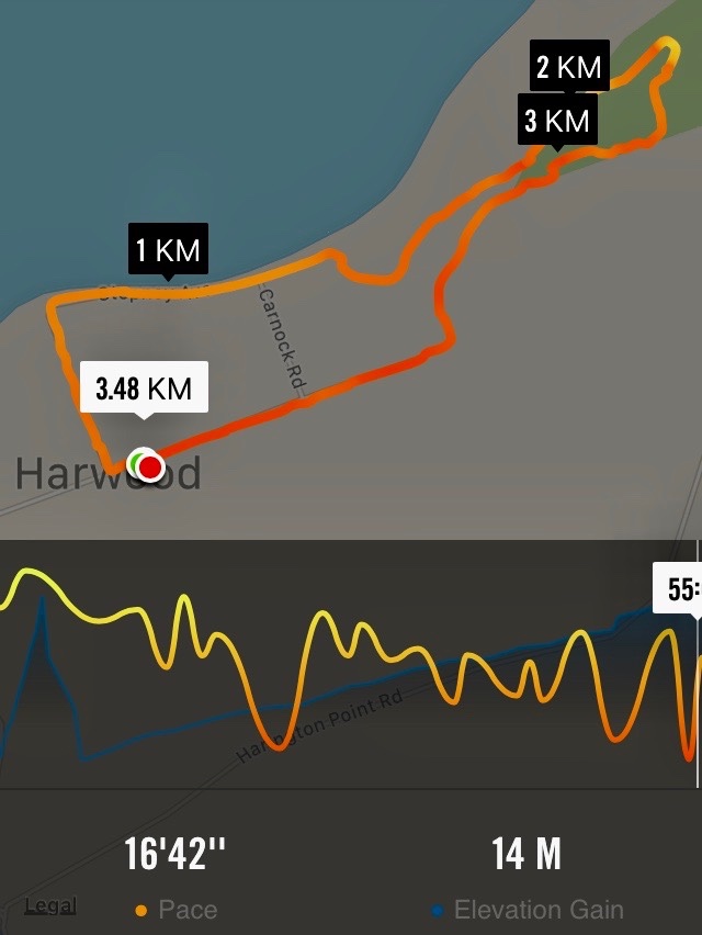
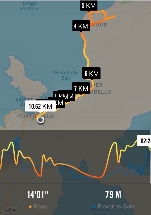
Map of route, courtesy Ian.
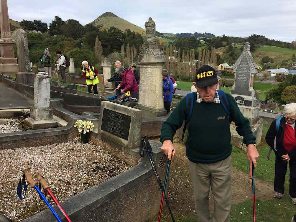
The track from Portobello to the aquarium being made difficult with slips and mud, the leaders decided on a new hike for the day. 20 keen members left the cars at the Portobello show-grounds and headed the short distance up the hill to the cemetery for morning tea.
Coming away from morning tea.(Ian pic and caption.)
It was a glorious morning, calm and mild, and there were many comments on the fact that cemetery sites always seem to have the best views…. this one right across Portobello and the tranquil, beautiful harbour.
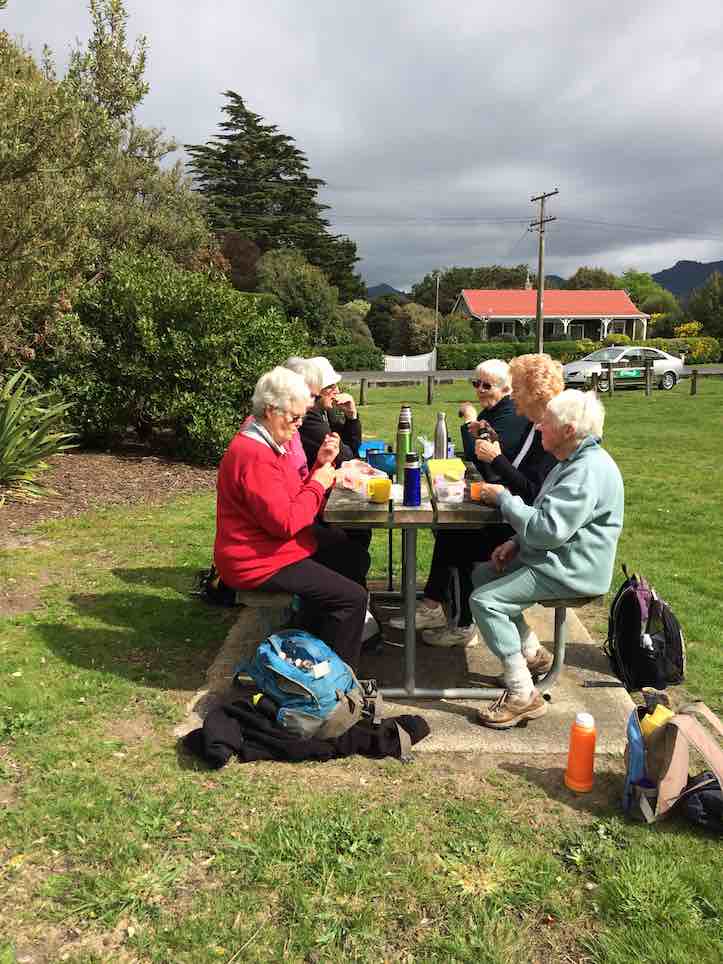
The thought of walking all the way to Harwood seemed a bit daunting to some, but in fact was very pleasant, following the cycle track all the way so that traffic was never a problem. The predicted north-east breeze never arrived and jackets were gradually shed along the way. Round Lower Portobello Bay several slips were commented upon, and we reached the picnic grounds for a leisurely lunch by mid-day.
Lunch at the Harwood Picnic Grounds. (Ian pic and caption.)
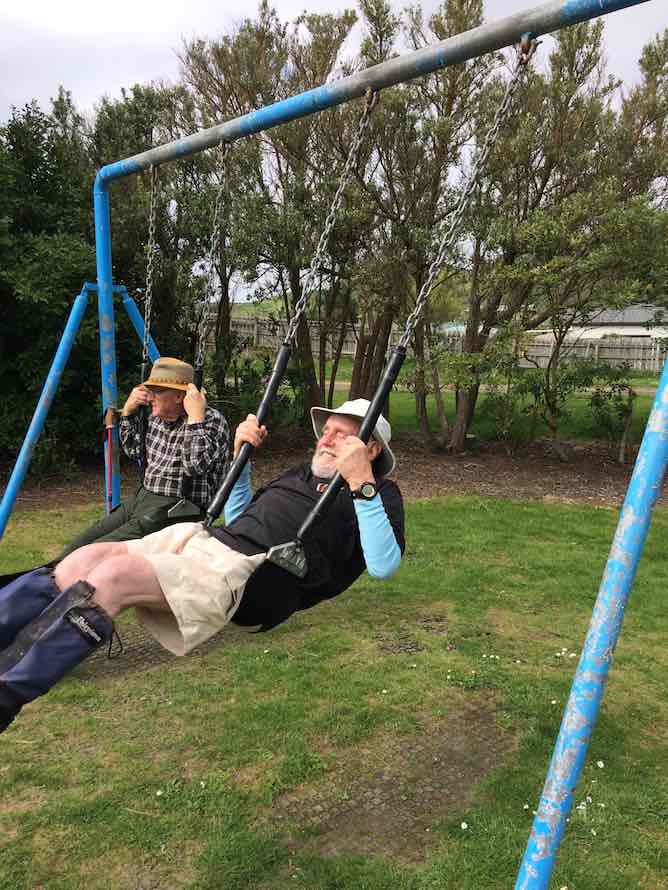
After the young-at-heart had a play on the swings…
Stop gazing round. Swing!.(Ian pic and caption.)
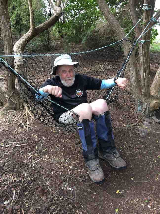
…and slides not to mention the hammock,
Help! Someone get me out. (Ian pic and caption.)
we made our way back to the cars by the same route, and so to Macandrew Bay for coffee etc.
A hike not done before, so thanks to Chris and Dot for some thick quinking (thanks Jay!) in finding a great alternative for the day. – Judy.
4. 17/12/2012. All. Harwood. End of year picnic. Leaders: Chris and Dorothy.
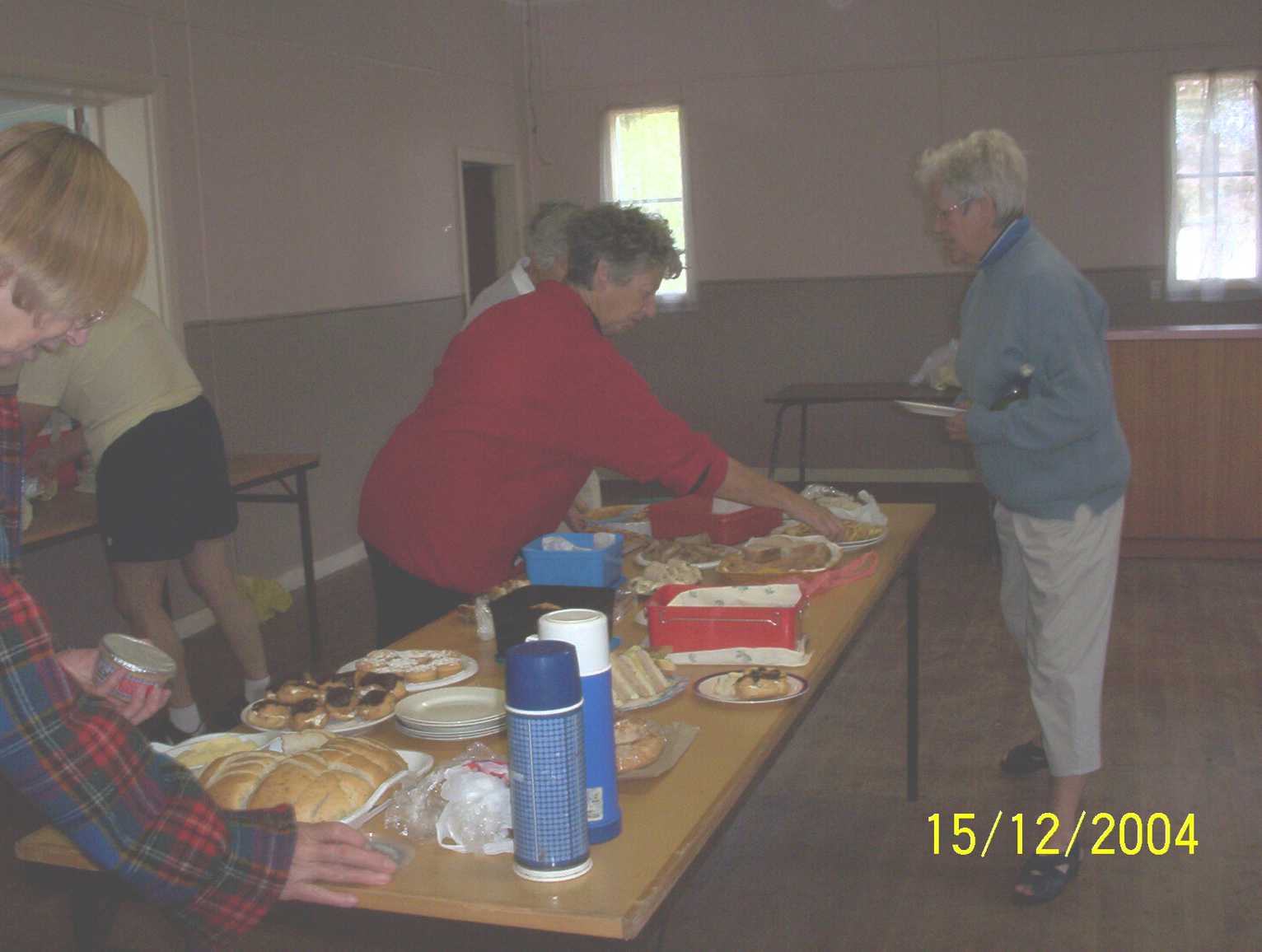
3. 15/12/2004. All. Christmas finger food lunch at Harwood. Leader: Chris.
Pause at sign.
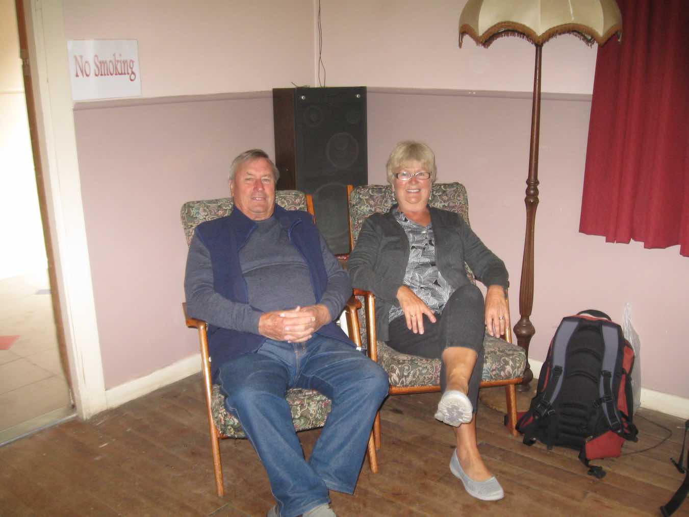
Lunch in Harwood Hall. Dorothy, Wendy, Carmel.
Lunch in the Harwood Hall. Wendy, Carmel.
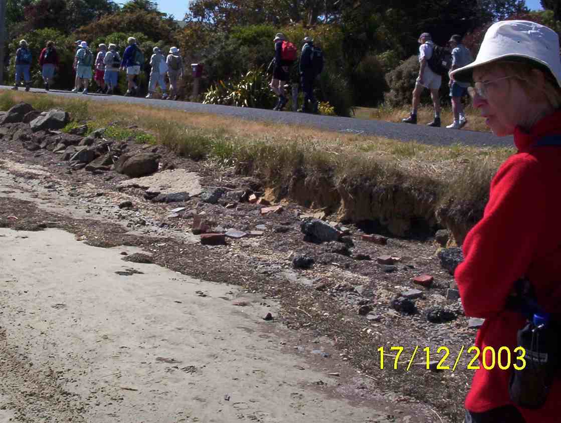
2. 17/12/2003. All. End of year Tramp. Share finger food. Leaders: Jean, Chris.
Two cars(six trampers) left Mosgiel at 8.00 a.m. rendezvousing at Cherry Farm before travelling together to reach the Bendoran Huts at 9.30. Morning tea was taken, and five eager trampers set out just after 10 am on the day’s adventure. One stayed in camp to heat water for showers later.
The day was sunny and warm enough. High cloud drifted across after an hour, but it remained hot. We stopped several times to take on water – and we were going downhill!
We descended down to Orbells Creek, and followed it for some distance, being on a grassy 4WD track all day. Tussocky hills surrounded us, with many interesting rocks, such beautiful country.
A mob of grand Hereford cows with calves (beef) moved in front of us for a time, before going up a side gully.
Eventually we came to the first ascent of the day, leaving Orbells Creek for a time, the 4WD track going up and over a saddle. At the top we had a short descent and then a climb up to a second saddle.
But from here it was downhill all the way to the cave. We met Barney, the Bendoran Farm Manager, out with his dogs shifting a mob of cows and calves – black with white faces this time (Angus Hereford Cross).
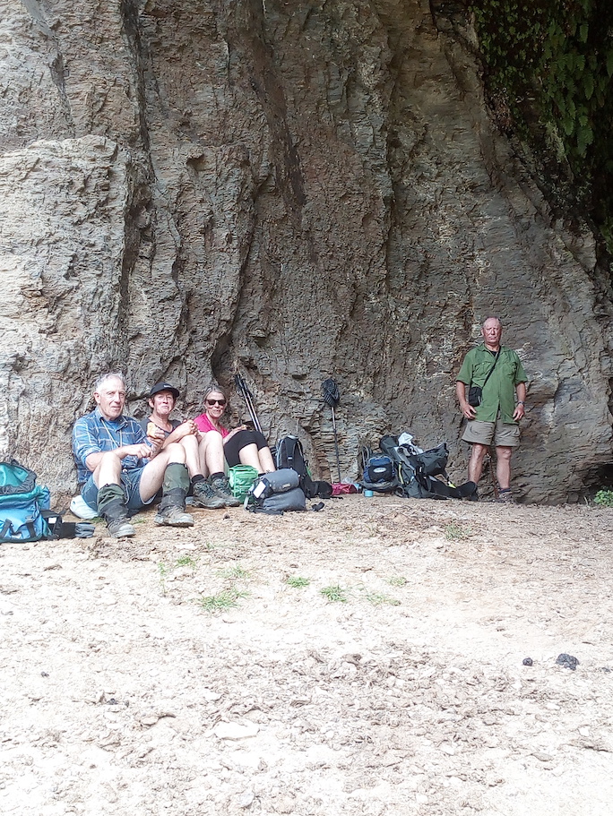
We came back to Orbells Creek by the cattleyards, crossed over, and in a few minutes were at Orbells Cave (with Orbells Garden flourishing in profusion in front (foxgloves). It had been hot work, but to our great relief found that it was very pleasantly cool in the cave. The time was 12.20 pm. We sat and rested for half an hour here, while eating our lunch.
In the cave for a cool place to have lunch. (Helen pic and caption.)
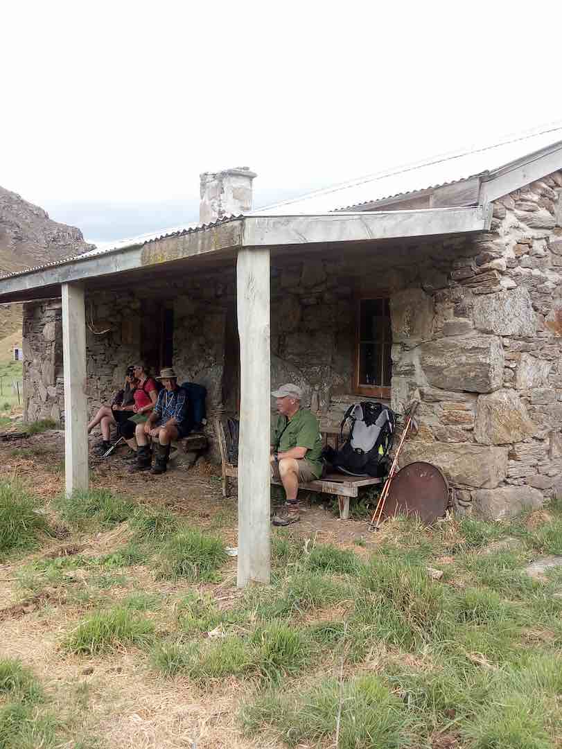
Fiddlers Hut was our next objective, about 2 km further on. Was we left, bird calls from high above the cave alerted us to the presence of a N.Z. falcon circling there. We saw it – or another one – later in the day, too. Crossing 3 O’Clock Stream, we arrived at Fiddlers Hut at 1.3. We admired the stone walls, very neatly constructed, and with a vey sound modern corrugated iron roof.
Fiddler’s hut. (Helen pic and caption.)
But sadly the interior had been badly neglected, birds obviously had been the only tenants for some years past.
As we began the homeward journey, a light and very pleasantly cool north-east breeze arrived to provide some relief, especially helpful on the uphill bits. Five tiny little Paradise duckings were on the water when we crossed back over 3 O’Clock Stream. All water bottles were refilled.
The same route was followed going back as we had travelled out earlier. It was a long climb back up to the two saddles. At the top of the first one, 10 minutes was well spent in resting, while taking on water, eating fruit, etc.
In time we came back down to Orbells Creek, and walked, the kilometres behind us, with an occasional brief stop (water).
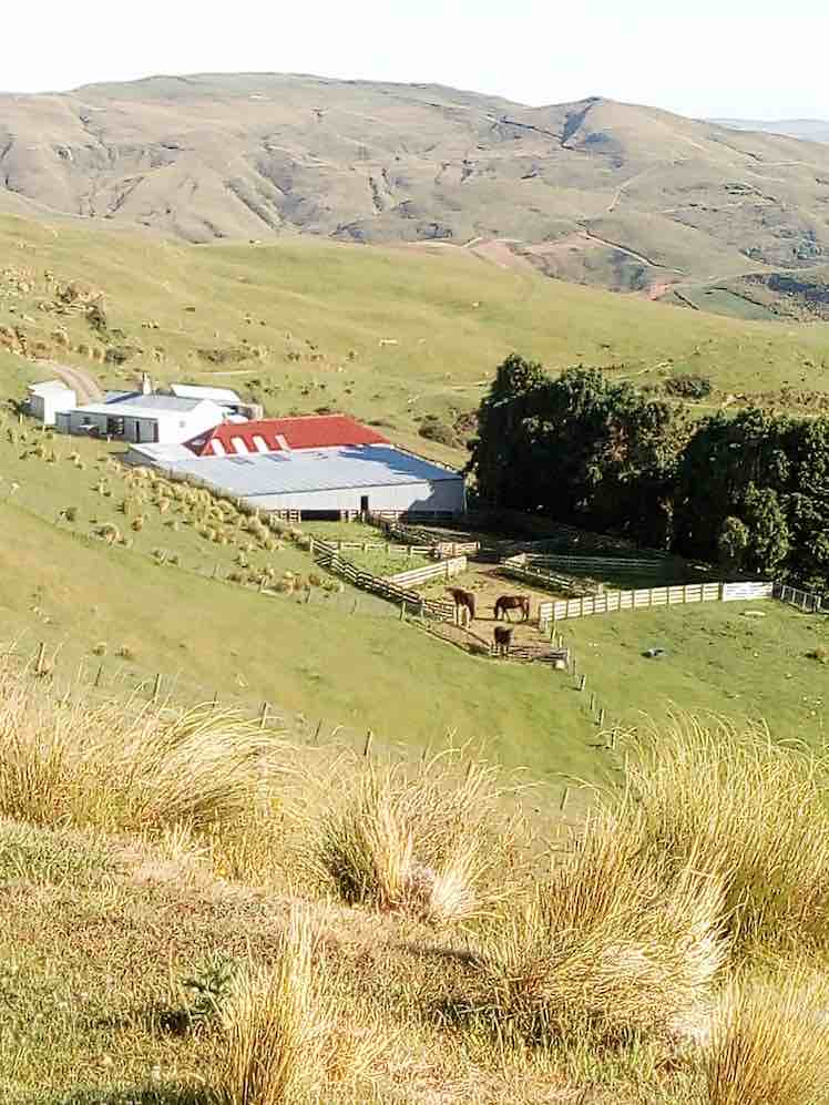
One long hill awaited us – the climb out from Orbells Creek. The hill seemed to go on forever, but by putting one foot in front of the other, we found the top. But our legs were mighty tired now, and there was only a few hundred metres left to go. And so we arrived back at the Bendoran Hilton …
View of Bendoran huts. (Helen pic and caption.)
… just before 5 p.m. A good list down and rest seemed to be the logical thing to do now, so that’s what we did!
All five had thoroughly enjoyed the day. An energetic tramp to equal any other that our club has done. VERY SATISFYING.
Total distance was 20 km. Orbells Cave was approx. 8 km from Bendoran, and Fiddlers Hut a further 2 km beyond. Bendoral Huts are at an altitude of 500 metres, Fiddlers Hut about 200 metres. – Art.
On completing the tramp we had a lovely muffin and cup of tea before showers and liquid refreshments. Fire lovingly looked after by camp mum Jennifer. Eleanor our great organiser had Also arrived by this time.
Tea was prepared consisting of silverside, stuffed chicken, new potatoes, carrots and two salads. Dessert: chocolate brownie berries and yogert. All had bought some part of it.
Jill Arthur Phil Wyn and Helen the walkers.
It helped revive us. – Helen
75 km from car-park.
11. 8/3/2017. Trampers. The Gap, and ABC Caves. M. Leaders: Arthur and Eleanor.
After a one and a half hour drive from Mosgiel, we arrived at Bendoran Huts. David Malloch the station owner arrived to welcome us and give us a brief history of the 5000 acre property.
Us with David Malloch. (Helen pic and caption.)
After unpacking and eating lunch, we walked in a cool s.w. wind, overcast with a few skiffs of showers to Mount Misery @ 714 metres.
Eleanor on Mt Misery. (Arthur pic and caption.)
A great view for those brave enough to tackle the wind on such a rocky peak. From there we ventured onto “Terry’s Knob” (refer Hamel’s book page 7:13), …
Terrys Knob. (Arthur pic and caption.)
… before returning to Bendoran for drinks and muffins. After lighting up the coal range to heat the water and apple crumble, we then enjoyed home baked Chicken, vege’s and salad. Next job was firing up the open fire, sitting round chatting for the evening.
Before 8.30am next morning we were up and away tramping in ideal conditions for 3 hours to the “Gap” @ 670 metres.
The Gap from morning tea stop. (Arthur pic and caption.)
After numerous photo shots of surrounding valleys, peaks, ranges and the trig, we then headed down onto a new track, where after a lunch stop, we approached the A.B.C. Caves.
Helen Janine & Eleanor at abc caves. (Arthur pic and caption.)
After a challenging tramp, we were impressed by the cave interior, …
From in ABC cave. (Helen pic and caption.)
… but were disappointed the “visitors book” left no room for our claims to reaching this monumental milestone! We then had to return steeply uphill a little before bush-bashing a track across a gully to join back onto our original track, leading us back to our cosy “Bendoran home”.
Bendoran where we stayed. (Arthur pic and caption.)
Arriving back @ 4.15pm, we found 2 members (who returned without going to A.B.C. Cave) had the coal range going with the kettle boiling for drinks and a HOT shower!! All fresh and clean again, we dined …
Dinner. (Helen pic and caption.)
… in front of the open fire on beef casserole, new potatoes, peas and salad, followed by brownie and peaches—-not your average tramping food, and certainly above standard accomodation.
It was an exceptional tramping trip for Arthur, Neil, Carol, Helen, Janine and Eleanore, with new tracks and experiences for some of the party. – Janine and Eleanor.
10. 25/3/2015. Trampers. ABC Cave from Bendoran Huts.
On a day when the weather was a bit suspect, we arrived at the Bendoran Huts to see fog in the valleys, but clear around the tops. Because of the distance travelled to get there, we decided to have a late morning tea break,…
Late morning tea stop. (Ken pic and caption)
…at one of the high points on the track. After this, we walked around the road [farm track] to a point at the head of the valley leading to ABC cave, where we arrived for a late lunch in sunshine.
After lunch we more or less retraced our steps back to the cars, with a couple of refreshment stops on the way.
The day turned out ideal for tramping, with just a trace of breeze at times, a little bit of sunshine for lunch, & the temperature just right, & the fog actually lifted during the day.
Next time we do this, it would be a good idea to start early, as it’s a long way to drive, & the road in is all narrow gravel. – Ken.
9. 8/5/2013 Trampers. ABC Cave from Bendoran Huts.
GPS of route, courtesy Ken. We walked 13.6km, 4hrs moving, 2hrs stopped, total ascent 839mtrs, max elevation 701mtrs.
There have been MANY new tracks bulldozed in around the area, making it very difficult to know which track to take. The original idea was to go to the Gap, & then down to the ABC cave, but we were running out of time, due to the distance travelling there, getting held up for about 1/4 hr by a very large mob of sheep with no sign of humans or dogs anywhere. Plus as we didn’t know where to go, we ended up bush-bashing our way down a ridge on the top side of the bush, as you can see by the Google pic. We eventually got down to the DOC track leading between the GAP & ABC, so just carried on to ABC, had a quick drink/snack, & left there at just on 2pm. Then we struggled up another ridge that was a lot clearer than the one we had came down, but it was steep, & it took us an hour to reach the top. From there, it was a relatively easy walk back to the 4wd track that we had left to go down past the bush. One or two of the climbs on the track back to the car were certainly a bit ‘trying’, but we all made it back to the cars OK, & after the drive back to town, got home at just after 6pm.
George didn’t go down the ridge to the cave, so he sheltered for a while, then wandered back to the cars, leaving suitable signs that he had passed that way. There were 7 of us in the group, one of whom was heard to say on the way in, “you think this group is a serious walking group?” so by the end of the day when I asked if they still didn’t think we were a serious walking group, the answer was ” that was a serious walk”. – Ken.
8. 22/2/2010. Trampers. ABC Cave from Bendoran Huts.
GPS of route, courtesy Ken.
It had been many years since any of us had done this tramp, and memories were hazy. So much so, that we parked the cars at the end of Blucher Road, mistaking the shearing shed location there for the actual Bendoran Huts site about six kms further on. So we walked the farm 4WD route to the huts, instead of driving it!
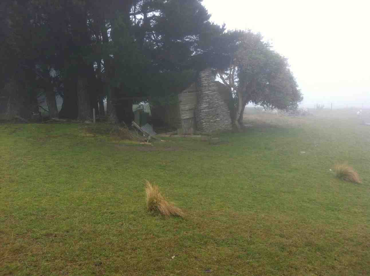
A hut ruin on the route. The fog was round us all the way. But it was dry! A fog, not a mist, as one of us distinguished.
An pic of interest on the way.
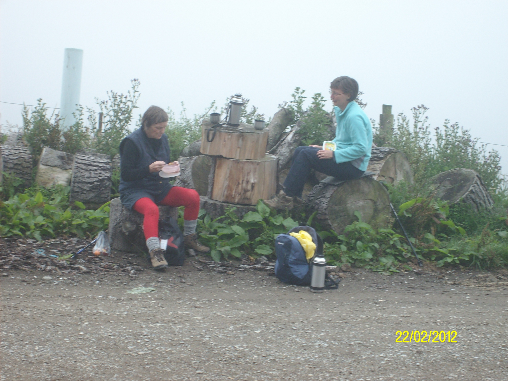
Lunch across from one of the Bendoran huts. (Ken pic)
Lunch in lee of the hut. (Ken pic)
We walked on beyond the huts on the track we should have originally started on, for a further km, but there was nothing to be seen through the fog which accompanied us all the way, except for only one brief respite. We then retraced our steps to the cars. About 14 km walked that day. – Ian
7. 30/1/2013 Trampers. Lamb Hill to three o’clock creek. Old Stone Hut. Orbells Cave. Medium+.
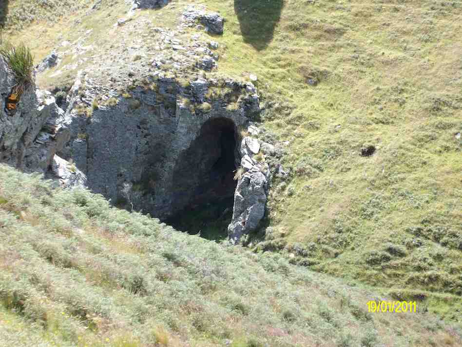
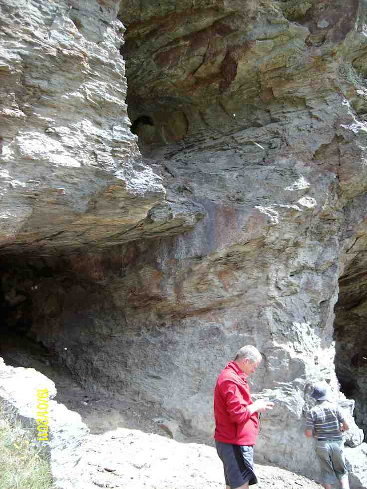
Lunch at the old hut.Orbells Cave from the track.Running repairs before we start the real climb back out
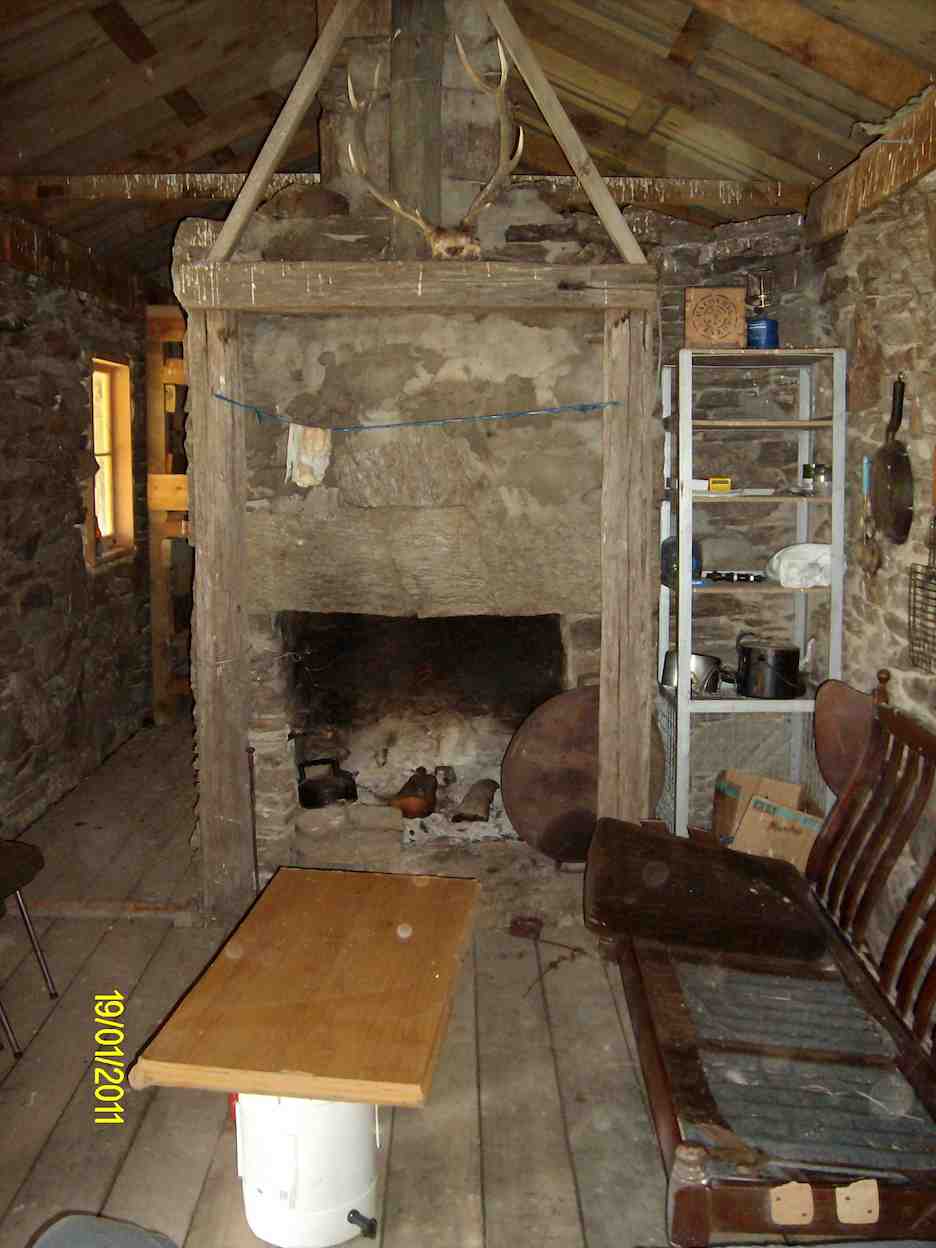
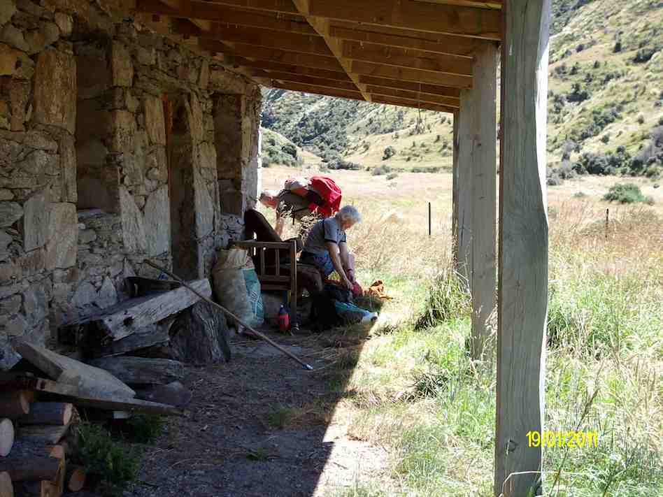
6. 19/1/2011. Trampers. Lamb Hill to three o’clock creek. Old Stone Hut. Orbells Cave. Medium+.
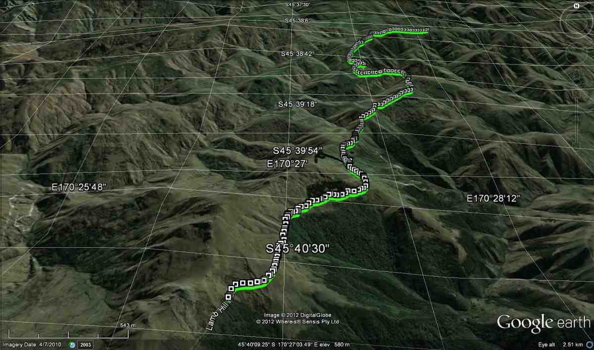
Small scale GPS of route, courtesy Ken.
If you look closly at the small scale pic, you can see the shed at the Nth. end of the airstrip, right at the bottom of the pic where the track starts. As you can see from the spacing of the GPS squares, we were still driving for a while till the squares become very close together. this is where we started to walk from. You can also see the track going off to the left of the airstrip at it’s south end, going down to the ford where the track peters out, & then starts again on the other side. That is where the 2003 tramp went (see below).
Large scale GPS map of route, courtesy Ken.
The large scale pic shows the decent via the wrong ridge, we should’ve been one over to the right. Anyway, we ended up just a short distance from Orbells creek, so walked into that valley, & up to Orbells caves which is the track on the RH side of the pic.
Cute cave we found on the way down to Three O’clock Stream. (Ken pic)
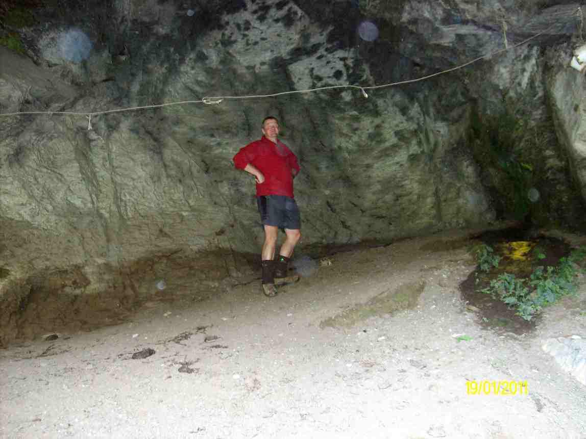
Orbells Caves. (Ken pic)
Dermot in the obviously lived-in cave. (Ken pic)
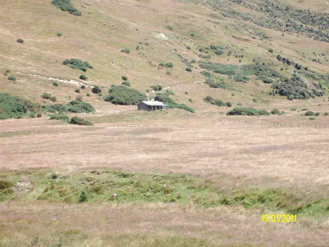
We then retraced our steps back to Three O’clock Stream, and went downstream to a crossing, where Dermot and I went to the old hut to have lunch (which is the track on the left side of the stream in the GPS pic).
Hut on the other side of Three O’clock Stream. (Ken pic)
Relaxation area of the hut. (Ken pic)
Then after walking across the river flats, we struggled up the very steep hills back to the cars.
The weather was fine, but VERY windy, and I nearly lost my footing a couple of times coming back up the steepest parts. BTW, the hut is not on Lambhill Station, it’s on the neighbours property.
Everybody did very well, including George, who didn’t go to the caves, along with Hazel. They just went over to the hut to have lunch there.
Hazel packing prior to leaving. (Ken pic)
George got a dose of cramp on the way back up the hills, but managed to overcome it ok, and carry on. – Ken.
5. 21/5/2006 Lamb Hill to three o’clock creek. Old Stone Hut. Orbells Cave. Medium+.Leaders: George, Keith, Glenice, Hazel
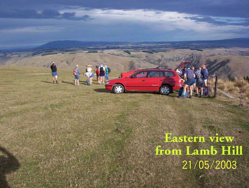
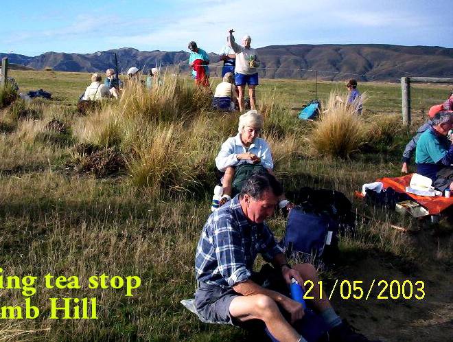
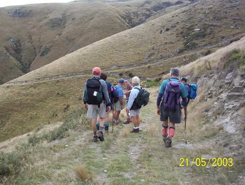
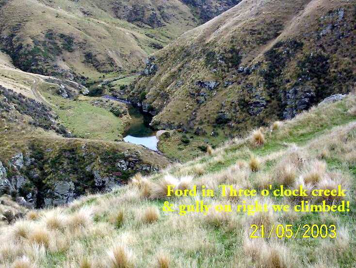
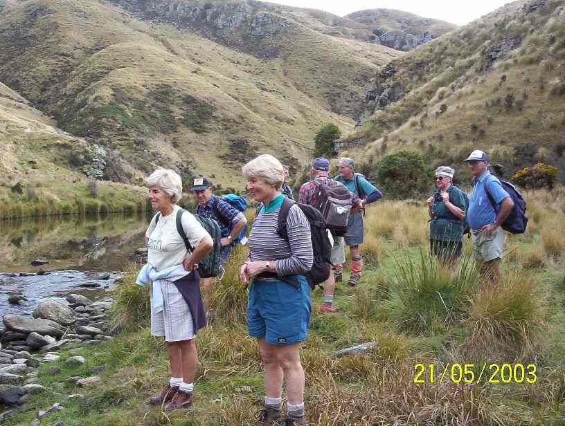
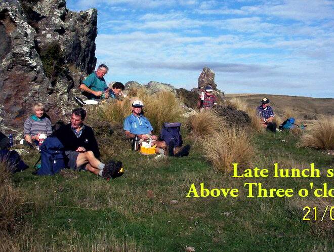
4. 21/5/2003. Both. Lamb Hill to Three O.clock Creek. Medium. Leaders: Wendy B, Bob H, Nancy & Molly
View when we first arrived.
Morning tea break.
Descent to creek
Three O’clock Creek
At creek ford.
Lunch at top of climb. Pat, Lex, Doug J, Evelyn, Doug M, Bob, Arthur.
3. 17/5/2000 Lamb Hill, Three O’Clock Creek. Leaders: Wendy, Colleen, George
2. 15/4/1998. 3 O’Clock Creek, Lamb Hill. Leaders: Nancy, Wendy B
1. 8/11/1989 Lamb Hill to Three O’Clock Creek and old stone hut. Harder grade. George, Mary M, Molly, Catherine
The stone-walled house was burnt out by a bushfire in 1914 after the McKessar family had left the district and the farm had been taken over by a neighbour.
George and Emma (Driver) McKessar had lived and farmed there. George was born in 1836 and Emma in 1853 and they had six children. Emma was a child of Richard and Elizabeth (Robertson) Driver. Richard was the first official pilot for Otago Harbour, and she had been born at the pilot house at Taiaroa Head. She died at Purakanui at 47 in 1900 and George at 75 in 1912. – edited from research by Clive Crossman on various websites.
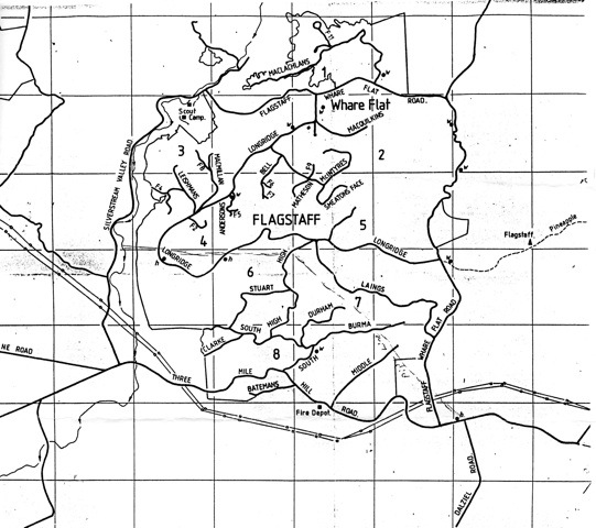
Park at Three Mile Hill lookout, or Bullring or Pottery, Whare Flat. Permit from City Forest, Dunedin 455 5512.
Map of all Roads
click to enlarge
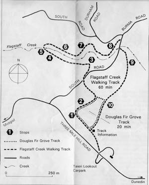
Map of lower tracks/roads
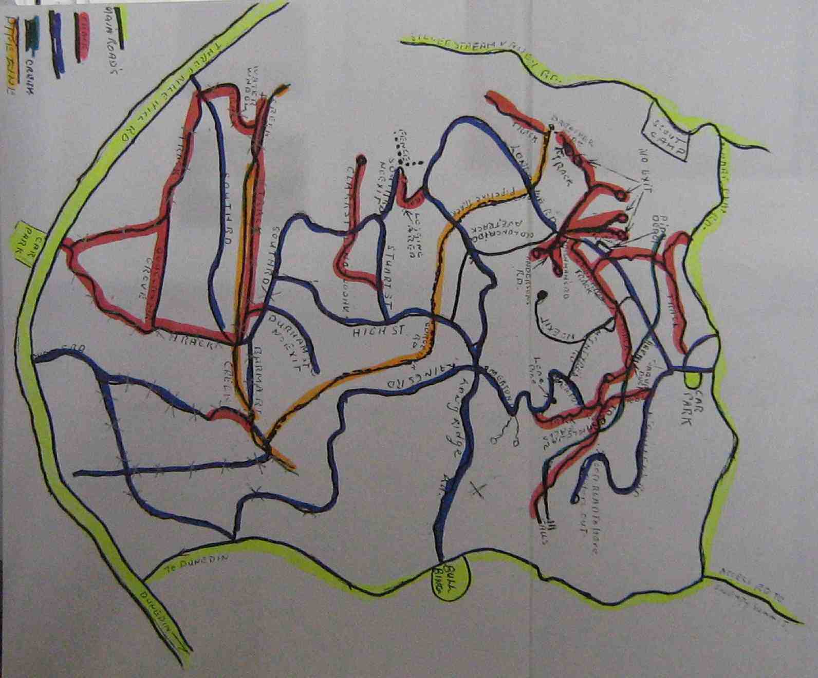
Jack Roy’s Map of Flagstaff Forest roads/tracks
21. 8/11/2017. Hikers. Flagstaff Forest. Stuart and High Streets. M. Leader: Adrienne.
Route map, courtesy Ian.
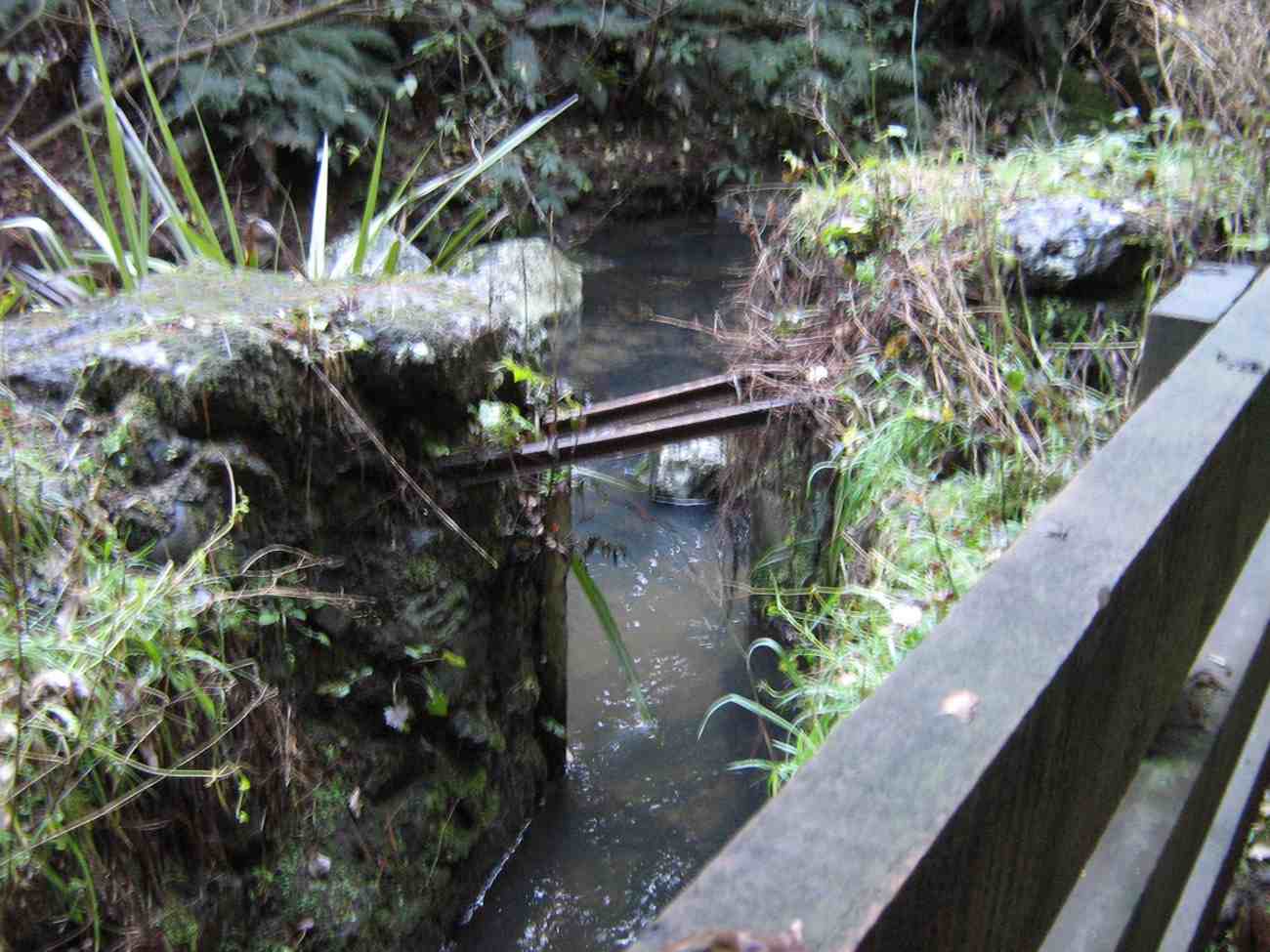
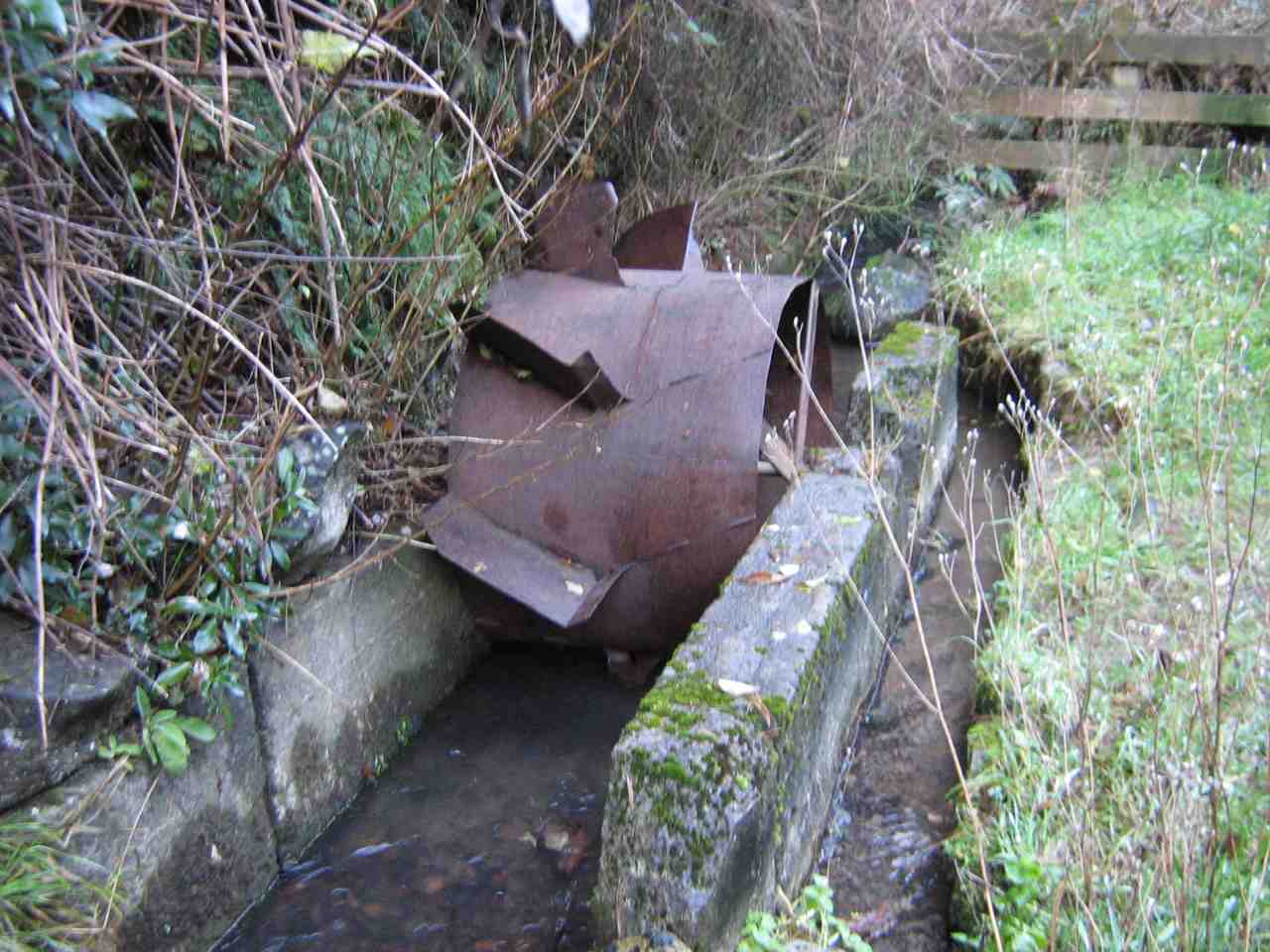
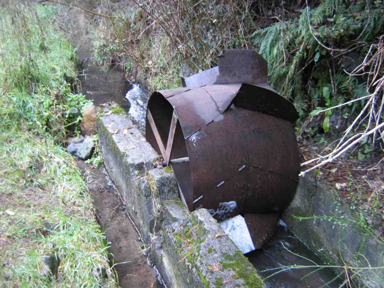
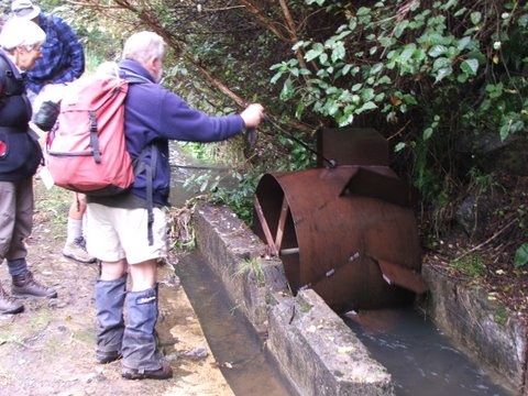
A dozen Hikers set out from the Taieri Lookout Car Park, crossed the Three Mile Hill Road and turned down the Flagstaff Creek walking track, crossed south road and descended the occasionally steep recently well-stepped track to the weir and the old, well-rusted flow wheel,
Can you detect it? Try enlarging.
now almost completely obscured by undergrowth where we had morning tea. The closed wooden bridge across Flagstaff Creek being now blocked off with its access track fully obscured by undergrowth, we had to climb back up to South Road the way we had come down, and follow the road around, past Durham and High Streets to climb the unsigned (where’s it got to?) Stuart Street to where it joined up with High Street. Sheltered hitherto for most of the tramp from a strong cold wind, we found ourselves now well exposed to it. We went up High Street a little way and turned up a track labelled Tank Surge Road <?> to the partial shelter of its narrow tank for lunch. Then, it was back down High Street and along South road to where it crosses Flagstaff creek by the piped concrete bridge, and up the Douglas Fir Grove track leading across to the car park again.
Although the cold wind back at the Bush Road car park had been a bit discouraging, we all agreed at the end it had been a most enjoyable energetic day out, pleasantly completed with companionable coffee at the Aurora. With co-leader Bev laid aside through illness, (and the locator beacon still in her car boot!) Adrienne did a text-book perfect leadership job, faultlessly grouping us at each fork in the route. Thanks, Adrienne. – Ian.
20. 14/10/2015. Hikers. Flagstaff Forest. Stuart and High Streets. Leaders: Lesley and Bev.
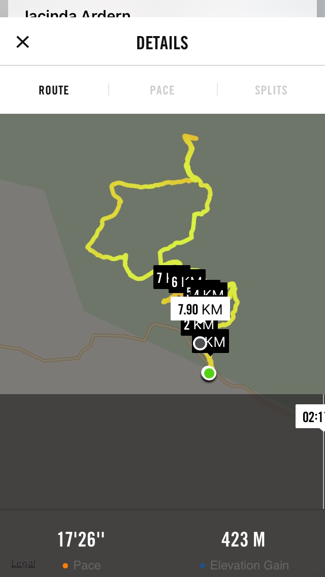
GPS of the route
Nineteen hikers parked at the Lookout. Lesley led us in at the upper entrance and down the track to South Rd. Then along South Rd …
A study in ‘verticality’What appears to be a chipper – (saw-duster?) for transforming forestry rubbish into pellet fire product, perhaps.
… to the foot of Stuart St whose road sign at its foot is now unhelpfully missing. Up Stuart St which gets only steeper each time we tackle it, but now cleared of all trees on either side. Where Stuart St ends at High St, the leaders took eight of the party down High St, entrusting the balance of eleven to the leadership of Keith to take them up High St to lunch at its end at Longridge. The two parties met again on South Road where it crosses Flagstaff Stream and returned to the cars via the large steep steps taking them up along the Douglas Fir Grove track. – Ian.
19. 17/7/2013. Hikers. Flagstaff Forest. Leaders: Les and Margaret.
Wed. saw us park up at the lookout at three mile hill road.
We walked into the forest and around a few of the roads like High St, Stuart St, etc.
It turned out a great day with lots of sun between the trees.
the douglas firs are so TALL in the forest I wonder if they will mill them.
It was very sunny at the lunch stop. Fred supplied the usual chocs so all was well for us all.
We made our way back up some huge steps {made by a Big Man?}
There are a lot of felled trees in there and I wonder what they are going to do with it all.
With so many families crying out for wood and the price it is… and here is all this wood just rotting away. – Elaine.
GPS of route, courtesy Ken. Unaccountable lapse in record. Deduce omitted route yourself!
A pic from earlier in the tramp before we got to the top.
Fast melting snow on route back down from top.
17. 28/4/2010. Hikers. Flagstaff Forest walk. Leaders: Bruce and Marjorie.
Thirteen hikers parked at the Taieri lookout and set off on the bush track opposite which was a very pleasant walk. Although it had rained, pine needles made a soft dry carpet. The variety of trees and bird calls, including rosellas, provided interest and we admired the tall straight trunks of the giant trees.
We had morning tea and lunch at the same spot by the Flagstaff stream but between we did a circular walk around forestry roads. These provided us with good walking underfoot and although it was quite a grind up Stuart Street we all managed it with ease by taking our time and stopping to admire the view of the Taieri Plains and Saddle Hill. After lunch we completed the bush walk back to the cars.
It was quite a short walk, although no-one took up the offer to go round again. Another time a further circle could be added on at the top of Stuart Street. The weather was ideal with not a breath of wind and mild temperatures. – Marjorie
16. 1/7/2009 Both Hikers and Trampers. Flagstaff Forest. South Rd, High St, Laings, High St, Stuart St, South Rd. Leaders: Neil, Ria
It was a good day for 20 members of the club from both groups. We entered the forest from opposite the Taieri Lookout car-park and made our way down to where the track comes out at South Road. We followed this around to turn up High Street, but before doing this we stopped for
our morning tea break in a rare sunny spot. click to enlarge
Morning Tea on South Road. Lex, Bob, Who? Wendy, Who? Neil, Ria, Peter, Mollie, Pat, Bill, Bev, Evelyn, Angela.
We made our slow way up, up, up High Street, stopping for frequent rests to eventually reach Long Ridge Road only to immediately turn back off it to travel along Laing Road until Ria judged it time to stop for lunch.
Returning back we enjoyed great views of the Taieri Plain,
Taieri Plain
turned back down High Street and then off to the right and down Stuart Street. When it reached South Road, we turned left, passing the foot of High Street to reach the bridge/culvert over Flagstaff Creek. Here we turned down the Flagstaff Creek Walking Track to at last cross the Creek on a fine wooden bridge to reach a water race
Race EntranceWeir, water-race entrance and Overflow
containing an old water meter wheel stiffened up with age and rust.
‘Up-race’ of Water Meter‘Down-race’ of Water Meter
Back up the track a bit we turned up to the right to climb a many-stepped track up to cross South Road and back up the initial track to the car park again. Thanks, Ria and Neil for a most enjoyable, if wrapped-up, winter’s day out. – Ian
15. 25/2/2009 Trampers. Three Mile Hill Lookout. Flagstaff forest walk, Three Mile Hill. Round trip. Lookout, South Rd, High St, Longridge Rd, Whare Flat Rd, Laings Rd, High St, South Rd. Leaders: Ria, Hazel.
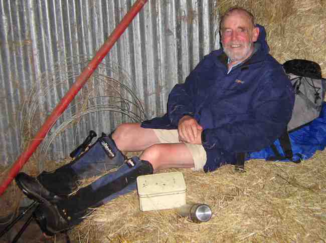
The misty overcast day left ground wet and muddy underfoot and ruled out the planned tramp on Swampy. So Ria had sought permission for the six of us to walk the Flagstaff Forestry roads. It was a good work-out, extended by a climb from the Bullring to near Flagstaff summit to fill in time before lunching in the welcome shelter of Ria’s daughter Ingrid’s property’s haybarn down Whare Flat Road.
Lunch in Ingrid’s haybarn. IanLunch in daughter Ingrid’s haybarn. RiaLunch in Ingrid’s haybarn. Hazel, GleniceLunch in Ingrid’s haybarn. Bill, Pat
Then it was back up Whare Flat Road to Laings Road and so back to the Lookout where we had parked the cars. Thanks to Ria and Hazel for a good alternative tramp.
14. 20/9/2006. Hikers. Three Mile Hill area. Easy. Leaders: Jean, Anne R, Eleanor B.
13. 30/3/2005.DCC Forestry Walk.
Water wheel
12. 11/9/2002. Alt. Three Mile Hill. Leaders: Les W, Mary M, Peg C
11. 27/6/2001 Three Mile Hill. Leaders: Daphne, Eleanor, Mavis
10. 25/4/2001. Three Mile Hill. Leaders: Daphne, Peg C, Mary M.
9. 19/7/2000. D.C.C. Forestry Circuit. Leaders: Shirley R, Arthur and Barbara.
8. 18/8/1999. DCC Forestry Walk. 3 Mile Hill. Leaders: Margaret D, Winifred, Joan H.
Nine trampers left the car park and after delivering one vehicle to the tramp end,we left the car park at Semple road at 9.50am.
We made good progress on an times slippery and steepish track and stopped for smoko at 10:15.
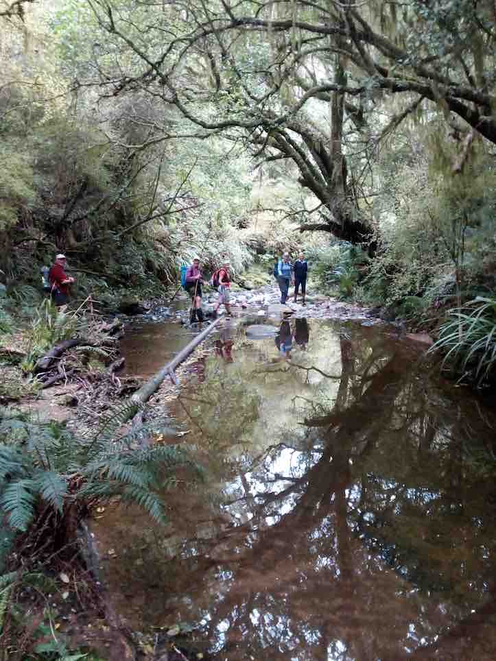
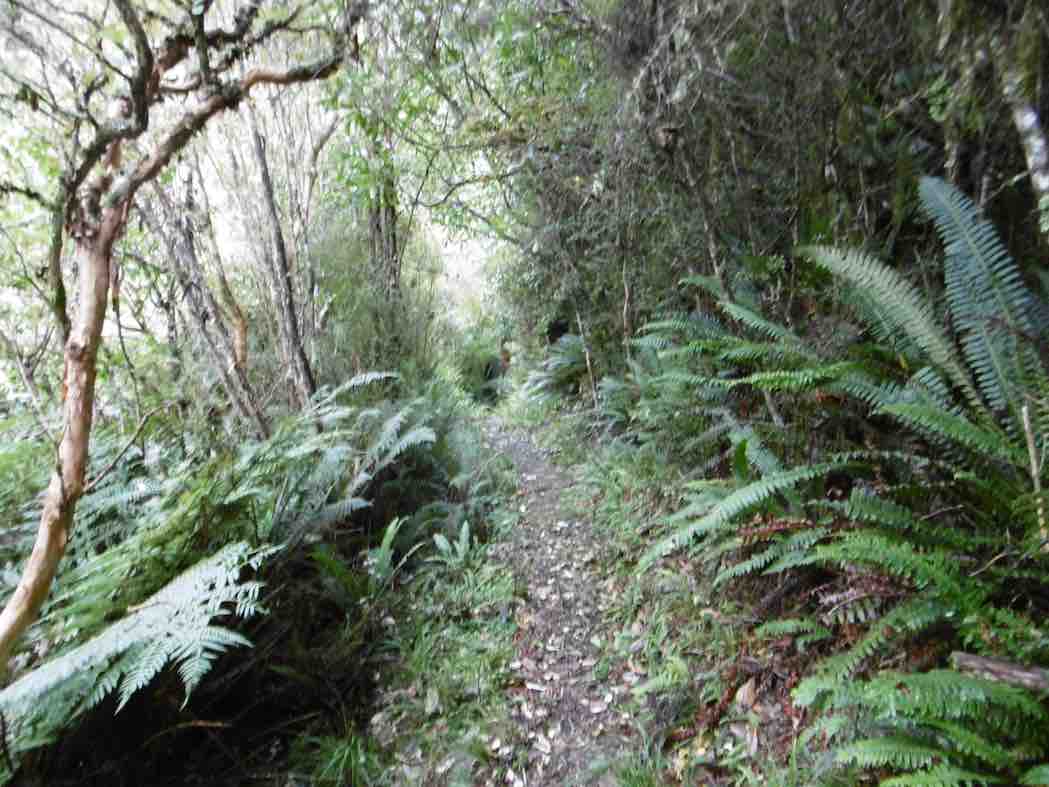
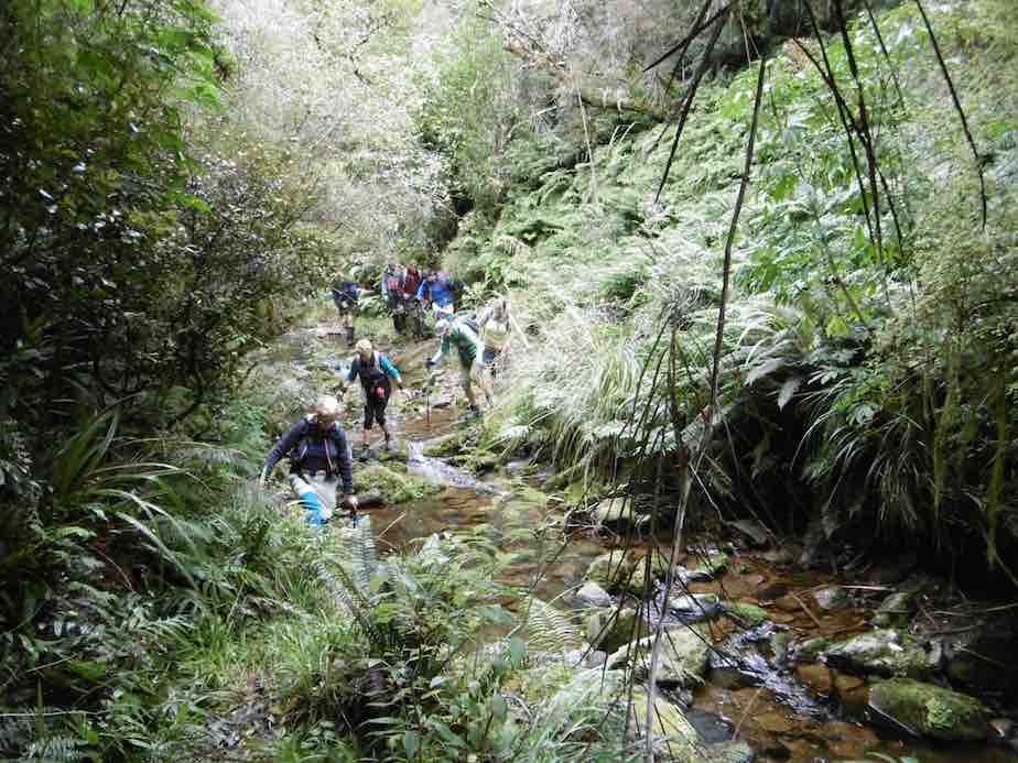
As we followed the old pipe line down, the creek crossings became more frequent…
River crossing. (Helen pic and caption.)
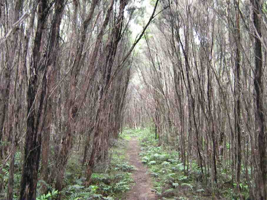
…and the track more muddy.
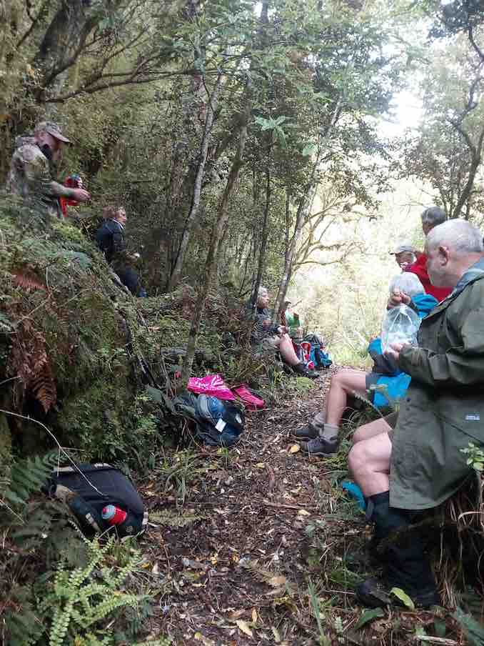
Lunch was had at 12:15…
Lunch. (Helen pic and caption.)
…and soon after the rain began, so it was on with the coats.
The hairy goat and his kids. (Helen pic and caption.)
Every one was quite wet by the time we got to Evansdale Glen but it was a good tramp and a great coffee at Blueskin cafe.
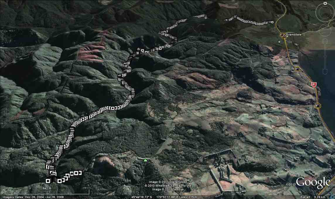
Distance Semple Rd car park to Evansdale walk bridge 11.6 km – Keith
7. 16/3/2016. Trampers. Black Gully Dam, Careys Creek, Evansdale. Leader: ?
On a day that didn’t promise much weather wise, we had 9 trampers on the Careys Creek tramp. For a change, the women outnumbered the men as well !!!
After doing the car shuttle thing, & having morning tea,
1 Packing up after morning tea (Ken pic and caption)
we all met up not far down valley from the Black Gully Dam,
2 Black Gully dam (Ken pic and caption)3 Black Gully dam (Ken pic and caption)
& continued on at a leisurely pace,
4 track (Ken pic and caption)
being careful of the quite slippery conditions.
The many creek crossings …
5 Crossing the creek (Ken pic and caption)6 An easy crossing (Ken pic and caption)
… were also treated with great care, as the boulders were mostly treacherous to stand on. It was pleasing to see the new much larger orange triangle track signs that have been installed along the places where it is necessary to walk the riverbed.
We had lunch alongside the creek at a suitable place, & then continued on downstream, where we met up with a quite a large group of Kings High School boys with two supervisors. They were making a lot of noise, & could be heard from some distance away. We spent the rest of the trip mixing with these boys, as they would race ahead, then stop to pick Blackberries, which they were going to make into a Blackberry Pie later that night.
We had some of our group who had not done this tramp before, & all agreed that it was a good day, which most of us finished off with a coffee & chat at Waitati.Walked 11.7km
3.6km/h
3h 13mins
climbed 173m – Ken.
6. 1/10/2014. Trampers. Black Gully Dam, Careys Creek, Evansdale.
Careys Creek track was the destination for this tramp, & 6 trampers turned up for the day out. We drove to Evansdale, & left one car there, & then drove up to the top of the track at Black Gully Dam track. Morning tea was taken at the wooden seat part way down this track just before the steep steps leading down to the creek. The dam was inspected, along with the old hut that is situated there, & then we made our way downstream over the many slippery creek crossings to a late lunch spot, not far from the signposted junction of Rongomai track. We then made our way back out to Evansdale Glen via the ‘new’ track, where two of us left the others to have a spell, & a look around the area, while we went & retrieved the two cars, so we could ferry everybody back to town. Once again, this tramp had not been done by some, & for others it had been a long time [many years] since they had been there, so even although most got wet, or damp feet, it was enjoyed by all, & the weather was brilliant !
We walked 10.8km
2h 45m moving time
ave 3.9km/h
climbed 163m – Ken.
5. 18/9/2013. Trampers. Black Gully Dam, Careys Creek, Evansdale.
Seven trampers gathered at the top of the Careys Creek track after leaving a vehicle at the Evansdale end. The descent through the bush was pleasant easy going, with a stop to view the Black Gully dam and then another in a patch of sunlight for morning tea, where George shared his birthday goodies.
The creek was low so the numerous crossings were made with dry feet, except for one member who measured her length over slippery rocks and now sports a bruised cheek and knee, not to mention scratched specs.
The party then split, with three opting for an early lunch and the rest pressing on to the Rongomai junction. Here the others caught up again, for an easy ramble out to the road. – Judy
4. 26/1/2011. Trampers. Black Gully Dam, Careys Creek, Evansdale. Ken, Ian, Sabina.
GPS of Careys Creek track route, Semple Road to Evansdale, courtesy Ken.
With two cars between only three of us we nevertheless decided to do a car shuttle between Semple Road and Evansdale and to do the entire Careys Creek track. Ground conditions were wet and slippery, which would have ruled out the steep Honeycomb track anyway.
We were reminded again of just how many and how steep the steps down to the dam were. But they are well benched-in, so not too bad.
One of the more level parts of the track down to the Dam.
We took Sabina up to see the Dam and the slightly greater overflow didn’t auger well for the many creek-crossings and creek-wadings ahead, where the track is just the actual creek-bed. But again, things weren’t too bad.
The Dam waterfall was slightly heavier than usual.
Along the way we met up with several small groups of the Green Hut Track Group. They have almost completed clearing the entire track. Bravo! We were delighted to find several areas modified. These were where difficult parts of the track had, where occasion warranted, been either better benched, stepped or even completely re-routed. Again, bravo!
And then, just past the foot of the Rongomai, behold, a track now mown where at all possible, all the way down to Evansdale Glen.
An example of the mown track nearer Evansdale.
This had been the first time the club has done the entire 10 km of creek in a long time. And it felt good. – Ian
3. 31/12/2009. Holiday tramp. Black Gully Dam, down Careys Creek some distance and back. 4 hours. Ian, Ken, George.
The weather forecast had promised a fine day but it turned out overcast. Rain on the previous wet day had left the track muddy and slippery necessitating great care not to slip. Exposed parts of the track produced lush rank grass and buttercups, and rain during the day left steep grassy slopes extremely slippery. The track is well-cleared for a considerable distance but from near its highest point and onwards, it was much more heavily overgrown than when we did the recce. First of all, of course, we climbed the track to the old Seacliff dam.
Looking across dam. Ken, George.
Dam and overflow.
Peering through foliage to determine extent of dam pond.
Then it was down the Careys Creek old pipe-maintenance track. As mentioned above, this part was well cleared.
Track down Careys Creek. George, Ken.
Of course there were very many stream crossings, some entailing a walk quite a distance down the creek before entering the track again. These were well-marked with indicators suspended from branches overhanging the stream-bed.
One of many stream crossings. George, Ken
There was a restriction on time as George had belatedly discovered he had to be back home mid-afternoon, so although we managed a short-notice early 8.15 a.m. setting out, we were unable to make the full distance down to the Honeycomb Track turn-off before having to turn back. A memorable part of the tramp was a (unnoticed at the time but decidedly stinging later on and into the night) brush with some concealed onga-onga, Ken on his left wrist, George on a finger and Ian on his right knee. But all in all, a very enjoyable way to finish the old year off. – Ian
2. 5/12/2009. Recce of Black Gully Dam, Careys Creek, Honeycomb, returned Mountain Road, Semple Road. 5.5 hours. Ian, Keith, Glenis.
Track is well-cleared for most of its length.
The road-walk back is about 8 km.
1. 19/10/1994 Evansdale, Black Gully Dam/Seacliff Dam, Double Hill. Medium. Leaders: Ria L, Marie F, Jack R, Bob H
3. 20/9/2017. Hikers. Portsmouth Drive to Marina. E. Leaders: Judy and Dorothy.
Twelve harbour strollers, went to Andy Bay.
We parked beside the inlet – it was a windy day.
Along the Portsmouth Drive we went, trudging in a row.
We passed the harbour molars, and onward we did go.
A sunny sheltered spot was found, and morning tea was had,
Relaxing in the sunshine, it wasn’t half too bad.
Then on we went, around the wharves, and round the harbour basin –
We found that walking in the wind, was really somewhat bracin’.
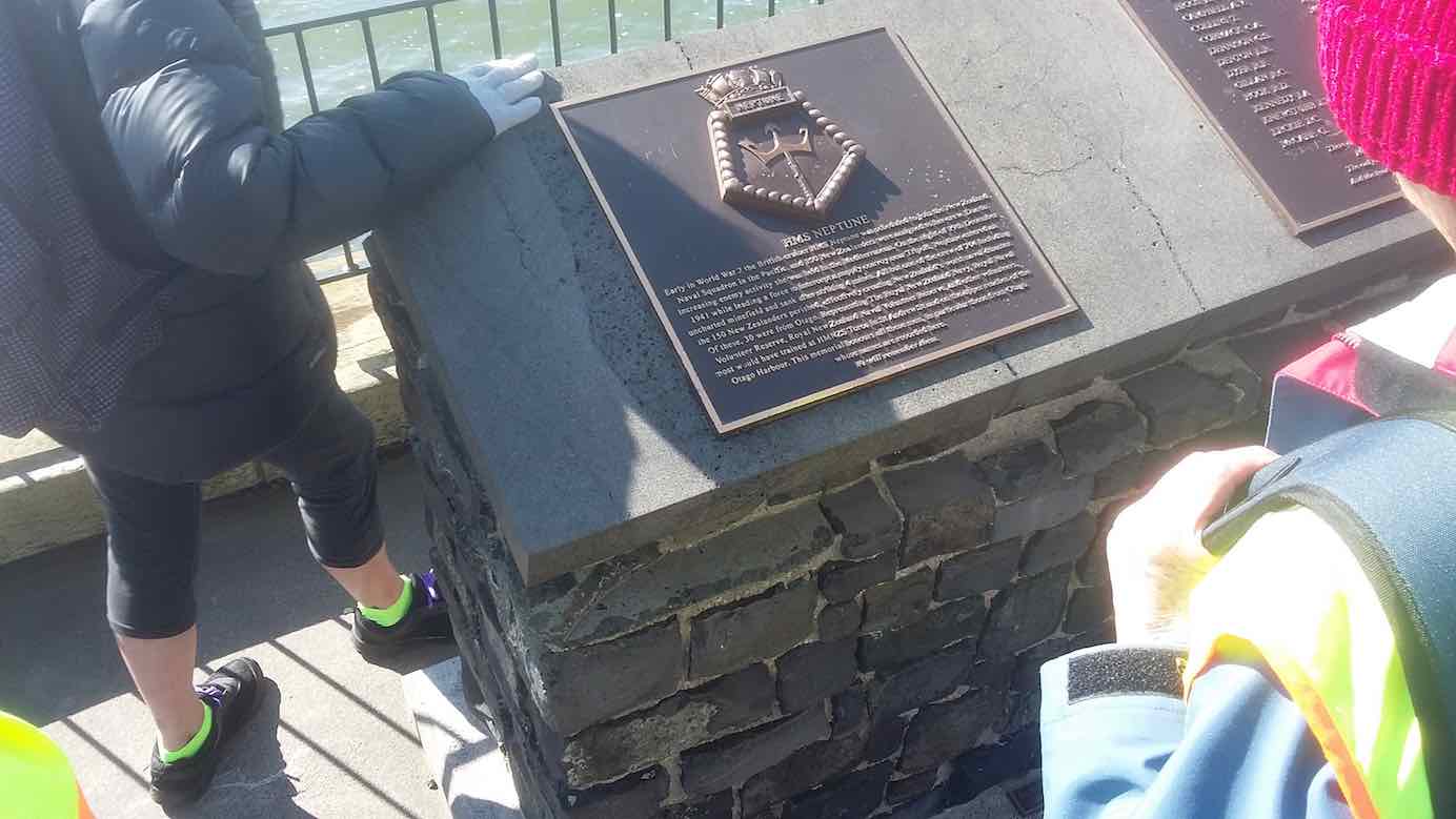
We viewed the plaque in memory of “Neptune”, sunk in war.
She hit a minefield in the Med, and then she was no more.
We passed the Neptune memorial at the wharf and some members were able to point to the names of loved ones who were involved in this tragedy. (Clive pic and caption.)
On we went and onwards, across the Leith we strode,
Then Clive led us along the groyne, to where the water flowed.
We took a walk out on the groyne at the boat harbour and nearly got blown away in the 20 knot winds. (Clive pic and caption.)
Back around the boat harbour, some picnic tables found,
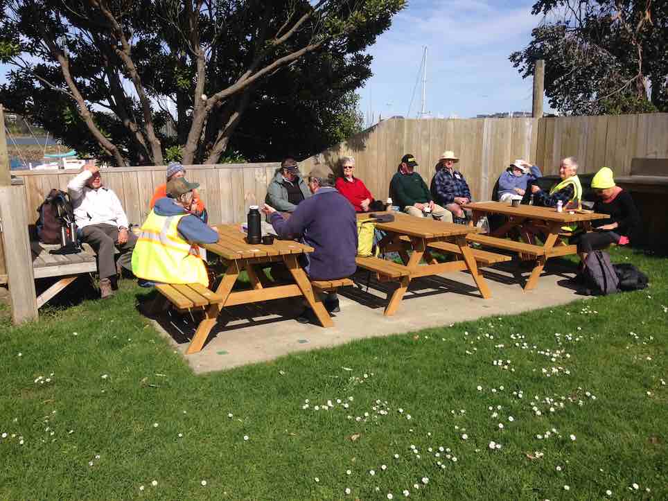
For lunch and chatter in the sun, then homeward we were bound.
Lunch outside the Yachting Club. (Raewyn pic and caption.)
A cracking pace was soon set up, the wind was at our backs.
Perhaps the increase in our pace, was due to lighter packs?
We viewed a lot of logging trucks, a queue a mile long –
Sending all those logs away, we feel it is quite wrong.
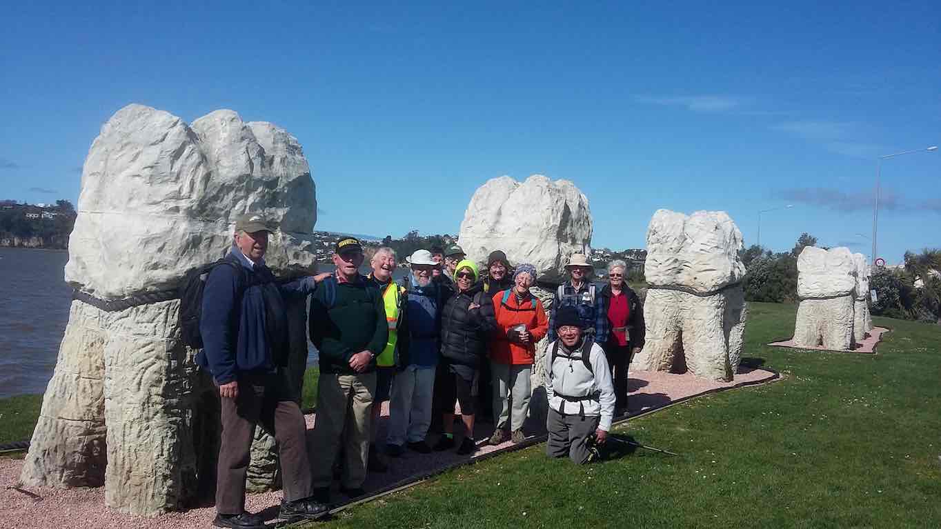
A photo stop was taken, beside the harbour molars –
And so we coined the title, “The Mosgiel Harbour Strollers.”
The Molar strollers. (Clive pic and caption.)
The cars in view, we stepped it out and headed fast for home.
A coffee stop at Blackstone – and then I wrote this “pome”….
(Well, try to find a better rhyme!) – Judy.
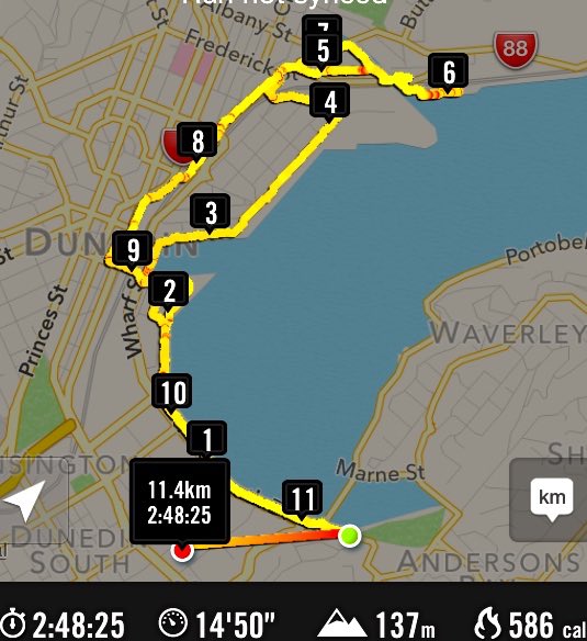
Stats for the day: 11.7 kms; 3 hours and 4 minutes walking time; 480 calories. – Clive.
2. 14/1/2015. Hikers. Portsmouth Drive to Marina. E. Leaders: Peter and Wendy.
GPS of route
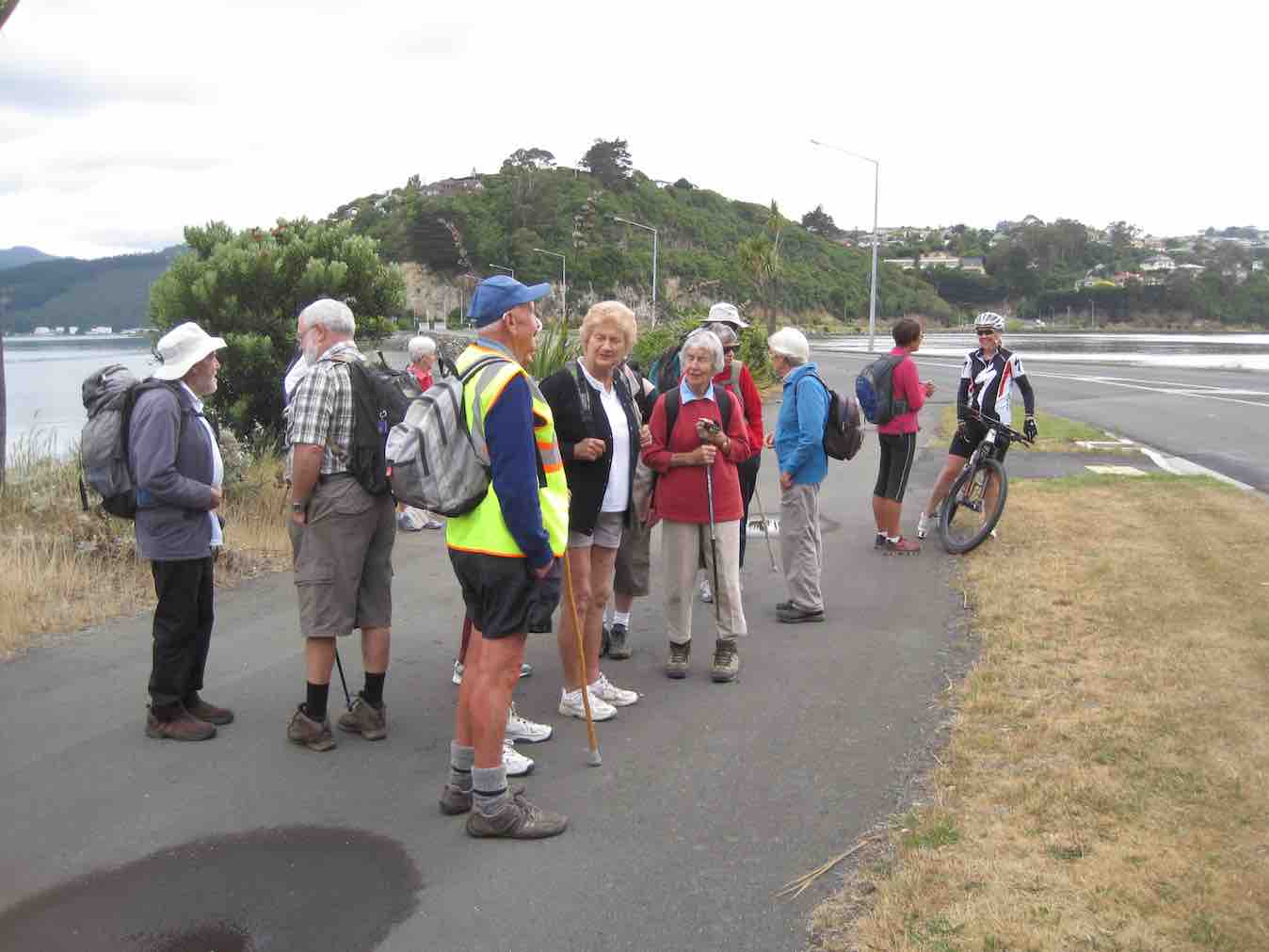
We parked in the carpark by the Bayfield High School. And 21 of us set out.
The bulk of us waiting for others investigate the doings of a suspect prowler back a the carpark and to call the police to investigate. Helen found a passing cyclist friend to chat to.
We walked along Portsmouth Drive past the molars, turned down Kitchener St, huggiing the harbour edge and stopped off for morning tea.
Sheltering from a cold wind for morning tea.
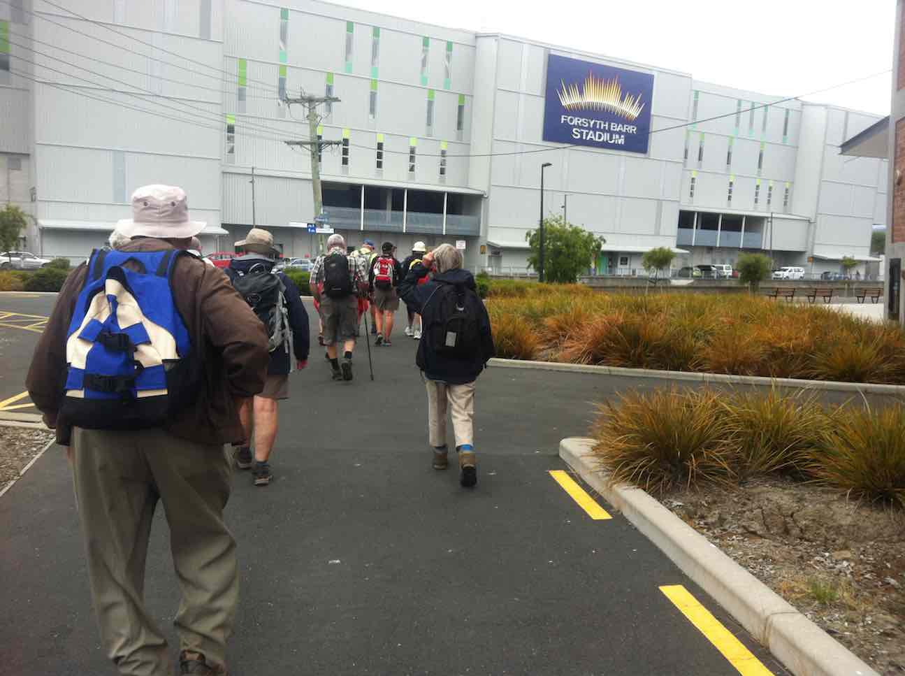
Carrying on, we turned round into Birch St, across the top of the harbour basin then down along Fryatt St almost to its end. Then it was up Wickliffe St, across the railway overbridge, briefly on Anzac Avenue, down Parry …
Skirting the Stadium.
…and Minerva Streets to cross the Leith on SH88 bridge, and on the north side to turn under the bridge and out along Magnet St to get to our lunch stop at the Marina.
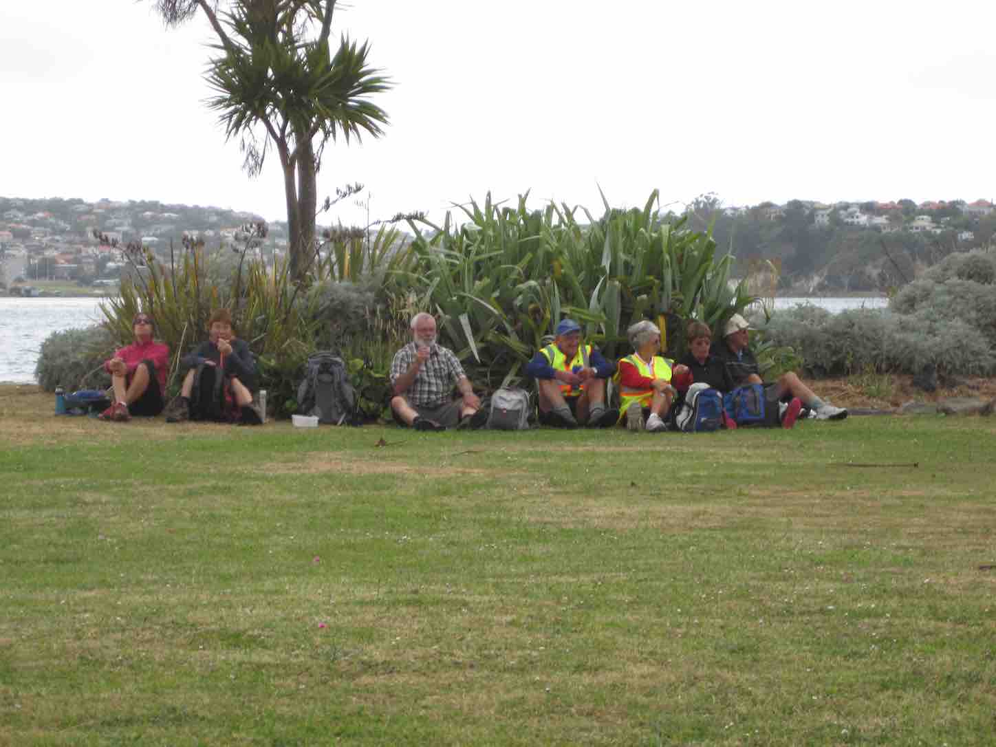
Again sheltering from a cool wind, this time for lunch.
On our return, we walked the length of Anzac avenue. Then onto the railway station platform, where Dorothy performed a most believable but all too brief strut down the catwalk. Out at the other side, on past Toitu Settlers Museum and along the grassy verge ahead where we stopped, briefly thwarted by the railway bridge overpass pathless on-ramp ahead. So it was across all four laned SH1 Cumberland St, with the assistance of the lights further back. This safely accomplished, it was Les and Peter led us up Water St, along Vogel St, back down Jetty St and onto the pedestrial spiral ramp to get us onto the bridge. Then via Birch St, Buller St and French St we rejoined Kitchener St which took us back out onto Portsmouth Dr and back to the cars. From talking to one or two others, I must say coming to the end of eleven kilometres on hard pavement had taken its toll of leg muscles, on this the first tramp after the holidays. A good walk, not too hot or windy. Thanks to Peter and Wendy for a good start to the year. – Ian.
1. 20/11/2013. Hikers. Midland St, Portsmouth Drive to Marina. Leaders: Bev and Chris.
Route
The walk was most inventive and interesting, leading us along back streets few of us had ventured on before. We parked at the bottom of Midland Street where we could cross onto Portsmouth Drive with the safety assistance of traffic lights. The laying of cable along the walkway forced us onto a less inviting traffic-coned path along the road till we returned to the walkway at the molars.
Molars. The 20 of us are almost all in the pic.
A little further on we turned down to the length of Kitchener St turning left up at its end into Birch St to join Wharf St esplanade and have morning tea on the seats, to admire the inner harbour view as well as a gentleman, lent back on a camp seat, fishing, hat over face, asleep.
A happy surprise was Lex sharing round chocolate marshmellows in anticipation of his 85th birthday the following day.
Then it was up and on again, down virtually the entire length of Fryatt St to turn left up Wickliffe Street and over the elderly railway overhead bridge, down the other side to the right, and to stop and admire (?) the special road-coned entrance/egress of Hall’s work-yard and the still-hooded traffic lights. We gingerly made it across Anzac Ave, across Frederick St, back again across Anzac Ave to join Parry St, make way across the SH88 Leith Bridge very wide pedestrian walkway, down, back, under the bridge and along Magnet St. (4 km)
and the Harbour Walkway (5 and 6 kms) to lunch at the northern end of the map in what shelter we could find from the nor-easterly wind.
We retraced our steps to the SH88 Bridge underpass, this time following the Leith bank up to Anzac Ave (7 and 8 kms)
which we followed right to the St Andrew St lights where we turned down along it to the roundabout, followed Mason St, then into Tewsley St and into Fryatt St to retrace our route alongside Wharf St (9 km), Birch St, Kitchener St and Portsmouth Drive back to the cars. 11 km in all. The harbour wind-blast along Portsmouth Drive almost blew us off our feet. Many thanks to Bev and Chris for a varied and interesting streets exploration around a corner of the harbour. – Ian.
MINUTES OF 29th ANNUAL GENERAL MEETING OF THE TAIERI RECREATIONAL TRAMPING CLUB HELD AT THE MCKERROW LOUNGE, MOSGIEL PRESBYTERIAN CHURCH ON THURSDAY, 24 AUGUST 2017 AT 1.30 PM
Prior to meeting, Scott Weatherall from Helicopter Rescue Trust gave a most interesting presentation on the scope and work of the rescue helicopters, and their liaison with Helicopters Otago. Thanked by Peter Bathgate, and presented with a donation to the trust.
PRESENT: J Knox (Chair), J Dodd, L & M Smith, L Harvey, P & W Bathgate, J Butcher, P Clough, C Crossman, P Davie, E Day, F Deans, J Dennison, J Devlin, B & J Finnie, I Fleming, L Gowans, L & A Griffin, G Haggie, B Harvey, A Heenan, C Hughes, B & P McLean, D Moir, N Morrison, K & S Munro, M Spittle, M Vaughan, E Watt, T White, T & D Stratton, N Buckley, H Morris, J Yardley (40 members)
APOLOGIES: E Cooper, D Bennett, B Mitchell, C Morrison, D Poole, J Rennell, L Donaldson, N & M Simpson, B Wright, J Hearn, S Nichol, R Keen, A Miller
Moved L Harvey, seconded J Dodd that these be accepted. Carried
MINUTES OF PREVIOUS MEETINGS
Minutes of 29th AGM dated 25/8/16 were taken as read having been previously circulated. Moved I Fleming, seconded M Vaughan that they be confirmed as a true and accurate record.
Matters arising:
Nil
CORRESPONDENCE:
Inward: Nil Outward: Nil
PRESIDENTS REPORT
President, J Knox, presented her report for the year. The club had had a good year in general, with 6 new members, and the numbers going out with the trampers had increased. The trampers are now more structured, with allocated leaders each week. The track clearing group will now operate under the umbrella of the Green Hut Track Clearing Group, who are funded.
Moved J Knox, seconded P Bathgate that the report be adopted. Carried
FINANCIAL REPORT
Financial statement for the year ended 30/6/17 was presented by the treasurer. Bank balance stands at $417.88, petty cash $4.60.
Moved J Yardley, seconded C Hughes that it be received. CarriedAuditor: Moved J Yardley, seconded J Butcher, that Keith Mackenzie continue as auditor,
provided he is available next year.
Subscriptions: Moved J Yardley, seconded B Harvey that subs remain at $5, plus $10 joining fee for new members.
ELECTION OF OFFICE BEARERS President: Jill Dodd
Vice-President: Arthur HeenanSecretary/Treasurer: Jan YardleyPast President: Judy Knox Webmaster: Ian Fleming
(Moved J Knox, seconded L Smith) (Moved B Harvey, seconded M Spittle) (Moved J Knox, seconded M Smith)
Carried.Carried Carried
Carried
Committee:
Existing committee: Liz Griffin )
Arthur Heenan ) (Moved L Smith, seconded J Devlin) Carried
Lester Harvey ) Neil Morrison )
Moved A Heenan, seconded G Haggie that Keith Munro be appointed to the committee. Carried
GENERAL:
Shirts – with the number of new members joining, incoming committee to look into ordering these Resuscitation – suggestion that a ‘do not resuscitate’ be added to pack tags. Felt this would not beadhered to, as attempts would still be made to resuscitate under emergency conditions.
Pack tags – these are still being handed out to new members
Attendance records – Pat McLean not continuing with weekly attendance register. Leave to incoming committee to sort.
2017/18 Subs – after some discussion moved A Griffin, seconded N Morrison, that these be left at $5, with $10 joining fee for new members.
There was no other business, and the meeting closed at 3 pm.
Confirmed ………………………………………..(President) Date ………………….