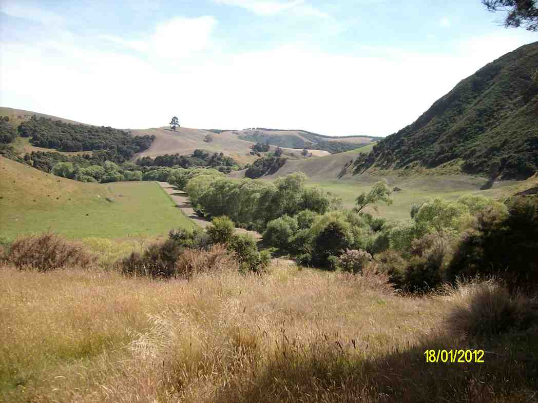
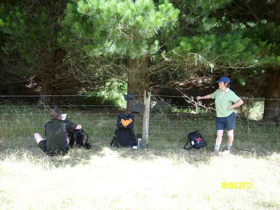
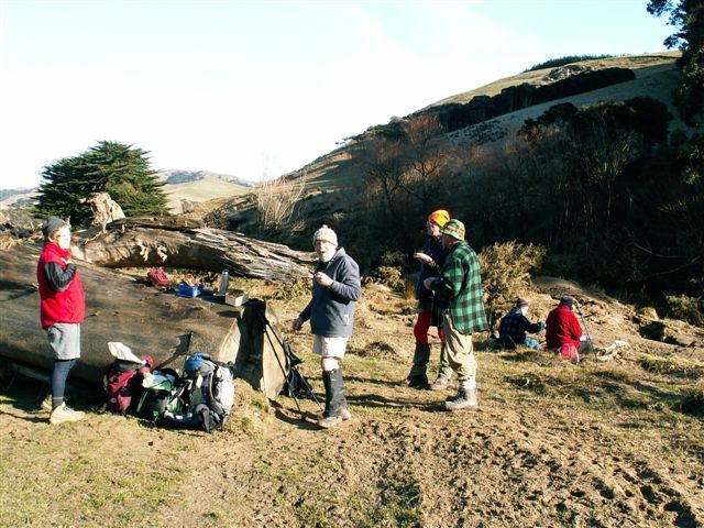
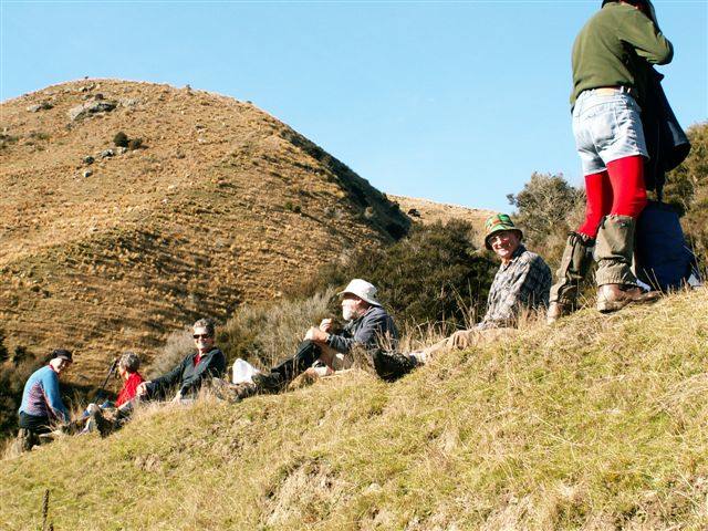
3. 10/10/2018. Trampers. Greengage Circuit. Leaders: Arthur and Gordon.
Daylight arrived with a warm norwest breeze and a bright sky – but the forecast was not good.
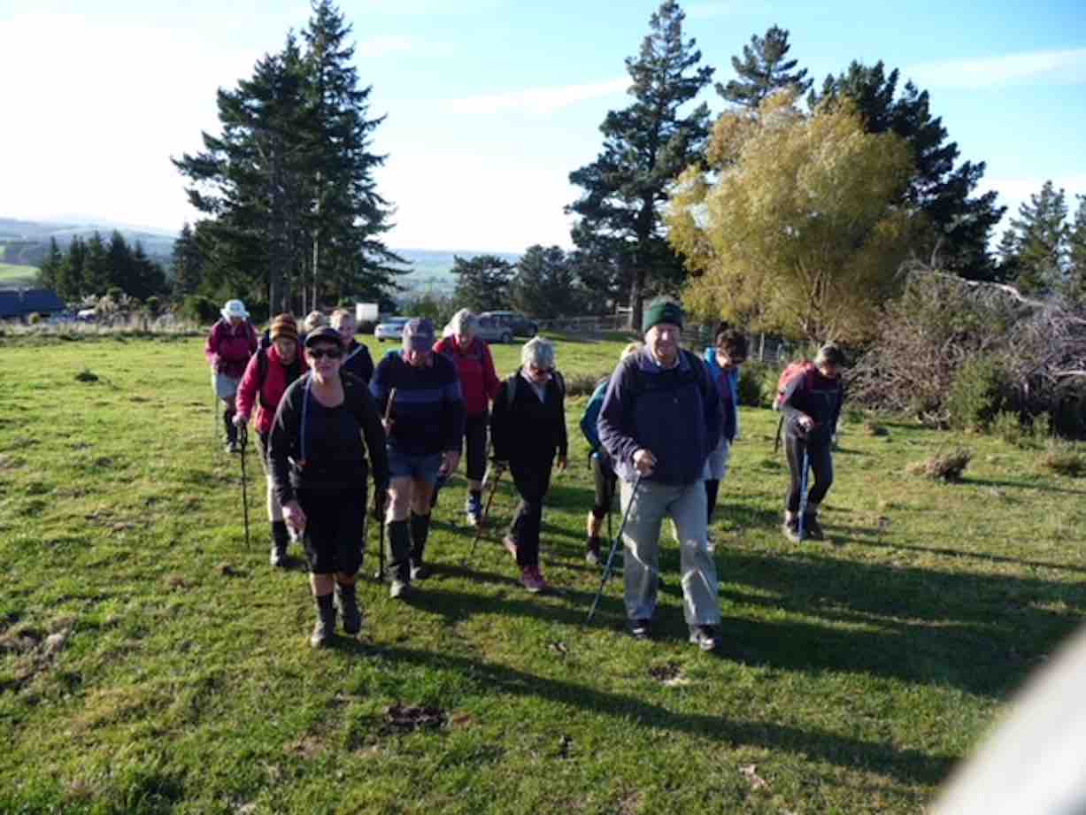
Nine energetic trampers ceparted the car park at 8.30 a.m. for an early start. Passing through the locked gate on Rollinsons Road, we parked at the ‘elbow’ and began our tramp from there.
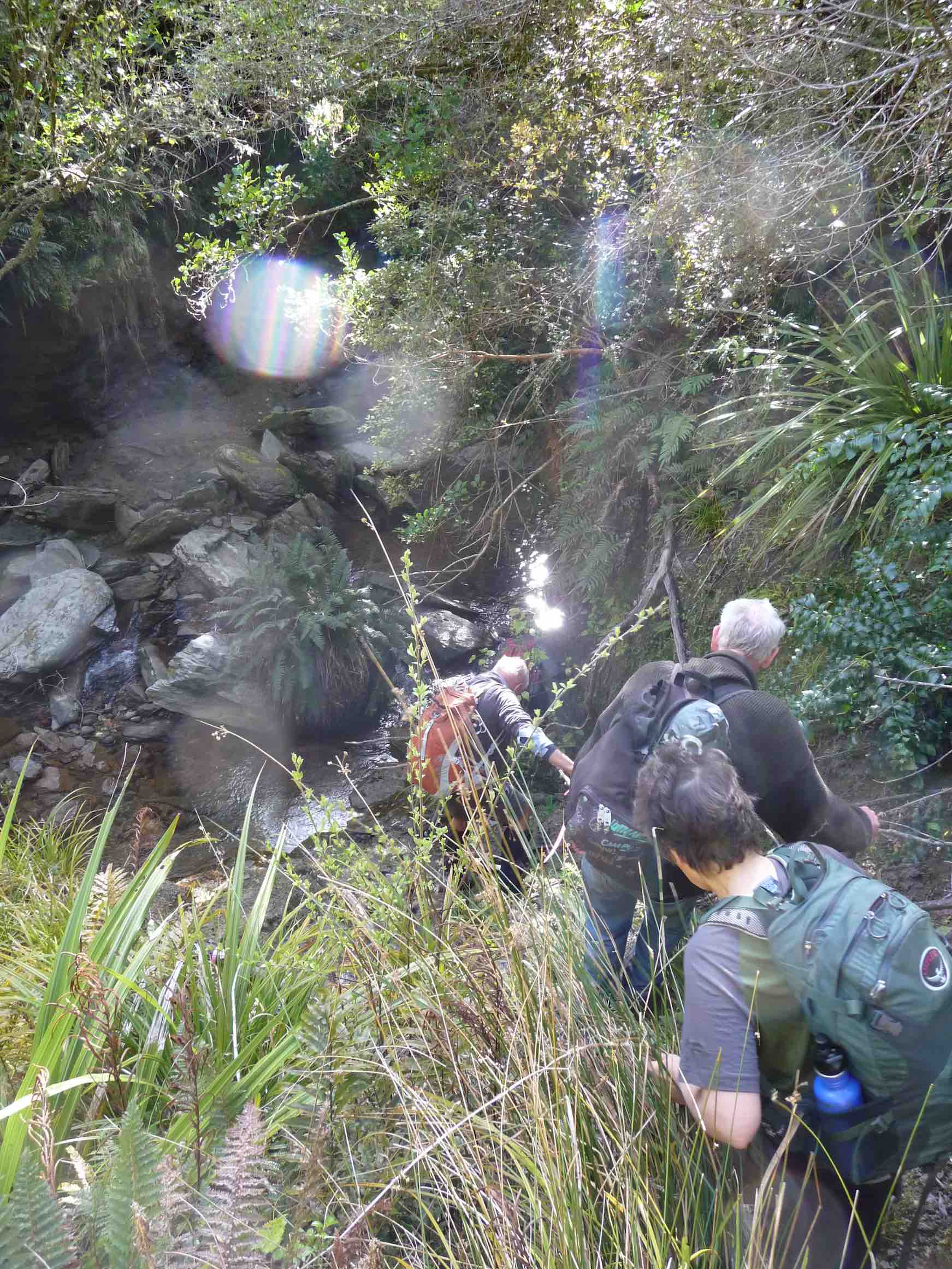
Going down the Rainguage Track for half an hour took us to the start of the Greengage Track, which we followed. Getting ever steeper took us to the stream …
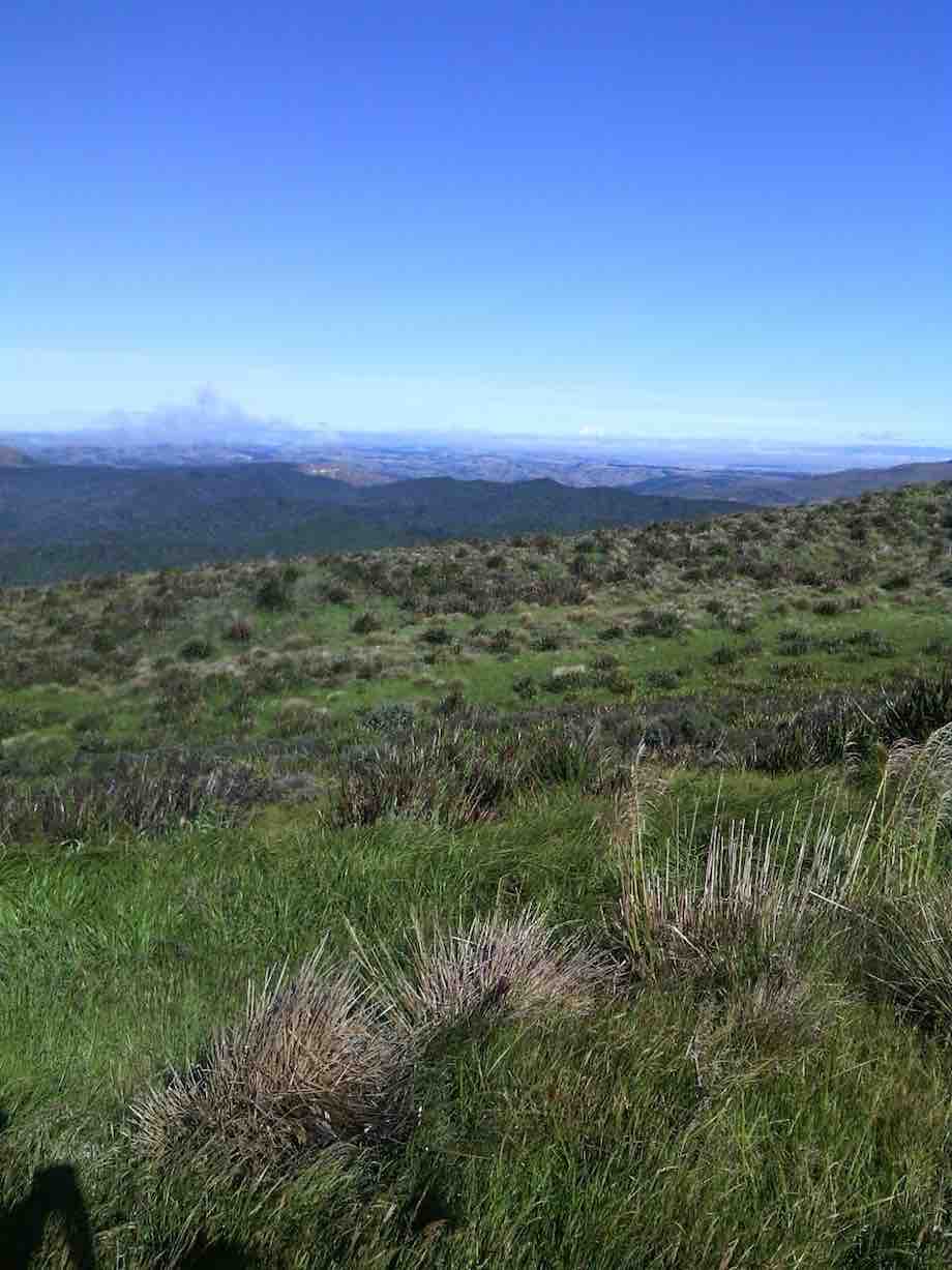
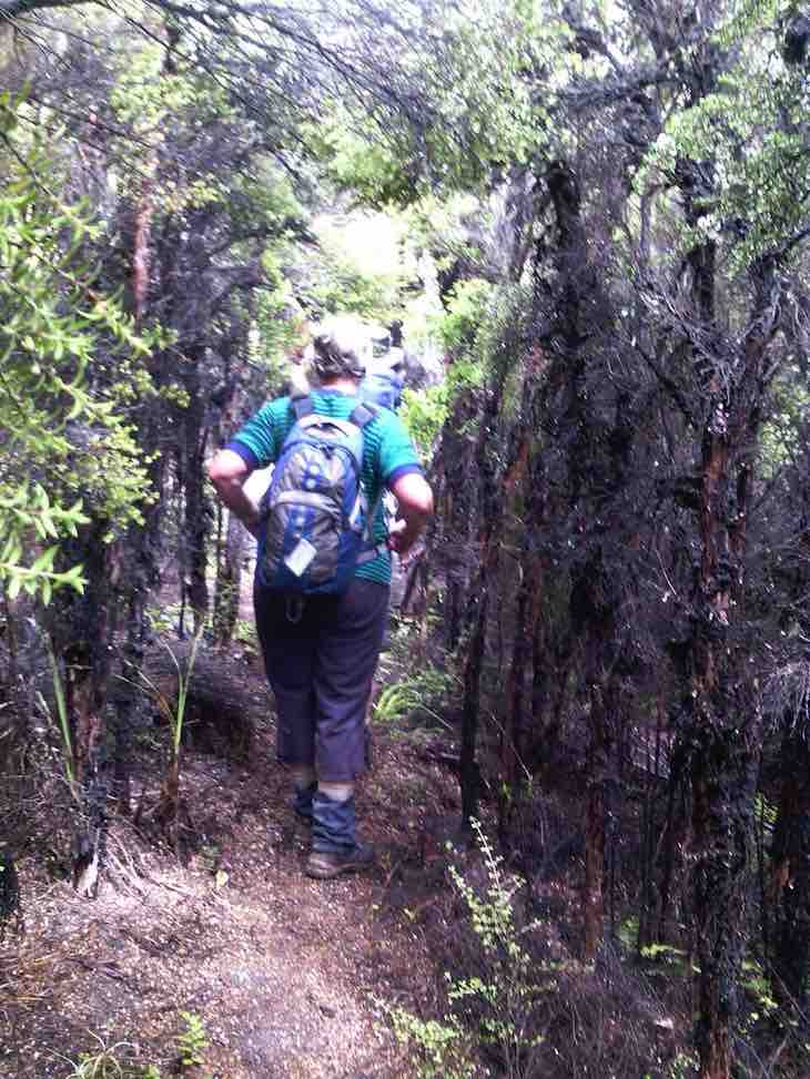
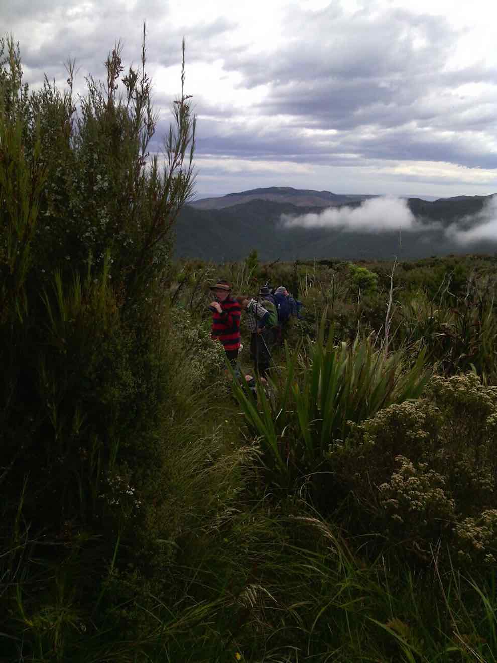
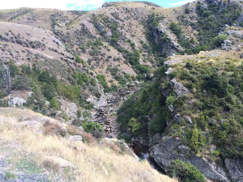
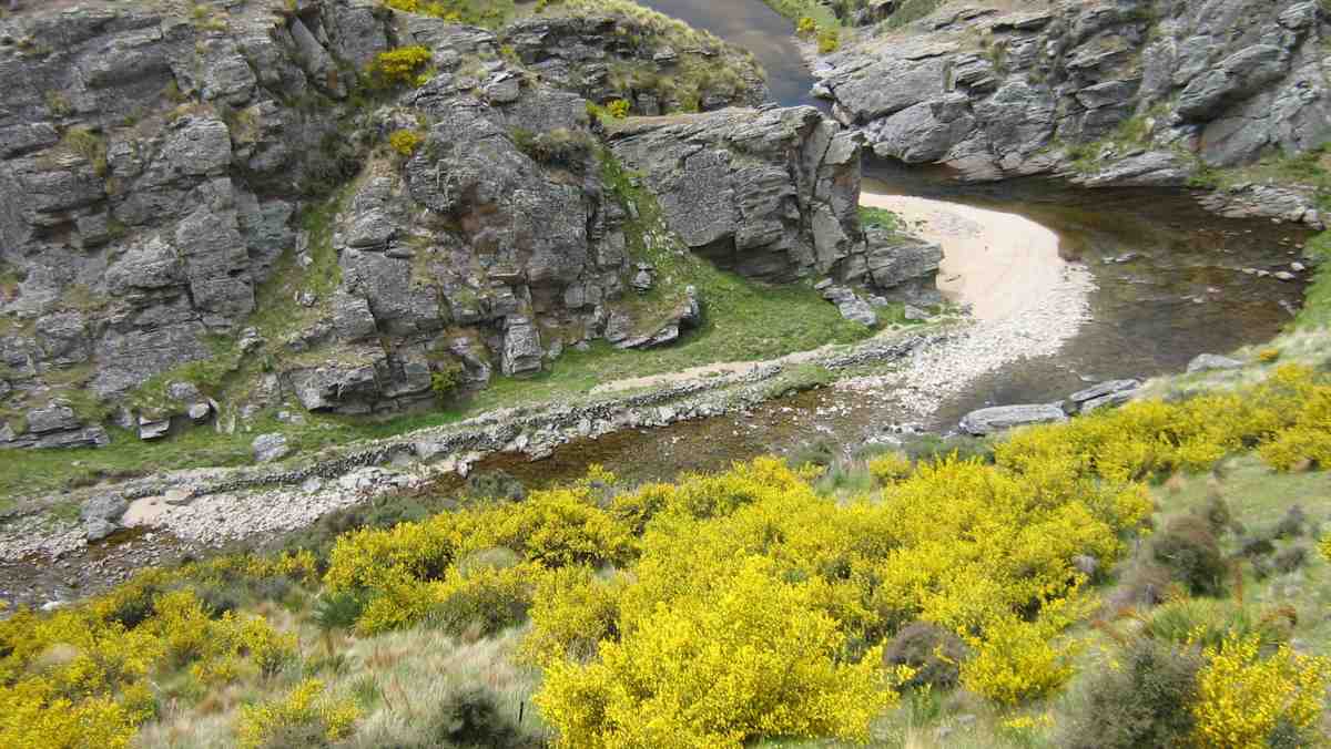
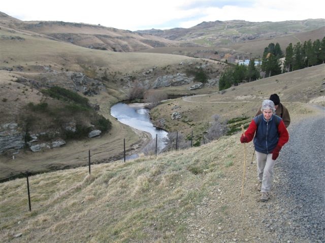
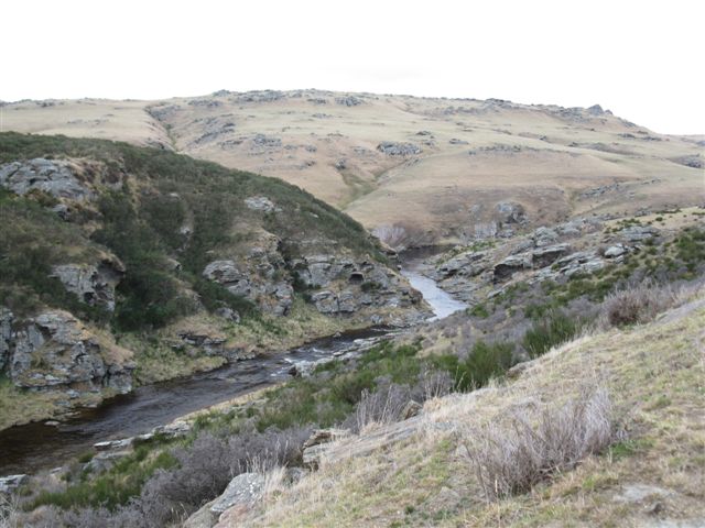
Hiking down into Silverstream. (Gordon pic and caption.)
… at the bottom, which we crossed – this being part of the Silverstream.
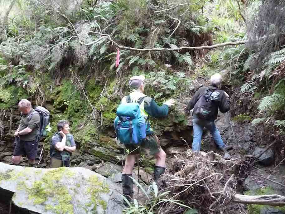
Now for the best part of the day. We had a 30 metre rope
Waiting to climb out of S:stream. (Gordon pic and caption.)
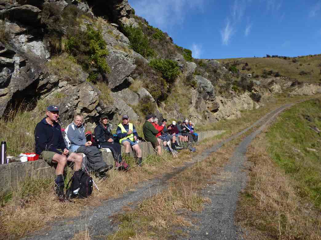
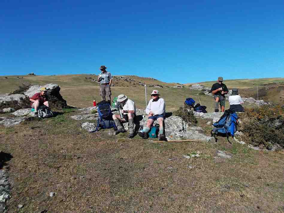
to assist our climb out of the stream bed. The reward at the top was the smoko stop.
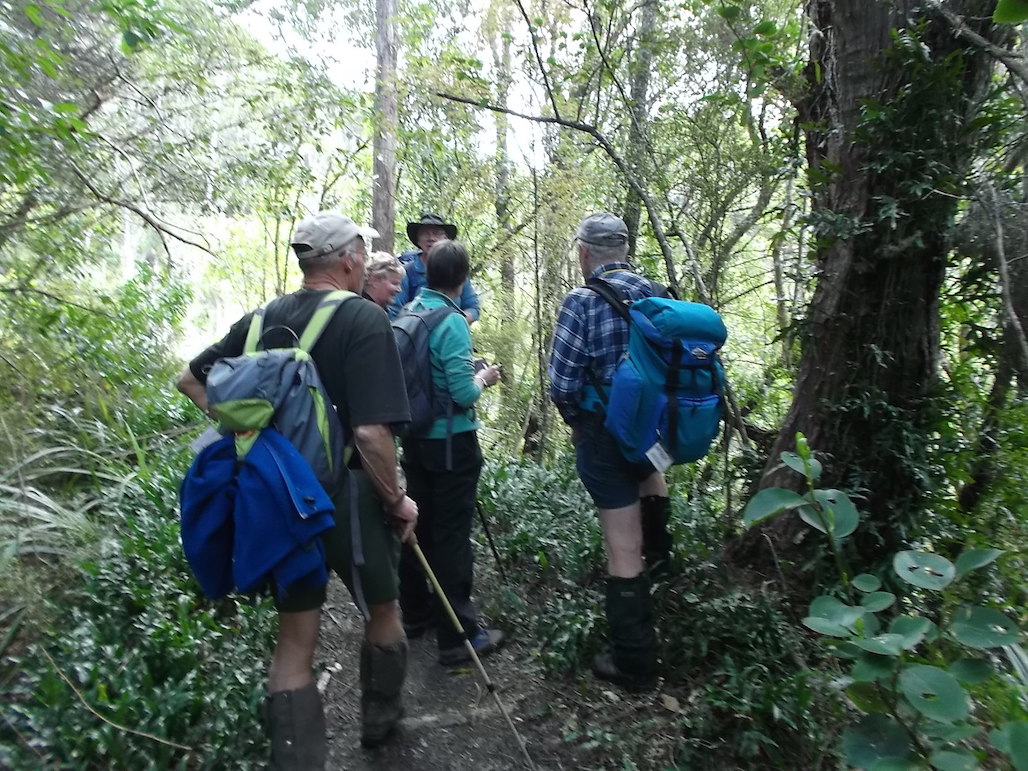
Waiting their turn on the rope. (Gordon pic and caption.)
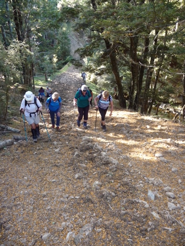
From here it was the long climb up onto, …
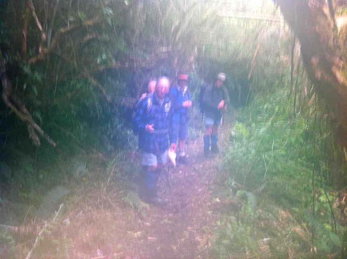
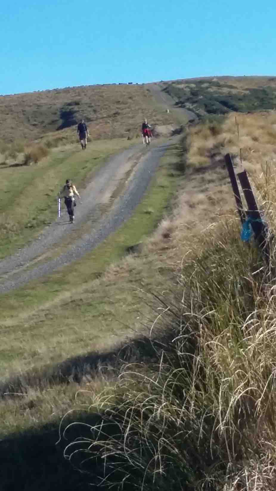
Nearly there. (Gordon pic and caption.)
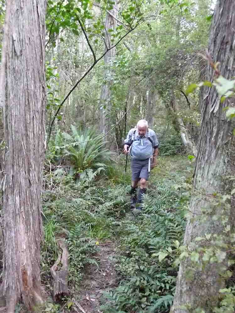
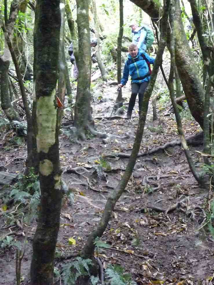
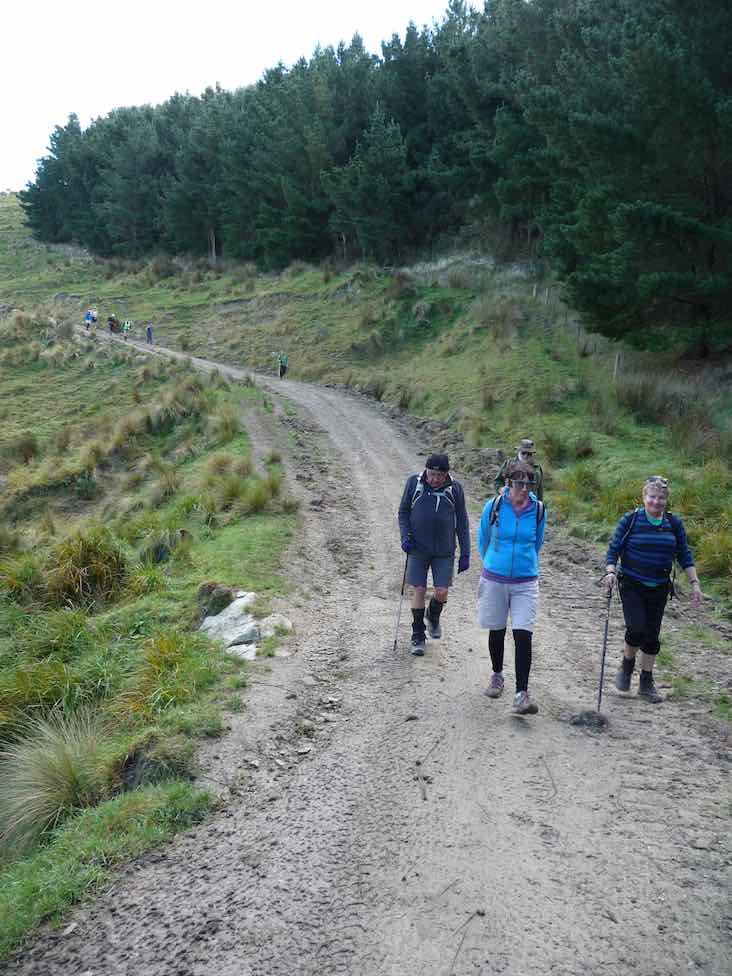
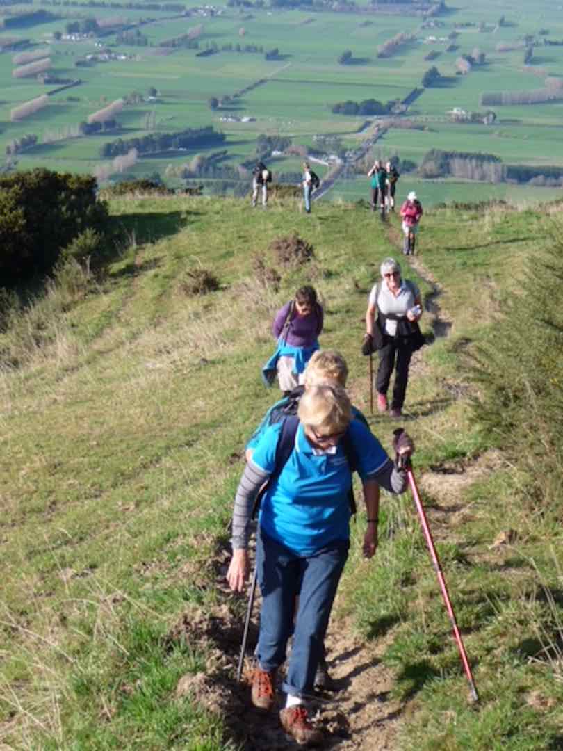
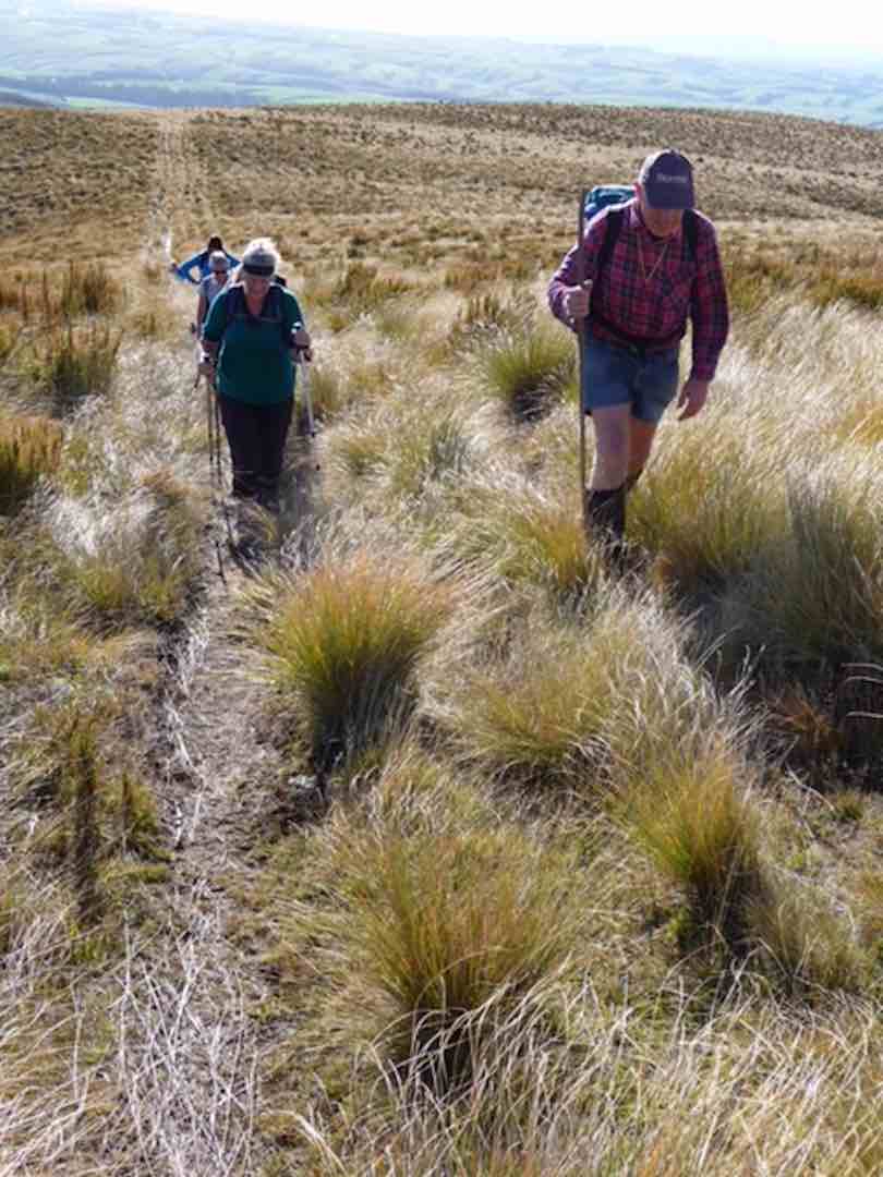
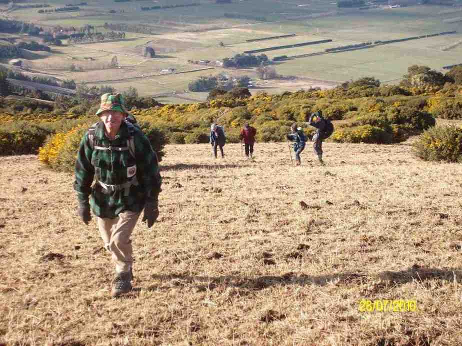
… and to the top of Green Ridge. It was rather tough going at first but the grade eased as we progress upward.
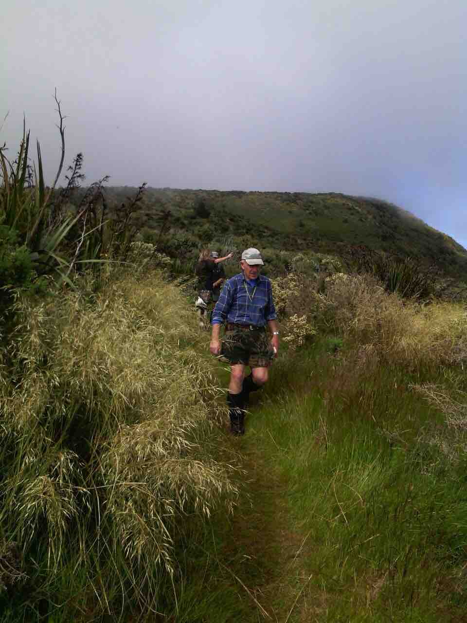
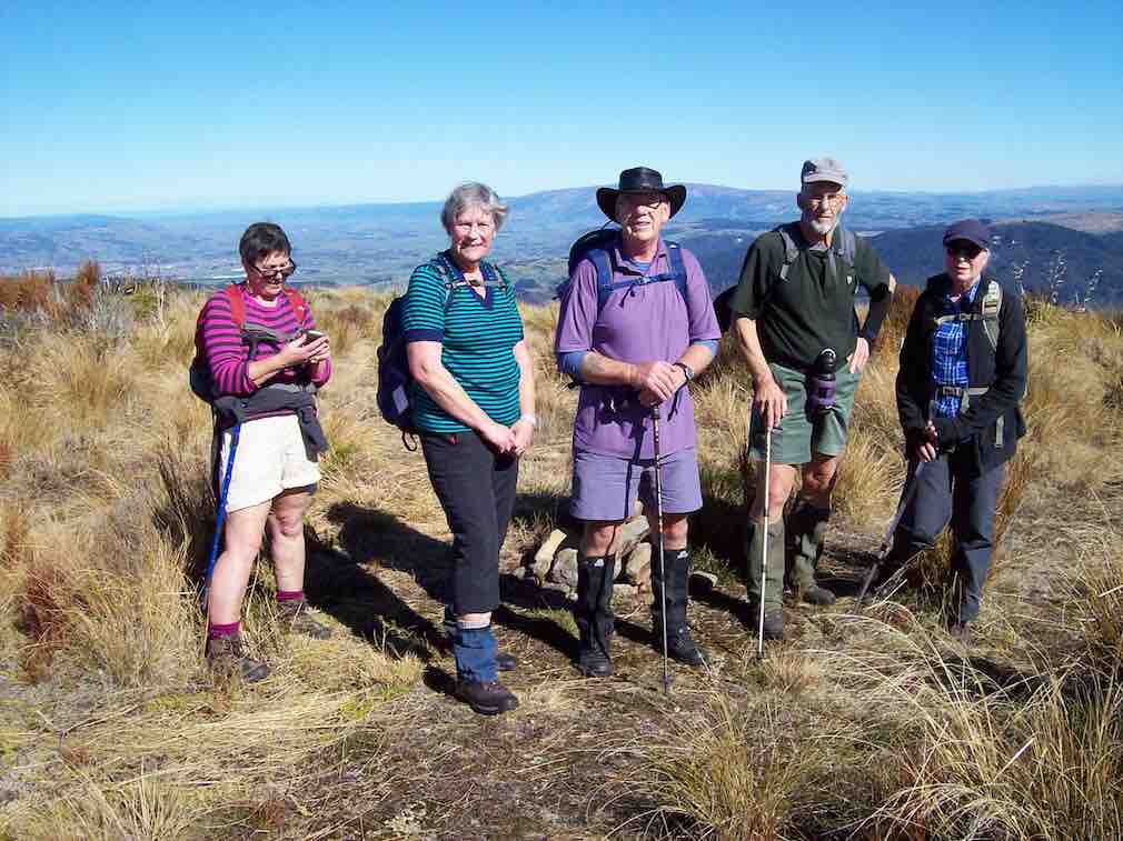
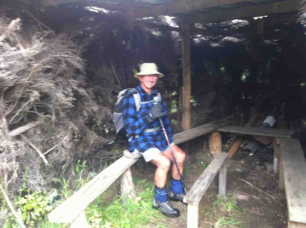
Heading up to Silver Peaks Track. (Gordon pic and caption.)
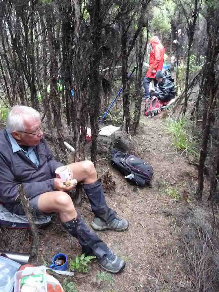
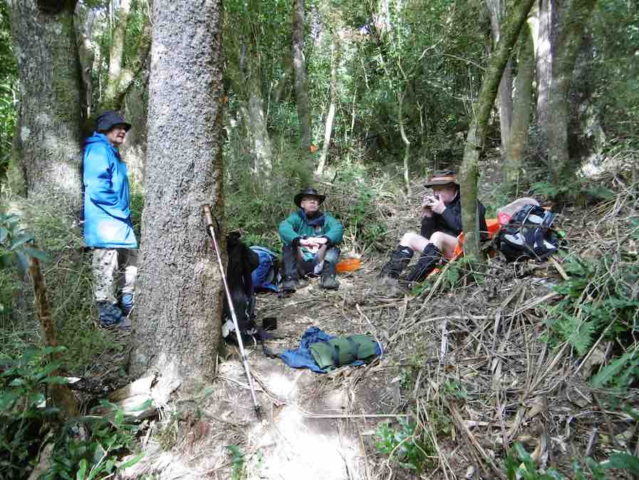
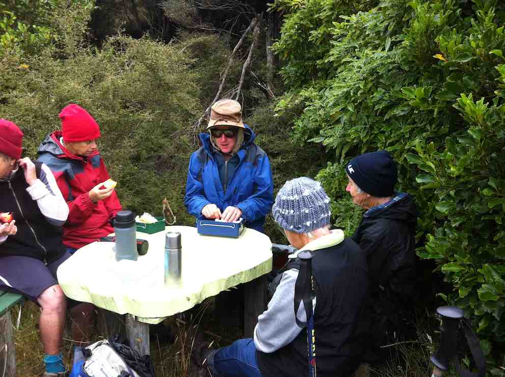
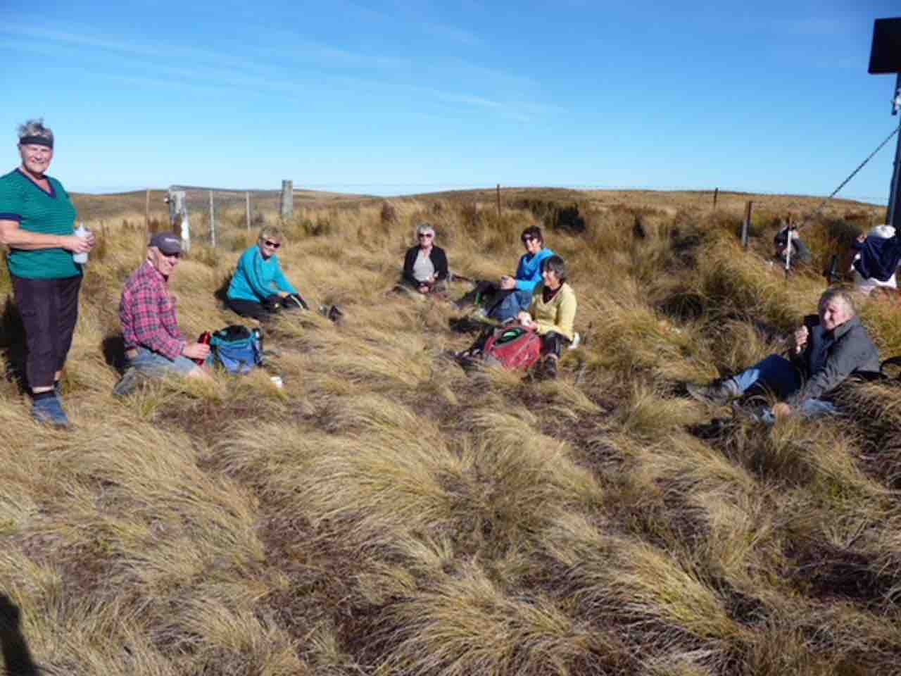
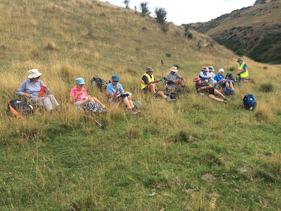
Around 11.30 a.m. low cloud descended, with dampness in the air. Near the top of Green Ridge, a lunch halt was called in a cosy sheltered place.
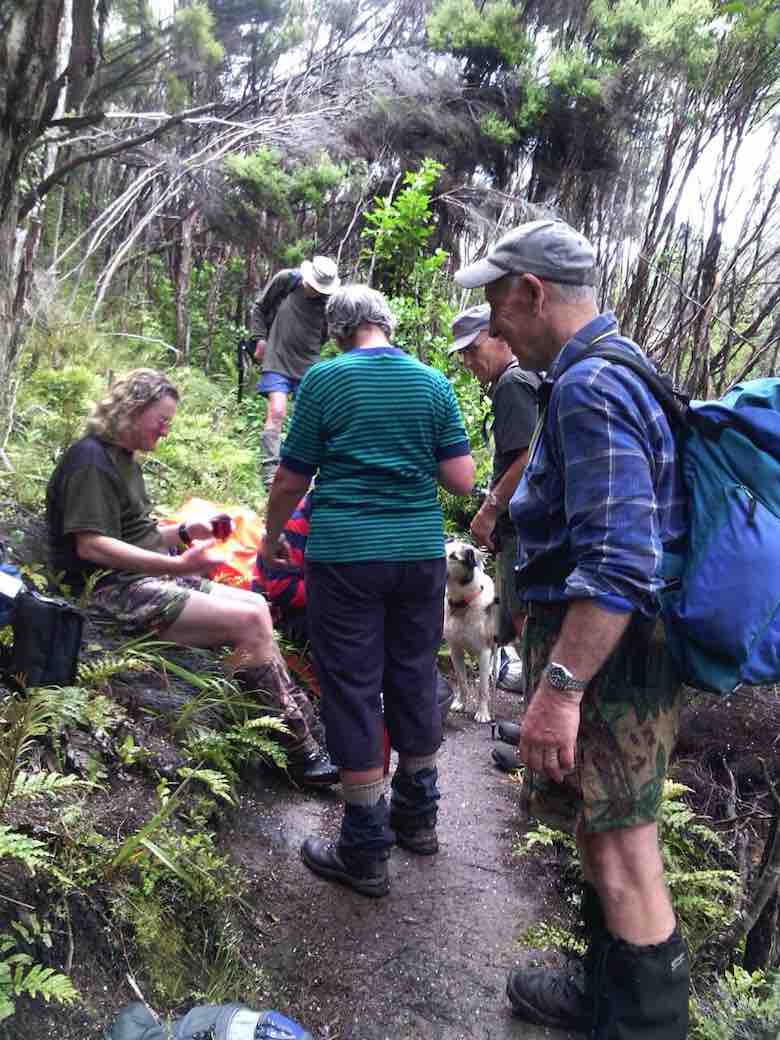
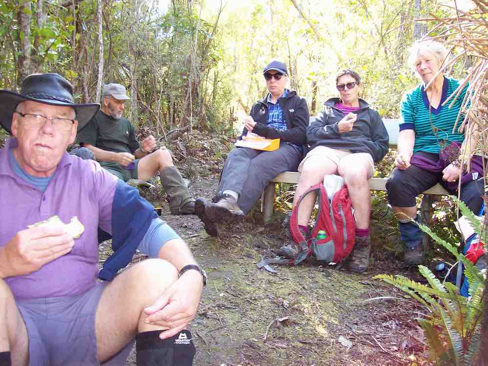
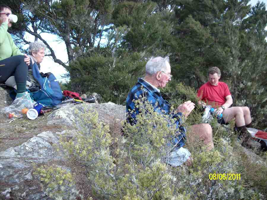
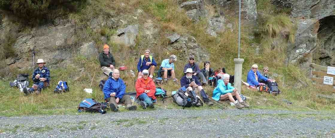
A much needed lunch break. (Gordon pic and caption.)
After the welcome food and rest, it was only a few more minutes to the main Sliver Peaks Track. After the track we had been on, it was like a highway!
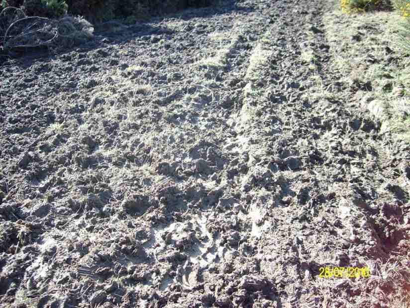
Turning right, (we turned right at every junction we came to today, except the first and the last ones), we followed it to “Sleepy Hollow“. After a brief rest stop, we were now on the Swampy Ridge Track, which had about 1 km of very muddy track to contend with.
By the time we reached Rollinsons Track, the rain was falling.
A little over half an hour would have us back at the cars, bu we were exposed, and out in the open now. It got colder too, and flurries of snowflakes were observed.
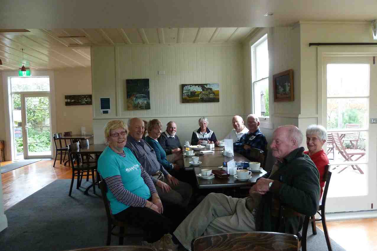
All arrived back at the cars in good condition and in a happy frame of mind. Warm but damp to some degree thoughts turned to home and hot showers, etc.
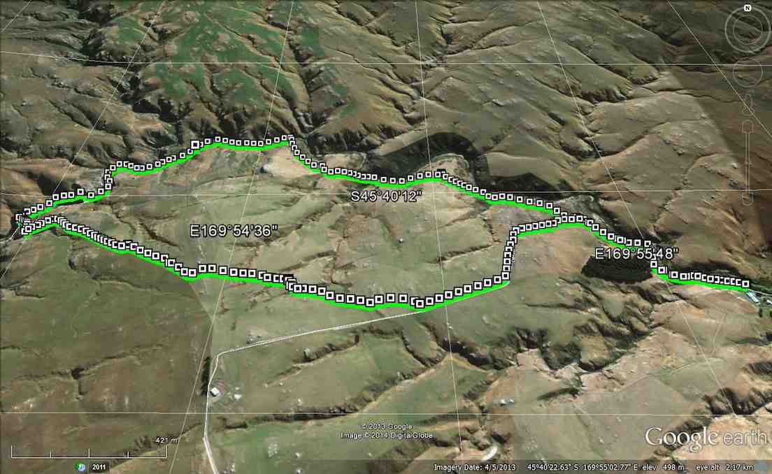
We had tramped about 15 km, in mostly good conditions, and with a very worthwhile tramp to our credit. Thanks to all. – Art.
2. 20/1/2016. Trampers. Greengage Track, anti-clockwise.
Ten hardy souls set off from sunny Mosgiel for a hard tramp. Travelled up past the scout camp and up to Rollinsons road where we parked our cars.
Within the first 10 mins on the Rollinsons track, some of us had wet feet. One can see why they call this area swampy. Lovely views as we went along our way.
Lovely views. (Helen pic)
Alas the fog came in and we could not see much. It was nice and warm though. Walked over swampy summit tramp.
Swampy Track. (Helen pic)Across to Green Hut? (Helen pic)
Morning tea stop was about 5 mins from the Green hut.
Morning Tea Stop (Helen pic)
Went onto the Green Hut track then Greengage track. This track not used a lot.
Track not used a lot. (Helen pic)
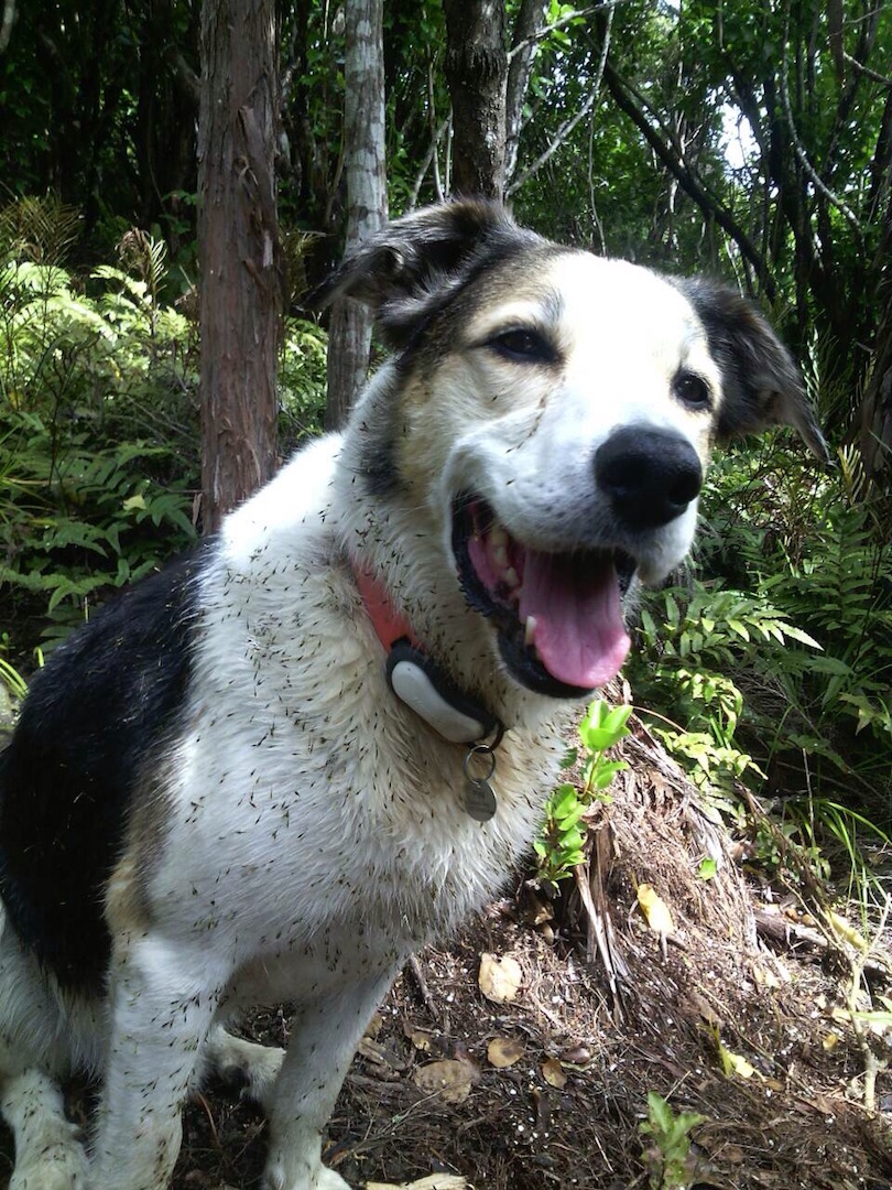
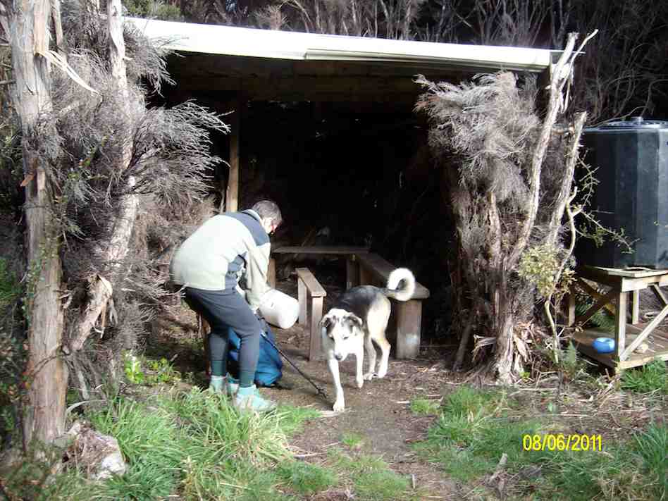
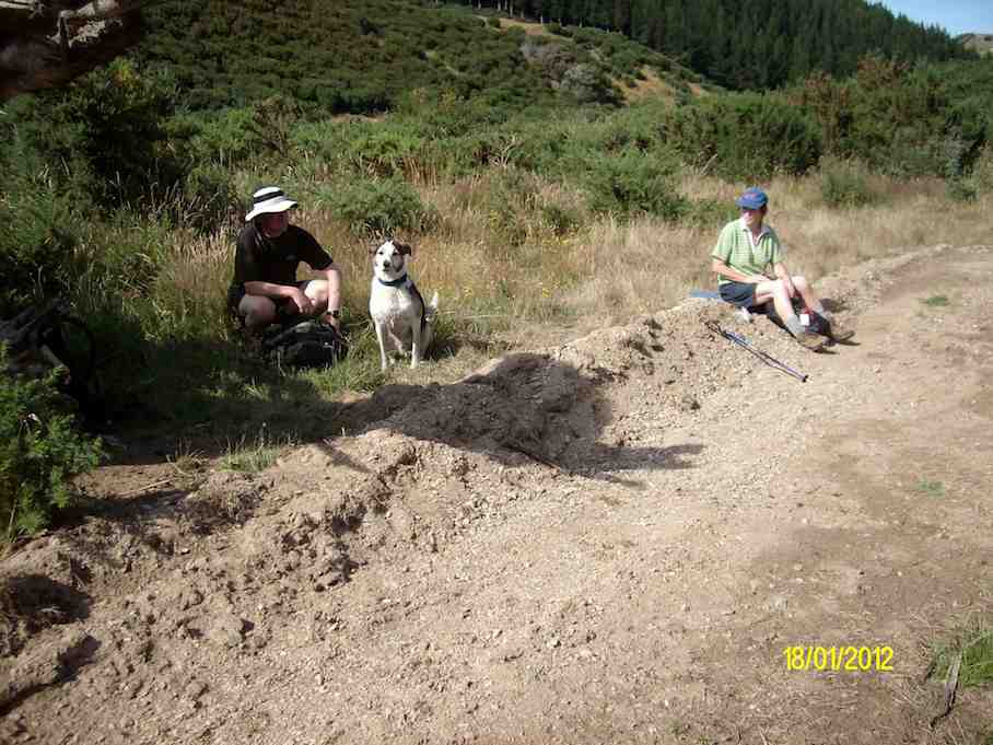
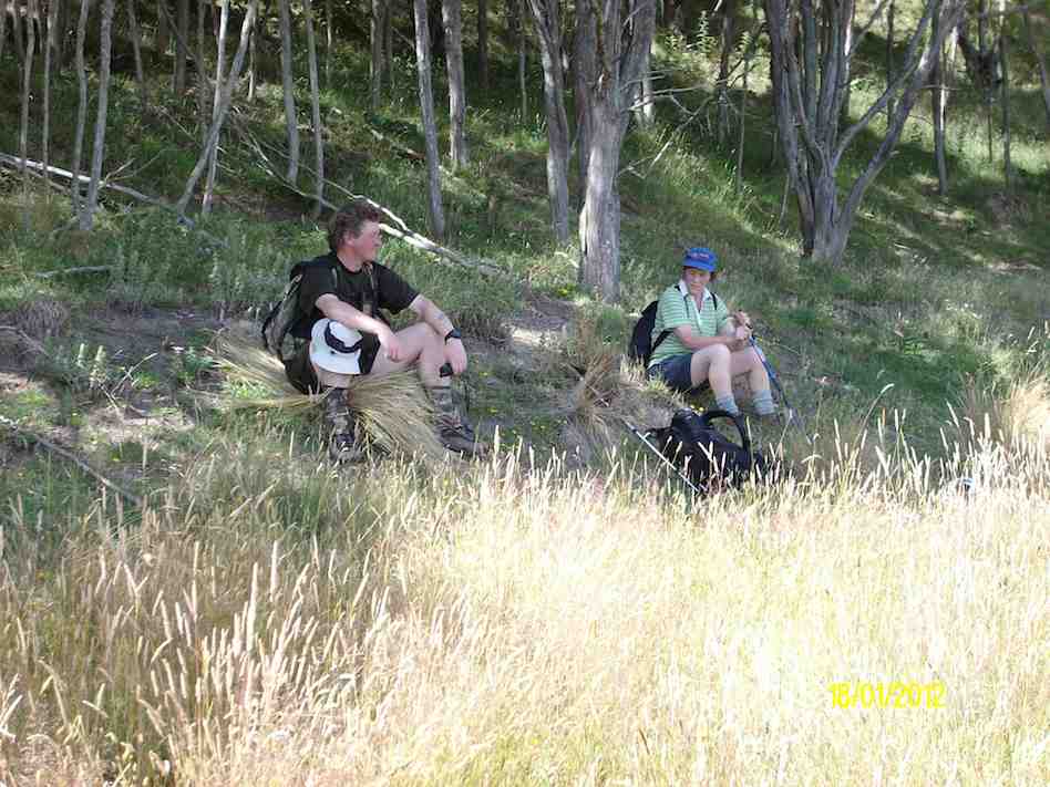
Lunch on this track. Carried along then onto Raingage track and back up to the cars. Lots of quite hard walking up and down slippery hills. A few of us did some bum sliding in patches. Abseiling down about 20 meters and crossing a creek were part of our day. A few stiff bodies as we finished the walk. Lovely to have our search and rescue team Dermot and Fin the dog with us.
Fin, the dog. (Helen pic)
A hard tramp but was very enjoyable. – Helen
1. 27/8/2014. Greengage Track.
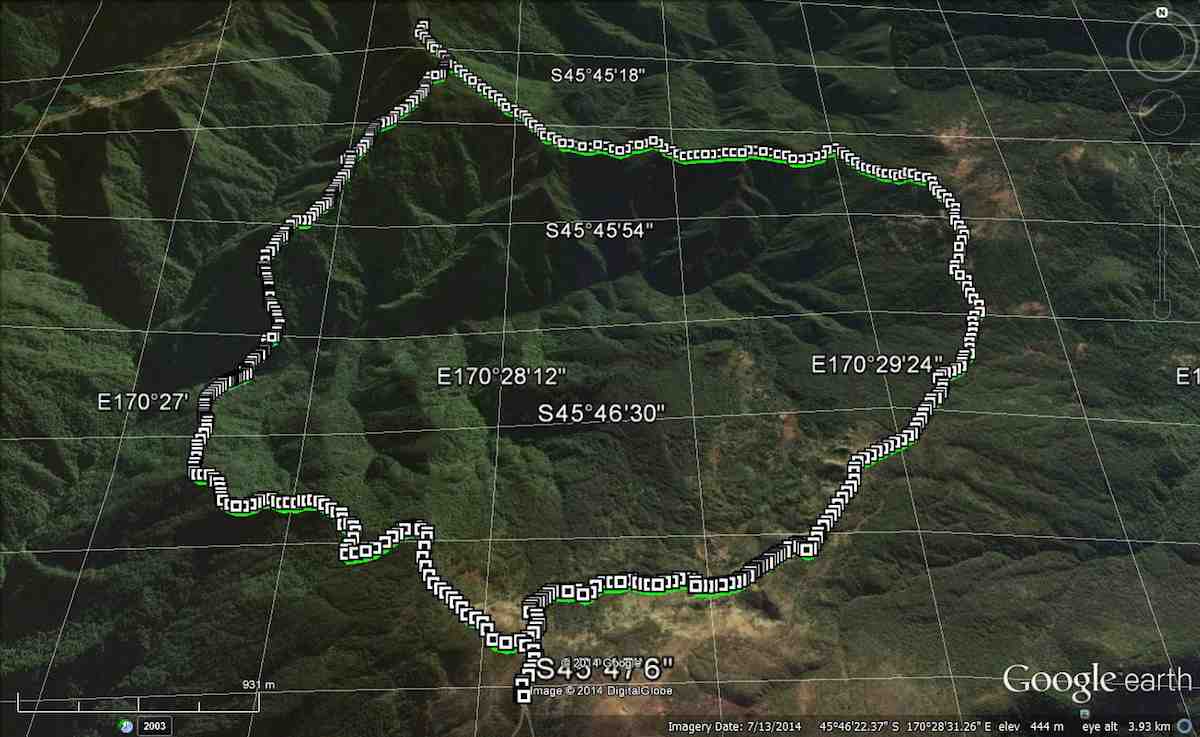
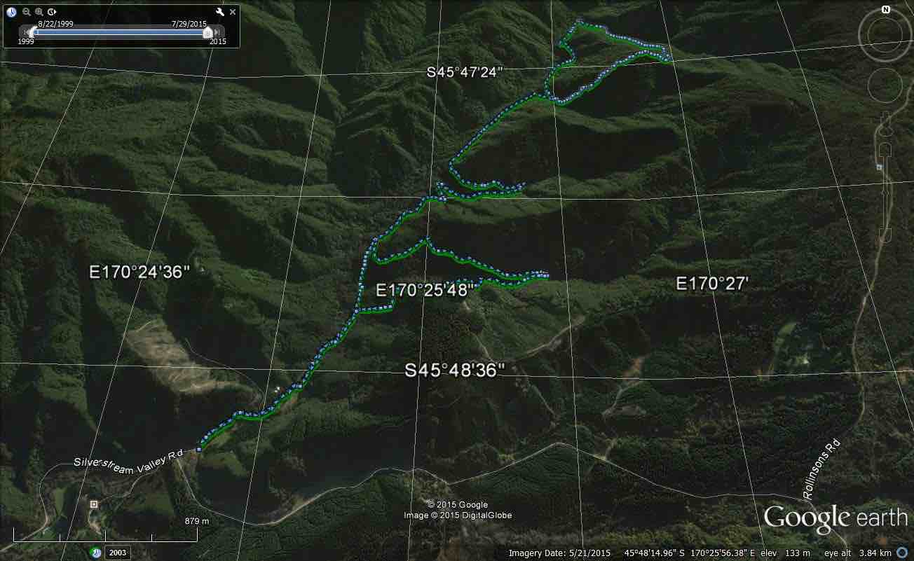
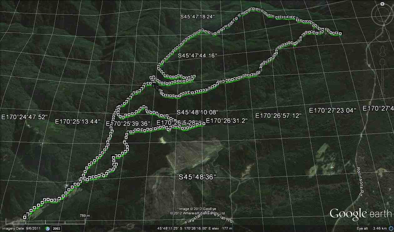
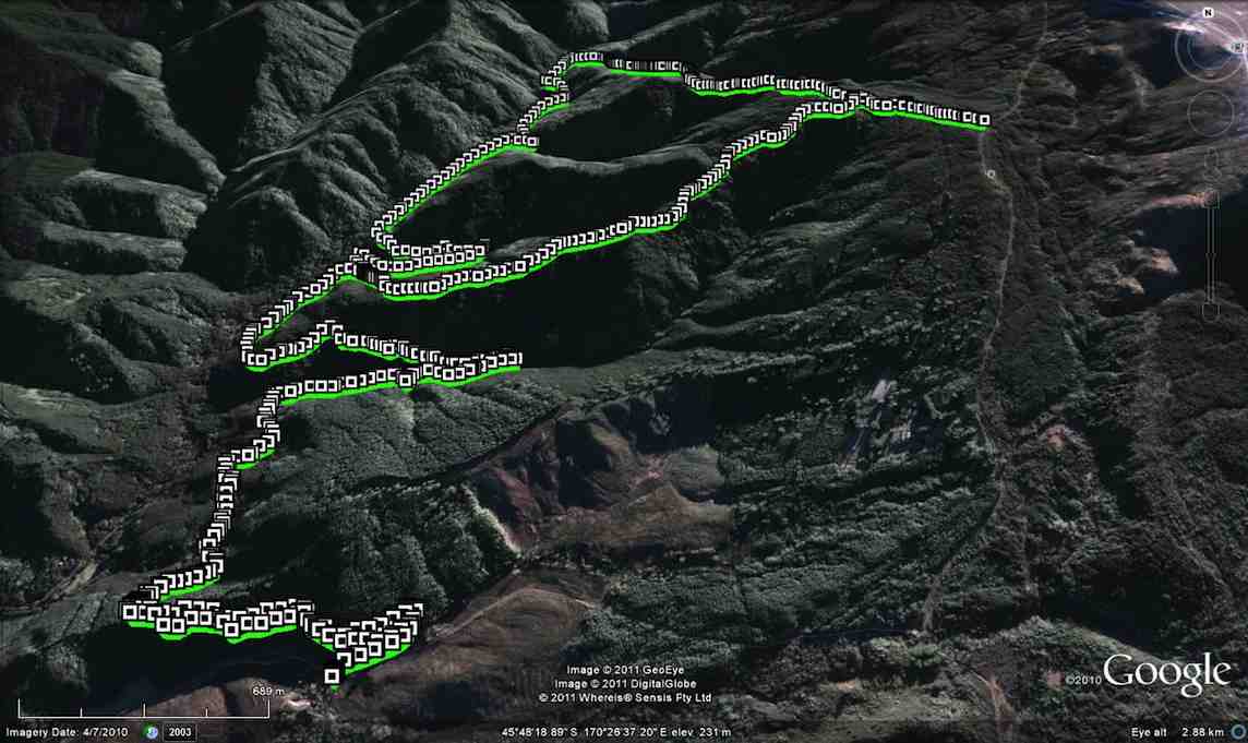
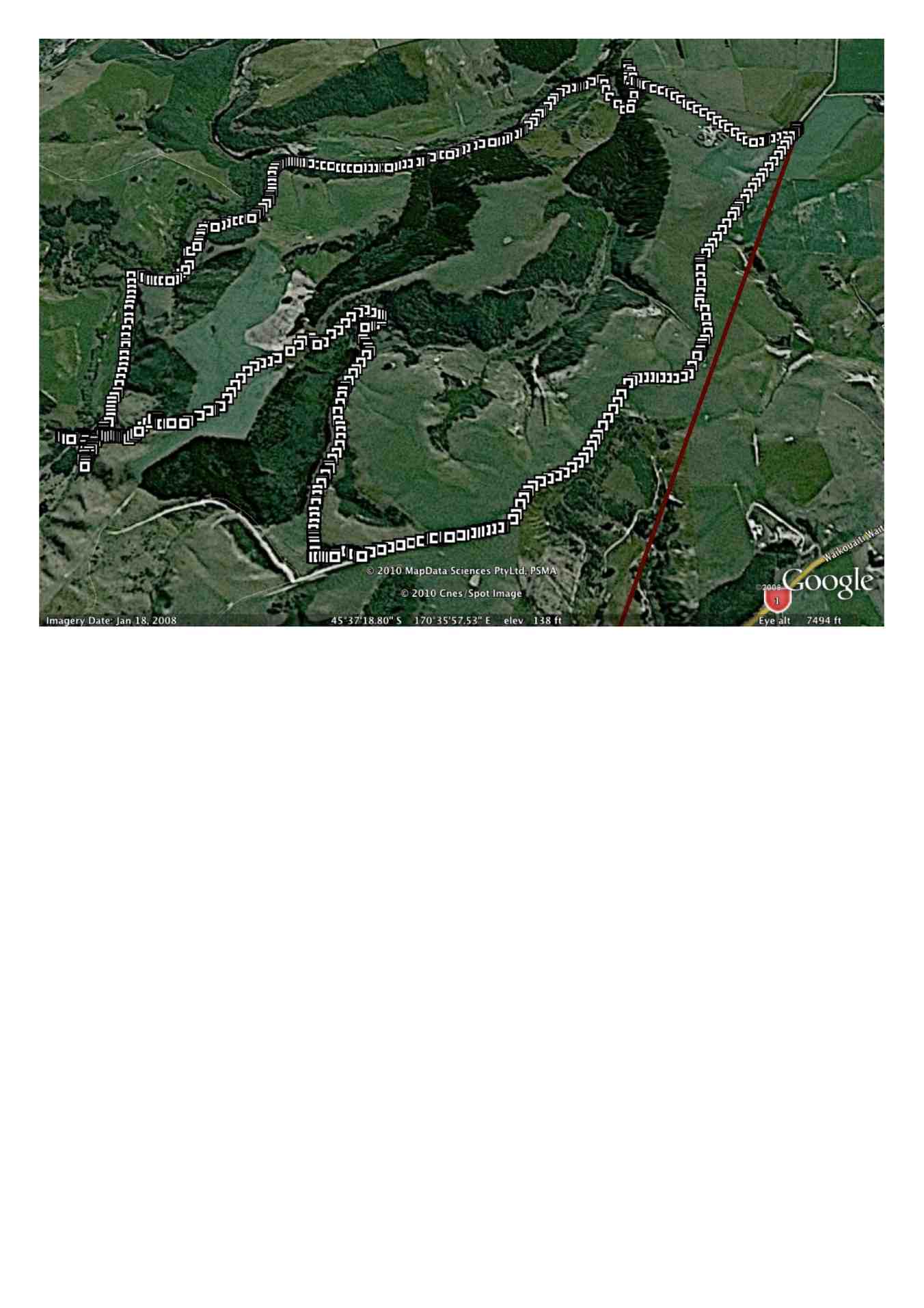
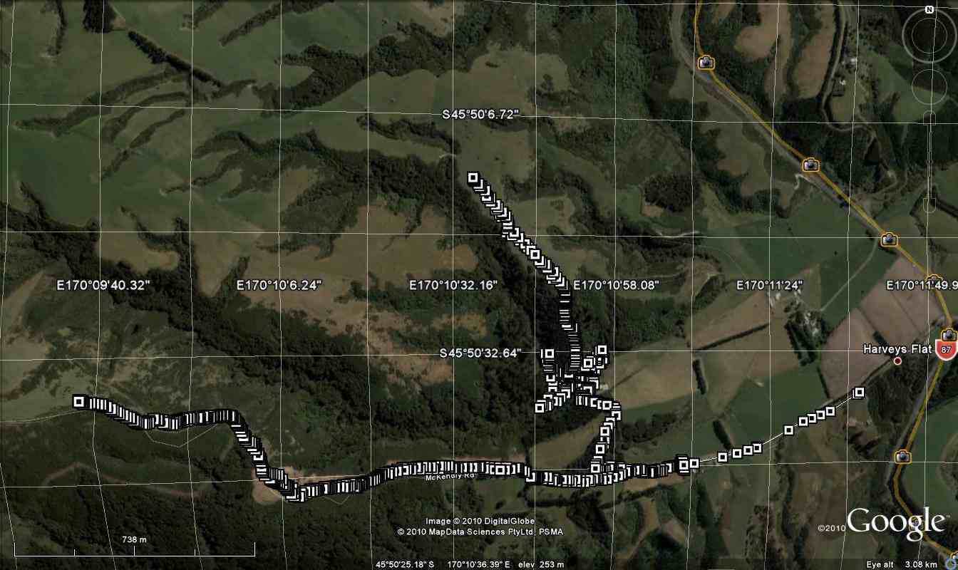
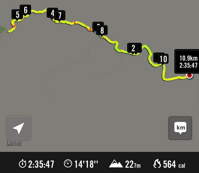
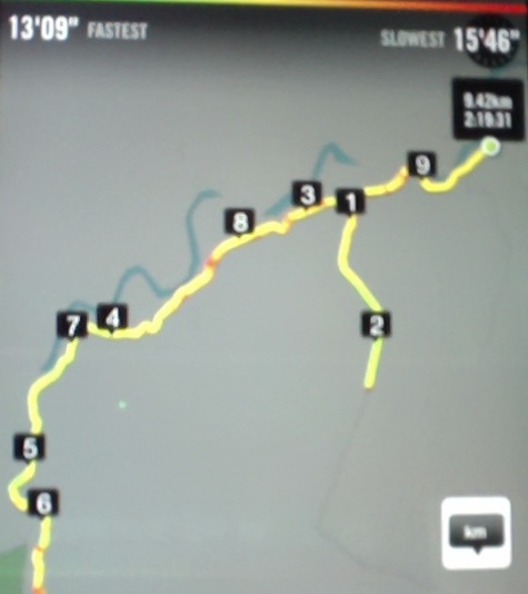
Greengage Tramp. GPS of route, courtesy Ken. We walked 12.5 km; moving time 3 hrs 45 mins; Ave 3.3 km/hr; Climbed 780 mtrs. [That’s getting close to 1 km straight up !!]On what turned out to be a very nice day for tramping, 4 of us set out to do a tramp on a newly opened track, namely Greengage track. This runs from Rain Gauge Spur track, over to Green Ridge track.
Having cajoled a key from the DCC for the locked gate on Rollinsons Rd. we parked up at the elbow, & made our way over to Raingauge Spur track. Then it was quite a lengthy walk down here, for about 3/4 hr [ including a morning tea stop] from the car before we got to the turn off onto Greengage track. As nobody had done this tramp before, we were all looking forward to it, but didn’t realise just how hard it would be. The track is quite steep, & drops all the way down into the valley, where you cross a stream [ part of the Silverstream headwaters] & clamber out the other side with the help of a rope, which has been thoughtfully put there. From here it is a steep climb nearly all the way up to Green Ridge track, where we arrived about 12:30, & then we walked along the short distance to the Green Hut site, where we had lunch, & a well deserved break.
Lunch stop at Green Hut site. (Ken pic and caption)
The return journey was supposed to retrace our steps, but I couldn’t face the prospect of climbing all the way back down into the valley, & then climbing all the way back up to the car, I put it to the others that we could take an easier way out via Green Ridge track, & then onto the Swampy Ridge track, then along Rollinsons Track back to the car, this was accepted without protest.
So after lunch we set off again, & turning onto the Swampy Ridge track, we soon discovered why it is called “Swampy” , as there were lots & lots of very wet muddy stretches, which were ankle deep in places. We eventually found the entrance to Rollinsons Track, & made our way cautiously along the first part of this, as markers were conspicuous by their absence. The last half was well marked, & the climb out to the car, up the very wet track [running water] was useful for cleaning our boots !!
This tramp is not recommended for unfit persons !! I was suitably shattered when we arrived back at the car. – Ken.
19. 29/8/2018. Trampers. Steve Amies / Little Coal Tracks. M. Leader: Arthur.
7 very keen Trampers did a bush circuit in the Silverstream Valley. Parking at the Pump-house we followed the track past the swing bridge, then up to Tunnel Track to take us to McRaes Weir and the shortcut up to Steve Amies, down Little Coal Creek Track, and returned on Racemans.
Morning tea was taken a partway along Tunnel Track, above a large slip, where there is a good view across to The Chalkies. The shortcut track up to Steve Amies is a bit of a grunt, but taking our time we easily overcame it.
The day had shown promise before we started, but the cloud was low down on all the surrounding hills and high up on the Steve Amies Track the rain started. On reaching the top, at Trig Q, we immediately started down the Little Coal Creek Track.
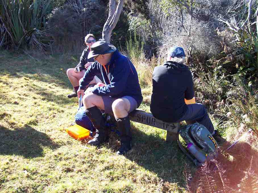
We stopped to have our lunch in the first relatively sheltered place in the bush. It was colder, so we didn’t stop long before following the track on down.
The lower half, especially, of the Little Coal Creek Track is steep in places and was slippery and rather treacherous from the rain that had just fallen.
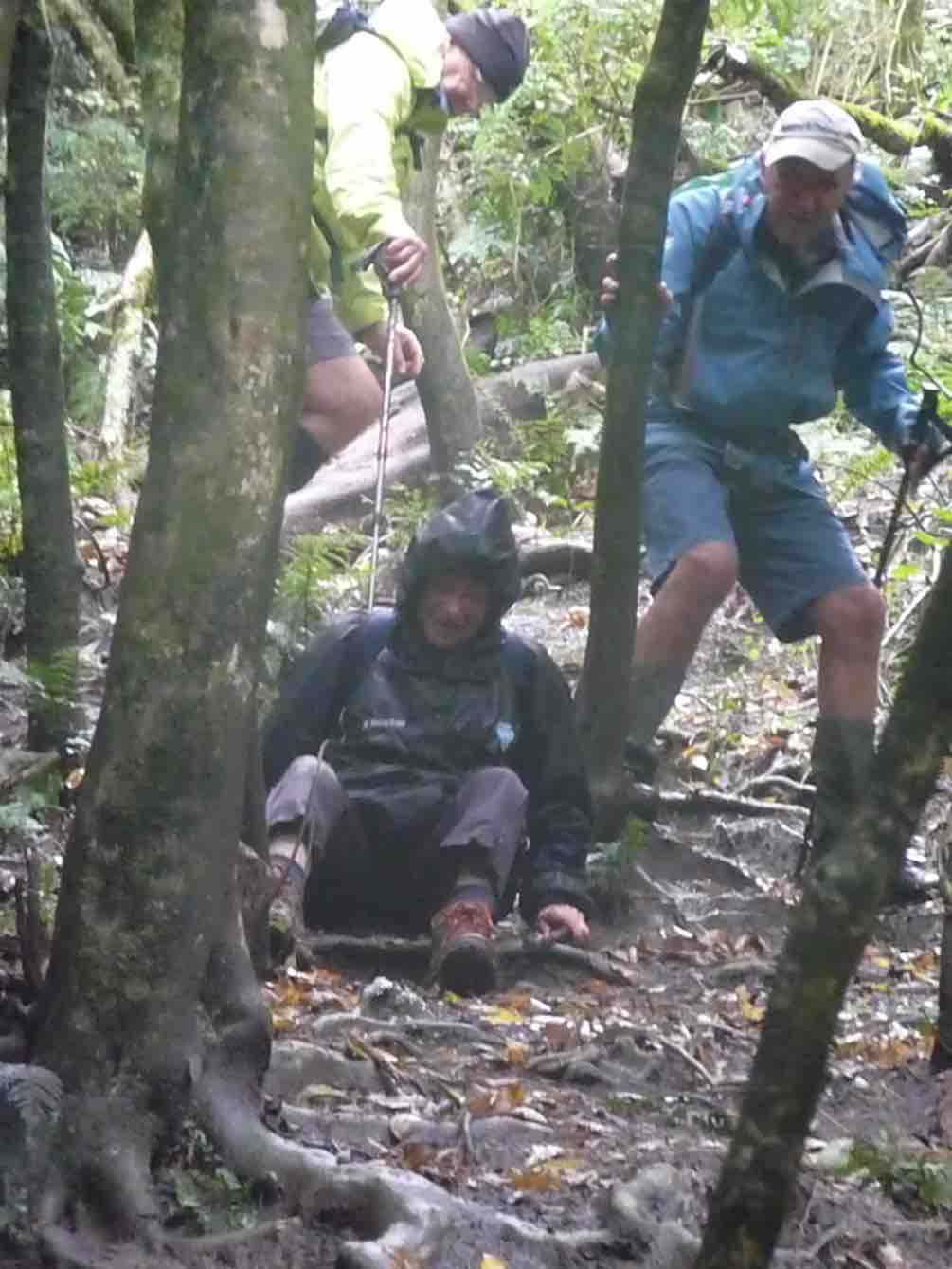
A variety of techniques were tried for descending the trickier patches – stepping, slipping, sliding, …
Very slippery track back down. (Gordon pic and caption.)
… falling, …
Still very slippery ? (Gordon pic and caption.)
… tree hugging, and even the rolly-polly method. Afterwards I was assured that all had thoroughly enjoyed (?) the experience – which seemed strange to me.
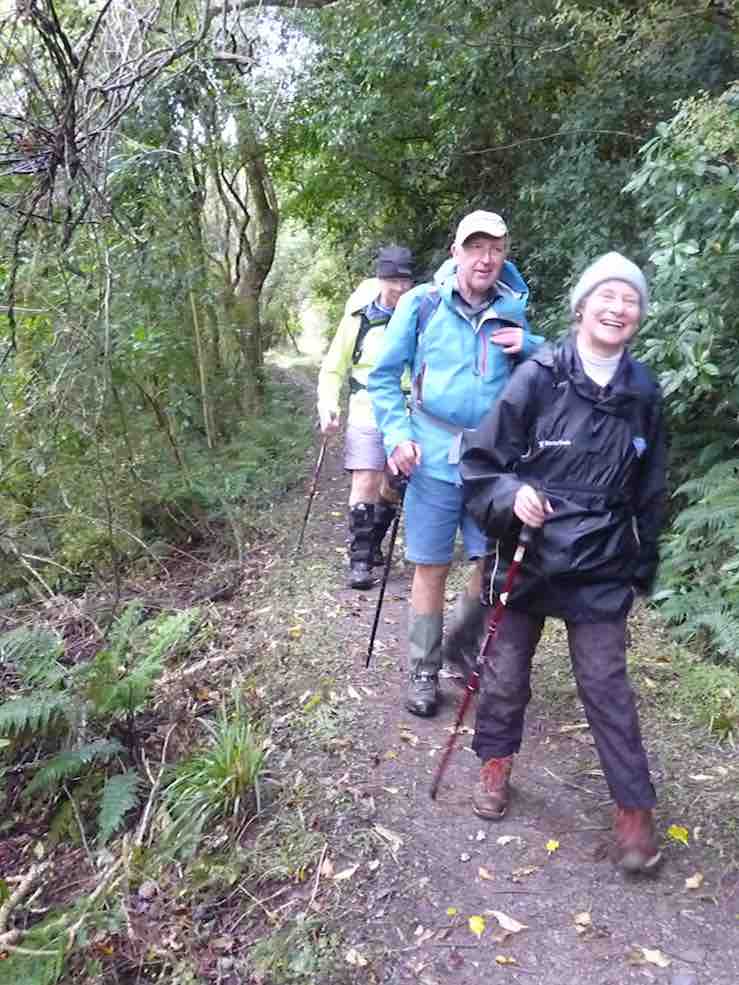
The last leg of our trip was simple in comparison, along the Racemans Track.
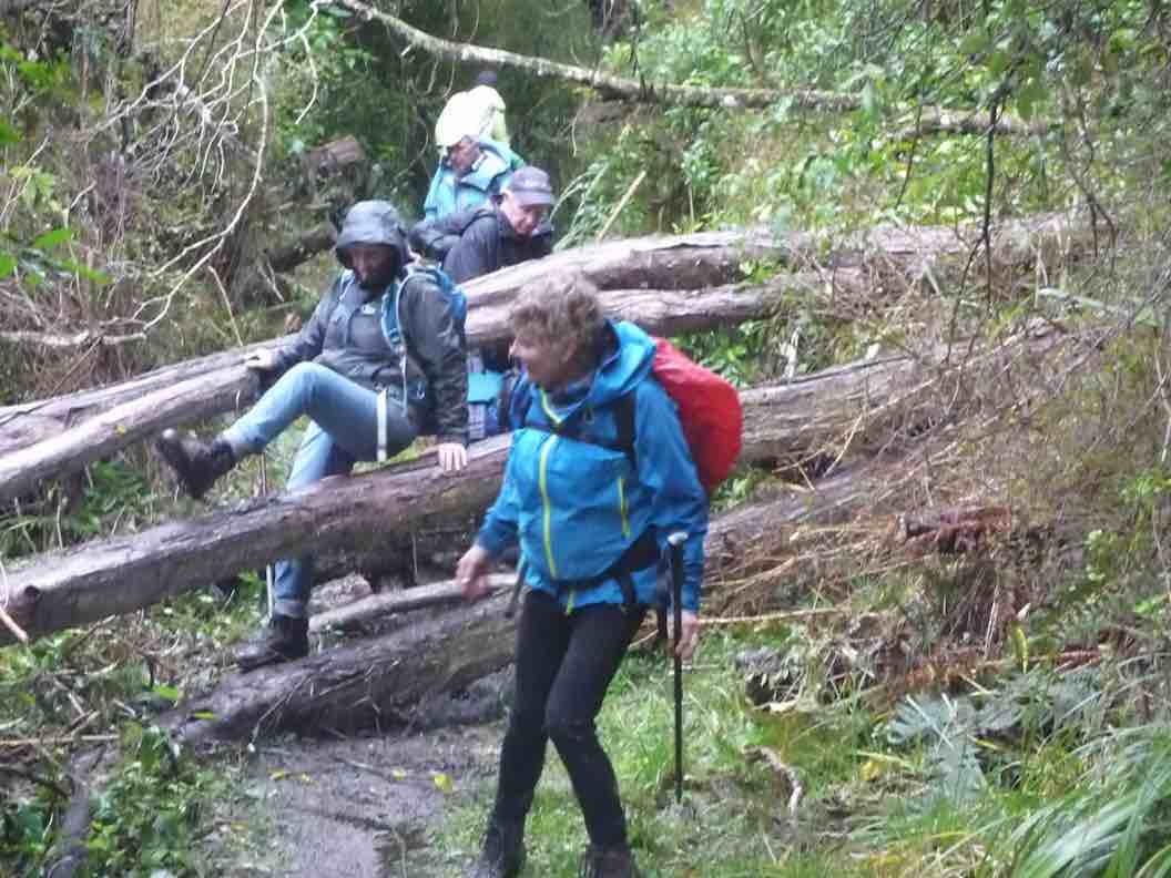
Everybody happy to be on level ground. (Gordon pic and caption.)One final obstacle. (Gordon pic and caption.)
We were back in the cars around 3.15 pm, and I have it on good authority that we had walked 15 km.
The rain had eased off later, and conditions were pleasant other than being cold at lunch time. The leader awards a Gold Star to each of the party for their contribution to a great day’s tramping.
Upon returning to Mosgiel it was decided it would be inappropriate to visit any coffee shop, due to travel stain. – Art.
18. 14/9/2016. Swine Spur – Rollinsons Road – Steve Amies – Tunnels Track. M. Car Shuttle. Leader: Arthur H.
A clear sky, brilliant sunshine, and only a light breeze – perfect.
After setting up a car shuttle for later, 6 enthusiastic trampers began the day’s operations from Rollinsons Road, to walk up the full length of the Swine Spur track.
We reached the junction with Possum Busters at 9.55 a.m. and made this our morning tea stop. There was some dissension about stopping early, but hey, the leader is the boss. (He has to have the occasional privilege.)
Morning tea spot. (Arthur pic and caption.)
Further up we met 4 trampers and a dog coming down – and soon found that it was the same group that had had morning tea with us a week ago on the Tunnel Track. Pleasantries were exchanged.
Our group powered up the steep upper part of Swine Spur, …
High up on Swine Spur. (Arthur pic and caption.)
… the talking hardly lessening, …
Near top of Swine Spur. (Arthur pic and caption.)
… and we topped out at 10.45 a.m.
At top of Swine Spur. (Arthur pic and caption.)
After a brief pause to enjoy the view, we walked the road, passing the VOR aviation beacon on the highest point of Swampy, going down now.
After 50 minutes on the road we were on the track, heading in to Trig Q. On the way past, we stopped to check out the picnic area before heading down the Steve Amies Track.
With perfect timing we stopped at Bryan Freeman’s Memorial Seat to enjoy our lunch. A very pleasant spot with the sun filtering through onto us.
Lunch on Steve Amies. (Arthur pic and caption.)
Note – Bryan Freeman was a keen tramper who died here on the Steve Amies Track in 2011. He was the son of Jim Freeman, who is remembered by the track named after him.
We continued down the Steve Amies Track until turning off to the left onto the short steep track that took us down to McRaes Weir and “the rope”.
From there we followed the Tunnel Track, which in turn follows the contour. Easy track but very enjoyable. No-one showed any enthusiasm to enter the tunnels, but we did admire them in passing.
We reached our tramps’ end at the road at 2.15 p.m. My car was nearby and it soon re-united Neil M. with his one at our starting point.
And so, back to Mosgiel. The good weather, together with the variety encountered during the tramp had made for an enjoyable day.
The distance tramped was around 11 km (at a very rough guesstimate). – Arthur.
17. 14/10/2015. Trampers. Little Coal and Steve Amies.
The tramp today was into the Silverstream Tunnels track, up Steve Amies track, & down Little Coal Creek track, with lunch at the picnic area near trig Q at the top,
Lunch at trig Q at top (Ken pic and caption)
& back along Racemans
Return on Racemans (Ken pic and caption)
to the cars.
This was an uneventful trip, with no problems encounted. The weather was great, cloudy conditions with very little breeze.
Eight trampers took part in the days activities, including a stop at a viewing spot …
Enjoying the view (Ken pic and caption)
16. 15/10/2014. Trampers. Little Coal Creek, Steve Amies. H.
Little Coal Creek, steep in places, can be slippery.
4 of us set off from the Pump House up Silverstream Valley, onto the Racemans Track. Calm weather. Had morning tea at a sunny spot at the junction of Little Coal Creek track. Took off one layer of clothing. On the ascent, stopped a few times to take in the views. Had lunch at Trig Q. The weather was so calm the bushes were not moving at all at 505m.
After lunch, we went down Steve Amies track, stopping to take in the views north, south and west and listening to the birds, – the noises of them!
Back along Racemans Track to the car. Tramp enjoyed. The biggest comment on the trip was ‘How calm’. – Heb.
15. 29/7/2015 Trampers. Little Coal, North Coal.
GPS map of route, courtesy Ken. Racemans Little Coal North Coal McRaes Weir Tracks. Walked 14.5 km; 4.3 km/h ave; 3h 23m moving; climbed 460mtrs.
Today was a hurried change of tramp, as when I got up to the Bullring for the start of our tramp, it was foggy, blowing, & VERY cold, so I made the decision to cancel this, & meet at the start of Silverstream Rd. Where we decided what we would do for the day.
We then made our way to the pump house car park at Whare Flat, & set off along Racemans track. When we reached Little Coal Creek track we decided to go up there, & come back down North Coal Creek, if the tracks were suitable. The ground was surprisingly dry, so we had no hesitation about carrying on. After struggling up Little Coal, with numerous stops to regain our composure, we arrived at the junction with North Coal track, so we went down there a short distance out of the breeze to have lunch.
Three of the group at lunch. (Ken pic and caption)
We were all looking forward to descending North Coal, as last time we did it, Finn, Dermot’s dog was the one who led us in the correct direction, as the track was in very bad condition due to storm damage, & was non existent in parts. However, the Green Hut Track group have been through there & reopened it, & put in some more markers, so it is very easy to follow, but quite difficult travelling.
On the way back we went around the McRaes Weir track to lengthen our journey a bit, & walked down the unmarked track that comes out beside the picnic table down near the Silverstream. We stopped here for another cuppa before we walked out to the cars.
There were no incidents today , apart from me slipping off the edge of Little Coal track at one point, & managing to arrest my slid with the aid of a handy tree. No damage apart from pride !!
The day had a few light showers, but didn’t require wet weather gear, however it paid to keep moving, as the temperature was quite cool with the small amount of breeze.
14. 1/2/2012 Both. Steve Amies from Access Road. Leaders: Arthur and Barbara.
Sixteen of us left our cars at the locked gate on Rollinson access Rd and made our way up to the Track Clearers’ Picnic area. The leaders took us round many of the little nooks and crannies (they just seem to multiply of their own accord), stopping to inspect the labels fronting each bush planting. Of poignant note in front of one bush was a label printed with the name of Les Murcott, whose funeral a number of us had attended only a fortnight earlier.
We stopped off for our tea break.
Arthur led us down and across to Trig Q, and then on down Little Coal Creek until we got to the look-out. We careful negotiated some quite steep parts of the track and avoided any casualties. Then came the more arduous climb back up to the trig and across to the Steve Amies.
This latter track had a much more moderate decline (we stuck to only its upper reaches!), past another look-out, before making another turn around further down, to wander back up to the trig and on to the picnic area for lunch.
On the way across the wee saddle, we stopped to investigate the meaning of a sign indicating a sheltered area, whose side track opened out to a large open area in the bush, marked with a large white wooden equal-armed cross, laid flat on the grass. After some discussion, we decided the area was also to serve as a helicopter emergency landing spot. (There was even a ‘waiting room’ bench for passengers.)
Back up at the picnic area, our leaders discovered for us yet another alcove with ample tables and seats for a comfortable lunch.
Our leaders took us out to the road by a route different from the one we had entered by, and lo and behold, a salubrious shelter, doubtless erected by the track clearers for their comfort. Bravo.
Then we had only a stroll back down Rollinson Road to the cars. A leisurely 5.5 km walk, (as measured by two with their measuring devices.) Thank you, Barbara and Arthur for your careful leadership. – Ian.
13. 17/10/2012. Trampers. Pumphouse, Racemans, Steve Amies, Little Coal Creek, Racemans, McRaes, Pumphouse.
GPS of route, courtesy Ken.We walked approx 14kmMoving time 3h 50minave 3.6km/hrTotal ascent 559m – Ken
Five of us had a great day doing the two ridges. The Steve Amies was as steep a struggle as ever at its foot. The easier bit at the top seemed much longer than the writer’s memory had shortened it. We had a leisurely lunch at the set of seats and tables a little beyond trig Q. Sunny and no wind. Great.
Then back again and down to where Little Coal Creek branches off from North Coal. Again the first bit of climbing on Little Coal had escaped the writer’s memory. The steep ridge descent needed careful negotiating. One of the party was heard vowing it was a track they would never wish to ascend. Then it was off the ridge and down the side. The ground is so heavily littered with twigs and leaves that it is almost impossible to keep one’s feet on the steep bits.
Forgot to take photos! And the one below, taken back on the Racemans turned out mysteriously bad.
Taken on the Racemans on the return journey.
We elected to take the McRaes track back. The GPS of the route brings out the depththat the gully takes the track into before emerging back out again. We stopped en route for a drink break as it had been a longer day. We made our way around until turning off at the junction with the Tunnels Track onto the connecting track that took us down to emerge by the swing bridge.
A longer day – we got back out about 4 o’clock. Considerable height climbed and descended. A good work-out. And it was our good luck that the promised rain held off until we were back in the cars again. – Ian.
12. 8/6/2011. Trampers. Tunnels, North Coal, Steve Amies, ret. Medium.
We decided to do today’s tramp from the school house at Whare Flat. We parked in the normal position by the house, & joined the tunnels track at the normal place [wire across stream]. We walked along the Tunnels track/Racemans track [had morning tea in the pine trees again] until we came to Little Coal Creek track, where we had a meeting on whether we go up that one or carry on to the North Coal Creek track. Nth Coal won out, so we went there, & up Nth. Coal Creek. We had lunch overlooking Longridge, from that nice lookout point.It was quite a late lunch, as we decided to get to the top [almost] before having lunch. [It was 12:15 when we got to the bottom of the Nth. Coal Creek track.]
After this we went up to the picnic area, …
… & road, where we had another meeting about how we go back again. It was decided that we go down Steve Amies track, so off we went, with everybody starting to get a bit tired. We arrived back at the cars at 5:00pm, having started at just before 10:00am.
We walked [according to the GPS] 20.2 km, & did a total ascent of 578mtrs. Total moving time 5hrs 2min. moving ave. 4km/hr. overall ave 2.8km/hr. Stopped time 2hr 11min. So it was a big day for the 6 of us, but all enjoyed the walk. I think they will sleep well tonight !!!
The girls enjoyed the picnic area etc at the top by the road, along with the view from the lunch spot, so quite a bit of time was spent around there, as they had not been there before.
We started our descent at 2:30, so it took 2 1/2 hrs to walk back. Maybe better to do this tramp when we have a 9:00am start, as it was starting to get a bit dark by the time we got back. Also, we were not wasting any time while walking along the Racemans etc, much faster than we would normally be going. The trip could be shortened a bit by going in at the pumphouse, but how much that would cut off I don’t know.The day was fine & sunny, but cool & calm. The tracks were mainly dry, & only muddy in the normal Racemans track positions. The hill climbs/descents were quite good. Some parts of the tracks need a bit of clearing, but not too bad in general. – Ken.
11. 18/3/2009. Hikers. Steve Amies from Access Rd Hikers E+ Bev H, Joyce S
10. 25/7/2007. Hikers. Access Road, Steve Amies. Leaders: Bob H, Graham.
9. 19/5/2007 Trig Q from Silverstream via Steve Amies track. Steve Amies Track Circuit Leaders: Ria L, Hazel
8. 13/9/2006 Tunnels – Steve Amies – Little Coal Creek – Racemans. Medium+. Leaders: Bob H, Arthur H
7. 27/7/2005. Hikers. Steve Amies, Trig Q. Bob H, Les W, Mary M.
6. 27/7/2005 Tunnel, McRaes Weir, Steve Amies, Trig Q, Picnic Area; Little Coal Creek, Racemans. Bob H, Les W, Mary M
5. 21/7/2004 Trampers. Lake Whare, Steve Amies, Trig Q. Medium. Leaders: Ian, Bob H
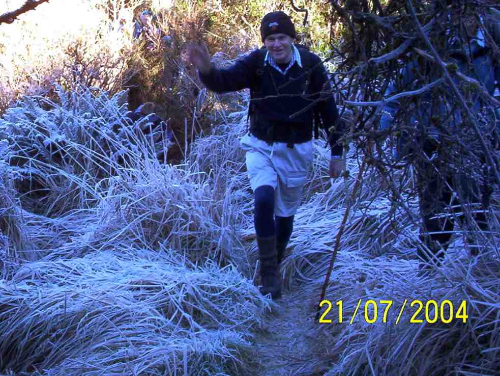
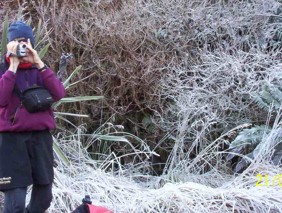
Frost on Possum Busters. Bill
Frost on Possum Busters. Bruce
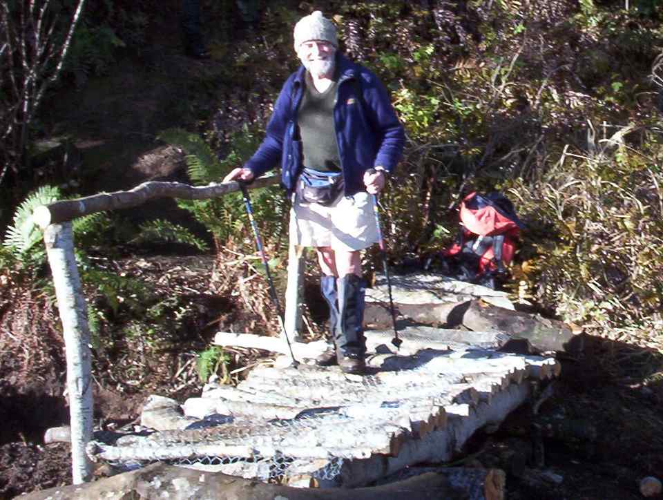
New Bridge by Track-clearers. Ian
4. 9/7/2003. Trampers. Tunnels, McRaes, Steve Amies, North Coal Creek, Racemans.Medium. Leaders: Irene, Doug J.
Bill at rocky point in Racemans
Rocky patch on North Coal track. Glenice, Lex, Doug
Trig Q. Doug M, Doug J, Lex, Pat
Tramp end. Irene, Glenice, Lex, Doug M, Doug J, Pat
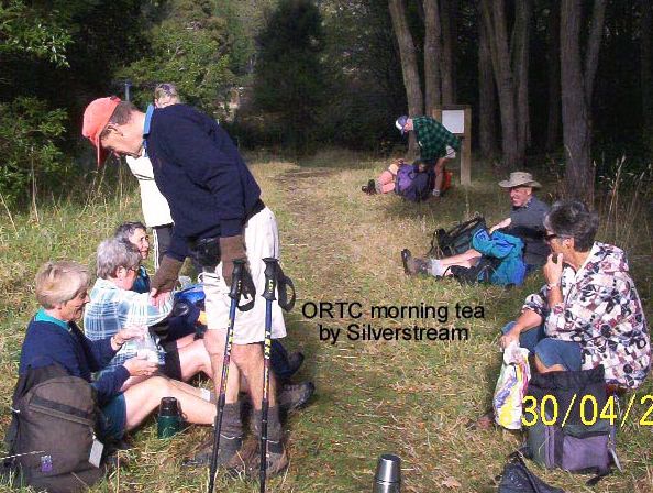
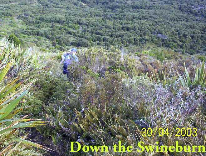
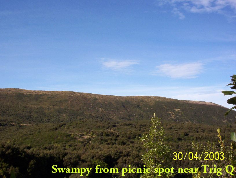
3. 30/4/2003. Steve Amies, Trig Q, Swineburn Photos
2. 23/10/2002. Tunnels – Steve Amies – Little Coal Creek – Racemans. Medium+. Leaders: Lex, Bob H, Wendy B.
1. 2/2/2000. Trig Q from Silverstream via Steve Amies track. Steve Amies Track Circuit Leaders: Peter B, Lex
3. 29/8/2018. Hikers. McKessar Track from Foot. E. Leaders: Jim and Betty.
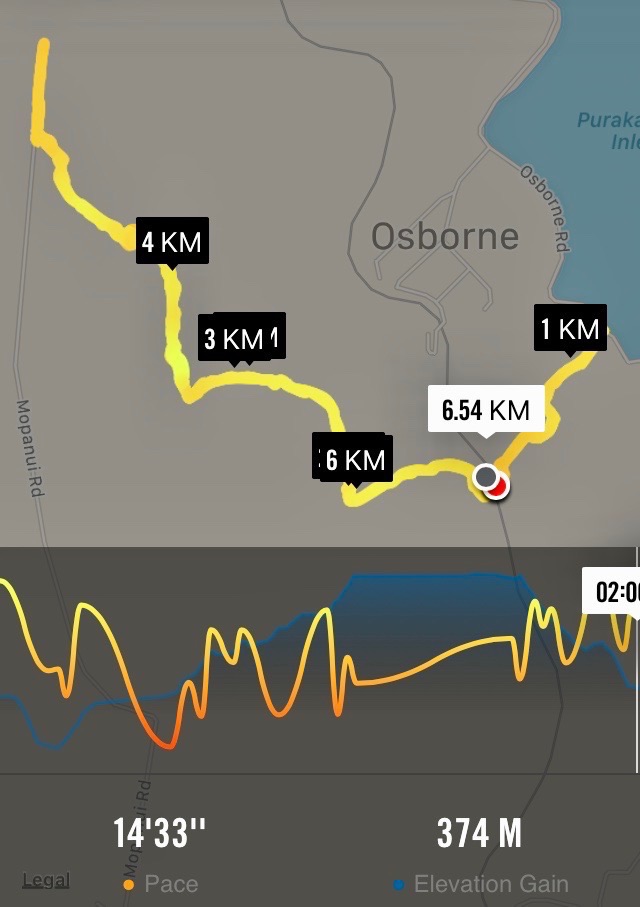
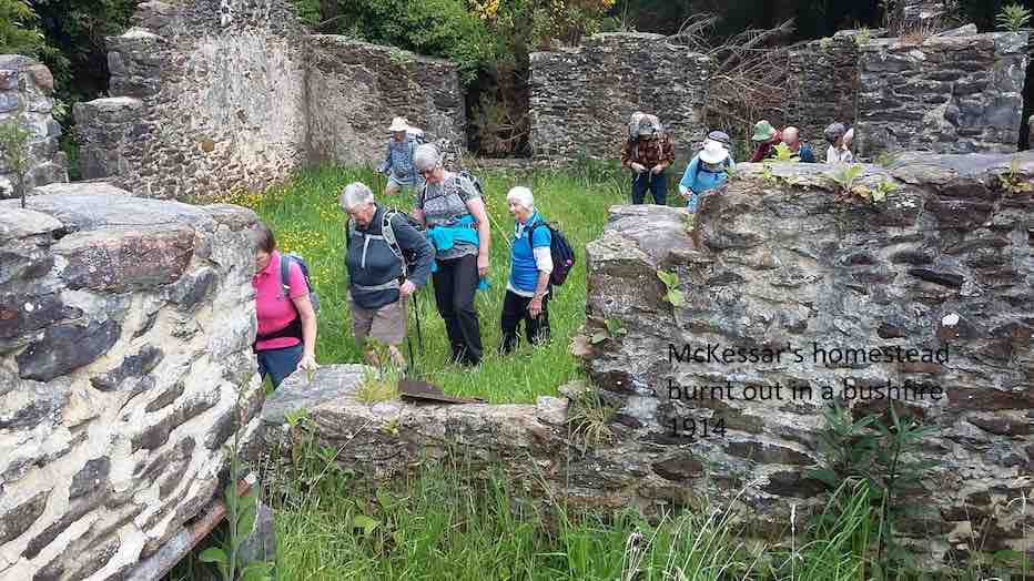
The sun was not shining when we left the car park and as we approached Port Chalmers it looked like it would be a day destined for coffee only. As we continued our journey, there was a marked improvement in the weather as we reached the Purakaunui Railway Park. From the car park the walk was down hill to Sea level then back up the road to the cars for the morning tea break. All the Twenty Two then walked up to our lunch stop at Mopanui Road where we sat with our heads in the cloud. The up hill climb included a breather to marvel at in the relics of the McKessar Homestead. We descended back down the track & into the cars for our refreshment stop at the Plazza Café. Conditions could be described as a little moist. – Betty & Jim Finnie
2. 15/11/2017. Hikers. Purakaunui Station. McKessar Track, Mopanui Road. E. Leaders: Jim and Betty.
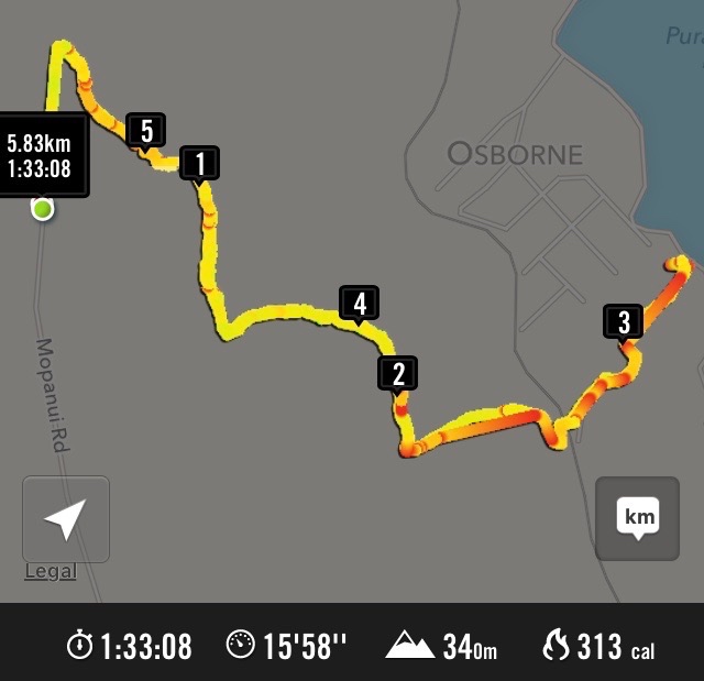
Route map, courtesy Ian.
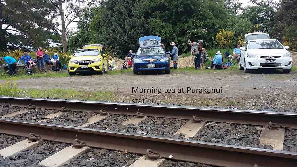
Starting off from the site of the old Purakanui railway station, a party of twenty hikers made the short road walk down hill to the Purakaunui inlet for an then returned, for the morning tea stop at the cars.
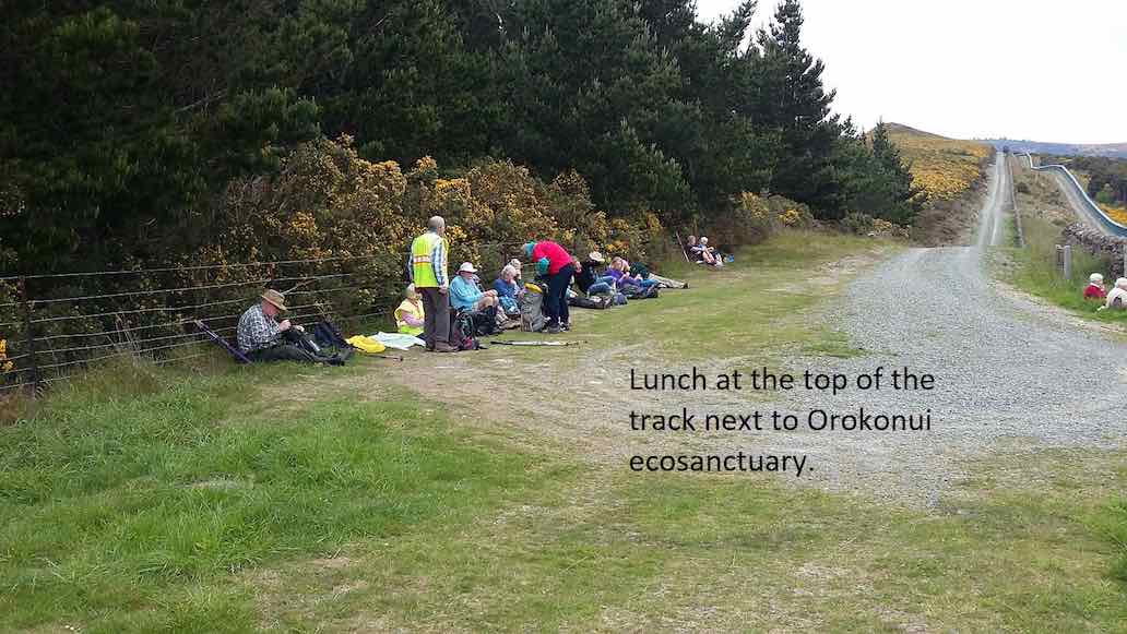
(Clive pic.) [Cars at the station a first for the Club. – Ed.]This was followed by the hike up the McKessar Track in very pleasant conditions to our lunch stop at the end of Mopanui Road. We had a breather on the uphill climb where Ian showed us the relics of the old McKessar homestead.
(Clive pic.)
An after-lunch
(Clive pic.)
stroll beyond the road end, took us to a point which gave us an excellent view to the north. Little time was required for the pleasant stroll down hill back to the cars, which took us to our refreshment stop at the stadium Plaza cafe. – Betty and Jim
1. 9/3/2016. Hikers. Mopanui Road, McKessar Track, Albert Road. E. Leaders: Bev, Lesley.
GPS of McKessar trekHorse Drinking Trough on Mount Cargill Road.Orokonui VillageHikers’ cuppa at top of McKessar Track
MINUTES OF THE 30th ANNUAL GENERAL MEETING OF THE TAIERI RECREATIONAL TRAMPING CLUB HELD AT THE MCKERROW LOUNGE, MOSGIEL PRESBYTERIAN CHURCH ON THURSDAY, 23 AUGUST 2018 AT 1.30 PM
PRESENT: J Dodd (Chair), P & W Bathgate, D Bennett, J Butcher, P Clough, J Dennison, J Devlin, J Finnerty, I Fleming, G Grant, L & A Griffin, L Harvey, A Heenan, C Hughes, P McLean, D Mellish, D Moir, H Morris, K & S Munro, B Shackell, N & M Simpson, L & M Smith, B & M Spittle, T & D Stratton, M Vaughan, T White, J Yardley.
APOLOGIES: E Cooper, C Crossman, D Poole, J Rennell, B Mitchell, B & J Finnie, J Knox, L Gowans, J Reid, P & R Keene, B Harvey, B McLean, E Ryan, N & C Morrison, B Wright, G Haggie, J Ronald. Moved I Fleming/seconded L Harvey that these be accepted. Carried
MINUTES OF PREVIOUS MEETINGS. Minutes of 29th AGM dated 25/8/17 were taken as read having been previously circulated. Moved I Fleming, seconded A Heenan that they be confirmed as a true and accurate record. Carried.
Matters arising: Nil.
CORRESPONDENCE:
Inward: Letter of resignation from E Cooper. Ben Rudd Newsletter
Outward: Nil
PRESIDENTS REPORT. President, J Dodd, presented her report for the year. The club is in good heart with growing numbers over the last year, in particular the number of trampers. Three overnight camps were held, and more in the pipeline. 20 members attended a First Aid Course run by the Red Cross. Other activities included a E-bike ride and a travel evening organised. Proceeds from these went toward fund raising for the proposed Taieri Aquatic Centre. The 30th anniversary dinner in March was very well attended, and Margaret and Les Smith were presented with life membership. Jenni Wright and Margreet Simpson were thanked for sewing boot bags to be distributed to members. Also Jenni Wright had made dresses which were sold at the travel evening. Moved L Smith, seconded B Shackell that the financial report be adopted. Carried
FINANCIAL REPORT
Financial statement for the year ended 30/6/18 was presented by the treasurer. Bank balance stands at $490.51, petty cash $4.60. Funds had increased in the 2017/18 financial year. Moved I Fleming, seconded P Clough that the financial report be adopted. Carried. S Munro queried the lack of the secretary/treasurer honorarium in this year’s accounts.
Moved L Smith, seconded M Vaughan that the $50 honorarium be reinstated Carried.
Subscriptions: Moved J Yardley, seconded M Smith that subs remain at $5, plus $10 joining fee for new members.
Auditor: Moved J Yardley, seconded J Butcher, that Keith Mackenzie continue as auditor.
ELECTION OF OFFICE BEARERS
President: Jill Dodd (Moved J Yardley, seconded L Smith) Carried.
Vice-President: Arthur Heenan (Moved J Dodd, seconded L Smith) Carried.
Secretary/Treasurer: Jan Yardley (Moved J Dodd, seconded J Dennison) Carried.
Past President: J Knox
Webmaster: I Fleming
Committee:
Judy Knox
Ian Fleming
Arthur Heenan, Lester Harvey, Neil Morrison, Keith Munro to continue
Moved A Heenan, seconded M Simpson that Eleanore Ryan be appointed to the committee Carried.
Moved A Griffin, seconded W Bathgate that Jan Butcher be appointed to the committee. Carried.
GENERAL:
Name tags – Lester Harvey had suggested at the previous committee meeting that the club purchase name tags holders to make it easier for new members. He had a sample, but general concensus was that they would not be suitable. Lanyards were suggested as a better alternative, and enquiries to be made as to price.
Track clearing – Arthur Heenan reported this would commence later in the year, probably on a Monday. Any help would be appreciated.
Club shirts – this had not been proceeded with as felt there was insufficient interest, but President would make enquiries as to cost.
There was no other business, and the meeting closed at 2.15 pm.
Guest speaker, Geoff Woodcock, gave a run-down on progress and fund raising to date for the Taieri Aquatic Centre. Thanked by Peter Bathgate, and presented with a donation to the pool.
Confirmed ………………………………………..(President) Date ………………….
27/5/2015. Momona Environs. E. Leaders: Peter and Wendy.
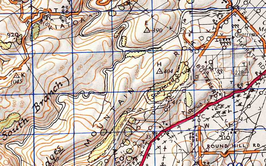
GPS of Momona route
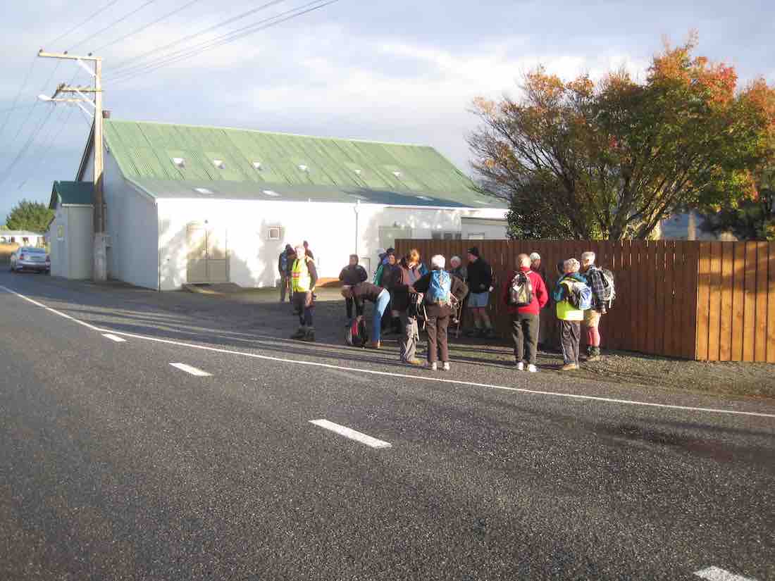
23 of us started from Momona Hall
Start. (John pic)
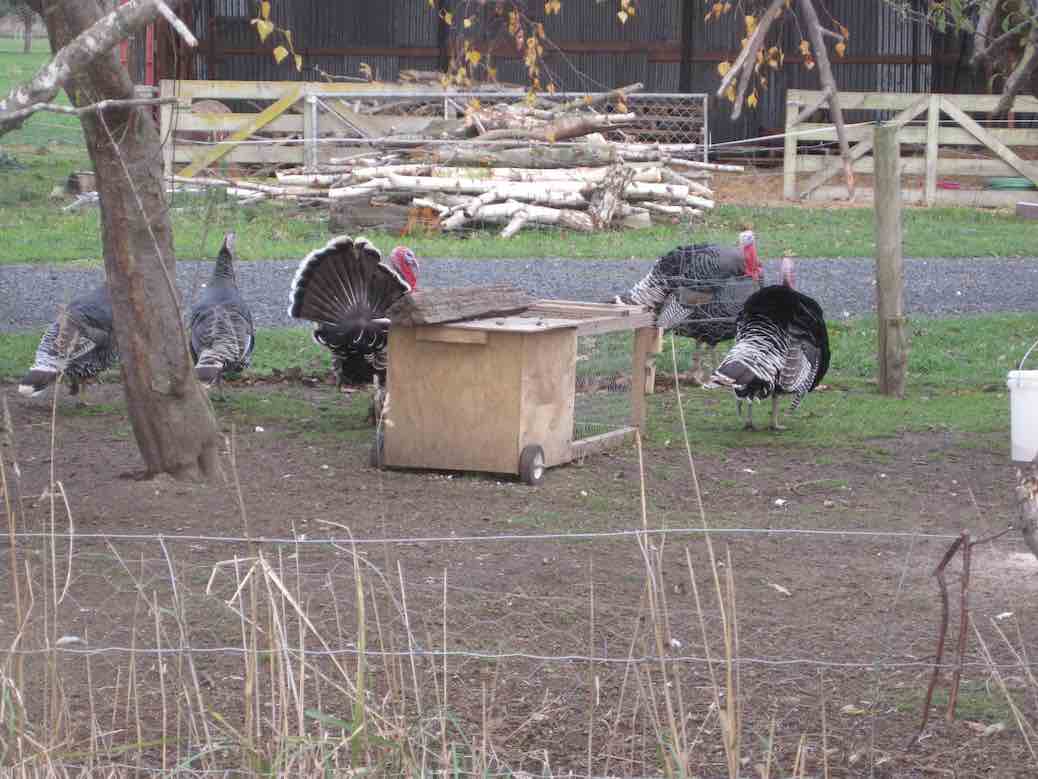
at the intersection of Centre Road and Nichols/Bruce Roads. Some distance south (approx) along Centre Road we turned aside into what Peter told us was the original route of the road to emerge back a little further on. Towards the corner we cut through a lane to emerge on Millers Road (kms 1 & 2) which we followed down past some fattening turkeys
Turkeys for the table? (John pic)
to turn into Bremners Road (kms 3 & 4).
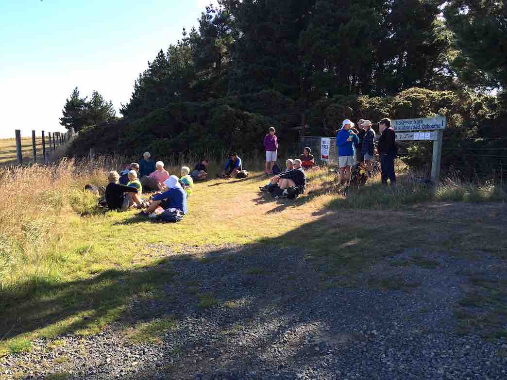
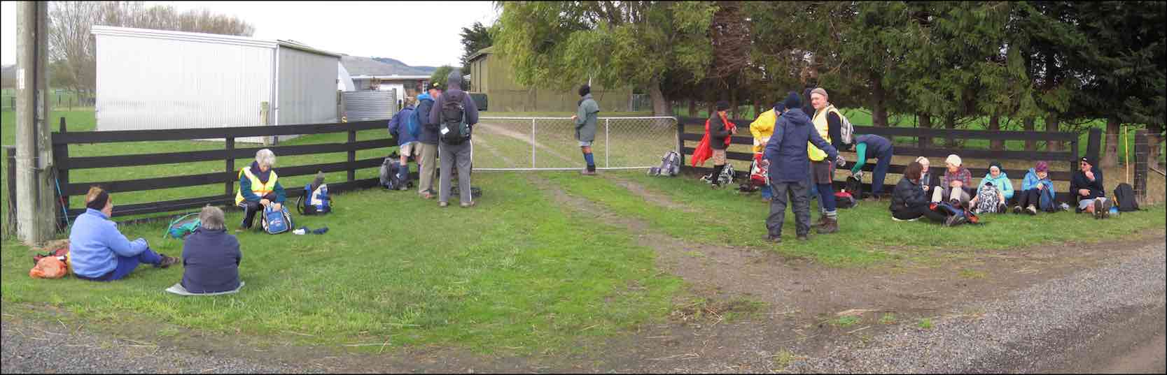
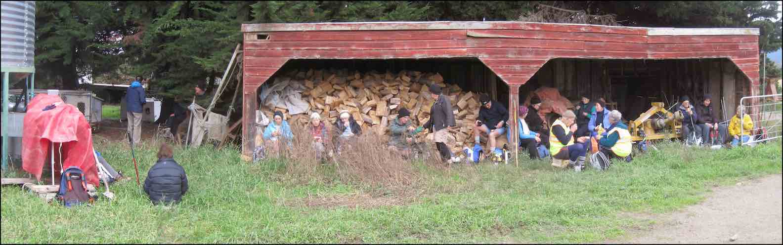
We stopped in a gateway for morning tea, partly sheltered by a belt of trees. The small cold wind forced us into wind-breakers at this point.
Morning tea panorama (John pic)
From Bremners, we turned down Lee Creek Road (km 5) and then along Granton Road. Next turn was into Beehive Road, (kms 8 & 9) our first road to take a more winding route, and this led us eventually to a turn into a paddock whose fence line led us across to the Janefield homestead, (km 10) where we lunched. This was just as well, for Lesley’s legs had started to go ‘rubbery’.
Lunch panorama. (John pic)
This was Ian Bathgate’s property. Peter had been telling us about his Bathgate relatives’ history on the Taieri Plain.
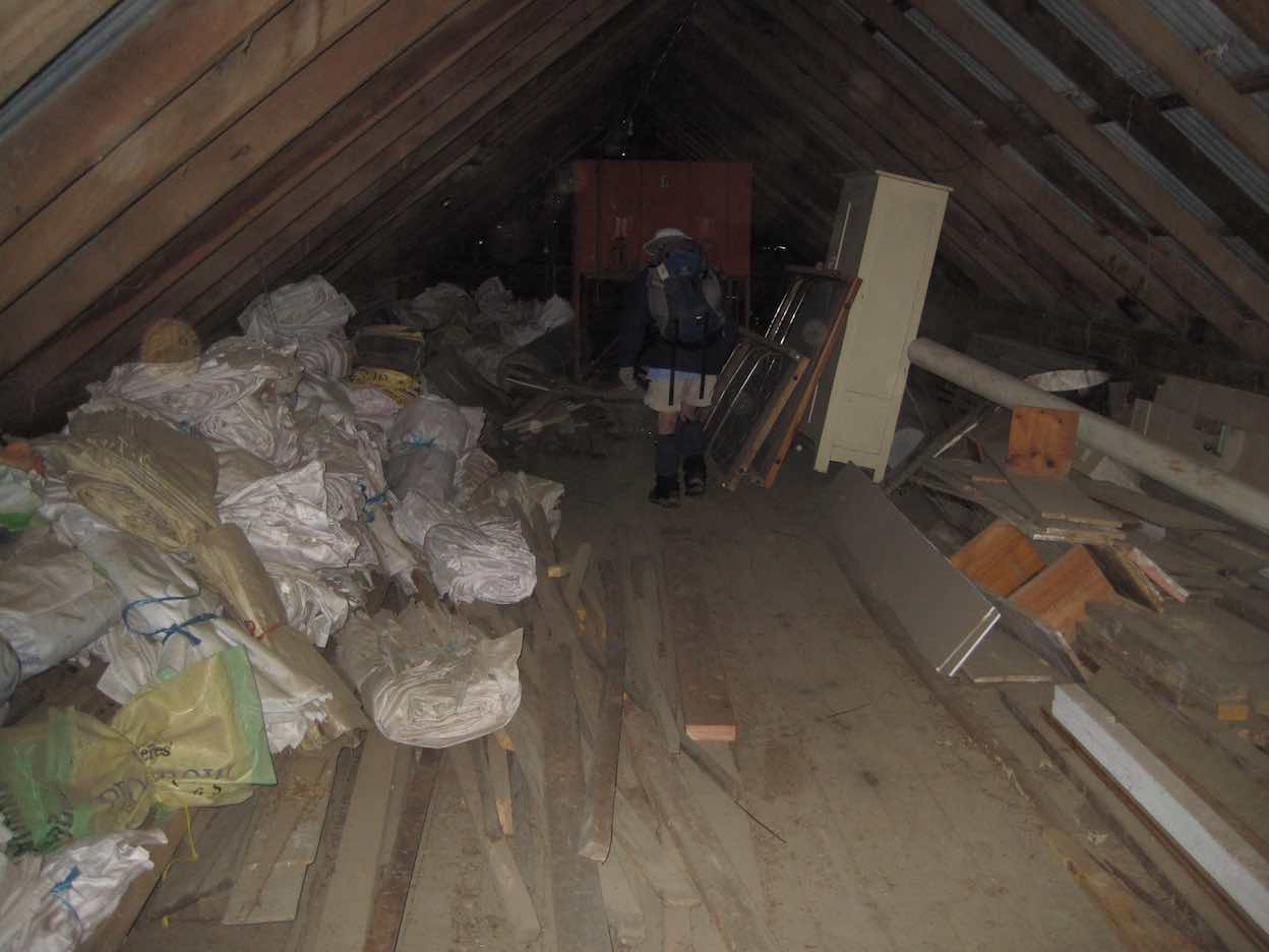
The feature of Janefield was the huge barn loft where dances had been held in times past. Now it was just used for storage.
A wing leading off from the large Barn loft (John pic)
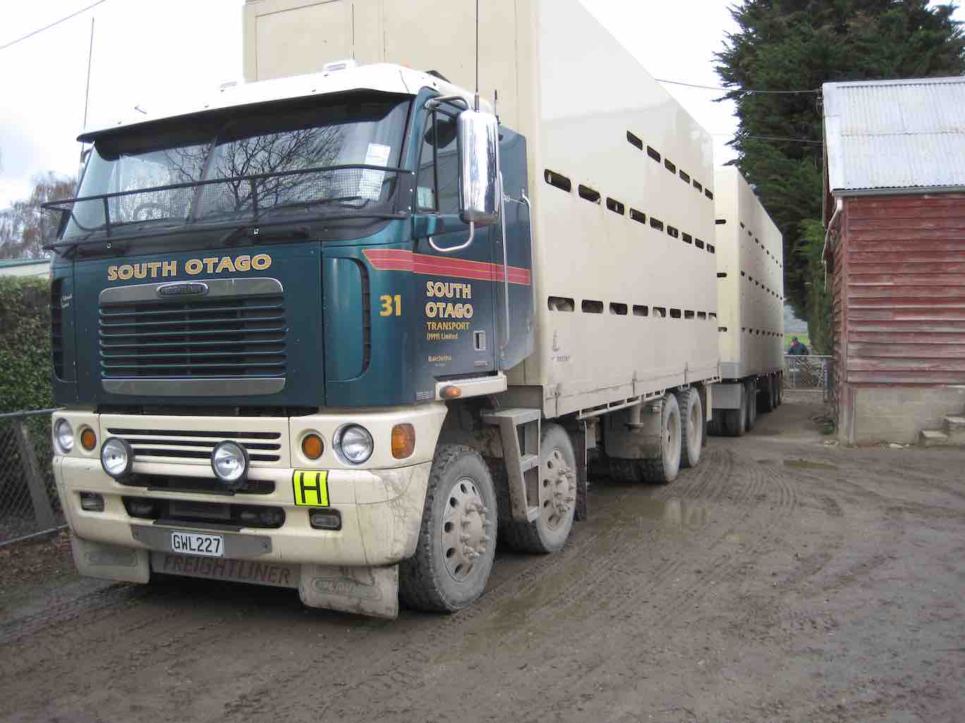
As we turned the corner we were confronted by a large stock truck loading loin chops in their original form.
Loin chops to be? (John pic)
The road out from Janefield came out on Nichols Road (kms 11 & 12) which by various twists and turns led us diagonally across the plain eventually back to our cars.
Thanks, Peter and Wendy. A good winter’s (well, weather-wise anyway) road walk – an alternative to what would have been a soggy farm walk to Weka Falls. And an original choice too. A new ‘first’ for the club through a bit of Bathgate family history! – Ian.
Frost to begin with, but a sunny day followed for 11 Trampers to enjoy their exercise in.
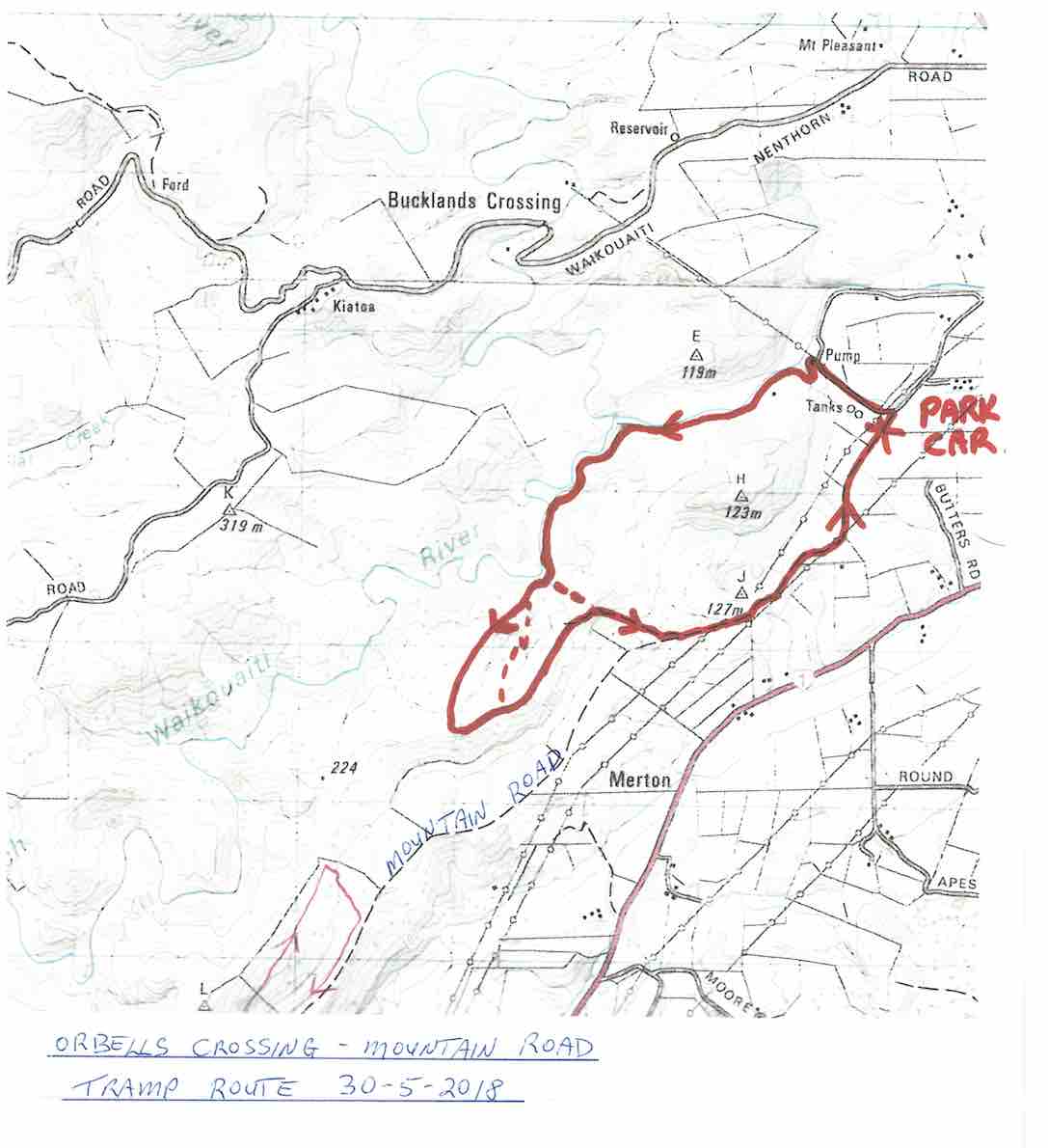
We drove up Mountain Road from the north end and parked up.
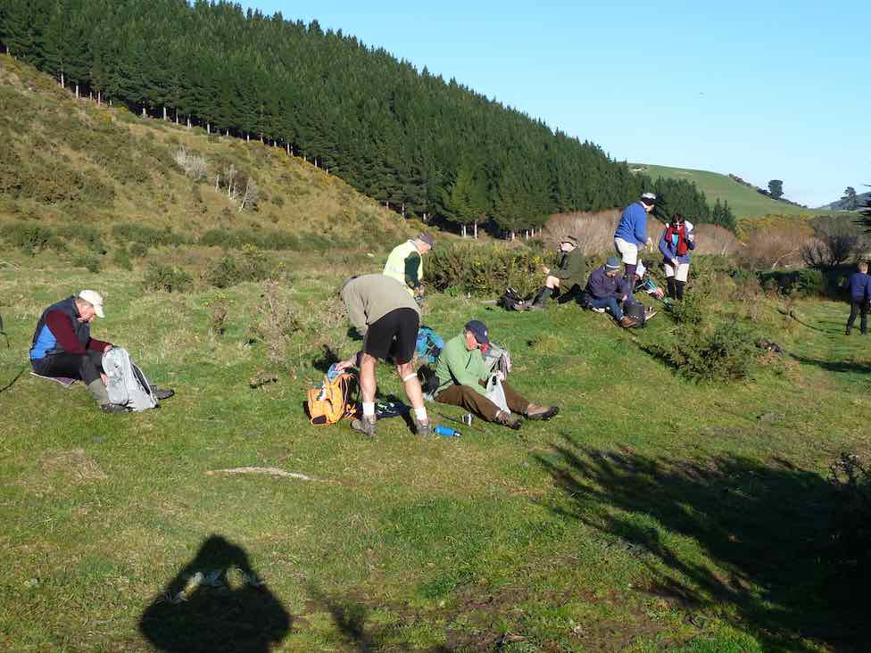
The air was cold, but a brisk downhill walk in the sunshine took us to the bank of the Waikouaiti River where we had our smoko stop.
All important smoko. (Gordon pic and caption.)
Following the river bank upstream we soon encountered a pine plantation where the track was becoming overgrown with blackberry and gorse. You would have expected that a consciention leader would have done some track clearing!
This was the only bad patch for the day, as we were were out on grazed paddocks from then on.
Passing the junction of the two branches of the Waikouaiti River, we continued up the south branch and soon came out on a lovely river flat. On leaving the river we had a long climb, with a reasonable gradient,
Onwards and upwards. (Phil pic and caption.)
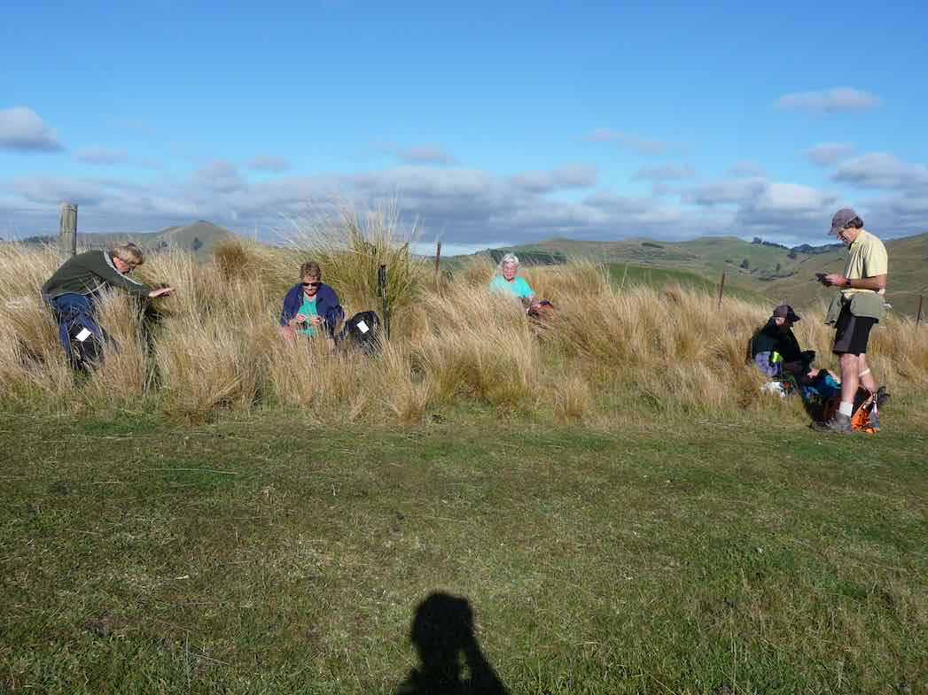
to eventually find our lunch spot on the ridge top.
Lunch among the tussocks. (Gordon pic and caption.)
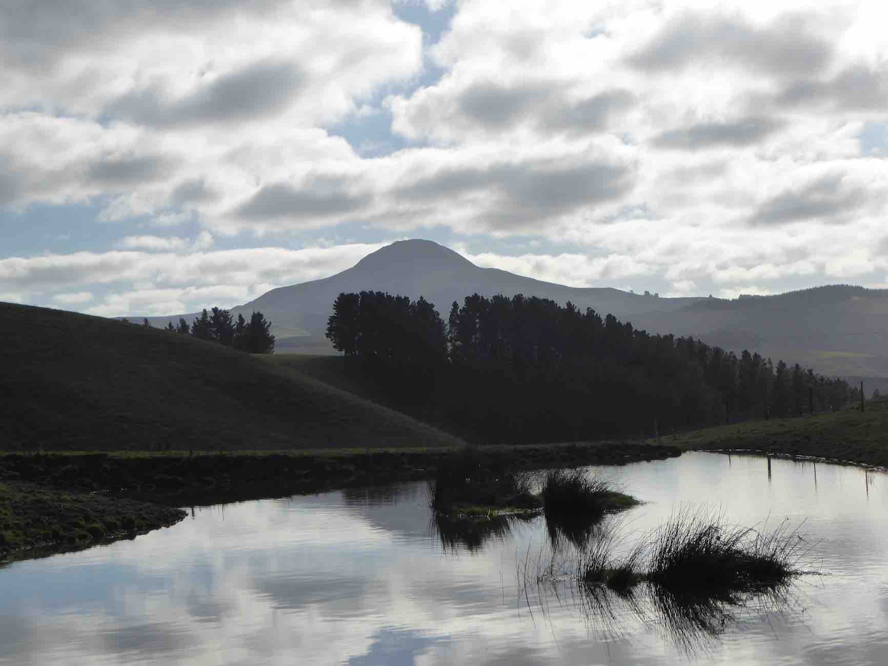
Lunch with a view – a little snow was on top of Lamb Hill, Mount Misery, (Bendoran Huts had been visible a few metres back). We were looking at Mount Watkins
Reflecting on Mt Watkins (Phil pic and caption.)
as we ate, and Maori Peak, Karitane, etc, further round.
A very slight south-east, but very chilly breeze was present, and we faced into it for the return journey. Following the ridge down, and then on a slippery (newly graded) track requiring care.
Heading back to cars. (Gordon pic and caption.)
In time we came to Mountain Road, which is the old wagon road from the early days of Otago, and eventually arrived back at our cars.
We had covered a distance of about 10.5 km. Our club had last tramped here in 2012, but none of our group had been here before.
A new tramp is always welcomed, and we had a great day in the sunshine, enjoyed by all.
Blueskin Nurseries enjoyed our patronage on the way home. The Hikers arrived in too. – Art.
Three of us, & Fin the dog went on the tramp to Lawson’s Farm at the North end of the Silverpeaks, in the Waikouaiti River valley.
Morning Tea break. (Ken pic and caption)
It was a very warm day, so we took advantage of the shade where we could. As I was the only one who had been there before, I put the previous tramp from there onto my GPS, & we followed that route up to where we had previously had lunch, but as it was only 11:00am at this time, we just rested in the shade for 10 mins or so, …
Resting out of the hot sun. (Ken pic and caption)
View from our resting place. (Ken pic and caption)
… before climbing the steep face up to the top paddock. Our lunch stop was by the Limestone rock formation, but this time, we sat down by the fence below them to keep out of the sun.
Lunch in the shade of the trees. (Ken pic and caption)
The after lunch climb up the vehicle track to the Old Mountain Track was next, & then just a leisurely walk along this back to the vehicle. – Ken.
Ken’s GPS tracking of the tramp goes anti-clockwise from top right where we parked the cars, across left alongside two large water tanks and a new building, then a zig-zag down to the river where we stopped for morning tea. Here we were amazed by evidence of a large flood that had tangled debris in bare willow-branches (not evident in the pic) well above our heads.
Morning Tea. (Keith pic)
Following Ken’s GPS tracking up the true right side of the river, and you come to the extreme left of the map where a mixture of tracking signals indicates our lunch-stop. As you can determine -click to enlarge the pic – from whether the tracking signals are behind or in front of each other, you will see that the track took us up and down several slopes. Lunch was on a ledge well above the river. A great view. The steep ridge showing in the pic’s background is what we c-l-i-m-b-e-d after lunch.
Lunch on ledge above Waikouaiti River. (Keith pic)
View looking back down the willow-lined river. (Keith pic)
A gentle descent across a newly-grassed field took us to a track down to a gully between two ridges, then up the gully to the remarkable set of unusual rocks. Beyond these, we climbed the steep slope up to the left to emerge eventually on the Mountain Road track. It was then only the case of following this back down to the the cars. Thanks to Ria and Hazel for a well-led tramp, enjoyed on a grand winter’s sunny day following a good frost. – Ian
A small but select group met at the turning to Buckland’s crossing on an overcast but warm day under the leadership of Ria and Hazel. The location of the tramp was down as Orbells crossing but there was some debate as to where this actually was. We parked in the middle of nowhere but Ria and Hazel soon had us over a couple of fences and striking across the countryside to a nice morning tea stop on the banks of the South branch of the Waikouaiti River where it was mentioned that a fishing rod would have been useful. The tramp continued along a very pleasant country track wending our way along hillsides and gullies until we stopped for lunch, looking back over to where we had walked earlier. To those with no sense of direction this was quite confusing as we seemed to do a very big figure of eight. After lunch the mystery trip continued, with Ria venturing into some uncharted territory along a gully. When the gully ran out it was a steep climb up to the top where we could easily see where we were again. One of the highlights of the day was seeing the unusual rocks just above the track,
Ria, HazelRia, Ian, Tash
weathered into all sorts of interesting shapes, colour and textures. All information about these rocks would be gratefully received. A very enjoyable day’s tramping. Many thanks to our adventurous leaders. – Tash
5. 9/5/2007. Lawson Farm from McGrath/Gilchrist Roads near Old Cherry Farm. Figure of Eight. No river. Leaders: George, Evelyn C.
12. 9/5/2018. Trampers. McKendry Road to Maungatuas tramp. Leader: Jill.
On a glorious May morning 13 trampers parked in Horsehoof Station’s paddock at the top of McKendry Road – and immediately began our ascent of “the Hill”.
Start. (Gordon pic.)
Gaining height quickly we were afforded great views over the Taieri.
Smoko break next. (Gordon pic.)
Morning tea was a welcome break from the climb – and time to take in the vista to Saddle Hill and the sea beyond.
Our climb continued before we turned left on to a track that took us down through a lovely beech filled gully and over a pretty stream.
Native bush. (Gordon pic.)
(Don’t think we need to include the photo of Margreet & the gorse bush!)
Then it was onward and upward and upward through native tussock country.
Long slog to lunch stop. (Gordon pic.)
We had lunch at the top corner of Horsehoof – on the boundary with the Maungatua conservation area.
Finally, LUNCH Break. (Gordon pic.)
We headed back down along farm tracks,
All downhill from Woolshed Road back to the cars. (Clive pic.)
We parked the cars under some Gum trees, & walked the short distance to the start of the climb up the “Old Coach Rd” to the top of the Maungatuas.
Climbing ‘The Old Coach Rd’. (Ken pic and caption)
This track was very hard going due to the damage done to it by cattle.
Muddy condition of ‘Old Coach Road’. (Ken pic and caption)
We stopped for morning tea part way up, then continued on for some distance, until deciding to go back down, as it was getting quite windy, & cold, with frequent light showers. We went back down to the Roseburn house, found a spot to have lunch,
Lunch. (Ken pic and caption)
View from lunch spot. (Ken pic and caption)
View from lunch spot (2). (Ken pic and caption)
View from lunch spot by house. (Ken pic and caption)
& then went exploring, to find a better way to the top. After exploring a number of tracks, & even although the farmer had told Doug & Sabina that there was no way up now because of overgrown tracks, we found a way up through an old logging site which would take us right to the top.
Close-up of correct track. (Ken pic and caption)
Correct track to top. (Ken pic and caption)
From there, it was back to the cars, & home again. – Ken.
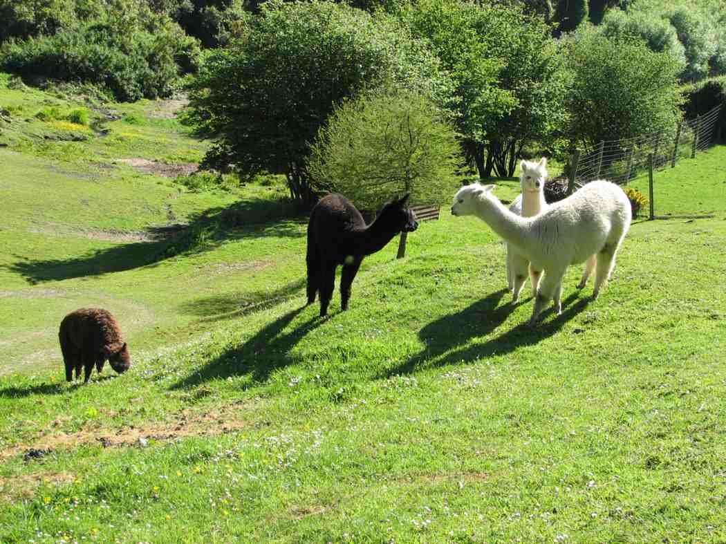
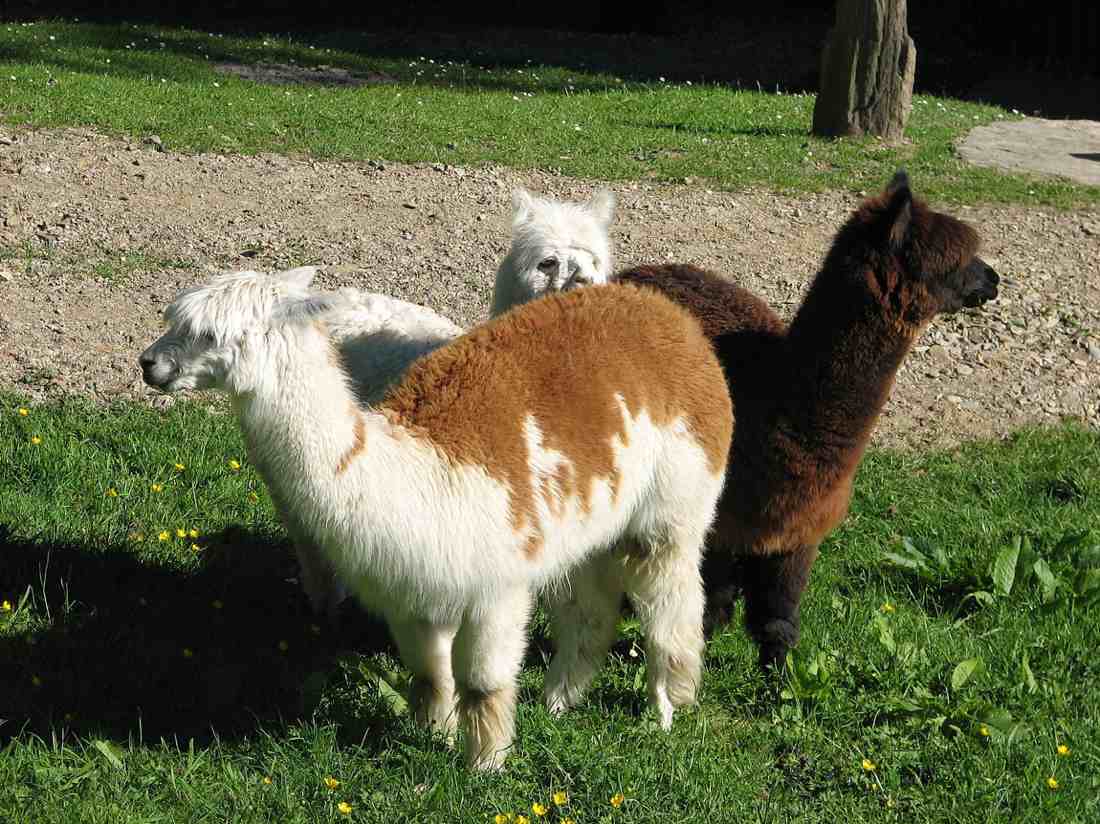
A hot day with some early steep climbing, but not before George and Glenis led 10 of us down through Roseburn farm homestead to see a dozen or so alpacas. Great.
Alpacas on RoseburnAlpacas up close
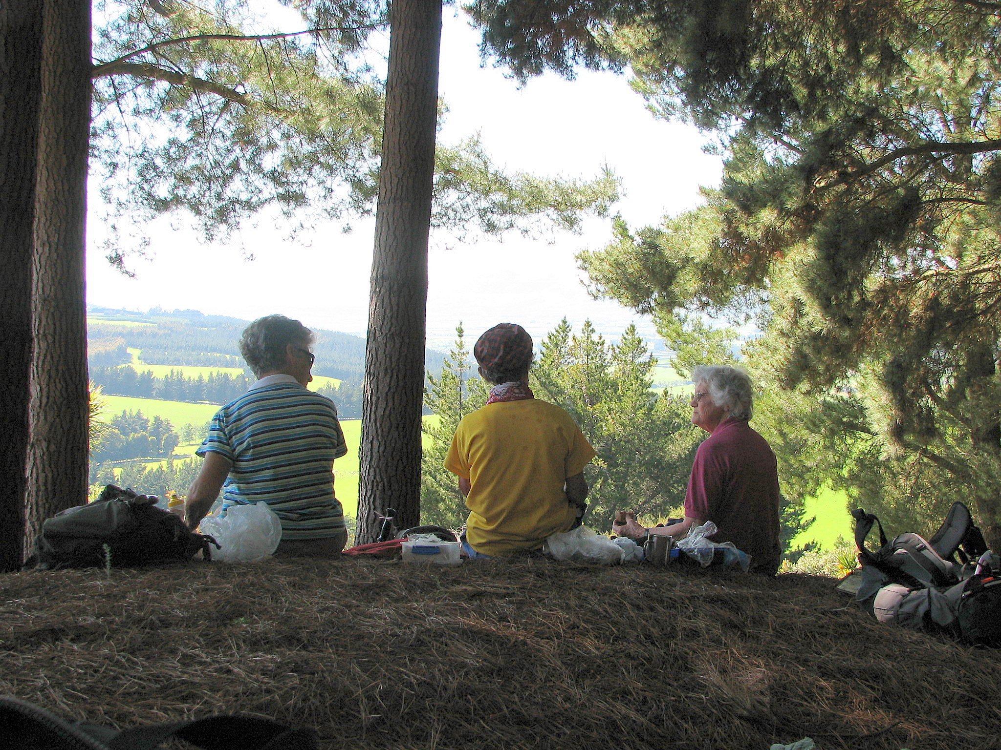
Climbing out, we stopped for morning tea with a grand view from the shelter of pines
Cuppa time. Wendy, Ria, Hazel.
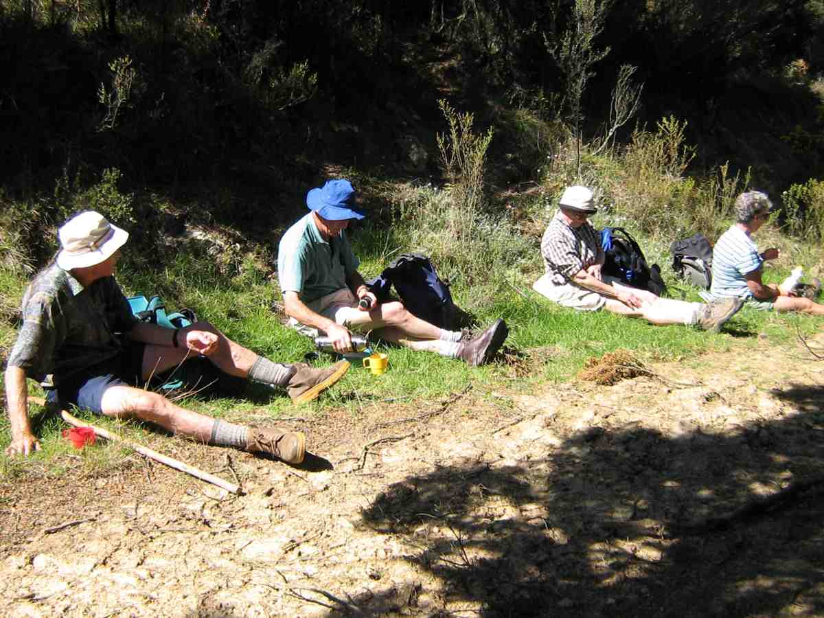
before emerging into paddocks exposed to a hot sun. It was then just continual climbing until we emerged at last onto Woolshed Road, a 4WD track along the top joining McKendry Road along the back with Horsehoof Station. It was still a bit early for lunch, so George led us down a 4WD track turn-off that headed towards Maungatua, to lunch under silver beech trees hugging a Woodside-bound stream. The trees provided a leisurely lunch- time shelter and rest.
Lunch. George, Lex, Pat, Wendy.Lunch snooze. Bill.
Climbing back out, we followed the Woolshed- McKendry road down, down, down, enjoying great views of Outram and the Taieri Plain on the way, to reach the cars again near Roseburn Farm. An enjoyable first real sunny day in a long time. – Ian
8. 28/6/2006. Trampers. Horsehoof to Maungatuas from McKendry Road. Medium+.
7. 18/6/2003. Trampers. McKendry Road to Maungatuas, returning by farm. Medium. Leaders Shirley McN, Bill and Pat.
6. 27/6/2001. Horsehoof Station from McKendry Road. Medium+. Leaders: Claude, Bill and Pat.
No. 60 on old hardcopy list of 113 club tramps. “Lawlor Farm”
Gate, Old Lawlors Farm, 2019.
Closed for lambing Sept-Nov.
50 km from car park.
14. 18/4/2018. Trampers. Welshs Road, Old Farm, Deep Stream, Weir. M. Leader: Keith and Arthur.
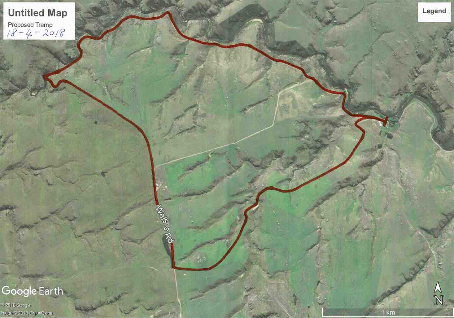
Route map, courtesy Keith.
It was a beautiful autumn day as 14 trampers travelled for about 40 minutes, out past Clarks Junction to Welshs Road.
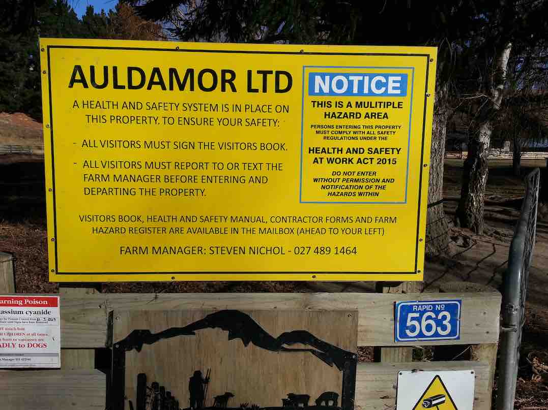
The cars were parked by the woolshed near Deep Stream on Steve Nichol’s farm. We all had to sign the visitors book on arrival, for “elf and safety” reasons.
The sun was lovely, but the breeze was decidedly cool, as we made our start.
To be different, the leaders had planned on a clockwise circuit, and also climbing uphill through the paddocks to extend the distance.
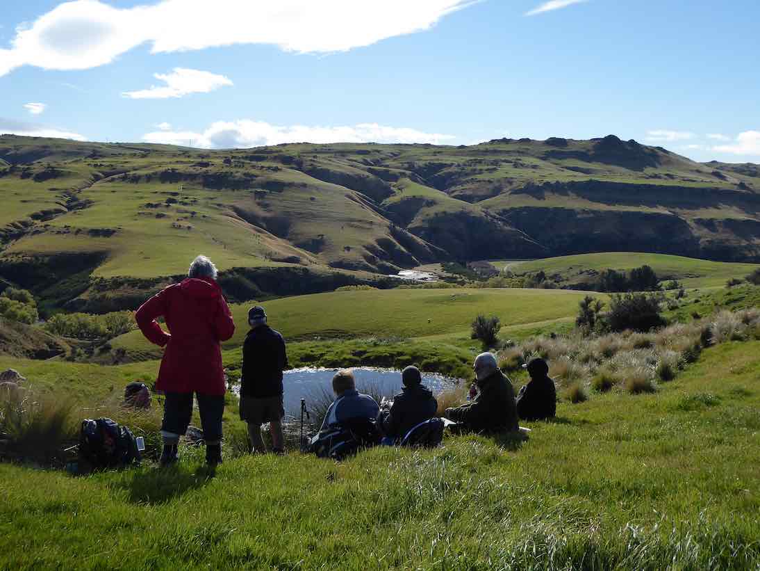
The steeper beginning warmed all the participants nicely, before having morning tea in the head of a gully – somewhat sheltered from the breeze.
Morning tea towards Deep Stream. (Phil pic and caption.)
Continuing up through the paddocks the scenery was magnificent wherever we looked. At the highest point of our day we came back to Welshs Road. The wind was keen here, but there was a good view over to the Lammermoors – the “ship at anchor” was visible.
Now it was downhill all the way to Deep Stream, road at first and then following the farm’s boundary fence.
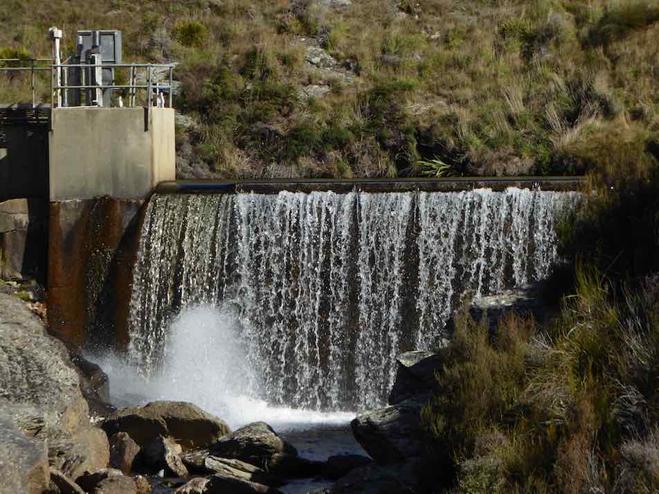
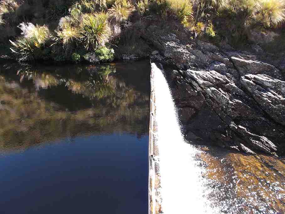
The “Te Papanui Conservation Park” was just over the fence which we had to climb through at the last. The views looking down in to Deep Stream were great as we descended to the weir.
Time for some photographs …
The weir! (Phil pic and caption.)
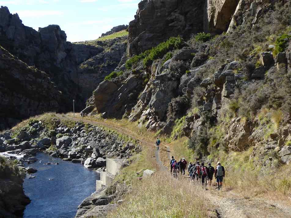
… before walking the 4W.D. road above the stream.
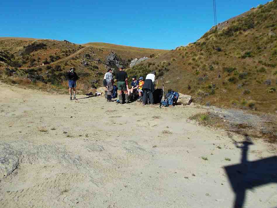
Follow the leader. (Phil pic and caption.)
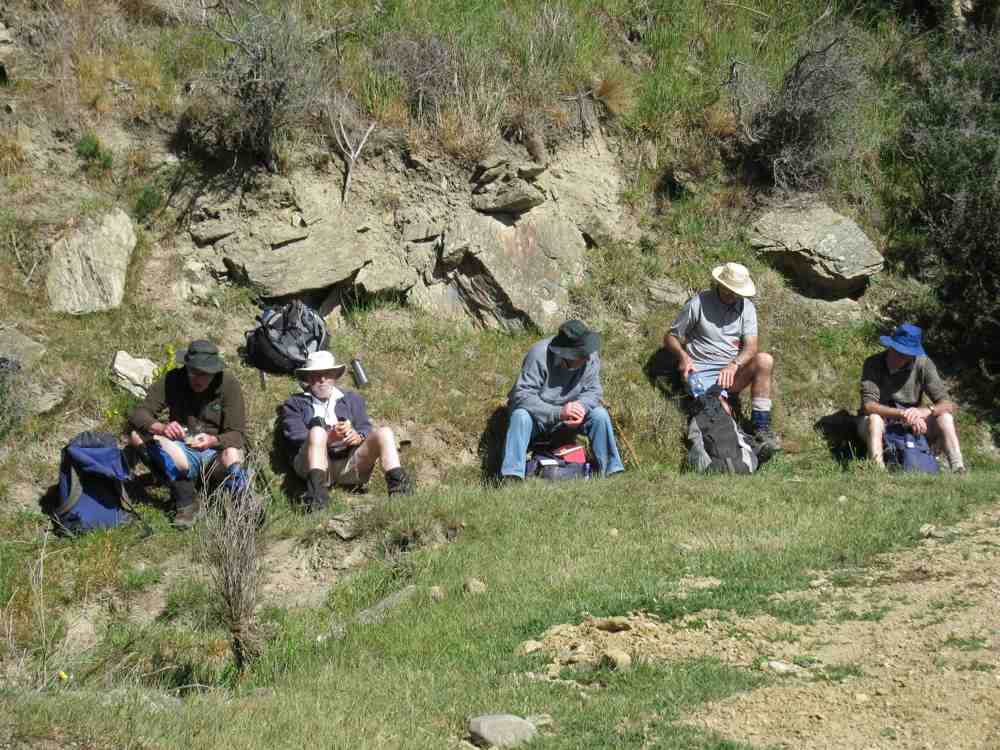
Near the mouth of Deep Creek we stopped for an early lunch on a long table thoughtfully provided. A nice spot in the sunshine, and ideal for the occasion.
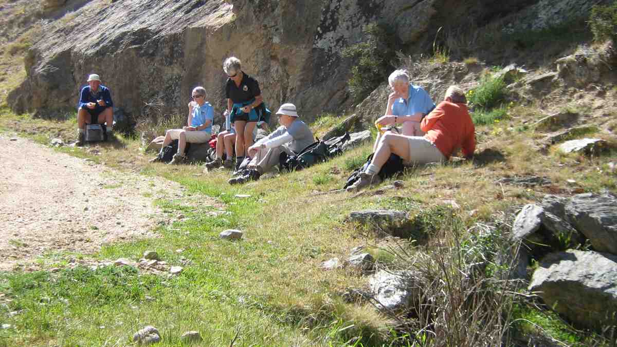
….and if one should accidentally fall there would be…….sitting on the wall! (Phil pic and caption.)
The 4W.D. road was up and down a bit, but took us back to the cars, after having walked 9.8 km.
All agreed that the walk down through the Deep Stream gorge, below the weir, was the highlight of the day. It had been another very successful and happy day’s tramp for our group.
And so back to Outram, to stop at a the ‘Goat’ for water, food, tea, coffee, hot chocolate, cold beverage, etc (tick the boxes applicable please). – Art.
13. 17/2/2016. Hikers. Welshs Rd, Old Farm, Deep Stream, Weir. M. Leaders: Bob and Peter.
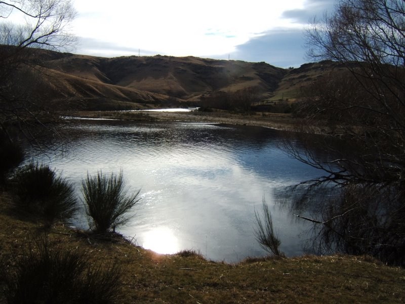
GPS of route alongside Deep Stream.
The leaders considerately stopped the cars about 3k short of the old farm house to give some level walking to those who didn’t wish to tackle, beyond there, the climbs over the three steep ridges on the way into the weir. (As matters turned out, they did tackle a further climb or two after all.) We all stopped first, a kilometer or so along the road, for a cuppa.
Hikers. Cuppa. A km or two from the cars.
Eight of us went on to reach reached the barb-wired locked gate, (some getting further)!
En route, a nostalgic shot (yet once again, couldn’t resist it) of the ‘confluential’ point where the Deep Creek tributary enters Deep Stream.
En route, (whoops, too many ‘en routes’), we passed a couple of bee hive sets of frames, with Betty getting stung several times from one of them. Happily Lester was there to help remove the bees and their stings.
On our return, we stopped in the a patch of shade for lunch.
The leaders (& Doug) lunching in the shade.
The day grew warmer but fortunately not nearly as exceptionally hot as it was a fortnight ago. We enjoyed a brief cooling passing shower when getting close to the cars on our return.
The ridges are getting higher and steeper than ever to climb over and the tramp extension by the extra three or so kilometres gap between cars and house wearied this reporter a bit but for the others it was a breeze. A good day out. A good reminder of a tramp the club has enjoyed many times before. – Ian.
12. 23/4/2014. Hikers. Welshs Rd, Old Farm, Deep Stream, Weir. M. Leaders: Peter and Wendy.
GPS of route. The tail with “2” in it was a false uphill recce with none of the necessary downhill bits one or two of us had remembered.
A good memory is an attribute we came to wish we collectively had more of. Driving down Welshs Road, we made two false stops before plucking up enough courage to take our cars yet further on to the actual Holiday Camp yards. (However, from recollection (what’s that again??) the “Both” 8/2009 group [indicated below] walked virtually the length of Welshs Rd just to reach the HP, well-notified on its gate).
Neat Caption editing, John! (John pic)
Well, we eventually made it there by car and walked on and up a bit to stop for our morning cuppa.
After that stop, taken briefly because of a strong cold wind at the time, memory let us down again. A few recalled the road had several ups and downs in it, but the road that we then took led us only up and up and up. After some confused conferring, with nervous hope of finding the right way, we retraced our steps back down the way we had come, to a gate just adjacent to our morning tea stop. Soon the reassuring ups and downs emerged, and a morning tea spot taken on an earlier tramp confirmed we we on track. (See Trampers 11/2009 for the morning tea break pics)
However the earlier uphill foray had served to discourage four of our 22-strong group from further uphill struggles and they returned to the cars. That was too bad. But eighteen still persisted.
The stream views were most rewarding. The view of the Deep Creek (exit/entrance?? – well, confluence, then) into Deep Stream looked better from an angle different from that of a pic below taken on an earlier trip.
A more picturesque view of Deep Creek debouching into Deep Stream. (See “Deep Creek Tributary” below for the other one)
A locked gate (part of which can be seen at the right in the pic below) just prior to the weir proved a further deterrent, and only five persisted beyond it. On rejoining the other twelve they found them already getting into their lunch. It was the right time too.
Lunch by the locked gate. (John pic)
We straggled back to the cars in a long drawn out string of ones and twos, but all eventually made it, to unsurprisingly find the earlier four long gone.
Then it was only for a dwindling ten (did Elaine deliberately hide herself behind Pat?) of us to reunite at the No 8 w Herbs cafe for a drink of …
After tramp coffee at Outram.
… – you’ve guessed it – coffee, not to mention a tasty treat of chips and dips, courtesy Elaine. – Ian
11. 26/2/2014. Trampers. Welshs Rd, Old Farm, Deep Stream, Weir.
GPS of route, courtesy Ken. We only walked 7.6 km; 1 hr 57 mins moving time, 3.9 km/hr; climbed 318 mtrs; max elevation 544 mtrs.
This was a tramp that most of the 9 that turned up had never done before.
We walked up the gorge all the while looking down to Deep Stream to see if we could find a more interesting walk than on the road with it’s quite steep climbs. Once again most of the ones who are going on the Motatapu trip next week were carrying their big packs with some weight in them.
We found some nice rocks to sit on for morning tea …
Morning tea break. (Heb pic and caption)
… at the top of one of the hills we had to climb, so we got a good view of the countryside. Then it was further into the gorge, until we arrived at the weir.
The weir. (Heb pic and caption)
After a look around there, & a drink to freshen up …
Topping up the fluids at the weir. (Heb pic and caption)
… it was decided that we would go up the steep road opposite to where we were sitting, & walk back through the paddocks. George & Rea both remembered doing this in earlier times, so we set off, & headed away from the gorge up into the paddocks where we split up a bit & had lunch in two groups. Then it was down a gravel road that George assured us we would find, & back a short distance to the cars. The stream looked inviting, as it was a reasonably hot day, without a cloud in the sky, but nobody was game to get wet !!
After examining some peoples’ packs, & the way they were wearing them, we had an adjustment session to see if we could improve the fit for one member of the group, & I’ll also be looking at mine before next week, as it seems to be sitting too low on my hips.
We are becoming the Coffee Club No. 2 as we once again called into Outram for a chat over a cuppa on the way home, although Rea, & Hazel walked all the way around to the Berry Farm shop for a Yoghurt Ice Cream !!
Everyone agreed that it was a good walk with interesting scenery along the way. – Ken.
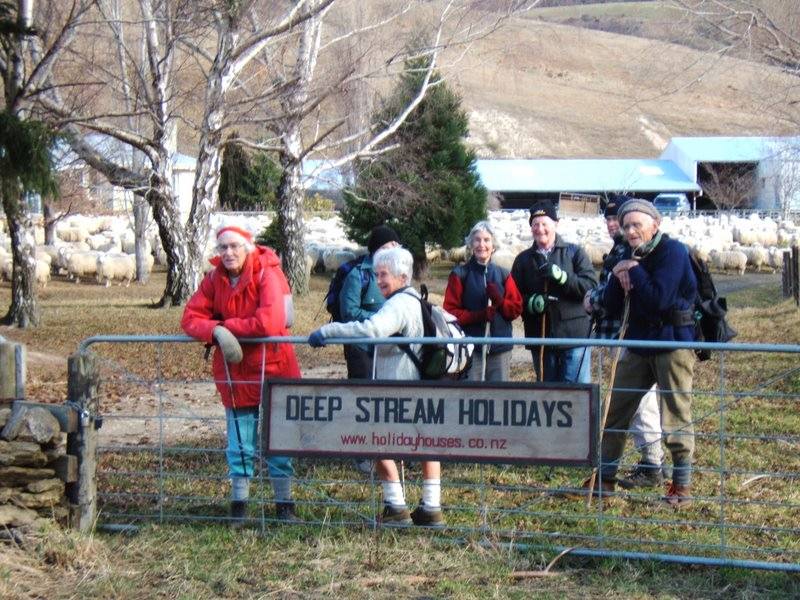
10. 25/11/2009. Trampers, with a lot of Hikers! Deep Stream Holidays. Pipeline Road. Deep Stream Weir. Easy+. Leaders: Bill and Pat.
It was 10.00 a.m. before our cars reached the Deep Stream Holidays Park. So we walked on along the pipeline road before stopping for a delayed morning tea in a sheltered corner of the road.
We stopped for a late cuppa.
Other group at tea break. (Bill pic)
The road wound on up and down as the pipeline followed up beside the stream.
The road stretched on.
A point of interest was to see the Deep Creek confluence point with Deep Stream.
Deep Creek tributary.
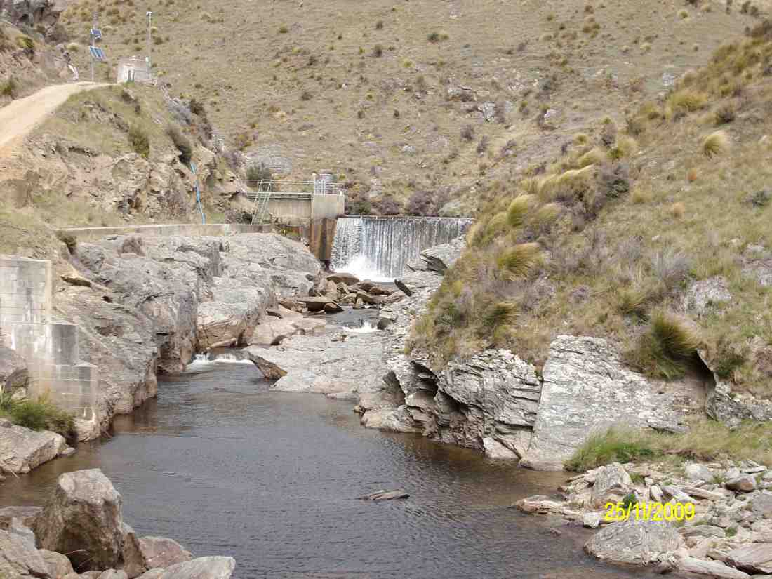
Eventually we arrived at the weir.
Weir. (Ken pic).
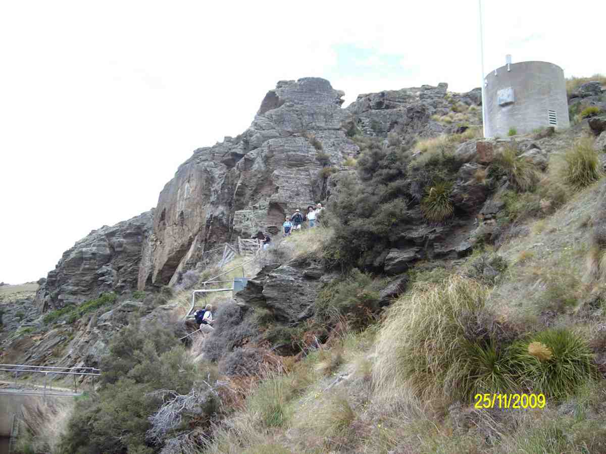
We climbed the steps from the weir to the road above. Some of us found a way up to the rock looming behind.
Steps up from the weir. (Ken pic).
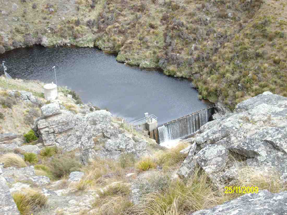
From the rock buttress, we had a grand view of weir and dam.
View of dam from the rock buttress. (Ken pic)
On the way back, Bill pointed out a rock wall built by Chinese goldminers to divert the stream.
Old diverting wall from Chinese goldmining days.
9. 5/8/2009 Both. Welshs Road, Deep Stream, Lawlors Old Farm now Deep Stream Holidays. Easy+. Leaders: George, Bev.
click to enlarge
Romdales. Where there’s a wool…. (Bruce pic and caption)….there’s away (Bruce pic and caption!)Climbing Welsh Road by Deep Stream. (Bill pic). MollyAnother view of Deep Stream. (Bill pic)Deep Stream above the weir. (Bruce pic and caption)In holiday mood. (Bruce pic and caption). Evelyn, Pat, Bev, Molly, Fred, Bill, GeorgeIf we just keep straight ahead we should hit a pot of gold (Bruce pic and caption)
8. 14/4/2004 Hikers. Deep Stream. Lawlors Old Farm. Easy+. Leaders: Joyce , Jim & Thelma
7. 15/5/2002 Alt. Deep Stream, Lawlors Old Farm. Easy. Leader: Mary L, Margaret and Les.
6. 23/9/1998. Lawlor Farm, Deep Stream. Leaders: Mary L, Sabina.
5. 25/9/1996. Deep Stream from Rocklands Station to Dam. Leaders: Jack M, Diana and Ray
4. 10/5/1995 Lawlor Farm. Medium. Leaders: Peg C, Mary L, Sabina, Diana W
3. 2/12/1992 Welsh Road, Deep Stream, Lawlors Farm. Average. Leaders: Daphne, Peg A, Peg C, Peg M
2. 25/4/1990 Welsh Road, Deep Stream. Great tramping area. Easy+. Only one small hill. Leaders: Mary Y, Diana B, Hugh D, Betty B
1. 1/2/1989 Deep Stream. Rocklands Station. A long but not difficult walk. Follow pipeline to dam. Leaders: Daphne, Denise, Mary
28/3/2018. Hikers. Balclutha River Walk. E. Leaders: Bev and Lesley.
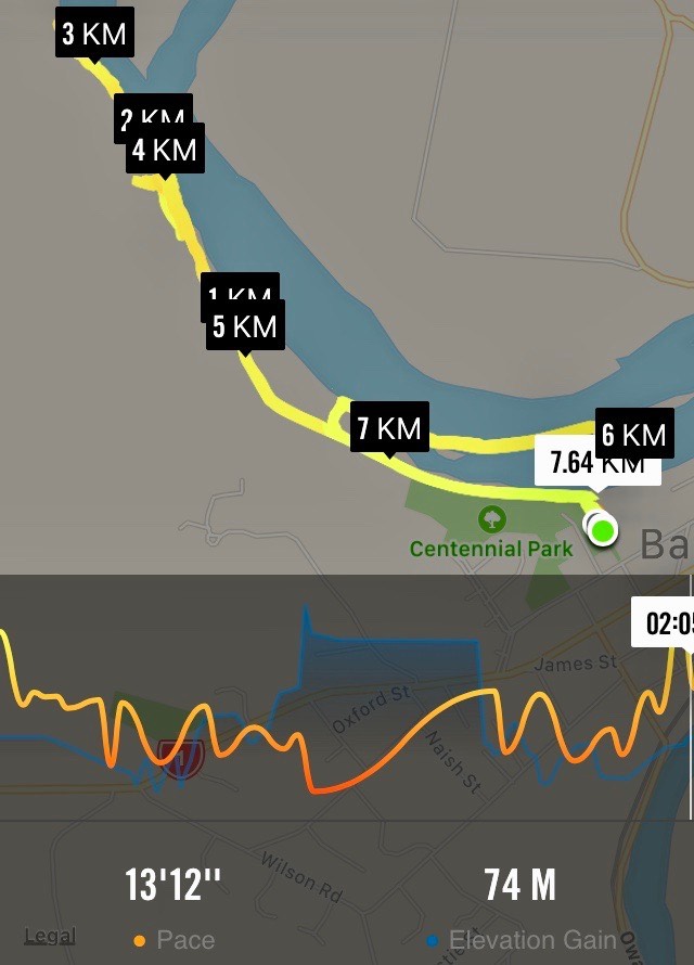
Route map, courtesy Ian.
Luckily the day was bright and sunny as we were going a bit further afield for our hike today, to Balclutha. There were 17 met at Naish Park in Balcluthaand as it was 10am we sat in the sun and enjoyed a leisurely morning tea before setting out on the walk.
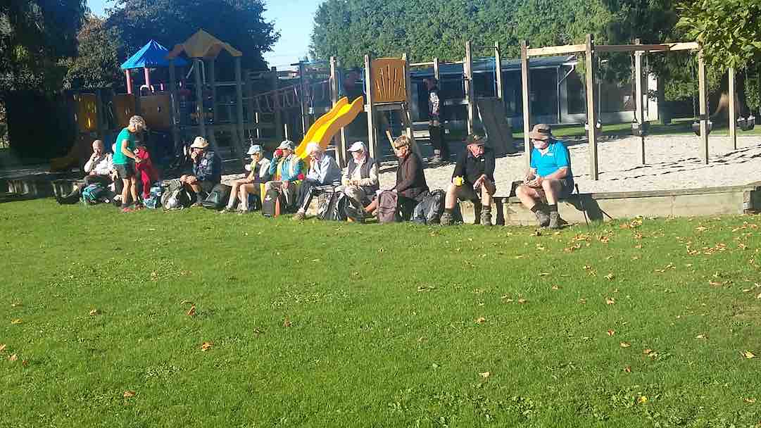
Morning tea at the park. (Clive pic and caption.)
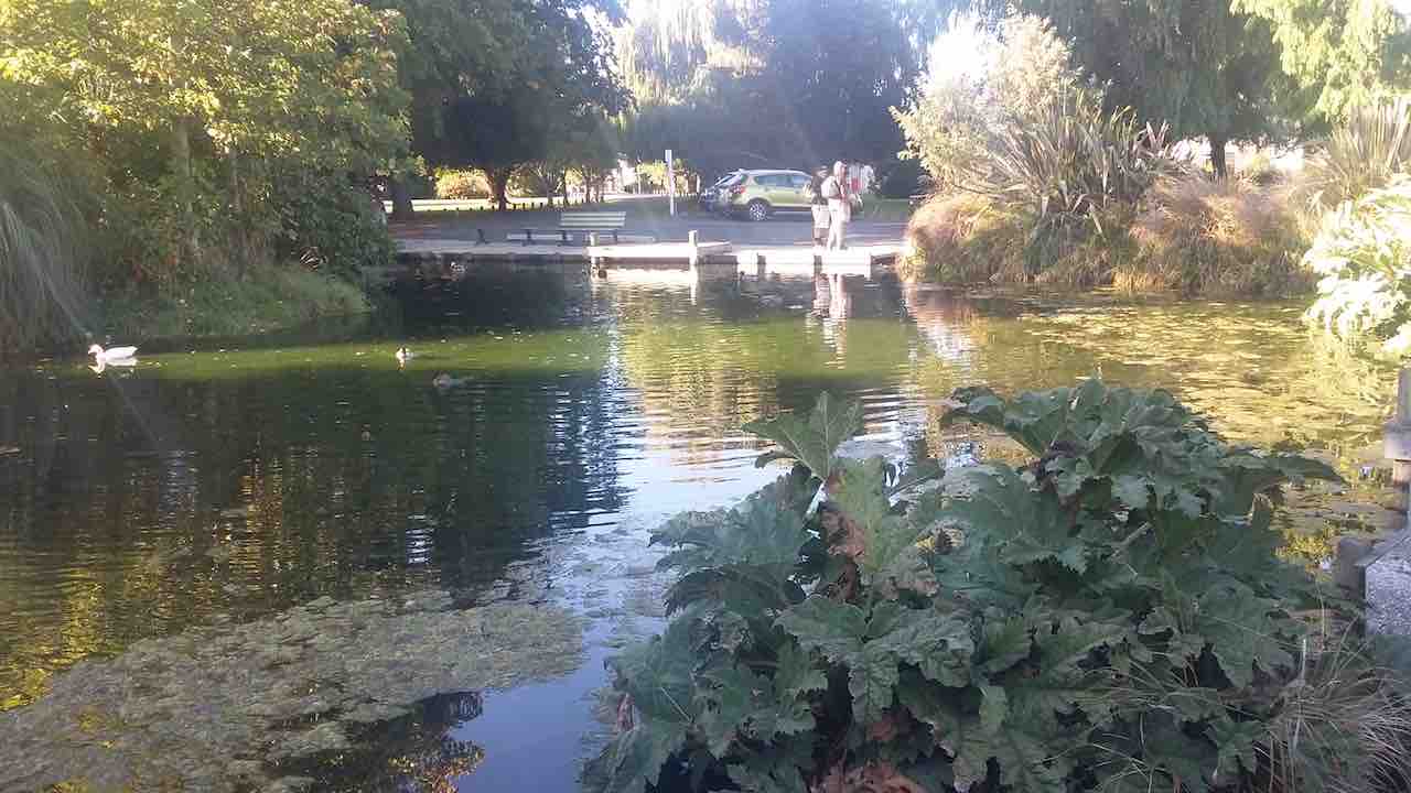
Naish Park is a lovely area with beautiful trees, garden, aviary and childrens play ground.
Naish Park. (clive pic and caption.)
It was originally a market garden and orchard, donated to the people of Balclutha by the Naish Family.
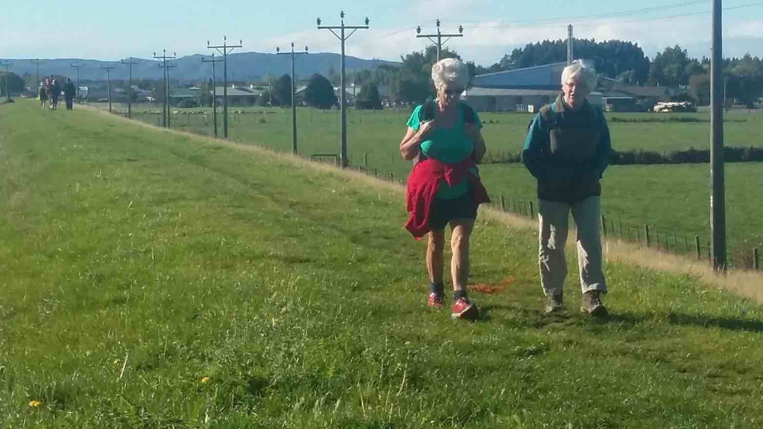
The walk is called the Blair Atholl walkway and goes along the stop banks besidethe Clutha river.
Along the flood bank beside the Clutha River. (Clve pic and caption.)
We went to the end of it…
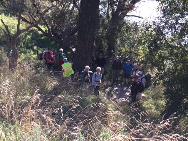
The terminus tree that the leaders made us all circumnavigate before returning. (Kevin pic.)
… and up a side track by a rhododendron dell that must be a great site in the right season. We had a our lunch here. Once again taking out time and enjoying the sun. Then back the way we had come till the track divided and we went along a loop that was closer to the river. Unfortunately where you had to cross an inlet the water was higher than expected. However, some elected to wade across…
Back to the park (some through the ‘ford’). (Clive pic and caption.)
…while the rest of us retraced our steps and followed the path we had started on. We then adjourned to the Heart & Soul café for the after walk social get together. – Bev.
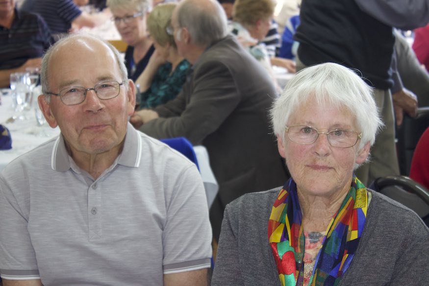
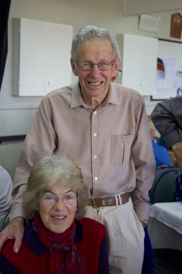
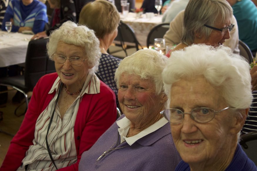
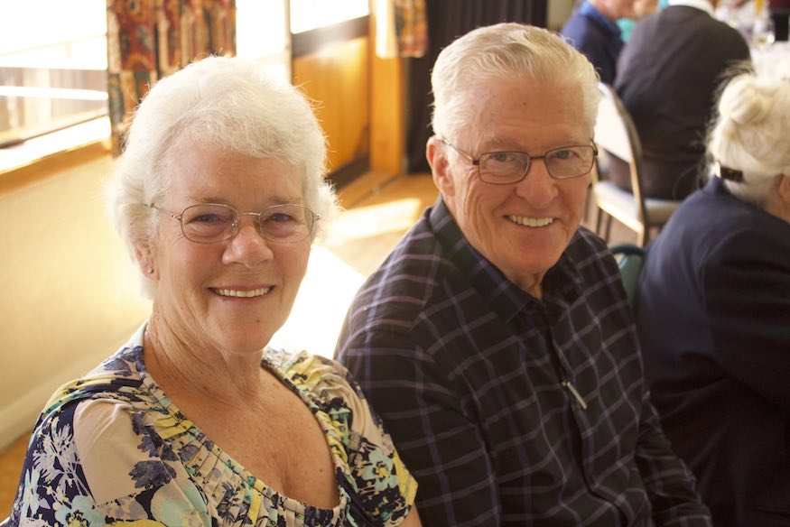
Group PhotoRay and Diana (formerly Blair) WigginsLes & Margaret Smith, Bev McIntosh, Bill Hunt, and Ted Chirnside.Elizabeth (formerly Gamperle) & George HaggieAudrey & Bob HeenanJudy Knox & Doug MoirNancy Strang, Joyce Shaw and Ted ChirnsideClive Crossman, Jay Devlin, Marjorie & Bruce Spittle, Ian Fleming, Mary Lawlor, Jan Butcher, Who?Pat Randall, Bev Harvey, Lesley Gowans, Shirley Fleming.Elaine Day and Peter Davie.Alex & Liz GriffinJim & Betty FinnieLance & Lois WoodfieldDenise Pearce, Chris Hughes and Dot BennettKeith & Shona Munro.Ann and Kevin BurkeDawn Pool & Pam CloughMargreet & Neil Simpson with President Jill Dodd at rearJudy Dennison & Helen Morris
The day dawned sunny but cool, so for a leg-stretch, 18 walkers left from the bowling club for a street walk. We walked a couple of ks to, and through, the new Heathfield subdivision off Gladstone Road into the Woodlands settlement at the bottom of the Mosgiel sign. From here we climbed a steep pinch up to near the Mosgiel sign
(Clive pic.)
which was erected in June 1987 by the local Rotary club under the guidance of one of our tramping club members, Neil Buckley. It is a landmark at the entrance to Mosgiel – our little Hollywood replica!!
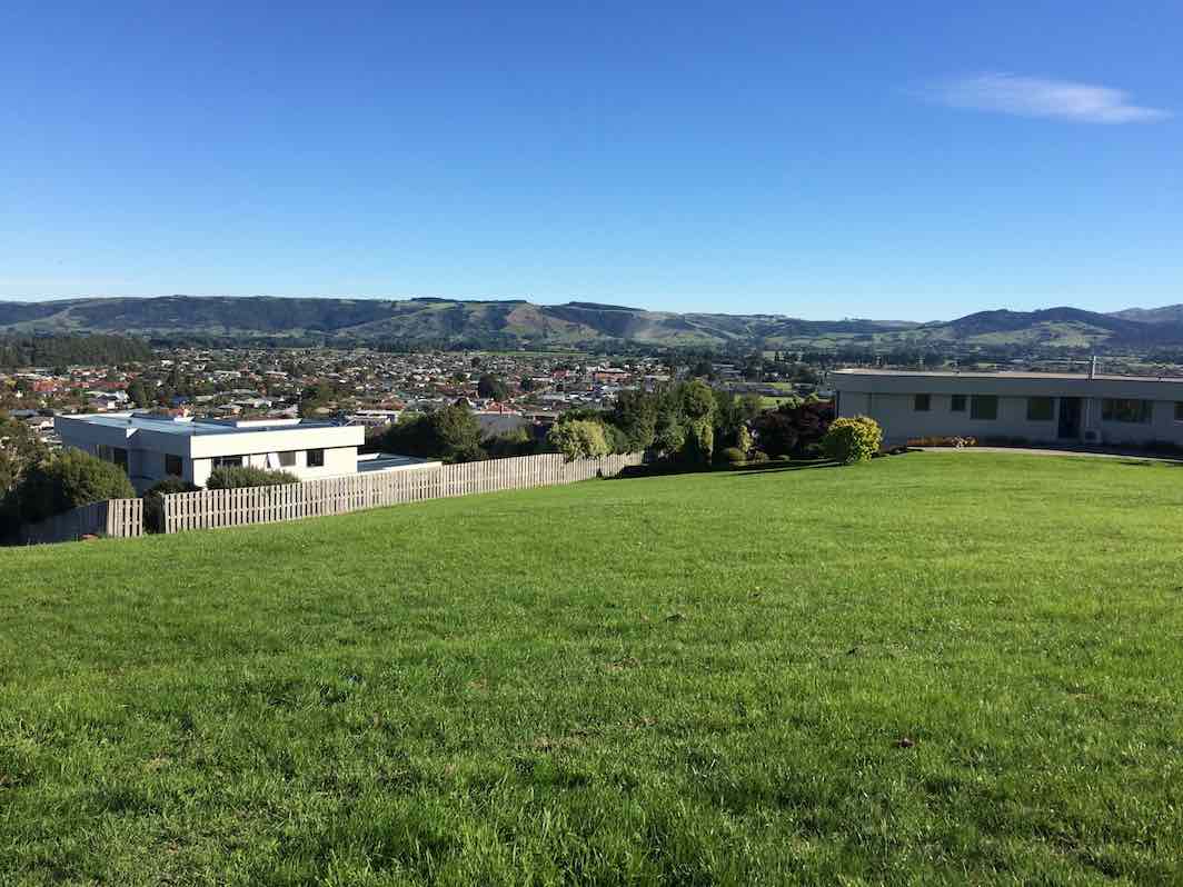
After a leisurely coffee stop at the reservoir and the panoramic vista over Mosgiel, – the Silver Peaks to the north – across to the Maungatuas in the West
(Ian pic.)
– and down the Taieri Plains. – A casual walk back into Mosgiel where some had another coffee stop before heading over to the the bowling club for the celebratory lunch.
30 Anniversary of our Club’s Inauguration.
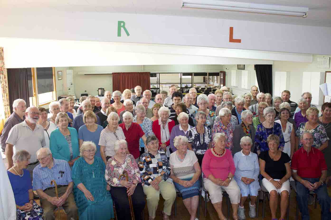
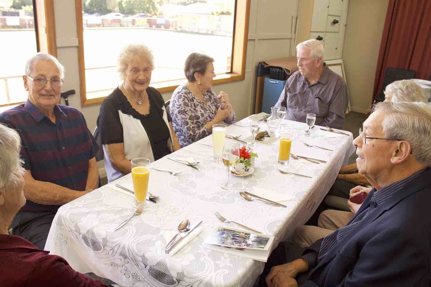
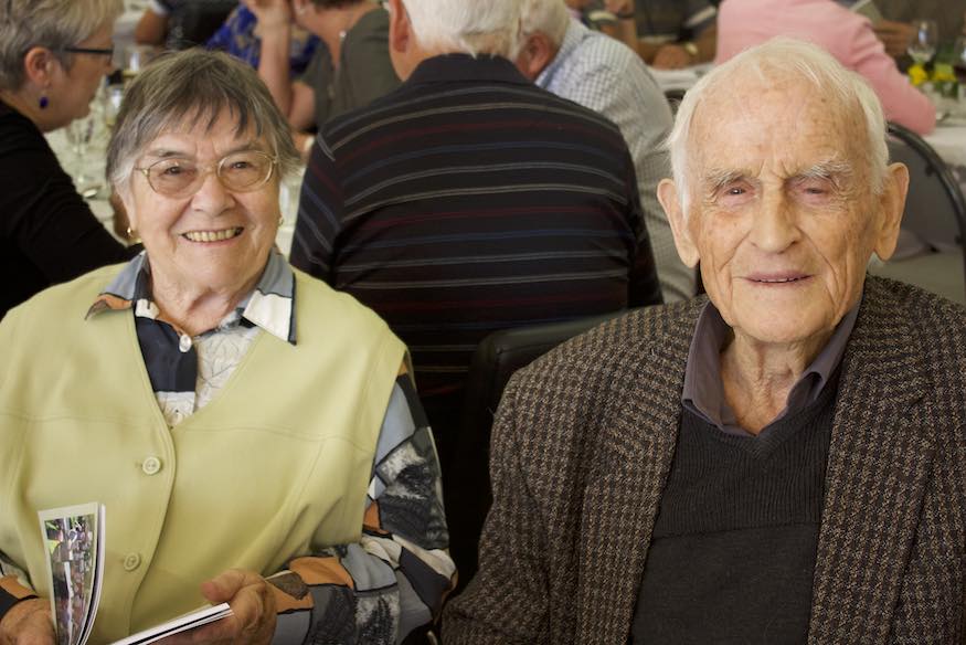
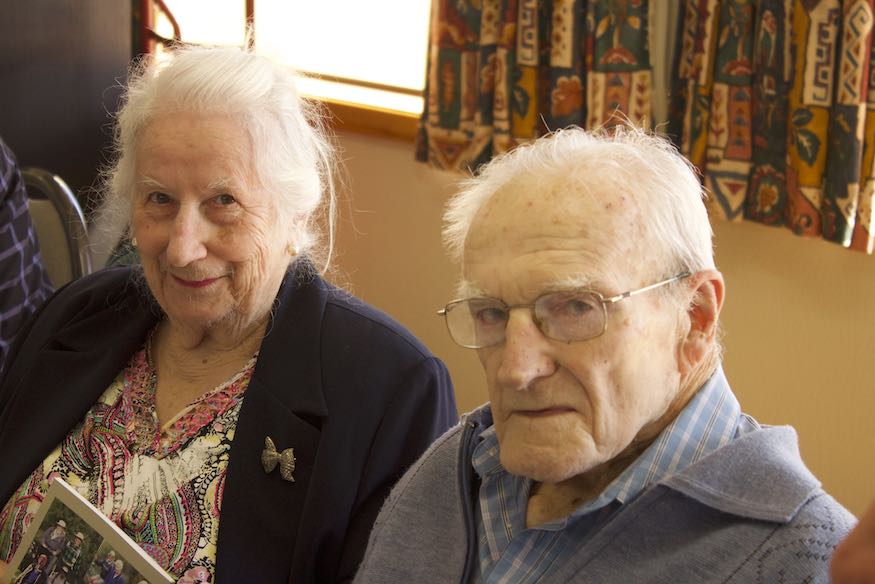
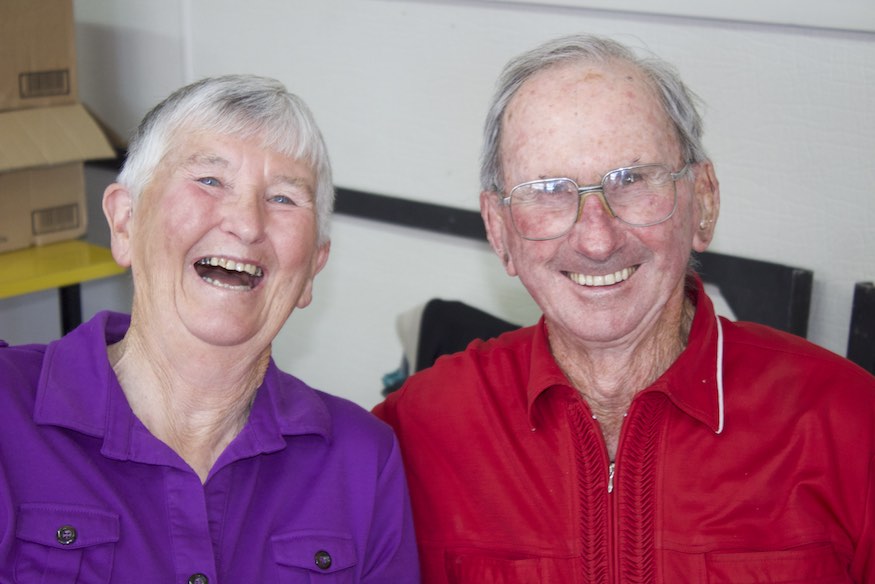
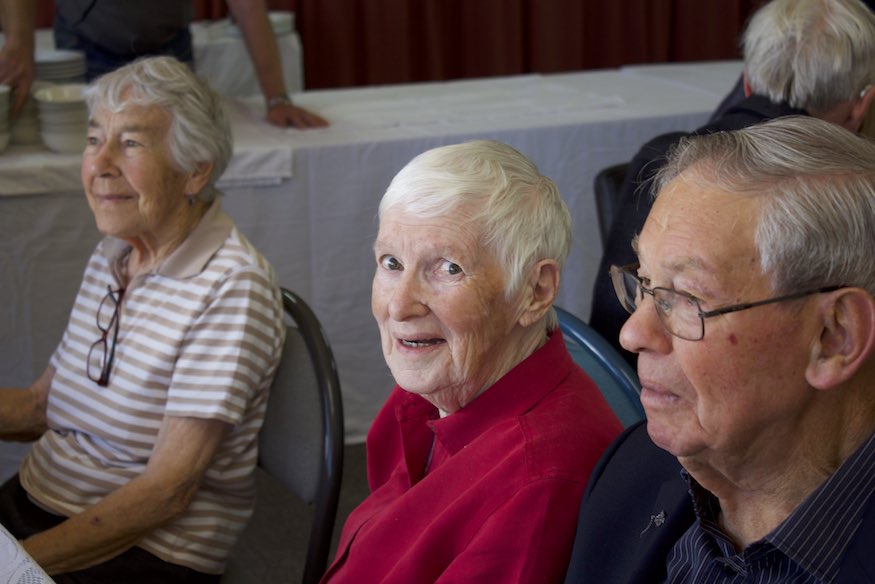
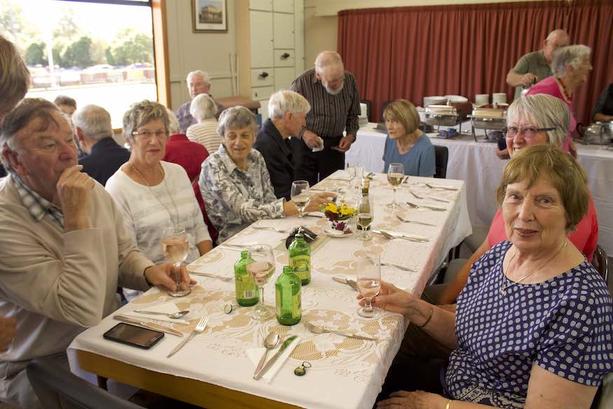
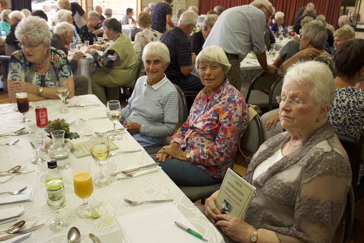
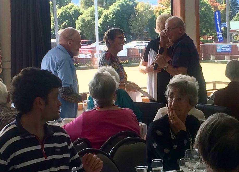
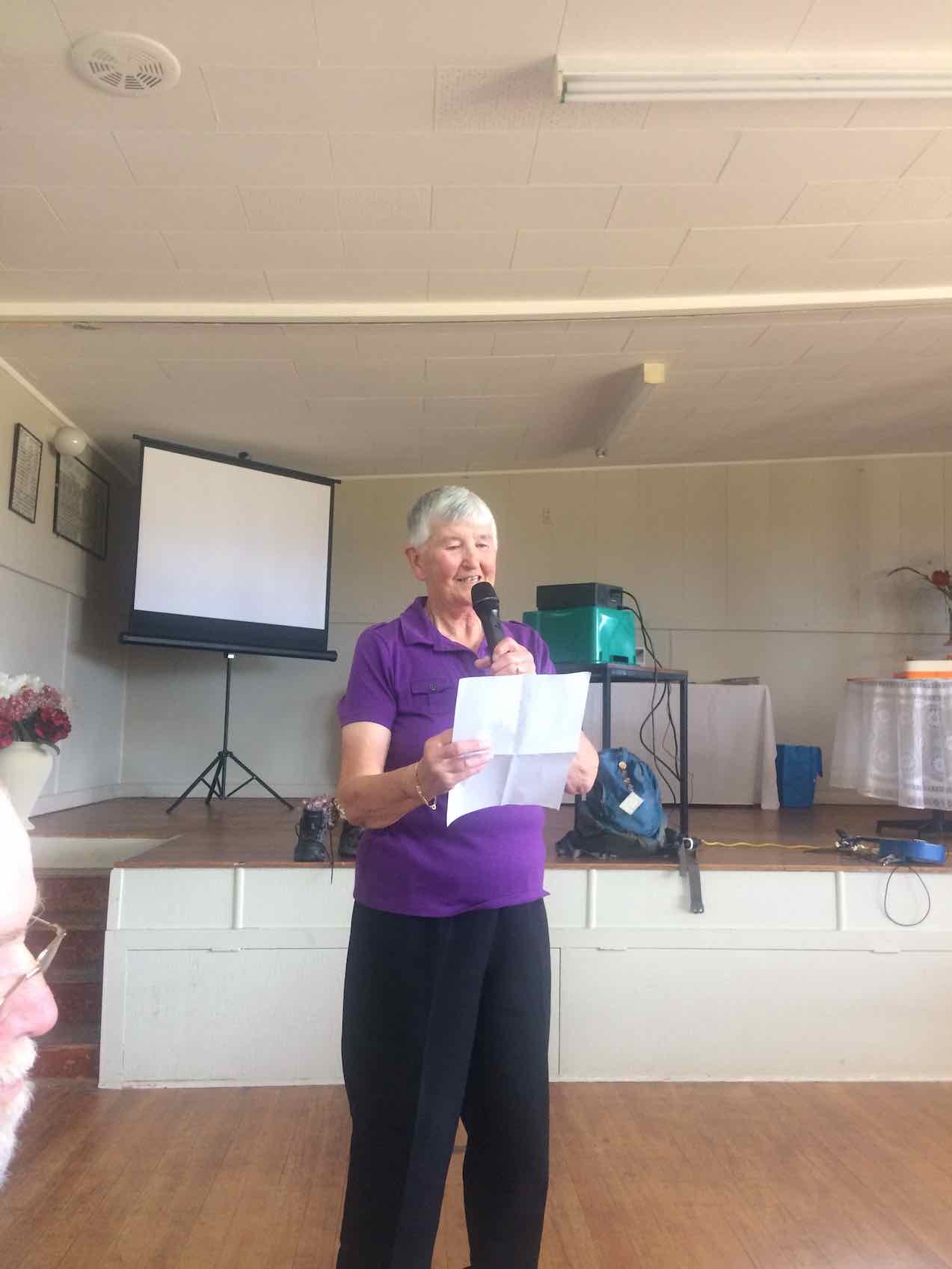
We had 82 members, partners and past members in attendance for a delicious buffet lunch interspersed with a speech from George Haggie representing the early members and one from Dave Mellish, one of our newer members.
Also the Skylarks quartet presented an entertaining song composed by Bruce Spittle to the tune from Gilbert and Sullivans HMS Pinafore, titled “Some Years ago in 1988”. Thanks Bruce Ian Judy D and Margreet.
A real highlight for the whole event was the presentation to Margaret and Les Smith of Life Membership.
(Shirley pic.)
A real honour and well deserved. Right from the start of the club’s inauguration till present day, of years of service: committee, trip organizing and hosting club activities.
Another memorable event was the launching of Judy Knox’s book:
Taieri Recreational Tramping Club – 30 th Anniversary Publication.
An amazing record of our history. Thanks to Judy for her research and Ian Fleming’s meticulous care in maintaining the website for access to members, where Judy collected a lot of her information.
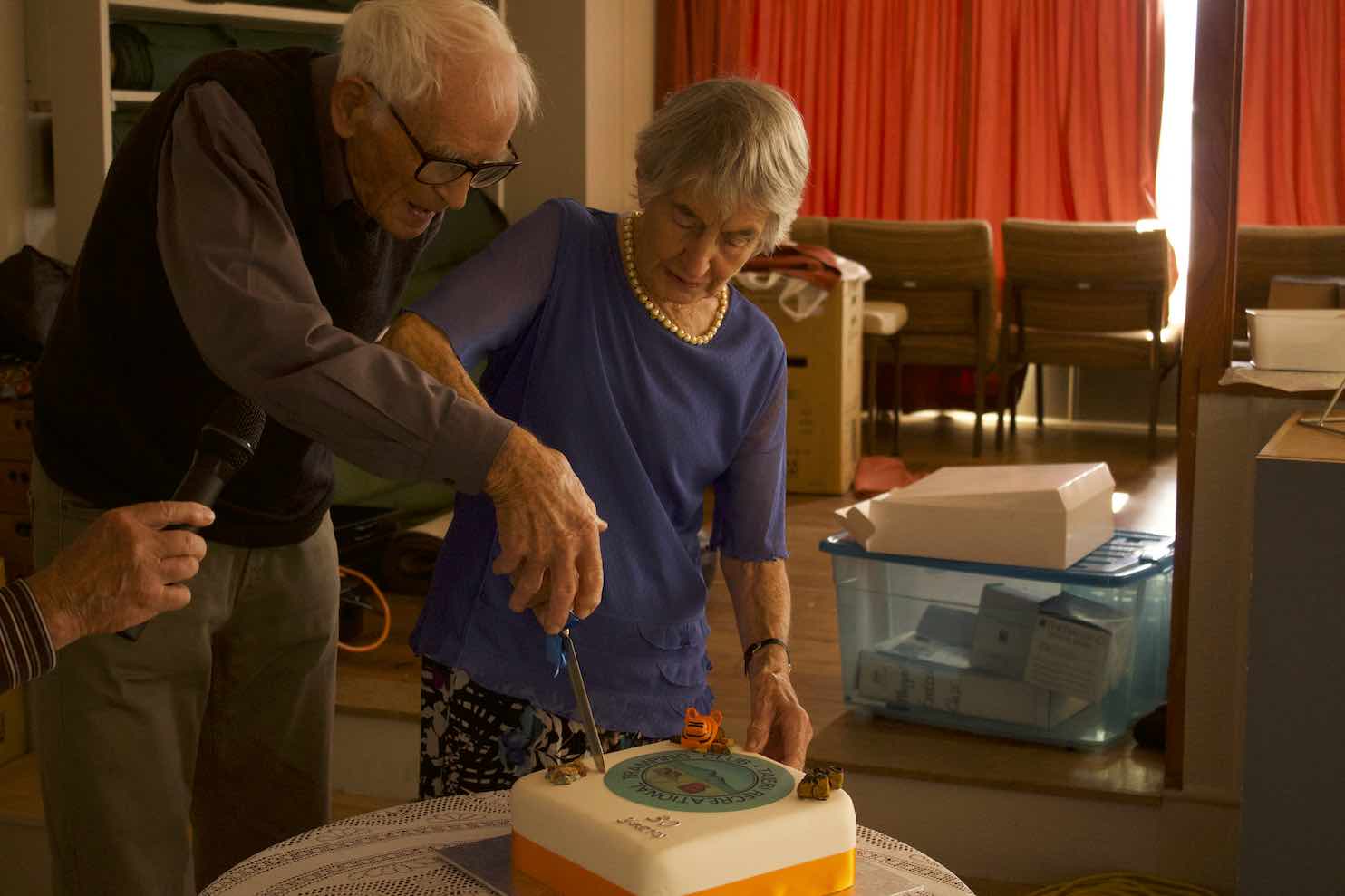
Cake cutting was by Molly Vaughan (90+) and George Haggie (almost 90), …
(Official pic.)
… original members and untill very recently, still tramping. An inspiration to us all.
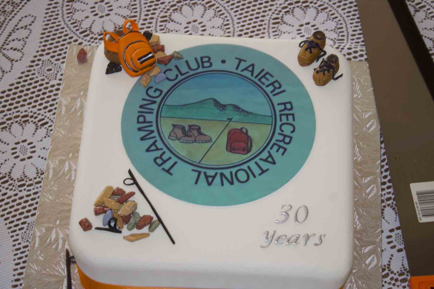
The cake fairies Pam and Dawn distributed the cake. This cake was beautifully decorated using a similar topping as on the 20th year cake, along with little boots, pack and sticks.
(Official pic.)
“Well Done” to the decorator.
Several member also spoke towards the end of the lunch describing various aspects of a very happy fun-loving group of outdoor folks who enjoy a coffee fix at the end of the day regarding encountering the day’s outing.
“Well done” everyone!
30 years is a fine achievement, and onwards and upwards for another 30 years.
I would just like to thank the committee and fellow-trampers for making this club so special.