Today 7 hardy (maybe silly) trampers drove to Phosphate corner at Clarendon, then along Berwick road, parked up and walked up the hill to the Cemetery (my Great Great and Great Grandparents, some Siblings and Children from Sinclair family are buried there.
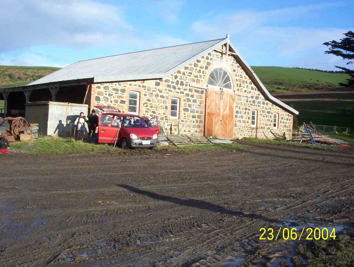
We then drove further along Berwick road, parked and proceeded up the track to the hay barn for smoko.
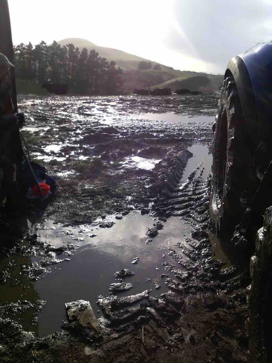
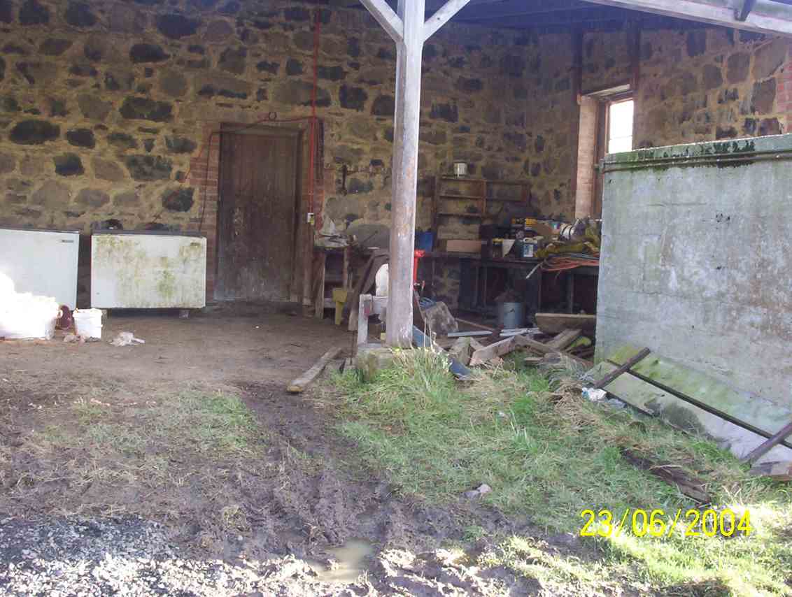
Shed for morning tea out of the freezing wind. (Helen pic and caption.)Mud to get to the shed. (Helen pic and caption.)
We all decided it would be no fun climbing round and up Mary Hill with frequent showers and a bitterly cold wind.
On the way back we briefly stopped at Sinclair Wetlands then drove into Berwick Camp, a year 8 class was there on camp, talked with the Activity Coordinator and strolled up to the dam.
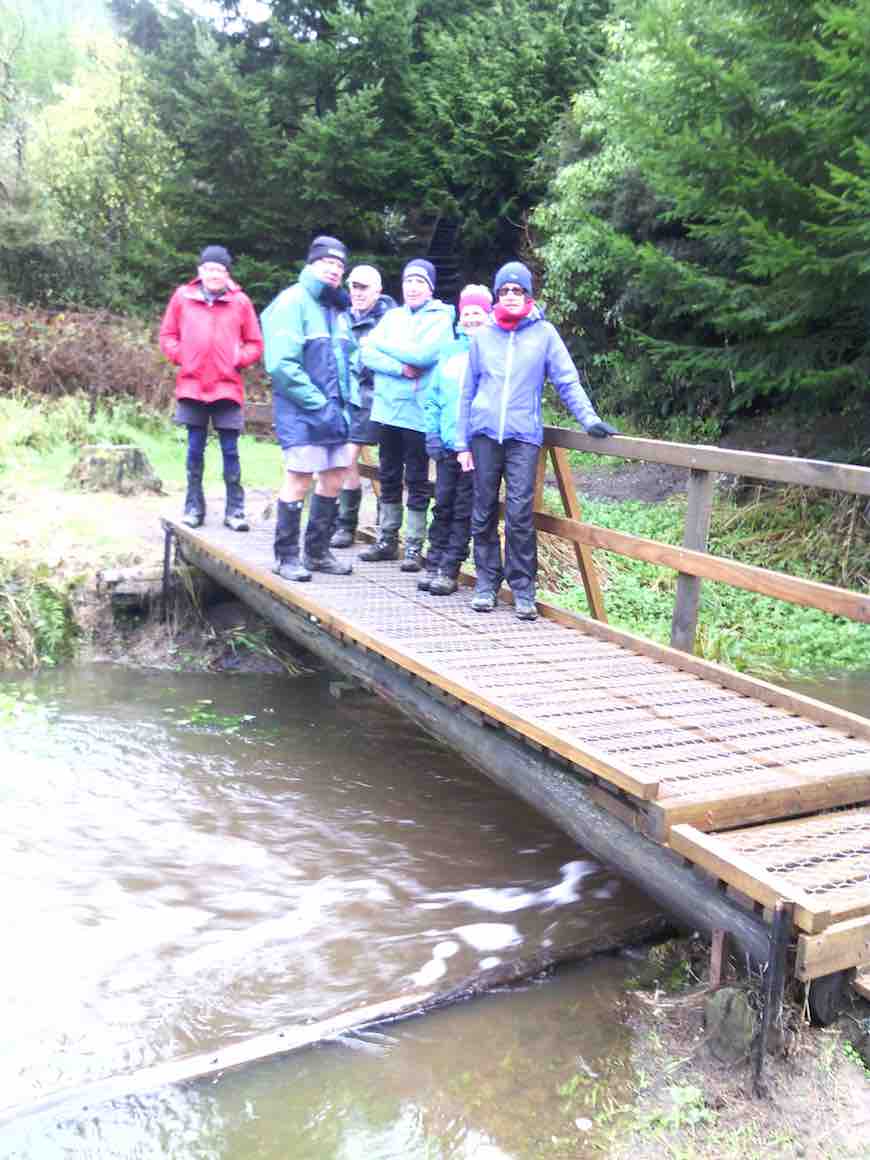
On a bridge at the Berwick camp. (Helen pic and caption.)
It was plain to see what fun the young students were having, particularly when having a turn driving round with a leader in an old converted type of Land Rover in the mud.
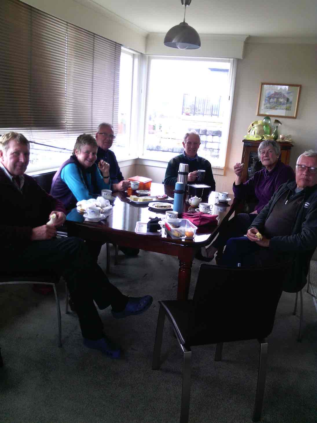
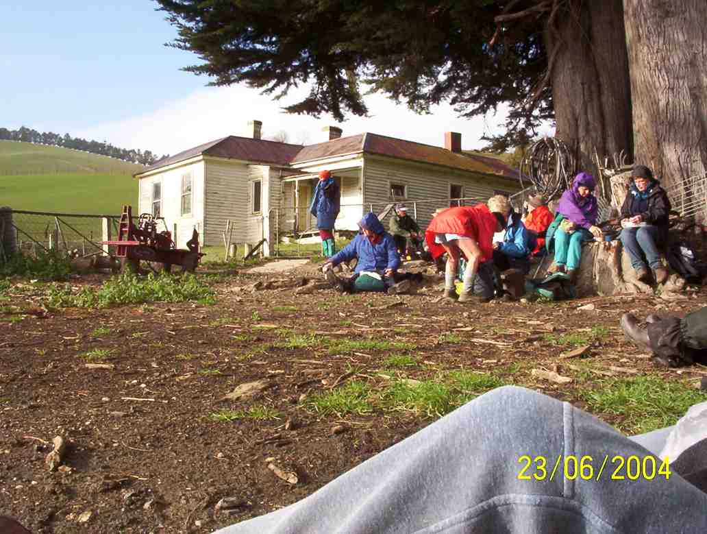
So after all this strenuous activity we journeyed on to eat lunch (and cake) at a little hilltop cafe in Clyde street. – Eleanore.
Lunch at Eleanore’s with a lovely warm fire and cakes which were enjoyed by us all. (Helen pic and caption.)
15. 24/4/2013. Hikers – and a few trampers. Limesprings Farm, McNeil Rd, Whale Museum, and return back through Farm by a different route. Leaders: Jim and Betty.
Route, unfortuately stopped at Whale Museum, for some inadvertant technical reason! Cattle track up middle, McNeil Rd and extension at top.
The overcast day succeeded a wet 24 hours, and several trampers joined us after cancelling their bush walk up Raingauge Spur for safety’s sake. We parked the cars halfway along Driver Road and walked on to enter Limespring Farm.
We stopped to admire the old Horseshoe Stable. What was most noticeable was that the owner has made the switch for sheep to dairy farming. With the transforming magic of electric fencing a wonderful new cattle route steeply ascends the hill, connecting to a myriad of rotational paddocks. No stock were visible, presumably away in some distant meadow. We stopped for morning tea beside an old stone cottage before attempting the climb. Our leaders fittingly anticipated ANZAC Day tomorrow by disporting a hat poppy and distributing ANZAC biscuits to accompany our meal.
Next, the climb. Talk about slippery! A patina of thin wet mud over the track foundation made it impossible for mud-caked boots to find any sort of a grip, so it was a struggle up what remained of the grass verge and gripping the electric fence, which was fortunately turned OFF. The climb emerged finally onto the top of McNeil Road. The more energetic climbed a track leading a little further to reach what looked like the excavation of a dam into the hillside. We climbed above that a little further to the top of the hill, before coming back down to McNeil Road to join the others who had preceded us to the Whale Museum to lunch there in welcome shelter from the wind.
After a leisurely lunch, it was only a little further down McNeil Road before we re-entered the farm and via a arcing 4WD track, this one safely firm underfoot, to get back to the Horseshoe Stable and back along to the cars. Thanks to Jim and Betty for the planning they put into the route, despite the completely unforeseen atrociously slippery climb! – Ian.
14. 31/8/2011. Hikers. Clarendon, Cemetery Hill, Limesprings Farm,
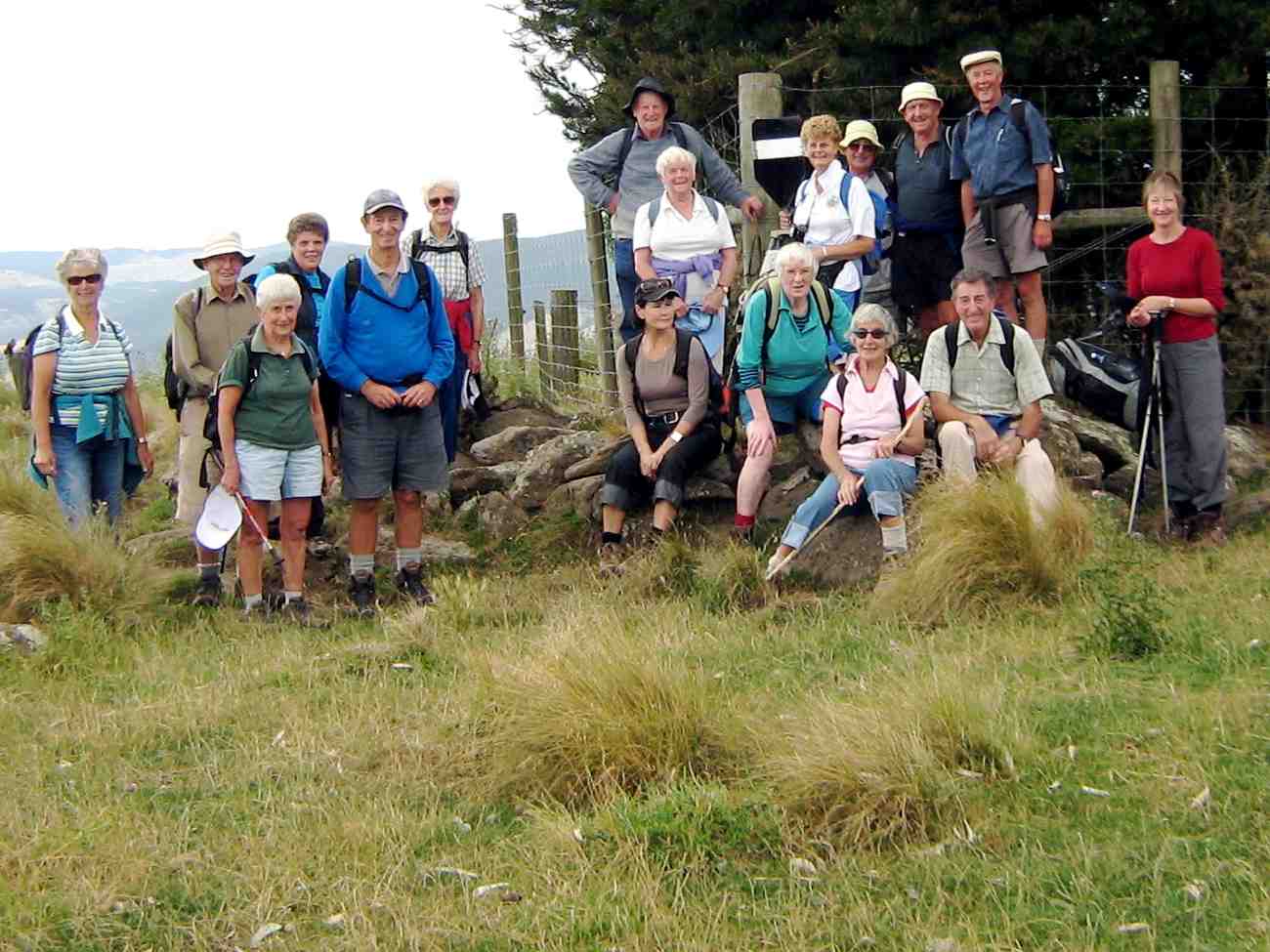
After leaving a sunny Bush Road car park, seventeen hikers parked in coolish still conditions at the junction of Cullen Road and the Berwick Road after traveling down Phosphate Road and turning right at the road end.
The red brick Ewing Phosphate Company building on the right at the turn off from State Highway One is now a calf shed for Milton dairy farmers Tony and Sue McDonnell.
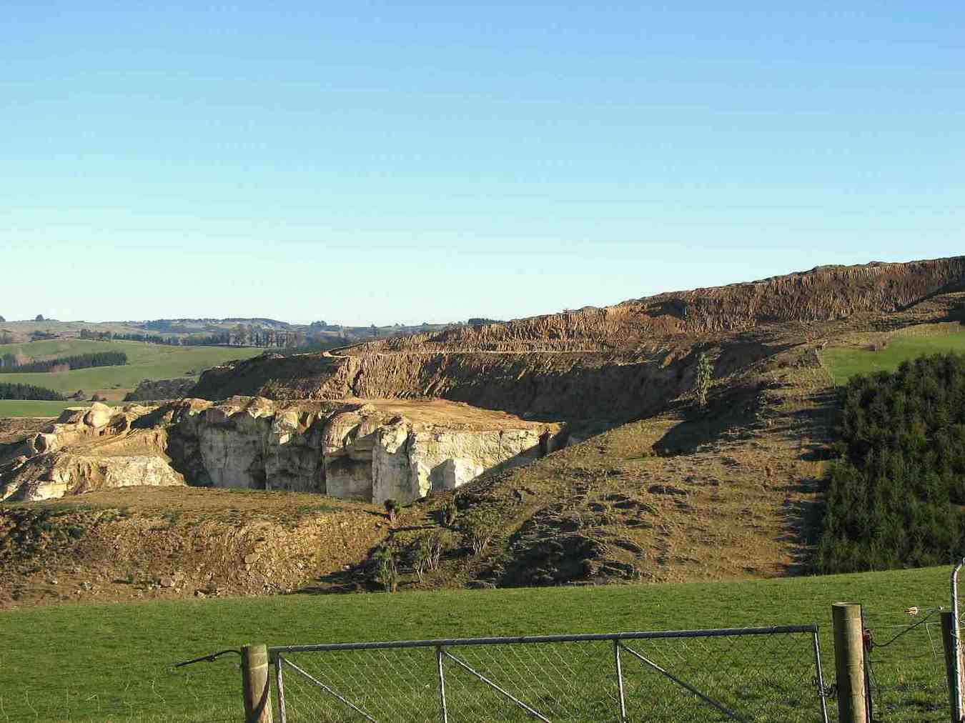
Tony interested Ravensdown in mining the phosphate deposits at Clarendon in 2009 and phosphate rock from the area is now mixed with imported rock to make a product called Clarendon Gold. Ravensdown imports rock from Morocca, Vietnam, and Christmas Island.
The 450 ha South Otago phosphate deposit is one of only two in NZ with the other being on the sea floor in the Chatham Rise. The Ewing Phosphate Company was established in 1902 and by 1904 it was regarded as one of the leading industries in NZ. Fifty tons a day of phosphate rock was railed to Dunedin. The mines were worked from 1902–1924 and from 1943–1955. About 200,000 tons were extracted. The business ended after competition with cheaper phosphate from Nauru.
Mr McDonnell was reported in the Dairy Exporter Magazine as saying that apparently he and his neighbours had the only phosphate deposit in Australasia. To warm up, the group ascended approximately to the top of cemetery hill starting at the gate at the Cullen Road turnoff. About 30 graves were present in the cemetery at the top of the hill including several to Sinclairs. We had a view of Lake Waihola and the Sinclair wetlands.
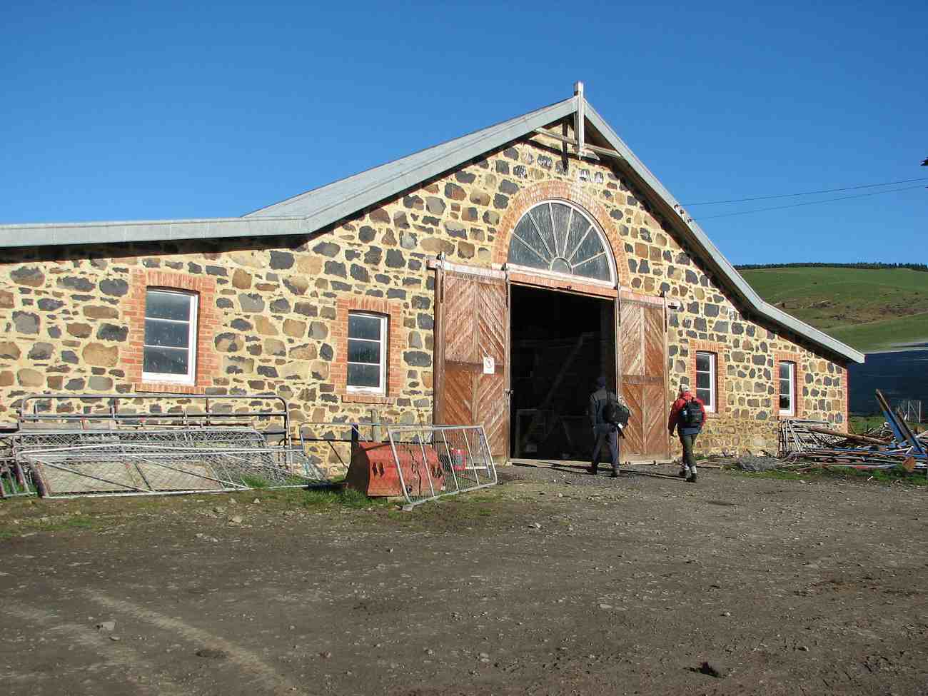
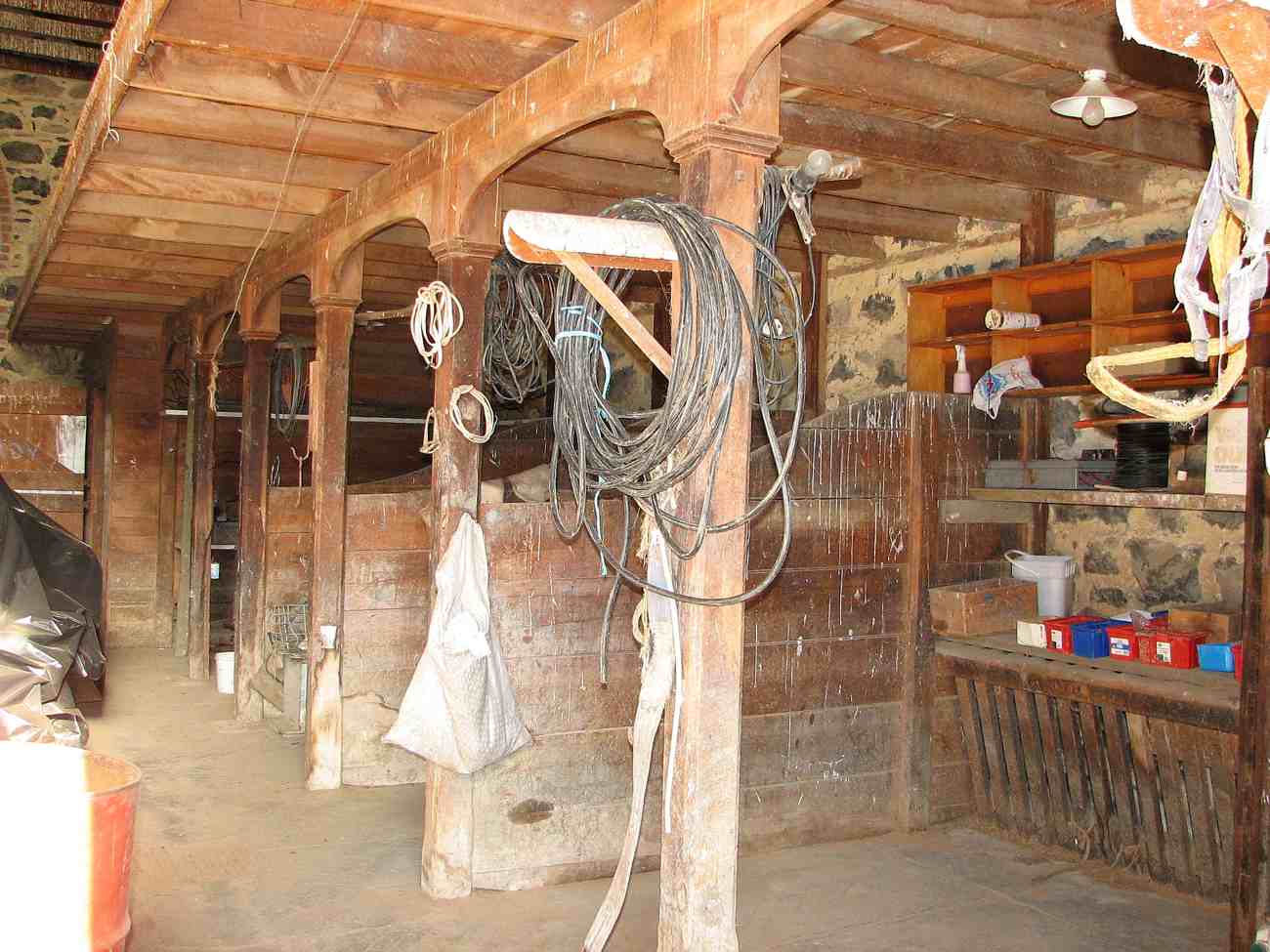
After starting down the hill we had morning tea near a shelter belt and then proceeded along Berwick Road and Driver Road to Limesprings Farm. We were able to inspect the vintage stone stables together with some tractors awaiting restoration.
We then proceeded up the farm road to lunch at the Whale Fossil lookout and returned by the same route after lunch to the cars which we reached at 1345.
We noted that Angela Wanhalla referred to the allocation of land at Clarendon to the mixed-descent families of Southern NZ in her book In/visible Sight (Wellington: Bridget Williams Books; 2009). – Bruce
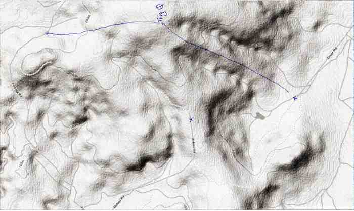
13. 5/2/2009. Both. Horseshoe Bush Stone Stables, McNeil Road, Whale Museum Tea break, Lime Works, Fort Hill Road, Hay Barn lunch, Trig Q and back. Medium. Leaders: Bob M, Ian.
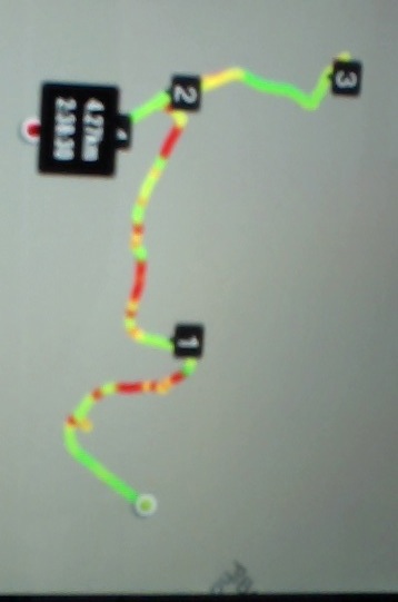
Clarendon route map
18 of us enjoyed the tramp from Lime Springs Farm. From the Ewing Phosphate works building by Highway 1, we drove down Phosphate Road, to the left of Cemetery Hill. We turned into Driver Road and parked opposite the Horseshoe Bush Stables on what is now called Lime Springs Farm. We climbed first up the farm track
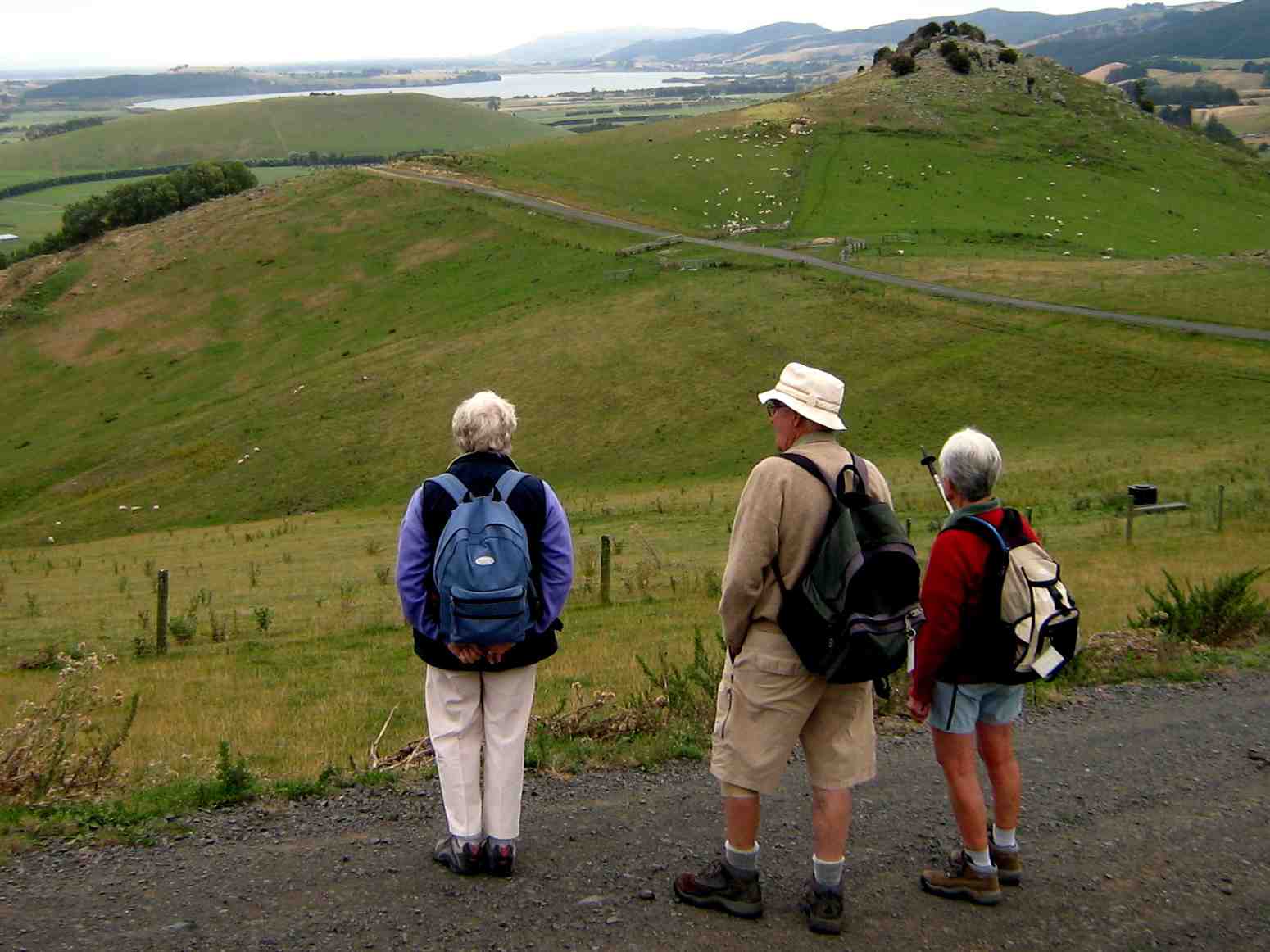
View from farm track. Chris?, Neil, Bev.
to McNeil Road where we turned right to the the Whale fossil Museum at the top of the road for the tea break. Here are housed whale fossil bones extracted from the Milburn Lime Quarry. Then it was back down to turn right up Fort Hill Road and climb again to eventually crest a saddle and head on down to our lunch stop by a farm sheep yards and sheds.
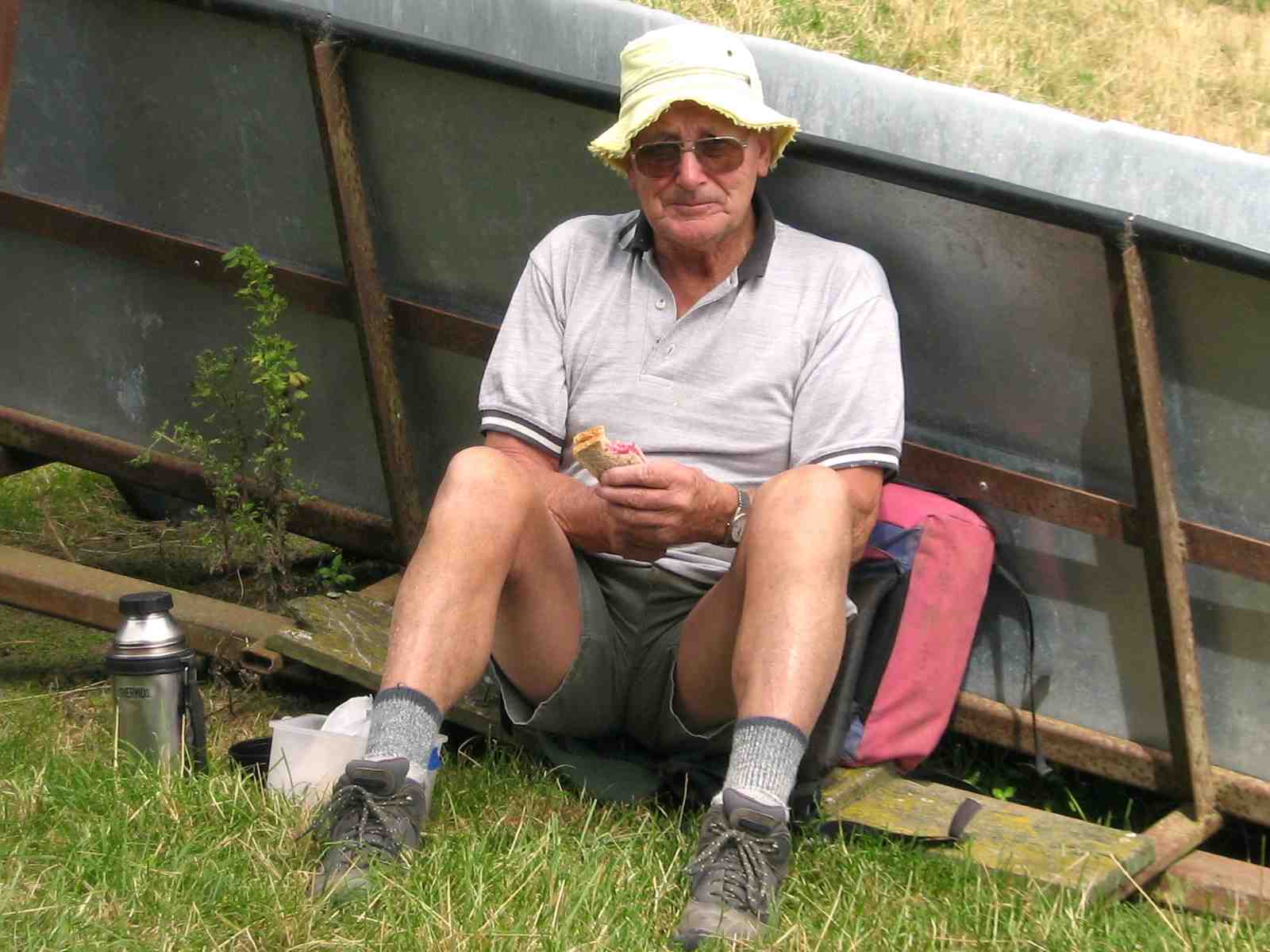
Les lunching
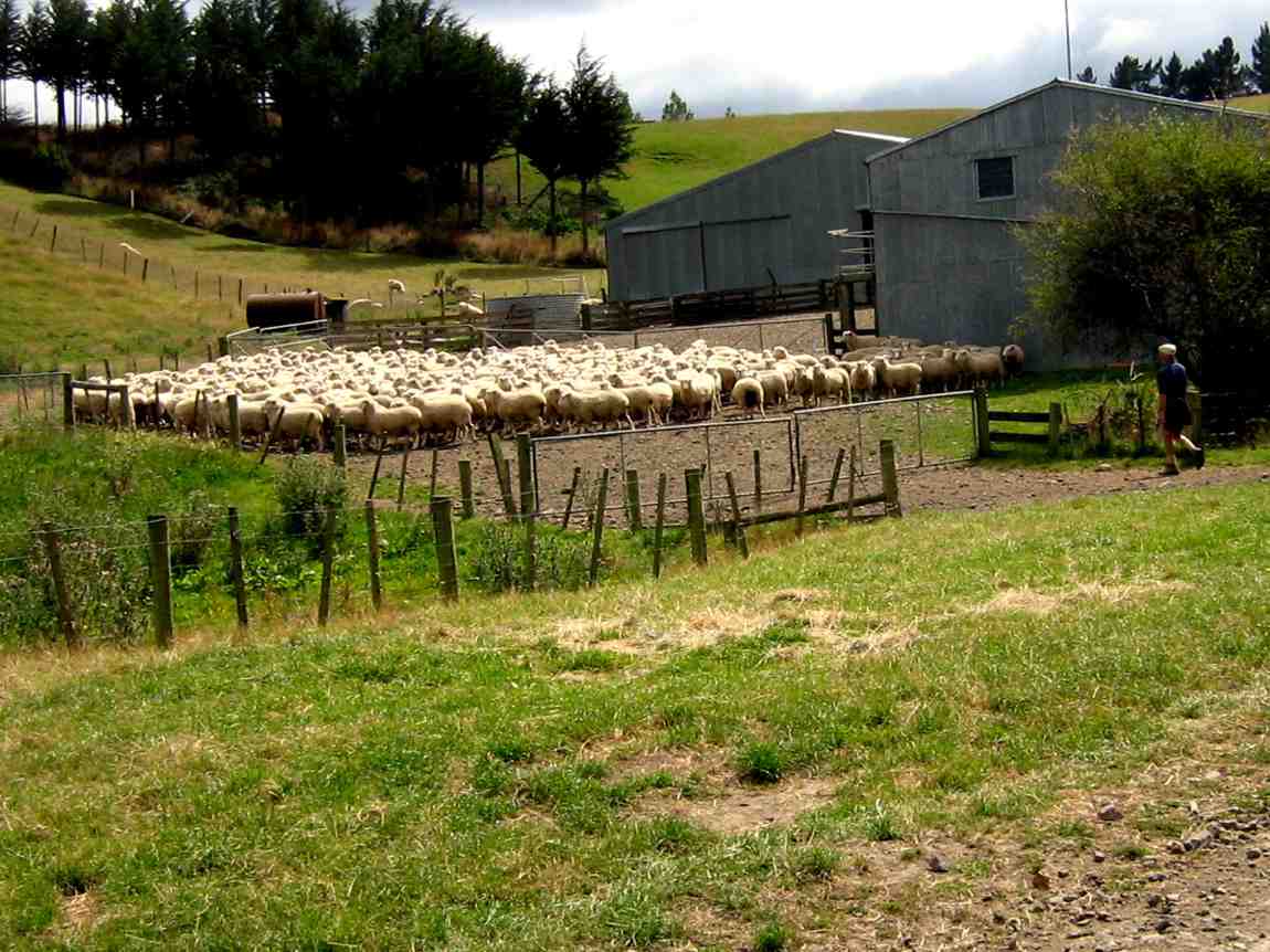
Sheep yards at lunch stop
After lunch, we climbed by farm track and paddocks to reach Trig Q and pose for a group photo.
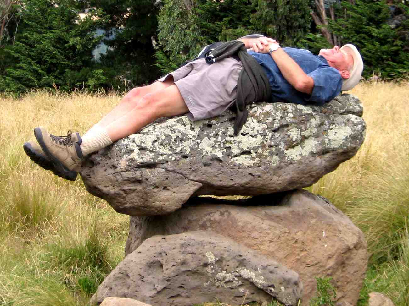
Then back down a bit where Bob found inspiration in a rock formation.
Sacrificial Bob?
Fortunately for us, on the recce, Bob (and Doug who couldn’t be with us on the day) had discovered the usual paddock down was this year in turnips and too rough by the fence to negotiate easily, so led us down the true right of the nearby bushed gully and back to the starting point. Fortunately due to the dry weather, Lime Springs farm did not live up to its name and what is usually slushy going at this point was bone dry.
12. 10/9/2008 Trampers. Clarendon, and Cullen, Fort Hill and Circle Hill Rd. Medium-. Leaders: Ken, Ian.
Only three of us, namely Ken, George and self attempted the road walk from Clarendon up Cullen Rd, Fort Hill Rd, and then the circuit round Barnes Rd and Circle Hill Road and back down again. The weather came in wet and dry periods, windy and calm. We were treated to brilliant green meadows, sheep lambing, cattle foraging on winter turnips and choumollier, and extremely muddy paddocks left behind by them. We enjoyed the variety of hills we walked amongst, sheltering behind a hedge for morning tea and in a shearing shed for lunch. We reached close to 280m and walked about 18Km in a surprisingly short time, getting home as early as 2.30 p.m. A good stretch of the legs and and interesting rural area, enlivened by a chat with an ATV driver and a farmer leading a couple of horses. – Ian
11. 8/8/2007. Both. Clarendon, Stone Barn, Lime Works, Whale Museum, Lookout. Leaders: D Moir, Graham, Bob M.
9. 16/6/2004. Trampers. Milburn, Fort Hill, Limeworks Road. Medium. Leaders: Doug M, Arthur H. 8. 8/5/2002. Clarendon, Fort Hill. Medium. Leaders: Doug M, Irene, Bob H 7. 21/11/2001. Clarendon – Milburn. Medium. Leaders: Shirley McN, Irene, Ian. 6. 22/3/2000. Clarendon, Old Stone Barn. Leaders: Doug M, Ann, Lex. 5. 21/1/1998. Clarendon, Old Stone Barn, Limeworks. Leaders: Doug and Ngaire, Irene. 4. 24/7/1996. Milburn Ramble from Stone Stable. Average. Leaders: Ngaire and Doug, Nelson. 3. 12/4/1995 Milburn, Clarendon, Circle Hill, Fort Hill. Medium.Leaders: Doug and Ngaire, Shirley R, Ted. 2. 14/7/1993. Milburn Lime Works. Interesting history. Medium.Leaders: Peg C, Diana, Joan A, Doug M 1. 24/7/1991. Milburn Lime Works. Average. Leaders: Peg C, Mary Y, Jack R, Les W.
Physical Geography.—To the south of Dunedin there is a line of coast-hills, varying in height from 500 ft. to 1,400 ft. Shut off by these hills from the sea are two long, somewhat narrow plains—the Taieri and the Tokomairiro—along the length of which run the main road and the Main Trunk Railway. The drainage of these plains finds an outlet to the sea through narrow gorges in the coast-hills. On the western side of the plains the hills rise abruptly, but between Clarendon and Millburn they jut far out towards the east, separating the two plains from each other, and forming the Waihola Gorge—the former name for Millburn. It is at the base of the protruding part of these western hills that the rock-phosphate mostly occurs. On the southern (Millburn) side of the gorge the hills rise sharply at first till the crown of the spur is reached, and then the spur runs in a north-west direction, attaining its greatest height at the Trig. Q. From the trig. another long spur runs down in an easterly direction on the north boundary of the district, reaching the plain opposite Cemetery Hill. Between this spur and the former one the hills descend somewhat more abruptly to the plain. In the neighbourhood of the gorge a small cross-spur runs northward parallel to the road; the western flank of this spur was the site of the original discovery of rock-phosphate, and is now the scene of the greatest activity in the quarrying of the rock.
– Excerpt from: Transactions and Proceedings of the Royal Society of New Zealand 1868-1961. Volume 38, 1905 Art. LII.—On the Geology of the Clarendon Phosphate-deposits, Otago, New Zealand. By Arthur R. Andrew B.Sc., A.O.S.M., Laboratory, Otago University School of Mines.