
School House, Tunnels, McRaes Circuit
9. 31/7/2019. Trampers. Schoolhouse, Tunnels, Racemans.
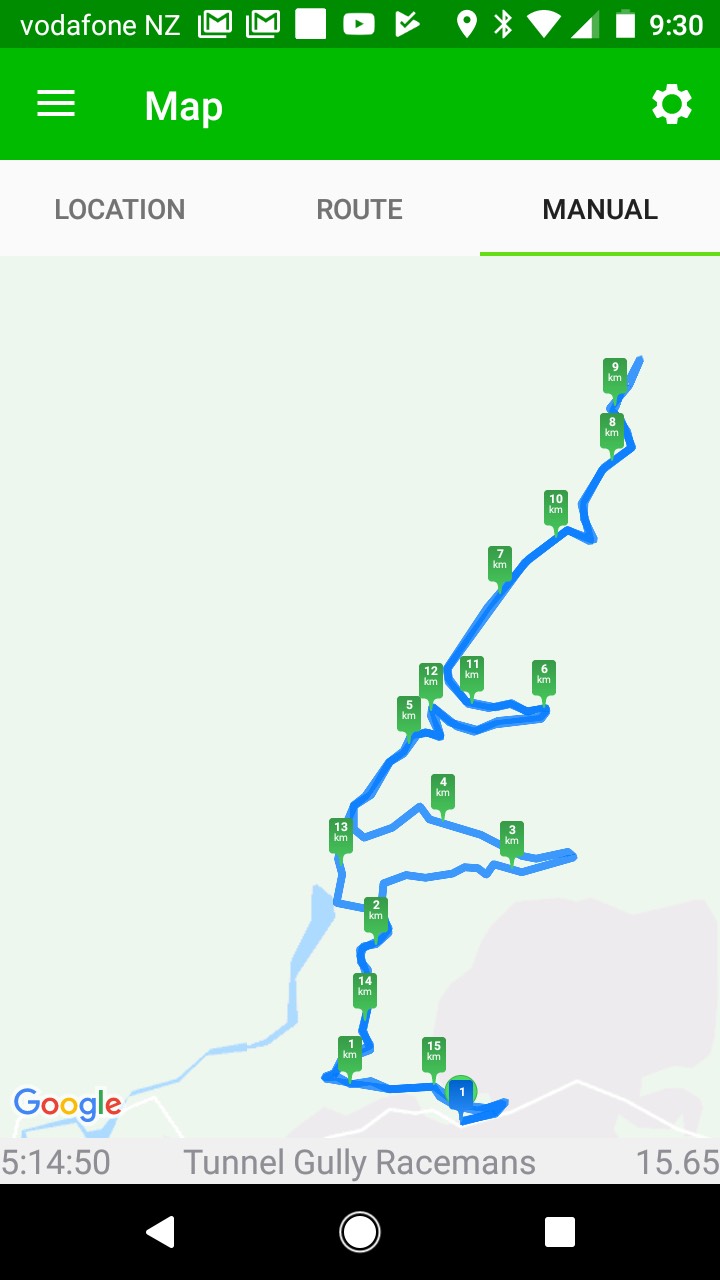
Tunnel and Racemans tracks 31/7/19
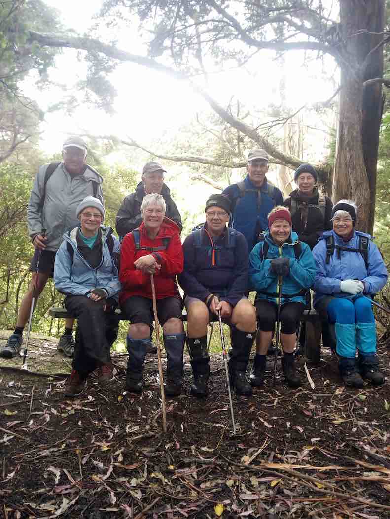
The threatening weather report did not deter 16 keen trampers’ from turning up ready for a walk. The trip to Mt Watkins was postponed because of some of the track’s lack of shelter to the elements. It was decided to walk the tunnel and raceman’s tracks because they are in the shelter of native bush.
We parked and left from the school house area on Whare flat road. The tracks were in very good condition but a bit wet and muddy in places.
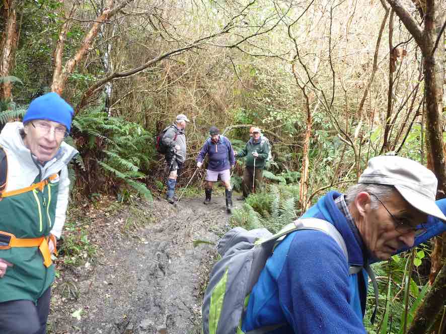

It was pleasant walking along the track adjacent to the old water race. Morning tea was appropriately had along from one of the tunnels.
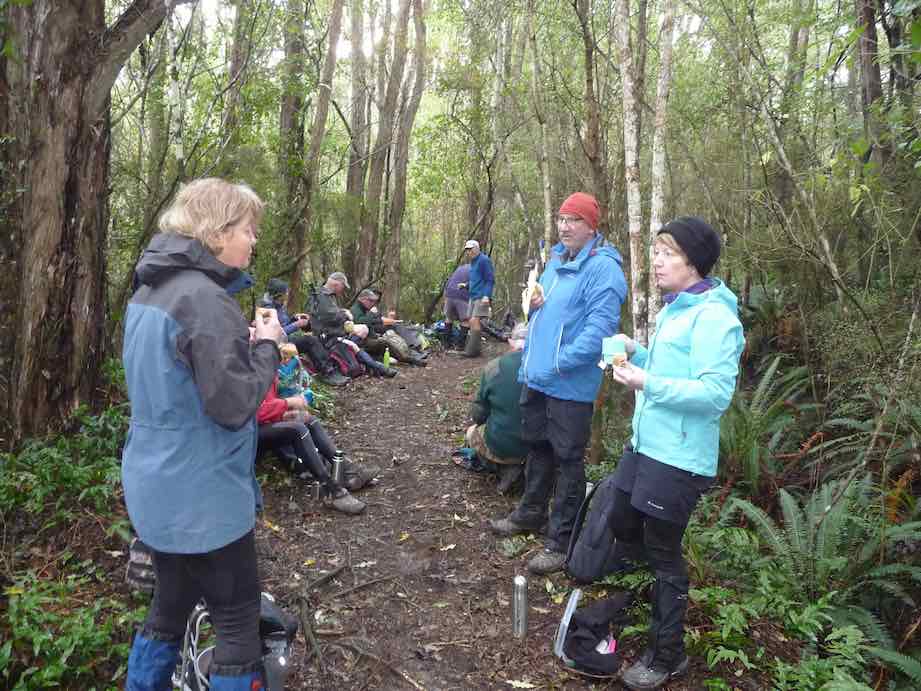
The Silverstream water race was built between 1877 and 1881 and consisted of nearly 30km of open races, sluices, tunnels and weirs. In 1920 a pump was installed. Later pipes were partially in stalled with little success. It was abandoned in the 1960s.
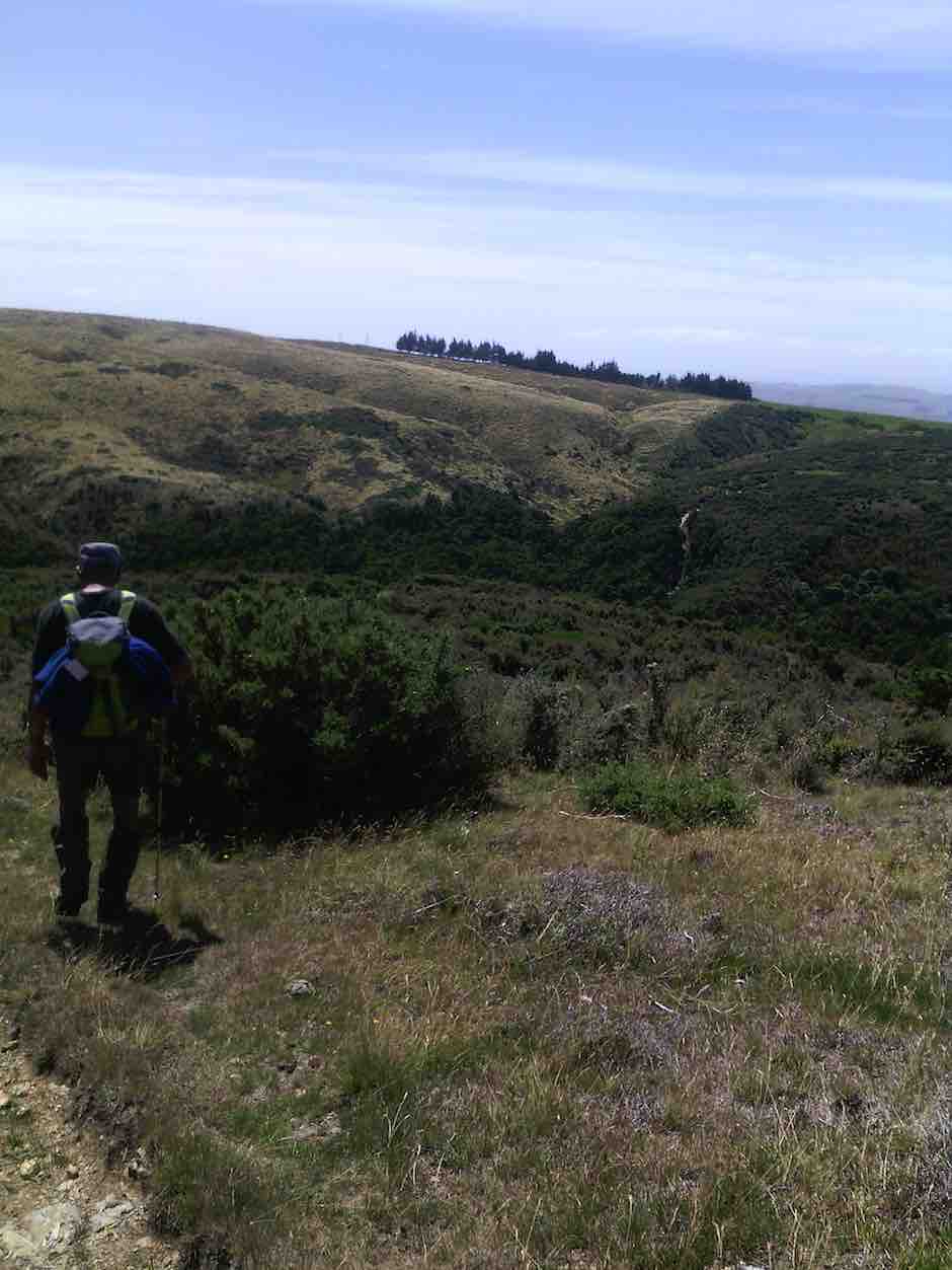
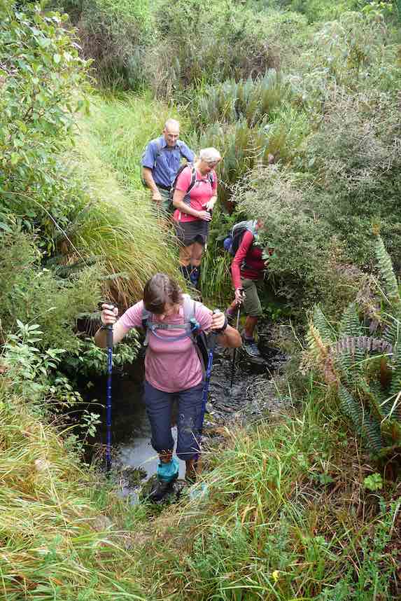
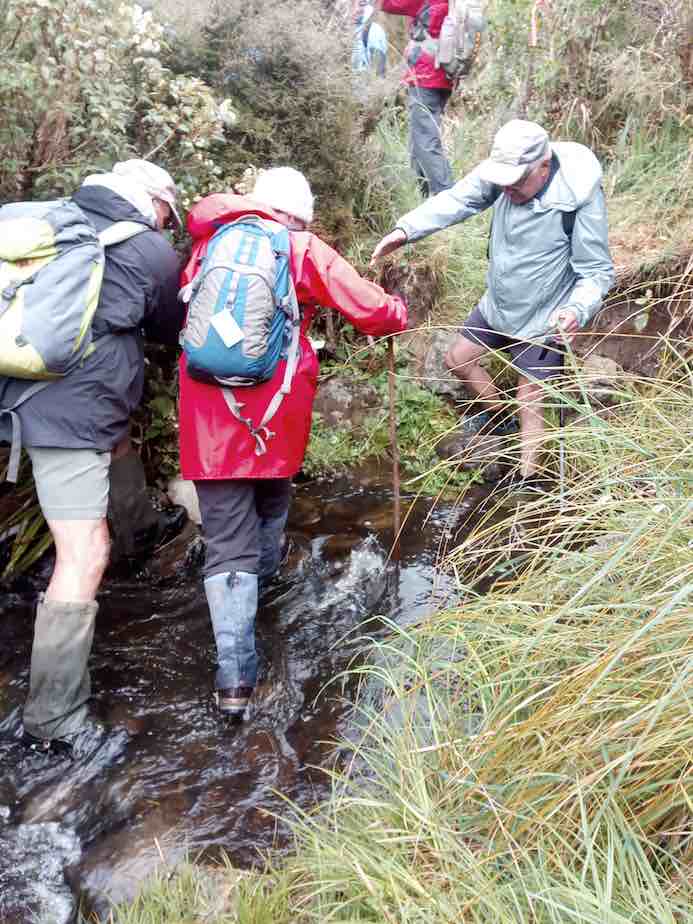
We continued on walking briskly to ensure that we all kept warm. The native bush with all its array of greens was a pleasant sight. Lunch was had just before a creek crossing that could have been more challenging to cross!
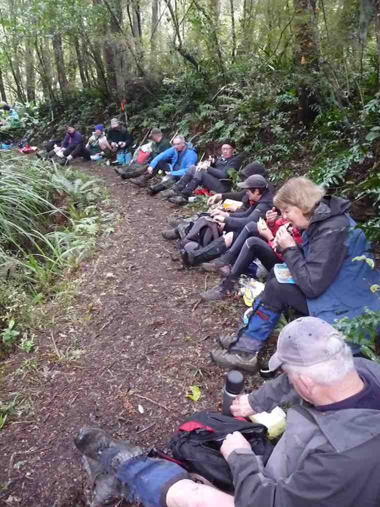
We headed back using a detour to avoid a loop on racemans. The bird song was pleasant on some parts of the tracks. The sun even briefly shone through the trees at times.
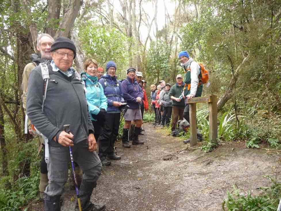
On reaching our cars, after a few creek crossings,
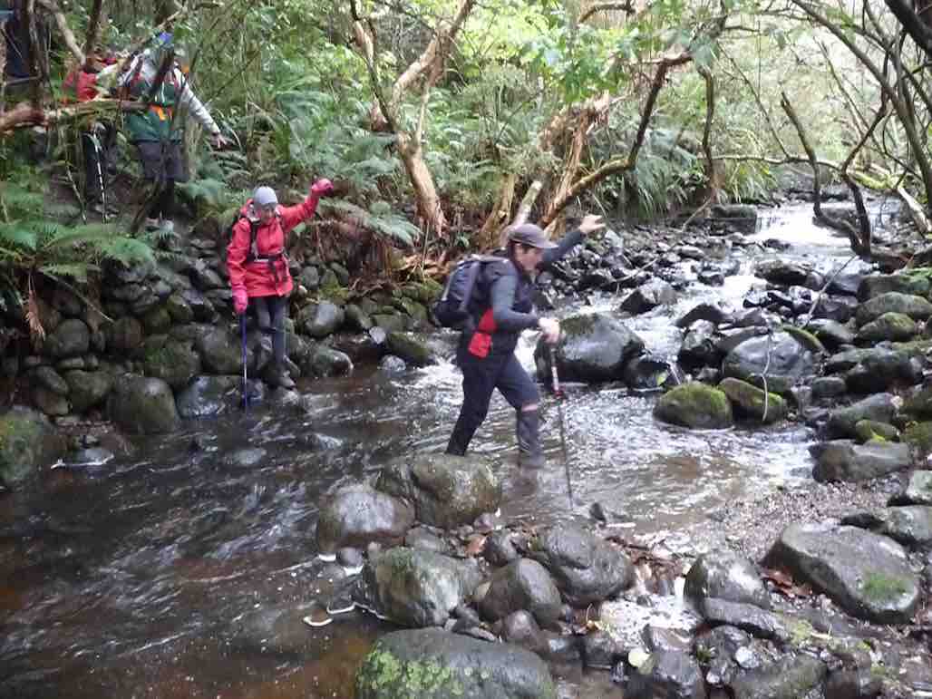
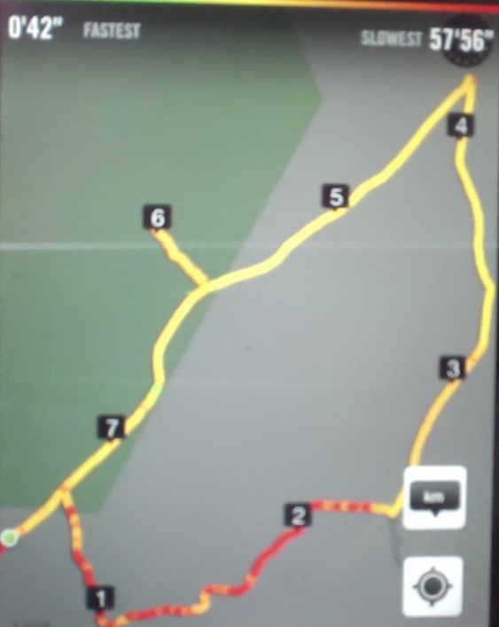
we had completed 15.8 km. A good walk with plenty of cool fresh air! The temperature was 5 degrees when we returned to Mosgiel.

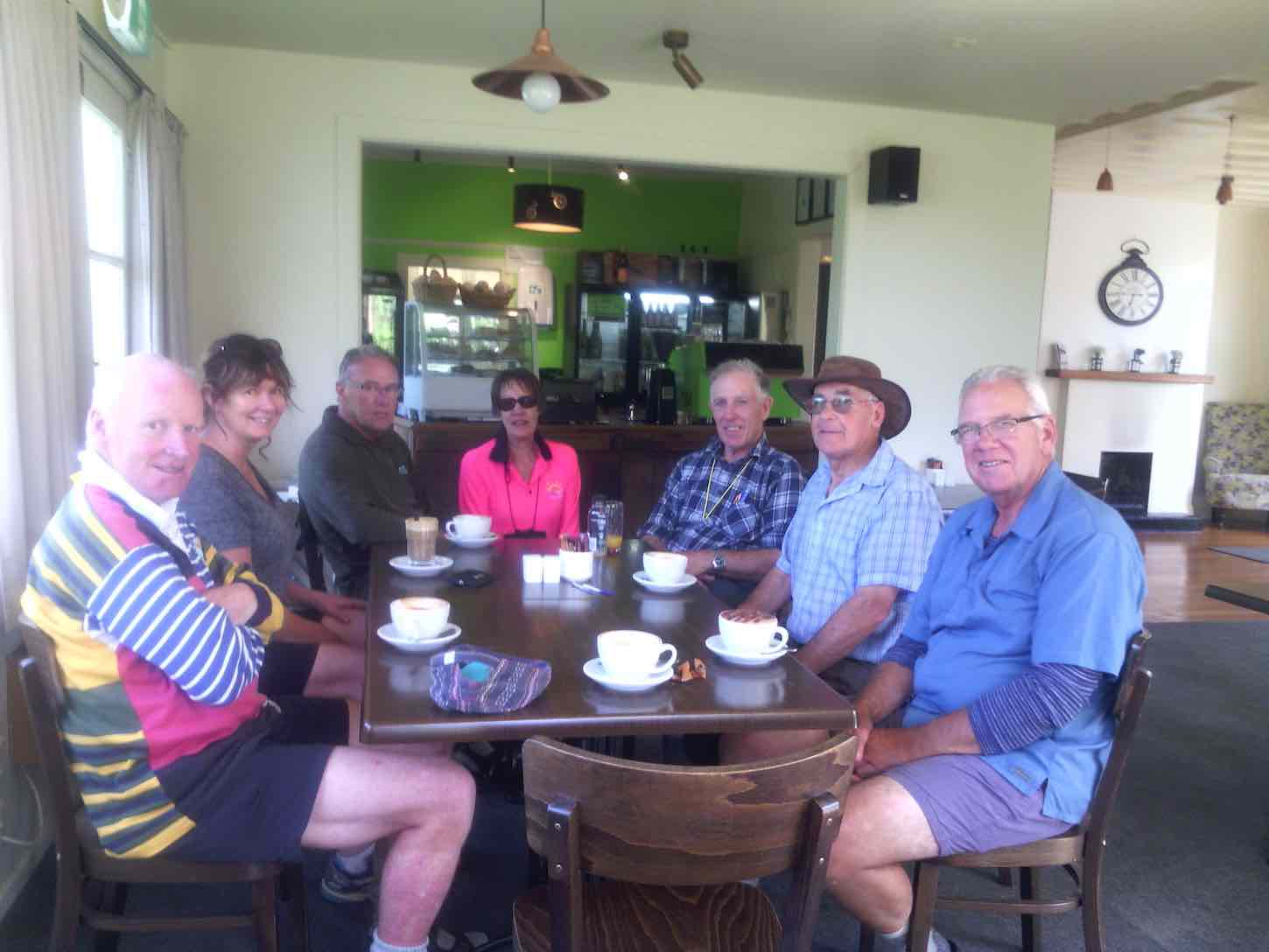
It was a pleasure to share Helen’s birthday with coffee and cakes at Blend. – Dave
8. 23/9/2015. Trampers. Schoolhouse, Tunnels, Racemans.
As the destination for the designated tramp [Swampy via Morrisons & poleline track] was covered in wet cloud, we decided at the carpark to just walk the Tunnels/Racemans tracks instead. This turned out to be a good choice, as the weather was fine all day in the valley.
Of the eight trampers that came along, two had never been in this area before, so it was a good opportunity for them to see the work that was done on this impressive old water race.
We had morning tea at the top in the pines, & then walked along to almost the junction with Little Coal track, where we stopped for an early lunch.
Of the eight trampers that came along, two had never been in this area before, so it was a good opportunity for them to see the work that was done on this impressive old water race.
We had morning tea at the top in the pines, & then walked along to almost the junction with Little Coal track, where we stopped for an early lunch.
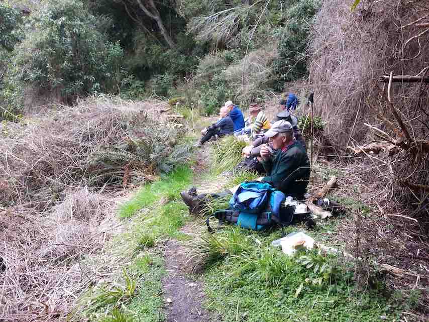
As I was recovering from two weeks off with a very sore back, [damaged while gardening — be aware, it’s not good for your health !!] I decided that I was going to turn back here, so I informed the others of my intentions, & they all said they would be happy to go back with me. [7km at this point]. So we retraced our steps back to the cars at the old school house, clearing some storm damaged vegetation as we went along.
The track was in mostly dry condition with only the odd muddy patch to contend with, & the creek crossings were very shallow.
walked 14km
4.3km/h
3h 15mins moving.
climbed 147m. – Ken.
15/4/2015. Trampers. Pumphouse, Tunnels, McRaes
Walked 9.6km
3.9km/h
2 1/2hrs moving time
climbed 275m
3.9km/h
2 1/2hrs moving time
climbed 275m
6 hardy trampers turned up to do the walk into the Tunnels & Silverstream tracks, which was, due to the weather conditions, chosen as an alternative to the Leith Saddle tramp scheduled for today.
We parked by the school house, & made our way up to the start of the Tunnels Track, but on arriving at the creek crossing, we found it to be far too deep & swift to attempt a crossing without getting wet feet. So we made the decision to go in from the pump house at the Whare Flat car park. We drove back down the road & restarted the tramp along the fence beside the Silverstream, & up & over the short but quite steep climb, to the grass are at the upstream end of the swing bridge. We turned up the first track just past here, & made our way up onto the Tunnels Track, then back towards the school house, to the start where we couldn’t cross the stream earlier. Then we retraced our steps, & walked all the way along to the creek crossing just past the Racemans Hut that has the tree down across it. This is the creek crossing with the ropes on the other side to help with the climb up the bank. here the water was also too deep, & swift to attempt a crossing, so we had a look at the Tunnels weir, then walked back out, & down an unmarked track leading down to the picnic table on the grass area beside the Silverstream. We had lunch here, then walked back out to the cars.
Conditions in the bush were sheltered, not very wet under foot, & very few muddy patches, so everybody enjoyed the walk. – Ken
We parked by the school house, & made our way up to the start of the Tunnels Track, but on arriving at the creek crossing, we found it to be far too deep & swift to attempt a crossing without getting wet feet. So we made the decision to go in from the pump house at the Whare Flat car park. We drove back down the road & restarted the tramp along the fence beside the Silverstream, & up & over the short but quite steep climb, to the grass are at the upstream end of the swing bridge. We turned up the first track just past here, & made our way up onto the Tunnels Track, then back towards the school house, to the start where we couldn’t cross the stream earlier. Then we retraced our steps, & walked all the way along to the creek crossing just past the Racemans Hut that has the tree down across it. This is the creek crossing with the ropes on the other side to help with the climb up the bank. here the water was also too deep, & swift to attempt a crossing, so we had a look at the Tunnels weir, then walked back out, & down an unmarked track leading down to the picnic table on the grass area beside the Silverstream. We had lunch here, then walked back out to the cars.
Conditions in the bush were sheltered, not very wet under foot, & very few muddy patches, so everybody enjoyed the walk. – Ken
7. 24/7/2013 Trampers. Trampers. Schoolhouse, Tunnels, McRaes Weir, return.
On a cool but what turned out to be a very nice winters day, 5 trampers took to the Tunnels /Racemans Tracks. However, we didn’t get very far before we struck the first of many snow damaged trees across the track. This made for very slow going, & we didn’t even manage to get to the favourite morning tea spot in the pines before it was time to stop for a cuppa. We met up with some guys who were supposed to be track clearing, from the DCC, but from what we could see, they weren’t doing much good. There are some VERY LARGE trees down across the track, which require some careful negotiation to get past.

Also, looking very sad is the old Racemans shed.
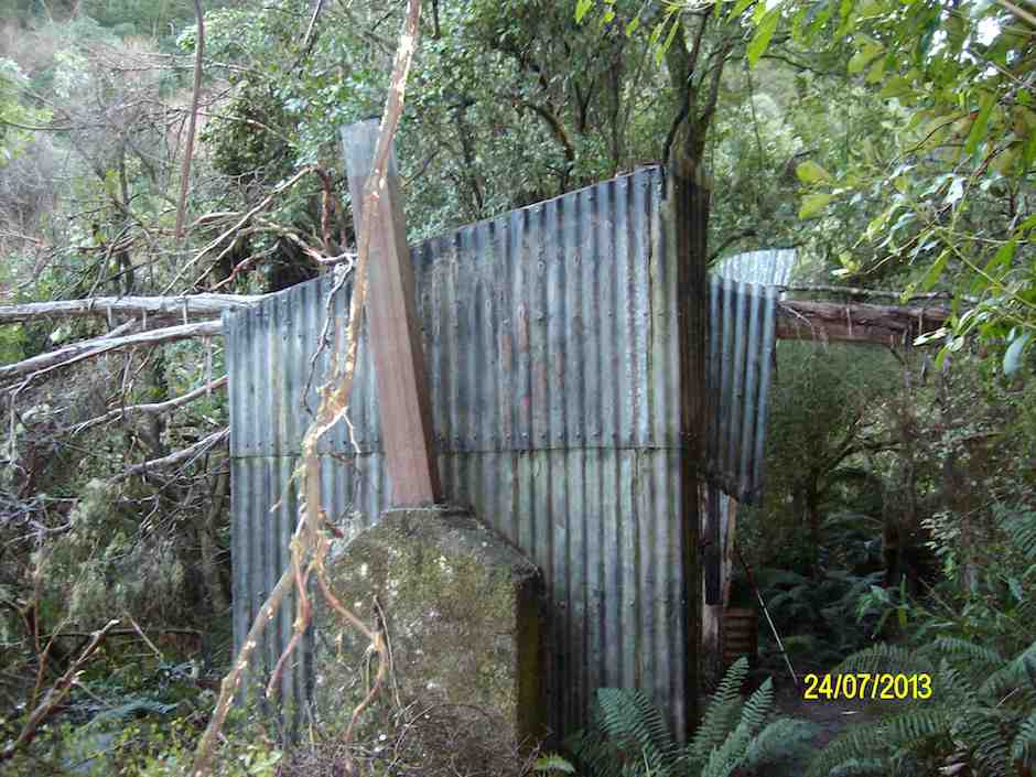
It has a tree which has fallen right across the top of it, & the roof has completely gone.
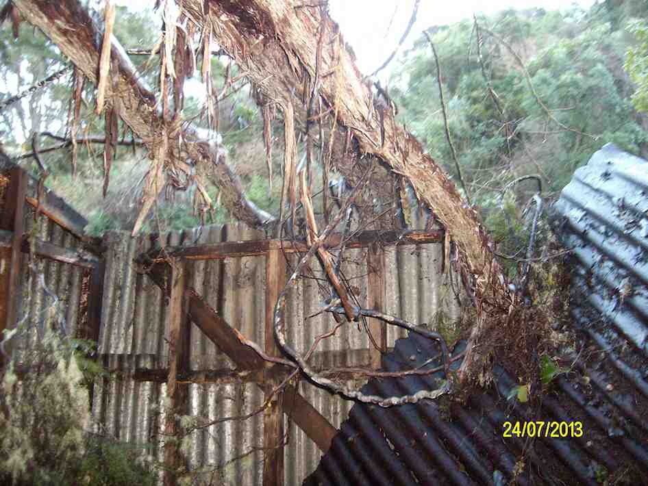
We only got as far as the creek crossing with the rope on it, when we gave up the struggle, as the creek was choked with fallen trees, & we could hardly see the other side where you climb out of the creek with the help of the rope. We backtracked to an unmarked side track down to the Silverstream, where we found a picnic table to have lunch at.
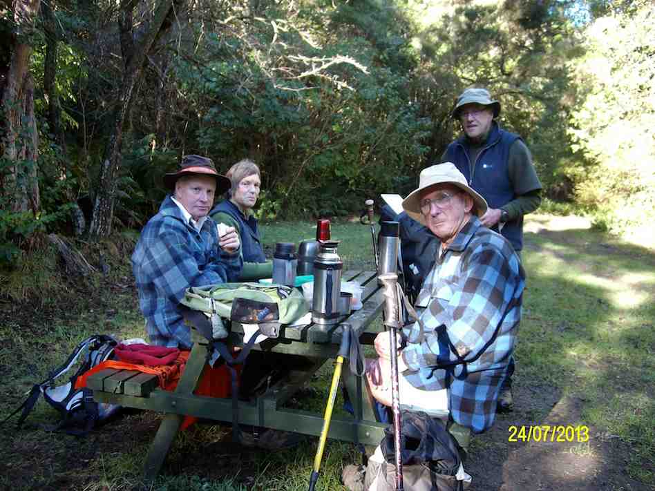
It was then a short walk out to the pumphouse at Whare Flat, & then back up the road to the cars at the old School house. Distance 8.2km, ave 4km/hr. – Ken.
6. 14/11/2012. Hikers. Schoolhouse, Tunnels, McRaes Weir, Racemans, Pumphouse, return by road. Leaders: Fred, Elaine.
22 of us made a large group. Great. We had our morning cuppa at the top of the Tunnels track.
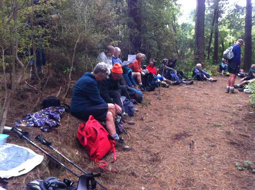
We made our way back on down to join with the McRaes Track and along to the weir. At this point, Dorothy, recovering from a hip injury wisely declined the steep rope-assisted climb up the further back of the stream and accompanied by three others, returned back the way we had come and down from there by a link track to meet us later at the Pumphouse.
The rest of us carried on around the McRaes track to lunch at the point where it links with the Racemans.
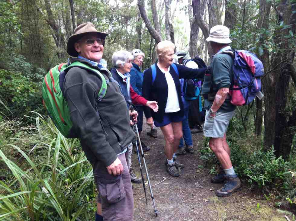
Down the Racemans and on to the swing bridge. Some elected to cross it and risk the depth of the water at the Pumphouse ford but most went by more hilly track along the Silverstream true left.
Up to that point, we were well led by Fred and Elaine, but from here on it was ‘Brown’s Cows’ back up the r0ad to the cars. We were all back home in time for afternoon tea.
Twenty-two. Whew! An impressive turn-out. – Ian.
5. 29/2/2012. Trampers. Schoolhouse, Tunnels, McRaes Weir, Racemans, return by Tunnels.
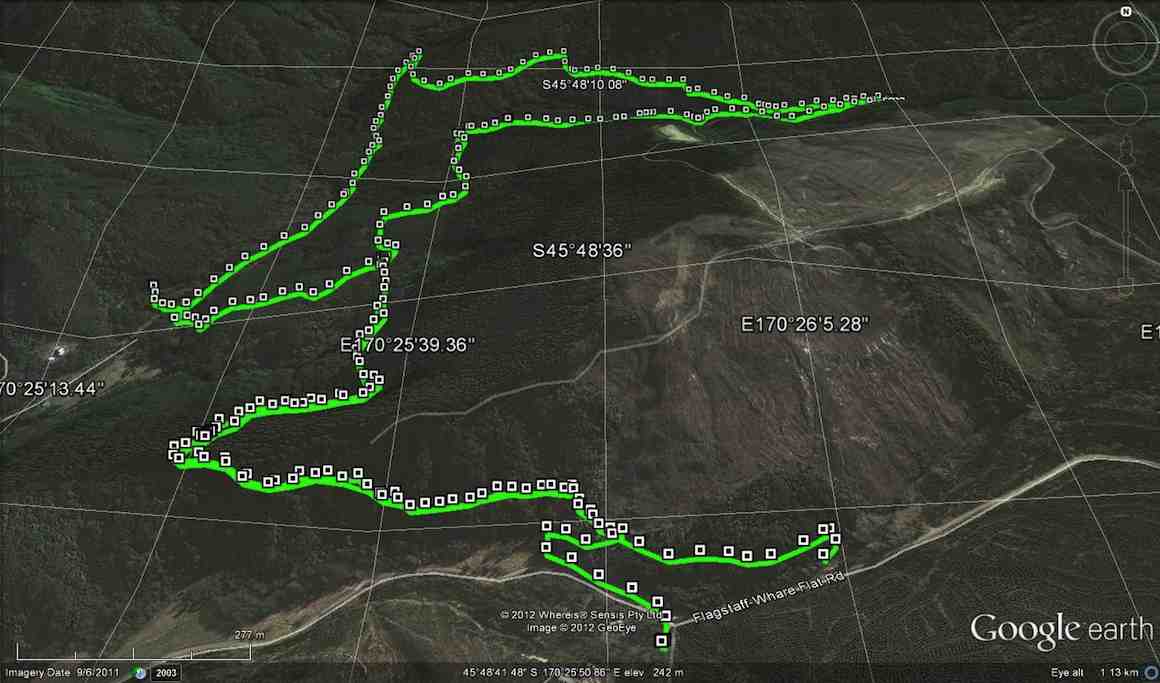
Taieri Scenic reserve was unavailable, due to bulldozers working on a road. We chose a short Tunnels tramp instead, as heavy rain was forecast for the afternoon.
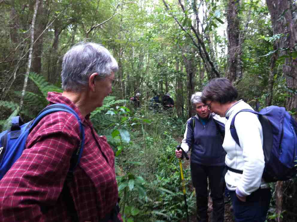
We continued on. At the short water-race pipe point, we dared some of the newer members to crouch their way through it. Amazingly, three took up the dare. Bravo. Then it was on past McRaes weir. The vertical climb out from the stream bed gets no easier for the writer, feeling his arthritic age.
Reaching the end of the McRaes side gully (to the Silverstream proper), we turned back down onto the first part of the Raceman’s track where it climbs up to reach the water-race. Had a look at the Pump-house’s intake weir. Climbed back up to the Raceman’s by the track near the swing-bridge, turning right at the top to climb back up the Tunnels’ hill.

Lunch was slightly early, as we remained conscious of the forecast rain. We felt its first drops as we finished lunch. We heard the patter of rain on the leaves above us as we made our way back down the hill. We emerged onto the road by the alternative exit and walked back up to the cars with only the lightest of rain sprinkling us. A nice dry morning out, on a nice dry track in nice bush. – Ian.
4. 28/9/2011. Hikers. Pumphouse, road, Schoolhouse, Tunnels, McRaes Weir, Racemans, Pumphouse . Leaders: Peter and Wendy.
3. 6/10/2010. Both. Schoolhouse, Tunnels, McRaes Weir, Racemans, Pumphouse, return road. Leaders: Ian, Ken.
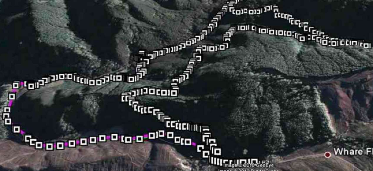
21 of us started the Tunnels track just up from the old Schoolhouse and down the track a little were soon admiring a railed bridge over a ditch and a new track complete with steps around the top of a large slip, put in by Neil and his group of track repairers. The track gently climbed to its top point over the race tunnel where we stopped for an early morning tea under pines, resting on their bed of thick pine needles.
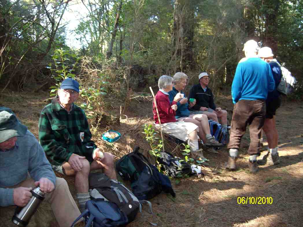
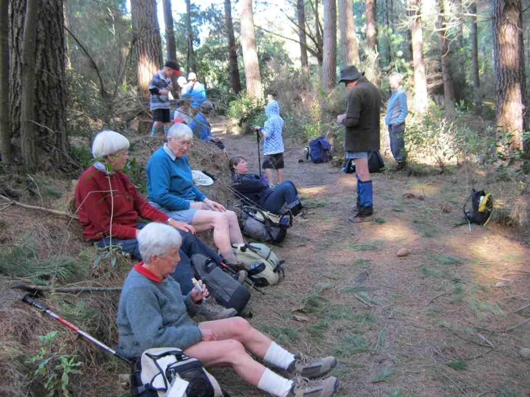
The track had been beautifully cleared of trunks and debris brought down by a recent storm and we quietly ambled along the long stretch that eventually took us past the old Racemans Hut to the broken-down McRaes Weir. Across the stream we were confronted with a washed out vertical bank with only a knotted rope and some steep cut-out steps, but with the bottom one now missing. There ensued much pushing and pulling, and slipping and collapsing as we made our various ways up to the top of the bank.

Then it was plain sailing (apt metaphor?) again out of the large McRae’s gully till we reached the junction with the Racemans where we stopped for an early lunch.

From there we descended the Racemans to pass the old Silverstream weir and inspected the weir from which water is now piped to the pumphouse. We elected to return via the swing-bridge because there had been a tree-fall over the true-left track. Crossing the ford at the other end was not the happiest part of the walk for some. Then it was just 2 km back up the road to the cars parked at the old Schoolhouse. The day was perfectly calm with much of it sunny, if not hot. It had been a good day. – Ian
2. 7/11/2001. Combined. Tunnel – Racemans Tracks. Leaders: Bob H, Winifred, George.
1. 21/6/1989 Whare Flat Pottery. Pine walk. Peggy A, Helen W, Daphne
Taieri Plains Tramps
8. 24/7/2019. All. Doug’s 90th. Alan Scurrs, Riverside Road. Leader: Alan.
24 th July proved to be a special day.
The Weather frosty cold to start ,then clear calm and pristine. An enthusiastic group of tramping club members 54 out walking in total.Some even cycled down from the Bush Road carpark to Alan and Kerry’s home. Here we were greeted by inquisitive Llamas.
We spread out through boggy farmlands with the bonus of country smells to accompany us on the way.
The Weather frosty cold to start ,then clear calm and pristine. An enthusiastic group of tramping club members 54 out walking in total.Some even cycled down from the Bush Road carpark to Alan and Kerry’s home. Here we were greeted by inquisitive Llamas.
We spread out through boggy farmlands with the bonus of country smells to accompany us on the way.
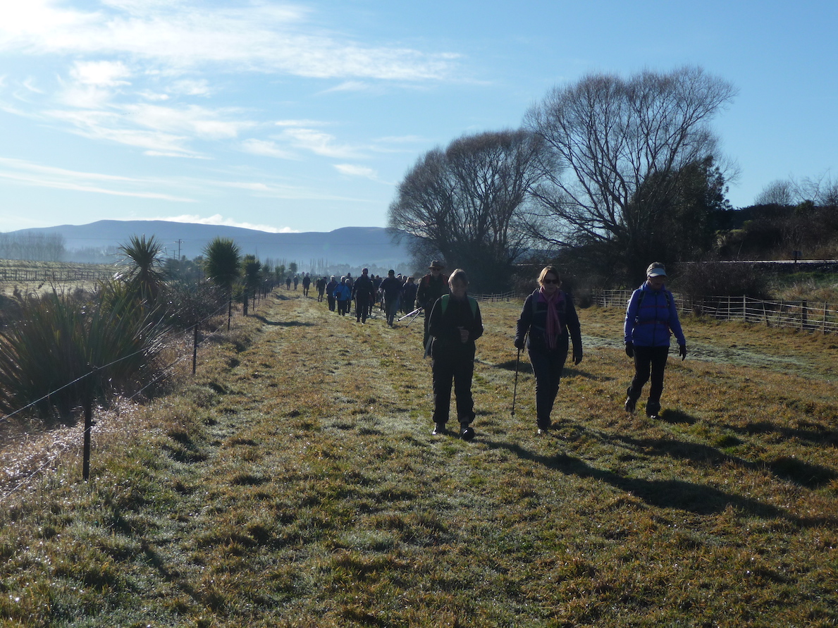
We followed some of the Taieri waterways onto the floodbanks which have over the years saved farmlands from being completely destroyed/submerged in floods. Alan had some photos of the extensiveness of the flooding over the years.
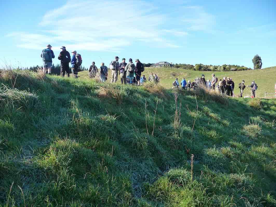
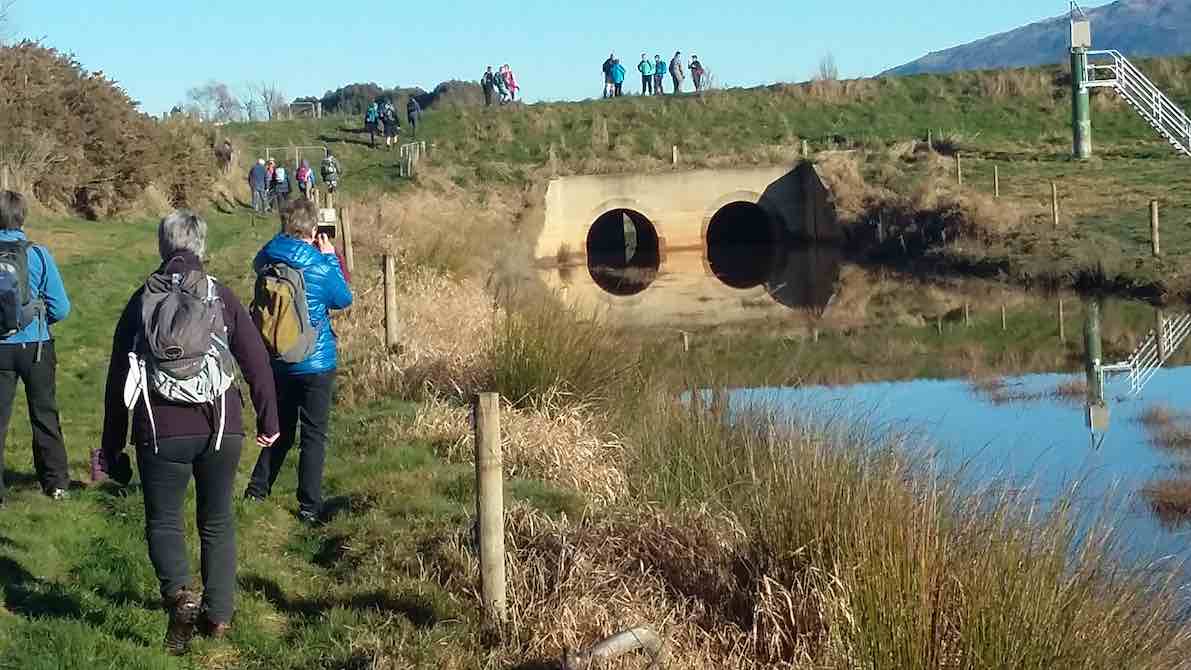
Morning tea was held beside the Mill stream pump house. The stream flows into the Taieri river. The river was full and very discoloured.
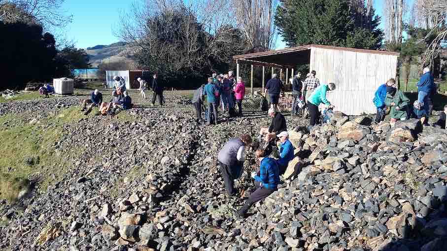
From here we split into smaller groups depending how far people wanted to walk back to the party house.
Overall walking distances ranged from the Ramblers’ ramble to the longest distance approx 10 kms and then a ride home for them.
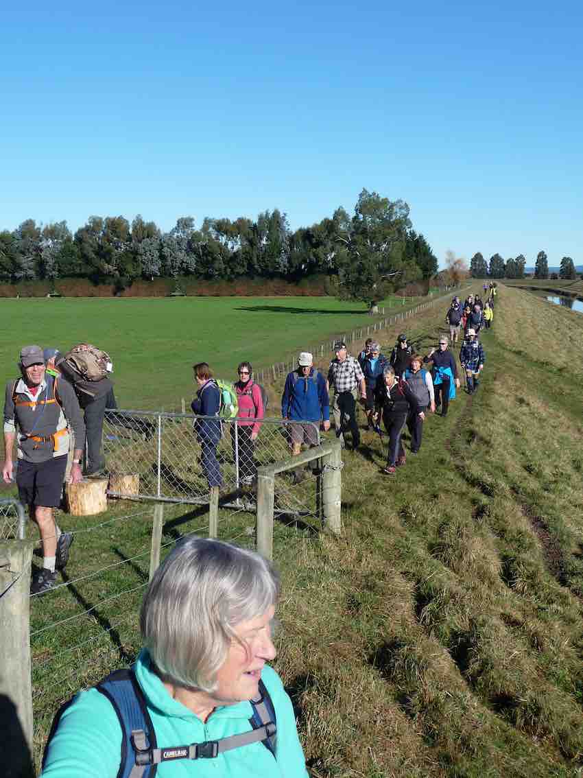
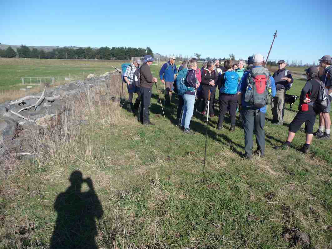
Alan had vehicles placed along the way to get all home by about 1 pm to be together to share Doug’s 90th birthday lunch. A real party lunch shared by all including some of our members who like to be involved with activities but not always able to join us on some of our weekly outings.
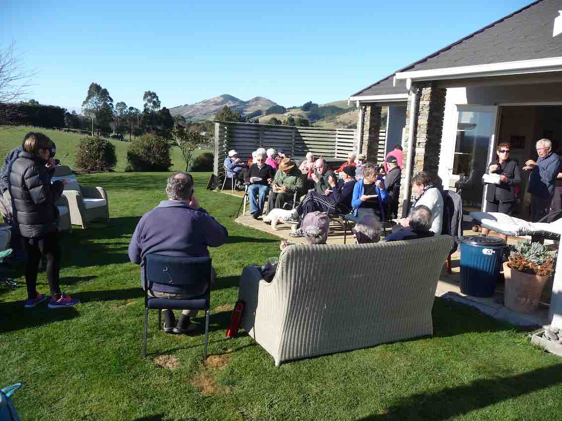
Helen Morris spoke about Doug
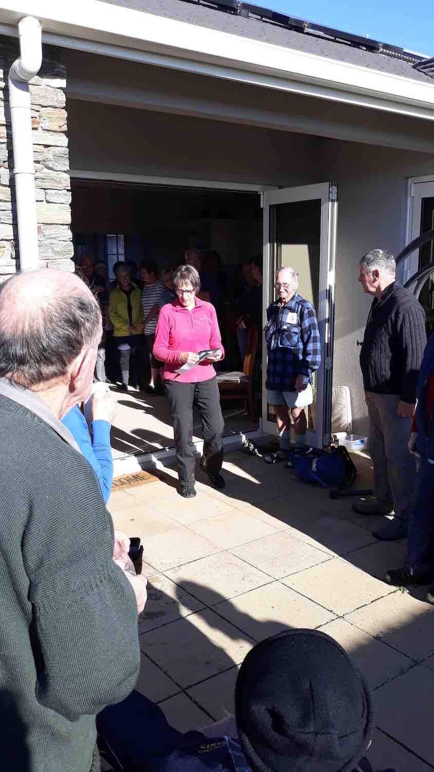
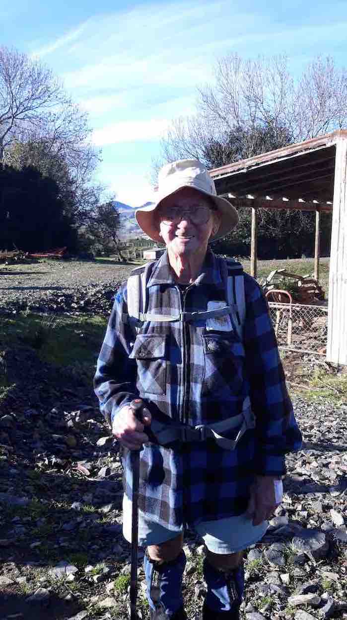
– out most Wednesdays a very busy man with an immaculate house and garden, a perfect gentleman, and a great bagpiper and ball room dancer. Always wearing shorts!
A big Thankyou to Alan and Kerry hosts extraordinare for providing an idyllic location and perfect weather (hardly a breathe of wind ). We wish them well for their overseas trip next week and look forward to hearing of their experiences.
Jill on behalf of the club.
7. 22/10/2014. Hikers. Dukes Road, Stop Bank. E. Leaders: Peter, Lesley.
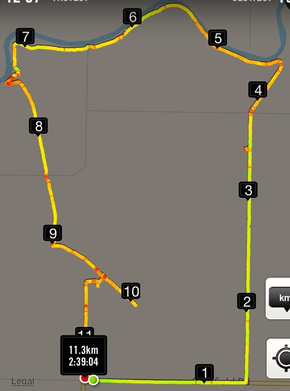
Twenty-five of us started along Riverside Rd from cars parked at the end of Dukes Rd. Turned left into School Rd. At about the 3.3km mark (a tiny swiggle on the map) Peter let us in through a combination-locked gate to the Dunedin Model Aero Club site and welcome bench seats …

… upon which to enjoy morning tea. One of us preferred …
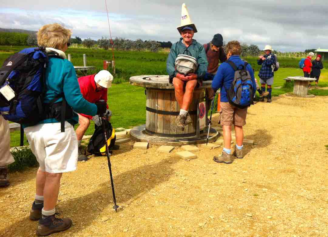
… sitting on a table, rather fancying himself in his newly acquired piece of headgear.
As we were walking back out onto School Road, Leader Peter told us in interesting detail the history of the road, originally the Mosgiel-Outram railway route. The raised bridge over the Taieri River necessitated a fully-laden passenger train locomotive stopping and waiting for twenty minutes to get up enough steam to get its load up and over. School Road was the most difficult part of the line to construct. Hector told us of the need of a foundation of flaxes to first undergird the permanent way over the Taieri swamp. At road’s end, we followed the old rail bed as it veered right and led us to the Taieri River flood bank, alongside an interesting flood gate structure, designed to release flood waters into the flood plain alongside when needed to alleviate flooding elsewhere.
Making our way alongside the river, we had to negotiate a tricky fence, armed with live electric (fortunately the stretchy kind) wires on either side. Eventually, we were able to carry on. Arriving near the river’s confluence with the Silverstream, we perched ourselves alongside the latter …
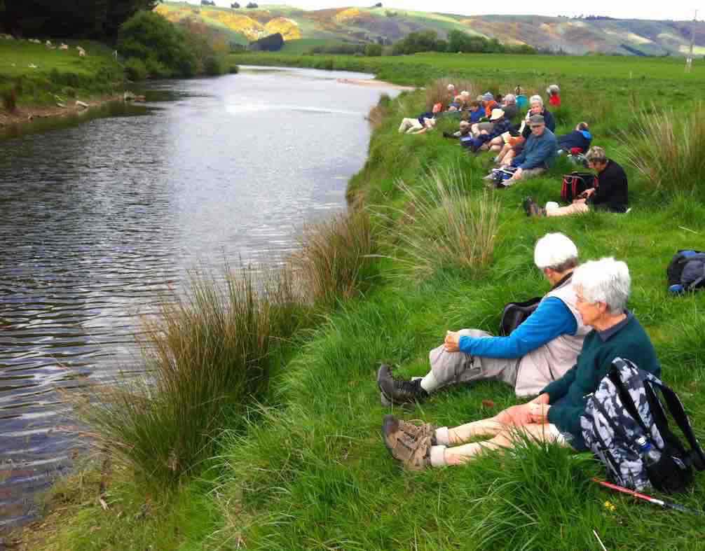
… for a leisurely lunch. Fortunately the wind abated for the while we were there.
Up and along the Silverstream’s true right floodbank, under the Riverside Road bridge and on to a heavy flood gates structure protecting a large drainage ditch at the lower corner of the McKay’s Triangle Wildlife Management Reserve from flooding back.
We walked along the ditch’s true left through luxuriant spring grass freshly tracked by some vehicle’s wheels, a boon denied the leaders who had to brave the reserve completely lacking track indicators to keep them free of boggy underground. Along the way we passed by
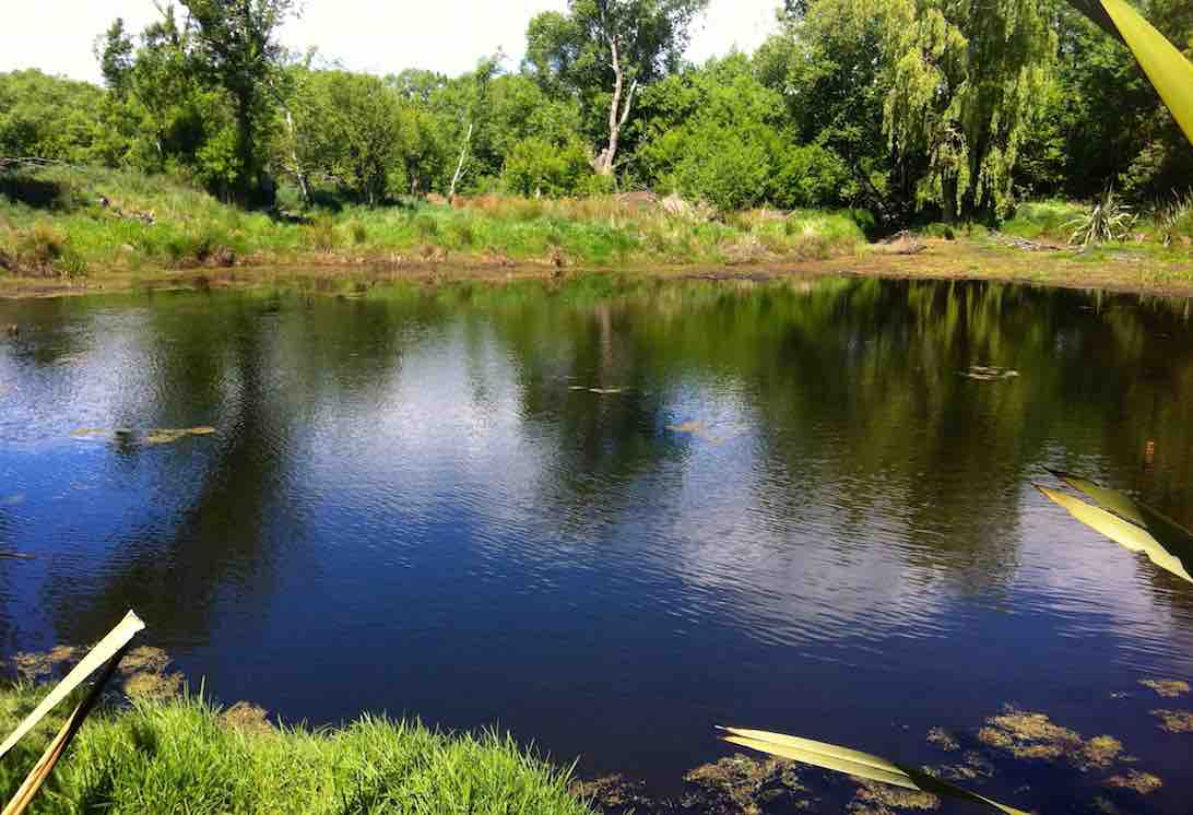
a lake, adding to the scenic variety of the reserve. We persisted up along the aforesaid ditch, seeking yet another lake that unfortunately failed to materialize. So back down to enter in via a mai-mai to circumvent the beautiful Lake Kate, …
… unseeable from the track. Thank you leaders, for finding the way into this hidden jewel for us.
We were then cleverly led by twisting track and footbridge out to the other major track, this one bordering yet another drainage ditch set at right angles to the other. This led us in straight alignment with Duke Road, virtually its paper road extension, back up to the cars again.
Thanks to Peter and Lesley for a carefully planned trip with the McKay’s Reserve as a surprising cherry at the end. – Ian.
6. 4/8/2010. Both. Gladfield Road, School Road, Stop Bank, ret. E. Leaders: Bev, Ian.

We parked the cars at the end of Dukes Road and made our way along Gladfield road, stopping at School Road for morning tea. Down School Road and crossing Riverside Road onto the Outram railway embankment to the Taieri River. Turning left, we followed the river down stream, keeping on the flood bank much of the way.
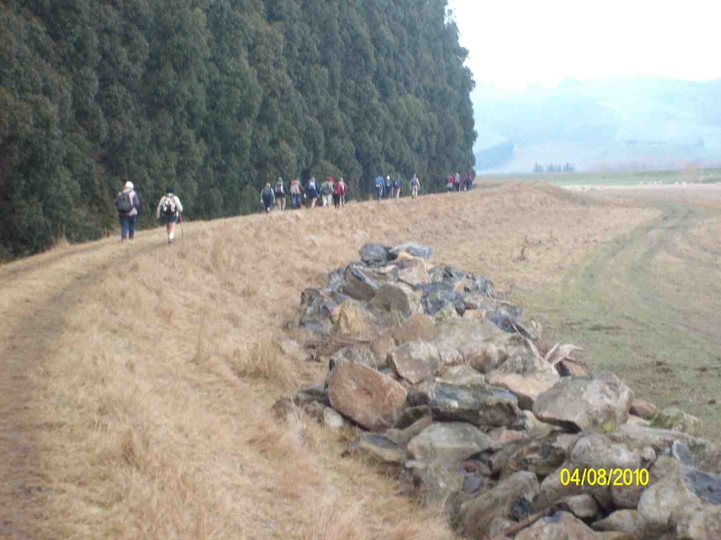
Continuing along the stop bank and bypassing Lindsay Road, we crossed over a flood gate immediately adjacent to the confluence of the Taieri and Silverstream rivers.
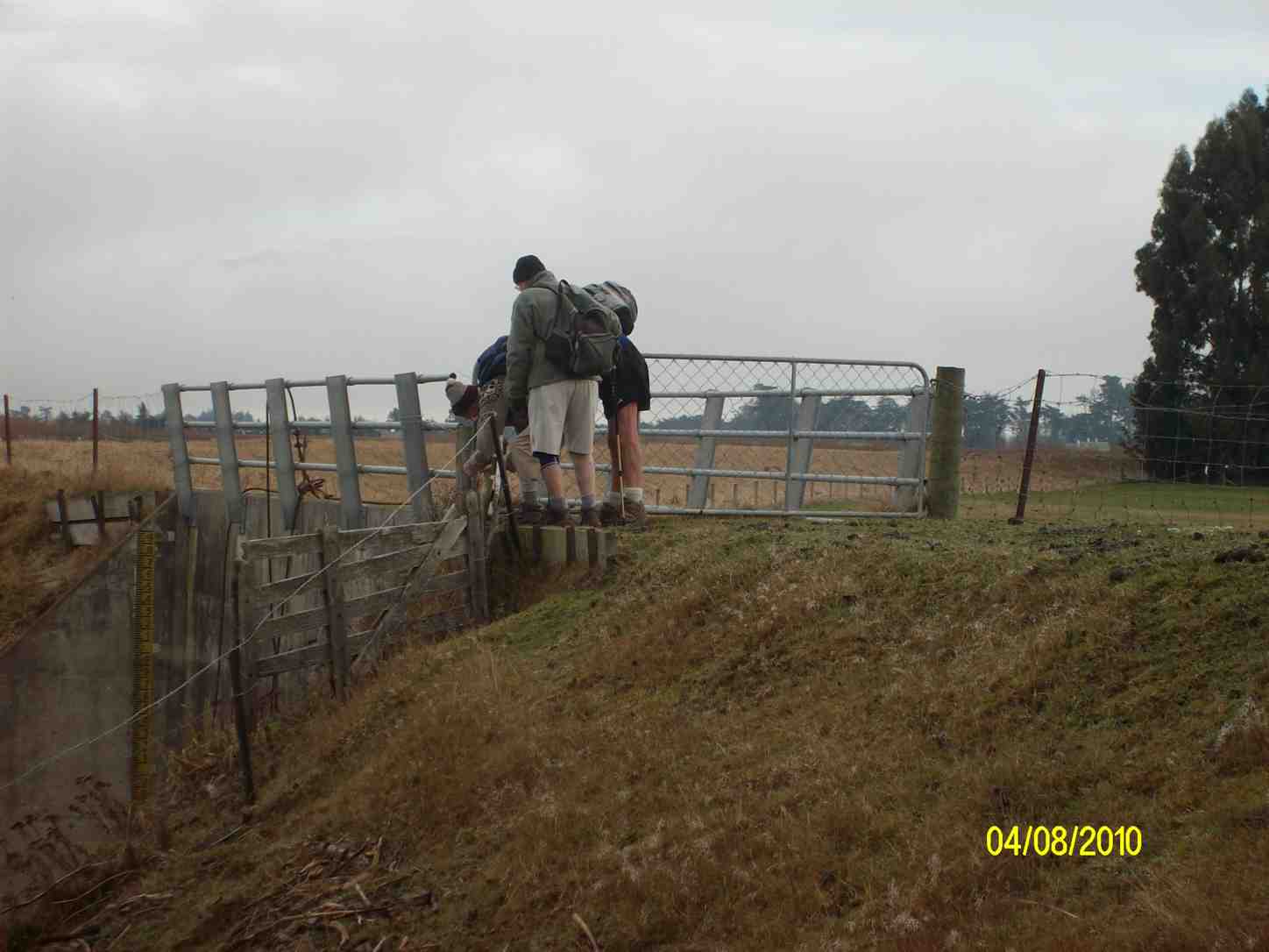
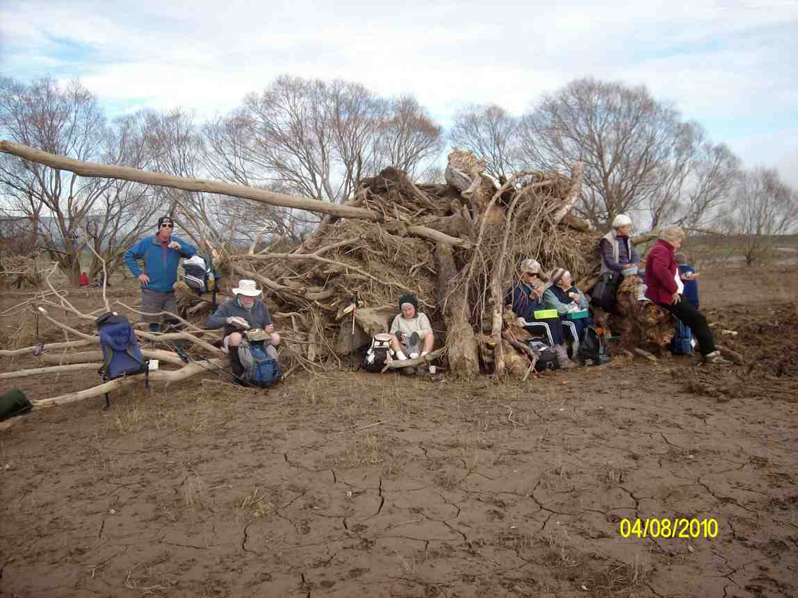
It was time for lunch, so we went down to shelter, sit and eat around a pile of bulldozed willow logs by the confluence.
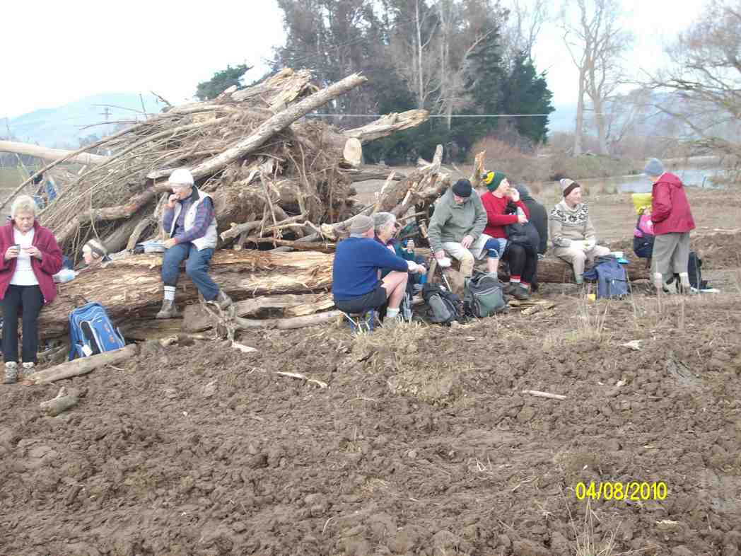
Then it was up first one side, then the other of the Silverstream till we reached Gladfield Road and its pedestrian swing-bridge.

Then it was just back along Gladfield Road to the cars, and home.
A good day, with both groups together and 23 setting out. – Ian
A good day, with both groups together and 23 setting out. – Ian
5. 15/7/2009 Dukes Road, stop bank, School Road. Leaders: Marjorie, Peter.
4. 11/6/2008 Taieri Ramble from Dukes Road. Leaders:
A perfect winters day for the 20 hikers who parked their cars at the end of Dukes Rd to enjoy awalk on the roads and farmland on the Taieri Plains. We went along Gladfield Rd to School Rd where we found a spot to sit and have our welcome morning tea break. Off down School Rd for a short distance then on to farm land. Across paddocks, along stop banks, making the most of the beautiful sun and scenery which made this an especially enjoyable day out. Sat and had our lunch in a very pleasant spot amongst trees and near the Silverstream.
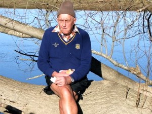

Then it was across more paddocks, over a ‘swing’ bridge and back to the cars. Not a hard hike but one everyone enjoyed very much. – Bev
3. 11/6/2008. Hikers. Dukes Road, Stop Bank, School Road. Easy. Leaders: Bob H, Bev H.
Park end Dukes Rd. Straight ahead SE to McKays Triangle Wildlife Management Reserve. (Seek permission for this part, although paper road.)
Turn Rt/SW by drainage ditch, across Taieri. Follow either of following alternatives:
1st Alt: Trampers. Carry on, cross Mosgiel/Outram Road, up hill, (seek permission for hill part) then left and down to Taieri upstream of bridge. Return down Taieri (Seek permissions, but probably not necessary) and back by reserve.
2nd Alt: Hikers. Turn left SE down to Taieri River flood gate. Followed river back along flood bank to Silverstream. Upstream to Riverside Rd and back to cars.
2. 4/7/2007. Both. Dukes Road, Stop Bank. easy. Leaders: George, Bob H, Les & Margaret, Bev H
1. 27/5/2003. Dukes Rd, Taieri. Triangle Wildlife Reserve. Stopbank
-
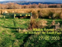
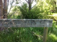
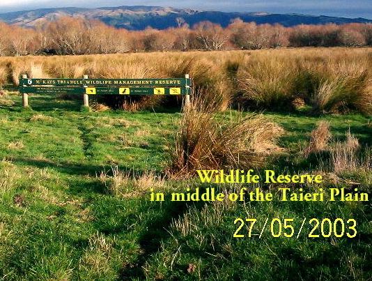
McKay’s Triangle Wildlife Management Reserve Sign
-
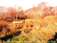
Small Lake, McKays Triangle Reserve, Mid-Taieri Plain
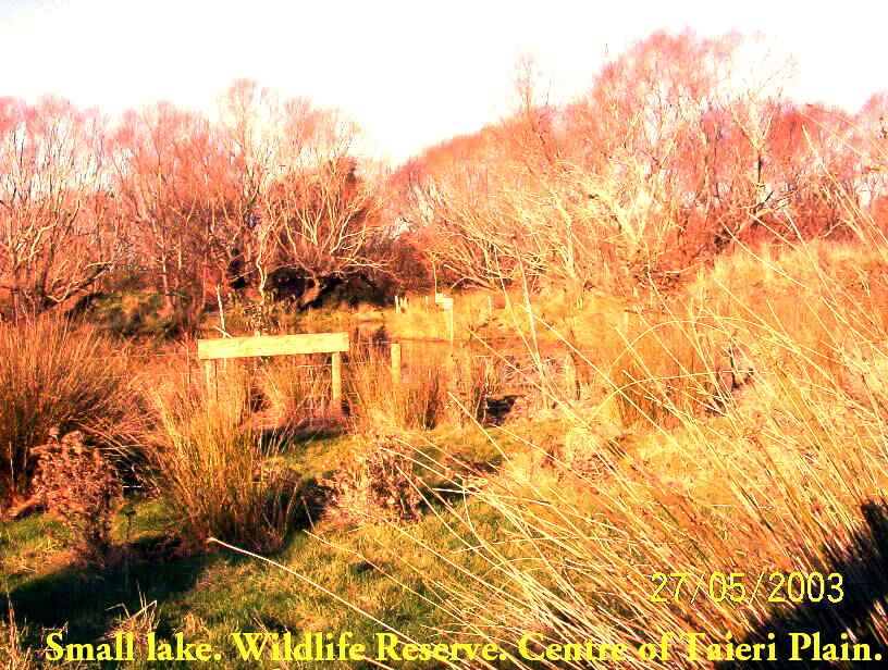
-
Taieri River
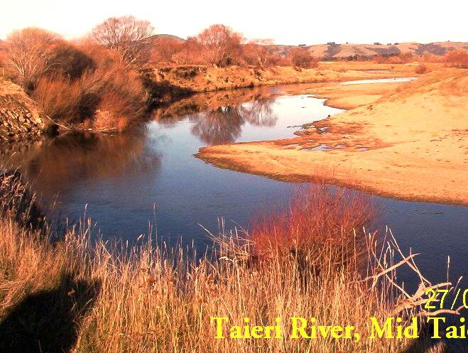
-

Taieri River flood-gates, Mid-Taieri, designed to release flood waters onto flood plain.
-
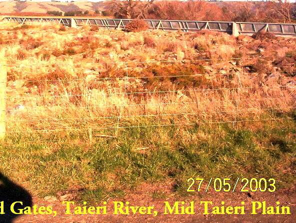
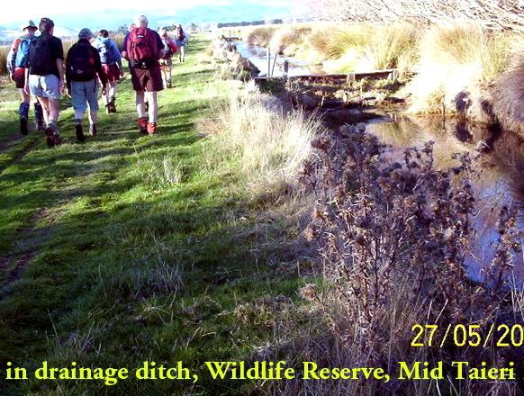
Drainage Ditch Gate by track as trampers return to cars
Deep Stream-Hindon Pipe Line from Highway 87
Distance from car park: 38 km.
Permissions from Mt Gowrie Station, Strathview Station, Calder Station.
13. 20/6/2019.Trampers. Deep Stream Pipeline from SH 87. M. Neil M. and Carol.
A fine but cool day dawned for the 10 trampers to depart for the big bend to start the Deep Stream walk to the East. Now just because it’s called a pipeline doesn’t mean it’s flat. Once the water is in the pipe the line goes up and down continually. In fact going by past reports for the distance we walked we climbed over 700 metres.
We left the cars about on the hour of 10.0 and walked up
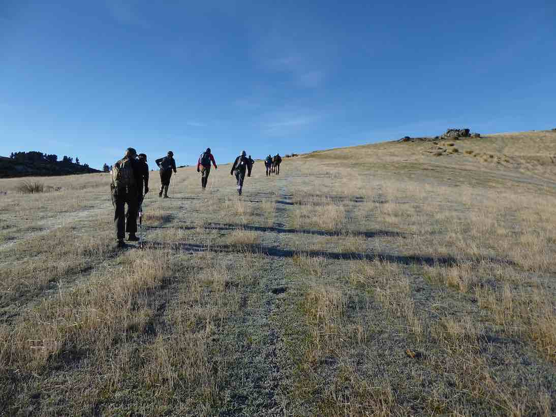
to the top of the first hill on the line in about 20 minutes, so a break was called for coffee and smoko.

After that, onwards and what do we find but the first big dip.
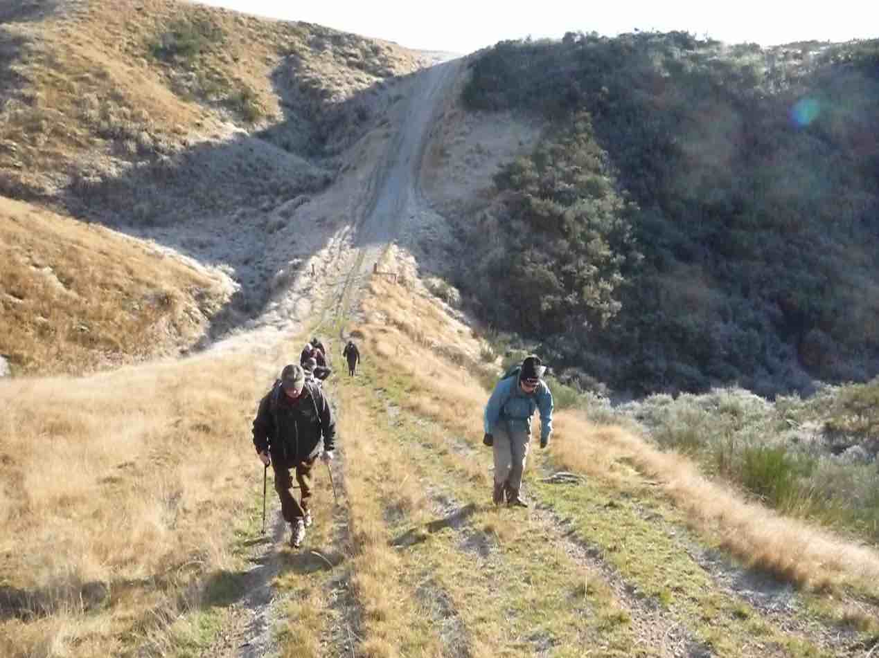
From where we had coffee/ tea one could see the track in the distance but not all the gullies we have to go through, which could give one the wrong impression of this walk. Although the day was cool, it did warm up as the hours ticked by. We arrived at the high point in the walk about 12.15pm for lunch where we could see back towards Mosgiel and Saddle Hill. A good view all round.
Now the return trip started about 1/4 to one and we arrived back at the road by 3 o’clock. One noticeable thing about the return trip, there wasn’t as muck talk.
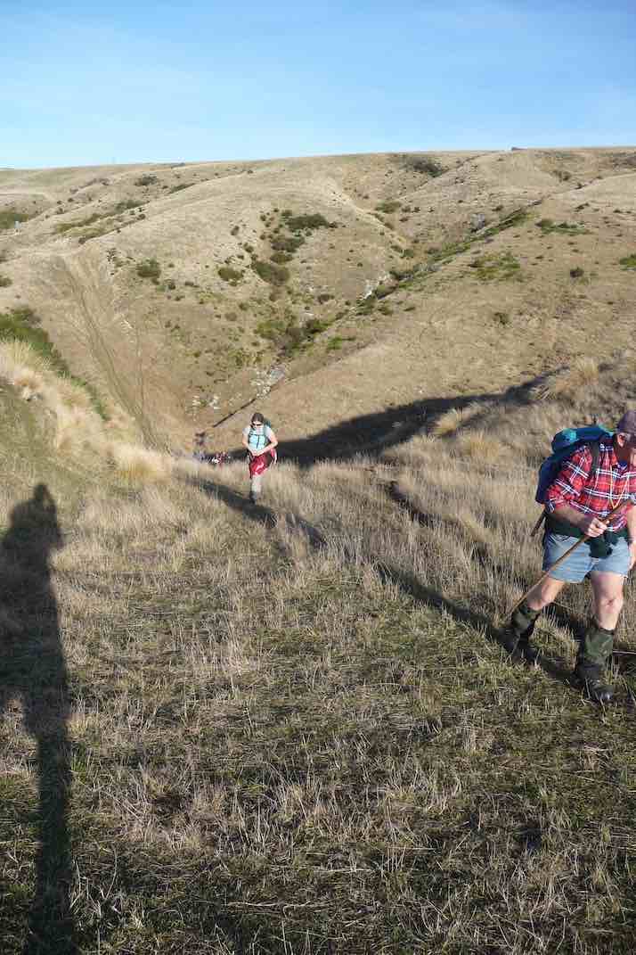
Maybe some were getting a little tired. Well, we walked about 16 kms and probably climbed more than 700 m so not a bad effort.
At this stage of the day, coffee calls, so we stopped at Clarks Junction Pub – come cafe, to satisfy these cravings before returning to Mosgiel. – Neil and Carol.
12. 22/6/2016. Trampers. Deep Stream Pipeline from SH 87. M. Leader: Neil M.
10 Trampers left Mosgiel at 9.30 am. It was somewhat cloudy with a very gentle breeze but pleasant conditions.
It was 10.10 am when we left the cars and from there an approximate 30 minute tramp before morning tea.
On a few occasions the pipeline and relief flues surfaced …
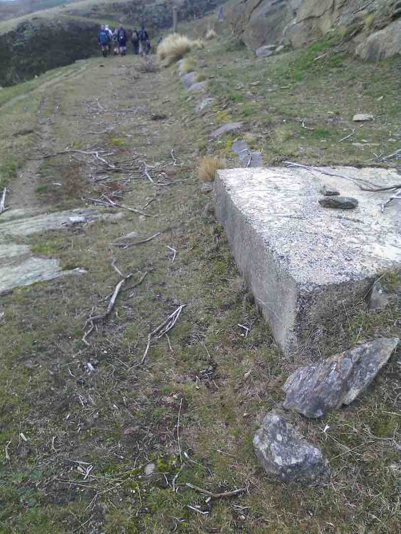
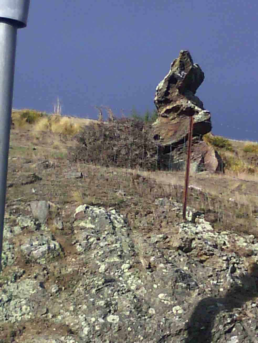
… whereby Peter gave us a lesson about hydraulics (water pressure and air bubbles) before disappearing again …
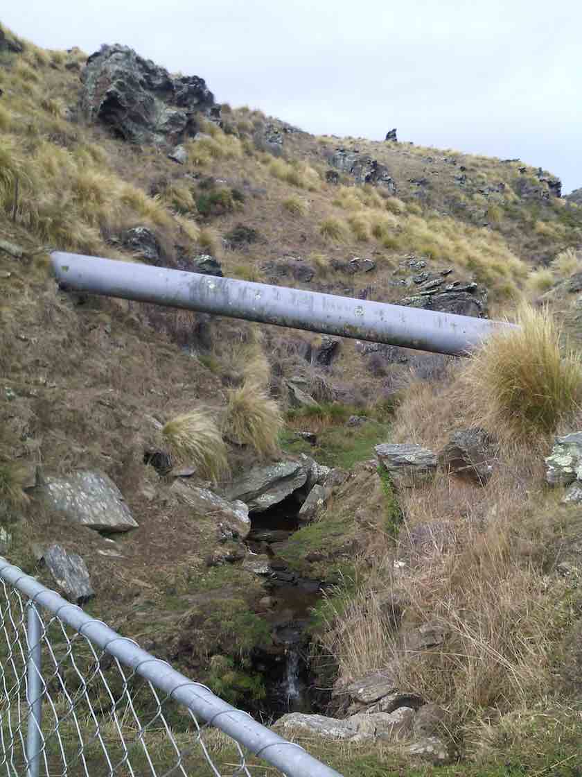
to wend its way …

… through stunning country of craggy rocks, sheep pastures, Deep Stream/Creek and even a lone, healthy hebe.
The many ‘ups’ were balanced out by ‘downs’ and that led us to a 12.30 pm lunch stop …
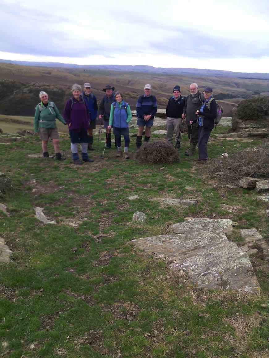
…from where we looked across to the Rock and Pillars on the west and the Kakanui hills to the north.
At 1.00 pm (after squeezing an extra 5 minutes out of our keen-to-get-going leader) we left the well-placed rock tables and seats and headed back by the same route.
Having walked 15 kms in 4 hours moving time and 720m height rise total, we arrived at the cars at 3.00 pm. Huffs and puffs had subsided at this stage and would shortly be replaced by sips and slurps of coffee! – Carole.
11. 13/5/2015. Trampers. Deepstream/creek pipeline where it crosses Hiway 87.
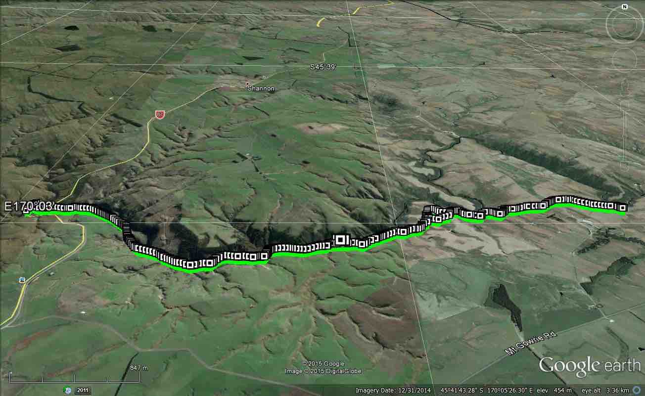
For the Wednesday tramp, I changed the location, due to the difficulty of contacting the landowners [possibly 5 or 6] of the properties we needed access to. I don’t know why people have phone numbers, if they can’t answer their phones, or reply to messages left on their answer phone. I don’t think I will be putting the Omimi/slaughterhouse tramp back on the program ever again.
So, we went to the Deepstream/creek pipeline where it crosses Hiway 87, & proceeded to walk along the pipeline track towards Mosgiel. There was no set destination here, so it was just walk as far as we wanted to go, then return back the same way.
As there was a cool breeze blowing, we struggled to find a suitably sheltered spot for morning tea break, but eventually found a gully with not much breeze.
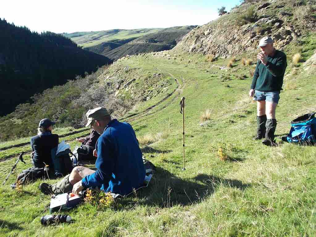
Then we ambled along admiring the view into the river below as we went. We found a very nice spot to have lunch in the sun, & almost completely devoid of wind, so it was a reluctant group that packed up their gear, & headed back out again.
This track has lots of up’s & down’s, so is quite a good workout, but I hope the walk was enjoyed by all. – Ken.
10. 18/7/2012. 8 Trampers. Hindon-Deep Stream Pipeline. Half of full distance. Return. Medium.
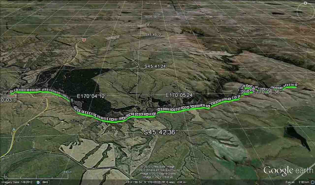
Moving time 3hr 46min. – Ken (edited)
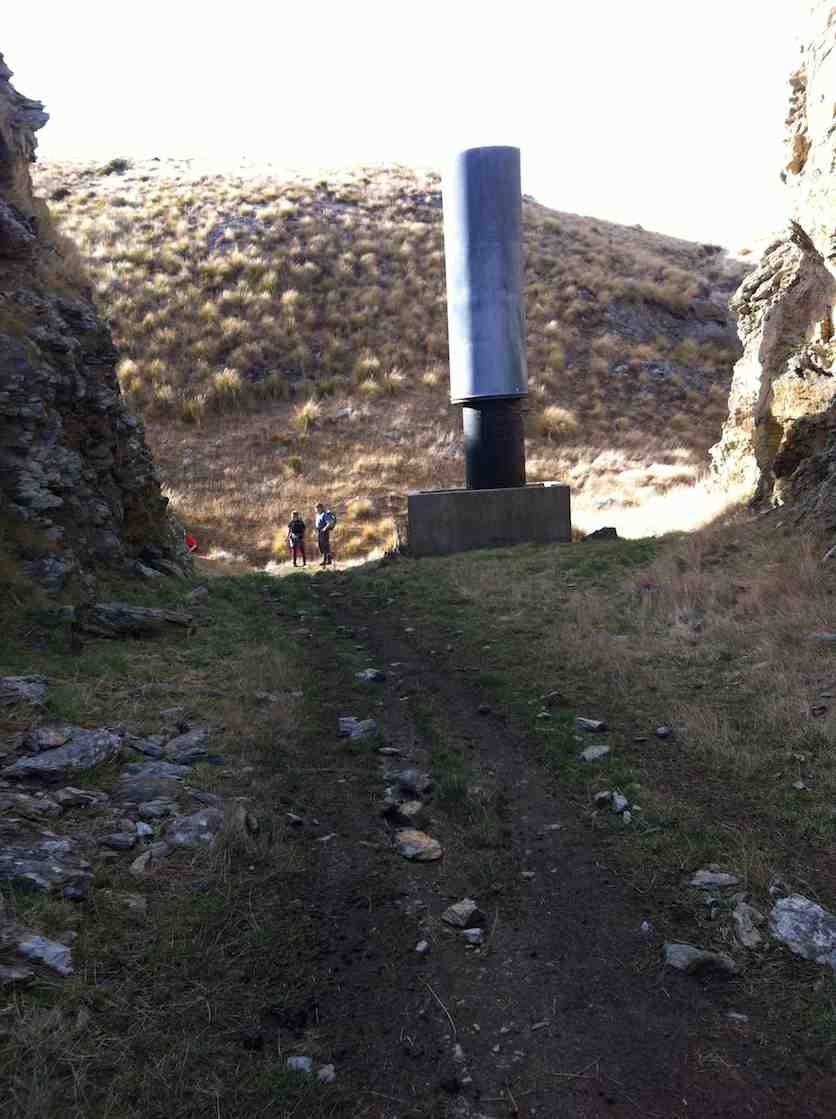

9. 9/7/2008. Trampers. Hindon Pipe Line from Highway 87 to Wallaces Ford Road. Easy+. Leaders: Ian, Ria
Permissions from Mt Gowrie Station, Strathview Station, Calder Station.

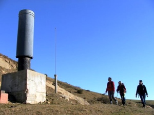
A better day couldn’t have been provided. We were in the centre of a strong high pressure system that provided clear, sunny skies, a warm calm, and a quiet peacefulness, broken only by a gaggle of garrulous gulls over Deep Stream and the occasional baaing of sheep, while the remains of the snow from earlier in the week defined the lee edges of gullies against green pastures and brown tussock tops, providing us with a glorious panorama (taking in Maungatua, Silver Peaks, Rock and Pillar, Kakanui ranges). Our route was open and easy to follow and the track was broad and grassy. We had interesting man-made features, ie the Deep Stream pipeline, to accompany us.
And we had 14 companions whose enjoyment of the day we could share.
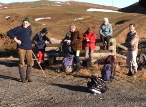
Bliss. Except, that is, that vigorous debate about the means of ferrying ourselves and cars from start-point drop-off at Deep Stream Bridge on Highway 87 to finish-point collection 15km downstream at Wallaces Ford Road took up quite a bit of the ride. Bruce reminded us of the old puzzle about the ferryman who had to transport a fox, a hen and a sack of corn across the river only one at a time not leaving two together when one would be devoured. (We did solve it.) And except for the fact that we were also on a roller-coaster ride. The benched track we were following that was the access road for the construction of the pipeline looked to be horizontal from a distance, but of course, Deep Stream is appropriately named and its contributories have a similar character. So we sang, “And when they’re up they’re up, and when they’re down they’re down, and when they’re only halfway up, there’s still more up and down!” as we crossed the gullies.
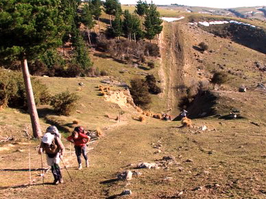
But what a feat the pipeline is, bringing water 60km from Lammerlaws to Dunedin, with siphon after siphon traversing the deeply-incised landscape. So we admired the weather, the landscape, the engineering and our good fortune at being able to appreciate it all! Thanks to Ian and Ria, and to Ken who regrettably missed all but the recce. – Bob
8. 27/6/2007. Trampers. Deep Stream Bridge, Middlemarch Rod, Hindon Pipeline. Medium. Leaders: Arthur and Barbara.
7. 7/8/2002. Combined. Hindon Pipeline. Easy. Leaders: Ria L, Mary L, Joyce.
6. 8/3/2000. Deep Stream Pipe Line. Leaders: Bev H, Colleen, Pat.
5. 15/7/1998. Hindon Pipeline. Leaders: Bob H, Ian
4. 9/11/1995. Trampers. Hindon Pipeline. Medium. Leaders: Ria L, Catherine, Peg C, Judy C.
3. 2/8/1995. Deep Stream Pipeline from Middlemarch Road. Medium. Leaders: Ria L, Catherine, Doug and Mairie.
2. 20/5/1992. Deep Stream from Middlemarch Road. Average. Leaders: Ria L, Evelyn M, Catherine, Shirley McN
1. 25/10/1989. Deep Stream. Middlemarch Road. Average. Interesting country. Leaders: Ria, Mary McG, Mary Y, Hugh and Judith.
Horsehoof Station Tramps
No. 1 on old hardcopy list of 113 club tramps. “Maugatua Microwave. J Roy. Year Round.” Permissions from Horsehoof.
Distance from car-park: 24 km.
22. 29/5/2019. Horsehoof, – Maungatua. M. Arthur.
18 of us set off from Mosgiel and travelled through Outram and turning left off on a road into Horsehoof Station. Clear looking sky and the anticipation of a great day.
Parked up in the paddock, we set off up the first hill. The wind was very cold and strong up there, brass monkeys were the call, and numerous layers the call, jackets and hats also.
We stopped in a sheltered spot for our morning tea. Farm trackended and then it was onto DOC land and tussock.Not much track at all and quite hard going. The odd slip on the terrain.
Making it to the top

where photo shoots were taken.
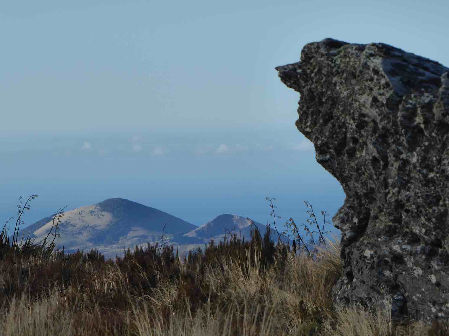
Great views but soooo cold and windy. Decided to go back to some shelter in the tussocks for lunch.
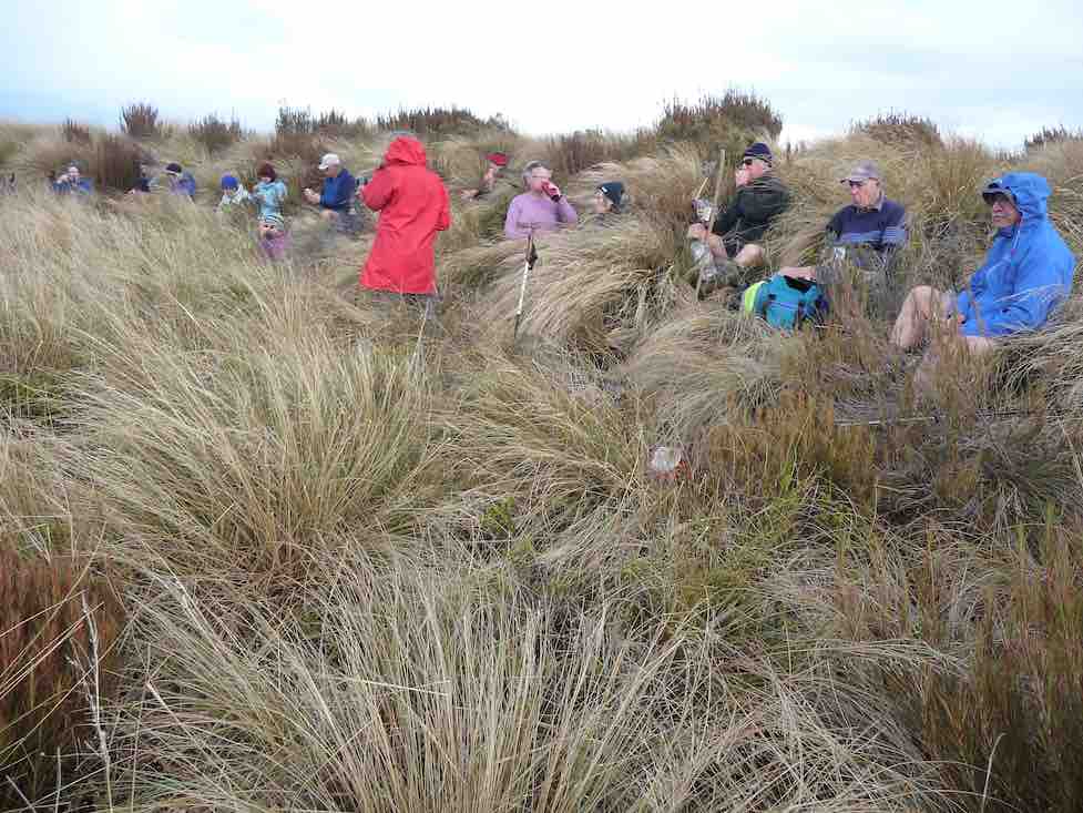
Back up to the corner of Horsehoof,

and with three going back down the start track to look for poor old Dave’s iphone lost on way up, while the rest of us went the longer way.
Two things sprung to mind on this tramp. If you go a different direction you need to let the leader know for safety reasons.
Lunch needs to be finished by everyone before some start on their way.
All in all a great tramp in some windy conditions, travelling 14kms. Refreshments well received
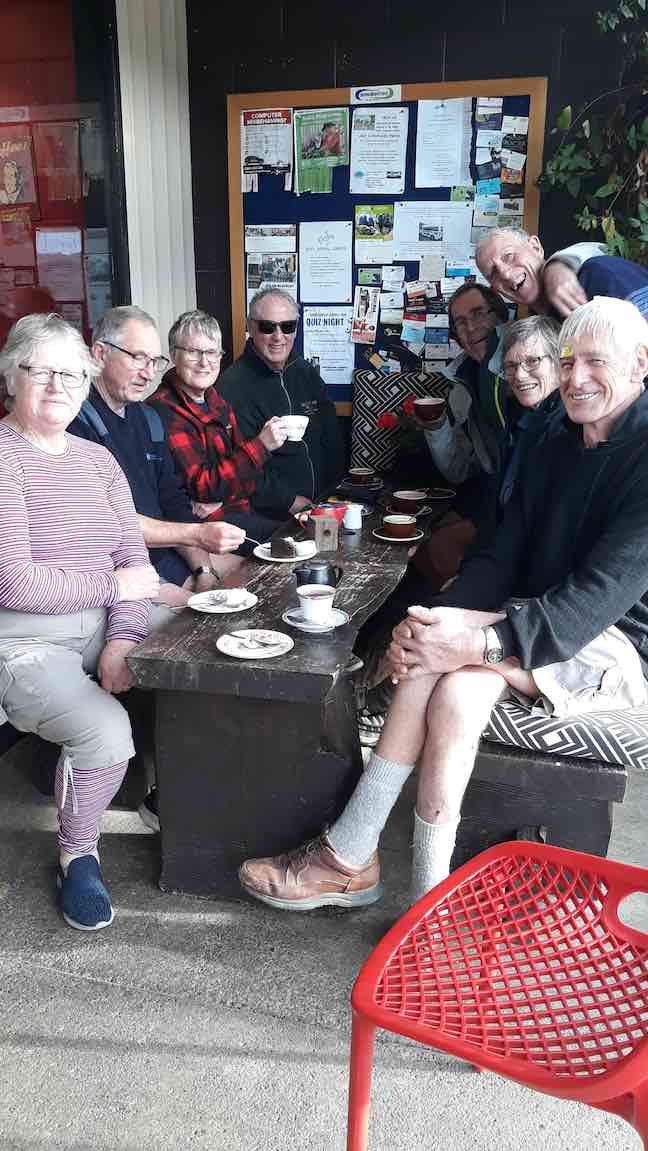
with great service at the Wobbly Goat in Outram Helen.😉
MAUNGATUA DEBRIEF
It saddens the leader to have to write these notes, due to the fact that a few of the group completely ignored the club’s Safety Rules up on Maungatua.
The club formulate these safety rules many years ago, which were updated 2-3 years back. All new members are given a copy when they join, and they are on the club’s website. (v. Page 7a.) Everyone should be familiar with them.
There is nothing difficult about these rules, just simple common sense things (but of course, as they say, common sense isn’t common any more. (A detailed email is going out to all members about this) – Art.
21. 27/2/2019. Maungatua. M. Leader: Gordon.
A Fairy Tale.
Once upon a time 12 happy trampers set out to climb the big mountain of Maungatua. They wanted to get to the top, and were very determined.
But the nasty rain came just as they set out, and the cold wind joined in to make things unpleasant for the 12 happy trampers.
The cloud came down too, to hide the top of the mountain, but that was no deterrent either. Jackets and gloves kept them warm.
Uphill they went, on the good 4WD track, into the cloud and with the wind and rain attacking them.
In time they were high up on the mountain, and stopped to have their morning tea in the slight shelter of a little hut, beside some aerials.
After a brief stop to enjoy their hot cups, discretion was decided upon, and the 12 happy (still) trampers returned back down the mountain to their cars.
But the 12 happy trampers had had a good morning’s exercise, covering more than 6 km and the rain and wind had given a good test to the weatherproofness of their clothing.
Feeling a bit wet and cold, the 12 happy trampers drove back to Mosgiel, returning safely to their homes.
And they all lived happily ever after! – Art.
20. 10/5/2017. Trampers. Maungatua trig via Horsehoof. M. Leader: Arthur.
Clear skies, a light breeze, and lots of sunshine gave perfect conditions for our tramp up onto Maungatua. The cars were left high up beside the farm road on Horsehoof, a group of 13 happy trampers setting out from here on the uphill dozed farm track.
About halfway up morning tea was taken, with stunning views to enjoy at the same time, in the clear air.
Onward and upward, we reached the top boundary of Horsehoof Station, and climbing through the fence were in the DOC reserve which encompasses all of the top of Maungatua. It was then single file through the tussock and turpentine shrubs on the faint track.
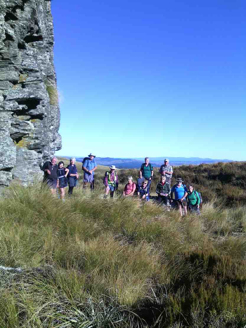
We stopped to admire the Big Rock,
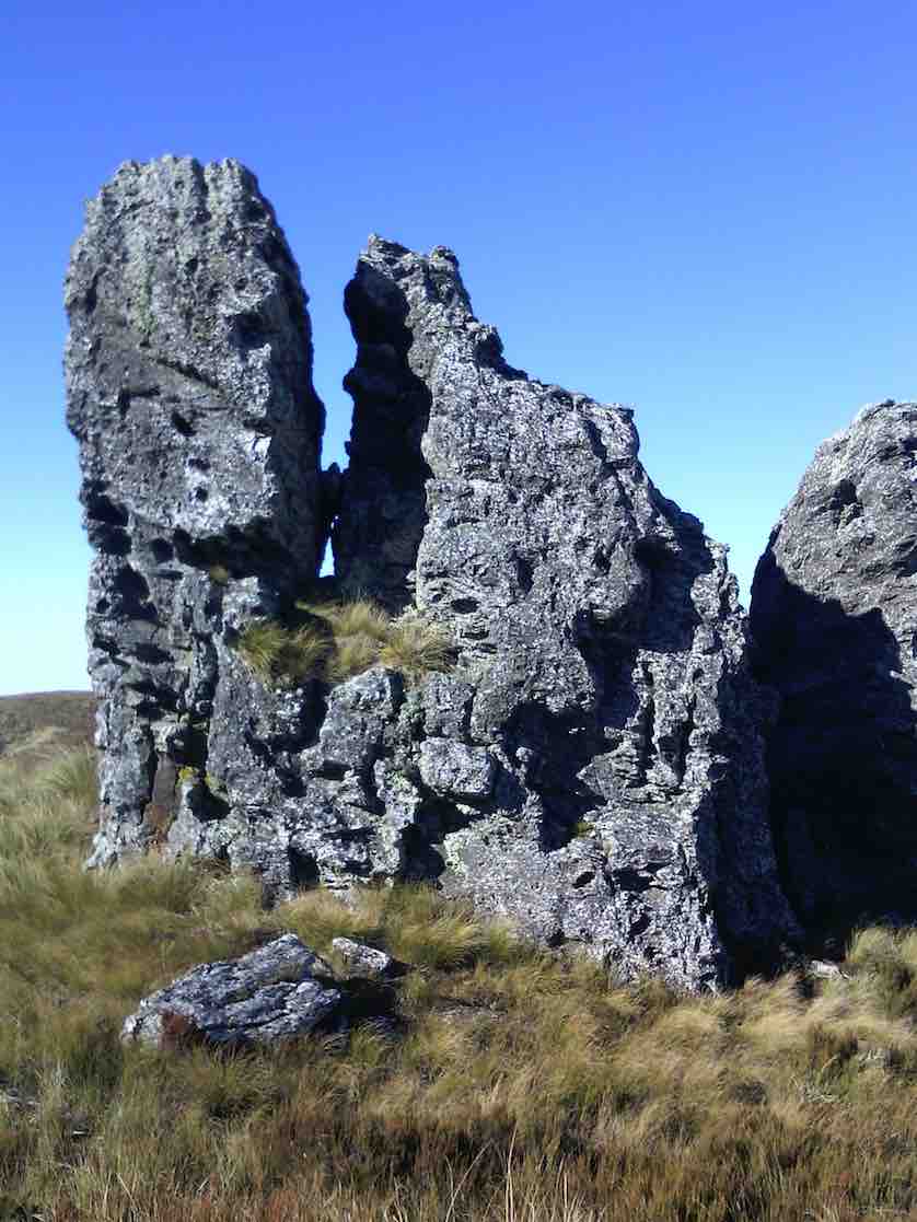
photos being taken of the group.
Just as we were preparing to move on a pair of N.Z. falcons flew in and landed on top of Big Rock just above us. They weren’t at all worried by us humans, and it was marvellous to see them there.
In single file we moved on, and eventually came to the summit post at 12 noon – perfect timing for lunch.
From here, on the highest point (895 metres) we could see in all directions – 360 degrees. A huge fog bank right down the coast totally hid the sea and the Otago Peninsula, but the land was in clear view as far as the eye could see. What terrific scenery.
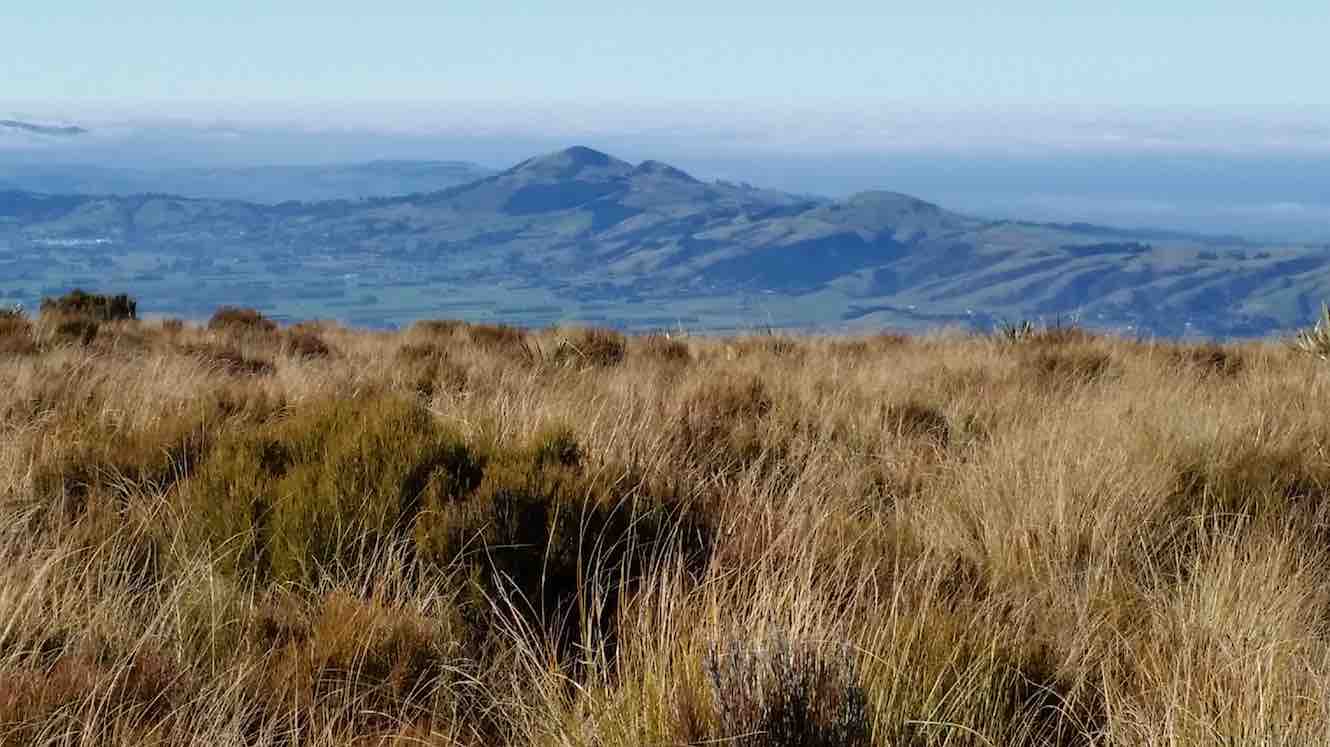
Lunch over we began the return journey, which meant retracing our steps. With an occasional brief rest/regroup stop, we were back past Big Rock, through the fence onto Horsehoof again, and down hill with a brief uphill bit to reach the cars.
A group of 13 happy trampers had had a great day, walking a total of 12 km. The perfect weather certainly added to the enjoyment of the day.
But, the tramp finished too soon (obviously too short), as it was necessary to stop in Outram for a while on the way home so that discussion that hadn’t had time to be had during the tramp could be concluded.
The leader was particularly pleased to have such a good turn out of trampers today – thank you to all. – Arthur.
19. 11/1/2017. Hikers. Maungatua Big Rock and Trig via Horsehoof. M. Leaders: George and Ian.
It wasn’t the best tramp to ease into after the relaxing holidays. However the easier programmed Kuri Bush beach walk had not taken the tide times into account. What to do? Something inland. George scouted Saddle Hill (summit not tackled by the Hikers since 2010) and Horsehoof (last done by the Hikers 2011). Relevant property owners for Saddle Hill could not be reached, so Horsehoof and Big Rock then.
Seventeen turned out on the day. A respectable number, given that some members were still on holiday. Admittedly the road entrance to Horsehoof is easily missed, as happened to some on the day, but eventually all the cars arrived and drove on up to park in the high paddock where the FWD track to the top corner of the station starts. At about 690m here, we had already made good inroads on Maungatua’s Big Rock elevation of 880m.
It was still a bit early so we trudged through that first unavoidable gully to merelyregain the cars’ height a kilometre or two further on, finding a bank to sit on for morning tea.
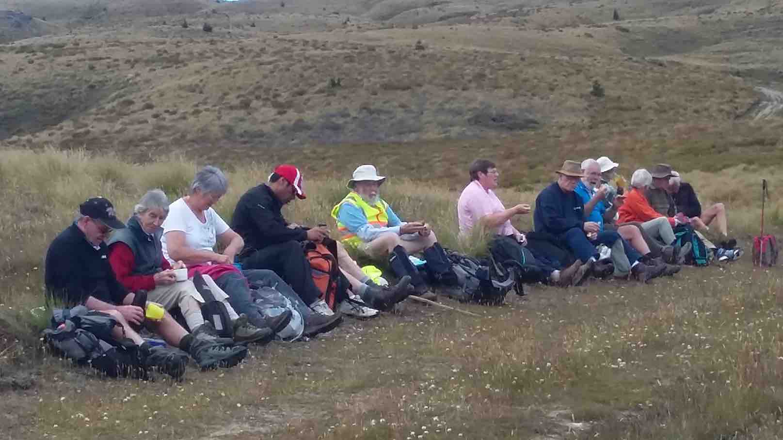
No more gullies now but it was up, steadily up, with frequent regrouping stops to eventually reach the Horsehoof Station’s top corner. At 865m effectively all climbing was behind us. We had gained 225m since leaving the cars. One of us elected to stop here and await the return of the others, and Mollie, who hadn’t wanted to miss the chance of revisiting Horsehoof, was happy to keep her company.
Now it was 15 who scrambled through the fence onto the Maungatua reserve to push on through the tussock and dracophillum (turpentine bush) till we reached a point opposite to the Big Rock.
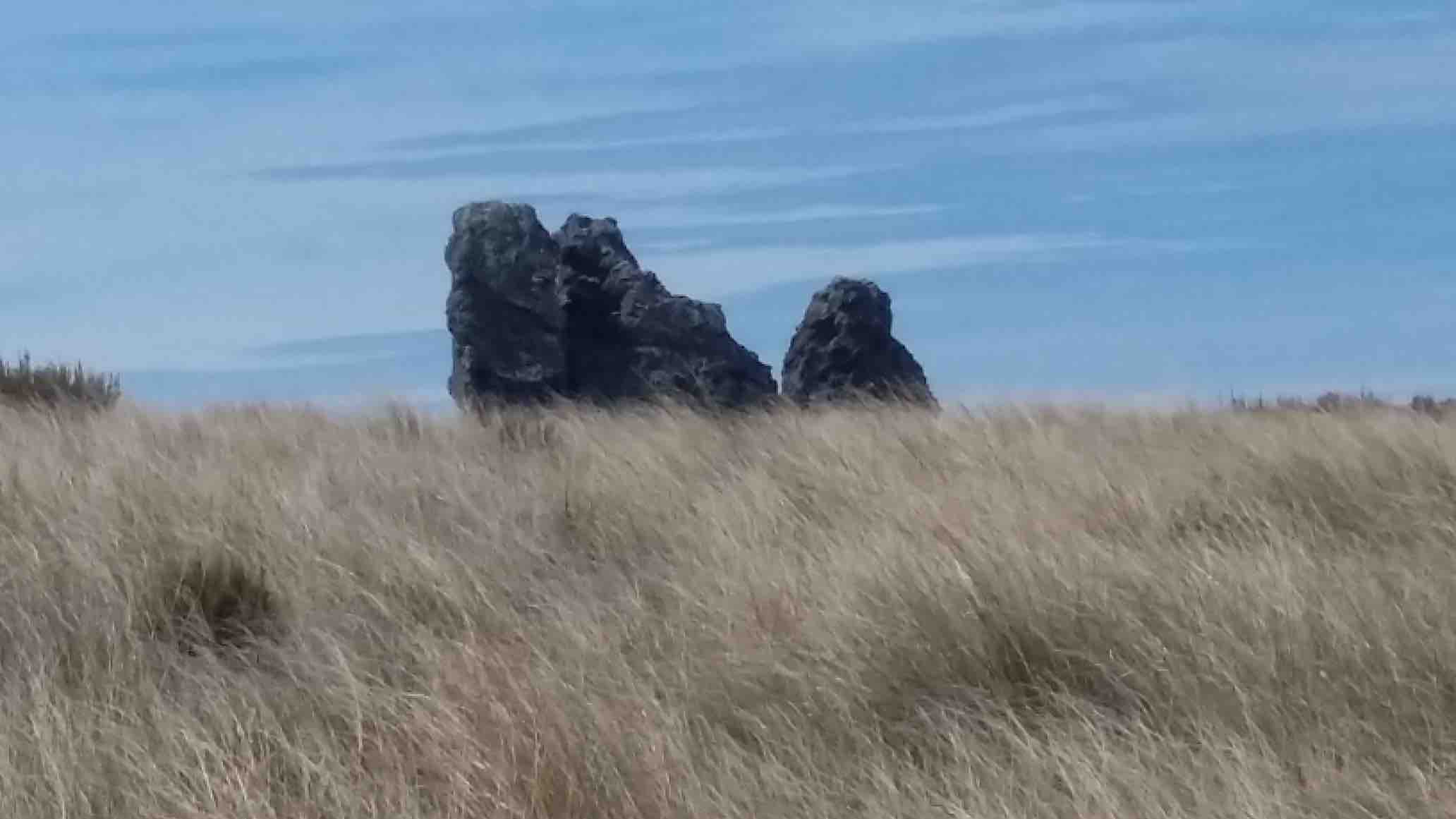
Here, along with George, ten were happy to make this their destination stop,
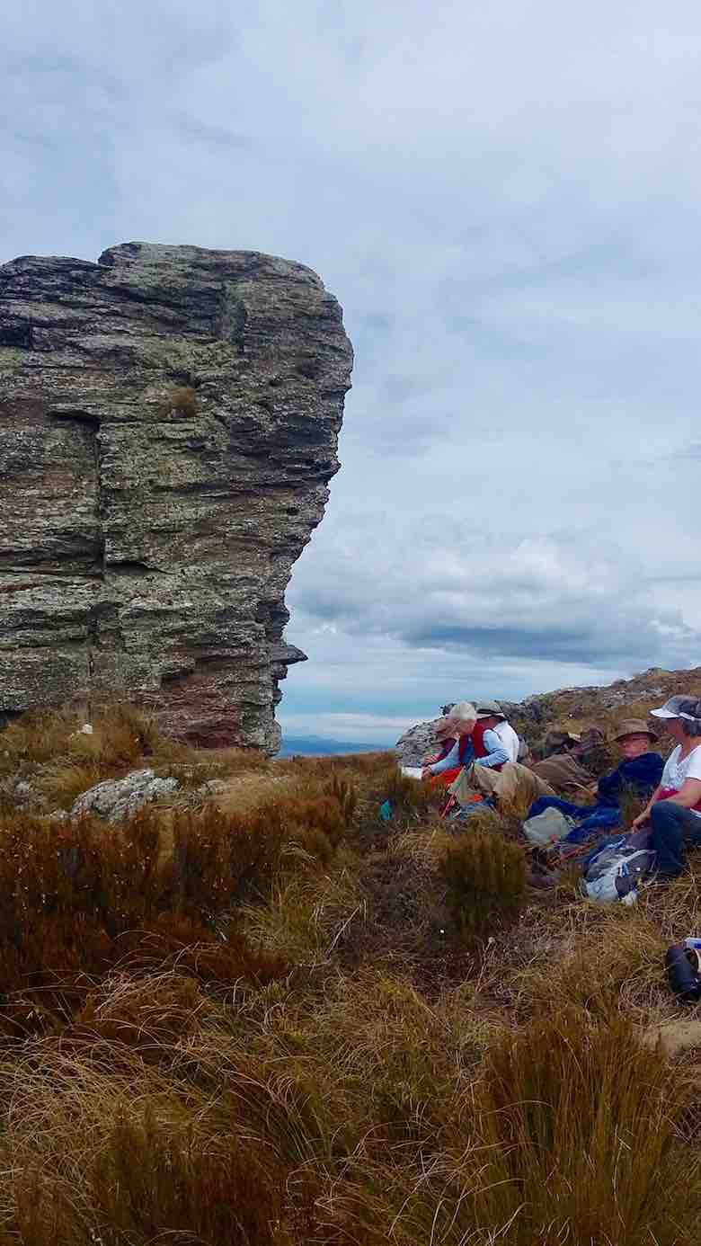
while a remaining group of five carried on with an assurance it was only another half hour to the trig. W-e-l-l not exactly. More likely three quarters, as one found the going harder than others. But we got there! Or rather two did.
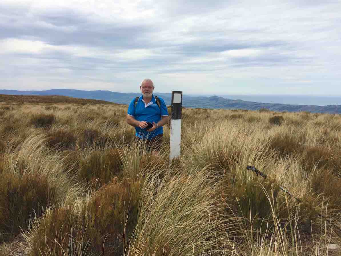
Too bad,the other three had stopped off short of the last rise and lunched. However with the encouragement of the trig returnees (or is it returners?) they were encouraged to push on so that they could say they had made it too. And they did!
On the return we discovered the hypotenuse short-cut that avoids a right angle in the fence and which we had missed on the way in due to overgrowth disguising it at its other end. A shame. It needs a fence indicator.
When we arrived at Big Rock, we discovered the ten others had long since given up waiting for us, and were back waiting for us when we straggled up the last weary slope up to the cars – at least weary for this writer.
So there it is. A good traditional tramp perforce resurrected for the hikers by an unfortunate tidal assesssment. And an enjoyable stop and chat at the Wobbly Goat to finish it off. And roll on the better weather. – Ian.
18. 10/2/2016. Maungatua Summit. Leader: Arthur H.

Nine trampers set out in ideal conditions to conquer Maungatua. The day was sunny with some high cloud. The breeze was light all day – westerly, then changing to southerly for a while, and then died away altogether.
We drove in through Horsehoof Station, up the road towards the microwave. A car shuttle was set up by taking one car back 2-3 km, leaving it at the top of the hill above the woolshed.
We took the dozed farm track that winds its way up to the top of Maungatua, stopping for morning tea at a suitable spot.
We reached the top of the track, where the small shed and various aerials are situated, at 10.50 a.m. Climbing over the fence we were then in the DOC Reserve, which covers a large part of Maungatua.
From here there is a faint track heading to the summit, which is some 2.5 km away. This is undulating country.
We soon came to the large tor, and stopped for several minutes to inspect and photograph it.
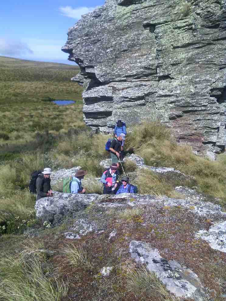
Continuing on along the track, which follows the fence line, we gained the summit a few minutes before 12.00 noon. A black and white painted post now marks the spot, …
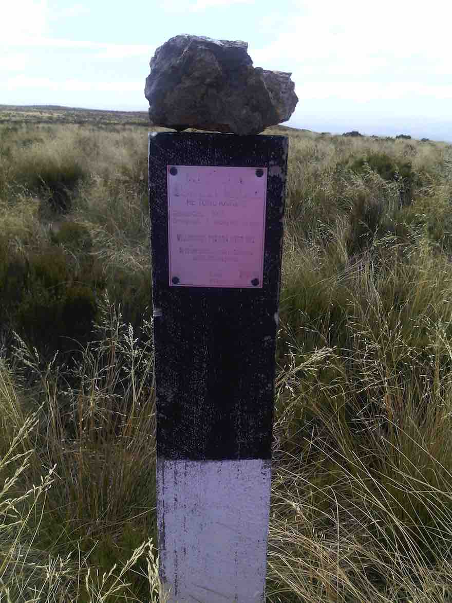
… and is visible from a short distance. Sitting down in the tussock, we had a relaxed lunch on the spot. The slight breeze was just a tad cool, we noted.
From the summit there is a great 360 degree view, but unfortunately haze in all directions spoiled this somewhat.
Half of the group had a look over the brow, down in the direction of the 3 Kings -which isn’t visible. All of us then picked our way through the rough vegetation, in an easterly direction, to get a better view down on the Taieri Plain and Airport.
Making our way back up to the track, we returned along it to the shed and aerials, and over the fence. A brief stop here, where it was noted the altitude was 865m, compared to the 895m at the summit.
We now walked down a 4WD track through the tussock, following the western spur.
A restful stop was made at the bottom, in the shade of the beech trees at the north branch of Lee Creek. A short uphill grunt gave a “tang” to the end of our tramp, and we were soon back at the “shuttle” car.
All agreed that it had been a good tramp and an enjoyable day. This had been a first time for most.
Seven held a debrief at Outram on the way back home.
The tramp distance was 13.2 km. – Arthur H.
29/3/2010. Private. Horsehoof, Maungatua Trig.
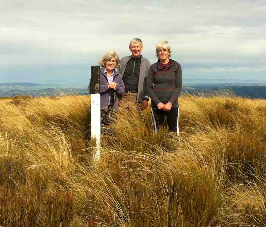
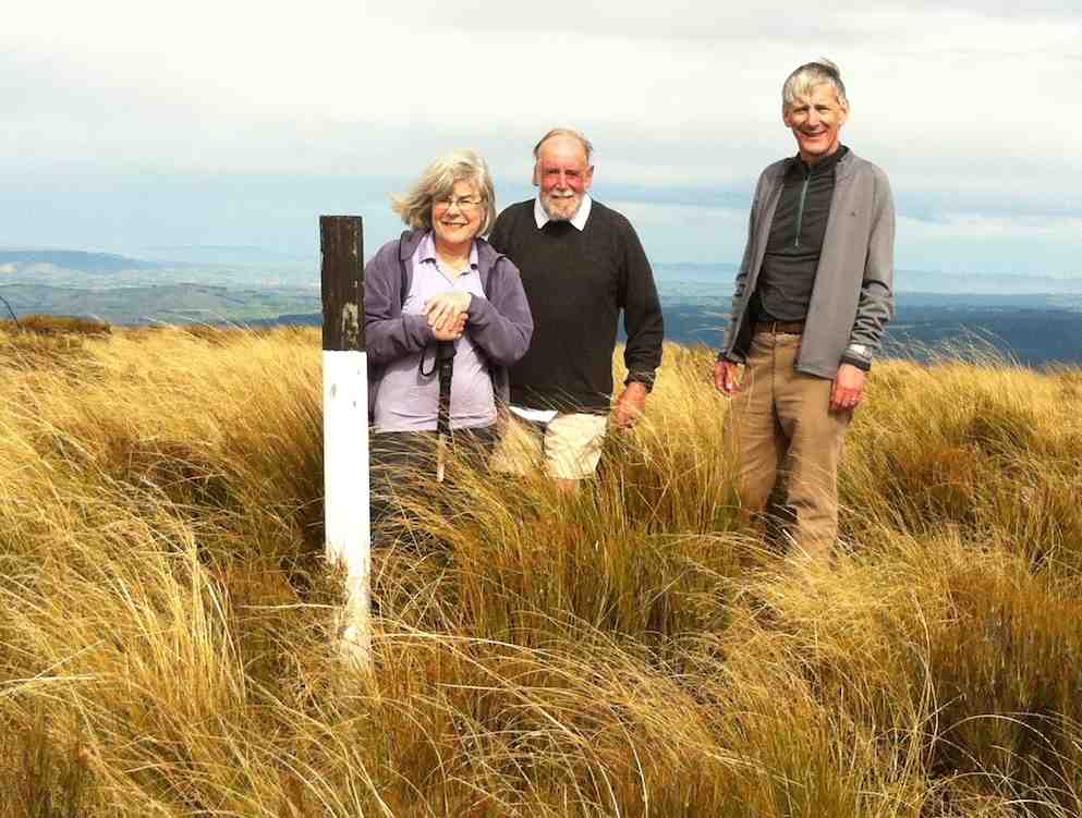
17. 4/5/2011. Both. Horsehoof upper paddock to Big Rock. Medium. Leader: George.
George had recceed the programmed McKendry Road tramp and found the mud too squishy and the undergrowth too thick so elected to fall back to Horsehoof Station again.
We took the cars on through several gates to the paddock that gave us a shorter walk up to the paddock corner at the top.
It was a misty day, but at our tea-break the weather cleared to reveal the wind turbines beyond Lake Mahinerangi.
Beyond the fence at the top corner, we went on to negotiate the turpentine shrub (dracophyllum longifolium), tussock and alpine moss to reach the large rock for an early lunch.
A cool westerly wind drove us to shelter in a cleft in the rock’s SW side.
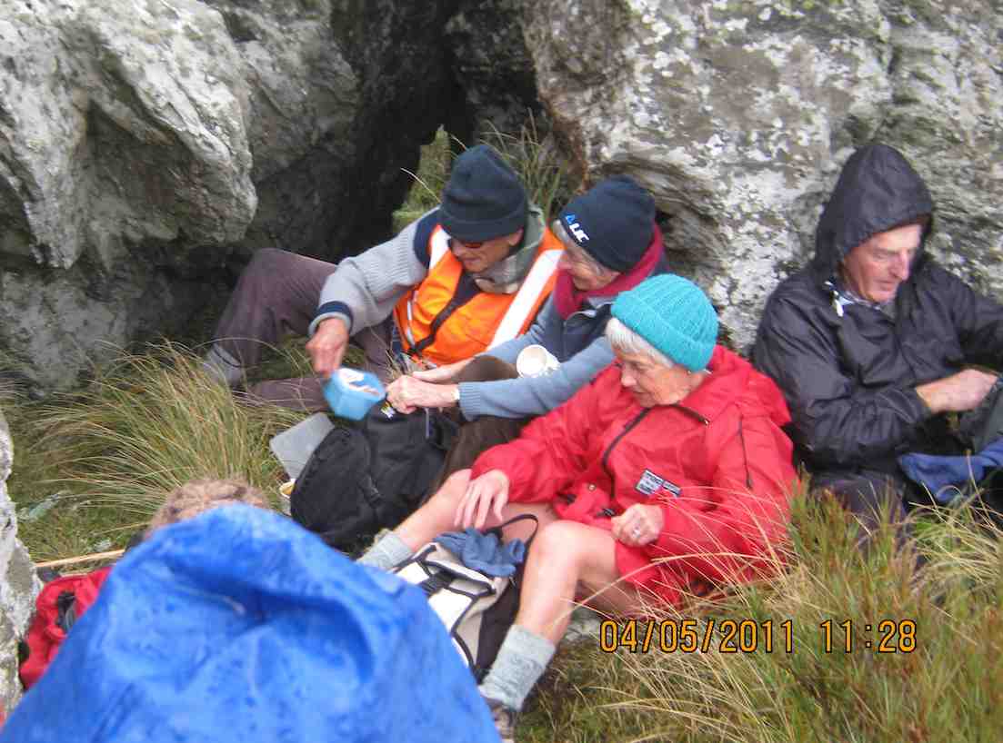
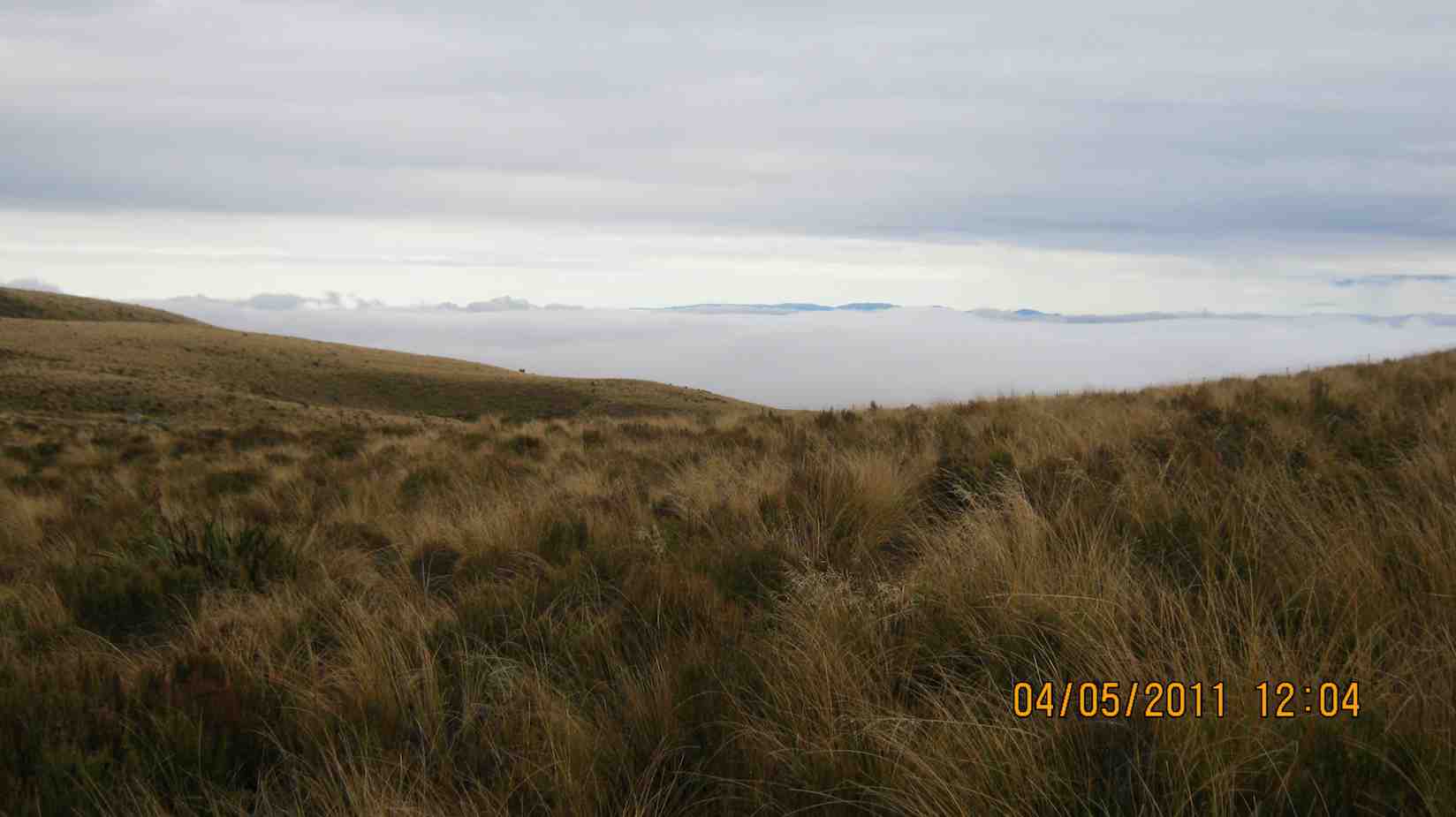
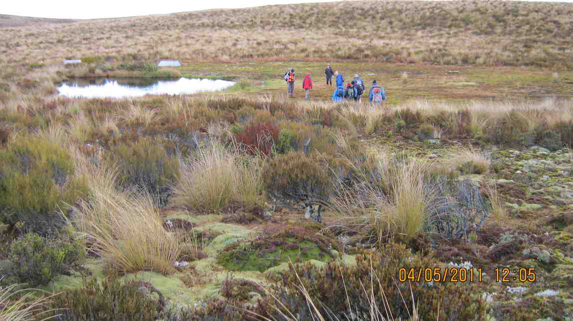
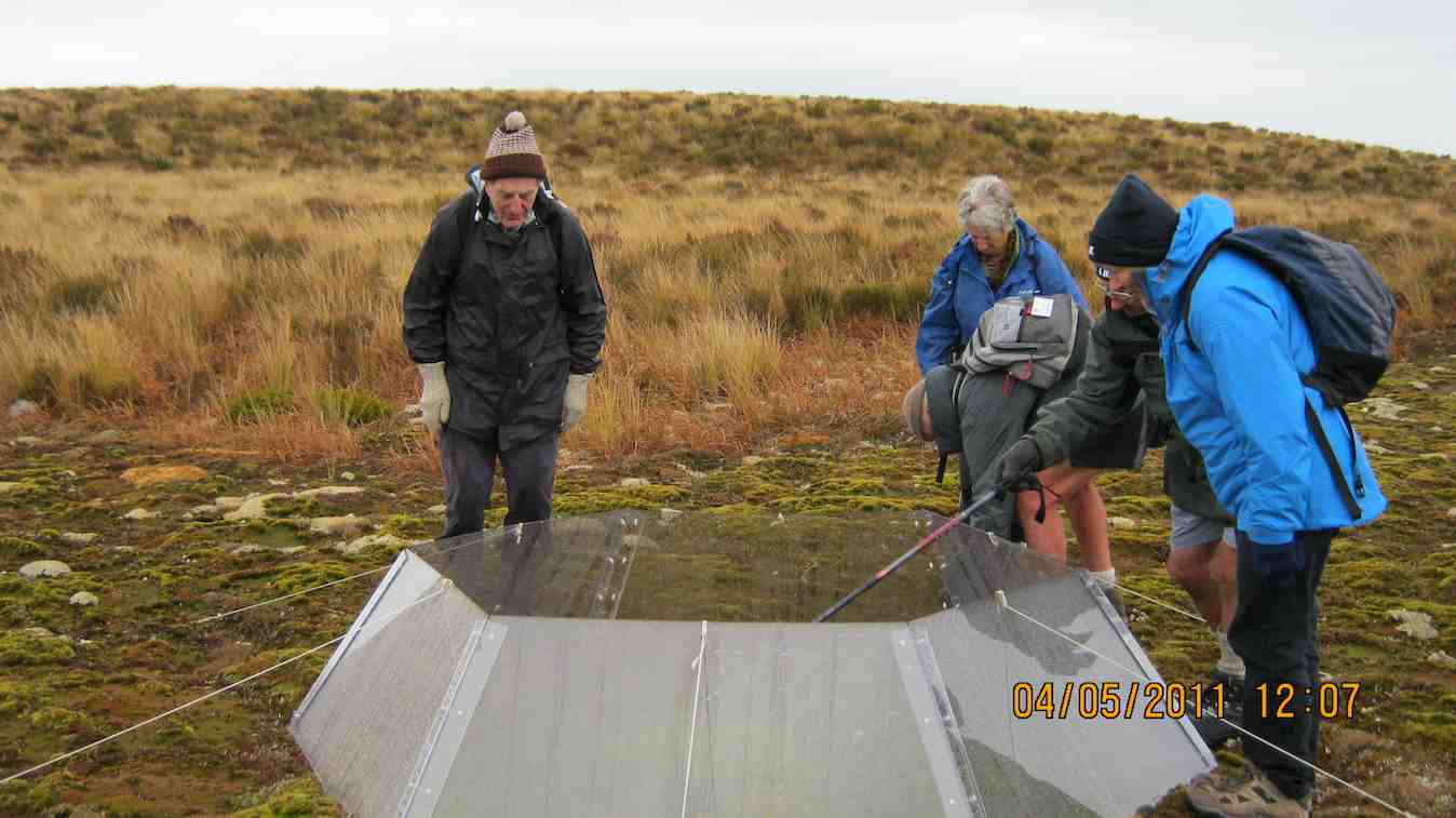
After all that, we returned the way we had come back to the cars. A good outing. – Ian.
16. 15/9/2010. Trampers. Horsehoof to Big Rock. Medium. Leader: George.
Walked up the 4WD track that went by the Microwave.
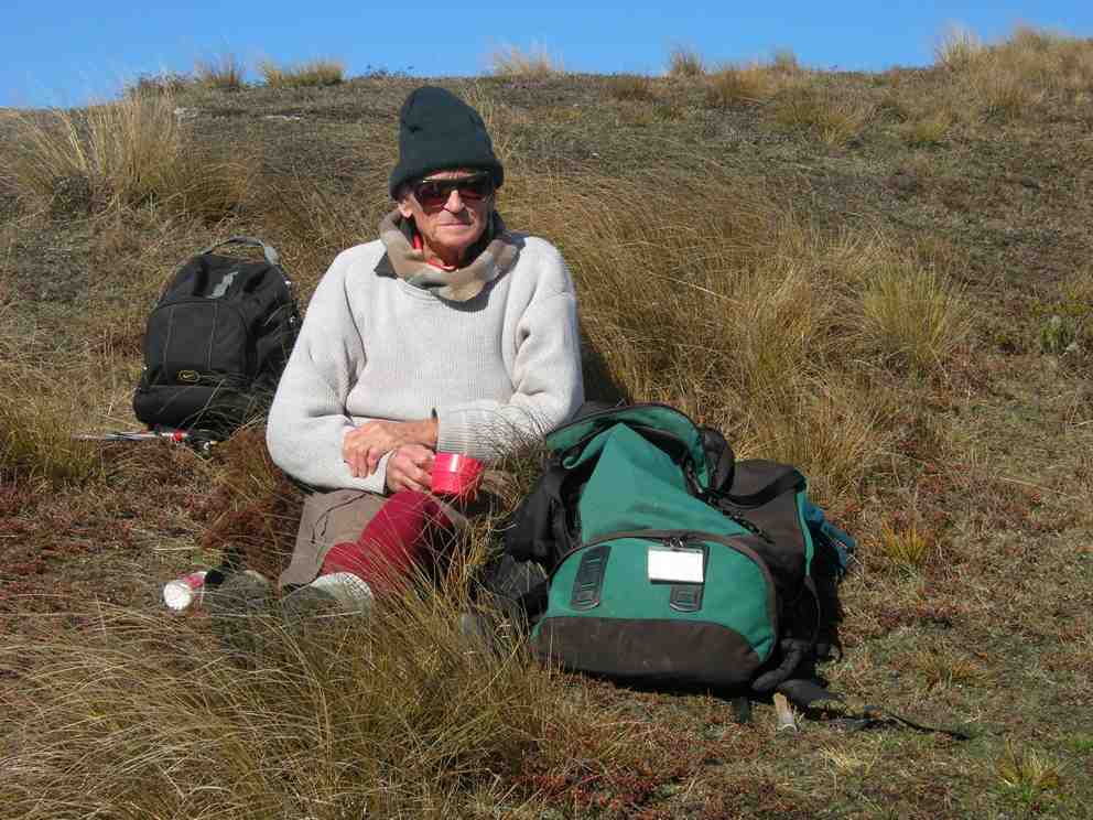
Lunched at the Big Rock.
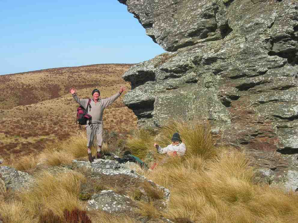
Returned back down through the Woodside Creek gully.
15. 6/5/2009 Both. Horsehoof Station. Bridge over Woodside Creek, top corner, back down the more regular farm road. Medium. Leaders: Bruce, Wendy.
Many were discouraged by the wet morning start, but 8 of us enjoyed a farm walk on what turned out to be an cold overcast day (which we were well wrapped up against) interspersed by sun at morning tea and lunch. From the regular parking spot, for a change we turned down steeply
click to enlarge
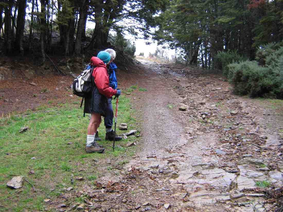
to cross the Woodside Creek upper tributary nearby

and to then climb steeply
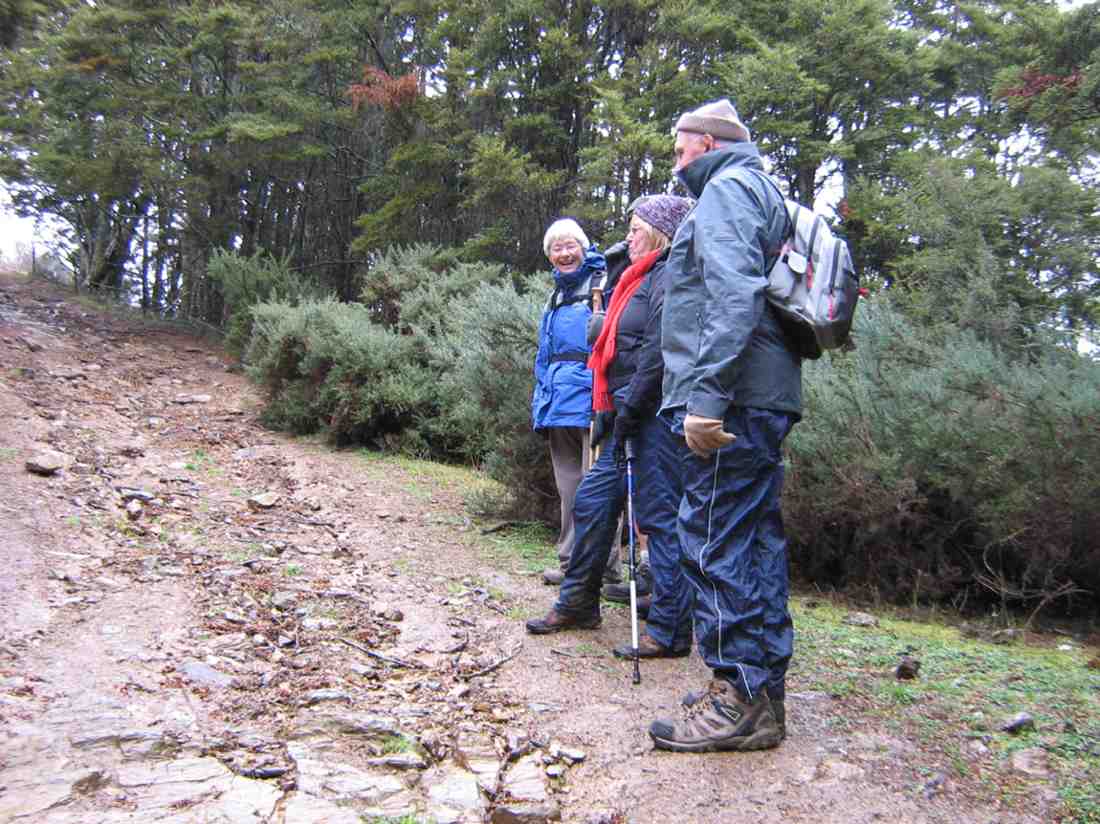
to enjoy a cuppa at the set of rocks a little way up.
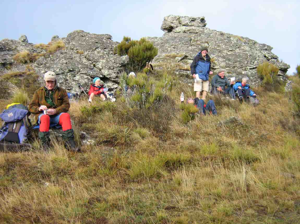
Then to carry on up to the top corner of the station. This was a route the club hasn’t taken for five years and more. We forewent going on to the big rock and tarn through the rather heavy wet dracophyllum we would have had to struggle through, so lunched at the top under the shelter of a bank
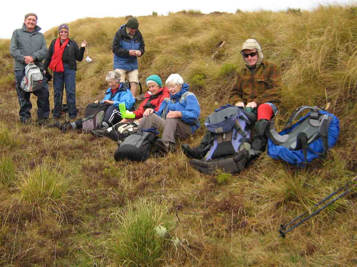
and returned by the more regular farm track.
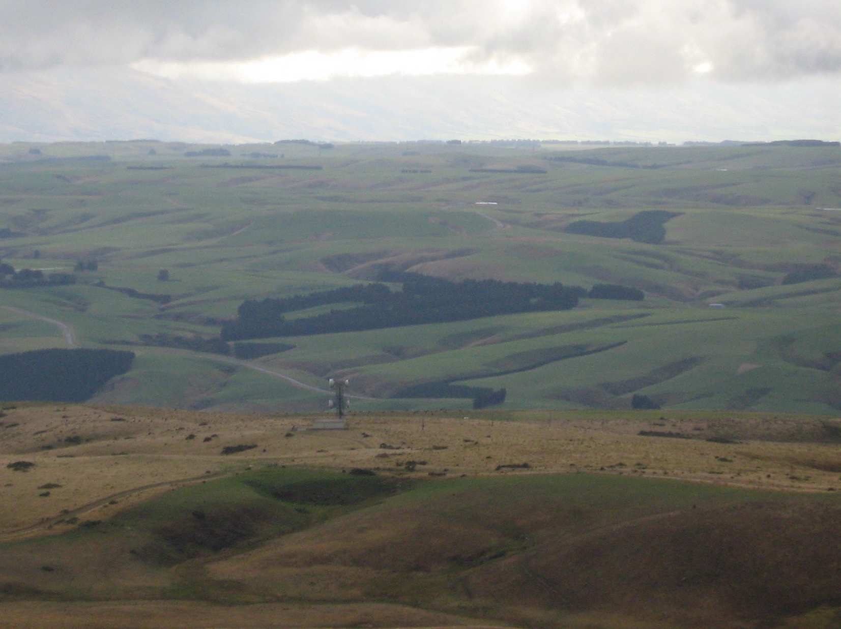
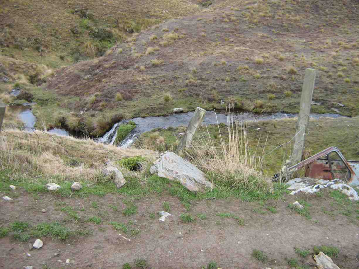
We all enjoyed a good tramping day but regretted there were not more to share the walk with. Bruce stood in for Marjorie who was indisposed on the day. Our thanks to Wendy and Bruce for their leadership. – Ian.
14. 12/11/2008 Trampers. Horsehoof Station, Maungatua Trig. Leaders: George, Ria.
This turned out to be a tramp from Horsehoof Station rather than from the advertised Allendale Farm. So it was simply up by the regular farm road to the Maungatua Trig and back.
click to enlarge
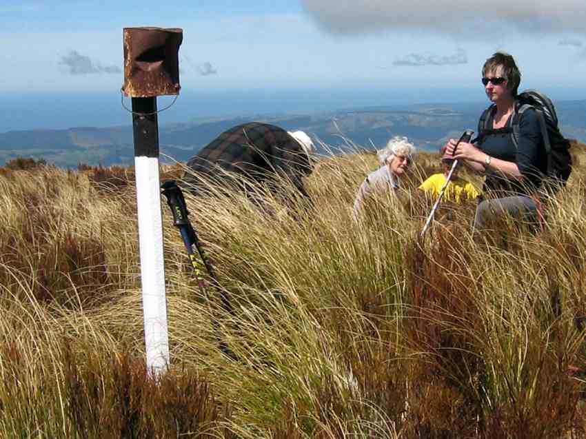
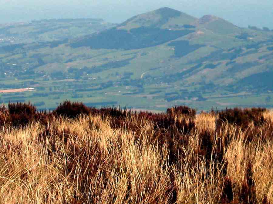
What was different was the wind measuring masts
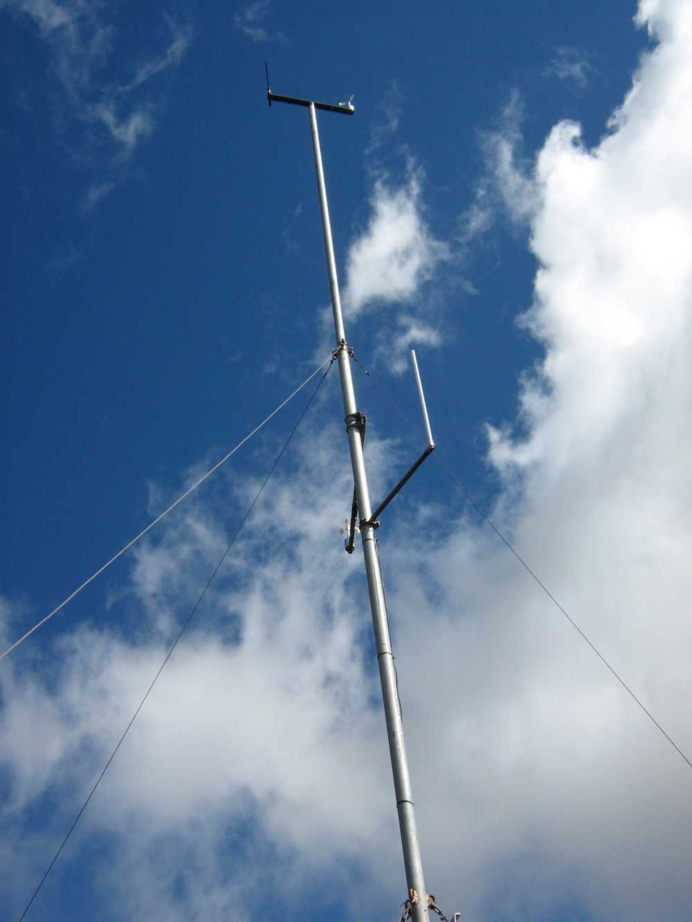
and various markers presumably installed by Trustpower. A breeze pleasantly tempered the heat of the sun and 8 of us enjoyed a tramp in the tussocks and Maungatua top with the George making it easier and shorter by having the two cars parked further up the hill than on previous tramps. – Ian
13. 27/8/2008 Trampers. Horsehoof Station Upland road-walk Leaders: Ian, Ken
Winter conditions decreed a firmer road walk in place of the anticipated soggy ground we would have encountered at the Flagstaff big rock. So it was Horsehoof Station for a look at the fast disappearing snow conditions.
click to enlarge
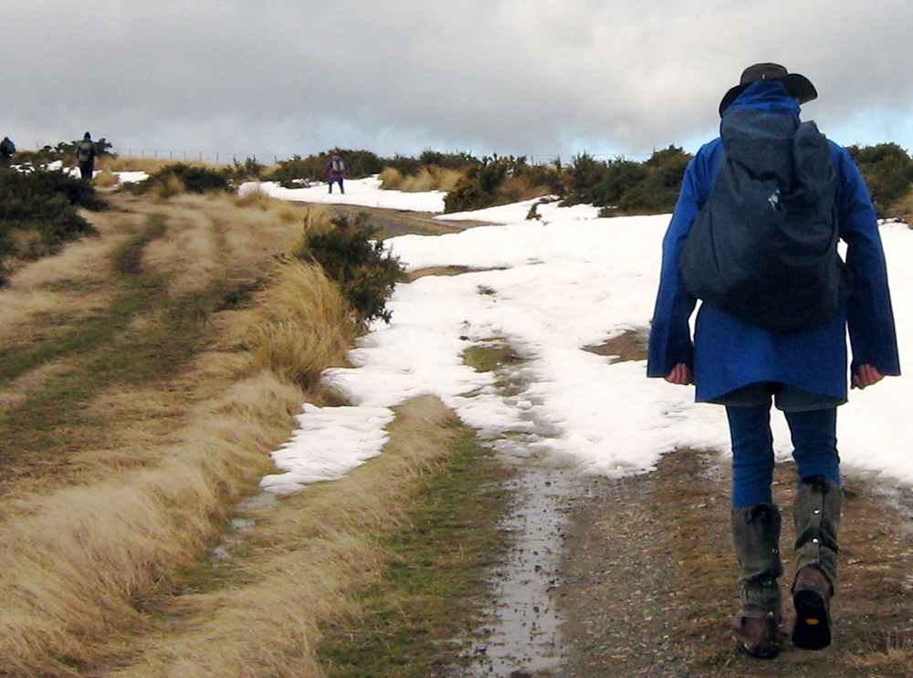
Seven of us set off from our cars parked down at the shearing shed and walked steeply up in the general Maungatua direction. It was a good walk in the fresh air with general sunny conditions turning to threatening clouds later. The breeze was fresh but sheltering in the lee of a gully made for a comfortable morning tea.
Lunch was on the sheltered side of the repeater station,
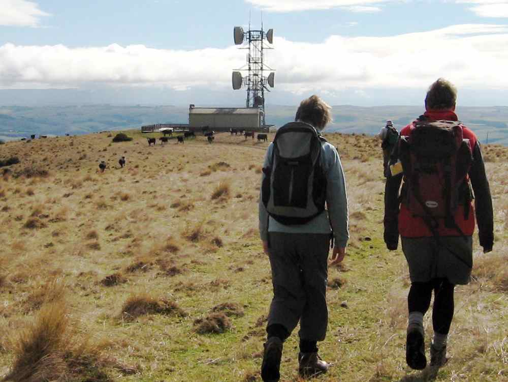
reached by cutting across a couple of wet gullies swollen with fresh snow runoff.
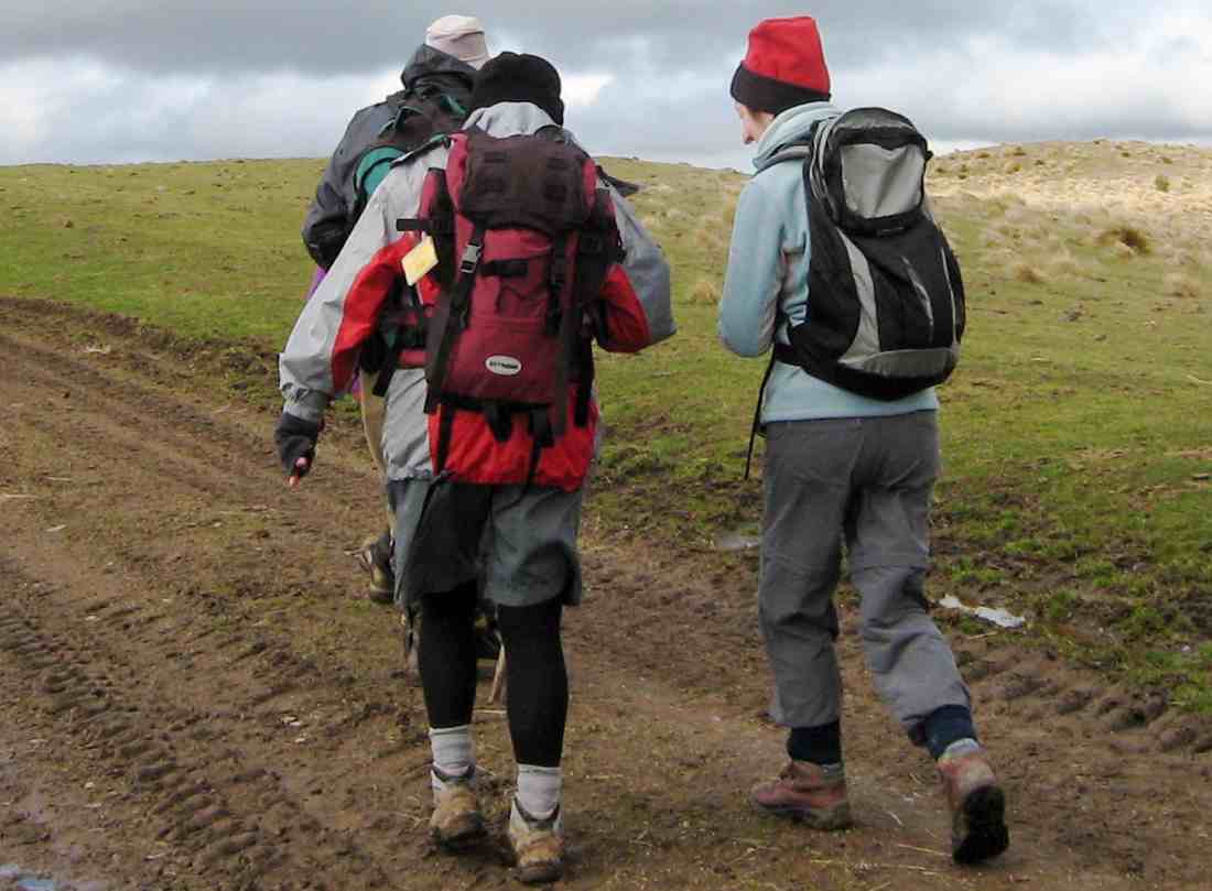
The return. Bill, Pat, Emma
A shorter day but the sun was out most of the time and the views and company were good. – Ian
12. 18/6/2003 Horsehoof Station walk. Leaders: Shirley M, Bill & Pat.
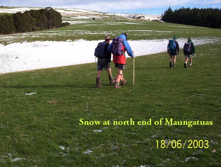
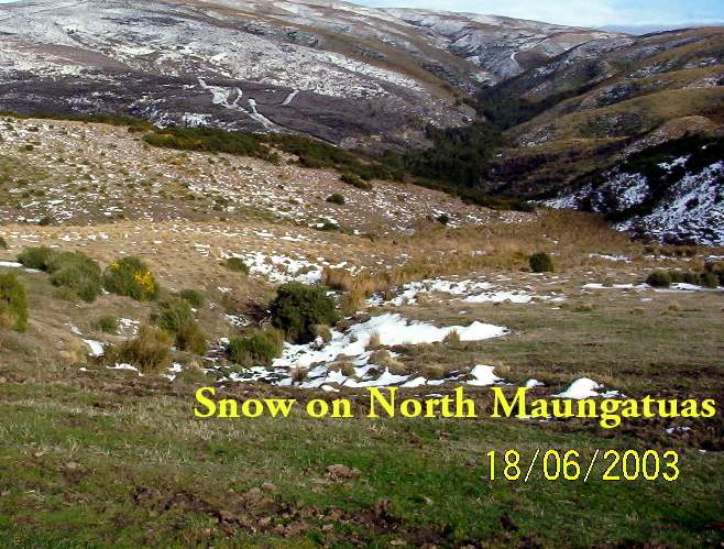
11. 16/2/2005. Both. Maungatua with Summit option. Leaders: Val and Brian, Arthur and Barbara.
10. 18/9/2002. Microwave – Maungatua Summit. Medium. Leaders: Ria L, Barbara and Arthur.
9. 21/11/2001. Maungatuas Summit from Microwave. Medium. Leaders: Les W, Mary M, Shirley R.
8. 27/6/2001 Leaders: Claude, Bill, Pat
7. 8/12/1999. Maungatua, Microwave. Leaders: George, Hazel, Graham.
6. 18/8/1999. Microwave to Maungatuas. Leaders: George, Doug M, Hazel.
5. 3/12/1997. Microwave to Maungatua Summit. Leaders: Bob H, Judy C, Sabina.
4. 18/9/1996. Maungatua Trip, Micro Stn, Loop and return. Average+. Leaders: George, Ian, Nelson.
3. 6/12/1995. Microwave to Maungatua Summit. Medium. Leaders: Bob H, Jean, Ria H, Jack R
2. 26/8/1992 Leaders: George, Les W, Peggy A, Peggy M
1. 10/2/1989 Leaders: Graham, Shirley, Wendy
Protected: Committee Minutes 9/5/2019
Edgar Centre to Rotary Park, return.
2. 17/4/2019. Hikers. Edgar Centre to Rotary Park, return. E. Shona and Jill D.
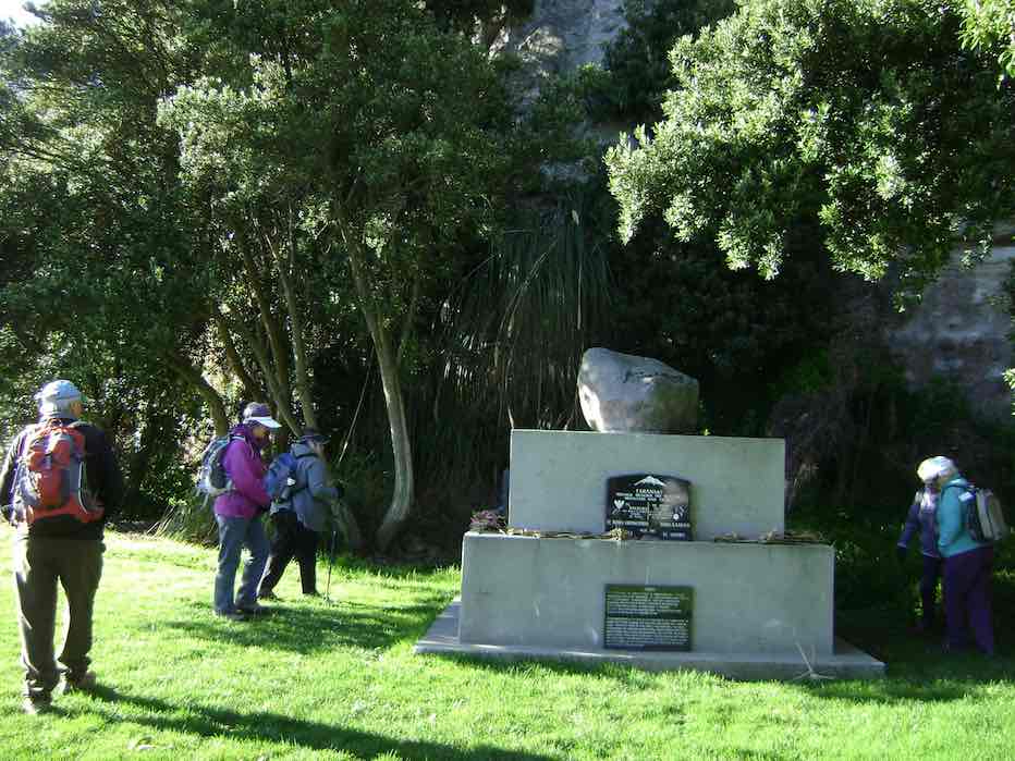
28 hikers assembled at the Edgar Centre, before walking along Portsmouth Drive to Bayfield Park stopping en route to admire the memorial stone “RONGO”.
We enjoyed an early morning tea on the seats at the park, then continued to the bus
stops (some keen souls had continued to the stop further up the street) and
caught the bus to Shiel Hill terminus.
We continued walking up to Rotary Park, through the pine trees there and down the reserve track to Harbour Heights, missing our planned stop as it was too early for lunch, which we took further down Larnach Rd in the sun at the local school playground.
After lunch, we continued down to Shandon St, before turning and walking down
the Arthur’s Walk steps to reach Portobello Rd to follow the harbourside walkway back to the cars and continuing the early theme of the day, having an early coffee at Nichols. Distance 6.7kms. – Shona Jill
1. 16/8/2017. Hikers. Edgar Centre to Rotary Park, return. E. Leaders: Judy and Adrienne.
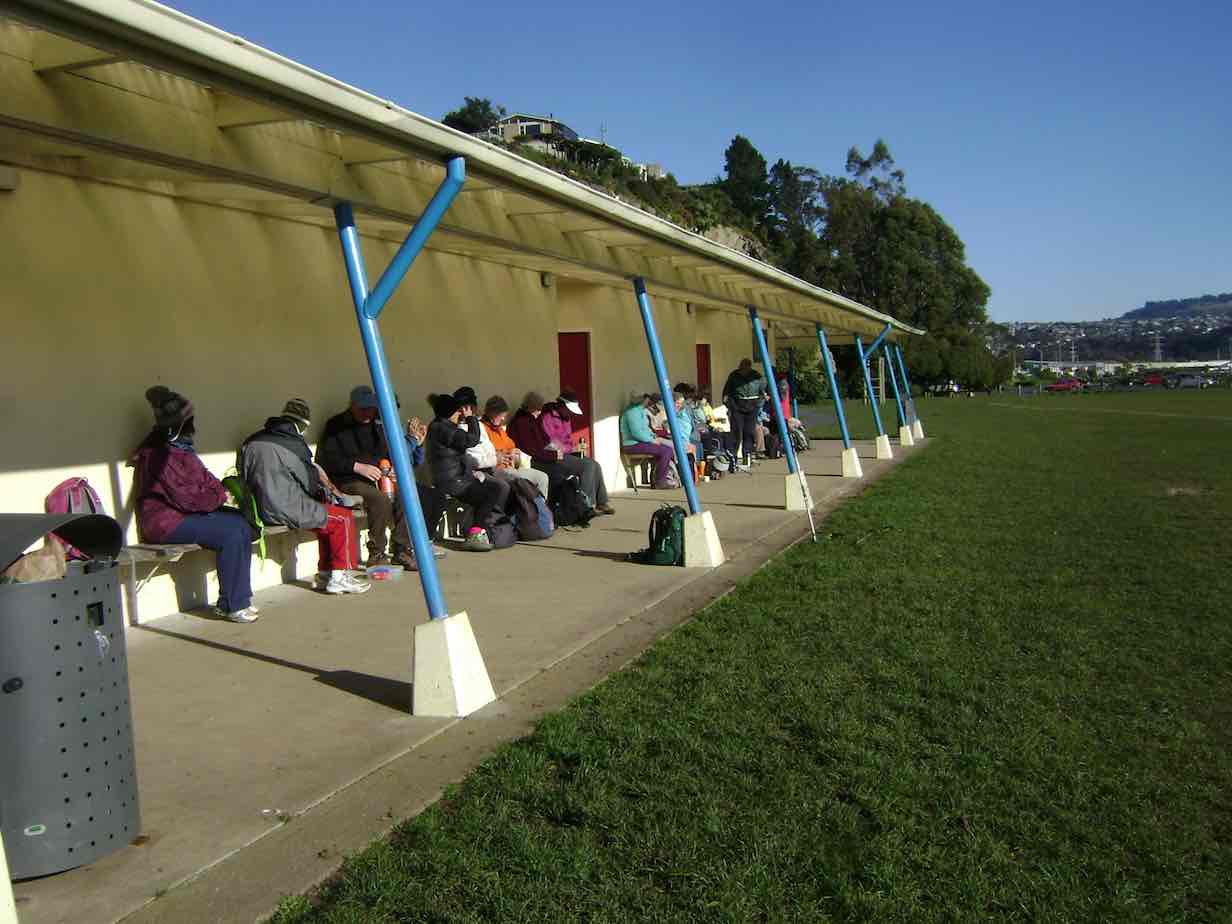
26 hikers met at the Edgar Centre carpark in clear sunshine after a frosty start to the morning. We walked along Portsmouth Drive a short way to the Bayfield sports fields for a leisurely morning tea on the comfortable seats in front of the pavilion.
From there it was another short leg to the bus stop at the bottom of Silverton Street, where we boarded the bus for the ride up to the Shiel Hill terminal. Another short walk took us further up the hill and across the road into Rotary Park for an early lunch. A lazy breeze found us well spread out, seeking sunshine and shelter – hard to find both. The views of the city and harbour are magnificent from this park.
Soon we were joined by Les and Margaret, with welcome birthday chocolates – thankyou! It was good to see Les up and about again after a bout of pneumonia.
Unfortunately it was a bit too cool for the proposed lengthy lunch and sunbathe, so by midday we were off again for the walk down the hill, via McKerrow St, Larnach Rd and Shandon Rd to the top of Arthurs Walk. With knees creaking a bit we descended the many steps down to Portobello Rd, and so back to the cars, and coffee at Nichols. – Judy and Adrienne.
Rollinsons, Swampy, Swine Spur
Location: 15 km.
Click Swampy ridge track for background information.
8. 27/3/2019. Bush Tracks. Swampy. Arthur.
13 Trampers did a circuit today, on tracks that have been kept clear in recent years by volunteers from the Club.
The circuit was as follows – up the full length of Swine Spur Track, which took us high up on Swampy, right along the road, down Porkies Track, left on Possum Busters, right onto Smithys Track, and then down Steep Track to Lake Whare, finishing with a short road walk back to the cars.
The day was overcast and cool.
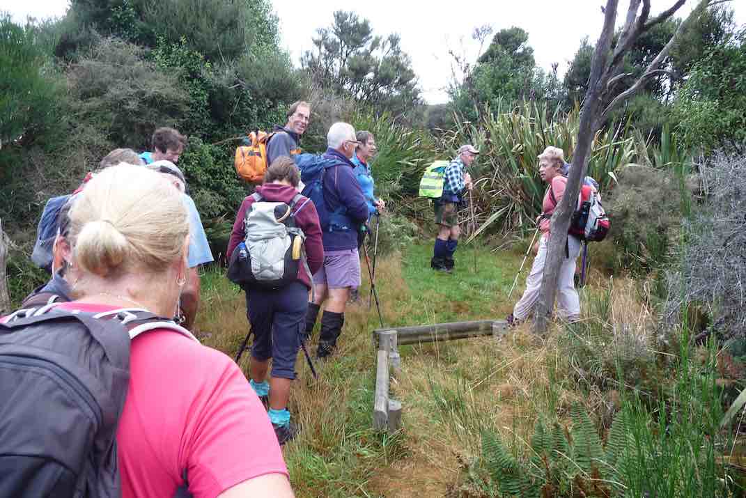
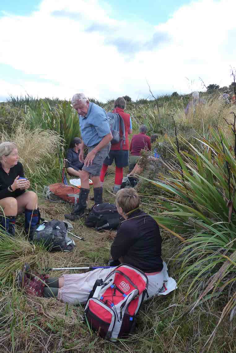
Morning tea was taken almost at the top of Swine Spur, after the hard climbing was done, …
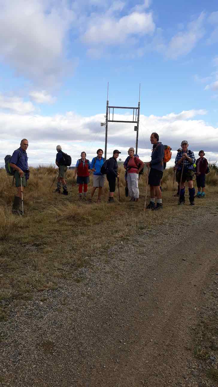
… and with a good view.
As we started down Porkies
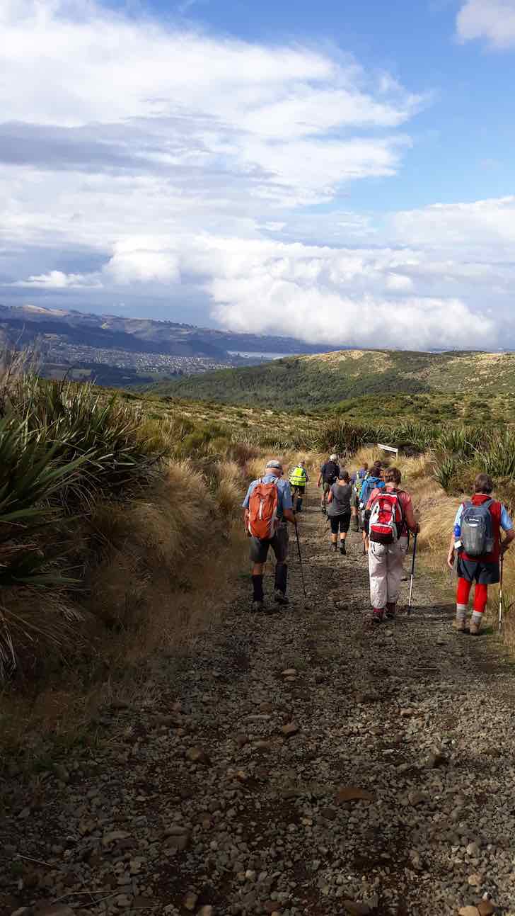
low cloud began coming in from the city side over the ridge and on Flagstaff.
The day was deteriorating now, and light rain began to fall at 12 noon (the forecasters were spot on).
A little later we stopped to have our lunch, but the tree canopy was leaking on us – and they the sky opened with heavy rain falling.
Quickly packing up we moved, and to save time took the shortest way by going down Steep Track (well named).
Being in he lead I couldn’t see back, but from the squeals, and other expressions of glee from behind, it was obvious that all were enjoying the descent as they swung from tree to tree!
We were soon down, and then visited Lake Whare, as the rain was mostly past now.
Distance for the day was about 8.5 Km. Back to Mosgiel, where thoughts of a hot shower was much more inviting than stopping for coffee, but it had been a good day out. – Art.
7. 8/11/2017. Trampers. Swine Spur. M. Leader: Dave.
Last Wednesday’s tramp could have been called a number of names and probably was!!
(a) Swine spur – was it the pig rooting or the steepness of the trail in a gale?
(b) A walk on snow in wintery gale conditions in November or
(c) How many differently named tracks can you do in a day?
Ten keen trampers’ left the car park having some idea what the weather might be like for the day ahead. We parked in Rollinson’s road just below the bridge adjacent to the entrance into the bush with the sign ‘swine spur’. The bushes and trees were wet from the rain the night before. It was pleasant walking through the Kanuka with lots of clematis flowering. However it wasn’t long before the colour of the track resembled the colour of the clematis! SNOW WHITE!!

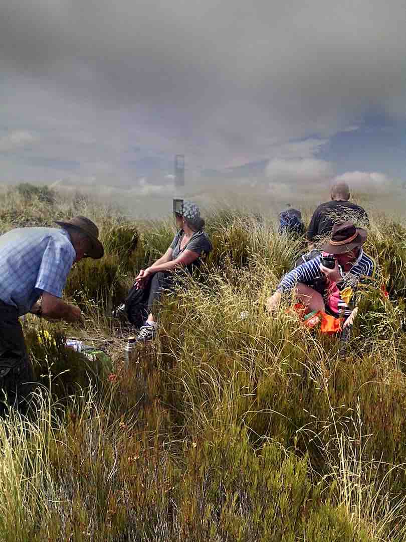
As we wandered up the track the snow got thicker and the wind got stronger. We decided to have morning tea in the last bit of shelter before the track upwards became exposed. The wind was very strong – we could just stand up! Keeping together we supported each other, through flax and dracophylum, up to the top to the green building on Swampy. The wind was so strong that there was little shelter even behind the building.
A very short break and then we followed down ‘swampy ridge road’ until we reached ‘Porkys track’ – this faced into the gale. We slipped and slid where the snow lay on the grass. Gradually we headed down to where the shrubs became trees. After a while we came to a track junction and then followed ‘possum busters track’. There were a number of creeks, full of water, from the rain the night before. To cross – you had to get wet again!
A welcome lunch was had amongst the trees in the shelter.
It was then on to the junction with ‘smithies track’ which we followed for a while through attractive natives. ‘Whare Loop track’ was then followed to Whare lake.
At this spot the Maoris of the past used to soak the flax in the lake – later making both twine and linen. See Flax in New Zealand – Wikipedia. The remains of a stone house were inspected before completing the loop and out onto the road where the cars awaited. A distance of approximately 10.2 km was covered.
The group decided to go for a well, deserved coffee at a usual coffee shop but alas the power was off, probably because of the winds. We soon found another where we recounted our adventure which was enjoyed by all.
Many thanks to Neil M and Arthur for the track clearing they have done, this was very evident. Others have volunteered to help them.
– Dave M
6. 12/3/2014. Trampers. Rollinsons Rd, Swine Spur, Swampy Ridge, Rollinsons Rd, Picnic Tables, return to cars.
At the car park, the trampers lacked a leader knowledgeable of the Swine Spur track programmed for the day, so this hiker was dragooned into going with them, with his traitorous act objected to strongly by one of the hikers (who shall considerately remain nameless) with his friendly invitation for the writer to never go with the hikers again.
A careful inspection of the access road roadside eventually elicited the heavily grassed over entrance to the Possum Busters track. We made it through Manuka-Kanuka wood and the two steep guts of Mckenzie Creek and the other unnamed one, to stop for the cuppa at the traditional stop at the intersection of Possum Busters and Swine Spur tracks.
Then we turned left up the Swine Spur through the easily graduated track that was to inevitably bring us to the foot of the near vertical strenuous climb to Swampy Ridge roadway.
A word of appreciation here of the sterling track clearing from the route of all the impedimenta the once-in-a-life-time wet snow storm of last August brought down across it. Bravo, you track clearers! It was obviously a massive job.
Anyway, we reached the small concrete-block aerial navigation building sitting there at the top and turned left along the road to pass the Airways Corporation combined VOR (VHF Omnidirectional Radio) and DME (Distance Measuring Equipment – where’s an easier name?) setup to head down the access road. We forewent going on through Swampy to Hightop, as had been programmed, indulging in an easier day instead. (A concession to the hiker, the writer suspects.)
Well, that was to be just a boring road walk back to the cars, but most pleasantly interrupted with a lunch stop at the 0ld-trampers’ picnic area at the head of the Steve Amies track. With all the time in the world, we just lazed there around the tables before eventually deciding to head back out and down to the cars. We arrived back at the car park BEFORE the hikers! One for the record book? – Ian.
5. 20/10/2010. Trampers. Rollinsons Road, Possum Busters, Swine Spur, Swampy Ridge, Rollinsons Track, Rollinsons Road. Leaders: Ria, Hazel.
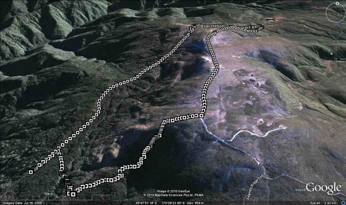
Ria and Hazel led us into the start of Possum Busters from off Rollinsons Road. The two deep gullies were still there, but with the steep banks provided with wonderful sets of steps. Bravo, track-clearers. We stopped for a tea-break at the Swine Spur junction, wishing we had the tools to re-attach Les Murcott’s track signs to the remaining-standing manuka trunk. Then it was up the gentle incline of the Swine Spur track before it steeply climbed onto the actual Swine Spur.
We were delighted to find the last bit onto the Spur was now a well-defined route, replacing the half-dozen or so attempts through the over-grown area. Reaching the top, we stopped for a brief shelter from some cold wind.
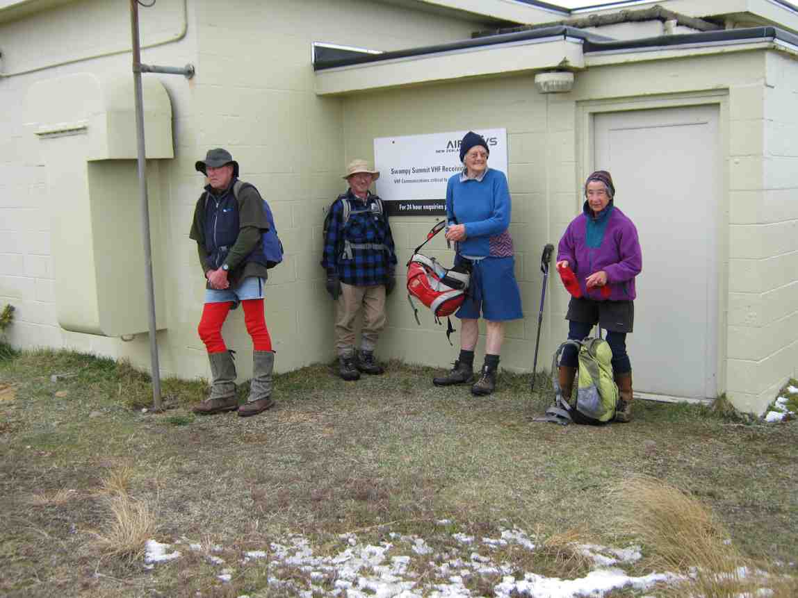
Then it was along the road to Swampy Summit.
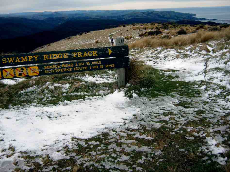
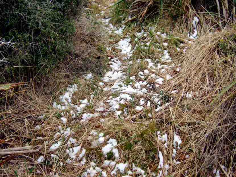
The Swampy Summit Track beyond the summit led us down through slippery frozen snow and on to our next turn-off. The Rollinsons Track was well-indicated and its route well-defined with copious track markers. Another good change from a time when it was really hard to detect parts of the track. Again, thanks to some excellent recent work by some good people, added to by our leaders on their recce.
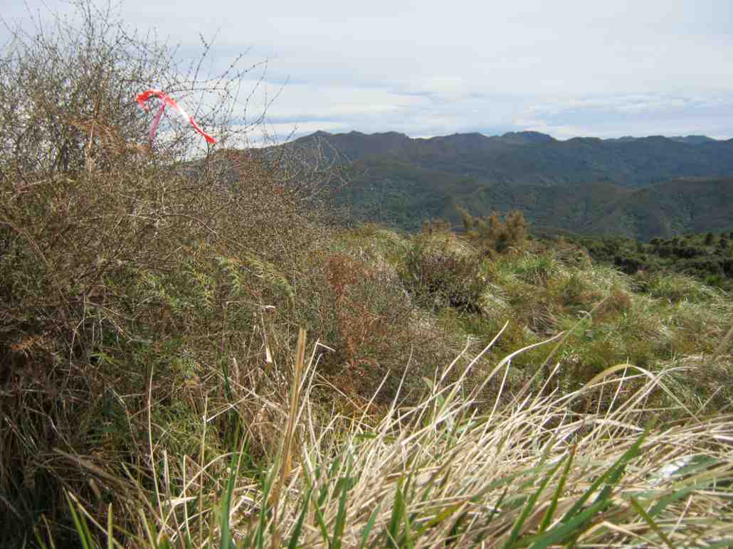
The track kept high on the slope, avoiding the wetter parts of Swampy.
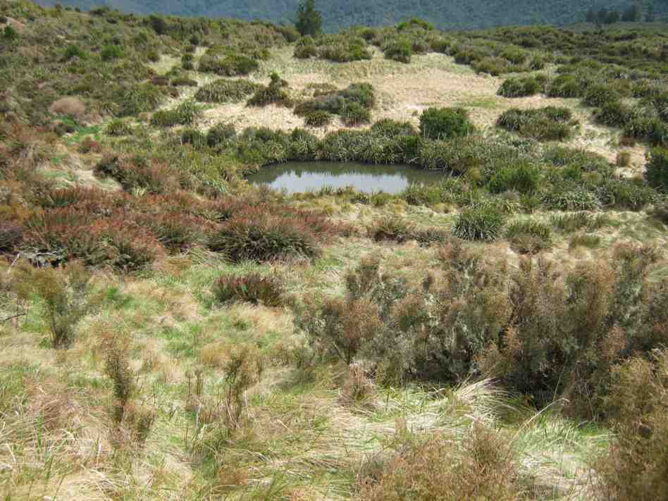
The track wound its way back up and out of Swampy to join with the Rain Gauge track. Again, the track sign had been clearly renamed “Rollinsons” instead of the “Swampy Tarns” sign that had been put over the old faded sign. Then it was just out to Rollinsons Road at the hairpin bend and on down to the cars.
Thanks to Ria and Hazel for this lovely tramp over the whole Rollinsons again – a replacement for the trip into Jubilee Hut that had been thoughtlessly scheduled for during lambing. – Ian.
4. 15/3/2006. Trampers. Rollinson, Burns, Swine Spur. Medium+. Leaders: Doug J, Ian, Shirley.
3. 30/4/2003. Both. Access Road, Rollinson Track, Swampy Saddle, Swine Spur Track. Medium+. Leaders: Ria, Bill and Pat, Denise, Anne R.
2. 19/9/2001. From Access Road, Rollinsons Track, Swampy Saddle, Swine Spur Track. Medium. Leaders: Ria L, Doug and Myrie, Joyce.
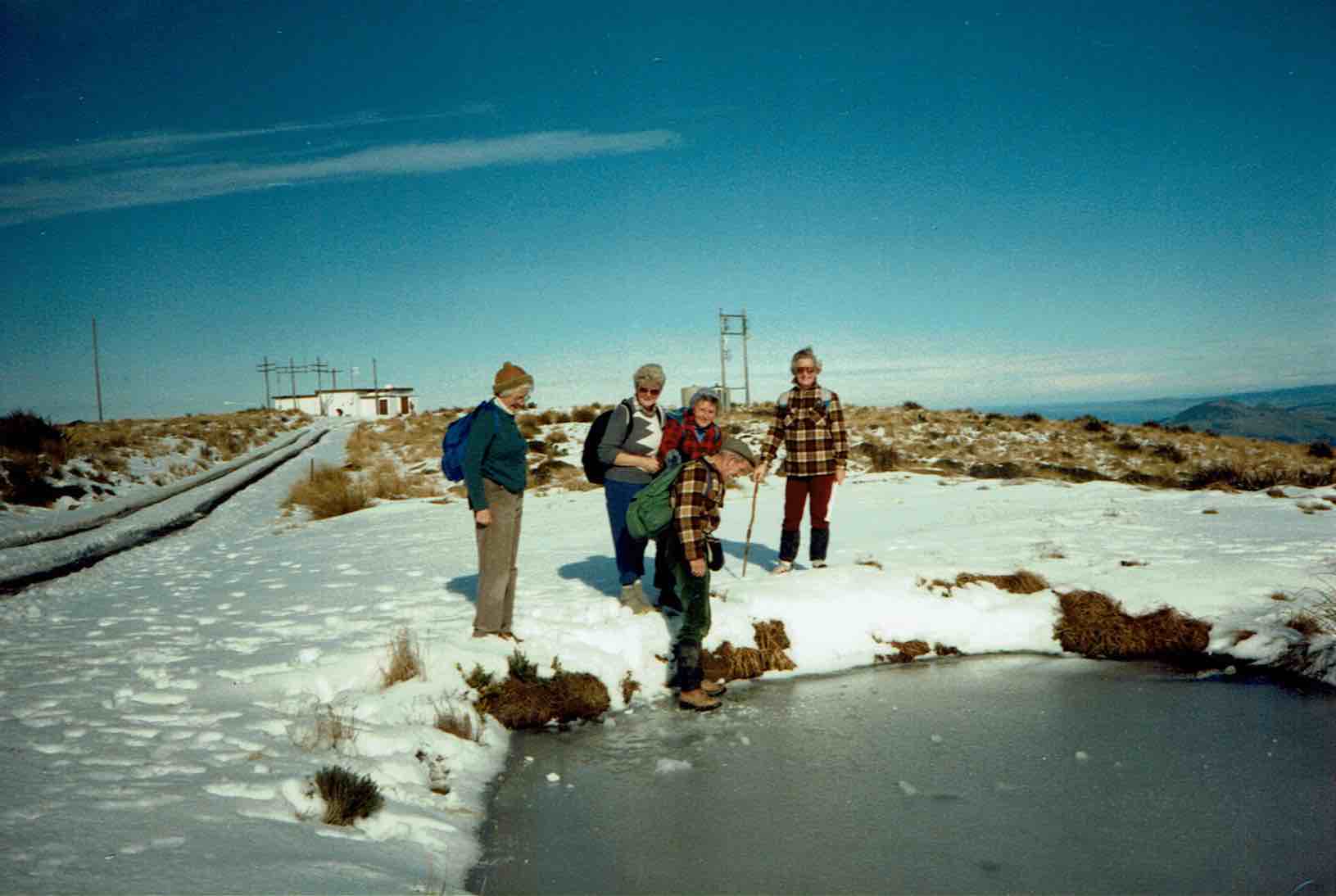
1. 6/7/1989. Frozen Tarn on Swampy.
Mahinerangi Wind Farm
2. 20/3/2019. Trampers. Thornicroft Station. Leader: Jill R and Sue.
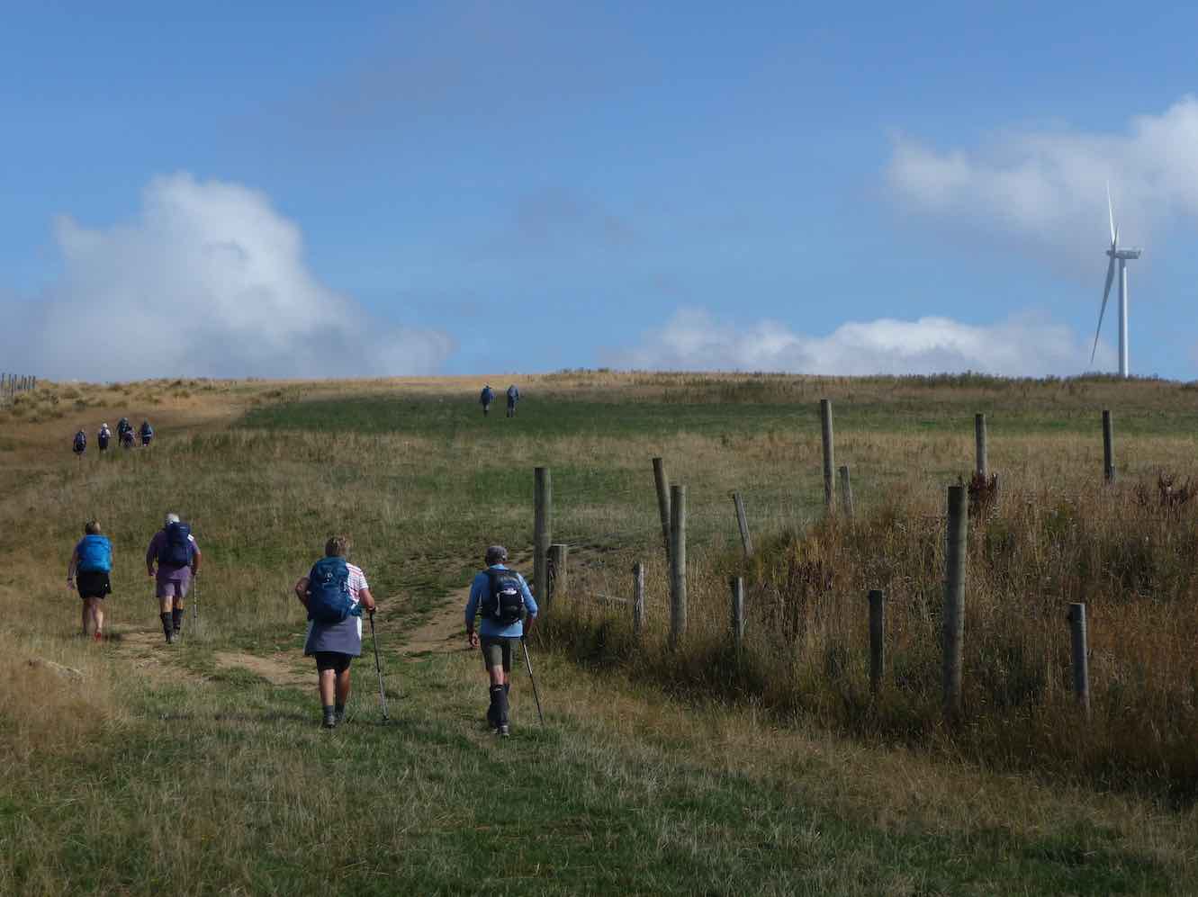
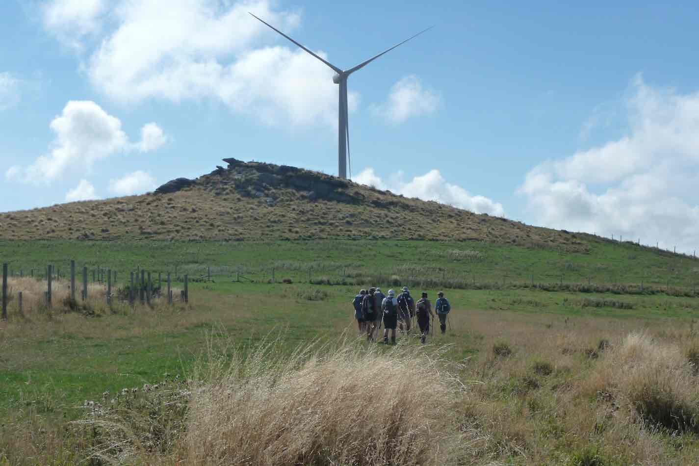
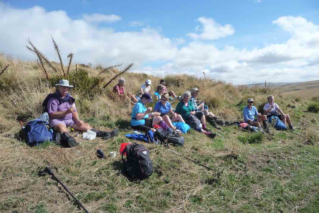
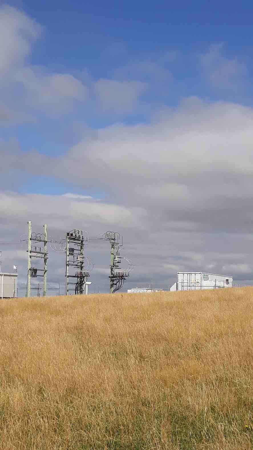
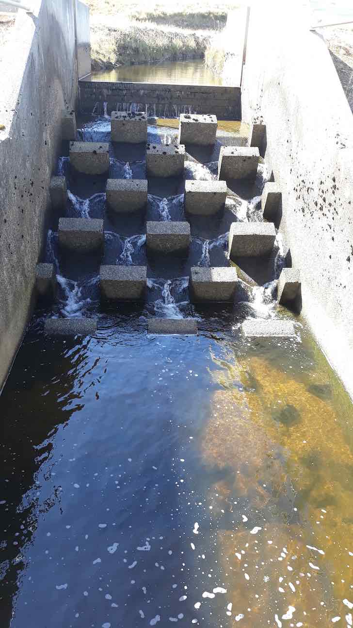
1. 12/10/2011. Both. Mahinerangi Wind Farm. Leaders L Smith, N Buckley

Deep Creek Water Scheme Pipeline
Background.
The Deep Creek Water Scheme was built during the depression of the 30s.
The Pipeline is 58 years old and 64 km long.
The intake is 675m above sea level.
The catchment is 5420 hectares; mainly tussock with some grassland.
The steel pipeline, lined with bitumen, was in a bad state of repair by the 80s and the leaks were constantly plugged with tapered wooden plugs until it resembled a porcupine.
The authorities were eventually persuaded to renew the worst section, this being done with the aid of a helicopter in 1992. It is a useful supplement to Dunedin’s water supply.
The Pipeline is made of bitumen-lined steel excepting the first 1.4 km which was replaced in 1992 with concrete pipes.
Water quality is variable and often discoloured.
Over the 58 years the yield has dropped from 11,000 cubic metres to 6,800 cubic metres a day.
The water goes to Booth Road Treatment Station and Sullivans Dam.
Replacing the rest of the pipeline is estimated at $20,000,000 and would increase the flow to 17,000 cubic metres a day.
– From a hand-written record in the President’s file and supplemented with other data.
The Deep Creek Water Scheme was built during the depression of the 30s.
The Pipeline is 58 years old and 64 km long.
The intake is 675m above sea level.
The catchment is 5420 hectares; mainly tussock with some grassland.
The steel pipeline, lined with bitumen, was in a bad state of repair by the 80s and the leaks were constantly plugged with tapered wooden plugs until it resembled a porcupine.
The authorities were eventually persuaded to renew the worst section, this being done with the aid of a helicopter in 1992. It is a useful supplement to Dunedin’s water supply.
The Pipeline is made of bitumen-lined steel excepting the first 1.4 km which was replaced in 1992 with concrete pipes.
Water quality is variable and often discoloured.
Over the 58 years the yield has dropped from 11,000 cubic metres to 6,800 cubic metres a day.
The water goes to Booth Road Treatment Station and Sullivans Dam.
Replacing the rest of the pipeline is estimated at $20,000,000 and would increase the flow to 17,000 cubic metres a day.
– From a hand-written record in the President’s file and supplemented with other data.
Shuttle: Mountain Road, Pulpit Rock, Long/Powder Ridges, Whare Flat
3. 13/2/2019. Trampers. Mountain Road to the Silverstream. Hard. Bus. Leaders: Arthur and Eleanor.
The sun was shining brightly in a clear blue sky as Bob the Busman (no, not Bob the Builder) transported 16 eager Trampers to Mountain Road for the day’s adventure.
The tramp started at 9.35 a.m., with the first objective being Pulpit Rock.
Afters 30 minutes, morning tea was partaken of trackside – in the shade, as the heat was building.
A brief rest stop was taken at Green Hut (site), and then again, briefly, after the short stiff climb just after.
Past Green Hill, and then up the steep climb towards Pulpit Rock. Puffs of a lovely cool nor-east breeze were very welcome assistance here, although the group got well spread out anyway.

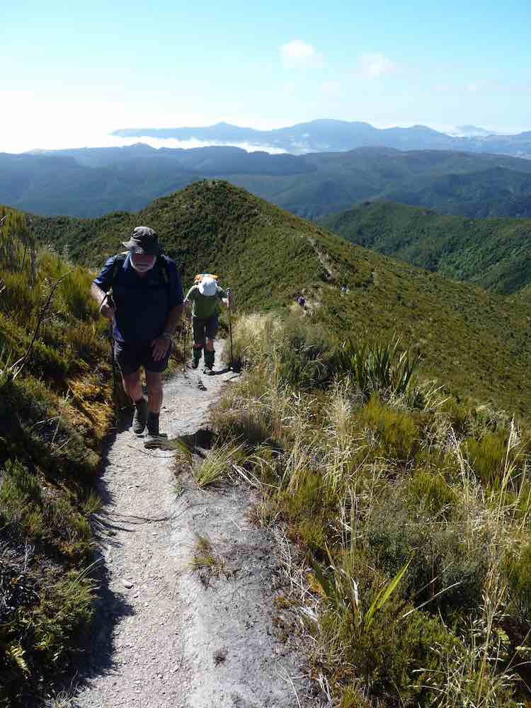
Eventually we made it to the top, several going to the summit of Pulpit Rock (760 metres – we had started the day at 400 metres.)
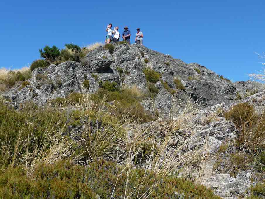
The others were content to wait and rest on the track below, and all had earned a good rest.
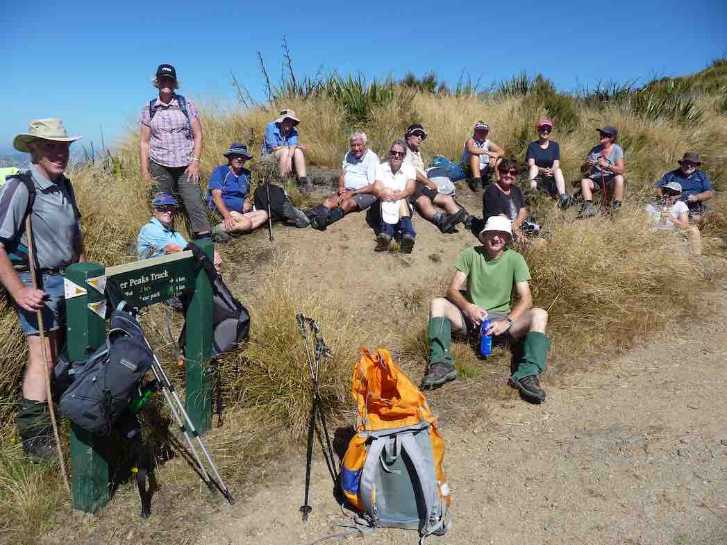
At 11.55 a.m. we began the descent down onto Long Ridge. Altitude is lost quickly at first, and the track had been well cleared here.
The walk down Long Ridge was most enjoyable, although it was through knee high grass mostly. The lunch stop was called at 12.30, when a suitable shady spot was found. A very enjoyable half hour was spent here.
At 1.25 we had climbed up off Long Ridge onto the highest knob of Powder Ridge (586 metres) and taken a last view of the Pulpit. The cloud was building now on the windward side of the Silverpeaks and Swampy, with its pleasant cooling breeze accompanying us.
The final leg of our tramp was now down Powder Ridge, and a new rope was a great assistance going down the first brief steep bit.
The track undulates, always trending down, but with some brief climbs up a knob before descending once more. It is a beautiful track, and the N.E. breeze was filtering through the trees to help cool us.
Rest and regrouping stops were made at 2pm and 3pm. It is a long way down Powder Ridge, but the time eventually came for the final steeper descent to the bottom of the track.
Easy going now, we crossed the Silverstream at the old weir,
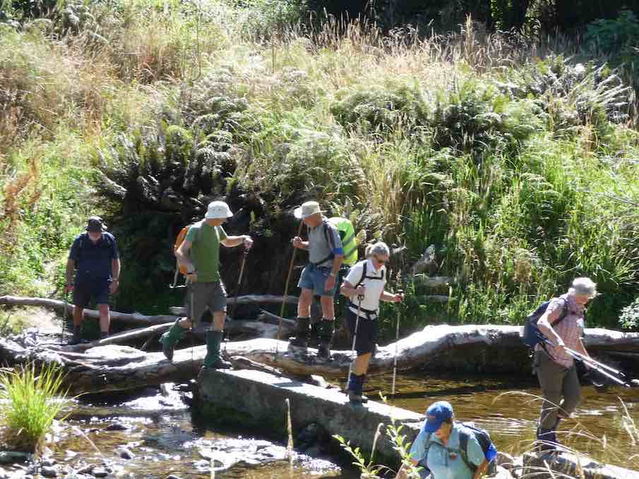
and onward, arriving at the car park at 4.20 – tramp complete (at 100 metres altitude). The distance metres stated 19 km -what a great effort by the group. Congratulations to all for completing it.
A special tramp indeed!
And thanks to Eleanore for helping organise the day so ably. And also to Gordon, Dave, Alan, and Art. for getting up early to position the cars at the Pumphouse, so that we could all return to Mosgiel.
What a great day it was.
Thanks to all the group. – Art.
2. 15/10/2003. Trampers. Semple Road to Whare Flat. Hard. Shuttle. Leaders: Lex, Wendy J, Evelyn C.
1. 25/2/1998. Semple Road to Pulpit Rock, Long Ridge, Whare Flat. Bus fare to be arranged. Leaders: Jack R, Nelson, Claude.
Hollyford Camp
12/11/2018. Hollyford Camp. M. Phil.
Trampers: 12-16 Nov: Hollyford Camp. M. Phil.
Hollyford Escapades: 12-16 November 2018
Planning to execution seemed to go very well as everyone was at Waihola early….. this being a trait that continued for every start during the week.
18 intrepid walkers in 6 cars set off and bang on time arrived at Cocoa’s Café at Mandeville airport for a necessary kick start to getting to Te Anau reasonably refreshed. First stop was at the DOC I-site to get hut tickets and check the weather, then it was food and petrol top-ups plus a visit to the best public loos in the world for most – albeit some of us had to go back to the car to get the entry gold coin!
The clearing weather meant the drive up through Te Anau Downs and the Eglinton Valley was pretty well up to the Mercedes car advert standard, then after a brief stop at Knobs Flat we arrived at The Divide. With clear tops on the Livingstone Range, it was decided to attack Key Summit,
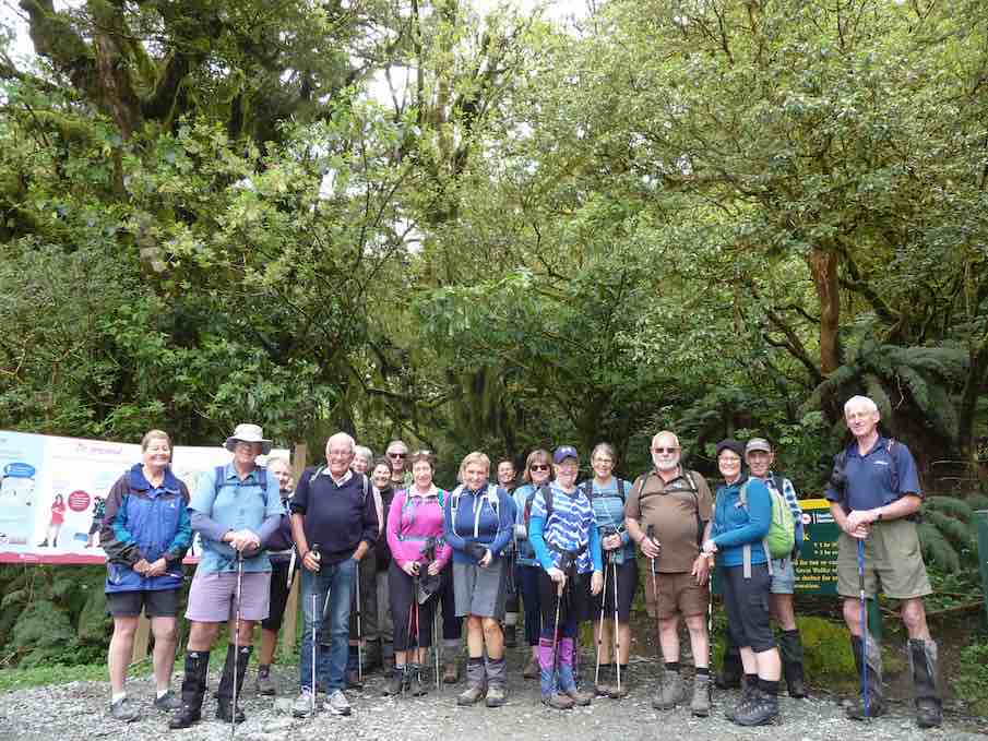
initially via the Routeburn/Greenstone track, before branching off on the zig zags to the Summit and, for some, beyond the well known tourist look out. The group split into 3 as each limit was reached; lovely views of Lake Marian, the Darrans, the Hollyford and also the Greenstone Caples were in view and appreciated.
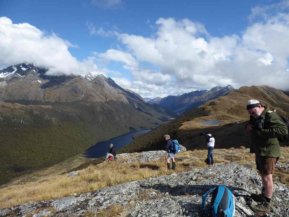
We finally descended in good time and once back in the cars, moved into the Hollyford proper. Turning right into the Lower Hollyford Rd we stopped, read and discussed the memorial to Davey Gunn that celebrated his 56 mile journey over bush tracks from Big Bay to the Milford Rd in 23 hours to raise support for the injured in a plane crash there. What the books don’t say is Davey had a cuppa then returned to Big Bay to carry on his guided trip… he had also cracked some ribs getting plane passengers from the crash in the surf….
Finally we arrived at Gunn’s Camp and settled in to our ‘little huts on the Prairie’…… followed by good craic and a variety of well cooked dinners.
We were at the Lake Marian track ahead of time on the Tuesday morning, everyone keen to get going. Crossing the Hollyford River involved the first swing bridge for the week, then some time was taken on the Gantries overlooking the tumbling waters of Marian Creek;
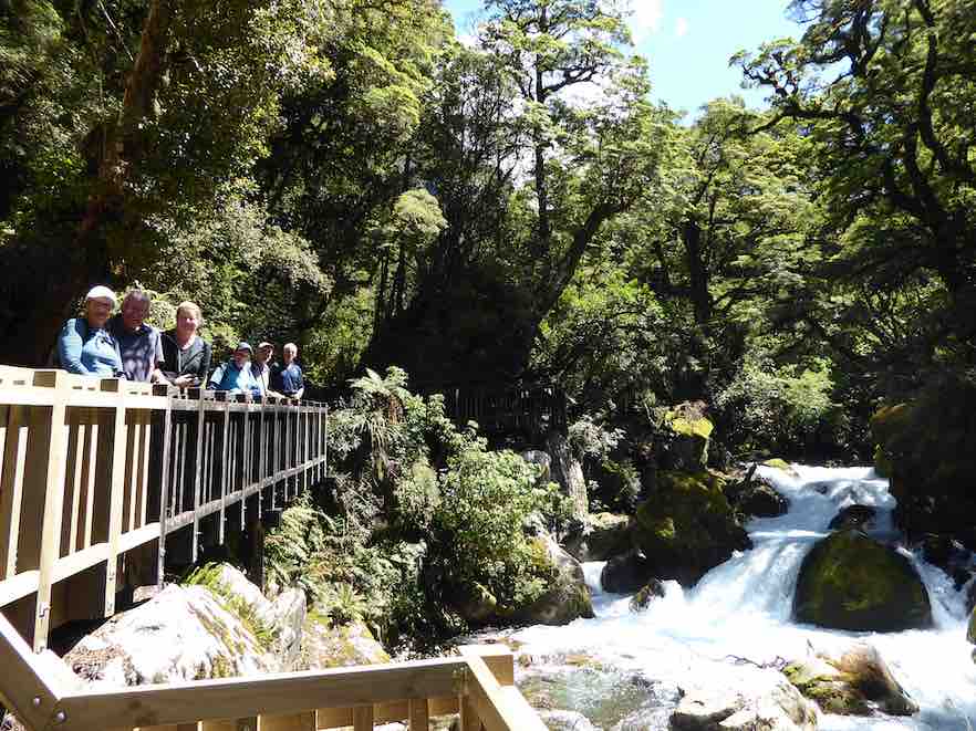
from there it was a steady 2 hour walk up to the Lake, to be greeted by emerald clear water and towering peaks,
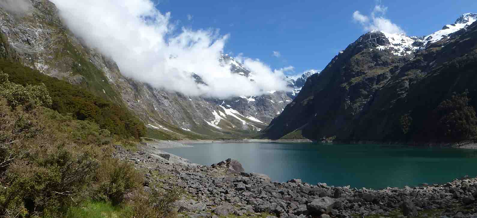
capped off by some loud avalanches at the top of the valley (they resembled large waterfalls). We stayed here for a good 40 minutes enjoying a very special environment, before returning.
It was a sign of the nature of the track that the return time was also 2 hours……
After lunch, having ensured that no-one laid down on their bunk, we travelled up the Upper Hollyford and just before the Homer Tunnel, veered off to park in the Gertrude Valley carpark. We then rambled a while to the base of the Saddle, enjoying the amphitheatre of surrounding peaks as well as the early celmisias, ourisias and Mt Cook lilies that were smiling back at us.
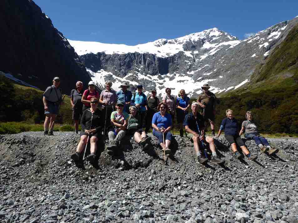
Once back at the cars we returned to Camp, allowing for a short stop at Falls Creek where new carparks and Gantries have ensured another great stop on the Milford Rd.
The Camp was busier on the second night with the Stray Bus arrival, plus some trampers who had arrived from the Demon Trail, telling of tall stories and lots of trees over the track, and loads of hunters and jet boaters in the huts…
Wednesday dawned fine and we travelled to the road end, where we set off to enjoy the Hollyford Walk;

guarded over by towering mountains named mostly after Ngatimamoe and Ngai Tahu chiefs intersprinkled with mountains named after bureaucrats, nieces and mothers;
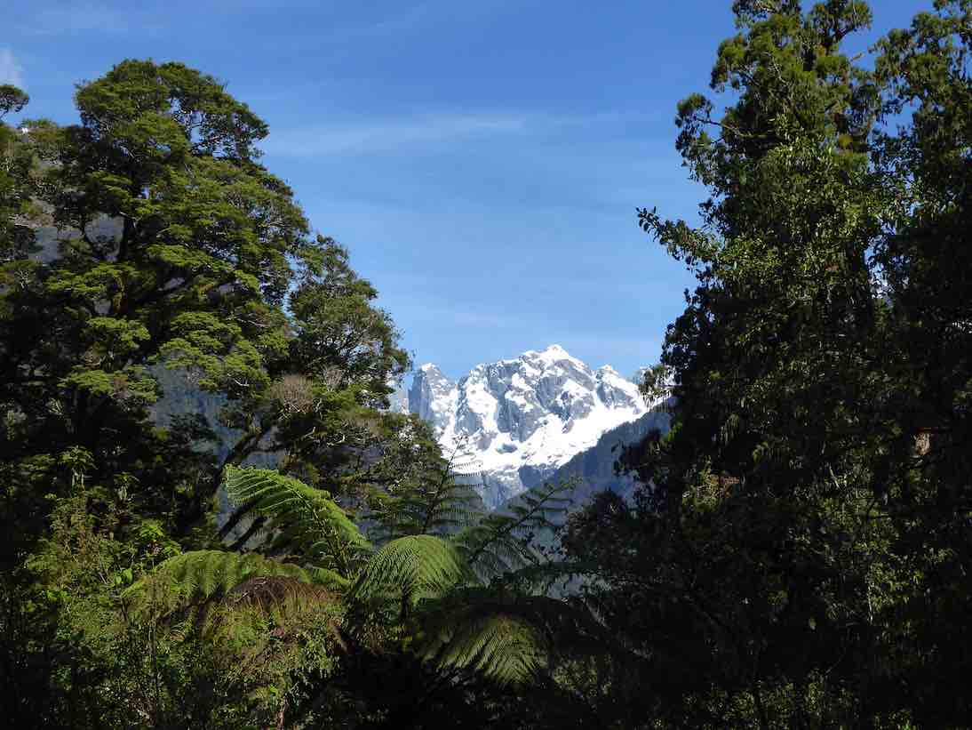
we rambled through forest of Beech, Miro, Matai, Totara, Kamahi and Rimu, finally arriving at Hidden Falls Hut for lunch (having already stopped off at the Hidden Falls to get showered upon).
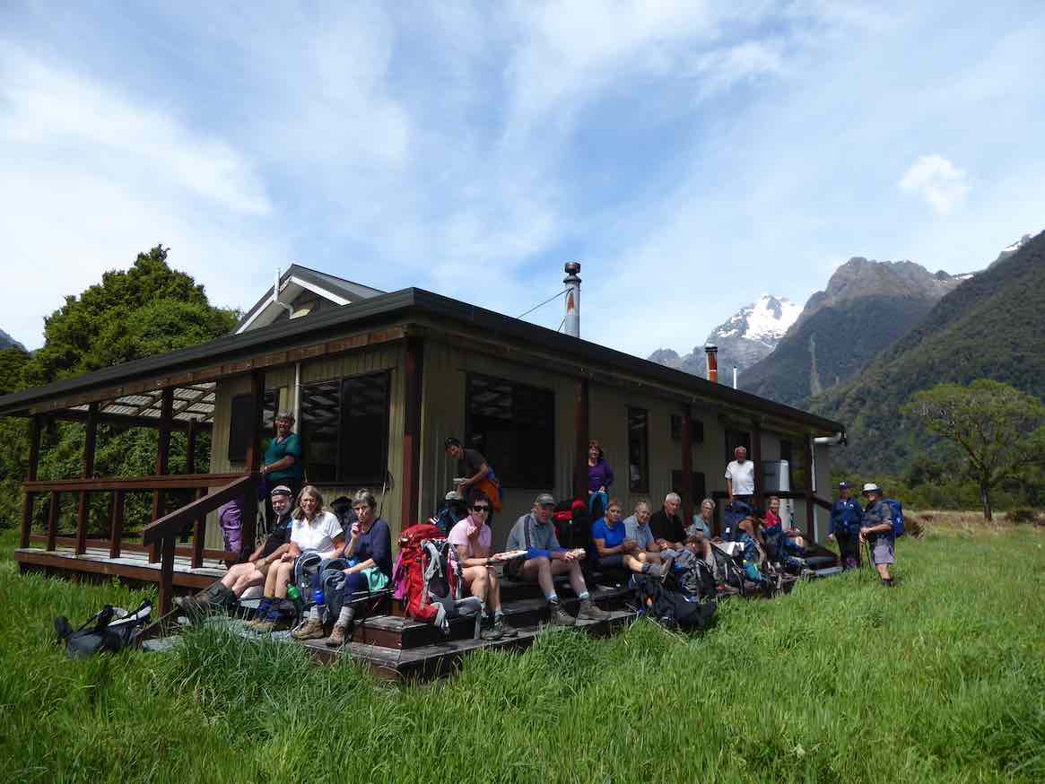
A few green hooded orchids spread throughout the moss and liverwort track edges.
Following lunch, 5 hikers turned right and returned to the road end by 4pm, whilst 13 trampers turned left and after 40 minutes begun the ascent of Little Homer Saddle; through the forest gaps great views of Mts Madeline and Tutoko were enjoyed and after another 30 minutes we were at the top of the saddle; whilst not high, the effort was considerable in the heat of the day…… a drop off to the Little Homer Falls
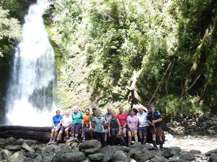
followed with tree falls along the way becoming a little harder to limbo under….. the Falls drew everyone to them and then after a well earned break we set off for Lake Alabaster through self pruning beech forest. As we veered in to the Pyke Valley, we were greeted by tall straight Kahikatea.
Finally we emerged into a clearing where the Pyke Lodge of the Guided walk stood and gazed upon the majestic view of Mt. Madeline dominating the Hollyford skyline.
A further 20 minutes of tired tramping followed before we arrived at Lake Alabaster
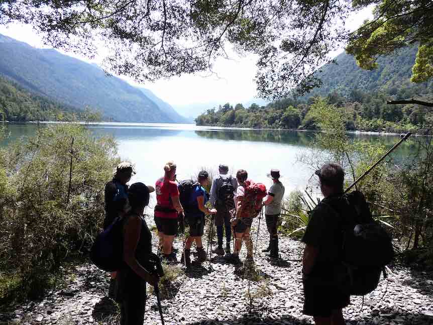
– 7.5 hours after we started, and according to GPS estimations some 2 kilometres longer than official publications credit, at just on 23 kilometres for the day!
Progressively the breezes dropped and shadows and mountain and forest reflections dominated the Lake,
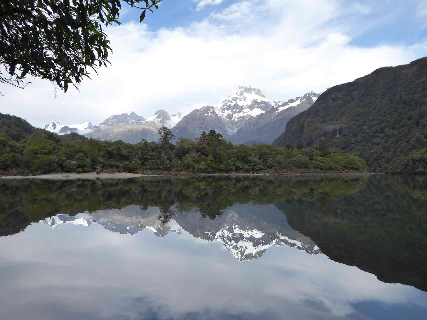
interspersed with splashes of delight as keen trampers (some) had a ‘swim’ and dried off before the sand-flies could do damage.
A good spread of birdlife was enjoyed along the walks including tui, bellbird, grey warbler, (bush robin at Marian),shining cookoo, ruru (at night!), chaffinch and the melodious Kaka. Masses of perching orchids (the bamboo – Earina mucronata) adorned tree branches around the shoreline.
We had the company of a small number of other trampers for the first night at Alabaster.
On the Thursday morning, helped by feedback from trampers off the ‘Demon Trail’, 10 decided to follow the dotted lines on the map along side the Lake up the Pyke Valley; this in effect being a bush bash with the lapping levels of the Lake the easier going. About half way along we stopped at a large flowing creek…. fishing and fossicking were undertaken, with not a lot of luck, though style was fine.
Returning through thick bush we stumbled upon a small ‘grave site’ and then returning to the hut we had a cuppa and lunch, before crossing the largest swing bridge in Fiordland over the Pyke River, to touch upon the Demon Trail. A hundred metres of this was enough to convince us that we should save this for another time…..!
Our second night at Alabaster was a very social affair, with jet boaters …
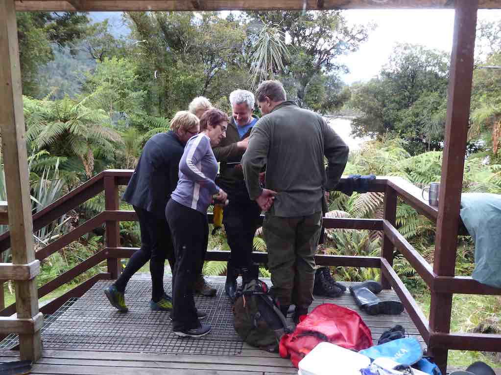
… and pack rafters arriving along with a range of trampers heading up or down the valleys from or to the Coast. Deer had been shot, trout caught, a jet boat sunk and being expensively recovered with helicopters ….so much to catch up on….. and best of all, no news from the outside world! Mattresses were spread throughout the common areas to accommodate all.
Notwithstanding the week of walking everyone was up and away at 6.50 am on the last morning, well before the official start time, as a slight rain began to fall…and fall….and fall. At last we were experiencing a Fiordland shower… becoming so consistent and insistent that when the time came we made a detour to Hidden Falls Hut for an early brunch to recharge, before the last 2 hours trudge to the road end. We took 1.5 hours off the incoming time, very commendable as we were going uphill all the way! (but then apparently the GPS said the distance was shorter…) ah we are better off without these new contraptions!
After 6 hours tramping we quickly reorganised before driving to Gunn’s Camp where we checked for final messages from the Hikers, picked up belongings, then drove back to Te Anau and civilisation. We caught up with the Hikers at a local Café which was being inundated by bus loads of tourists, they were swarming and biting better than sand-flies!
The Hikers meantime, had an enjoyable day trip to Milford Sound on the Thursday. First stop was the well known Chasm, and then they made a call into the Milford Sound Lodge. What used to be a backpackers hostel now has several new cabins and areas for motorhomes, all well laid out with the Cleddau River nearby.
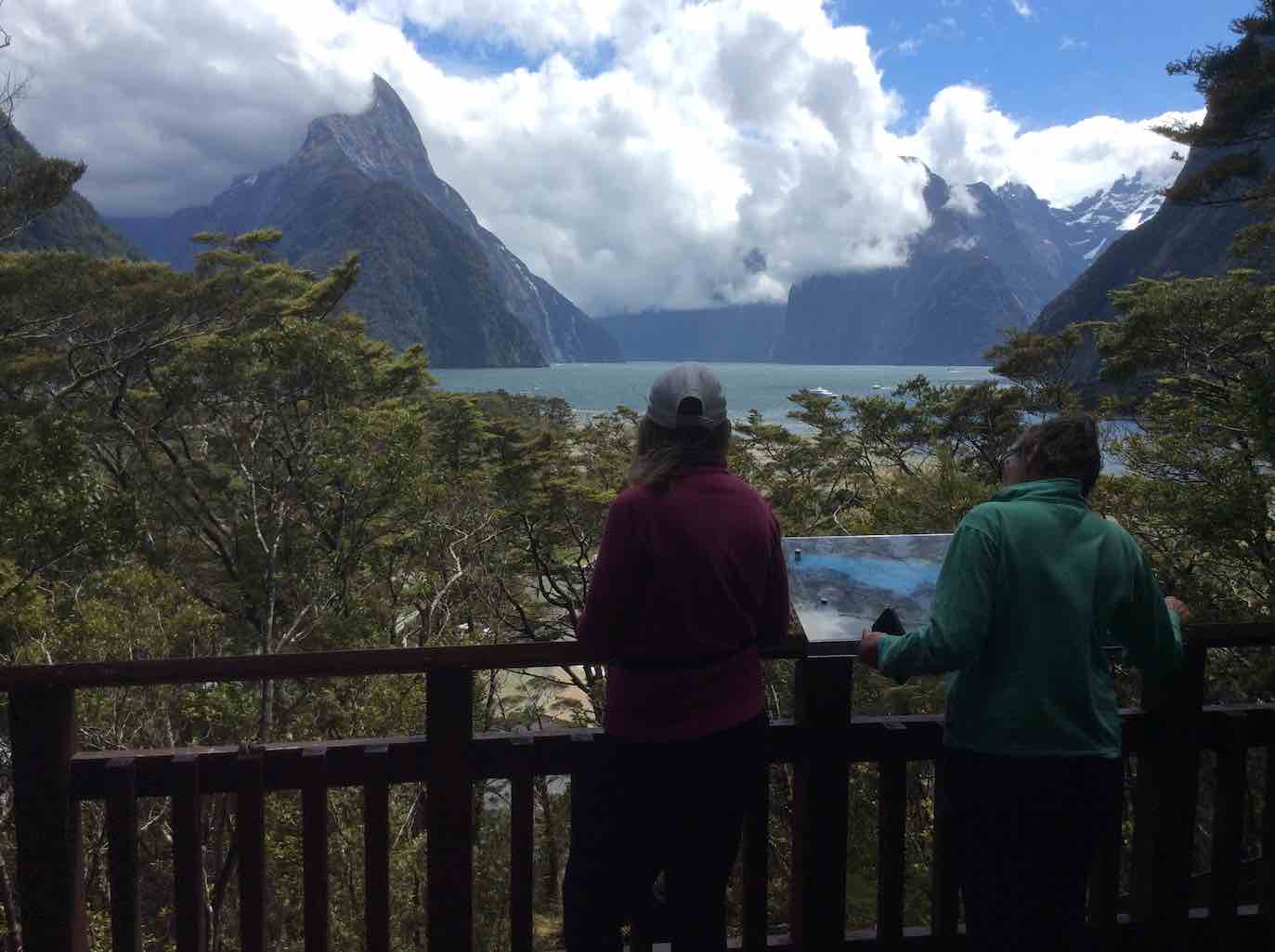
The coffee wasn’t bad either apparently! On the way out they made a stop at the historic bridge over the Tutoko River and a lookout near the tunnel entrance. Friday for them dawned with heavy rain so the decision was made to stay put, light the fire and relax in the common room awaiting the trampers return. By 1pm they decided to head for Te Anau for lunch and rendezvous there as originally planned.
Overall
A most enjoyable 5 days of great company, tracks and views to click the camera at. Four days of sunshine out of five is not a bad record in Fiordland terms. Next stop Martins and Big Bays?
Gunn’s Camp
Everyone felt at home here and the accommodation and facilities most appropriate for a stay. It is a very good base for exploring northern Fiordland, whether sightseeing, fishing, hunting or walking and would save multiple trips to and from Te Anau – or to just step back in pace or in time.
Hermits Cave Silver Peaks Rocky Ridge Tramps
Distance from car park: 41 km.
Click Silver Peaks Forest for background information on the area.
8. 31/10/2018. Trampers. Hermits Cave. Leader: Arthur.
The day dawned fine, with a smidgen of frost to sharpen the air. We had sunshine all day, with a few clouds and light winds at times – perfect conditions for our excursion into the Silver Peaks.
Leaving Mosgiel at 8.30 a.m., we began our tramp from the car park on Mountain Road at 9.20 a.m.
Smoko was trackside in the sunshine. Past Green Hut (site), up, along, and up, up, with an occasional brief rest/regrouping stop.
Approaching Pulpit Rock,
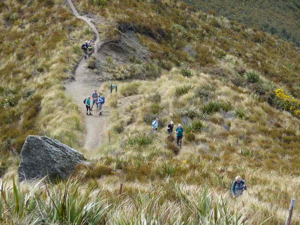
weed-eaters/chainsaws could be heard to our left. We soon spotted some of the Green Hut Track Clearing Group hard at work down on Long Ridge. You work is greatly appreciated chaps!
Several of our group took the opportunity to climb Pulpit Rock
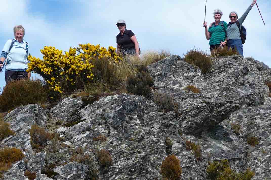
before we moved on.
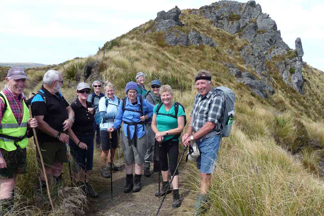
The Pinnacle Rock pointed our way onto the Rocky Ridge, where the track was rough but easy to follow.
We stopped a half kilometre short, on a rocky knob to have lunch in the sunshine, while enjoying the terrific views. It was really special to be there!
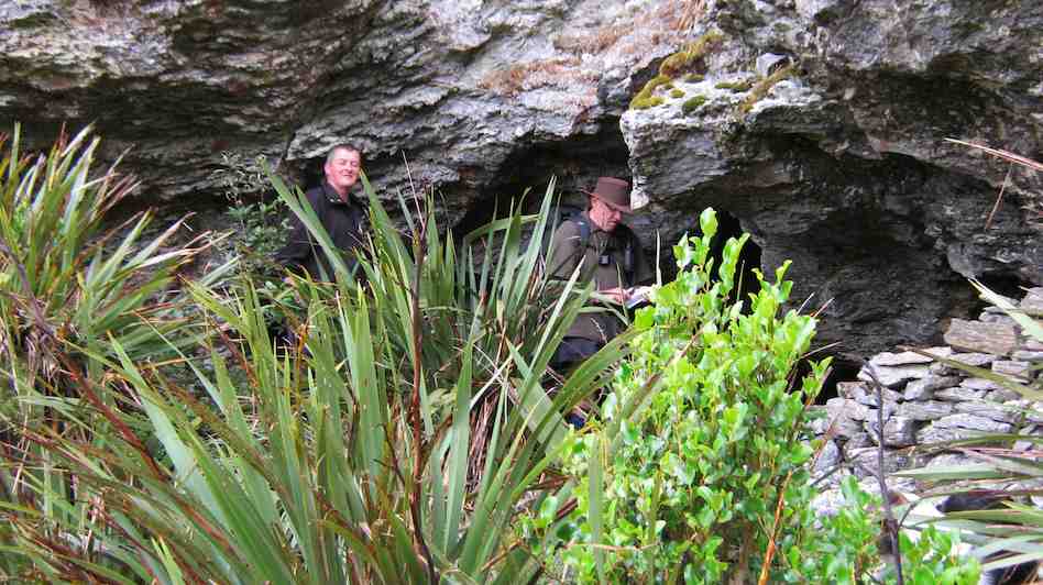
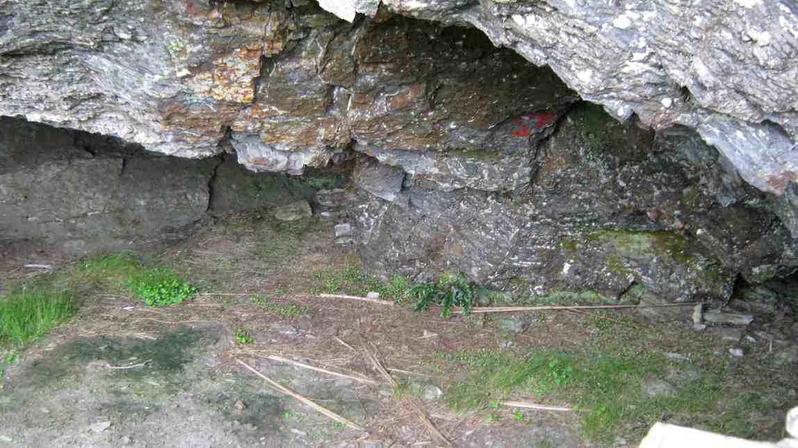
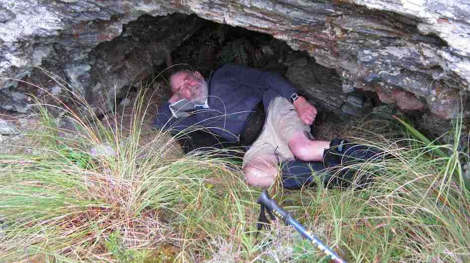
While the others finished their lunch, the leader recced ahead to the Hermits Cave. The rest followed …
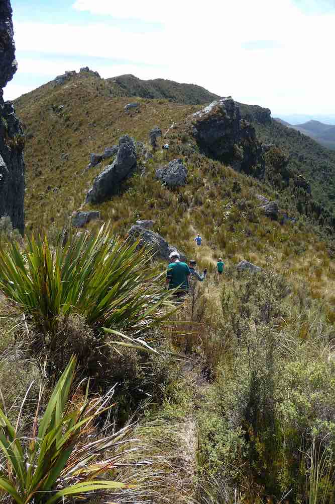
… to inspect it and to make an entry in the Visitors Book. (The previous entry was back in July.)
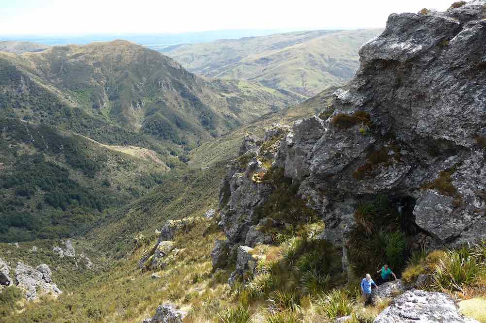
At 1.30 p.m. the return journey began. An occasional brief rest/regrouping stop was made, and eventually a happy but a little tired, group of Trampers ended. Their tramp ended back at the cars at 4 p.m.
All had enjoyed their venture into the Silver Peaks, and the weather had suited us to perfection, couldn’t have been a better one.
There was a large variety of birdlife to be seen and heard today – two got a brief glimpse of a N.Z. Falcon along Rocky Ridge, and a Fern Bird flew across in front of us in the vicinity of Green Hill.
The “distance-meters” couldn’t agree, and ranged from 17 to 20 km for our day. Take your pick. An average of 4 k.p.h. was maintained by our group of 11.
We were back in Mosgiel before 5 p.m. and what a wonderful day it had been.
Thanks to all. – Art.
7. 22/2/2017. Trampers. Hermits Cave. Leader: Arthur.
7 keen trampers set out for a trip in to the Silverpeaks, leaving the cars on Mountain Road at 9.25 p.m.
The weather was perfect for the inward tramp, overcast with a slightly southwest breeze to keep the temperature down.
After 40 minutes we stopped for morning tea. Past Green Hut site we climbed through the bush before emerging into the open. Good views in all directions, upward, and then stopped briefly to admire Pulpit Rock.
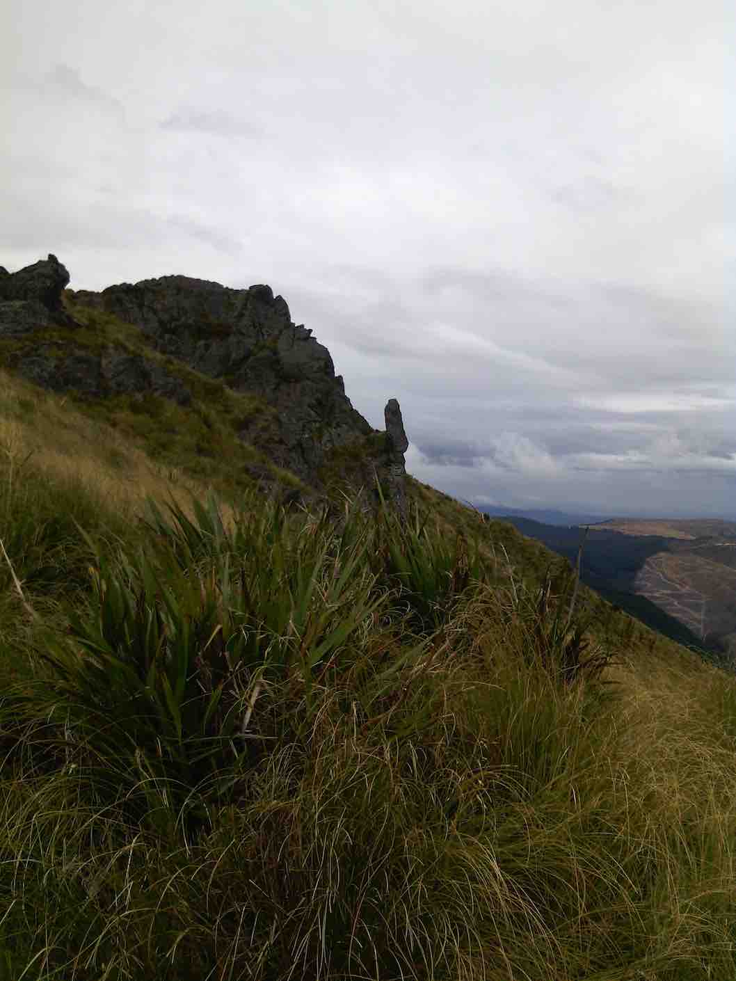
A little further and we turned on to the Rocky Ridge track. At 12.15 p.m. we were on the track just above the Hermits Cave, the leader descending to find A cave, but not the Hermits Cave he remembered!
No one else was keen after watching him toiling back up to the track, so there was nothing for it but to have our lunch.
All sat and enjoyed the view – what a great spot it was. We could see the “Devils Staircase” leading down to Jubilee Hut also visible.
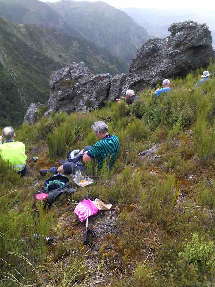
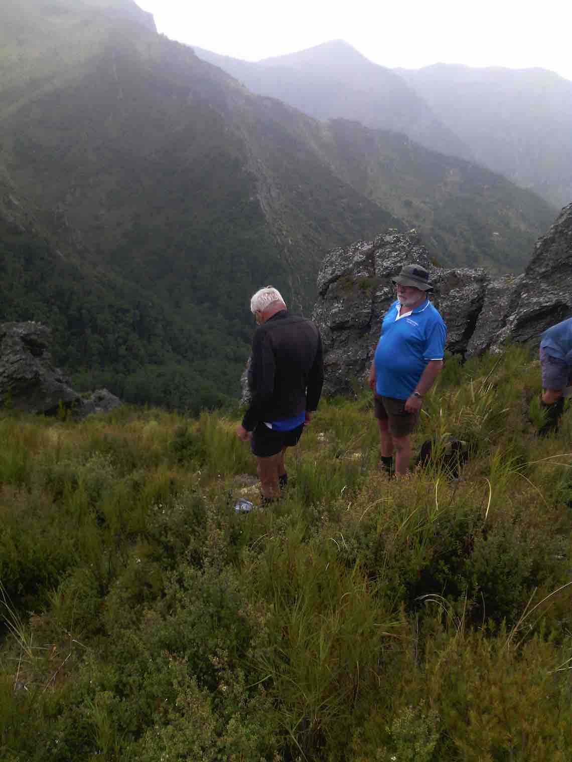
As we prepared to leave, a fine drizzle arrived and cloud was forming immediately to the east of Rocky Ridge. Coats on, and in a few minutes it was raining. Within minutes all the trackside vegetation was wet for us to walk through, the breeze changing to easterly with it.
By the time we got back to Pulpit Rock we were completely surrounded by cloud – the Pulpit Rock loomed rather eerily through the mist as we passed.
The rain had eased by the time we were back down to Green Hut, and after an occasional brief rest stop, we were back at the cars in the mist at 3.05 p.m.
We had made good time all day, both going in and coming back. Keith recorded the distance at 16.6 km for the trip.
A recovery time was taken at Blueskin Bay on the way home. We found Dunedin and the Taieri bathed in sunshine – but we had been in a different world! – Art.
6. 19/9/2012. Trampers. Hermits Cave via Green Hut, Pulpit Rock.
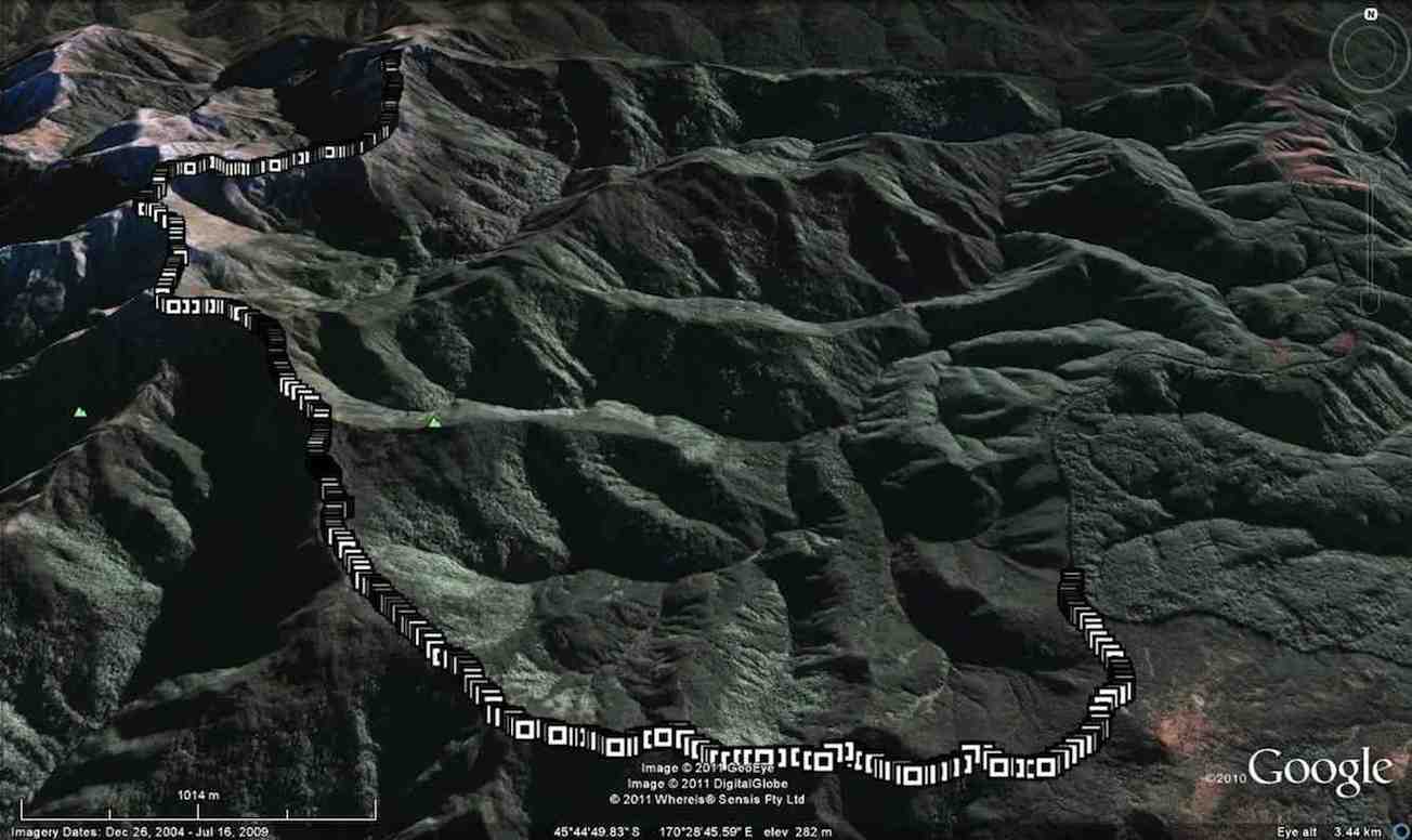
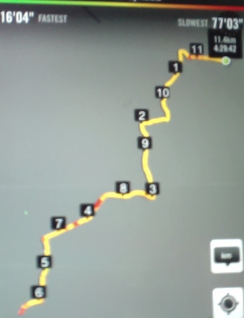
GPS of route, courtesy Ken.
18km 5hrs 34 moving time, stopped for 1hr 39min.
Total ascent 1051 mtrs. max elevation 754mtrs.
moving ave speed 3.2km/hr.
Mountain Road wasn’t bad, except for one deep corrugation.
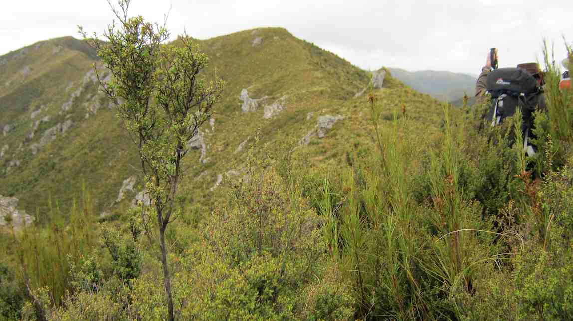
And apart from the odd slushy patches on the track, its surface was largely dry with good grip. The weather was good but a strong breeze blustered us at exposed spots on the top ridges.
Seven of us went in, and seven came out, but it was a long day and the last 5 km out were a weary plod.
One of us developed an excruciating cramp on several occasions, necessitating quite a wee wait each time for the pain to recede.
A long day but not bad for a group including 3 in their 80s. – Ian.
And apart from the odd slushy patches on the track, its surface was largely dry with good grip. The weather was good but a strong breeze blustered us at exposed spots on the top ridges.
Seven of us went in, and seven came out, but it was a long day and the last 5 km out were a weary plod.
One of us developed an excruciating cramp on several occasions, necessitating quite a wee wait each time for the pain to recede.
A long day but not bad for a group including 3 in their 80s. – Ian.
5. 23/2/2011. Trampers. Hermits Cave via Green Hut, Pulpit Rock.
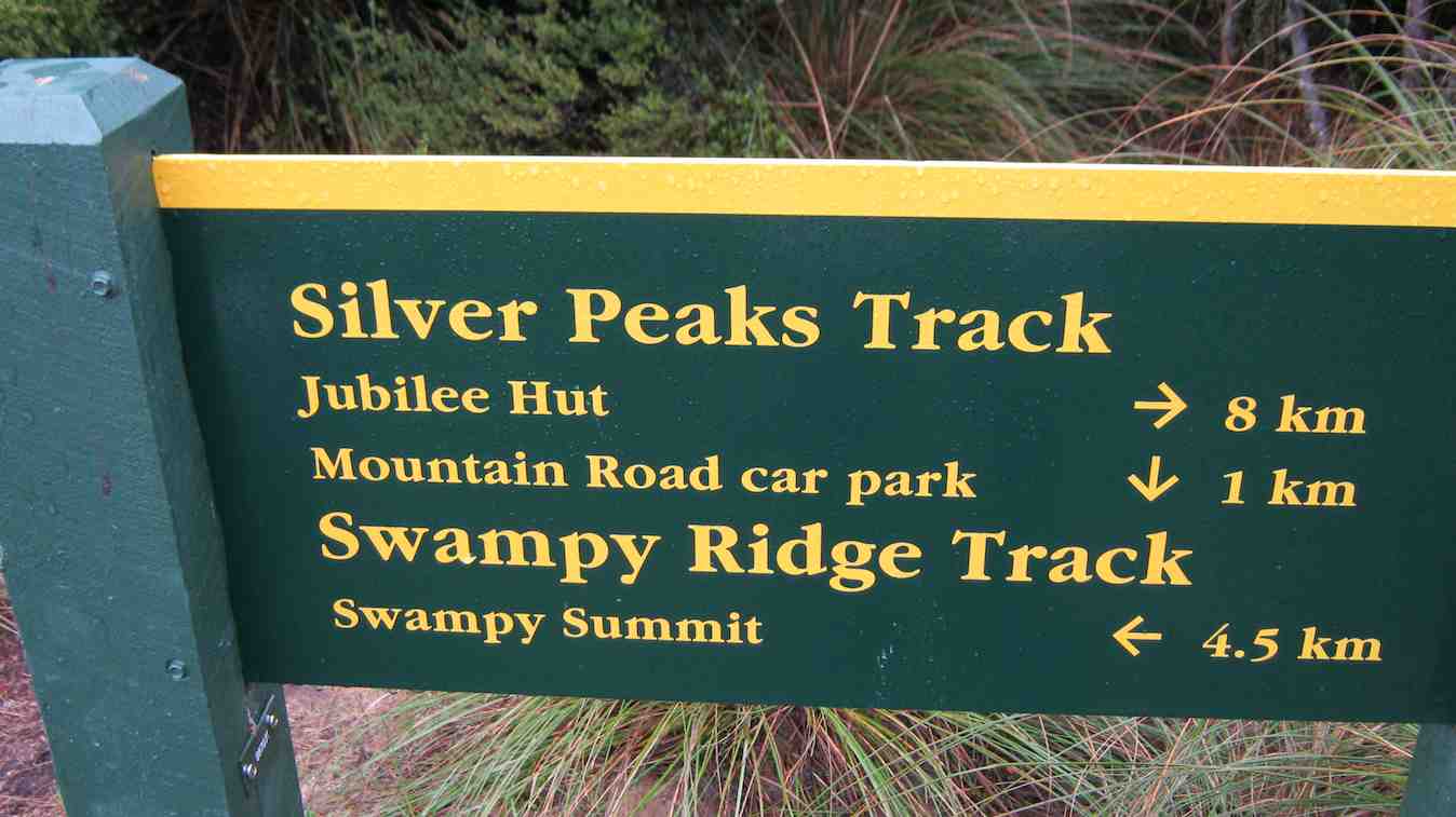
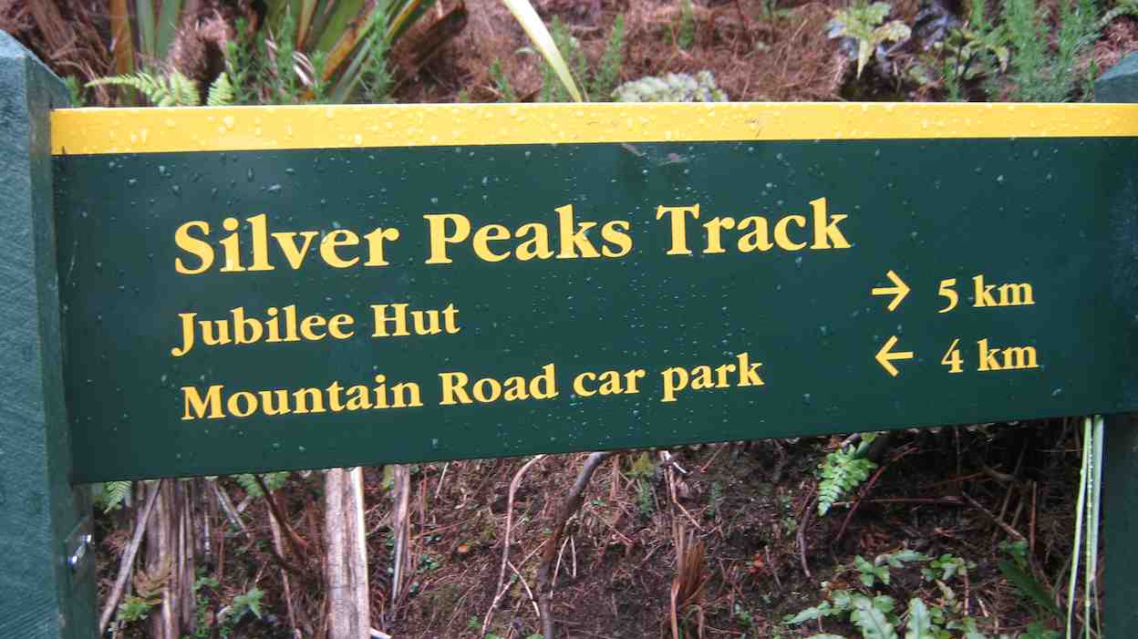
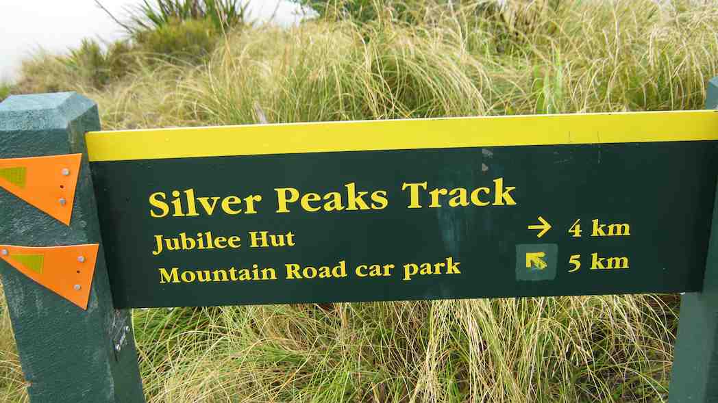
As the first track entrance sign round High Top has been removed, it is as well that the worst road holes beyond have been roughly filled to make the route in to the second entrace navigable.
The track in to the new sign shown below is just impossibly bad in wet weather. It has to be the most slippery and dangerous to be found anywhere. Apart from the Swampy Ridge Track indicated below, side track signs are now no longer there.)
4. 11/10/2006. Trampers. Hermits Cave via Green Hut, Pulpit Rock. Leaders: Doug M, George
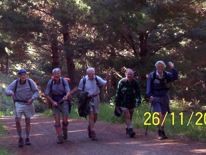
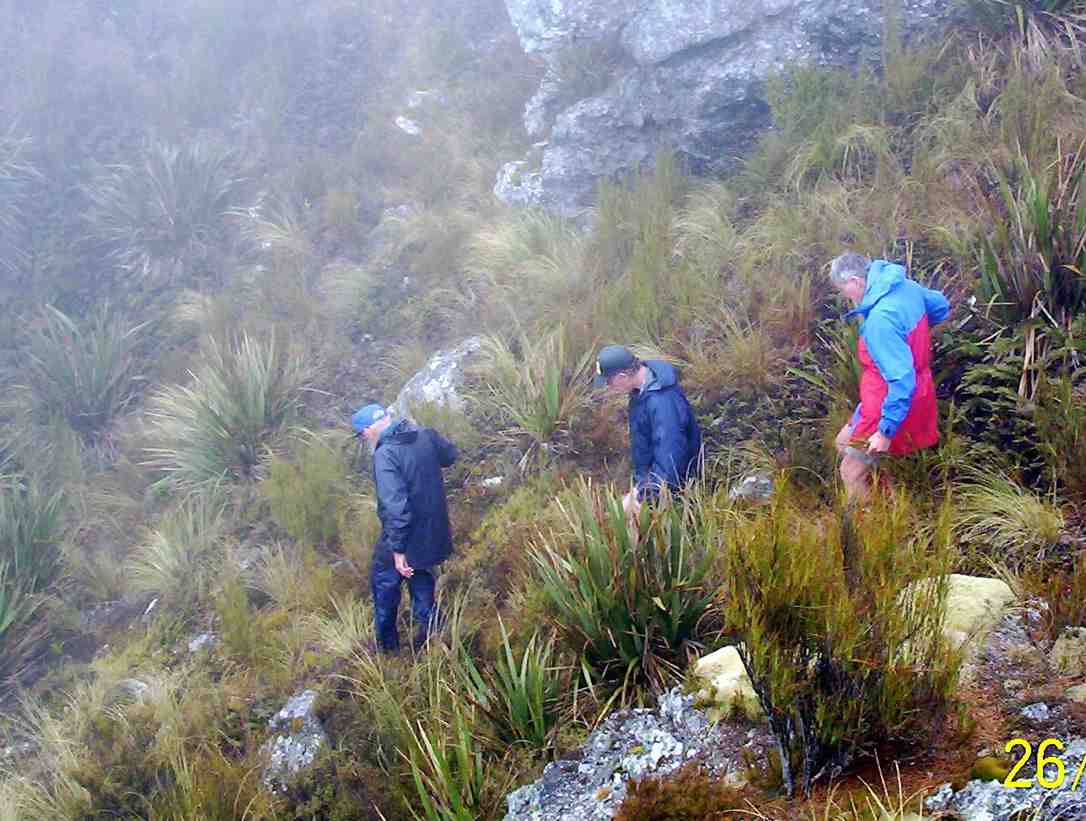
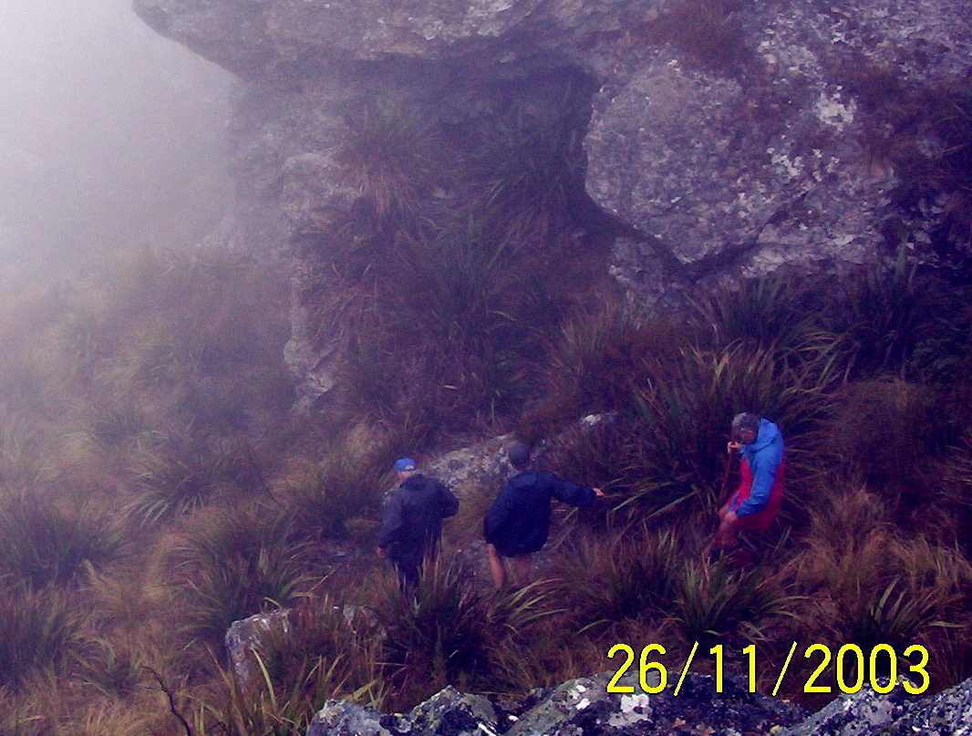
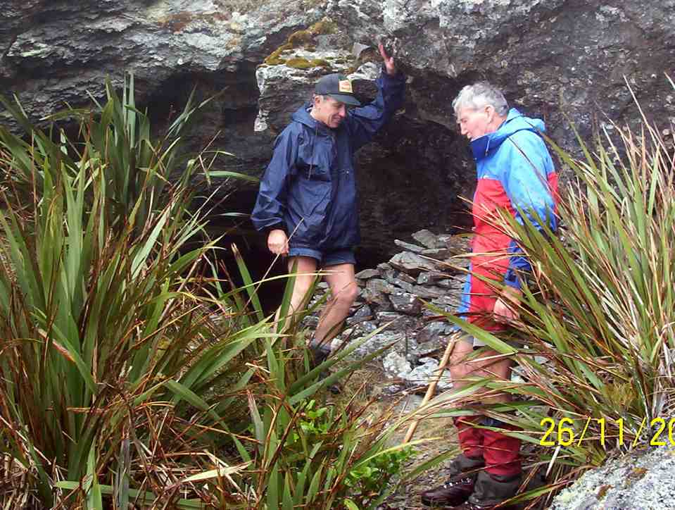
3. 26/11/2003. Trampers. Hermits Cave via Big Stream, Mount Allan. Hard. Leaders; George, Hazel.
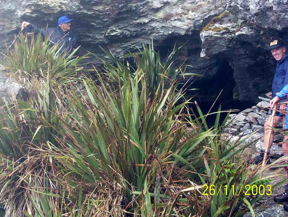
2. 29/1/2003. Trampers. Greeen Hut, Rocky Ridge, Hermits Cave. Hard. Leaders: George, Claude, Wendy.
1. 9/3/1994 Hermits Cave, Silverpeaks. 3 alternative stages – long, medium, short. Leaders: George, Doug J, Jean A, Eleanor
The hermit.
An account by a long-standing OTMC member.
Nice guy. Working for L T Martins in fancy furniture. Small. Some hang-ups. Disagreement. Found out not to be a partner. “Little Ross” Adamson. Disappeared. Went all round South Island. Seen in a few different places. Seen peering through window at Jubilee Hut. Caught some sheep. “Big Ross” Lake, a friend, and another male sought out Little Ross (with the knowledge of the police) and persuaded him to come out after two years. Police lenient. Lived normal life. Married. Children.
An account by a long-standing OTMC member.
Nice guy. Working for L T Martins in fancy furniture. Small. Some hang-ups. Disagreement. Found out not to be a partner. “Little Ross” Adamson. Disappeared. Went all round South Island. Seen in a few different places. Seen peering through window at Jubilee Hut. Caught some sheep. “Big Ross” Lake, a friend, and another male sought out Little Ross (with the knowledge of the police) and persuaded him to come out after two years. Police lenient. Lived normal life. Married. Children.
Another account. A leading light of the OTMC. Missing for 2 years. All over South Island. Silver Peaks for only the latter six months. Police brought him in when he started killing sheep. Account agrees it was indeed Jubilee Hut, not Green Hut as is commonly supposed, where he was seen.
A further comment by another: A little man – had a swelling on the side of his face which embarrassed him. Quite withdrawn but had a great sense of humour when you got to know him. An excellent bushman and a good teacher and leader in the hills. In the late sixties he worked for Valley Industries as a sheet metal worker and lived in a flat in (I think) Heriot Row – lived alone. Lots of stories about his history.
Committee Minutes 29/10/2018
Craiglowan Falls
9. 17/10/2018. Trampers. Steve Amies – Craig Lowan Falls. M. Dave.
13 keen trampers left their cars not far from the Whare flat school house and started on the Tunnel track.
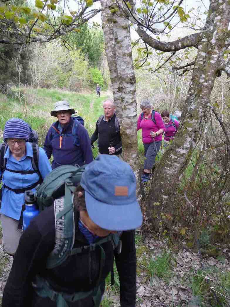
This track was fairly flat and one couldn’t help but marvel at the amount of work done by the early water race workers. After reaching McRaes Weir we turned up a somewhat steep track
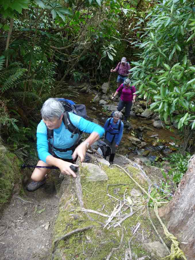
to reach the Steve Amies ridge. The climb along the ridge was very pleasant, with manukas/kanukas dominant, with lush green undergrowth.
We stopped at the memorial Bryan Freeman seat – he used to be a good friend of Eleanor and her late husband.

Near the top of the track it was obvious the amount of tree planting and track maintenance that Steve Amies and his mates did many years ago.
We then walked down Rollinsons Road and entered the bush that leads to the Whare lake loop track. It was in this area that a vote of thanks was passed to Arthur and Neil for the obvious work on track maintenance that they continually do (you no longer get your boots wet)!!!
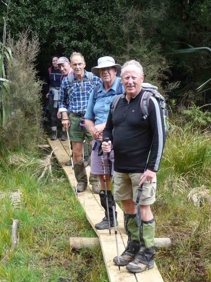
After having lunch on Smithys’ track it was then down through the bush and back onto Rollinsons road. Round the corner and off the flagstaff – whare flat road we followed an un-named track
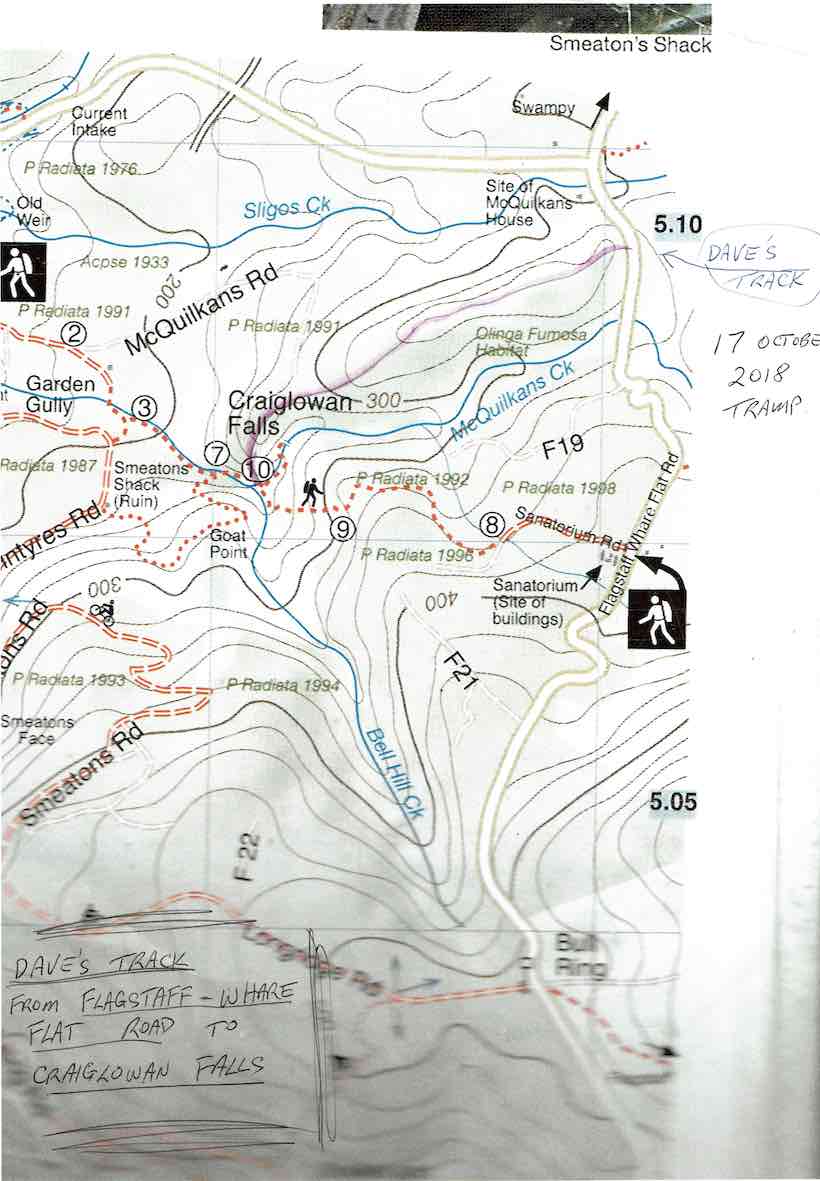
through scrub up to a pine plantation on a ridge. On the sides of the ridge were sycamore trees – a pest – but a pretty sight as the trees were coming into leaf. This improved track lead along the ridge finally ending high above McQuilkan’s creek. Everyone took care descending steeply down to the creek.
5 minutes up the creek we were at the Craig – Lowen falls – quite a sight!

Another half an hour down the streamwe were out in the open and back to the cars.
We covered 21,319 steps, 15.9km in 5.5hrs and gained a net height of 349 metres.
A good round trip! Dave
8. 24/9/2014. Trampers. Craiglowan Falls. M.
Enter via MacQuilkin Road up from Whare Flat Schoolhouse.
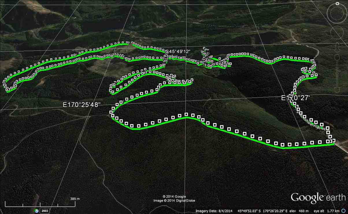
This week’s tramp was to Craiglowan Falls. We started off at the locked gate on McQuilkans Rd & followed the marked track across numerous creek crossings [where one member got her feet wet at the first crossing] & up over the large rocks just before reaching the falls. We had morning tea break in the bush above the falls, & then retraced our steps for a short distance back to where a side track led off up the LH side of the stream. (Ed note: This was our original, and only, route down to the falls.) We were not sure where this went, but decided to investigate it anyway, as it looked like it had just had some work done on it. I climbed steeply up until we came to some pine forest, & at this stage I was quite sure that it would come out on the Whare Flat-Flagstaff Rd via Sanitarium Rd, which proved to be correct.
At this time it was only about 11:30, so we decided to walk up to the Bull Ring, & go down Longridge Rd to join up with Smeatons Rd,[where stopped for lunch] …
At this time it was only about 11:30, so we decided to walk up to the Bull Ring, & go down Longridge Rd to join up with Smeatons Rd,[where stopped for lunch] …
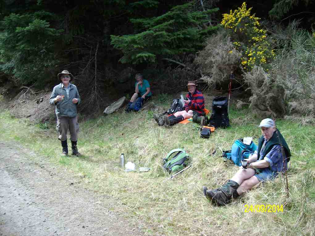
… – McIntyres Rd, [so we could view the remains of Smeatons shack] then down to the Aquaduct. This proved to be more difficult then would seem, as there were a lot of big trees down over the track in places, which made it necessary to detour around them. From the Aquaduct, we walked around to join up with McIntyres Rd. again, & then crossing straight over here onto the next part of the track leading to Longridge Rd. then back to the car.
Some of the tracks were quite muddy & slippery, but all made it safely back, & enjoyed the day. it was new territory for some in the group, & for others it had been a long time since they were there.
Some of the tracks were quite muddy & slippery, but all made it safely back, & enjoyed the day. it was new territory for some in the group, & for others it had been a long time since they were there.
7. 30/5/2012. Trampers. Falls, Goat Point, Smeatons Shack, Aqueduct, Longridge Road.
We reached the Falls OK, but stream crossing on wet rocks and climbing over mossy rocks proved rather dicey. (Note: This tramp best done in summer.)

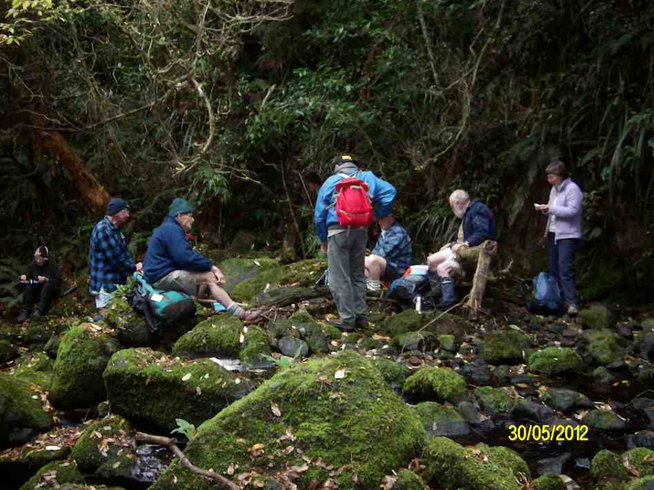
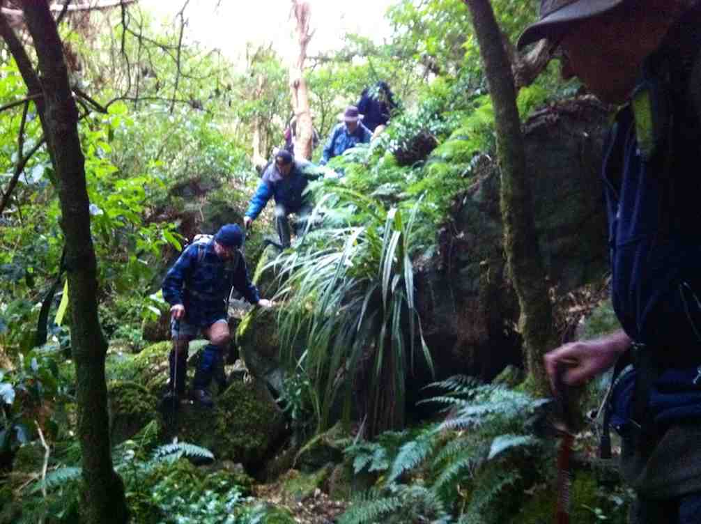
Well, to this point, so far, so good. Back at the stream crossing down below the confluence, we failed to locate the track up to Goat Point, despite knowing its general area. So we climbed in faith and hope. Finally we came across track markers, leading left and right. After exploring left, we went right, until they led relentlessly down. So we retraced back up because Ian had it fixed in his mind that we had to go up to reach the pine plantation. Mistake one.
Encouragingly however, Ken found a track indication on his GPS, and it did promise to reach a forest road. So we kept to this, despite no track appearing, only plenty of scratchy blackberry brambles. But we did reach the road, finally.
This we walked down until we reached a junction, with signs indicating that we were on Smeatons Road, crossed by McIntyre road. Hooray. McIntyre was what we had originally wanted. Ian felt we still had to go down so we turned left and down McIntyre road. Mistake two. We should have taken McIntyre road to the right. More of that later.
Anyway we made the long walk down McIntyre Road, left, to where the race crosses it, and turned right, along the race to lunch, as planned, at the Aqueduct.
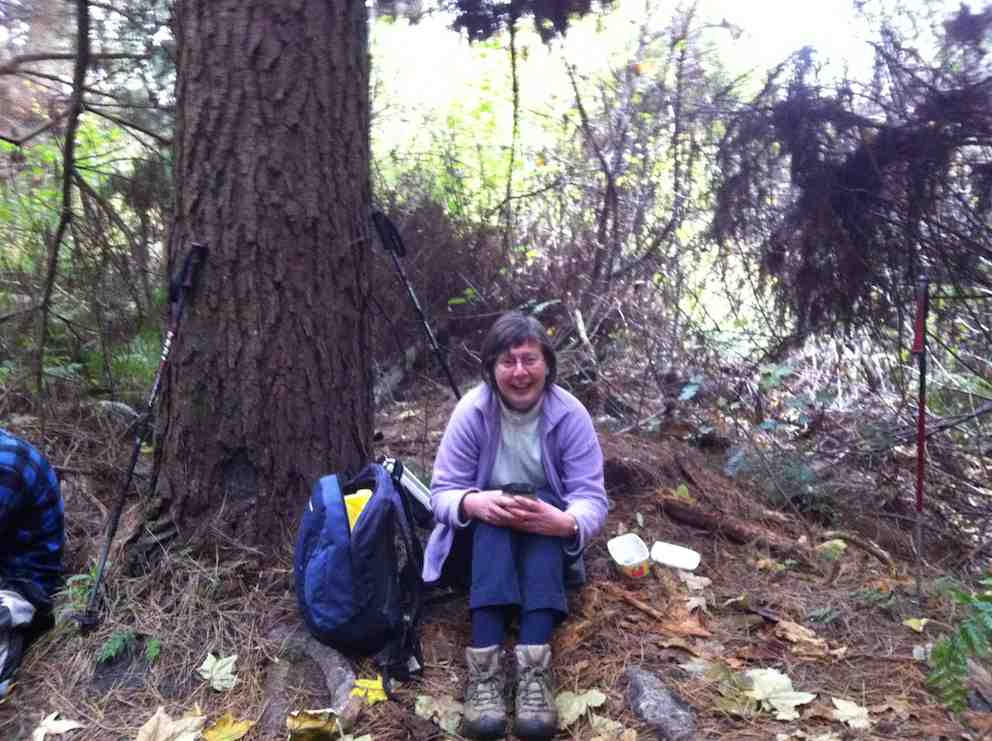
Now, have a look at Ken’s GPS of our route. Click to enlarge. Start at the top, and follow to the right to reach Craiglowan Falls at the extreme right.
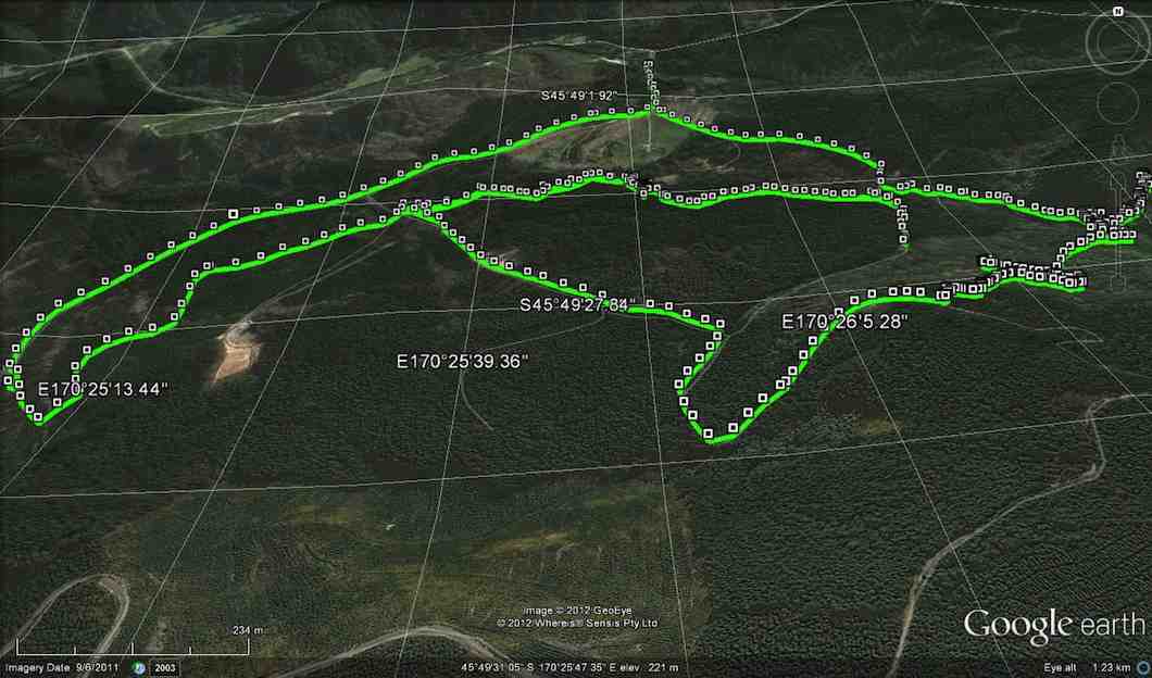
Start returning to the left a bit. The zigzag you see is where we starting climbing away from the stream. A further zigzag a little further along is where we started following the track markers. The little tail to the left there, is where we turned back, before going back up again. CRITICAL MISTAKE. Notice, however, the short gap beyond to a tail coming up from below. This is the gap we should have traversed.
Now turn to page 8.07 of Antony Hamel’s Tracks and Trails, and find on the map of Flagstaff Forest at the top right, the circled number “seven”. See how it ascends first before turning right along a contour, below Goat Point and then DOWN to meet McIntyre road at its other end next to Smeatons Shack.
That tail from below is where Ken and Ian climbed up at lunch time to check where we should have come down. And lo and behold, we found not only Smeatons Shack but also the marked track next to it where we should have exited from. An aha moment. And it all became clear, as the GPS map confirms.
Ken and I returned back down the end of McIntyre Road to find the others had left, leaving Doug waiting for us. Of course we should have consulted with everyone to get mutual agreement with what we proposed to do and to arrange a meeting place should the others proposed not to wait. But in our excitement at solving the mystery, we had neglected to do so.
Anyway, going on out to the bottom of McIntyre Road at its other end, we didn’t know whether the others had simply turned down there and back along Long Ridge Road to the cars, or carried on along the race. In the absence of any indication, we set off along the race, as that had been the original intention of the tramp. We were relieved to catch up on them enough to see them further beyond us, but stopping to don parkas as the drizzling rain got heavier, lost sight of them again.
Emerging from the race end further up Long Ridge Road, we saw them again rounding a corner further down and caught up on them at the gate at the end. So all was well that ended well.
Quite an adventure and some interesting unplanned bush-bashing. A lesson in how bush conditions can change over two years and a reminder that our smaller numbers means that all our tramps now amount to a recce, – unlike the hikers, whose “reconnoiterers” go through our experience and sort things out first. – Ian
6. 10/2/2010. Trampers. Falls, Goat Point, Smeaton Shack, Aquaduct, Longridge Road. Leaders: Ian, Sabina.
It all got a bit complicated. First the leaders failed to find the track down from the Sanatorium Road extension track. Many, many fallen trees had obliterated all trace of the track where it first descends steeply down. Well, the leaders couldn’t find it anyway.
However the start of a new track closer in from the gate had been pointed out by a local landowner so that was followed on the day.
It was fairly well cleared but markers petered out down the middle of a steep bouldery stream (the McQuilkin way upstream from the falls?) so after a morning tea rest, we prudently retreated back up and began all over again, this time back at the old school-house. Up McQuilkin Road. Right-fork into bush and across the McQuilkin on a wire hand-hold. On up and eventually back across to the true right and to the stream junction. Interesting notice points to “Watar fall”. Up over the large rocks and now it was lunch-time at the falls.
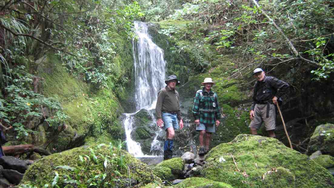
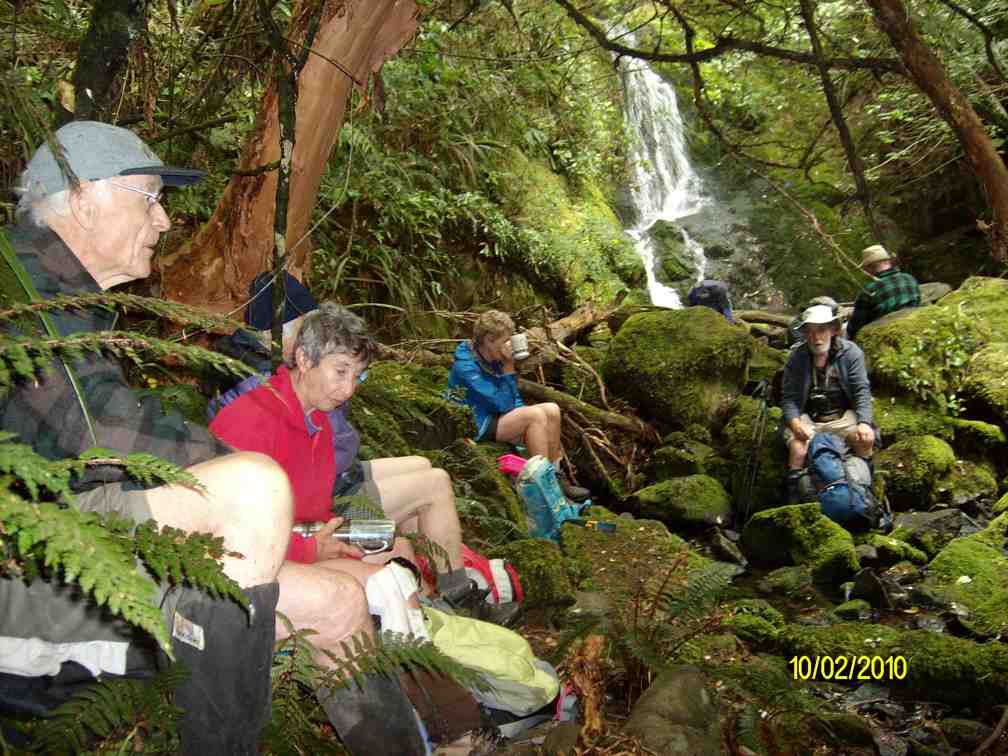
Back down and across to the true left but now up steeply to Goats Point. Across through the bush and down to Smeatons Shack on McIntyre Road.
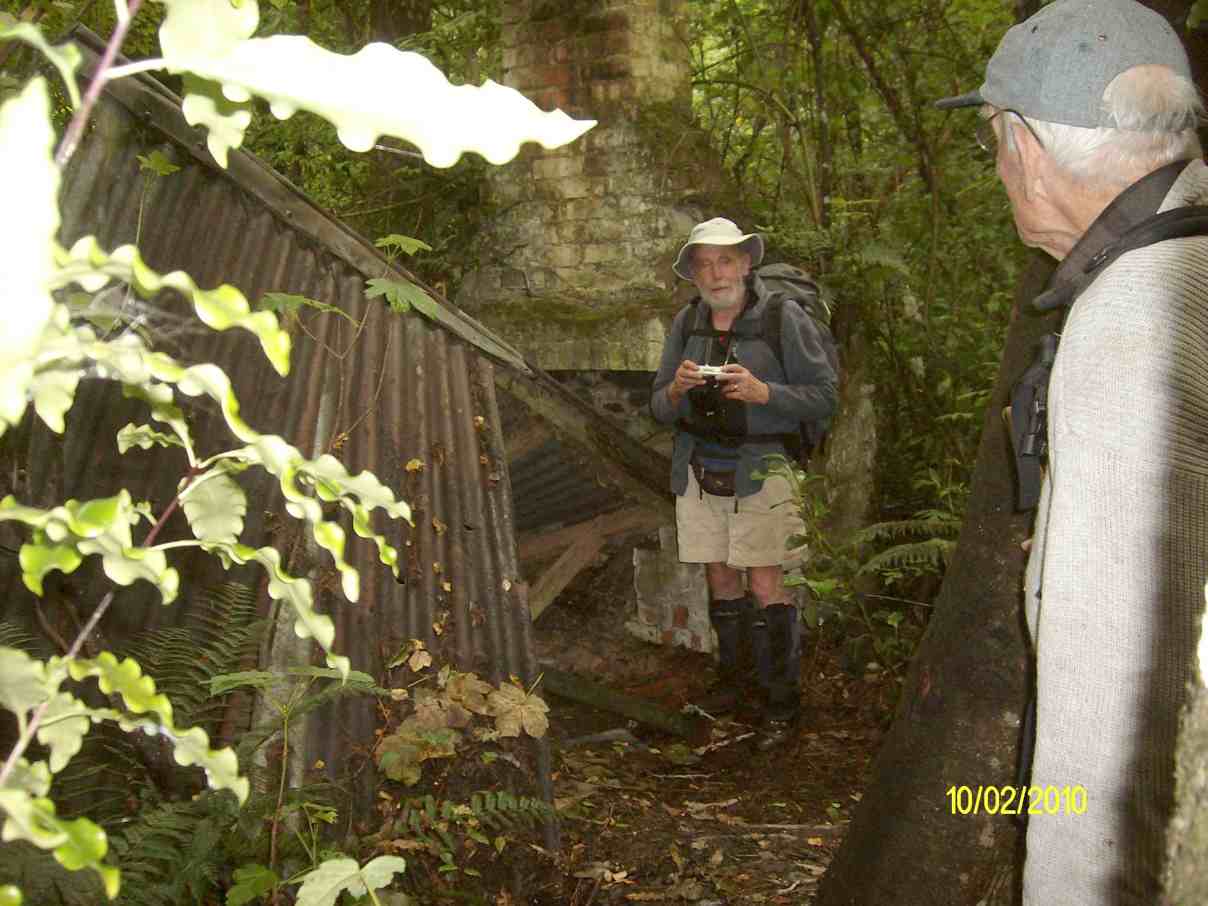
Down the road , down the track to emerge on the cleanly excavated concrete access race near the aqueduct. (Thanks, track clearers.)
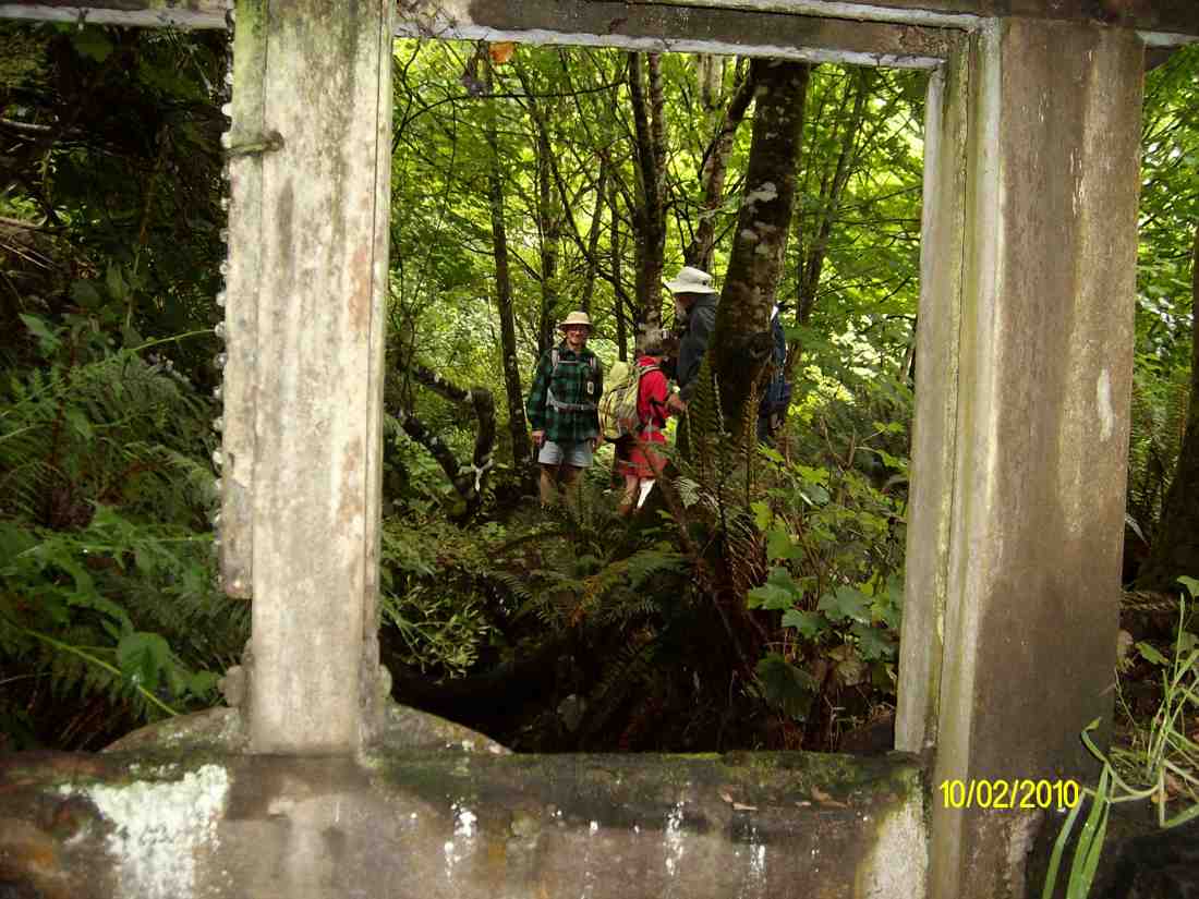
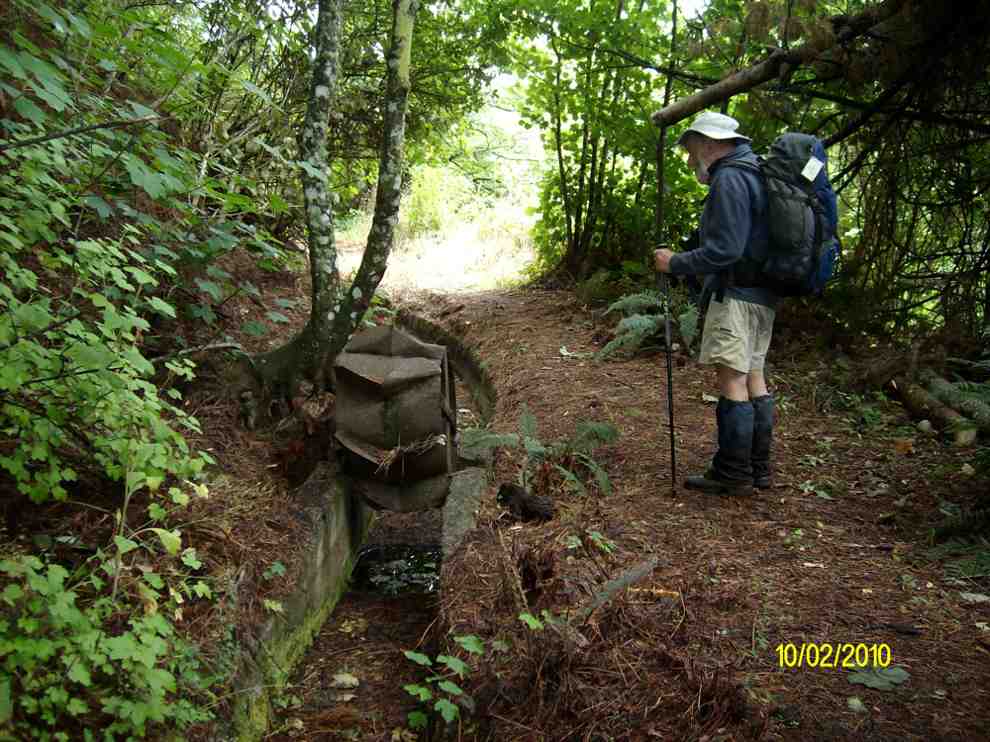
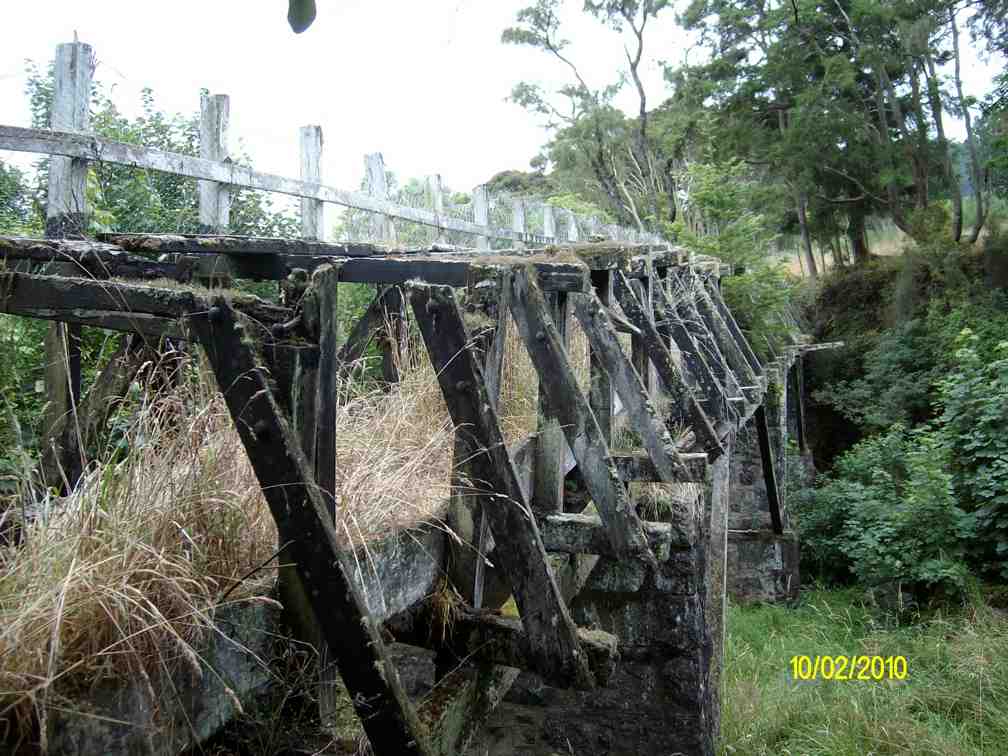
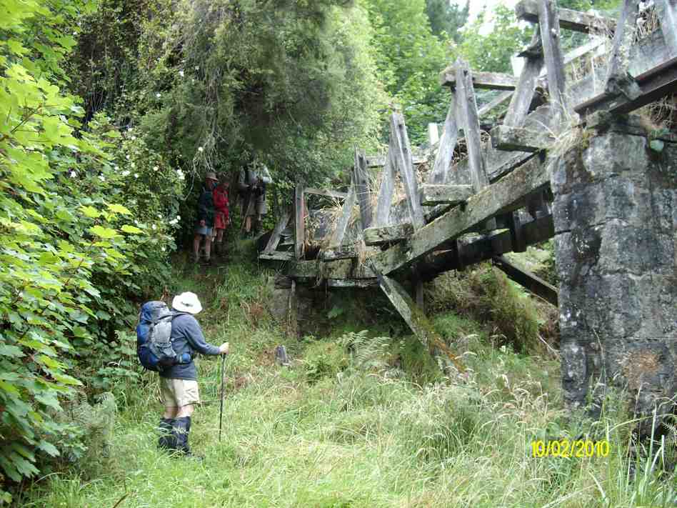
Then following out along the race to the other end of McIntyre Road, and across it to the far end of the race where the track comes out on Longridge Road. Down the road and back to the cars. What could have been a very short day comfortably filled out to be more satisfyingly longer. Must ask those landowners how that other track gets you to the falls. And must check out whether the old track is still navigable. – Ian
5. 3/8/2005. Both. School House, Craiglowan Falls, – Whare Flat. Leaders: Judy, Jacqui, Hazel
4. 6/8/2003. Both. Craiglowan Falls. Medium. Leaders: Doug M, Hazel, Barbara L, Mary M.
3. 19/7/2003. Craiglowan Falls.
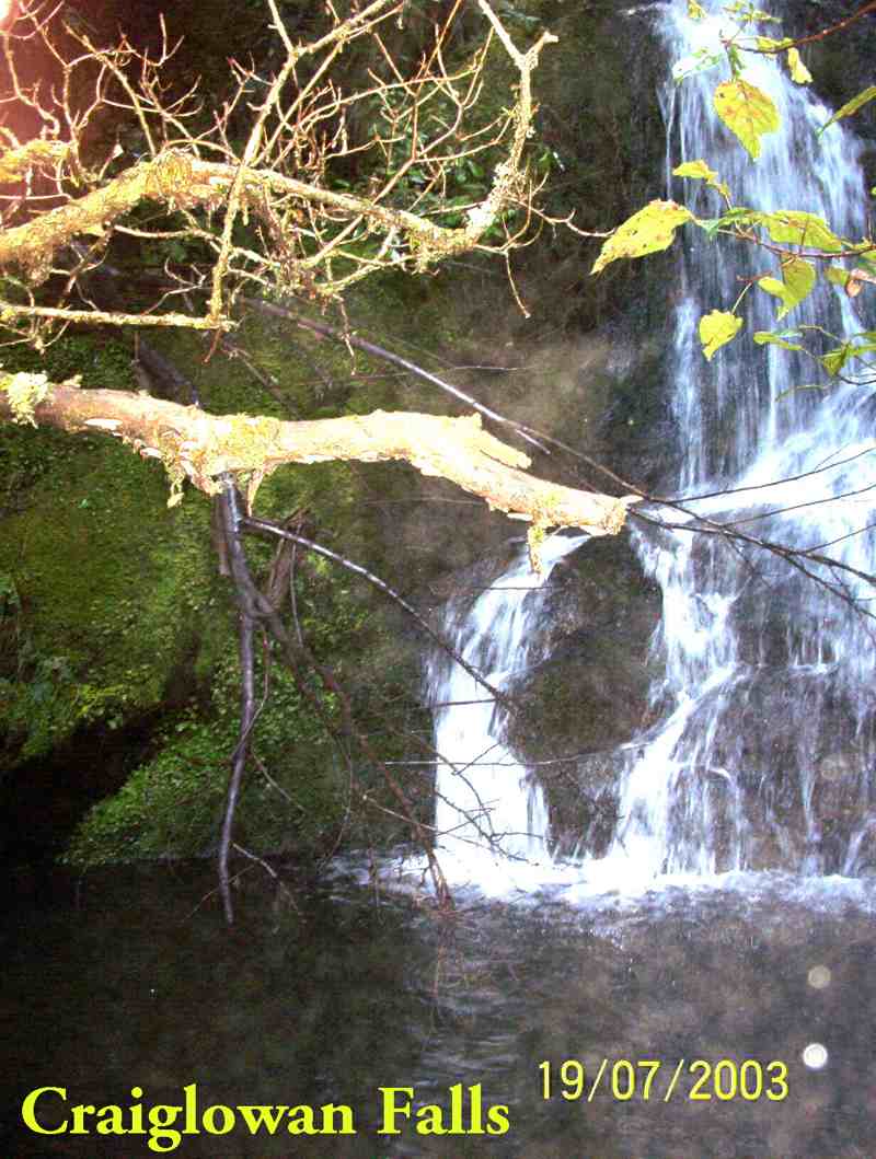
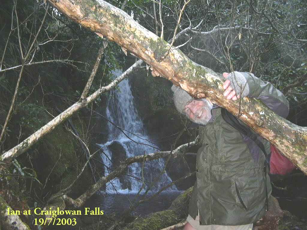

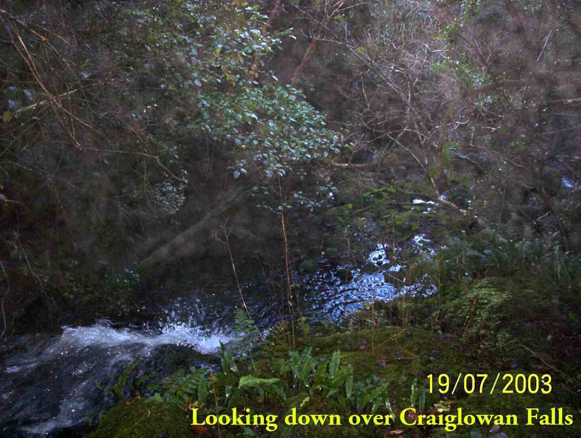
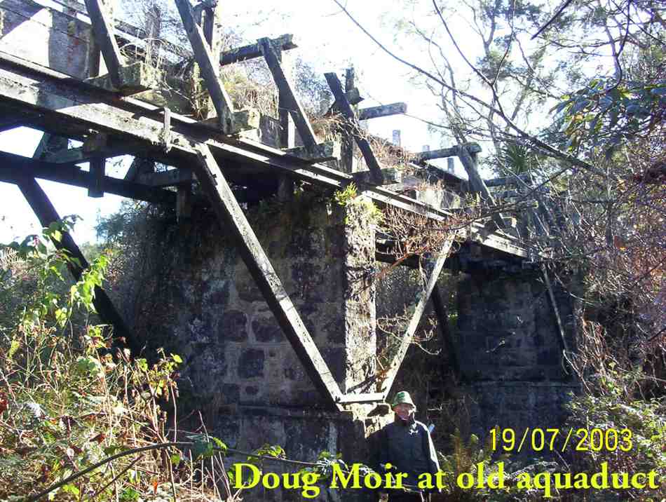

2. 30/8/2000 Craiglowan Falls, Whare Flat. Leaders: Mavis, Winifred, Val
1. 16/4/1997. Craig Lowan Falls from Bull Ring. Leaders:Hugh, Val, Judy C