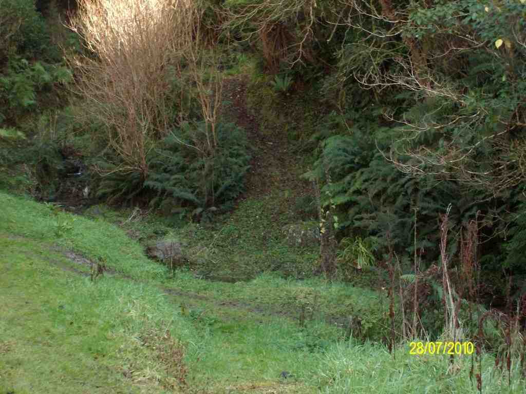
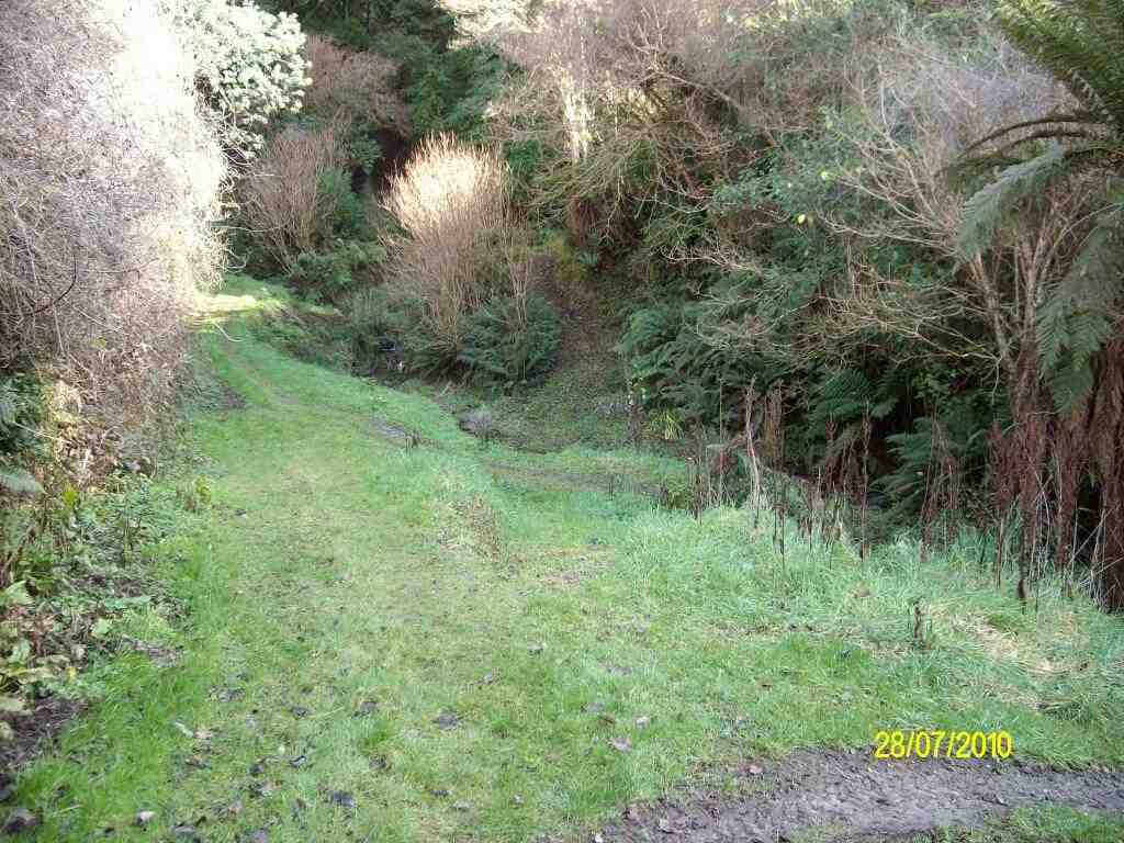
Access Permissions maybe required as this trip (Heenan Road) ventures over a working farm – refer guidelines
Restrictions: lambing Sept-Nov
TRTC Grading Information – trips incorporating these tracks are generally given a TRTC grading of 3. This is indicative only, as trips can be allocated a higher or lesser grading depending on the route taken. For more detailed analysis refer to Grading Information.
How To Get There:
From Outram turn left onto Allanton Road then right onto Huntly Road – this runs into Maungatua Road. Proceed to McLaren Road on the right, this in turn runs into Heenan Road.
TRTC Grading Information – trips incorporating these tracks are generally given a TRTC grading of 3. This is indicative only, as trips can be allocated a higher or lesser grading depending on the route taken. For more detailed analysis refer to Grading Information.
How To Get There:
Take Outram Mosgiel Road to Outram, proceed through the township and turn right. Turn left off the highway (SH87 – Lee Stream – Outram Road) just before it starts climbing the hill onto Woodside Road then right onto Ravensburn Street (5-10 minutes from turn off) and then left onto Mountain Road which leads to the Woodside Glen and the picnic area.
3. 31/3/2021. Trampers. Maungatua Traverse. Leaders Eleanore Ryan, Heather Kirk and Arthur Heenan
One of our best tramps ever!!
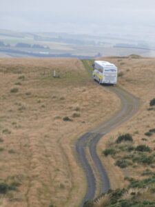
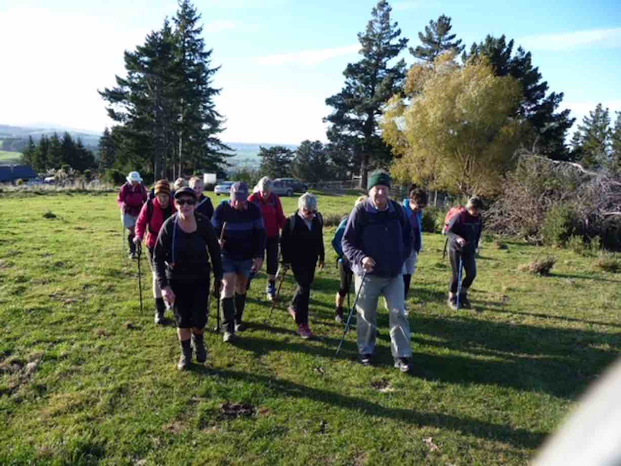
26 of us were met by Richard from Good Tour Bus Company leaving at 8:25am and driving an hour up to the Woolshed road, past the sheep yards for 3kms (saved an uphill walk) on Horsehoof Station.
The finish is now the problem (Photo & caption Gordon Grant)
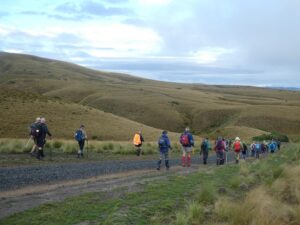
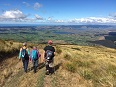
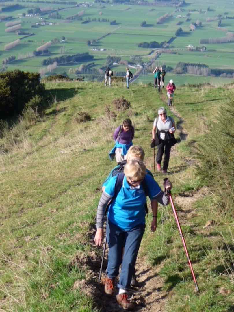
The weather was calm, with low cloud and fog in places. We set off up the access road for about 6kms to the summit at 895 metres.
On the way (Photo and caption Gordon)
Smoko was at 10:15am at the aerials, beside the boundary of the D.O.C. Reserve.
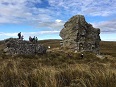
The fence into the Reserve was crossed and soon after a little detour to the rock outcrop was had to enable some to test their rock-climbing ability.
Rock Climbing (photo Pam Cocks)
We continued upwards following a faint track along the fence line, through scrub, dominated by dracophyllum. The summit in the rolling tops can now be hard to find as the trig has gone and only the base and a pole remain. This high point for us was reached at 11:30am. From here the views were truly spectacular.
Heading to the summit (Photo and caption Gordon)
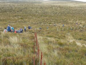
This was the end of the days climbing, soon to be followed by about another 9kms down. We crossed the fence again and stopped for lunch at 12:15pm, amongst colourful, interesting plant varieties.
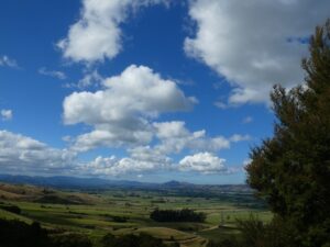
It was a great walk out in the afternoon, still enjoying beaut views, particularly the intricate set of channels, swamps, and lakes between Waipori and Lake Waihola, and, the Taieri river at the start of the gorge. Dunedin Airport was small in comparison to the vast Taieri plain.
View of Lakes Waipori and Waihola (photo Pam)
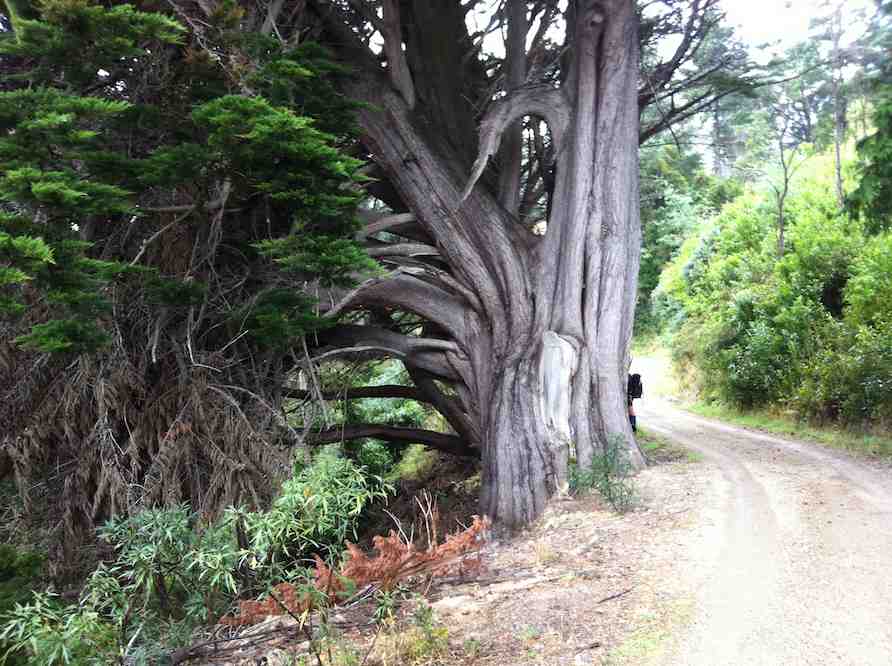
Continuing downhill we passed the lone rock outcrop before passing by The Three Kings rocks outcrop (which are much more of a landmark when viewed from the flood free highway). Finally, we came through a patch of native bush, including some great specimens of Beech trees. Then, rounding a bend we saw our bus was parked up waiting. We arrived to it at just after 3pm.
The bus is waiting down there (Photo and caption Gordon)
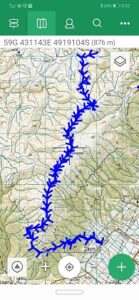
We covered about 16kms over 6 hours.
This MAUNGATUA Traverse was a first for all of us, apart from President Arthur. Our thanks to you Arthur for leading us today. Also, thanks to Heather for leading, along with Horsehoof Station Owners, the van Turnhouts at 3 Kings end and bus driver Richard Trainer.
I hope you all enjoyed this tramp as much as I did. We are so lucky to have strong bodies and good health to enjoy tramping in the hills we love.
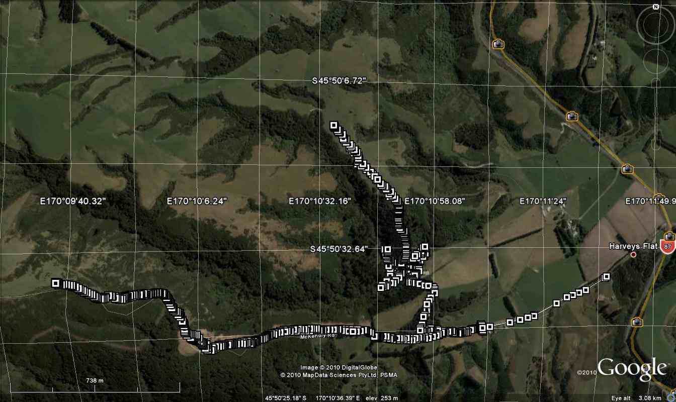
Viewranger record of the tramp (Sarah McCormack)
19 km to Kempshall Rd.
2. 5/2/2003. All. Maungatua Traverse. Moderate. Bus. Leaders: Bob H, Ian, Lex.
1. 8/3/1995. Maungatua Traverse. Long Day. Bus at each end. Fare to be notified later. Leaders: Rob Q, George, Eric, Les W
12. 9/5/2018. Trampers. McKendry Road to Maungatuas tramp. Leader: Jill.
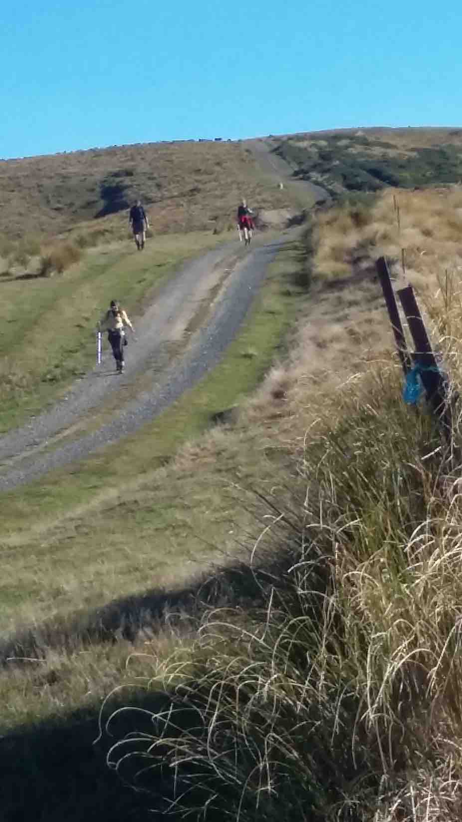
On a glorious May morning 13 trampers parked in Horsehoof Station’s paddock at the top of McKendry Road – and immediately began our ascent of “the Hill”.
Start. (Gordon pic.)
Gaining height quickly we were afforded great views over the Taieri.
Smoko break next. (Gordon pic.)
Morning tea was a welcome break from the climb – and time to take in the vista to Saddle Hill and the sea beyond.
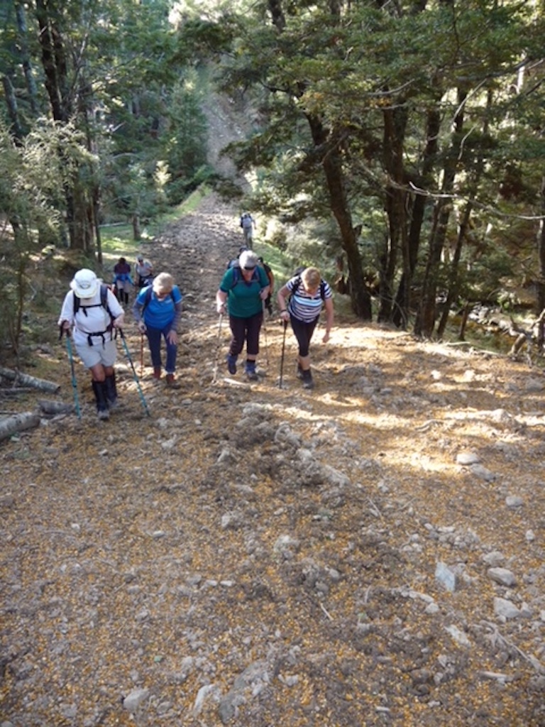
Our climb continued before we turned left on to a track that took us down through a lovely beech filled gully and over a pretty stream.
Native bush. (Gordon pic.)
(Don’t think we need to include the photo of Margreet & the gorse bush!)
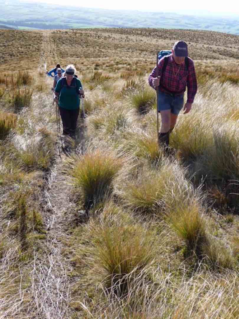
Then it was onward and upward and upward through native tussock country.
Long slog to lunch stop. (Gordon pic.)
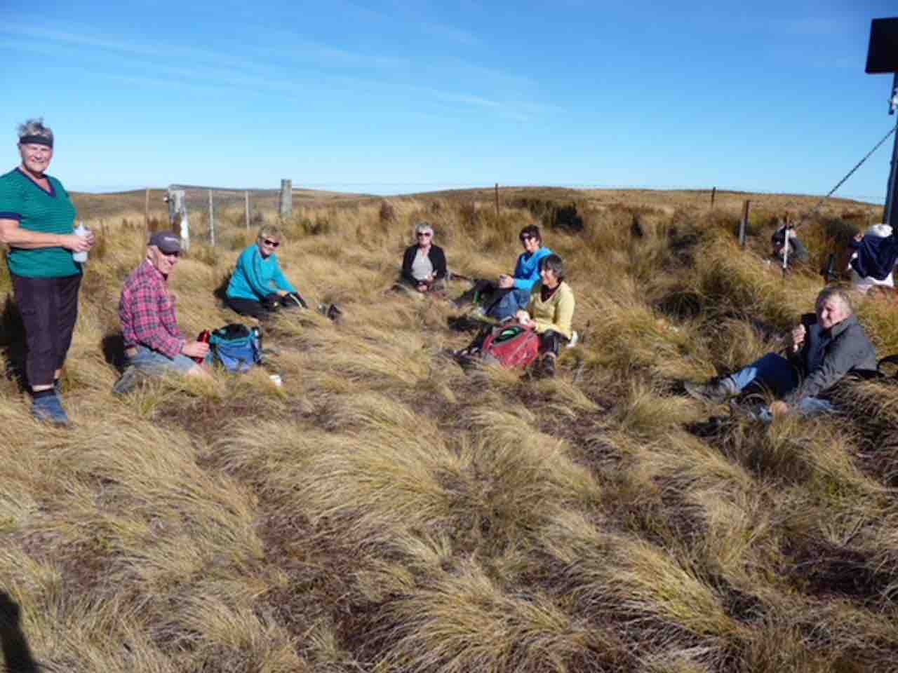
We had lunch at the top corner of Horsehoof – on the boundary with the Maungatua conservation area.
Finally, LUNCH Break. (Gordon pic.)
We headed back down along farm tracks,
All downhill from Woolshed Road back to the cars. (Clive pic.)
We parked the cars under some Gum trees, & walked the short distance to the start of the climb up the “Old Coach Rd” to the top of the Maungatuas.
Climbing ‘The Old Coach Rd’. (Ken pic and caption)
This track was very hard going due to the damage done to it by cattle.
Muddy condition of ‘Old Coach Road’. (Ken pic and caption)
We stopped for morning tea part way up, then continued on for some distance, until deciding to go back down, as it was getting quite windy, & cold, with frequent light showers. We went back down to the Roseburn house, found a spot to have lunch,
Lunch. (Ken pic and caption)
View from lunch spot. (Ken pic and caption)
View from lunch spot (2). (Ken pic and caption)
View from lunch spot by house. (Ken pic and caption)
& then went exploring, to find a better way to the top. After exploring a number of tracks, & even although the farmer had told Doug & Sabina that there was no way up now because of overgrown tracks, we found a way up through an old logging site which would take us right to the top.
Close-up of correct track. (Ken pic and caption)
Correct track to top. (Ken pic and caption)
From there, it was back to the cars, & home again. – Ken.
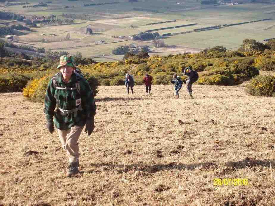
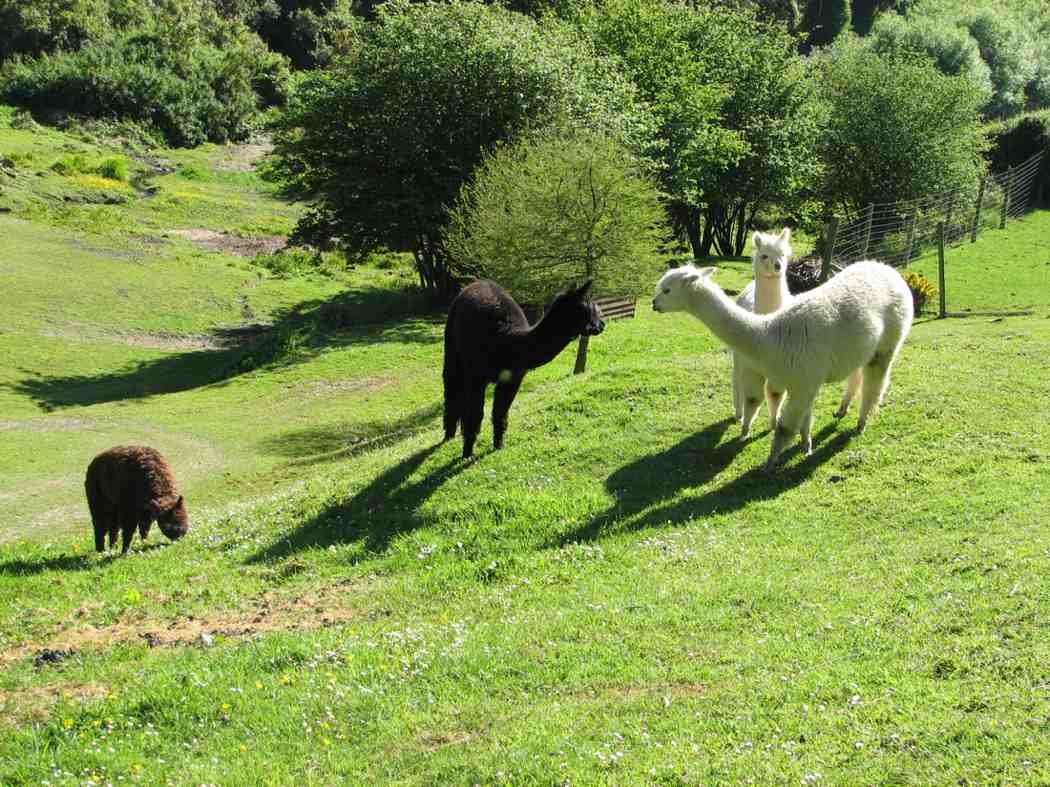
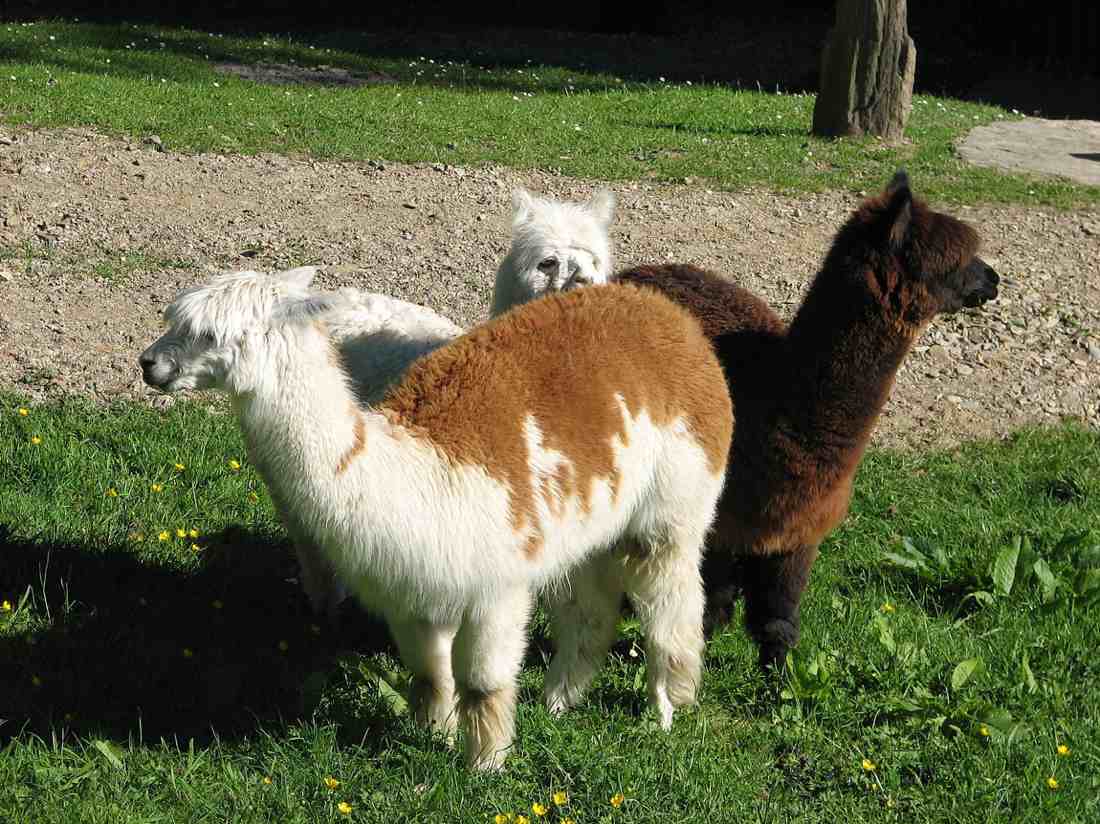
A hot day with some early steep climbing, but not before George and Glenis led 10 of us down through Roseburn farm homestead to see a dozen or so alpacas. Great.
Alpacas on RoseburnAlpacas up close
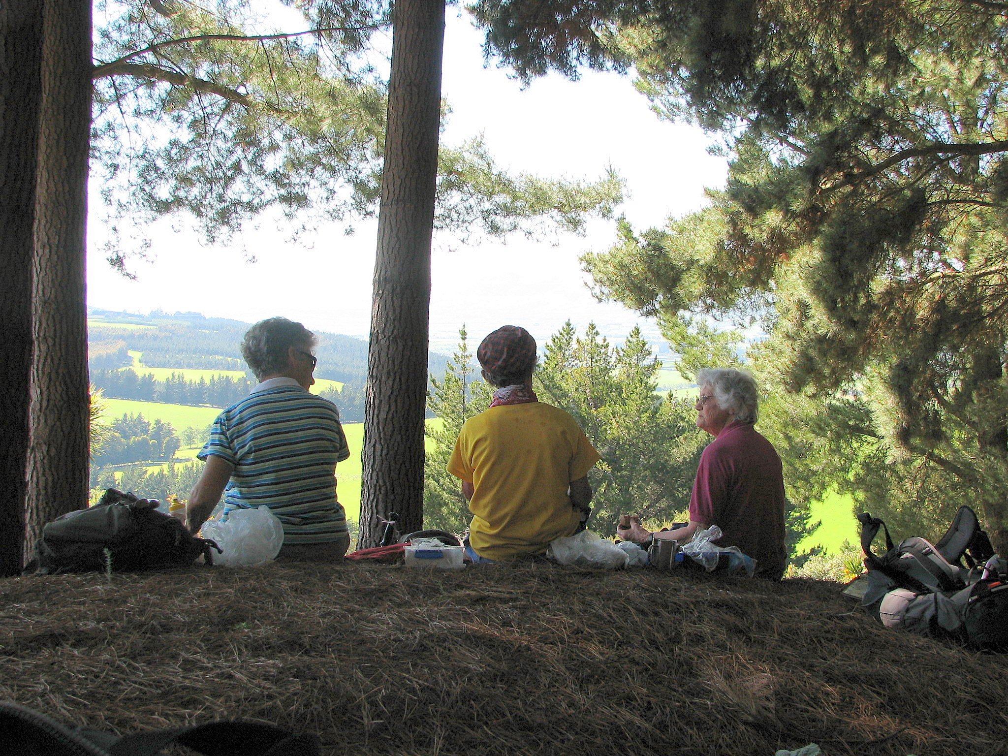
Climbing out, we stopped for morning tea with a grand view from the shelter of pines
Cuppa time. Wendy, Ria, Hazel.
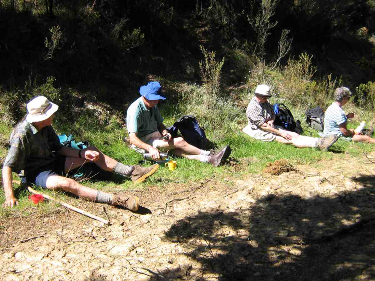
before emerging into paddocks exposed to a hot sun. It was then just continual climbing until we emerged at last onto Woolshed Road, a 4WD track along the top joining McKendry Road along the back with Horsehoof Station. It was still a bit early for lunch, so George led us down a 4WD track turn-off that headed towards Maungatua, to lunch under silver beech trees hugging a Woodside-bound stream. The trees provided a leisurely lunch- time shelter and rest.
Lunch. George, Lex, Pat, Wendy.Lunch snooze. Bill.
Climbing back out, we followed the Woolshed- McKendry road down, down, down, enjoying great views of Outram and the Taieri Plain on the way, to reach the cars again near Roseburn Farm. An enjoyable first real sunny day in a long time. – Ian
8. 28/6/2006. Trampers. Horsehoof to Maungatuas from McKendry Road. Medium+.
7. 18/6/2003. Trampers. McKendry Road to Maungatuas, returning by farm. Medium. Leaders Shirley McN, Bill and Pat.
6. 27/6/2001. Horsehoof Station from McKendry Road. Medium+. Leaders: Claude, Bill and Pat.