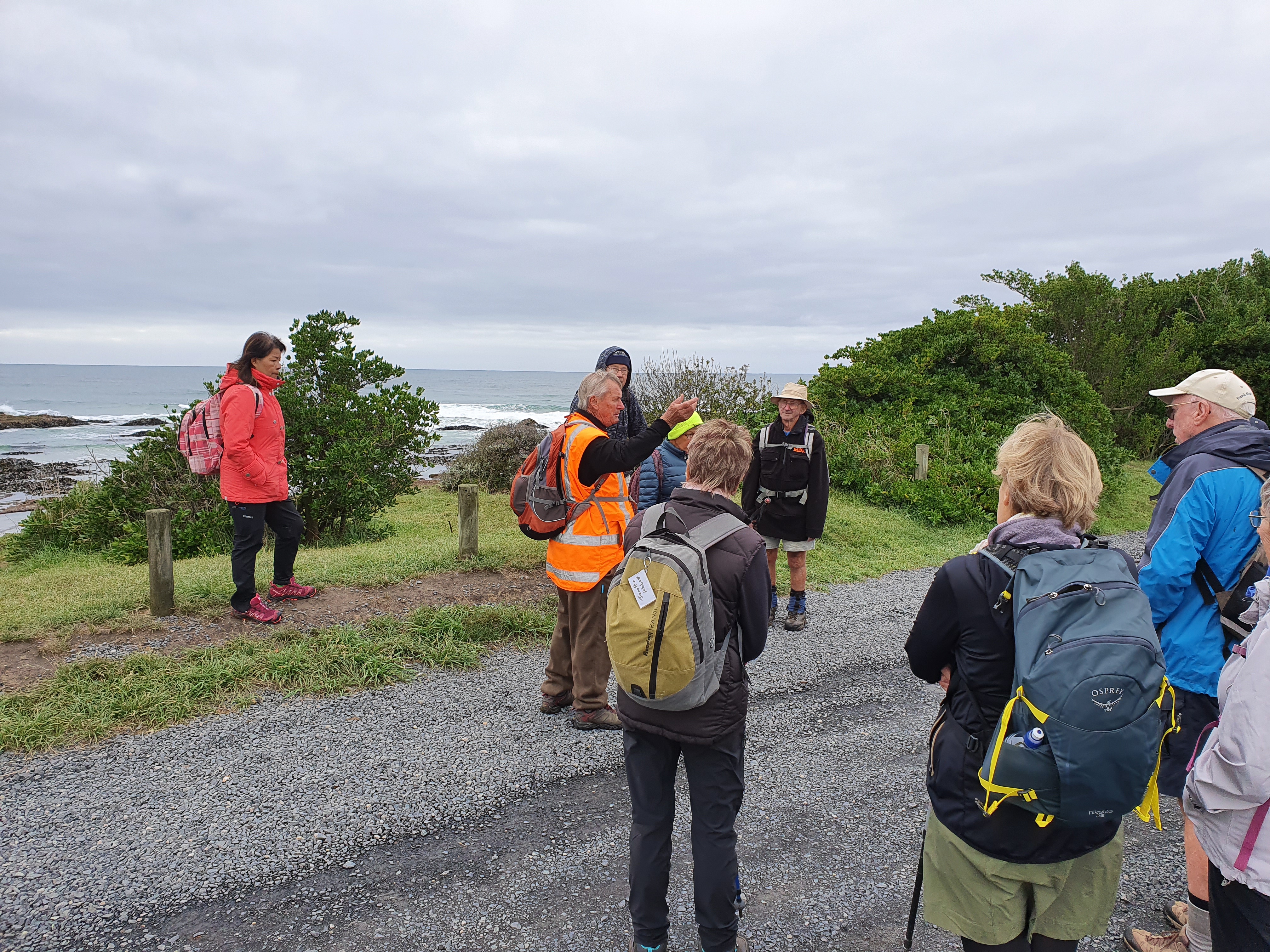
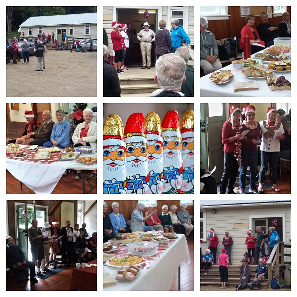
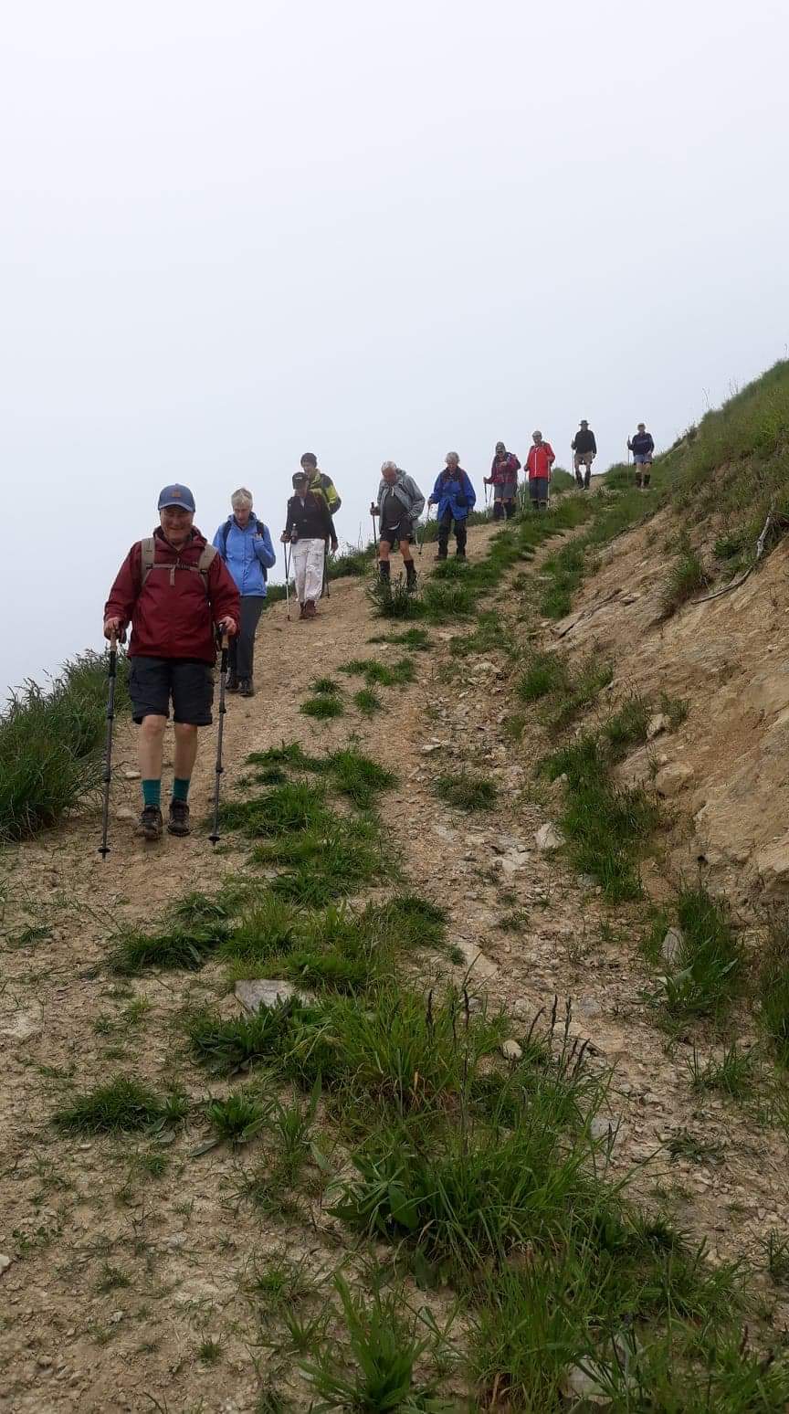
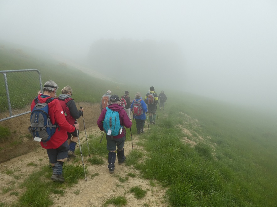
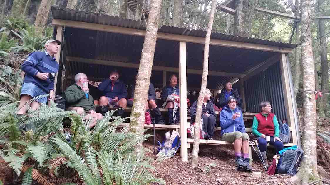
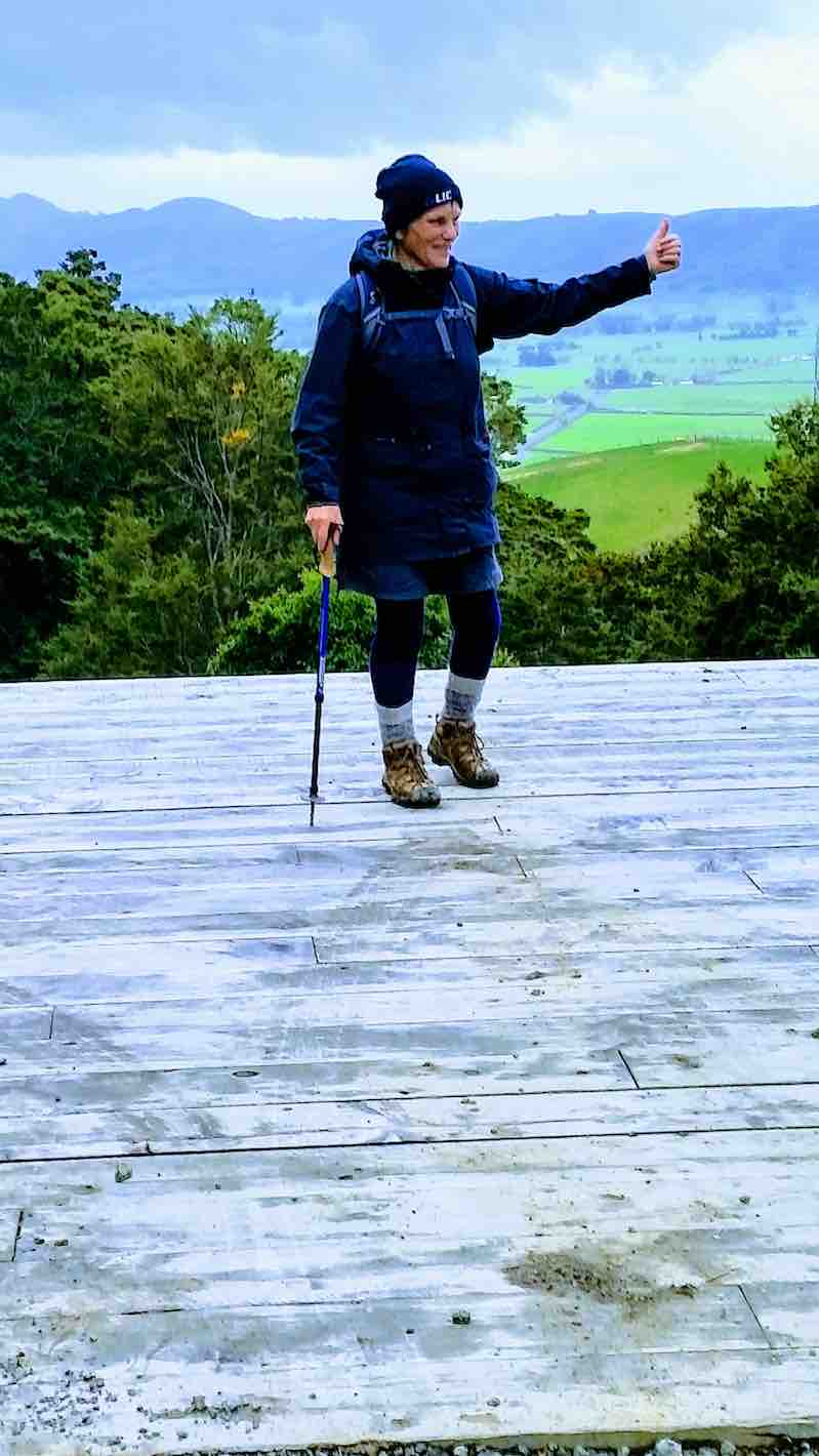
11/03/2020 Hikers and Ramblers Brighton Beach E Leaders Liz and Alex
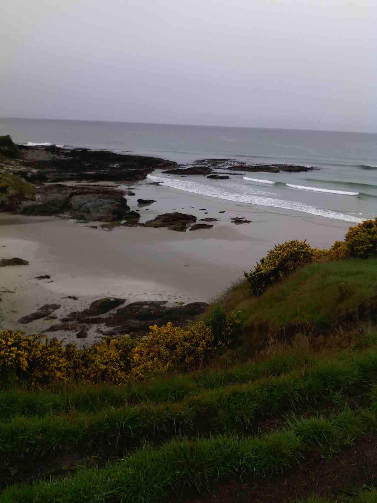
Brighton Beach is always a beautiful spot to visit, and today was no exception.
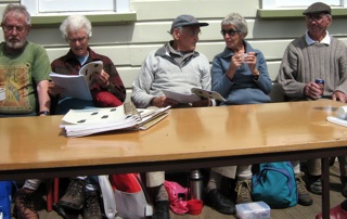
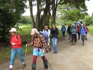
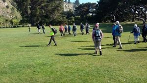
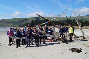
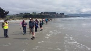
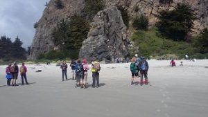
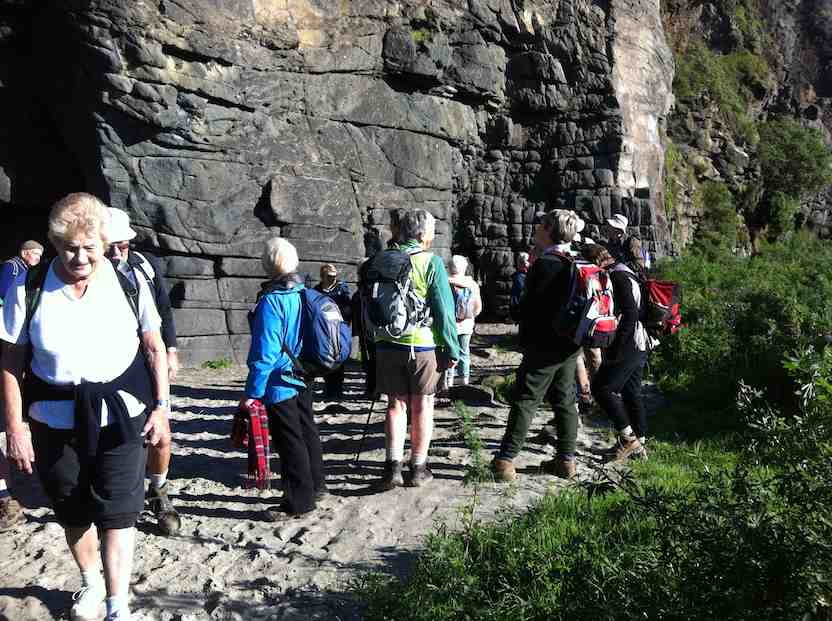
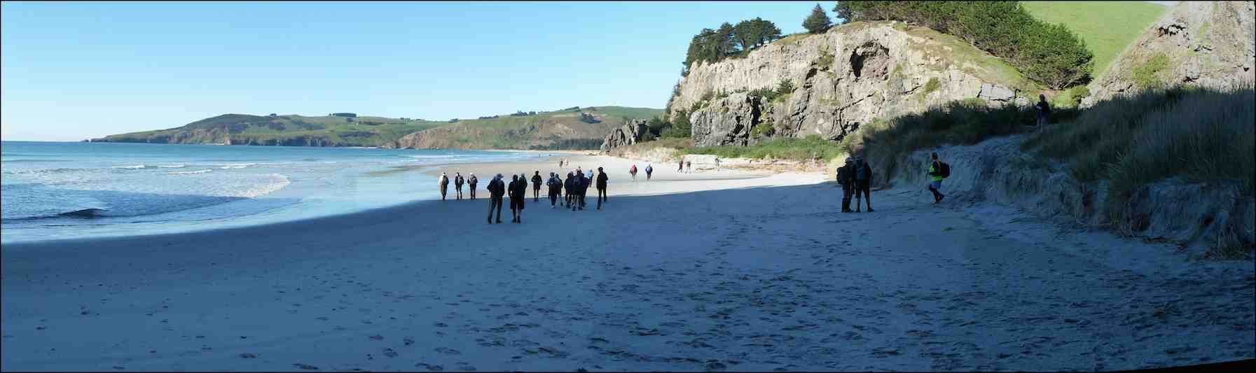
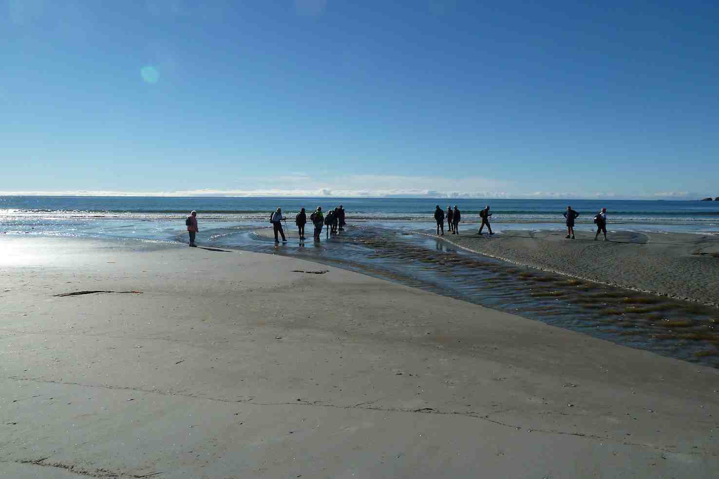
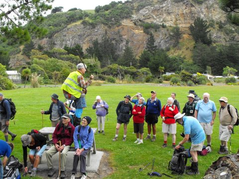
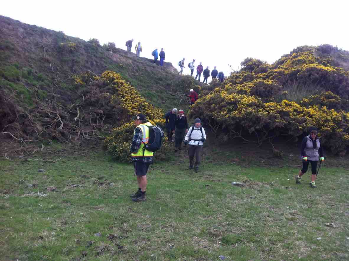
Over 25 Hikers and Ramblers set out from the Brighton Bowling Club. The wind was cool so a vigorous walk along the beach towards Taieri Mouth got us warmed up before turning around and heading back to the surf club at Brighton for morning tea.
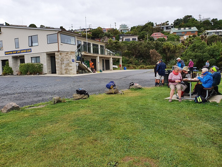
Photo and Caption Clive – “Brighton beach car park.”
Photo and Caption Clive – “Brighton Beach Surf Club”
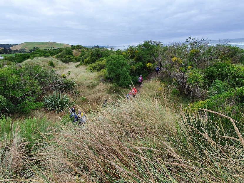
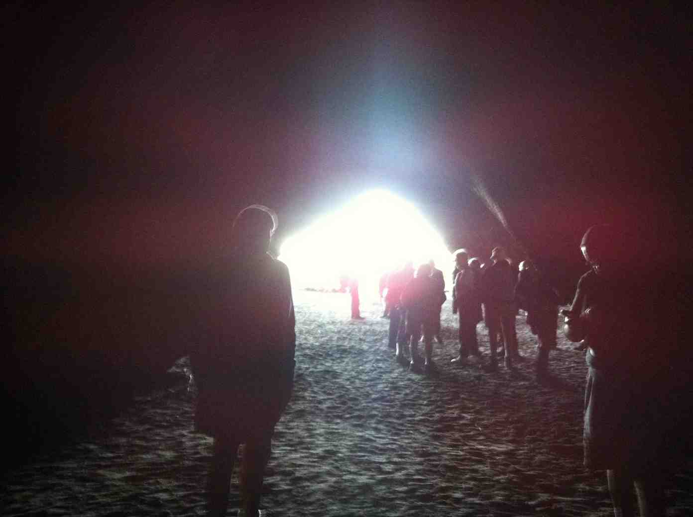
We then headed off towards Ocean Beach, a tunnel and sand dunes. The blackberries were ripening nicely and provided a sweet treat. We were able to point out past and present Homes of ex all blacks, Community leaders and some colourful characters from Brighton’s history.
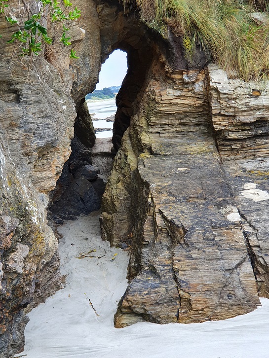
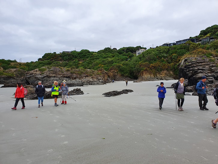
Photo and Caption Clive – “Ocean Beach tunnel.”Photo and Caption Clive – “Ocean Beach”
Photo and Caption Clive – “In the sand dunes”
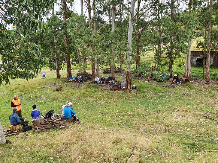
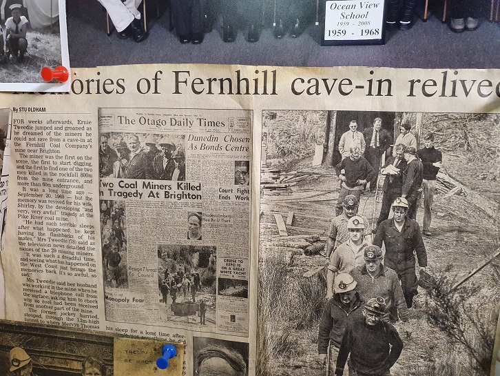
By lunchtime we reached the old creamery coal mine. There were several tales to be told about the coal mining days and of tragedy in the deaths of two of the coal miners. We sat amongst the gum trees for lunch and listened to stories.
Photo and Caption Clive – “Lunch amongst the gum trees”
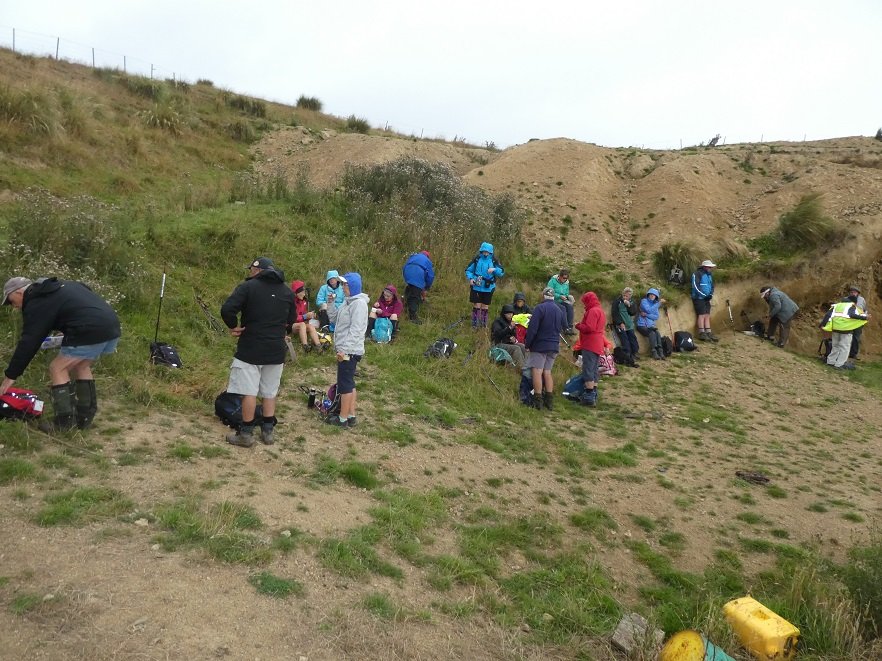
Photo and Caption Clive – “The old coal mine was over there.”
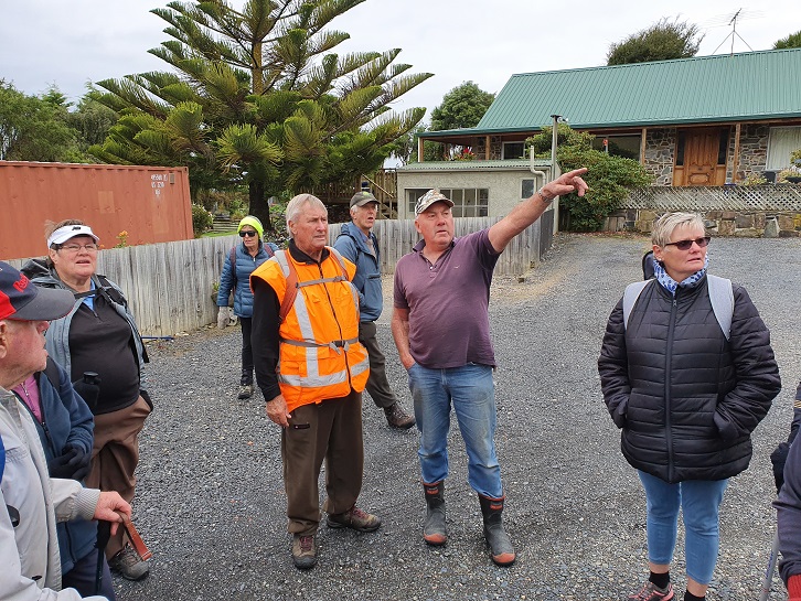
After lunch we walked up the hill and met Warren Harris who owns the site of the old coal mine. We were treated to a visit to his ‘Man Cave’ with some historic treasures and memorabilia.
Photo and Caption Clive – “Warren explains his collection.”
Photo and Caption Clive – “Tragic stories of coal mining days.”
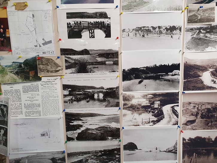
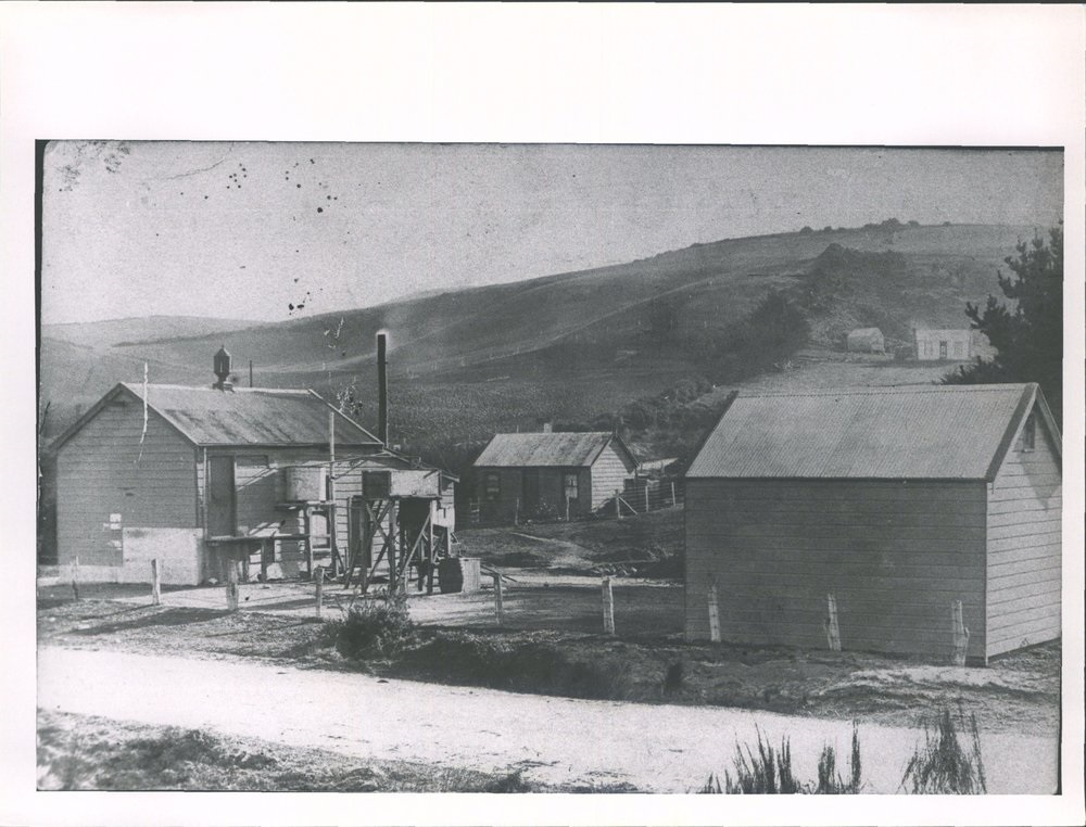
Photo and Caption Clive – “Historical photos from Brighton.”Photo and Caption Clive – “The creamery.”
We then headed back into Brighton past some million dollar homes with fantastic sea views, followed by coffee and a natter at the Brighton Café.
14. 4/3/2020. Both. Traquair Station via Microwave M. Leaders Jim and Betty and Jill R and Barabara
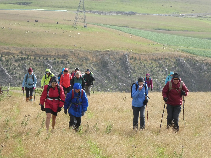
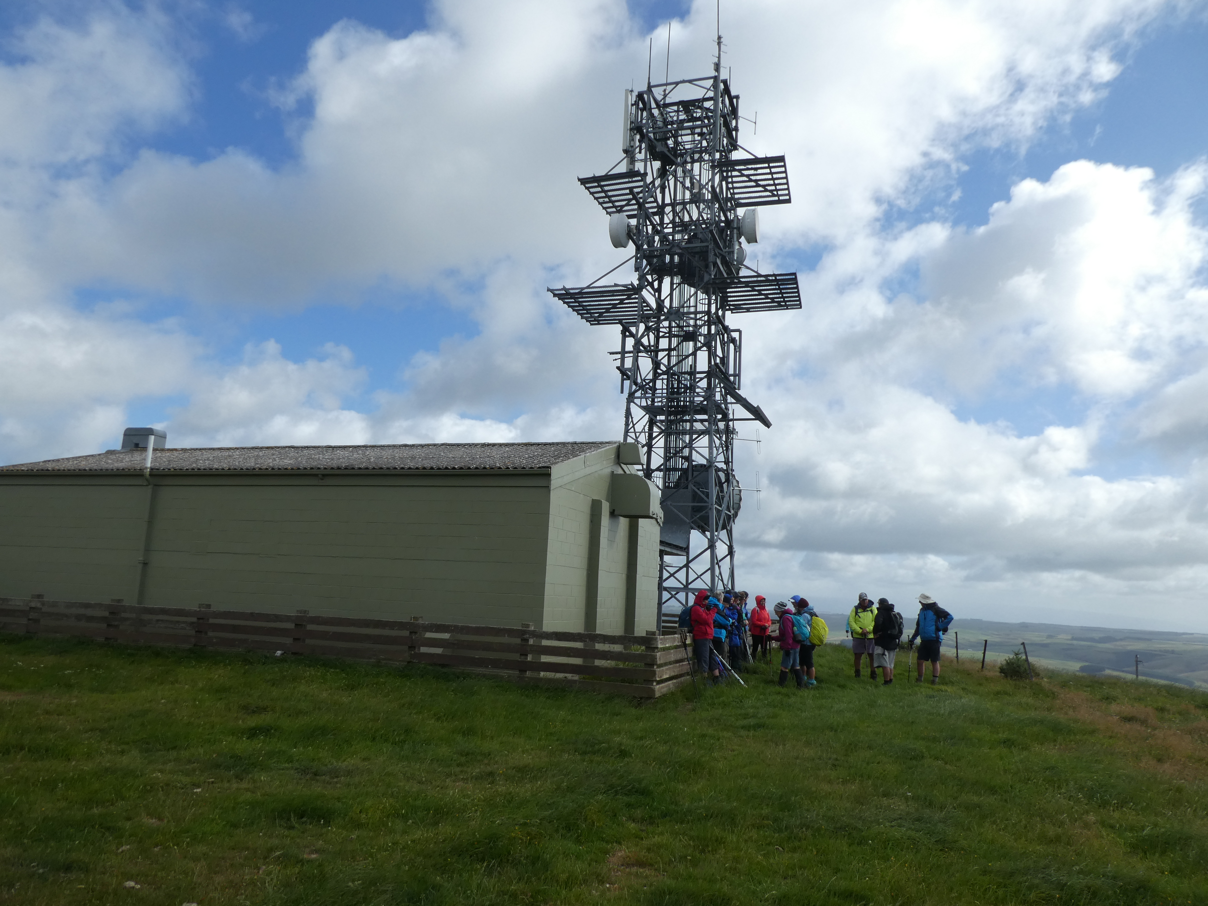
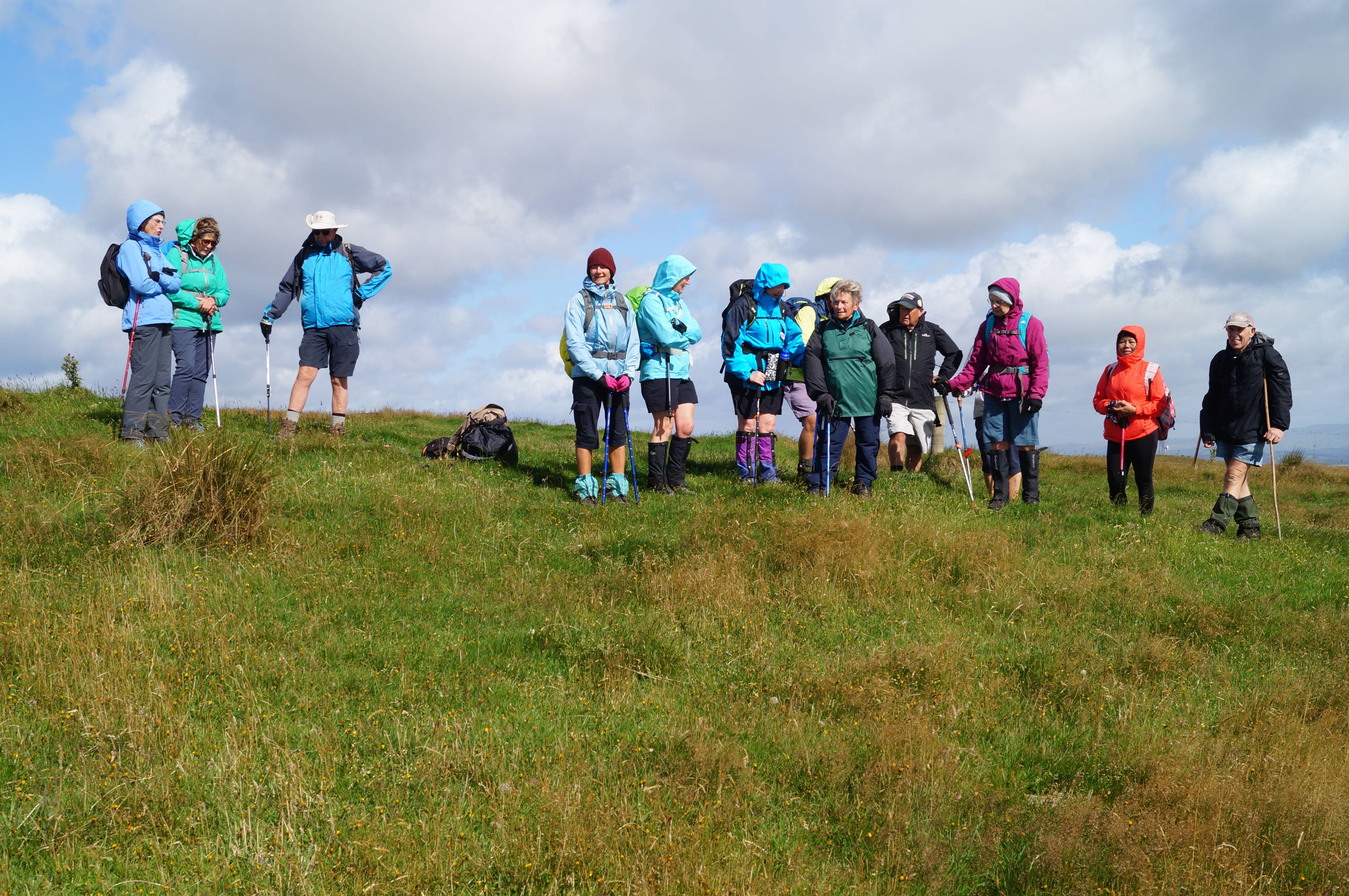
Of the 28 people that commenced the walk 23 made it to the Micro Wave Station where 3 sheltered in the lee of station while the remainder had a further brisk walk on the access road before returning an hour later for the lunch stop.
Photo and Caption Gordon – “Early smoko out of the wind.”
Photo and Caption Gordon – “Heading up to the Tower.”
Photo and Caption Gordon – “The cell tower.”
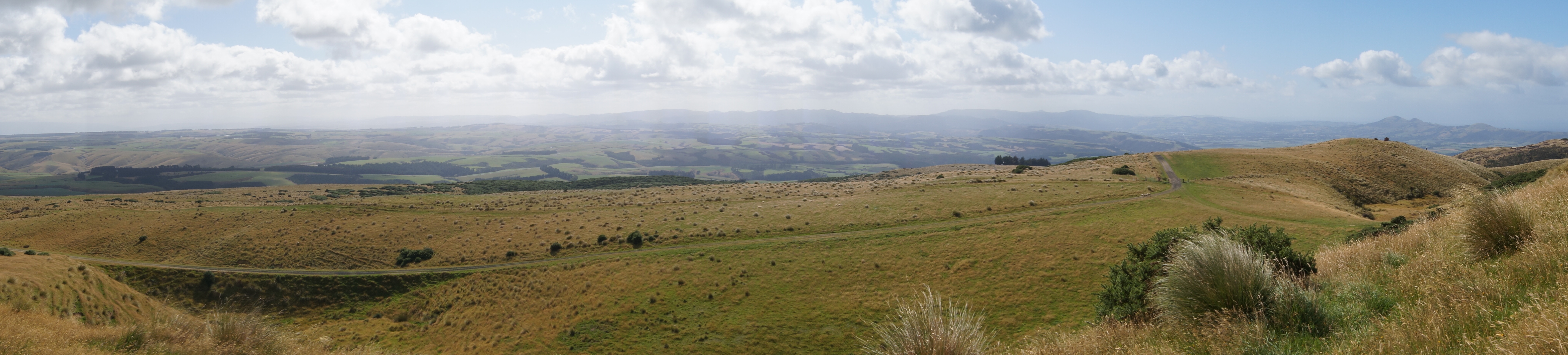
Photo and Caption John – “Taking in the view.”
Photo and Caption John – “The View.”
Conditions made for lunch to be brief, because of the chilling wind.
Photo and Caption Gordon – “Lunch back at the tower in the shelter.”
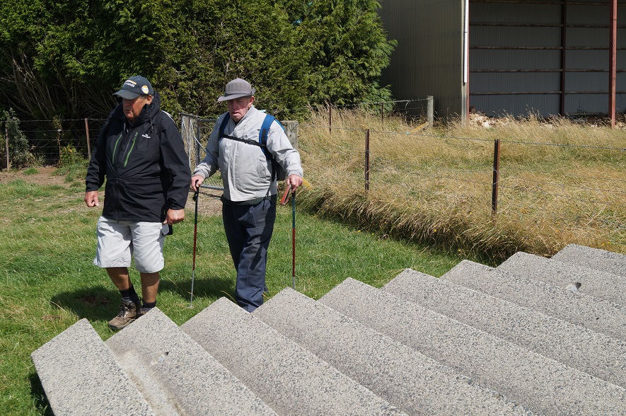
Photo and Caption John – “Wonder what these steps are doing here?”
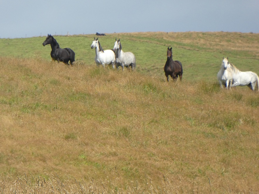
The downhill return on this working farm took us among a variety of animals, including some black & white horses, & after a short gallop, they could be seen looking over the ridge at what had come among them.
Photo and Caption Gordon – “Interested spectators.”
Photo and Caption Gordon – “A good walk in the wind and cold.”
Thank you, Sarah & Barbara, for your assistance. It was unfortunate that Barbara could not be with us on the day. The social stop was at the Wobbly Goat on the return to Mosgiel.
18. 11/12/2020 Christmas Breakup. All. Waiora Scout Camp. * E. Leaders. Eleanore and Jill D., Noi and Adi.
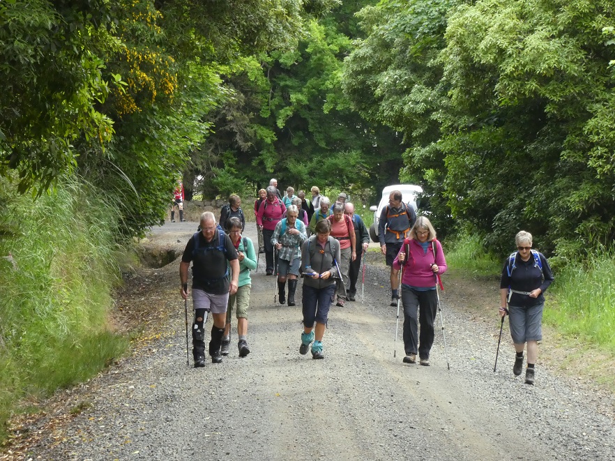
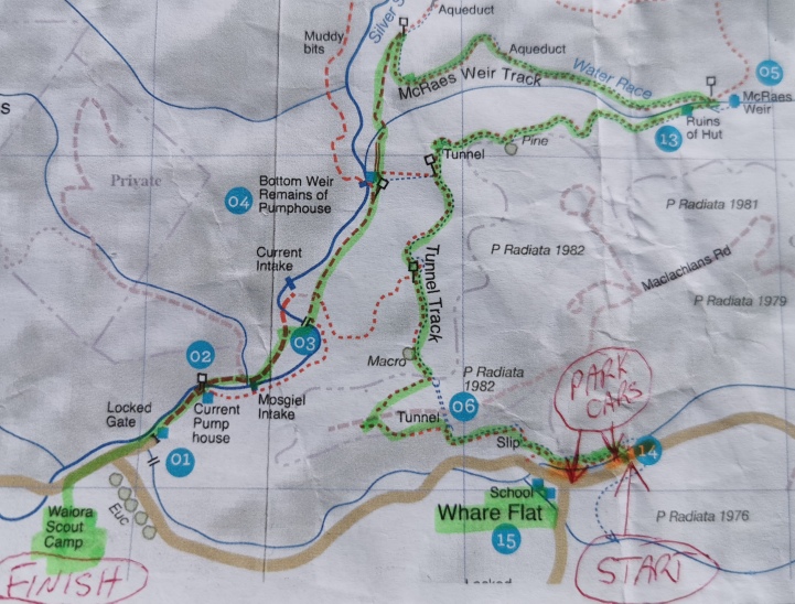
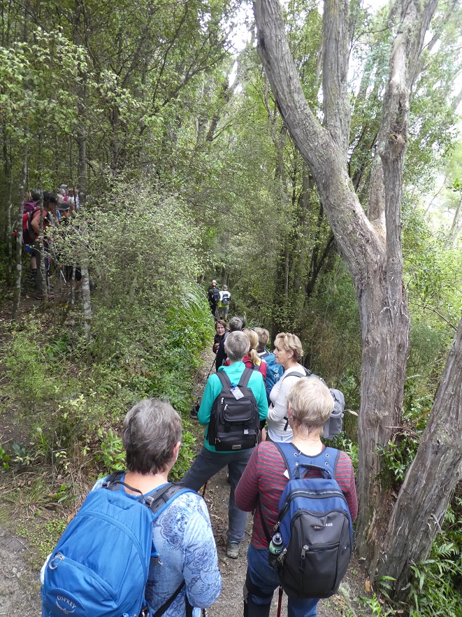
Forty two Trampers/hikers set out from the old Whare Flat School along the Tunnel Track and The McRaes Weir Track and back down to the Waiora Scout Camp. Obviously there was a lot of manual work done by hand many years ago to help supply water to Dunedin.
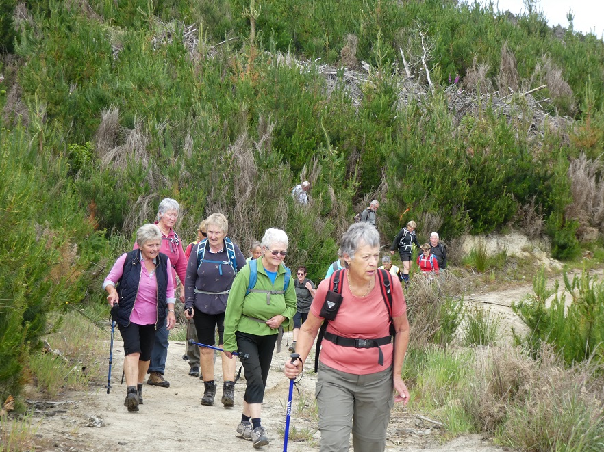
Photo and Caption Gordon – “Some of us are off!”
The walk took approximately 2.5 hours and was 7km in length.
Photo and Caption Kerry – “Where we walked!”
Terrain was gradual and quite easy! With occasional rope climbing.
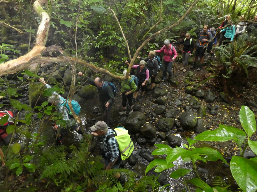
Photo and Caption Helen – “Its good being in one group”Photo and Caption Gordon – “Creek crossing”Photo and Caption Gordon – “Nearing the first pit stop”
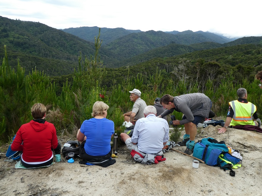
Photo and Caption John – “Morning tea with a view”
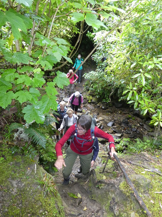
Photo and Caption Gordon -“Climbing out of the second crossing with a rope.”
Really enjoyed the cool, sheltered natural bush. Very calming!
Photo and Caption Gordon – “Heading back to Christmas Dinner”Photo and Caption John – “Waiting for all to arrive before starting”
Arriving back at The Scout Camp where camp mums’ Jill and Adi had kindly set up tables with members’ Christmas food contributions. Joined by 10 other members, there was a great spread of food.
Photo and Caption Helen – “A happy gathering”
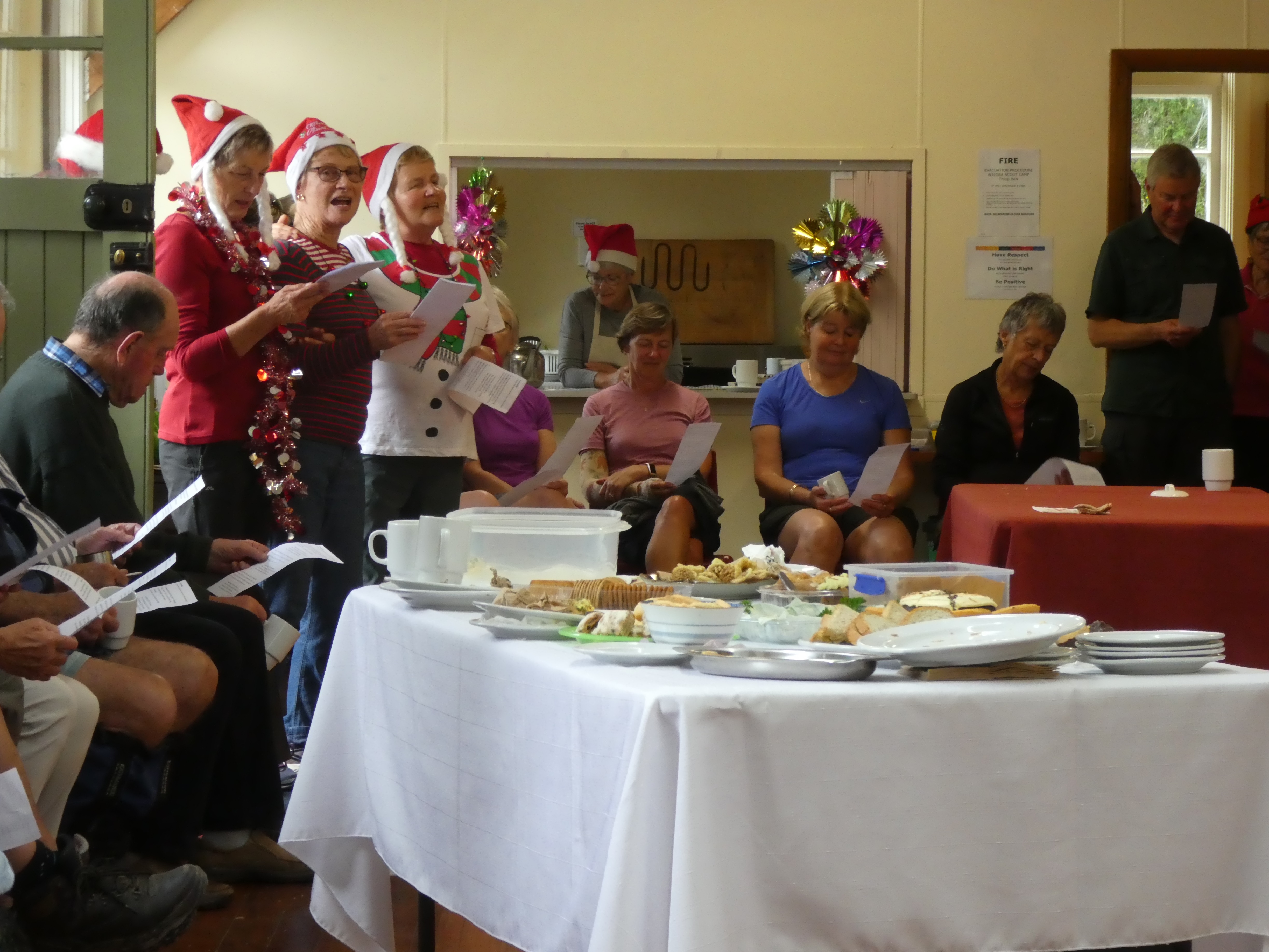
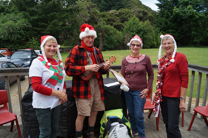
As well as excellent entertainment which included singing and travel experiences.
Photo and Caption John – “Practise makes perfect!”
Photo and Caption Helen – “What was my name again!”
I need to take the opportunity to say thank you to everybody for making this day successful and memorable.
Merry Xmas fellow club members
Collage Clive
Regards Kerry Popham
17/12/2008 Waiora Scout Camp. Leaders: Bruce and Marjorie.
Marjorie and Bruce led us on a well-thought-out trip around the Waiora property into corners we had never suspected existed. There were paths/routes to follow everywhere.
Waiora Swimming Hole. Bruce Evelyn Elaine
The swimming hole was large for such a small stream.
We crossed and recrossed the Silver Stream on new concrete bridges.
Morning tea was at the camp fire and chapel area.
After that we went on a more extended walk. Bruce pointed out the mysteries of orienteering on one of the o/posts, indicating the braille-like raised dots on which participants would press their paper to show they had passed that point.
Steep descent. Angela
We passed through grass, some mown short, some longer, some unmown, fresh and soft to walk through.
Then it was back to the cars for lunch.
19/12/2007.All. Christmas Potluck Lunch. Waiora Scout Camp and Tunnels. Finger food, cup and plate. Thermos. Leaders: Peter B, Neil, Bob H
We held our end of year pot-luck lunch get-together at the Waiora Scout Camp at Whare Flat.
Peter and Bob H led both groups on a delightful unhurried morning’s walk via the Silverstream Pump House, Tunnels Track
Top over Tunnels. Doug M, Leonie, Marjorie, Lesley, Bruce, Carmel, Evelyn, Who?. Dot B, Ria, Hazel, Bob H
and the old Schoolhouse circuit and back down to the camp. 23 of us did the walk and the noon lunch saw 36 in all turning up for a pleasant sociable occasion.
Awaiting lunch. Doug M, Dot B, Denise, Ngaire, Chris, Who?, Bill. Neil and Bob H behind.
Enjoying lunch. Neil, Wendy, Ken, Ray, Diana, Peter, Bob H, Colleen, Visitor, Nelson, Dot T
Thanks are due to Neil and assistants who remained back and attended to all the preparations at the Troop Den which proved an admirable building for the occasion. Great day, great company, great setting, great finish to the year. – Ian.
3. 27/11/2019. Trampers. Maungatuas Meander via Kempshall Road. M Margreet and Neil
It was warm and balmy as 20 eager trampers set out on our ‘meander’ today. Several in the group were adamant that ‘meander’ slightly understated the nature of the outing – and thought a better description would be ‘a very long Baldwin street’!!
The steep gravel road access to the parking spot proved challenging for some cars and passengers/pushers, but we all made it!
Photo and Caption Gordon _ “And we’re off”
In order to prepare for the ascent ahead we decided to have morning tea on the balcony at the landowner’s bach, which was just a short side trek from the main track.
Photo and Caption Gordon -“A great place for morning tea”
Views from there were stunning and to be honest the group was a bit reluctant to move on.
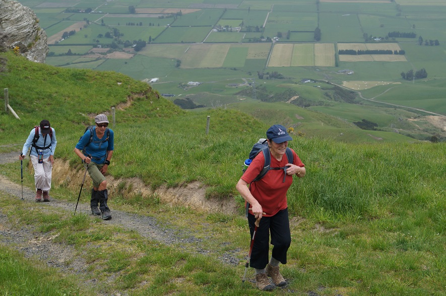
The steep climb up Mt. Maungatua to the top boundary took around an hour of huffing and puffing and moaning and groaning!
There was no sign of the aggressive NZ falcon and group of fallow deer encountered on the reconnoitre.
Photo and Caption Helen – “At the top looking out over the plains”
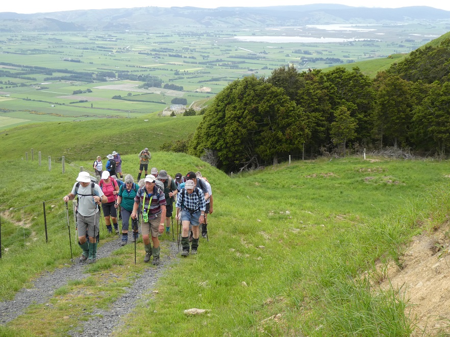
But once conquered the vista over the fertile Taieri Plain, wetlands and lakes; was outstanding.
Photo and Caption Gordon – “A view of Saddle Hill and the Taieri plains”Photo and Caption John – “the beautiful Taieri Plain”
Heading south we traversed gullies of verdant native bush and ridges of lush long grass.
Photo and Caption Gordon – “Still climbing”Photo and Caption John – “Further than I would usually take my dog”
We stopped for lunch on a grassy knoll prior to descent.
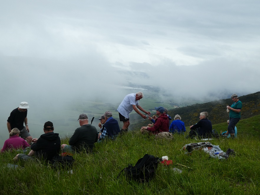
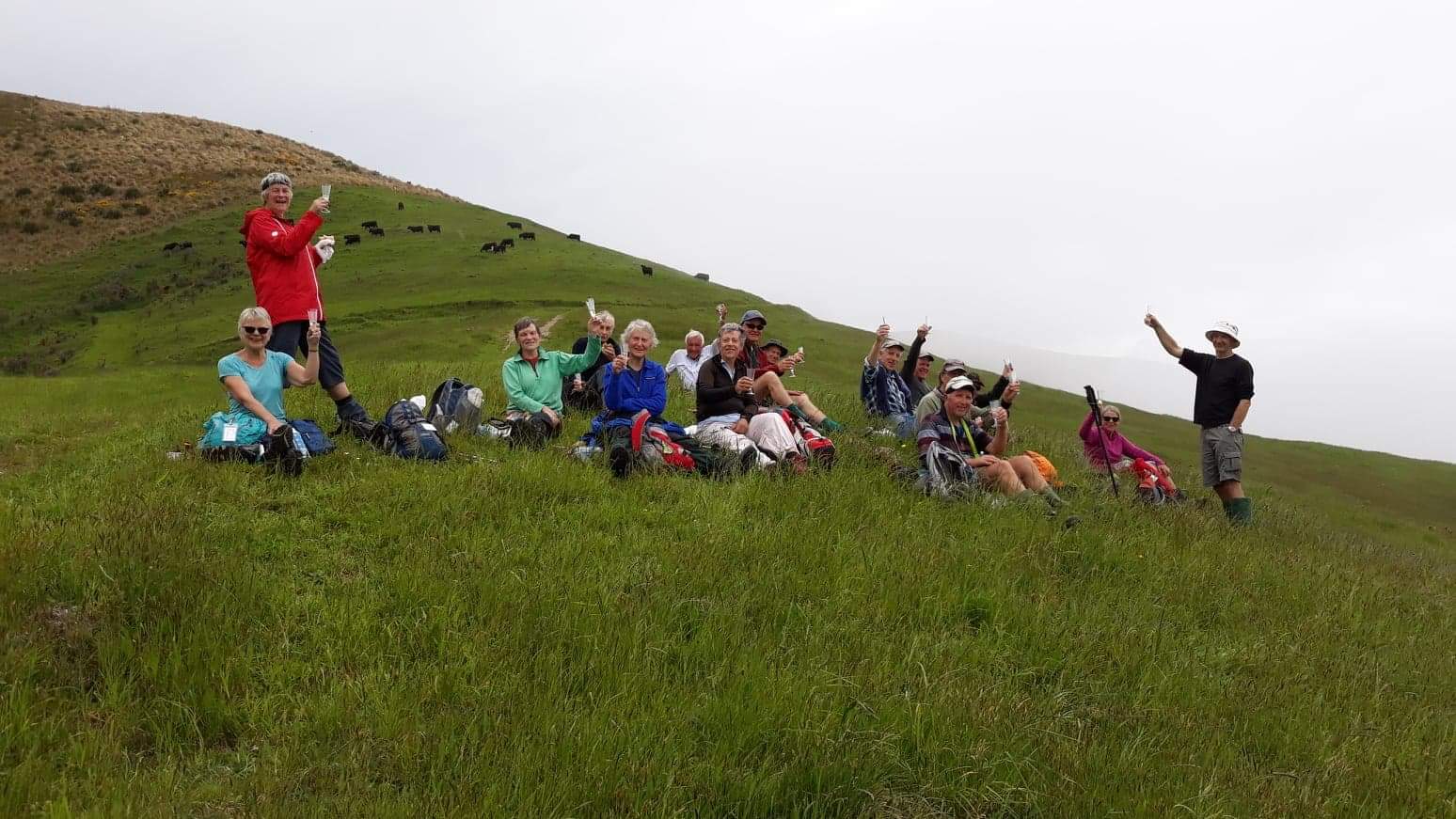
Photo and Caption Gordon – “Lunch, a disappearing view and a very special birthday shout”Photo and Caption Helen – “Birthday wine shout by the birthday boy Dave”
Within minutes a light easterly brought in low cloud which reduced visibility to a few metres. The leader,using all his native tracking skills, led the beleaguered group safely downhill to the lower track. What a hero!!
Photo and Caption Helen – “Walking down one of the many hills”Photo and Caption Gordon – “”Heading down to the cars we hope”
From there it was uphill and down dale back to the cars, pausing briefly to inspect the adventure course being used by the chatty children from Hampden school.
Recovery was commenced at Outram’s Wobbly Goat with coffee and cake.
P.S. A consensus asserted that this adventure be reclassified from M to H!
Margreet and Neil
2. 19/4/2017. Trampers. Meander the Maungatuas via Kempshall Road. M. Margreet and Neil.
As we drove through Outram heading for our ‘Maungatua Meander’; the rain bearing cold front forecast for lunch-time, arrived 3 hours early! Nevertheless 5 hardy gentlemen and 6 ‘complaining’ ladies set out on the steep 78 minute climb to the top boundary of this private property! We passed ‘Climbing Rock’ and inspected the outdoor adventure course where a tiered viewing platform made a handy stop for morning tea, sheltered from the wind and rain.
Morning Tea. (Margreet pic and caption.)
Confidence course. (Margreet pic and caption.)Jill on the helipad. (Margreet pic and caption.)
Plodding (and puffing) upwards past ‘Falcon Rock’, the top junction was soon reached, but the awesome scenic vistas promised by the leaders, were less than spectacular!
Heading South we followed the farm track passing through gullies of beautiful native Beech forest, and ridges of productive pasture. Destructive wild pigs had been busy in many places. The weather dictated an early descent for lunch beside a waterfall in the sheltering beech forest.
Lunch. (Helen pic.)
A side-trek to visit the landowner’s beautiful ‘Bunker’ completed the meander, during which we covered 8.5 KM and climbed to 1900 ft.
We enjoyed a debrief at the Wobbly Goat Café before heading home. -Margreet and Neil
1. 28/1/2009 Kempshall Road, Maungatua Leader: George
(Off Maungatua Road, beyond Grainger Road.) Permission.
Small waterfall, small pool, big rock. Doug, George. (Hazel pic)Twin rocks. Taieri Plain from Kempshall Rd Track. George, Glenice, Doug (Hazel pic)Back at the cars. Glenice, Doug. (Hazel pic)
Previous days there had been some heavy rain and Arthur took on the task of planning a good tramp, even with a bad weather report for the day. He decided to take us on reasonably dry tracks. The Jim Freeman track was the choice. We wandered along a pleasant track finally reaching Ben Rudd’s shelter for morning tea.
Photo and Caption Gordon – “Smoko in Ben Rudd’s shelter”
The track then headed up to the ridge to meet the Flagstaff Swampy track. The sun was shining with a steady breeze.
Photo and Caption Gordon – “Heading up the firebreak”Photo and Caption Gordon – “Steep bit before lunch”
We walked until we came to the Porky track junction where we had lunch.
Photo and Caption Gordon – “Lunch among the flax and tussocks
We followed Porky’s track down to Possum busters track
and finally back onto the Jim Freeman track – there were a few damp spots! And back to where we started.
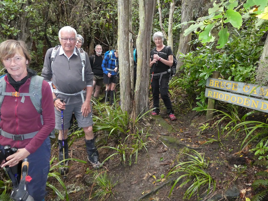
Photo and Caption Gordon – “Bruce Campbells Rhododendron dell”
Coffee was planned for Blend. We were all having our coffee and snacks when an enormous gust of wind came with heavy sleety rain which blew a tree over next to Blackstone coffee bar. This provided the icing on the cake!! Plenty to look at and plenty of advice while it got cleaned up.
Photo and Caption Dave – ” Fallen tree in wind gust provides entertainment”
Twenty three hikers took welcomed refuge at the Blue Skin Cafe from the forecast down pour that struck our party a short distance from the cars. The hike was commenced in pleasant hiking conditions on the board walk to the west of Orokonui Lagoon from the Doctors Point Road.
Photo and Caption John – “I’ve seen friendlier skies”
Photo and Caption John – “I think I’ll have a muffin with my coffee today”Photo and Caption John – “Good to be back!”
From there it was a morning tea stop by the substation. From there we had foot paths to the Waitati school where it was hoped that a person from the Blueskin Resilient Communities Trust
would provide information on the schools addition of their solar panels, the BEL solar power buy back scheme & their involvement with the Eco House Build that is to be displayed at the Home &
Living show on the 2nd & 3rd of November at Forsyth Barr stadium. This house was constructed by women. It was due to attending to the final details of the Eco house that the BRCT were unable to oblige.
Photo and Caption John – “Enjoying the Opeke track”
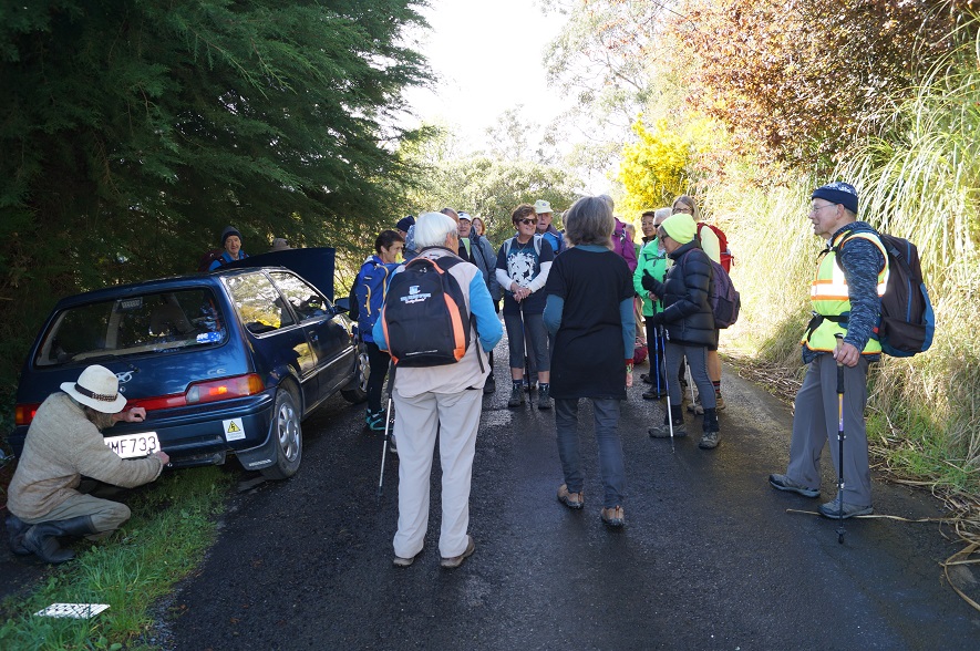
The next point of interest was half way up View St we came upon a couple attending to fitting new number plates to a car. The woman who was obviously very proud of this just completed conversion of this vehicle to pure electric. (EV) The bonnet was lifted to show the very neat functional set up which had a range of 140 kilometres. She just had to have a photo of the car & amp;
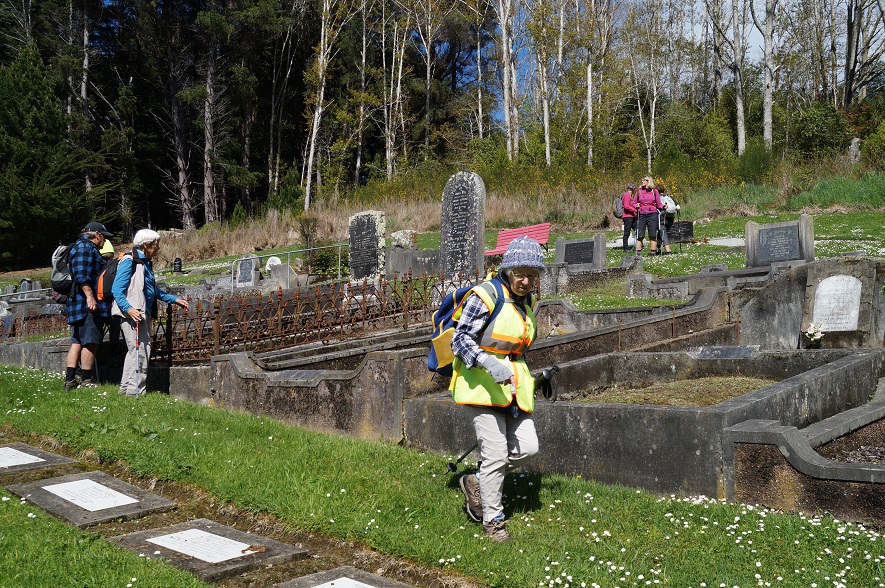
group. At the top of View St we crossed a sheep paddock to the top of the Waitati cemetery.
Photo and Caption John – “So much History”
Photo and Caption John – “Old meets new”
Apart from the final downpour it was a pleasant stroll completing the eastern Orokonui Lagoon walkway to Doctors Point Road up to Opeke for lunch & return to the cars.
Photo and Caption John – “These are the good old days!!”
5. 19/10/2019. Hikers. Long Beach. Leaders: John and Robert.
‘Someone once said to me to “Take a Hike” , finally I have!!’
Many of the 29 Hikers who turned up at the Long Beach Domain in mild , improving weather conditions , had hiked in the Long Beach area before.
The challenge for Dave and I , as leaders , was to provide ‘something different’ , a different experience , even a bit of an adventure for them.
We travelled a well trodden route:-
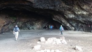
– Along the Beach to the Caves.
Photo and Caption Clive – “Starting out”
Photo John – Caption Clive – “Improvised driftwood memorial
Photo and Caption Clive – “Its a Long Beach
-To the South (other end ) of the Beach.
Photo and Caption Clive – “Tahuna kids rock climbing
Photo and Caption Clive – “The Cavern”
-Back to the mid beach starting point.
-Through the Domain , onto Town Streets.
-Onto a pleasant “loop” track towards the Beach ,and onto Town Streets again.
Photo and Caption Clive – “Stile climbing”
-Back to the cars via a short stop at the McCurdy-Grimman Hall.
Afternoon Tea (Coffee) was at a new venue for many ; the Oaken Cafe’.
Did Dave and I make the walk different , even an adventure?
“An adventure is when you don’t know what is going to happen”
I don’t think our Hikers did know quite what was going to happen , hopefully like most Hikes it was a bit of an adventure.
During the hike ,little talks on points of interest ,hopefully gave all a greater appreciation of the area’s treasures.
From Dave and I ,thanks for the opportunity to organise and run this hike.
4. 14/5/2014. Hikers. Long Beach. Easy. Leaders: Judy, Jennifer.
Long Beach Route
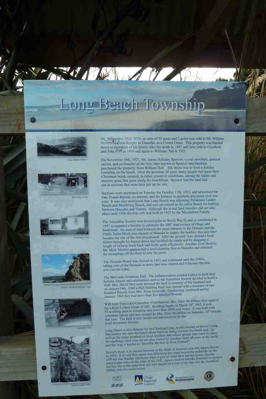
After a few days of rain 32 happy hikers shook off their cabin fever with a pleasant day at Long Beach. At the domain we examined the information boards …
Notice board
… before proceeding to the beach …
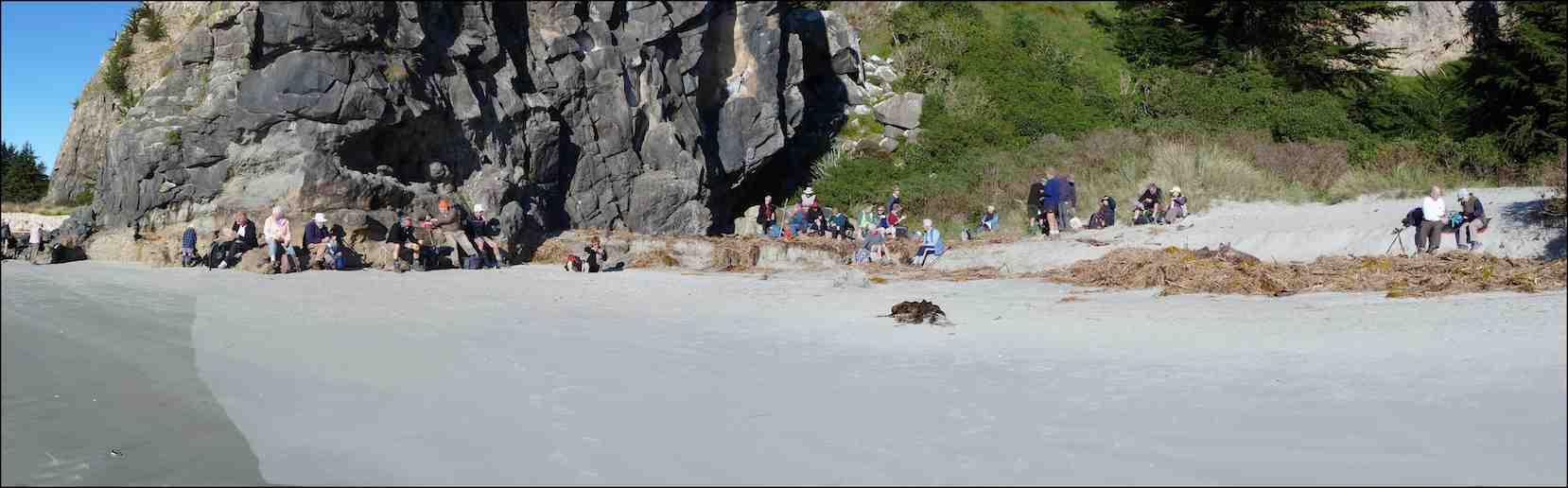
and morning tea in the sun on the sand at the first rock-climbing site.
Morning tea at the foot of Climbing Crag or Driver’s Rock, a one-time climbing wall of Judy’s. (John Panoramic pic)
At the far end of the beach the huge ball room cave was explored (nobody wanted to dance) …
Not dancing.
… and the numerous anchor points for intrepid climbers marvelled over.
Marvelling.2nd wall
Back along the beach to the east end we marched, with efforts to keep feet dry crossing the creek fruitless for some.
Fruitless for some. (John pic)
A leisurely lunch was had in the tussock above the beach, where there were obvious signs of sea lions, but none in residence. Fred had to scramble somewhat to deliver his usual chocolate treat to us all – thank you Fred, it’s always a highlight!
And a short stroll back and up through the pines to the village, where Fred told a few tales of some of the earlier residents of the area.
An extended social hour …
Social hour
… at the Orokonui Sanctuary ended a very happy day. – Judy
3. 3/2/2010. Both. Long Beach. Easy. Leaders: Bruce and Marjorie.
We have become accustomed to Bruce and Marjorie’s careful planning on any tramps they lead. First stop then, an information panel stop.
Bruce in full flight. (Bob pic and caption)
Then a walk to the large cave at the north end of the beach for morning tea.
The sea dragon contemplates its meal ?!? (Bob pic and caption)
Returning south a little way to smaller cave, Bruce told us the firm volcanic rocks here and and further south provided 166 different climbs. He encouraged us to detect various bolt points to assist climbers. Fred, who had had a crib here, pointed out the remains of a rusted ladder people once climbed as part of a short cut across to Purakaunui. Through a macrocarpa forest en route back to the cars we discovered unexploded paint balls left over from fights carried out here. Back near the cars Bruce further explained our next destination would be our lunch spot.
A natural park bench ? (Ian pic. Bob caption)
Bruce about to launch. (Bob pic and caption).
We followed off the road a winding path through recently planted natives to a pine plantation where we lunched. We came out another way back to the road past a memorial gate.
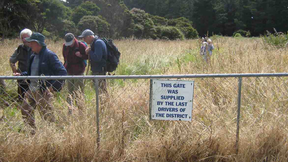
Gate sign. Bill, Fred, Bruce, Peter
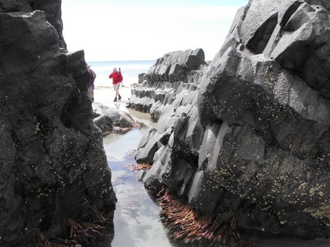
Further south again to the end of the beach and more volcanic rock, clearly showing its hexangonal basaltic formation.
Joyce, the sea tulip!! (Bob pic and caption)
Back to the road and round behind some houses with Fred pointing out his former house and those of several others.
Margaret recalling the house she used to live in when it was at Henley(!) (Bob pic and caption) New roofing iron clearly revealed it had been cut in half for transportation and reassembled on site.
Thanks Bruce and Marjorie for not disappointing us. A most informative and enjoyable day out. – Ian
2. 18/7/2007. Hikers. Long Beach. Easy+. Leaders: Barbara and Arthur.
1. 1/12/2004. Hikers. Long Beach. Leaders: Bev H, Bev M
12 clean and dry trampers arrived with poles and putties at Double Hill carpark(after leaving a car at Evansdale) at 10am ready for this downhill track to Evansdale Glen. Due to a shower we swapped a layer for a jacket.
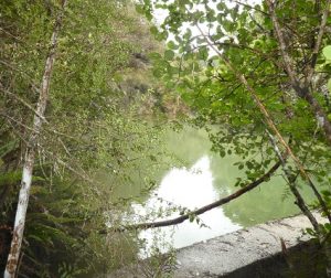
We headed off descending through the manuka with views over the gully down to the dam. (This dark dam along with remaining pipeline was the water supply to the Seacliff Mental Hospital).
Black Gully Dam – Photo Gordon
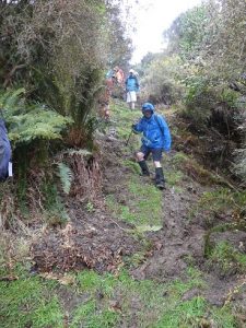
After the visit to the dam, creek crossings started along this rather rugged, muddy slippery track to a sheltered spot for smoko at 10:30am.
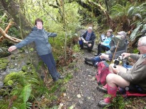
Jill doing balancing act at morning tea – Photo – Gordon
By memory the muddy patches were worse than previous trips, which caused the odd member to slip and have a closer look at the mud!
However, it was great to be amongst such lovely healthy native bush, particularly the fushia and ferns.
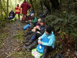
We continued crossing Carey’s creek and walking up the creek bed a couple of times for about 50 metres, often negotiating slippery rocks and mud glorious mud! Our leader managed to find an umbrella of branches at 12:30 for a half hour lunch break.
With the majority of crossings over, the track levelled out and soon we were walking through a grass verged track admiring the lime green willow leaves to the glen. Careys Creek crossings were counted by 2 members, both arriving at 22.
Could have been 23, but we walked over the foot bridge at the end.
After arriving at the glen, drivers raced off ahead to pick up cars and drive us to Blue Skin Nursery cafe for our coffee and cake fix.
As always, we all enjoyed the day. For 8 of the group it was their 1st time on this track with our club. We needed jackets on, lucky though, no wind and little rain, mainly drips from the trees. Must admit the putties, pack and jacket were very muddy and took some scrubbing. However, the boots were clean.
In Anthony Hamel’s book, he quoted—“This is a rugged and remote area and the track can fall into disrepair. In 2006 The Green Hut Track Group did many hours of work on this track”. Once again it is very pleasing to see they have been back on the job and apart from muddy patches today, the track is in very good condition(with new steps dug in a couple of places). Thanks for your great effort.
No. 111 on old hardcopy list of 113 club tramps. “Bus Trip. Walk Millers Flat to Beaumont”
5. 2/10/2019. Both. Bus Trip. Millers Flat/Horseshoe Bend – Beaumont. Rail Trail-Road/ORC Millennium Track-Road. M. Eleanore and Bob.
On a chilly spring morning, 45 members assembled at 8:15 a.m. eager to board bus and head Central for a walk along the Clutha Gold Trail.
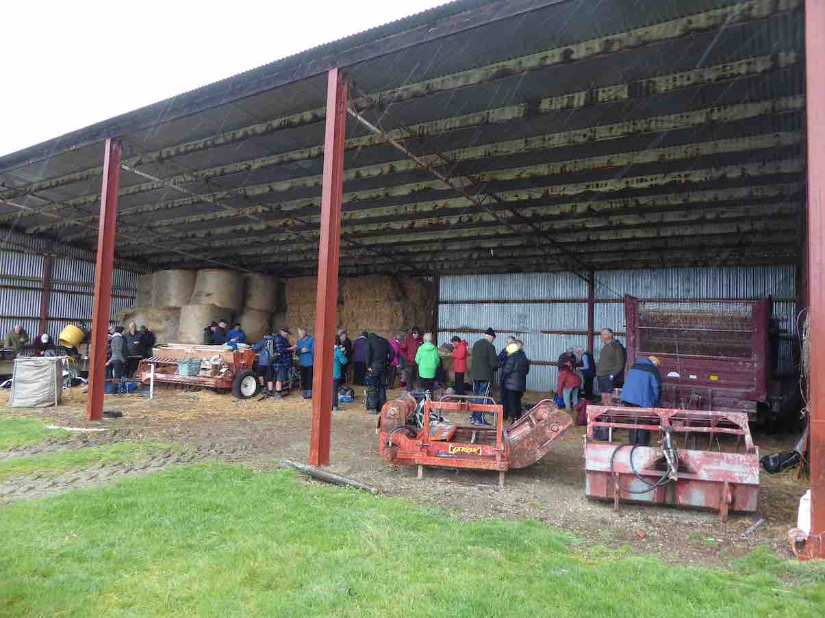
We arrived at the Island Block entry at 10:10 a.m., luckily to a convenient hay barn where we had smoko.
Is this a farm machinery sale? (morning tea out of the hail). (Phi K. pic and caption.)
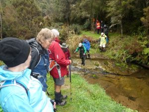
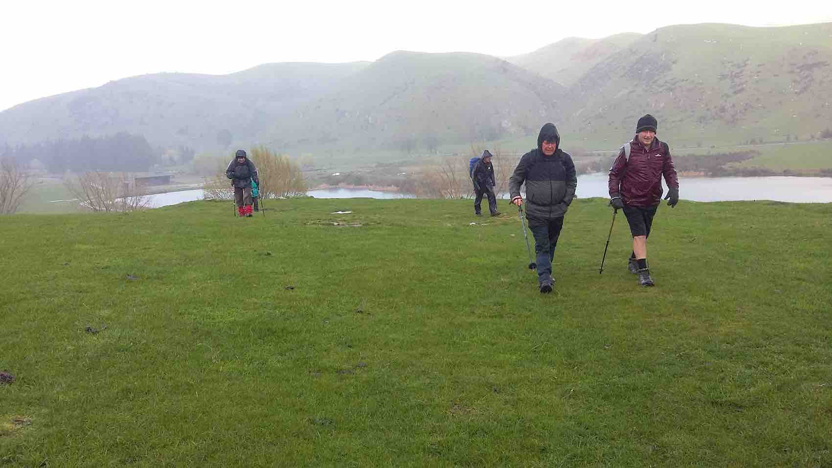
This was followed by a show of hands to see who was keen to layer up and head off in a shower of rain—17 accepted the offer to hike 3km round the hill track …
Starting off in a downpour. (Clive pic and caption.)10 minutes later sunshine. (Clive pic and caption.)
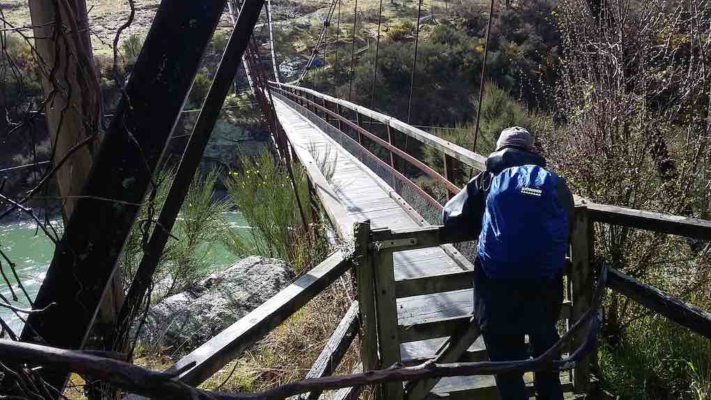
… to the Horseshoe bend swing bridge crossing the Clutha …
Horseshoe bend bridge. (Clive pic and caption.)
… to meet up with the rest of the group.
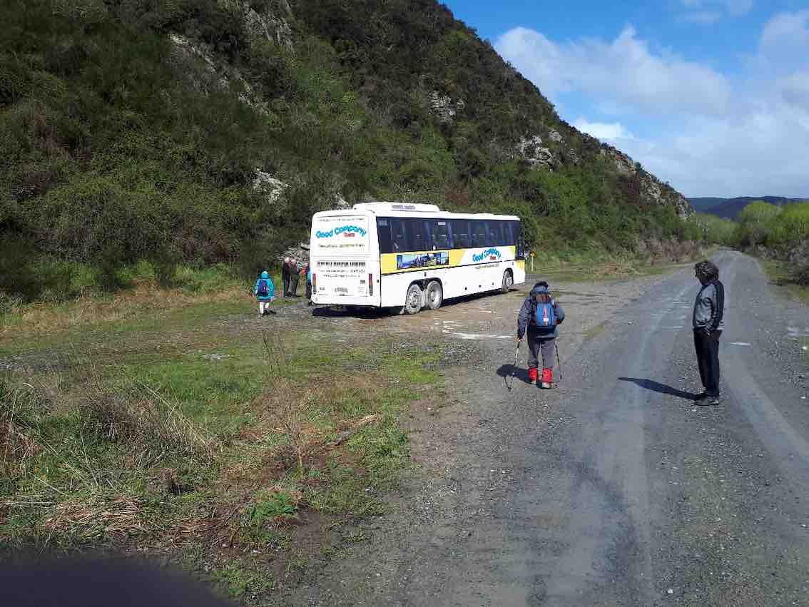
Meanwhile, we travelled to Millers Flat, crossing the Clutha and turned right heading back down the rather narrow gravel road (managed to meet a twin cab and trailer coming our way, he backed off and let us through). We passed the Lonely Grave site, then soon after arrived at Horseshoe Bend. Car Park was probably not designed as a bus turn, however, Wayne successfully manoeuvred his bus turn.
The majority got off in sunshine
Some of the hardy lot heading to the swing bridge. (Gordon pic and caption.)
to head along the trail. Looking back we spotted the first group hot on our heels.
(John G pic.)
The Ramblers were happy to enjoy the bus trip back to Beaumont where some intended to hike along from the bridge and back. I also heard a whisper on the bus, some were happy to try out lunch at the hotel.
We stopped for lunch
Where/when are we stopping for lunch? (Gordon pic and caption.)
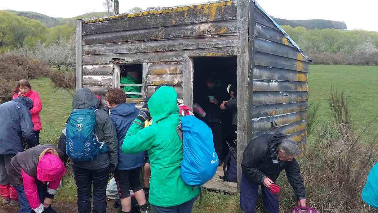
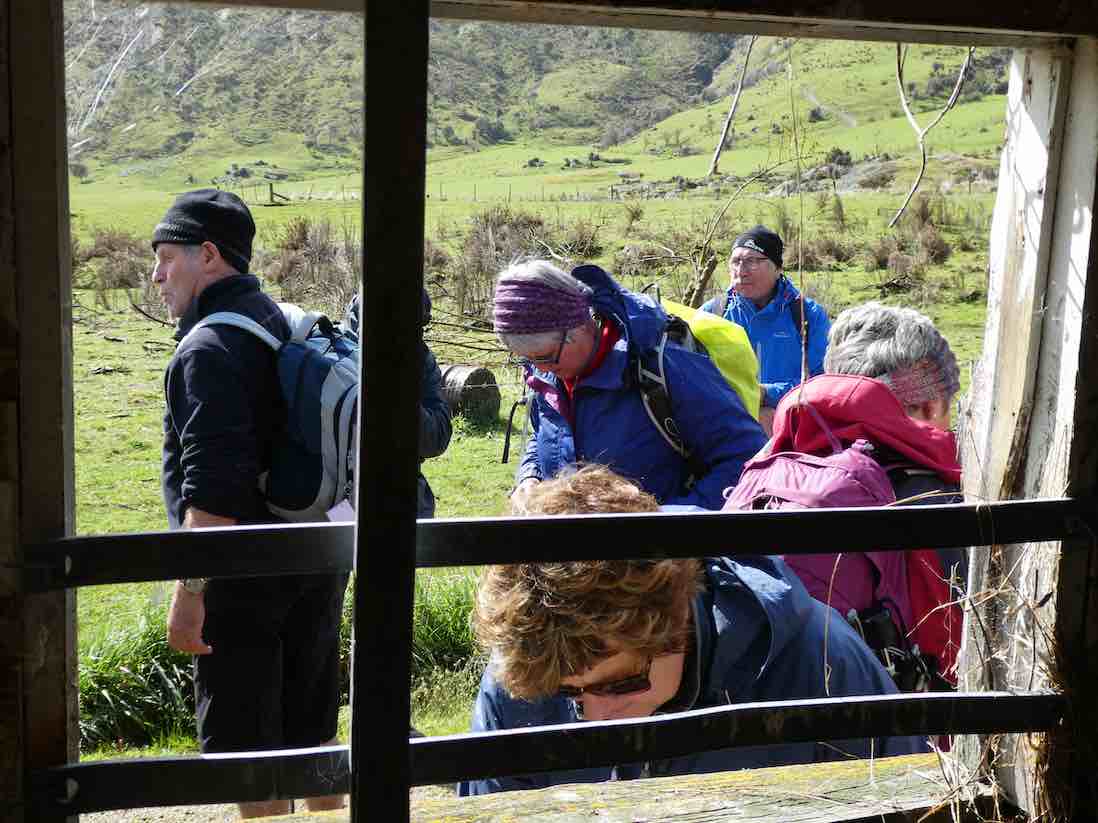
by a little old shed and cattle stop at 12:15 p.m. for half an hour firstly in sunshine,
Very handy lunch stop. (Gordon pic and caption.)
followed by another shower (Lots sheltered in the shed).
Lunch – no one wanted to eat inside this hut until the hail started. (Clive pic and caption.)
We all set off
Preparing to move out. (Gordon pic and caption.)
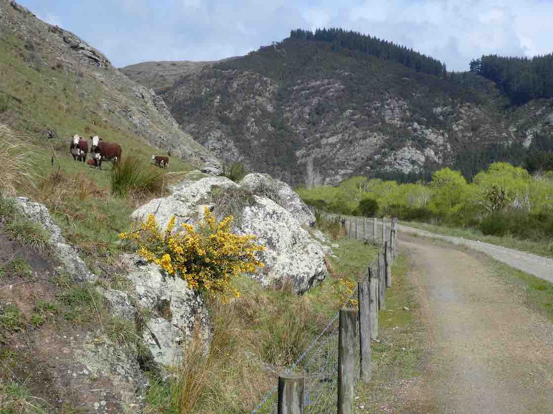
enjoying looking at fresh bright willow leaves, healthy Hereford cows,
Some interested spectators. (Gordon pic and caption.)
the mighty Clutha,
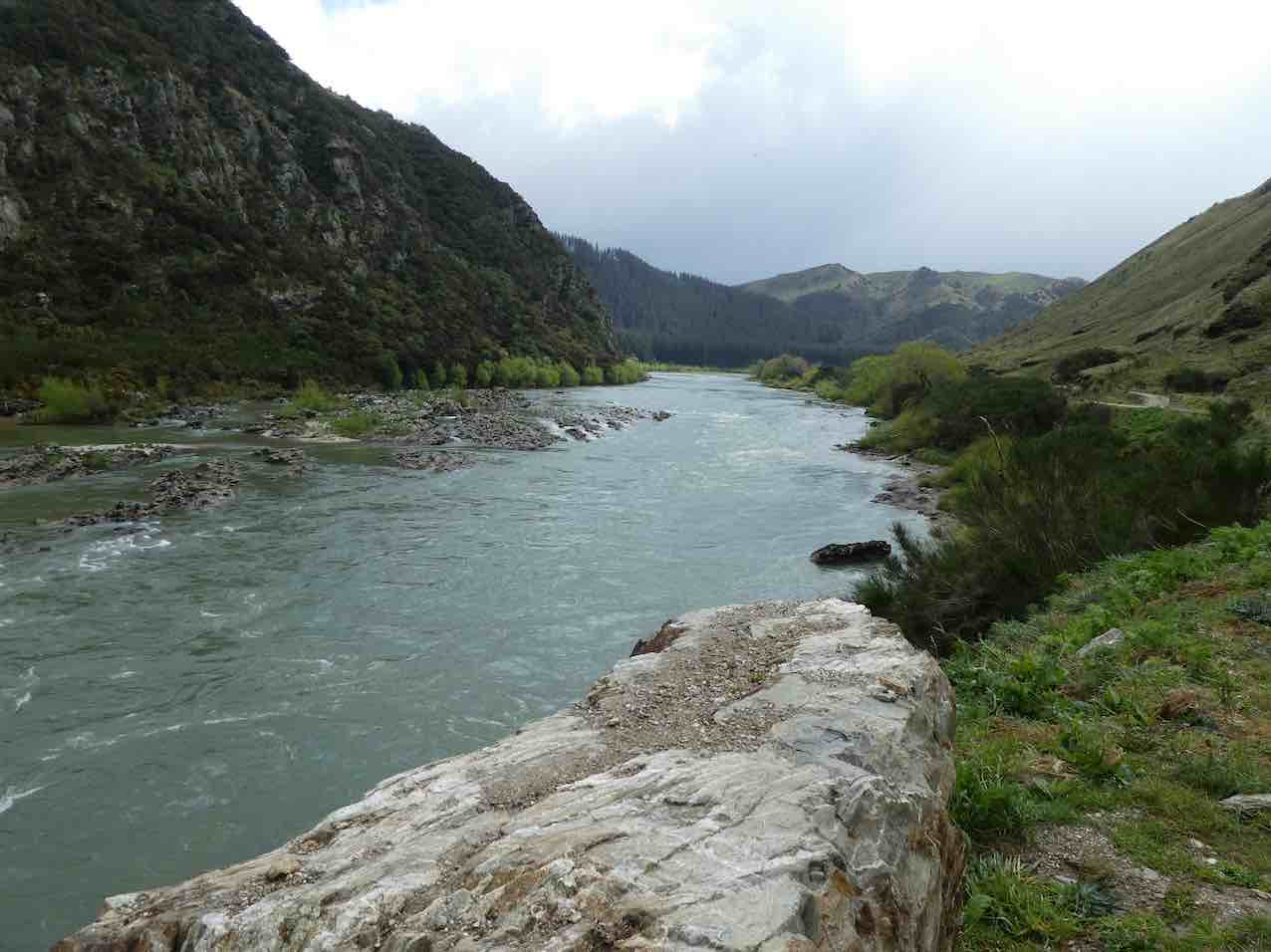
A very full river not far from journeys end. (Gordon pic and caption.)
blossom
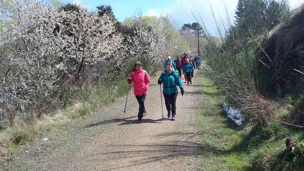
Cherry blossom hike. (Clive pic and caption.)
and particularly the easy grade of the track.
We arrived back to the bus …
We made it. (Eneanore pic and caption.)
… at 3.00 p.m. after a 14km (17km) trot along the trail.
Afternoon tea was pre arranged at the hotel for $10. We were greeted with very friendly staff and a great spread, including scones with jam and cream! YUM. We thanked them and they thanked us for the business. Was great to observe how happy everyone was enjoying catching up with each other. Particularly, with Judy Knox, who was on her last outing before moving to Townsville. I am sure you will come back and visit us Judy. We sure will miss you!!
We arrived home about 5:15 p.m. after a great day out. Thanks to the Club for subsidising the bus.
Eleanore and Bob.
MINUTES OF THE 30th ANNUAL GENERAL MEETING OF THE TAIERI RECREATIONAL TRAMPING CLUB HELD AT THE MCKERROW LOUNGE, MOSGIEL PRESBYTERIAN CHURCH ON THURSDAY, 22 AUGUST 2019 AT 1.30 PM
PRESENT: J Dodd (Chair), P & W Bathgate, D Bennett, J Butcher, C Crossman, P Davie, J Devlin, G Farquharson, B & J Finnie, I Fleming, J Gardiner, P Gillespie, G Grant, A Griffin, B Harvey, L Harvey, A Heenan, C Hughes, P & R Keene, J Knox, L Gowans, W & P McLean, D Mellish, A Miller, B Mitchell, D Moir, H Morris, S Munro, J Reid, D Roberts, E Ryan, N & M Simpson, L & M Smith, B & M Spittle, T & D Stratton, T White, G Williams, B & J Wright, J Yardley
15. 18/9/2019. Hikers. Akatore Area. Leaders Bob Mitchell Kathryn Fagg
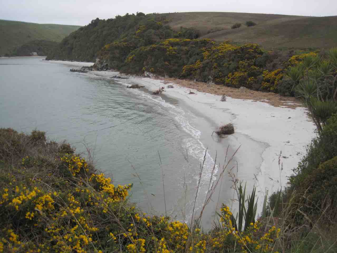
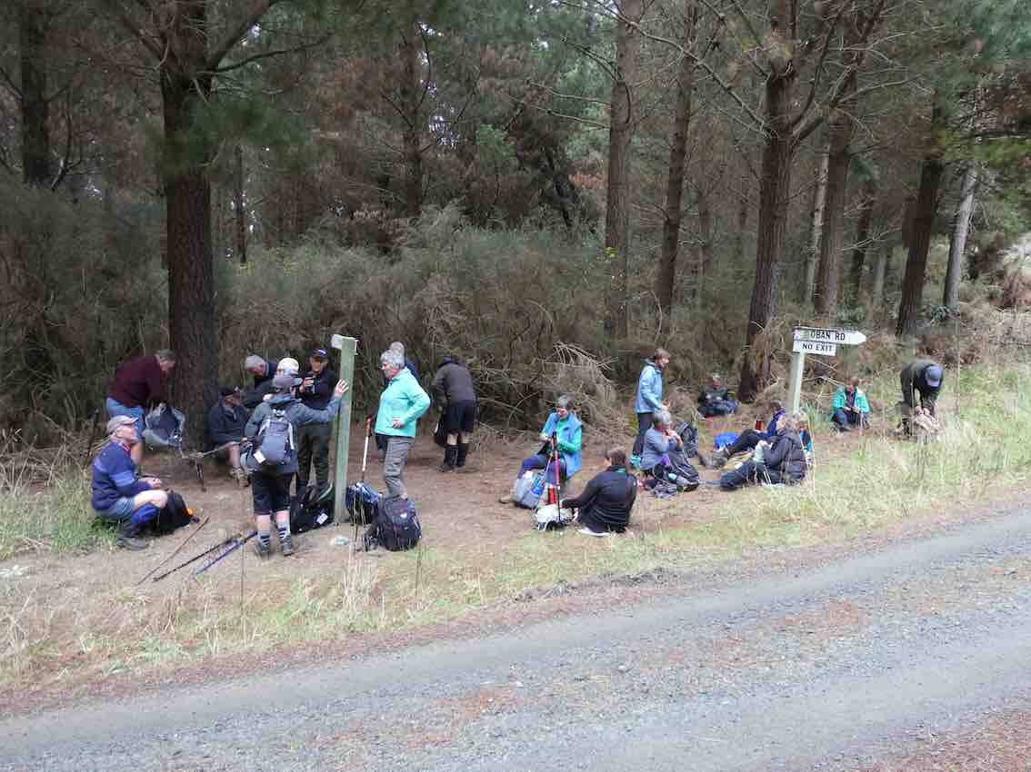
On another lovely spring day we left Peter Johnstone carpark and met with Bob who had organised the hike at the cattle yards on his son Braden’s Farm at Akatore. 18 hikers walked up the road and stopped for morning tea on the roadside where the views were great. We then walked through farm land and down to the beach where we had lunch. Then on through a bit of water
(Jan B. pic.) One of her own, sent when she noticed no one else had sent one.
… and followed the creek around …
(Jan B. pic.) One of her own, sent when she noticed no one else had sent one.
… up to the road.
(Jan B. pic.) One of her own, sent when she noticed no one else had sent one.
We then had a nice climb up the road until we arrived back at the cattle yards. It was an 8.5 k walk with roads, farmland, beach, water and a nice climb and then we finished off at the Brighton Cafe. – Kathryn.
14. 15/3/2017. Hikers. Akatore Farm, Stream and Beach. H. Leaders: Bob and Lesley.
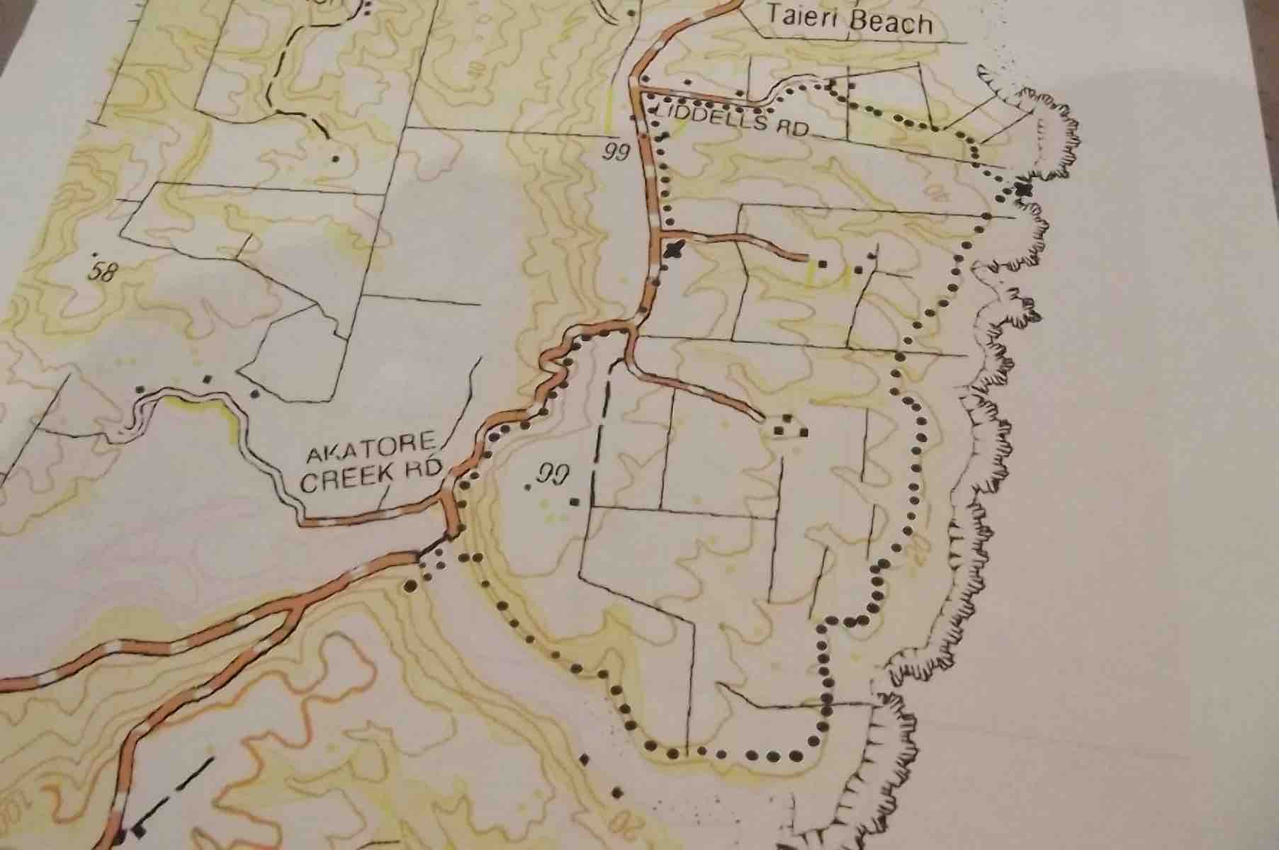
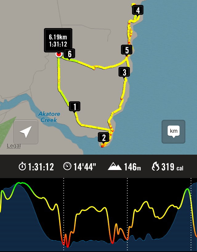
Route Map, courtesy Clive. Cars parked up from lunch spot. Distance walked: about 8.5 km.
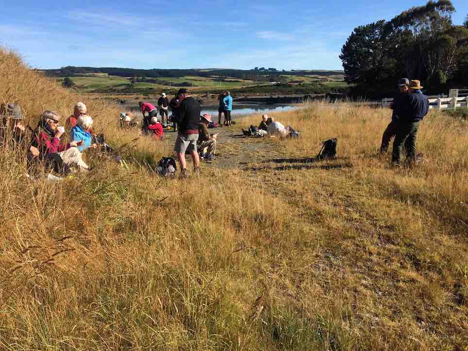
Bob lead 24 Hikers down the road to the bridge over the Akatore River,where we sat in the sun for morning tea.
Morning tea across the Akatore Bridge in the sun. (Ian pic and caption.)
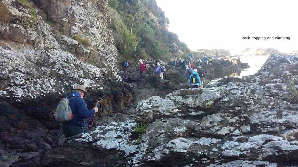
The tide was low enabling us to walk along the estuary,to the coast.This included a few moments of rock hugging,with many helping hands to get around a bluff.
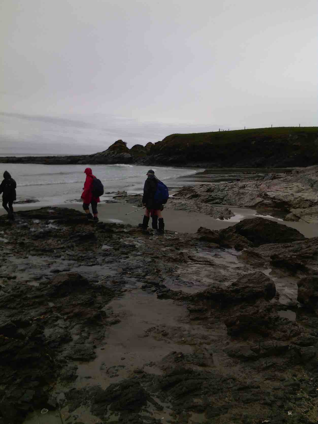
Rock hopping and climbing. (Clive pic and caption.)
A few people declined and returned to the road,to be picked up by Braden,Bob son,on his farm “mule”and some rejoined the group.
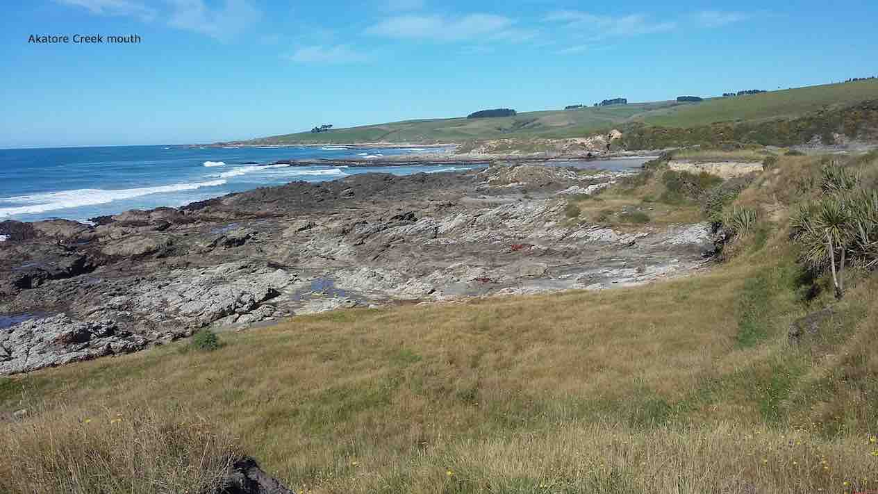
Akatore Creek mouth. (Clive pic and caption.)
It was a clear,sunny day,with little wind and the journey along farm tracks,above the rocks,was good hiking.We lunched and explored at a private beach, …
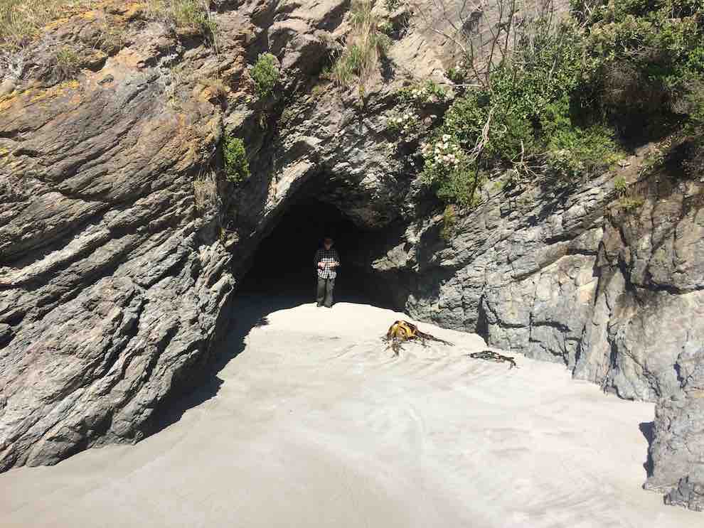
Kevin emerging from a cave on the beach at the lunch stop. (Ian pic and caption.)
… then climbed the hill back to the cars,completing about 9km.
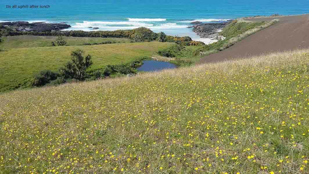
It’s all uphill after lunch. (Clive pic and caption.)
It was a different route on a favourite area,enjoyed by all, with coffee at Wals. – Lesley.
13. 5/10/2016. Trampers. Akatore Farm and Beach. E. Leader: Arthur H.
The windscreen wipers worked away as the bus took us for our tramps, the Hikers being dropped off first to walk the Millennium Track from the Henley end.
The Trampers were taken to Taieri Mouth, and then down the Akatore Road to the Taieri Beach Road, where we dismounted.
It was right on 10 o’clock, so morning tea was attended to as the first priority. A convenient ledge sheltered us from the cool breeze and light rain.
We walked down a long paddock to reach the sea. The paddock being recently cultivated was quite sticky from the rain. Our boots grew in size somewhat.
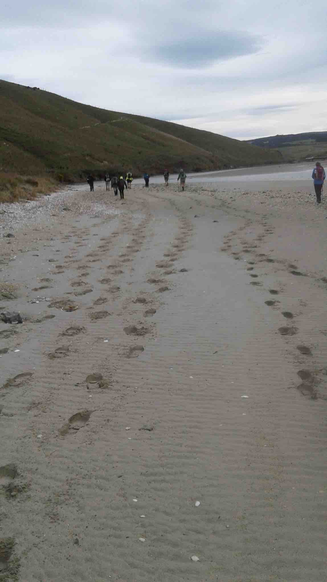
It was quite a relief to reach a lovely sandy beach, with the tide well out.
Down on beach copy. (Helen pic and caption.)
Turning right, we headed south, aiming for the mouth of Akatore Creek. The light rain was easing off slowly and after a while desisted altogether.
Along the beach, then it was up in the paddocks briefly to avoid a difficult patch of rocks.
It was most pleasant following the coastline. Interesting rocks, some small sandy beaches and sandy patches interrupted the mostly rock.
Lovely beach. Helen pic and caption.)
Quite a lot of bird life was evident – lots of seagulls of course, oyster-catchers, pied stilts, a pair of terns overhead, and paradise ducks out in the paddock.
After inspecting an interesting cave, we had to climb up to the paddocks for a little. Descending again, we had a nice grassy strip of grass to follow, above the rocks.
We came to the Akatore Creek mouth at 12 noon. It was almost low tide, and with a considerable flow of water exiting the creek.
Lunch was partaken of in the shelter of a steep bank, with some lovely yellow flowers about The breeze was quite light, but cool.
Lunch spot at Akatore Creek. (Helen pic and caption.)
The next leg of our journey wass uphill through the farm paddocks. A large mob of very friendly dairy heifers followed us along the fenceline as far as they could.
At the top of the hill we devoured a little to the left to get a good view looking down onto the Akatore estuary and environs.
Road and tidal area. (Helen pic and caption.)
Out onto the road, we followed it for two kilometres to arrive back at our starting point at 1.35 p.m.
A little early for the bus, we walked the road to Taieri Mouth. Downhill was easy. A very friendly pet lamb wanted to join our group after escaping from his paddock. But we had to be firm! Near the Taieri Beach School is an animal park (closed) where we glimpsed various species, including alpacas, geese, deer and ostriches(?).
We kept walking along the road, not so enjoyable but many interesting houses and backyards could be viewed in Taieri Mouth. Eventually we came in sight of the bridge over the Taieri River and the bus parked at the southern end of it.
The Trampers came to the bus at 2.45, soon after the Hikers had finished. There had been seven in our group today, our distance travelled: 14.5 km maybe(?) (using a small-scale road map to estimate from) – please come back soon, Margreet!
The bus delivered us all back to Mosgiel, after which may invaded “Wals”, creating mayhem with the tables, but it was a good finish to the day. – Arthur.
12. 23/9/2015. Hikers. Akatore Farm and Beach. E. Leaders: Bob and Leslie.
Twenty-nine of us parked at the farm’s stock yards and walked back north along the road to enter a neighbouring property, go through past the homestead, out into paddocks and down to the coast for morning tea.
A rocky knoll tempted two or three of us to climb it and view the surroundings from there.
On top of knoll. (John pic)View from top of knoll. (Bob pic)
We climbed back out, this time heading south parallel to the coastline through paddocks, some grassed and one being freshly being turned over with a large six-furrow plough. We walked for a while down along beach and rocks …
Down to beachA seaside conversation
… before being obliged by the high tide to return up the the paddocks. Eventually we reached the Akatore mouth. And what a sight. What had formerly been a gentle rock-hugging stream was now a wide mouth of breaking surf from the near side right across to the farther one.
New Akatore mouth 1. (John pic)
New Akatore mouth 2 (John pic)
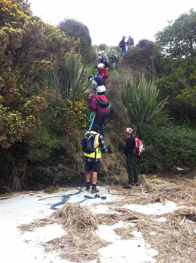
No beach, or none at this tide level. Bob led us along the outside of a fence upstream just a little to descend a steep back to a new beach where once the stream had flowed. He had provided us with a huge hawser rope tied to the fence and lengthened at its end with a strapping belt stretching right down to the new beach.
New beach. (John pic)
With its aid, we all made our way safely down the cliff-face, …
2nd descent
… each doing so in our own fashion.
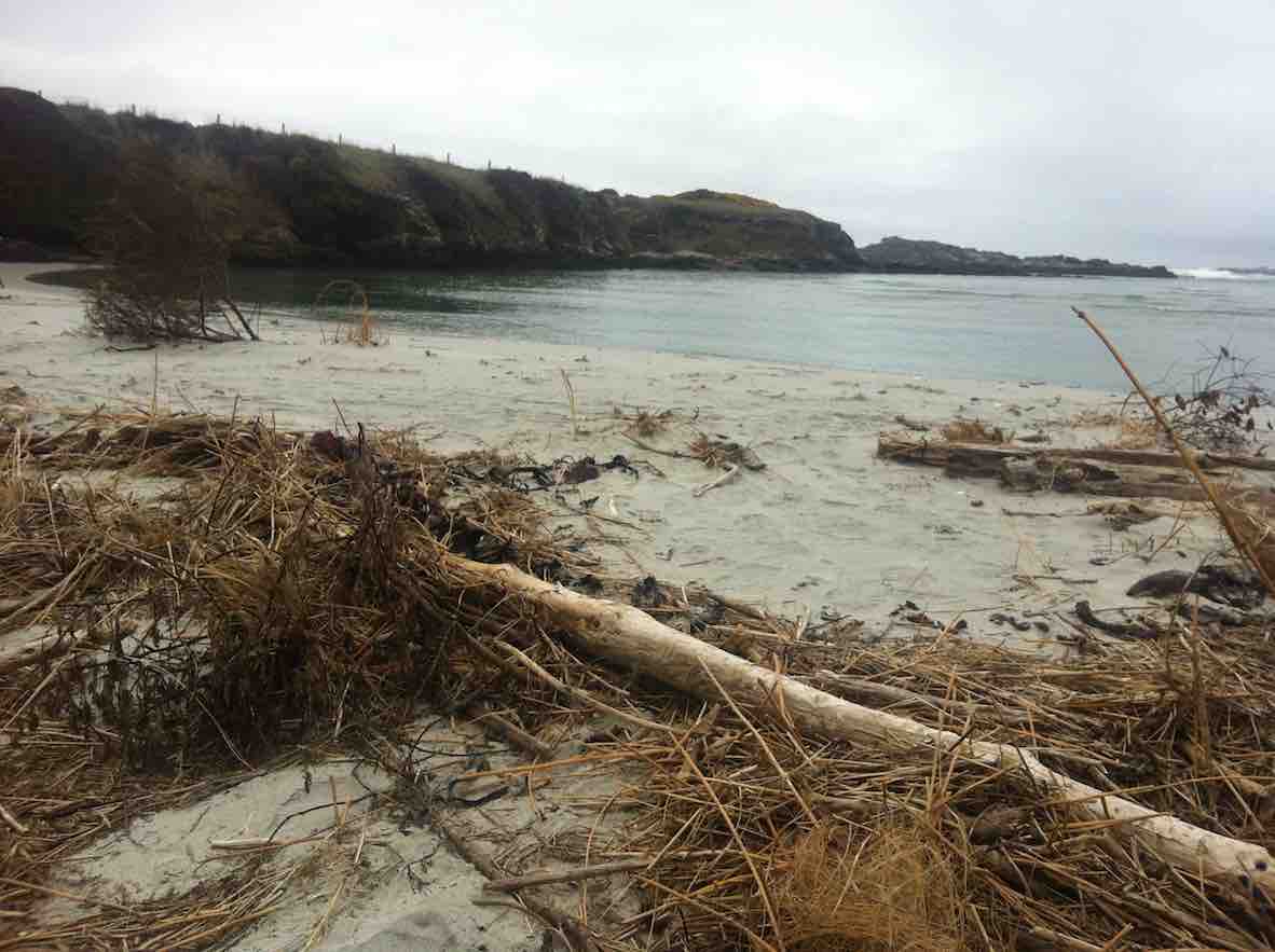
We lunched there, finding seating on lumpy dry marram grass, on the new beach of sand that must have been metres deep. What a powerful transformation the high seas had made of the old mouth we had become accustomed to.
New Akatore mouth (See below in 2011 report, click on video of old creek mouth)
After lunch, Bob led us up the true left edge of the stream along an edge made very narrow with an ebbing tide that still had a long way to retreat. At the first point there was no option but to make one’s way around rock still surrounded by shallow water. Never mind. The rest of the way was dry, if pebbled with rocks larger and smaller in places, sandy in others. We made our way then up to the bridge where Bob introduced us to that steep road climb that takes one right up from sea level to the top where the road first turns down. It made for a good workout, giving hikers with their varying energy levels the chance to brave the climb at their own pace. However, beside the rope provision back at the lunch stop, behold there had also been Bob’s ute sitting down at the bridge for any who didn’t relish the prospect of the climb. But bravo, no one took it. And Bob was noble enough to leave it standing there, true to his leadership role, and climb with the rest, with the intention of walking back down later to retrieve it. Noble? Would might even say silly not to enjoy ride back up in triumphant style. Painful certainly, this reporter imagines. It’s a long hill climb to the top. Good on yer, Bob.
(It was too bad the ‘Nike + Running’ app fell over in a big way and has had to be re-down-loaded, – so no GPS record this time). This was a most interesting tramp, a replacement for the original one that had to be abandoned due to lambing. We all enjoyed the experience of a route the club had not done before, now made possible by the mighty changes the ocean had wrought on the Akatore’s mouth, and exploited by Bob. So thank you Bob (and sister Leslie!) for the planning and the advance provision of rope and ute. Great leadership! – Ian.
11. 26/11/2014. Hikers. Akatore Farm and Beach. E. Leaders: Leslie and Bev.
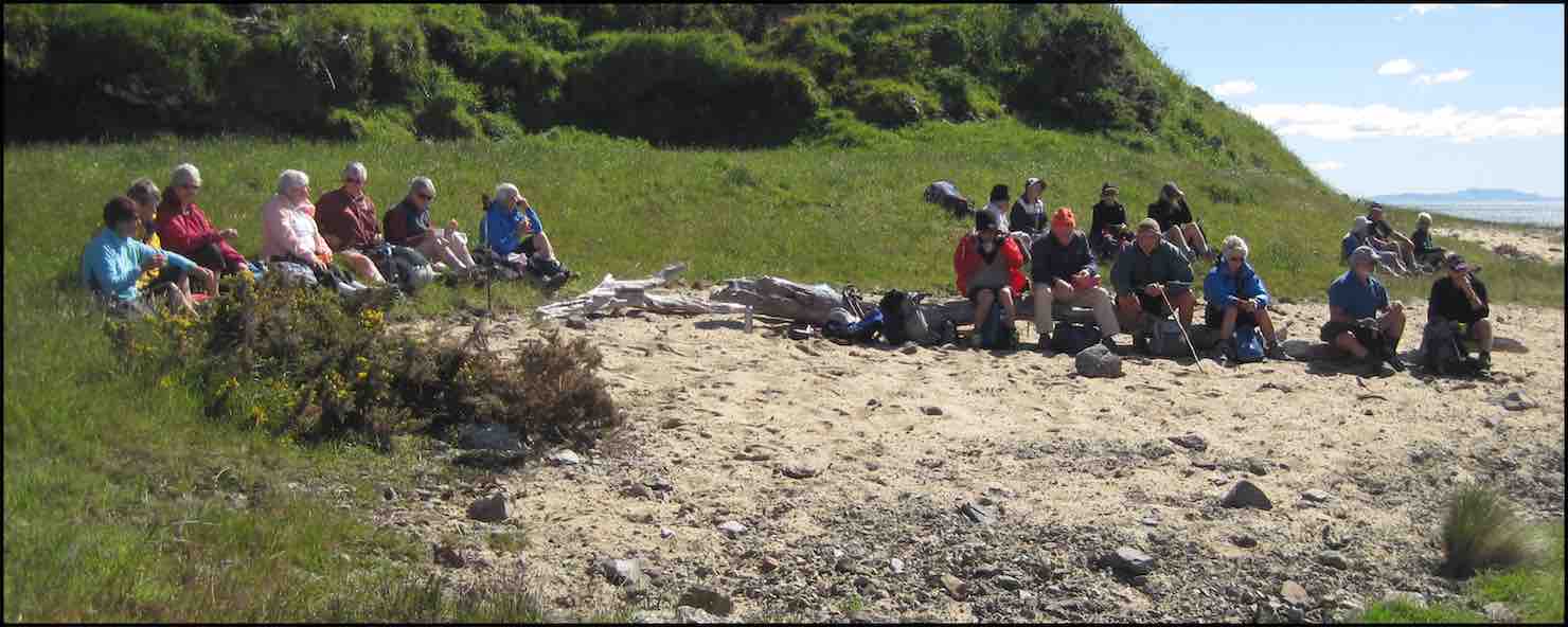
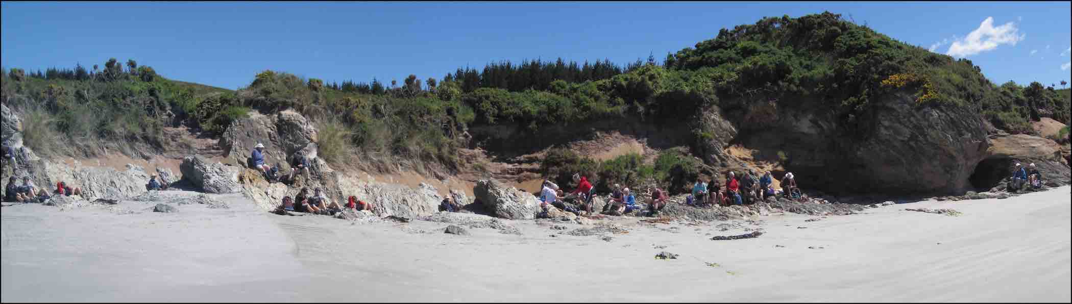
GPS of routeCuppa. (John pic)Lunch panorama. (John pic)Comfortable? (John pic)Paradise Duck Chicks in pond.
10. 26/6/2013. Trampers. Livingstonia Park to Akatore. Beach Walk.
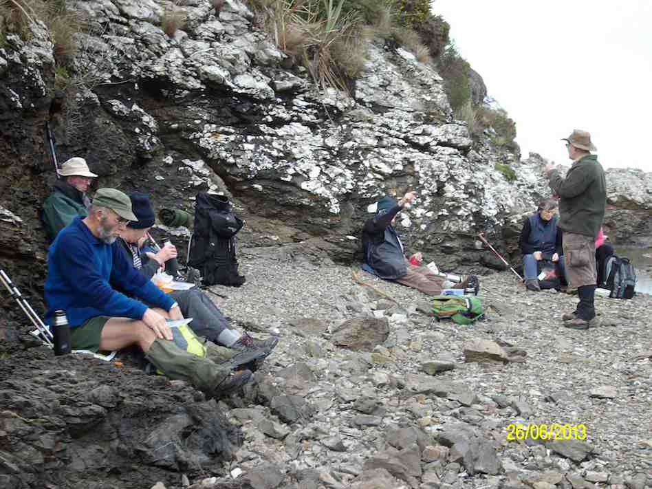
On a day that could’ve turned to rain, [according to the forecast] 8 trampers turned up for the walk from Taieri Mouth to Akatore. This is a challenging walk over the beach rocky outcrops, with some easier sandy sections for good measure. In some places it is safer to take to the farm paddocks to bypass some deep splits in the rocks. We had morning tea at the carpark before leaving, as it was already 10am, then headed off down the beach. We reached the river mouth at about 12:30, & went in search of a sheltered spot to have lunch, as a bit of a wind had come up, making it a little unpleasant.
Lunch at Akatore River mouth. Pic has Pat obscured behind Eric. (Ken pic and caption)
We then retraced our steps, with two of the group deciding that the farm paddocks offered a better route back again. The rest of us did some beach, & some farm walk back to the cars, which took a bit longer than the outward trip due to tiredness creeping in. We arrived back at the carpark at about 4pm. (13.9km, 3hrs 44min, moving ave 3.7km/h.) – Ken
9. 8/2/2012. Hikers. Akatore farm walk. Akatore Rd about 5 kms from Taieri Mouth. Leaders: Bev, Chris.
8. 30/11/2011. Trampers. Taieri Mouth Livingstonia Park to Akatore. Beach walk.
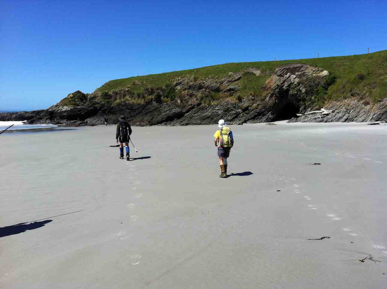
Welcome smooth sand ahead after extensive rock hopping …
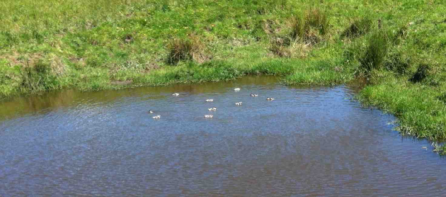
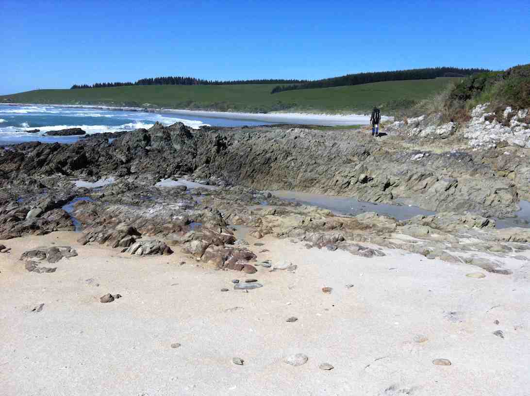
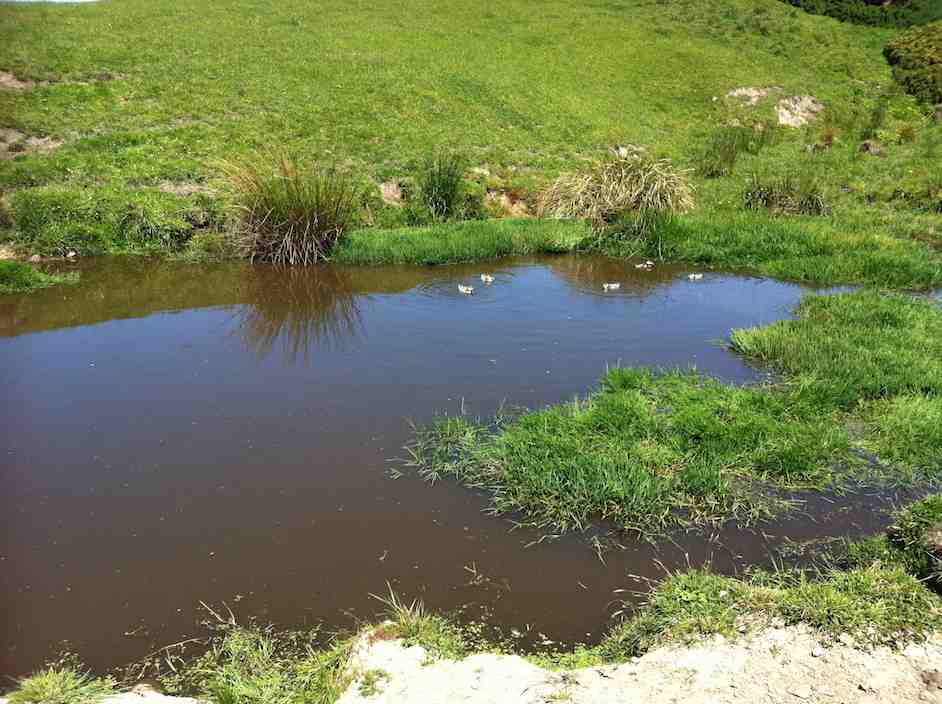
Five Paradise duck-lings in a farm pond. Couldn’t detect the sixth.
7. 15/4/2009 Trampers. Taieri Mouth Livingstonia Park to Akatore. Beach walk. Leader: Ria.
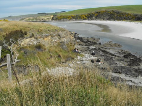
12 of us made the trip. A bit of a struggle for one or two but we all got there. Here George poses as an Indian shaman(?) in front of a cave.
click to enlarge
George
There were places where we had to clamber up to the paddocks before descending to the rocks again.
Bank climb Ian, Shaleen, George
This was a very narrow squeeze.
The narrowest squeeze. Wendy at back
The trip was well-timed, with low tide after 1.00 p.m. so there was room for plenty of rock work clambering …
Difficult descent. Pat, Ken, Joyce, Bill, Shaleen (in mid-flight), George, Doug
and beach sand. This is where we stopped for a pleasant cuppa.
Tea break. Lex, Ria, Bill, Pat, Wendy, George, Bob.
Five lunched down at the Akatore mouth, the rest content to dine in the paddock above.
Pat, George, Bill, Doug
The five “down at the mouth” are just visible from the paddock.
Akatore mouth from paddock. Ken, Shaleen, Doug, George and Ian at rear.
Here is just one of the ponds as we made our return, this time largely over paddocks.
Paddock walk return. Doug, Ian, Bill
Careful rock clambering challenged some, and for others the distance was a bit of a stretch. But it was another successful day with the weather remaining kind. – Ian
6. 6/2/2008 Taieri Mouth Livingstonia Park to Akatore Beach walk. Trampers. Leaders: Ria, Hazel.
Lunch stop at Akatore Stream mouth. Leonie, Keith H, Tash, Lex
Tramp Report for Wednesday February 6th 2008
A beautiful day greeted 16 trampers as we met at Livingstonia Park for the start of our walk from Taieri Beach to Akatore. Our leaders were Ria Lippers and Hazel Leslie who had done 2 recces to make sure they had it all under control as it was the first time the Taieri tramping club had done this walk.
Tea Break. Doug M, George, Keith, Glenice, Joyce, Pat, Bill, Ria
Tea Break. Carol, Tash, Keith H, Lex
It turned out to be quite an adventure as we scrambled up and down rocks between the lovely bays that stretched all the way along this stunning Otago coastline. The tide was at a tantalising level as the more adventurous felt it was possible to get round, while our leaders took the more secure upper route along the cliff top. It was great to have the choice. We had lunch where the Akatore River reaches the sea, an enchanting spot with crystal clear water and white sand. George had a paddle in the water and we all relaxed in the sun. The tide was coming in, so most of the way back was along the top grassy pathway, but we did manage to go along some of the wider beach areas. As we descended the rope walkway back down to Taieri Beach we were so surprised to see so many people sunbathing and swimming, all taking advantage of the amazing Waitangi Day weather. Carol and I couldn’t resist a quick paddle before returning to the cars where everyone was waiting for us !! – Tash
Beautiful day for a beach walk when 12 hikers parked their cars at Knarston Park. The tide was out so we were able to walk south along the beach for quite some way before having to go up a rope walk to the grass area above beach to get past an outcrop of rocks. Then back down onto beach and time to sit and relax with our morning tea. Such a lovely day and so clear, the views were great and sea bird life interesting. On down the beach until we came to another outcrop on rocks that for us, was impassable and we couldn’t find a place suitable for us to climb up to top. So we decided that although it was a bit early we would have our lunch and sit a bit longer than usual, just soaking up the scenery and views. Watched the tide gradually coming higher up a little inlet, examined some interesting seaweed and heard about some of the bird life from our expert, Lesley G. 12 happy hikers wandered back to cars along the beach mostly and all agreed we’d had a very relaxed and pleasant day.- Bev.
4. 26/2/1997 Akatore South Side. Leaders: Jack M, Hugh, Mary L. 3. 7/8/1996 Akatore Farm Walk. Average. Leaders: Jack M, Jean A, Ria H 2. 9/2/1994. Akatore. Medium. Leaders: Jack M, Eleanor, Judy & Rob 1. 30/1/1991 Akatore Forest Walks. Leaders:
No. 35 on old hardcopy list of 113 club tramps. “Berwick Forest. G Such. Wenita. Nov-April. Year round”
Location: Old Wool Shed: 30 km.
Location: Lodge: 33 km.
click to enlarge
40. 11/9/2019. Trampers, Waipori Forest, Meggetburn. Leaders: Alan and Kerry
22 Trampers set off down to Berwick and left a car at the Government Track car park.5 cars then carried on to the start of the track, by the road, into the Berwick Forest Lodge.
A steady walk up through native bush and forest
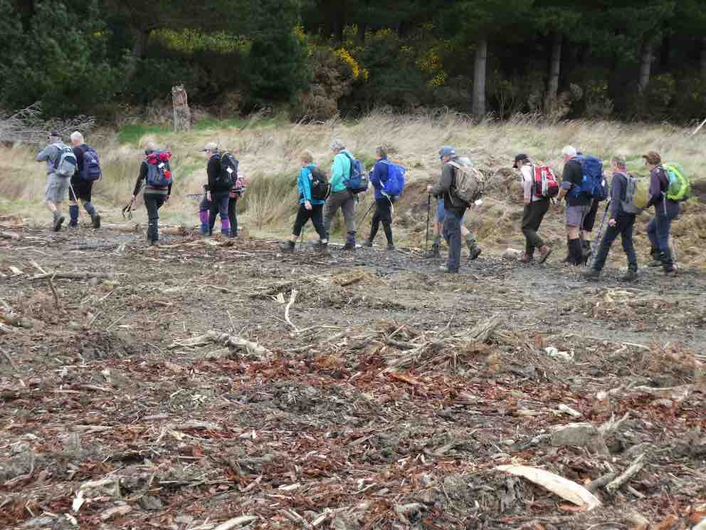
1st obstacle. (Gordon pic and caption.)Heading to Morning tea break. (Gordon pic and caption.)
to a welcome morning tea stop.
Morning tea. (Gordon pic and caption.)
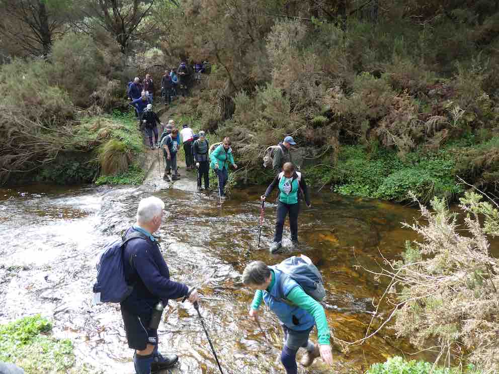
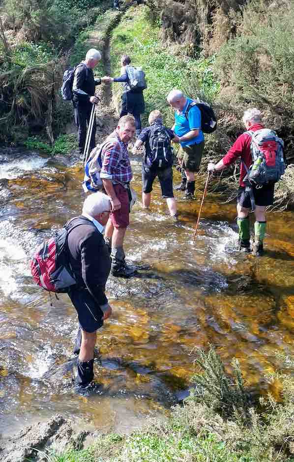
Then down hill to the Meggatburn Stream which had quite a waterflow, so it was difficult to cross without getting wet feet.
2nd obstacle– Some wet feet. (Gordon pic and caption.)
Then up we climbed to Shaws Road. The track had been clipped back to allow for easier access. Therefore the track was easy to follow.
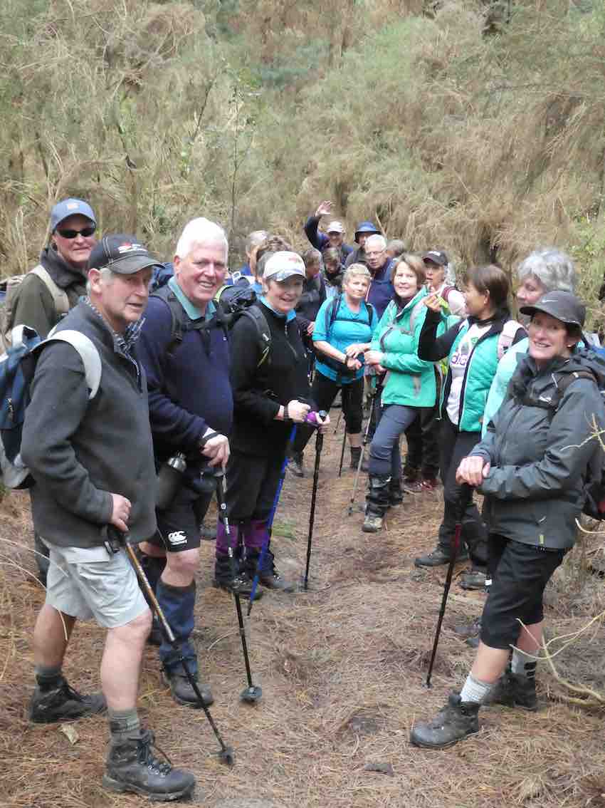
Regroup on way to top. (Gordon pic and caption.)
The day started well weather wise but with showers pending,
Heading down to Waipori Gorge for lunch. (Gordon pic and caption.)
we quickly carried on
A couple of budding models on the stone seat. (Gordon pic and caption.)
to a hut for our lunch, near the old Waipori picnic ground which is no more.
Walking out after lunch, we crossed the bridge on the Waipori River
Next stop Wobbly Goat. (Gordon pic and caption.)
and walked down to where the car was parked.Then 5 drivers returned to the rest of the group to collect trampers. Followed by a coffee session at the Wobbly Goat. – Kerry.
39. 12/12/2018. All. End of year. Pot luck meal at Berwick Lodge. Leaders: Peter, Wendy and Dave.
Route map, courtesy Ian. Trampers and most Hikers were led from the Lodge by Dave and Keith along Hook Road, up, up, up Farm Road, left along Old Boundary Road and down, up and back down again along a track through broom, gorse and trees to the Old Wool Shed site on Hook road, and back along it to the Lodge again. Peter led the Ramblers on a shorter walk.Young at Heart – Judy!!! (Dave pic and caption.)
A number of former club members turned up to a well-provisioned finger food meal at mid-day, and bowser a well covered trestle table of books, sale proceeds to go to the new Mosgiel swimming pool. Over 40 of us leisurely ate and talked till President Jill took over. She introduced Bruce who had composed a 4-stanza song to the tune of “The Old Grey Mare, and after lyric sheets were handed out, led hearty singing of it.
Thanks to excellent preparation, Jill had a briefed a number of us to give 2-minute accounts of private trips, local and overseas. These were many and varied. A good ending to the year, at a venue many of us hadn’t visited before. – Ian.
There were 14 keen Trampers out today for a walk in the forest – one member of the group used the word “intrepid” in describing us.
It must be a few years since our Club has tramped this track? Anyway, the cars parked at the usual spot by the old woolshed on the road into the “Berwick Forest Lodge”.
It was noticed that the toilet facilities by the carpark were absent, as about a month ago some “empty head” had burned it down!
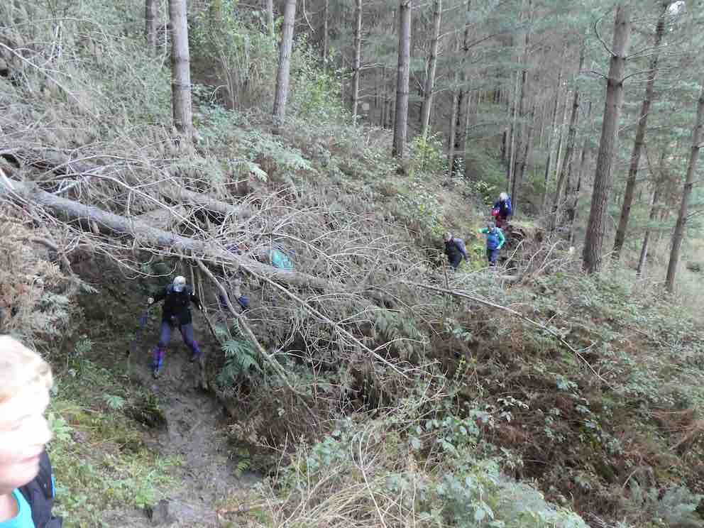
There was a brief paddock walk in the sunshine (sunny all day) before crossing the footbridge over Boundary Creek, to the beginning of the track up into the pine trees. After about 150 yards we came to 6 large trees down over the track, which were successful negotiated by going under, over, or around.
Smoko was taken in a sunny trackside spot, at the appropriate time.
Gathering on way up. (Helen pic and caption.)
Continuing uphill we soon came to and crossed a Forestry Road (Prentice Road). Now descending slowly we eventually came to the Meggat Burn, which was crossed without mishap using a variety of techniques. Electing to just plough through, not worrying about wet feet, and some crossed on the shallowest part of the rock ledge where it was maybe only 3 inches deep. The burn was only slightly up after all of the rain a few days ago.
(Margreet pic.)
While the track was muddy in many places, it was surprisingly good after the quantity of rain that had fallen. Further up there was vegetation, especially gorse, beginning to encroach but not impeding our progress.
The track came out onto a forestry road, Tobermory Road; and in 10 minutes more we reached Shaw Road before 12 noon. Down Shaw Road for a few minutes took us to our lunch spot in a sunny area under the Pole Line that parallels Shaw Road. There was a limited view down on to the Taieri from here, with Hope Hill in the background. We could even see the sea.
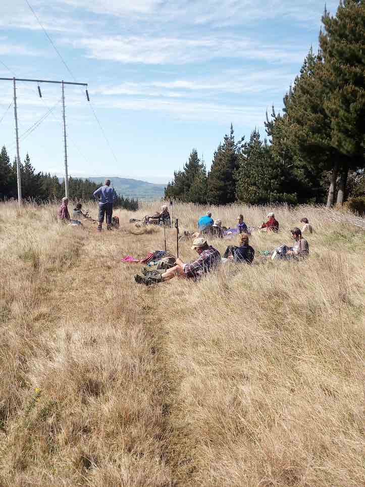
Lunch spot. (Helen pic and caption.)
The sunshine was most enjoyable, ideal for lying back forma little nap after eating – one tramper having to be roused to begin the return journey!
Our return followed the same route, some care being necessary descending a slippery clay section before arriving back at the Meggat Burn. All crossed in safety again although a piece of equipment may have been lost?
It was uphill for a little while, and then it was down all the way. It was very noticeable that the leaders were in a hurry to get home (I was at the back of the group here), and not wasting any time – probably they could detect the aroma coming from the coffee shop? But it was just their imagination!
We were back in the lovely sunshine at the cars by 2.30 pm, having tramped 13.5 km for the day’s effort.
The Leader was most gratified to hear that all of the party had thoroughly enjoyed the day’s walk (and talk). Considerable birtdsong was heard in the forest.
As per the usual custom, a stop was made in Outram for refreshments and discussion. And then back to Mosgiel, and then home for boot cleaning duty. – Art.
37. 15/12/2010. All. End of year. Lodge, Farm Rd, East Boundary, Old Wool Shed, Lodge. Pot luck meal at Berwick Lodge. Leaders: Peter and Wendy.
For some of us, accustomed to entering Berwick Forest along Terrace Range Rd by the Old Woolshed at the old HQ site, it was a new experience to travel further along the Berwick Road to enter the forest by the sign-posted Webbs Rd and then down Farm Rd, turning left onto Boundary Creek Road to arrive at the Lodge.
The walk took us back up Farm Road.We stopped for tea break at its crest where it crossed East Boundary Rd and continues to Webbs Road.
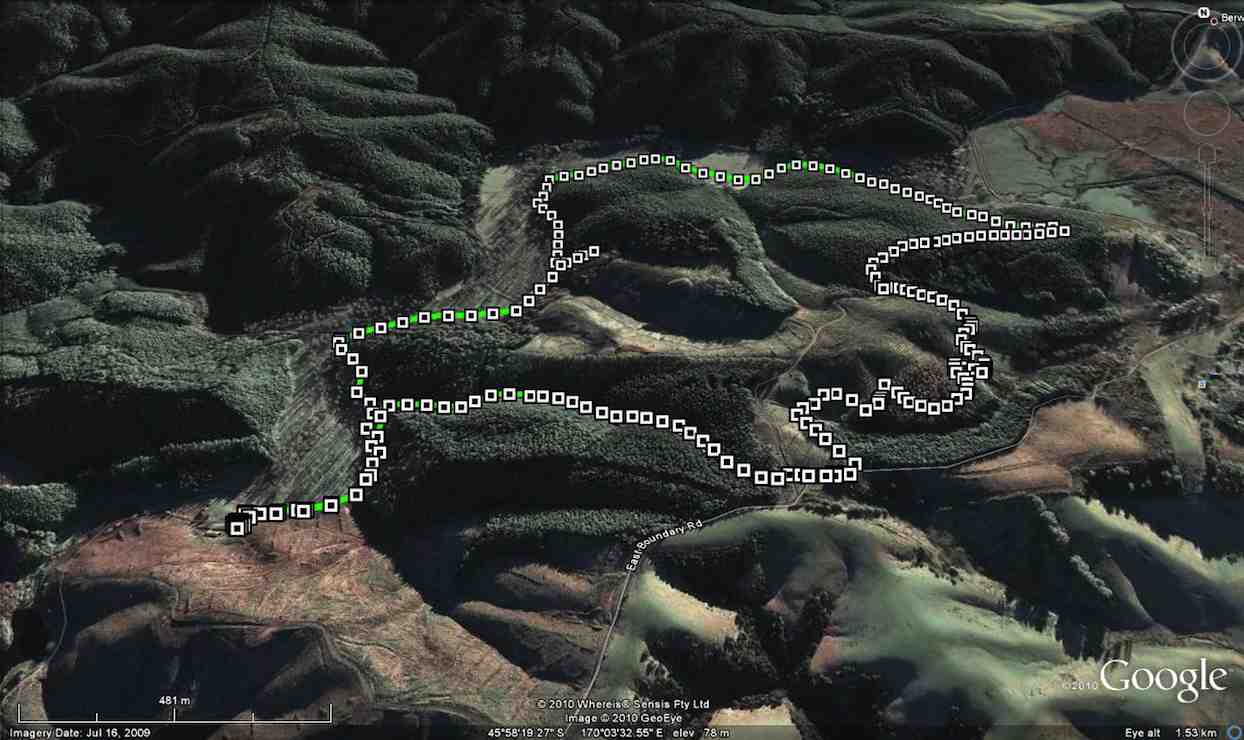
GPS of route courtesy Ken
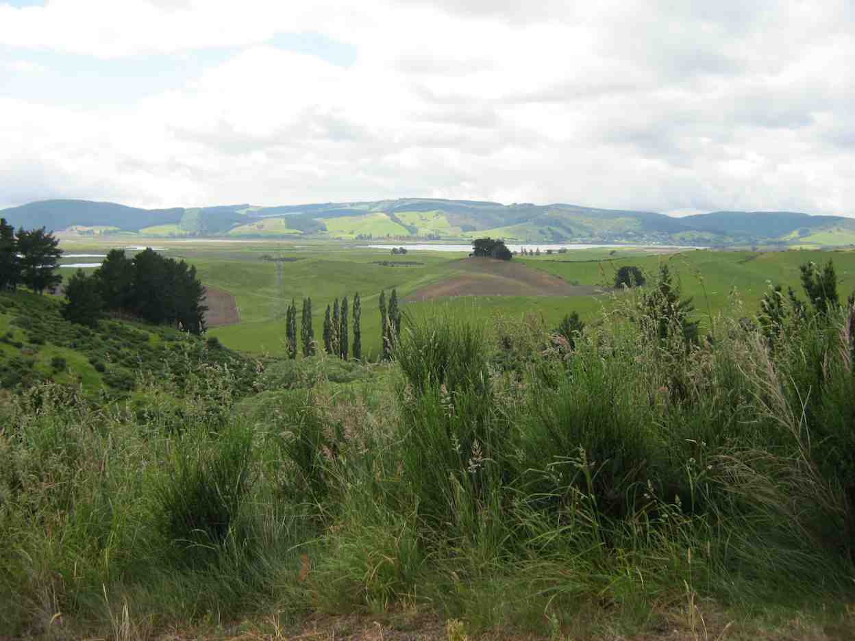
From here we had a good view across to Waipori Lake.
View of Lake Waipori
Almost immediately off Webbs Rd, Peter and Wendy led us along a forestry track paralleling the E Boundary Rd (which you can see on the left of our GPSed route) through Douglas Firs…
Through Douglas Firs
…and blackberry brambles in the more open areas.
Brambles
Interesting foot bridge
The track ended where at a log-loading site we joined up with the East Boundary Road. Turning right, were almost immediately at the two-storey lookout, with its lovely view of the Sinclair Wetlands.
The Lookout on E. Boundary Road.
Boundary Road eventually wound its way around to Terrace Range Rd near the old HQ site by the Old Woolshed.
Further on it was left off Terrace Range Rd onto Boundary Creek Rd, (passing Farm Rd on our left, thereby completing the loop,) and so back to the Lodge for lunch. Good planned timing, Peter and Wendy!
Lunch inside
Peter reported that the tramp was 6kms long and 19 happy trampers took part, with one or two others joining us for lunch and a singsong with Bruce and his guitar.
Bruce leading the singing.
Peter, as Past President, gave a speech on behalf of President Bill who unfortunately could not attend due to ill health, and wished us well for the Christmas season. – Ian
36. 8/9/2010. Hikers. Berwick Forest from Old Woolshed. Leaders: Bob and Evelyn.
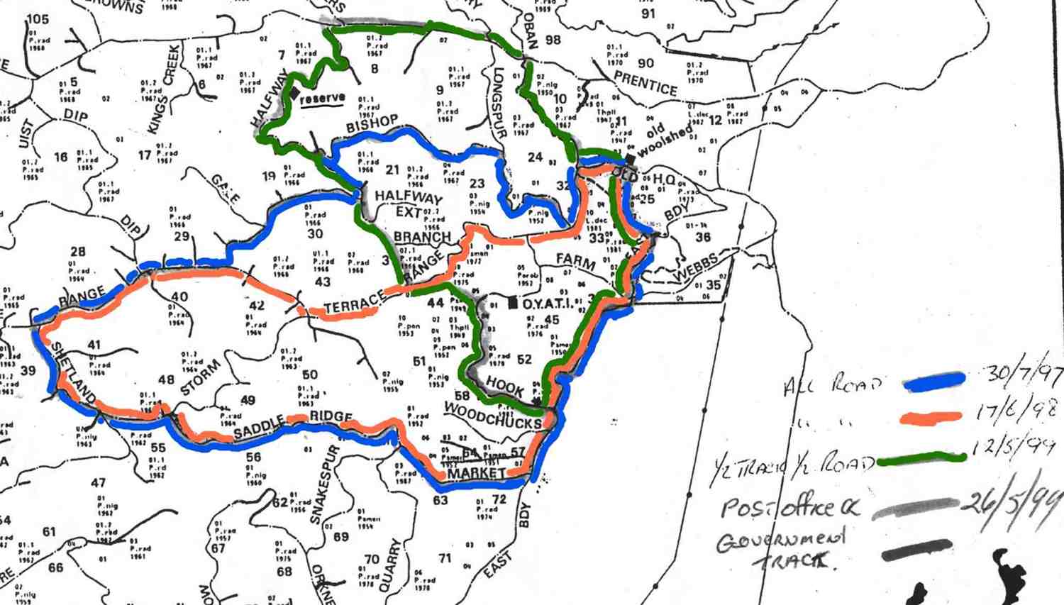
35. 13/5/2009 Both. Berwick Forest from old Woolshed. Pink Route. Terrace Range, Shetland Saddle Ridge, Market, East Boundary Medium. Leaders: Ian, Ken.
Well, an unusual start to the day. For a wet morning, but promising to clear up later in the day, 10, mostly Hikers, turned up at the carpark and after much discussion forewent the programmed Cleghorn Street-Signal Hill walk, and settled on a Berwick Forest road-walk, because ground everywhere was SO WET. And again, despite a longer walk than usual, it proved that Hikers can do anything, given time-out on the hills.
click to enlarge
Lunch. Ken & Neil stading. Peter & Bev sitting.
We endured one or two showers initially, giving way to cloud and latterly even to sunshine.
Down Shetland-Saddle Ridge. Peter & Neil at back. Bev at front.
It was instructive to witness extensive flooding everywhere and how waterways cope; also the transformations brought about by forest harvesting and re-growth that had taken place over the 10 years since the club last visited the area. Views of the Sinclair Wetlands rewarded the last stages of the day and we got back to the cars just after 3.00 p.m., tired, a bit sore, but triumphant. – Ian.
34. 31/10/2007 Shaw Road?
Although once again, weather report not so good and some cloud hanging around, we left the car park at 9am as usual for our hike in Waipori – Berwick Forest area with high hopes of a good day out. We parked by the side of the road and set off walking along the road then across farm land and up a fairly steep hill.
Morning Tea
Took our time and stopped frequently to admire the view which got more interesting and expansive the higher we got.
Certainly well worth the effort. Had views over Taieri, down to Waihola and over the Wetlands, as well as the hills and valleys round that area. We really enjoyed our morning tea break after our hard slog up the hill. From then on it was fairly easy, pleasant going along forestry roads and through the trees. Found a nice sheltered spot in the sun for our lunch and sat and made the most of the break and rest before returning to the cars the same way we had come. Day turned out to be a good one for hiking. Not too hot at first but warmed up considerably by the time we were on our way back. Another happy day for hikers. Bev.
32. 12/9/2007. Trampers. Berwick Forest from Old Woolshed. Medium. Leaders: Doug J, Tom
31. 7/6/2006. Old Woolshed to Shaw Road, return. Leaders: Bob H and Arthur H.
30. 7/6/2006. Both. Berwick Forest Lodge. Leaders (Medium): Bob H, Arthur H, (Easy): Margaret D, Val.
29. 14/12/2005. End of Year. All. Berwick Hall. Bring a plate. Leaders: Lance and Lois, Lesley S.
28. 26/5/2004. Old woolshed at Berwick to Waipori Return. H.Started from the old woolshed, through the forest, Meggat Burn to Shaw Road, and down the track to the picnic ground near the Waipori River Bridge to have lunch there. Returned the same way. It must have been a long, tough tramp to do that. (Recalled by Art.)
27. 18/12/2002. End of Year. All. Berwick Forest Pre-Christmas Tramp. Finger food lunch and flasks, wet or fine. Leaders: Bill H, Lesley S, Wendy J.
26. 19/12/2001. End of Year. Combined. Berwick Forest. Pre Xmas Tramp. Finger food lunch and flasks. Leaders: Graham, Bill H, Wendy J.
25. 13/12/2000. Berwick Forest – Pre-Xmas Tramp. Finger food lunch and flasks. Leaders: Margaret and Les, Bev H.
23. 16/2/2000. Berwick Forest Circuit. Leaders: Barbara McC, Mary L, Sabina.
22. 15/12/1999. Pre-Christmas tramp and lunch. Berwick Forest. Wet or Fine. Finger Food and Flasks. Leaers: Margaret and Les, Colleen.
21. 12/5/1999 Old Wool Shed. Green Route. Half track, half road. East Boundary, Hook, Halfway, Prentice, Oban, Ret. Leaders: Claude, Lex, Molly.
20. 3/2/1999. The Circle at Berwick Forest. Leaders: Jack R, Pat, Hazel.
19. 19/8/1998. Berwick Forest Tramp. Leaders: Les W, Eleanor.
18. 13/5/1998. Berwick, Shaws Hill, Hayes Woolshed. Leaders: Bill H, Lesley S.
17. 17/6/1998. Old Wool Shed. Pink Route. East Boundary, Market, Shetland Saddle Ridge, Terrace Range, Ret. Leaders: Graham, Claude.
16. 30/7/1997. Old Wool Shed. Pink Route. East Boundary, Market, Shetland Saddle Ridge, Terrace Range (Part), Halfway (part), Bishop, Longspur, Terrace Range (part), ret. Leaders: Graham, Claude, Les W.
15. 19/3/1997 Waipori Gorge to the Megget Burn stream, Berwick. Leaders: Molly, Diana and Ray
14. 12/2/1997. Woolshed Shaws Hill and return. Leaders: Colleen, Ted, Sabina.
13. 13/7/1994Berwick Forest Woolshed to Waipori and return.Leaders: Molly, Dot T, Graham, Frank
12. 31/3/1993. Berwick Forest. Medium. Leaders: Jack R, Barbara McC, Mervyn, Doreen.
11. 17/6/1992. Berwick Forest walk. Average. Leaders: Mary Y, Nola, Doreen, Mary McG
10. 25/9/1991 Berwick Forest and Native Reserve. Average. Leaders: Dot B, Jean Y, Denise
9. 10/7/1991 Berwick Forest Woolshed to Waipori. A good winter tramp. Average. Leaders: Eric & Dot, Ray, Joyce I, Catherine T
8. 11/10/1989. Berwick – Shaw’s Hill Road. Easy. Leaders: Joyce I, Joan A, Norman.
7. 6/9/1989 Berwick Forest. Average. Youth Camp to Native Reserve. Leaders: Ria L, Peg C, Peggy A
6. 7/6/1989. Berwick Forest from Forest Headquarters. Sheltered pine walk. Leaders: June W, Ria, Peggy, Peg
5. 14/5/1989 Waipori Gorge to Meggetburn stream, Berwick. Bush and Pine walk. Leaders: Daphne, Helen W, Mavis
4. 3/2/1989. Berwick Forest – The Upper Circle. Incorporates the Otago Youth Adventure Trust training track. Leaders: Jack, Pat, Hazel.
3. 21/9/1988 Berwick Forest from Old Woolshed to Boundary Creek and O.Y.A.T.I. camp. Leaders; Kees and Ria, Doreen.
2. 22/6/1988 Berwick Forest from the Woolshed. Back early for barbecue. Leaders: Dave and Jean
1. 13/4/1988. Berwick Forest from Shaw Hill Road. Leaders: Hugh, Jean Y.
3. 4/9/2019. All. Hightop, Semple Road, Green Hut track loop.
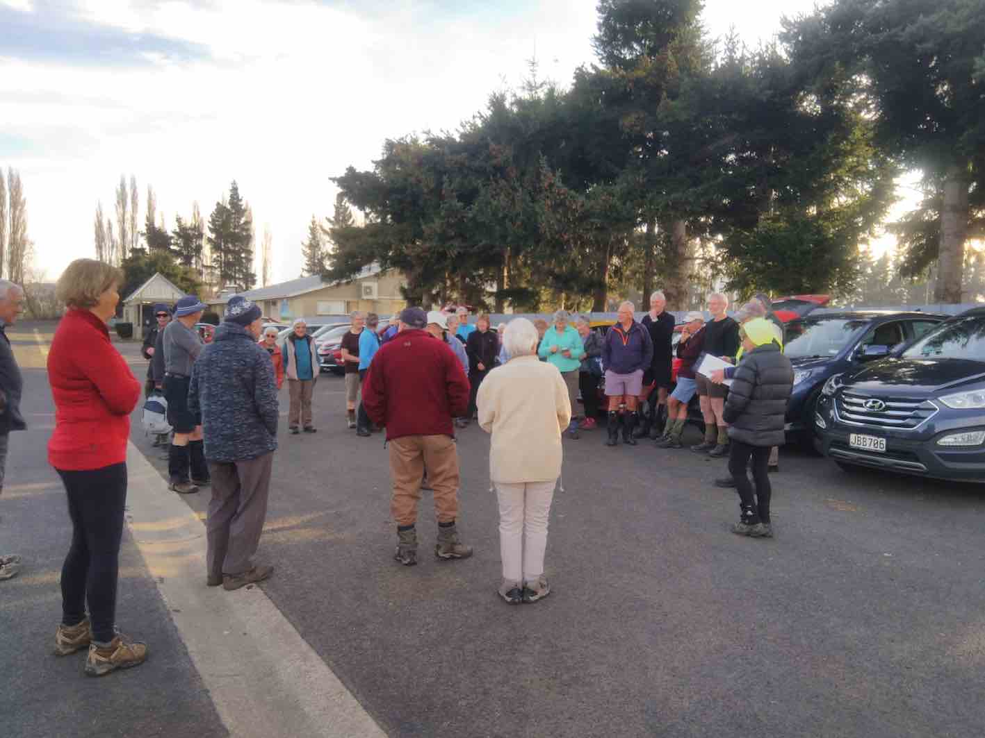
New meeting place. (Judy K pic and caption.)
Trampers. M. Leaders: Arthur and Gordon. M.
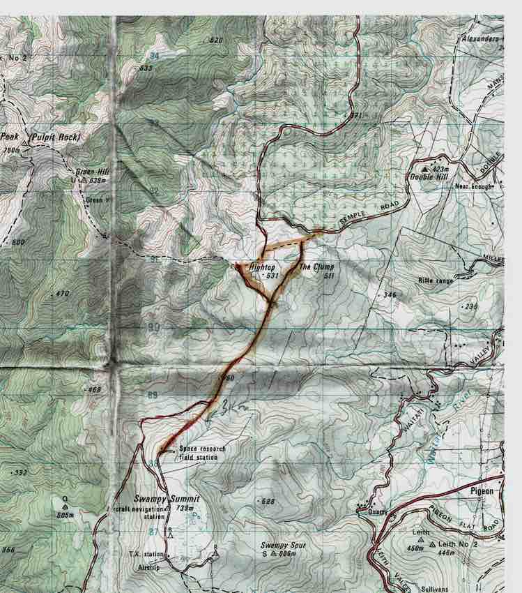
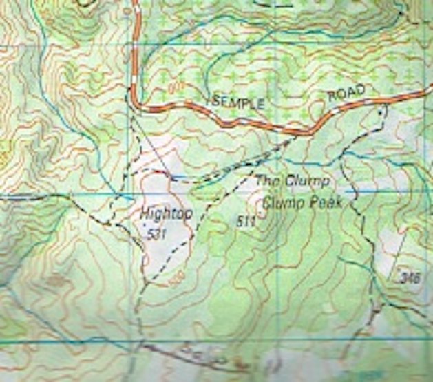
Route map highlighted, courtesy Arthur.
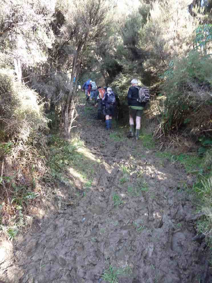
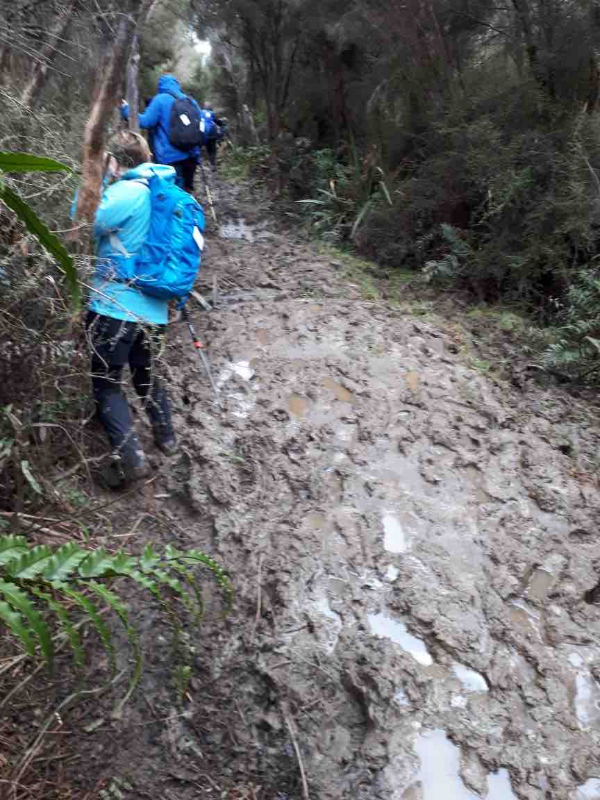
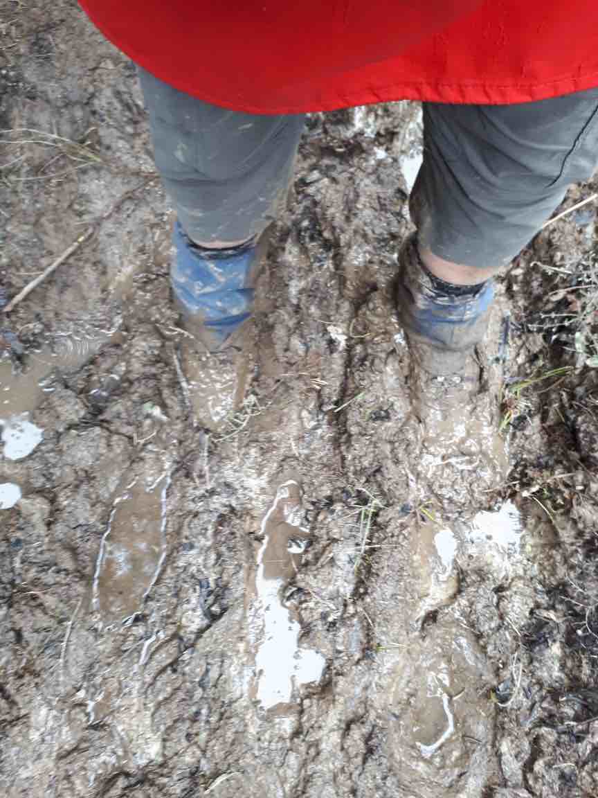
A new tramp. Parking on Semple Road, 16 Trampers followed the old, original track in to the Silver Peaks to begin a circuit of Hightop. Quite muddy at first, the old track hadn’t been cleared for many moons, but was well defined.
Mud-glorious mud. (Gordon pic and caption.)Heading to renddezous with hikers for morning tea. (Gordon pic and caption.)
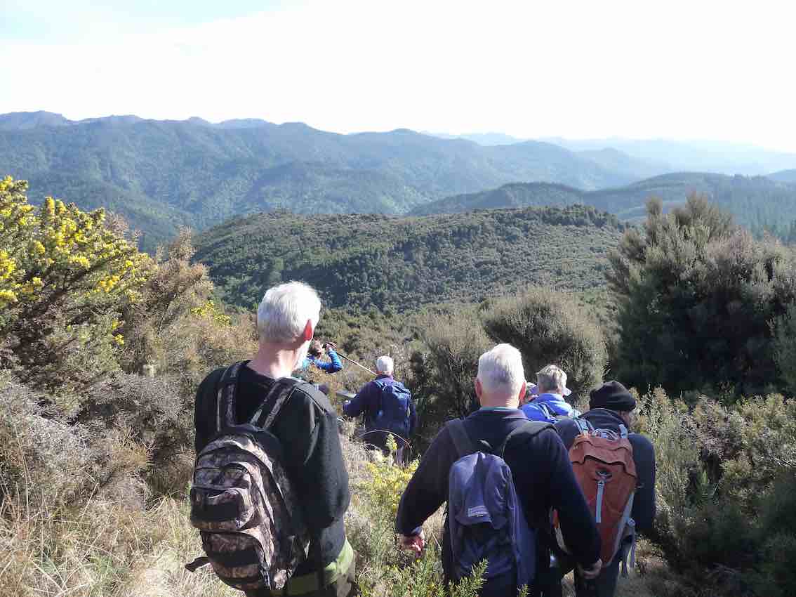
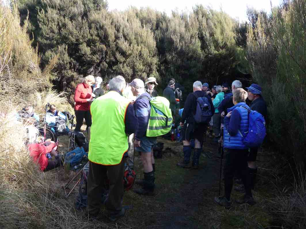
We caught up with the Hikers at Sleepy Hollow for smoko together. It was a combined day, but they were heading for Green Hut.
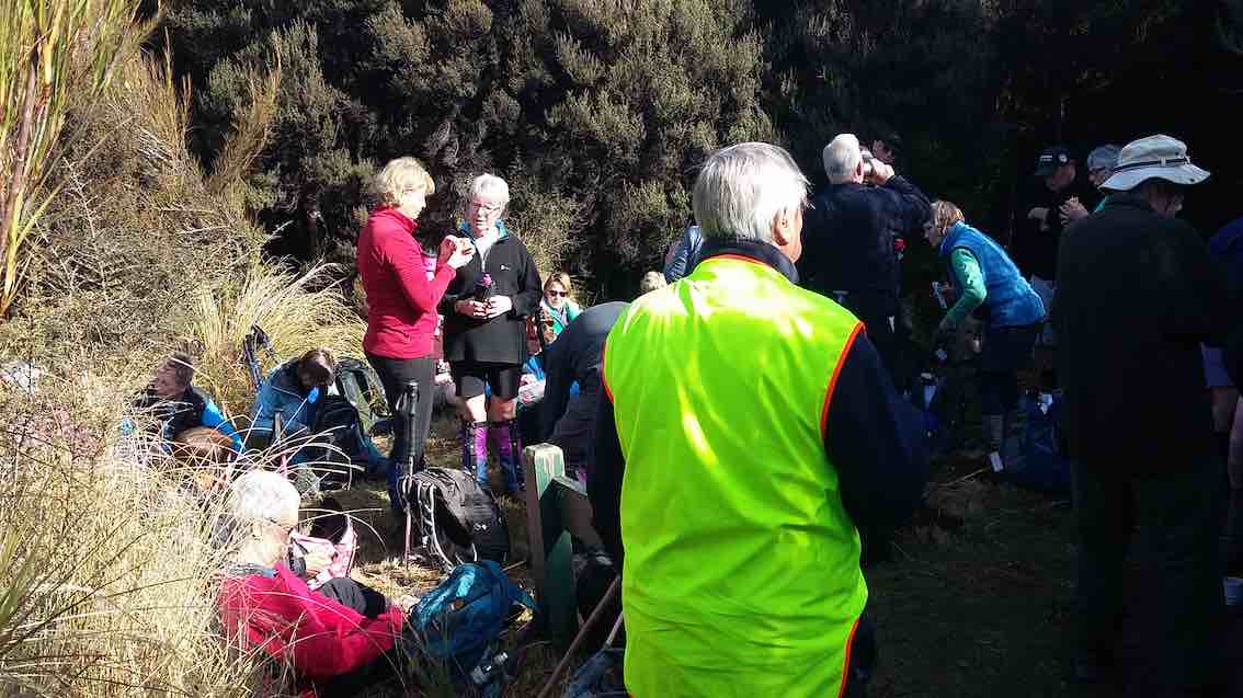
Bit damp to sit down for smoko. (Gordon pic and caption.)
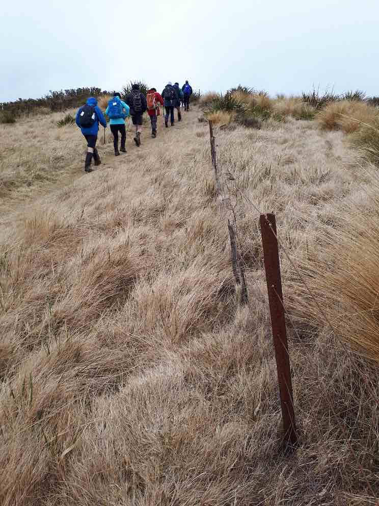
Fifteen minutes took our group back to the Swampy Ridge Track, which we followed through the muddy patches, made worse by wild cattle in the area over winter. And then on a good track, climbing now.
Nearly there 6th. Gordon pic and caption.)
The day had been sunny to start, but by 11 a.m. the north-east wind was bringing in cloud on upper Swampy.
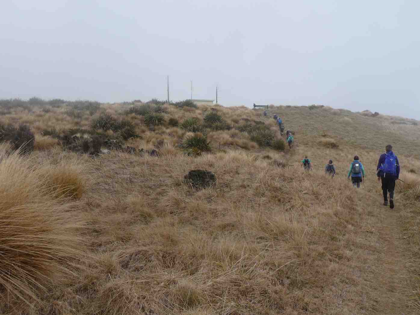
In cloud, and with a cold wind, lunch was taken in the shelter of the Airways building at the north end of Swampy top.
Lunch; but mainly sheltered. (Gordon pic and caption.)
Faint mutterings about mud and hills were heard, but dismissed as inconsequential bay the leader. A kind offer to describe the views from there was declined!
We started off into the cold wind on the return journey, but it was downhill and were soon into the shelter.
Heading back down from Swampy. (Eleanore pic and caption.)
Going downhill all hopped and skipped merrily through the mud,
Muddy patches. (Eleanore pic and caption.)Muddy patches. (Eleaanore pic and caption.)
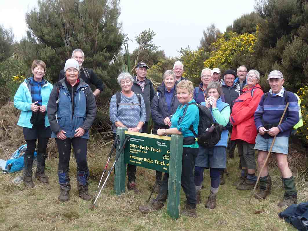
to arrive back at the junction to Sleepy Hollow for a group photo.
The HAPPY tramping group. (Gordon pic and caption.)
The last leg of the circuit about Hightop took us, on a lovely piece of track, back to our cars. The cloud had lowered. 12 km, or little more, for our day’s adventure was good.
Thanks to all, especially Phil and Gordon for doing the recce of Hightop with me.
A refreshment stop was made at Blueskin Nurseries on the way home.
Home to clean our boots! – Art.
Hikers. Semple Road to Green hut. Leaders: Clive and Alex.
After conducting a recce of the track to Hightop this Hiker deemed it too boggy for the hikers and lead a recreational hike from Semple Road to the old Green Hut site.
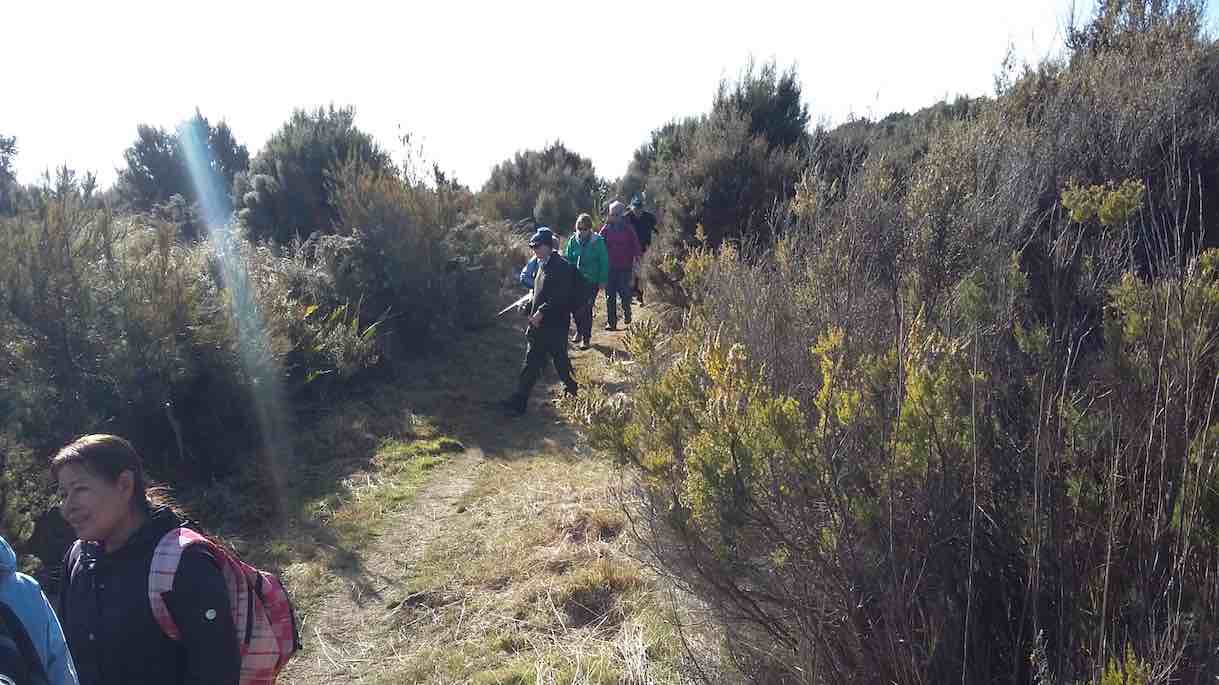
22 hikers set off in good hiking conditions of around 13 degrees and sheltered from any wind by high kanuka trees.
setting off from Semple Road. (Clive pic and caption.)
We met up with the trampers at sleepy hollow for a shared morning tea
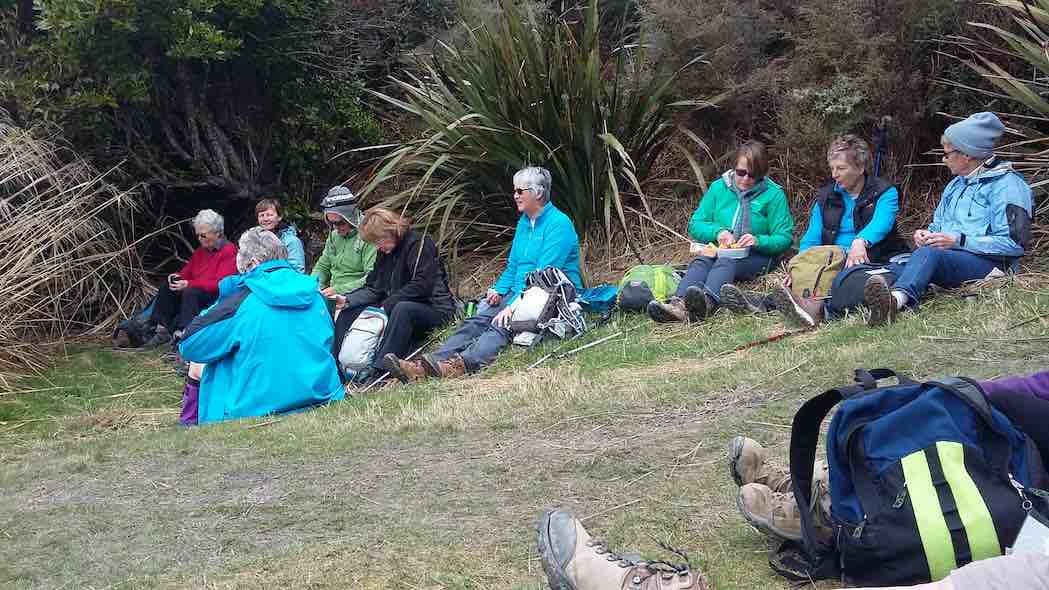
Tthe combined hikers and trampers at morning tea. (Clive pic and caption.)
and the more intrepid trampers then set off for swampy’s and we set off for green hut. A couple of the climbs had several hikers blowing hard at the top (Leader included), but the underfoot was good with evidence of recent clearing and maintenance by the ‘Green Hut track group’ (see ‘Keeping up with the Green Hut Track Group’). By midday we arrived at the site of the old green hut and enjoyed a sociable half an hour over lunch.
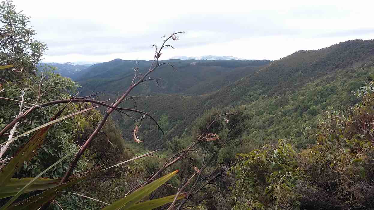
Lunch at Green Hut. (Clive pic and caption.)Great view across the forest and bush. (Clive pic and caption.)
The more downhill return to Semple Road meant we were back in the cars by 2pm and at Blueskin Nursery Cafe shortly after. The trampers were not that far behind. – Clive.
Ramblers. Semple/Mountain Roads. E. Leaders: Mutual.
Seven of us contented ourselves with a road trip, going on a good bit further beyond the locked gate to lunch in sunshine – turned cloudy and windy – turned cold, before returning back to await the Hikers’ return. Did something like 4 km. All good company and chatter. (Interesting point to note: sign posts have extended Semple Road quite a bit beyond the Green Hut parking spot to where it eventually turns into Mountain Road.) – Ian.
Then, a recce, before we go any further. Ian wasn’t a likely starter because of problems at home, so Judy recruited Bev, but in the event Ian was able to come, but the recce had to be fitted in at the last moment.
We entered in at the Mountain Road entrance and made our way up to the first junction with the top track on the map that runs roughly parallel to Semple/Mountain Road. Only a short way in and solid gorse blocked the track. But a short loop down to the left and back up again recovered the track, much more open. Up and over the top to the fence line and here our troubles started. Snow fellings of the scrubby manuka from that heavy winter snow-fall plus the gorse made for much ‘bush-bashing’. Still hopeful of getting to the next junction we pushed on. But no. Time was passing, so back out again and on to the Sleepy Hollow junction.
This was well-cleared, but we had lost quite some time by now. We lunched on the way and nursed our gorse-pricked legs.
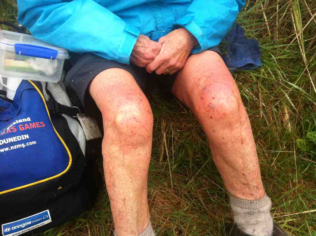
Gorse-ravaged legs.
We pushed on to the Swampy Track junction, also well-cleared, where a majority decision was taken to turn back, with the Swampy route to be the one taken. So we didn’t explore the less inviting Hightop one to the left. Time was running out.
Now to the tramp. All went well till we came to the Swampy Track junction. Ian had still wished to have at least a wee look at the Hightop track to the left, so general consent was given and he and several others set off on it, only to find it was nicely cleared and seductively inviting over a clear rise. So much so, that he phoned back to Judy an invitation for the remainder to follow. But several didn’t wish to come, asserting the Swampy track was the one that had been planned. On the other hand, Ian and the others with him were so reluctant to give in that a grudging assent from the nay-sayers was won and the two groups were reunited. The cleared track led us out onto Semple Road but we could find no sign of the emergence of the bush-bashed track anywhere.
Anyway, we lunched back up at the DoC sign indicating Silver Peaks Conservation Area that we had passed earlier before retracing our steps back to the cars. But Ian still doubtless remains unforgiven for his ‘splitting the group’ and adopting a cavalier ‘Trampers’ attitude. His phone call did put fellow-leaders Judy and Bev, who had both remained behind, in an invidious position.
So, we had made it 3/4 of the way around Hightop but the last side still awaits a good track-clearing day. 21 Hikers out on the day. A good overcast tramping morning, getting quite hot in the afternoon. – Ian.
1. 16/9/1992. Hightop, Swampy. Start Double Hill Road. Average. Leaders: George, Doug M, Penny & Peter