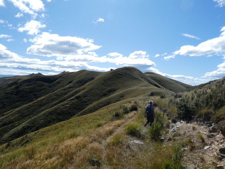
2. 7/02/21. Racemans.Hikers Leaders Jenny Finnerty and Bob Heenan
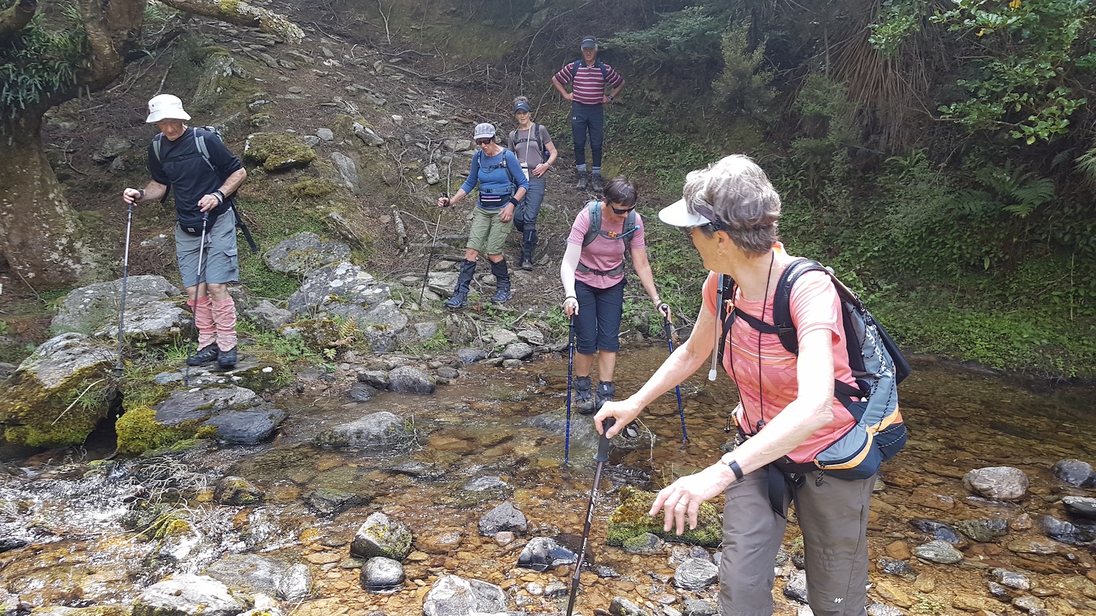
I went to pickup my friend (who will remain nameless)and she was still in her night attire and quite obviously not coming! My thoughts went to a plan B hike because of the inclement weather but by the time I arrived at the car park everyone one was keen to carry on and do Racemans/Tunnel track.
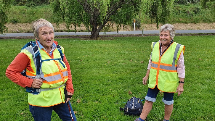
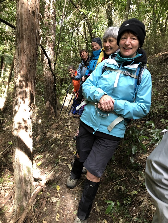
Bugga!!! The said friend was coerced in to coming so was picked up (dressed) and off we went to Whare Flat. All 13 eager souls and 1 friend set off through the ford and over the swing bridge and onto the track with a few with squelching feet.
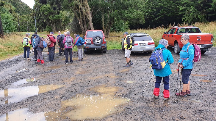
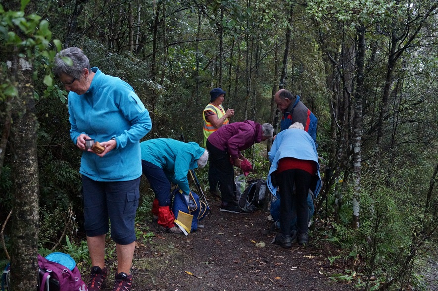
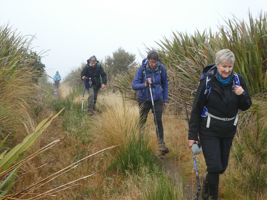
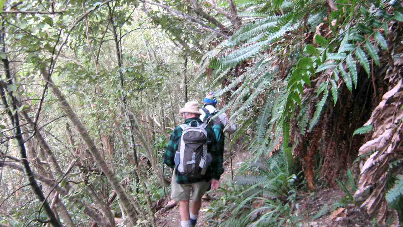
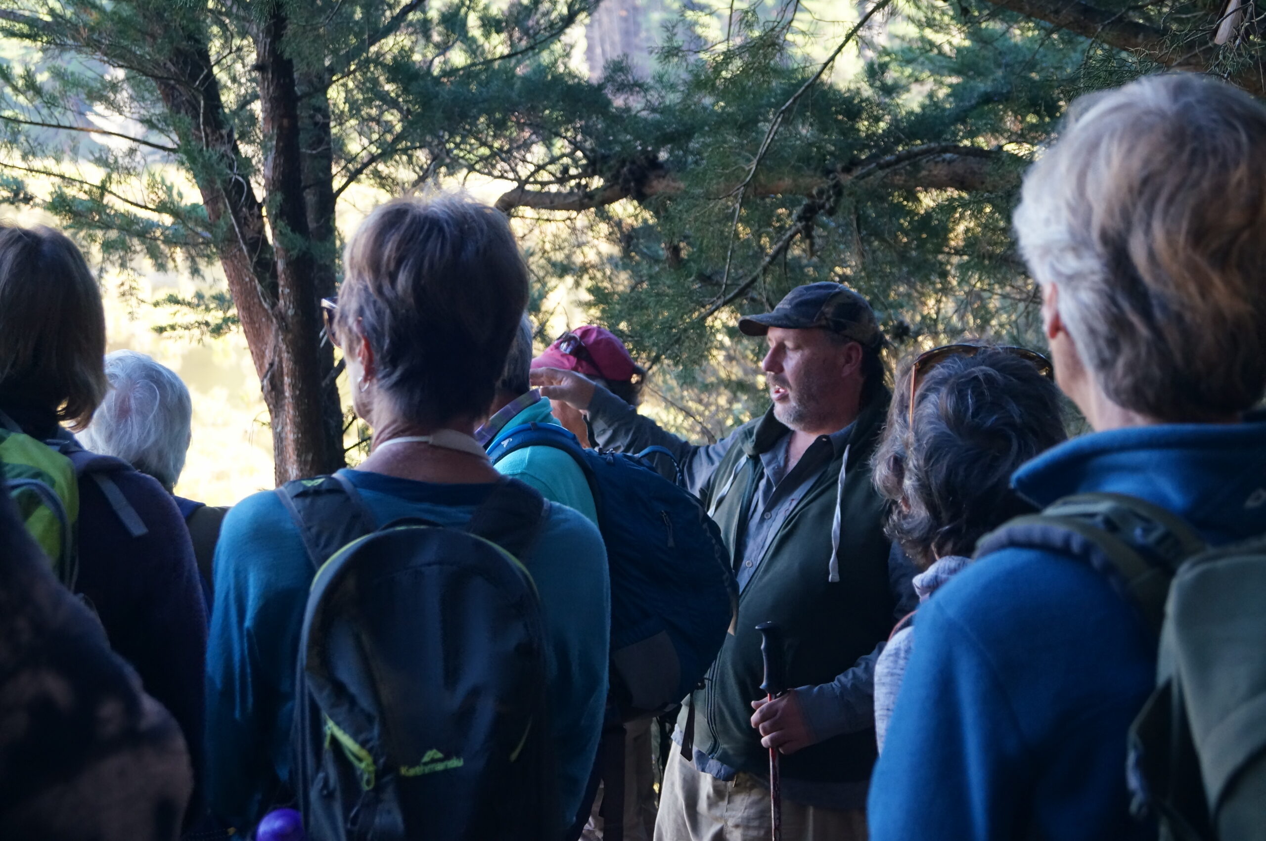
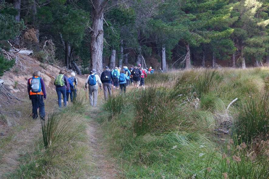
“Setting off in the rain.” – Photo and Caption Clive.
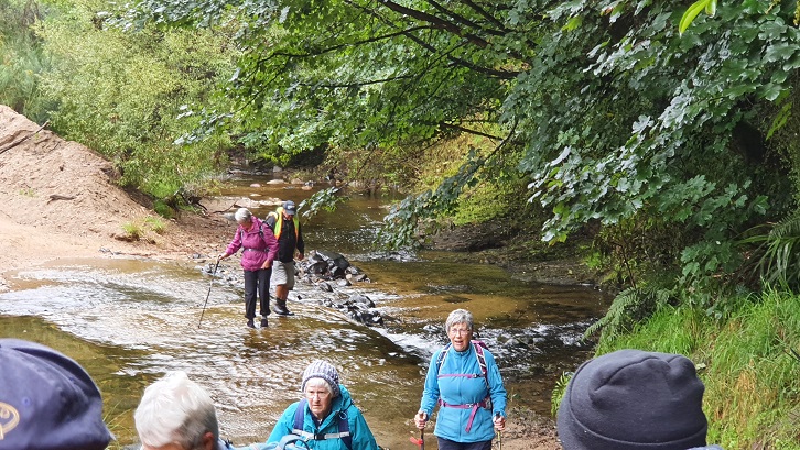
“Wet feet to start.” – Photo and Caption Clive.
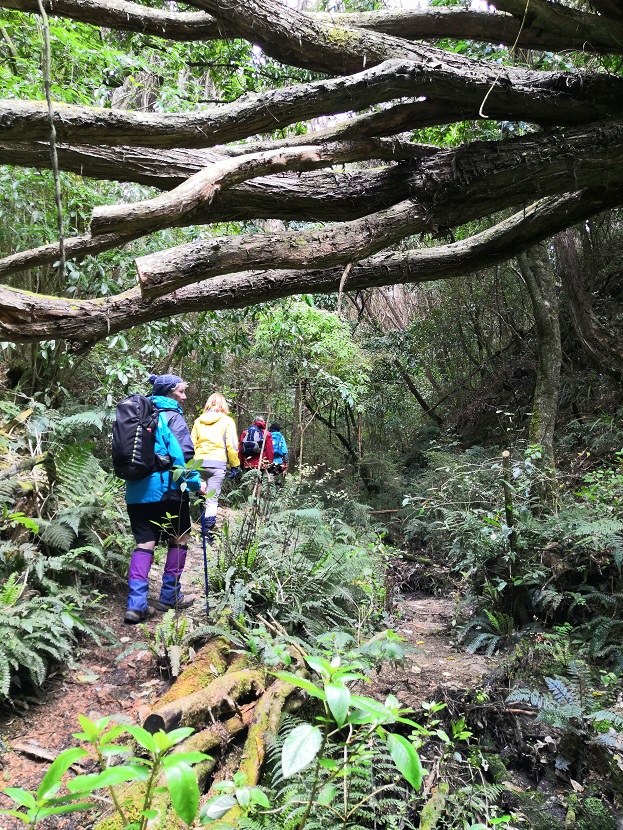
Track was really good with some clearing been done.
There were only a few mucky bits due to the rain which was getting harder by the minute.
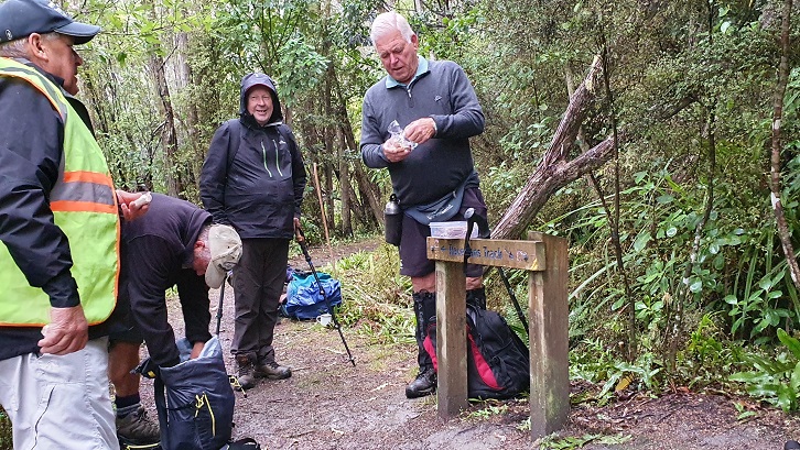
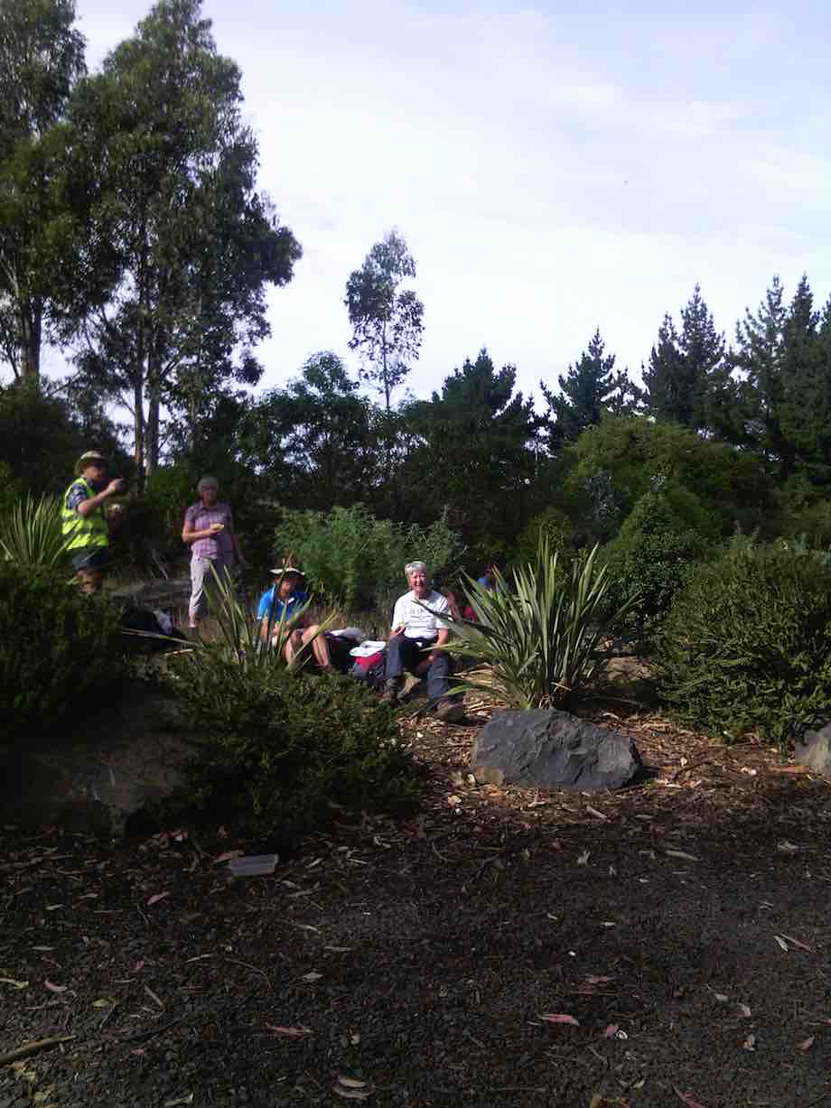
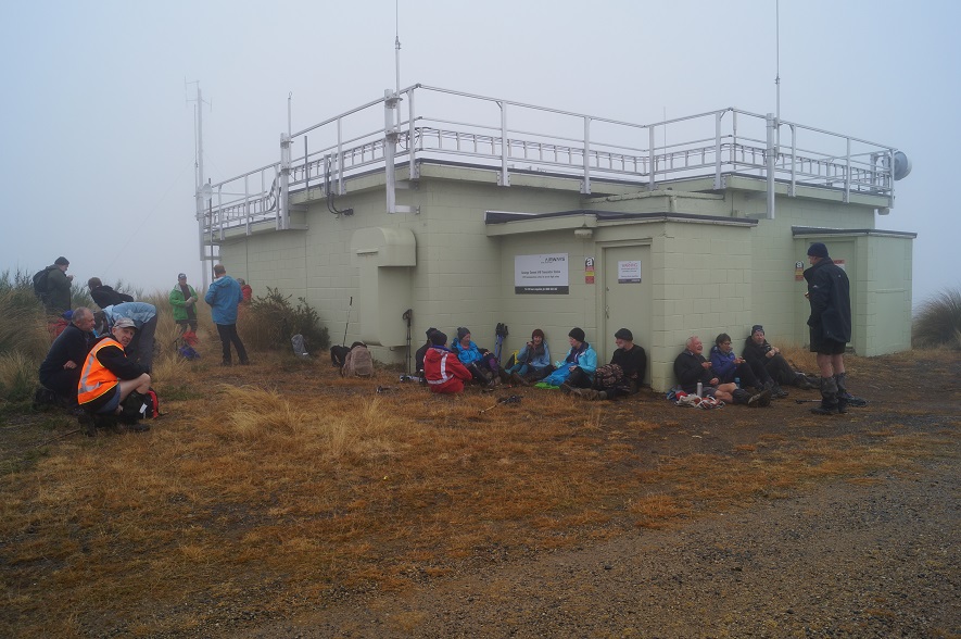
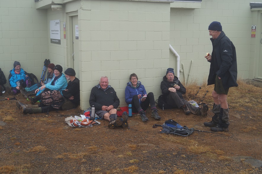
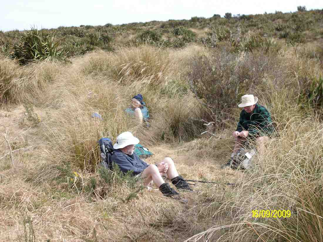
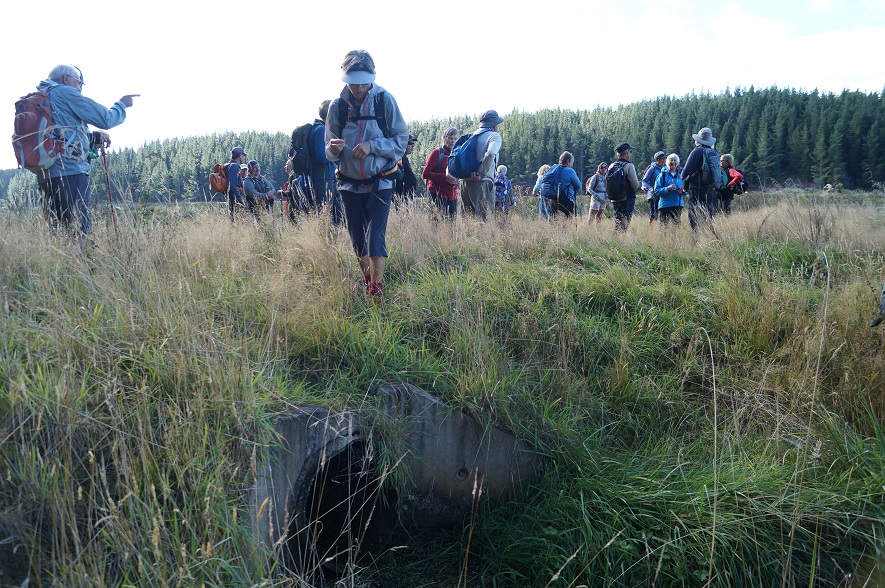
“Morning tea in the rain.” – Photo and Caption Clive
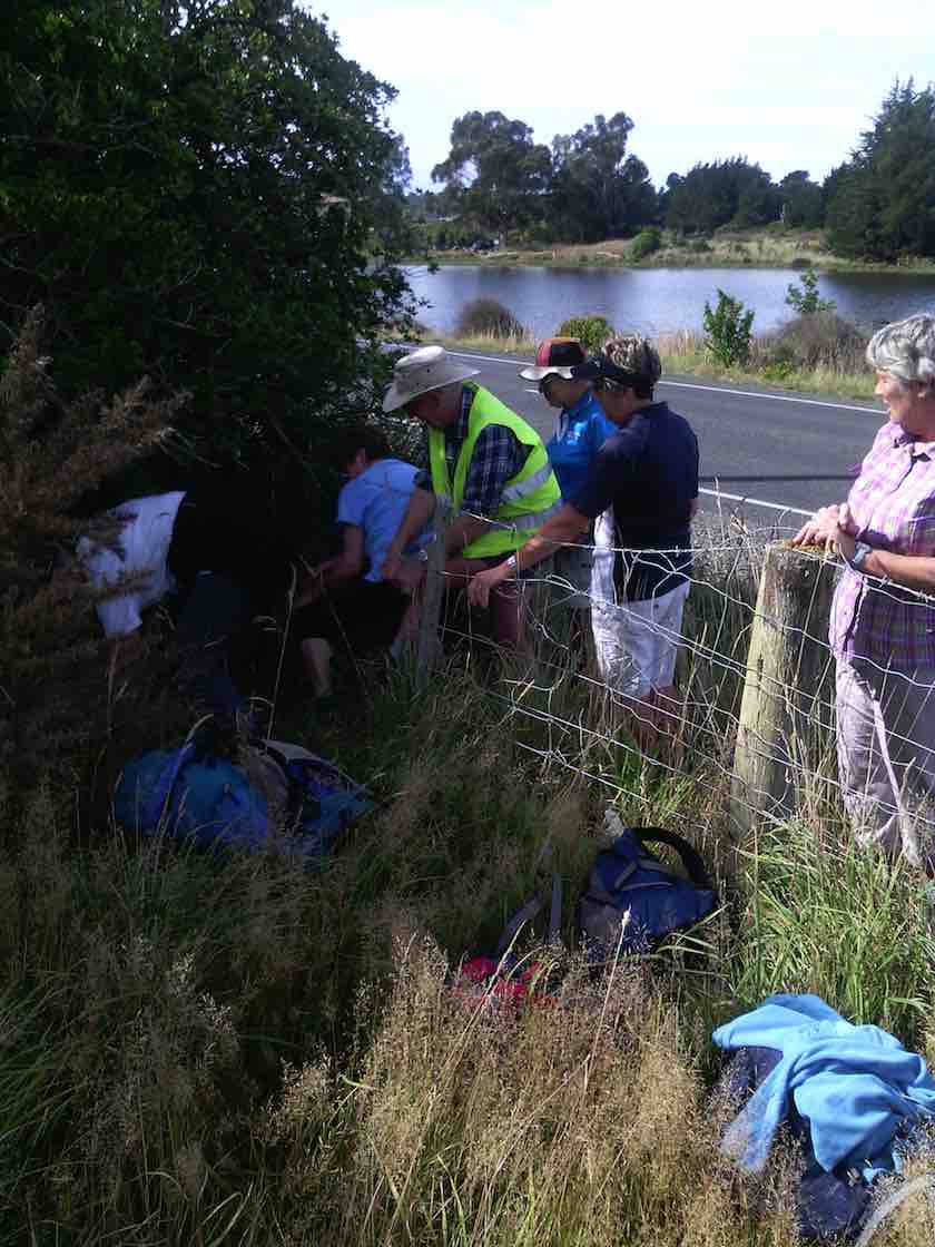
It was good having some strong trampers to help us ladies through a couple of tricky bits. Thanks guys.
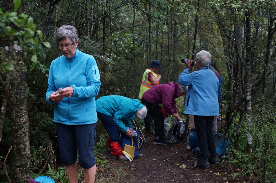
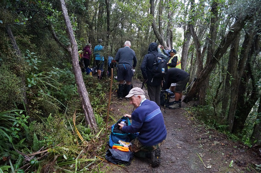
“Ground too wet to sit.” – Photo and Caption John.
“Why is there a puddle in the bottom of my pack.” – Photo and Caption John“No wonder my pack’s name is Tardus.” – Photo and Caption John
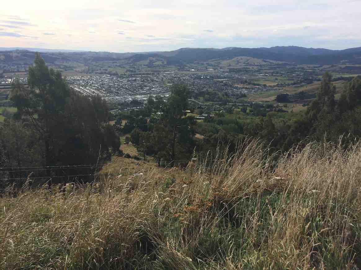
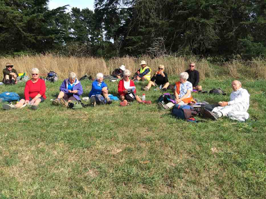
After about an hour or so it was decided to shorten the hike and for go lunch because it was fair persisting down.
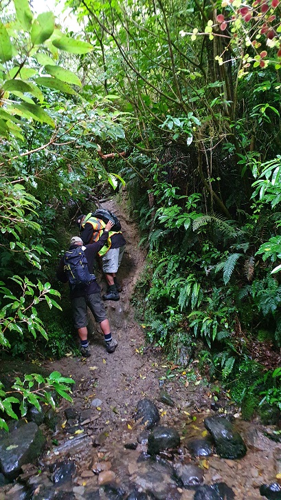
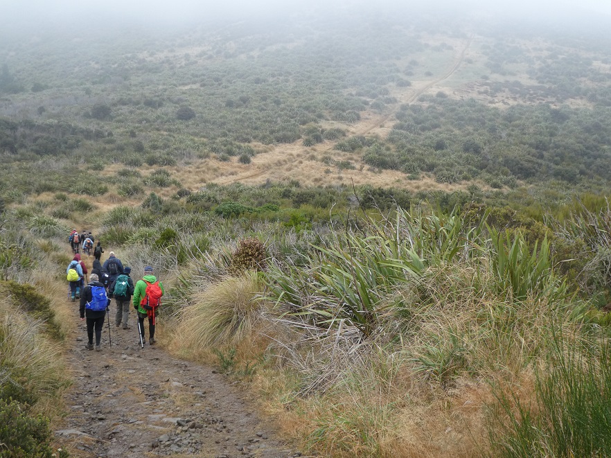
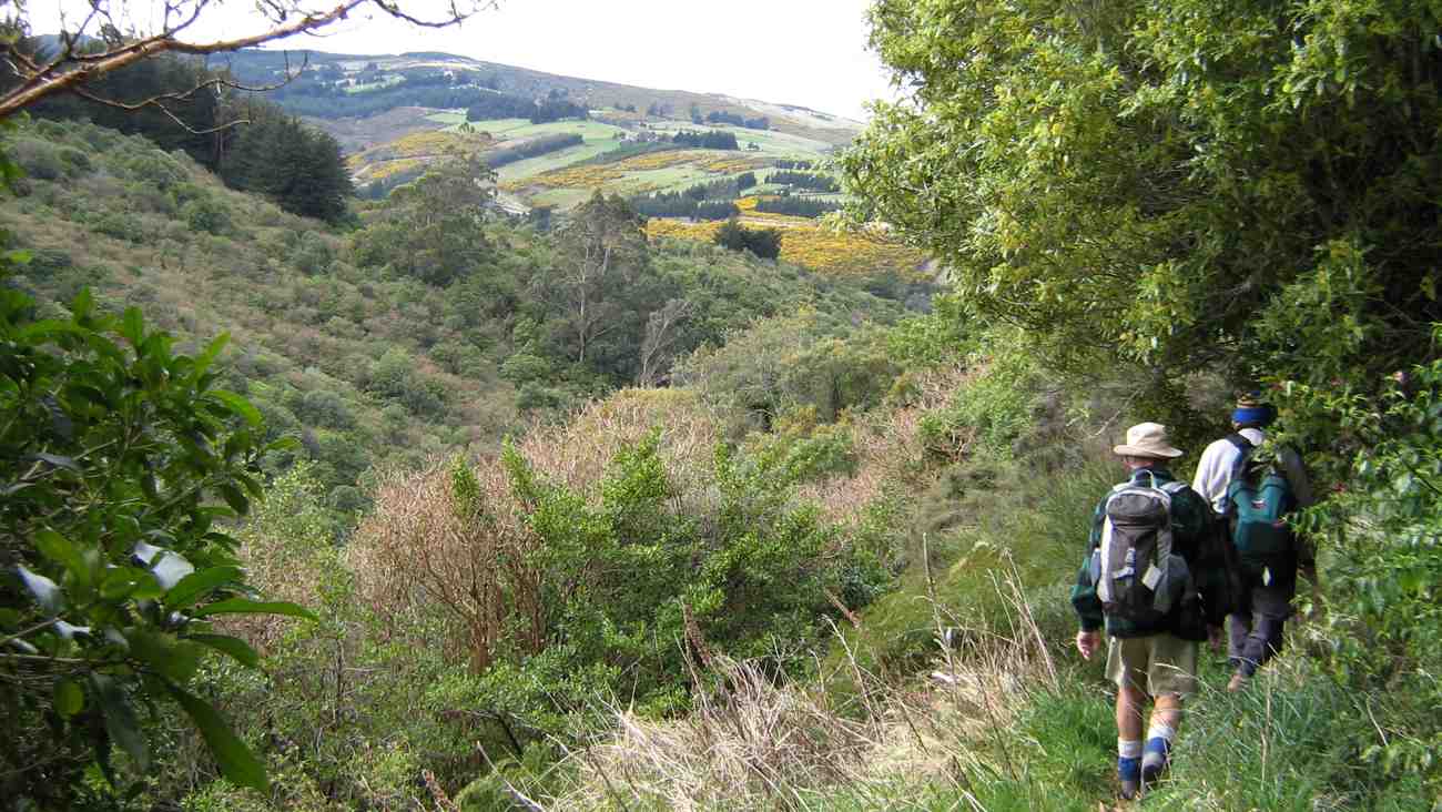
“Down the slippery slope.” – Photo and Caption Clive
It didn’t seem to dampen any spirits because we all enjoyed it, even the friend(I think).
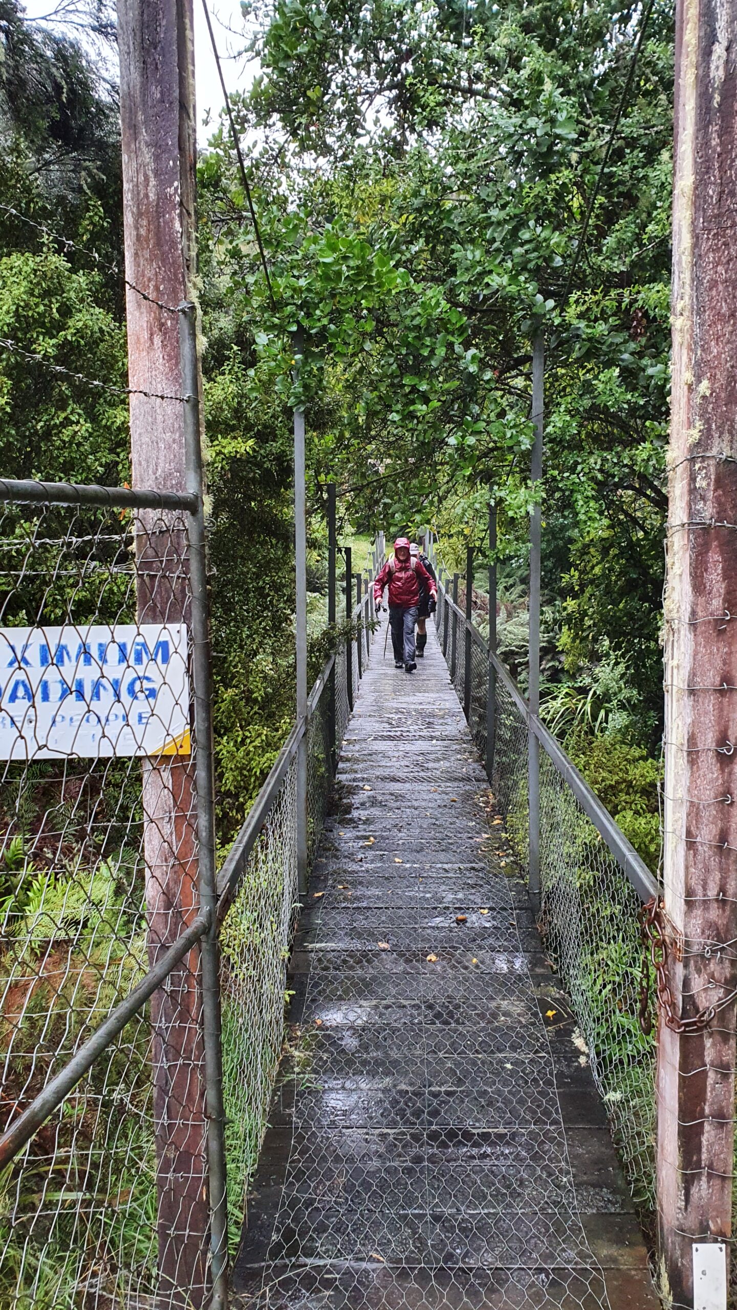
“The wobbly bridge to finish.” – Photo and Caption Clive.
It was definitely one walk to remember!
Jenny and Bob
PS. Thanks Jan for your track knowledge and a great reccy.
4. 27/1/2021. Trampers. Lamb Hill. Arthur and Peter.
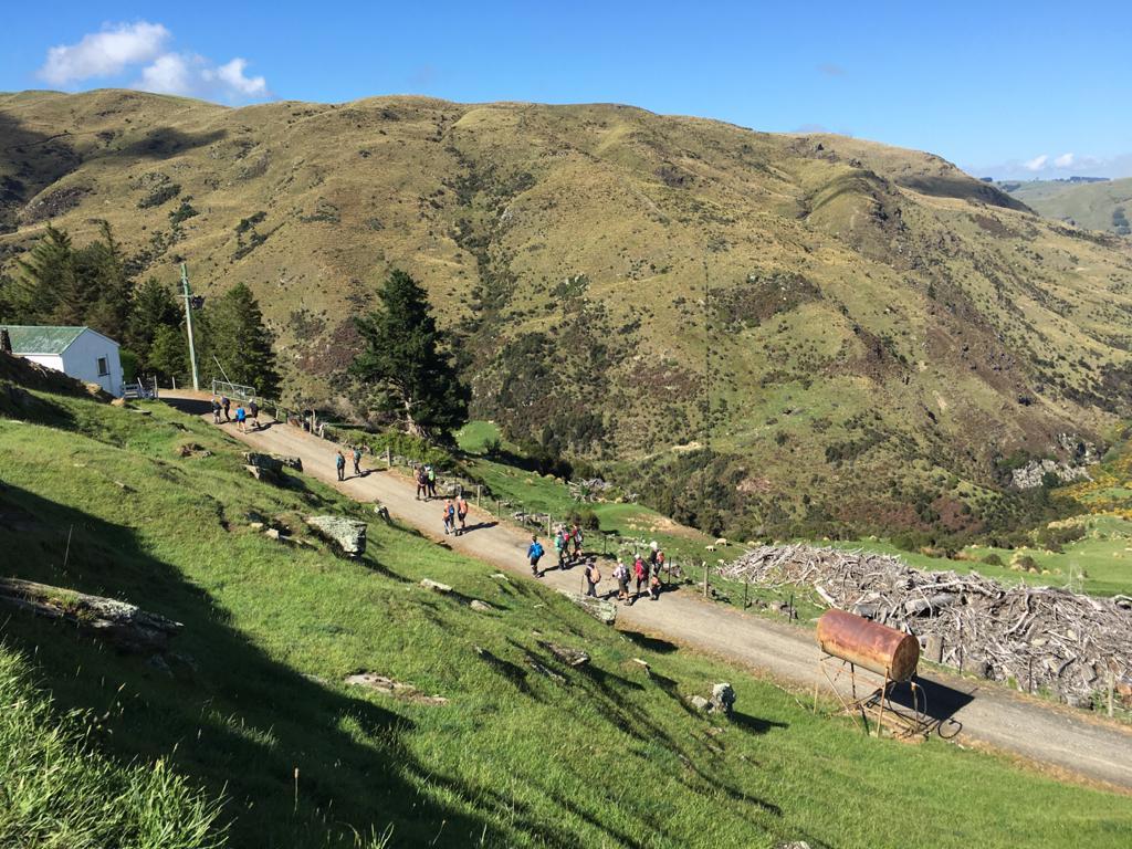
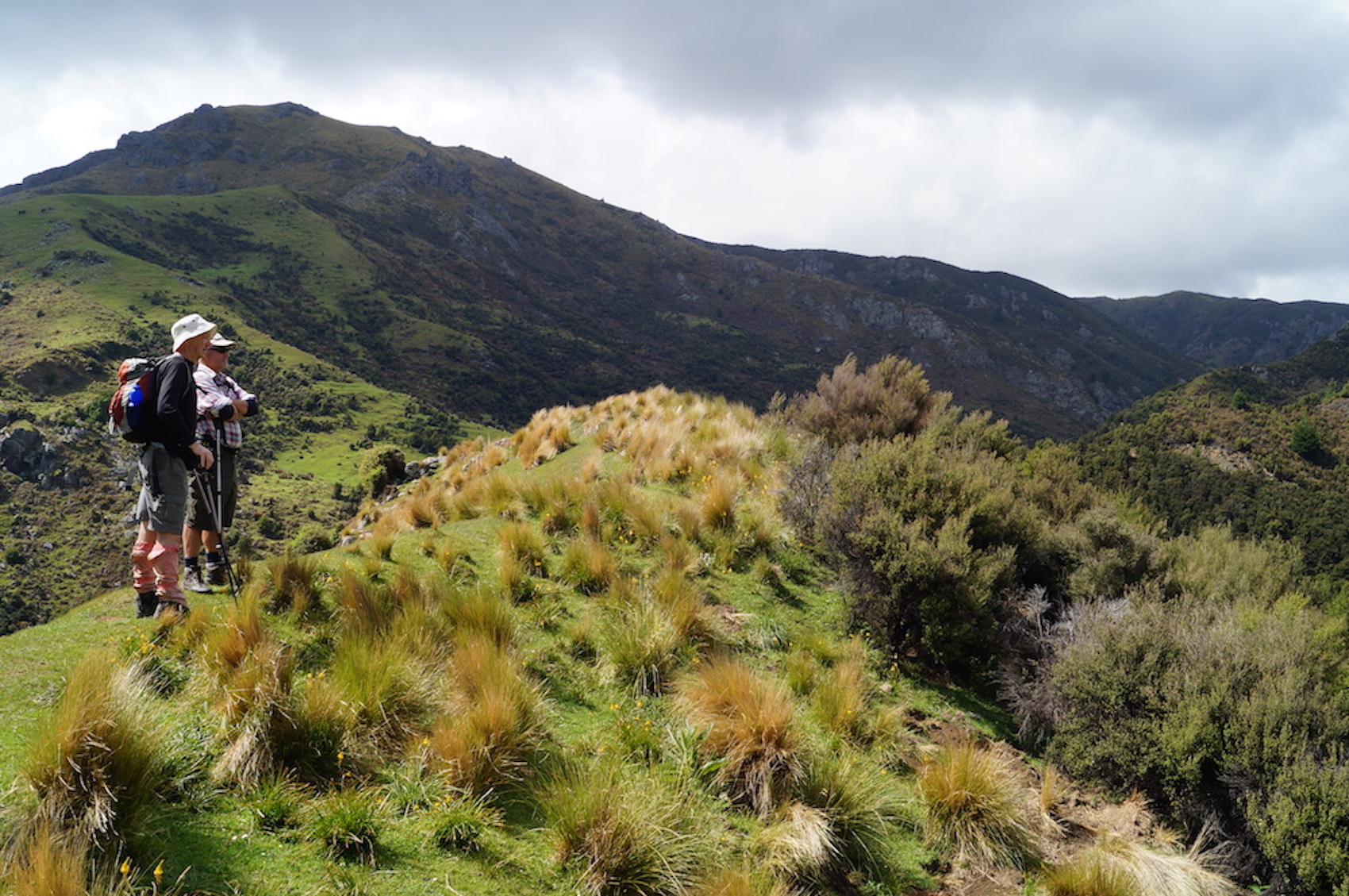
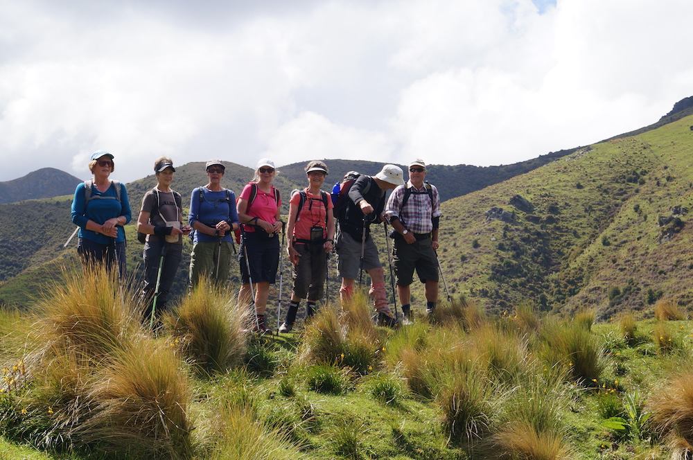
Today 19 Trampers led by Arthur Heenan and Peter Horrell travelled to Hinden and completed around 14 km of farm tracks and paddock on Lamb Hill Station.
This Tramp took us through some magnificent scenery, starting by the Taieri and looking across at some of the Taieri Gorge railway on the opposite bank and you have to marvel at the workmanship of those early settlers who constructed the railway in such challenging conditions taking 11 years to get to Hinden , due to the difficult terrain and the recession in the 1880s cutting the work force from 700 to 30 for a period of time, but they persevered.
Morning tea was at 3 OClock Creek by the bridge.
Smoko. (Gordon pic and caption.)
The recent flooding was evident here with debris 3- 4 metres above the bridge. As we headed up the track
A very steep climb after morn. tea. (Gordon pic and caption.)
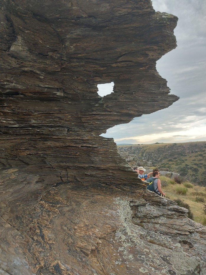
we got to see great views of the rocky outcrop formations,
The window. (Helen pic and caption.)
and the creek below showed how powerful the flow of flood water had scoured all the rocks clean in the valley below.
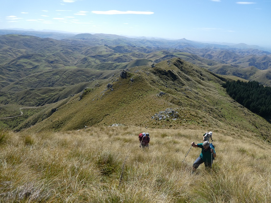
As we tramped higher we passed a shady face with all the tussocks in full flower. The countryside is responding to the rain. As we opened out onto the table top of pasture the farmland was quite stunning, to be so green at such an altitude.
The wind was getting up as we reached our lunch stop high on a rocky outcrop
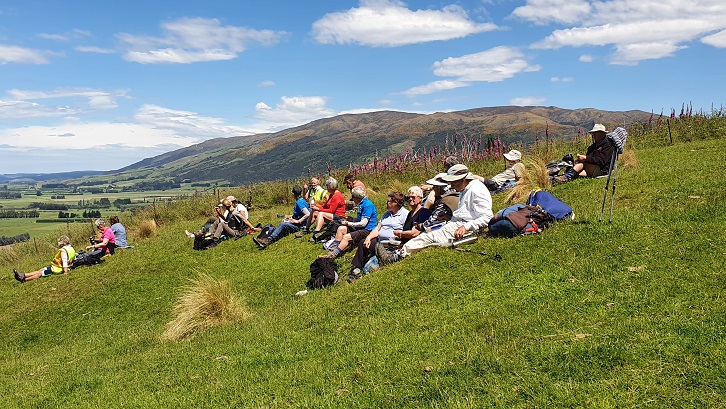
Lunch out of the wind. (John pic and caption.)
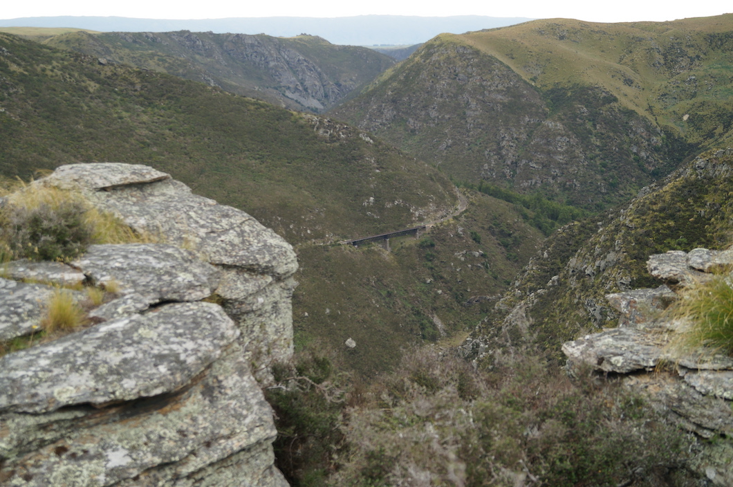
looking down on the Taieri Railway
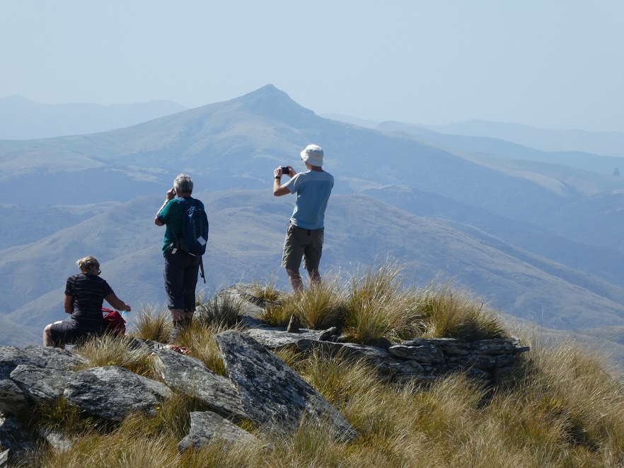
Rugged country. (John pic and caption.)
with views from two spots of two of the rail bridges and rock formations behind us sculpted by wind, water and time.
As we headed down we were soon out of the wind and overall it was very pleasant, and not too hot. The tracks have some steeper ups and downs with the recent rains making the schist base loose in places coming down hill.
A medium tramp with stunning scenery.
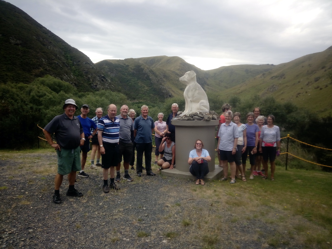
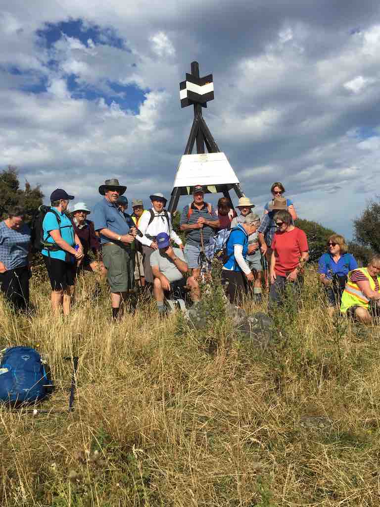
We called at the Hindon Railway station on the way out for a group photo at the stone statue
‘1,2,3 Woof woof’. (Phil pic and caption.)
of a sheep dog erected in recognition of the contribution of working dogs who made farming the land possible.
Eleven of us travelled up to Hindon in fog/cloud which obscured all views. However it was clear down in the Taieri Gorge where we parked beside the combined road/rail bridge.
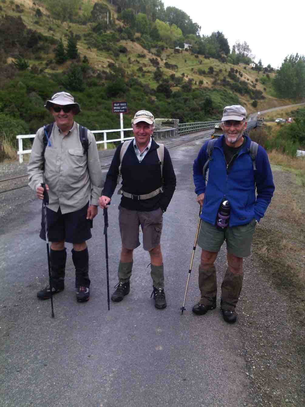
Neils number from right, 1, 2, and 3 so we don’t get them mixed up. (Helen pic and caption.)
We began our tramp by walking across the bridge and onto Lamb Hill Station and then following the Taieri River upstream.
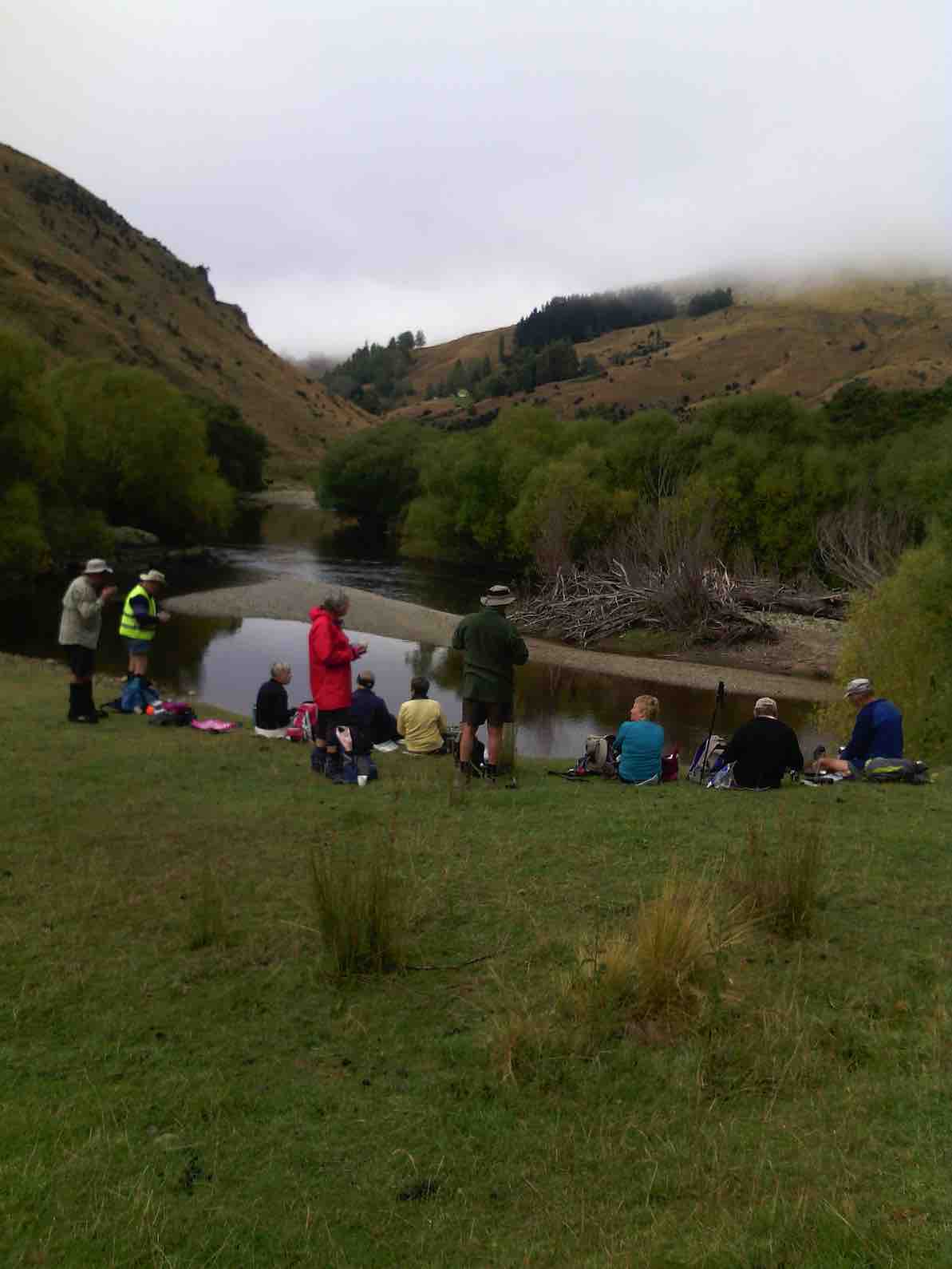
A morning tea stop was taken at 10.15 on the river bank,
Morning tea by river and train line. (Helen pic and caption.)
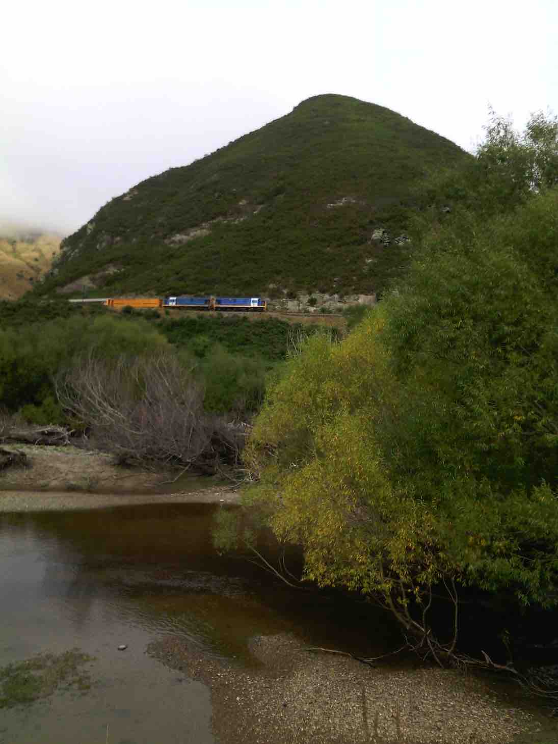
and just as we prepared to move on, the Taieri Gorge Train went past, going up the other side.
Taieri Gorge train. Some waved to us. (Helen pic and caption.)
After crossing Three O’Clock Stream it was uphill for some time, the clouds obligingly shading us from the sun to give very pleasant conditions as we expended energy.
When the farm road reached the top, a weak spot in the fence under the long row of pine trees allowed us onto a high knob …
Knob at top of tramp. (Margreet pic and caption.)
… with a great view down into the Taieri Gorge at the mouth of Deep Stream.
We came to the farm sheds (on the McFee Block) at 12.15, where we met the manager for a good catch up.
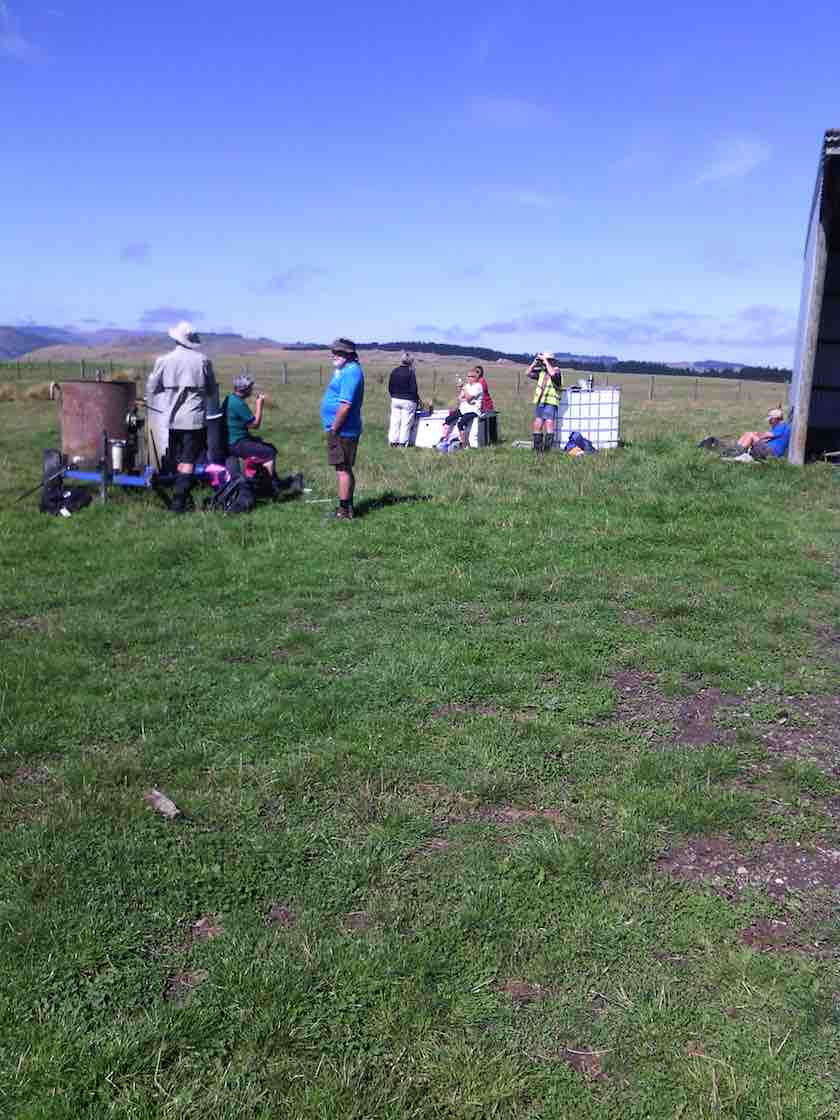
The cloud quickly dispersed now and we ate our lunch in brilliant sunshine beside a shed. It was the place to be as we could look across at the main block of Lamb Hill and much further.
An unhurried lunch …
Lunch at top by farm sheds. (Helen pic and caption.)
… was taken (why would anyone want to hurry from such a great spot?) before turning for home. A slightly different route was followed until it was onto the farm road for the downhill bit, the same we had ascended on earlier.
Down and down in the sunshine, along the riverbank, across the bridge and we were back at the cars.
Distance for the day was the tiniest tad under 13 km, but it should be noted here that the leader and one un-named person actually did 15 km in retrieving a forgotten camera from our lunch stop!
It had been a most enjoyable ramp, and one to be done again. A good turnout of 11 trampers also added to the enjoyment of the day.
Thanks to all. – Art.
2. 1/10/1998 Hindon railway left side Lamb Hill Station. Wenita Permit. George
1. 20/3/1996 Hindon railway – left side Lamb Hill Station Leaders: Doug & Myrie, Mary Y, Denise
1. 2/12/2020. Hikers. Outram Historical Park. Leaders Judy and Catherine.
22 Hikers met at the West Taieri Rugby Club car park. We walked through the grounds, crossing the road and making our way along the riverbank to Ferguson’s new subdivision then up onto the green where we had morning tea.
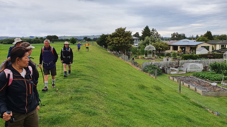
“Along the stopbank at Outram” – Photo and Caption Clive
“Sue and Katherine our leaders”. – Photo and Caption Clive
“Morning tea” – Photo and Caption Clive
We then crossed the road at the Outram Bridge and made our way up George King Memorial Drive to the Historical Park.We were fortunate Neil Gamble one of the members was there and opened up 3 of the buildings for us to look through one being the old original Outram School which brought back many memories for Ady who started her schooling there.We then walked up to James Reids property Minchmoor having to detour from our usual track because of the trees being logged close by.
“A walk in the forest, trees being felled around us” – Photo and Caption Clive.
We walked through his paddocks over the top and eventually stopped for lunch overlooking Outram and the Taieri.
“Lunch above Outram”‘ – Photo and Caption Clive
“Looking down on Outram” – Photo and Caption Clive
The weather was very pleasant, We then proceeded down James, road to Outram where Jim Finnie had organised with his friend to see some of his vintage machinery for those that were interested, after which we went around the walkway at the Maungatua View subdivision before arriving back to carpark and coffee at the Wobbly Goat.
7. 25/3/2020. Trampers. Jubilee Hut from Silver Peaks Station.
A large group left carpark at 8:30 am to drive an hour up George King Memorial Drive, onto Hindon Road—-drove through early fog, and down past Ardachy (where we were spotted half a dozen peacocks), over the Taieri river rail/road bridge, then up past Lamb Hill on Silverpeak road to end of road at Silverpeak Station. Mike and Ginny Cowie own the large 2,500 hectare Station, home to 7,000 stock units (sheep and Beef cattle).
23 eager trampers(including Gordon’s daughter) headed off on a very calm, sunny morning at 9:30am
The start of a big day!I (Pam pic and caption.)
and stopped for smoko at 10:10am.
Morning Tea stop (Always with a view.)9John caption and pic)
Gordon and daughter Kim ,enjoying the sunshine. (John pic and caption.)
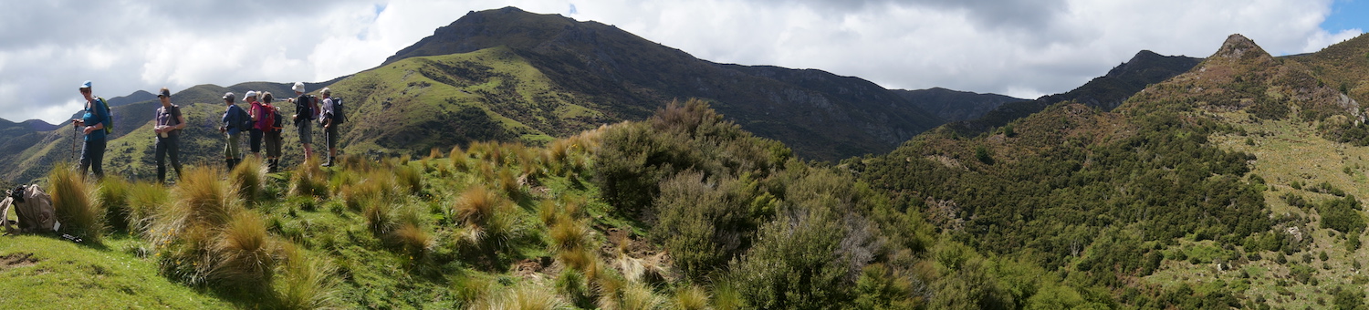
We followed the rough vehicle track up the left fork of Christmas creek continuing up the north side of the Valley.
Those views again. (John pic and caption.)Happy Tramper lineup. (John pic and caption.)
This is steep tussock country which has been oversown and grazed to create productive pasture. Mount John hut(an unused Musters hut owned by Silverpeak station) sits on the right hand side of the track).
The undulating walk continued until 11:50am to the junction of Cave creek, at this point the majority walked on another ten minutes to have a look at Homestead (or Christmas creek hut), also owned by Silverpeak station.
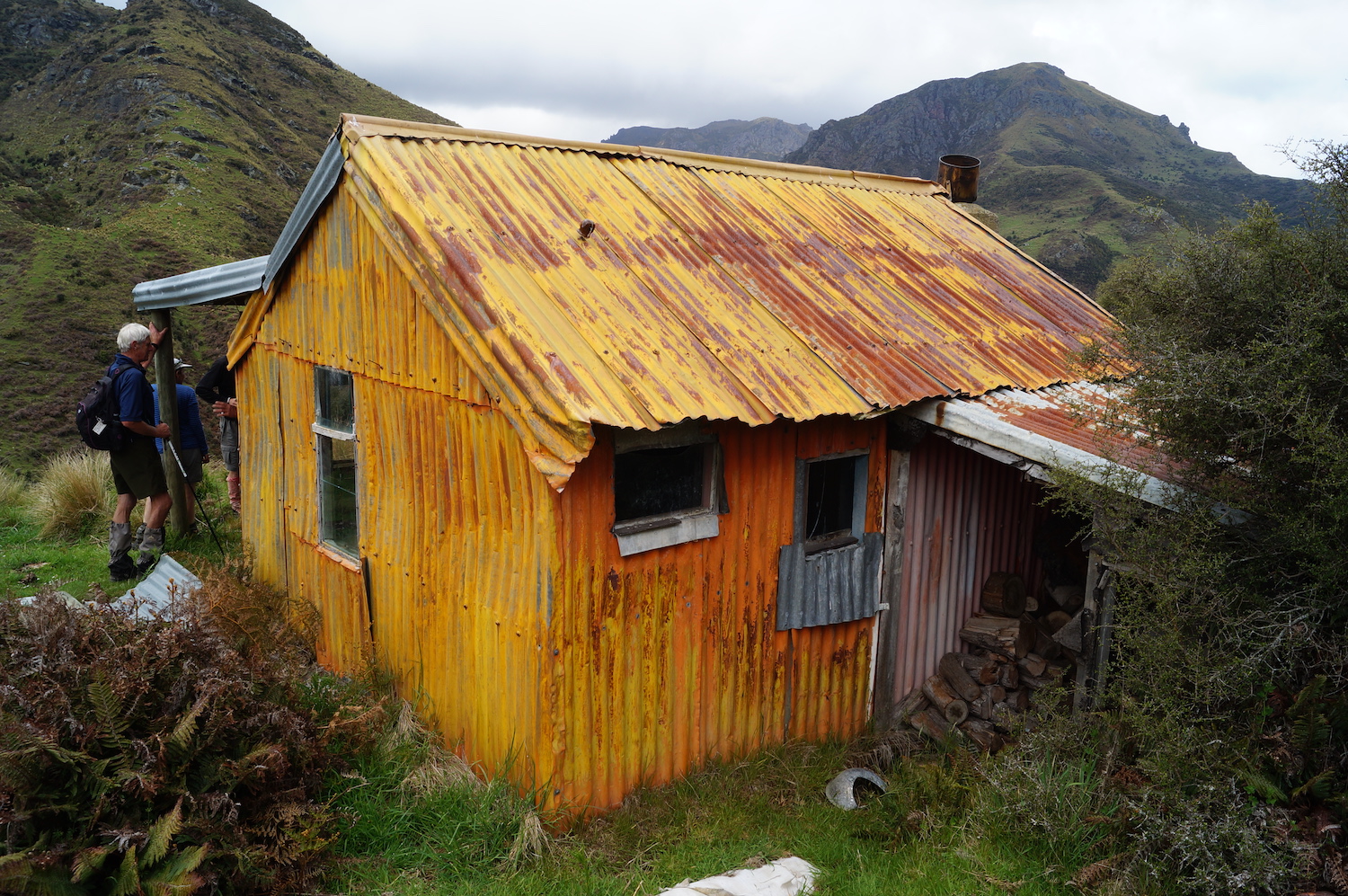
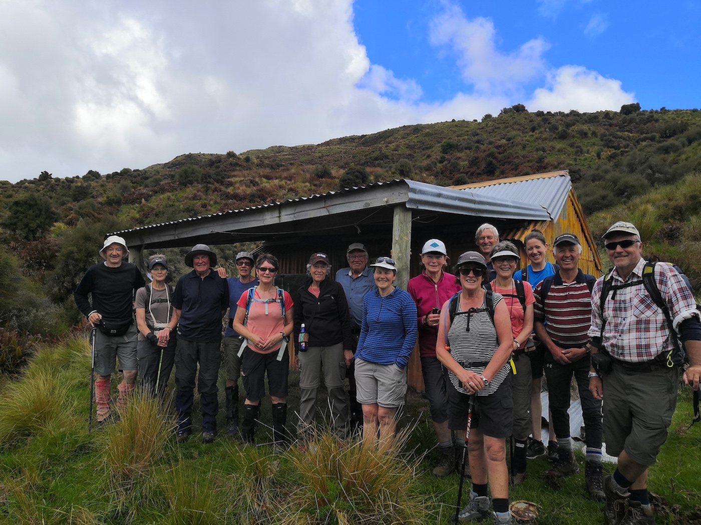
The strange patina on Orange Hut. (John pic and caption.)The Team’ at Sarah.The Team’ at Orange hut. (Sarah pic and caption.)
Meanwhile, the smaller group headed off towards the 1.5km walk up along Cave creek to Jubilee hut, waiting half way to regroup. Arthur had carried Loppers expecting to have to use them, however, Green Hut volunteers had the track clear. The original Jubilee hut was opened in 1951 on the left hand side of the creek, it was built in a cold spot. Signpost indicating Jubilee hut 100 metres on——that person had a long stride—— a very long 100 metres!
We had to cross Cave creek a couple of times—cooling on the feet.
Nearing Jubilee hut. (Gordon pic and caption.)
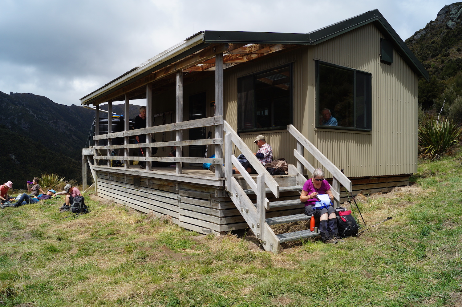
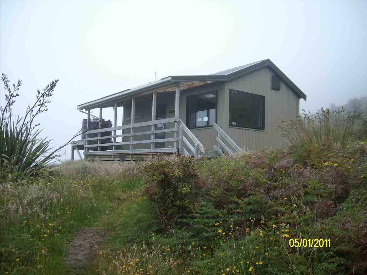
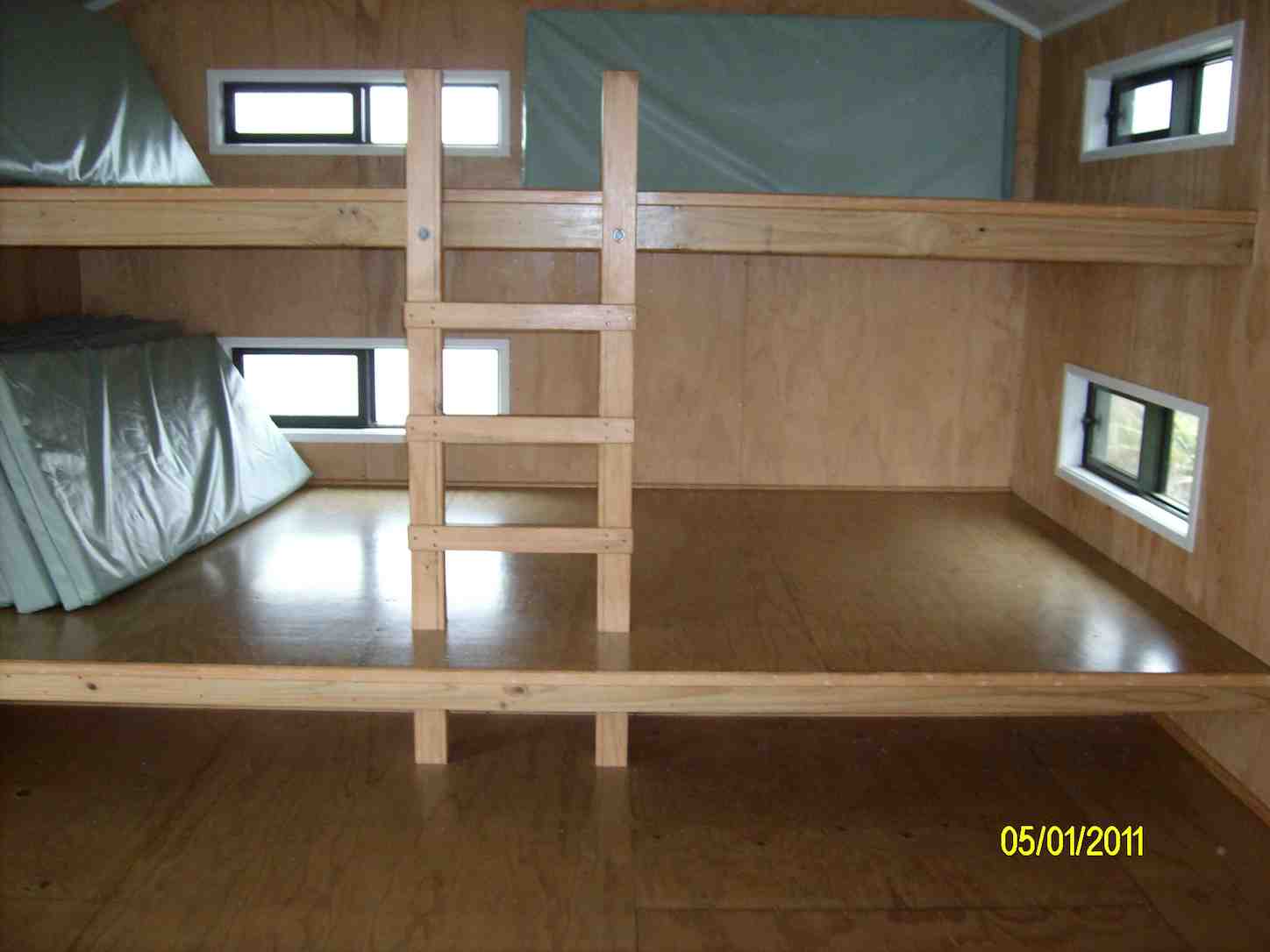
We arrived at Jubilee hut at 12:50pm. This 10 bed hut was built in 2007, some 300 meters up in a sunny spot with great views,
Panoramic view to admire. (John pic and caption.)
at about 600 metres. Staff and materials were flown in by helicopter (over 30 trips). Cost $70,000+. It is well used and just recently a booking system has been introduced.
All enjoyed a leisurely lunch in the sun and hut
Lunch at Jubilee Hut. (John pic and captionSorry Heather ,I can’t find the delete button! (John. pic and caption.)
before heading back along the undulating track,
Heading to the finish. (Gordon pic and caption.)
having rest/water stops along the way. The A team arrived back at 3:35pm, followed by B team at 4:00pm. Followed by an hour’s drive home.
This tramp was a new one for 18 members (1 driver wondered where he was going to end up). It was 2015 when 7 from the club were last there. So——-the 2 Leaders made mental note to self———Been there—Done that!!
Was a great way to spend the day In those very vast hills of Silverpeak Station, good company, good weather—-good life. – Eleanore and Arthur.
6. 11/3/2015. Trampers. Jubilee Hut from Silver Peaks Station.
After a doubtful start to the day with quite heavy rain during the night, [I was worried about high creek levels] 7 hardy trampers turned up for the trip to Jubilee Hut via Silverpeaks Station. We arrived there just before morning tea time so set off along the track to find a spot to stop for morning tea. Then it was on to visit Orange Hut [Homestead Hut, Christmas Creek Hut, whatever you want to call it] having missed the turn off to go down to Cave creek, which has lost it’s large white plastic container that acted as a marker for the start of the track. We then backtracked a bit to the track leading down to Cave Creek valley, & made our way over a few more creek crossings & up to Jubilee Hut for lunch.
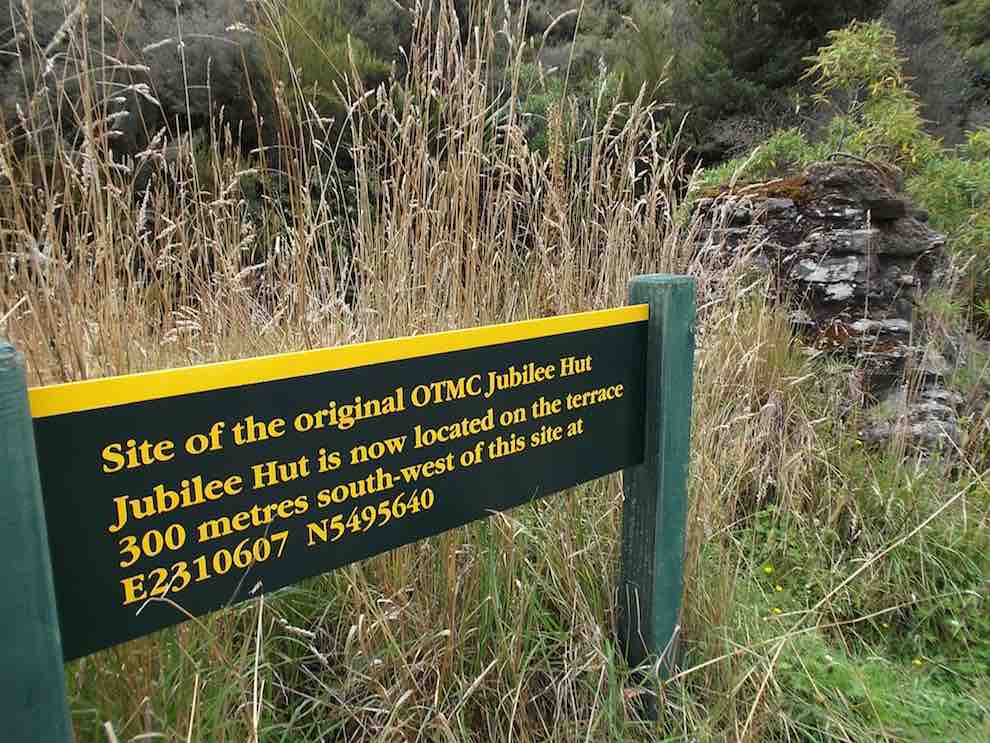
Two of the party had their lunch on the track about 10 mins from the hut, & one of them decided to walk back out again on their own, thinking we would catch up with them later. After lunch, we went down to the creek from the hut, & Ian [being the fittest] was voted by me, to go & photograph the sign at the old Jubilee Hut site,…
Sign at site of old Jubilee Hut (Ian pic, Ken caption)
…so we would know what it said. Then it was back along the track retracing our morning steps. When we got to the top track again, I decided that I needed to attend to a sore patch developing on my left foot, so Ian & I stopped while I attended to that. Just as I was finishing, we heard somebody calling out from nearby, & the next thing the person who had set off on their own appeared looking rather worried [lost !!] they had not noticed the sharp LH turn onto the track leading back to Silverpeaks Station homestead, & had instead gone straight ahead along the track towards Orange Hut. We pointed them in the correct direction, & they set off with what I would imagine was some relief. Shortly after this we all met up again into one group, & set off to our next adventure !
One party member while crossing the Christmas Creek where it doubles back on itself, slipped on a rock, & very slowly, & not so gracefully, first put a hand down to steady themselves, but that didn’t work, so they ended up sitting in the creek. [Oh I wish I had my camera handy !!] So this guaranteed a wet walk back to the cars for this person, but they did dry out rather quickly I think.
The rest of the walk out was very uneventful, compared to earlier happenings, & we all arrived back at the cars safe & well. We arrived back at Mosgiel about 5pm from memory.
Something we learnt today was :
1: We MUST stay together better as a group, or one day somebody will get properly lost.
2: Walking poles are handy for crossing creeks, even if you don’t think you need them!!
We walked 16km
3.8km/hr ave.
Climbed 876mtrs.
Max elev. 426mtrs.
– Ken.
5. 12/2/2014. Trampers. Three Huts.
Distance to Jubilee Hut without going to Christmas Creek Hut =15.75km
Add on another 1 1/2 – 2 km for the extra distance to Christmas Creek Hut.
Walking time = 4hrs 25min; Moving Ave = 3.6km/hr; Total ascent = 919 mtrs.
7 hardy souls turned up at 8:30 on a wet misty day at the Mosgiel car-park to go to Silverpeaks Station for our tramp to Mt. John Hut/Christmas Creek Hut/Jubilee Hut.
It was good to see that the ones going on the Motatapu trip were carrying their large tramping packs filled with a bit more weight than they would normally carry.
It took an hour to drive to the starting point, & as it was not looking brilliant weather wise, we decided against going up to Mt. John Hut, & proceeded along the track a bit further for morning tea break. The double crossing of Christmas creek was done without mishap, & we continued on to the turn-off to Cave creek valley.
Most of us dropped our packs here & carried on to Christmas Creek Hut, [which is also know as Homestead Hut, & Orange Hut.] …
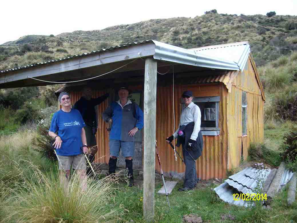
Some of the party at Orange Hut, also known as Homestead Hut, and Christmas Creek Hut. (Ken pic and caption)
… before returning & heading down to Cave Creek & the walk up the valley to Jubilee Hut.
The track above the boundary gate is getting badly overgrown with bracken fern, but it is still relatively easy going, but we got rather wet from the knees down as the scrub was holding water from the rain showers.
Up to this point we had only worn our rain jackets for a short time, during a light shower, but as we approached Jubilee Hut the rain drops started appearing again, so we managed to get to the hut before the weather let loose with a heavy shower which continued right through our lunch break, & beyond.
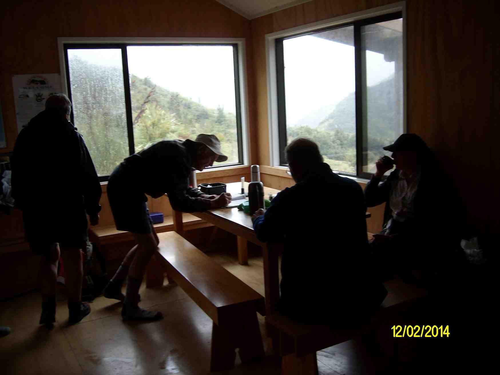
George writing in the Jubilee Hut visitors book. Note the inclement weather through the window. (Ken pic and caption)
After finishing lunch, we were all sitting around wondering how much longer the heavy rain was going to last, when it started to ease, & the visibility improved enough so we could look back down valley & see Christmas Creek Hut, so we decided to put on wet weather gear again, & start heading back to the cars.
By the time we got to the end of the Cave Creek valley, the rain had ceased, so it was off with the wet weather gear again. The only problems with the Cave Creek crossings were some wet feet, & Ken landing on his butt after stepping on a slippery rock. Just as well he had on his waterproof leggings, or he would’ve got a wet butt, as well as one boot full of water.
We made it back to the cars before the approaching rain, which we had seen coming some time before, & had a wet ride all the way back home.
There were some very tired trampers at the end of the day, they were not used to carrying the bigger packs with more weight in them, however, it was a good opportunity to ‘shake-down’ the equipment. – Ken
4. 15/5/2013. Trampers. Mount John Hut and Beyond.
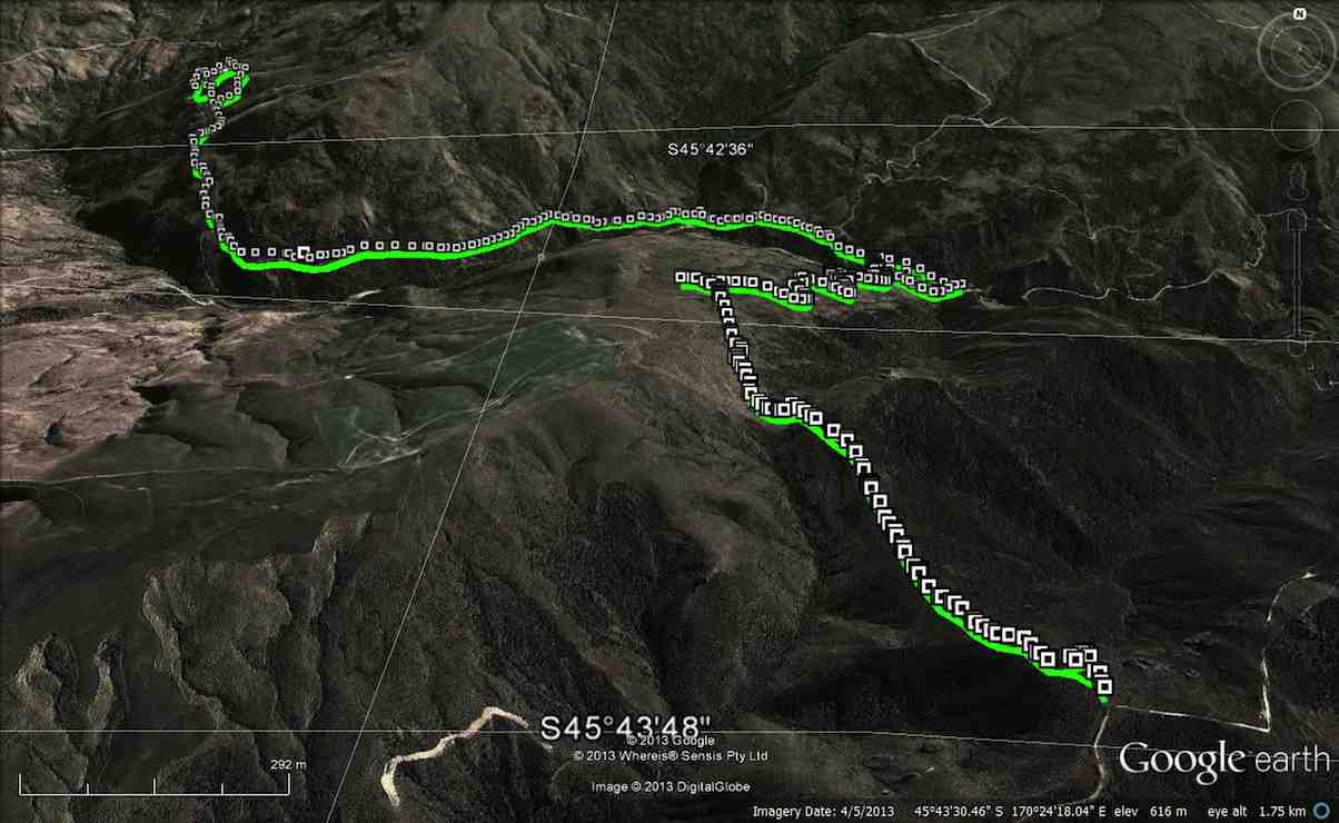
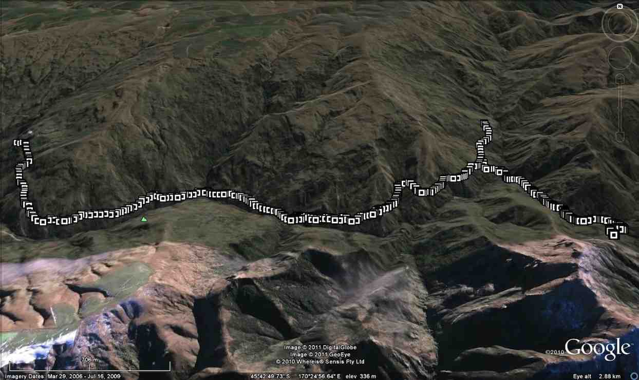
Route of tramp, courtesy Ken. We walked 13.5km, 4km/hr ave. 3h 22m moving. Climbed 814m !!! Max elev. 652m
The day started at 8:30 from Mosgiel carpark, with a very misty/foggy outlook on the Taieri, but we were hopeful that it would be clearer inland. When we were about 3/4 of the way to Hindon, the fog/mist just disappeared, & we were looking at quite a nice day.
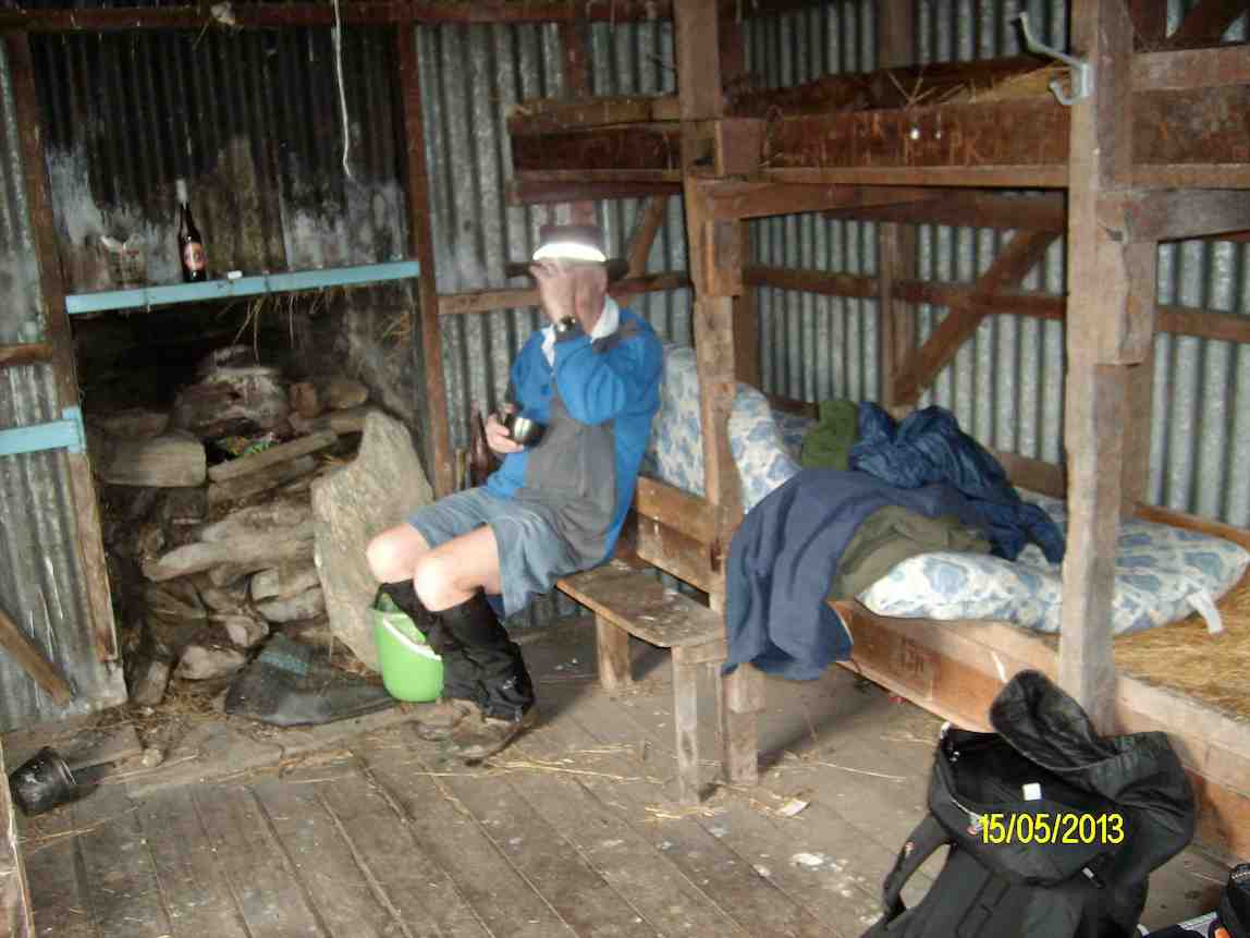
We arrived at Silverpeaks station at 9:30. & set off towards Mt. John Hut where we had morning tea, & examined the log entries carved into the woodwork of the hut. [There is no log book in the hut.]
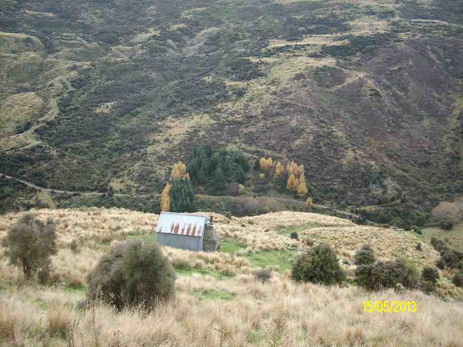
Morning tea at Mt John Hut. (Ken pic and caption)Looking back down at Mt John Hut and Christmas Creek (Ken pic and caption)
After leaving the hut we made our way up the track towards the top of Mt. John, but we took a wrong turn, which led us off to the NE side of Mt. John. However as it was already 12:30 when we reached the top, we decided to have lunch in the sun, & admire the views in all directions.
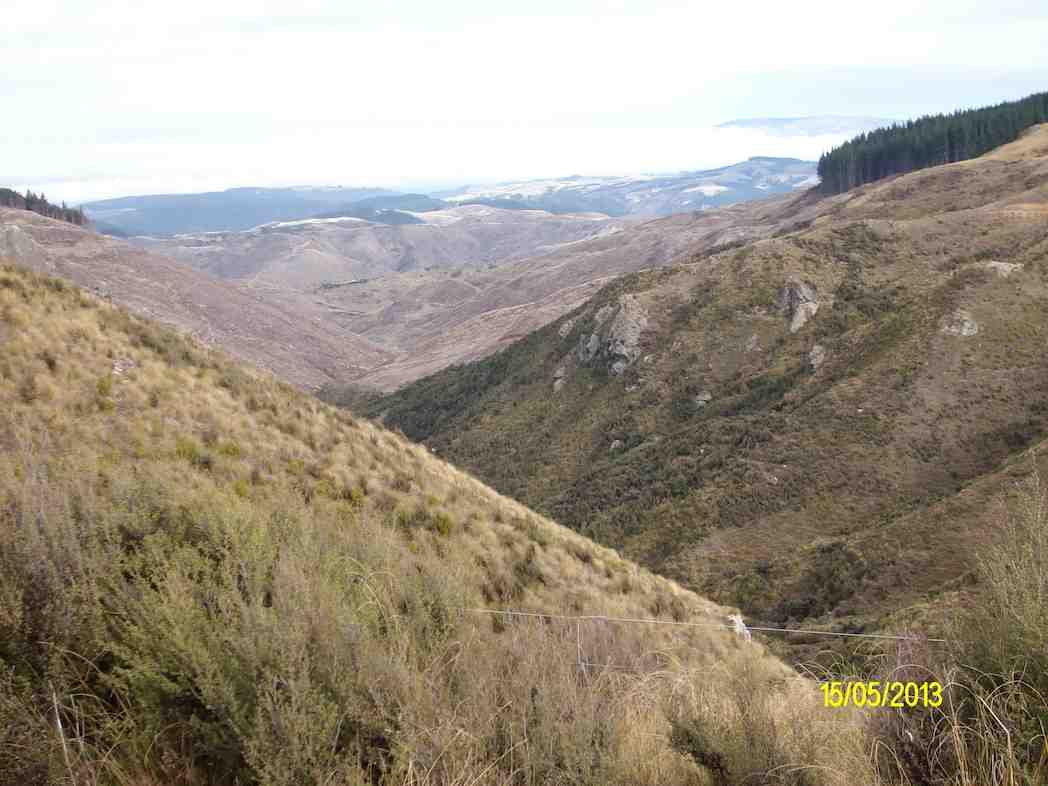
Wenita wasteland from our lunch stop. (Ken pic and caption)
We then retraced our steps back to the car, & arrived back in Mosgiel at 4:00pm.
Climbing Mt. John was a bit of a grunt at times, & only suitable for the fitter members. If we had gone to our original destination of Popular Hut, that would’ve been another 3hrs or more walking. [Estimate], & it’s a long climb back up again!!! – Ken
3. 5/1/2011. Trampers. Orange and Jubilee Huts from Silver Peaks Station.
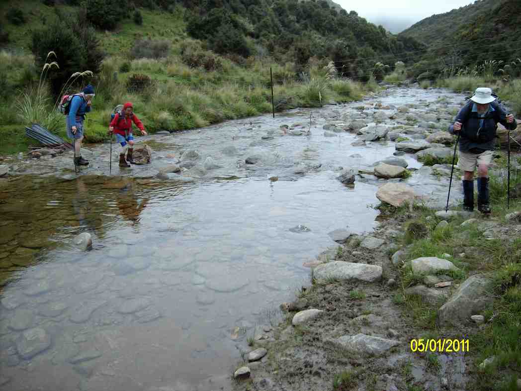
16 -17km, including side trip to Christmas Creek Hut. Numerous creek crossings. If the creeks are high, you will get wet feet.
A reasonably hard 8-9 hr. day if you include travelling and break stops. Fortunately, 4WD road along Christmas Creek true right largely follows contour line with relatively short ups and downs.
GPS of routes Homestead/Christmas Creek/Orange Hut (left fork) and Jubilee Hut. (Courtesy Ken)
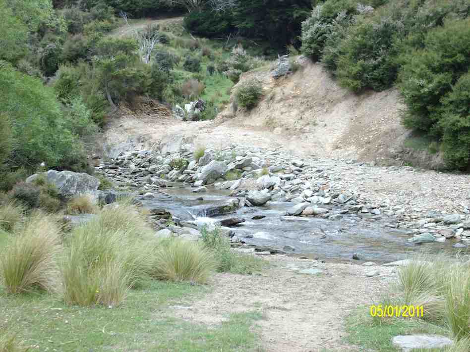
Double ford on Christmas Creek. 2nd out of sight. Dry detour to left if water high. (Ken pic)
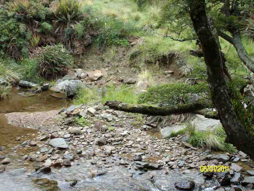
Track beside Cave Creek.
Track washout. Cave Creek. (Ken pic)
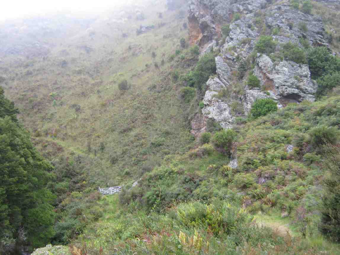
Gate on track up Cave Creek. Heavy bracken overgrowth in places.
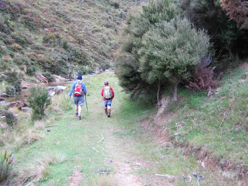
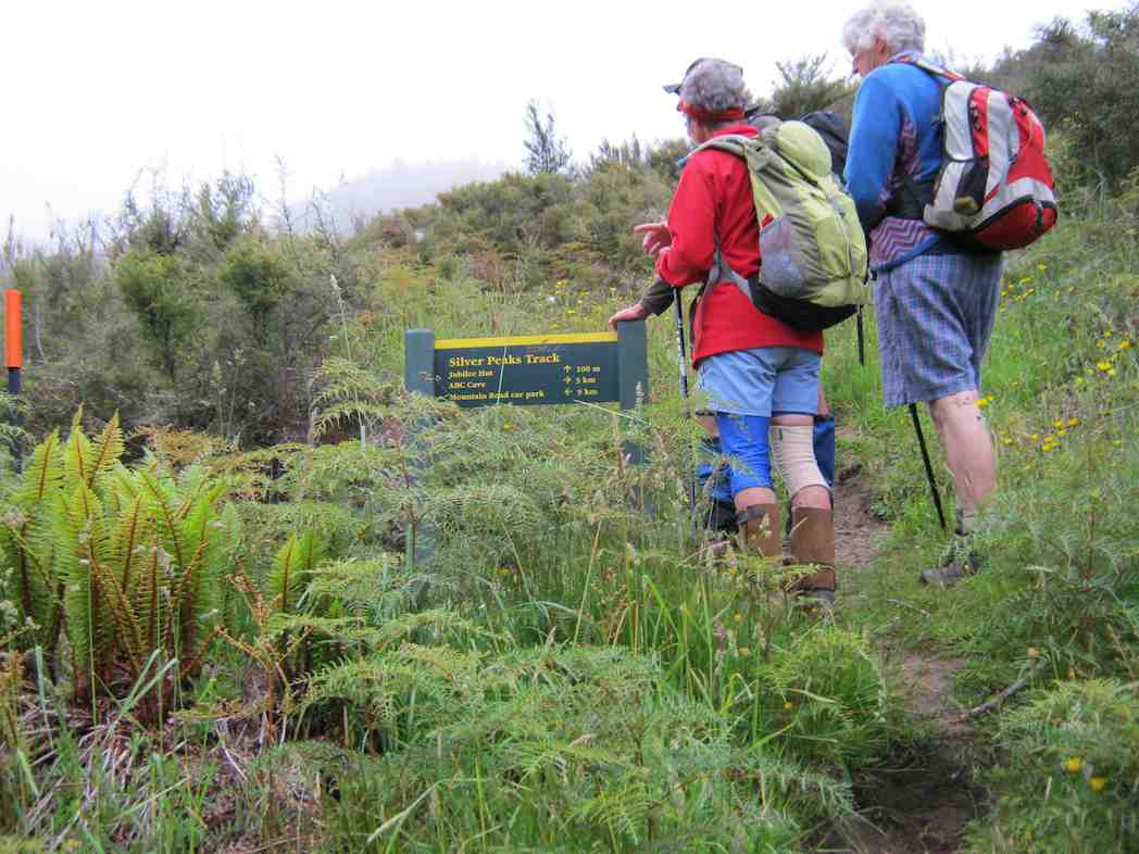
Sign indicating ABC Cave to right, Mountain Rd car park to left, and 100m (seemed much longer!) up to Jubilee Hut,
Jubilee Hut. (Ken pic)
Bunks inside Jubilee Hut. (Ken pic)
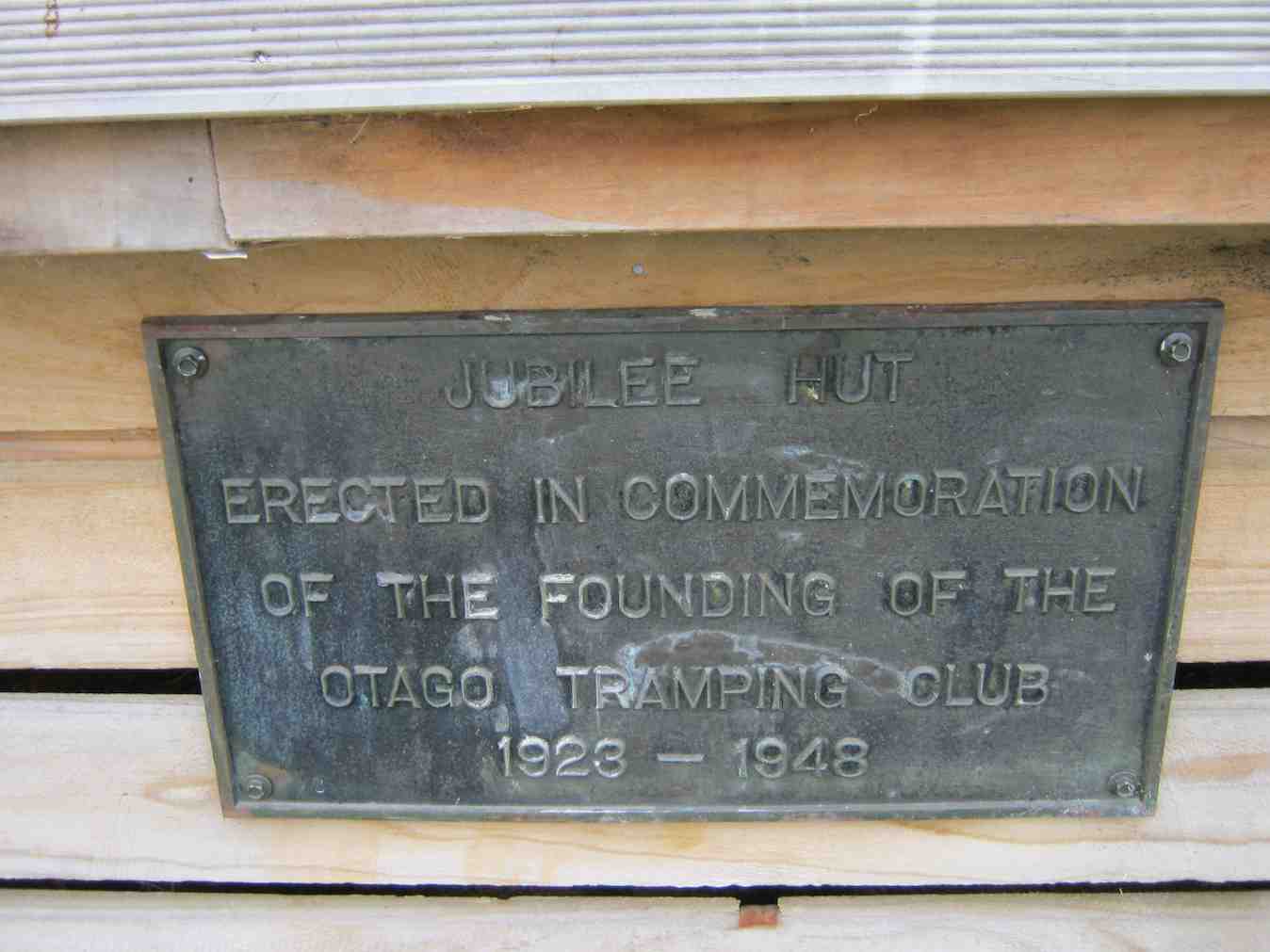
Plaque
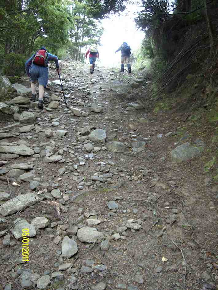
Steep Climb out of Cave Creek crossing. (Ken pic)
Crossing Christmas Creek on emerging from Cave Creek gully (Ken pic)
2. 29/12/2010. Orange/Homestead/Christmas Creek Hut from Silver Peaks Station. -‘ recce’.
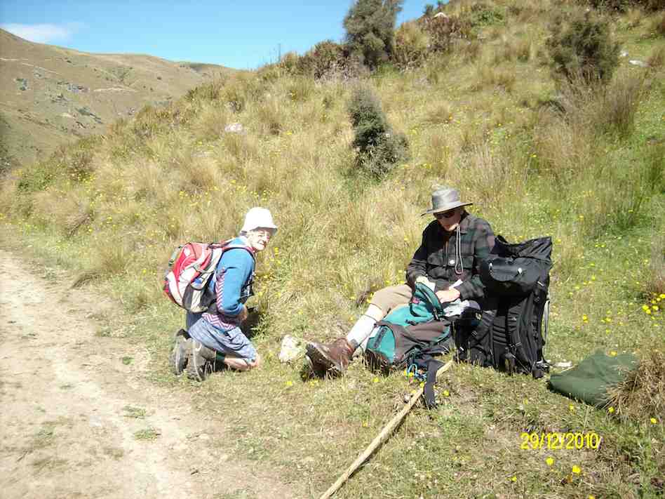
Morning Tea stop on ‘recce’. (Ken pic)
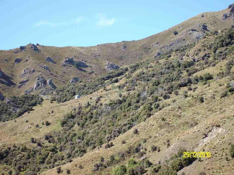
Jubilee Hut from Homestead Hut. (Ken pic)
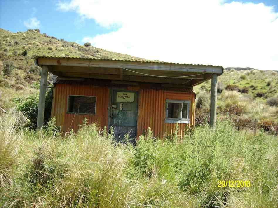
Mount John Private Hut, Silver Peaks Station. (Ken pic)
Homestead/Christmas Creek/Orange Hut. (Ken pic)
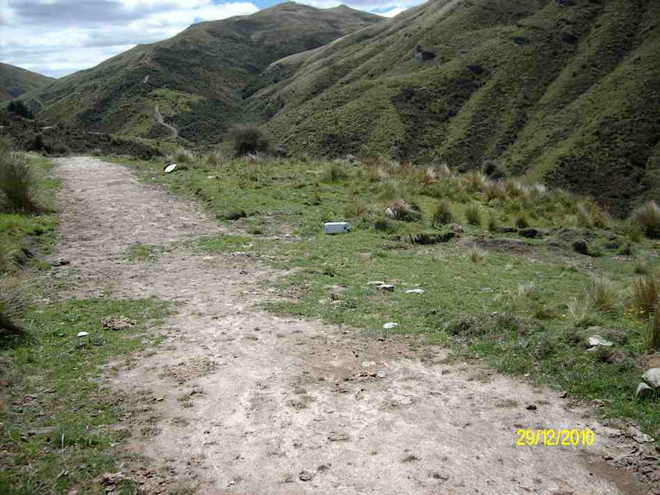
Plastic jerry can marker at top of track forking right to Jubilee Hut. (Ken pic)
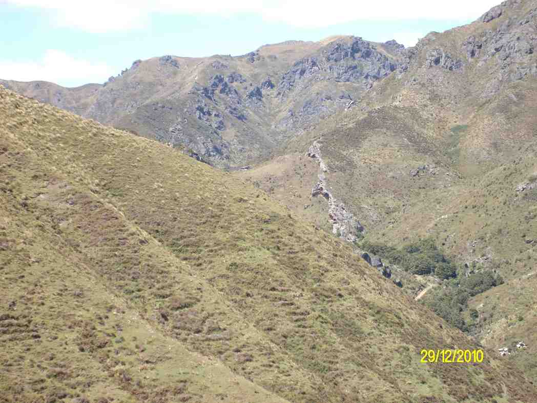
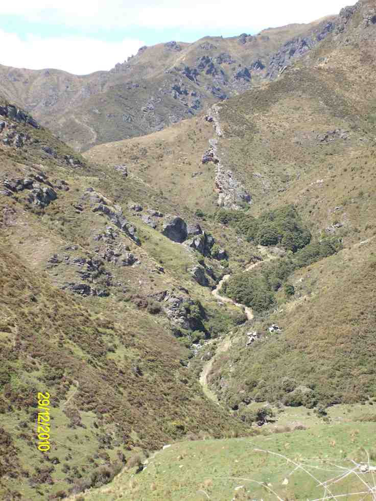
Track to Jubilee Hut. Devil’s Staircase in background upper left. (Ken pic)
1. 24/3/1999. Jubilee Hut and return. Leaders: Les & Margaret, Bev H
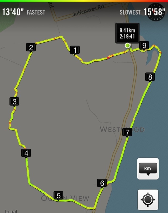
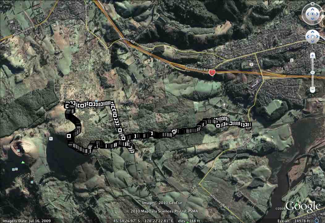
[No. 7 on old hardcopy list of 113 club tramps. “Creamery Rd. Ocean View. C Hughes. Farm. Lambing.”
Not during lambing September to October.
USE STILE AT END OF CREAMERY ROAD.
No. 84 on old hardcopy list of 113 club tramps. “Taieri View (Blairs) (East Taieri) Farm”
No. 104 on old hardcopy list of 113 club tramps. “Old Brighton Rd – Clevelands – Saddle Hill (See George Haggie) Farm”]
42. 14/10/2020. Trampers. Leaders: Jill Dodd and Peter Gillespie
If we were to believe the weather forecast for Wednesday, some people would have been deterred by the gale force winds, rain and snow down to about 400m but no, 15 hardy trampers set off from the carpark by the bridge on Stage Coach Rd. We walked up to Saddle Hill Rd in the full force of a very strong south west wind. Even though we had amazing views over the Taieri plains and beyond it was hard to find a slightly sheltered spot at the lookout for morning tea . Carrying on past Jaffreys hill to Scurr road where we descended to Ronganui (place of the soul) the property of Colin Mackintosh and Marjorie Orr, who escorted us through their property .
Photo and Caption Wendy – “Colin McIntosh and Marjorie Orr”
This is a little hidden treasure. A QE11 Covenent area on the east side of Saddle Hill. There is 20 hectares of regenerating native coastal forest Totara, Rimu, Kahikatea, Miro, Matau and Kanuka.
Photo and Caption Wendy – “Natives everywhere”.
Another 20 hectares of liquorice all sorts – a collection of exotic trees – Eucalyptus species, Macrocarpa, Californian Redwood, Tasmanian Blackwood and Pinus Radiata.
Bird song was all around us as we traversed the tracks and bridges meandering the property. This is all maintained by the owners who are the guardians of the land.
Photo and Caption Sarah – “The walk through the bush was special.”
The previous owner had done the planting of the exotics and the little stream the Murray River named after him.(His wife was a member of our tramping club -Eleanor Watt)
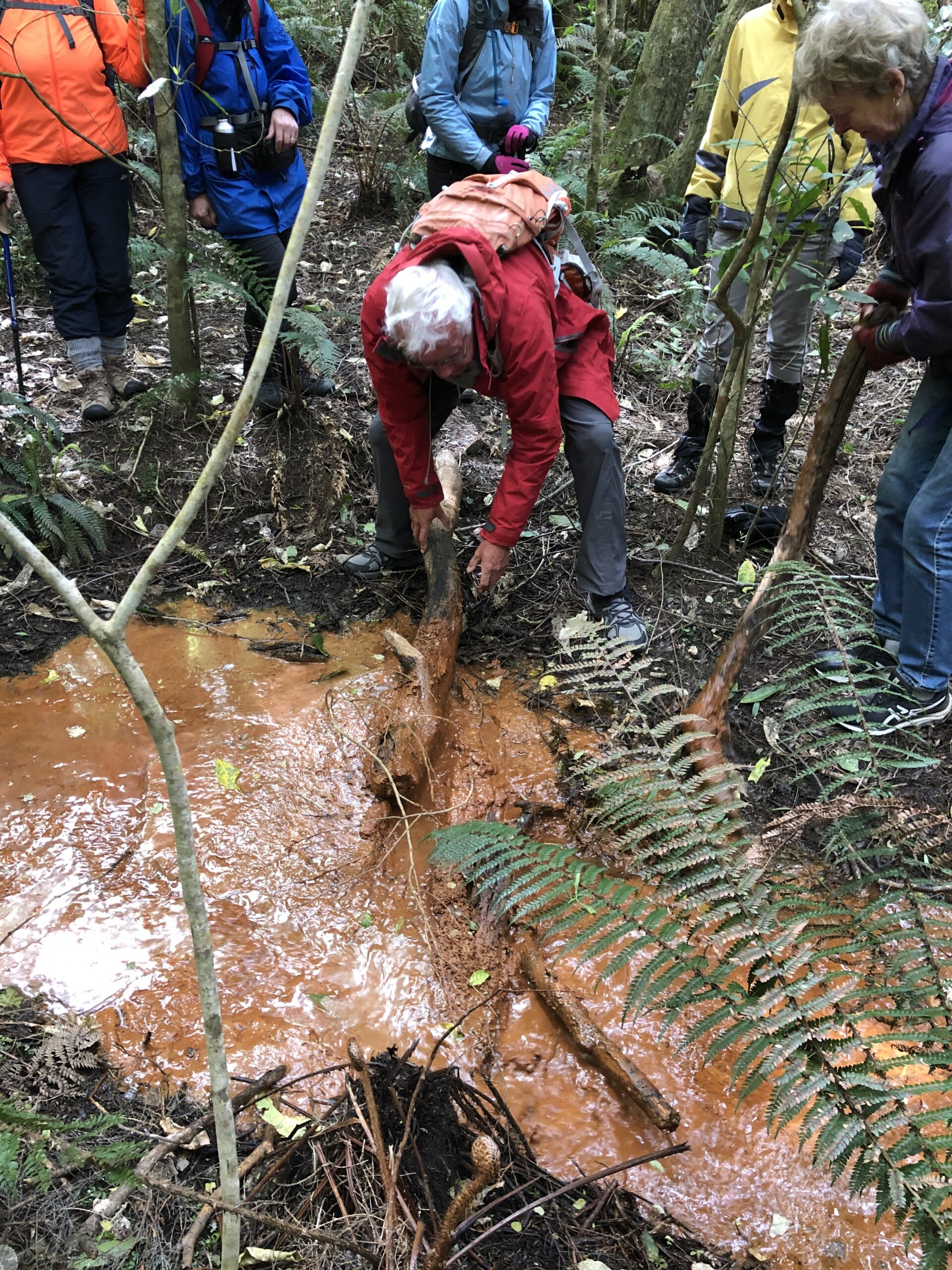
The stream was a very vivid orange colour and when Dave broke the dam! (of a couple of sturdy branches) the water movement was quite sluggish and gel like.
Photo and Caption Wendy – “Dave removing the dam.”
It is an iron ore residue from the now disused coal mines that are on the hillside .
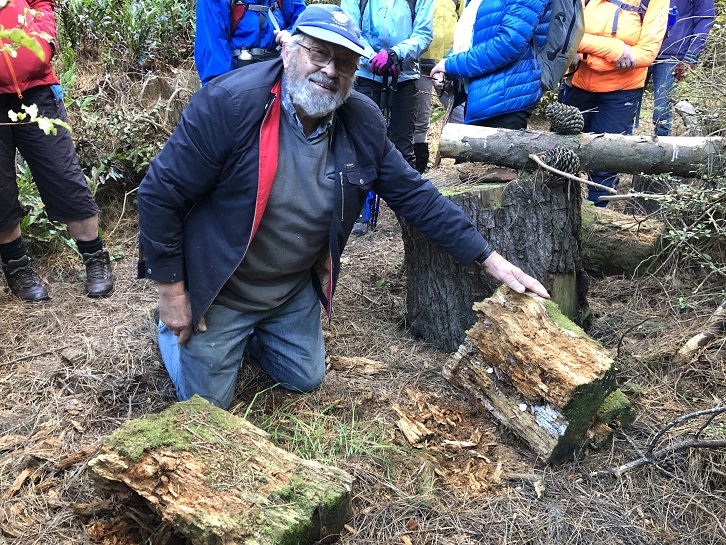
A real surprise for us all was when Colin dug into an old rotten log where he finally found a Peripatus a living ancient velvet worm like creature. These worms have been around for 500 million years and found throughout NZ.
Photo and Caption Wendy – “Finding peripatus in old logs.”
These slightly blueish insignificant small creatures with 15 pairs of legs and 2 front antennae exist in this undisturbed environment but had created much excitement with the researchers at the museum when 1st found here. Lunch in the forest at a designated picnic area so very sheltered we were oblivious to the outside world.
Photo and Caption Sarah – “Lunch in a designated spot”.
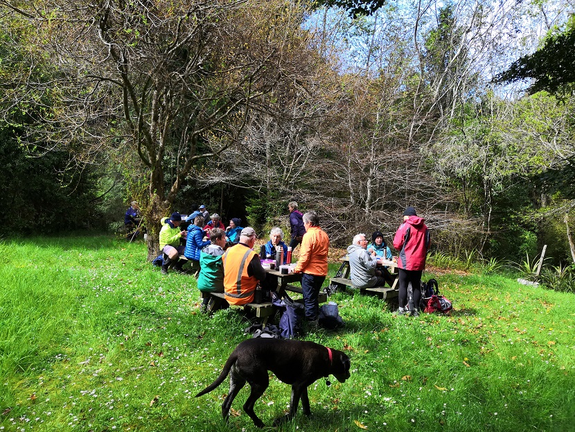
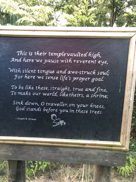
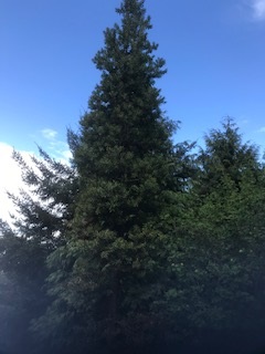
The walk concluded by reading a poem, dedicated to the greatness of trees, and looking at the 30year old kauri tree.
Photo and Caption Wendy – “The poem”.
Photo and Caption Jill – “The 30 year old kauri tree.”
Photo and Caption Wendy – “Outstanding views!”
There was a car shuttle back to the bridge but we probably tramped about 14 kms and the rain (apart from a quick shower) stayed away till after we had our coffee and debrief at Blend. Only a week late from the expected visit of Judith Collins and her team and they still had cheese rolls in the cabinet!
An interesting day shared by some very passionate landowners so close to home.
41. 16/3/2019. Hikers. Saddle Hill. Leaders: Bob and Jenny.
Today was my 1st official time at being “the Tail end Charlie” with fluro jacket.
I’m often at the back but not with a fluro.. there were 21 hikers and our 3 lovely ramblers. I think I got the numbers right???
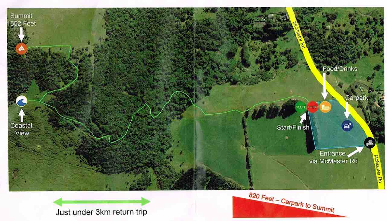
We met in a paddock in McMasters Road. I presume Bob had permission?
The hike up the Saddle was the one that the Rotary had done as a fundraiser for the Mosgiel Pool. We had morning tea at the entrance to the scrub area,after which we climbed up a stoney track.It was good workout for us all. We came out to a clearing with fabulous views of wonderful coast line. Quite a few minutes were taken to enjoy and then we carried on up to the top for a photo shoot.
(Alex photo.)
More panoramic views were taken in before we went down the hill,out of the cool breeze, and had a leisurely lunch looking out over the Taieri. We then wandered down the hill and out onto Saddlehill Road and back to the cars. Coffee was at the Village Green. Thanks Bob. – Jenny.
40. 19/9/2018. Trampers. Saddle Hill circuit. Leader: Eleanor.
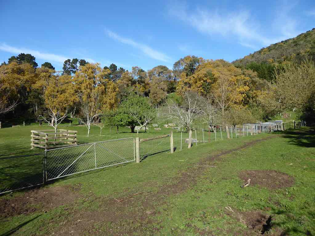
On a very warm spring morning 14 trampers set off from Quarry road and walked up Coal Stage and Saddle Hill roads then down McMaster road. Enjoying a great display of Kowhai in full bloom, also a mix of blossom and animals along the way. One member recalls riding horses as a girl on a property we passed.
Just the best Kowhai forest around. (Phil pic and caption.)
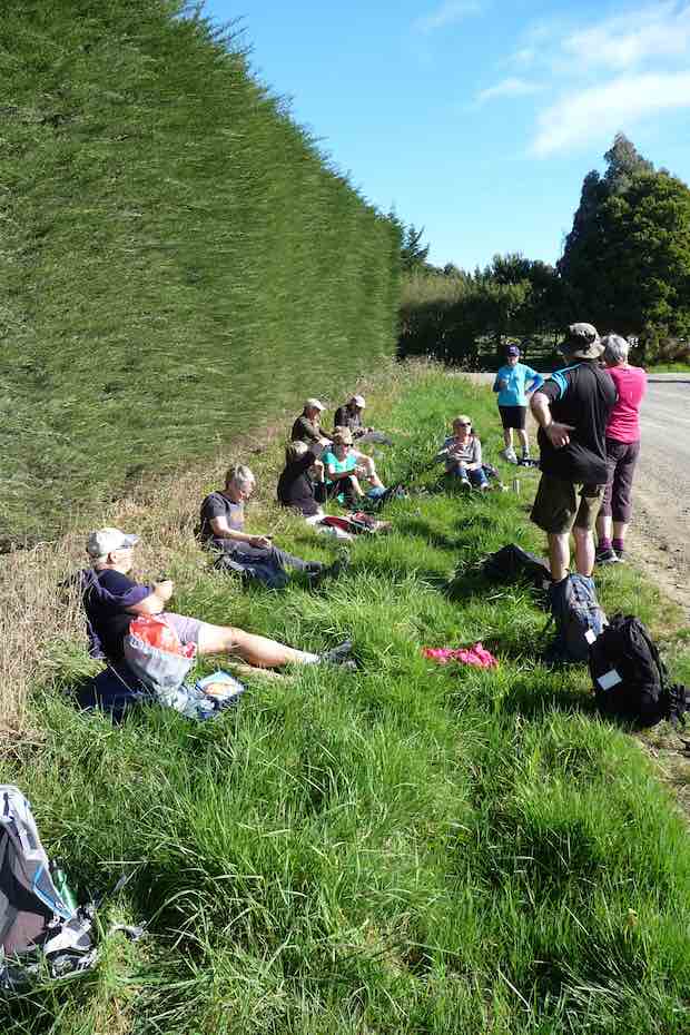
We enjoyed smoko break overlooking the ocean. At this point with the sun shining brightly upon us, we decided to do an add on.
Welcome morning tea break after earlier start. (Gordon pic and caption.)
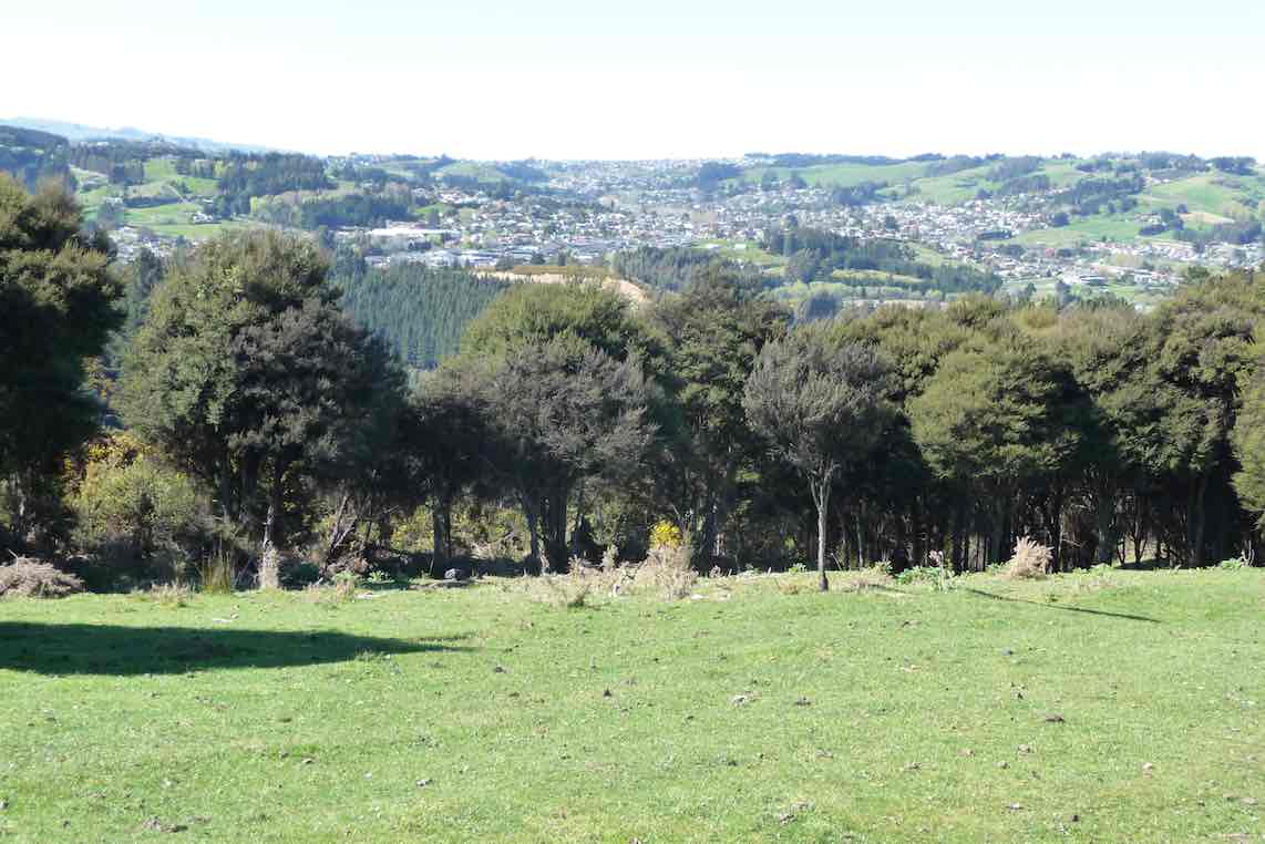
Turning onto Old Brighton road we headed to Fairfield, then crossed over to Flower street walked up the couple of hills crossing a stile into the water tank paddock. Once again (on both sides of the rather steep stile) with more great views, lunch and chatting was enjoyed.
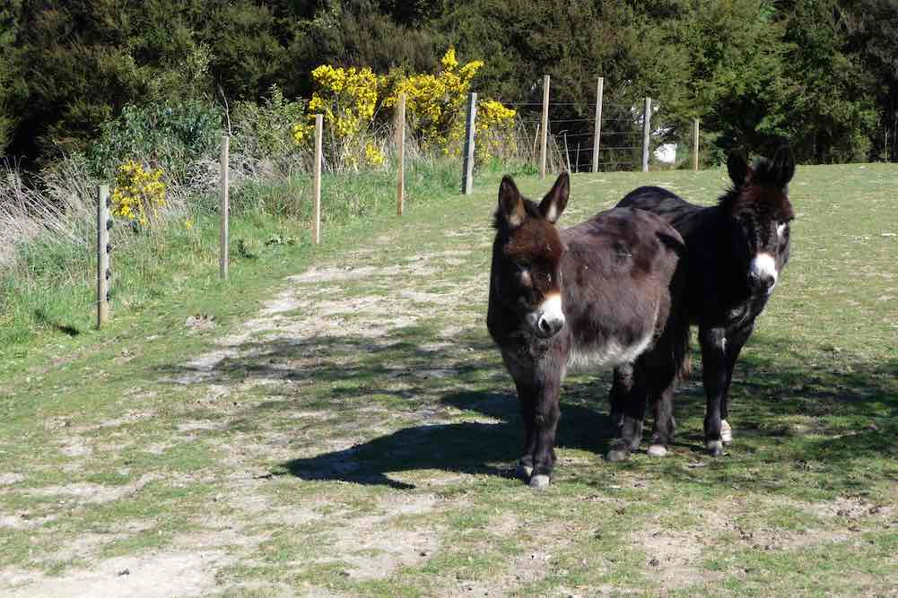
View of Kaikorai Valley from lunch. (Gordon pic and caption.)Donkeys on Chain Hill road. (Gordon pic and caption.)
We then walked along Chain Hill road and back down Quarry road to our cars.
View of Mosgiel from overbridge. (Gordon pic and caption.)
Blend was the chosen coffee shop, we enjoyed catching up with 2 members unable to tramp on the day.
We reckon we walked 15 km, give or take a little.
Great to be back out with such an enthusiastic group of friends.
– Cheers Eleanore
(12/2/2017.)
Route map
39. 6/4/2016. Both. A Circumnavigation of Saddle Hill, majoring on the seaward slopes. Leaders: Bob, Doug and Arthur.
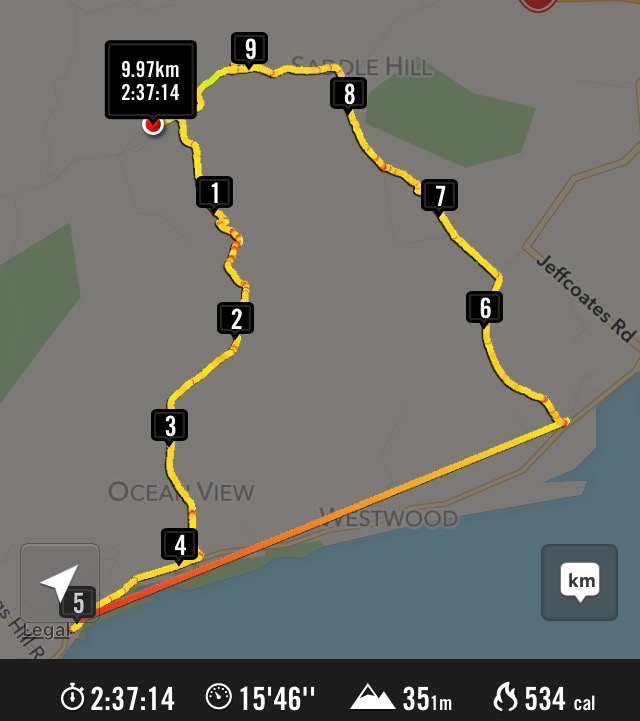
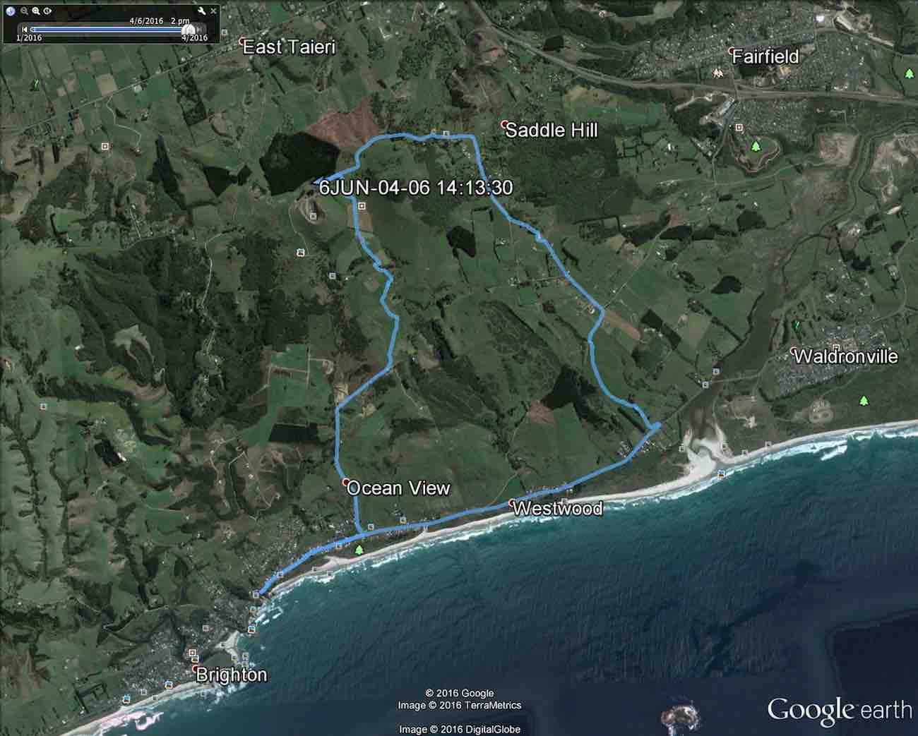
The Hikers took the bus, the Trampers, the beach.Apr 6 Tramp Saddle Hill 2016. … Distance not counting the bus travel 10.2 km. (Bruce pic and caption)
Trampers’ Report. Saddle Hill to the Sea. – Arthur.
Being the first Wednesday of the month, this was a combined operation. Together with the Hikers, our group parked beside the wool-shed on Saddle Hill Road, before walking through the “Saddle” and down through farmland on the other side. Special thanks to the landowners for giving us permission to do so. A suitable spot was found at 10 o’clock for morning tea.
All twenty-seven of us at morning tea, part-way down the slope.The view from our morning tea spot.
The two groups then split, with the Trampers forging ahead, as they had further to walk. We had 8 trampers now, and it was noticed that the 2 men were outnumbered by the ladies.
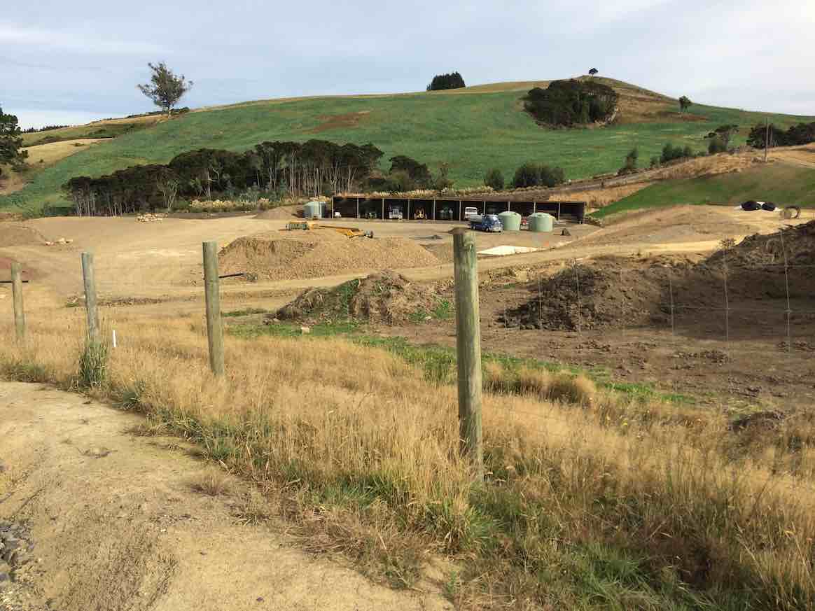
Continuing down through the sheep farm we climbed a style out on to Creamery Road. Going down the road now, we could view several lifestyle blocks with new houses on them. At the bottom of the hill a large contractor’s yard had obviously had much money spent on it.
Contractor’s Yard
We arrived down at the main road to Brighton at Ocean View. After a short walk along the road we were able to gain access to the beach at the car-park (Freedom Campers spot). Good use of the facilities here was made for a comfort stop.
The tide was well out, just beginning to come back in, allowing us to walk on good firm sand for several kilometres. Other people were making use of the beach too – walking, exercising dogs and especially horses.
The Kaikorai Stream was closed to the sea, allowing us to return to the road on the Waldronville side, past the Pistol Shooting Club. The walk along the beach took a neat hour. We found a suitable lunch stop beside the car park at the road.
The Trampers’ lunch spot. (Helen pic)
From there we had to walk across the bridge and along the road a short distance. It was a little difficult climbing through a fence back onto farmland – several comments were made at this time about some not being as young as they used to be!
Trampers. A fence scramble. (Helen pic)
With the Green Park Cemetery on our left we had a very pleasant uphill walk through the large field, but with one especially steep pinch, before squeezing around the end of a gate and out onto the Old Brighton Road – closed long ago by a large slip.
Along the Old Road and then up McMaster Road a short distance, before taking a short-cut through private property. A donkey brayed a welcome as we passed, and then the lady was gardening at the house.
Coming back onto McMaster Road, we found three of the Hikers talking to the man of the house at his mailbox. The road levelled off, and soon we were back to Saddle Hill Road where we caught up with the Hikers with about a kilometre to go.
There were good views from here of Mosgiel, …
Mosgiel from lookout.
… the Taieri and beyond. In fact we had great views all day on this tramp, and good weather to go with them.
Our combined tramp could not have been more successful, as both groups began and finished the day together.
A big thank-you to Bob for this. Everyone was back to the cars by 2.15 p.m. The Trampers covered a distance of about 14 km (estimated).
***** SAFE TRAMPING IS NO ACCIDENT *****
– Arthur.
Hikers’ Report.
As Arthur has covered most of the day’s main points, this need be only a supplementary one.
Where Creamery Road joins Brighton Road, various options emerged. Some drifted off: one had a car waiting for her, another walked to her home nearby, others shortened their walk by walking on the seaward side of the road to earlier catch the bus to Brighton and back. The remainder walked towards Brighton and waited at a convenient bus stop to catch the returning bus. The driver put on a mock-stern display, questioning our age entitlement and closely examining our Gold Cards. We had made his day, as we disported ourselves around his empty bus. From the Green Park Cemetery gates we made our way uphill behind the cemetery and were surprised (well, this reporter was) to see the beginnings of an eco-burial site of about twelve plots, aligned alongside a clump of bush, each plot planted with a native plant.
We lunched in a sheltered spot a little further on up the hill.
Hikers at lunch part way up hill.
…. Much further on, as we turned from McMaster Road into Saddle Hill Road, we were surprised and delighted to find ourselves caught up by the Trampers . The timing couldn’t have been better. Excellent planning, Bob. This has to have turned out the most rewarding “together-Tramp” yet! – Ian.
Cars parked at the southern entrance to the Green Park Cemetery. The leaders took us directly up through paddock from behind the cemetery, to swing right …
GPS of round route from Greenpark Cemetery south gate.
… and continue on
View en route. Blackhead (Liz pic)
Green Island
Another view en route. Green Island (Liz pic, using zoom lens, no doubt.)
to eventually reach the style at the top of Creamery Road. Down the road to the Brighton Road, north along here to drop of Bruce and Marjorie at the home and on to the Ocean View domain for lunch.
Out onto the beach and a long walk to arrive near the Kaikorai Estaury. Through sand hills, skirt estaury, through horse yards, out onto the Brighton Road, and back along to the cars.
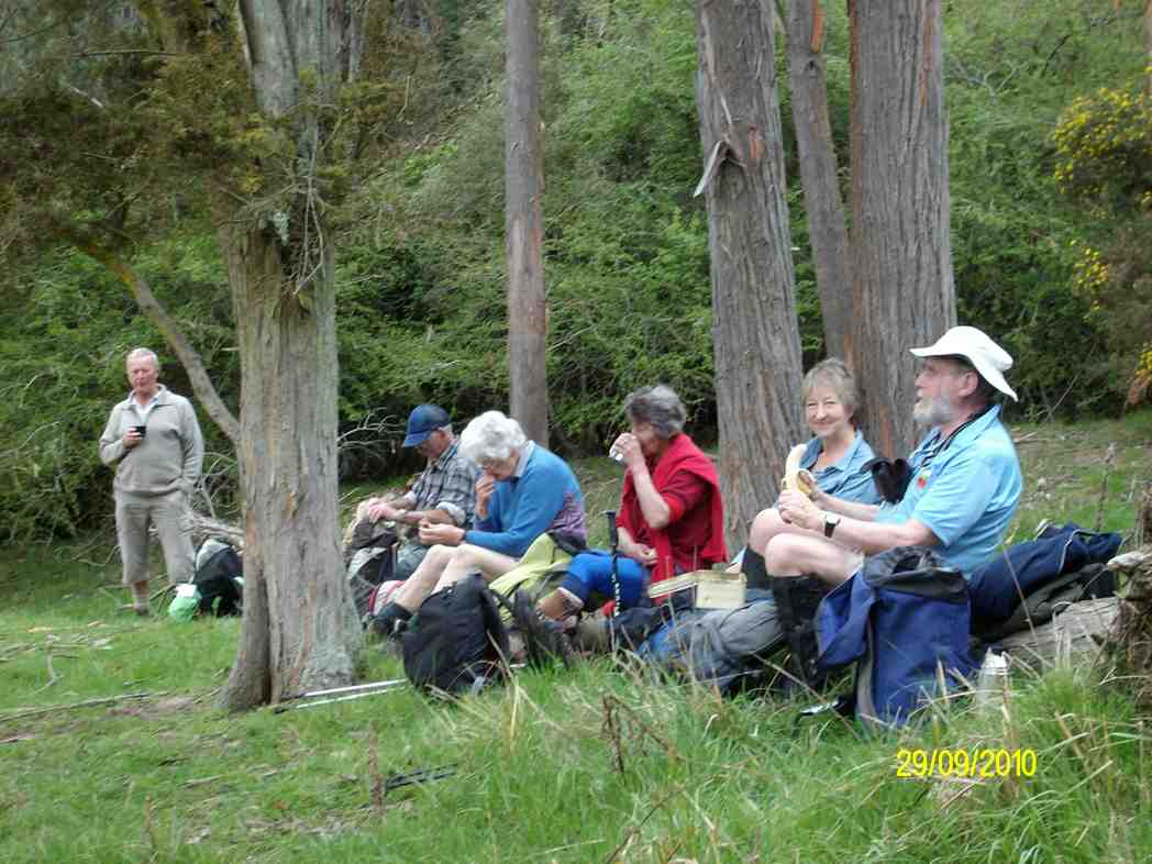
37. 29/9/2010. Trampers. Saddle Hill from Old Brighton Road. Leaders: Keith and Glenis.
GPS Route Map, courtesy Ken.
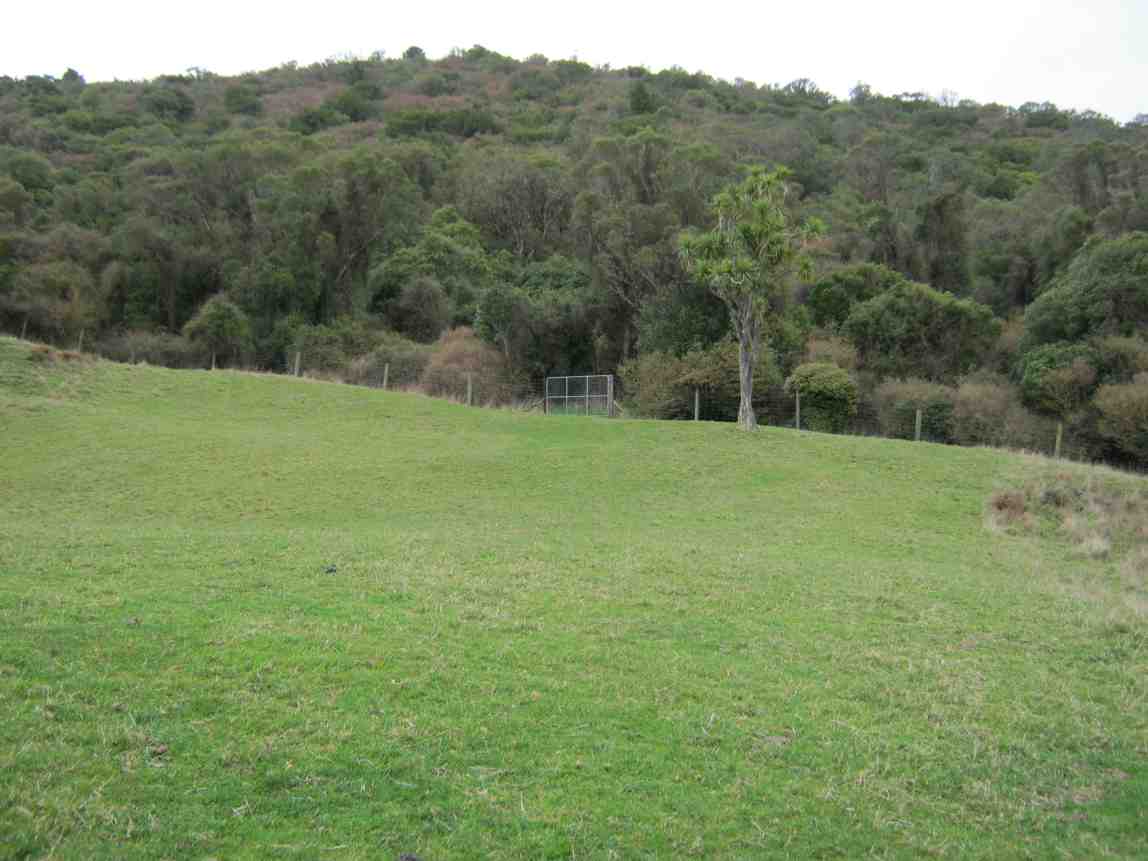
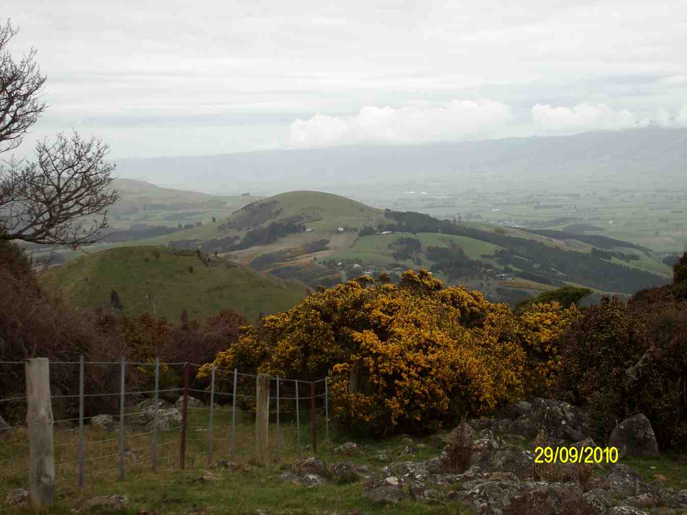
Eight of us set off over a paddock much hollowed with slumps betraying old coal mine workings, caused probably by wooden props long since rotted, up towards Saddle Hill. (See last pic below.) As we approached the bush ahead of us, we were glad to be able to follow a cleared track that wound up to our left, foregoing the former track we used to take to the right, now heavily infested with gorse. The track further up was well grassed, but just SO boggy and wet, although drier in places. One such place was ideal for an early morning tea.
Morning Tea on log. (Ken pic)
On up through a second property and we crossed McMasters Road into a third property taking us up to the bush around Saddle Hill.
Bush track entrance.
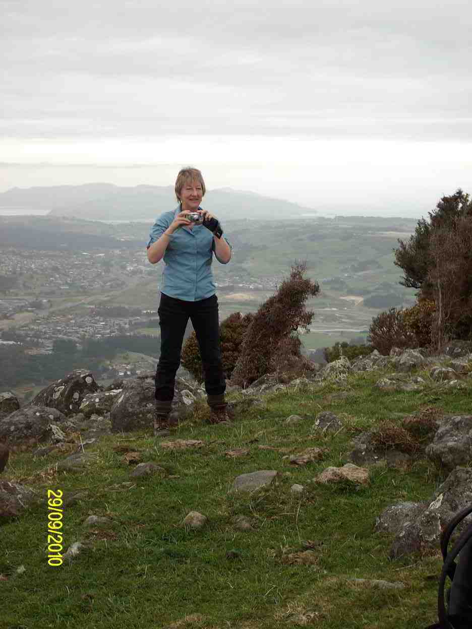
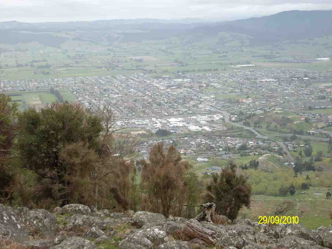
The track through the bush took us round to the seaward side grassy slope and then it was up to another bush entrance for the last push to the top (473m, according to Ken), where there were views galore for our cameras. 11.00 a.m. and far too early for lunch.
Emma (Ken pic)
Saddle Hill trig. (Emma pic)
Mosgiel from Saddle Hill (Ken pic)
View south from Saddle Hill
We made our way down over a very bouldery grass paddock to Saddle Hill road, round into McMasters Road again to reach the place we had ascended, and then it was back down again. We found a most pleasant lunch spot softened by thick pine needles and sheltered in by pines. Then it was down and through the much-slumped paddock back to the cars.
Coal Mine slumps.
36. 27/2/2008. Hikers, Saddle Hill, Taieri Lookout, Medium. Leaders Dot Bennett, Chris
35. 25/1/2006. Trampers. Saddle Hill from Stevensons Farm. Medium. Leaders: George, Hazel.
34. 27/4/2005. Both. Creamery Road, Saddle Hill, Watts BushLeaders: Joyce, Hazel, Eleanor W, Eleanor B
33. 14/4/2004. Trampers. Saddle Hill via Creamery Road. Medium. Leaders: Doug J, Molly
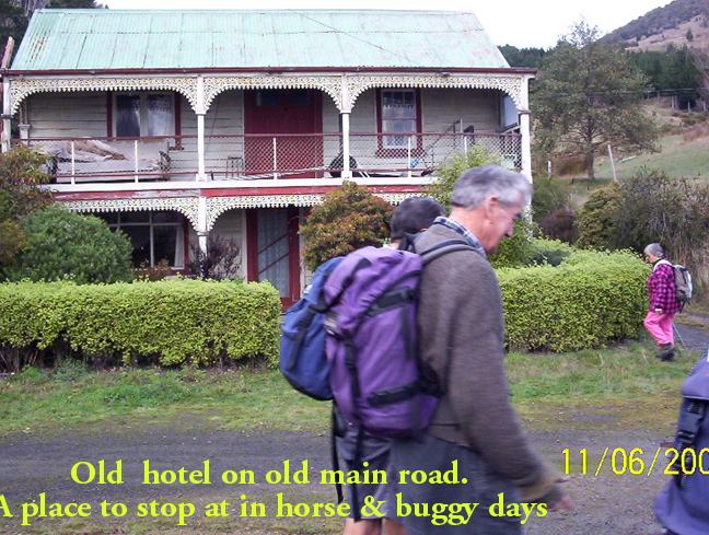
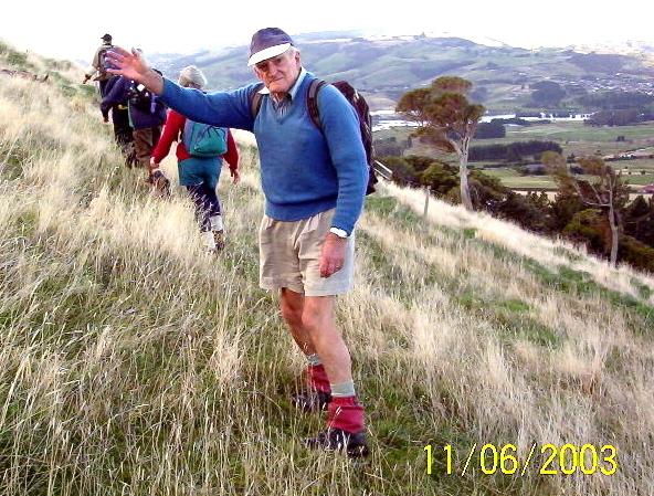
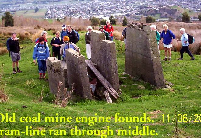
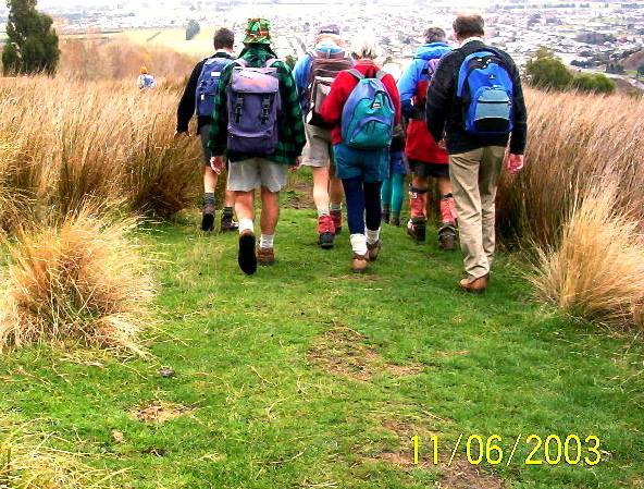
28. 11/6/2003. Both. Saddle Hill through Pearsons.
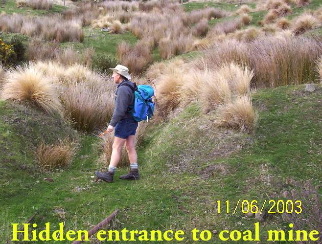
Year round. Park overhead bridge. Contacts: Seek permissions. The Grange. Phone for appointment for permission to tramp on this property. “We like to see you face to face.” (Paddock with coal mine entrance and tram line track)
Park cars at motorway overhead bridge. Leaders: George, Hazel, Jack & Rosemary.
23. 9/8/2000.Saddle Hill and Jaffray Hill from the overhead bridge. Average. Leaders: George, Hazel, Molly
22. 9/8/2000. Saddle Hill – Walnut Grove. Park Overhead Bridge.Leaders: George, Hazel, Molly.
21. 31/5/2000 Saddle Hill, Law Road, from carpark. Long Tramp. Leaders: Lance & Lois, Betty B 20. 7/2/2000 Creamery Road Finnies, McIntosh (frmly Watts) Bush, return Scroggs Hill, Brighton Road, Beach. Nelson & Dot, Winnifred 19. 8/12/1999. Creamery Road, Watts Bush, Scroggs Hill. Leaders: Dot B, Joan H, Bob H. 18. 25/8/1999. Car Park, Saddle Hill, Law Road. Long tramp. Leaders: Frank and Lesley, Arthur and Barbara. Return Silverstream to car park. Long tramp. Leaders: Wendy, Evelyn M, Eleanor B, Hartmann 17. 24/3/1999. Creamery Road – Ocean View. Leaders: Doug and Ngaire, W W. 16. 20/5/1998. Creamery Road, Saddle Hill. Leaders: Daphne, Margaret D. 15. 1997 Saddle Hill, Jaffrays Farm, East Taieri Scouts Hall. Leaders: George, Betty B, Wendy 14. 26/11/1997. Saddle Hill, Fulton Hogans, Hills Clevelands etc. 5 hour tramp. Leaders: George, Betty B, Wendy. 13. 13/8/1997. Saddle Hill, Scroggs Hill, Walnut Grove. Leaders: Les W, Frank, Jack M. 12. 2/10/1996. McLeods – Saddle Hill. Average. Meet Ocean View carpark. Leaders: Eric & Dot, Pat 11. 6/9/1995. Creamery Road, Watts Bush, Scroggs Hill. Medium.Leaders: Eric and Dot, Joan H, Chris 10. 16/8/1995. Saddle Hill, Old Brighton Road, Taieri Lookout, Chain Hill, Fairfield. Medium. Meet at Fulton Hogan Yard, Old Brighton Road. Leaders: Rob Q, Nelson & Dot, Molly 9. 24/7/1996. Jaffrays and Saddle Hill from East Taieri Scout Hall. Average. Leaders: Dot T, Les and Mavis. 8. 15/6/1994. Creamery Road, Saddle Hill, Watts Walk (now Finnies, McIntosh), Scroggs Hill. Leaders: Eric & Dot, Chris, Joan H. 7. 28/7/1993. Start from car park, Saddle Hill to Law Road. Long Tramp. Leaders: Wendy, Evelyn M, Eleanor B, Hartmann 6. 23/6/1993 Creamery Road Finnies, Watts Bush (now McIntosh), return Scroggs Hill. Medium but long. Cars at Ocean View Picnic Ground. Leaders: Eric & Dot, Jack M, Joyce S 5. 20/11/1989. Saddle Hill and Jaffray Hill from the overhead bridge. Average. Leaders: Mavis, Peg A, Margaret S, Daphne 4. 30/3/1988 Saddle Hill and Jaffray Hill. A little bit of history. Meet at Saddle Hill Lookout. Leaders: Daphne, Peg A 3. 18/9/1991 Green Park – Saddle Hill, returning via Hare Street and beach. Splendid coastal views. Cars meet at Green Park Cemetery. Average. George, Eric & Dot, Les W 2. 20/9/1989 Creamery Road, Ocean View. Average. Meet Ocean View carpark. Leaders: Mary Y, Daphne, Betty B, Margaret D 1. 24/3/1989 Creamery Road, Ocean View. Leaders: Doug M, Eleanor W
10. 30/9/2020. Trampers. Tunnel track/ Racemans return. Leaders Gordon Grant and Arthur Heenan
Because of snow on the Maungatua the days tramp was diverted to Whare Flat where 9 hardy trampers set off up Tunnel track to Mcraes Weir then turned left until arriving at Racemans track.
MINUTES OF THE 32nd ANNUAL GENERAL MEETING OF THE TAIERIRECREATIONAL TRAMPING CLUB HELD AT THE MCKERROW LOUNGE,MOSGIEL PRESBYTERIAN CHURCH ON THURSDAY, 15 October 2020 AT 1.30PM
PRESENT: A Heenan (Chair), D Bennett, K Burke, J Butcher, P Davie, E Day, J Dennison, J Devlin, G Farquharson, J Finnerty, B & J Finnie, I Fleming, J Gardiner, L Gowans, G Grant, A Griffin, B Harvey, P Keene, H Kirk, R Labes, C Leach, S McCormack, N McCunn, G & K McInnes, D Mellish, B Mitchell, D Moir, H Morris, N Morrison, K & S Munro, L Partridge, D Patterson, D Roberts, E Ryan, N & M Simpson, M Schofield, B Spittle, G Williams, B & J Wright, J Yardley
APOLOGIES: J Dodd, C Morrison, W Begley, C Crossman, E Griffin, T White, J Reid, J Ronald, E Willis, A Whitson, J & P Horrell, P Gillespie, S Nichol, K Fagg, C Wither, J Davie, J Abbott, N Buckley, G Haggie, C Hughes, R Keene, P Clough, G Souter, A Miller
Moved S McCormack/seconded J Wright that these apologies be accepted. Carried
MINUTES OF PREVIOUS MEETINGS
Minutes of 2019 AGM were taken as read having been previously circulated. Moved E Ryan, seconded P Keene that they be confirmed as a true and accurate record. Carried
Matters arising:
Nil
CORRESPONDENCE:
Inward – Resignation from Peter and Wendy Bathgate
Outward –Nil
Moved M Simpson, seconded J Gardiner that the correspondence be accepted. Carried
PRESIDENTS REPORT
President, Arthur Heenan, presented his report for the year.. It had been a somewhat disruptive year with the two covid pandemic lockdowns causing the cancellations of 17 Wednesdays of activity. Apart from this the club had had a successful year with a number of new members, making a total membership of over 100. There were two bus trips, the first to Roxburgh to walk part of the Millenium Track, and the second to the Redan Crater, near Middlemarch. A group of trampers had a 2 night stay at the Bendoran Huts just prior to lockdown. The Xmas breakup lunch was held at the Waiora Scout Camp, and a very well attended mid year lunch at the Mosgiel RSA. Thanks to Jill Dodd who organised a first aid refresher course. Ian Fleming’s long contribution to the club as webmaster was acknowledged, and thanks to Dave Mellish who has taken over this role.
We lost two life members during the year, Bob Heenan and Les Smith. Both had been very valuable members of the club. Also Mary Young, who was on the steering committee setting up the club.
He thanked the committee for their work during the year – secretary/treasurer, programme and, social committees, track clearing, webmaster, and all those who have contributed to the running of the club.
Moved A Heenan, seconded D Patterson that the President’s report be adopted. Carried
FINANCIAL REPORT
Financial statement for the year ended 30/6/20 was presented by the treasurer. Bank balance stands at $673.93, petty cash $4.60. Income was $1736.75, and expenditure $1910.83, leaving a deficit for the year of $174.08. This was partly caused by small outlays on social events (morning tea, cakes etc.) and a $100 donation to the Quarantine Island
Moved J Yardley, seconded G Grant that the financial report be adopted. Carried
Subscriptions: Moved J Yardley, seconded K McInnes that subs remain at $5, plus $10 joining fee for new members. Carried
Auditor: Moved J Yardley, seconded J Butcher, that Keith Mackenzie, Consultant Accountant continue as auditor if he is available Carried
Webmaster: Moved G Williams, seconded G Grant, that D Mellish receive a $50 honorarium. Carried
ELECTION OF OFFICE BEARERS
President: Arthur Heenan Moved J Yardley, seconded B Harvey Carried. Vice-President: Phil Keene Moved H Morris, seconded E Ryan Carried Secretary/Treasurer: Jan Yardley Moved S Munro, seconded J Dennison Carried Past President: Jill Dodd
Webmaster: Dave Mellish Moved K McInnes, seconded J Wright Carried Committee: Jan Butcher, Jay Devlin, Keith Munro, Clive Crossman Moved B Mitchell, seconded J Wright that the above existing committee members be reappointed Carried
Moved S McCormack, seconded K McInnes that Jenni Wright be appointed to the committee Carried
Moved G Williams, seconded D Mellish that Jill Reid be appointed to the committee. Carried
GENERAL:
Constitution – this needs to be updated. J Wright offered to help with this.
Life Membership– life membership was awarded to Doug Moir, who has been a valuable member of the club for a long period of time. Helen Morris also spoke about a rare award he had received from the Masonic Lodge.
There was no other business, and the meeting closed at 2 pm.
Guest speaker, Alyth Grant a volunteer from the Orokonui Ecosanctuary gave a detailed powerpoint presentation on the history, educational role and activities held at the sanctuary. Thanked by Phil Keene and presented with a voucher.
Afternoon tea concluded the meeting.
Confirmed ………………………………………..(President) Date ………………….
6. Taieri Recreational Tramping Club: Trip Organisation Guidelines, July 2021
‘Before the sky there are no fences facing’. Bob Dylan – Mr Tambourine Man Context
These guidelines are for those nominated to lead, organise and guide the group, but they are also mutual responsibilities for all participants, so all club members must become familiar with them. The leaders nominated by the club for a particular walk are to considered to be the final arbiters and provide direction on the day. Guidelines need to be flexible for the conditions; whether on top of Mt Charles in fog, heading south on the Maungatua into a SW change, undertaking a walk in town to admire street art, or walking to the end of the day out with clear views of the parked cars in the distance.
Pre trip
• Undertake a recce. Assess that the walk would meet the expectations and capabilities of the group; confirm access and car parking available and prior permission of landowners if required. Assess appropriate spots where tea and lunch breaks will be held; is cell phone coverage available? On the day do a weather check and if necessary identify a back up option. If the walk is on public land track alerts can be checked on DOC/ DCC websites. If on farm land and in lambing season check this when talking to the owners. Pre-arrange tea and coffee venue if necessary.
• Use all of the communication channels within the club to advise changes to trips or starting times.
• Ensure the group has essential equipment such as club personal locator beacon (and know how to use it- instructions are included and a list of members and cell phones will be kept in the bag as well), first aid, hi-vis vests. These could be collected at the end of the prior weeks trip if appropriate. Organisers are to wear hi-vis vests at all times. and must carry whistle (1 blast for everyone to stop, 3 blasts for emergency) as well as a torch, pen and paper.
Trip day
• Participants should ensure they have breakfasted well, have plenty of water and pack labels are up to date.
• Vehicles are to have current WOF, drivers cell phone numbers to be held by trip leaders and locator beacons, first aid and hi-vis vests are available. Note that any devices such as drones are not permissible. Ensure everyone has a ride and drivers have directions and know where to park. Check the number of cars and participants.
• Leaders have the discretion as to who participates on the day. Participants must ensure they are in good health; and advise of any pre-existing condition that may require access to medication or epi-pen etc. on the trip. Additionally, in case of emergency, guests must provide contact details to the trip leaders.
• Leaders should continually assess the limits of the group, as well as time and the weather. Keep an eye out for anyone starting to stumble or slip. If visibility or weather is poor all members of the group must be within sight. There should be regular stops for water to re-group and to check everyone is present. In no circumstances should anyone be allowed to walk on their own, even returning to a vehicle. If someone leaves the track for a toilet stop, tell someone and leave their pack on the track.
• Clear instructions on direction and stops must be shared and known by the persons at the front and rear of the group. • All track intersections must be appropriately managed. • If the group is larger than 18, experience has shown a volunteer can be nominated to be in the middle of the group to assist by ensuring communication is effectively relayed.
• If the trip is long or terrain or weather is difficult and the group becomes too spaced out, slower walkers should be at the front. Participants should ensure leaders are kept informed if they are feeling unwell or need rest or support.
• As a general rule strong river currents should not be attempted. Turn back.
• On roads where there is no footpath or wide verge, move in single file facing on-coming traffic. The front and rear walkers must have the hi-vis vests on. The shortest route must be taken across roads and the group split into smaller groups when crossing. No straggling long lines!
Post trip • Ensure everyone knows where to meet for coffee/tea ‘n’ cake or ice cream. Contact the Café if necessary.
•Provide a short write up to the club webmaster. If the walk has been on private land acknowledge this in the write up, and if not possible on the day contact the landowner to say thanks on behalf of the Club.
• Provide feedback, as appropriate, to the President/a committee member on prospective members.
What to take
• Clothing and equipment:
Sensible clothing – wear layers to cope with changing weather. (Not jeans). Always carry a waterproof jacket/parka, warm hat and gloves. Waterproof over-trousers are also useful.. Sunhat/sunscreen in summer, sun-glasses. A light-weight day pack – don’t overload it! Footwear – boots recommended, with woollen socks, but for some walks, sneakers are okay.
• First aid: Small personal kit – include a few plasters, painkillers, insect repellent and personal medication.
• Food and drink: Take adequate food for morning tea and lunch, plus something extra (e.g. a muesli bar) for emergencies. It is essential to have adequate drinks for the conditions, e.g. a plastic bottle for water, and/or a thermos for a hot drink if desired. Sip water frequently as you walk.
6. 1/7/2020 Midwinter Luncheon. RSA. Leaders : Eleanore and Jill.
Due to the abysmal weather yesterday afternoon, we cancelled the planned walk along the Silver stream, thank goodness we did because the rain kept going last night and today.
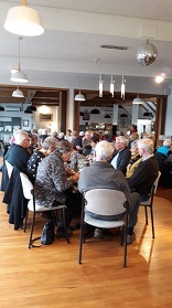
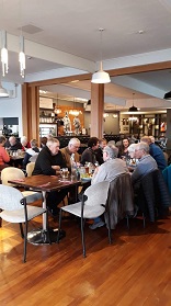
Instead, It was lovely to be greeted at the Mosgiel R.S.A. restaurant by 60 Happy faces, particularly our Senior Members, who always enjoy our shared occasions. We were all ready for a good catch up after the Coronavirus lockdown.
Past President Jill welcomed everyone along. Also, on behalf of the Club Jill passed condolences onto Margaret Smith, due to the recent Passing of her beloved Husband Les.
Photo and Caption Helen – ” Vice President Jill welcoming everyone.”
At our 30th Anniversary, Jill as President, had the honour to present both Les and Margaret with Life Membership. Margaret joined in 1988 and Les in 1990. Both dedicating many years of service to the club.
President Arthur thanked both myself and Jill for organising the venue and meal. Also, he mentioned about the trampers’ track clearing trip set down for 8 July.
Grace was delivered by Ian Fleming, another Life Member of the Club.
Photo and Caption Helen – ” Enjoying the lovely food.”
It was now time to enjoy tasty, well presented Dinners. Choices being—Hot Ham, Fish, Braised Steak or Wiener Schnitzel. Followed by beautifully presented Fruit Crumble or Ice Cream Sundae. Tea, Coffee and Chocolate to finish off with.
Photo and Caption Helen – “Enjoying seeing everyone.”
Full credit must go to the chef, manager and staff for their effort they put into the meal, and service given.
I hope you all enjoyed the outing as much as Jill and I did.
Eleanore Ryan and Jill Dodd
Nicols Creek circuit Maintained by Green Hut Track Group. DCC land.
Pineapple Track—the curious name of this track originates from a tradition involving a local grocer in the 1920’s. He guided parties up a track in this area and would provide tinned pineapple as a refreshment at the top. The empty cans were left as litter.
4. 24/6/2020 FLAGSTAFF WALKWAY ONTO SWAMPY RIDGE TRACK and RETURN. Leader Eleanore
After a couple of head counts our group of 24 (including 3 new faces) arrived at the Bull Ring at 10am to a very foggy morning. As well as us, staff were parked up waiting to spread gravel on Pineapple and Firebreak tracks, that was to be dropped by helicopter. We commented that it would be something new to look at as we were walking.
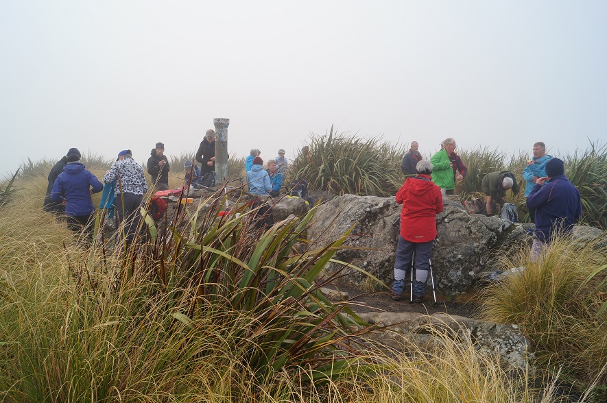
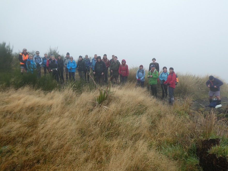
After a short sharp climb we arrived at the Plane Table marked by a drainpipe at a height of round 660 metres for smoko, still in fog and no views we headed off again down and around to the Pineapple junction, passing by damage caused by a fire last year.
Photo and Caption John – “Morning tea – not to be MIST!”
This section of the Pineapple track was wet and slippery along with the odd patch of icy puddles, we had to make sure we kept our feet firmly on the ground!!
Photo and Caption Gordon – “You couln’t have MIST this group of trampers.”
Photo and Caption Gordon – “Still slogging up hill!”
We arrived at the junction of Swampy and Firebreak tracks at 11am, then continued through more mud, noticing quite a lot of broom had been recently cut down—-thanks to those concerned.
After some climbing along the way, passing Moon, Powerline, and Telecom Microwave Station tracks, we arrived at the Aircraft Navigation Station at the Swine Spur junction at 12:15pm. Up till now, the only sight to be seen was the person in front of you!! Occasionally, one hoped for the fog to lift, so the amazing views could be enjoyed—so far, not happening.
Photo and Caption John – “Lunch at Swampy summit.”Photo and Caption John – “Gotcha Dave!”
At 12:40pm, after a shortened lunch it was time to head for home, negotiating the slippery, slidey slopes along the way reaching the Firebreak junction in 1 hour, we took the shortcut back onto Flagstaff track, and enjoyed the mostly downhill walk to the cars, arriving at 2:30pm.
Photo and Caption Gordon – “Homeward bound.”
The boots covered a good 13kms.
This was the first tramp with the Club I have been on that the fog never lifted the entire day. We were ready for coffee, cake and a yarn to celebrate our achievement at Blackstone Cafe.
As always, I hope you all enjoyed the day as much as I did.
Eleanore
3. 16/9/2009. Bullring, Flagstaff Walkway, Swampy Ridge, Moon, Nicols Creek Track, New Track across to Pineapple, Pineapple, McGouns, Davies , Flagstaff Walkway Firebreak/Bullock, Bullring. Leaders: Ria, Hazel.
We walked from the Bullring across Flagstaff and Swampy Ridge until sheltering for morning tea stop some way down the upper Moon Track,
Morning tea on upper Moon. (Ken pic). Ian and Doug. Ria and Hazel partially hidden.
then crossing to the other side of the valley.
Walking across headwaters from Moon on one side to Nicols Track on the other. Doug, George.
Perhaps it was the thinner foliage of early spring, but none of us had remembered noticing before the huge old tree trunk just below Nicols Creek track, with growth still struggling for its old branches far above us if we craned our necks.
George making a close examination of extraordinarily large trunk which he identified as a Kahikatea.
View across to the motorway from one of the few open patches on Nicols Track. Doug, George.
Ria and Hazel surprised us with a track leading off to the right just a little further on.
Surprising track off to the right. Doug, George.
It took us through brief bush out into heavy grass and scrub and led almost vertically uphill diagonally back from the way we had come, and eventually, after a few hundred metres of stiff climbing, coming out onto overgrown pasture and across to join the Pineapple Track just above the point where it enters the bush.
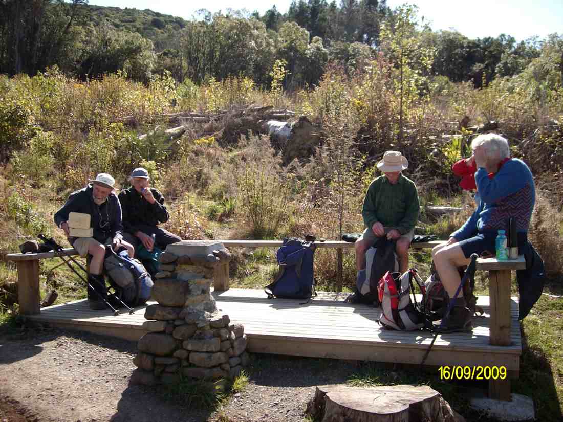
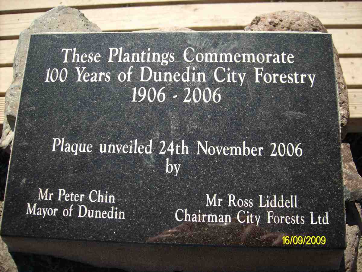
By taking us on this novel route, our leaders avoided any road work, as we were able to descend the Pineapple track and join the McGouns track to come out at the partially vandalised stone cairn and plaque marking City Forests 100 years of forestry planting by the Dunedin City Council begun in 1906. Its surrounding seating made a good place for lunch.
Lunch at plaque. (Ken pic). Ian, George, Doug, Ria, Hazel.
The plaque. (Ken pic).
From there, a short walk along Drummonds Street connected us with Davies Track, which zigzagged up through regenerating natives to eventually continue climbing through mature bush.
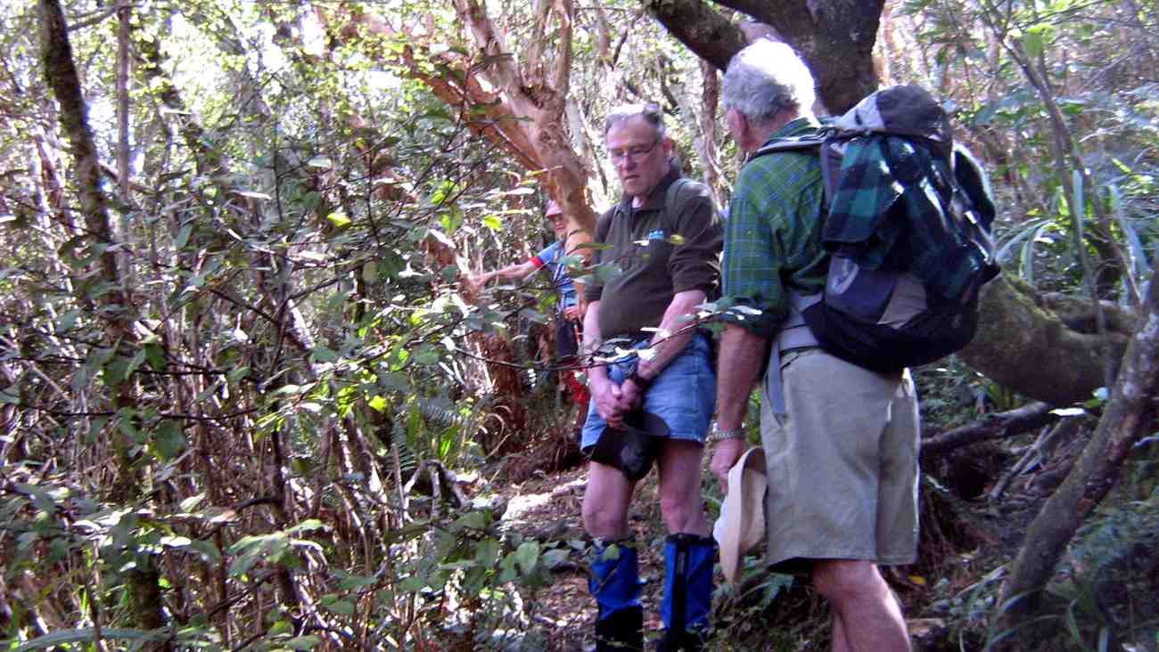
Rest stop in Bush on Davies Track. Ria, Ken, Doug.
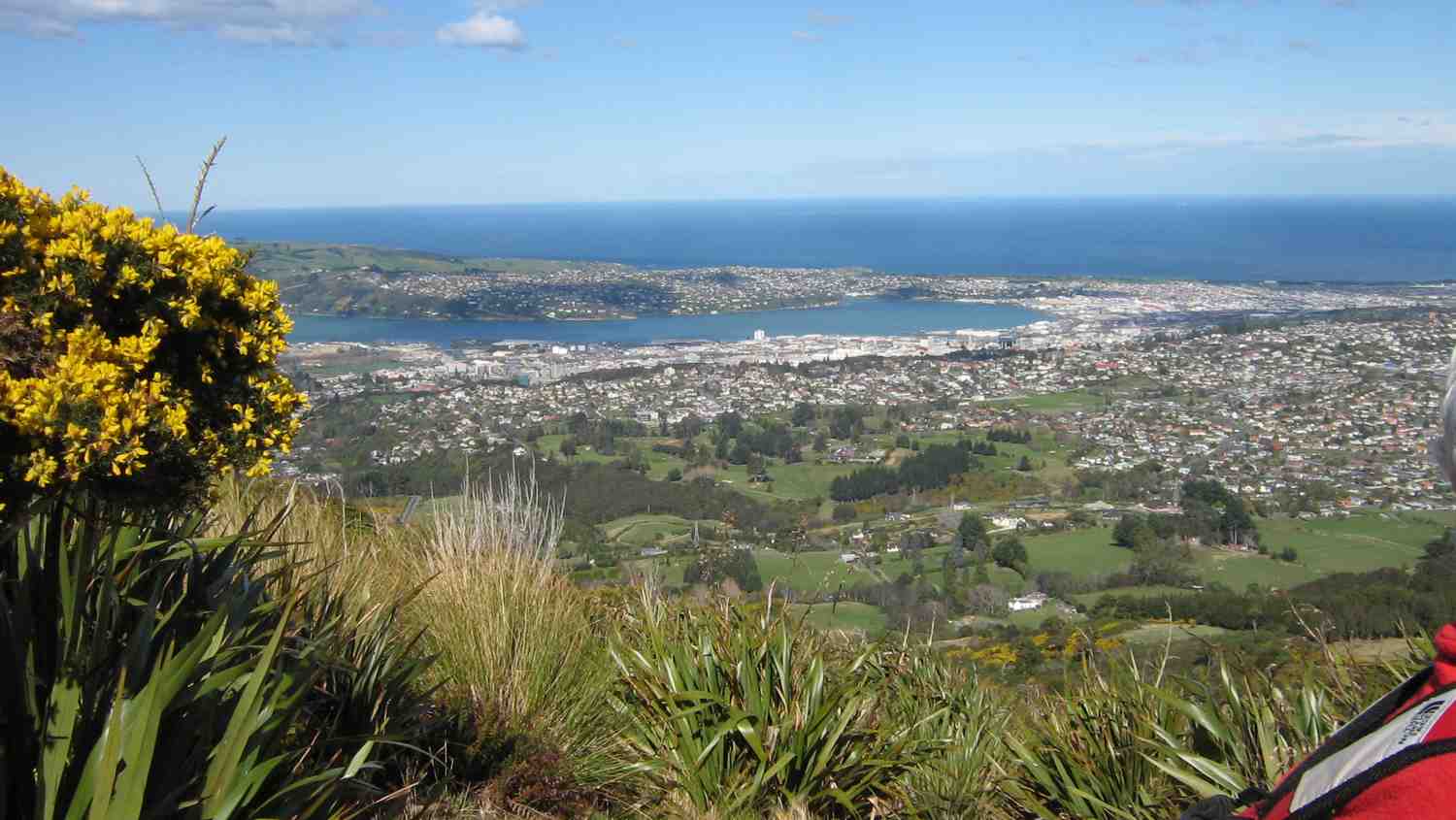
Dunedin from Davies Track above bushline.
Above the bush line, it was then through tussock and flax till we reached the Flagstaff Walkway. We decided to take the Firebreak/Old Bullock Track back to the cars. – Ian.
Mary Young died on the 19th of June, 2020, aged 88 years. She joined the Taieri Recreational Group on 21/1/1987 and was on the Steering Committee helping it to became a Club on 4/3/1988. She resigned in 2011, concluding a membership of 24 years.
Nine present and former Club members attending her funeral on 26/6/2020, were: Ian Fleming, George and Elizabeth Haggie, Chris Hughes, Ria Lippers, Doug Moir, Denise Pearce, Margaret Smith, and Dot Taiaroa.
10. 17/6/2020. Hikers. Woodhaugh gardens and the University area. Dawn Pool and Pam Clough.
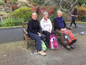
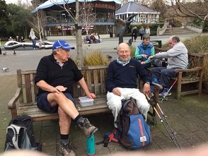
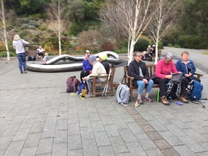
20 people from the Hiking Group had a very pleasant 7k walk from the yacht club car park up 260 steps to the botanical gardens, where we enjoyed a beautiful view and morning tea.
We then wound our way down through the grounds, enjoying lots of things on the way, arriving at the duck pond, where we stopped for lunch.
An interesting walk through the University and back to the cars.
Just as the weather changed we reached the cafe by the stadium and all enjoyed a hot drink before heading back home.
Hope the trampers enjoyed their day.
Regards
Dawn Pool
9. 31/7/2019. Hikers. Treasures around the Leith. Jenni and Judy D.
Despite a rather iffy forecast, 18 hikers met to explore “Treasures around the Leith”. We met our Brighton contingent at the Malvern Street Bridge and proceeded to an early morning tea at the Woodhaugh Gardens. So off we set though the Botanic Gardens admiring the recent rose pruning, through the Clive Lister Garden, along and up through the terraced gardens and finally up a gentle track which lead us to Lovelock Avenue.
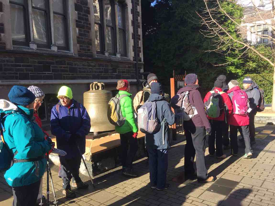
The weather held as we investigated the historic bell in the University’s quadrangle. This bell was part of the New Zealand Exhibition in 1865, before being moved to the stock exchange building in 1868. The full story was captured by the ODT on 3 February 2019.
(Jenni pic.)
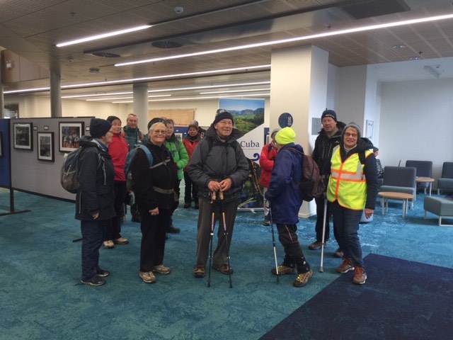
From there, we ventured to the Otago Business School to view the outstanding architecture and the very cool photographic exhibition “Cuba through Kiwi eyes”. There was a great variety of excellent photographs, and we were fortunate to be able to see this. The exhibition closes on 2 August.
(Jenni pic.)(Jenni pic.)
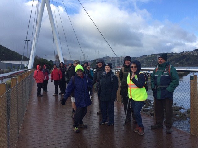
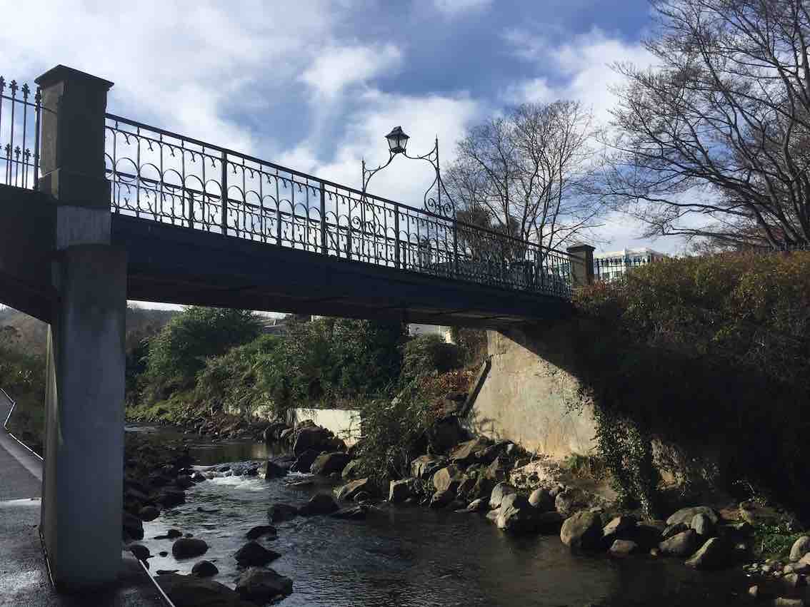
We meandered along the side of the Leith, noting the exciting new $26m Music, Theatre and Performing Arts Development and checked out the new Leith bridge which links Dunedin with Port Chalmers for both walkers and cyclists.
(Jenni pic.)
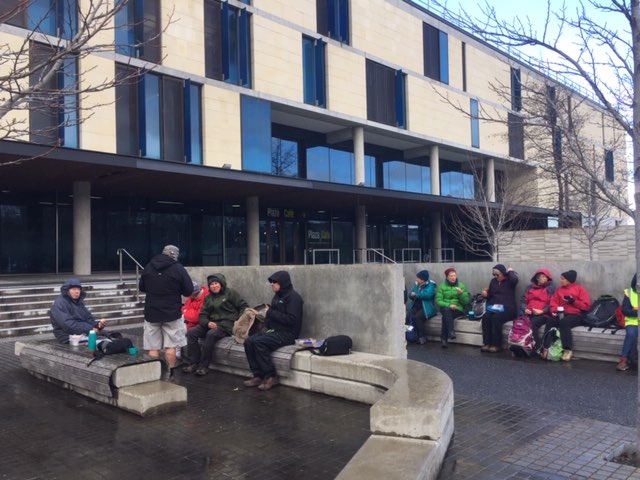
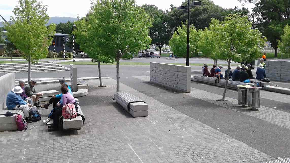
We returned to the seating area outside the Stadium for lunch, which turned out to be an excellent shelter from the nippy Southerly.
(Jenni pic.)
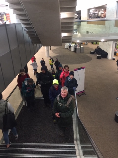
Back along Union Street, as we passed the Multi Disciplinary Unit we talked about the world famous “Dunedin Study” and the amazing facilities they are housed in. Time was on our side so we entered the Student Union building and the Information Services building which has been cleverly joined by “The Link”. We marvelled at the space that the students enjoy today and the architectural features including a circular internal Oamaru stone wall. A highlight of the tramp was seeing the developments to alleviate flooding in the area and preservation of the St David bridge.
(Jenni pic.)
How fortunate we are to have so many treasures around the Leith.
Distance travelled around 9kms. Coffee and cake at Village Green. Special thanks to Judy Dennison for being “Tail End Charlie”. Today’s leader: Jenni Wright.
8. 28/11/2018. Hikers. Gardens / Leith Street. E. Leaders: Judy and Elaine.
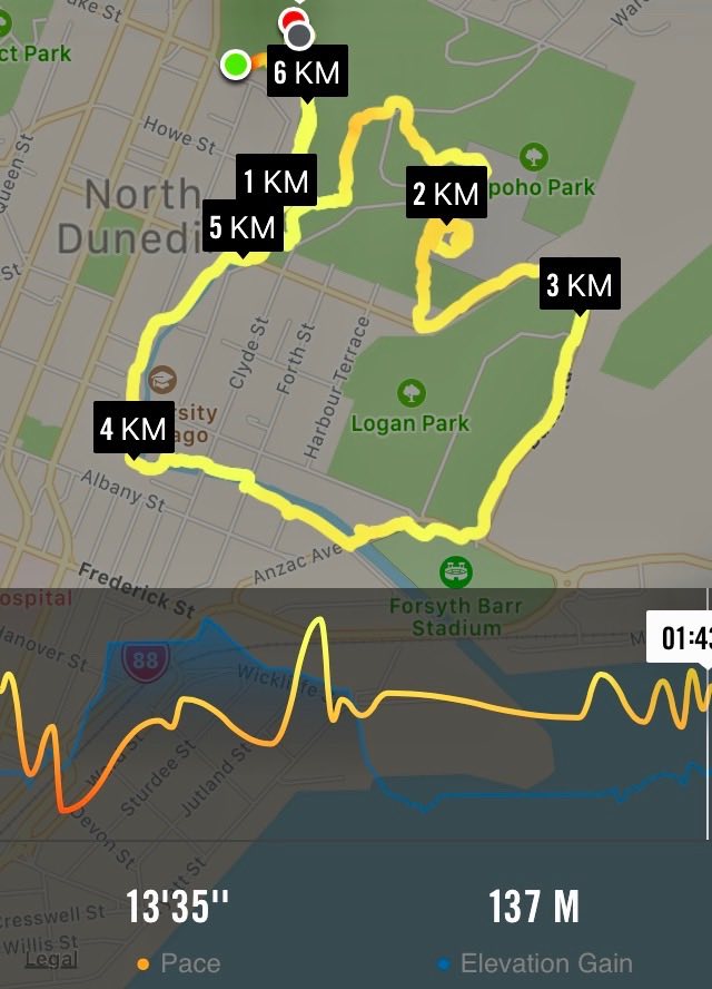
Nike map of route, courtesy Ian.
After an overdose of rain, 23 hikers and four ramblers abandoned the planned Flagstaff/Swampy hike in favour of the Botanic Gardens area.
We parked in the gardens car park and wandered by various paths to the Rhododendron dell for a leisurely morning tea. The sun shone and the birds sang.
(Judy K. pic.)
Eventually we headed off over the road, into the northern cemetery where a successful search was made for Elaine’s ancestors.
(Judy K. pic.)
Leaving them undisturbed we headed off down the hill, and the steps, to Logan Park and around to the stadium for lunch. (Quite a relief to have toilets available at both morning tea and lunch!)
Lunch time. (Adrienne M pic and caption.)
The sun shone and a one-legged seagull enjoyed lots of titbits.From here it was a stroll across the road into Anzac Ave, then across to follow the Leith up through the University
(Judy K. pic.) [Inserted only at Judy’s request. Ed.](Judy K. pic.)
and so back to the Gardens, coffee, and the cars.
Judy and Elaine
7. 15/8/2018. Hikers. Gardens / Leith Street. E. Leaders: Dawn and Pam.
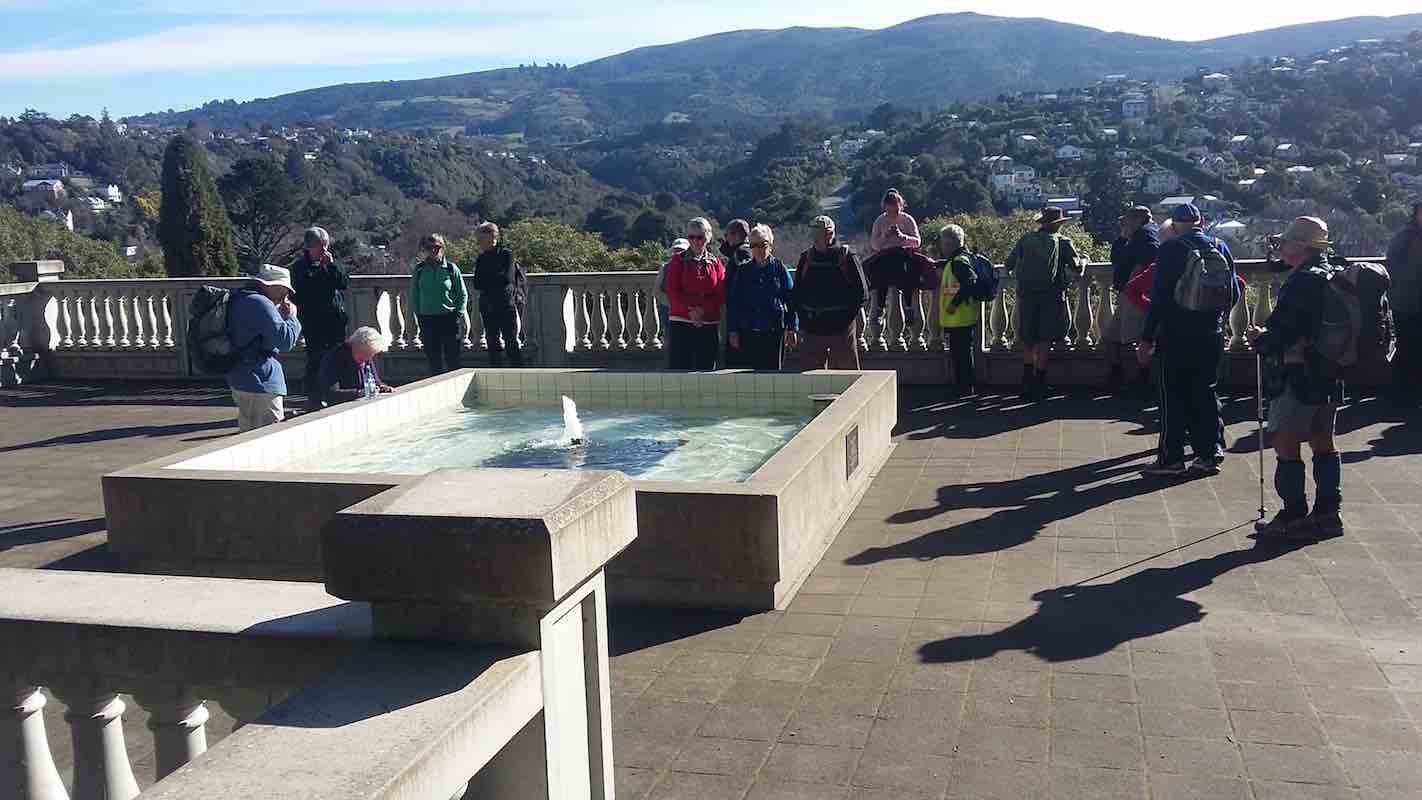
Edinburgh stone memorial. (Clive pic and caption.)Calm day on the harbour. (Clive pic and caption.)Après déjeuner scene, Upper Garden. (Ian pic and caption.)Nancy Syme fountain, Botanic Garden. (Lester told of Nancy Syme long time Mosgiel resident who dontated the fountain. (Clive pic and caption.)
6. 28/6/2017. Hikers. Leith walk Mouth to Woodhaugh. E. Leaders: Jan Y and Jan B.
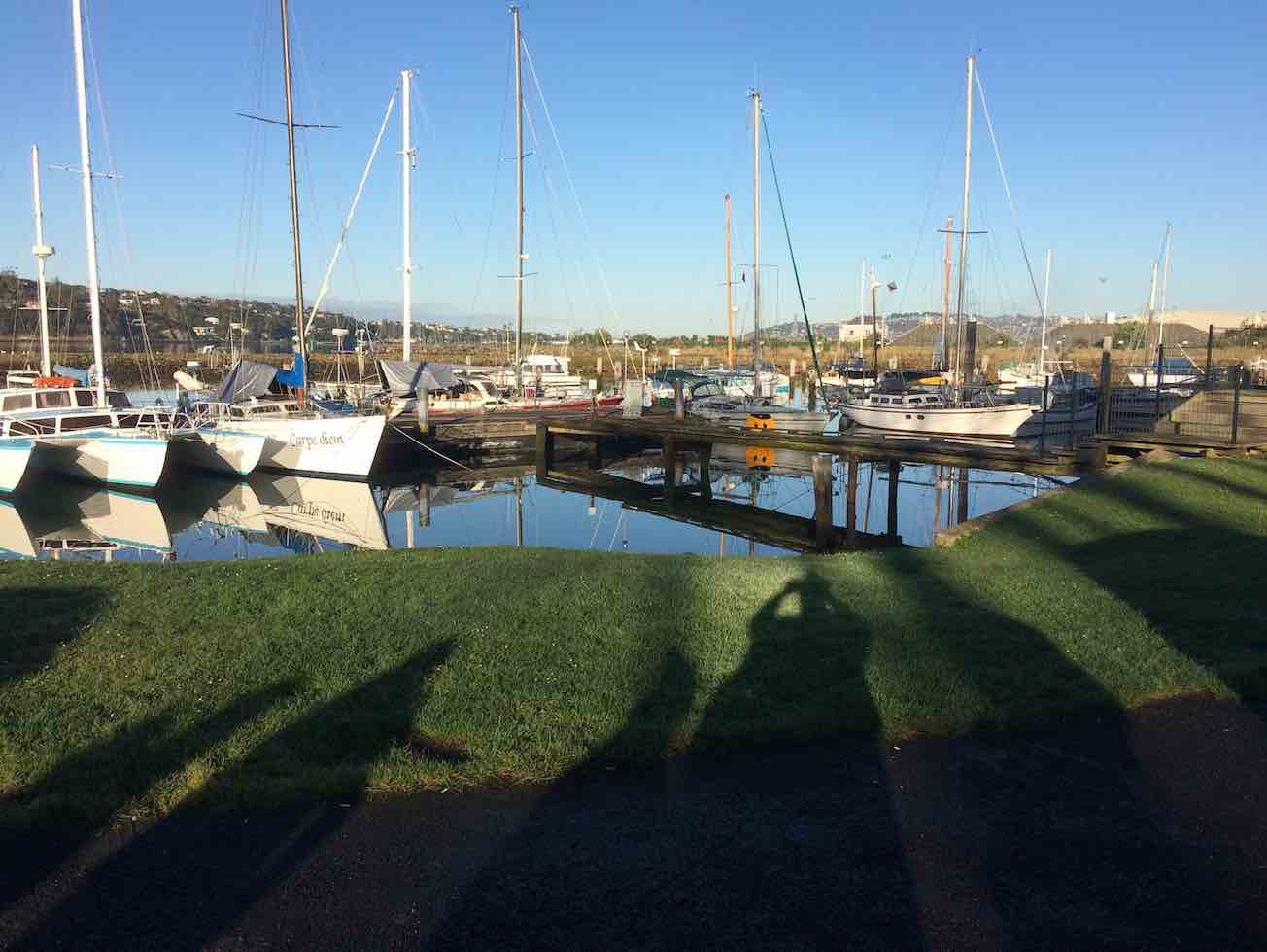
Calm yachts where parked cars. (Ian pic and caption.Albatross wing bridge. Wired head and body difficult to discern. (Ian pic and caption.)Woodhaugh lunch. (Ian pic and caption.)Grafitti on lower Leith concrete way. (Ian pic and caption.)
Les Smith died on the 12th of May 2020, aged 89 years. He joined the Club in the 1st of March, 1990. Club Member for 30 years. Club President on two occasion, 1998-2000, and 2013 to 2015. Life Member 2018.
1. 7/4/2021. All. Takitakitoa Wetland. Leaders. Raewyn, Phil and Jill D
Wow, what a magical place, right on our back door, we can come here anytime, a great place to bring the grand kids…….Just some of the comments from 45 folk as we surveyed the wetland from the look out after the initial 20 minutes of walking, and listened to Steve Dixon from Otago Fish and Game wax lyrical about his office and spot fng his house, and who would disagree with him.
“The popular view” – Photo and Caption John.“Steve from Fish and Game talking.” – Photo and Caption John
Steve clearly had done a Health and Safety assessment, having first created additional steps and boardwalk to aid access to the lookout track. He outlined the land history of the area, including land swaps, to provide an effective area for the wetland, as well as the process of creating the lake through the formation of the bund, and how flows and water levels are managed.
The area was quickly adopted by a range of water fowl and aquatic life and the mai-mai’s are available and open to junior and novice game bird hunters, principally on the opening day of the game bird season.
Photo and Caption John
Following morning tea we backtracked from the lookout and carried on, past extensive and fast growing native plantings to skirt the wetland and finally to arrive on the bund, that effectively controls water depth in the wetland at around 800mm. We strolled and shambled across the bund, where Steve outlined the fish pass process, including the inanga (whitebait) breeding habitat.
“The water and whitebait come and go from here!” – Photo and Caption John..
In addition to brown teal, mallard, ‘parries’, black swan, and one or two white faced heron were also observed. Some perch maybe establishing themselves in the wetland as well. The fishermen turned their eyes to the pools….
In thanking Fish and Game for their hospitality it was commented that it was great to see a vision achieved so quickly, and with the right environment and support to see how nature can quickly be re established. Thanks also to the NZ Game Bird Habitat Trust for funding .
Folk stretched out for the return walk to the cars, with Steve providing some assistance for hitch-hikers over the last few hundred metres. Thanks again Steve.
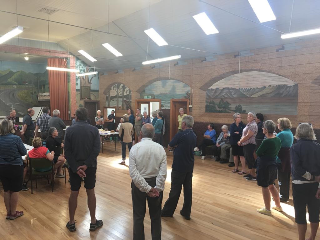
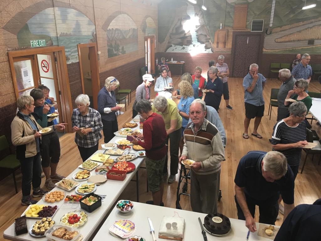
From the Wetland car park there was a steady procession of cars headed for Momona Hall to enjoy a convivial lunch with guest of honour Lester. The chairperson of the Hall committee provided an interesting over view of the history of the Hall, and outlined in some detail the restoration efforts, principally the magnificent murals and overall presentation of the Hall. Yes a great secret that should be more widely understood and appreciated.
“Learning of the History and murals of the hall.” – Photo and Caption Pam
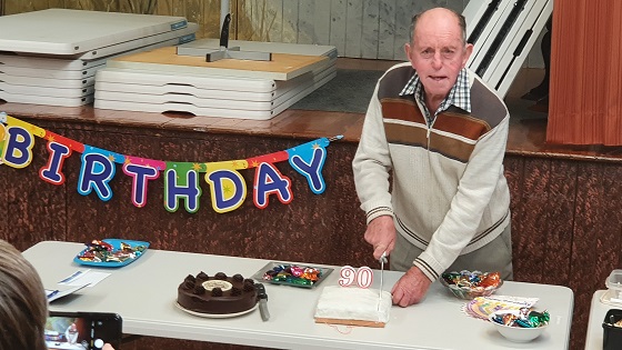
Arthur outlined to the group Lester’s work and community contribution, including to the Club and presented a card to Lester, which was followed by a fairly rousing version of Happy Birthday Lester. In his response and subsequently the cutting of his chocolate and fruit cake, the latter so expertly baked by himself, Lester managed to squeeze in quite a bit of comment, acknowledging also Mrs Harvey’s 93rd birthday as well as their 65 years of marriage. Well done!
“I made this 90th birthday cake.” – Photo and Caption Clive
In true tramping fashion justice was done to the lovely food, to which everyone had so ably contributed.
“Lester’s 90th birthday function.” – Photo and Caption Pam
Many thanks to all involved in making the day first and foremost such a wonderful social occasion.
9. 18/3/2020 Trampers. Bendoran, Mt Misery, The Gap, ABC caves. Leaders – Arthur and Eleanore
On Wednesday 18 March, 4 trampers had wood, coal, gas and food packed into 2 cars ready to travel 60 km to Bendoran for 2 nights. Along the way we met up with the other couple in their car. We travelled up to the old Cherry Farm site, onto McGrath road—then a very dusty trip up the gravel road to Bendoran. On arrival, we tidied the hut, lit the coal range and had lunch.
Photo and Caption Gordon – “We have arrived at Bendoran Hut.”
On a lovely sunny afternoon, with Arthur as our Leader, we walked up Mount Misery (714 metres) which was reasonably steep, however, we had great views of each every direction.
Photo and Caption Gordon – “On our way to Mt Misery”
Photo and Caption Gordon – “Mt Watkins from Summit.”
After coming down rather thick tussock, and heading back towards the hut, we then climbed up the fence line to Terry’s Knob (refer Hamels book section 7:13), then a downhill, uphill to get back home.
Photo and Caption Gordon – “Next stop top of Kerry’s Knob.”
Once back, it was time to light the open fire and enjoy a tasty selection of nibbles and have a yarn. Followed by dinner, consisting of a rather large stuffed chicken, new potatoes, carrots, broccoli and peas. Then, as if we hadn’t had enough to eat, it was time for Hot Cross Buns with butter and Jam (some members hadn’t matched up jam with the buns) don’t quite know who is right!!
Next morning all were eager to get to the Gap. Kevin(Barney) Black was Farm Manager and now leases the 5000 acre Bendoran off David Malloch, arrived to meet us. We started off at 8:40am, stopping to watch his clever dogs bring in a mob of ewes that were being trucked off.
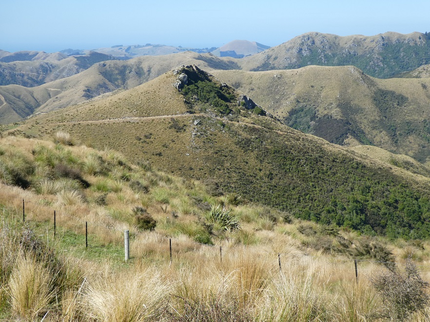
Photo and Caption Gordon – “Where we are heading Thursday morning.”
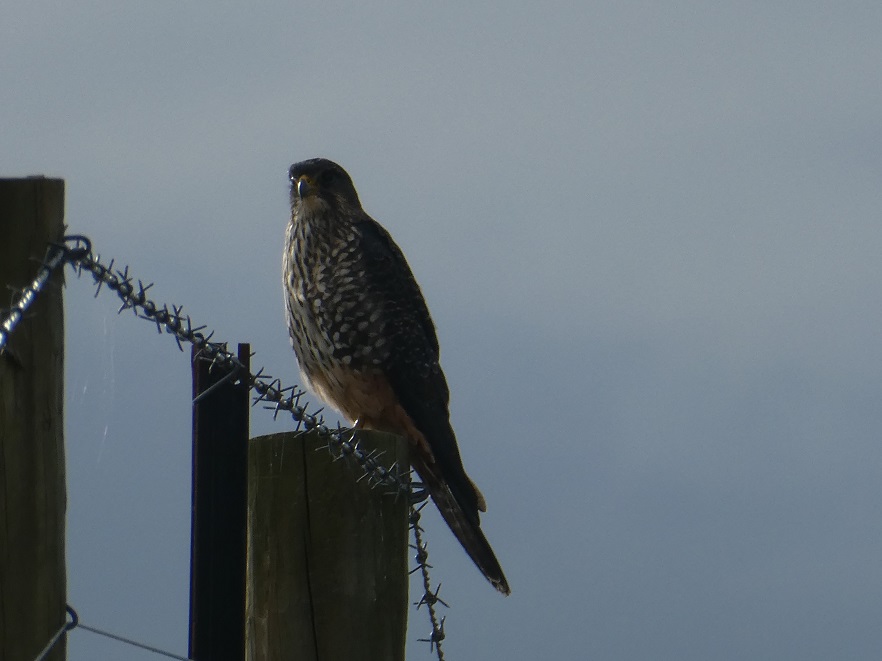
The morning was very clear, warm and sunny. While the happy group were following the track up and down, all of a sudden a Falcon was spotted sitting on a fence post. He wasn’t bothered by our presence allowing us to keep creeping up to take photo’s. Soon, enough was enough, and he flew off.
Photo and Caption Gordon – “Friendly falcon posing especially for us.”
A while later another was spotted in flight.
After a while and a steady climb to a hilltop, it was 10:15am and time for a 15 minute smoko break, enjoying the magnificent views as we talked.
Photo and Caption Gordon – “A view of Waikouaiti Bay.”
By now the Gap was looking closer, however, one could also see a few more hills to climb before we made it . Also lopers were taken along, to cut back gorse in places which made the going a bit easier. We got onto the ridge leading to that big missing chunk, finally arriving in it at 11:35am. A steady three hour effort by all.
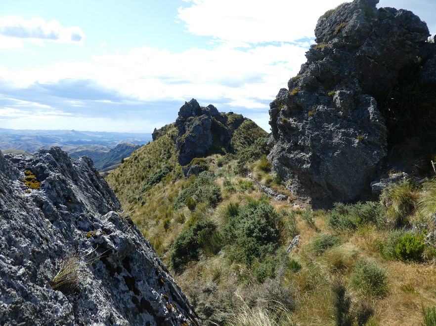
Photo and Caption Gordon – “The gap between two large rock formations.”
On the way up 3 of the group were keen to revisit/visit the A.B.C. Cave (refer Hamels book section 7:12). We all went to the trig at the north end of the Gap admiring views and happy with ourselves to have made it there.
Soon after the 3 decided to delay lunch for a while and headed off to the Cave. Leaving 3 of us to enjoy a leisurely lunch in the sun. Meanwhile, guess who realised her phone was missing!!! meaning a walk back to the trig by 2 to find it, while the other cut back more gorse.
We three then started the trip back. Arthur had made a meeting point with the A.B.C. Group, so 2 of us headed off up another hill with Arthur and his Hi Vis top in view. We waited till we spotted them heading into the rough gully——where they had spooked a ginger pig for Arthur to see.
Once again all headed towards home, meeting at a junction on the track. The A.B.C. group were happy to have went the extra mile to visit the cave, enjoying reading entries in the visitors book.
We stopped on the same hilltop as the smoko break, to enjoy well deserved energy bars etc.
Photo and Caption Gordon – “Heading back to hut after the Gap visit.”
By now the hills were almost behind us and Bendoran trees in sight. 8 hours later at 4:30pm, 6 weary but happy trampers were back home.
In no time, the water was hot and welcome showers had by all. The open fire lit, drinks and more tasty nibbles eaten. Dinner tonight was a delicious (3 recipe) pasta/mince meal with a freshly made lettuce salad. We must have been a bit weary because the Hot Cross Buns were forgotten!!
Photo and Caption Gordon – “Relaxing in front of fire after Gap tramp”
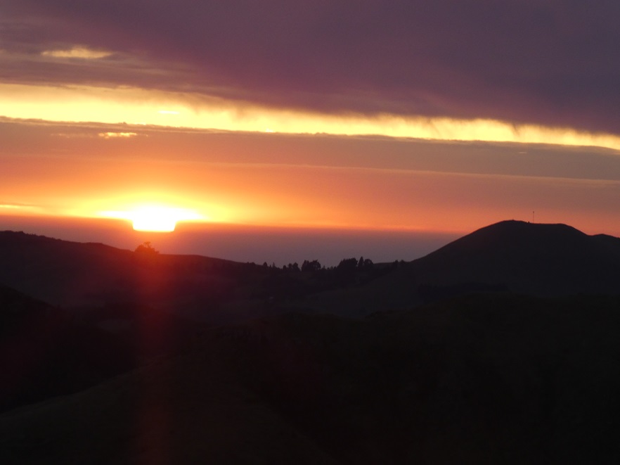
Lots of photo’s(Is mine better than yours?) were taken of the amazing cloud formations. However, later on we paid the price, battered—-huts shaking, doors being blown open by gale force winds, which had us awake much earlier than we wanted.
Friday morning had us up and away quite smartly, this time the dust was being blown off us!! Meeting up for coffee at Blueskin.
We all enjoyed great company, great scenery and great food on our trip into Bendoran huts—-a very special piece of Paradise.
Eleanore and Arthur