This page of club tramps and hikes in the Fairfield, Green Island and Mosgiel surrounds area and groups together trips incorporating Abbotsford Fairfield and Green Island areas.
TRTC Grading Information – trips incorporating these tracks are generally given a TRTC grading of about 1.5. This is indicative only, as trips can be allocated a higher or lesser grading depending on the route taken. For more detailed analysis refer to Grading Information.
Links to tramps and hikes in this area:
Abbotsford and Environs. 2024 – 1993 (20 trips, 9 with reports and photos, 1 with photos only, 10 with no report or photos)
4. 13/09/2023. Trampers. Pine Hill, Mt Cargill. Grade 3.5, $5, 20km, Leaders: John Gardiner, Dave Roberts
Having already somewhat created a “rod for my own back”, in starting the Wizard of Oz theme in my tramp preamble last week, after some prompting, I’ll try to intertwine the “Wizard” theme into this report. Inevitably particularly pertinent to trampers, some yellow brick road references.
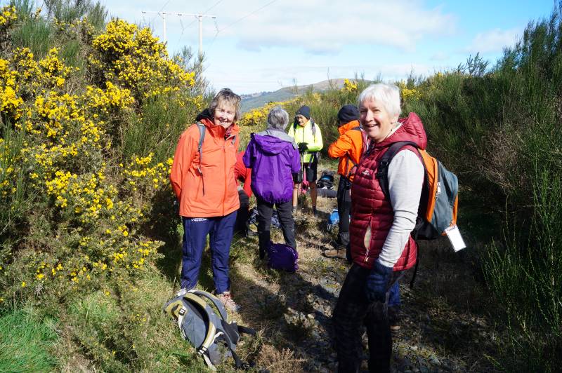
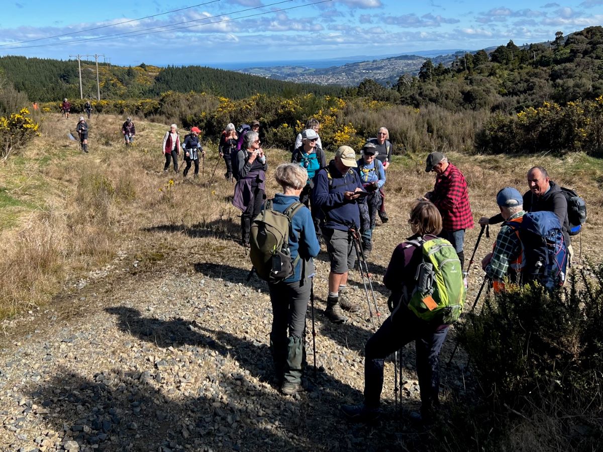
Getting ready to leave the cars (Photo & Caption John)
On an overcast morning with a chilly wind, 21 trampers, who arrived in 6 cars, set out at 10.00am, on the start of our tramp in Cowan Road. Like Dorothy at the beginning of her yellow brick road journey, most trampers had no idea where they would venture during the day.
– One interpretation of the “Wizard Fable” is that on life’s journey, tenacity, and perseverance in striving for a goal is a core value.
Following Dorothy to see what lies ahead (Photo & Caption Pam)
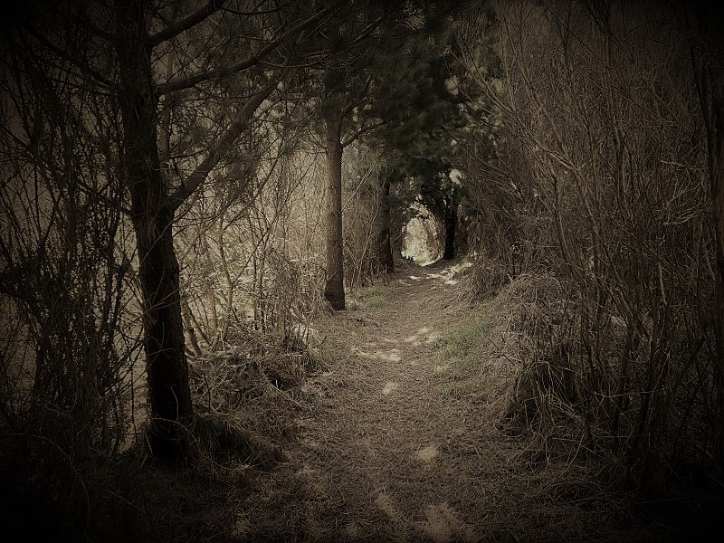
Following the previously described, muddy, gorse lined portal to what lay beneath, morning tea was enjoyed at 10.40am on the lower, wider, gravel road, at a sheltered spot.
About to have morning tea (Photo & Caption John)
– Some believe the gold colour of the yellow brick road and the green “Emerald City” represent the currency arguments the US experienced in the 1900’s.
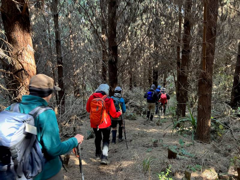
Soon we were on the track leading down through the forest, with a pine needle carpet underfoot, and after following a fence line, we were soon on the gravel road to Sullivans Dam, arriving at 11.20am.
Tramping through the pines (Photo & Caption Pam)
-During the making of the “Wizard” movie, the snow scene contained fake asbestos based snow that left many on set chronically ill!
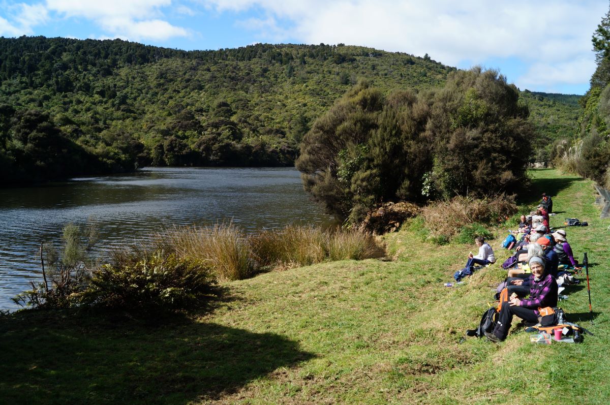
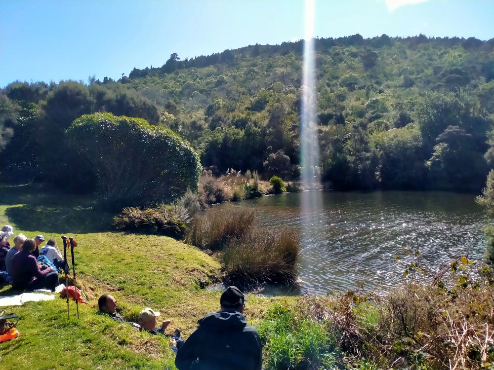
Lunch in the sun (Photo & Caption John)
Lunch was enjoyed at the beautiful Sullivans Dam, beginning a little early, at 11.50am, in a sheltered spot. We had reached our destination.
The shaft of light from above made the trout rise to Graeme’s delight (Photo & Caption Phil)
-In the Wizard story the Emerald City is a place to which Dorothy, the tin man, the lion, and the scarecrow journey in order to achieve their various dreams.
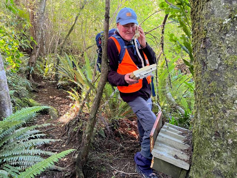
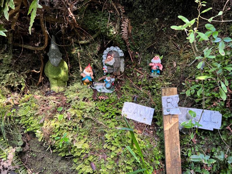
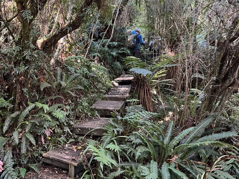
By 12.15pm we were on our way again, walking around the side of Sullivans Dam to the start of the “Cloud Forests of the Leith” track. This track, with it’s many boardwalk sections and beautiful bush (even a ‘bush telegraph’ and Gnome Grotto) adding yet more variety to our tramp.
No, I’m not having problems with my internet banking (Photo & Caption Pam)Creatures of the forest (Photo & Caption Pam)
-In the Wizard story the yellow brick road was at times very rough. The scarecrow often stumbled over the yellow bricks, which were very uneven, sometimes even broken, or missing altogether, leaving holes that dog Toto (a West Highland Terrier) and Dorothy jumped across or walked around.
Board walking (Photo & Caption Pam)
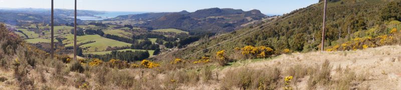
Arriving at the top of the Cloud Forests track by 1.20pm, we regrouped with a magnificent view north to Blueskin Bay and beyond, before following the gravel road to the base of the “portal” gorse lined track.
Regrouping (Photo & Caption Pam)Panorama – Blueskin Bay in the distance (Photo & Caption John)
On this section a navigational error by your’s truly resulted in everyone walking a bit further than necessary to a dead end part of the road. The greatest consequence of this being my embarrassment!
Are you sure we are going the right way (Photo & Caption Pam)
– In the Wizard story, Dorothy follows the yellow brick road, intending to find the Wizard, who would bestow on her the knowledge to achieve her goal, only to find that she had the answer within her all along.
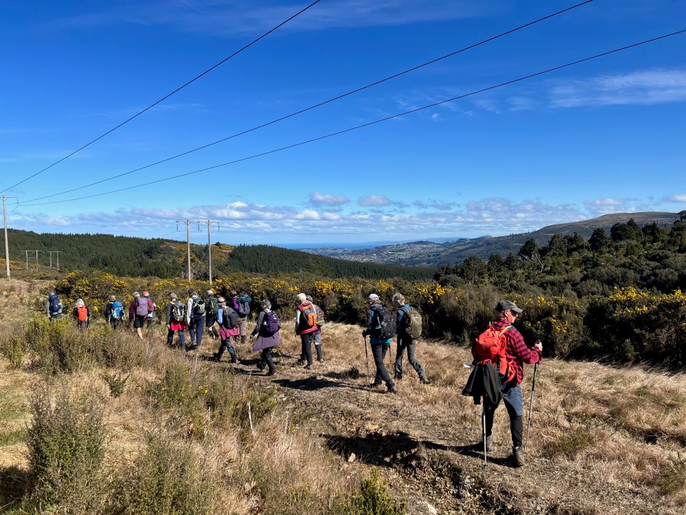
Heading up the gorse lined final section of our tramp took us back to the cars by 2.30pm, having covered approx 8 km. A Grade 3 tramp.
Happy trampers (Photo & Caption Pam)
-So where was the yellow brick road? Some believe it is a brick road in Peekshill, New York, where author L.Frank Baum attended Peekshill Military Academy. Others believe it was inspired by a road paved in yellow bricks near Holland, Michigan where Baum spent many summers.
Afternoon tea was enjoyed at the Crocodile Cafe, Dunedin Botanic Garden, on what had developed into a mild , sunny day. As a footnote – I did apply and receive a permit to walk on the City Forests section of this tramp, only to receive a later email, stating that it wasn’t necessary if we stayed on the Escarpment or 3 Peaks tracks.
Special thanks to Dave Roberts for acting as tail end Charlie and Graeme Souter for his help with the rece.
3. 14/09/2023. Kaitangata – Inch Clutha. Phil and Raewyn Keene as guests of the Trixie Trampers (Balclutha).
This trip was undertaken by the Trixie Trampers (Balclutha), with Phil and Raewyn Keene going along as invited guests. Anybody else from the TRTC was invited to go along. I (Phil) have recommended to the trip committees we do it in Autumn 2024 as a combined walk (Photos were supplied by Phil).
The Whitebait Trail
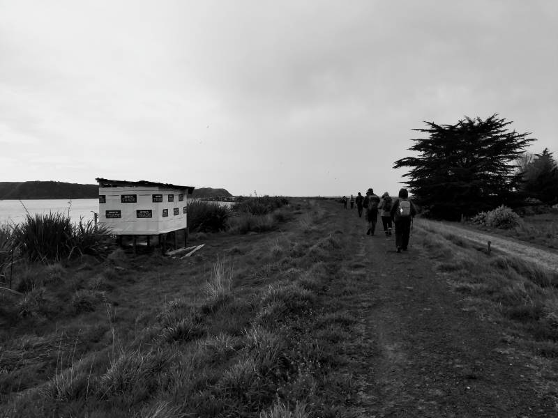
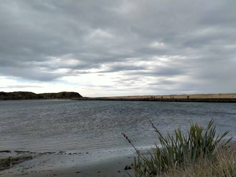
At the invitation of the Trixie Trampers, we travelled down and through Kaitangata and crossed the wonderful high bridge over the Matau branch onto Inch Clutha Island and around to the start point near the pumping station/bridge where whitebaiters and hut owners launch their boats.
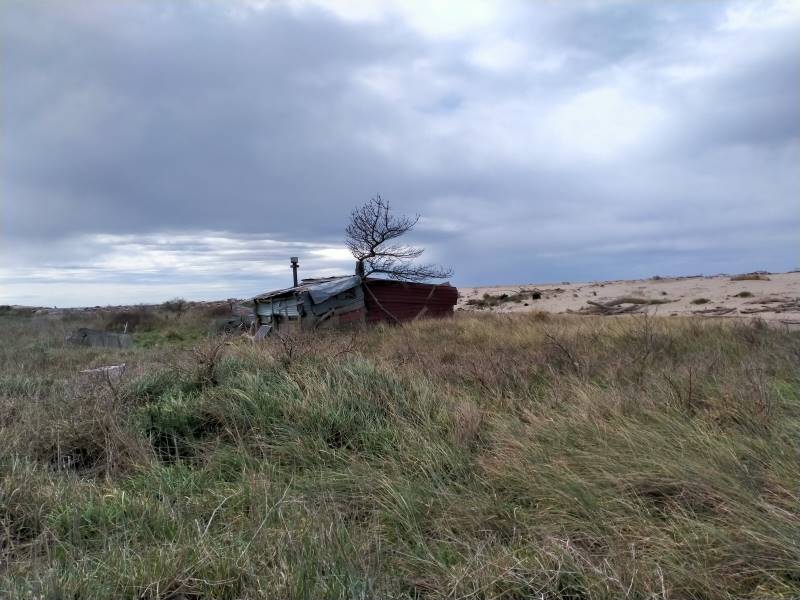
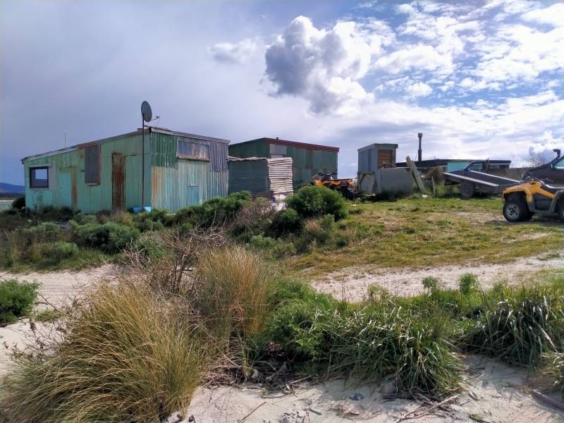
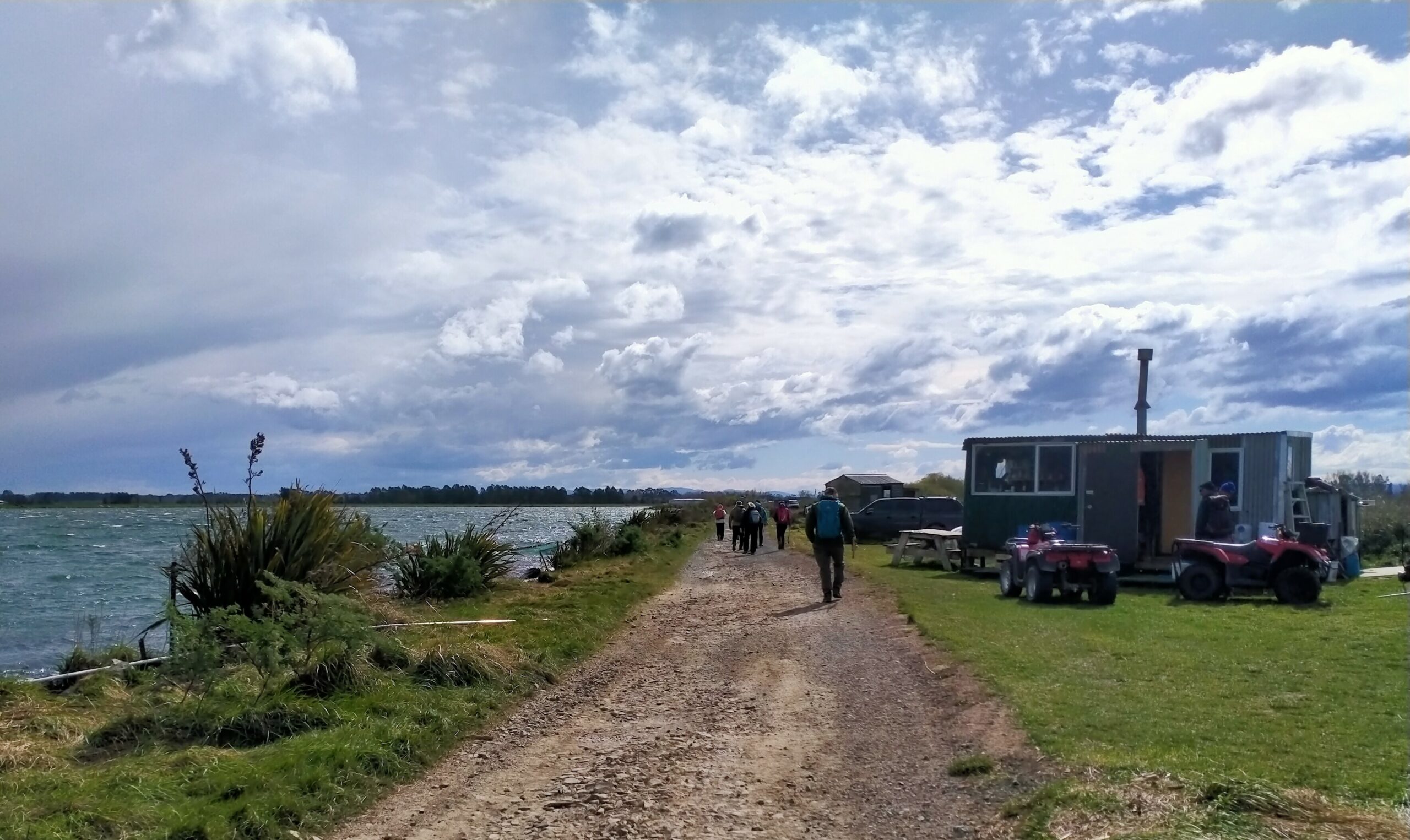
We parked up and once organised crossed the style onto the well formed pathway atop the flood bank and began meandering and skirting the river taking in quite expansive views, as well as the eclectic huts, great Kiwiana!
The pathway has the river on one side and dairy farms the other. The local share milker was most informative on the technology being used, all emanating from the collars around the cows necks. The pathway leads to the beach, not before crossing a causeway where large pipes permit the tidal inflows and outflows to move under the causeway into a large backwater that stretches to the Koau branch, this area probably a natural river course before the development of the farms.
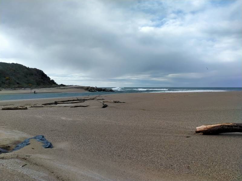
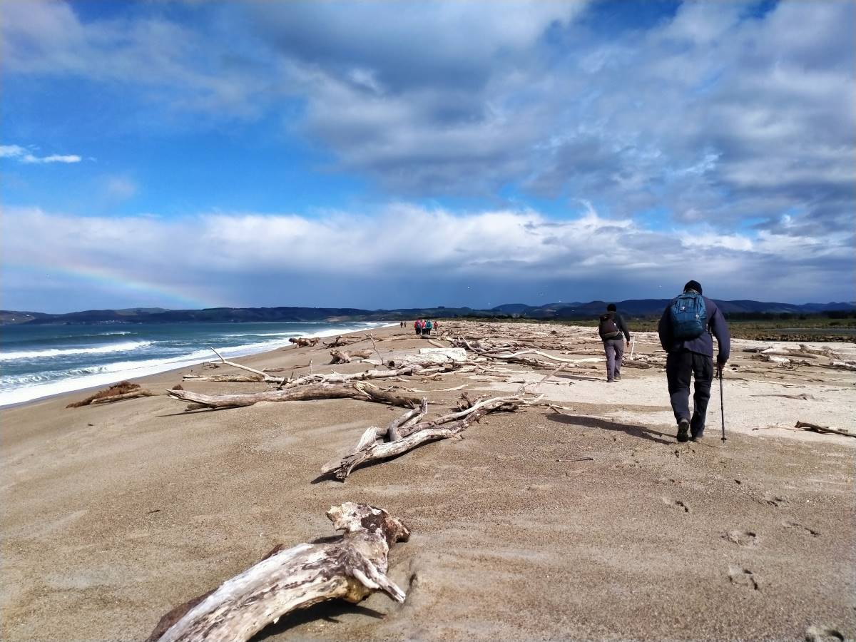
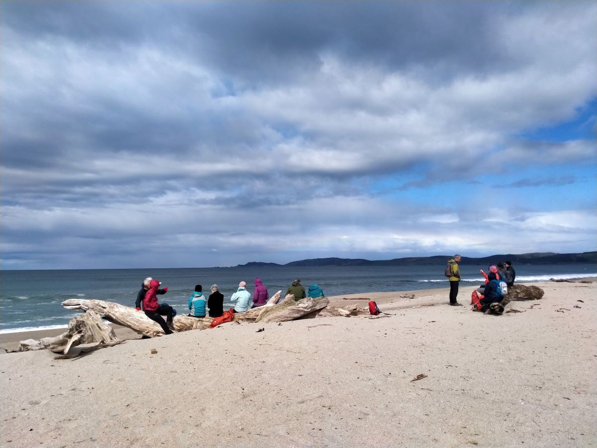
Once at the beach we turned left and headed to the North end where the Matau branch flows into the Pacific. A strong westerly wind made its presence felt and the mare’s tails on the surf were impressive. Also impressive was the large amount of drift wood and tree stumps, some large, that demonstrate the power of floods and tides in this area. Plenty of seats to sit and enjoy the views down to Kaka and Nugget points, whilst having morning tea and then lunch near the South end where the Koau branch enters the sea.
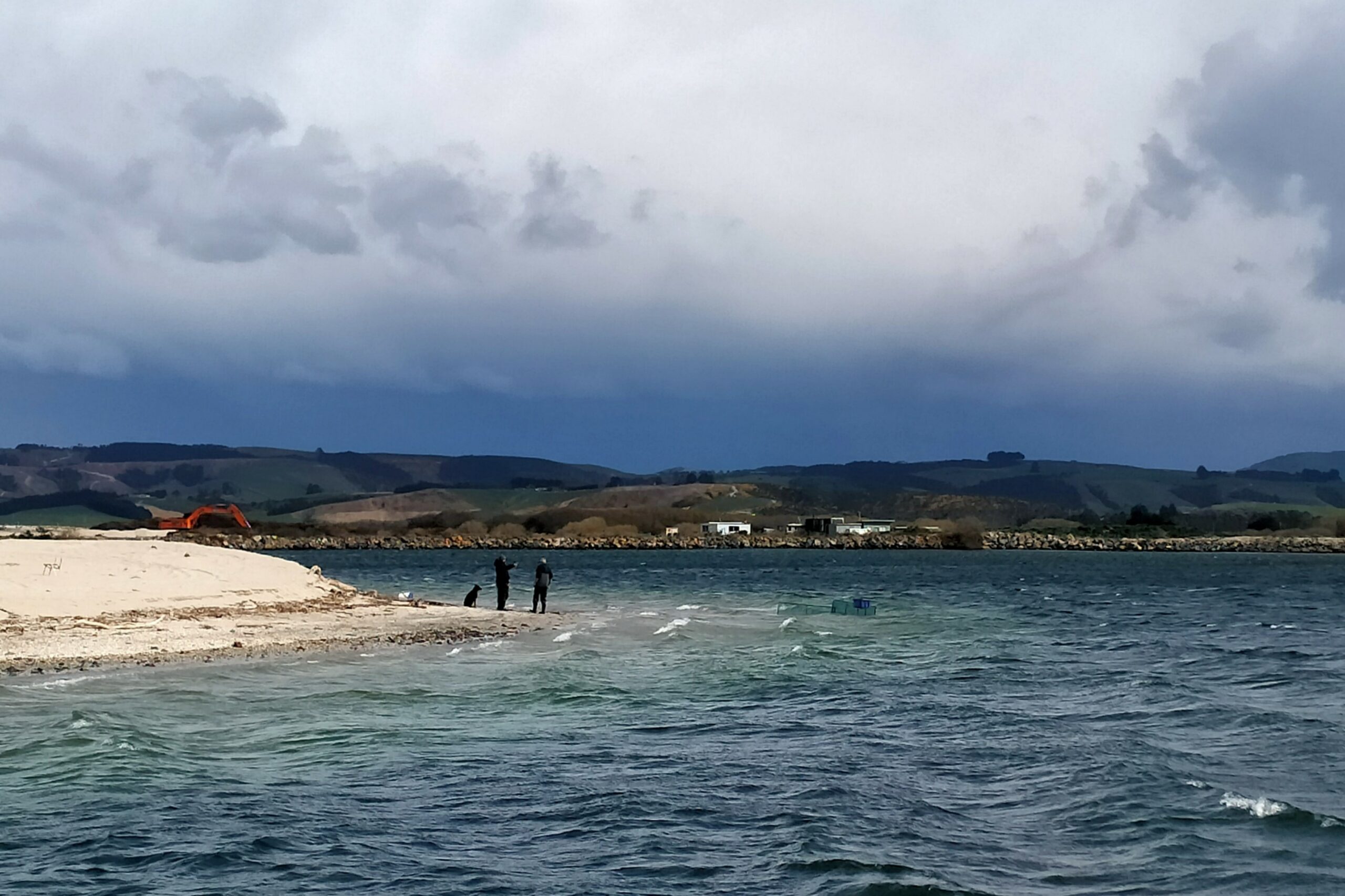
This river mouth seemed to be the most active for the whitebaiters with numerous quad bikes, nets, huts, caravans and campers and yes we spoke to a man who was counting out his catch! The westerly was right in our faces and white tops whipped up the estuary as well as taking away our breath as we walked out onto the road that would take us back to the cars. An alternative would be to take the top of the adjoining flood bank for a while before walking the road.
This walk is flat, a little undulating on the beach whilst the sand is gritty and a tad soft, an option would be to take the grassed top of the beach where old wire fence lines are also present. A circular walk of approx 9kms is possible or maybe return along the inland watercourse. An alternative also being to take a couple of cars to one end for drivers to return to their cars and assist walkers back to the initial start point.
This is a wonderful area reminiscent of the Wild West Coast, great views, invigorating in all weathers but with flexible options for a combined walk. Approx 70kms from Mosgiel to a start point.
Phil and Raewyn Keene
2. 4/9/1996. Kaitangata Combined walk. Leaders: Kai leaders.
We explored the coast and an obvious coal seam running out into the sea.
TRTC Grading Information – trips incorporating these tracks are generally given a TRTC grading of 2. This is indicative only, as trips can be allocated a higher or lesser grading depending on the route taken. For more detailed analysis refer to Grading Information.
From Peter Johnston Park drive to Outram. Proceed through the township and turn left onto Formby Road and then right onto Huntly Road. Follow this road, it turns into Maugatua Road and proceed to Berwick Road. Continue to McPherson Road and turn left where parking is available.
This page of club tramps and hikes in the Central City area groups together trips from Frasers Gully Reserve, incorporating Friends Hill to Wingatui Racecourse including the Wingatui Tunnel. (map)
TRTC Grading Information – trips incorporating these tracks are generally given a TRTC grading of about 3. This is indicative only, as trips can be allocated a higher or lesser grading depending on the route taken. For more detailed analysis refer to Grading Information.
How To Get There:
Frasers Gully track is located at the end of Frasers Road off Kaikorai Valley Road. Carparking is available by the Roslyn Wakari Football club rooms at the start of the track.
TRTC Grading Information – trips to Bethunes Gully are generally given a TRTC grading of 3. This is indicative only, as depending on the route taken allocation of gradings can differ from this. For more detailed analysis refer to Grading Information.
Mount Cargill history
Opposite Brown House corner is an RSA Memorial to First World War servicemen and the old Junction School. (General Information).
How To Get There:
Follow North Road up North East Valley to Norwood Street and continue up Norwood Street to where the road begins to climb. Turn left into Bethunes Gully and take the short gravel road to the available carpark.
This page of club tramps and hikes in the South Coast area groups together trips to Waldronville and incorporates Blackhead, Kaikorai Estuary, Ocean View and Brighton. (map)
TRTC Grading Information – trips incorporating these tracks are generally given a TRTC grading of 2. This is indicative only, as trips can be allocated a higher or lesser grading depending on the route taken. For more detailed analysis refer to Grading Information.
How To Get There:
Take Brighton Road from Green Island through Waldronville Township. Parking is available past the township on the left just before crossing the bridge over the Kaikorai Lagoon.
Links to tramps and hikes in this area:
30/07/2025. Waldronville. Grade 2. Hikers. Leaders: Avis and Rhonda.
This page of club tramps and hikes in the Opoho, North East Valley, North Road area (Dunedin City) groups together trips to Cleghorn Street, Signal Hill area.(map)
TRTC Grading Information – trips incorporating these tracks are generally given a TRTC grading of between 3 – 4. This is indicative only, as trips can be allocated a higher or lesser grading depending on the route taken. For more detailed analysis refer to Grading Information.
How To Get There:
Follow Old Main North Road to Cleghorn Street which has the best view of the harbour. Walkway sign.
Walk starts starts at the gate on right, up McGregors Hill. Beyond stile Pine plantation on 3rd stile at summit.
Gravel road 10 minutes to end. Locked gate. Last stile. Signal Hill road.
Signal Hill Tramps. 2023 – 1992 (19 trips with 5 reports, 4 with photos only, 10 with no reports or photos) Signal Hill Centennial Memorial, Ravensbourne, Big Easy. 2023 – 1998 (24 trips with 7 reports, 2 with photos only and 15 with no report or photos). See reports dated 18/5/2022 and 24/11/2021 for reference to Cleghorn Street.
Access Permissions are required for trips to Shannon’s Farm – refer guidelines
TRTC Grading Information – trips incorporating these trips are generally given a TRTC grading of about 3. This is indicative only, as trips can be allocated a higher or lesser grading depending on the route taken. For more detailed analysis refer to Grading Information.
Rock and Pillar via Six Mile Creek This climbs 1,005 m. (3300 feet) up the eastern face from Glencreag Station up a leading ridge south of Six Mile Creek. This is the most direct approach. Rock and Pillar via spur south of Lug Creek. Information: Climbs 910 m. (3000 feet) up the eastern face of a well-graded vehicle track up a leading spur south of Lug Creek. Average time to Leaning Lodge is 3 hours on foot. DoC access. 9.5km north of the Middlemarch store on SH87, just before Lug Creek, is a farm entrance (RAPID 7219 – no DoC sign). A short way up the driveway is a DoC car park. There is public access up the vehicle track to the conservation area boundary. The track is now a recreation reserve administered by DoC.
Easiest route to Big Hut from Leaning Lodge (foot only – unmarked – good visibility essential) is another 45+ minutes climbing gently southwards to cross a steep gully and then climb a gentle shelf to above the eastern basins. Sidle several hundred metres past the lower prominent rock tors before gently descending to Big Hut once it becomes visible. Route very wind and cloud-prone. Ice axe and crampons may be necessary to traverse steep snow slopes near Leaning Lodge.
64 km to Middlemarch. 66 km to Stonehurst Track.
Redan Crater- contact for access Ken Rennick.
How to Get There:
Stonehurst Track – take SH87 to Sutton / Middlemarch. Just over the rail line at Sutton turn left onto McHardy Road then right onto Gladbrook Road. Start of track is about 1 km on left on Gladbrook Road – see DOC sign post.
Sutton Salt Lake – take SH87 to Sutton / Middlemarch. Turn left onto Kidds Road (before rail crossing). Sutton Salt Lake Reserve is approx 2.5km from turn off on the left.
Drive along Portsmouth Drive and turn left over the causeway and follow Portobello Road to Portobello township – approx. 19 kms. At Portobello township turn right onto Allans Beach Road to park at the Portobello Reserve..
TRTC Grading Information – trips incorporating these trips are generally given a TRTC grading of about 2. This is indicative only, as trips can be allocated a higher or lesser grading depending on the route taken. For more detailed analysis refer to Grading Information.
(1) Back Beach Port Chalmers – take SH88 to Port Chalmers. Continue through the township and turn right at the end of George St. Follow this road past the ports logging terminal to Back Beach.
(2) Portobello – take Portsmouth Drive, turn left to cross the causeway and onto Portobello Road. Continue on this road to Portobello township.
This page of club tramps and hikes in the area West via SH87 (inland on the south side of SH87) groups together trips on farms in the Lake Mahinerangi area.
This page of club tramps and hikes in the area West via SH87 (inland on the south side of SH87) groups together trips to Post Office Creek, Reid’s and Beatties Farms (Verterburn). (maps)
Access Permissions may be required depending on how Post Office Creek track is accessed. Permissions must be obtained for those trips venturing onto either Reid and/or Beattie farms – refer guidelines
TRTC Grading Information – trips incorporating these tracks are generally given a TRTC grading of about 3. This is indicative only, as trips can be allocated a higher or lesser grading depending on the route taken. For more detailed analysis refer to Grading Information.
How To Get There:
(1) Access via Reid’s / Beatties Farms (Verterburn) Turn left of Lee Steam Outram Road (SH87) onto Mahinerangi Road. Follow this to the junction and turn right onto Kowhai Spur Road. This brings you to Verterburn and access to Post Office Creek at Lake Mahinerangi.
(2) Access via forestry walk – Lake Mahinerangi Take the Waiporai Falls Road (off Maungatua Road) to the power station at Lake Mahinerangi. Cross over bridge below the power station and follow the unnamed road to the forest access and Post Office Creek track.
This page of club tramps and hikes in the area West via SH87 (inland on the south side of SH87) groups together trips to the Nardoo Scientific Reserve. (maps)
Suggest leave Mosgiel 8.30am to get to ‘Little Peak about 1km above ‘Walrus rock’.
TRTC Grading Information – trips incorporating these tracks are generally given a TRTC grading of 4. This is indicative only, as trips can be allocated a higher or lesser grading depending on the route taken. For more detailed analysis refer to Grading Information.
Access Permissions are required as this trip ventures over a working farm (Waiporai Station / Pamu Farms of NZ) – refer guidelines Lambing season October – November.
How To Get There:
Take Lee Stream Outram Road and turn left onto Mahinerangi Road. Follow this road to the lake past the fisherman’s huts etc and turn right onto Lammerlaw Road. Stay on this road until you reach a small parking area near the Reserve.
The original plan was for 2 moles – one from Taiora Head and one at Aramoana but due to budget restraints only the one at Aramoana was constructed. The aim of the mole was to protect the harbour entrance from silting by directing the tidal flow to keep a channel open for ships.
Construction started in 1884. Wooden piles were driven into the seabed with a railway line being built on the top to cart rorck from a local quarry. This rock was continually dumped along the mole for 4 years. Convict labourers were originally used, changing to unemployed men in 1886.
The mole was not built to its full specified height. Due to this and other factors it was decided to rebuild the mole with more piles driven, more rock added and with it being heighten and extended in the 1920s. Between 1926 and 1945 steamer ships were scuttled to protect it from erosion. Some streets in the township are named after these ships.
Near the end of the 1950s concrete structures called tetrapods were placed at the end of the pole to protect it. These had to be reinforced with more rocks and asphalt to stop them being move around by the sea.
As we saw on our trip (10/9/2025) the mole requires ongoing upkeep to keep it being effective against the ravages of the sea.