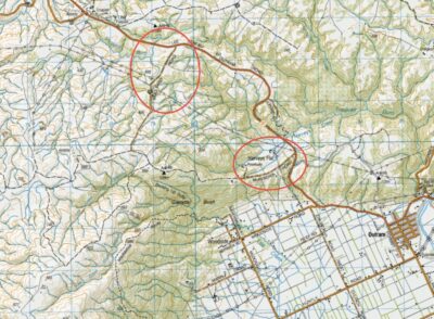
19. Welsh’s Road, Old Farm, Deep Stream Weir. Grade 3 Leaders: Lyn and Di
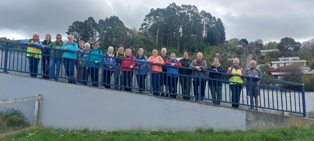
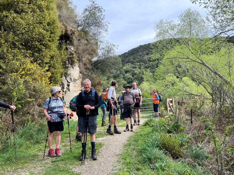
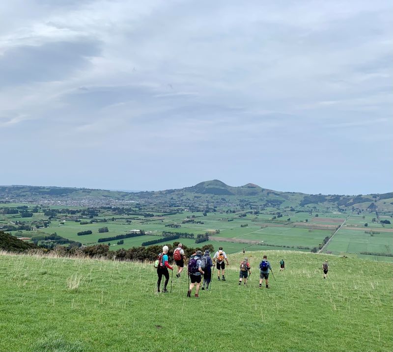
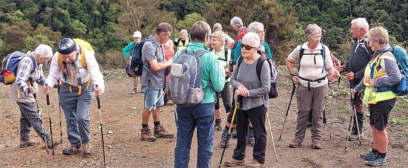
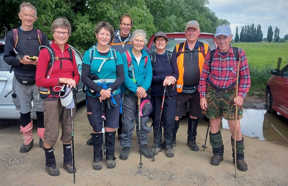
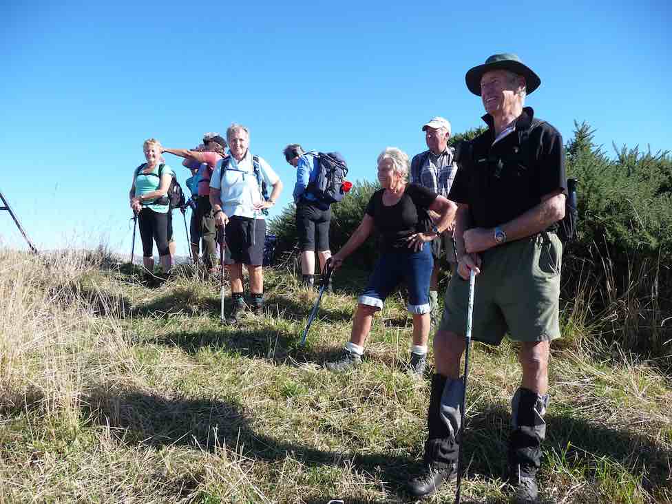
13 of us set off for the Pipeline, which is just off the old Dunstan trail on Rocklands Station.
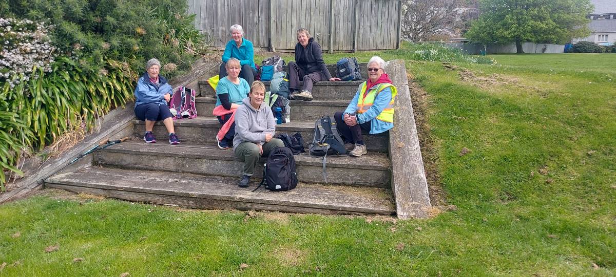
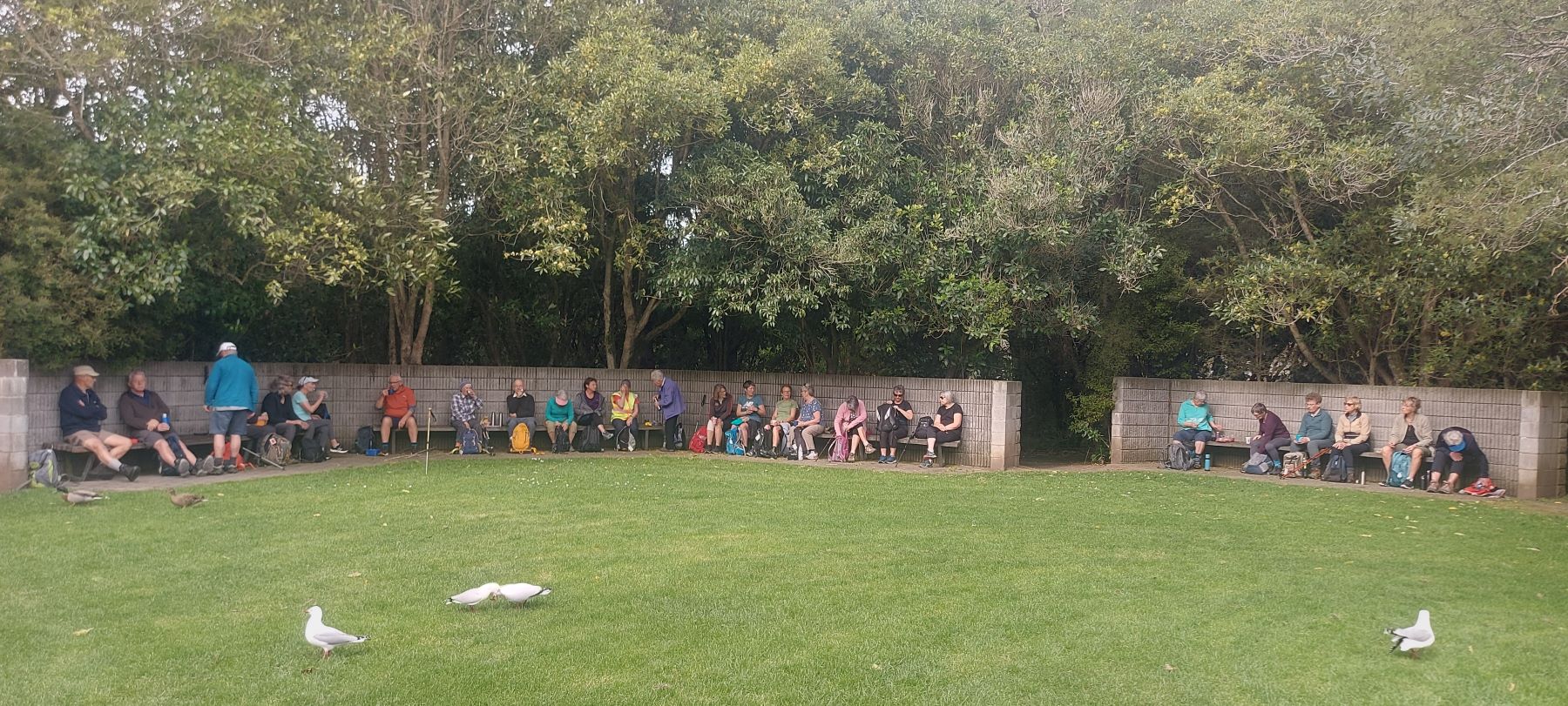
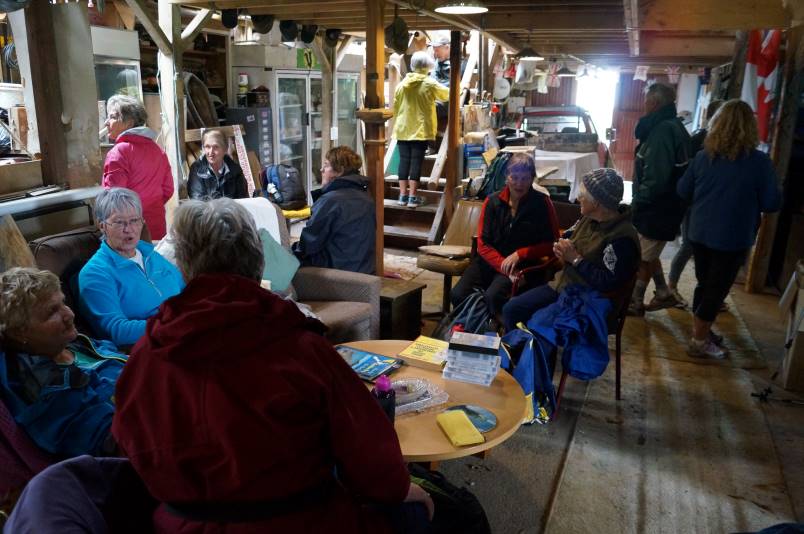
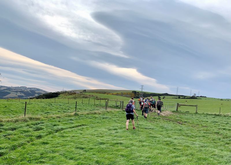
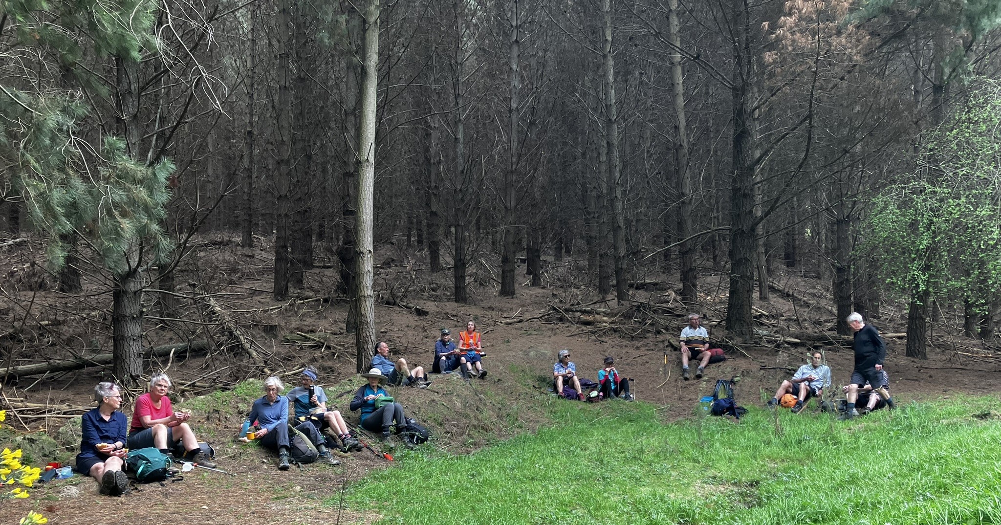
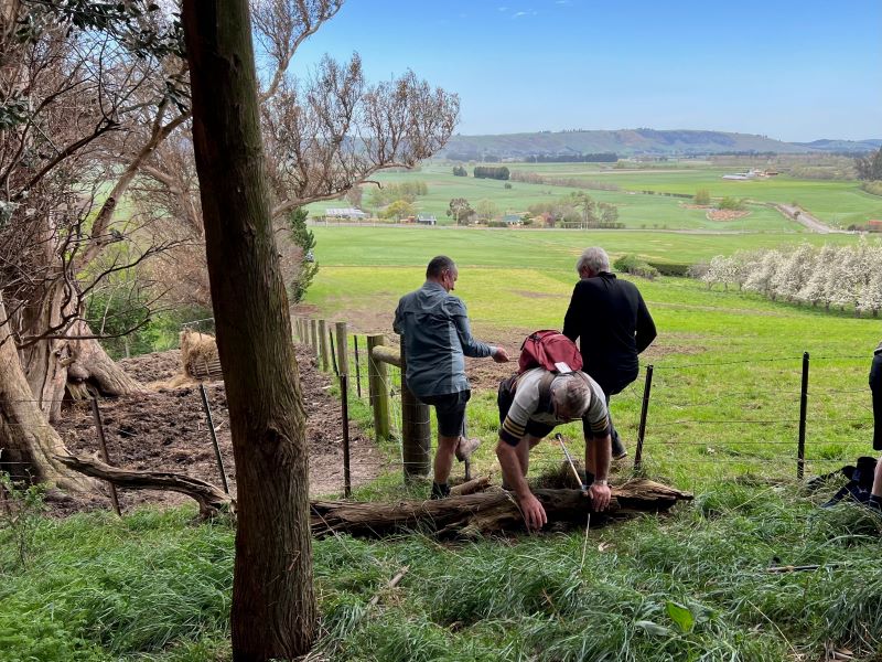
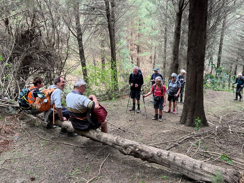
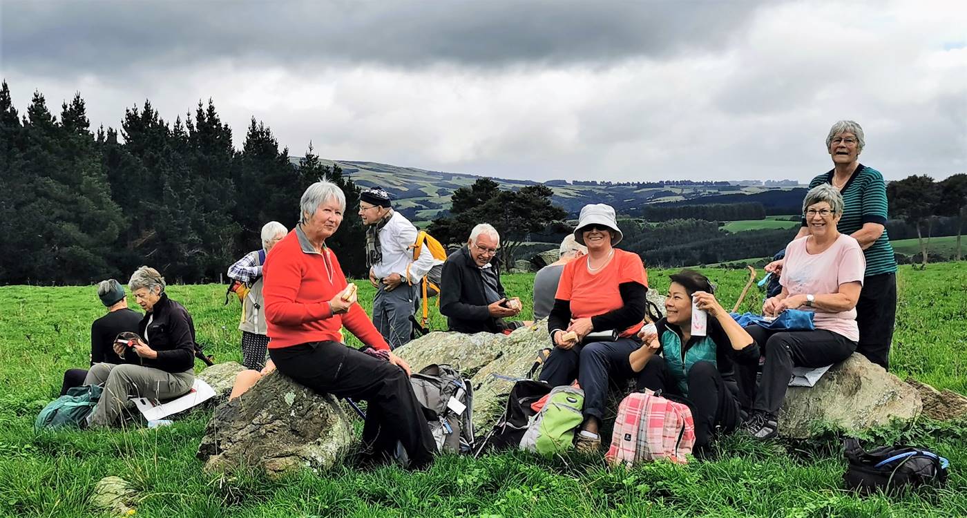
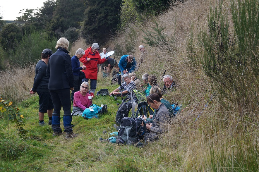
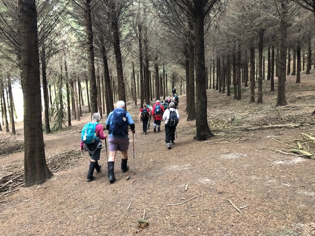
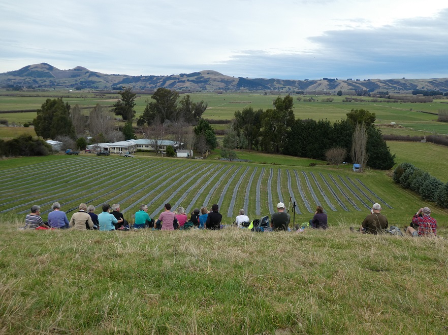
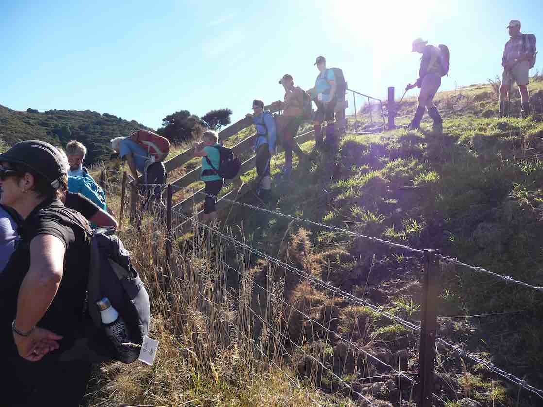
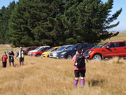
We had morning tea under the pine trees where we parked the vehicles. It was a tad cold but we soon warmed up with the walk over the farmland to the pipeline.
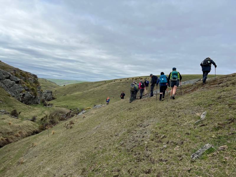

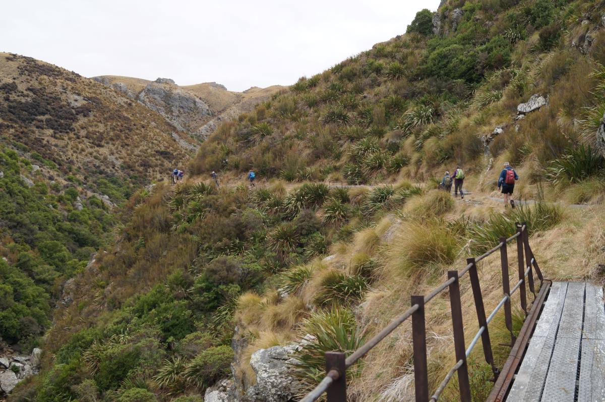
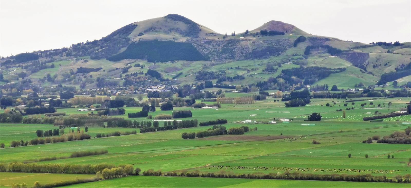
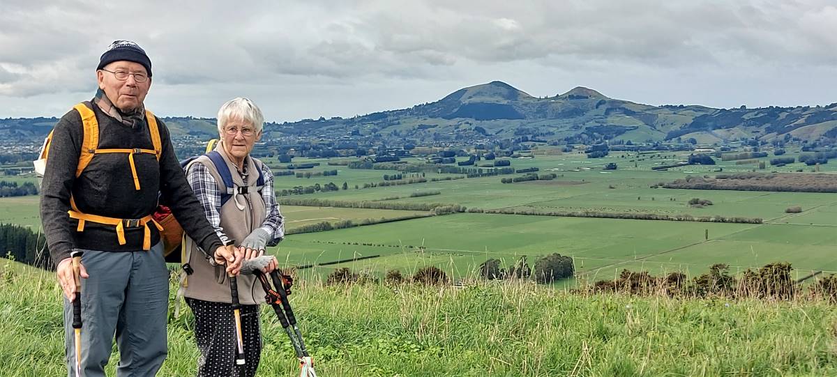
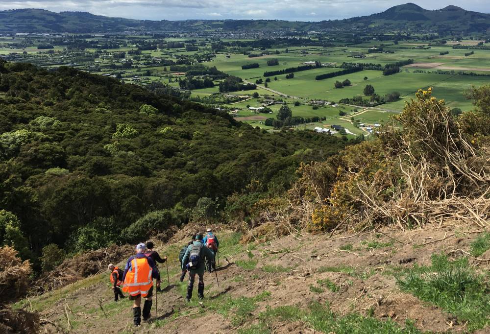
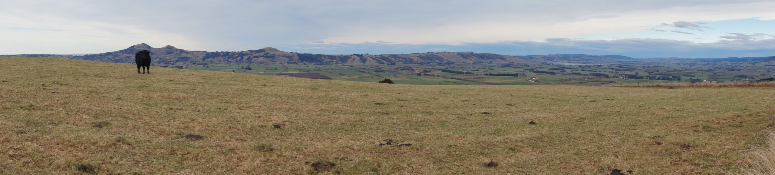
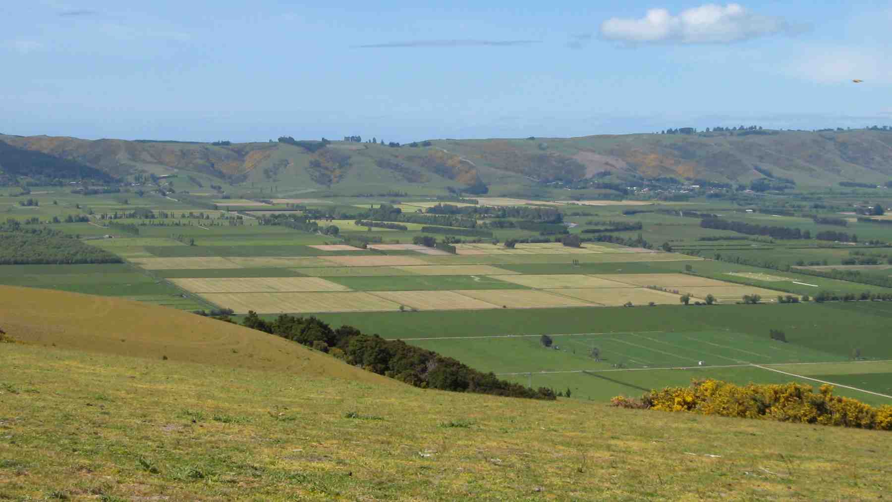
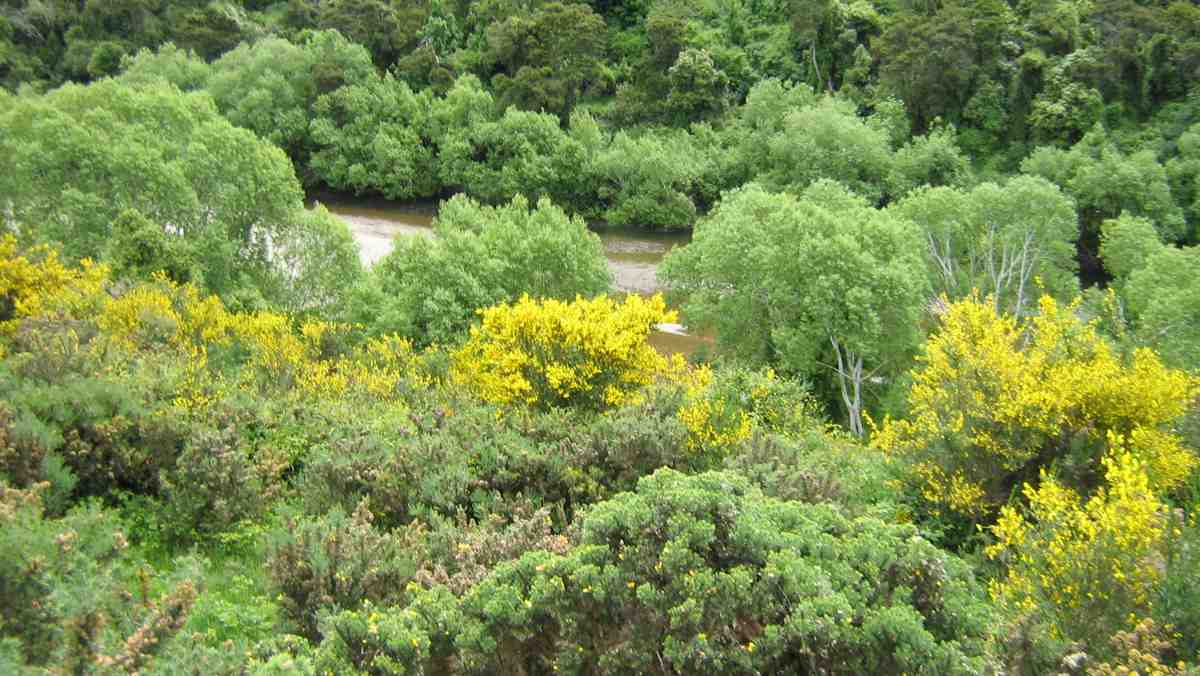
It was stunning scenery walking to the Weir and back.
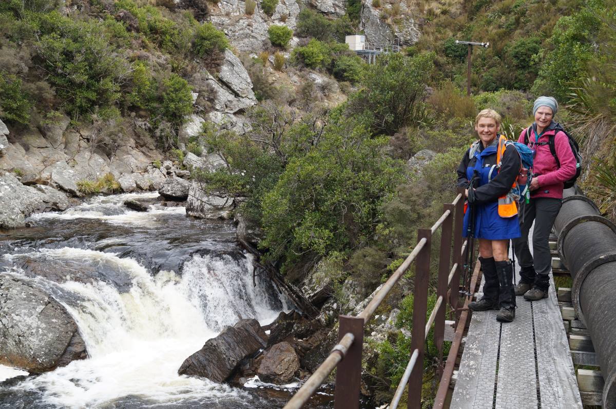
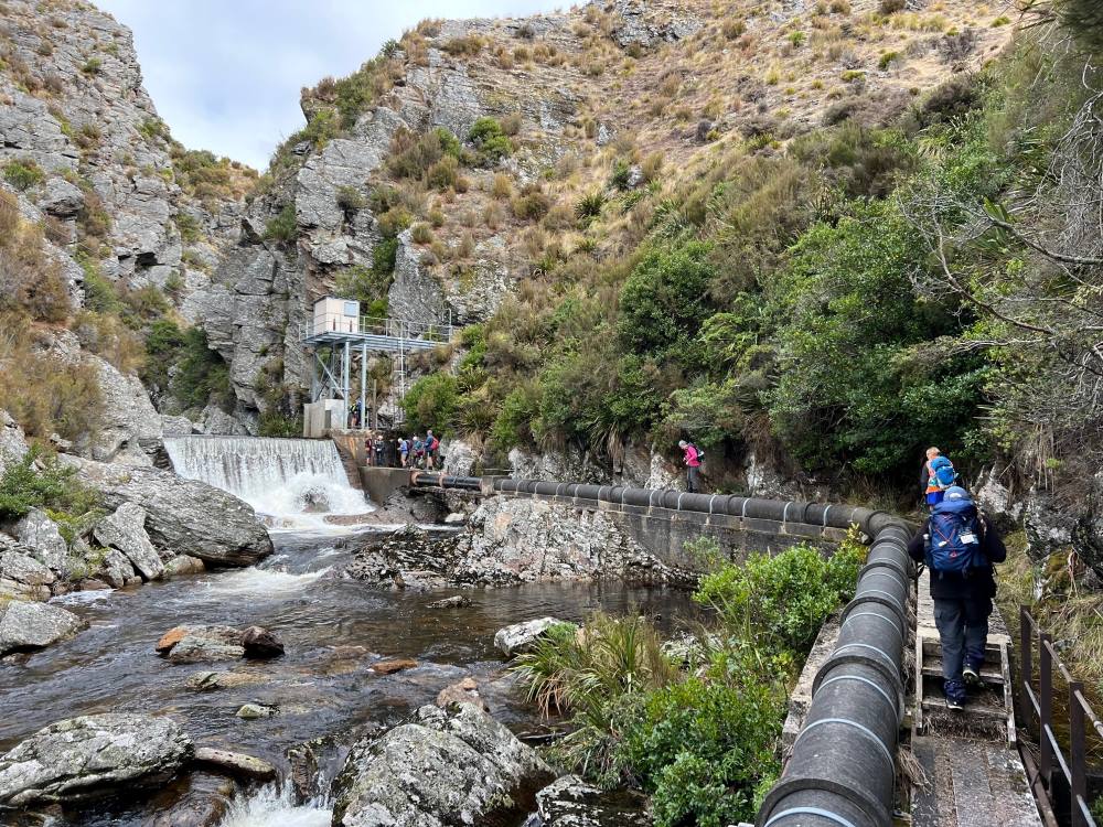
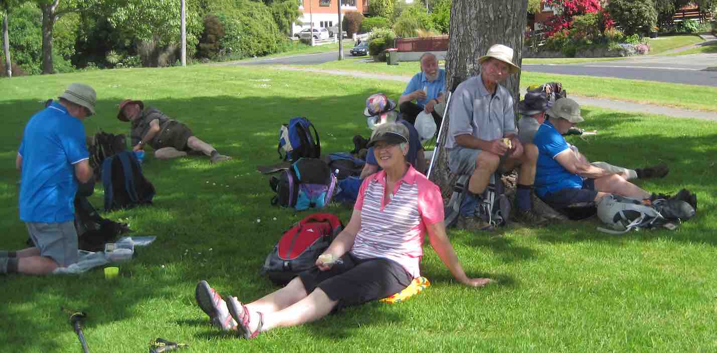
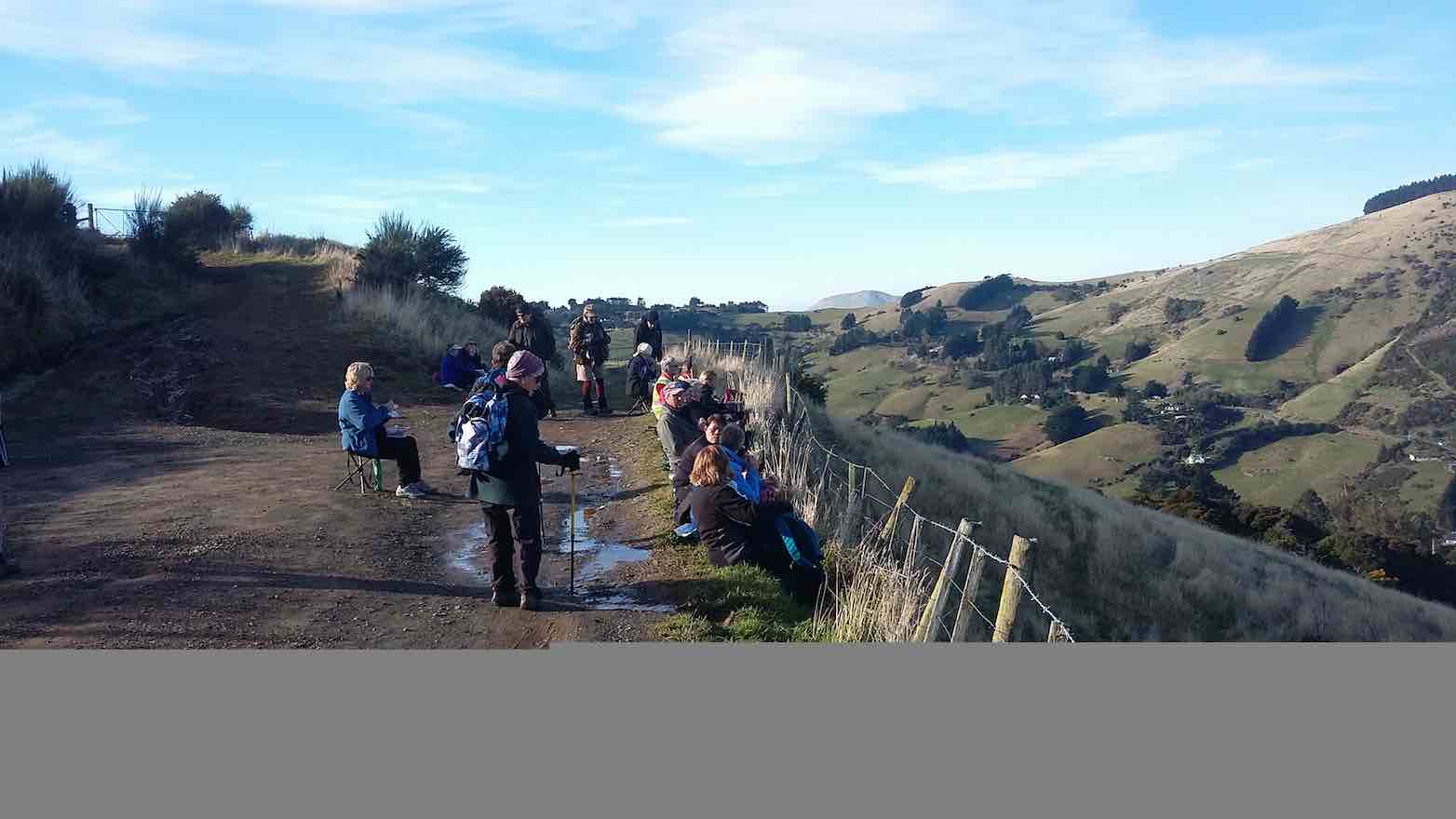
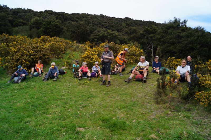
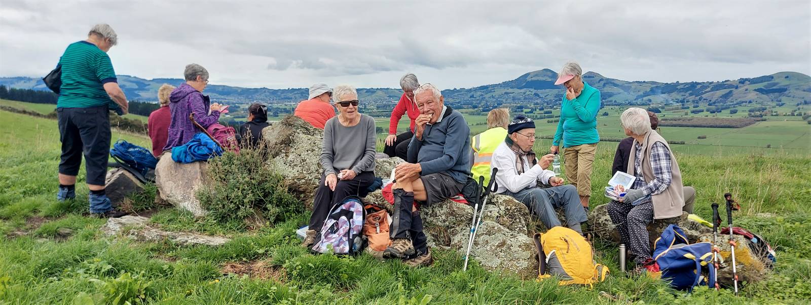
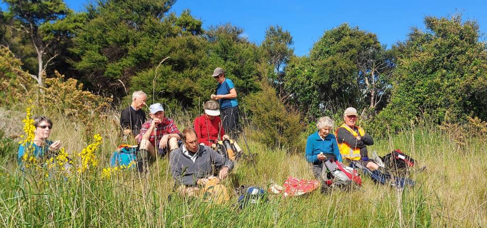
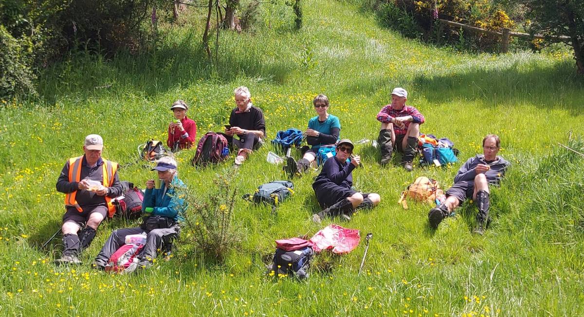
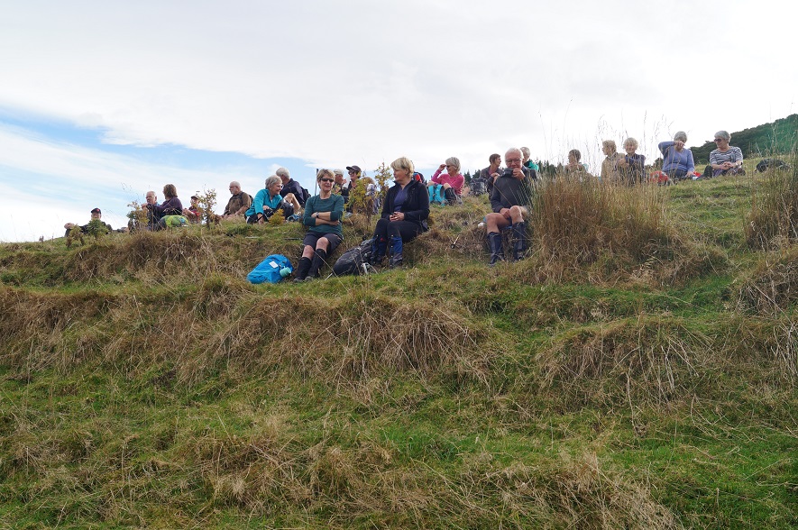
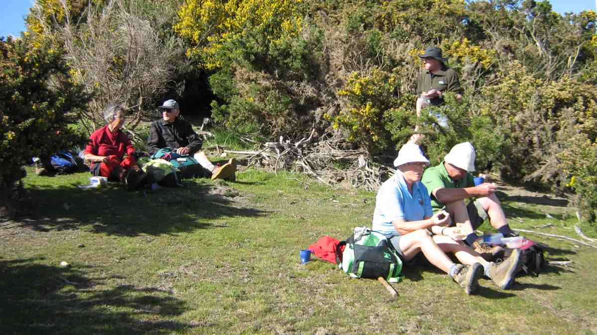
We had lunch in the sun out of the gorge with more room to spread out.
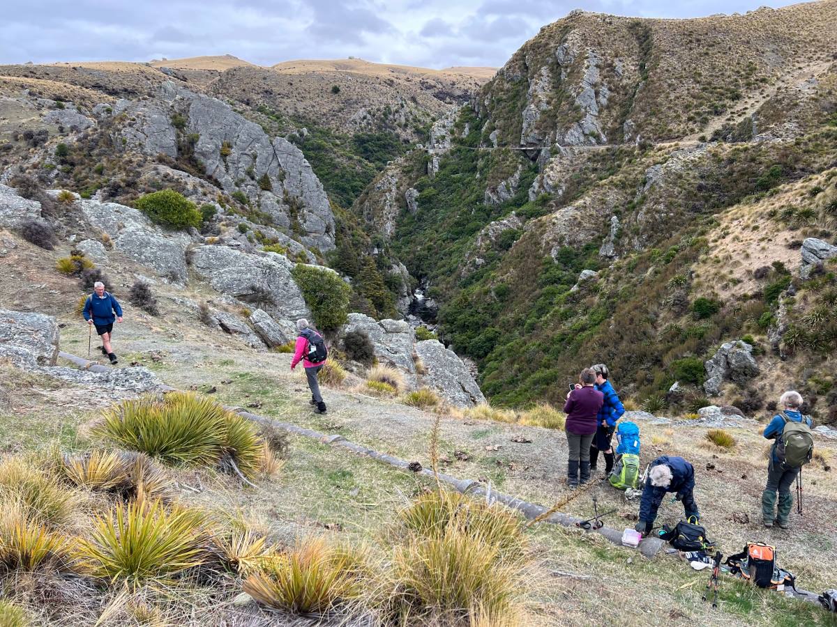
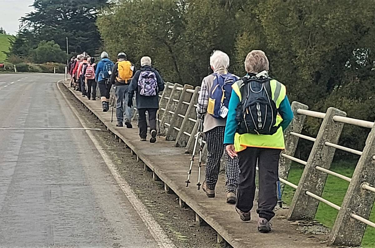
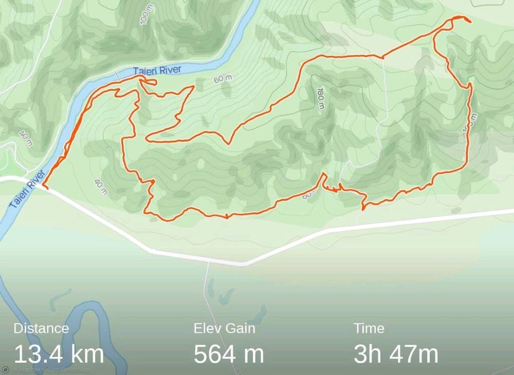
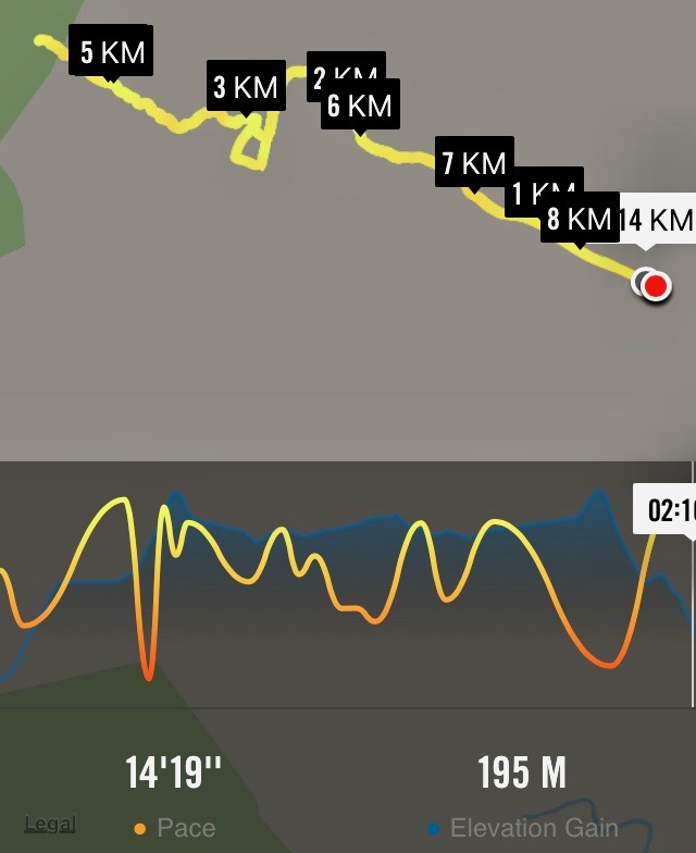
Then took the road back to the cars. It was 8.84ks according to my phone.
Some finished the day with a cuppa at the Wobbly Goat. Another great day out.
18. 17/08/2022 Trampers. Deep Creek Pipeline. 3.5 $10. Barbara Shackell & Judy Dennison
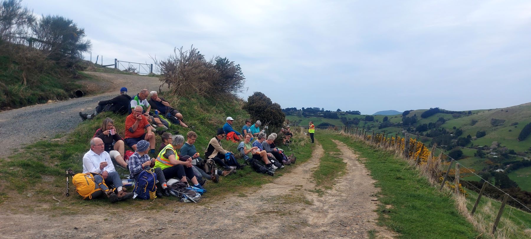
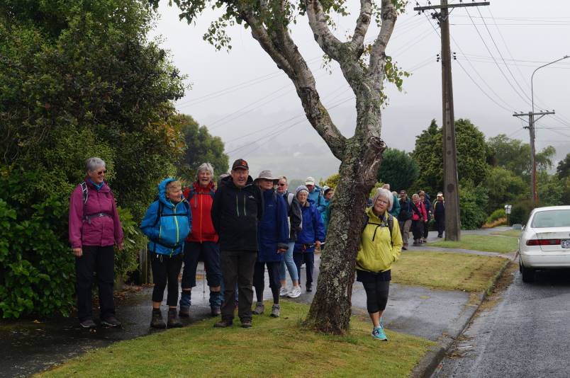
On a foggy old Wednesday morning, with the leader’s phone app threatening rain, 26 trampers met at the rugby grounds, sorted themselves into what appropriate vehicles were available and headed off at 9.30am sharp. A rearrangement of seating occurred when a couple of vehicles joined us at Outram, then again at Clark’s Junction with the addition of Heather’s vehicle, waiting for us at the turn off to Old Dunstan Road (ODR). We regrouped at Rocklands Station gateway, at which point the ODR was locked, and travelled in convoy through the farmyard, between buildings, up the hill and back onto ODR. Some 5km further along, two cars were left at the gateway to the Te Papanui Conservation Park, passengers rearranged again, with a couple of them heading off on foot to our final parking destination two kms further on. Morning tea was had in the shelter of a line of pines (although there was nothing to shelter from!) while a vehicle returned to collect the two pedestrians.
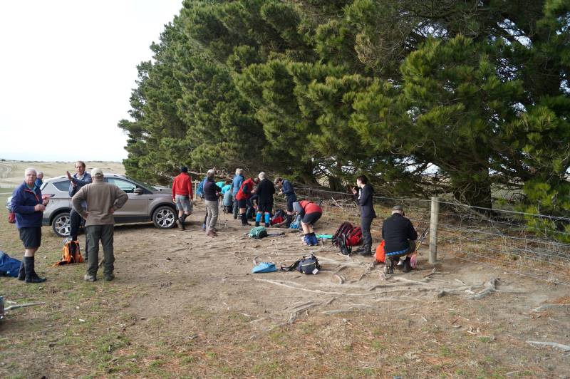
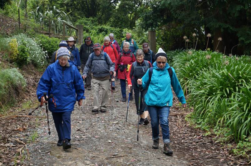
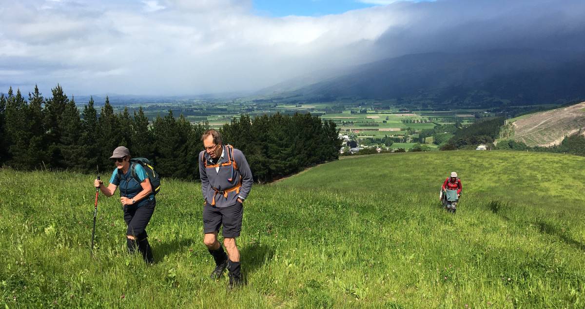
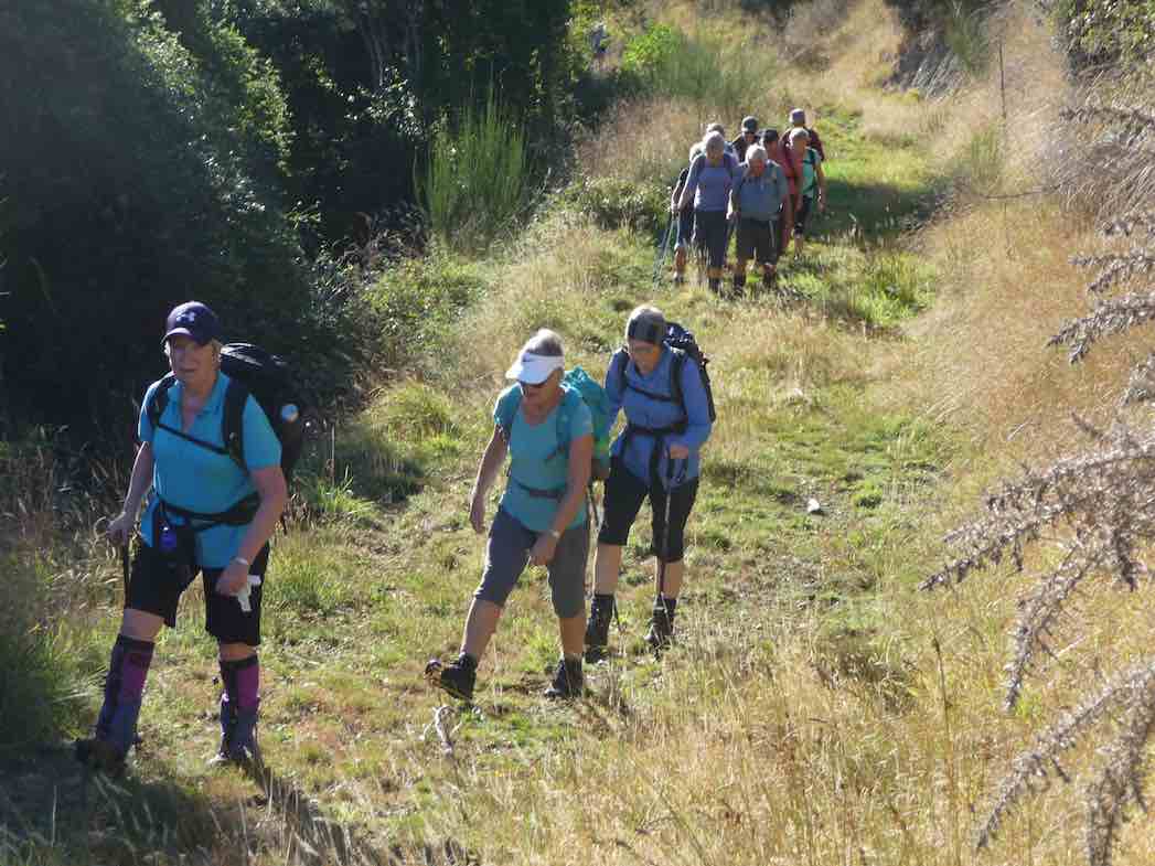
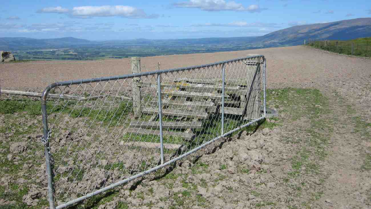
After morning tea the group set off for a couple of km on a comfortable uphill farm road, without stringing out too much at all. Good work Judy (tail-end Charlie!).
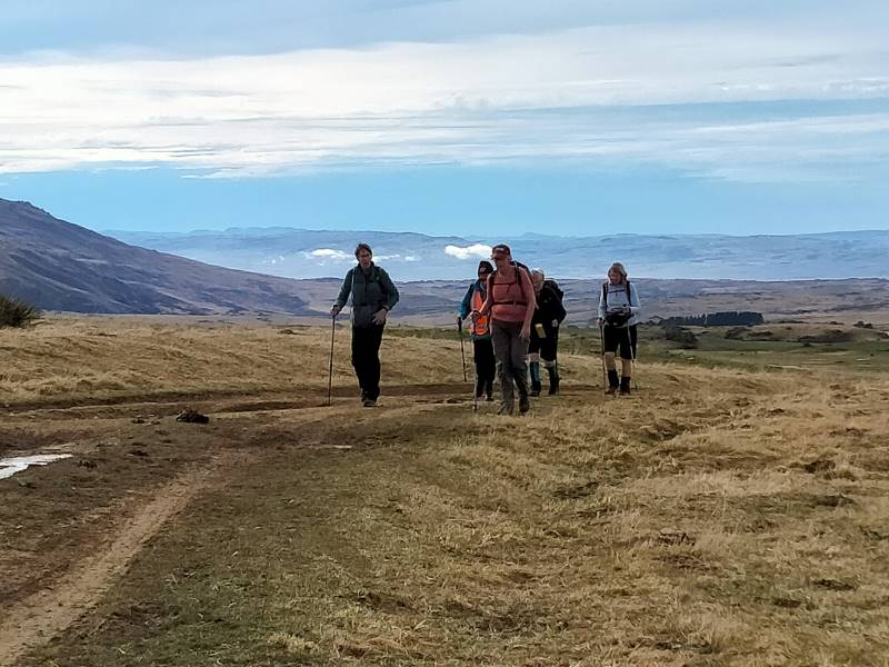
Entering the gate to the paddock containing the Deep Creek Gorge we followed a 4WD track to arrive at the pump station a little before noon. From there we picked up the pipeline track and followed it a few hundred metres around to a sunny spot which us allowed a view down into the gorge for a leisurely lunch.
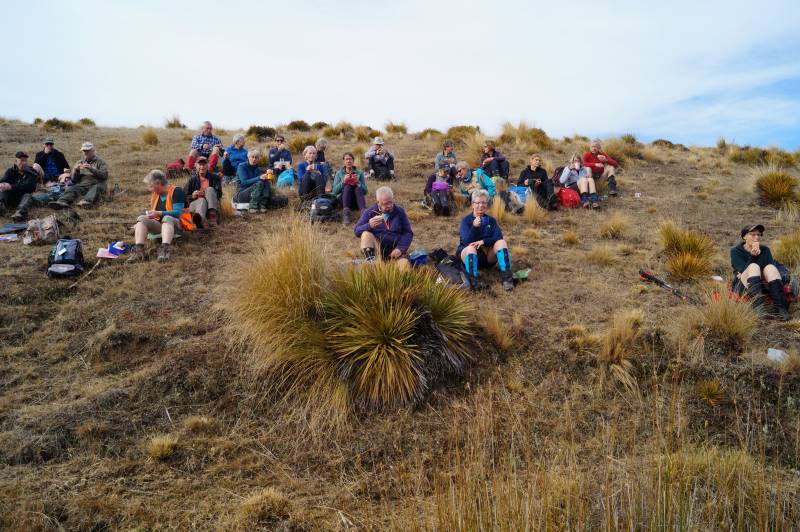
After lunch we crossed the first of a handful of boggy patches and continued along the pipeline track to the weir.
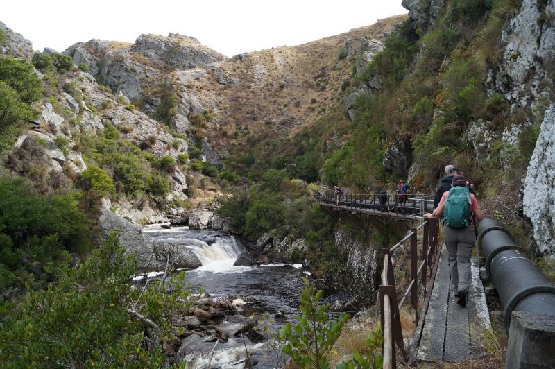
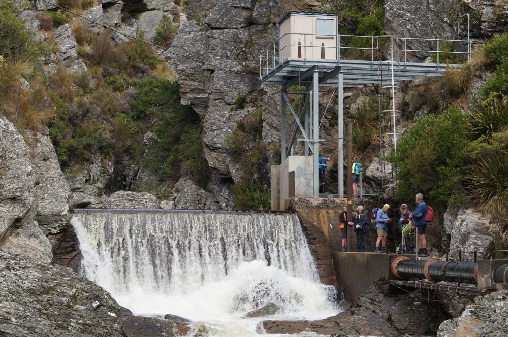
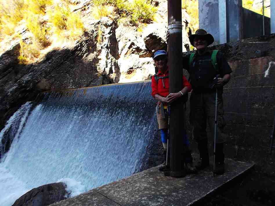
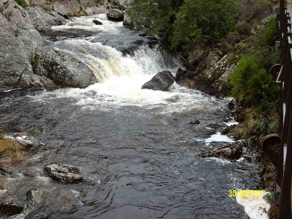
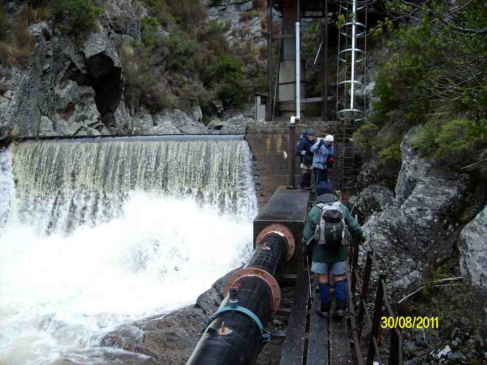
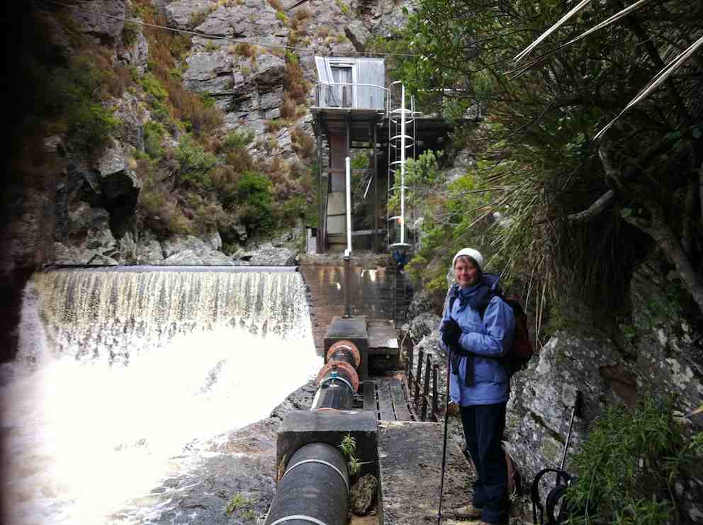
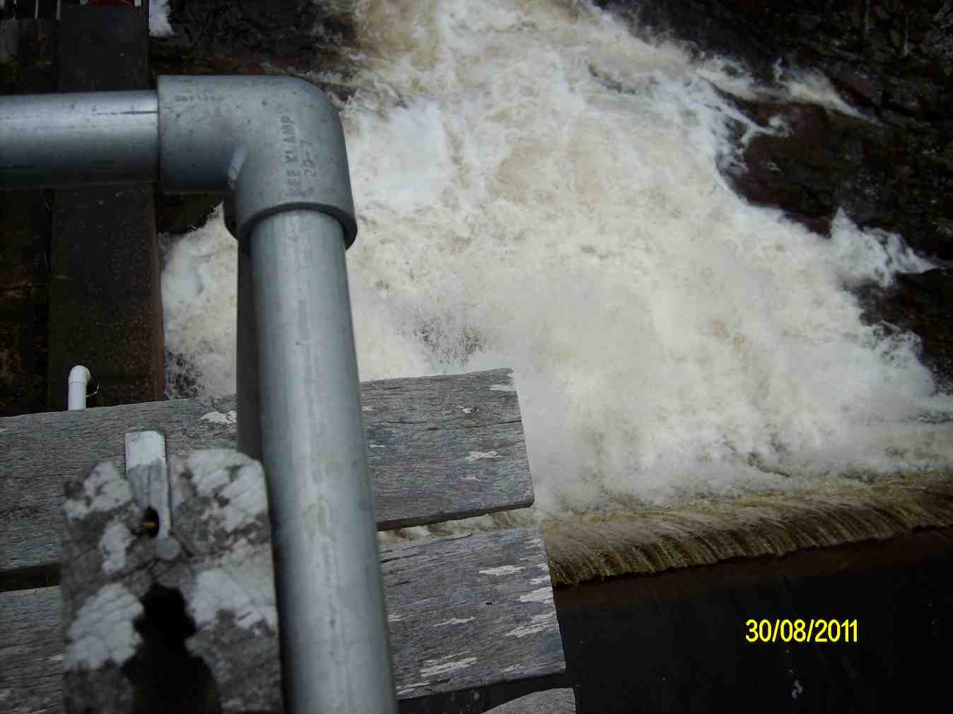
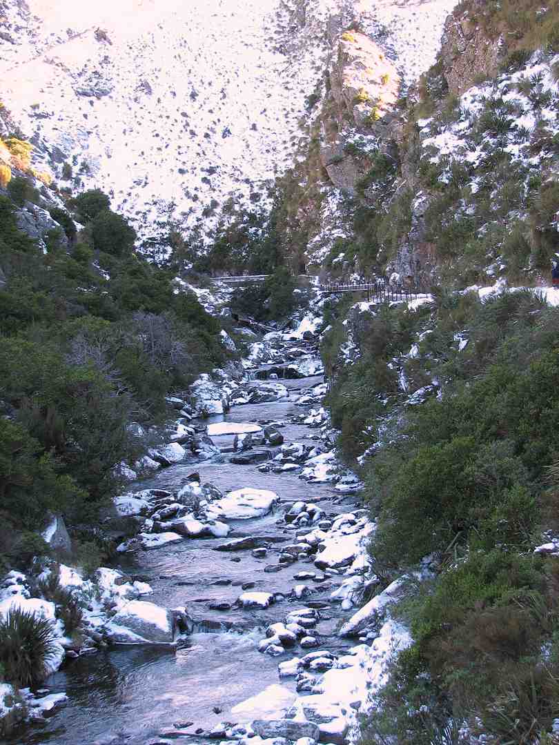
What a difference a week makes – the recce had us walking along snow covered tracks, observing animal tracks in the pristine snow, dodging icicles clinging to overhanging rock, frozen bogs, while the club tramp had virtually no snow visible, the bogs were boggy, but plants – some showing colour – were visible through the rocky cracks and crevices. The weir had a considerably greater flow of water than earlier in the week, presumably from the snow melt.
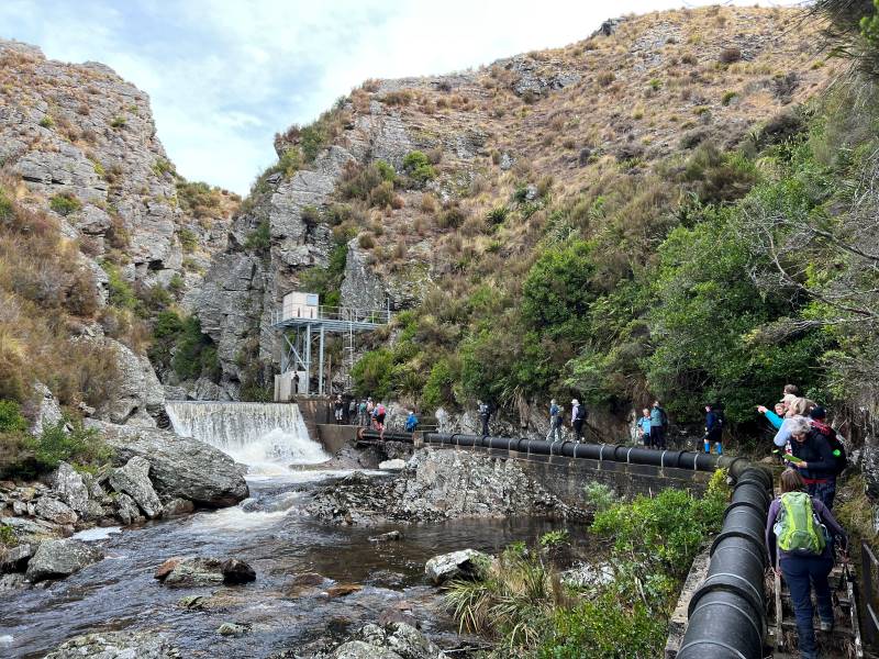
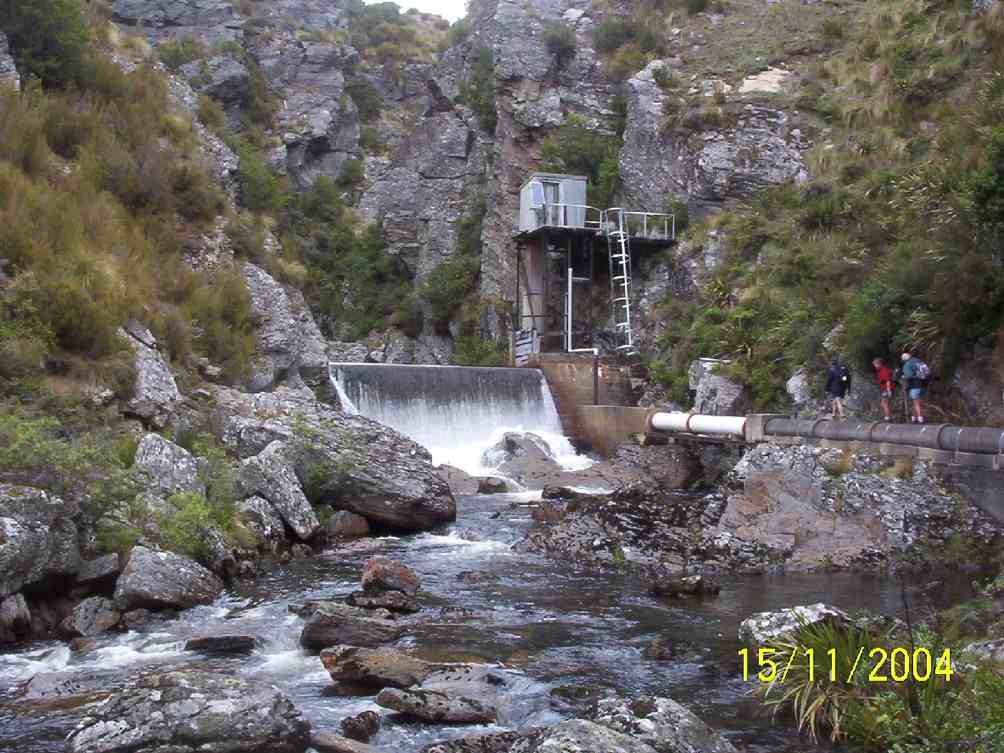
Some took advantage of the ladders to gain an elevated view of the weir.
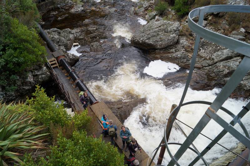
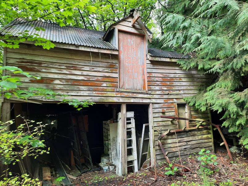
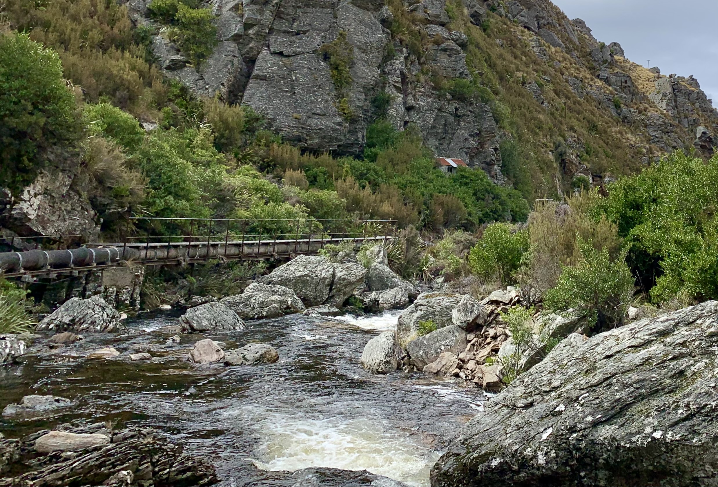
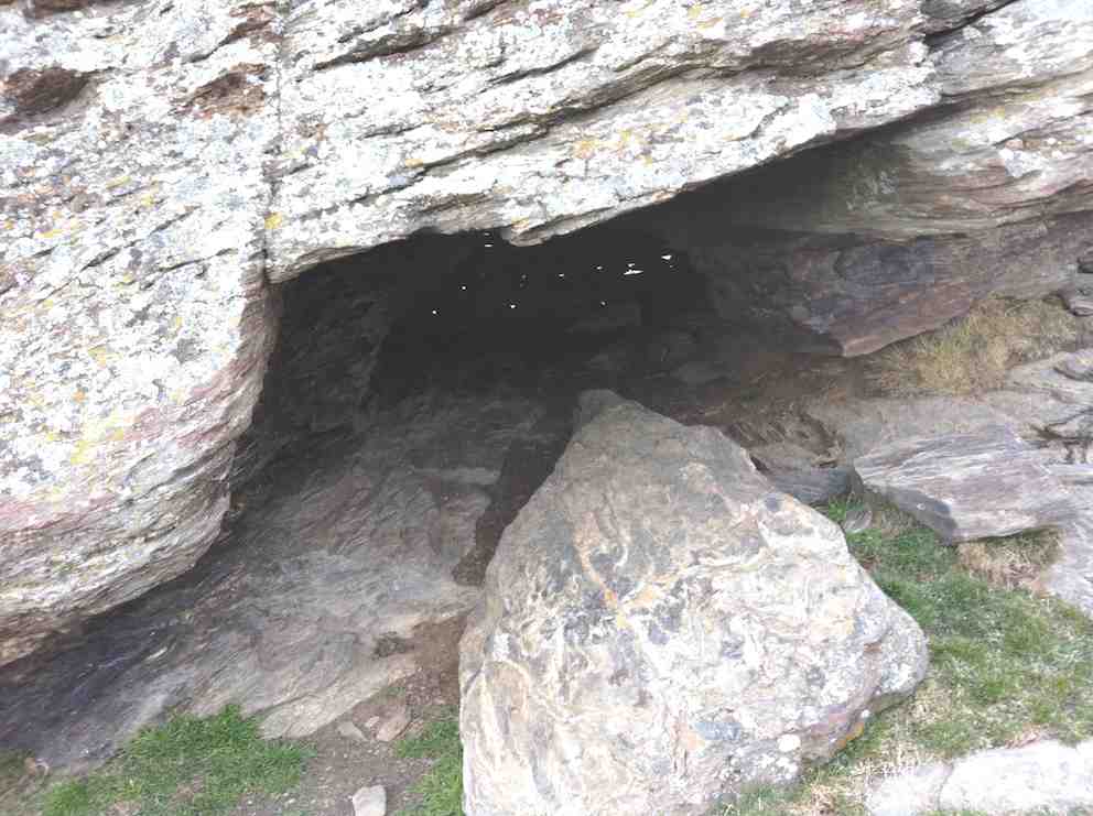
From that vantage point the pipe lineman’s hut was also visible and some members on the return walk, climbed up for a looksee at a very dilapidated “shelter”. While the hut is invisible from the track, its position is fortuitously marked by a final telegraph pole.
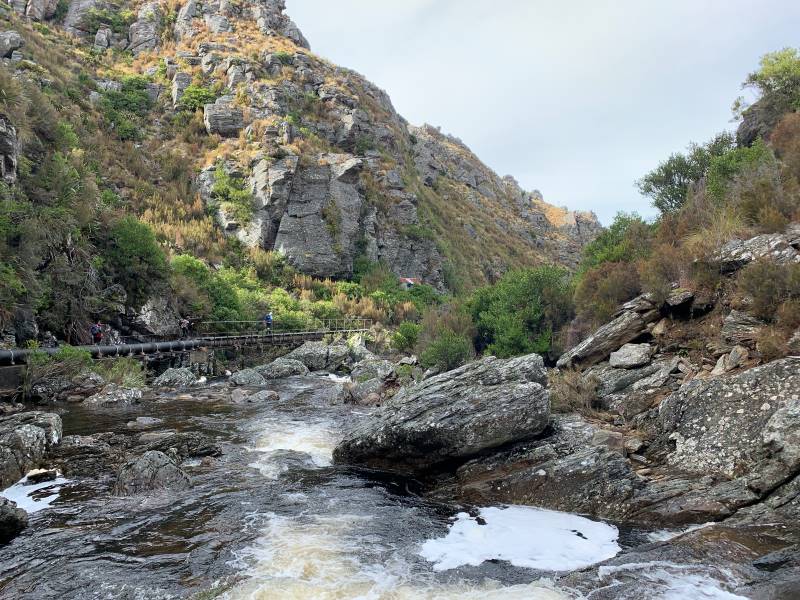
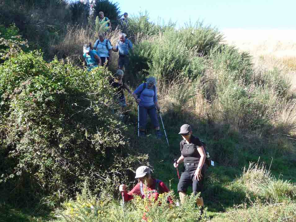
The return along the pipeline track provided a different perspective of the gorge and it didn’t take long to reach the place we’d had lunch and rather than follow the track the last couple of hundred metres around to the pump house, we took a shortcut, heading uphill, following no track, just the knowledge that we would reach the 4WD track over the brow, where we paused briefly.
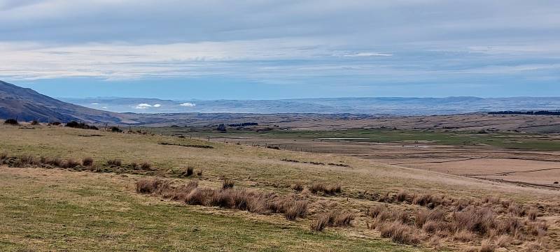
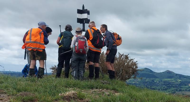
A show of hands as we rested indicated that exactly half our number had never been into the gorge previously.
The farm road downhill to the vehicles was covered quickly. We agreed to meet at the Wobbly Goat for coffee, but in the event it was closing as we arrived, and we continued onto Wal’s.

My fears regarding the weather we would strike were unwarranted. Through the fog we were teased with a brief sighting of blue sky nearing Outram in the morning, but then re-entered the ground fog as we climbed up SH87. This cleared completely before Lee Stream and we had perfect weather for the rest of the day – intermittent sun, no wind or rain! A quick read of previous reports on this particular track leads the writer to believe we might have been lucky not to have suffered a debilitatingly cold wind!
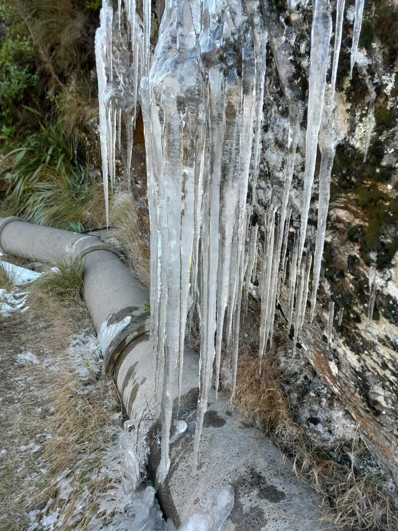
Thanks to Rocklands station for permissions; to the drivers of vehicles able to manage the farm tracks, to those who met us away from the Rugby carpark for their punctuality, and everyone for the positive feedback on the day. I think it may be repeated!
Barbara
17. 18/03/2020 Hikers. Deep Creek Pipeline. M. Bob Mitchell and Mike Webb

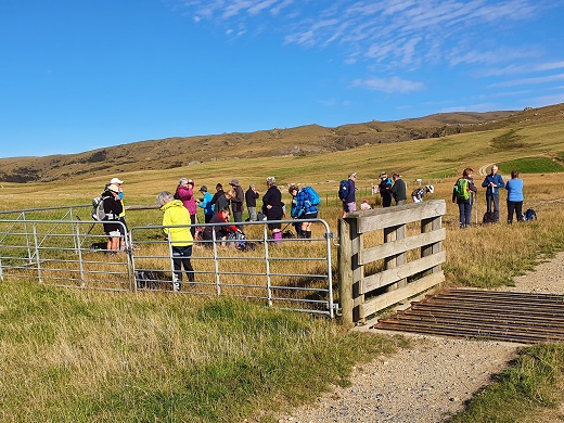
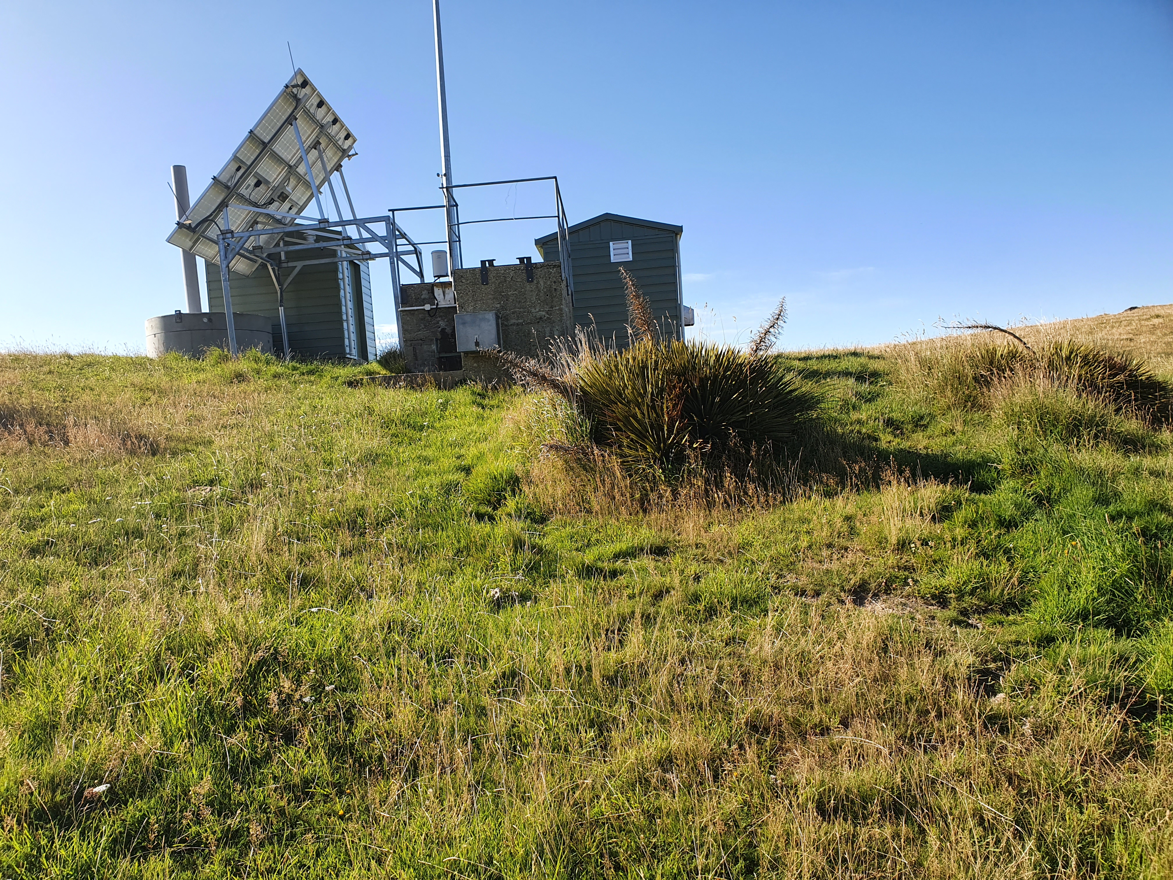
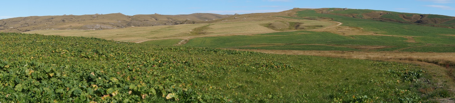
.The weather was fine with great visibility and from the huts we could see the pipeline snaking its way around the gorge.

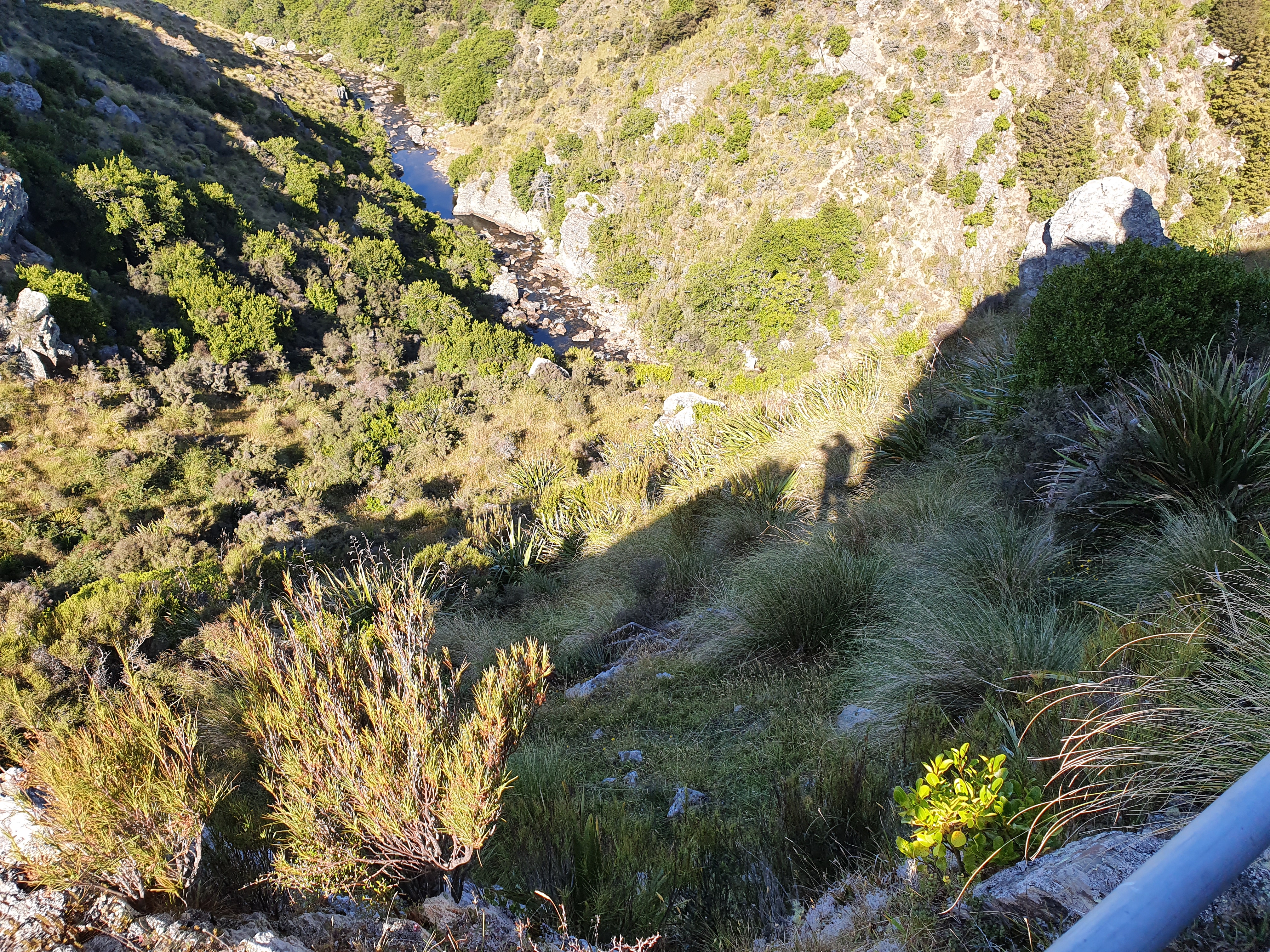
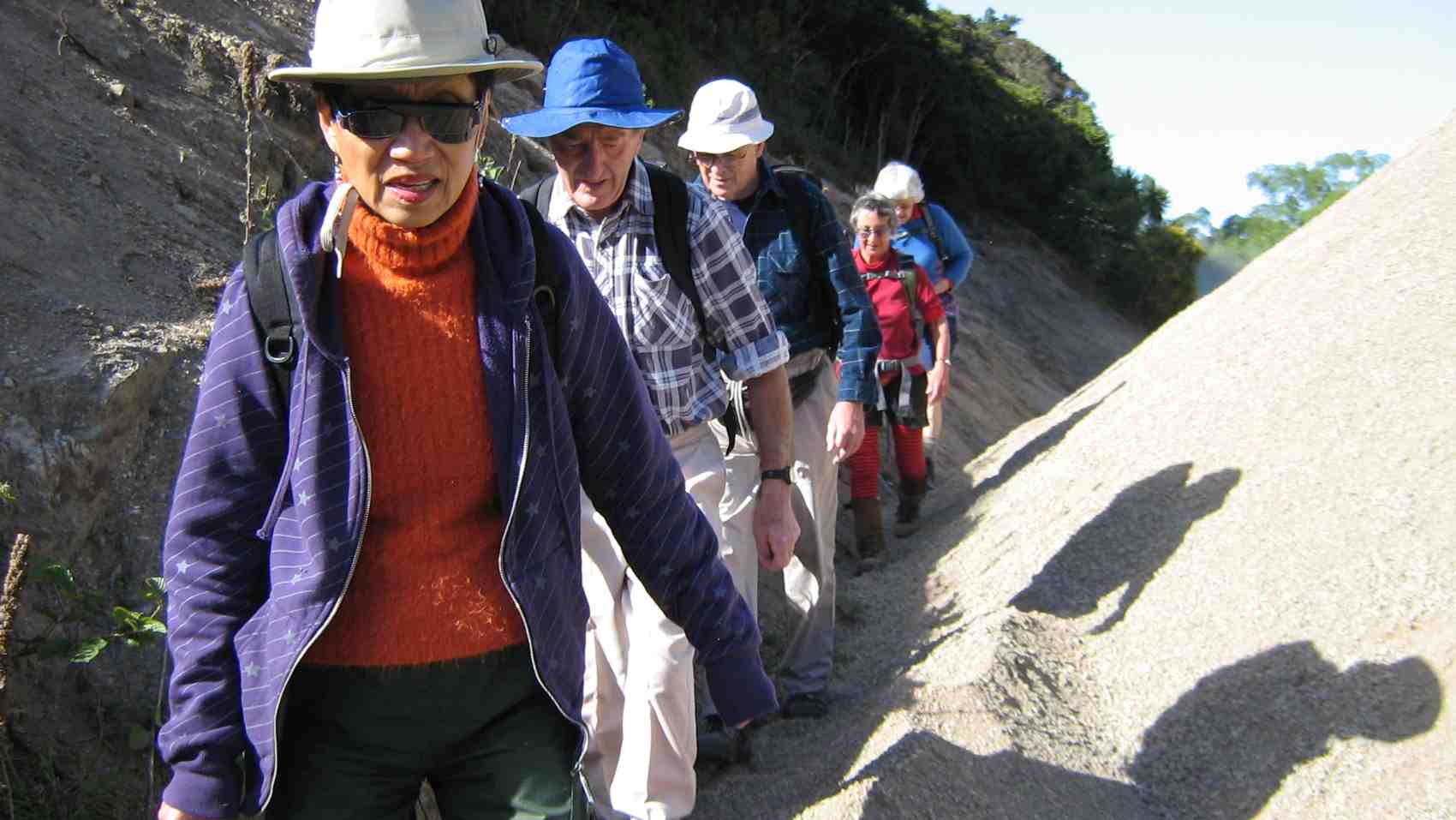
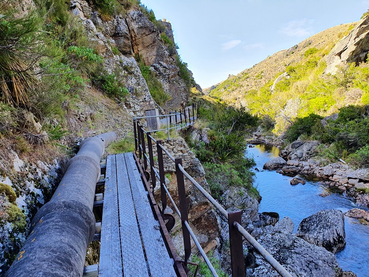
From the huts it was a steady climb down to find the track that leads to the pipeline. The track is approximately 2kms in length, and quite narrow in some places with railed walkways over some of the more challenging parts of the track. The views were quite spectacular and we were soon strung out in single file looking like porters on the Ho Chi Minh trail. Frequent photo stops were the order of the day.


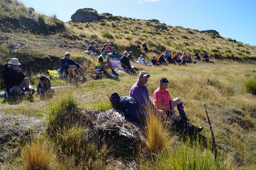
From there it was a short walk up to the huts and back down to the cars.
16. 9/1/2019. Deep Creek Gorge Pipeline. Leaders: Theresa and Clive.
31 Trampers, Hikers and Ramblers set out across the tussock of Te Papanui Conservation Park. It was an ideal day for a walk on the tops as there was high cloud keeping what can be a scorching sun off our backs. The 16 degree temperature was just right to get things started after the Christmas/New Year break. 13 of the participants had not been on the walk before and were looking forward to the gorge.
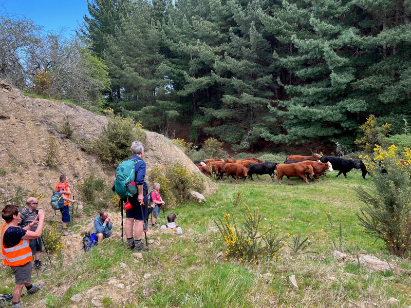
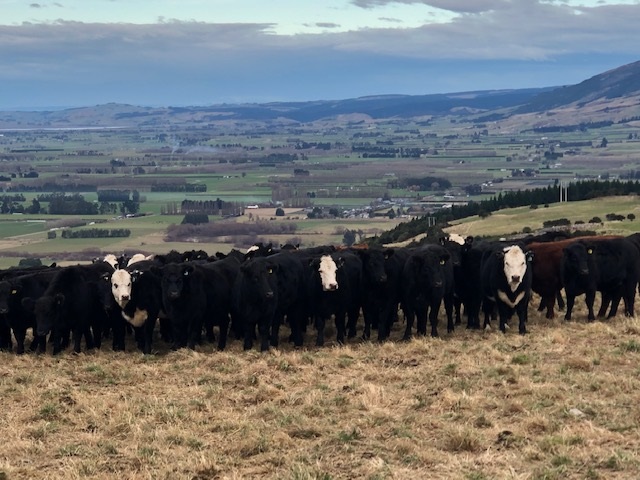
Morning tea
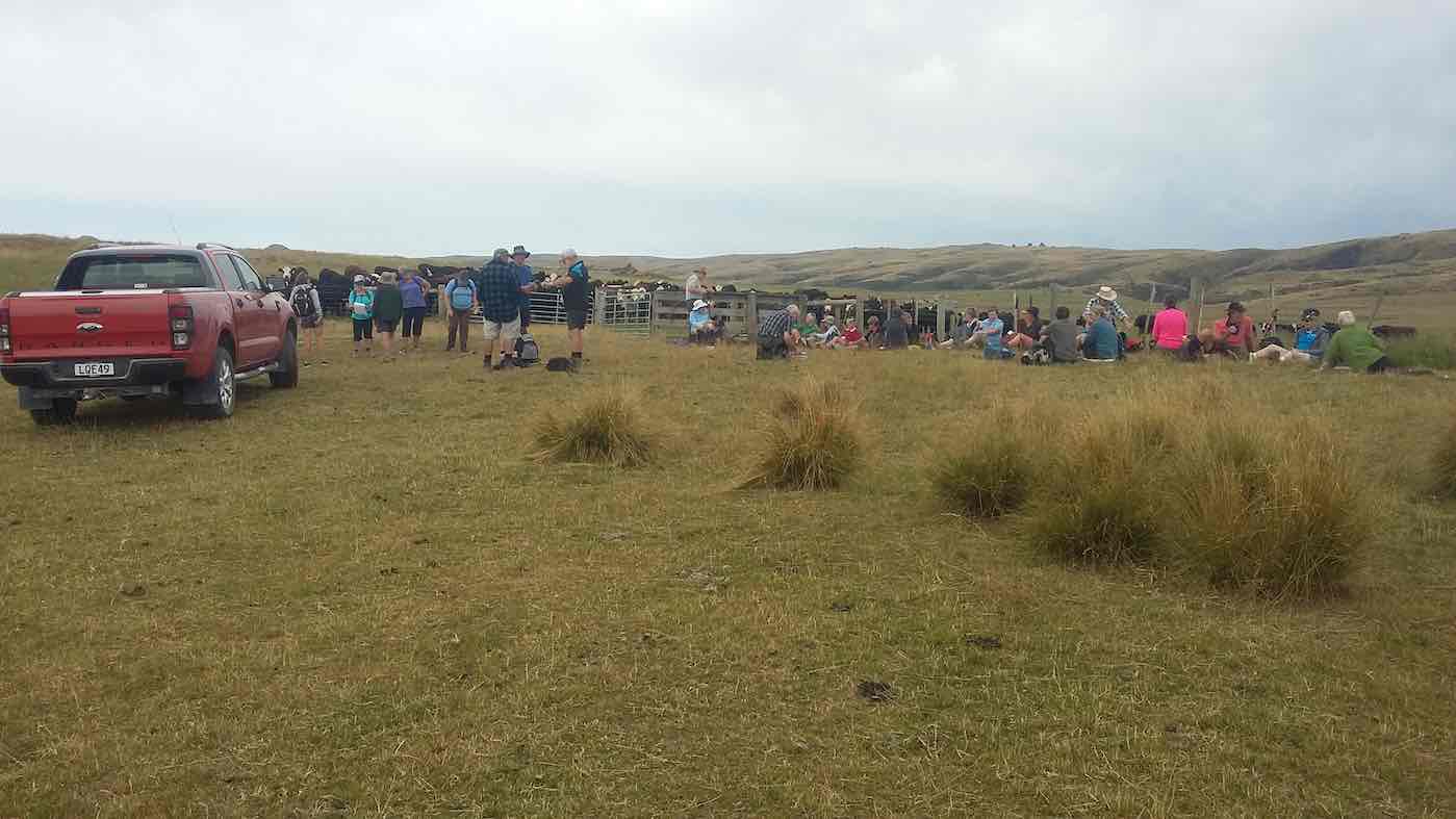
found us being observed by a large herd of cows who seemed very interested in what we were all doing there.
After a twenty minute break we headed on up hill
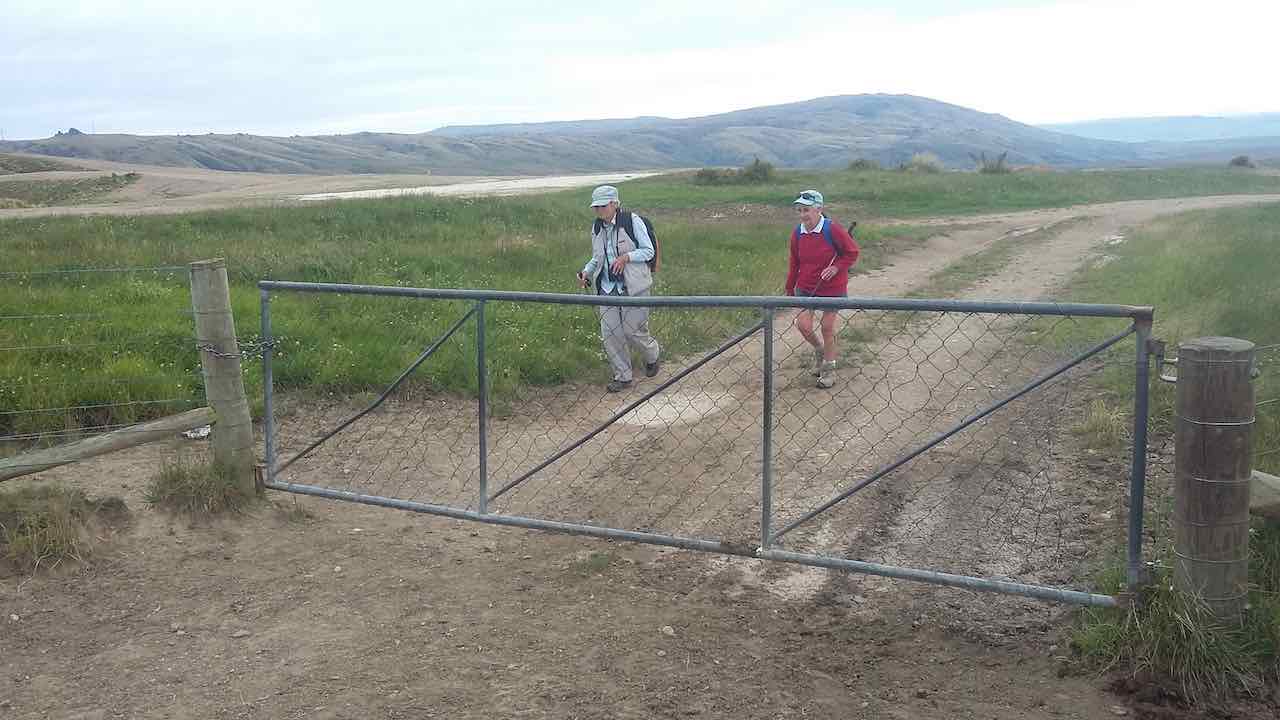
to the hut at the mouth of the gorge. Having made sure everyone was accounted for it was across the 40 ? or 41 ? bridges and board walks to the weir at the top of Deep Creek.
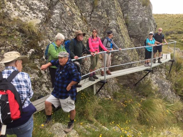

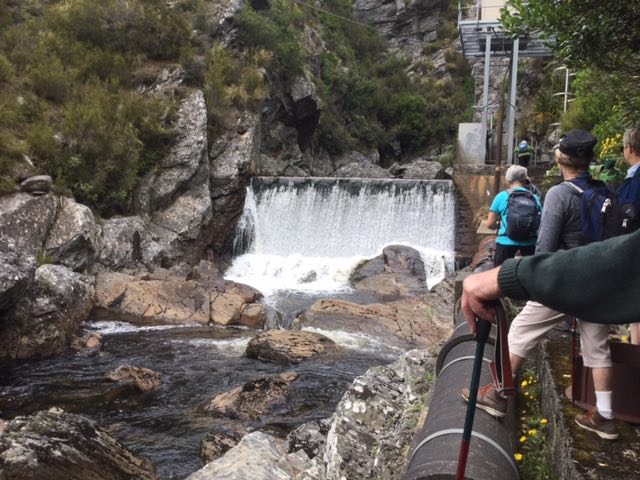
This gorge is a feature that makes this walk so interesting. As an aside, the DoC blurb advises that there are over 500 species of native insects; plus a wide variety of plants and animals (including pigs and red deer), in the Te Papanui park.
Lunch was taken back at the mouth of the gorge, sheltering from the cool breeze that had sprung up. After lunch the Trampers headed off in a more Easterly directing to add a bit more distance to the completed walk. The hikers and ramblers headed back the way we had come in the morning. The hikers covered about 9.5 kms by the end of the day and were happy to sit down for afternoon tea at the Wobbly Goat about half an hour ahead of the more exercised Trampers group. The consensus was a ‘gorge’-ous days outing! – Clive
15. 26/4/2017. Deep Creek Gorge Pipeline . Leaders: Theresa and Arthur.
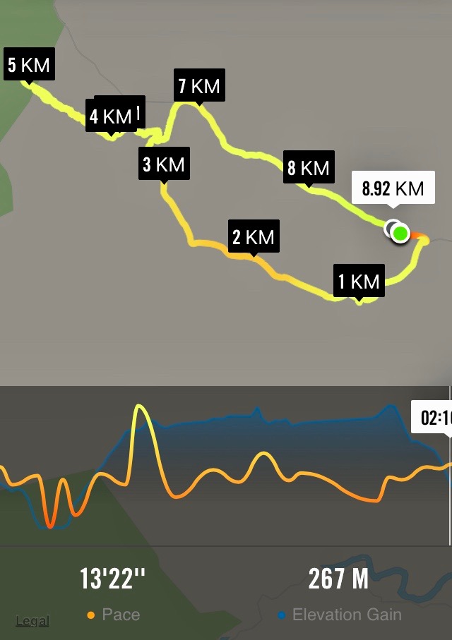
Leave the car park and go up SHWY 87 until Clarks Junction. Turn left onto Rocklands Road. Travel on excellent tar seal until you pass the Rocklands Station complex. Now you will be on gravel and at the beginning of the Old Dunstan Trail. Turn left off the Old Dunstan Trail and proceed on farm track for 2 kms. Park cars at the trees. Cross over farm land for a period of time — only down and up one gully,

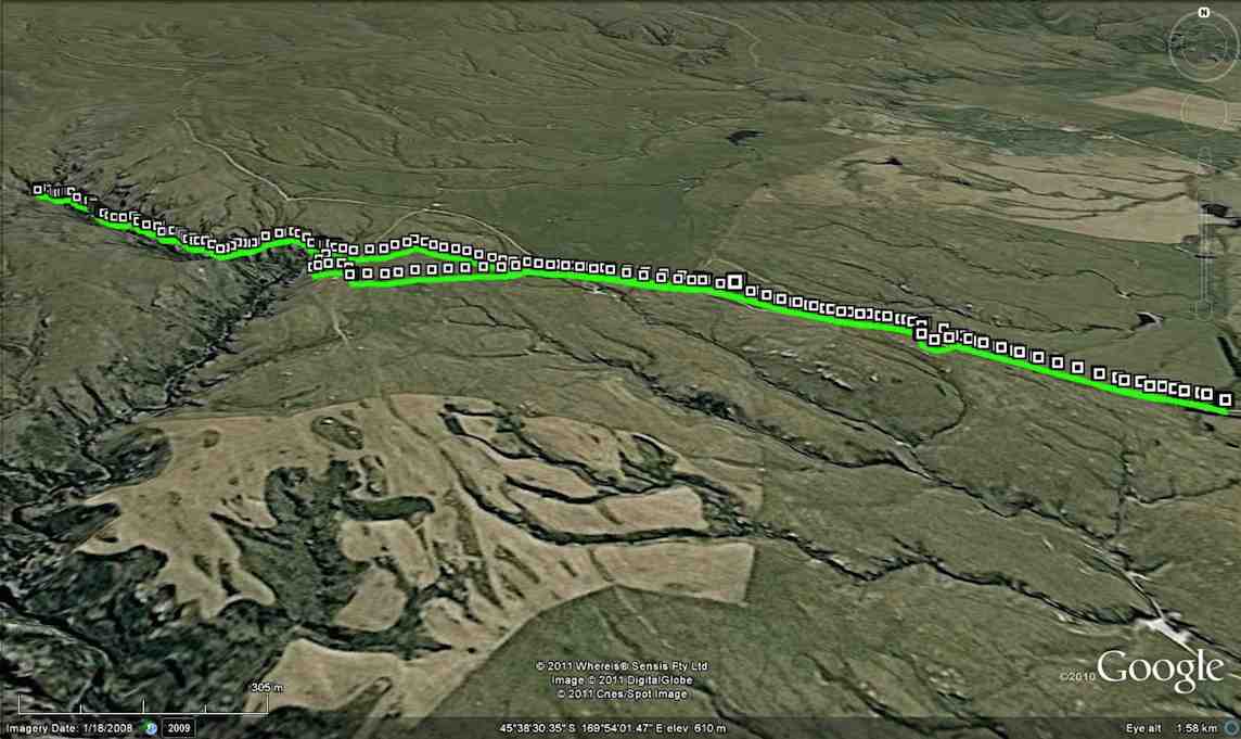
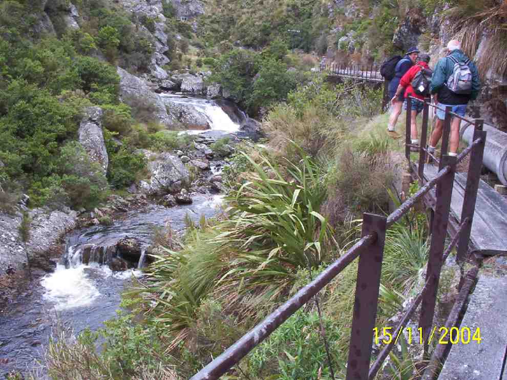
going in a west / north direction towards the gorge. A gate in the middle of a paddock with a faint track going in the right direction. Two small newish huts with a solar powered panel on roof mark the beginning of the Gorge track. This is part of the Te Papanui Reserve. Traverse pipe line for approx 1/12- 2 kms.
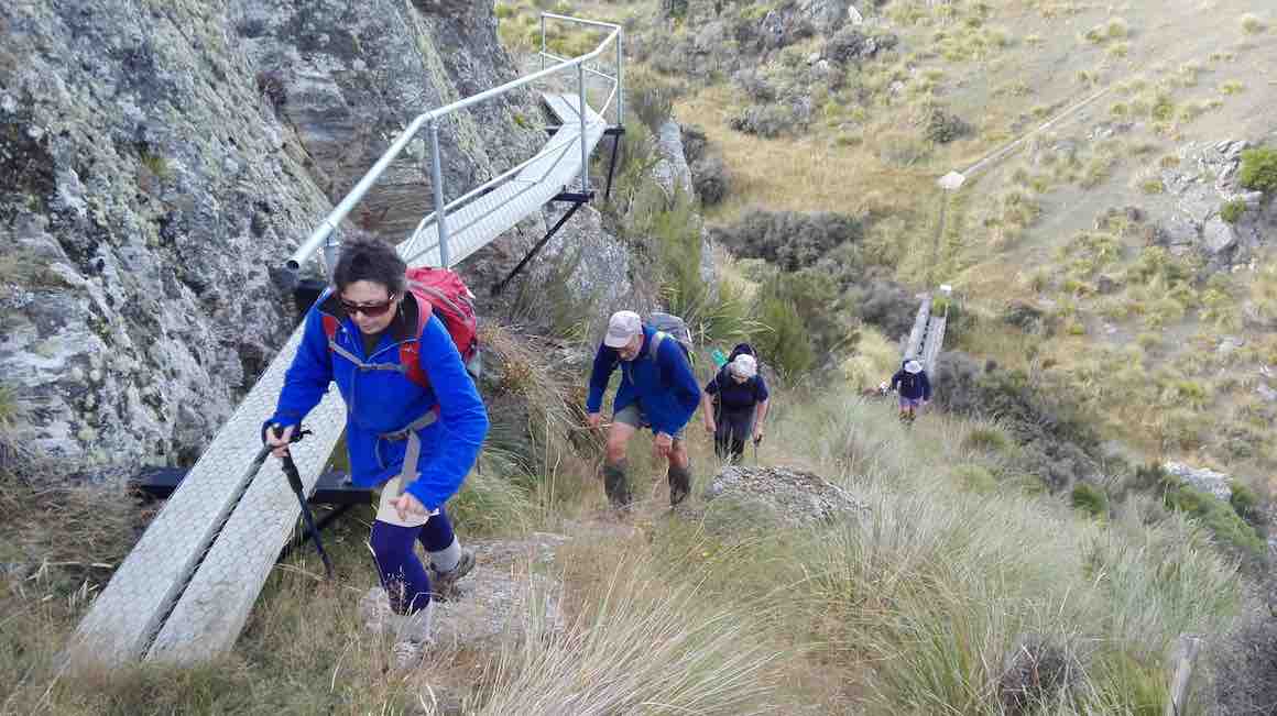
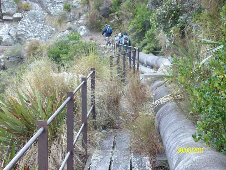
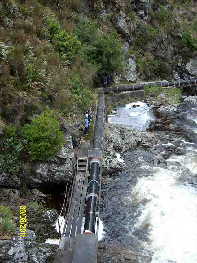
The pipe line is suspended off the cliff high above the Gorge .The track is narrow on the pipe line …
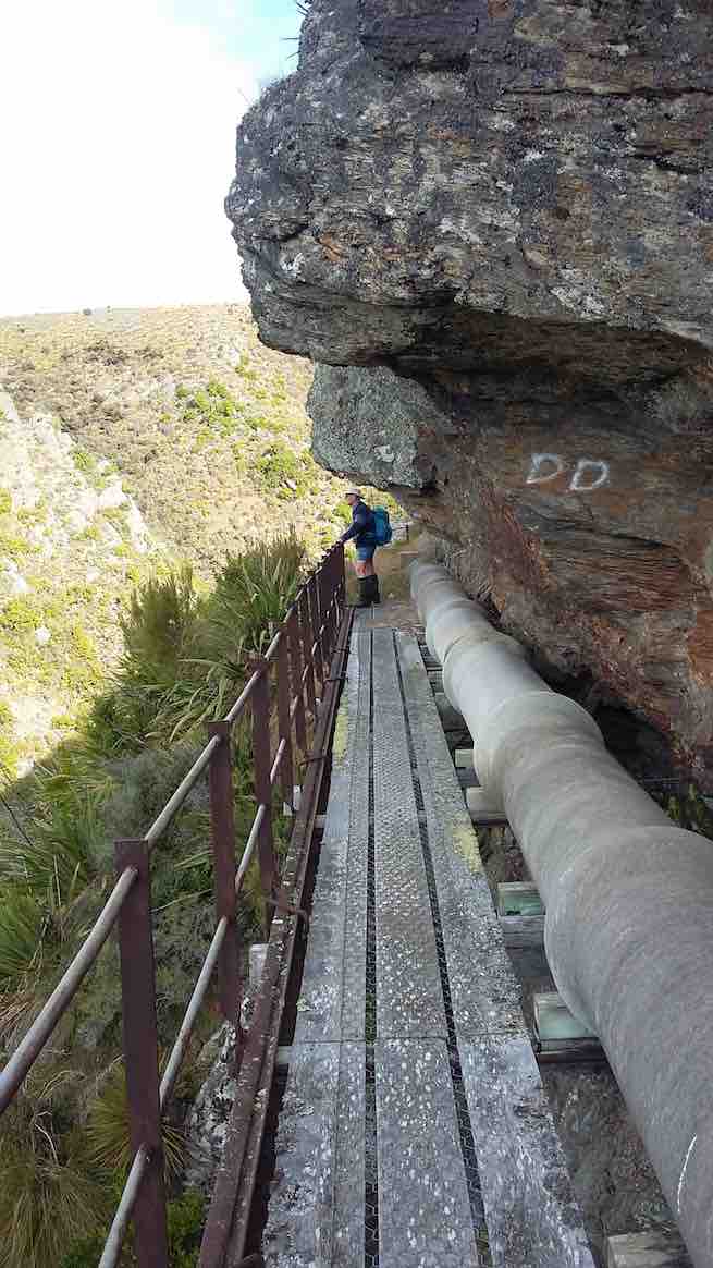
… but is easy and in the main flat. There are many foot bridges to cross. (An in-house challenge to count the number, caused differing results/) One dedicated tramper even ticked them off on a piece of paper .WHO are we to disagree!! A small dam was at the head of a very picturesque Deep Creek Gorge.
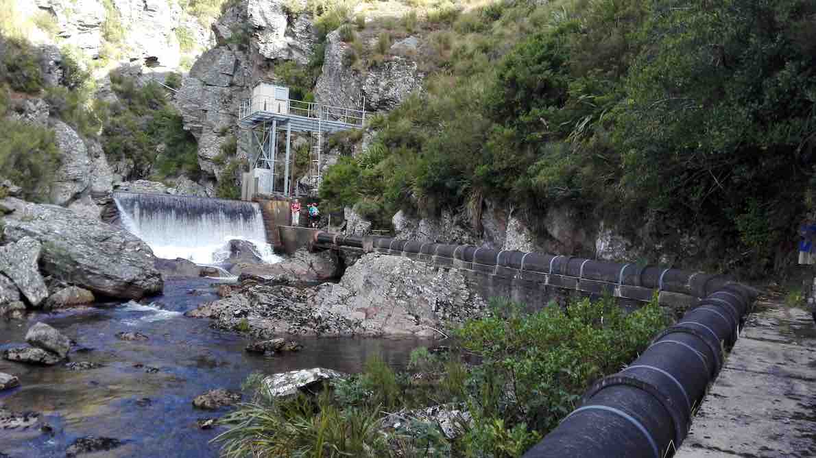
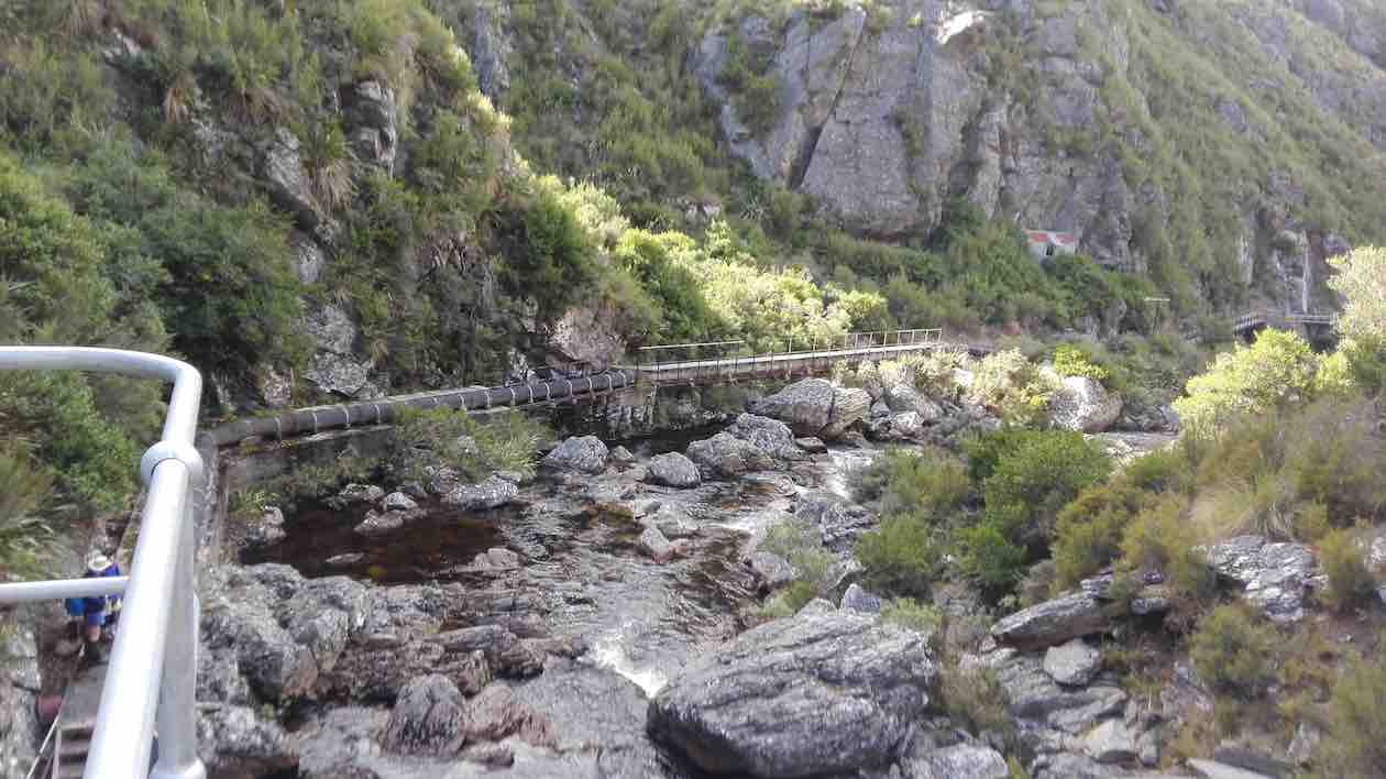
Repeat the trip back to the road just beyond the huts. From then it is an easy road tramp back to the cars. 12 very happy trampers enjoyed a WOW 😳 kind of a day out. Approx 10 kms in length. Debrief and coffee at Outram. -Theresa.
14. 9/4/2014. Trampers. Deep Creek. (A replacekment for ‘The Gap’, programmed for the day, which would have turned out extremely muddle.)
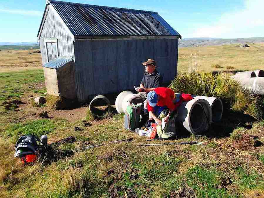
so we parked just before that spot and skirted the trees on the other side so as not to disturb the sheep. We left morning tea till we got to the old hut …

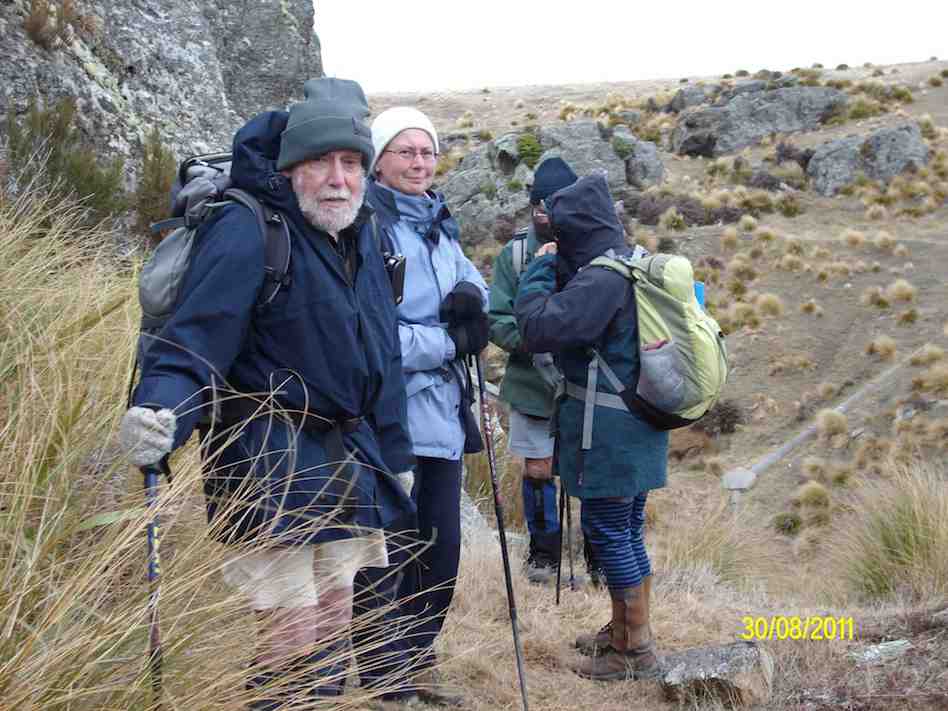
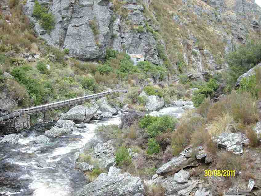
13. 31/8/2011. Trampers. Deep Creek.
12. 10/11/2010. Hikers. Deep Creek. Medium. Leaders: Evelyn C, Graham.
11. 12/3/2008 Hikers. Deep Creek. Medium. Leaders: Joyce S, Lesley G
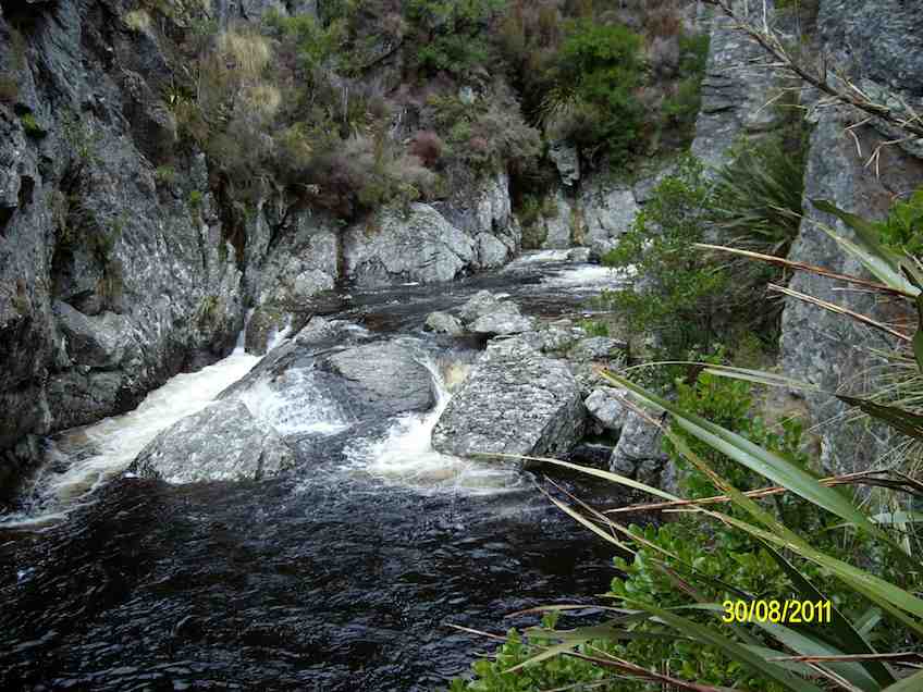
Then on to the gorge of Deep Creek, a tributary of Deep Stream, and the path following the pipe line to the weir.
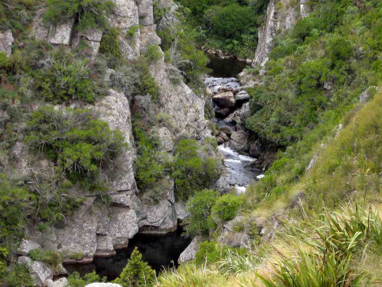
Bob H told us about the water race used in the gold mining days and the pipeline to supplement the Dunedin City’s water supply, built in the 1930s. The farmland had been former tussock country but the gorge was not modified and still supported many alpine plants, including gentians in flower. We had several sightings of NZ Falcons, which are now considered to be diminishing in numbers. It was an exciting area to be hiking in,
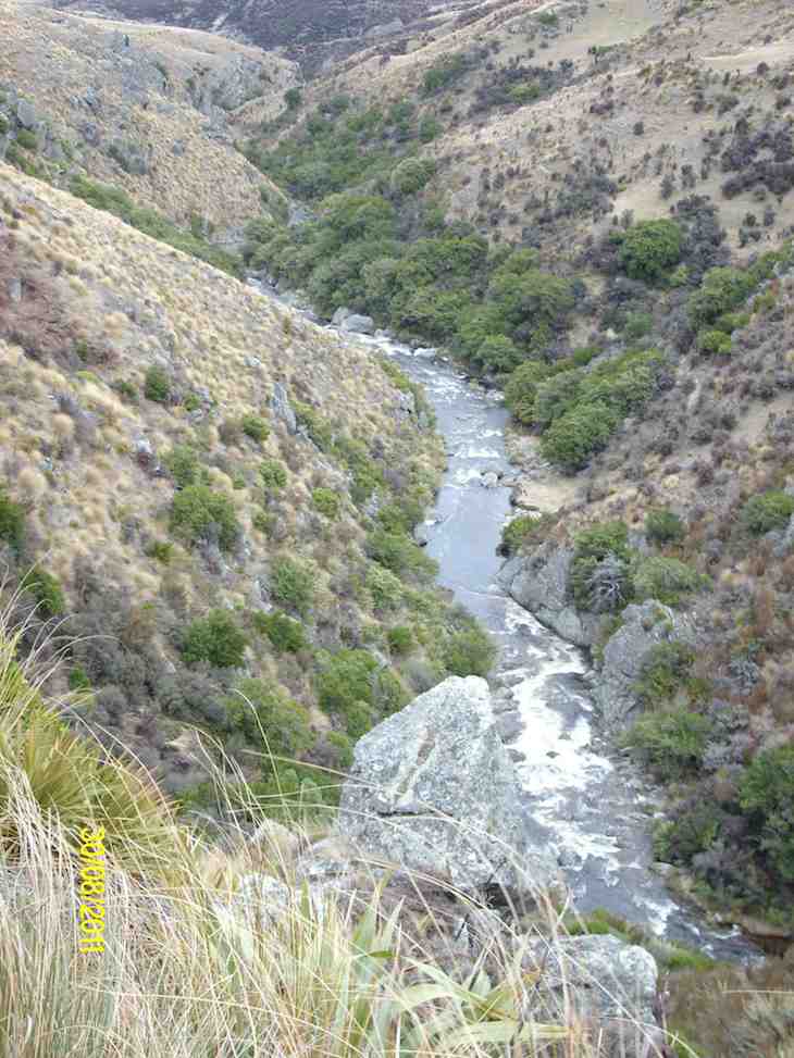
as the river was a long way below us and the sides of the gorge very steep. Ian F was making mental notes for the retrieval of anyone who miscalculated their step, but fortunately the plan wasn’t needed. We were back at the cars by 2pm and home to Mosgiel 3pm. An exhilarating day. – Lesley G
10. 13/6/2007 Leaders: George, Abe
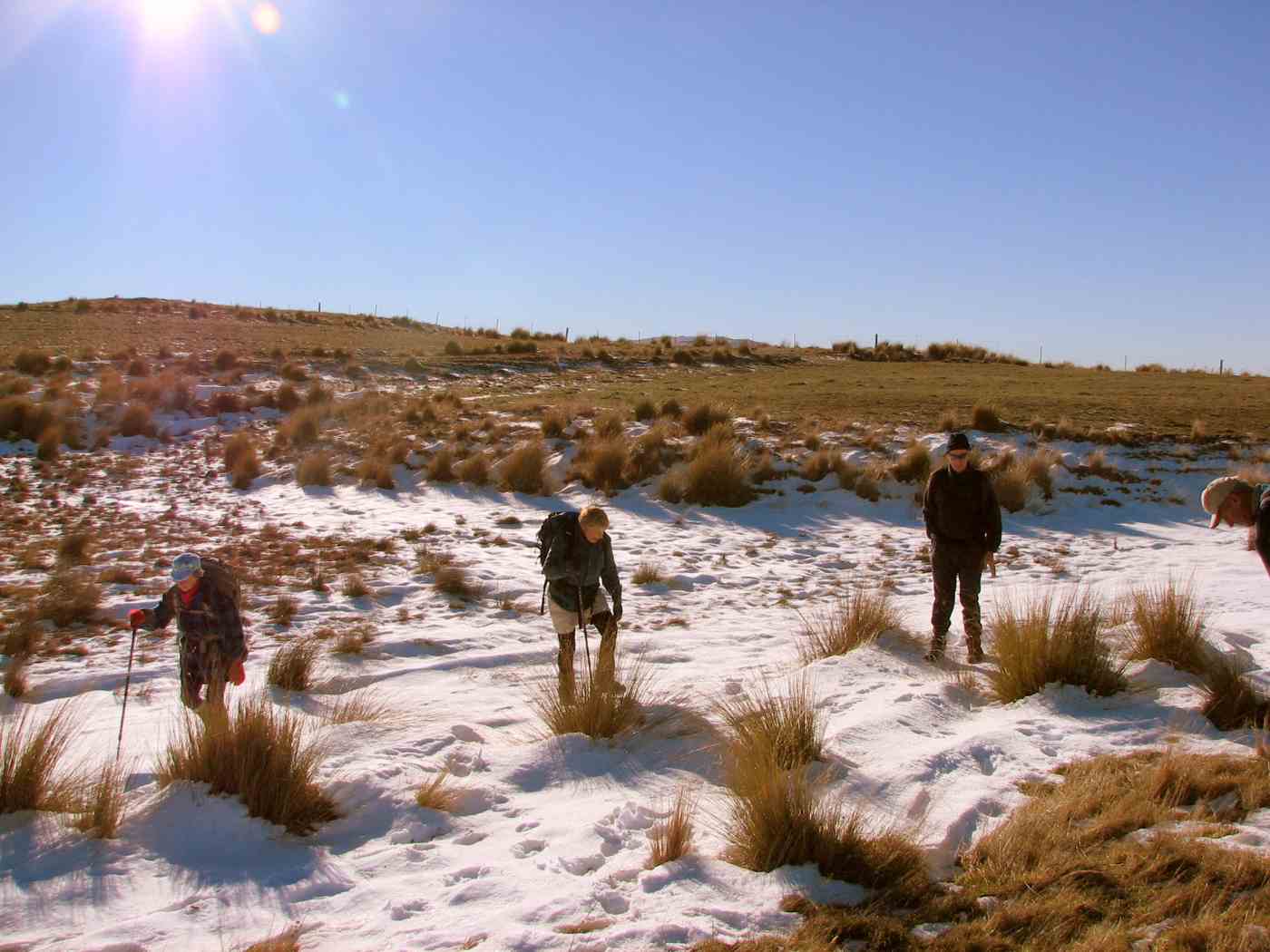
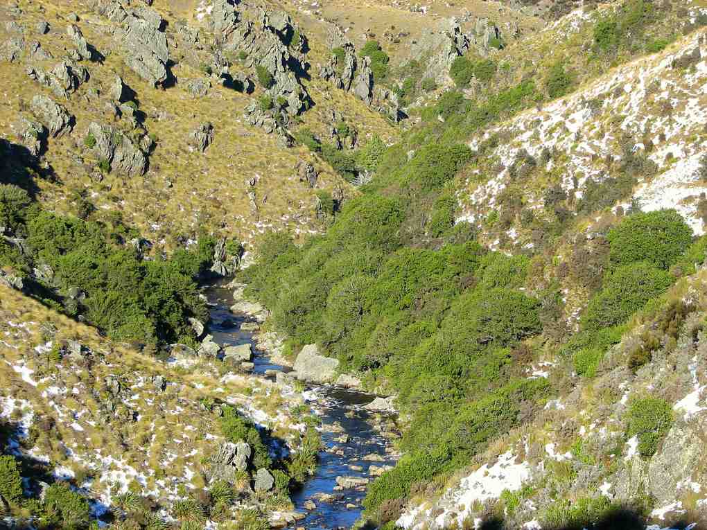

9. 23/8/2006. Hikers. Deep Creek, Old Dunstan Road. Medium. Leaders: Val, Arthur & Barbara
8. 24/11/2004. Both. Deep Creek, Lammermoors. Leaders: Evelyn C, Ian, Peter and Wendy
7. 17/4/2002. Alt. Rockland and Deep Creek. Medium. Leaders: Bob H, Bev H, Bev McI.
6. 21/10/1998. Deep Creek from Old Dunstan Trail. Leaders: George, Les S.
5. 24/3/1998. Deep Creek, Rocklands. Leaders: Shirley McN, Ria L, Bev H.
4. 15/10/1997.
3. 8/2/1995. Deep Creek from Old Dunstan Road. Easy. Leaders: Jack R, Bob H, Ted, Dot T.
2. 20/3/1991. Deep Creek Dam and Pipeline. Great viewing and interesting country. Easy+. Leaders: Dave and Jean, Margaret D, Janice.
1. 1/2/89. Deep Creek.
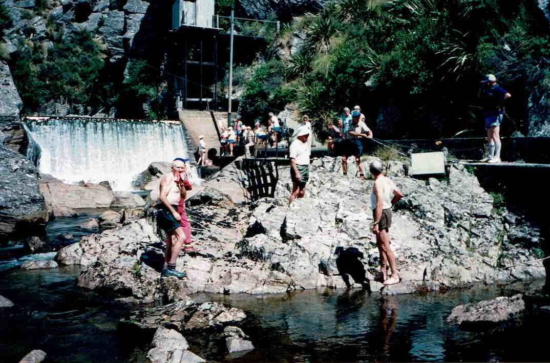
The Deep Creek Water Scheme was built during the depression of the 30s.
The Pipeline is 58 years old and 64 km long.
The intake is 675m above sea level.
The catchment is 5420 hectares; mainly tussock with some grassland.
The steel pipeline, lined with bitumen, was in a bad state of repair by the 80s and the leaks were constantly plugged with tapered wooden plugs until it resembled a porcupine.
The authorities were eventually persuaded to renew the worst section, this being done with the aid of a helicopter in 1992. It is a useful supplement to Dunedin’s water supply.
The Pipeline is made of bitumen-lined steel excepting the first 1.4 km which was replaced in 1992 with concrete pipes.
Water quality is variable and often discoloured.
Over the 58 years the yield has dropped from 11,000 cubic metres to 6,800 cubic metres a day.
The water goes to Booth Road Treatment Station and Sullivans Dam.
Replacing the rest of the pipeline is estimated at $20,000,000 and would increase the flow to 17,000 cubic metres a day.
– From a hand-written record in the President’s file and supplemented with other data.