Clarendon Area, Stone Stables, Lime Works, Whale Museum and Lookout – Information and Trip Post

Scope:

This page of club tramps and hikes in the South Coast via SH1 area groups together trips to the Clarendon area (Milburn) incorporating the Lime Works, Stone Stables, Fort Hill, Whale Fossil Museum / Lookout. (map)

Background Information:

Road distances from Mosgiel carpark.

TRTC Grading Information – trips incorporating these tracks are generally given a TRTC grading of about 2. This is indicative only, as trips can be allocated a higher or lesser grading depending on the route taken. For more detailed analysis refer to Grading Information.

Background History of Stable and Cemetery

Whale Fossil Lookout, Clarendon Cemetery/Lime Springs – General Information

How To Get There:

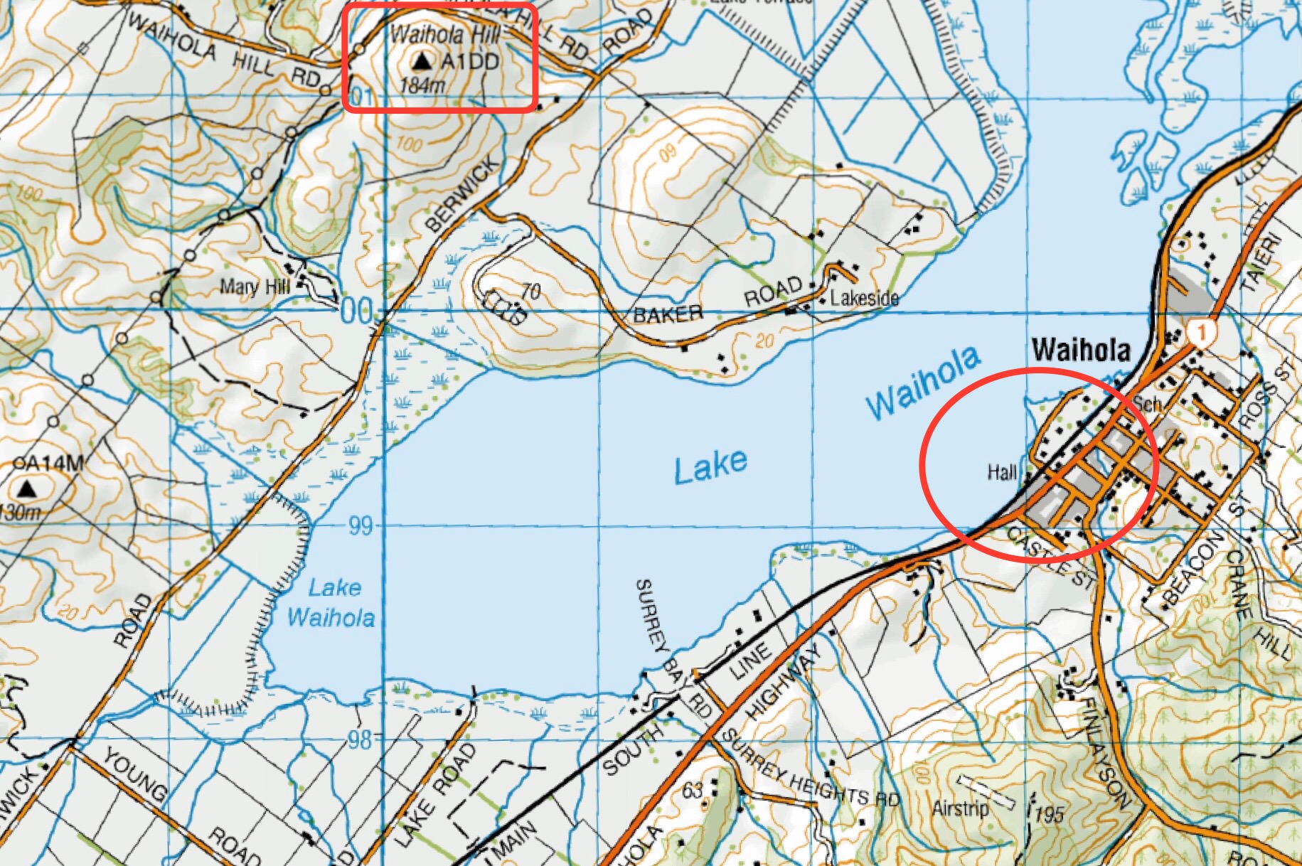
(1) Proceed south on SH1 past Lake Waihola and turn right onto Phosphate Road. Continue on this road to the intersection of Berwick Road and Driver Road. Turn left and continue to the end for parking.

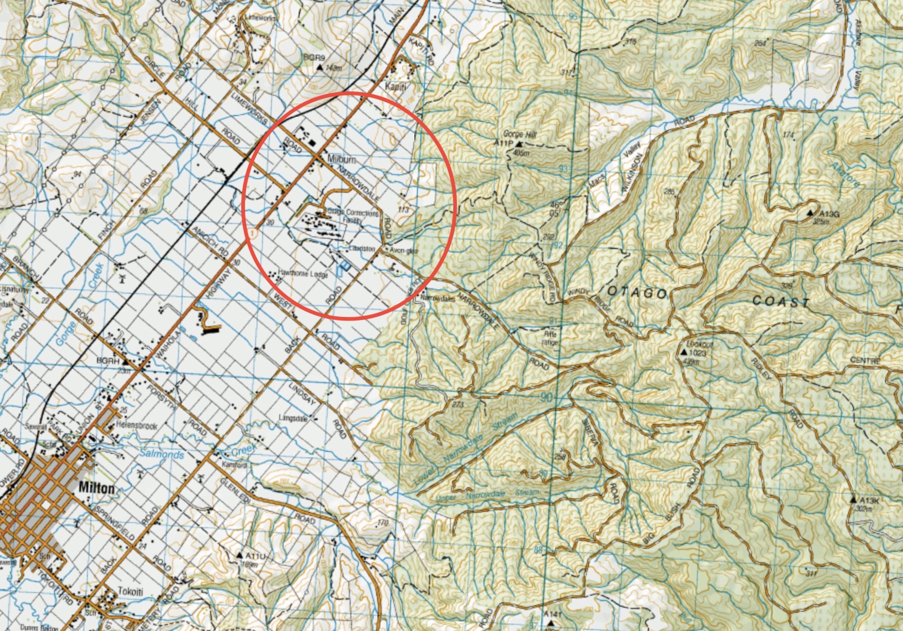
(2) Proceed south on SH1 past Lake Waihola to Milburn (before Milton) and turn right onto Limeworks Road. Continue over the rail lines and take the first right to the lime works. Can continue to McNeil Road intersection, turn right and proceed to Fort Hill Road (next left) and quarry.

Links to tramps and hikes in this area:

28/01/2026. Whale Fossil Lookout, Clarendon Cemetery/Lime Springs . Grade 3. Hikers. Leaders: Bruce Spittle, Eleanore Ryan.

Clarendon Area, Stone Stables, Lime Works, Whale Museum and Lookout. 2017 – 1991 (16 trips  – 3 with reports and photos, 2 with report only, 2 with photos only, 9 with no report or photos)


Akatore Forest, Narrowdale Road – Information and Trips Library

Scope:

This page of club tramps and hikes in the South Coast via SH1 area groups together trips incorporating Akatore Forest and  Narrowdale Road. (map)

Background Information:

Road distances from Mosgiel carpark.

Access Permissions are required for trips to Narrowdale Road / Akatore Forest- refer guidelines

TRTC Grading Information – trips incorporating these tracks are generally given a TRTC grading of about 3. This is indicative only, as trips can be allocated a higher or lesser grading depending on the route taken. For more detailed analysis refer to Grading Information.

How To Get There:

Drive south on SH1 to Milburn and turn left onto Narrowdale Road. Continue past the Otago Correction Facilities and veer left at the Golf Course corner and continue on Narrowdale Road.

Links to tramps and hikes in this area: 

25/06/2025. Akatore Narrowdale Forest. Grade 3. Hikers.  Leaders: Neville Griffiths, Cathy Ferguson.

Akatore Forest: Narrowdale Rd, Gorge Hill, Stewarts Farm. 2023 – 1989 (11 trips, 2 with reports and photos, 1 with photo only, 8 with no report or photos)


Henley, Big Stone, Otokia Roads, Christies Gully and McLaren Gully Roads – Information and Trips Library

Scope:

This page of club tramps and hikes in the South Coast via SH1 area groups together trips incorporating Henley Road, Big Stone Road, Otokia Road and Christies Gully. (map)

Background Information:

Road distances from Mosgiel carpark.

TRTC Grading Information – trips incorporating these tracks are generally given a TRTC grading of about 3. This is indicative only, as trips can be allocated a higher or lesser grading depending on the route taken. For more detailed analysis refer to Grading Information.

Links to tramps and hikes in this area: 

28/05/2025. Henley Loop. Grade 2.5.  Hikers.  Leaders: Rhonda Wilson and Jill Dodd.

Christie Gully, Big Stone Road, Otokia, McLaren Gully Rds. 2014 – 1991. (17 trips, 1 with report and photos, 2 with photos only, 14 with no reports or photos)
Palmers Creek Otokia Cemetery Henley. 2002 – 1994. (3 trips, no reports or photos)


Mt Stuart Reserve – Information and Trips Library

Scope:

This page of club tramps and hikes in the area South via SH1 and groups together trips to the Mt Stuart Reserve (map) incorporating the Clutha Gold cycle track.

Background Information:

Road distances from Mosgiel carpark.

TRTC Grading Information – trips incorporating these tracks are generally given a TRTC grading of 3. This is indicative only, as trips can be allocated a higher or lesser grading depending on the route taken. For more detailed analysis refer to Grading Information.

How To Get There:

Proceed south on SH1 to the turn off onto SH8 to Central Otago just south of Milton. Mt Stuart Reserve is located on the right just before the Manuka Gorge about 10 -15 minutes drive from SH1 turn off. Parking is plentiful at the Reserve.

Links to tramps and hikes in this area:

05/02/2025. Mt Stuart Reserve to Mt Stuart Tunnel (Clutha Gold cycle track).  Grade 2.5 and 3 Combined.  Leaders: Clare Banks, Barbara Shackell, Sue Beal.


Gabriel’s Gully, Otago Dam, Lawrence – Information and Trips Library

Scope:

This page of club tramps and hikes in the area South via SH1 and groups together trips to Gabriel’s Gully, the Otago Dam and located in the township of Lawrence. (map)

Background Information:

Road distances from Mosgiel carpark.

TRTC Grading Information – trips incorporating these tracks are generally given a TRTC grading of about 4. This is indicative only, as trips can be allocated a higher or lesser grading depending on the route taken. For more detailed analysis refer to Grading Information.

How To Get There:

Gabriel’s Gully is located in the township of Lawrence. Proceed south on SH1 to the turn off to Central Otago just south of Milton. Lawrence is about 30 minutes from the turn off on SH8. The Gabriel’s Gully turn off is about half way along the main street of Lawrence – follow the road to the reserve where there is plenty of parking.

Links to tramps and hikes in this area:

Gabriel’s Gully, Lawrence. Bus Trip. 2024 – 2000 (8 trips – 5 with reports and photos, 2 with photos only, 1 with no report or photos).


Waihola Area – Information and Trips Library

Scope:

This page of club tramps and hikes in the area South via SH1 and groups together trips to the area around Lake Waihola, including Waihola Hill and Lawlor Farm. (map)

Background Information:

Road distances from Mosgiel carpark.

Access Permissions are required for trips incorporating Lawlor Farm – refer guidelines

TRTC Grading Information – trips incorporating these tracks are generally given a TRTC grading of about 3. This is indicative only, as trips can be allocated a higher or lesser grading depending on the route taken. For more detailed analysis refer to Grading Information.

How To Get There:

Travel south on SH1 to Waihola township located about 5 minutes after the flood free section of the highway (past the bridge over the Waipori River). Turn right just past the tavern and proceed to the domain where there is ample parking and toilets. The boardwalk / cycleway track commences from the domain itself.

Links to tramps and hikes in this area:

02/07/2025. Mid Winter Lunch at Waihola. Grade 2. Combined.  Leaders: Noel McRandle, Dave Roberts, Gwenda Farqharson, Karon Reid.
04/12/2024. Waihola – new cycleway/walk. Grade 3. Trampers.  Leaders: Heather Kirk and Jenny Wilton

Waihola Walk. 2024 – 2010. (4 trips, 3 with reports and photos, 1 with photos only)
Waihola Hill and Lawlor Farm. 2023 – 2022. (2 trips with reports and photos)
Finlayson, Wilkinson, Waihola, Skyline Roads. 2012 – 1988 (16 trips, 1 with report and photo, 1 with photos only, 14 no reports or photos)

Hope Hill, Wallace’s Farm – Information and Trips Library

Scope:

This page covers the Club tramps and hikes to Hope Hill located on Wallace’s Farm off SH1  just south of Allanton. (map)

Background Information:

Road distances from Mosgiel carpark.

Access Permissions are required as trips to Hope Hill venture over a working farm – refer guidelines.

Restrictions: lambing August-November

TRTC Grading Information – trips incorporating these tracks are generally given a TRTC grading of 4. This is indicative only, as trips can be allocated a higher or lesser grading depending on the route taken. For more detailed analysis refer to Grading Information.

How To Get There:

Proceed south on SH1 just past Allanton to a farm gate on the left of the highway. Parking is available through the gate on the farm property.

Links to tramps and hikes in this area:

29/01/2025. Hope Hill. Grade 4. Trampers. Leaders: John Gardiner and Martin Hickley.

Wallaces Farm on Hope Hill. 2023 – 1993 (14 trips with 6 reports)