Weka Falls / Ralston Farm

Abt 15 km from carpark.


9. 11/08/2021. Trampers.  Roulston Farms and Weka Falls.  M-H Leaders: Jill and Karen

On a clear morning with the promise of a sunny day 25 keen trampers made their way 4km up the George King Memorial Drive to assemble on Glencairn, the Roulston farm. After a brief background regarding the farm, we made our way down the paddocks to a barrier of electric fence tape from where we could look across to Mt Hyde on the other side of the Lee stream. The Taieri River was to our right.
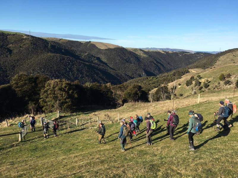
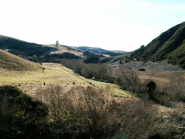
Lee Stream below
Lee Stream below (Photo and caption Pam)

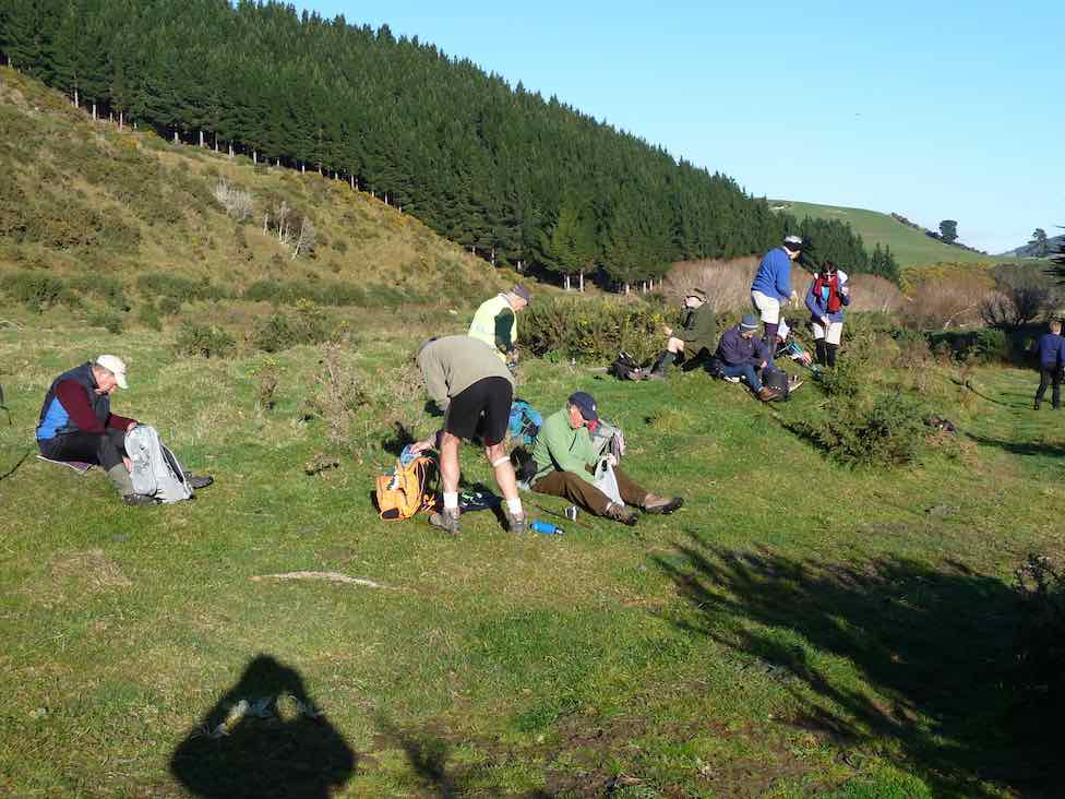
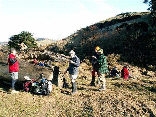
From here we could also look down on some of the track we were to follow for our first loop. We proceeded down a steep track then levelled out to make our way around the face with a mixture of up and down till we got to a good sunny spot for morning tea.

Morning tea
Morning tea (Photo and caption John)

After our break we headed off following a farm track which took us through some boggy patches and a bit of manuka. A decision was made to keep going on this course instead of making our way up through the paddock. A good addition to get the heart rate going and the legs pumping. We then made our way across the road to the Sime’s farm (leased by Roulstons) where there are spectacular views all the way down to Lake Waihola.
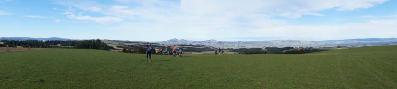
Saddle Hill in sight
Saddle Hill is in sight (Photo and caption John)

It was a flat walk on the paddocks to our lunch spot at the implement shed. After lunch we walked over a couple more flattish paddocks and well chewed swede paddock then proceeded down the paddocks where Nick joined us to help us find the elusive Weka falls. It was a steady descent to the entry point of the track to the falls. We followed stock trails in the gully through bush consisting of manuka and totara but were unable to find the falls despite being able to hear them. Nick led us further upstream through the bush and scrub and the track was eventually found. Following the track down we came to Smugglers Stream and the Weka Falls.
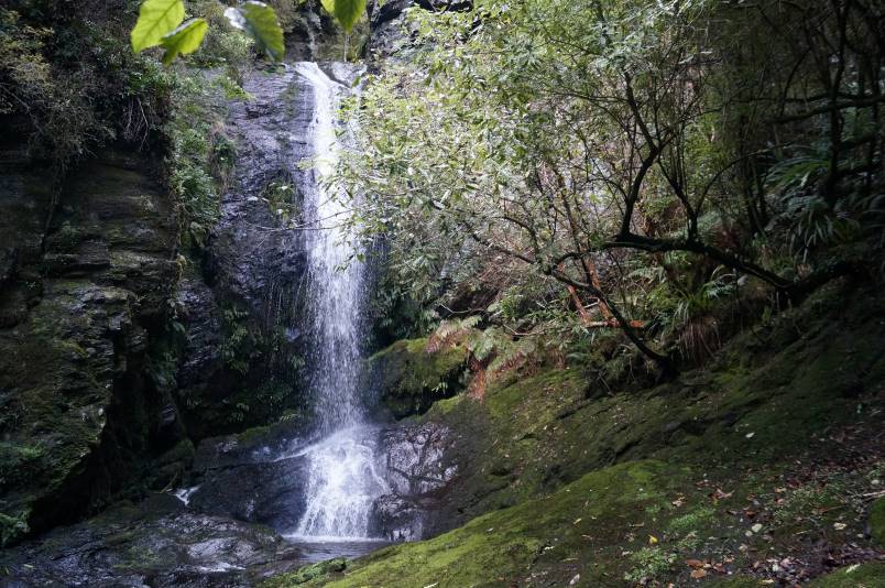
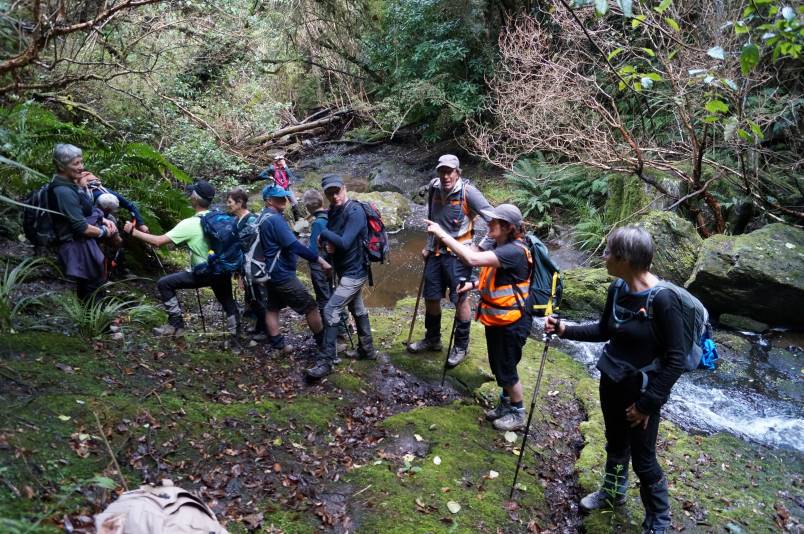
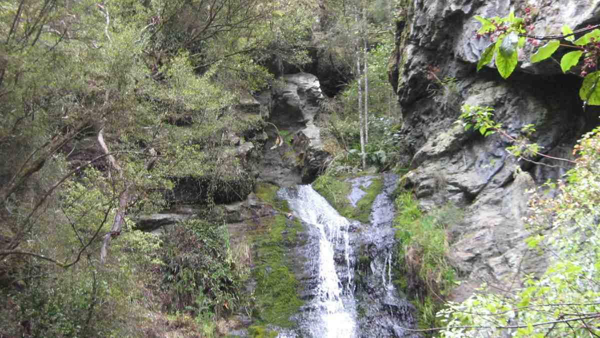
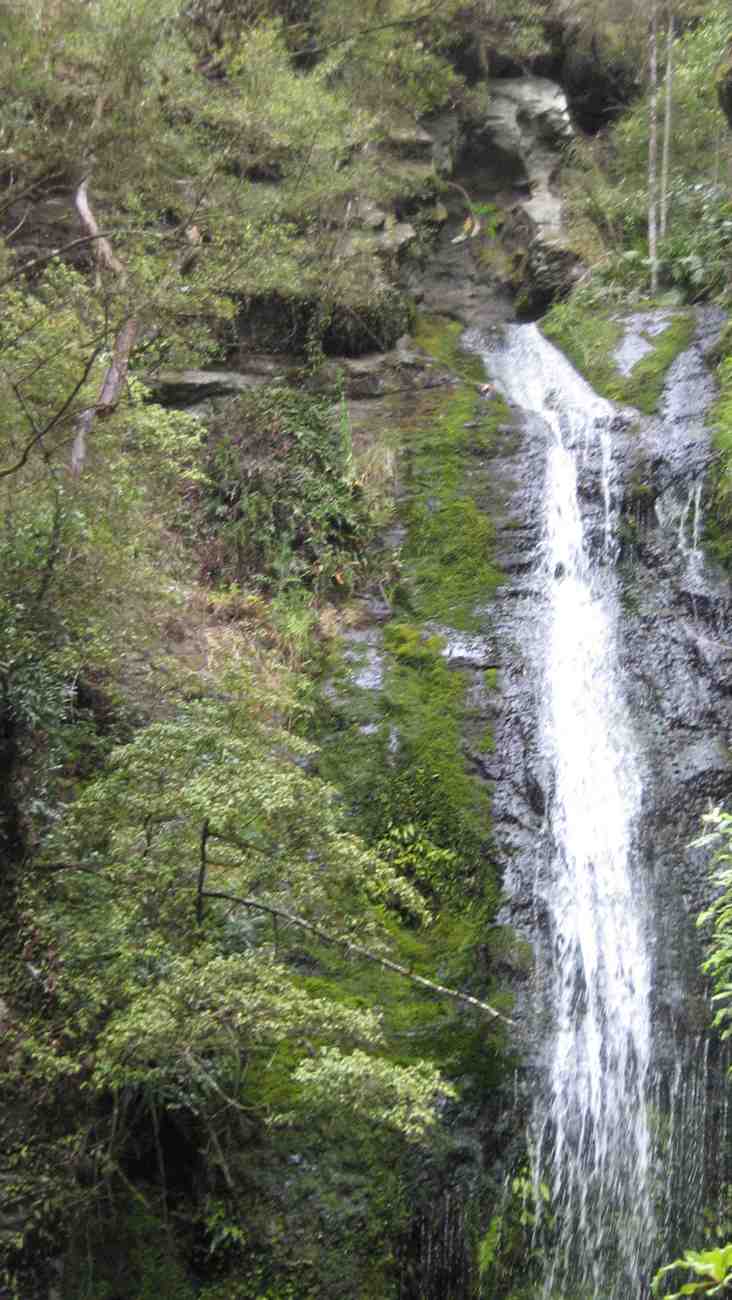
Quest complete - the elusive waterfall
Quest complete – first view of the Weka Falls                               (Photo and caption John)
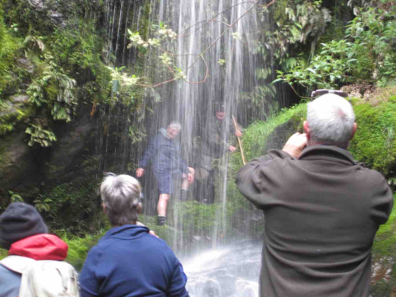
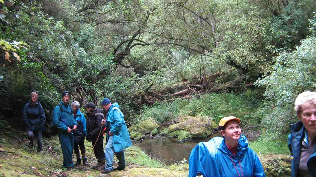
Meeting up at the waterfall
Meeting up at the waterfall (Photo and caption John)

The falls were definitely worth the effort to locate them as they are very picturesque. Nick was able to go in behind the falls and not get too wet.
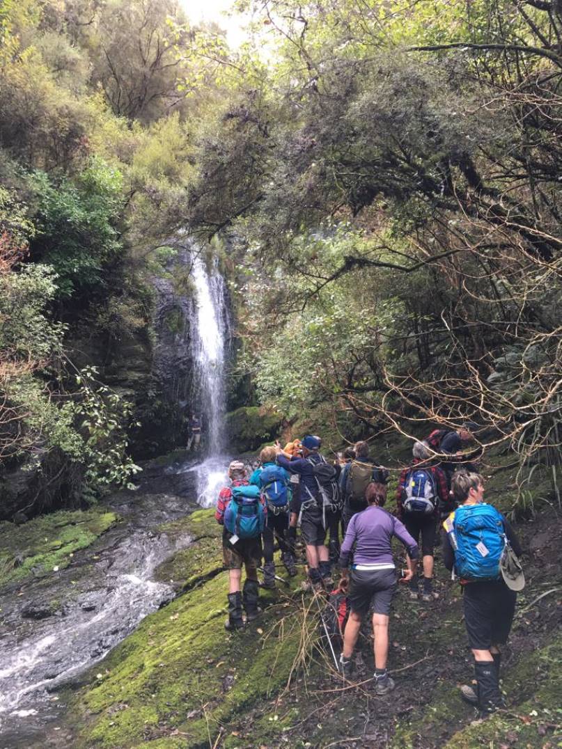
Weka Falls on the Sime property Nick Roulston is behind the falls
Weka Falls on the Sime property (Photo and caption Pam)       Nick Roulston is behind the falls

After making our way back up the track and regrouping, a piece of orange tape was left to mark the correct entrance to the track. We made our way back up the lower paddock then headed down into a wee manuka gulley then up just below a pine block across the paddock to the lane where we had walked before lunch. From here it was a flat walk back to the road then along to the area where our cars were. The tramp was approximately 15km long and had a good variety of grades and scenery.
A big thank you to Nick Roulston for being so generous with his time both with the recce and helping us find the falls on the day. Thanks also to Jill for the baking she gave to the Roulston family.       Karen McInnes


8. 11/11/2015. Hikers. Weka Falls on Smugglers Stream. Leaders: Peter and Wendy.
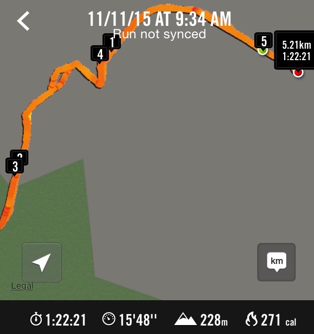
Route. Weka Falls on Smugglers Stream.
Route. Weka Falls on Smugglers Stream. (NB: Began tracking half a paddock too late!)

About 25 of us parked at the wool-shed. After Jim Sime had welcomed us, he invited us to share a moment’s silence as it was Armistice Day and a suitable occasion was unlikely to occur later at 11.00 a.m. Due to some hip trouble Jim led us off in his Kobotu four wheeler. We took the customary route first through the tree-lined paddock, through the gate, turning off to the left along the ridge of the next paddock and down it to the gate at the bottom. Here we took the sharp turn to the right down the steep slope (acute  turn right below 4 km indicator on map of route)  into the dip,

Down the steep slope. (John pic)

then up again to the left at its farther end and up up up a long slope to the eventually ease-off at its top. Then slightly diagonally to the left, now sloping down to stop at a part-wired fence for the morning cuppa.
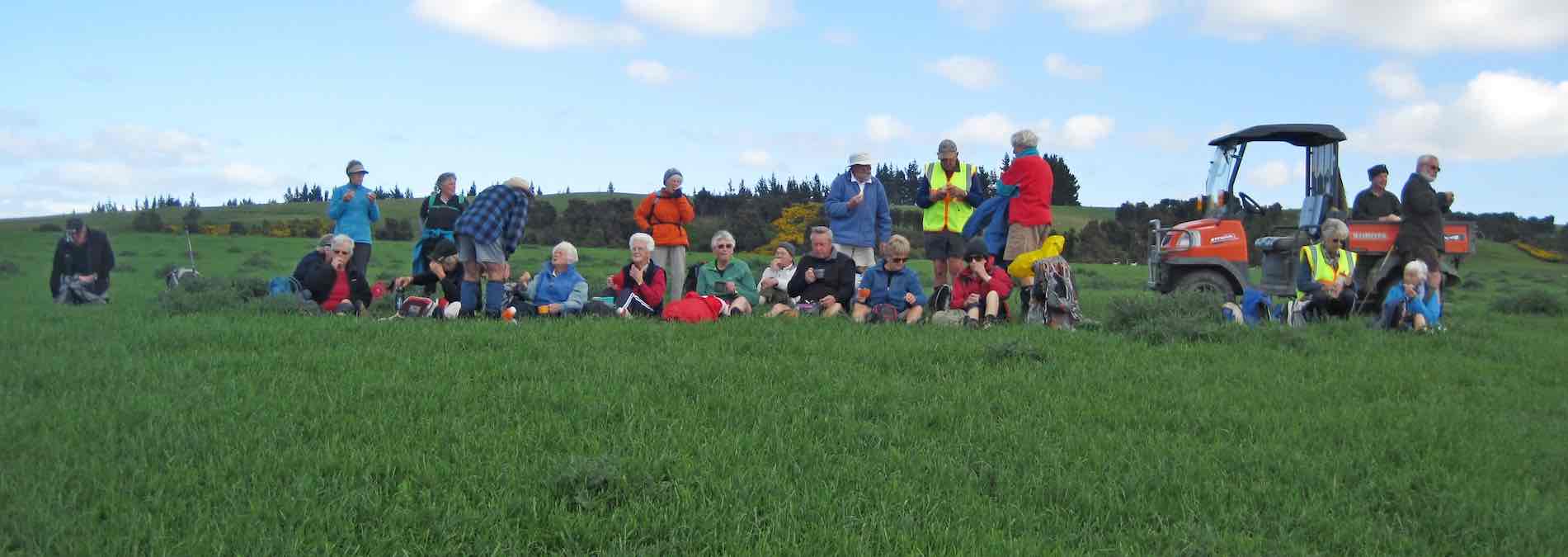
Morning cuppa at the top.
Morning cuppa at the top. (John pic)

Beyond the fence, it was a long gradual descent to a bush-lined gully in the distance. Jim had opened the track down through the bush, adding many well-dug-out steps on the steeper parts. Half an hour went by before we reached Smugglers Stream at last.

Down at the stream, everything was covered in slippery moss and great care was necessary to avoid slipping over. Alex nobly stood by slippery rock face on the track and was not one to shirk the the task of having to rescue three fair maidens in his arms as their feet slid away beneath them..
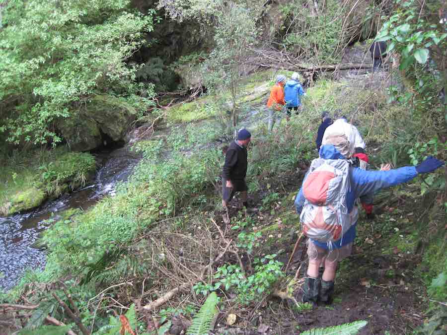
Alex ready to catch people sliding on slippery rock face. (John pic)

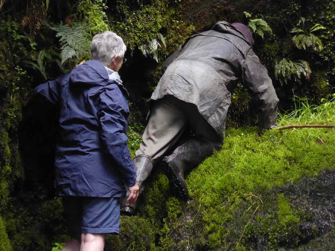
We crowded where we could find a safe footing and gazed in wonder at the Weka Falls of Smugglers Stream. Jim had said as it was likely to be his last visit to the Falls that he intended repeating earlier ventures under the falls for the last time. Judy, our President, freshly return from an extended North Island break, elected to go with him lest any mishap to befall the venturer.

The rocks were heavy with moss and the two had to take great care in negotiating the route.
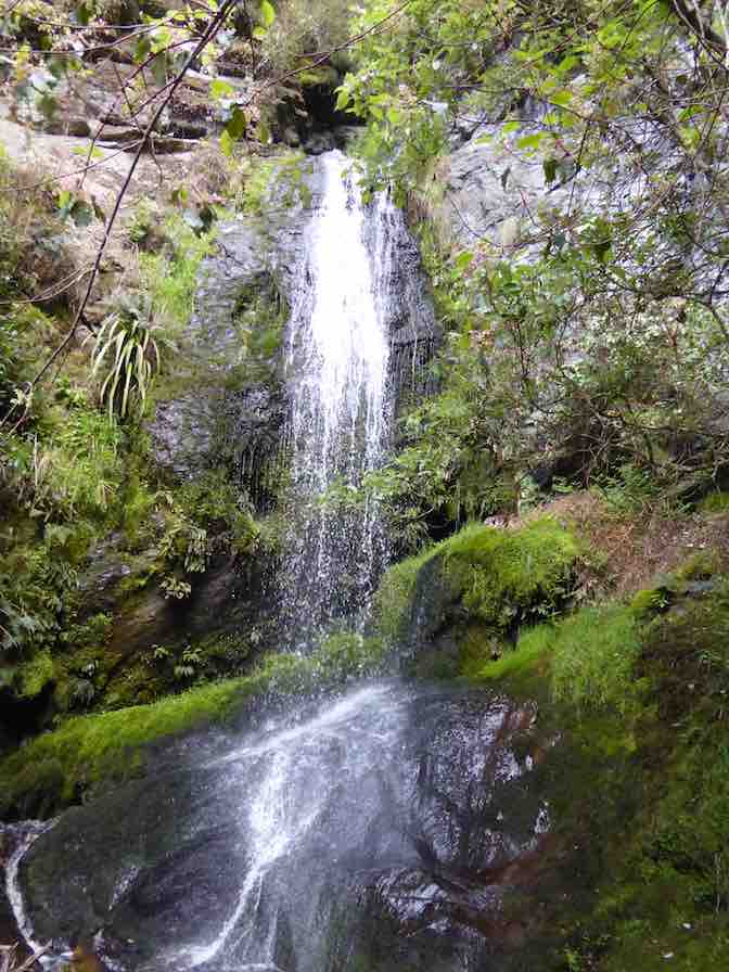
Going under Weka Falls. 1. The scene. (Liz pic)
Going under Falls. 1. The scene. (Liz pic)

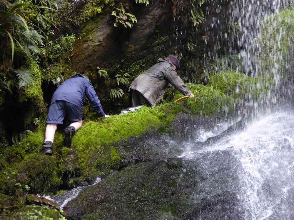
It obviously wasn’t easy.

The scramble begins. (Liz pic)
Going under Falls. 2. The scramble begins. (Liz pic)

Careful does it.

Going under Falls. 3. Entering Falls. (Liz pic
Going under Falls. 3. Entering Falls. 3. (Liz pic)

Made it!

Immodest show-offs! (John pic)
A pair of immodest show-offs! (John pic)

The way out was a surprise. Jim suddenly disappeared down behind the next mossy rock ahead of him with Judy waiting to make the plunge down too.
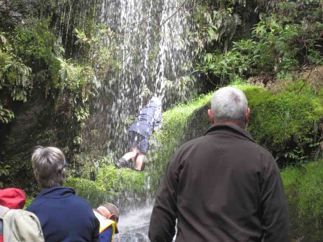
Exiting Falls. (John pic)
Exiting Falls.  On and out! – or down! (John pic)

Beyond here was impossible to photo. The route was out of sight. It lead up and into the bush and via a contoured route reached reach the track we had come down at a point about half-way up it. Bravo!

We climbed our way back out again. Jim offered the chance to harvest young lancewoods or totara and a few accepted his offer. He also provided a few freshly cut manuka sticks as trekking poles for any who wanted them.

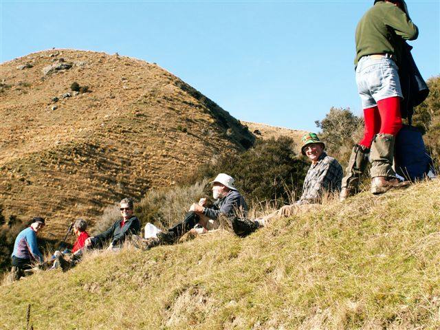
We lunched at the bush side.

Lunch at the top of the bush. (John pic)

Sheltered from the wind, we dozed in the sunshine until at last it was time to begin the trudge back up the slope above us. It’s never easy to have to climb immediately after a lazy lunch break, but climb we all did – with one exception. John took advantage of the opportunity of accompanying Jim in the Kobotu.

The Weka Falls day is not a long one, but makes up for it with many many energy-sapping ups and downs. We arrived back at the cars it was not the end. Jim expressed his pleasure being able to share his property with us. And to finish the day off, he was prevailed upon to sing us his famous song about the egg (well, the slightly-off egg), consisting of a medley of some six or more tunes cleverly matching the words. This was met with much applause.

Twenty-one or so of the Hikers resorted to the Topiary Cafe for a convivial coffee stop. Thanks to Peter and Wendy for an enjoyable day.  Weka Falls had been a surprise of a delight to all the ‘newies’ in the club. – Ian.


7. 18/4/2012. Hikers. Weka Falls. Leaders: Peter, Fred.


6. 2/12/2009. Both. Weka Falls. Easy. Leaders: Ian, Fred.
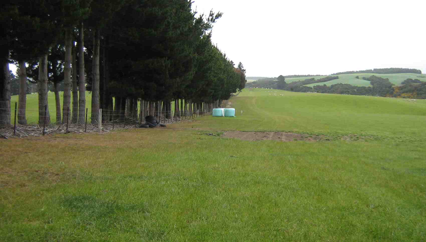
We parked our five cars at the wool-shed where we were met by Jim, our guide. He first led us along a tree-line to a double set of gates.
Tree line at start.
Tree line at start.
Through the left gate and down left along the paddock ridge. At its foot, we turned right and carefully descended a very steep slope down into a gully. From there it was steeply up to the left onto a top. They it was continue diagonally left with a shed in the distance as a guide point, we took the ridge to left of a gully featuring two broadleaf trees.
Following the ridge, we eventually reached large gorsebush clump adjacent to the bush. Here we stopped for our morning tea break.
Immediately behind the bush was the entrance to a steep but well-cleared track which took us down to the amazing hidden gem of the Weka Falls.
Gut at top of Weka Waterfall
Weka Waterfall.
Weka Waterfall.
Pool at foot of Weka Waterfall.
Down-stream pool.
Down-stream pool. Lesley, Arthur, Wendy, Barbara, Fred, Susan, Sabina.
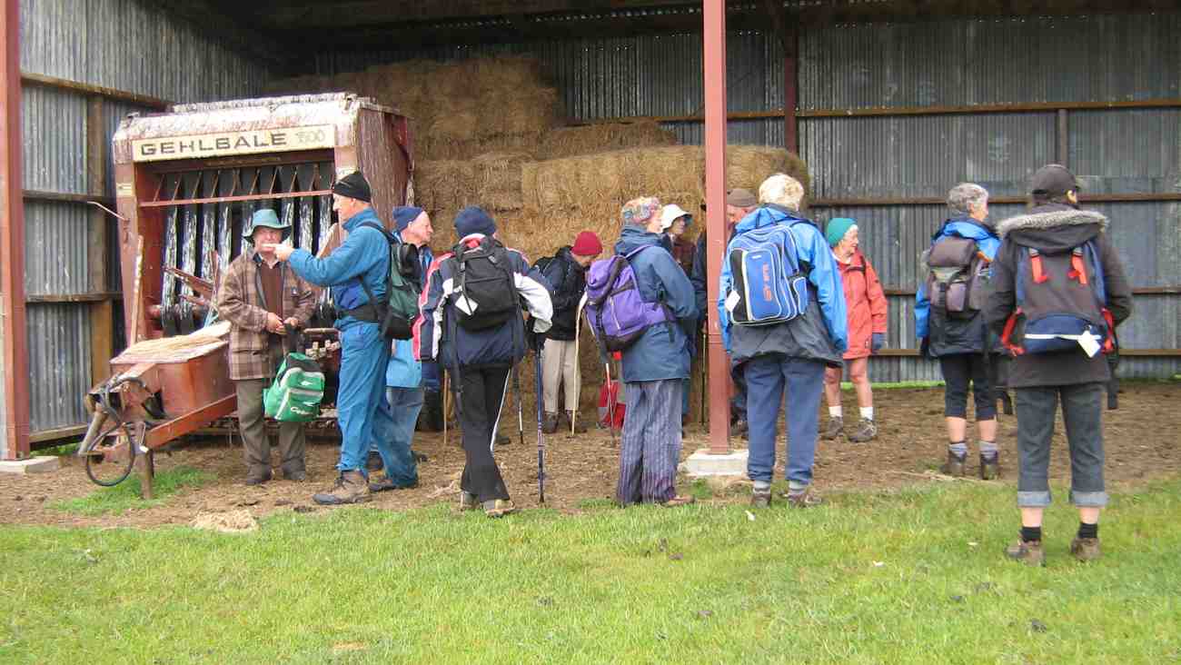
We accomplished the steep climb back up the track in a shorter time than we thought it would take. Then it was back out to the paddock ridge, but this time diagonally across to our left, and back around through another paddock or two to lunch in the shelter of an implement and hay barn.
After lunch in the barn.
After lunch in the barn. Jim, Arthur, Fred, Who?, Molly, Lesley, Evelyn, Who?, Peter, Margaret, Bev, Wendy, Barbara.
An easy downhill walk completed the circuit back to the cars. An enjoyable if drizzly and cold  (at times) day. – Ian

5. 26/7/2006 Trampers. Weka Falls. Hindon Road. Easy. Leaders: Ria L, Doug J
4. 8/2/2006. Trampers. Weka Falls. Ria, Doug J.
3. 28/7/1999. Craiglea, Weka Falls. Leaders: Ria L, Catherine, Molly.
2. 11/8/1993. Weka Falls – Hindon Road. Medium. Leaders: Ria L, Peggy M, Mairie
1. 10/4/1991 Weka Falls, Lee Stream. Average. Leaders: R Lippers, Batchelor, Koot, L Smith

Orbells Crossing, Northern Lawsons Farm

68 km from car-park.
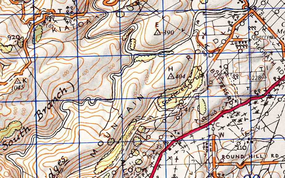
Topo map of area

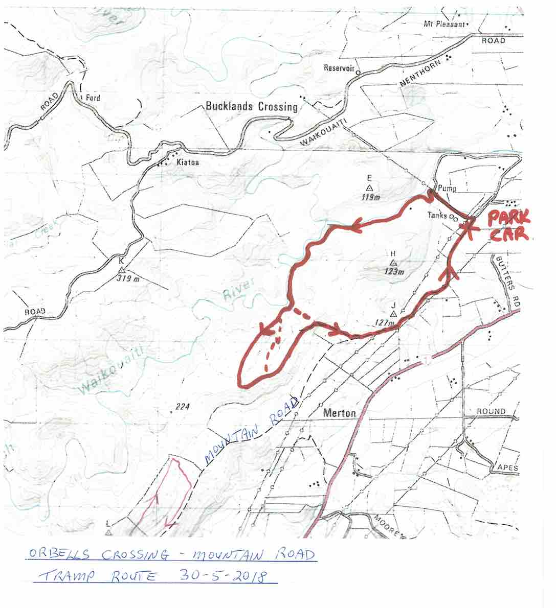
9. 30/5/2018. Orbells Crossing – Mountain Road.(Lawsons Farm.)  M-H. Arthur.

Map of route, courtesy Art.

Frost to begin with, but a sunny day followed for 11 Trampers to enjoy their exercise in.

We drove up Mountain Road from the north end and parked up.

The air was cold, but a brisk downhill walk in the sunshine took us to the bank of the Waikouaiti River where we had our smoko stop.

All important smoko. (Gordon pic and caption.)

Following the river bank upstream we soon encountered a pine plantation where the track was becoming overgrown with blackberry and gorse. You would have expected that a consciention leader would have done some track clearing!

This was the only bad patch for the day, as we were were out on grazed paddocks from then on.

Passing the junction of the two branches of the Waikouaiti River, we continued up the south branch and soon came out on a lovely river flat. On leaving the river we had a long climb, with a reasonable gradient,

Onwards and upwards. (Phil pic and caption.)

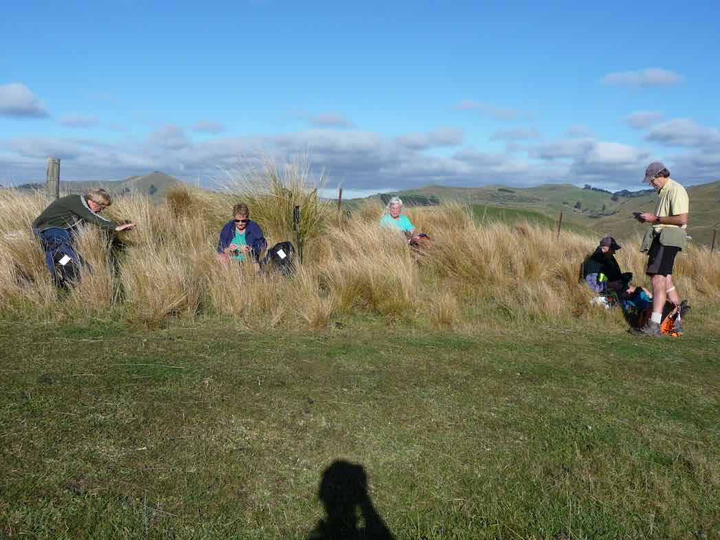
to eventually find our lunch spot on the ridge top.

Lunch among the tussocks. (Gordon pic and caption.)

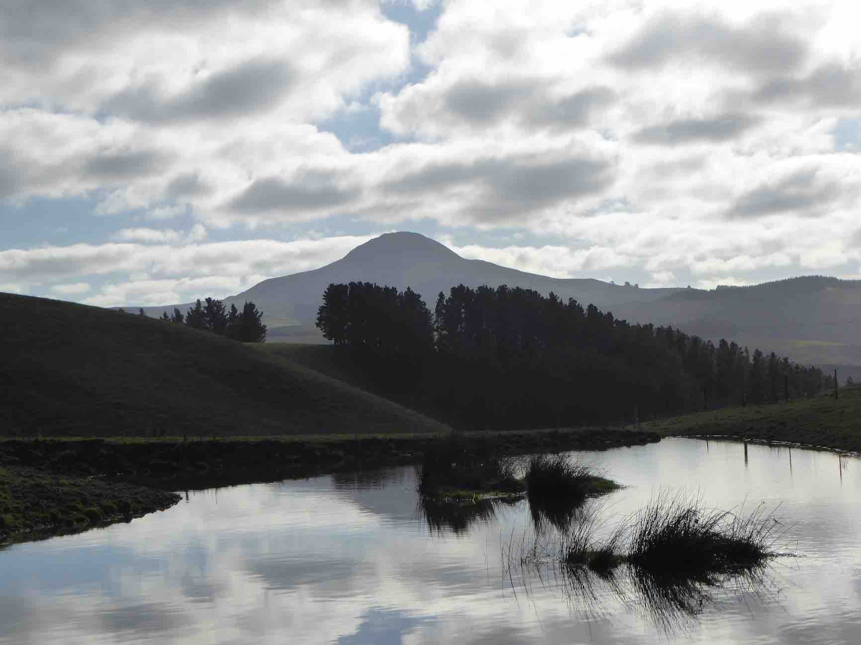
Lunch with a view – a little snow was on top of Lamb Hill, Mount Misery, (Bendoran Huts had been visible a few metres back). We were looking at Mount Watkins

Reflecting on Mt Watkins (Phil pic and caption.)

as we ate, and Maori Peak, Karitane, etc, further round.

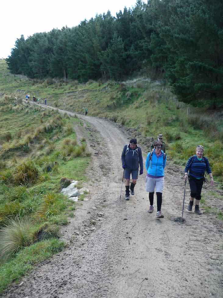
A very slight south-east, but very chilly breeze was present, and we faced into it for the return journey. Following the ridge down, and then on a slippery (newly graded) track requiring care.

Heading back to cars. (Gordon pic and caption.)

In time we came to Mountain Road, which is the old wagon road from the early days of Otago, and eventually arrived back at our cars.

We had covered a distance of about 10.5 km. Our club had last tramped here in 2012, but none of our group had been here before.

A new tramp is always welcomed, and we had a great day in the sunshine, enjoyed by all.

Blueskin Nurseries enjoyed our patronage on the way home. The Hikers arrived in too. – Art.


8. 18/1/2012. Trampers. Orbells Crossing, Mountain Road Track. Medium.


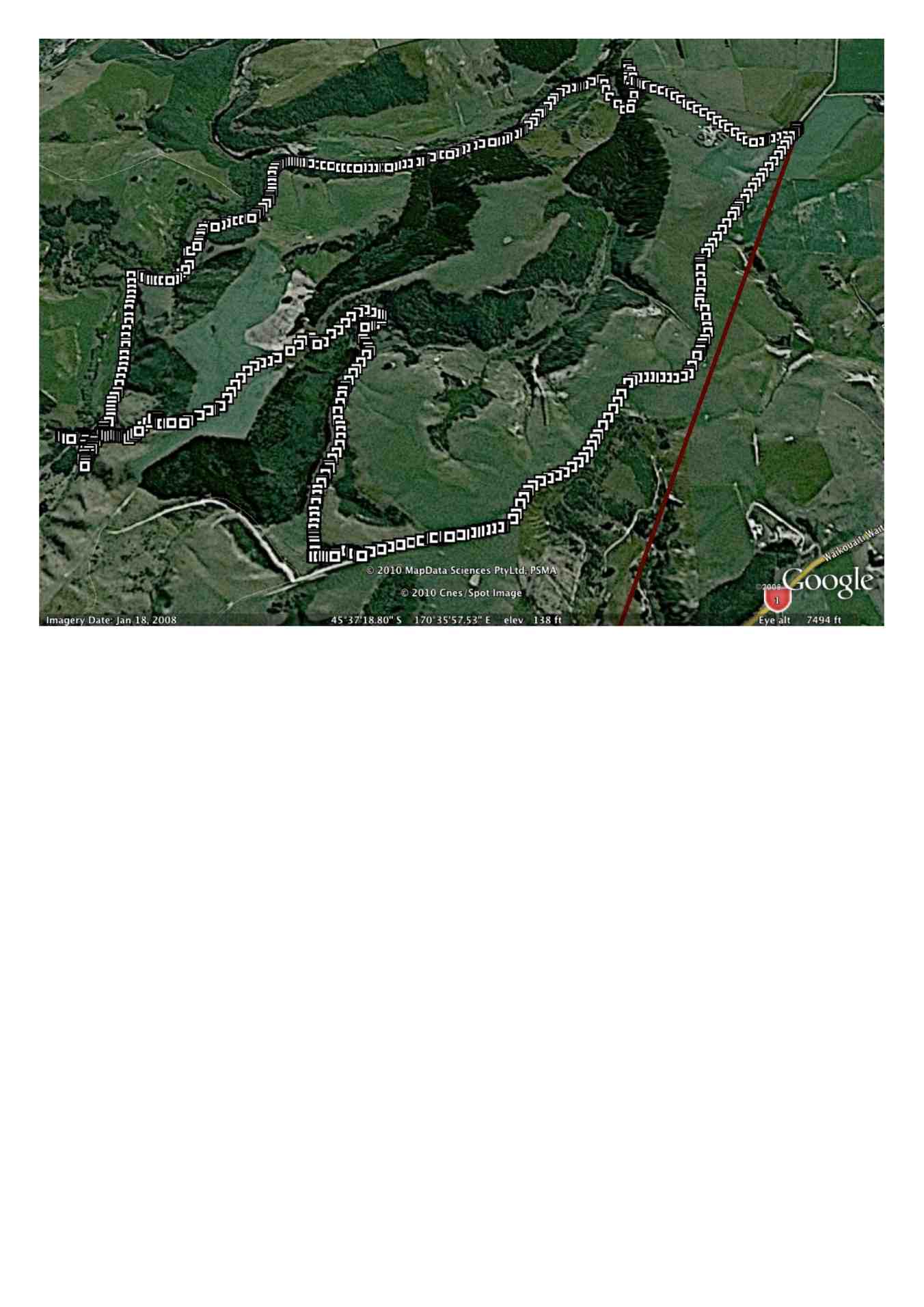
Ken's GPS tracking of tramp
Ken’s GPS tracking of tramp
Three of us, & Fin the dog went on the tramp to Lawson’s Farm at the North end of the Silverpeaks, in the Waikouaiti River valley.
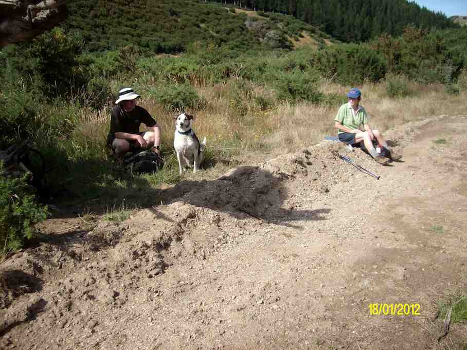
Morning Tea break. (Ken pic and caption)
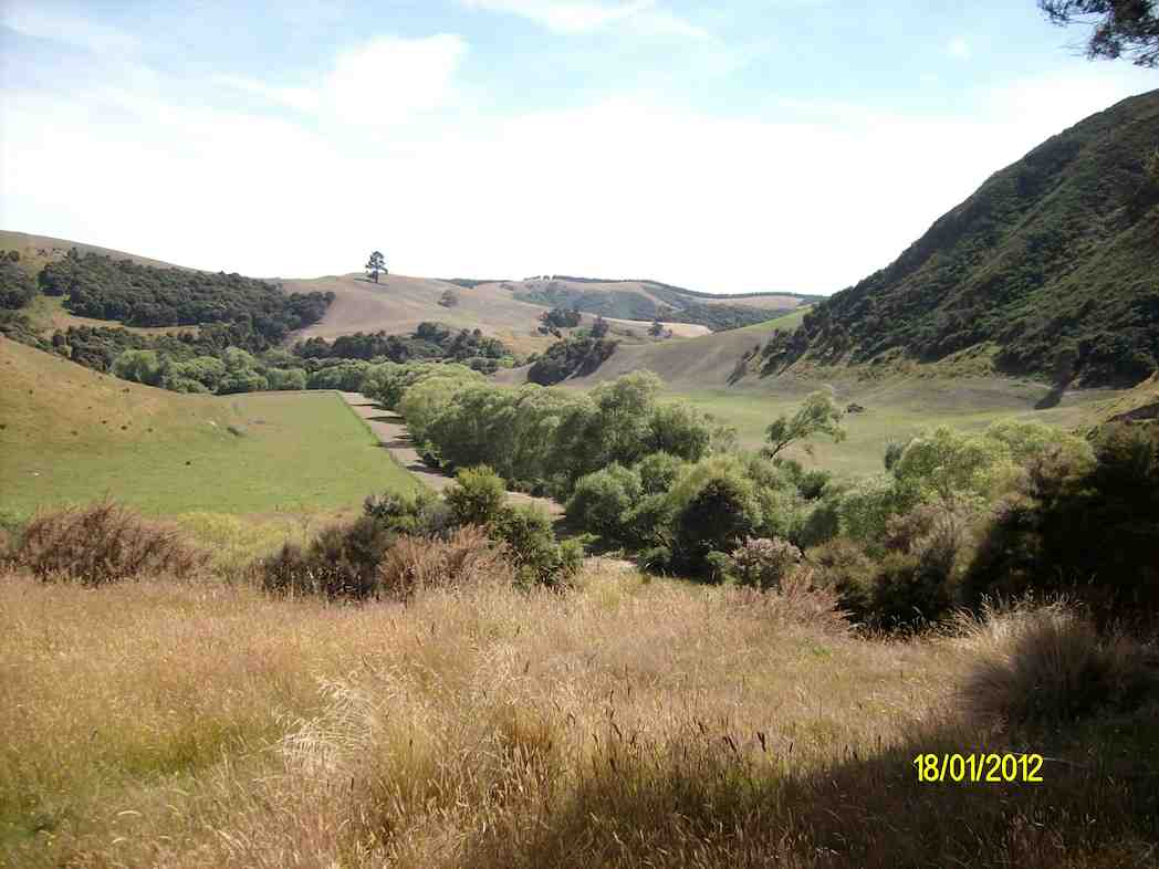
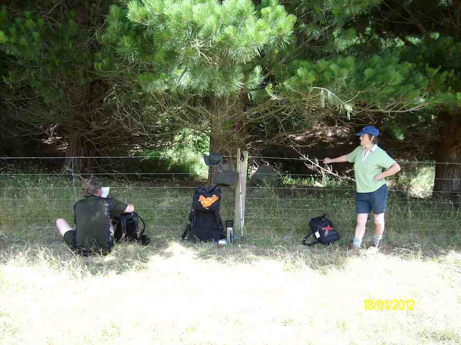
It was a very warm day, so we took advantage of the shade where we could. As I was the only one who had been there before, I put the previous tramp from there onto my GPS, & we followed that route up to where we had previously had lunch, but as it was only 11:00am at this time, we just rested in the shade for 10 mins or so, …
Resting out of the hot sun. (Ken pic and caption)
View  from our resting place. (Ken pic and caption)
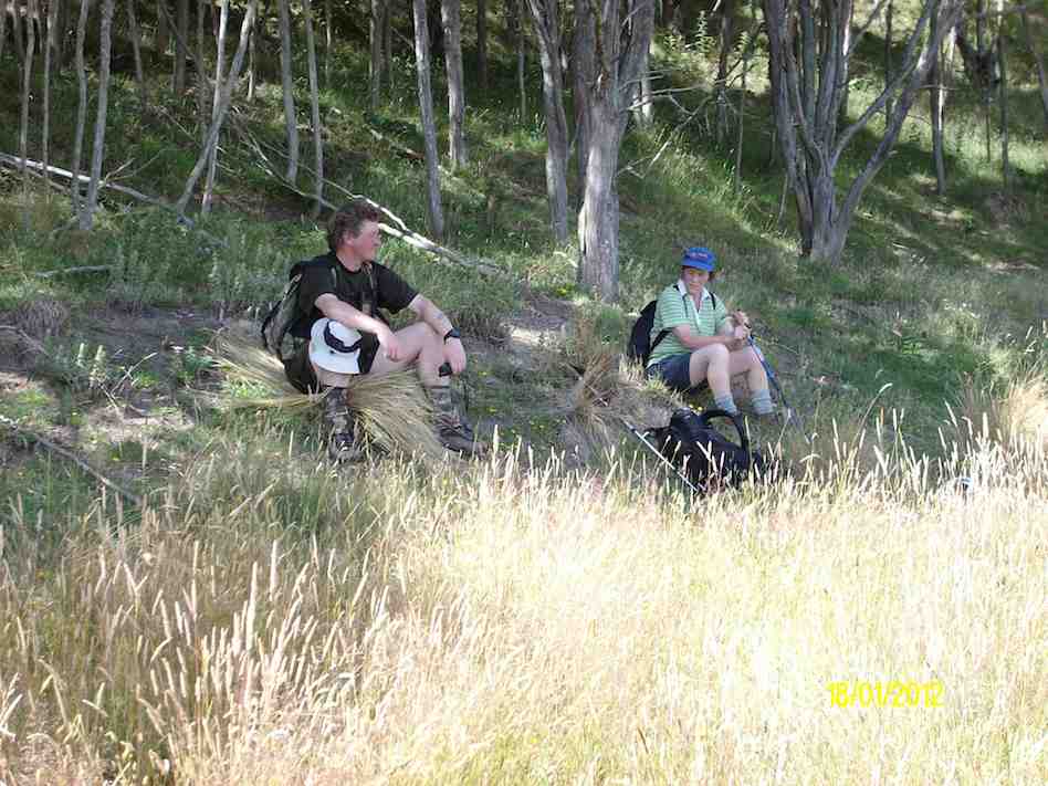
… before climbing the steep face up to the top paddock. Our lunch stop was by the Limestone rock formation, but this time, we sat down by the fence below them to keep out of the sun.
Lunch in the shade of the trees. (Ken pic and caption)
The after lunch climb up the vehicle track to the Old Mountain Track was next, & then just a leisurely walk along this back to the vehicle. – Ken.

7. 21/7/2010. Trampers. Orbells Crossing, Mountain Road Track. Medium. Leaders: Ria, Hazel.

Ken’s GPS tracking of the tramp goes anti-clockwise from top right where we parked the cars, across left alongside two large water tanks and a new building, then a zig-zag down to the river where we stopped for morning tea. Here we were amazed by evidence of a large flood that had tangled debris in bare willow-branches (not evident in the pic) well above our heads.
Morning Tea. (Keith pic)
Following Ken’s GPS tracking up the true right side of the river, and you come to the extreme left of the map where a mixture of tracking signals indicates our lunch-stop. As you can determine -click to enlarge the pic – from whether the tracking signals are behind or in front of each other, you will see that the track took us up and down several slopes. Lunch was on a ledge well above the river. A great view. The steep ridge showing in the pic’s background is what we c-l-i-m-b-e-d after lunch.
Lunch on ledge above Waikouaiti River. (Keith pic)
View looking back down the willow-lined river. (Keith pic)
A gentle descent across a newly-grassed field took us to a track down to a gully between two ridges, then up the gully to the remarkable set of unusual rocks. Beyond these, we climbed the steep slope up to the left to emerge eventually on the Mountain Road track. It was then only the case of following this back down to the the cars. Thanks to Ria and Hazel for a well-led tramp, enjoyed on a grand winter’s sunny day following a good frost. – Ian

6. 27/2/2008. Trampers. Orbells Crossing, south. Medium. Leaders: Ria L, Hazel

Rocks pose. Doug M, Hazel, Leonie, Ria, Sabina, Ken, Tash, Who?

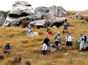
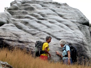
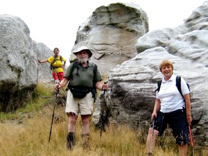
A small but select group met at the turning to Buckland’s crossing on an overcast but warm day under the leadership of Ria and Hazel. The location of the tramp was down as Orbells crossing but there was some debate as to where this actually was. We parked in the middle of nowhere but Ria and Hazel soon had us over a couple of fences and striking across the countryside to a nice morning tea stop on the banks of the South branch of the Waikouaiti River where it was mentioned that a fishing rod would have been useful. The tramp continued along a very pleasant country track wending our way along hillsides and gullies until we stopped for lunch, looking back over to where we had walked earlier. To those with no sense of direction this was quite confusing as we seemed to do a very big figure of eight. After lunch the mystery trip continued, with Ria venturing into some uncharted territory along a gully. When the gully ran out it was a steep climb up to the top where we could easily see where we were again. One of the highlights of the day was seeing the unusual rocks just above the track,

Ria, Hazel
Ria, Hazel
Ria, Ian, Tash
Ria, Ian, Tash

weathered into all sorts of interesting shapes, colour and textures. All information about these rocks would be gratefully received. A very enjoyable day’s tramping. Many thanks to our adventurous leaders. – Tash


5. 9/5/2007. Lawson Farm from McGrath/Gilchrist Roads near Old Cherry Farm. Figure of Eight. No river. Leaders: George, Evelyn C.

4. 10/5/2006. Trampers. Orbells Crossing. Medium. Leaders: Ria, hazel.
3. 9/5/2001. Orbells Crossing. Medium. Leaders: Riaa L, Mary L, Ian.
2. 10/11/1993. Orbells Crossing. Round trip. Medium. Leaders: Mary Y, Peg C, Evelyn M, Wendy.
1. 17/4/1991 Cherry Farm, Merton. Ridge inland from Mt track.Leaders: G Haggie, B Harvey, R Heenan