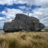
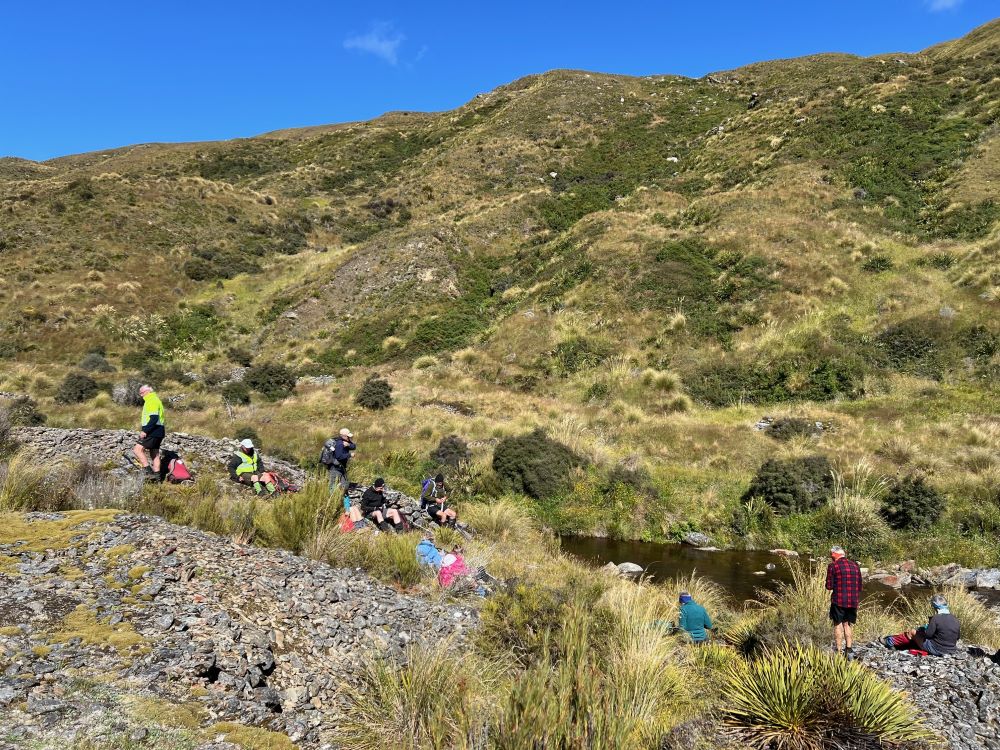
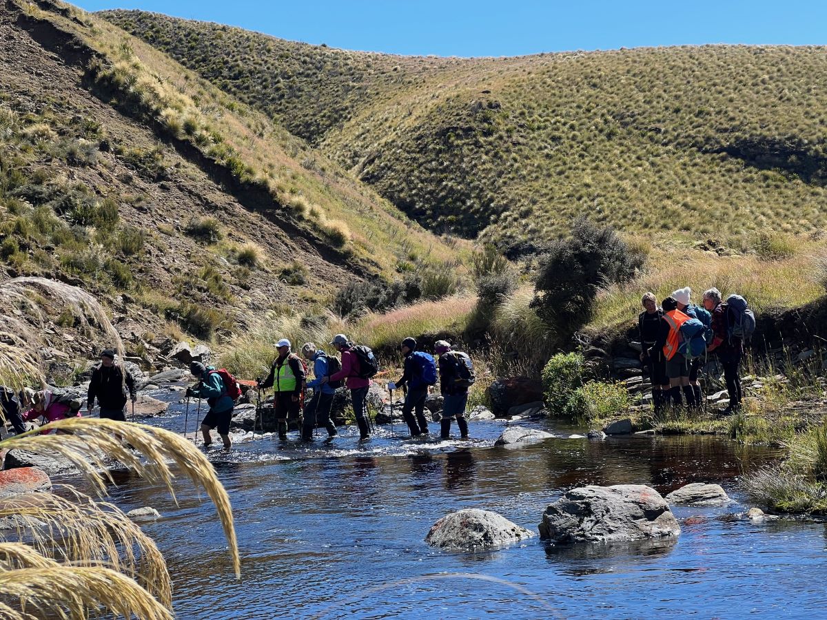
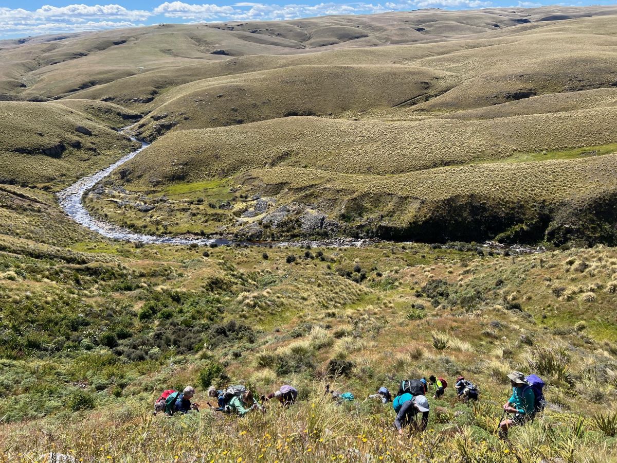
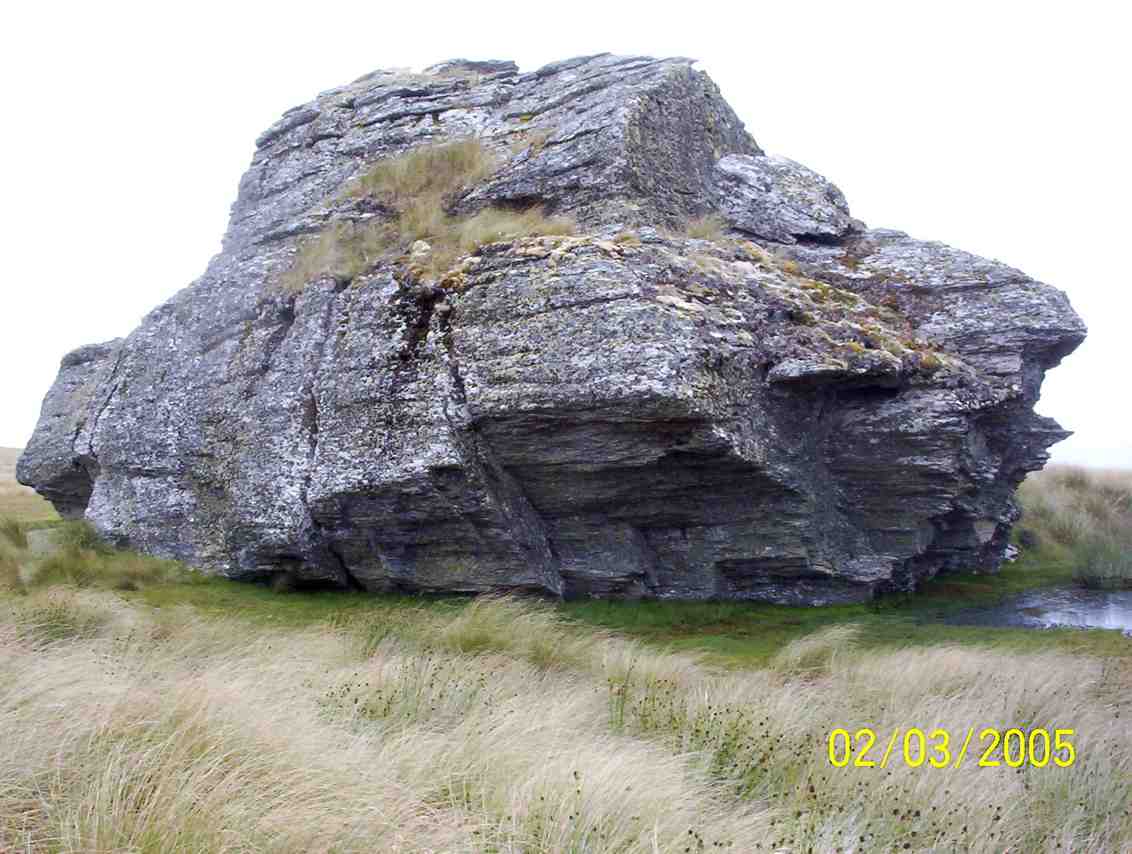
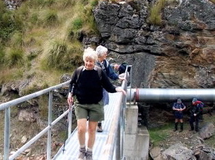
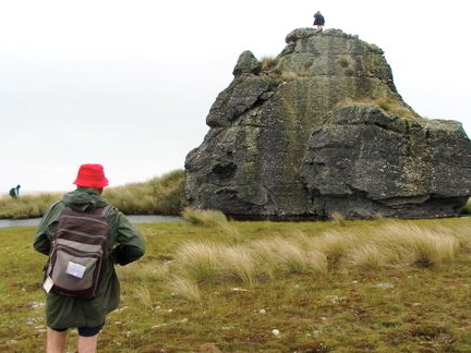
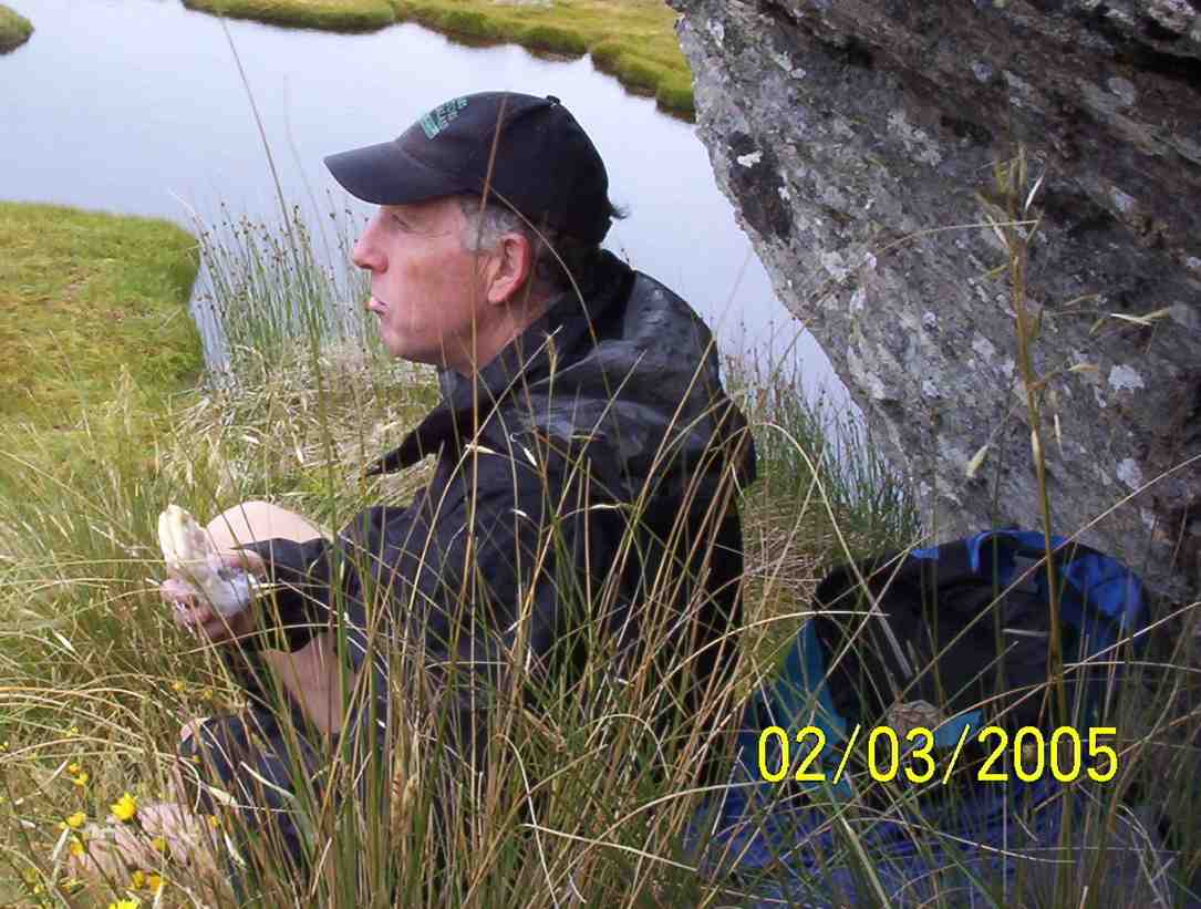
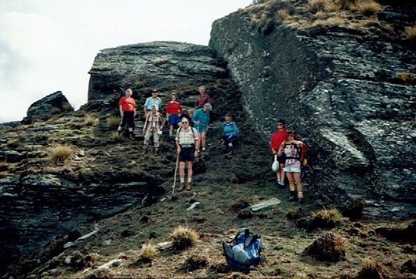
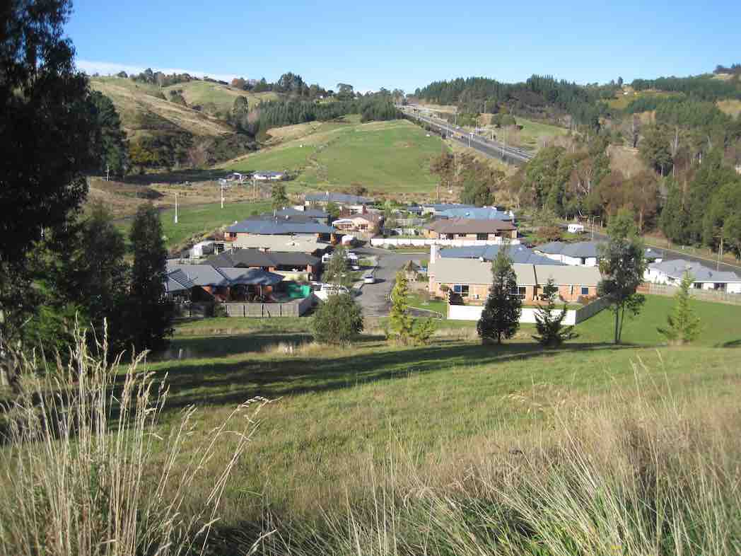
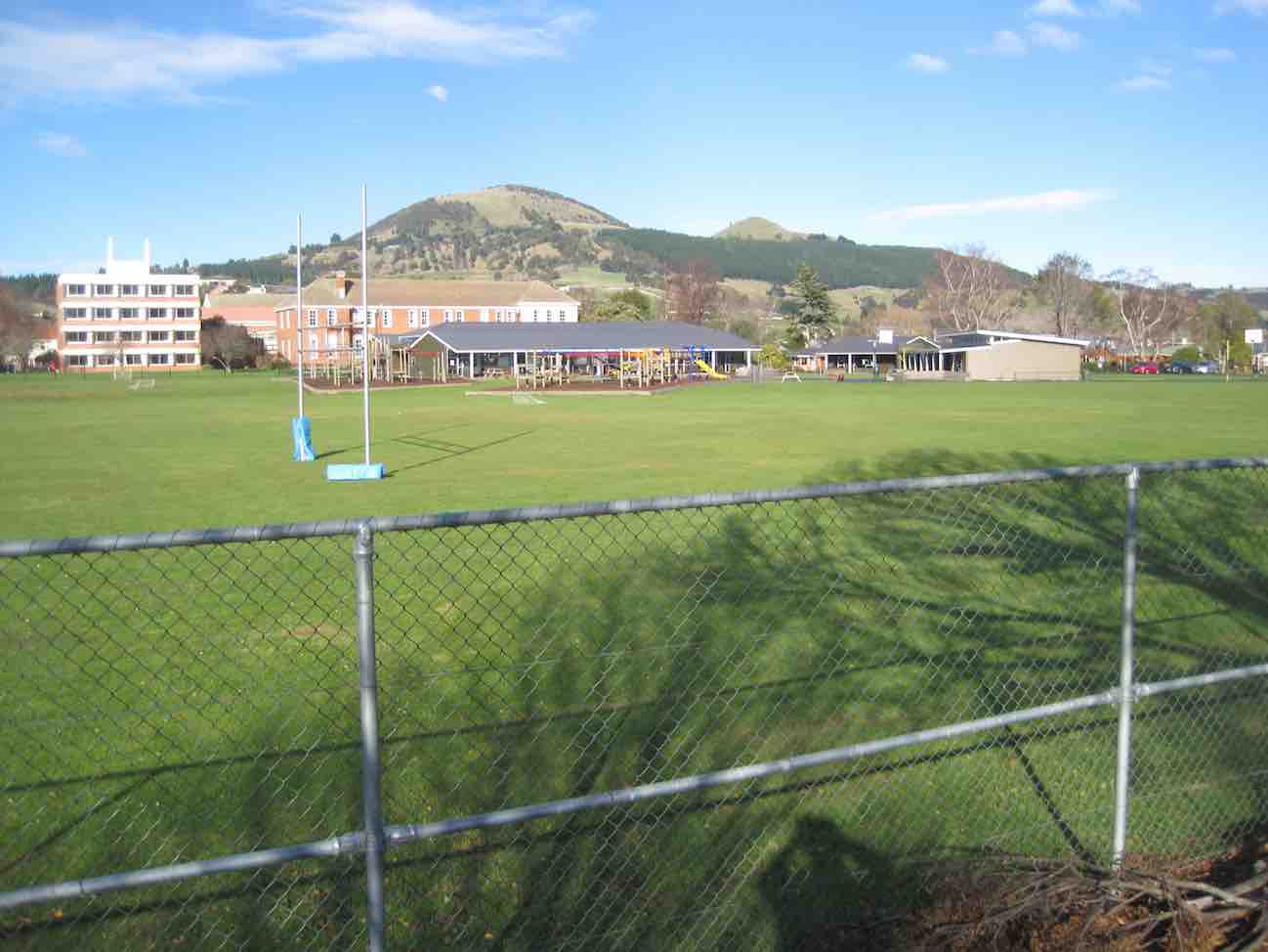
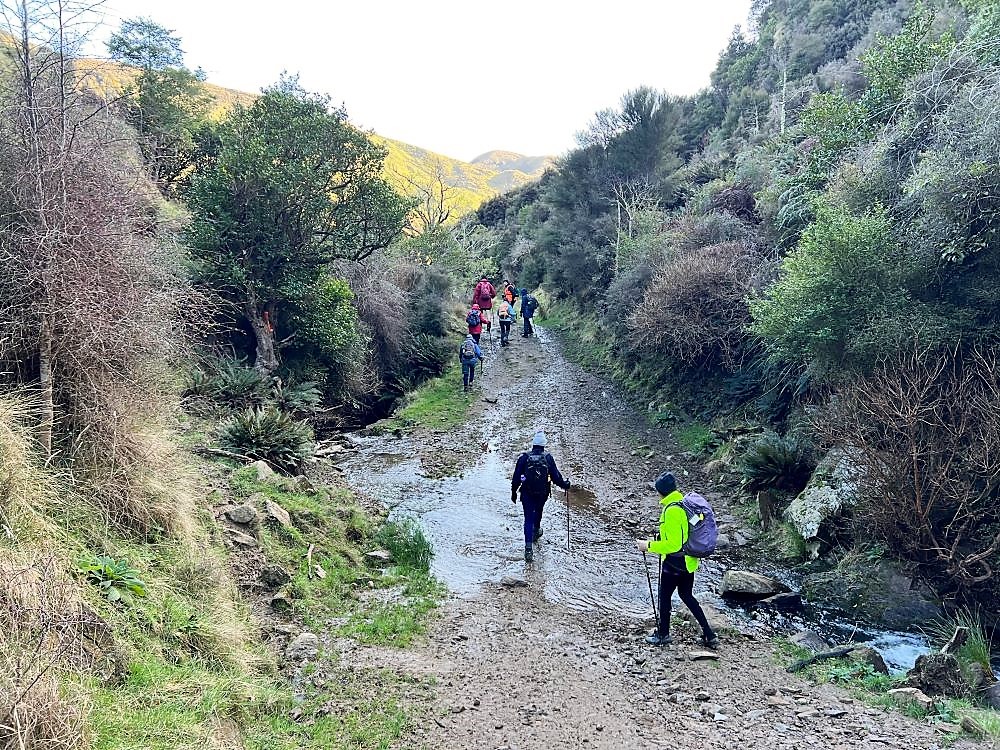
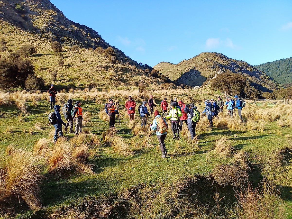
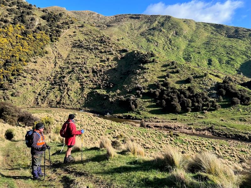
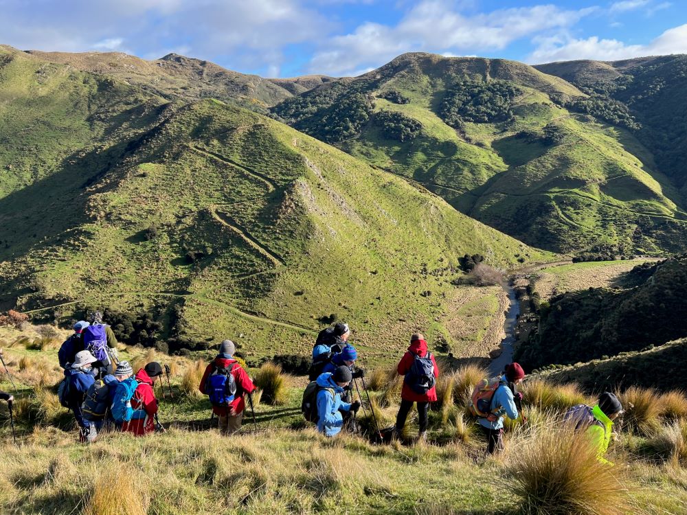
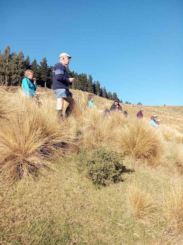
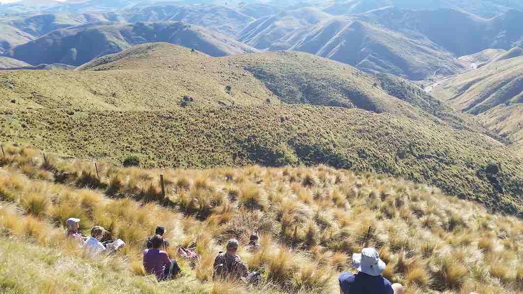
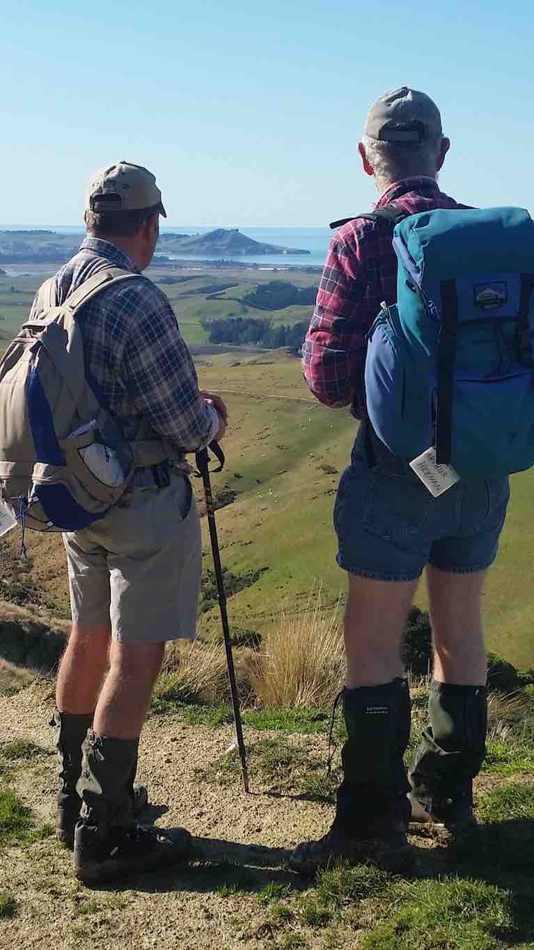
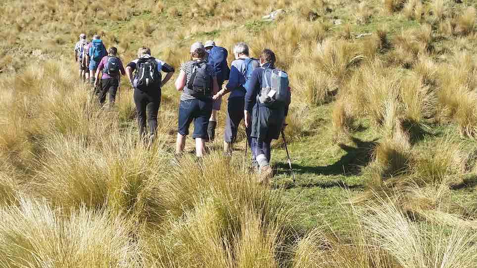
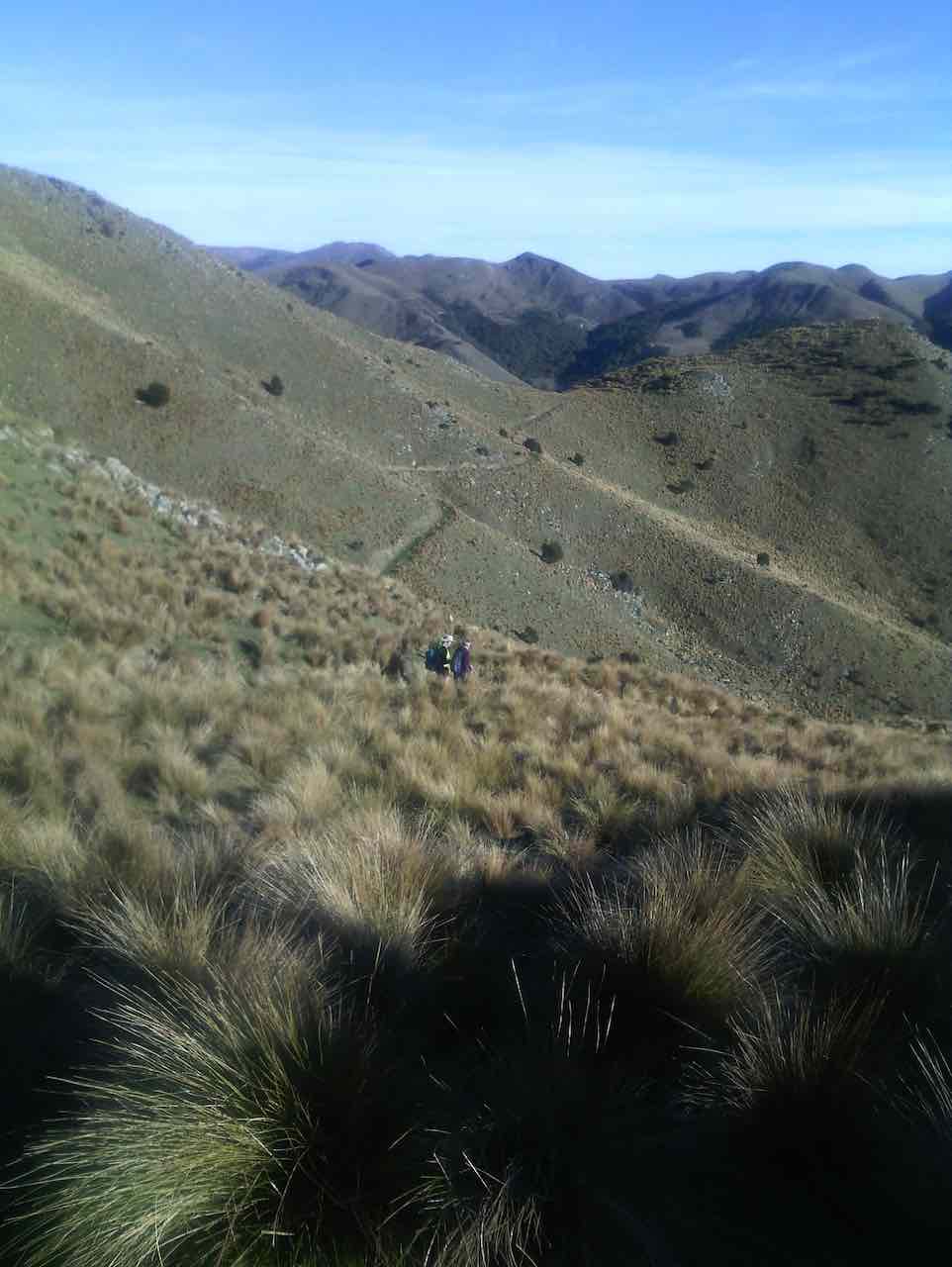
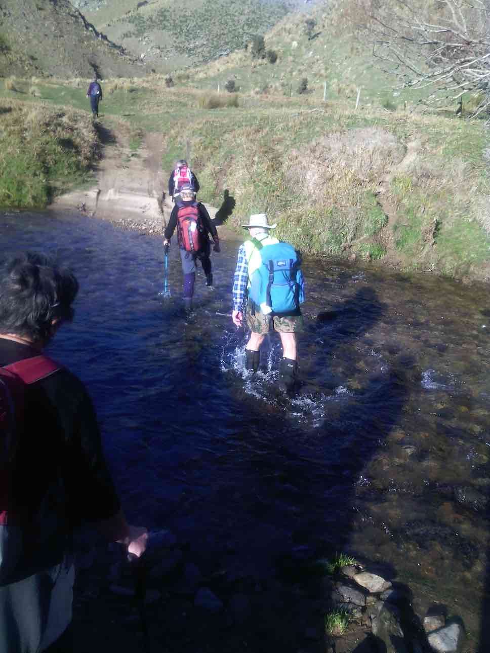
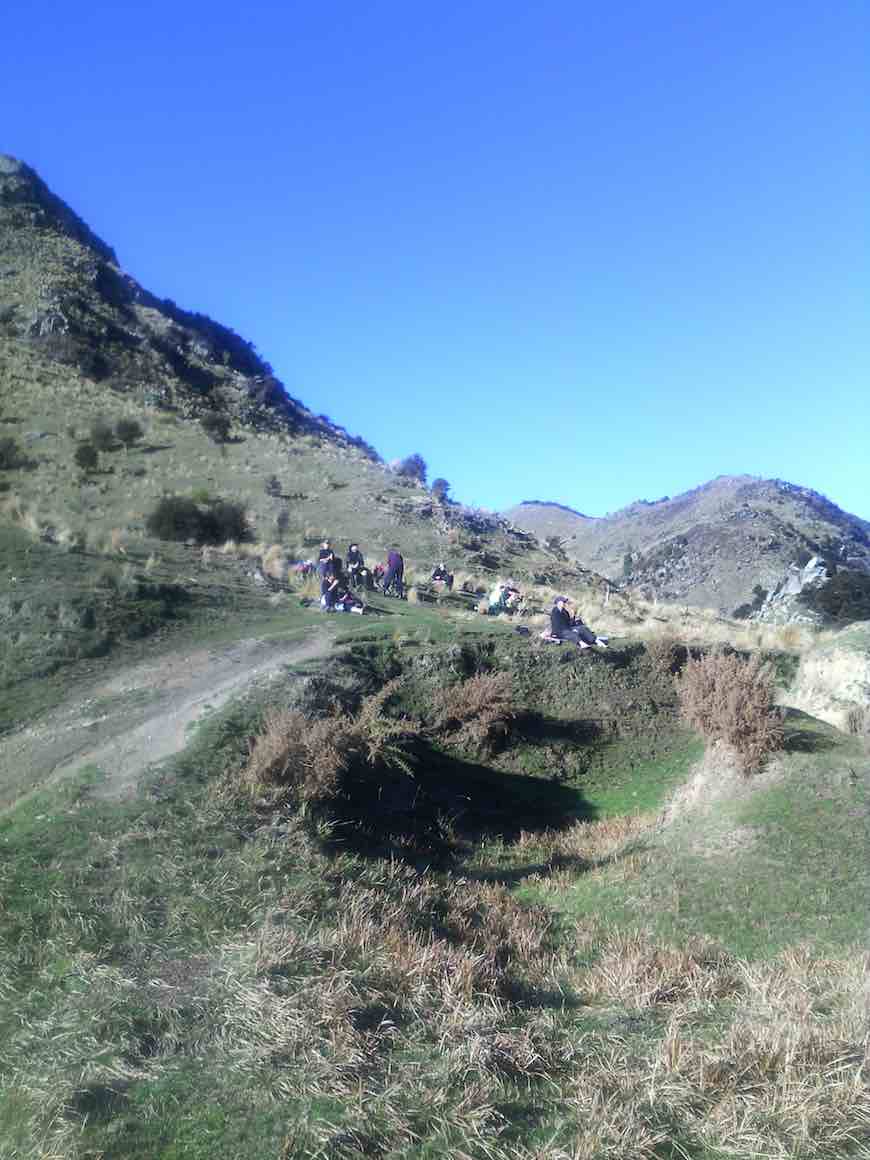
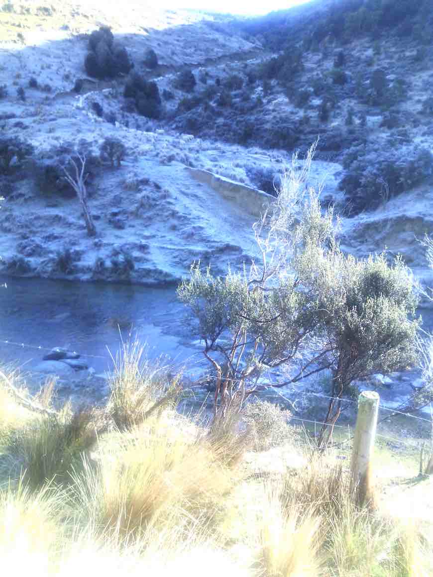
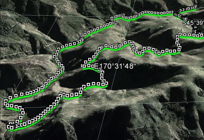
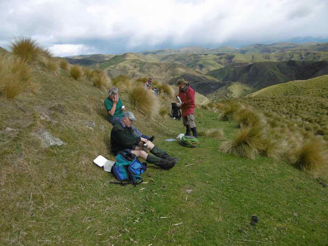
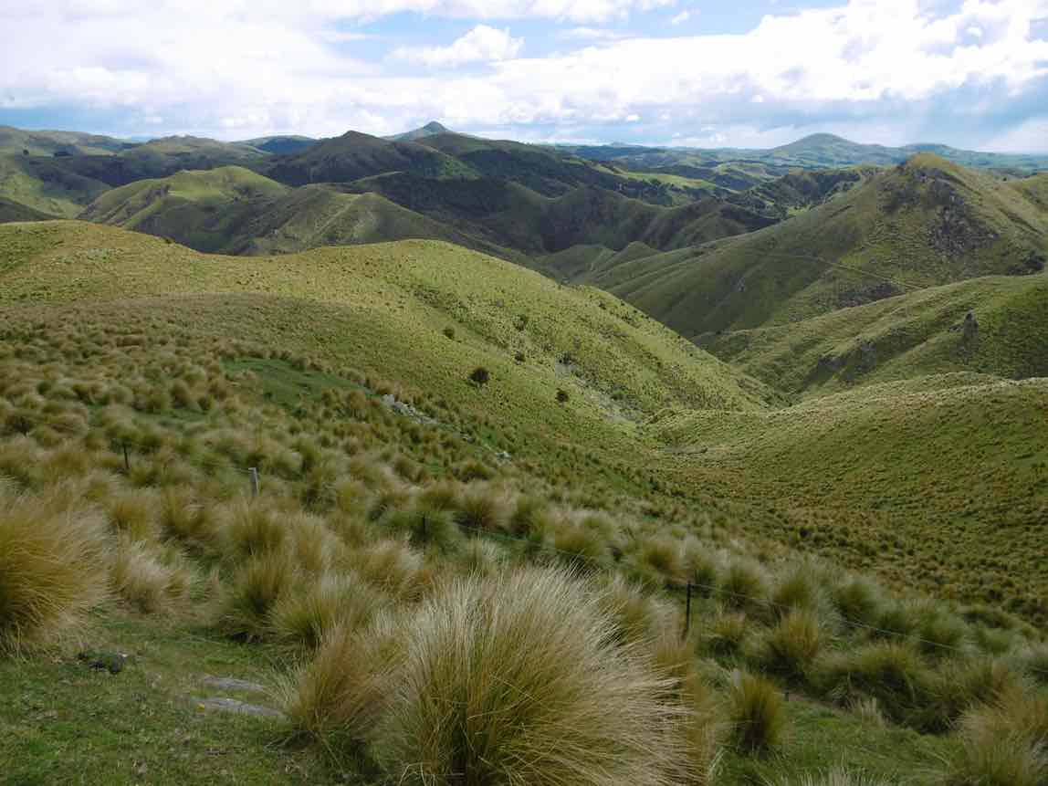
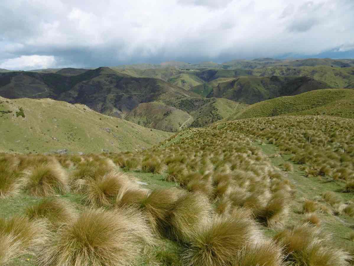
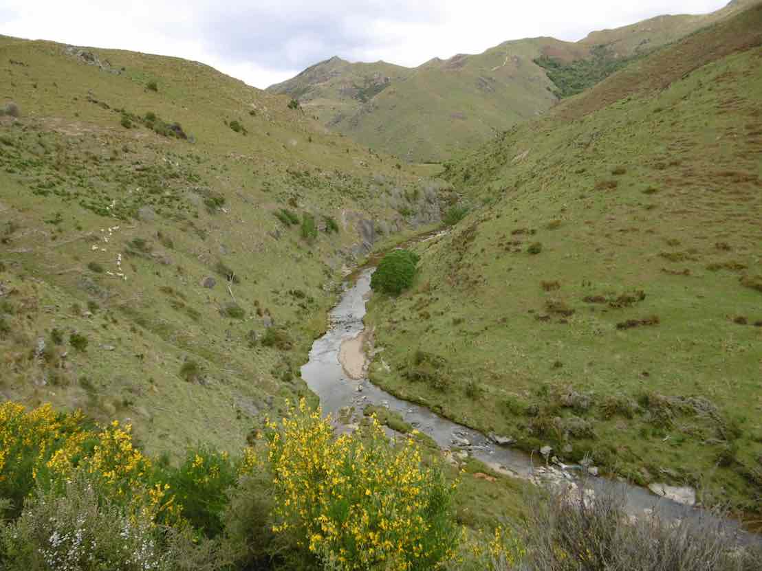
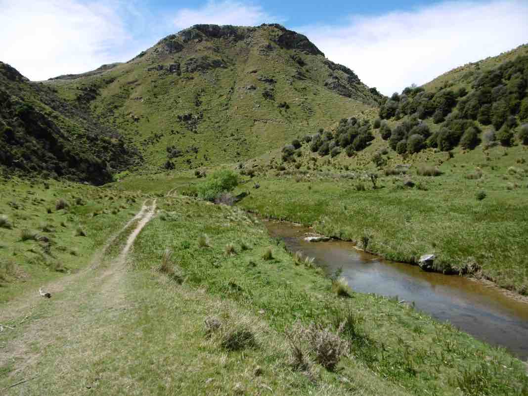
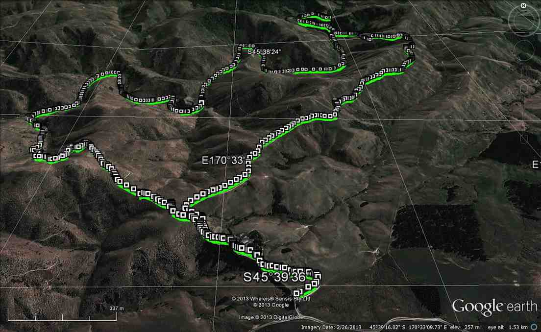
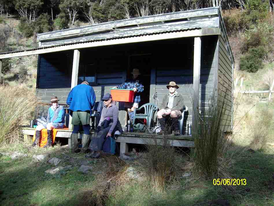
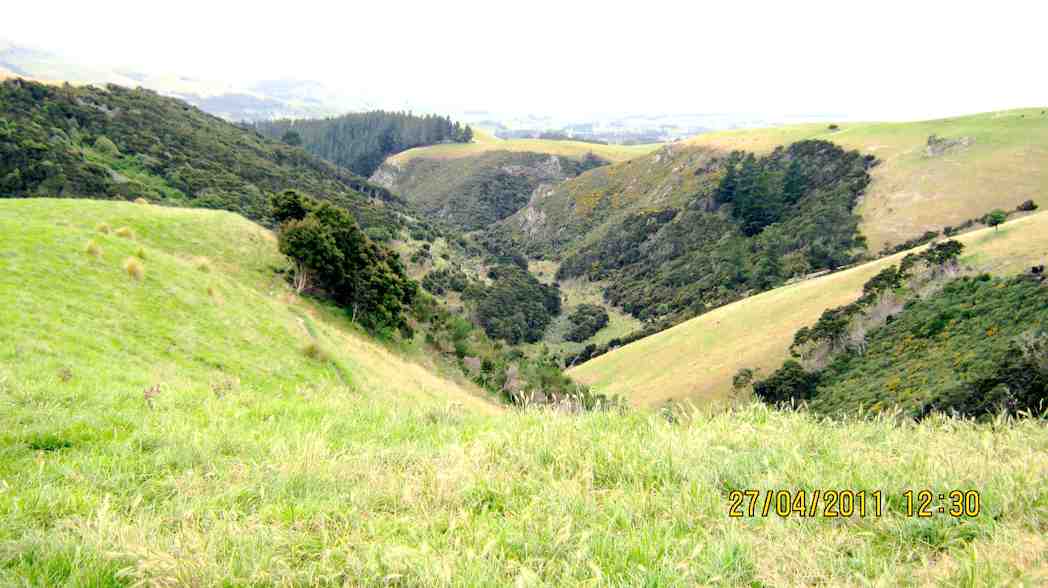
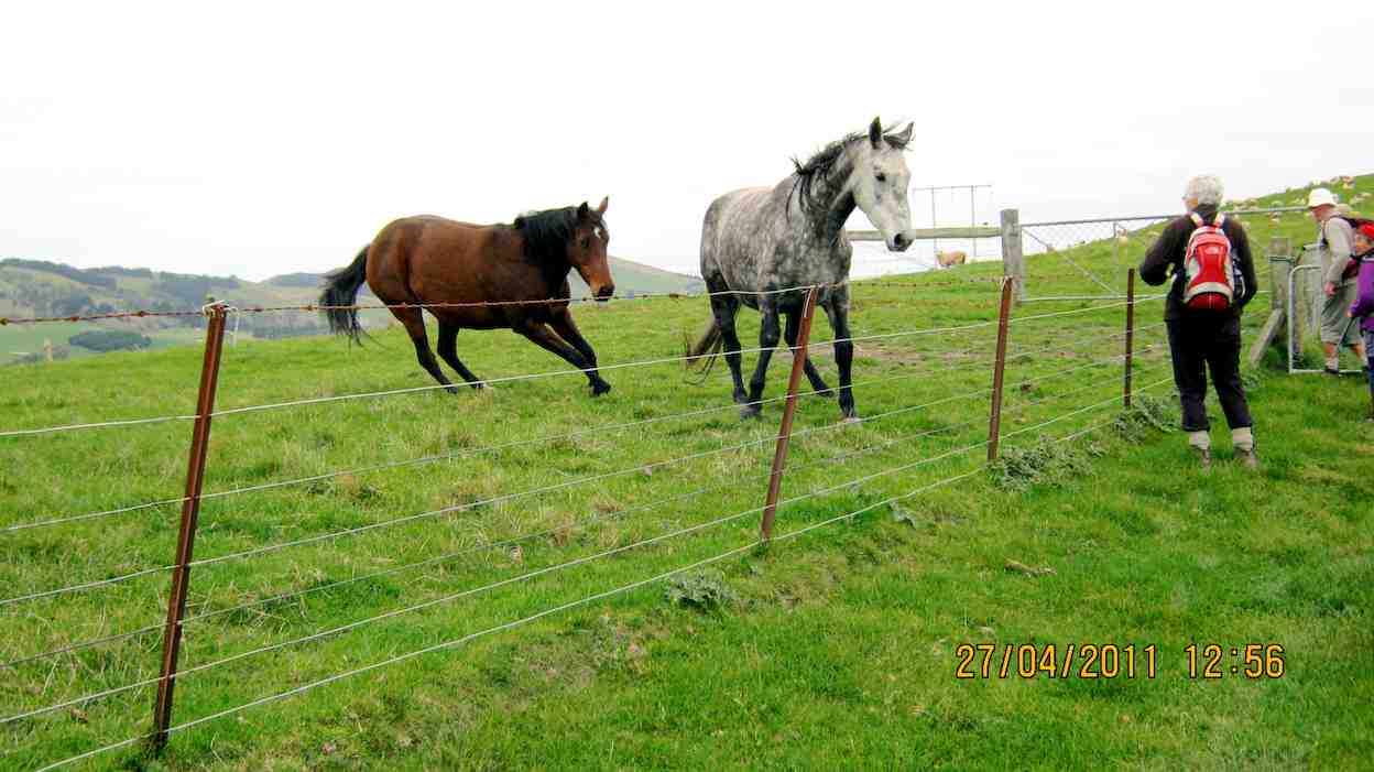
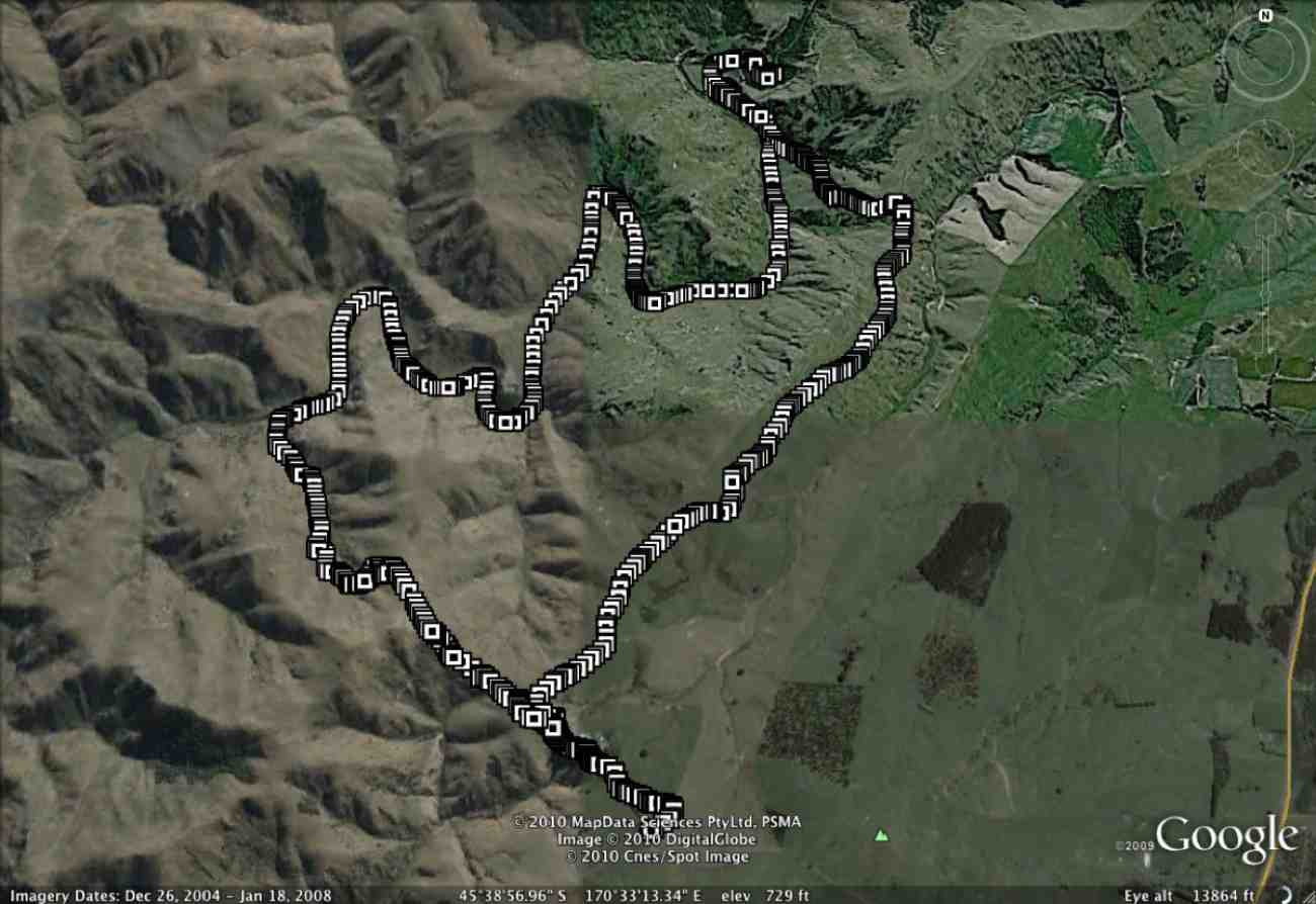
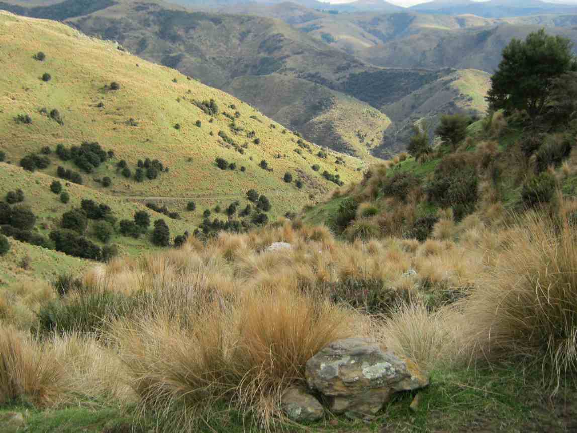
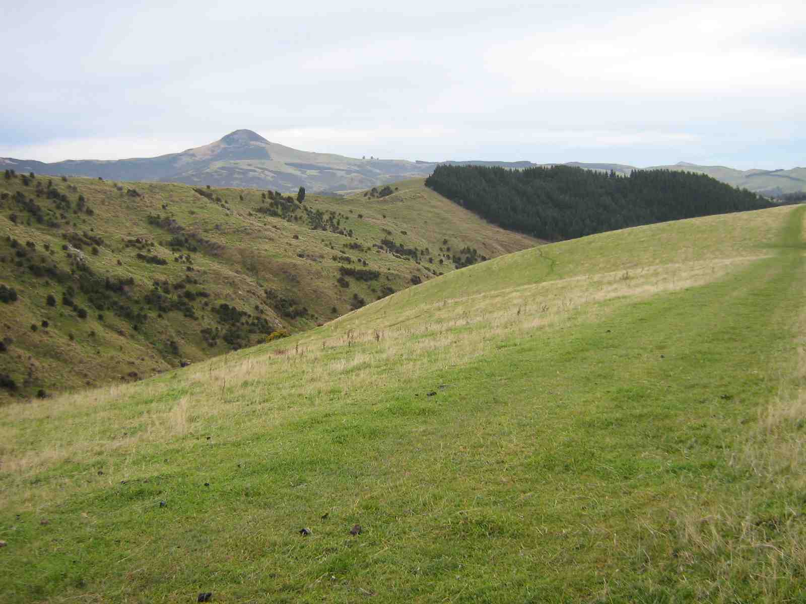
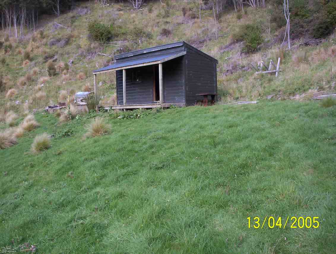
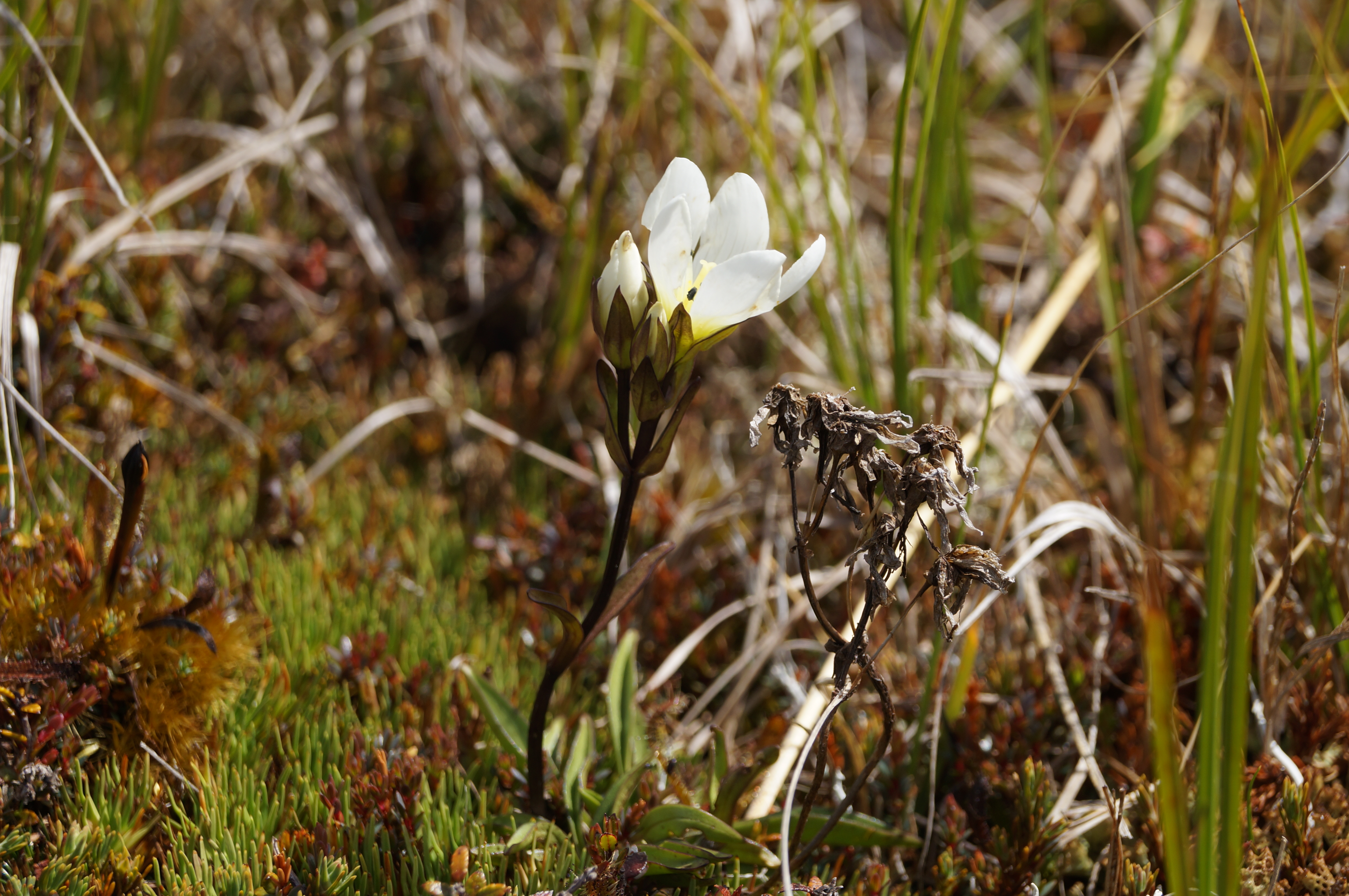
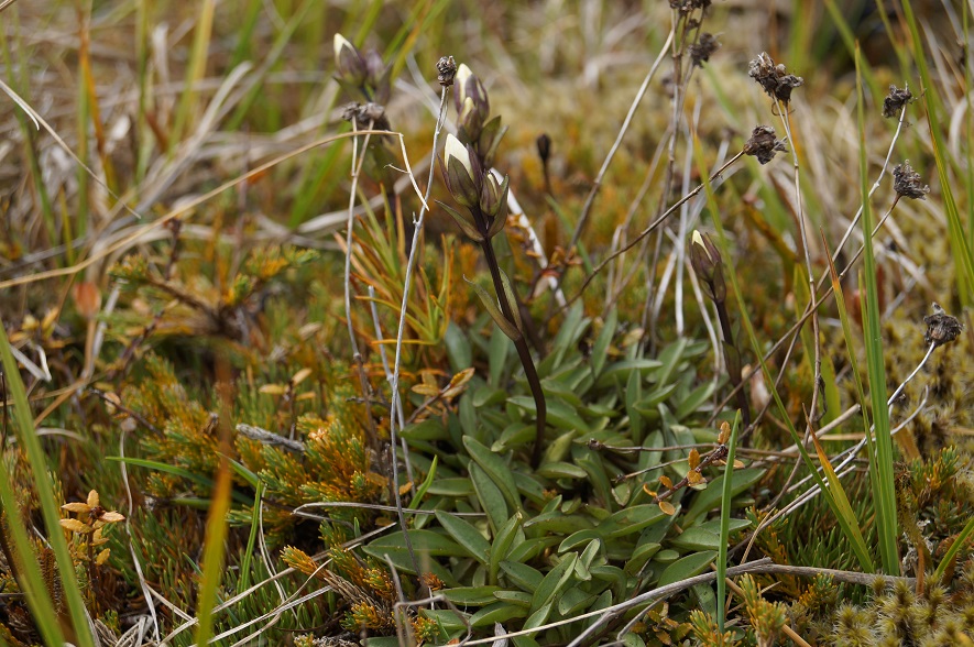
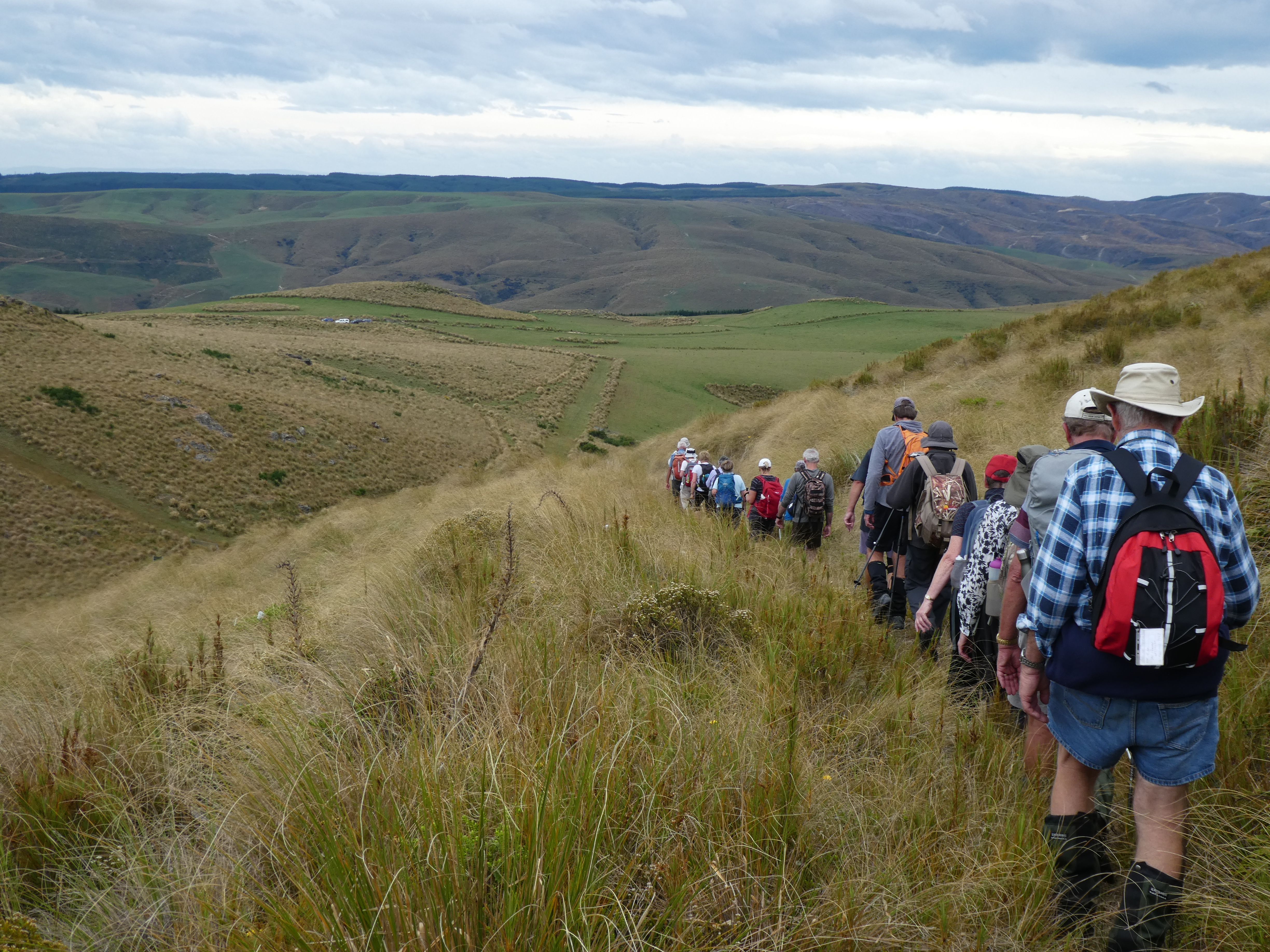
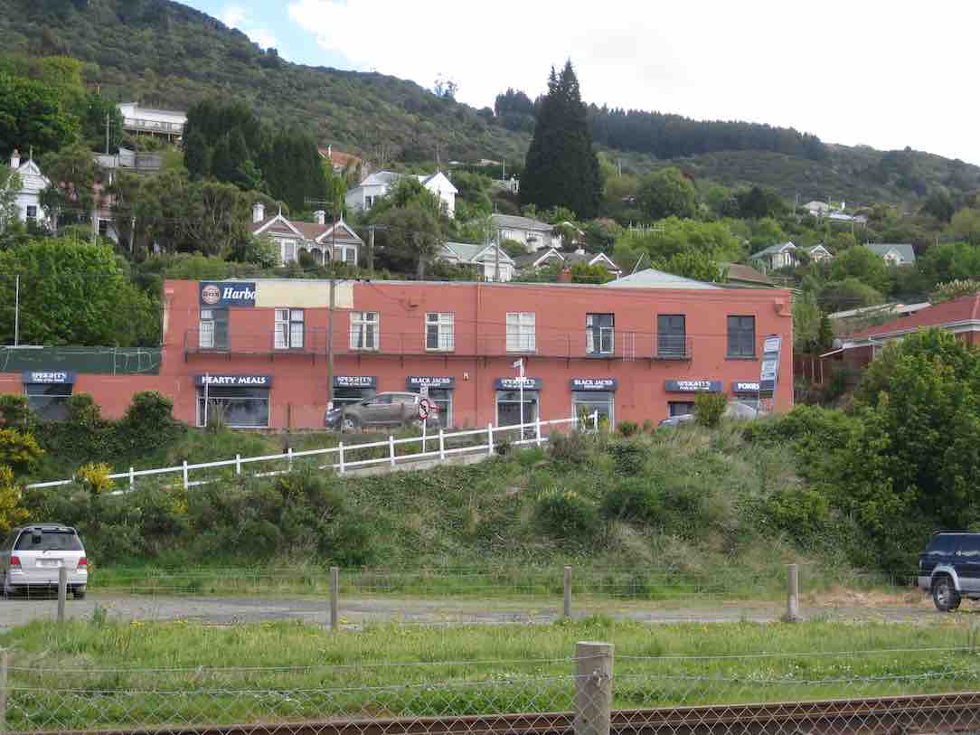
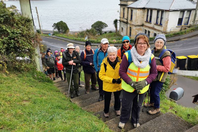
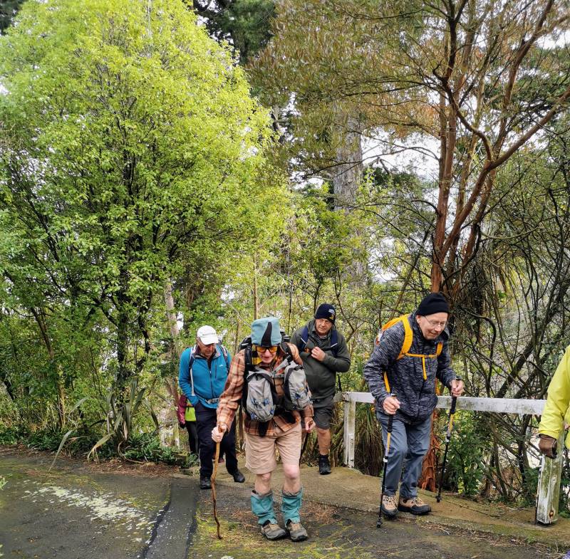
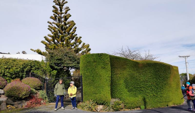
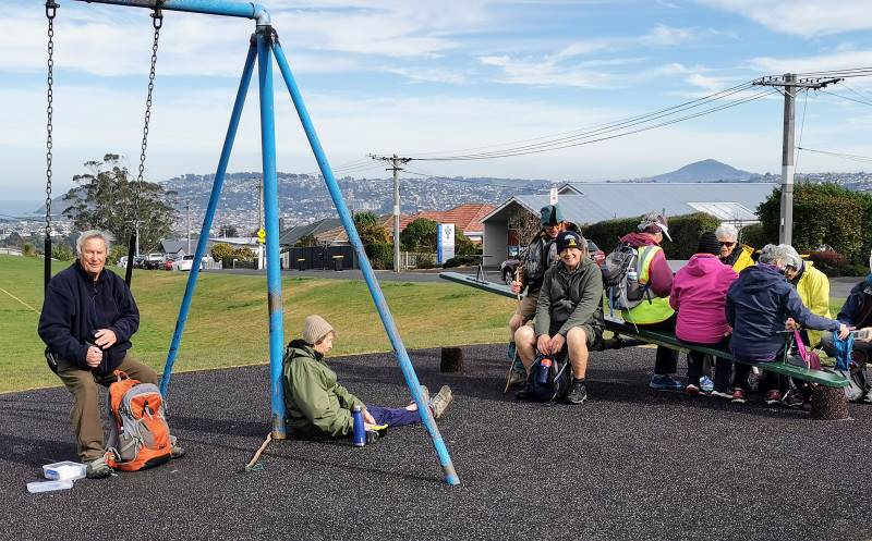
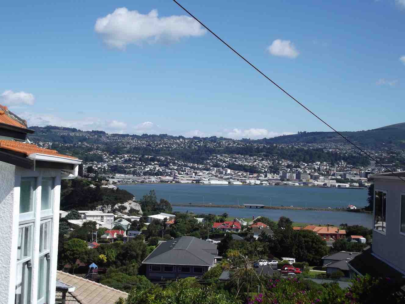
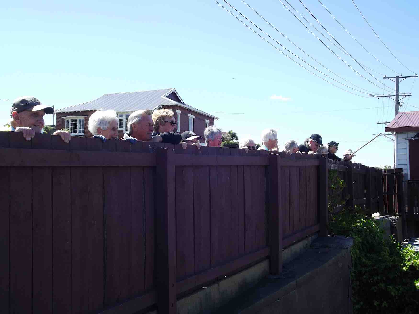
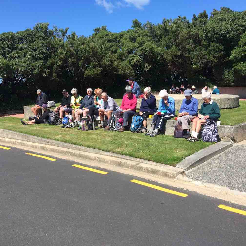
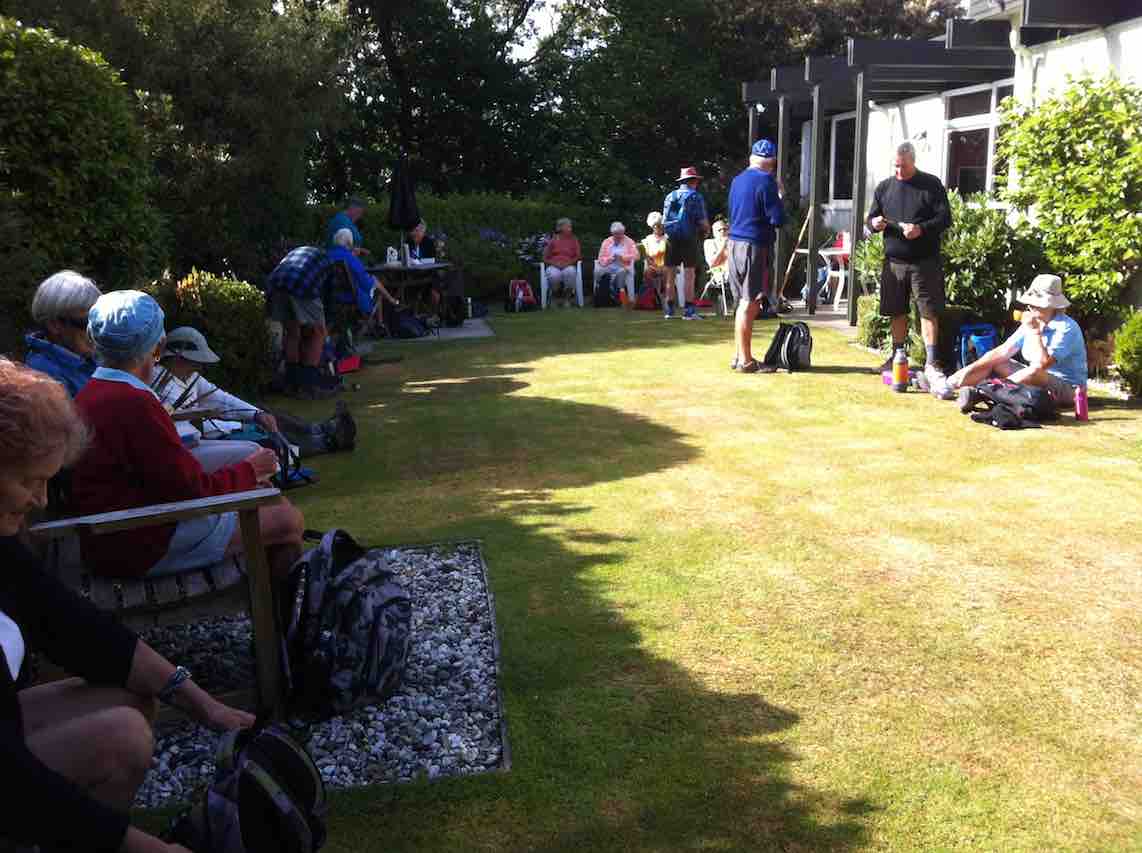
Chain Hills Track. Accessed from Chain Hills Road. 30 min. Tramping Track. – benched. Manager: DCC CAM and private land.
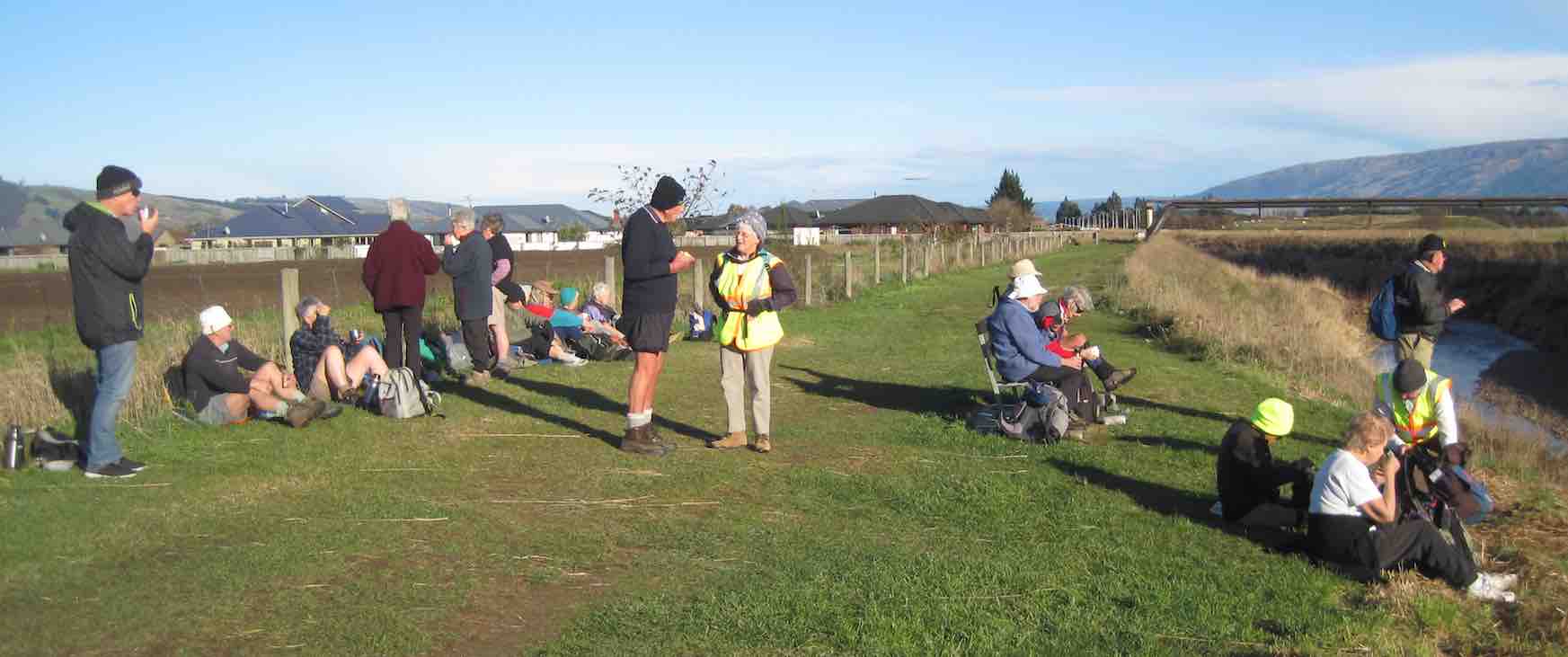
20. 12 June 2024. Exploring Abbotsford/Fairfield. Grade 1.5. Hikers. Leaders Jan Yardley and Noi McCunn
The day started with a heavy frost – the heaviest so far this winter. We parked at the Sunnyvale Sports Ground and walked into Green Island, ably led by Noi. Continue reading “Abbotsford and Environs”
2. 22/05/2024. Burkes to Port Chalmers. Hikers. Leaders Mike and Jill
I won’t take it as a personal insult that only 13 hikers turned up to join me on a walk from Maia to Port Chalmers via Sawyers Bay and back roads. I put the low turnout down to a reference to “grunty hills” in the pre walk notes. Continue reading “Maia to Port Chalmers”
18. 27/03/2024. Trampers. Maori Peak and Split Rock. Grade 3 Leaders: John and Dave
I’ve always regarded myself as, and indeed endeavoured to be, an optimist. But on Tuesday night, I had serious doubts that Wednesday’s tramp would proceed. That night seemed to leave little room for optimism. A Wednesday morning early dog walk gave a glimmer of hope, that the weather, although unpredictable, might be improving. Seventeen ‘optimistic’ trampers took part on the Split Rock tramp.
14. 24/01/2024. Trampers. Ship at Anchor. Grade 4.5. $14. Leaders: Phil Keene/Gary Mort Lyn Keene.
18 keen trampers turned up and left right on time at 8.30am in 4 vehicles, stopping briefly in Outram for tramper No 19, then travelled through the rolling uplands to above Lake Mahinerangi, before turning right up the El Dorado track, right to the end, through mobs of daggy sheep, the windfarm, the Blackrock Scientific Reserve and finally through the locked gates of DCC 3 Waters with the cameras keeping an eye. Ross was in charge of the key and maybe had a pinch of hypothermia by the time he was back in the car. Brrr would we find our riches at El Dorado?
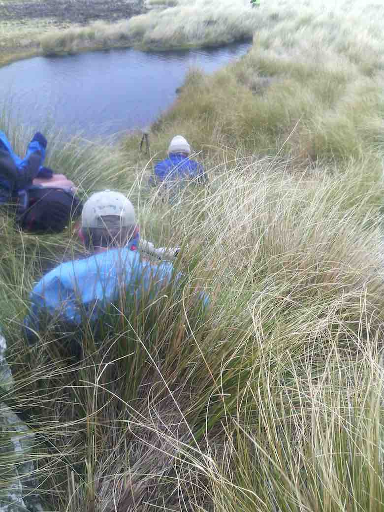
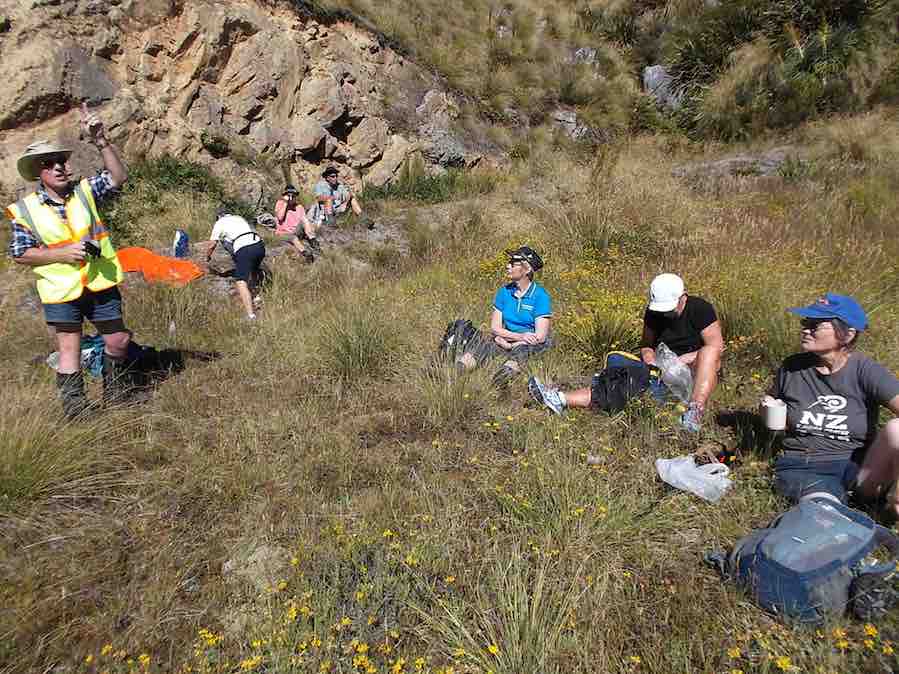
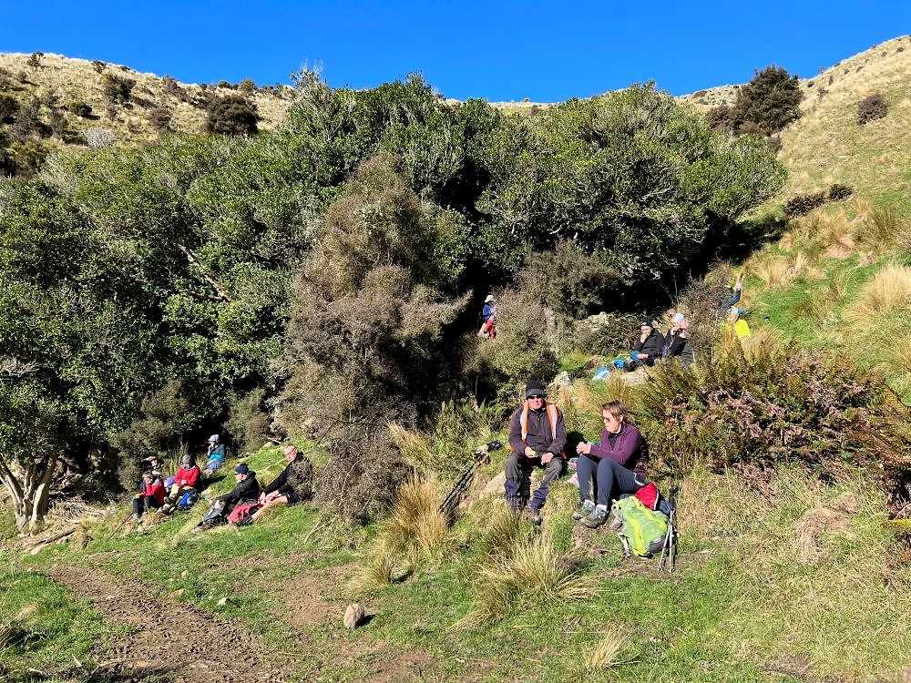
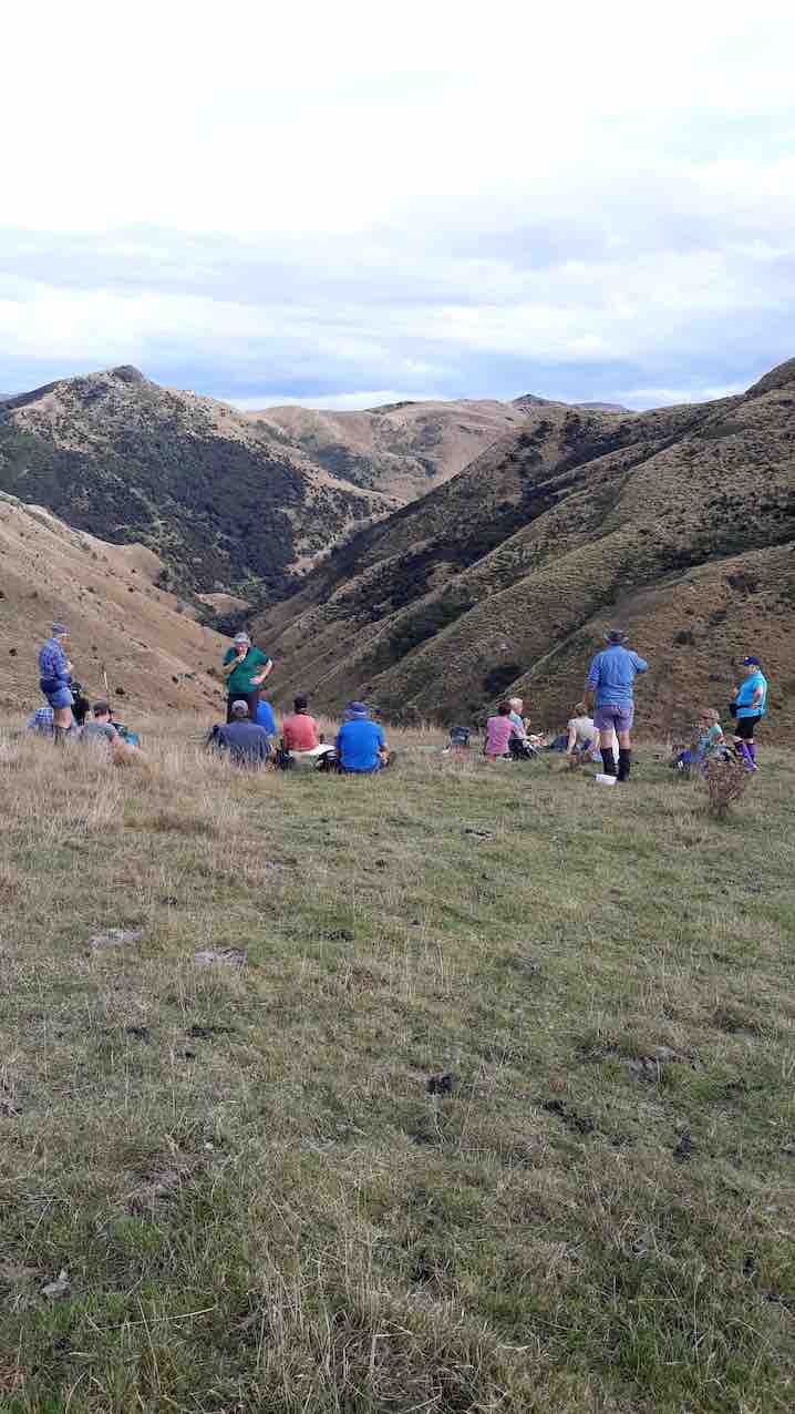
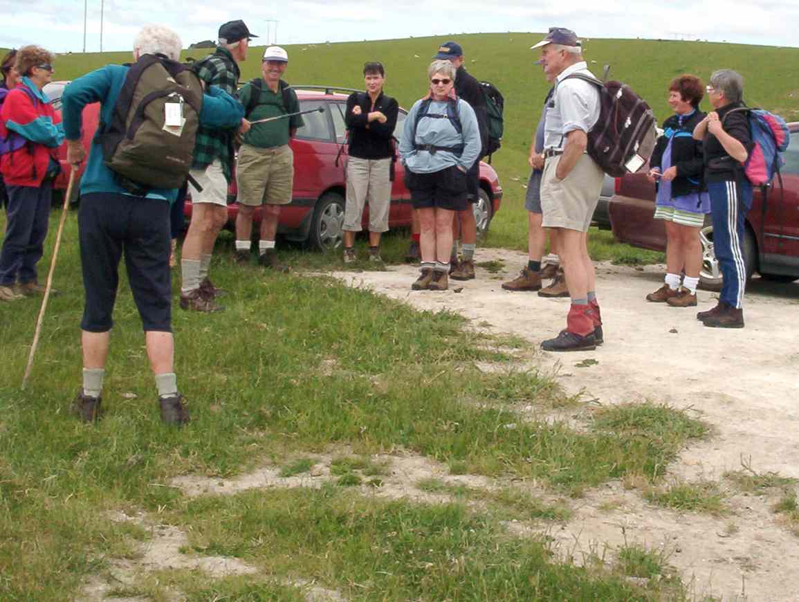
Some Words From The Wise, Before We Set Off (Photo & Caption Ross)
It was 10am before we set off walking, the group happily forgoing morning tea until we arrived 45 minutes later at the Chinese Diggings situated on the east bank of Deep Stream which was up a little following rain the prior day.
Fuelling Up At Deep Stream Before Ascending The Hill Behind (Photo & Caption Pam)
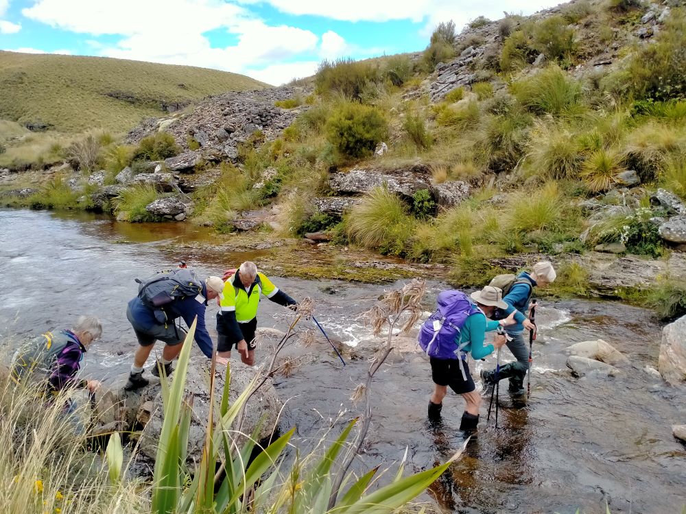
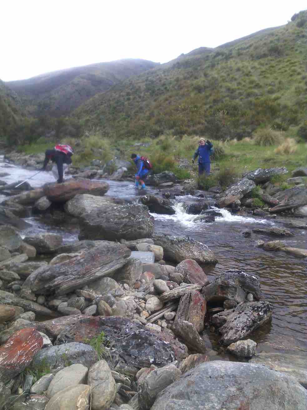
Mmm NZ Topo 50 is telling us we have to go west and will have to cross. The thought of this seemed to necessitate a continuous stream of walkers, single file, into the bushes. Thankfully they all came back and with a little help from our friends we all crossed, with wet feet and knees to the other side.
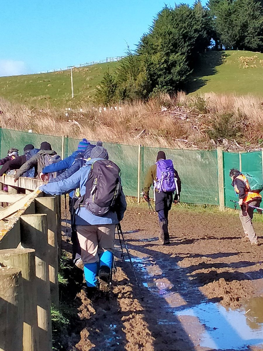
“ Follow The Leader” Across Deep Stream (Photo & Caption Pam)
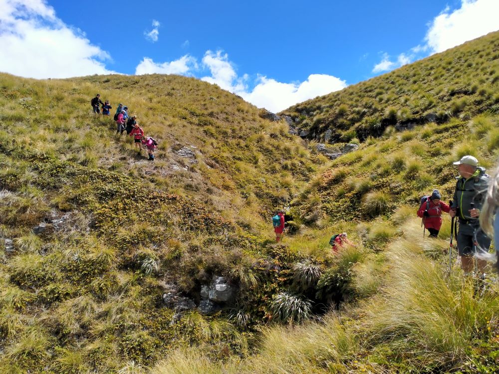
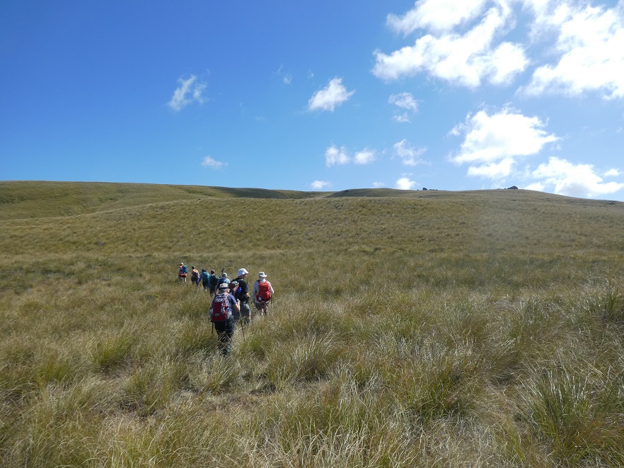
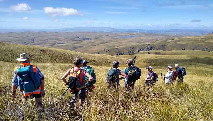
Thus began a steep ascent with a new pathway selected every few steps, not to mention the need for a breather at fairly short intervals!
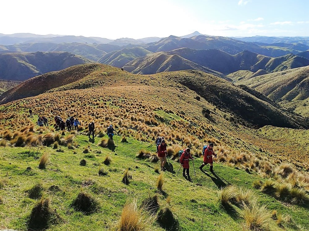
Scrambling Up The Lammermoore’s To Admire The Expansive Landscape (Photo & Caption Pam)A Big Sky With Cloud Shadows On The Land (Photo & Caption Marijke)Climbing Every Mountain (Photo & Caption Phil)
The ascent was followed by steady to steep ridge-line walk keeping to the true left of a stream, before crossing over nearly at the head, and finally over the last brow of a hill to arrive after 2 hours from morning tea, of fairly serious tramping, at the Ship at Anchor;
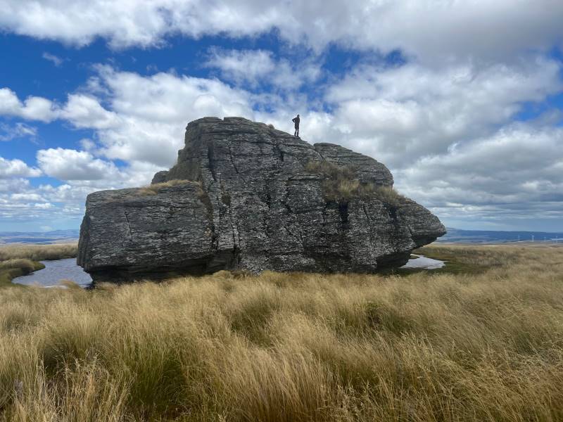
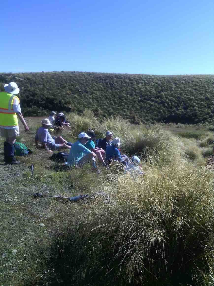
At Last The Ship At Anchor (Photo & Caption Phil)Lunch In The Lee, Sheltered By Tussock (Photo & Caption Phil)
thankfully we had not missed the boat and it provided good shelter along with the snow tussock from the fresh westerly that had been present all morning.
Appropriately Named “ Ship At Anchor “ (Photo & Caption Pam)
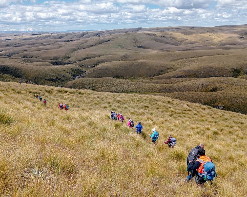
Our departure was not too long with those who had not previously been here circumnavigating the Ship and we all followed a course on the true right of the stream down another ridge-line, initially made ‘easy’ by a water course shaped I think by ancient shovels?
Heading Down The Highway (Photo & Caption Ross)
With the possibility of a precipice emerging in front our leader tacked left just in time onto another ridge that steeply descended towards a man made watercourse, scout Graham finding the appropriate gang plank onto the other side. It would be fair to say knees were now creaking as we traversed parallel with the contours dropping every now and then towards the crossing of Deep Stream. According to the leaders timepiece we took longer down than up, just like the Grand Olde Duke of York……oh dear!
Mmm Did It Take Longer To Go Down Than Up (Phot & Caption Phil)
If feet and knees were by now warm and dry they were wetted again and with all crossing safely we re-grouped and took off up the prairie back to the cars, this being quite a steady upland walk!
If You Start With Wet Feet You Might As Well Clean The Boots Again When You Finish, Gentlemen Abound (Photo & Caption Phil)
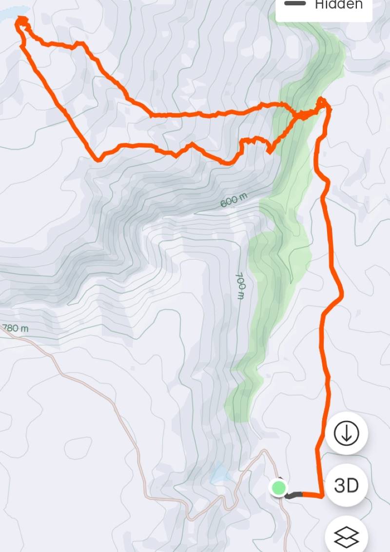
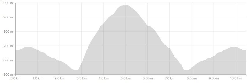
We departed paradise at 4.30pm arriving back in Mosgiel at 5.30pm. Rumour has it that the hydrotherapy pool has been busy since the trip, no wonder. The expansive and varied landscapes are so much more rewarding when set in such a remote and wild environment. Because of the access restrictions at the Weir this was the first time travel to the Ship at Anchor had been done this way. Distance 10.47km, elevation gain 661m, moving time 3:25;59, calories 1,016. And I’m sticking with grade 4.5.
Thanks to everyone for supporting each other so well.
Phil K
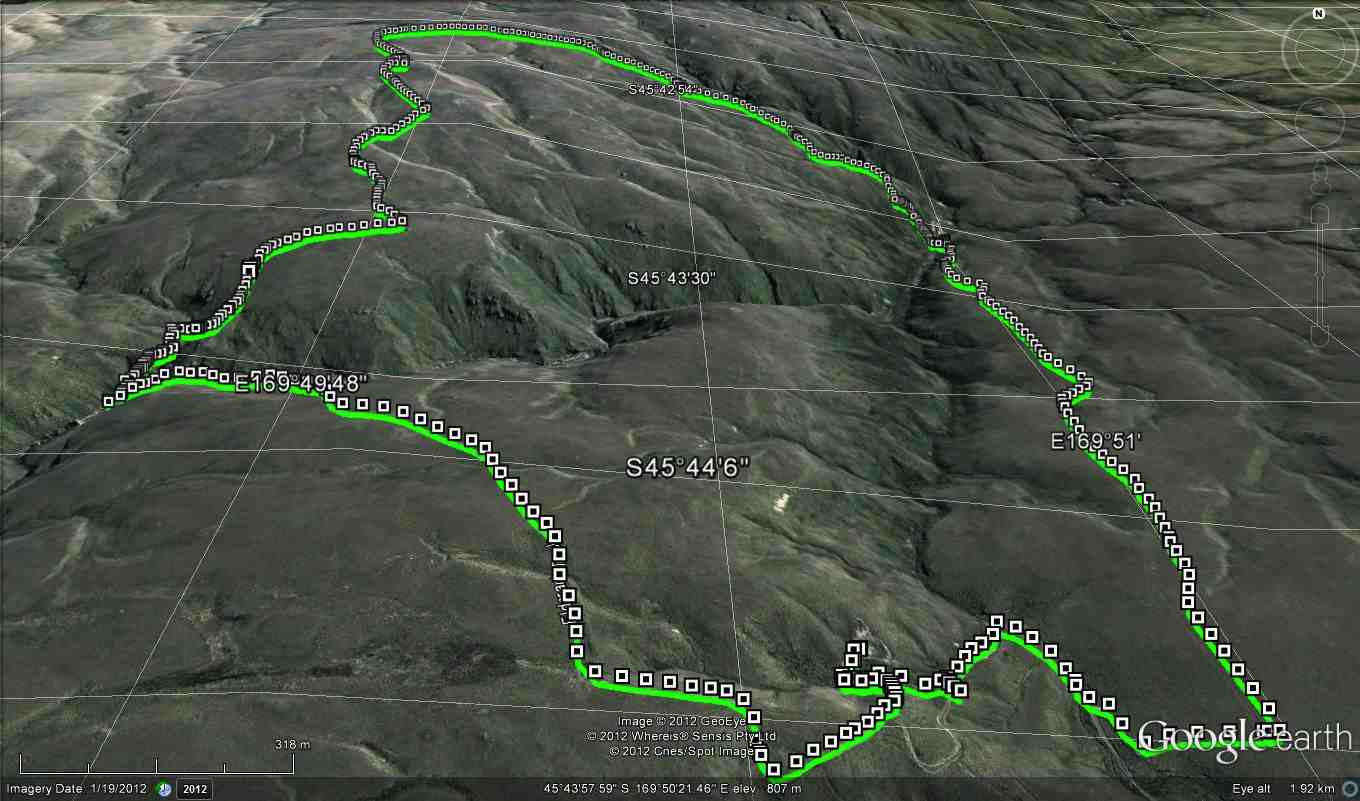
Ship at Anchor route (Screenshot Ross)
Ship At Anchor Profile (Screenshot Ross)
13. 17/2/2021. Trampers. Ship at Anchor. Leaders : Arthur Heenan and Gordon Grant.
A great day was had by 10 trampers who did the Ship at Anchor loop tramp in glorious sunny weather with a slight breeze to cool fevered brows. After dropping off a car at the bottom of the hill we all drove up in the other 2 cars to above the weir on Deep Stream and had a quick cuppa. From there to the weir, then crossing the creek on the walk way and starting the trek up the fairly steep other side.
“Checking out the water intakes at Deep Stream.” – Photo and Caption Ross“The more gentle slopes.” – Photo and Caption Gordon.
Taking it slow & easy saw us up on a more gentle slope and reaching the Rock about 12.00am for lunch.
“Heading on to the tops.” – Photo and Caption Gordon“All Aboard!” – Photo and Caption Phil.
We were soon up and on our way back down which was good, until the very steep and rough bottom 200 hundred meters to the creek and Chinese Diggings.
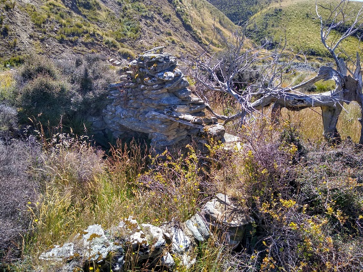
“Remains of a stone hut at Chinese gold workings.” – Photo and Caption Ross
On this stretch we saw two disturbed falcons soaring above, letting everybody know they were not happy and with this, to everyone’s excitement a stag took off across the gully and walked to the top of the hill and disappeared. We assumed the falcon’s squawking warned him. From the creek we walked back on a gentle sloped 4 wheel drive track to the car and the drivers went up and brought the other two cars back, then down to Outram for an icecream which everyone thought we deserved.
12. 30/11/2016. Trampers. Ship at Anchor. H. Leader: Arthur.
At the 3rd attempt, we finally did it! Today 7 trampers climbed up to the “Ship”, and then completed the circuit we had planned.
Southwest winds were forecast, so were expected, but it was a COLD WIND – there was obviously quite a wind chill factor in force!
Over an hour’s journey took us up past the Mahingerangi wind farm and into the “Black Rock Scientific Reserve”. We followed the “Eldorado Track” until we were on the hilltop just above the weir on Deep Stream. This was our day’s starting point, one car being taken back downhill for the end of day car shuttle.
It was a 10 minute walk down to the weir and tunnel inlet, but there was no shelter there from the cold wind, making morning tea a very brief affair.
But we had the privilege of watching two N.Z. falcons chasing away a pair of Harrier Hawks. They must have had a nest to protect. Their flight manoeuvres were superb.
The next stage of our tramp was the most difficult – up, along, down to cross a rather difficult side stream, then up and up. After three quarters of an hour we were up on the open slope, much easier apart from the trackless tussock. We travelled in single file.
Further up, the leader came on our track made last February, following it for quite a distance. We passed the locality of our helicopter visitation of last time; and continuing on up slope a further 1 km we came to the “Ship at Anchor”.
Water around Ship at Anchor. (Helen pic and caption.)
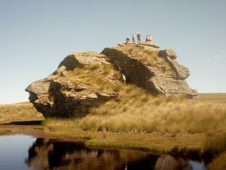
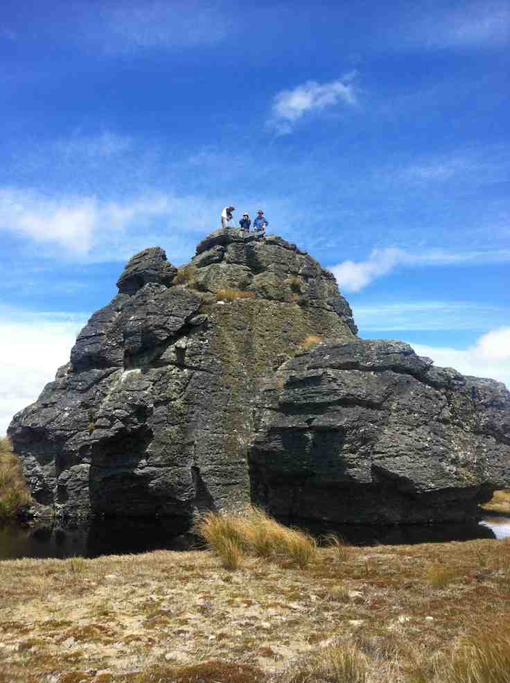
All of us climbed up on top, well 6 did anyway, for a photo opportunity.
Group getting blown around on the top of Ship at Anchor Arthur Bruce Neil M Neil S Theresa and Jennifer. (Helen pic and caption.)
The wind was strong and cold on top. We didn’t linger.
Down in the shelter of the “Ship” we had our lunch.
Hunkering down for lunch. (Helen pic and caption.)
We noticed a large, dirty rain shower over towards Mauntagua, missing us. But the weather had changed, with a light shower of tiny hail (about 1 mm in diameter) for us. Even a few snowflakes were seen! What a contrast to the terrific heat we had to contend with there last summer.
Weighing anchor(?), we turned downhill for the next 3 km. The going was far easier now, the tussock quite small here, and out of the worst of the wind. Only the last few hundred metres down to the Chinese Gold Diggings were difficult, becoming steep and rough going. We took our time but a few knees were complaining.
We crossed Deep Stream safely, although it took time, with most keeping dry feet.
Crossing last lot of water. (Helen pic and caption.)
After a brief spell at the Gold Diggings, we were onto the last leg of the tramp – uphill on the 4WD track. Light skiffy rain showers had appeared by now, remaining till we had finished.
The two car drivers forged ahead now, and once back, collected the far away car to meet the group at the road.
One or two thoughts to finish with:-
The car shuttle worked very well.
In the cold conditions experienced, the tramp didn’t need to be any longer.
Coats (and more) had to be worn all day in the cold, but we were warm while moving.
Distance for the can can only be estimated at 12 km (no modern wonder to tell us).
Back to Outram for the day’s finale, as Judy D (not out today) had invited us in for a warm up at her log fire, and a hot drink. And choccy bikkies as a real treat, too.
Thanks, Judy – you are a real GEM. It had been a satisfying day’s tramp. – Art.
11. 3/2/2016. Both. Ship at Anchor attempt and Gold Tailings. Leaders: Arthur, Ian and Bob.
Trampers’ Report. Leader: Arthur.
Ship at Anchor Tramp – 3/2/16.
8 trampers (including 2 guests) travelled in convoy with the hiking group who were going to the Chinese diggings.
The cars’ access was up Eldorado road/track, and passing the Maninerangi Wind Farm, in to the Black Rock Scientific Reserve.
We walked for 10 minutes before stopping for morning tea by the water tunnel outlet.
10.30 a.m. Trampers Morning Tea. (Heb pic)
As part o the Mahinerangi Hydro Complex, a tunnel was built through the hill to divert some water from Deep Stream to end up in Lake Mahinerangi. This was completed in 1984.
We then followed the road (Eldorado Track?) up over the hill and down to where it ends at the weir and tunnel inlet end, on Deep Stream.
After a brief stop we then crossed the bridge and tackled the difficult hillside leading up onto the open tussock slope which leads up to the Ship at Anchor.
We stopped for lunch at 12.45 before continuing up the trackless tussock slope. One of our lady guests was feeling the heat (it was hot out in the sun by then) and at 2pm was in severe distress.
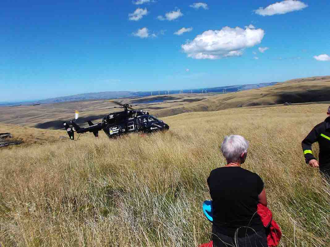
An immediate 111 call was made, and once the police had pinpointed our exact position, the rescue helicoper soon arrived …
About 2.50 p.m.Trampers’ helicopter rescue. (Heb pic)
…and transported her to hospital. Happily she soon recovered and went home that night.
The 7 remaining trampers then returned down hill back to the weir – too far behind time to continue.
After a 15 minute rest at the weir, the car drivers took a pleasant little stroll over the hill to bring the cars over to collect the rest of the group who had remained at the weir. All then returned safely to Mosgiel.
Thank you to our 2 nurses, Jill and Margreet, who rendered first aid, and thanks also to the whole group for the care and understanding shown by all.
And finally a very big thank you to the N.Z. Police. Also to the Otago Regional Rescue Helicopter and its Crew.
A final reflection. A motto for our club to adopt?:
****** SAFE TRAMPING IS NO ACCIDENT *****
– Arthur.
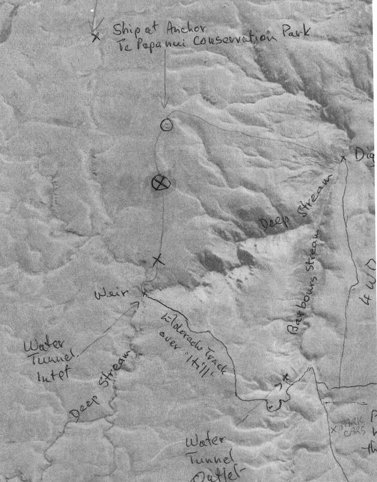
Map of the 2 treks, including the Trampers’ ‘happening’. Circled X marks helicopter pickup. The ‘x’ below it marks the lunch-stop, showing how slow progress had been.
Hikers’ Report. Leaders: Ian and Bob.
We hikers were 13 in three vehicles and were parked beside the trampers’ other two. The trampers set off immediately but our much shorter prospective journey allowed us a leisurely morning tea on a bank overlooking the cars.
Hikers Morning Tea. (Helen pic)
Then it was down the “Track” only a short way, then a sharp right turn up a steep rise to an T-junction where we regrouped. From there we set off in a strung-out line along the 4-5 km 4WD track through the tussock down to the diggings down the Deep Stream. We arrived there early, but what the heck. It’s hot. Sit down and enjoy a rest and an early lunch.
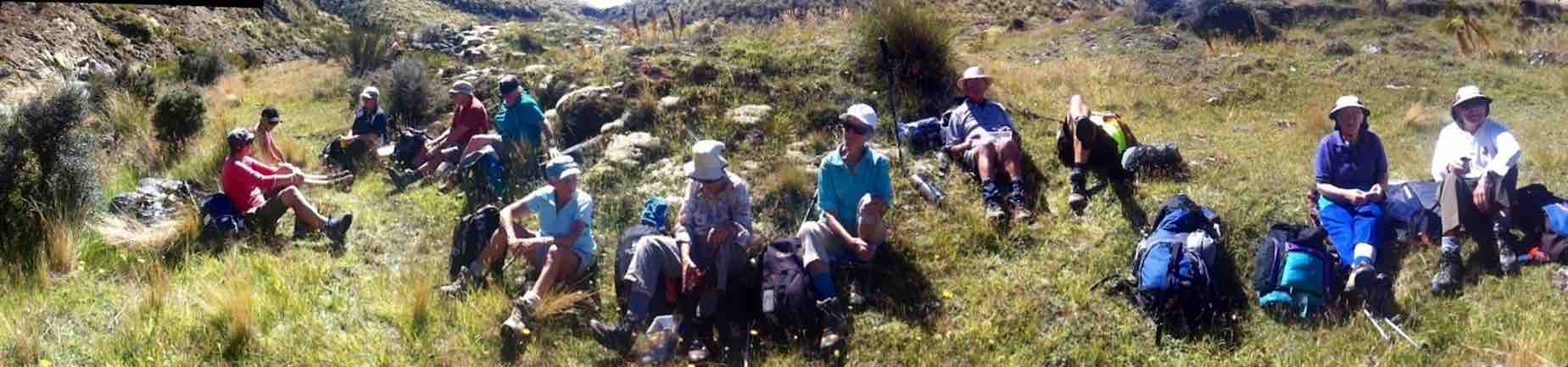
11.30 a.m. Hikers, Lunch, Diggings, Panorama.
This reporter was surprised few took the opportunity to do much exploration of the diggings.
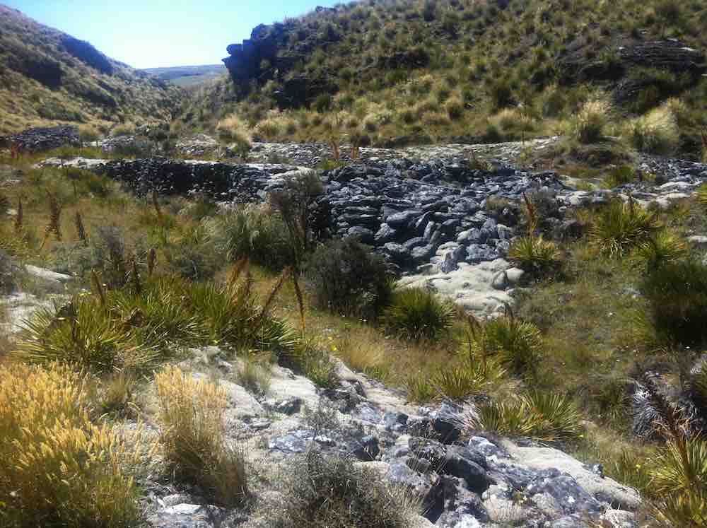
Drainage channels at north end of diggings
We had arrived. It was hot. Trek accomplished. Eventually some started going back. Groups of 2 and 3 left to return up along the track we had earlier come down. No trouble about this. The 4WD track was clear. The route would be uphill this time. The heat was increasing. There need be no rush. So we strung out and Bob made his way to the front with Ian grateful to be at the back with the the last two slow ones. In fact so slow were we, that after Bob and the others had got back to the cars Bob still had time to return in his big 4WD before we had even reached the T-junction, and made light work of transporting us the rest of the way. Although all the others had of course accomplished the full distance, it must be said that there were not a few cases of light-headedness. Frequent drinks of water and good sun protection were certainly essential. There was no shade.
We were back at the cars – when? – about 2 p.m. Now for the area’s other highlights. But by car this time! We took the route the trampers had taken earlier, steeply up over the hill, visiting in turn the Water Tunnel Outlet …
Hikers at the far end of the Water tunnel exit. (Photo taken from beside the T.K.S. Sidey bronze plaque affixed above the tunnel’s exit.)
… and its inlet over the hill at the Weir. (We didn’t know it at the time, but had we looked back as were were driving back up the hill from the weir we might have caught sight of the trampers coming back from their aborted expedition. They saw our cars! And we hadn’t even noticed that big black helicopter! So close were our two groups! So distant! And of course the area is not cellphone territory.)
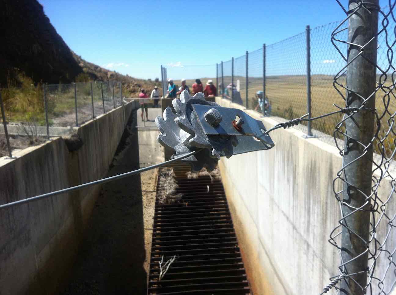
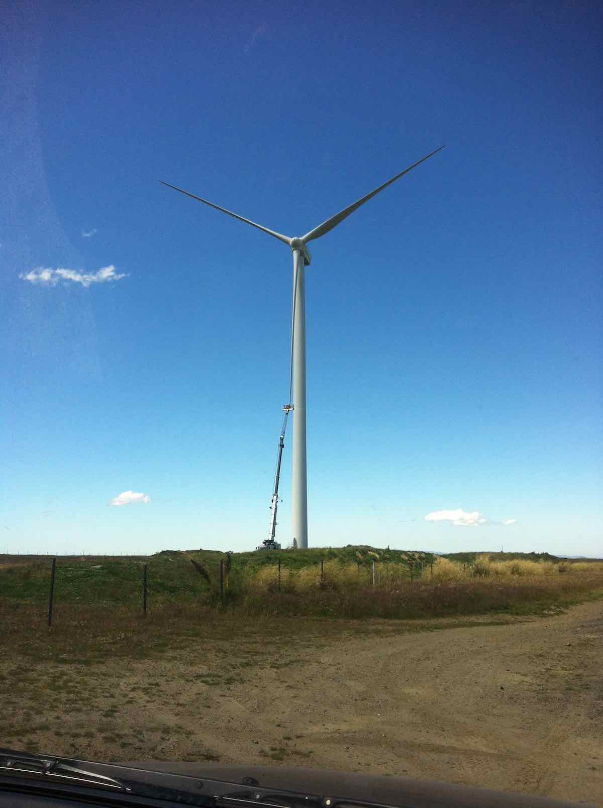
For us, it was simply back over the hill, blissfully unaware (and unable to know) of the critical state the trampers were in. Out through the Black Rock Scientific Reserve, through the two locked gates, and translocating from the 4WD Eldorado Track to the upgraded Trust-Power Mahinerangi Wind Farm’s Eldorado Road. (How ‘tracks’ can change over the Club’s history!) A wind turbine blade repair job alongside the ‘road’ dwarfed the technicians in their tiny cage. (Click a second time to enlarge the photo.)
Wind turbine blade getting attention.
We returned this time via the Lee Flat Road for a change. We were now on tar seal, and arriving at Outram made us feel we had returned to civilisation.
Hikers. Coffee at Outram. (Helen pic)
What a day to mark in the Club’s history! Well, all’s well that ends well. Sooner for us, and – well – eventually for the trampers. (There’s too many ‘wells’ in there somewhere) – Ian.
10. 25/2/2015. Trampers. Gold Tailings attempt.
The 4 of us set off to do the Ship at Anchor. When we got to the outlet tunnel at Barbours Creek with the rain and cold wind we decided to go back to the sign to the mining village. We set off up the track to the second sign, the same as down at the road. No clear indication on which way to go. We went down a FWD track, thinking this was the way but after a while I stopped and said this was not heading the right way, so we returned to the car with the wind and rain in our faces. The four of us decided to have lunch at Waipori Falls picnic area. Within five minutes it started to rain again so we headed into the car heading for home. We ended up eating our lunch when we got home. – Heb.
9. 12/12/2012. Trampers. Ship at Anchor. Deep Creek. Gold Tailings.
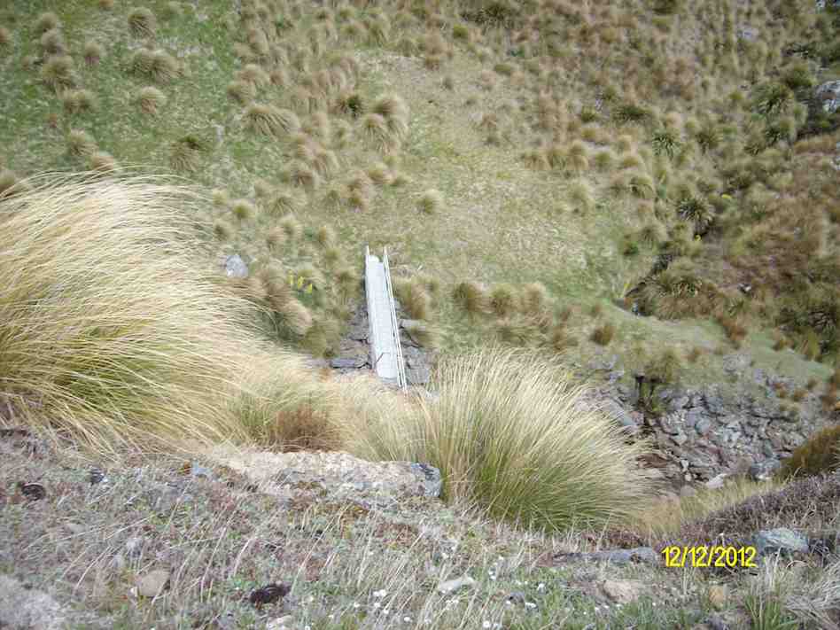
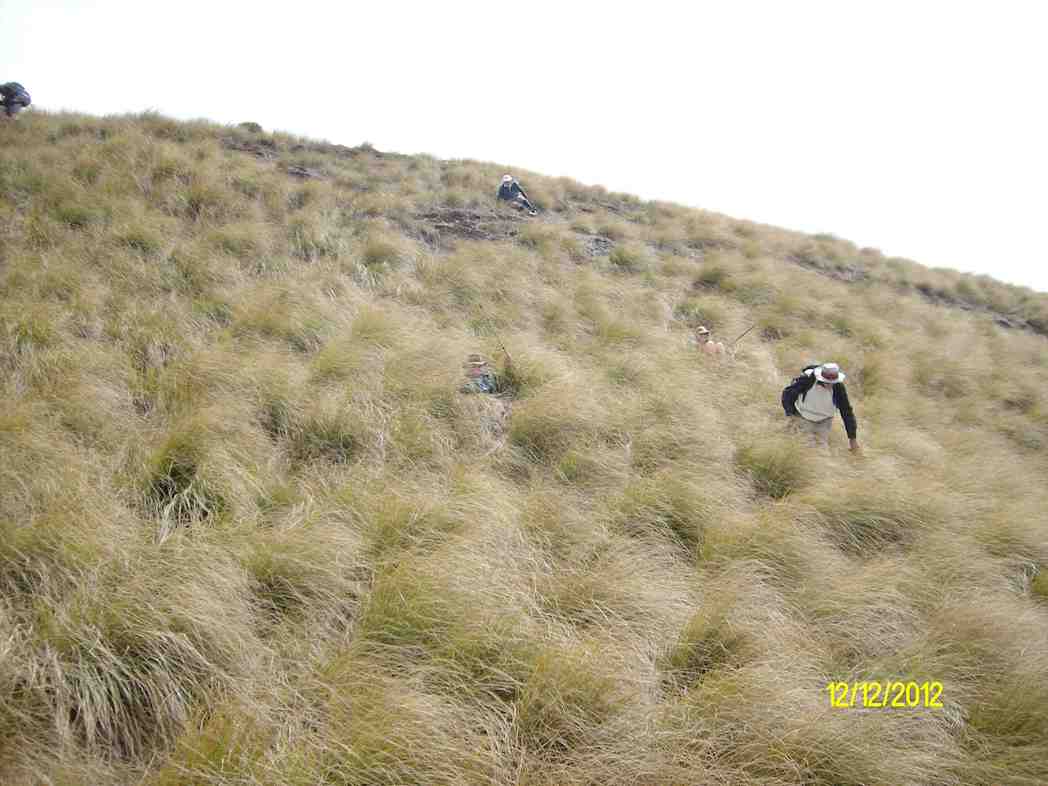
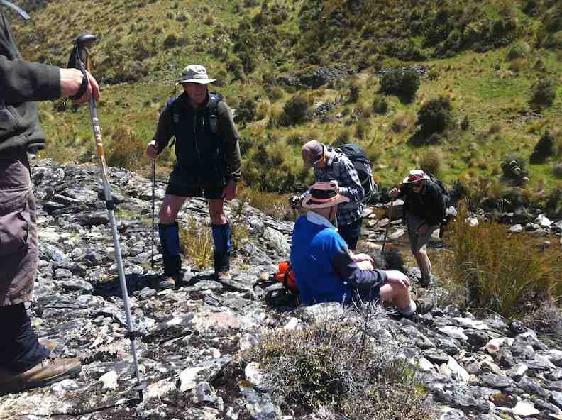
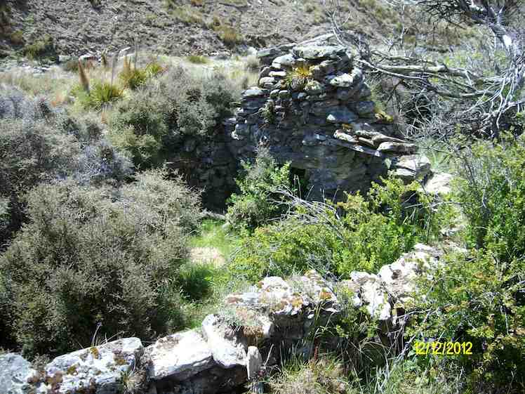
Tea break before climbing road to top of rise.View from top of rise down to foot bridge across stream.George, Eric and Heb on top of Ship at anchor.Enforced slide down steep slope. George has made it, Judy at foot of slide, Ian making a cautious start. NB: tussock thick now.Down at diggings.Stone ruins. (Ken pic)
8. 2/3/2005. Trampers. Ship at Anchor. Lammermoors, Deep Creek, Gold Tailings. Leaders: George, Arthur H
Ship at Anchor. Sth Face.
DCC Works. Bridge. Pat, Hazel, Arthur, George
Ship at Anchor. Bob H. Who?
Lunch. Arthur
Stream crossing by old diggings. Dorothy? George, Doug J? Bill, Arthur, Pat
7. 12/11/2003. Trampers. Ship at Anchor, Lammermoors, Deep Creek. Medium+. Leaders: George, Arthur H
6. 31/3/1999 Ship at Anchor – Mahinerangi. Leaders: George, Lex, Graham
5. 2/1995 Leaders: Eric, George, Doug M
4. 23/2/94. Ship at Anchor. Medium+. Leaders: Ria L, Eric B, George, Doug M. Easier alternative: Leaders: Ria H, Jean A.
3. 13/11/91. Ship and Anchor on the Lammermoors. Harder. There will be an alternative route if you run out of ‘puff’. Leaders: George, Bob & Audrey, Dave & Jean
2. 27/9/89 Ship at Anchor, Lake Mahinerangi. Harder grade tramp. Leaders: Hugh & Judith, Dave & Jean, Ria L
“On “The Ship at Anchor”, Lammermoors. Taieri Tramping Clubb. Barbara McCabe, Bob Heenan, Peg Chisholm, Ria & Keis de Jong, Eric & Dorothy Bennett, Mary Jerry, Marie French, Ria Lippers.” (Ian pic, scanned from Peg Chisholm photo collection.)
1. 1/3/1989 Eldorado Track. Interesting country – old Waipori cemetery. Leaders: Ria L, Bob H, Molly
Lovely sunshine greeted 30 keen trampers for a good day’s walk on Cairnvalley Farm Shannon. Strath Taieri offers something different in scenery with tussock hills, huge rock formations and at this time of the year fresh green vistas of paddocks and Continue reading “Shannons Farm Walk”
10. 16/08/2023. Hikers. Mosgiel Street Walk. Grade 1, $0, 9km, Leaders: Raewyn Keene, Helen Morris
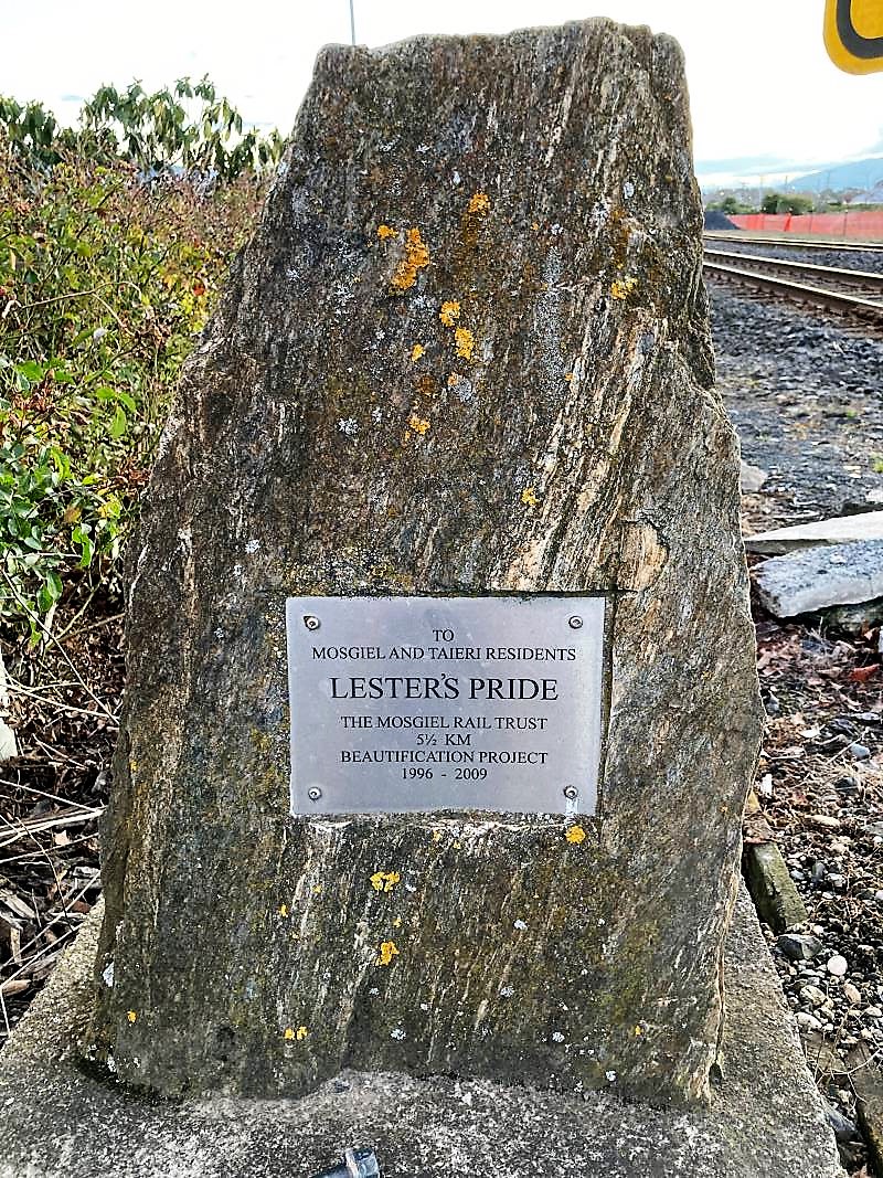
It was a little frosty as 14 hikers set out from Peter Johnson Park for a street walk till lunchtime. Along Reid Street to Factory Road, Church Street to Gordon Road, the pace was steady. As we approached the railway crossing (and unknown to some of us), was the plaque about our own Lester and his beautification efforts.
Lester’s Pride (Photo & Caption Helen)
As we continued on to the old Mosgiel Railway Station for morning tea, it was great to see the daffodils & blossoms beginning to bloom, indicating Spring is not far away.
Spring has sprung early (Photo & Caption HelenMorning tea (Photo & Caption Helen)
Refreshed and with the sun trying to shine, we headed off to Cemetery Road, ventured into the new Grange Lifestyle village as far as we could go, and back out to the underpass into Kinmont.
On Kinmont (Photo & Caption Helen)
Some hill climbing was considered necessary to get our hearts pumping, so up Leith, Clyde & Braeside Streets we went. Back down to Quarry Road and left at Nellies, we looped back to our cars via Argyle Street & Bush Road.
Ross C joined us today and was apparently looking forward to a ‘flat’ walk (as advised by his lovely wife) – oops! Hopefully the friendly chatter along the way helped.
All in all, a pleasant morning’s walk, good company and 9kms achieved.
Map (Photo Helen)
The Harwood hike will be rescheduled into the summer programme.
Helen & Raewyn
9. 20/07/2022. Hikers. Mosgiel Silverstream/Wingatui. Leaders: Jan & Jenny.
On a dismal Wednesday morning, 13 of us set out on our walk around Mosgiel. We walked down the Silverstream which was running higher than normal, lifting our feet over the pesky tree roots, and had morning tea down the end of the track to fortify us for the walk ahead.
Baker’s Dozen minus one, post morning tea (Photo and caption Phil)
We walked down Silver Springs Boulevard which brought us out to Centre Road. Crossing over to Hagart Alexander Drive we took the first left onto Ben Lomond Drive in the Highland Park subdivision and came out onto Wingatui Road. Further up the road we spoke with Ady outside her house, chastising her for not being out walking with us.
Why hello – we thought this was a respectable neighbourhood (Photo & caption Phil)
We then carried on up to Gladstone Road and at the junction with McFadden Drive we climbed the steps up onto Joe Brown Drive, taking the 2 to a 2.5, took a left and back down McFadden Drive onto Gladstone Road again. At the lights we crossed over to Gladstone Road South.
We did have a bit of a workout – 88 steps (Photo & caption Phil)
Someone was heard to say they were buying a pie for lunch, and next minute a few more were buying pies for lunch at the Z garage! Further down the road we discovered a cafe and then a few more were disappearing to buy more goodies for lunch. Doesn’t say much for our home made lunches does it!! A little further down Gladstone Road we turned into Cemetery Road and stopped at The Hub for lunch where we found shelter and a seat to rest our weary legs. The pies went down a treat along with a liquid refreshment.
Lunch at the E Taieri hub, just past the Thai Pie Shop! (Photo & caption Phil)
We commenced the rest of our journey heading back down Gladstone Road, turning into Burns Street, right into McDonald Street then into Ayr Street & Argyle Street where we stopped to suss out the honey stall & onward up Bush Road, Forfar Street into Eden Street where we crossed the road and continued down the Silverstream, taking in the progress of the swimming pool and across Memorial Park back to our cars.
We’ll bring our togs next time (Photo & caption Phil)
Comparing notes we agreed on 12ks for the walk and managed to keep dry for the entirety of the walk. Some wanted to get on home and put their feet up and a few of us adjourned to the Wooden Table for a hot drink and something sweet to go with it.
Jenny and Jan
8. 16/11/2016. Hikers. An East Mosgiel Trek. E. Leaders: Jay, Judy K.
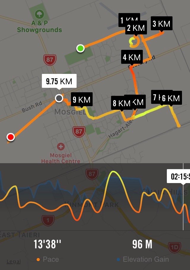
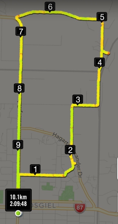
Route map, courtesy Ian. Really 10.75 km. Forgot to start it until on the Silverstream!
Our scheduled hike for today to Hawkesbury Lagoon was put off until later in the month because of the inclement weather forecast, so an impromptu hike was the order of the day. The hikers left the carpark at 9.00 a.m. and we walked up the Silverstream from Peter Johnstone Park and stopped for morning tea …
Morning tea stop. (Ian pic and caption.)
… near the Wingatui Road end. From there we checked out the new houses in the Springfield sub-division and took a wander down Rutherford Road which many people had never been down before. We then walked down Factory Road to Haggart- Alexander Drive and through the cutting and up Wingatui Road …
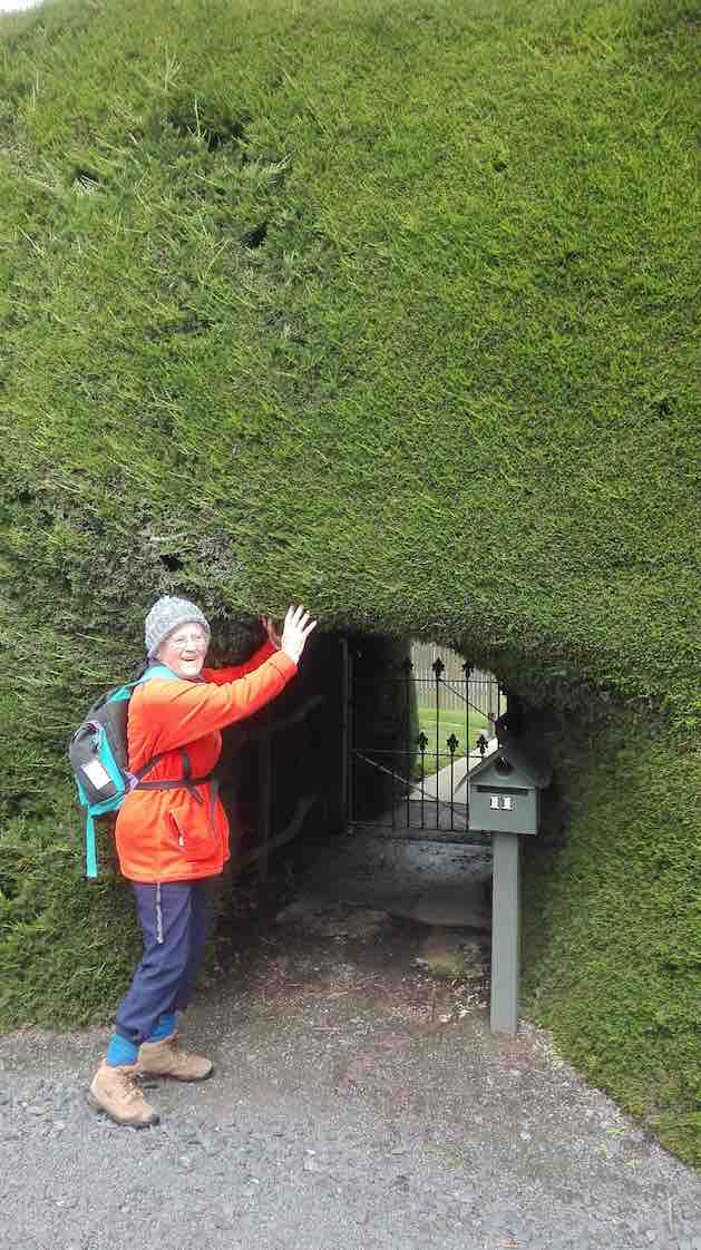
Hobbit gateway – in giant’s hedge. (Liz pic.)
… to Gladstone Road when we decided to have lunch on the bank …
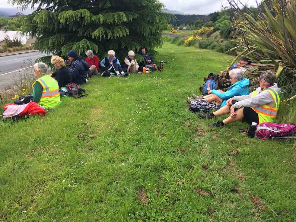
Lunch. (Ian pic and caption.)
… by the railway line. No trains came!!! After a leisurely lunch we took as many shortcuts as possible to get back to the carpark before the rain came. A welcome coffee break was at Wals. – Jay.
7. 10/6/2015. Hikers. Mosgiel Trek. E. Leaders: Jim and Betty.
GPS of route, courtesy Bruce. 14.7 km. Ascent 81 m.
Jim and Betty led twenty-two Hikers on a most illuminating illustrated tour of Mosgiel, with historical anecdotes echoed and amplified by several other old identities in the group. At one house, and the next,
One of Jim’s sites. (John pic)
Jim would tell us who had originally lived there and what they did. And where this street and that street had originally terminated. And where which dairy and which mill had once been located. And what rubbish dump now boasted as foundation for which set of houses.
As is evident from the route map, the walk was extensive – 14.7 km – a good stretch for the Hikers, necessitating one or two drop-out groups en route, and ending with only the famous six completing a last street-block encirclement on the day. Suspiciously this might have just been a prank, added at the last minute from a wicked sense of humour on the part of the leader, and strongly confirmed by the Back Marker rebelling and leading the remainder by a more merciful direct route back to the cars.
We morning-teaed by the Silverstream,
MT (John pic)
up near Wingatui Road, and lunched behind the Joe Browns settlement, on the back bank of Reservoir Hill…
Lunch Panorama (John pic)
…looking down on the small Woodlands settlement,
Woodlands Settlement (John pic)
and speculating on what drainage problems the properties might have experienced in the recent rain storm.
Our route was obviously the result of much imaginative planning. Highlights for this reporter were the new houses alongside Wingatui Road near the Silverstream (how similar many of them were!), the walk across Brooklands Park…
Brooklands Park (John pic)
…and the surprising route through from McFadden Drive to Woodland Avenue.
From the end of Woodland Drive, there was the fraught quick-or-the-dead negotiating of the lanes in the Quarry Road roundabout to land us eventually in Kinmont Crescent. Thence through the SH1 underpass (surprisingly short) into Cemetery Road and back across the railway crossing and into Gordon Road’s SW section of houses.
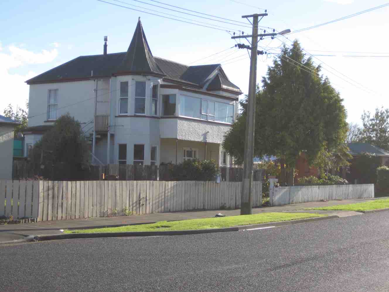
Here, at the lower end of King Street, Jim pointed out the distinctive turreted house there,
Original Maternity Home (John pic)
the original Maternity Home where he first entered the world. Further up in Argyle Street was Mossbrae, the onetime Maternity Hospital. When we reached the end of Argyle Street, instead of releasing us back up Bush Road to the cars, Jim took us away down Perth Street and across and back up Tay Street, to go (at last with only the famous six) via the Street lights intersection finally back to the car park.
Nearly 15 km, much on pavement, but a lot on grass too, was a good stretch for the legs, usefully developing fitness for next Wednesday’s climb up the forestry’s Margaret Road, linking Taieri Mouth and Big Stone Roads.
Betty and Jim capped off a wonderful day out by turning on a piping hot pottle of chips to accompany coffee chatter back at Topiary Cafe. Thank you so much, dear leaders, for a wonderful day out. – Ian.
6. 17/9/2014 Wingatui Block. Hikers. E. Leaders: Les and Margaret.
Route. Car Park, Bush Rd, Factory Rd, High St, Elmwood Dr, Cedar Cr, Track, Wingatui Rd, Gladstone Rd N, Crossan Tce, Station, Gladstone Rd N, Puddle Alley, Factory Rd, Bush Rd, Car Park.
Heavy overnight rain determined cancellation of the Millennium Track. Leaders Les and Margaret instead led us on the street walk recorded on the above map, stopping for morning tea in the shelter of the Wingatui Railway Station. On/off drizzle accompanied the whole walk but we were secure in our parkas. Thirteen of us enjoyed each others’ company and the varied views the route provided. Thank you Les and Margaret for your wisdom in making the tramp change and providing us with a good morning’s ten kilometre workout. Sorry, forgot about taking pics. – Ian.
5. 7/9/2013. Both. Birchleigh Village/Haggart Alexander housing development. Leaders: Bruce and Marjorie.
Thanks to two reports received, from Elaine and Bruce, each with a distinctive style, I have inter- leafed them for a wonderful account of the day.
ELAINE: Approx ten hardy people turned up at the car park at 9.00 a.m. The planned walk to Flagstaff was flagged.
BRUCE: With snow forecast to 100 m the planned hike on Three Mile Hill was postponed and an alternative street walk undertaken from 0900 to 1100.
ELAINE: George’s birthday bash was canned also. Was really looking forward to the wine. Never mind. Next week its all on if George is well.
BRUCE: Seven of us proceeded from the car-park via the Gordon Street verandahs during a nasty shower of hail to the RSA garden and memorial to Church Street and then into Wickliffe Street. (Ed. note: Three had returned back home.)
ELAINE: Bruce and Marjorie decided since the weather said showers … sleet … hillside snow …, that we would walk around the new housing estate at the northern end of Mosgiel. We also checked out Chatsford and Birchleigh for the future!
BRUCE: We turned off Wickcliffe Street into the Brooklands Estate past the BMX track to Doon Street and then via the new subdivision at Birchleigh Village.
We took the path on the left immediately past the main office to have morning tea, in the company of Ria who joined us in Wickliffe Street, in the rotunda assembly point beside the bowling green.
After a circuitous route through Chatsford we left the village and meandered through the new Highland Park subdivision. Although the slogan “My heart’s in the highlands” was repeated, the ground seemed pretty level.
After inspecting a show home from the outside we returned via Factory Road to our cars in the car-park with some comments from a pedestrian about our mental state for hiking on a wintery day. – Bruce
ELAINE: Only seven people came on this walk. The day didn’t get any better weather-wise and I think some of drivers passing us thought we were mad. The trampers cancelled their day altogether. We did laugh a lot and talk a lot. Let’s have a great turnout next week for George’s birthday shout, weather permitting. There could be a change to next week’s programme, so watch out for details. – Elaine.
4. 22/4/2013. Both. Car park, King St, Gladstone Rd Nth, Wingatui Rd, Shortcut to Haggart Alexander Drive, Factory Rd, return.
The Trampers’ trip was cancelled due to illness. In addition, both tramps came to nothing due to recent rain muddying up tracks. So a remnant seven of us did the above (tarseal) route, remarking on various properties passed and exploring a number of new housing developments on the way. A lot of changes! Rain everywhere else came to nothing in Mosgiel. We enjoyed the views and good company, especially Judy’s new South American poncho, lasting the distance only because of some emergency repairs.
Fred and Judy emerging from one of the new housing areas.
– Ian.
3. 25/4/2012. Hikers. Wingatui Block. Leaders: Arthur and Barbara. 2. 9/8/1989. Wingatui Racecourse. Over the Hill. Easy+ Leaders: Betty, Molly, Ria. 1. 14/12/2005 Wingatui Hall, Silverstream End of Year lunch. Leader: Lesley S
At about 10.10am four cars from Mosgiel, met three cars from Dunedin, at the “On the Spot Dairy”, Waitati, and proceeded to Steep Hill Road, a short distance passed the ‘big dip’at the top of the Kilmog. A few Kilometers or so, on the gravel road, saw us arrive at Moana Farm (Lawson’s Farm.) By 10.25am Twenty four trampers left the cars, with Theresa leading the first part of the tramp, myself being Tail End Charlie.
And off they go – Photo & Caption Phil Keene
The previous night had been a cold, stormy one, and the cold South Westerly wind, certainly made it’s presence felt as we walked further along Steep Hill Road, through a farm gate, and along the fence line parallel to the road, until coming to the next downhill fence, which we followed until turning left at the gate, bottom of the paddock.
A strung out mob – Photo & Caption Phil Keene
(Please bear with me on the previous bit, that seems like information overload, but is critical knowledge for anyone planning the tramp in future.) From here the tramp goes in a roughly circular, clockwise direction, up hill and down dale , following farm tracks.
The lowest point of the tramp was soon reached, where most kept reasonably dry feet, crossing Mary’s Creek.
Crossing Mary’s Creek – Photo & Caption Pam
This creek has an intriguing little story (tall tale or true?) as to how it got it’s popular nickname, which I explained soon after the crossing. It seems Mary was a gold miner’s wife who regularly bathed in the creek.
Listening to John’s story about Mary – Photo GrahamJohn and Neil looking for Mary!!! – Photo & Caption Pam
After this bit of local cultural enlightenment, we seemed to do more uphill than downhill, until
Admiring the Striking landscape above Mary’s Creek – Photo & Caption Pam
Theresa stopped us for morning tea in a sheltered spot, out of the wind, amongst the tussocks, at 10.50am. By 11.05am we were on our way again, following the farm track, and admiring views of the valley below; farmland with native plantings in the gullies, and farm tacks, mostly following fence lines, seemingly going in all directions, zig-zagging around the property. At 12.30pm we stopped for lunch at the same spot Theresa, Sarah, Phil and I stopped on our Recce. Here sheltered from the wind, most found a ‘comfortable perch’ on rocks, logs, or the bank. to enjoy lunch.
Great lunch spot out of the wind – Photo & Caption Pam
A visit by the farmer, with his beautiful Huntaway perched on the back of his quad-bike followed, just before we started off again at 1.00pm.
Stunning views towards the coast – Photo Graham
I then led the second part of the tramp, back to the cars. Shortly afterwards the forecast wind change took place. The South Westerly wind, changing around to a “Nor Wester.” Just as cold, just as strong, and just as much in our faces! Some respite was found in the sheltered areas of the track as it wound it’s way around hillsides, up and down gullies, and ridges. By 1.45pm we were back at the cars after negotiating the cattle yards. (Thick squelchy mud!)
A great way to finish – Photo & Caption Phil Keene
Afternoon coffee was enjoyed at Blueskin Nursery Cafe’.
In all we had covered 8.56km, altitude 240metres, a Grade 3 Tramp.
Thank-yous are due to :-
Farmer Willie Lawson, for so generously allowing us access to enjoy his property
Theresa White, for keeping me on my toes, and acting as Leader and Tail End Charlie.
Phil Keene and Sarah McCormack for help with our Recce.
Neil Simpson who has lead the tramp before, and was a mine of information on my initial contact with him.
John Gardiner.
17. 2/12/2020. Trampers. Lawsons Farm. Leaders Margreet and Neil
A blustery but warm Nor ‘westerly wind and a threatening sky greeted 32 (or was it 33?!) enthusiastic trampers at the gates of “Moana” farm at the top of the Kilmog. Owned by the Lawson family, Moana is a hilly and picturesque holding, bisected by the meandering Waikouaiti river. We certainly owe a great deal of thanks to generations of the Lawsons who kindly allow us to wander around their property (after requesting permission of course).
“Starting off.” – Photo and Caption Gordon
Taking a westerly route we descended rapidly to Mary’s creek, then round the corner to the site of ancient gold workings.
Descending into Mary’s creek.” – Photo and Caption Gordon
“Checking out the gold sluice.” – Photo and Caption Gordon
“How does the guy with the camera get into a photo?”- Photo and Caption John
From here it was a steady climb with a few minor descents to our lunch spot nestled in a tussocky knoll with views of Karitane, Waikouaiti and Maori Peak.
“Which ones are the trampers?”. – Photo and Caption Gordon“Amazing lunch view.” – Photo and Caption Gordon
It was great to see Neil and Carole out with us again.
“Cloud formations”. – Photo and Caption Gordon
Leisurely lunch over, the group reassembled (tail end Charlie was heard to describe it as like trying to herd fish!!) and trudged the 20 mins back to the vehicles. Not a long tramp by any means (about 9km) but fairly described as nuggety don’t you think?
Post tramp we enjoyed having coffee at Blue Skin Nursery. The staff did a great job taking orders for our large group and we enjoyed sitting outside amongst the plants.
All in all a really enjoyable day out and we look forward to starting the new programme in 2021.
Neil and Margreet Simpson
16. 10/4/2019. Trampers. Lawsons Farm. Leaders: Margreet and Neil
Despite a forecast for heavy rain at lunchtime, a large contingent of 17 trampers set out on our hike on Lawson’s Farm in balmy and ideal conditions.
We left the Mosgiel carpark at 0900 and reached the main gate of the farm at around 45 mins later. After a morning tea break on a grassy knoll;…
Morning tea view. (Helen pic and caption.)Do we have to get you down and up there? (Phil pic and caption.)
…we descended rapidly on a farm track to Mary’s Creek which burbles through an area of native bush.
Neil explaining the name “Mary,s Creek”. (Gordon pic and caption.)
On the descent we passed the only other trekkers we encountered – 5 horses and 3 foals!
On the valley floor we meandered round past ancient gold workings and the remains of a stone dwelling. Then it was a series of stiff climbs and descents on reasonably good footing up to a ridge not far from the woolshed.
Looking back down to the stream. Gordon pic and caption.)
Suddenly a stiff sou’wester wind set in, pregnant with rain, and the temperature dropped markedly.
On a sheltered hillside we ate our lunch.
Lunch in the tussocks. (Gordon pic and caption.)
Incredibly, the conversation revolved around the merits of courtship in an HQ Holden with column change and bench seat; compared to a Morris Mini with bucket seats and ‘four on the floor’! I kid you not!
After lunch we decided to shorten the tramp and were back at our cars by 1300. Total distance was 8 km but everyone really enjoyed the hike and found it challenging enough.
Coffee and ‘blankets’ was at Blue Skin Nursery where we met up with the hikers returning from their beach walk at Warrington. – Neil and Margreet
15. 16/8/2017. Trampers. Lawsons Farm. M. Leaders: Neil and Margreet.
Nine trampers set out from the car park at 0900 on a stunningly clear but frosty morning. After an uneventful 45 minute drive we parked inside the main gate of Lawson’s Farm. Patiently, but DOGmatically the two male trampers ‘herded’ up the 7 lady trampers and set them going in the right direction …
…. Southwest down Steep Hill Road before entering a paddock with a sun-drenched knoll where we paused for morning tea.
Morning tea. (Helen pic and caption.)
Lo and behold two latecomers (Bruce & Bob) arrived to counter the gender imbalance. Arthur was heard to quietly breathe a sigh of relief!
We were doing a different walk today to avoid all the river crossings. It was however still very muddy underfoot. We soon descended to cross Mary’s Creek. Mary, apparently, lived with a small cadre of gold miners and used to sneak up into this bush-clad tributary to take a bath away from prying eyes. None of our ladies were keen for a dip today!
Further on we passed sluicings and building remnants from the gold mining days and then it was a stiff climb up from this, the South branch of the Waikouaiti River.
We sidled around the undulating terrain and found a lunch spot …
(Margreet pic)
… which had beautiful views over the hills and tussocks and Mount Watkin to the North; through Matanaka and Maori Point to the East.
After lunch we soon ‘topped out’ to find stunning views of the coast and untroubled sea …
(Margreet pic)
… as we descended …
(Margreet pic.)
… a long, ever steepening ridge. At the bottom we crossed a noisy creek and began an energy-sapping climb up the opposite ridge back to the cars. It was a bit like the reverse of the Grand Olde Duke of York; who marched his men to the top of the hill and marched them down again! Pointless really!
So; after a wonderful tramp on an exquisite day, it was a weary 11 who gratefully repaired to the café at Blue Skin Nursery for coffees and tea.
Total distance was around 13.5 km. and it was about 4 hours hiking time. – Neil and Margreet.
14. 8/6/2016. Trampers. Lawsons Farm. Upstream. M. Leader: Arthur.
A frost to begin the day. It was mighty raw as we gathered at the car-park in Mosgiel. Nine trampers travelled to Lawson’s Farm, Kilmog area, where we found very pleasant conditions awaiting us. Only the shady faces were white with frost.
Past the wool-shed, where the dogs barked their usual greetings to us, and up the first brief slope found our morning tea stop. The winter 9.30-starts necessitate a later morning tea, but better late than never!
Onto the 4WD track through the tussock we travelled
The track we followed. (Helen pic and caption.)Farm building and long drop. (Helen pic and caption.)
– down briefly, then up briefly, and then down, down, down – until we finally came to the south branch of the Waikouaiti River.
We turned upstream now, following a sheep track through the tussock and occasional scrub, until we had a stiffer climb up around a steep face above the river. We could then descend onto a lovely tussock flat, where we came to a 4WD track to follow.
Eventually the track let us to a ford over the river. The safest route was to cross at the ford also, so it was into the water which was a little cold.
Very cold river crossings and cold wet feet. (Helen pic and caption.)
More river crossings followed in the subsequent mile or so. After the sixth and final one, we stopped at a nice sunny spot to partake of our lunch. Mr Lawson tells me that gold mining had been carried out back in the 1870s or 1880s at our lunch spot. The tell-tale earthworks being very noticeable. The time was 12.20 p.m.
Lunch and view. (Helen pic and caption.)
The river was still up a bit after the heavy rain a week previously. About a foot of water (that’s 30 cm for you metricified folk) was the deepest we had to wade through. All crossed without a mishap, and anyway, real trampers don’t mind getting their feet wet!
Two N.Z. falcons were observed while we were having our lunch. They appeared to be chasing one another, with loud squawks emitting. Perhaps one had caught its lunch but wouldn’t share?
After lunch, continuing on the 4WD track, we were soon in the shade of a narrow valley, almost a gorge. Uphill from now on, but the grade was steady and not unpleasant. The air was very cold in here,
Sooo cold and very white frost. (Helen pic and caption.)
and it was a great relief to find the sunshine again.
Before reaching the Steep Hill Road, we turned off to walk up an open bare paddock. At the gate we made the acquaintance of two quiet and friendly horses.
Friendly horses and nice view. (Helen pic and caption.)
Eventually we gained the road, with about one kilometre to go, and were back at the cars at 1.45 p.m.
Someone stated that it had been a very pleasant tramp – and all agreed with that. No measuring device with us today, but we must have tramped about 10 km.
Afterwards, the trampers had their weekly meeting at Waitati. Business included:-
1. Brief discussion as to our track-clearing intentions for the next season.
2. A considerable number of ideas regarding food, and recipes for the same, were put forward. Did you know that coleslaw makes an excellent filling for “Toasty Sandwiches”?
We had 11 trampers out today, including a new member to our group, a really good number.
We parked up just inside the gate of Lawsons Farm, & proceeded to walk down past the farm house, where we were met by Jim & Willie Lawson. We had a very nice chat with them before setting off towards our morning tea spot out of the strong breeze that was blowing.
Then it was down to the river, where we turned right [downstream] & walked along the valley, where we had to negotiate the bluff that requires care getting down. Having safely got past this obstacle, we carried on to the “Lodge” where we had a leisurely lunch stop,
Lawson Lodge. (Margreet pic)
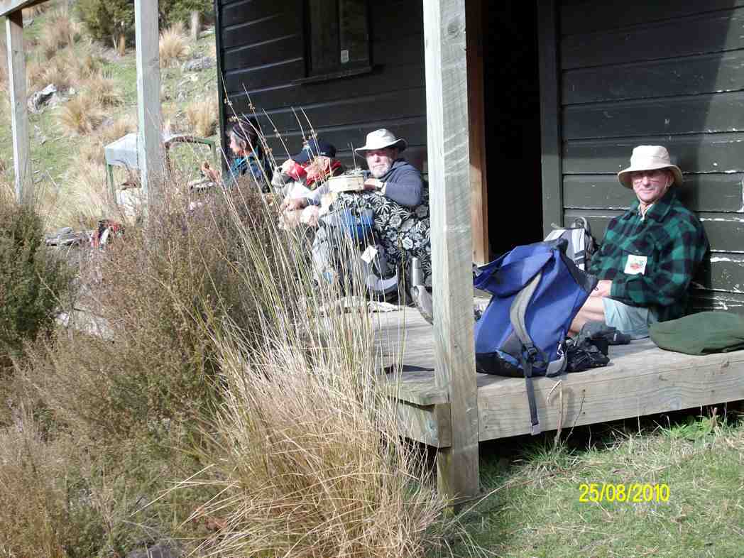
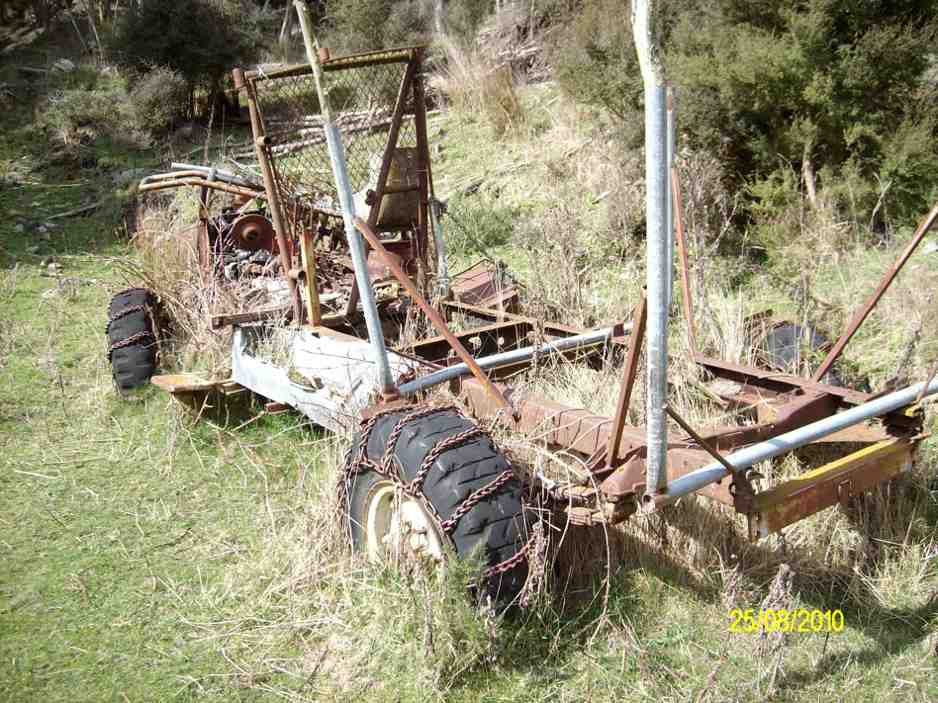
while some members who had not been there before examined the interior of the “Lodge” & the old vehicle chassis residing in the grass, still with chains on the tyres.
Then it was back the way we had come, until the slope we had to climb was upon us. All made it up here without to much drama, & we had a regroup at the fence corner, before making our way up to the ridge track, which leads back to the farm yard.
After arriving at the cars, it was decided that the ‘coffee club’ tradition would be continued with a stop at the Blueskin cafe., where we all enjoyed a chat over our favourite cuppa.
There were some appreciative comments made about the tramp, so a good day out for all.
Walked 12.5km
4km/hr
climbed 540mtrs. – Ken.
12. 19/11/2014 Trampers. Lawsons Farm. Upstream.
Lawsons Farm Upstream. GPS courtesy Ken. Walked 10.2km; 2hr 32min moving; 4km/h ave; climbed 600m. Some tricky bits, but OK.Morning tea break. (Ken pic and caption)
View from morning tea stop of Mt. Watkin in the distance. (Ken pic and caption)Showing grass track down to the river below. (Ken pic and caption)Valley we walked along. (Ken pic and caption)Old hut.It’s virtually uninhabitable, as it’s very dirty inside. (Ken pic and caption)Showing our route back up the hill. (Ken pic and caption)
We could make this walk even longer, by walking along the valley further & coming up the gully alongside Mountain Rd. Might try this next time. – Ken.
11. 5/6/2013. Trampers. Lawsons Farm.
GPS or route, courtesy Ken. We walked 12km; 3hrs 2min moving time; 3.9km/hr; climbed 461mtrs.
This was new country for 4 of the 6 that started out on this walk. We had quite a nice day except for a cool breeze along the exposed ridge tops.
We all enjoyed the walk along the Waikouaiti river banks, & the rocky obstacles that the writer remembered from last time. All enjoyed the lunch stop at the ‘Lodge’, where we made use of some plastic chairs, & the edge of the veranda. Doug even got out a plastic bin for a table.
Getting organised to have lunch at the ‘Lodge’
The comment was made that it had to be the most comfortable lunch stop we had ever had. However, all good things must end, …
Lunch at the ‘Lodge’
… so we decided to pack up & move on, as the sky was looking a little dark from where we were. However, once on the tops again, we could see that it had been unnecessary to hurry, as the weather looked much better from up there. An unhurried walk back to the cars finished off the day nicely, arriving back at the farm around 2:00pm for the drive home.
10.27/4/2011. Trampers. Lawsons Farm. Figure of Eight.
GPS, courtesy Ken. Left loop with tail at end is of the earlier Waikouaiti Stream tramp. (see GPS below) Right elongated loop is of this tramp, down left ridge and up the right.
Looking back at the Homestead from early on, on the left ridge.
The limestone rocks in the gully just up from the gorge.
A view from our lunch-stop of the gorge we stopped short of going into.
Just a view up the gully we had circumnavigated. Taken from the old coach road.
Frisky friendly horses who were content to muzzle us.
9. 18/8/2010. Trampers. Lawsons Farm. Clockwise via Waikouaiti River. Returned west ridge instead of Old Coach Road. Medium. Leaders: George, Hazel, Ria.
GPS tracking of Wednesday’s clockwise tramp. (Courtesy Ken’s GPS device)
We parked the cars just inside the entrance to “Moana” farm, walked through the dip past Lawsons’ homestead, up over the rise beyond it (where at its top we were to complete the circuit later on), to shelter from the brisk breeze for a tea-break in the tussock of the next dip. Then it was up over a next small steep rise to begin the long descent to the river.
Gully down to Waikouaiti River, South Branch.
As can be seen from the GPS tracking map, the Waikouaiti South Branch wound left and right as we made our way down its flats.
Wider part of the river valley
Finally, across a couple of wide clearings and through some bush and we were at the lodge for a late lunch. (It WAS a 9.30 a.m. start.)
Lunch at the ‘lodge’ (Ken pic and caption)
Abandoned 4WD transport. (Ken pic and caption)
Returning back upstream a bit, we faced the daunting (near-vertical for a start,) climb back up the ridge flanking the river’s true right.
The steep climb up from the river valley to a saddle of the west ridge
Reaching the top, we turned right and followed that ridge along its undulations to reach the point that lead us back down past the homestead and its yards and up to the cars again. – Ian.
8. 10/6/2009. Trampers. Lawsons Farm. Modified clockwise walk from homestead along ridge. (Figure of eight intended originally.) Medium. Leader: George.
We met at the farm gate and welcomed back Hazel who was out walking for the first time since her ankle break up Careys Creek in March. A remarkable recovery.
Looking north down gully between the two ridges walked. Mt Watkins on left.
George led the five of us down the farm ridge.
Along ridge that lies between river (over on left) and Mountain Track Road (Old Coach Rd) (off to right). Sabina, Doug, Hazel, George.
Eventually we reached the track leading across the gully up to the Mountain Track Road, (the old Coach Road).
Shot taken from Mountain Track Road looking back across to other ridge and adjoining track sloping down nr plantation. Mt Watkins in distance.
At that point we decided to forego the (longer) original figure-of-eight plan in view of the committee meeting to be held later that day and made our leisurely way back up the Mountain Track Road to the farm house. – Ian.
7. 24/1/2007 Trampers. Lawsons Farm. From Homestead. Downstream Waikouaiti River South Branch, Lodge, Paper Road, return Farm. Leader: Ian.
Parked nr gate. Walked down past house and yards. Climbed hill ahead and followed track down to River. Then along bank until eventually turning up to the Lodge for lunch. Back a little up the track and then a steep climb to old Paper road which followed to metalled road and back up to the cars. – Ian
6. 22/2/2006. Trampers. Lawsons Farm. Leaders: Arthur H, George, Dorothy S
5. 13/4/2005Lawsons Farm, Waikouaiti River South Branch, Lodge. Paper Road return. Leader: Ian
Lodge on Lawsons Farm
4. 3/12/2003. Trampers.Lawsons Farm, Waikouaiti River South Branch, Lodge Old Coach Road return Leaders: George, Dot B, Hazel
Start at cars
Stepping Out
Tea break. Sabina, Joyce, George, Irene Lesley Dot B
3. 24/10/2001 Steep Hill Road, Waikouaiti River. Medium. Leaders: George, Ria L, Barbara McC
10. 16/11/2022. Trampers. Nardoo Reserve: Walrus Bridge Rock. Grade 3.5 Leaders: Phil Keene and Graeme Souter
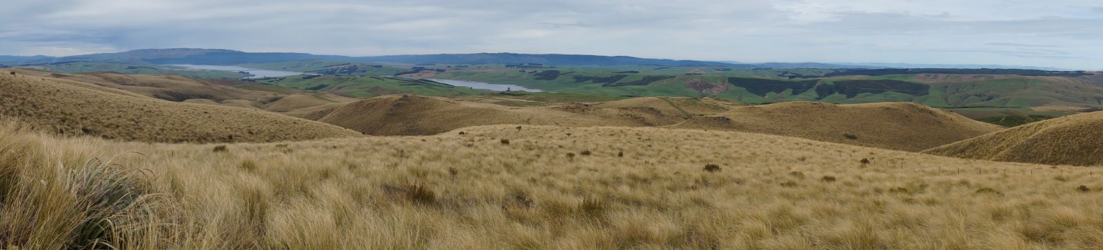
Was this going to be one of those on again off again days? Well no as eleven enthusiastic trampers turned up ready to go at 8.30am… although we were starting to think of a plan B as we travelled through rain to the Strath Taieri… however lo and behold the weather cleared, Lake Mahinerangi was calm, yay no wind on the tops, and the clay extension of Lammerlaw Rd through Waipori Station was dry.
Tailing was underway and the lambs were not gambolling, they were bolting and calling to mum. The Hereford calves had nice clean socks on and were top of the fashion parade.
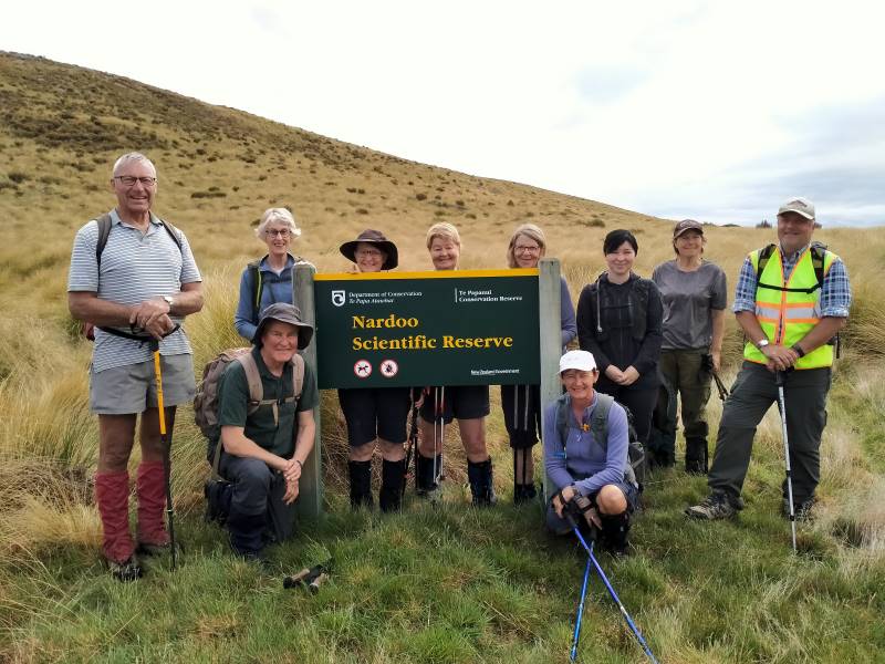
We set off at 9.45am and shortly practised our fence and gate hopping and climbing to enter the reserve, where a ‘before’ photo was taken.
The ‘before’ Caption and photo Phil
We followed the remnants of a graded track that all too soon was lost
in snow tussock country.
Looking back to Lake Mahinerangi and beyond. Caption and photo John
A short sharp start to the day, before settling in to a steady upward ascent,
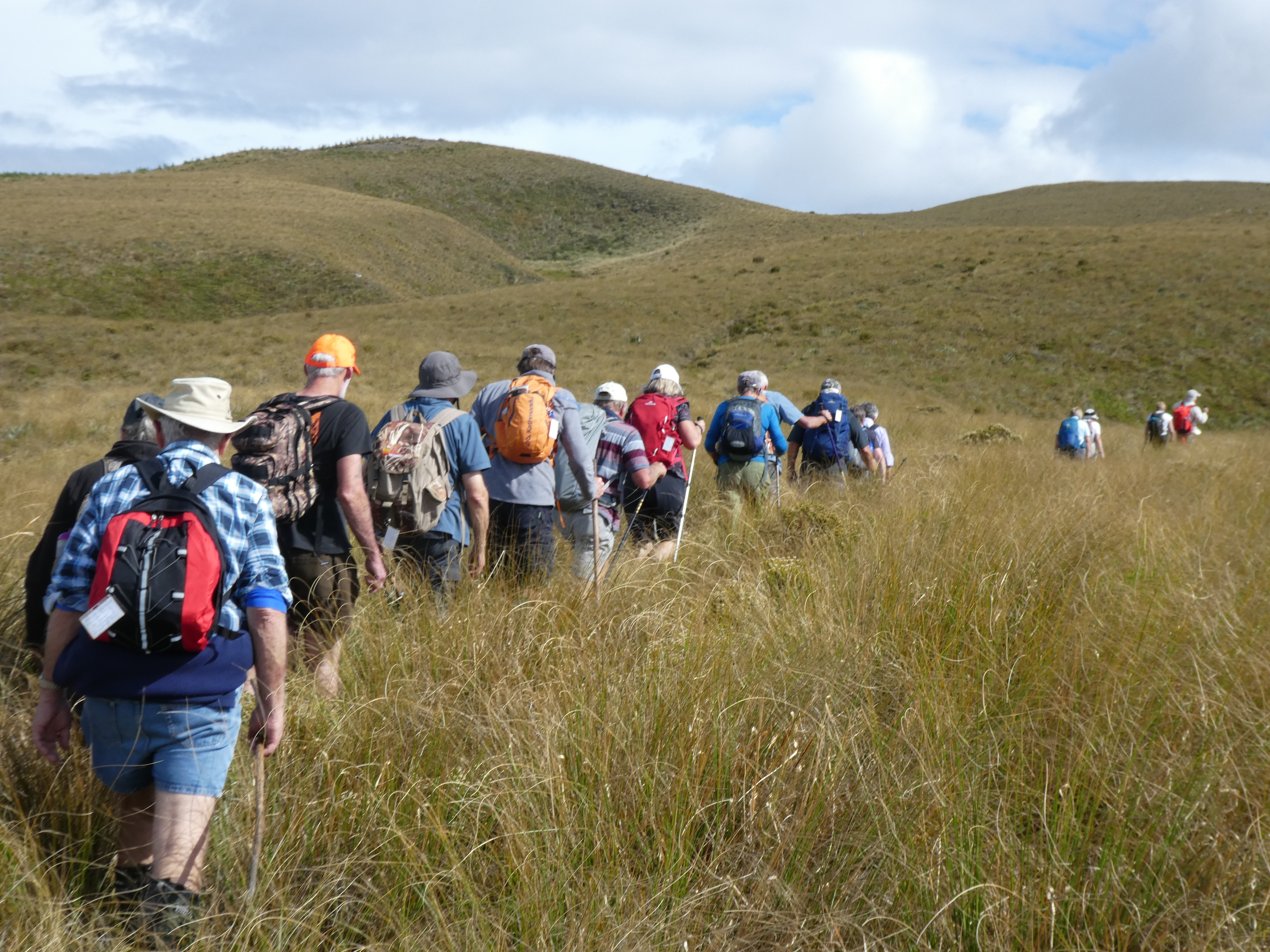
closely following each other to eliminate miss-steps and help form a clear ‘track’ to assist the return
journey – would it work?
Where we’re heading (ie. up!) Caption and photo John
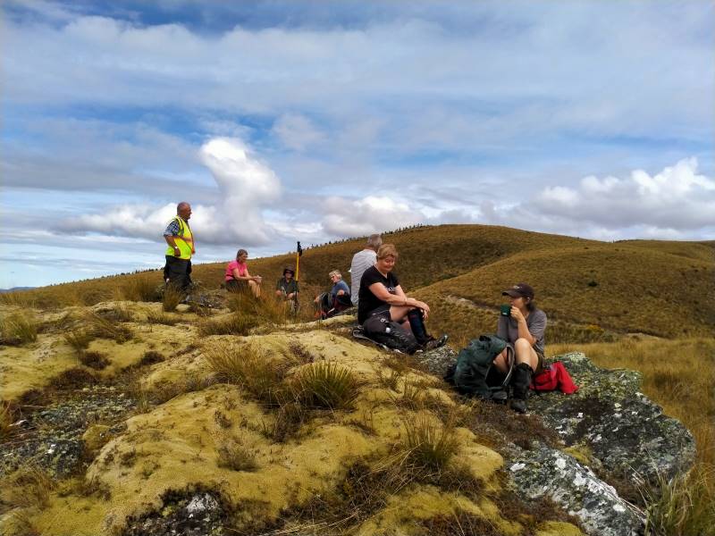
We had morning tea on a rock outcrop festooned with lichen and a soft ‘magic’ yellow carpet of vegetable
sheep…were we already visioning?
Morning tea on a magic yellow carpet of vegetable sheep Caption and photo Phil
For the balance of the morning we crossed low saddles and followed
a line of drachophyllum that had colonised the initial track and we stayed up on the ‘faces’ zig zagging to
and fro as we got close to the boundary fences. Keep out of the gullies being the mantra of the day.
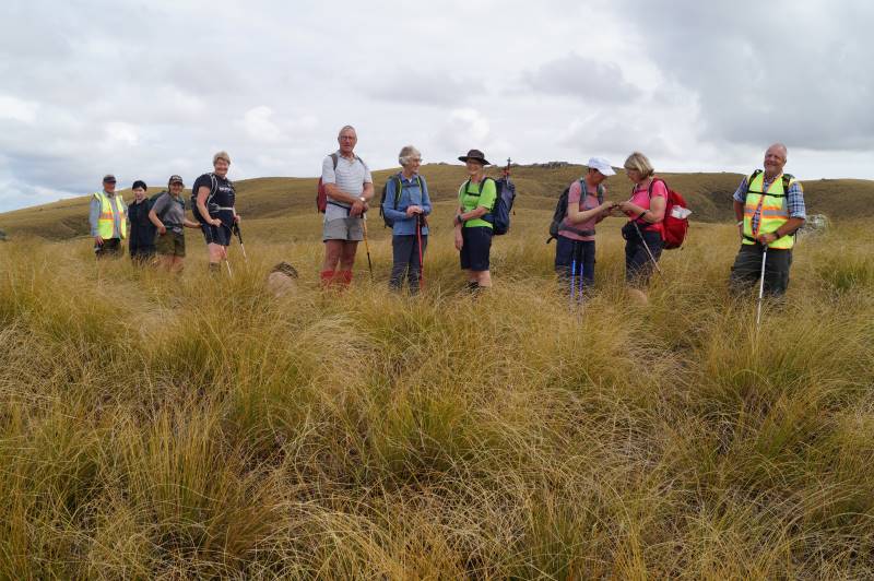
Happy trampers, during a regroup stop. Caption and Photo John
Initially the Blue Mountains dominated the views to the west, then Mt Wendon and higher still the Old
Man Range. Still no wind going by the blades of the wind farm… the tussock was dry to touch.
Head to Little Peak, that rock on the horizon. Caption and photo Sarah
We veered to the right near the top and made our way to the Walrus Bridge rock, where with dark clouds
building we decided to forgo Little Rock, and had our lunch right on high noon.
Hidden lake lunch stop. Caption and photo John
No sooner had we sat
down than a few spots of rain became steady rain and rather soggy sandwiches were dealt to. Coats and
covers came out, some of the fit and experienced trampers discovering for the first time that their packs
had built in rain covers…..gee no rain on a Wednesday for 3 years according to Charlie!
Clearly this was now going to be a game of two halves and a determined team set off, the descent much
quicker than that done on the recce, but maybe that was enhanced by the much clearer track created on the
way up – yeah right!
We were back at the cars about 1.30pm having stopped at the Reserve sign for the ‘after’ photo, was this
the same group of happy trampers? Yes they are all smiling!
The ‘after’ Caption and photo Phil
Wet gear was quickly placed into the car boots and the cars were soon steaming up….everyone agreed to
forgo coffee as hot showers and dry clothes seemed the more important…
It was heartening to hear the comment that the GPS map showed that we managed to follow the same
‘path’ both up and down… a testament to the leaders! Thanks to Esther and Neil also for taking their
vehicles that got suitably muddied on the way out…..and to Waipori Station for access.
Phil K
9. 29/1/2020. Trampers. Nardoo Reserve. Leader Phil
17 trampers headed off in to the wild blue yonder in vehicles suited to the terrain; picking up Chris at Lee Stream and then on to and up past Lake Mahinerangi ( according to one translation – ‘ moon glow of the heavens’; the lake being named after the Dunedin Mayor Burnett’s daughter, Neil S commenting he did not know marijuana was smoked back in those days).
We ventured past the windfarm and on down and up past the ‘old’ Waipori Cemetery ( prompting the question from John – where is the ‘new’ Cemetery?), the Lammerlaw bridge crossing and through Waipori Station, following large tractors doing silage on the lower slopes, till we came to the road end – where we startled 3 fine red deer spikers that easily hurdled the fences and raced off down the valley. Gary needed to be restrained and was seen to be frothing at the mouth and muttering under his breath….
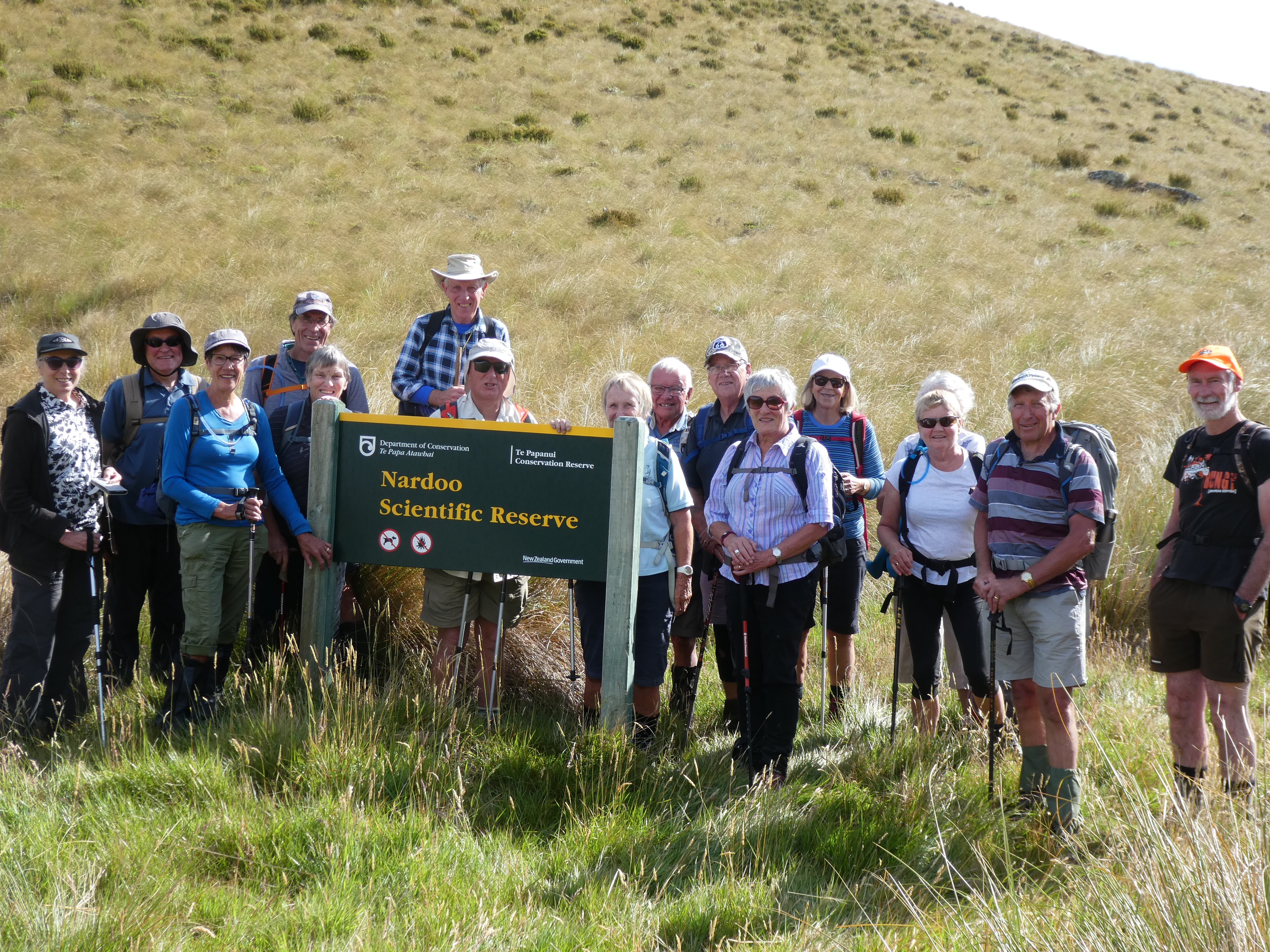
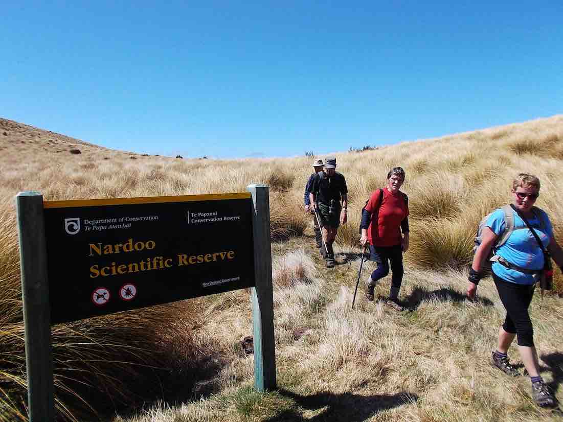
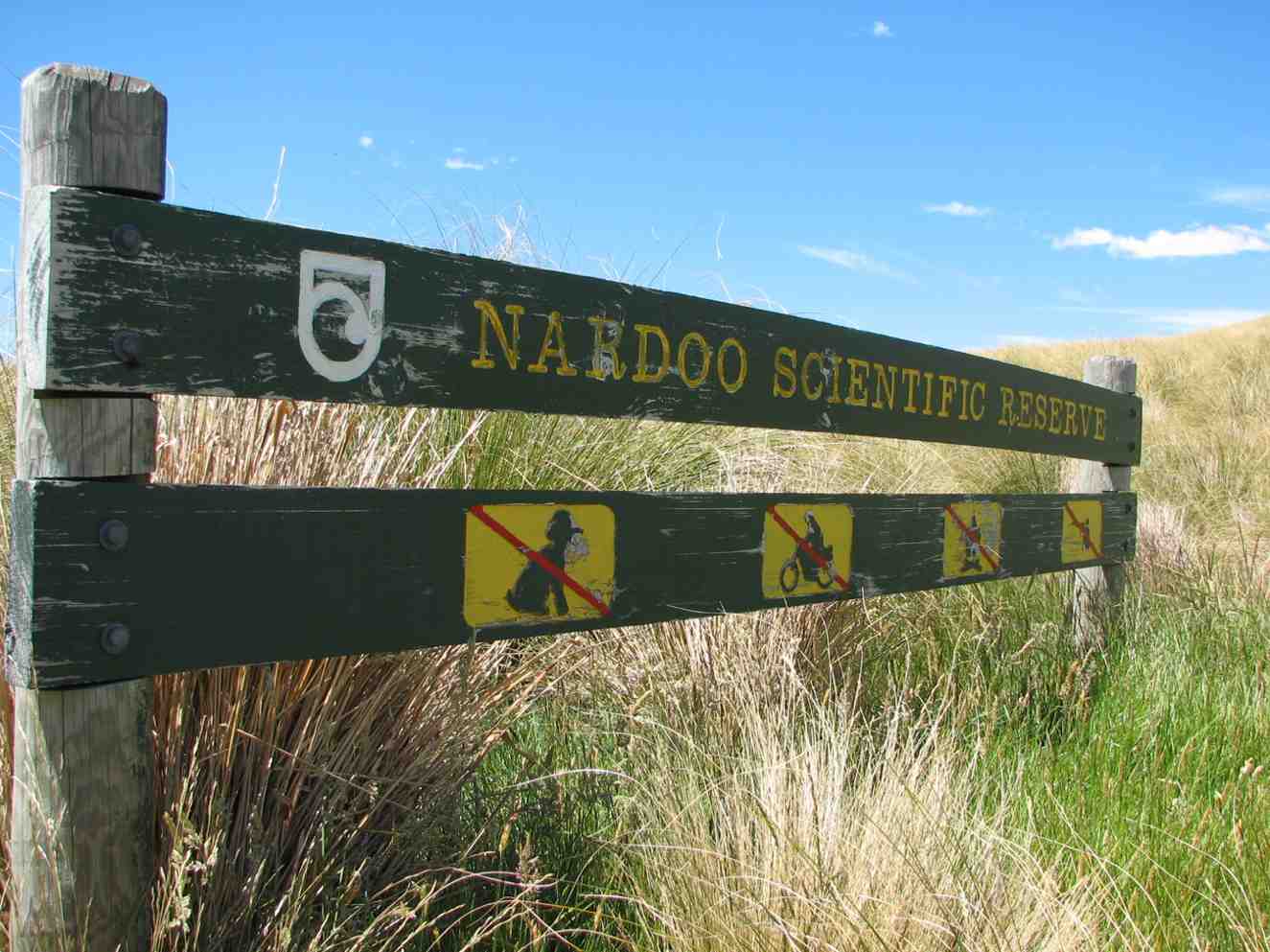
Having saddled up we traced around an old water race, one of 16km of races that served the Waipori goldfields, and entered the Nardoo Scientific Reserve ( the sign not being visible from the road end) where a group photo was requested, it being decided we may not look so good if the photo was taken at the end! (this proved to be so true).
Photo and Caption Gordon – “All 17 and all still happy”
A bit of useless info was provided on the meaning of Nardoo, thanks to Dr Google….a name given in India to a plant powder used in cooking and also called ‘aboriginal flour’ in the West Island, having been extracted from a type of fern……not sure who has the naming rights.
Photo and Caption Gordon – “Heading to morning tea break”
It was then onwards and upwards through a ‘garden’ where over 500 different plants exist, competing with and strangling each other in the process and yes well almost the trampers themselves, as we picked up our feet to negotiate silver tussock and spaniards and ground coprosmas and celmisias, these all punctuated by windflowers and the higher we went the purple orchid, Thelymitra.
Morning tea was provided on the first main rock outcrop where views to the Blue Mountains, the windfarm approaching Lawrence and on around to the Waipori catchment , the Maungatua and to Swampy and Flagstaff and the Silverpeaks were evident. The main route for goldminers in 1861 from Outram, the upper Maungatua and across the upper Waipori River and leading ridge to Gabriel’s Gully was outlined as well as where 2000 folk lived and mined in the 1860’s at Waipori Township.
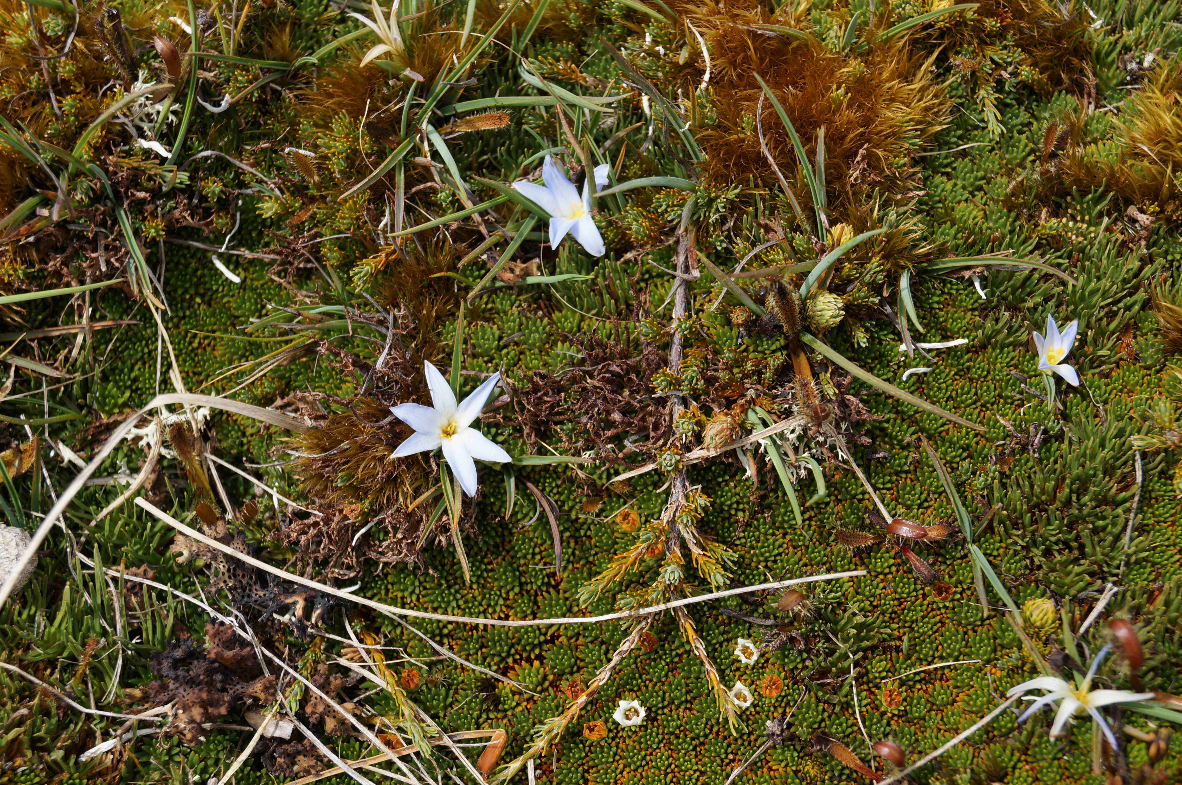
Photo and Caption John – “Pale blue flowers in bloom”Photo and Caption John – “Morning tea from the first rocky outcrop”Photo and Caption John – “Lake Mahinerangi from morning tea spot”Photo and Caption Gordon – “Heading uphill to Walrus rock”
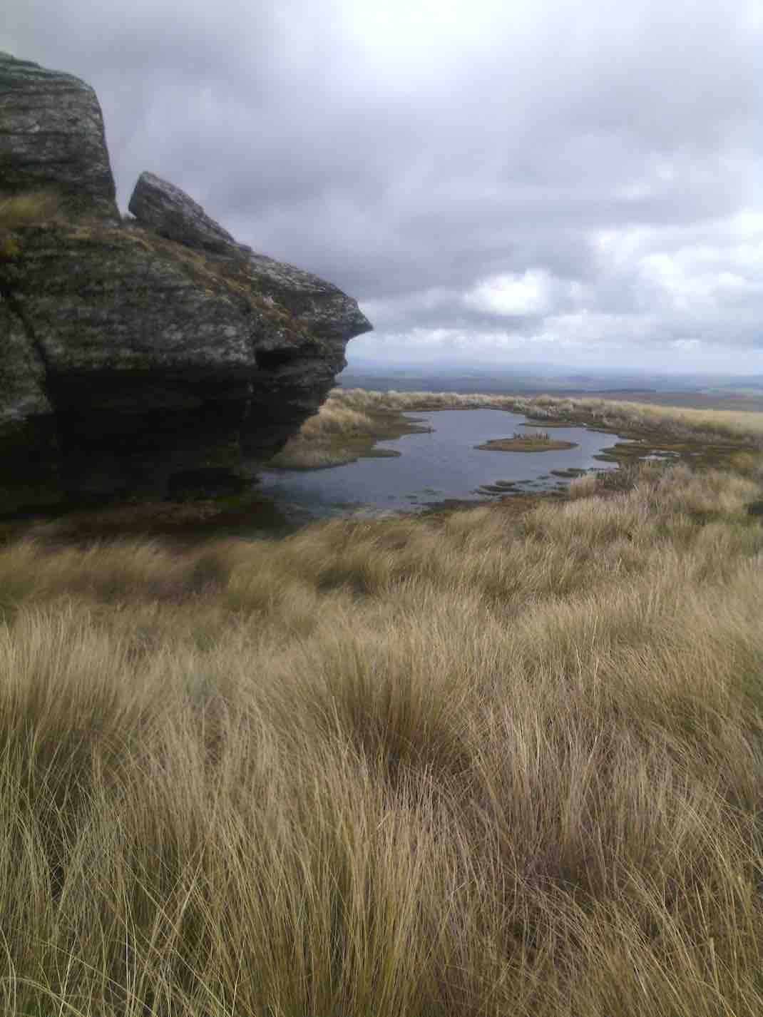
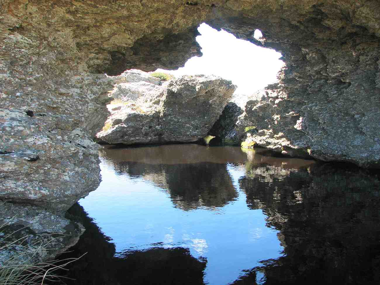
From then it was a steady ‘zig zag’ pattern across low saddles and up ridges till we made lunch at the base of the Walrus Bridge rock outcrops; the herb fields were parched (as were the trampers), dry and crisp and the models in the group posed for photos in the reflective waters of the tarn under the rock.
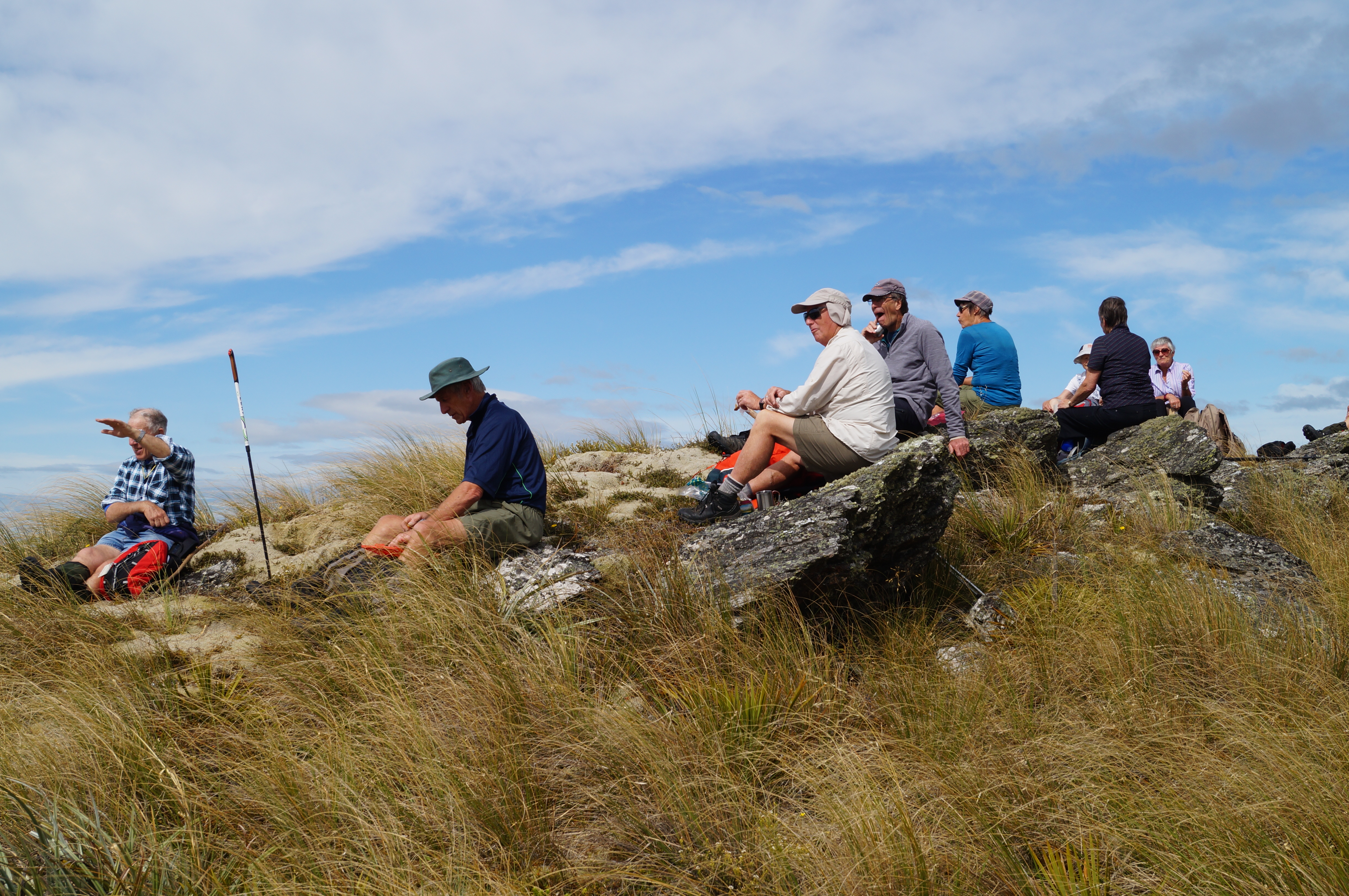
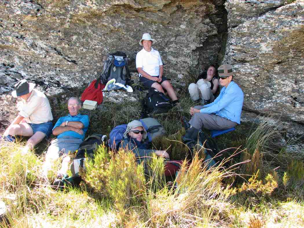
Photo and Caption Gordon – “Models posing in front of the reflective waters of the tarn at Walrus rock!”Photo and Caption John – “Lunch out of the breeze”
It proved quite easy to ‘rest a while’ in the wonderful environment with the extensive views and silence and to spend time to find the first flowering gentian for the summer.
Photo and Caption John – “A well deserved break for Arthur”Photo and Caption John – “Beautiful flower believed to be a gentian”Photo and Caption John – “Small orchids could be found”Photo and Caption John – “The very fine coral lichen”
A little thought had been given to moving on to Little Peak but it was unanimously agreed that time to return to good coffee and ice cream in Outram was the more important so downward we went trying hard to re trace our upward steps to save energy….which amazingly we managed to do, with only one or two ‘off track’ moments. A benefit of leading was seeing numerous skinks playing chicken……
Photo and Caption Gordon – “Heading down to cars and Wobbly goat”
Not too far from the vehicles we were strafed by a low flying Cessna type plane flown by ‘Snoopy’ Morrison who gave us and received the appropriate salutes. Why he did not land on the airstrip to offer some a ride back? We managed to make it back to Outram in time to catch up with Hikers and Ramblers to finish off a great club day out.
For future Nardoo walks a suggestion is to start this walk at 8.30am to give time to get to Little Peak and a return to Outram for coffee and craic. And why not – a quote from our recent European escapade ‘ coffee does not ask difficult questions, coffee understands’!
Photo and Caption Phil -” The route that we followed”
3 vehicles conveyed 9 Trampers out past Lake Mahinerangi to the Nardoo Reserve, for a day in the tussock. It was an hour’s journey.
On the last few kilometres up the farm road on Waipori Station we were able to admire all the ewes with their lambs. They obviously wanted to keep up their fitness, as instead of moving off sideways, they preferred to run uphill on the road in front of us!
From our car park we walked for 10 minutes to have smoko by the D.O.C. sign, as we entered the Reserve.
Up the zig zag and into the tussock. There was a faint trail to follow all the way, but concentration was needed at times so as not to lose it.
We stopped a few times to regroup and have a rest, uphill all the way. But our precautions taken to guard against sunburn were wasted as we remained under low cloud all day.
At one of the rest stops it was noticed the cloud was flowing up the gullies on either side of us, converging, and then going upslope in front of us. The cloud was close above us further up, but we had good visibility of several hundred meres on the group in all directions.
‘’ come on up Bruce, there’s a better view of the mist here”. (Phil pic and caption.)
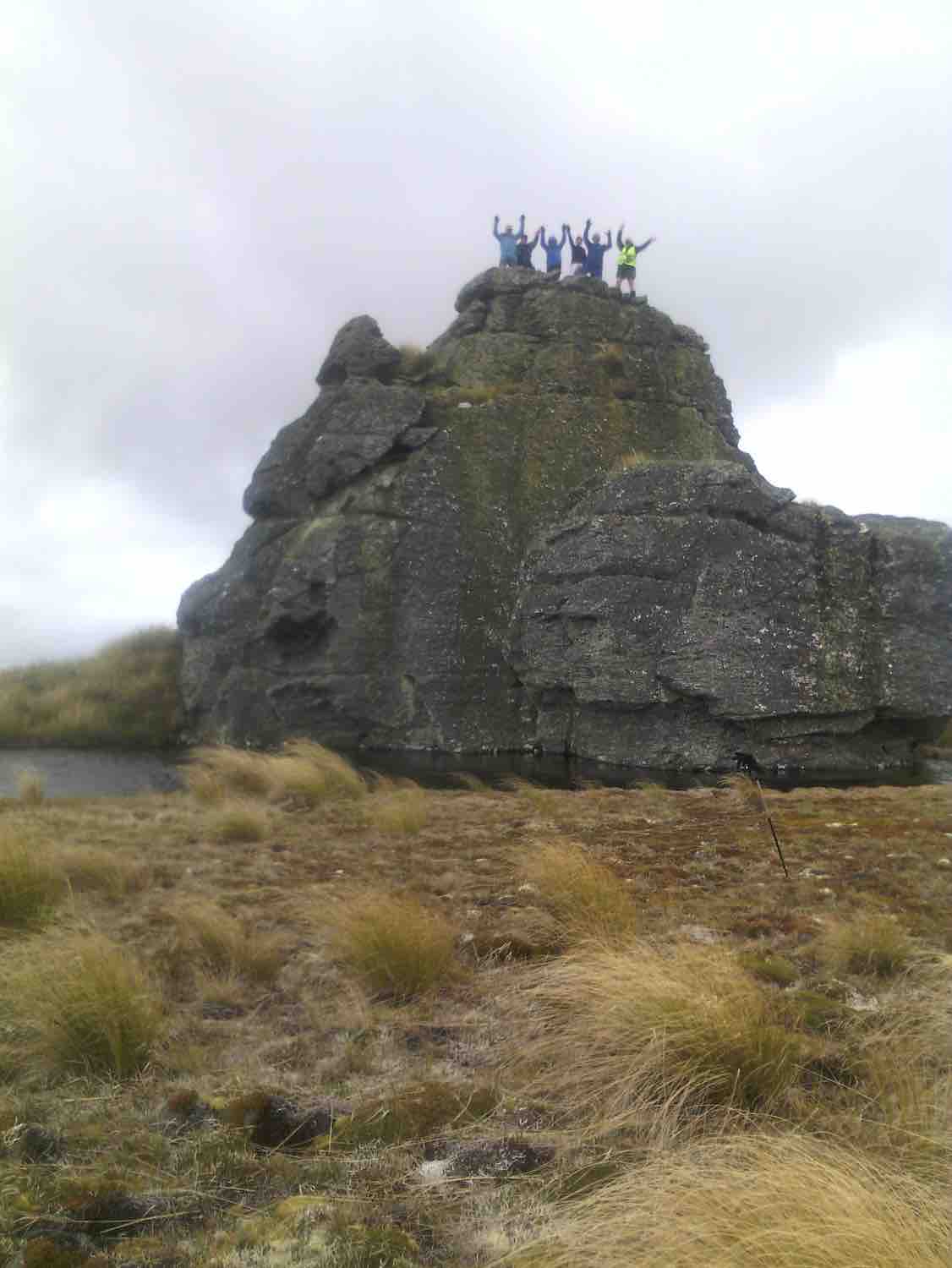
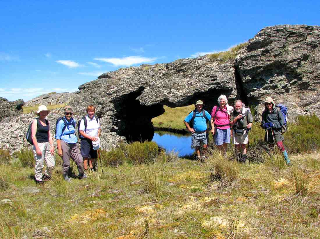
And so we came to Walrus Bridge, some time being spent on admiring and photographing it, before drawing up to the festal board (we ate our lunch).
Walrus Rock. Dave up on top. Rest underneath. (Helen pic and caption.)
A swallow arrived, and to our pleasure began flying backwards and forwards over the water and under Walrus Bridge, no doubt looking for a snack.
Before turning for home, some time was spent by the botanists among us, in studying the large area of mosses, etc, just beyond Walrus Bridge.
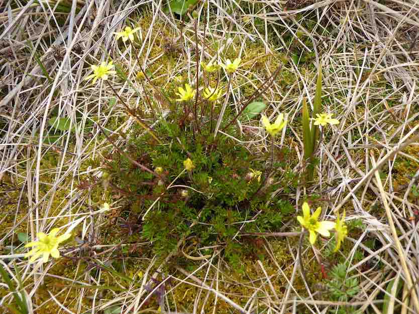
There was a lot of interest in the flower. ‘’Possibly the buttercup ranunculus gracilipis (slender) ( A Mark ‘ Above the treeline’)’’. (Phil pic and caption.)
We retraced our path in the beautiful tussock, downhill now of course, and eventually arrived back at the D.O.C. sign for a photo opportunity.
The group. (Helen pic and caption.)
And so it came to pass the 9 very happy trampers returned to the cars after a very enjoyable day in the tussock.
A brief stop was made at the Waipori Cemetery on the way back. A tranquil place. And Lake Mahinerangi was very low, we could see.
Back at Outram refreshments were obtained at the “Gobbly Woat”.
A few figures now – our day’s tramp distance was 8.7 km. We parked the cars at an altitude of 624 metre, and Walrus Bridge was at 934 metres.
My thanks to all my fellow “tussock jumpers” for such a good day out. – Art.
7. 28/10/2015 Trampers. Nardoo Reserve.
On a cool morning, 11 trampers, 9 who had not been there before, set off to visit Nardoo Reserve,
After a tentative drive along the road from Lake Mahinarangi, past the old Waipori cemetery, desperately looking for any sign that I remembered where we were, we finally arrived at the parking spot where we would start walking from.
As it was already just after 10am, we decided to have morning tea before setting off on our walk. Then it was off along the old 4WD track around to the boundary fence of Nardoo Reserve, where we were puzzled by the fact that the gate was open into the reserve. This was later explained to me by the owner of the surrounding land, who had a legit reason for it being open.
On the way up…
Some great scenery (Heb pic, Ken caption)
… the long climb to Walrus Bridge, I let some of the group take turns with the GPS so they could follow the track on the GPS display of our previous trips here.
Taking a break on the way up (Heb pic, Ken caption)
I also did this on the way home again, as I think it wise to let others see how the GPS can guide you in this type of featureless country, which is all tussock, with no track showing in most places, as it’s many years since anybody has had a vehicle up there. Most agreed that they had no idea how to return to the cars, & I think there would’ve been a lot of head scratching going on if they had to find there own way back.
After having lunch at Walrus Bridge,
Lunch at Walrus Bridge (Heb pic, Ken caption)
where everybody was suitably impressed by the sight of the pool under it, we decided to go on a little further as it was still quite early. Se we trudged across to another rocky point where we had a rest & a good look around, trying to decide in which direction Lawrence, & some other towns were. Then we made our way all the way back to the cars,
Exiting the reserve (Heb pic, Ken caption)
where some expressed amazement that the walk was quite short, but felt as though they had walked much further.
There were some appreciative comments made about the trip, so I think everybody enjoyed the day out on the open tops. And I for one have some sunburn on the back of the hand I use with my Trekking Pole.Walked 9km
3.1km/h
2h 54mins moving
climbed 382mtrs
max height 972mtrs.
The day was hot. Tempered by a strong but pleasant cool wind. Five of us enjoyed a return to Little Peak. To access Nardoo Reserve we had to drive through part of Waipori Station, whose permission was kindly given. The protected tussock of the Reserve was as long as ever but the 4WD track was still detectable. We stopped early at the customary zig-zag for the tea break.
Morning tea on the zig-zag. (Ken pic)
Then it was on up, across to the left, then right, along a bit of a gully before climbing to top the wee hill to our left, (see the first left point of the two major zigs on the GPS map.
View of Little Peak just discernable on skyline. About to climb wee hill on our left. 4WD track visible in tussock.
Then the swing down to our right, across a wet mossy decline, and up again, angling on a long reach to our left to reach Little Peak, (see the second major left point on the GPS route). Here we rested beside Walrus Bridge rock.
Break at Walrus Bridge. (Ken pic)
We had made good time and it was too early for lunch. We decided to head in the direction of Peak No. 2. The tussock on the top here shares pride of place with a large variety of mosses, and a profusion of celmisias. We made our way across these to a solitary rock on a bit of a rise and decided to lunch there.
Rock where we had lunch. Little Peak rocks in back-ground.
We were struck by the deep blue of a group of able 5 tarns in a dip, looking towards the Lake.
Deep blue of tarns viewed from lunch spot. Lake Mahinerangi. (Ken pic)
Then it was back down and across to Little Peak and to retrace our steps back to the car. Ken let us take turns with holding his GPS navigator to note just how accurately we were keeping to the track it had marked out on the ascent. (A good tool were we ever to get lost.) Only five of us, but good company. Wish there were more to share our enjoyment of yet another brilliant Wednesday. – Ian
5. 16/1/2008 Trampers. Walrus Bridge, Red Rock, Nardoo Scientific Reserve. Medium. Leaders: Ian, Bill M
Today, which saw the mercury rise uncomfortably high , 10 of us travelled in 3 very different cars to the start of the tramp, well past the turnoff to the Waipori cemetery beside Lake Mahinerangi.
This was going to be the day we all needed a large supply of water. Luckily it was only a slow leak from the water bladder and Ian did not run out of water. Ria, who is very fit, found the slow pace hard to take , although the rest of us appreciated the regular breathers Bill allowed us on the rather hot, tussocky ascent. Wonderful views surrounded us over the nearby slopes of the Lammermoors, and back over lake Mahingerangi. The area we were in was a scenic reserve called Nardoo and had been fenced off from the stock which roamed over the rest of Waipori Station.
Nardoo sign. (Bill pic)
This had allowed regeneration of the native plants and tussocks and on the summit of Little Peak 1 the Celmisias were everywhere and a real treat to see their lovely silver foliage and white, daisy like flowers. Walrus bridge is a large rock spanning a deep dark tarn and it was here we sought shelter from the midday sun and had our lunch.
Close-up view under Walrus Bridge/ (Bill pic)
We posed. Emma, Marjorie, Tash, Doug, Hazel, Ian, Bruce.
Bruce suggested it was called Walrus because a walrus moustache is shaped like a bridge over the mouth and droops down the sides rather like a walrus’ long incisor teeth. Hazel needed a good wake up call
as we headed back down after lunch and Ian managed to end up fighting to get up from the tussocks after falling dramatically into them. And so back the way we came, but this time all down hill.
Us on way back down. Ria, Hazel, Doug, Tash, Emma, Bruce, Marjorie, Ken, Ian
A great day out in beautiful, wild country with blue skies, and white shaped clouds.
Cloud effect (Bill pic)
A quick visit to Waipori Cemetery and memorial on the way out, and we still hadn’t seen a living soul.- Tash
4. 15/2/2006. Trampers. Red Rock, Nardoo, Walrus Bridge. Leaders: Ian, Bob H, Judy G.
Walrus Bridge.
3. 20/4/2005. Both. Nardoo, Walrus Bridge. Leaders: Helen S, Ria, Lance and Lois.
2. 19/3/2003. Both. Lake Mahinerangi, Red Rock, Walrus Bridge, Nardoo. Medium. Leaders: Ria, Evelyn, Molly, Mary M.
1. 14/4/1993. Lake Mahinerangi, Red Rock, Walrus Bridge, Nardoo. Medium+. Leaders: Ria L, Ria H, Jean, Lesley S.
8. 19/10/2022. St Leonards. Grade 1.5. Helen and Linda
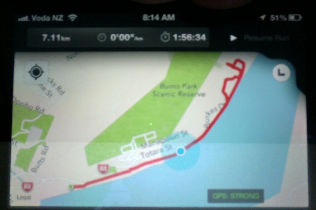
Eighteen of us met at the Ravensbourne carpark opposite the old hotel, and in beautiful sunshine we walked along Totara St above the main road along to the park at the end where we had morning tea. From there we sauntered down the hill and crossed Ravensbourne Rd to the walkway and followed it until we got to Burkes.
Photo Helen
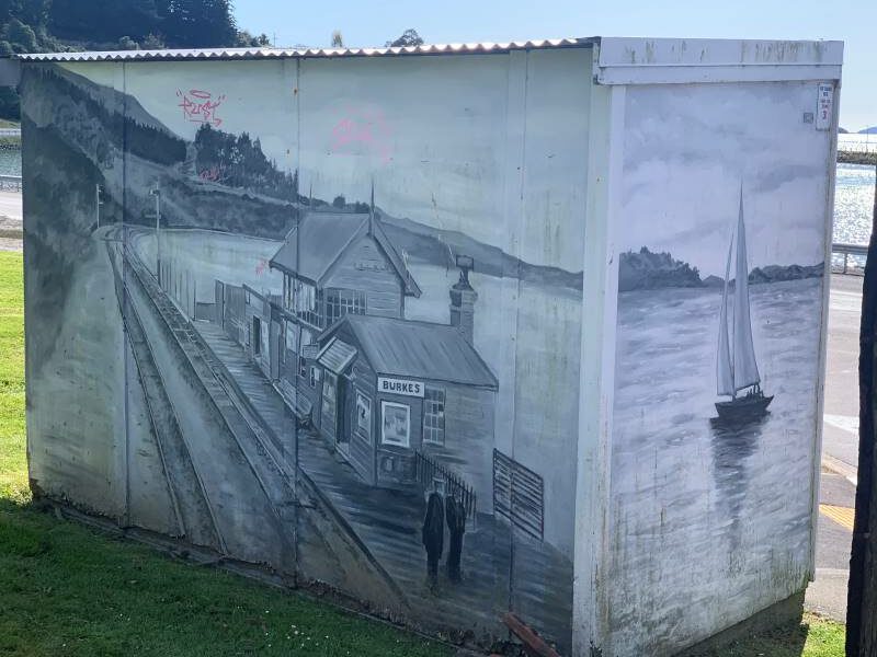
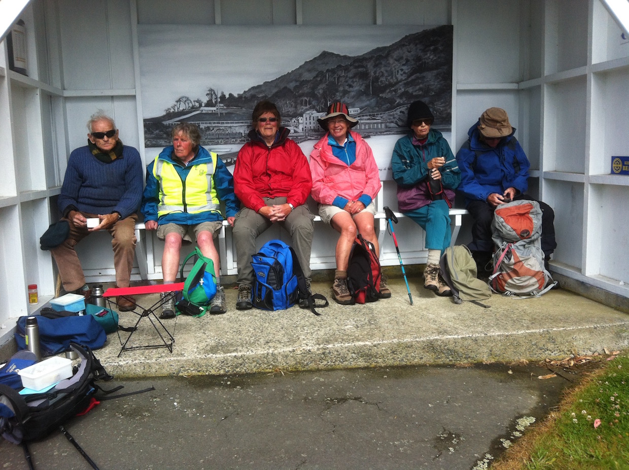
The bus stop there has a striking monochrome mural (or ‘Muriel’ to longtime Coro viewers) of the old brewery that used to stand on the site.
Photo Helen
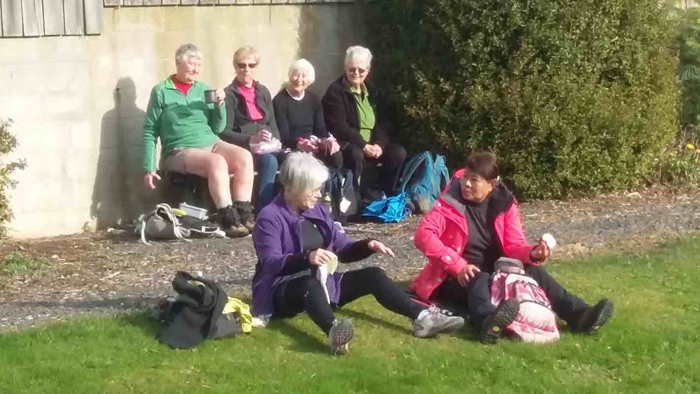
Up to the streets above Ravensbourne Rd, all named after native birds where we walked to St Leonards passing well kept gardens including one with a stall of plants from Bluestone Nurseries for sale which the keen gardeners amongst us were very interested in. We saw both Lodges in St Leonards, and stopped for an early lunch at the end of Takahe Terrace on the edge of a sports ground. Then back down to the walkway which took us all the way back to the Ravensbourne carpark. A very relaxed and enjoyable day.
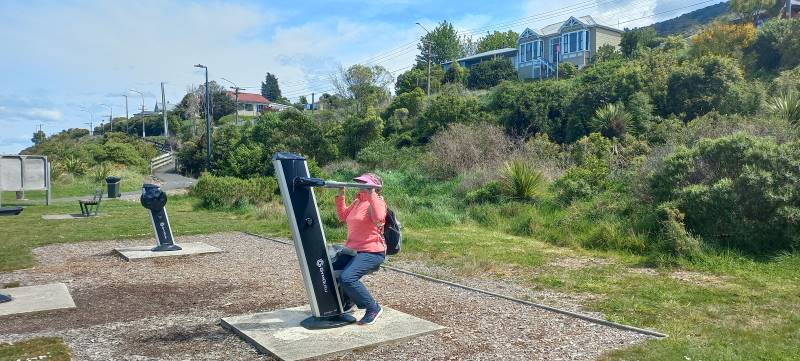
Jenny flexing her muscles on the exercise machine Ravensbourne walkway. Caption and photo Linda
We stopped at Emersons for a coffee on the way home. Thanks to Raewyn for organising this hike. And a special thanks to Linda for leading the group at short notice. Helen
7. 12/6/2019. West Harbour Walkway. E. Jay and Raewyn.
On a very nice winter’s day 30 enthusiastic hikers made their way to the Carpark opposite the
Ravensbourne Hotel to start the walk along the West Harbour walk and cycle way. We stopped 15 minutes along the track for morning tea and those that felt a need had a turn on the exercise equipment to test
their skills. Along the way we came across a railway maintenance crew doing work on the track. This really fascinated many though mainly the men. I’m sure with a bit of encouragement they would have
jumped the fence to have a try at hammering in the squiggly steel rods. Further along we left the track at Burkes and crossed a very busy road to walk up the various streets including Kiwi St, Kaka St. down Pukeko St. past St Leonards Hall and school.
Great views of the harbour. (Clive pic and caption.)
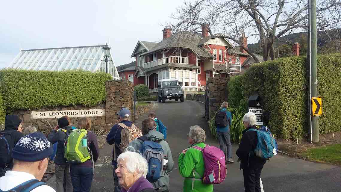
On the way we enjoyed looking at historical homes and lovely gardens including St Leonards Lodge
One of the grand houses. (Clive pic and caption.)
and University Lodge. We had lunch in the sunshine at
the St Leonards Park.
Lunch at St Leonards’ football club ground. (Clive pic and caption.)
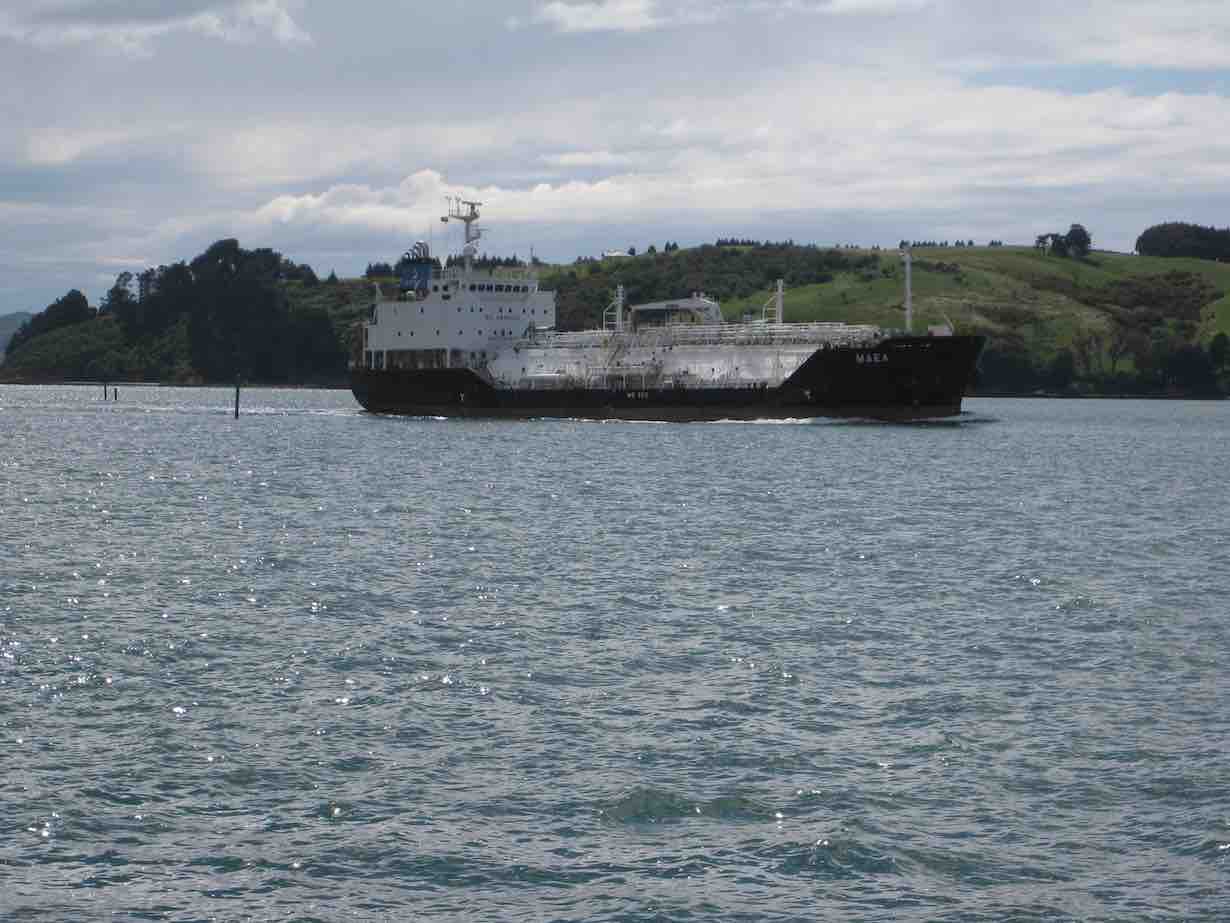
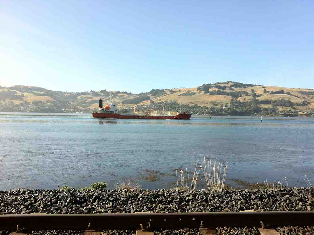
After lunch we returned to our cars walking the whole way on the track and also had the pleasure of watching the large tanker and tug boat making their way up the harbour. A very
pleasant 10.5kms. Coffee stop was at the stadium. – Raewyn and Jay.
6. 19/7/2017. Hikers. Boat Harbour to St Leonards ret. Leaders: Bev and Judy.
21 hikers parked at the Otago yacht Club and walked the cycle/walkway to St Leonards and back, a total of 11 ks.
Route map, courtesy Ian.
21 hikers parked at the Otago yacht Club and walked the cycle/walkway to St Leonards and back, a total of 11 ks – not bad for a mid-winter day with planned hikes cancelled due to illness of leaders. Morning tea was had on the yacht club verandah as it was still a bit chilly. With a cold breeze in our faces we stepped it out briskly …
Walkway name. (Ian pic and caption.)A ship. (Ian pic and caption.)
… to St Leonards where lunch was eaten with a bit of sunshine to help. The return trip saw us well spread out with unfit ones like myself dragging the chain a bit at the back of the pack. We were reunited at the University coffee shop where a pleasant social hour was spent. – Judy.
5. 13/1/2016 Hikers. Ravensbourne – Burks – St Leonards. Leaders: Judy and Adrienne, Helen.
Route map
We parked cars down below the Ravensbourne Hotel and took the walkway to Burkes where we morning-tead.
Cuppa in bus shelterCuppa on lawn
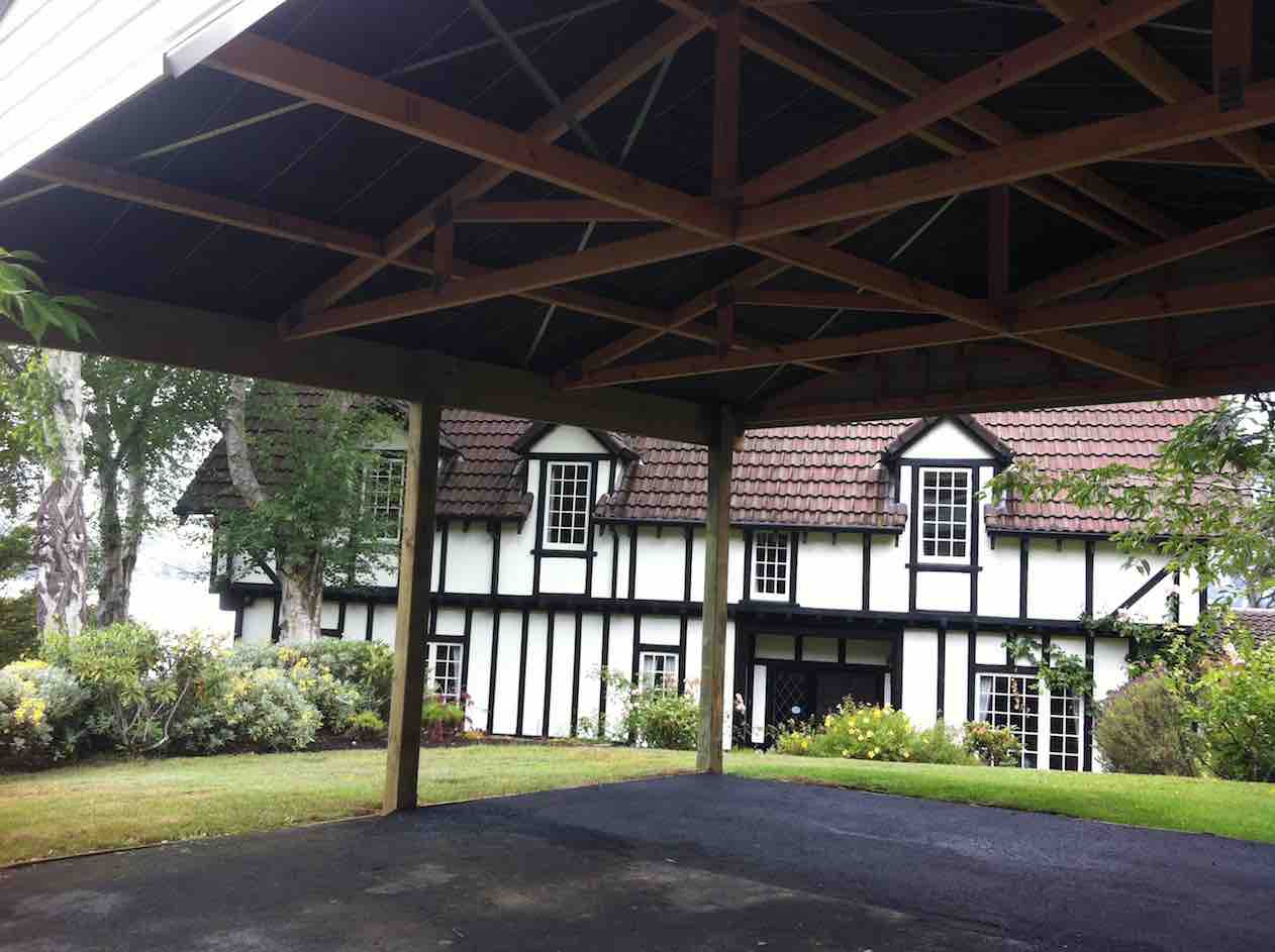
We took the old road to St Leonards reflecting on its probably origin as just a track through the bush following the easiest gradient. We turned up Kiwi Street, along Kaka Street, admiring well-kept properties there, down Pukeko and along past St Leonards Hall and the school. Up Ruru to view the mock Tudor House.
Tudor house by the harbour
Down again to front past the University Lodge Gates, and next it, St Leonards Lodge. Then along to St Leonards Park for lunch.
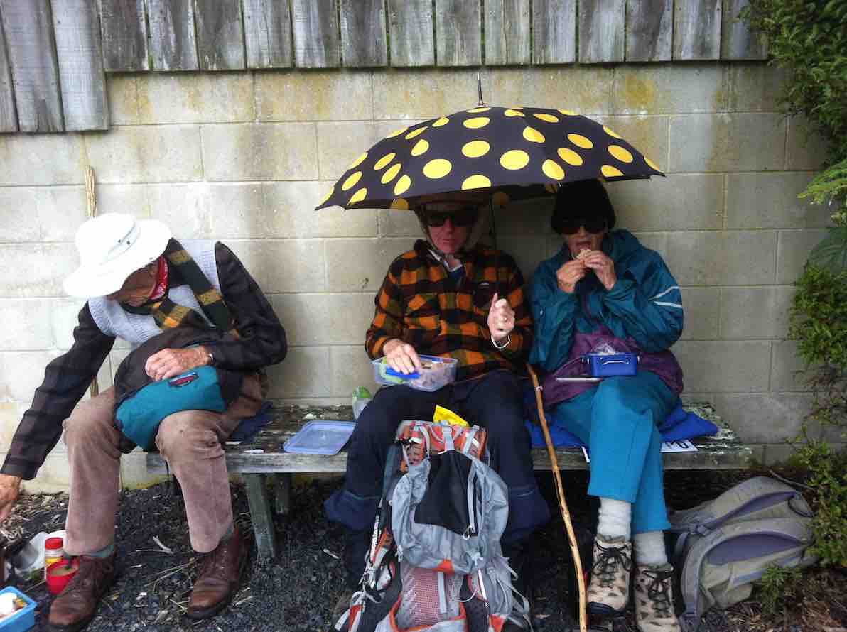
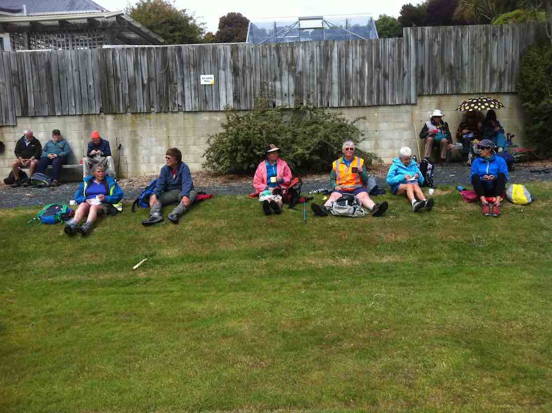
Sun/shower security.Ladies on the lawn.
Returning back to the cars we were relieved the cold southerly had abated somewhat. Thanks to Judy, Adrienne and Helen for excellent leadership. – Ian.
4. 29/10/2014 Hikers. Ravensbourne Walkway. E. Leaders: Peter and Wendy.
On the 29th October a very good group of hikers started off from the boat club on from the stadium. The day was cool to start with then got warm and sunny.
Harbour View Hotel (John Pic)
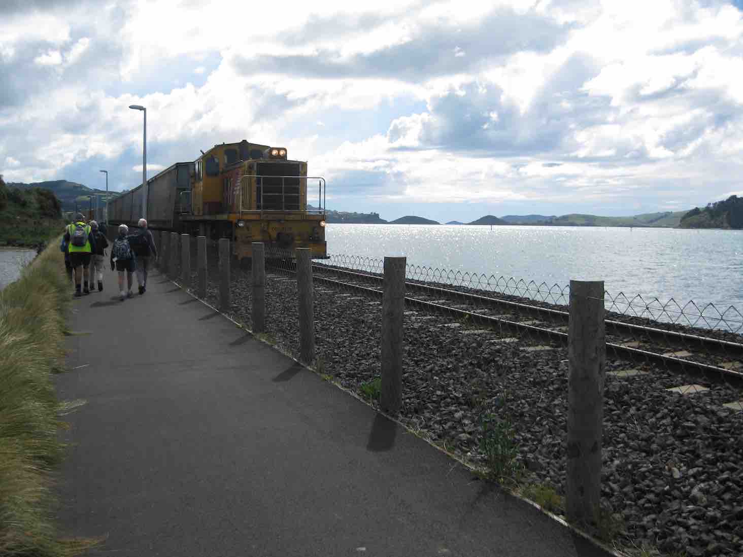
What a pleasure it is to walk on this wonderful walkway. There was so much going on in the harbour and train tracks. A very large goods train sped past us
Train (John pic)
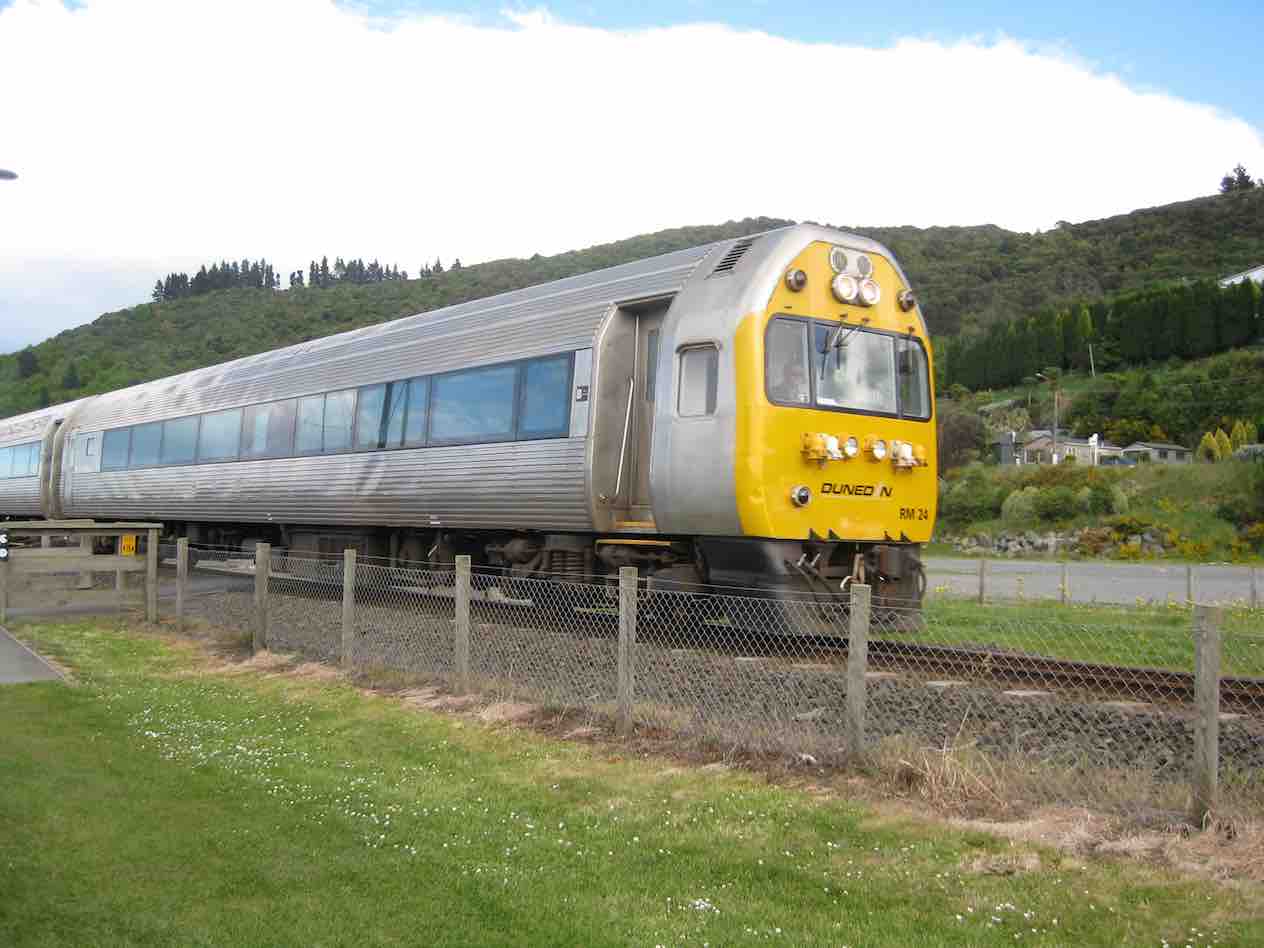
and a not very tidy rail car …
Shabby railcar (John pic)
… I thought was up and down the track a few times.
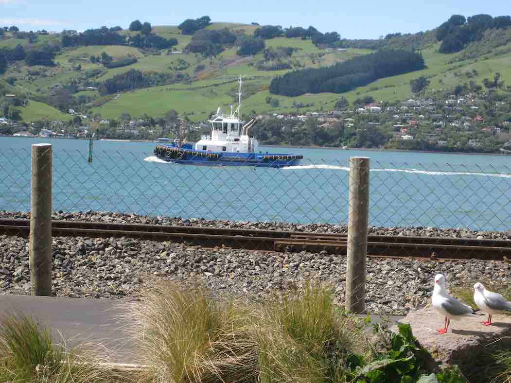
The $12million Otago tug
Tug (John pic)
chuffed along the channel following [Tug illustration chosen shows the tug going the other way earlier. Sorry. Ed.] a cargo ship …
Ship. (John pic)
… going to the Dunedin wharf.
Lunch stop was very sheltered, with plenty to watch on the walkway – runners … cyclists … mums with prams …
Two of our group caught the eye of another group and had their photo taken which was published in the Star local paper on Thursday 30th.
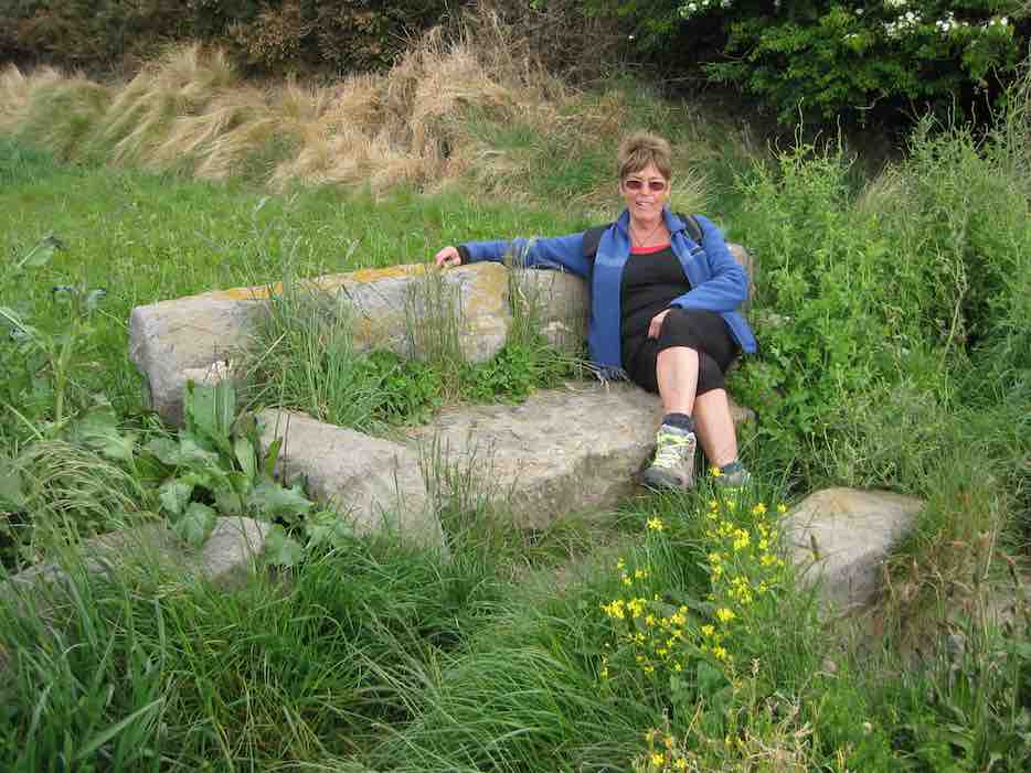
I was very taken with a stone sofa on the side of the walkway.
Looking very nonchalant! (John pic, Fred caption)
Who made it and how long has it been there?
All up we walked over 10km Lets hope this walkway does find its way to Port Chalmers in the future.
We spoke to a young girl on the track from Uni. She was part of a group of students from the Mining dept. She was amazed when Mollie told her how old she was. Then Doug came striding along and I said he was the same age. She was very impressed with us.
We had a coffee at the Plaza which is the cafe at the stadium in the uni part.
Have a good week everyone. – Elaine.
3. 27/3/2013 Hikers. Pedestrian-Cycle Track Rowing Club to St Leonards. E. Leaders: Arthur and Barbara.
“GPS” of route.
LPG tanker viewed from walkway
2. 9/3/2011. Hikers Pedestrian/Cycle track North End Rowing Club to Maia E. Leaders: Arthur and Barbara.
1. 17/6/2009 HikersPedestrian/Cycle track North End Rowing Club to Maia E $4.00 Leaders: Lois & Lance
7 members (Molly, Neil, Lois, Lance, Bev, Margaret and Angela) set off at 10am from the University Aquatic Centre (just north of the Boat Harbour, via Leander St- opposite Butts Road on the way to Port Chalmers beside Palmers Quarry – now known as Shiel Concrete) for a brisk stroll to the Ravensbourne Yacht Club, stopping a while for morning tea.
From there we proceeded to Maia crossing the railway line at Hume Pipeworks, opposite the Ravensbourne Hotel, which looked closed for the winter.
There are extensive notices in yellow & red advising one NOT to cross the railway line but in this case we had no alternative as the walkway from the Ravensbourne yacht club proceeded on the left-hand side of the yacht club on the site of the second railway line which has since been removed.
Upon leaving Maia we proceeded up Ascog Road & along Totara St and down Adderley Terrace to the Ravensbourne Hotel, across the road to the overbridge at the Ravensbourne Yacht club and back to the cars.
The walk took approx 1 1/2 hours and because of the cool temperatures and accompanying wind chill factor it was decided to go home for lunch.
An enjoyable walk taking 3 hours (includes an hour travelling time) – Angela.
7. 17/08/2022. Vauxhall/Musselburgh. Grade 2. Leaders: Raewyn & Jan
Thankfully the weatherman got it wrong. Mosgiel was shrouded in fog as we left PJ Park, but there was no sign of rain or wind as we arrived at Bayfield Park. 18 hikers set off over the Causeway, along Portobello Road past the large slip and on to the Vauxhall Yacht Club for morning tea. After a short history about the ‘White House’ & Arthurs Walk, we stopped to reflect ‘what might have been’ as we passed the now derelict house, and continued onwards up the steps.
At the start of the steps and shows the old hotel in the background (photo & caption Margreet) Uphill climb after morning tea (photo & caption Margreet)
An ‘up & down’ Glengyle Street provided great views across to the city, while Glendevon Street had views over the rest of Waverley. Another short history here regarding the ‘Vauxhall Gardens’ – an 1860s playground for the rich, now non-existent.
The high hedges (popular in the area) provided some interest too, particularly at the south end of the Peninsula where an octagon shaped hedge surrounds another ‘white house’.
Octagon shaped macrocarpa hedge offering privacy by surrounding a large dwelling (photo & caption Margreet)
After walking the one-way lane around said hedge, we returned to Larnach Road and walked up to Mathieson street where unfortunately a chilly wind greeted us for lunch.
Lunch at the playground (photo & caption Margreet)
It was then time to make the steady descent downhill and cross the park before venturing to Sunshine. A walk along Rawhiti Street, up Moana Crescent & through Sunshine Lane, soon brought us to ground level again and back to the cars.
Group photo at monument (photo & caption Margreet) Route Map (photo & caption Raewyn)
A consensus of 8-9km, with coffee at the Daily Dose. Thank you to Jan for standing in for Linda, and Margreet for taking the photos. Raewyn.
6. 25/1/2017. Musselburgh, Andersons Bay, Cemetery. E. Leaders for Musselburgh: Les and Margaret; for Andersons Bay: Peter and Wendy.
Route Map, courtesy Ian. (Ignore the straight line.) Car Park, Shore St. Musselburgh Rise, Rochester Tce, Belmont Lane, return Rochester Tce, Moana Cr, Walkway through to Portobello Rd, Causeway, Marne St, Somerville St, Silverton St, Tomahawk Rd, Andersons Bay Cemetery, Tahuna Rd, Cavell St, Tainui Rd, Musselburgh Rise, Rawhitie St, Walkway, Shore St, Car Park.Maori memorial. (Clive pic and caption.)Otago Harbour from Tomahawk Rd. (Clive pic and caption.)Over the garden wall. (Clive pic and caption.)Lunch by Crematorium. (Ian pic and caption.)
5. 10/2/2016. Musselburgh, Andersons Bay, Cemetery. E. Leaders for Musselburgh: Les and Margaret; for Andersons Bay: Peter and Wendy.
4. 23/2/2011. Hikers. Street Walk: Arthurs Walk. Waverley Book 1. Leaders: Bev, Joyce.
3. 30/1/2008 Andersons Bay Street Walk. Leaders: Bev H, Bev M
A bit overcast but quite pleasant as 18 hikers parked their cars in Spottiswood St ready to set out on a Street Walk round the Andersons Bay area. First stop was at the Andersons Bay Cemetery for morning tea and a browse around the graves. Very interesting, especially round the oldest areas. We ended up being there about an hour as 2 of the group had not heard the meeting up again time of 11am!! However, as it wasn’t an overly long walk it didn’t really matter. We walked along several streets, admiring houses and gardens, till we finally got to the Andersons Bay school where we made the most of some very pleasant areas to sit and have our lunch. From there it was around some more streets till we arrived back at our cars. All agreed they had had an interesting and enjoyable day. – Bev.
2. 3/10/2001. Combined. Street Walk Arthurs Walk Waverley Book 1 Leaders: Bev H, Bev McI, Pat 1. 20/9/2000 Vauxhall, Waverley, Andersons Bay, Musselburgh. Leaders: Margaret D, Daphne, Betty B

 5. 12/06/2024. Smithys, McQuillans, Swampy Ridge Road and Swine Spur. Trampers. Grade 3.5. Leaders Esther and Gail.
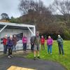
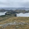 12. 10/4/2024 Mt Charles Grade 4 Leaders: Graham and Carol Thurlow
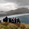 25. 27/03/2024. Hikers. Sandymount Grade 2.5 Leaders: Jenni and Bruce Wright
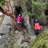 I’ve always regarded myself as, and indeed endeavoured to be, an optimist. But on Tuesday night, I had serious doubts that Wednesday’s tramp would proceed. That night seemed to leave little room for optimism. A Wednesday morning early dog walk gave a glimmer of hope, that the weather, although unpredictable, might be improving. Seventeen ‘optimistic’ trampers took part on the Split Rock tramp.