
Cars 140 km return.
3. 14/09/2023. Kaitangata – Inch Clutha. Phil and Raewyn Keene as guests of the Trixie Trampers (Balclutha).
This trip was undertaken by the Trixie Trampers (Balclutha), with Phil and Raewyn Keene going along as invited guests. Anybody else from the TRTC was invited to go along. I (Phil) have recommended to the trip committees we do it in Autumn 2024 as a combined walk (Photos were supplied by Phil).
The Whitebait Trail
At the invitation of the Trixie Trampers, we travelled down and through Kaitangata and crossed the wonderful high bridge over the Matau branch onto Inch Clutha Island and around to the start point near the pumping station/bridge where whitebaiters and hut owners launch their boats.
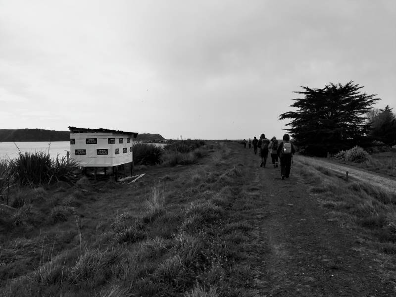
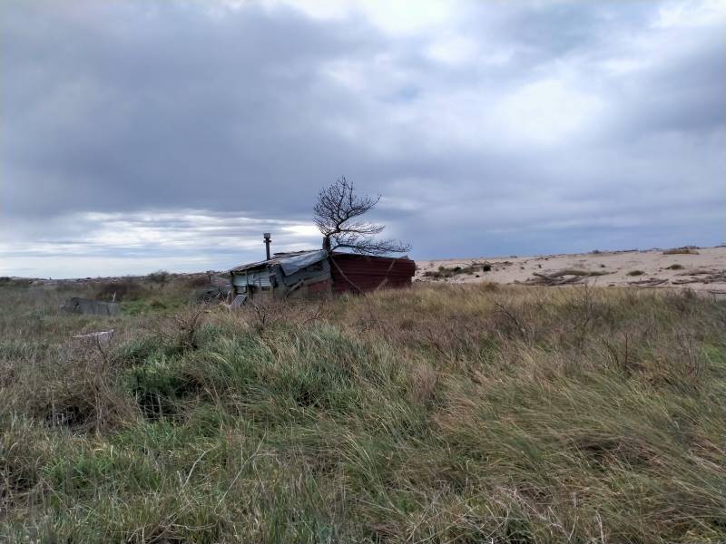
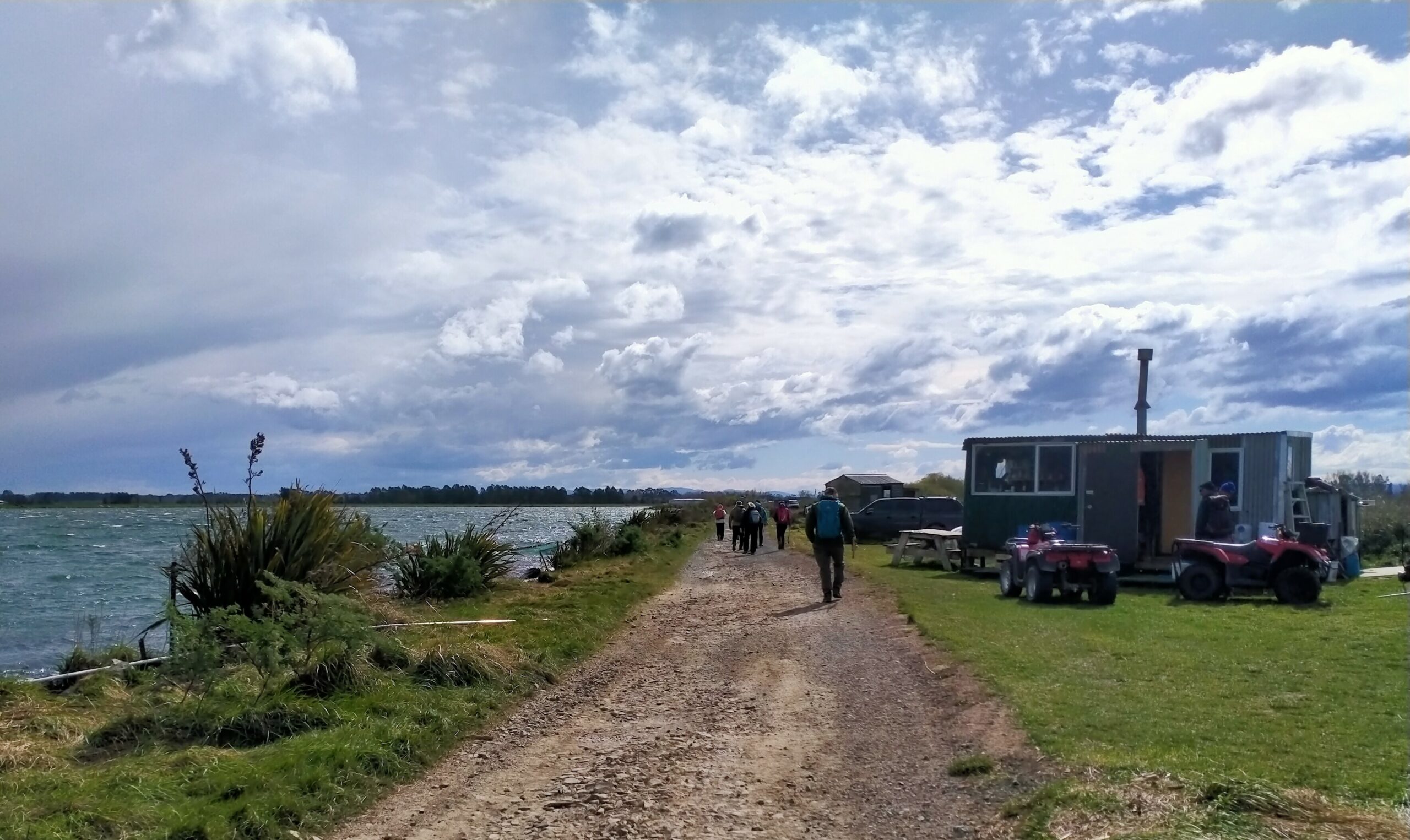
We parked up and once organised crossed the style onto the well formed pathway atop the flood bank and began meandering and skirting the river taking in quite expansive views, as well as the eclectic huts, great Kiwiana!
The pathway has the river on one side and dairy farms the other. The local share milker was most informative on the technology being used, all emanating from the collars around the cows necks. The pathway leads to the beach, not before crossing a causeway where large pipes permit the tidal inflows and outflows to move under the causeway into a large backwater that stretches to the Koau branch, this area probably a natural river course before the development of the farms.
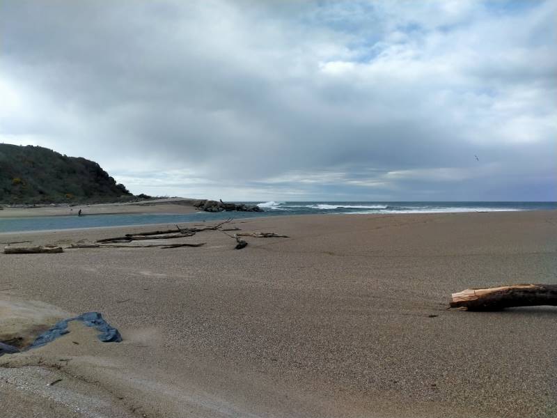
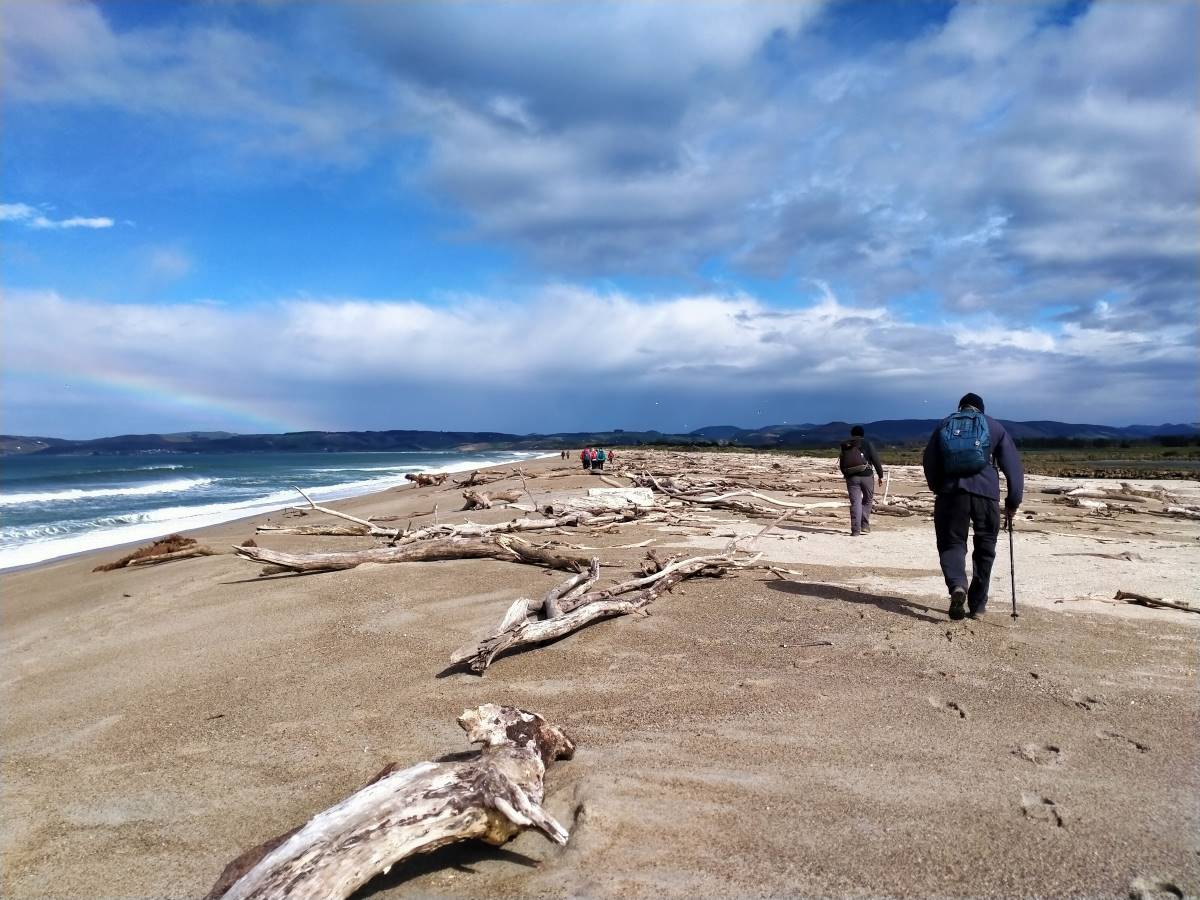
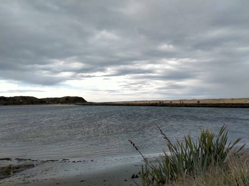
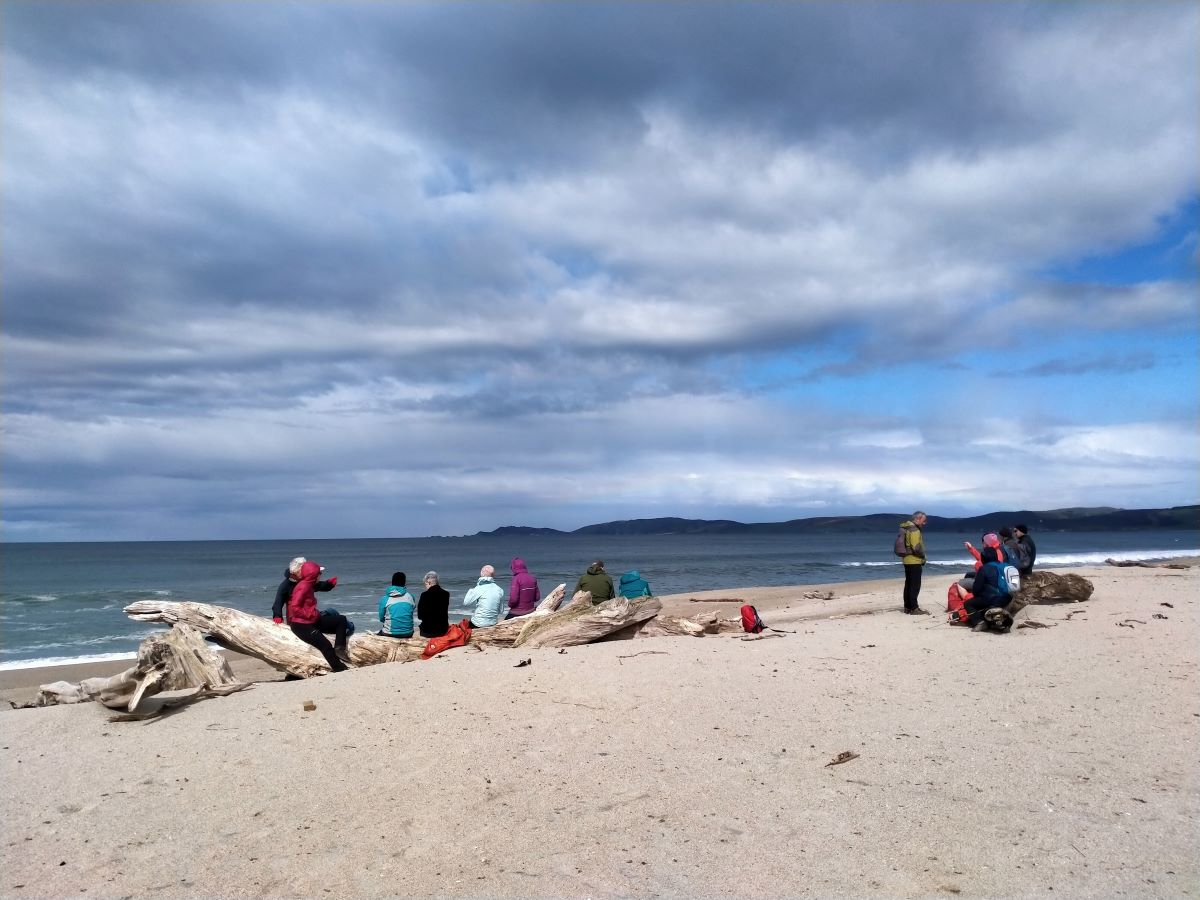
Once at the beach we turned left and headed to the North end where the Matau branch flows into the Pacific. A strong westerly wind made its presence felt and the mare’s tails on the surf were impressive. Also impressive was the large amount of drift wood and tree stumps, some large, that demonstrate the power of floods and tides in this area. Plenty of seats to sit and enjoy the views down to Kaka and Nugget points, whilst having morning tea and then lunch near the South end where the Koau branch enters the sea.
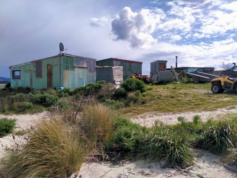
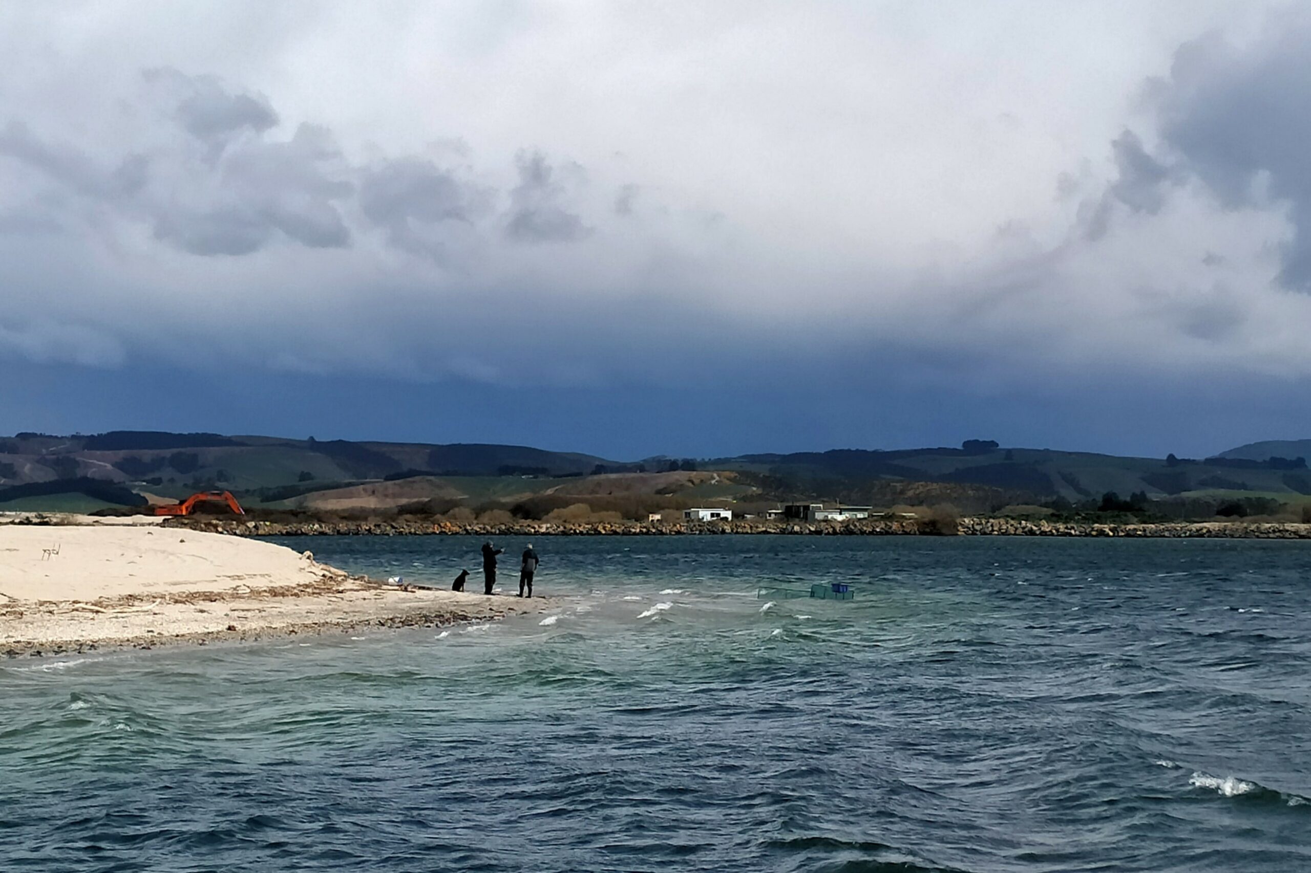
This river mouth seemed to be the most active for the whitebaiters with numerous quad bikes, nets, huts, caravans and campers and yes we spoke to a man who was counting out his catch! The westerly was right in our faces and white tops whipped up the estuary as well as taking away our breath as we walked out onto the road that would take us back to the cars. An alternative would be to take the top of the adjoining flood bank for a while before walking the road.
This walk is flat, a little undulating on the beach whilst the sand is gritty and a tad soft, an option would be to take the grassed top of the beach where old wire fence lines are also present. A circular walk of approx 9kms is possible or maybe return along the inland watercourse. An alternative also being to take a couple of cars to one end for drivers to return to their cars and assist walkers back to the initial start point.
This is a wonderful area reminiscent of the Wild West Coast, great views, invigorating in all weathers but with flexible options for a combined walk. Approx 70kms from Mosgiel to a start point.
Phil and Raewyn Keene
2. 4/9/1996. Kaitangata Combined walk. Leaders: Kai leaders.
We explored the coast and an obvious coal seam running out into the sea.
1. 18/3/1992. Kaitangata. Balclutha trampers join us.