Click on Map to Enlarge

Mid-week recreational and social walking group based in Mosgiel NZ

Click on Map to Enlarge
Click on Map to Enlarge
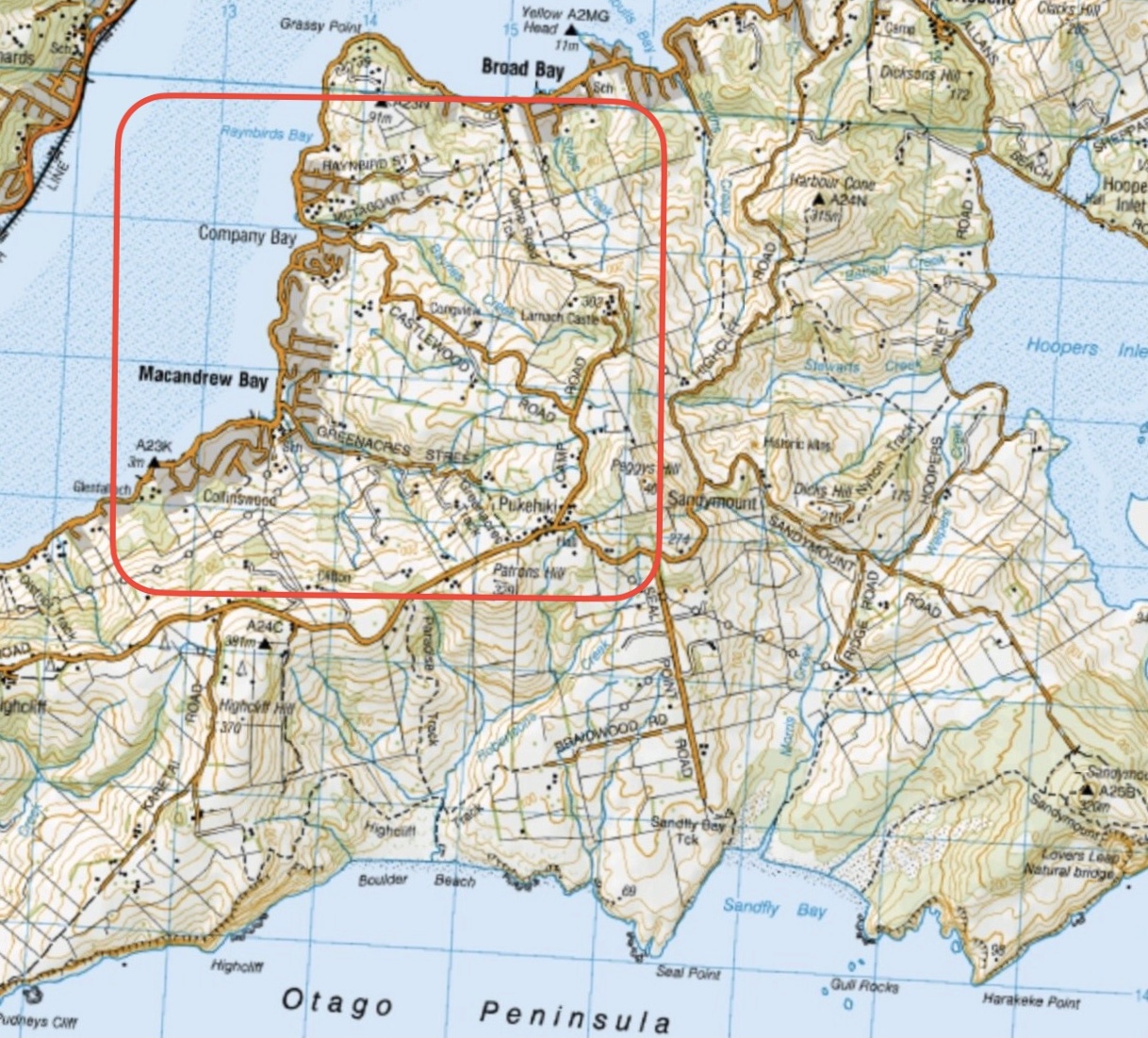
Click on Map to Enlarge

Click on Map to Enlarge
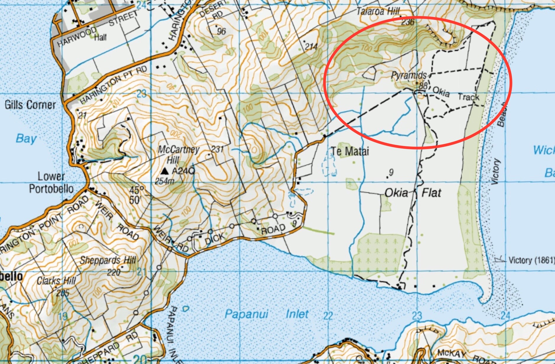
Click on Map to Enlarge

TRTC in liaison with the Green Hut Track Group undertakes to maintain those tracks on Swampy and Flagstaff on the Silverstream side above Rollinsons Road. This page groups together those trips where track maintenance has been undertaken by the Club.
Also included on this page is planting activities undertaken with the Halo Project which is an Otago based organization within Predator Free Dunedin who work collaboratively to protect and strengthen communities.
Road distances from Mosgiel carpark.
06/05/2026. Flax Clearing Day. Combined. Leaders: John Gardiner and Graham Thurlow.
06/05/2026. Track Clearing – Boulder Beach Leader: Pam Cocks.
05/11/2025. Future Forest – Broad bay. Grade 2.5. Combined. Leaders: Jenny Flack, Linda Partridge, Gwenda Farquharson, Pam Cocks.
06/08/2025. Halo Project. Combined. Leader: Jill Dodd
11/04/2025 Flax/ Track Clearing. Trampers. Leader: Phil Keene.
26/03/2025. Flax / Track Clearing. Trampers. Leader: Phil Keene.
21/03/2025. Track Clearing. Leader: Phil Keene.
18/11/2024 Track Clearing. Leader: Phil Keene.
Halo Project Planting 2024 Combined Leader: Jill
Track Clearing 2024 – 2004 (27 trips, 16 with reports and photos, 10 with reports only, 1 with no report or photos)
 18. 22/11/2023.Hikers. Millennium Track from Henley Ferry Bridge. Grade 3. 27km. Leaders: Ady Whitson/Bruce Wright.
We had a great day on the track. Weather was great with 20 Hikers enjoying the day. We parked about 2/3 the way down the road from the stile. Continue reading “Taieri Ferry and Finlayson Roads, Bells Farm, Kennedys, Millenium.”
Cars park off motorway at Leith Saddle yard (alternatively down side road at bridge (restricted space). 25 km from car park.
Walk across side road to track.
Gravelled track 1.5 km. (morning tea on lookout seats a little further on)
Transmitter Tower 2 hours.
Going further: along road past doppler radar to DoC sign.
Right along Rustlers Ridge track to junction with Burns Track.
Through junction and up and round hill on Rustlers Ridge Track. (Lunch on hill)
Down ridge to pipeline. (Alternatively turn right at junction for Burns and down to pipeline)
Turn right along pipeline.
5.5 hours in all.
Burns – Rustlers circuit Maintained by Green Hut Track Group. DCC land.
Rustlers Ridge, Burns Track, Swampy Spur, Transmitter Tower – Information and Trips Library
 35. 22/11/2023. Trampers. Burns/Rustlers Ridge. Grade 4. 25km. Leaders: Phil Morris/Carolyn Pridham.
On an overcast muggy day, 20 Trampers headed to Leith Saddle. We set off down Leith Valley road, and left up Burns Track entrance onto Pipeline Track Continue reading “Leith Saddle, Swampy Spur, Transmitter Tower. Also Rustlers and Burns Tracks”
This page of club tramps and hikes in the North via Gordon Road area and groups together trips incorporating Taioma, Mt Allan, Parera. (map)
Road distances from Mosgiel carpark.
Access Permissions maybe required as trips to Taioma and Mt Allan can venture onto Wentia Forestry land and the Taieri Gorge Railway line – refer guidelines
Note: You are not allowed to be on the railway line unless you have permission. Furthermore it is Private Property on Garroway’s cottage at Parera.
TRTC Grading Information – trips incorporating these tracks are generally given a TRTC grading of about 3. This is indicative only, as trips can be allocated a higher or lesser grading depending on the route taken. For more detailed analysis refer to Grading Information.
Background information on Salisbury property
Background Information for Wingatui Viaduct Taioma Hike (20/8/2025)
Upon leaving Peter Johnston Park drive to the main street of Mosgiel (Gordon Road) and turn right. Follow Gordon Road about 1 km to the five way cross roads and go straight through onto Taioma Road. This road will cross the Taieri Plains and onto a zig zag section of road which will ascend a fairly steep hill and into Mt Allen forest. Continue on the gravel road which will descend across the railway line to Mullocky Creek and up to an area (before a locked gate) where parking is available.
13/05/2026. Mt Allan area/Mullocky Stream to Parera. Grade 3. Combined. Leaders: Sylvie Watts and Carolyn Pridham.
08/04/2026. Taieri View Farm Tramp. Grade 3. Trampers. Leaders: Jill Reid and Sue Johnstone.
20/08/2025. Wingatui Viaduct. Grade 2.5. Hikers. Leaders: Maria MacNee, Bill Cubitt..
Taioma, Parera, Viaduct. 2023 – 1988 (18 trips, 4 with reports and photos, 2 with photos only, 1 with report only, 11 with no reports or photos)
North Taieri Church, Salisbury, Taieri River Lookout off Taioma Road 2018- 1992 (10 trips, 4 with reports and photos, 2 with reports only, 1 with photos only, 3 with no report or photos)
Boulder Hill from Taioma Road. 1999 – 1988 (3 trips, no reports or photos)
Outram Bridge, Taieri View, Taioma Road. 1997 – 1998 (2 trips, no reports or photos)
 19. 15/11/2023. Hikers. Cleghorn Street to Signal Hill. Leaders Pam Clough and Jay Devlin
23 keen hikers gathered on a beautiful day at the Bottom of Cleghorn St where we made our way up the gravel road to the beginning of our walk which was firstly over farmland. Continue reading “Signal Hill Tramps”
Distance from car-park to Doctors Point: 38 km.
Doctors Point, Mopanui, McKessar, Purakanui, Osborne – Information and Trips Library
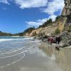 25. 15/11/2023. Orokonui Circuit. Grade 3. Leaders: Graeme Souter & Gail Williams
This page of club tramps and hikes in the Fairfield, Green Island and Mosgiel surrounds area and groups together trips incorporating Chain Hills, Abbots Creek and Friends Hill.
Road distances from Mosgiel carpark.
TRTC Grading Information – trips incorporating these tracks are generally given a TRTC grading of about 2. This is indicative only, as trips can be allocated a higher or lesser grading depending on the route taken. For more detailed analysis refer to Grading Information.
Restrictions: Crossing of main rail line is not permitted
03/09/2025. Fairfield via Abbotts Creek Track to Wingatui and Mosgiel. Grade 2.5. Combined. Leaders: Barbara Shackell, Jenni Wright, Sandy Webb and Esther Willis.
Chain Hills-Friends Hill Tramps. 2024 – 1989 (47 trips, 20 with reports and photos, 2 with photos only, 25 with no reports or photos)
This page of club tramps and hikes in the Fairfield, Green Island and Mosgiel surrounds area and groups together trips incorporating Saddle Hill.
Road distances from Mosgiel carpark.
Saddle Hill Hotel – Historical background information
Access Permissions are required as trips to Saddle Hill venture over a working farm – refer guidelines
TRTC Grading Information – trips incorporating these tracks are generally given a TRTC grading of about 2. This is indicative only, as trips can be allocated a higher or lesser grading depending on the route taken. For more detailed analysis refer to Grading Information.
04/03/2026. Saddle Hill. Grade 3-3.5. Combined. Leaders: Esther Wills, Lynn Keene, Jill Dodd, Katherine Martin.
Tramps associated with Saddle Hill, (Makamaka). 2020 – 1989 (42 trips, 6 with reports and photos, 3 with photos only, 33 with no report or photos).
Saddle Hill, Fairfield. 2010 – 1990 (3 trips, 1 with report and photos, 2 with no reports or photos)
Portobello – Information and Trips Library
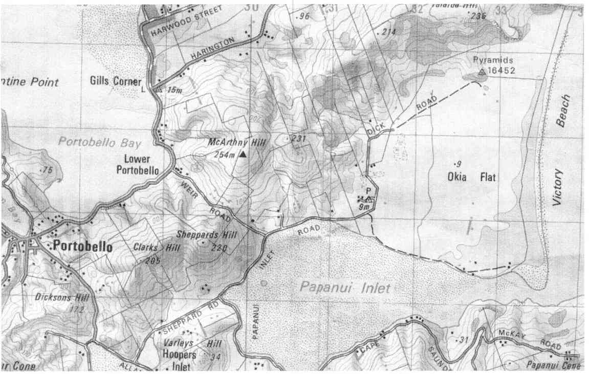
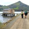 13. 8/11/2023. Hikers. Varleys Hill-Hereweka Track. Grade 2.5. $9. 32km. Leaders: Jan Butcher/Jenny Finnerty
22 hikers set off on a cloudy morning for the Portobello Community carpark. Continue reading “Portobello, Clarks, Sheppards, McArthny, Varleys Hills”
This page of club tramps and hikes to the Leith Valley area and groups together trips to Moores Bush (map) incorporating Leith Saddle, Patmos Ave and Sullivans Dam.
Road distances from Mosgiel carpark.
TRTC Grading Information – trips incorporating these tracks are generally given a TRTC grading of about 3. This is indicative only, as trips can be allocated a higher or lesser grading depending on the route taken. For more detailed analysis refer to Grading Information.
Ascend the Leith Valley road out of Dunedin and take a left turn into Thompsons Road, and not far along is the entrance, signposted but fenced, to this Forest and Bird Society property.
19/02/2025. Moores Bush & Sullivan Dam. Grade 2.5. Hikers. Leaders: Pam Clough, Jay Devlin.
Patmos Avenue, Leith Saddle, Moores Bush. 2017 – 2002 (5 trips, 1 with photos, 1 with report and photos, 3 with no reports or photos)