Scope:
This page of club tramps and hikes in the Opoho, North East Valley, North Road area (Dunedin City) groups together trips to Cleghorn Street, Signal Hill area.(map)
Background Information:
Road distances from Mosgiel carpark.
TRTC Grading Information – trips incorporating these tracks are generally given a TRTC grading of between 3 – 4. This is indicative only, as trips can be allocated a higher or lesser grading depending on the route taken. For more detailed analysis refer to Grading Information.
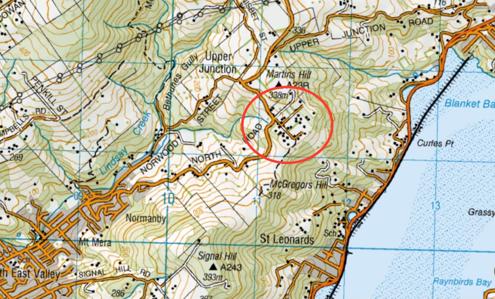
How To Get There:
Follow Old Main North Road to Cleghorn Street which has the best view of the harbour. Walkway sign.
Walk starts starts at the gate on right, up McGregors Hill. Beyond stile Pine plantation on 3rd stile at summit.
Gravel road 10 minutes to end. Locked gate. Last stile. Signal Hill road.
Links to tramps and hikes in this area:
04/12/2024. Cleghorn Street to Signal Hill Monument. Grade 3.Hikers. Leaders: Maria McNee and Peter Dodds.
13/11/2024. Chingford Park, Cleghorn Street, Opoho Circuit. Grade 4. Trampers. Leaders: Ross and Wyn Davies.
Signal Hill Tramps. 2023 – 1992 (19 trips with 5 reports, 4 with photos only, 10 with no reports or photos)
Signal Hill Centennial Memorial, Ravensbourne, Big Easy. 2023 – 1998 (24 trips with 7 reports, 2 with photos only and 15 with no report or photos). See reports dated 18/5/2022 and 24/11/2021 for reference to Cleghorn Street.

 13/11/2024. Chingford Park, Cleghorn Street, Opoho Circuit. Grade 4. Trampers. Leaders: Ross and Wyn Davies.