July 2024 Update: Taieri Recreational Tramping Club
Hi everyone, time for another update as there has been a recent committee meeting and to take an opportunity to highlight a few things; but first:
Membership and Welcome
To new members approved by the Committee – Denise Hammer, Charlotte and Chris Handley, Sandra Lawn, Peter Dodds, Sue Beal, Shirley and Noel McRandle, Spen Walker and Jane Bruce, Annette MacRae, Clare Banks and Lisa Harkness – I hope I have not missed anyone! Great to have you with us and hopefully I’ll be able to keep up with you all!
Committee Deliberations
- We agreed with the President’s recent advice to the Taieri Network in support of their submission to the Clutha Council to provide public toilets in the Titri Bridge area.
- We discussed the suggestion for the club to initiate and maintain a Facebook page, either private or public. There are a range of matters to consider; who would maintain administration and standards, what topics would be covered vis a vis what would be on the website etc. At this stage it was agreed we would further deliberate and if you have suggestions, please let a committee member know.
- We discussed the current membership level (130) and the suggestions made to us that the club could close membership/ limit it to Taieri residents or charge a much higher joining fee! etc. We are in agreement that the club’s biodiversity is strengthened by having an ‘open to all’ membership ethos, many of the committee and a high percentage of track clearers do not live on the Taieri! There are approximately 45 members who either do not walk or do not walk regularly but like to donate to the club as well as keep in touch with our comings and goings and we welcome that approach. We will however continue to monitor the situation.
- With now larger groups we would encourage everyone to re-read the Trip Guidelines especially those guidelines that cover faster and slower walkers, bi furcations (ask Dr Esther or Dr Google) and also the guidelines will be amended to cover the scenario of injured or unwell walkers. It was agreed that depending on the context of a trip a minimum of two and a maximum of four should return to the vehicles with an unwell participant (where PLBs are not used). As a matter of practice, it pays to keep an eye out for those behind you as much as those in front of you.
- If I make a successful return from Perth in early August I’ll take a few minutes at lunch on the combined walk to talk to these points.
- We have updated and confirmed with the Rescue authorities the process and contacts for management of the club’s personal locator beacons.
- In anticipation of the AGM we agreed recommendations to keep joining and membership fees at the current level ($10.00 each) and also approved the honoraria for Webteam, Secretary-Treasurer and Reviewer of Accounts. For the latter this will be the last year that Keith McKenzie will audit the accounts and we acknowledge the work he has done for us over the years. From next year Trevor Flack will undertake the review of accounts. Thanks Trevor in advance for this.
- We had it explained to us the process the communication officer undertakes to set passenger fees for fuel reimbursement and agreed that the current process, based on AA data is working well. At this time, we will not be changing the $$ levels but will reconsider at the time of compiling the summer programme.
- As previously advised at an earlier meeting we agreed for the Webteam to undertake changes to the website, to refresh if you like and to make it cleaner clearer and simple to use and to work around. You will have noticed this has started to happen, maybe in parallel with some wet days, and it is still a work in progress. Please feel free to suggest to the Webteam members any ideas or improvements.
- We are in the process of finalising AGM agenda items (22 August) and we will provide sometime for the Webteam to have a session to explain the changes and to provide feedback on aspects that will help everyone when you provide information for publication.
- Roger Leslie from East Taieri has accepted an invitation to speak to us at the AGM. He was recently featured in the ODT supplement covering his new book, ‘On the Verge’ which details his exploits in walking NZ in aid of mental health. He and his wife have just returned from Europe where Roger also shore sheep in Germany and participated in ultra marathons. It was exhausting listening to him.
- At the AGM Marijke will have some small paintings of where she has tramped for show and sale as a fundraiser for the Southland Hospice so come prepared (all the materials donated by herself and of course her talent and time) – no pressure!
Well, that’s it, a lot happening in our neck of the woods – so keep warm while you walk and talk.
Raewyn and I will be in Perth for a month hoping for sun and warmth, home 1 August so see you 7 August.
Cheers, Phil
Link to President’s Update information Library for previous updates

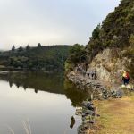 24/07/2024. Millennium Track return, Henley Start. Trampers. Grade 4 Leaders: Gwenda Farqharson. & Alison K.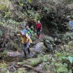

 03/07/2024. Combined. Tunnel Beach, Concord Tavern Lunch – Mid Winter Catchup. Grade 2. Leaders: Phil and Helen Morris, Jay Devlin and Margaret Maxwell.
  26/06/2024. Nicols Creek, Pineapple Track. Trampers. Grade 4. Leaders: Wyn and Ross Davies.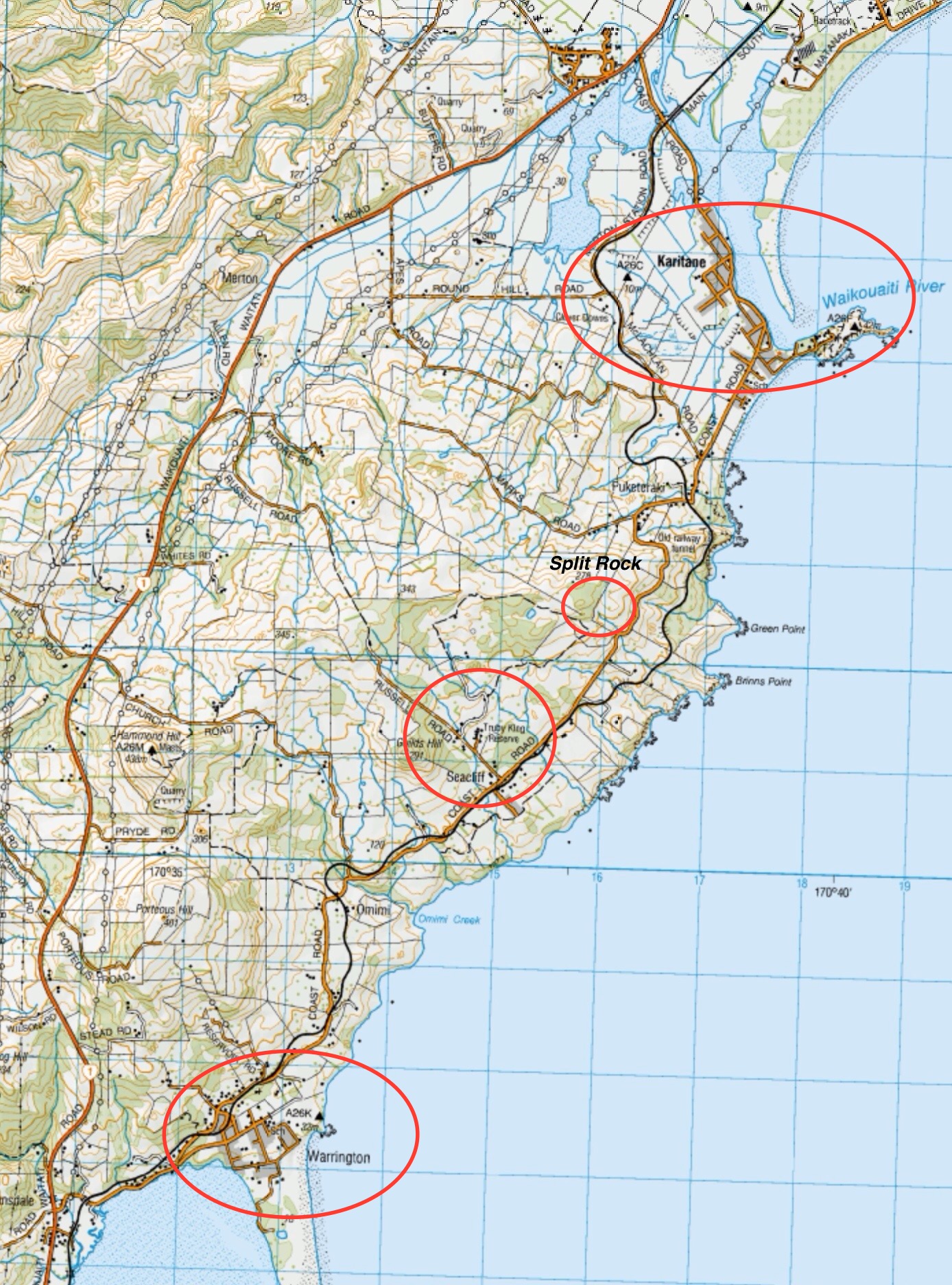
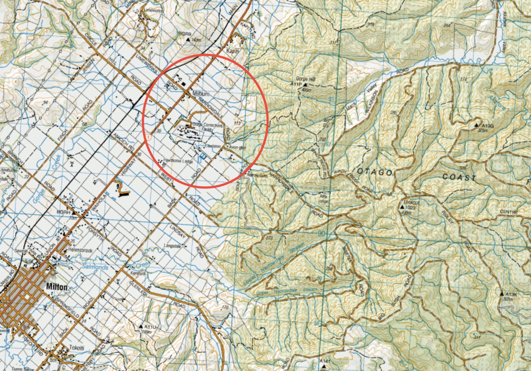
 26/06/2024. Whare Flat. Hikers. Grade 2.5. 11km. Leaders: Bruce Spittle, Adrienne Ensor.
 7
7 16. 19/06/2024 Trampers – Purakanui, Mopanui and return. Grade 4. Leaders: Graeme Souter and Heather Kirk