[No. 7 on old hardcopy list of 113 club tramps. “Creamery Rd. Ocean View. C Hughes. Farm. Lambing.”
Not during lambing September to October.
USE STILE AT END OF CREAMERY ROAD.
No. 84 on old hardcopy list of 113 club tramps. “Taieri View (Blairs) (East Taieri) Farm”
No. 104 on old hardcopy list of 113 club tramps. “Old Brighton Rd – Clevelands – Saddle Hill (See George Haggie) Farm”]
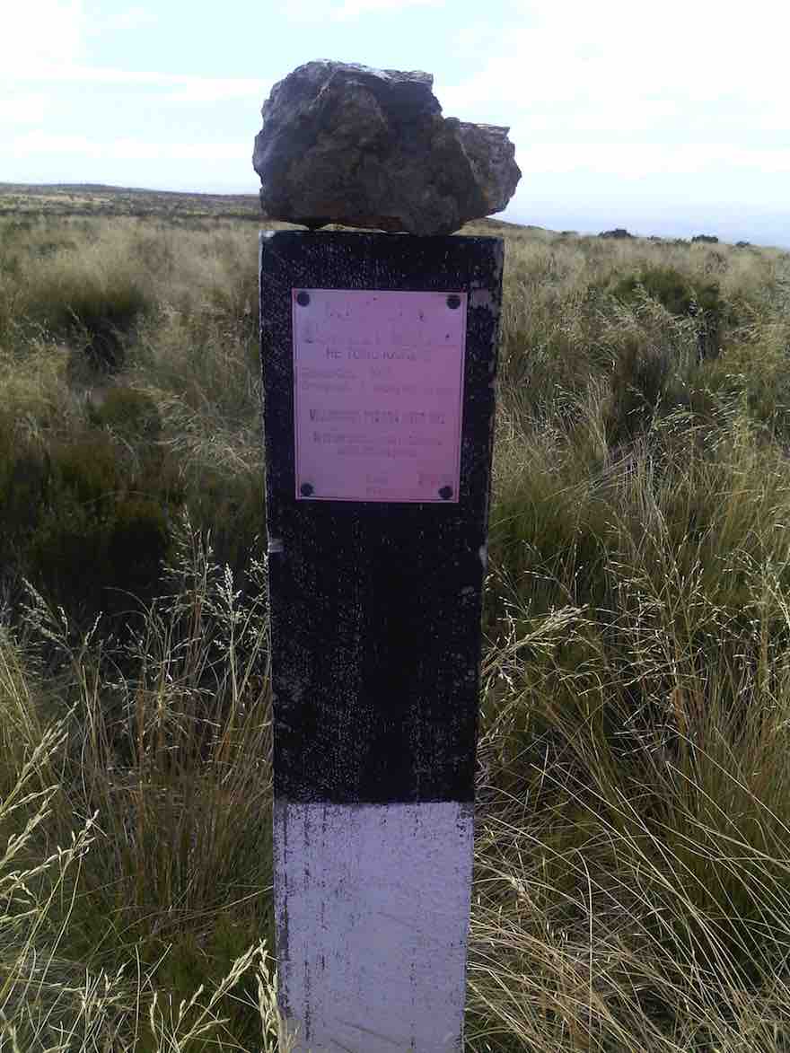
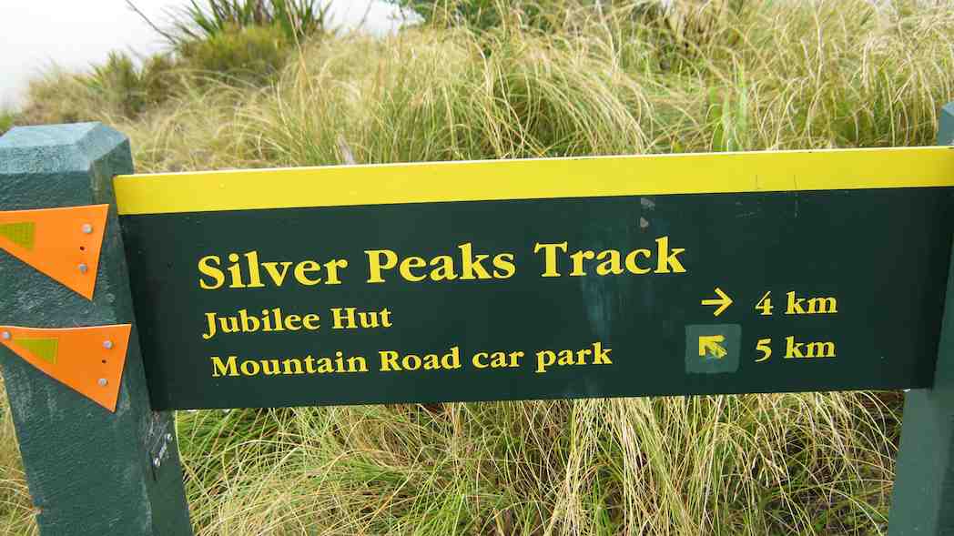
Saddle Hill – Information and Trips Library
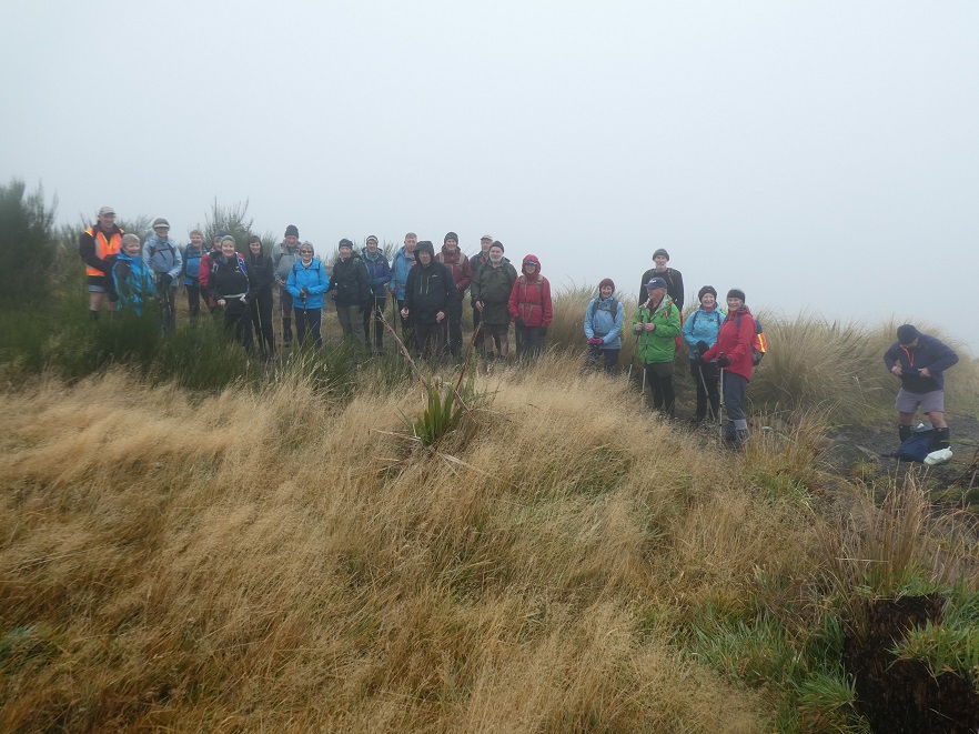
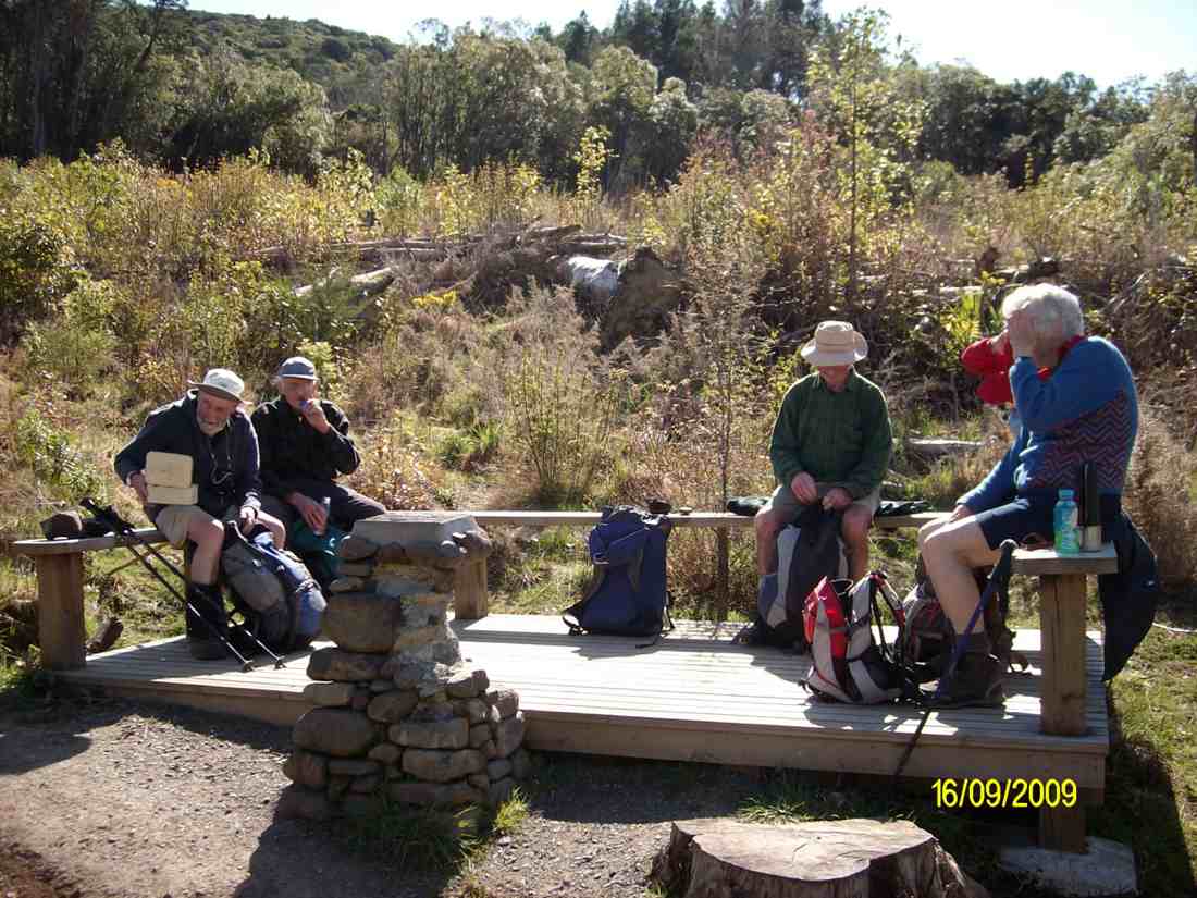
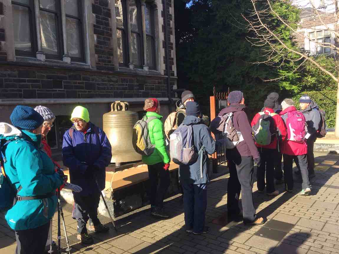
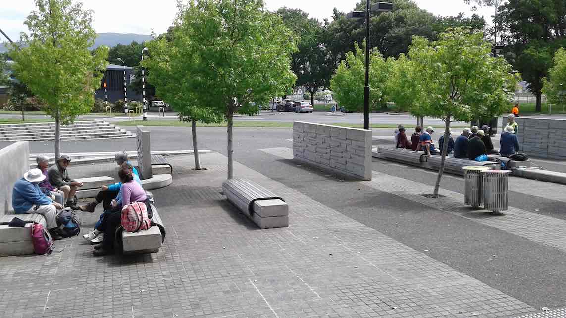
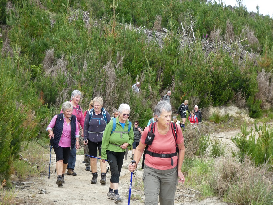
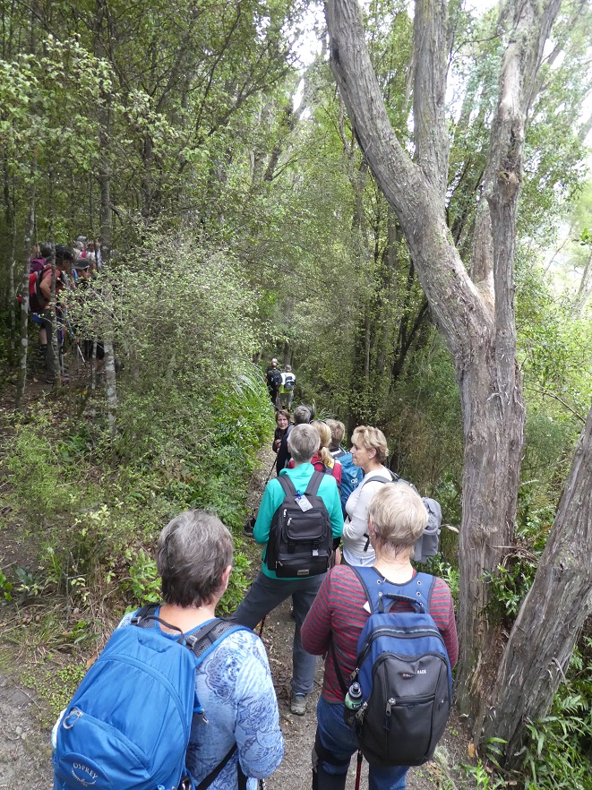
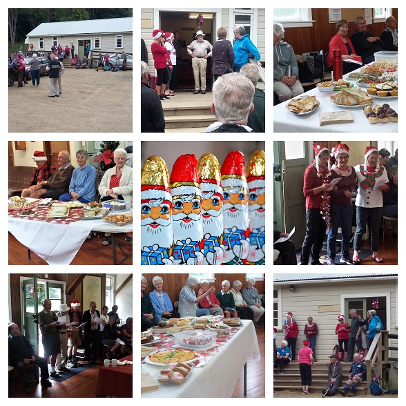
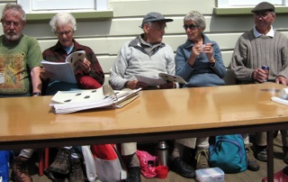
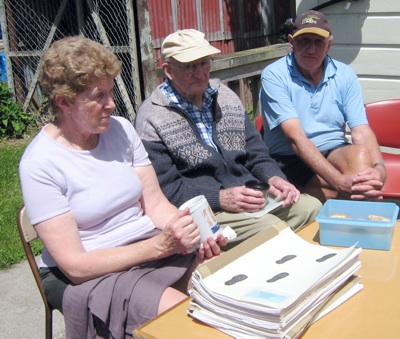
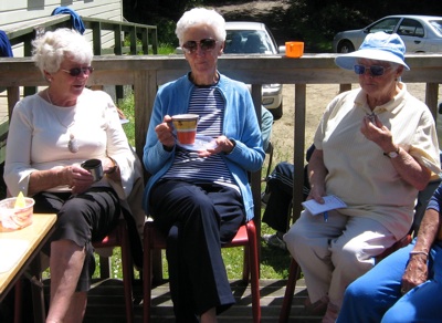
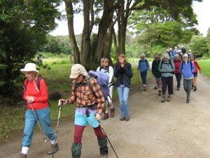
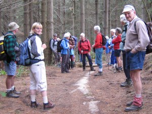
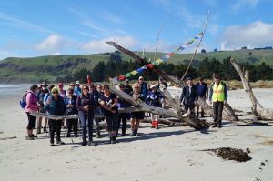
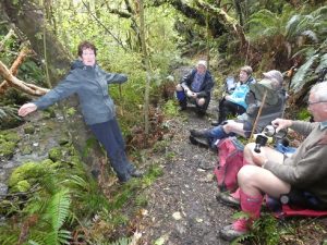
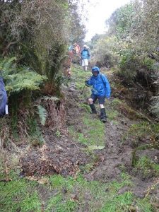
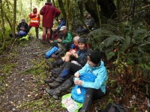
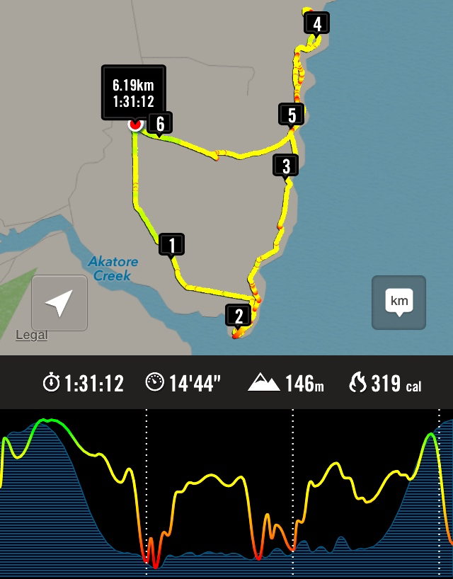
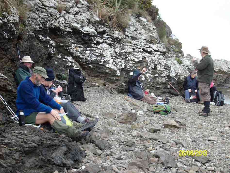
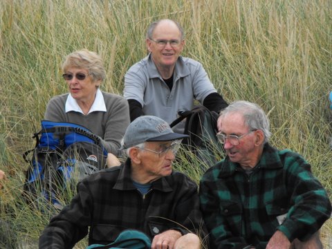
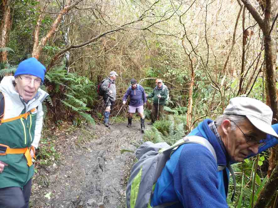
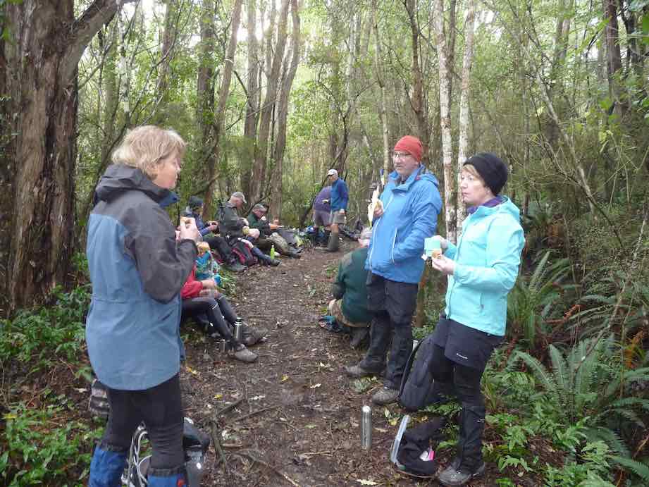
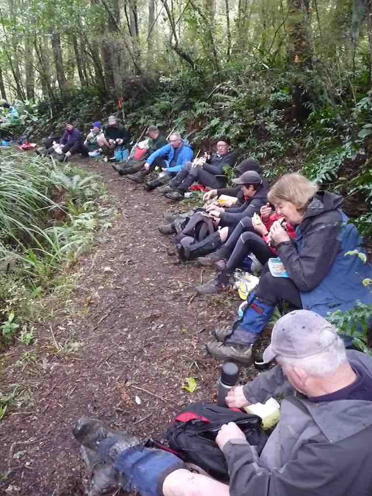
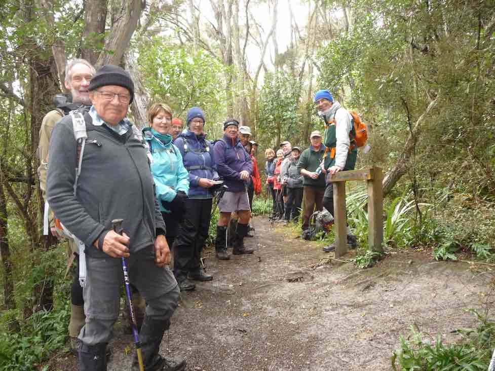
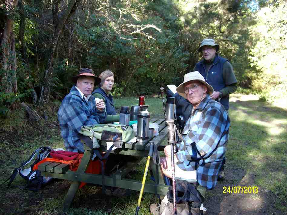
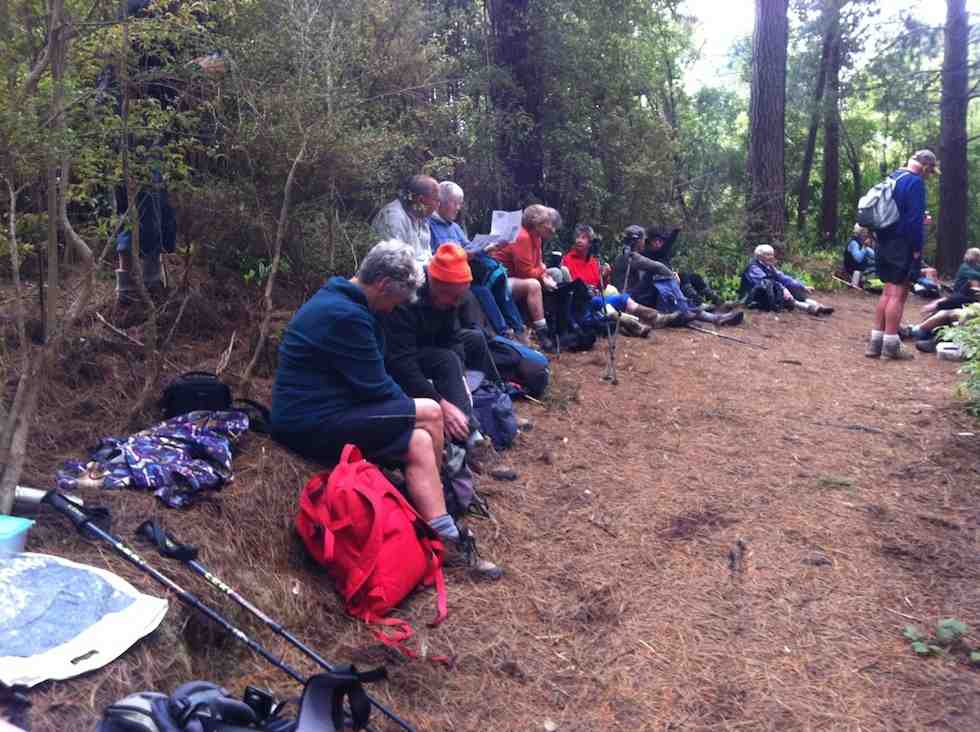
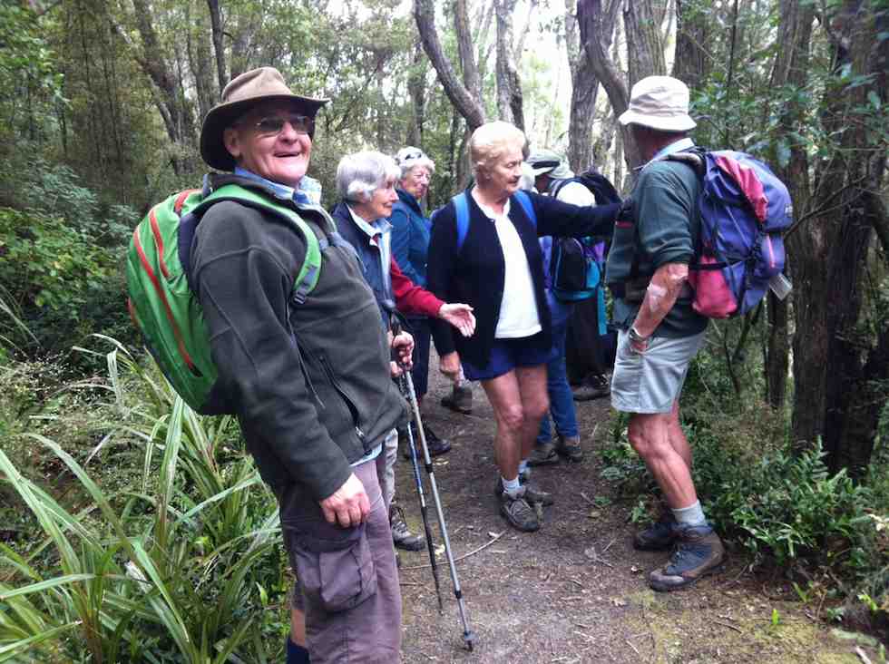
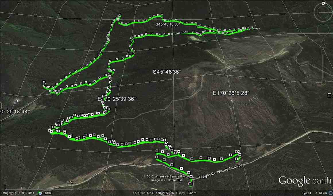
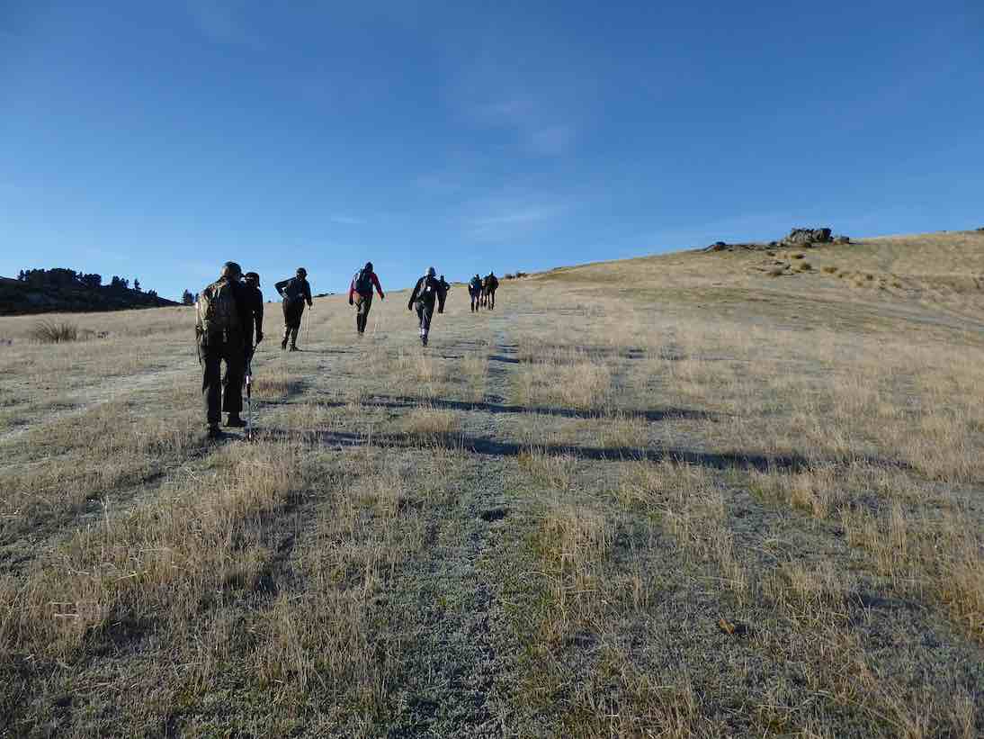
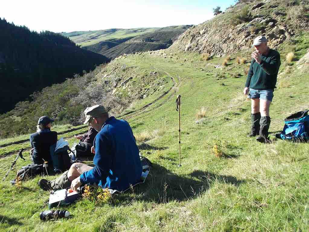
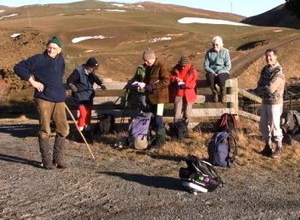
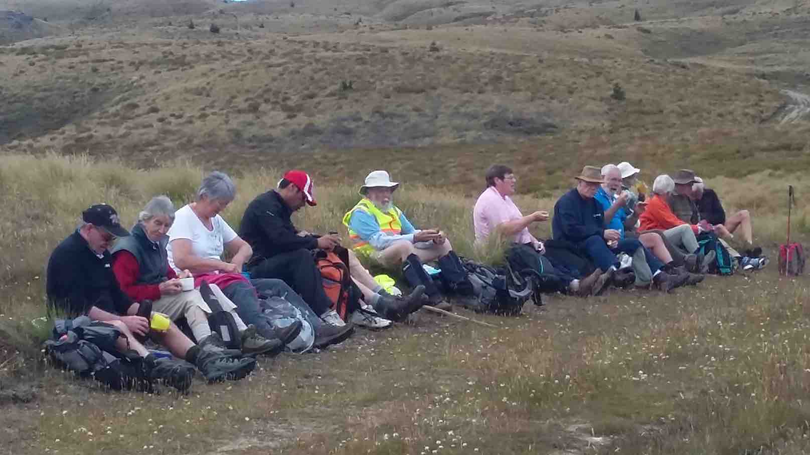
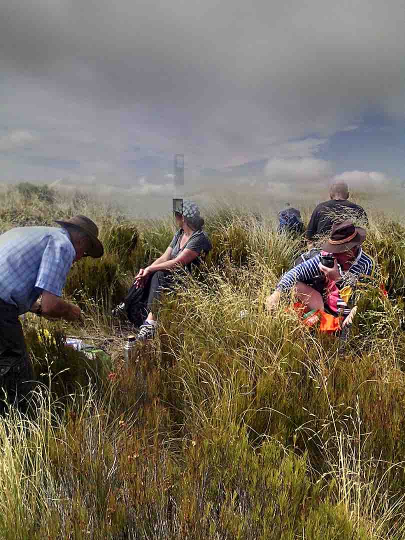
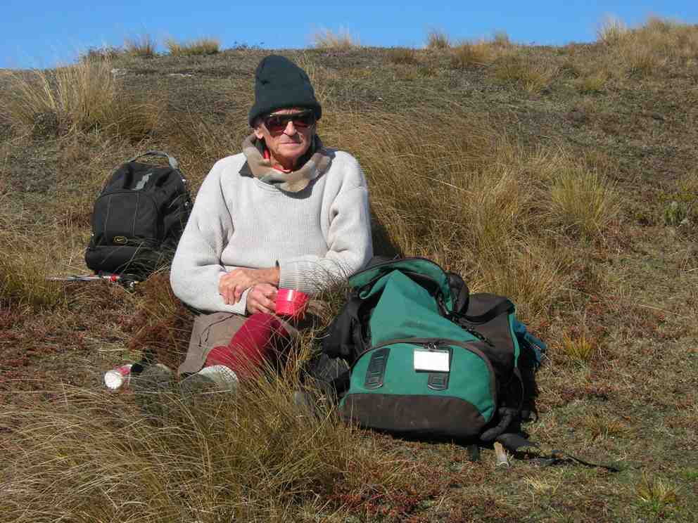
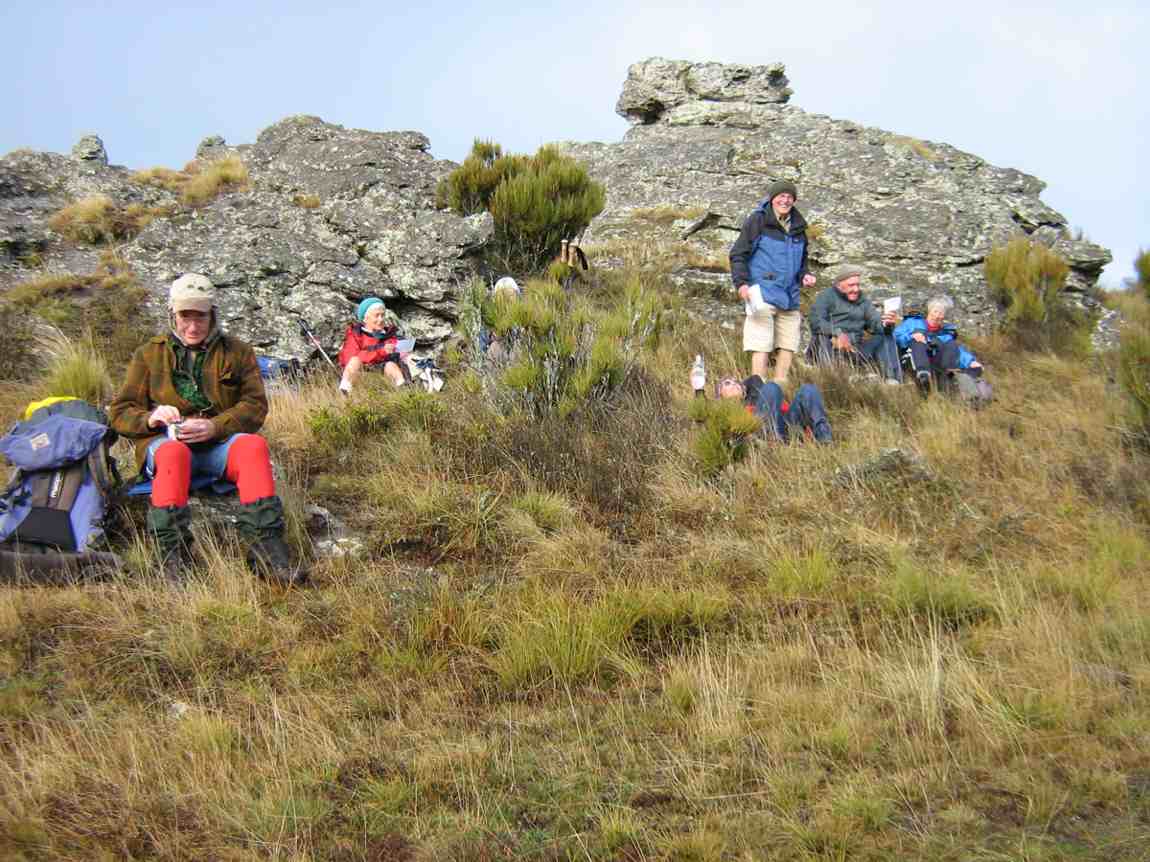
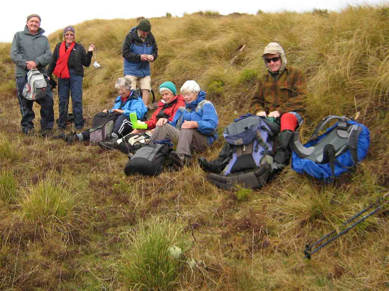
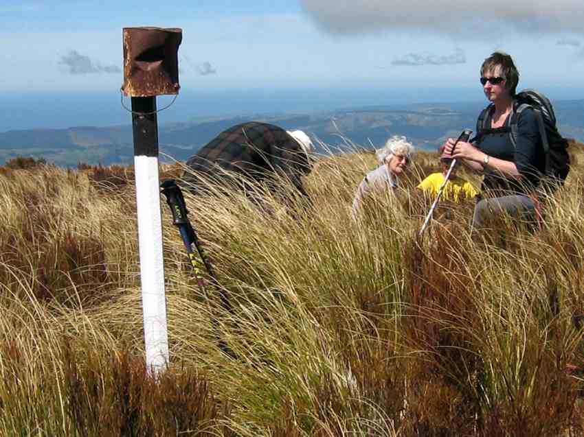
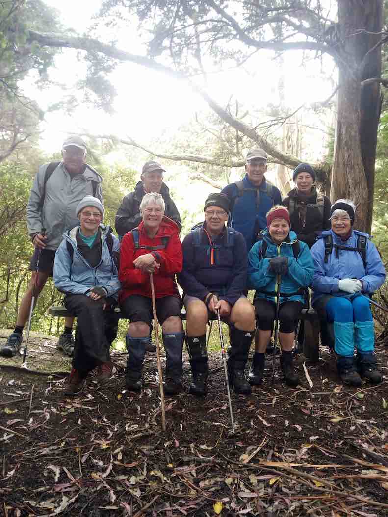
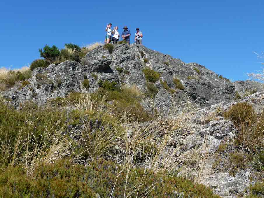
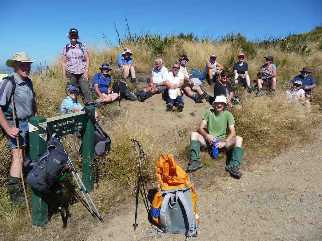
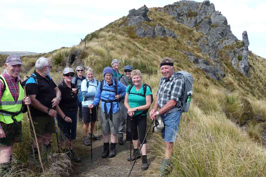
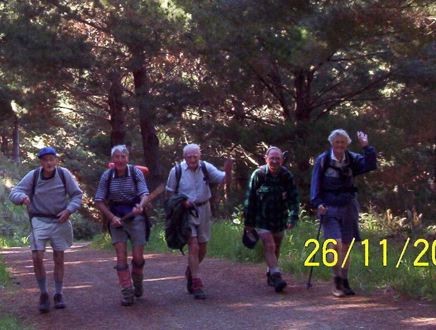
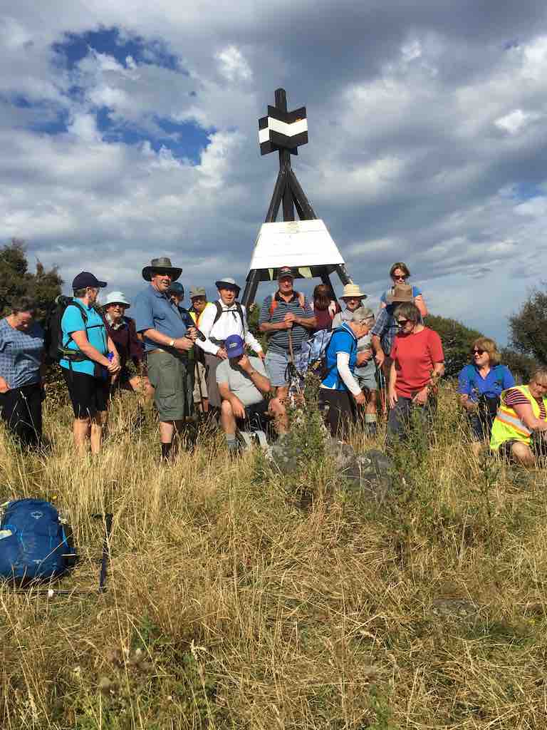
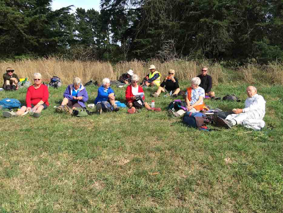
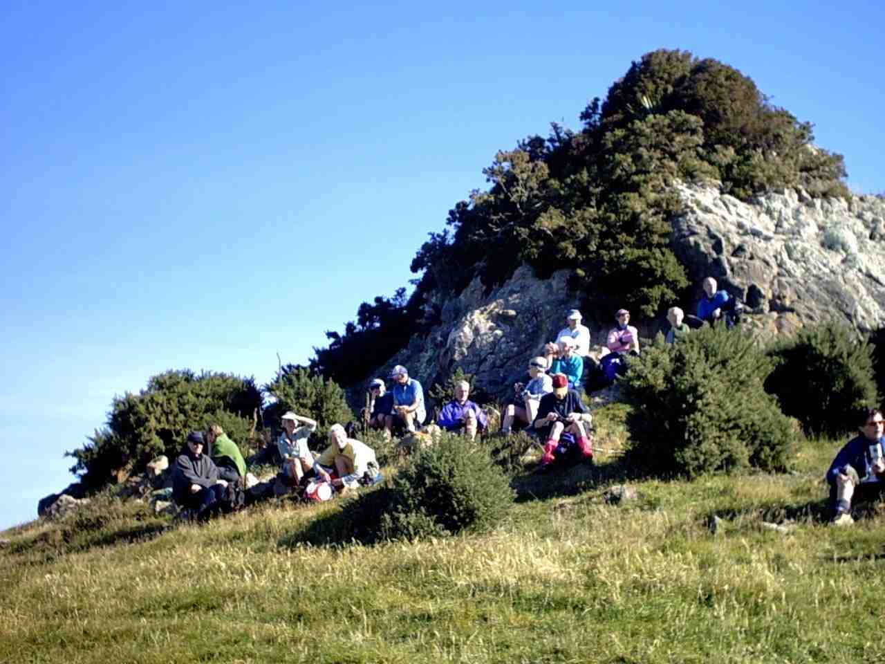
42. 14/10/2020. Trampers. Leaders: Jill Dodd and Peter Gillespie
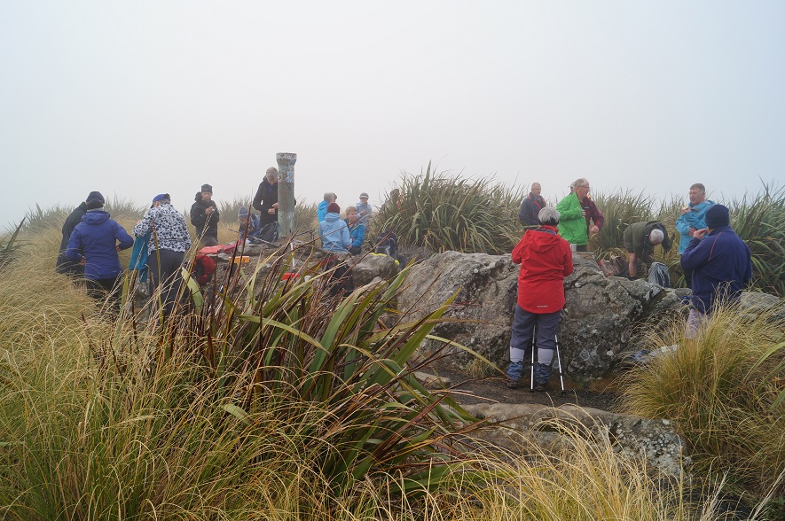
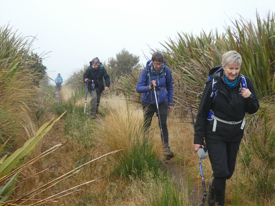
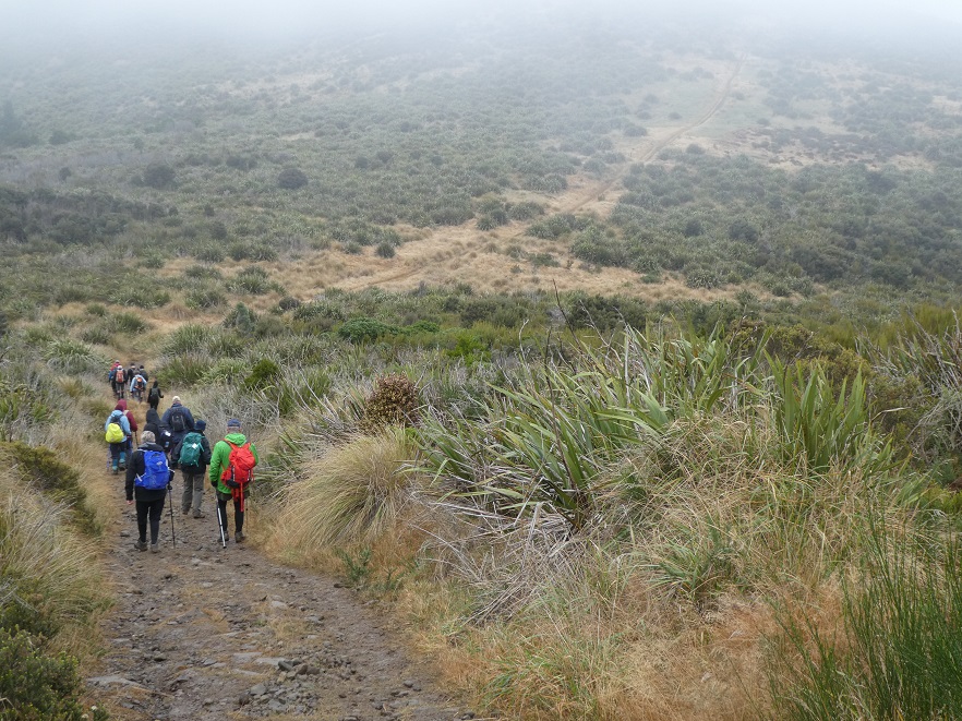
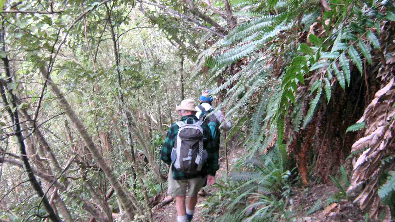
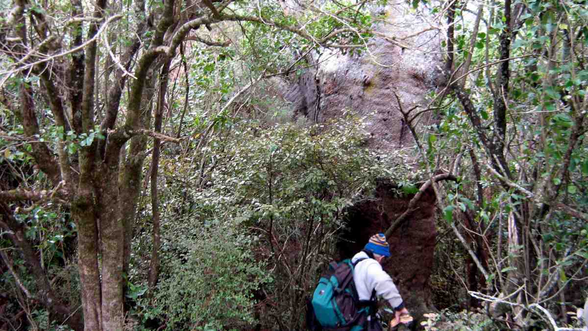
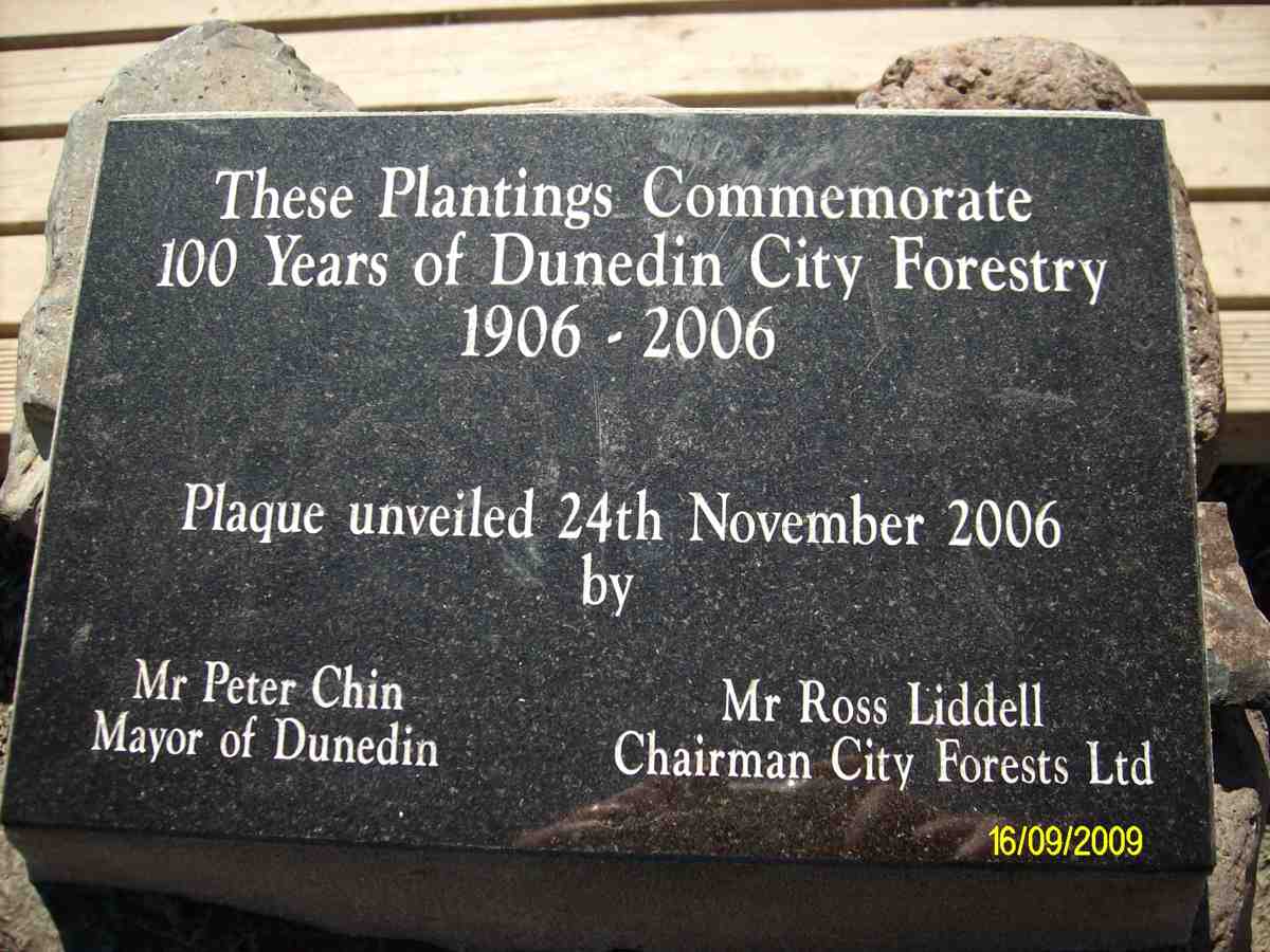
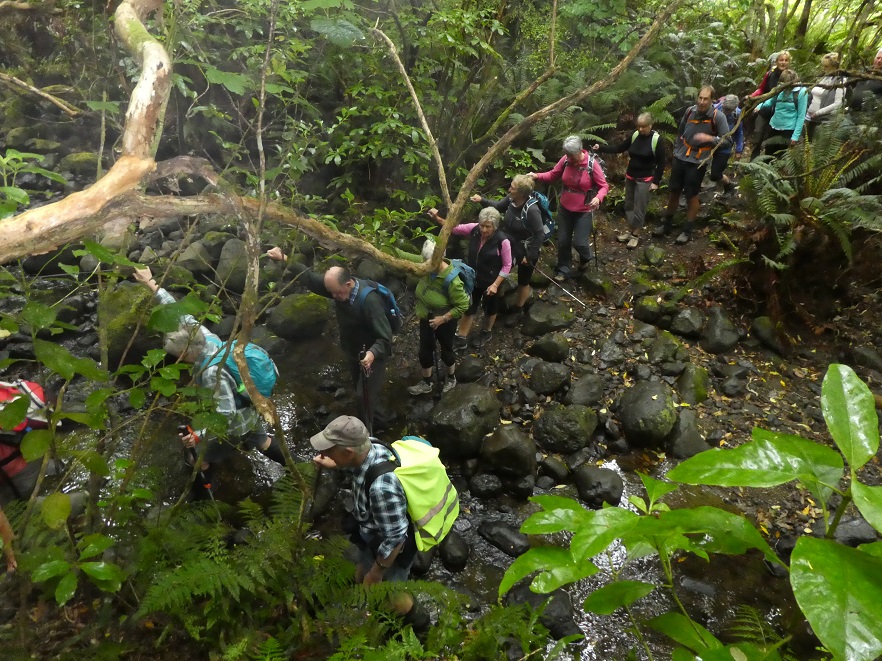
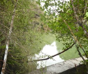
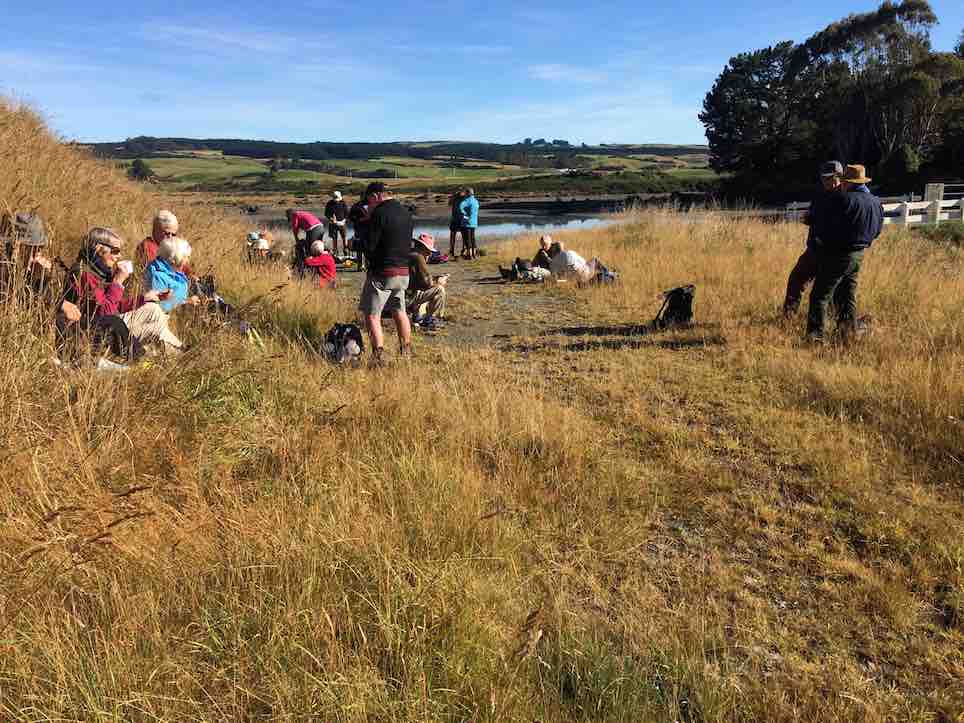
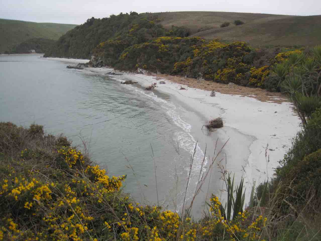
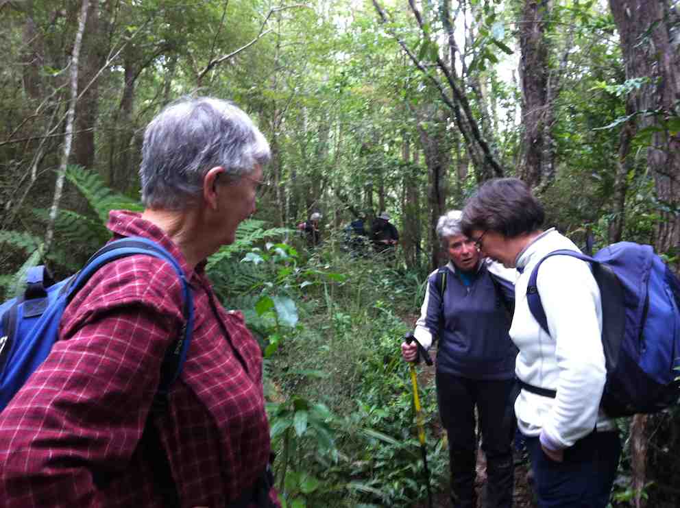
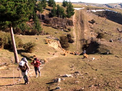
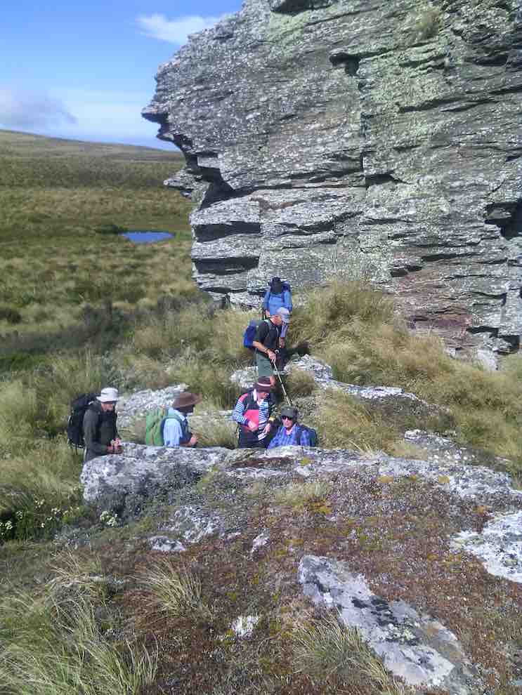
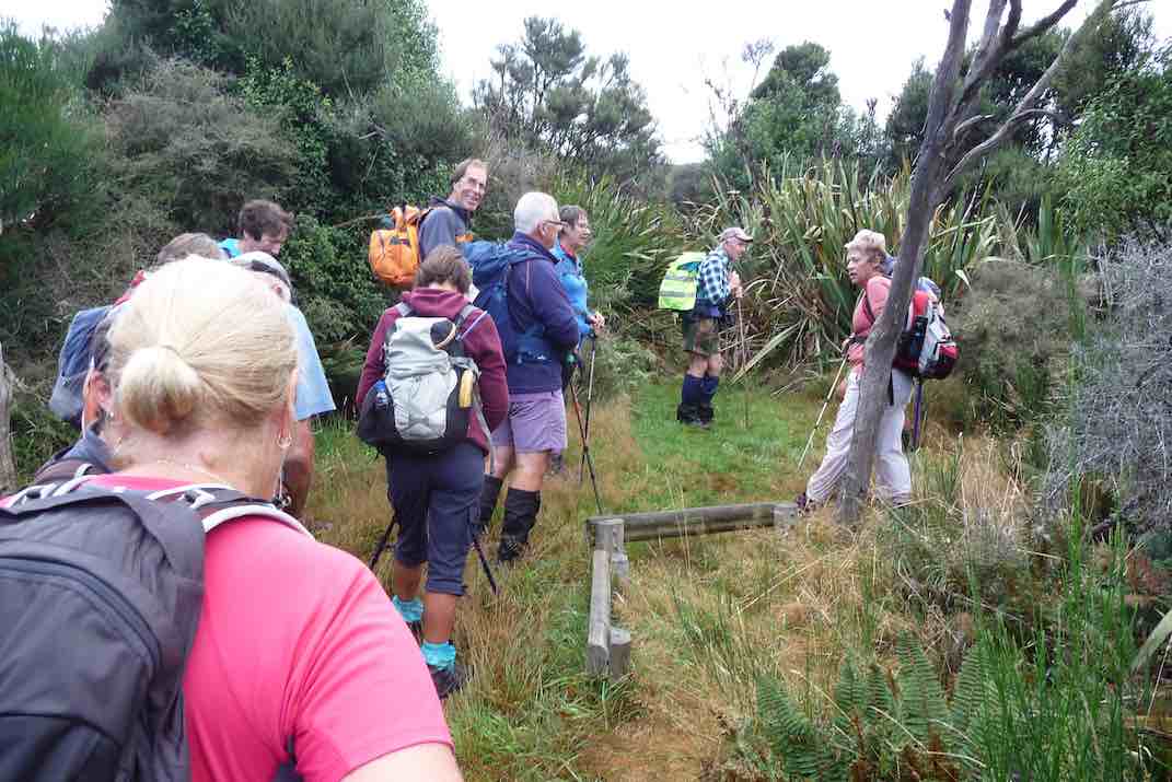
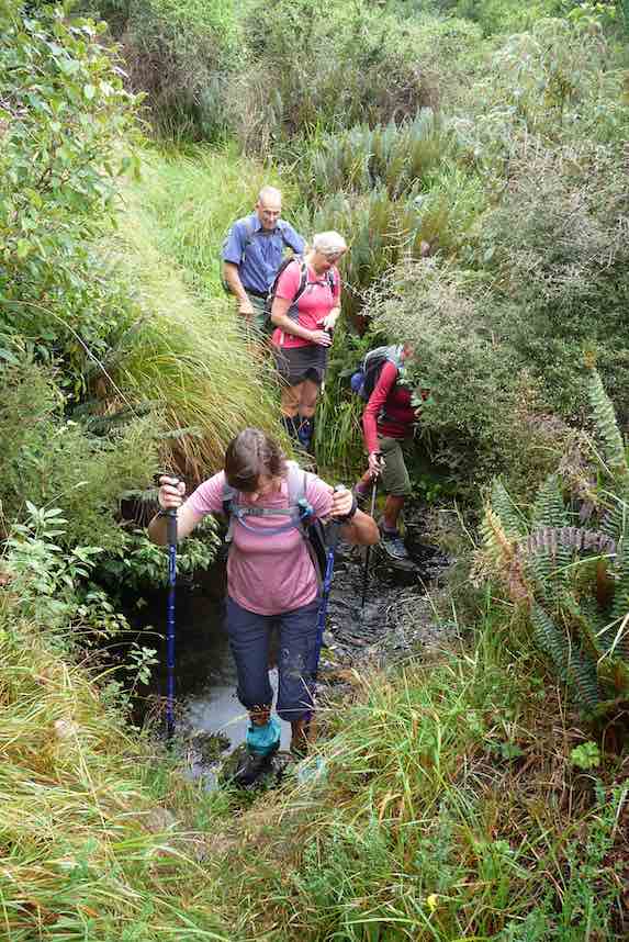
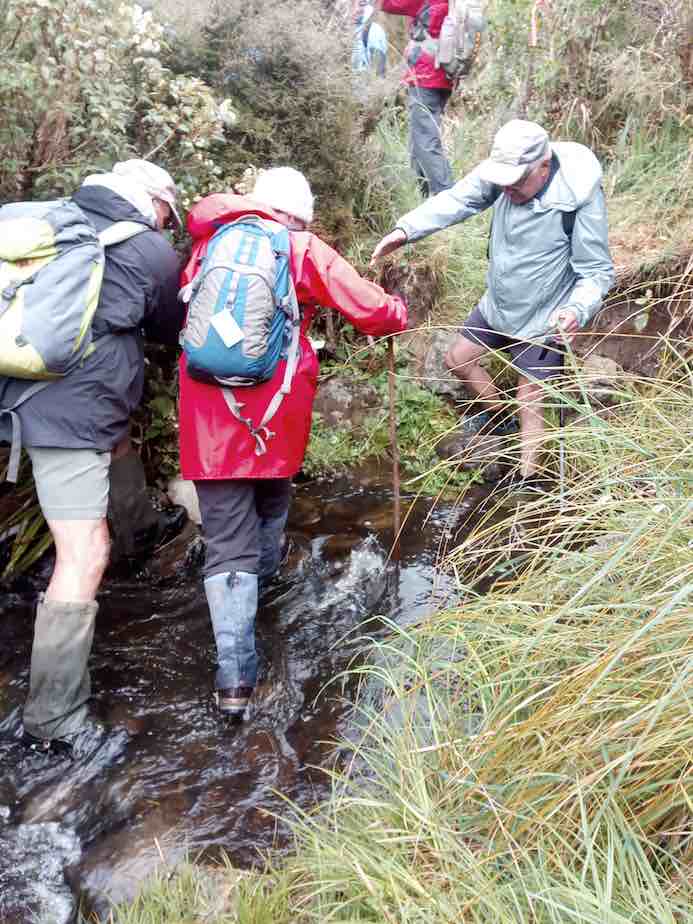
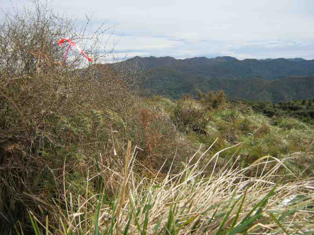
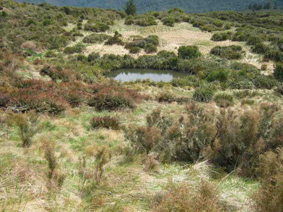
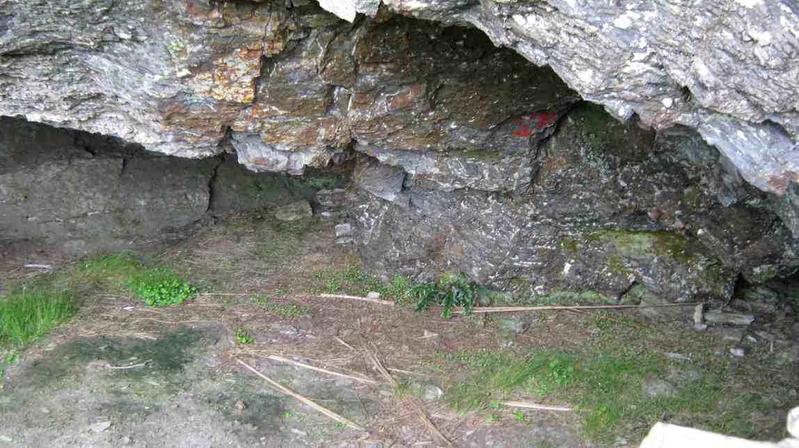
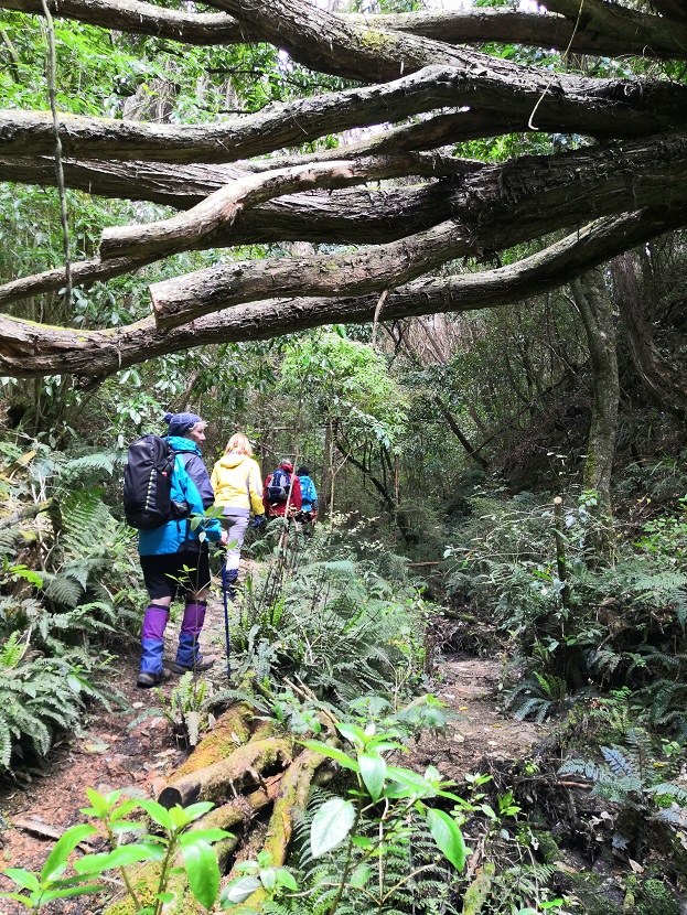
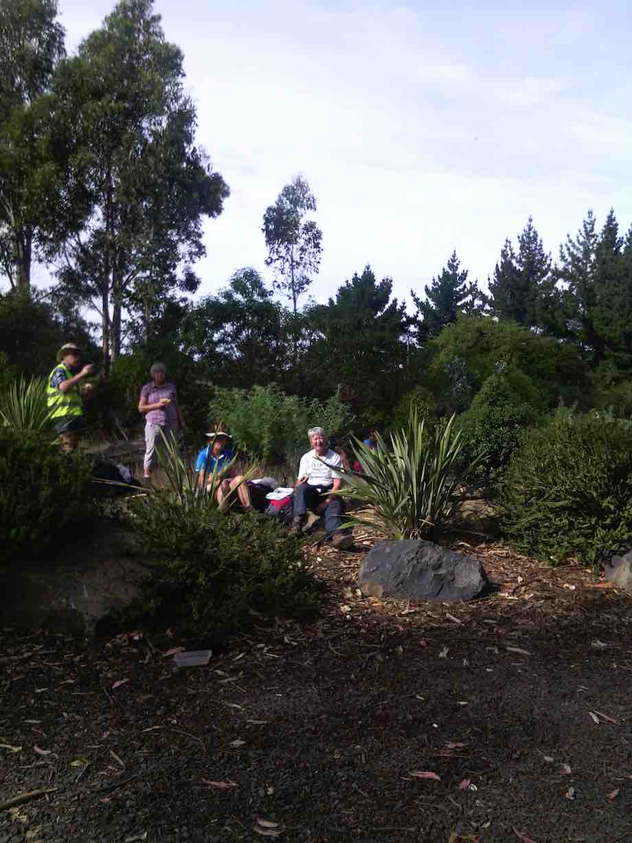
This is a little hidden treasure. A QE11 Covenent area on the east side of Saddle Hill. There is 20 hectares of regenerating native coastal forest Totara, Rimu, Kahikatea, Miro, Matau and Kanuka.
Bird song was all around us as we traversed the tracks and bridges meandering the property. This is all maintained by the owners who are the guardians of the land.
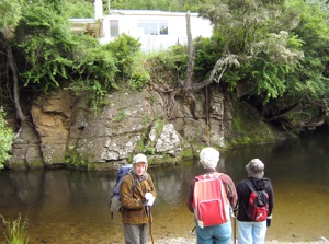
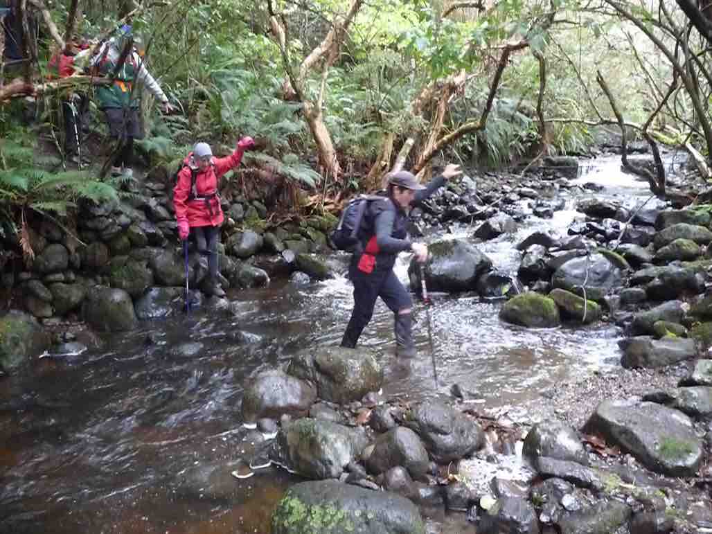
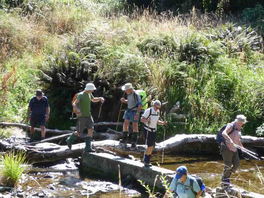
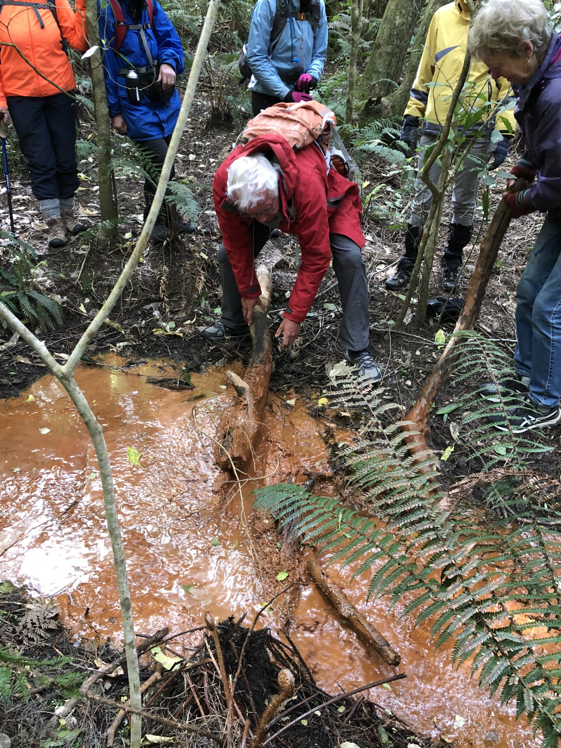
The stream was a very vivid orange colour and when Dave broke the dam! (of a couple of sturdy branches) the water movement was quite sluggish and gel like.
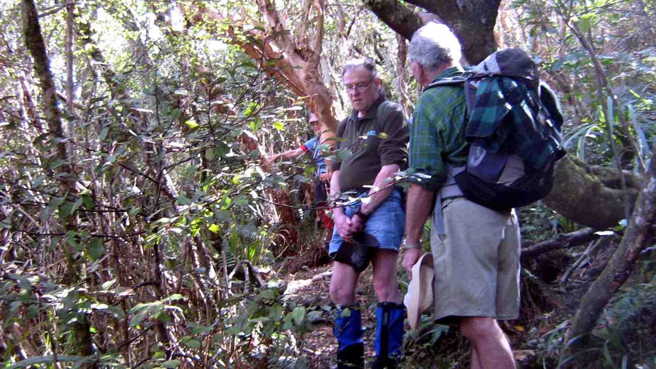
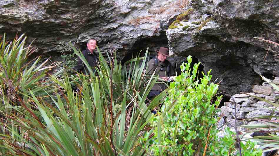
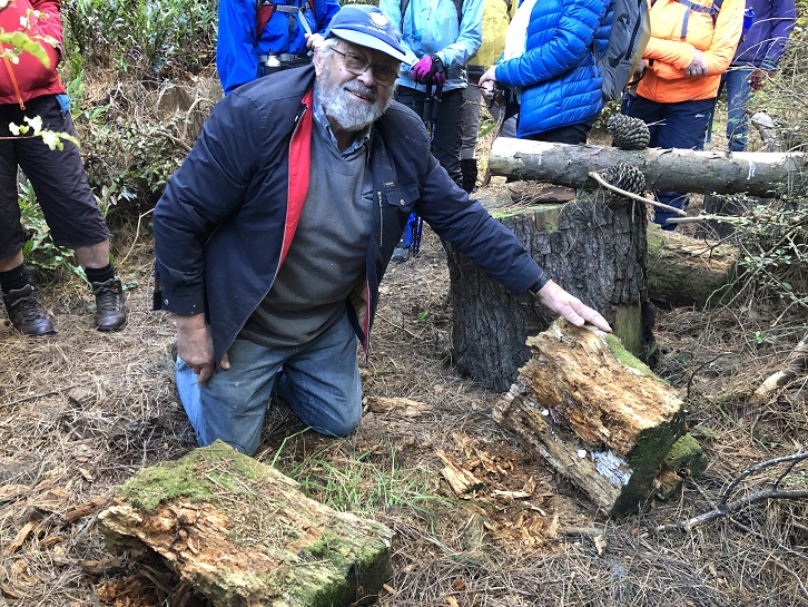
A real surprise for us all was when Colin dug into an old rotten log where he finally found a Peripatus a living ancient velvet worm like creature. These worms have been around for 500 million years and found throughout NZ.
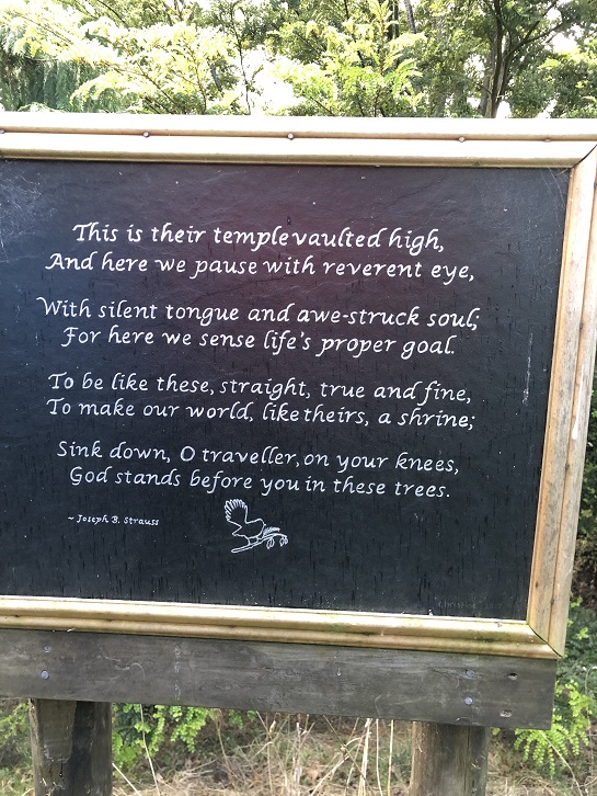
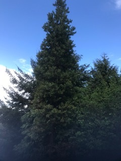
The walk concluded by reading a poem, dedicated to the greatness of trees, and looking at the 30year old kauri tree.

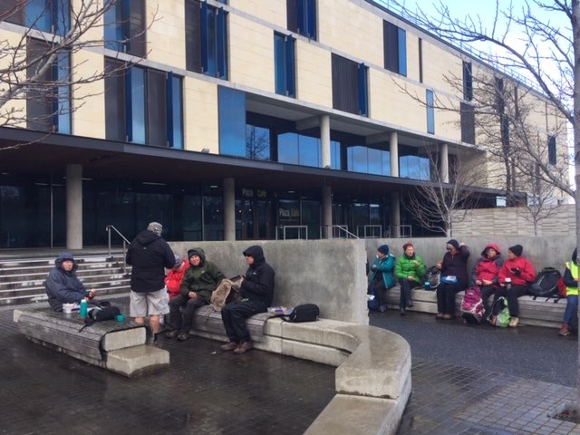
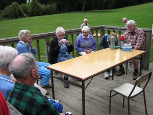
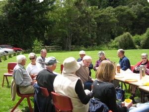
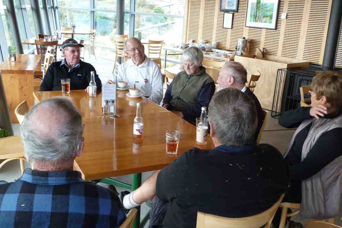
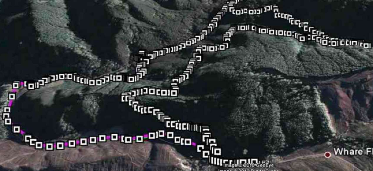
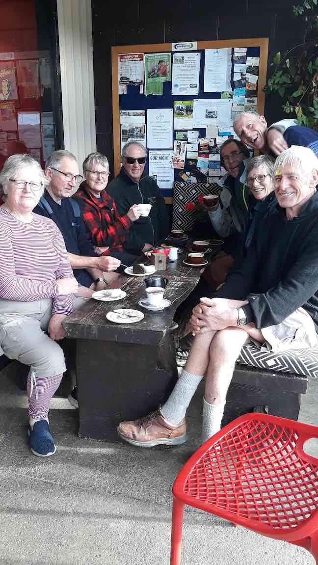
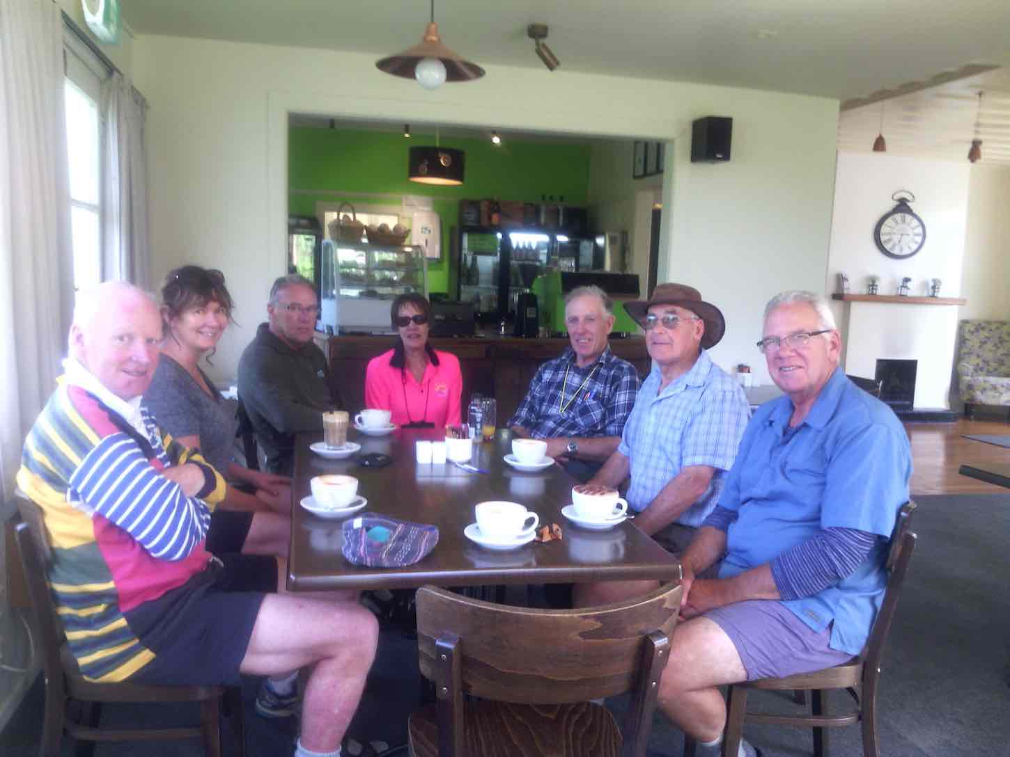
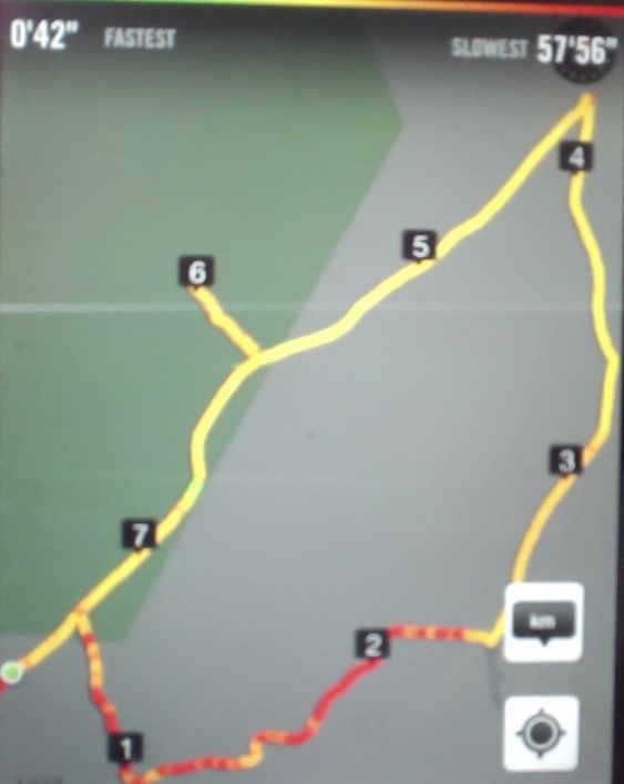
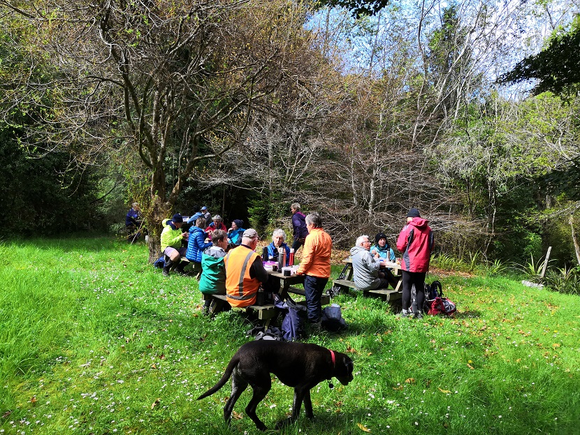
There was a car shuttle back to the bridge but we probably tramped about 14 kms and the rain (apart from a quick shower) stayed away till after we had our coffee and debrief at Blend. Only a week late from the expected visit of Judith Collins and her team and they still had cheese rolls in the cabinet!
An interesting day shared by some very passionate landowners so close to home.
41. 16/3/2019. Hikers. Saddle Hill. Leaders: Bob and Jenny.
More panoramic views were taken in before we went down the hill,out of the cool breeze, and had a leisurely lunch looking out over the Taieri. We then wandered down the hill and out onto Saddlehill Road and back to the cars. Coffee was at the Village Green. Thanks Bob. – Jenny.
40. 19/9/2018. Trampers. Saddle Hill circuit. Leader: Eleanor.
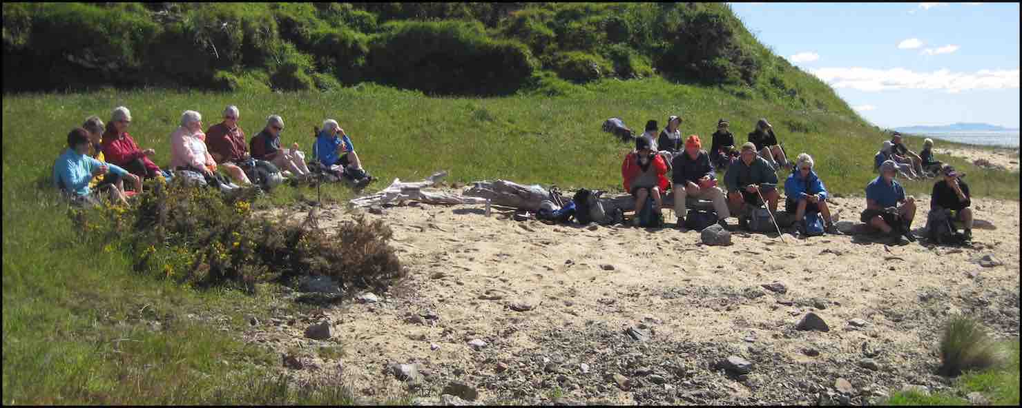
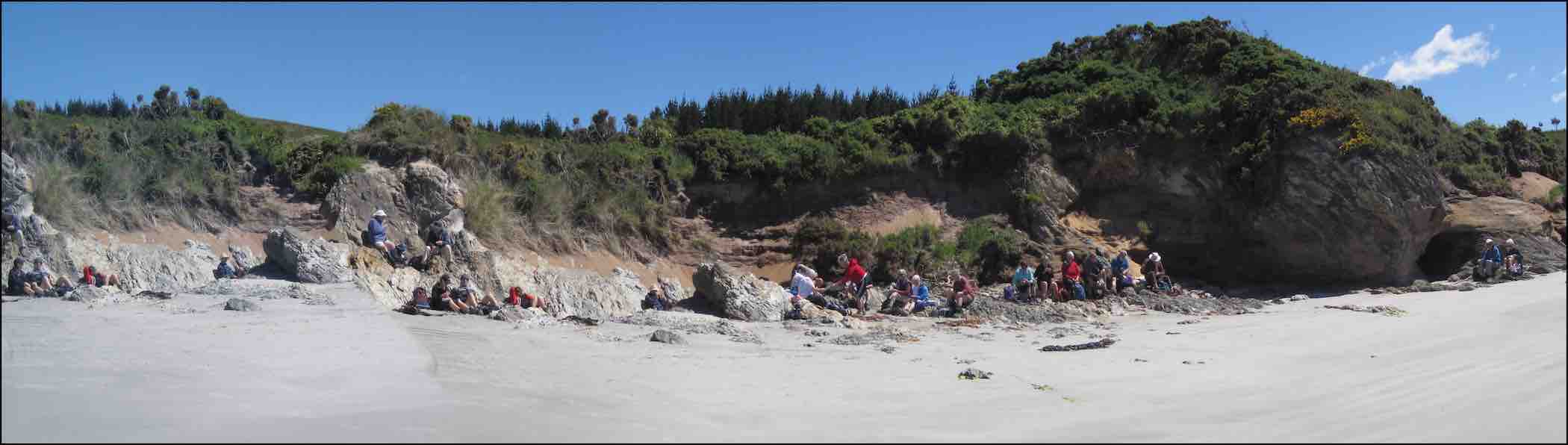
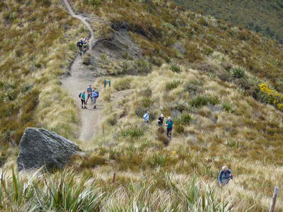
On a very warm spring morning 14 trampers set off from Quarry road and walked up Coal Stage and Saddle Hill roads then down McMaster road. Enjoying a great display of Kowhai in full bloom, also a mix of blossom and animals along the way. One member recalls riding horses as a girl on a property we passed.
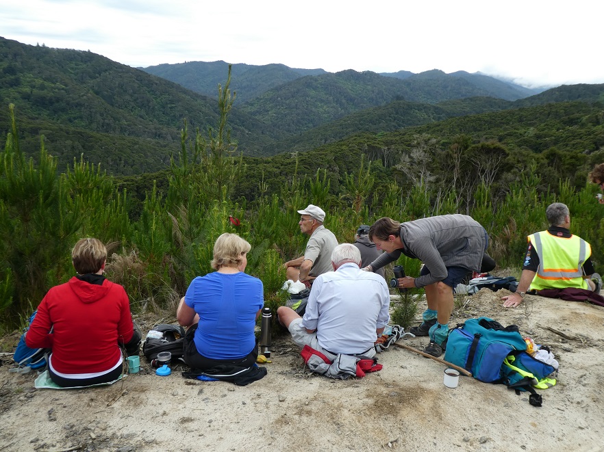
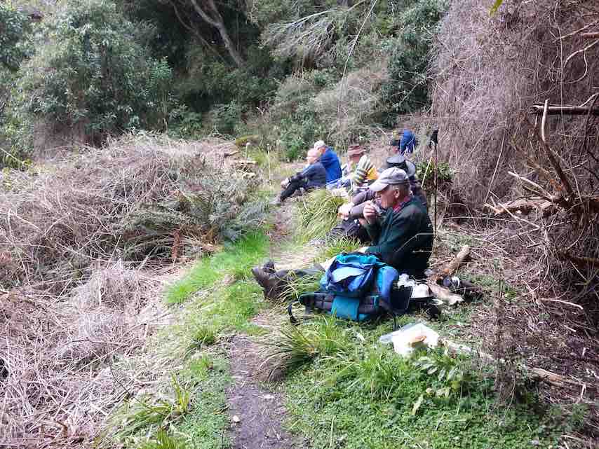
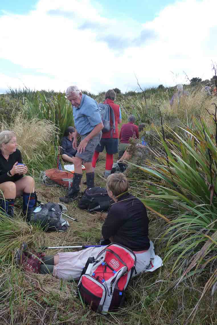
We enjoyed smoko break overlooking the ocean. At this point with the sun shining brightly upon us, we decided to do an add on.
Turning onto Old Brighton road we headed to Fairfield, then crossed over to Flower street walked up the couple of hills crossing a stile into the water tank paddock. Once again (on both sides of the rather steep stile) with more great views, lunch and chatting was enjoyed.
We then walked along Chain Hill road and back down Quarry road to our cars.

Blend was the chosen coffee shop, we enjoyed catching up with 2 members unable to tramp on the day.
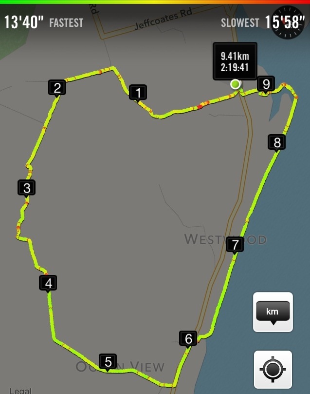
We reckon we walked 15 km, give or take a little.
Great to be back out with such an enthusiastic group of friends.
– Cheers Eleanore
(12/2/2017.)
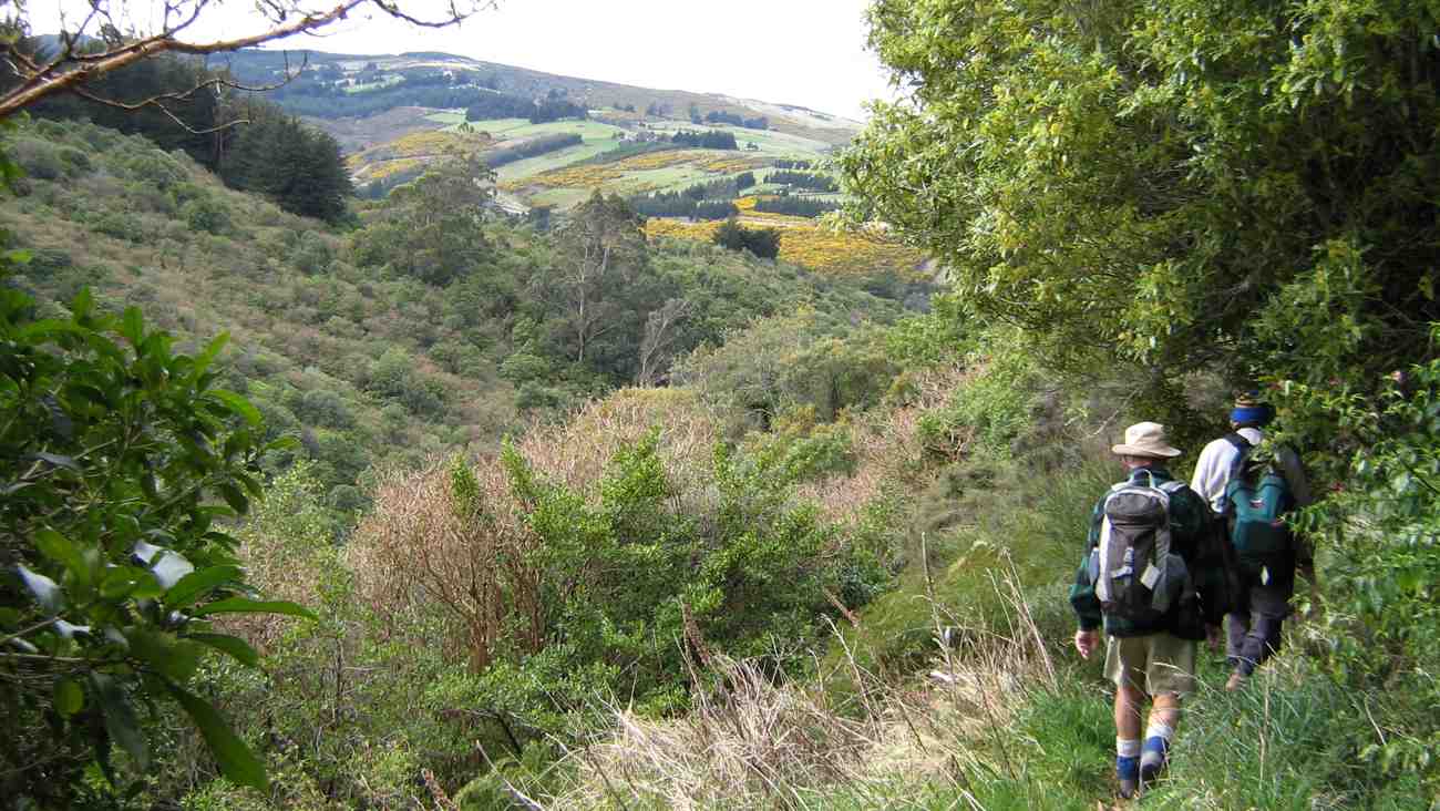
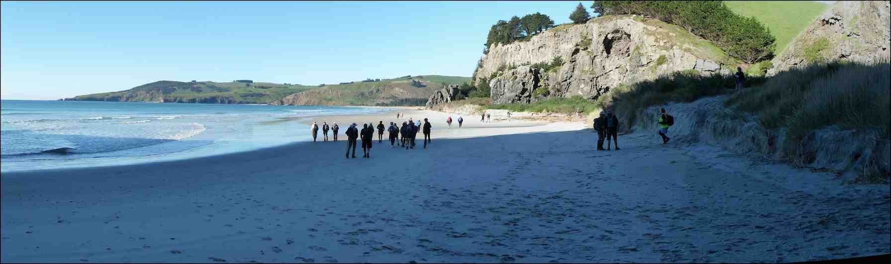
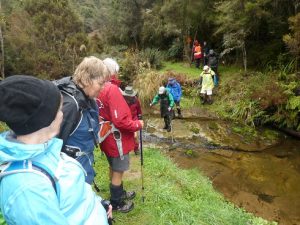
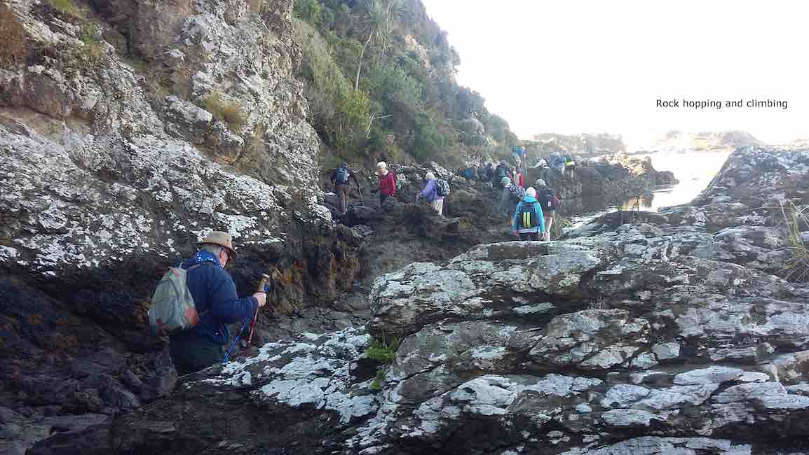
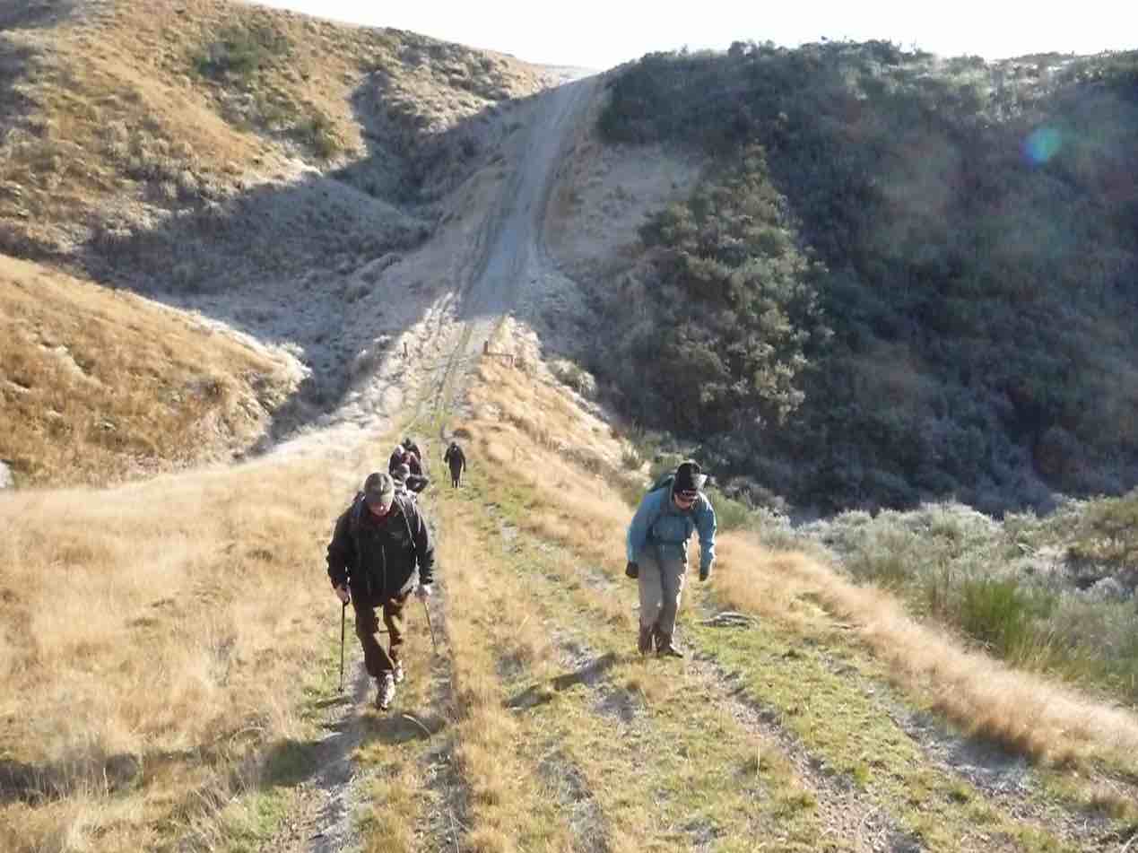
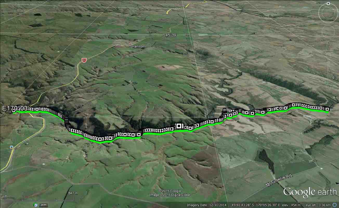
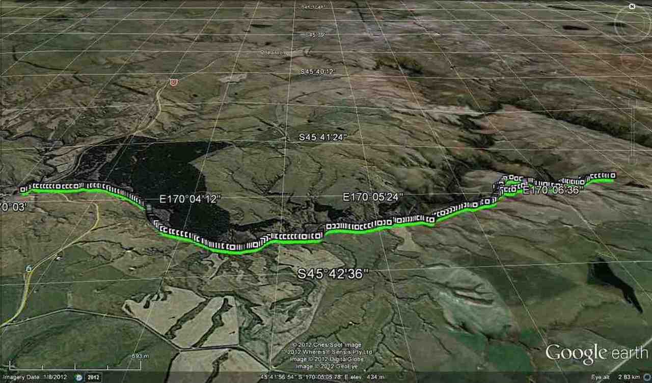
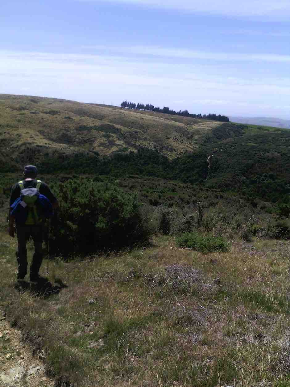
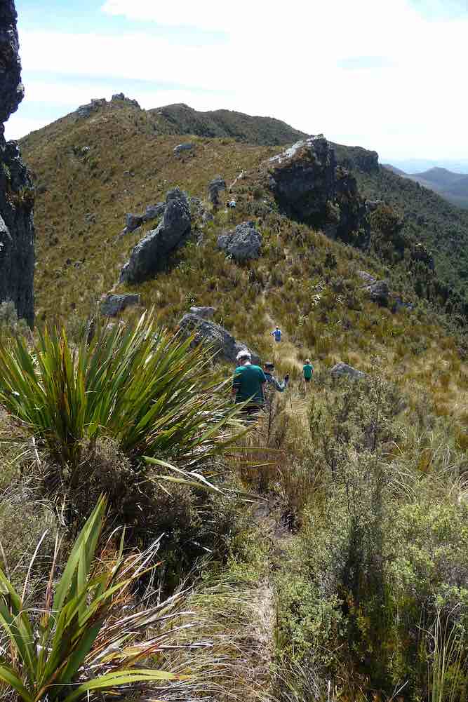
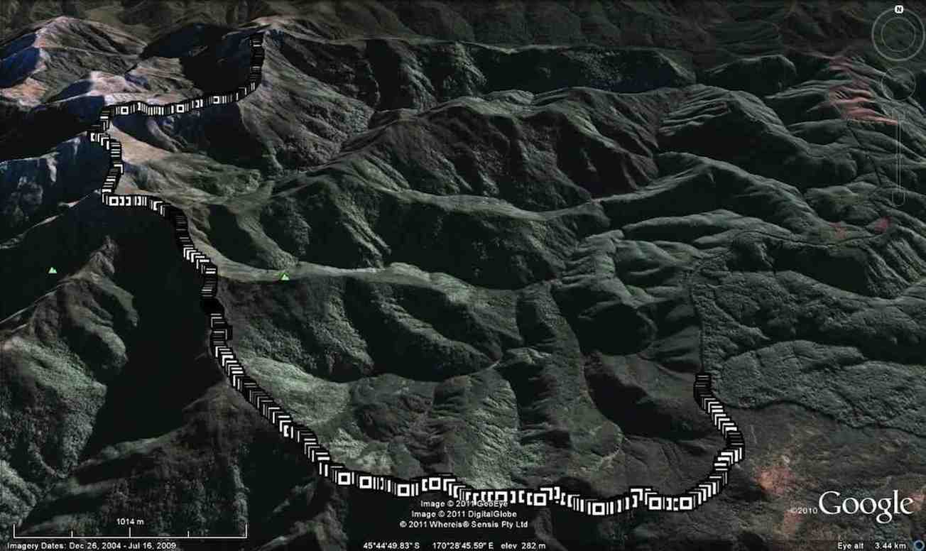
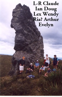
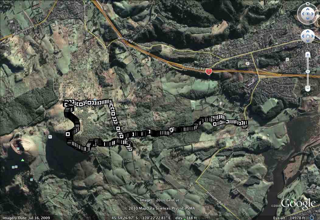
39. 6/4/2016. Both. A Circumnavigation of Saddle Hill, majoring on the seaward slopes. Leaders: Bob, Doug and Arthur.
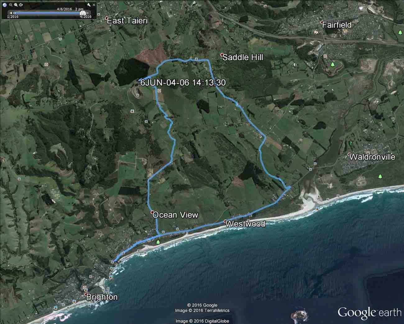
Trampers’ Report. Saddle Hill to the Sea. – Arthur.
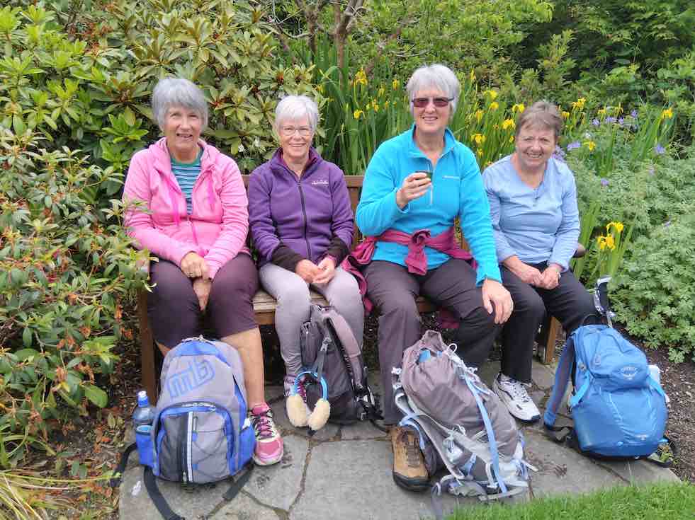
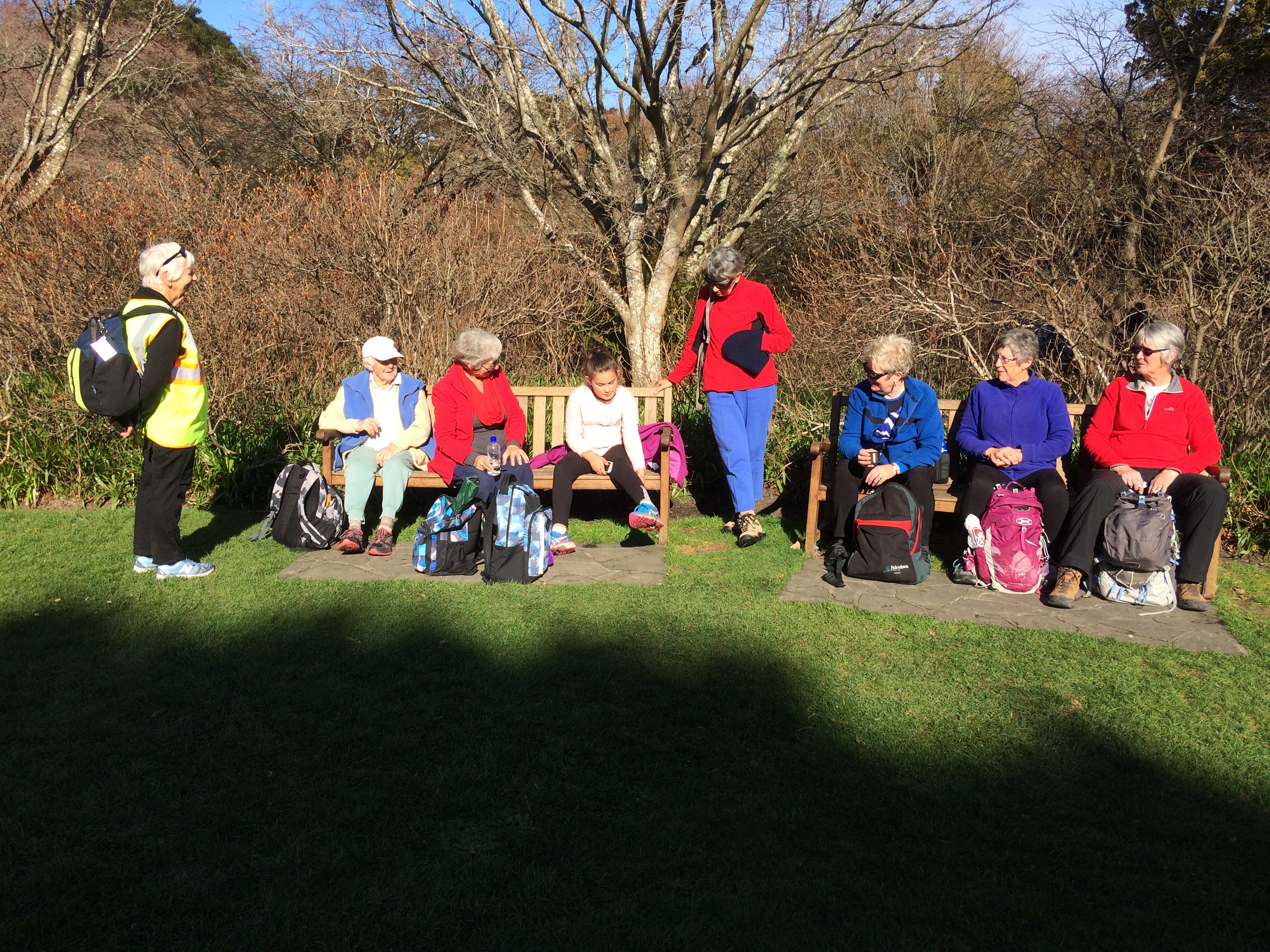
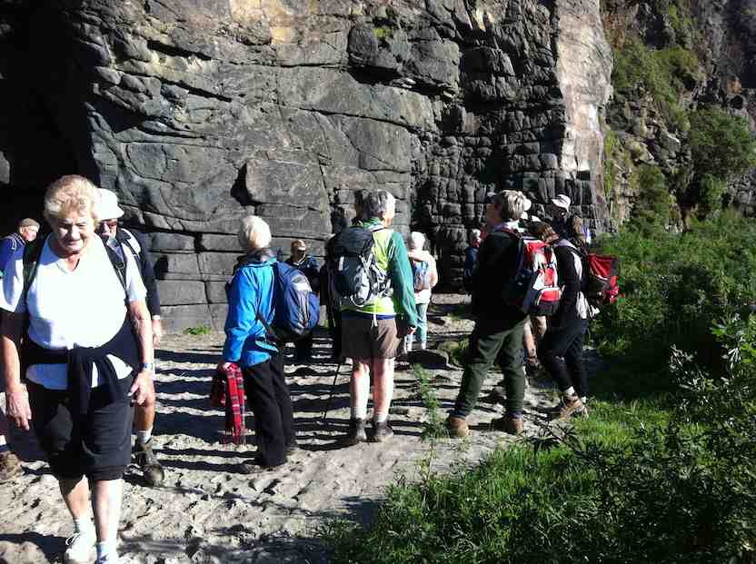
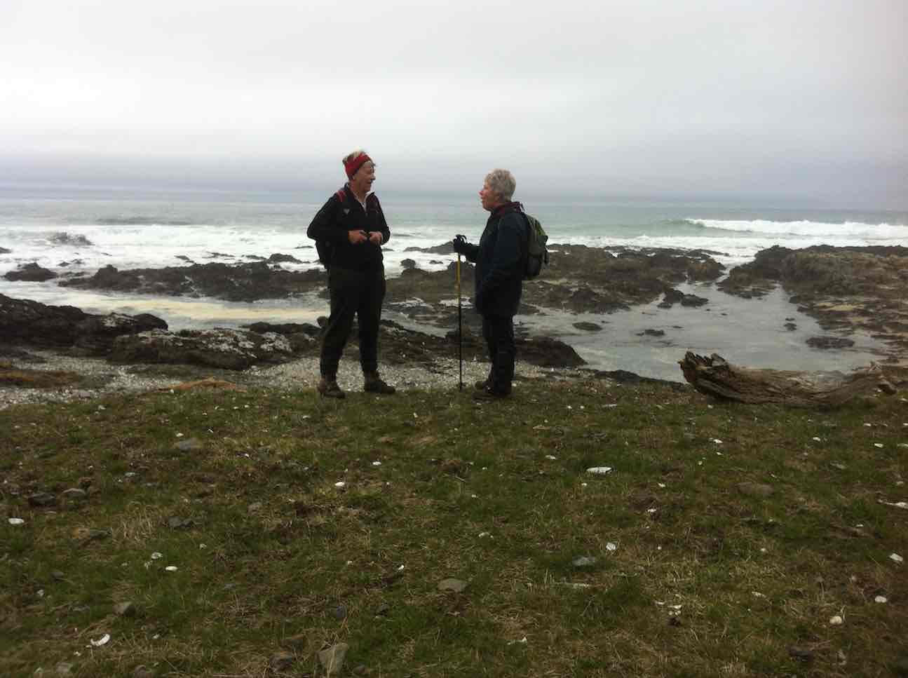
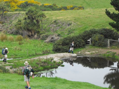
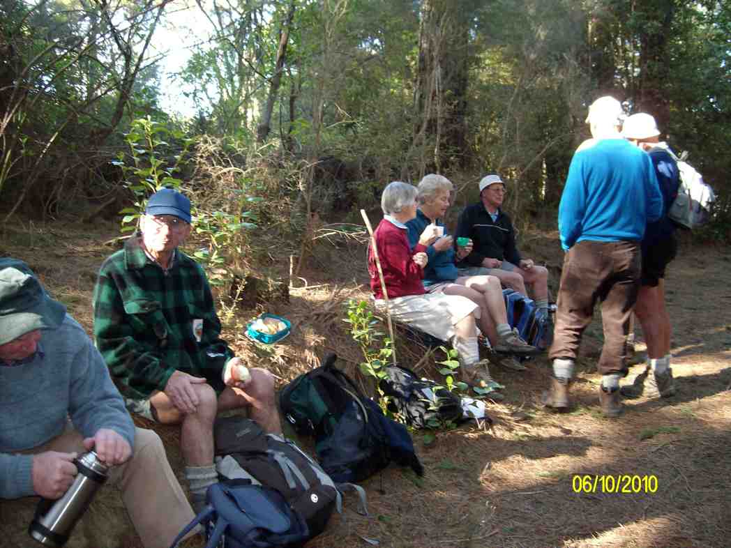
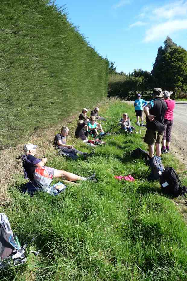
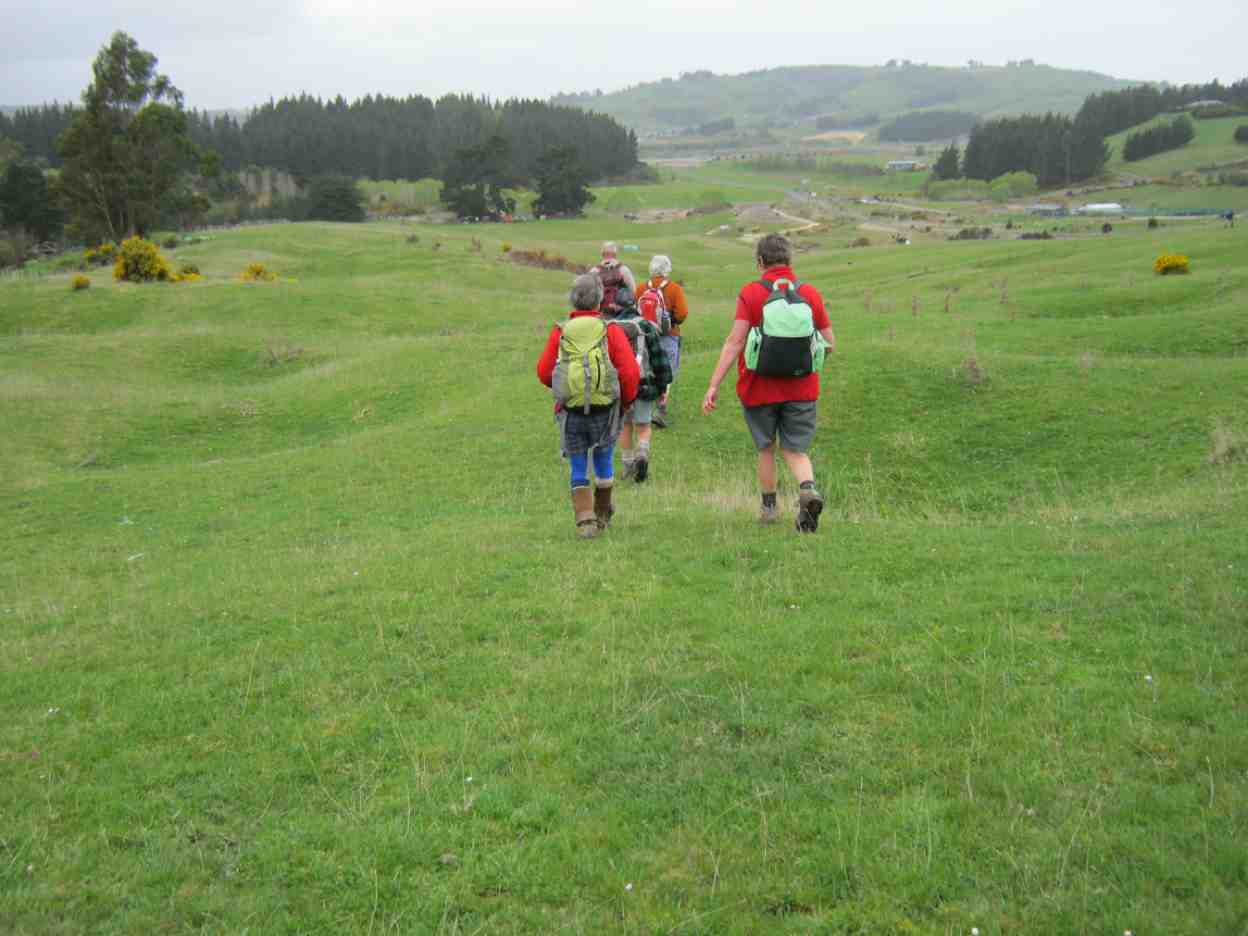
Being the first Wednesday of the month, this was a combined operation. Together with the Hikers, our group parked beside the wool-shed on Saddle Hill Road, before walking through the “Saddle” and down through farmland on the other side. Special thanks to the landowners for giving us permission to do so. A suitable spot was found at 10 o’clock for morning tea.


The two groups then split, with the Trampers forging ahead, as they had further to walk. We had 8 trampers now, and it was noticed that the 2 men were outnumbered by the ladies.
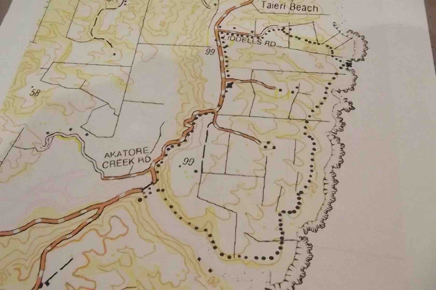
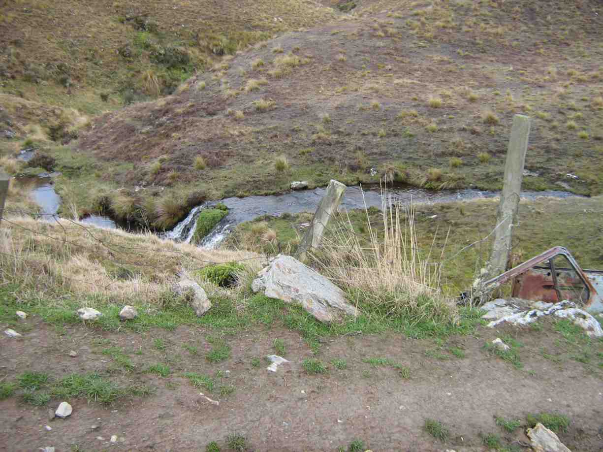
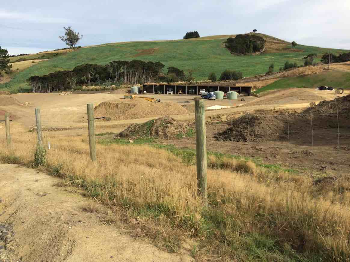
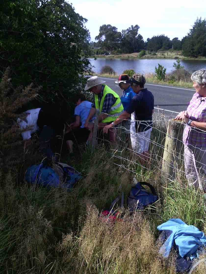
Continuing down through the sheep farm we climbed a style out on to Creamery Road. Going down the road now, we could view several lifestyle blocks with new houses on them. At the bottom of the hill a large contractor’s yard had obviously had much money spent on it.
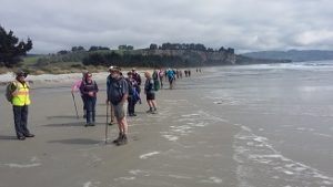
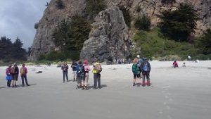
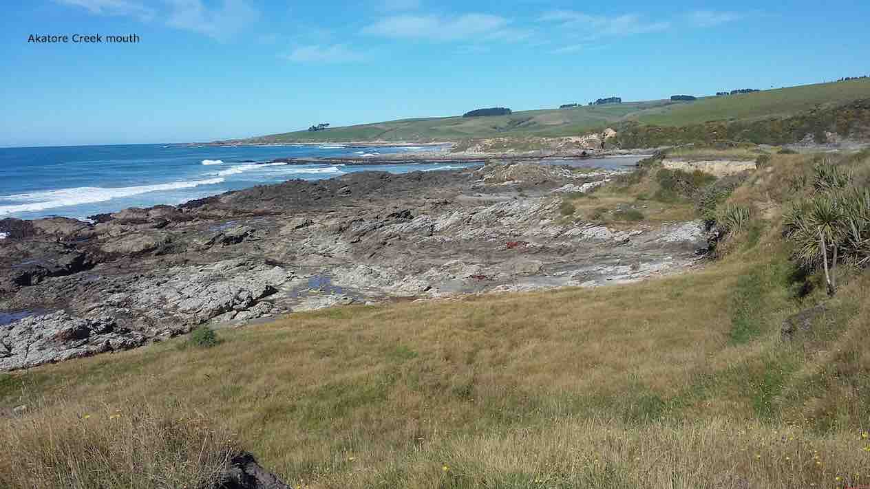
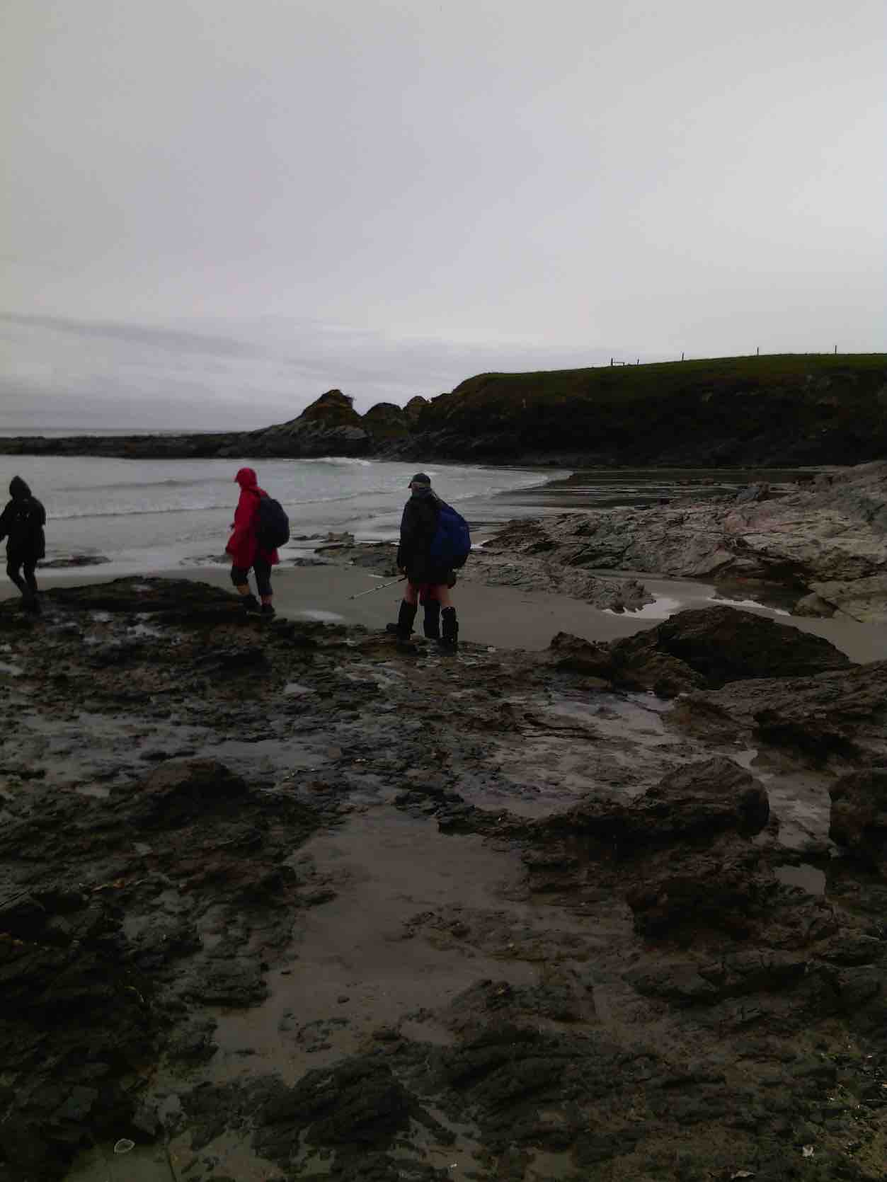
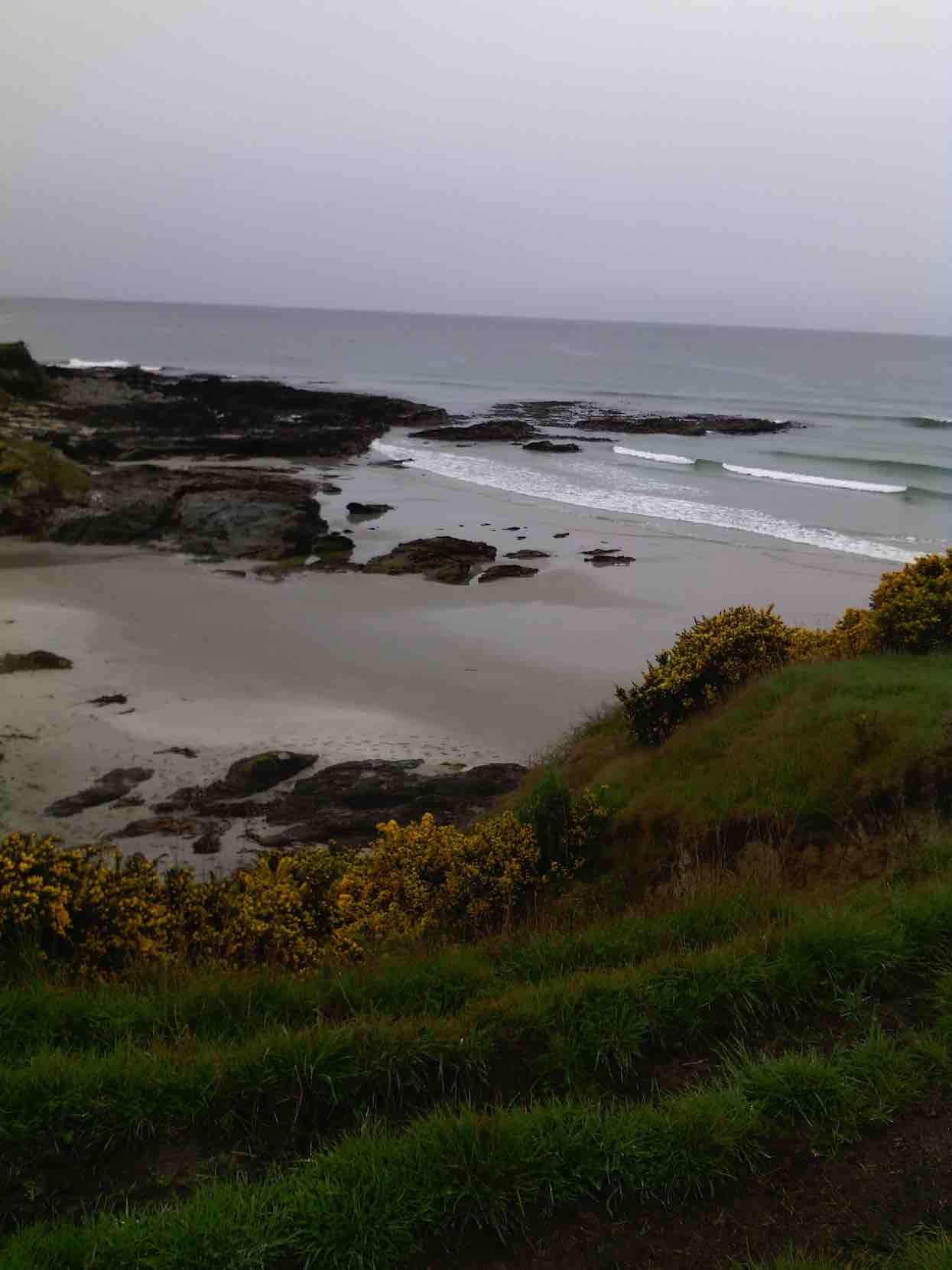
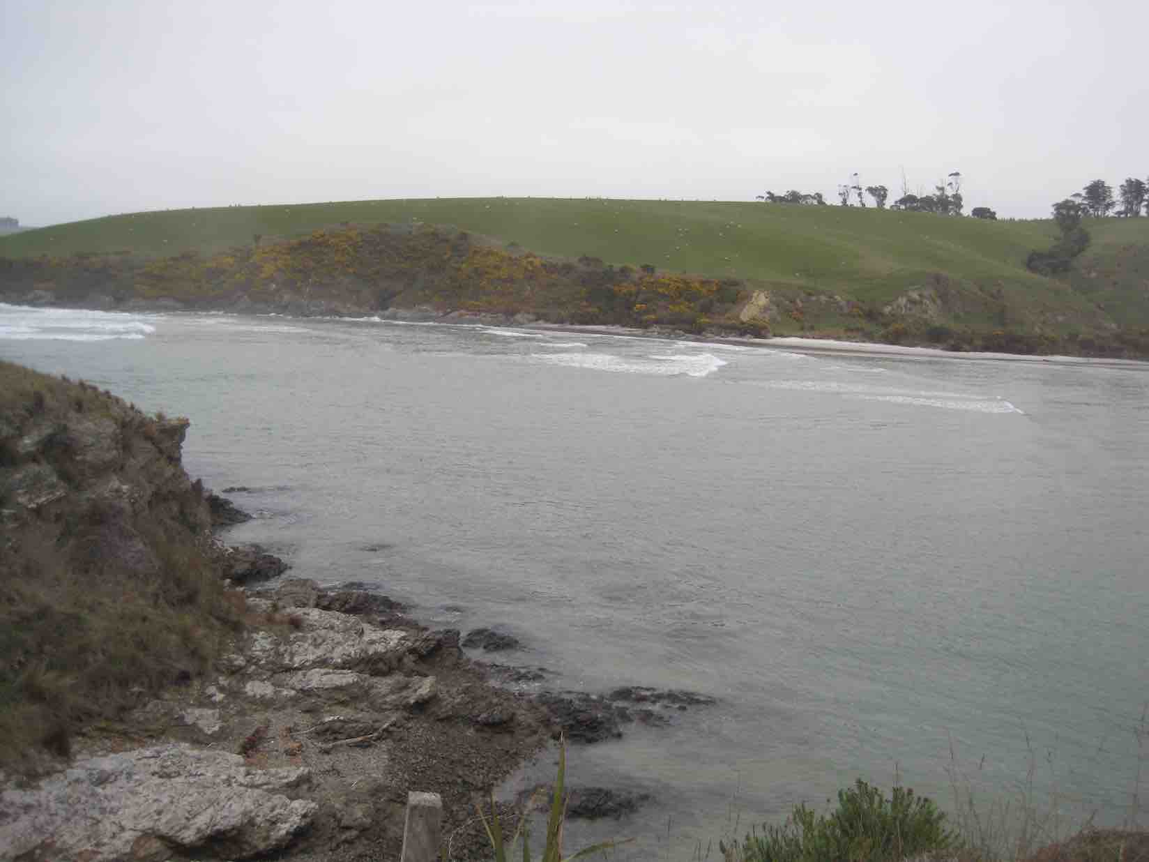
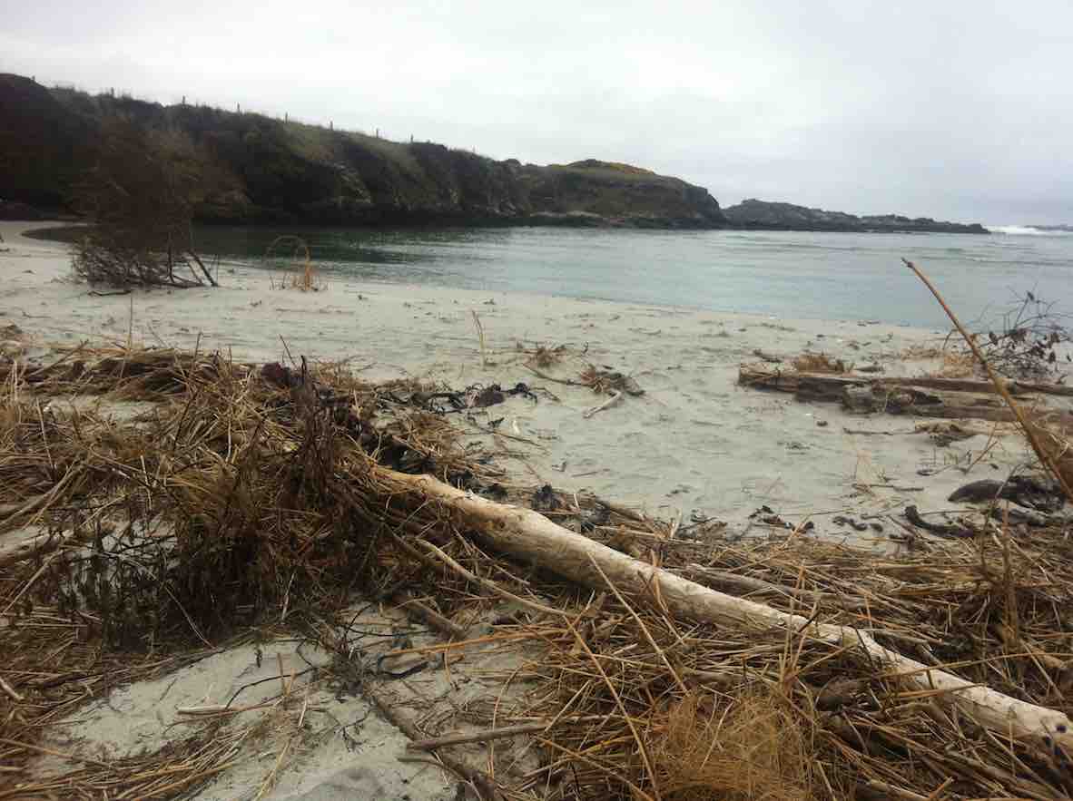
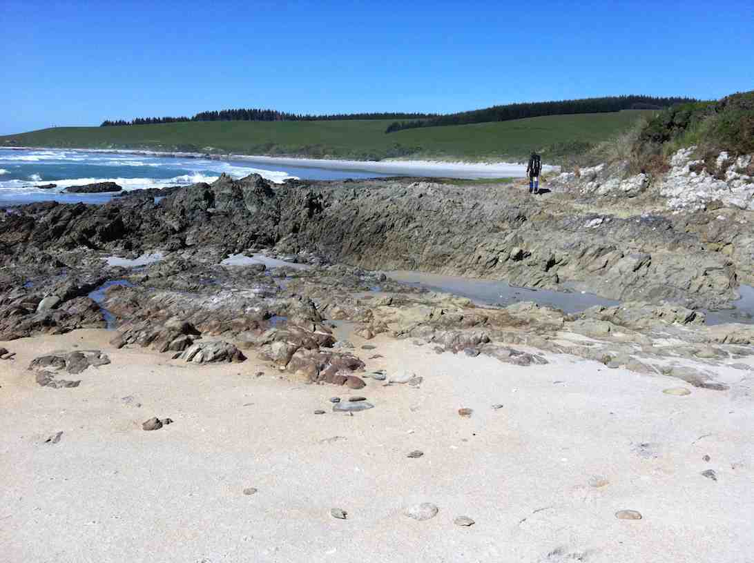
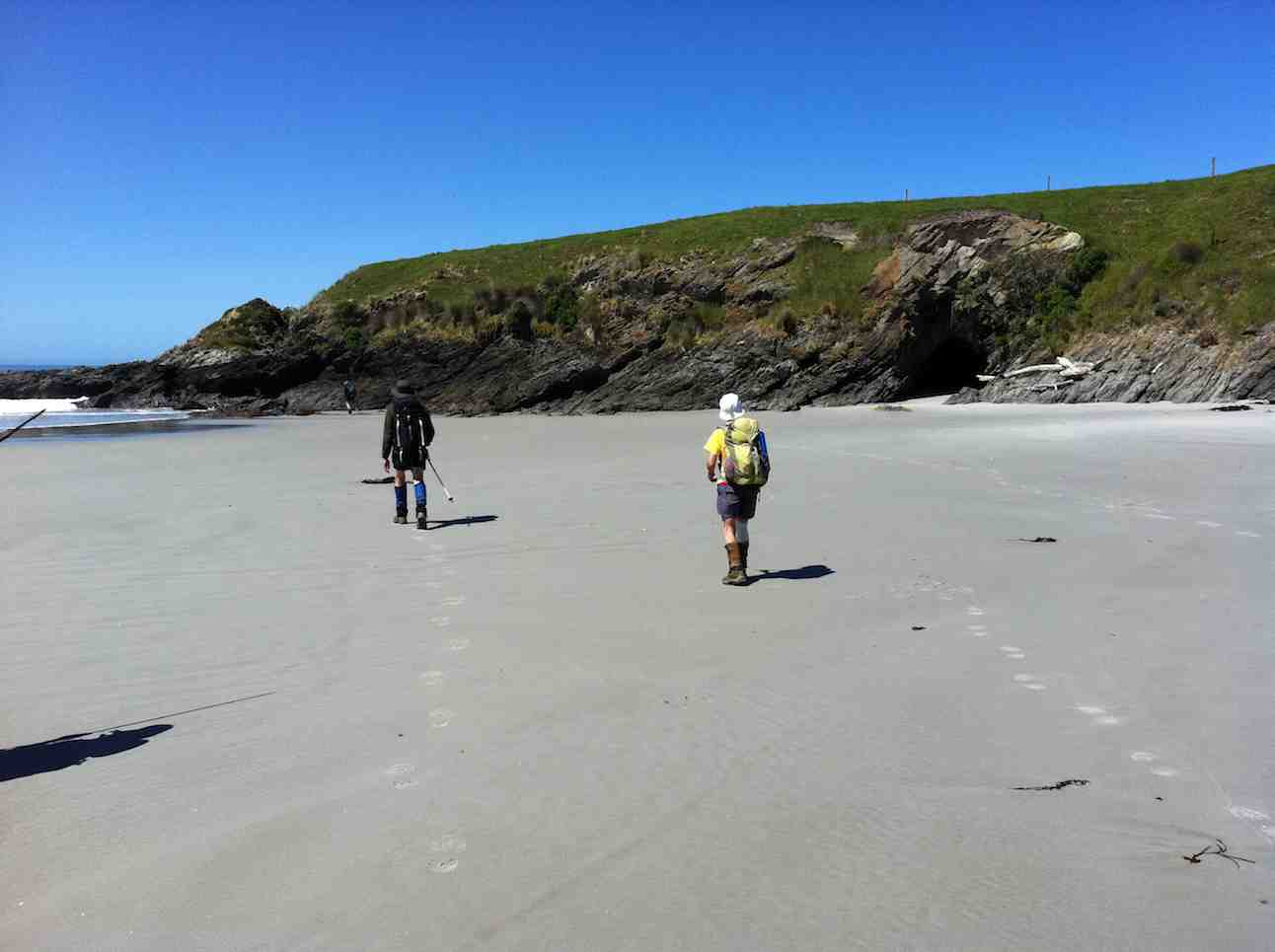
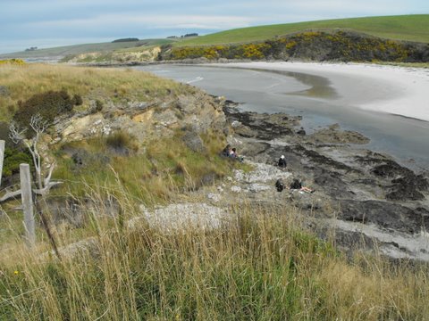
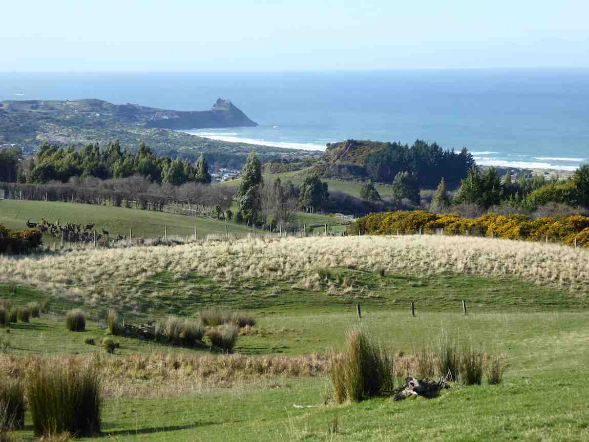
We arrived down at the main road to Brighton at Ocean View. After a short walk along the road we were able to gain access to the beach at the car-park (Freedom Campers spot). Good use of the facilities here was made for a comfort stop.
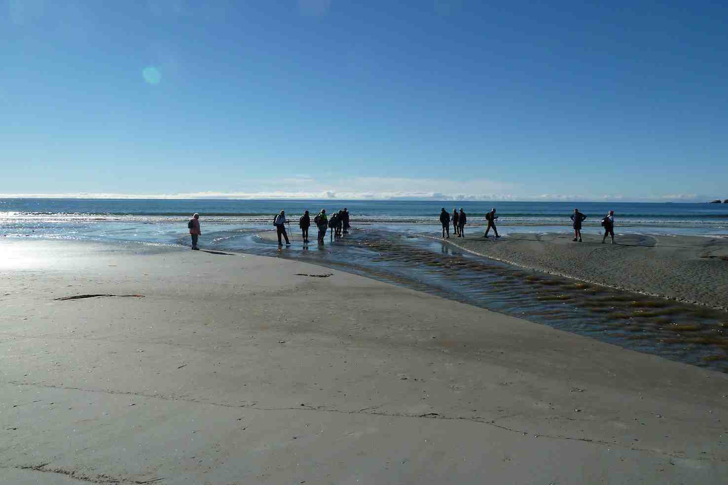
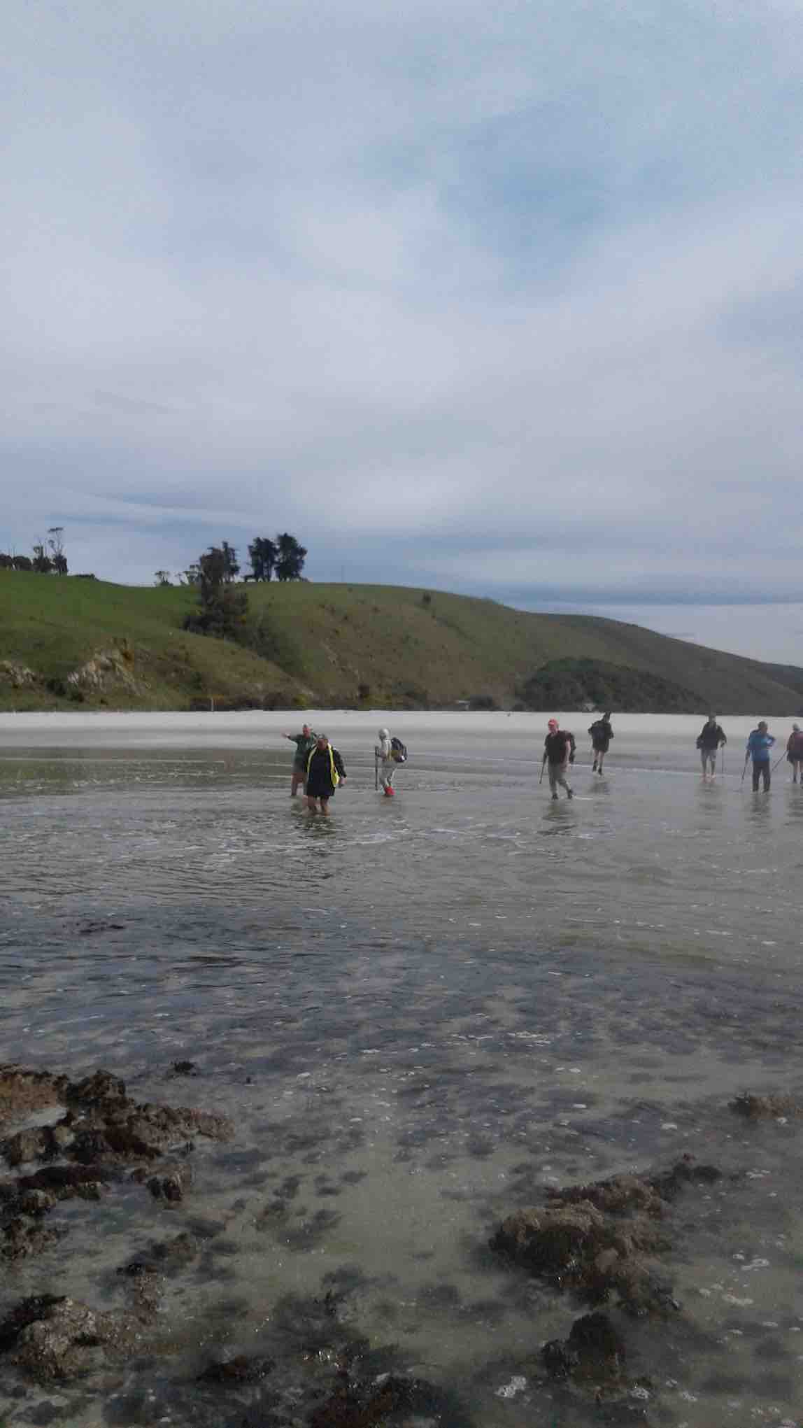
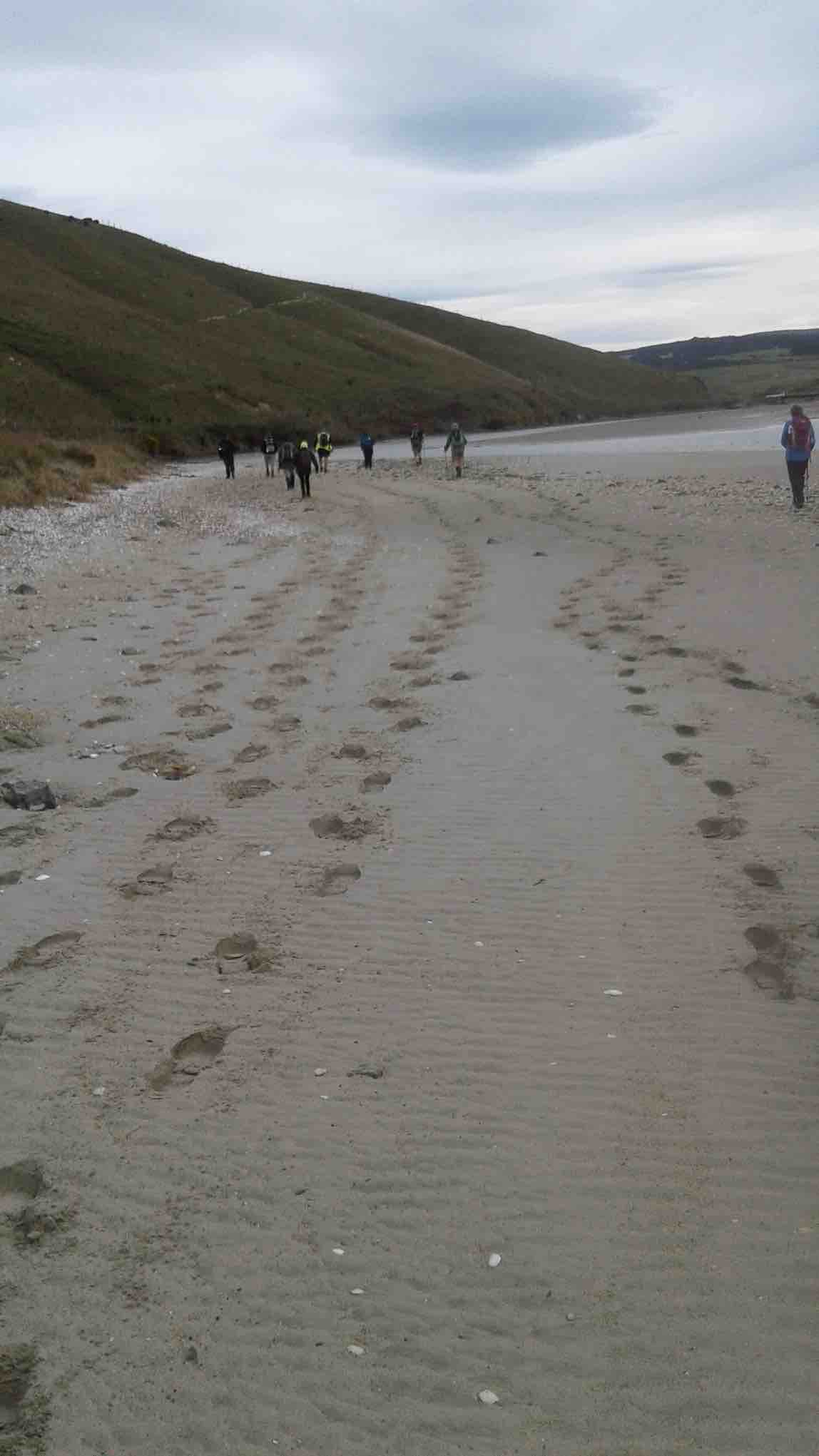
The tide was well out, just beginning to come back in, allowing us to walk on good firm sand for several kilometres. Other people were making use of the beach too – walking, exercising dogs and especially horses.
The Kaikorai Stream was closed to the sea, allowing us to return to the road on the Waldronville side, past the Pistol Shooting Club. The walk along the beach took a neat hour. We found a suitable lunch stop beside the car park at the road.
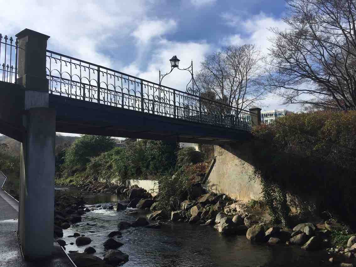
From there we had to walk across the bridge and along the road a short distance. It was a little difficult climbing through a fence back onto farmland – several comments were made at this time about some not being as young as they used to be!
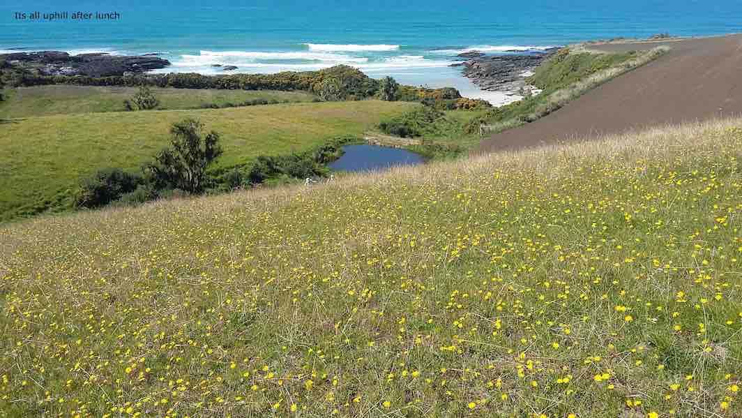
With the Green Park Cemetery on our left we had a very pleasant uphill walk through the large field, but with one especially steep pinch, before squeezing around the end of a gate and out onto the Old Brighton Road – closed long ago by a large slip.
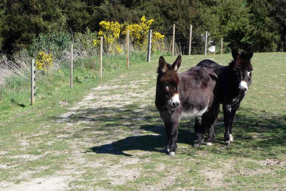
Along the Old Road and then up McMaster Road a short distance, before taking a short-cut through private property. A donkey brayed a welcome as we passed, and then the lady was gardening at the house.
Coming back onto McMaster Road, we found three of the Hikers talking to the man of the house at his mailbox. The road levelled off, and soon we were back to Saddle Hill Road where we caught up with the Hikers with about a kilometre to go.
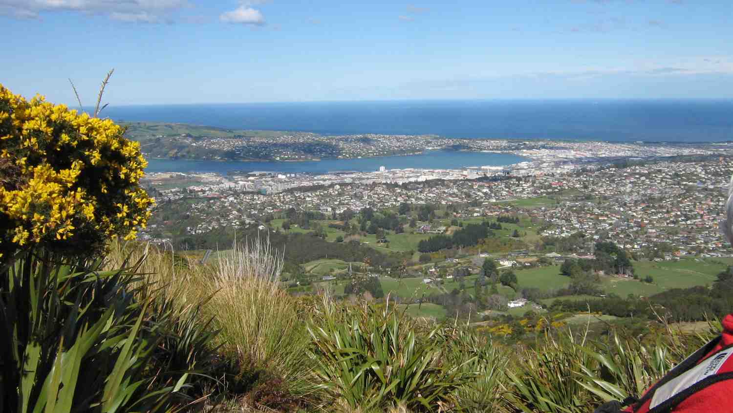
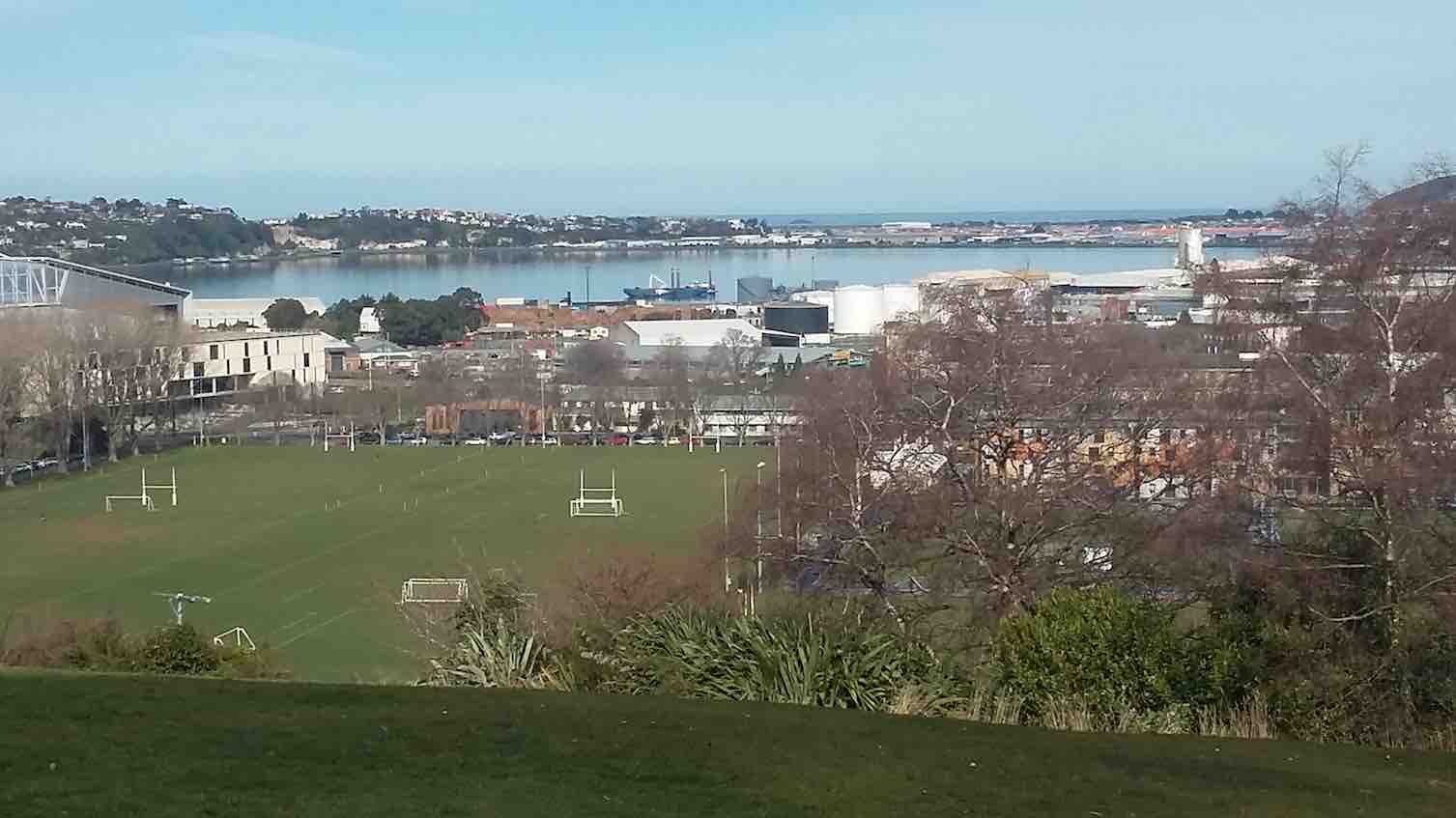
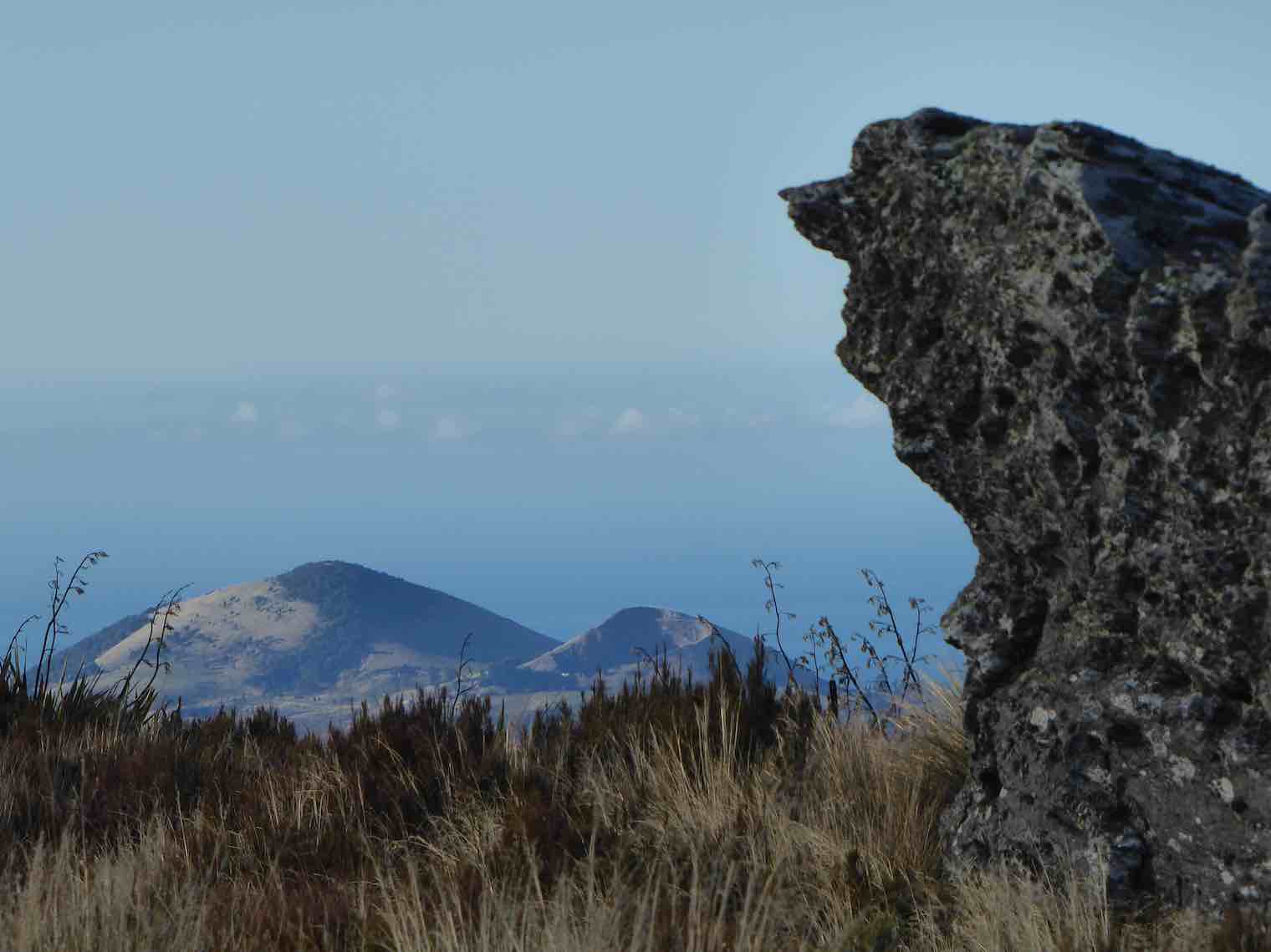
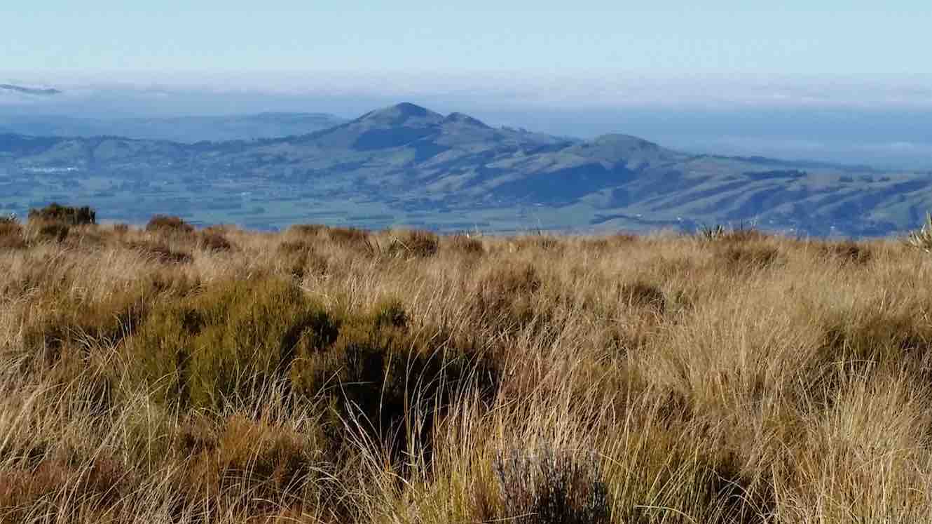
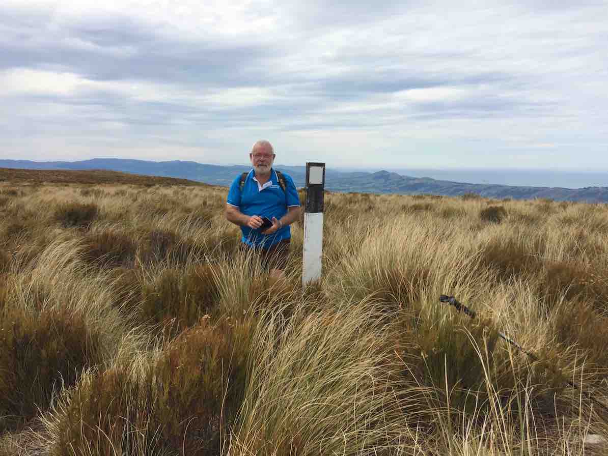
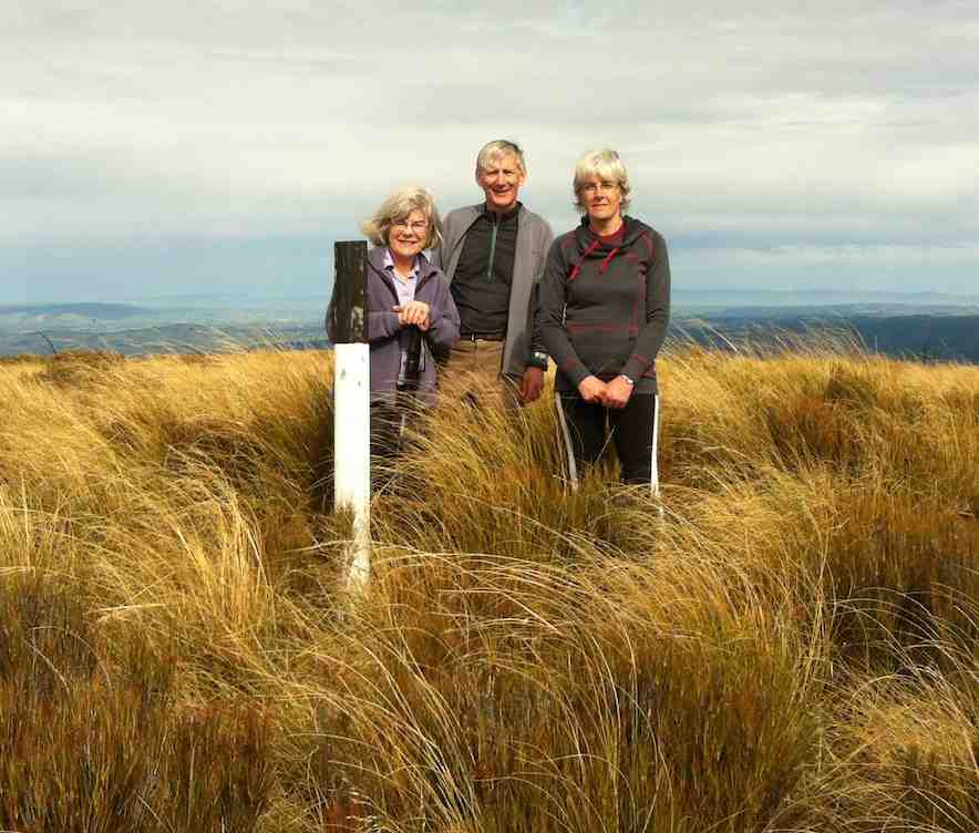
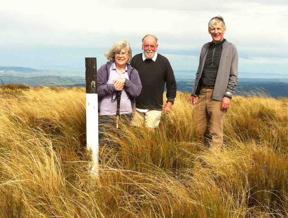
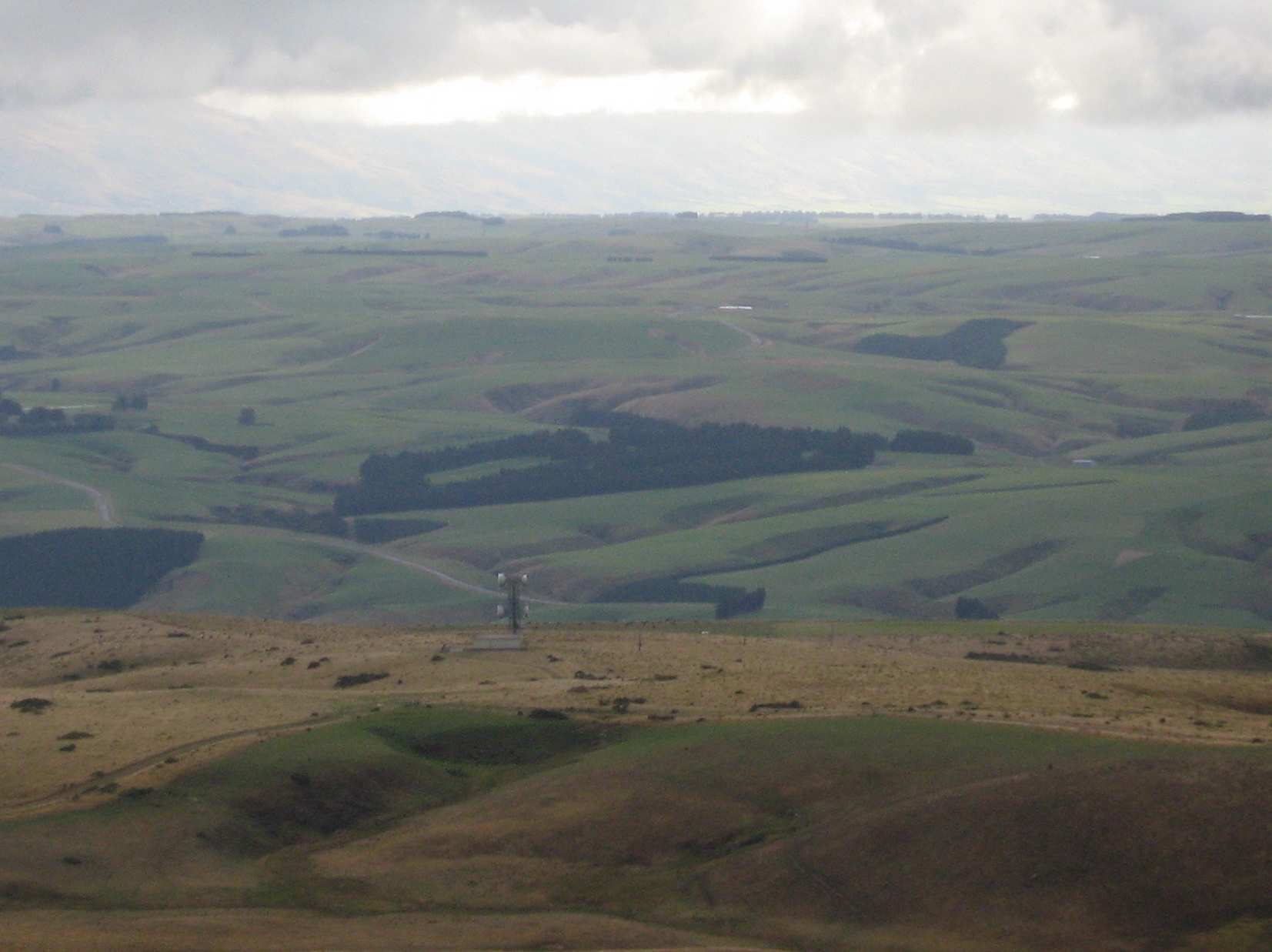
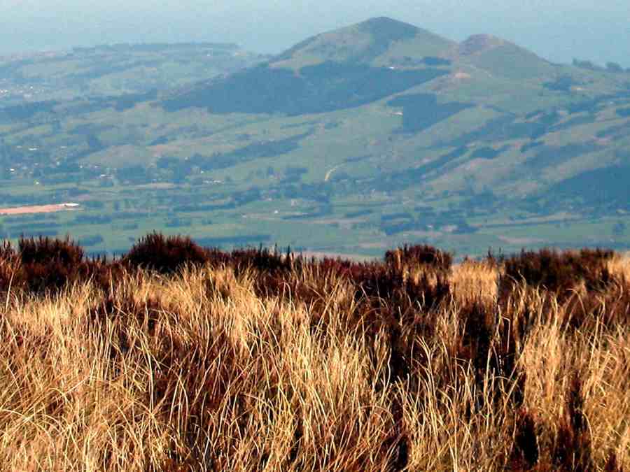
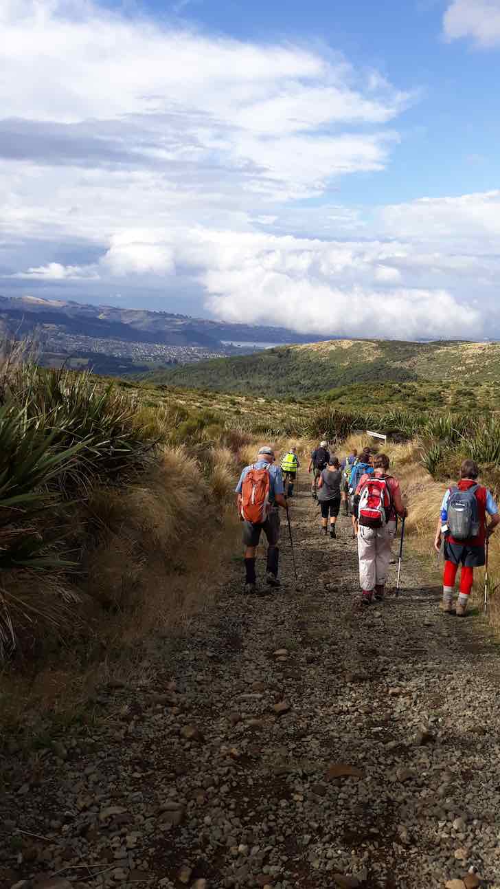
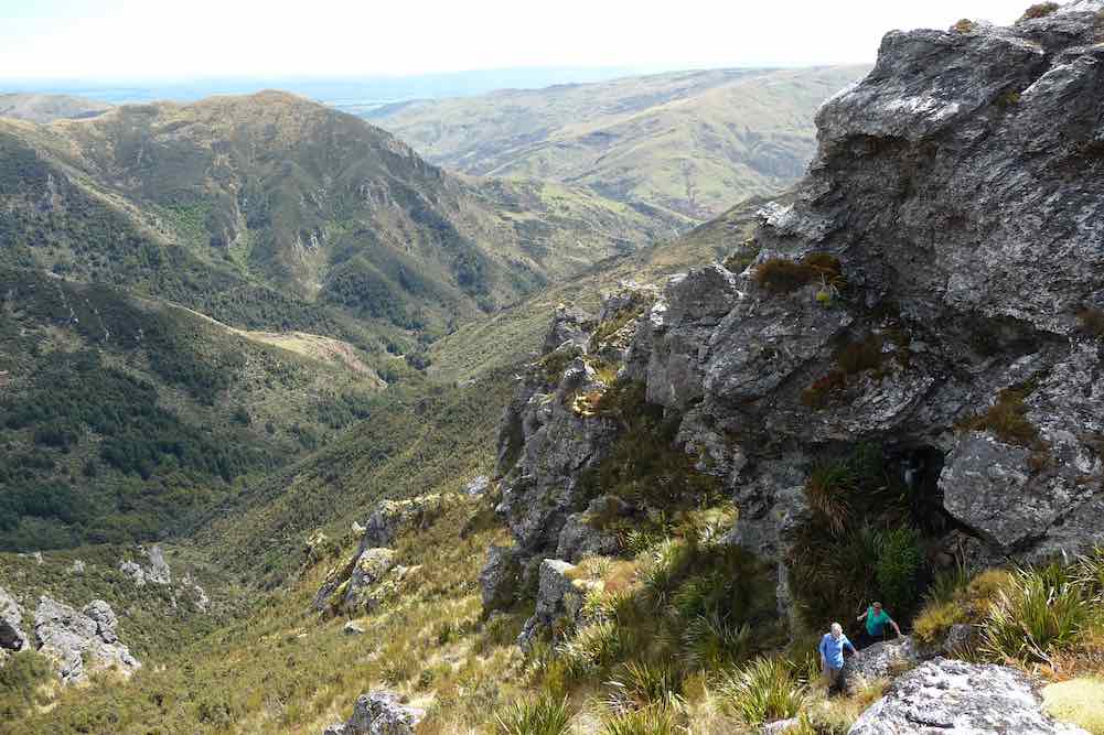
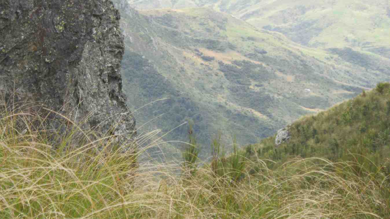
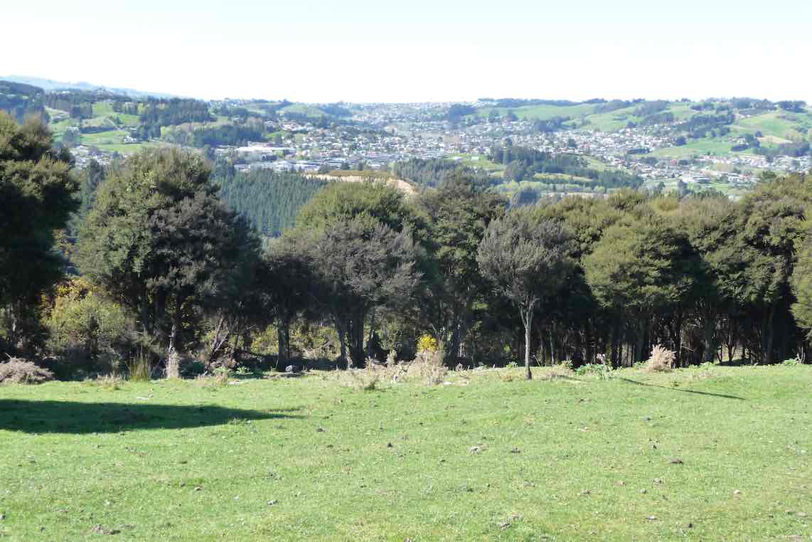
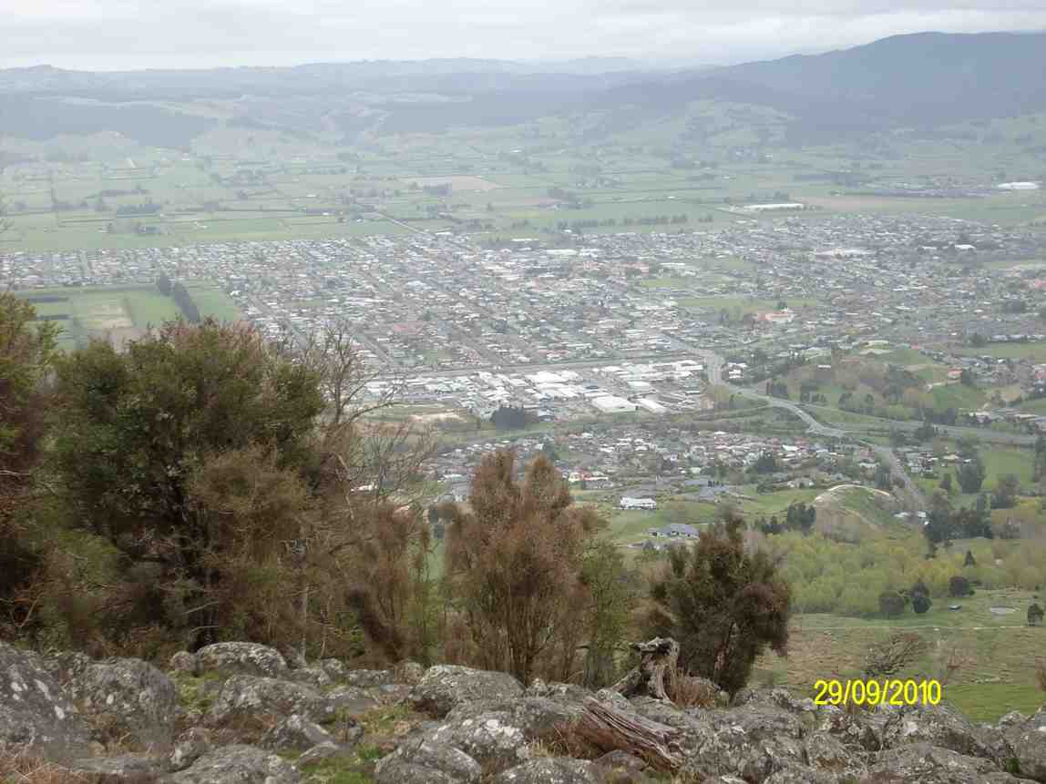
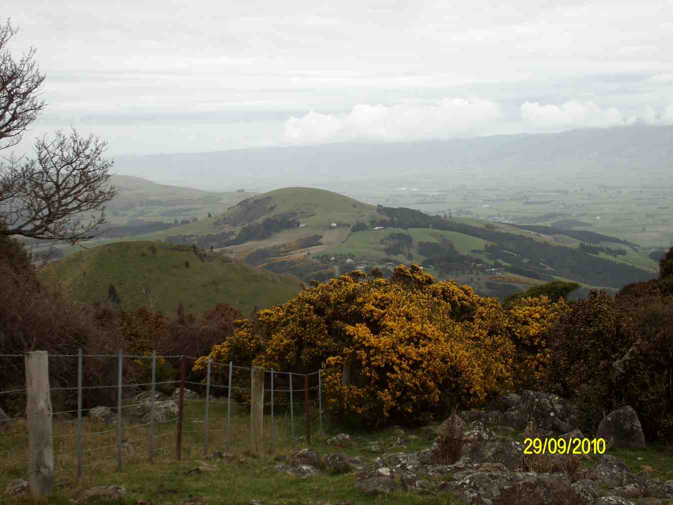
There were good views from here of Mosgiel, …
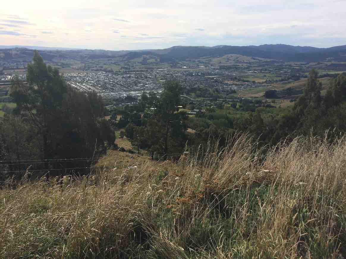
… the Taieri and beyond. In fact we had great views all day on this tramp, and good weather to go with them.
Our combined tramp could not have been more successful, as both groups began and finished the day together.
A big thank-you to Bob for this. Everyone was back to the cars by 2.15 p.m. The Trampers covered a distance of about 14 km (estimated).
***** SAFE TRAMPING IS NO ACCIDENT *****
– Arthur.
Hikers’ Report.
As Arthur has covered most of the day’s main points, this need be only a supplementary one.
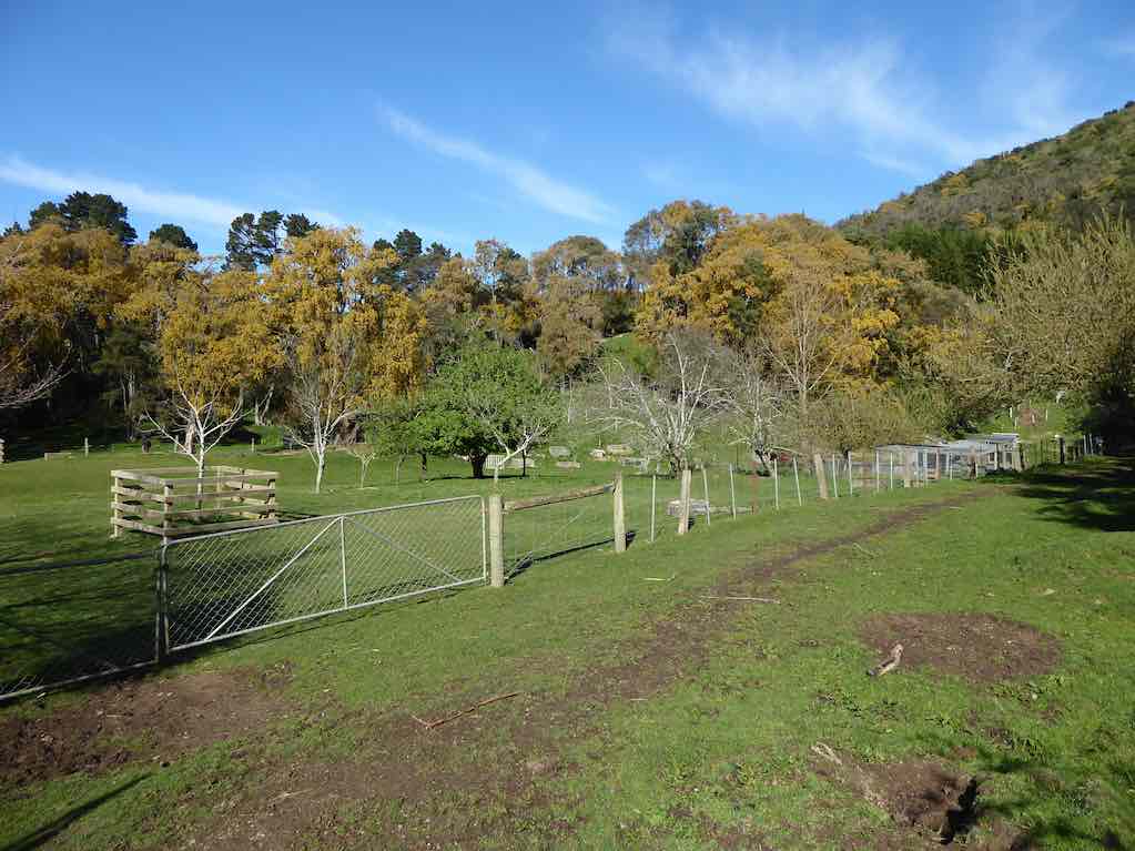
Where Creamery Road joins Brighton Road, various options emerged. Some drifted off: one had a car waiting for her, another walked to her home nearby, others shortened their walk by walking on the seaward side of the road to earlier catch the bus to Brighton and back. The remainder walked towards Brighton and waited at a convenient bus stop to catch the returning bus. The driver put on a mock-stern display, questioning our age entitlement and closely examining our Gold Cards. We had made his day, as we disported ourselves around his empty bus. From the Green Park Cemetery gates we made our way uphill behind the cemetery and were surprised (well, this reporter was) to see the beginnings of an eco-burial site of about twelve plots, aligned alongside a clump of bush, each plot planted with a native plant.
We lunched in a sheltered spot a little further on up the hill.
…. Much further on, as we turned from McMaster Road into Saddle Hill Road, we were surprised and delighted to find ourselves caught up by the Trampers . The timing couldn’t have been better. Excellent planning, Bob. This has to have turned out the most rewarding “together-Tramp” yet! – Ian.
38. 23/7/2014 Hikers. Greenpark Cemetery, McMaster Road, Creamery Road, Brighton Road, Beach. return. M. Leaders: Bob, Janice.
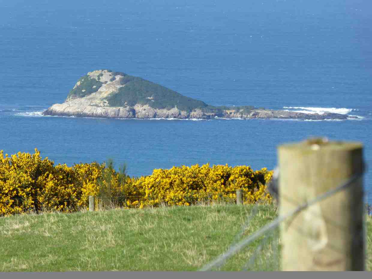
Another view en route. Green Island (Liz pic, using zoom lens, no doubt.)
to eventually reach the style at the top of Creamery Road. Down the road to the Brighton Road, north along here to drop of Bruce and Marjorie at the home and on to the Ocean View domain for lunch.
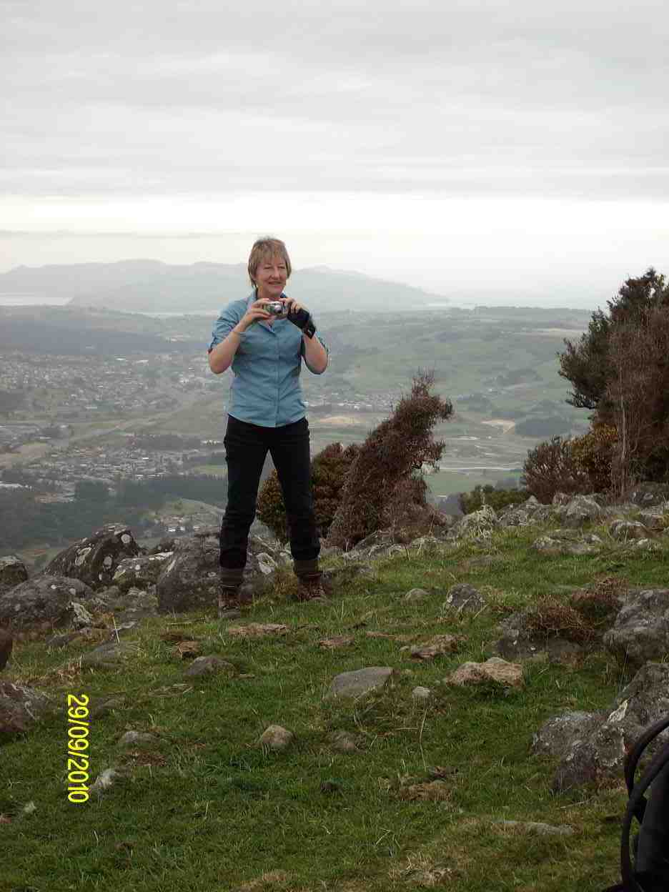
37. 29/9/2010. Trampers. Saddle Hill from Old Brighton Road. Leaders: Keith and Glenis.
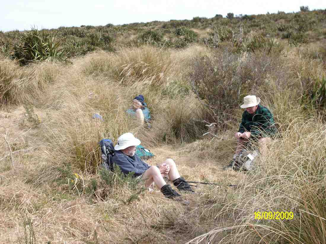
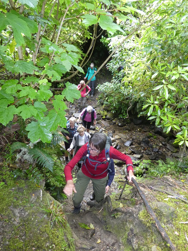
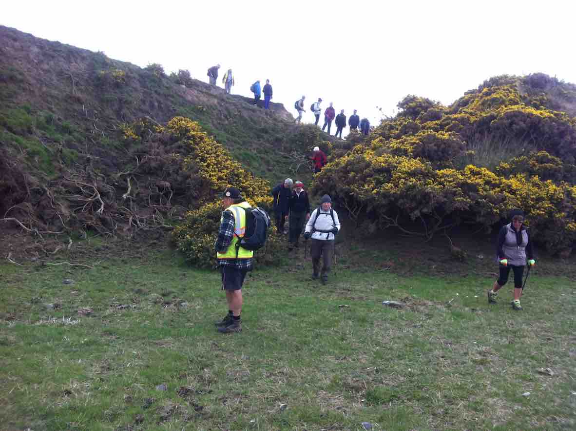
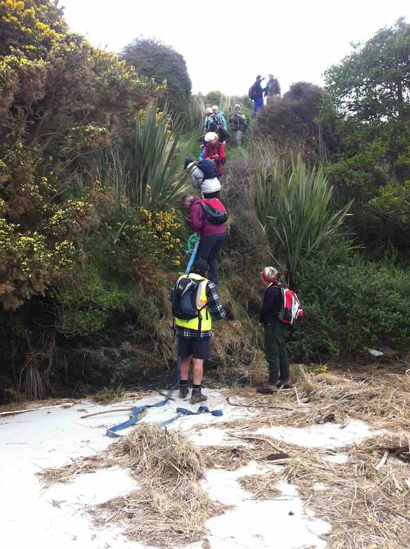
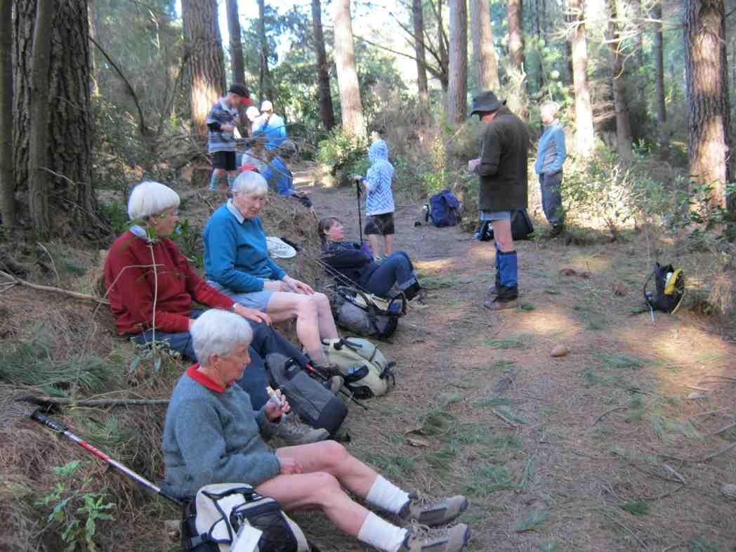
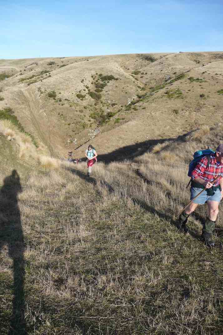
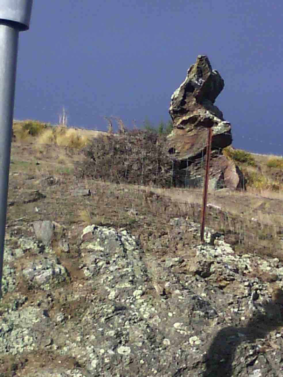
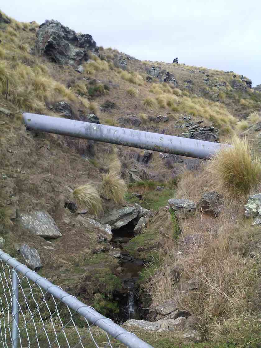
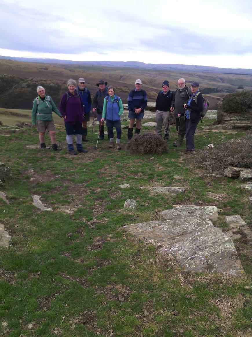
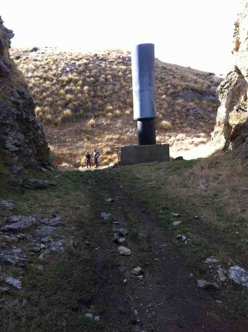
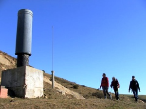
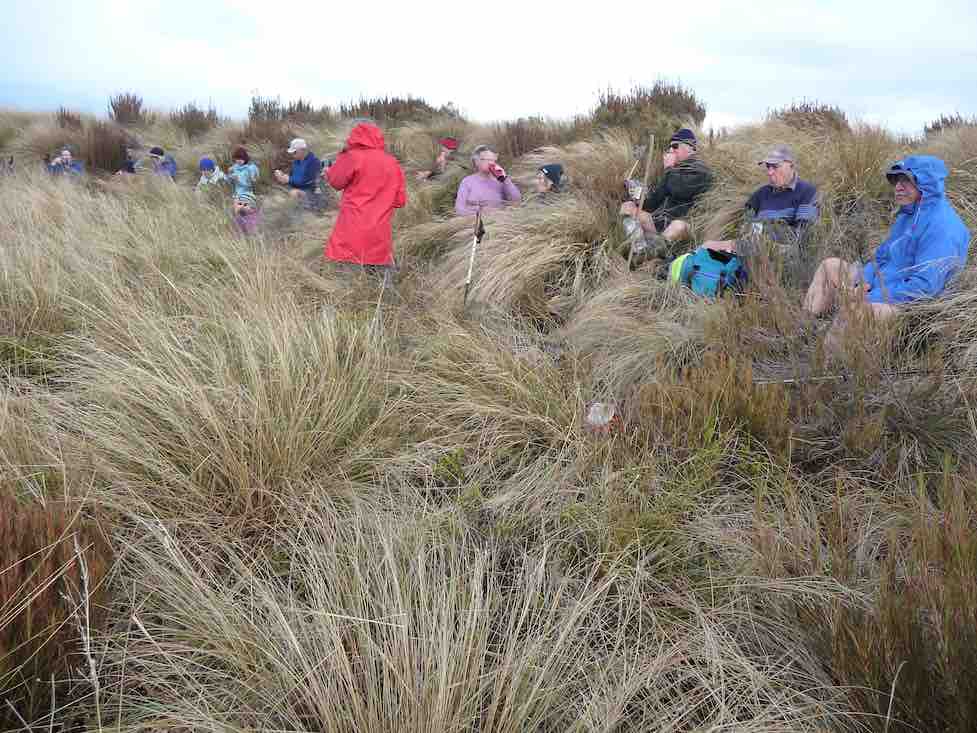
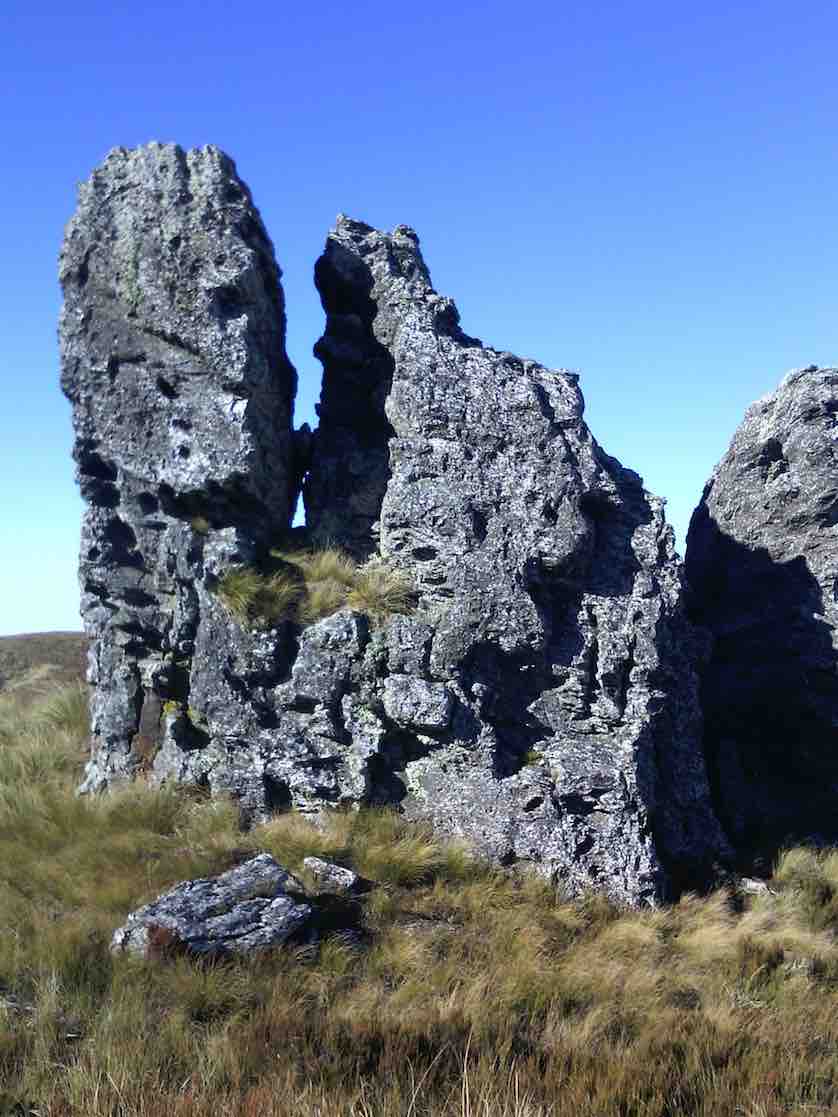
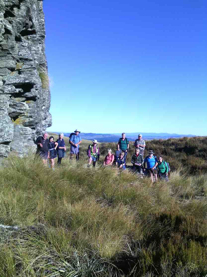
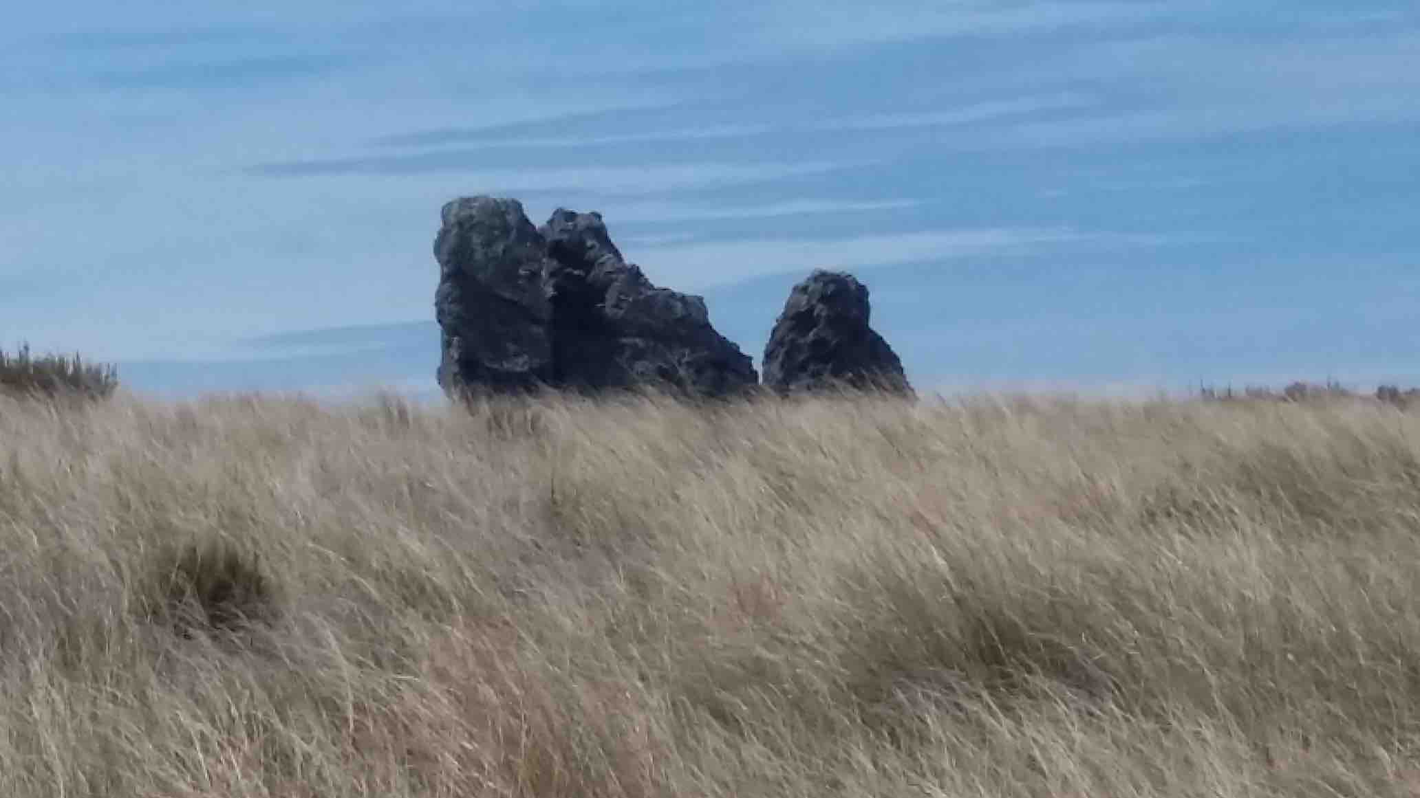
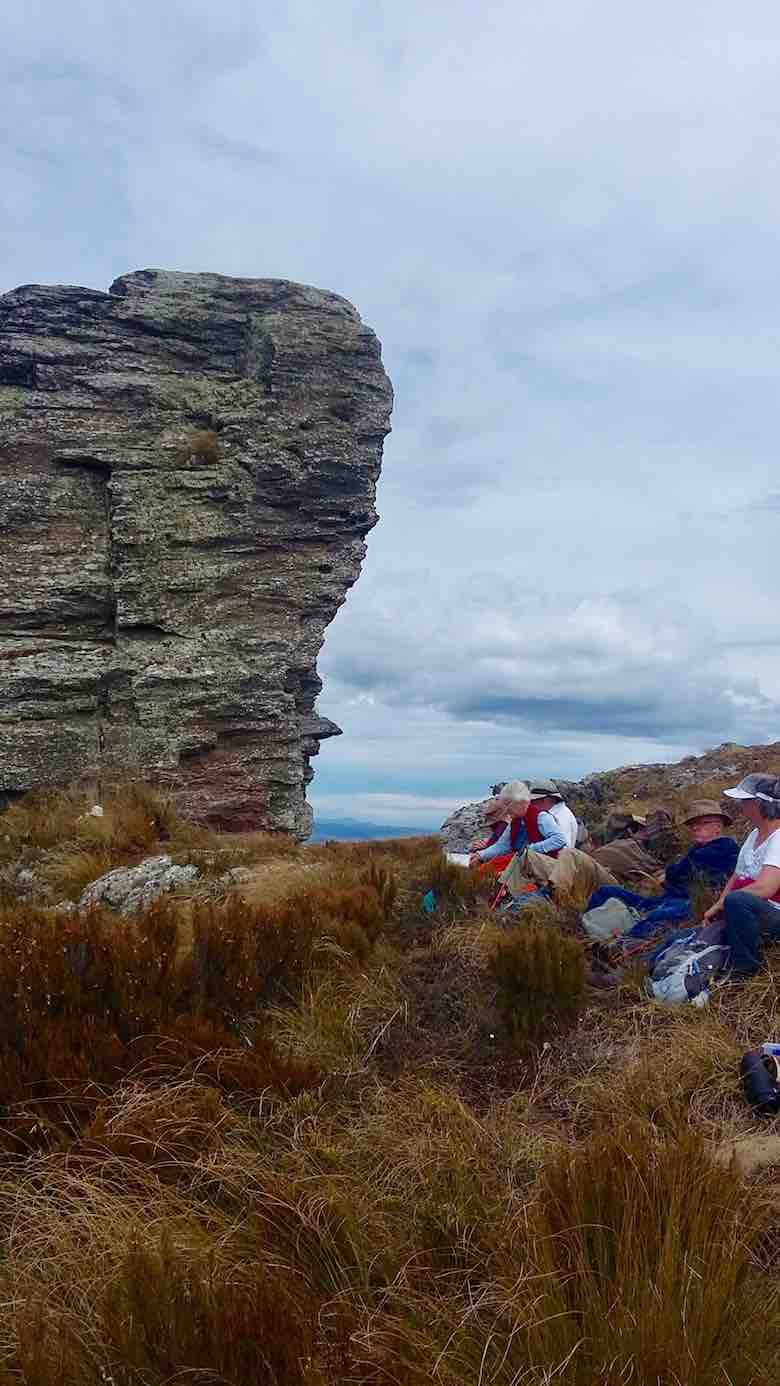
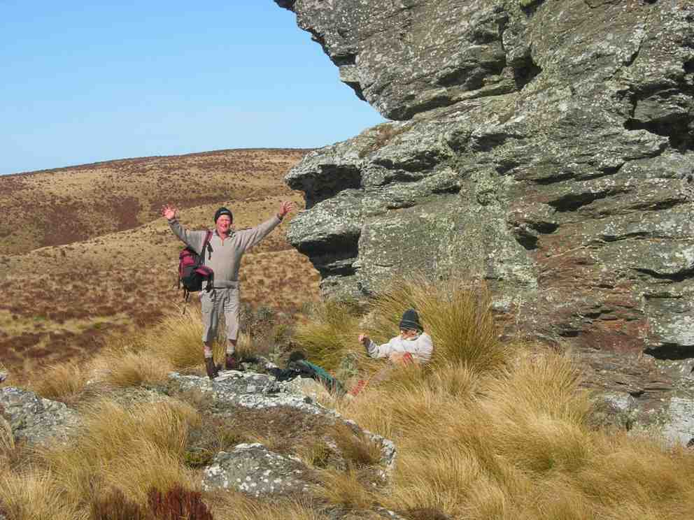
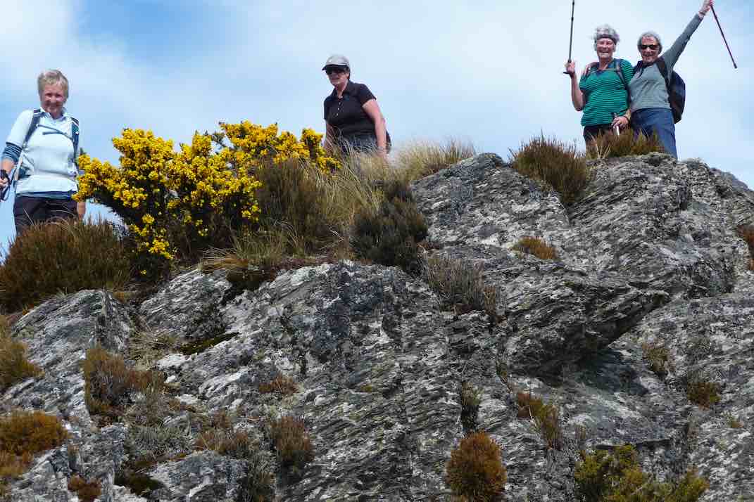
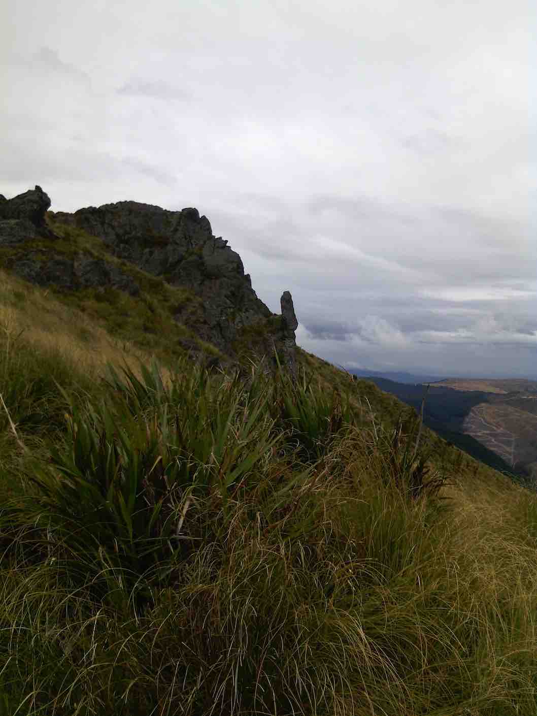
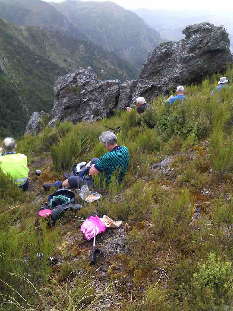
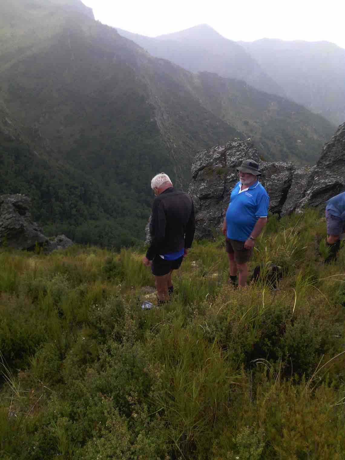
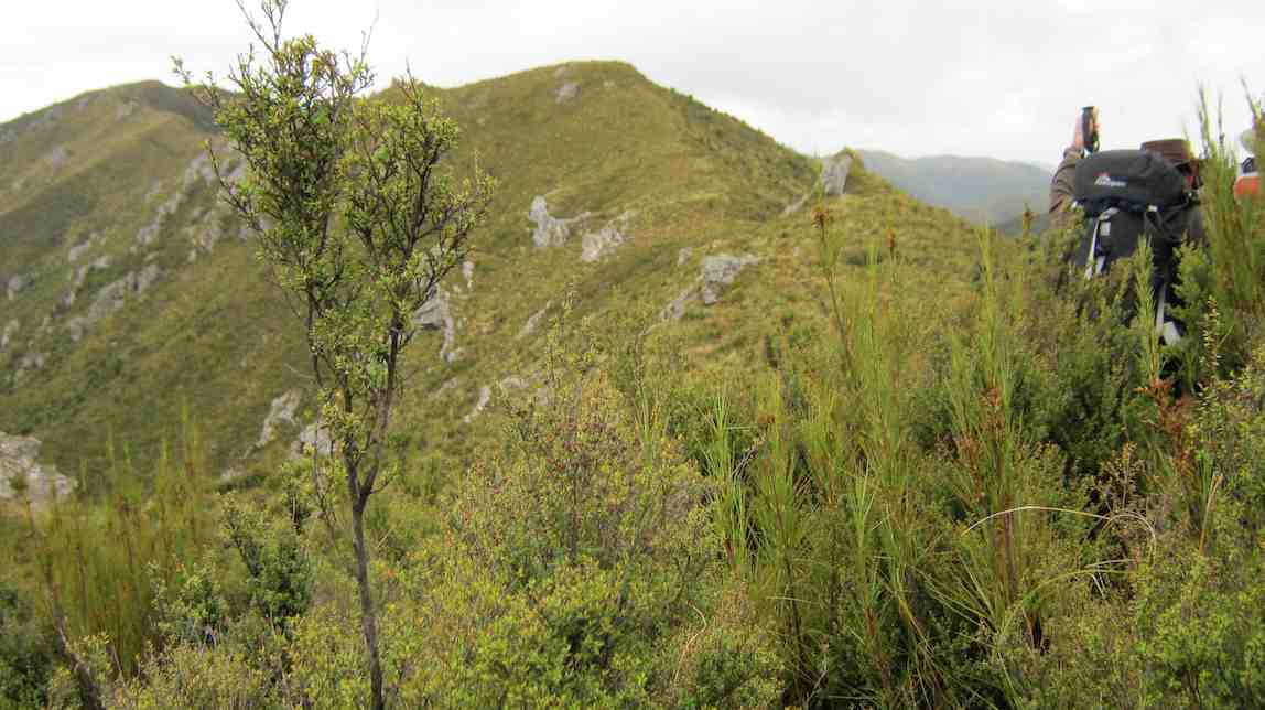
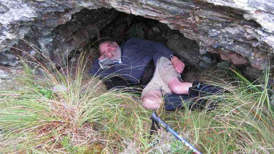
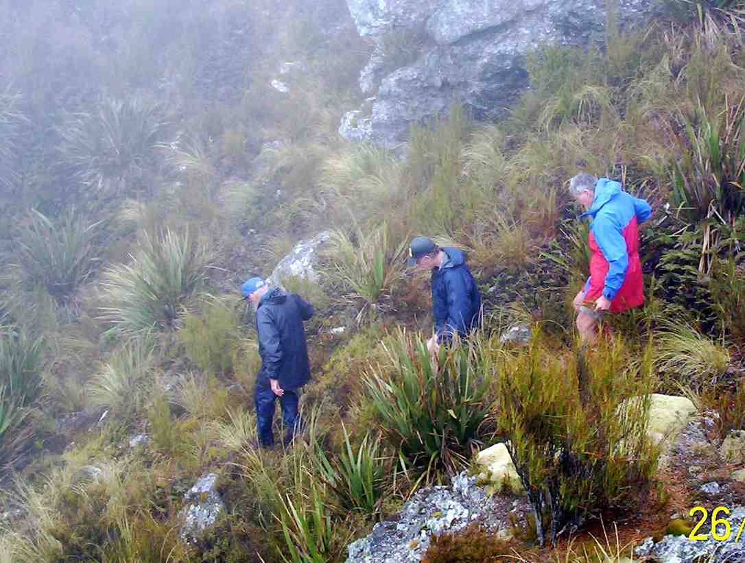
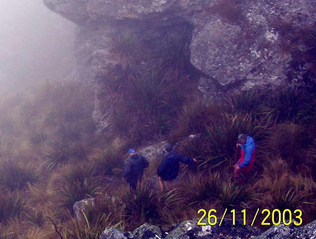
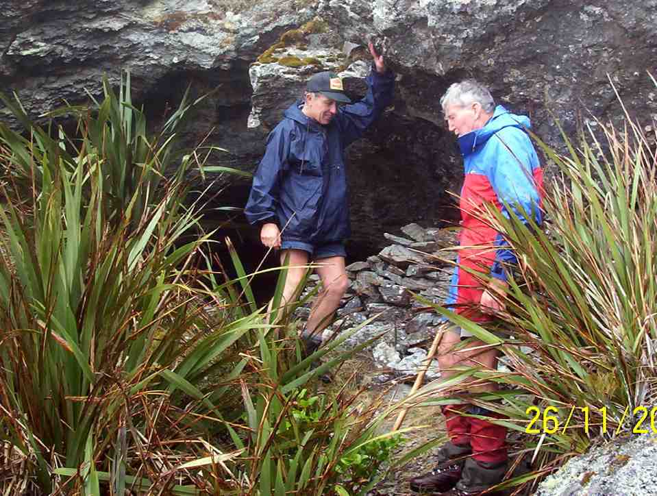
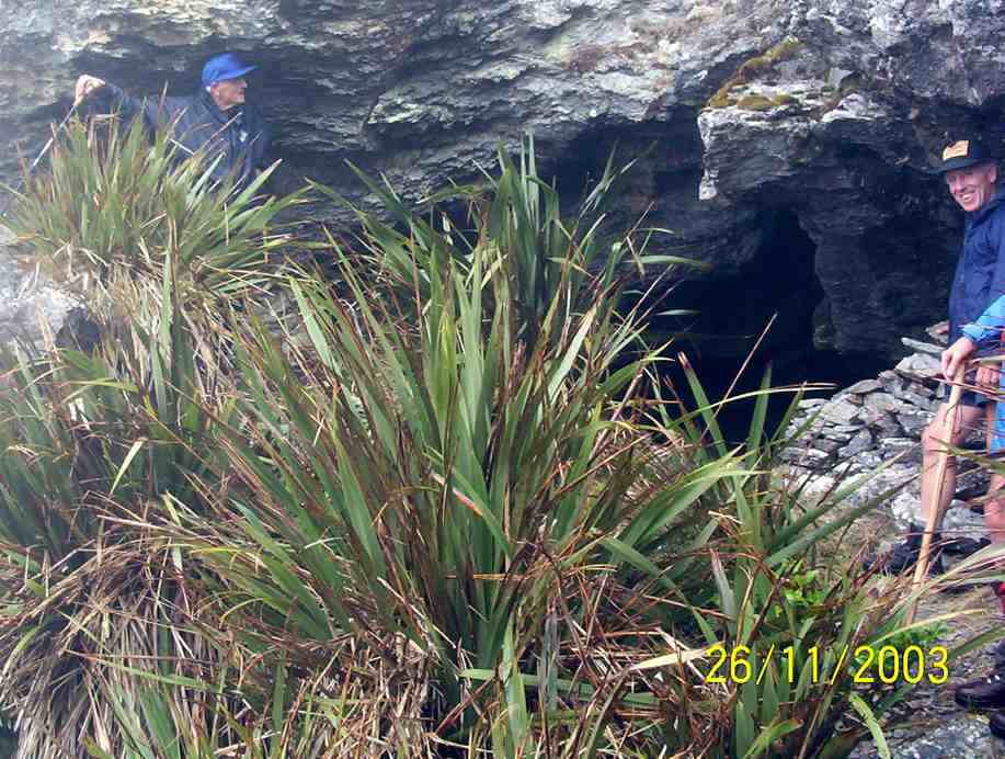
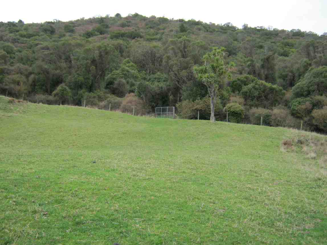
Eight of us set off over a paddock much hollowed with slumps betraying old coal mine workings, caused probably by wooden props long since rotted, up towards Saddle Hill. (See last pic below.) As we approached the bush ahead of us, we were glad to be able to follow a cleared track that wound up to our left, foregoing the former track we used to take to the right, now heavily infested with gorse. The track further up was well grassed, but just SO boggy and wet, although drier in places. One such place was ideal for an early morning tea.
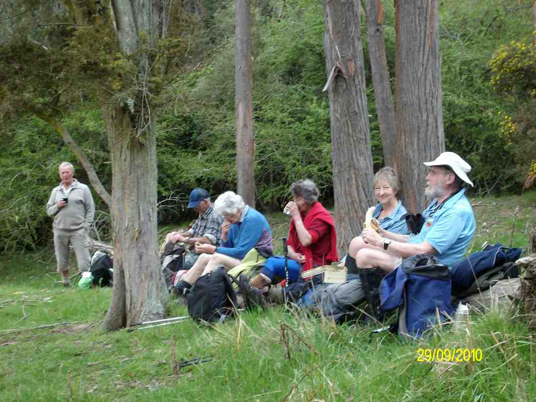
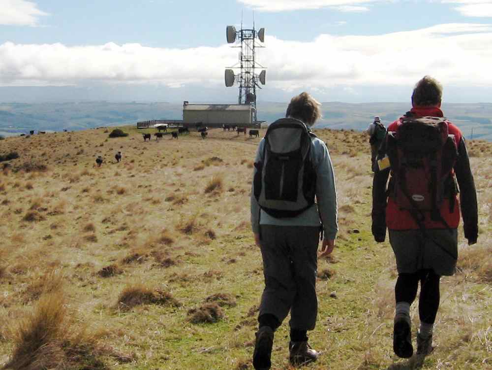
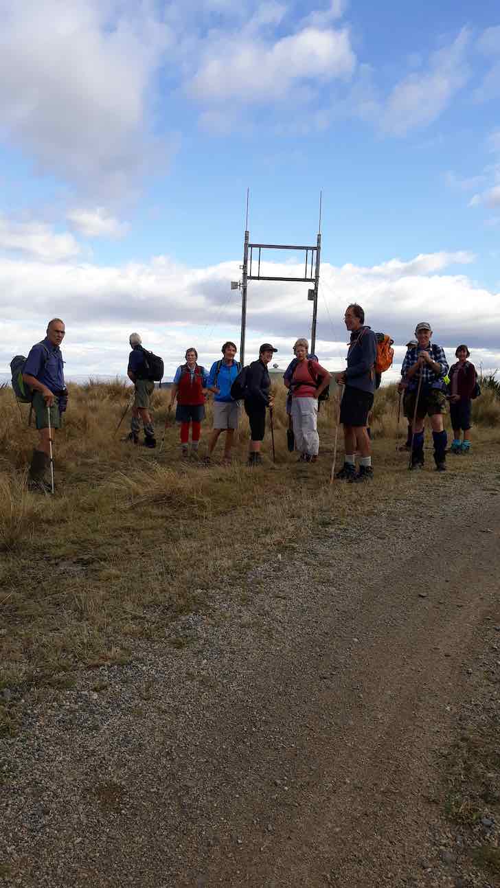
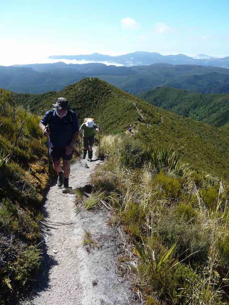
The track through the bush took us round to the seaward side grassy slope and then it was up to another bush entrance for the last push to the top (473m, according to Ken), where there were views galore for our cameras. 11.00 a.m. and far too early for lunch.

36. 27/2/2008. Hikers, Saddle Hill, Taieri Lookout, Medium. Leaders Dot Bennett, Chris
35. 25/1/2006. Trampers. Saddle Hill from Stevensons Farm. Medium. Leaders: George, Hazel.
34. 27/4/2005. Both. Creamery Road, Saddle Hill, Watts BushLeaders: Joyce, Hazel, Eleanor W, Eleanor B
32. 19/5/2004. Both. Saddle Hill, Pearsons Farm. Medium. Leaders: Pat, Bill, Betty, Ann

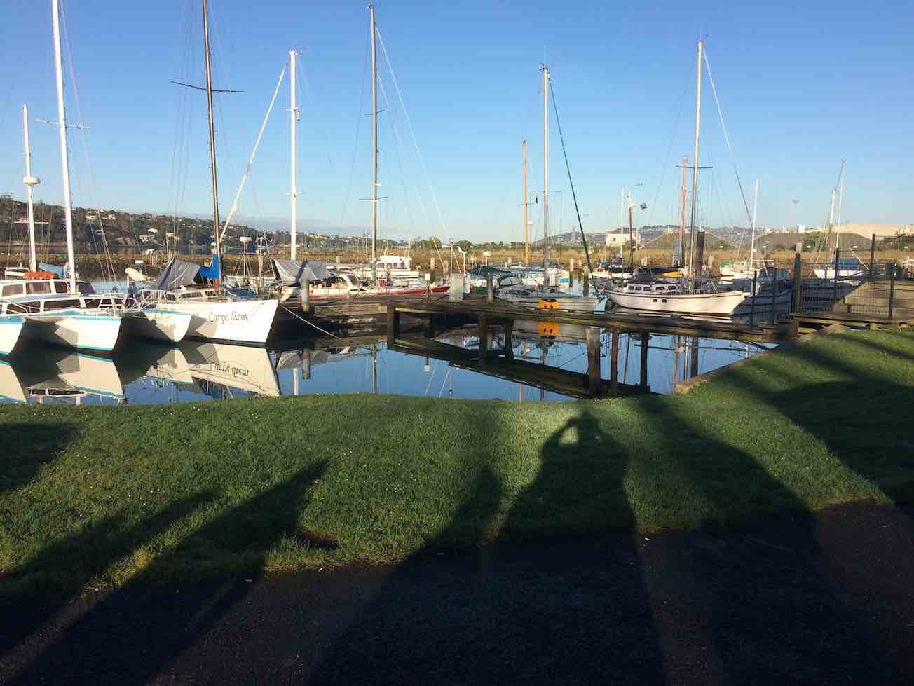
Kaikorai Estuary


31. 9/5/2004. Saddle Hill and Jaffray Hill from the overhead bridge. Average. Leaders: Bill & Pat, Betty B, Anne R
29. 5/11/2003. Hikers. Creamery Road. Medium. Leaders: Dot B, Chris.
28. 11/6/2003. Both. Saddle Hill through Pearsons.


27. 20/11/2002. Hikers. Creamery Road, Ocean View. Easy. Leaders: Dot B, Joan H, Muriel.
21. 31/5/2000 Saddle Hill, Law Road, from carpark. Long Tramp. Leaders: Lance & Lois, Betty B
20. 7/2/2000 Creamery Road Finnies, McIntosh (frmly Watts) Bush, return Scroggs Hill, Brighton Road, Beach. Nelson & Dot, Winnifred
19. 8/12/1999. Creamery Road, Watts Bush, Scroggs Hill. Leaders: Dot B, Joan H, Bob H.
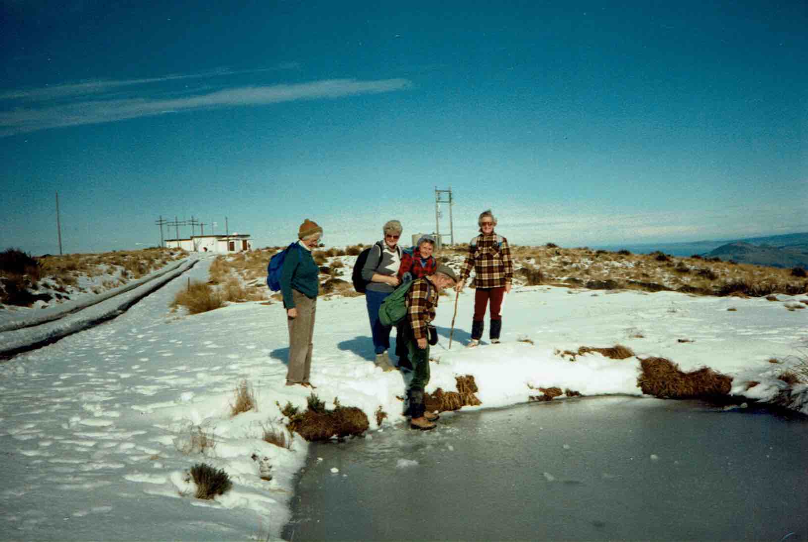
18. 25/8/1999. Car Park, Saddle Hill, Law Road. Long tramp. Leaders: Frank and Lesley, Arthur and Barbara.
Return Silverstream to car park. Long tramp. Leaders: Wendy, Evelyn M, Eleanor B, Hartmann
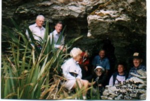
17. 24/3/1999. Creamery Road – Ocean View. Leaders: Doug and Ngaire, W W.
16. 20/5/1998. Creamery Road, Saddle Hill. Leaders: Daphne, Margaret D.
15. 1997 Saddle Hill, Jaffrays Farm, East Taieri Scouts Hall. Leaders: George, Betty B, Wendy
14. 26/11/1997. Saddle Hill, Fulton Hogans, Hills Clevelands etc. 5 hour tramp. Leaders: George, Betty B, Wendy.
13. 13/8/1997. Saddle Hill, Scroggs Hill, Walnut Grove. Leaders: Les W, Frank, Jack M.
12. 2/10/1996. McLeods – Saddle Hill. Average. Meet Ocean View carpark. Leaders: Eric & Dot, Pat
11. 6/9/1995. Creamery Road, Watts Bush, Scroggs Hill. Medium.Leaders: Eric and Dot, Joan H, Chris
10. 16/8/1995. Saddle Hill, Old Brighton Road, Taieri Lookout, Chain Hill, Fairfield. Medium. Meet at Fulton Hogan Yard, Old Brighton Road. Leaders: Rob Q, Nelson & Dot, Molly
9. 24/7/1996. Jaffrays and Saddle Hill from East Taieri Scout Hall. Average. Leaders: Dot T, Les and Mavis.
8. 15/6/1994. Creamery Road, Saddle Hill, Watts Walk (now Finnies, McIntosh), Scroggs Hill. Leaders: Eric & Dot, Chris, Joan H.
7. 28/7/1993. Start from car park, Saddle Hill to Law Road. Long Tramp. Leaders: Wendy, Evelyn M, Eleanor B, Hartmann
6. 23/6/1993 Creamery Road Finnies, Watts Bush (now McIntosh), return Scroggs Hill. Medium but long. Cars at Ocean View Picnic Ground. Leaders: Eric & Dot, Jack M, Joyce S
5. 20/11/1989. Saddle Hill and Jaffray Hill from the overhead bridge. Average. Leaders: Mavis, Peg A, Margaret S, Daphne
4. 30/3/1988 Saddle Hill and Jaffray Hill. A little bit of history. Meet at Saddle Hill Lookout. Leaders: Daphne, Peg A
3. 18/9/1991 Green Park – Saddle Hill, returning via Hare Street and beach. Splendid coastal views. Cars meet at Green Park Cemetery. Average. George, Eric & Dot, Les W
2. 20/9/1989 Creamery Road, Ocean View. Average. Meet Ocean View carpark. Leaders: Mary Y, Daphne, Betty B, Margaret D
1. 24/3/1989 Creamery Road, Ocean View. Leaders: Doug M, Eleanor W