
Click Swampy ridge track for background information
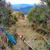
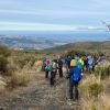 5. 12/06/2024. Smithys, McQuillans, Swampy Ridge Road and Swine Spur. Trampers. Grade 3.5. Leaders Esther and Gail.
Twenty-two hardy trampers met at PJ park, and headed to Rollinson Road where we parked. Continue reading “Rollinsons Rd Locked gate, Swinespur, Swampy Ridge, McQuilkans, Smithies”
 Sometimes my grandmother would say something to me, and I’d ask,
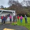
 23 hikers set out from MacAndrew Bay heading to Company Bay stopping at the Yellow Eyed Penguin plant nursery.
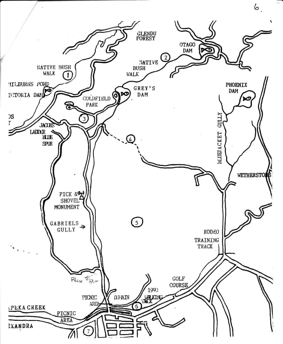
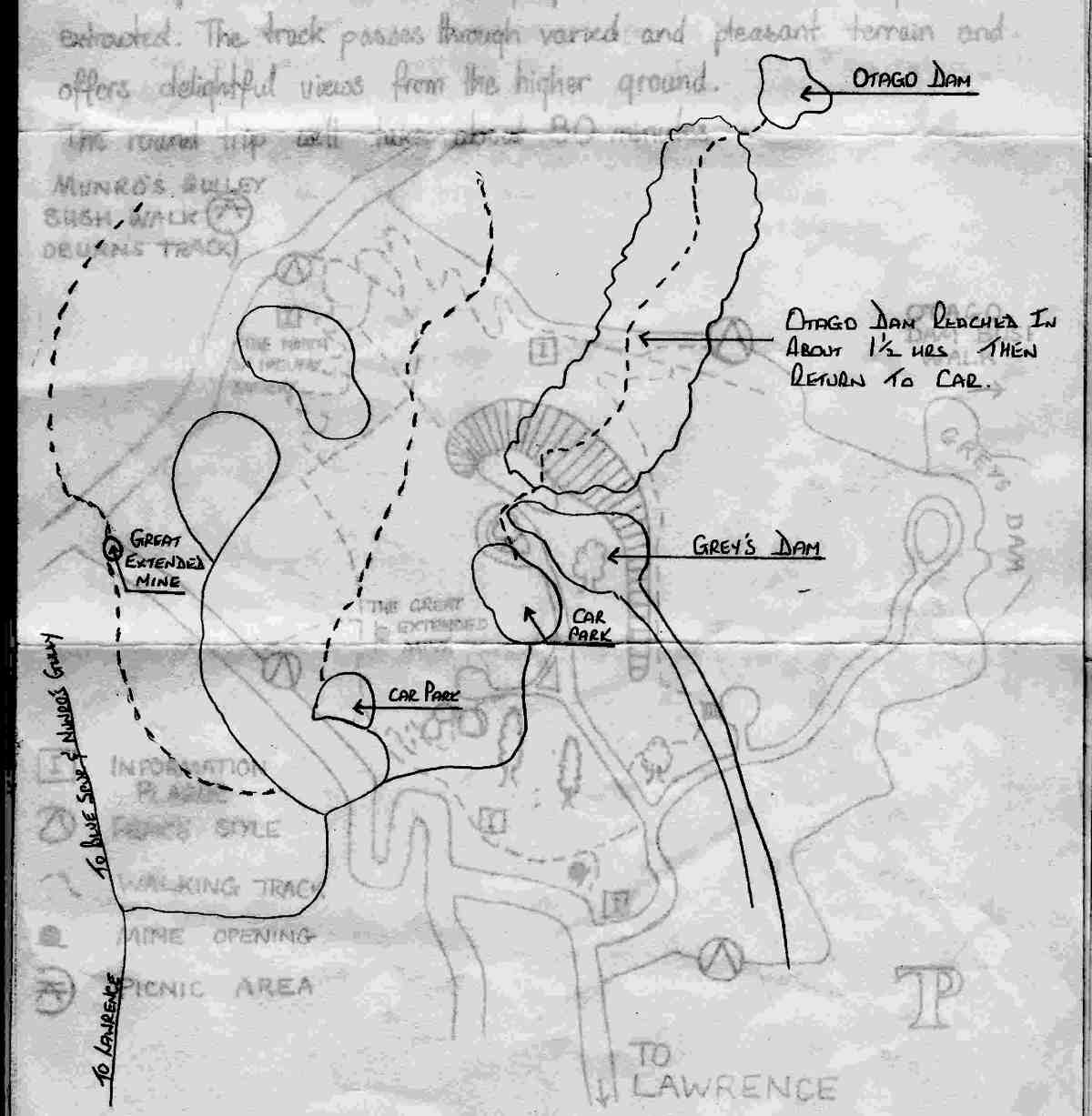
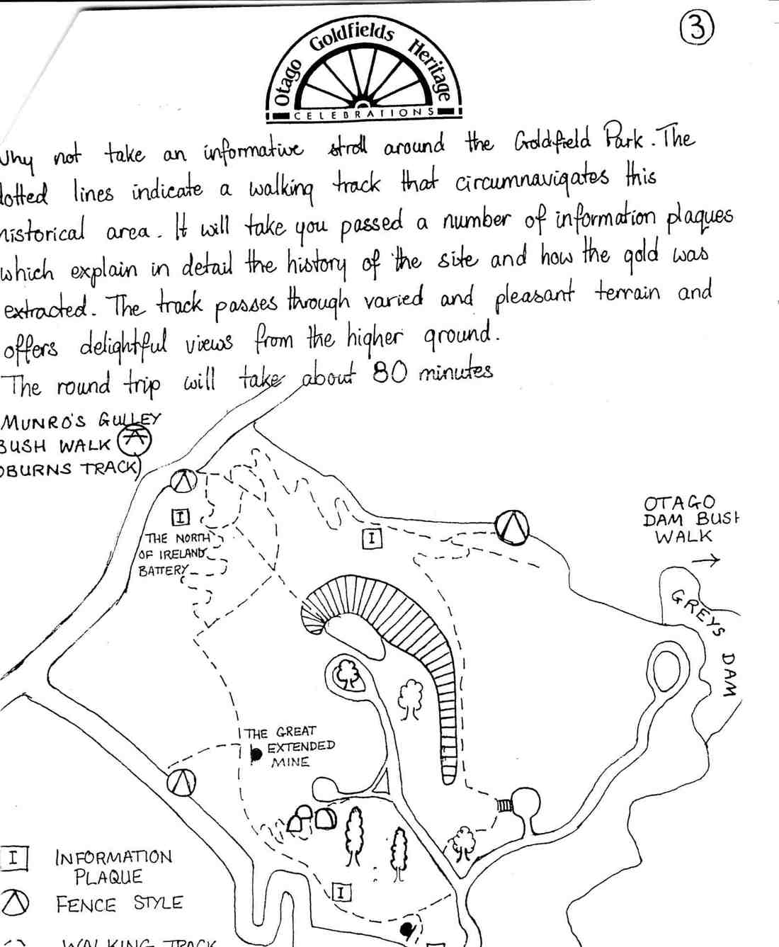
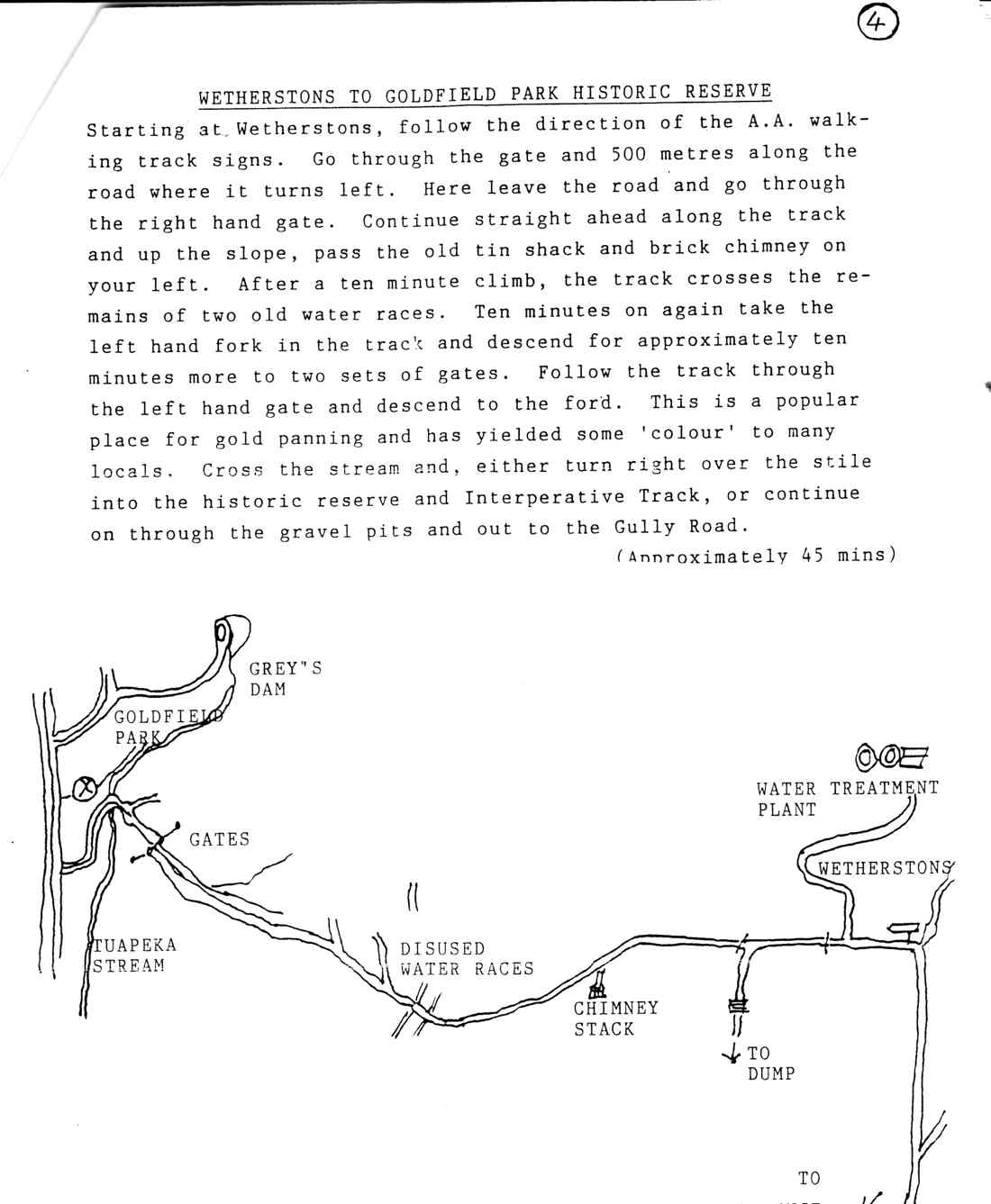
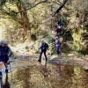
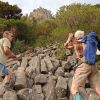
 8. 8 May 2024. Trampers. Gabriel’s Gully , Lawrence. Grade 4
 18. 24/04/2024. Hikers. Graham’s Bush/Organ Pipes. Grade 3. 27 km. Leaders: Maria MacNee/Theresa White
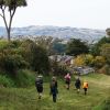 32. 24/04/2024. Trampers. Frasers Road/Southern Resevoir. Grade 2.5. 16 km. Leaders: Gwenda Farqharson/Graeme Souter
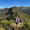 9. 17 /4/2024. Trampers Rosella Ridge. Grade 5.5 Leaders: Ross and Neil
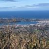 13. 17/04/2024 Bullring/ Ben Rudd/ Flagstaff Grade 2.5 Leaders: Mike and Dave
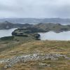 12. 10/4/2024 Mt Charles Grade 4 Leaders: Graham and Carol Thurlow
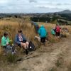 47. 10/04/2024 Highland Park to Friends Hill. Grade 2.5. Leaders: Margaret Maxwell/Kay Seddon.