Distance from carpark: Otago Yacht Club 19 km.
25/05/2022 Stadium to the Sea. E. Leaders: Raewyn & Phil Keene
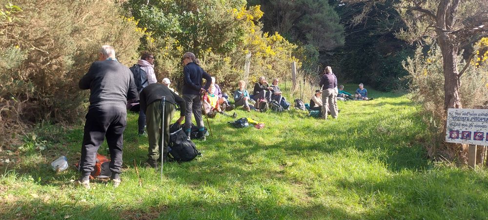
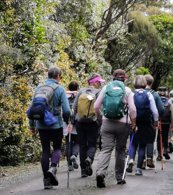
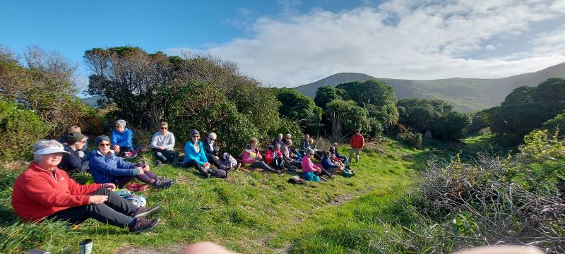
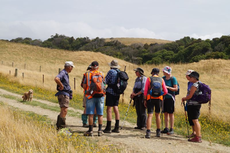
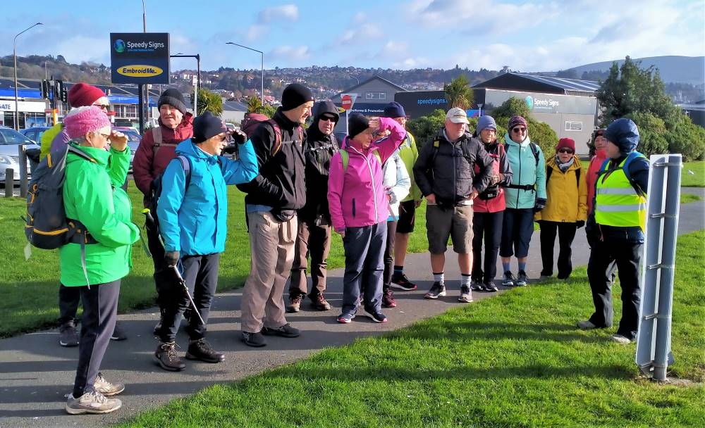
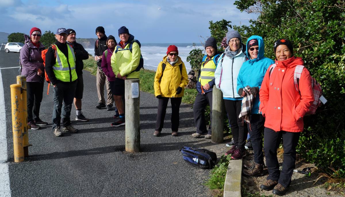
Shall we hike or not? That was the question asked at PJ Park on a cold & windy morning. 10 hardy hikers said “yes”, so off we went to meet 6 others at the carpark in Magnet Street as arranged.
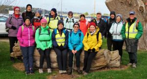
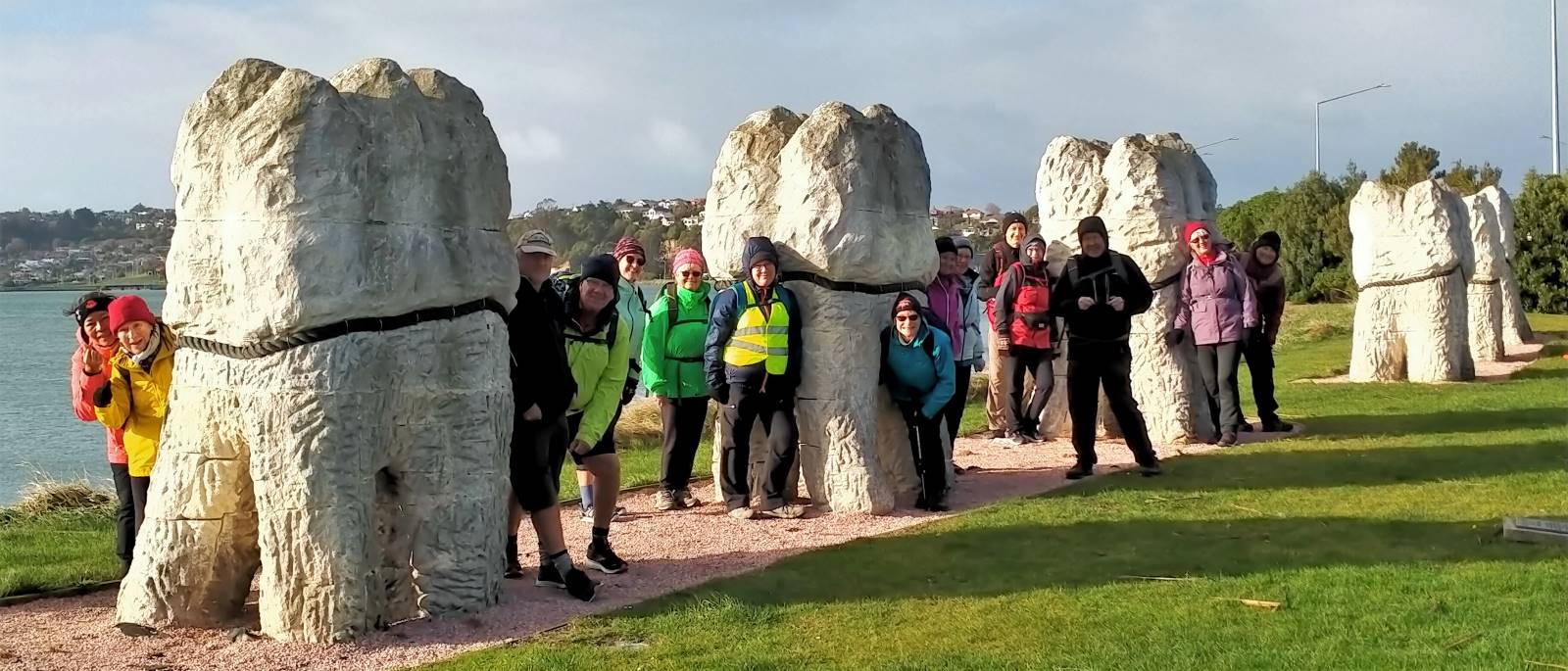
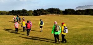
Group photo before setting out (photo and caption John)
With extra clothing, beanies & gloves, we set off into stormy skies for morning tea at the Harbour Basin.
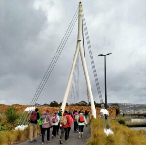
O’er the Leith bridge (photo and caption Phil)
Low & behold, the sun broke through so we continued on our blustery walk to Portsmouth Drive & beyond.

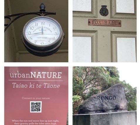
Our leader outlining the Urban Nature network (photo and caption Phil)
So this is why the teeth were put here? (photo and caption Phil)
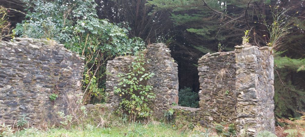
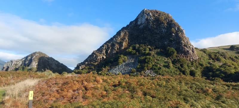
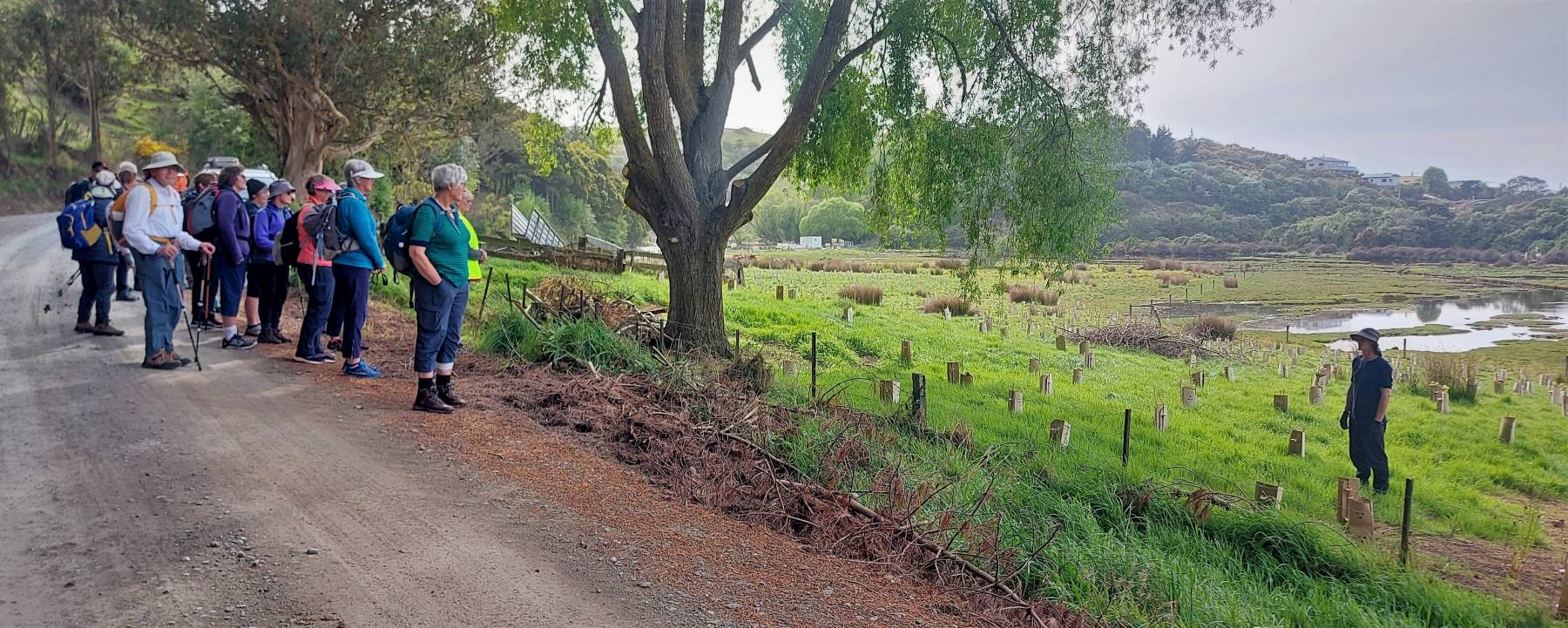
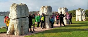
Along the way we were educated by the new Urban Nature signs put up by DoC around the city (www.doc.govt.nz/urbannature) and the histories behind Rongo Rock & Fox Hall.
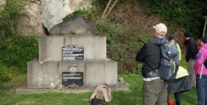
At the “Rongo” Monument (photo and caption John)

Fox Hall, Rongo rock and urbanNATURE (Collage by Raewynne)
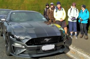
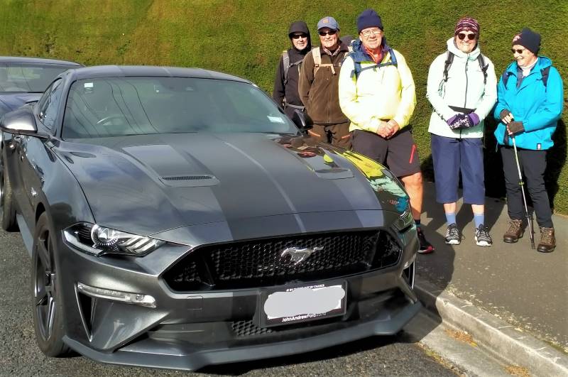
We went over Tomahawk Rd to see the views, but the Mustang was preferred (photo and caption John)
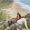
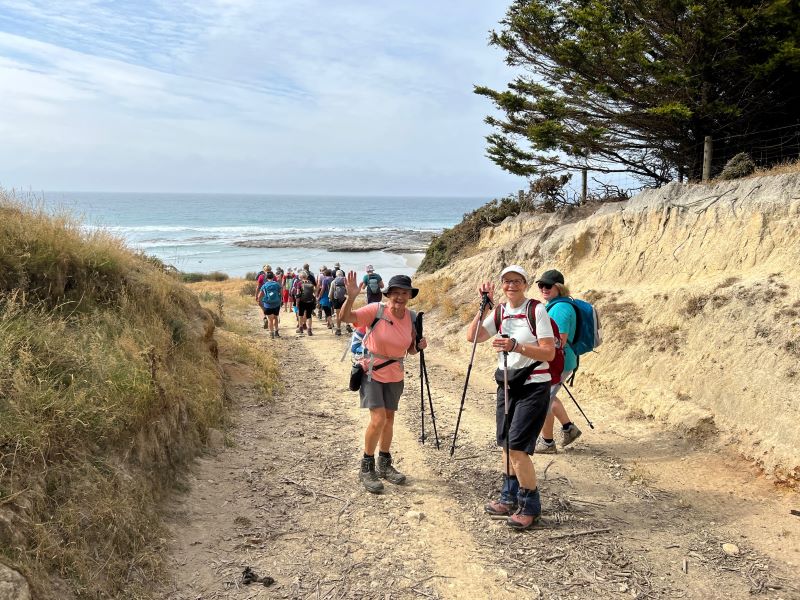
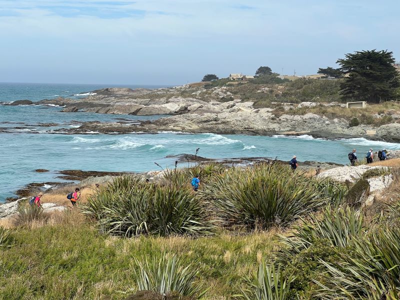
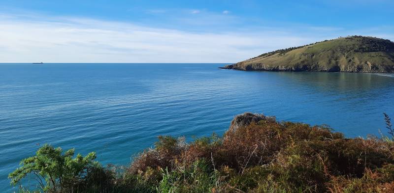
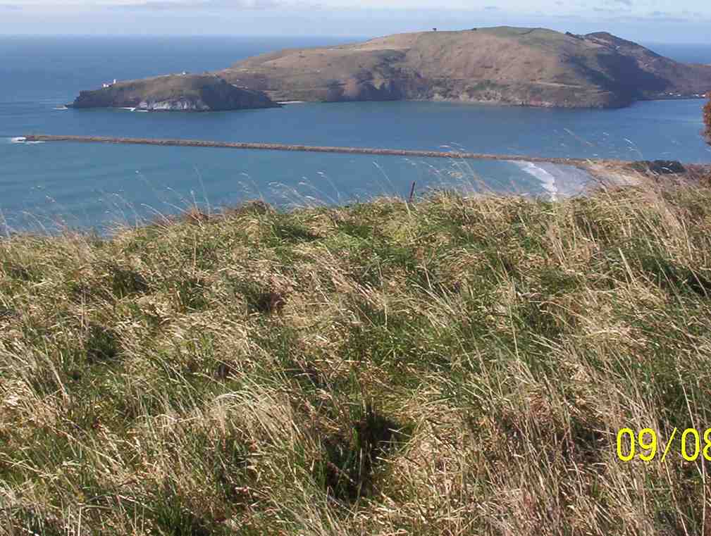
Onwards, upwards & over to the Andersons Bay Cemetery where the wind blew even harder, down to the Chisholm Golf links, then across to John Wilson Drive & the sea.
Arnie’s army is alive and well at Chisolm Links (photo and caption Phil)
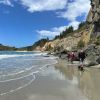
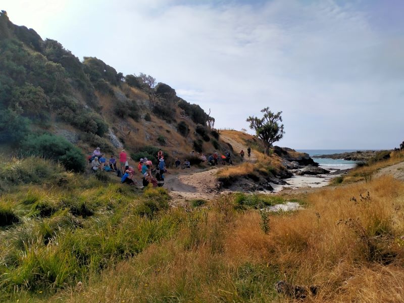
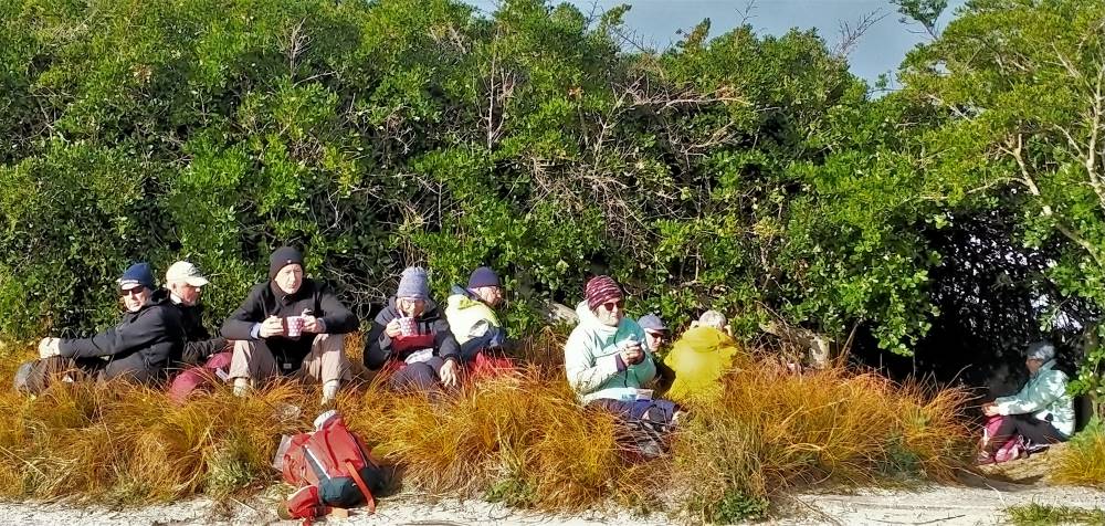
Our planned lunch stop was taken over by the high seas, so shelter was sought on high ground.

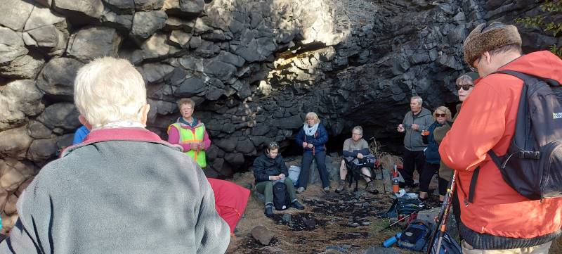
We were discussing Bob Dylan’s ‘shelter from the storm’ over lunch (photo and caption Phil)
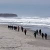
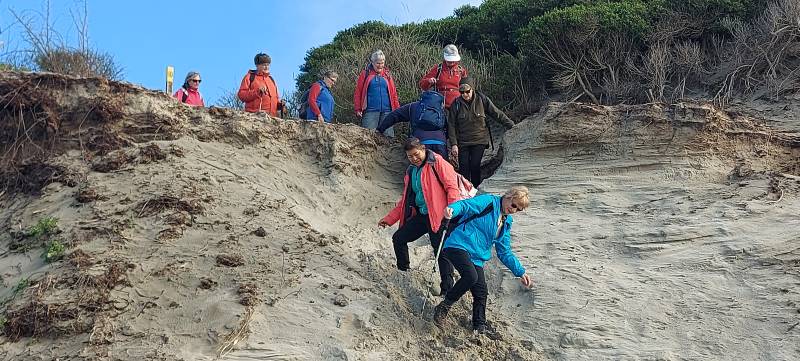
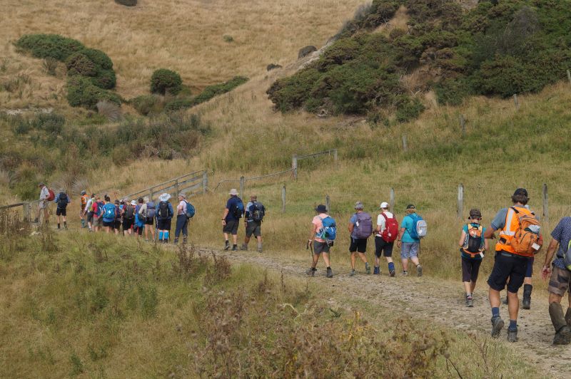
AND THE WIND BLEW. Unable to walk along the beach, we braced ourselves and walked into the head wind down to Marlow park.

Impromptu group photo (but guess who’s missing?) (photo and caption John)
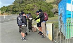
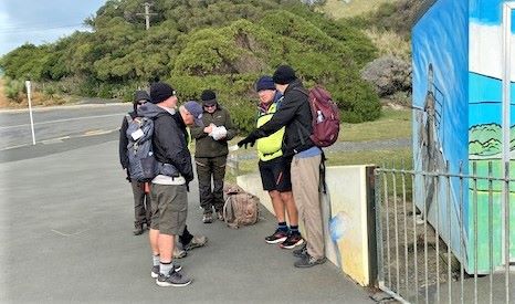
The boys solving the problems of the world (photo and caption Noi)
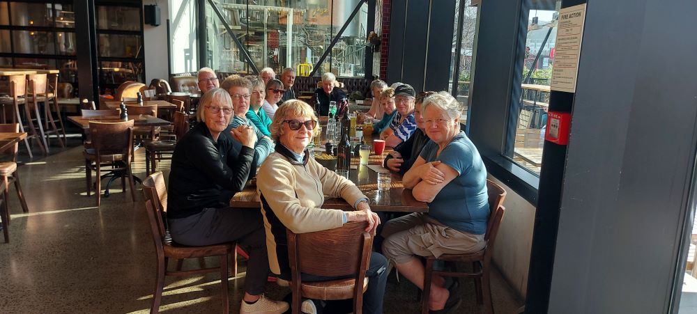
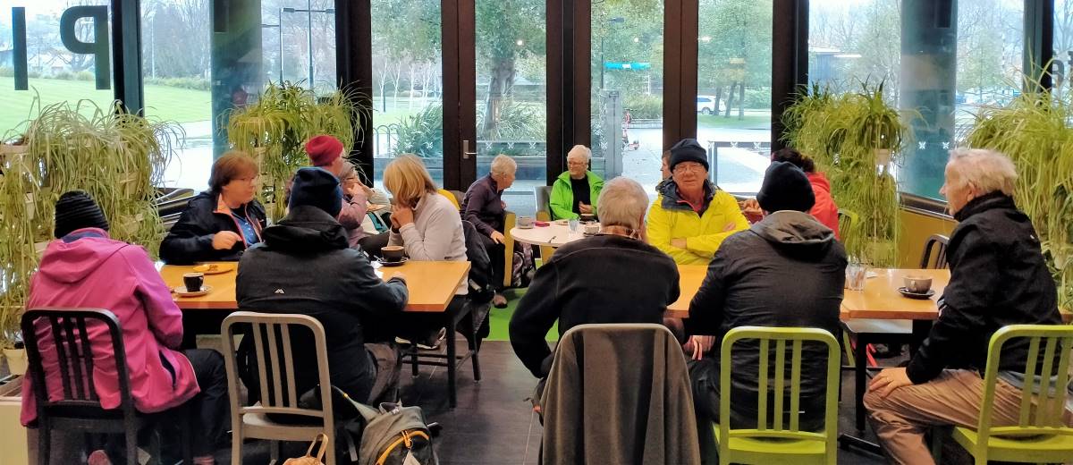
9.5km & two buses later, we were back at the Stadium for coffee at the Plaza Cafe, followed by a short walk to our cars.

Great coffee and service at the Plaza, we’ll be back (photo and caption Phil)
Raewyn
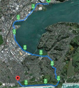
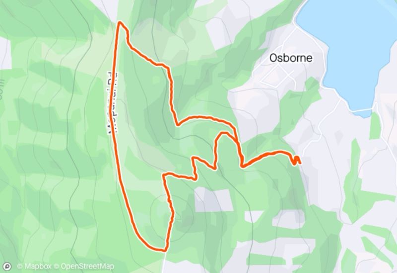
Screenshot of route by Raewynne
 15. 06/03/2024. Combined. Waikouaiti. Grade 2.5. $16. 57 km. Leaders: Karen McInnes/ Gail Williams, Carol Morrison/Val Cayford
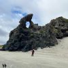 Hikers: Leaders Heather and Val Cayford
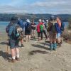 11. 17/01/2024. Hikers. Warrington. Leaders Jenny Finnerty and Jay Devlin
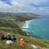 43. 06/12/2023. Trampers. North of Tomahawk. Grade 3. $7. 22km. Leaders: Esther Willis and Julie McKenzie