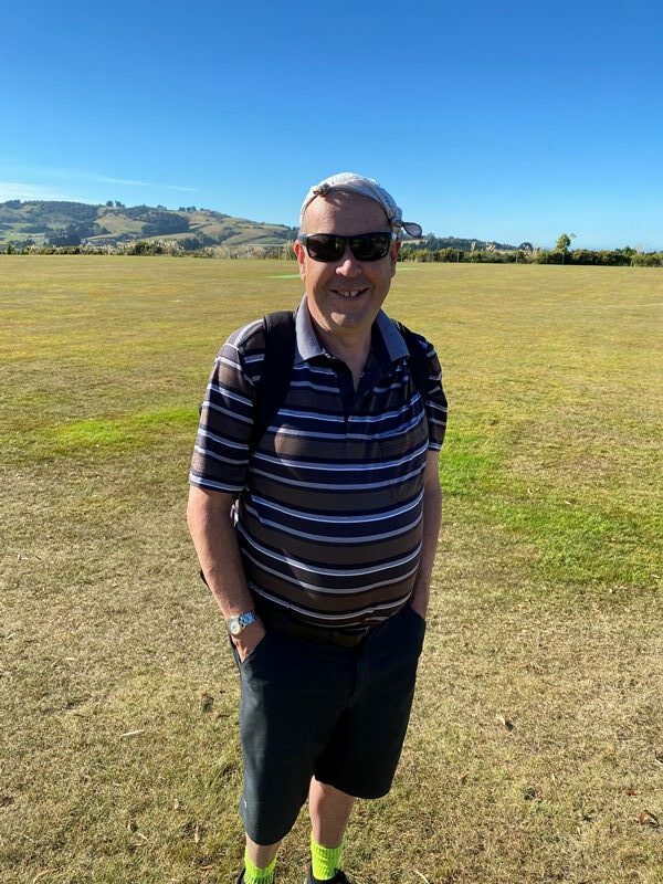
1. 29/06/2022. Invermay/Silverstream (combined trampers and hikers). Leaders Grant and Barbara
We saw our names listed on the upcoming trips beside the Invermay walkway. As we both had spent most of our working careers at Invermay (80+ years between us), we used some institutional knowledge to make our plans.
Our recce for this adventure was based on a presumed 15 (or maybe 20 if we’re lucky) hikers and we made our plans accordingly. The Invermay campus café was particularly happy to oblige as he had a busy week of catering events, and this number would be a walk in the park; so to speak.
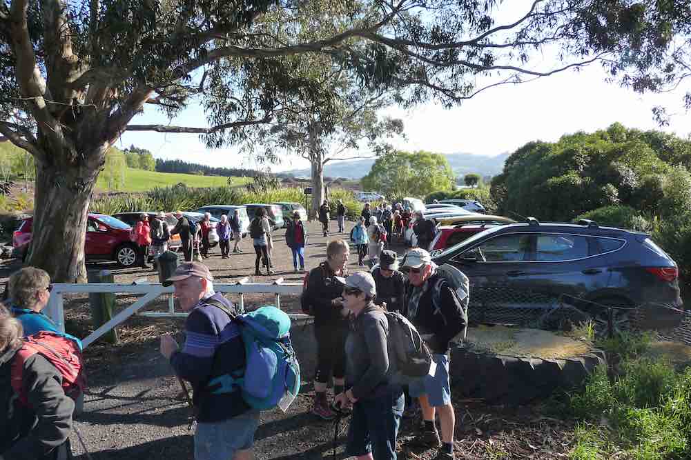
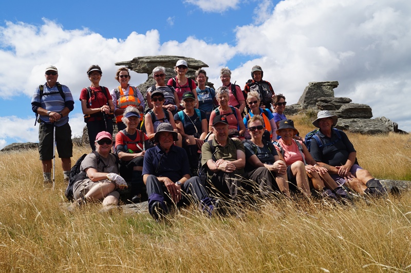
After we had posted our ‘preview’ things changed and interest mushroomed. Over the week preceding the hike, numbers had risen to 53 for lunch, dipped for some late Covid catchers, and risen again with some late notifications (or those whose attendance had escaped me!).
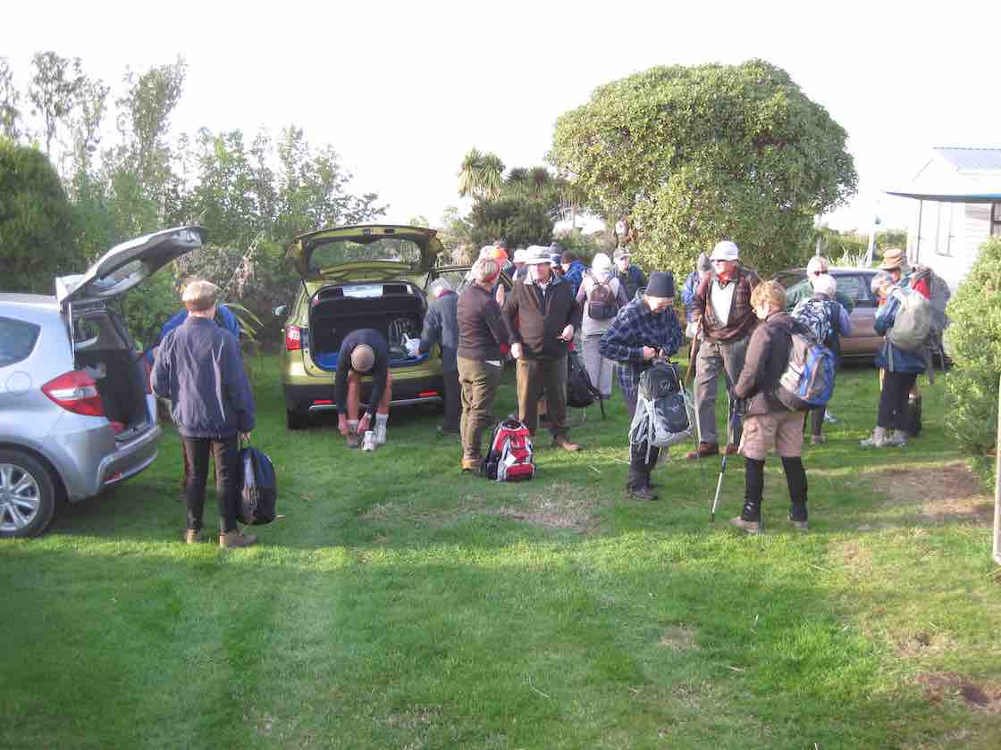
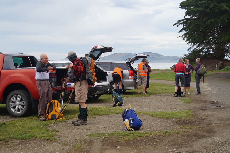
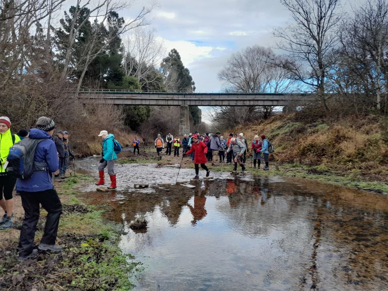
Wednesday 29 June 2022, dawned overcast, with an ominous red glow (well it was ominous if you were a hike leader). A pre-meet check of the previously placed blocks across the Silverstream, under the rail bridge, and a whip around to our old stamping ground to check on the room set up, confirmed we were as organised as it was possible to be when one party had been awake since 4am contemplating what could go wrong (or whether the distance was manageable … for him).
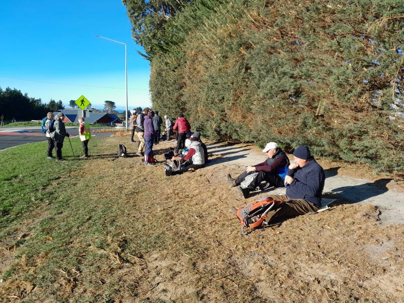
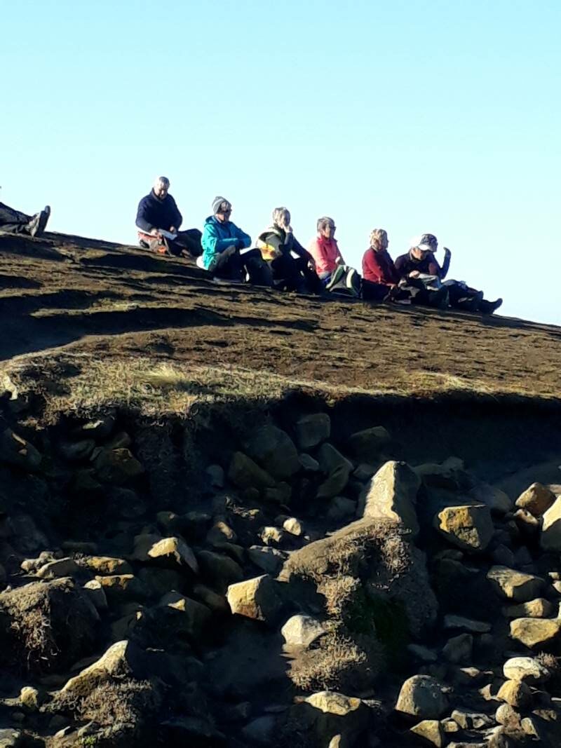
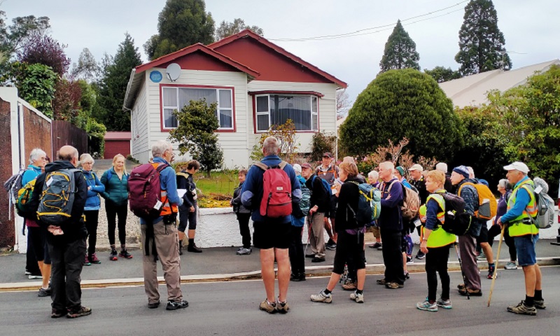
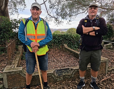
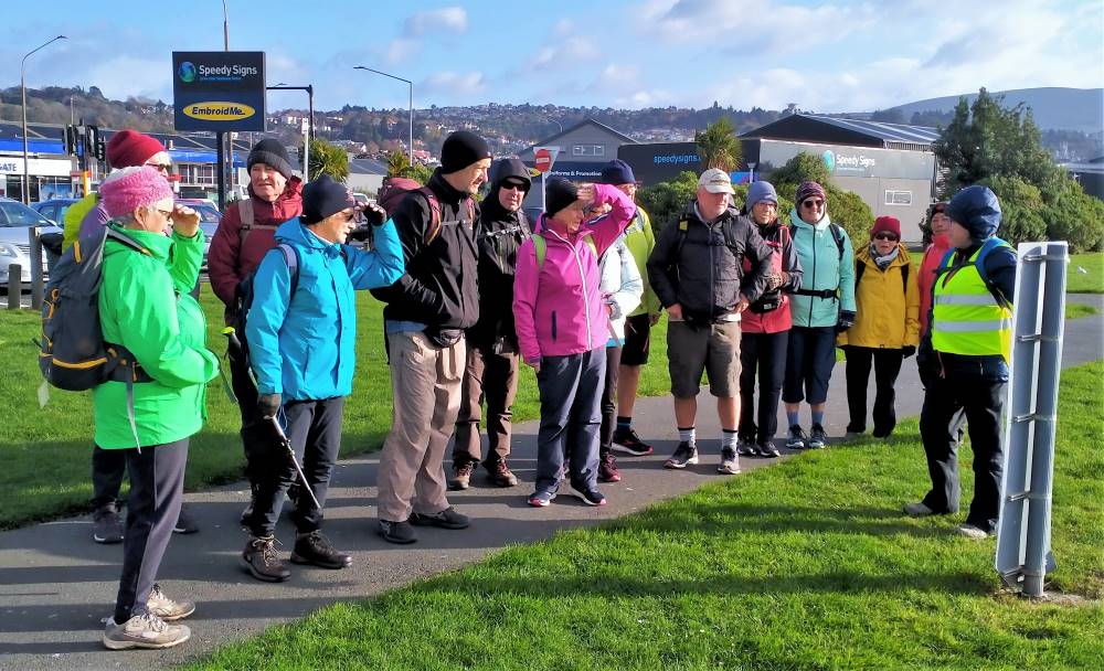
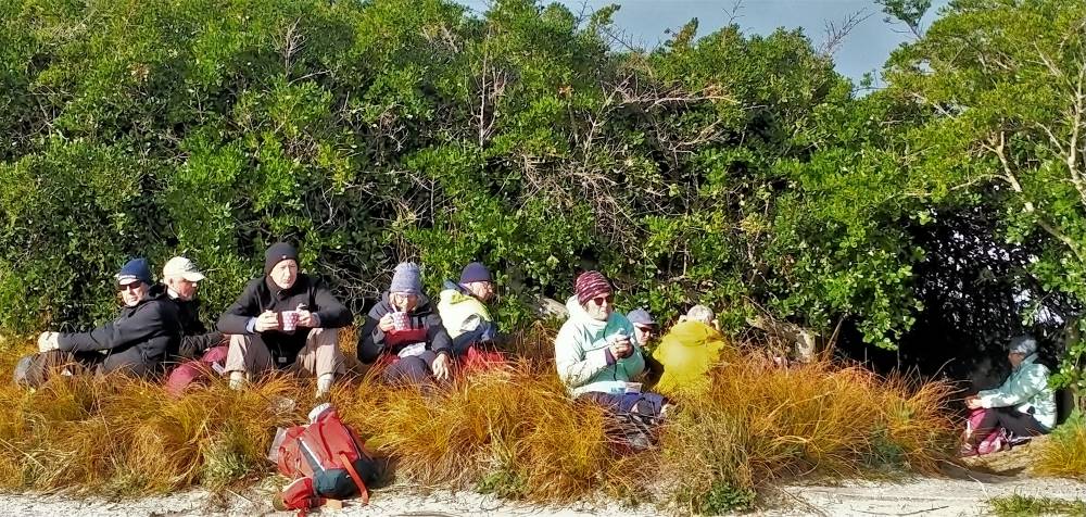
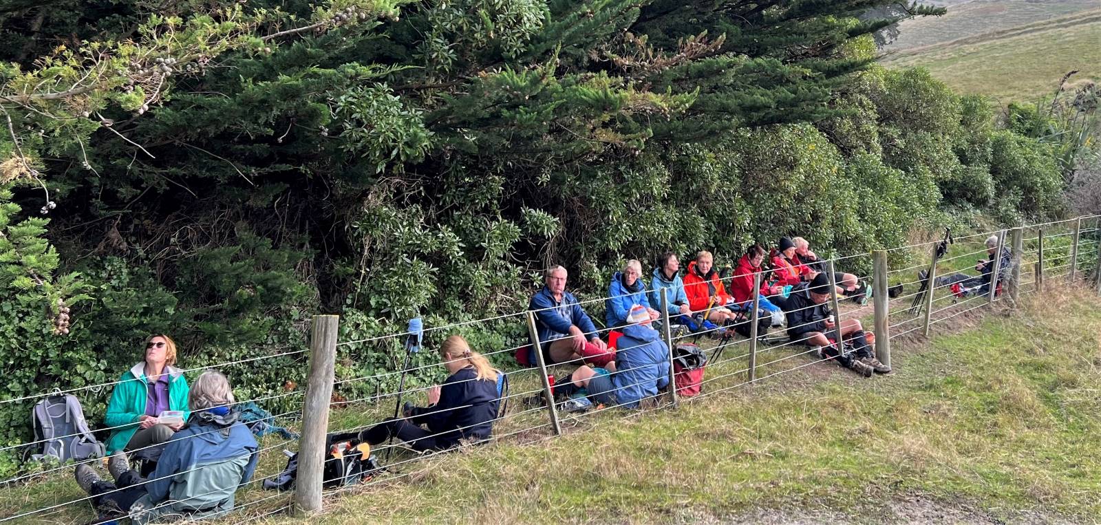
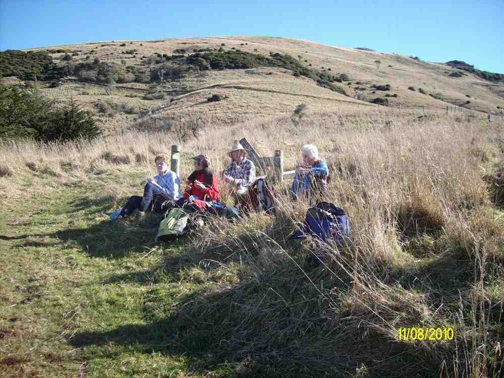
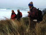
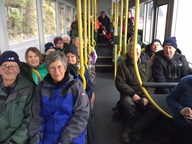
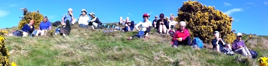
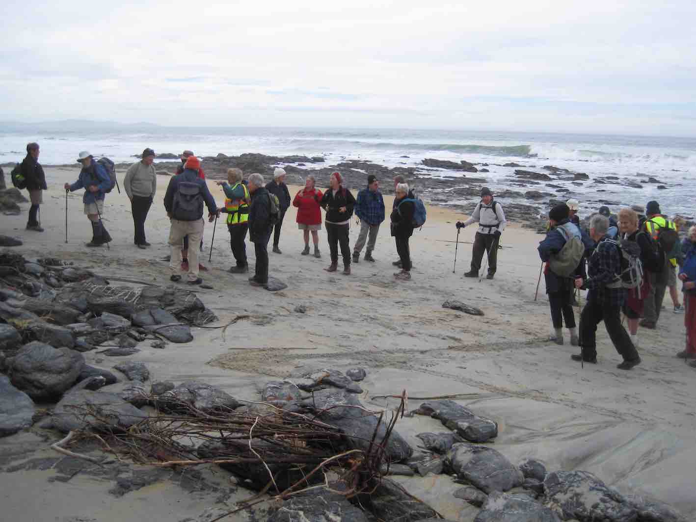
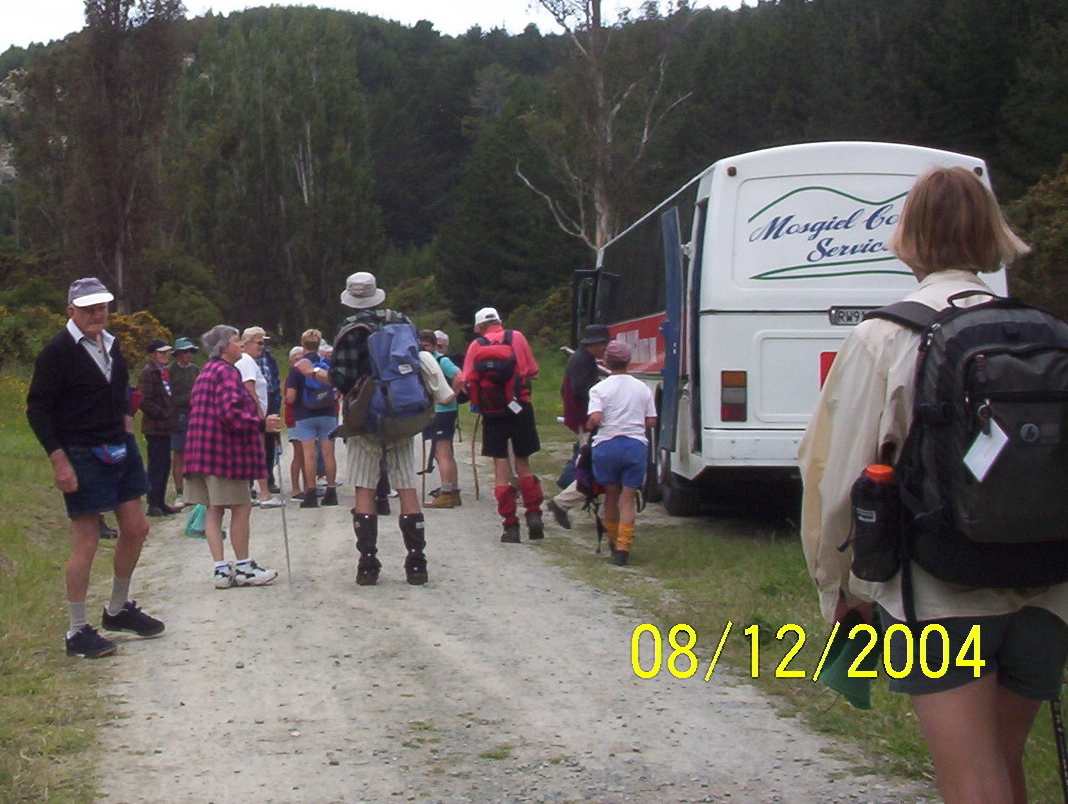
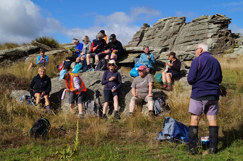
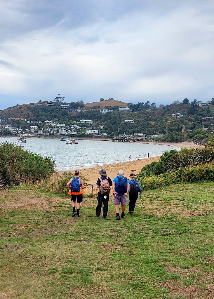
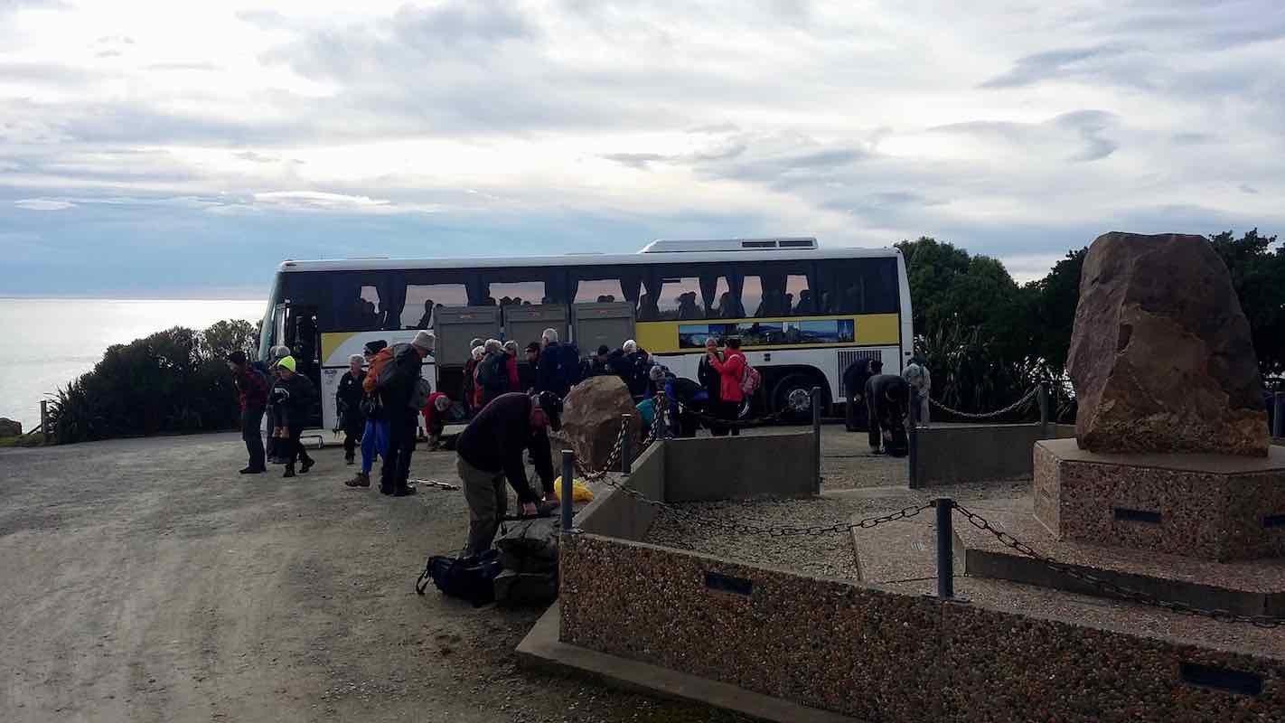
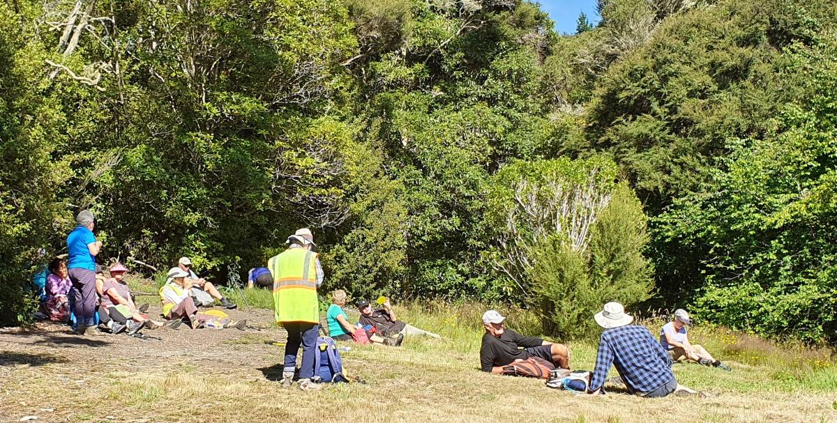
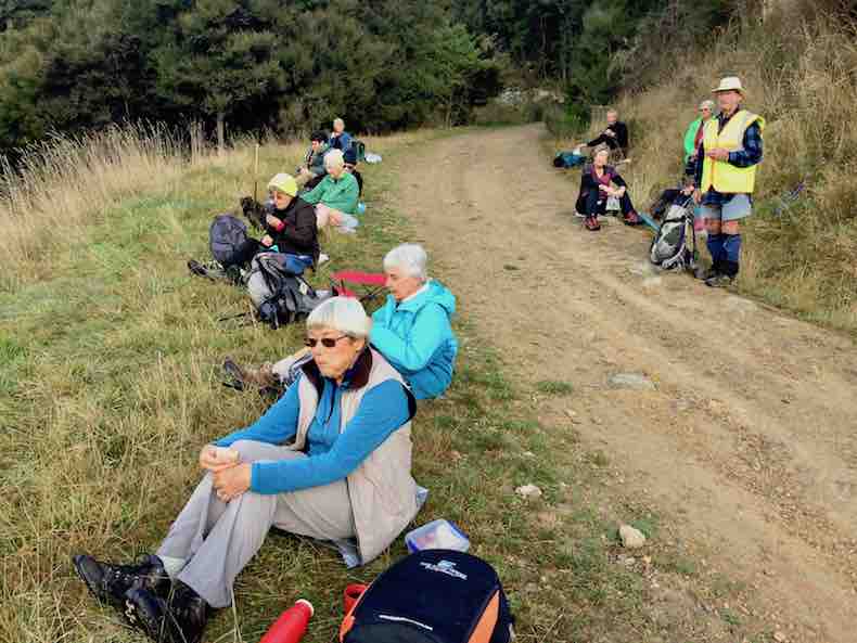
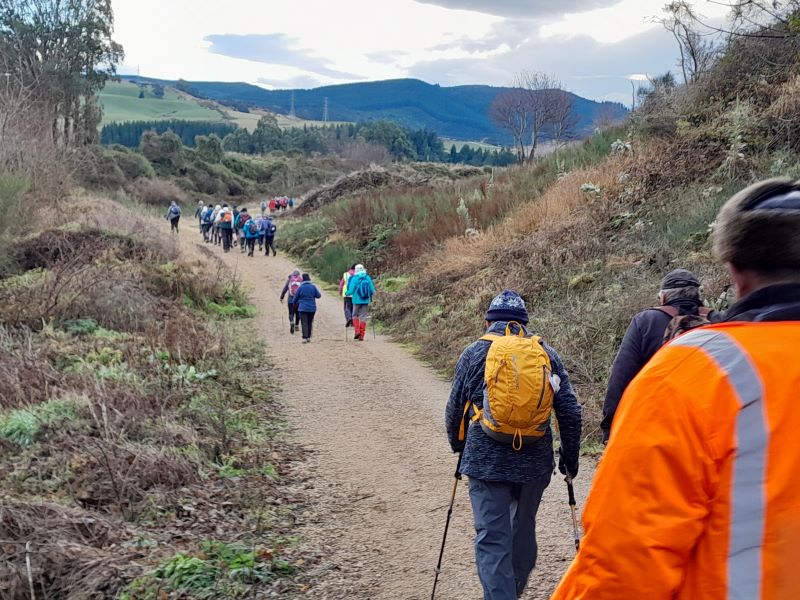
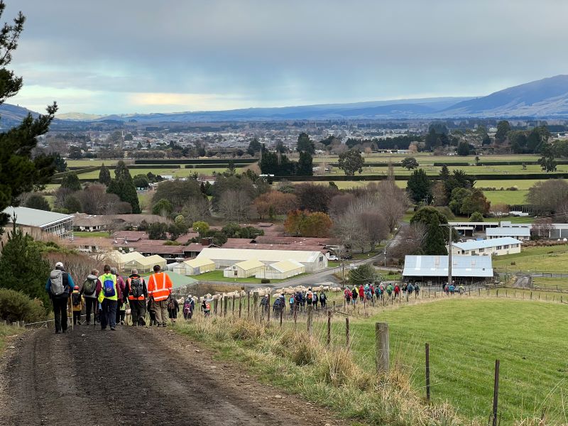
With both tramper and hiker emergency bags available to us, there were extra fluoro jackets available which was a bonus. After a brief meet & greet, we left the rugby club – almost on time. One leader attempted to pass on (her) anxiety about timeframes, as lunch was being provided for 12-sharp. A hiking visitor offered to don a fluoro jacket and was asked to keep count of hikers, a role he performed admirably considering the number of folk joining us enroute – including some who joined us on the banks of the Silverstream as we were virtually passing their back door. A brief morning tea stop was allowed at the Taieri Airport, where it was thought helicopter activity would keep any aviation enthusiasts happy; albeit briefly.
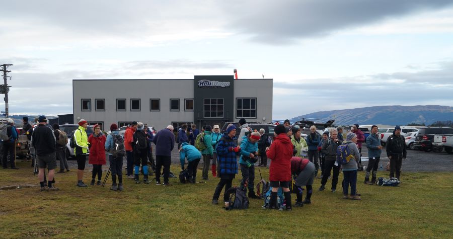
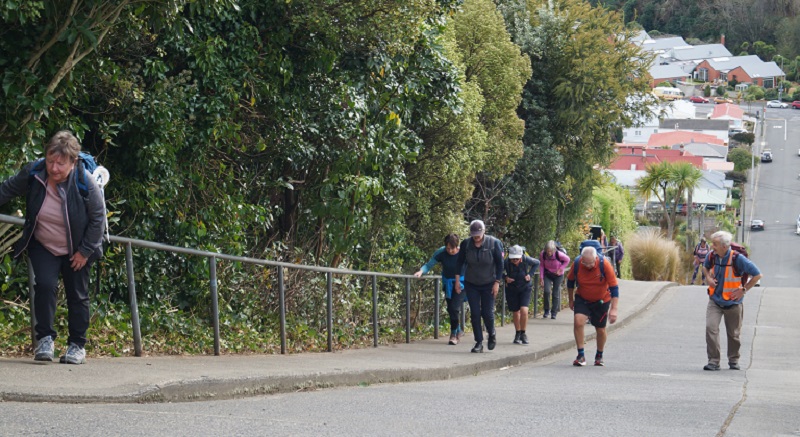
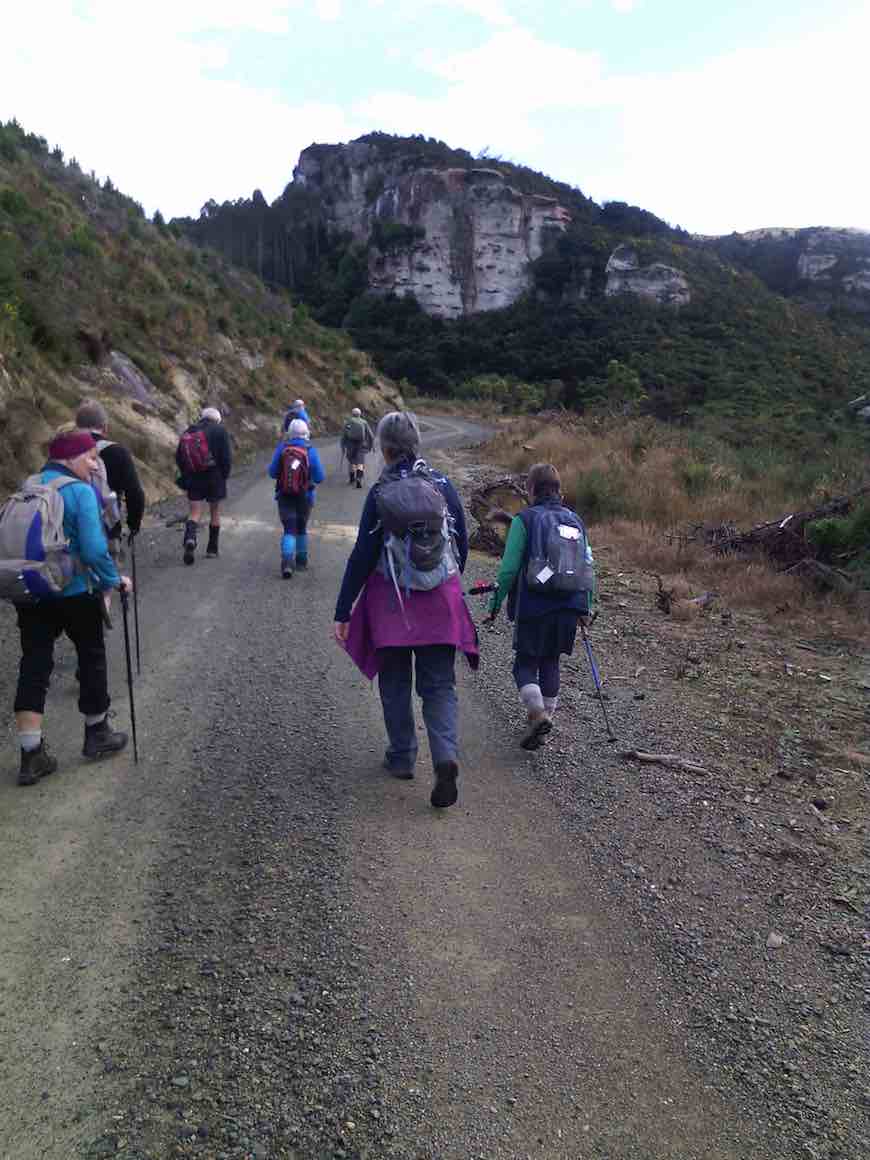
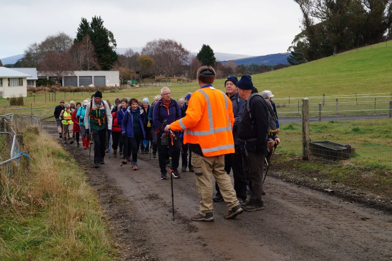
At this time, a new member phoned a leader to ask where the group was (note to friends of new members / Committee – remember to emphasise the variation in summer & winter start times to newbies). He’d thought the start time was 10am. A quick trip was made from the rugby club carpark around to the airport, where he left his vehicle, and our numbers rose further. On his arrival, we departed single-file-ish along Stedman Road behind the airport buildings with a vehicle in front flashing hazard lights warning oncoming traffic of our impending approach!
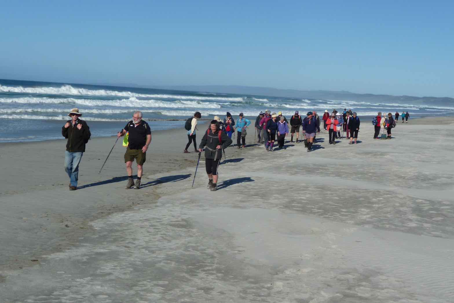
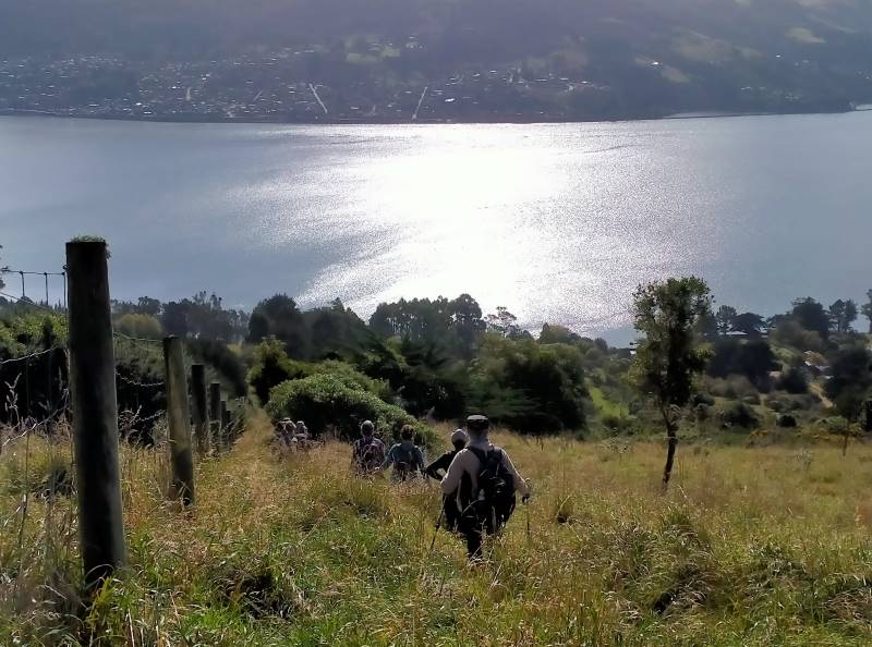
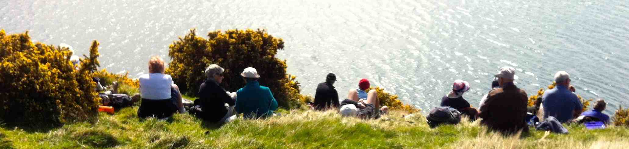
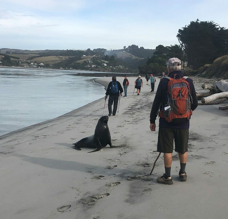
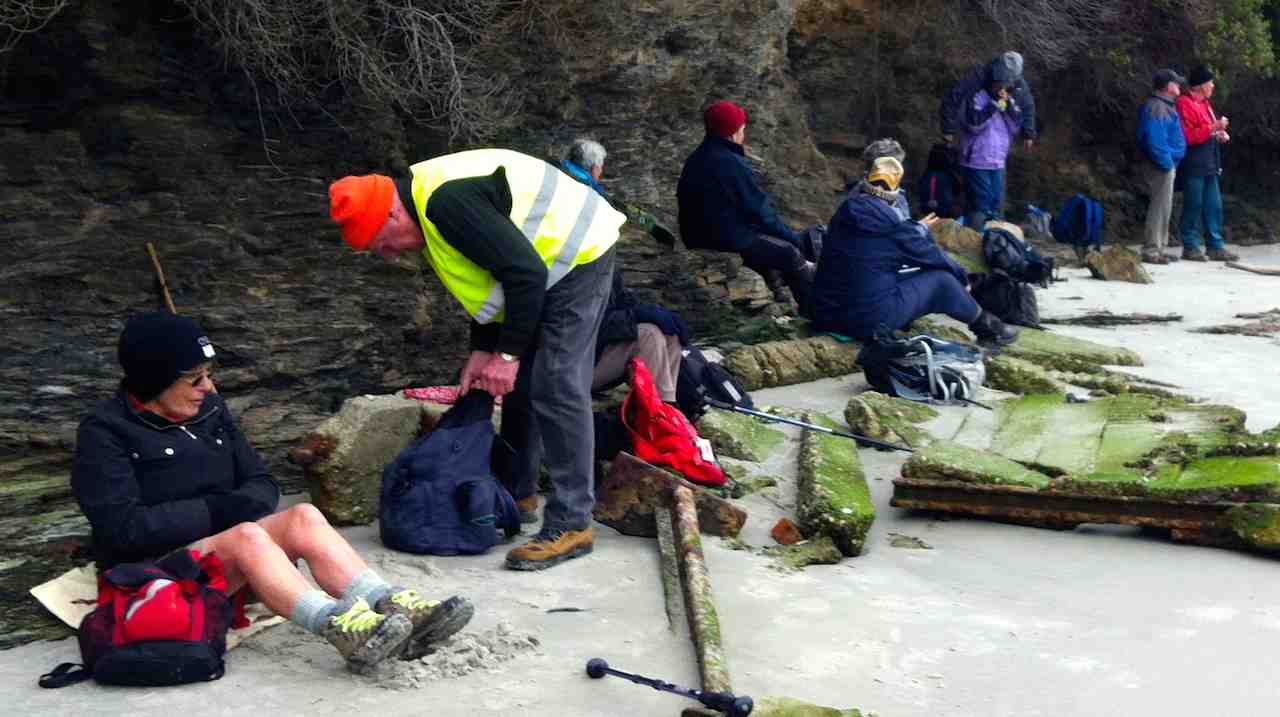
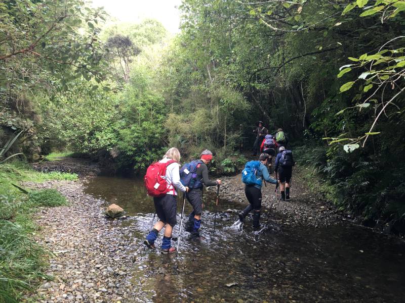
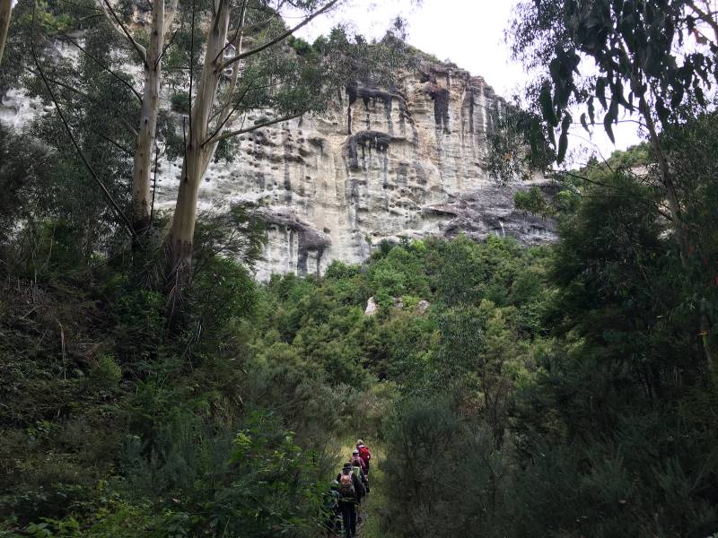
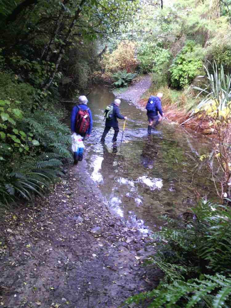
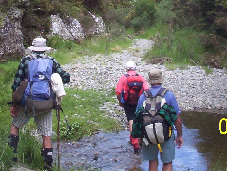
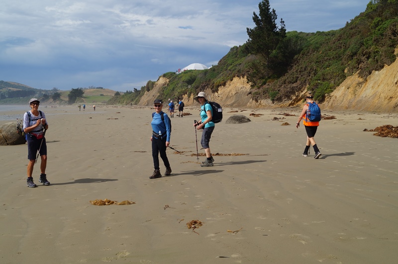
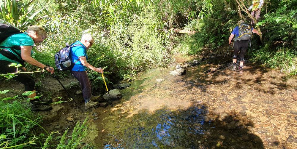
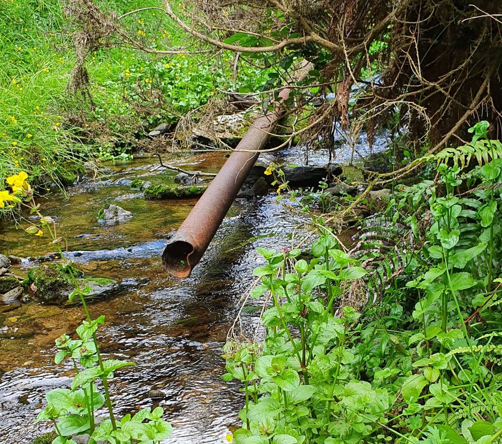
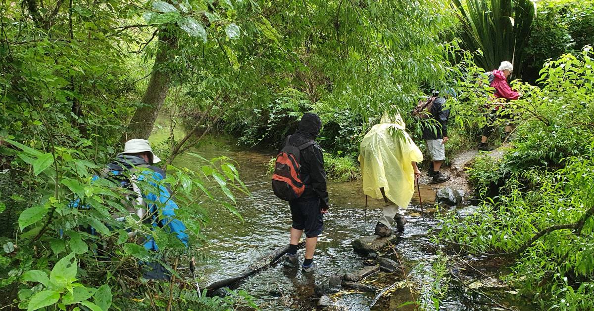
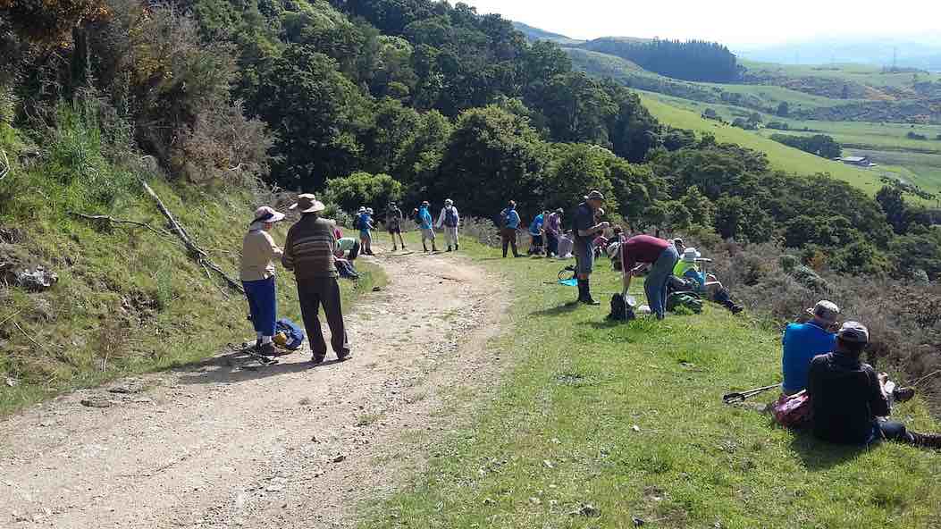
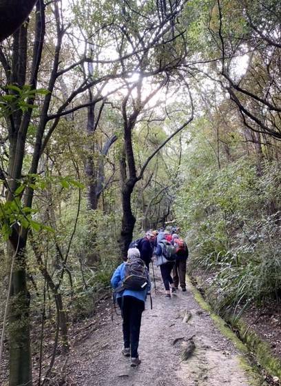
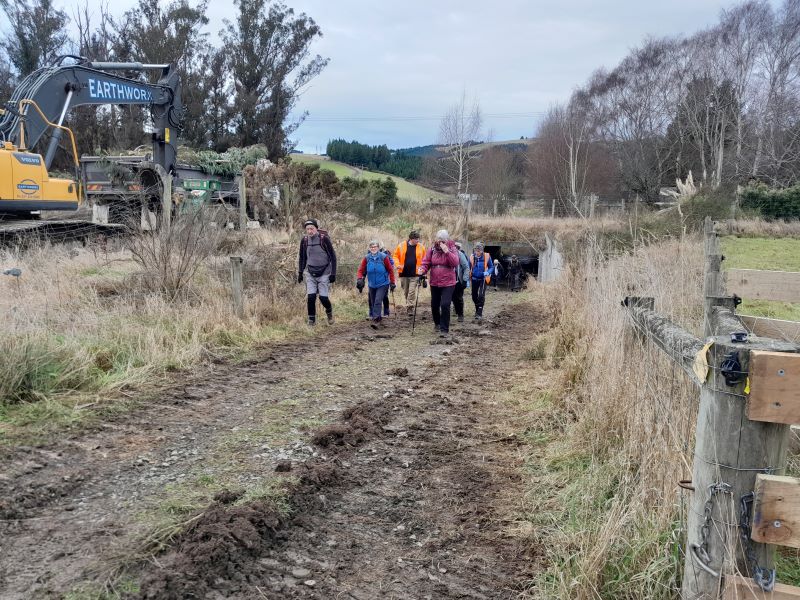
Crossing the road, we dropped down to the Silverstream, managing the gate obstacle in whatever fashion best suited each individual, and under the rail bridge. Those who had feared getting their feet wet making the crossing, were audibly relieved to find vibrapac blocks strategically placed and the majority managed to cross without their fears being realised. Those with poles managed much easier – and thanks to all those who shared their poles with comrades.
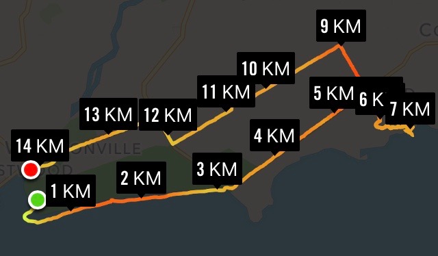
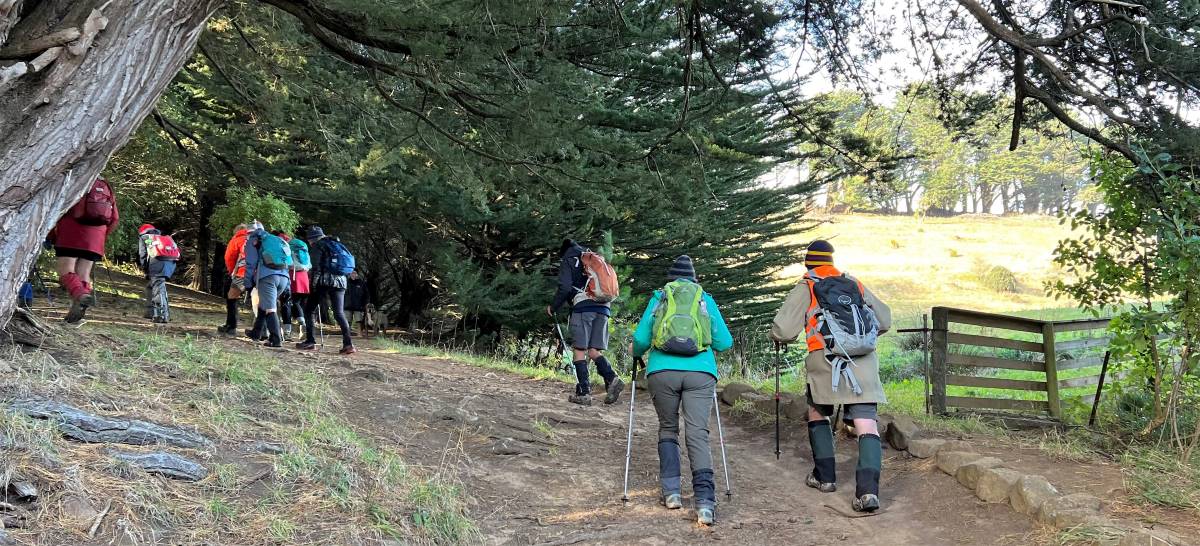
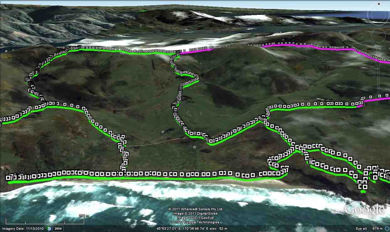
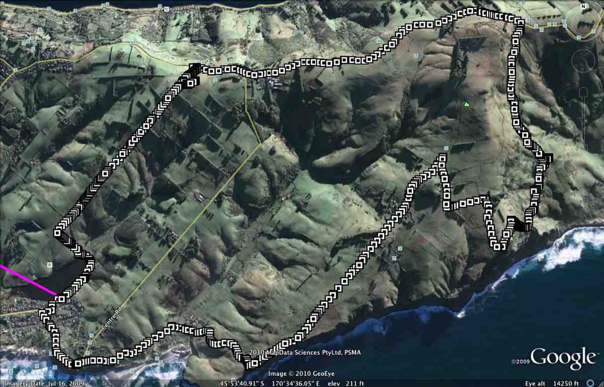
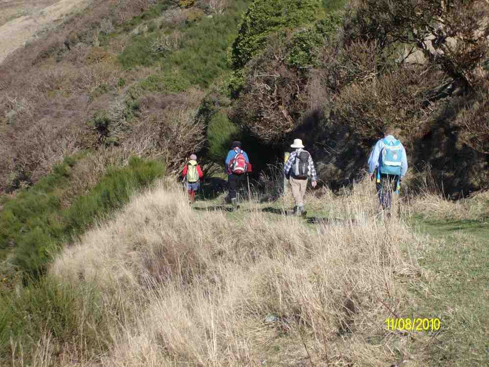
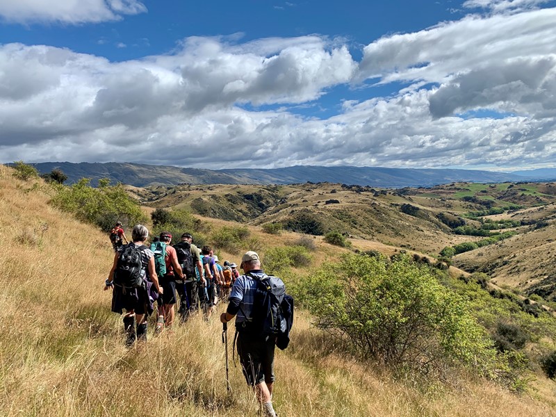
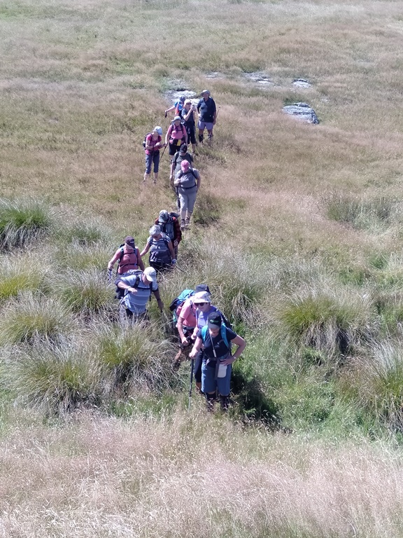
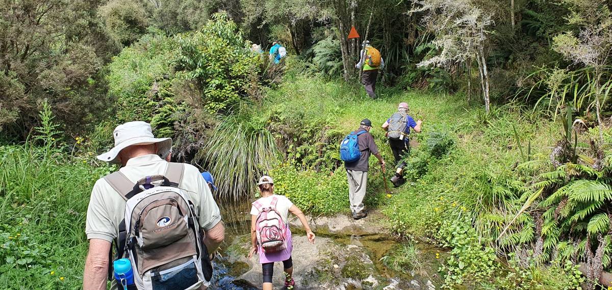
We continued the length of the track north of the railway line towards the Puddle Alley Picnic area.
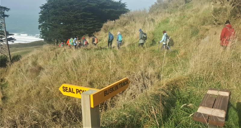
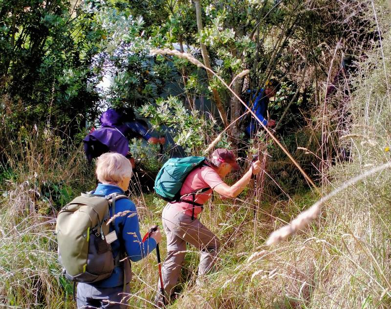
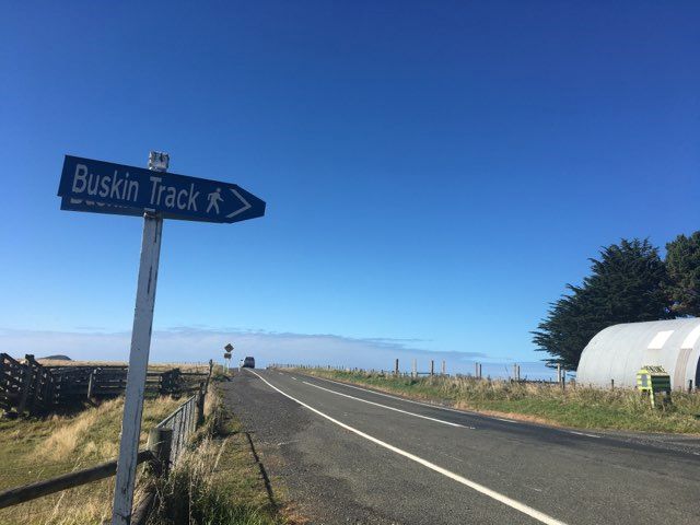
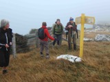
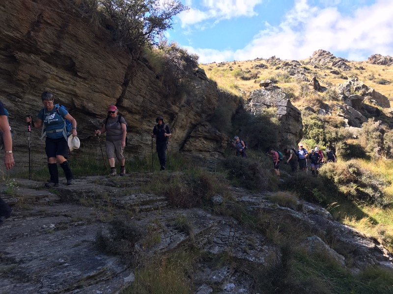
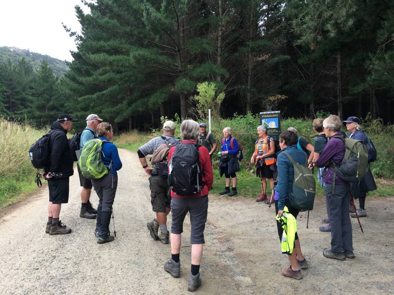
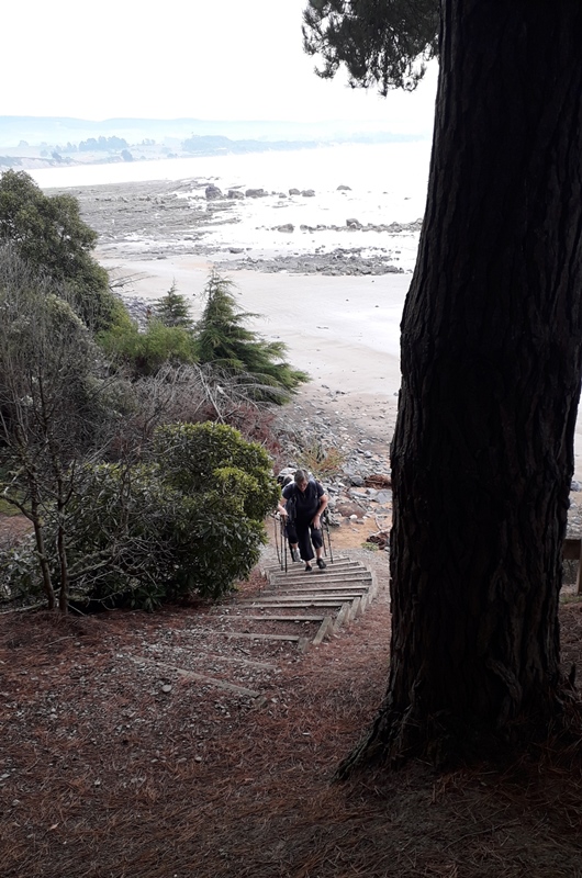
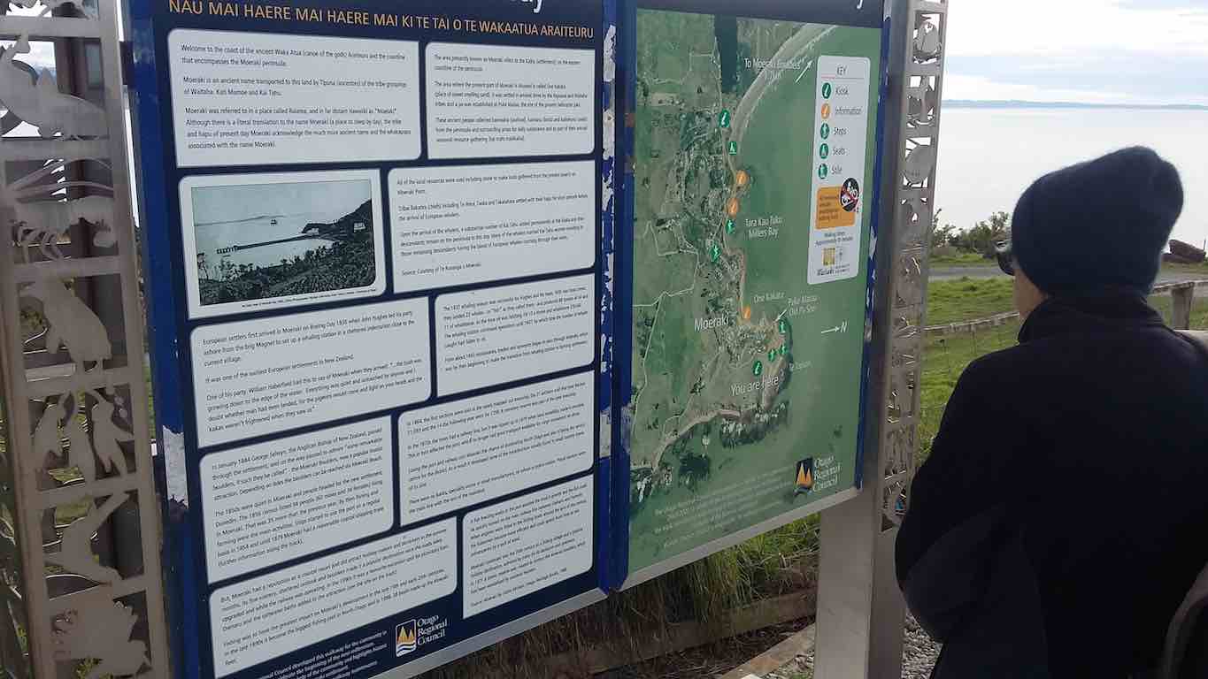
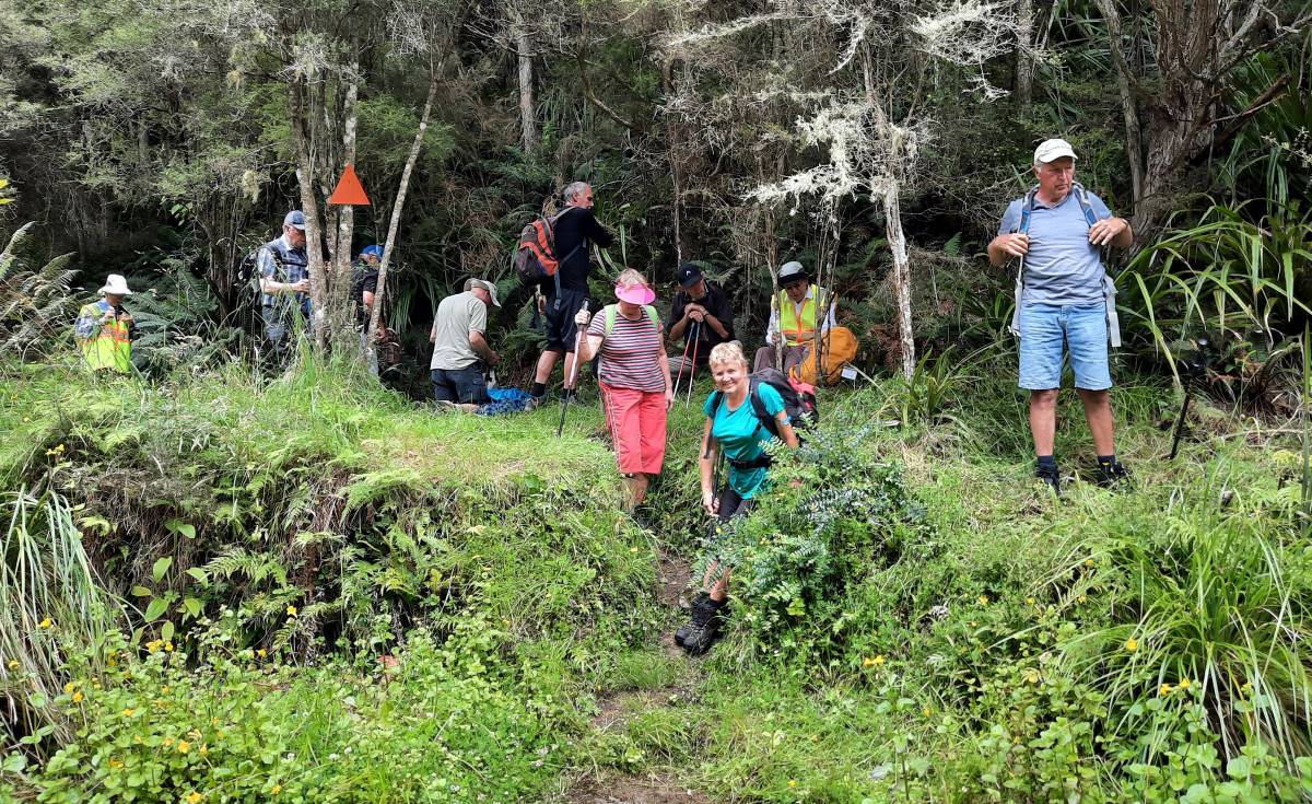
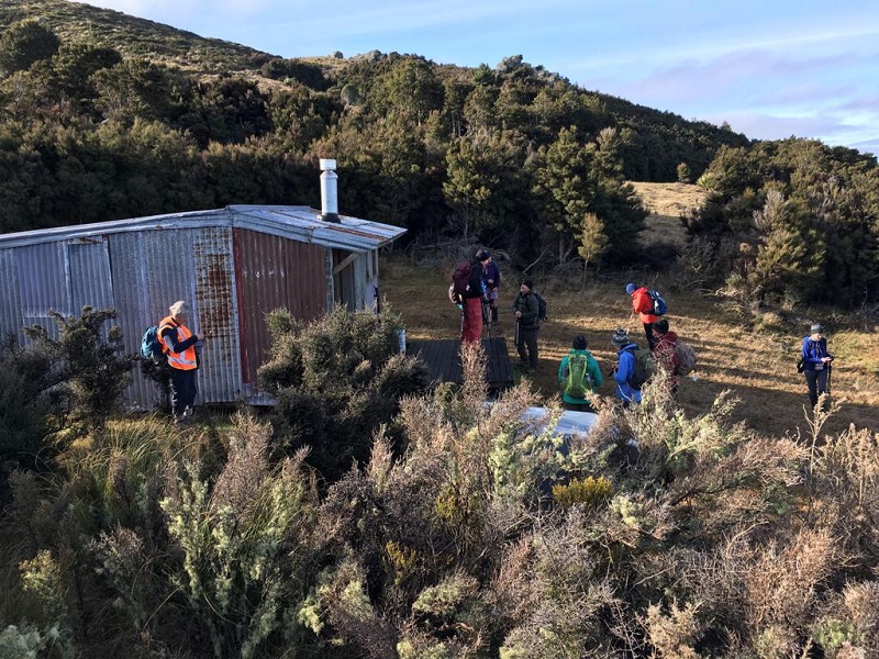
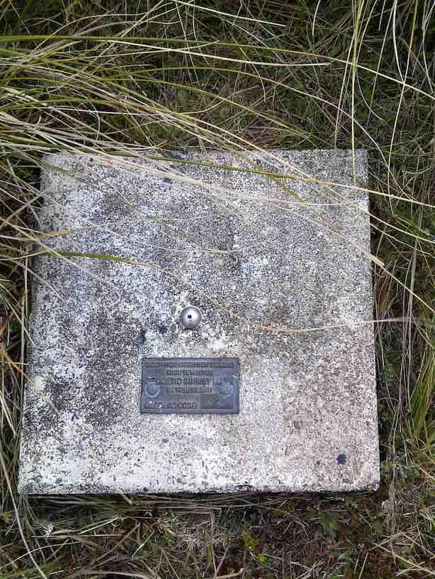
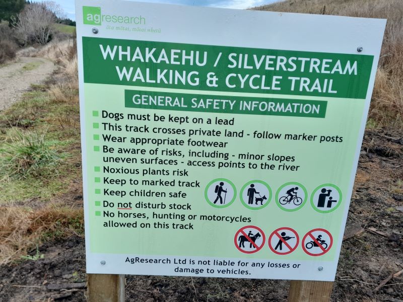
Leader #2 was there before us and had alerted the tree surgeons who were working on the eucalypts right beside the track that a large party was heading their way. They kindly turned off their gear as we came in sight up the rise, letting us safely past. As we dropped down the short steep little track leading to the picnic area proper (which was slippery with overnight damp) we were met by more members. Without really pausing, we continued across the picnic spot to rejoin the track heading under the bridge at Puddle Alley, continuing on the next extension of the track. The track had been temporarily closed up until a week before we were due to use it (which had caused us some mild ‘panic’). As it is now reopened, we’ve included a photo of the new signage so that members who weren’t with us have a heads up of the “rules”.
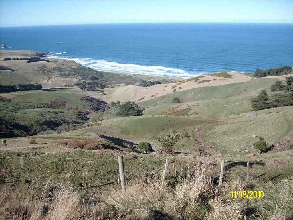
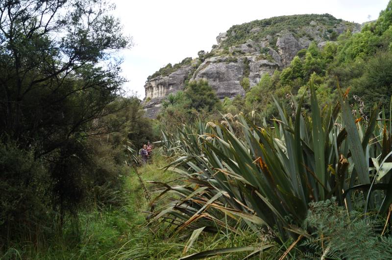
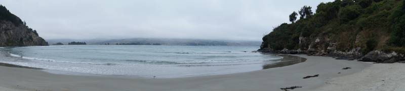
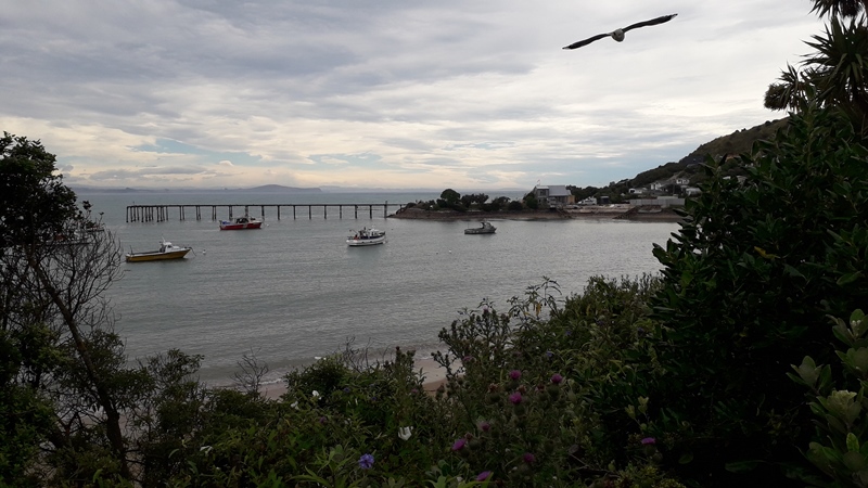
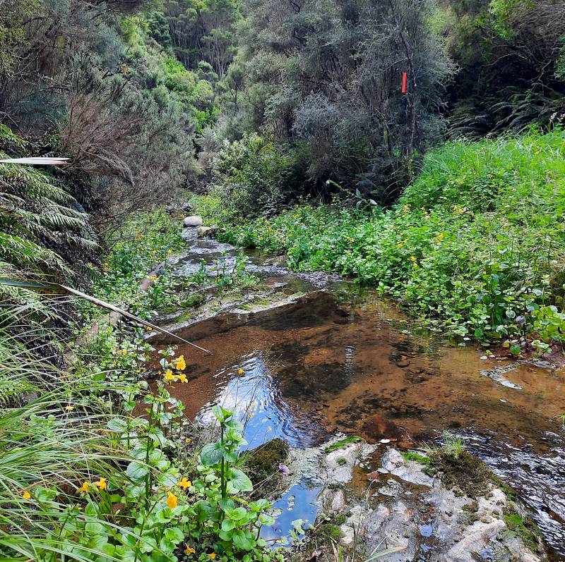
The track meandered beside the Silverstream for a kilometer or two until we reached the gate indicating the end of public access.
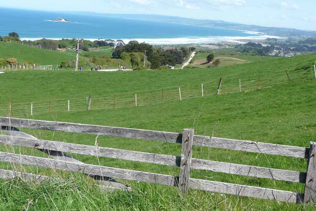
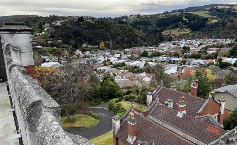
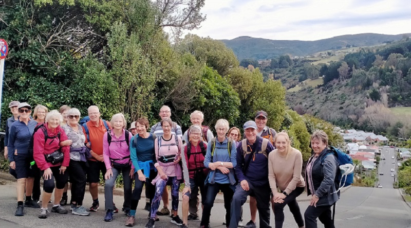
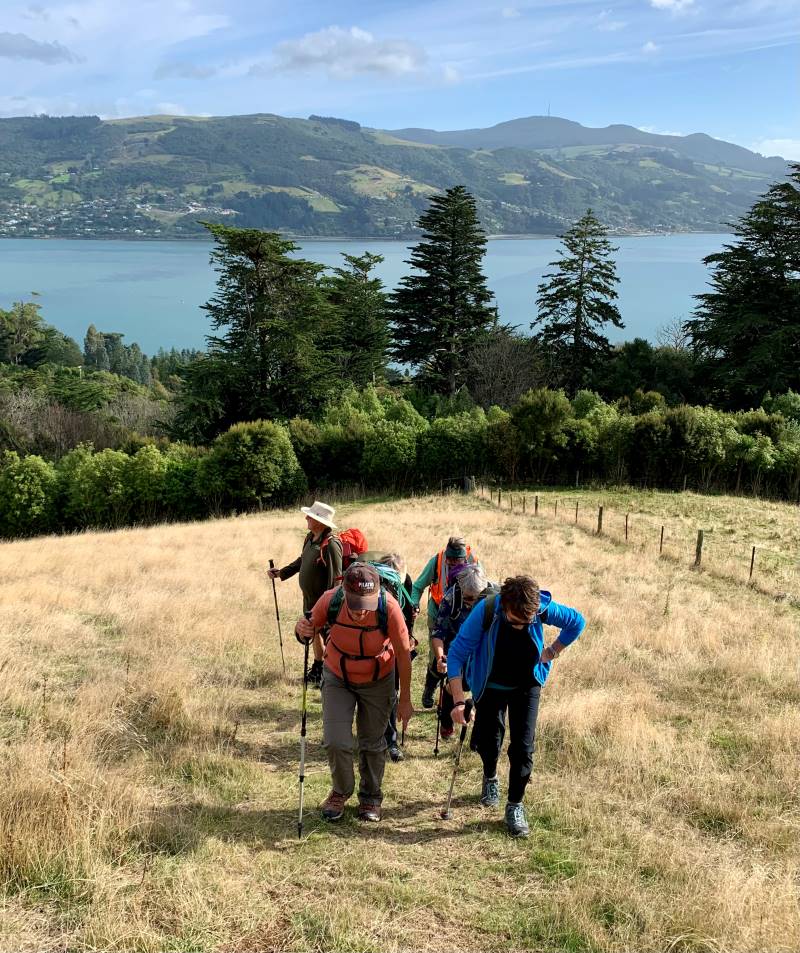
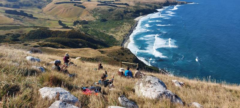
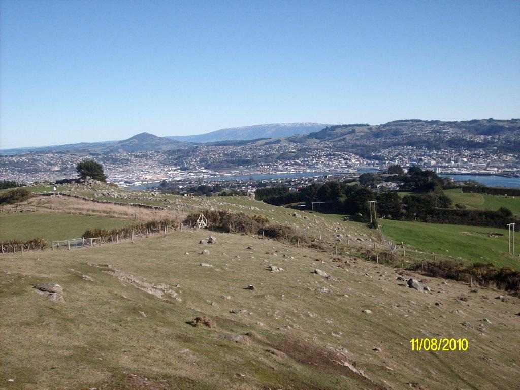
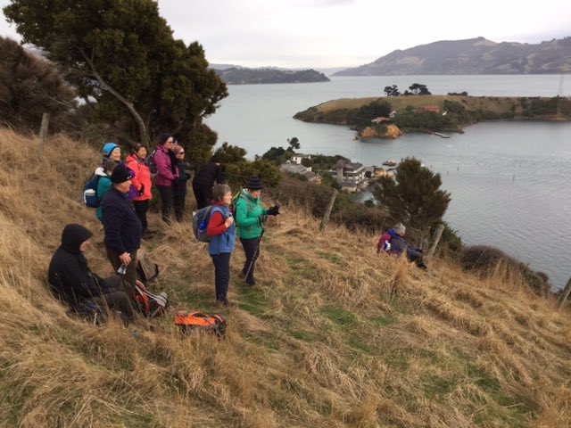
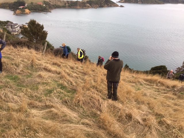
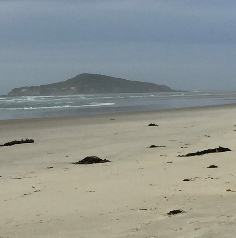
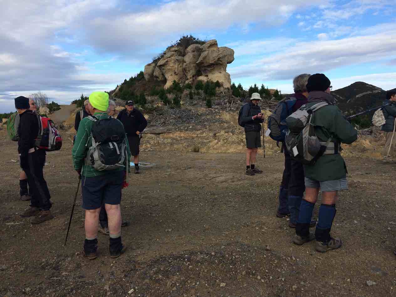
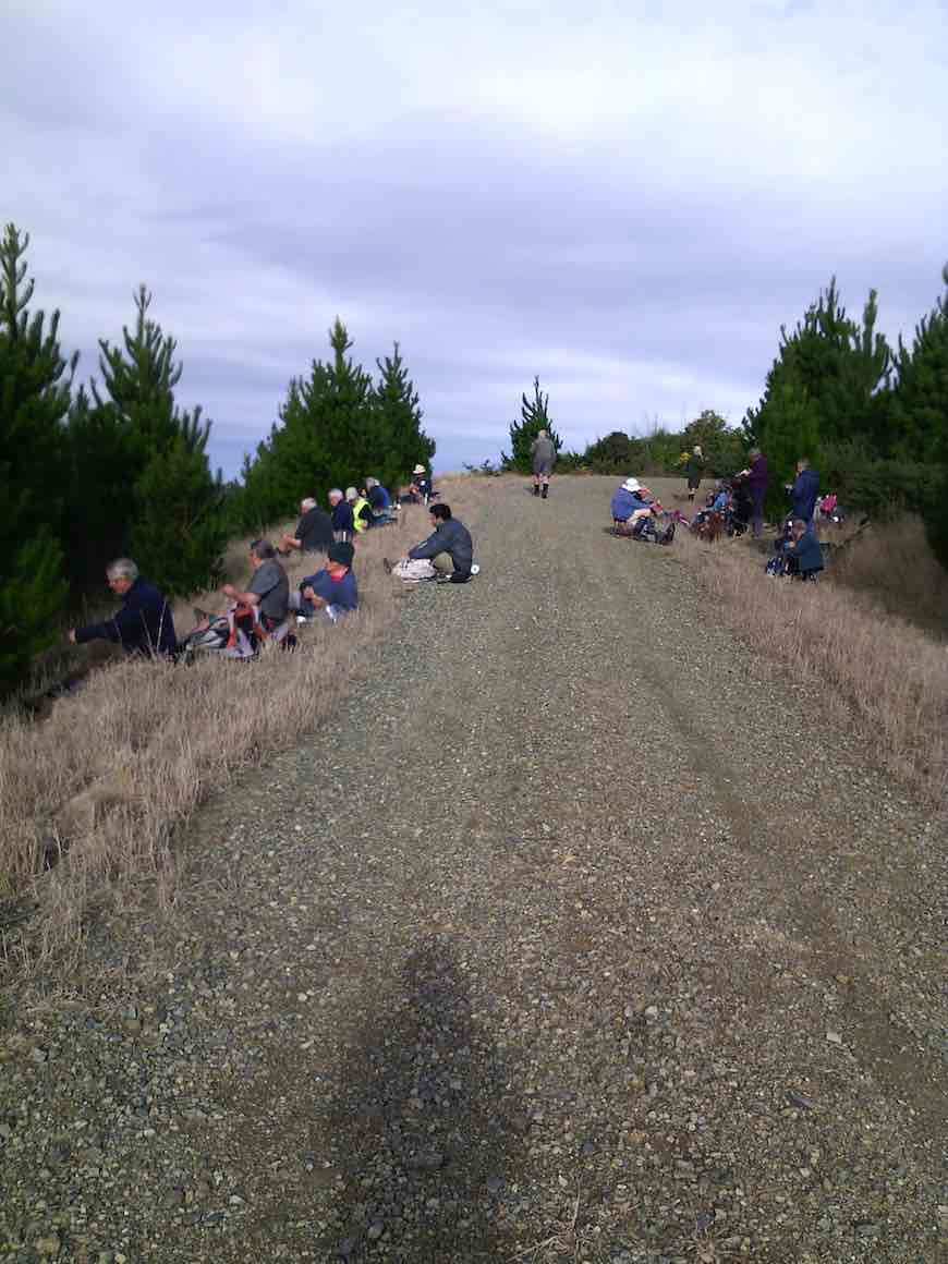
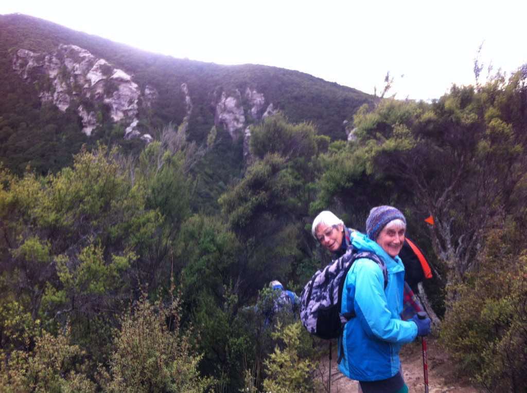
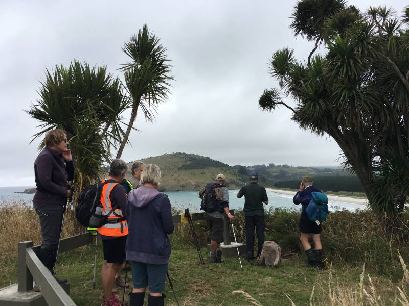
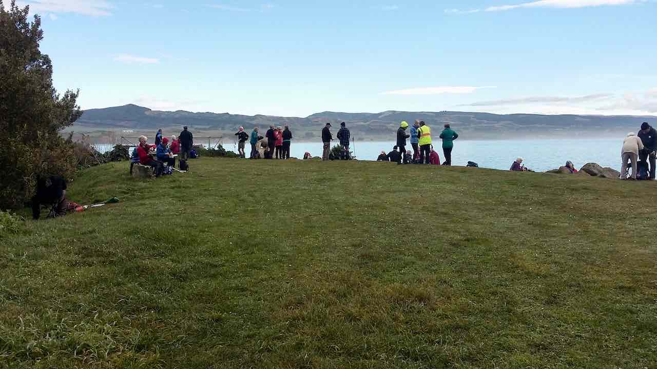
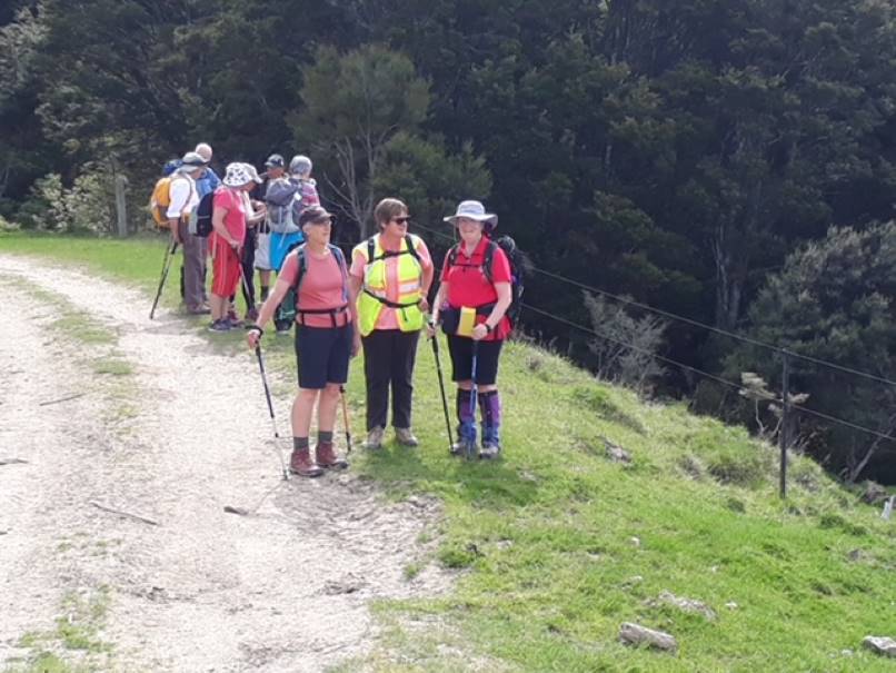
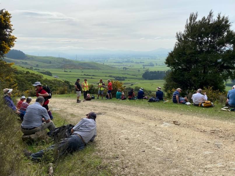
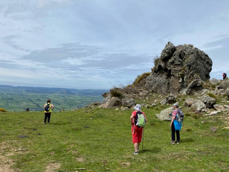
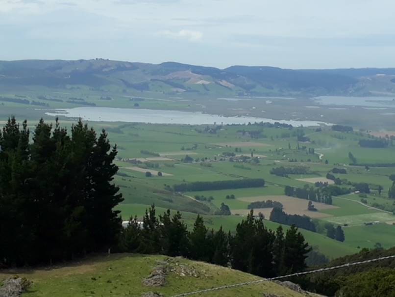
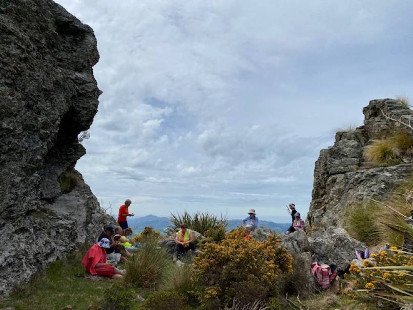
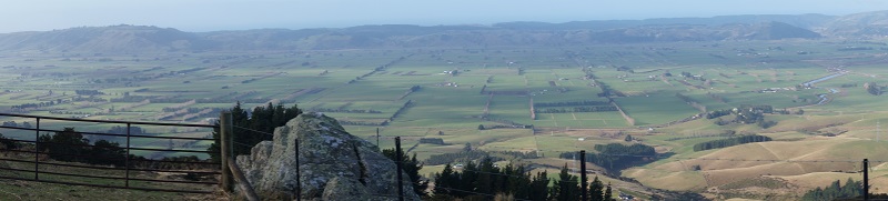
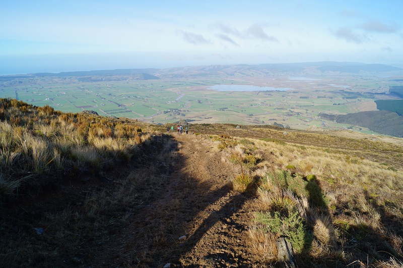
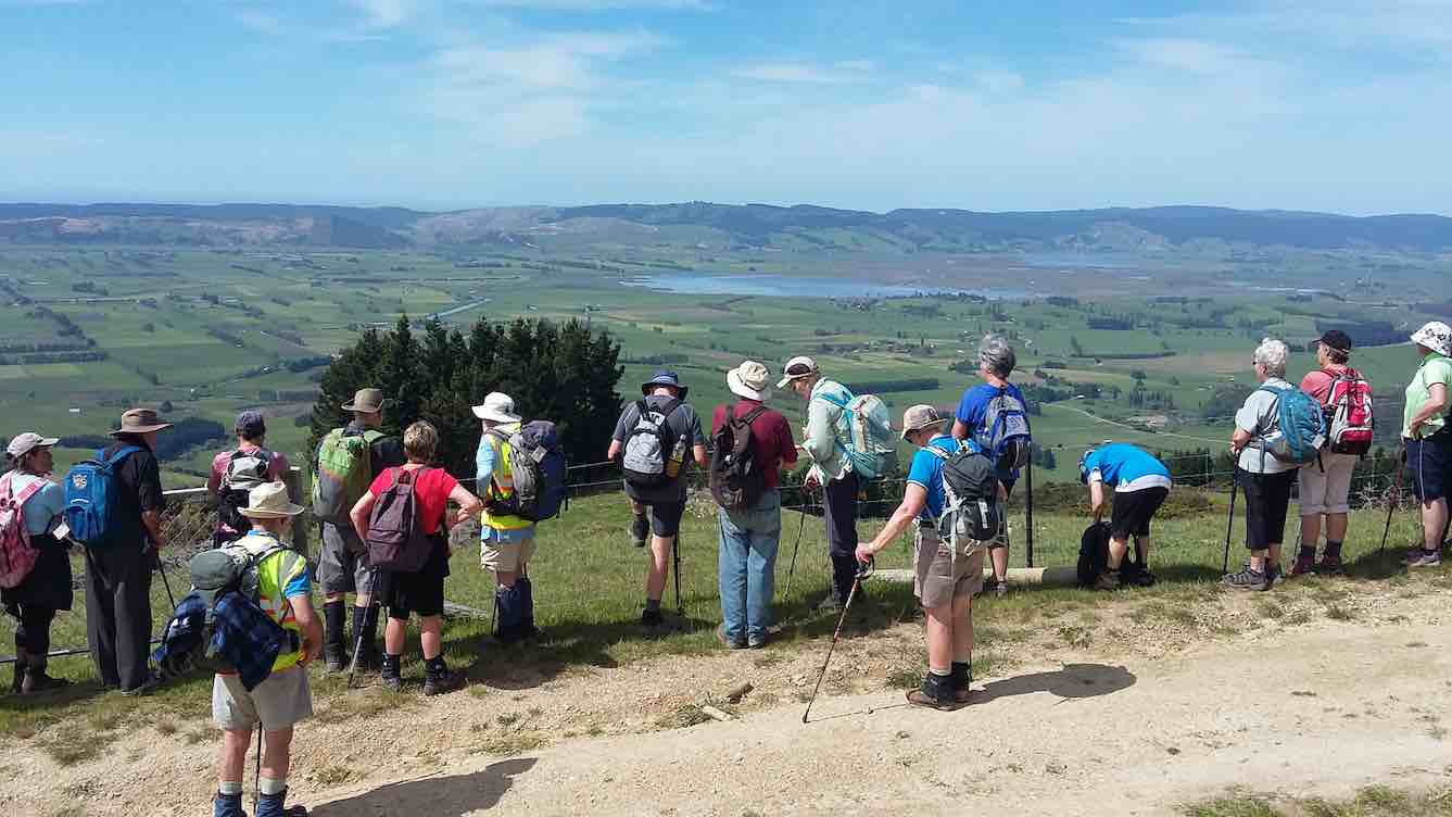
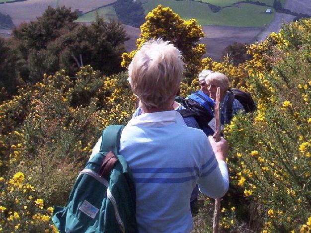
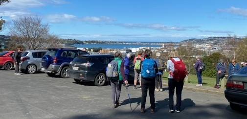
Having previously received permission from AgResearch the group continued up through the former dump site. Beehives were visible but didn’t interfere with progress. Navigating the hill up to the forestry we had been asked to avoid the last 700m of the Invermay walking track which remains incomplete, and instead we continued on the right-hand side up the farm track to a lookout point over the Taieri Plain.

Grant gave the group a brief explanation of the science that had occurred on the farm visible to us from this point, including the development of the exotic sheep quarantine farm with its double fencing, all completed in double quick time and the introduction of the East Friesian sheep semen through AI into the locally bred Coopworth ewes. On completion of this exercise, part of the original quarantine area was redeveloped to allow possums (in particular their reproduction) to be studied (with a view to limiting it!). Unfortunately, time did not permit a visit to the residual feed intake building where frequency and duration of eating bouts as well as amount consumed are recorded for individual animals (maybe another time!) so we proceeded down the farm road past the building now housing K9MD and VetEquine.
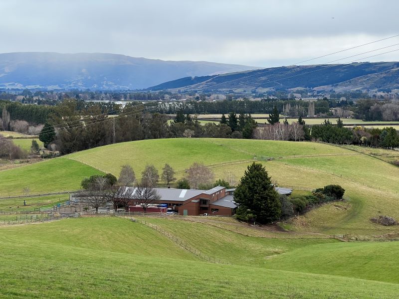
We stopped again at the shearing shed where Grant pointed out the Portable Accumulation Chambers for measuring methane emissions from individual animals and further on, the CT Scanner building.
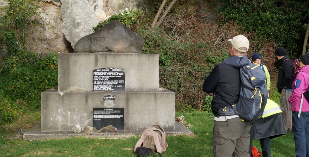
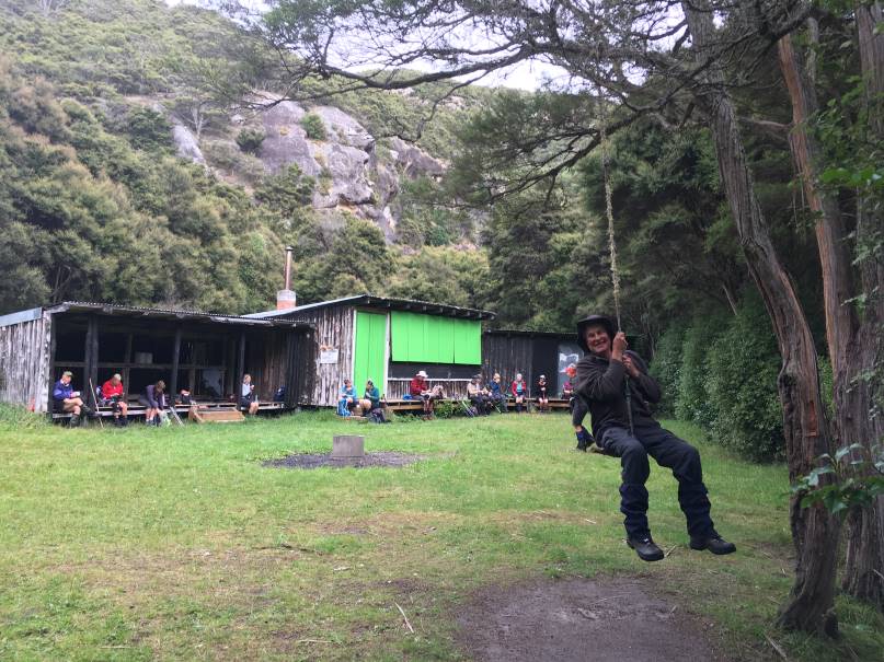
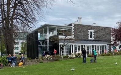
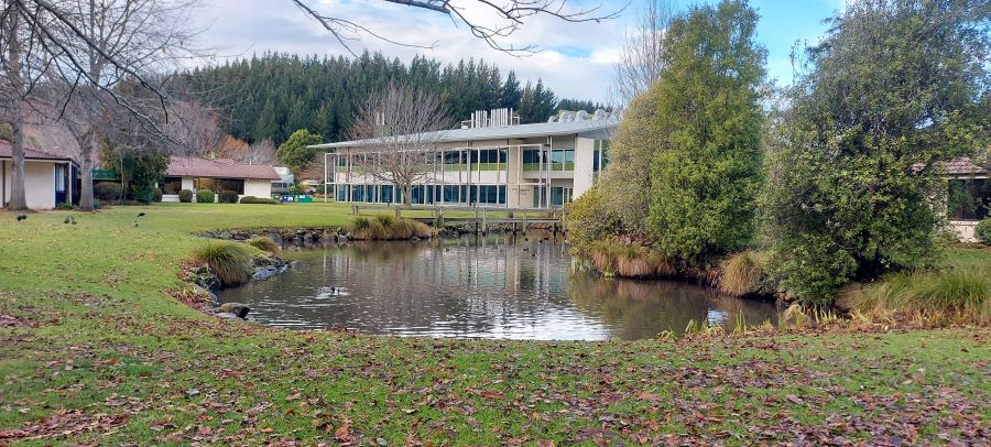
By now we were really conscious of the time, and headed for the Cullen Conference Centre which had been booked for our increased numbers, passing the oak tree planted in memory of Crop & Food staff who had perished in a plane crash in Christchurch in 2003.
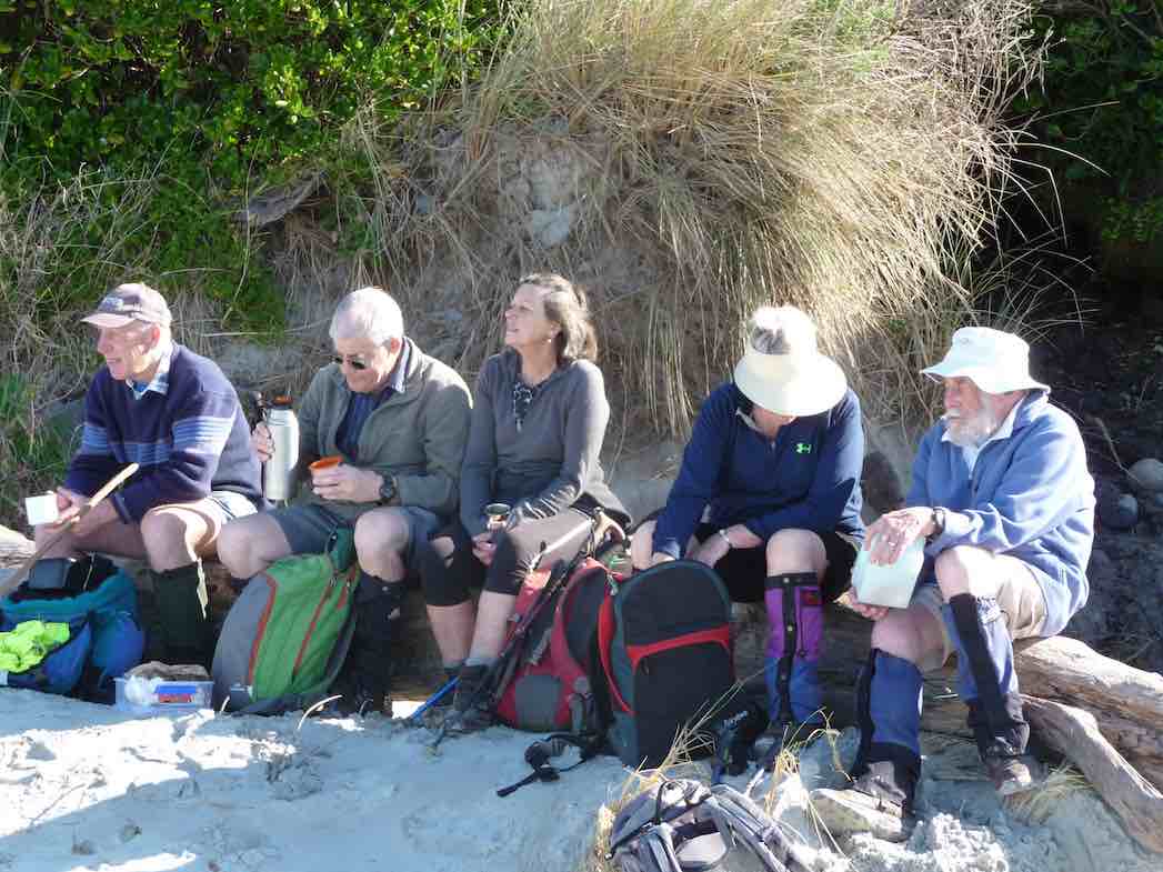
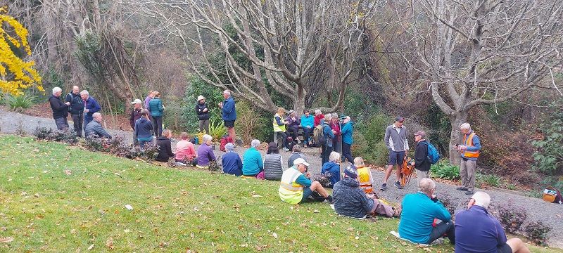
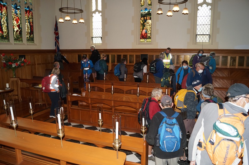
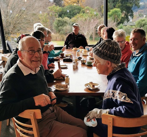
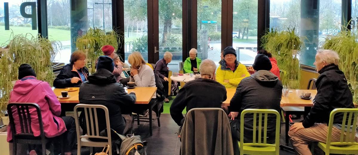
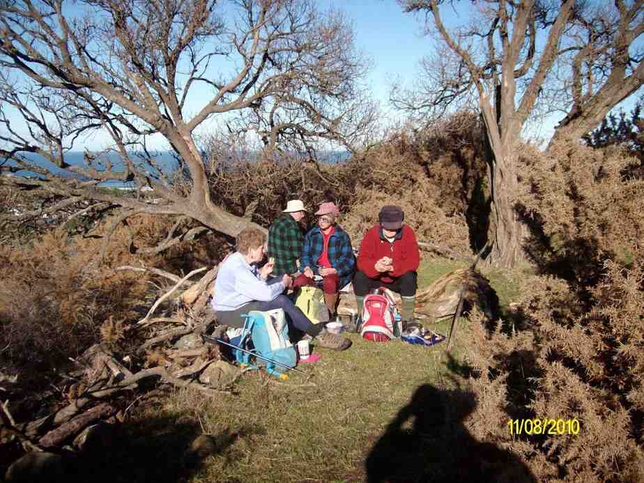
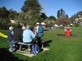
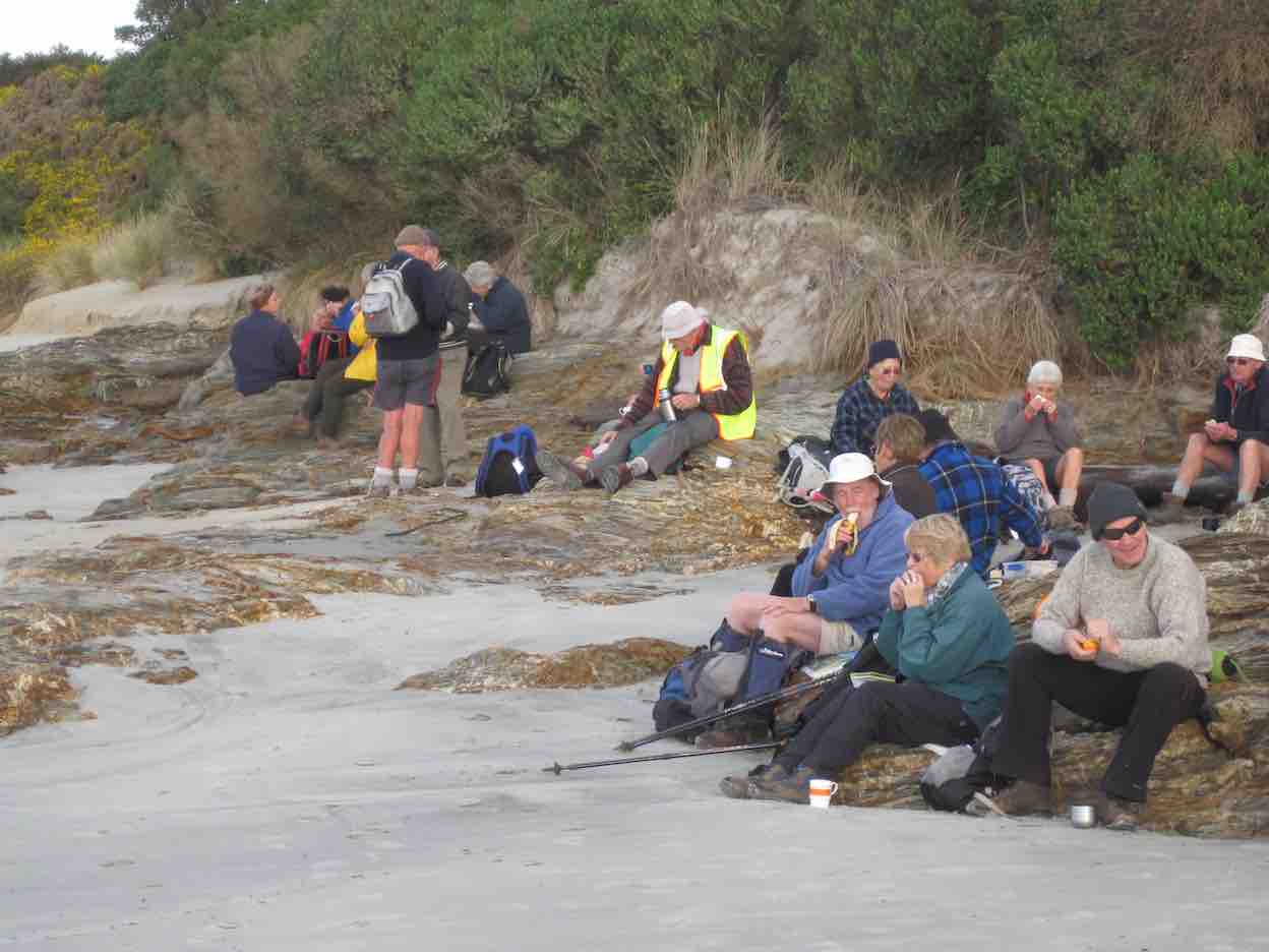
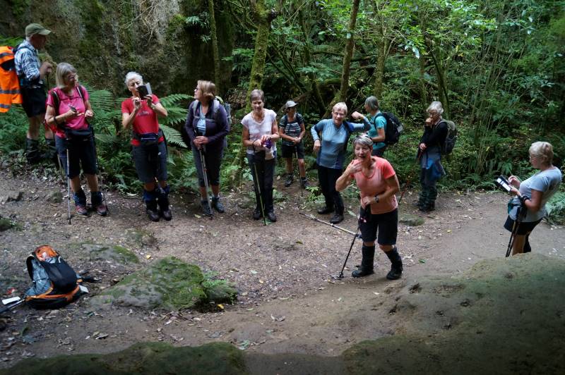
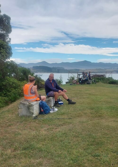
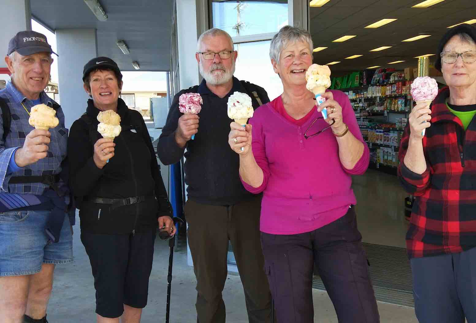
Even more members met us for the lunch part of the day. The room was warm, the food appetising, the tea & coffee welcome; and stripped of footwear, backpacks and jackets, we selected our eats, took a seat and partook of conversation.
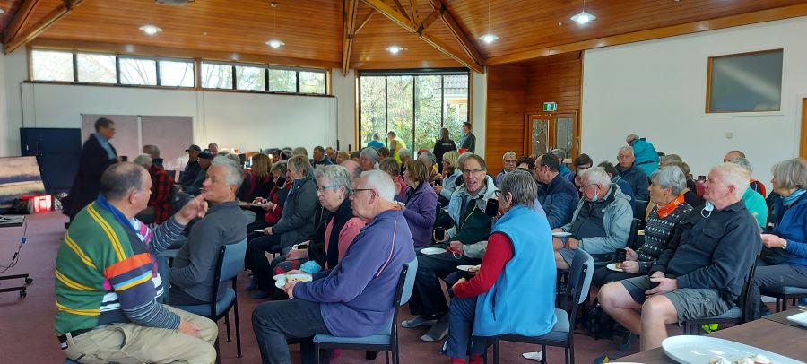
Following lunch, we were joined by Pauline Blomfield of K9 Medical Detection (K9MD) Trust, who gave a fascinating talk on her work training and using dogs to detect prostate and bowel cancers, with a view to also detecting breast cancer. There is no public funding available for this work and as a result a large part of her time is directed towards worrying where the $500K that is required annually to simply keep the doors open is coming from.

The success rates Pauline provided on the correct detection results for the dogs was inspirational, and in proposing a vote of thanks we were proud to present her with over $300 collected from TRTC members during lunch. Thanks heaps, all of you! For anyone else who would like to know more, visit https://www.k9md.org.nz/ and if you’d like to contribute visit here https://www.k9md.org.nz/help-us/donate.
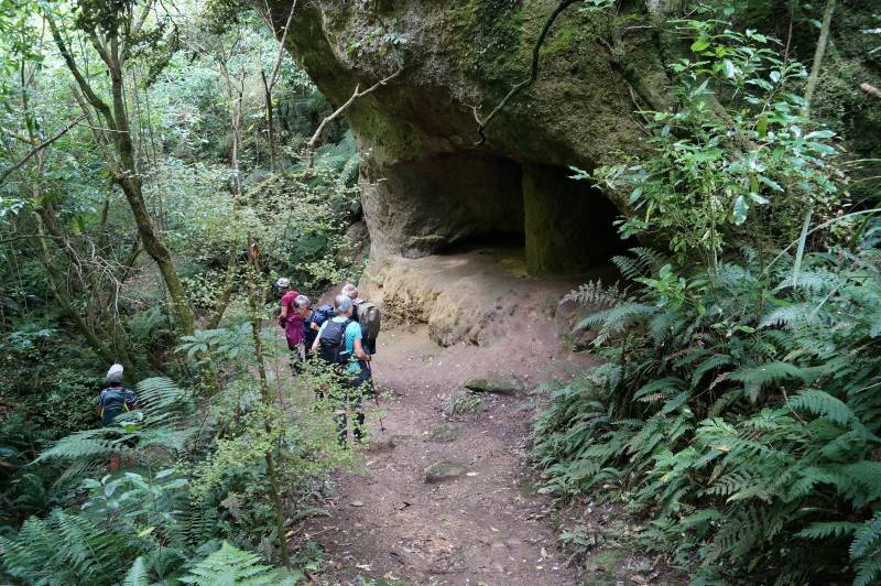
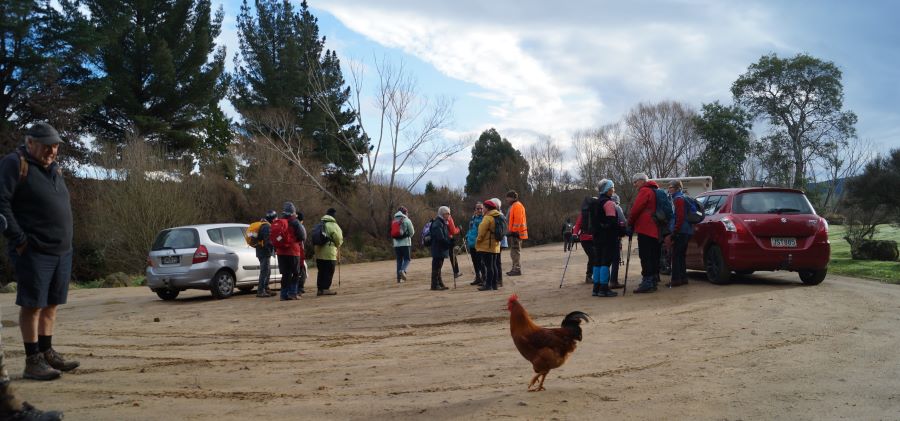
On re-booting ourselves, some folk left us at this point and the remainder headed back towards the farmyard and the stock route underpass to avoid having to cross Puddle Alley. Traversing an underbridge was something new for a few members. Up the little rise, through the gate, and we found ourselves back in the vicinity of the tree-fellers. The return along the track to the river crossing seemed to take no time, and again no members were lost in the crossing.
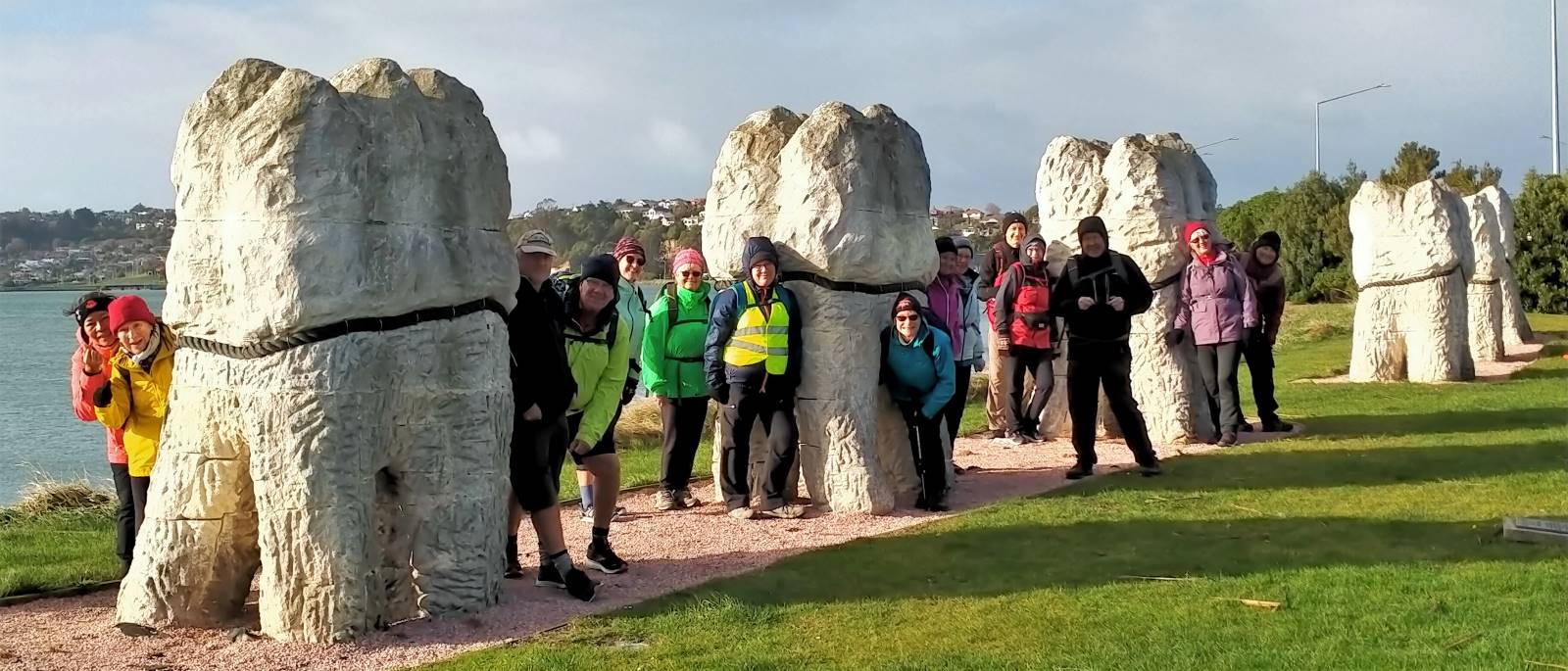
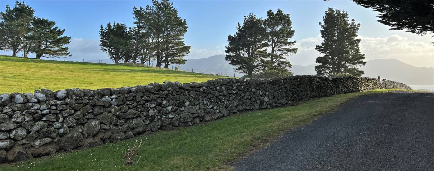
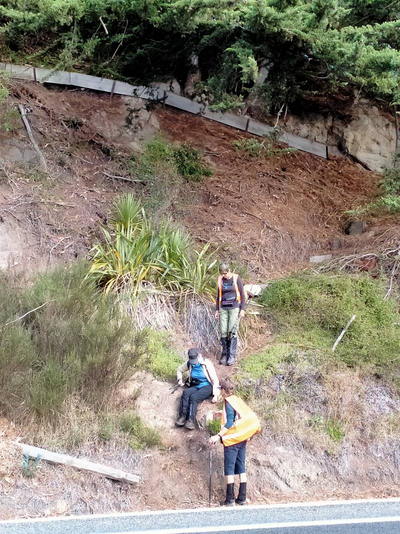
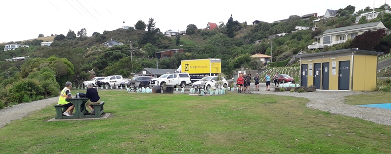
By now, the front “runners” could smell home and headed off for the rugby grounds car park. The driver and the car left at the airport were reunited and they headed home to Dunedin. There was a brief stop for some stone fence lessons and those who had joined us enroute now peeled off.
Having briefly enquired about a coffee stop before we left, and there being no obvious demand, the remainder of us said our goodbyes at the car park and headed to our respective homes.
On behalf of the Leaders, and all those wearing fluoro, thanks for your good-humoured company.
Barbara and Grant