The club now has two state-of-the-art GME Accusat MT410G EPIRB GPS-equipped emergency personal locator beacons, courtesy Elaine Day’s family for one, and Bendigo Valley Foundation for the other.
It all happened after Elaine announced her family’s offer at the mid-winter dinner on Wednesday (24/6), to be followed in a very timely manner the next day with Bendigo Valley Foundation’s letter, accepting our grant application, having already deposited the grant in our bank account.
Each of our beacons are EPIRB – Emergency Position Indicating Radio Beacon, and the 406 MHz GPS-equipped model. Designed for marine operation also, they are waterproof, float the right way up, have larger batteries for more transmit power, and can even be water activated. The 406 beacon transmits quick bursts of digital data. This data identifies the transmission as legitimate and has a coded identification enabling rescue authorities who decode the digital message to identify the owner of the beacon.
The Rescue Beacons are very simple to operate. One just flicks open the aerial, it springs up, and 60 seconds later, begins transmitting.
The signal is received at RCCNZ (Rescue Coordination Centre New Zealand) by two methods:
1. To get a rapid response, and to maximise the signal, one must be in clear air and high enough to see a clear horizon in the East-north-easterly direction. It will then be received by GEOS-11, a geostationary satellite stationed above the equator in the mid-Pacific.
2. If the beacon signal cannot be received by the GEO satellite, it will be relayed by the first LEO (low earth orbiting) satellite. In this case, a wait of over two hours is not unusual.
The rescue beacon is a full Mayday or distress alarm, and will be acted on as such. So if the activation is accidental, or the situation improves and is no longer a Mayday, we must do more than just turn the beacon off (done by reloading the aerial) – we must also contact the authorities and withdraw the Mayday by contacting RCCNZ (0508) 472 269. ASAP. (Put this number in your mobile.)
– Information culled and adapted from a website Ken referred me to. Thanks, Ken. – Ian
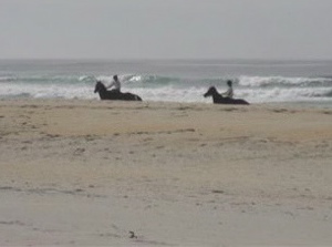
First tramp for 2009 was a combined one and 17 members, keen to get out tramping/hiking again after Christmas/NewYear break, met at Ocean Beach Church for what proved to be a very pleasant, easy beach walk. Day was warm and sunny, with no wind. We wandered along to Ocean Beach to the Estuary, stopping for morning tea on the way. An added bonus was seeing several horses, either being ridden or with sulkies, training along the edge of the water. They certainly make a great sight.
Horses being exercised on Ocean View beach
It was then back along beach nearly to the Big Rock and off the beach into a very pleasant picnic area for our lunch. Because this was very close to where the cars were parked it was an early finish to our day. However, we had a happy day out and it was good catching up with our tramping friends again. Bev. H
4. 6/12/2006. Both. Kaikorai Estuary. Beach Walk. (Low Tide: 11.21am) Leaders: Hazel, Dot B, Bob & Nadia, Chris
Onto beach. Selection: Dot .. Bob, Peter, Doug M, Les W, Lex
Ocean View Beach. Bob, Who?, Pat, Bill, Tom, Arthur
It was an cold Autumn day but we were dressed for the beach walk. However when we reached Brighton Beach the persistent rain drove us into the only shelter available – the beach changing rooms, in which unsalubrious but dry surroundings we ate our lunch. – Ian
Two club members, Ken and Ian attended from our club. We were the only tramping club there. Scion had invited all community forest-user groups around Dunedin, but only 20 had registered but only 8 had turned up, possibly because of the inclement weather. There were also several hunters and some mountain-bikers. Continue reading “Scion Workshop”
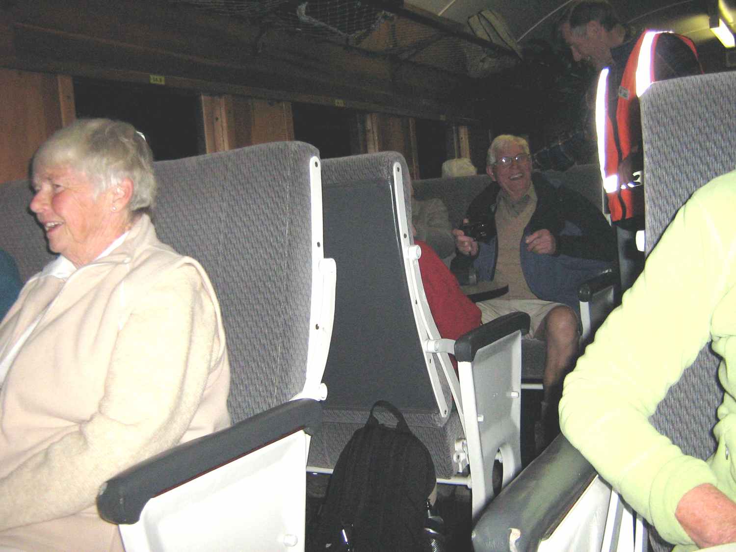
At least a dozen club members took advantage of the opportunity provided by the Lions Club to walk the rail track between Flat Creek and Deep Stream. We walked single-file with 360 others through two tunnels and over several viaduct/bridges. The sky was blue and the air was still. Perfect conditions.
OSH requirements had seen to a nightmare of safety warnings and precautions having to be taken by the small army of Lions Club controllers. It went well. – Ian click to enlarge
About to set off. Chris, Neil Through first tunnel. Bill (partially).
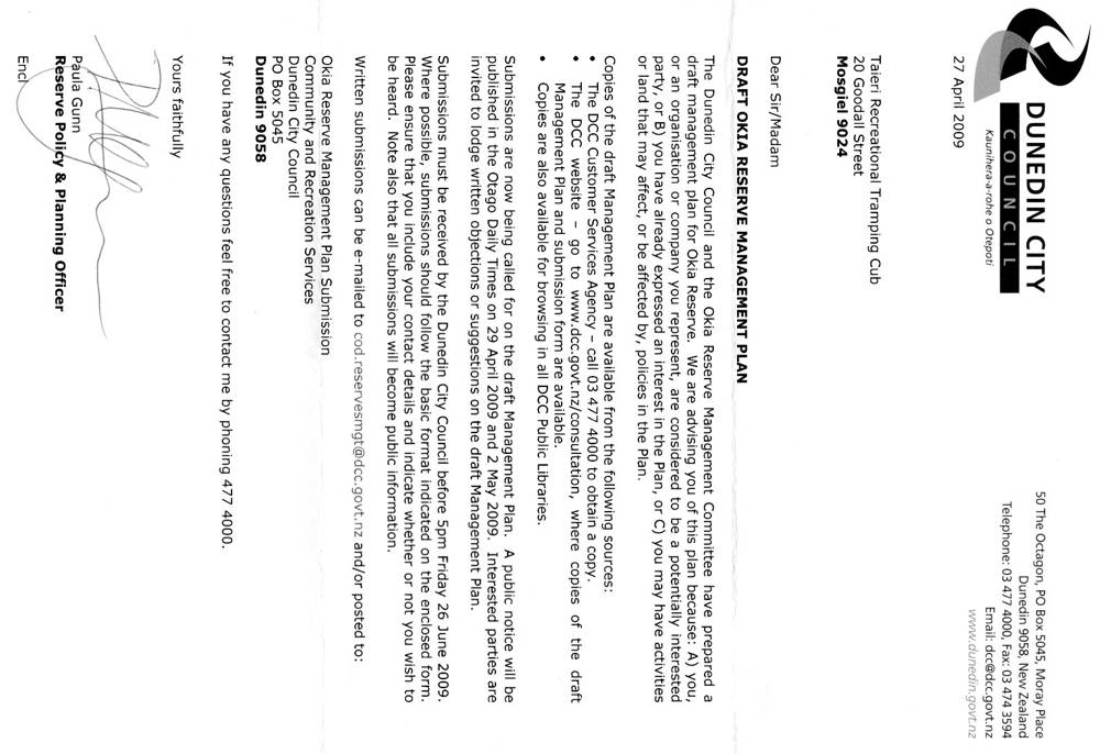
The DCC letter below includes the URL to click on for the draft management plan or you can click on consultation to find your way there and go on to download a submission form if necessary.
Doesn’t appear to restrict our club’s tramps in any way, as far as I can see.
Sorry about side rotation – can’t manipulate website to align otherwise. click to enlarge
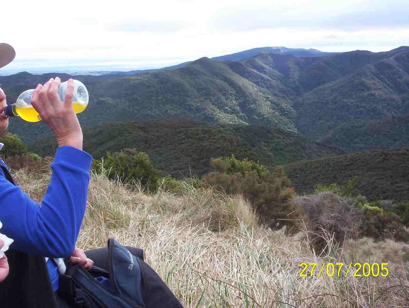
6. 27/7/2005 Rollinson Road. Elbow. Rollinson Track. Turn off down to Rain Gauge Spur. Leaders: George, Dorothy S
View from Raingauge Spur
5. 1/5/1991 Elbow – Swampy – Raceman. Steep parts. Harder. Alternate route for some. Leaders: Mary McG, Daphne, Bob, Barbara McC
4. 1/11/1999 Silverstream Weir, Raingauge, Elbow, Raceman’s Track. Leaders: Margaret D
3. 17/8/1994. Silverstream Weir, Raceman’s Elbow. Medium. Leaders: Bob H, Peg C, Frances, Jack R 2. 28/4/1993. Silverstream Weir, Elbow, Raceman’s Track. Two groups. Medium or Easy. Leaders: Bob H, Les W, Diana, Joan A. 1. 11/1988 Leader: Peg C
Wendy is quite happy to accept Elaine’s offer to take further orders so …
For club T-Shirts, either email (click) or phone Elaine your order and she will see if she can get a further bulk lot – so be in. Cut-off date: Friday 20 March.
21/2/2009 RELAY FOR LIFE – in support of Colleen. Logan Park. Leaders: Peter and Wendy.
As it turned out – it rained, and the difficult conditions led to the event being shortened to 12 hours. A lack of information led to Site 20 proving difficult to find amidst the large number of teams taking part, as was the opportunity to make contributions not all that easy.
Club Members, Joyce, Dot T and Peg C were participants in the first lap of honour.
Lance, Les, Lex, Lois, Margaret, Neil, Peter, Shirley, and Wendy took part in later laps at different times. Thanks to these people for turning up and taking part in the difficult circumstances.
No. 77 on old hardcopy list of 113 club tramps. “Sawmill – Taieri Mouth Rd Return John Bull (fish) Year Round”
Location: 33 km
18/2/2009. Trampers. Sawmill Road, Gortons Farm, Finlayson Road, Kennedys, John Bull Track, Taieri Mouth. Medium+. Leaders: Keith, Glenice
Park at Knarston Park.
(Click to enlarge)
This time we left the cars at Knarston Park and walked around Moturata Road to turn up Sawmill Road and through Gortons Farm, in one of whose buildings, still there, Lex and Ian recalled attending their church’s Easter Weekend retreats in the 1940s!
On parking our cars at the Nicols Creek bridge we were amazed to find a whole new set of tracks up the creek’s true left made by Mountain Biking Otago. This part had been discovered by our leaders only at the end of their recce so for us it was a recce in itself. The tracks (open to walkers too) zigzagged and zigzagged up the slope on a gentle gradient which although easy walking added a considerable distance to the day. But it was fun. See Nicols Creek tracks for details – click on Image Gallery for an endless supply of photos of the tracks. Well, that was track number one.
We eventually latched onto Moon Track further up and sat down to morning tea with Ferrero Rocher chocs slipped into Ian’s pack by Lex earlier to celebrate Lex’s 80th birthday.
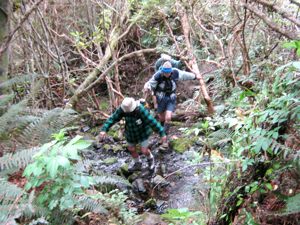
and almost immediately across and down McQuilkin Track. This was well cleared but two or three nasty bush crashes across the track made for some scratchy scrambling through. Wish we had brought our pruning saws. We joined Possum Busters and made our way round the track to where it links with Possum Hunters where we lunched at 12.30. On the way we made the three familar McQuilkin stream-crossings and the fourth came shortly after lunch
McQuilkan creek cross No. 4
McQuilkan creek crossing No. 4. Doug, George
and the second treat of Lex’s chocs. Again we struck several bush falls across the track (where were those saws?) and reached the bottom of the Jim Freeman.
It proved just as steep (or steeper? – as we age!) as it ever was. There were one or two Rhodo blossoms on the track but none on Bruce Campbell’s bushes that we passed up. Then it was onto the Ben Rudd track and up to the Firebreak. Down along that and across to the Pineapple
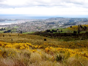
View of Dunedin.
View of Dunedin.
and then steeply down to where we reached the place to strike left and down through the long Spring cocksfoot to where our leaders had cleverly located the almost hidden entrance to the bush track that would lead us through to the Nicols Track that took us down the creek’s true right to the cars. The wind on the top kept us from over-heating. To repeat, the highlight of the day had been the discovery of Mountain Biking Otago’s work-in-progress of its ambitious biking tracks, making for a surpising addition to our day out. – Ian