8. [chat] with the owner of one of the houses up the Chalkies track road. He tells us that the grumpy one has now gone, & the new owners are quite ok with groups like ours going down [or up] the track through their properties, then down [or up] their driveway. I think permission should still be sought first though, especially for the first time at least. – Ken, date 10/9/2014.
Loop blocked by owner of one of two houses in Dodds Gully. (4/5/2005)
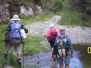
7. 4/5/2005. Hikers. Chalkies area. Leaders: Colleen, Betty B, Nancy
6. 17/9/2003. Trampers. Chalkies. Medium. Leaders: Wendy, Molly.
5. 1/9/1999. Chalkies Loop Track. Leaders: Claude, Myrie, Ian
4. 11/11/1998. Chalkies – round trip. Leaders: Doug J, Irene, Molly
3. 27/8/1997. Chalkies Track. Leaders: Jack R, Claude, Irene.
2. 13/12/1995. Chalkies. Park cars at Judy C’s – bring a plate – lunch on lawn at Judy’s.
1. 26/7/1995. Chalkies. Medium. Leaders: Ted, Les W, Rob C, Eleanor B