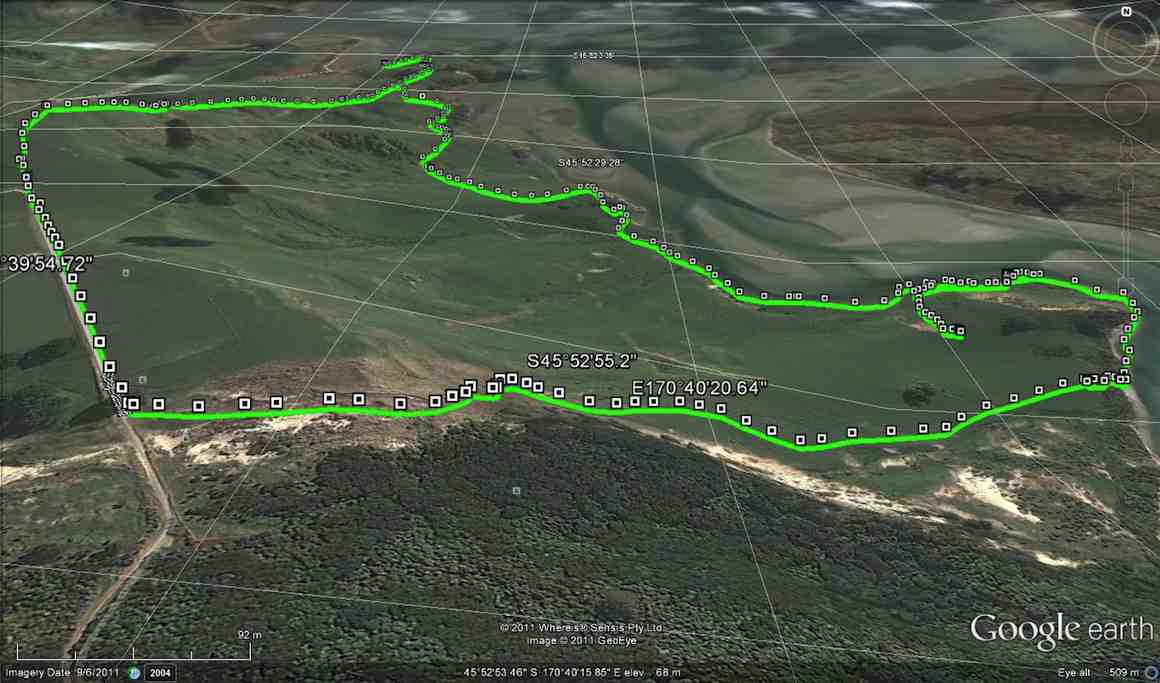
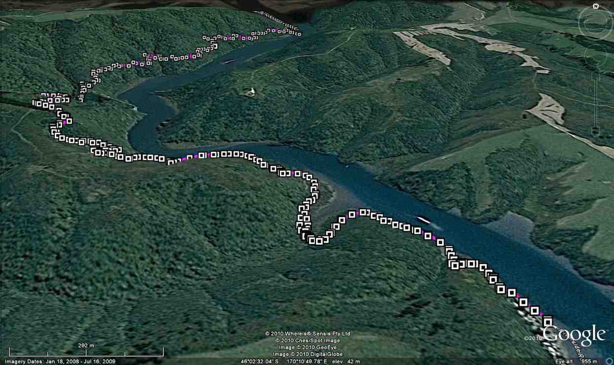
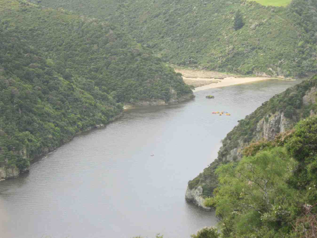
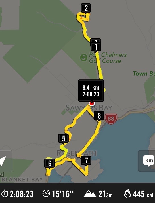
17 km from car park.
City to Surf – Information and Trips Library
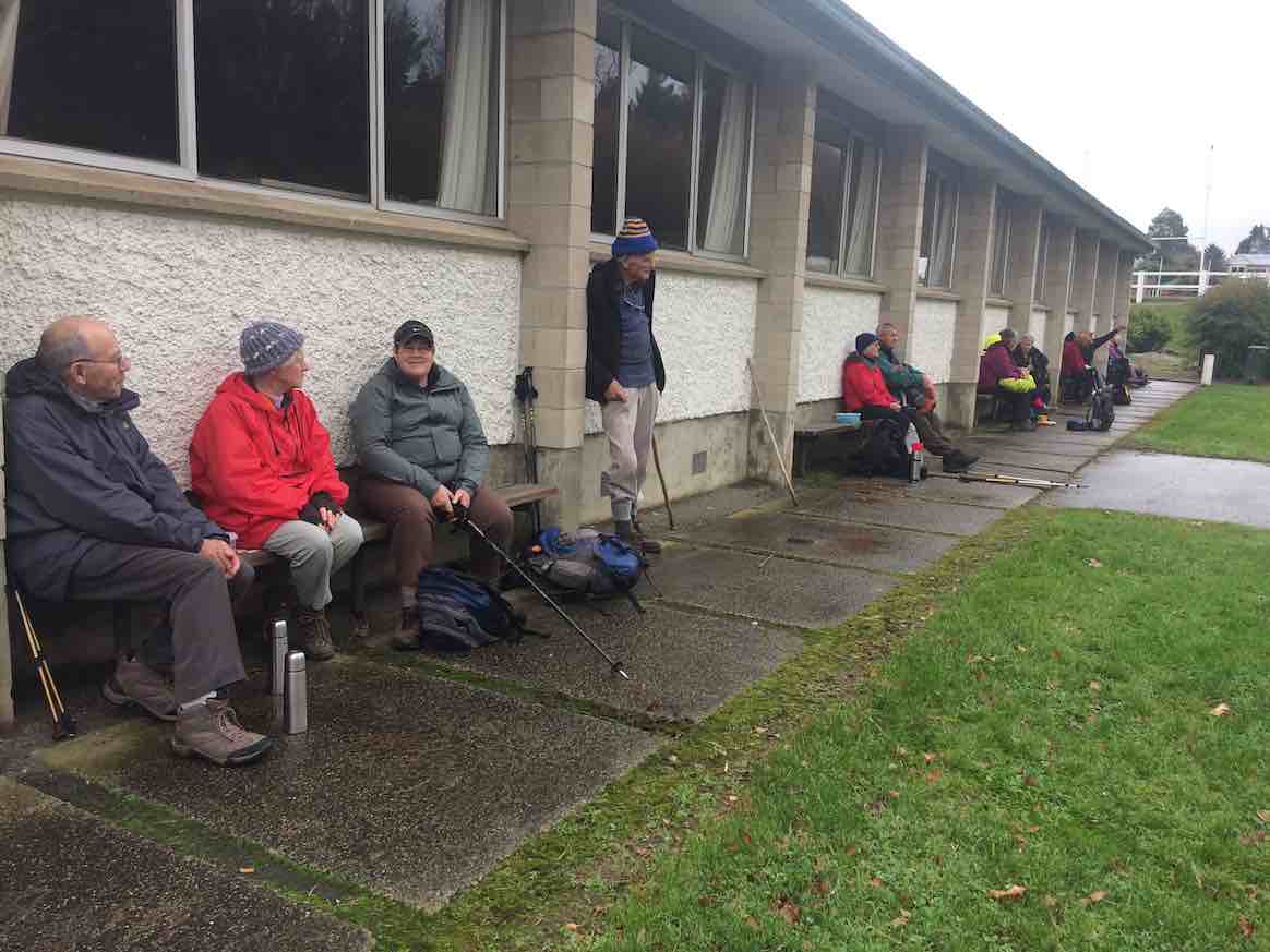
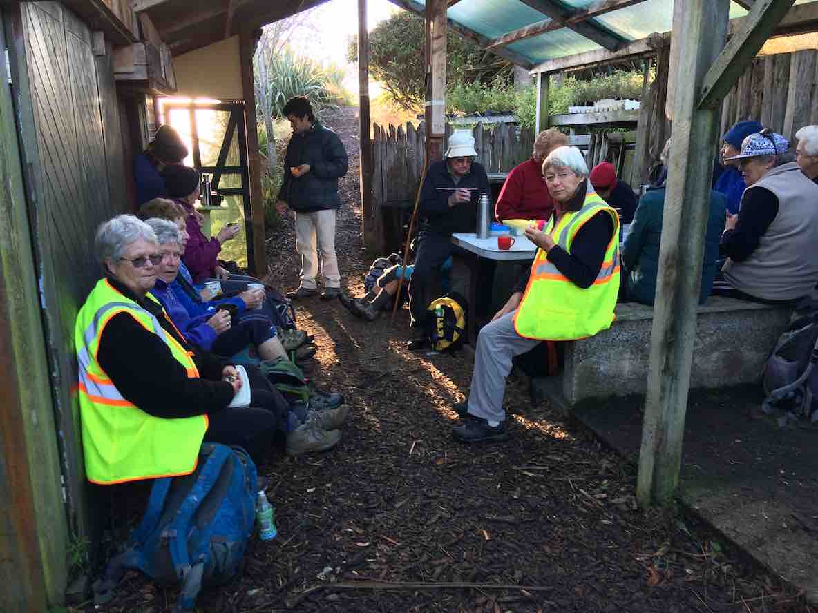
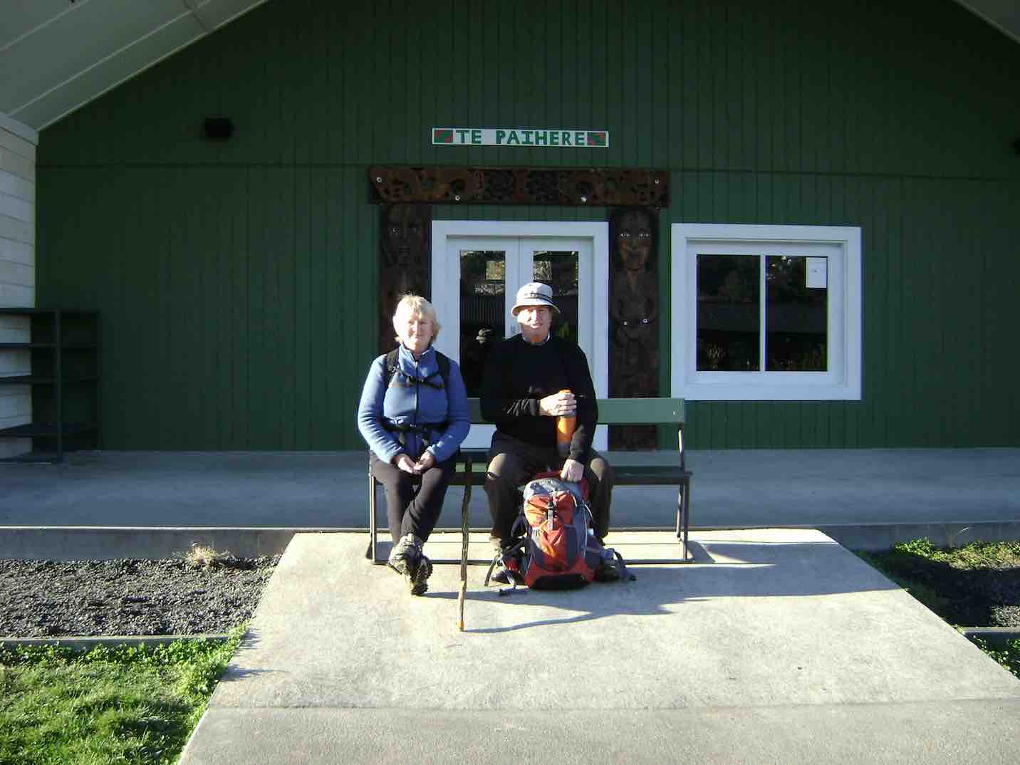
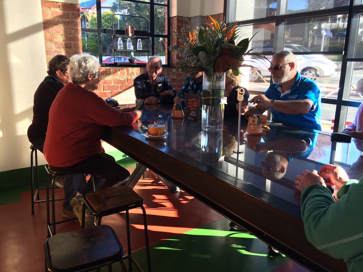
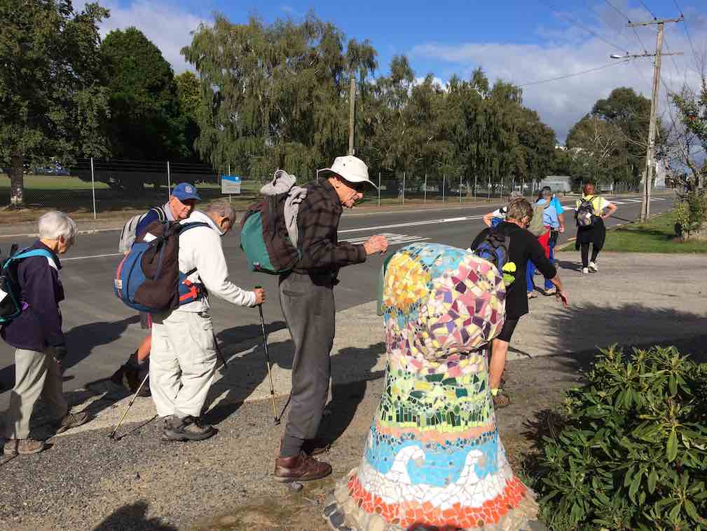
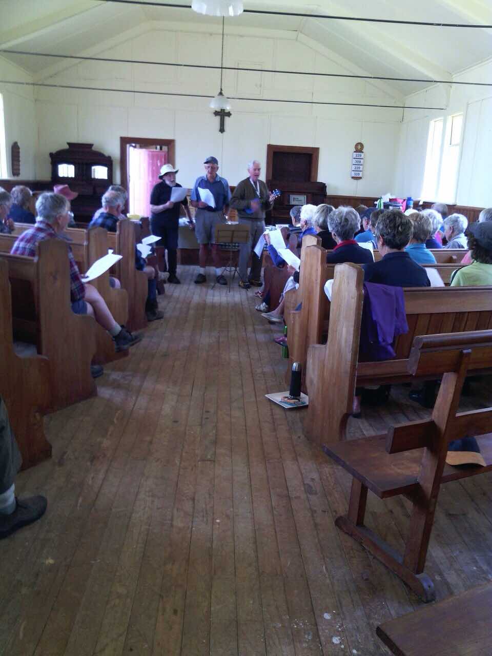
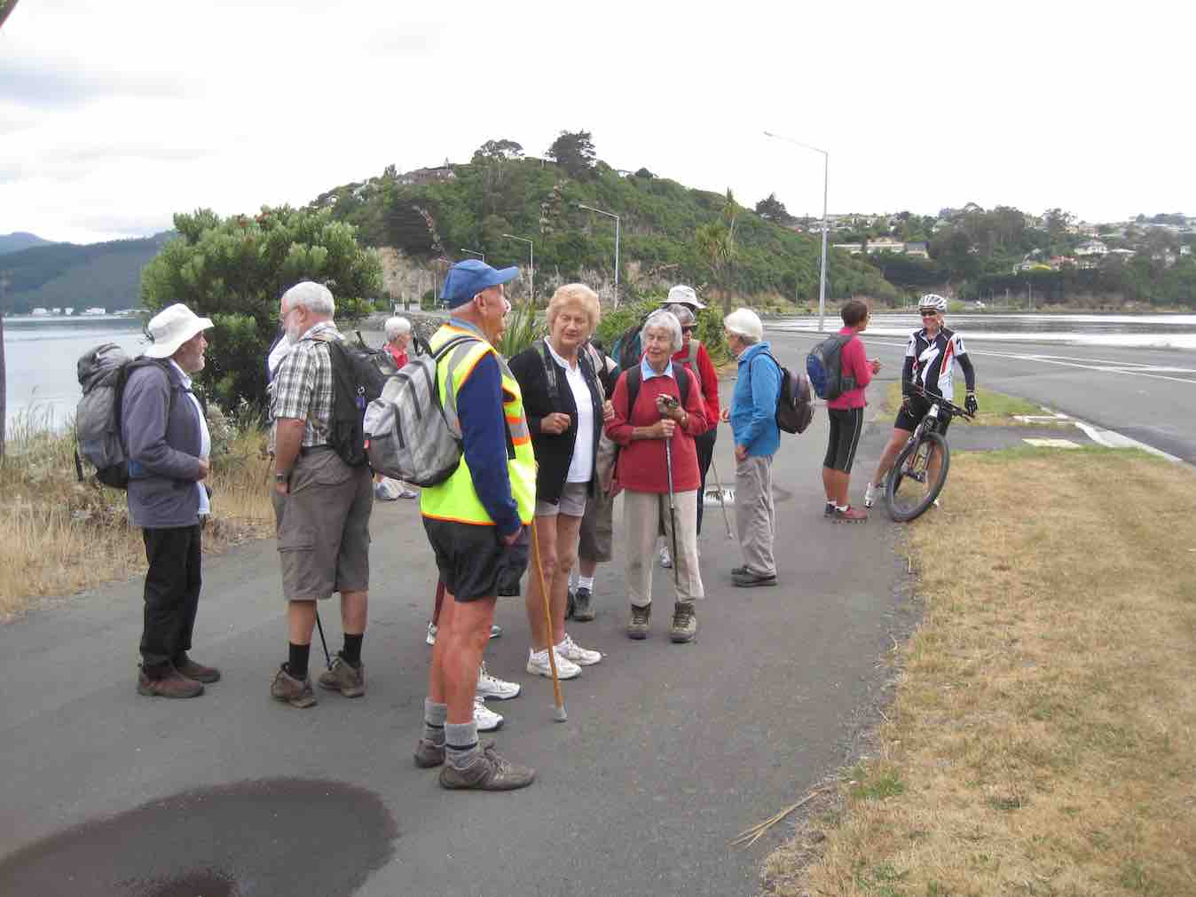
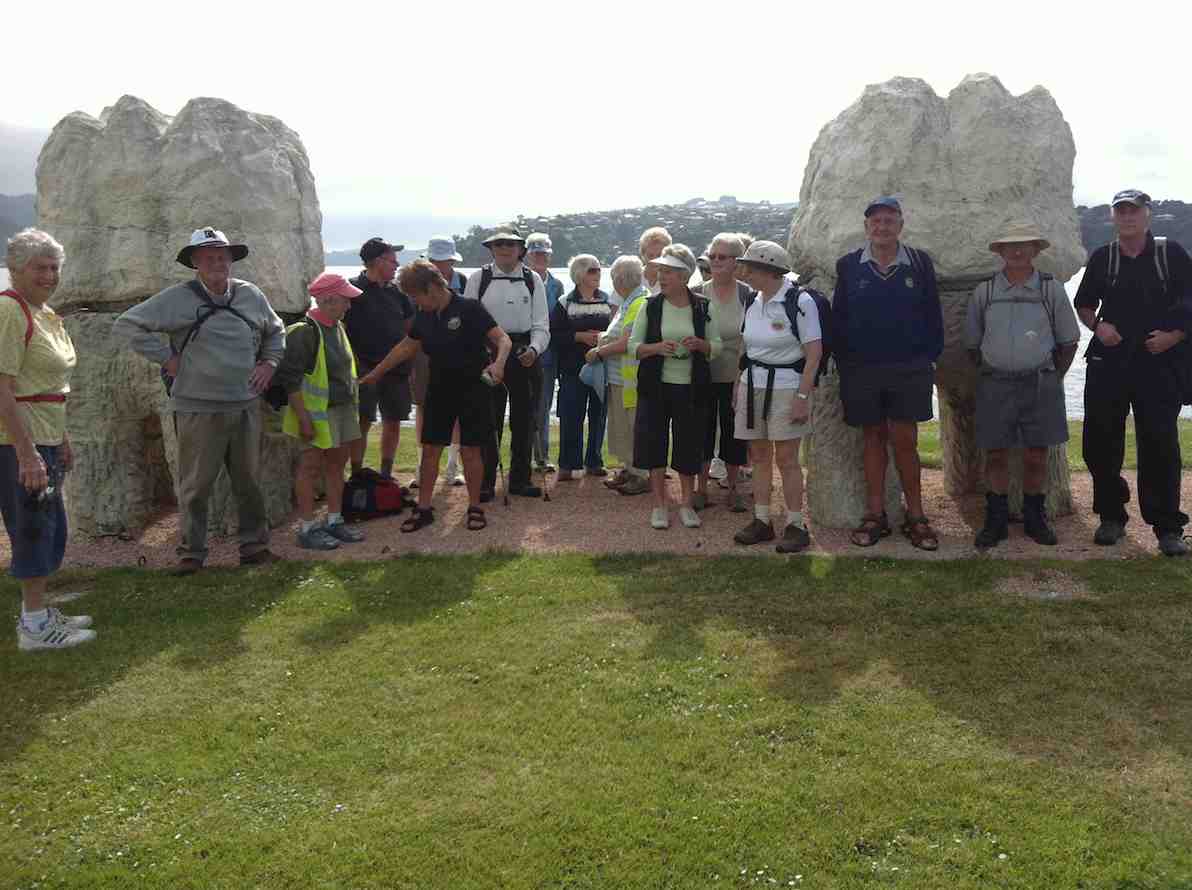
3. 20/9/2017. Hikers. Portsmouth Drive to Marina. E. Leaders: Judy and Dorothy.
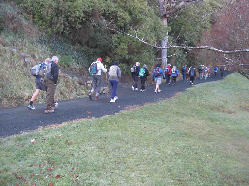
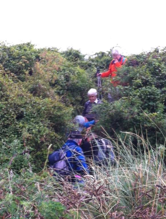
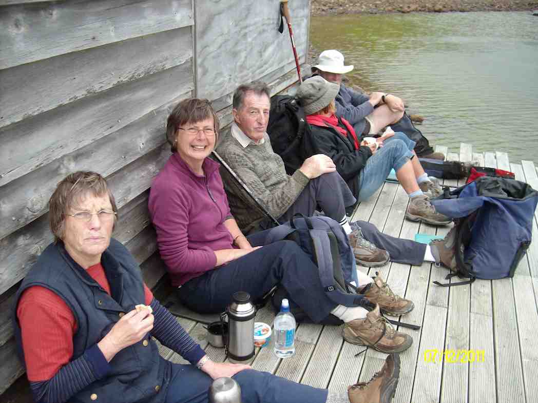
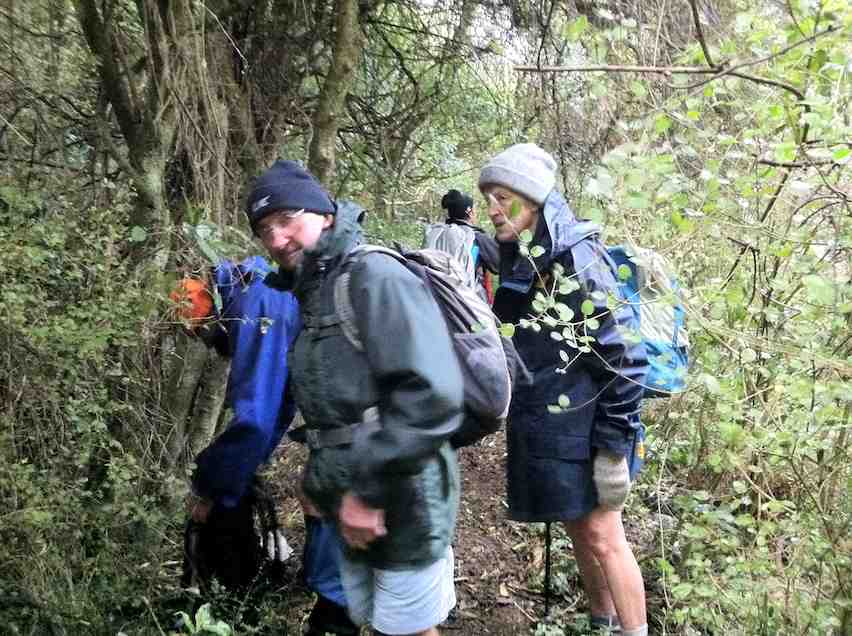
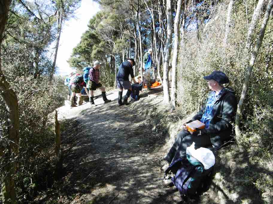
Twelve harbour strollers, went to Andy Bay.
We parked beside the inlet – it was a windy day.
Along the Portsmouth Drive we went, trudging in a row.
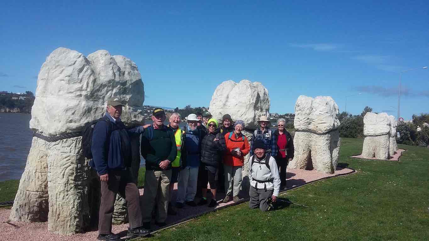
We passed the harbour molars, and onward we did go.
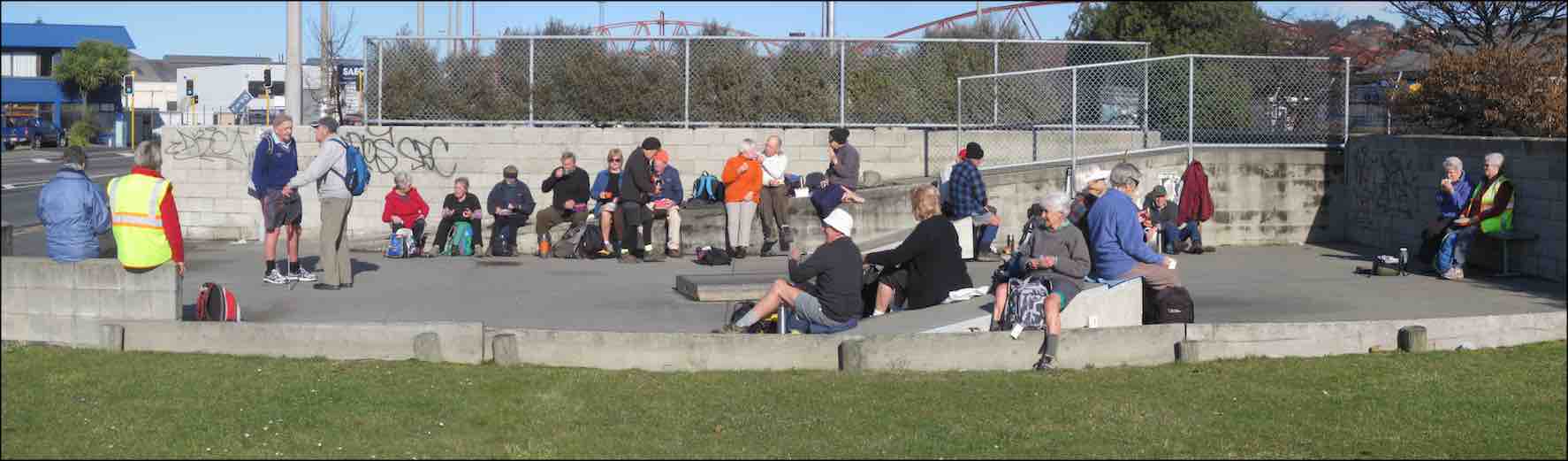
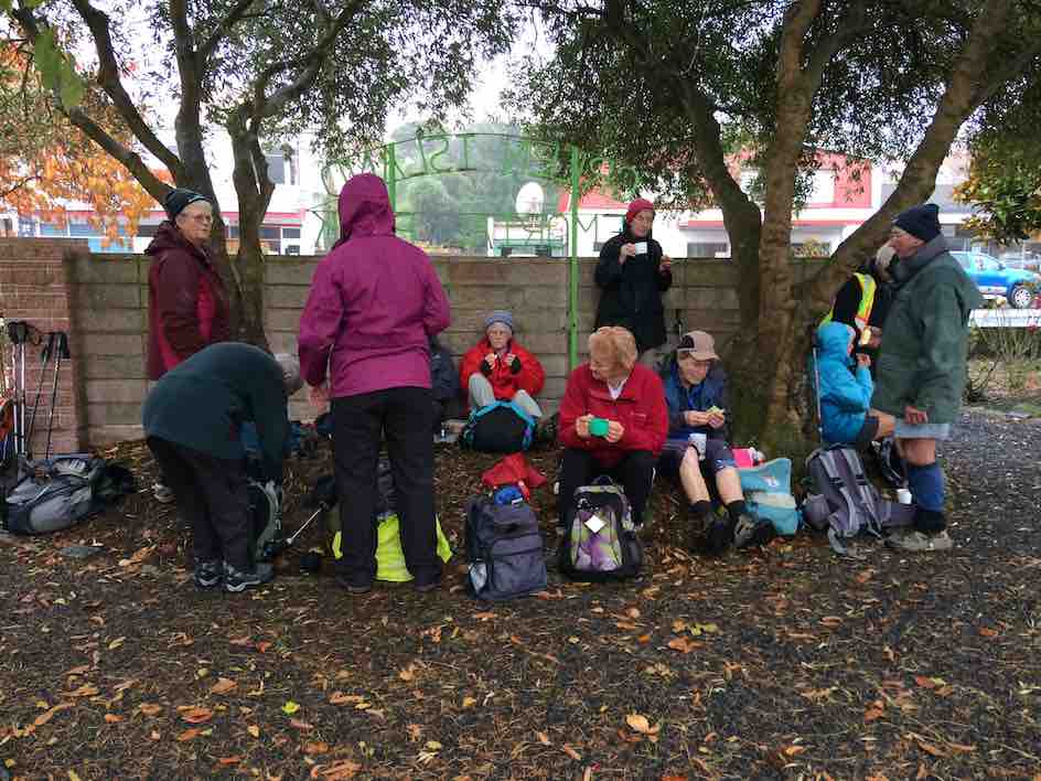
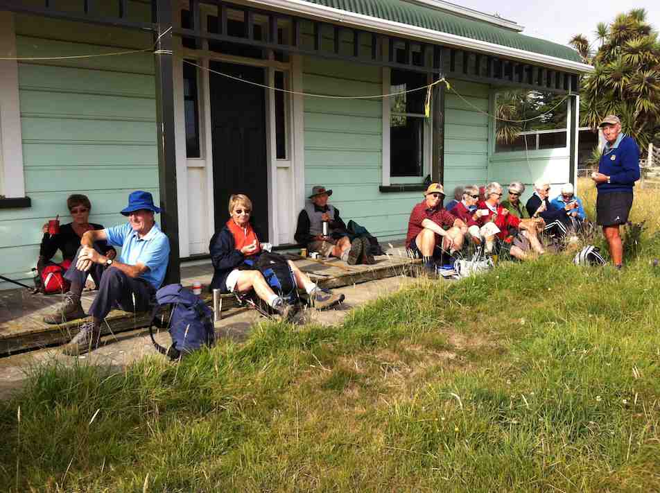
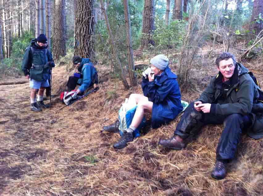
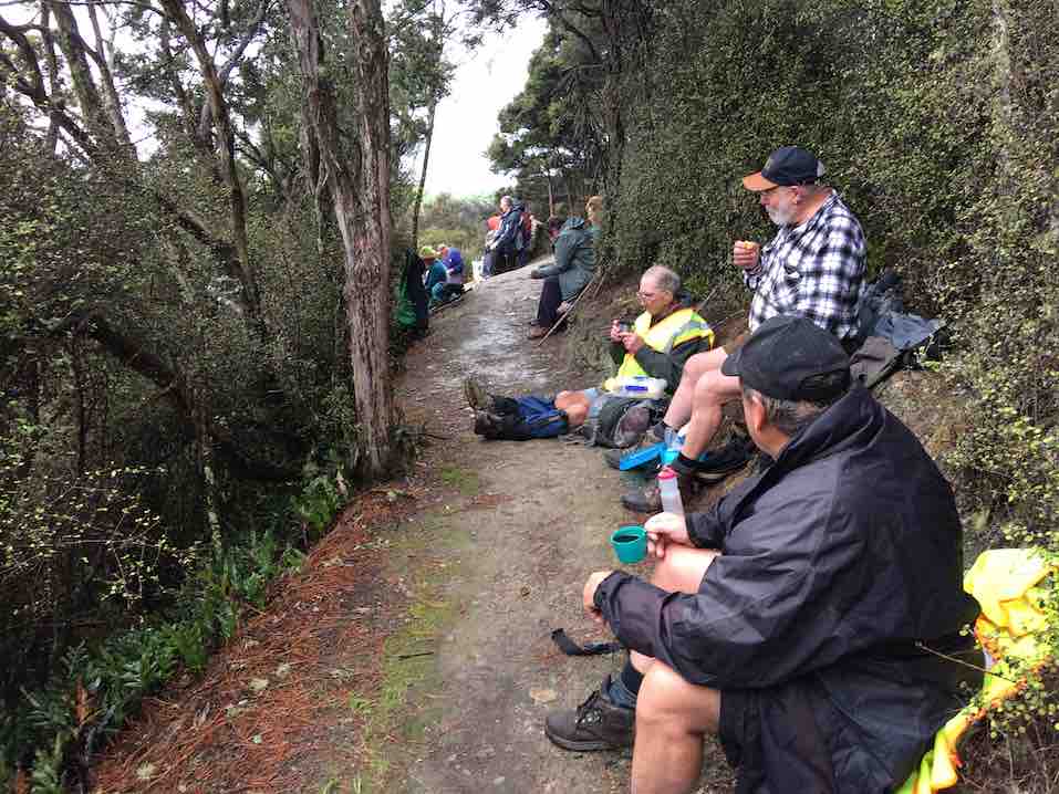
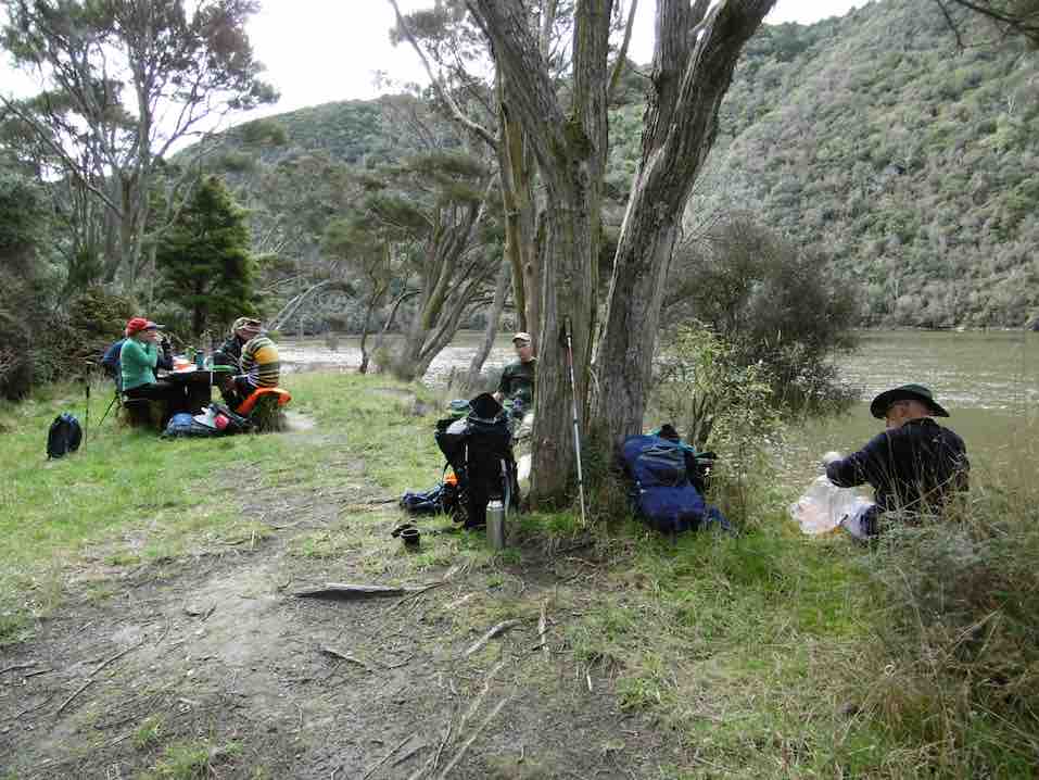
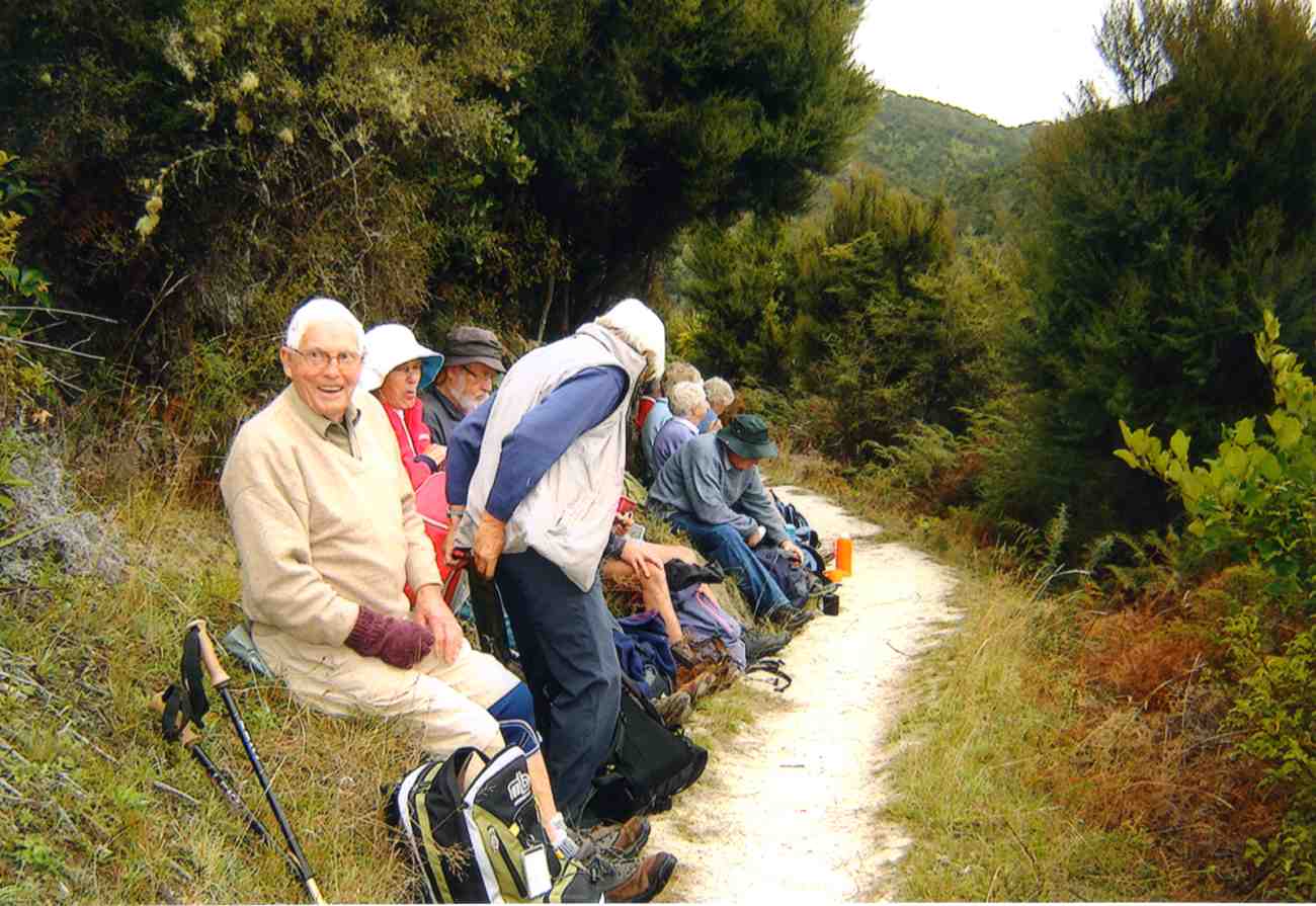
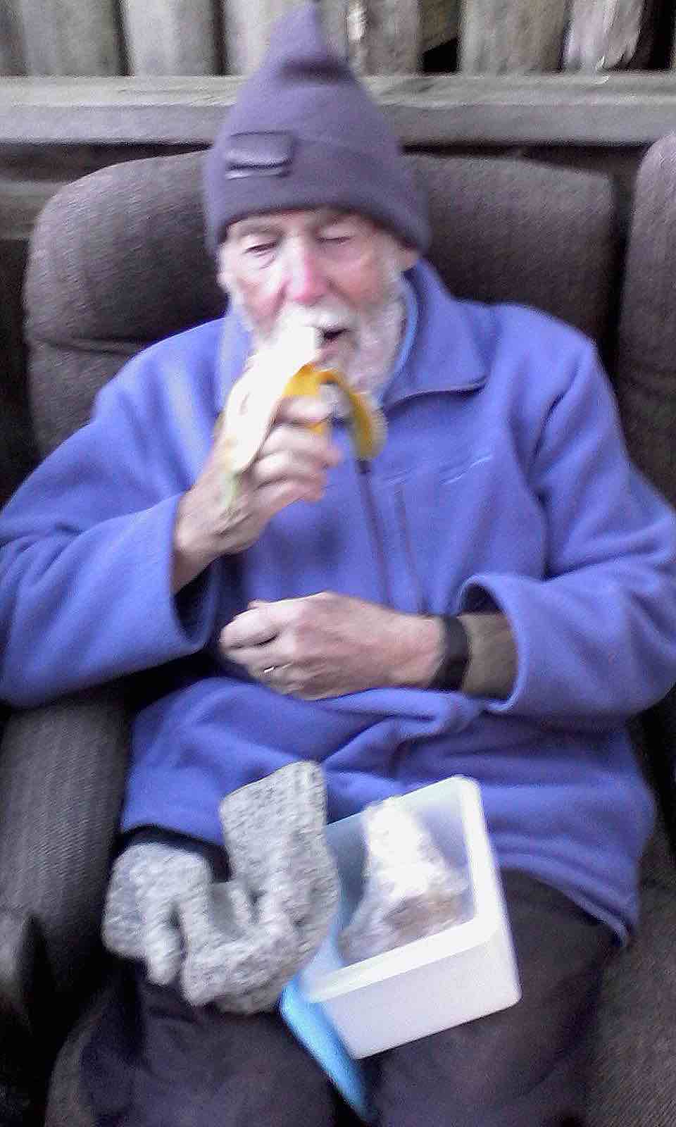
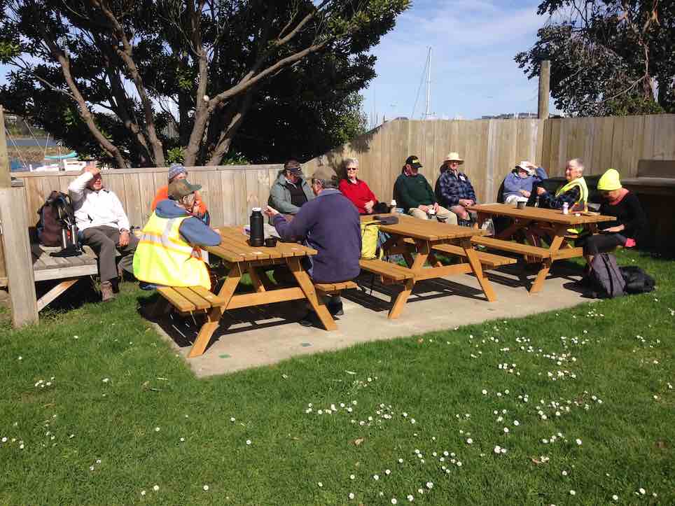
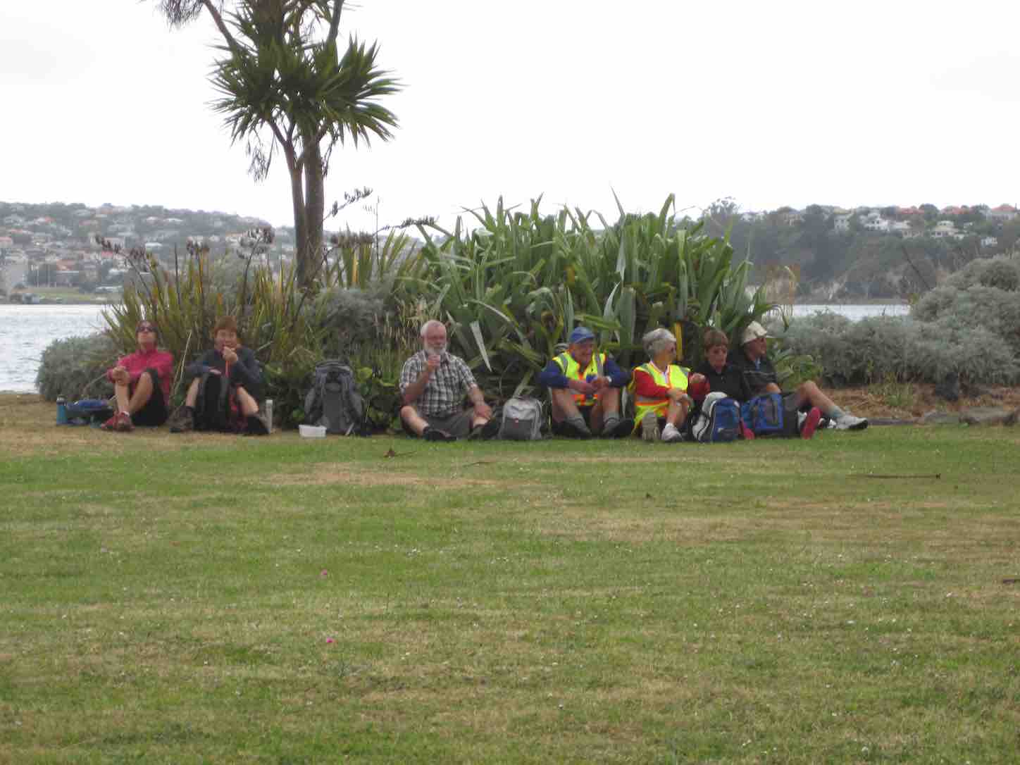
A sunny sheltered spot was found, and morning tea was had,
Relaxing in the sunshine, it wasn’t half too bad.
Then on we went, around the wharves, and round the harbour basin –
We found that walking in the wind, was really somewhat bracin’.
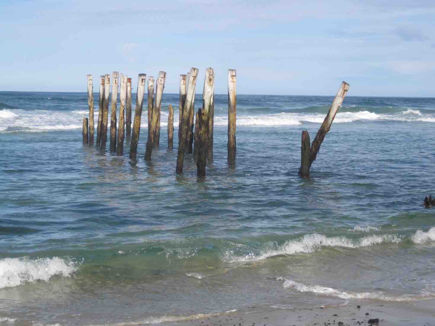
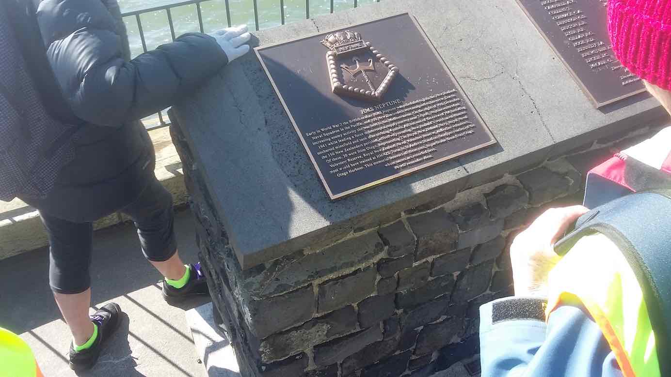
We viewed the plaque in memory of “Neptune”, sunk in war.
She hit a minefield in the Med, and then she was no more.
On we went and onwards, across the Leith we strode,
Then Clive led us along the groyne, to where the water flowed.

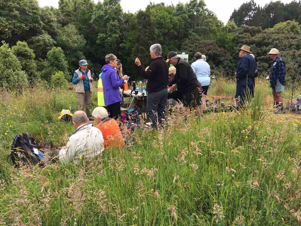
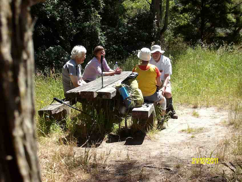
Back around the boat harbour, some picnic tables found,
For lunch and chatter in the sun, then homeward we were bound.
A cracking pace was soon set up, the wind was at our backs.
Perhaps the increase in our pace, was due to lighter packs?
We viewed a lot of logging trucks, a queue a mile long –
Sending all those logs away, we feel it is quite wrong.
A photo stop was taken, beside the harbour molars –
And so we coined the title, “The Mosgiel Harbour Strollers.”
The cars in view, we stepped it out and headed fast for home.
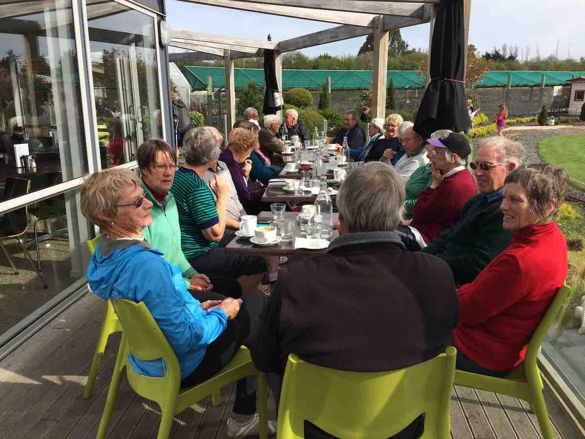
A coffee stop at Blackstone – and then I wrote this “pome”….
(Well, try to find a better rhyme!) – Judy.
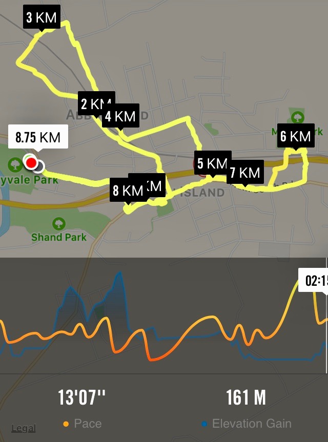
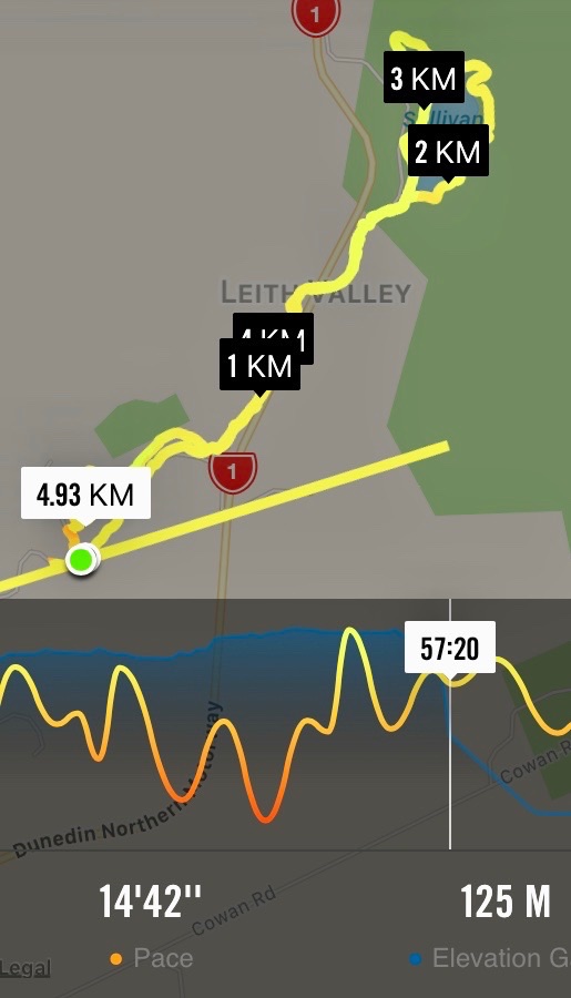
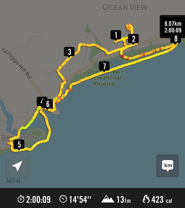
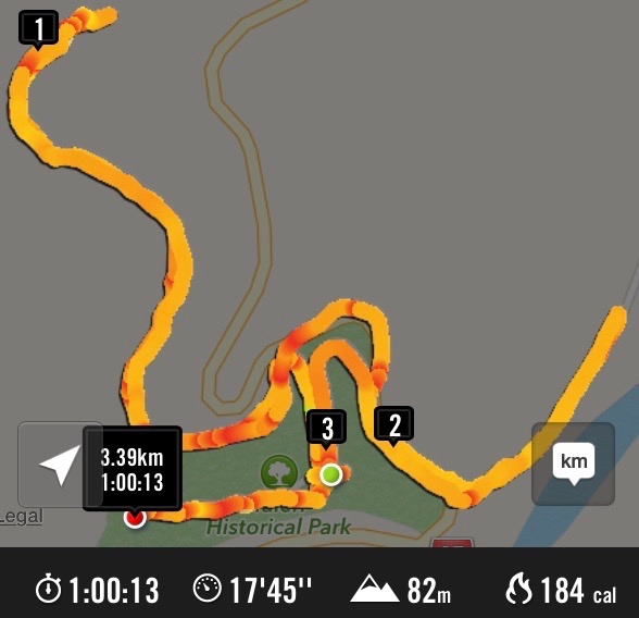
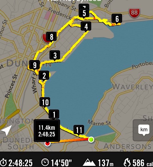
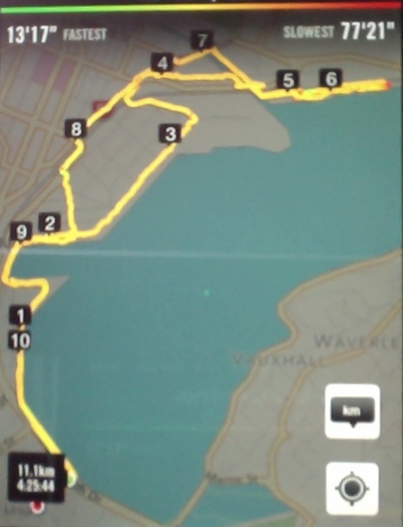
Stats for the day: 11.7 kms; 3 hours and 4 minutes walking time; 480 calories. – Clive.
2. 14/1/2015. Hikers. Portsmouth Drive to Marina. E. Leaders: Peter and Wendy.
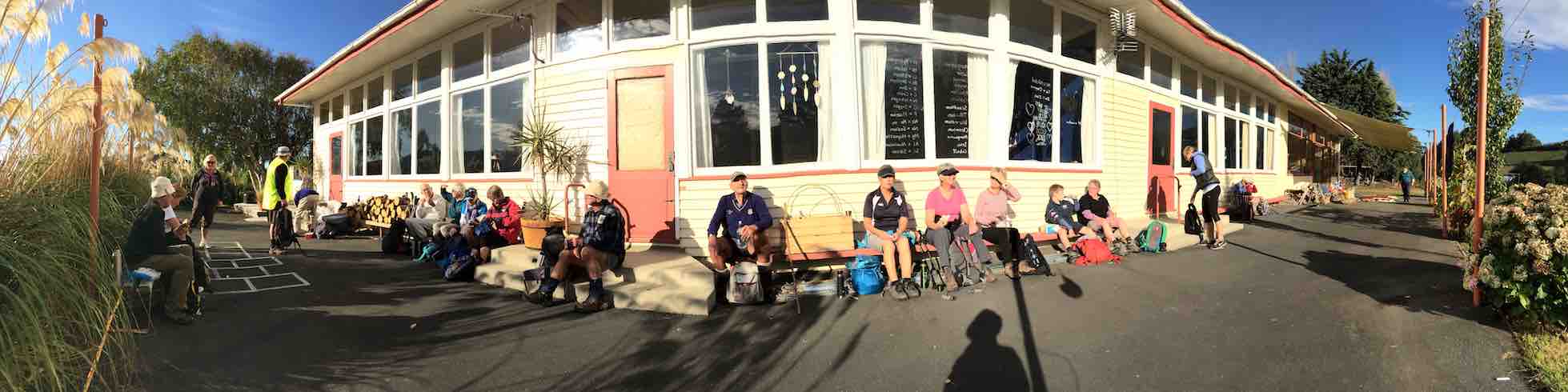
We parked in the carpark by the Bayfield High School. And 21 of us set out.
We walked along Portsmouth Drive past the molars, turned down Kitchener St, huggiing the harbour edge and stopped off for morning tea.
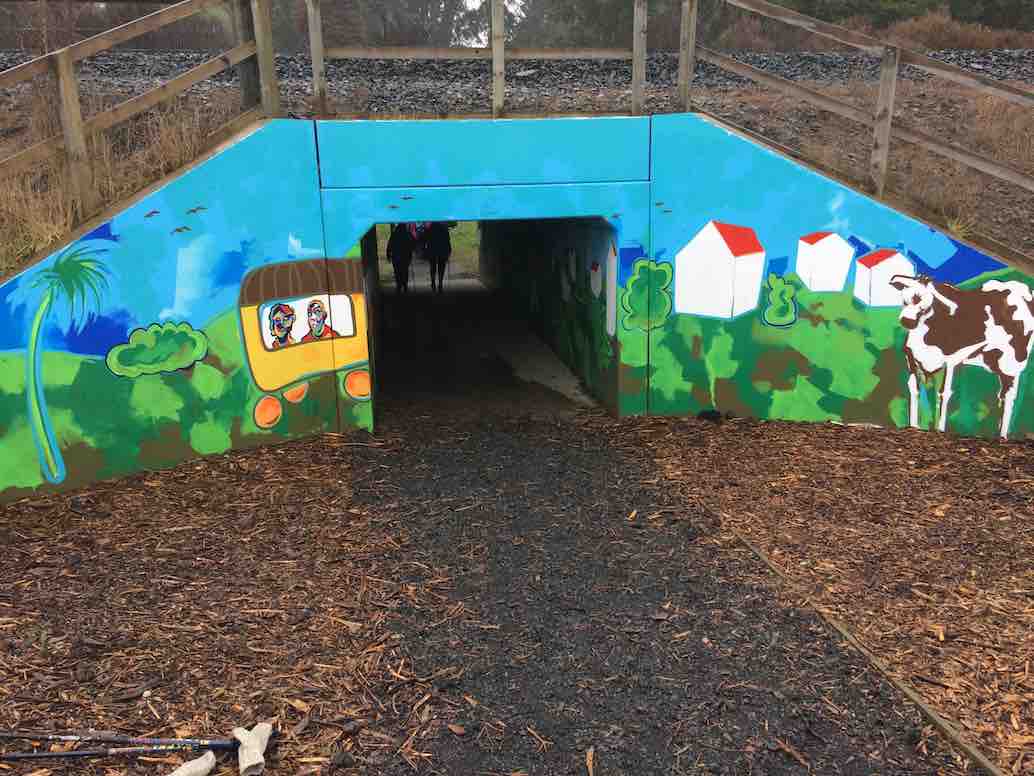
Carrying on, we turned round into Birch St, across the top of the harbour basin then down along Fryatt St almost to its end. Then it was up Wickliffe St, across the railway overbridge, briefly on Anzac Avenue, down Parry …
…and Minerva Streets to cross the Leith on SH88 bridge, and on the north side to turn under the bridge and out along Magnet St to get to our lunch stop at the Marina.

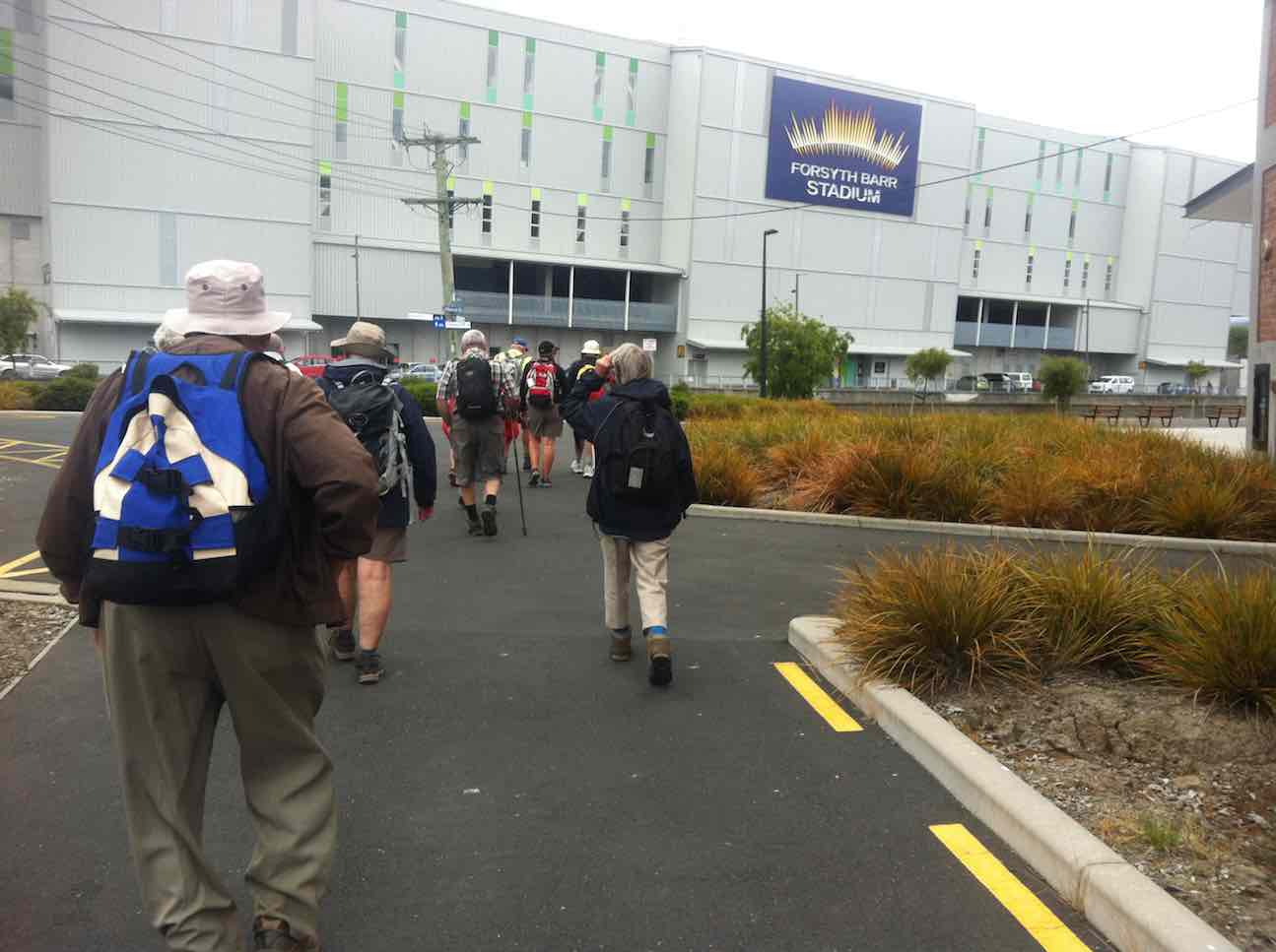
On our return, we walked the length of Anzac avenue. Then onto the railway station platform, where Dorothy performed a most believable but all too brief strut down the catwalk. Out at the other side, on past Toitu Settlers Museum and along the grassy verge ahead where we stopped, briefly thwarted by the railway bridge overpass pathless on-ramp ahead. So it was across all four laned SH1 Cumberland St, with the assistance of the lights further back. This safely accomplished, it was Les and Peter led us up Water St, along Vogel St, back down Jetty St and onto the pedestrial spiral ramp to get us onto the bridge. Then via Birch St, Buller St and French St we rejoined Kitchener St which took us back out onto Portsmouth Dr and back to the cars. From talking to one or two others, I must say coming to the end of eleven kilometres on hard pavement had taken its toll of leg muscles, on this the first tramp after the holidays. A good walk, not too hot or windy. Thanks to Peter and Wendy for a good start to the year. – Ian.
1. 20/11/2013. Hikers. Midland St, Portsmouth Drive to Marina. Leaders: Bev and Chris.
The walk was most inventive and interesting, leading us along back streets few of us had ventured on before. We parked at the bottom of Midland Street where we could cross onto Portsmouth Drive with the safety assistance of traffic lights. The laying of cable along the walkway forced us onto a less inviting traffic-coned path along the road till we returned to the walkway at the molars.
A little further on we turned down to the length of Kitchener St turning left up at its end into Birch St to join Wharf St esplanade and have morning tea on the seats, to admire the inner harbour view as well as a gentleman, lent back on a camp seat, fishing, hat over face, asleep.
A happy surprise was Lex sharing round chocolate marshmellows in anticipation of his 85th birthday the following day.
Then it was up and on again, down virtually the entire length of Fryatt St to turn left up Wickliffe Street and over the elderly railway overhead bridge, down the other side to the right, and to stop and admire (?) the special road-coned entrance/egress of Hall’s work-yard and the still-hooded traffic lights. We gingerly made it across Anzac Ave, across Frederick St, back again across Anzac Ave to join Parry St, make way across the SH88 Leith Bridge very wide pedestrian walkway, down, back, under the bridge and along Magnet St. (4 km)
and the Harbour Walkway (5 and 6 kms) to lunch at the northern end of the map in what shelter we could find from the nor-easterly wind.
We retraced our steps to the SH88 Bridge underpass, this time following the Leith bank up to Anzac Ave (7 and 8 kms)
which we followed right to the St Andrew St lights where we turned down along it to the roundabout, followed Mason St, then into Tewsley St and into Fryatt St to retrace our route alongside Wharf St (9 km), Birch St, Kitchener St and Portsmouth Drive back to the cars. 11 km in all. The harbour wind-blast along Portsmouth Drive almost blew us off our feet. Many thanks to Bev and Chris for a varied and interesting streets exploration around a corner of the harbour. – Ian.