Swampy Tracks – Information and Trips Library

Scope:

This page of club tramps and hikes in the area of Whare Flat and groups together trips to tracks east of Rollinsons Road and includes the following tracks: Ben Rudd, McQuilkans, Possum Busters, Smithys, Swampy Summit Swinespur, (map)

Background Information:

Road distances from Mosgiel carpark.

TRTC Grading Information – trips incorporating these tracks are generally given a TRTC grading of about 3. This is indicative only, as trips can be allocated a higher or lesser grading depending on the route taken. For more detailed analysis refer to Grading Information.

Swampy ridge track background information.
Ben Rudd Property and the Otago Tramping Club Inc

Links to tramps and hikes in this area:

11/02/2026. Jim Freeman McQuilkans Swampy Summit Track Rolleston Road Circuit. Grade 4. Trampers. Leaders: Phil Morris and Carolyn Pridham.

Rollinsons Rd Locked gate, Swinespur, Swampy Ridge, McQuilkans, Smithies. 2024 – 2009 (5 trips, all with reports and photos)
Rollinsons, Swampy, Swine Spur. 2019 – 1989 (8 trips, 4 with reports and photos, 4 with no reports or photos)
Swampy from Access/Rollinsons Road. 2013 – 1989 (4 trips, 1 with report and photos, 3 with no reports or photos)
Possum Busters and nearby tracks tramps. 2021 – 2000 (10 relevant trips, 9 with report and photos, 1 with no report or photos)
Moon, McQuilkan, Possum Hunters, Jim Freeman, Pineapple, Nicols 26/11/2008 (1 trip with report and photos)


Lower Silverstream (inc Invermay) – Information and Trips Library

Scope:

This page of club tramps and hikes in the Fairfield, Green Island and Mosgiel surrounds area and groups together trips incorporating Lower Silverstream and Invermay.

Background Information:

Road distances from Mosgiel carpark.

Access Permissions are required for trips incorporating Invermay- refer guidelines

TRTC Grading Information – trips incorporating these tracks are generally given a TRTC grading of about 2. This is indicative only, as trips can be allocated a higher or lesser grading depending on the route taken. For more detailed analysis refer to Grading Information.

Former Foot-bridge over Silverstream. Also Swing-bridge

Links to tramps and hikes in this area:

Lower Silverstream tramps. 2023 – 1996 (23 trips, 8 with report and photos, 5 with reports only, 8 with no reports, 2 with photos only)
Invermay/Silverstream 29/6/2022 (1 trip with report and photos)


South Waikouaiti River Track – Information and Trips Library

Scope:

This page of club tramps and hikes in the Silver Peaks area groups together trips to the South Branch of the Waikouati River (maps)

Background Information:

Road distances from Mosgiel carpark.

TRTC Grading Information – trips to the South Waikouaiti River track are generally given a TRTC grading of 4. This is indicative only, as depending on the route taken, allocation of gradings can differ from this. For more detailed analysis refer to Grading Information.

How To Get There:

Take the Northern Motorway to Waitati and just past the store take a left turn onto Double Hill Road. Continue on this road which merges into Semple Road and onto Mountain Road. Access to the track is via a steep incline off Walkers Road located on the left off Mountain Road.

Links to tramps and hikes in this area:

15/10/2025. South Waikouaiti River Track. Grade 4.     Trampers Leaders: Ross Davies, Neil Hodgkin.

Mountain Road / South Waikouaiti River. 2024 – 2021 (2 trips, both with reports and photos)


Jubilee Hut Trips – Information and Trips Library

Scope:

This page of club tramps and hikes in the Silver Peaks area groups together trips to Jubilee Hut (incorporates Christmas Creek, Silverpeaks Station, Lamb Hill, Mt John). (map)

Background Information:

Road distances from Mosgiel carpark.

TRTC Grading Information – trips to Jubilee Hut are generally given a TRTC grading of 5. This is indicative only, as depending on the route taken, allocation of gradings can differ from this. For more detailed analysis refer to Grading Information.

Access Permissions are required as this trip ventures over a working farm – refer guidelines

How To Get There:

Jubilee Hut is located in the Silverpeaks areas and can be accessed by numerous tracks. TRTC preferred access is via Hindon via Silverpeaks Station and Christmas Creek.

Taking George King Memorial Drive (turn right after crossing the bridge over the Taieri River just out of Outram) and follow the road past Lee Stream.  Turn right onto Hindon Road which descends to the Hindon Railway Station. Cross the Taieri River (via rail/road bridge) and take to Silverpaeaks Station and parking.

Links to tramps and hikes in this area:

25/02/2026. Jubilee Hut from Silver Peaks Station. Grade 5. Trampers. Leaders: Martin and Robyn Hickley.

Silverpeaks Station to Jubilee, Orange & Mount John Huts. 2020 – 1999 (7 trips, 5 with reports and photos, 1 with photos only, 1 with no report or photos)


Lawsons Farm Trips – Information and Trips Library

Scope:

This page of club tramps and hikes covers trips on the North Coast north of Dunedin City, Waitati involving club trips to Lawsons Farm. (map)

Background Information:

Road distances from Mosgiel carpark.

Access Permissions are required as this trip ventures over a working farm – refer guidelines

TRTC Grading Information – trips incorporating these tracks are generally given a TRTC grading of 3. This is indicative only, as trips can be allocated a higher or lesser grading depending on the route taken. For more detailed analysis refer to Grading Information.

How To Get There:

Take SH1 North past Blueskin Bay, up the Kilmog Hill and turn left onto Steep Road. Continue on this road to the intersection with Mountain Track Road for parking.

Links to tramps and hikes in this area:

Lawsons Farm. From Homestead. Clockwise or Figure of Eight. 1991 – 2023. 18 trips (9 with reports and photos, 4 with no reports or photos, 4 with photos only, 1 with report only)
Orbells Crossing, Northern Lawsons Farm. 1991 – 2018. 9 trips (4 with reports and photos, 5 with no reports or photos)


West Harbour Walkway – Information and Trips Library

Scope:

This page of club tramps and hikes to the West Harbour area groups together trips incorporating the Otago Harbour cycle/ walk way via Ravensbourne, Mia, Burkes, St Leonards to Port Chalmers.

Background Information:

Road distances from Mosgiel carpark.

TRTC Grading Information – trips incorporating these trips are generally given a TRTC grading of about 2. This is indicative only, as trips can be allocated a higher or lesser grading depending on the route taken. For more detailed analysis refer to Grading Information.

How To Get There:

The Harbour walk / cycle follows the Otago Harbour from Portobello to Port Chalmers. The trips on this post however will follow SH88 and start at Ravensbourne or from the Otago Yacht Club found in Magnet Street (behind Forsyth Barr Stadium).

Links to tramps and hikes in this area:

West Harbour Recreation Trail. 2022 – 2009 (8 trips, 6 with reports and photos, 1 with no report, 1 with report and no photos)


Westside of Flagstaff – Information and Trips Library

Scope:

This page of club tramps and hikes in the Dunedin Central City area groups together trips from to the Westside of Flagstaff, incorporating Speirs Road, Pineapple Track, Davies Track and McGouns Track. (map)

Background Information:

Road distances from Mosgiel carpark.

TRTC Grading Information – trips to the West of Flagstaff from Spiers Road, incorporating tracks on Flagstaff are generally given a TRTC grading of between  4 to 5. This is indicative only, as depending on the route taken, track conditions etc. allocation of gradings can differ from this. For more detailed analysis refer to Grading Information.

How To Get There:

In general these trip often commence on Spiers Road. From Mosgiel take the Three Mile Hill Road to the top where it merges into Taieri Road. Continue on Taieri Road to Spiers Road, located on the left just past the Halfway Bush dairy.

Links to tramps and hikes in this area:

23/04/2025. West of Flagstaff via Spiers Track. Grade 4.5. Trampers.  Leaders: Pam Cocks & Karen McInnes.

Possum Busters and nearby tracks tramps – includes 2 trips to the West of Flagstaff. 12/7/2023 and 24/8/2022 (report and photos included for both)
Spiers Road, Davies, McGouns Creek Extension. 2009 – 2018 (4 trips, reports and photos attached)


President’s Update – April 2024

April 2024 Update: Taieri Recreational Tramping Club 

Hi everyone, as mentioned at this week’s meet n greet, we have had recent Committee and Trip  Committee meetings, so this is a summary of what is happening. 

Welcome 

To Alison Kim and Sandy Webb who have had their membership approved which increases our  health and wellbeing capability considerably! We look forward to enjoying your company. 

From the Committee meeting 

  1. Guests – First Outings – a reminder 

It is in the guidelines that it is the leaders’ responsibility for talking with guests to establish their  capability, medical history and expectations etc. From the Trip Organisation Guidelines:  “Leaders have the discretion as to who participates on the day.” If a member is inviting a guest  to attend, it is their responsibility to contact the leader of the trip so that there are no surprises  on the day. 

Note also, where there is the possibility of bad weather affecting the start of a trip it is not  always possible to get emails out in time on the day. The header to the printed Trip Programme  sets out the process but if in doubt pick up the phone and ring the trip leaders directly. 

  1. Briefing Members on Trip Organisation Guidelines 

It was agreed that we should take five minutes or so every so often, to reinforce key aspects  from the guidelines. Ideally it would be done informally over lunch on walks. Watch this space. 

  1. Locator Beacons 

It was noted that the third locator beacon is now with Phil Keene for use during track clearing if  needed. There are two separate issues to keep in mind with the beacons. The first is possession  and the second is contact people for emergencies and Jenni will check with the authorities as a  first step to confirm who is listed as contact points. 

  1. Ramblers’ Formalisation? 

It was agreed that the status quo is working fine. Those who are wanting to shorten a walk  should communicate with the leaders and as long as there are two or more willing to go back,  then that is considered to be OK. If using separate transport, they should contact the leaders to  confirm they have left the area safely. 

  1. Committee Members Standing for 2024/25 at the AGM. 

In terms of our constitution all positions need to be appointed each year and there is no set  term if elected to any position. Phil advised that he will be standing aside as President (and  would become Immediate Past President) and will continue to coordinate track clearing. John  would be happy to continue in the Vice-President’s role, as would Ross and Jenni in their  respective roles. Jay and Jan, after many years of service, will also be standing down, as will  Karen. Barbara, Pam, and Graeme S would be happy to be nominated again. 

  1. Webteam 

Welcome and thanks to Graeme Souter for taking on this additional role. This brings the number  of Webteam members to five, headed by Ross Davies. They do a professional and important  function for the club. Many thanks.

  1. Fuel Compensation for Track Clearing 

The Committee noted that around 140 hours of track clearing had been undertaken so far this  summer season. In the past, some money had been budgeted to pay members a  reimbursement for using their vehicles for track clearing. Phil moved that we formalise a fund to  compensate for those using their vehicles. This fund would be distributed in the form of gift  vouchers to help offset petrol costs, the value to each worked out at the discretion of the  President bas ed on the record of attendance. The budget for this year was set at $300. 

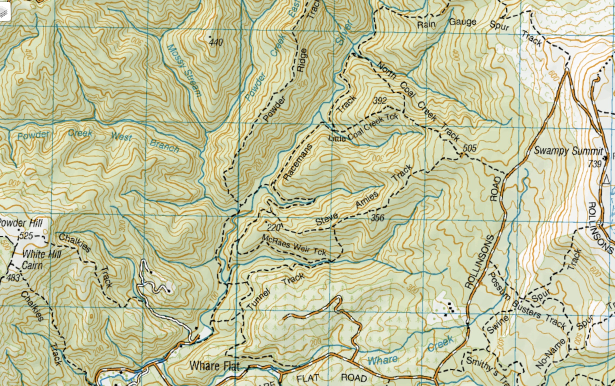
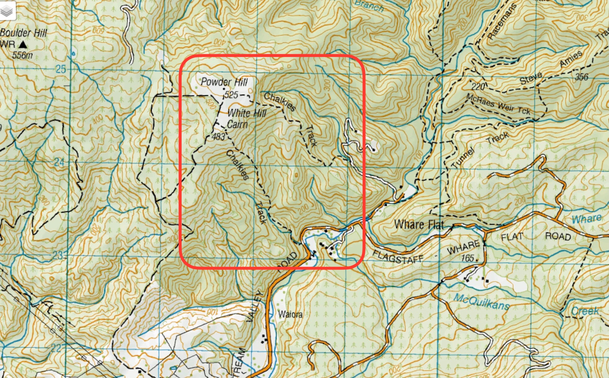
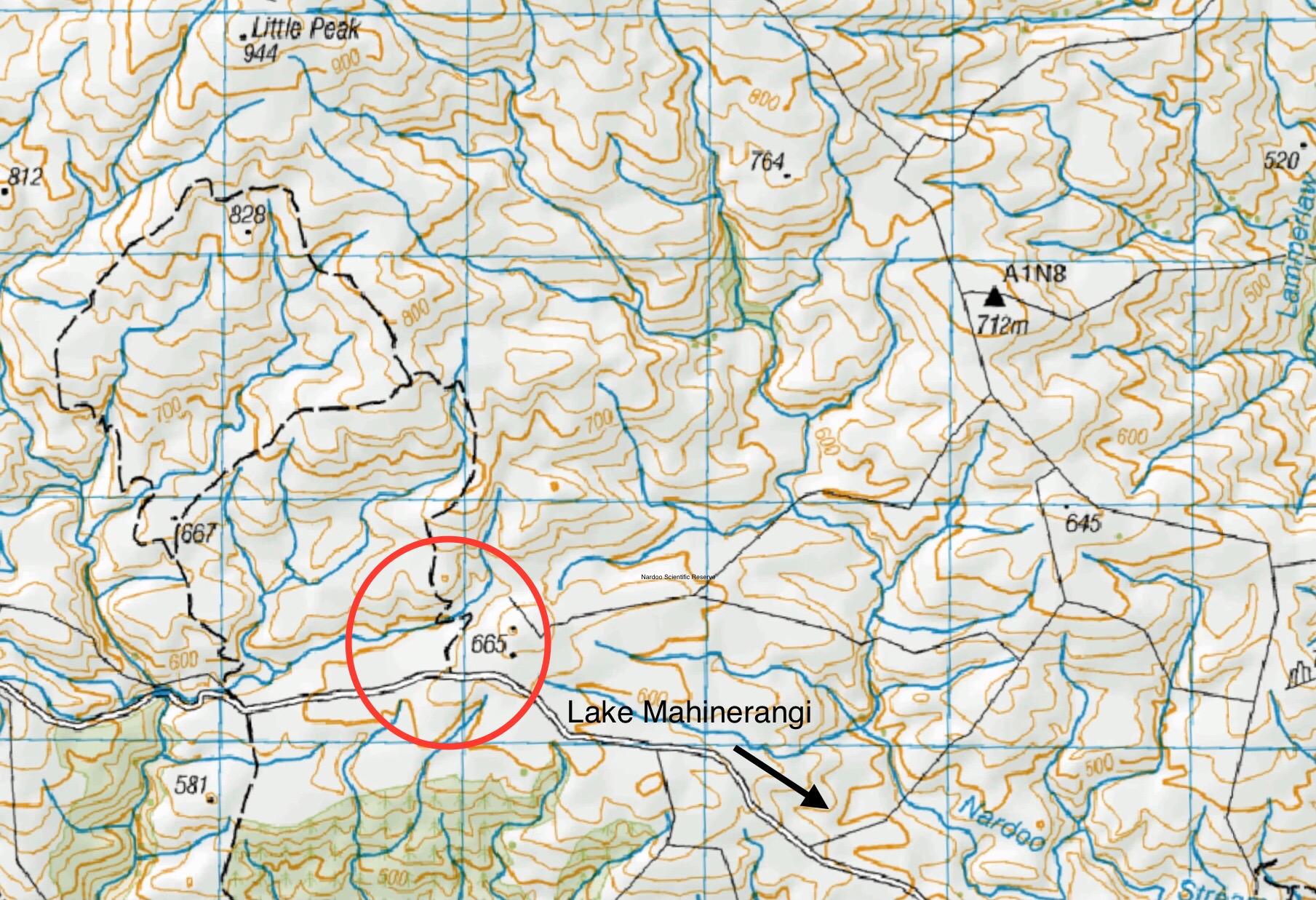
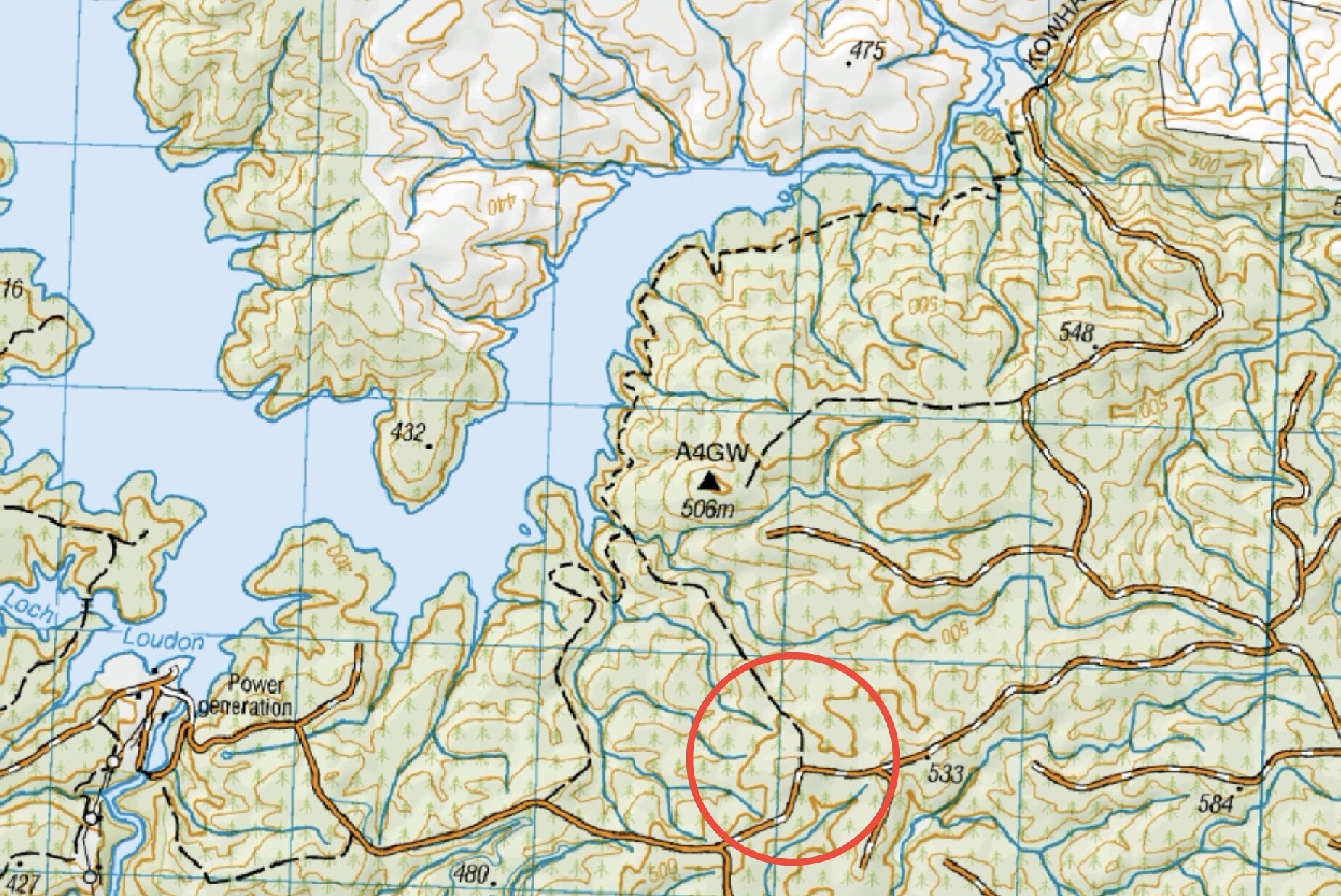
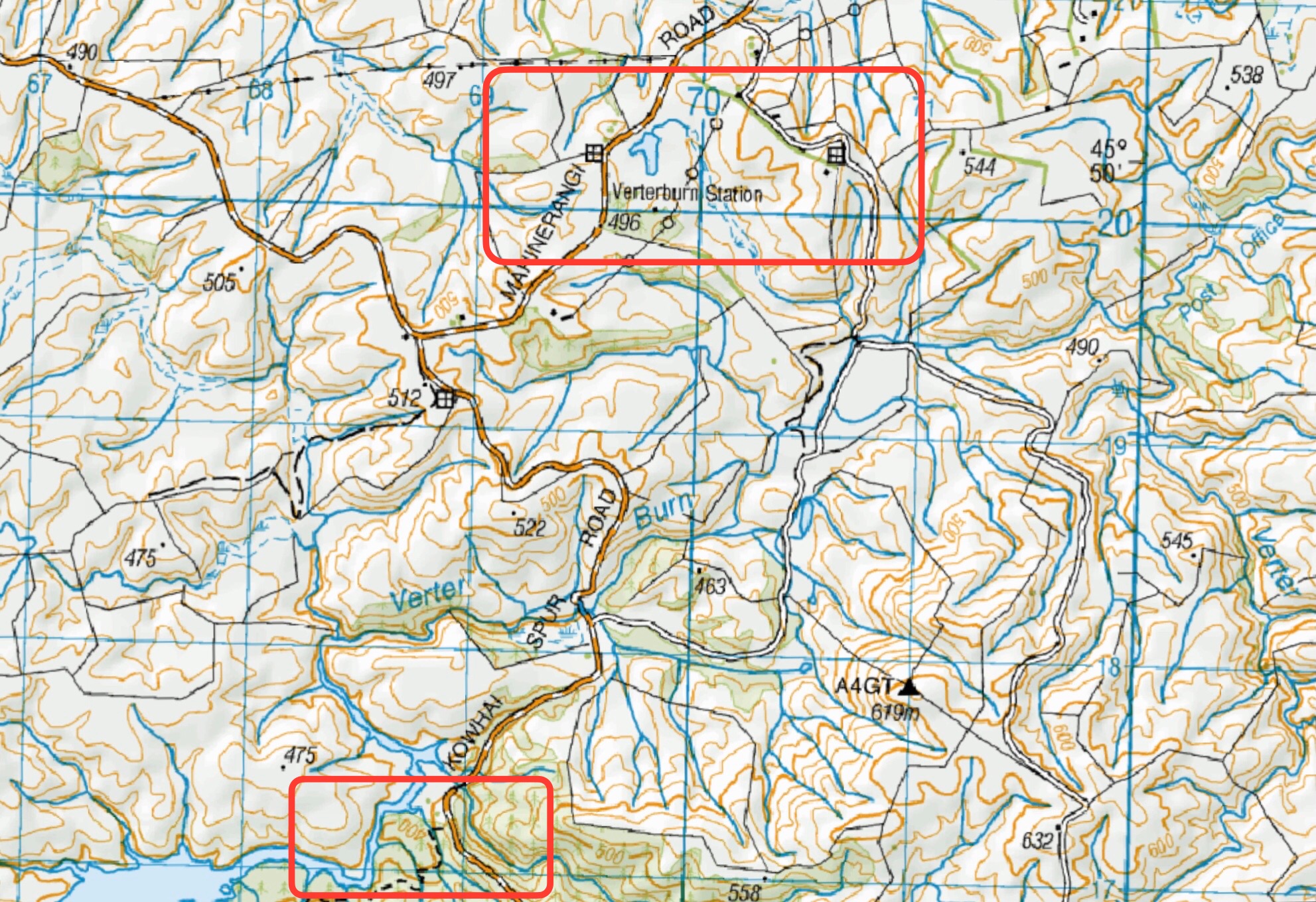
Trip Programme to 30 October 2024 

Following on from the committee meeting, the Trip Coordinators and teams have met and  developed the programme for the next six months and this can be printed from the website now  and/or accessed via Upcoming Trips on the home page. A reminder that the latter is always the  most current list as changes to the programme are noted there. Many thanks to everyone  involved in getting this completed so ably and quickly. 

Please have a look to see where your name appears and if you have any queries or concerns  speak to me or John and Jay as the Trip Convenors.  

We have revised the fuel reimbursement levels and note in some cases the gradings may  change following a recce by the trip leaders and a final route option determined. A confirmation  of the grade in the leaders trip report is always welcome as this helps with future trip programming. 

Note: 

  1. the change to winter start times is on 5 June  

2. to diary the 3 July for the mid winter Tunnel Beach walk and lunch at the Concord Tavern  3. the AGM on 22 August at the Mosgiel-North Taieri Presbyterian Church, 11 Church St,  Mosgiel (behind Mitre 10). 

Photos for trip write ups 

Recently we have been approached and asked to remove a photo from a write up and this we  have been happy to do. The instance concerned a photo taken on a private property and we  need as a matter of courtesy to be aware of how we take and or use such photos. 

Finally 

More thanks to Anne and her team for the week at Kelvin Heights. Listening to folk talk about the  week plus looking at the photos made me pretty envious. 

Last update I said we should hopefully look forward to a warm and dryish summer, which we  have had, so why not wish the same for the next six months! 

Happy walking and talking 

Phil


Link to President’s Update information Library  for previous updates

Special / Social Occasions – Information and Trips Library

Scope:

This page groups together those special social occasions (not including midwinter, Christmas dinners etc) hosted by the club.

Links to Special / Social Occasions:

01/04/2026. Life member, Lester is turning 95

28/03/2025. Catch up and chin wag. Combined. Arranged by Jenni Wright


Chalkies Circuit Powder Hill, Leisman Falls – Information and Trips Library

Scope:

This page of club tramps and hikes in the area of Whare Flat and groups together trips to Powder Hill, Leisman Falls and Chalkies Circuit. (map)

Background Information:

Road distances from Mosgiel carpark.

TRTC Grading Information – trips incorporating Powder Hill Leisman Fall and Chalkies Circuit are generally given a TRTC grading of 4. This is indicative only, as depending on the route taken, allocation of gradings can differ from this. For more detailed analysis refer to Grading Information.

How To Get There:

Upon leaving Peter Johnston Park, turn left onto Factory Road and follow this until it merges into Dukes Road North. Continue towards Three Mile Hill and  turn left onto Silverstream Valley Road. Continue on this road to the carpark just past Flagstaff Whare Flat Road.

Links to tramps and hikes in this area:

16/04/2025. Leisman Falls, Powder Hill, Chalkies Circuit. Grade 4. Trampers.  Leaders: Katrina McKenzie, Julie MacKenzie

Leishmans, Chalkies and/or Boulder Hill. 2022-1999. (15 trips, 9 with reports and photos, 6 with reports only)
Chalkies Loop, Dodds Gully. 2014 – 1995 (8 trips – 1 report no photos, 7 no reports or photos)