 12/02/2025. Mt Cargill / Forrester Park Grade 3. Hikers. Leaders: Bill Cubitt and Peter Beal.
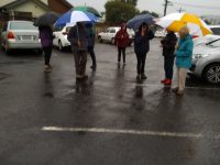
The best laid plans of mice and men! We discovered late in the piece that most of the Mt Cargill track was closed for maintenance.
Taieri Recreational Tramping Club
Mid-week recreational and social walking group based in Mosgiel NZ
This pages of club tramps and hikes in the Opoho, North East Vally, North Road area groups together trips to Bethunes Gully and Forrester Park. (map)
Road distances from Mosgiel carpark.
Mount Cargill history
Opposite Brown House corner is an RSA Memorial to First World War servicemen and the old Junction School. (General Information)
12/02/2025. Mt Cargill / Forrester Park Grade 3. Hikers. Leaders: Bill Cubitt and Peter Beal.
Bethunes Gully, Mt Cargill, Buttars Peak, Organ Pipes, Old Main North Road, Brown House Corner, Norwood Street, Bethunes Gully. 2023 – 1990 (27 trips with 10 reports, 17 with no reports)
27. 30/08/2023. Hikers. Bethunes Gully to Mt Cargill. Grade 2 Leaders: Bill and Bruce
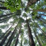
32 hikers assembled at Bethunes Gully carpark on a beautiful if slightly brisk morning. We set off just after 10.00am and after negotiating our way over and around a fallen Pine tree stopped in a semi-sunny glade for morning tea amongst the Pines – these trees must be amongst some of the tallest and straightest in the country.
The track was in pretty good order for winter – minimal mud but slippery rocks and bridges further up the track required extra care – apart from a couple of minor slips we managed to complete the day intact.
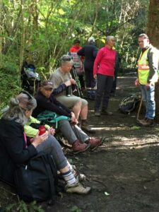
Not long after morning tree it was decided to split into two groups with Jill Dodd volunteering to lead the second pack – there was still only a 10 minute gap between arrival times at the top of the mountain.
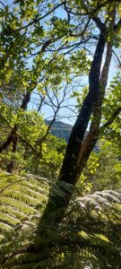
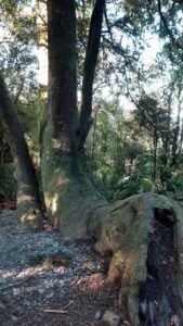
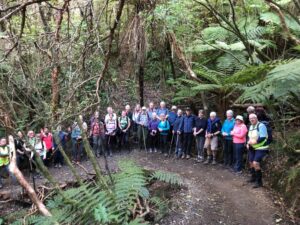
The birdlife along the way was in great voice and Katrina even identified a Kingfisher welcoming us onto the track. The native bush section of the walk is quite beautiful complete with an abundance of ferns, some majestic old Rimus, clear streams and even the odd waterfall.
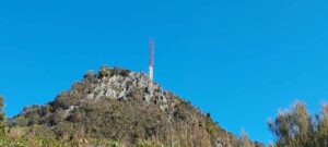
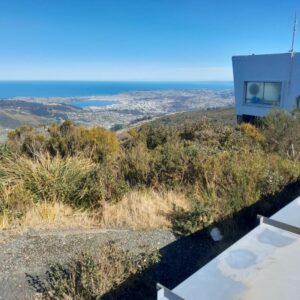
The steps at the top of the walk are real thigh killers and we were all very relieved to finally arrive at the summit and a well-earned lunch. The 360-degree panorama of Dunedin, the peninsula and surrounding districts is stunning and well worth the effort! The temperature was up around 15 degrees and led to many layers of clothing getting tucked away into packs.

There was a discussion during lunch re the grading of the walk and while officially it is a 2 the majority agreed that it was more like a 3 – Ady told me during coffee that it felt more like a 6!
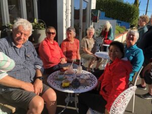
After a fairly uneventful trip back down we adjourned to the Blacks Road Grocery cafe – this slightly quirky cafe was a lovely place to conclude a very enjoyable day – coffee and treats well deserved!
There was a lot of learning in my first hike as the group leader, particularly around identifying the appropriate pace to set and the timing of breaks. I couldn’t have asked for better support from the more experienced members of the group as I negotiated my way through the various stages and protocols on the day. Special thanks to Bruce, Jill and Jenni but many others chipped in to keep me on the straight and narrow.
All in all a lovely day and living proof that age is no barrier to serious physical achievement.
Cheers Bill
26. 16/08/2023. Trampers. Forrester Park and environs. Grade 3, $6, 23km, Leaders: John Gardiner, Dave Roberts
After the cancellation of the previous two week’s tramps due to the weather, 27 eager trampers were “chaffing at the bit” when they arrived at Forrester Park.
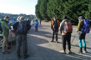
Weather conditions weren’t quite ideal, but were pretty good, for a chance to finally get out and enjoy each other’s company, and get some exercise.
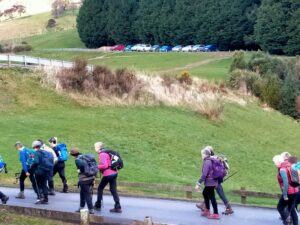
The Forrester Park area was known to most, but some weren’t very familiar with it, or hadn’t been there for some time. With some new members and regular hikers, we initially did a circuit around the perimeter of the park, on cycle trails. For Alex Griffin , it must have been satisfying to experience these trails again, having supervised their construction by Task Force Green members, many years earlier.
We stopped at the public toilets at about 10.50am, and again for a regroup at the park’s “Gate to Nowhere.” A novelty, the gate sits at right angles to the end of an existing fence, left presumably after an earlier fence was removed. The gate is, of course, padlocked shut! Anyway this initial stroll gave everyone a chance to see the park’s amenities; the football fields, dog-park, Dog Club building, and BMX Track.
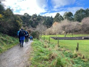
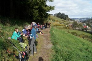
Morning Tea was enjoyed in the sun, overlooking the, “Events Car park”, with it’s established and recently developed native plantings, complete with two resident Pukeko.
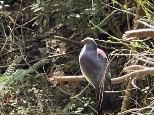
From here we walked across the road to Bethunes Gully, arriving at a cycle trail above the vehicle entrance at 11.45am. A myriad of cycle trails lie on this side of the forested hill, north of the main vehicle driveway. Having explored some of these, including some “make shift” accommodation found in the forest, we descended to the main gully track, went up the hill a little, then off to our left onto a cycle trail.
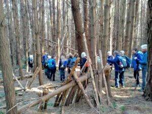
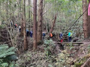
This trail, complete with boardwalks, took us uphill through forest and bush areas, before we again came out onto the main track. A steeper uphill climb saw us rewarded when we arrived at the waterfalls, before we back tracked to a suitable bank to sit on and have lunch.
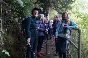
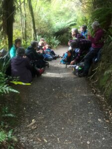
This 30 minute break ended at 1.00pm, when we were on our way downhill again. Those who thought their efforts for the day were winding down had one last surprise in store! By 1.15pm we were back into the bush again, climbing to the highest point of the cycle trails, we had initially explored upon entering Bethunes gully. An advanced cycle trail, complete with jumps, then one with the endearing name of “Dead Cow Gully” taking us back to the Bethunes Gully entrance. The twists and turns of these mountain bike trails provide an adrenalin rush, a physical and mental challenge, to master on a bike. When walking these twists and turns, they provide a less frenetic, but almost as emersive experience.
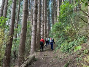
By 2.05pm we were back at the cars, with four cellphones giving four different figures regarding how far we’d walked. Somewhere between 7.84 and 10km was the range, with two phones reading just on 9km, so we’ll go with 9km! Afternoon tea was enjoyed at Blacks Road Grocer, which we filled to capacity.
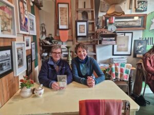
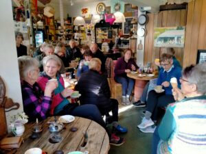
A thank-you to Christopher and his staff, for his hospitality, and speedy delivery of hot drinks to our band of 27. In summary, an enjoyable day. The Forrester Park and Bethunes Gully area is a versatile one for tramping or hiking, providing lots of options, it lends itself to a future combined Wednesday outing. Thanks to Dave Roberts for accompanying me on the main rece and acting as tail end charlie on the day.
Regards,
John
25. 15/7/2020. Hikers. Bethunes Gully, Mount Cargill. Leaders : Mike and Jim
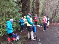
24. 25/9/2019. Trampers. Bethunes Gully, Mount Cargill. Jill D.
With a very threatening weather forecast 16 intrepid trampers parked at Bethunes Gully ,before traversing the track towards the television tower at the summit of Mt Cargill 600 meters above .We were greeted with birdsong along the way .The vegetation changed as we followed the track through pine plantation then opening to more scrubby vegetation but it did provide shelter from a southerly wind.
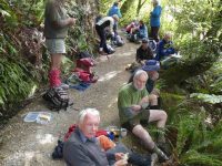
Along the way we had views over to the peninsula and harbour areas and also to the famous Brown House location -this providing some interesting reflections of party times of our younger days !!
There were clear views of the summit ,tower and nearby Buttars Peak .We knew we were getting closer to the top with the noise of the wind whistling through the tower .

The views from the top were amazing almost 360 degrees north up the coast east and west and to the south over Dunedin however we didn’t stay long up there.
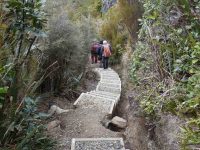
Lunch was at the the junction to the Organ Pipes and Buttars Peak
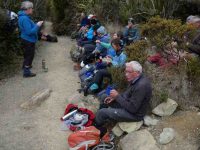
where a smaller group checked the peak out
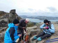
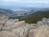
before rejoining the rest of the group on the descent.
This was a shorter walk over a well formed gravel track even the steps on the final ascent to the top appear to be newer and easier to negotiate
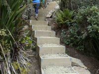
– all in all 10.4 kms and clean boots !
The coffee stop was at the Crocodile cafe at the Gardens ,where we rearranged the seating and general chit chat creating a relaxed end to the day .We were very lucky the weather held out till back in Mosgiel. – Jill D.
23. 28/8/2019. Hikers. Bethunes Gully. M. Leaders: Jay and Jan B.
On Wednesday 28th August 2019 24 Hikers/Ramblers met at Bethunes Gully to walk up to Mt Cargill. The day was suitably warm and made for pleasant walking conditions.
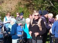
7 Ramblers organised themselves to walk up as far as they wanted and they were joined by another member who decided to go back with the Ramblers and the remaining 17 took off at a steady pace up the gradual climb to near the top where there were 127 steep steps to negotiate to bring us to the communications tower at the top of Mt Cargill.
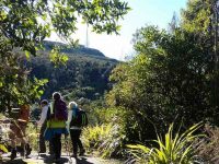
There we sat in the sunshine having lunch and admiring the 360 degree view of Dunedin and up the coastline to Karitane. After a good rest we started our downward hike.
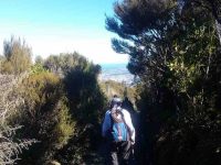
We all took our time getting down the steps as most people find going down is harder than going up. On the way back one of our long standing members [It was our 90-year-old Doug! – Ed.] was having trouble with his legs as they had lost strength and were feeling jellylike. But hardy fellows in the group stood on each side of him and helped him back to the carpark. Well done men!!
Clive and Lindsay took him to A & E where he spent the night. All was well.
Coffee was at the Gardens Crocodile Cafe. Leaders for the day were Jan and Jay.
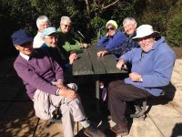
Ramblers: Out talking and watching the birds on the Bethunes Gully track.
A record crowd of 8 of us climbed the track out of the Gully as far as we felt like it. Lunched at an early 11.30 a.m. beside the track, and sauntered back down to enjoy a leisurely sit in the sun back in the domain, to wait out the delayed return of the Hikers.
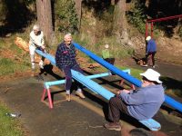
Birds, their song and tiny fresh spring fuchsia leaves containing bellbird-nectar-sipped flowers where highlights.
P.S. Doug at home the next afternoon, was ruefully nursing his shattered pride, as he came to terms with what had happened the day before. – Ian.
22. 13/9/2017. Trampers. Bethunes Gully. M. Leader: Eleanore.
Firstly, alongside Lindsay Creek. The track climbs steadily up the flank of Mt. Cargill, first through pine forest and then regenerating native forest. We found a cosy spot and enjoyed a smoko break. Once again we climbed steadily to the top of the ridge between Mt. Cargill and Buttars Peak. The intersection to the Organ Pipes Track was reached, by now we knew the mast was getting closer. Only to find we had to climb steps to reach the top!
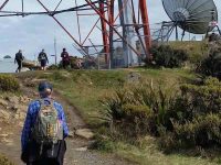
The weather was calm and the views fantastic.
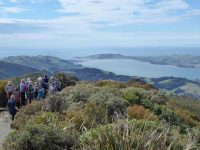
For quite a few members it was a first time visit to this track. Also, the company of the intrepid adventurer Judy Knox was enjoyed. We continued onto the A.H. Reed track where lunch was had.
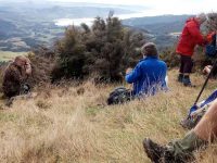
The beauty of this track is the downhill—all the way to the car park!
We chose the little coffee shop near Baldwin Street for coffee, cake and a chat.
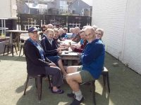
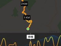
We travelled 10.9km and climbed 676 metres to the mast on top of Mt. Cargill
Another great outing had by all. – Eleanore Ryan.
21. 28/9/2016. Hikers. Bethunes Gully. H. Leaders: Adrienne and Judy K.
21 hikers with an age range of 12 to 89 (is that a record?) gathered at the car park at the start of the Bethunes Gully track. It was fine (well, not raining anyway) when we left Mosgiel, and dry at the start of the track, but a nasty creepy little drizzle hung round us the higher we went. Loud bird calls accompanied us for the steady climb up the gully on a well-formed track, slightly muddy in places, across several bridges where the creeks were running a bit higher than usual, to a welcome morning tea break on the side of the track.
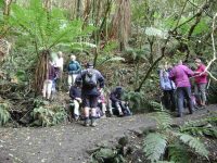
Slow and steady was the order of the day, with plenty of stops to get breath back. Up – and up – and up. Several fell by the wayside – first two, then two more. When at last the junction for the Organ Pipes and the Mt Cargill summit was reached, 10 more subsided and declared “Lunch!”
An intrepid 7 continued another half hour to the summit (a first for some), up the steps in annoying drizzle. No views available from the top.
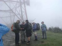
so it was down to the junction again for lunch.
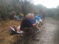
By which time the other 10 had departed, it being a bit cold and damp to hang around.
Down – and down – and down – collecting strays as we went. Fred wasn’t present but his chocolates were, and much appreciated, thanks Fred. It was warm and sunny back …
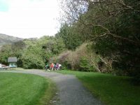
… at the cars so parkas were discarded for the ride to the Botanic gardens and a well-earned (we think) coffee stop. – Adrienne and Judy K.
20. 30/9/2015 Trampers. Bethunes Gully, Mt Cargill, Organ Pipes return.
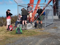
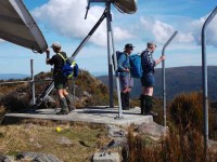
… & a chat with a guy from the university language department who had a group of very well dressed [all in black suits] Chinese visitors to the city, we made our way back to the Organ Pipes track. After a regroup here, we walked down to the Organ Pipes …
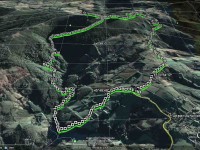
19. 21/9/2011. Bethunes Gully, Mt Cargill, Buttars Peak, Organ Pipes, Old Main North Road, Brown House corner, Norwood Street, Bethunes Gully.
18. 27/10/2010. Hikers. Bethunes Gully, track junction with summit/Organ Pipes. Medium. Leaders: Lesley G, Joyce.
17. 5/5/2010. Both. Bethunes Gully, Bike Tracks. M-. Leaders: Bob and Evelyn.
We parked cars at by the toilets at the end of Cluny Street (that’s what the Map said. Didn’t know that before.) in Bethunes Gully. Bob and Evelyn were to turn on a delightful surprise for us all. They led us back down the road to the gate to discover for us on the left a bike track leading up through the trees. We admired the loving attention lavished on the system of tracks by bike devotees as we climbed up through the un-pruned Oregon plantation. After a morning tea stop we ascended yet further to reach the plantation’s NE corner. Then it was down to our left back into the gully.
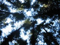
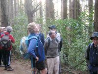
We emerged at the head of the grassed part of the gully at the bridge across the Lindsay Stream.
After the leaders had ascertained all seventeen of us were back up onto the walkway from the Lookout, (with Ken obtaining dispensation to carry on on his own to Mount Cargill, as he had come in his own car), they took us part way back down the walkway before striking off on the right up a rutted vehicle track through the bush,
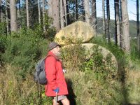
… from which eventually a track led off to the left and down to parallel the walkway back down the bridge and then it was just a short walk to the cars.
16. 24/5/2006 Bethunes Gully, Mt Cargill, Buttars Peak, Organ Pipes,Old Main North Road, Brown House corner, Norwood Street, Bethunes Gully. Leaders: Judy, Tash
15. 15/6/2005. Trampers. Bethunes Gully, Mount Cargill. Leaders: Hazel, Ria.
14. 23/5/2007. Hikers. Bethunes Gully, Mount Cargill. Medium. Leaders: Betty, Dot T.
13. 5/11/2003. Trampers. Bethunes Gully, Buttars Peak, round trip. Medium. Leaders: D Jenkins, B McCabe
11. 28/8/2002 Bethunes Gully to Mount Cargill, Organ Pipes return. Leaders: Ray & Diana, Val
10. 16/5/2001. Bethunes Gully. Leaders: Nancy, Dot and Nelson.
9. 19/4/2000. Bethunes Gully, Mount Cargill. Leaders: Judy C, Mary M, Bev McI.
8. 27/5/1998. Bethunes Gully, Organ Pipes, North Road. Leaders: Hugh and Judith.
7. 25/3/1998. Bethunes Gully, Organ Pipes return. Leaders: Betty, Denise.
6. 25/3/1998 Bethunes Gully to Mount Cargill, Organ Pipes return. Leaders: B Bryce, D Pearce
5. 30/7/1997. Bethunes Gully, Mount Cargill. Leaders: Diana and Ray, Catherine.
4. 9/7/1997. Norwood Street, Bethunes Gully, Opoho. Leaders: Shirley McN, Pat, Wendy.
3. 27/9/1995. Pine Hill, Mount Cargill Track, Waitati Road, Bethunes Gully, North East Valley. Medium+. Leaders: Ria L, Catherine, Ria H, Shirley R
2. 12/5/1993 Pine Hill Road, Cowans Road, Mt Cargill, Old Mt Cargill Main North Road, Return Bethunes Gully, North East Valley. Back to Pine Hill Road. Leaders: Ria L, Catherine T, Penny & Peter
1. 11/4/1990 Bethunes Gully, Mt Cargill, Buttars Peak, Organ Pipes,Old Main North Road, Brown House corner, Norwood Street, Bethunes Gully. Leaders: Margaret S, Hartmann, Bev H, Peter R
2. 12 April 2023 Trampers and Hikers
Choices for Hikers: Stay home and knit or brave the elements of mist and drizzle with potential rain but leave the Waihola Wanderings for another time. 11 chose to go for a local walk.
The course was plotted as we left the Peter Johnson carpark, going along the riverside, turning at the helicopter pad and wending our way over to Wingatui Rd and Gladstone Rd North.
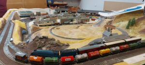
It was decided to have morning tea under cover. Wingatui Station (built in 1875) was a likely possibility. However, the leader veered off track and we arrived at Neil’s model railway instead.
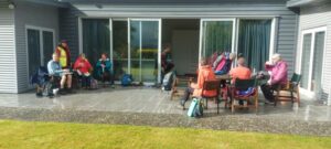
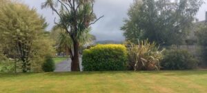
This of course provided shelter as he coped with the unexpected invasion and happily displayed rail/train manoeuvres.
Dry and refreshed, we passed the evidence of autumn in the yellow, gold and red tree colours, and wended our way back to the carpark after a pleasant 10 kms of Mosgiel Meanderings.
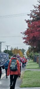
Eleanore and Carole
The Trampers choice
As a weather alert was given, safety required that we could not go to Rosella Ridge, so it was decided we would meet at Woodhaugh Gardens. After discussion, we headed towards Bethunes Gully. The rain had eased so we walked beside the Leith with some nice street art on the walls of the Leith.
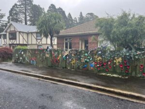
We continued past the gardens, into North East Valley, past Dunedin North Intermediate school, then Baldwin Street(no takers), Dunedin Hospice and Ross Home. We detoured into Chingford Park, a nice stone home, which catered for weddings.
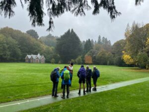
We stopped at Leith Harrier and Soccer grounds for morning tea.
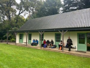
Moving on we passed some garden plaques on a fence. Into Norwood Street we continued to Forrester Park (bmx bike park) then into Bethunes Gully. The good 35 minutes of uphill, required some reduction of gear before an uphill climb. On the way a large tree had fallen and was being removed. We passed a couple of waterfalls,5 bridges over Lyndsay Creek and got to the top at 12.05 – lunchtime.
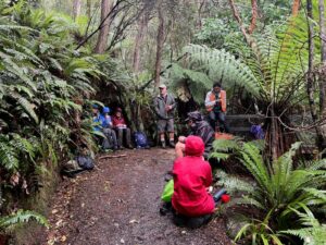
The return to the bottom took 30 mins, past the Normanby Tavern (now closed), Ross Home, then via a track behind the Hospice, thanks John G. We continued back onto the main road to NEV shops back to Woodhaugh and the cars. As some had cooled off due to drizzle, it was decided no coffees but a couple of pieces of chocolate fudge sufficed.
Distance 16.18km Elevation 445m actual tramping time 3hrs 6min.
Thanks Graeme S for being TEC. A fun day out. Phil.
Feburary 2018
February 2018
This page of club tramps and hikes in the West Harbour area groups together trips to Grahams Bush,(map) the Organ Pipes, Buttars Peak and Mt Cargill.
Road distances from Mosgiel carpark.
TRTC Grading Information – trips incorporating these tracks are generally given a TRTC grading of 4. This is indicative only, as trips can be allocated a higher or lesser grading depending on the route taken. For more detailed analysis refer to Grading Information.
Grahams Bush Botanical Information (1988) (from DoC information sheet).
Mt Cargill – Information (from DoC information sheet).
Take SH88 to Port Chalmers. At Sawyers Bay turn left onto Station Road and continue on this road through the roundabout and onto Hall Road. At the end of Hall Road there is a sign indicating the track and an area for limited parking.
09/10/2024. Graham’s Bush to Mt Cargill. Grade 4. Trampers. Leaders: Karen McInnes and Gail Williams
Grahams Bush, Old Main Rd, Organ Pipes, Buttars Peak, Mt Cargill, Mt Cutten, Bethunes Gully, Upper Junction (2024 – 1989, 18 trips with 11 reports).
Grahams Bush, Upper Junction, Brickhill Rd (2014 – 1993, 15 trips with 4 reports).
Grahams Bush, Careys Bay (2004, 1 trip, no report).
From Old Mount Cargill Road Lookout (1992, 1 trip, no report)