Nicols Creek, Swampy Saddle, Davies Track

Click Dunedin’s Hills’ History for background information.
Click Swampy ridge track for background information.
Click Pineapple Track for background information.
Click Pineapple and Flagstaff walk for background information.
No. 17 on old hardcopy list of 113 club tramps. “Nicols Creek. D McCabe. Year Round”
 Year round.
Nicols Creek circuit Maintained by Green Hut Track Group.
3. 9/11/2011. Trampers. Booth Road, Davies (formerly Warburton), Swampy Saddle, Nicols Creek.
Nine of us met at Booth Road. We entered Davies Track via McGoun this time, exiting it on the left a short way up past the cairn. A light shower came on during the bush section, sounding quite pleasant as it struck the leaves overhead. Out in the tussock at the top, the weather was clear again. Ria and Hazel had discovered a new track had been made above the bush, this time striking to the left instead of the one to the left, the one that got several of us lost last time where overgrowth had rendered a crucial turn invisible.
We emerged on the Flagstaff walkway above a rock outcrop and headed down to the top of the Pineapple. Here Gay, a visitor, left us and we continued along Swampy Ridge to the top of the Nicols/Moonlight track. A little way in and we found the track has been ruined by mountain bike wheels cutting a narrow deep groove down the track middle, making keeping our footing on the restricted track-sides difficult and dangerous. Further down, we kept to the Moonlight side of Nicols Creek and traced, where we could, the original track, bisected however by the zigzags of the mountain bike route. Rain now really set in and we sheltered in nearby bush for lunch. We then continued down the old track, through the macrocarpas, the stone outcrop and yet further carefully down to emerge at the creek crossing below the waterfall – to Ian’s delight but Ria’s chagrin who had hoped to emerge onto the Leith Valley road on the north side instead of now forced across to the other side. So it was down and out and up Islay St back to the cars. All felt it had been another good day out. Too dull and showery for photo opportunities however. – Ian.

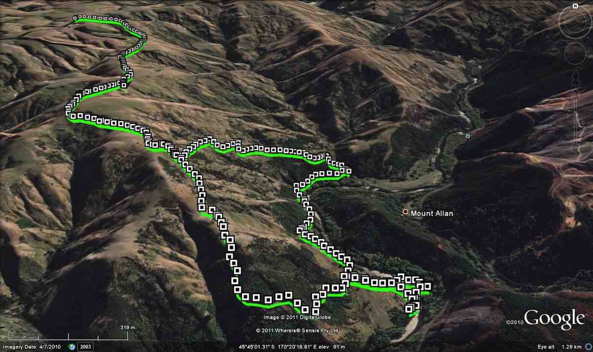
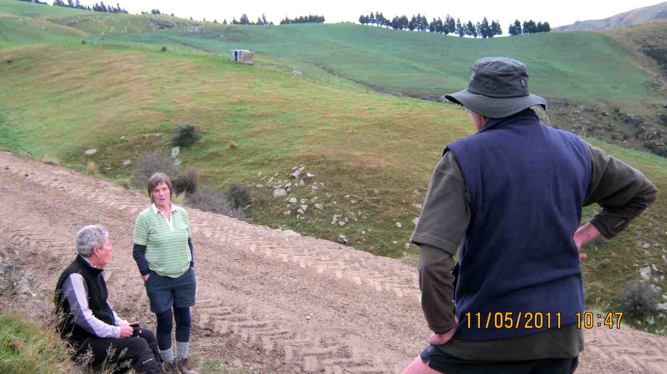
2. 14/11/2007. Trampers. Woodhaugh, Ross Creek, Davies, Pineapple, Ross Creek return. Moderate. Leaders: Ria, Hazel.

Stream crossing. Doug, George, Peter, Wendy

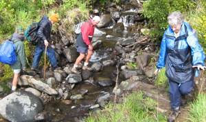
The route Ria and Hazel took ten of us on provided plenty of variety both in scenery and weather. We approached Davies track by way of Ross Creek Reservoir from Woodhaugh. After Ross Creek it was through cleared forest before climbing through secondary growth …

Tea break. Wendy, Keith, George, Doug, Peter, Glenice

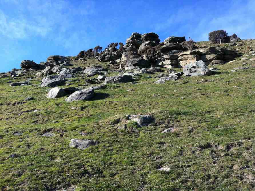
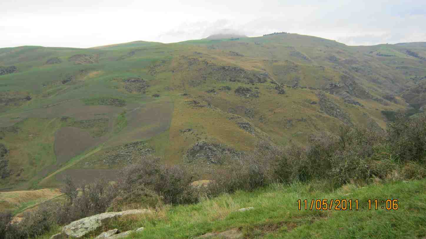
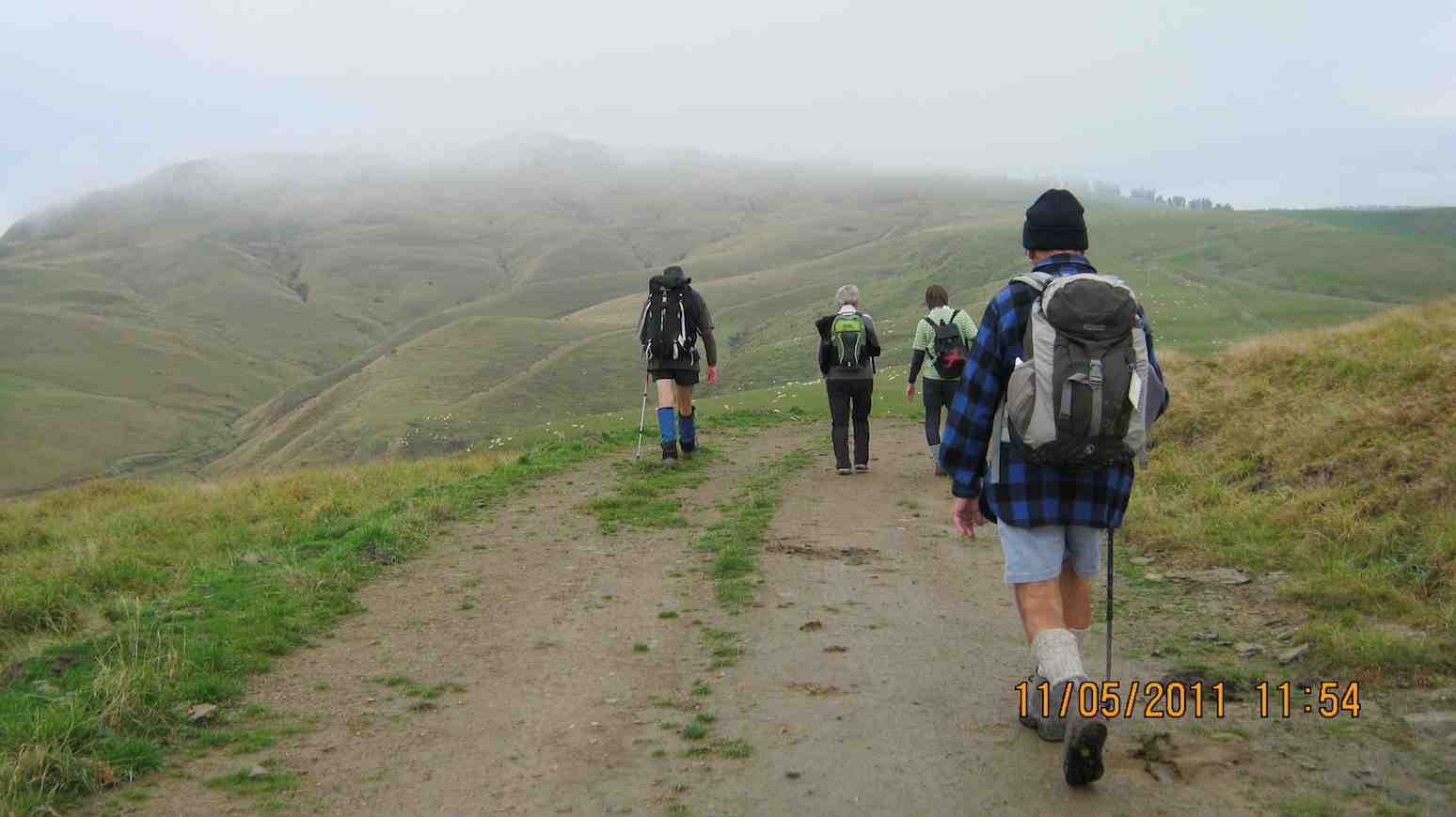
… on the foothill slopes of Flagstaff before entering beautiful native forest and and hour later emerging on Flagstaff’s tussock and flax with overcast views of the harbour and Dunedin both north and south. We had encountered occasional showers to this point and now out on the tussock it was turning really cold. We were still not prepared upon reaching the upper Pineapple-Flagstaff track …

Made it onto Pineapple. Ria, Sabina, Glenice, George, Keith

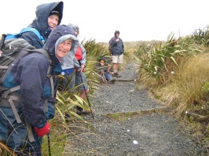
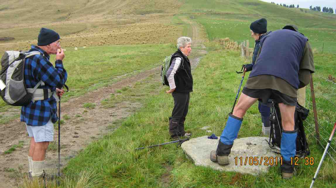
… to be pelted by a fierce but fortunately brief hail storm. We quickly made our way down to the junction with the Swampy Ridge track where now the hail had now been …

Snow. Doug, George, Sabina, Keith, Glenice

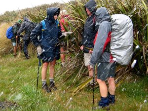
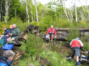
… replaced with snow. So it was down, down the Pineapple to the sheltered edge of the bush where we lunched in the now fitful sunshine. Then the bush, Booth Road, back through Ross Creek tracks and down past the reservoir until the last scenic bush gave way to Woodhaugh St and back to the cars. An interesting day. – Ian

In Leith Valley, where Otago’s first industry – sawmilling – is reputed to have started about the 1860s, is the start of the old Pineapple Track.
Originally, it was named Ross Track, after Archibald Hilson Ross, who owned most of the land in the vicinity. In the early 1920s, Mr Oscar Balk, first president of the Otago Tramping Club, led parties of trampers up this route. At the top of a rather steep section, the parties would stop to rest and often refresh themselves with a tin of pineapple. This tin was sometimes left hanging on a tree or fence, and the track came to be called the Pineapple Track.
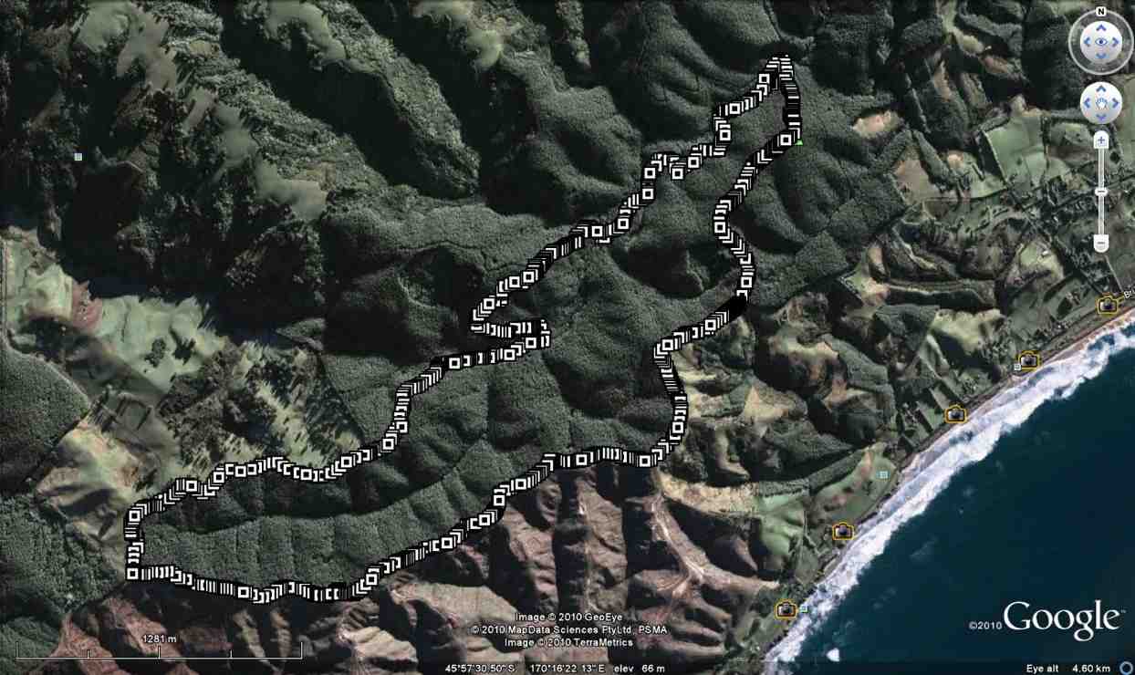
The line of the Pineapple Walkway has deviated from the original track in places to provide more scenic variation.
The original vegetation of the area has been modified as a result of early milling, burning and stock grazing, but remnants of the milled species (podocarps) still remain. Rimu, miro, totara and matai are found in isolated pockets, mainly in damp gullies. Even so, the overall distribution of plant species retains some semblance of natural order with the larger forest trees growing at lower altitudes. Podocarp broad-leaved forest type occurs with shrub species which grade out into Dracophyllum shrub land and ultimately tussock grassland communities on the summit area.
Some common plants: fuchsia, pepper tree, lemonwood, broadleaf, totara, five’finger, wineberry, lancewood, Muehlenbeckia, Dracophyllum, Coprosma, Hebe, and wild spaniard tussock.
There are many varieties of birds in the bush areas where there is an ample food supply to sustain many nectar-, berry-, and insect-eating native birds.
Some of these are: New Zealand pigeon, bellbird, fantail, tomtit, brown creeper, tui, silvereye, rifleman and pipit.


1. 17/10/2001. Trampers. Nicols Creek – Swampy Saddle – Warburton Track. Leaders: Lex, Mary L, Irene.

Potato Point, Purakaunui

Distance from car-park: 39 km.

5. 20/7/2011. Purakaunui, Potato Point, Bay track, round trip.

Rocks
train
pinnacle
posts
low-tide cave
large cave
vegies
kiosk
inlet

4. 22/4/2009 Purakaunui, Potato Point, Long Beach, Bay track, ret. Leaders: Doug, Ian.

stele
Tor/Pinnacle off Potato Point.
Group
Exploring Potato Point. Ken, Bill, Doug, Angela, George, Glenice’s elbow.
Seal
Seal basking off Potato Point.
Cave
Large cave on Long Beach. Glenice, Ria, Angela, Doug, George.
Cave2
Smaller cave on Long Beach.
3. 26/9/2007. Trampers. Purakanui Circuit. Medium. Leaders: Shirley, Helen.

2. 1/12/2004. Trampers. Purakanui, Potato Point. Leaders: Doug M, Barbara McC, Arthur H.


1. 4/6/2003. Both. Potato Point, Purakanui. Leaders: Doug M, Barbara M, Donny and Frank


Squeeze
First, squeeze past caravan on track
Hi, Shirley.
Hi, Shirley.
Morning tea on slope
caves
Long Beach caves from Potato Point
Cave
View from inside large cave

Hindon Road, Mains Road, Taieri River

32 km from car-park.
Mains Road, Hindon Road, Taieri River.  Seek permission. Lambing Sep – Nov.
13/7/2011. Trampers. Mains Road, off Hindon Road.. Track to river.
GPS of anti-clockwise route, courtesy Ken. Lunch was at bottom RH corner. Upstream point where we left the river was Blacksmith Flat.
Ian Jill Ann at lunch. (Ken pic and caption)

Continue reading “Hindon Road, Mains Road, Taieri River”

Bucklands Crossing. Eldorado Station, stone wall yards. Scratch Back.

Distance from car-park: 67 km.
11/5/2011. Trampers. El Dorado Station. Eldorado Road. Medium.
The drive in from Hawksbury was quite long but eventually the (surprisingly smooth) road wound down to El Dorado Station by the upper Waikouaiti River, north branch, arriving at 10.00 a.m. A station hand pointed out the Eldorado road climbing steeply out of the valley.
GPS of the route from valley to ridge and back. Courtesy Ken.
Station buildings from the Eldorado Road above.
We climbed (it seemed almost vertically!) for half an hour before stopping for a late morning tea break.
Cuppa by the steep 'road'.
The climb was then up, up, up and at last onto the ridge heading SE. Out of all the cone-shaped hills around, we eventually located the mist-enshrouded Mt Watkin whose slopes our road had taken us past on the way in.
Mount Watkin shrouded in mist.
Going was easier on the ridge as it led us up and down along its spine. We eventually stopped short of the trees visible in the mist beyond.
Along ridge.
Lunch was at a large stone, the only dry spot around for sitting on. Those same trees are visible top right.
Lunch and spot where we turned back.
A shot on the way back. Looking up-river on the left and the road in on the right.
River and road
Another shot taken on the return. looking at the Waikouaiti down-stream.
Looking down river.
Back at the station buildings, we explored a track leading down by the river. We didn’t go too far. The rocky cliffs in the distance mark a gorge the track had to climb up and over.
Along the river.
Back to the car and it was the long drive back home, interrupting the journey only for a pleasant coffee-break at the Blueskin Nursery Cafe. A cool, pleasant day. Ideal for tramping in an area the Club had neglected for too long. – Ian.
26/3/2003. Trampers. Eldorado – Scratch Back. Medium+. Leaders: Lex, Doug J.
26/3/2003. Hikers. Eldorado. Medium. Leaders: Frank and Lesley. Anne R
Garden Bush
Garden Bush
13/3/2002 Eldorado Station, stone wall yards. (Bucklands Crossing). Medium. Leaders: Lex, Claude, Irene.,
22/11/1987. Eldorado, Scratchback, from Waikouaiti.

Big Stone Road, Otokia Creek Valley, Otokia Forest, McLaren Gully.

22/9/2010. Big Stone Road and forest. Leaders: Ria, Hazel.

A good days tramp was had by just 4 of us. We changed the tramp location due to the weather conditions, & went to Big Stone Rd forest, where Ria, & Hazel led us on a circular route through the forest.

Route map courtesy Ken's GPS.
We had lunch in a very nice spot by the stream, with the sun shining on us.

Continue reading “Big Stone Road, Otokia Creek Valley, Otokia Forest, McLaren Gully.”