Scope:
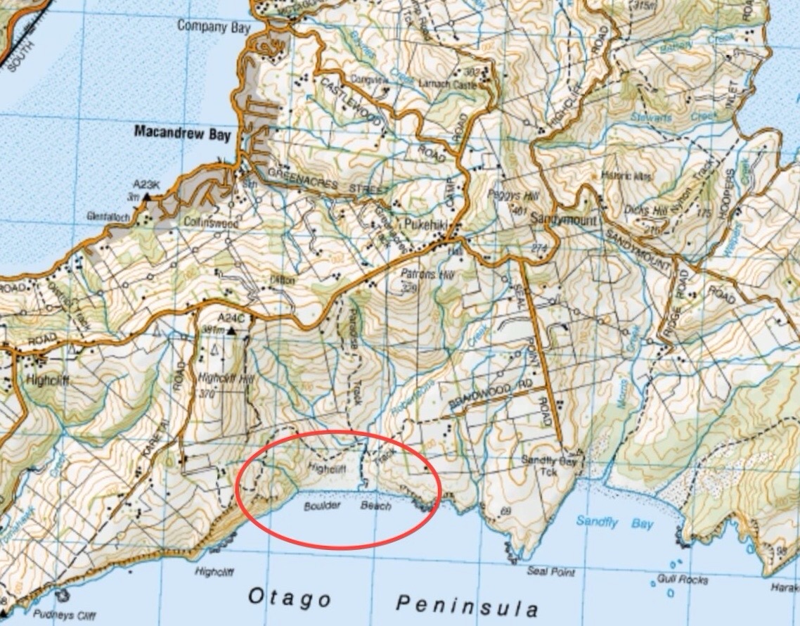
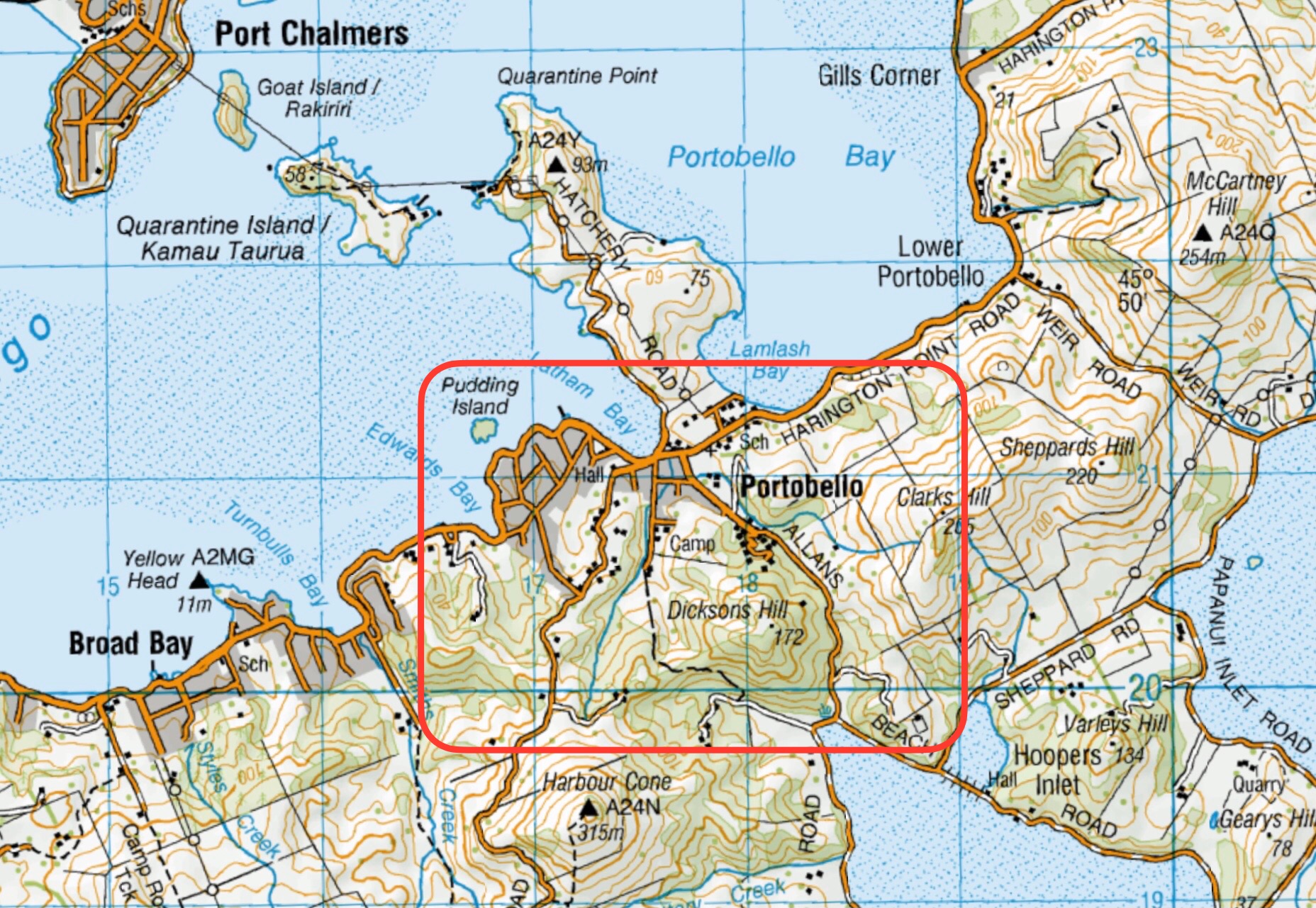
This page of club tramps and hikes on the Otago Peninsula groups together trips to Boulder Beach from Macandrew Bay (Greenacres St), Braidwood Road. These trips will often include the Paradise, Buskins, Highcliff Tracks.
Background Information:
Road distances from Mosgiel carpark.
TRTC Grading Information – trips incorporating these tracks are generally given a TRTC grading of about 3. This is indicative only, as trips can be allocated a higher or lesser grading depending on the route taken. For more detailed analysis refer to Grading Information.
Access to Boulder Beach is closed to the public for penguins breeding (November – February). Other tracks remain open year round.
How To Get There:
(1) From Macandrew Bay proceed up Greenacres St / Track which exits onto Highcliff Road. Turn right onto Highcliff Road and proceed to the start of Paradise Track. This track will take you to Boulder Beach.
(2) Proceed along Highcliff Road and turn left (past Pukehiki) onto Seal Point Road. Follow this road and turn right onto Braidwood Road. At the end of this road is Highcliff Track. Follow this track through the dunes to the junction with Paradise Track then right to Boulder Beach.
Links to tramps and hikes in this area:
10/06/2026. Boulder Beach. Grade 3. Trampers. . Leaders: Pam Cocks and Gail Williams.
Boulder Beach (2024 – 1991) 18 trips – 6 with reports and photos, 2 with photos only, 11 with no reports or photos.

 14. 14 February 2024. Hikers. Waldronville Wander. Grade 2. $5. 10km. Leaders: Phil Keene, Helen Morris.