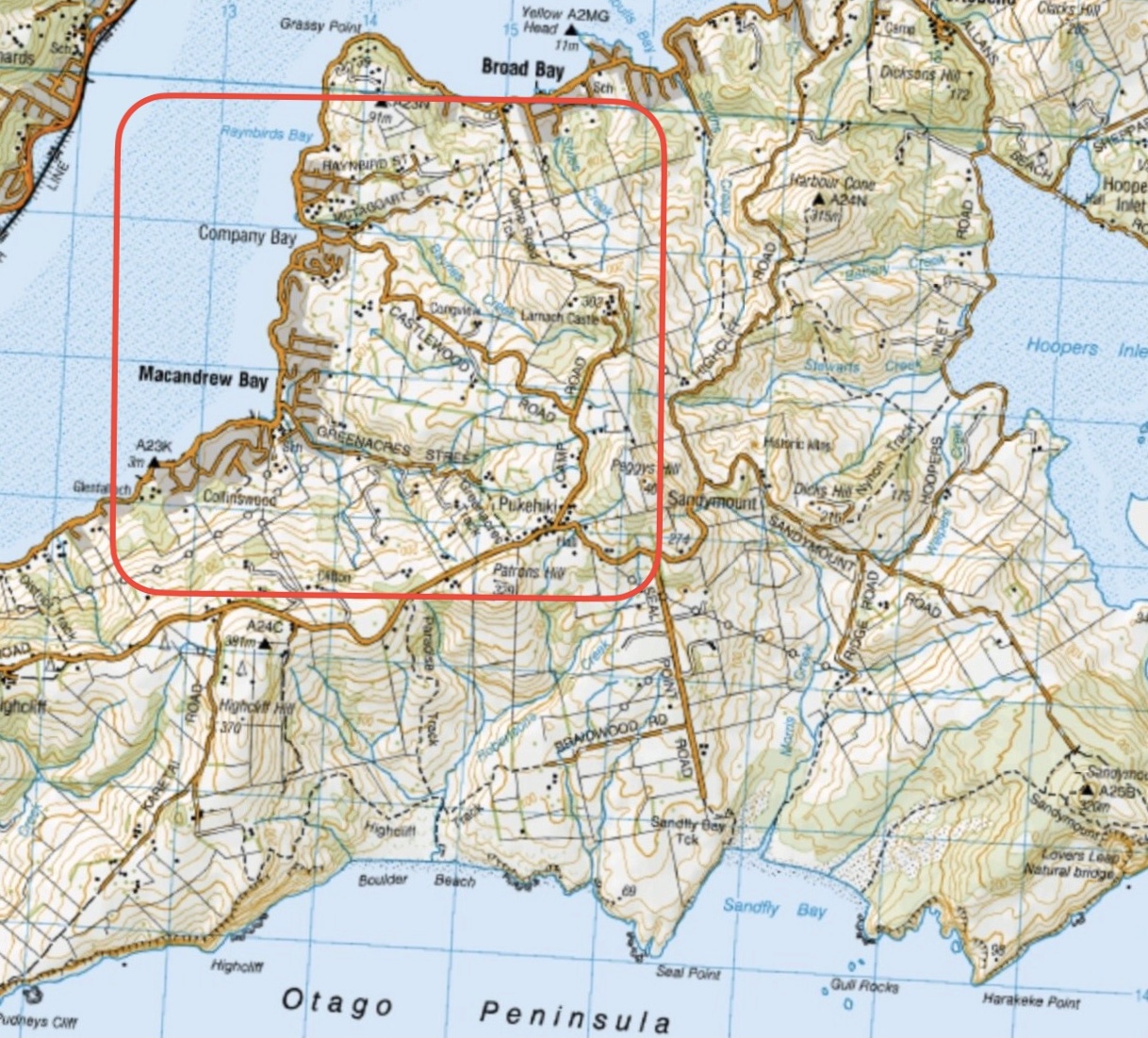
Click on Map to Enlarge
Mid-week recreational and social walking group based in Mosgiel NZ

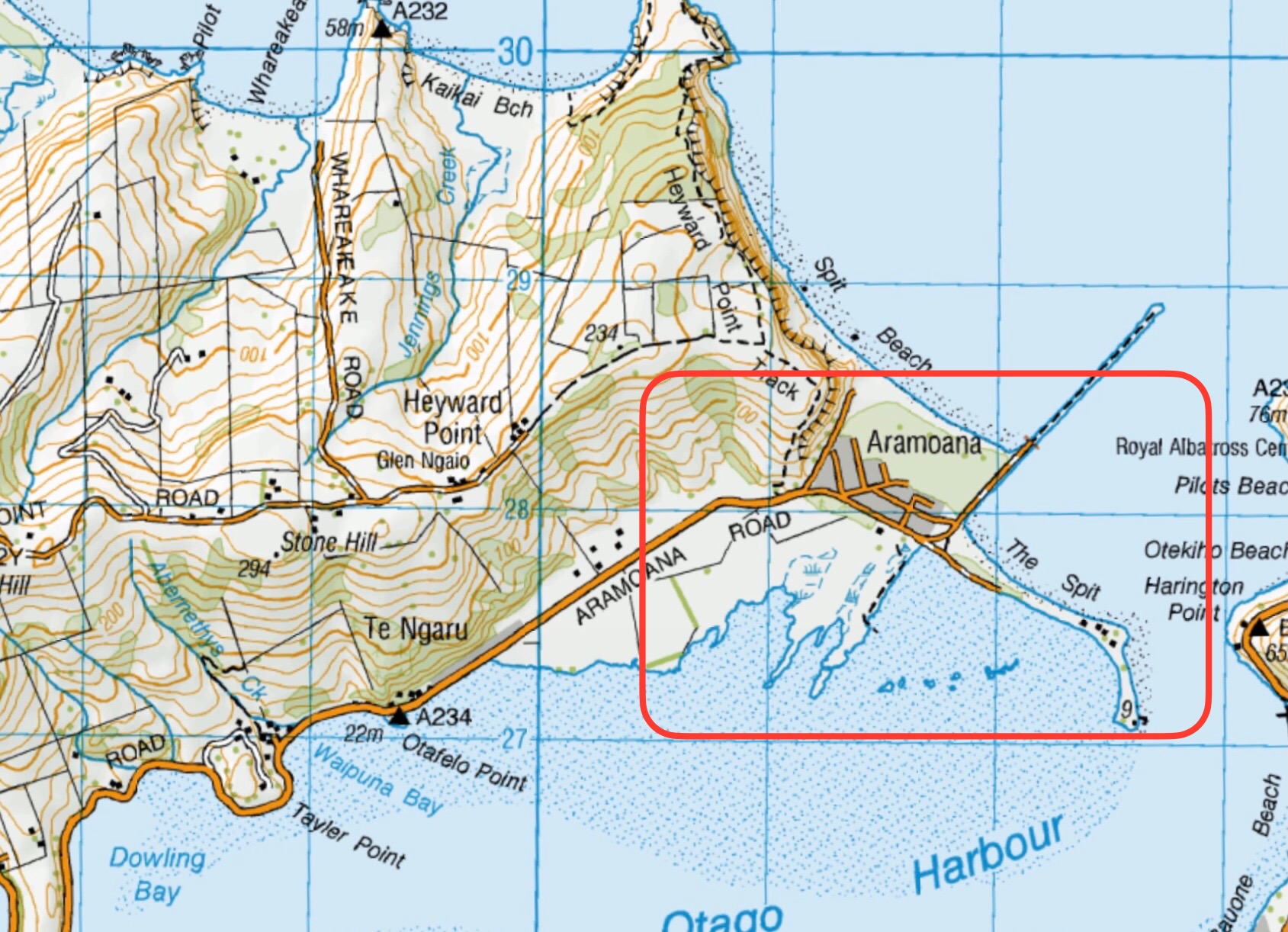
Click on Map to Enlarge
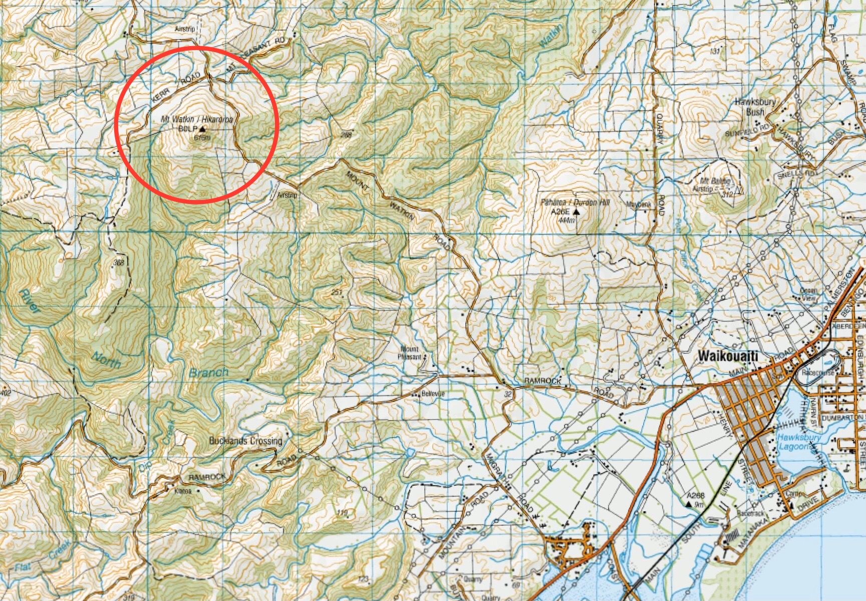
Click on Map to Enlarge
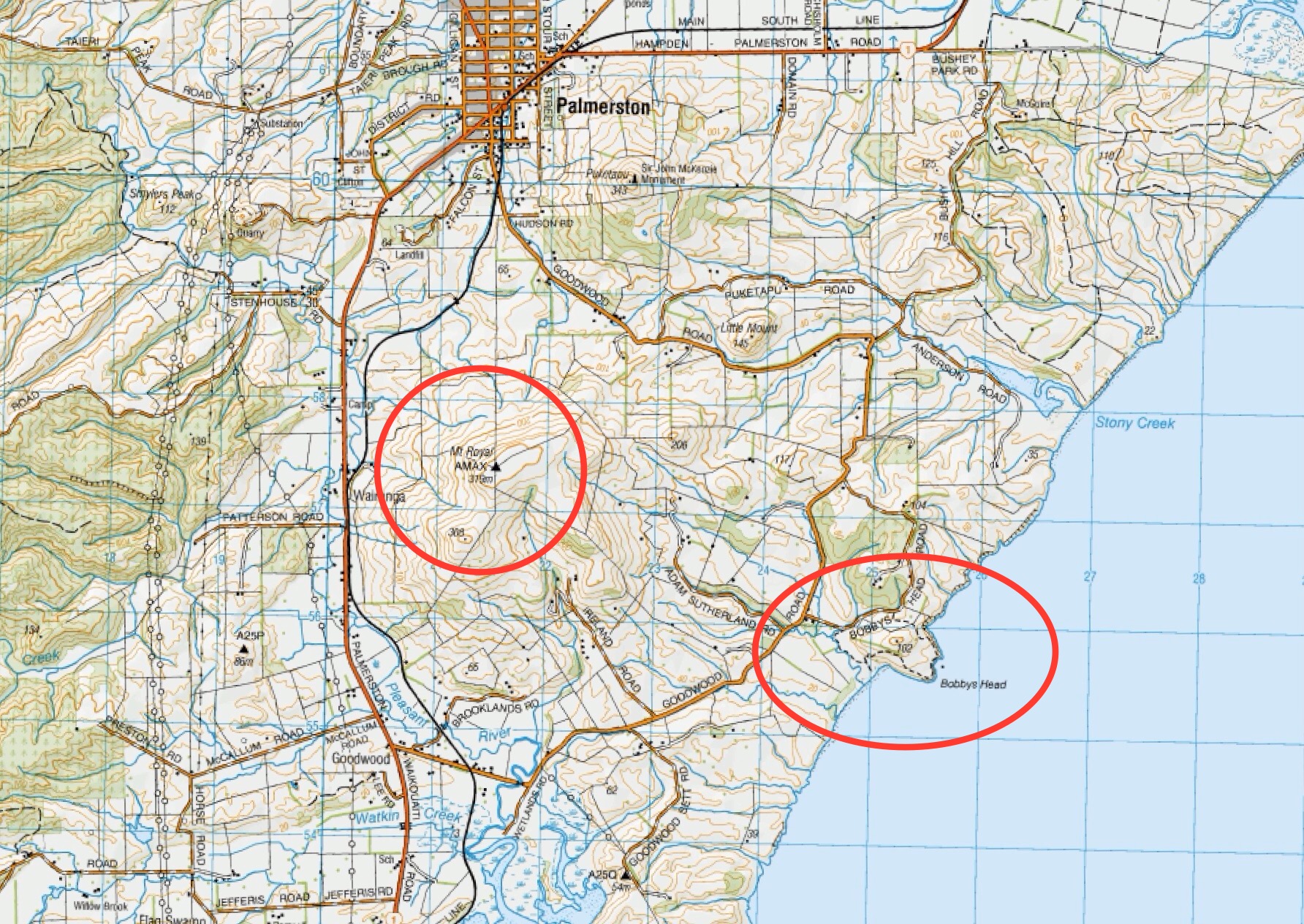
Click Map to Enlarge
Click on Map to Enlarge
Click on Map to Enlarge
Click on Map to Enlarge
Click on Map to Enlarge
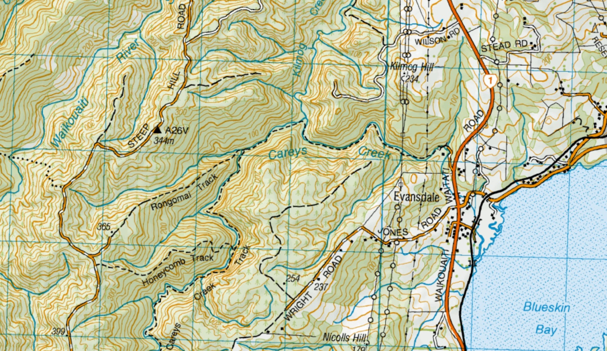
 2. 29/11/2023. Hikers Waters of the Leith. Grade 2. Leaders: Jan/ Pam
Having led this trip several times over the last 10 years or so, without much variation to it, this report will be reasonably brief.
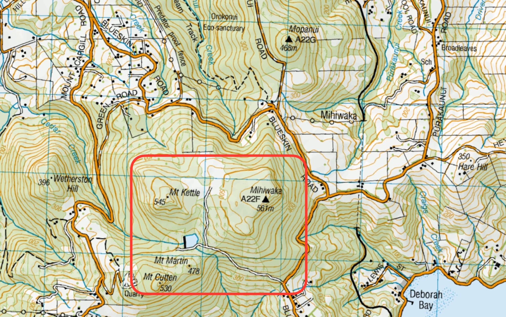
Taioma, Mt Allan – Information and Trips Library
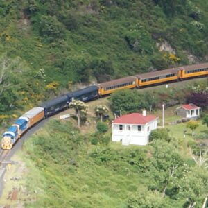
No. 96 on old hardcopy list of 113 club tramps. “Parera Taioma Transrail & Wenita Year Round”. 10km from PJP. Wenita permit. Require 6 weeks notice, but less from us. Taieri Gorge Railway. Phone 477 4449 for details.
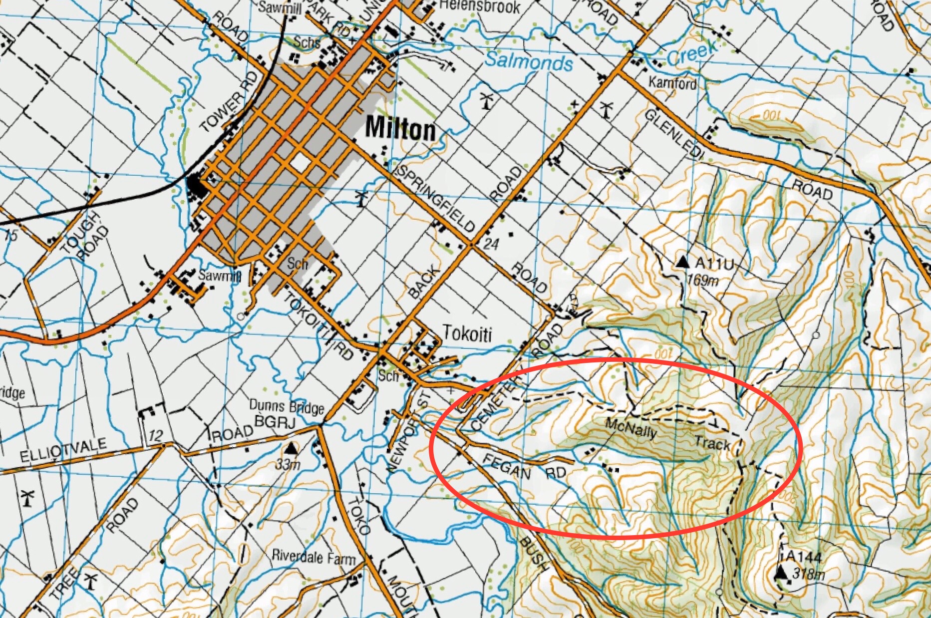
18. 29 November 2023. Trampers. Mullocky Stream, Mt Allan Grade 3.5 Leaders: Sylvie/ Lyn/ Lynley
25 lovely persons followed Sylvie up the Mt Allan Road parking near Mullocky stream. Continue reading “Taioma, Parera, Viaduct”
Click on Map to Enlarge
Click on Map to Enlarge
Click on Map to Enlarge
Click on Map to Enlarge
Click on Map to Enlarge

Click on Map to Enlarge