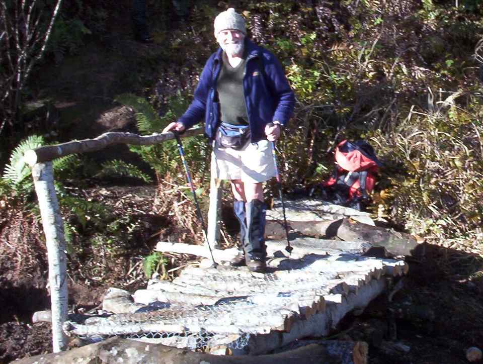
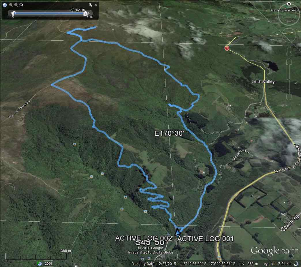
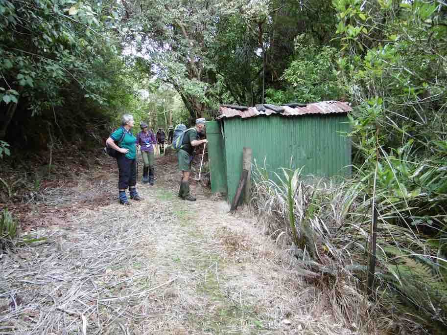
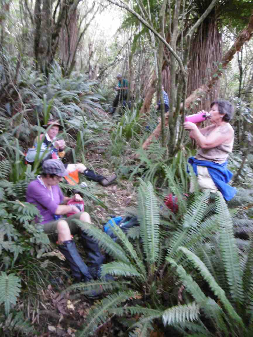
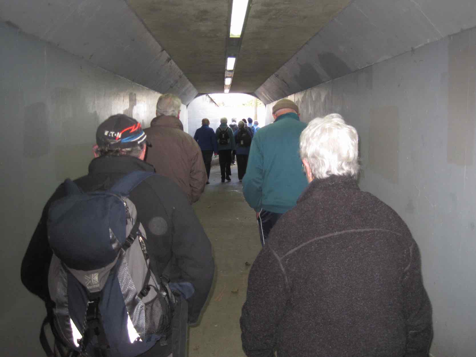
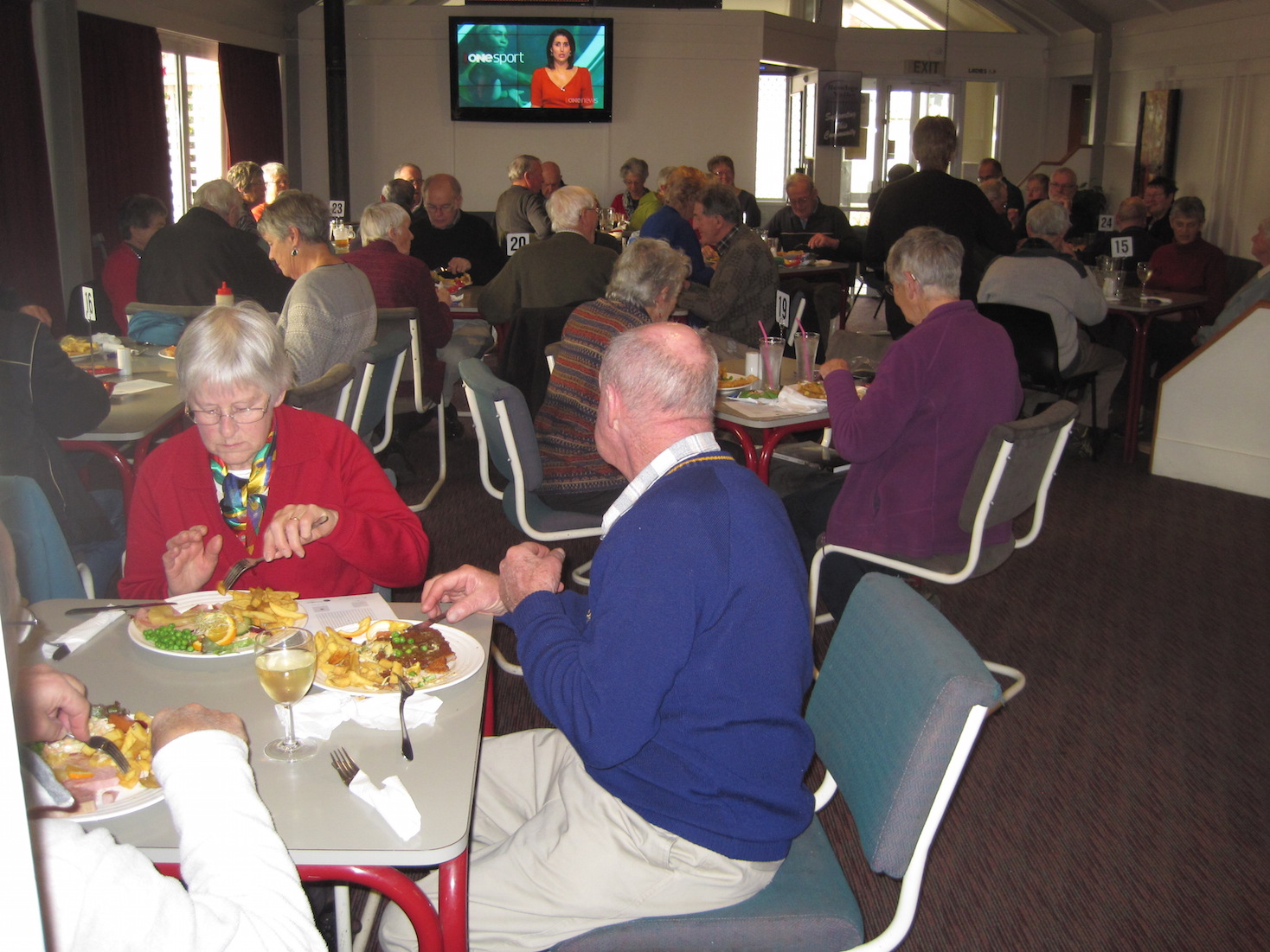
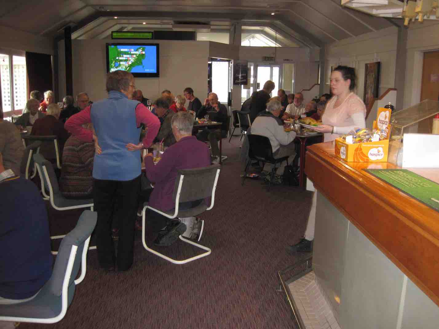
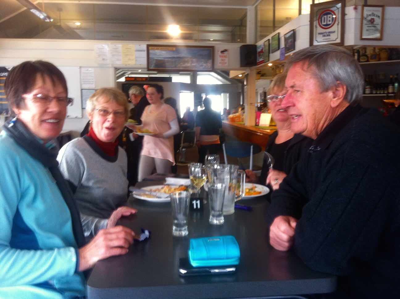
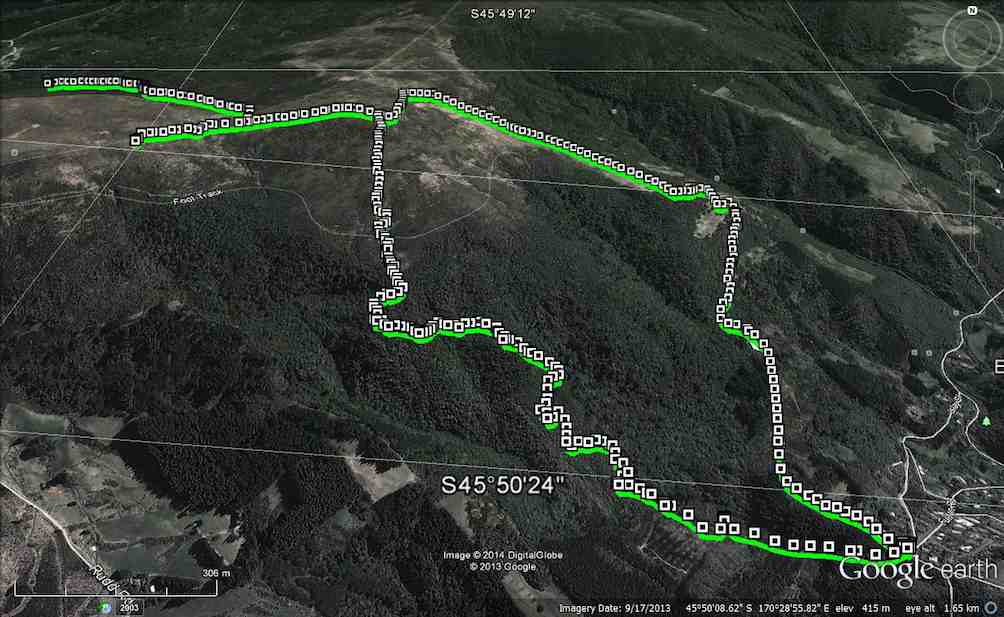
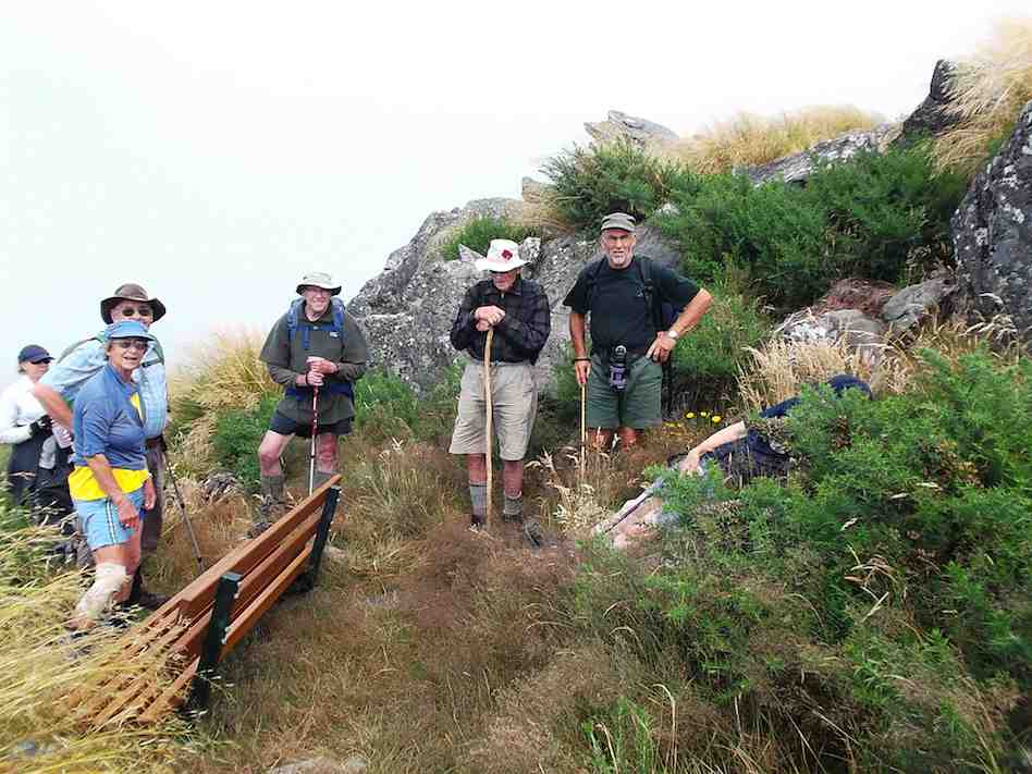
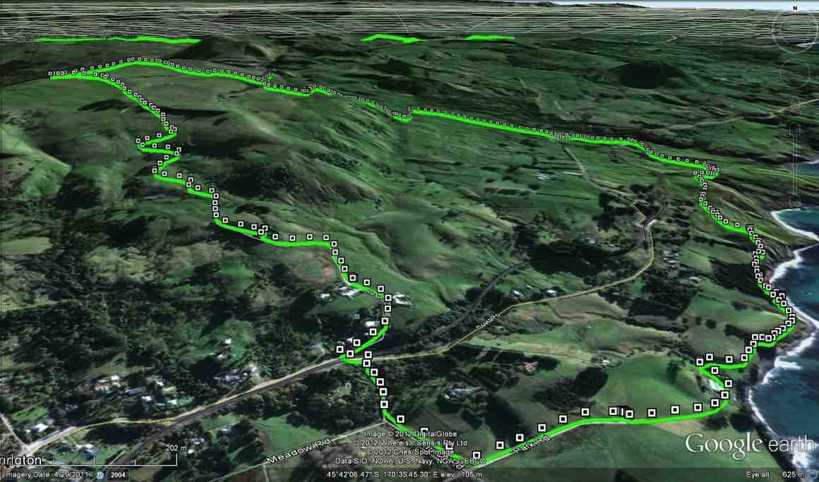
3. 27/11/2019. Trampers. Maungatuas Meander via Kempshall Road. M Margreet and Neil
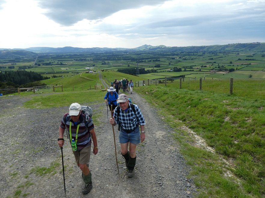
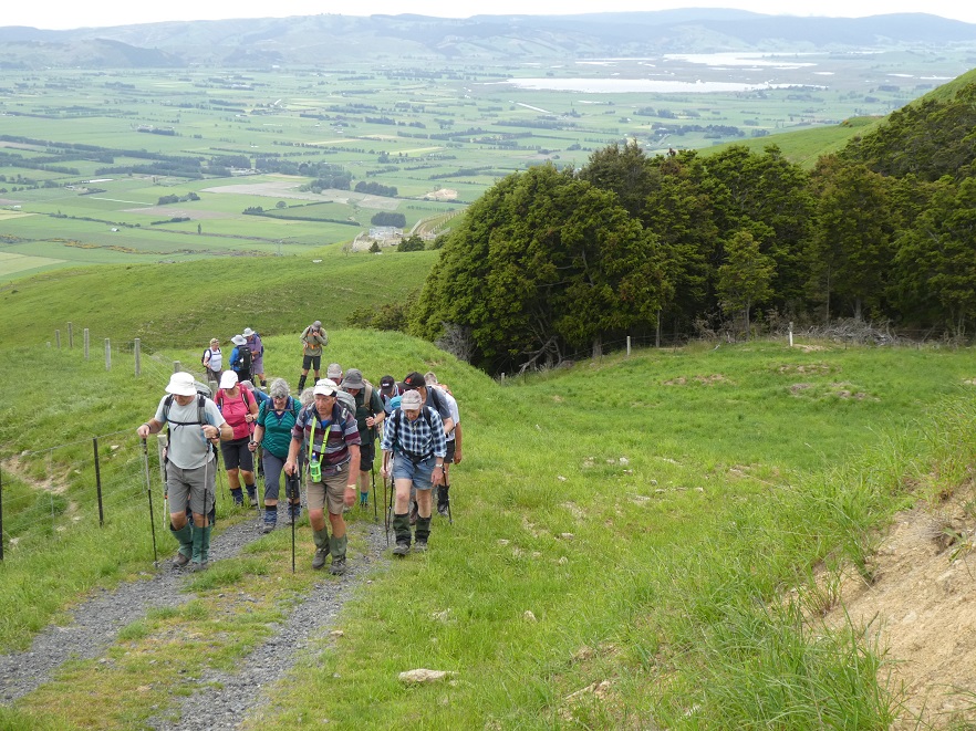
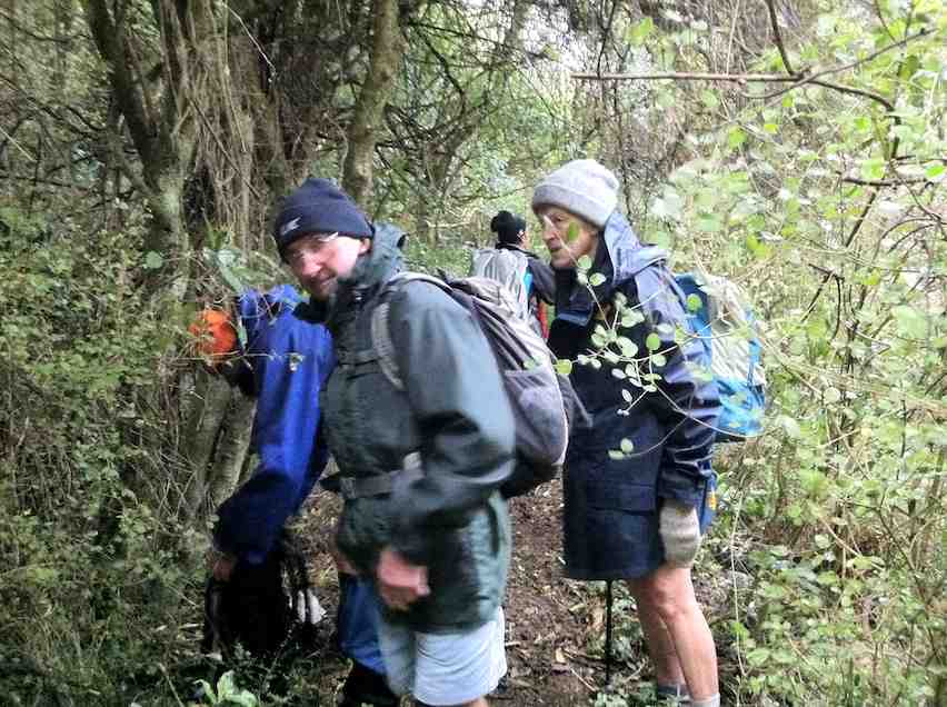
It was warm and balmy as 20 eager trampers set out on our ‘meander’ today. Several in the group were adamant that ‘meander’ slightly understated the nature of the outing – and thought a better description would be ‘a very long Baldwin street’!!
The steep gravel road access to the parking spot proved challenging for some cars and passengers/pushers, but we all made it!
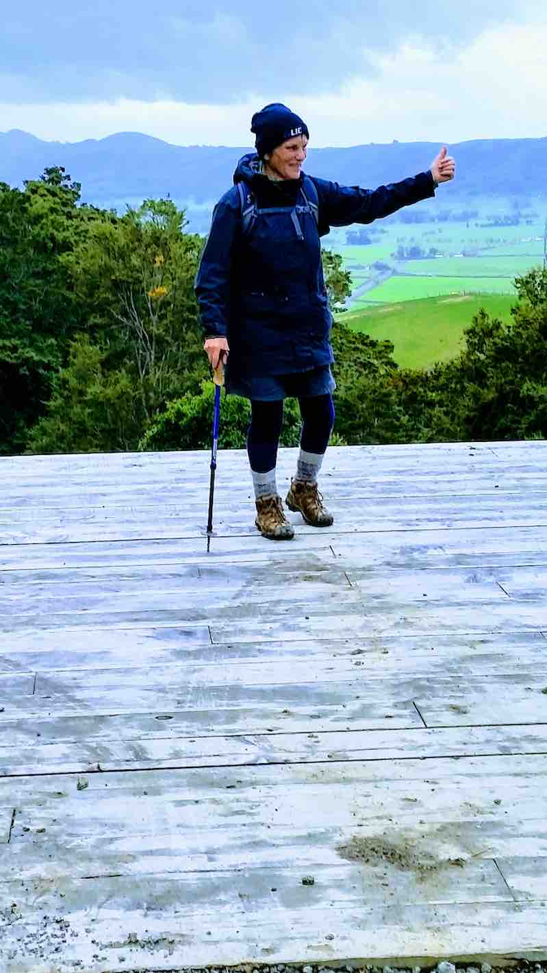
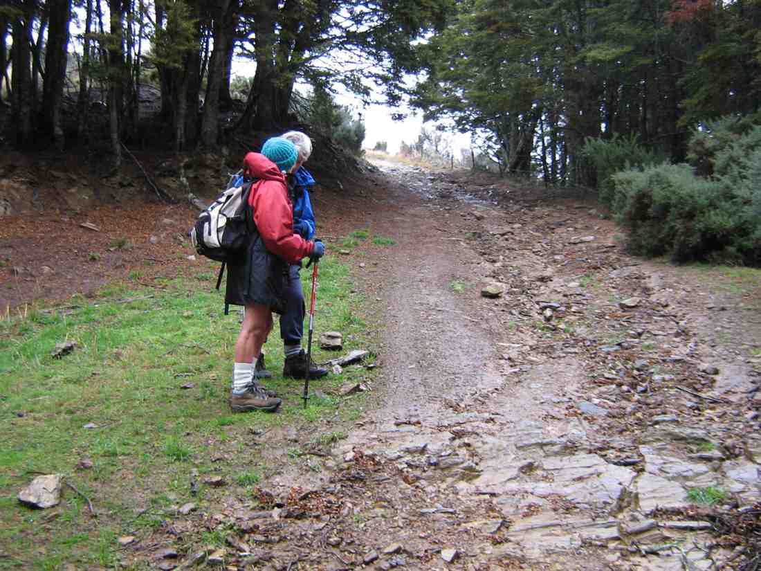
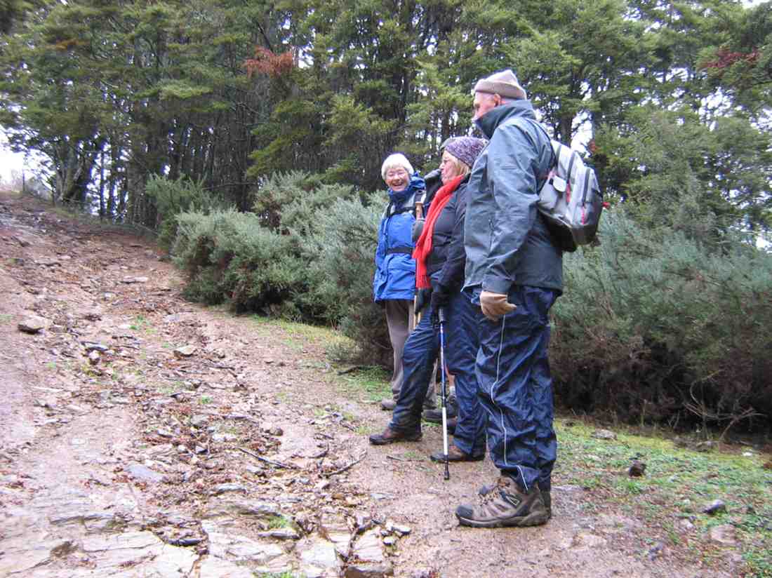
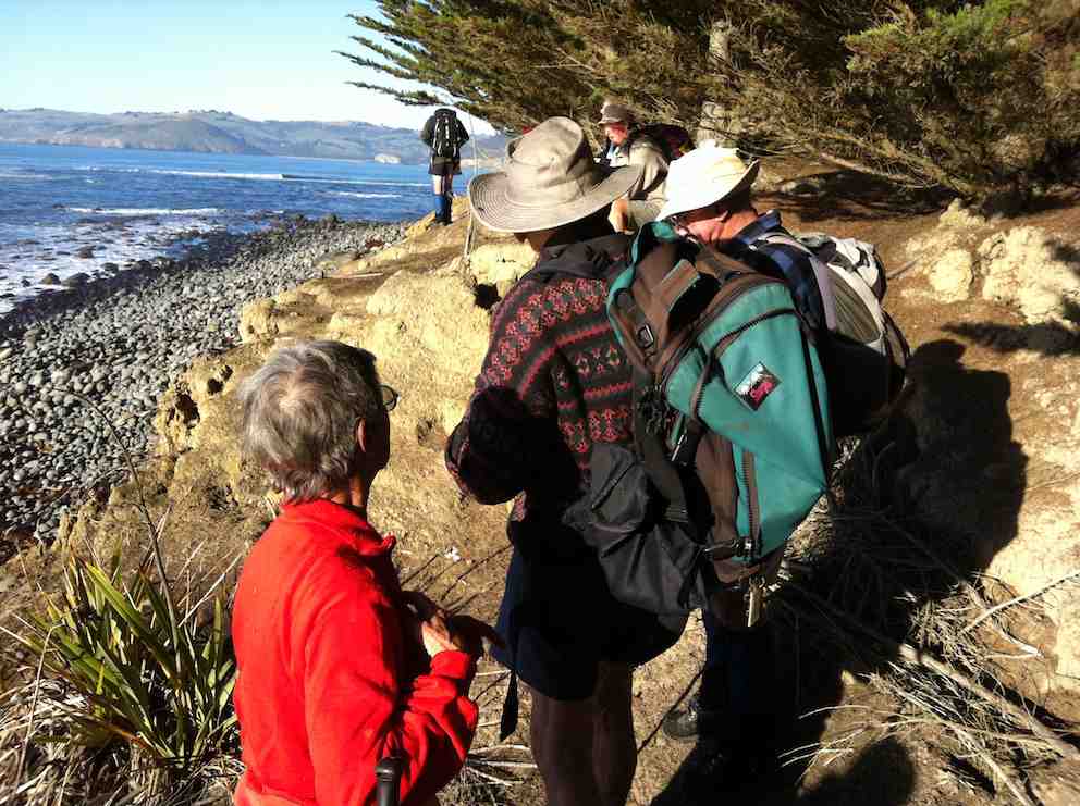
Photo and Caption Gordon _ “And we’re off”
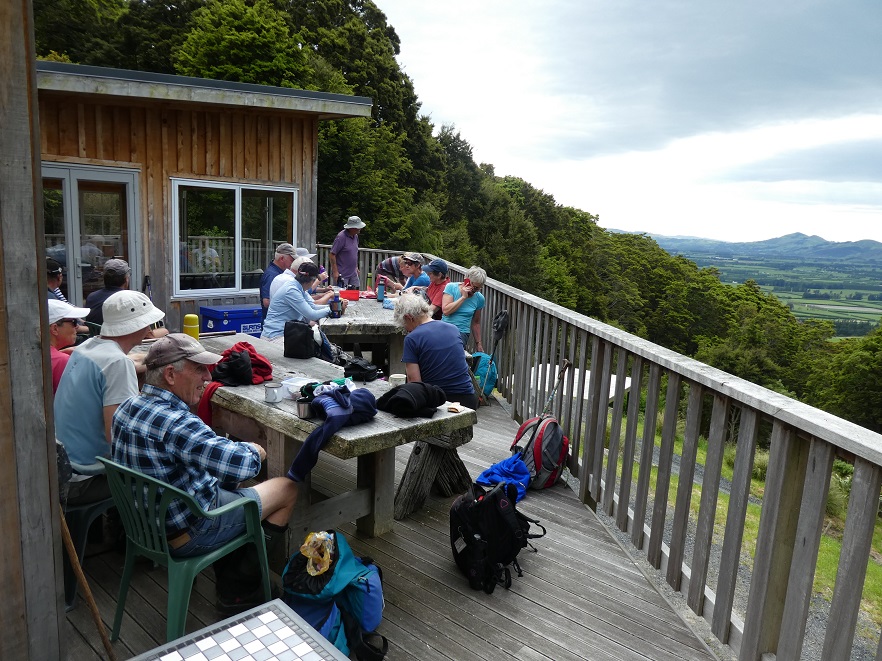
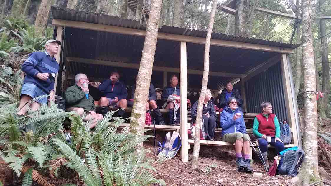
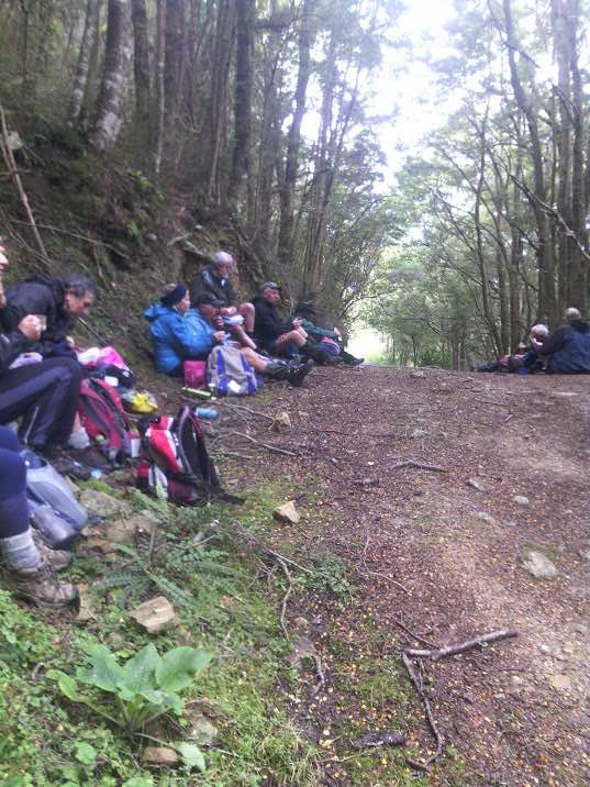
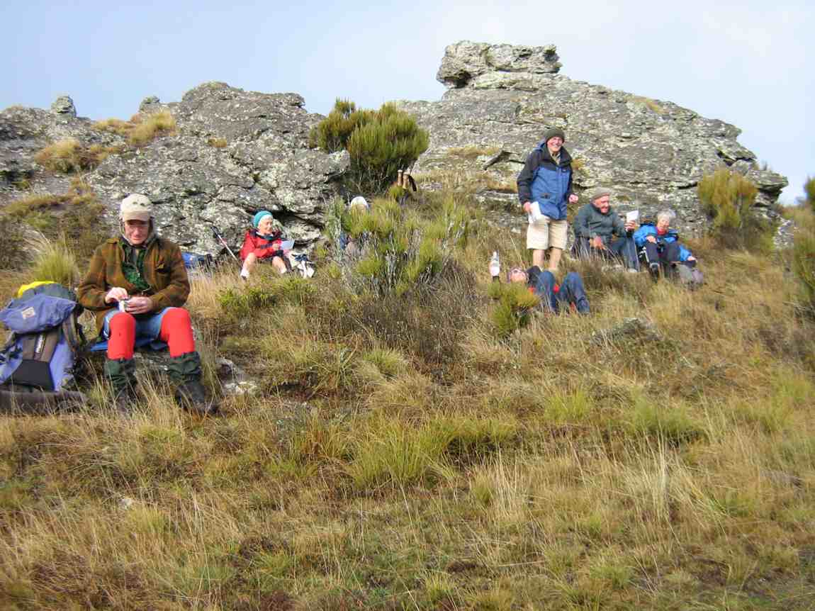
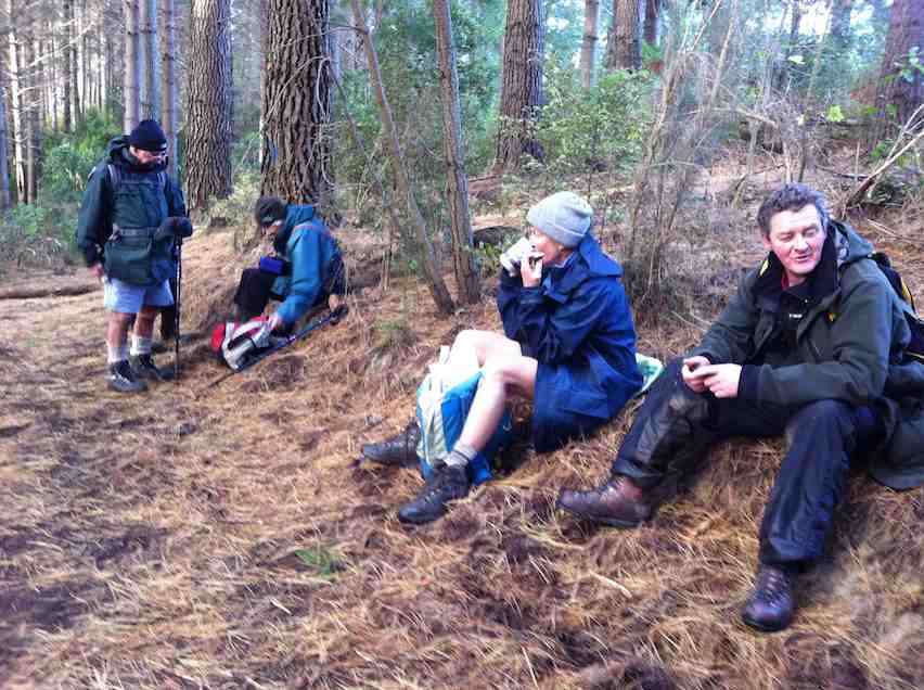
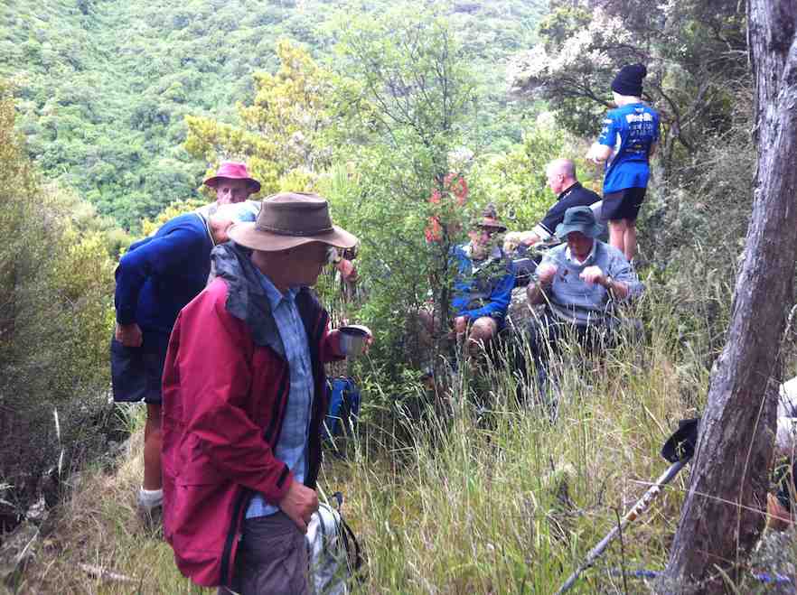
In order to prepare for the ascent ahead we decided to have morning tea on the balcony at the landowner’s bach, which was just a short side trek from the main track.
Photo and Caption Gordon -“A great place for morning tea”
Views from there were stunning and to be honest the group was a bit reluctant to move on.
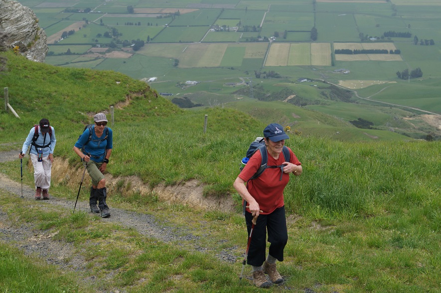
The steep climb up Mt. Maungatua to the top boundary took around an hour of huffing and puffing and moaning and groaning!
There was no sign of the aggressive NZ falcon and group of fallow deer encountered on the reconnoitre.
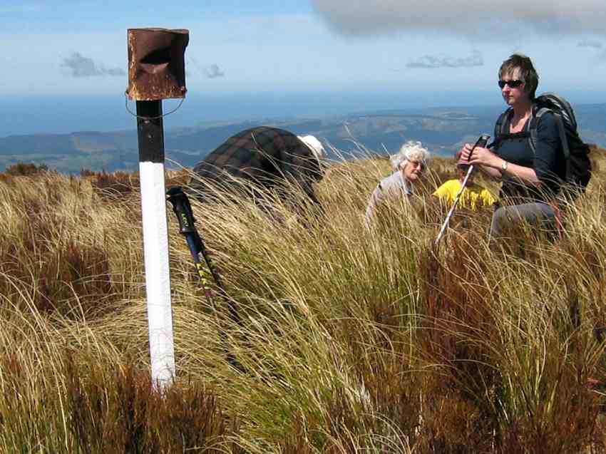
Photo and Caption Helen – “At the top looking out over the plains”
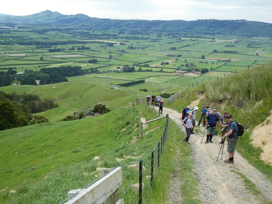
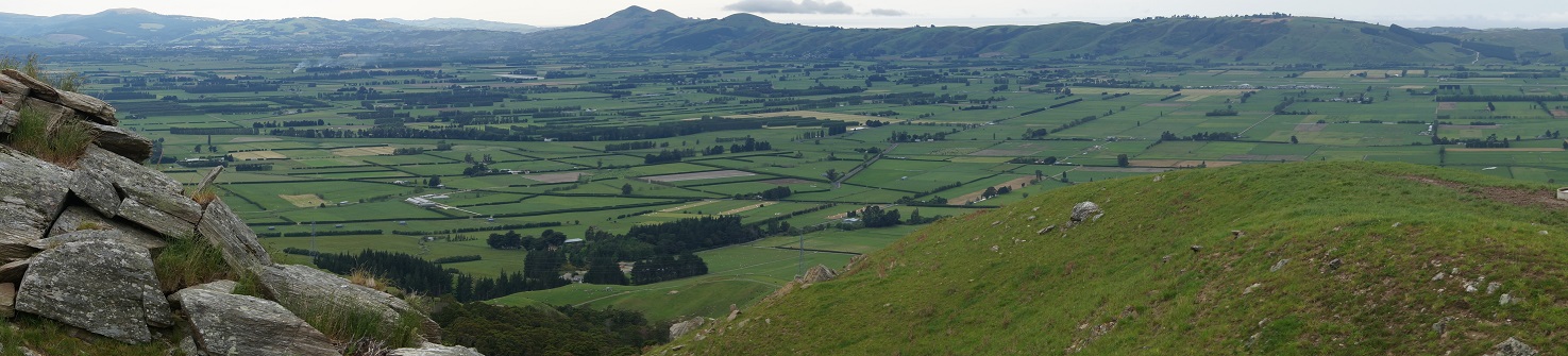
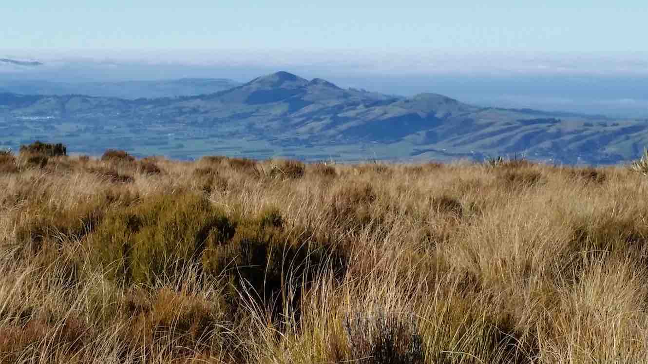
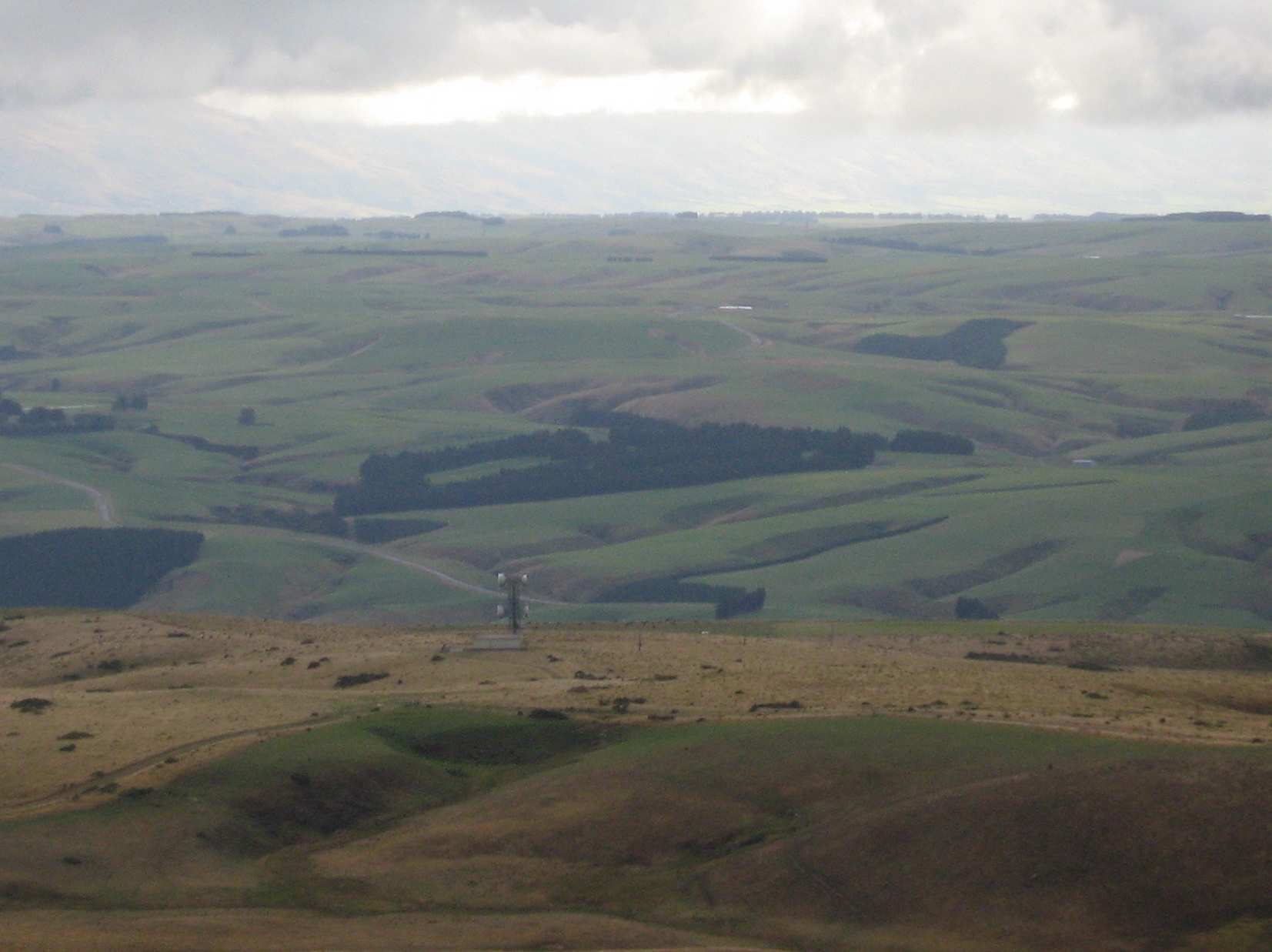
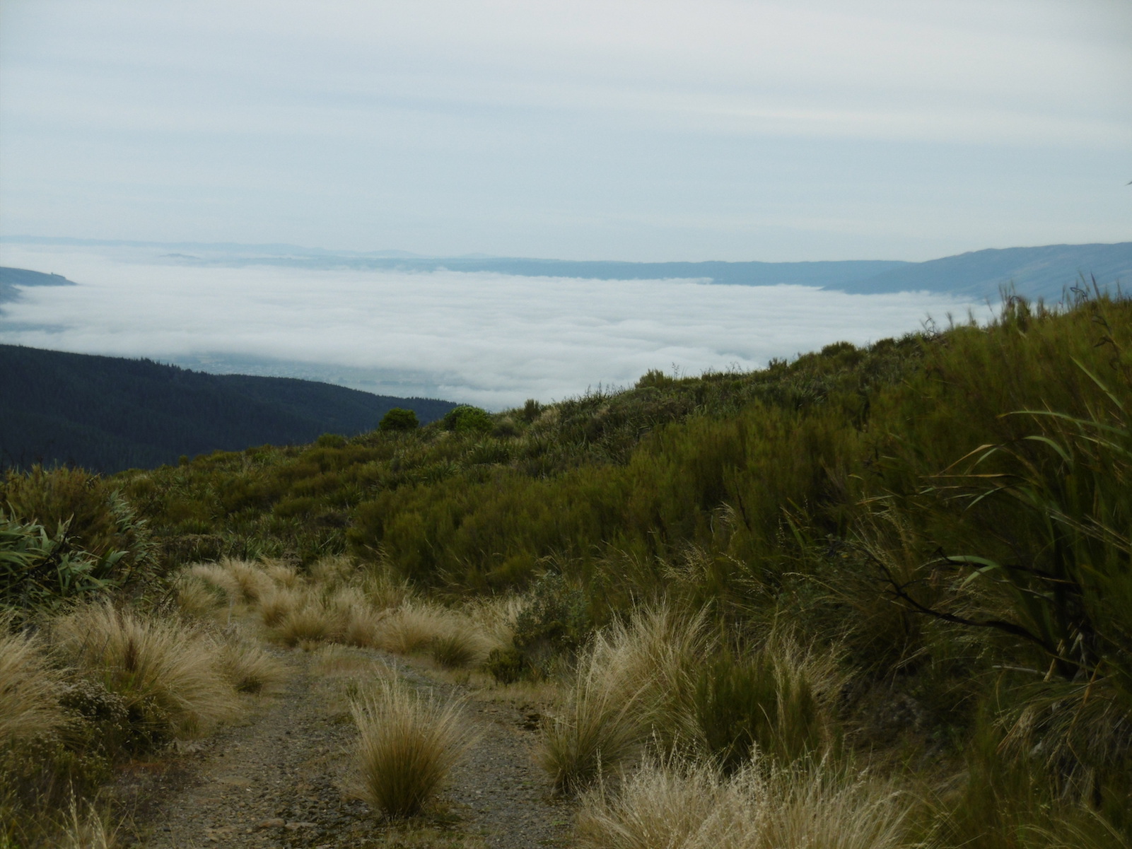
But once conquered the vista over the fertile Taieri Plain, wetlands and lakes; was outstanding.
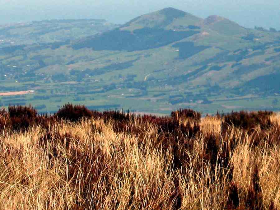
Photo and Caption Gordon – “A view of Saddle Hill and the Taieri plains”Photo and Caption John – “the beautiful Taieri Plain”
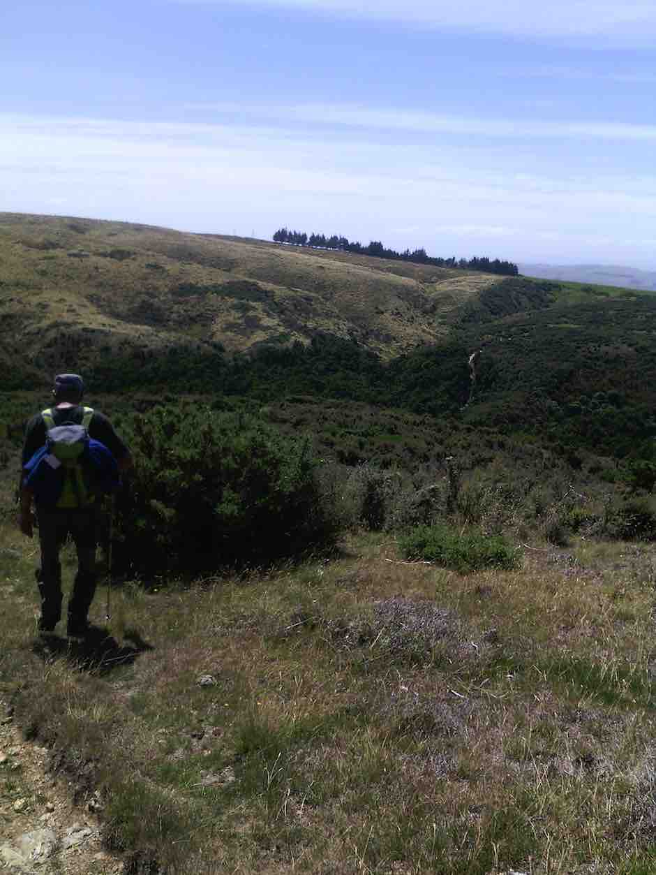
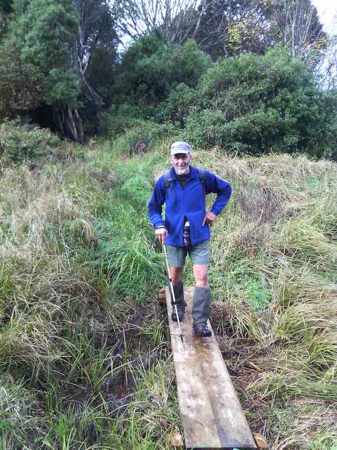
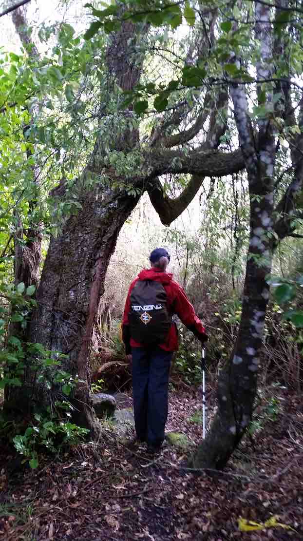
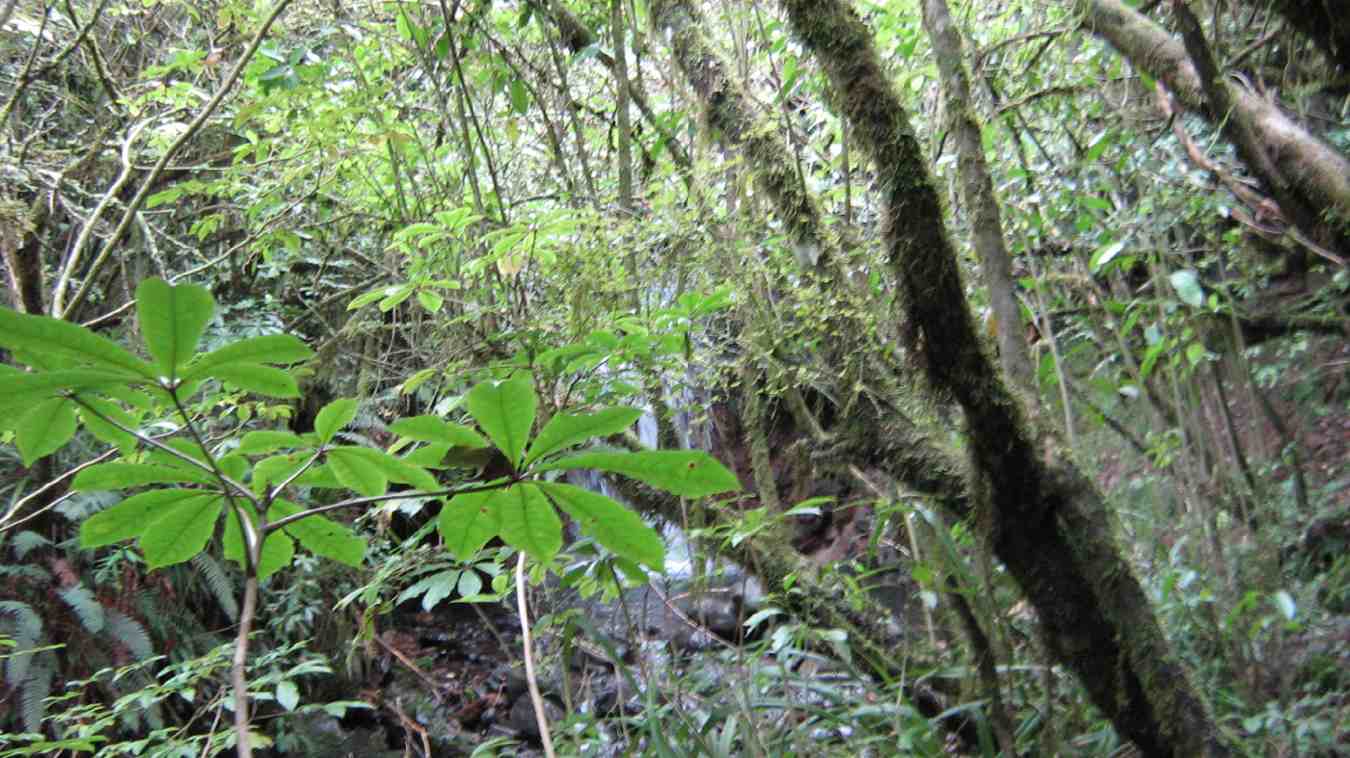
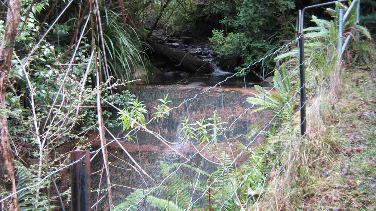
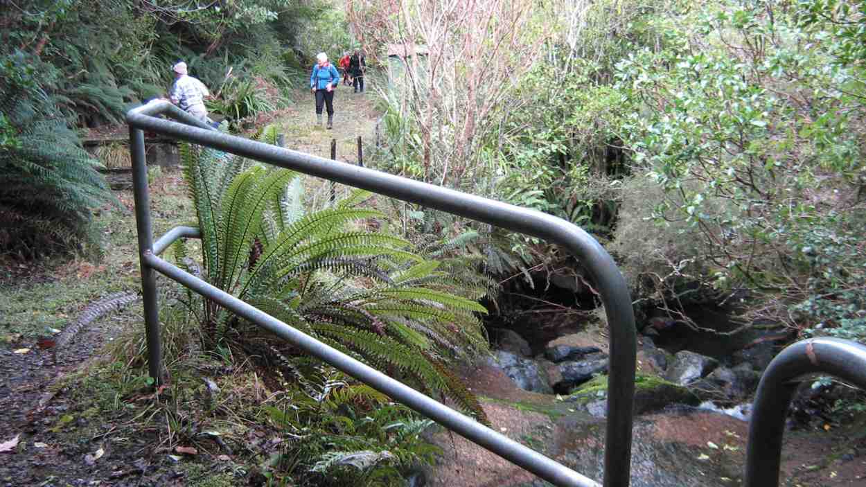
Heading south we traversed gullies of verdant native bush and ridges of lush long grass.
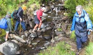
Photo and Caption Gordon – “Still climbing”Photo and Caption John – “Further than I would usually take my dog”
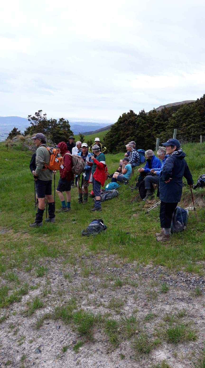
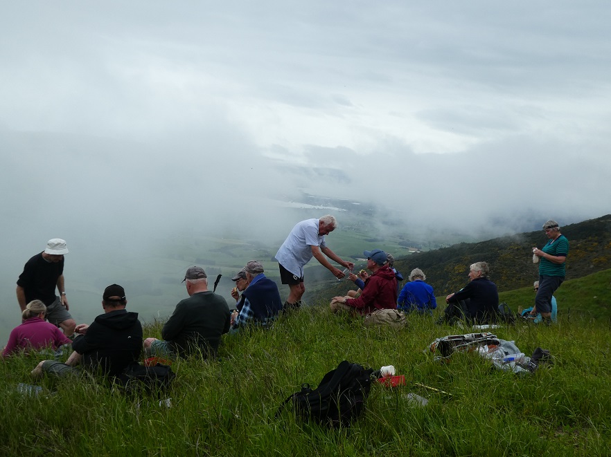
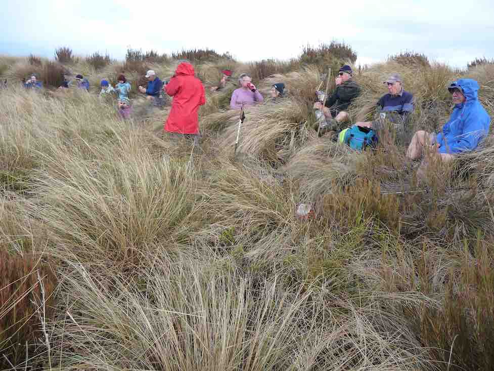
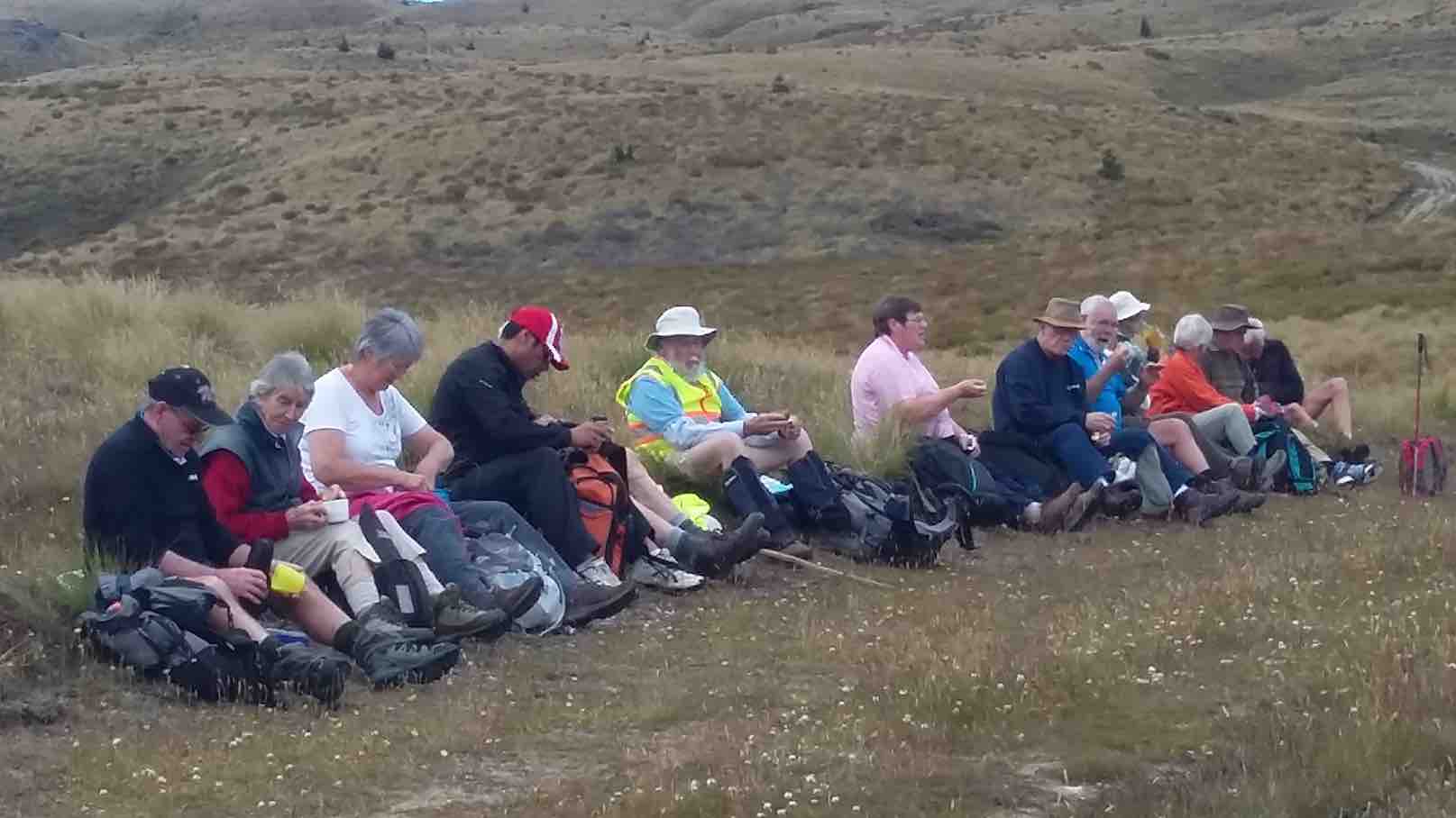
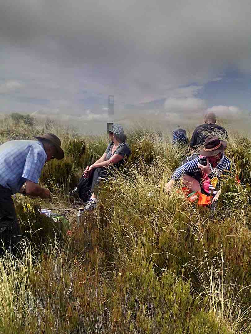
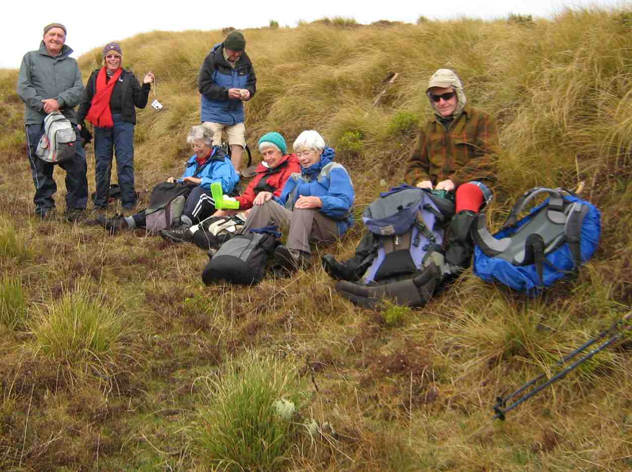
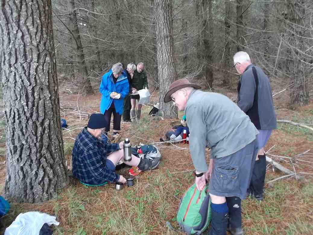
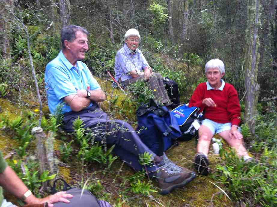
We stopped for lunch on a grassy knoll prior to descent.
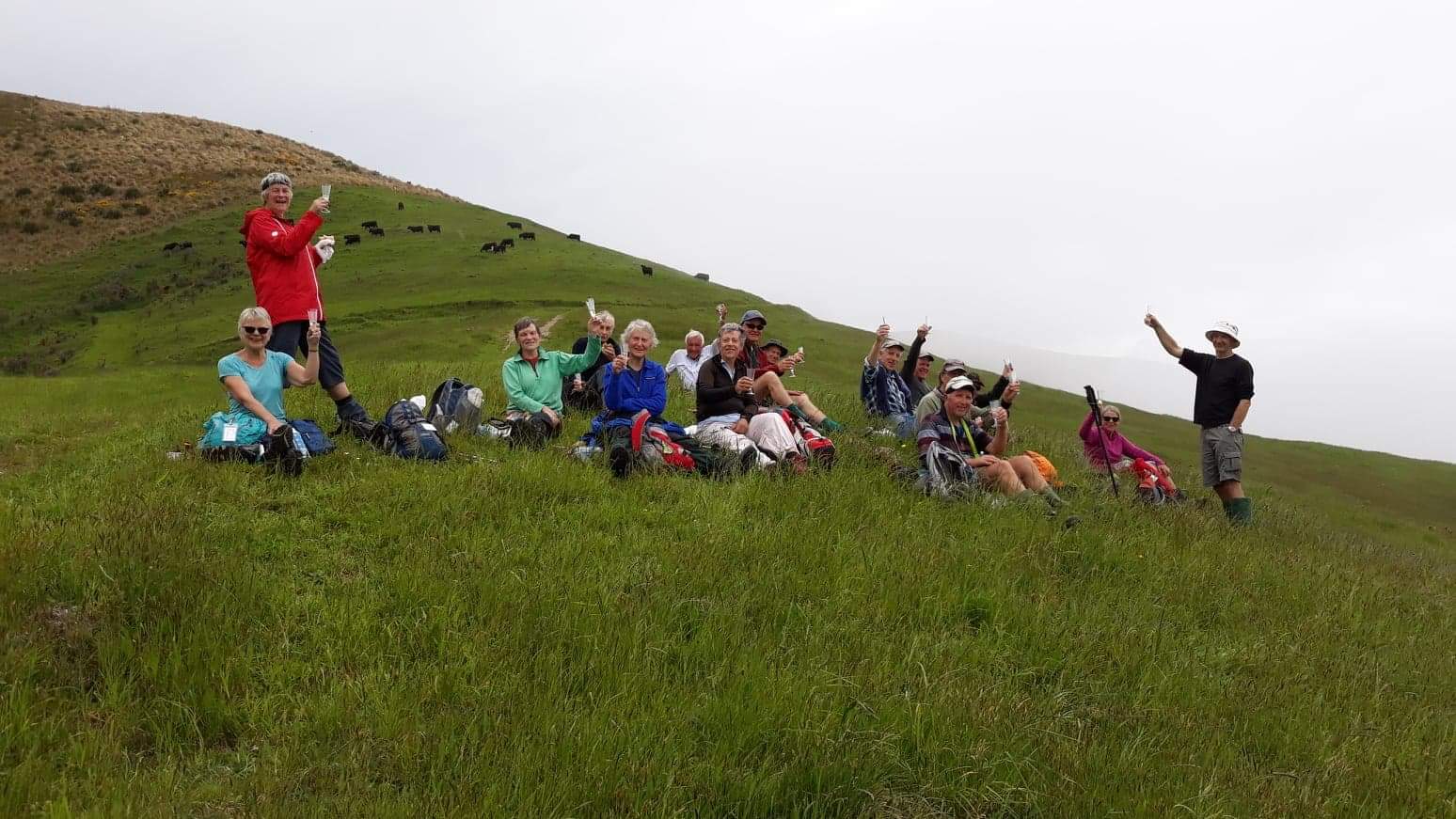
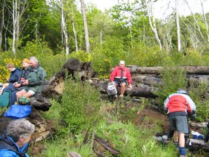
Photo and Caption Gordon – “Lunch, a disappearing view and a very special birthday shout”Photo and Caption Helen – “Birthday wine shout by the birthday boy Dave”
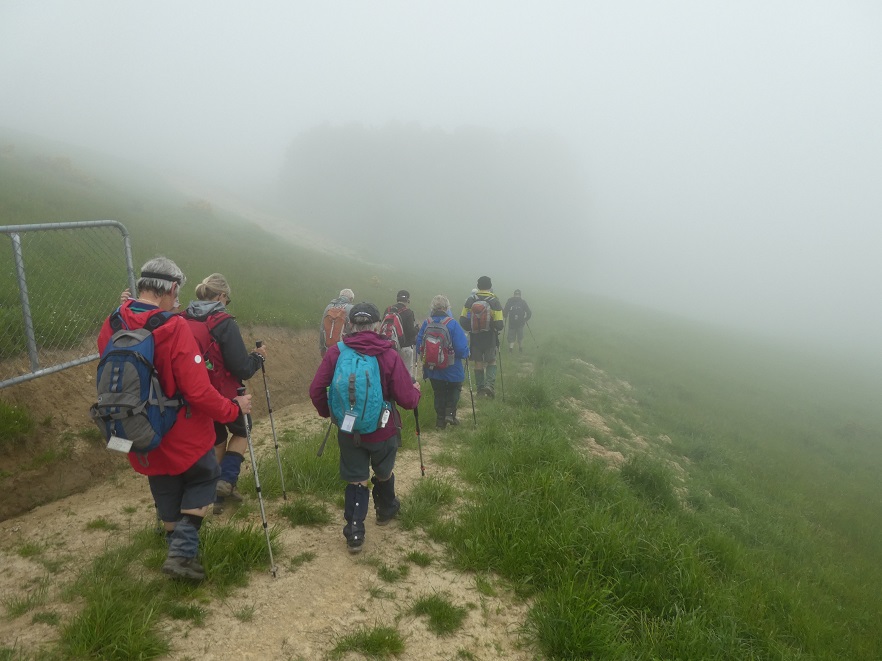
Within minutes a light easterly brought in low cloud which reduced visibility to a few metres. The leader,using all his native tracking skills, led the beleaguered group safely downhill to the lower track. What a hero!!
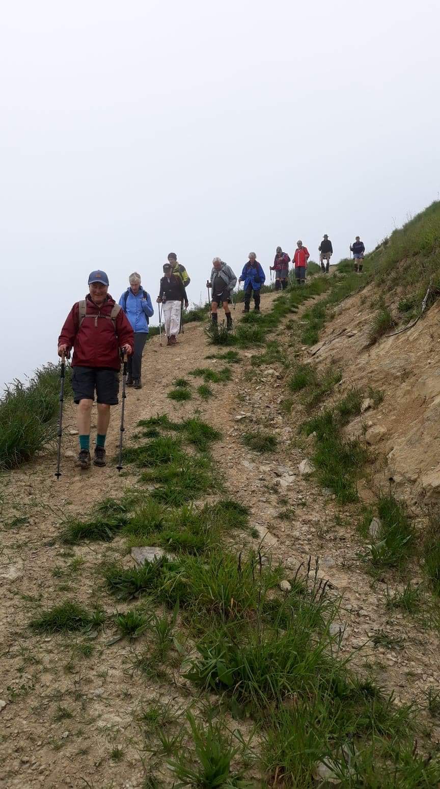
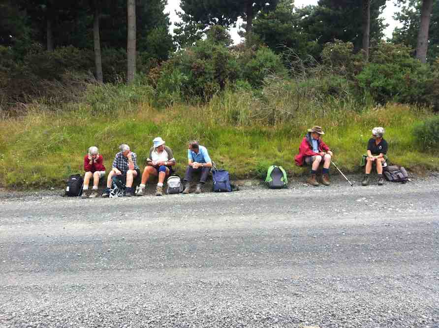
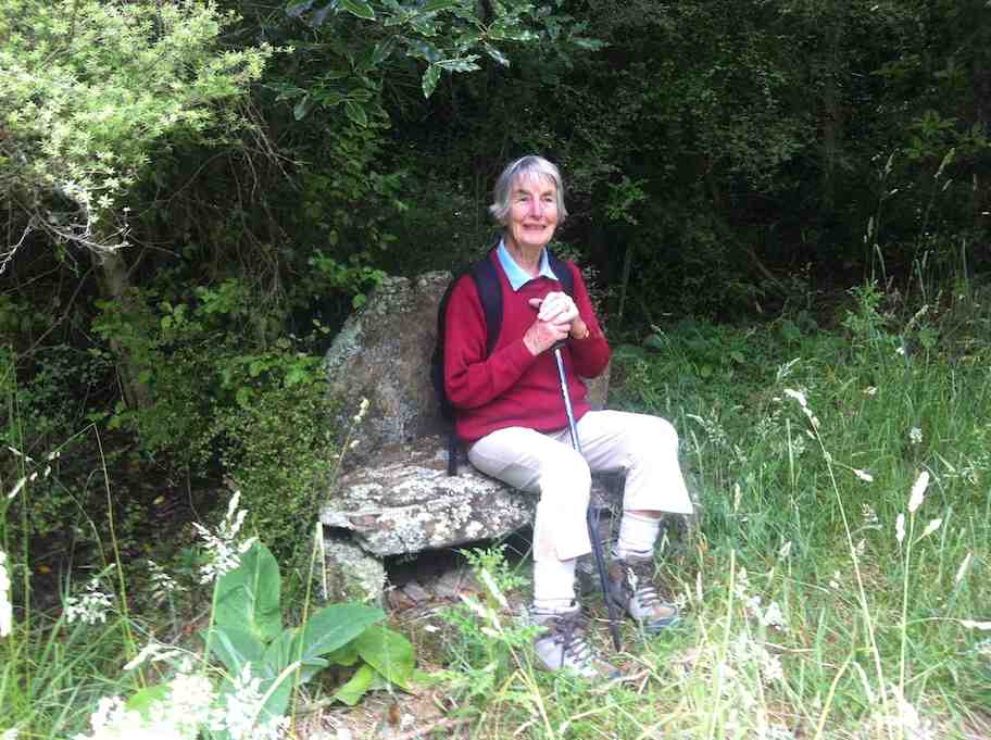
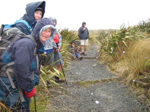
Photo and Caption Helen – “Walking down one of the many hills”Photo and Caption Gordon – “”Heading down to the cars we hope”
From there it was uphill and down dale back to the cars, pausing briefly to inspect the adventure course being used by the chatty children from Hampden school.
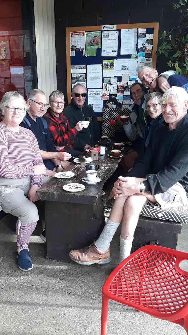
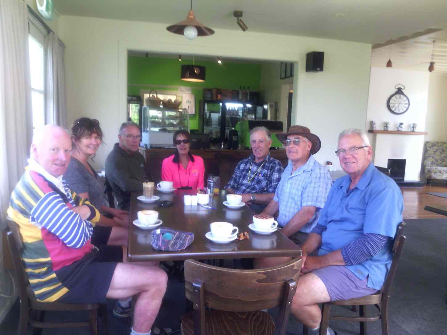
Recovery was commenced at Outram’s Wobbly Goat with coffee and cake.
P.S. A consensus asserted that this adventure be reclassified from M to H!
Margreet and Neil
2. 19/4/2017. Trampers. Meander the Maungatuas via Kempshall Road. M. Margreet and Neil.
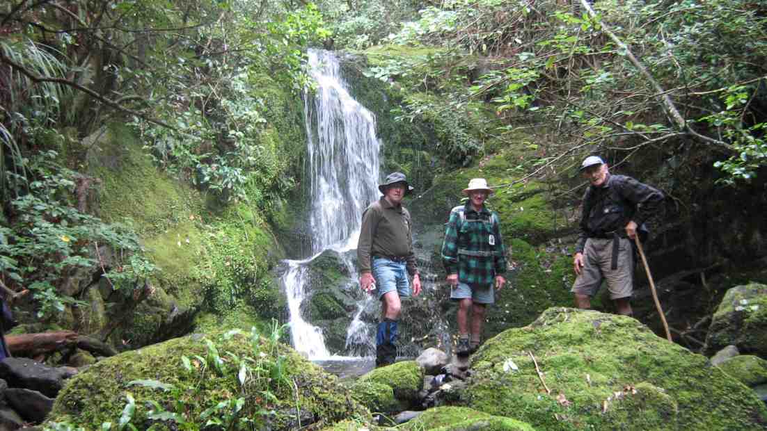
As we drove through Outram heading for our ‘Maungatua Meander’; the rain bearing cold front forecast for lunch-time, arrived 3 hours early! Nevertheless 5 hardy gentlemen and 6 ‘complaining’ ladies set out on the steep 78 minute climb to the top boundary of this private property! We passed ‘Climbing Rock’ and inspected the outdoor adventure course where a tiered viewing platform made a handy stop for morning tea, sheltered from the wind and rain.
Morning Tea. (Margreet pic and caption.)
Confidence course. (Margreet pic and caption.)Jill on the helipad. (Margreet pic and caption.)
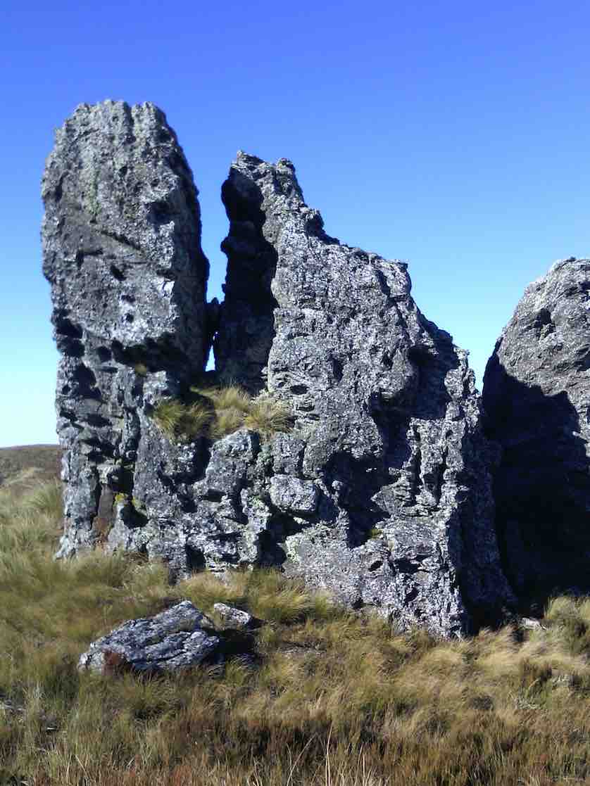
Plodding (and puffing) upwards past ‘Falcon Rock’, the top junction was soon reached, but the awesome scenic vistas promised by the leaders, were less than spectacular!
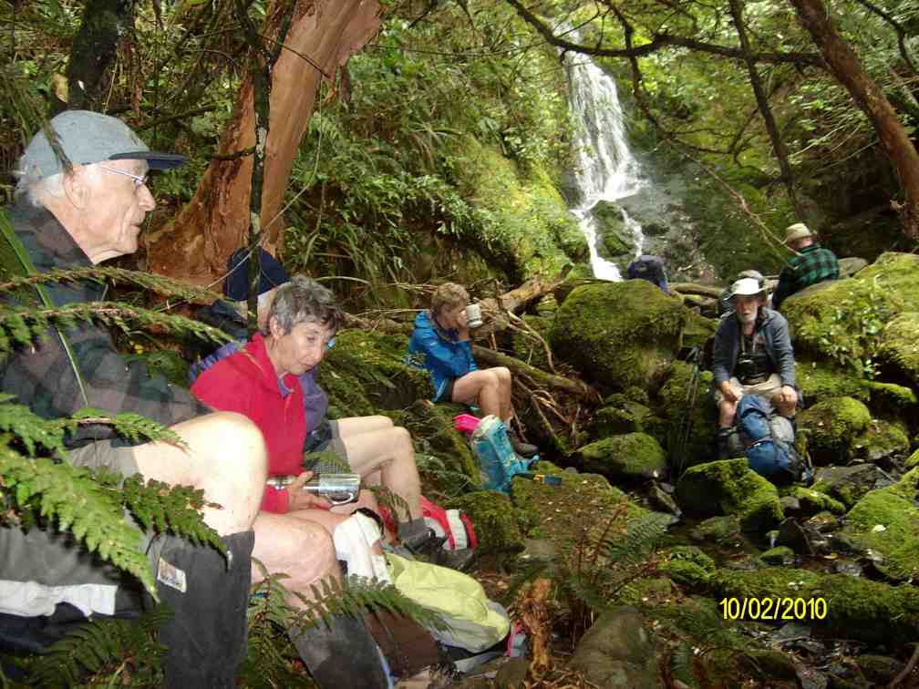
Heading South we followed the farm track passing through gullies of beautiful native Beech forest, and ridges of productive pasture. Destructive wild pigs had been busy in many places. The weather dictated an early descent for lunch beside a waterfall in the sheltering beech forest.
Lunch. (Helen pic.)
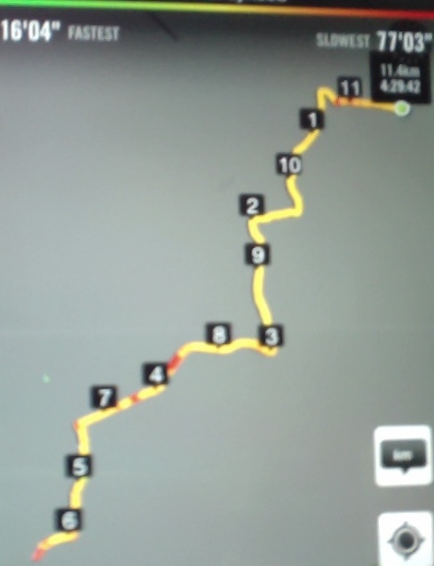
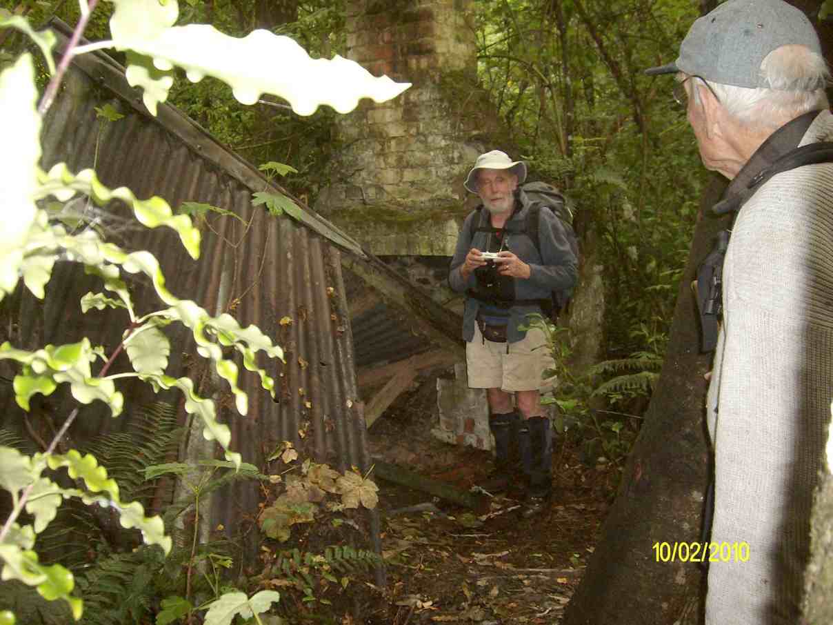
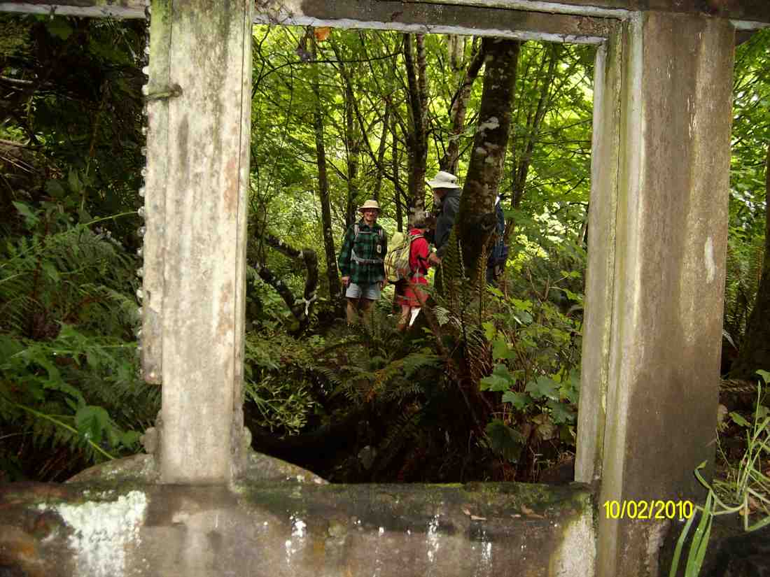
A side-trek to visit the landowner’s beautiful ‘Bunker’ completed the meander, during which we covered 8.5 KM and climbed to 1900 ft.
We enjoyed a debrief at the Wobbly Goat Café before heading home. -Margreet and Neil
1. 28/1/2009 Kempshall Road, Maungatua Leader: George
(Off Maungatua Road, beyond Grainger Road.) Permission.
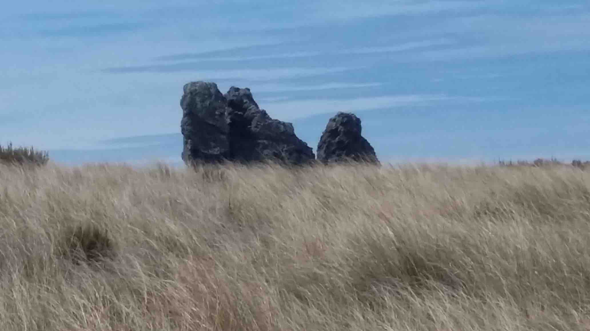
Small waterfall, small pool, big rock. Doug, George. (Hazel pic)Twin rocks. Taieri Plain from Kempshall Rd Track. George, Glenice, Doug (Hazel pic)Back at the cars. Glenice, Doug. (Hazel pic)
No. 1 on old hardcopy list of 113 club tramps. “Maugatua Microwave. J Roy. Year Round.” Permissions from Horsehoof.
Distance from car-park: 24 km.
22. 29/5/2019. Horsehoof, – Maungatua. M. Arthur.
18 of us set off from Mosgiel and travelled through Outram and turning left off on a road into Horsehoof Station. Clear looking sky and the anticipation of a great day.
Parked up in the paddock, we set off up the first hill. The wind was very cold and strong up there, brass monkeys were the call, and numerous layers the call, jackets and hats also.
We stopped in a sheltered spot for our morning tea. Farm trackended and then it was onto DOC land and tussock.Not much track at all and quite hard going. The odd slip on the terrain.
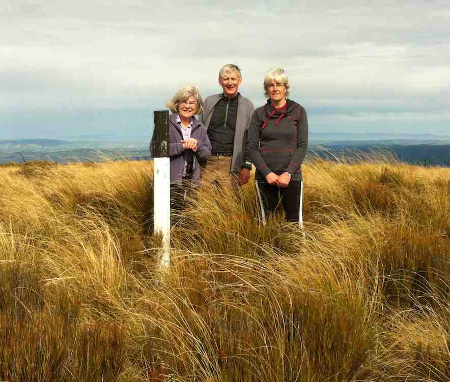
Making it to the top
Finally the Summit. (Gordon pic and caption.)
where photo shoots were taken.
The new Saddle Hill volcanic crater.(Phil pic and caption.)
Great views but soooo cold and windy. Decided to go back to some shelter in the tussocks for lunch.
Lunch out of the wind. (Gordon pic and caption.)
Back up to the corner of Horsehoof,
Out of the West ( Mahinerangi in background) (Phil pic and caption.)
and with three going back down the start track to look for poor old Dave’s iphone lost on way up, while the rest of us went the longer way.
Two things sprung to mind on this tramp. If you go a different direction you need to let the leader know for safety reasons.
Lunch needs to be finished by everyone before some start on their way.
All in all a great tramp in some windy conditions, travelling 14kms. Refreshments well received
Coffee. (Helen pic and caption.)
with great service at the Wobbly Goat in Outram Helen.😉
MAUNGATUA DEBRIEF
It saddens the leader to have to write these notes, due to the fact that a few of the group completely ignored the club’s Safety Rules up on Maungatua.
The club formulate these safety rules many years ago, which were updated 2-3 years back. All new members are given a copy when they join, and they are on the club’s website. (v. Page 7a.) Everyone should be familiar with them.
There is nothing difficult about these rules, just simple common sense things (but of course, as they say, common sense isn’t common any more. (A detailed email is going out to all members about this) – Art.
21. 27/2/2019. Maungatua. M. Leader: Gordon.
A Fairy Tale.
Once upon a time 12 happy trampers set out to climb the big mountain of Maungatua. They wanted to get to the top, and were very determined.
But the nasty rain came just as they set out, and the cold wind joined in to make things unpleasant for the 12 happy trampers.
The cloud came down too, to hide the top of the mountain, but that was no deterrent either. Jackets and gloves kept them warm.
Uphill they went, on the good 4WD track, into the cloud and with the wind and rain attacking them.
In time they were high up on the mountain, and stopped to have their morning tea in the slight shelter of a little hut, beside some aerials.
After a brief stop to enjoy their hot cups, discretion was decided upon, and the 12 happy (still) trampers returned back down the mountain to their cars.
But the 12 happy trampers had had a good morning’s exercise, covering more than 6 km and the rain and wind had given a good test to the weatherproofness of their clothing.
Feeling a bit wet and cold, the 12 happy trampers drove back to Mosgiel, returning safely to their homes.
And they all lived happily ever after! – Art.
20. 10/5/2017. Trampers. Maungatua trig via Horsehoof. M. Leader: Arthur.
Clear skies, a light breeze, and lots of sunshine gave perfect conditions for our tramp up onto Maungatua. The cars were left high up beside the farm road on Horsehoof, a group of 13 happy trampers setting out from here on the uphill dozed farm track.
About halfway up morning tea was taken, with stunning views to enjoy at the same time, in the clear air.
Onward and upward, we reached the top boundary of Horsehoof Station, and climbing through the fence were in the DOC reserve which encompasses all of the top of Maungatua. It was then single file through the tussock and turpentine shrubs on the faint track.
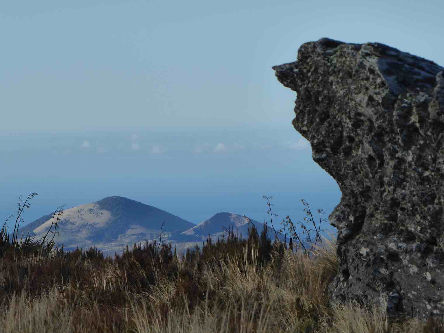
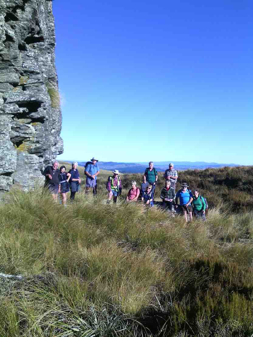
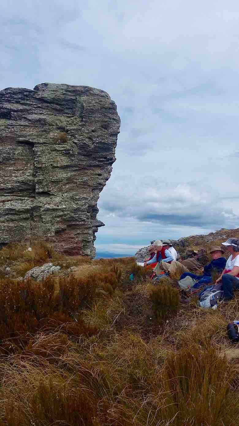
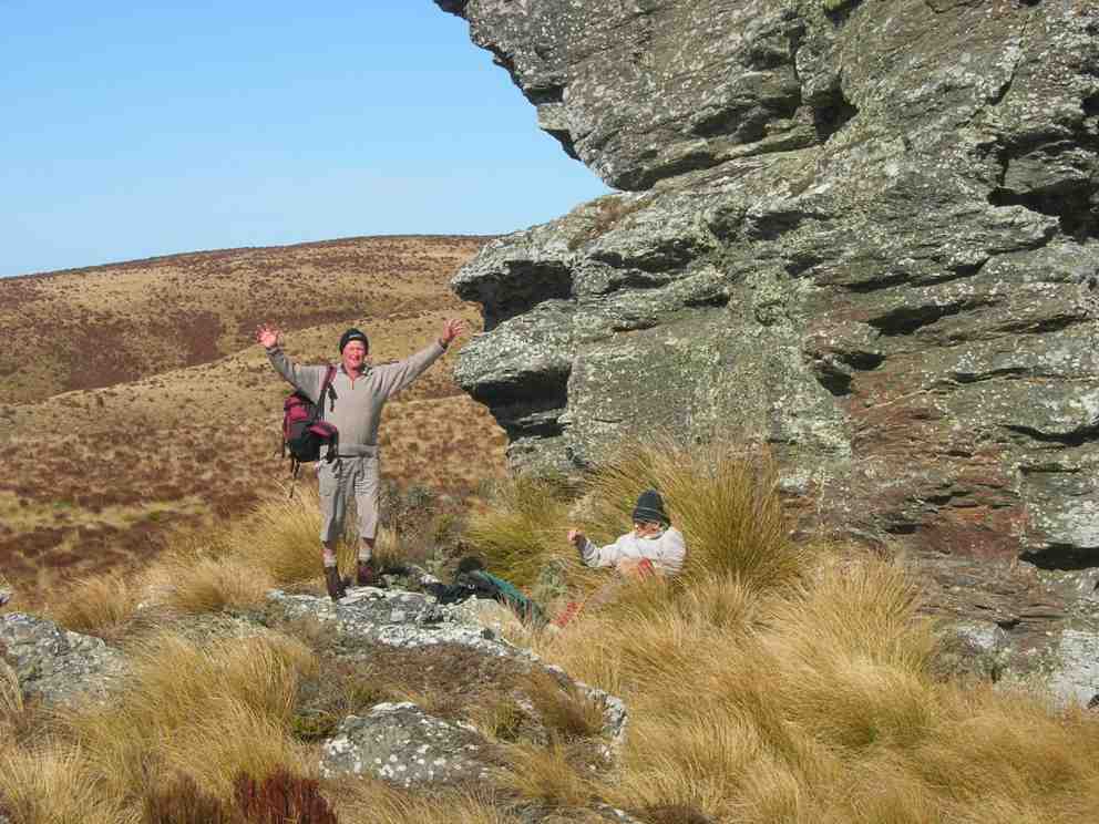
We stopped to admire the Big Rock,
The beautiful rock. (Helen pic and caption.)
photos being taken of the group.
The group of 12 plus me. (Helen pic and caption.)
Just as we were preparing to move on a pair of N.Z. falcons flew in and landed on top of Big Rock just above us. They weren’t at all worried by us humans, and it was marvellous to see them there.
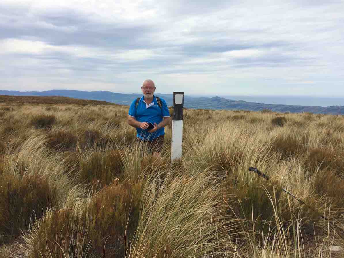
In single file we moved on, and eventually came to the summit post at 12 noon – perfect timing for lunch.
From here, on the highest point (895 metres) we could see in all directions – 360 degrees. A huge fog bank right down the coast totally hid the sea and the Otago Peninsula, but the land was in clear view as far as the eye could see. What terrific scenery.
Margreet pic.
Lunch over we began the return journey, which meant retracing our steps. With an occasional brief rest/regroup stop, we were back past Big Rock, through the fence onto Horsehoof again, and down hill with a brief uphill bit to reach the cars.
A group of 13 happy trampers had had a great day, walking a total of 12 km. The perfect weather certainly added to the enjoyment of the day.
But, the tramp finished too soon (obviously too short), as it was necessary to stop in Outram for a while on the way home so that discussion that hadn’t had time to be had during the tramp could be concluded.
The leader was particularly pleased to have such a good turn out of trampers today – thank you to all. – Arthur.
19. 11/1/2017. Hikers. Maungatua Big Rock and Trig via Horsehoof. M. Leaders: George and Ian.
It wasn’t the best tramp to ease into after the relaxing holidays. However the easier programmed Kuri Bush beach walk had not taken the tide times into account. What to do? Something inland. George scouted Saddle Hill (summit not tackled by the Hikers since 2010) and Horsehoof (last done by the Hikers 2011). Relevant property owners for Saddle Hill could not be reached, so Horsehoof and Big Rock then.
Seventeen turned out on the day. A respectable number, given that some members were still on holiday. Admittedly the road entrance to Horsehoof is easily missed, as happened to some on the day, but eventually all the cars arrived and drove on up to park in the high paddock where the FWD track to the top corner of the station starts. At about 690m here, we had already made good inroads on Maungatua’s Big Rock elevation of 880m.
It was still a bit early so we trudged through that first unavoidable gully to merelyregain the cars’ height a kilometre or two further on, finding a bank to sit on for morning tea.
(Clive pic.)
No more gullies now but it was up, steadily up, with frequent regrouping stops to eventually reach the Horsehoof Station’s top corner. At 865m effectively all climbing was behind us. We had gained 225m since leaving the cars. One of us elected to stop here and await the return of the others, and Mollie, who hadn’t wanted to miss the chance of revisiting Horsehoof, was happy to keep her company.
Now it was 15 who scrambled through the fence onto the Maungatua reserve to push on through the tussock and dracophillum (turpentine bush) till we reached a point opposite to the Big Rock.
(Clive pic.)
Here, along with George, ten were happy to make this their destination stop,
(Clive pic.)
while a remaining group of five carried on with an assurance it was only another half hour to the trig. W-e-l-l not exactly. More likely three quarters, as one found the going harder than others. But we got there! Or rather two did.
Made it! 895m.(Ian pic and caption.)
Too bad,the other three had stopped off short of the last rise and lunched. However with the encouragement of the trig returnees (or is it returners?) they were encouraged to push on so that they could say they had made it too. And they did!
On the return we discovered the hypotenuse short-cut that avoids a right angle in the fence and which we had missed on the way in due to overgrowth disguising it at its other end. A shame. It needs a fence indicator.
When we arrived at Big Rock, we discovered the ten others had long since given up waiting for us, and were back waiting for us when we straggled up the last weary slope up to the cars – at least weary for this writer.
So there it is. A good traditional tramp perforce resurrected for the hikers by an unfortunate tidal assesssment. And an enjoyable stop and chat at the Wobbly Goat to finish it off. And roll on the better weather. – Ian.
18. 10/2/2016. Maungatua Summit. Leader: Arthur H.
Horsehoof Station to maungatua peak. GPS of route, courtesy Ken. (Ken pic and caption) 13.2km; 3.7km/h; 3h 33m moving; total ascent 409m; max height 900m
Nine trampers set out in ideal conditions to conquer Maungatua. The day was sunny with some high cloud. The breeze was light all day – westerly, then changing to southerly for a while, and then died away altogether.
We drove in through Horsehoof Station, up the road towards the microwave. A car shuttle was set up by taking one car back 2-3 km, leaving it at the top of the hill above the woolshed.
We took the dozed farm track that winds its way up to the top of Maungatua, stopping for morning tea at a suitable spot.
We reached the top of the track, where the small shed and various aerials are situated, at 10.50 a.m. Climbing over the fence we were then in the DOC Reserve, which covers a large part of Maungatua.
From here there is a faint track heading to the summit, which is some 2.5 km away. This is undulating country.
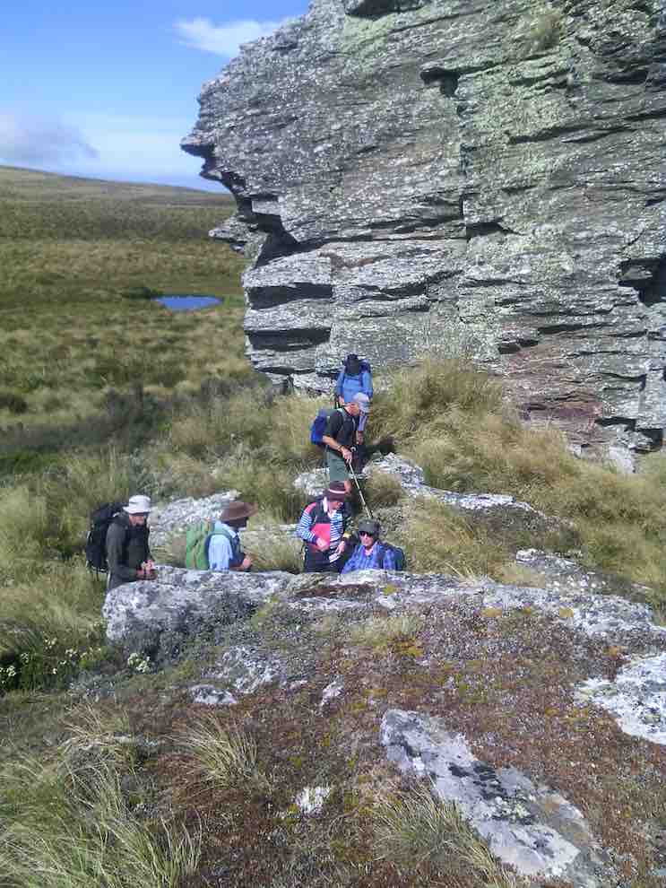
We soon came to the large tor, and stopped for several minutes to inspect and photograph it.
Side trip to rock tor (Helen pic)
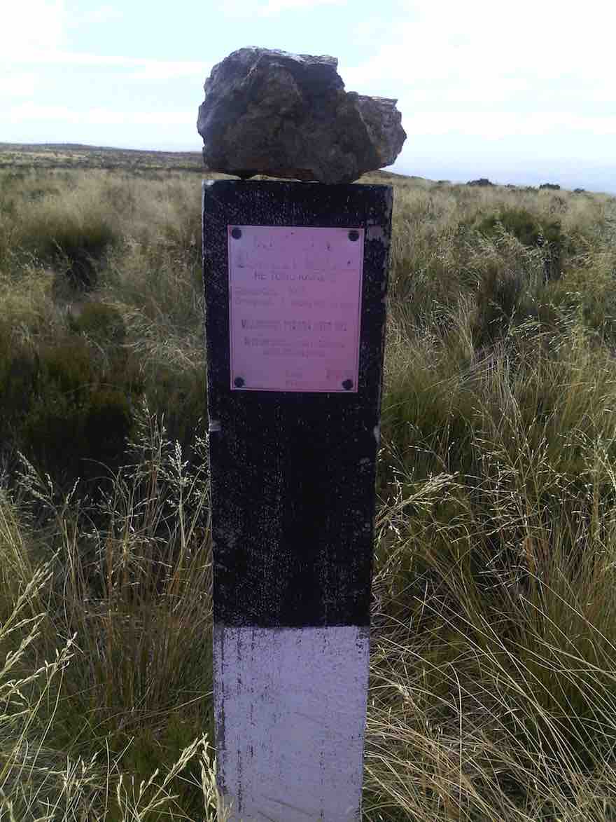
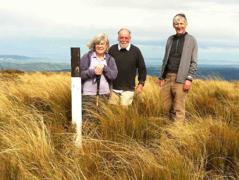
Continuing on along the track, which follows the fence line, we gained the summit a few minutes before 12.00 noon. A black and white painted post now marks the spot, …
“Trig” post with rock placed on top by one of the party. (Helen pic)
… and is visible from a short distance. Sitting down in the tussock, we had a relaxed lunch on the spot. The slight breeze was just a tad cool, we noted.
Lunch at the “trig”
From the summit there is a great 360 degree view, but unfortunately haze in all directions spoiled this somewhat.
Half of the group had a look over the brow, down in the direction of the 3 Kings -which isn’t visible. All of us then picked our way through the rough vegetation, in an easterly direction, to get a better view down on the Taieri Plain and Airport.
Making our way back up to the track, we returned along it to the shed and aerials, and over the fence. A brief stop here, where it was noted the altitude was 865m, compared to the 895m at the summit.
We now walked down a 4WD track through the tussock, following the western spur.
On fence line track well down to the Lee Creek gully showing ‘uphill grunt’ on other side. (Helen pic)
A restful stop was made at the bottom, in the shade of the beech trees at the north branch of Lee Creek. A short uphill grunt gave a “tang” to the end of our tramp, and we were soon back at the “shuttle” car.
All agreed that it had been a good tramp and an enjoyable day. This had been a first time for most.
Seven held a debrief at Outram on the way back home.
Coffee at Outram. (Helen pic)
The tramp distance was 13.2 km. – Arthur H.
29/3/2010. Private. Horsehoof, Maungatua Trig.
GPS of route from car to trig
At the Maungatua Trig (1)
At the Maungatua Trig (2)
17. 4/5/2011. Both. Horsehoof upper paddock to Big Rock. Medium. Leader: George.
George had recceed the programmed McKendry Road tramp and found the mud too squishy and the undergrowth too thick so elected to fall back to Horsehoof Station again.
We took the cars on through several gates to the paddock that gave us a shorter walk up to the paddock corner at the top.
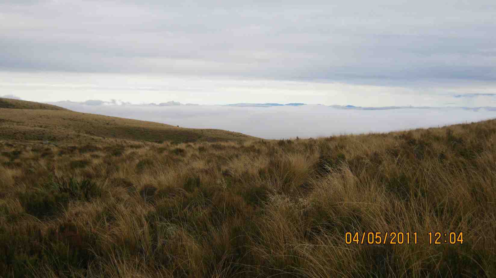
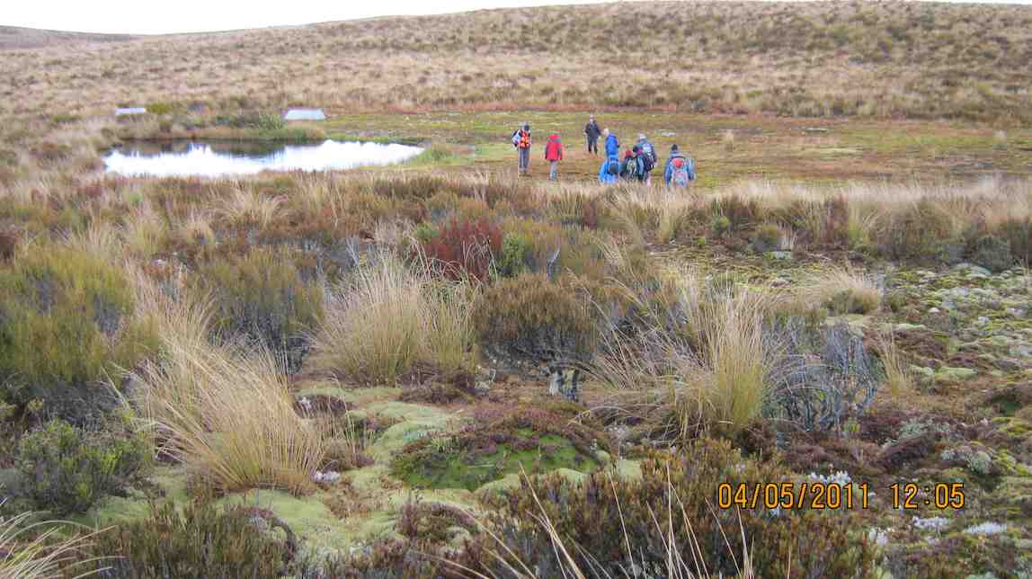
It was a misty day, but at our tea-break the weather cleared to reveal the wind turbines beyond Lake Mahinerangi.
Beyond the fence at the top corner, we went on to negotiate the turpentine shrub (dracophyllum longifolium), tussock and alpine moss to reach the large rock for an early lunch.
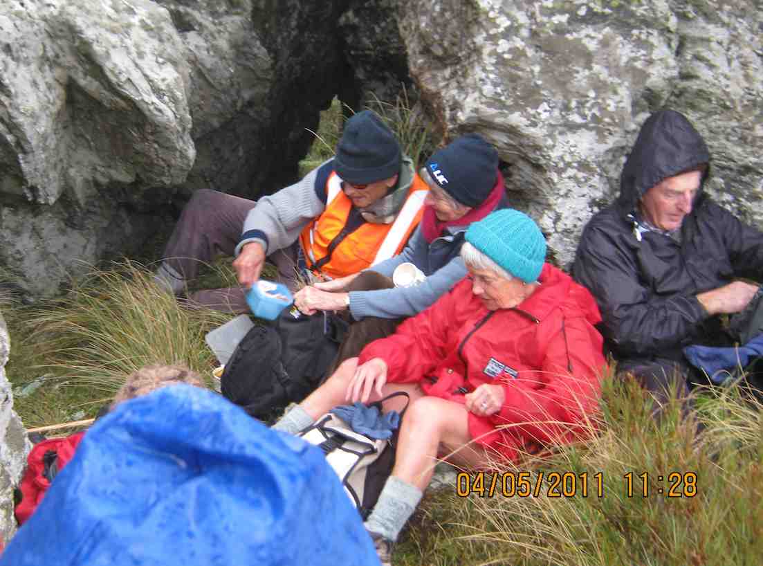
A cool westerly wind drove us to shelter in a cleft in the rock’s SW side.
A sheltered lunch spot.
An interesting bank of fog in the west.
The tarn beyond the big rock.
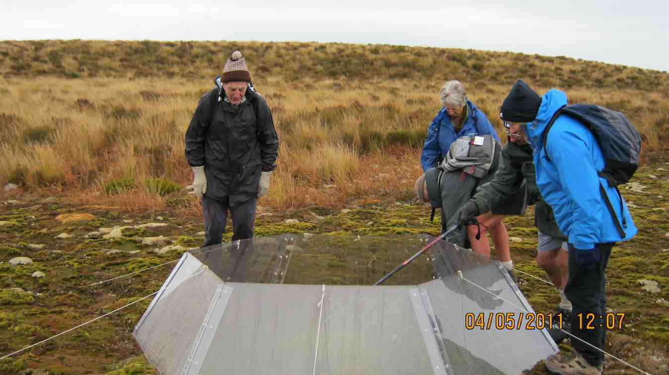
Obviously scientific, an exclosure on the tarn.
After all that, we returned the way we had come back to the cars. A good outing. – Ian.
16. 15/9/2010. Trampers. Horsehoof to Big Rock. Medium. Leader: George.
Walked up the 4WD track that went by the Microwave.
Morning Tea break. George. (Emma pic)
Lunched at the Big Rock.
Keith and George at the Big Rock. (Emma pic)
Returned back down through the Woodside Creek gully.
15. 6/5/2009 Both. Horsehoof Station. Bridge over Woodside Creek, top corner, back down the more regular farm road. Medium. Leaders: Bruce, Wendy.
Many were discouraged by the wet morning start, but 8 of us enjoyed a farm walk on what turned out to be an cold overcast day (which we were well wrapped up against) interspersed by sun at morning tea and lunch. From the regular parking spot, for a change we turned down steeply click to enlarge
Descent to bridge
to cross the Woodside Creek upper tributary nearby
Woodside Creek
and to then climb steeply
Climb ahead
to enjoy a cuppa at the set of rocks a little way up.
Cuppa.
Then to carry on up to the top corner of the station. This was a route the club hasn’t taken for five years and more. We forewent going on to the big rock and tarn through the rather heavy wet dracophyllum we would have had to struggle through, so lunched at the top under the shelter of a bank
Lunch in sun
and returned by the more regular farm track.
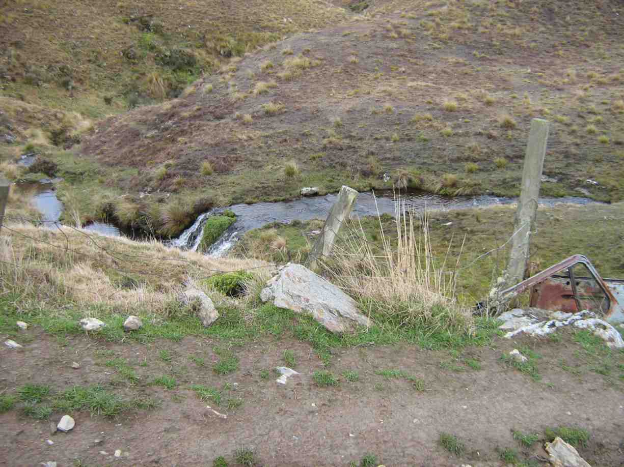
Rock and Pillar Range in sunRecycled car bolstering bridge. Wee waterfall behind.
We all enjoyed a good tramping day but regretted there were not more to share the walk with. Bruce stood in for Marjorie who was indisposed on the day. Our thanks to Wendy and Bruce for their leadership. – Ian.
This turned out to be a tramp from Horsehoof Station rather than from the advertised Allendale Farm. So it was simply up by the regular farm road to the Maungatua Trig and back. click to enlarge
Decorated Trig. George, Hazel, Ria, EmmaSaddle Hill from Maungatua
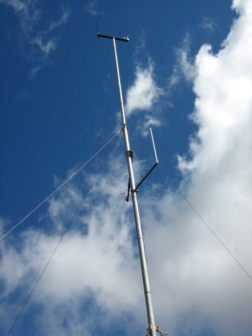
What was different was the wind measuring masts
Mast for measuring wind?
and various markers presumably installed by Trustpower. A breeze pleasantly tempered the heat of the sun and 8 of us enjoyed a tramp in the tussocks and Maungatua top with the George making it easier and shorter by having the two cars parked further up the hill than on previous tramps. – Ian
13. 27/8/2008Trampers. Horsehoof Station Upland road-walk Leaders: Ian, Ken
Winter conditions decreed a firmer road walk in place of the anticipated soggy ground we would have encountered at the Flagstaff big rock. So it was Horsehoof Station for a look at the fast disappearing snow conditions. click to enlarge
Drift snow remains. Ken
Seven of us set off from our cars parked down at the shearing shed and walked steeply up in the general Maungatua direction. It was a good walk in the fresh air with general sunny conditions turning to threatening clouds later. The breeze was fresh but sheltering in the lee of a gully made for a comfortable morning tea.
Lunch was on the sheltered side of the repeater station,
Emma and Glenys approaching the Microwave. George ahead.
reached by cutting across a couple of wet gullies swollen with fresh snow runoff.
The return. Bill, Pat, Emma
A shorter day but the sun was out most of the time and the views and company were good. – Ian
The return. Bill, Glenys, Emma.
12. 18/6/2003 Horsehoof Station walk. Leaders: Shirley M, Bill & Pat.
Lex, Doug J, Arthur, Doug M
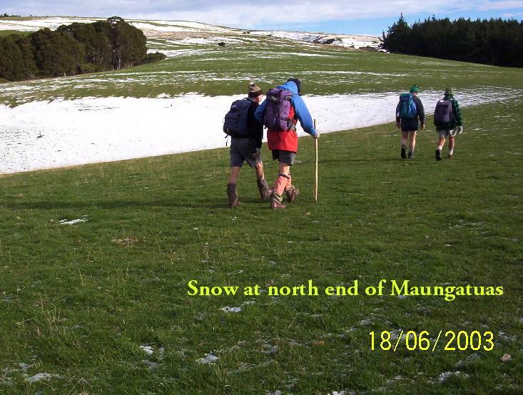
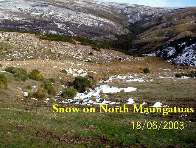
Snow on NE Maungatuas
11. 16/2/2005. Both. Maungatua with Summit option. Leaders: Val and Brian, Arthur and Barbara. 10. 18/9/2002. Microwave – Maungatua Summit. Medium. Leaders: Ria L, Barbara and Arthur. 9. 21/11/2001. Maungatuas Summit from Microwave. Medium. Leaders: Les W, Mary M, Shirley R. 8. 27/6/2001 Leaders: Claude, Bill, Pat 7. 8/12/1999. Maungatua, Microwave. Leaders: George, Hazel, Graham. 6. 18/8/1999. Microwave to Maungatuas. Leaders: George, Doug M, Hazel. 5. 3/12/1997. Microwave to Maungatua Summit. Leaders: Bob H, Judy C, Sabina. 4. 18/9/1996. Maungatua Trip, Micro Stn, Loop and return. Average+. Leaders: George, Ian, Nelson. 3. 6/12/1995. Microwave to Maungatua Summit. Medium. Leaders: Bob H, Jean, Ria H, Jack R 2. 26/8/1992 Leaders: George, Les W, Peggy A, Peggy M 1. 10/2/1989 Leaders: Graham, Shirley, Wendy
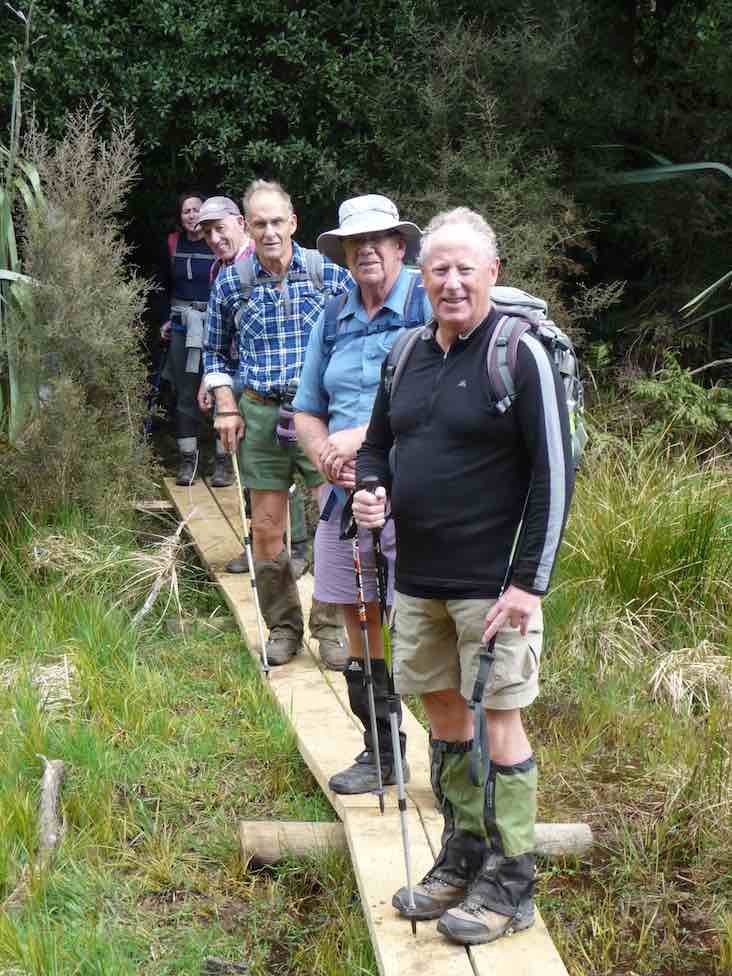
9. 17/10/2018. Trampers. Steve Amies – Craig Lowan Falls. M. Dave.
13 keen trampers left their cars not far from the Whare flat school house and started on the Tunnel track.
Starting out on Tunnel track. (Gordon pic and caption.)
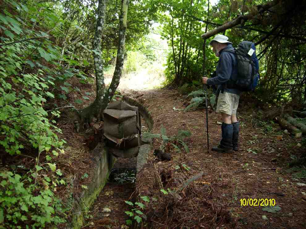
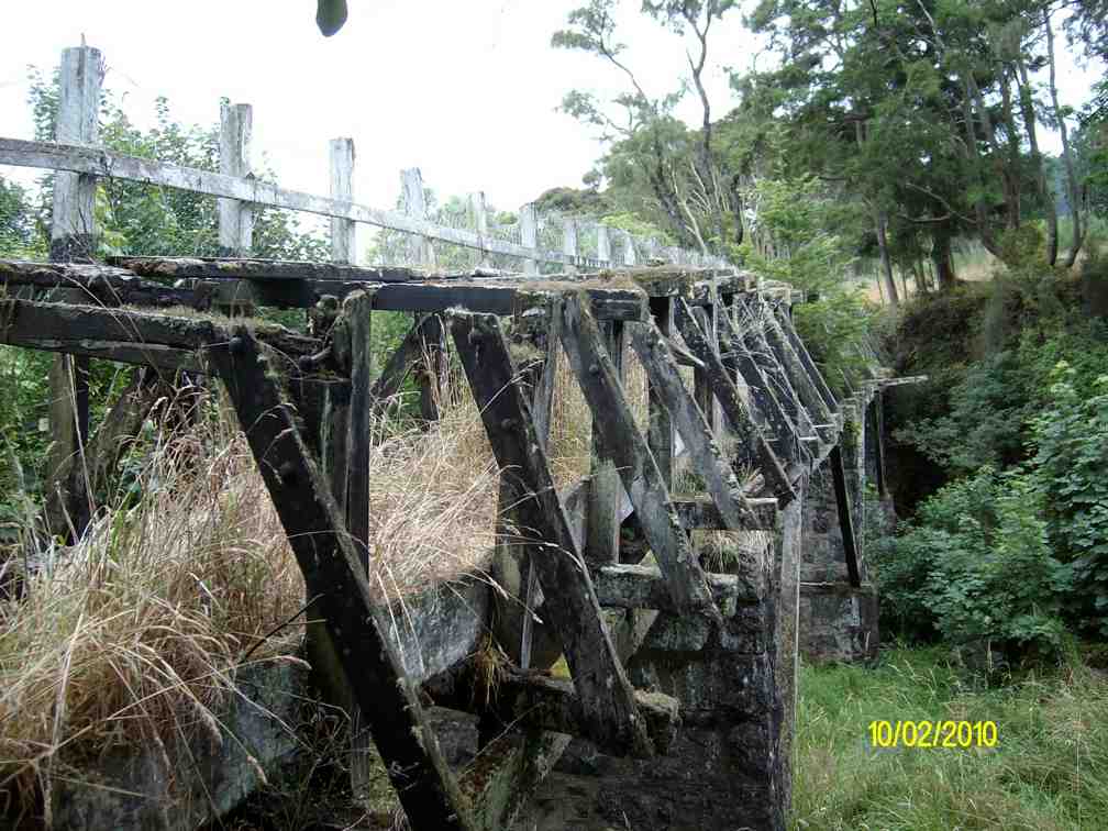
This track was fairly flat and one couldn’t help but marvel at the amount of work done by the early water race workers. After reaching McRaes Weir we turned up a somewhat steep track
Heading up to Steve Amies track. (Gordon pic and caption.)
to reach the Steve Amies ridge.The climb along the ridge was very pleasant, with manukas/kanukas dominant, with lush green undergrowth.
We stopped at the memorial Bryan Freeman seat – he used to be a good friend of Eleanor and her late husband.
The Bryan Freeman memorial seat- a good place for a break. (Dave pic and caption.)
Near the top of the track it was obvious the amount of tree planting and track maintenance that Steve Amies and his mates did many years ago.
We then walked down Rollinsons Road and entered the bush that leads to the Whare lake loop track. It was in this area that a vote of thanks was passed to Arthur and Neil for the obvious work on track maintenance that they continually do (you no longer get your boots wet)!!!
Neil & Arthur’s Bridge. (Gordon pic and caption.)
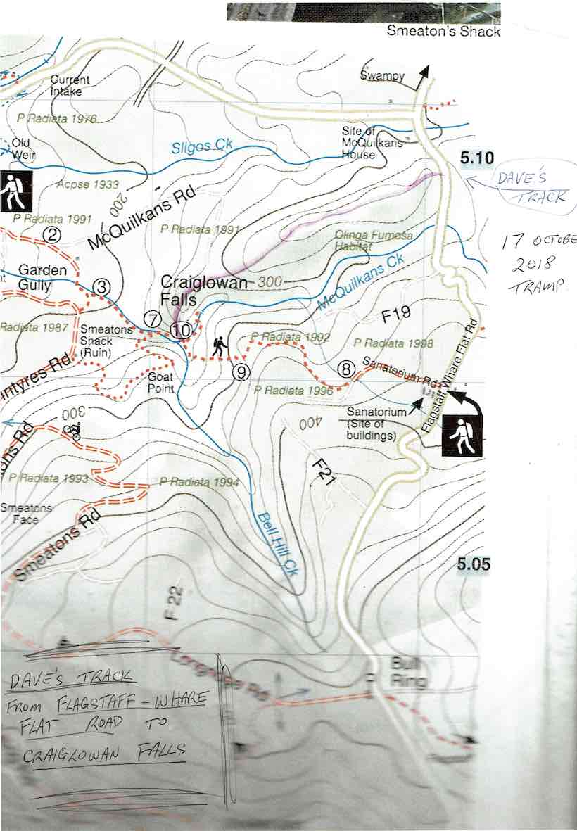
After having lunch on Smithys’ track it was then down through the bush and back onto Rollinsons road. Round the corner and off the flagstaff – whare flat road we followed an un-named track
Dave’s Track to Craiglowan Falls.
through scrub up to a pine plantation on a ridge.On the sides of the ridge were sycamore trees – a pest – but a pretty sight as the trees were coming into leaf. This improved track lead along the ridge finally ending high above McQuilkan’s creek.Everyone took care descending steeply down to the creek.
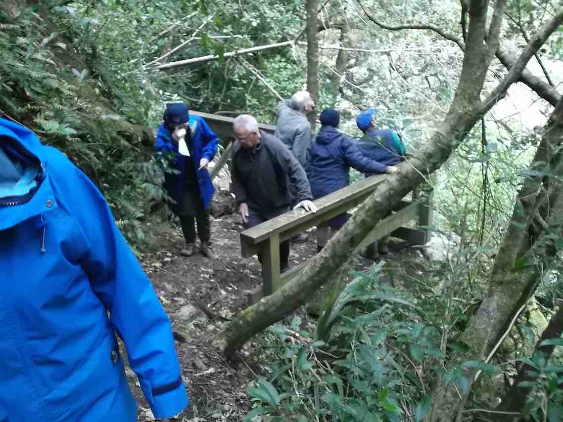
5 minutes up the creek we were at the Craig – Lowen falls – quite a sight!
Craig Lowen Falls. (Gordon pic and caption.)
Another half an hour down the streamwe were out in the open and back to the cars.
We covered 21,319 steps, 15.9km in 5.5hrs and gained a net height of 349 metres.
A good round trip!Dave
8. 24/9/2014. Trampers. Craiglowan Falls. M.
Enter via MacQuilkin Road up from Whare Flat Schoolhouse.
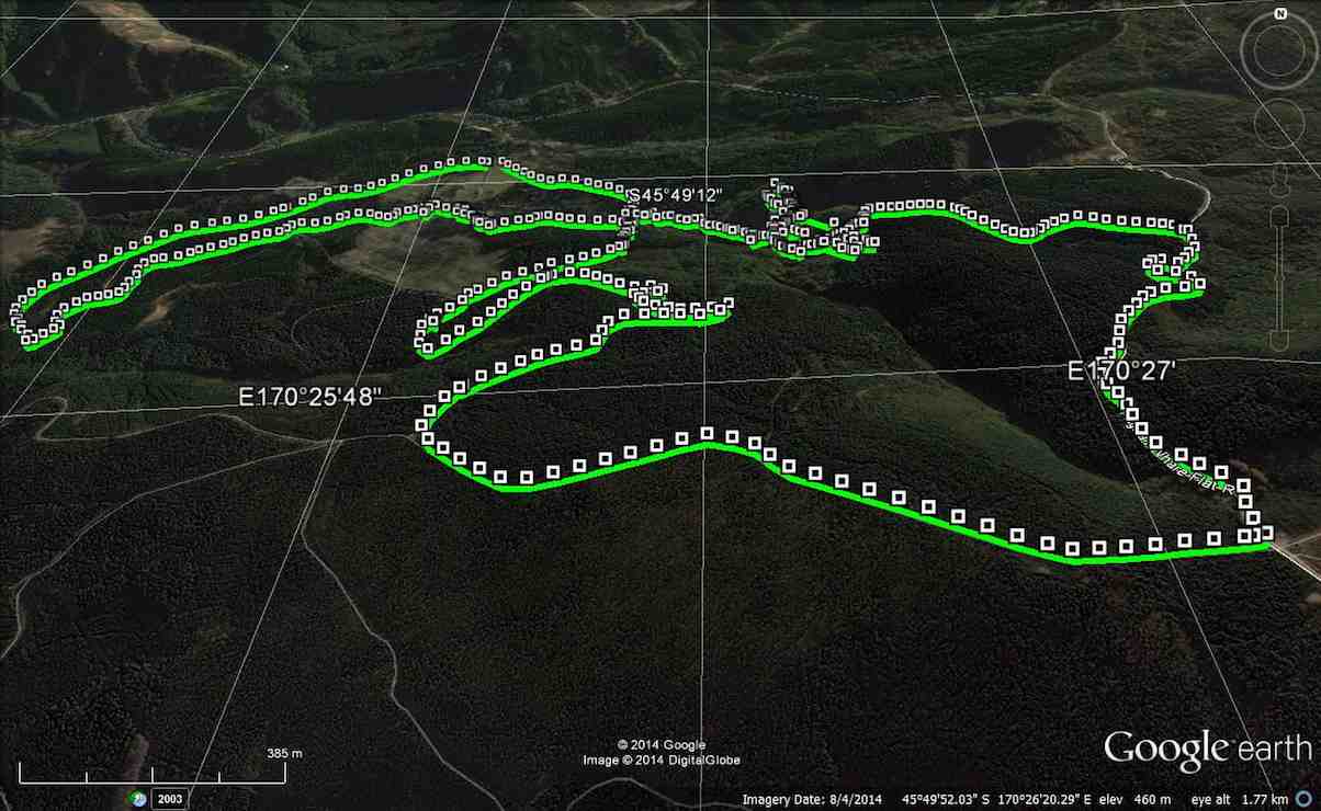
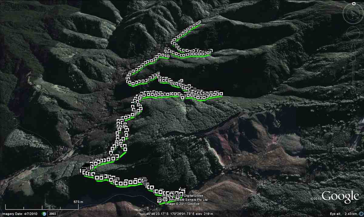
GPS of route, courtesy Ken. Craiglowan-Bullring-Aquaduct. We walked 15km; ave 4.3km/h; moving time 3 h 30m; climbed 531m.
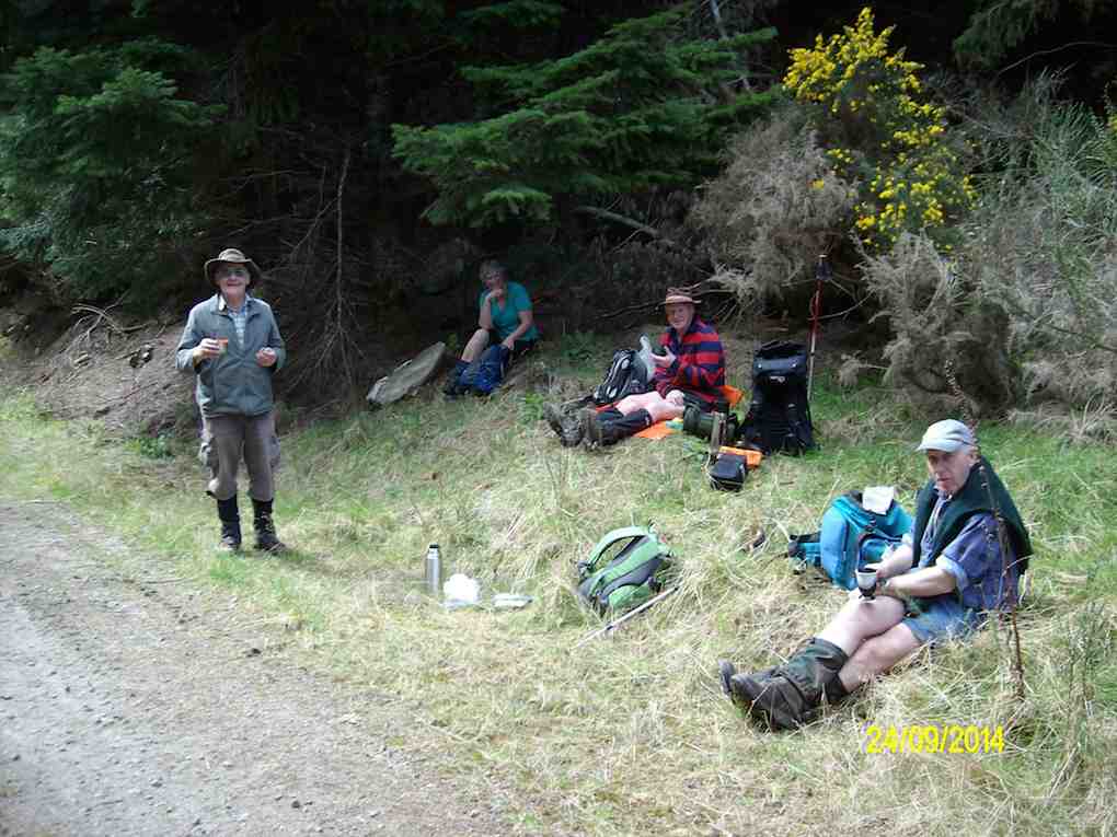
This week’s tramp was to Craiglowan Falls. We started off at the locked gate on McQuilkans Rd & followed the marked track across numerous creek crossings [where one member got her feet wet at the first crossing] & up over the large rocks just before reaching the falls. We had morning tea break in the bush above the falls, & then retraced our steps for a short distance back to where a side track led off up the LH side of the stream. (Ed note: This was our original, and only, route down to the falls.) We were not sure where this went, but decided to investigate it anyway, as it looked like it had just had some work done on it. I climbed steeply up until we came to some pine forest, & at this stage I was quite sure that it would come out on the Whare Flat-Flagstaff Rd via Sanitarium Rd, which proved to be correct.
At this time it was only about 11:30, so we decided to walk up to the Bull Ring, & go down Longridge Rd to join up with Smeatons Rd,[where stopped for lunch] …
Lunch on Smeatons Rd – Ken pic and caption.
… – McIntyres Rd, [so we could view the remains of Smeatons shack] then down to the Aquaduct. This proved to be more difficult then would seem, as there were a lot of big trees down over the track in places, which made it necessary to detour around them. From the Aquaduct, we walked around to join up with McIntyres Rd. again, & then crossing straight over here onto the next part of the track leading to Longridge Rd. then back to the car.
Some of the tracks were quite muddy & slippery, but all made it safely back, & enjoyed the day. it was new territory for some in the group, & for others it had been a long time since they were there.
7. 30/5/2012. Trampers. Falls, Goat Point, Smeatons Shack, Aqueduct, Longridge Road.
We reached the Falls OK, but stream crossing on wet rocks and climbing over mossy rocks proved rather dicey. (Note: This tramp best done in summer.)
Craiglowan Falls. (Ken pic and caption)
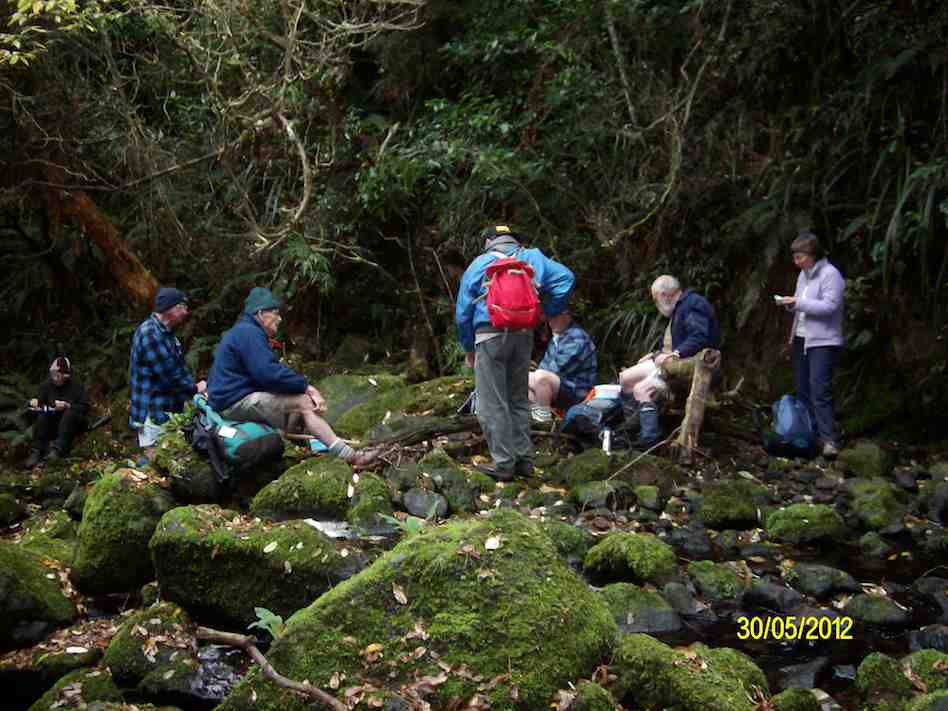
Morning Tea at Craiglowan Falls (Ken pic and caption)
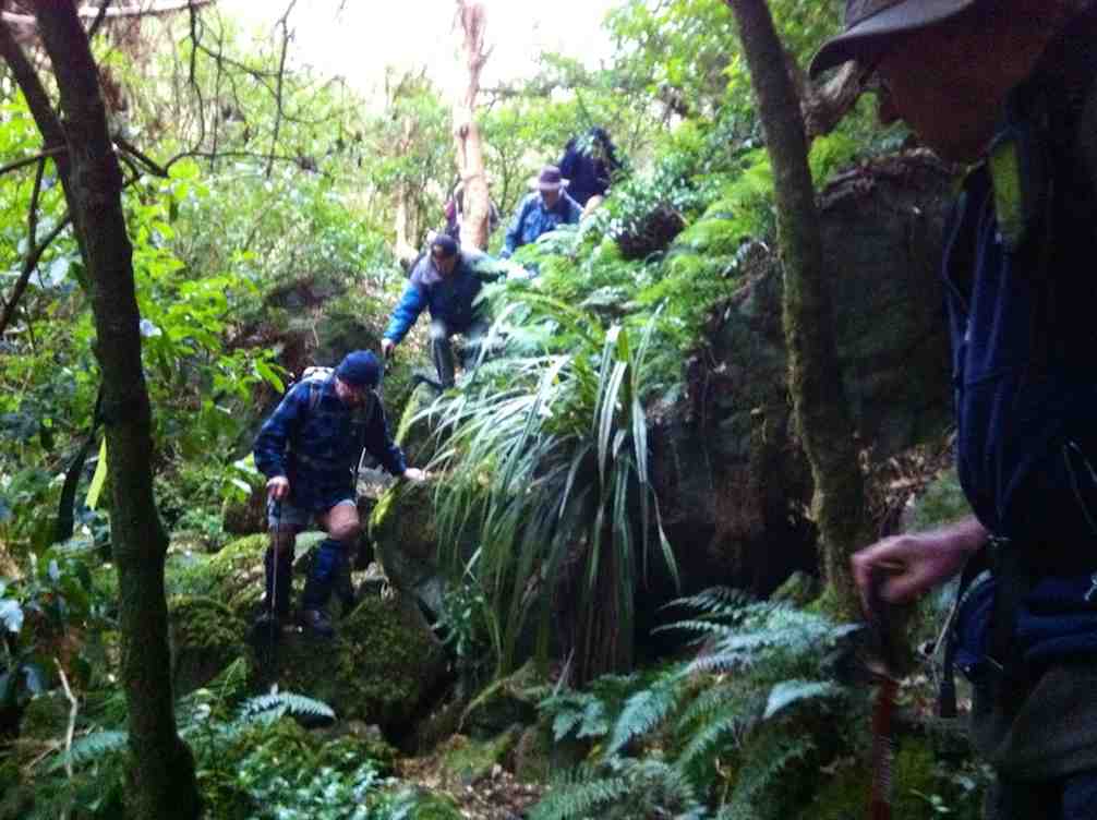
A cautious descent on way back down over large mossy rocks.
Well, to this point, so far, so good. Back at the stream crossing down below the confluence, we failed to locate the track up to Goat Point, despite knowing its general area. So we climbed in faith and hope. Finally we came across track markers, leading left and right. After exploring left, we went right, until they led relentlessly down. So we retraced back up because Ian had it fixed in his mind that we had to go up to reach the pine plantation. Mistake one.
Encouragingly however, Ken found a track indication on his GPS, and it did promise to reach a forest road. So we kept to this, despite no track appearing, only plenty of scratchy blackberry brambles. But we did reach the road, finally.
This we walked down until we reached a junction, with signs indicating that we were on Smeatons Road, crossed by McIntyre road. Hooray. McIntyre was what we had originally wanted. Ian felt we still had to go down so we turned left and down McIntyre road. Mistake two. We should have taken McIntyre road to the right. More of that later.
Anyway we made the long walk down McIntyre Road, left, to where the race crosses it, and turned right, along the race to lunch, as planned, at the Aqueduct.
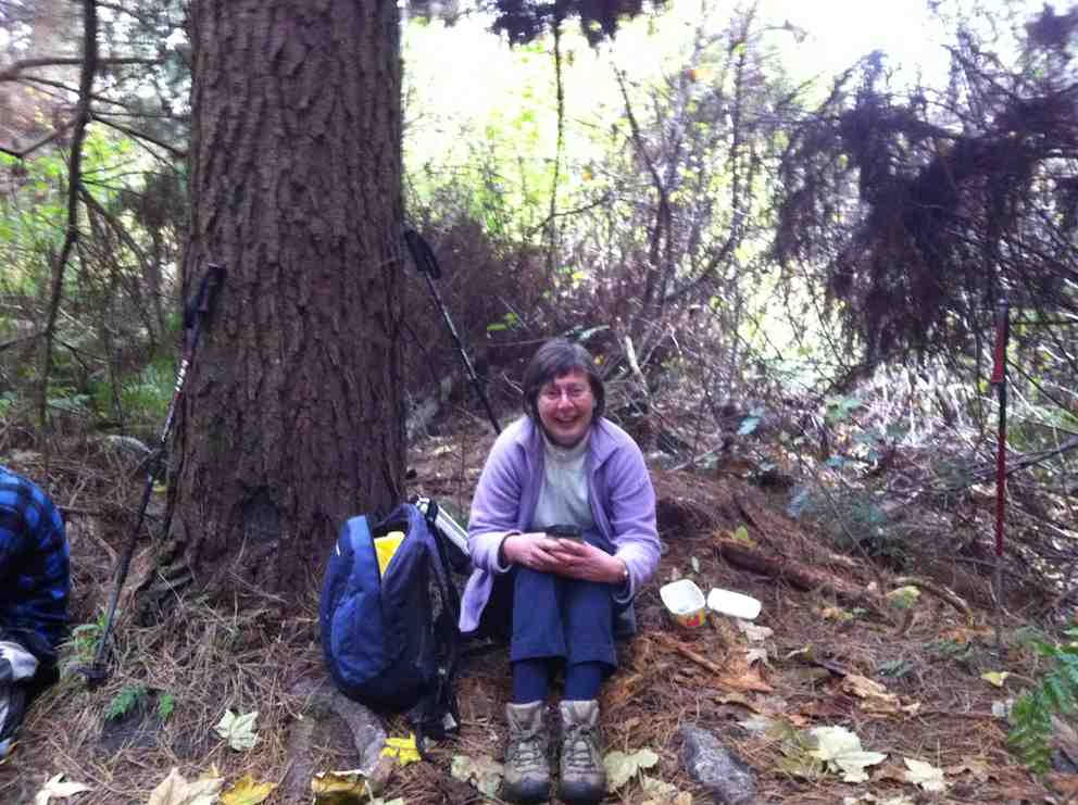
Linzi at lunch.
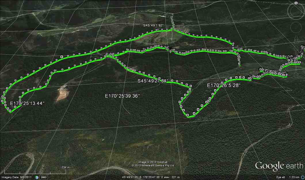
Now, have a look at Ken’s GPS of our route. Click to enlarge. Start at the top, and follow to the right to reach Craiglowan Falls at the extreme right.
GPS of route, courtesy Ken.
Start returning to the left a bit. The zigzag you see is where we starting climbing away from the stream. A further zigzag a little further along is where we started following the track markers. The little tail to the left there, is where we turned back, before going back up again. CRITICAL MISTAKE. Notice, however, the short gap beyond to a tail coming up from below. This is the gap we should have traversed.
Now turn to page 8.07 of Antony Hamel’s Tracks and Trails, and find on the map of Flagstaff Forest at the top right, the circled number “seven”. See how it ascends first before turning right along a contour, below Goat Point and then DOWN to meet McIntyre road at its other end next to Smeatons Shack.
That tail from below is where Ken and Ian climbed up at lunch time to check where we should have come down. And lo and behold, we found not only Smeatons Shack but also the marked track next to it where we should have exited from. An aha moment. And it all became clear, as the GPS map confirms.
Ken and I returned back down the end of McIntyre Road to find the others had left, leaving Doug waiting for us. Of course we should have consulted with everyone to get mutual agreement with what we proposed to do and to arrange a meeting place should the others proposed not to wait. But in our excitement at solving the mystery, we had neglected to do so.
Anyway, going on out to the bottom of McIntyre Road at its other end, we didn’t know whether the others had simply turned down there and back along Long Ridge Road to the cars, or carried on along the race. In the absence of any indication, we set off along the race, as that had been the original intention of the tramp. We were relieved to catch up on them enough to see them further beyond us, but stopping to don parkas as the drizzling rain got heavier, lost sight of them again.
Emerging from the race end further up Long Ridge Road, we saw them again rounding a corner further down and caught up on them at the gate at the end. So all was well that ended well.
Quite an adventure and some interesting unplanned bush-bashing. A lesson in how bush conditions can change over two years and a reminder that our smaller numbers means that all our tramps now amount to a recce, – unlike the hikers, whose “reconnoiterers” go through our experience and sort things out first. – Ian
6. 10/2/2010. Trampers. Falls, Goat Point, Smeaton Shack, Aquaduct, Longridge Road. Leaders: Ian, Sabina.
Down Whare Flat Road 1.5 km. Sanatorium Road second on left after Bullring. – Track no longer locatable from top by us.
It all got a bit complicated. First the leaders failed to find the track down from the Sanatorium Road extension track. Many, many fallen trees had obliterated all trace of the track where it first descends steeply down. Well, the leaders couldn’t find it anyway.
However the start of a new track closer in from the gate had been pointed out by a local landowner so that was followed on the day.
It was fairly well cleared but markers petered out down the middle of a steep bouldery stream (the McQuilkin way upstream from the falls?) so after a morning tea rest, we prudently retreated back up and began all over again, this time back at the old school-house. Up McQuilkin Road. Right-fork into bush and across the McQuilkin on a wire hand-hold. On up and eventually back across to the true right and to the stream junction. Interesting notice points to “Watar fall”. Up over the large rocks and now it was lunch-time at the falls.
Then following out along the race to the other end of McIntyre Road, and across it to the far end of the race where the track comes out on Longridge Road. Down the road and back to the cars. What could have been a very short day comfortably filled out to be more satisfyingly longer. Must ask those landowners how that other track gets you to the falls. And must check out whether the old track is still navigable. – Ian
5. 3/8/2005. Both. School House, Craiglowan Falls, – Whare Flat. Leaders: Judy, Jacqui, Hazel
4. 6/8/2003. Both. Craiglowan Falls. Medium. Leaders: Doug M, Hazel, Barbara L, Mary M.
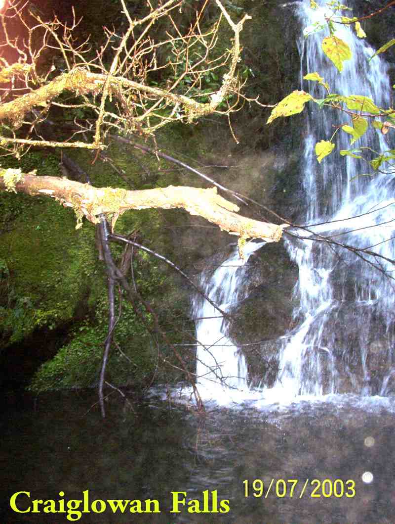
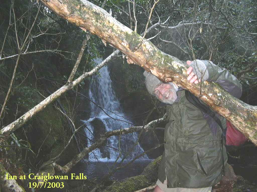
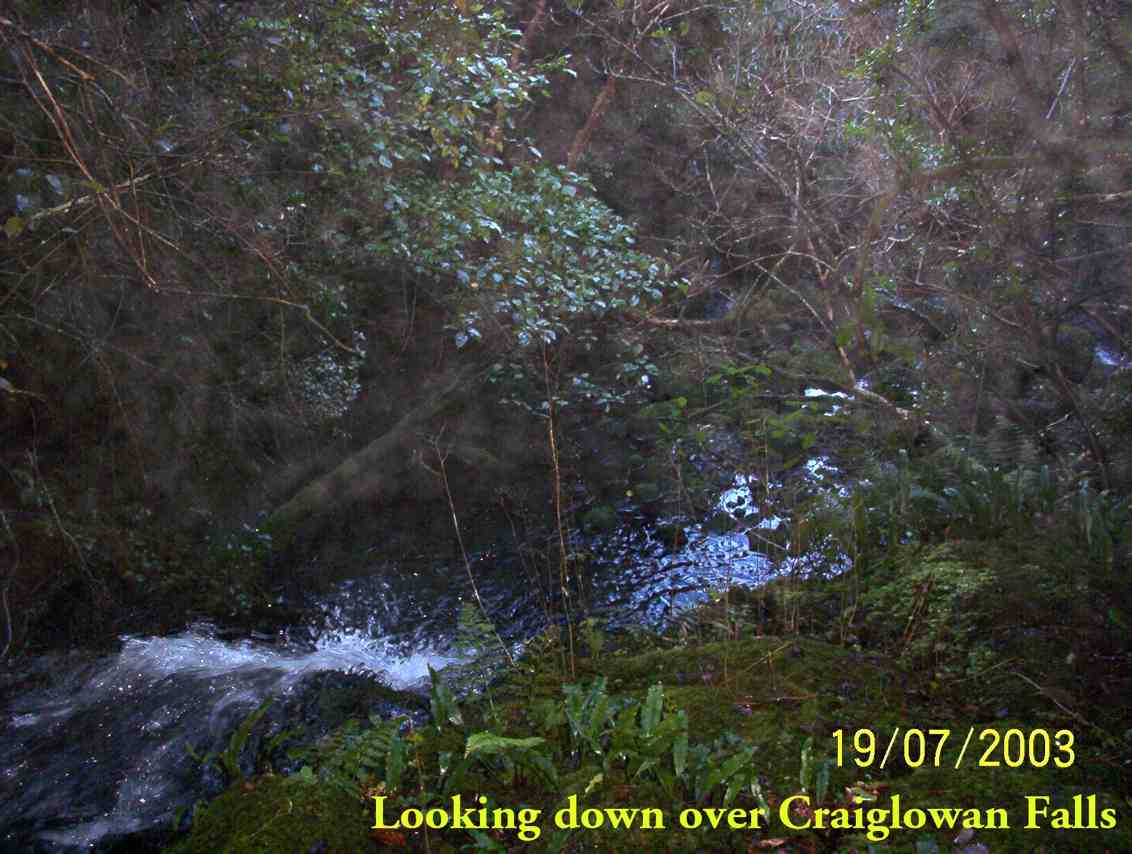
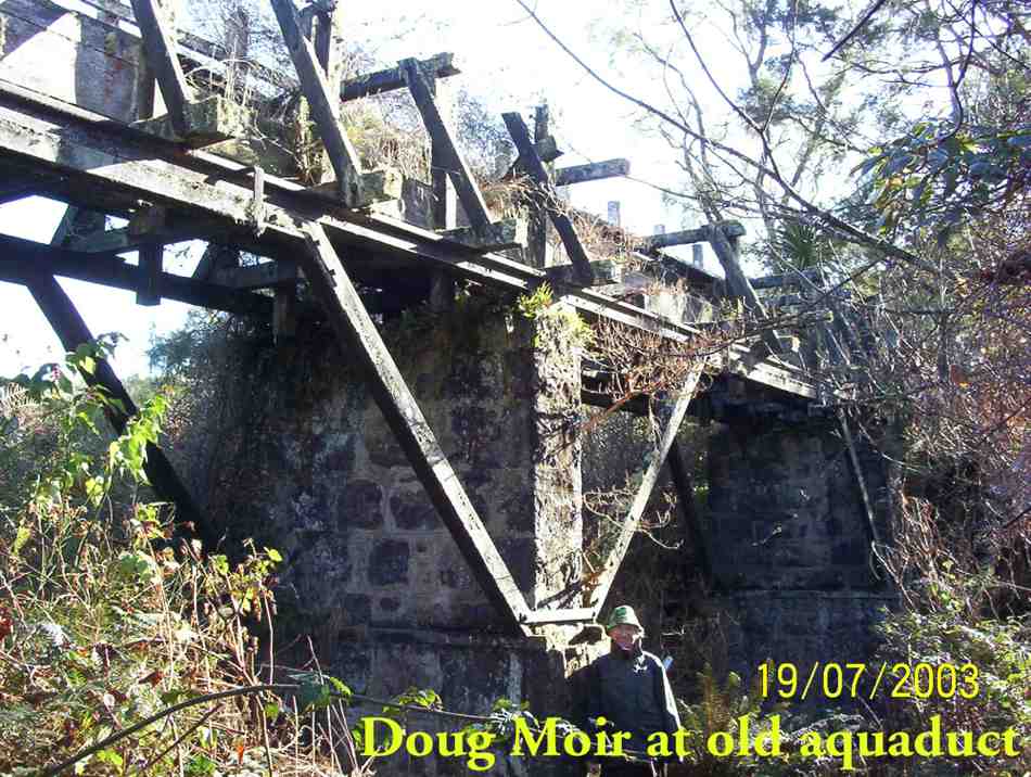
3. 19/7/2003. Craiglowan Falls.
Craiglowan Falls
Craiglowan Falls. Ian
Upstream from top of Craiglowan Falls.
Overlooking top of Craiglowan Falls.
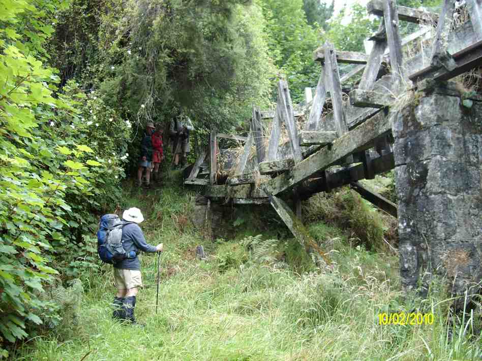
Old Aqueduct. Doug.
Top of old aqueduct.
2. 30/8/2000 Craiglowan Falls, Whare Flat. Leaders: Mavis, Winifred, Val
1. 16/4/1997. Craig Lowan Falls from Bull Ring. Leaders:Hugh, Val, Judy C
30. 22/2/2017. Hikers. Whare Flat. Leaders: Peter D, Janice.
Whare Flat/McRaes Weir (not quite) Wednesday 22nd Feb
26 happy hikers on a lovely sunny morning – what could go wrong?
Seven opted to drive up to the locked gate on Rollinson Rd and walk on to the start of the Steve Amies Track, where they enjoyed a pleasant amble to the picnic area and a leisurely lunch in the sun, before returning to the cars and off to Topiary for the usual coffee stop.
Little did they know of the drama that was developing below….
The other 19 left the cars at the park near the pump house, and set off up the track on the steep grunt that takes longer but avoids the water crossing and the possibility of wet feet.
However, Ian opted to do the shorter, easier version, risking wet boots, and meeting us in the clearing just past the swing bridge.
Ian reached the clearing safely and with plenty of time. In his own words –
’Ho hum. Oh! Time to get out the puffer and see how it might get me up the next climb and manage to avoid that first 5 min. heavy breathing before the blood vessels adjust and let me get away. Bummer.
(I had not used it for ever so long as usually I remember when it’s too late to use. It’s worked well on earlier occasions, but not in this case, standing, waiting, for such a long time before climbing.)
Started to feel faint. Got worse. Lay down, ended looking like a wee gnome in the grass, as one of you said. The rest you know better than I do!!!’
So, here was Ian, looking worse by the minute. While he was attended to by those with medical experience, we debated the options.
Cell phone call for help. No signal.
Use the locator beacon. Was there enough room for a chopper to land? Debatable.
Go back to the cars and phone for an ambulance.
It seemed at this point that Ian was recovering – his colour was better and he was lucid. Two people set off for the cars. Over the swing bridge and just past the gate to the road they realised the house on the right was occupied. But no landline and still no cell phone coverage. The wonderful lady (who had a key to the gate!) drove them out to the cars. One went on to get coverage and call for help. The other returned, to find that Ian’s condition had worsened, necessitating CPR. Gulp. Back down the road – kind lady again drove. The police car was met at the (un)locked gate and immediately radioed URGENT to the ambulance.
Things happened fast. In just over an hour from Ian’s collapse the ambulance was at the swing bridge and Ian was stabilised and stretchered across the bridge, and off to A & E.
It was now 11.30 and we were all rather shell-shocked. Five decided to call it a day. Two went to break the news to Shirley, and the other three heading home.
The remaining 13 headed up the track to the next clearing where a very sober lunch was had. Then up the track we climbed to McRaes Weir Track. It was decided that the weir could wait for another day, and we headed back along the race track to the road and down to the cars, with rain starting to fall and the track becoming muddy and slippery.
Coffee at Topiary was welcome!
Thanks to everyone for the able assistance that was provided in so many ways. Ian is fine – he had a reaction to the ‘puffer’ and after tests and checks, was allowed home that evening.
LESSONS LEARNED:
IF for any reason the group SPLITS, there must be at least TWO PEOPLE and preferably FOUR so that in the event of an emergency, one can stay with the ‘victim’, and two go for help. The same should apply to anyone deciding to turn back and in future this needs to be enforced by the leader.
In a later debrief with Police, we were praised for the efficient handling of the situation. However, they said that we should never hesitate to use the beacon because a few precious minutes could be saved. On the beacon signal, our precise position is shown and authorities can then make the decision as to which services to use. So in future, no hesitation! Better a false alarm than a death.
29. 1/5/2013 Both. Steve Amies. Leaders: Ian and George.
This time we left from the schoolhouse, making it more of a road walk. We had morning tea on the lower Rollinson Rd and lunch in the track clearers’ picnic area, after inspecting the helicopter landing pad a little beyond.
As we returned down the road, we were surprised to see the helicopter, and shortly after the tank truck making their way towards where we had been. Apparently this was the day to carry out the weed spraying we had been notified about – and we were now making a timely exit. A tramp for 25 of us and of 10.5 km according to Peter’s pedometer and 25. – Ian.
Plan 1: Swampy to Green Hill via Sleepy Hollow. Cold winds too fierce on tops.
Plan 2. Schoolhouse, Little Coal Creek, Steve Amies. But wet weather meant steep tracks would be too slippery and dangerous.
Plan 3. The actual tramp (see above). – Racemans level and safer, (except for the gradual Tunnels ascent/descents). However wet tree roots still had to be carefully negotiated.
Although rain for a start, but it soon went off and only drippy bush had to be endured. Track still muddy in places, but in many places a grand avenue and well cleared. Seven of us ventured out and enjoyed what looked at first to have been an unpromising day. – Ian.
GPS of route. Courtesy, Ken. (Route double-tracked for some inexplicable reason.)
12.33 p.m. Ready to return from lunch spot on Racemans.
2.23 p.m. Top of Tunnels track. Rest stop on pine-needles on return.
6. 23/10/1996. Trig Q. Average. Leaders: Margaret and Les, Doug J.
5. 7/6/1995Trig Q from Whare Flat School. Medium+. Shorter trip available. Leaders: Bob H, George, Jack R, Nancy
18/5/2016. Trampers. Lake Whare and surrounding tracks circuit. Leader: Arthur H.
It came on to rain lightly as we met at the car park. At 9.00 a.m. the 11 Trampers present held a brief conference and decided that as it looked very wet in the direction of the programmed tramp to the “3 Kings”, we would change and go to the Whare Flat area. This was a very wise decision as it was very pleasant in the bush even though it was raining.
We decided to do a circuit taking in Smithies, Possum Busters, Swine Spur and Lake Whare loop tracks. Accordingly we parked the cars at the bottom of Rollinsons Road. It was rather wet out in the open while getting ready, but no problem once we got started.
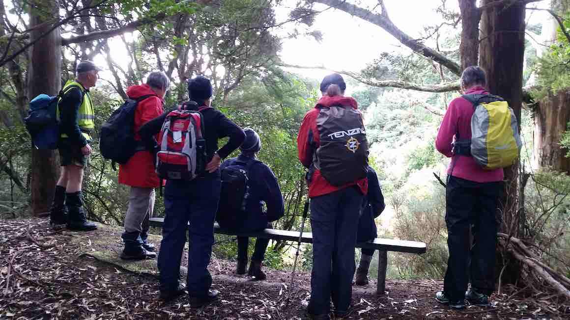
The first thing to admire, before we began, was the bridge at the start of “Smithies”, giving dry access across the swampy ditch from the road. The bridge was of Neil’s design and construction, so it was only fitting that a photo of himself standing on the bridge …
Neil on his bridge he built. (Helen pic and caption.)
… is presented herewith.
Going in this direction Smithies track …
Carol on Smithies Track. (Margreet pic.)
… climbs on occasion. It was after 10.00 a.m. before we stopped for morning tea, as we had to find a suitable spot under the tree canopy to keep us dry. Everything was quite wet underfoot by now, but the track conditions were good.
From our stop, it didn’t take long to reach the end of Smithies. We turned left, on Possum Busters now, passing the junctions of McQuilkans and then Porkies tracks.
Eventually we reached Swine Spur/Possum Busters cross-roads (cross-tracks?) where we stopped briefly. Downhill we now went on Swine Spur, finding that this upper part is quite overgrown.
The sun came out …
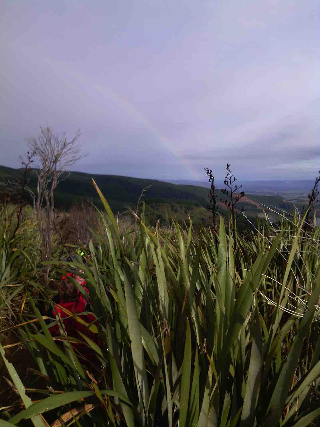
Rainbow. (Helen pic and caption)
… and we stopped for lunch at a suitable spot after reaching ‘cutty grass flats’ – which we had track-cleared some months ago. The sun was very welcome and the weather remained dry then till we finished.
Afterwards it was only a short distance to the Lake Whare Loop track which we followed. A stop was made to admire Lake Whare …
Admiring Lake Whare (Margreet pic.)
… after crossing the rock wall and looking at the ruins of the rock-walled building (house?).
We then crossed back onto Smithies Track, and thence back to the cars.
It was agreed that all had enjoyed the tramp, even though it wasn’t all that long. There had been a good variety of up and down, giving everyone a good work out.
Upon returning to Mosgiel, a meeting of the” Taieri Recreational Tramping Club AND Coffee Club” (Tramping Division) was convened at the Wooden Table cafe. – Arthur H.
21/7/2004 Trampers. Lake Whare, Steve Amies, Trig Q. Medium. Leaders: Ian, Bob H
After cancelling our trip to Leaning Lodge, 7 trampers turned up at the carpark to do the Morrisons/Poleline/Swampy/Moon circuit.
We parked on the Leith Valley Rd. by the entrance to the Glow worm track, then walked up the road to the bridge over the Morrison Burn.
The day started off cool, but fine, & the track condition was quite good. We climbed under the barrier at the locked gate on the bridge at the start, & made our way up to the weir,
1 Curiosity (Ken pic and caption)
then backtracked to where the track went uphill through the bush. After morning tea break,
2 Morning tea (Ken pic and caption)
we carried on until we came across a gravelled road, where we took the wrong way!! We soon discovered our mistake, & walked along the road to where the track started again up through the bush. This eventually led us onto the Poleline track that goes up to the top of Swampy. We had lunch sheltered from the wind by the building at the top of the Leith Saddle track, then retraced our steps back …
3 Fog over Mosgiel from Swampy (Ken pic and caption)
… to the junction of the Poleline track & the Swampy Ridge track, where we turned off, & made our way along to the top of Moon track. We had a short stop here before heading off down this very badly rutted [damaged by mountain bikes] & rough track into the bush again where there is a multitude of mountain biking tracks, winding back & forward making it hard to know which track to take. So we just kept looking for tracks that went downhill, & eventually we ended up on the Leith Valley Rd. about 150mtrs from the cars.
An interesting day, & a tramp that a few had not done before, & all agreed that it was a good walk.
Walked 12.8km
Ave speed 3.9km/h
Moving time 3h 18min.
Climbed 658mtrs. – Ken.
5. 19/8/2009. Medium. Morrisons Burn, Morrisons Track, Poleline Road, Swampy, Pineapple, Nicols Creek. Medium. Leaders: Keith and Glenice
Parking the cars at the Nicols Creek bridge, we walked up the Leith Valley Road to Morrisons at the foot of Stoney Ford slope. We scrambled past the large slip immediately across the footbridge and enjoyed the beautiful bush and moss-clad track up to reach the waterfall. Then the steep scramble up the bank to morning tea on the 4WD at the slope’s top. Along that a bit, and then it was further up, up, up through bush to join the Pole Track 4WD to enjoy lunch where it meets the Swampy Ridge track. Instead of turning down the Nicols Creek track junction when we reached it,
Junction of Swampy with Nicols Creek Tracks. Hazel, Ria, Pat, Ken, Doug M, Lex
by common consent Lex took the 10 of us on to the Pineapple Track
Junction Swampy, Pineapple Track. Lex, Ken, Pat, Doug M, Hazel, Wendy
descent to break away from it further down at a stone cairn to cut across the cocksfoot on the left to the bush edge. This provided heightened interest as it had not been reconnoitred but Lex cleverly located the track that led down through the bush and across back to Nicols Creek track. The day had begun overcast and actually rained a few drops after lunch, but got really hot during our concluding descent to the cars. A good way for it to happen. – Ian
No. 58 on old hardcopy list of 113 club tramps. “Taieri Historical Park. Farm”
Location: 11 km.
9/12/2015 Taieri Historical Park, Outram Glen, Whare Creek. Leader: Judy.
Judy and Adrienne did a great job of organising a rather complicated end-of-the-year gathering at the Taieri Historical Park when it didn’t all go to plan. Indeed the ordered trestle arrived, Judy had the key to the historic church where we had planned to lunch later, but there was not promised entry to the park museum, although happily the Machinery Museum at the top was there for us to wander around and gawp at. We we a goodly-sized group – forty-five of us. We were split into three groups:
Trampers went up the “Outram Glen” track, in the event stopping just short of Lee Stream lest they should find themselves getting back late for lunch.
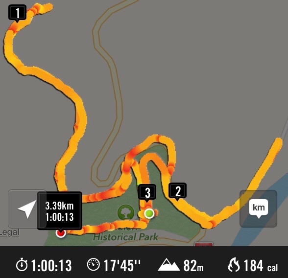
Hikers (group one) went up the Whare/Traquair Creek track where we were informed through some 1912 cell-phone photos that the true “Outram Glen” spot was just across the creek adjacent to a flour mill, sadly burnt down about 1916, an area resorted to by picnickers, now built over by the more sweeping corner of the George King Memorial Drive just where it begins to climb the hill. The group went on to have morning tea at the track end, enjoying the bush and stream setting, and speculating where the dray track must have continued on to, perhaps up the side stream there, over a bridge that Jim noticed traces of. But click on here to see the probable true explanation. As depicted by the route map below, the track is just under a kilometre long. The group wandered back down to what is now termed the “Glen”, splitting up, some to explore where the Trampers had gone and others to wander where they willed. There was ample time to kill before the midday lunch.
GPS route map
Hikers (group two) resorted for a morning tea picnic at the “Outram Glen” Taieri River beach before returning.
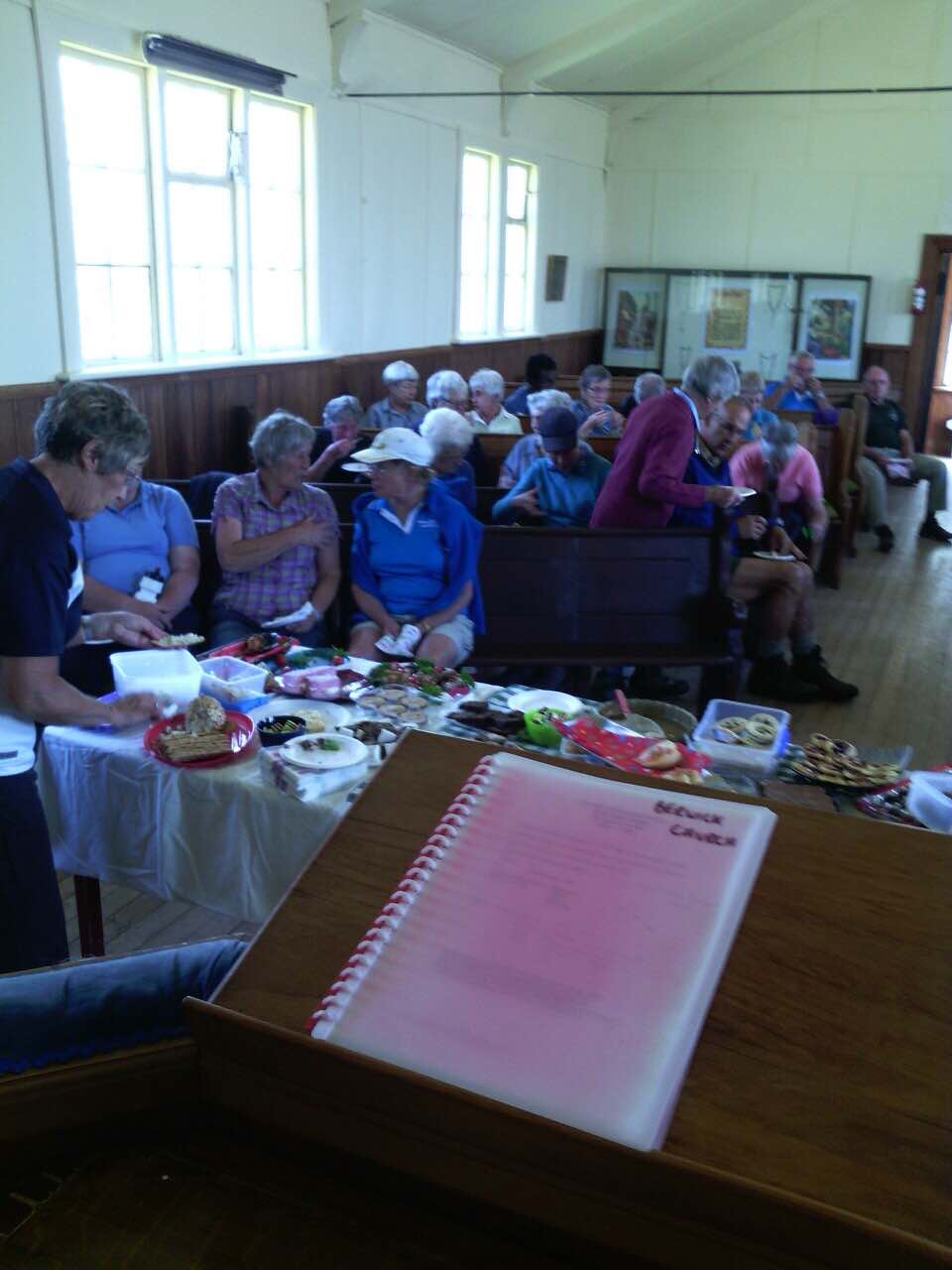
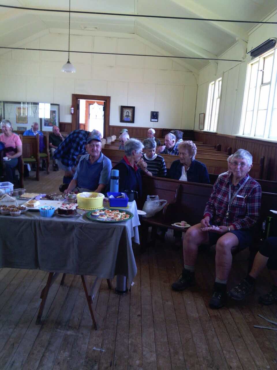
Come midday, and others arrived. Many clustered round Jill’s ” bookstall, (an Altrusa project, proceeds to the Mosgiel Swimming Pool). We drifted into the church building and were greeted with a most attractive layout of the shared food we had brought.
The goodies (Helen pic)
Early fears that the pews would inhibit social intercourse were quickly allayed. Fred pointed out to this reporter how blokes at the “shed” had cunningly resized some longer pews so that the collection of pews presented a most genuine setting.
Munching and meeting. (Helen pic)Munching and meeting. (2) (Helen pic)
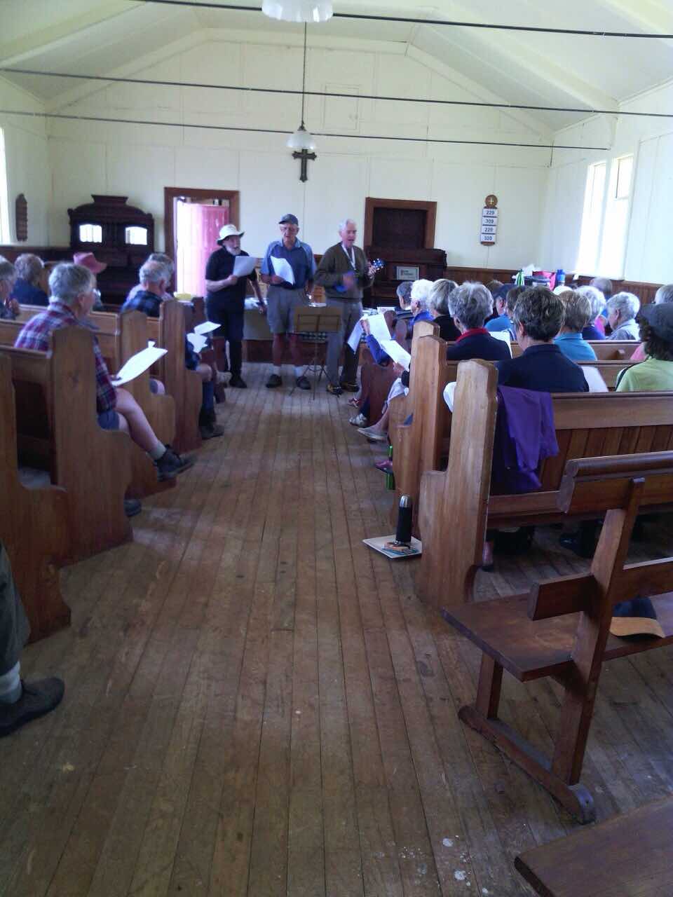
To round off the day, Bruce and his ukelele led us in singing a number of old unchurchy songs, to two of which he had added clever tramping verses of his own. Well done, Bruce!
Bruce and a couple of ring-ins leading the singing. (Helen pic)
Well, that winds things up. – Except! Plans to “coffee” at Outram were amended to Wal’s Topiary because of its larger size, but which we discovered upon reaching there had been taken over by a group for a Christmas get-together. So nine of us ended up at the Blackstone Cafe for our coffee chat. All in all, the day was a good occasion to finish off the year’s tramping and to wish each other a good holiday season and a good meeting together in the New Year. – Ian.
10/6/2009 Hikers: Taieri Historical Park, West Taieri Cemetery, return road. 3 paddocks to cross. Watch for electric fences Easy. Leaders: Bob & Evelyn E.
12/6/2002 Alt. Taieri Historical Park. Leaders: Jack and Rosemary, Margaret D
9/5/2001. Outram Historical Park. Leaders: Margaret D, Mary Y, Denise.
14/2/2001. Outram Historical Park. Leaders: Denise, Arthur and Barbara.
8/3/2000. Taieri Historical Park. Leaders: Margaret D, Rosemary and Jack.
No. 110 on old hardcopy list of 113 club tramps. “Waipori Rd to Shaws Rd (See Bill Hunt) Year Round”
32 km from car park.
10. 18/11/2015 Trampers. Rannock Track from Waipori Picnic Area to Shaw Road.
On a day with dodgy looking weather, 7 of us set off for the picnic area at Waipori Dam at Lake Mahinerangi, to do a walk through the forest roads to the old fishermans huts that are on the lake edge. These are the huts that we normally walk to from Post Office Creek end, but that track is no longer negotiable, so we decided to go from the other end.
However, when we arrived at the picnic area we discovered that the dam has been closed off with a tall gate, & there is no access allowed into the forest. This came as a bit of a blow to our plans for the day, so having to improvise, we drove back along the road till we found a sheltered place to have morning tea,
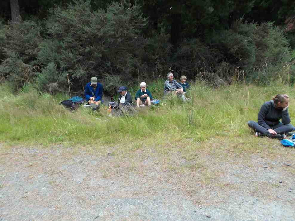
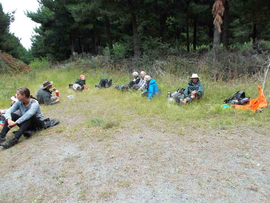
1 Morning tea spot (Ken caption)
while we mulled over what the next step would be. We eventually decided to go back down the Waipori Rd. with the view to walk a bit of the Government Track.
We stopped off at the Waipori township to have a look at the Crystal Falls, which a few of us had never seen before. Impressive sight, although being blocked from a really good view by trees etc.
2. At the Crystal Falls viewing platform. (Ken caption)
When we got to the bridge over the river just before the Govt. track, we decided to go into the picnic area there, instead of going to the Govt. track, & have a look at the track from there up to Shaw Hill Rd.
We parked up on the entrance road, as there is also a gate across there now as well, & walked up the track to the old shed, where we poked around a bit before moving on further up past the stone seat, & up to where the 4WD track starts. This lead us up to Shaw Hill Rd. where we had a bit of a look around before settling down for lunch under some pines, just by the bee hives. After lunch, we retraced our steps, but this time we took the loop track which joins up with the other one down near the bottom.
Ian H. did some research on the old shed & the stone seat, & came up with the info that the shed, along with it’s adjacent toilet, was built for the forestry workers, & the stone seat was constructed by the workers for their own amusement.
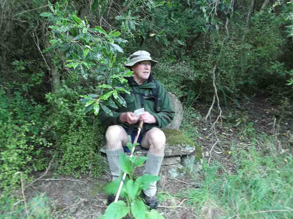
3. Ken taking advantage of the stone seat (Ken caption)
So our day was not entirely wasted, & we all enjoyed the different things that we saw during the day.
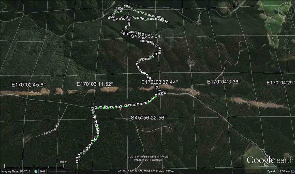
Walked 6.5km
3.7km/h
climbed 290m
max height 474m – Ken.
9. 5/2/2014 Both. Waipori DOC picnic area over bridge. Track up to Shaw Road.
Lunch stop1 (Ian H pic and caption)Lunch stop2 (Ian H pic and caption)
8. 9/1/2013. All. Waipori DOC picnic area over bridge. Track up to Shaw Road. Leaders: Bev, Ian.
Eighteen climbed the track and four ramblers walked up the Waipori Road.
GPS of route courtesy Ken. We climbed via the shelter and the steep true left track of loop up to Shaw Road – and beyond – and descended via the loop’s longer gentler sloping true right side.Cuppa at Lookout outcrop on steep track.Another cuppa pic.Lunch on Shaw RoadStone seat at grassy part of track.
One hiker spoke for many when he thought the climb seemed much longer and steeper than when he had last done it (about a decade earlier!).
7. 20/10/2010. Hikers. Waipori Area. McLaren Rd, Wesleydale Rd, Farmland to Mill Creek. Poleline to Wesleydale Rd. Leaders: Bill and Lesley.
Following is a brief report on Wednesday 20/10/2010 Hikers tramp.
In all there were 12 people who enjoyed the day mainly because it was a new tramp, a lovely day, and no rain.
We parked the cars in McLaren road and ambled on up McLaren turning into Wesleydale Road, stopping for morning tea out of the cool breeze. Then continued on over farm land to Mill Creek. Found a lovely spot for lunch in the sun along the Waipori river bank.
After lunch we walked up the pole line to Wesleydale Road and back to the cars. Approx 12 km all up.
The morning was cool until about 10am after which the sun shone from then on. – Lesley.
6. 17/9/2008. Hikers. Waipori Walk. Medium. Leaders: Bill H, Peter.
5. 21/9/2005. Both. Waipori area. Leaders: Arthur and Barbara, Bill H, Lance and Lois.
4. 26/5/2004 Both. Waipori Gorge. Climb from the DOC picnic area. Medium. Leaders: Bill H, Lesley, Irene, Les W, Ray, Mary M
Pause on track. Nadia, Dorothy, Lex, Bob
3. 13/9/2000. Waipori Gorge area. Leaders: Bill H, Pat and Bill.
2. 10/9/1997. Waipori Gorge. Leaders: Lesley S, Bill H, Bev H.
1. 4/10/1995. Waipori Gorge. Medium. Leaders: Bill and Lesley, Graham and Doreen.
Grainger Road Tramps to Maungatua summit and Woodside.
Steep, Long. Take plenty of water.
Cars park at Graingers Road.
8. 11/11/2015. Trampers. Grainger Road.
A change of plan due to the weather. 7 of us went to Grainger Road and parked at end of road by the pylon. Steep track up the side of the Maungatuas. Steep was what Hamel’s book said and was steep. Morning tea Ken left and went back down. Rest of us continued up as far as the markers were. No more track to be found so after much looking around the decision was made to go back down. Early lunch with the paddock’s two resident horses and a shower of rain sent us on our way home. Still a good workout. – Helen.
7. 31/8/2005. Trampers. Grainger Road to Maungatua Tussock slopes only. Spaniard grass thick. Leaders: George, Doug J.
We climbed in the bush, and came down in tussock and farm. – Ian
Break in Bush. George, Ria, Who?
Lunch on Maungatua slop. Hazel, Dorothy, George
Descent round a large rock. Who? in rear rear. Doug M front.
6. 16/9/1998 Grainger Road, Woodside. Leaders: Bill H, Graham
5. 29/4/1998. Maungatua via Graingers Road, return – round trip. Leaders: Bill H, Graham, Ian.
4. 14/8/1996. Grainger Road to Woodside Glen. (Car Shuttle) Medium+. Leaders: Wendy, Bev H, Bill H.
3. 7/12/1994 Grainger Road, Maungatua, Woodside. Steep and long. You may go part way on this one and a leader will bring you back. Leaders: Nancy, Rob Q, Joyce S, Colleen
1/10/1994 Leaders: Joyce S, Nancy, Colleen
2. 11/5/1994. Grainger Road, Woodside, Maungatua. Med+. Long. Leaders: Nancy, Colleen, Rob Q, Joyce S
1. 11/3/1992 Leaders: Bob & Audrey, Denise, Doug M
1. 1/7/2015. All. Midwinter Dinner. Concord Tavern. E. Leaders: Elaine and Eric.
GPS Route Map
Well! Records set. At least for the tramp. 40! Yes, 40. And 50 for the meal. Much due, this reporter suspects, to the way Elaine crafted the walk’s publicity. Easy? Well, not altogether with a bit of a climb into Abbotsford maybe a bit hard for some.
First problem was to number the carpark’s milling crowd off, but Fred got it right by standing at the corner by the road. Elaine set off at a brisk pace down …
Down from Inn (John pic)
… the “Main South Road” (surely it’s time to name it the Old Main South Road), around the corner at the bottom and then level walking towards Green Island. Then a stop. Question time.
Q1 (John pic)
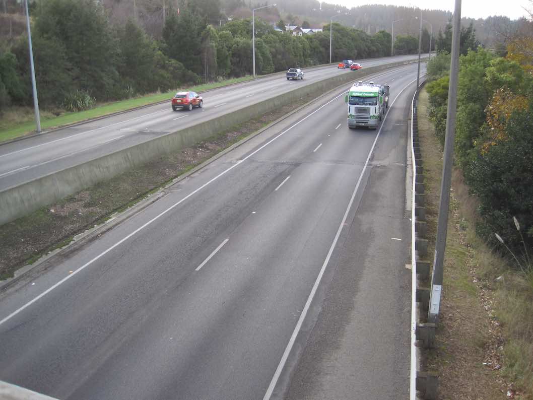
Date of motorway completion? Wow. Peter had the exact answer. 1974. Take a prize! Then on. Stop again, outside an imposing gateway. What do the initials IRMO stand for?
IRMO. (John pic)
More knew the answer this time. A prize again. Onward. Stop – outside Harraways Office. Now a generous distribution …
Harraways (John pic)
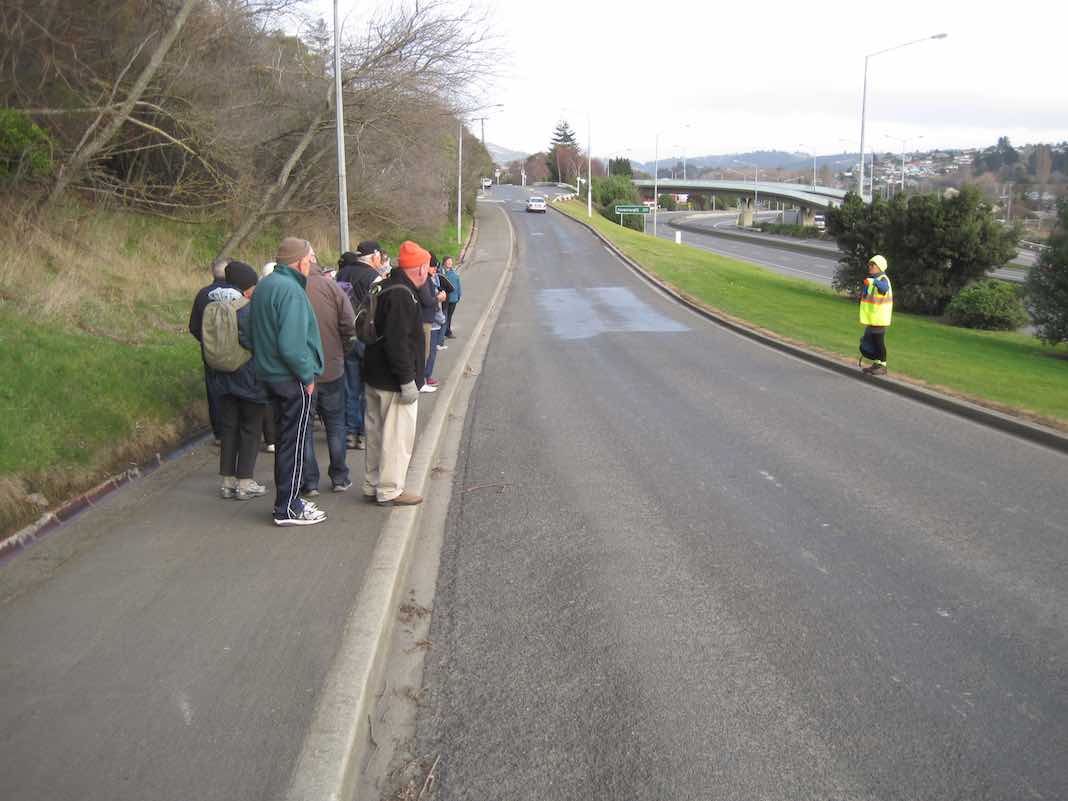
… of complimentary Oats Singles packets. Take more than one. Onward again. Across rise where most recalled the railway line that once crossed the road. To collect coal from Saddle Hill once, someone said. Last stop, at the curly beginning of the impressive overhead footbridge, spanning Kaikorai Stream, the motorway, …
Bridge (John pic)
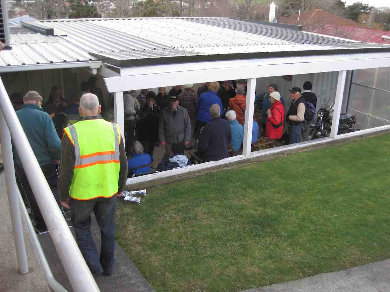
… bush, and finally the railway before turning right into Neill Street and left into Matthew Street, and second entrance on our left into a property with a wonderful back covered porch.
Porch (John pic)
A further surprise. We were regaled with mulled wine or soup served in pottles with generous refills. (A recent email from Elaine says a further whole thermos of mulled wine got overlooked. – Damn, as she so feelingly put it.) Next, in through a door leading under the house to view …
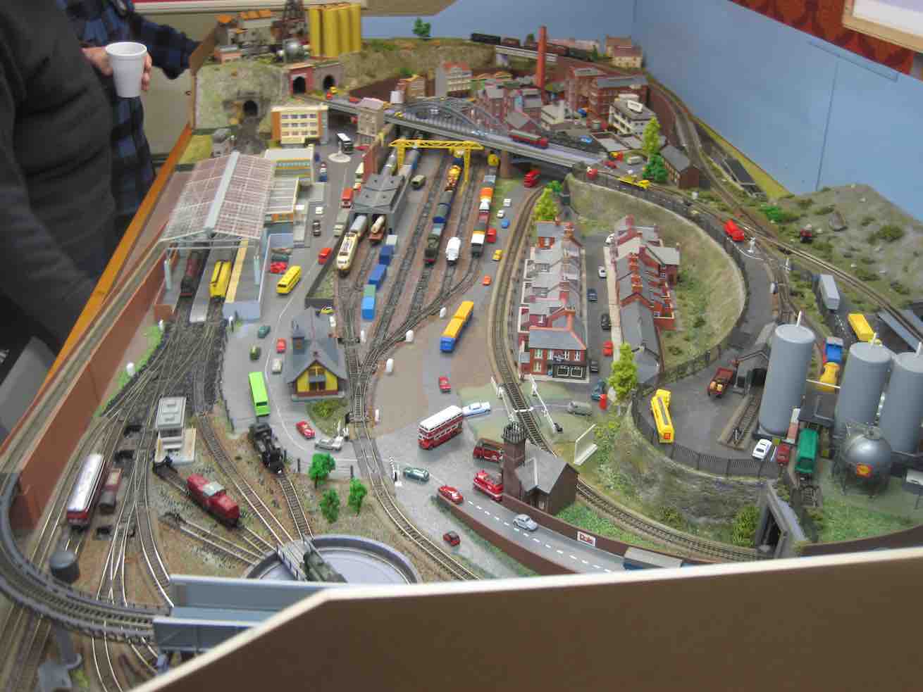
Train set. (John pic)
.. a model train set.( This reporter can testify it was even more elaborate than any he saw at the recent display put on at Wobblies.) It was N gauge (9mm). Unfortunately, the owner didn’t have it going, lest he exposed himself to an embarrassing derailment. Too bad. It was capable of running two trains at once. There’s a wealth of ancillary detail also, all to scale. A close study will prove most rewarding! To this reporter, this is the engineering equivalent of close needlework.
After this wonderful surprise break, it was back down Matthew Street and away along Neill Street to our left to reach a hidden pedestrian underpass at the foot of Armstrong Lane …
Underpass
… and to emerge onto a little path that skirted round to the foot of Harraway Road, across a Kaikorai Stream bridge, out onto the “Main South Road” and back to the Concord Tavern for the Dinner. Here we met with the non-walkers and filled an almost overcrowded dining room. Some of us neglected to pick our table first as we found we were supposed to (including this reporter) before we lined up at the servery to place our meal order, but waiters found us eventually and all was well.
Again, due to Elaine’s homework with her sponsors, there were little prezzies on the tables and under-the-seat tickets for rewards. What a girl she is!
So, thanks to Elaine and Eric for such an imaginative midwinter dinner function effort. Well done, to put it mildly. – Ian.
16/8/2000. Concord – Blackhead. Leaders: Les W, Diana and Ray.
26/5/1999 Concord from Tavern to Blackhead. Leaders: Jean, Ngaire, Bev McI.
19/5/1993 Concord Corner, Blackhead, Beach, Brighton Road, Allan Road, Green Island Bush Road. Round Trip. Leaders: Jack, Rosemary, Joyce I, Joyce S
23/9/1989 Concord Hills from Wine and Spirits carpark. Easy+ Leaders: George, Ria L, Pam, Ria H
5. 19/2/2014. Trampers. Pineapple, Ben Rudd, Davies.
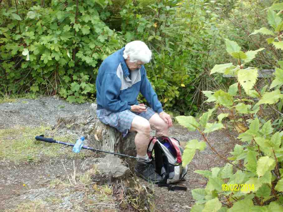
GPS of route., courtesy Ken. (Anti-clockwise from Booth Road) 9.2 km; 3 km/hr; 3 hr 6 min moving time; 2 hrs stopped!!; Climbed 589 mtrs.The group at the new seat. (Heb pic and caption)Afternoon tea break at the bottom of Davies track. (Ken pic and caption)Hazel in deep thought over her phone. (Ken pic and caption)
Nine of us met at Booth Road. We entered Davies Track via McGoun this time, exiting it on the left a short way up past the cairn. A light shower came on during the bush section, sounding quite pleasant as it struck the leaves overhead. Out in the tussock at the top, the weather was clear again. Ria and Hazel had discovered a new track had been made above the bush, this time striking to the left instead of the one to the left, the one that got several of us lost last time where overgrowth had rendered a crucial turn invisible.
We emerged on the Flagstaff walkway above a rock outcrop and headed down to the top of the Pineapple. Here Gay, a visitor, left us and we continued along Swampy Ridge to the top of the Nicols/Moonlight track. A little way in and we found the track has been ruined by mountain bike wheels cutting a narrow deep groove down the track middle, making keeping our footing on the restricted track-sides difficult and dangerous. Further down, we kept to the Moonlight side of Nicols Creek and traced, where we could, the original track, bisected however by the zigzags of the mountain bike route. Rain now really set in and we sheltered in nearby bush for lunch. We then continued down the old track, through the macrocarpas, the stone outcrop and yet further carefully down to emerge at the creek crossing below the waterfall – to Ian’s delight but Ria’s chagrin who had hoped to emerge onto the Leith Valley road on the north side instead of now forced across to the other side. So it was down and out and up Islay St back to the cars. All felt it had been another good day out. Too dull and showery for photo opportunities however. – Ian.
2. 14/11/2007. Trampers. Woodhaugh, Ross Creek, Davies, Pineapple, Ross Creek return. Moderate. Leaders: Ria, Hazel.
Stream crossing. Doug, George, Peter, Wendy
The route Ria and Hazel took ten of us on provided plenty of variety both in scenery and weather. We approached Davies track by way of Ross Creek Reservoir from Woodhaugh. After Ross Creek it was through cleared forest before climbing through secondary growth …
… on the foothill slopes of Flagstaff before entering beautiful native forest and and hour later emerging on Flagstaff’s tussock and flax with overcast views of the harbour and Dunedin both north and south. We had encountered occasional showers to this point and now out on the tussock it was turning really cold. We were still not prepared upon reaching the upper Pineapple-Flagstaff track …
Made it onto Pineapple. Ria, Sabina, Glenice, George, Keith
… to be pelted by a fierce but fortunately brief hail storm. We quickly made our way down to the junction with the Swampy Ridge track where now the hail had now been …
Snow. Doug, George, Sabina, Keith, Glenice
… replaced with snow. So it was down, down the Pineapple to the sheltered edge of the bush where we lunched in the now fitful sunshine. Then the bush, Booth Road, back through Ross Creek tracks and down past the reservoir until the last scenic bush gave way to Woodhaugh St and back to the cars. An interesting day. – Ian
In Leith Valley, where Otago’s first industry – sawmilling – is reputed to have started about the 1860s, is the start of the old Pineapple Track.
Originally, it was named Ross Track, after Archibald Hilson Ross, who owned most of the land in the vicinity. In the early 1920s, Mr Oscar Balk, first president of the Otago Tramping Club, led parties of trampers up this route. At the top of a rather steep section, the parties would stop to rest and often refresh themselves with a tin of pineapple. This tin was sometimes left hanging on a tree or fence, and the track came to be called the Pineapple Track.
The line of the Pineapple Walkway has deviated from the original track in places to provide more scenic variation.
The original vegetation of the area has been modified as a result of early milling, burning and stock grazing, but remnants of the milled species (podocarps) still remain. Rimu, miro, totara and matai are found in isolated pockets, mainly in damp gullies. Even so, the overall distribution of plant species retains some semblance of natural order with the larger forest trees growing at lower altitudes. Podocarp broad-leaved forest type occurs with shrub species which grade out into Dracophyllum shrub land and ultimately tussock grassland communities on the summit area.
Some common plants: fuchsia, pepper tree, lemonwood, broadleaf, totara, five’finger, wineberry, lancewood, Muehlenbeckia, Dracophyllum, Coprosma, Hebe, and wild spaniard tussock.
There are many varieties of birds in the bush areas where there is an ample food supply to sustain many nectar-, berry-, and insect-eating native birds.
Some of these are: New Zealand pigeon, bellbird, fantail, tomtit, brown creeper, tui, silvereye, rifleman and pipit.
1. 17/10/2001. Trampers. Nicols Creek – Swampy Saddle – Warburton Track. Leaders: Lex, Mary L, Irene.
17/2/2010. Suddaby Farm, from Wallace Ford Road. (At the end of Mount Gowrie Road). Leaders: Ria, Hazel.
Well, although the tramp was called ‘Deep Stream Pipeline from George King Memorial Drive’, we never went near the George King Drive at all, except to pass by both ends of it on the way to our destination.
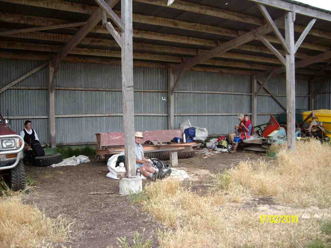
We [all 5 of us] parked the car on Wallace Ford Rd. outside Carters farmhouse, & made our way across some very dry & parched land to Withers farm, after having morning tea in a large farm shed.
First tramp for 2009 was a combined one and 17 members, keen to get out tramping/hiking again after Christmas/NewYear break, met at Ocean Beach Church for what proved to be a very pleasant, easy beach walk. Day was warm and sunny, with no wind. We wandered along to Ocean Beach to the Estuary, stopping for morning tea on the way. An added bonus was seeing several horses, either being ridden or with sulkies, training along the edge of the water. They certainly make a great sight.
Horses being exercised on Ocean View beach
It was then back along beach nearly to the Big Rock and off the beach into a very pleasant picnic area for our lunch. Because this was very close to where the cars were parked it was an early finish to our day. However, we had a happy day out and it was good catching up with our tramping friends again. Bev. H
4. 6/12/2006. Both. Kaikorai Estuary. Beach Walk. (Low Tide: 11.21am) Leaders: Hazel, Dot B, Bob & Nadia, Chris
Onto beach. Selection: Dot .. Bob, Peter, Doug M, Les W, Lex
Ocean View Beach. Bob, Who?, Pat, Bill, Tom, Arthur
It was an cold Autumn day but we were dressed for the beach walk. However when we reached Brighton Beach the persistent rain drove us into the only shelter available – the beach changing rooms, in which unsalubrious but dry surroundings we ate our lunch. – Ian