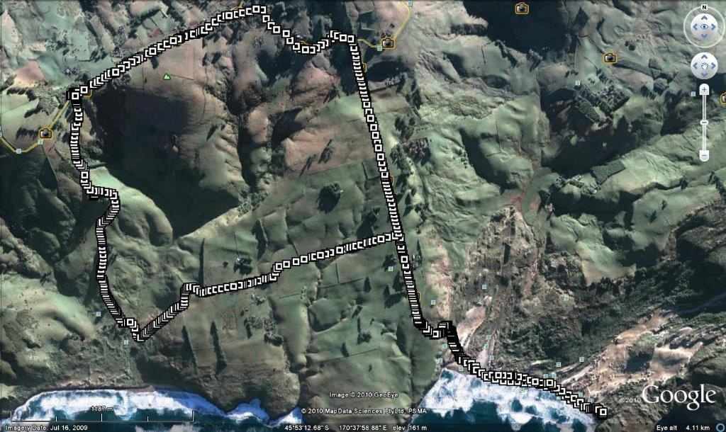
1. 8/9/2010. Trampers. Paradise, Braidwood, Sandfly Bay. M. Leadership: Informal.
Tramp Route. (Courtesy Ken). Car parked top LH corner.
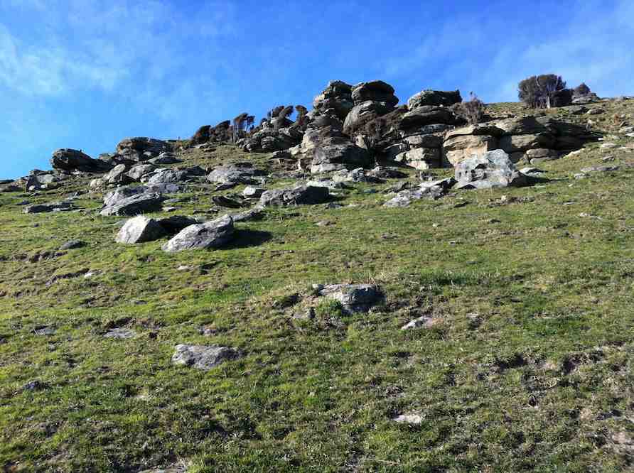
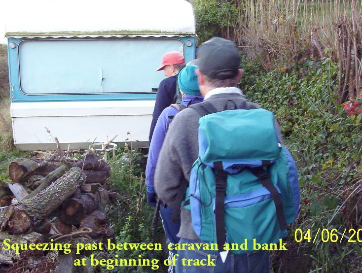
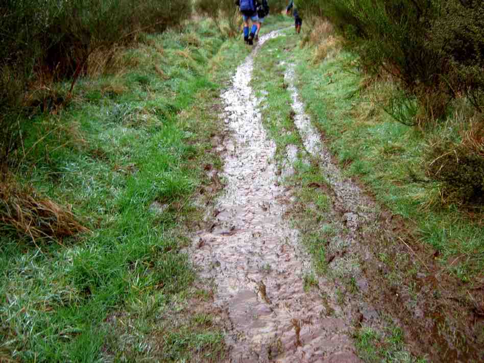
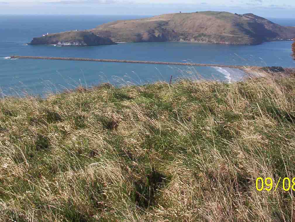
Weather looked fine at Mosgiel, but when we four trampers arrived at Sullivans Dam for the Cloud Forest-Escarpment Tramp, we struck a drizzly cloudy shock. For mud and safety concerns we turned back to town and on the way decided to try the Peninsula. We parked at the top of the Paradise Road track and the weather was quite a degree clearer. However, our second shock was to find the track the WETTEST we have ever found it. No one slipped over, (miraculously), but we had to be extremely cautious in placing our feet.
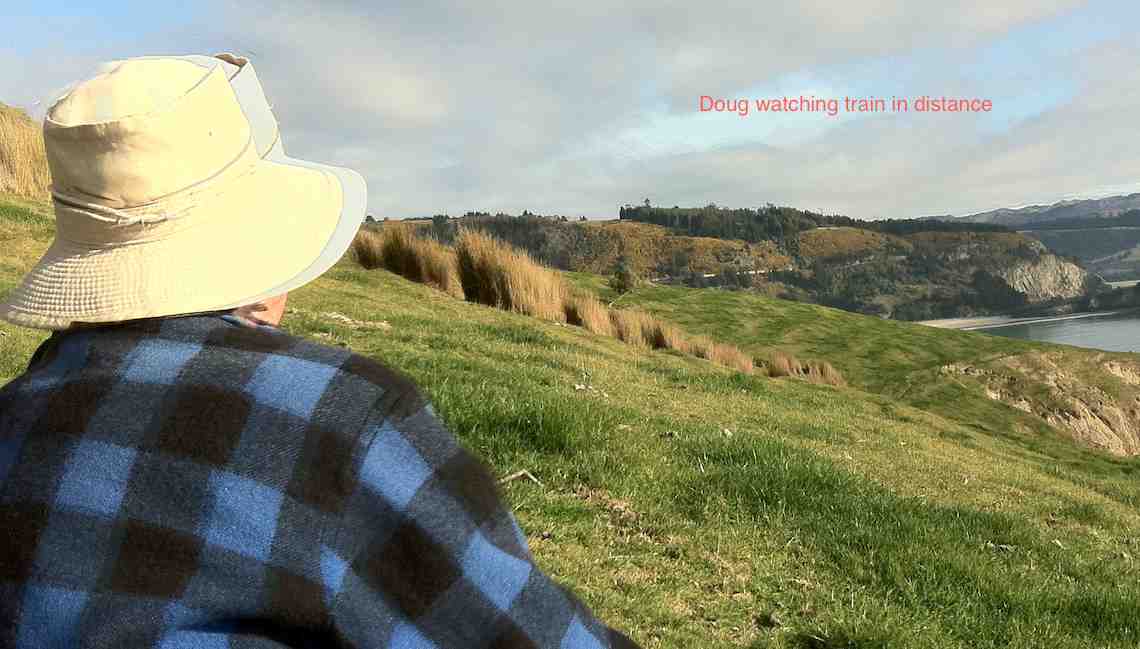
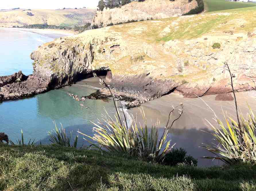
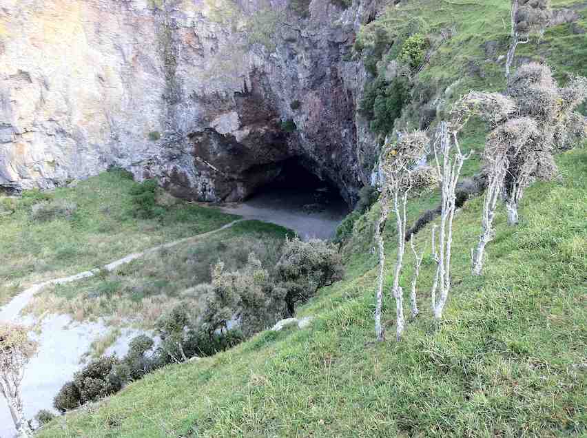
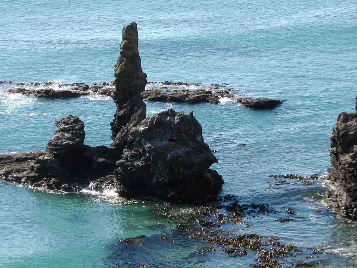
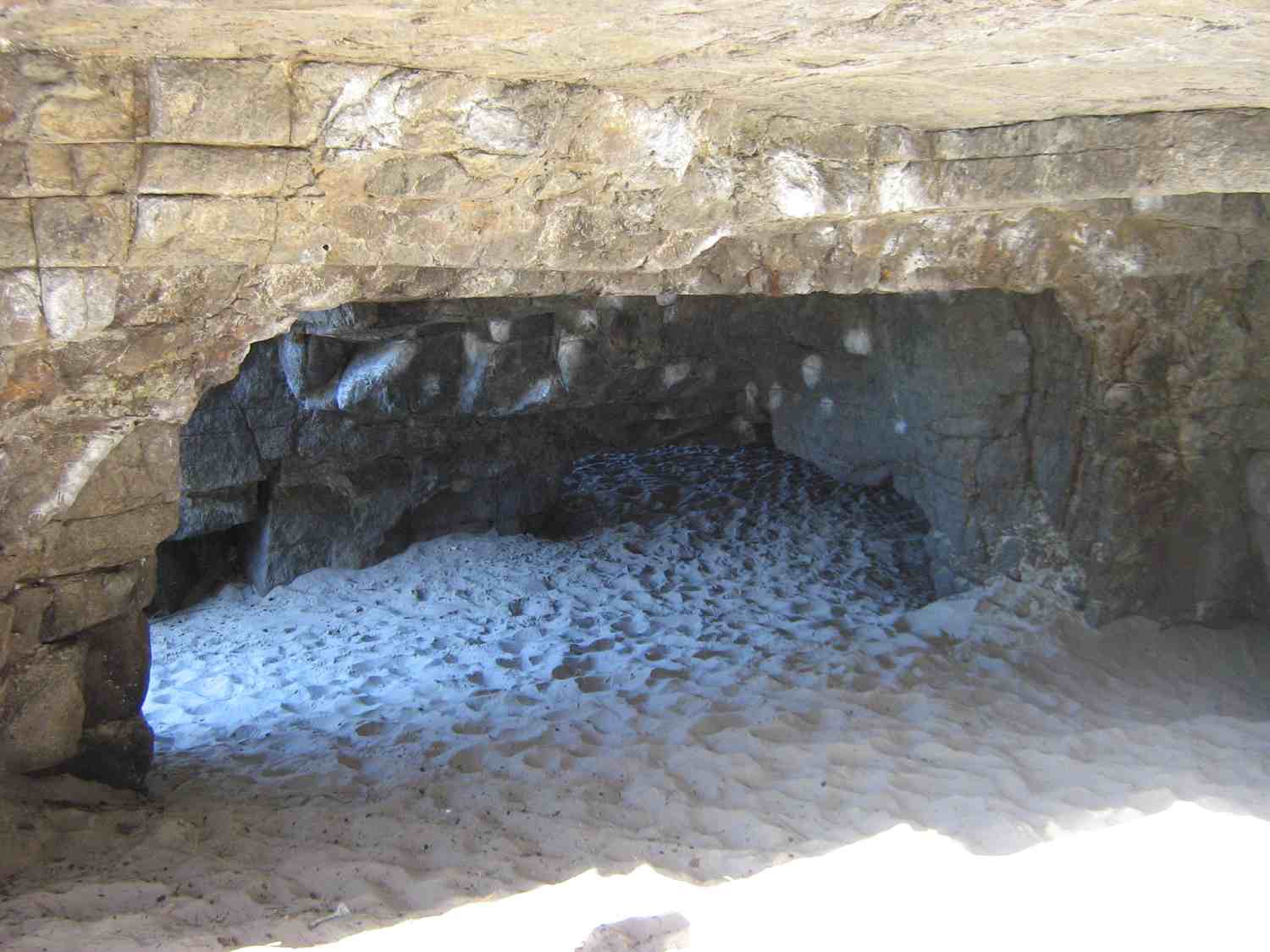
The North Otago coast is lined with old Maori settlements, and Brinns Point is no exception. The bay south of the historic urupa (cemetery) on the headland was occupied by Moa-hunters, and much later was an out-post whaling station. A channel has been cleared through the boulder beach to enable boats to reach the shore especially at high tides. This is thought to be the work of the whalers but the channel clearance may date from much earlier, for all we know. This bay was investigated in the 1950s by the Blake-Palmers of Seacliff. This was published in the Journal Polynesian Society by Blake-Palmer senior who was superintendent of Seacliff Mental Hospital at the time. This was the first ‘proven’ association of man with the largest species of moa: DinornisMaximus, thought by some scientists to be extinct before arrival of man. Later studies showed Dinornis had been found on archaeological sites beforehand however. There was an old Maori settlement on the flat at Ross’ Rocks. The next known settlement south is at Omimi, where moa bones have been excavated on what was largely a fishing site.
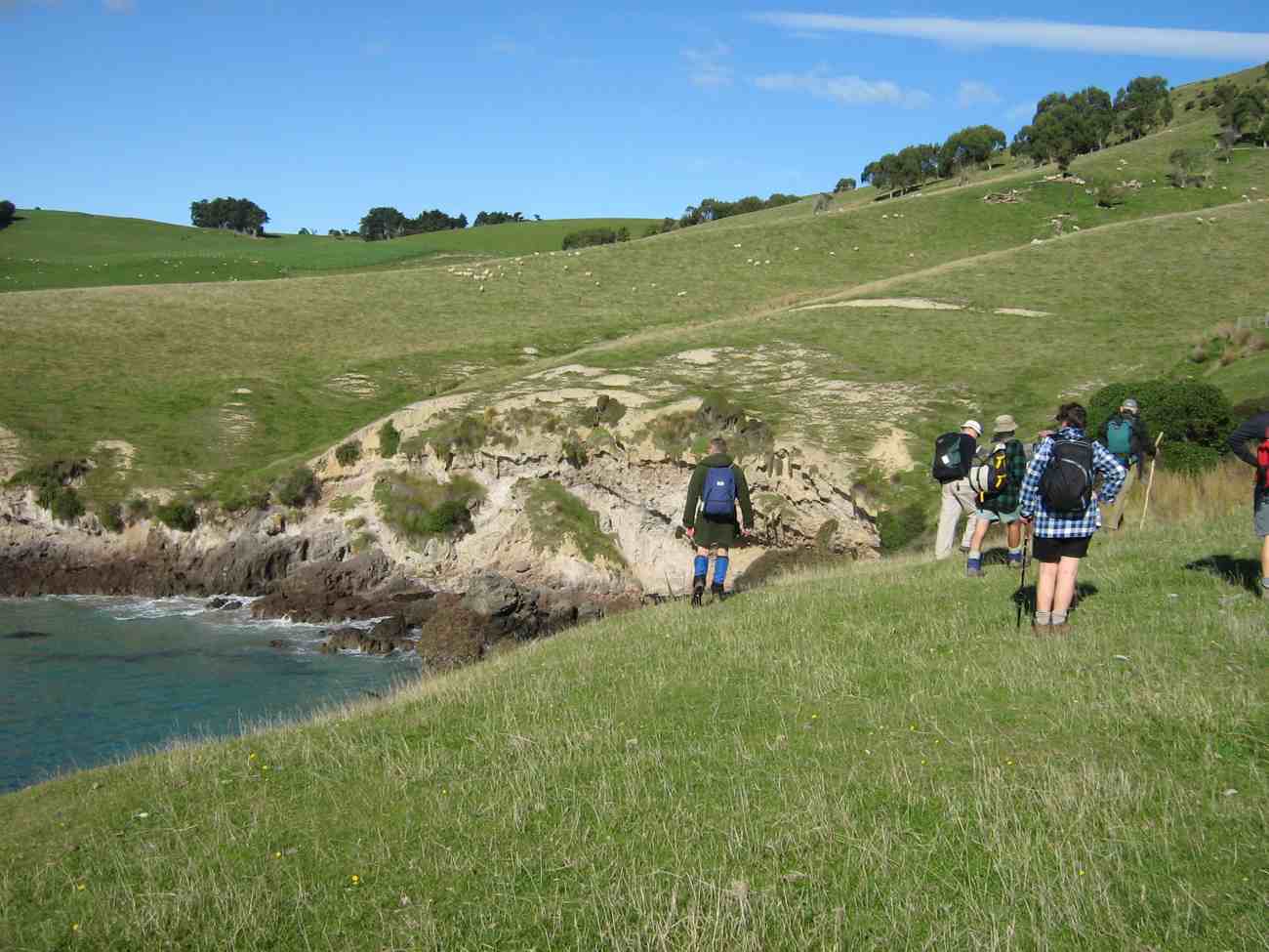
The cliffs after which Seacliff township gets its name are lined intermittently with Maori umu, most being umu ti. Parts of the coast road from Warrington to Karitane followed original Maori tracks according to early survey plans in LINZ archives. The hills along this coast were heavily forested and only cleared when the land was subdivided for framing. The original route of Coast Road has been modified in places since the 1960s but many portions of the old routed can be seen with associated stonework on both sides of the present road. Coast Road remains an active connection with the distant past.
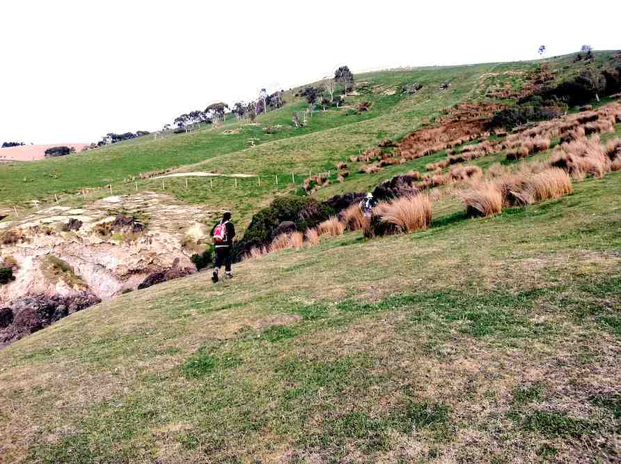
– Taken from Karitane … Split Rock … Seacliff Coastal Walk. Notes by Brian Allingham, Archaeologist, January 2010.
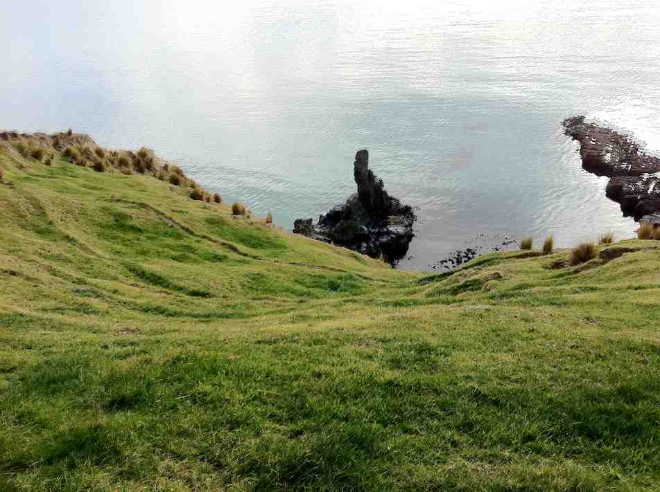
This general area has high spiritual values and is reputed to be the abode of ancestral beings, some of whom have been seen in modern times by local Maori; thus perpetuating historical references from the 1800s and earlier. Little is known or understood of these beings, other than the perception that they are regarded as Kaitiaki or guardians. It would be wise to respect the area by not eating or drinking on Maori Peak or around the immediate base.
– Notes by Brian Allingham. Archaeologist. January, 2010.
3. 20/1/2010. Hikers. Overbridge, Coalstage Road, McMasters Road, Old Brighton Road, Fairfield Park, Morris Road, Overbridge. Leaders: Bev and Chris.
The Rudd Road walk you do when you are not actually doing the Rudd Road walk!!
Our esteemed leaders Bev and Chris decided that views from Rudd Road were unlikely in the misty conditions set to prevail, and that the 12 of us should walk from Saddle Hill to Fairfield and back instead. The intention was to go from Coal Stage Rd up Chain Hills Rd and do a loop, but the general wisdom was to follow Coal Stage. When we got to Saddle Hill Rd, the Left-leaning leaders wanted to turn that way while the majority of Tories voted to turn Right (which was actually less conservative), and so proceed up Saddle Hill Rd to McMasters Rd, where in fact we had a morning tea stop with a view.
It was a warm, still morning here and there was a calming feel about the quiet gravel
road with views out onto the Kaikorai Estuary and Stony Hill, etc.
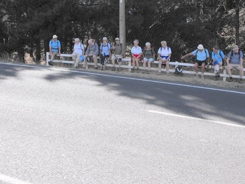
McMasters Rd towards Stony. (Bob pic and caption)
A bunch of fence sitters – Old Brighton Rd. (Bob pic and caption)
Lunch was at the Fairfield park ( Chris led a long detour in order to use a pedestrian crossing), in the sun. Delicious – especially Fred’s shared chocolates.
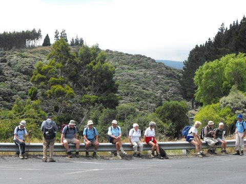
Another bunch of fence sitters – Main Rd, Fairfield. (Bob pic and caption)
And so back to the cars at the overbridge via Main Rd and Morris Rd. A very pleasant 10km on a nice day. We even passed a display of hand milking near the ostriches on Morris Rd. And the clouds were still hanging around Flagstaff, so we felt it had been a good choice. – Bob.
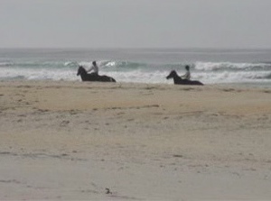
First tramp for 2009 was a combined one and 17 members, keen to get out tramping/hiking again after Christmas/NewYear break, met at Ocean Beach Church for what proved to be a very pleasant, easy beach walk. Day was warm and sunny, with no wind. We wandered along to Ocean Beach to the Estuary, stopping for morning tea on the way. An added bonus was seeing several horses, either being ridden or with sulkies, training along the edge of the water. They certainly make a great sight.
Horses being exercised on Ocean View beach
It was then back along beach nearly to the Big Rock and off the beach into a very pleasant picnic area for our lunch. Because this was very close to where the cars were parked it was an early finish to our day. However, we had a happy day out and it was good catching up with our tramping friends again. Bev. H
4. 6/12/2006. Both. Kaikorai Estuary. Beach Walk. (Low Tide: 11.21am) Leaders: Hazel, Dot B, Bob & Nadia, Chris
Onto beach. Selection: Dot .. Bob, Peter, Doug M, Les W, Lex
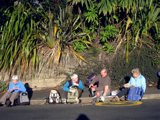
Ocean View Beach. Bob, Who?, Pat, Bill, Tom, Arthur
It was an cold Autumn day but we were dressed for the beach walk. However when we reached Brighton Beach the persistent rain drove us into the only shelter available – the beach changing rooms, in which unsalubrious but dry surroundings we ate our lunch. – Ian
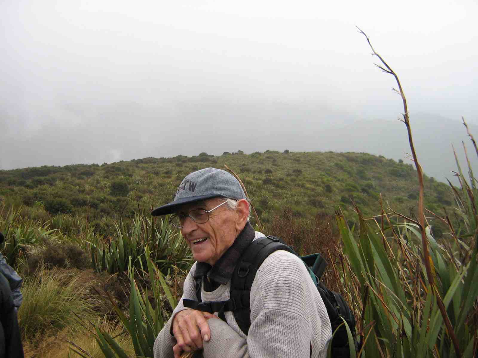
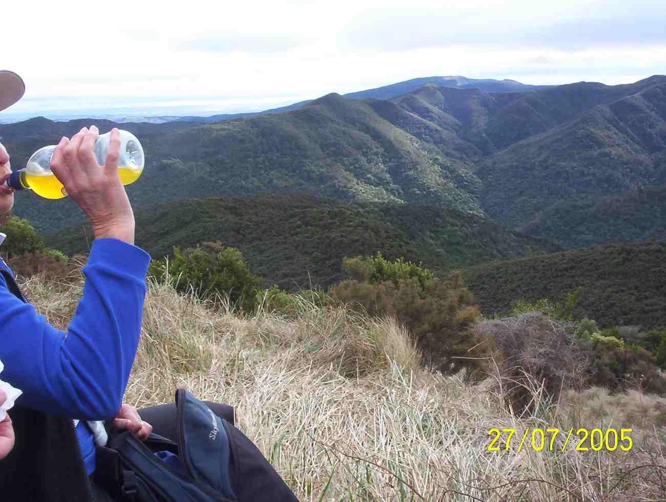
6. 27/7/2005 Rollinson Road. Elbow. Rollinson Track. Turn off down to Rain Gauge Spur. Leaders: George, Dorothy S
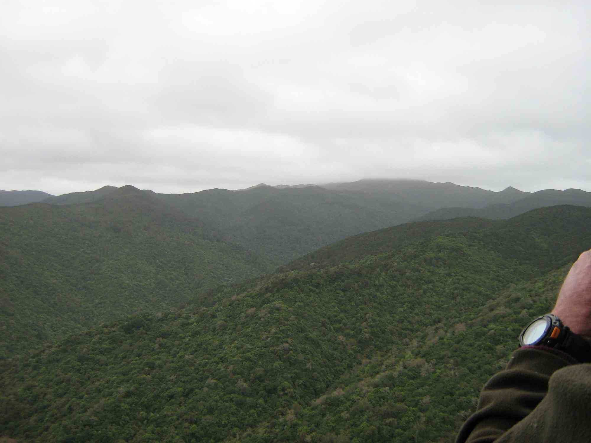
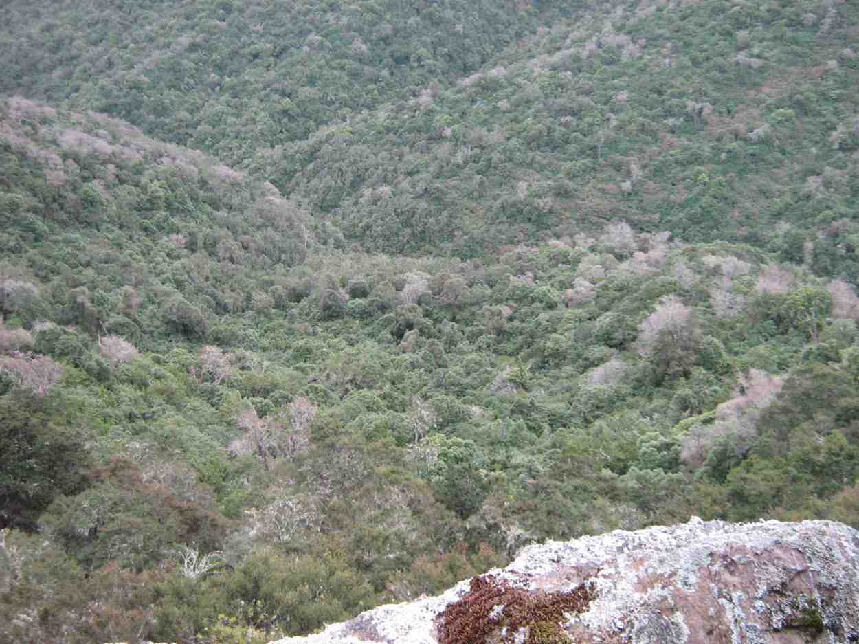
View from Raingauge Spur
5. 1/5/1991 Elbow – Swampy – Raceman. Steep parts. Harder. Alternate route for some. Leaders: Mary McG, Daphne, Bob, Barbara McC
4. 1/11/1999 Silverstream Weir, Raingauge, Elbow, Raceman’s Track. Leaders: Margaret D
3. 17/8/1994. Silverstream Weir, Raceman’s Elbow. Medium. Leaders: Bob H, Peg C, Frances, Jack R 2. 28/4/1993. Silverstream Weir, Elbow, Raceman’s Track. Two groups. Medium or Easy. Leaders: Bob H, Les W, Diana, Joan A. 1. 11/1988 Leader: Peg C
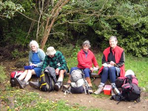
On parking our cars at the Nicols Creek bridge we were amazed to find a whole new set of tracks up the creek’s true left made by Mountain Biking Otago. This part had been discovered by our leaders only at the end of their recce so for us it was a recce in itself. The tracks (open to walkers too) zigzagged and zigzagged up the slope on a gentle gradient which although easy walking added a considerable distance to the day. But it was fun. See Nicols Creek tracks for details – click on Image Gallery for an endless supply of photos of the tracks. Well, that was track number one.
We eventually latched onto Moon Track further up and sat down to morning tea with Ferrero Rocher chocs slipped into Ian’s pack by Lex earlier to celebrate Lex’s 80th birthday.
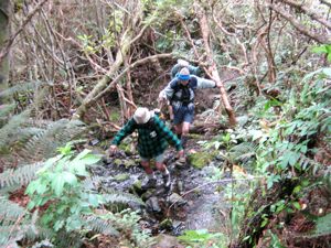
and almost immediately across and down McQuilkin Track. This was well cleared but two or three nasty bush crashes across the track made for some scratchy scrambling through. Wish we had brought our pruning saws. We joined Possum Busters and made our way round the track to where it links with Possum Hunters where we lunched at 12.30. On the way we made the three familar McQuilkin stream-crossings and the fourth came shortly after lunch
McQuilkan creek cross No. 4
McQuilkan creek crossing No. 4. Doug, George
and the second treat of Lex’s chocs. Again we struck several bush falls across the track (where were those saws?) and reached the bottom of the Jim Freeman.
It proved just as steep (or steeper? – as we age!) as it ever was. There were one or two Rhodo blossoms on the track but none on Bruce Campbell’s bushes that we passed up. Then it was onto the Ben Rudd track and up to the Firebreak. Down along that and across to the Pineapple
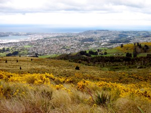
View of Dunedin.
View of Dunedin.
and then steeply down to where we reached the place to strike left and down through the long Spring cocksfoot to where our leaders had cleverly located the almost hidden entrance to the bush track that would lead us through to the Nicols Track that took us down the creek’s true right to the cars. The wind on the top kept us from over-heating. To repeat, the highlight of the day had been the discovery of Mountain Biking Otago’s work-in-progress of its ambitious biking tracks, making for a surpising addition to our day out. – Ian
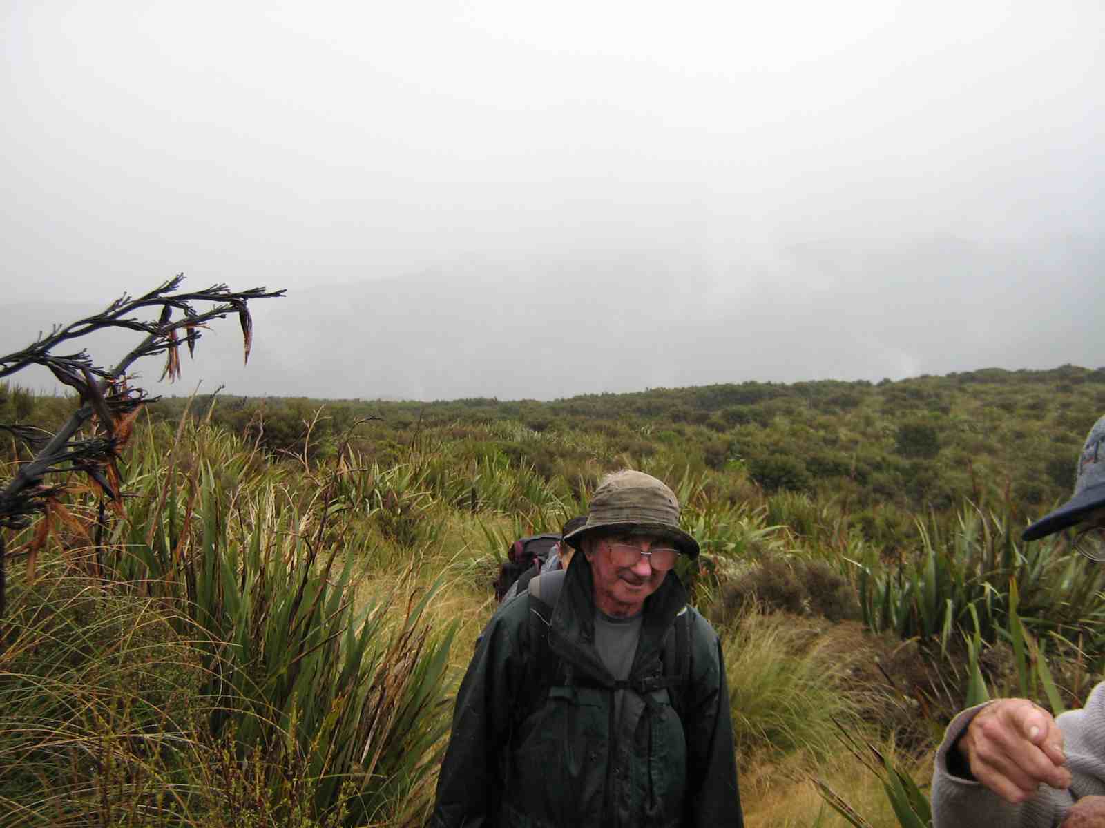
Very surprised and delighted to yet again have another fine Wed. after having 2-3 days of mist and rain. A bit cloudy but fine and not too cold. Ten keen hikers parked their cars in Lees St. and set off on a very convoluted walk to get to their final destination which was the Southern Cemetery. It was up hill all the way to our morning tea stop which was the play area in the Mornington Park. After a refreshing cuppa it was off again on the ups and downs of the streets in the Maryhill/ Mornington area till we eventually got to Eglington Rd and the very top gate of the Southern Cemetery. We walked down through the area of very old graves and found a spot on a grave in the sun to sit and eat our lunch. Very peaceful and quiet. No people or traffic to disturb the peace! After lunching we strolled around among the graves, reading inscriptions where they were still legible and finding many of well known early citizens of Dunedin. Also the area where the early Chinese were buried in place that was supposed to be separate for the rest of the community.
All in all an interesting place to visit and the first time for most of the hikers there on Wed. From there it was a fairly short walk back to the cars. Everyone said how much they’d enjoyed the day. Bev.
What a beautiful day and absolutely perfect for our Street Walk round the Wakari area. The 13 Hikers who met to make the most of the warm sunny day parked their cars at the southern end of Helensburgh Rd, by the back entrance of Wakari Hospital, and set off down Hood St. Only a short walk before getting to our morning tea spot which was Dean St. Reserve. As the Reserve had no seats and was rather muddy and wet we sat on the footpath! Very pleasant in the sun. Then we set off, and with my co-leader, I took everyone on a real tour of discovery round streets and areas that most had never been. Lovely views.
Snow on the hills
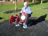
Out to sea, over Kaikora Valley, Roslyn and Mornington and then after lunch, over the other way to Flagstaff and Three Mile Hill. We eventually arrived at Mayfield Reserve, a lovely childrens play ground at the back of Wakari School, which proved a very suitable & agreeable place to enjoy our lunch break. We soaked up the warmth the sun and made the most of the ‘amenities’!
Making use of the amenities
From there it was another zigzag through a few more streets and walkways, back to the cars. Everyone agreed they had had an enjoyable and enlightening day, especially in such perfect weather. – Bev
19/9/2007. School House, Tunnels, McRaes, Steve Amies Whare Flat road ret. Leaders: Ria L, Hazel
Ten trampers set off from the Old School House at Whare flat on a beautiful sunny day without a cloud in the sky. Another “Wonderful Wednesday” Leonie was heard to comment. We followed Tunnels Track which is part of the Racemans’ walkways. This follows the old black, and now somewhat dilapidated water pipe that used to take water all the way from here to the Southern reservoir in Dunedin. This has significant historical interest and brochures and maps about Racemans are available at the Tourist Centre.This led into the McRaes Track and then on to the Steve Amies Track. This climb got our hearts racing and our brows sweating but worth all the effort to arrive at that wonderful picnic spot at the top. Here there are picnic tables in all sorts of nooks and crannies with great views over to Chalkies and the Taieri Plains. There are many planted trees and plaques to well known trampers, and a recent plaque to commemorate the 20th anniversary of the WEA tramping club that was founded by Steven Amies. There are several options trampers can take from here but our leaders opted to go back via the access road and back to our cars. We enjoyed the company of a visitor, Ken, and despite unfortunately locking his keys in the car we hope he enjoyed it enough to come back again.