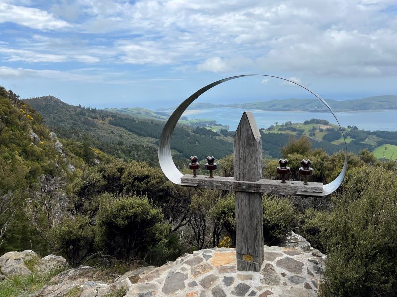
No. 89 on old hardcopy list of 113 club tramps. “Outram Glen – Lee Stream Year Round”
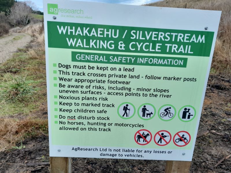
Outram, Allanton, Floodbanks, Lee Stream, Traquair, Whare Creek – Information and Trips Library
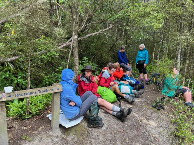
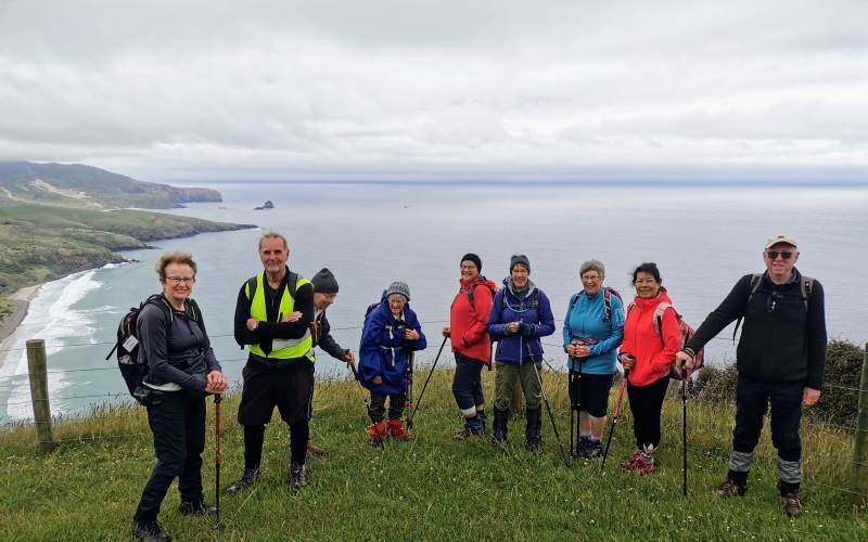
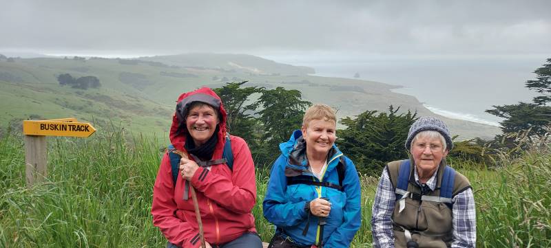
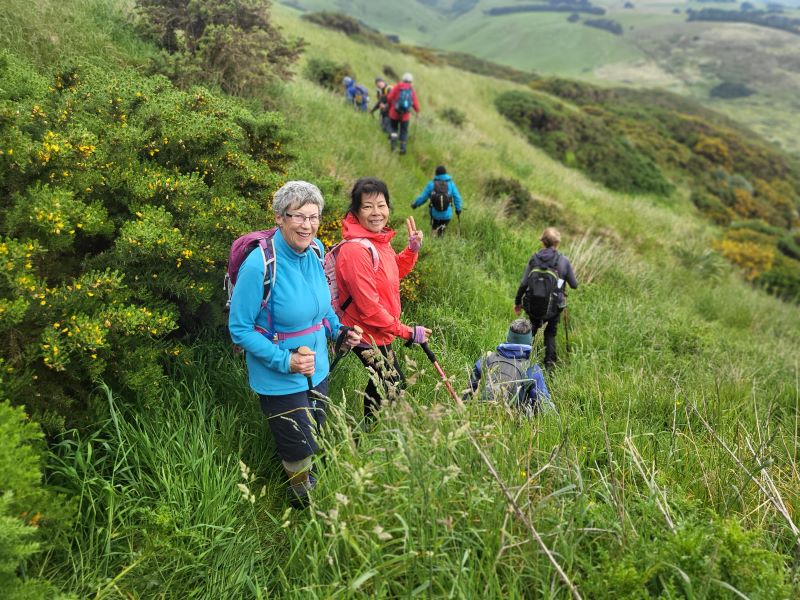
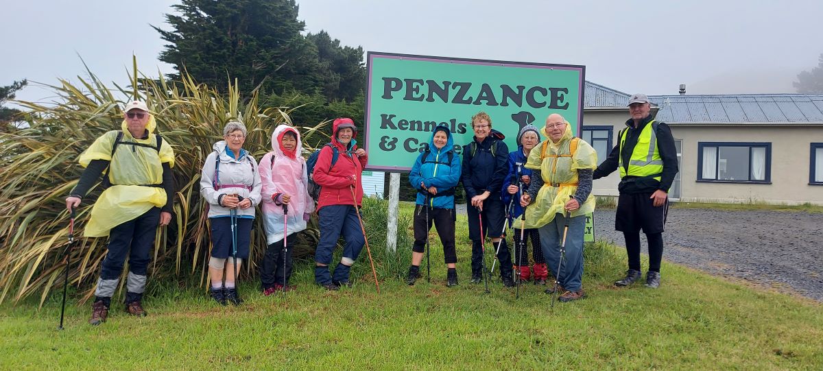
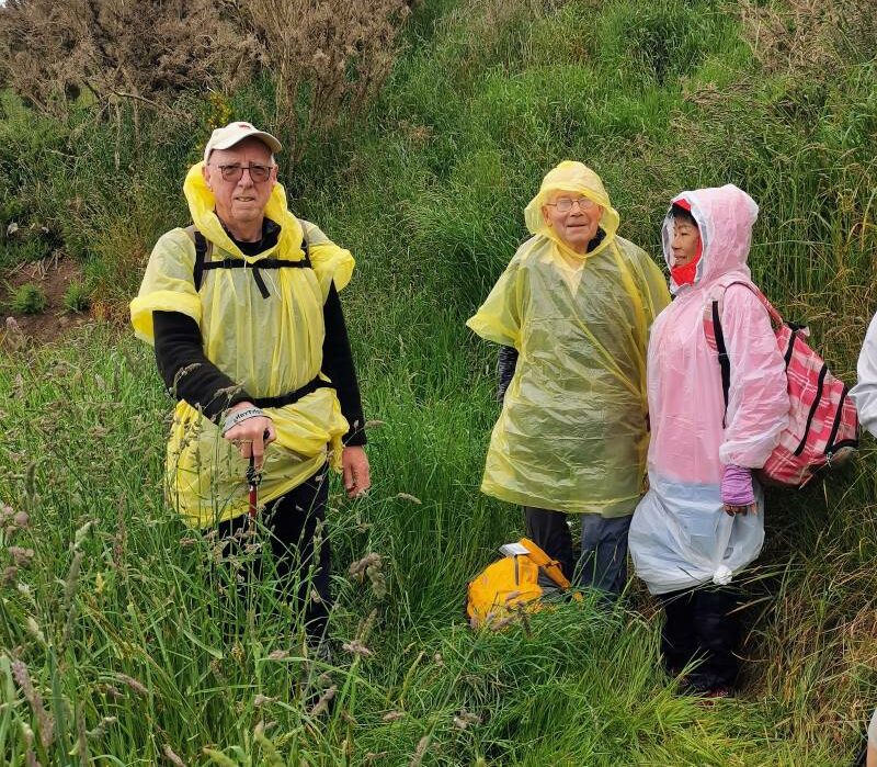
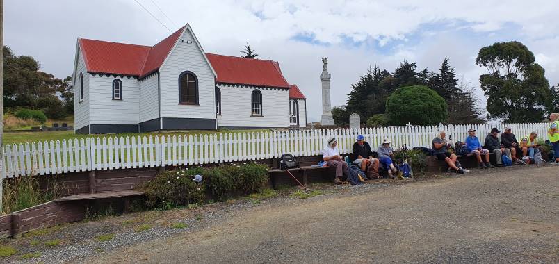
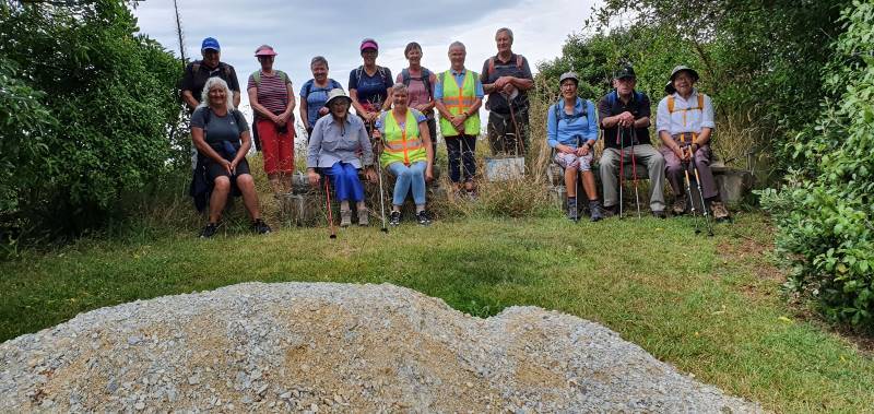
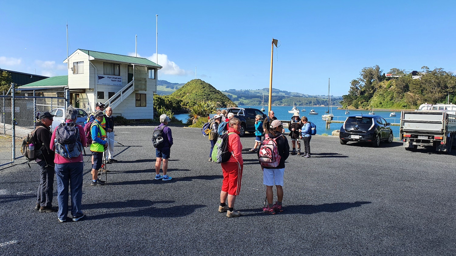
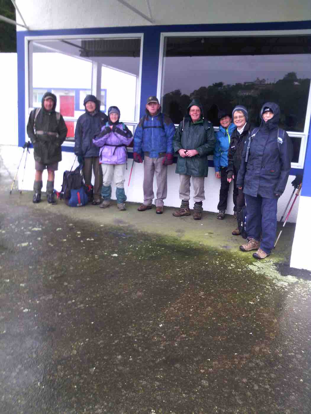
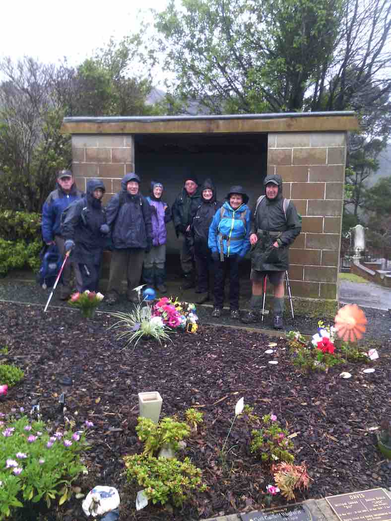
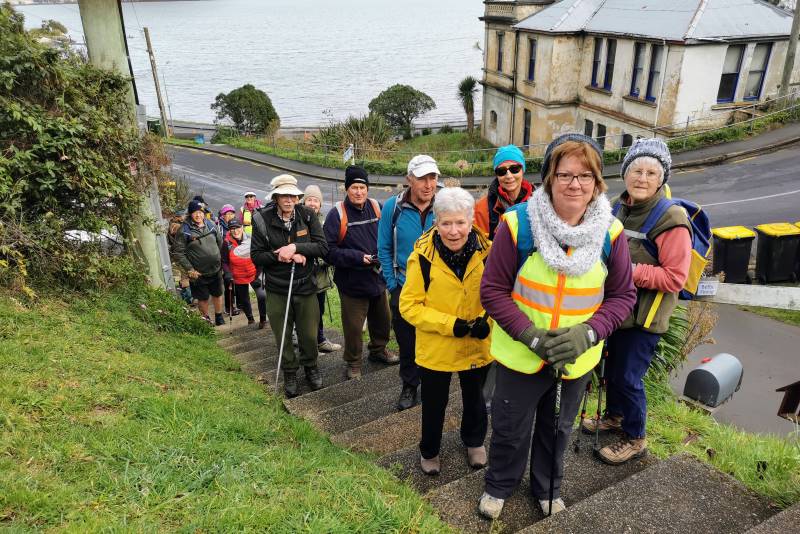
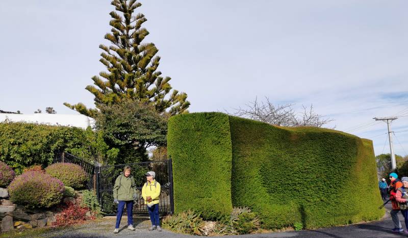
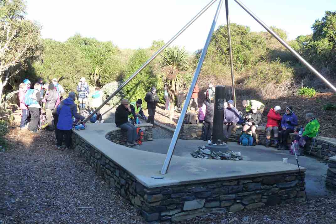
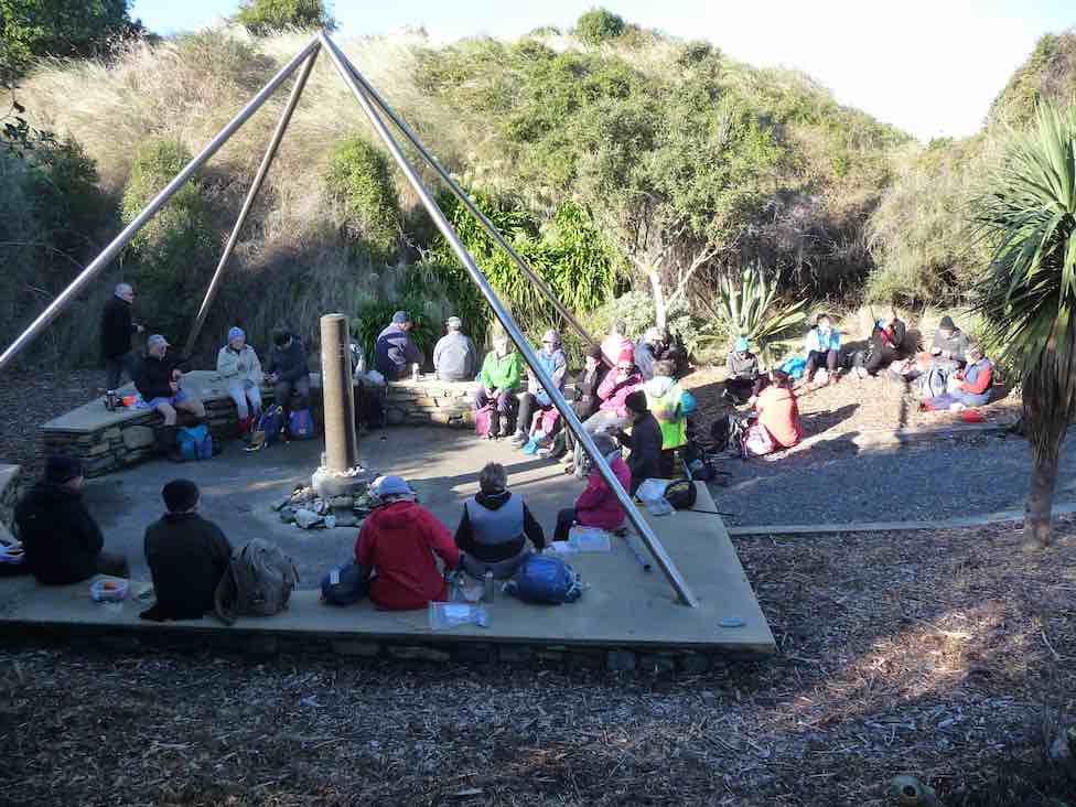
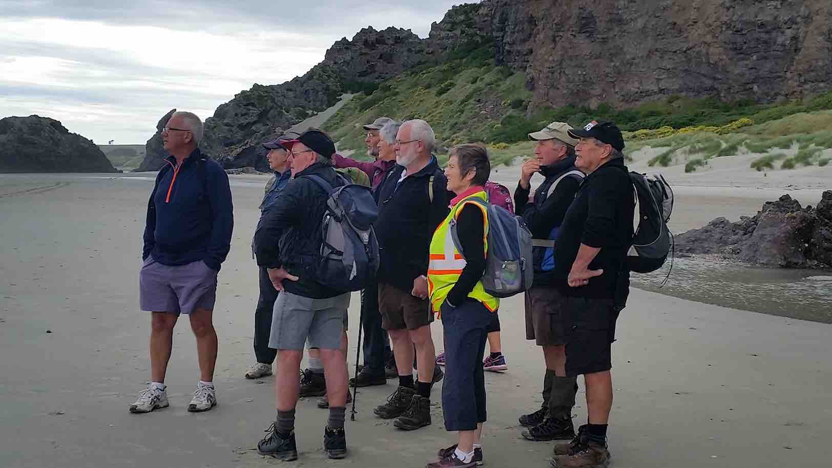
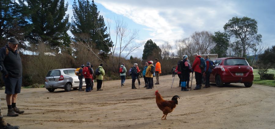
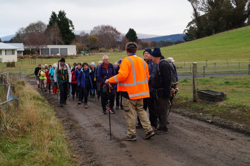
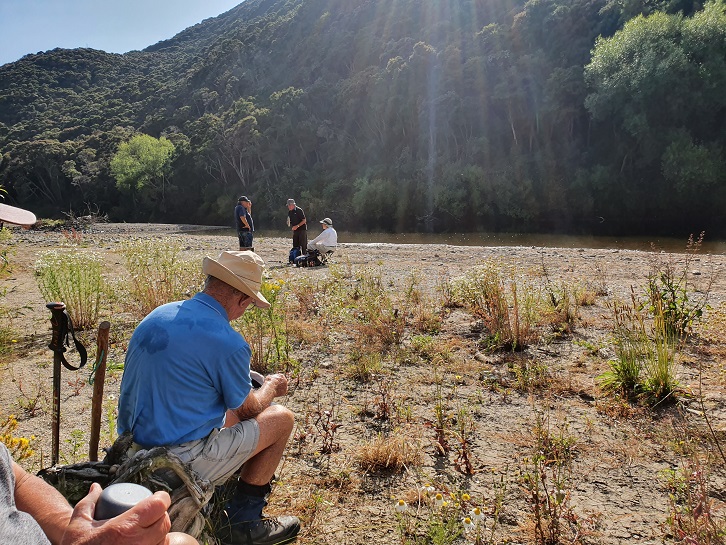
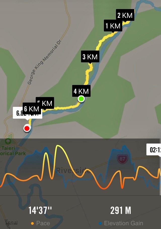
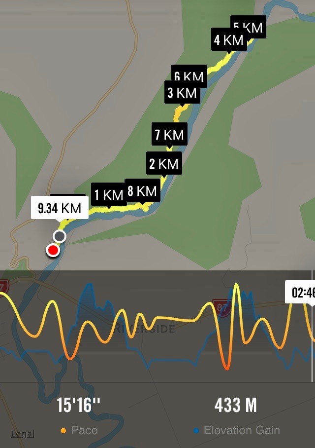
15. 25/01/23 Hikers Outram Glen to Confluence. Grade 2 Leaders: Eleanore and Judy
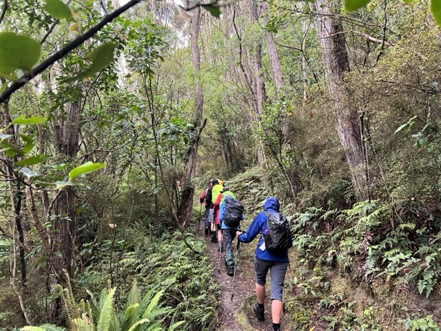
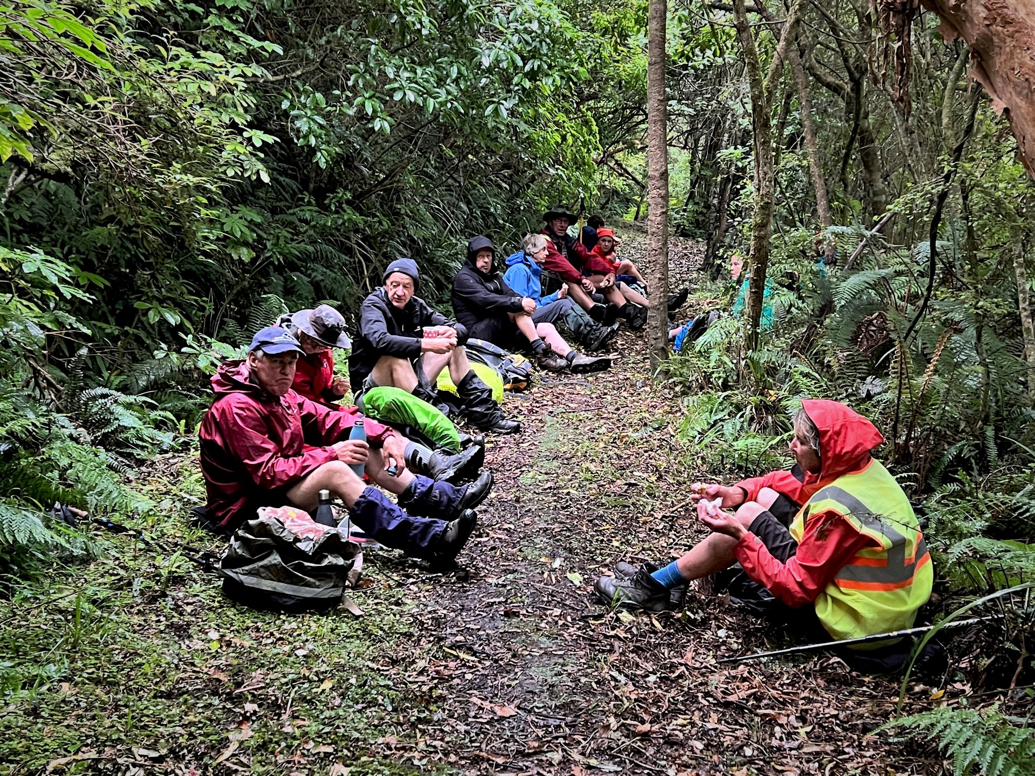
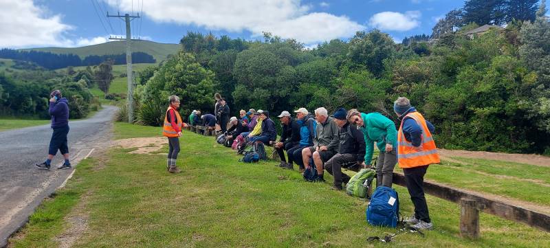
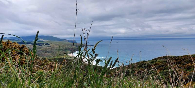
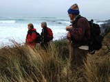
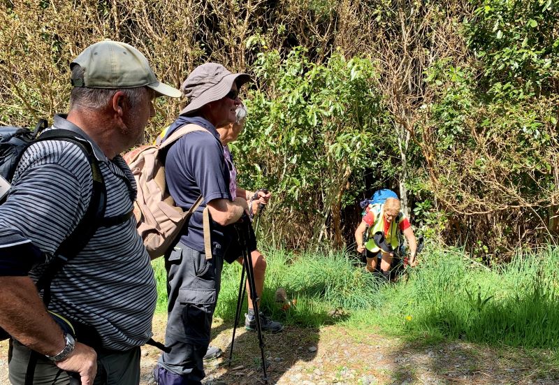
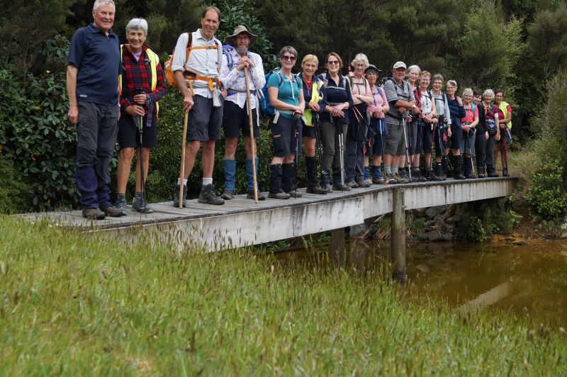
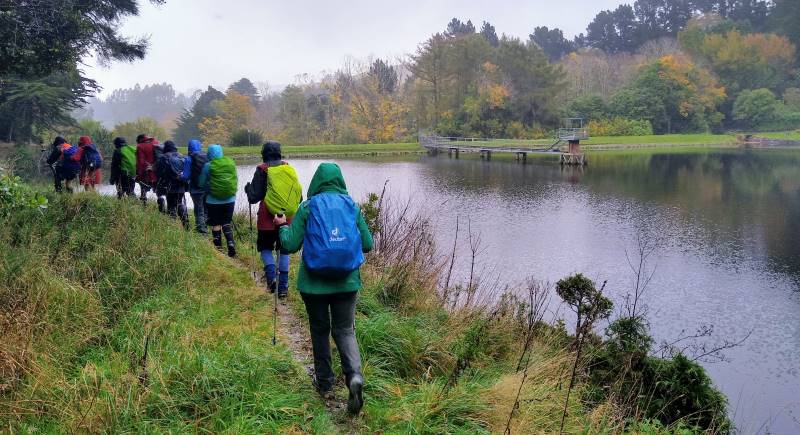
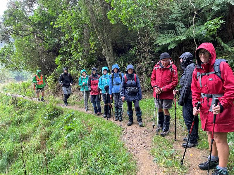
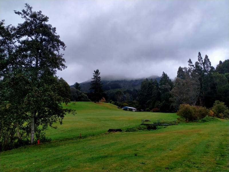
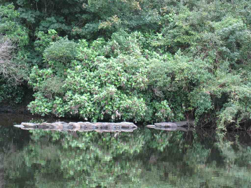
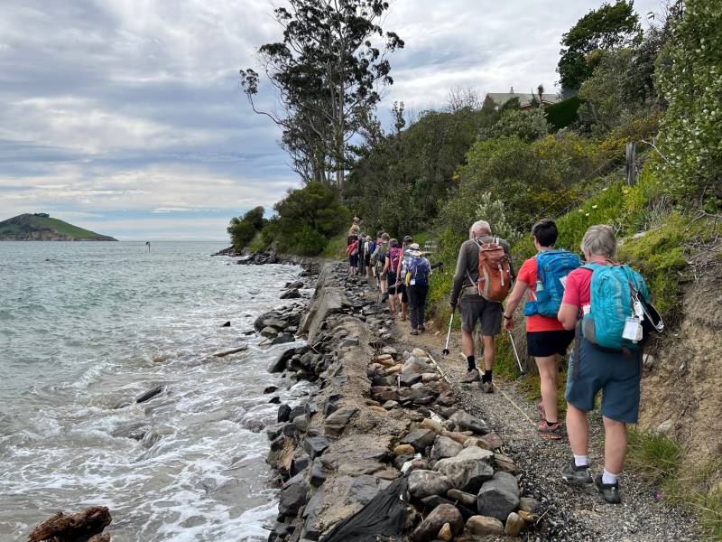
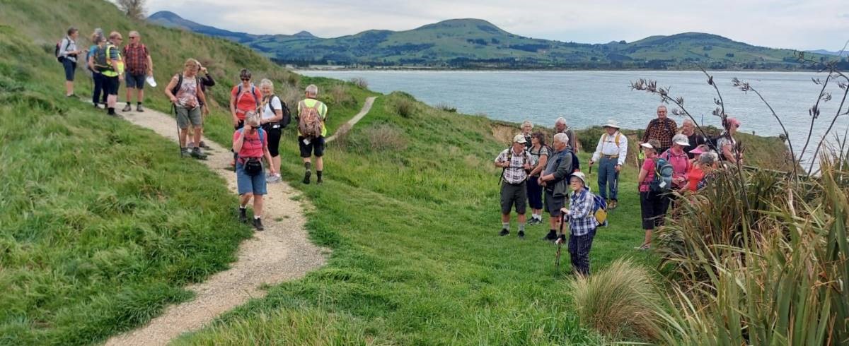
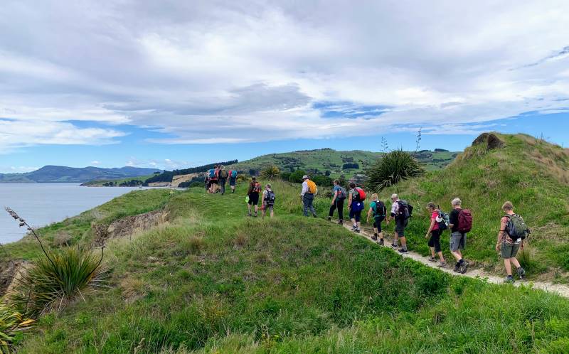
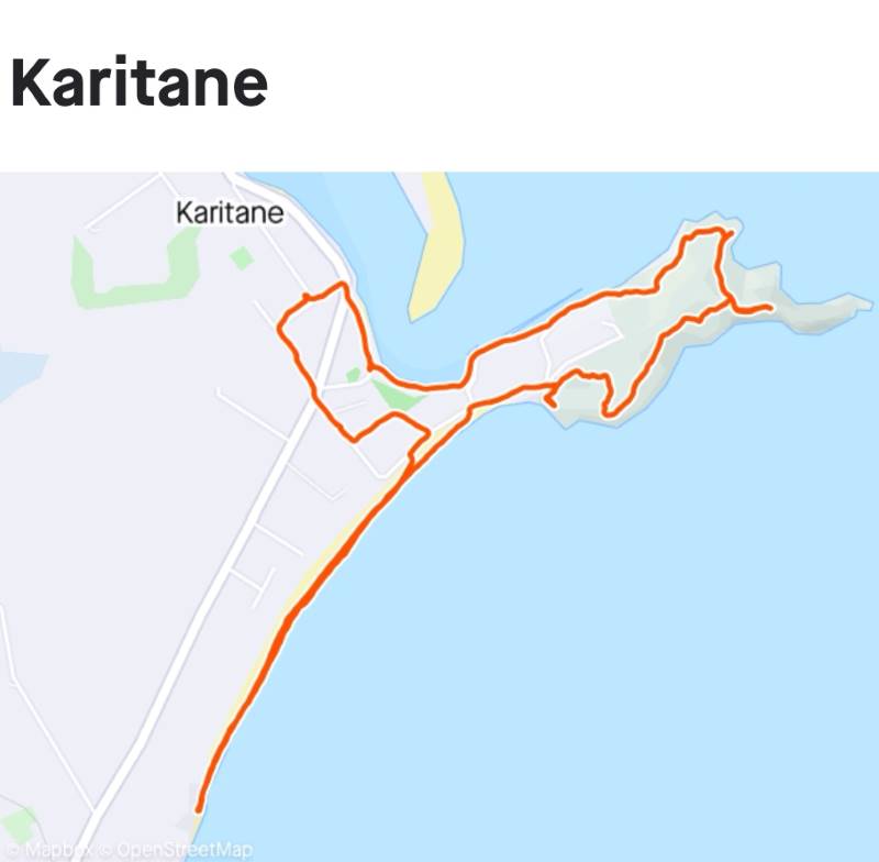
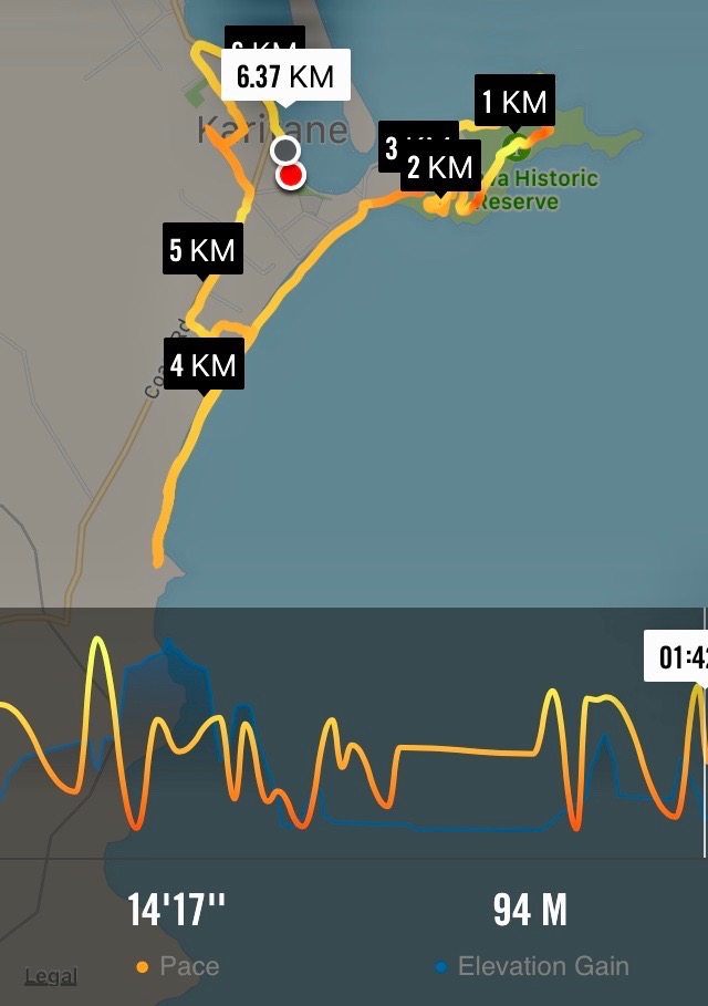
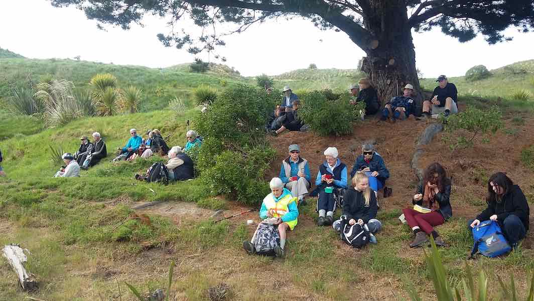
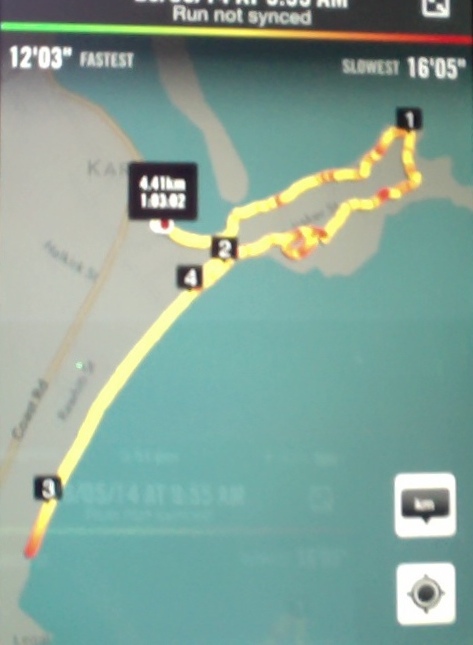
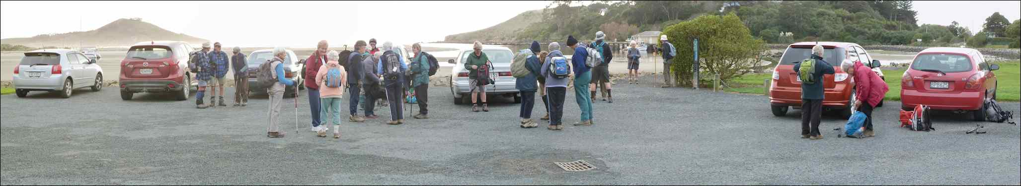
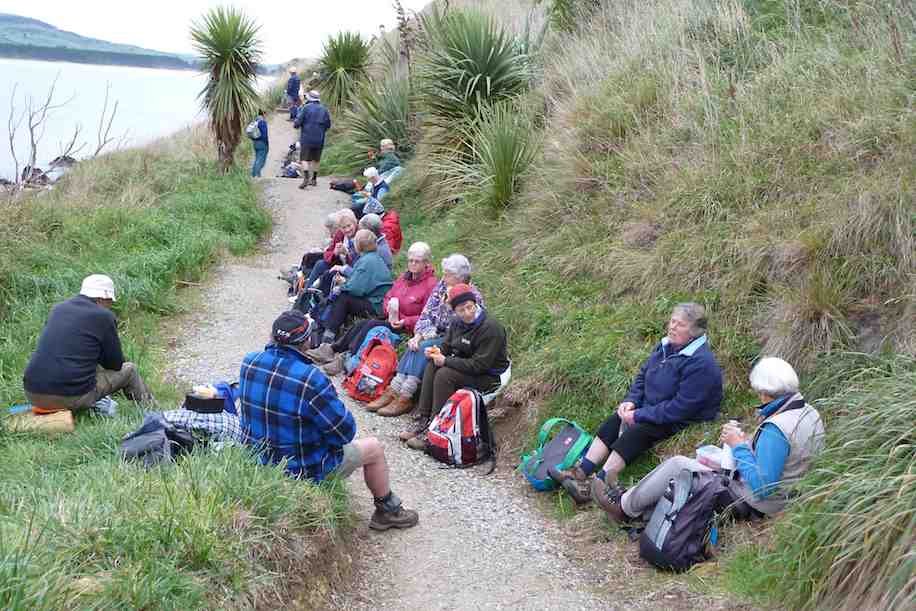
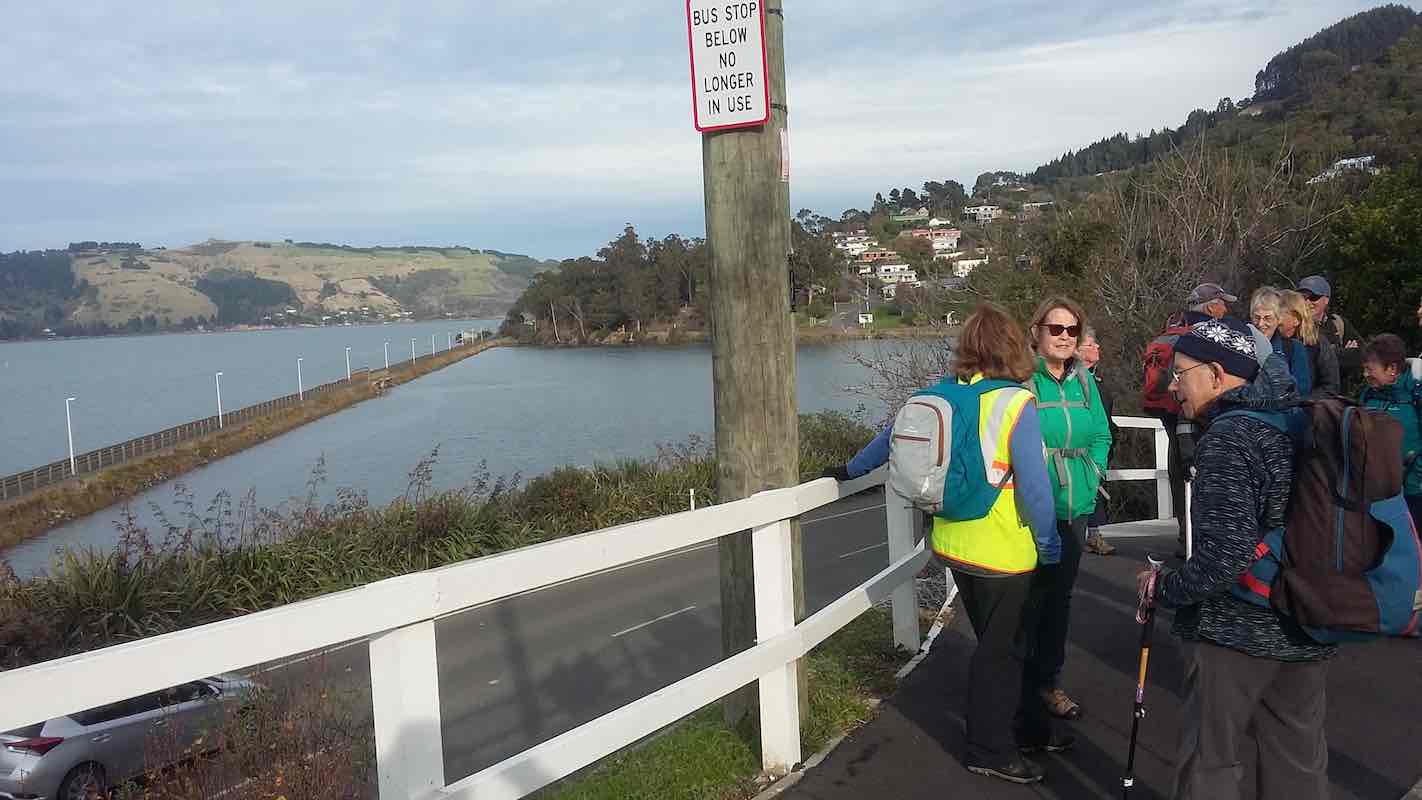
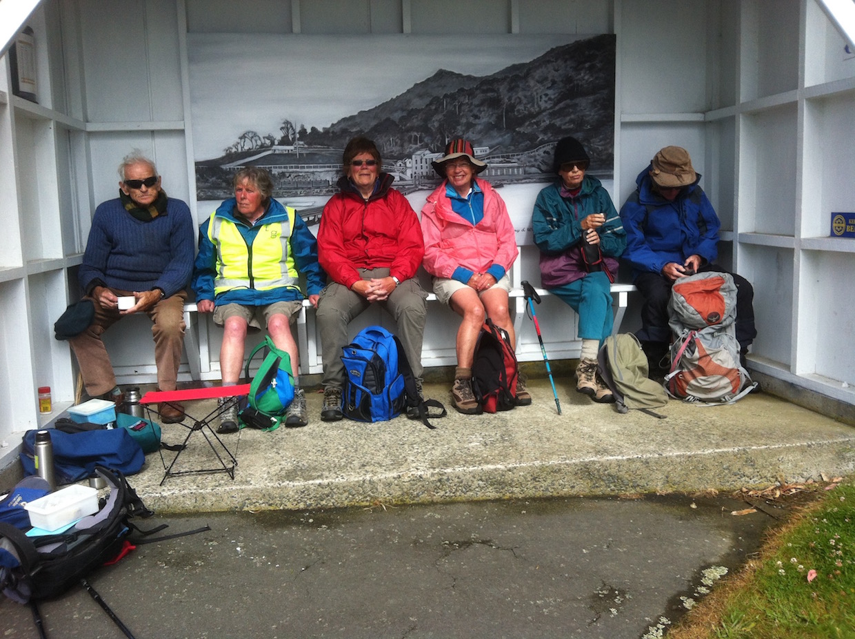
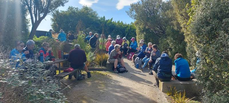
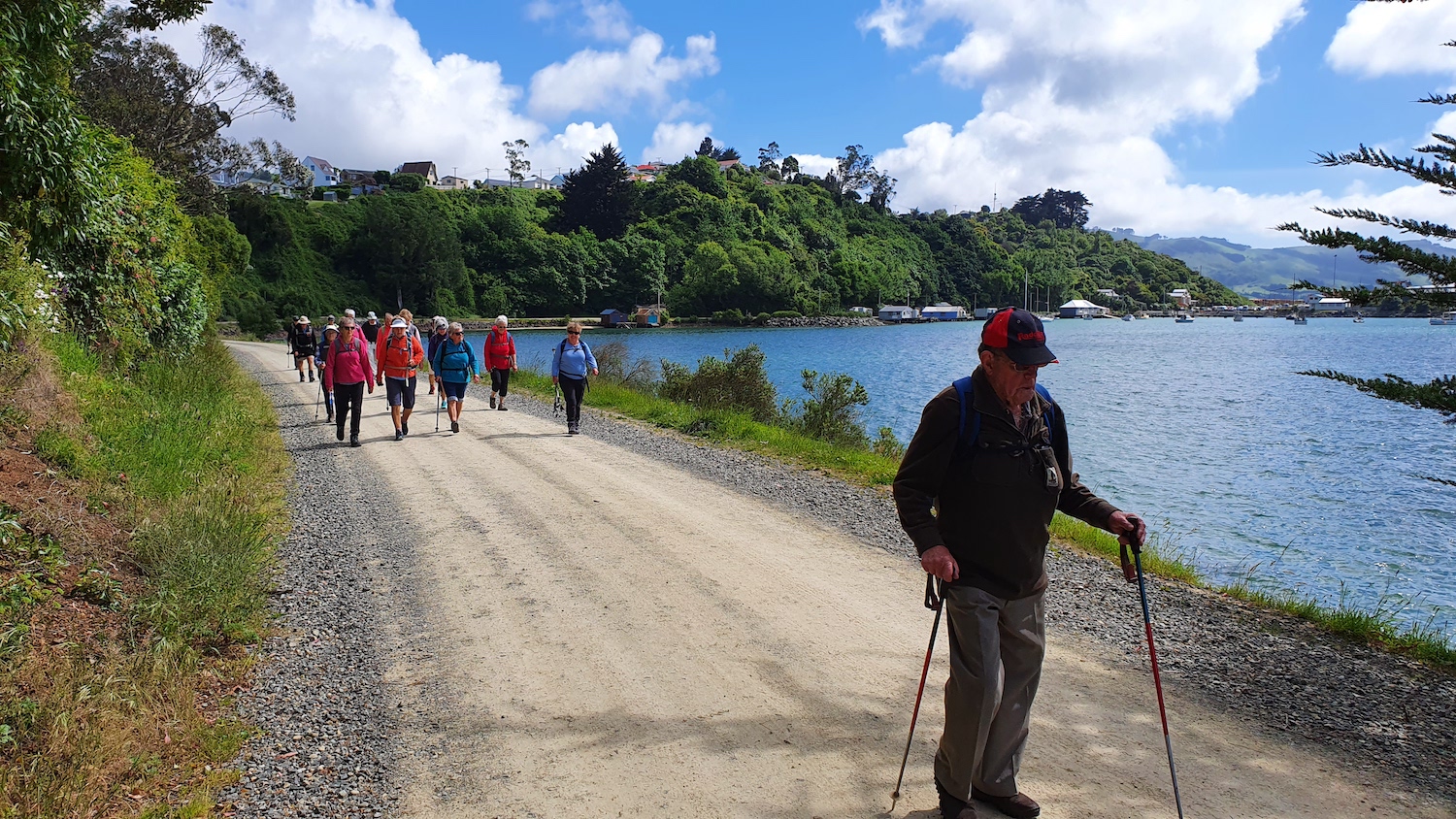
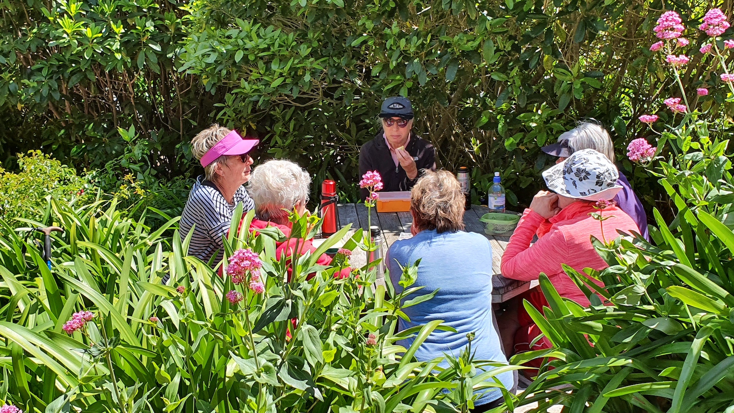
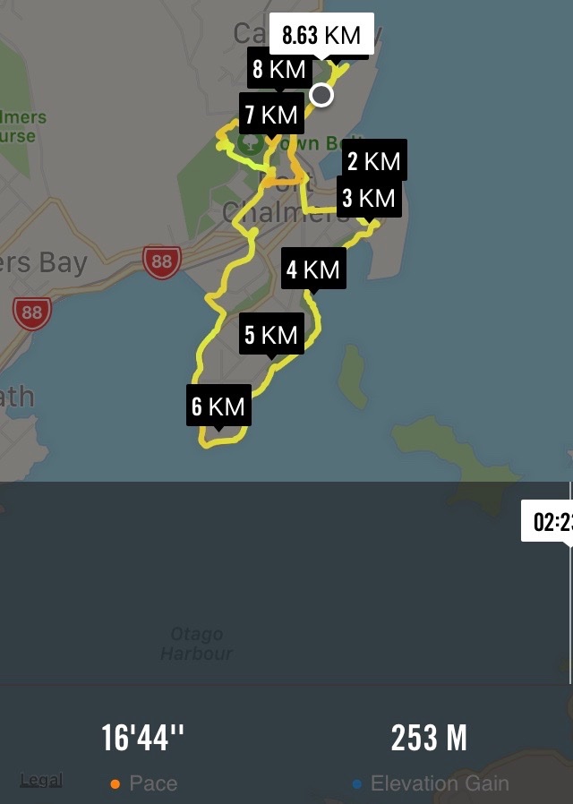
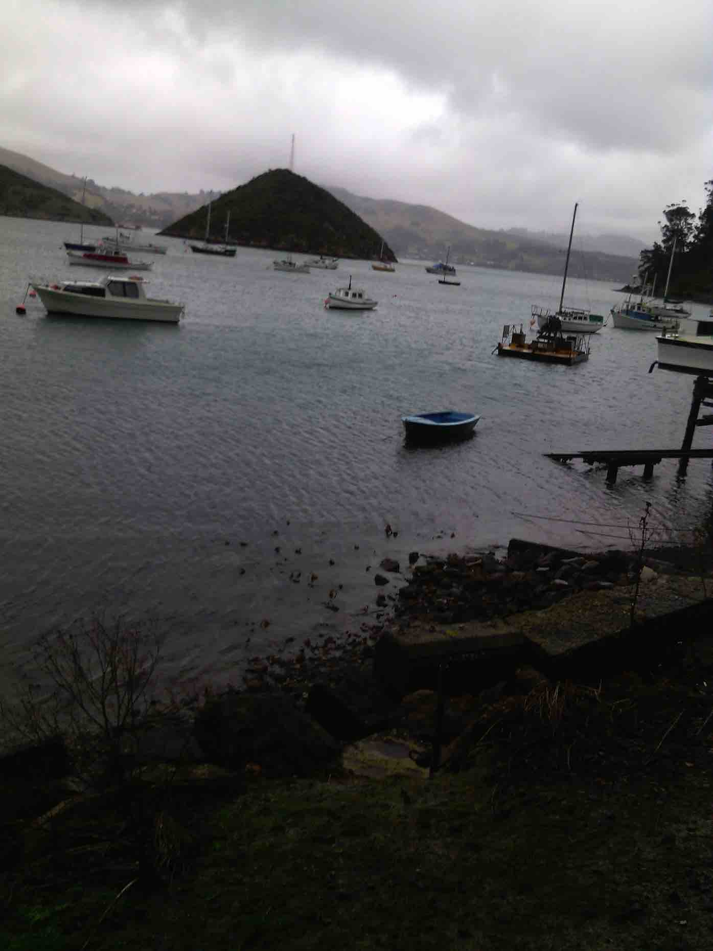
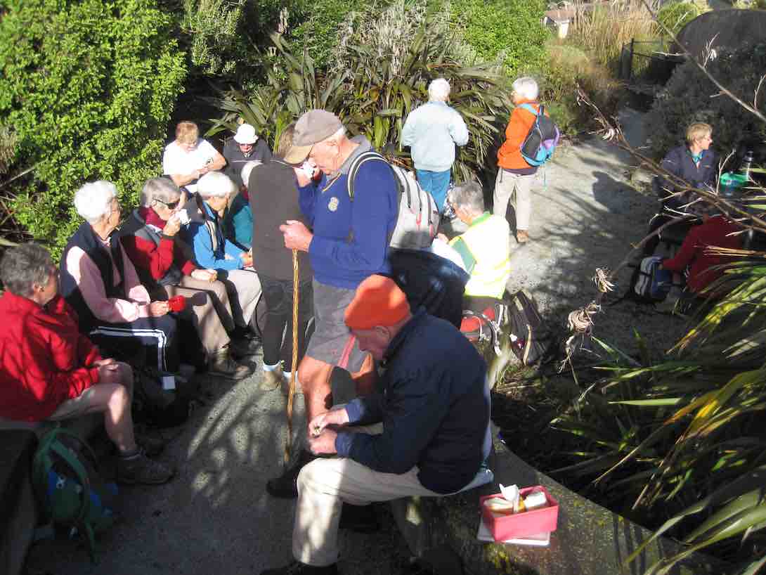
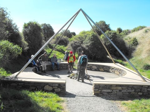
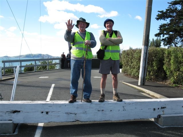
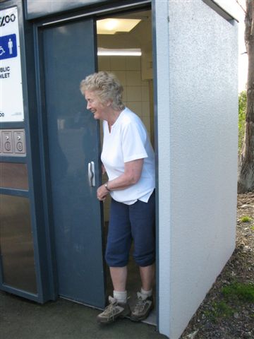
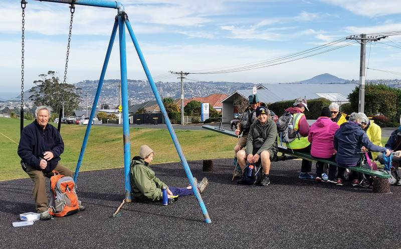
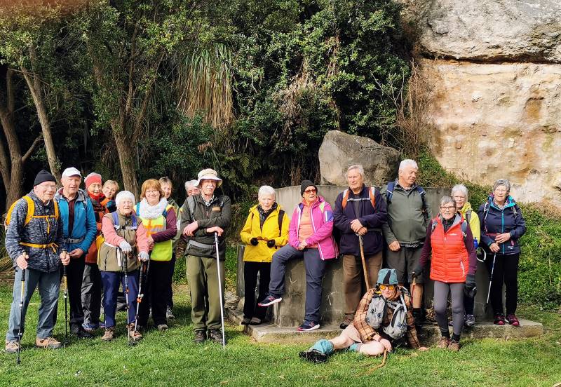
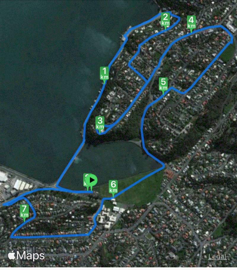
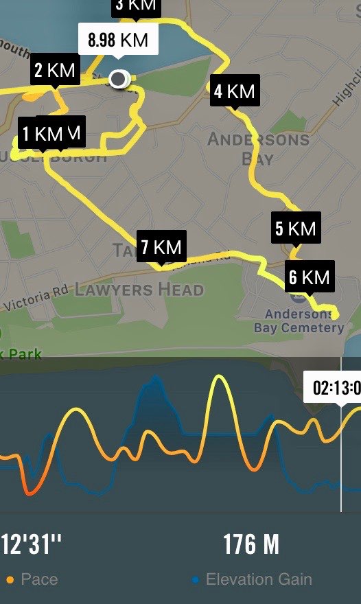
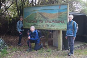
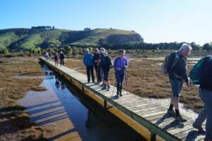
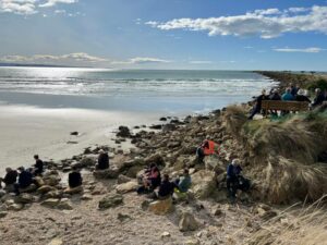
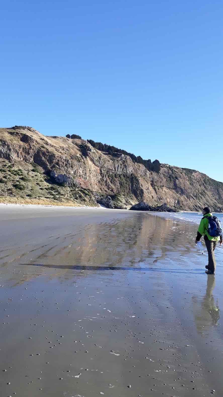
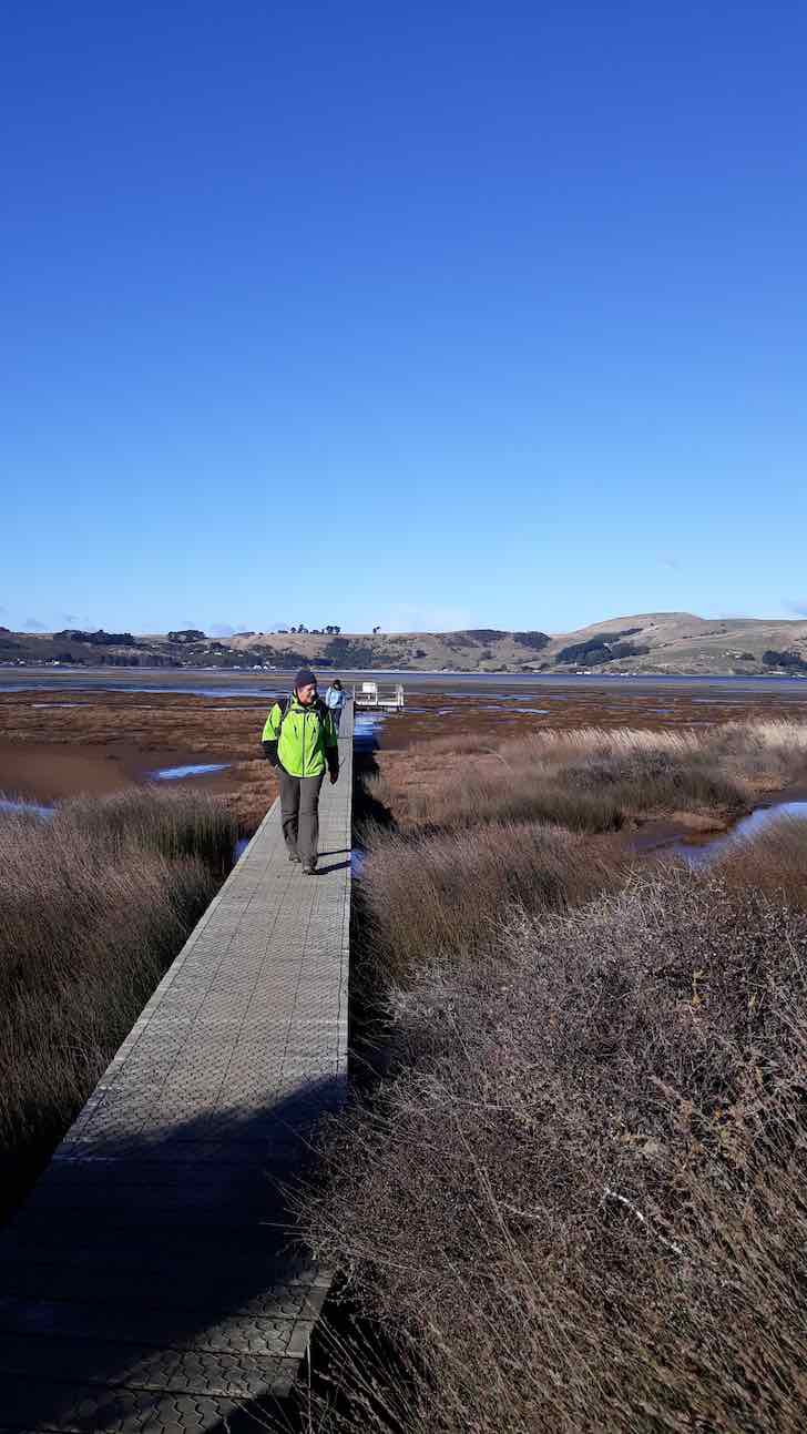
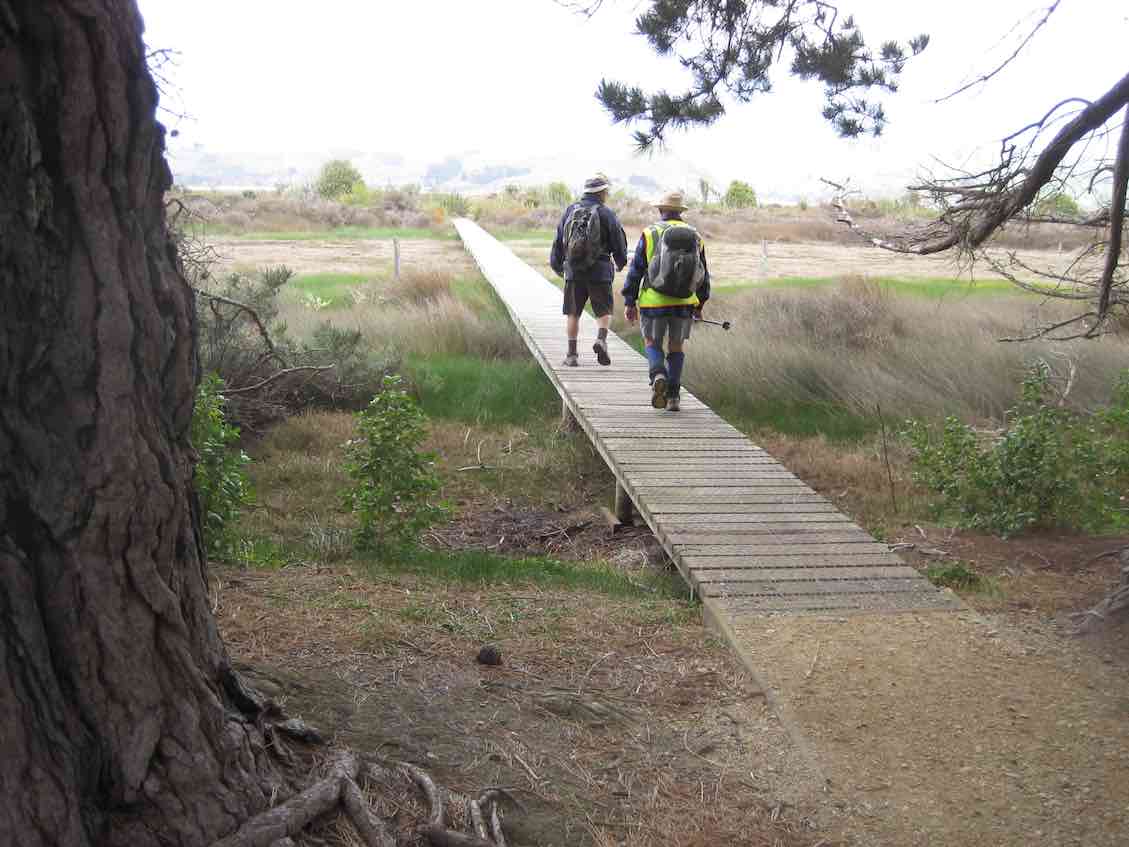
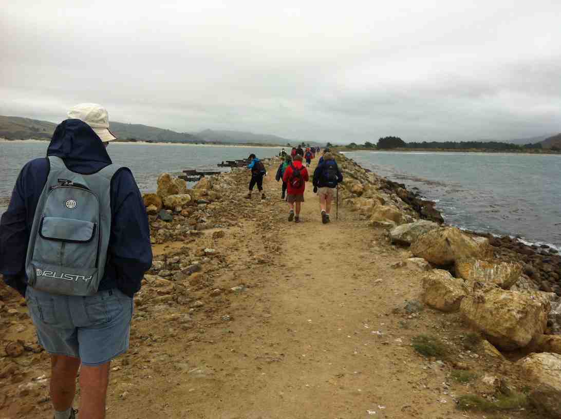
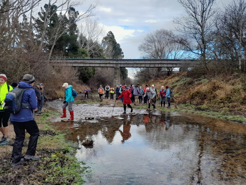
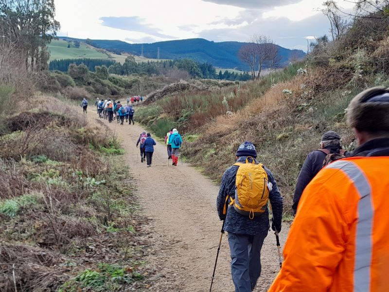
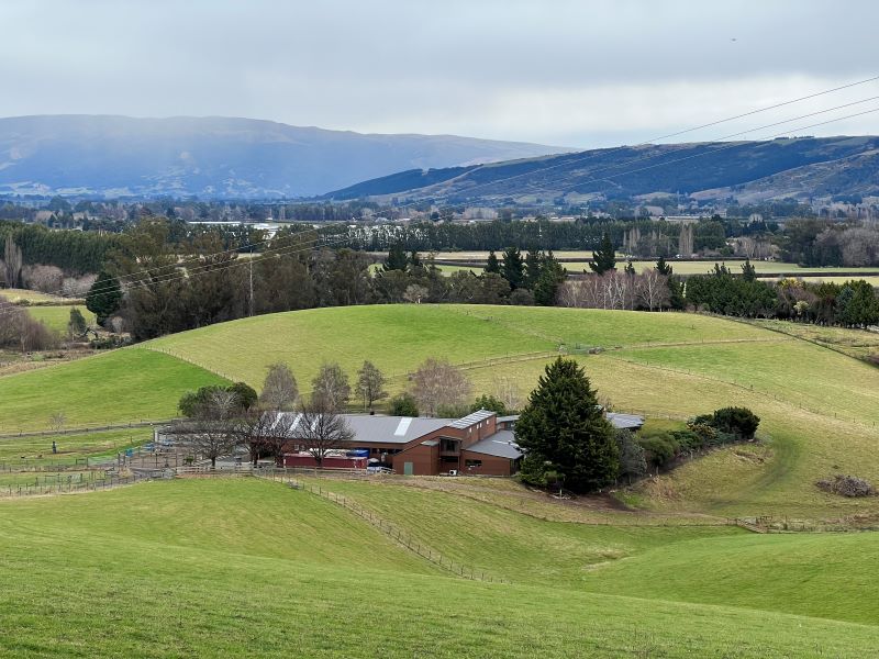
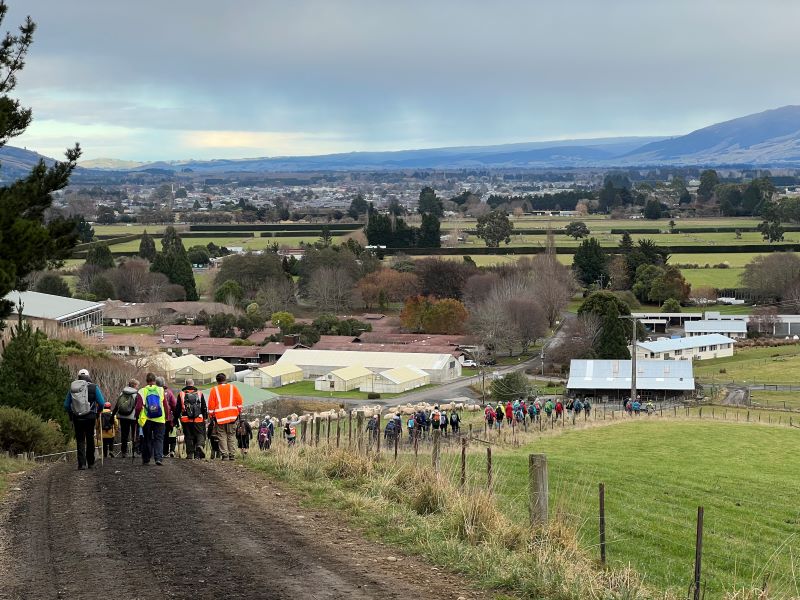
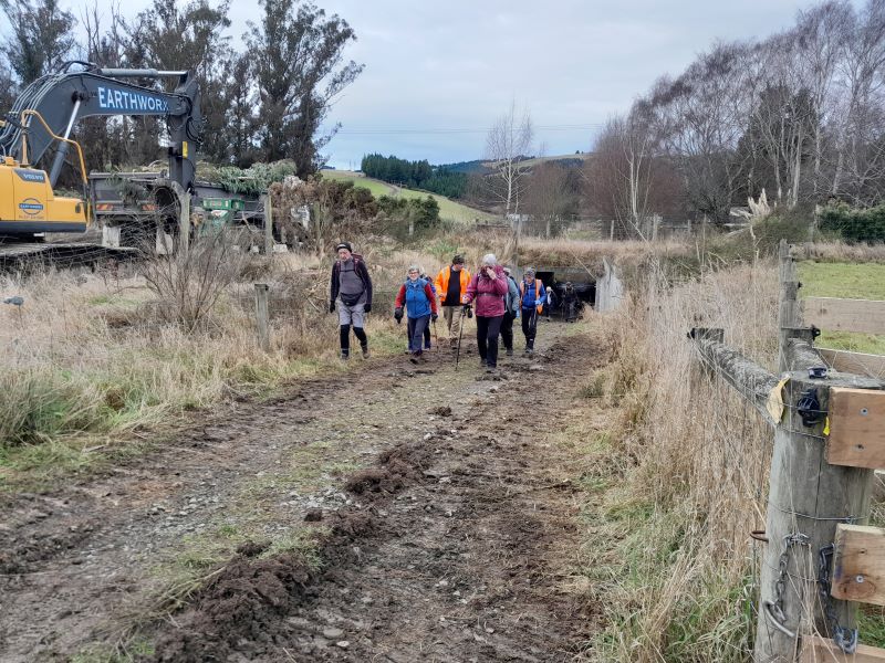
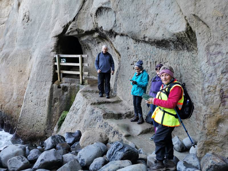
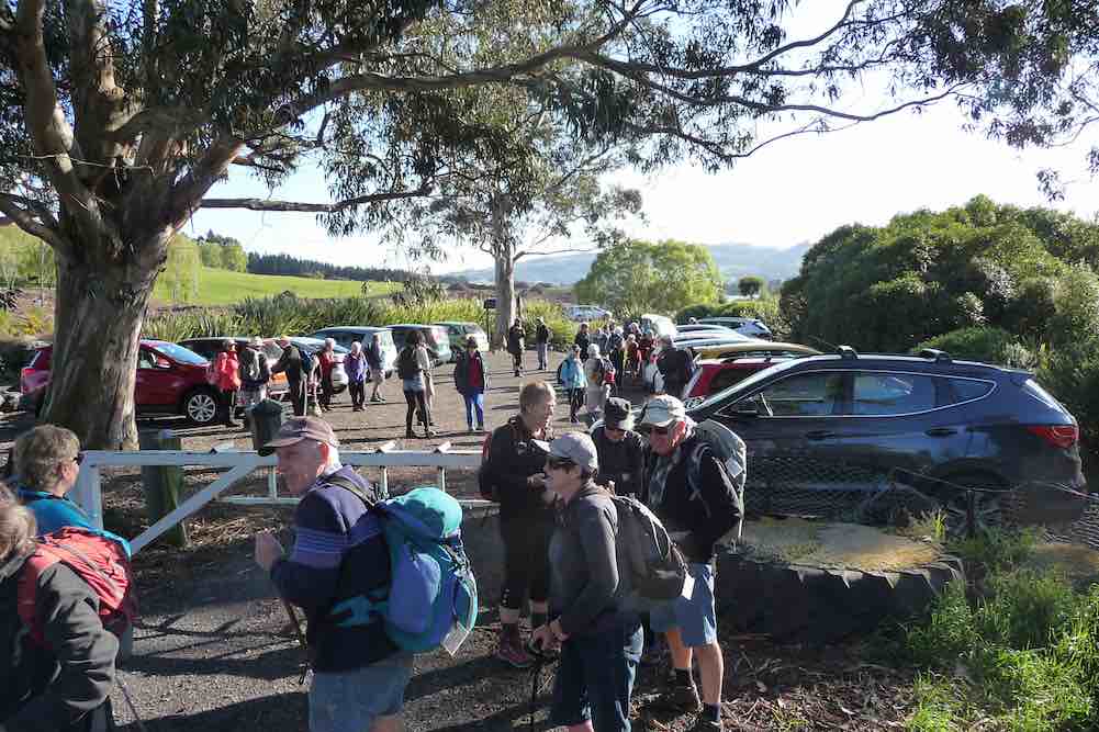
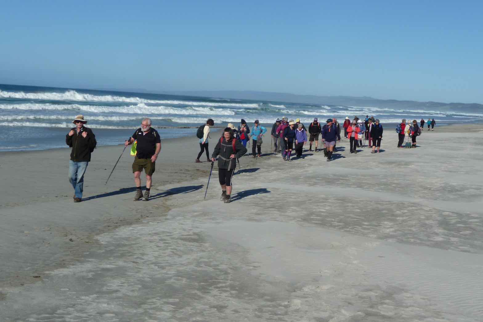
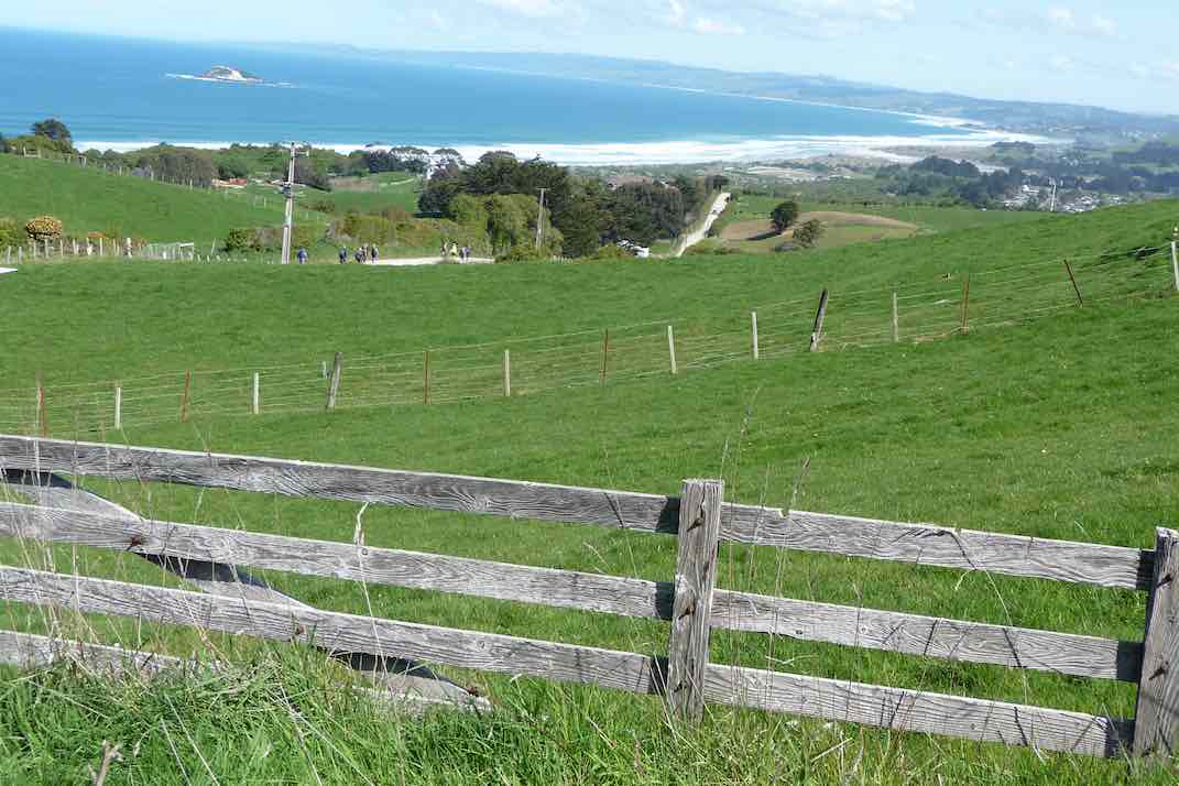
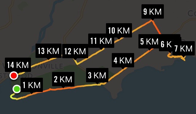
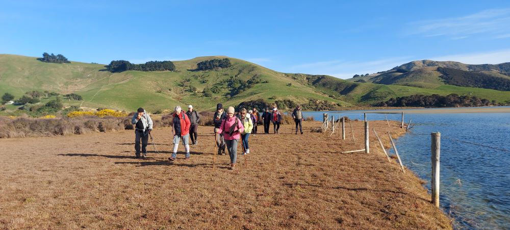
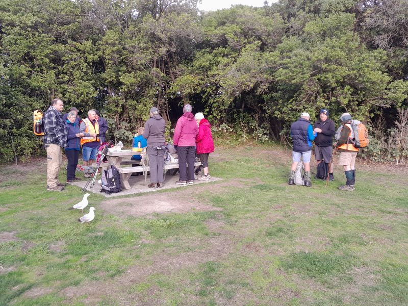
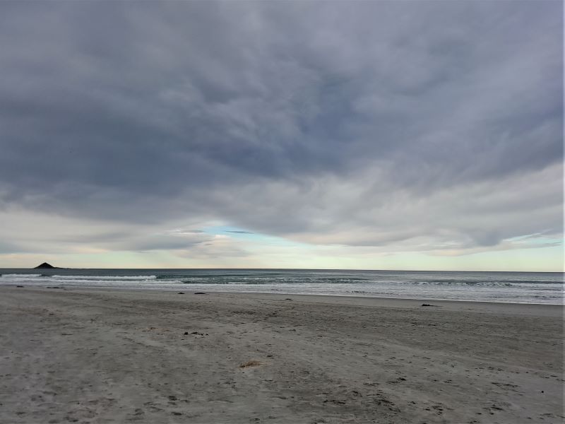
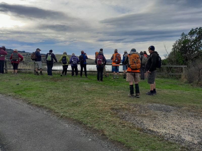
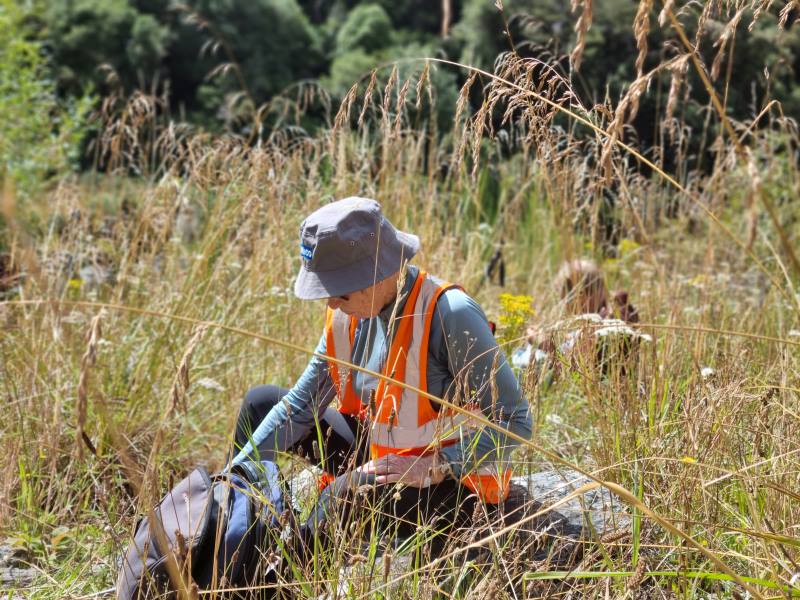
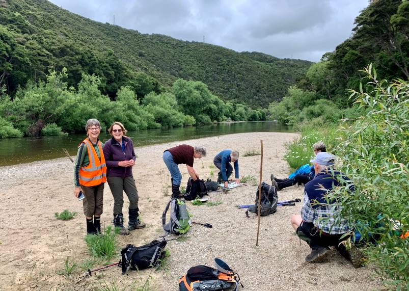
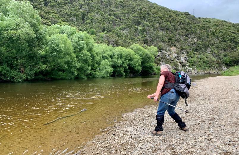
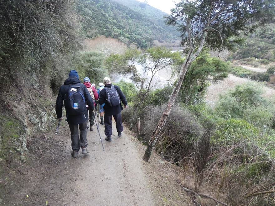
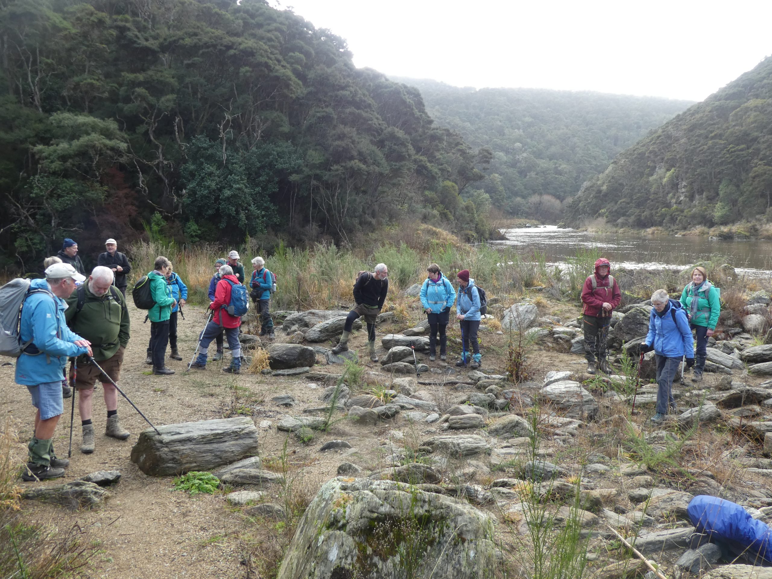
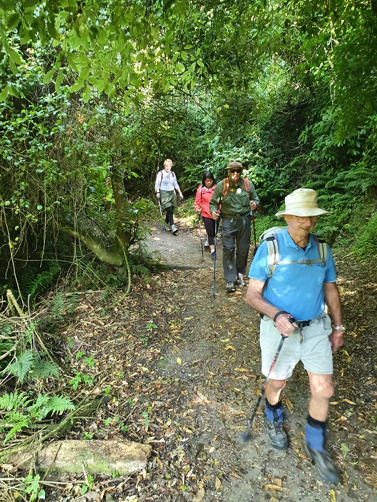
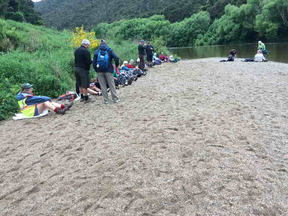
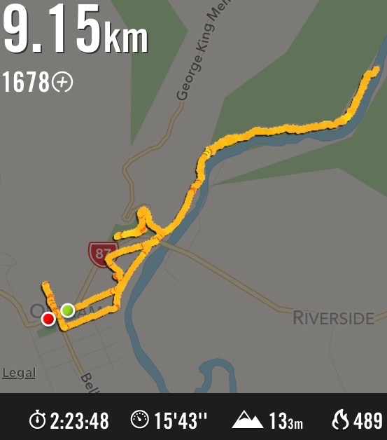
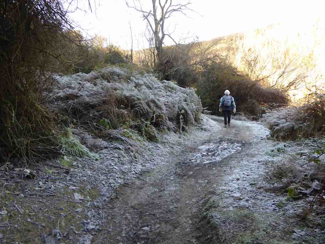
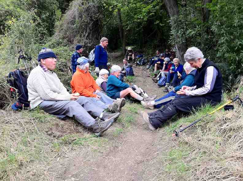
On a clear still day at 9:15am, 23 of us met at the start of track carpark ready to hike the river track to the meeting of the waters where Lee Stream flows into the Taieri.
For some this was a new hike and a revisit for others.
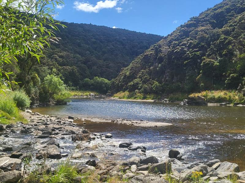
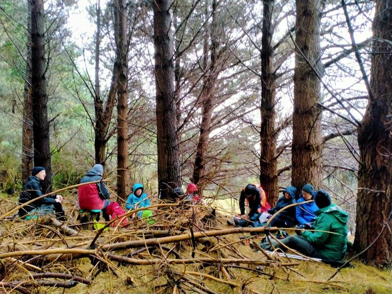
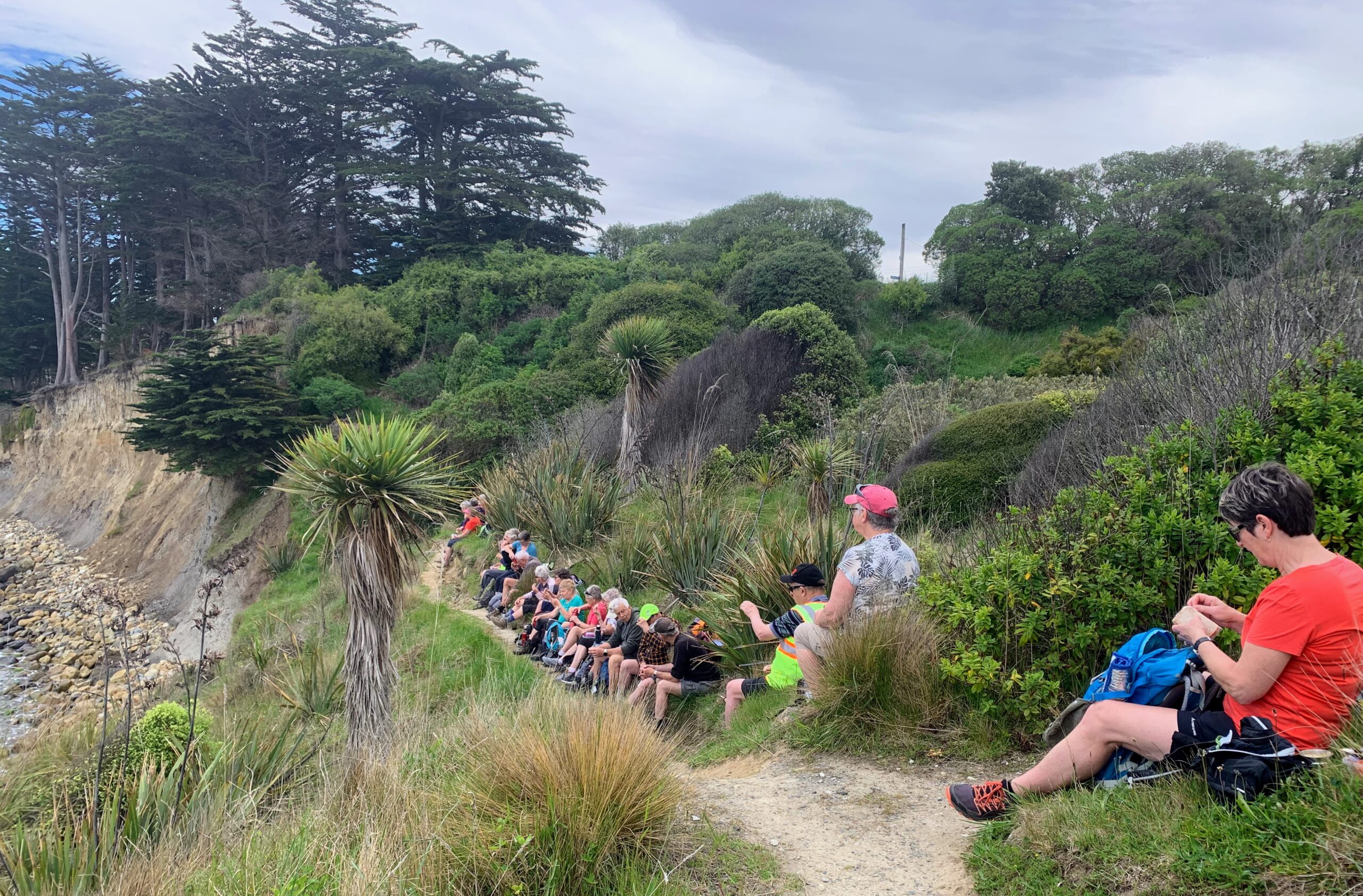
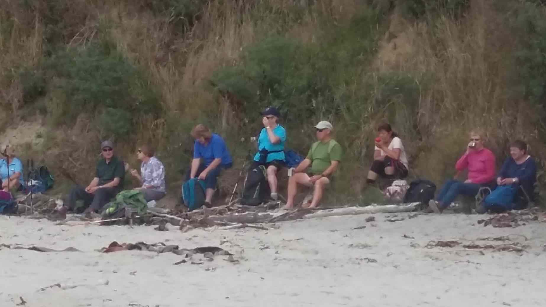
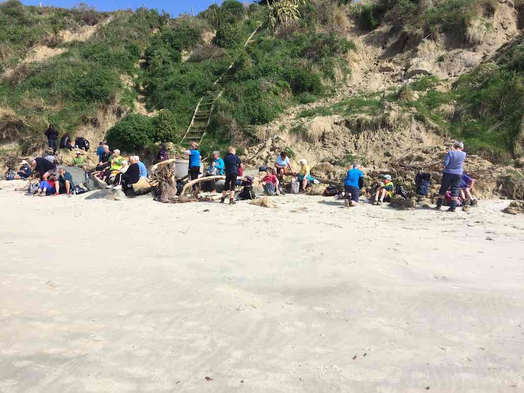
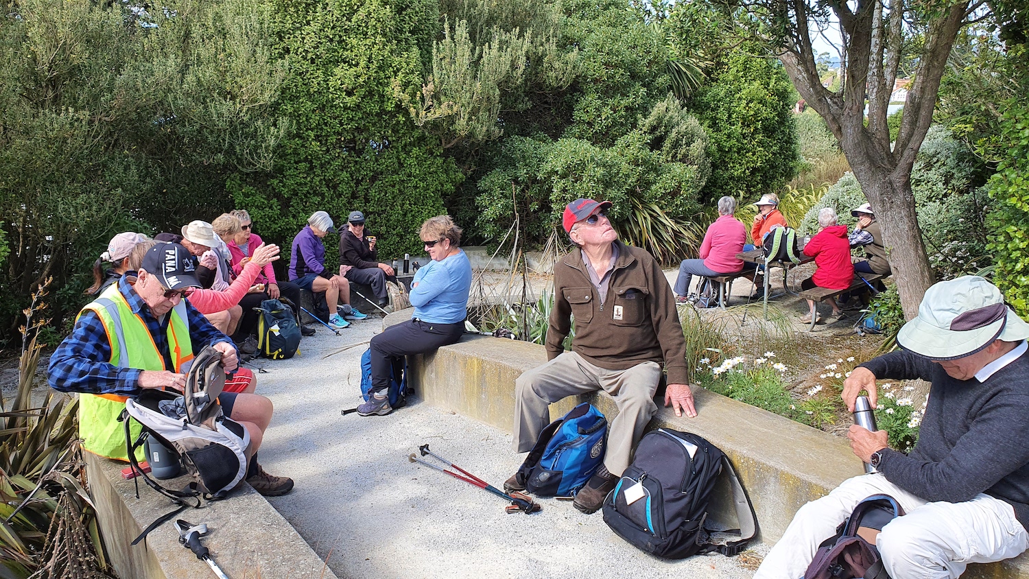
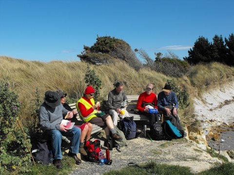
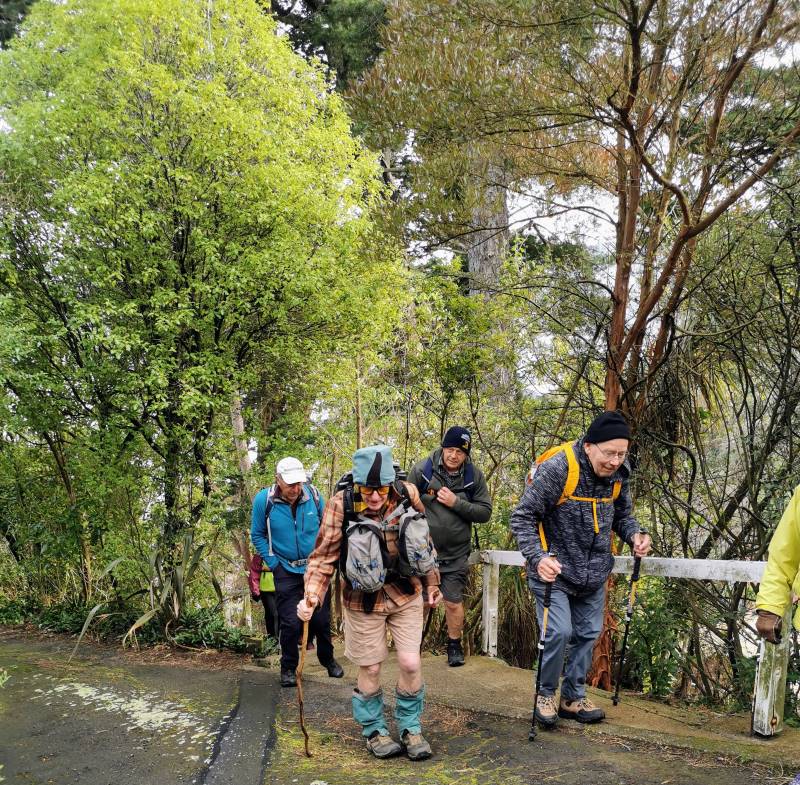
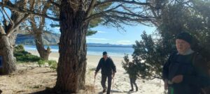
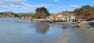
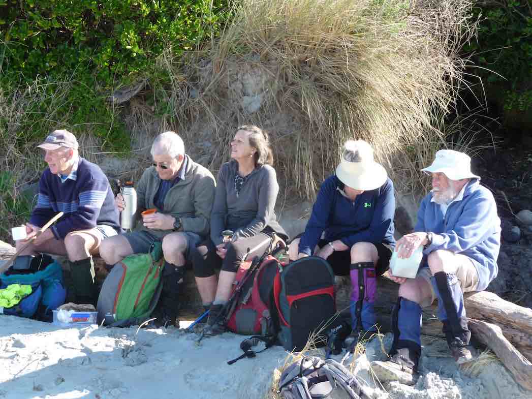
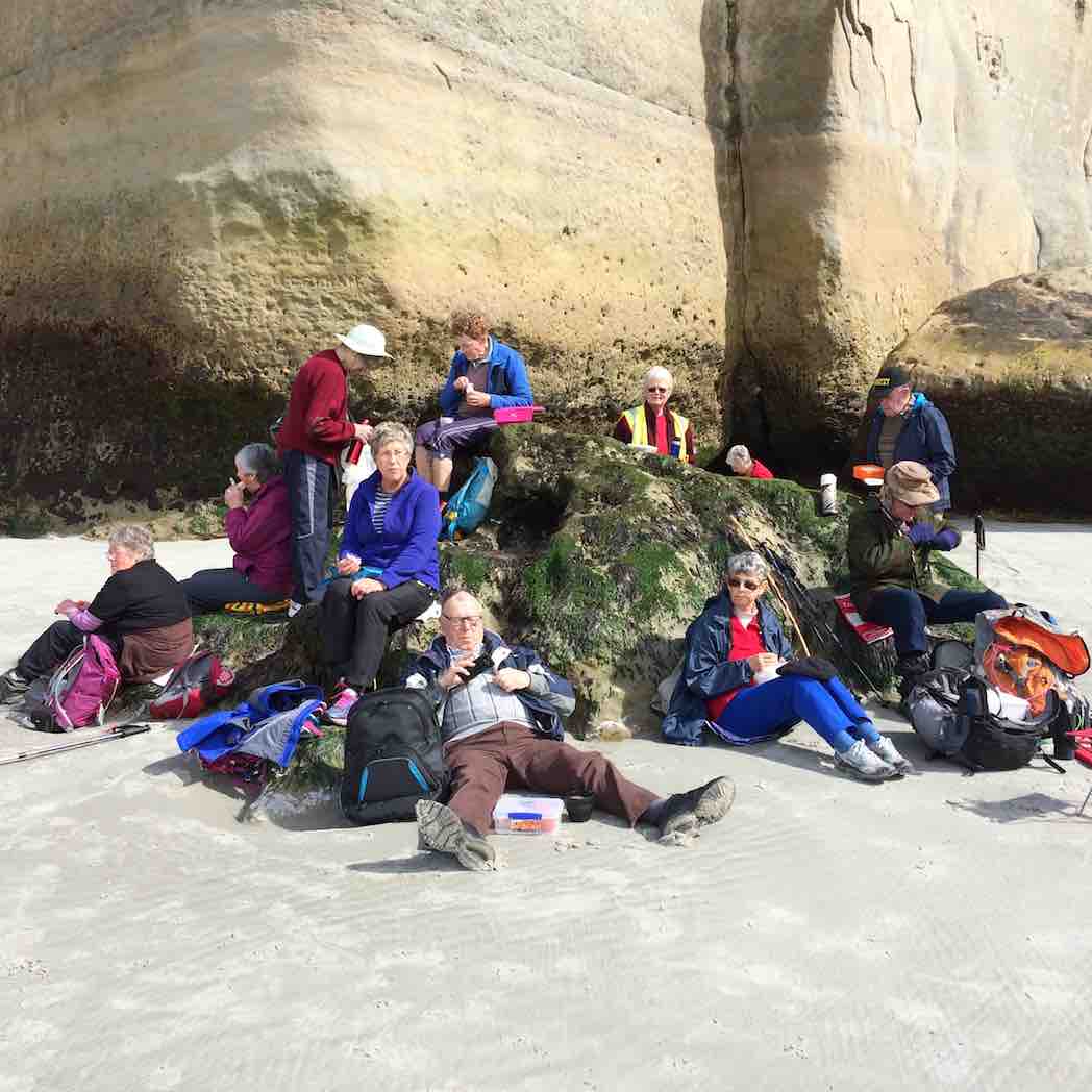
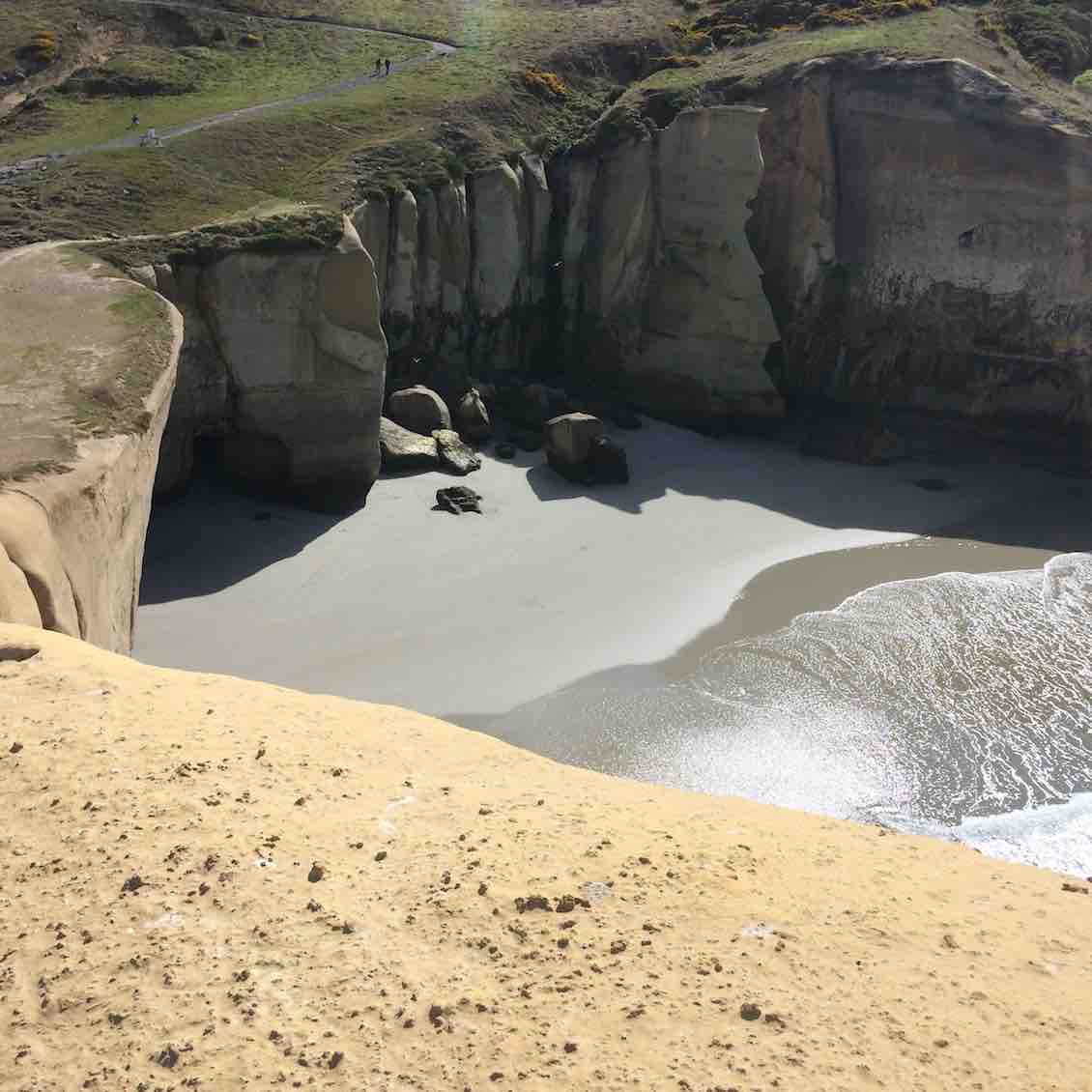
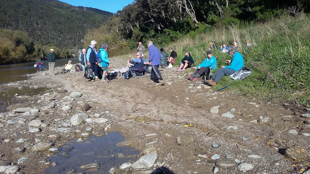
After a pleasant half hour walk we arrived at the river beach for smoko, knowing we had a solid climb up through the well placed rock steps for quarter of an hour.
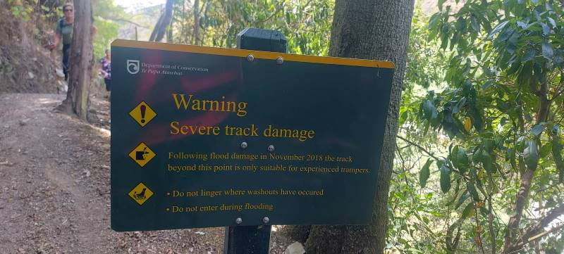
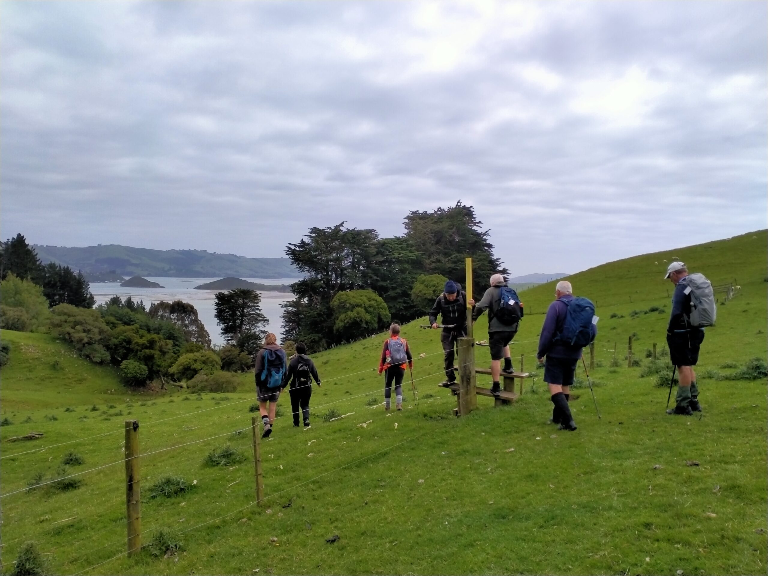
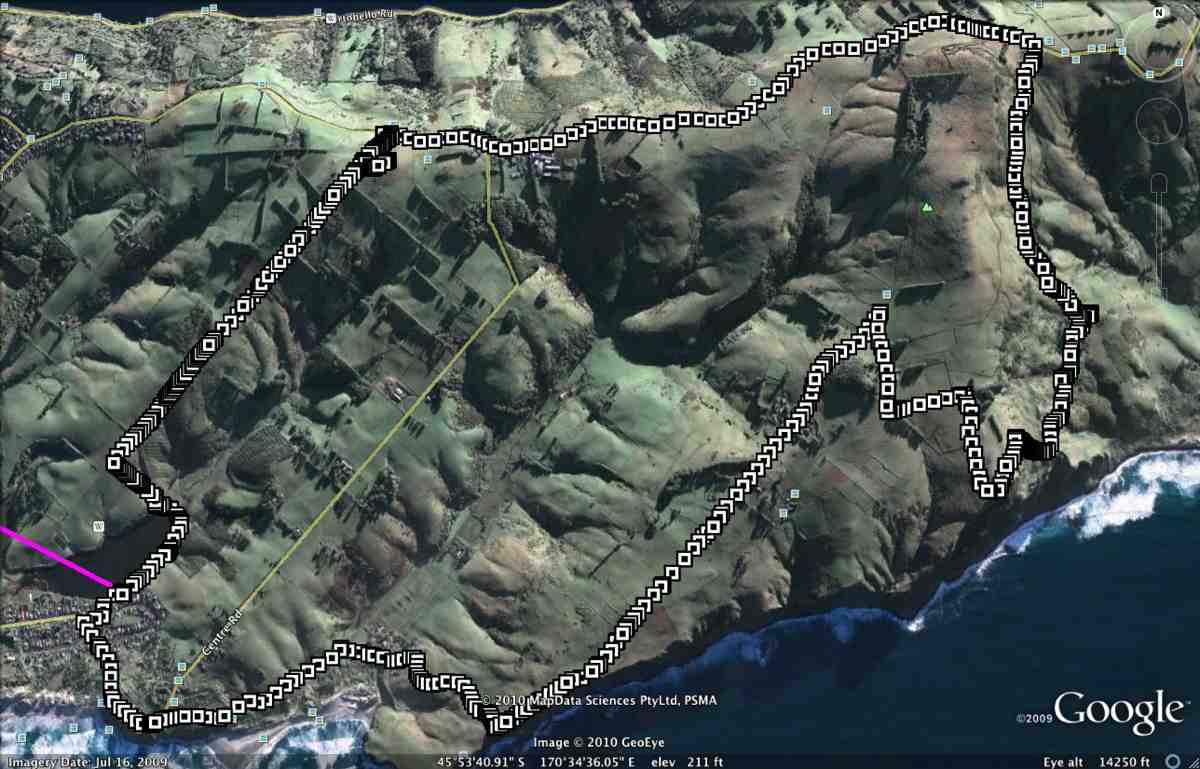
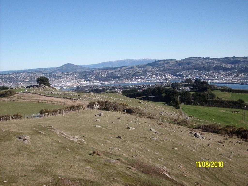
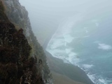
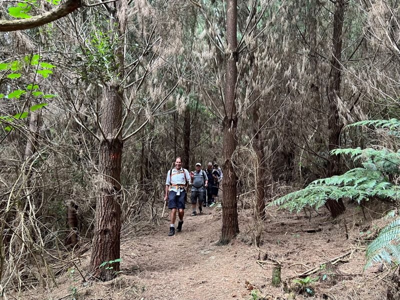
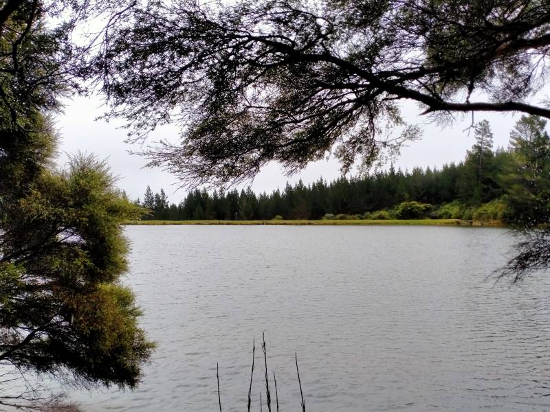
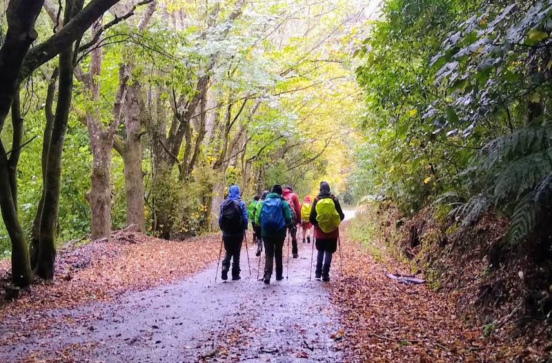
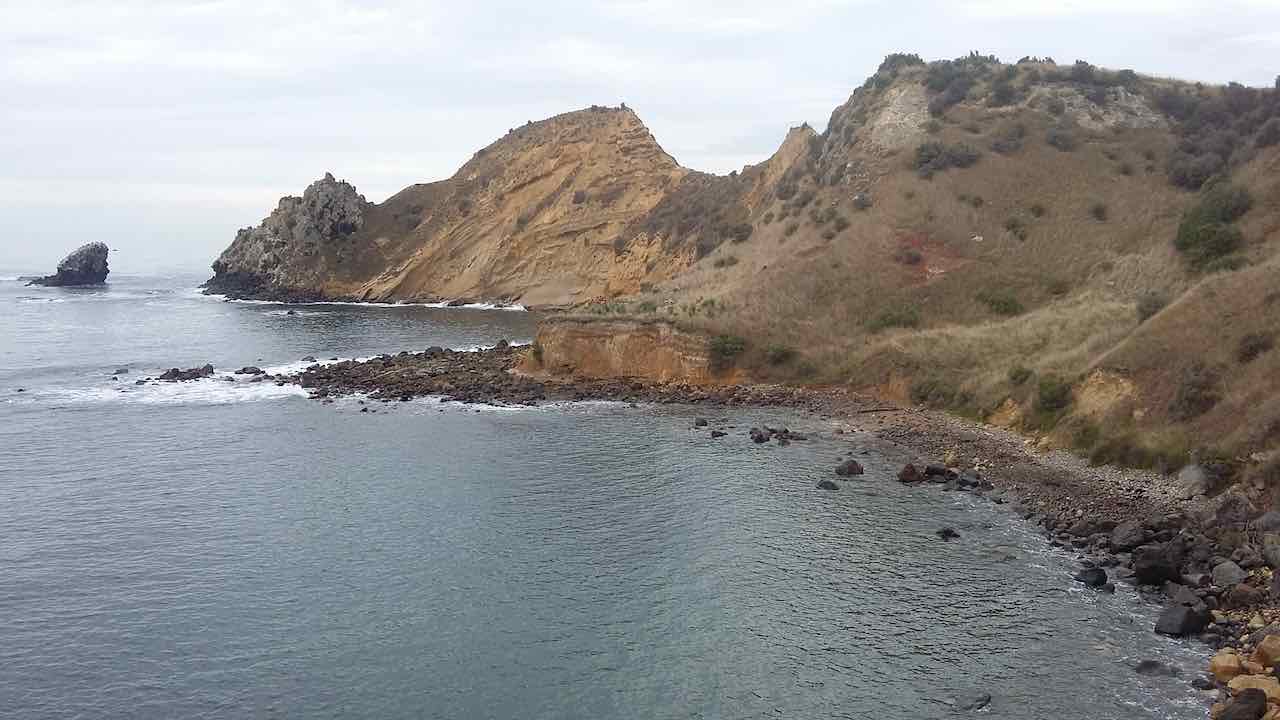
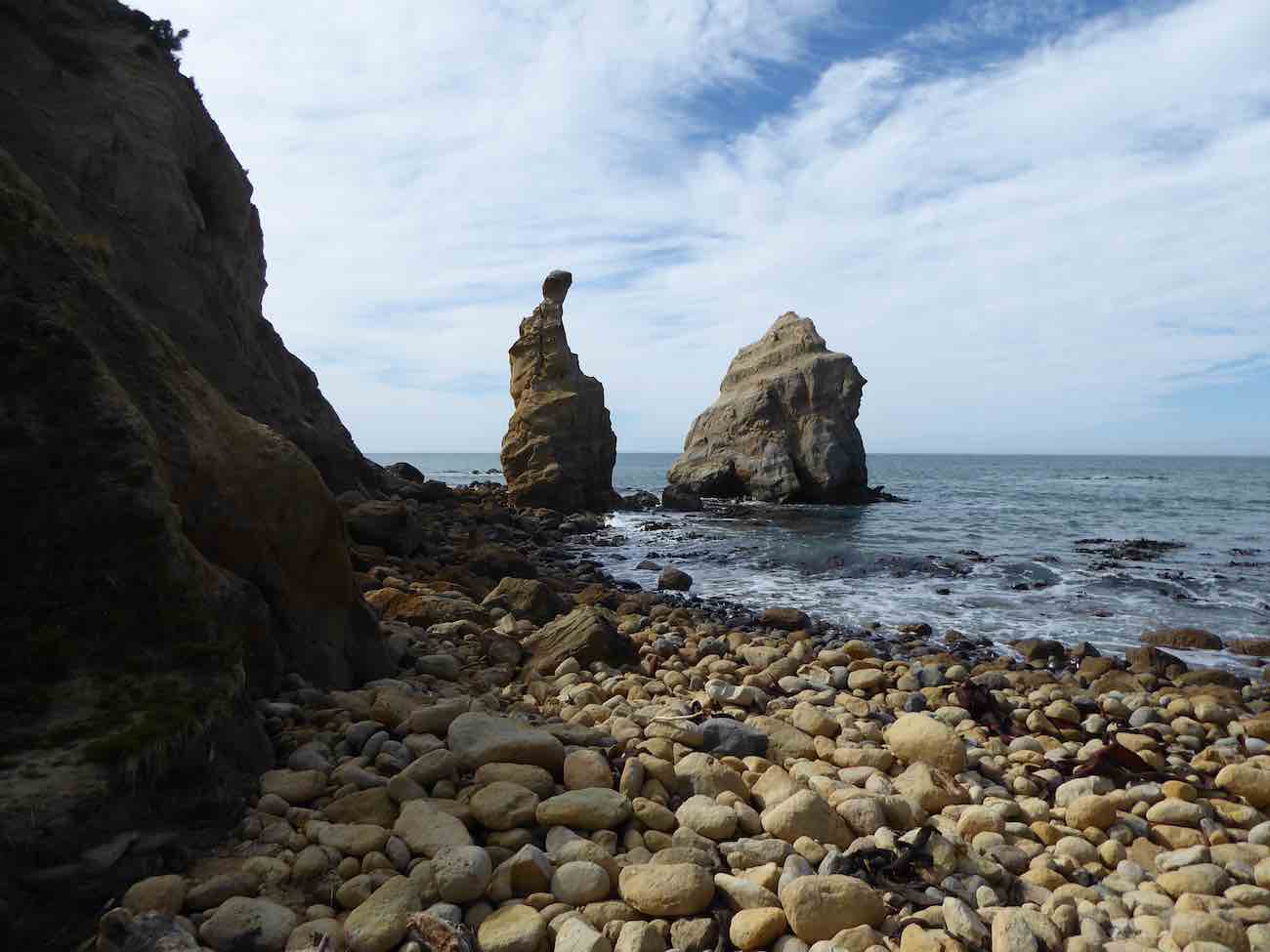
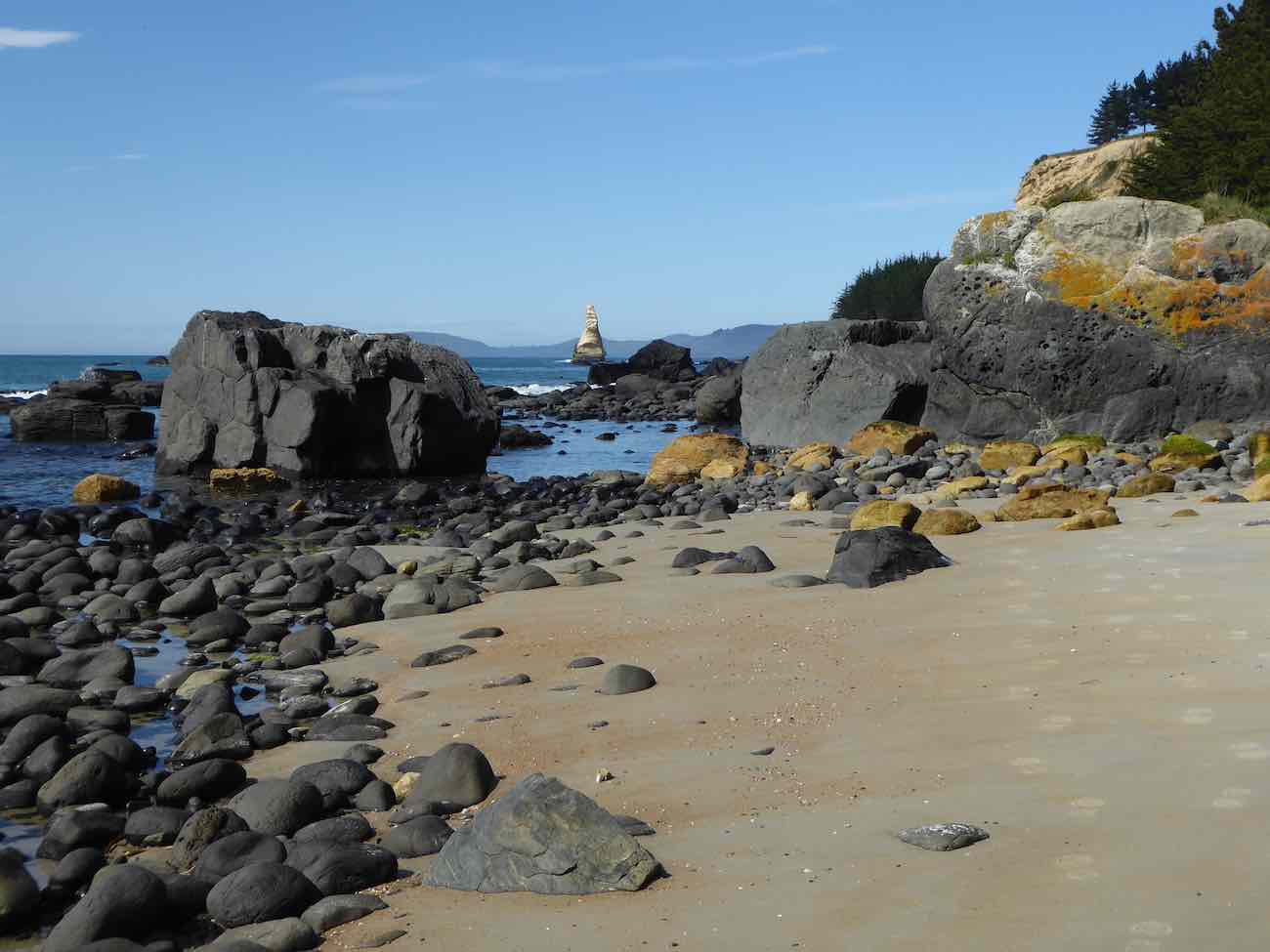
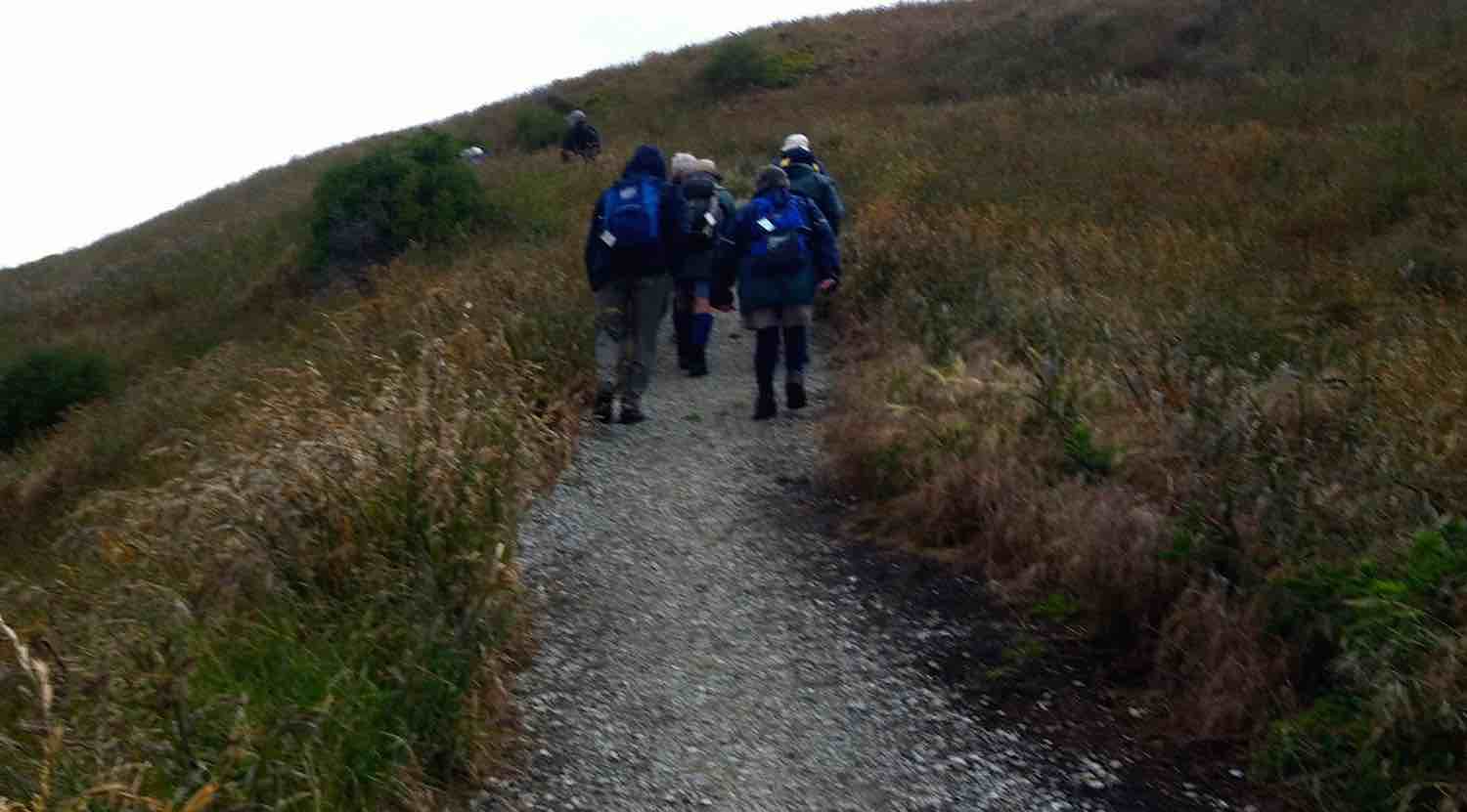
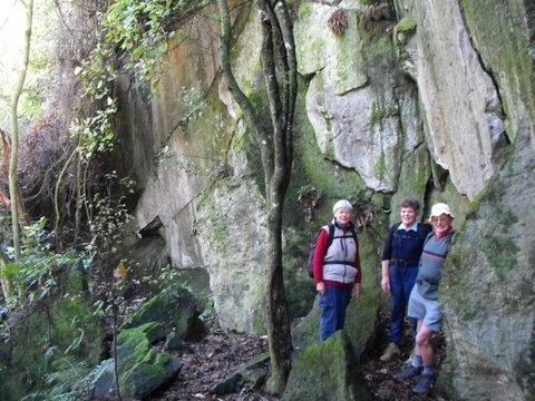
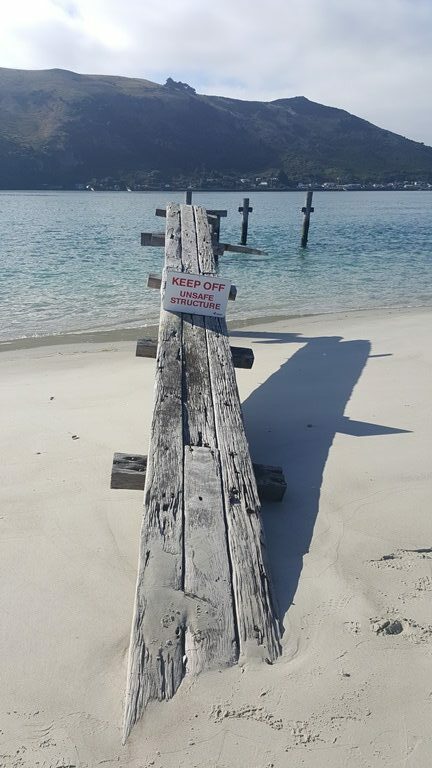
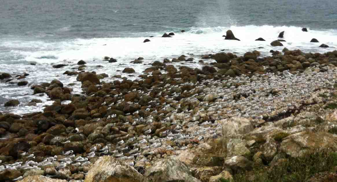
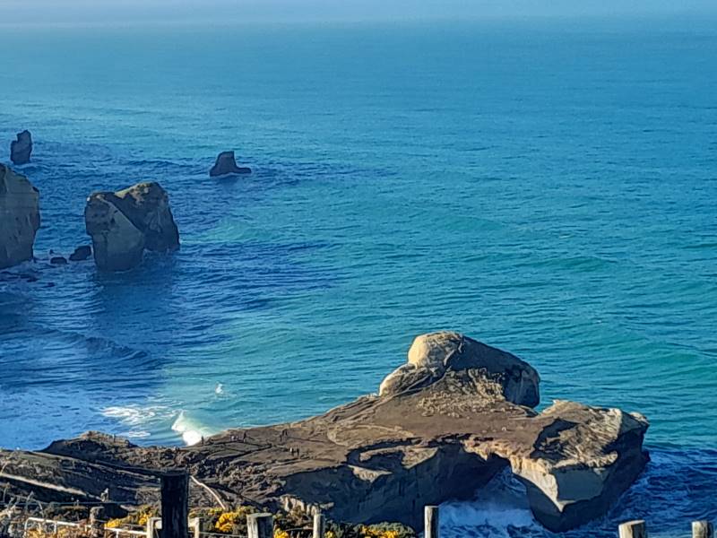
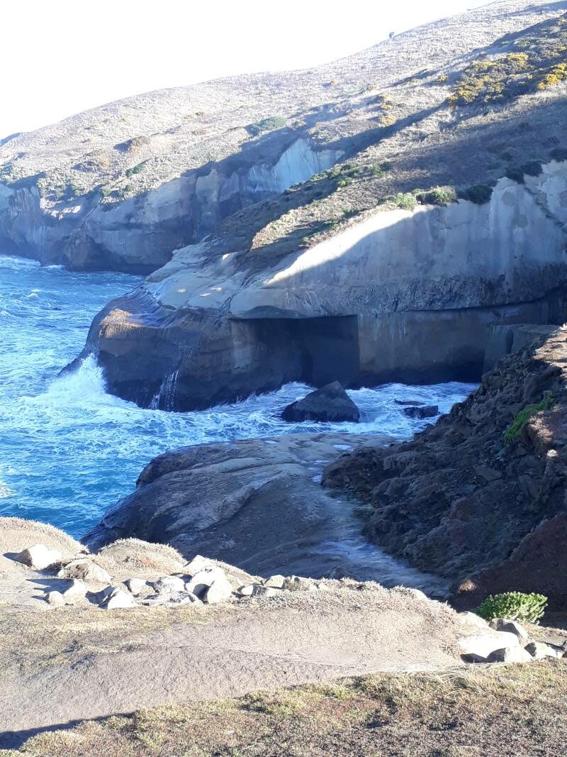
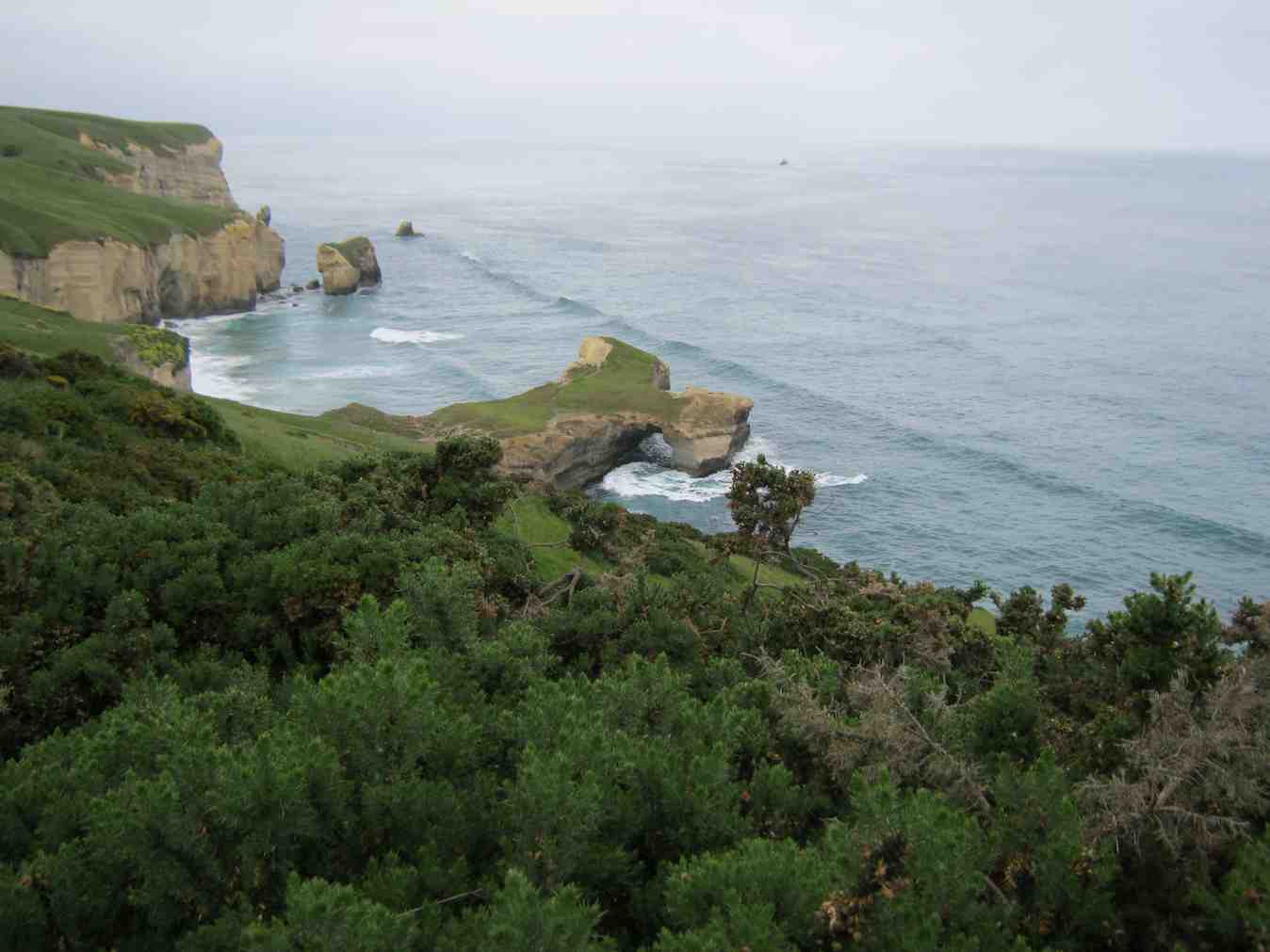
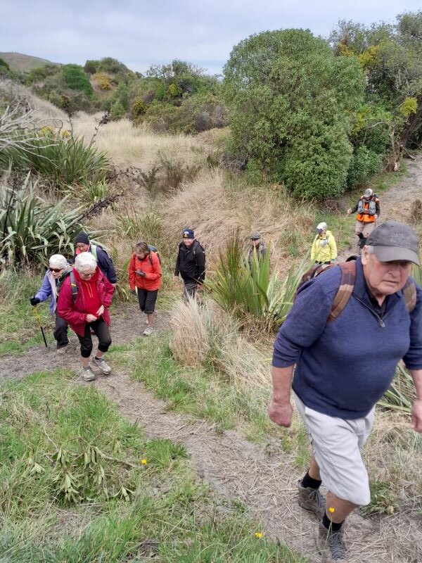
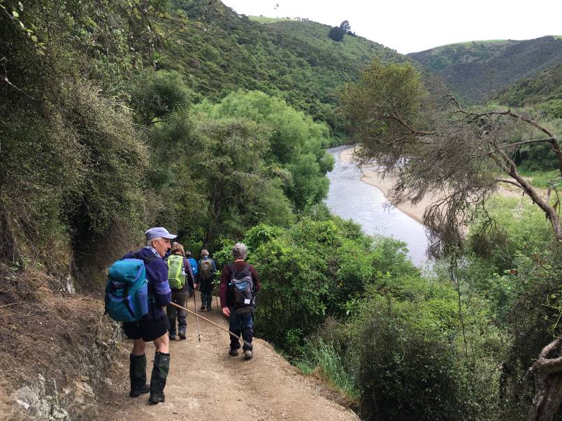
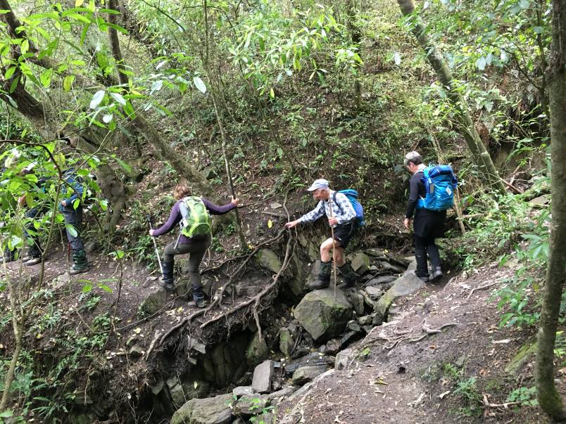
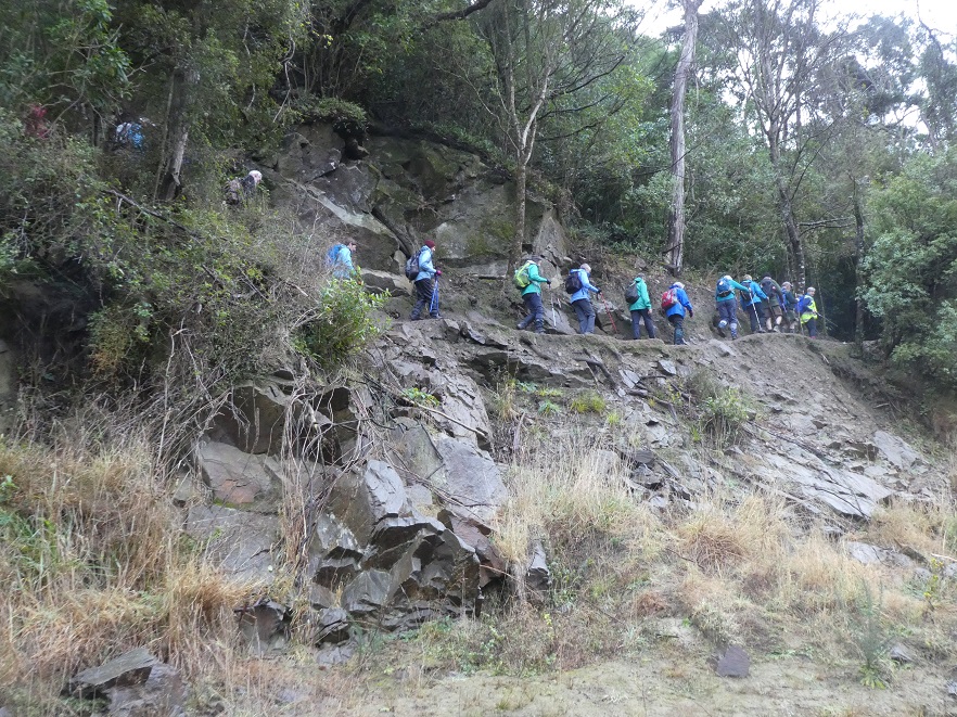
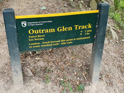
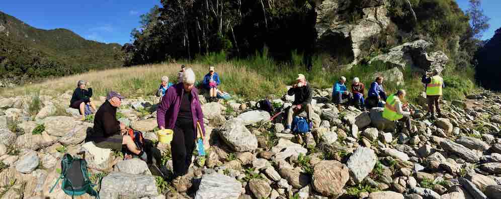
Some parts of track were damaged a few years ago by washout flood damage therefore, maintained as a route standard only with care required. After we climbed the well-placed rock/wood steps, it was then a long traverse above the Taieri River for just over an hour and a half—often stopping for a breather. It was good to see the unusual crop of potatoes amongst the grass knowing we had arrived at the Confluence.
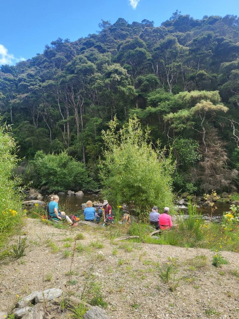
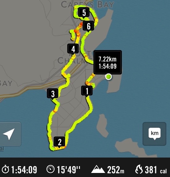
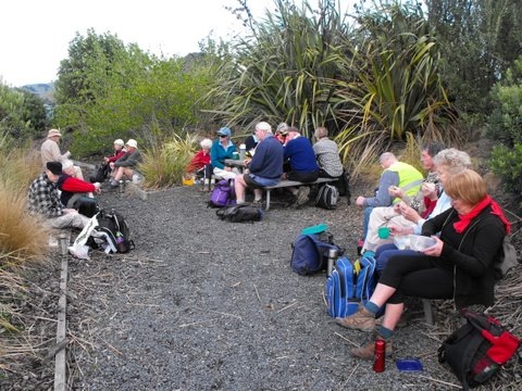
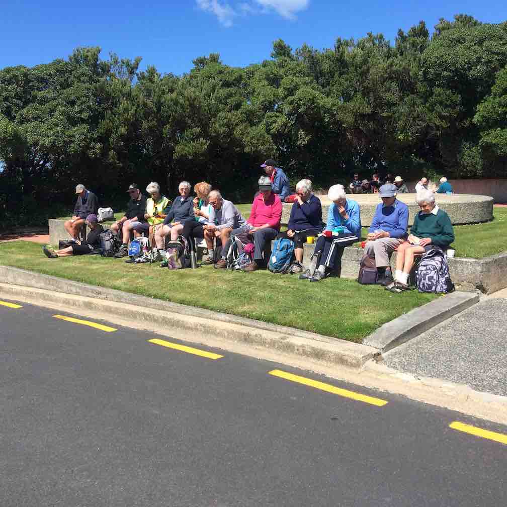
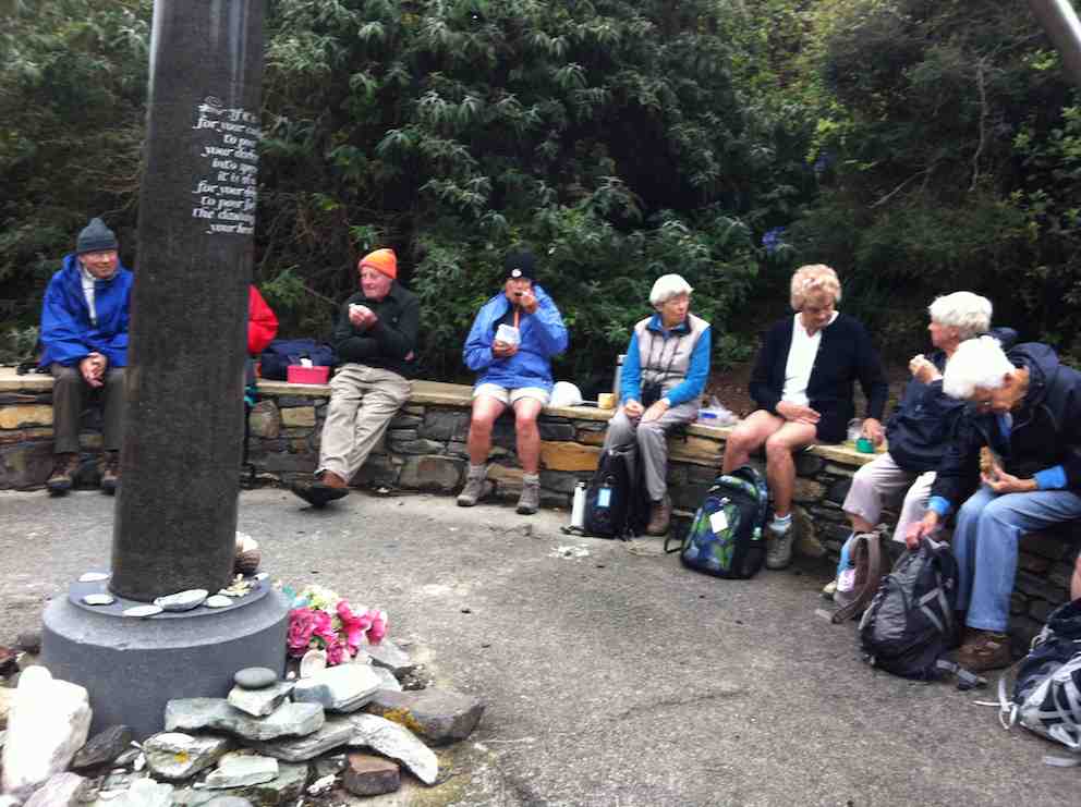
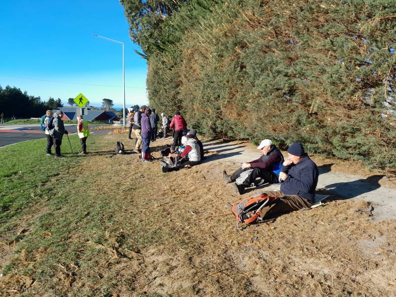
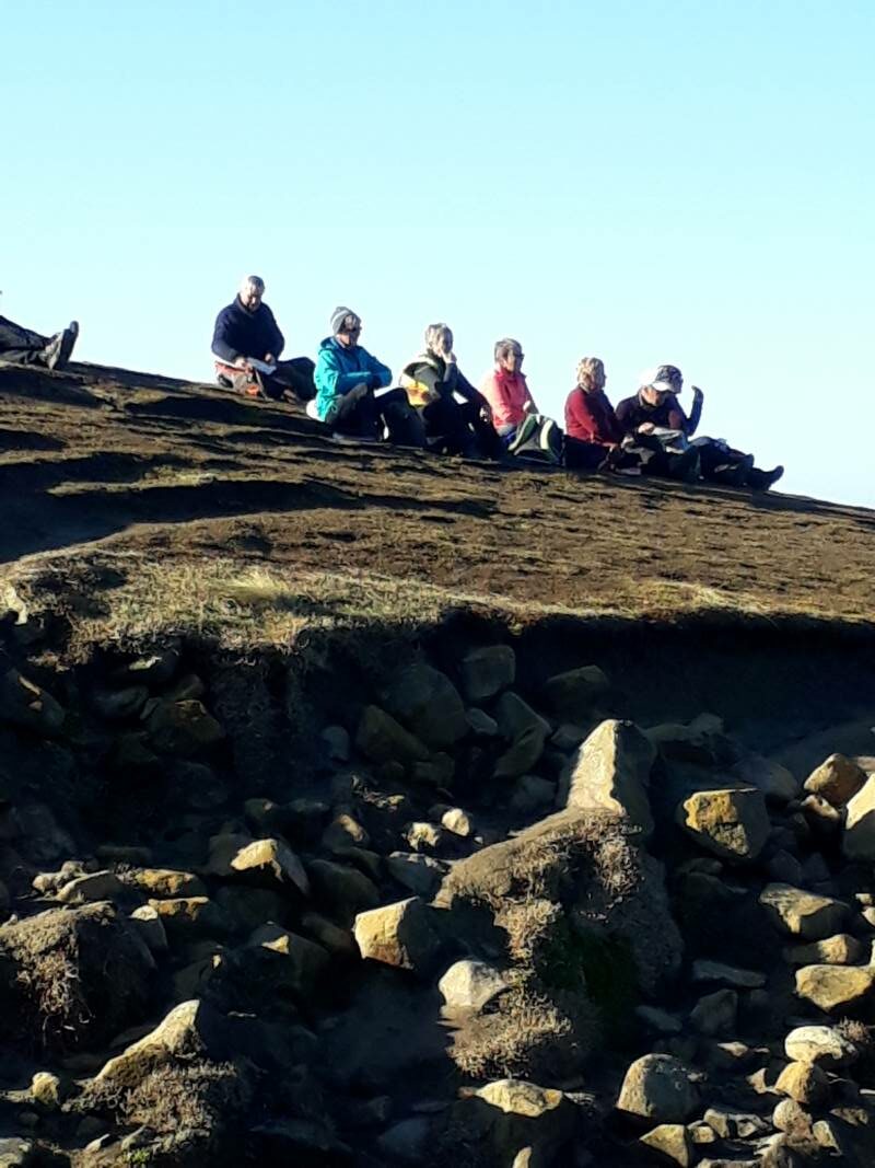
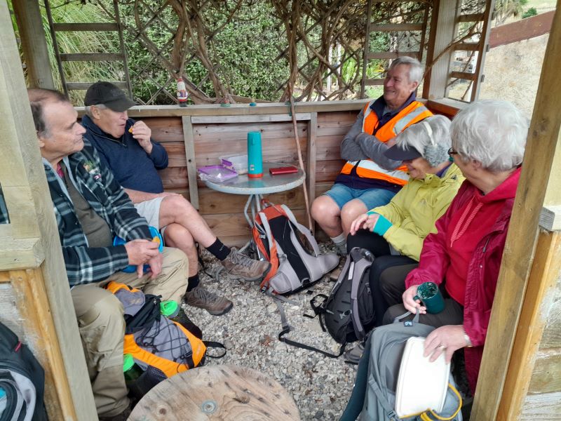
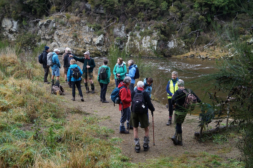
After a leisurely 40-minute lunch and toilet stop, we returned down the track, also stopping often to walk as a group. Trip back was 15 minutes quicker than trip up. We walked 9km altogether.
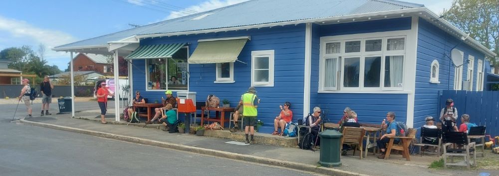
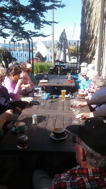
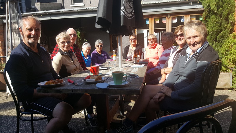
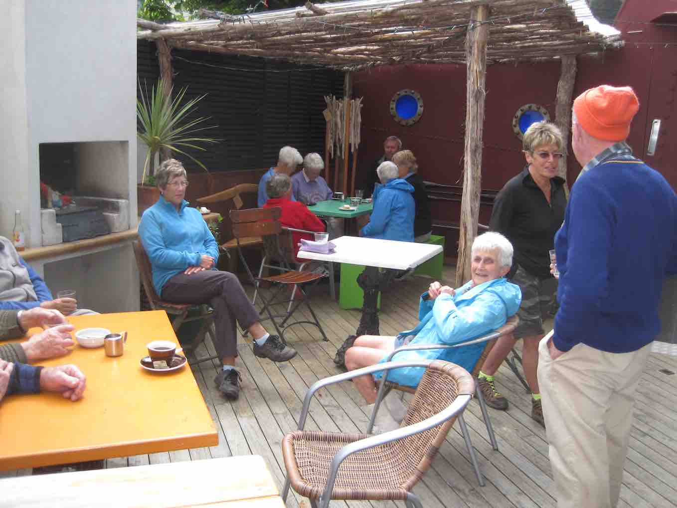
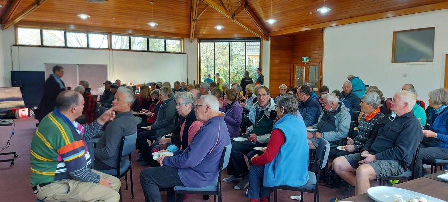
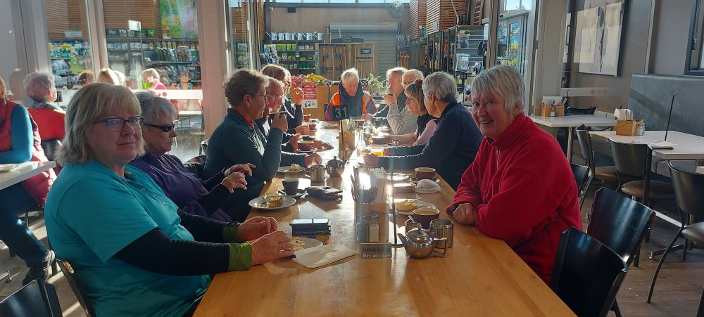
Coffee and cake were shared at Topiary (Wal’s) Cafe by most of us, Trampers arriving back to join in after their Hope Hill outing.
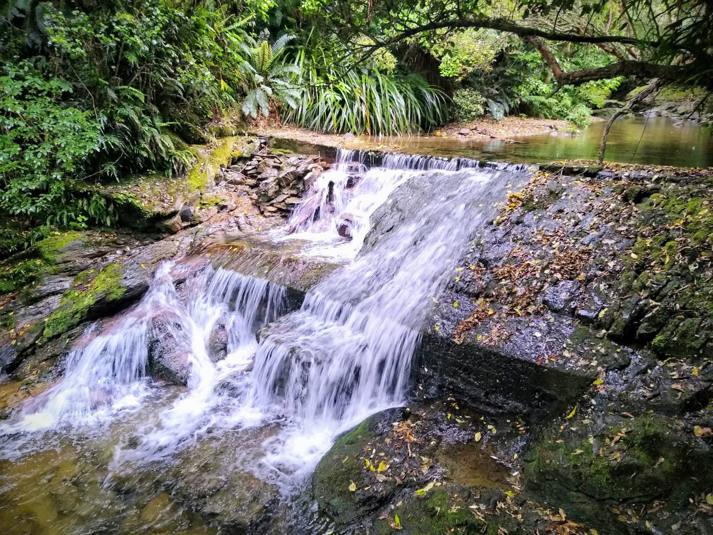
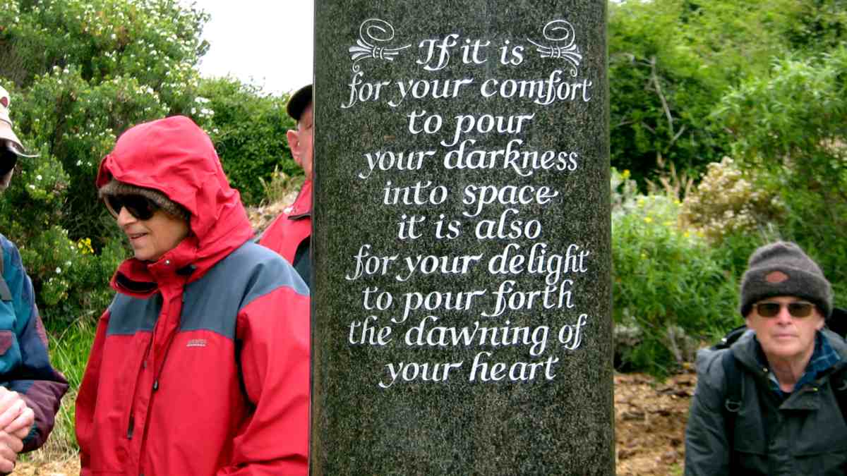
Outram Glen is a great bush walk, close to home. Care needed after rain. Today track very dry with blue sky and about 23 degrees. Thanks to Judy D. for her caring role as my Tail Ender. Hopefully, you all enjoyed the day as much as I did.
Eleanore
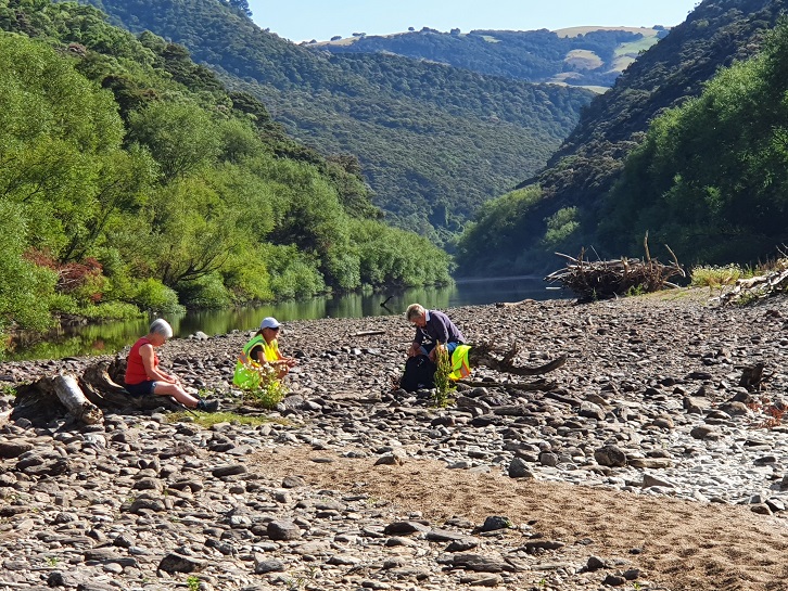
14. 01/12/21 Trampers. Outram Glen to Lee Stream. Leaders: Sarah McCormack and Pam Cocks
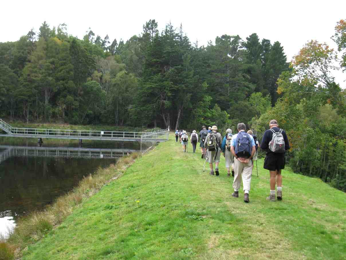
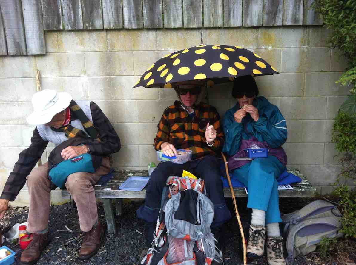
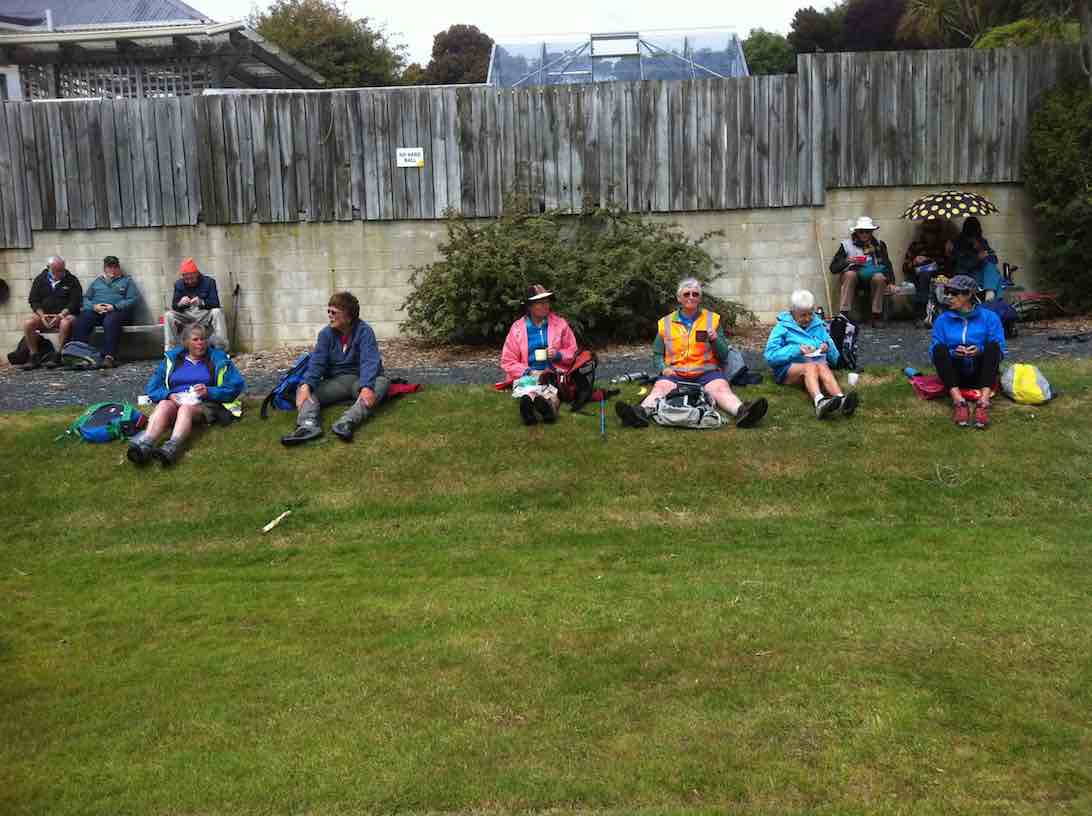
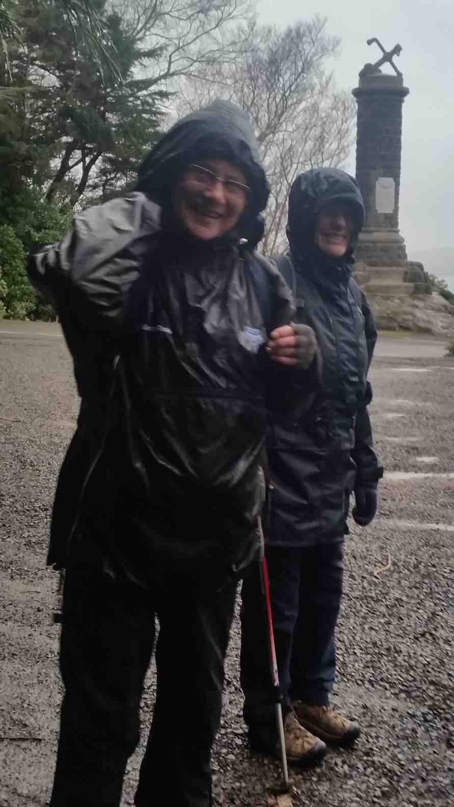
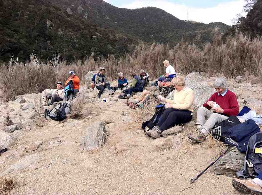
After a change of tramp due to drizzly conditions forecast for the day at Swampy, 8 trampers set out from Outram Glen Scenic Reserve following the Taieri River to the Lee Stream convergence.
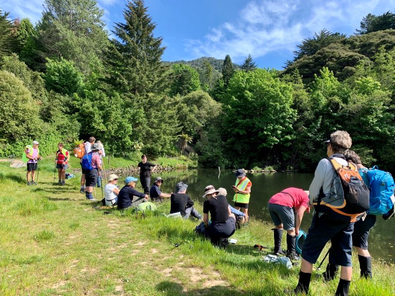
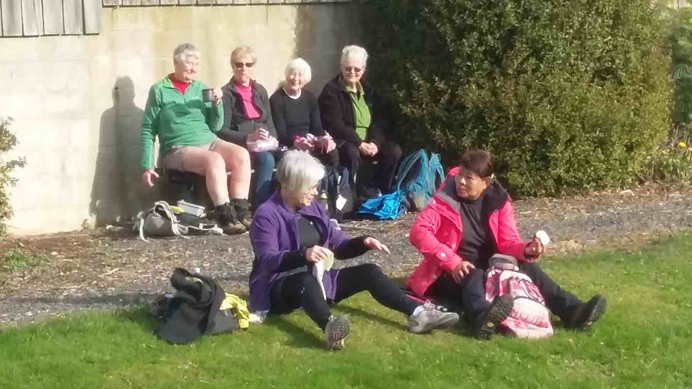
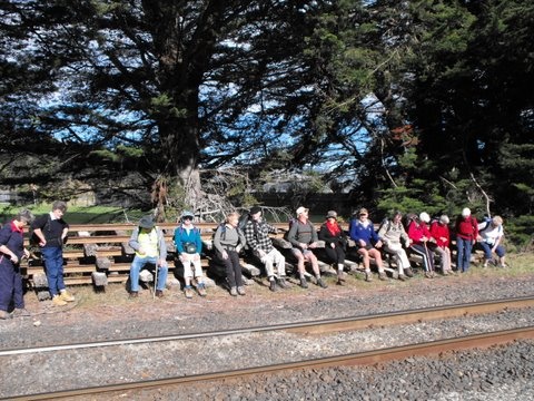
We stopped for morning tea beside the river just before the climb up the hill.
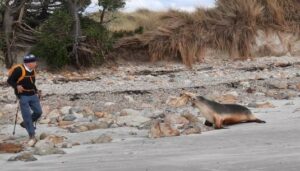
The day was starting to warm up a bit with a few of us over dressed as we were expecting it to be cold. Barbara showed off her stone skipping skills that she learnt at a young age and obviously still practices to maintain a high skill level The track was dry and would have been slippery if there had been any rain.
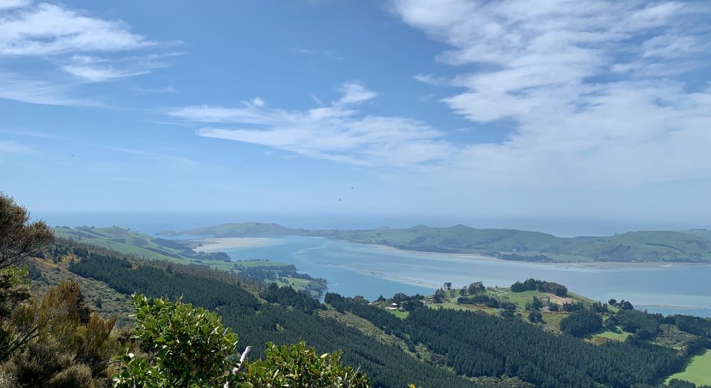
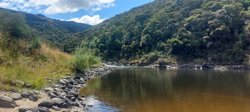
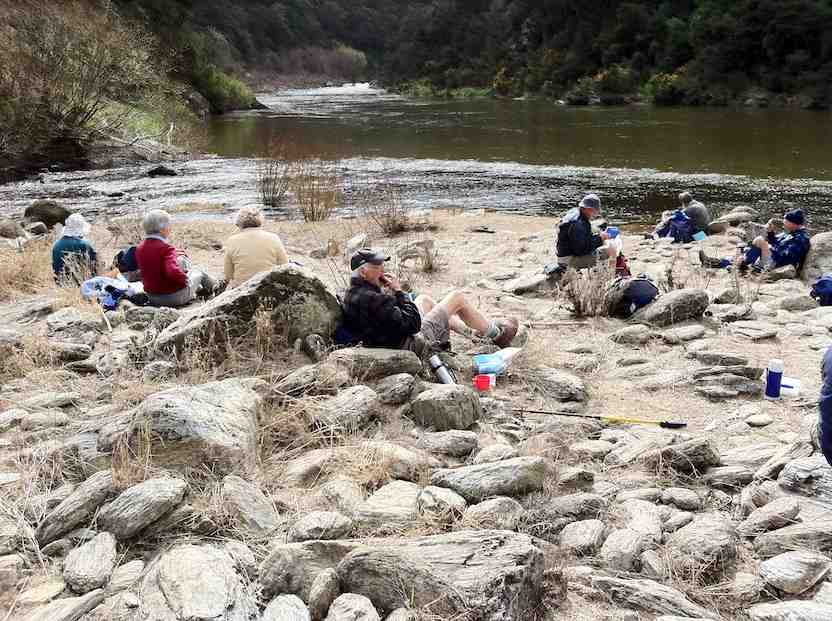
We made good time after morning tea and arrived at the Lee Stream convergence by 11:15 so a bit early for lunch.

While checking out the scenery and having a natter the wind decided it was going to come up. The wind was coming straight out of the Lee Stream valley and had a definite chill to it, so we decided to make our way back and find a lunch spot along the way.
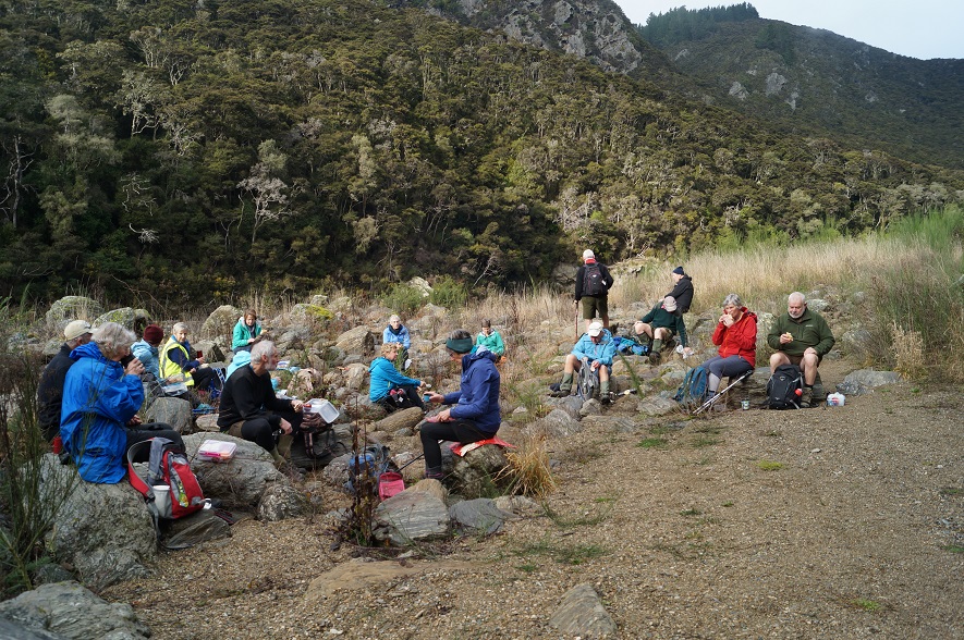
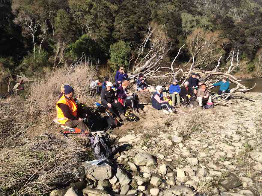
Lunch spot was found with convenient stone seats and some also had tables. After a leisurely lunch we meandered back to the cars stopping to check out the plentiful fantails and another show of stone skipping.
We finished the day with coffee at the Wobbly Goat after covering just under 10km.
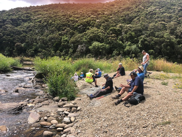
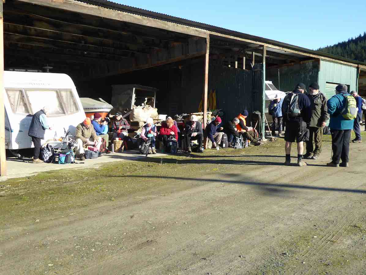
13. 15/7/2020. Trampers. Outram Glen. Leaders : Joy and Kathryn
18 keen trampers arrived fully kitted out for an easy but in some places slippery tramp up to the Lee Stream.
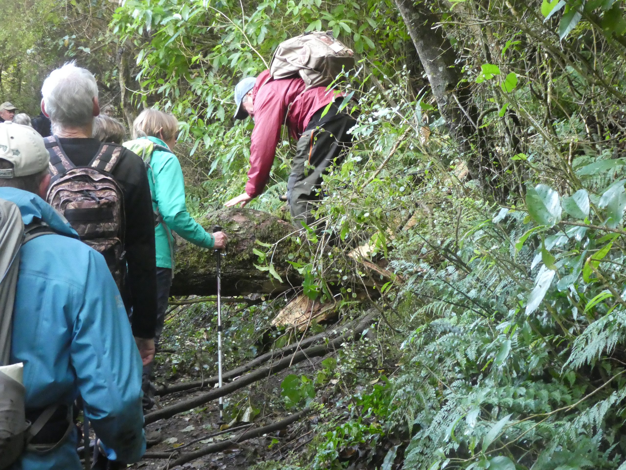
This is a favourite hike with the odd little challenge of fallen trees or wash outs adding some variety.
After several days of damp weather the river was running higher than normal and the rapids could be heard above the chatter of the group.


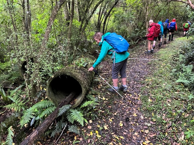
Gordon challenged us all to count the number of drainage pipes on the return trip. Seven, I believe was the winning number.
Another perfect Wednesday outing with a great group of people finished perfectly with a cuppa at the Wobbly Goat.
12. 29/1/2020. Hikers. Outram Glen M. Leaders Kathryn and Nikki
16 hikers and 5 Ramblers met at Outram Glen with the ramblers going off on their own walk.
Hikers had an enjoyable walk around the track stopping for morning tea down at the river before climbing the stairs to take u5s to the Lee.
Kathryn and Nikki.
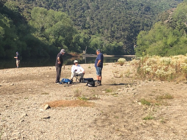
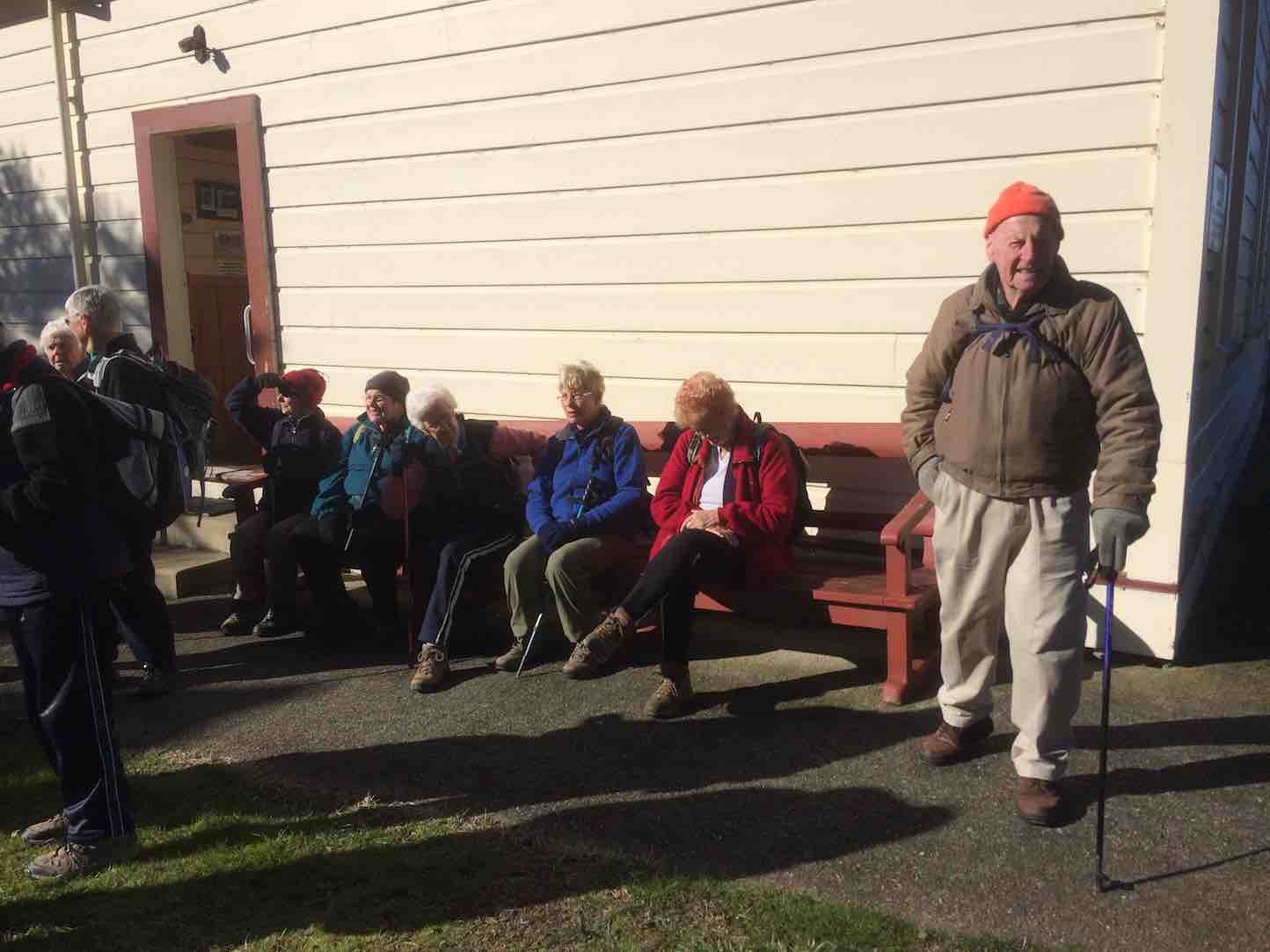
11. 18/4/2018. Hikers. Outram Glen to Lee Stream. H. Leaders: Clive and Jim.
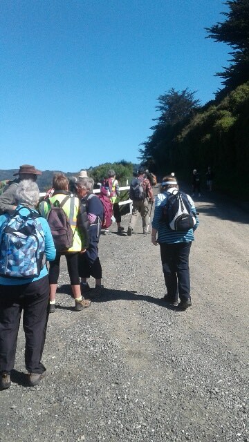
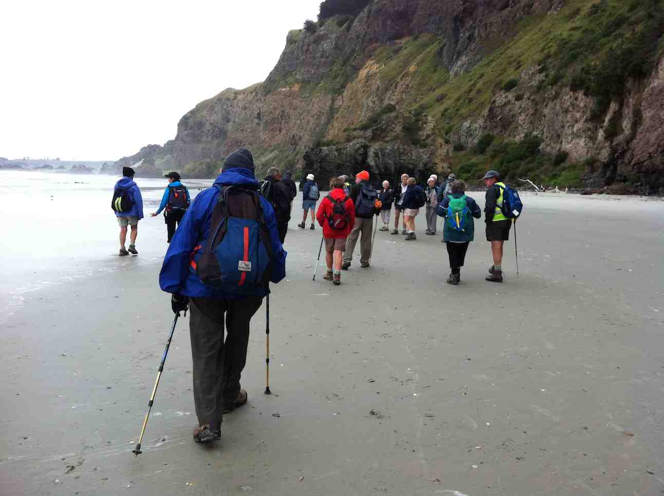
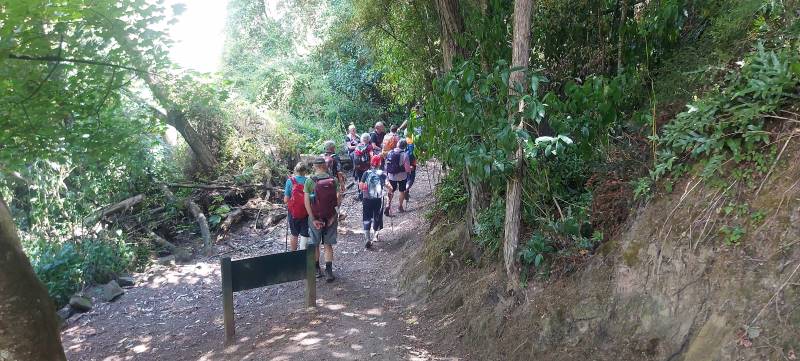
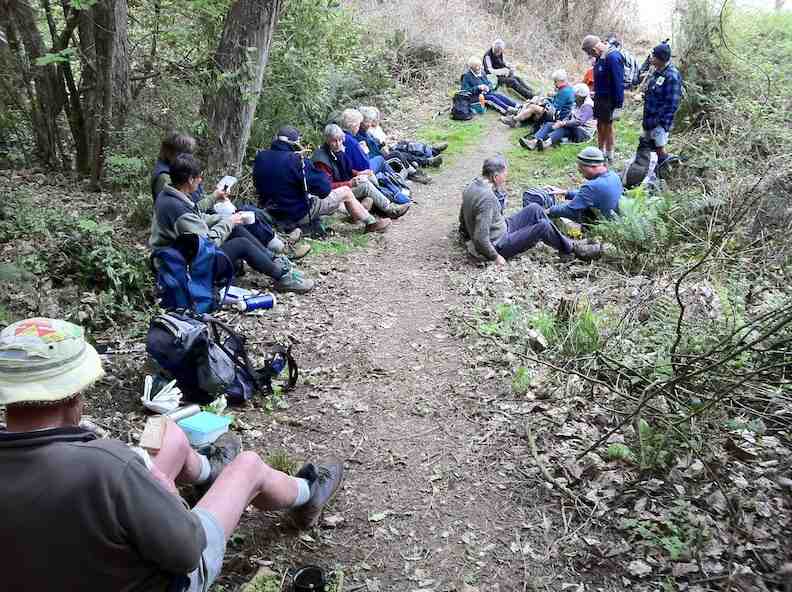
26 Hikers and Ramblers set out from Outram Glen scenic reserve alongside the Taieri River to Lee Stream. This was our first visit since the storm last year caused a lot of damage to the track and trail. Repairs are on going, apparent from the pile of gravel on the track and washouts still to be repaired on the trail. Several trees still block the trail.
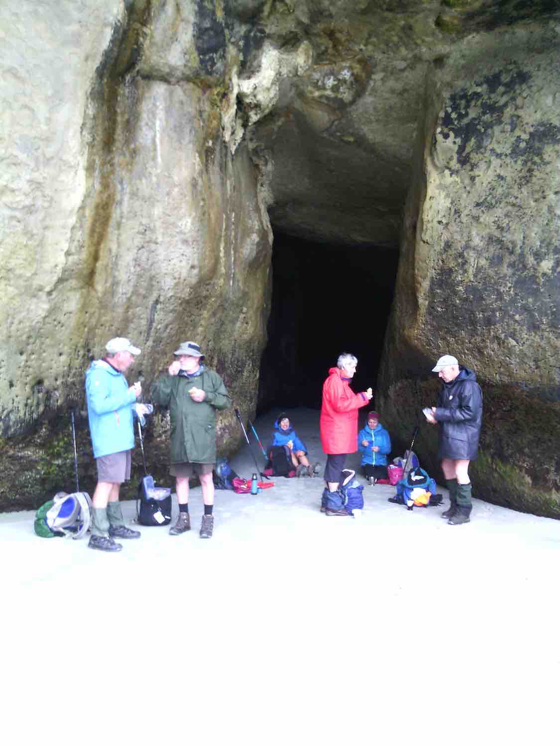
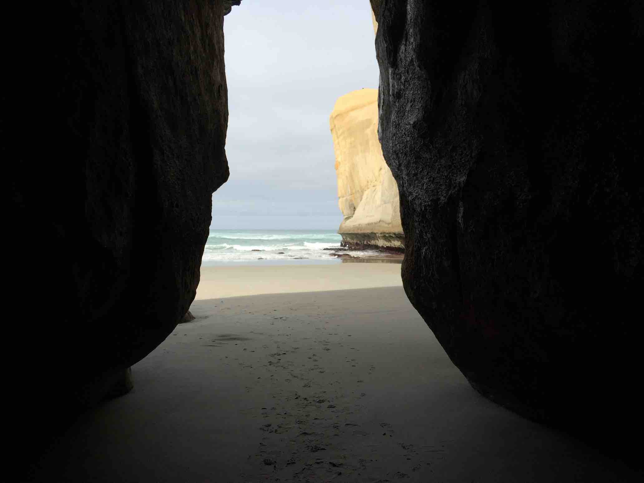
We arrived at the end of the track about 10.15am and had morning tea on the rock strewn beach beside the river.
Several ramblers and a couple of the hikers then turned back to the start. An intrepid 19 hikers continued over the trail, followed by fantails and tom tits to Lee Stream. There seemed to be more hills to climb and they seemed steeper. Maybe that’s an age thing!
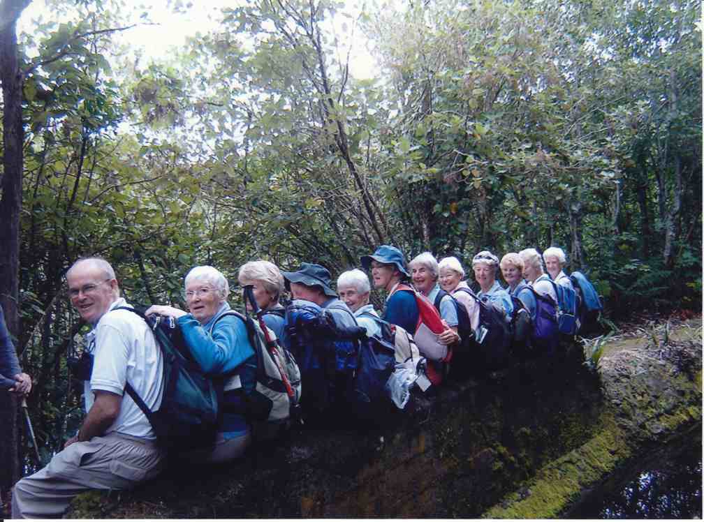
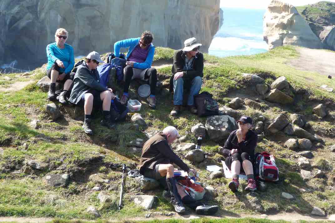
Arriving at Lee Stream around lunch time we picked spots out of the wind to have lunch.

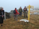
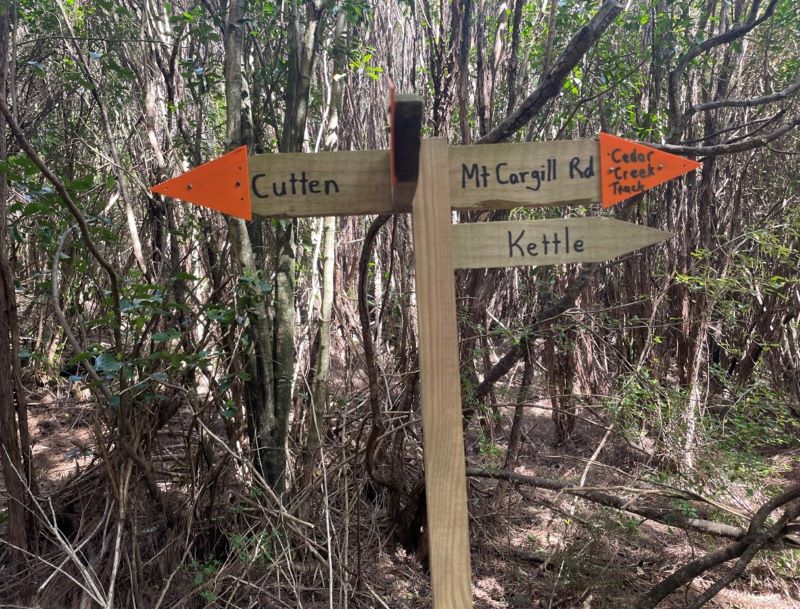
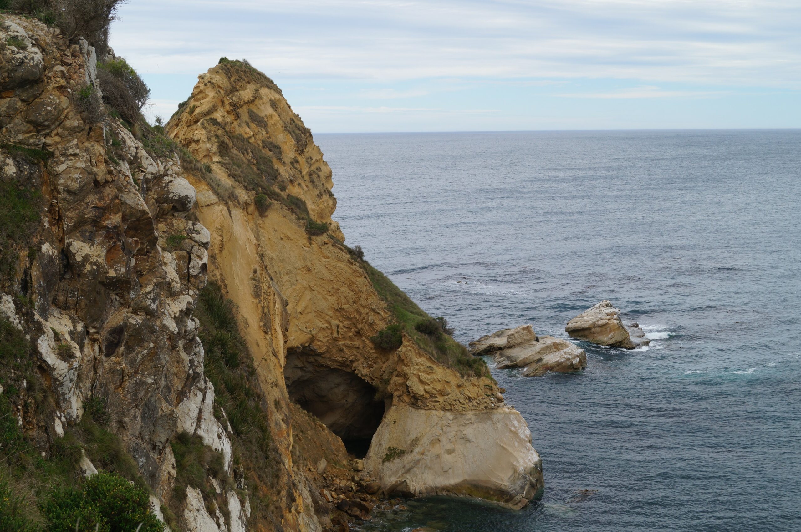
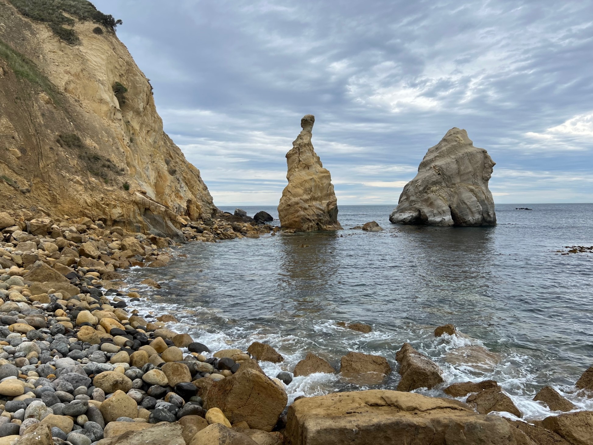
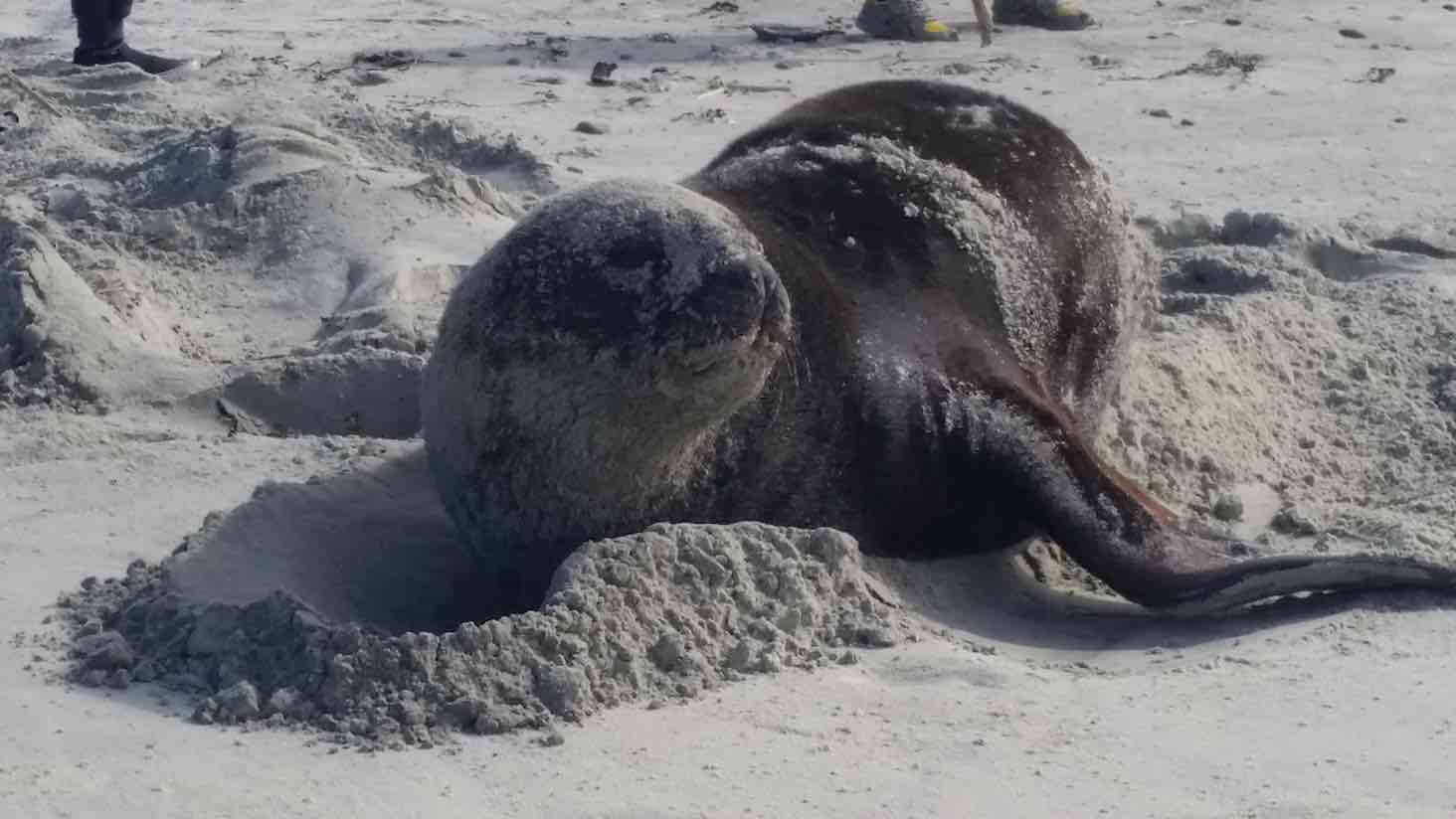
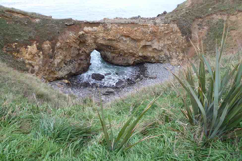
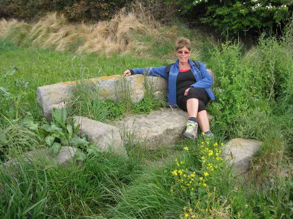
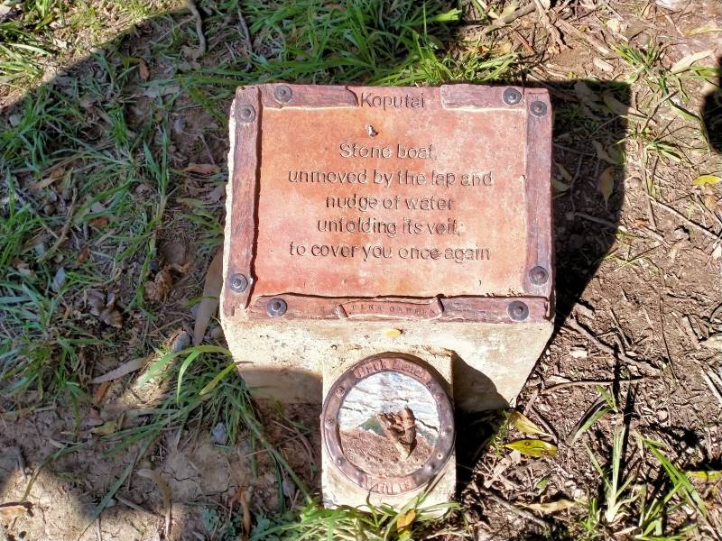
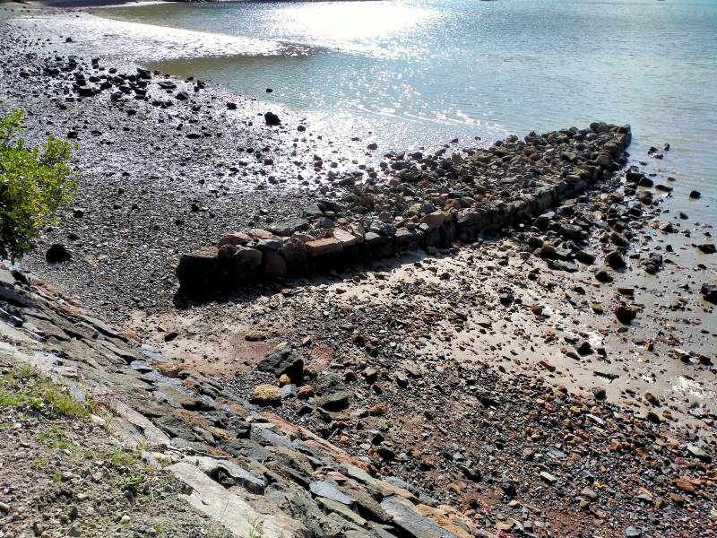
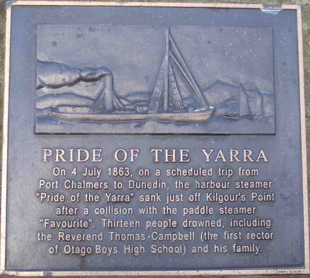
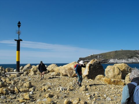
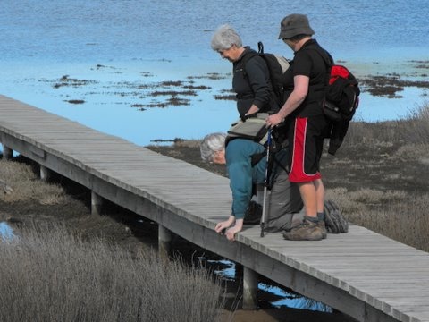
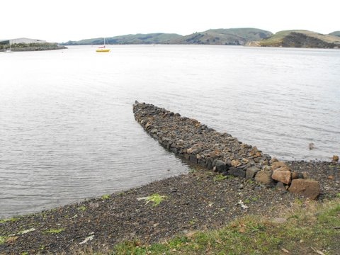
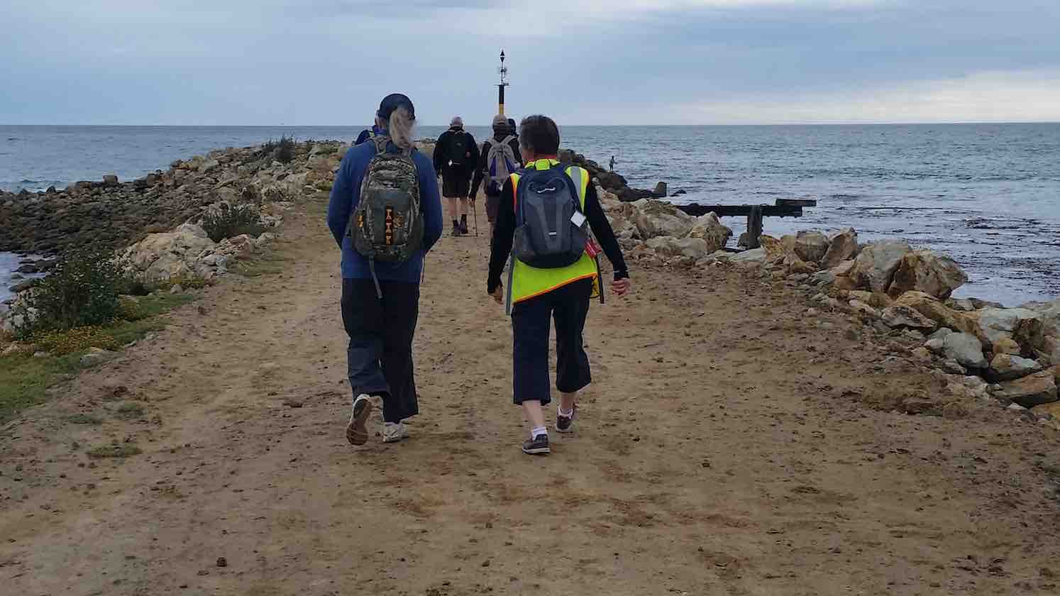
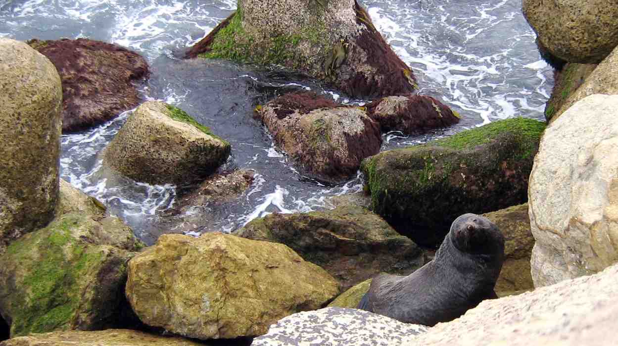
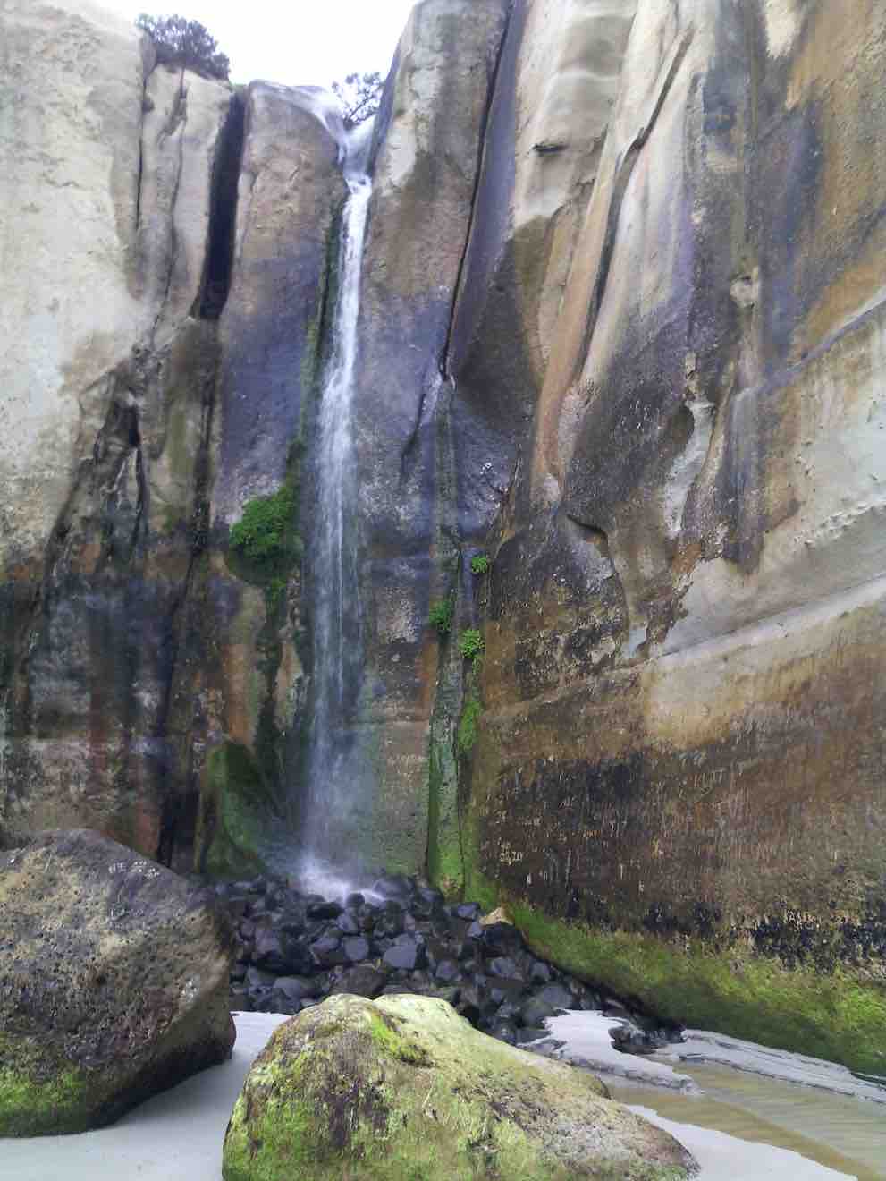
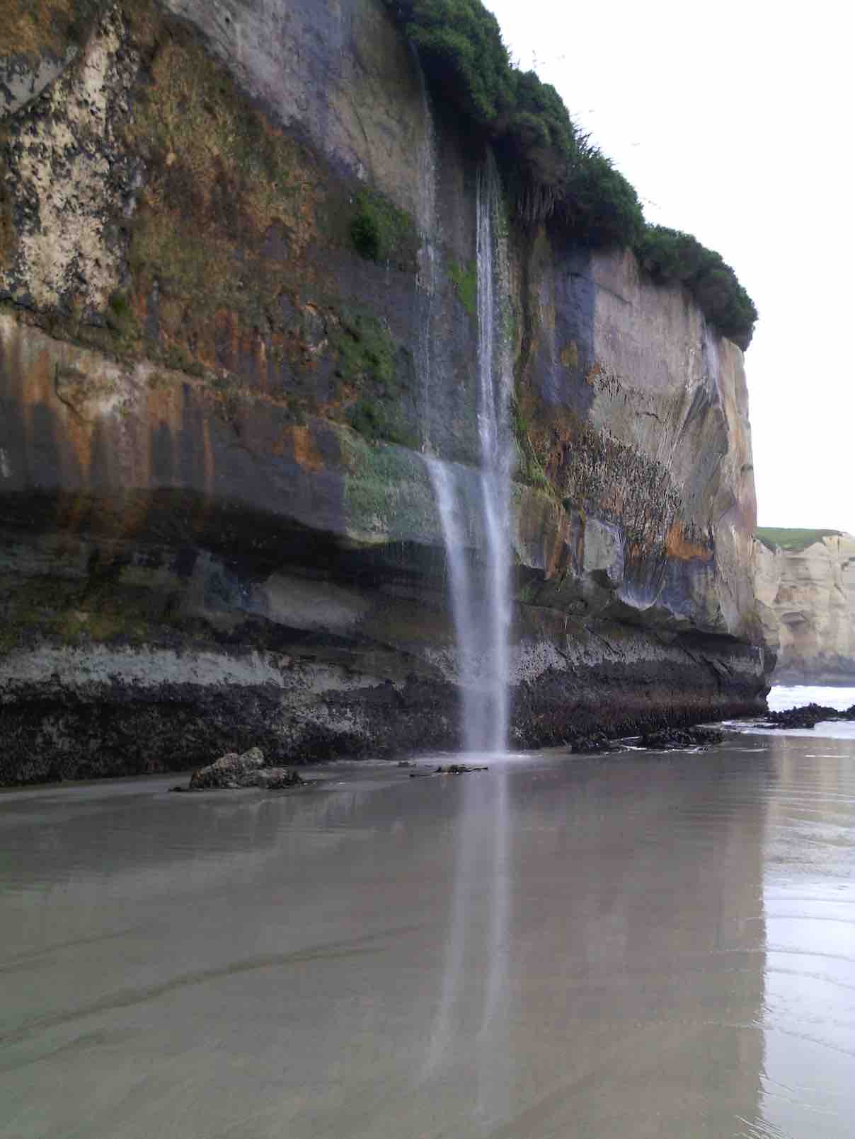
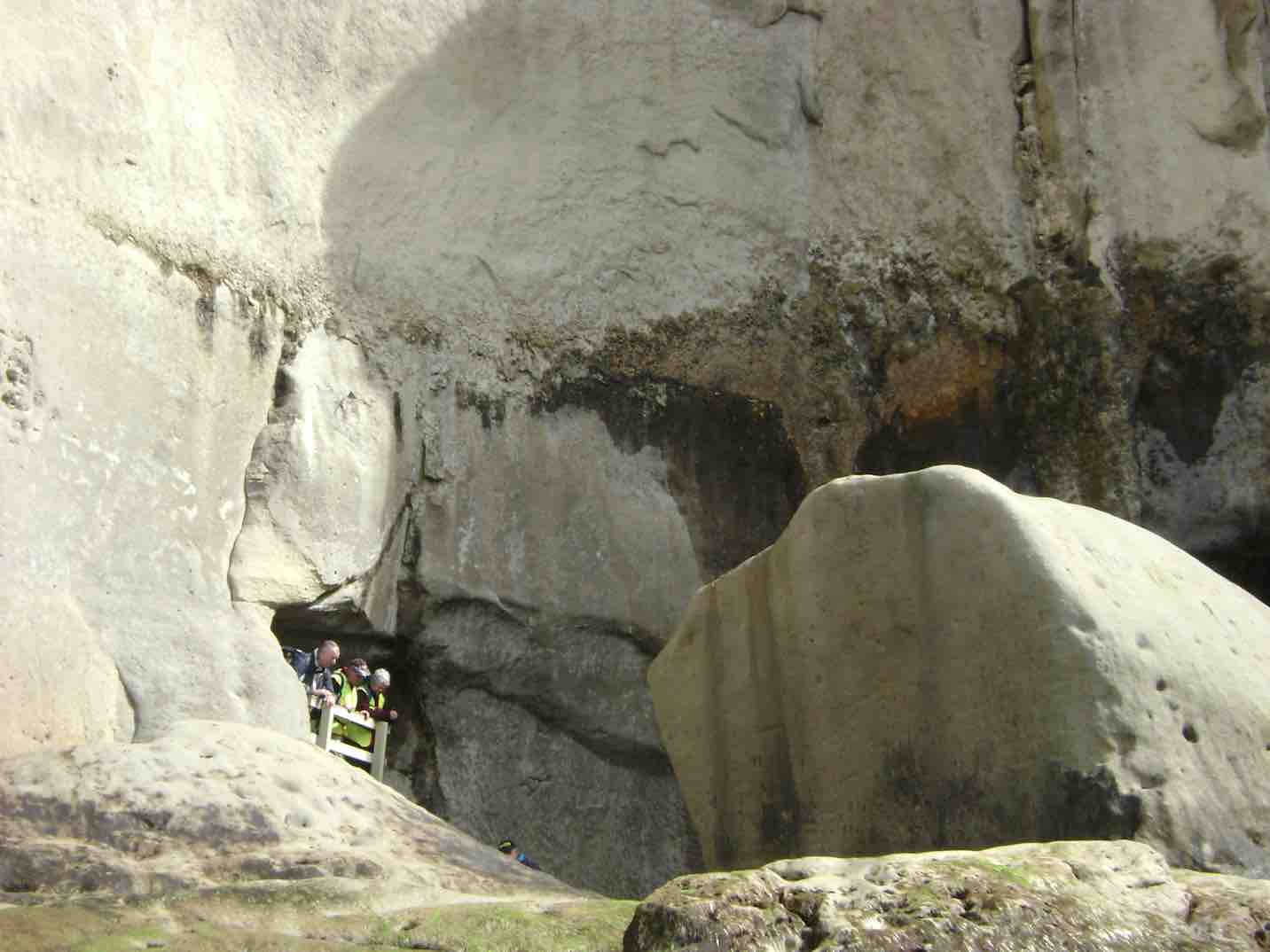
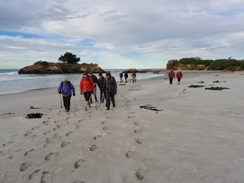
It was pointed out by a senior hiker that we hadn’t actually reached Lee Stream and should continue to the stream. Walking a further 100 meters got us there. (see photo)

The return journey took longer than normal and unfortunately one member suffered a wound to her calf muscle on a broken bush stump whilst trying to cross a washout.
A tired crew arrived back at the carpark after 3.30pm. It was intended to visit a local coffee shop, but when we got there it was closing,.so 2 cups of coffee next time! Happy Tramping. – Clive
10. 9/11/2006. Hikers. Outram Glen to Lee Stream. Leaders: Jennifer and Dorothy S.

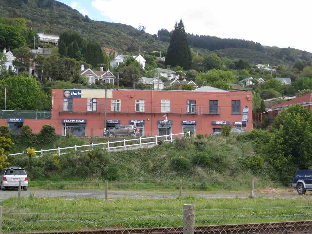
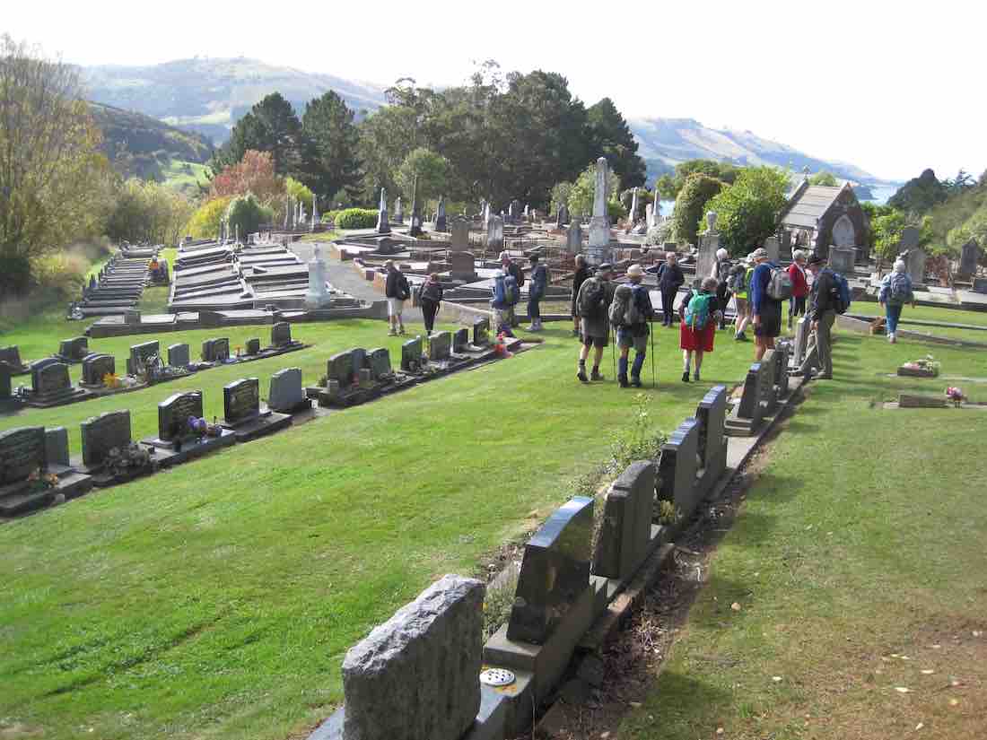
9. 10/8/2016. Hikers. Outram, Historical Park and Museum, Outram Glen. E. Leaders: Alex and Liz.
A good frost today but lovely and sunny for our hike around Outram
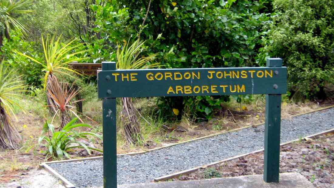
which was varied with a visit to the Museum,
Vintage Park and then onto the Glen track.

We numbered 25 and finished off with the Local Coffee Shop.
It was a wee bit different owing to the unknown conditions from the nasty weather three days earlier but as usual the company was good and we achieved our goals thanks to everybody. – Liz and Alex.

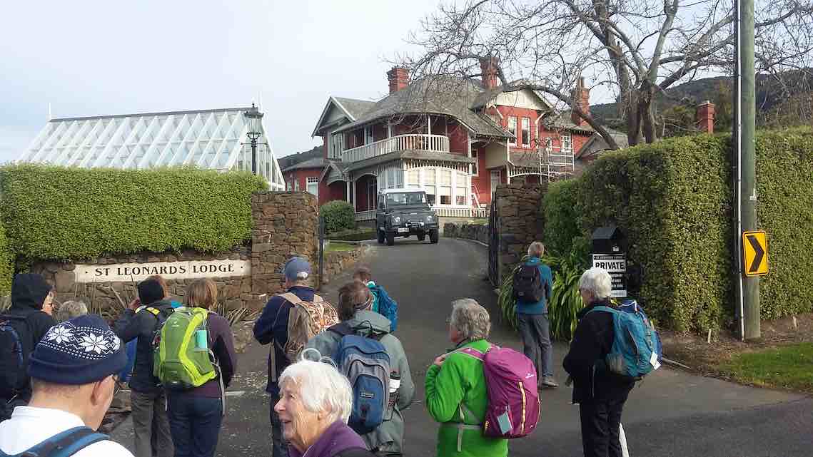
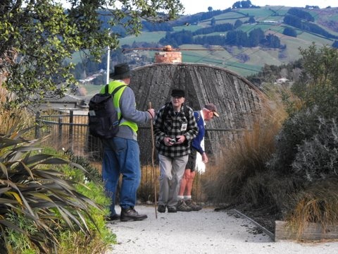
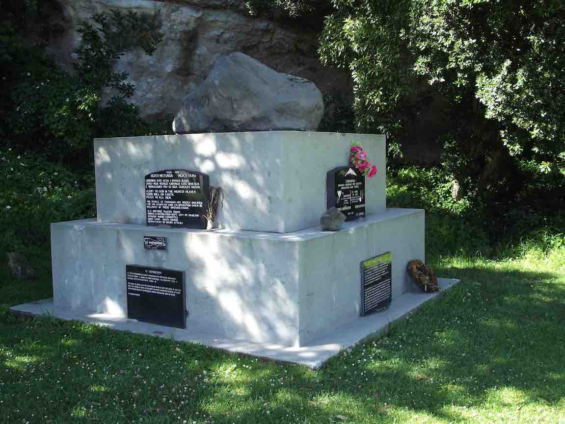
We were met with a surprise variation to simply walking the Outram Glen track. The leaders took us first up to the Taieri Historical Museum via an interesting side track shortly up the George King Memorial Drive by the bridge over Traquair/Whare Creek. We were seduced by the machinery museum building at the top of the property with its wonderful variety of early Taieri farming implements. They found it hard to drag us away.
We made our way down the driveway this time, and past a surprising number of cars to the track beginning. Time had passed so the leaders made our cuppa stop at the crest of the track’s large rise just past the entrance and in a nice sunny spot.
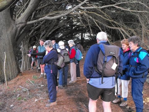
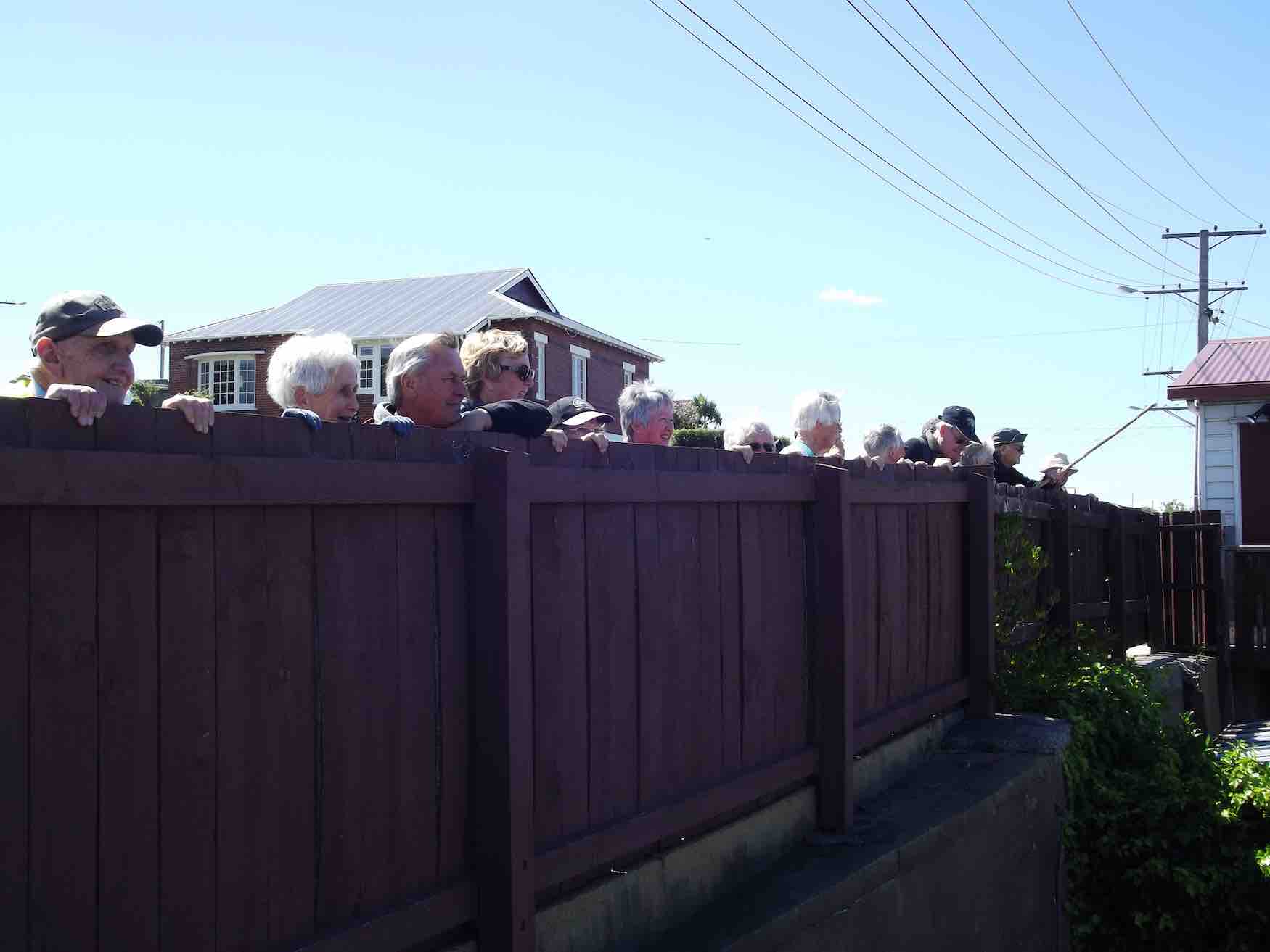
Then on we went till we reached the great set of steps that took us up from the river side to the high undulating bush track, or more officially, ‘route’. From the top of the steps on to the end of the route was a long series of regrouping pauses, where the more able waited for the less able to catch up. But get to the end we did.
A note to the side: On our way to the start of the track, we noticed Bob’s ute had joined our parked cars while we were up at the Museum. Some knew that he did have a prior commitment and must have presumed he would have caught up with us somewhere on the track but knew nothing of the leaders’ plan to visit the museum first. Eventually we did meet him, towards the end of the track, returning. It was all just too sad a misunderstanding.
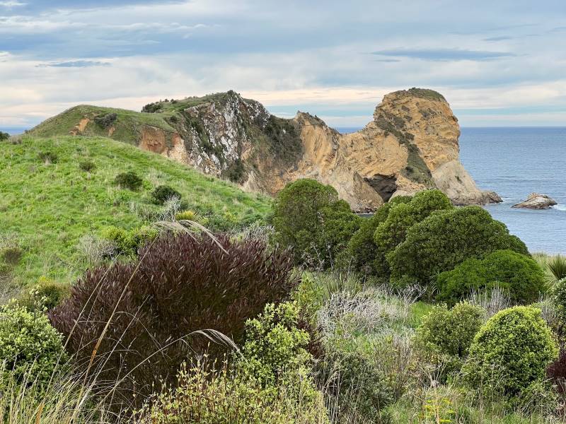
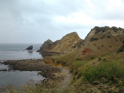
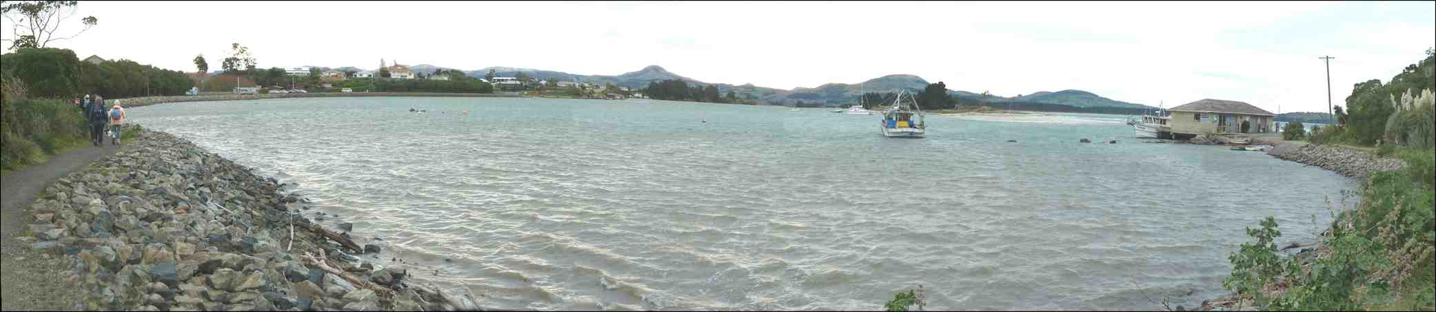
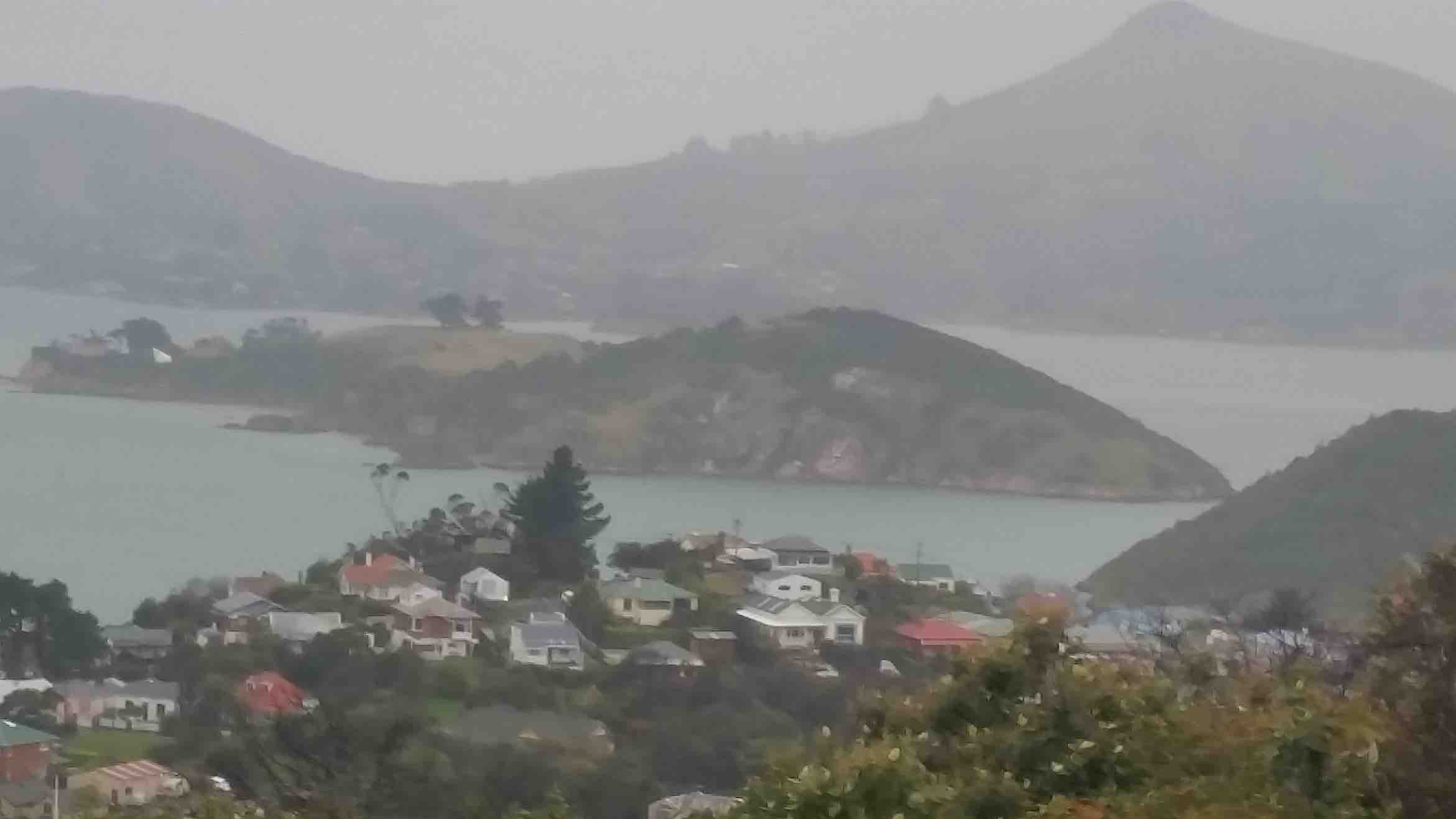
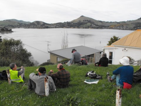
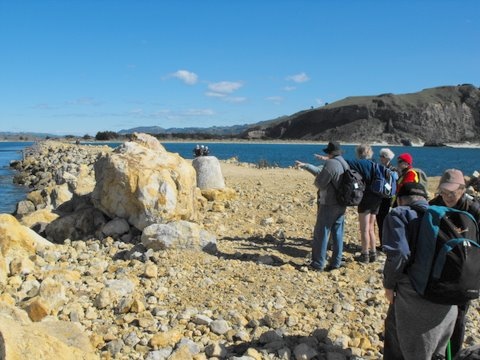
We discovered the reason for the group of cars at the start when we reached the end. By the Lee Stream mouth was a large group of young St Mary’s School pupils being instructed on safety measures pertaining to launching inflatable rafts drawn up nearby.

As we neared the end, it was just a case of now of negotiating the rise at whose summit we had earlier in the day had our cuppa, (it’s steeper and more laborious on the up-track side of the rise and this reporter, at the tired end of the tramp, hates it) and we were back at the cars and en route to home.
Thanks to Betty and Jim for their imaginative planning of the day and careful looking after us. – Ian.
Again, we wandered back each at our own pace. A pleasant day, sheltered by bush from the coolish wind. – Ian.
Nineteen of us walked the riverwalk from Outram Glen to Lee Stream. The weather was threatening but we had just a little rain, and with no wind and a mild temperature it was an enjoyable 12 kilometre expedition. Many of us had not seen the Taieri River so brown and surging for a long time.
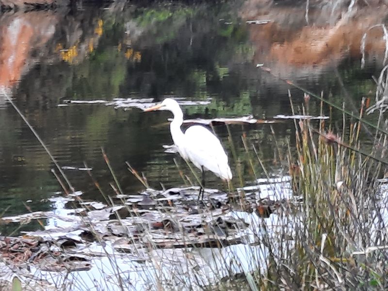
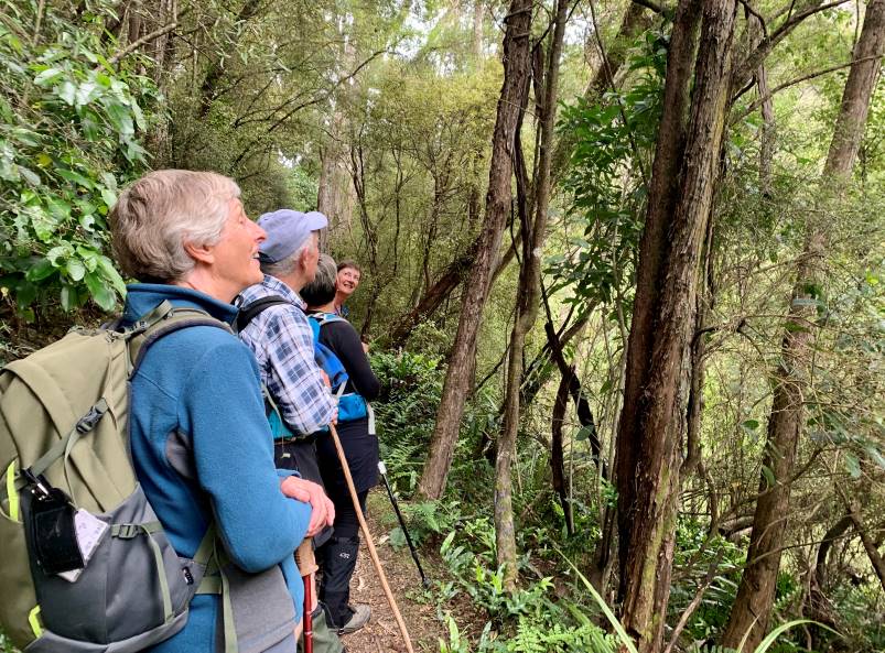
The track in the upper reaches was quite slippery so we needed to watch our feet. Some birdsong from bellbird and fantail was appreciated as was the presence of wood pigeons. We had lunch at Lee Stream where a number could remember past picnics beneath willow trees.
Congratulations to Evelyn and Bob for leading the group. Evelyn did a stalwart job in trying to keep the group together, trying to both race ahead to hold back the fast movers and take care to see the rear guard were still with us. She even managed to end up with one more tramper at the finish than she had at the start. Well done Evelyn!
Bob provided us with some drama by taking a tumble. However he bounced back and even did it again to keep the medics on their toes. He finished the tramp in fine fettle and good humour, leading the bulk of the group on the homeward stretch. We hope the scratches and bruises do not cause too much discomfort.
George celebrated his 80th birthday and first great grandchild by handing out beautiful chocolates to all.
Altogether it was a satisfying day with a return to home base before the southerly caught up with us. – Marjorie.
5. 6/6/2007 Ian, Doug M, Eleanor B, Joyce S