Distance from Bush Road Car-park: 50 Km.
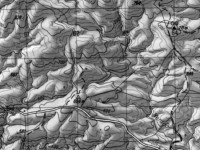
Tramp area map
Suggest leave Mosgiel 8.30am to get to ‘Little Peak about 1km above ‘Walrus rock’.
10. 16/11/2022. Trampers. Nardoo Reserve: Walrus Bridge Rock. Grade 3.5 Leaders: Phil Keene and Graeme Souter
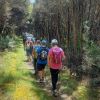
Was this going to be one of those on again off again days? Well no as eleven enthusiastic trampers
turned up ready to go at 8.30am… although we were starting to think of a plan B as we travelled through
rain to the Strath Taieri… however lo and behold the weather cleared, Lake Mahinerangi was calm, yay
no wind on the tops, and the clay extension of Lammerlaw Rd through Waipori Station was dry. Tailing
was underway and the lambs were not gambolling, they were bolting and calling to mum. The Hereford
calves had nice clean socks on and were top of the fashion parade.
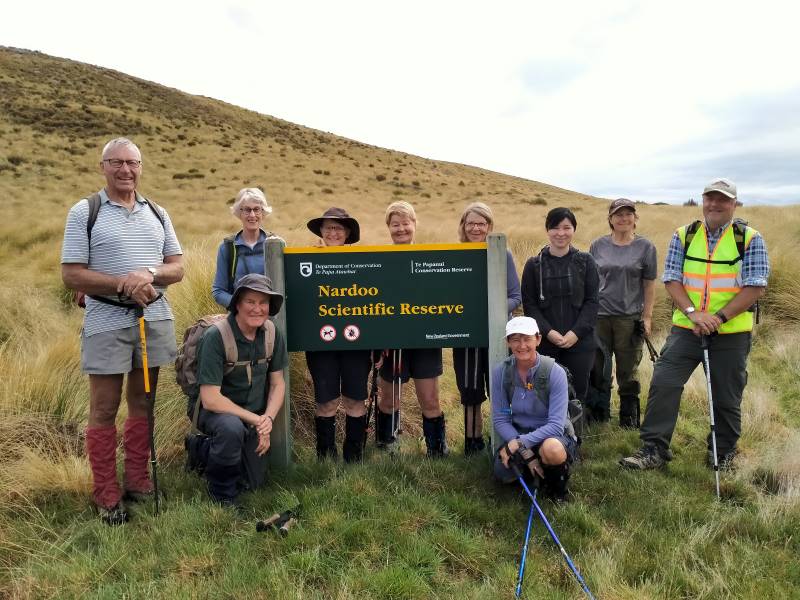
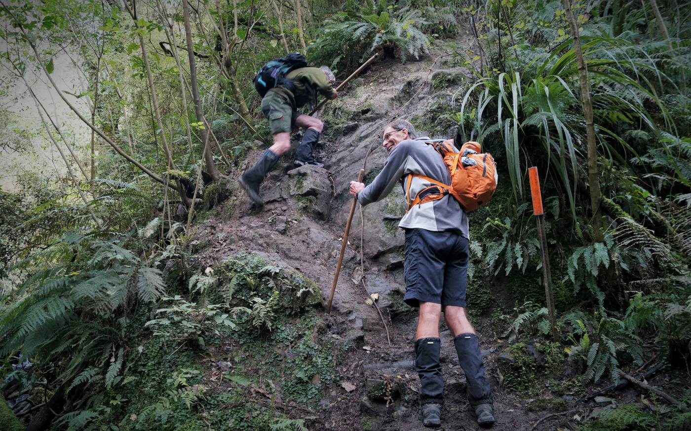
We set off at 9.45am and shortly practised our fence and gate hopping and climbing to enter the reserve,
where a ‘before’ photo was taken.
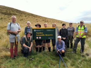
The ‘before’ Caption and photo Phil
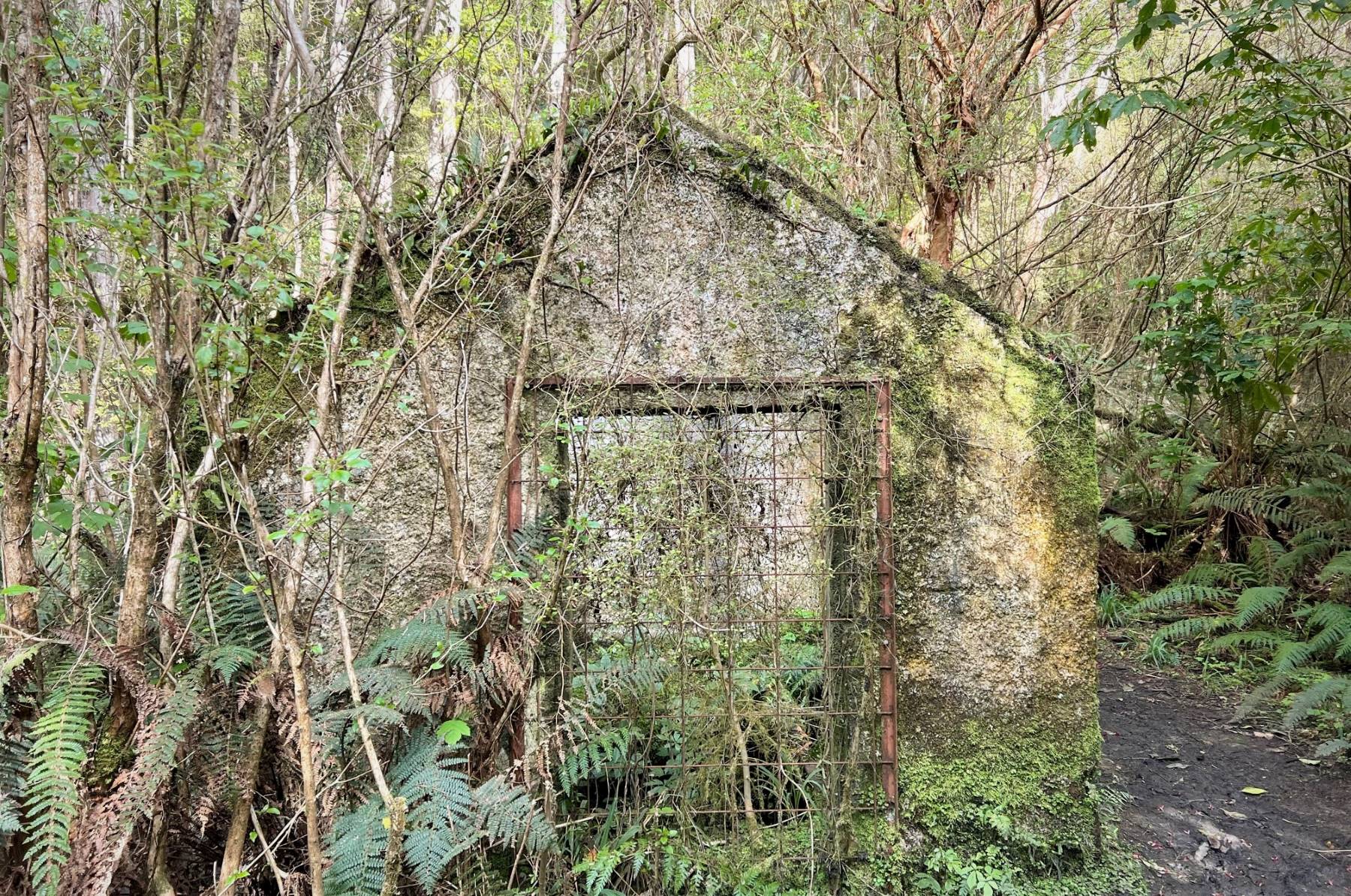
We followed the remnants of a graded track that all too soon was lost
in snow tussock country.
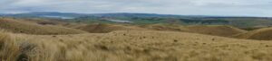
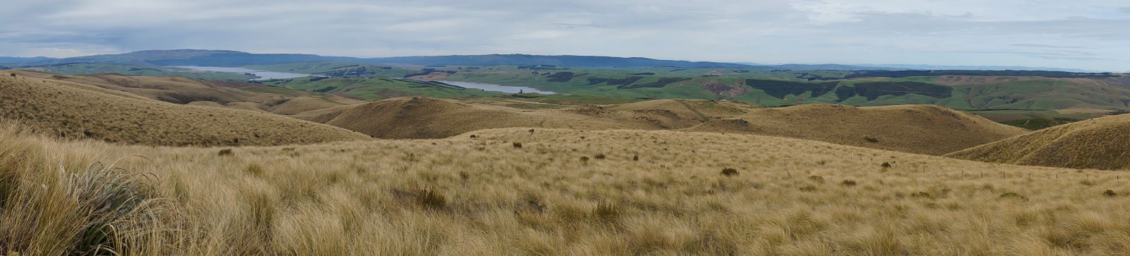
Looking back to Lake Mahinerangi and beyond. Caption and photo John
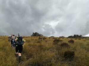
A short sharp start to the day, before settling in to a steady upward ascent,
closely following each other to eliminate miss-steps and help form a clear ‘track’ to assist the return
journey – would it work?
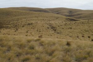
Where we’re heading (ie. up!) Caption and photo John
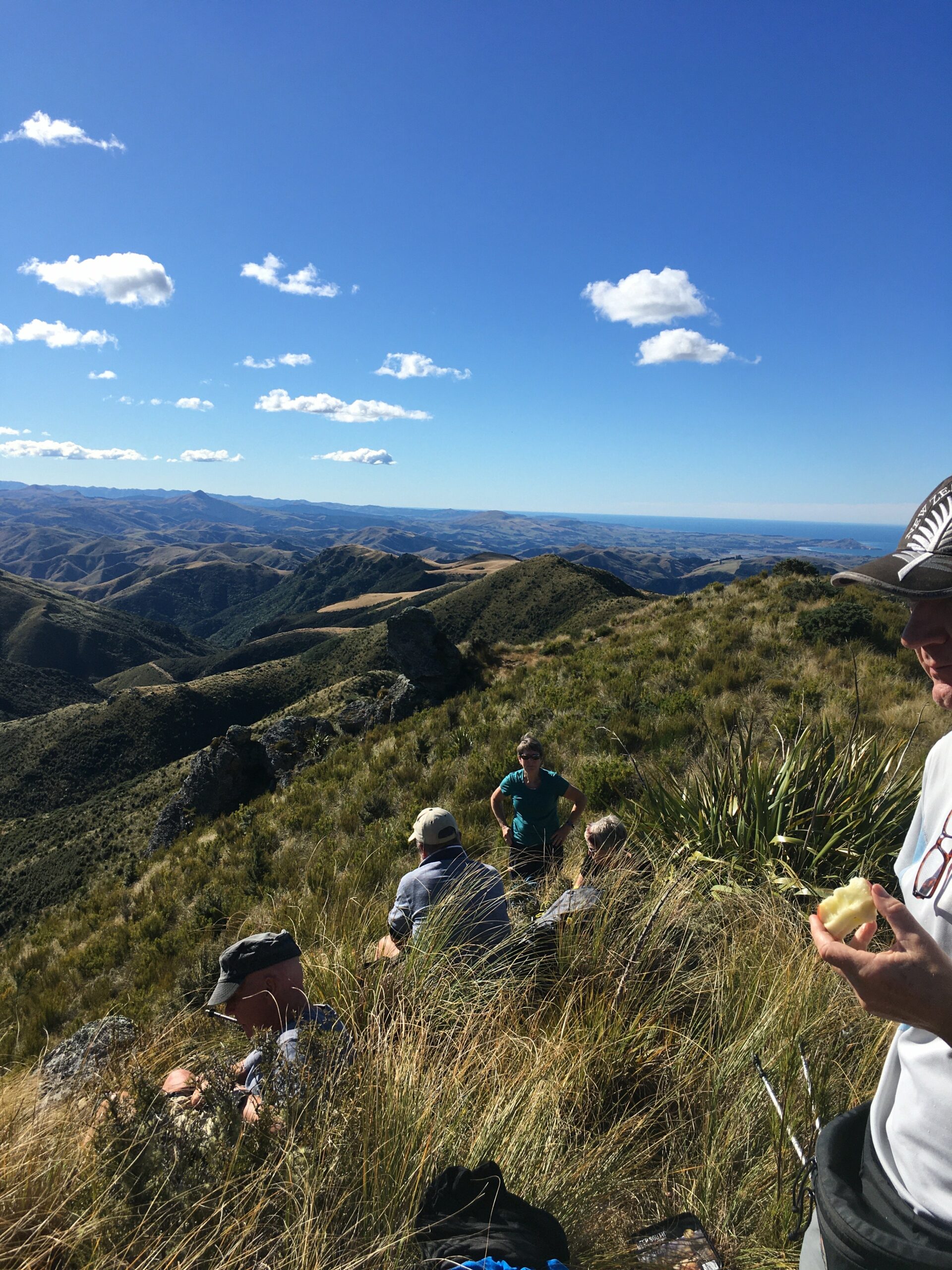
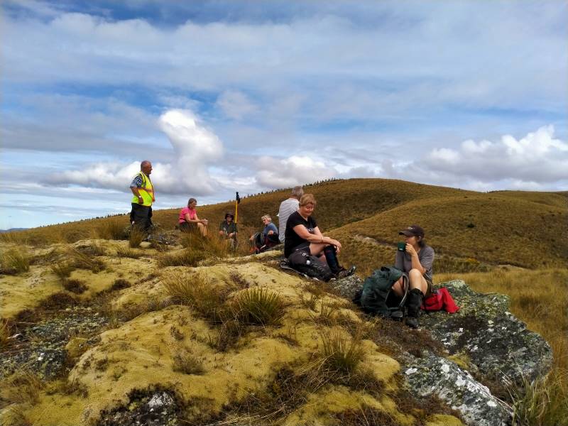
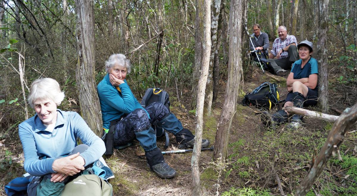
We had morning tea on a rock outcrop festooned with lichen and a soft ‘magic’ yellow carpet of vegetable
sheep…were we already visioning?
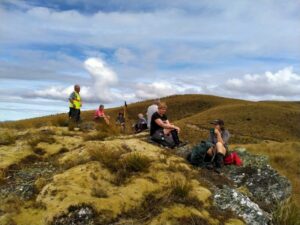
Morning tea on a magic yellow carpet of vegetable sheep Caption and photo Phil
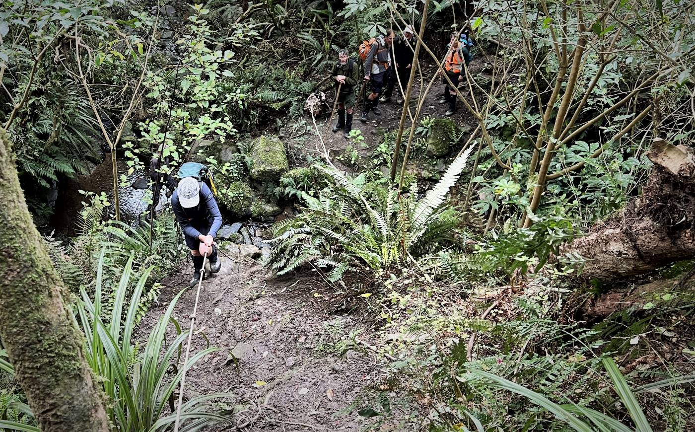
For the balance of the morning we crossed low saddles and followed
a line of drachophyllum that had colonised the initial track and we stayed up on the ‘faces’ zig zagging to
and fro as we got close to the boundary fences. Keep out of the gullies being the mantra of the day.
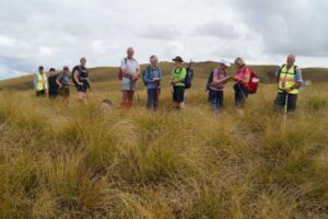
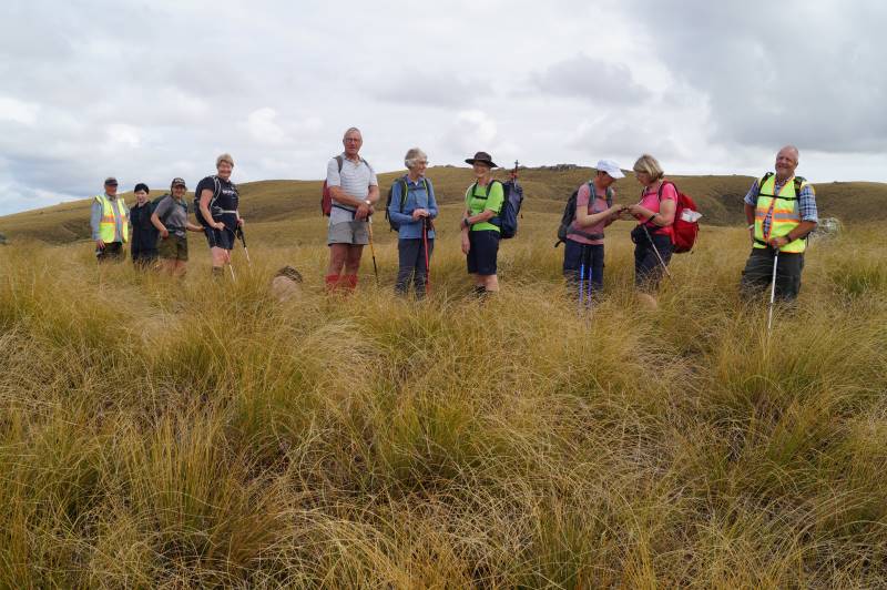
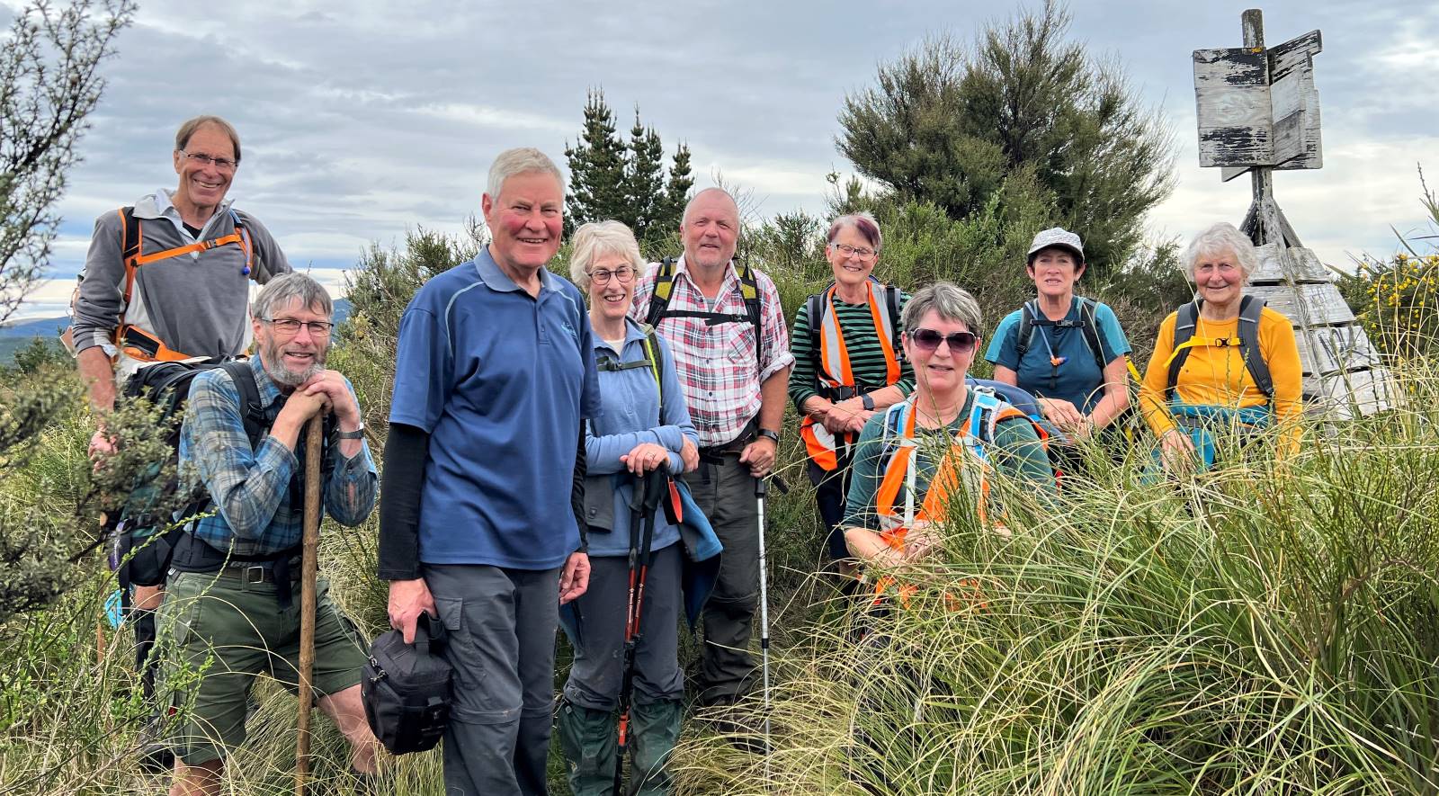
Happy trampers, during a regroup stop. Caption and Photo John
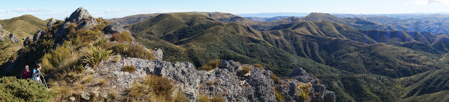
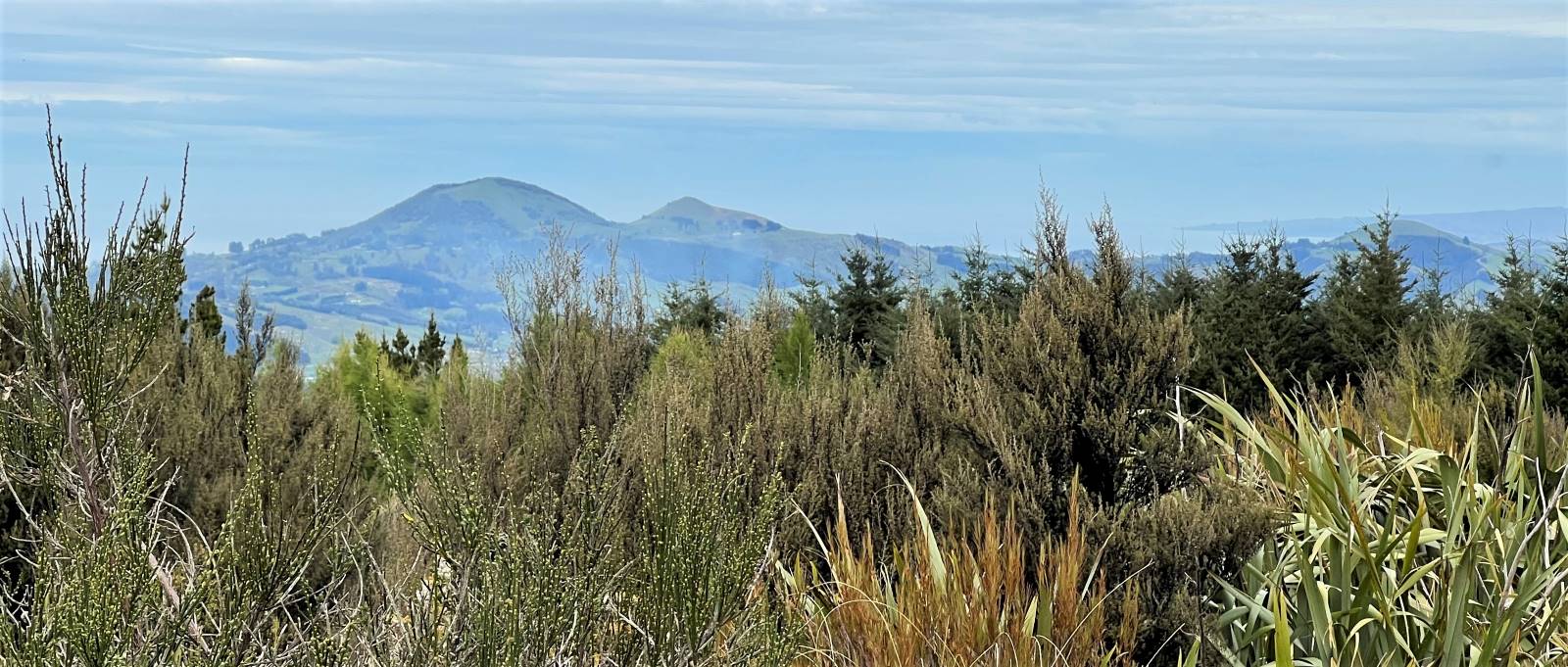
Initially the Blue Mountains dominated the views to the west, then Mt Wendon and higher still the Old
Man Range. Still no wind going by the blades of the wind farm… the tussock was dry to touch.
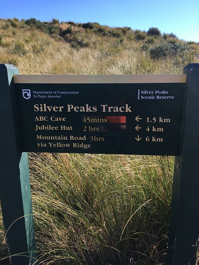
Head to Little Peak, that rock on the horizon. Caption and photo Sarah
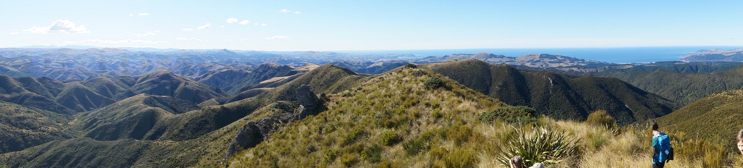
We veered to the right near the top and made our way to the Walrus Bridge rock, where with dark clouds
building we decided to forgo Little Rock, and had our lunch right on high noon.
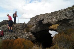
Hidden lake lunch stop. Caption and photo John
No sooner had we sat
down than a few spots of rain became steady rain and rather soggy sandwiches were dealt to. Coats and
covers came out, some of the fit and experienced trampers discovering for the first time that their packs
had built in rain covers…..gee no rain on a Wednesday for 3 years according to Charlie!
Clearly this was now going to be a game of two halves and a determined team set off, the descent much
quicker than that done on the recce, but maybe that was enhanced by the much clearer track created on the
way up – yeah right!
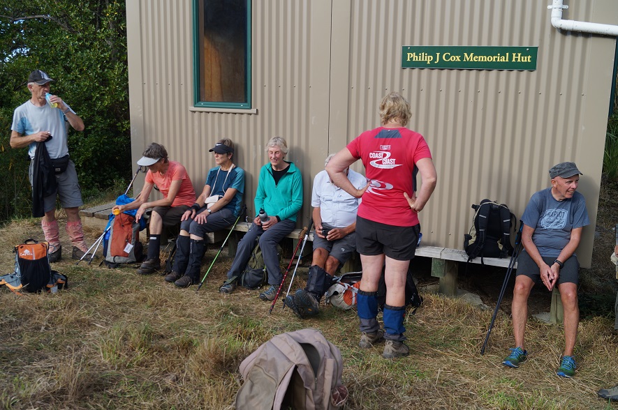
We were back at the cars about 1.30pm having stopped at the Reserve sign for the ‘after’ photo, was this
the same group of happy trampers? Yes they are all smiling!
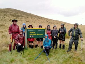
The ‘after’ Caption and photo Phil
Wet gear was quickly placed into the car boots and the cars were soon steaming up….everyone agreed to
forgo coffee as hot showers and dry clothes seemed the more important…
It was heartening to hear the comment that the GPS map showed that we managed to follow the same
‘path’ both up and down… a testament to the leaders! Thanks to Esther and Neil also for taking their
vehicles that got suitably muddied on the way out…..and to Waipori Station for access.
Phil K
Continue Reading »


 12. 10/4/2024 Mt Charles Grade 4 Leaders: Graham and Carol Thurlow
 14. 14 February 2024. Hikers. Waldronville Wander. Grade 2. $5. 10km. Leaders: Phil Keene, Helen Morris.
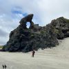 Hikers: Leaders Heather and Val Cayford
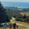 After welcoming a new hiker, Peter Dodds, twenty-four hikers left Livingstonia Park, about 9.30 am, heading to the left (east) to the sand dune track that led out to the road by the bridge and then headed up Sawmill Road to have morning tea beside the implement shed on Alan Gorton’s farm.
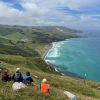 43. 06/12/2023. Trampers. North of Tomahawk. Grade 3. $7. 22km. Leaders: Esther Willis and Julie McKenzie
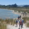
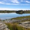 13. 06/12/2023. Hikers. Sutton Salt Lake – Glencreag Track. Grade 2.5. $16. 60km. Leaders: Wendy Langley/Katrina McKenzie
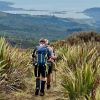 35. 22/11/2023. Trampers. Burns/Rustlers Ridge. Grade 4. 25km. Leaders: Phil Morris/Carolyn Pridham.