Resting at Forestry 100 years memorial. Ian, Leonie, Abe, Ria, Glenice, Angela
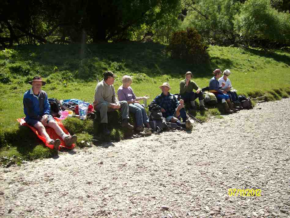
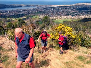
Ria and Hazel took 7 of us from the Bullring up over Flagstaff, on and down the Pineapple track, then crossing over to the top of Ross Creek where we rested on seating by the Memorial celebrating the Dunedin City Forests 2006 Centennial which had suffered recent vandal damage and returning back up the Davies track,
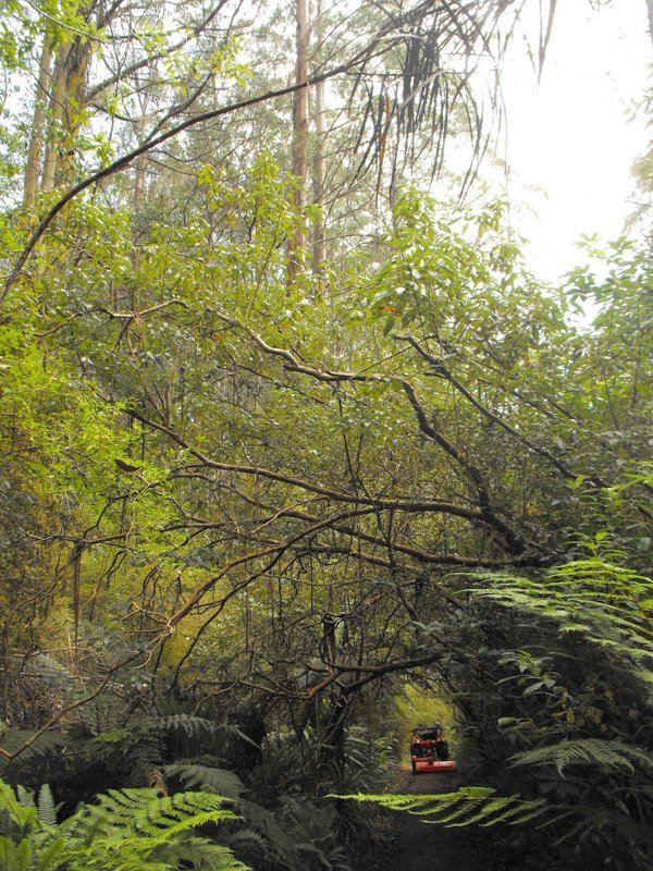
Emerging from bush on Davies Track. Abe, Glenice, Ria
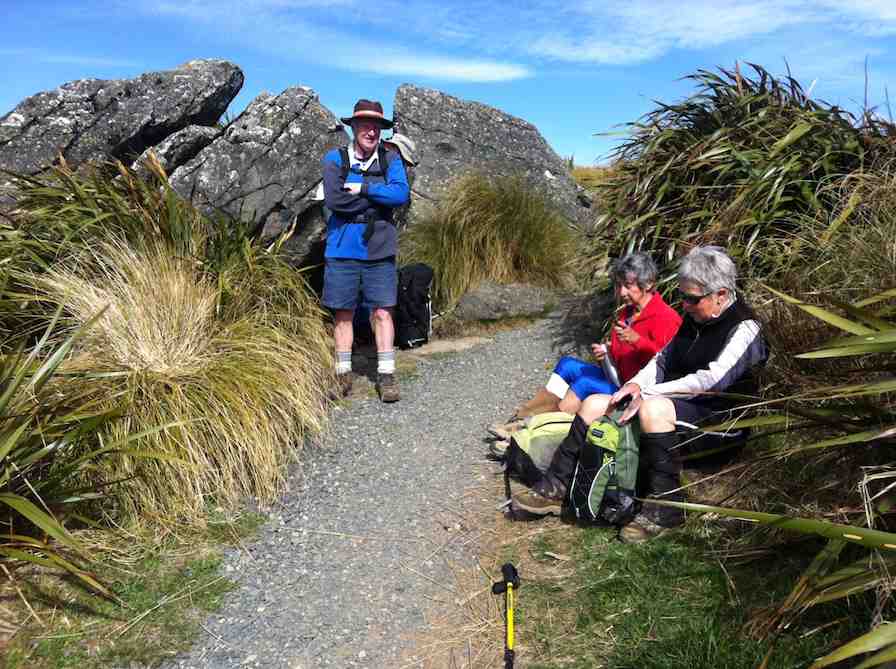
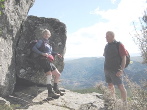
over onto Firebreak track with the majority returning to their cars but Ria taking Abe and Ian down to Big(or Bivvy) Rock.
Big Rock. Ria Abe
Hazel brought along a friend, Angela, a former neighbour of Ian’s back in the 70s! A delightful surprise for the two of them. – Ian
1. 31/7/1991. Booth Road from Pineapple Track and Bivvy Rock. Average. Leaders: Betty, Judith and Hugh, Peggy M, Frances.
Big Rock (Chimney)
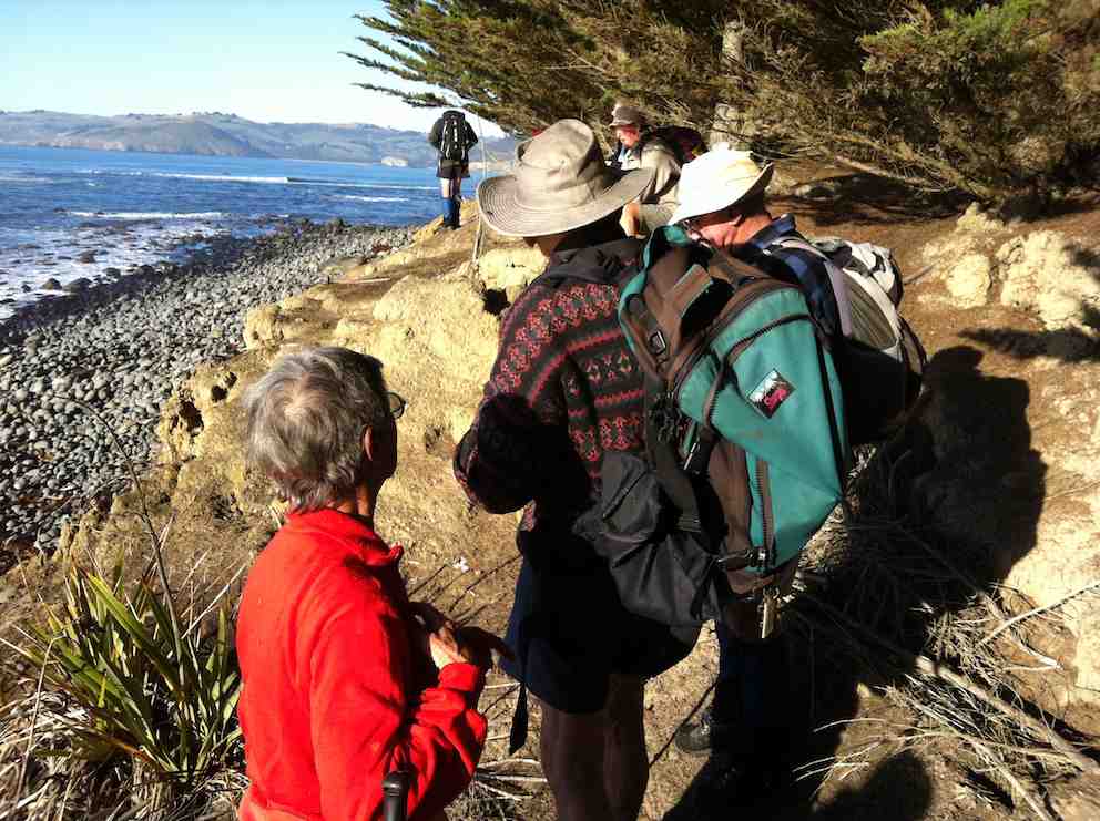
It is possible to visit this rock by using a roughly marked route which has been cut from the Fire Break Track. The is also a possible route slightly further to the west. This massive rock outcrop has been used over many years as a place to bivouac and for rock climbing. There are good views over the valley.
– From Club’s Friend of Ben Rudd’s Certification – 1999.
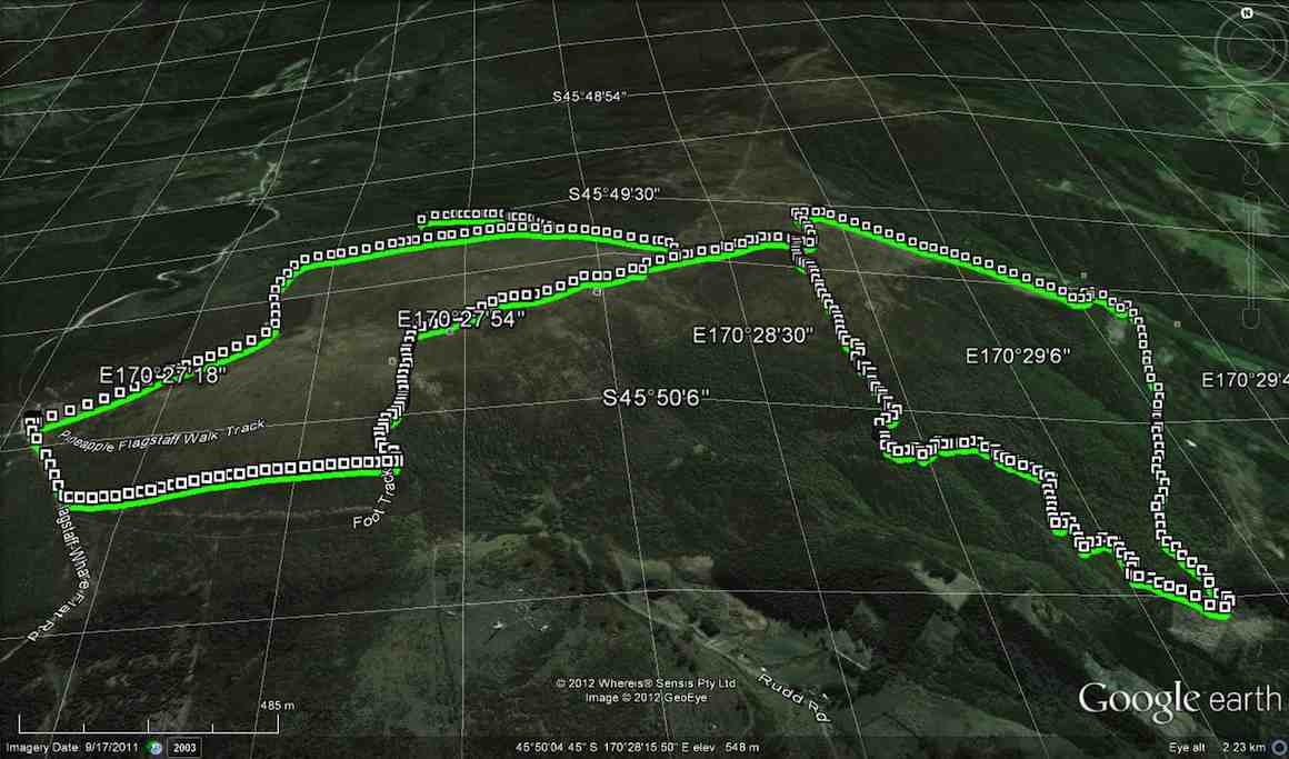
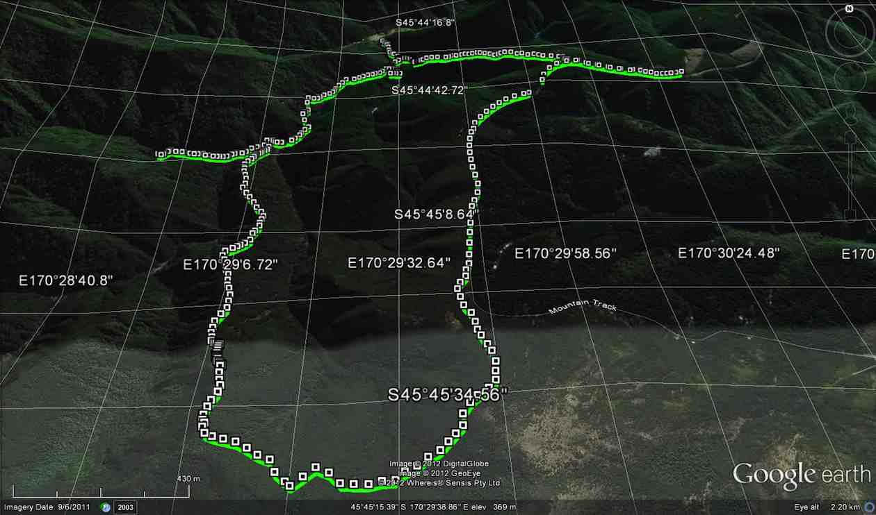
On Monday 29th Oct 2012 Dermot & Ken went exploring in the Silverpeaks. We parked at the first locked gate on Mountain Rd. & walked Nth. to where we had seen an old forestry road heading into the bush, on the west side of the road. We actually walked past it to start with, as you can see by the Google pic. After locating the correct track, we ventured off down it towards the Waikouaiti stream,
[or a branch of it.] Continue reading “An exploration day in Silver Peaks”
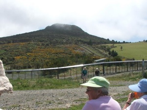
Lunch at top of Orokonui Ecosanctuary. Mopanui beyond.
Well, the Sanctuary is BIG. Much bigger than the writer had imagined.
13km we went, with 9 of them around the perimeter, starting from the
bottom carpark, going around the estuary and clockwise thereafter
ascending from sea level
Climbing Orokonui
to near the top of Mopanui (400m+), then down
to the main top gate where the visitor centre will later be built,
near the junction of Blueskin and Mopanui Roads. We lunched there, couldn’t find the sleeve to Joyce’s thermos though we looked hard (and that was because it was back on her kitchen bench) and then it was all downhill
Orokonui descent
back to the cars, but in calm, warm conditions. A really
pleasant walk.
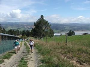
The fence that encloses the Orokonui Ecosanctuary ( the old Orokonui
DoC reserve which includes NZ’s tallest tree, plus all the additional
land) was closed off in July 2007. Almost all pests have been
eradicated, even down to the last goat. An employee behind the fence
explained that they were currently on a spraying programme around the
fenceline as even a bit of gorse widening a gap in the wire mesh will
create a ‘mouse breach’! While it is not yet open to the public, it
is possible to walk around the fence and marvel at what is being
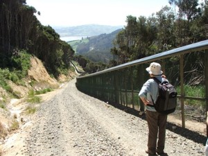
planned. There are steep sections, especially at the northern end of
the fence but in general the 3 to 4 hour walk was very
straightforward, following the wide, gravelled perimeter track. There
was plenty to see: great views, named fence posts (we spotted No.10
Fleming Street where the PM is in residence) (well, actually it was
Prime Mover Ian and Shirley Fleming’s plaque on fence post No.10) and
varying vegetation. We could hear rosellas and a rifleman, but we
didn’t catch a glimpse of the 6 Kaka that have been released, although
Leslie Gowans, who visits regularly to detail sightings of birds, says
that they have not strayed much further than 100m from their release
site so far. The Orokonui website if you want to know more, can be
found at: www.orokonui.org.nz – Bob M
7. 7/7/2004 Leaders: Ian, Bill, Pat Before fenced in. Right around through entire gully. 6. 1/3/2000. Orokonui, Big Tree. Leaders; Shirley McN, Val.
5 .28/7/1999. Orokonui, Big Tree. Leaders: Shirley McN, Judy C, Val. 4. 30/9/1998. Orokonui, Big Tree. Leaders: Shirley McN, Judy C. 3. 7/5/1997. Orokanui – Big Tree round trip. 2. 6/11/1996. Orokonui – Big Tree Round Trip. Leaders: Shirley McN, Judy C, Wendy. 1. 22/5/1996. Orokonui – Big Tree round trip. Medium+ Leaders: Shirley McN, Judy C, Wendy
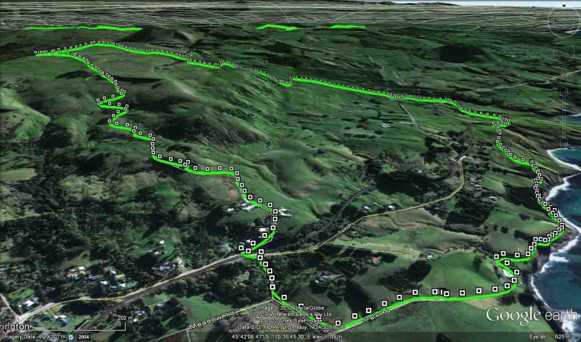
A not very clear map of the tramp, I'm afraid, and reversed left to right. (Experimenting here with my Nike app and computer camera.) The route starts at the homestead at the top of the pic. A distance of 11 km return.
On a drizzly day, 8 hardy hopefuls elected to do the tramp, under the leadership of reluctant leader Lex, who, like most of the rest of the club would have preferred a warm dry stay at home, but eventually confessed he had enjoyed the day.