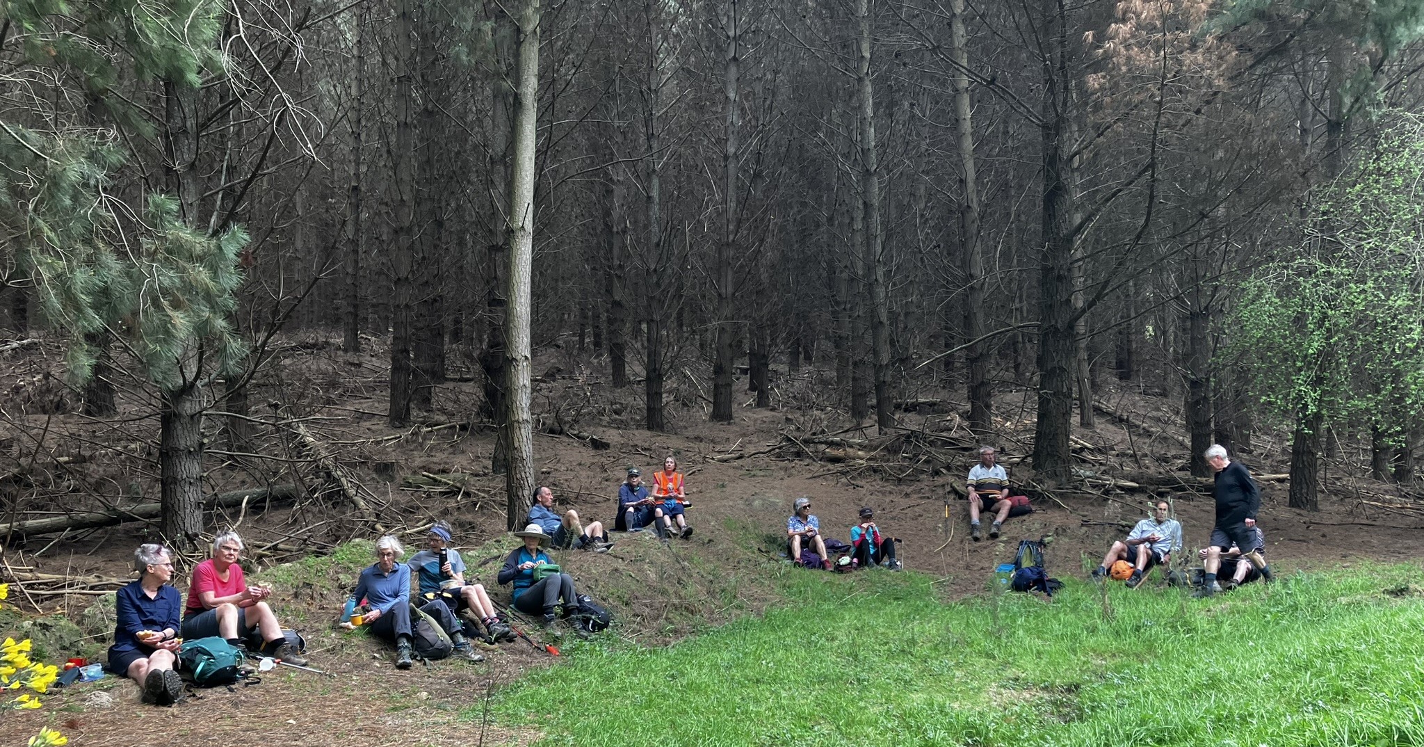
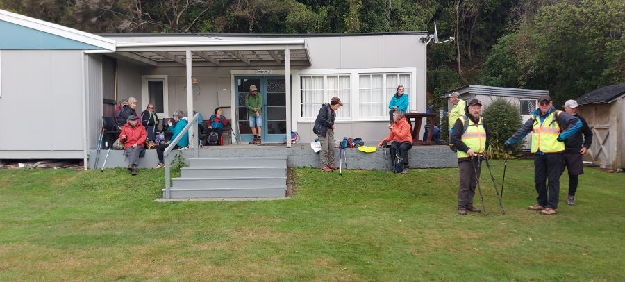
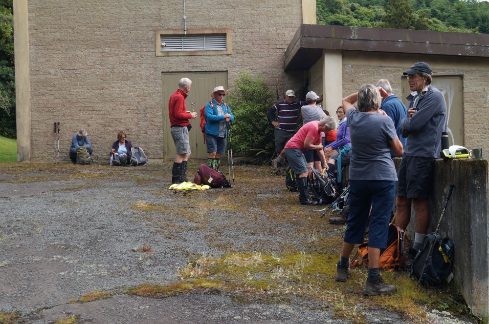
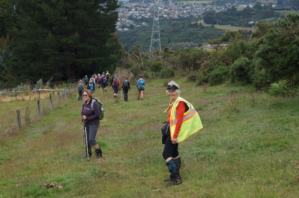
9. 17/10/2018. Trampers. Steve Amies – Craig Lowan Falls. M. Dave.
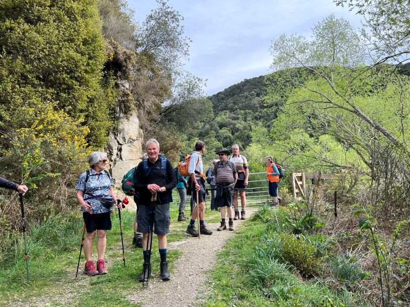
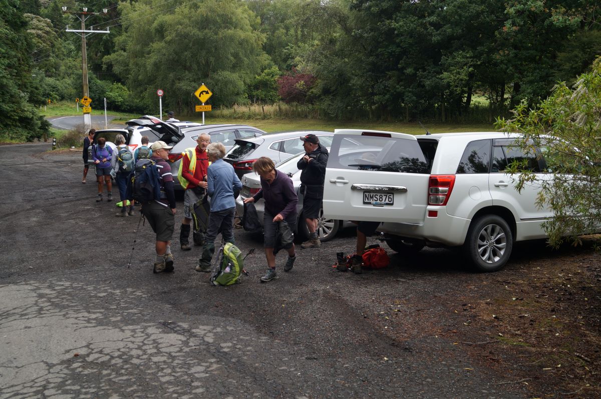
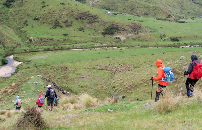
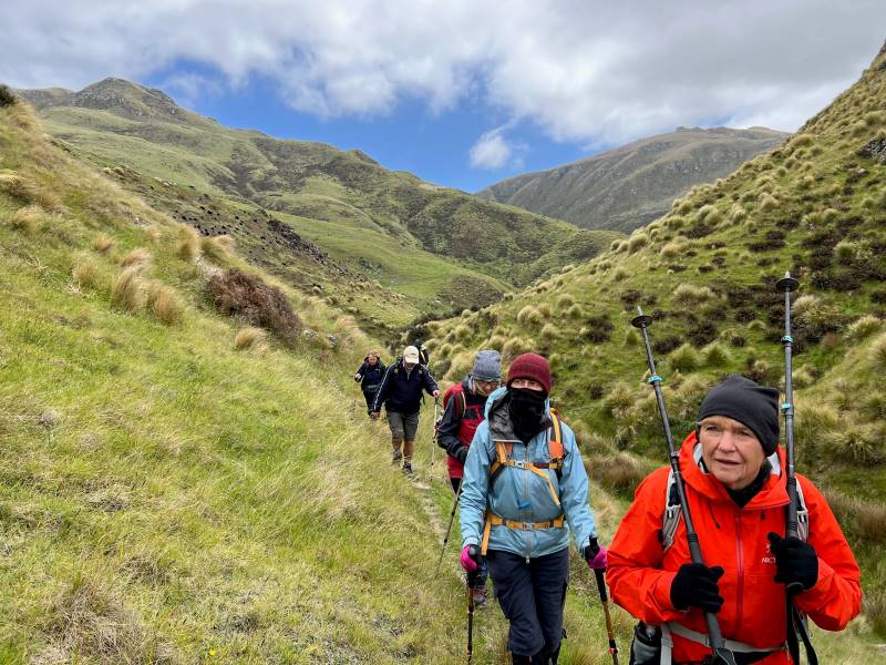
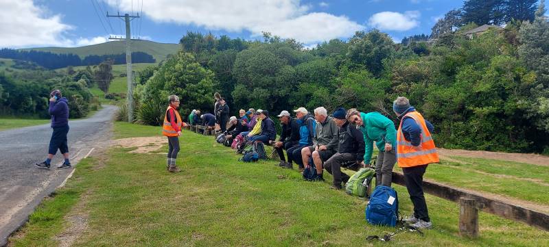
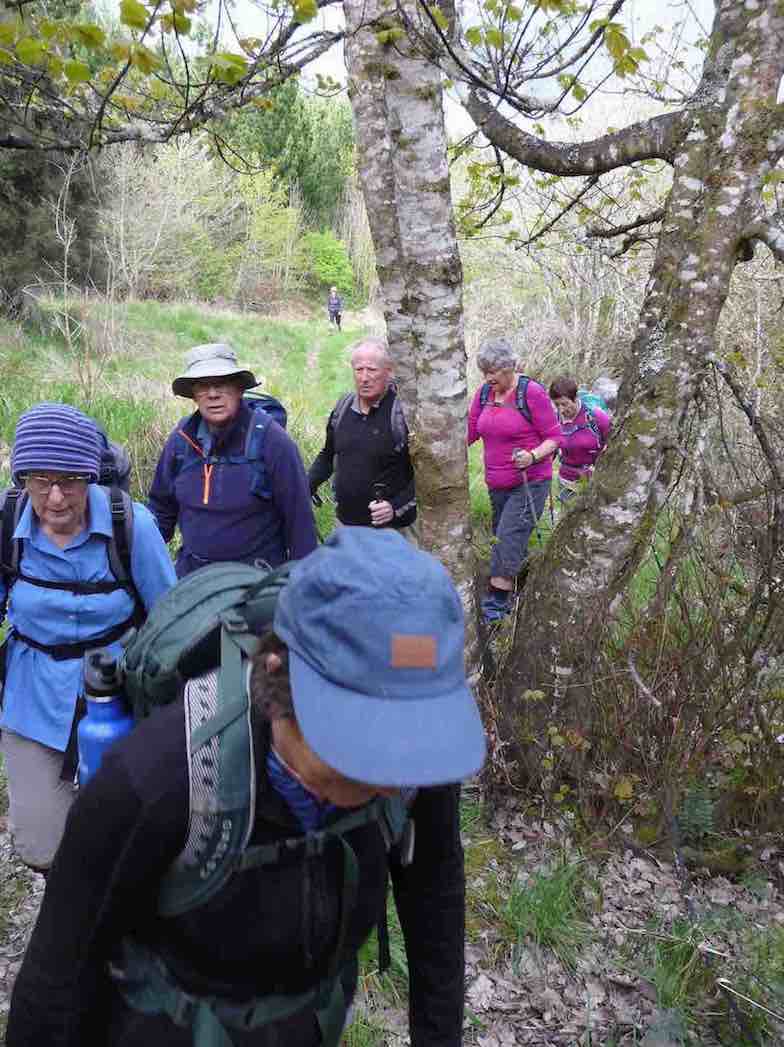
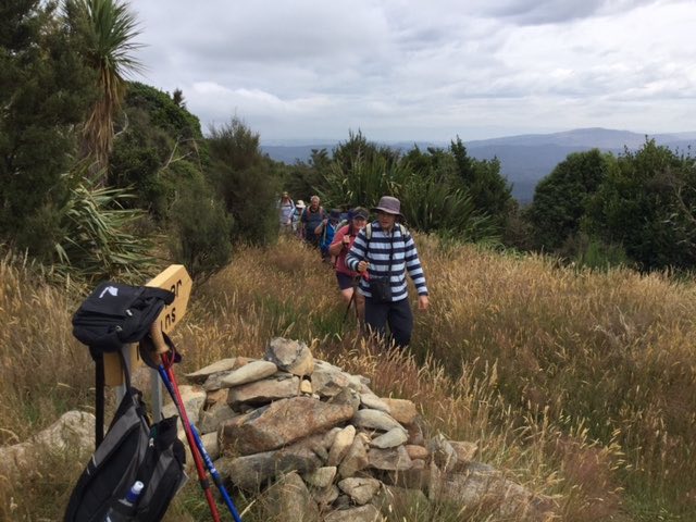
13 keen trampers left their cars not far from the Whare flat school house and started on the Tunnel track.
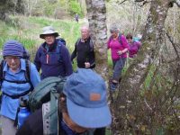
Starting out on Tunnel track. (Gordon pic and caption.)
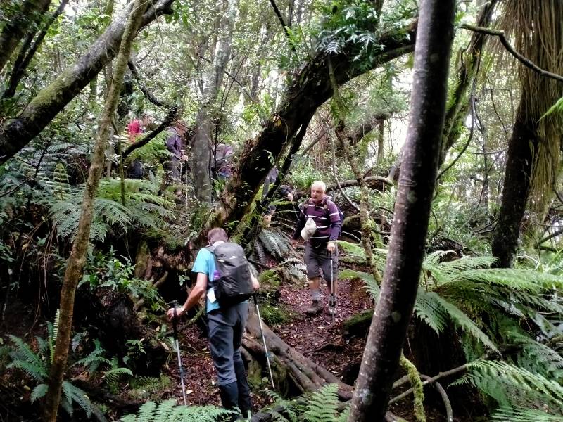
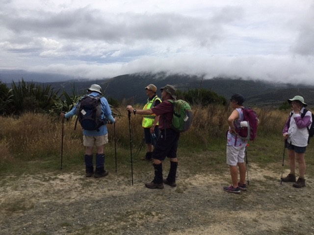
This track was fairly flat and one couldn’t help but marvel at the amount of work done by the early water race workers. After reaching McRaes Weir we turned up a somewhat steep track
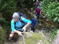
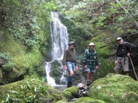
Heading up to Steve Amies track. (Gordon pic and caption.)
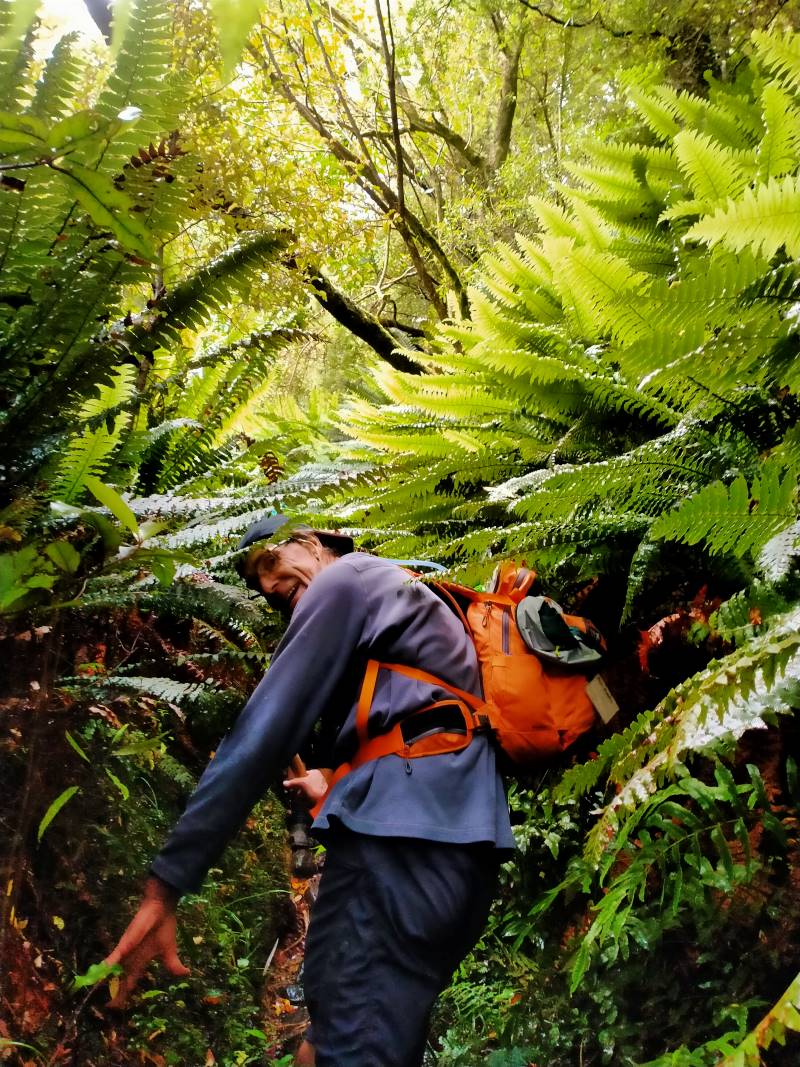
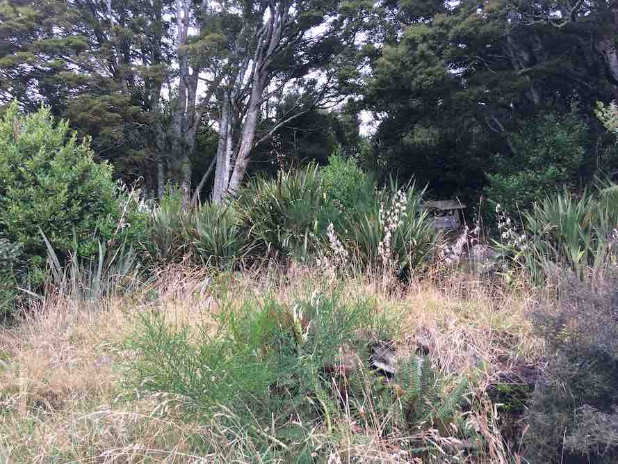
to reach the Steve Amies ridge. The climb along the ridge was very pleasant, with manukas/kanukas dominant, with lush green undergrowth.
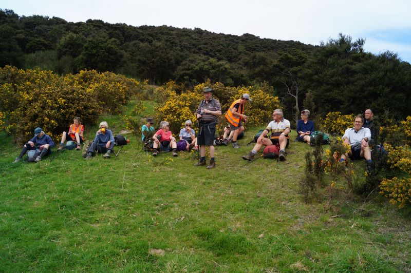
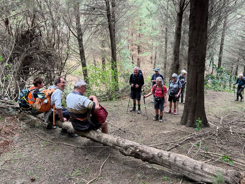
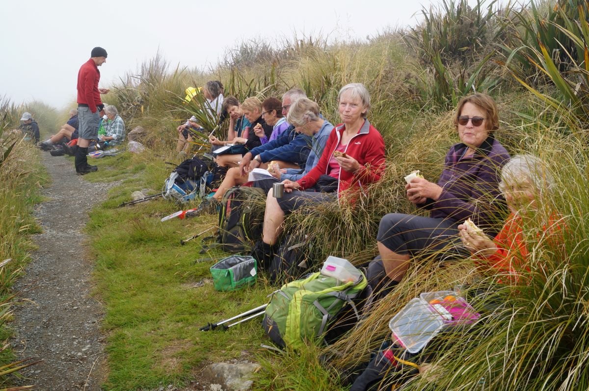
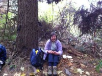
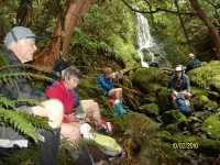
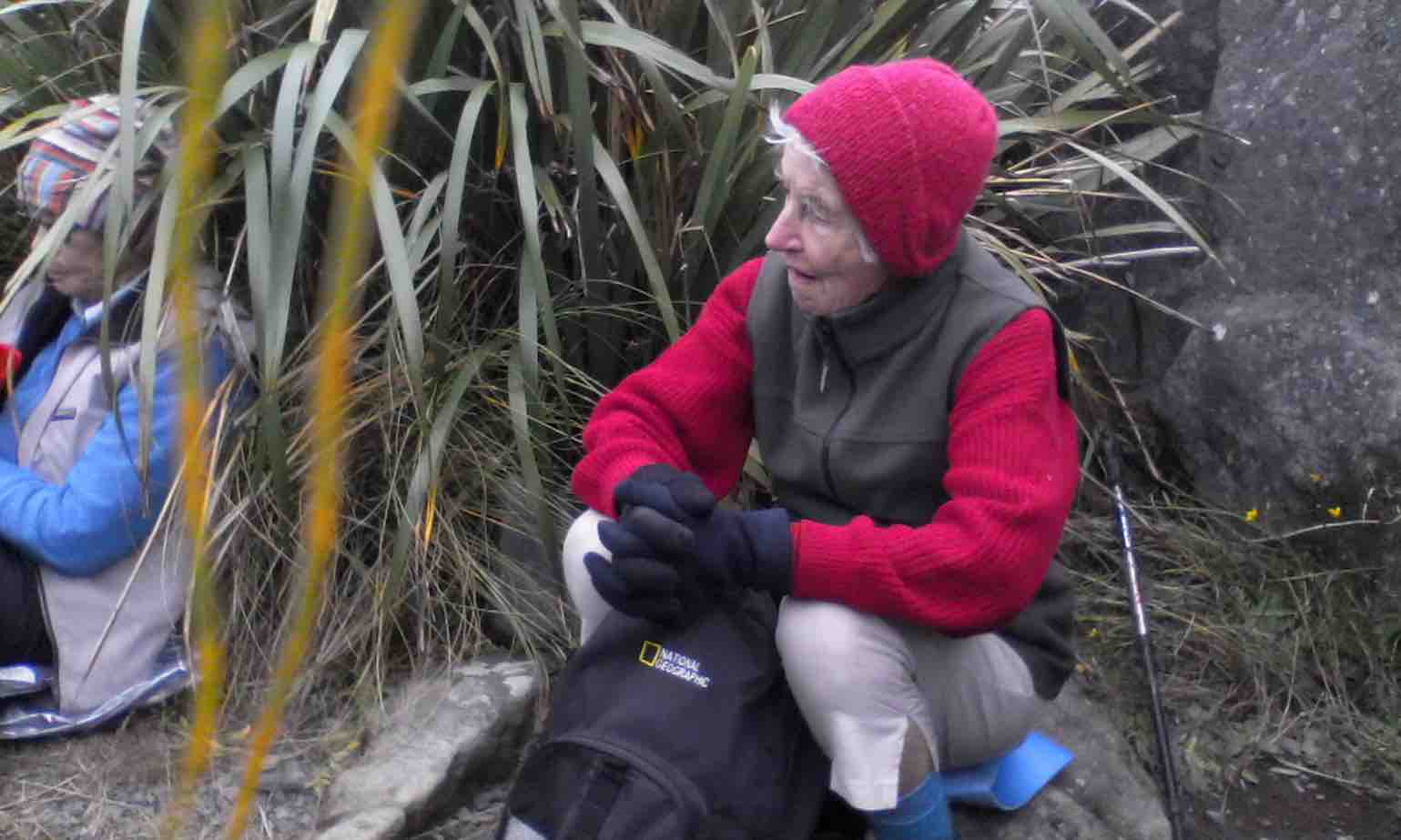
We stopped at the memorial Bryan Freeman seat – he used to be a good friend of Eleanor and her late husband.
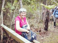
The Bryan Freeman memorial seat- a good place for a break. (Dave pic and caption.)
Near the top of the track it was obvious the amount of tree planting and track maintenance that Steve Amies and his mates did many years ago.
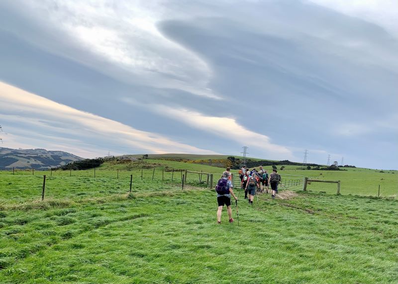
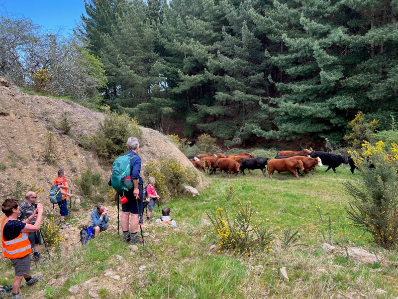
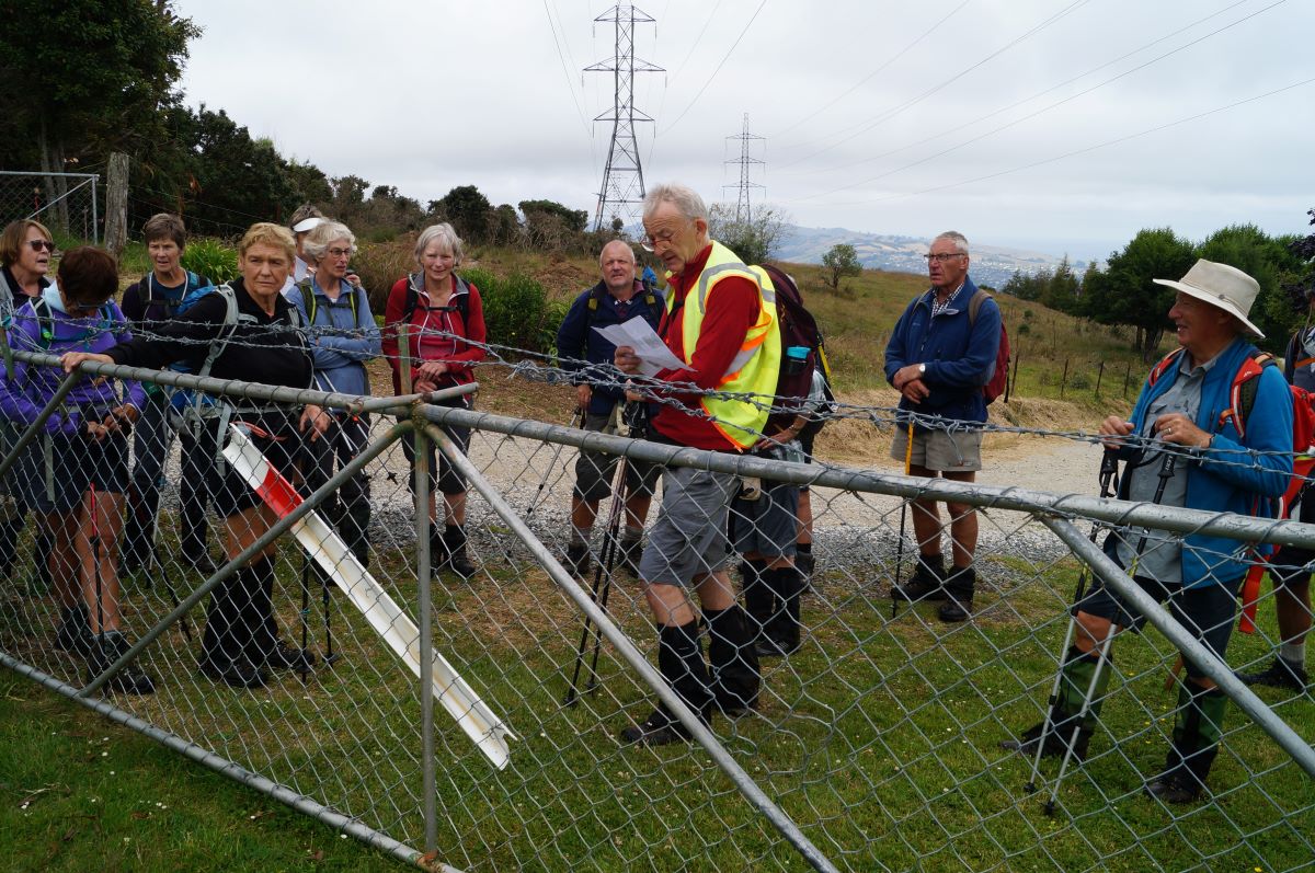
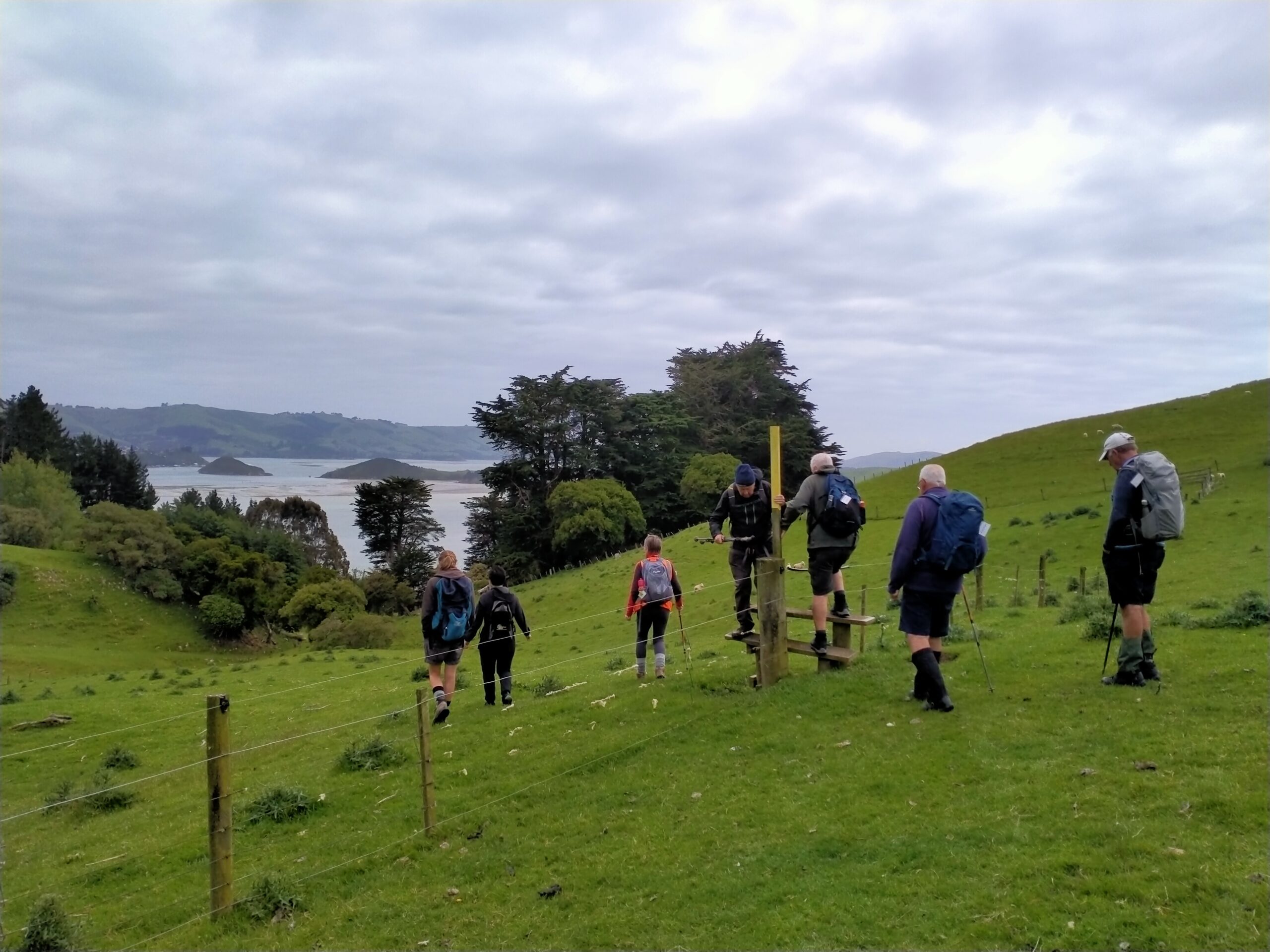
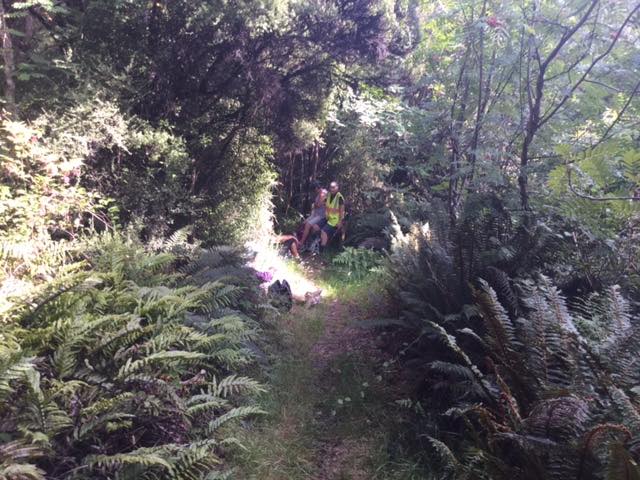
We then walked down Rollinsons Road and entered the bush that leads to the Whare lake loop track. It was in this area that a vote of thanks was passed to Arthur and Neil for the obvious work on track maintenance that they continually do (you no longer get your boots wet)!!!
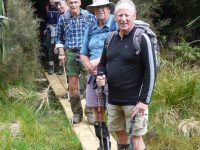
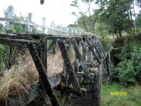
Neil & Arthur’s Bridge. (Gordon pic and caption.)
After having lunch on Smithys’ track it was then down through the bush and back onto Rollinsons road. Round the corner and off the flagstaff – whare flat road we followed an un-named track
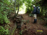
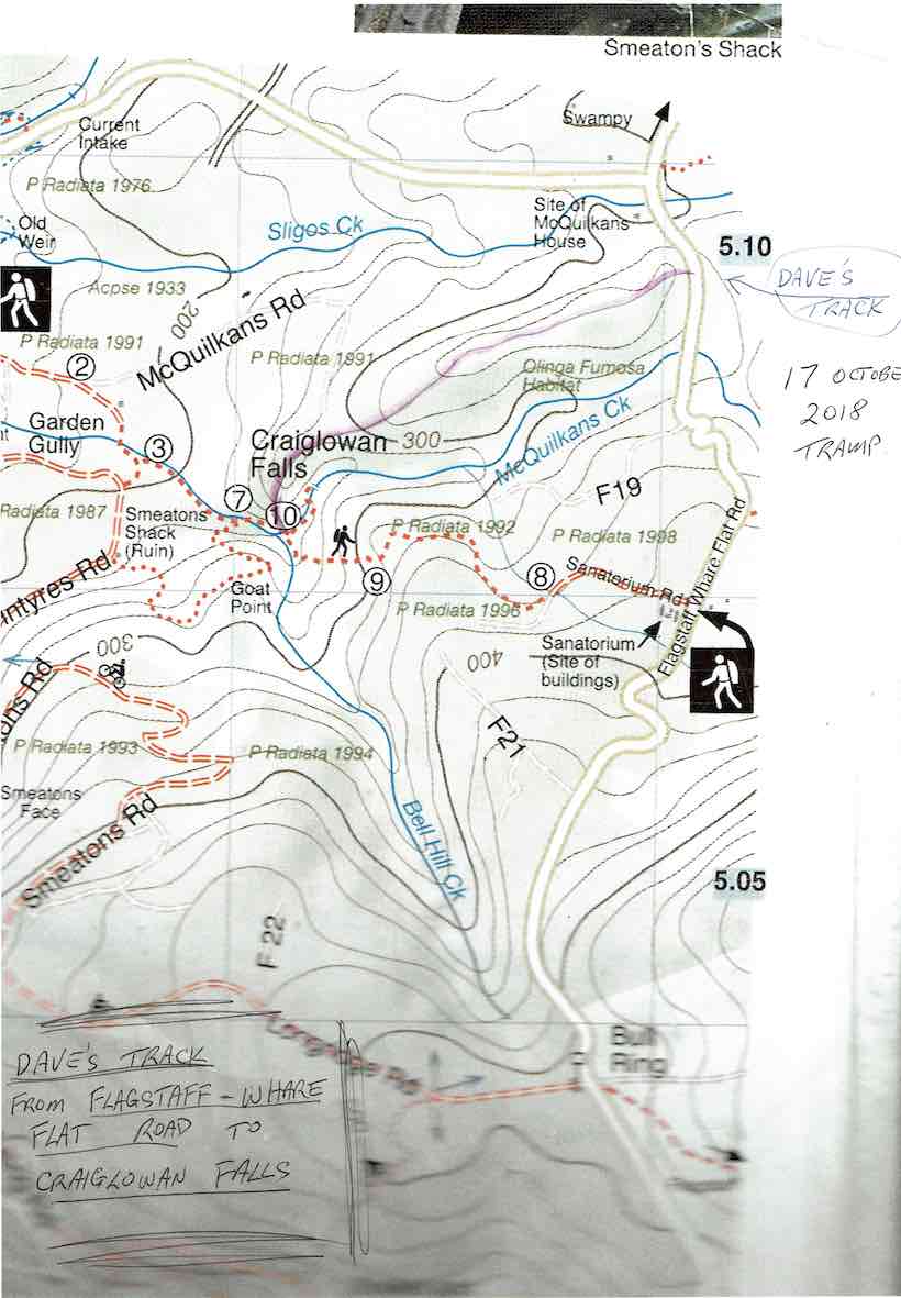
Dave’s Track to Craiglowan Falls.
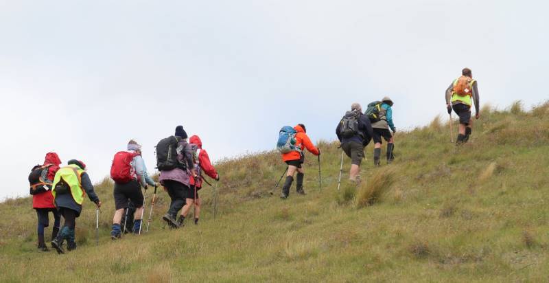
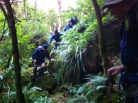
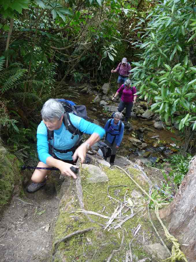
through scrub up to a pine plantation on a ridge. On the sides of the ridge were sycamore trees – a pest – but a pretty sight as the trees were coming into leaf. This improved track lead along the ridge finally ending high above McQuilkan’s creek. Everyone took care descending steeply down to the creek.
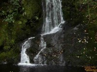
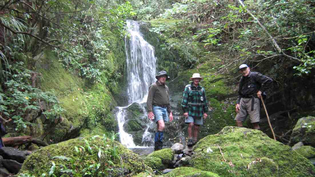
5 minutes up the creek we were at the Craig – Lowen falls – quite a sight!
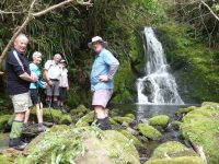
Craig Lowen Falls. (Gordon pic and caption.)
Another half an hour down the streamwe were out in the open and back to the cars.
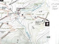
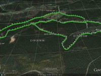
We covered 21,319 steps, 15.9km in 5.5hrs and gained a net height of 349 metres.
A good round trip! Dave
8. 24/9/2014. Trampers. Craiglowan Falls. M.
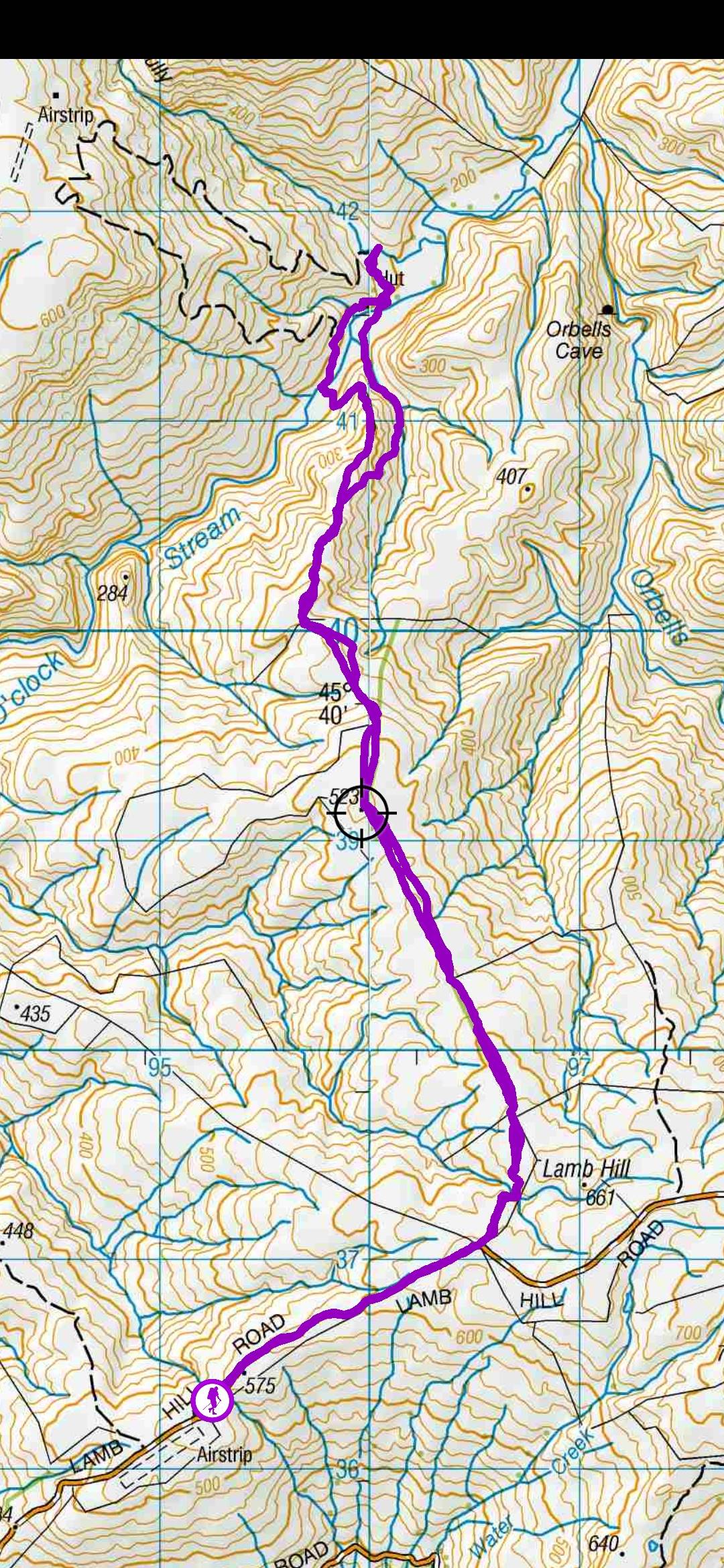
Enter via MacQuilkin Road up from Whare Flat Schoolhouse.
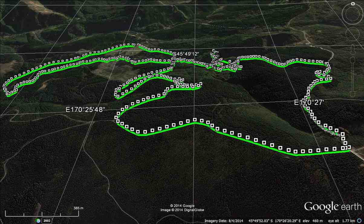
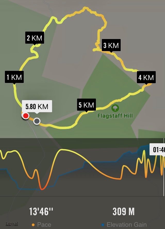
GPS of route, courtesy Ken. Craiglowan-Bullring-Aquaduct. We walked 15km; ave 4.3km/h; moving time 3 h 30m; climbed 531m.
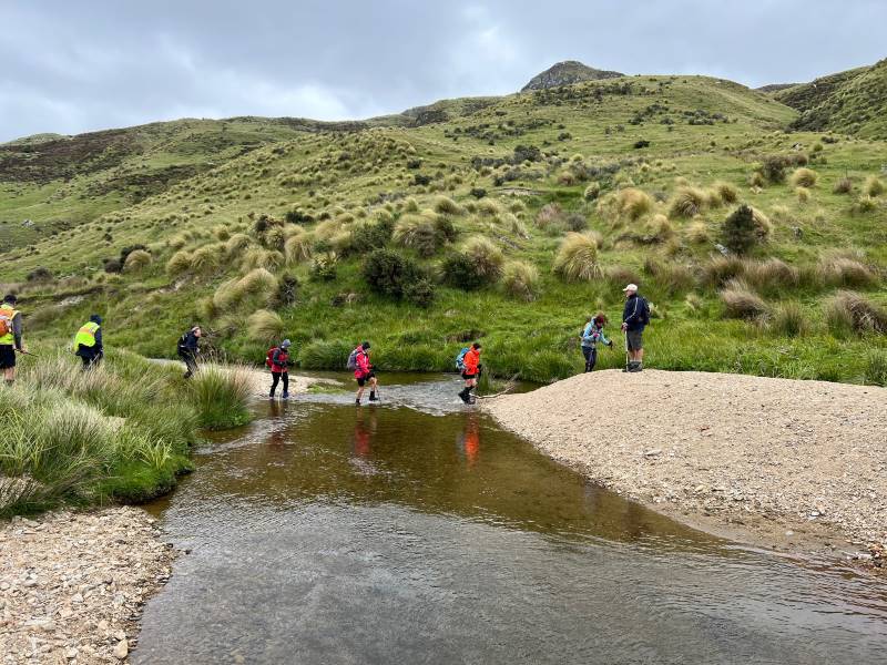
This week’s tramp was to Craiglowan Falls. We started off at the locked gate on McQuilkans Rd & followed the marked track across numerous creek crossings [where one member got her feet wet at the first crossing] & up over the large rocks just before reaching the falls. We had morning tea break in the bush above the falls, & then retraced our steps for a short distance back to where a side track led off up the LH side of the stream. (Ed note: This was our original, and only, route down to the falls.) We were not sure where this went, but decided to investigate it anyway, as it looked like it had just had some work done on it. I climbed steeply up until we came to some pine forest, & at this stage I was quite sure that it would come out on the Whare Flat-Flagstaff Rd via Sanitarium Rd, which proved to be correct.
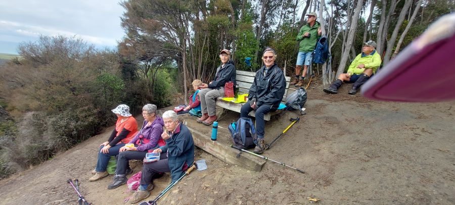
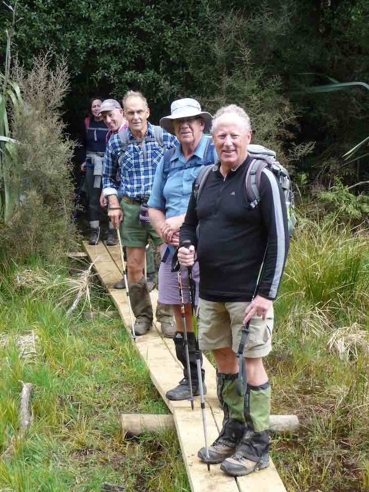
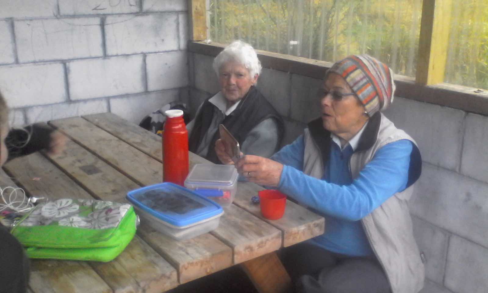
At this time it was only about 11:30, so we decided to walk up to the Bull Ring, & go down Longridge Rd to join up with Smeatons Rd,[where stopped for lunch] …
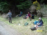
Lunch on Smeatons Rd – Ken pic and caption.
… – McIntyres Rd, [so we could view the remains of Smeatons shack] then down to the Aquaduct. This proved to be more difficult then would seem, as there were a lot of big trees down over the track in places, which made it necessary to detour around them. From the Aquaduct, we walked around to join up with McIntyres Rd. again, & then crossing straight over here onto the next part of the track leading to Longridge Rd. then back to the car.
Some of the tracks were quite muddy & slippery, but all made it safely back, & enjoyed the day. it was new territory for some in the group, & for others it had been a long time since they were there.
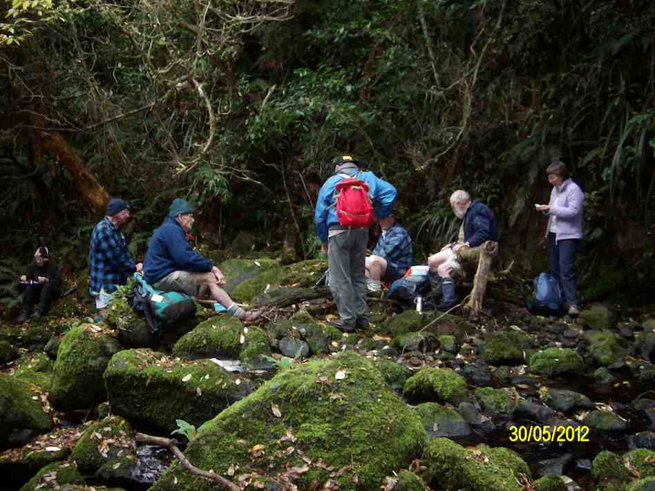
7. 30/5/2012. Trampers. Falls, Goat Point, Smeatons Shack, Aqueduct, Longridge Road.
We reached the Falls OK, but stream crossing on wet rocks and climbing over mossy rocks proved rather dicey. (Note: This tramp best done in summer.)
Craiglowan Falls. (Ken pic and caption)

Morning Tea at Craiglowan Falls (Ken pic and caption)
A cautious descent on way back down over large mossy rocks.
Well, to this point, so far, so good. Back at the stream crossing down below the confluence, we failed to locate the track up to Goat Point, despite knowing its general area. So we climbed in faith and hope. Finally we came across track markers, leading left and right. After exploring left, we went right, until they led relentlessly down. So we retraced back up because Ian had it fixed in his mind that we had to go up to reach the pine plantation. Mistake one.
Encouragingly however, Ken found a track indication on his GPS, and it did promise to reach a forest road. So we kept to this, despite no track appearing, only plenty of scratchy blackberry brambles. But we did reach the road, finally.
This we walked down until we reached a junction, with signs indicating that we were on Smeatons Road, crossed by McIntyre road. Hooray. McIntyre was what we had originally wanted. Ian felt we still had to go down so we turned left and down McIntyre road. Mistake two. We should have taken McIntyre road to the right. More of that later.
Anyway we made the long walk down McIntyre Road, left, to where the race crosses it, and turned right, along the race to lunch, as planned, at the Aqueduct.
Linzi at lunch.
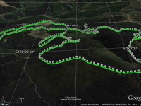
Now, have a look at Ken’s GPS of our route. Click to enlarge. Start at the top, and follow to the right to reach Craiglowan Falls at the extreme right.
GPS of route, courtesy Ken.
Start returning to the left a bit. The zigzag you see is where we starting climbing away from the stream. A further zigzag a little further along is where we started following the track markers. The little tail to the left there, is where we turned back, before going back up again. CRITICAL MISTAKE. Notice, however, the short gap beyond to a tail coming up from below. This is the gap we should have traversed.
Now turn to page 8.07 of Antony Hamel’s Tracks and Trails, and find on the map of Flagstaff Forest at the top right, the circled number “seven”. See how it ascends first before turning right along a contour, below Goat Point and then DOWN to meet McIntyre road at its other end next to Smeatons Shack.
That tail from below is where Ken and Ian climbed up at lunch time to check where we should have come down. And lo and behold, we found not only Smeatons Shack but also the marked track next to it where we should have exited from. An aha moment. And it all became clear, as the GPS map confirms.
Ken and I returned back down the end of McIntyre Road to find the others had left, leaving Doug waiting for us. Of course we should have consulted with everyone to get mutual agreement with what we proposed to do and to arrange a meeting place should the others proposed not to wait. But in our excitement at solving the mystery, we had neglected to do so.
Anyway, going on out to the bottom of McIntyre Road at its other end, we didn’t know whether the others had simply turned down there and back along Long Ridge Road to the cars, or carried on along the race. In the absence of any indication, we set off along the race, as that had been the original intention of the tramp. We were relieved to catch up on them enough to see them further beyond us, but stopping to don parkas as the drizzling rain got heavier, lost sight of them again.
Emerging from the race end further up Long Ridge Road, we saw them again rounding a corner further down and caught up on them at the gate at the end. So all was well that ended well.
Quite an adventure and some interesting unplanned bush-bashing. A lesson in how bush conditions can change over two years and a reminder that our smaller numbers means that all our tramps now amount to a recce, – unlike the hikers, whose “reconnoiterers” go through our experience and sort things out first. – Ian
6. 10/2/2010. Trampers. Falls, Goat Point, Smeaton Shack, Aquaduct, Longridge Road. Leaders: Ian, Sabina.
Down Whare Flat Road 1.5 km. Sanatorium Road second on left after Bullring. – Track no longer locatable from top by us.
It all got a bit complicated. First the leaders failed to find the track down from the Sanatorium Road extension track. Many, many fallen trees had obliterated all trace of the track where it first descends steeply down. Well, the leaders couldn’t find it anyway.
However the start of a new track closer in from the gate had been pointed out by a local landowner so that was followed on the day.
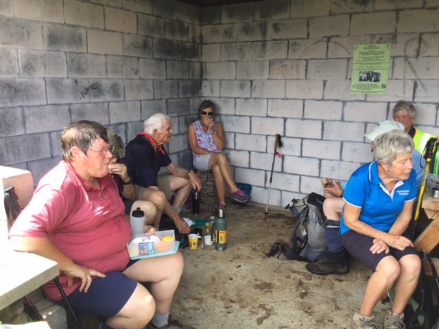
It was fairly well cleared but markers petered out down the middle of a steep bouldery stream (the McQuilkin way upstream from the falls?) so after a morning tea rest, we prudently retreated back up and began all over again, this time back at the old school-house. Up McQuilkin Road. Right-fork into bush and across the McQuilkin on a wire hand-hold. On up and eventually back across to the true right and to the stream junction. Interesting notice points to “Watar fall”. Up over the large rocks and now it was lunch-time at the falls.
Ken, Doug and George before Craiglowan Falls
Lunch at Craiglowan Falls. George, Ria, Hazel (hidden), Sabina, Ian, Doug. (Ken pic)
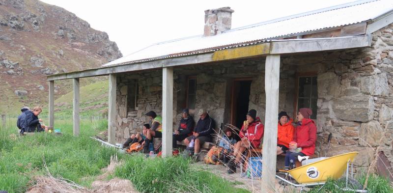
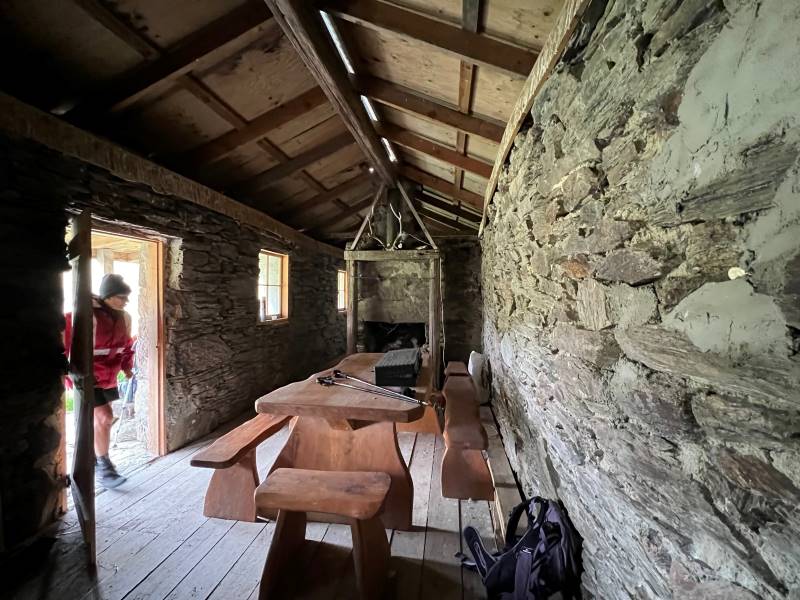
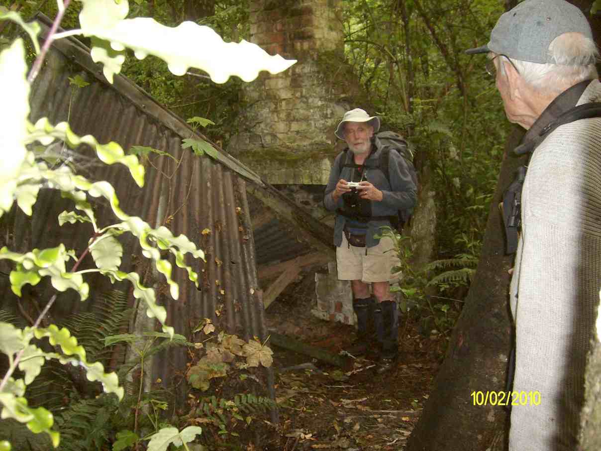
Back down and across to the true left but now up steeply to Goats Point. Across through the bush and down to Smeatons Shack on McIntyre Road.

Smeatons Shack. Ian, George. (Ken pic)
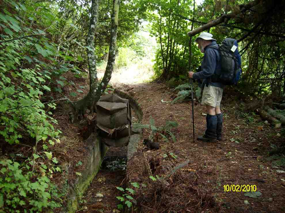
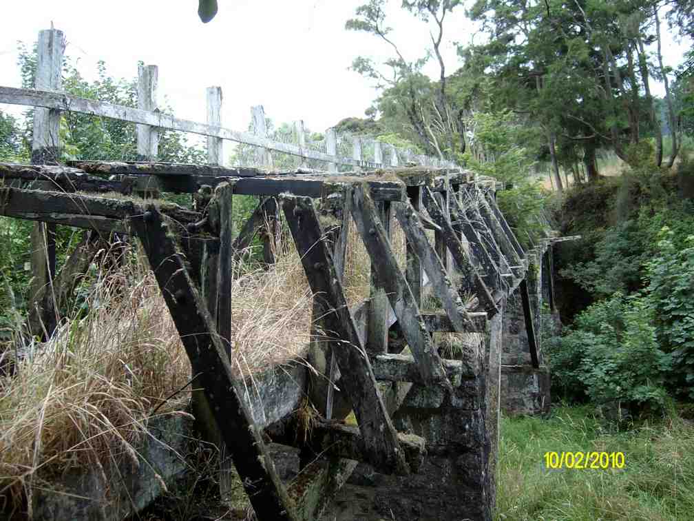
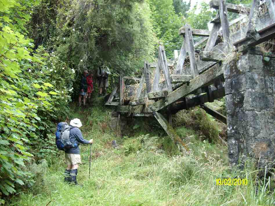
Down the road , down the track to emerge on the cleanly excavated concrete access race near the aqueduct. (Thanks, track clearers.)
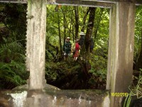
Artistic shot through race gate. Doug, Ria, Ian. (Ken pic)
Rusted up flow meter. Ian. (Ken pic)
Aqueduct top. (Ken pic)

Aqueduct. Collapse section showing. Stone pillar. Ian, Doug, Ria, George. (Ken pic)
Then following out along the race to the other end of McIntyre Road, and across it to the far end of the race where the track comes out on Longridge Road. Down the road and back to the cars. What could have been a very short day comfortably filled out to be more satisfyingly longer. Must ask those landowners how that other track gets you to the falls. And must check out whether the old track is still navigable. – Ian
5. 3/8/2005. Both. School House, Craiglowan Falls, – Whare Flat. Leaders: Judy, Jacqui, Hazel
4. 6/8/2003. Both. Craiglowan Falls. Medium. Leaders: Doug M, Hazel, Barbara L, Mary M.
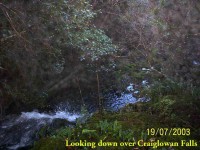
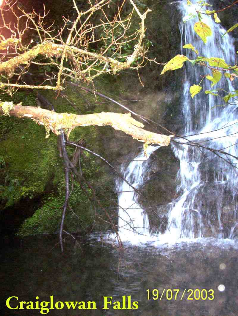
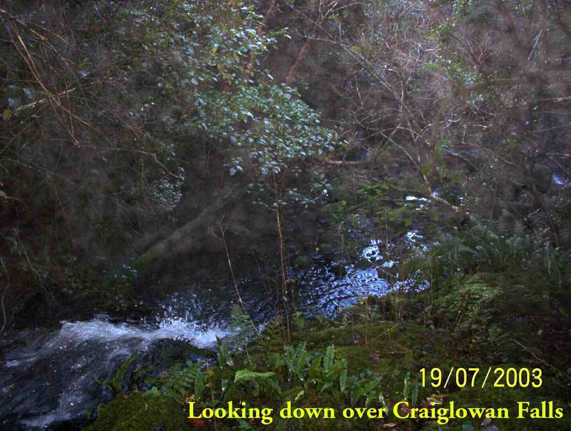
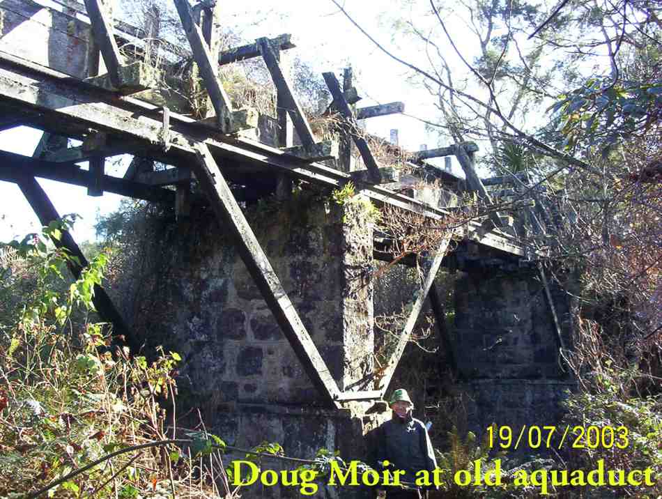
3. 19/7/2003. Craiglowan Falls.
Craiglowan Falls
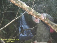
Craiglowan Falls. Ian
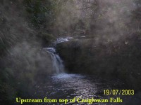
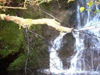
Upstream from top of Craiglowan Falls.
Overlooking top of Craiglowan Falls.
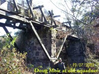
Old Aqueduct. Doug.
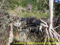
Top of old aqueduct.
2. 30/8/2000 Craiglowan Falls, Whare Flat. Leaders: Mavis, Winifred, Val
1. 16/4/1997. Craig Lowan Falls from Bull Ring. Leaders:Hugh, Val, Judy C


 32. 24/04/2024. Trampers. Frasers Road/Southern Resevoir. Grade 2.5. 16 km. Leaders: Gwenda Farqharson/Graeme Souter
 12. 10/4/2024 Mt Charles Grade 4 Leaders: Graham and Carol Thurlow
 5. 04/04/2024. Combined. Sinclair Wetlands. Grade 1.5. Leaders Ady, Linda, Dave and John.
 18. 14/2/2024. Trampers. Maungatua Option. Leaders Lyn Keene, Anne Ward and Di Bezett
 After welcoming a new hiker, Peter Dodds, twenty-four hikers left Livingstonia Park, about 9.30 am, heading to the left (east) to the sand dune track that led out to the road by the bridge and then headed up Sawmill Road to have morning tea beside the implement shed on Alan Gorton’s farm.
 13. 06/12/2023. Hikers. Sutton Salt Lake – Glencreag Track. Grade 2.5. $16. 60km. Leaders: Wendy Langley/Katrina McKenzie
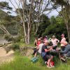 18. 22/11/2023.Hikers. Millennium Track from Henley Ferry Bridge. Grade 3. 27km. Leaders: Ady Whitson/Bruce Wright.