Dec 11 2022

Macandrew Bay, Company Bay, McTaggart St, Camp Rd, Pukehiki, Greenacres St

Published by under Lambing Sep-Nov,Trampers

Distance from car-park: 24 Km.

MacTaggart St track closed for lambing September and October.

5. 7/12/2022. Hikers. Macandrew Bay.  Grade 2 Leaders: Jill D. and Linda

Twenty eager hikers departed Macandrew Bay car park on a cool grey morning. We walked along the harbourside walkway as far as McTaggart Street where we stopped  at the Company Bay reserve for morning tea. Unfortunately, the native plant nursery was closed for the day so we were unable to do the planned visit.  However, Jill was able to provide us with some information on the work that was carried out there to provide native plants for planting out on the peninsula.

Jill giving a speech at morning tea. Caption and photo Helen

Jill giving a speech at morning tea. Caption and photo Helen

Onwards and upwards we made our way up the road and on to the track, climbing over some stiles, walking across farmland and up the hill towards Camp Rd.

IMG20221207104711

How many stiles? Caption and photo Phil

We stopped several times to catch our breath and to admire the wonderful views of the peninsula. After the steady climb we reached our lunch stop on Camp Rd near Larnach Castle.

We did as the farmer instructed. Left the sheep to close the gate. Caption and photo Mike

We did as the farmer instructed. Left the sheep to close the gate. Caption and photo Mike

We then continued our walk along to Pukehiki where we visited the lovely little community church, with its loo with a view!

Pukehiki Church is the background for our group photo. Caption and photo Helen

Pukehiki Church is the background for our group photo. Caption and photo Helen

From here we walked along Highcliff Rd to Greenacres track and proceeded downhill to Macandrew Bay.

Screenshot Margeet

Screenshot Margreet

Some opted for an ice cream while others enjoyed refreshments at the Duck Cafe, while taking in the view of the lovely Macandrew Bay Beach on a nearly sunny afternoon.  Jill and Linda

Phil at Jamestown in the Hollyford, in 2003, telling the grandiose stories of James Macandrew Caption and photo Phil

Phil at Jamestown in the Hollyford, in 2003, telling the grandiose stories of James Macandrew Caption and photo Phil

standing alongside James Macandrew's grave and memorial Caption and photo Phil

Standing alongside James Macandrew’s grave and memorial Caption and photo Phil

Continue Reading »

No responses yet

Oct 26 2022

Brighton Walks

Published by under Beach,Both Hikers & Trampers

15 km from car-park.


10. 26 October 2022. Hikers. Brighton. Grade 1.5. Leaders: Liz Griffin & Faye Lamb

On a very pleasant and warm Brighton morning 22 hikers set off towards McIntosh Road led by Faye (with an E).

Talking about wetland planting

The wet land area planting and a talk about it. (Photo and caption Helen)

We visited Star Fish Gallery for morning tea and a friendly inspection of premises hosted by owner.

People at Starfish Gallery

Morning tea at Starfish Gallery. (photo and caption Helen)

From here we headed back down the hill to explore different parts of Brighton and Ocean View led by Alex as Liz was off the scene with slight injury caused earlier in the week. With such a pleasant day it was good to enjoy sea views and other interesting sites before a stop for lunch at Ocean View.

Brighton beach

Sea view (photo and caption Helen)

Up the Bennett Road to inspect the Mosaic Wall …

Mosaic wall with images of sea creatures

The mosaic wall. Beautiful. (photo and caption Helen)

… which leads us down the steep track back to Brighton and local Coffee shop for more relaxation and welcome visit by Bev Harvey and Dot Bennett.
Alex And Faye.


Continue Reading »

No responses yet

Sep 15 2022

Street Walk: Town Belt areas.

Published by under Hikers

10. 14/09/2022. Hikers. Street walks of Dunedin – from the Oval. Leaders Jenni and Bruce

Memorials, buildings and landmarks that we drive past regularly were revisited when 24 hikers ventured out on a clear but cold Wednesday. Wearing many layers of clothing, we set off from the Oval, which as one clever quiz team recalled, covers 22.9 acres.

14 Sep Oval Setting off from the Oval Jenni

Oval Setting off from the Oval (Photo & caption Jenni)

14 Sep Oval Perfect detailing, Boer War memorial, pic Helen

Perfect detailing, Boer War memorial (Photo & caption Helen)

Henry Ely Shacklock, Prince of Wales Hotel, Carnarvon Station, Bell Pepper Blues, the Empire Hotel – the home of the Dunedin Sound, all conjured up memories of time passed.

Further along Princes Street, we admired the beautiful refurbishment of Wains Hotel, now a 5 star boutique hotel and its across the road neighbour, Distinction Hotel, formerly the 1937 Chief Post Office. This building housed a huge number of public servants over the years.

14 Sep Oval Pristine Wains Hotel , Helen

Pristine Wains Hotel (Photo & caption Helen)

Morning tea was taken in the sunshine on the Dunedin Cenotaph.

14 Sep Oval Morning tea Helen

Morning tea (Photo & caption Helen)

There was much to observe and discuss in the Exchange. The Cargill Monument, originally erected in the Octagon, but shifted to the Exchange in 1872. A mammoth effort, considering the detail.

14 Sep Oval What a task relocating this in 1872 Helen

What a task relocating this in 1872 (Photo & caption Helen)

It was interesting to visit Queen Elizabeth II’s, great-great-grandmother, Queen Victoria, who reigned for 63 years and seven months. What an amazing length of service from our two stoic royals.

Rattray Street, today a crumbling collection of buildings, has huge memories for many of the team ….. Hong Kong Café, Sunset Strip, Dragon Café, Tai Ping Restaurant, the Rolling Stones party place, Calder Mackay and the Crown Hotel to name a few. Along Manse Street, up Stafford Street. Ross and Glendining Ltd, Kempthorne Prosser, Sew Hoys and the St Mathew’s Anglican Church. The architect for the church was William Mason, MP and Dunedin’s first mayor and yes related to Mason and Wales of today.

14 Sep Oval St Mathew's Church Helen

St Mathew’s Church (Photo & caption Helen)

14 Sep Oval Admirable skills here Helen

Admirable skills here (Photo & caption Helen)

Next came the stories from the Rugby Hotel, topless waitresses (from one who knows) and the Bell tea building.

14 Sep Oval NZ's oldest tea producing company Helen

NZ’s oldest tea producing company (Photo & caption Helen)

The Market Reserve was our next destination, and there’s miles of history around what was formerly a tidal inlet, the original shore of Otago Harbour. The Victorian style men’s toilets were discussed, ladies were no where to be found. The Crown Roller Mills building has now been beautifully restored and houses 12 luxury apartments and a restaurant.

14 Sep The Crown Roller Mills Building Helen

The Crown Roller Mills Building (Photo & caption Helen)

We admired the house Johnny Jones lived in (39 Melville Street) which is still in great shape and then popped our heads into The Dunedin Club which was built for him. Royalty have stayed there. This is used today as a hub for business people, weddings, conferences etc. It also has eight luxurious suites for accommodation. As an aside did you know that Jones donated the land for the building of St Paul’s Church in the Octagon?

14 Sep Oval The grand hall, photo courtesy of The Dunedin Club

The grand hall, photo courtesy of The Dunedin Club

We zigzagged up the 98 steps (one of the quiz questions), to Maitland Street and some viewed the Bottled Sunshine sign for the Lanes lemonade factory. Some missed that! Carroll Street which was previously known as Walker Street, was the red-light district of Dunedin and associated crime. The top block of Carroll Street was known as the Devil’s half acre. The arrival of the Lebanese community helped improve the area, but the reputation was renowned. Now, we’re informed the red-light district is all around us, with online ordering and home deliveries!

14 Sep Oval Up Maitland St, looking back occasionally for great views John

Up Maitland St, looking back occasionally for great views (Photo & caption John)

The team made good progress up the steep Maitland Street and arrived at our lunch stop at Unity Park. The wind chill factor caused us to depart sooner than we would have liked. We were happy to know the Trampers had reached the top of Mt Cargill for their lunch stop but they couldn’t see us waving!

The only other site worth mentioning was from Walter Street and overlooking where Carisbrook once was and pondering what might be in store for the Forbury Trotting site.

Back through the Southern Cemetery, a rather sad place with many delipidated plots.

At the Oval, we popped into the Kensington for a short quiz on the day’s findings. One of the team’s names was “Time for Ovalteam” – clever! The team though who won the quiz was “Outram Plus 1” and received boxes of Smarties, which seemed appropriate. Drinks and homemade nibbles were enjoyed, service was a bit slow.

Walk was around 9 km.

We would like to thank everyone for their keen participation for an enjoyable day out.
Bruce and Jenni.

Note: Toilets on this walk are few and far between. If you want the Oval toilets open, you need to organise this with the DCC – www.dunedin.govt.nz/do-it-online/book/facility-bookings or phone 477 4000. The ones in the Exchange area where the ACC building is being erected, are no longer available.


9. 16/02/2022. Hikers. Town Belt Circuit. M. Leaders Linda Partridge and Diane Paterson

Thirteen keen hikers met at Woodhaugh Gardens for morning tea before setting off on a circuit of the northern/central part of the town belt.

16 Feb Woodhaugh Gardens morning tea Ady resize

Morning tea at Woodhaugh Gardens (photo & caption Ady)

We began by taking the zigzag path and steps up from Duke Street. When we reached Queen and Warrender streets, after our first ascent, we viewed the university in the distance and saw up close where many of the students lived in their hillside flats. We met some students from Auckland moving into their new abode and friendly banter ensued between the students and the sprightly TRTC hikers. We also marvelled at the parking arrangements in these narrow steep streets.

16 Feb More steps Diane resize

More steps! (photo & caption Diane)

We continued on to Cosy Dell and took time to view the tennis courts and the array of historic homes, many now flats that are located in a small area.

16 Feb Street walkers Raewyn

Great views of the city along the way (photo & caption Raewyn)

16 Feb Betty on scooter Linda resize

Betty keen for something different! (photo & caption Linda)

16 Feb Freddy Mercury Raewyn

‘Queen’ Freddie Mercury on Queen Street (photo & caption Raewyn)

More steps (and groans) and we made our way along Park Street to Heriot Row, London Street and then around by Moana Pool to our lunch spot at Olveston.

Unfortunately we felt we were a little early for lunch so low and behold another set of steps were located and we climbed up to Wallace Street and then found a pleasant route back down to Olveston for a well-earned lunch.

16 Feb Olveston lunch Ady resize

Lunch at Olveston (photo & caption Ady)

After lunch and a brief look at the lovely Olveston gardens our route back took us along streets and tracks through the town belt until we regrouped at Stonelaw Terrace. Given we were making good time we did a detour down Cannington Road and Braeview Crescent before descending on the historic Bullock Track to our cars at Woodhaugh Gardens.

16 Feb Looking to NE Valley Ady resize

View of the Leith Valley (photo & caption Ady)

It was a great day with lots of interest including history, panoramic views, friendly students, the very special Green Belt and a few laughs along the way. The circuit we took was around 9kms.

Afternoon tea was enjoyed at the café in the Botanic Gardens.

Linda and Diane


8. 11/9/2019. Hikers. Town Belt- walk, bus trip. Leaders: Pam and Jenny.

B.1. Morning tea at Dunedin City Petanque. No shorrage of seating, perfectly sheltered from any breezec

B.1. Morning tea at Dunedin City Petanque. No shorrage of seating, perfectly sheltered from any breeze. (Barbara pic and caption.)

B.3. Playtime for a youngster! c

Playtime for a youngster! (Barbara pic and caption.)

B.4.Lunch time at Olvestonc

Lunch time at Olveston. (Barbara pic and caption.)

B.64. Lesson on tackling step before teacher heads actoss the ditch!c

Lesson on tackling step before teacher heads actoss the ditch! (Barbara pic and caption.)

Continue Reading »

No responses yet

Aug 07 2022

Aramoana

Published by under Hikers

Aramoana: Pathway of the Sea.
The Spit, known as Shelley Beach.
The Mole: The mole has deprived the Spit of its natural supply of sand.
In 1992 a short board walkway was constructed at this point to try and stop further erosion. Managed by Port of Otago.
Spit Beach. Known as Big Beach. Rock to explore. Great sand slope, towering volcanic cliffs.
Key Rock.
Salt marsh flats. Path. Conservation area. Managed by DOC.

41 km from car park.

17. 03/08/2022. Aramoana. Combined Trampers and Hikers. Grade 2. $10. Leaders Gail Williams and Heather Kirk, Max Wilson and Graeme Souter.

At last some decent weather. No rain, just clear skies and a sunny day. It was really great to see everyone again after the seemingly long enforced break with 40 keen hikers/ trampers heading off to our outing at Aramoana.
3 Aug Combined Welcome Sign

Aramoana welcoming committee (photo & caption John).

After quickish morning tea and a catch up on birthday shouts at the carpark the group was herded off to the Domain for a comfort stop before the short walk along the track / boardwalk out onto the salt flats.

3 Aug Combined Board Walk

On the Board Walk (photo & caption John)

Following a quick count to ensure we hadn’t lost anyone we returned the way we came back to the carpark then onto Shelley Beach. This takes you to the harbour entrance with Taiaroa Heads opposite.

3 Aug Combined Oldies

Two of our oldies enjoying their day out (photo & caption Helen)

The tide was favourable, so we were able to clamber over some rocks at the end of the beach to round the spit past the old pilot wharf quietly eroding away.

3 Aug Combined 40 trampers along beach

Forty trampers/hikers well spread out along the beach past The Spit (photo & caption Marijke)

We were greeted by a large bull sea lion resting in the shallows. He didn’t seem to be too concerned about us trudging past so after he posed for a few photos we left him to it and carried on back to the carpark. The plan was to head out to the end of the Mole for lunch however with the wind starting to get up a bit and time pressing on it was decided to give that a miss and instead we would have lunch. This turned out to be an inspired move as it meant we would make our deadline for afternoon tea later on. The cafe had expressly informed us they were closing on the dot at 3pm.

3 Aug Combined lunch break

Lunch on the rocks by the Mole (photo & caption Pam)

Following lunch John gave a small talk to the group on the workings of the locator beacons we carry on all tramps and hikes. I think this was very useful as it is important for everyone to be aware of what to do in the unlikely event of an emergency.

3 Aug Combined John's talk locator beacon

Gathering around for PBL refresher by John (photo & caption Jenni)

It was very tempting to push the button for a helicopter but as there were no takers for a ride, we headed off down Aramoana Beach.
Now everyone saw another sea lion on the beach making a nuisance of itself by chasing those who got a bit close. That is except for Jim.

3 Aug Combined Jim & seal

Jim took his eye off the seal. Panic. (photo & caption Ady)

It was an impressive turn of speed from Jim (he would not be out of place at the Comm. Games 50 metre dash) once the animal had him in his sight. After much hilarity and no injuries, we continued along the beach to the impressive rock formations then along a track in the sand dunes that took us back through the township to the cars.

3 Aug Combined Heart Rock

Keyhole Rock or Heart Rock as known to local’s (photo & caption Pam)

Upon returning it was generally accepted we walked a total of 8 kms and it is most pleasing to report that even we lost no one returning with our full quota of 40. It was then off to Port Chalmers for a coffee / tea / beer at a great wee cafe called the Galley.
After the trials and tribulations of the last few weeks it was a great day out with lots of laughter and of course great companionship.
Graeme

Continue Reading »

No responses yet

Feb 13 2022

Purakaunui, Mopanui, north face, ret.

Published by under Trampers

6. 09/02/2022. Trampers.  Purakanui Leaders: Chris Wither and Jill Davie

With low cloud obscuring the hilltops, sixteen trampers headed to the beautiful Purakanui Inlet and parked at the Mopanui Road picnic ground.  The intention had been to climb to the top of Mopanui to enjoy the wonderful views there, but the weather meant a change of plan was required.

After a 2km hike around the edge of the inlet the group stopped for morning tea.

inlet view Marijke resized

Diane and Heather discussing the lovely Purakanui inlet from a well placed seat along the track to the township Caption and photo Marijke

We then headed up steep Purakanui Station Road to Osborne Station.  From there, thanks to Peter remembering that mates from some decades ago used to hike from Osborne to the station to catch the train to school, the group discovered a great 1km long track below the railway line that led through the bush to the Osborne township.

Osborne township Maijke resized

Visiting Osborne township on the way. It has some very innovative building ideas. Caption and photo Marijke

From there we made our way through the pines and over the dunes to Mapoutahi for lunch.

Regroup Pine trees Pam resized

Regrouped before heading to lunch at Canoe Beach Caption and photo Pam

Mopoutahi view Pam resized

View towards Purakanui from Mapoutahi Caption and photo Pam

This was followed by the short climb to the centre of the peninsula where there were great views to be had.

Purakanui Beach John resized

Purakanui Beach stretching into the distance Caption and photo John

Canoe Beach panorama John resized

Canoe Beach Caption and photo John

We retraced our steps around the Purakanui Inlet to the cars to complete the 14.3km long tramp. Chris

Strava Pam resized

Strava thanks to Pam

Continue Reading »

No responses yet

Oct 04 2021

Botanic Garden, Logan Park, Northern Cemetery, Chingford

Published by under Hikers

25.  29 September 2021. Hikers. Otago Museum and the Fashion FWD Exhibition and a Springtime Walk. M. $5.00. Leaders: Jenny Finnerty, Noi McCunn
On Wednesday 19 hikers set off on a walk, starting at Botanical Gardens and walking to the Museum park for morning tea.
Noi 29 September Dunedin building resized

Morning tea in the Museum Reserve – photo Noi

We then went to have a wander around the Fashion Gallery Trail in the Museum after which we walked through the varsity to the St David Street zig zag.
Noi 29 September Dunedin playground resized

Walking through the varsity – photo Noi

Noi 29 September Otago University resized

Otago University Clocktower Building – photo Noi

Noi 29 September Dunedin steps resized

St David Street steps – photo Noi

Things had changed since I was a kid because Arana Hall had expanded and so now there is a locked gate at the top but lucky for us a lady swiped us in and swiped us out on the other side. Had a bit of tiki tour through studentville to Dundas Street but took a wrong track but ended up at the Cemetery.
Noi 29 September bush track resized

Bush track up the hill – photo Noi

Noi 29 September carpark resized

Bracken View – photo Noi

Alex took us to the gravesite of the 1st white baby born in Dunedin.
20210929_114819_800

Alex at the gravesite – photo Jenny

Had lunch at the Rhododendron Del and after looking around we all met up at the Croque-O-Dile for coffee.
20210929_132646_800

Magnolia tree in the Botanic Gardens – photo Jenny

Another walk done and dusted thanks hikers.
P.S. Was good to see our Brighton chums and others from town. Jenny and Noi.

Continue Reading »

No responses yet

Jun 19 2020

Woodhaugh Gardens and Leith

Published by under Hikers,Year round

19 km from car park.
10. 17/6/2020. Hikers. Woodhaugh gardens and the University area. Dawn Pool and Pam Clough.
 20 people from the Hiking Group had a very pleasant 7k walk from the yacht club car park up 260 steps to the botanical gardens, where we enjoyed a beautiful view and morning tea.
IMG_0877res
We then wound our way down through the grounds, enjoying lots of things on the way, arriving at the duck pond, where we stopped for lunch.
IMG_0878res
 An interesting walk through the University and back to the cars.
IMG_0876res
 Just as the weather changed we reached the cafe by the stadium and all enjoyed a hot drink before heading back home.
Hope the trampers enjoyed their day.
Regards
Dawn Pool

Continue Reading »

No responses yet

Mar 18 2020

Bendoran: Gap, ABC, Orbells, Fiddlers.

Published by under Uncategorized

9. 18/3/2020 Trampers. Bendoran, Mt Misery, The Gap, ABC caves. Leaders – Arthur and Eleanore
On Wednesday 18 March, 4 trampers had wood, coal, gas and food packed into 2 cars ready to travel 60 km to Bendoran for 2 nights.  Along the way we met up with the other couple in their car.  We travelled up to the old Cherry Farm site, onto McGrath road—then a very dusty trip up the gravel road to Bendoran.   On arrival, we tidied the hut, lit the coal range and had lunch.
P1010296res

Photo and Caption Gordon – “We have arrived at Bendoran Hut.”

On a lovely sunny afternoon, with Arthur as our Leader, we walked up Mount Misery (714 metres) which was reasonably steep, however, we had great views of each every direction.

P1010307res

Photo and Caption Gordon – “On our way to Mt Misery”

P1010317res

Photo and Caption Gordon – “Mt Watkins from Summit.”

After coming down rather thick tussock, and heading back towards the hut, we then climbed up the fence line to Terry’s Knob (refer Hamels book section 7:13), then a downhill, uphill to get back home.
P1010319res

Photo and Caption Gordon – “Next stop top of Kerry’s Knob.”

Once back, it was time to light the open fire and enjoy a tasty selection of nibbles and have a yarn.  Followed by dinner, consisting of a rather large stuffed chicken, new potatoes, carrots, broccoli and peas.  Then, as if we hadn’t had enough to eat, it was time for Hot Cross Buns with butter and Jam (some members hadn’t matched up jam with the buns) don’t quite know who is right!!
Next morning all were eager to get to the Gap.  Kevin(Barney) Black was Farm Manager and now leases the 5000 acre  Bendoran off David Malloch, arrived to meet us.  We started off at 8:40am, stopping to watch his clever dogs bring in a mob of ewes that were being trucked off.

P1010334res

Photo and Caption Gordon – “Where we are heading Thursday morning.”

The morning was very clear, warm and sunny.  While the happy group were following the track up and down, all of a sudden a Falcon was spotted sitting on a fence post. He wasn’t bothered by our presence allowing us to keep creeping up to take photo’s.  Soon, enough was enough, and he flew off.

P1010350res

Photo and Caption Gordon – “Friendly falcon posing especially for us.”

A while later another was spotted in flight.
After a while and a steady climb to a hilltop, it was 10:15am and time for a 15 minute  smoko break, enjoying the  magnificent views as we talked.
P1010360res

Photo and Caption Gordon – “A view of Waikouaiti Bay.”

By now the Gap was looking closer, however, one could also see a few more hills to climb before we made it .  Also lopers were taken along,  to cut back gorse in places which made the going a bit easier.  We got onto the ridge leading to that big missing chunk, finally arriving in it at 11:35am.  A steady three hour effort by all.
P1010376res

Photo and Caption Gordon – “The gap between two large rock formations.”

On the way up 3 of the group were keen to revisit/visit the A.B.C. Cave (refer Hamels book section 7:12).  We all went to the trig at the north end of the Gap admiring views and happy with ourselves to have made it there.
Soon after the 3 decided to delay lunch for a while and headed off to the Cave.  Leaving  3 of us to enjoy a leisurely lunch in the sun.  Meanwhile, guess who realised her phone was missing!!!  meaning a walk back to the trig by 2 to find it, while the other cut back more gorse.
We three then started the trip back.  Arthur had made a meeting point with the A.B.C. Group, so 2 of us headed off up another hill with Arthur and his Hi Vis top in view.  We waited till we spotted them heading into the rough gully——where they had spooked a ginger pig for Arthur to see.
Once again all headed towards home, meeting at a junction on the track.  The A.B.C. group were happy to have went the extra mile to visit the cave, enjoying reading entries in the visitors book.
We stopped on the same hilltop as the smoko break, to enjoy well deserved energy bars etc.


P1010385res

Photo and Caption Gordon – “Heading back to hut after the Gap visit.”

By now the hills were almost behind us and Bendoran trees in sight.  8 hours later at 4:30pm, 6 weary but happy trampers were  back home.
In no time, the water was hot and welcome showers had by all.  The open fire lit,   drinks and more tasty nibbles eaten.   Dinner tonight was a delicious (3 recipe) pasta/mince meal with a freshly made lettuce salad.  We must have been a bit weary because the Hot Cross Buns were forgotten!!


P1010406res

Photo and Caption Gordon – “Relaxing in front of fire after Gap tramp”

Lots of photo’s(Is mine better than yours?) were taken of the amazing cloud formations.  However, later on we paid the price,  battered—-huts shaking, doors being  blown open by gale force winds, which had us awake much earlier than we wanted.
Friday morning had us up and away quite smartly, this time the dust was being blown off us!!   Meeting up for coffee at Blueskin.
We all enjoyed great company, great scenery and great food on our trip into Bendoran huts—-a very special piece of Paradise.
Eleanore and Arthur

Continue Reading »

No responses yet

Jul 31 2019

Schoolhouse, Tunnels, McRaes circuit.

Published by under Both Hikers & Trampers

Whare Flat School and Surrounds History
9. 31/7/2019. Trampers. Schoolhouse, Tunnels, Racemans.
Screenshot_20190801-093056-488c

Route map, courtesy Phil K.

Tunnel and Racemans tracks 31/7/19

The threatening weather report did not deter 16 keen trampers’ from turning up ready for a walk. The trip to Mt Watkins was postponed because of some of the track’s lack of shelter to the elements. It was decided to walk the tunnel and raceman’s tracks because they are in the shelter of native bush.

We parked and left from the school house area on Whare flat road. The tracks were in very good condition but a bit wet and muddy in places.

G.3rd -- That was a tricky bitc

That was a tricky bit. (Gordon pic and caption.)

G.5th photo -- Careful Don’t slipc

Careful Don’t slip. (Gordon pic and caption.)

It was pleasant walking along the track adjacent to the old water race. Morning tea was appropriately had along from one of the tunnels.

G.2nd -- Putting the world right over morn. Teac

Putting the world right over morn. Tea. (Gordon pic and caption.)

The Silverstream water race was built between  1877 and 1881 and consisted of nearly 30km of open races, sluices, tunnels and weirs. In 1920 a pump was installed. Later pipes were partially in stalled with little success. It was abandoned in the 1960s.

We continued on walking briskly to ensure that we all kept warm. The native bush with all its array of greens was a pleasant sight. Lunch was had just before a creek crossing that could have been more challenging to cross!

G.4th -- A perfect lunch spotc

A perfect lunch spot. (Gordon pic and caption.)

We headed back using a detour to avoid a loop on racemans. The bird song was pleasant on some parts of the tracks. The sun even briefly shone through the trees at times.

G.6th -- Still smilling.Heading to coffee stopc

Still smilling. Heading to coffee stop. (Gordon pic and caption.)

On reaching our cars, after a few creek crossings,

G.8th -- 1st @ last obstaclec

1st & last obstacle. (Gordon pic and caption.)

we had completed 15.8 km. A good walk with plenty of cool fresh air! The temperature was 5 degrees when we returned to Mosgiel.

H.3.Coffee at Blendc

Coffee at Blend. (Helen pic and caption.)

It was a pleasure to share Helen’s birthday with coffee and cakes at Blend. – Dave

8. 23/9/2015. Trampers. Schoolhouse, Tunnels, Racemans.
 As the destination for the designated tramp [Swampy via Morrisons & poleline track] was covered in wet cloud, we decided at the carpark to just walk the Tunnels/Racemans tracks instead. This turned out to be a good choice, as the weather was fine all day in the valley.
Of the eight trampers that came along, two had never been in this area before, so it was a good opportunity for them to see the work that was done on this impressive old water race.
We had morning tea at the top in the pines, & then walked along to almost the junction with Little Coal track, where we stopped for an early lunch.
Lunch (Ken pic)

The pic is of our lunch stop (Ken pic and caption)

As I was recovering from two weeks off with a very sore back, [damaged while gardening — be aware, it’s not good for your health !!] I decided that I was going to turn back here, so I informed the others of my intentions, & they all said they would be happy to go back with me. [7km at this point]. So we retraced our steps back to the cars at the old school house, clearing some storm damaged vegetation as we went along.

The track was in mostly dry condition with only the odd muddy patch to contend with, & the creek crossings were very shallow.
walked 14km
4.3km/h
3h 15mins moving.
climbed 147m. – Ken.

15/4/2015. Trampers. Pumphouse, Tunnels, McRaes
Walked 9.6km
3.9km/h
2 1/2hrs moving time
climbed 275m
6 hardy trampers turned up to do the walk into the Tunnels & Silverstream tracks, which was, due to the weather conditions, chosen as an alternative to the Leith Saddle tramp scheduled for today.
We parked by the school house, & made our way up to the start of the Tunnels Track, but on arriving at the creek crossing, we found it to be far too deep & swift to attempt a crossing without getting wet feet. So we made the decision to go in from the pump house at the Whare Flat car park. We drove back down the road & restarted the tramp along the fence beside the Silverstream, & up & over the short but quite steep climb, to the grass are at the upstream end of the swing bridge. We turned up the first track just past here, & made our way up onto the Tunnels Track, then back towards the school house, to the start where we couldn’t cross the stream earlier. Then we retraced our steps, & walked all the way along to the creek crossing just past the Racemans Hut that has the tree down across it. This is the creek crossing with the ropes on the other side to help with the climb up the bank. here the water was also too deep, & swift to attempt a crossing, so we had a look at the Tunnels weir, then walked back out, & down an unmarked track leading down to the picnic table on the grass area beside the Silverstream. We had lunch here, then walked back out to the cars.
Conditions in the bush were sheltered, not very wet under foot, & very few muddy patches, so everybody enjoyed the walk. – Ken
7. 24/7/2013 Trampers. Trampers. Schoolhouse, Tunnels, McRaes Weir, return.
On a cool but what turned out to be a very nice winters day, 5 trampers took to the Tunnels /Racemans Tracks. However, we didn’t get very far before we struck the first of many snow damaged trees across the track. This made for very slow going, & we didn’t even manage to get to the favourite morning tea spot in the pines before it was time to stop for a cuppa.  We met up with some guys who were supposed to be track clearing, from the DCC, but from what we could see, they weren’t doing much good. There are some VERY LARGE trees down across the track, which require some careful negotiation to get past.
Some of the fallen trees across the track. There is a large Rimu in there somewhere

Some of the fallen trees across the track. There is a large Rimu in there somewhere. (Ken pic and caption)

Also, looking very sad is the old Racemans shed.

Shed

Racemans Shed (Ken pic and caption)

It has a tree which has fallen right across the top of it, & the roof has completely gone.

Shed2

Roof gone. (Ken pic)

We only got as far as the creek crossing with the rope on it, when we gave up the struggle, as the creek was choked with fallen trees, & we could hardly see the other side where you climb out of the creek with the help of the rope. We backtracked to an unmarked side track down to the Silverstream, where we found a picnic table to have lunch at.

Lunch at the picnic table.

Lunch at the picnic table.

It was then a short walk out to the pumphouse at Whare Flat, & then back up the road to the cars at the old School house. Distance 8.2km, ave 4km/hr. – Ken.

6. 14/11/2012. Hikers. Schoolhouse, Tunnels, McRaes Weir, Racemans, Pumphouse, return by road. Leaders: Fred, Elaine.
22 of us made a large group. Great. We had our morning cuppa at the top of the Tunnels track.

Morning Tea in the pines at the top of the Tunnels Track.

We made our way back on down to join with the McRaes Track and along to the weir. At this point, Dorothy, recovering from a hip injury wisely declined the steep rope-assisted climb up the further back of the stream and accompanied by three others, returned back the way we had come and down from there by a link track to meet us later at the Pumphouse.

The rest of us carried on around the McRaes track to lunch at the point where it links with the Racemans.

About to set off after lunch.

Down the Racemans and on to the swing bridge. Some elected to cross it and risk the depth of the water at the Pumphouse ford but most went by more hilly track along the Silverstream true left.

Up to that point, we were well led by Fred and Elaine, but from here on it was ‘Brown’s Cows’ back up the r0ad to the cars. We were all back home in time for afternoon tea.

Twenty-two. Whew! An impressive turn-out. – Ian.

5. 29/2/2012. Trampers. Schoolhouse, Tunnels, McRaes Weir, Racemans, return by Tunnels.

GPS of route, courtesy Ken.

Taieri Scenic reserve was unavailable, due to bulldozers working on a road. We chose a short Tunnels tramp instead, as heavy rain was forecast for the afternoon.

We stopped along Racemans for the morning tea break.

We continued on. At the short water-race pipe point, we dared some of the newer members to crouch their way through it. Amazingly, three took up the dare. Bravo. Then it was on past McRaes weir. The vertical climb out from the stream bed gets no easier for the writer, feeling his arthritic age.
Reaching the end of the McRaes side gully (to the Silverstream proper), we turned back down onto the first part of the Raceman’s track where it climbs up to reach the water-race. Had a look at the Pump-house’s intake weir. Climbed back up to the Raceman’s by the track near the swing-bridge, turning right at the top to climb back up the Tunnels’ hill.

Lunch back at the top of Tunnels track.

Lunch was slightly early, as we remained conscious of the forecast rain. We felt its first drops as we finished lunch. We heard the patter of rain on the leaves above us as we made our way back down the hill. We emerged onto the road by the alternative exit and walked back up to the cars with only the lightest of rain sprinkling us. A nice dry morning out, on a nice dry track in nice bush. – Ian.
4. 28/9/2011. Hikers. Pumphouse, road, Schoolhouse, Tunnels, McRaes Weir, Racemans, Pumphouse . Leaders: Peter and Wendy.
3. 6/10/2010. Both. Schoolhouse, Tunnels, McRaes Weir, Racemans, Pumphouse, return road. Leaders: Ian, Ken.

GPS of trip route, courtesy Ken. (Click to see full pic)

21 of us started the Tunnels track just up from the old Schoolhouse and down the track a little were soon admiring a railed bridge over a ditch and a new track complete with steps around the top of a large slip, put in by Neil and his group of track repairers. The track gently climbed to its top point over the race tunnel where we stopped for an early morning tea under pines, resting on their bed of thick pine needles.

Tea break, top of tunnels hill. (Ken pic)

Tea break 2

The track had been beautifully cleared of trunks and debris brought down by a recent storm and we quietly ambled along the long stretch that eventually took us past the old Racemans Hut to the broken-down McRaes Weir. Across the stream we were confronted with a washed out vertical bank with only a knotted rope and some steep cut-out steps, but with the bottom one now missing. There ensued much pushing and pulling, and slipping and collapsing as we made our various ways up to the top of the bank.

Steep climb out of McRaes Stream

Then it was plain sailing (apt metaphor?) again out of the large McRae’s gully till we reached the junction with the Racemans where we stopped for an early lunch.

Lunch at junction McRaes and Racemans. (Ken pic)

From there we descended the Racemans to pass the old Silverstream weir and inspected the weir from which water is now piped to the pumphouse. We elected to return via the swing-bridge because there had been a tree-fall over the true-left track. Crossing the ford at the other end was not the happiest part of the walk for some. Then it was just 2 km back up the road to the cars parked at the old Schoolhouse. The day was perfectly calm with much of it sunny, if not hot. It had been a good day. – Ian
2. 7/11/2001. Combined. Tunnel – Racemans Tracks. Leaders: Bob H, Winifred, George.
1. 21/6/1989 Whare Flat Pottery. Pine walk. Peggy A, Helen W, Daphne

One response so far

Jul 24 2019

Taieri Plains Tramps

Published by under Uncategorized

8. 24/7/2019. All. Doug’s 90th. Alan Scurrs, Riverside Road. Leader: Alan.
24 th July proved to be a special day.
The Weather frosty cold to start  ,then clear calm and pristine. An enthusiastic group of tramping club members 54 out walking in total.Some even cycled down from the Bush Road carpark to Alan and Kerry’s home. Here we were greeted by inquisitive Llamas.
We spread out through boggy farmlands with the bonus of country smells to accompany us on the way.

G.2nd -- On the way down Owhiro Stream

On the way down Owhiro Stream. (Gordon pic and caption.)

We followed some of the Taieri waterways onto the floodbanks which have over the years saved farmlands from being completely destroyed/submerged in floods. Alan had some photos of the extensiveness of the flooding over the years.

G.3rd -- A catchup were the Owhiro Stream enters the Taieri cRiver

A catchup were the Owhiro Stream enters the Taieri River. (Gordon pic and caption.)

C.3) the control gate into the ponding areac

the control gate into the ponding area. (Clive pic and caption.)

Morning tea was held beside the Mill stream pump house. The stream flows into the Taieri river. The river was full and very discoloured.

C.4) Morning tea Mill Creekc

Morning tea Mill Creek. (Clive pic and caption.)

From here we split into smaller groups depending how far people wanted to walk back to the party house.
Overall walking distances ranged from the Ramblers’ ramble to the longest distance approx 10 kms and then a ride home for them.

G.5th -- Heading towards South Fork farmc

Heading towards South Fork farm. (Gordon pic and caption.)

G.6th -- Alan suppling information on slipway @ flood gatesc

Alan suppyling information on slipway at flood gates. (Gordon pic and caption.)

Alan had vehicles placed along the way to get all home by about 1 pm to be together to share Doug’s 90th birthday lunch. A real party lunch shared by all including some of our members who like to be involved with activities but not always able to join us on some of our weekly outings.

G.7th -- Lunch back at homesteadc

Lunch back at homestead. (Gordon pic and caption.)

Helen Morris spoke about Doug

H.2.Addressc

Helen speaks about Doug.

– out most Wednesdays a very busy man with an immaculate house and garden, a perfect gentleman, and a great bagpiper and ball room dancer. Always wearing shorts!

H.3.Dougc

Doug. (Helen pic and caption.)

A big Thankyou to Alan and Kerry hosts extraordinare for providing an idyllic location and perfect weather (hardly a breathe of wind ). We wish them well for their overseas trip next week and look forward to hearing of their experiences.
Jill on behalf of the club.

7. 22/10/2014. Hikers. Dukes Road, Stop Bank. E. Leaders: Peter, Lesley.
Route

(Add 100m to kms, as turned GPS on late!) Route: Riverside Rd, School Rd, Taieri Flood bank, Siverstream Flood bank, McKay reserve, paper road.

Twenty-five of us started along Riverside Rd from cars parked at the end of Dukes Rd. Turned left into School Rd. At about the 3.3km mark (a tiny swiggle on the map) Peter let us in through a combination-locked gate to the Dunedin Model Aero Club site and welcome bench seats …

Cuppa

Cuppa at Dunedin Model Aero Club site on School Road.

… upon which to enjoy morning tea. One of us preferred …

An alternative hat

An alternative hat

… sitting on a table, rather fancying himself in his newly acquired piece of headgear.

As we were walking back out onto School Road, Leader Peter told us in interesting detail the history of the road, originally the Mosgiel-Outram railway route. The raised bridge over the Taieri River necessitated a fully-laden passenger train locomotive stopping and waiting for twenty minutes to get up  enough steam to get its load up and over. School Road was the most difficult part of the line to construct. Hector told us of the need of a foundation of flaxes to first undergird the permanent way over the Taieri swamp. At road’s end, we followed the old rail bed as it veered right and led us to the Taieri River flood bank, alongside an interesting flood gate structure, designed to release flood waters into the flood plain alongside when needed to alleviate flooding elsewhere.

Making our way alongside the river, we had to negotiate a tricky fence, armed with live electric (fortunately the stretchy kind) wires on either side. Eventually, we were able to carry on. Arriving near the river’s confluence with the Silverstream, we perched ourselves alongside  the latter …


Lunch

Lunch

… for a leisurely lunch. Fortunately the wind abated for the while we were there.

Up and along the Silverstream’s  true right floodbank, under the Riverside Road bridge and on to a heavy flood gates structure protecting a large drainage ditch at the lower corner of the McKay’s Triangle Wildlife Management Reserve from flooding back.

We walked along the ditch’s true left through luxuriant spring grass freshly tracked by some vehicle’s wheels, a boon denied the leaders who had to brave the  reserve completely lacking track indicators to keep them free of boggy underground. Along the way we passed by

Lake Kate

Lake Kate

a lake, adding to the scenic variety of the reserve. We persisted up along the aforesaid ditch, seeking yet another lake that unfortunately failed to materialize. So back down to enter in via a mai-mai to circumvent the beautiful Lake Kate, …

Lake

Lake Kate

… unseeable  from the track. Thank you leaders, for finding the way into this hidden jewel for us.

We were then cleverly led by twisting track and footbridge out to the other major track, this one bordering yet another drainage ditch set at right angles to the other. This led us in straight alignment with Duke Road, virtually its paper road extension, back up to the cars again.

Thanks to Peter and Lesley for a carefully planned trip with the McKay’s Reserve as a surprising cherry at the end. – Ian.

 6. 4/8/2010. Both. Gladfield Road, School Road, Stop Bank, ret. E. Leaders: Bev, Ian.

GPS of route (Courtesy, Ken)

We parked the cars at the end of Dukes Road and made our way along Gladfield road, stopping at School Road for morning tea. Down School Road and crossing Riverside Road onto the Outram railway embankment to the Taieri River. Turning left, we followed the river down stream, keeping on the flood bank much of the way.

Continuing along the stop bank and bypassing Lindsay Road, we crossed over a flood gate immediately adjacent to the confluence of the Taieri and Silverstream rivers.

Shutting the stock gate on the flood gate. (Ken pic)

It was time for lunch, so we went down to shelter, sit and eat around a pile of bulldozed willow logs by the confluence.

Lunch1 (Ken pic)

Lunch2 (Ken pic)

Then it was up first one side, then the other of the Silverstream till we reached Gladfield Road and its pedestrian swing-bridge.

Bridge (Ken pic)

Then it was just back along Gladfield Road to the cars, and home.
A good day, with both groups together and 23 setting out. – Ian
5. 15/7/2009 Dukes Road, stop bank, School Road. Leaders: Marjorie, Peter.
4. 11/6/2008 Taieri Ramble from Dukes Road. Leaders:
Taieri16

Taieri in the winter. Who? Dot, Who? Margaret, Joyce, Lex, Arthur, Who?

A perfect winters day for the 20 hikers who parked their cars at the end of Dukes Rd to enjoy awalk on the roads and farmland on the Taieri Plains. We went along Gladfield Rd to School Rd where we found a spot to sit and have our welcome morning tea break. Off down School Rd for a short distance then on to farm land. Across paddocks, along stop banks, making the most of the beautiful sun and scenery which made this an especially enjoyable day out. Sat and had our lunch in a very pleasant spot amongst trees and near the Silverstream.

A Presidential munch. Peter

A Presidential munch. Peter

A Presidential pause

The ‘swing’ bridge

Then it was across more paddocks, over a ‘swing’ bridge and back to the cars. Not a hard hike but one everyone enjoyed very much. – Bev

3. 11/6/2008. Hikers. Dukes Road, Stop Bank, School Road. Easy. Leaders: Bob H, Bev H.

Park end Dukes Rd. Straight ahead SE to McKays Triangle Wildlife Management Reserve. (Seek permission for this part, although paper road.)

Turn Rt/SW by drainage ditch, across Taieri. Follow either of following alternatives:
1st Alt: Trampers. Carry on, cross Mosgiel/Outram Road, up hill, (seek permission for hill part) then left and down to Taieri upstream of bridge. Return down Taieri (Seek permissions, but probably not necessary) and back by reserve.
2nd Alt: Hikers. Turn left SE down to Taieri River flood gate. Followed river back along flood bank to Silverstream. Upstream to Riverside Rd and back to cars.
2. 4/7/2007. Both. Dukes Road, Stop Bank. easy. Leaders: George, Bob H, Les & Margaret, Bev H
1. 27/5/2003. Dukes Rd, Taieri. Triangle Wildlife Reserve. Stopbank

Taieri Reserve Sign

McKay’s Triangle Wildlife Management Reserve Sign

Small Lake

Small Lake, McKays Triangle Reserve, Mid-Taieri Plain

Taieri River

Taieri River

Flood Gates on Taieri Plain

Taieri River flood-gates, Mid-Taieri, designed to release flood waters onto flood plain.

Ditch gate

Drainage Ditch Gate by track as trampers return to cars

No responses yet

Aug 29 2018

Steve Amies and Associated tracks.

Published by under Trampers

19. 29/8/2018. Trampers. Steve Amies /  Little Coal Tracks. M. Leader: Arthur.
7 very keen Trampers did a bush circuit in the Silverstream Valley. Parking at the Pump-house we followed the track past the swing bridge, then up to Tunnel Track to take us to McRaes Weir and the shortcut up to Steve Amies, down Little Coal Creek Track, and returned on Racemans.
Morning tea was taken a partway along Tunnel Track, above a large slip, where there is a good view across to The Chalkies. The shortcut track up to Steve Amies is a bit of a grunt, but taking our time we easily overcame it.
The day had shown promise before we started, but the cloud was low down on all the surrounding hills and high up on the Steve Amies Track the rain started. On reaching the top, at Trig Q, we immediately started down the Little Coal Creek Track.
We stopped to have our lunch in the first relatively sheltered place in the bush. It was colder, so we didn’t stop long before following the track on down.
The lower half, especially, of the Little Coal Creek Track is steep in places and was slippery and rather treacherous from the rain that had just fallen.
A variety of techniques were tried for descending the trickier patches – stepping, slipping, sliding, …

Very slippery track back down. (Gordon pic and caption.)

… falling, …

Still very slippery ? (Gordon pic and caption.)

… tree hugging, and even the rolly-polly method. Afterwards I was assured that all had thoroughly enjoyed (?) the experience – which seemed strange to me.

The last leg of our trip was simple in comparison, along the Racemans Track.

Everybody happy to be on level ground. (Gordon pic and caption.)

One final obstacle. (Gordon pic and caption.)

We were back in the cars around 3.15 pm, and I have it on good authority that we had walked 15 km.

The rain had eased off later, and conditions were pleasant other than being cold at lunch time. The leader awards a Gold Star to each of the party for their contribution to a great day’s tramping.

Upon returning to Mosgiel it was decided it would be inappropriate to visit any coffee shop, due to travel stain. – Art.

18. 14/9/2016. Swine Spur – Rollinsons Road –  Steve Amies – Tunnels Track. M. Car Shuttle. Leader: Arthur H.
A clear sky, brilliant sunshine, and only a light breeze – perfect.
After setting up a car shuttle for later, 6 enthusiastic trampers began the day’s operations from Rollinsons Road, to walk up the full length of the Swine Spur track.

We reached the junction with Possum Busters at 9.55 a.m. and made this our morning tea stop. There was some dissension about stopping early, but hey, the leader is the boss. (He has to have the occasional privilege.)

Morning tea spot. (Arthur pic and caption.)

Morning tea spot. (Arthur pic and caption.)

Further up we met 4 trampers and a dog coming down – and soon found that it was the same group that had had morning tea with us a week ago on the Tunnel Track. Pleasantries were exchanged.

Our group powered up the steep upper part of Swine Spur, …

High up on Swine Spur. (Arthur pic and caption.)

High up on Swine Spur. (Arthur pic and caption.)

… the talking hardly lessening, …

Near top of Swine Spur. (Arthur pic and caption.)

Near top of Swine Spur. (Arthur pic and caption.)

… and we topped out at 10.45 a.m.

At top of Swine Spur. (Arthur pic and caption.)

At top of Swine Spur. (Arthur pic and caption.)

After a brief pause to enjoy the view, we walked the road, passing the VOR aviation beacon on the highest point of Swampy, going down now.

After 50 minutes on the road we were on the track, heading in to Trig Q. On the way past, we stopped to check out the picnic area before heading down the Steve Amies Track.

With perfect timing we stopped at Bryan Freeman’s Memorial Seat to enjoy our lunch. A very pleasant spot with the sun filtering through onto us.

Lunch on Steve Amies. (Arthur pic and caption.)

Lunch on Steve Amies. (Arthur pic and caption.)

Note – Bryan Freeman was a keen tramper who died here on the Steve Amies Track in 2011. He was the son of Jim Freeman, who is remembered by the track named after him.

We continued down the Steve Amies Track until turning off to the left onto the short steep track that took us down to McRaes Weir and “the rope”.

From there we followed the Tunnel Track, which in turn follows the contour. Easy track but very enjoyable. No-one showed any enthusiasm to enter the tunnels, but we did admire them in passing.

We reached our tramps’ end at the road at 2.15 p.m. My car was nearby and it soon re-united Neil M. with his one at our starting point.

And so, back to Mosgiel. The good weather, together with the variety encountered during the tramp had made for an enjoyable day.

The distance tramped was around 11 km (at a very rough guesstimate). – Arthur.

17. 14/10/2015. Trampers. Little Coal and Steve Amies.

The tramp today was into the Silverstream Tunnels track, up Steve Amies track, & down Little Coal Creek track, with lunch at the picnic area near trig Q at the top,

Lunch at trig Q at top (Ken pic and caption)

Lunch at trig Q at top (Ken pic and caption)

& back along Racemans

Return on Racemans (Ken pic and caption)

Return on Racemans (Ken pic and caption)

to the cars.
This was an  uneventful trip, with no problems encounted. The weather was great, cloudy conditions with very little breeze.
Eight trampers took part in the days activities, including a stop at a viewing spot …

Enjoying the view (Ken pic and caption)

Enjoying the view (Ken pic and caption)

16. 15/10/2014. Trampers. Little Coal Creek, Steve Amies. H.
Little Coal Creek, steep in places, can be slippery.
4 of us set off from the Pump House up Silverstream Valley, onto the Racemans Track. Calm weather. Had morning tea at a sunny spot at the junction of Little Coal Creek track. Took off one layer of clothing. On the ascent, stopped a few times to take in the views. Had lunch at Trig Q. The weather was so calm the bushes were not moving at all at 505m.
After lunch, we went down Steve Amies track, stopping to take  in the views north, south and west and listening to the birds, – the noises of them!
Back along Racemans Track to the car. Tramp enjoyed. The biggest comment on the trip was ‘How calm’. – Heb.

15. 29/7/2015 Trampers. Little Coal, North Coal.

Racemans Little Coal North Coal McRaes Weir Tracks

GPS map of route, courtesy Ken. Racemans Little Coal North Coal McRaes Weir Tracks. Walked 14.5 km; 4.3 km/h ave; 3h 23m moving; climbed 460mtrs.

Today was a hurried change of tramp, as when I got up to the Bullring for the start of our tramp, it was foggy, blowing, & VERY cold, so I made the decision to cancel this, & meet at the start of Silverstream Rd. Where we decided what we would do for the day.
We then made our way to the pump house car park at Whare Flat, & set off along Racemans track. When we reached Little Coal Creek track we decided to go up there, & come back down North Coal Creek, if the tracks were suitable. The ground was surprisingly dry, so we had no hesitation about carrying on. After struggling up Little Coal, with numerous stops to regain our composure, we arrived at the junction with North Coal track, so we went down there a short distance out of the breeze to have lunch.

1. three of the group at lunch

Three of the group at lunch. (Ken pic and caption)

We were all looking forward to descending North Coal, as last time we did it, Finn, Dermot’s dog was the one who led us in the correct direction, as the track was in very bad condition due to storm damage, & was non existent in parts. However, the Green Hut Track group have been through there & reopened it, & put in some more markers, so it is very easy to follow, but quite difficult travelling.
On the way back we went around the McRaes Weir track to lengthen our journey a bit, & walked down the unmarked track that comes out beside the picnic table down near the Silverstream. We stopped here for another cuppa before we walked out to the cars.
There were no incidents today , apart from me slipping off the edge of Little Coal  track at one point, & managing to arrest my slid with the aid of a handy tree. No damage apart from pride !!
The day had a few light showers, but didn’t require wet weather gear, however it paid to keep moving, as the temperature was quite cool with the small amount of breeze.

14. 1/2/2012 Both. Steve Amies from Access Road. Leaders: Arthur and Barbara.

Sixteen of us left our cars at the locked gate on Rollinson access Rd and made our way up to the Track Clearers’ Picnic area. The leaders took us round many of the little nooks and crannies (they just seem to multiply of their own accord), stopping to inspect the labels fronting each bush planting. Of poignant note in front of one bush was a label printed with the name of Les Murcott, whose funeral a number of us had attended only a fortnight earlier.

We stopped off for our tea break.

Arthur led us down and across to Trig Q, and then on down Little Coal Creek until we got to the look-out. We careful negotiated some quite steep parts of the track and avoided any casualties. Then came the more  arduous climb back up to the trig and across to the Steve Amies.

This latter track had a much more moderate decline (we stuck to only its upper reaches!), past another look-out, before making another turn around further down, to wander back up to the trig and on to the picnic area for lunch.

On the way across the wee saddle, we stopped to investigate the meaning of a sign indicating a sheltered area, whose side track opened out to a large open area in the bush, marked with a large white wooden equal-armed cross, laid flat on the grass. After some discussion, we decided the area was also to serve as a helicopter emergency landing spot. (There was even a ‘waiting room’ bench for passengers.)

Back up at the picnic area, our leaders discovered for us yet another alcove with ample tables and seats for a comfortable lunch.

Our leaders took us out to the road by a route different from the one we had entered by, and lo and behold, a salubrious shelter, doubtless erected by the track clearers for their comfort. Bravo.

Then we had only a stroll back down Rollinson Road to the cars. A leisurely 5.5 km walk, (as measured by two with their measuring devices.) Thank you, Barbara and Arthur for your careful leadership. – Ian.

13. 17/10/2012. Trampers. Pumphouse, Racemans, Steve Amies, Little Coal Creek, Racemans, McRaes, Pumphouse.

GPS of route, courtesy Ken.We walked approx 14kmMoving time 3h 50minave 3.6km/hrTotal ascent 559m – Ken

Five of us had a great day doing the two ridges. The Steve Amies was as steep a struggle as ever at its foot. The easier bit at the top seemed much longer than the writer’s memory had shortened it. We had a leisurely lunch at the set of seats and tables a little beyond trig Q. Sunny and no wind. Great.

Then back again and down to where Little Coal Creek branches  off from North Coal. Again the first bit of climbing on Little Coal had escaped the writer’s memory. The steep ridge descent needed careful negotiating. One of the party was heard vowing it was a track they would never wish to ascend. Then it was off the ridge and down the side. The ground is so heavily littered with twigs and leaves that it is almost impossible to keep one’s feet on the steep bits.

Forgot to take photos! And the one below, taken back on the Racemans turned out mysteriously bad.

Taken on the Racemans on the return journey.

We elected to take the McRaes track back. The GPS of the route brings out the depththat the gully takes the track into before emerging back out again. We stopped en route for a drink break as it had been a longer day. We made our way around until turning off at the junction with the Tunnels Track onto the connecting track that took us down to emerge by the swing bridge.

A longer day – we got back out about 4 o’clock. Considerable height climbed and descended. A good work-out. And it was our good luck that the promised rain held off until we were back in the cars again. – Ian.

12. 8/6/2011. Trampers. Tunnels, North Coal, Steve Amies, ret. Medium.

We decided to do today’s tramp from the school house at Whare Flat. We parked in the normal position by the house, & joined the tunnels track at the normal place [wire across stream]. We walked along the Tunnels track/Racemans track [had morning tea in the pine trees again] until we came to Little Coal Creek track, where we had a meeting on whether we go up that one or carry on to the North Coal Creek track. Nth Coal won out, so we went there, & up Nth. Coal Creek. We had lunch overlooking Longridge, from that nice lookout point.It was quite a late lunch, as we decided to get to the top [almost] before having lunch. [It was 12:15 when we got to the bottom of the Nth. Coal Creek track.]

After this we went up to the picnic area, …

… & road, where we had another meeting about how we go back again. It was decided that we go down Steve Amies track, so off we went, with everybody starting to get a bit tired. We arrived back at the cars at 5:00pm, having started at just before 10:00am.

We walked [according to the GPS] 20.2 km, & did a total ascent of 578mtrs. Total moving time 5hrs 2min. moving ave. 4km/hr. overall ave 2.8km/hr. Stopped time 2hr 11min. So it was a big day for the 6 of us, but all enjoyed the walk. I think they will sleep well tonight !!!
The girls enjoyed the picnic area etc at the top by the road, along with the view from the lunch spot, so quite a bit of time was spent around there, as they had not been there before.
We started our descent at 2:30, so it took 2 1/2 hrs to walk back. Maybe better to do this tramp when we have a 9:00am start, as it was starting to get a bit dark by the time we got back. Also, we were not wasting any time while walking along the Racemans etc, much faster than we would normally be going. The trip could be shortened a bit by going in at the pumphouse, but how much that would cut off I don’t know.The day was fine & sunny, but cool & calm. The tracks were mainly dry, & only muddy in the normal Racemans track positions. The hill climbs/descents were quite good. Some parts of the tracks need a bit of clearing, but not too bad in general. – Ken.

11. 18/3/2009. Hikers. Steve Amies from Access Rd Hikers E+ Bev H, Joyce S

10. 25/7/2007. Hikers. Access Road, Steve Amies. Leaders: Bob H, Graham.

9. 19/5/2007 Trig Q from Silverstream via Steve Amies track. Steve Amies Track Circuit Leaders: Ria L, Hazel

8. 13/9/2006 Tunnels – Steve Amies – Little Coal Creek – Racemans. Medium+. Leaders: Bob H, Arthur H
7. 27/7/2005. Hikers. Steve Amies, Trig Q. Bob H, Les W, Mary M.
6. 27/7/2005 Tunnel, McRaes Weir, Steve Amies, Trig Q, Picnic Area; Little Coal Creek, Racemans. Bob H, Les W, Mary M

5. 21/7/2004 Trampers. Lake Whare, Steve Amies, Trig Q. Medium. Leaders: Ian, Bob H

Frost on Possum Busters. Bill

Frost on Possum Busters. Bill

Frost on Possum Busters. Bruce

Frost on Possum Busters. Bruce

New Bridge by Track-clearers. Ian

New Bridge by Track-clearers. Ian

4. 9/7/2003. Trampers. Tunnels, McRaes, Steve Amies, North Coal Creek, Racemans.Medium. Leaders: Irene, Doug J.

Bill at rocky point in Racemans

Bill at rocky point in Racemans

Rocky clambering on North Coal track

Rocky patch on North Coal track. Glenice, Lex, Doug

Trig Q. Doug M, Doug J, Lex, Pat

Trig Q. Doug M, Doug J, Lex, Pat

Tramp end. Irene, Glenice, Lex, Doug M, Doug J, Pat

Tramp end. Irene, Glenice, Lex, Doug M, Doug J, Pat

3. 30/4/2003. Steve Amies, Trig Q, Swineburn Photos

Tea

Lunch stop. Ria.

Microwave. Doug.

dwn

View


2. 23/10/2002. Tunnels – Steve Amies – Little Coal Creek – Racemans. Medium+. Leaders: Lex, Bob H, Wendy B.

1. 2/2/2000. Trig Q from Silverstream via Steve Amies track. Steve Amies Track Circuit Leaders: Peter B, Lex

No responses yet

Nov 29 2017

Lamb Hill, Orbells Cave & Fiddlers Hut; ABC Cave & The Gap

Published by under Farm,Trampers

No. 10 on old hardcopy list of 113 club tramps. “Lamb Hill to 3 o’clock creek. Farm. Lambing.”
Farm walk. Lamb Hill Station, Hindon Road, Hindon. Seek permission. Check at house before you do any tramping.
Lamb Hill: 43 km from car-park.
Bendoran: 75 km from car-park.


8. 29/11/2017. Trampers. Bendoran over-night, Orbells Cave. H. Leader: Art.

Route Map, Bendoran to Orbells Cave/3 O’Clock Creek/Fiddlers Hut, courtesy Art.

This tramp was a First Time for our club.
Two cars(six trampers) left Mosgiel at 8.00 a.m. rendezvousing at Cherry Farm before travelling together to reach the Bendoran Huts at 9.30. Morning tea was taken, and five eager trampers set out just after 10 am on the day’s adventure. One stayed in camp to heat water for showers later.
The day was sunny and warm enough. High cloud drifted across after an hour, but it remained hot. We stopped several times to take on water – and we were going downhill!
We descended down to Orbells Creek, and followed it for some distance, being on a grassy 4WD track all day. Tussocky hills surrounded us, with many interesting rocks, such beautiful country.
A mob of grand Hereford cows with calves (beef) moved in front of us for a time, before going up a side gully.
Eventually we came to the first ascent of the day, leaving Orbells Creek for a time, the 4WD track going up and over a saddle. At the top we had a short descent and then a climb up to a second saddle.
But from here it was downhill all the way to the cave. We met Barney, the Bendoran Farm Manager, out with his dogs shifting a mob of cows and calves – black with white faces this time (Angus Hereford Cross).
We came back to Orbells Creek by the cattleyards, crossed over, and in a few minutes were at Orbells Cave (with Orbells Garden flourishing in profusion in front (foxgloves). It had been hot work, but to our great relief found that it was very pleasantly cool in the cave. The time was 12.20 pm. We sat and rested for half an hour here, while eating our lunch.

In the cave for a cool place to have lunch. (Helen pic and caption.)

 Fiddlers Hut was our next objective, about 2 km further on. Was we left, bird calls from high above the cave alerted us to the presence of a N.Z. falcon circling there. We saw it – or another one –  later in the day, too. Crossing 3 O’Clock Stream, we arrived at Fiddlers Hut at 1.3. We admired the stone walls, very neatly constructed, and with a vey sound modern corrugated iron roof.

Fiddler’s hut. (Helen pic and caption.)

But sadly the interior had been badly neglected, birds obviously had been the only tenants for some years past.

As we began the homeward journey, a light and very pleasantly cool north-east breeze arrived to provide some relief, especially helpful on the uphill bits. Five tiny little Paradise duckings were on the water when we crossed back over 3 O’Clock Stream. All water bottles were refilled.
The same route was followed going back as we had travelled out earlier. It was a long climb back up to the two saddles. At the top of the first one, 10 minutes was well spent in resting, while taking on water, eating fruit, etc.
In time we came back down to Orbells Creek, and walked, the kilometres behind us, with an occasional brief stop (water).

One long hill awaited us – the climb out from Orbells Creek. The hill seemed to go on forever, but by putting one foot in front of the other, we found the top. But our legs were mighty tired now, and there was only a few hundred metres left to go. And so we arrived back at the Bendoran Hilton …

View of Bendoran huts. (Helen pic and caption.)

… just before 5 p.m. A good list down and rest seemed to be the logical thing to do now, so that’s what we did!

All five had thoroughly enjoyed the day. An energetic tramp to equal any other that our club has done. VERY SATISFYING.

Total distance was 20 km. Orbells Cave was approx. 8 km from Bendoran, and Fiddlers Hut a further 2 km beyond. Bendoral Huts are at an altitude of 500 metres, Fiddlers Hut about 200 metres. – Art.
On completing the tramp we had a lovely muffin and cup of tea before showers and liquid refreshments. Fire lovingly looked after by camp mum Jennifer. Eleanor our great organiser had Also arrived by this time.
Tea was prepared consisting of silverside, stuffed chicken, new potatoes, carrots and two salads. Dessert: chocolate brownie berries and yogert. All had bought some part of it.
Jill Arthur Phil Wyn and Helen the walkers.
It helped revive us. – Helen
75 km from car-park.

11. 8/3/2017. Trampers. The Gap, and ABC Caves. M. Leaders: Arthur and Eleanor.

After a one and a half hour drive from Mosgiel, we arrived at Bendoran Huts.  David Malloch the station owner arrived to welcome us and give us a brief history of the 5000 acre property.

Us with David Malloch. (Helen pic and caption.)

After unpacking and eating lunch, we walked in a cool s.w. wind, overcast with a few skiffs of showers to Mount Misery @ 714 metres.

Eleanor on Mt Misery. (Arthur pic and caption.)

A great view for those brave enough to tackle the wind on such a rocky peak.  From there we ventured onto “Terry’s Knob” (refer Hamel’s book page 7:13), …

Terrys Knob. (Arthur pic and caption.)

… before returning to Bendoran for drinks and muffins.  After lighting up the coal range to heat the water and apple crumble, we then enjoyed home baked Chicken, vege’s and salad.  Next job was firing up the open fire, sitting round chatting for the evening.

Before 8.30am next morning we were up and away tramping in ideal conditions for 3 hours to the “Gap” @ 670 metres.

The Gap from morning tea stop. (Arthur pic and caption.)

After numerous photo shots of surrounding valleys, peaks, ranges and the trig,  we then headed down onto a new track, where after a lunch stop, we approached the A.B.C. Caves.

Helen Janine & Eleanor at abc caves. (Arthur pic and caption.)

After a challenging tramp, we were impressed by the cave interior, …

From in ABC cave. (Helen pic and caption.)

… but were disappointed the “visitors book” left no room for our claims to reaching this  monumental milestone!   We then had to return steeply uphill a little before bush-bashing a track across a gully to join back onto our original track, leading us back to our cosy “Bendoran home”.

Bendoran where we stayed. (Arthur pic and caption.)

Arriving back @ 4.15pm, we found 2 members (who returned without going to A.B.C. Cave) had the coal range going with the kettle boiling for drinks and a HOT shower!!  All fresh and clean again, we dined …

Dinner. (Helen pic and caption.)

… in front of the open fire on beef casserole, new potatoes, peas and salad, followed by brownie and peaches—-not your average tramping food, and certainly above standard accomodation.

It was an exceptional tramping trip for Arthur, Neil, Carol, Helen, Janine and Eleanore, with new tracks and experiences for some of the party. – Janine and Eleanor.

10. 25/3/2015. Trampers. ABC Cave from Bendoran Huts.

On a day when the weather was a bit suspect, we arrived at the Bendoran Huts to see fog in the valleys, but clear around the tops. Because of the distance travelled to get there, we decided to have a late morning tea break,…

Late morning tea stop. (Ken pic and caption)

Late morning tea stop. (Ken pic and caption)

…at one of the high points on the track. After this, we walked around the road [farm track] to a point at the head of the valley leading to ABC cave, where we arrived for a late lunch in sunshine.
After lunch we more or less retraced our steps back to the cars, with a couple of refreshment stops on the way.
The day turned out ideal for tramping, with just a trace of breeze at times, a little bit of sunshine for lunch, & the temperature just right, & the fog actually lifted during the day.
Next time we do this, it would be a good idea to start early, as it’s a long way to drive, & the road in is all narrow gravel. – Ken.

9. 8/5/2013 Trampers. ABC Cave from Bendoran Huts.

GPS of route, courtesy Ken. We walked 13.6km, 4hrs moving, 2hrs stopped, total ascent 839mtrs, max elevation 701mtrs.

There have been MANY new tracks bulldozed in around the area, making it very difficult to know which track to take. The original idea was to go to the Gap, & then down to the ABC cave, but we were running out of time, due to the distance travelling there, getting held up for about 1/4 hr by a very large mob of sheep with no sign of humans or dogs anywhere. Plus as we didn’t know where to go, we ended up bush-bashing our way down a ridge on the top side of the bush, as you can see by the Google pic. We eventually got down to the DOC track leading between the GAP & ABC, so just carried on to ABC, had a quick drink/snack, & left there at just on 2pm. Then we struggled up another ridge that was a lot clearer than the one we had came down, but it was steep, & it took us an hour to reach the top. From there, it was a relatively easy walk back to the 4wd track that we had left to go down past the bush. One or two of the climbs on the track back to the car were certainly a bit ‘trying’, but we all made it back to the cars OK, & after the drive back to town, got home at just after 6pm.

George didn’t go down the ridge to the cave, so he sheltered for a while, then wandered back to the cars, leaving suitable signs that he had passed that way. There were 7 of us in the group, one of whom was heard to say on the way in, “you think this group is a serious walking group?” so by the end of the day when I asked if they still didn’t think we were a serious walking group, the answer was ” that was a serious walk”. – Ken.

8. 22/2/2010. Trampers. ABC Cave from Bendoran Huts.

GPS of route, courtesy Ken.

It had been many years since any of us had done this tramp, and memories were hazy. So much so, that we parked the cars at the end of Blucher Road, mistaking the shearing shed location there for the actual Bendoran Huts site about six kms further on. So we walked the farm 4WD route to the huts, instead of driving it!


A hut ruin on the route. The fog was round us all the way. But it was dry! A fog, not a mist, as one of us distinguished.

An pic of interest on the way.

Lunch across from one of the Bendoran huts. (Ken pic)

Lunch in lee of the hut. (Ken pic)

We walked on beyond the huts on the track we should have originally started on, for a further km, but there was nothing to be seen through the fog which accompanied us all the way, except for only one brief respite. We then retraced our steps to the cars. About 14 km walked that day. – Ian
7. 30/1/2013 Trampers. Lamb Hill to three o’clock creek. Old Stone Hut. Orbells Cave. Medium+.
Lunch at the old hut.

Lunch at the old hut.

Orbells Cave from the track.

Orbells Cave from the track.

Running repairs before we start the real climb back out

Running repairs before we start the real climb back out

6. 19/1/2011. Trampers. Lamb Hill to three o’clock creek. Old Stone Hut. Orbells Cave. Medium+.

Small scale GPS of route, courtesy Ken.

If you look closly at the small scale pic, you can see the shed at the Nth. end of the airstrip, right at the bottom of the pic where the track starts. As you can see from the spacing of the GPS squares, we were still driving for a while till the squares become very close together. this is where we started to walk from. You can also see the track going off to the left of the airstrip at it’s south end, going down to the ford where the track peters out, & then starts again on the other side. That is where the 2003 tramp went (see below).

Large scale GPS map of route, courtesy Ken.

The large scale pic shows the decent via the wrong ridge, we should’ve been one over to the right. Anyway, we ended up just a short distance from Orbells creek, so walked into that valley, & up to Orbells caves which is the track on the RH side of the pic.

Cute cave we found on the way down to Three O’clock Stream. (Ken pic)

Orbells Caves. (Ken pic)

Dermot in the obviously lived-in cave. (Ken pic)

We then retraced our steps back to Three O’clock Stream, and went downstream to a crossing, where Dermot and I went to the old hut to have lunch (which is the track on the left side of the stream in the GPS pic).

Hut on the other side of Three O’clock Stream. (Ken pic)

Relaxation area of the hut. (Ken pic)

Then after walking across the river flats, we struggled up the very steep hills back to the cars.
The weather was fine, but VERY windy, and I nearly lost my footing a couple of times coming back up the steepest parts. BTW, the hut is not on Lambhill Station, it’s on the neighbours property.
Everybody did very well, including George, who didn’t go to the caves, along with Hazel. They just went over to the hut to have lunch there.

Hazel packing prior to leaving. (Ken pic)

George got a dose of cramp on the way back up the hills, but managed to overcome it ok, and carry on. – Ken.
5. 21/5/2006 Lamb Hill to three o’clock creek. Old Stone Hut. Orbells Cave. Medium+.Leaders: George, Keith, Glenice, Hazel
4. 21/5/2003. Both. Lamb Hill to Three O.clock Creek. Medium. Leaders: Wendy B, Bob H, Nancy & Molly
View when we first arrived.

View when we first arrived.

Morning tea break.

Morning tea break.

Descent to creek

Three O'clock Creek

Three O’clock Creek

At creek ford.

Lunch at top of climb.

Lunch at top of climb. Pat, Lex, Doug J, Evelyn, Doug M, Bob, Arthur.

3. 17/5/2000 Lamb Hill, Three O’Clock Creek. Leaders: Wendy, Colleen, George
2. 15/4/1998. 3 O’Clock Creek, Lamb Hill. Leaders: Nancy, Wendy B
1. 8/11/1989 Lamb Hill to Three O’Clock Creek and old stone hut. Harder grade. George, Mary M, Molly, Catherine

No responses yet

Nov 08 2017

Flagstaff forest walks.

Published by under Hikers

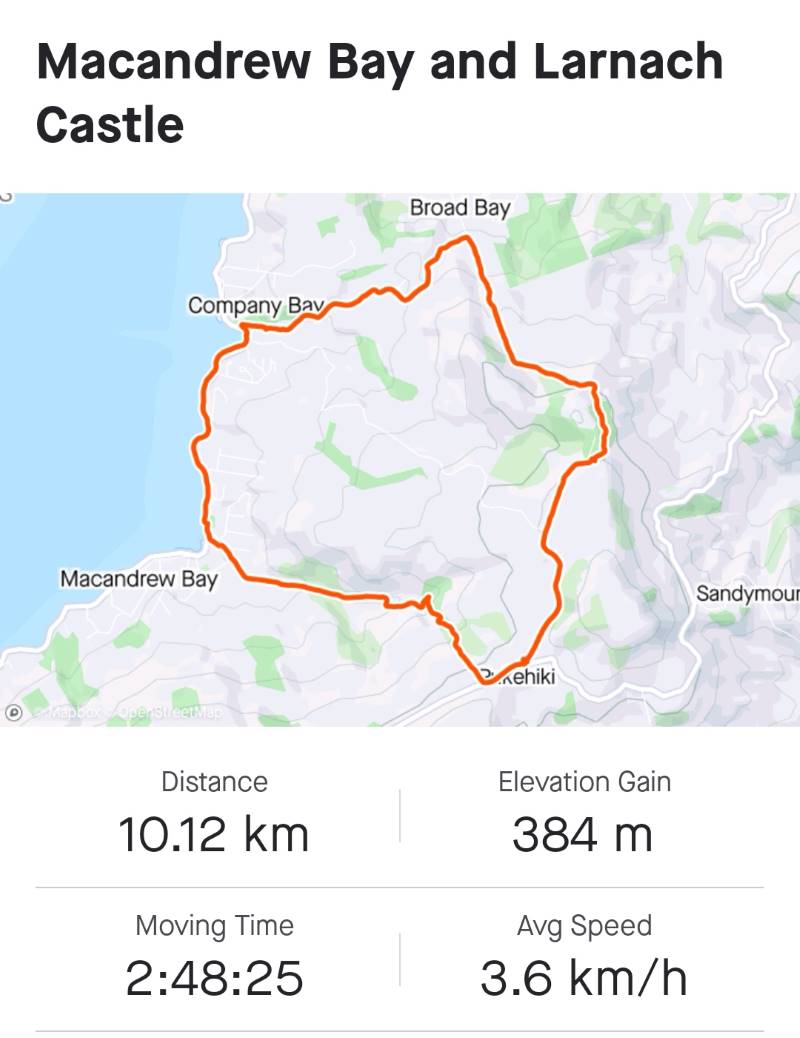
No. 37 on old hardcopy list of 113 club tramps. “DCC Forest. Three Mile Hill. W Bathgate. Permit DCC. Year Round”

Location: 10 km.
Click Flagstaff Creek Walking Track for background information.
Park at Three Mile Hill lookout, or Bullring or Pottery, Whare Flat.
Permit from City Forest, Dunedin 455 5512.
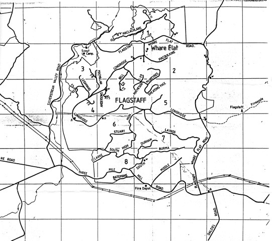
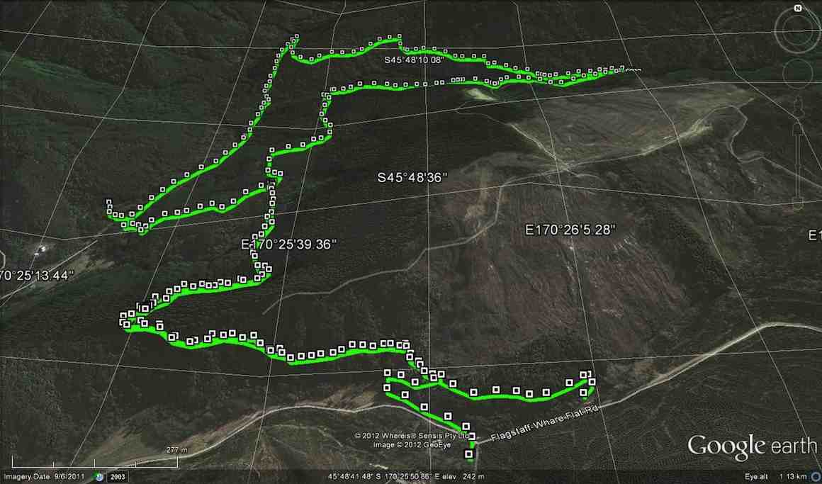
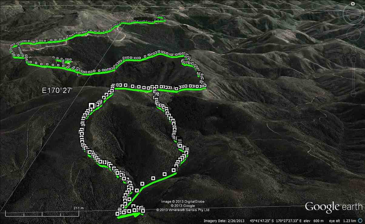
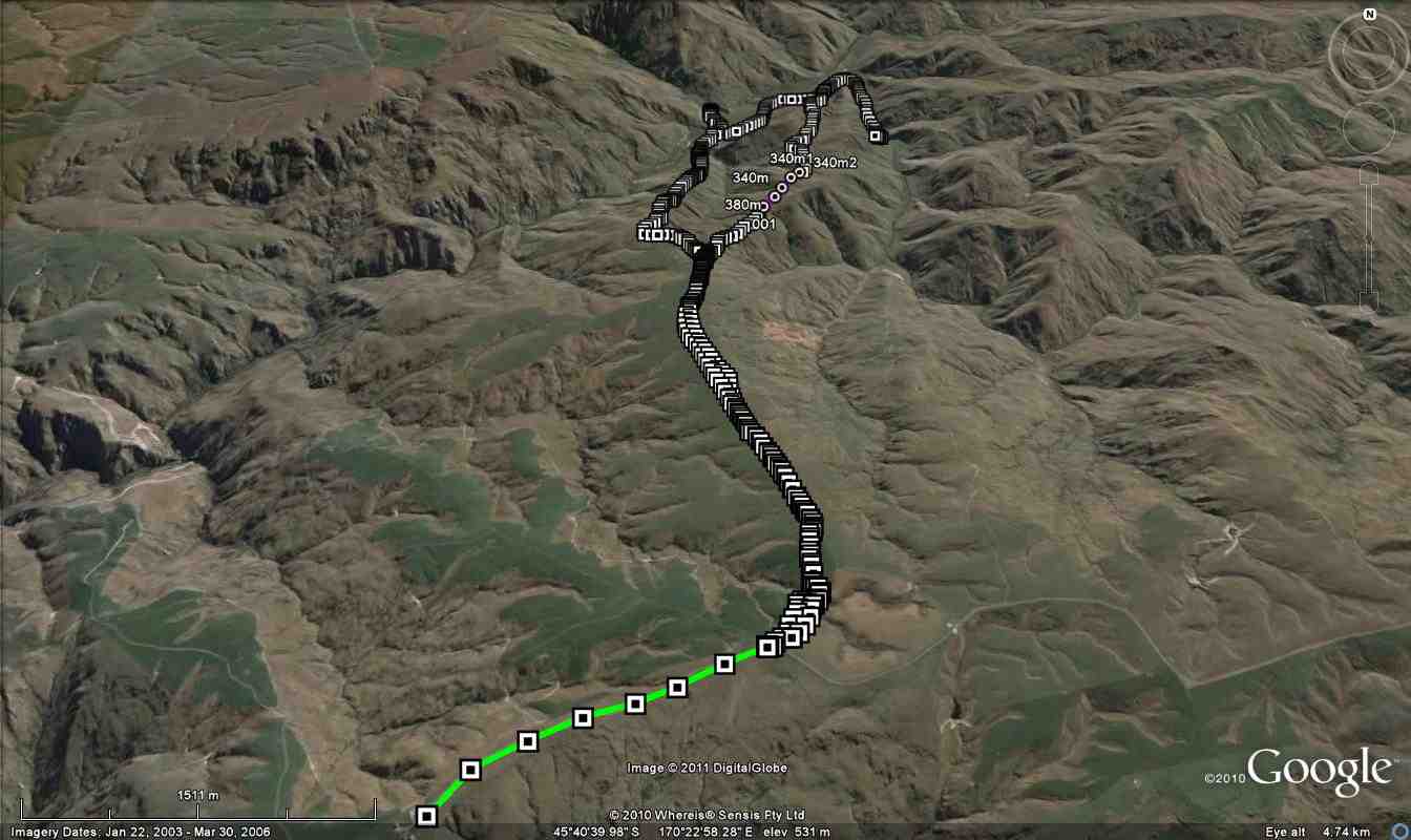
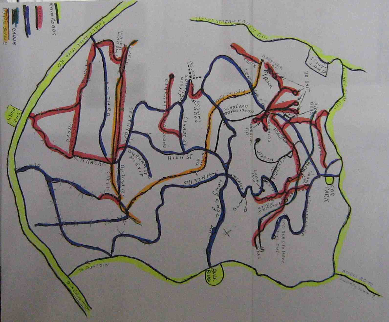
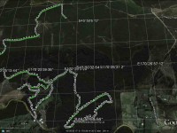
Flagstaff Forest road map

Map of all Roads

click to enlarge

Flagstaff Forest Tracks

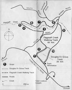
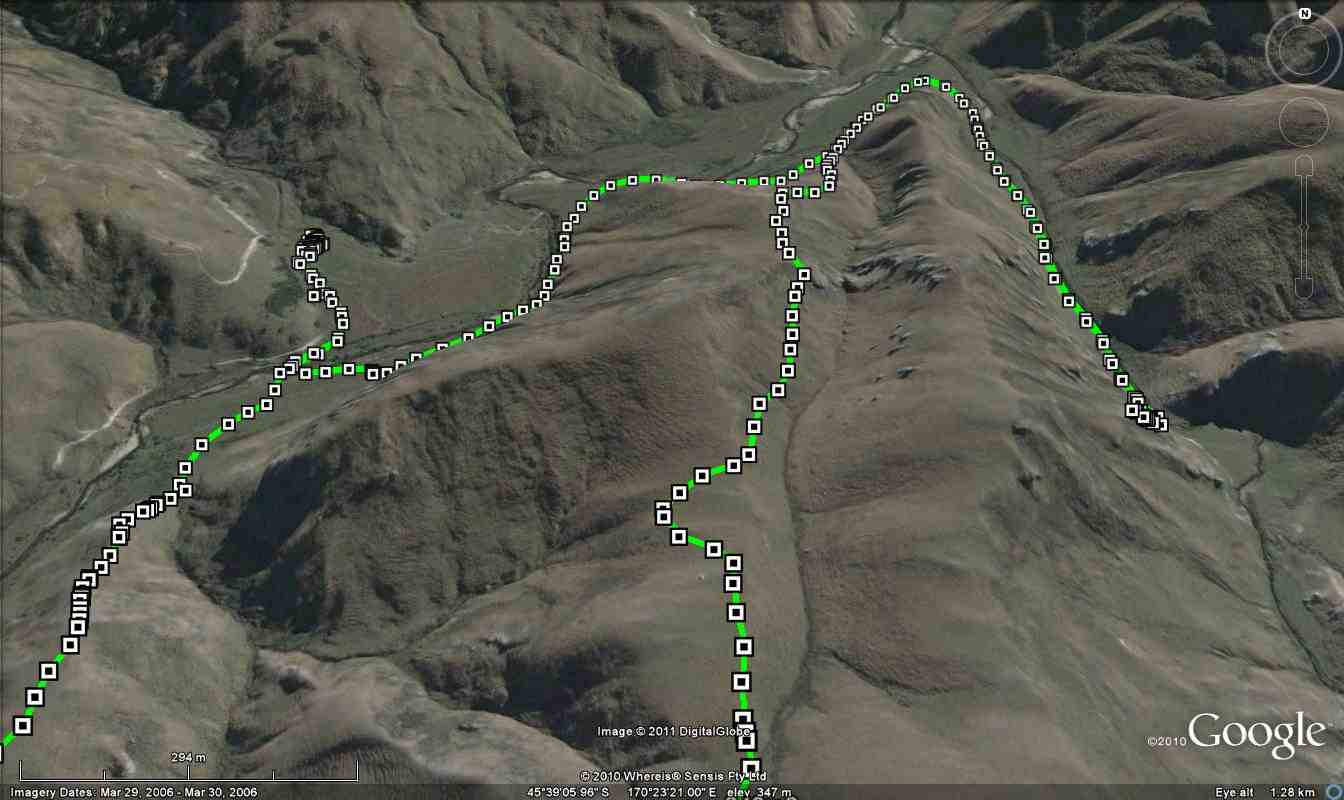
Map of lower tracks/roads

Jack Roy's Map of Flagstaff Forest roads/tracks

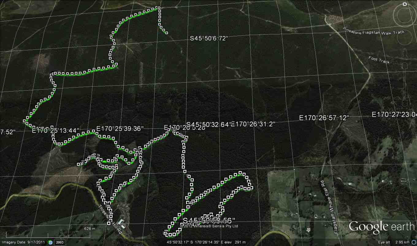
Jack Roy’s Map of Flagstaff Forest roads/tracks

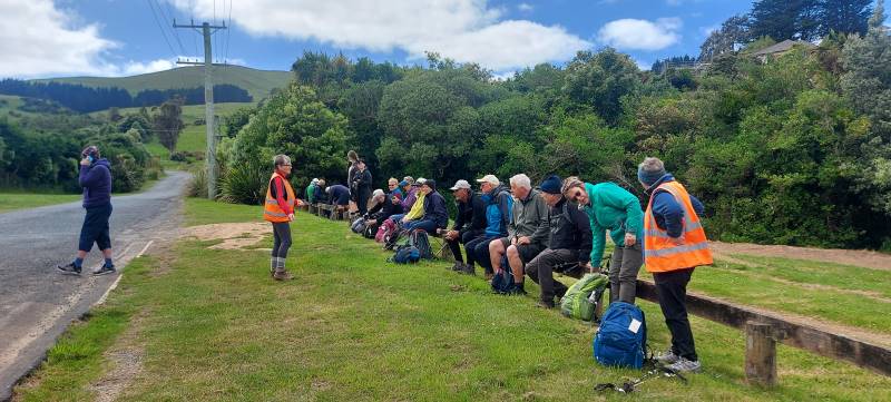
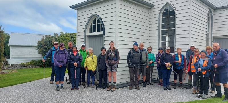
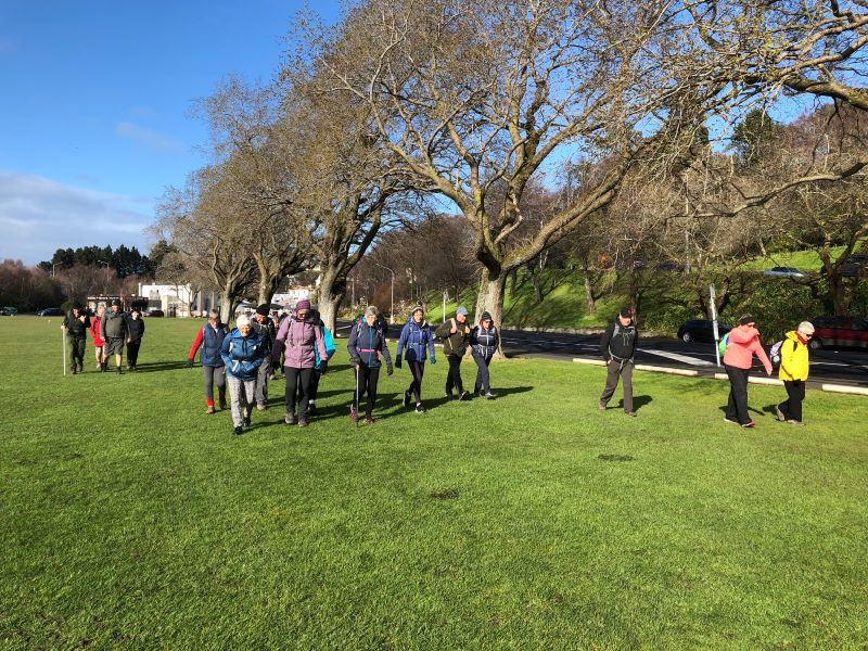
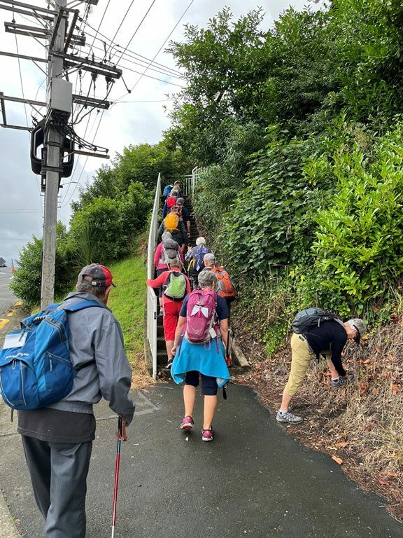
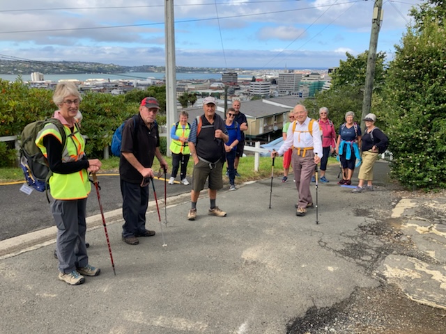
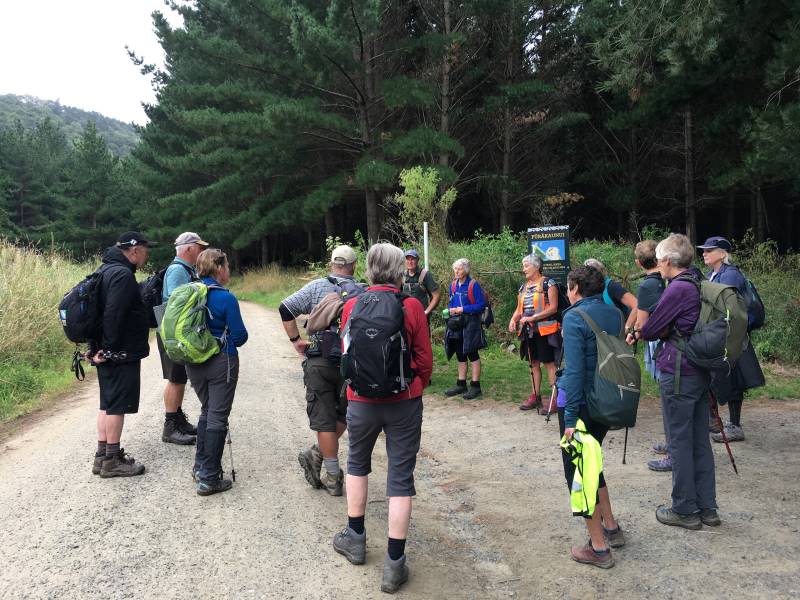
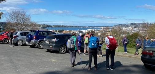
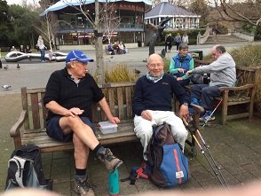
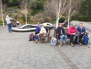
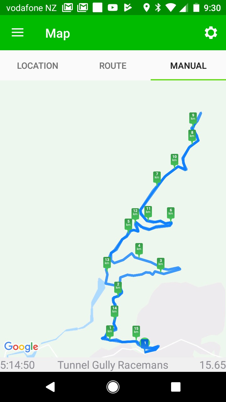
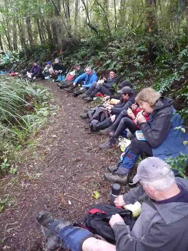
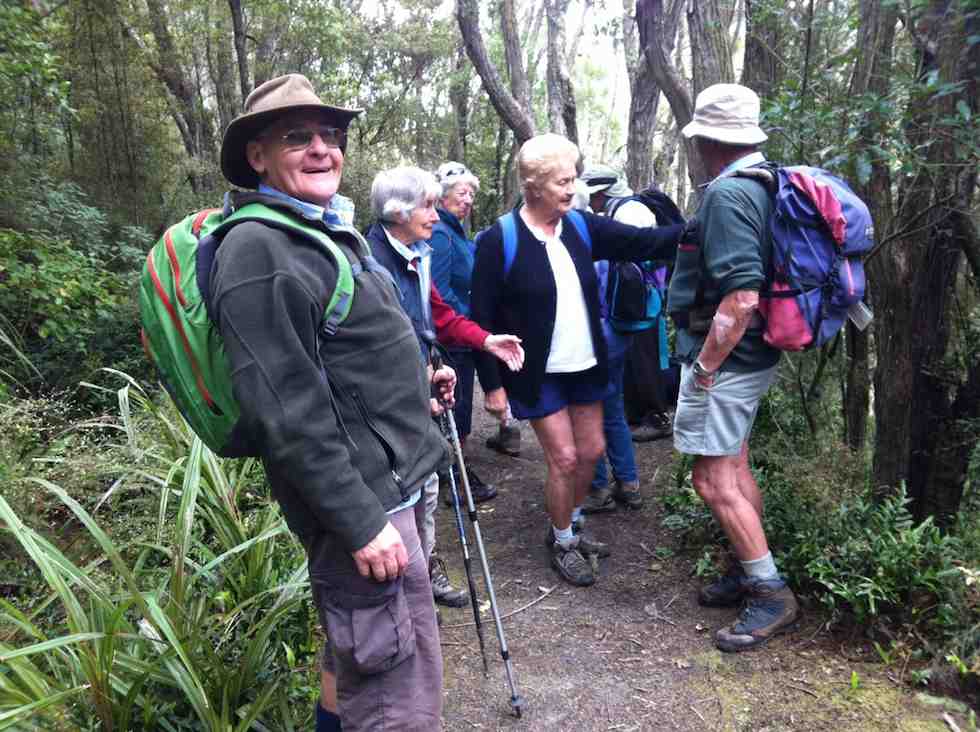
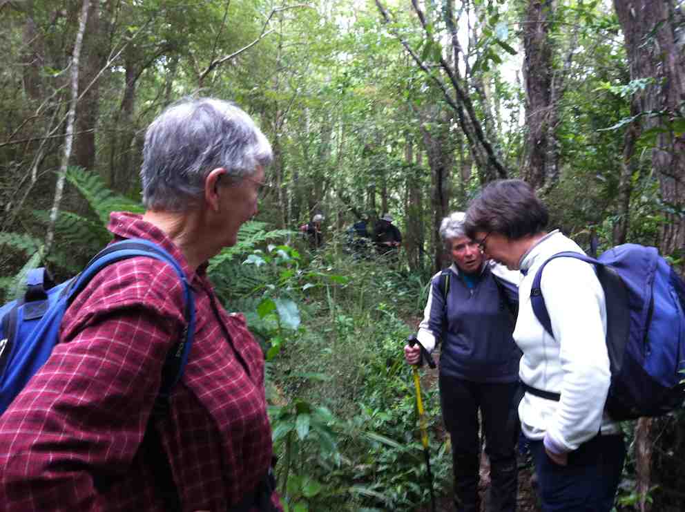
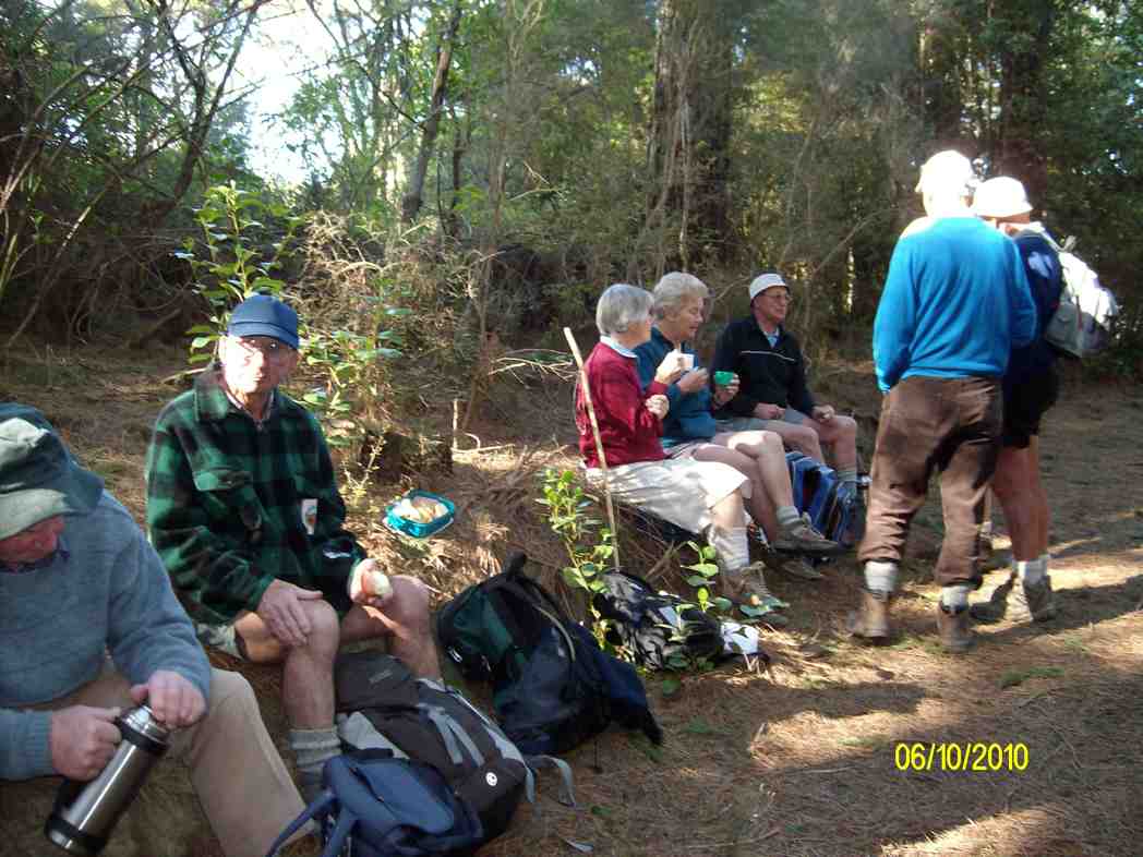
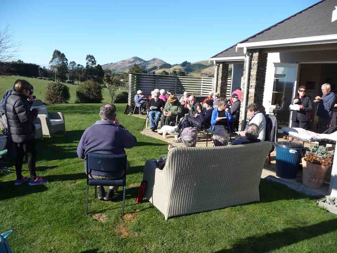
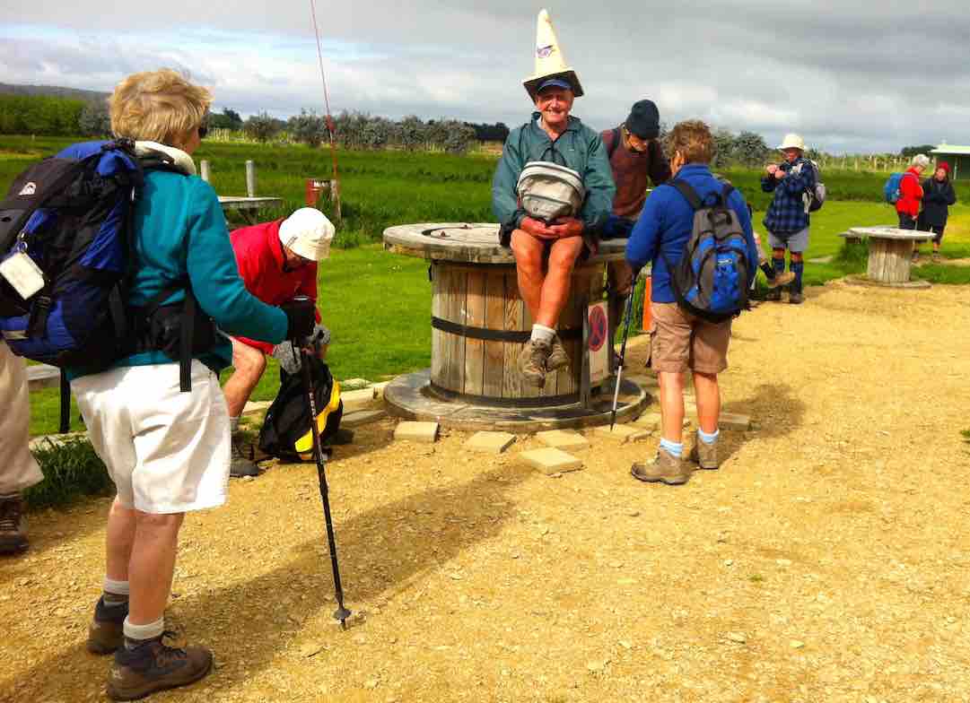
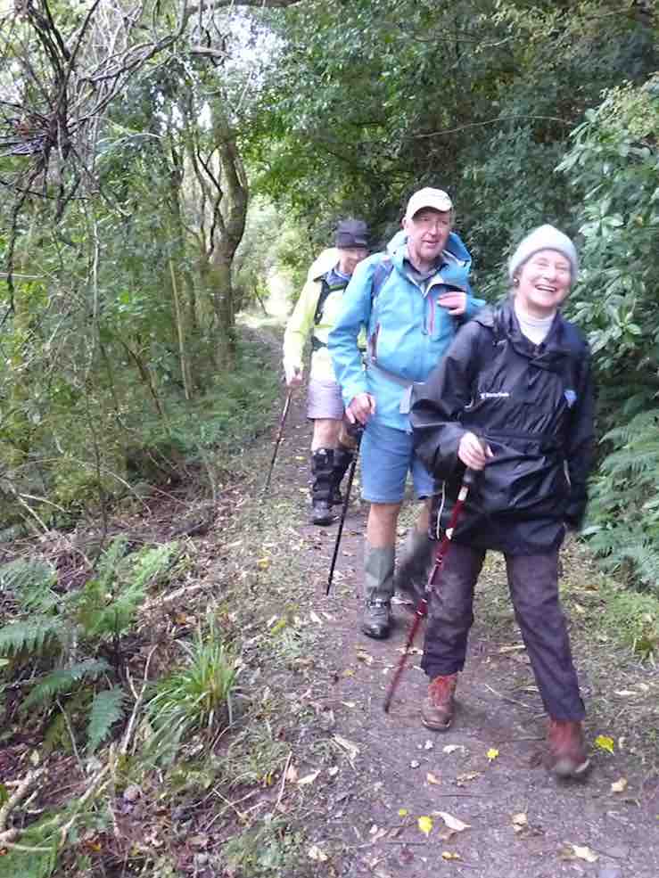
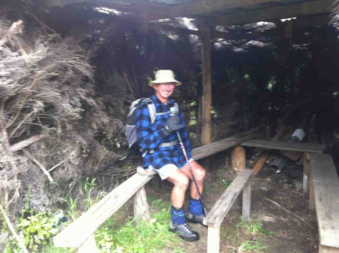
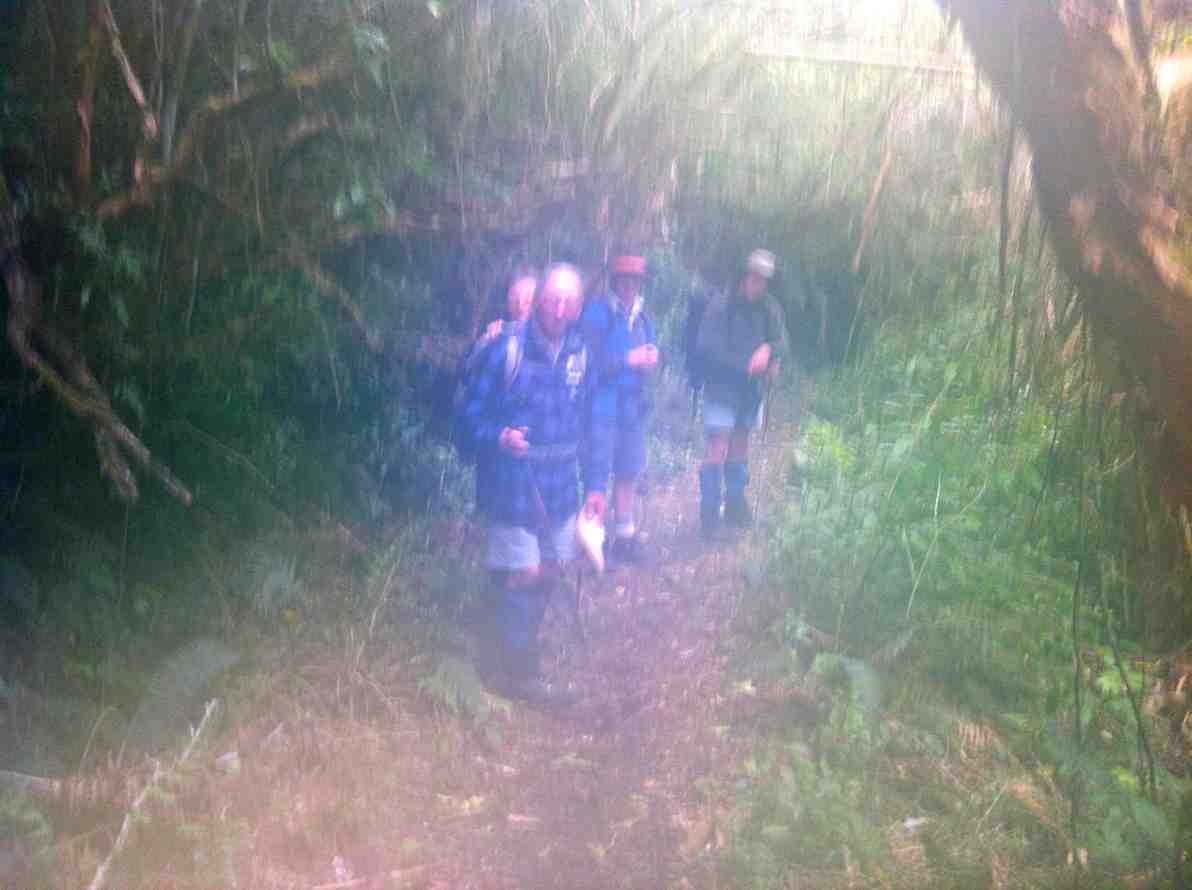
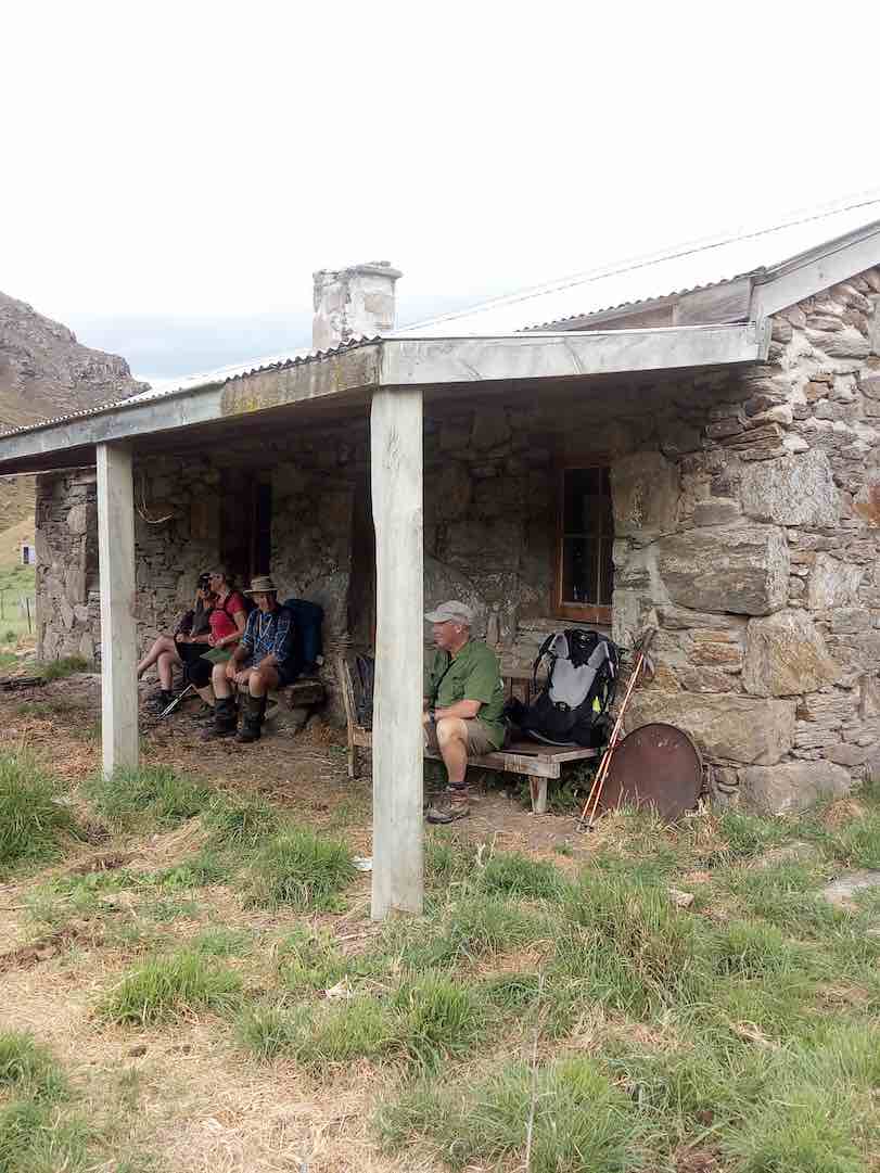
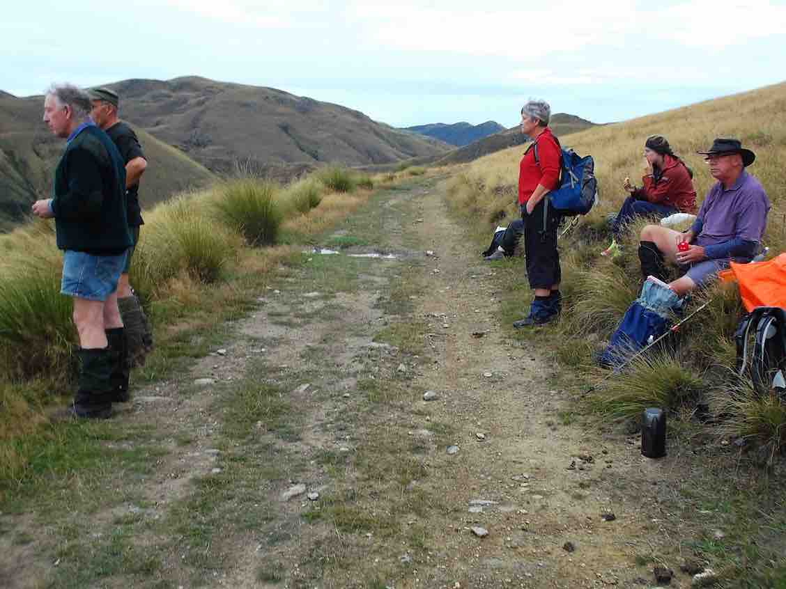
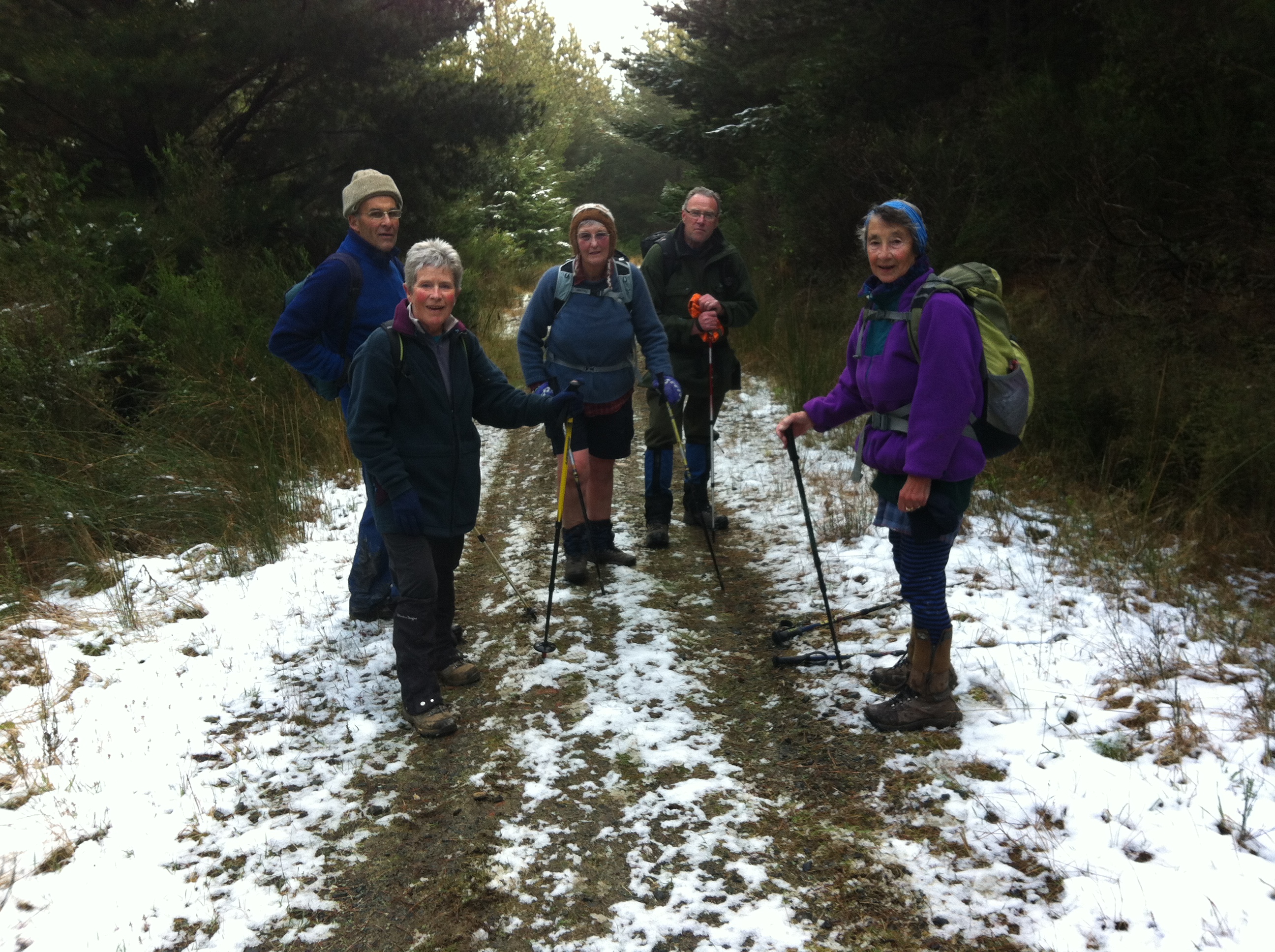
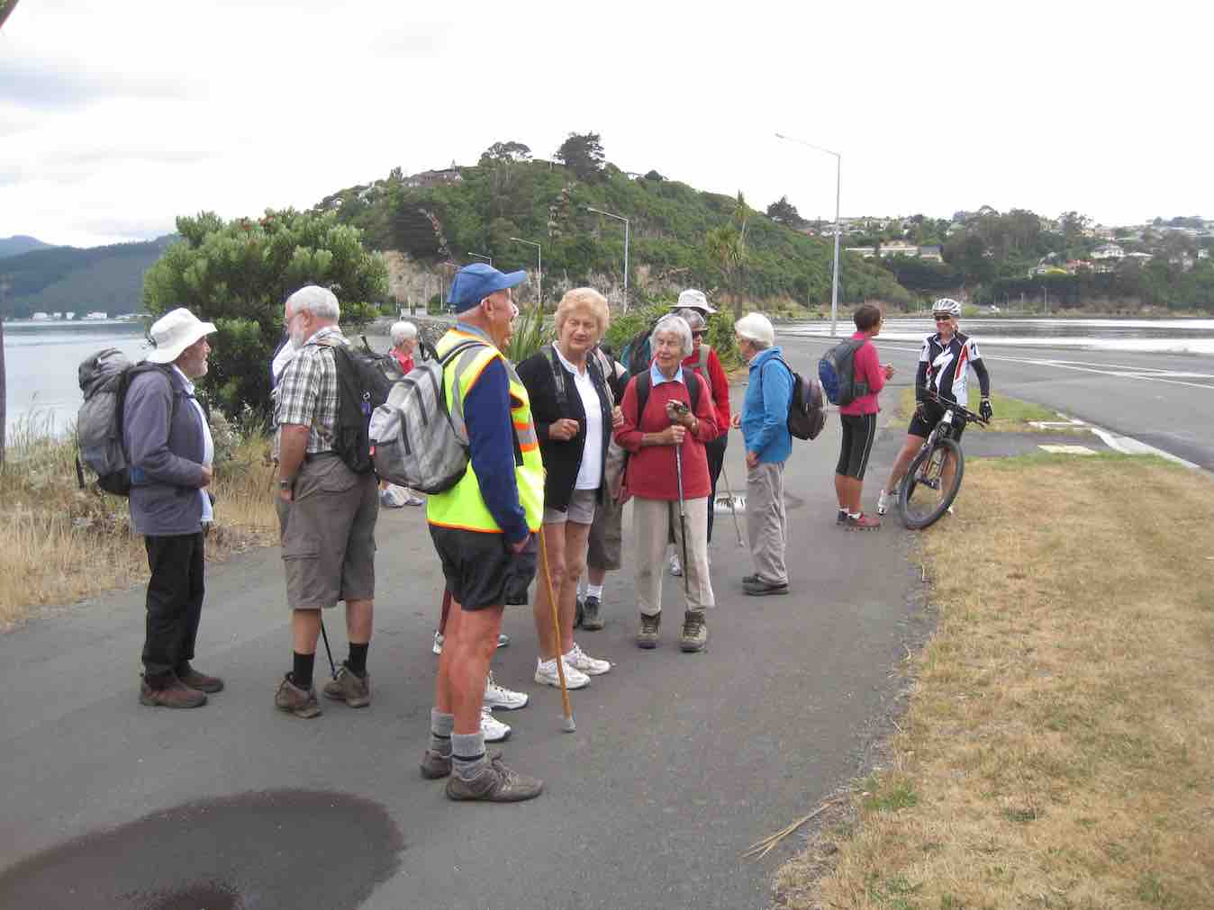
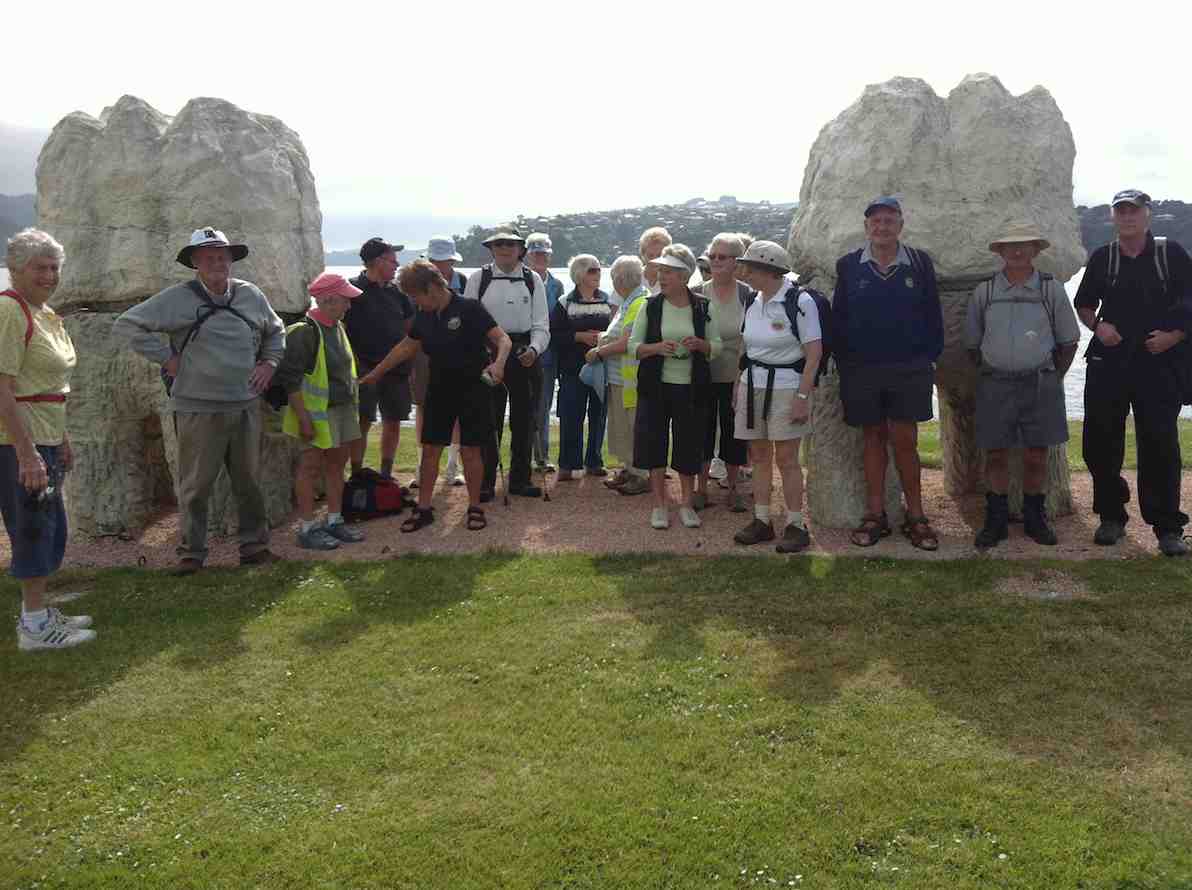
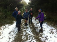
21. 8/11/2017. Hikers. Flagstaff Forest. Stuart and High Streets. M. Leader: Adrienne.

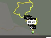
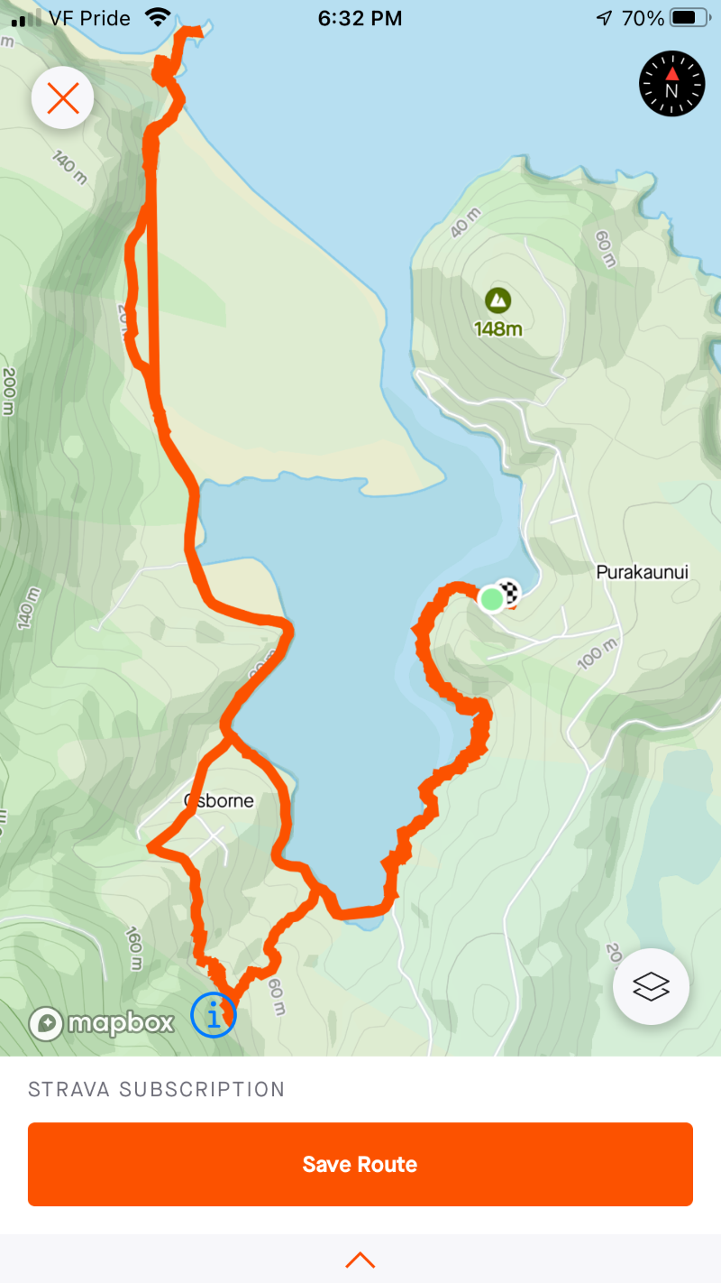
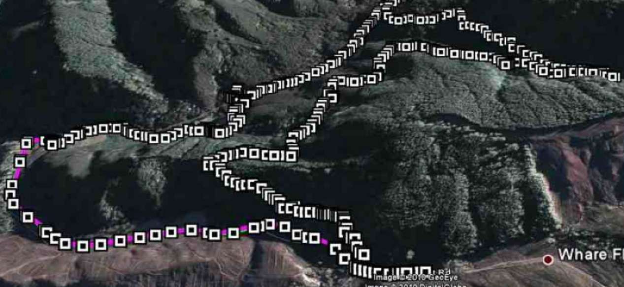
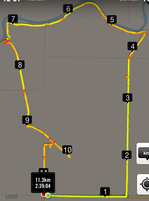
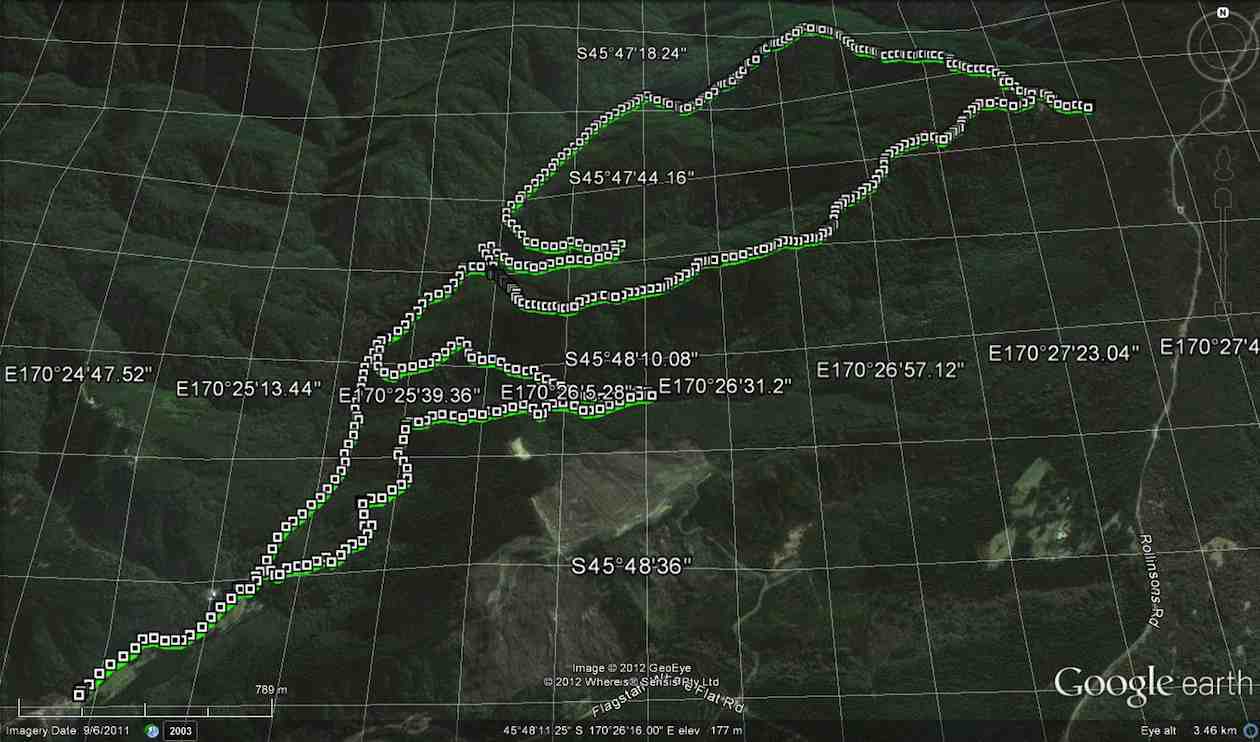
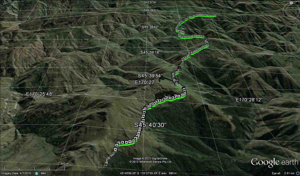
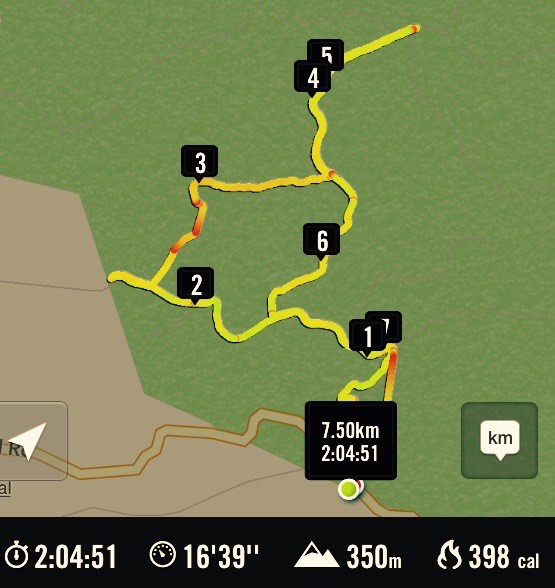
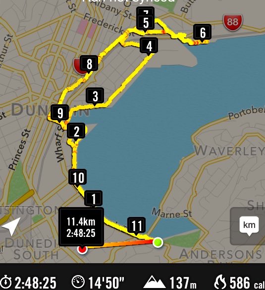
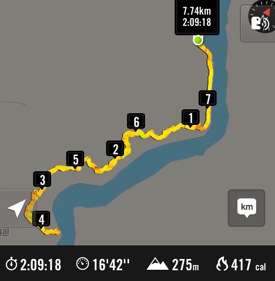
Route map, courtesy Ian.

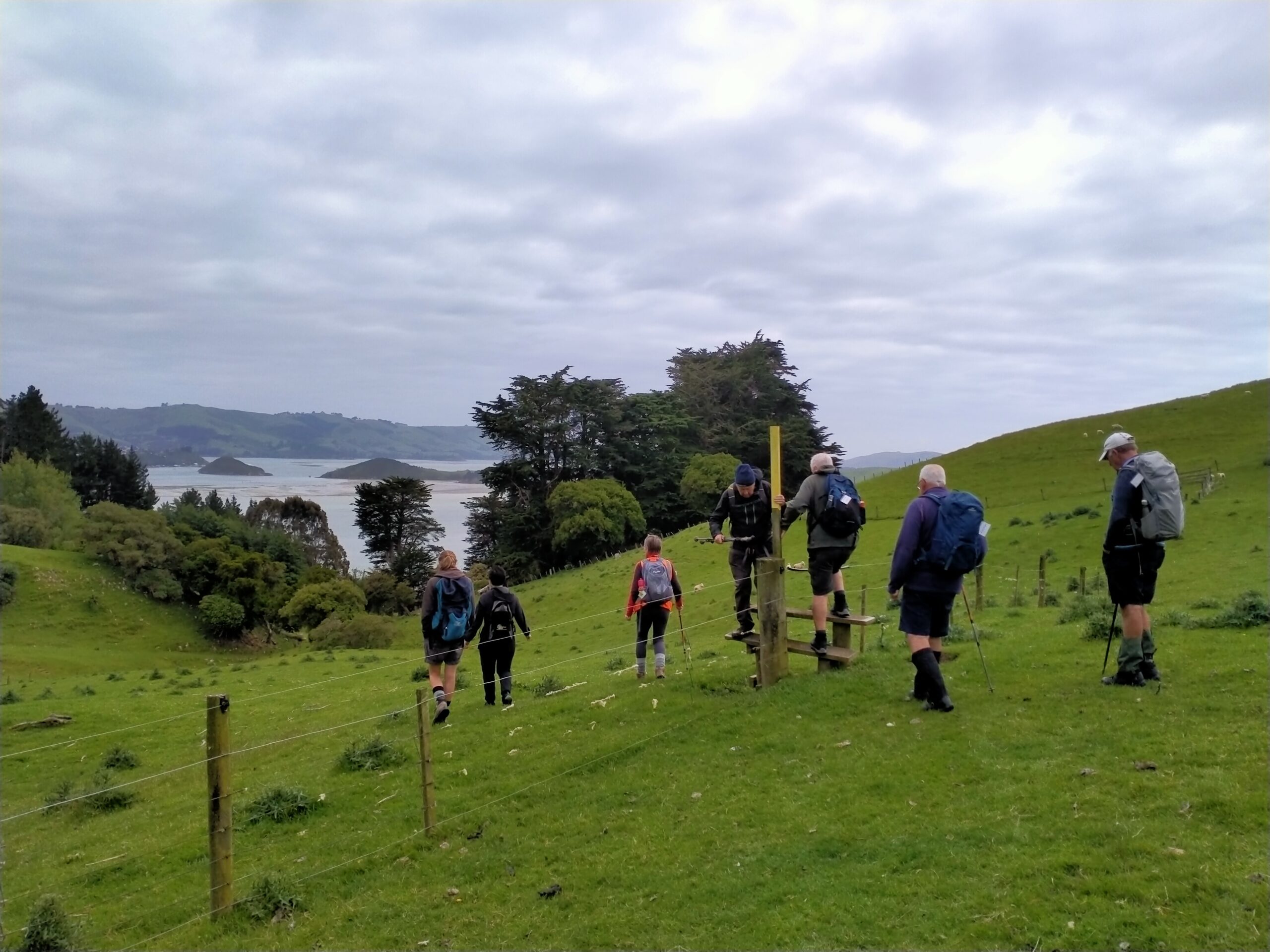
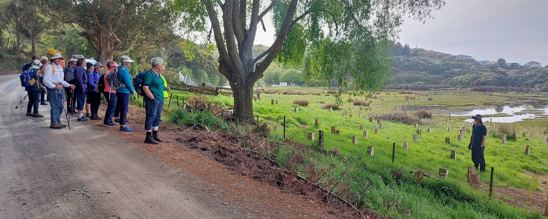
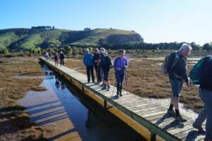
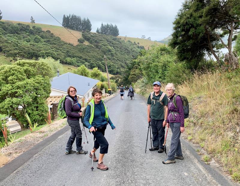
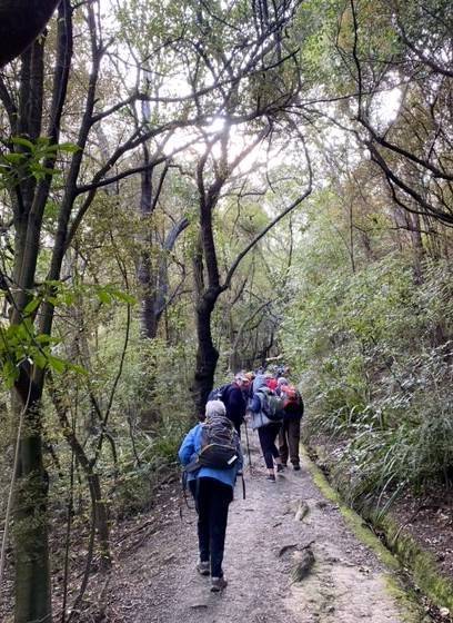
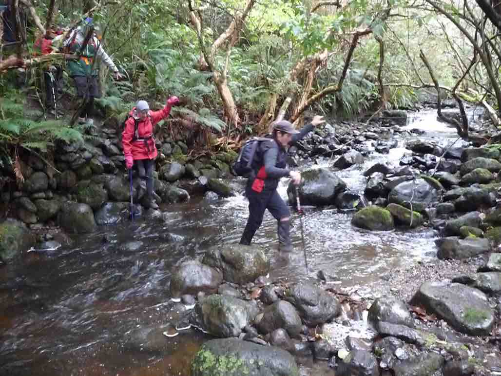
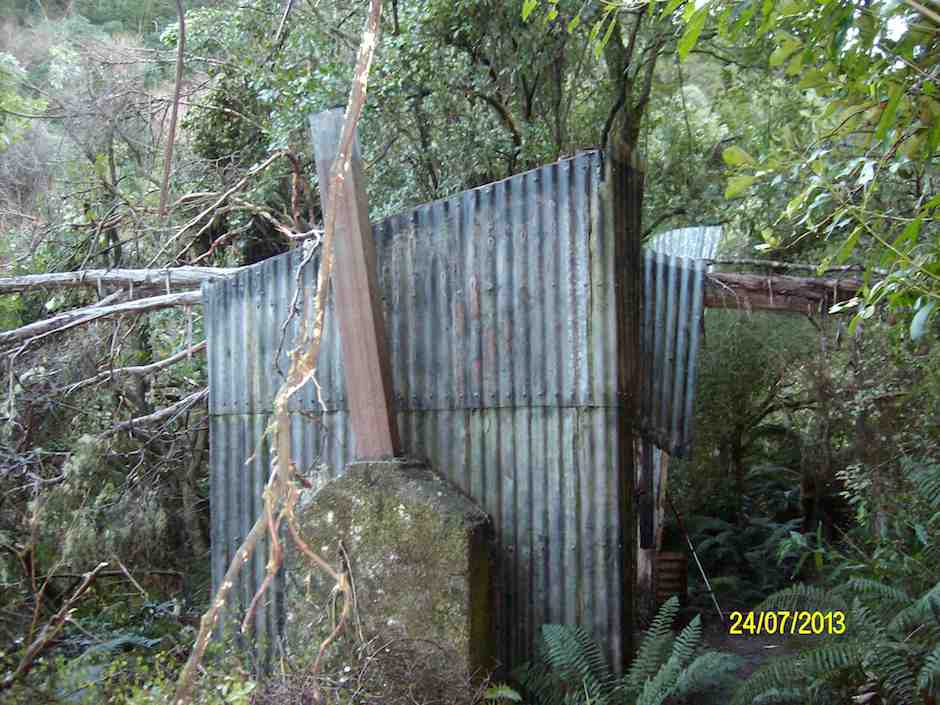
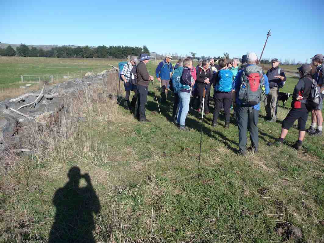
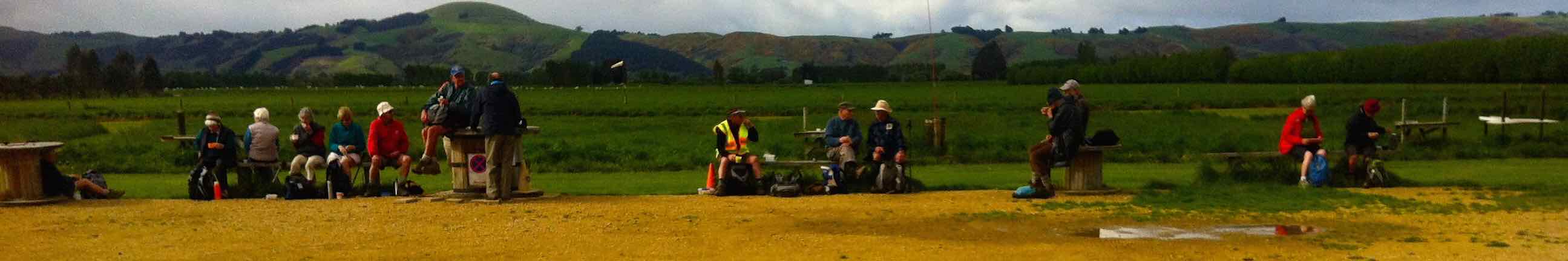
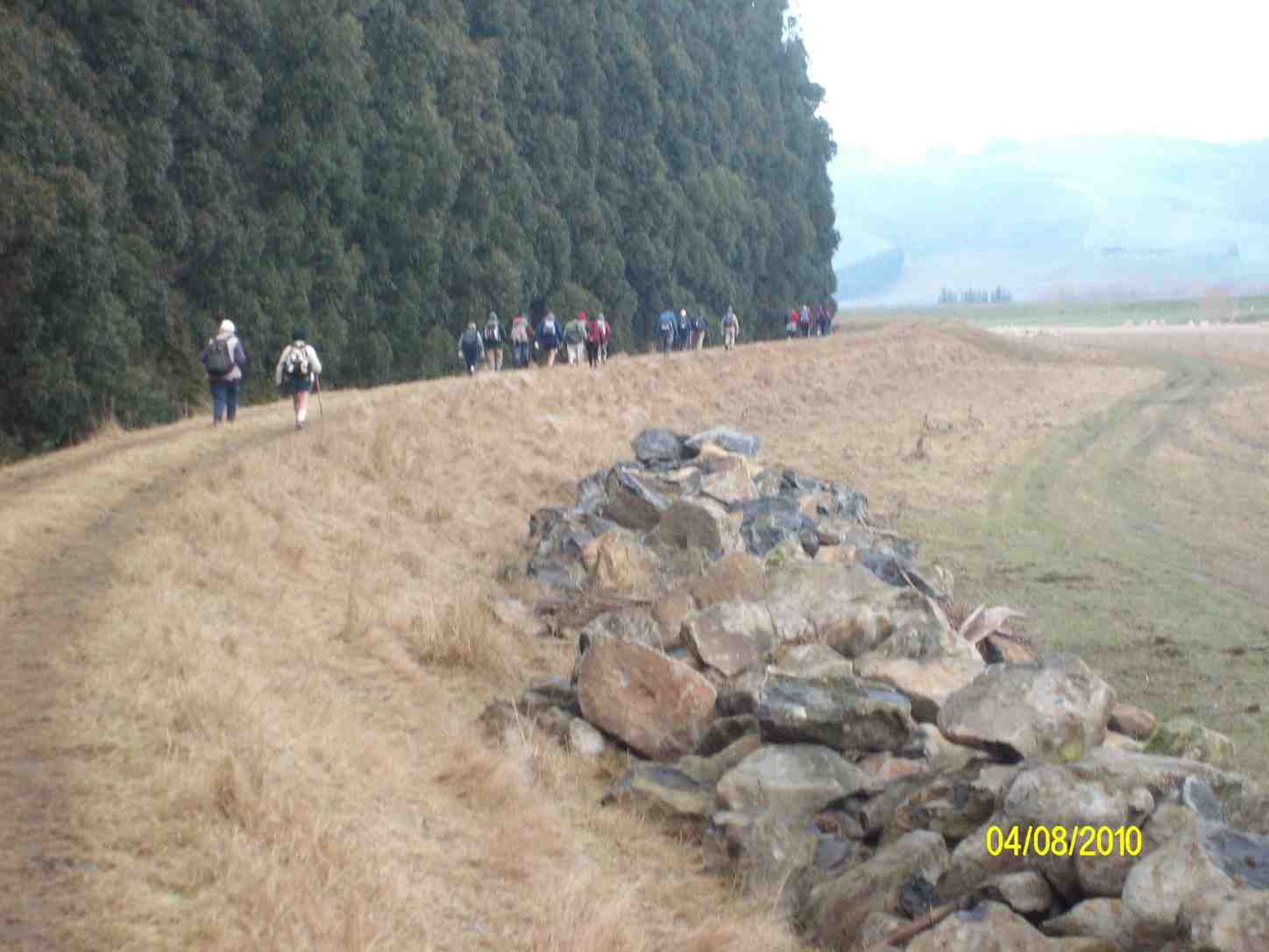
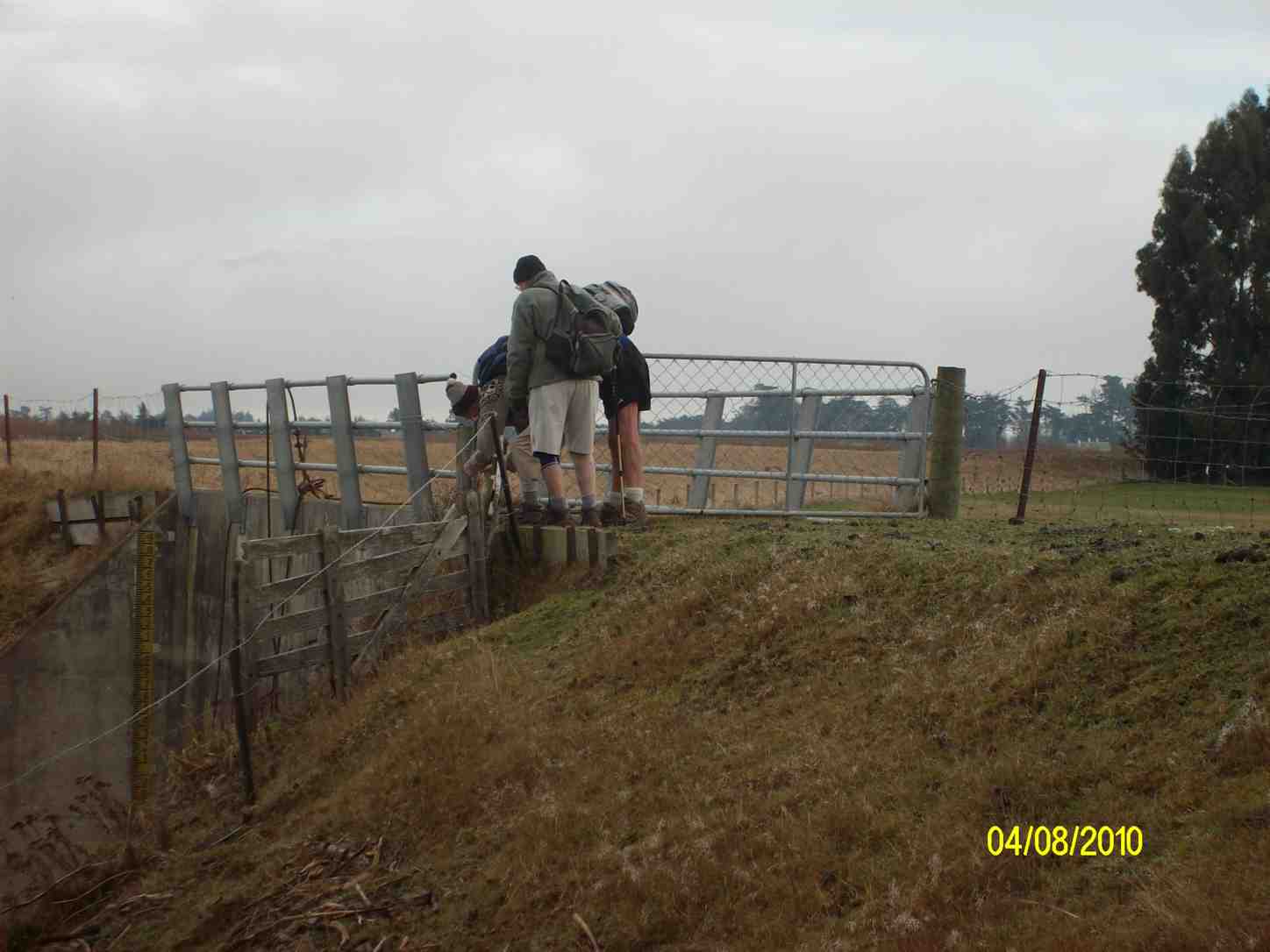
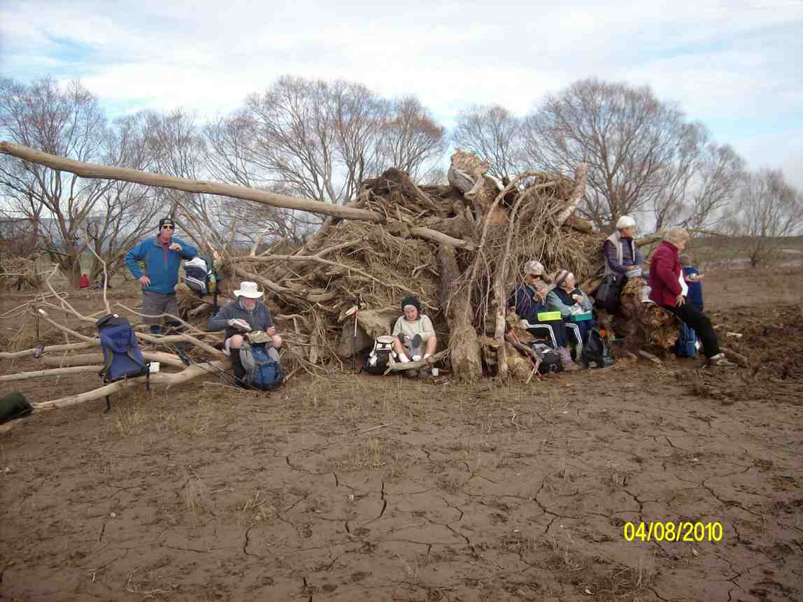
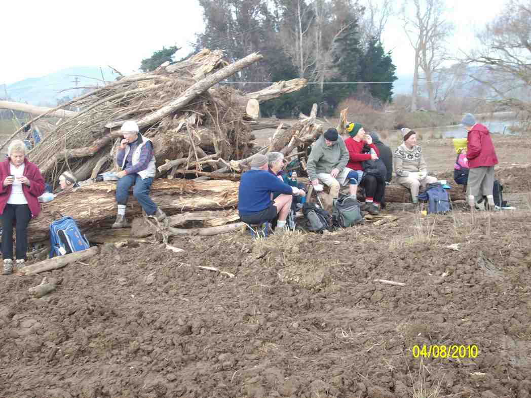
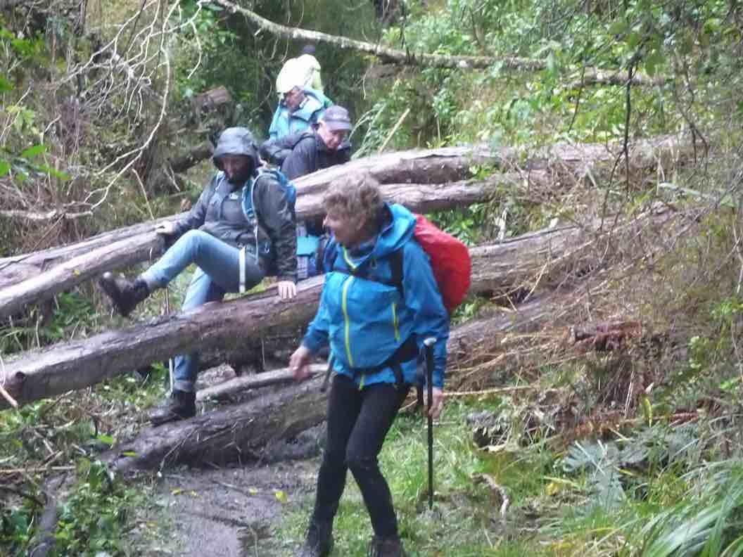
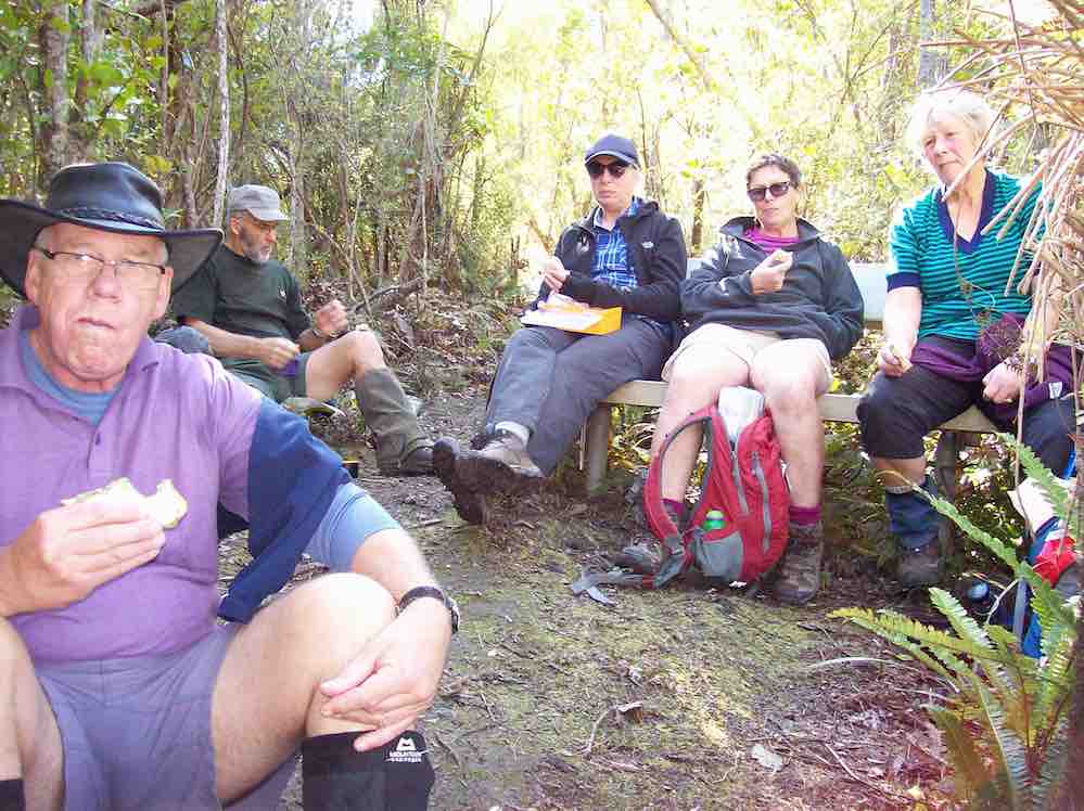
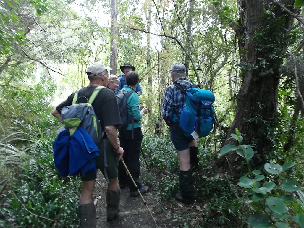
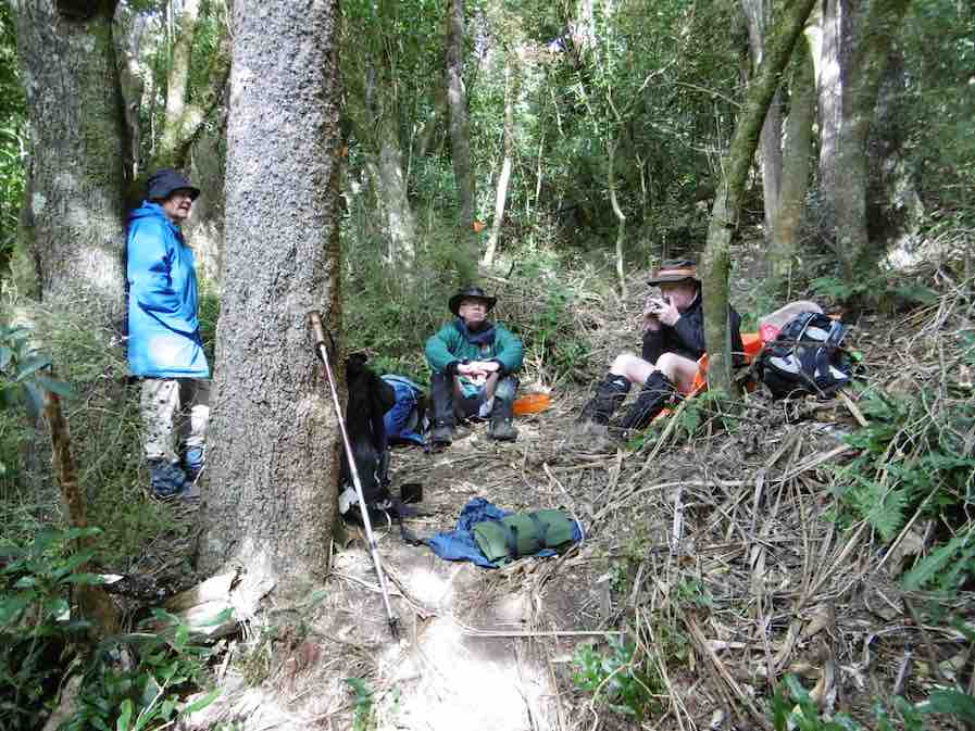
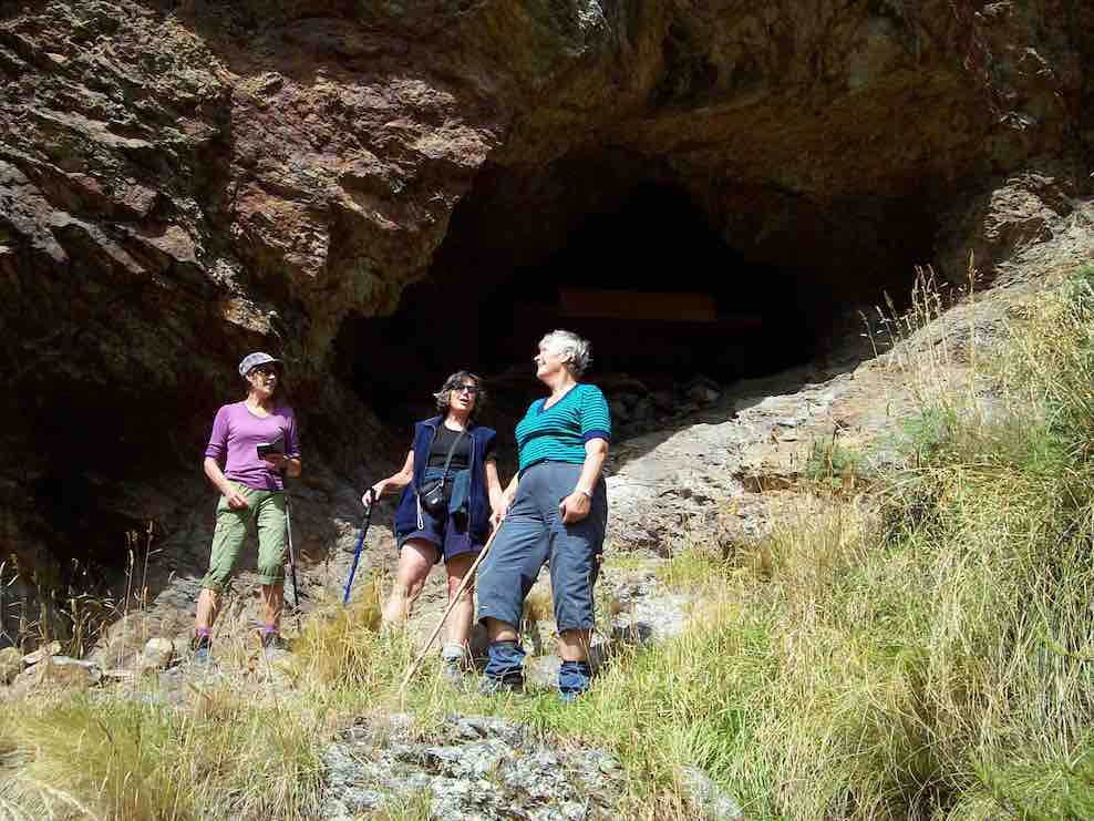
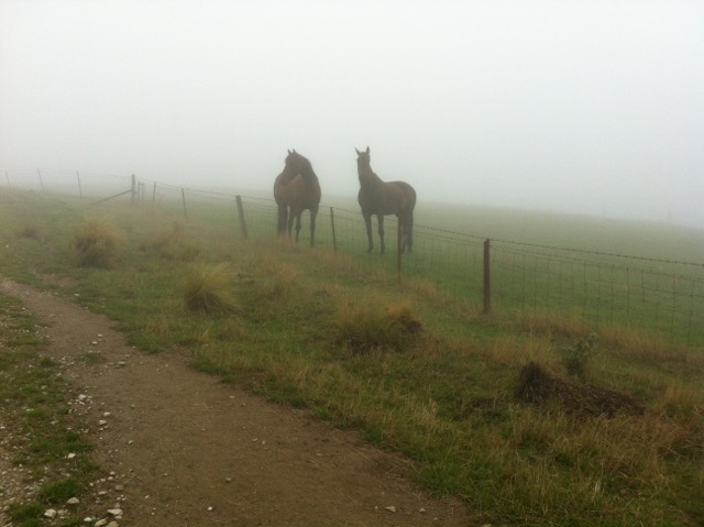
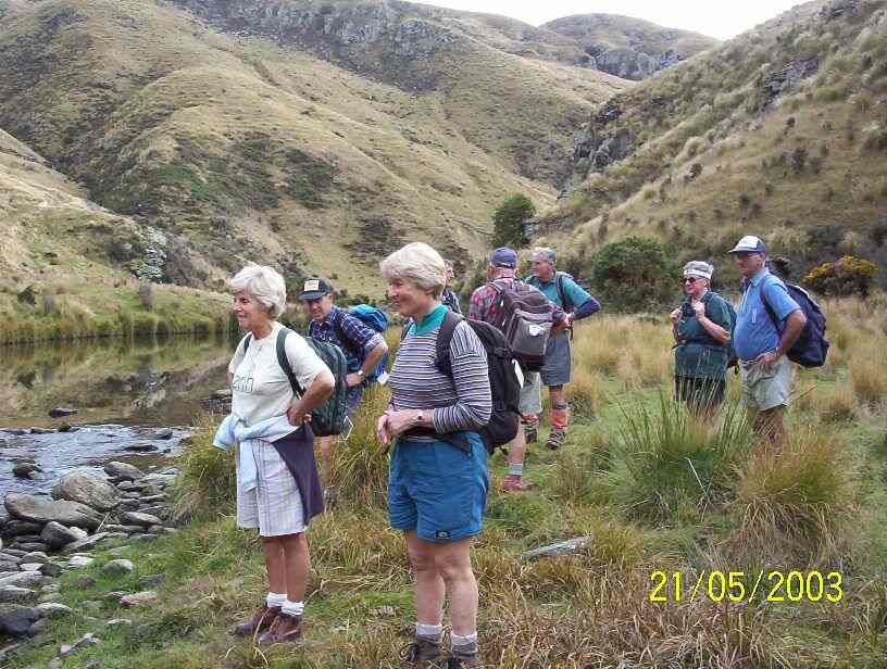
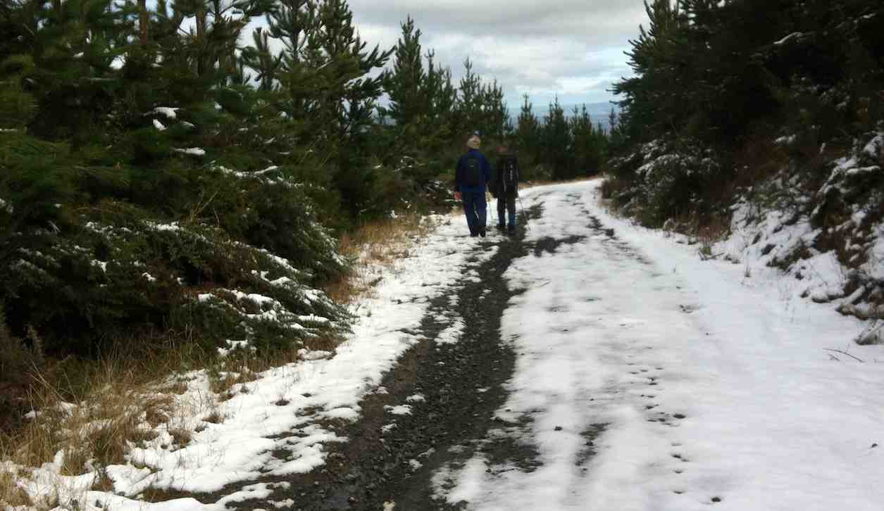
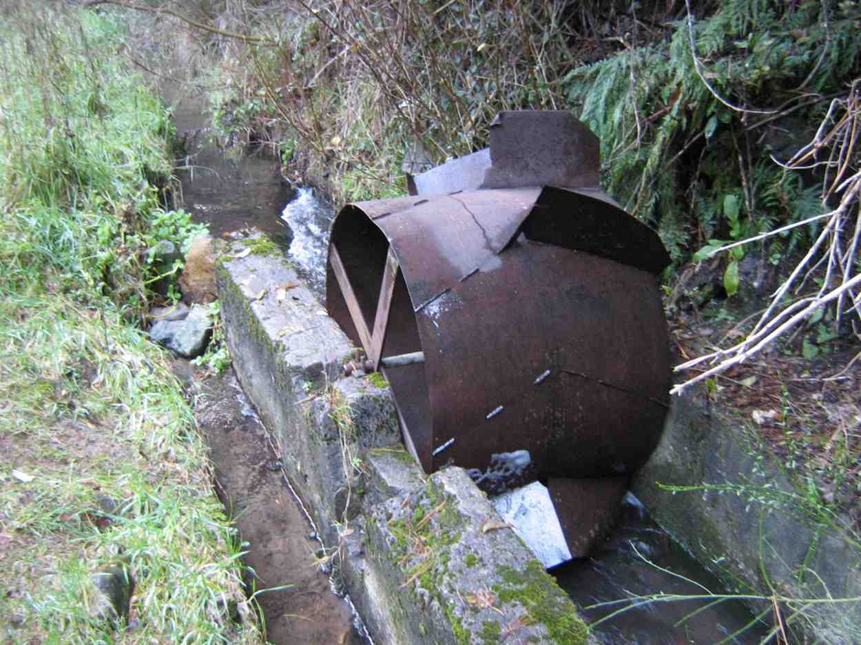
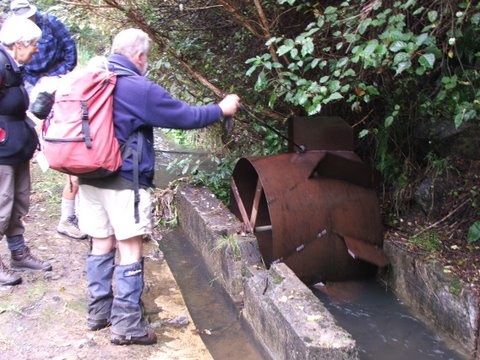
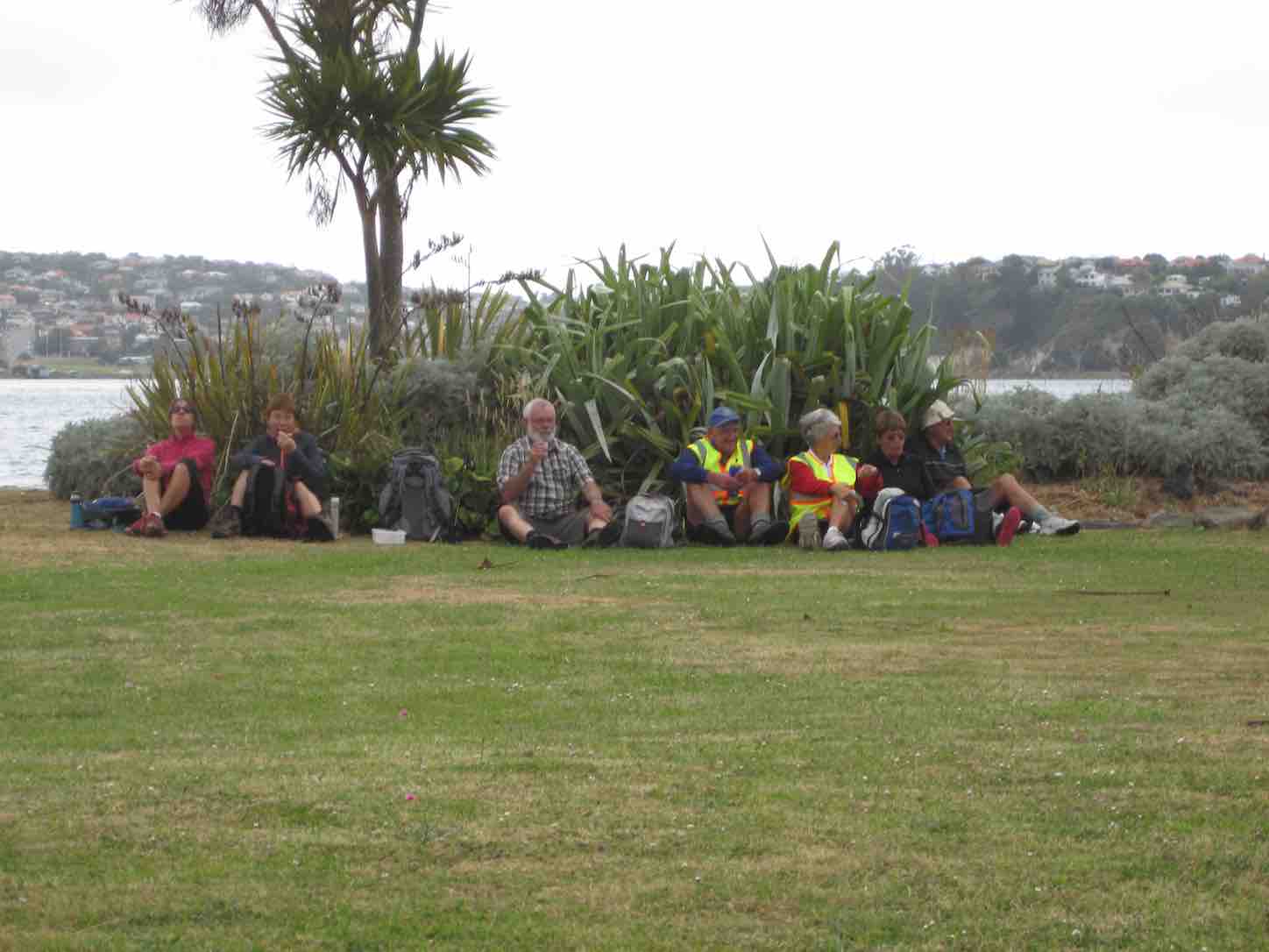
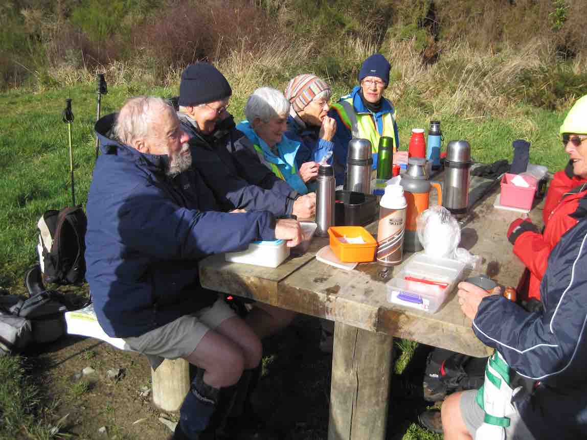
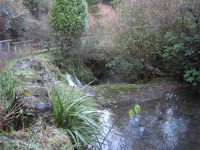
A dozen Hikers set out from the Taieri Lookout Car Park, crossed the Three Mile Hill Road and turned down the Flagstaff Creek walking track, crossed south road and descended the occasionally steep recently well-stepped track to the weir and the old, well-rusted flow wheel,

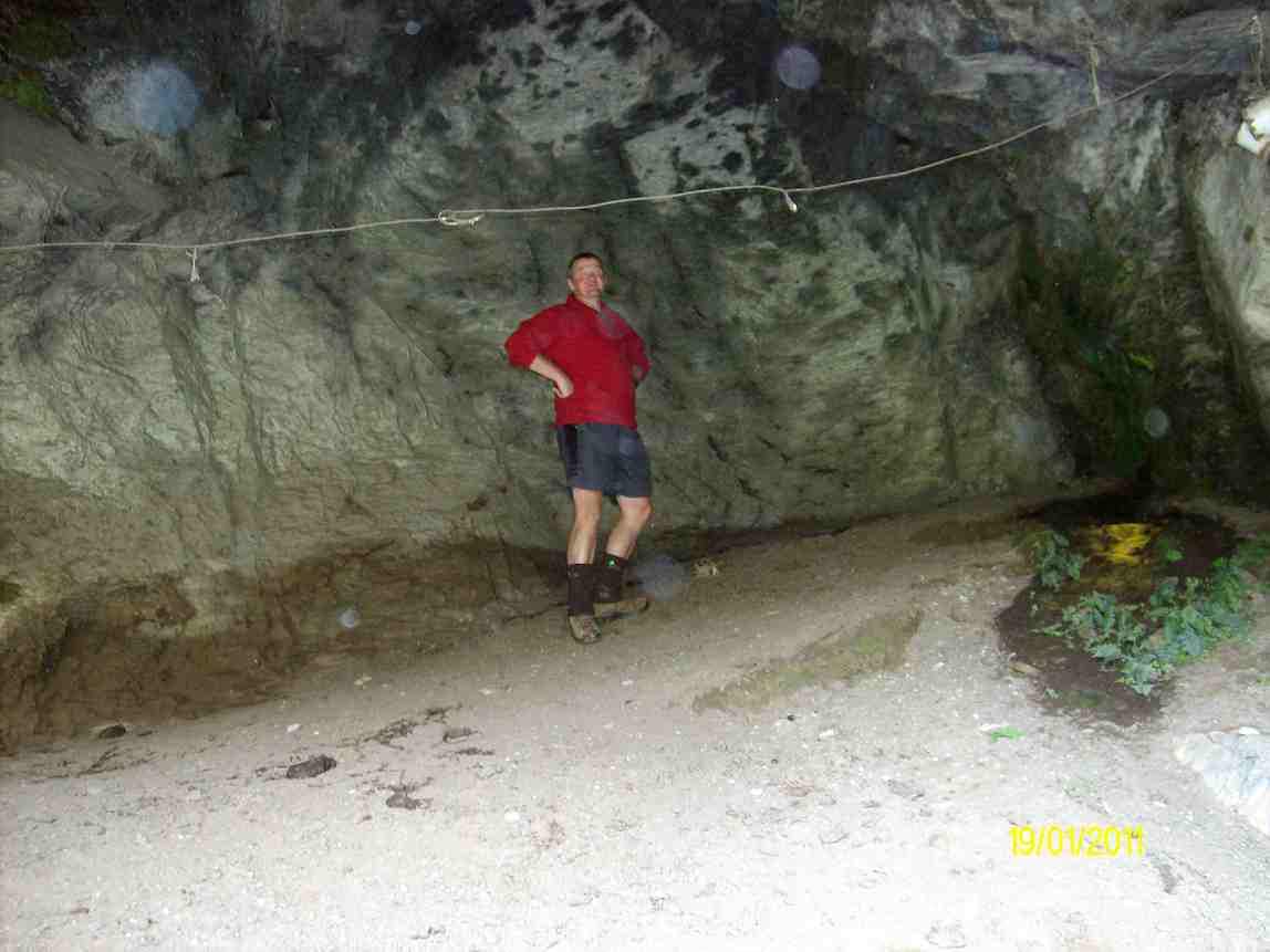
Can you detect it? Try enlarging.

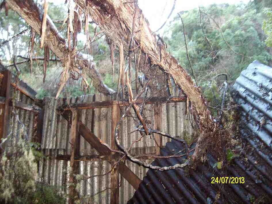
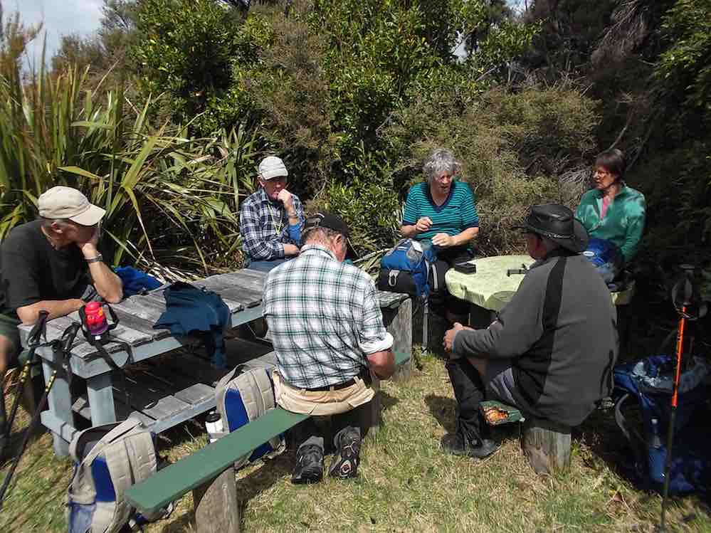
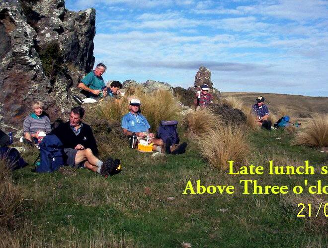
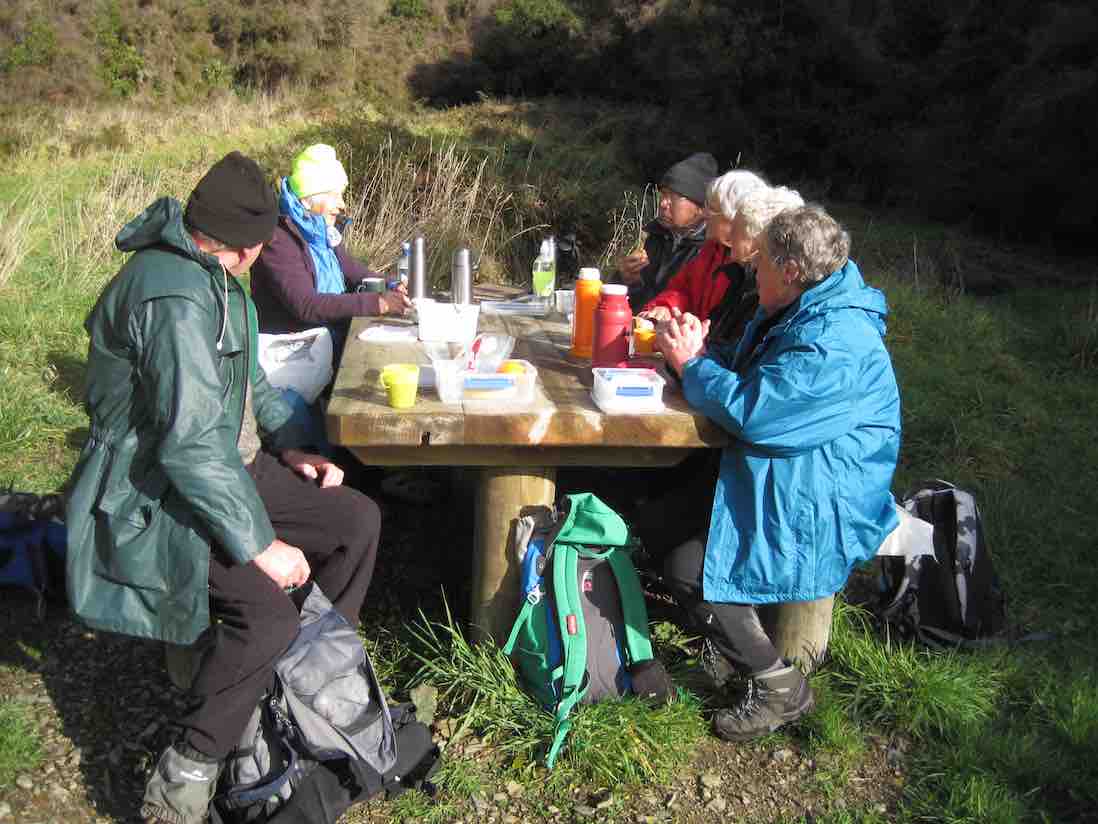
now almost completely obscured by undergrowth where we had morning tea. The closed wooden bridge across Flagstaff Creek being now blocked off with its access track fully obscured by undergrowth, we had to climb back up to South Road the way we had come down, and follow the road around, past Durham and High Streets to climb the unsigned (where’s it got to?) Stuart Street to where it joined up with High Street. Sheltered hitherto for most of the tramp from a strong cold wind, we found ourselves now well exposed to it. We went up High Street a little way and turned up a track labelled Tank Surge Road <?> to the partial shelter of its narrow tank for lunch. Then, it was back down High Street and along South road to where it crosses Flagstaff creek by the piped concrete bridge, and up the  Douglas Fir Grove track leading across to the car park again.

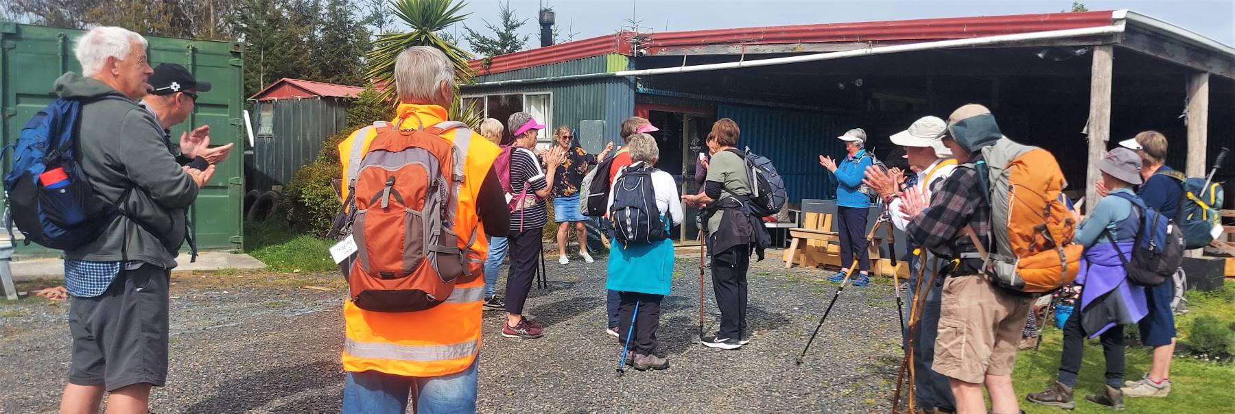
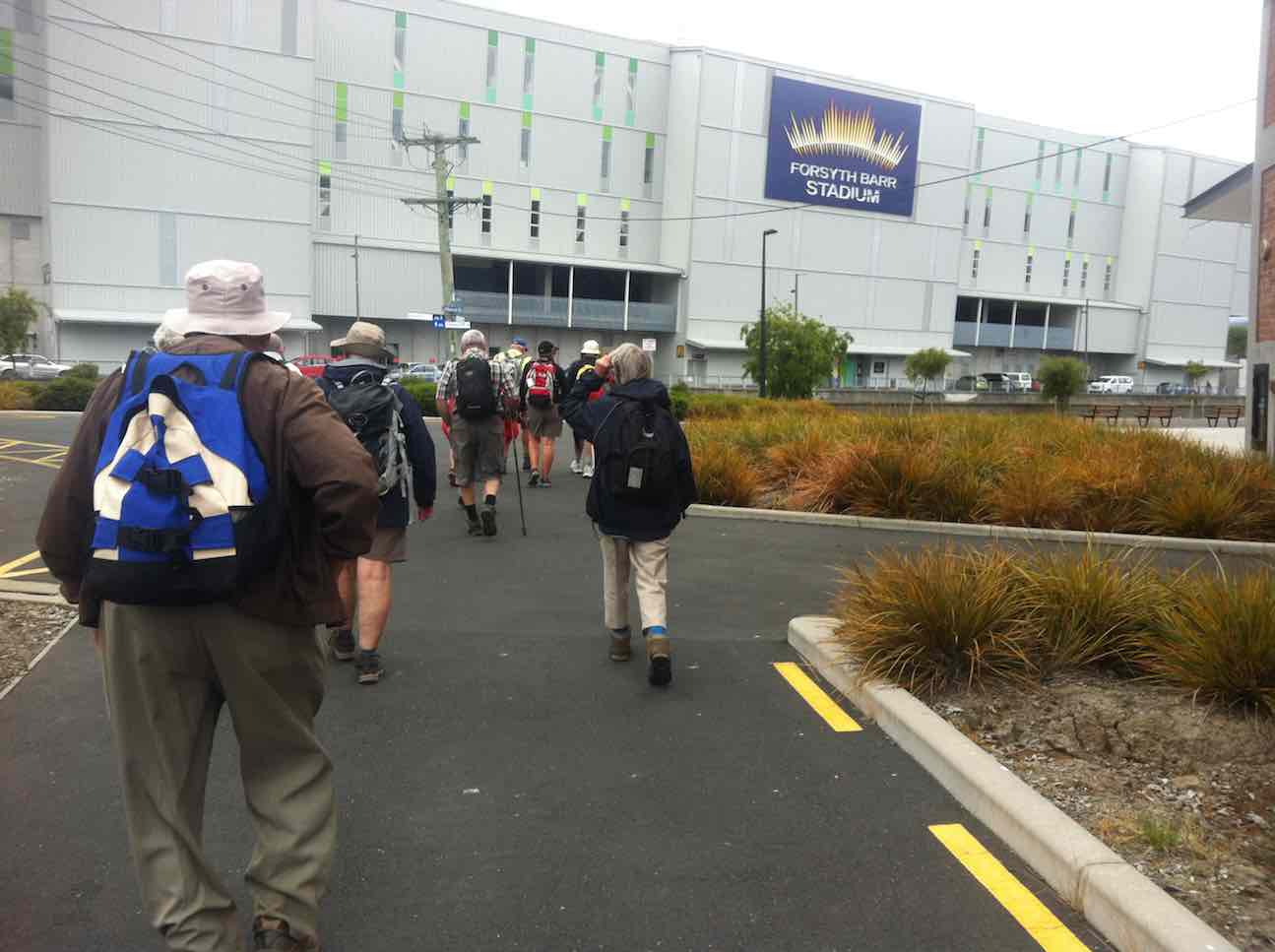
Although the cold wind back at the Bush Road car park had been a bit discouraging, we all agreed at the end it had been a most enjoyable energetic day out, pleasantly completed with companionable coffee at the Aurora. With co-leader Bev laid aside through illness, (and the locator beacon still in her car boot!) Adrienne did a text-book perfect leadership job, faultlessly grouping us at each fork in the route. Thanks, Adrienne. – Ian.

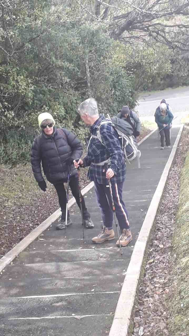
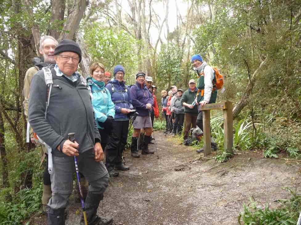
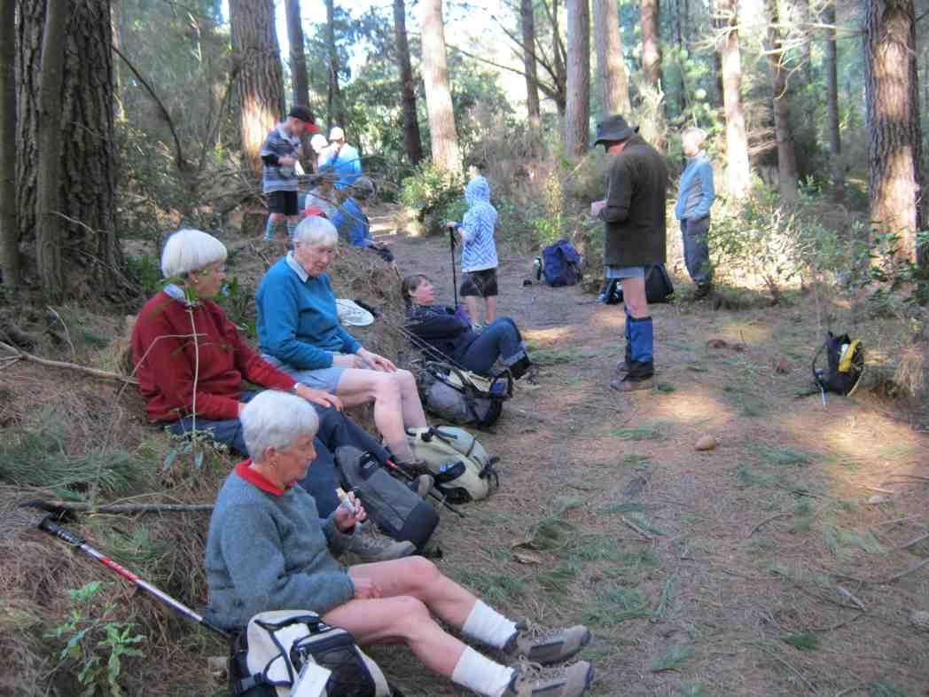
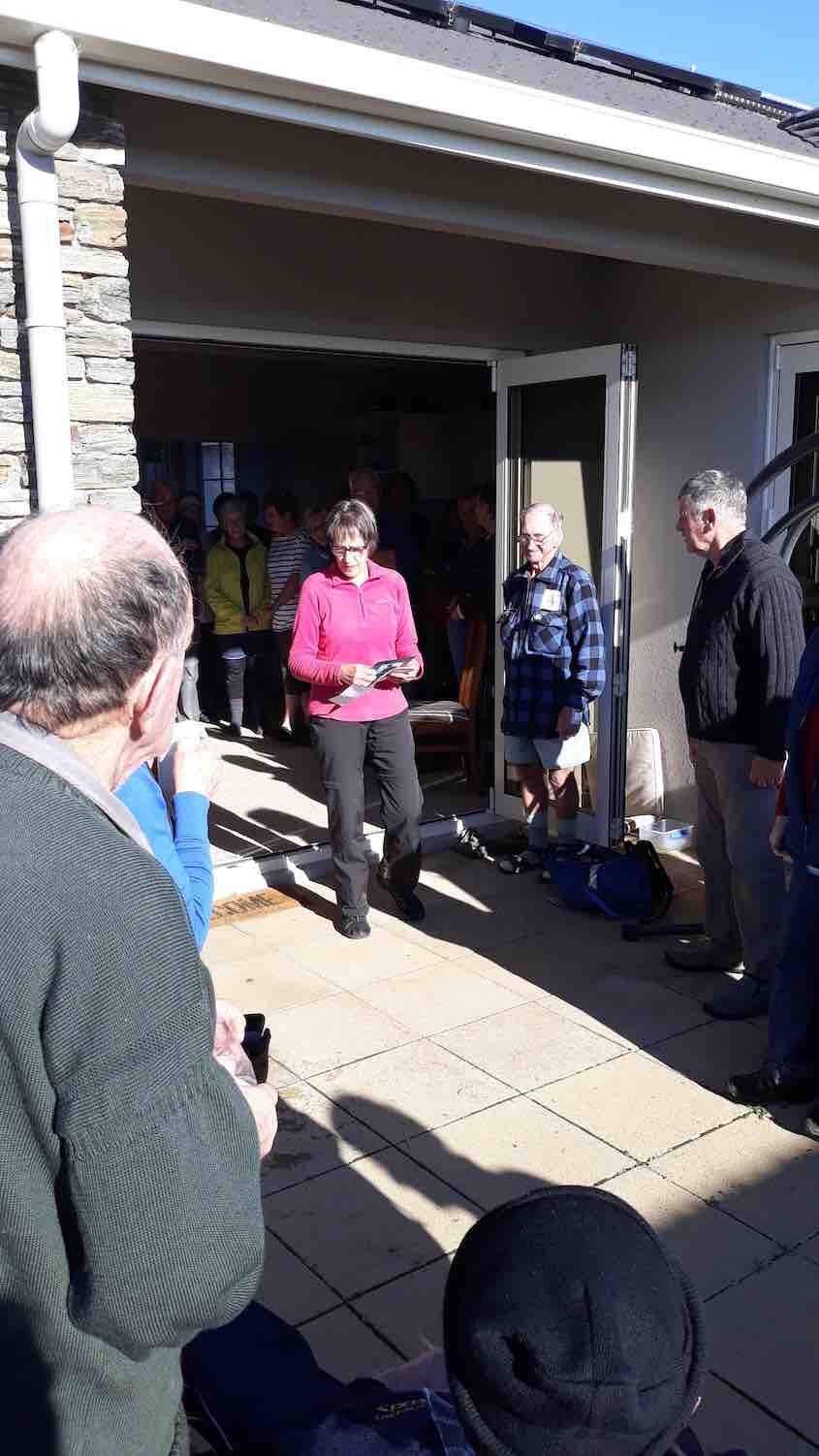
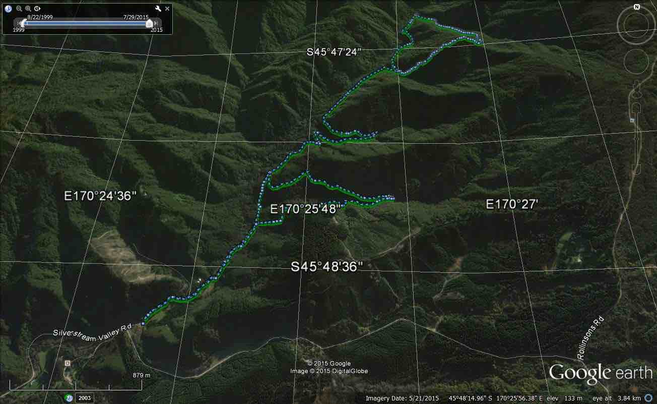
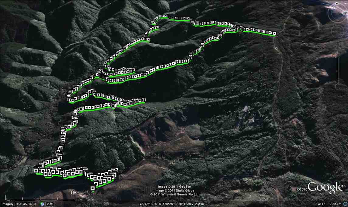
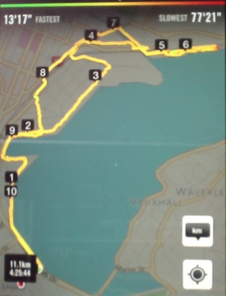
20. 14/10/2015. Hikers. Flagstaff Forest. Stuart and High Streets. Leaders: Lesley and Bev.
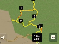
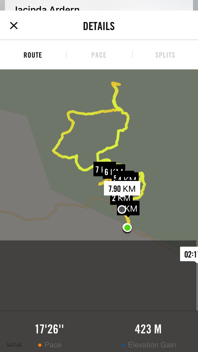
GPS of the route

GPS of the route

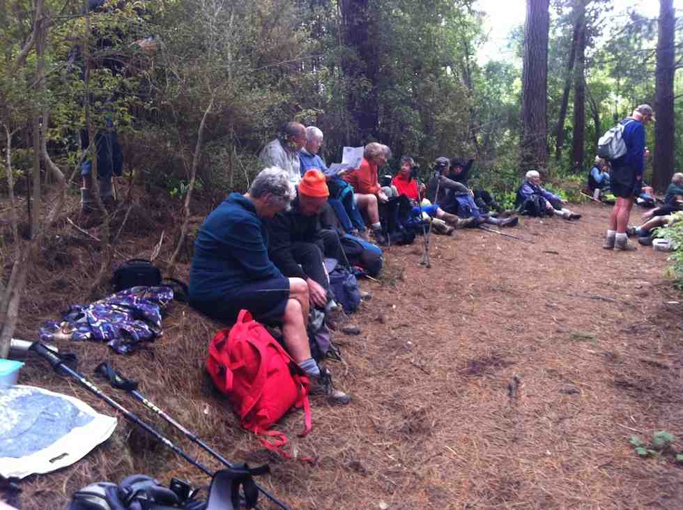
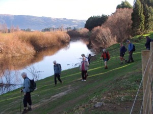
Nineteen hikers parked at the Lookout. Lesley led us in at the upper entrance and down the track to South Rd. Then along South Rd …

A study in verticality

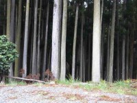
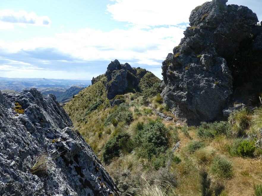
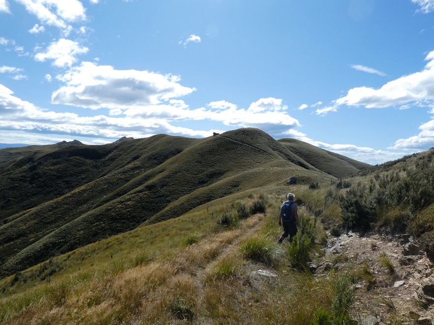
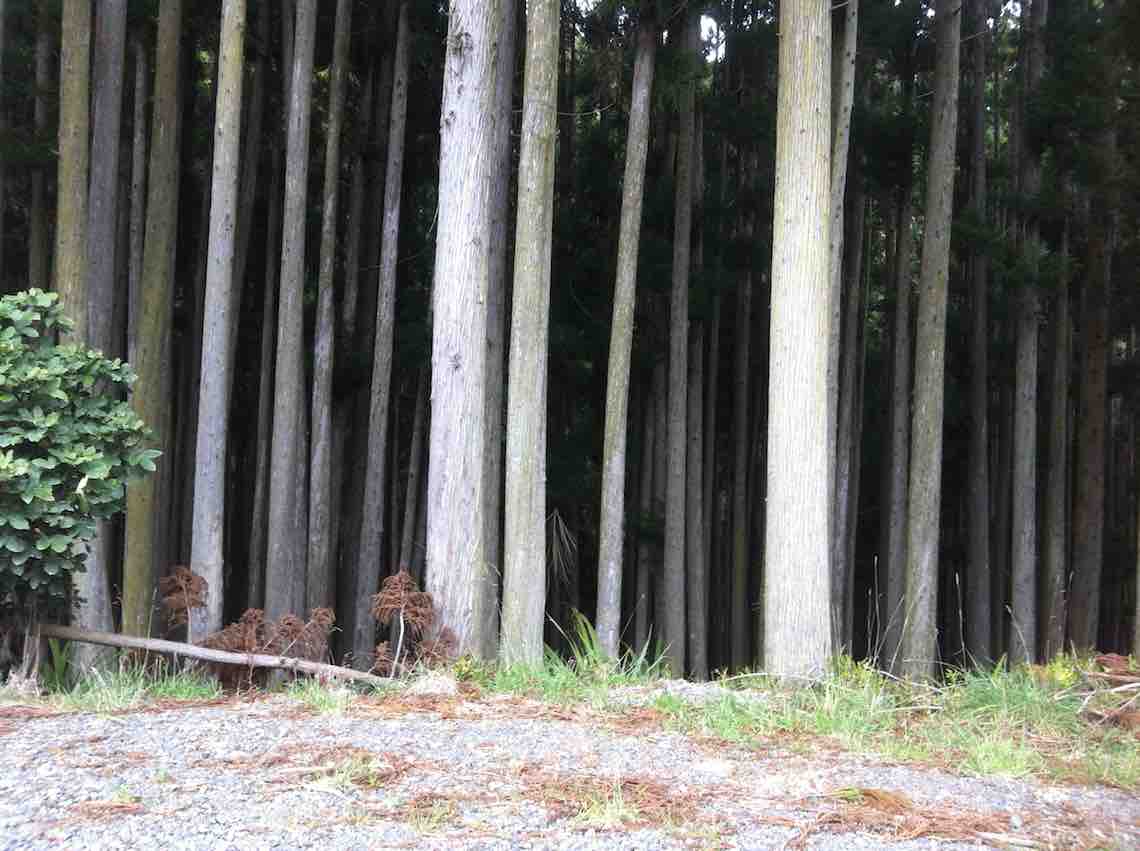
A study in ‘verticality’

What appears to be a chipper - for transforming forestry rubbish into pellet fire product, perhaps.

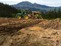
What appears to be a chipper – (saw-duster?) for transforming forestry rubbish into pellet fire product, perhaps.

… to the foot of Stuart St whose road sign at its foot is now unhelpfully missing. Up Stuart St which gets only steeper each time we tackle it, but now cleared of all trees on either side. Where Stuart St ends at High St, the leaders took eight of the party down High St, entrusting the balance of eleven to the leadership of Keith to take them up High St to lunch at its end at Longridge. The two parties met again on South Road where it crosses Flagstaff Stream and returned to the cars via the large steep steps taking them up along the Douglas Fir Grove track. – Ian.

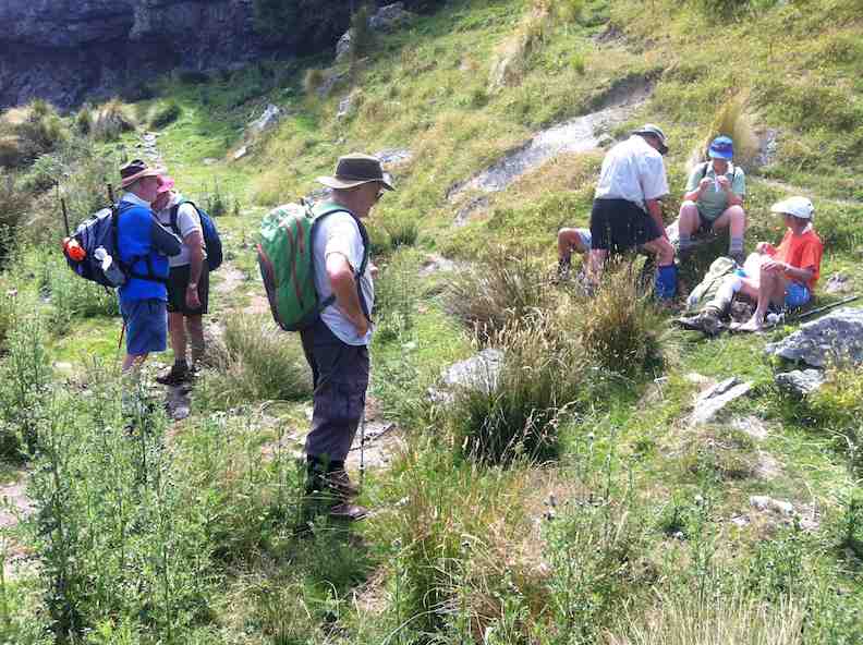
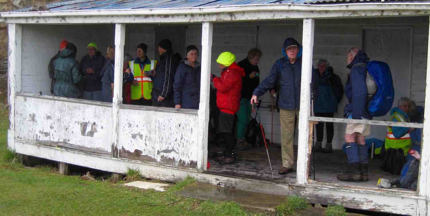
19. 17/7/2013. Hikers. Flagstaff Forest. Leaders: Les and Margaret.

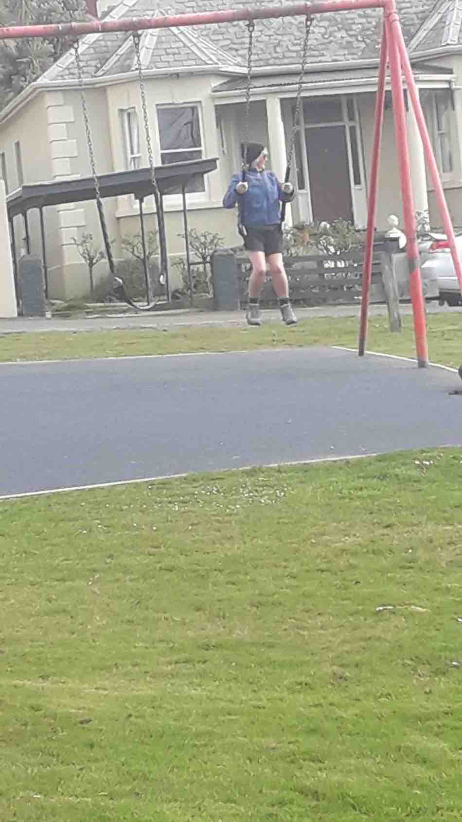
Wed. saw us park up at the lookout at three mile hill road.
We walked into the forest and around a few of the roads like High St, Stuart St, etc.
It turned out a great day with lots of sun between the trees.
the douglas firs are so TALL in the forest I wonder if they will mill them.
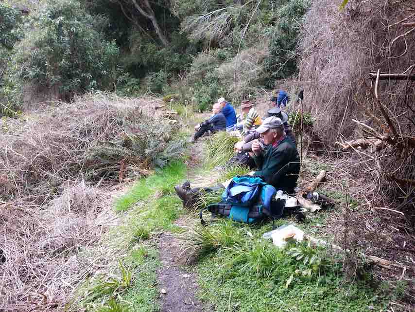
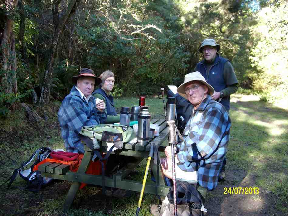
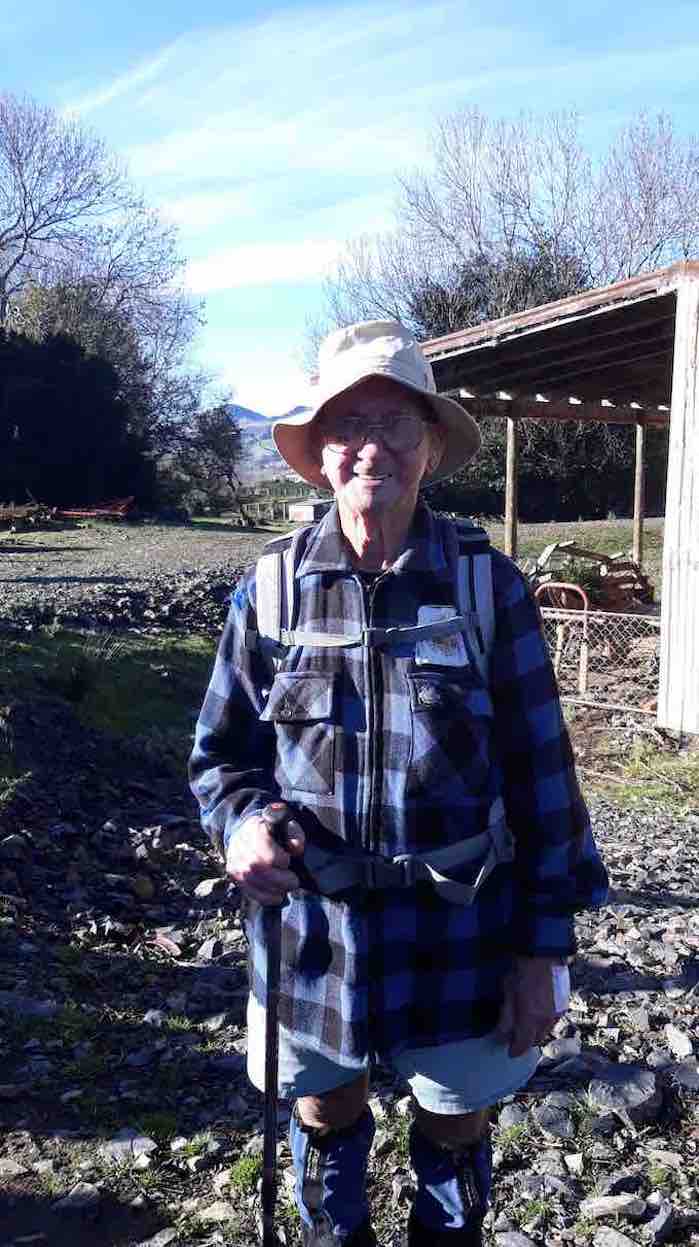
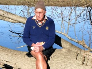
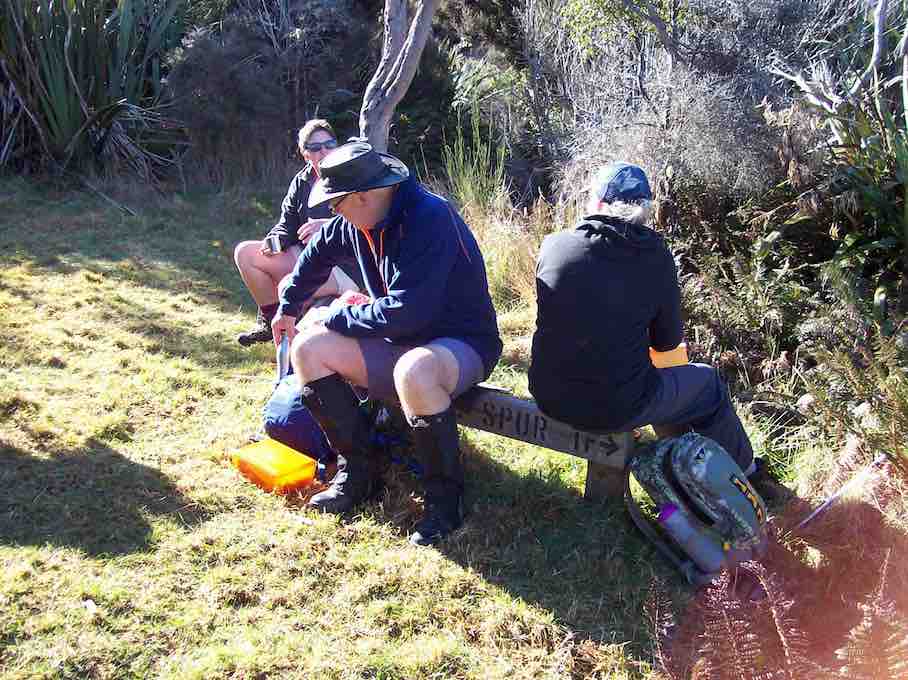
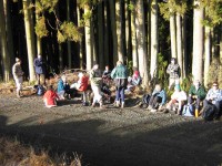
It was very sunny at the lunch stop. Fred supplied the usual chocs so all was well for us all.
We made our way back up some huge steps {made by a Big Man?}
There are a lot of felled trees in there and I wonder what they are going to do with it all.
With so many families crying out for wood and the price it is… and here is all this wood just rotting away. – Elaine.

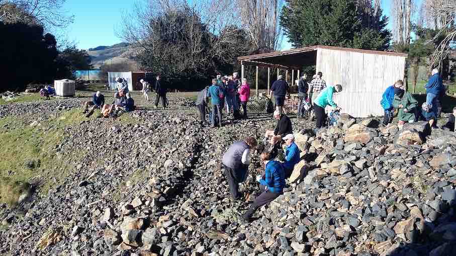
18. 12/9/2012. Trampers. Flagstaff Forest Tramp. Leader: Ria.

GPS of route, courtesy Ken. Unaccountable lapse in record. Deduce omitted route yourself!

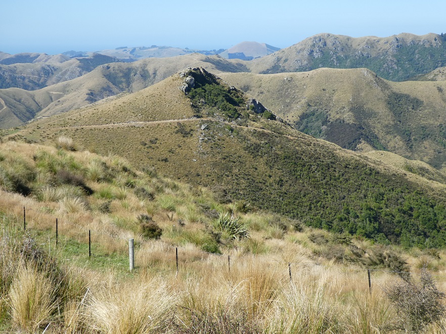
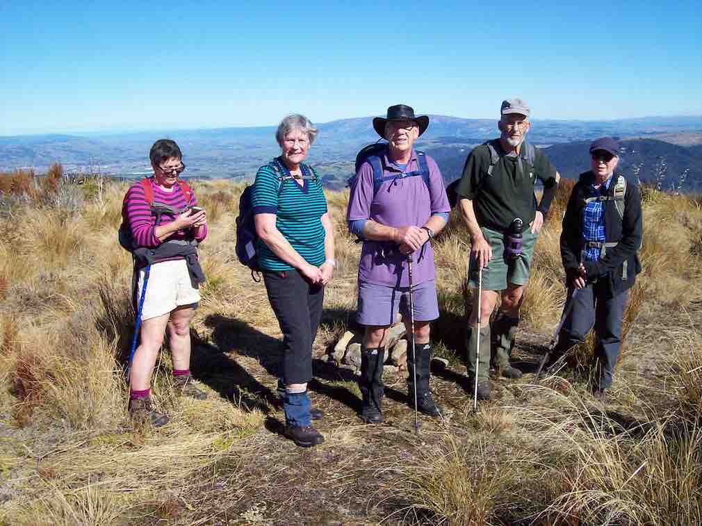
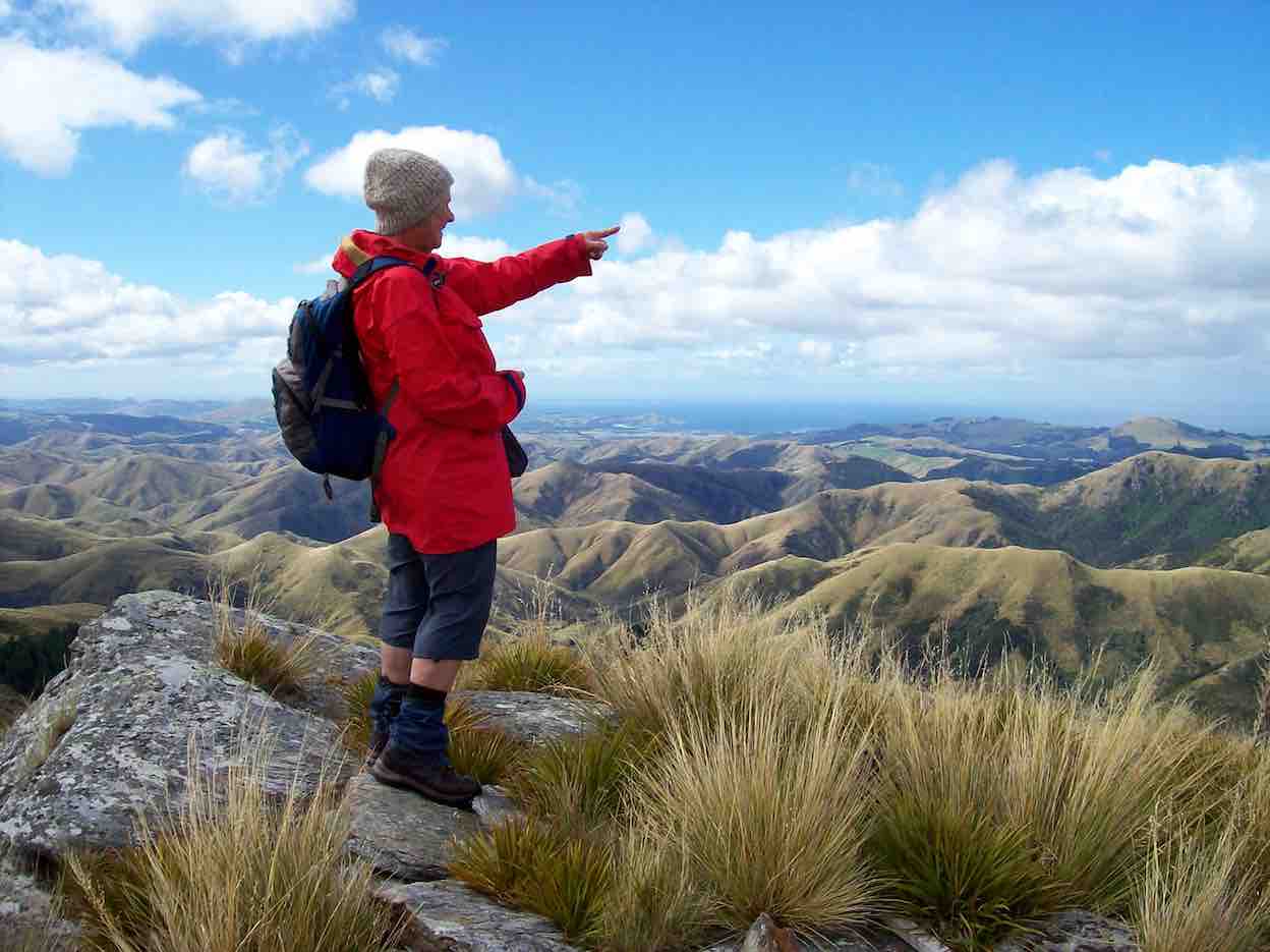
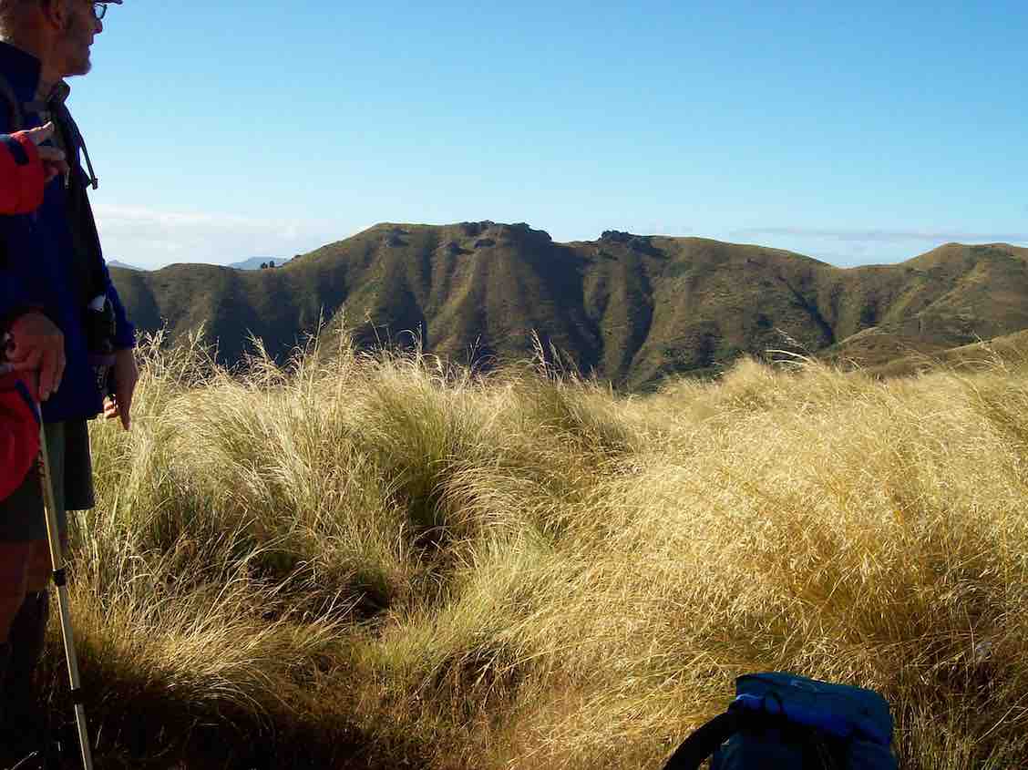
A pic from earlier in the tramp before we got to the top.

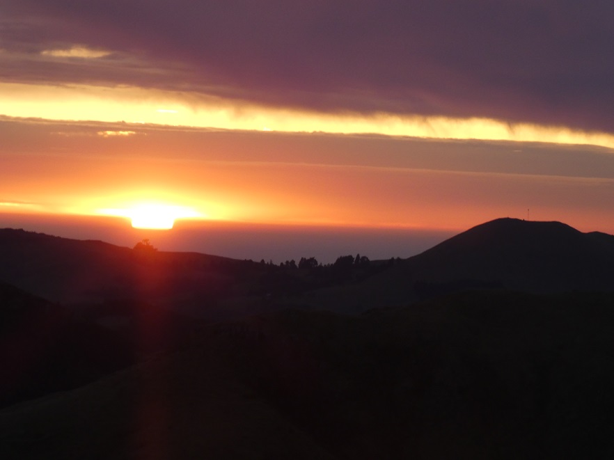
Fast melting snow on route back down from top.

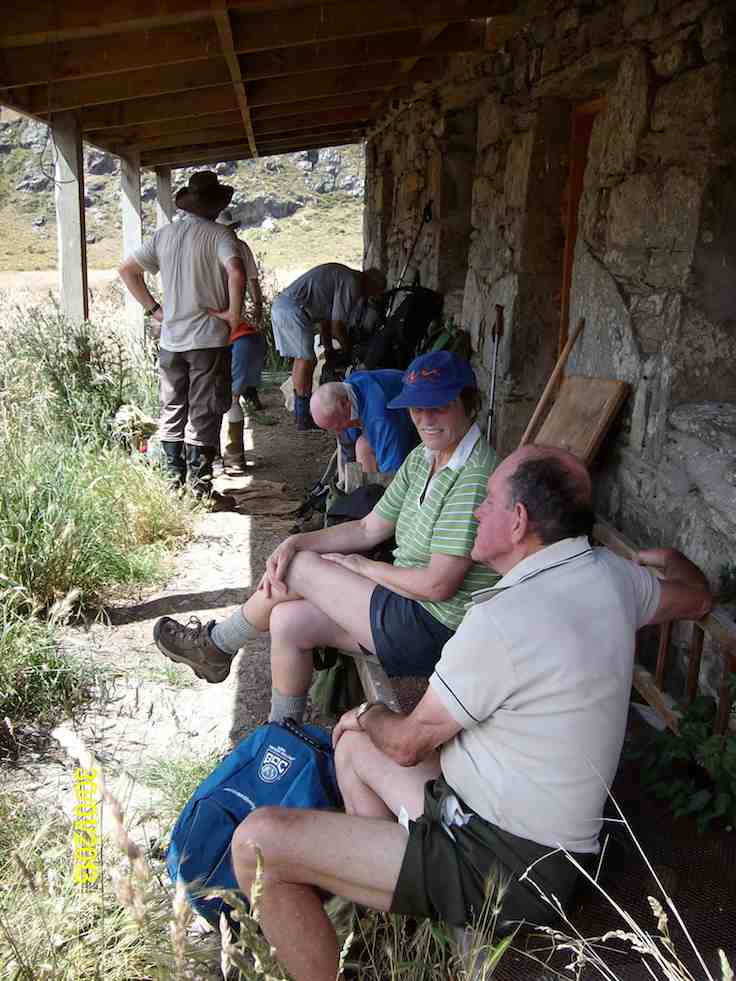
17. 28/4/2010. Hikers. Flagstaff Forest walk. Leaders: Bruce and Marjorie.
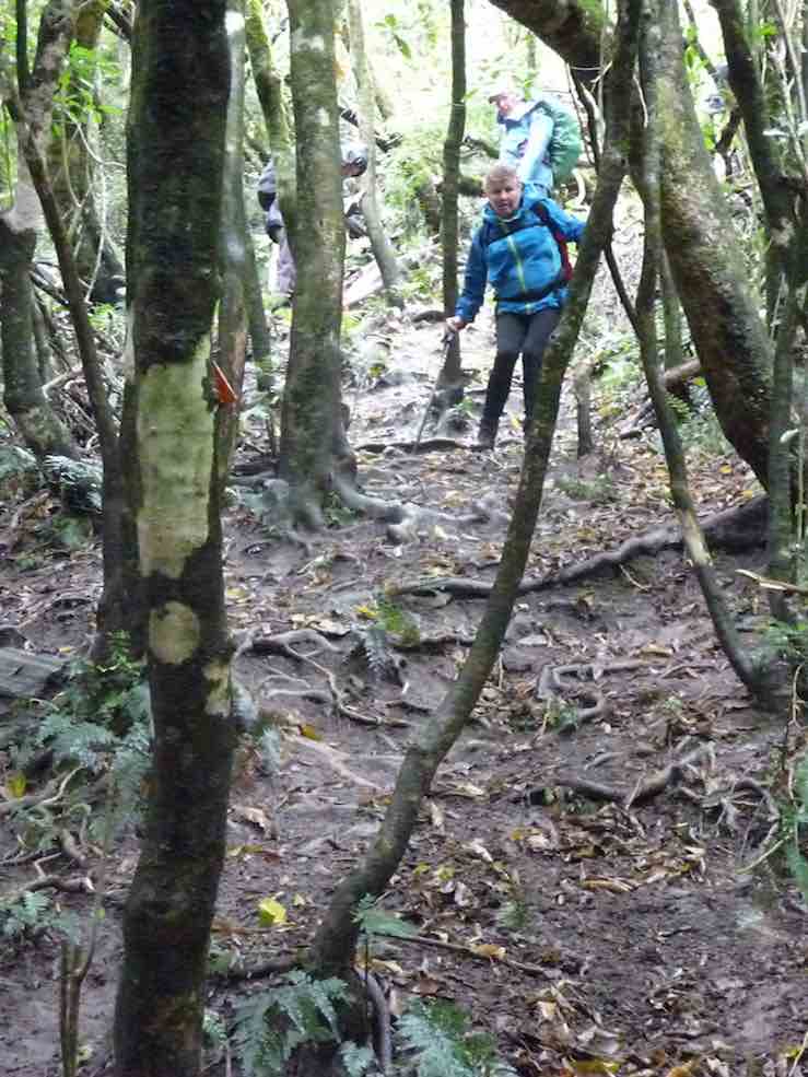
Thirteen hikers parked at the Taieri lookout and set off on the bush track opposite which was a very pleasant walk. Although it had rained, pine needles made a soft dry carpet. The variety of trees and bird calls, including rosellas, provided interest and we admired the tall straight trunks of the giant trees.
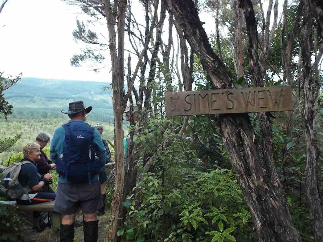
We had morning tea and lunch at the same spot by the Flagstaff stream but between we did a circular walk around forestry roads. These provided us with good walking underfoot and although it was quite a grind up Stuart Street we all managed it with ease by taking our time and stopping to admire the view of the Taieri Plains and Saddle Hill. After lunch we completed the bush walk back to the cars.
It was quite a short walk, although no-one took up the offer to go round again. Another time a further circle could be added on at the top of Stuart Street. The weather was ideal with not a breath of wind and mild temperatures. – Marjorie

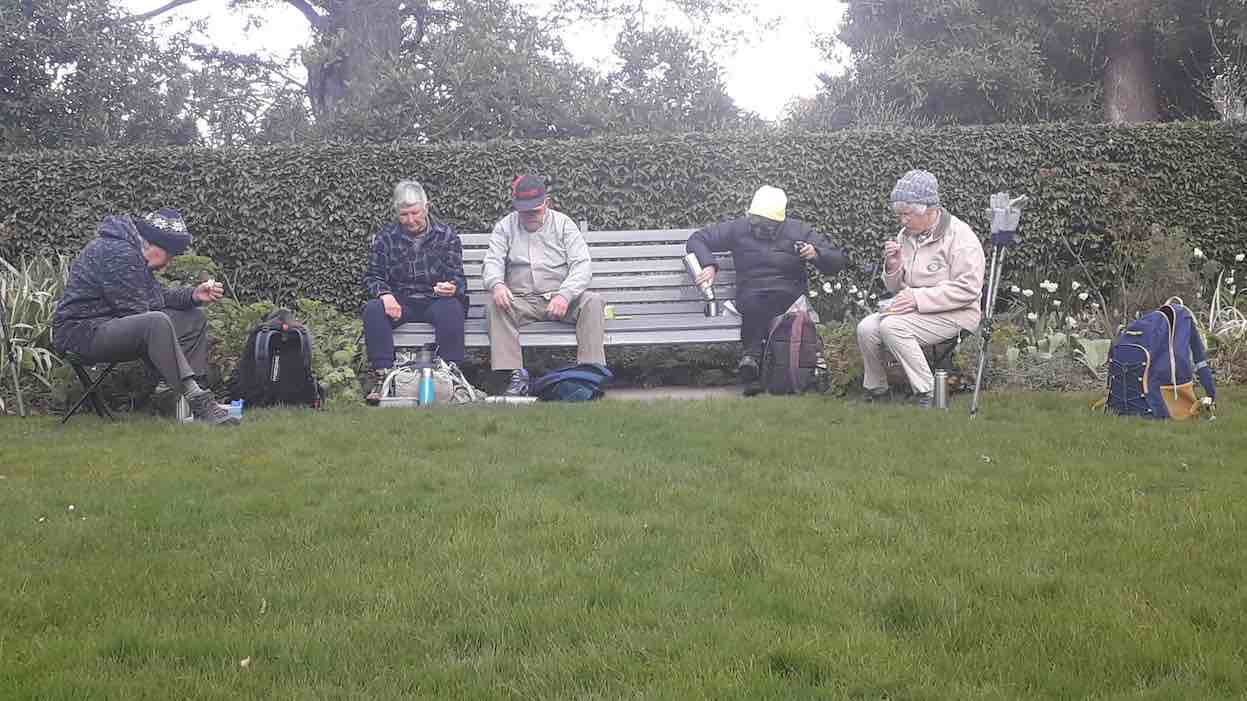
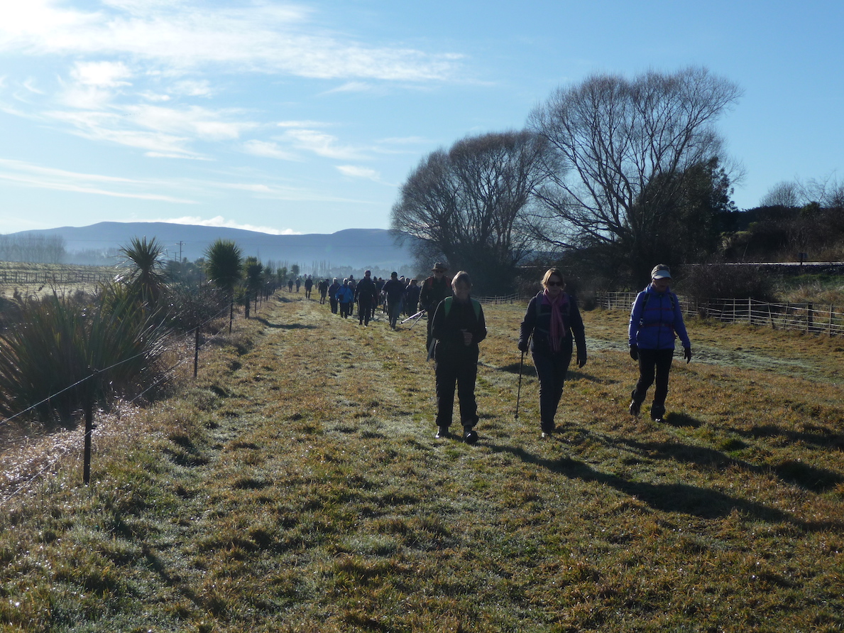
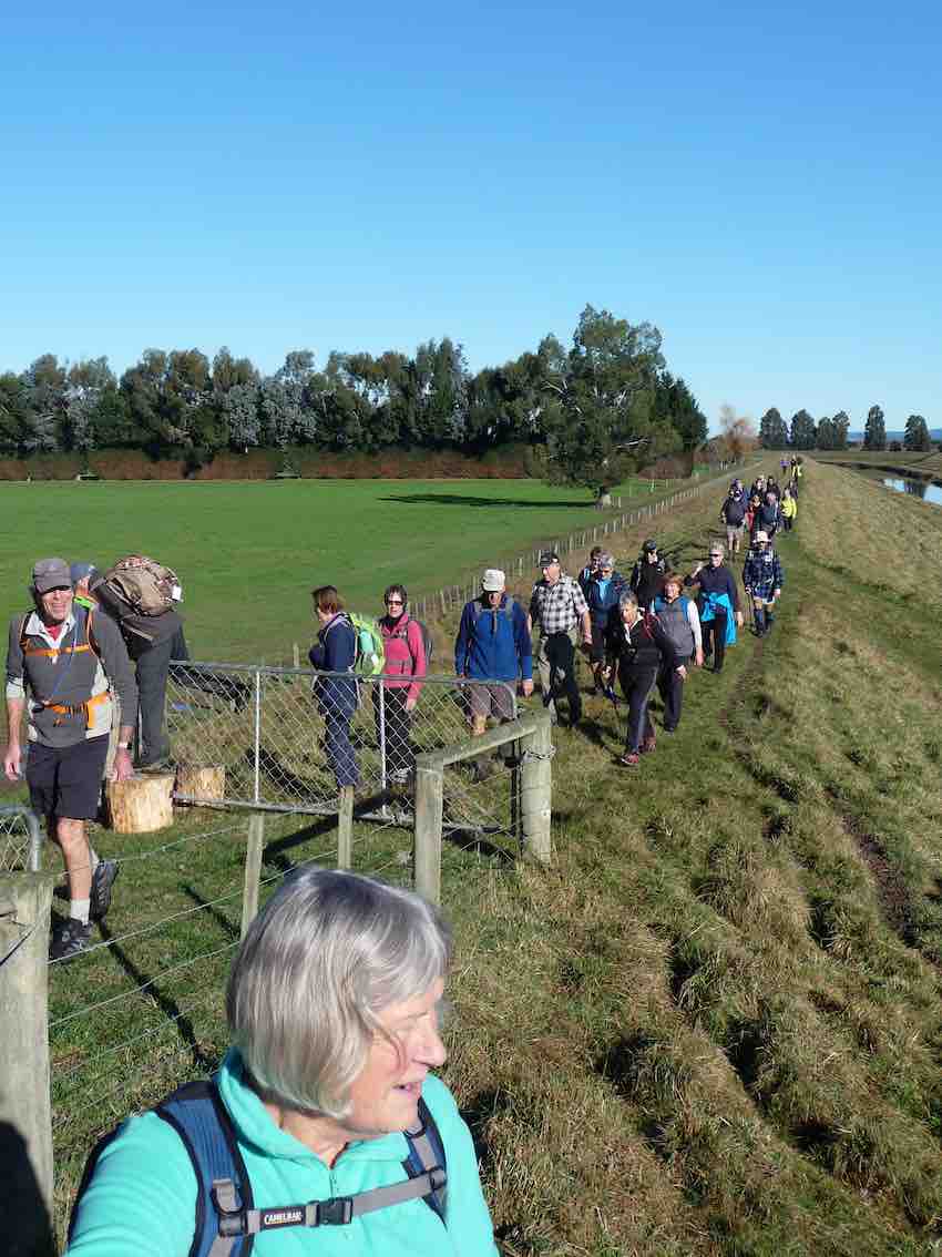
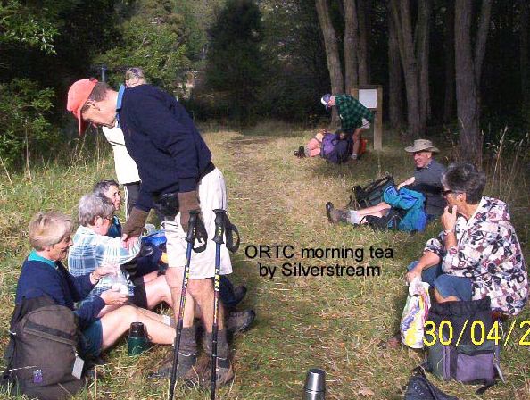
16. 1/7/2009 Both Hikers and Trampers. Flagstaff Forest. South Rd, High St, Laings, High St, Stuart St, South Rd.
Leaders: Neil, Ria

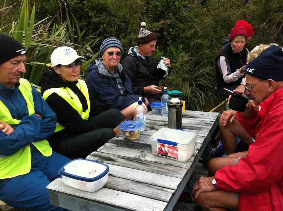
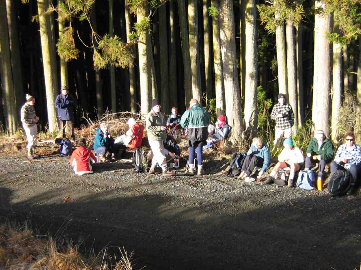
It was a good day for 20 members of the club from both groups. We entered the forest from opposite the Taieri Lookout car-park and made our way down to where the track comes out at South Road. We followed this around to turn up High Street, but before doing this we stopped for
our morning tea break in a rare sunny spot.
click to enlarge

Morning Tea on South Road.

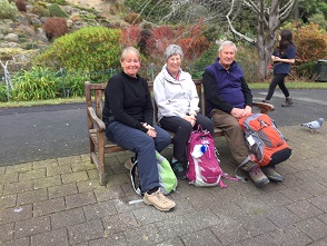
Morning Tea on South Road. Lex, Bob, Who? Wendy, Who? Neil, Ria, Peter, Mollie, Pat, Bill, Bev, Evelyn, Angela.

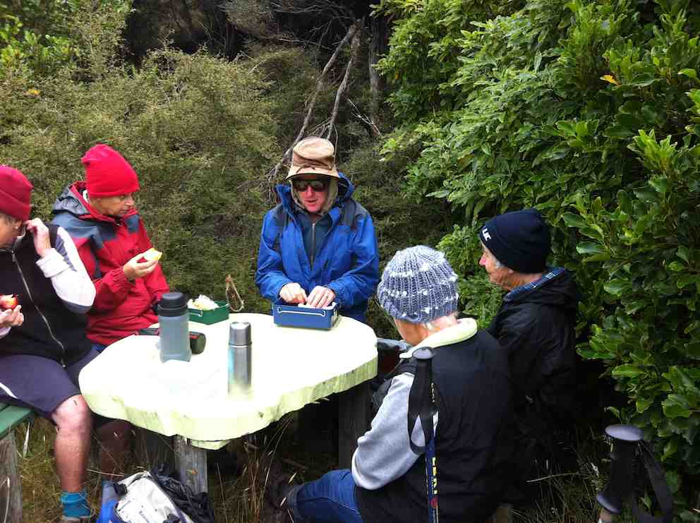
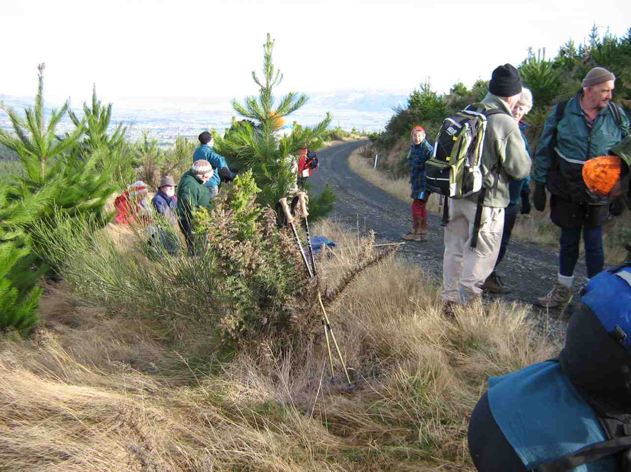
We made our slow way up, up, up High Street, stopping for frequent rests to eventually reach Long Ridge Road only to immediately turn back off it to travel along Laing Road until Ria judged it time to stop for lunch.

Lunch

Lunch. Evelyn, Bob, Chris, Glenice, Who? Ria, Neil, Wendy, Peter.

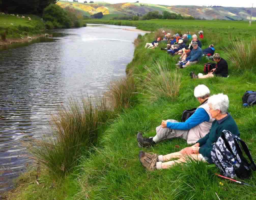
Returning back we enjoyed great views of the Taieri Plain,
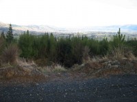
Taieri Plain

Taieri Plain

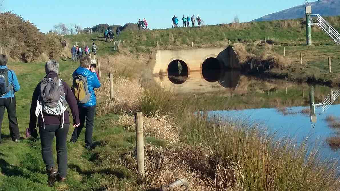
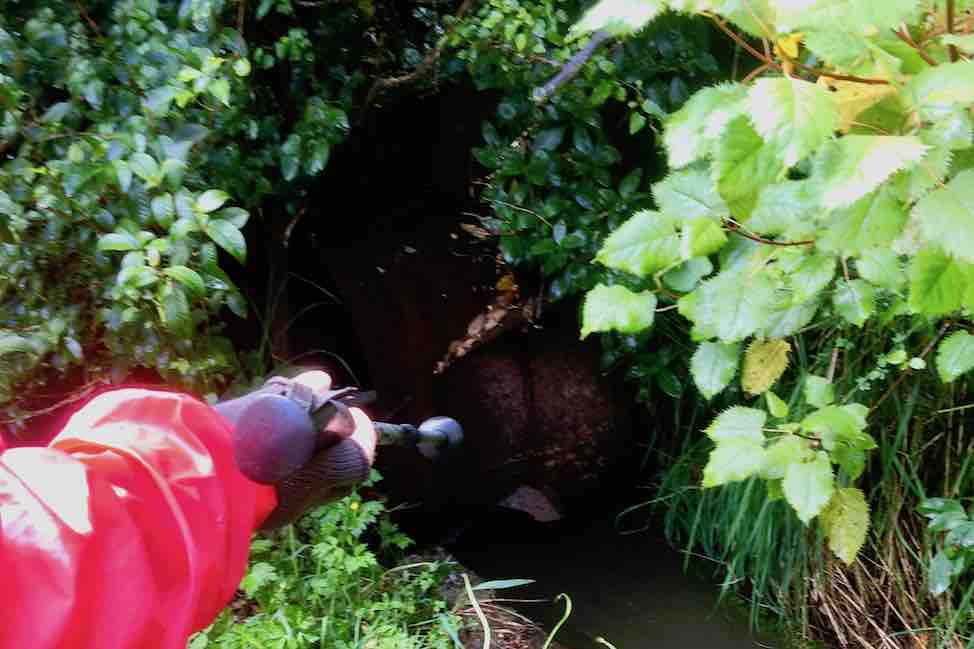
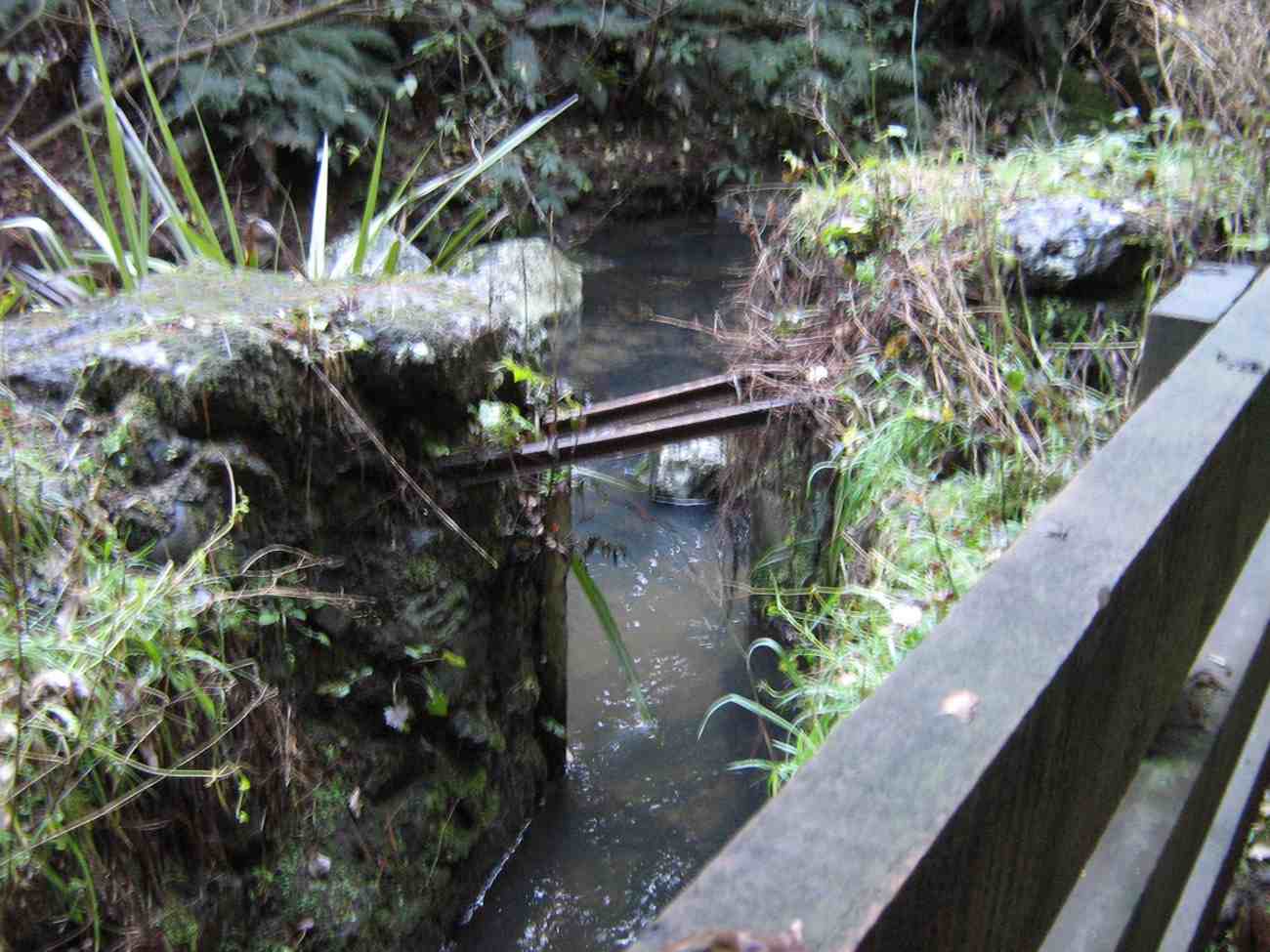
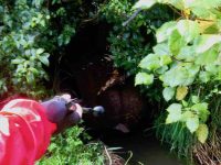
turned back down High Street and then off to the right and down Stuart Street. When it reached South Road, we turned left, passing the foot of High Street to reach the bridge/culvert over Flagstaff Creek. Here we turned down the Flagstaff Creek Walking Track to at last cross the Creek on a fine wooden bridge to reach a water race
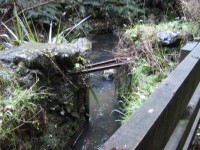
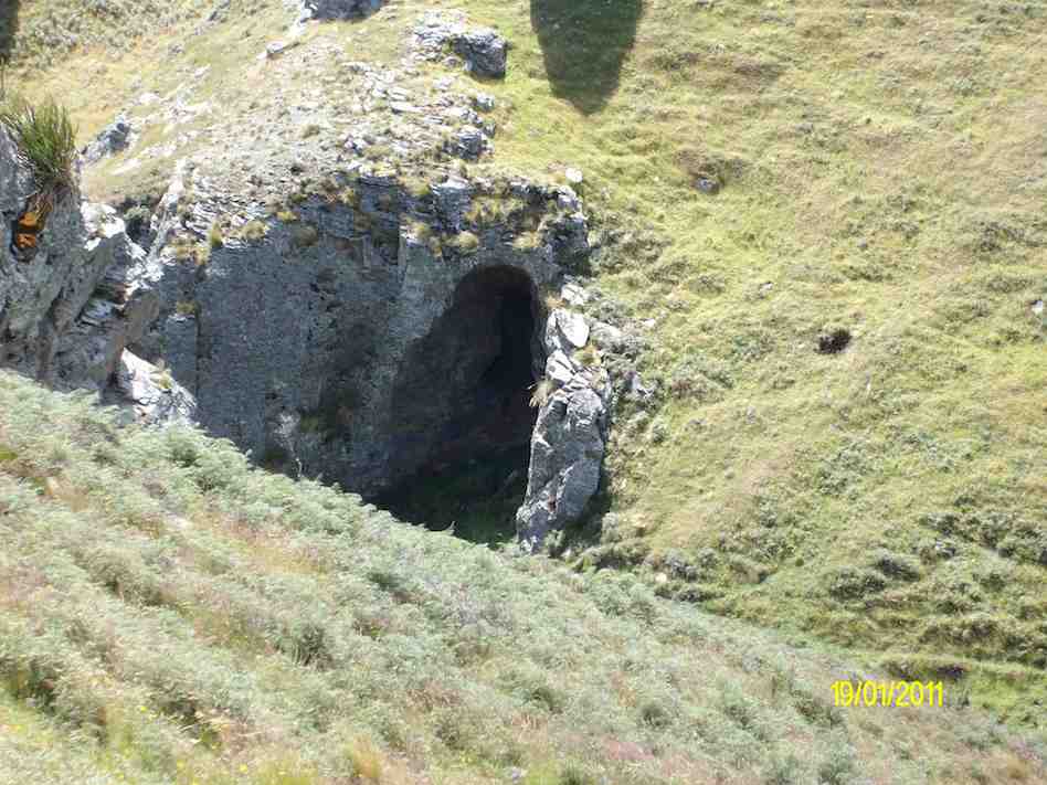
Race Entrance

Race Entrance

Weir and Overflow

Weir, water-race entrance and Overflow

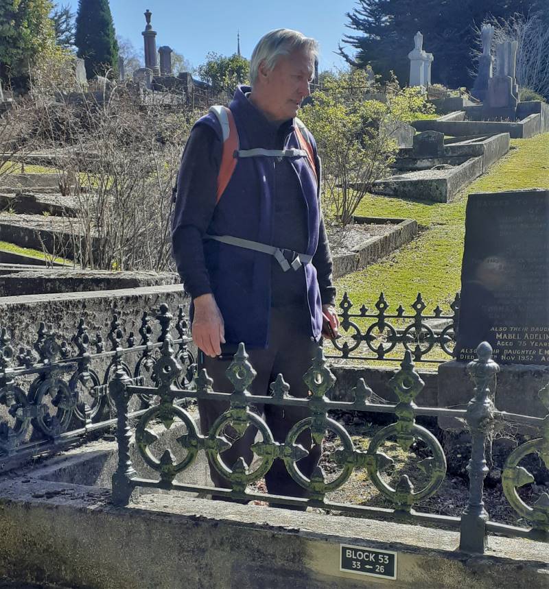
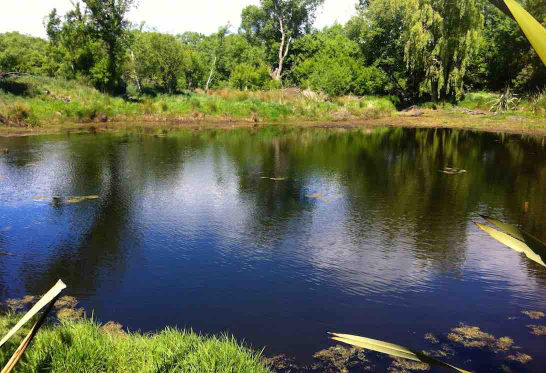
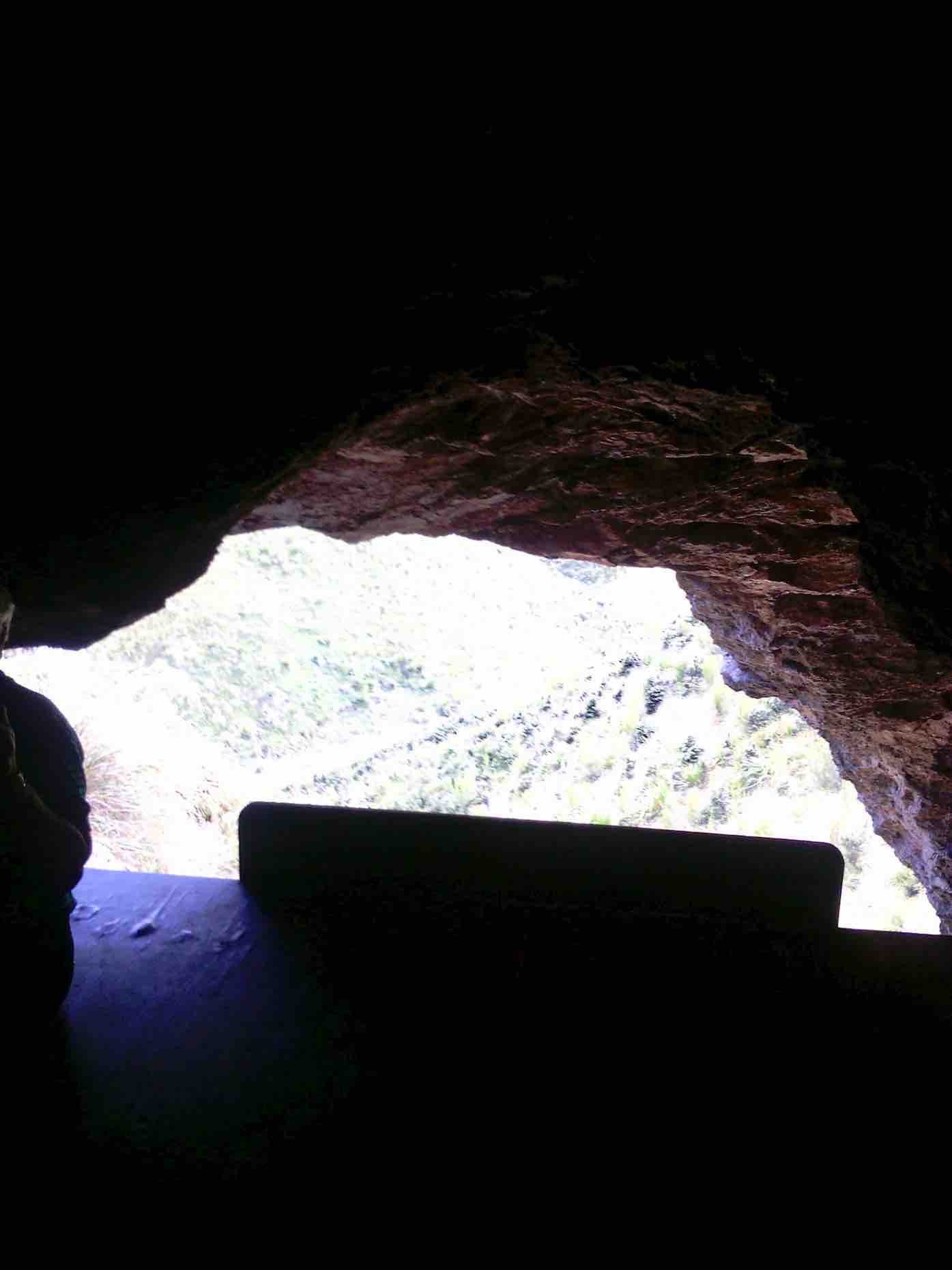
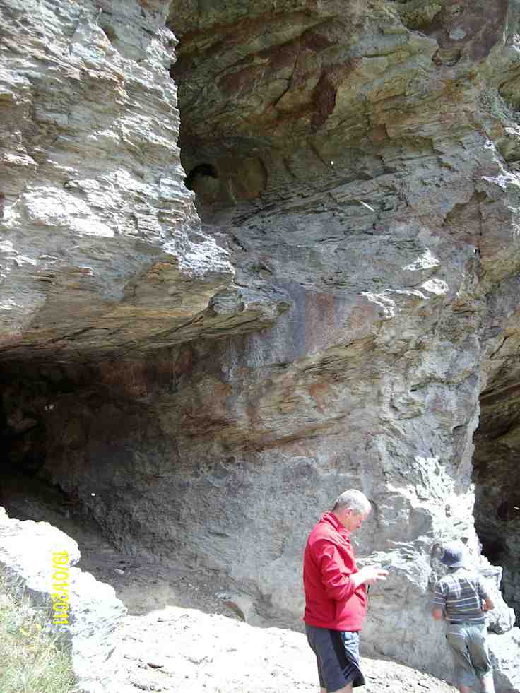
containing an old water meter wheel stiffened up with age and rust.

Upside Water Meter

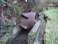
‘Up-race’ of Water Meter

Downside Water Meter

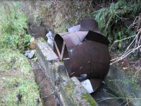
‘Down-race’ of Water Meter

Back up the track a bit we turned up to the right to climb a many-stepped track up to cross South Road and back up the initial track to the car park again. Thanks, Ria and Neil for a most enjoyable, if wrapped-up, winter’s day out. – Ian

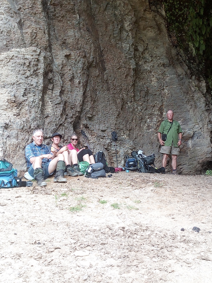
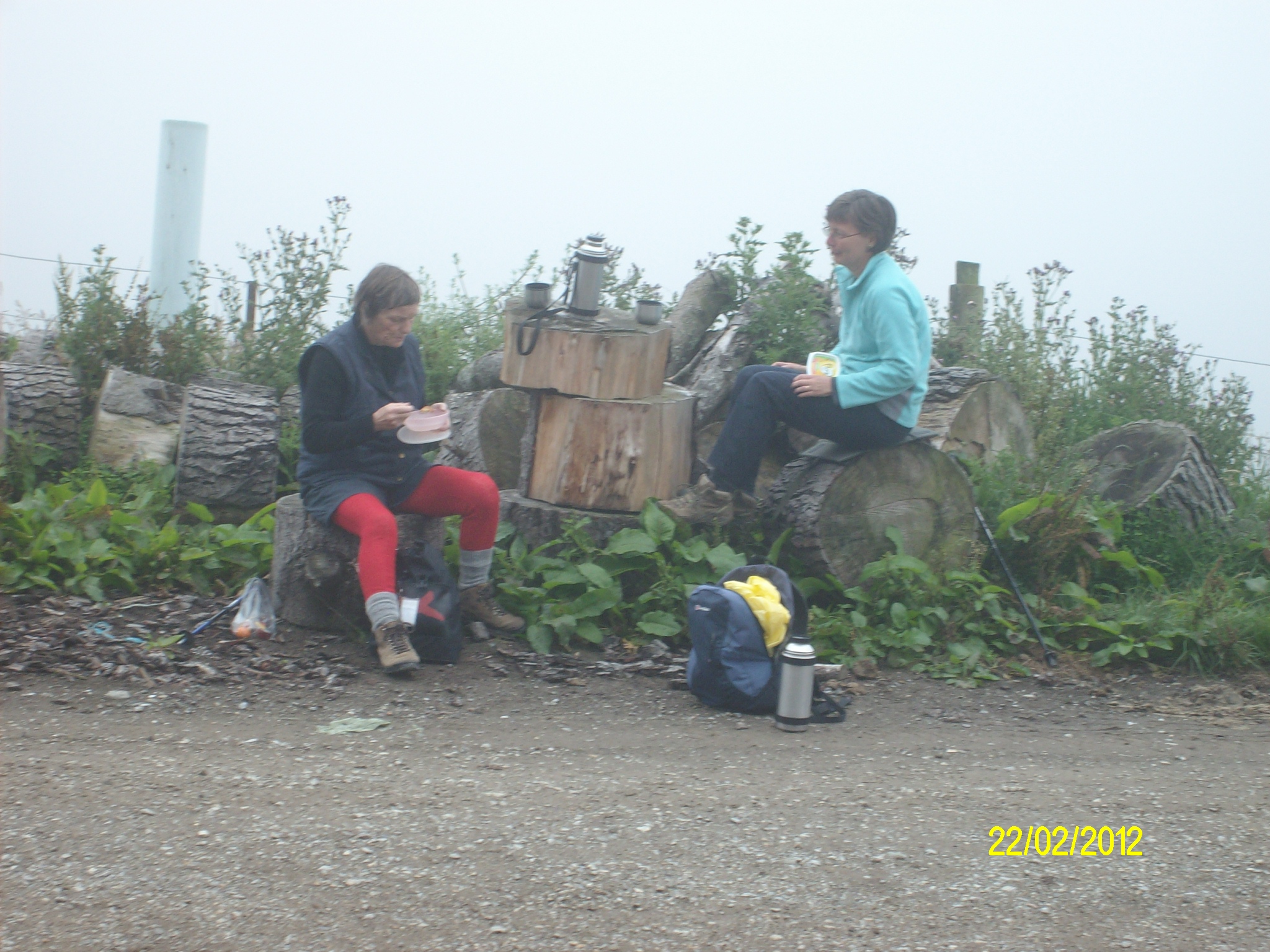
15. 25/2/2009 Trampers. Three Mile Hill Lookout. Flagstaff forest walk, Three Mile Hill. Round trip. Lookout, South Rd, High St, Longridge Rd, Whare Flat Rd, Laings Rd, High St, South Rd. Leaders: Ria, Hazel.

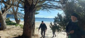
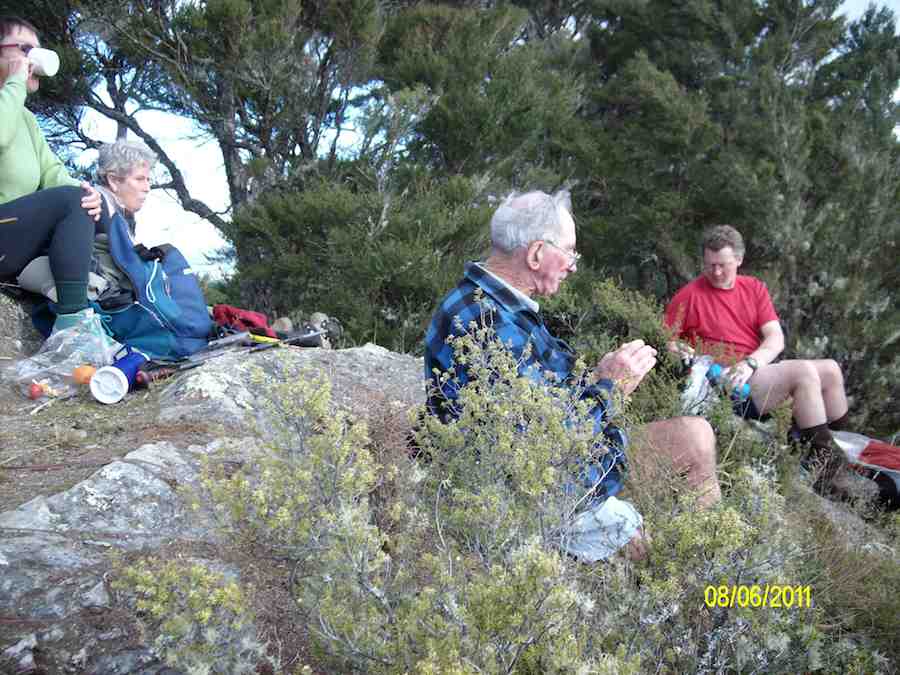
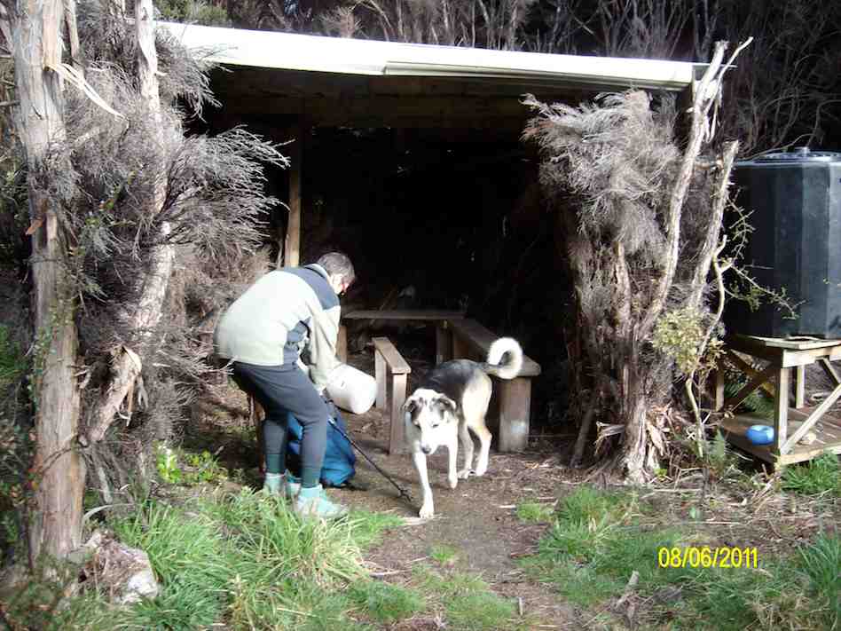
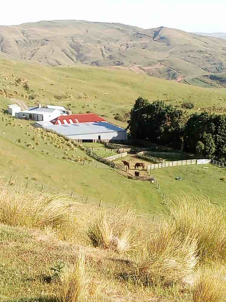
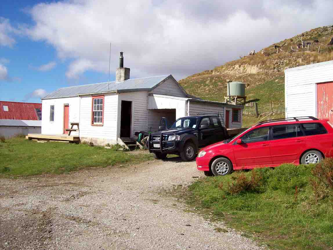
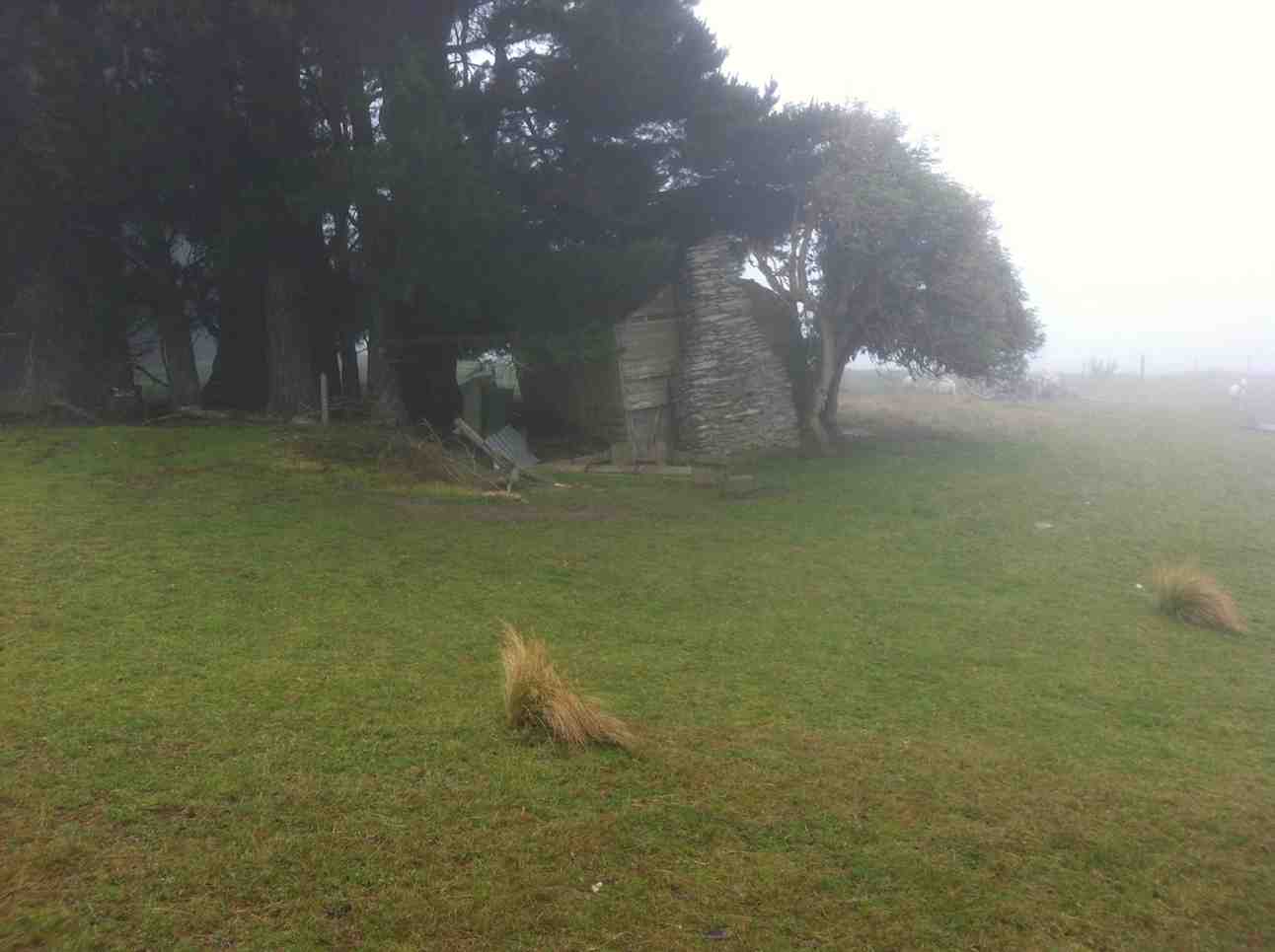
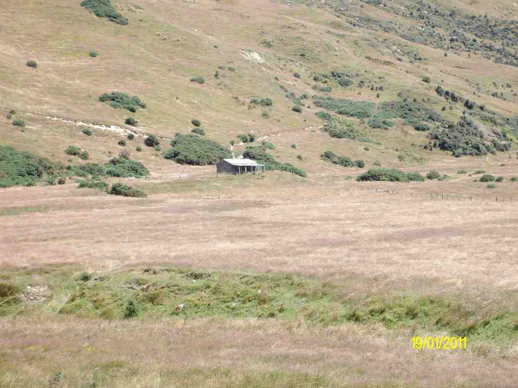
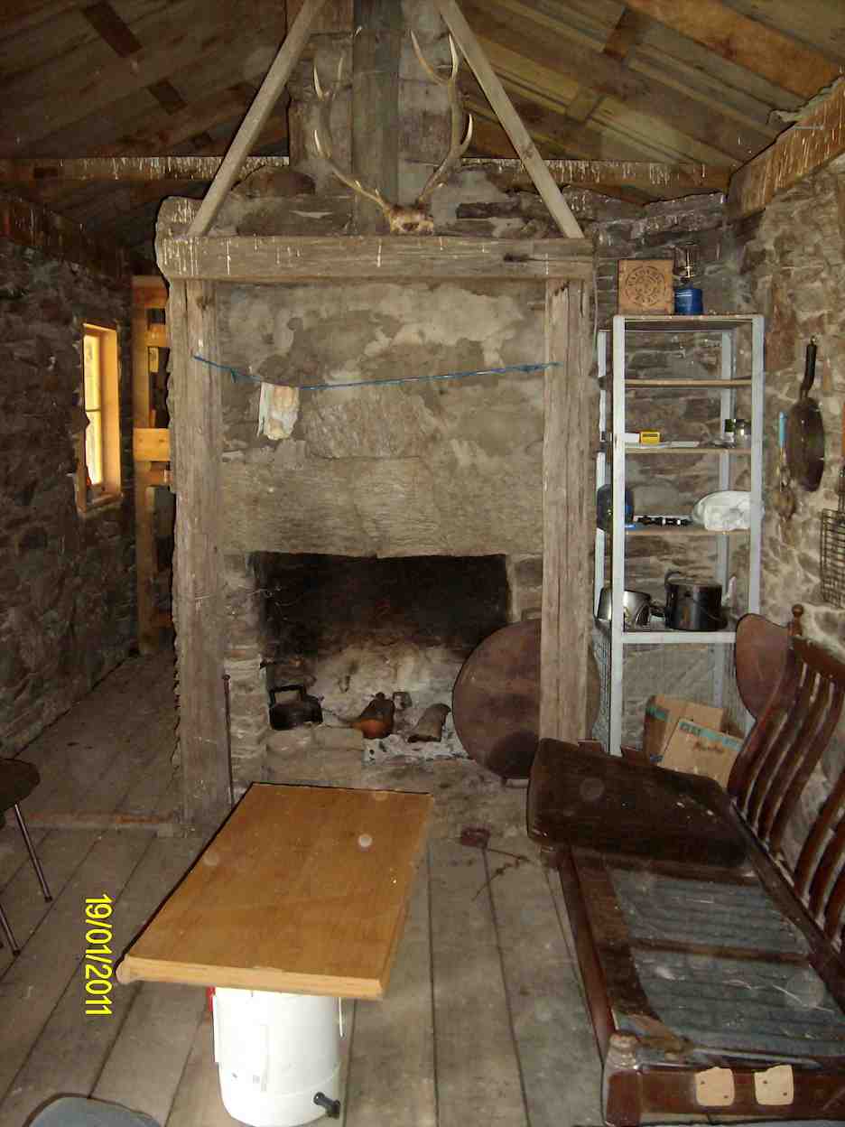
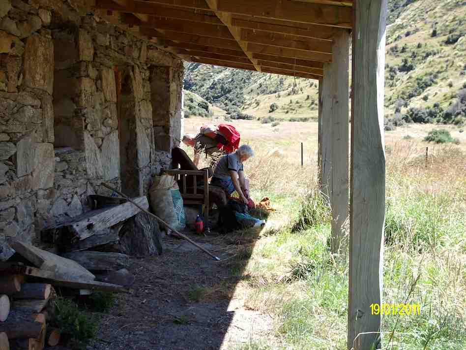
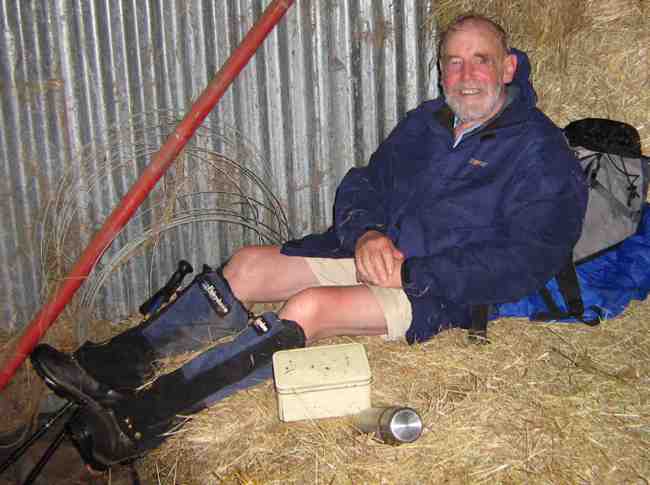
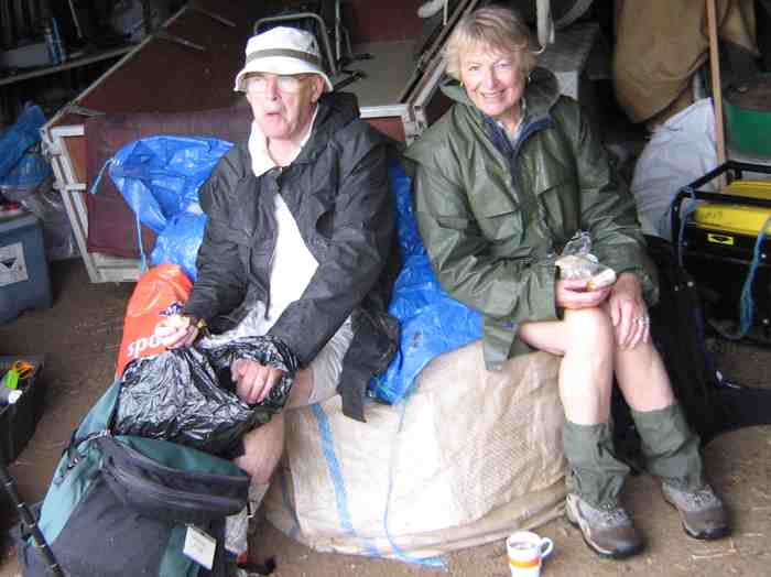
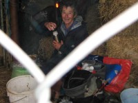
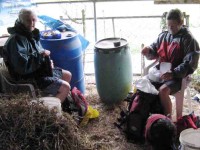
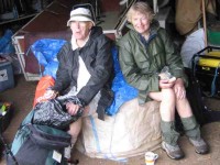
The misty overcast day left  ground wet and muddy underfoot and ruled out the planned tramp on Swampy. So Ria had sought permission for the six of us to walk the Flagstaff Forestry roads. It was a good work-out, extended by a climb from the Bullring to near Flagstaff summit to fill in time before lunching in the welcome shelter of Ria’s daughter Ingrid’s property’s haybarn down Whare Flat Road.

Lunch in Ingrid's Haybarn. Ian

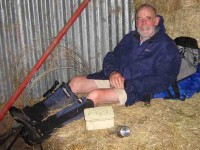
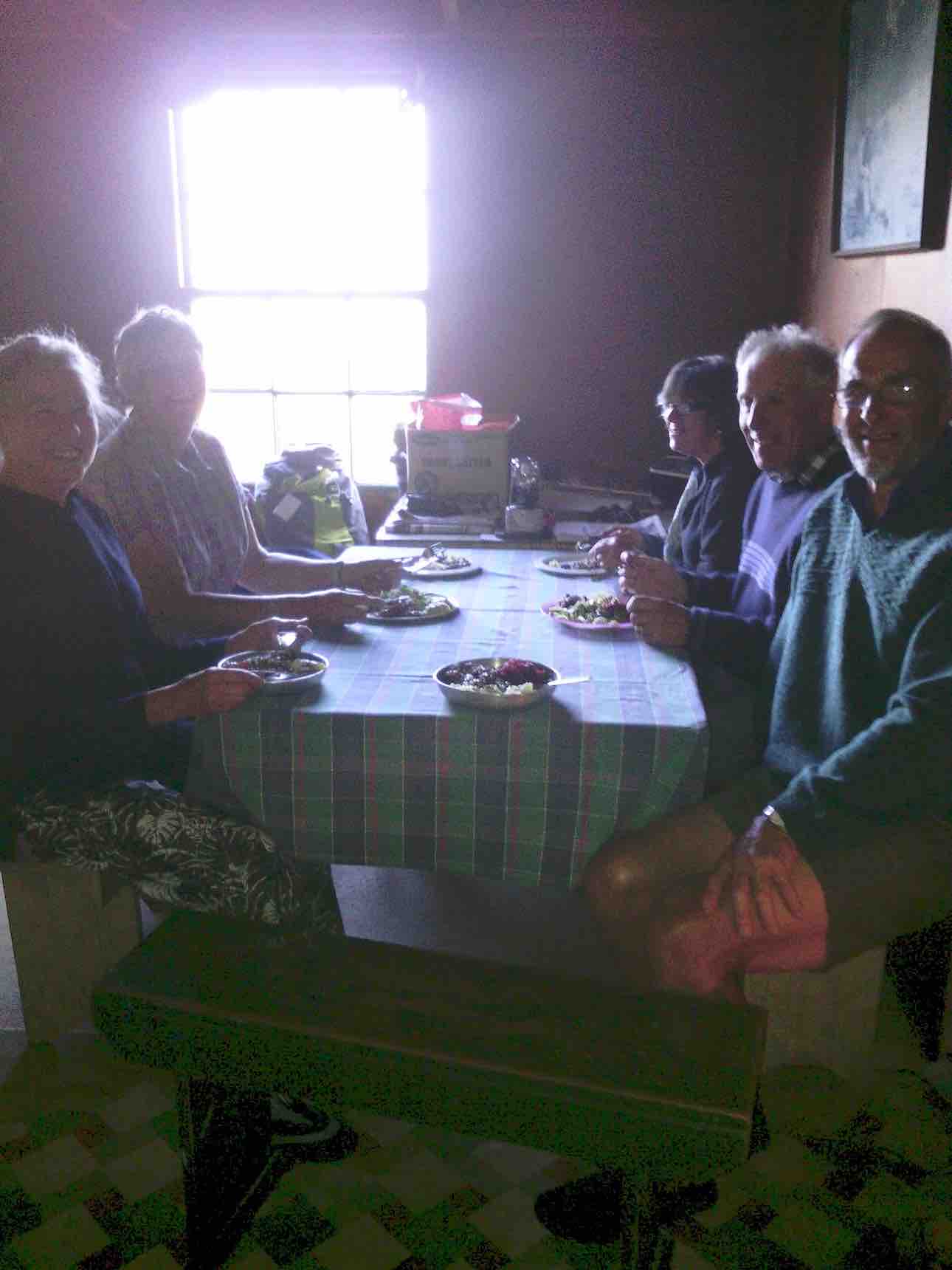
Lunch in Ingrid’s haybarn. Ian

Lunch in daughter Ingrid's haybarn. Ria

Lunch in daughter Ingrid’s haybarn. Ria

Lunch in Ingrid's haybarn. Hazel, Glenice

Lunch in Ingrid’s haybarn. Hazel, Glenice

Lunch in Ingrid's haybarn. Bill, Pat

Lunch in Ingrid’s haybarn. Bill, Pat

Then it was back up Whare Flat Road to Laings Road and so back to the Lookout where we had parked the cars. Thanks to Ria and Hazel for a good alternative tramp.

14. 20/9/2006. Hikers. Three Mile Hill area. Easy. Leaders: Jean, Anne R, Eleanor B.
13. 30/3/2005.DCC Forestry Walk.
Water wheel

Water wheel

12. 11/9/2002. Alt. Three Mile Hill. Leaders: Les W, Mary M, Peg C
11. 27/6/2001 Three Mile Hill. Leaders: Daphne, Eleanor, Mavis
10. 25/4/2001. Three Mile Hill. Leaders: Daphne, Peg C, Mary M.
9. 19/7/2000. D.C.C. Forestry Circuit. Leaders: Shirley R, Arthur and Barbara.
8. 18/8/1999. DCC Forestry Walk. 3 Mile Hill. Leaders: Margaret D, Winifred, Joan H.
7. 11/11/1998. DCC Forest – 3 Mile Hill. Leaders: Betty, Joan H, Winifred.
6. 28/5/1997. Flagstaff Forest Walk. Leaders: Peg A, Peg M, Margaret D
5. 22/1/1997. Flagstaff – Creek Forest. Leaders: Peggy M, Margaraet D, Peg A.
4. 26/6/1996. D.C.C. 3 Mile Hill Forestry Round Trip from Coburns. Medium. Shorter alternative in some areas. Leaders: J Roy, Ian, Catherine.
3. 30/3/1994. D.C.C. Forestry, Whare Flat, Look-out, Three Mile Hill Road. WET FEET! Medium. Leaders: Ria L, Wendy B, Evelyn M, Doreen
2. 9/12/1992 DCC Forest. Round trip. Cars meet Three Mile Hill Lookout. Average. Leaders: Marie F, Nel K, Doreen, Lesley S
1. 22/6/1988 Three Mill Hill from Taieri Lookout. Pleasant pine walks. Leaders:

One response so far

Sep 20 2017

Portsmouth Drive to Marina

Published by under Uncategorized

17 km from car park.

3, 20/9/2017. Hikers. Portsmouth Drive to Marina. E. Leaders: Judy and Dorothy.

Twelve harbour strollers, went to Andy Bay.
We parked beside the inlet – it was a windy day.
Along the Portsmouth Drive we went, trudging in a row.
We passed the harbour molars, and onward we did go.

A sunny sheltered spot was found, and morning tea was had,
Relaxing in the sunshine, it wasn’t half too bad.
Then on we went, around the wharves, and round the harbour basin –
We found that walking in the wind, was really somewhat bracin’.

We viewed the plaque in memory of “Neptune”, sunk in war.
She hit a minefield in the Med, and then she was no more.

We passed the Neptune memorial at the wharf and some members were able to point to the names of loved ones who were involved in this tragedy. (Clive pic and caption.)

On we went and onwards, across the Leith we strode,
Then Clive led us along the groyne, to where the water flowed.

We took a walk out on the groyne at the boat harbour and nearly got blown away in the 20 knot winds. (Clive pic and caption.)

Back around the boat harbour, some picnic tables found,
For lunch and chatter in the sun, then homeward we were bound.

Lunch outside the Yachting Club. (Raewyn pic and caption.)

A cracking pace was soon set up, the wind was at our backs.
Perhaps the increase in our pace, was due to lighter packs?
We viewed a lot of logging trucks, a queue a mile long –
Sending all those logs away, we feel it is quite wrong.

A photo stop was taken, beside the harbour molars –
And so we coined the title, “The Mosgiel Harbour Strollers.”

The Molar strollers. (Clive pic and caption.)

The cars in view, we stepped it out and headed fast for home.
A coffee stop at Blackstone – and then I wrote this “pome”….
(Well, try to find a better rhyme!) – Judy.

Stats for the day: 11.7 kms; 3 hours and 4 minutes walking time; 480 calories. – Clive.

2. 14/1/2015. Hikers. Portsmouth Drive to Marina. E. Leaders: Peter and Wendy.

GPS of route

GPS of route

We parked in the carpark by the Bayfield High School. And 21 of us set out.

Some of us waited while others investigate the doings of a suspect prowler.

The bulk of us waiting for others investigate the doings of a suspect prowler back a the carpark and to call the police to investigate. Helen found a passing cyclist friend to chat to.

We walked along Portsmouth Drive past the molars, turned down Kitchener St, huggiing the harbour edge and stopped off for morning tea.

Sheltering from a cold wind for morning tea.

Sheltering from a cold wind for morning tea.

Carrying on, we turned round into Birch St, across the top of the harbour basin then down along Fryatt St almost to its end. Then it was up Wickliffe St, across the railway overbridge, briefly on Anzac Avenue, down Parry …


Skirting the Statium.

Skirting the Stadium.

…and Minerva Streets to cross the Leith on SH88 bridge, and on the north side to turn under the bridge and out along Magnet St to get to our lunch stop at the Marina.

Lunch

Again sheltering from a cool wind, this time for lunch.

On our return, we walked the length of Anzac avenue. Then onto the railway station platform, where Dorothy performed a most believable but all too brief strut down the catwalk. Out at the other side, on past Toitu Settlers Museum and along the grassy verge ahead where we stopped, briefly thwarted by the railway bridge overpass pathless on-ramp ahead. So it was across all four laned SH1 Cumberland St, with the assistance of the lights further back. This safely accomplished, it was Les and Peter led us up Water St, along Vogel St, back down Jetty St and onto the pedestrial spiral ramp to get us onto the bridge. Then via Birch St, Buller St and French St we rejoined Kitchener St which took us back out onto Portsmouth Dr and back to the cars. From talking to one or two others, I must say coming to the end of eleven kilometres on hard pavement had taken its toll of leg muscles, on this the first tramp after the holidays. A good walk, not too hot or windy. Thanks to Peter and Wendy for a good start to the year. – Ian.

1. 20/11/2013. Hikers. Midland St, Portsmouth Drive to Marina. Leaders: Bev and Chris.

Route

Route

The walk was most inventive and interesting, leading us along back streets few of us had ventured on before. We parked at the bottom of Midland Street where we could cross onto Portsmouth Drive with the safety assistance of traffic lights. The laying of cable along the walkway forced us onto a less inviting traffic-coned path along the road till we returned to the walkway at the molars.

Molars

Molars. The 20 of us are almost all in the pic.

A little further on we turned down to the length of Kitchener St turning left up at its end into Birch St to join Wharf St esplanade and have morning tea on the seats, to admire the inner harbour view as well as a gentleman, lent back on a camp seat, fishing, hat over face, asleep.

A happy surprise was Lex sharing round chocolate marshmellows in anticipation of his 85th birthday the following day.

Then it was up and on again, down virtually the entire length of Fryatt St to turn left up Wickliffe Street and over the elderly railway overhead bridge, down the other side to the right, and to stop and admire (?) the special road-coned entrance/egress of Hall’s work-yard and the still-hooded traffic lights. We gingerly made it across Anzac Ave, across Frederick St, back again across Anzac Ave to join Parry St, make way across the SH88 Leith Bridge very wide pedestrian walkway, down, back, under the bridge and along Magnet St. (4 km)

and the Harbour Walkway (5 and 6 kms) to lunch at the northern end of the map in what shelter we could find from the nor-easterly wind.

We retraced our steps to the SH88 Bridge underpass, this time following the Leith bank up to Anzac Ave (7 and 8 kms)

which we followed right to the St Andrew St lights where we turned down along it to the roundabout, followed Mason St, then into Tewsley St and into Fryatt St to retrace our route alongside Wharf St (9 km), Birch St, Kitchener St and Portsmouth Drive back to the cars.  11 km in all. The harbour wind-blast along Portsmouth Drive almost blew us off our feet. Many thanks to Bev and Chris for a varied and interesting streets exploration around a corner of the harbour. – Ian.

No responses yet

Aug 09 2017

Millennium Track

Published by under Both Hikers & Trampers

Click !!!Taieri River Geology!!! for background information.

Wardells’ Cottage abt 25 km from car park.
High tides flood the access road and this has happened to us more than once. N.B. Programme Committee! Avoid high tides forecast near the the hours of 9.00 a.m. or 2.00-3.00 p.m.

17. 9/8/2017. Hikers. Millennium Track. Leaders: Bob and Lesley.
20 Hikers set out on this bush walk along the Taieri River. The usual wet portions were muddy following all the rain. There were a few small slips onto the track and a few bites out of the lower side, but all negotiable. The track was carpeted with leaves and twigs. Morning tea was at the usual spot down beside the river…

(Wyn pic.)

…and lunch at John Bull Gully.

(Wyn pic.)

This track with many silver ferns and birds is a favourite for many members. We ALL adjourned to The Black Swan for refreshments. – Lesley.

16. 29/7/2015. Hikers. Millennium Track. Leaders: Helen, Bev.
iPhone GPS route map

iPhone Nike app route map of Millennium Track trek.

Our day started with some rain so we had morning tea early at house at start.
Morning tea out of the rain

The 20 Hikers having morning tea out of the rain (John pic)

!!!Click here to get John’s video of us sheltering in the old house verandah!!!

By then the rain had stopped so had a lovely walk led by Helen at front and Bev at the back. Lunch in the ordered sunshine at the tables at John Bull’s gully.

Lunch (1) (John pic)

Lunch (1) (John pic)

Lunch (2) (John pic)

Lunch (2) (John pic)

Slight rain as we started back then the sun again.Nice to see the river through the trees with the leaf drop. Back to cars and through some water on the road. High tide.
Coffee at Wal’s ended our enjoyable day. – Helen

15. 5/10/2014. Both. Millennium Track. Leaders: Les and Margaret.
Tea break

Tea break

Lunch at John Bull Gully

Lunch at John Bull Gully

14. 24/7/2013. Hikers. Millennium Track. Leaders: Les and Margaret.
13. 15/6/2011. Hikers. Millennium Track. Leaders: George, Dorothy
12. 18/8/2010. Both. Millennium Track. Medium- Leader: Lesley St.
Four Trampers unable to do their tramp came with Hikers but walked further to the seat. – Ian
11. 9/9/2009 Hikers. Millennium Track. Medium-. Leaders: Evelyn, Graham
10. 21/1/2009. Hikers. Millennium Track.  Easy+. Hikers Leaders: Les, Margaret, Bev
9. 2/4/2008 Leaders: P McLean, L Gowans
Should we split up?

Should we split up?

Being the first tramp of the month, trampers and hikers combined to walk a good old standby, the Millennium Track down the Taieri River from the old Wardells house. It was a substitute for Berwick Forest which is presently difficult to gain access to. Although only 16 turned out, with many trampers noticeably absent, it was still a good day out, starting cold but improving. In spite of being a frequently used tramp, it’s a lovely piece of bush to take your time in and enjoy and the bird life is a joy to hear. A feature of the walk for the trampers was that 11 walked on beyond John Bull Gully to sample the recently broadened track as far as the seat at the high point of the track. The gradient had been realigned with all steps eliminated, sometimes however making for steep slopes. With the pine plantation gone, we were surprised to see that bullibulli

Bullibulli colonising the slop

Bullibulli colonising the slope

has largely colonised the area. A delightful surprise on the return walk was a juvenile harrier hawk (?)

Juvinile Harrier Hawk?

Juvenile Harrier Hawk? (But see comments below post.)

perched on a broken trunk which quite calmly allowed us to photo it. The 5 of us who chose to go just to the picnic spot by the river really had a very happy time, taking in the scenery, having our lunch and walking back to cars in a leisurely way. – Bev and Ian

8. 5/12/2007. Both. Millennium Track. Easy. Leaders: Lex, Dot T
Wood Pigeon nr track start

Wood Pigeon nr track start (5/12/2007)

Tea stop. Doug M, Neil, Bob H

Tea stop. Doug M, Neil, Bob H (5/12/2007)

Track through newly-cleared plantation. Doug M, Bill

Track through newly-cleared plantation. Doug M, Bill (5/12/2007)

7. 7/3/2007 Leaders: Evelyn C, Bob & Evelyn
6. 13/9/2006. Hikers. Millennium Track. Henley. Easy. Leaders: Lesley G, Chris
5. 19/10/2005. Both. Millennium Track from Henley. Leaders: Ray and Diana, Dorothy S
4. 12/1/2005. Hikers. Millennium Track, Henley. Leaders: Betty B, Dot T
3. 17/4/2004 Trampers. Millennium Track, Henley. Trampers. Medium. Leaders: Glenys P, Wendy B. Easy. Hikers: Jack & Rosemary
2. 7/5/2003 Both. Millennium Track from Henley. Easy. Leaders: Evelyn C, Wendy J, Ray, Les W
Reflections

Reflections

Bull Creek lunch. Evelyn, Bill, Lex, Doug Pat

Bull Creek lunch. Evelyn, Bill, Lex, Doug Pat (7/5/2003)

1. 21/8/2002. John Bull – Taieri Mouth from Wardells Henley. Medium. Leaders: Claude, Ian, Donny.

6 responses so far

« Prev - Next »