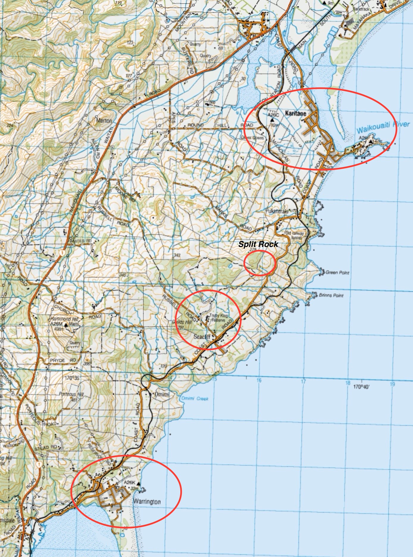
Scope:
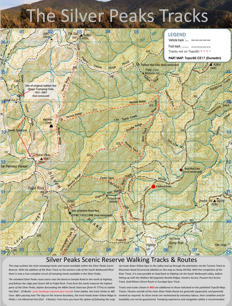
This page of club tramps and hikes in the Silver Peaks area groups together trips to incorporating the Eucalypts Spur, Possum Hut and Gold Miners Direct tracks (maps)
Background Information:
Road distances from Mosgiel carpark.
TRTC Grading Information – trips to the Possum Hut track, Eucalyptus Spur and Gold Miners track are generally given a TRTC grading of 3. This is indicative only, as depending on the route taken, allocation of gradings can differ from this. For more detailed analysis refer to Grading Information.
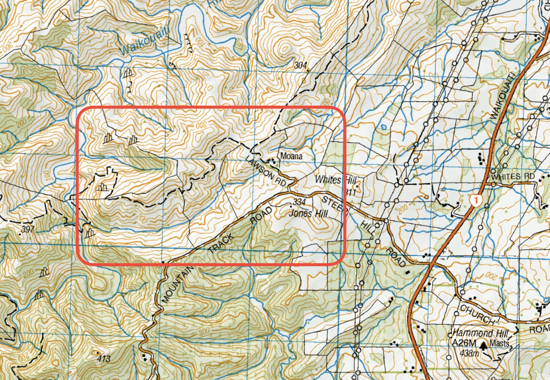
How To Get There:
Take the Northern Motorway to Waitati and just past the store take a left turn onto Double Hill Road. Continue on this road which merges into Semple Road and onto Mountain Road. Access to Possum Hut / Gold Miners Direct tracks are clearly marked (DOC signs) on the left off Mountain Track Road.
Links to tramps and hikes in this area:
Possum Hut 2023-1988 (15 trips , 9 with reports and photos, 6 with no report or photos)