
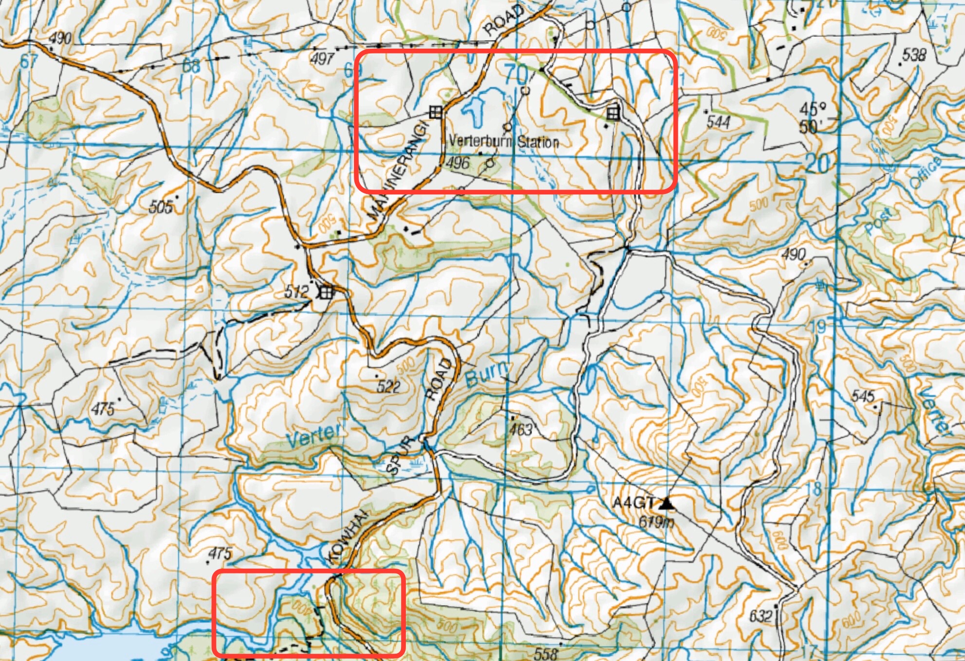
[Mountain Road, Green Hut, Rosella Ridge, Waikouaiti River. 5-6 hrs 13 km, Hard.
Mountain Road, Green Hut, Rosella Ridge, River Track, Hunters Access Track, Mountain Road. 6-7 hrs 17 km, Hard. Mountain Road DOC carpark – 42 km from carpark.]
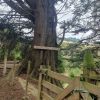
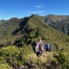 9. 17 /4/2024. Trampers Rosella Ridge. Grade 5.5 Leaders: Ross and Neil
An early start of 8:00am was set; with only one person missing the memo.
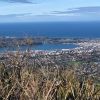 13. 17/04/2024 Bullring/ Ben Rudd/ Flagstaff Grade 2.5 Leaders: Mike and Dave
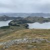 12. 10/4/2024 Mt Charles Grade 4 Leaders: Graham and Carol Thurlow
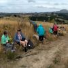 47. 10/04/2024 Highland Park to Friends Hill. Grade 2.5. Leaders: Margaret Maxwell/Kay Seddon.
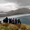 25. 27/03/2024. Hikers. Sandymount Grade 2.5 Leaders: Jenni and Bruce Wright
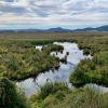 5. 04/04/2024. Combined. Sinclair Wetlands. Grade 1.5. Leaders Ady, Linda, Dave and John.
 I’ve always regarded myself as, and indeed endeavoured to be, an optimist. But on Tuesday night, I had serious doubts that Wednesday’s tramp would proceed. That night seemed to leave little room for optimism. A Wednesday morning early dog walk gave a glimmer of hope, that the weather, although unpredictable, might be improving. Seventeen ‘optimistic’ trampers took part on the Split Rock tramp.
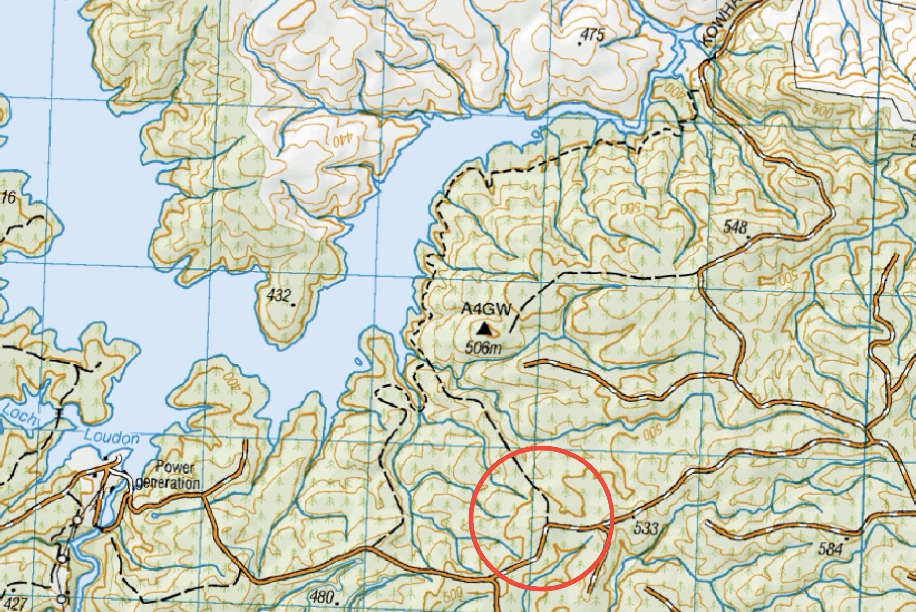
 17. 13/03/2024. Trampers. Carey’s Creek, Rongomai, Honeycomb Tracks. Grade 3.5. $11. 39km. Leaders: Pam Cocks, Graeme Souter.
 15. 06/03/2024. Combined. Waikouaiti
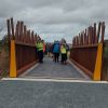 22 hikers assembled at a car park in Limeworks Road, Milburn on a rather grey morning with a cold head on sou’wester blowing into our faces. After traversing a farm track, we joined the Clutha Gold Trail in Circle Hill Road and began what Jill quite accurately described as a day of quirky bridges and old fossils!
 18. 14/2/2024. Trampers. Maungatua Option. Leaders Lyn Keene, Anne Ward and Di Bezett
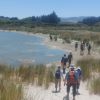 14. 14 February 2024. Hikers. Waldronville Wander. Grade 2. $5. 10km. Leaders: Phil Keene, Helen Morris.