Author: Ian
Bus Trip: Roxburgh and Bullock Track
2/10/2013. Bus Trip. Roxburgh. River Walk, bridge to Pinders Pond. Leaders: Chris and Dot.
The first thing to say is Bravo to Chris and Dot for their planning a most interesting tramp; and providing Continue reading “Bus Trip: Roxburgh and Bullock Track”
Protected: Committee Minutes 2/9/2013
Protected: AGM Minutes Aug 2013
Protected: AGM Minutes 25/8/2013
Swampy from Access/Rollinsons Road
3. 31/3/2010. Trampers. Rollinsons, Swampy Ridge, Hightop. Leaders: Ria, Ian
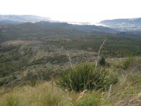
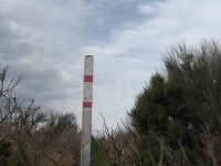
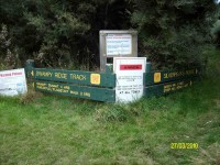
The tramp differed from intentions. For one thing, the leaders had done no recce due to a failure to find a date suitable to both. For another, it had been four years since we had last tackled the track, and memories were a little hazy. Going in from the elbow of Rollinson Road, we were first surprised to find the Rollinson Track sign missing, replaced by one announcing “Tarns”. We wondered at this, but were pleased to find the track fairly well marked by fluorescent pink tape.
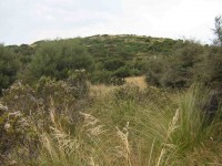
2. 5/10/1988. Swampy from Access Road gate. Average Climb. Great views around summit (bring binoculars. Return by Flagstaff weather permitting. Car shuttle if required. Leaders: Bob H, Ria L, Jean Y
But even here a thick belt of gorse blocked our way so we hunkered down for lunch interrupted by a VERY light shower which was magically terminated by dint of one or two of us donning parkas.
1. 5/10/1989. Swampy from Access/Rollinsons Road gate. Average climb. Great views around summit. Return by Flagstaff weather permitting. Car shuttle if required. Leaders: Bob, Ria, Mary.
Protected: Committee Minutes 24/6/2013
Protected: Committee Minutes 15/5/2013
Trig Q, Steve Amies track tramps
No. 57 on old hardcopy list of 113 club tramps. “Trig Q from Whare Flat. N Strang. Key from WEA. Year Round”
15 km from car-park.
Racemans, Steve Amies Loop,Coal Creek – Information and Trips Library
9. 1/5/2013 Both. Steve Amies. Leaders: Ian and George.
This time we left from the schoolhouse, making it more of a road walk. We had morning tea on the lower Rollinson Rd and lunch in the track clearers’ picnic area, after inspecting the helicopter landing pad a little beyond.
As we returned down the road, we were surprised to see the helicopter, and shortly after the tank truck making their way towards where we had been. Apparently this was the day to carry out the weed spraying we had been notified about – and we were now making a timely exit. A tramp for 25 of us and of 10.5 km according to Peter’s pedometer and 25. – Ian.
8. 1/2/2012 Both. Steve Amies from Access Road. Leaders: Arthur and Barbara.
Sixteen of us left our cars at the locked gate on Rollinson access Rd and made our way up to the Track Clearers’ Picnic area. The leaders took us round many of the little nooks and crannies (they just seem to multiply of their own accord), stopping to inspect the labels fronting each bush planting. Of poignant note in front of one bush was a label printed with the name of Les Murcott, whose funeral a number of us had attended only a fortnight earlier.
We stopped off for our tea break.
Arthur led us down and across to Trig Q, and then on down Little Coal Creek until we got to the look-out. We careful negotiated some quite steep parts of the track and avoided any casualties. Then came the more arduous climb back up to the trig and across to the Steve Amies.
This latter track had a much more moderate decline (we stuck to only its upper reaches!), past another look-out, before making another turn around further down, to wander back up to the trig and on to the picnic area for lunch.
On the way across the wee saddle, we stopped to investigate the meaning of a sign indicating a sheltered area, whose side track opened out to a large open area in the bush, marked with a large white wooden equal-armed cross, laid flat on the grass. After some discussion, we decided the area was also to serve as a helicopter emergency landing spot. (There was even a ‘waiting room’ bench for passengers.)
Back up at the picnic area, our leaders discovered for us yet another alcove with ample tables and seats for a comfortable lunch.
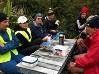
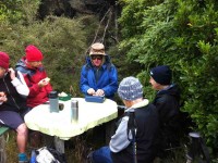
Our leaders took us out to the road by a route different from the one we had entered by, and lo and behold, a salubrious shelter, doubtless erected by the track clearers for their comfort. Bravo.
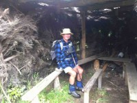
Then we had only a stroll back down Rollinson Road to the cars. A leisurely 5.5 km walk, (as measured by two with their measuring devices.) Thank you, Barbara and Arthur for your careful leadership. – Ian.
7. 18/3/2009. Hikers. Steve Amies from Access Rd Hikers E+ Bev H, Joyce S
6. 25/7/2007. Hikers. Access Road, Steve Amies. Leaders: Bob H, Graham.
click to enlarge
Protected: Committee Minutes 15/4/2013
Protected: Committee Minutes 20/3/2013
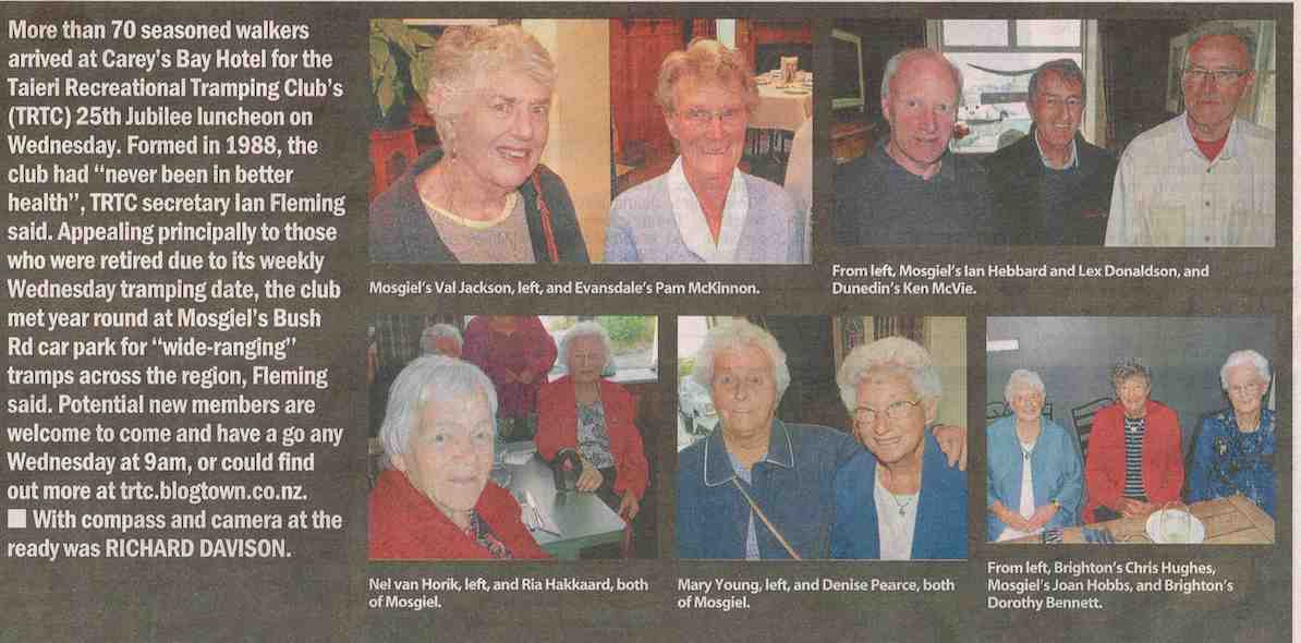
25th Anniversary
Protected: Committee Minutes 20 February 2013
Clifden – Te Anau Trip
2-3/2/2013. Trip. Clifden Caves, Te Anau, Lake Henry, Kepler Rainbow Reach to Moturau. – Leader: Heb.
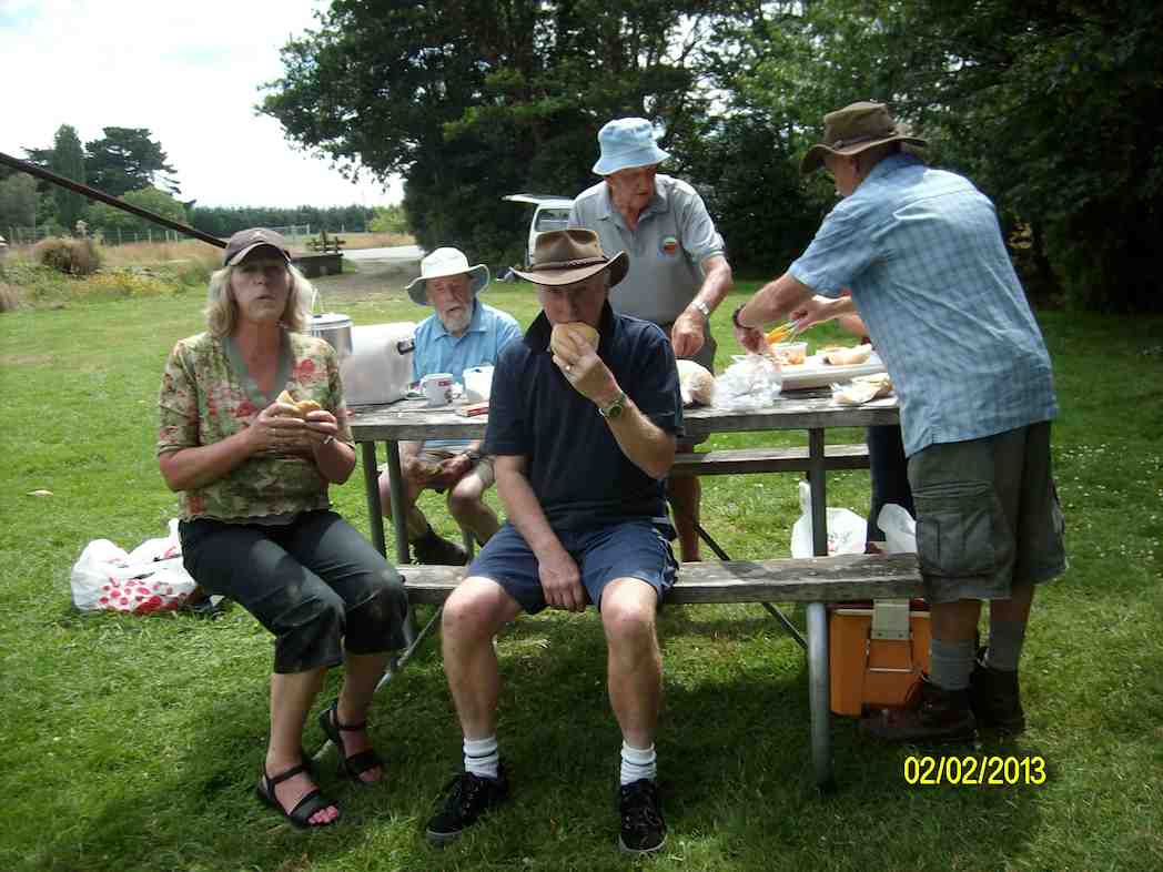
Heb pick us up at 7.30 on Saturday and drove us in the Mosgiel RSA Courtesy Van via a Cafe stop at Gore, Nightcaps, and Ohai to the stop pictured below for lunch.
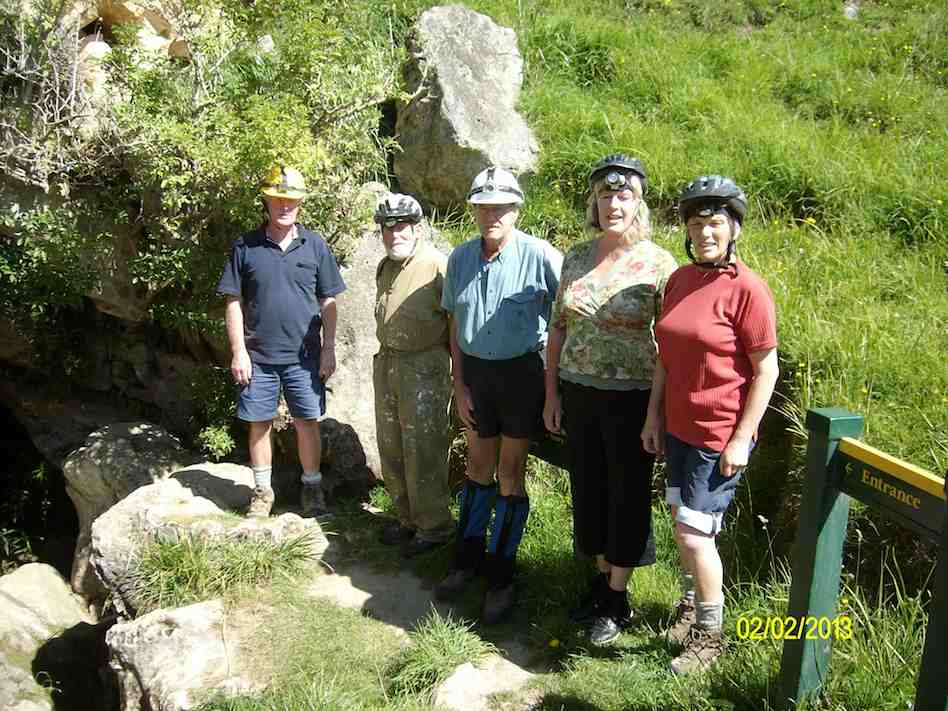
Then it was up to the Clifden Caves carpark and the start of the underground expedition.
Click Clifden-Caves for DoC article. Its “Activity” section describes the actual experience.
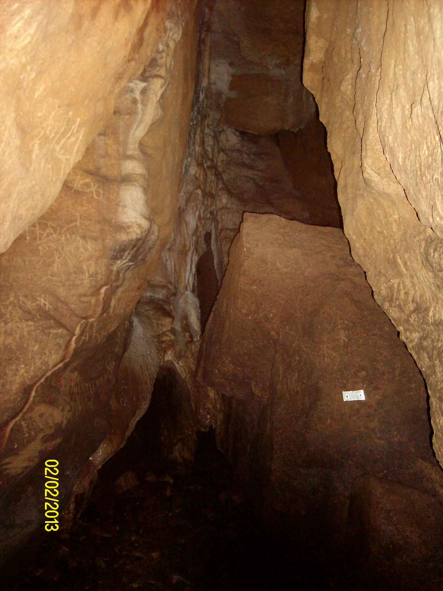
The silver markers kept us on the safe route. Yellow ones warned us of sidetracks to avoid. The route involved quite a bit of stepping over, crawling under and squeezing through.
And then we arrived at the large deep Moon Pool which could be navigated only by stepping around its left side on a narrow , sloping but nice and grippy, ledge. However immediately prior to beginning the ledge experience, Heb slipped into and jammed in a much smaller narrow pothole on the track just before it, (one he had never noticed before) and it took all Ken’s strength in one arm to hold onto him and enable him to eventually lever his wet self out. A sobering moment.
Only two then took to the ledge skirting the pool to its further side and on out, the way incorporating several very helpful longish up-and-down fixed ladders en route.
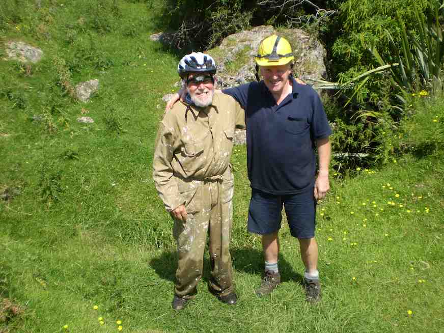
The other three more prudently (discretely? wisely?) turned back.
Back at the van, with Heb dried out and into a change of clothes, it was on to the Te Anau Sea Scouts Hall at Te Anau for the overnight stay.
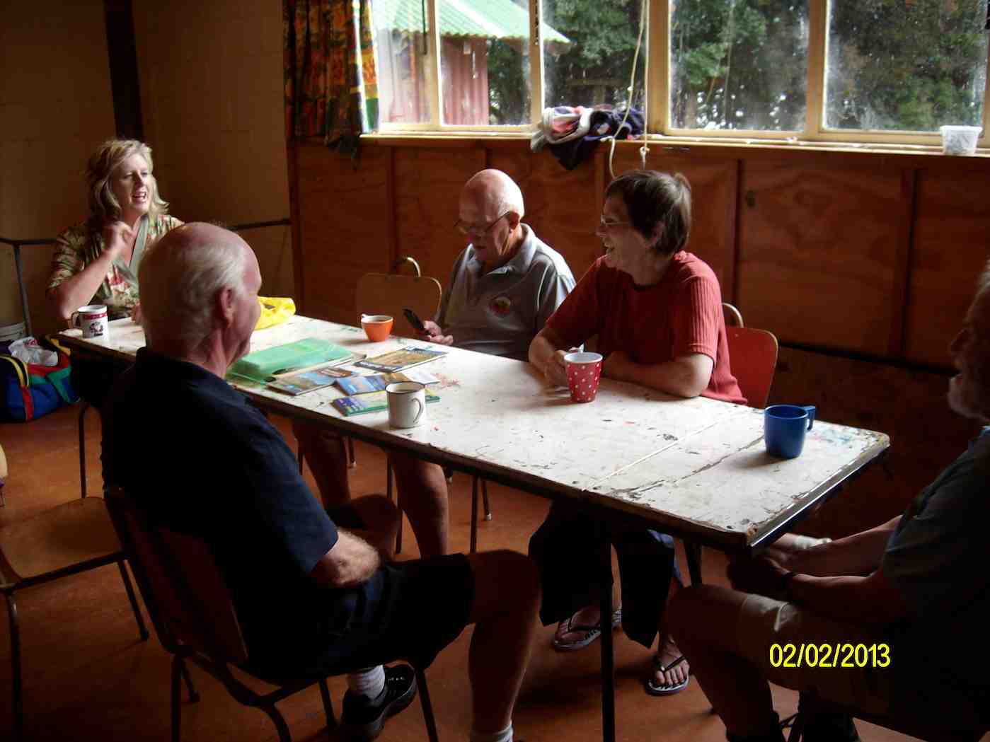
An evening stroll was a circumnavigation of lake Henry nearby.
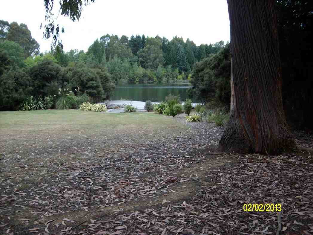
Later it was Petanque for some; later bed for all.
Next morning, after breakfast, we drove to and walked the Kepler from Rainbow Reach to Moturau Hut.
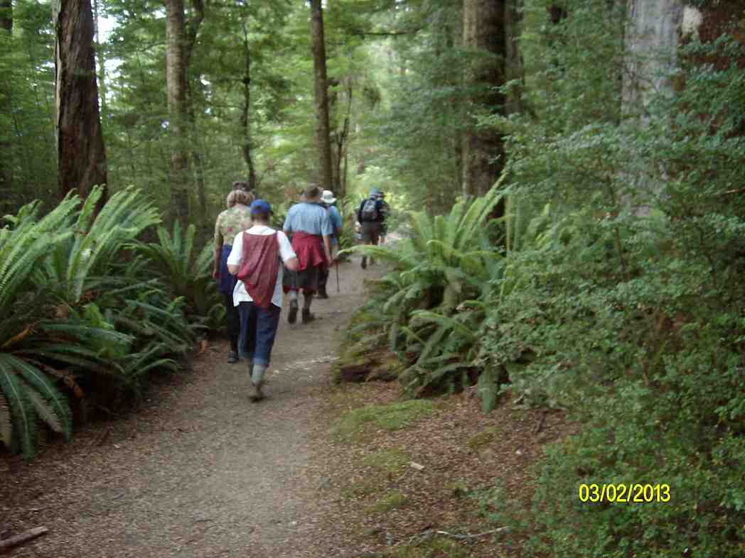
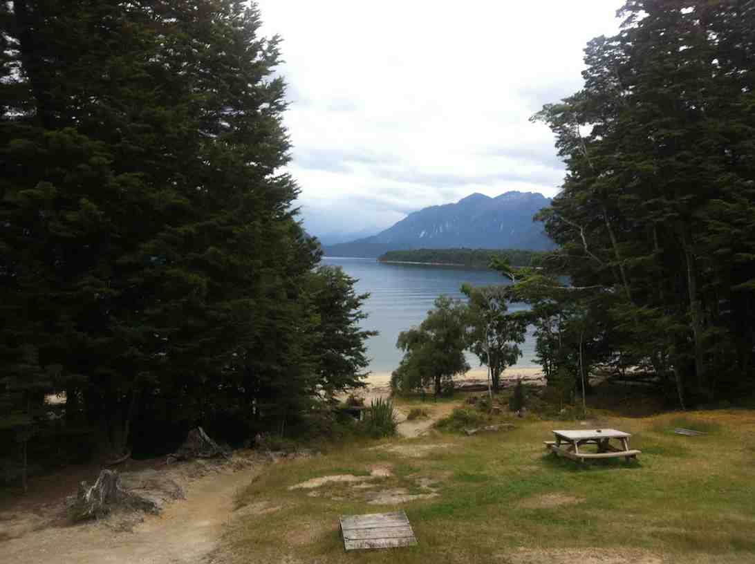
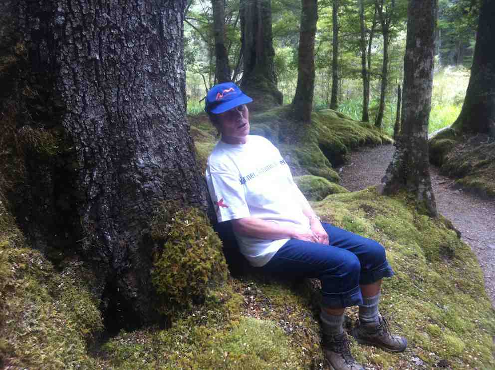
We returned from Te Anau via Mossburn and Gore, arriving back at 6.00 p.m. Thanks to Heb from the other six of us for a well-organized weekend trip – Ian


