This page of club tramps and hikes in the area West via SH87 (inland on the south side of SH87) groups together trips to the Nardoo Scientific Reserve. (maps)
Suggest leave Mosgiel 8.30am to get to ‘Little Peak about 1km above ‘Walrus rock’.
How To Get There:
Take Lee Stream Outram Road and turn left onto Mahinerangi Road. Follow this road to the lake past the fisherman’s huts etc and turn right onto Lammerlaw Road. Stay on this road until you reach a small parking area near the Reserve.
TRTC Grading Information – trips to Port Chalmers and surrounds are generally given a TRTC grading of 2 – 2.5. This is indicative only, as depending on the route taken, allocation of gradings can differ from this. For more detailed analysis refer to Grading Information.
Links to tramps and hikes in this area:
16/04/2025. Historic Port Chalmers. Grade 2.5. Hikers. Leaders: Mike Webb. Jenni Wright.
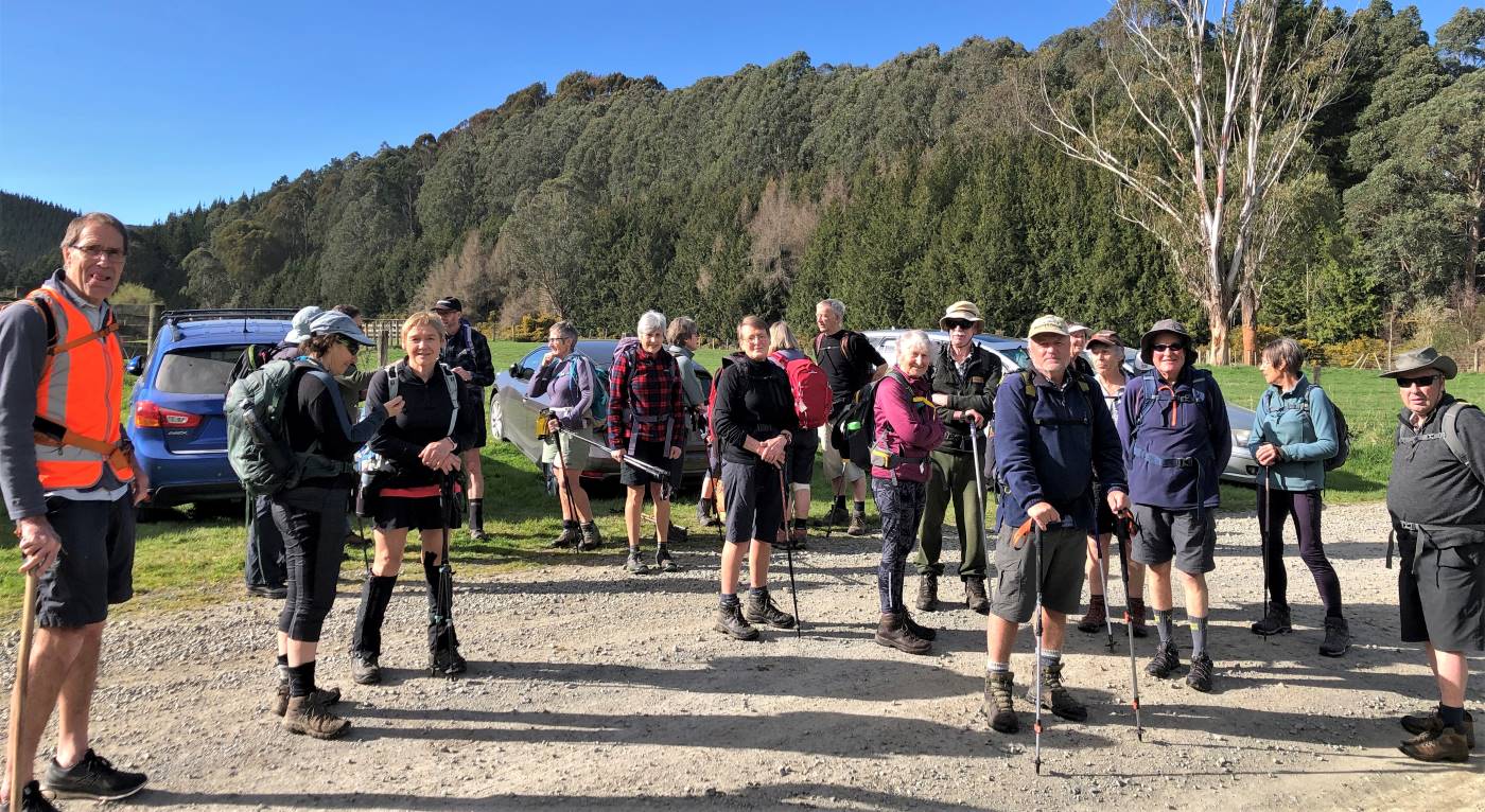
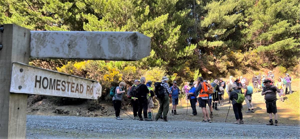
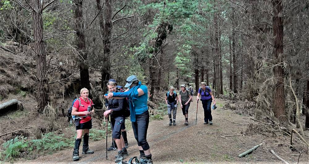
11. 6/09/2023. Combined. Akatore Forest – Narrowdale Rd. Grade 3, 41km, Leaders: Bruce Spittle, Alex Griffin, Sarah McCormack, Phil Morris.
On a goodly spring morning, we headed from Peter Johnstone Park with a good number of trampers and hikers. At Milburn we turned left into Narrowdale Road (of note turning right at same point was Lime works and Whale Fossil Lookout). With Wenita permit conditions, group was split with trampers lead by Phil M and Sarah tramping up old golf course road while hikers lead by Bruce and Alec tramped up Narrowdale Road.
Trampers setting off (photo and caption Jenni)
And the hikers also ready to go (photo and caption Jenni)
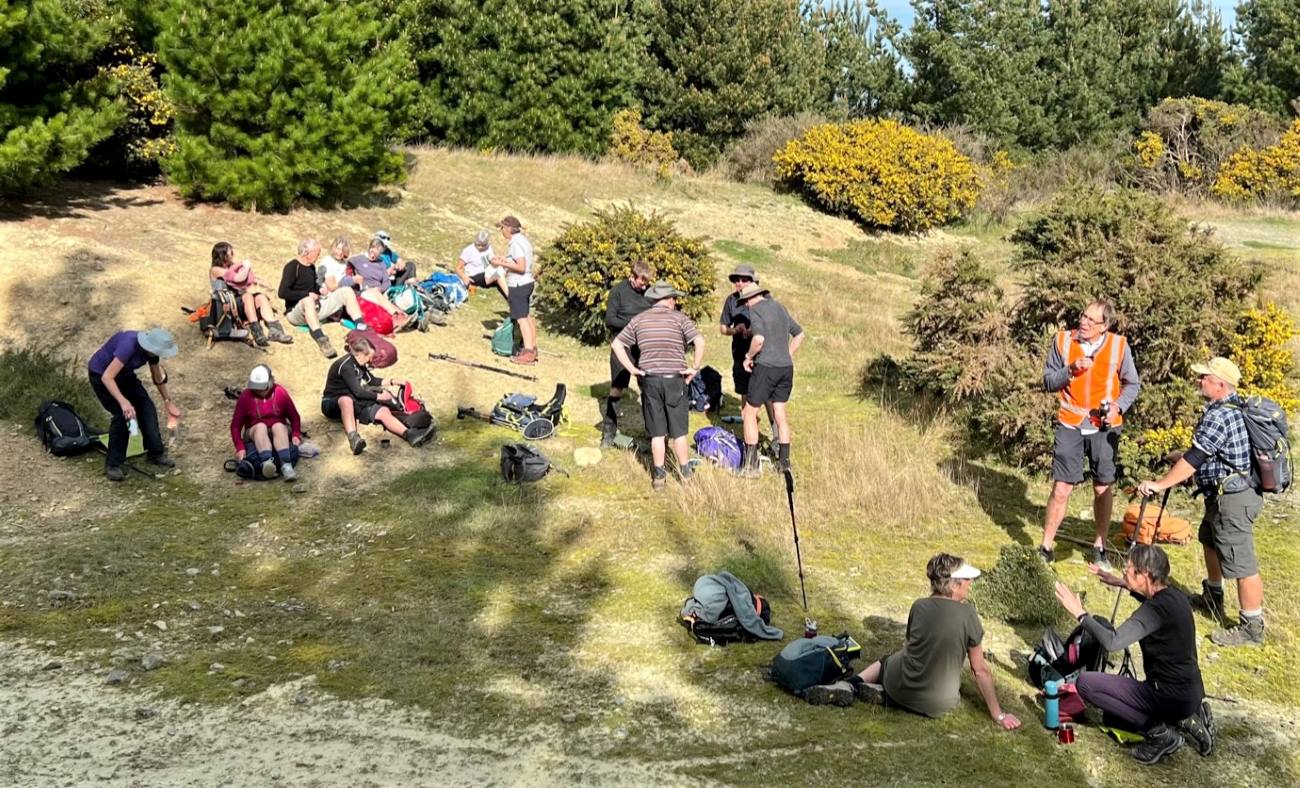
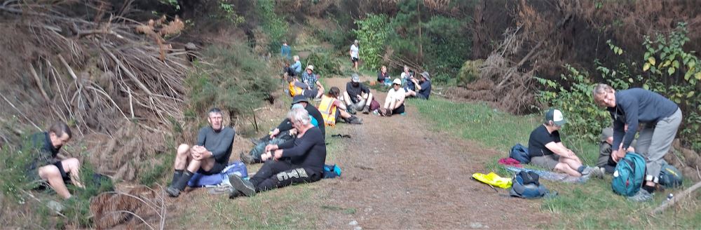
The trampers headed past 2 small farms up into pine trees which obscured views but with warm conditions. We continued the climb with a stop for morning tea.
Morning tea in the clearing (photo and caption Pam)
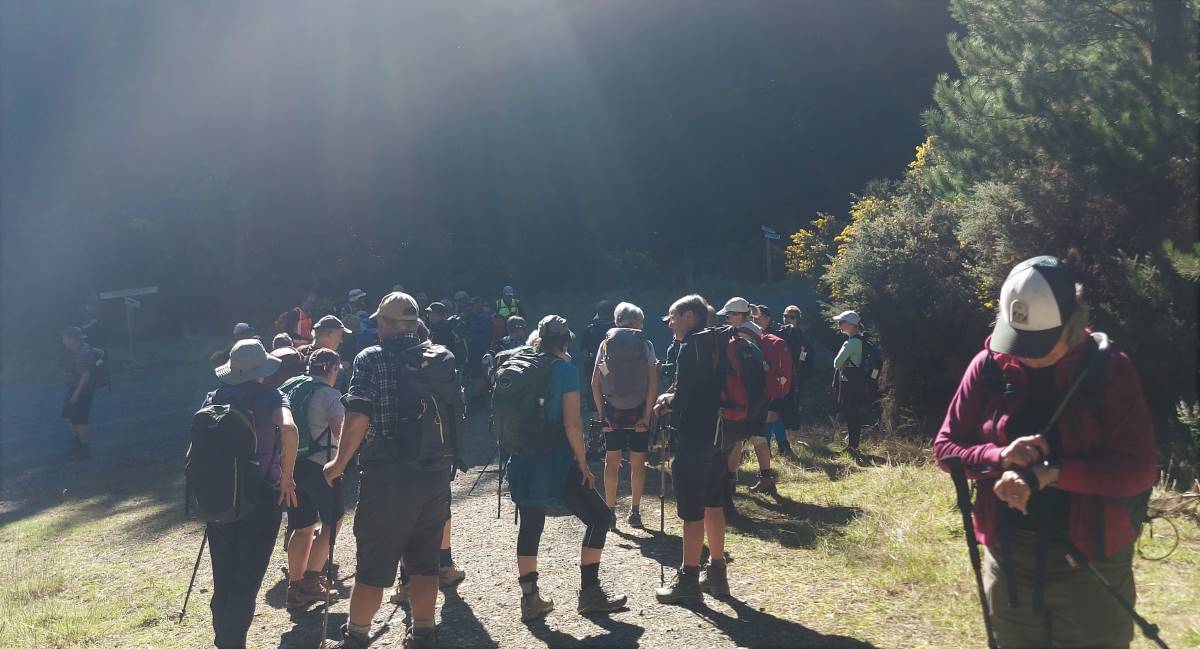
Then along Stoop Road onto Homestead Road. Track conditions were perfect and chatter was aplenty. Time to junction Narrowdale and Homestead was 1.20min, 270 elevation.
Hikers travelling along Narrowdale Road past some belted Galloway cattle then up to the Rifle Range to the left. It was a good spot for morning tea.
Looks like a class photo (photo and caption Jenni)
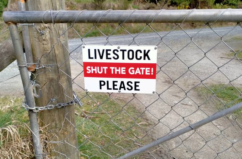
Llivestock are well trained down here (photo and caption Phil K.
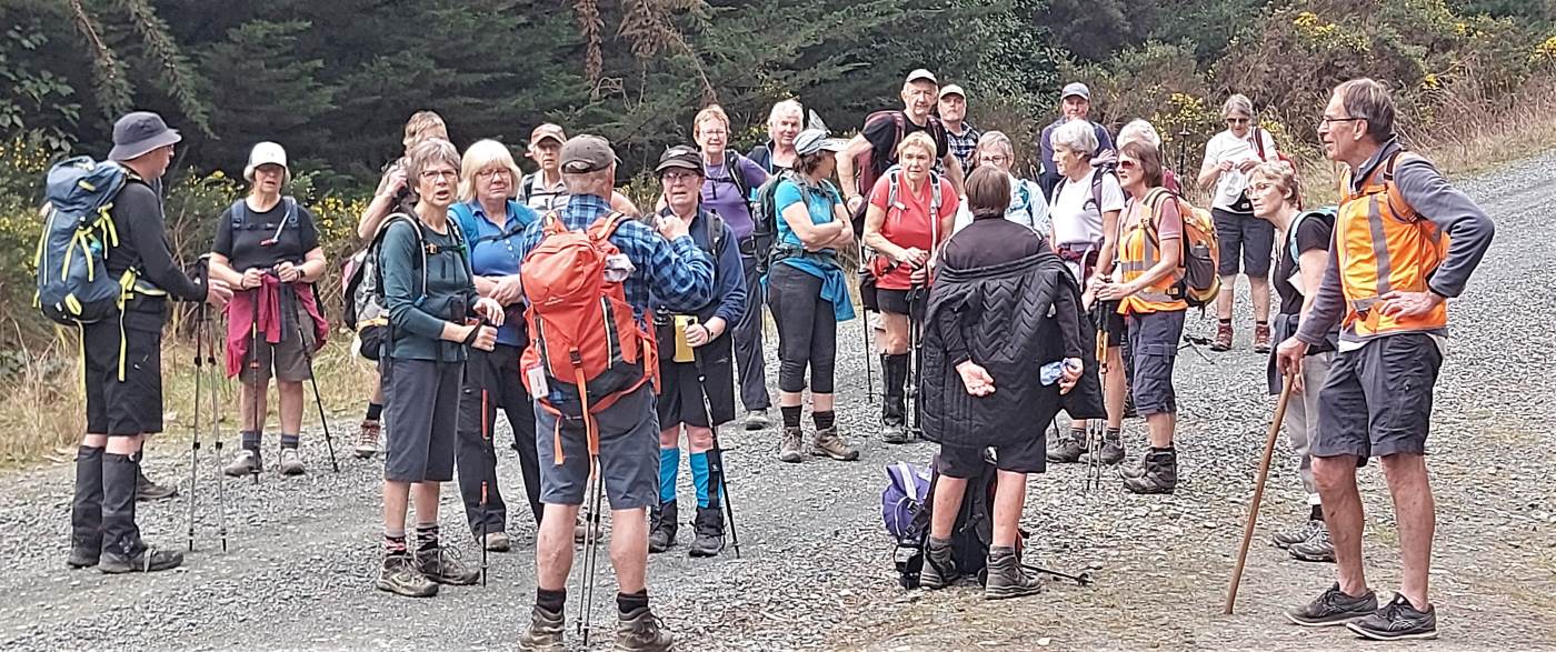
Then on to junction listed above (Narrowdale and Homestead). Time 1 hr, 185 elevation.
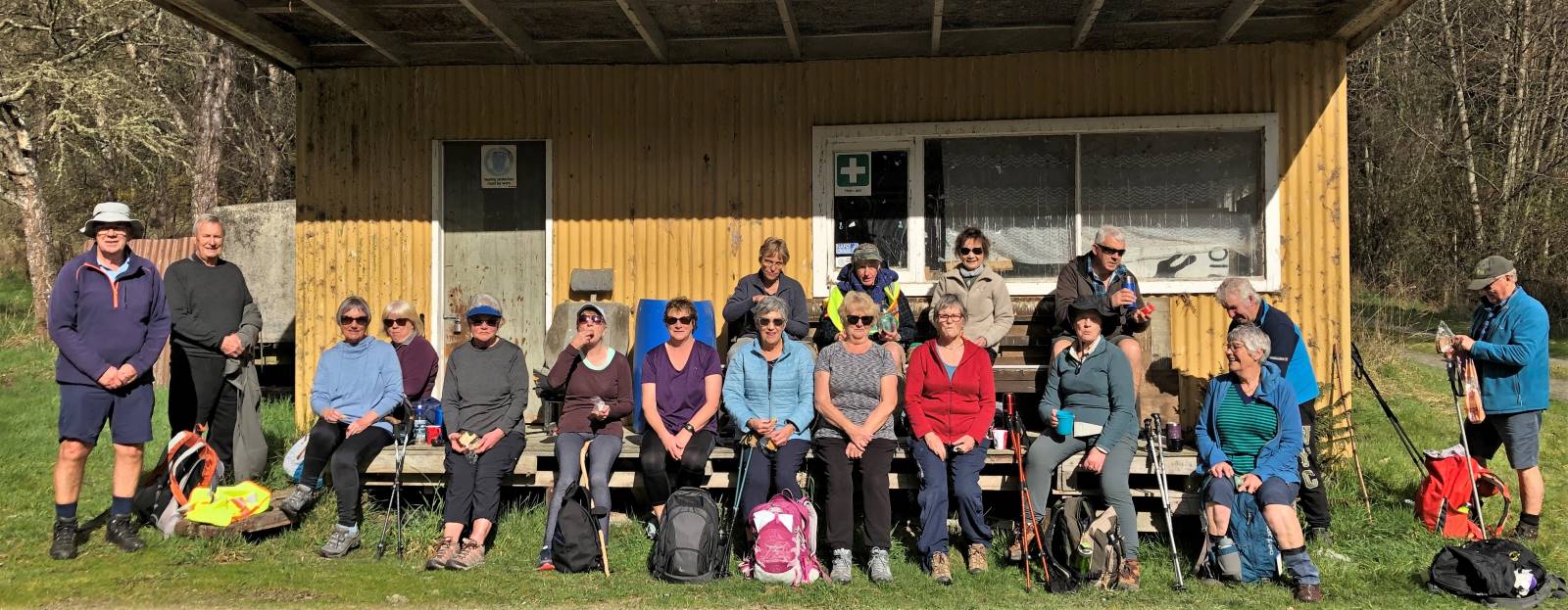
Trampers and Hikers rendezvous (photo and caption Pam)
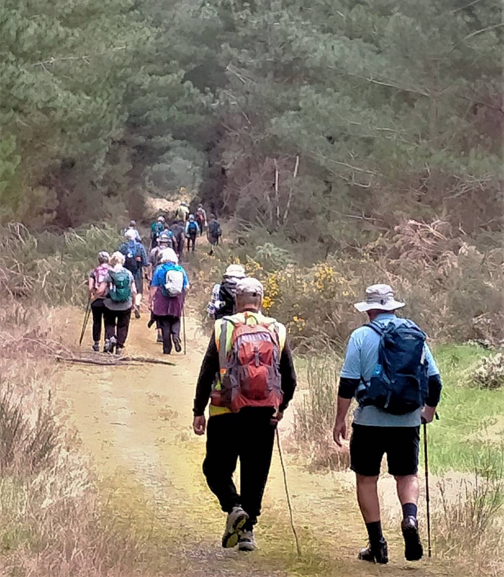
Rays of sun through the trees (photo and caption Helen)
The group continued left along Dale Road, down onto Siberia Road at the junction. We met at Lower Narrowdale Road where hikers and a few trampers travelled on a grassy track for 2km before they stopped for lunch at 12.45pm.
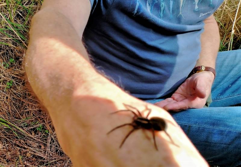
Down lower Narrowdale rd (Hikers – pre lunch)(photo and caption Phil K.)
Incy wincy spider on Bill’s arm (hikers lunch) (photo and caption Phil K.)
The trampers continued up Siberia Road…
Yes, it’s uphill, another layer off! (photo and caption Pam)
…with full elevation of 405m, where we turned left along newly-named Scooter Road, with a stop for lunch in the sun at 12.30pm.
Trampers lunch (photo and caption Helen)
After lunch we continued along Scooter Road in search of a view (but none could be found) of prison compounds, Calder Stewart Ltd or Milton township. A decision to return back to meet hikers was made. With the good track conditions, the birds in forest were unable to get a word in, for the continual chatter of the trampers about many scenarios.
A gathering to decide hard or easy back to cars (photo and caption Helen)
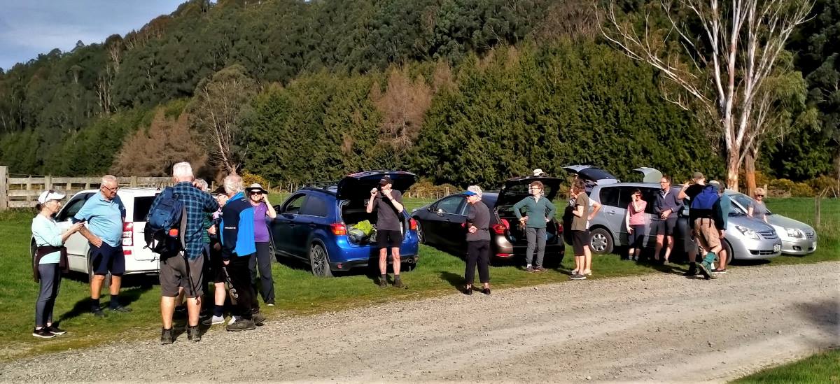
The trampers for the 2nd time were a few minutes late so most of the hikers took the Homestead track option, while the trampers headed down Narrowdale Road and back to cars by 15.05pm. The Hikers arrived back about 15.35-15.45. Pollen during the tramp could be seen blowing in the open, hence most had a lime greenish tinge on clothes, shoes. and on cars.
They just won’t go home (photo and caption Phil K.)
It was an interesting part of the Akatore Block, thanks Bruce S for sourcing.
Phil M.
Stats: Hikers 13.5km (phone) 16km (Garmin), elevation gain 324m, travel 4hrs, grade 3
Trampers 15.2km, elevation 405m actual travel 3hs 30min, grade 3.5
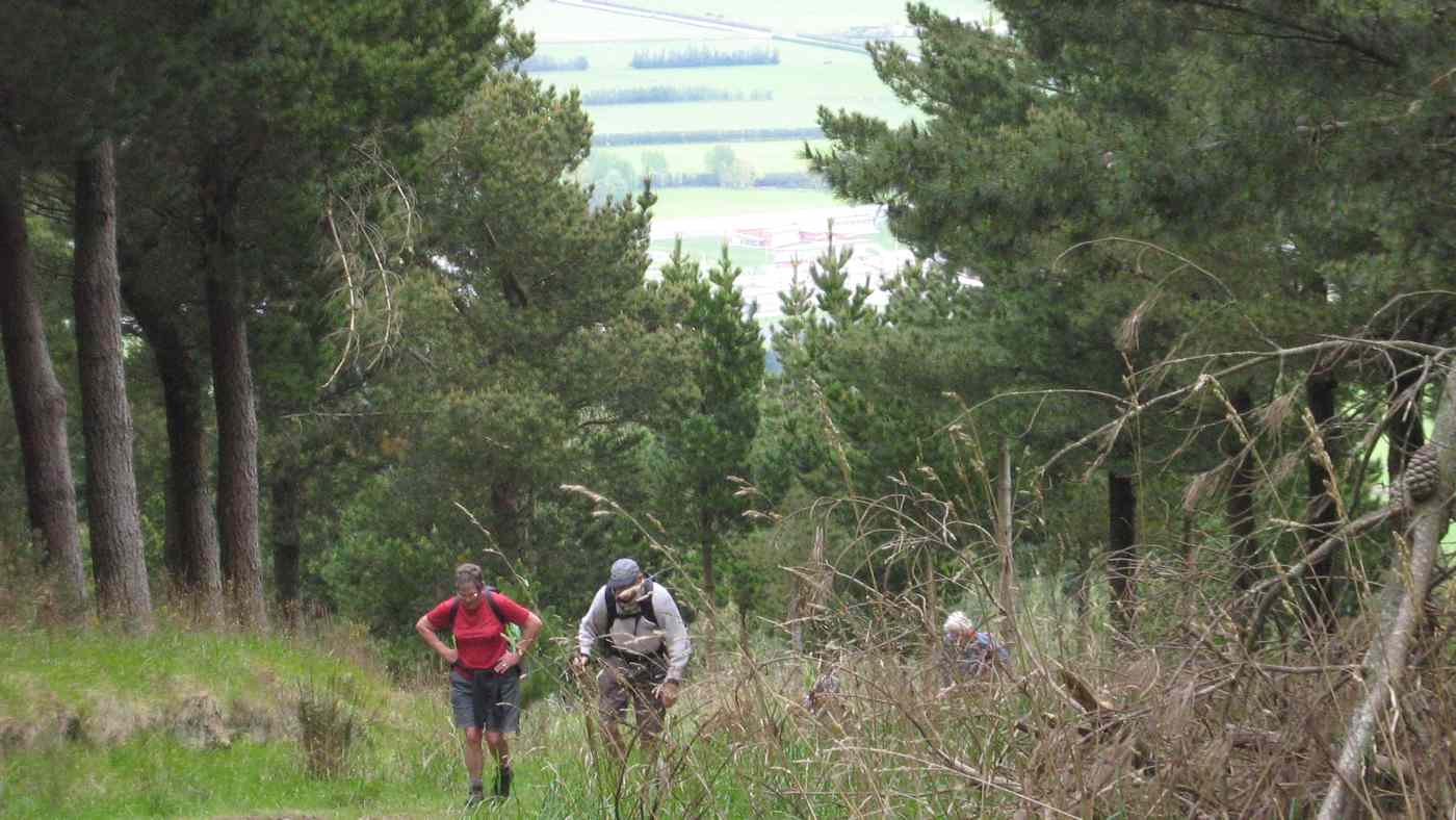
Partly because Leone wasn’t available as a leader (swapped with Sabina earlier), George had not done a recce. Although he had a different route in mind, Ian persuaded him to take the gate just down from the Golf Course corner and up the (very) steep track to eventually arrive at the trig.
Glenice and George climbing last stretch to trig.
Gorge Hill Trig.
As there was general feeling that we should return by the usual road route, we went on down through the forestry and farm to Wilkinson Road in the valley, being early enough to climb up it and lunch at the top.
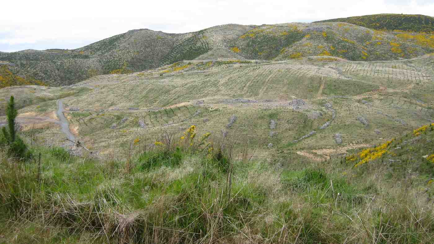
View of forestry plantings taken from Wilkinson Road.
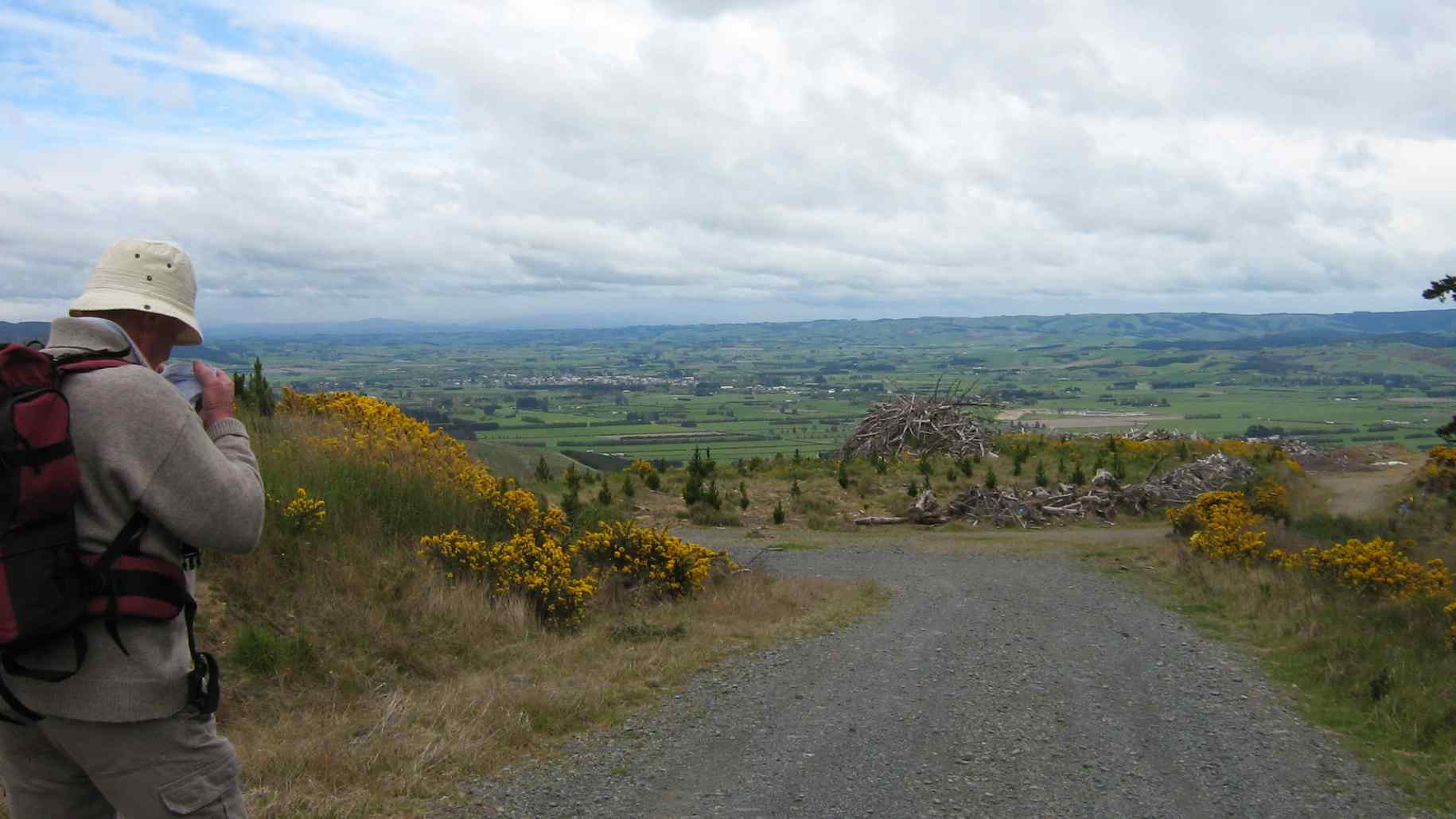
After lunch just below the crest to shelter from the cool wind, we emerged onto Windy Ridge and all its views.
Toko plain with Correction Facility centre right. Keith. What is he looking at?!
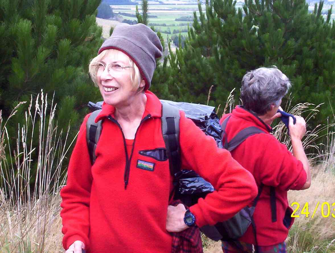
A couple more upward slopes across the ridge, and it was down, down and on on along Narrowdale Road and back to the cars safely home before the promised cold hailstone front due in from the south slammed in at afternoon tea time when we were refreshingly showered, sheltered, nourished and warm.
9. 12/7/2006. Trampers. Stewarts Forestry, Gorge Hill, Windy Ridge, Narrowdale Road. Leaders: Graham, Ian
8. 24/3/2004 Trampers. Gorge Hill. Medium. Leaders: Doug M, Bob H
6. 28/6/2000 Gorge Hill – Narrowdale Road. Leaders: Ian, Dot T
5. 21/4/1999. Gorge Hill – via Wilkinson Road. Leaders: Ria L, Joyce, Molly.
4. 10/6/1998. Gorge Hill via Wilkinson Road, round trip. Leaders: George, Hazel.
3. 15/10/1997. Gorge Hill round trip from Wilkinson Road. Leaders: Hugh, Jack M, Ivan.
2. 23/5/1990. Gorge Hill – round trip via Wilkinson Road. Great views of Lake Waihola and Milton. Average. One hill to start. Leaders: Peggy M, Nel v Elizabeth Peg C
This page of club tramps and hikes covers trips in the West Harbour area and groups together trips to Aramoana township including the Mole, Shelley Beach also known as The Spit, Spit Beach (known as Big Beach) and the Salt Marsh board walk. (map)
Aramoana: Pathway of the Sea. The Spit, known as Shelley Beach. The Mole: The mole has deprived the Spit of its natural supply of sand.
In 1992 a short board walkway was constructed at this point to try and stop further erosion. Managed by Port of Otago. Spit Beach. Known as Big Beach. Rock to explore. Great sand slope, towering volcanic cliffs. Key Rock. Salt marsh flats. Path. Conservation area. Managed by DOC.
This page of Club tramps and hikes to West Harbour and groups together trips to Doctors Point, Mopanui, McKesslar Track, Purakanui and Osborne townships. (map)
This page of club tramps and hikes covers trips on the North Coast north of Dunedin City, Waitati involving club trips to Goodwood Road, Bobby’s Head, Puketapu. (map)
This page of club tramps and hikes covers trips on the North Coast north of Waitati and groups trips to Karitane (Huriawa Pa site), Split Rock (including Maori Peak), Seacliff and Warrington.
This page of club tramps and hikes covers trips on the North Coast north of Dunedin City, Waitati and groups trips to Waikaouati, the Hawksbury Lagoon, Matanaka Homestead. (map)
This page of club tramps and hikes covers trips on the North Coast, north of Dunedin City, Waitati and groups trips to Careys Creek, Rongami and Honeycomb Tracks, Evansdale Glen and Black Gully Dam. (map)
Background Information:
Road distances from Mosgiel carpark.
Careys Creek is reached via SH1 at Evansdale Glen located just as the road begins to clim over the Kilmog. A sign on the left of the road indicates the route down to Evansdale Glen where there is limited parking available prior to driving through the stream to the picnic area.