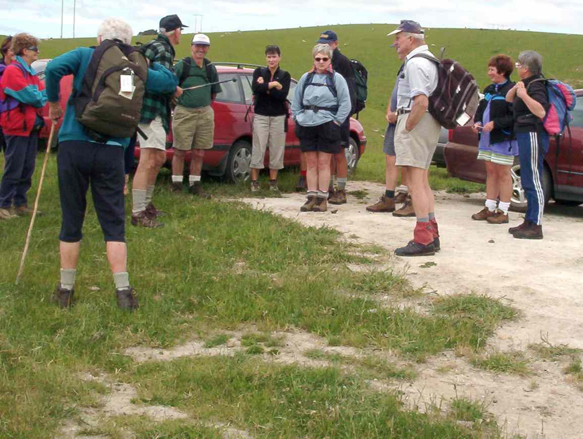
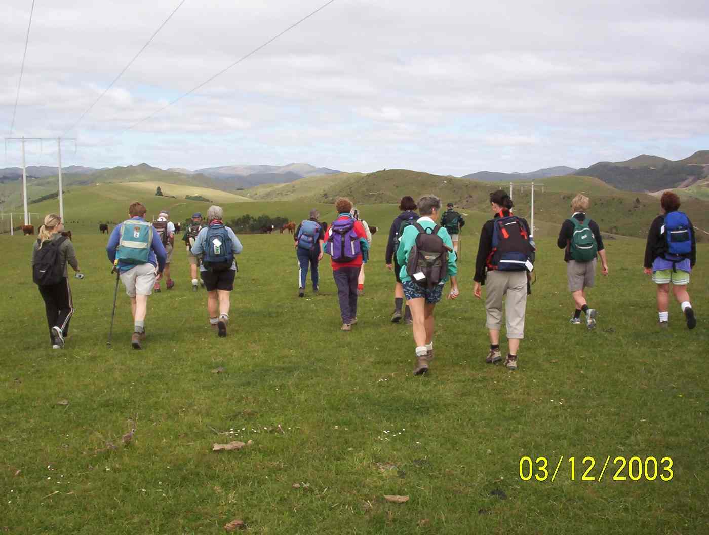
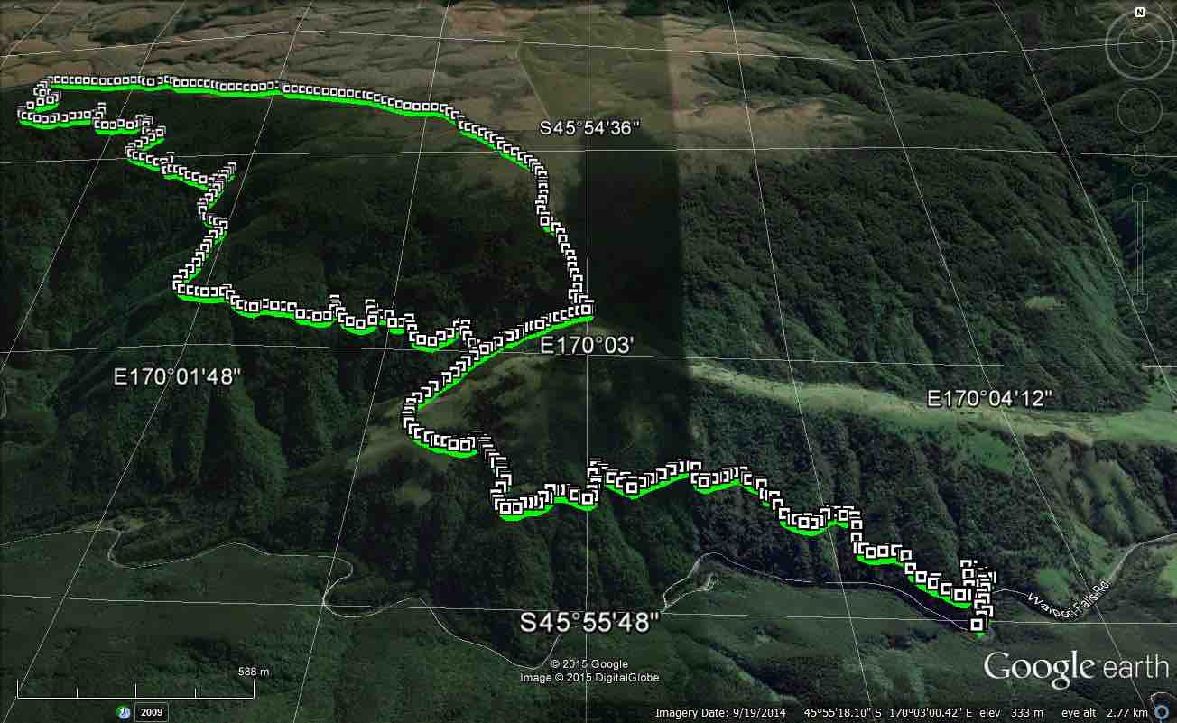
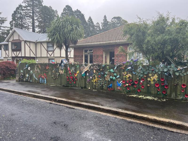
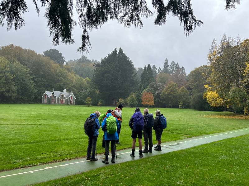
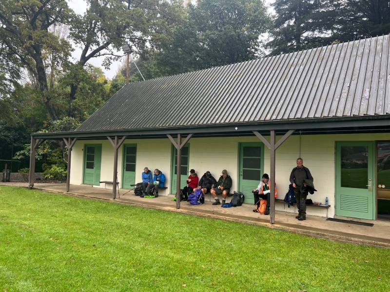
15. 23/08/2023. Trampers. Possum Hut Circuit. Grade 3.5. Leaders Neil Hodgkin and Gwenda Farqharson.
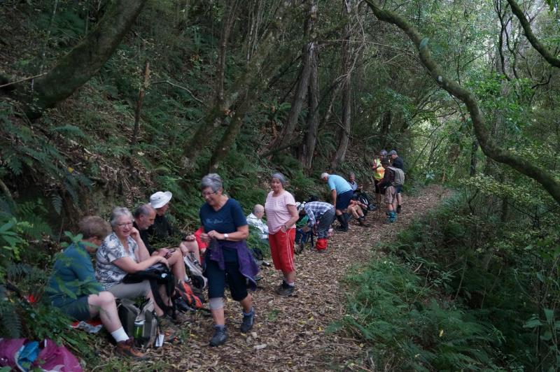
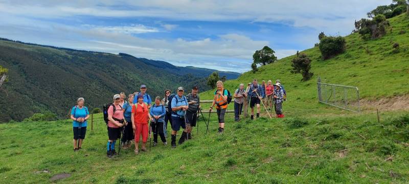
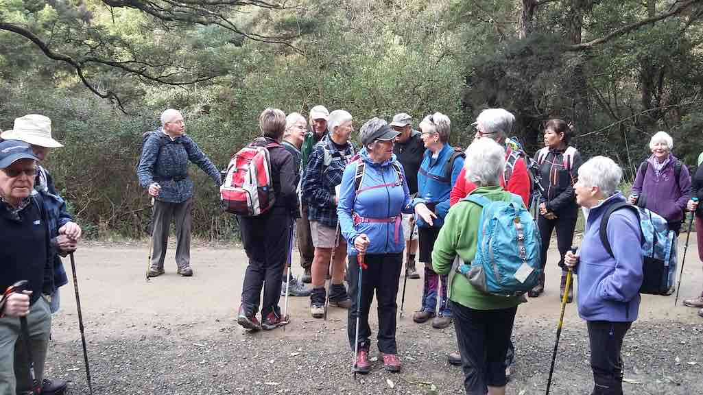
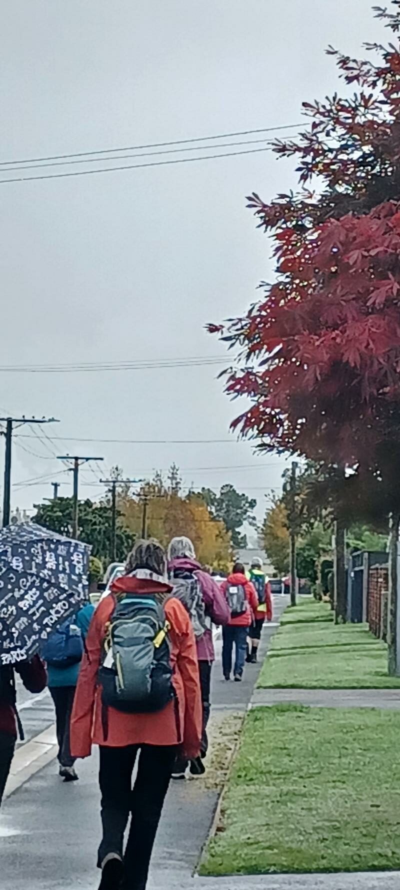
18 trampers completed this tramp in an anti-clockwise direction on a calm mild spring day.
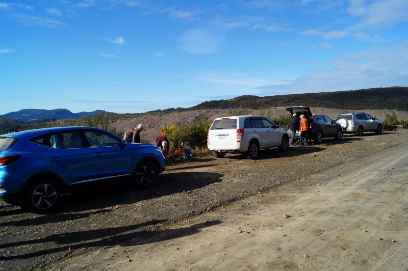
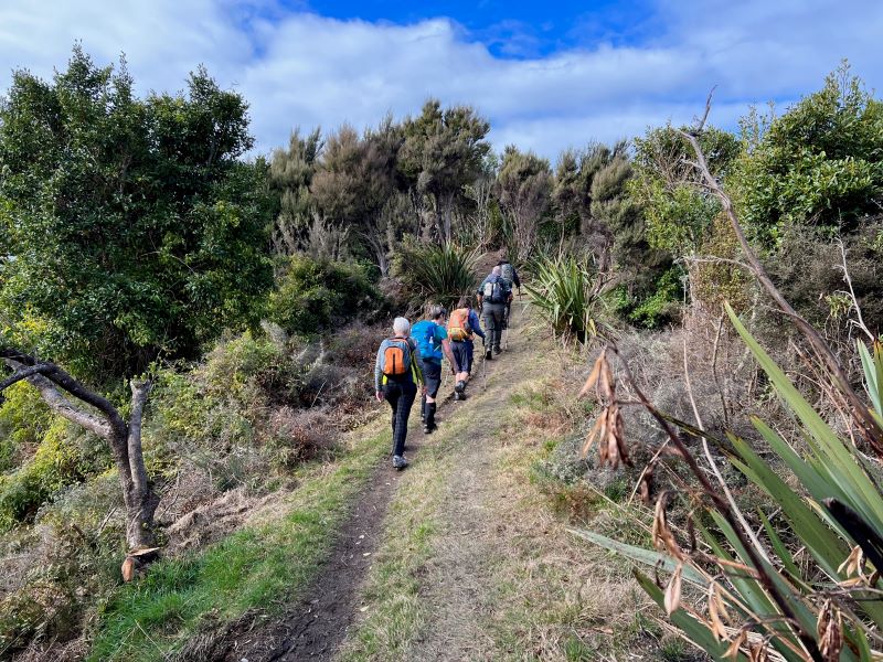
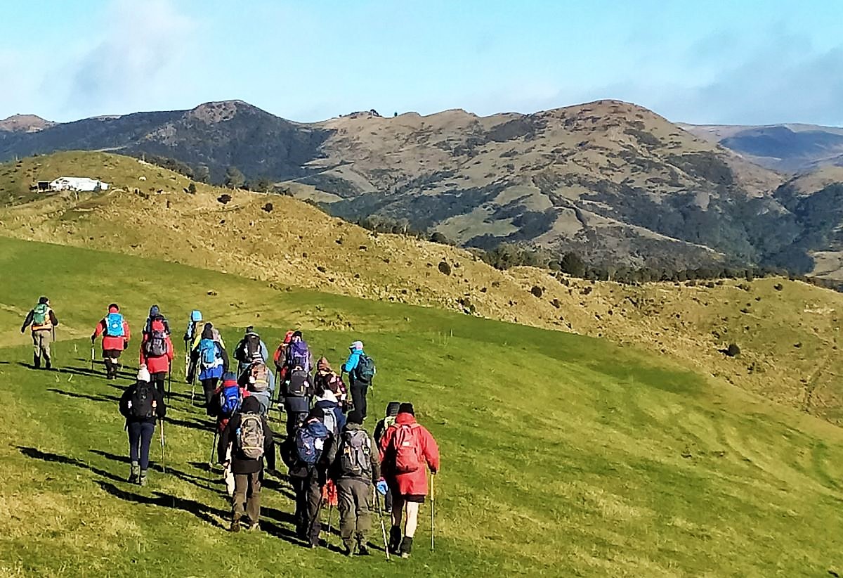
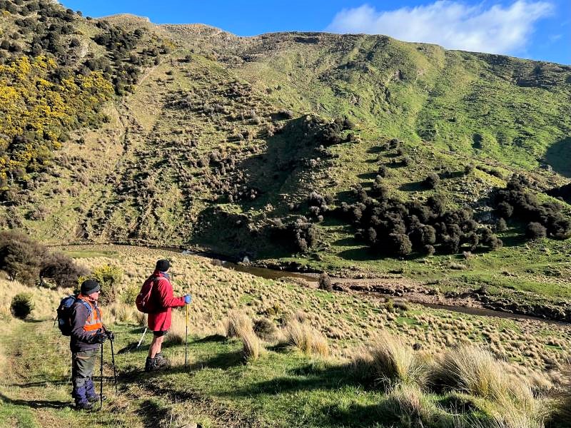
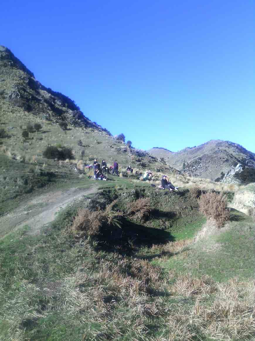
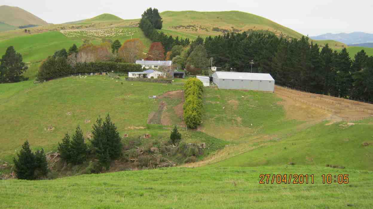
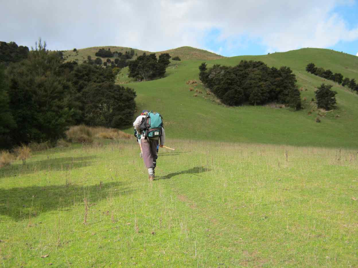
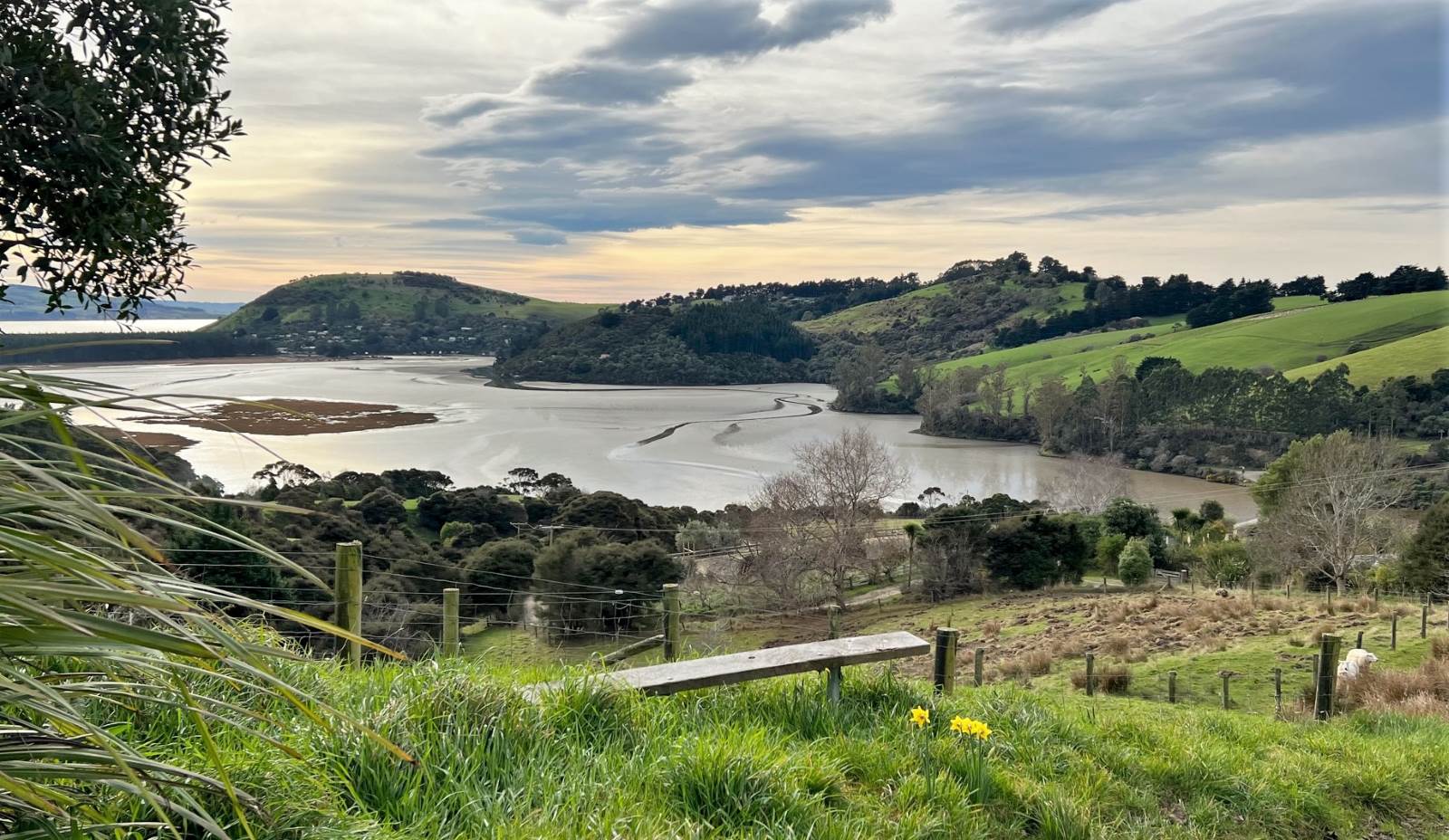
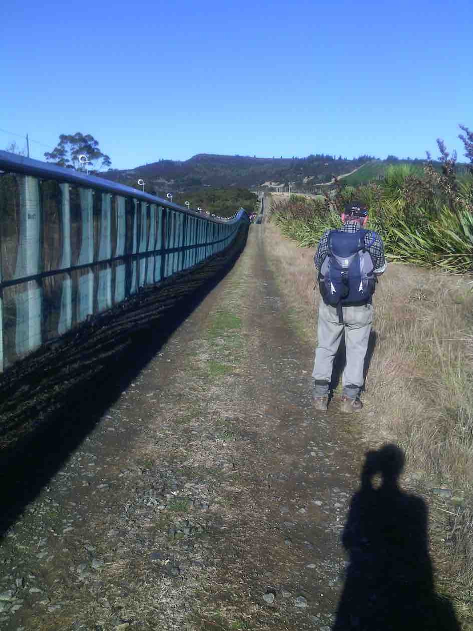
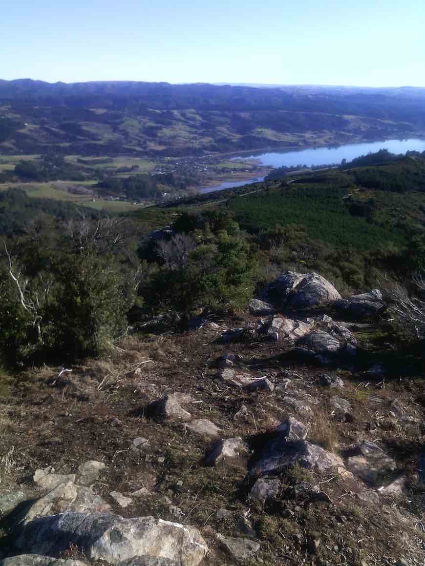
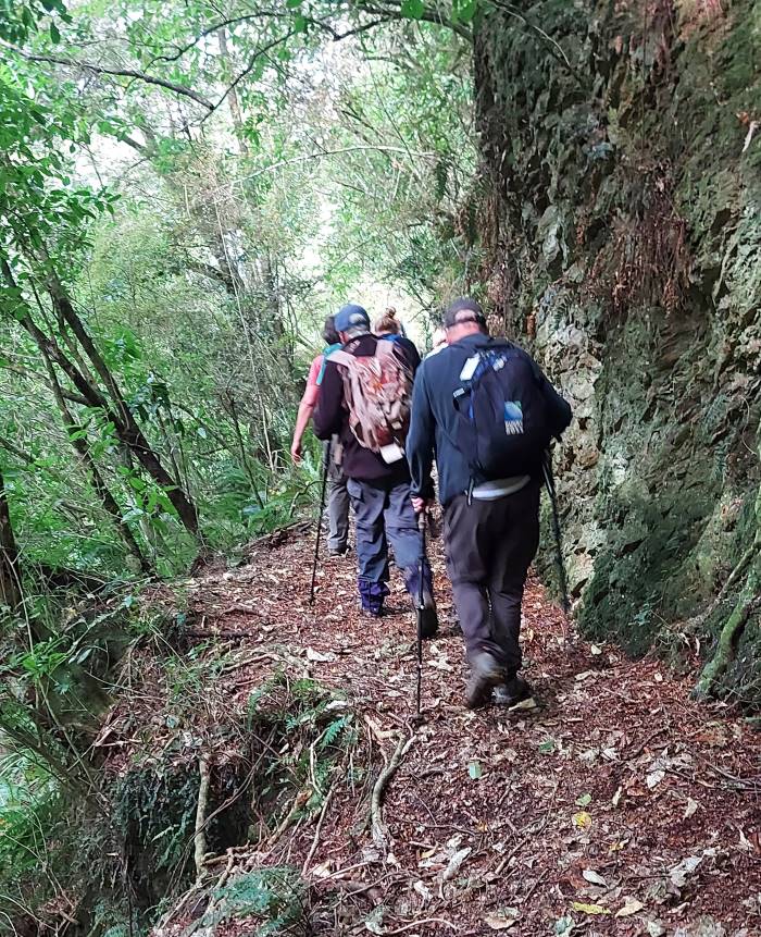
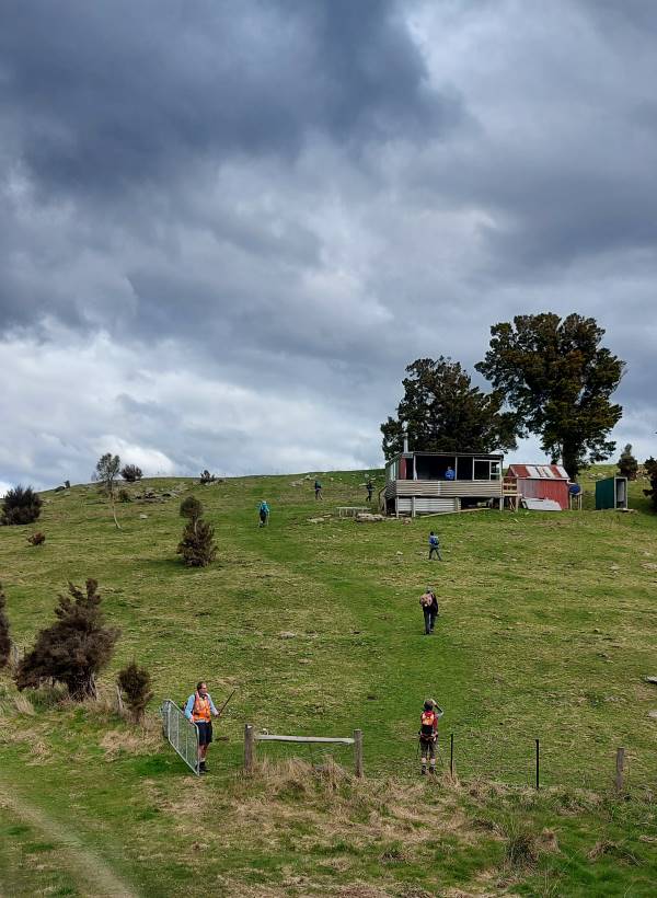
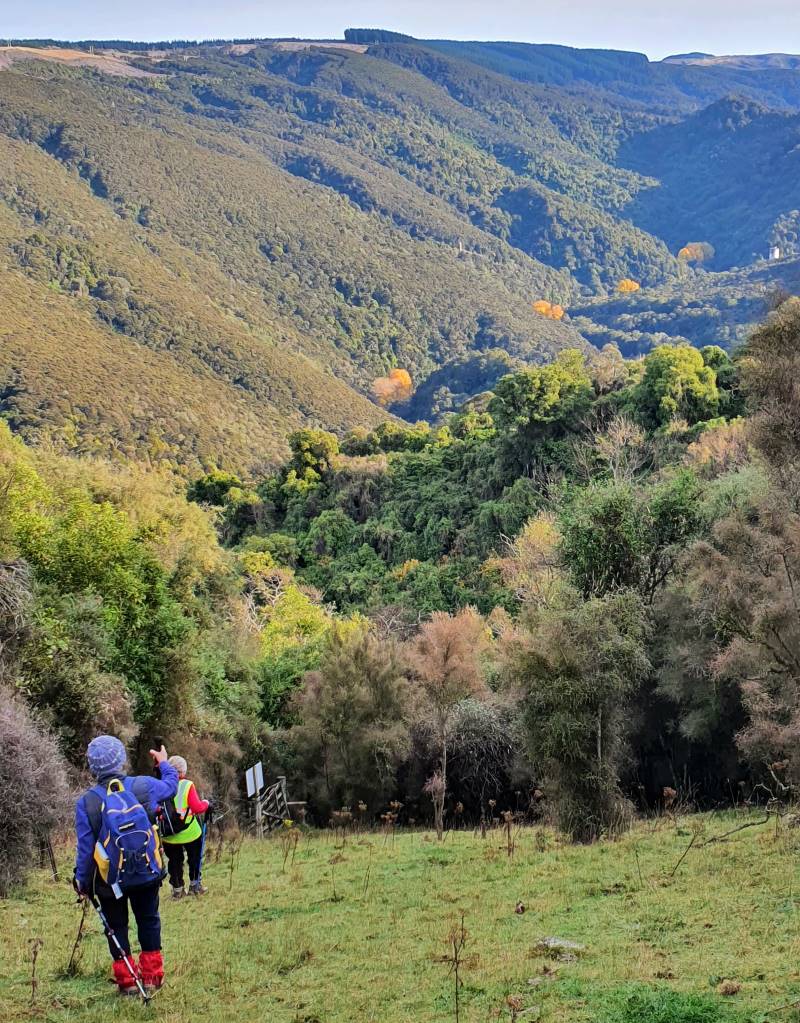
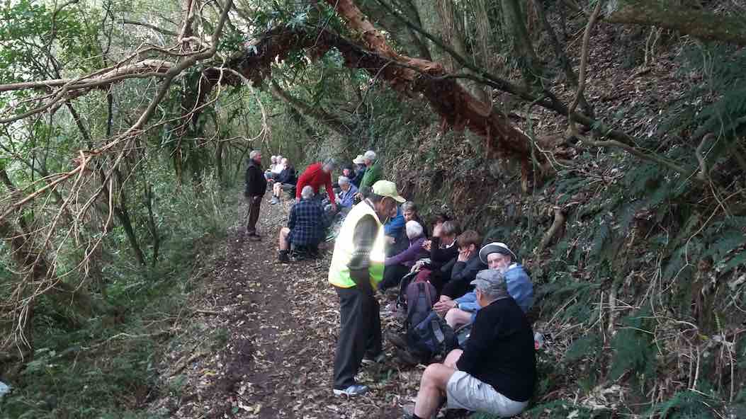
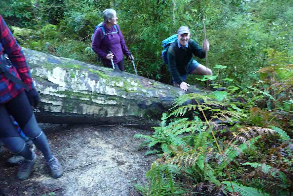
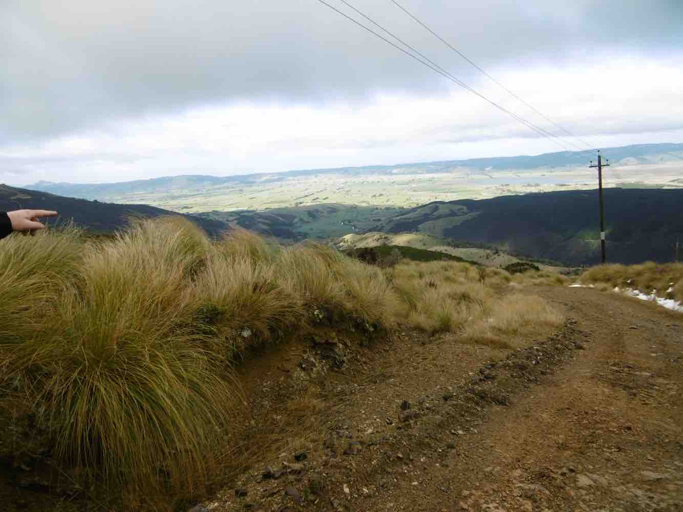
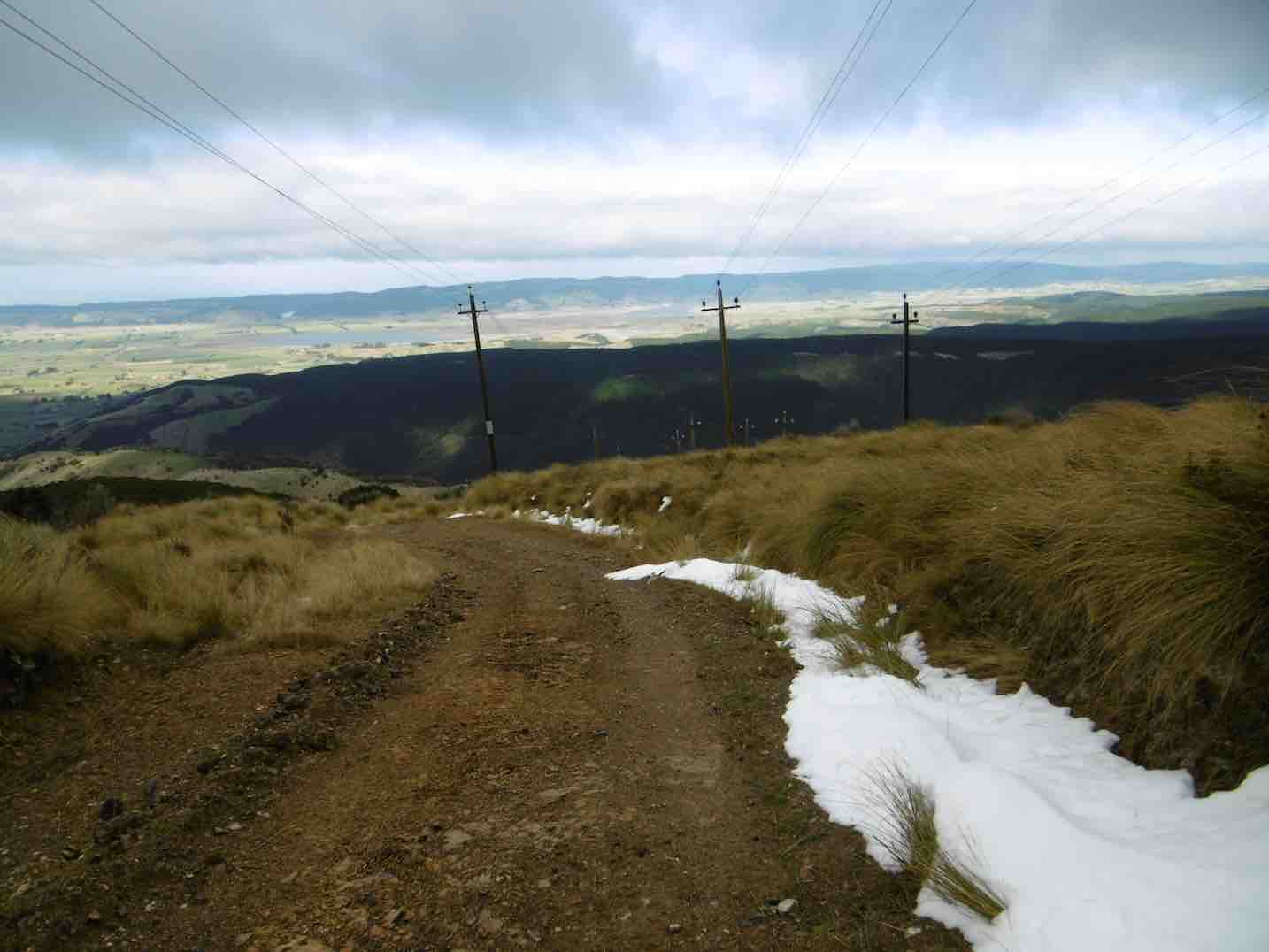
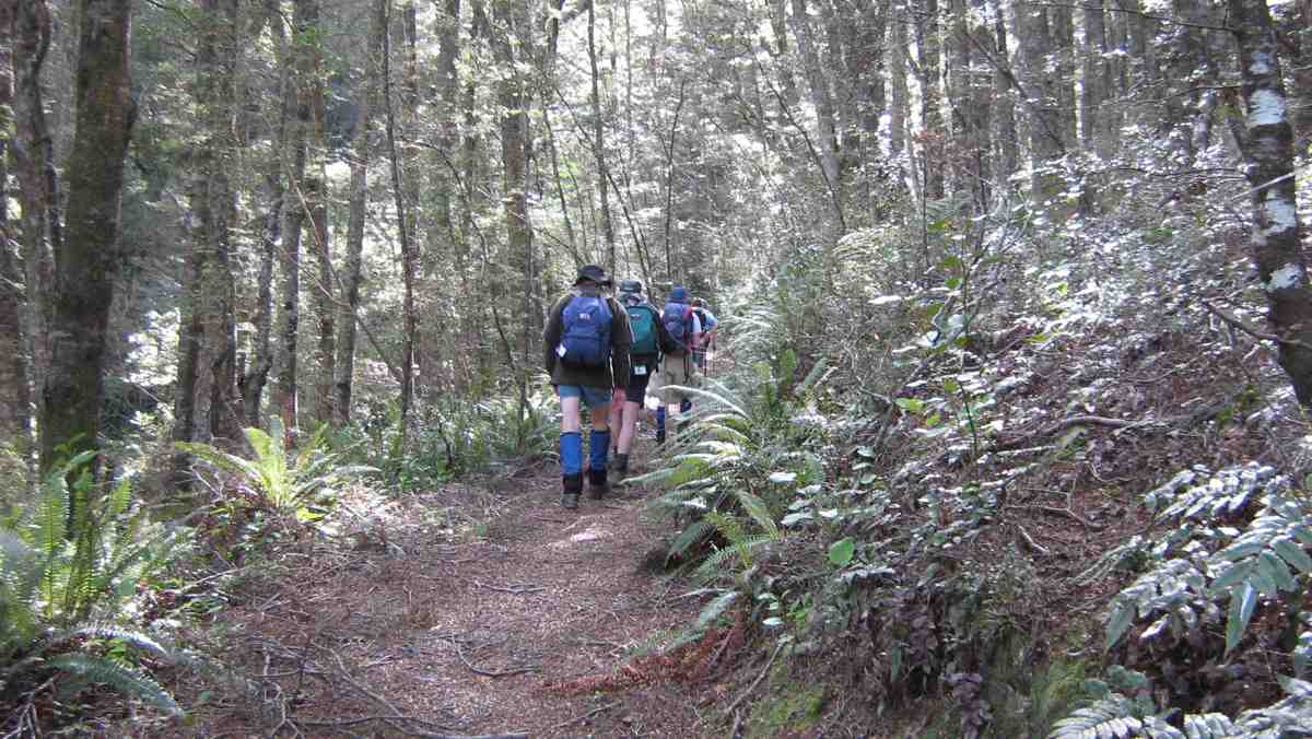
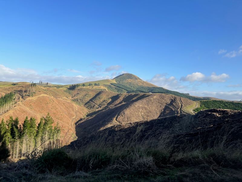
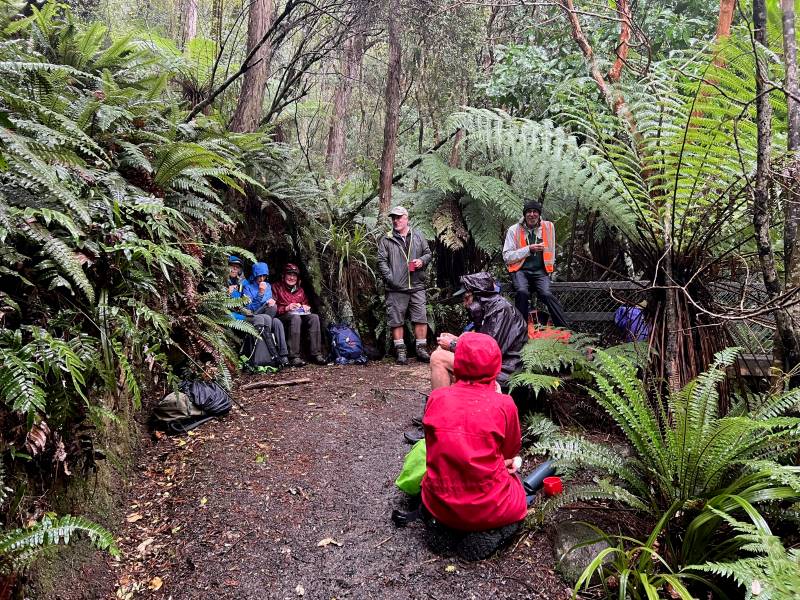
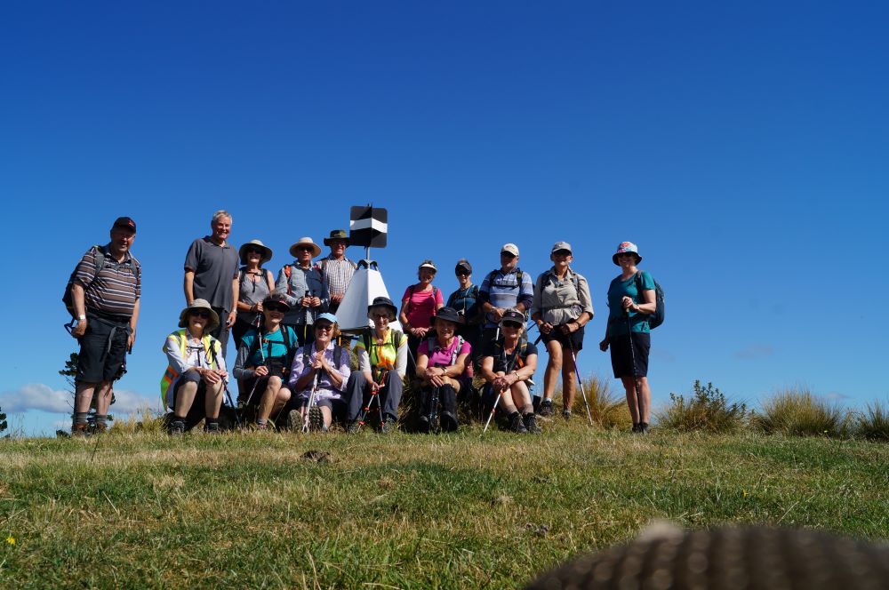
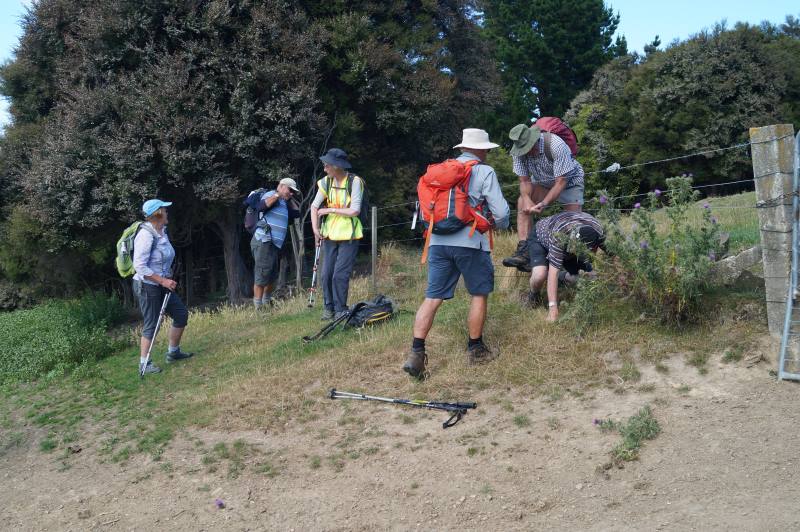
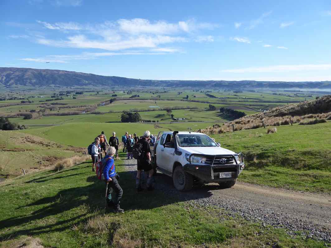
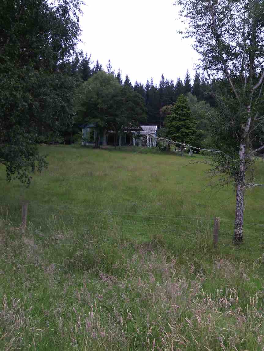
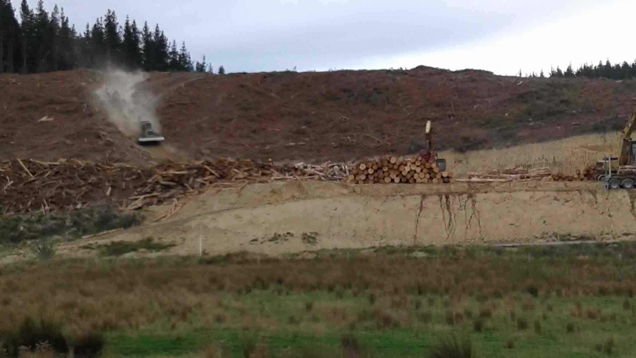
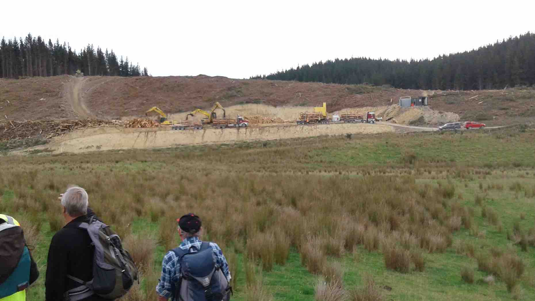
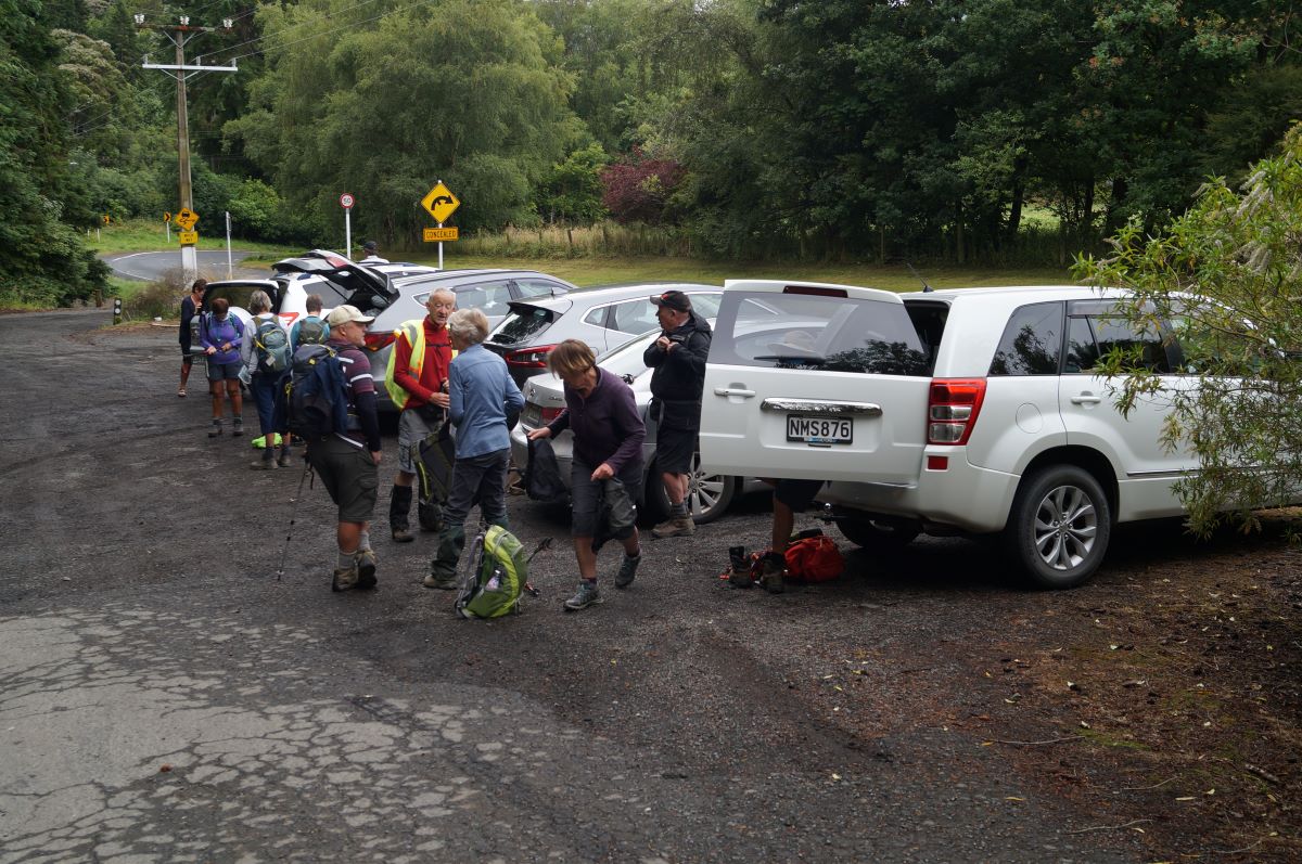
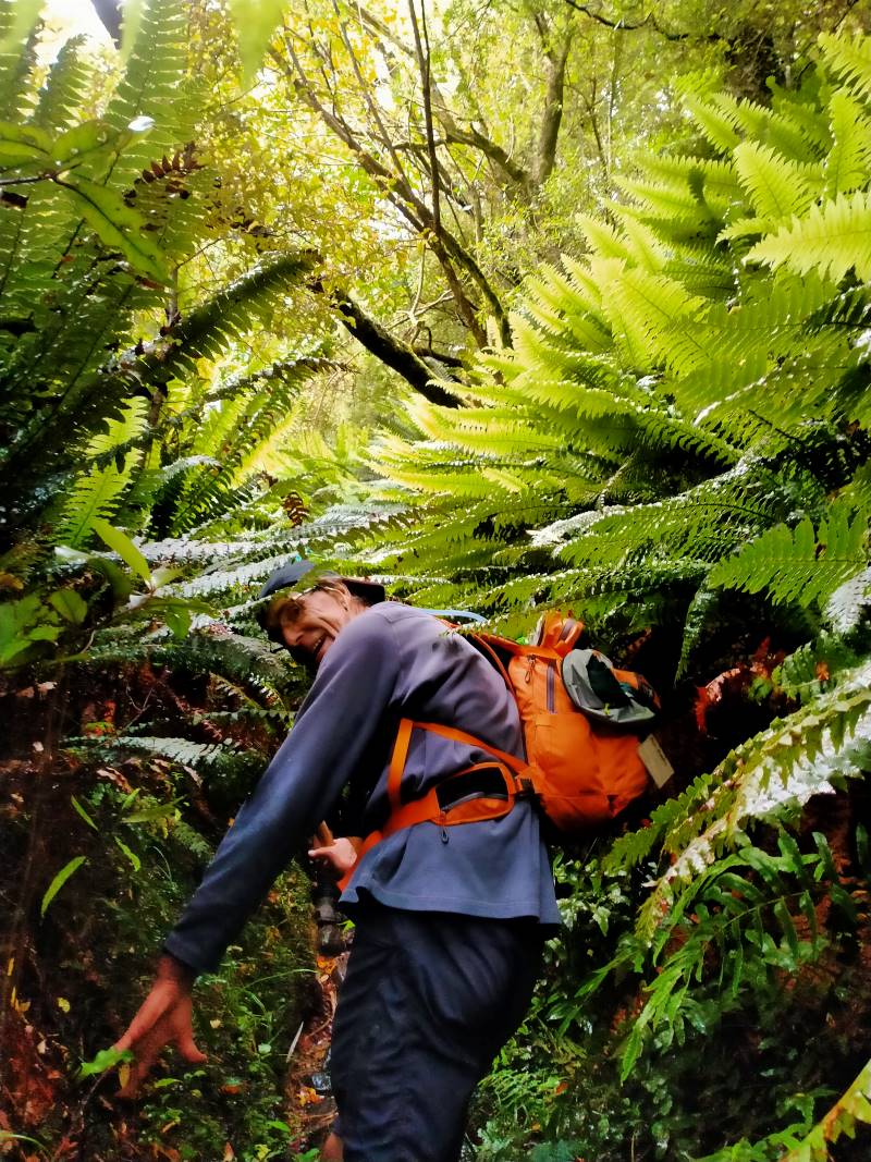
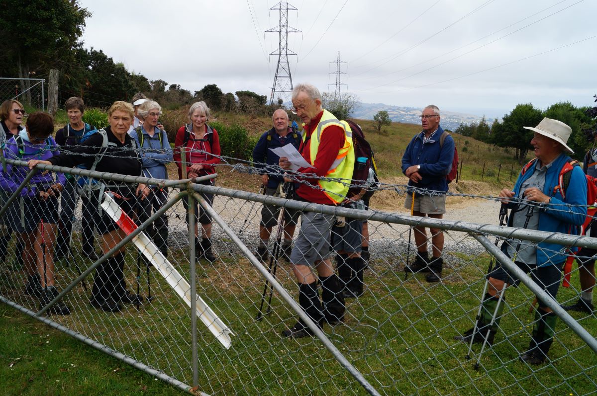
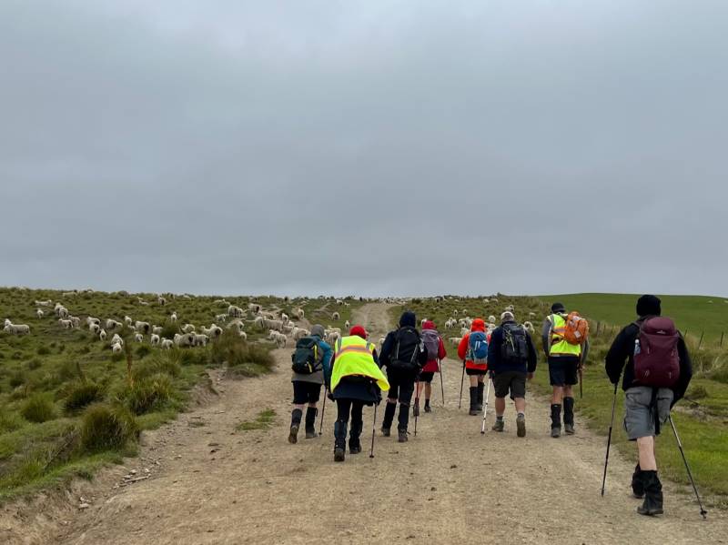
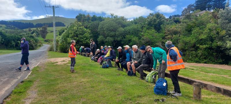
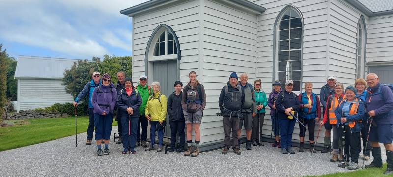
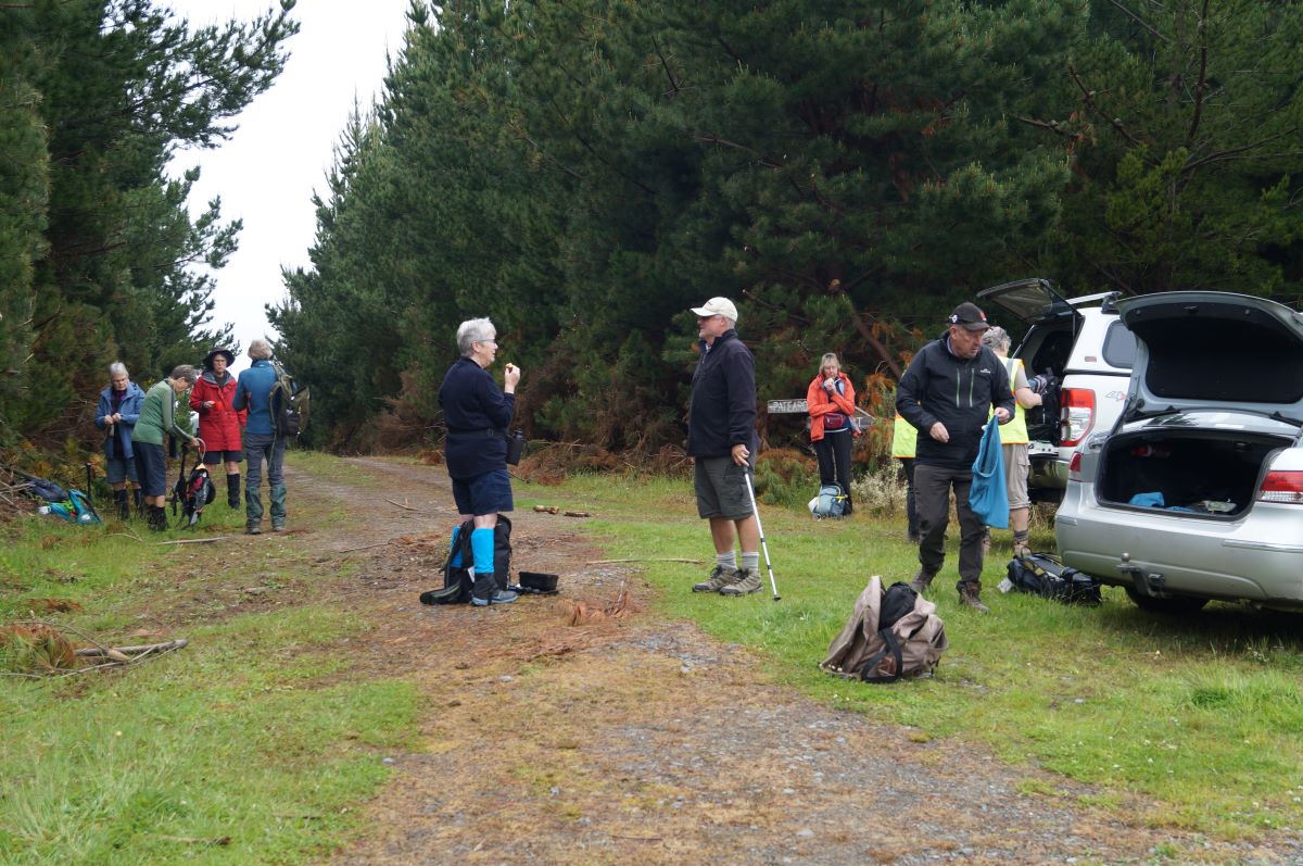
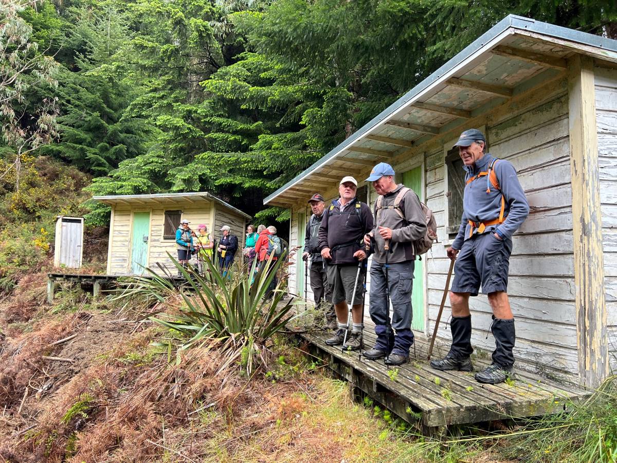
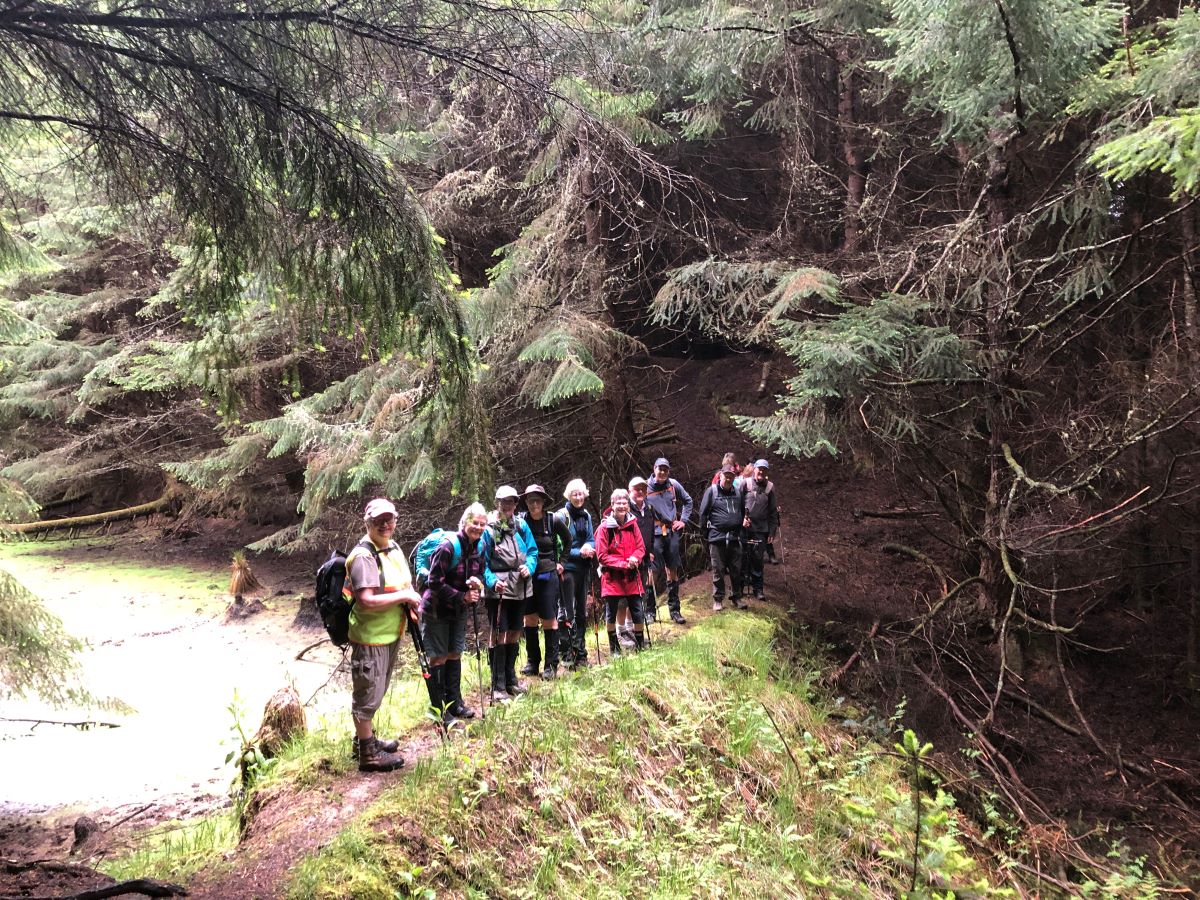
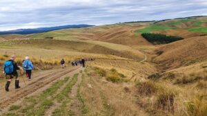
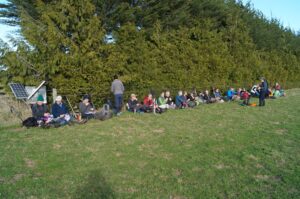
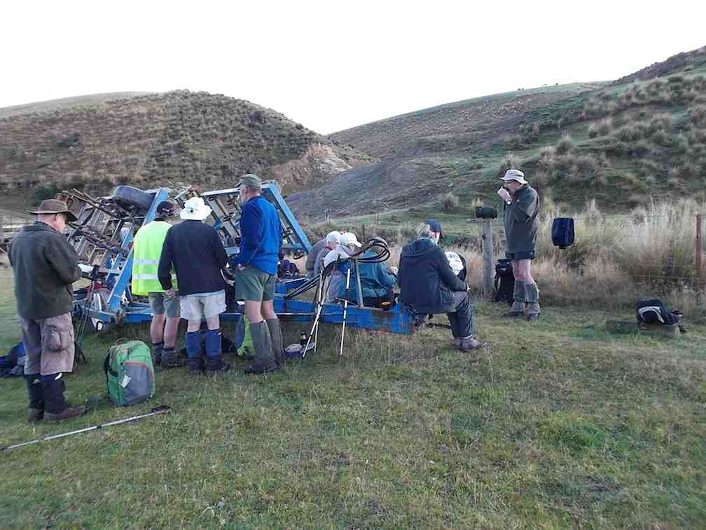
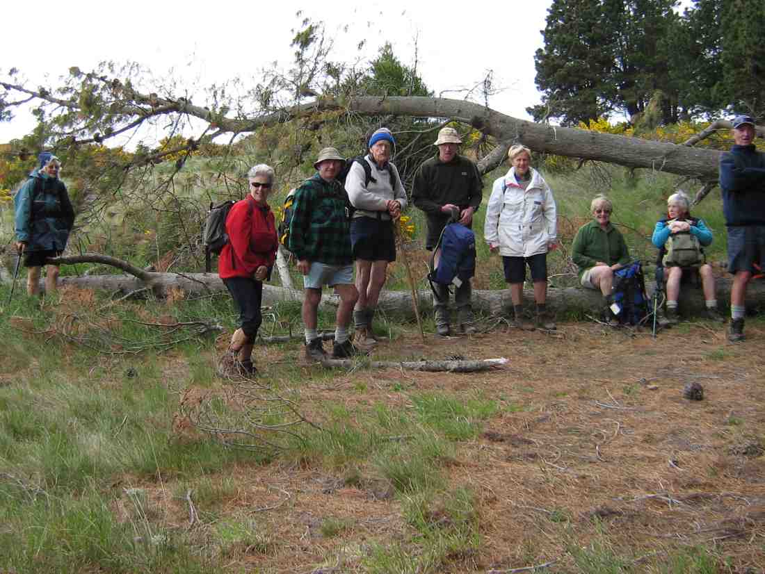
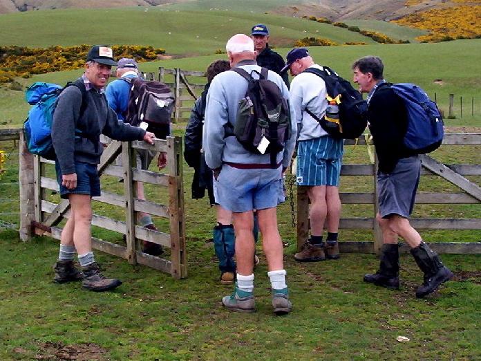
Leaving the cars with the a totally different backdrop since the tree felling. Photo & caption John
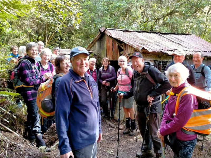
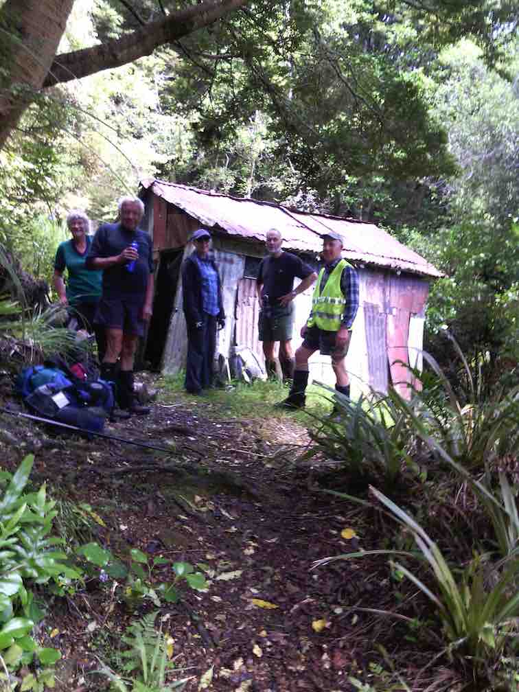
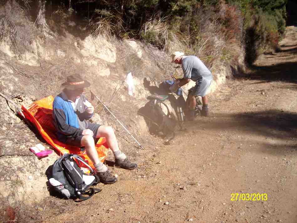
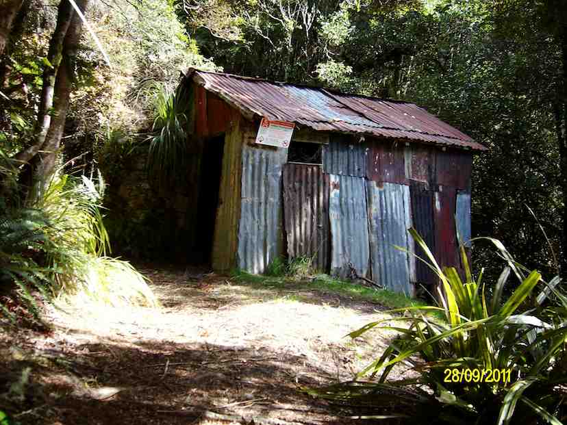
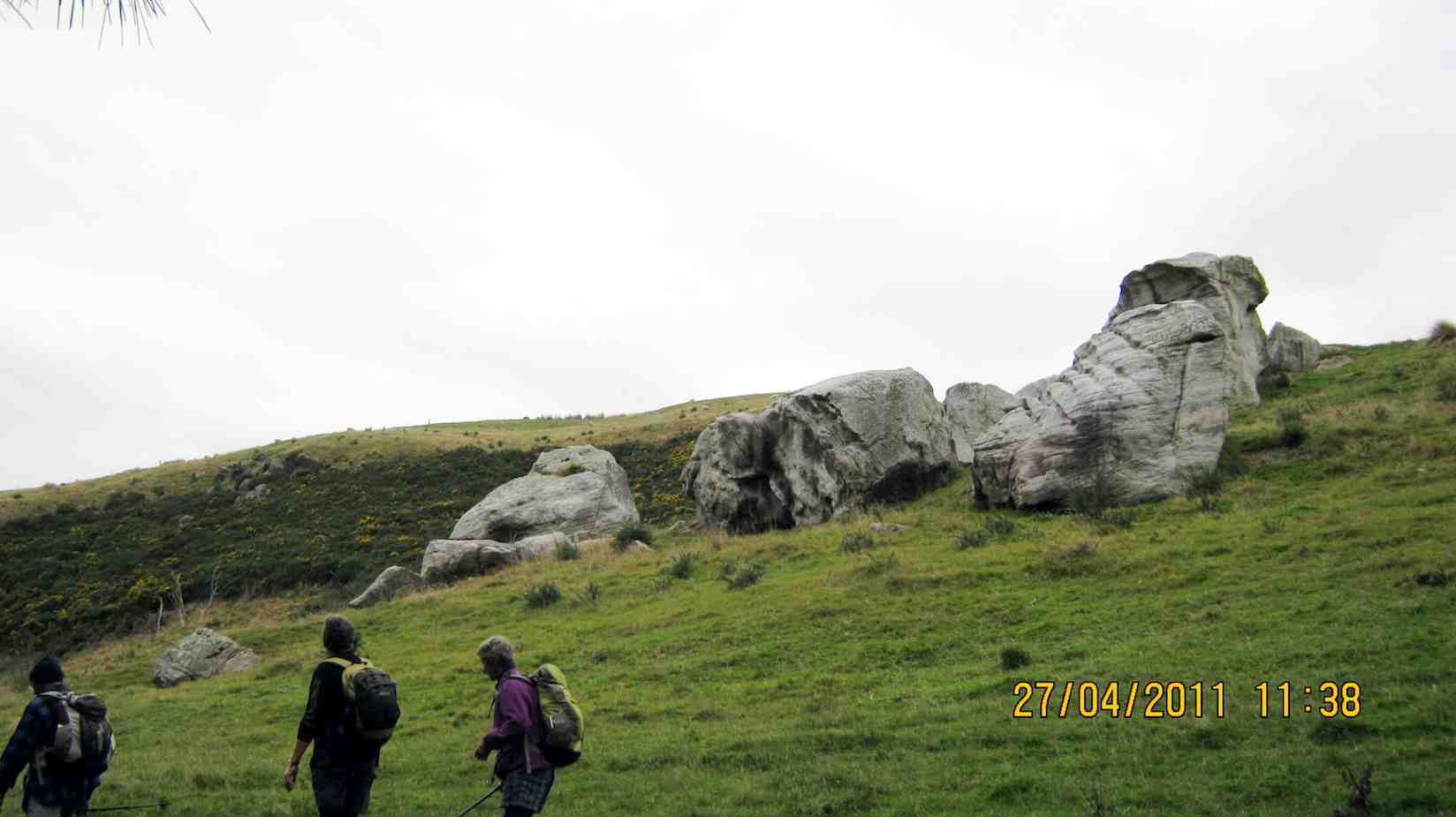
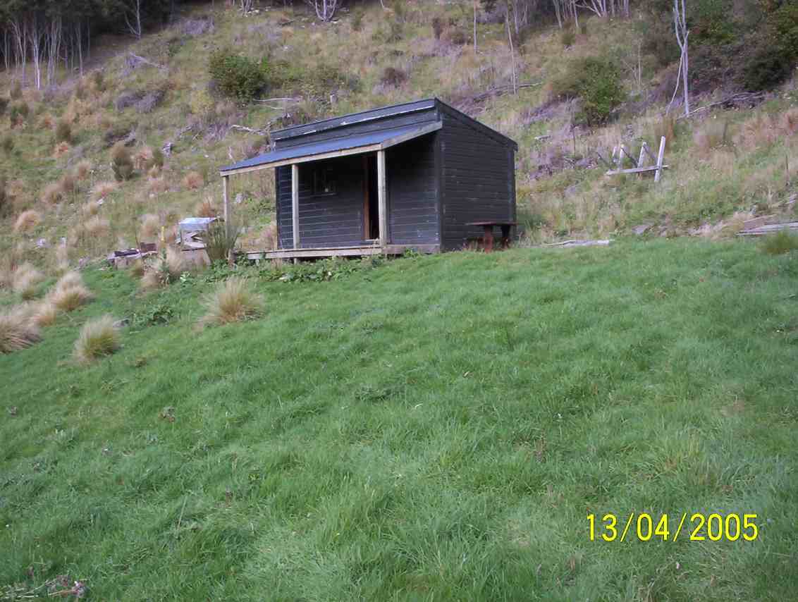
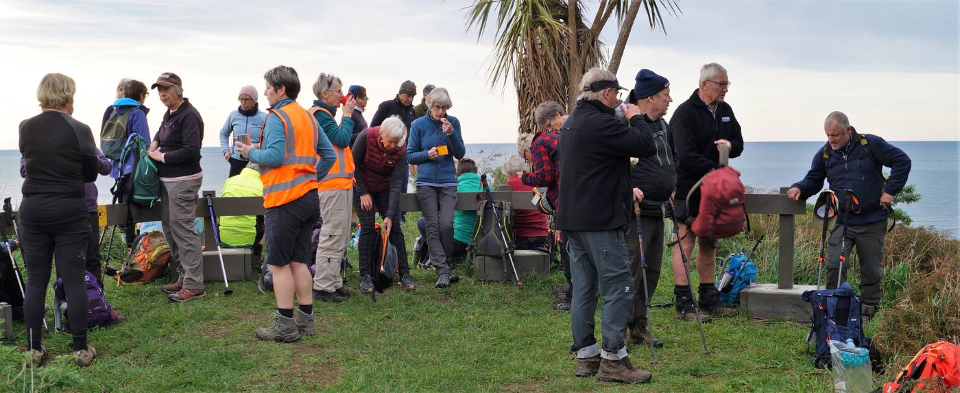
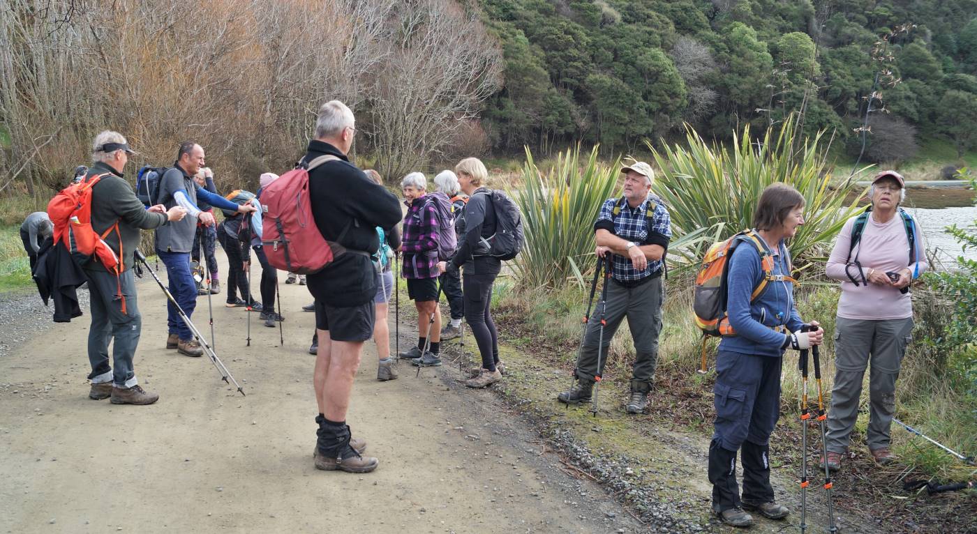
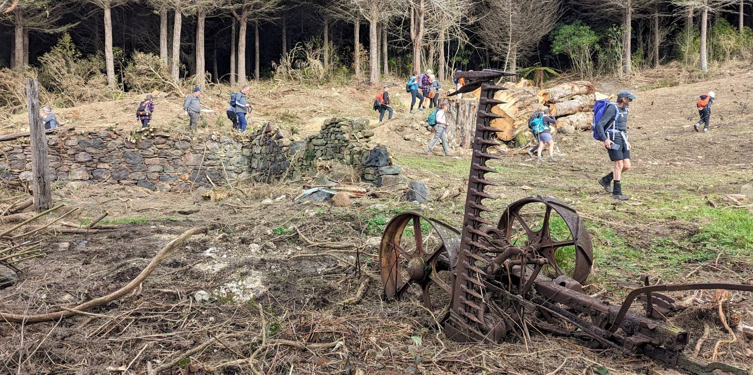
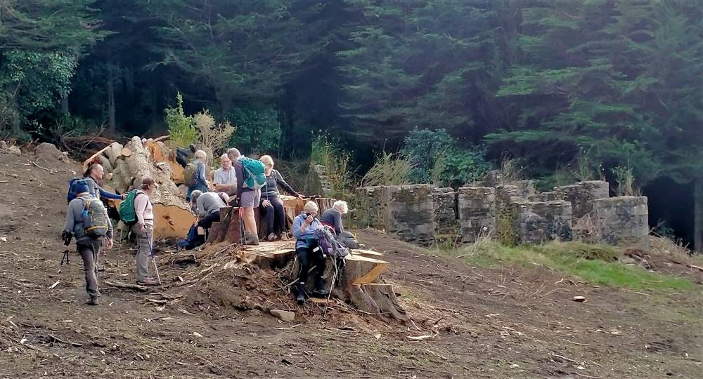
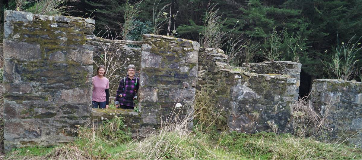
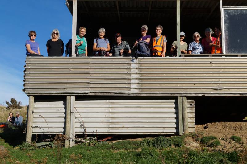
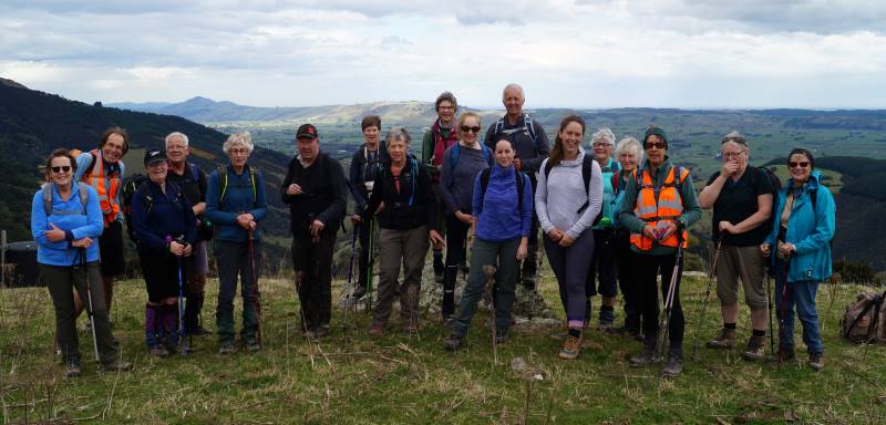
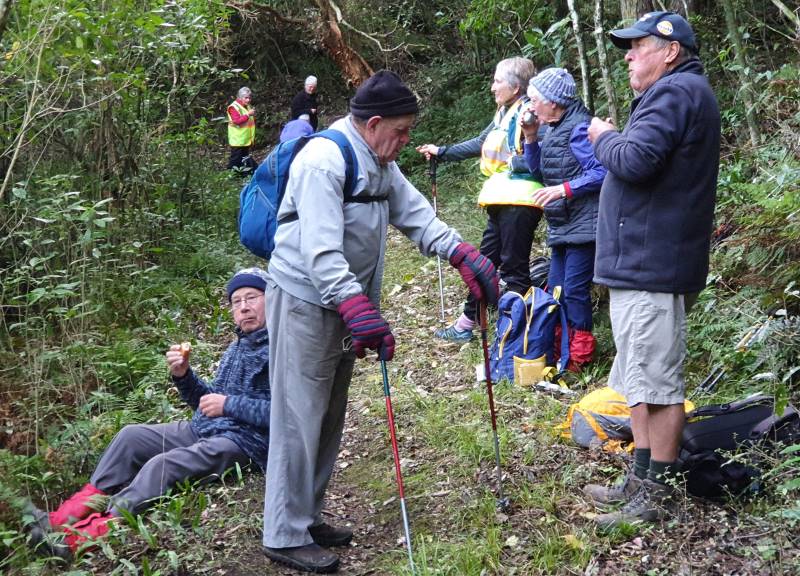
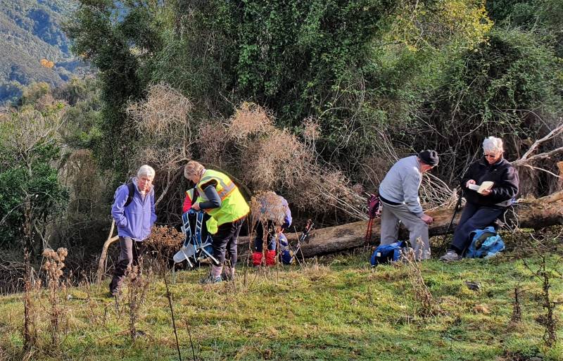
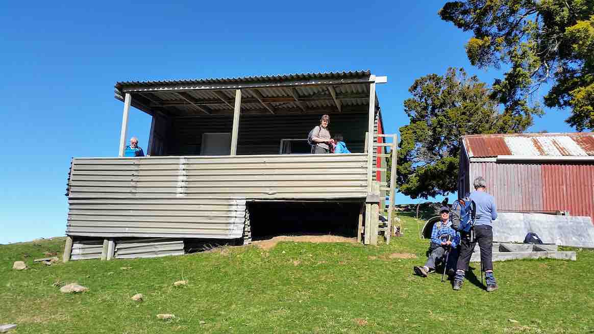
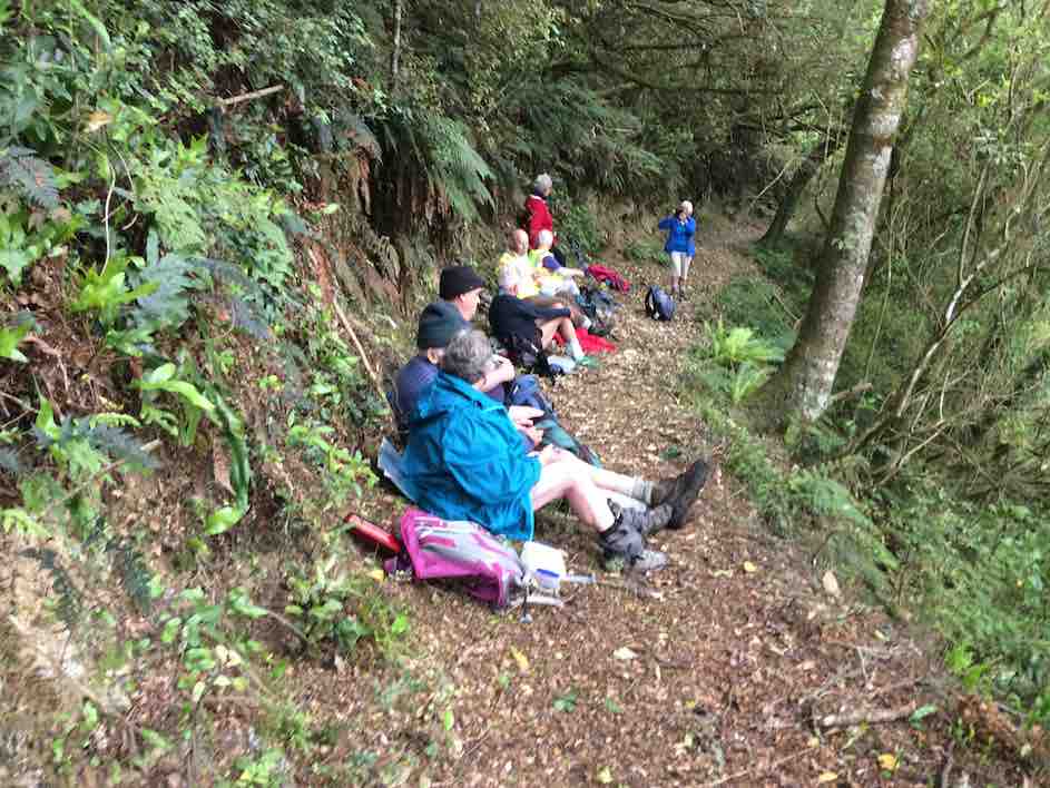
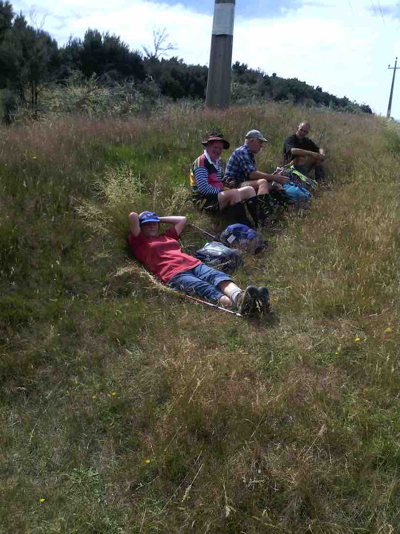
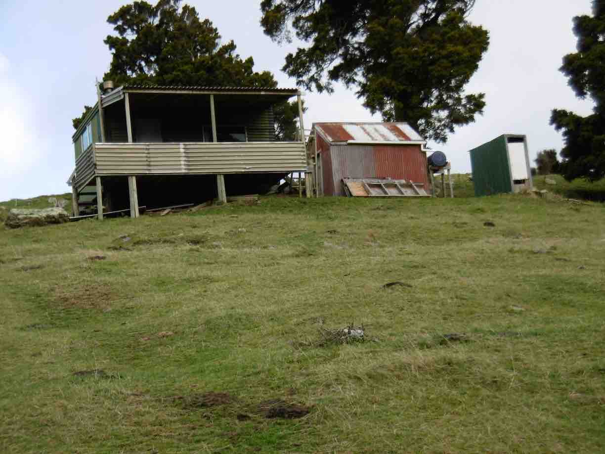
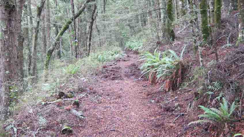
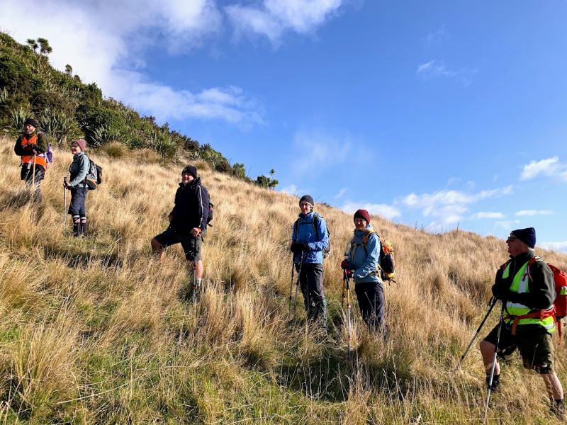
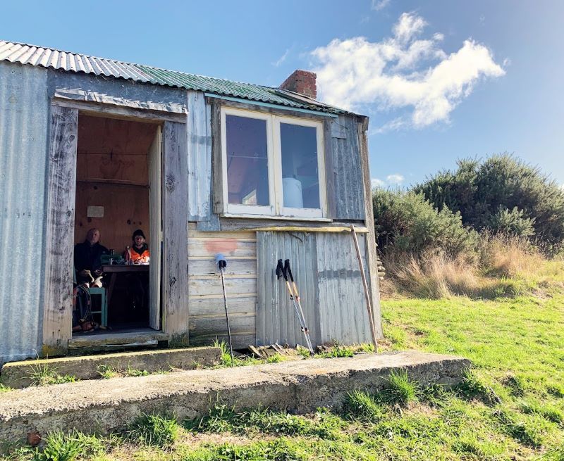
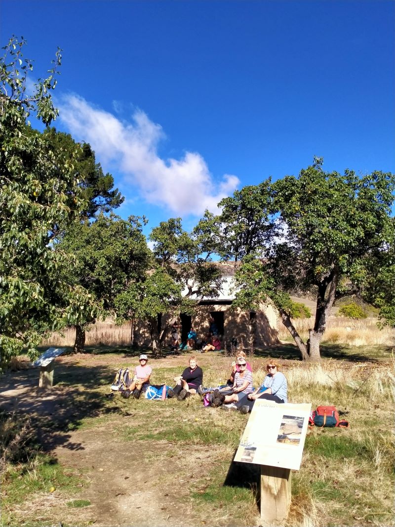
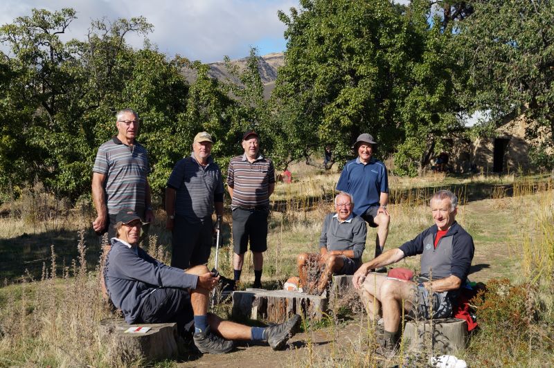
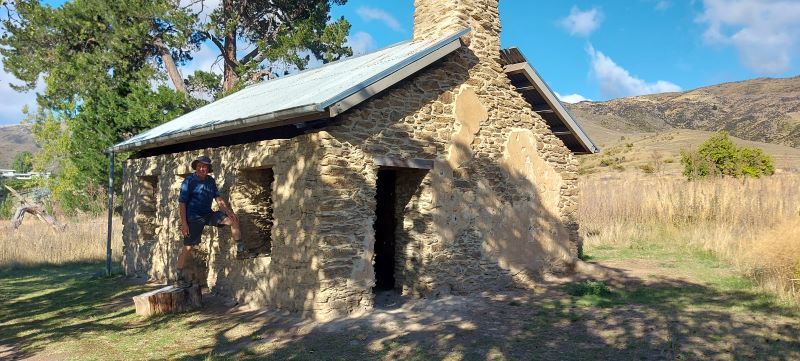
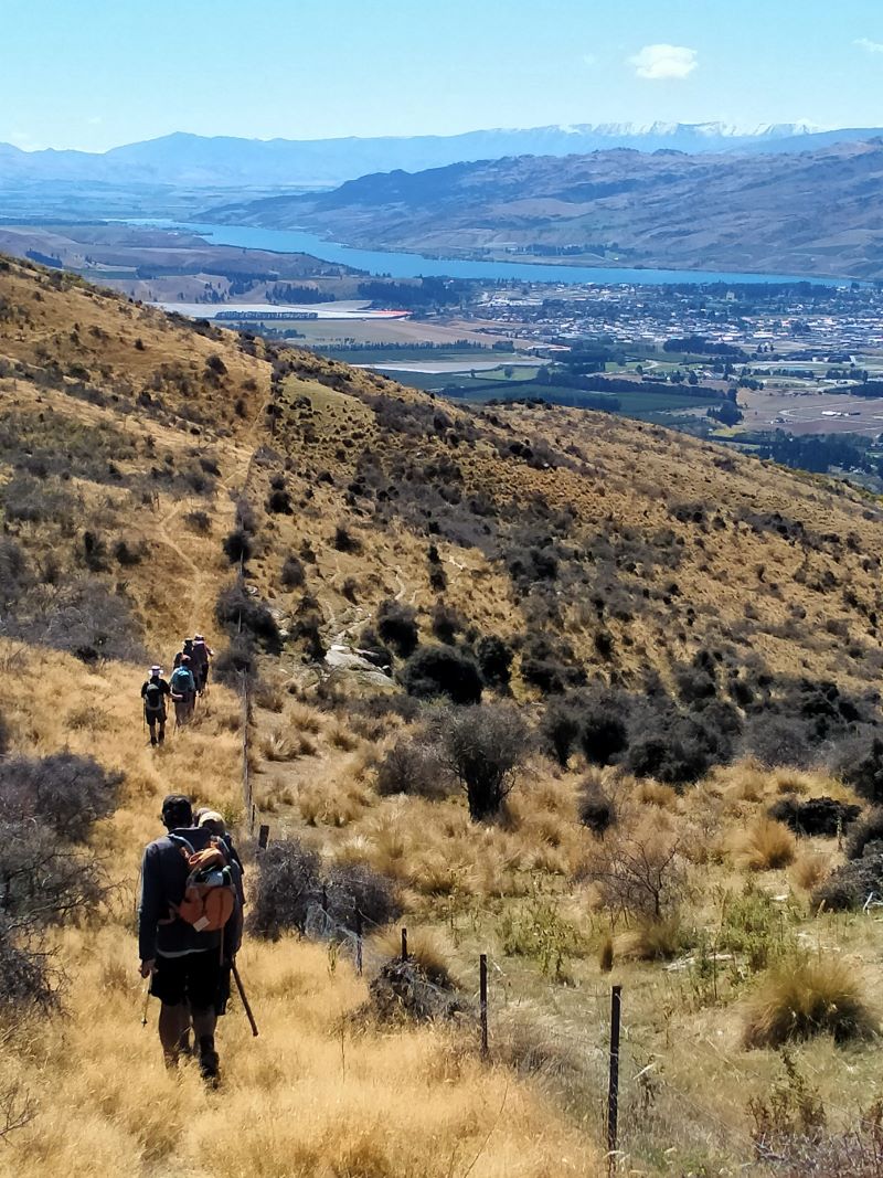
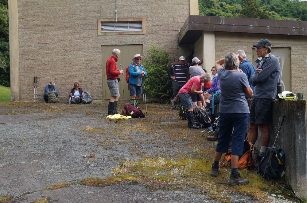
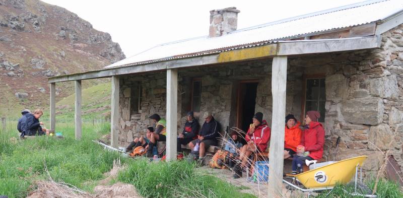
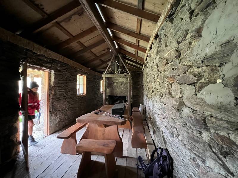
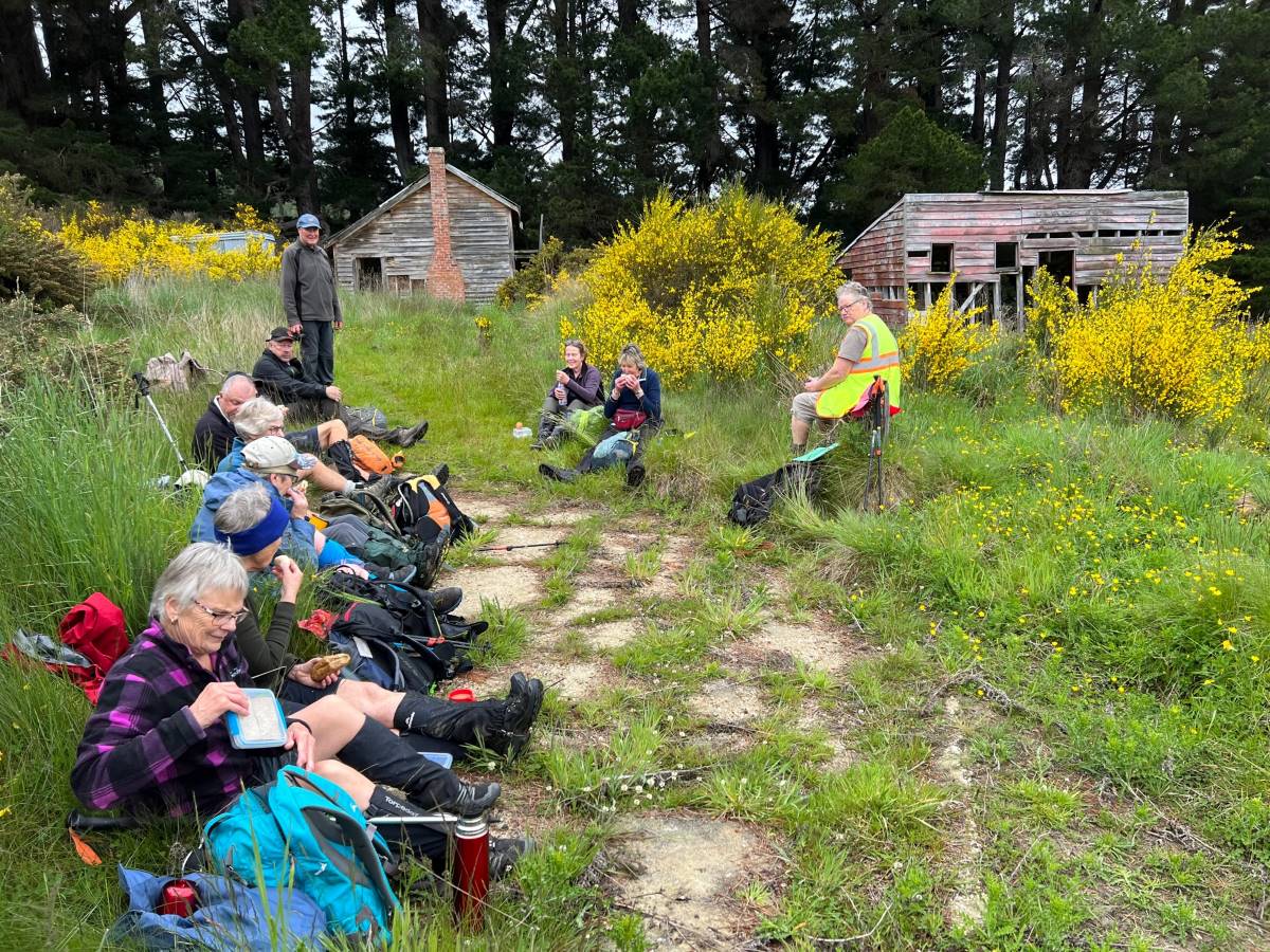
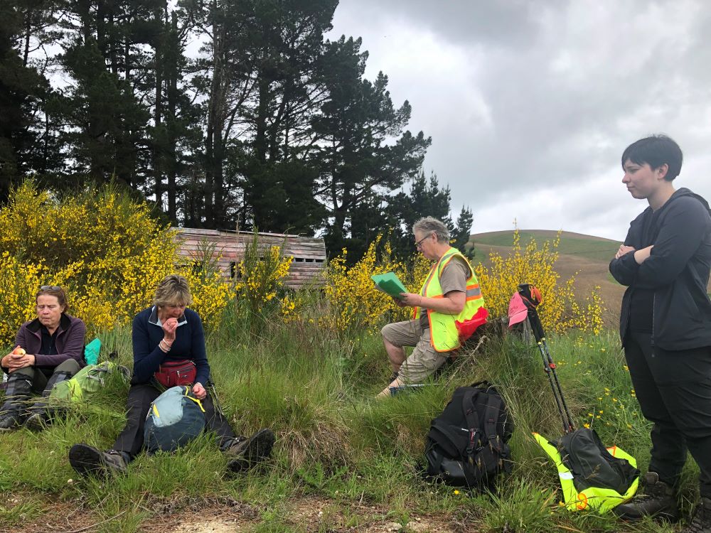
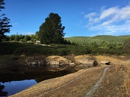
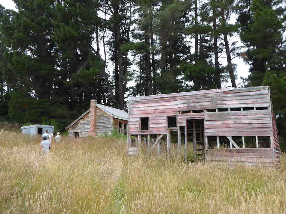
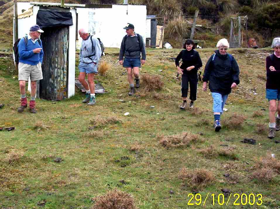
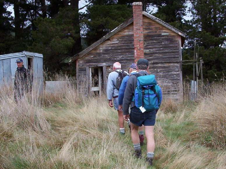
The track was in good condition and everyone seemed to enjoy it. We had Smoke-O after descending the track through the Douglas firs, a photo shoot at the derelict Possum Hut, and had lunch at the site of the old Green Hut.
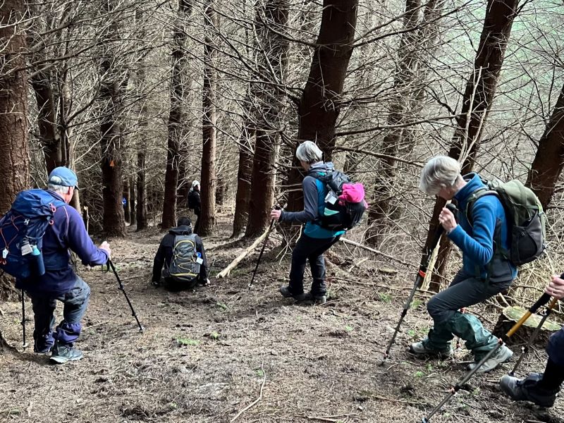
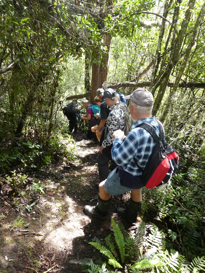
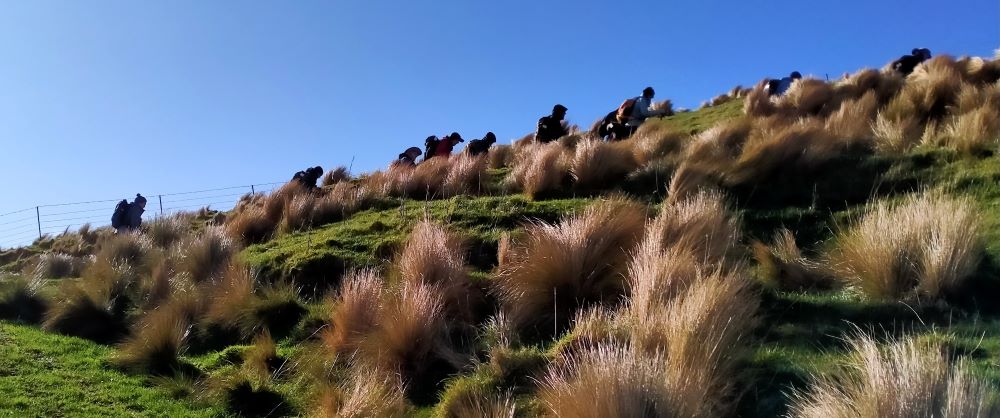
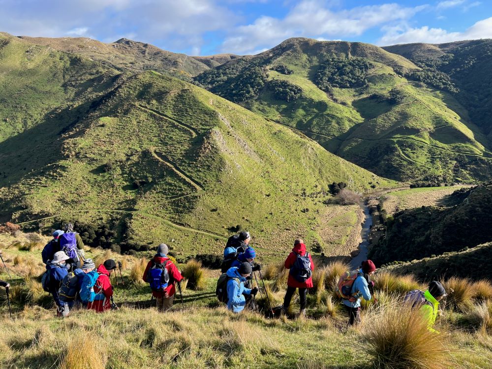
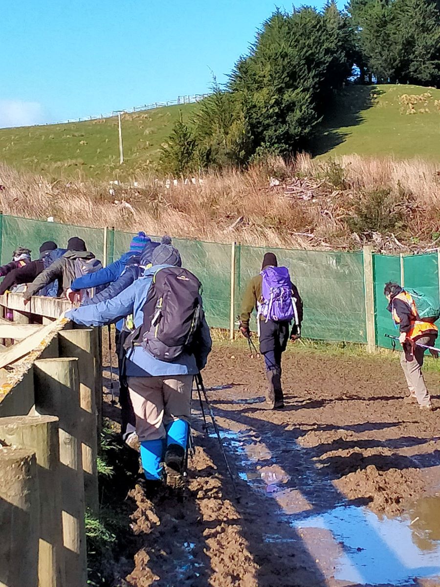
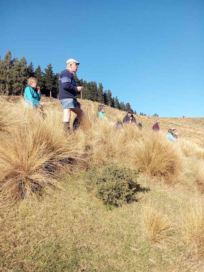
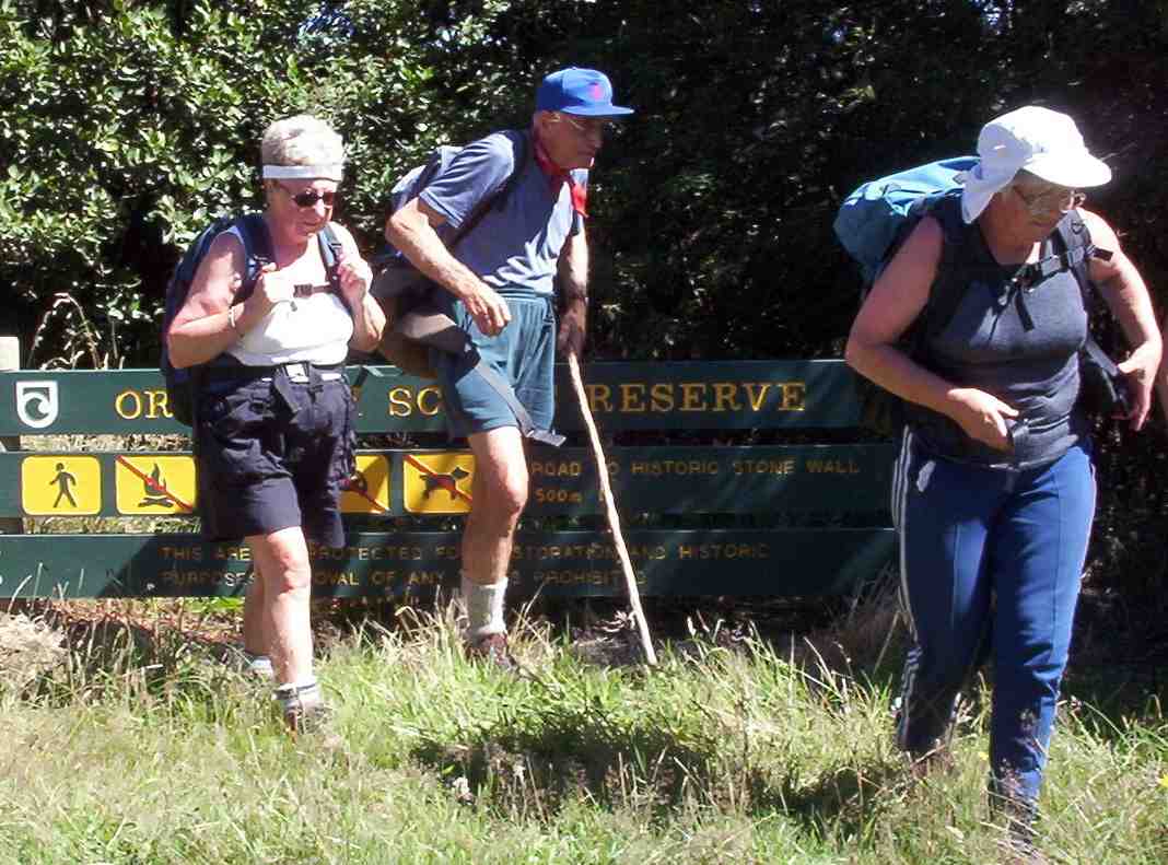
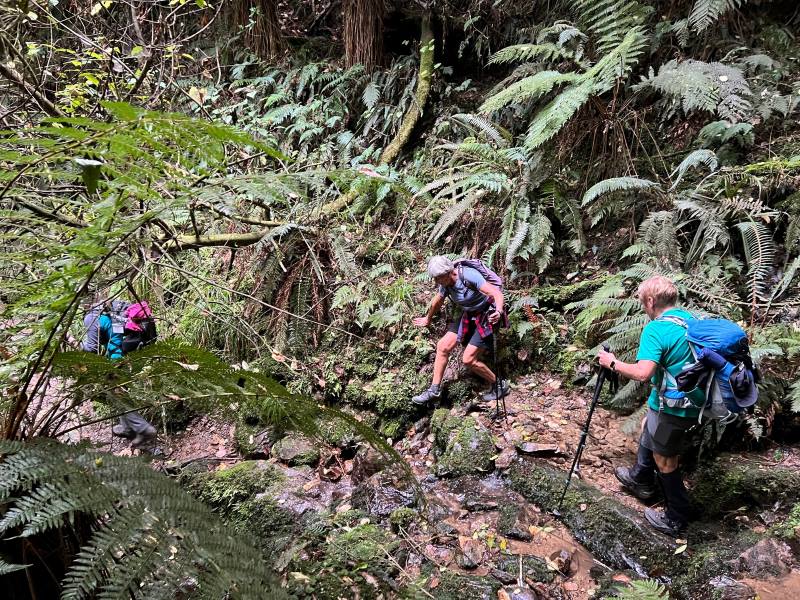
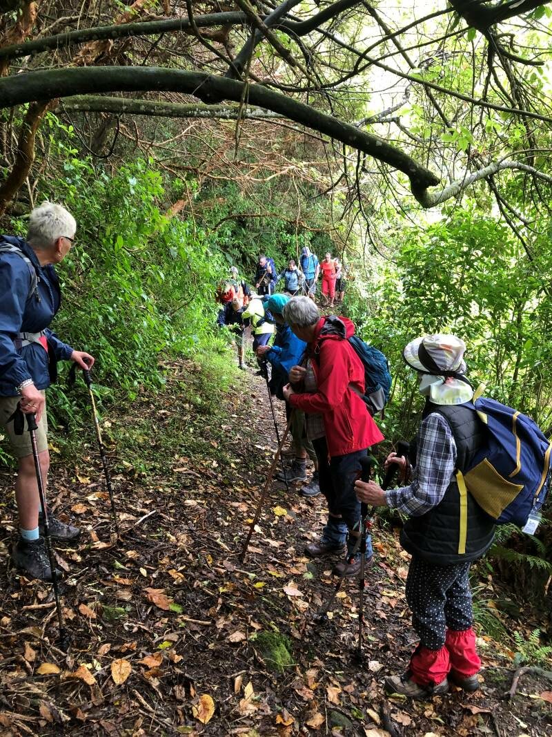
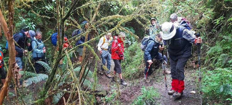
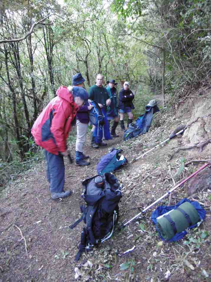
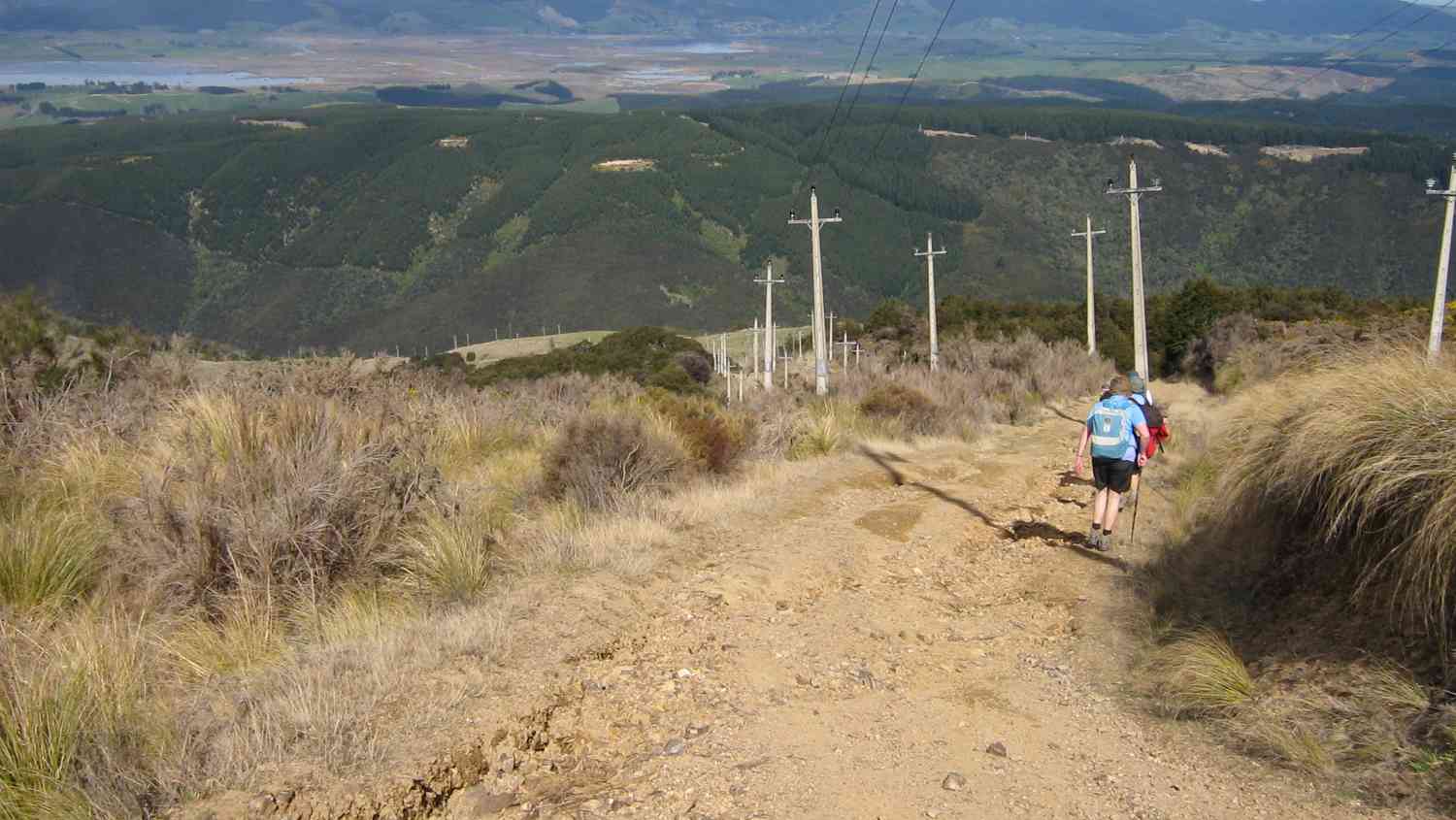
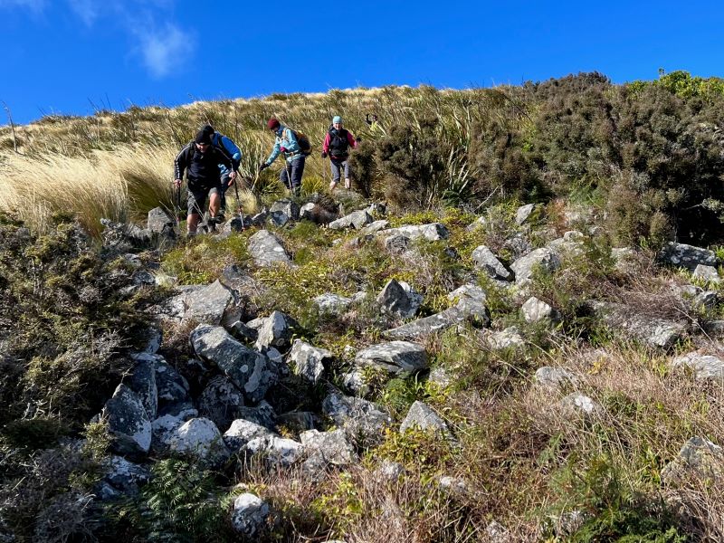
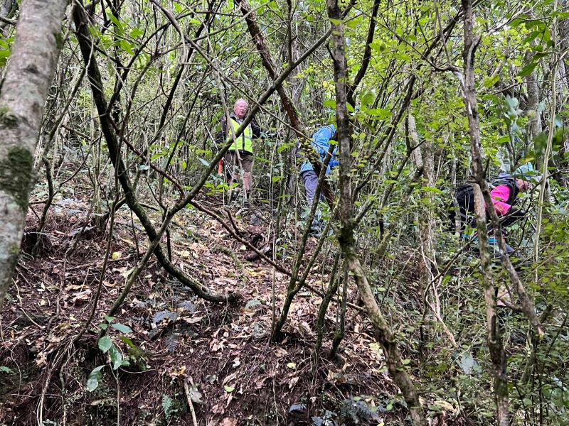
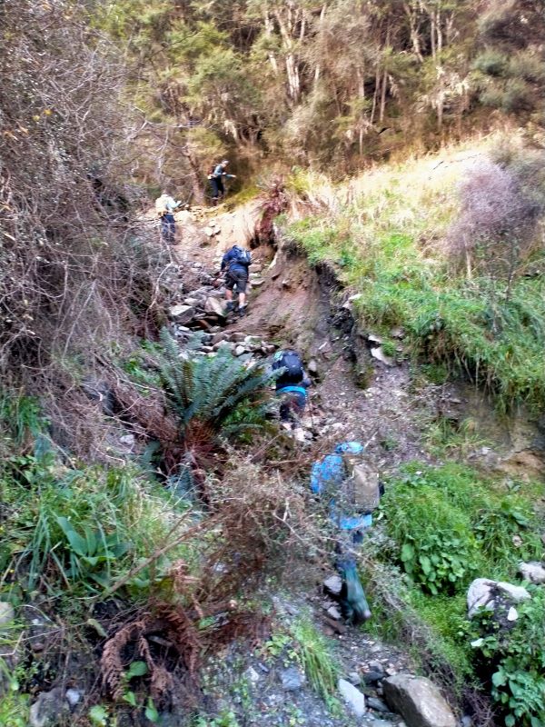
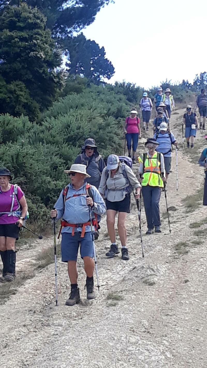
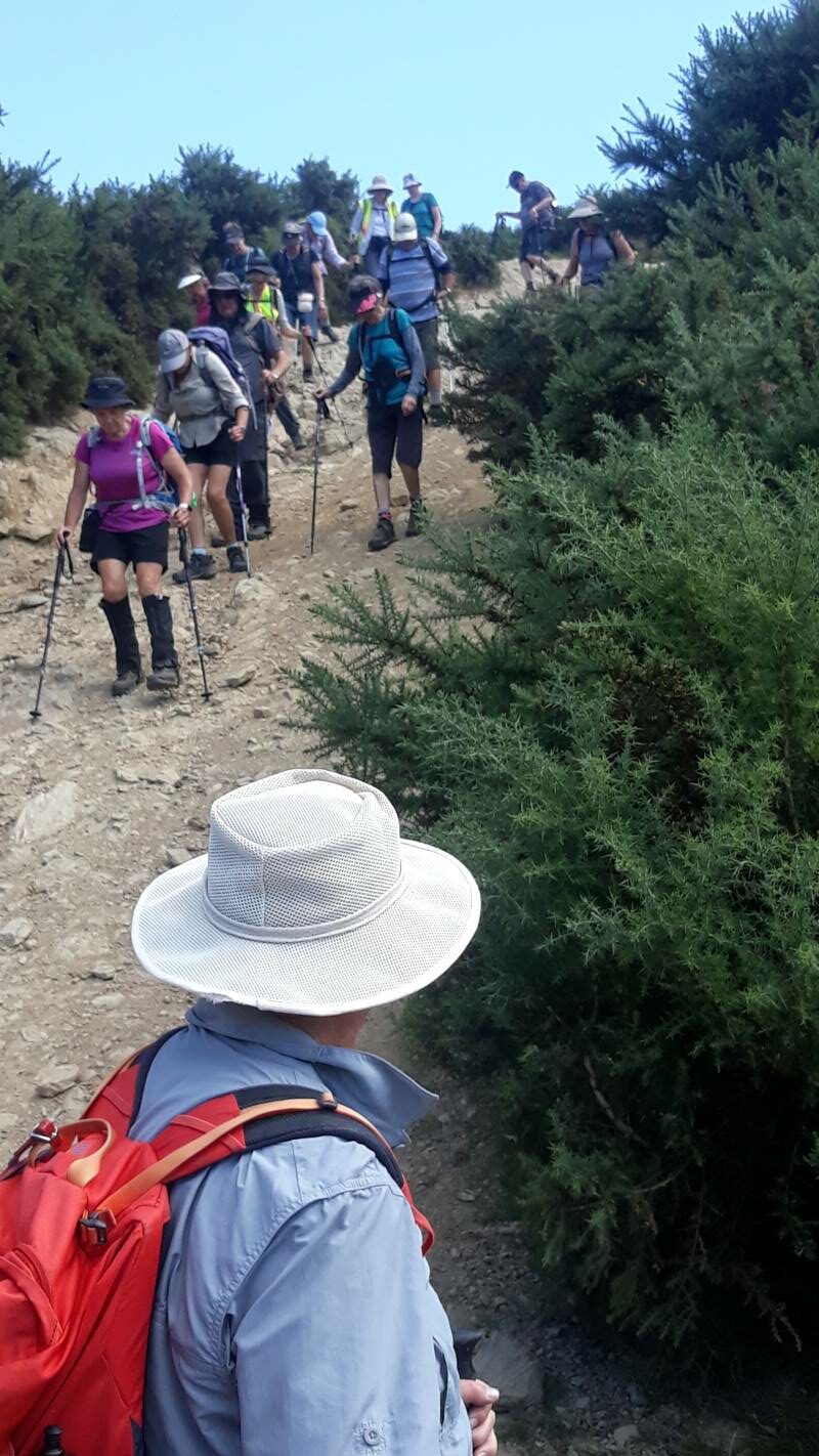
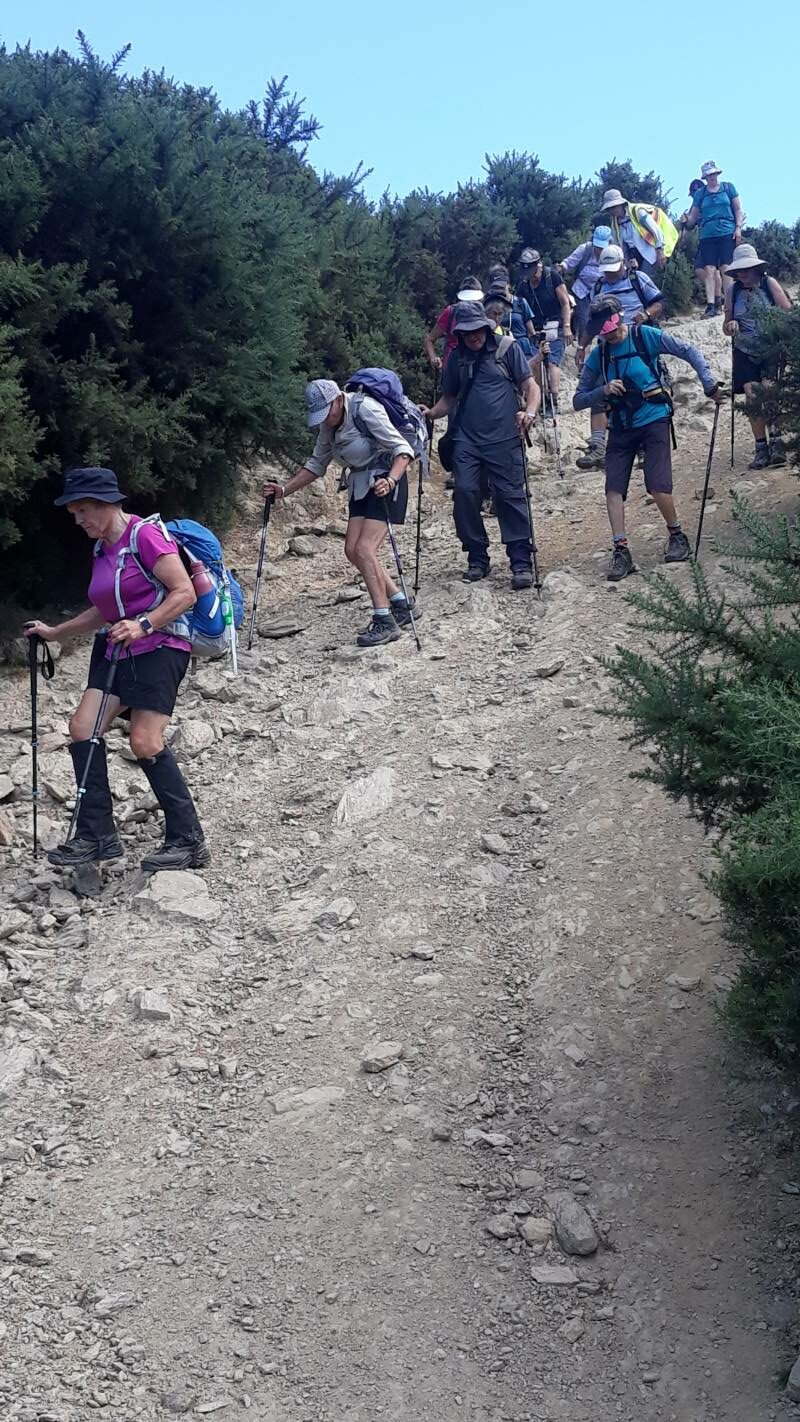
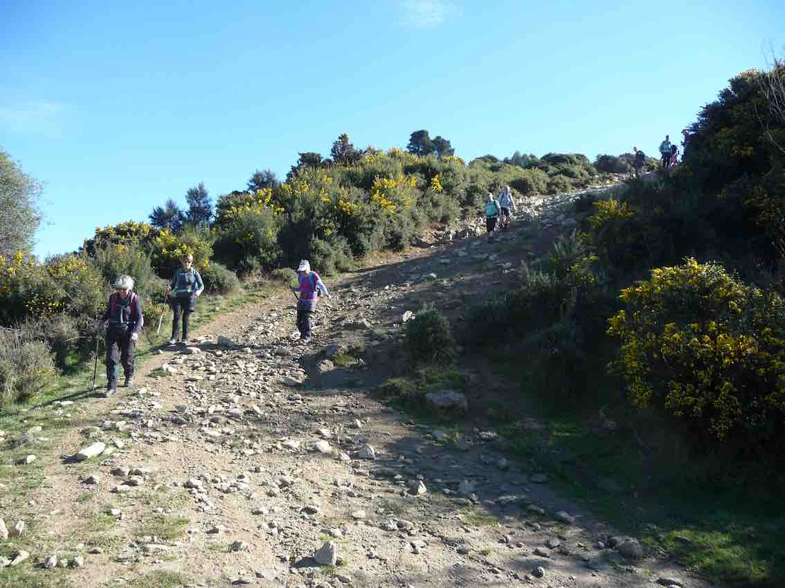
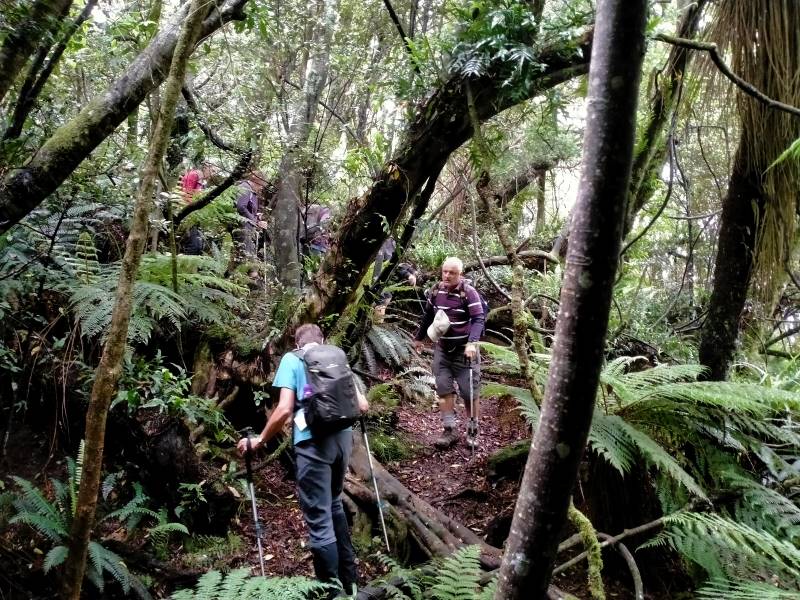
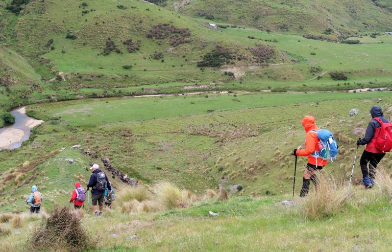
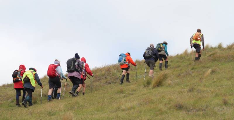
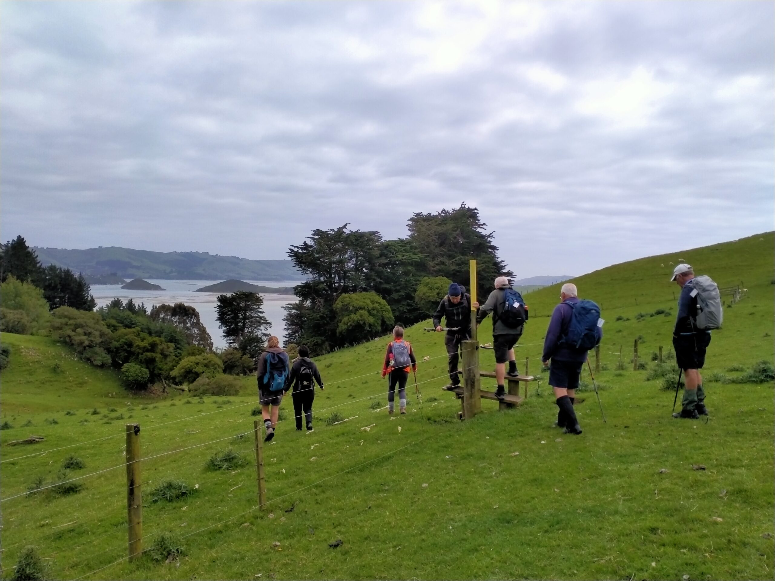
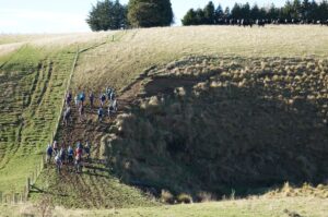
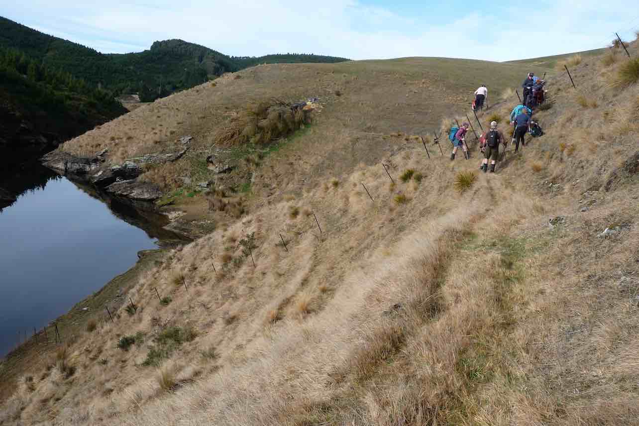
Various ways of getting down the steep slope. Photo & caption Pam
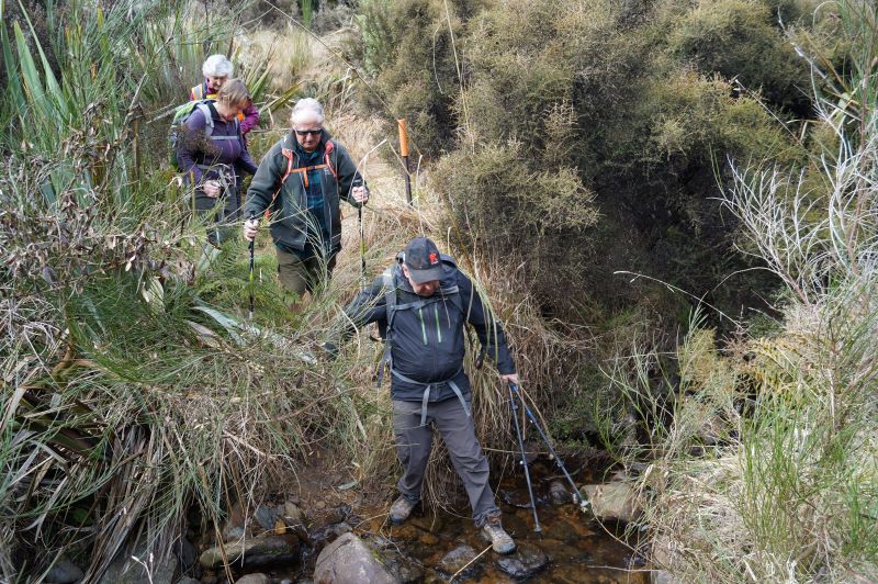
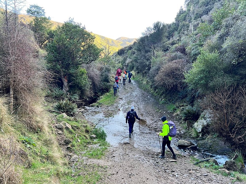
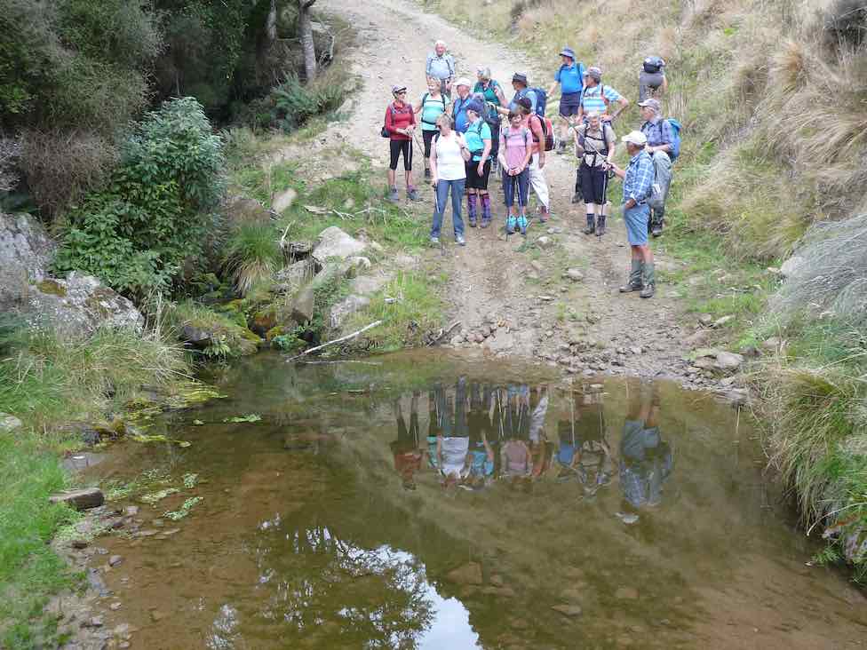
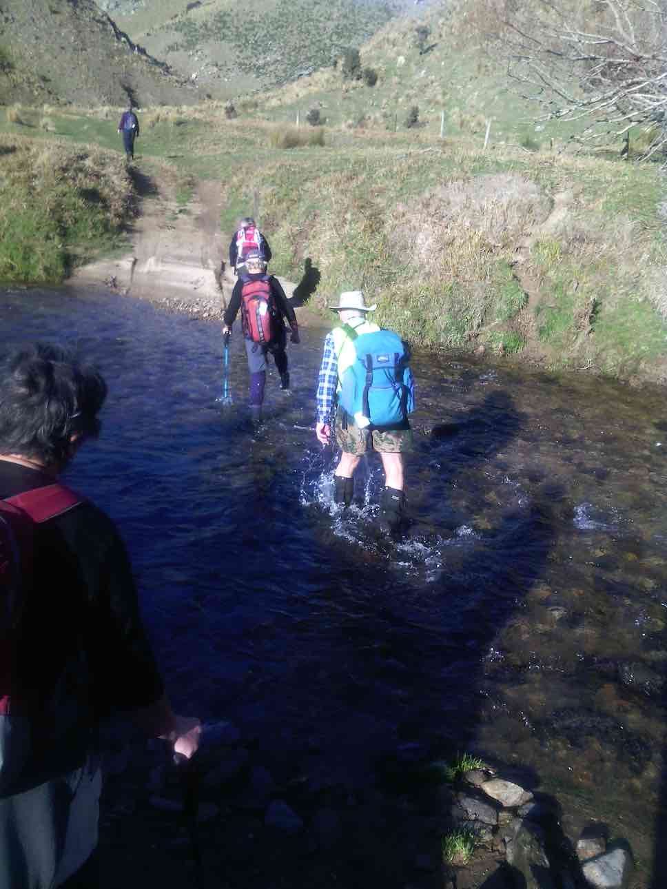
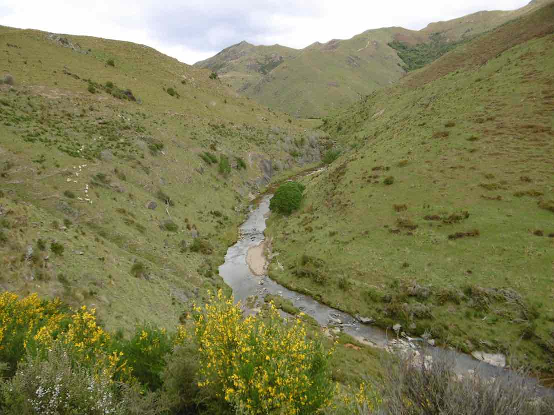
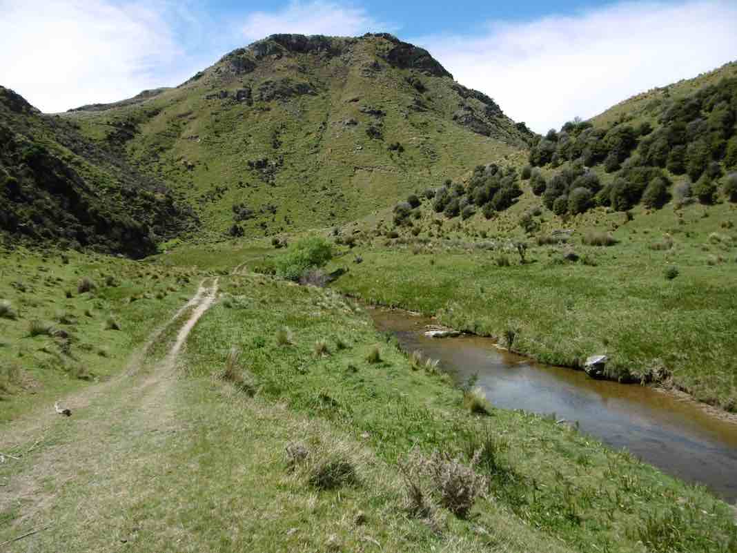
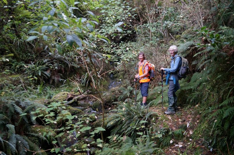
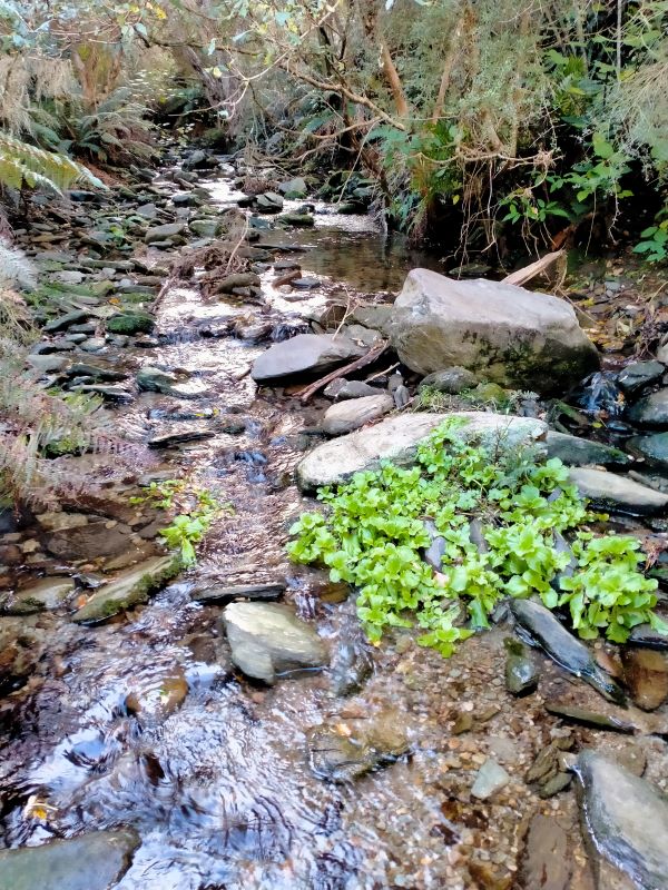
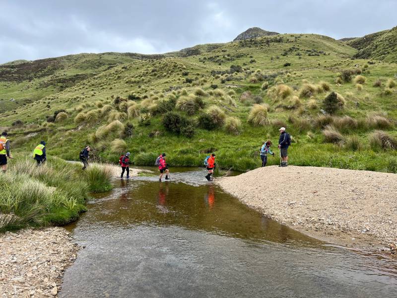
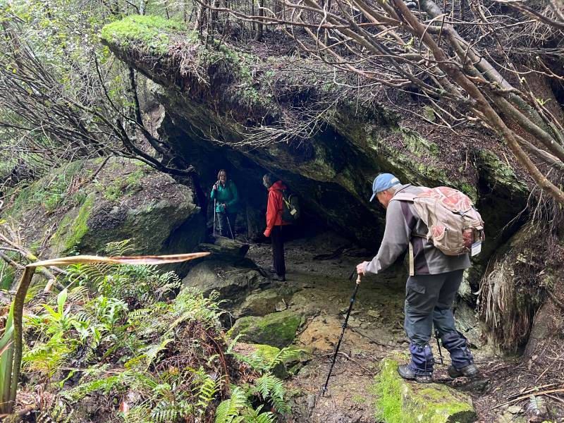
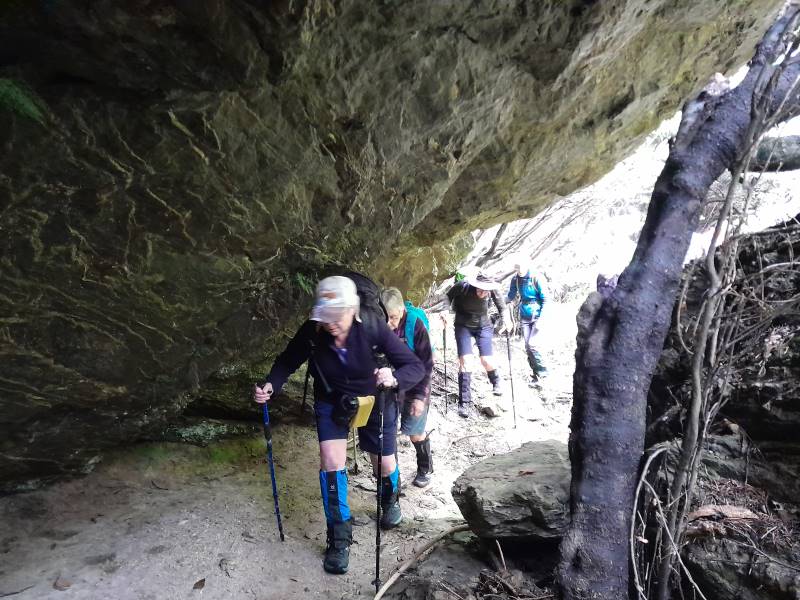
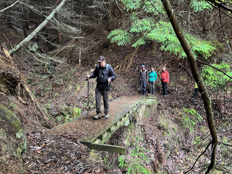
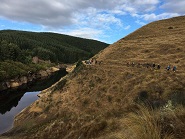
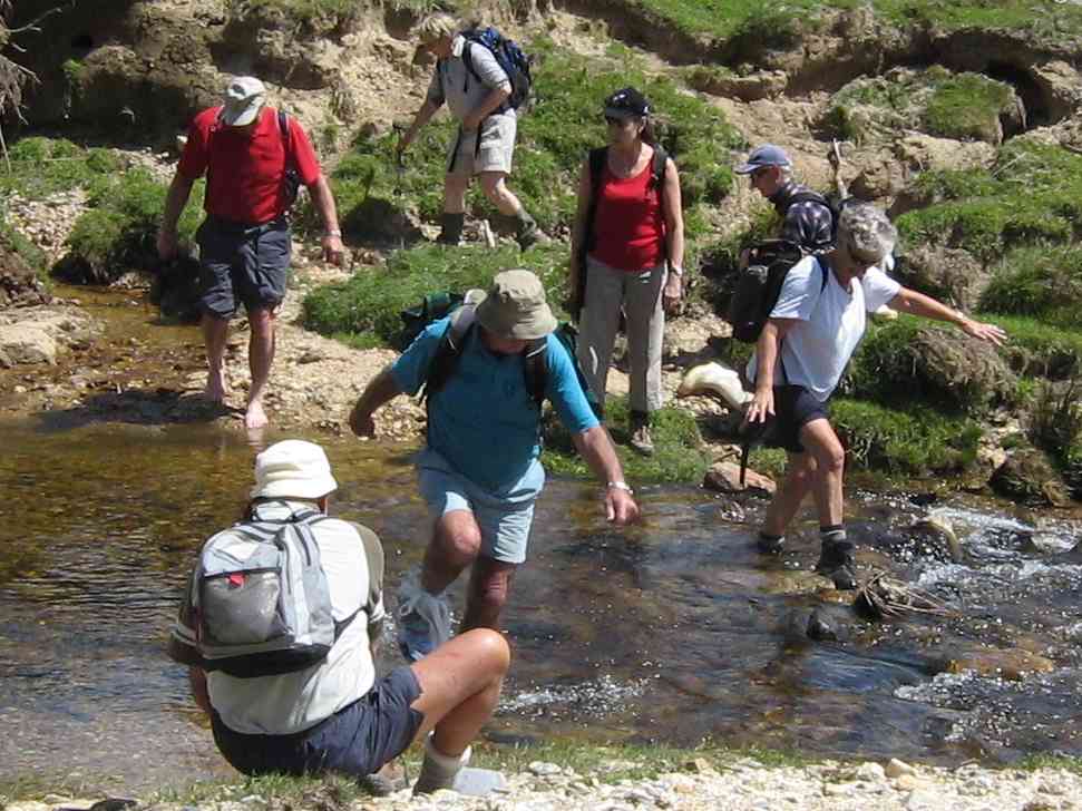
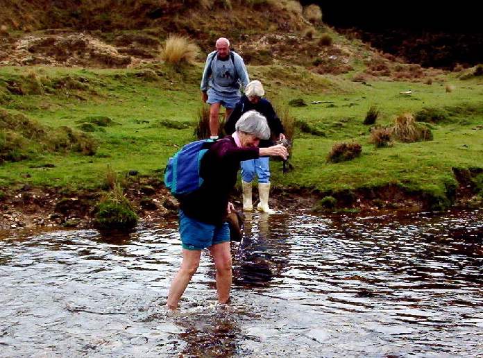
First creek crossing. Photo & caption JohnWe find Dame Edna’s old hideaway. Photo & caption Phil
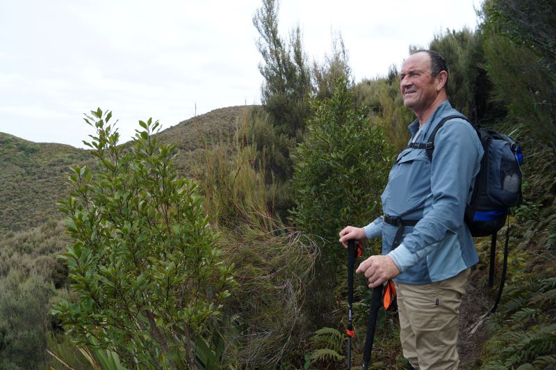
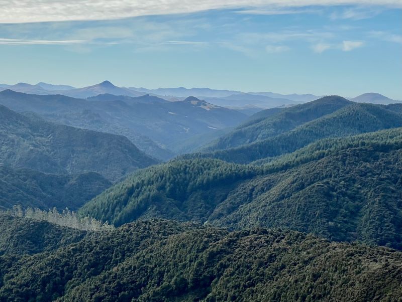
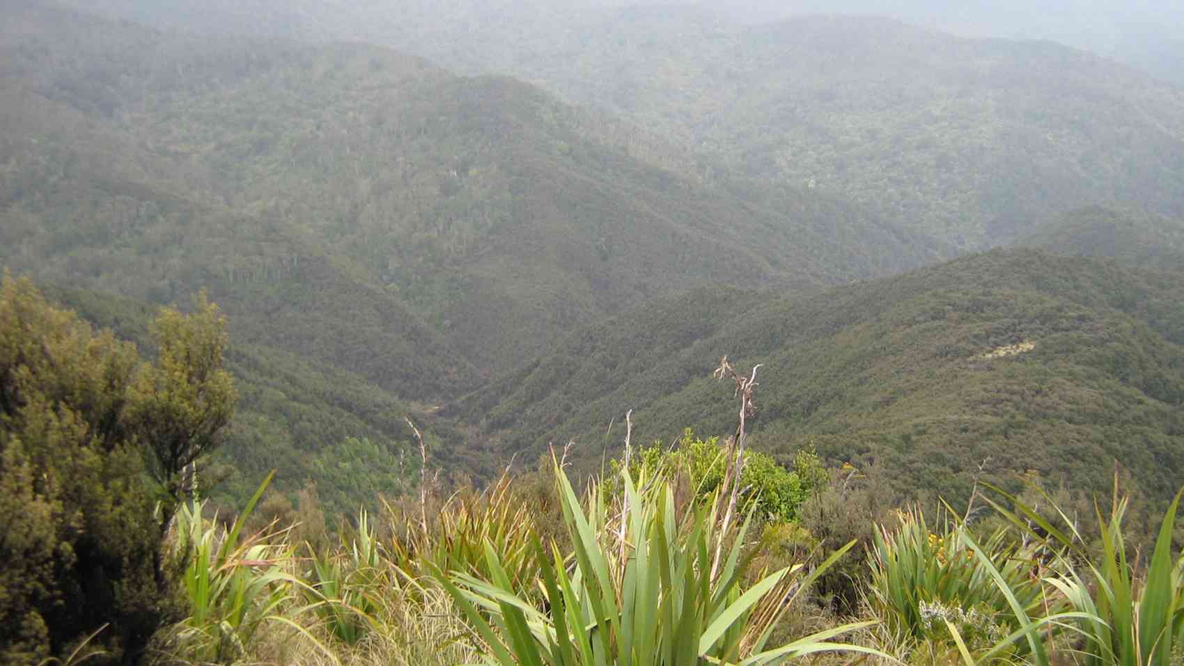
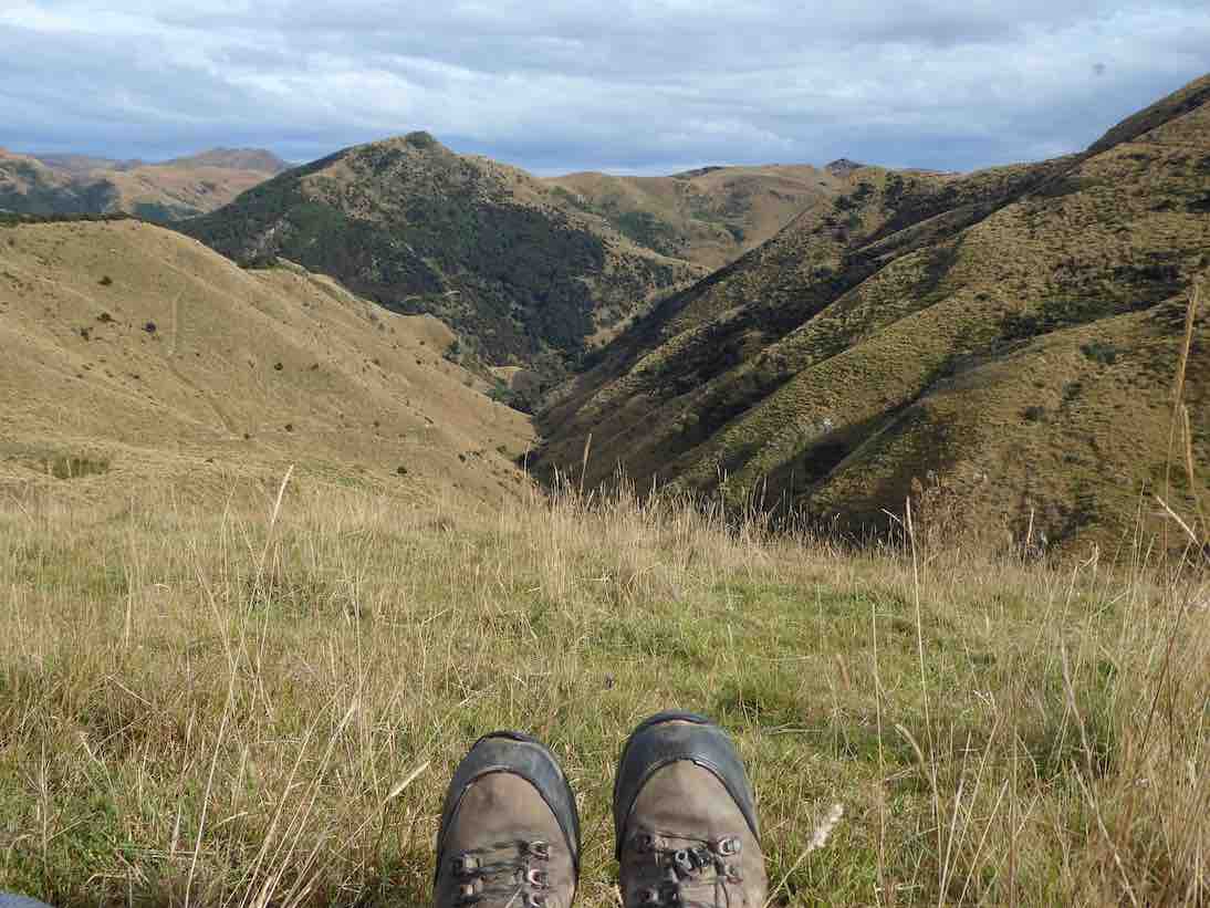
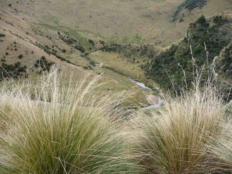
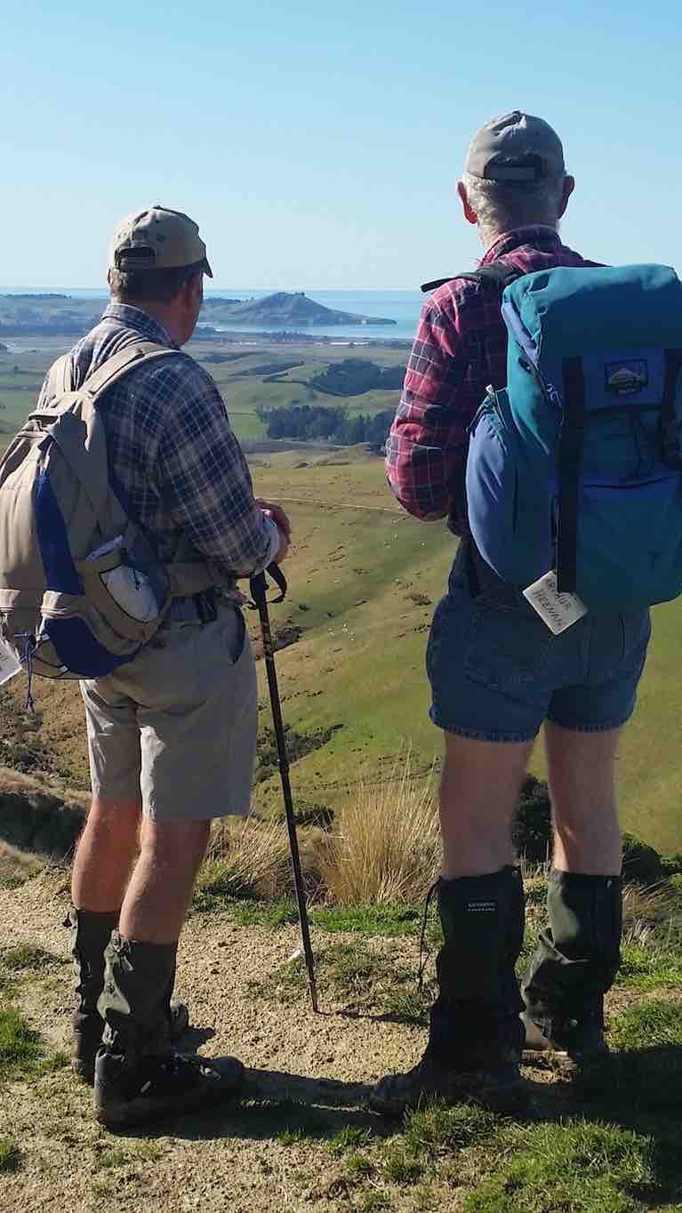
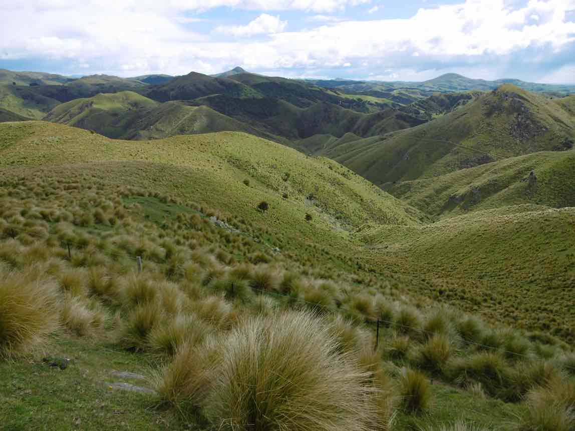
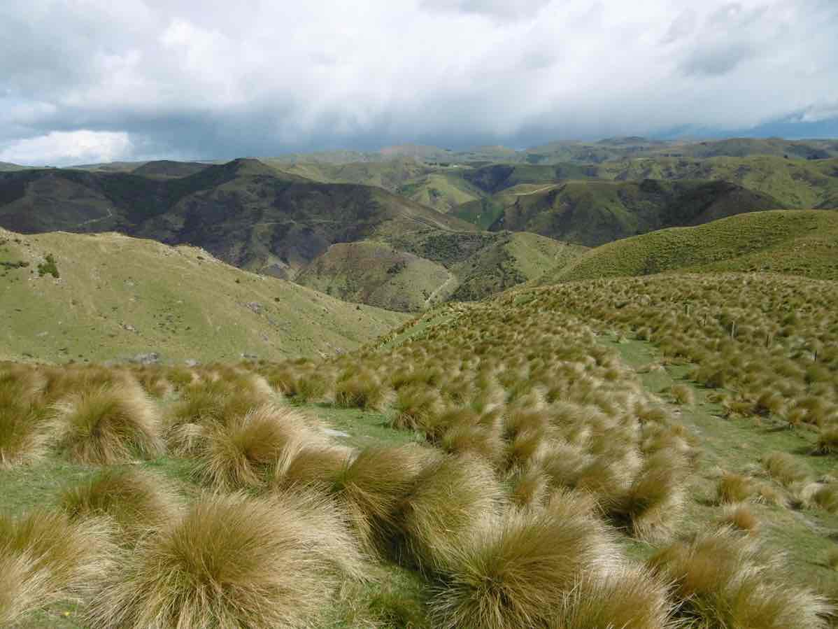
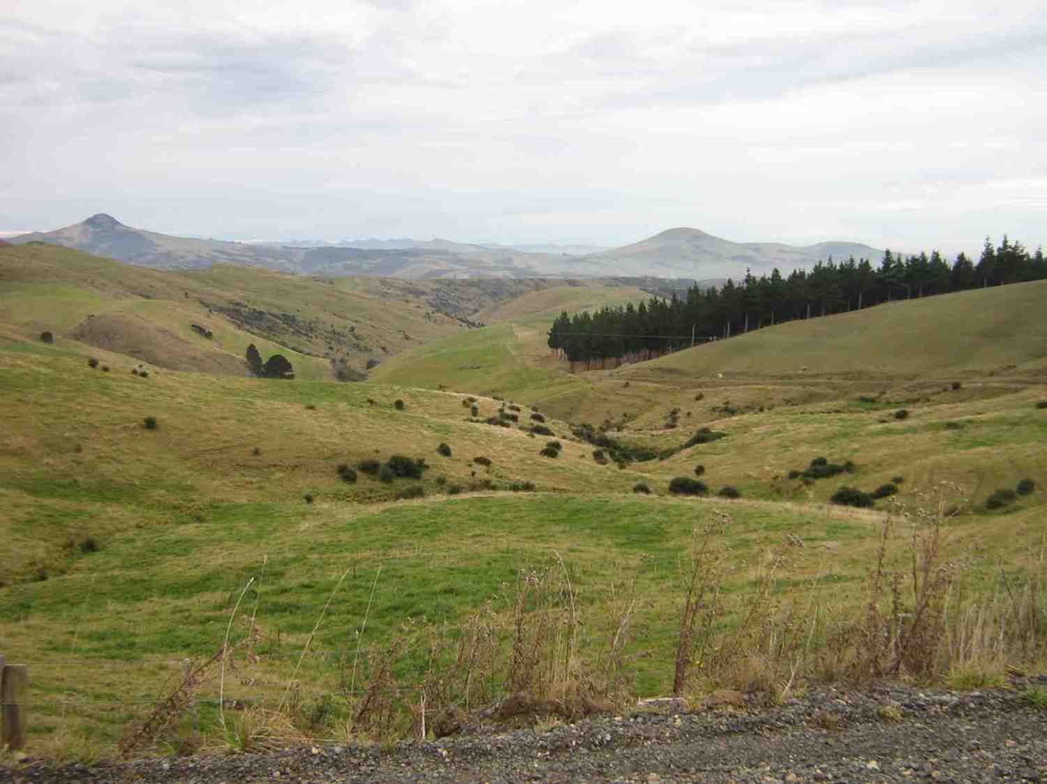
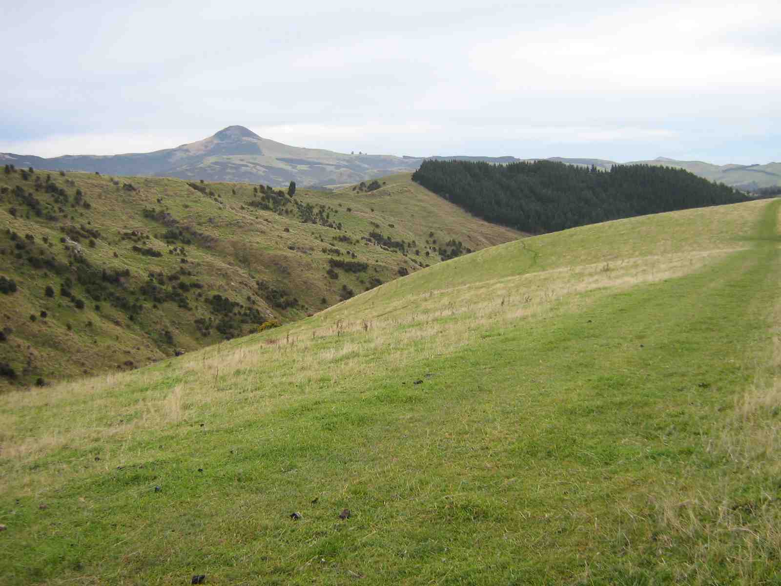
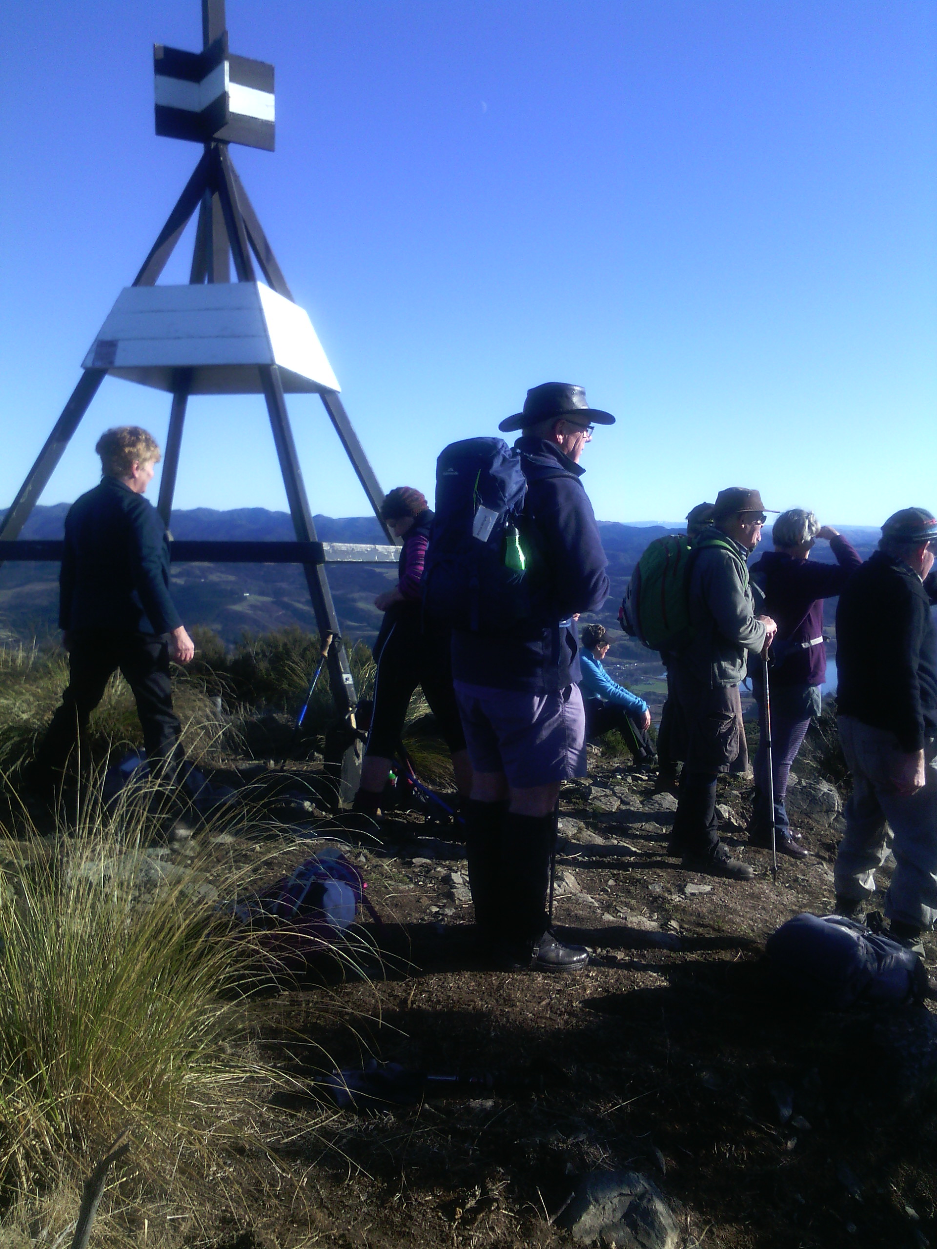
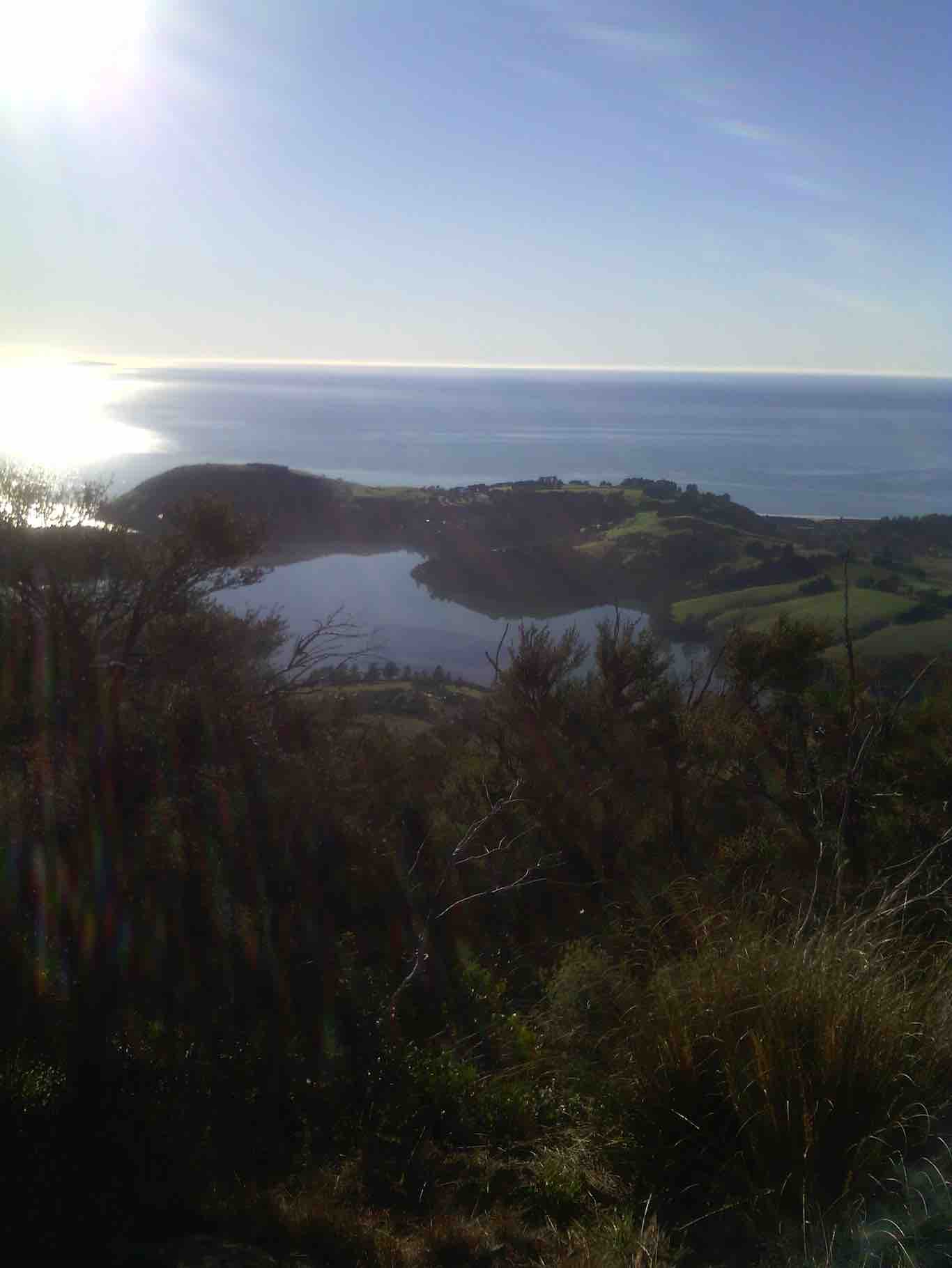
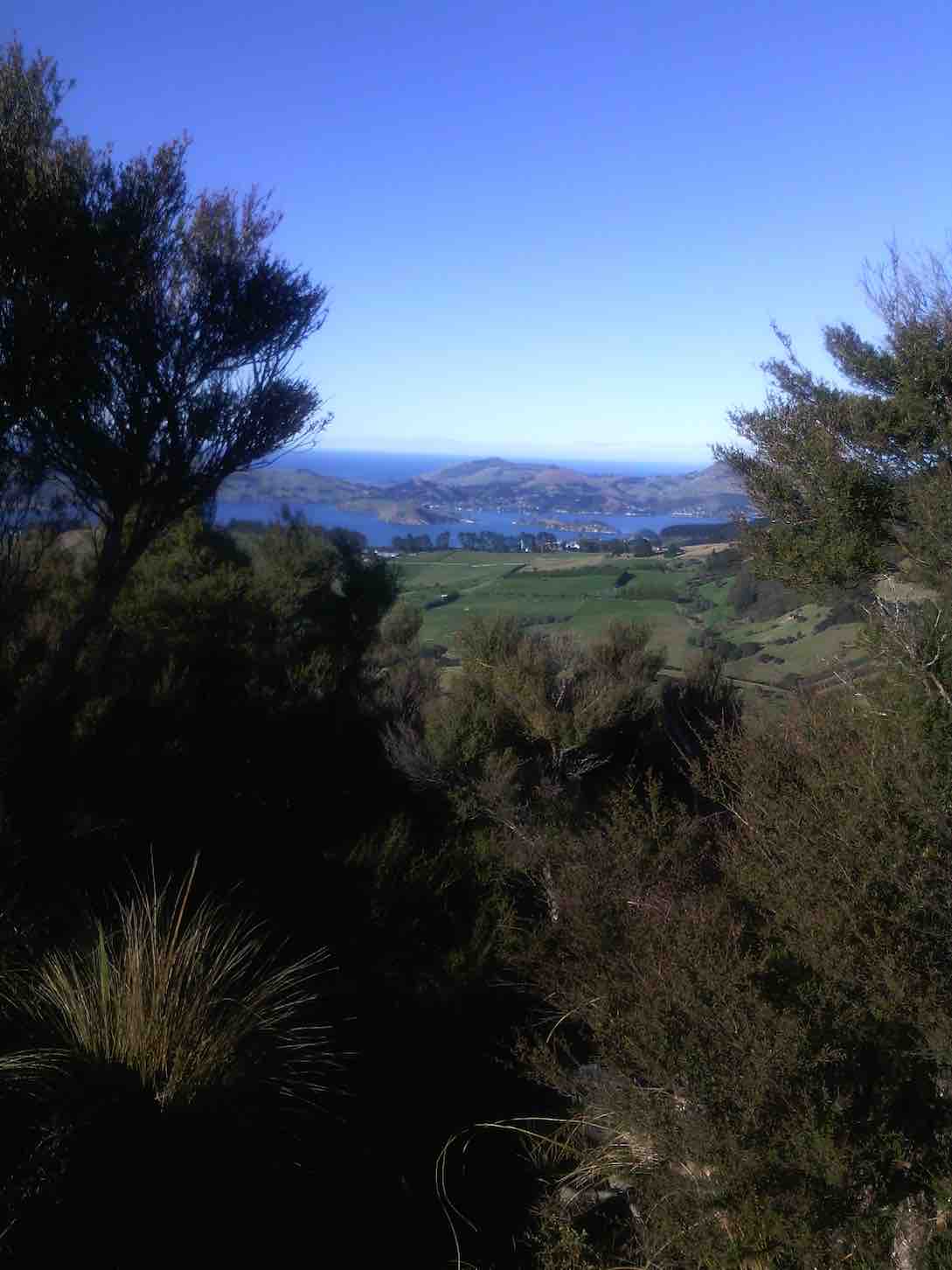
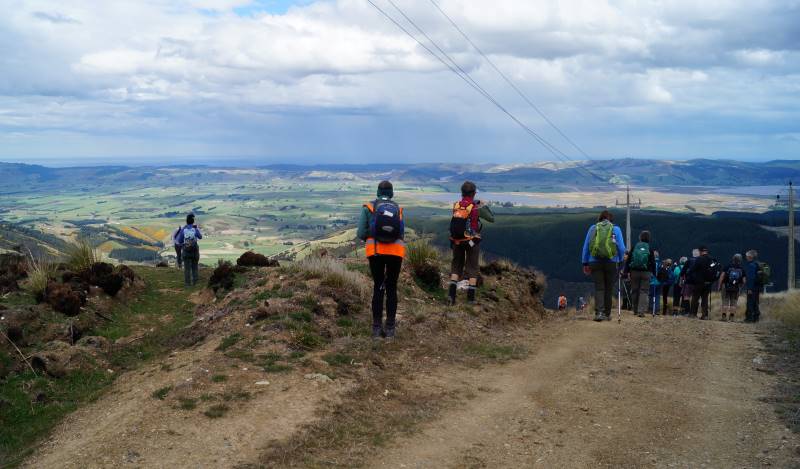
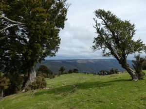
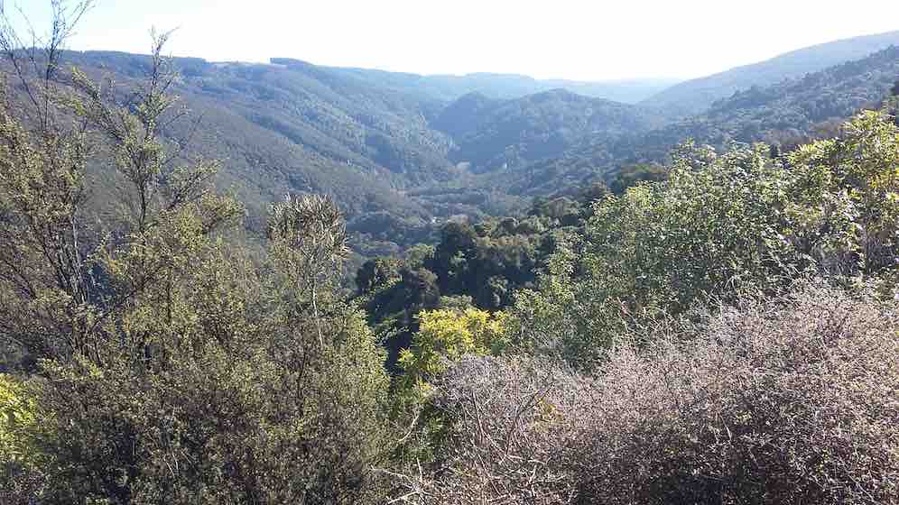
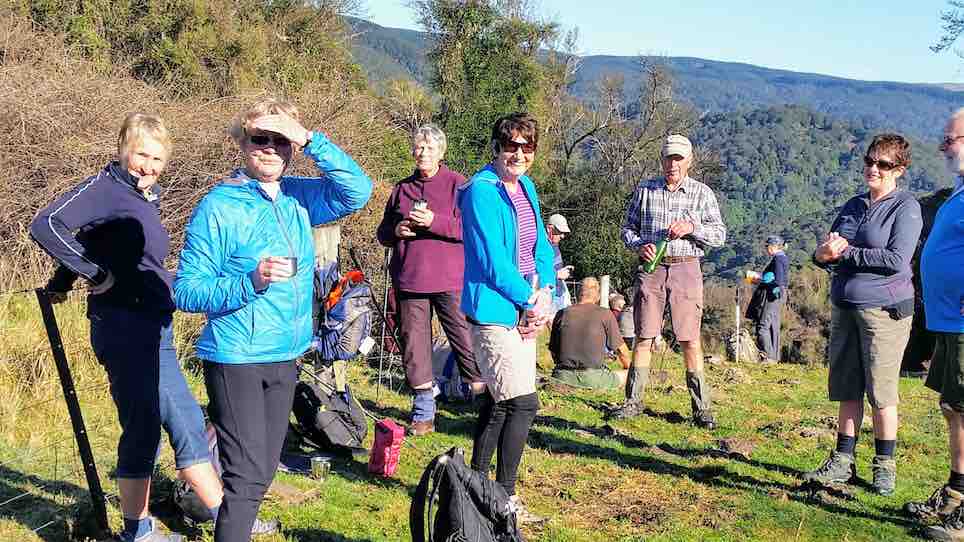
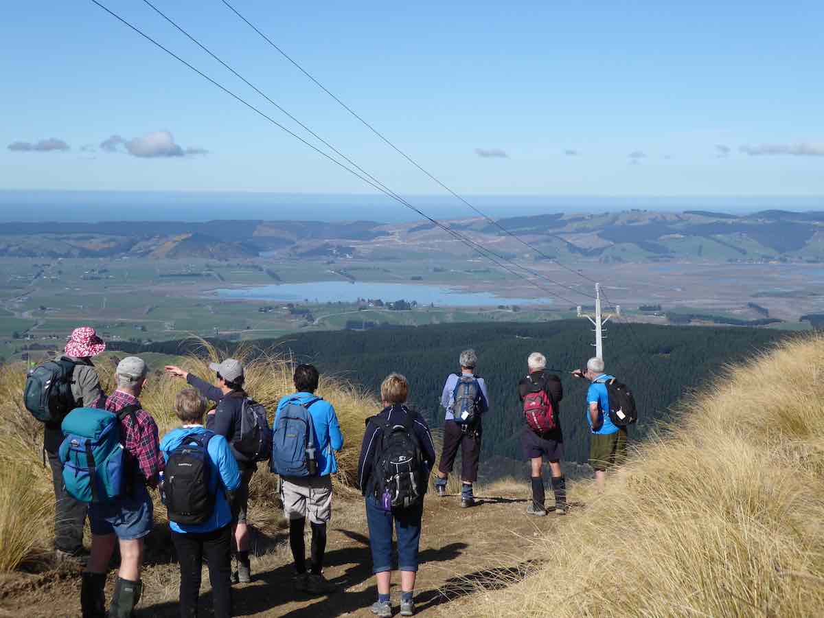
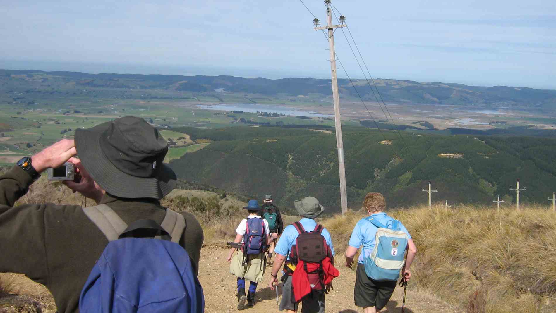
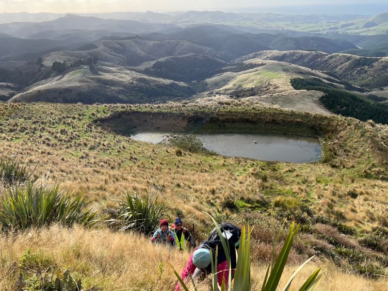
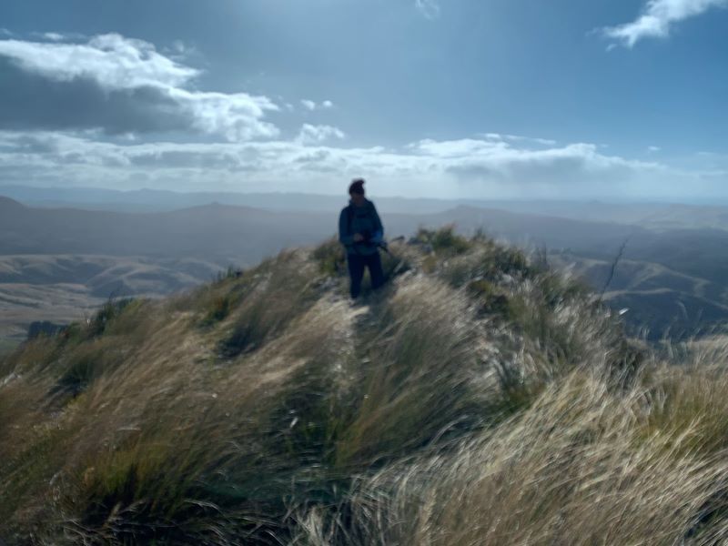
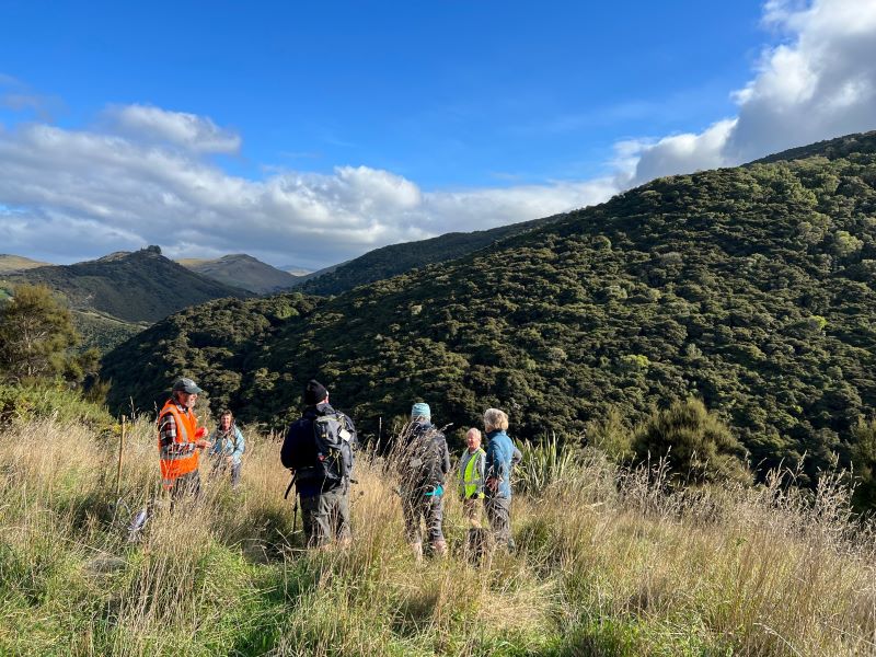
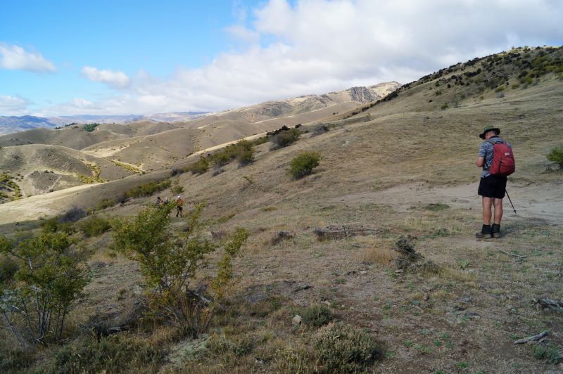
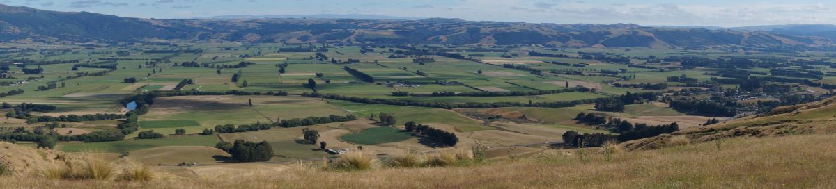
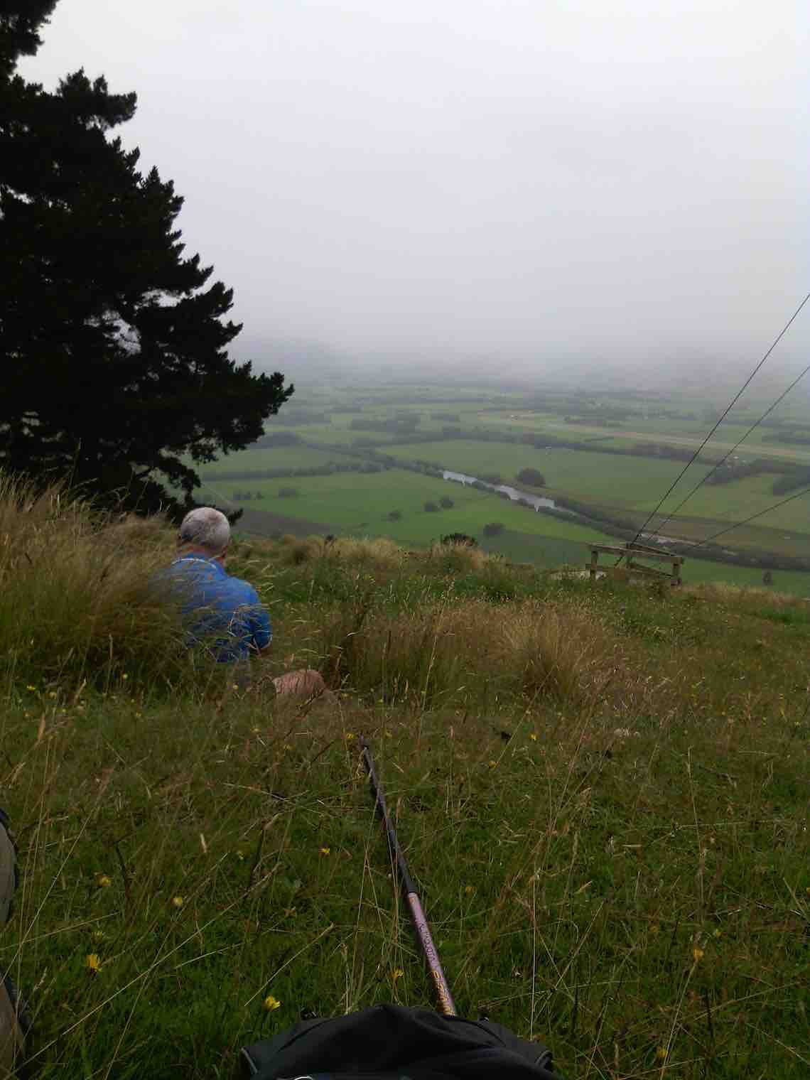
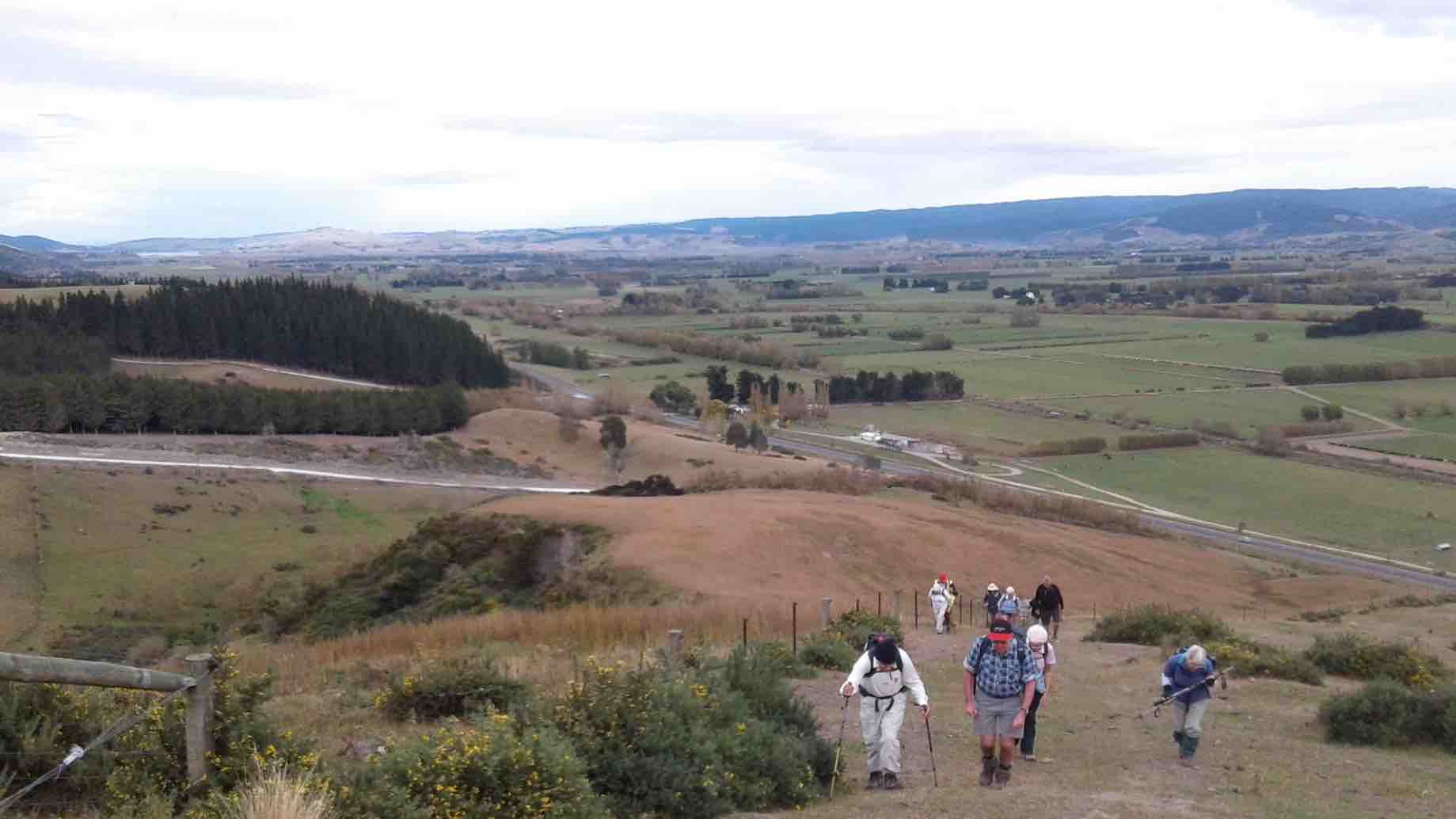
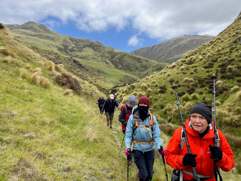
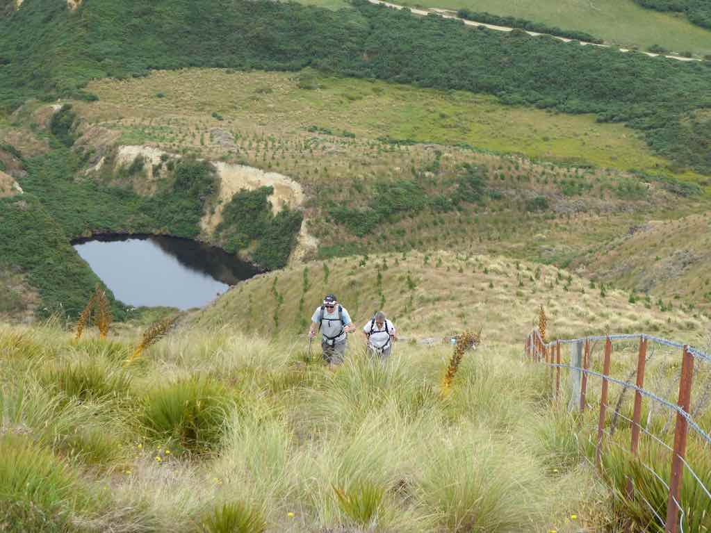
Chris, near the top, taking in the spectacular view. Photo & caption JohnAmazing views across the Silver Peaks. Photo & caption Pam
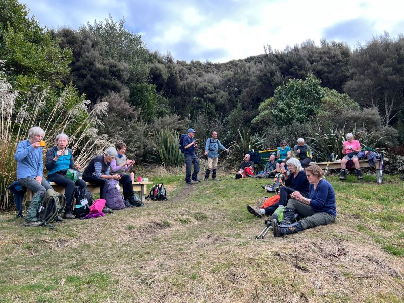
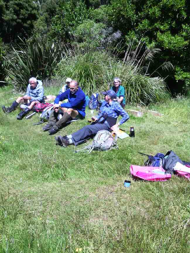
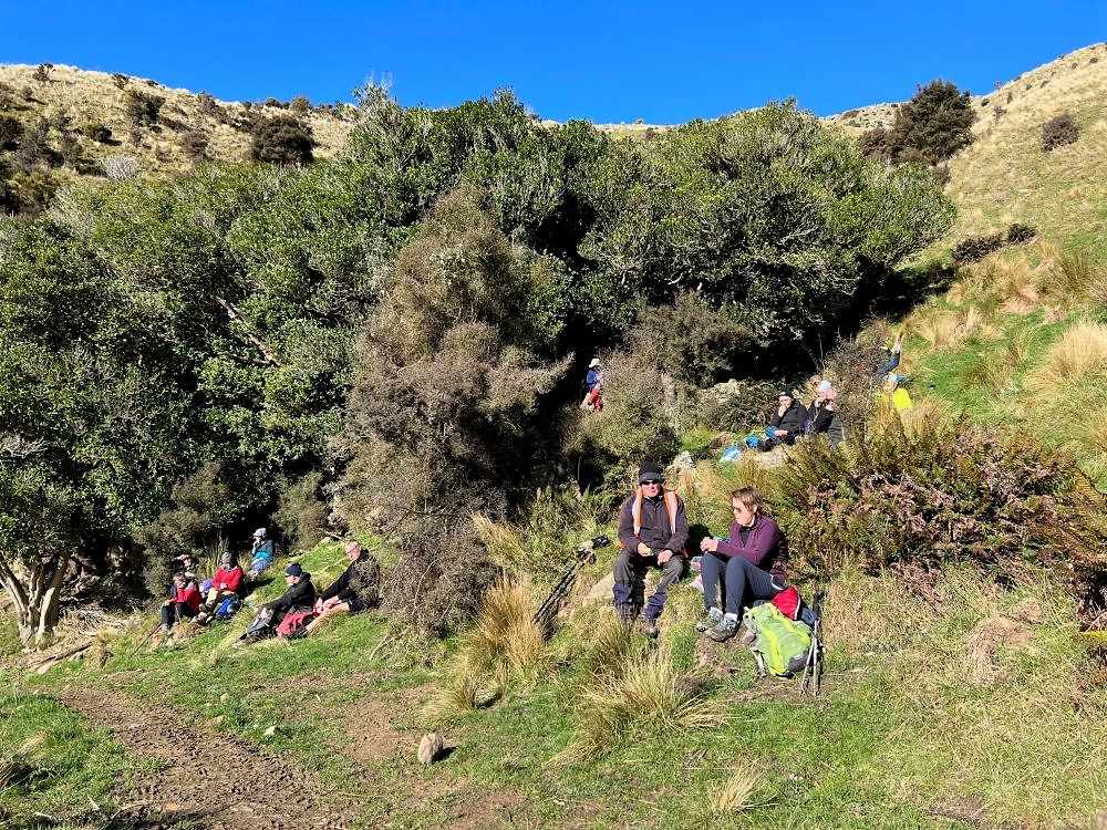
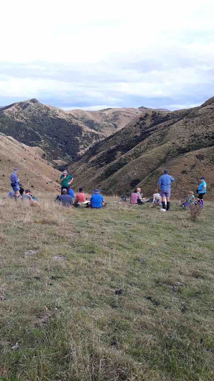
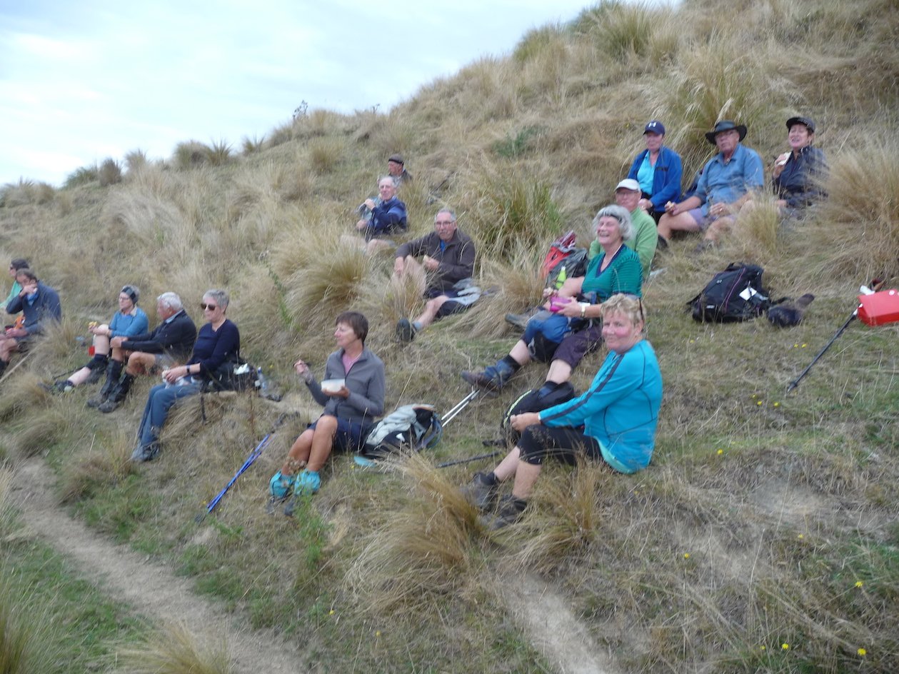
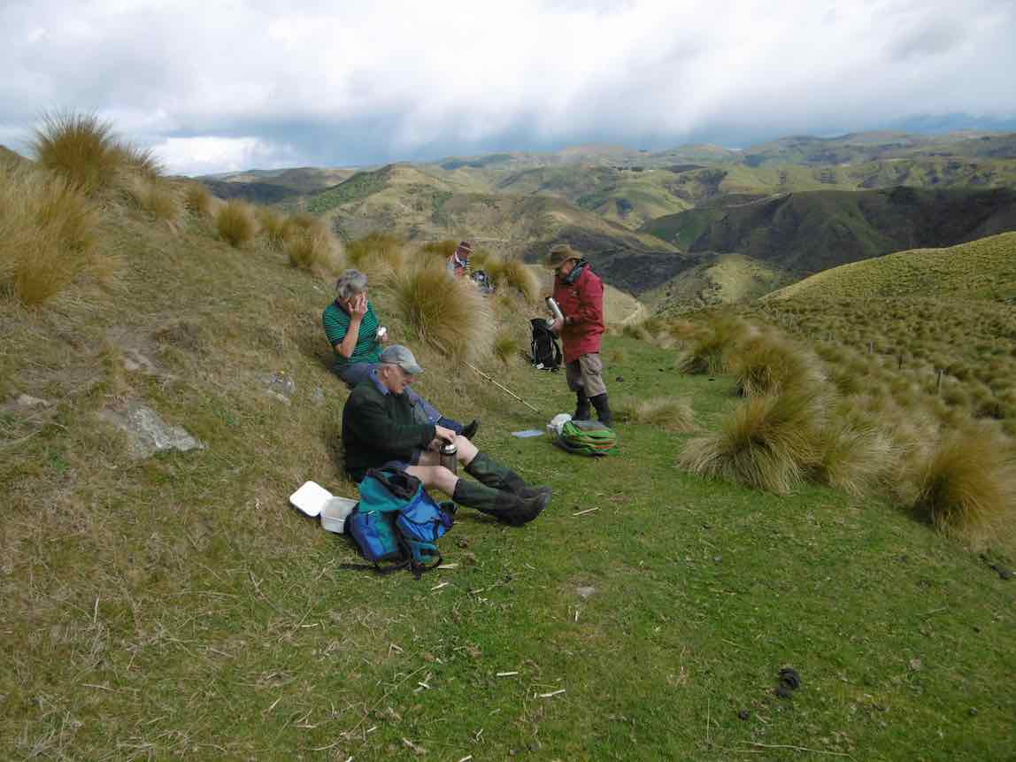
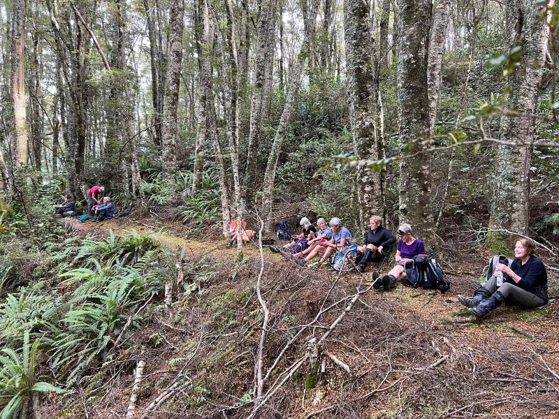
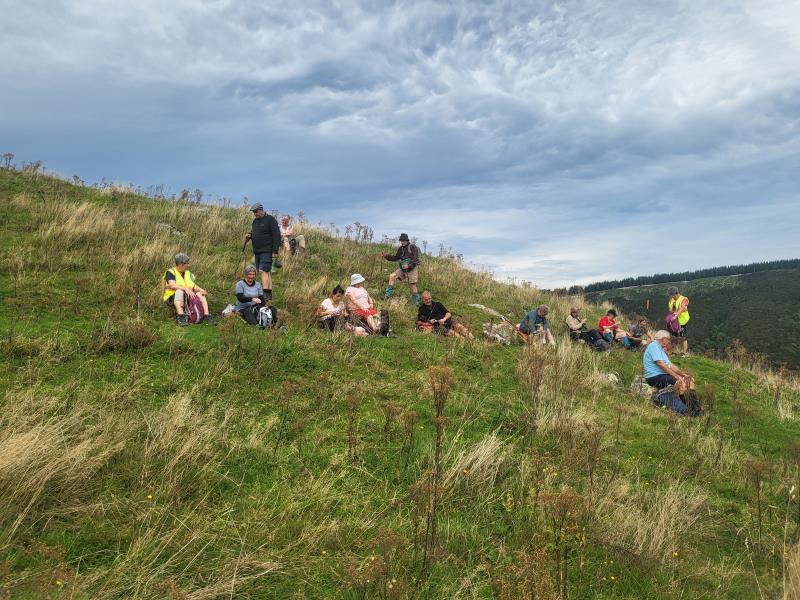
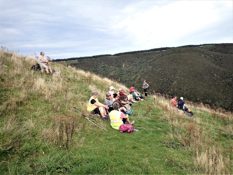
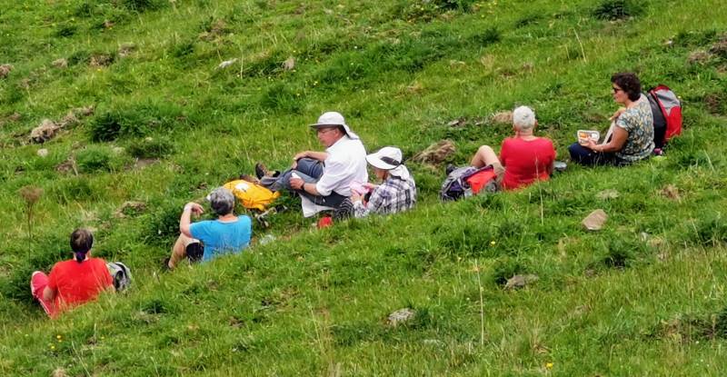
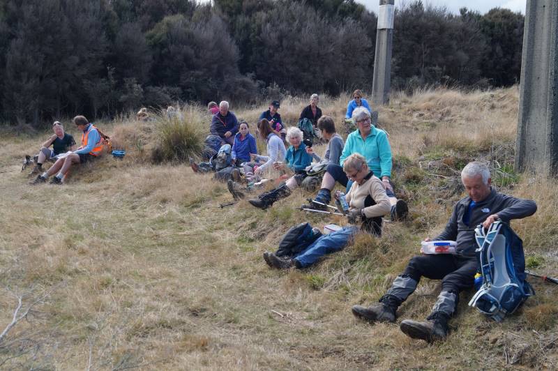
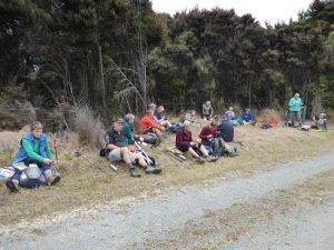
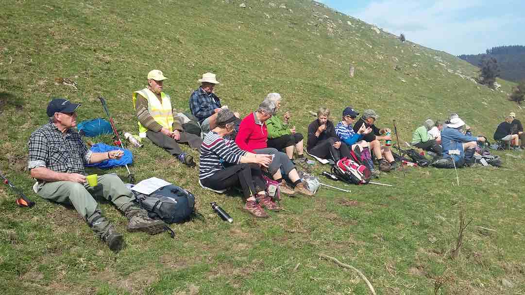
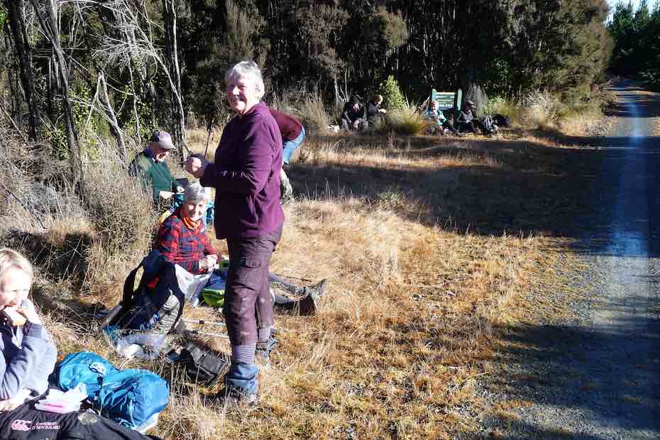
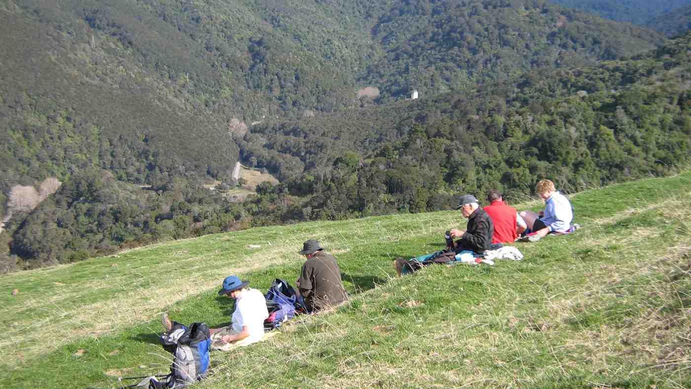
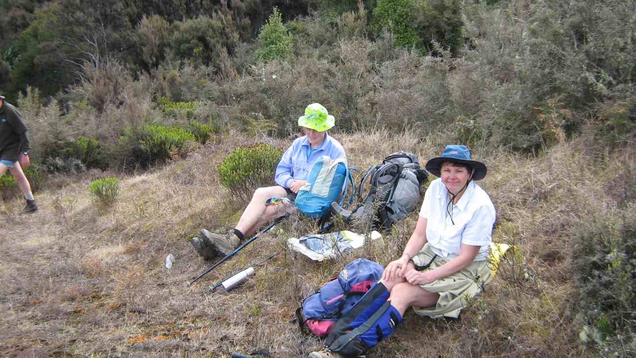
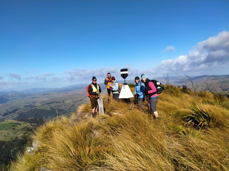
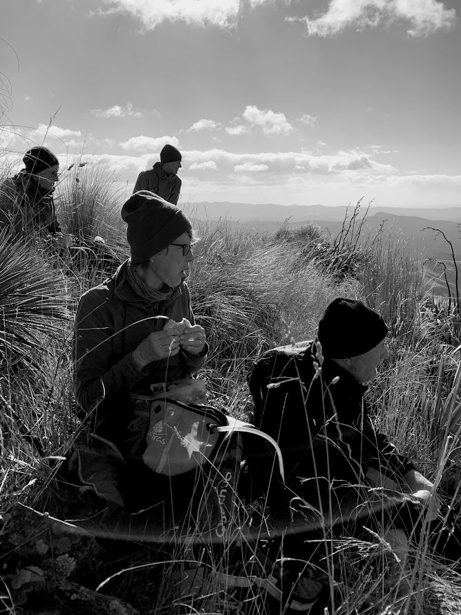
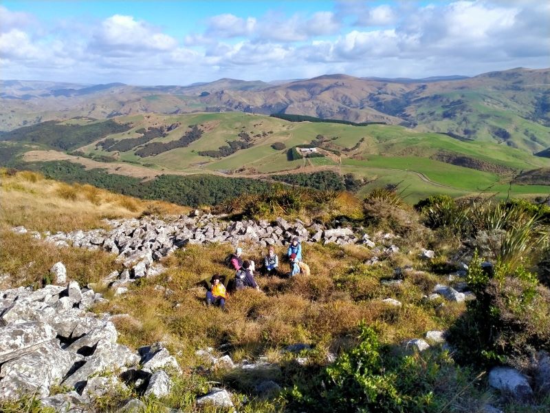
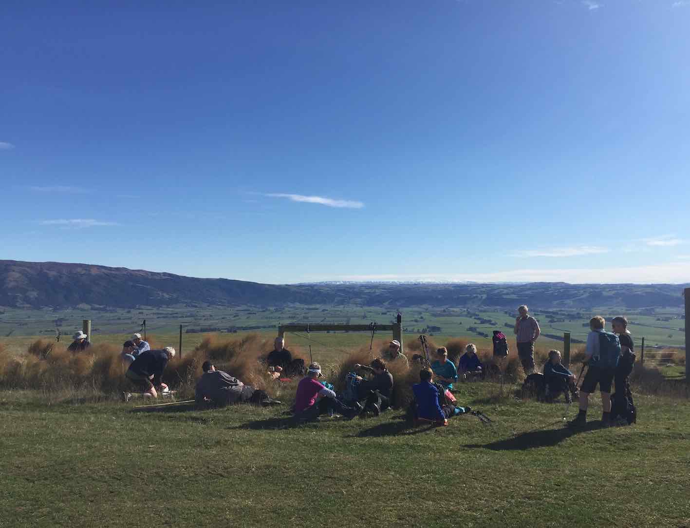
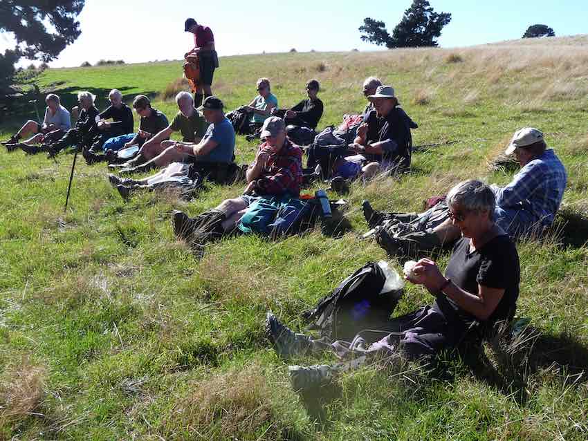
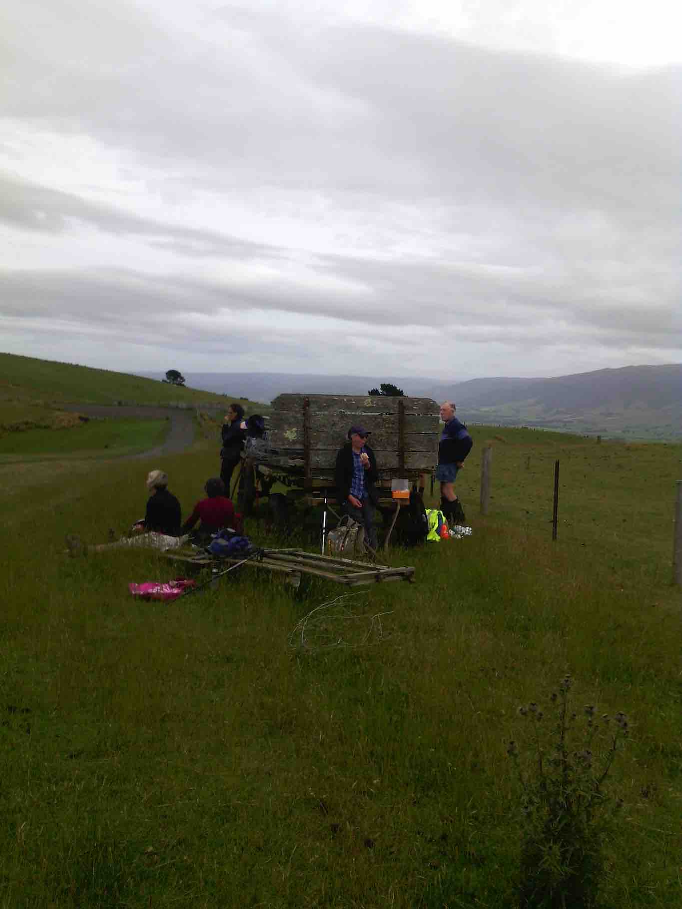
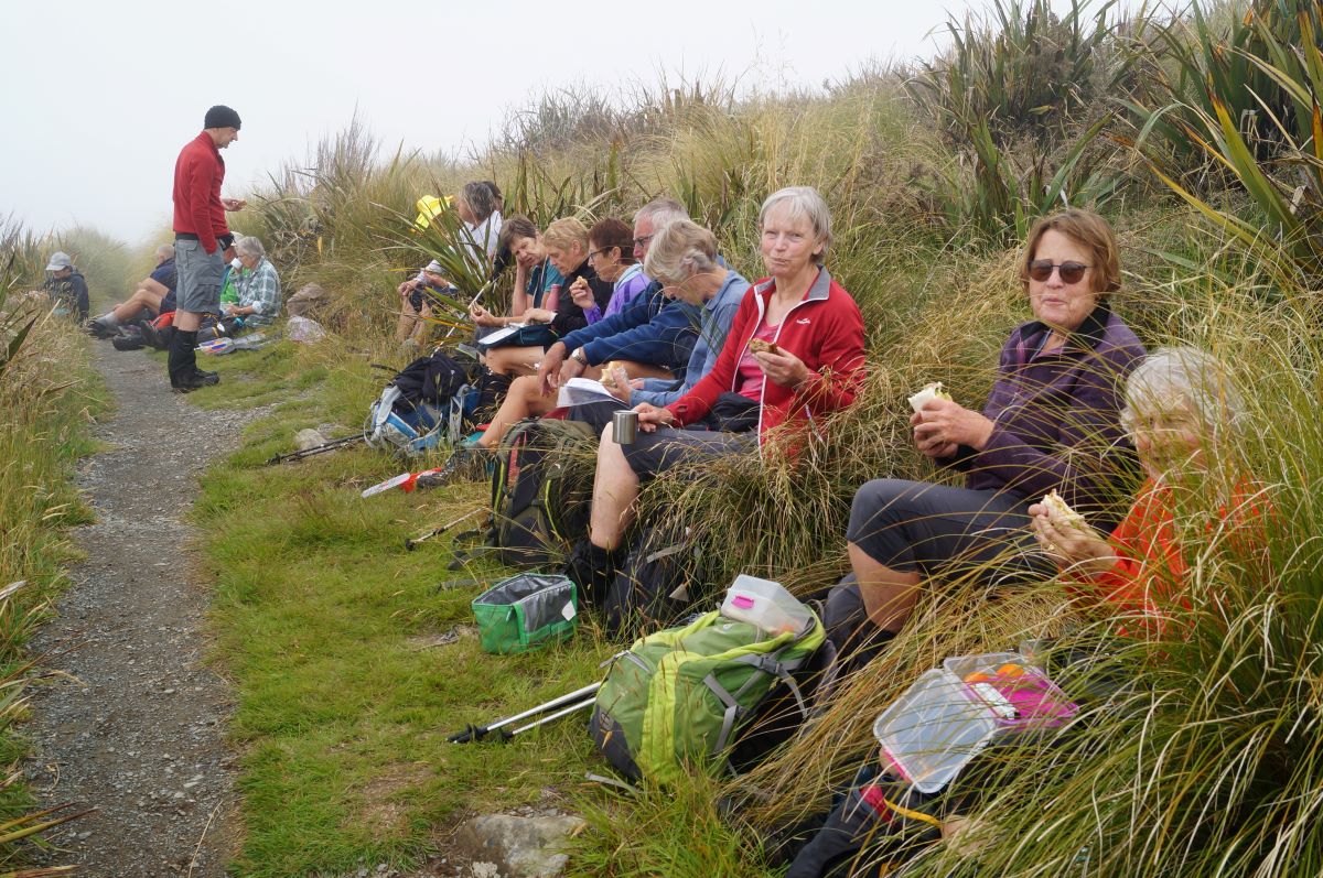
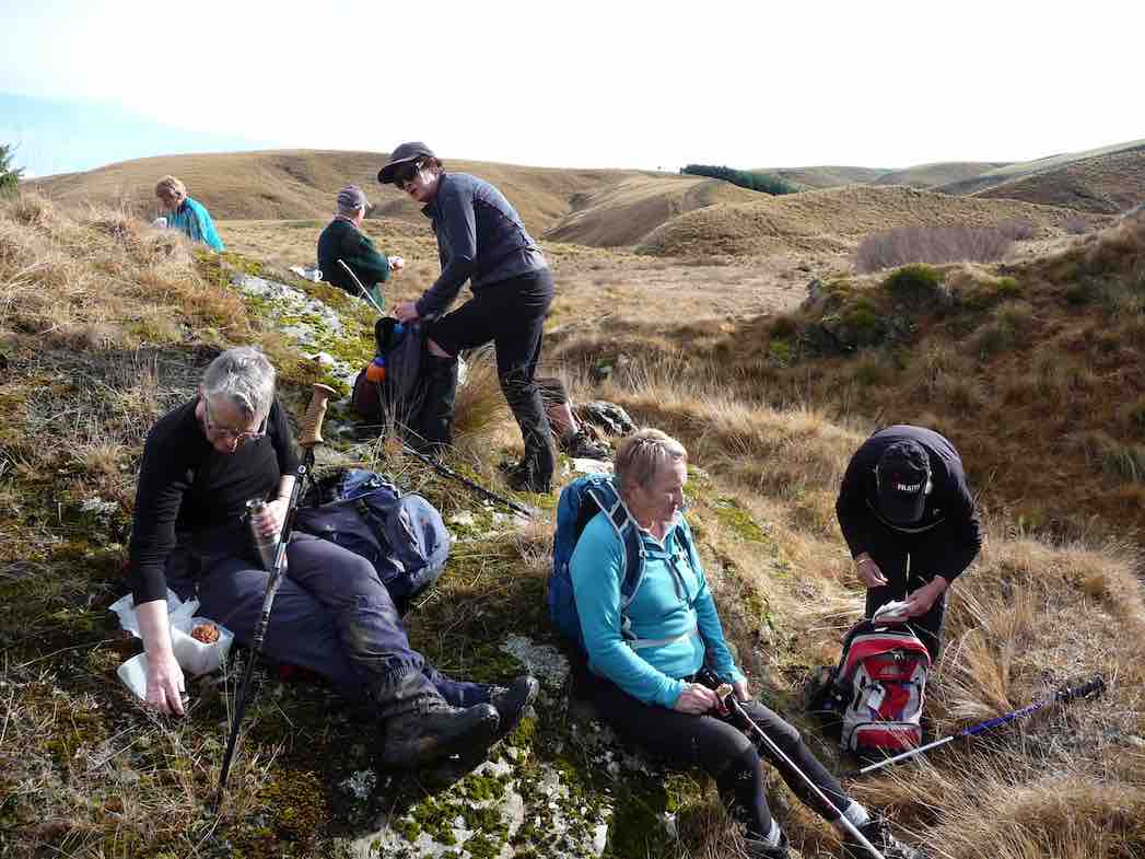
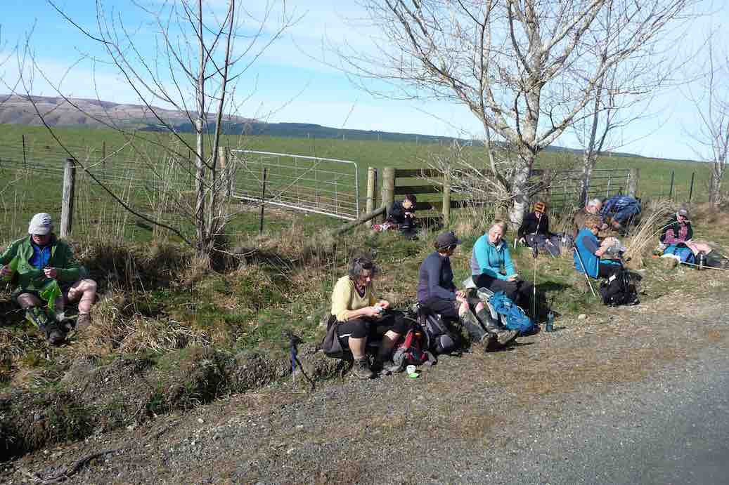
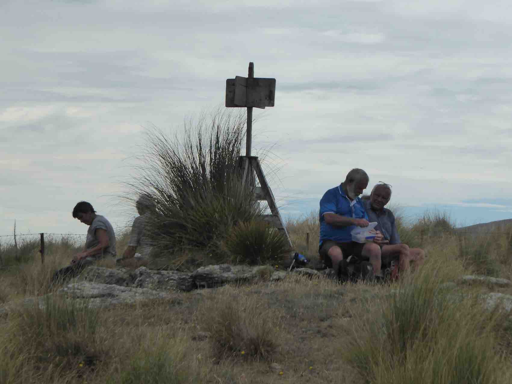
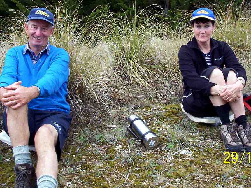
Lunch at the former site of Green Peak Hut. Photo & caption Pam
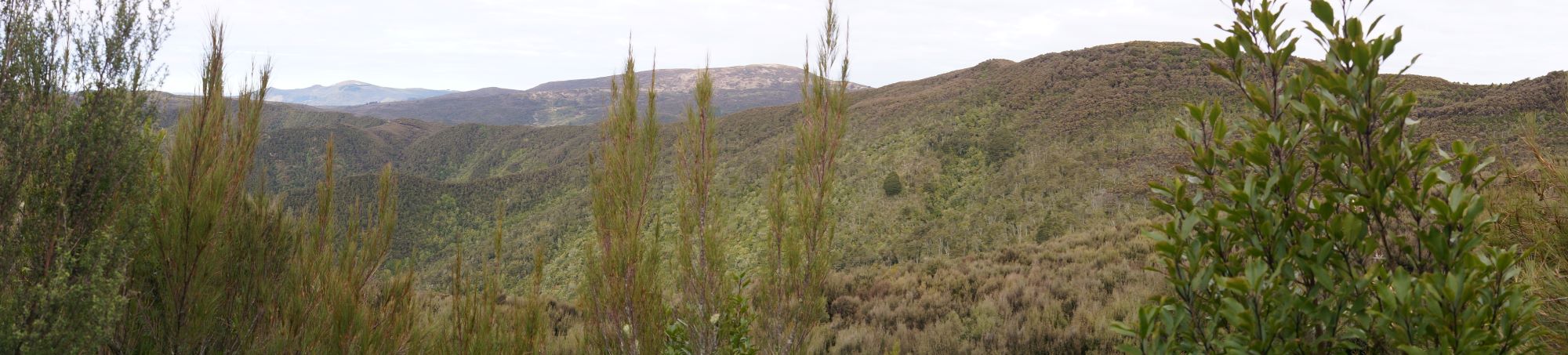
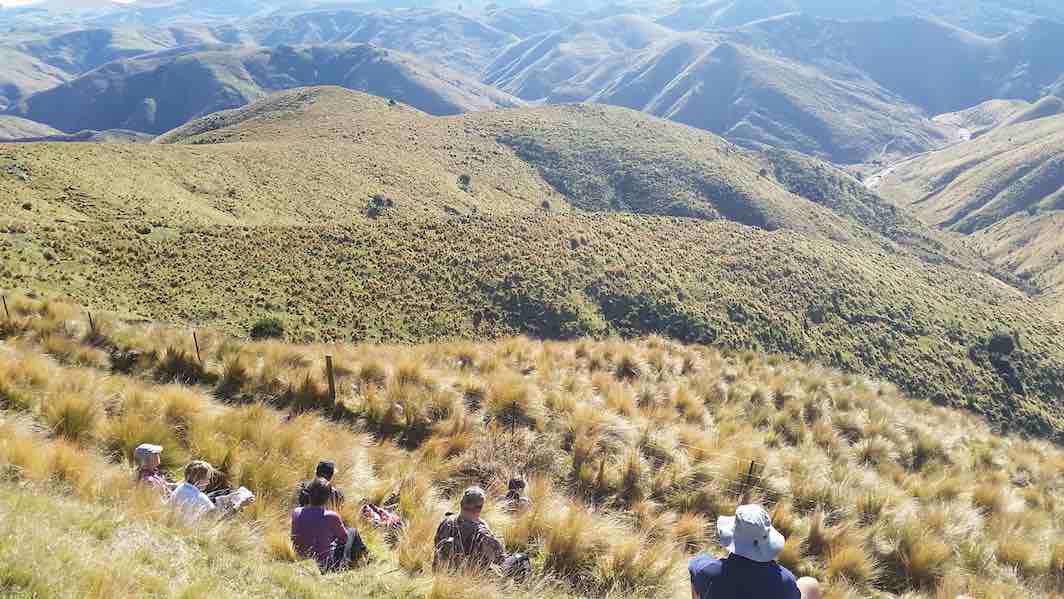
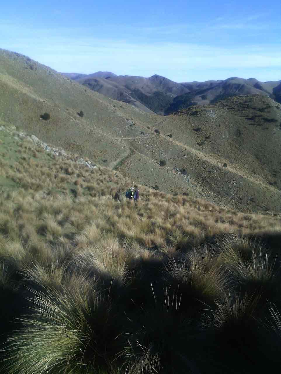
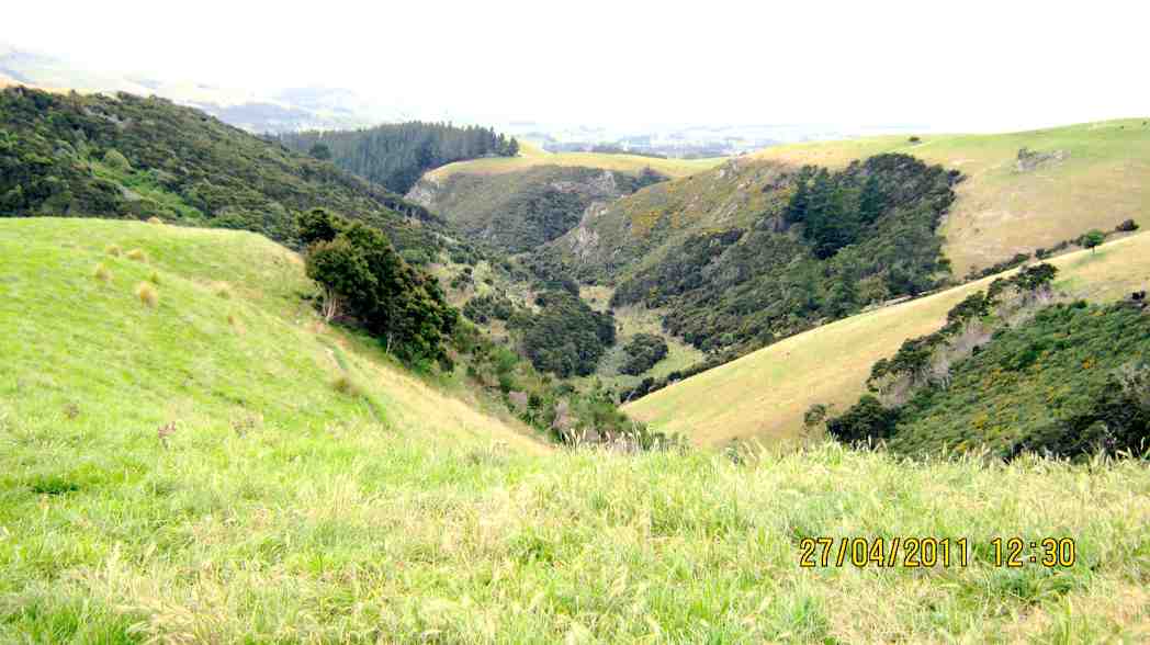
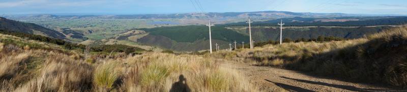
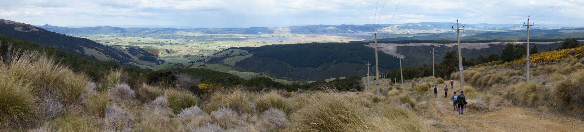
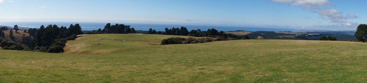
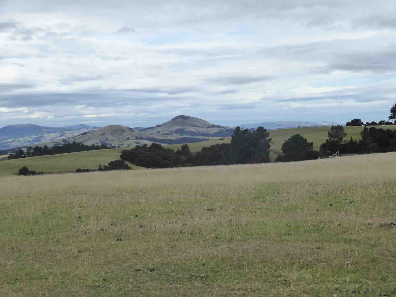
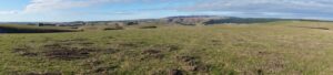
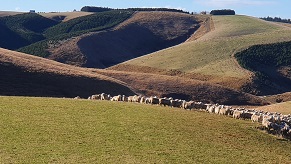
Panorama – no sign of civilization in any direction. Photo & caption John
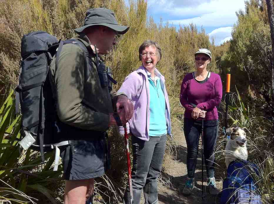
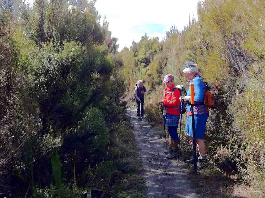
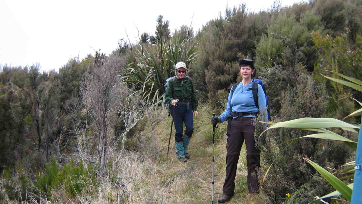
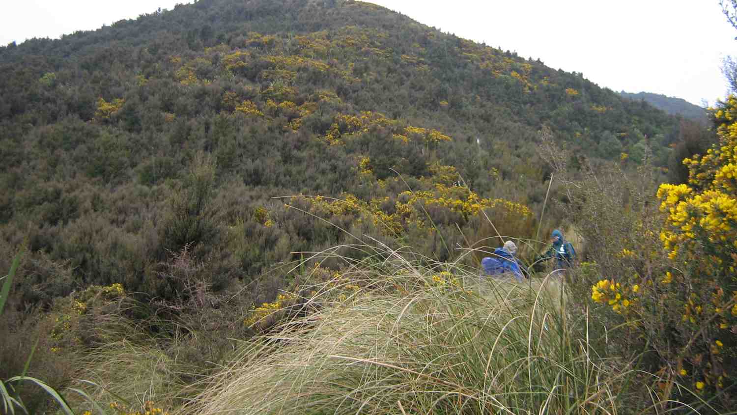
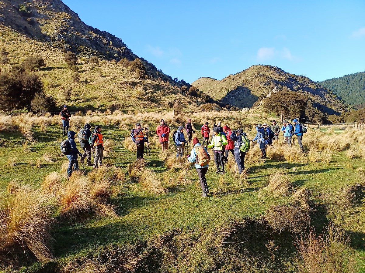
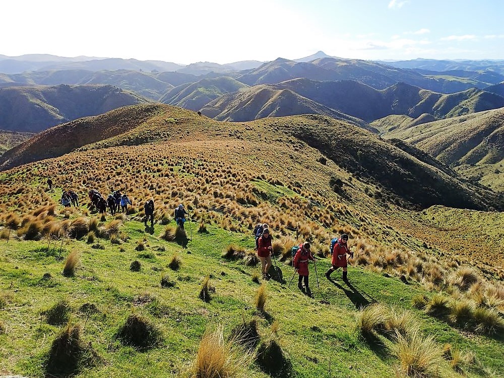
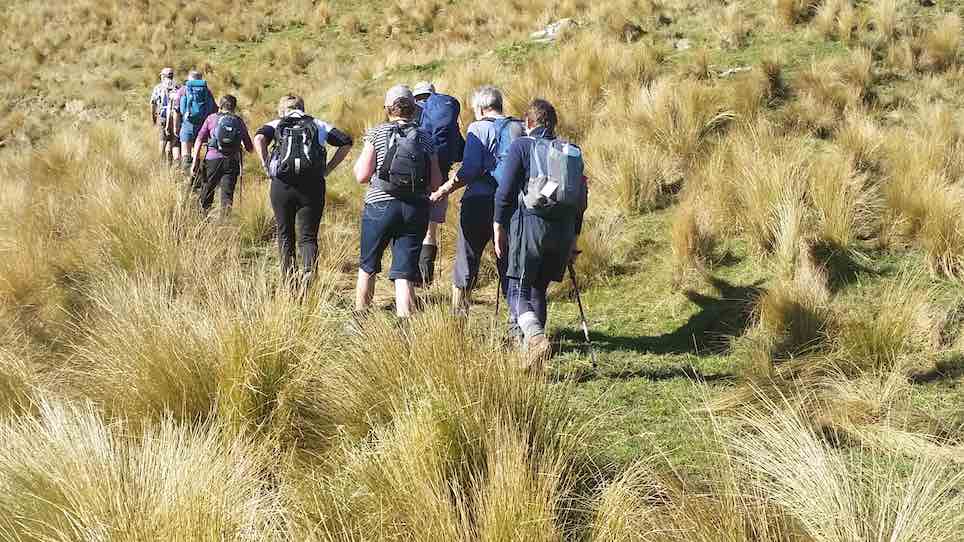
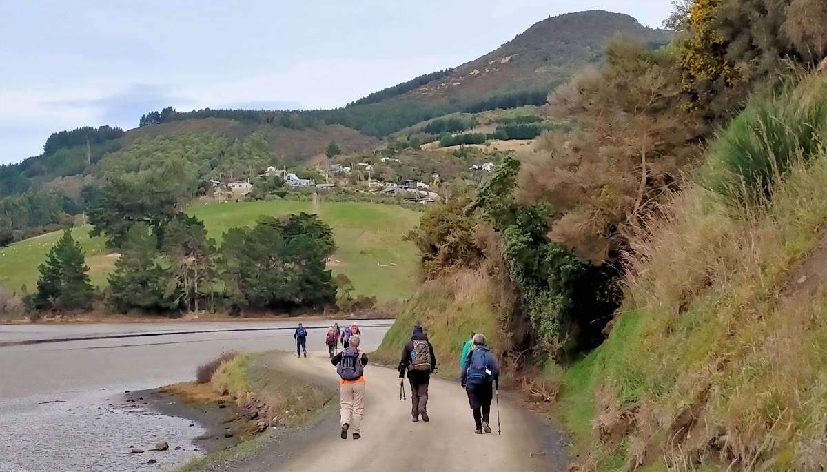
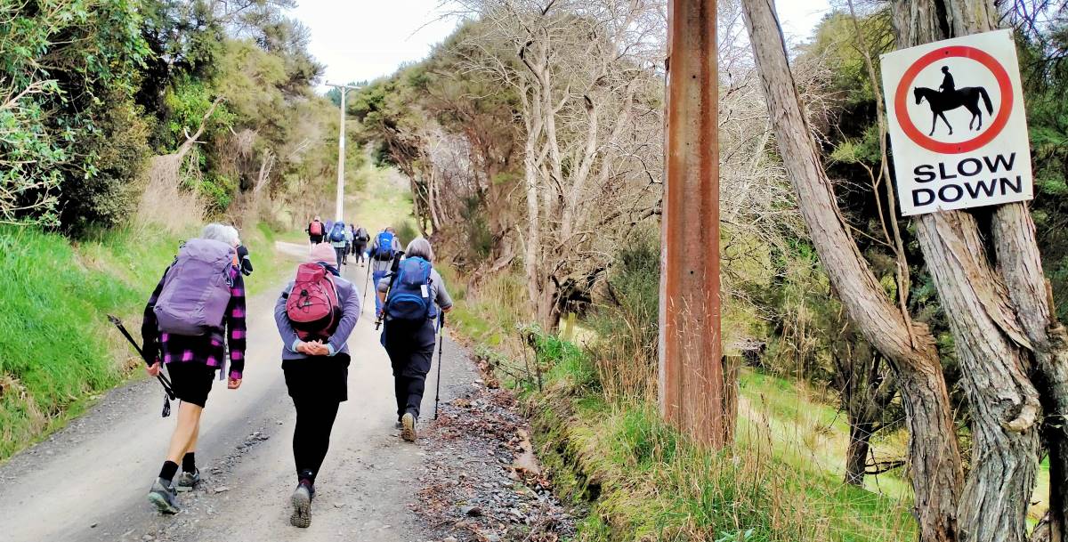
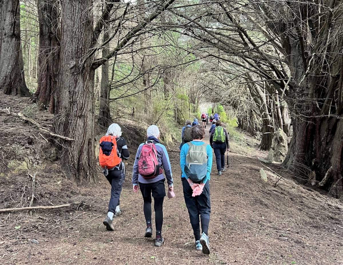
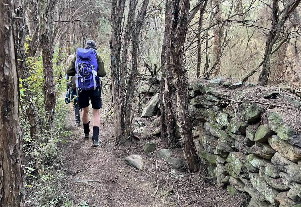
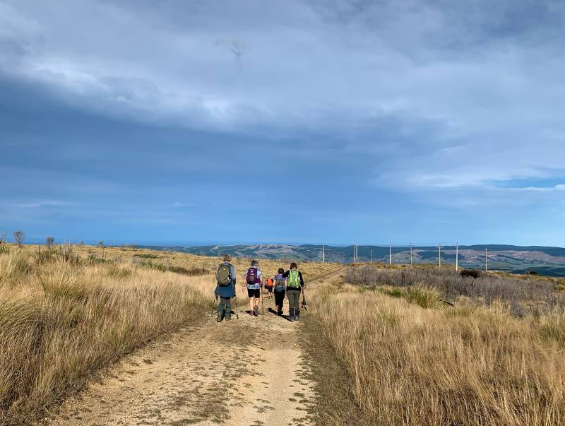
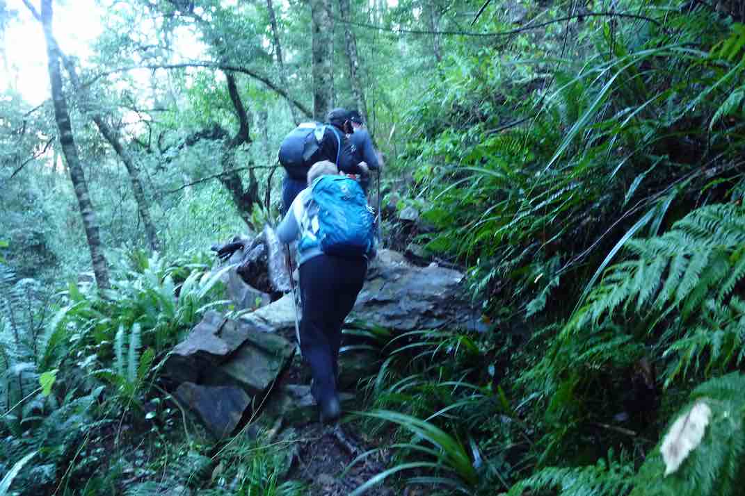
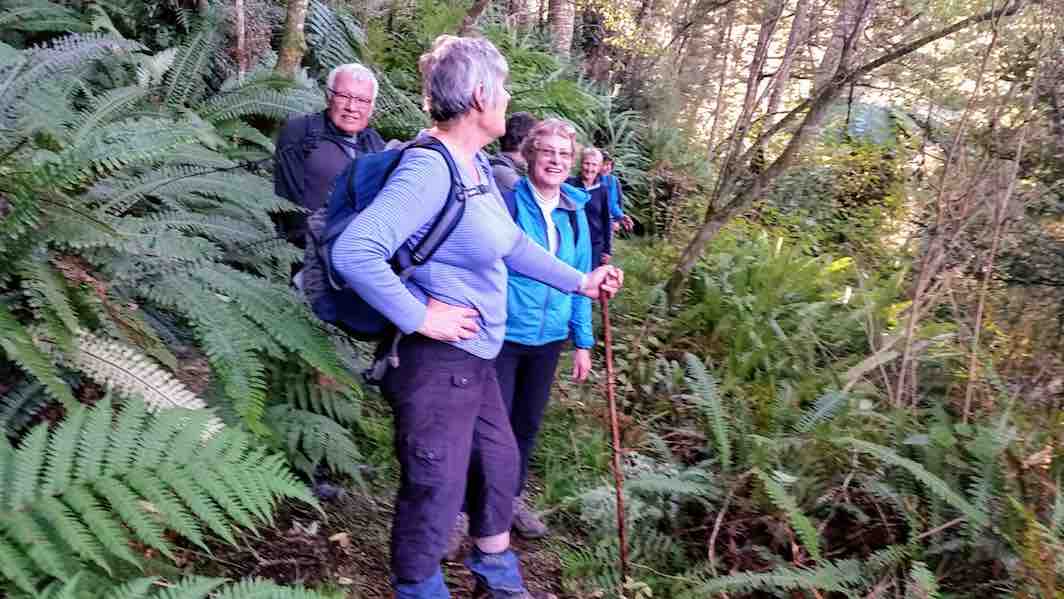
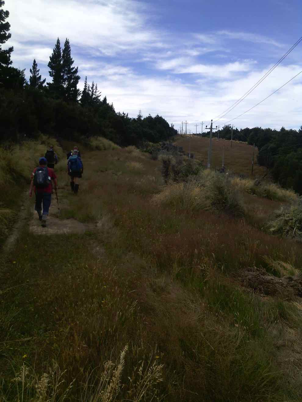
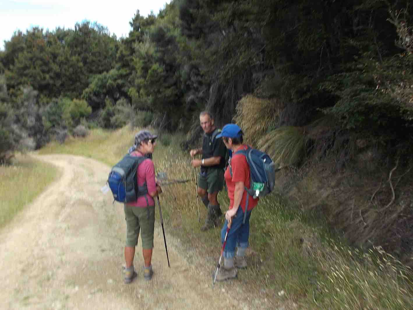
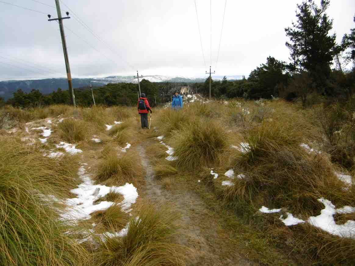
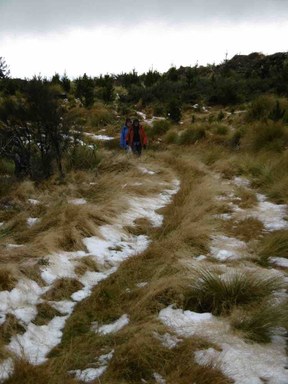
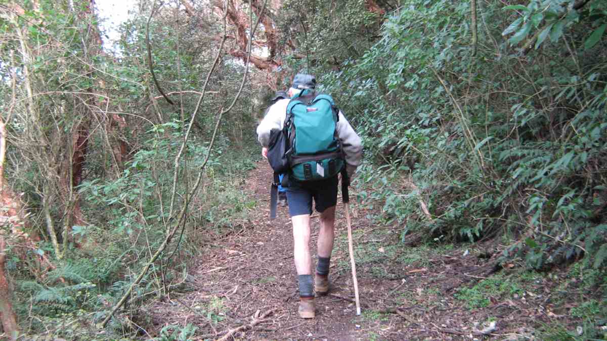
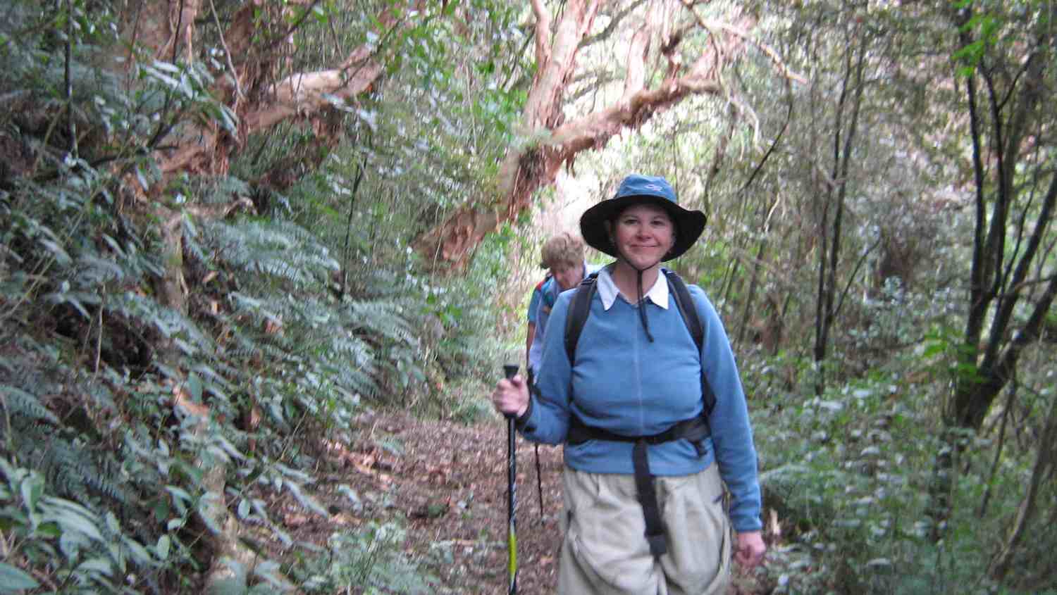
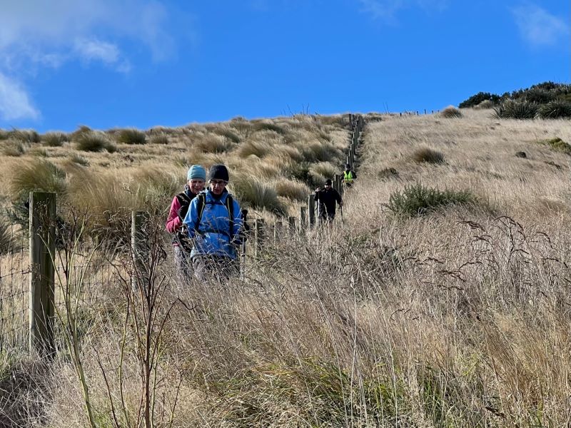
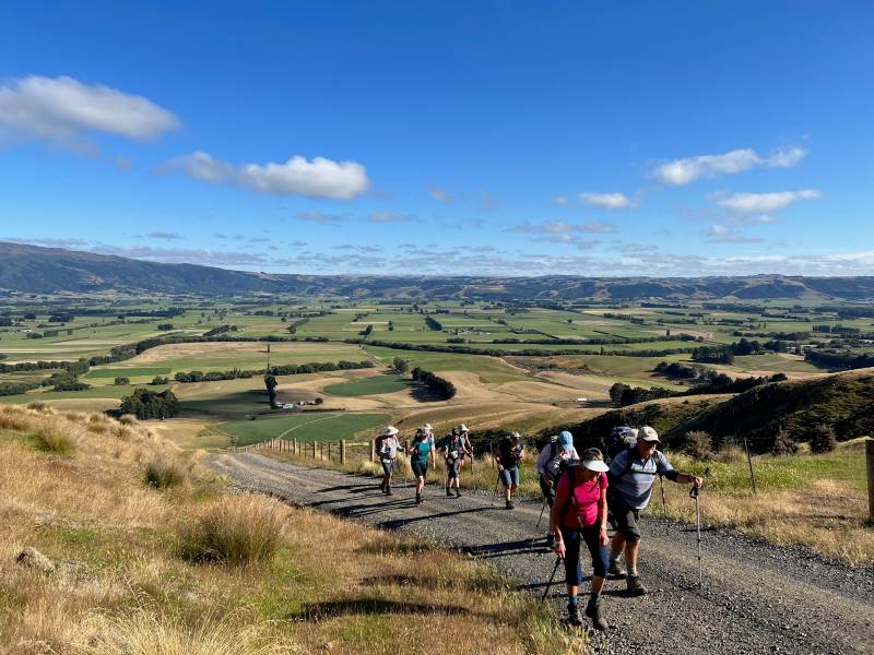
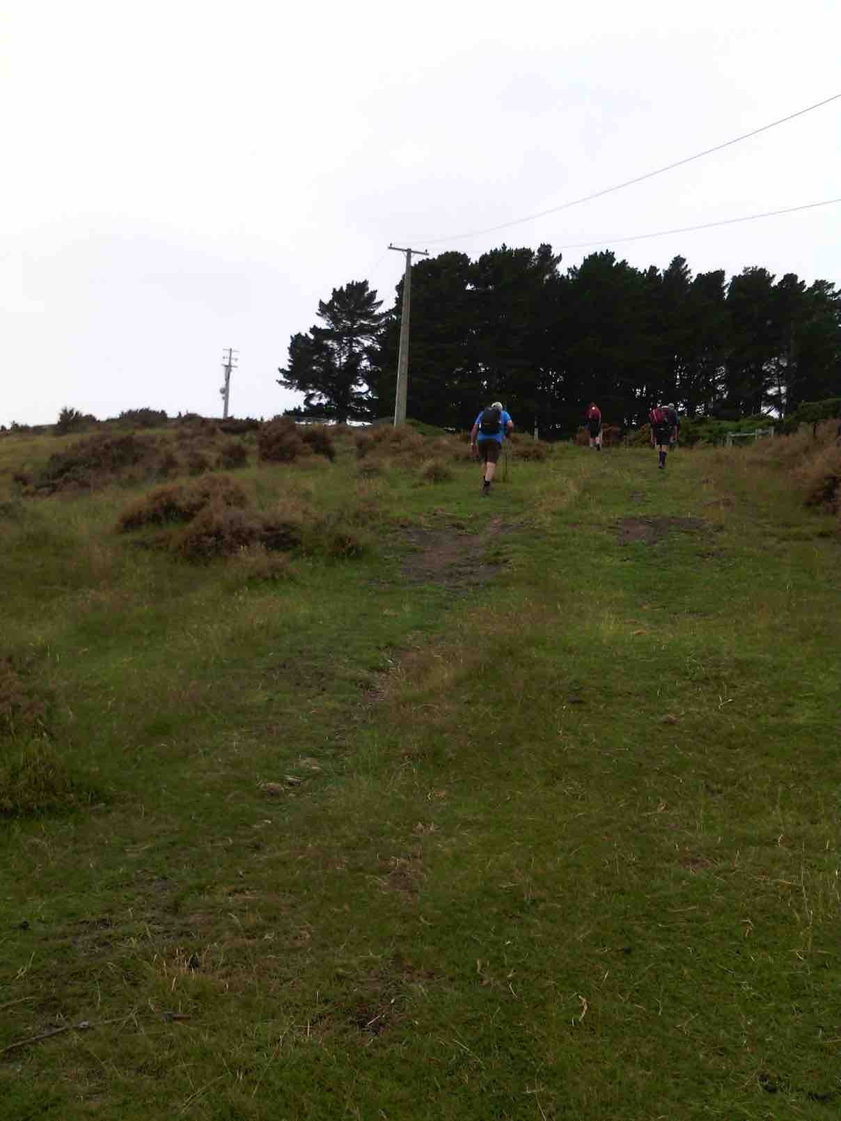
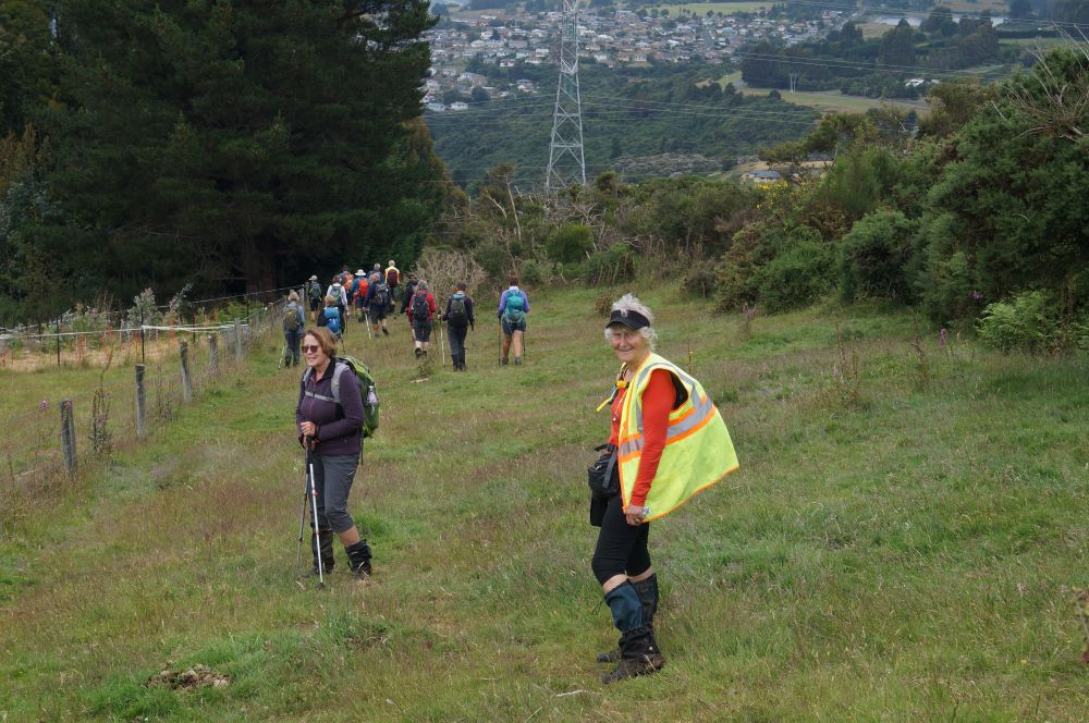
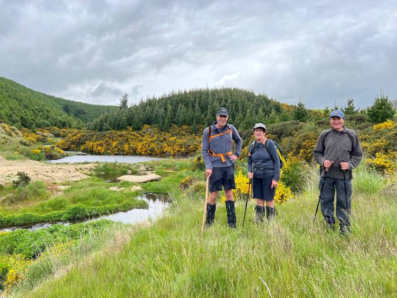
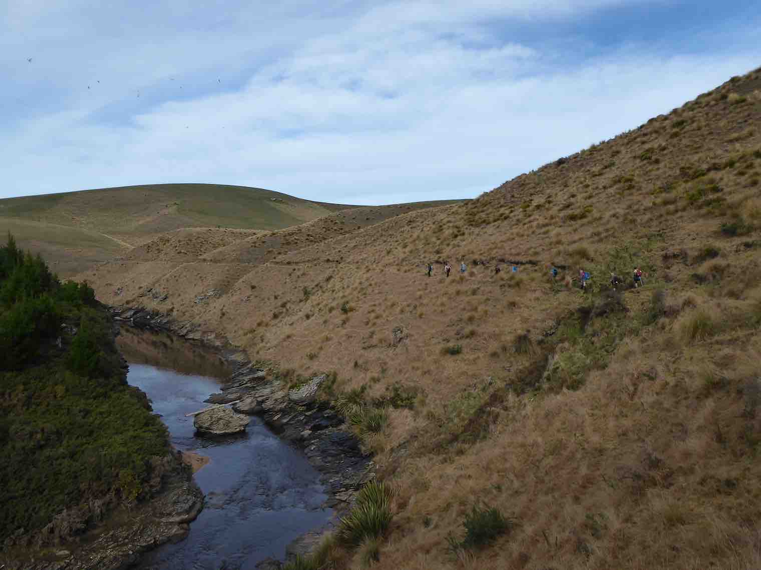
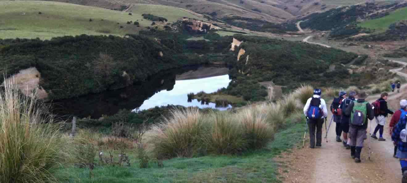
Homeward bound on Possum Hut route. Photo & caption Pam
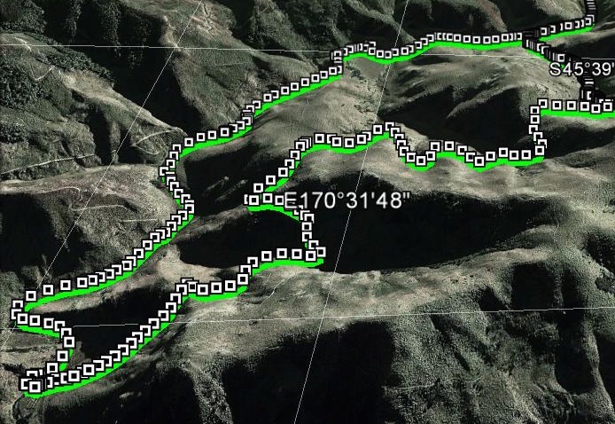
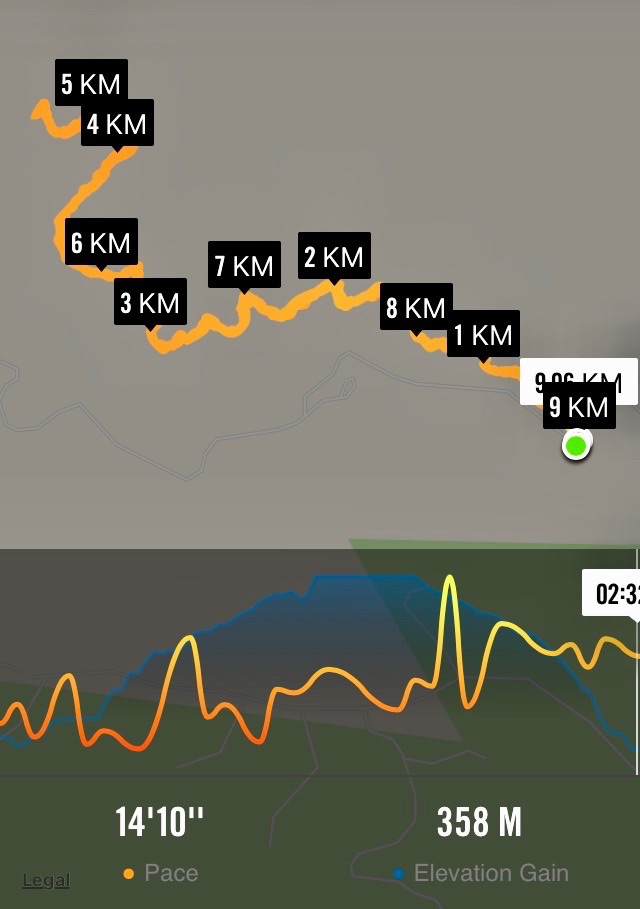
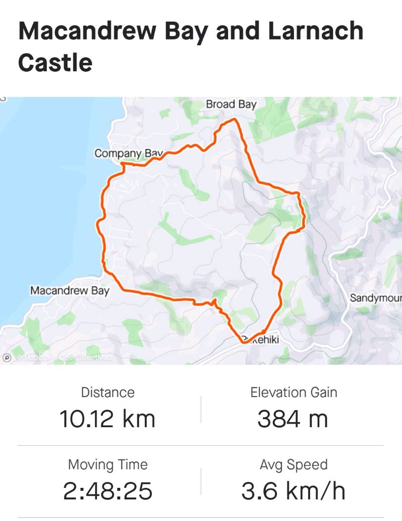
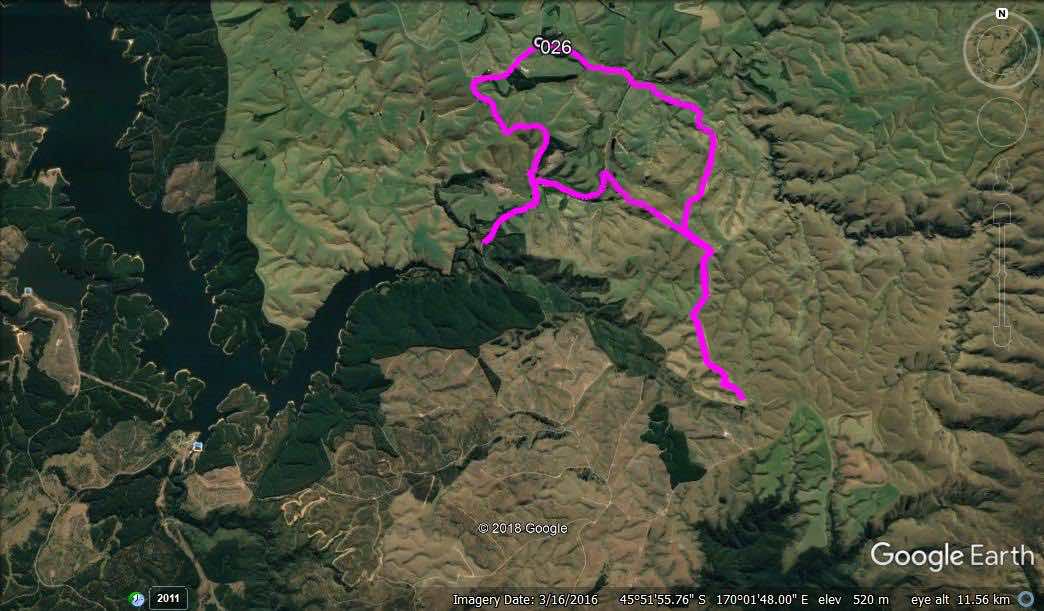
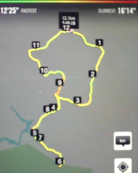
The total distance was about 8kms and we were away from the vehicles for 4 hours.
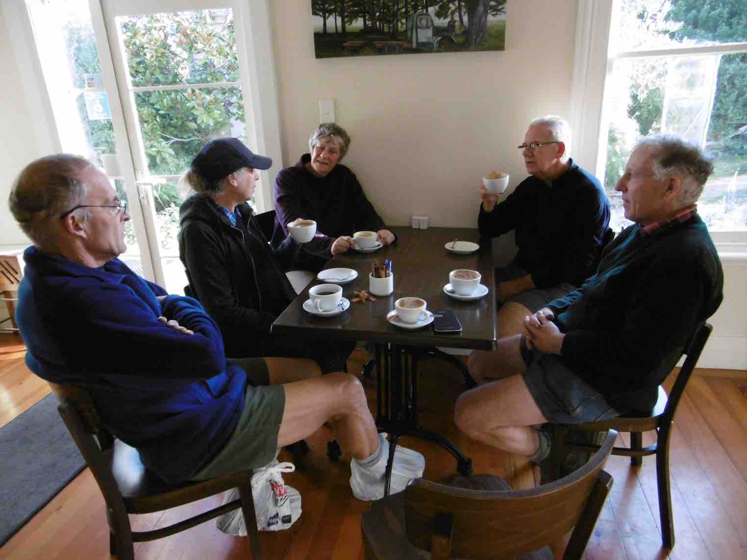
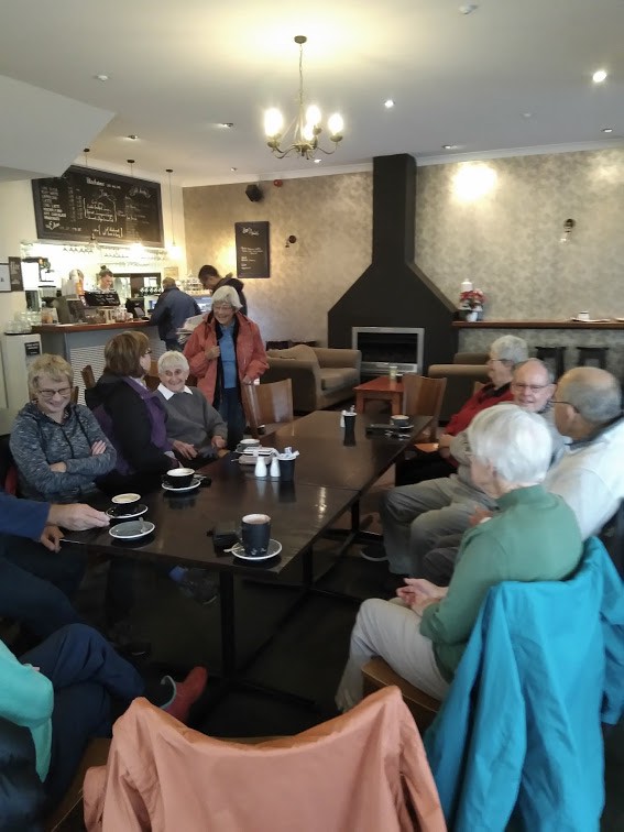
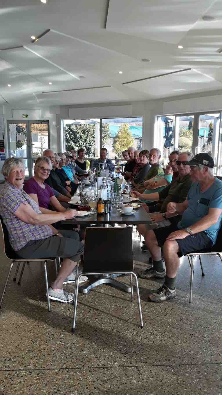
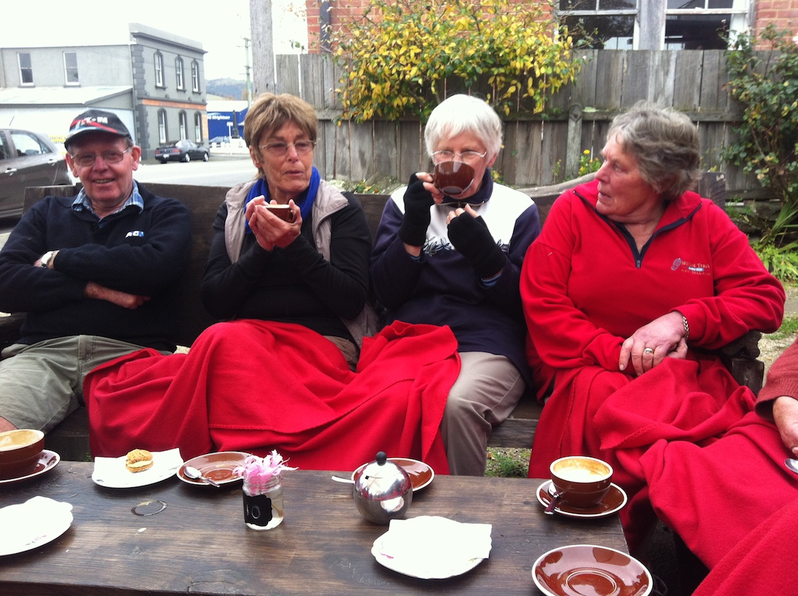
We culminated the day with coffee at the Gallery Cafe at Waititi.
14. 19/2/2020 Trampers. Possum Hut via Green Hut track and Miners Direct. M. Leaders Carol and Neil
On a slightly foggy morning, 19 Trampers set off for Double Hill Rd, to begin Green Ridge Track.
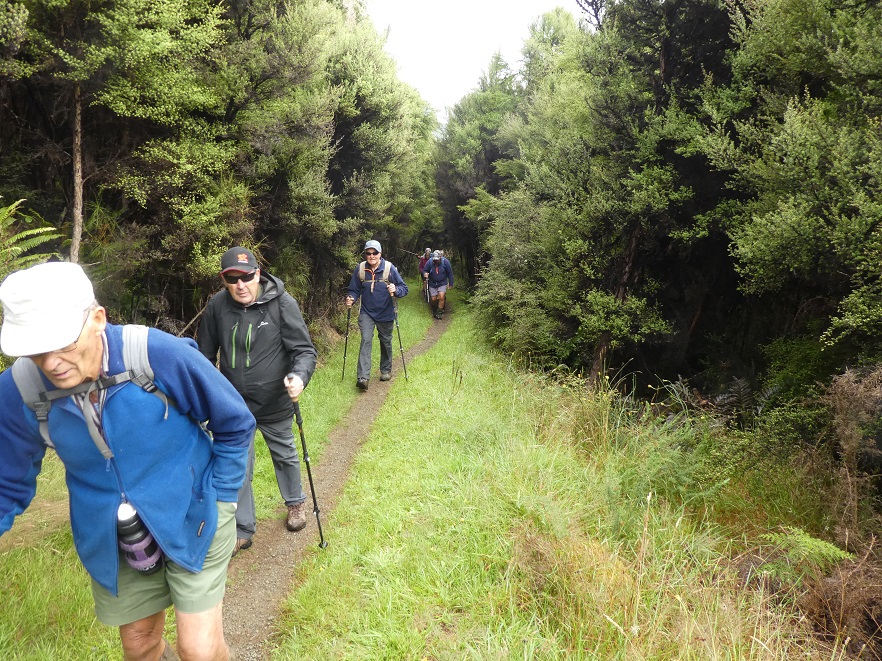
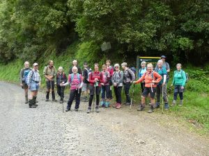
Photo and Caption Gordon – “Starting off up Green Hut track.”Photo and Caption Gordon – “The Happy Trampers.”
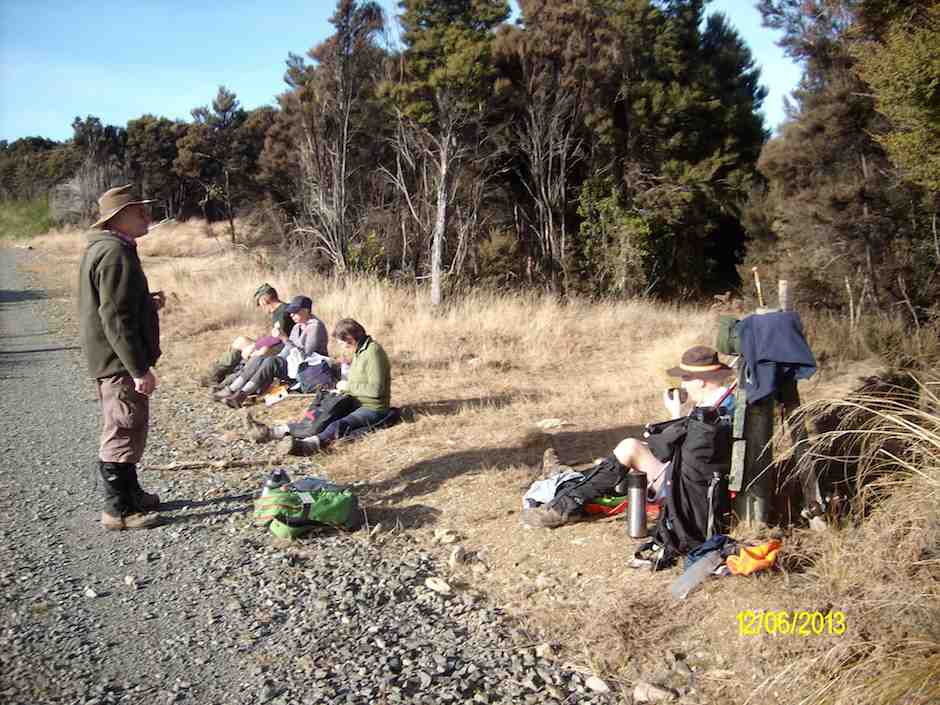
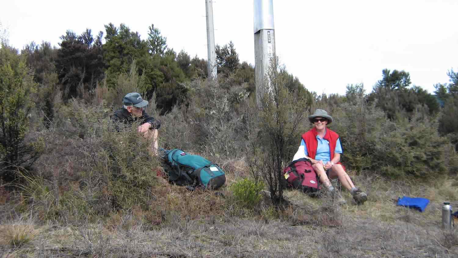
Being such a well-maintained track (by The Green Hut Track Group) made for a very pleasant tramp. We stopped for morning tea on a grassy patch at the junction to Swampy Ridge Track before moving on to the old Green Hut site and a photo shoot. We were reminded that further off the track is a fresh water spring and evidence of another well hidden hut.
Photo and Caption John – “Time for a break.”
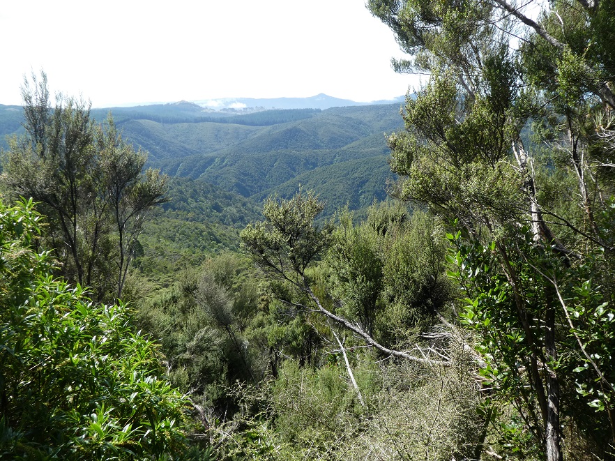
Photo and Caption Gordon -“Looking out towards Mopoutahi Peak.”
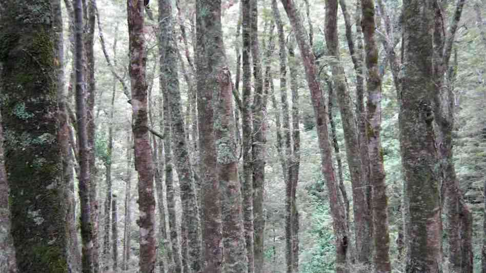
Possum Ridge, with its dampened surface took us down, and down over roots, stumps, rocks, slips ….. “Ooooh, one down” ….. Fortunately sturdy stumps and trunks were close enough to grab (“we love tramping”) on many occasions while we still went down accompanied by the occasional …. “are we there yet?’ … bellbird song in the nearby trees, also fluttering fantails.
Photo and Caption Gordon – “Much steeper than photo shows.”
Looking down on Possum Hut’s roof was a welcome sight and so was the lunch that followed.
Photo and Caption Gordon – “Lunch at Possum Hut.”
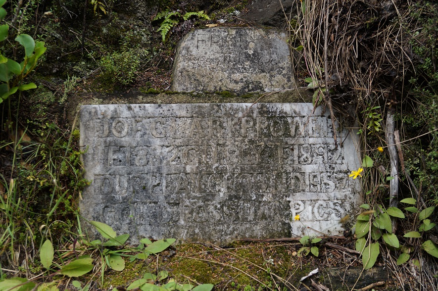
Photo and Caption John – “Indecipherable plaque – must be something important.”
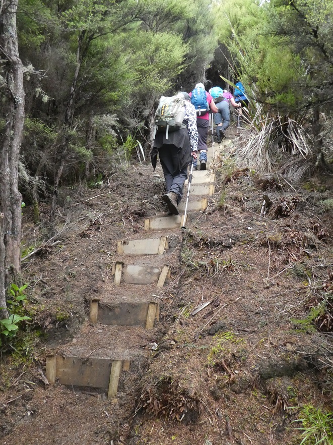
Up and away again required a short walk past an overgrown tarn and then to the junction of Eucalypt Spur off which branched Gold Miners Direct track. This new track was wide, clear, stepped,and well marked.
Photo and Caption Gordon – “Heading back to cars.”
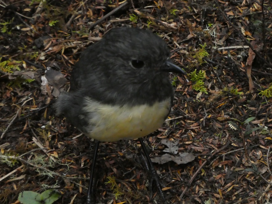
A robin captured a photographer’s attention when it ventured within 1 metre of us, hungry for pickings.
Photo and Caption Gordon – “Where’s all the bugs?”
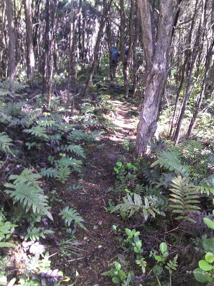
Vegetation was varied, and interspersed with ferns, mosses, an avenue of kanuka, beech trees etc, continuing upwards …(.”we still love tramping”)….. to the sign ‘Car Park’. A few metres of slight downhill and there, unexpectedly, we burst out of the bush to where our cars had been positioned about 5 hours earlier.
We returned to Dunedin and a coffee stop where everyone was happy to linger and chat. Was it medium, was it hard, different people, different ideas, but we hope all enjoyed the walk.
Morrison and Morrison
13. 25/1/2017. Trampers. Possum Hut – Green Hut (site) circuit. M. Leader: Arthur.
The early rain had cleared, and we had a lovely sunny day for our tramp. The southwest wind was quite strong all day, but we were well sheltered (mostly) on the bush tracks.
Lovely track. (Helen pic and caption.)
Out tramp started from Semple Road, we walked in the main Silverpeaks track, turned down Eucalypt Spur to reach Possum Hut. Uphill then to the Green Hut site before returning to the cars on the Silverpeaks track.
Leaving the cars we started with a rather unpleasant uphill 10 minute walk, but stopped for our morning tea at the top. Sunny and windy here, with quite a good view to the Silverpeaks – “The Gap” stood out well.
It seemed a long descent going down Eucalypt, but at the bottom we stopped for some time to decipher the enigmatic wording on the marble plaque beside the track – the wording is recorded on page 7.06 of Antony Hamel’s book.
A few minutes more and we were at Possum Hut. We knew it was Possum Hut as it had a sign on it to say so! The hut was dry inside and even had a wire bed frame as well as other essentials. Accommodation not to be sneezed at if the weather turned inclement?
Possum Hut. Eleanor, Dave, Carol, Neil and Arthur. (Helen pic and caption.)
It was a good stiff 23 minutes climb up from the hut to get on top of Possum Ridge. We continued on, and made our lunch stop at the old Green Hut site.
Lunch at the old Green Hut site in the wind. (Helen pic and caption.)
Lovely and sunny here, mostly sheltered apart from the occasional very blustery gust coming in to us. It was a very pleasant spot for our lunch. While we were three 2 young chaps came past on their way out after overnighting at Jubilee Hut. Good to see.
An hour’s walk then returned us to our starting point. A short car journey had us at the Blueskin coffee stop, for discussion on a variety of subjects. The leader was very grateful to hear that all had really enjoyed the day’s outing – it had been a very worthwhile day out for the 6 trampers. Distance – 9.2 km. – Arthur.
12. 11/9/2013. Trampers. Green Hut, Possum Hut, Blue Gum Spur.
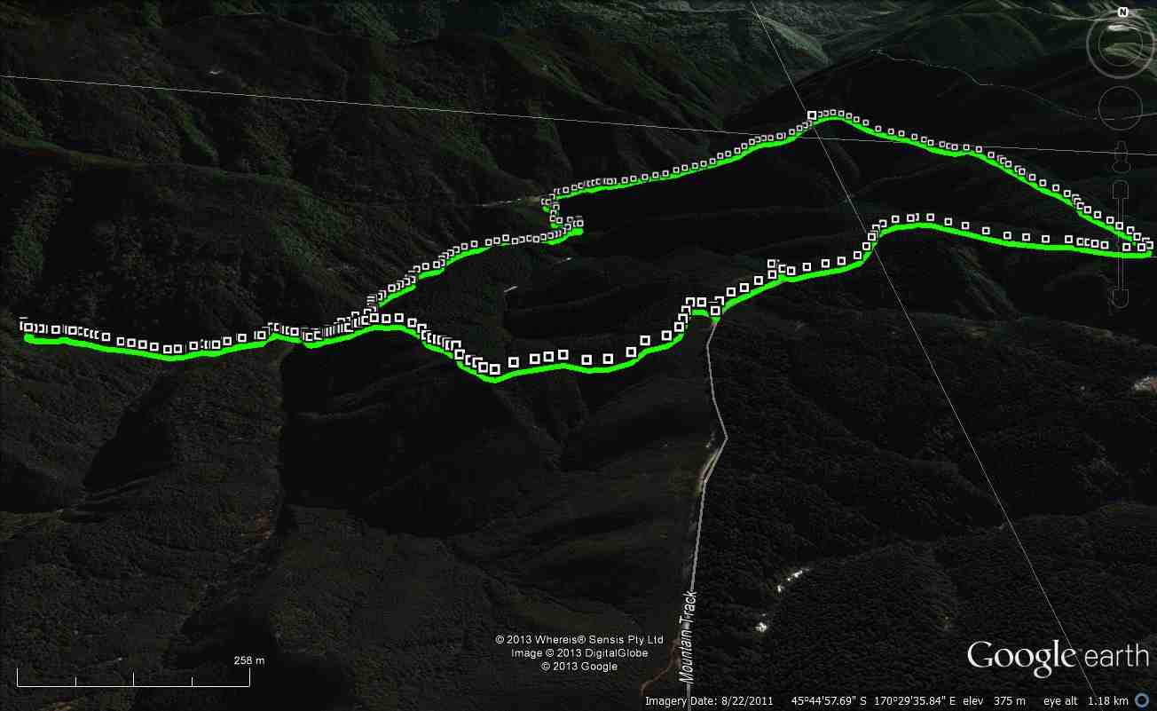
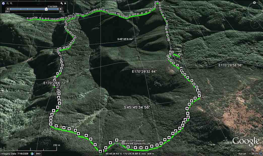
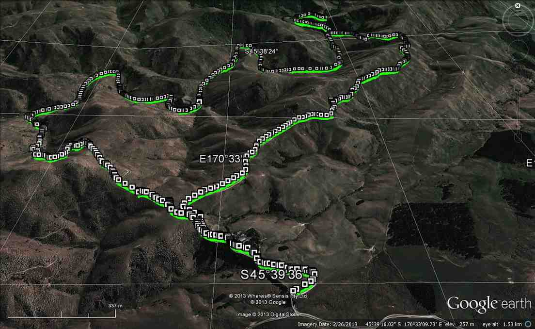
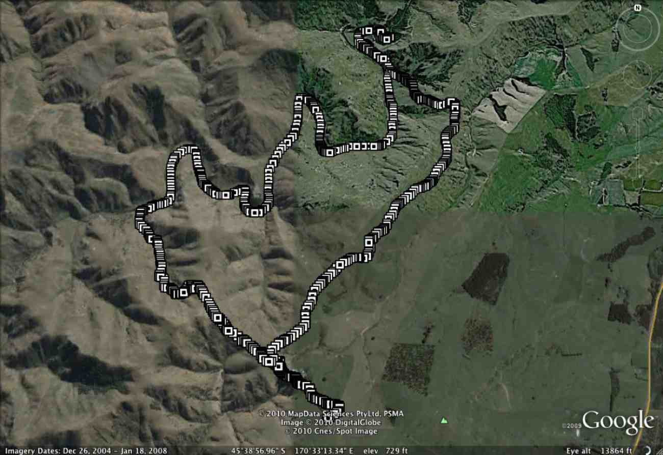
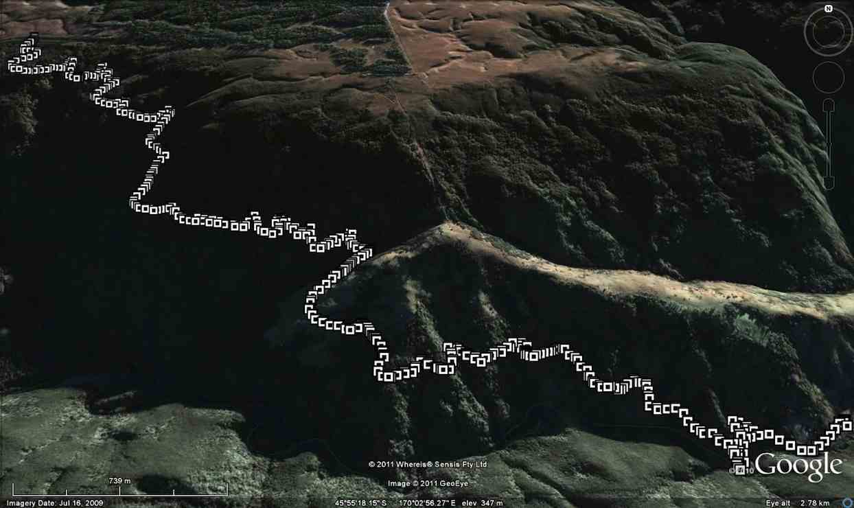
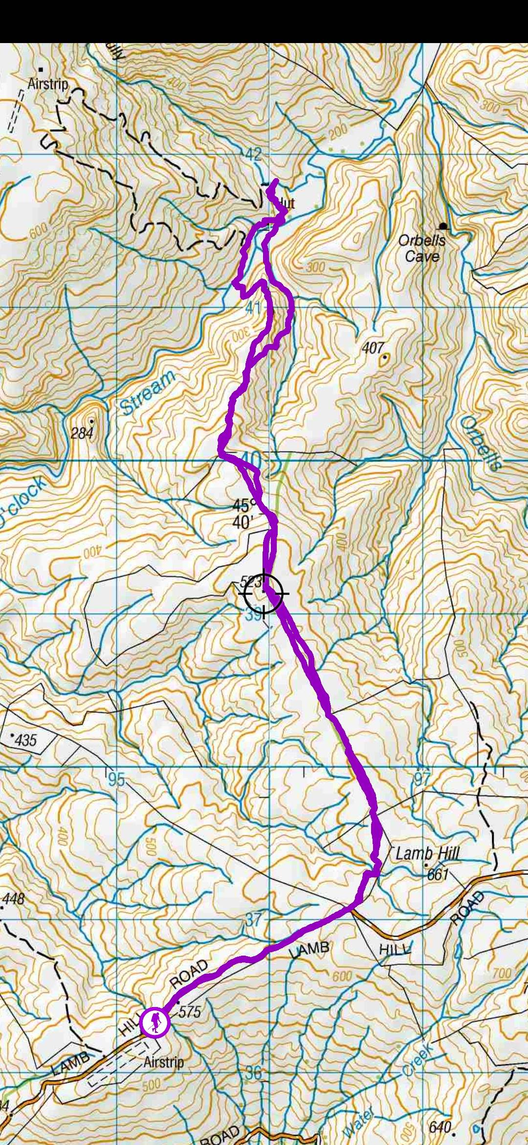
GPS of route, courtesy Ken. Distance 7.02km ave moving 3.2km/h Moving time 2h 12min Total ascent 380m
We decided to shorten this tramp,
as Ian H needed to take his wife to the hospital in the afternoon. We went down the Possum Hut access track, just a short distance along from the Green Hut track carpark. On reaching the bottom, after getting thoroughly wet from the dew hanging on all the bushes/ grass etc, we had morning tea in the tussock,
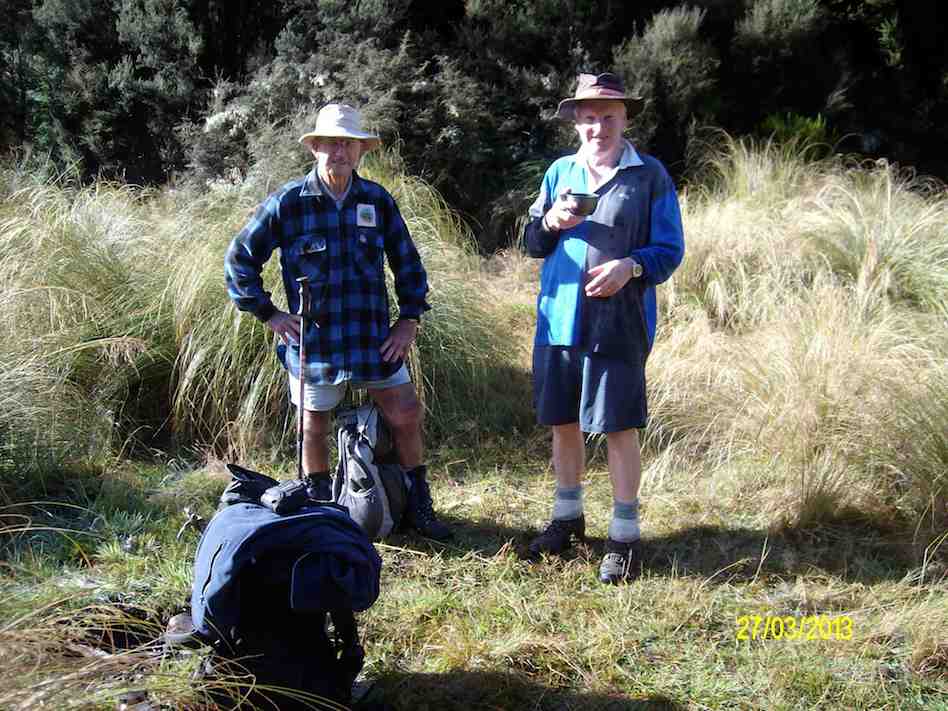
Morning tea in the tussock at bottom of Hunters Access (Ken pic and caption)
& then went upstream to Possum Hut, where we decided to walk down stream to the track that goes back up to Mountain Rd, from the side of Rosella Ridge. This is an interesting walk, but we just got wetter than before!! As it was still quite early, we decided to have lunch back up on Mountain Rd
Lunch back up on Mountain Rd (Ken pic and caption)
GPS of route, courtesy Ken. Begins middle right, and goes anti-clockwise.
The days had been drier, so the mud wasn’t as bad as it had been, thank goodness. Ten of us parked at the main entrance on Mountain Road and walked up the road to enter by Hunters Access for a change, something we hadn’t done for five years. It’s entrance is at the top right hand corner of the route photo.
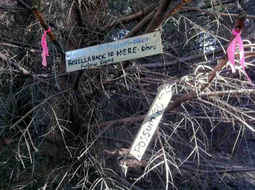
Hunters Access was a bit neglected and overgrown, so we had to skirt large mud pools on the track and push through some gorse overhang. We had a cuppa on the way down. At the Rosella Ridge junction, the Possum Hut notice, indicating to the left, was a bit askew but resisted Doug’s attempts to straighten it.
Junction between Hunters Access, Possum Hut and Rosella Ridge.
The last descent through the pines to the South Waikouaiti Valley
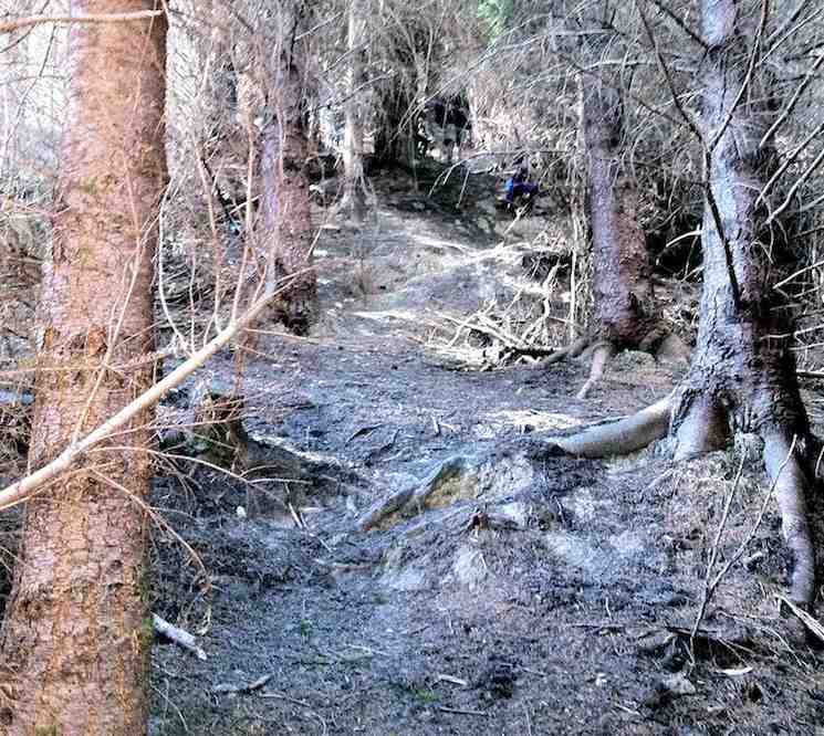
was the usual almost-vertical descent, thankfully dry and grippy on the pine- needles carpet.
Careful!. It’ steep.
Possum Hut (at the end of the GPS ‘tail’ top LH corner. We had the choice of continuing up the ridge above the hut, but decided to go back down and return via Blue Gum ridge.
Hut
We climbed Blue Gum Ridge. Some of us lunching half-way up, the others at the top where the track joins the Green Hut track.
We meet again at the track junction.
Ready to move on.
The mud on walk out was as we had hoped well dried out and much safer. We met one of the Green Hut track clearing group making a safe bypass around a still very muddy patch. Bravo. – Ian.
9. 14/10/2009. Trampers. Semple Road track entrance past Hightop, Blue Gum Ridge, Possum Ridge , Green Ridge. Leaders: Ian, Bruce.
Mud must be this tramp’s theme. The entrance tracks from both Semple Road and Mountain Road after our prolonged stretch of rain have become dangerously muddy. Starting to dry out come the morning (muddier on the recce), a shower towards mid-day slathered them up so dangerously again that on the way out it was almost impossible to keep one’s feet.
Not the worst stretch of mud by any means.
We entered by the Semple Road entrance as Mountain Road beyond had developed those dangerous deep ruts again. So it was up over the rise and down again to join the Mountain Road Track further in.
Coming down off Semple Road Track at the site of the track signs. Bruce, Susan.
After a cuppa at the start of the Green Ridge Track, we went up a little way to turn off along the Blue Gums track, one the club had never tackled before, previously going to Possum Hut via Hunters Access.
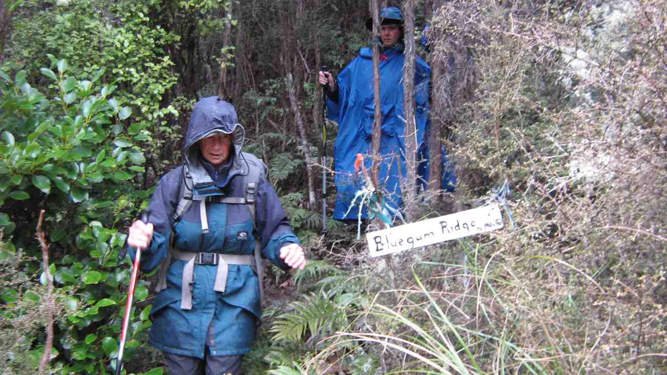
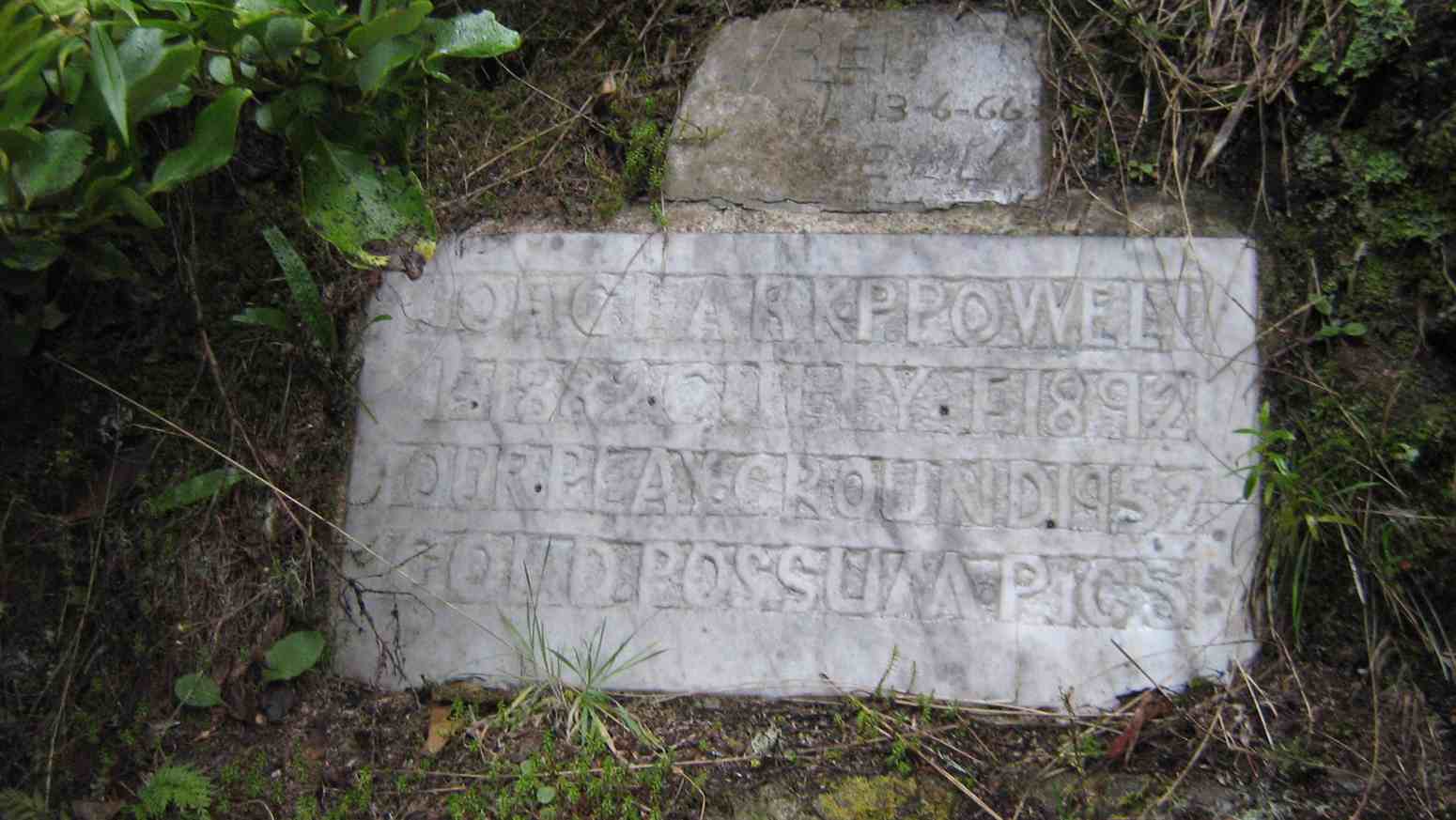
Looking down Blue Gums Ridge just as rain set in.Looking back up Blue Gum RidgeEmerging from Blue Gum Ridge at its foot. Ria, Susan.The plaque on the track to Possum Hut. Joe Clark P Powell. 1882 Curley F 1892. Our Playground 1952. Gold. Possum Pics
Light rain had set in as we descended Blue Gums so we didn’t tarry at the plaque or Possum Hut except to note that someone has considerately slung a drip-stopping tarpaulin across under the roof. The light rain persisted, the steep climb up Possum Ridge had become no less steep, but had eased as the ascent began to ease and we stopped at a “drier” spot for lunch.
Lunch. Ria, Hazel, Susan
Then it was across to Green Ridge, down past the Green Hut site and on till we reached its foot, to encounter again the morass of the now much more slippery mud and greasy clay of the access tracks of Mountain Road and Semple Road. There were one or two falls, but no serious accidents, thank goodness. Ah well. Must remember to schedule those access tracks for the drier summer time. – Ian
8. 19/4/2006 Hunters Access, Possum Hut, Green Hut, Mountain Road. Leaders: George, Ian 7. 26/4/2000. Green Hut, Possum Hut. Leaders: Bev H, Irene, Frank. 6. 25/3/1998. Hightop, Green Hill, Possum Hut. Leaders: Nancy, Lesley S, Bill H. 5. 21/2/1996. Hunters Access – Possum Hut. Medium. Leaders: Bob Q, Frank, Les W, George. 4. 27/10/1993 High Top, Green Hut, Possum Hut. Leaders: Bev H, Peter R, Les W, Victor G 3. 25/11/1988 Windy Ridge, Green Hut, Pulpit Rock, Return Possum Hut. Leaders: Claude, Rob C, Eleanor 2. 9/9/1998. Possum Hut, Green Hut. Leaders: Les S, Claude. 1. 11/5/1988 High Top, Green Hut, Possum Hut. Leaders: Ria L, Ria de J, Kees.
At about 10.10am four cars from Mosgiel, met three cars from Dunedin, at the “On the Spot Dairy”, Waitati, and proceeded to Steep Hill Road, a short distance passed the ‘big dip’at the top of the Kilmog. A few Kilometers or so, on the gravel road, saw us arrive at Moana Farm (Lawson’s Farm.) By 10.25am Twenty four trampers left the cars, with Theresa leading the first part of the tramp, myself being Tail End Charlie.
And off they go – Photo & Caption Phil Keene
The previous night had been a cold, stormy one, and the cold South Westerly wind, certainly made it’s presence felt as we walked further along Steep Hill Road, through a farm gate, and along the fence line parallel to the road, until coming to the next downhill fence, which we followed until turning left at the gate, bottom of the paddock.
A strung out mob – Photo & Caption Phil Keene
(Please bear with me on the previous bit, that seems like information overload, but is critical knowledge for anyone planning the tramp in future.) From here the tramp goes in a roughly circular, clockwise direction, up hill and down dale , following farm tracks.
The lowest point of the tramp was soon reached, where most kept reasonably dry feet, crossing Mary’s Creek.
Crossing Mary’s Creek – Photo & Caption Pam
This creek has an intriguing little story (tall tale or true?) as to how it got it’s popular nickname, which I explained soon after the crossing. It seems Mary was a gold miner’s wife who regularly bathed in the creek.
Listening to John’s story about Mary – Photo GrahamJohn and Neil looking for Mary!!! – Photo & Caption Pam
After this bit of local cultural enlightenment, we seemed to do more uphill than downhill, until
Admiring the Striking landscape above Mary’s Creek – Photo & Caption Pam
Theresa stopped us for morning tea in a sheltered spot, out of the wind, amongst the tussocks, at 10.50am. By 11.05am we were on our way again, following the farm track, and admiring views of the valley below; farmland with native plantings in the gullies, and farm tacks, mostly following fence lines, seemingly going in all directions, zig-zagging around the property. At 12.30pm we stopped for lunch at the same spot Theresa, Sarah, Phil and I stopped on our Recce. Here sheltered from the wind, most found a ‘comfortable perch’ on rocks, logs, or the bank. to enjoy lunch.
Great lunch spot out of the wind – Photo & Caption Pam
A visit by the farmer, with his beautiful Huntaway perched on the back of his quad-bike followed, just before we started off again at 1.00pm.
Stunning views towards the coast – Photo Graham
I then led the second part of the tramp, back to the cars. Shortly afterwards the forecast wind change took place. The South Westerly wind, changing around to a “Nor Wester.” Just as cold, just as strong, and just as much in our faces! Some respite was found in the sheltered areas of the track as it wound it’s way around hillsides, up and down gullies, and ridges. By 1.45pm we were back at the cars after negotiating the cattle yards. (Thick squelchy mud!)
A great way to finish – Photo & Caption Phil Keene
Afternoon coffee was enjoyed at Blueskin Nursery Cafe’.
In all we had covered 8.56km, altitude 240metres, a Grade 3 Tramp.
Thank-yous are due to :-
Farmer Willie Lawson, for so generously allowing us access to enjoy his property
Theresa White, for keeping me on my toes, and acting as Leader and Tail End Charlie.
Phil Keene and Sarah McCormack for help with our Recce.
Neil Simpson who has lead the tramp before, and was a mine of information on my initial contact with him.
John Gardiner.
17. 2/12/2020. Trampers. Lawsons Farm. Leaders Margreet and Neil
A blustery but warm Nor ‘westerly wind and a threatening sky greeted 32 (or was it 33?!) enthusiastic trampers at the gates of “Moana” farm at the top of the Kilmog. Owned by the Lawson family, Moana is a hilly and picturesque holding, bisected by the meandering Waikouaiti river. We certainly owe a great deal of thanks to generations of the Lawsons who kindly allow us to wander around their property (after requesting permission of course).
“Starting off.” – Photo and Caption Gordon
Taking a westerly route we descended rapidly to Mary’s creek, then round the corner to the site of ancient gold workings.
Descending into Mary’s creek.” – Photo and Caption Gordon
“Checking out the gold sluice.” – Photo and Caption Gordon
“How does the guy with the camera get into a photo?”- Photo and Caption John
From here it was a steady climb with a few minor descents to our lunch spot nestled in a tussocky knoll with views of Karitane, Waikouaiti and Maori Peak.
“Which ones are the trampers?”. – Photo and Caption Gordon“Amazing lunch view.” – Photo and Caption Gordon
It was great to see Neil and Carole out with us again.
“Cloud formations”. – Photo and Caption Gordon
Leisurely lunch over, the group reassembled (tail end Charlie was heard to describe it as like trying to herd fish!!) and trudged the 20 mins back to the vehicles. Not a long tramp by any means (about 9km) but fairly described as nuggety don’t you think?
Post tramp we enjoyed having coffee at Blue Skin Nursery. The staff did a great job taking orders for our large group and we enjoyed sitting outside amongst the plants.
All in all a really enjoyable day out and we look forward to starting the new programme in 2021.
Neil and Margreet Simpson
16. 10/4/2019. Trampers. Lawsons Farm. Leaders: Margreet and Neil
Despite a forecast for heavy rain at lunchtime, a large contingent of 17 trampers set out on our hike on Lawson’s Farm in balmy and ideal conditions.
We left the Mosgiel carpark at 0900 and reached the main gate of the farm at around 45 mins later. After a morning tea break on a grassy knoll;…
Morning tea view. (Helen pic and caption.)Do we have to get you down and up there? (Phil pic and caption.)
…we descended rapidly on a farm track to Mary’s Creek which burbles through an area of native bush.
Neil explaining the name “Mary,s Creek”. (Gordon pic and caption.)
On the descent we passed the only other trekkers we encountered – 5 horses and 3 foals!
On the valley floor we meandered round past ancient gold workings and the remains of a stone dwelling. Then it was a series of stiff climbs and descents on reasonably good footing up to a ridge not far from the woolshed.
Looking back down to the stream. Gordon pic and caption.)
Suddenly a stiff sou’wester wind set in, pregnant with rain, and the temperature dropped markedly.
On a sheltered hillside we ate our lunch.
Lunch in the tussocks. (Gordon pic and caption.)
Incredibly, the conversation revolved around the merits of courtship in an HQ Holden with column change and bench seat; compared to a Morris Mini with bucket seats and ‘four on the floor’! I kid you not!
After lunch we decided to shorten the tramp and were back at our cars by 1300. Total distance was 8 km but everyone really enjoyed the hike and found it challenging enough.
Coffee and ‘blankets’ was at Blue Skin Nursery where we met up with the hikers returning from their beach walk at Warrington. – Neil and Margreet
15. 16/8/2017. Trampers. Lawsons Farm. M. Leaders: Neil and Margreet.
Nine trampers set out from the car park at 0900 on a stunningly clear but frosty morning. After an uneventful 45 minute drive we parked inside the main gate of Lawson’s Farm. Patiently, but DOGmatically the two male trampers ‘herded’ up the 7 lady trampers and set them going in the right direction …
…. Southwest down Steep Hill Road before entering a paddock with a sun-drenched knoll where we paused for morning tea.
Morning tea. (Helen pic and caption.)
Lo and behold two latecomers (Bruce & Bob) arrived to counter the gender imbalance. Arthur was heard to quietly breathe a sigh of relief!
We were doing a different walk today to avoid all the river crossings. It was however still very muddy underfoot. We soon descended to cross Mary’s Creek. Mary, apparently, lived with a small cadre of gold miners and used to sneak up into this bush-clad tributary to take a bath away from prying eyes. None of our ladies were keen for a dip today!
Further on we passed sluicings and building remnants from the gold mining days and then it was a stiff climb up from this, the South branch of the Waikouaiti River.
We sidled around the undulating terrain and found a lunch spot …
(Margreet pic)
… which had beautiful views over the hills and tussocks and Mount Watkin to the North; through Matanaka and Maori Point to the East.
After lunch we soon ‘topped out’ to find stunning views of the coast and untroubled sea …
(Margreet pic)
… as we descended …
(Margreet pic.)
… a long, ever steepening ridge. At the bottom we crossed a noisy creek and began an energy-sapping climb up the opposite ridge back to the cars. It was a bit like the reverse of the Grand Olde Duke of York; who marched his men to the top of the hill and marched them down again! Pointless really!
So; after a wonderful tramp on an exquisite day, it was a weary 11 who gratefully repaired to the café at Blue Skin Nursery for coffees and tea.
Total distance was around 13.5 km. and it was about 4 hours hiking time. – Neil and Margreet.
14. 8/6/2016. Trampers. Lawsons Farm. Upstream. M. Leader: Arthur.
A frost to begin the day. It was mighty raw as we gathered at the car-park in Mosgiel. Nine trampers travelled to Lawson’s Farm, Kilmog area, where we found very pleasant conditions awaiting us. Only the shady faces were white with frost.
Past the wool-shed, where the dogs barked their usual greetings to us, and up the first brief slope found our morning tea stop. The winter 9.30-starts necessitate a later morning tea, but better late than never!
Onto the 4WD track through the tussock we travelled
The track we followed. (Helen pic and caption.)Farm building and long drop. (Helen pic and caption.)
– down briefly, then up briefly, and then down, down, down – until we finally came to the south branch of the Waikouaiti River.
We turned upstream now, following a sheep track through the tussock and occasional scrub, until we had a stiffer climb up around a steep face above the river. We could then descend onto a lovely tussock flat, where we came to a 4WD track to follow.
Eventually the track let us to a ford over the river. The safest route was to cross at the ford also, so it was into the water which was a little cold.
Very cold river crossings and cold wet feet. (Helen pic and caption.)
More river crossings followed in the subsequent mile or so. After the sixth and final one, we stopped at a nice sunny spot to partake of our lunch. Mr Lawson tells me that gold mining had been carried out back in the 1870s or 1880s at our lunch spot. The tell-tale earthworks being very noticeable. The time was 12.20 p.m.
Lunch and view. (Helen pic and caption.)
The river was still up a bit after the heavy rain a week previously. About a foot of water (that’s 30 cm for you metricified folk) was the deepest we had to wade through. All crossed without a mishap, and anyway, real trampers don’t mind getting their feet wet!
Two N.Z. falcons were observed while we were having our lunch. They appeared to be chasing one another, with loud squawks emitting. Perhaps one had caught its lunch but wouldn’t share?
After lunch, continuing on the 4WD track, we were soon in the shade of a narrow valley, almost a gorge. Uphill from now on, but the grade was steady and not unpleasant. The air was very cold in here,
Sooo cold and very white frost. (Helen pic and caption.)
and it was a great relief to find the sunshine again.
Before reaching the Steep Hill Road, we turned off to walk up an open bare paddock. At the gate we made the acquaintance of two quiet and friendly horses.
Friendly horses and nice view. (Helen pic and caption.)
Eventually we gained the road, with about one kilometre to go, and were back at the cars at 1.45 p.m.
Someone stated that it had been a very pleasant tramp – and all agreed with that. No measuring device with us today, but we must have tramped about 10 km.
Afterwards, the trampers had their weekly meeting at Waitati. Business included:-
1. Brief discussion as to our track-clearing intentions for the next season.
2. A considerable number of ideas regarding food, and recipes for the same, were put forward. Did you know that coleslaw makes an excellent filling for “Toasty Sandwiches”?
We had 11 trampers out today, including a new member to our group, a really good number.
We parked up just inside the gate of Lawsons Farm, & proceeded to walk down past the farm house, where we were met by Jim & Willie Lawson. We had a very nice chat with them before setting off towards our morning tea spot out of the strong breeze that was blowing.
Then it was down to the river, where we turned right [downstream] & walked along the valley, where we had to negotiate the bluff that requires care getting down. Having safely got past this obstacle, we carried on to the “Lodge” where we had a leisurely lunch stop,
Lawson Lodge. (Margreet pic)
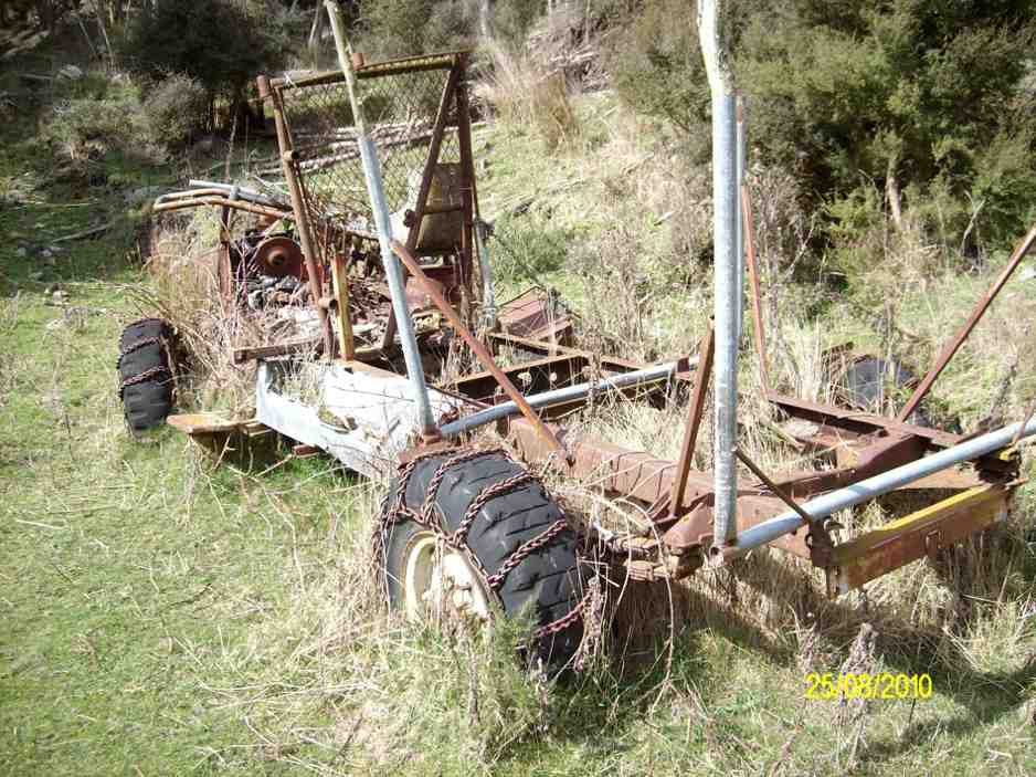
while some members who had not been there before examined the interior of the “Lodge” & the old vehicle chassis residing in the grass, still with chains on the tyres.
Then it was back the way we had come, until the slope we had to climb was upon us. All made it up here without to much drama, & we had a regroup at the fence corner, before making our way up to the ridge track, which leads back to the farm yard.
After arriving at the cars, it was decided that the ‘coffee club’ tradition would be continued with a stop at the Blueskin cafe., where we all enjoyed a chat over our favourite cuppa.
There were some appreciative comments made about the tramp, so a good day out for all.
Walked 12.5km
4km/hr
climbed 540mtrs. – Ken.
12. 19/11/2014 Trampers. Lawsons Farm. Upstream.
Lawsons Farm Upstream. GPS courtesy Ken. Walked 10.2km; 2hr 32min moving; 4km/h ave; climbed 600m. Some tricky bits, but OK.Morning tea break. (Ken pic and caption)
View from morning tea stop of Mt. Watkin in the distance. (Ken pic and caption)Showing grass track down to the river below. (Ken pic and caption)Valley we walked along. (Ken pic and caption)Old hut.It’s virtually uninhabitable, as it’s very dirty inside. (Ken pic and caption)Showing our route back up the hill. (Ken pic and caption)
We could make this walk even longer, by walking along the valley further & coming up the gully alongside Mountain Rd. Might try this next time. – Ken.
11. 5/6/2013. Trampers. Lawsons Farm.
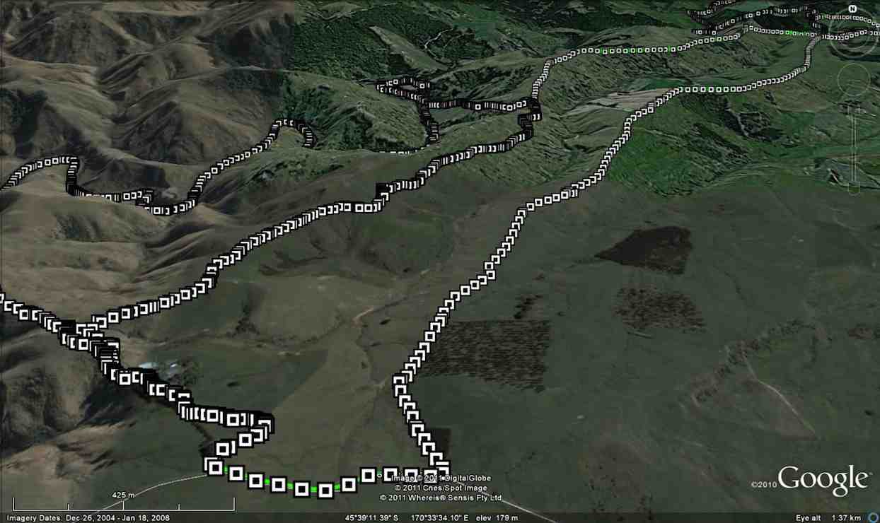
GPS or route, courtesy Ken. We walked 12km; 3hrs 2min moving time; 3.9km/hr; climbed 461mtrs.
This was new country for 4 of the 6 that started out on this walk. We had quite a nice day except for a cool breeze along the exposed ridge tops.
We all enjoyed the walk along the Waikouaiti river banks, & the rocky obstacles that the writer remembered from last time. All enjoyed the lunch stop at the ‘Lodge’, where we made use of some plastic chairs, & the edge of the veranda. Doug even got out a plastic bin for a table.
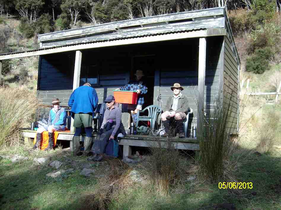
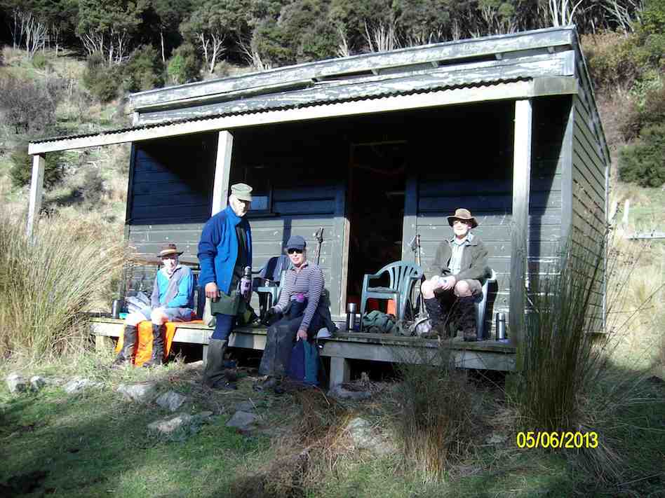
Getting organised to have lunch at the ‘Lodge’
The comment was made that it had to be the most comfortable lunch stop we had ever had. However, all good things must end, …
Lunch at the ‘Lodge’
… so we decided to pack up & move on, as the sky was looking a little dark from where we were. However, once on the tops again, we could see that it had been unnecessary to hurry, as the weather looked much better from up there. An unhurried walk back to the cars finished off the day nicely, arriving back at the farm around 2:00pm for the drive home.
10.27/4/2011. Trampers. Lawsons Farm. Figure of Eight.
GPS, courtesy Ken. Left loop with tail at end is of the earlier Waikouaiti Stream tramp. (see GPS below) Right elongated loop is of this tramp, down left ridge and up the right.
Looking back at the Homestead from early on, on the left ridge.
The limestone rocks in the gully just up from the gorge.
A view from our lunch-stop of the gorge we stopped short of going into.
Just a view up the gully we had circumnavigated. Taken from the old coach road.
Frisky friendly horses who were content to muzzle us.
9. 18/8/2010. Trampers. Lawsons Farm. Clockwise via Waikouaiti River. Returned west ridge instead of Old Coach Road. Medium. Leaders: George, Hazel, Ria.
GPS tracking of Wednesday’s clockwise tramp. (Courtesy Ken’s GPS device)
We parked the cars just inside the entrance to “Moana” farm, walked through the dip past Lawsons’ homestead, up over the rise beyond it (where at its top we were to complete the circuit later on), to shelter from the brisk breeze for a tea-break in the tussock of the next dip. Then it was up over a next small steep rise to begin the long descent to the river.
Gully down to Waikouaiti River, South Branch.
As can be seen from the GPS tracking map, the Waikouaiti South Branch wound left and right as we made our way down its flats.
Wider part of the river valley
Finally, across a couple of wide clearings and through some bush and we were at the lodge for a late lunch. (It WAS a 9.30 a.m. start.)
Lunch at the ‘lodge’ (Ken pic and caption)
Abandoned 4WD transport. (Ken pic and caption)
Returning back upstream a bit, we faced the daunting (near-vertical for a start,) climb back up the ridge flanking the river’s true right.
The steep climb up from the river valley to a saddle of the west ridge
Reaching the top, we turned right and followed that ridge along its undulations to reach the point that lead us back down past the homestead and its yards and up to the cars again. – Ian.
8. 10/6/2009. Trampers. Lawsons Farm. Modified clockwise walk from homestead along ridge. (Figure of eight intended originally.) Medium. Leader: George.
We met at the farm gate and welcomed back Hazel who was out walking for the first time since her ankle break up Careys Creek in March. A remarkable recovery.
Looking north down gully between the two ridges walked. Mt Watkins on left.
George led the five of us down the farm ridge.
Along ridge that lies between river (over on left) and Mountain Track Road (Old Coach Rd) (off to right). Sabina, Doug, Hazel, George.
Eventually we reached the track leading across the gully up to the Mountain Track Road, (the old Coach Road).
Shot taken from Mountain Track Road looking back across to other ridge and adjoining track sloping down nr plantation. Mt Watkins in distance.
At that point we decided to forego the (longer) original figure-of-eight plan in view of the committee meeting to be held later that day and made our leisurely way back up the Mountain Track Road to the farm house. – Ian.
7. 24/1/2007 Trampers. Lawsons Farm. From Homestead. Downstream Waikouaiti River South Branch, Lodge, Paper Road, return Farm. Leader: Ian.
Parked nr gate. Walked down past house and yards. Climbed hill ahead and followed track down to River. Then along bank until eventually turning up to the Lodge for lunch. Back a little up the track and then a steep climb to old Paper road which followed to metalled road and back up to the cars. – Ian
6. 22/2/2006. Trampers. Lawsons Farm. Leaders: Arthur H, George, Dorothy S
5. 13/4/2005Lawsons Farm, Waikouaiti River South Branch, Lodge. Paper Road return. Leader: Ian
Lodge on Lawsons Farm
4. 3/12/2003. Trampers.Lawsons Farm, Waikouaiti River South Branch, Lodge Old Coach Road return Leaders: George, Dot B, Hazel
Start at cars
Stepping Out
Tea break. Sabina, Joyce, George, Irene Lesley Dot B
3. 24/10/2001 Steep Hill Road, Waikouaiti River. Medium. Leaders: George, Ria L, Barbara McC
Mosgiel trampers met the town trampers at Waitati then travelled to the Doctors Point car park.
About to leave the cars (photo and caption John)
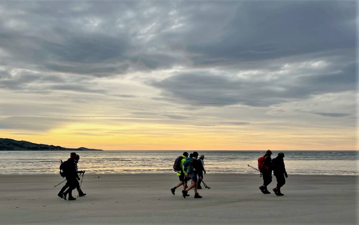
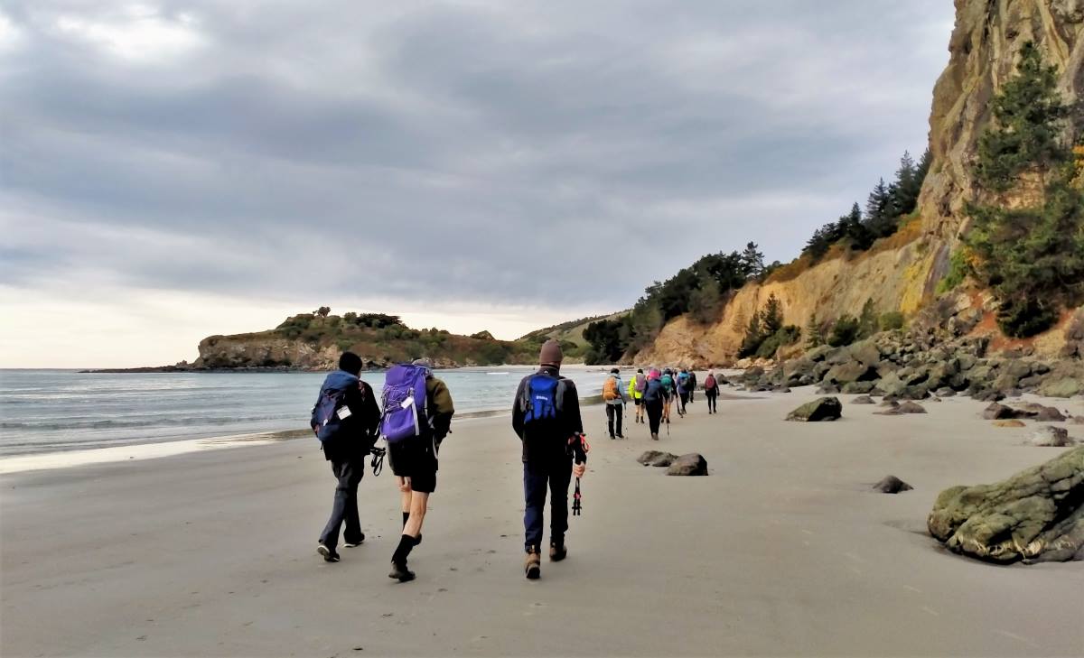
25 trampers began the trek along the beach in mild weather looking toward the horizon with calm sea and a very photogenic sky.
Fading sunrise on the beach (photo and caption Pam)
We walked through the rock arches …
Through the Arches (photo and caption Pam)
Almost good enough for a swim before morning tea (photo and caption Phil K)
… and carried on to the headland, which was the site of the Mapoutahi Pa, for our morning tea in warming temperatures.
Morning tea at the Mapoutahi Pa Site (photo and caption John)
We then headed through the trees on a 4wd track skirting the puddles as we went. We walked the road around the Purakaunui Inlet …
Are we going up that hill -yes! (photo and caption Phil K)
Regroup at Purakanui, below Osborne Township (photo and caption John)
… then turned off at the Purakaunui Station road to cross the rail tracks and begin the McKessar track. The beginning of the track was a bit muddy and slippery but improved as we ascended through the bush.
No trouble slowing down, even without a horse (photo and caption Phil K)
There was a lot of debris littering the track from the strong winds we had about four weeks ago.
Looking back over Purakaunui Inlet (photo and caption Pam)
Strolling through the pines (photo and caption Pam)
We stopped at the ruins of original McKessar stone cottage and as the area had been cleared and logged, we were able to investigate the remains of the stone outbuildings.
Old ruins at McKessar Farm (photo and caption Sarah)
Plenty of firewood, but no fire at McKessars Homestead (photo and caption Phil K)New light through old windows (Chris Rea album title) (photo and caption John)
Lunch was enjoyed at this spot as it was sunny and the clearance afforded a sea view. The next part of the track feels steeper with a full tummy but it’s not long until it meets with the Mopanui Ridgeline track by the Orokonui Ecosantuary.
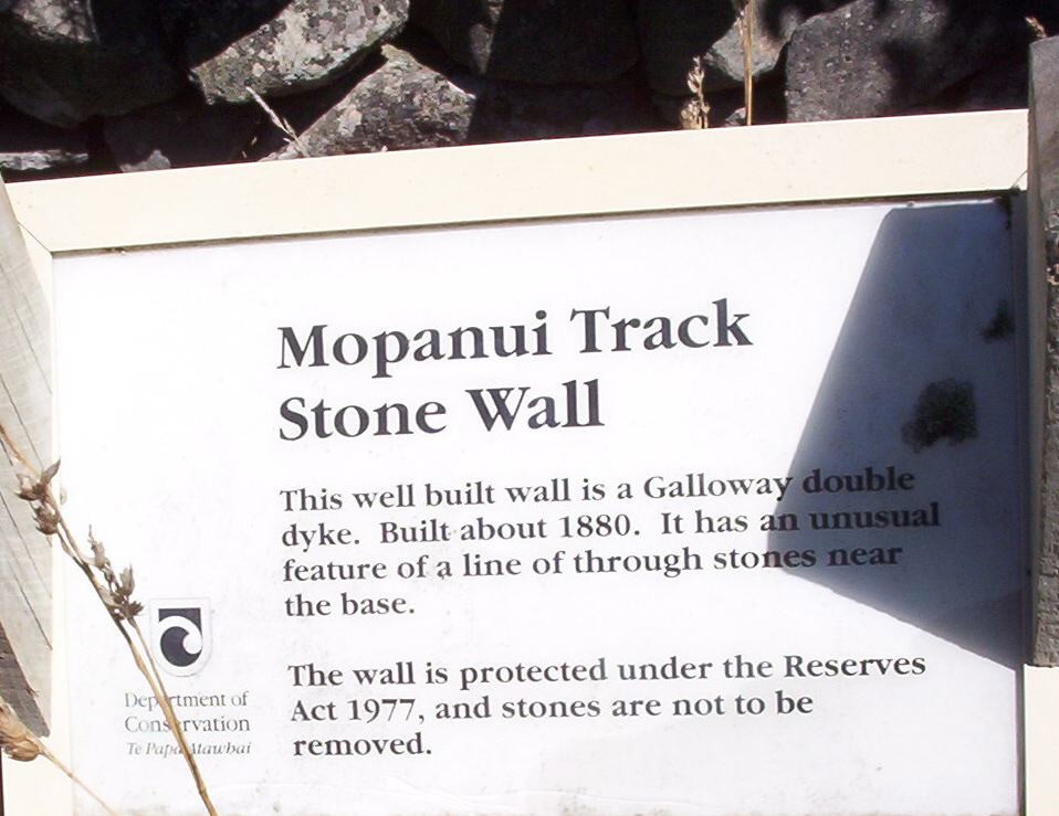
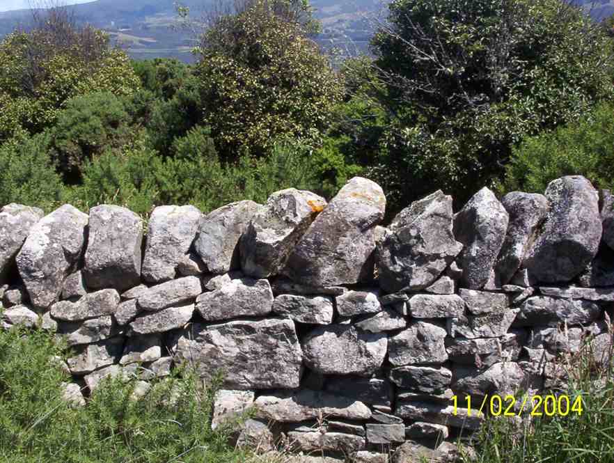
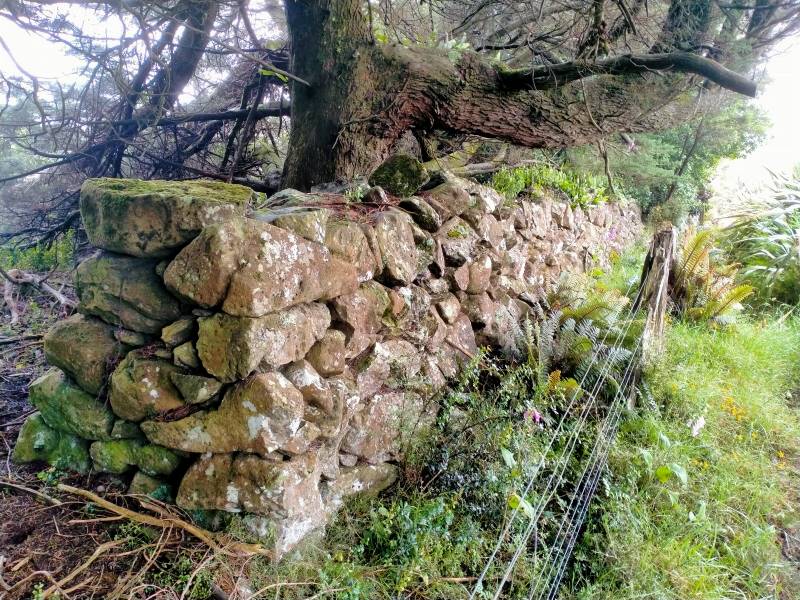
Stone wall on Mopanui Ridgeline Track (photo and caption Pam)
We regrouped at the top and took in the amazing vistas looking towards the coast, the hills and down to the beautiful Blueskin Bay. We made our way down the track having to skirt a couple of large fallen pine trees, over the crumbling rock wall and onto David’s track. This is a lovey track through the bush before coming out at the top of Whites Road. We then walked back along the road to the carpark. Refreshments were enjoyed at Blueskin Bay Nursery.
Length of tramp is approximately 14km, elevation gain of 472m.
Karen McInnes
4. 29/6/2016. Trampers. Orokonui, Mopanui. Medium. Leaders: Helen and Judy D.
Ten of us left car park and travelled in two cars up to the Orokonui Ecosanctury We were walking round the outside of the fence. Walking up to the first corner we had our morning tea.
More uphill. (Helen pic and caption.)
Then a clamber up the 468 meters to the trig at the top of Mopanui.
Trig at top. (Helen pic and caption.)
Worth the climb up as the views were some of the best we had seen anywhere.
Over to the Estuary. (Helen pic and caption.)From top of Mopanui. (Helen pic and caption.)Towards Portobello. (Helen pic and caption.)
Continuing around the fence line to the start of some steep downhill we stopped for our lunch.
Starting on the steep hill we renamed Tumble Hill. Judy lost it on the rolling gravel crashing into Eleanor who crashed and rolled getting a hole in her precious 1980s shorts. No major damage. Then Jay slipped on the gravel as well. The rest of us hugged the fence to keep upright.
We all got right round and had our welcome coffee after out interesting and hardish almost 10km tramp. – Helen.
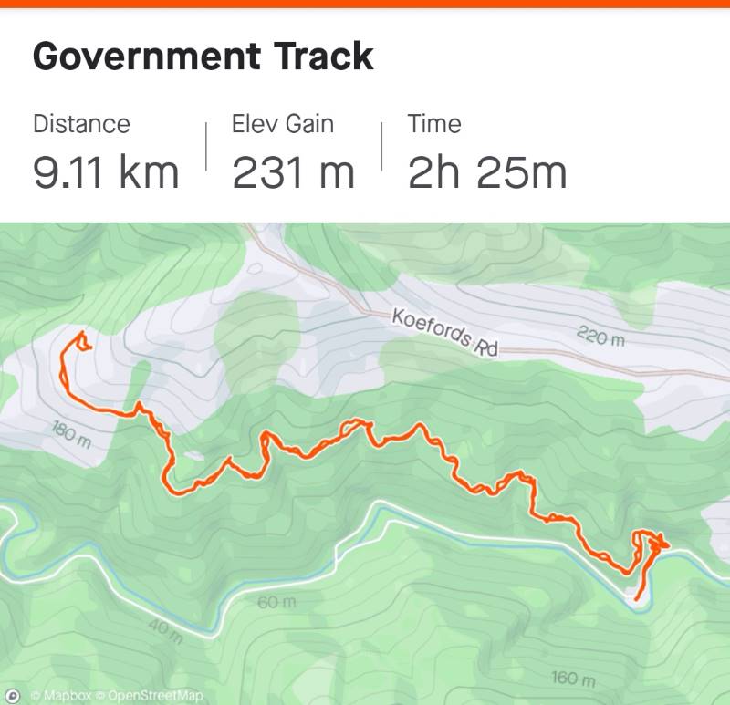
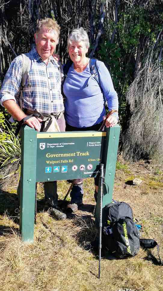
[DCC brochure extract: Government Track. 4 hr 30 min, 17 km (return).
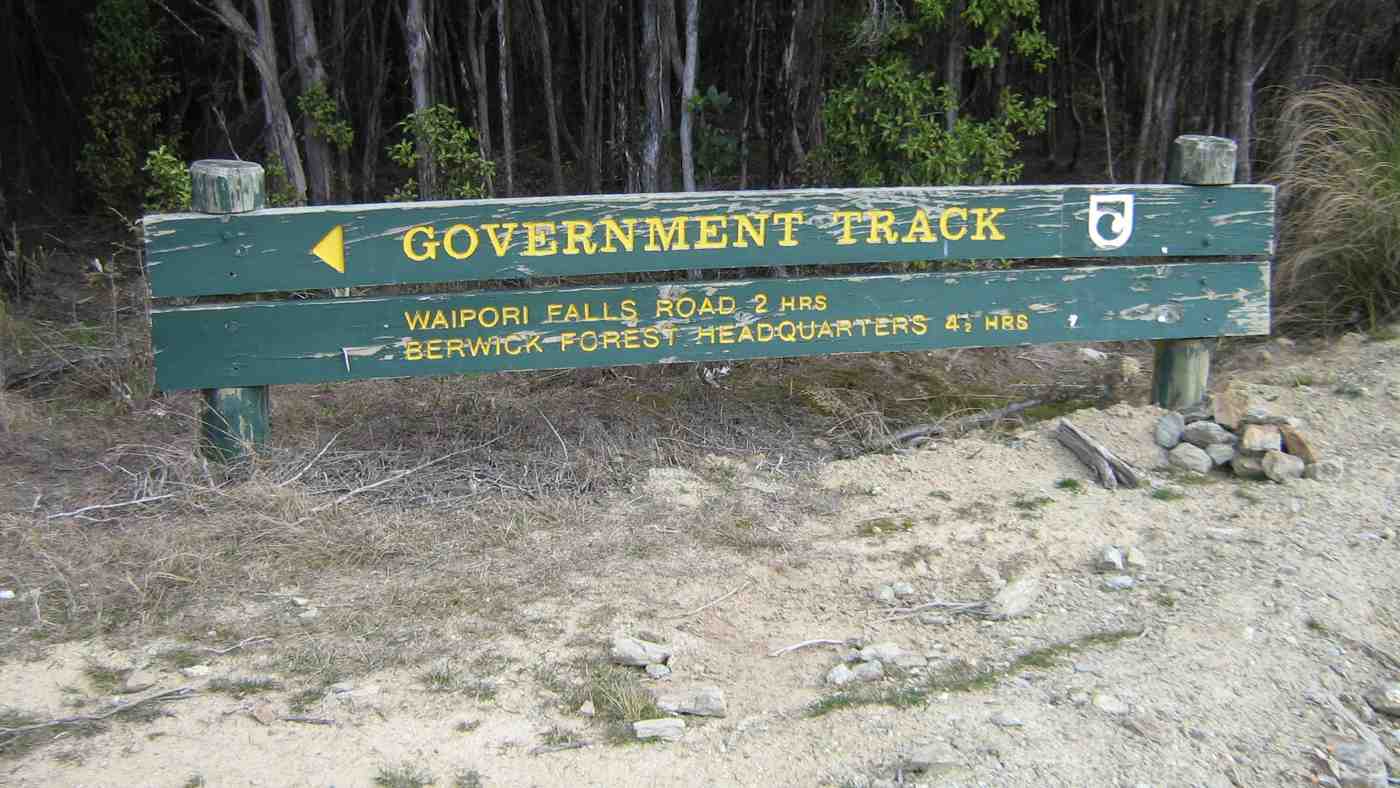
The track entrance is Government Track / Kowhai Spur 5 km down Waipori Falls Rd on the right; parking is 100 m further on the left. Traversing the slopes of the beech-and mānuka-forested Waipori Valley south of Dunedin, the Government Track was built in the 1860s to provide access to the central goldfields. For mountain bikers there is an option of riding up and returning the same way. Alternatively, once at the top follow the pylon track left and steeply down into Waipori township, then follow the road back to the start.]
34. 3 May 2023. Combined Government Track Grade 3 Hikers Grade 4 Trampers Leaders: Jay, Kay, Sarah and Pam
Trampers: After a winter start time meet n greet, 10 cars converged on the Waipori Gorge starting point for our combined hikers’ and trampers’ foray up the Government Track. For the trampers the route was to take us further up the hill than the hikers, doing a kind of loop at the top of the hill, then descending back to the Government Track for the homeward leg. Originally Phil and Helen Morris were to be leader and tail end charlie, but Phil catching Covid put paid to plan A. Our initial replacement leader also suffered some health gremlins, so Sarah, rather had things sprung on her the night before, but agreed to lead.
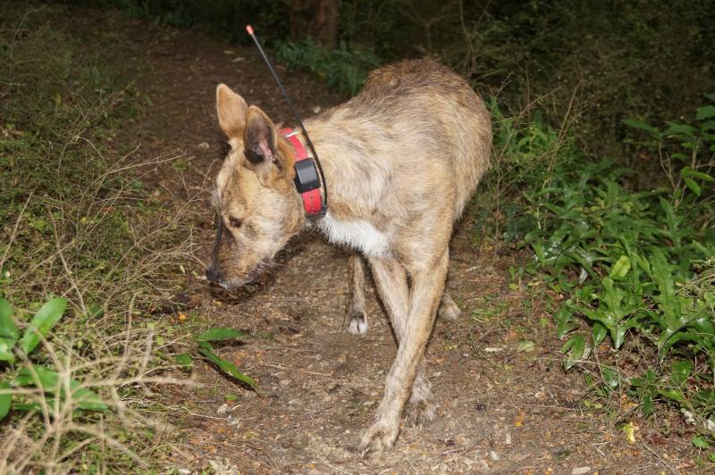
Fourteen trampers started out ahead of the hikers (at 10.am), up a surprisingly damp and cool lower section of the track (mild 23-degree temperatures forecast for the day). As we climbed away from the shaded valley floor, and chilling Waipori River, we warmed up quickly. Accompanying the hikers behind us was a lost, and bewildered looking pig hunting dog (wearing a GPS dog tracking collar), who had been resting under his owner’s ute when we arrived at the car park. Morning tea was enjoyed at 10.30am, not quite at the clearing where it was planned, but on a small bank beside the track. By sheer chance, we soon discovered that the hikers had later stopped around the corner just below us! That pig dog was still with them but did apparently head back down the hill soon afterwards.
He wanted to join the team Caption and photo Pam
Soon on our way again, by 11.40am we had reached the clearing originally planned for our morning tea stop. An enjoyable wander up the track, admiring the array of toadstools and fungi along the way followed.
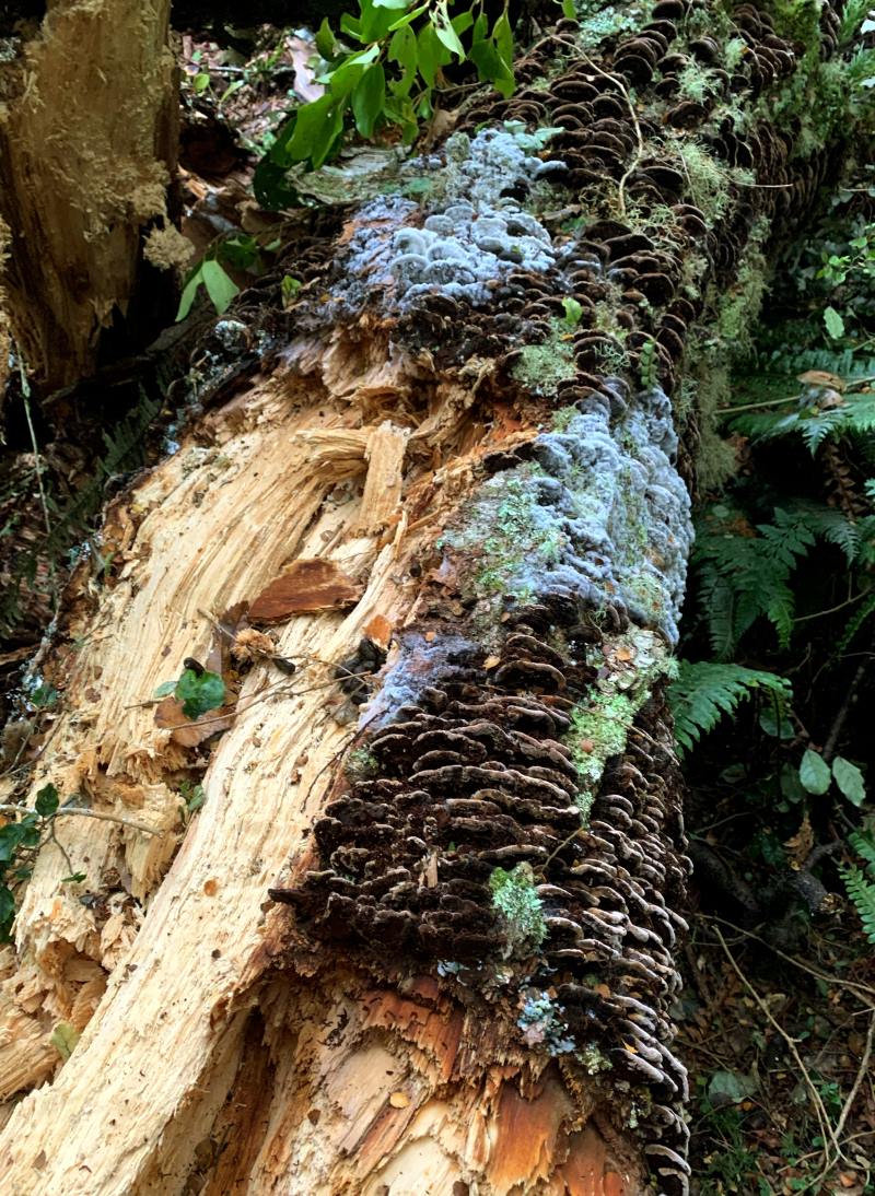
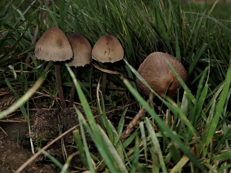
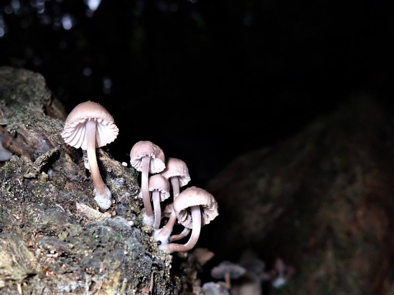
Many fungi were growing everywhere in the bush Caption and photo Marijke
Purple toadstools were spotted, and a great variety of toadstools sprouted from rotting logs and tree stumps. It soon dawned on us however, that our slow ramble, could make for a very long day, and late finish. Averaging only 2.5kph for 2 hours meant we were well behind schedule. Why so slow?
Navigating through the creek Caption and photo Pam
Creek crossings, recently fallen trees and large branches, and some technical bits slowed our progress, so we started to speed up on the smoother sections.
Another tricky little creek crossing in the beautiful bush Caption and photo John
Being an old horse and dray track, much of the tramp was on lovely dry, smooth surfaces with a gentle uphill gradient. Sarah, ever vigilant, referring to her topo map, subsequently had us stop for lunch later than originally planned at 1.25pm, where we dined and rested in a section of beech forest, having covered 9.74km at this stage.
Late lunch never tasted sooo good ! Caption and photo Pam
By 1.50pm lunchtime was over, and we were on our way at a better clip, reaching the usual tramp lunch stop spot (a clearing by power lines) at 2.00pm. Five minutes later we were at the road, turning right, then soon after turning right again into Dunstan Road.
Out in the sun, it was an unseasonably warm day. Caption and photo Marijke
Our speed along this lightly gravelled road increased substantially, which had us arrive at the “White Doc. Gate” at 2.35pm.
Our view as the ascent started Caption and photo John
Following the road down from here we arrived at the at the “old hut” at 3.19pm.
Group photo that Heather and Diane thought they got out of Caption and photo John
Leaving here Sarah’s topo map suggested we cross a large open field curving around the hillside diagonally, Phil’s instructions more conservatively showed a fence-line following along the top then down. Although perhaps with a little initial trepidation, our faith in Sarah’s topo map was vindicated, leading us straight to the power-line clearing strip, in the lower bush, and the stile onto the Government Track, (Never doubted you, Sarah!) at 3.40pm. By 4.25pm we were back at the cars, having covered 18.8km with 4.5 hours moving time (average speed 4.18kph). A special shout out and thank you to original leader Phil Morris, who despite having Covid, greatly assisted with a set of instructions and map of the tramp Thanks to Sarah as leader and Pam as tail end charlie. A long day, but one with many fond memories. John
Hikers: 18 keen hikers left PJ Park at 9.30am and travelled down to Berwick where we turned right into Waipori Falls Road and travelled along until we reached the carpark on the left. We took off on our walk accompanied by a dog wearing a GPS collar. Thoughts were that it may have been a pig hunting dog. The walk was a gentle climb through the bush on a reasonably dry track apart from the usual muddy parts which never seem to dry out.
The Hiker’s morning tea just down the track from the trampers. Caption and photo John
Still the dog followed. About halfway up 2 hikers returned to the carpark followed by the dog.
The lost pig dog that followed us up the track. Caption and photo John
We carried on up through the bush until we reached open farmland where a bit further on we stopped for lunch overlooking native bushland and forestry.
Lunch Caption and photo MichaelPhoto Grant
After lunch we returned the same way back to the cars having walked 7kms.
I often point out fungi when I am on a hike and others are starting to notice them Caption and photo GrantPhoto GrantPhoto Grant
Coffee was at Wobbly Goat. We all hoped the dog was found by its owner. Today’s leaders were Jay and new member Kay as tail end Charlotte.
33. 16 November 2022. Hikers Government Track Grade 3.5 Leaders: Neil and Margreet
The day dawned partly overcast and warm with half-hearted rain showers. 20 eager hikers made their way to the Government Track car park on Waipori Falls Road. After negotiating the muddy beginning, the track soon became dry and pleasant underfoot as we settled in to the gentle 260 metre climb to the bush line.
Just checking everyone’s OK. Nice! Caption and photo Jenni
‘Smoko’ was taken bang on time on the side of the track. Occasional mud patches and washouts were skilfully negotiated until we reached open paddocks with scenic views up the Waipori Gorge.
Tree down and some mud Caption and photo HelenGathering up Caption and photo Helen
In order to get a better view, some keen punters climbed to the top of the hill to enjoy their early lunch.
Some climbed up the hill for lunch Caption and photo MargreetOthers stayed at the bottom Caption and photo Margreet
After lunch it was a case of reversing the morning’s effort by trekking back down the beautiful bush clad track to our cars.
Map of the days hike Caption and photo Margreet
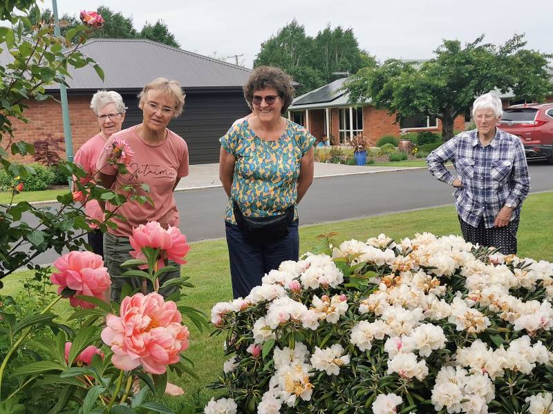
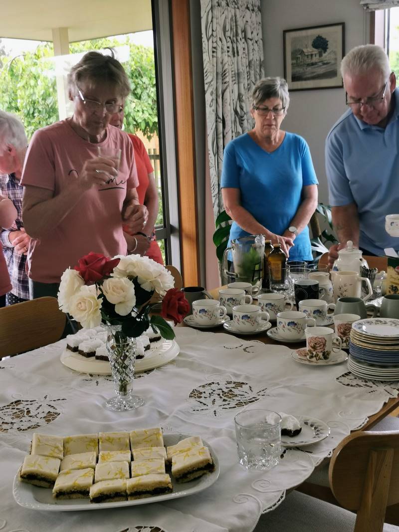
But then we were told of a special treat! The hikers were all invited back to Eleanor Ryan’s picturesque Outram home for coffee/tea and home baked cakes! With her lovely garden and trimmed lawns, not to mention her delicious baking; it was an awesome highlight to our day on the Government Track. On behalf of us all Eleanor, thank you for your generous gesture.
It’s not all about the hiking. Eleanore’s beautiful garden. Caption and photo Margreet
Delicious afternoon tea at Eleanore’s Caption and photo Margreet
32. 29 September 2021. Trampers. Government Track / Kowhai Spur. M. Leaders Phil and Helen
We set off from Peter Johnstone Park at 9am on a nice mild Mosgiel day heading toward Waipori Falls Road to a parking spot just past start of the bottom of Government Track. This was a track built in 1860 to provide access to the goldfields. Over 20 men were employed to form this publicly funded work. It provided a cheaper alternative to bring horse supplies from Dunedin which previously had been carted from Lawrence.
A good number of 17 trampers headed up the track, muddy at start but soon became well cleared with a gradual 7deg incline most of the way, apart from small creeks that were hard to pass due to slippery and wet rocks.
Along the track. Photo and caption Helen.
We continued up the track for an hour and a quarter before young Eleanore hinted that a cuppa would be good, so within 10 mins we found a nice clearing and the call was made, morning cuppa was consumed. At that time two young ladies one from Salt restaurant in St Clair and the other a midwife caught up with our group and we conversed with them as to how far to the top and introduced each other. They were very nice and by lunchtime approx. 8.75km up the track they had stopped for lunch, we had caught up so we joined forces at the clearing and decisions on which way we would tramp from there. So I walked on some approx 50 yards and found the gravel road that I was looking for on map, then returned to the group.
Lunch in the sun (mostly). Photo and caption Dave.
We finished lunch then headed to gravel road, headed right, continuing up until we found an intersection with Styx Road on sign. Did we continue straight ahead or did we go right? After a wee bit of discussion we went straight ahead thinking we were on Styx Road we continued for a km and a half, “wrong”!! An about turn, back to intersection amidst a laugh or two. We should have turned right at the intersection, although I was not a 100% confident, Gwenda and Eleanore, were though. The young lady from Salt had also scooted up 800 yards and returned saying there didn’t appear to be a turnoff. But a decision to continue was made, John also very confident decision was correct. After about 2km in the distance we saw a Dept of Conservation truck so we thought right these fellas would know, so we got closer and a second truck had arrived. Asking them if we were on track for Kowhai Spur Road, they replied YES, phew!!
When we realised how high we really were! Photo and caption John.
Panorama – view from the track. Photo and caption John.
Go to white iron gate 300 yards ahead and turn right, hill is pretty steep but when you get to hut go in there and over ridge and head down to fence line. They were right and Teresa hinted, when we got there, if you follow tyre marks down the ridge, we should get back to the fence stile. By that stage the ladies we had met said we were on track, Mr Google says so.
Looking to the hut. Photo and caption Helen.
A group of happy trampers (and two guests). Photo and caption John.
A small sun shower went through just after we left the hut, but with much glee we got down to the fence line, and although tired it was great to be out and about, 21.3 km later and 4.45pm we removed the boots and put our tired backsides down on the car seats, job done, good company, and off home, no time for coffee!!
Directions simple – up Government track, lunch at clearing 50 yards from gravel road, turn right to Styx intersection, turn right, 3 km along gravel road to white conservation iron gate, turn right, down hill to hut, over ridge go right, following tyre tracks downhill, to electric fence go left through gate, continue down 40 metres or so then when you feel you should go right go left then straight down to a clearing where the fence line takes you to the stile which is the Government track taking you back to start 18.3 kms.
Cheers for a cool longer but casual day,
Helen and Phil.
31. 9 June 2021. Hikers. Government Track. E. Leaders Sue & Kathryn
9 hikers travelled to Berwick on a cold (-1 deg.) but pleasant morning. We proceeded up the track which is a gradual incline on a reasonably dry track. We stopped for morning tea part way up.
After walking a short distance, it became very wet and boggy where cattle had been walking through, so we detoured up the hill and onto a slightly overgrown track in parts. We came into sunshine and a nice area for lunch.
Lunch above the bush line (photo & caption Clive)Great view up the valley (photo & caption Clive)
After lunch we walked downhill to the stile and back down the track to the carpark. We all headed to the Wobbly Goat for coffee.
Kathryn Fagg
30. 28/10/2020. Hikers. Leaders Clive Crossman and Alex Griffen
A Bright sunny morning saw 14 hikers gather on Waipori Road at the entrance to Government track. Even with the weather being dry parts of the track were muddy and slippery. After climbing the initial incline the walk levelled out to a pleasant hike under the beech trees and native bush.
Photo and Caption Clive – “An even track under the beech forest”
Numerous song birds accompanied us on our way. After an hour we stopped for morning tea with the sun breaking through in patches giving what more romantic writers would describe as ‘dappled shade’.
Photo and Caption Clive – “Morning tea on the track.”
As we climbed higher we looked down through the forest and became aware how precipitous the track is in places, the steep drop off camouflaged by the dense bush.
Photo and Caption Clive – “Breaking out of the bush.”Photo and Caption Clive – “Looking up the valley towards the surge chamber(white dot in middle.”Photo and Caption Clive – “A good spot in the sun for lunch.”
The height gave us some spectacular views across the valley with the road snaking away hundreds of feet below us. Eventually we broke through the muddiest part of the track into open paddocks. The sun had raised the temperature into the mid teens so it was decided the open paddock would be a good place for lunch, however it was a bit early, so we continued for about another kilometre into the bush.
There we saw some corrugated iron that some speculate is the remains of the hut used by the original track makers..
photo and Caption Clive – “Could this corrugated iron be 160 years old?”
After lunch we returned the way we had come. With the track being so muddy and slippery in places it is surprising that only one hiker took a ‘dive’. The degree of difficulty = 0, artistic merit = 0, comment from hiker = Oh Oh, and laughter.
We made it back to the cars in good time and gathered at the ‘Woobly Goat’ in Outram for afternoon tea where the consensus was that it was a good days hike.
Alex and Clive
29. 17/10/2019. Trampers. Government Tramp. Leaders: Gordon and Sue.
18 eager trampers (twice as many females today) headed out to Waipori on a mild morning, parked at the Government track carpark and headed off into the hills. The gradient on the track is enjoyable, gradually climbing to the top. It was pleasing to see how dry the track was, considering recent rain. This was obvious with the amount flowing down the Waipori river.
We crossed the stile into a grassy patch and walked for a while before stopping for smoko at 10:30am.
Photo Gordon – Morning tea
Onwards through mature Silver Beach, Kanuka and Manuka.
Photo Gordon – Walking throug native flora.
Also, the odd creek crossing and windfall trees, one you climb under, the rest you climb over! One spot has about a 100 metre scramble to get through.
Photo Gordon – Some trees were tricky to get over!
After hiking just on 8.5 kms we reached Shaw Road at 1:45pm and enjoyed the sit down in sunshine for lunch and a chat.
We proceeded along the road for 2km’s before reaching the pole track, which has a very steep descent, however, the views over the Taieri plains, the Taieri river, the Sinclair wetlands and the Lakes are well worth stopping to admire. (In July 2018 we had light covering of snow and a slippery trip down)
At the top of the Kowhai Spur we headed right through the gate into farmland, passing a Musterers hut, then a herd of healthy Hereford cows with happy calves at foot.
Photo – Gordan – Renants of native bush on downhill farmland
Sidling around and down paddocks we arrived back to the stile, and once again—-looking like a very long caterpillar, enjoyed the hike through the bush to the cars.
Deciding not to stop at Wobbly Goat for coffee because it was near closing time.
The Government track was built in the 1860’s to provide access to the Goldfields. Over 20 men were employed to form this publicly funded work. Was never much more than a bridle track and unsuitable for wheeled traffic. When completed it provided a cheaper alternative route to bring in horse drawn supplies from Dunedin, which previously had to be carted via Lawrence.
We hiked a good 18km’s, arriving back to carpark at 4pm.
Photo Gordan – The whole happy group!
Good company and good weather == another great day out.
Gordon and Sue
28. 12/9/2018. Hikers. Government Track. Leaders: Clive and Lester.
25 Hiker set out from beside the Waipori River.
Hiker set out. (Clive pic and caption.)
At first the track was slippery and boggy. Then as we got up into the bush a walk up a steady incline was enjoyed by all.
Morning tea on the track. (Clive pic and caption.)
Until…. we hit the next patch of boggy ground and we had to negotiate more slippery track, made a bit worse by the cattle that had churned up the path. The weather was kind and we made it to the 5km mark before deciding that was far enough and returned to the open paddock for lunch.
Lunch in the sunshine. (Clive pic and caption.)
We then made our way back the way we had come trying to find the less slippery and boggy part of the path. The views from up the top were great.
The view up the Waipori River Valley. (Clive pic and caption.)
We all made it safely to the cars and then onto Topiary for afternoon tea. – Clive & Lester
27. 25/7/2018. Trampers. Government Track. Leader: Sue.
Still quite cool. (Gordon pic and caption.)A rocky slip. (Gordon pic and caption.)Another obstacle. (Gordon pic and caption.)A well deserved late lunch break. (Gordon pic and caption.)
26. 30/8/2017. Trampers. Government Track. M. Leader: Dave.
14 keen trampers met at the carpark near the start of the Government track on Waipori Road. We soon started on the track noting the 4 twisted manuka trunks at the side of the track. The track has a gentle grade and is 8.5km long.
The reason for the gentle grade and generous width of this track lies in its origin as the original “road” from Berwick through to the Waipori gold fields. Over 20 men were employed during the 1860’s to form this publicly-funded work, which was never much more than a bridle track unsuitable for wheeled traffic. When completed, it provided a cheaper alternative route to bring in supplies (horse drawn) from Dunedin, which previously had to be carted round via Lawrence.
Morning tea was had over the style, up the ridge, in the sun and on time at 10am!
(Margreet pic.)
We continued up the track which is through native bush, mainly manuka, kanuka and silver beech
(Margreet pic.)
. There were occasional views out to the Waipori valley and surrounding hills. A number of big tree trunks lying over the track were either scrambled under or over. There was plenty of talking and hilarity on this trip which was great!
Lunch break was at the top of the track, again in the sun.
(Margreet pic.)
We then continued along the forestry road and stopped at the highest point (580 metres) where there were great views all around,
(Phil pic.)
particularly Maungatuas, Lammerlaws and Rock and Pillar range. Moving on to the top of the kowhai spur we stopped to get panoramic views of the Taieri plain, very clear because of the fine day. The kowhai spur is aptly named as it is steep and feet can move to the front of your boots! The next break was at a farmer’s workers hut
(Margreet pic.)
before heading down the ridge, through some bush and back on to the bottom of the Government track. A number of birds were heard and sighted including kereru (wood pigeon) and bellbirds. On getting back to the cars we found we had covered 18.5km. A fair walk!
It was then off to the wobbly goat (with some wobbly legs) in Outram for a well, deserved coffee and more chit chat.
A great group to be with – Dave M.
25. 23/11/2016. Hikers. Government Track. E. Leaders: Jim and Betty.
Route map, Government Track, courtesy Ian. (N.B. Used old shortcut route on return. Regular route a bit longer.)
The party consisted of 23 people.
The weather’s appearance was indifferent. But the Government track up the Waipori Gorge afforded good shelter in the bush. The condition of the track was excellent [thanks to track-clearing by the leaders on their recce, especially on the zig-zag beginning – ed.] and this track has a very moderate consistent gradient. The return was a slight downhill grade & a total of approximately 9.5 kms was covered. Lunch stop …
Lunch on Government Track. (Ian pic and caption.)
… was brief as there was drizzle approaching. On the return to the car park some hikers took an old short cut which gave them a minute advantage.
Hot drinks were enjoyed at the Wobbly Goat in Outram, …
Last of the Summer Wine. (Adrienne pic.)
… before returning to Mosgiel. – Betty and Jim.
24. 17/2/2016. Trampers. Government Track. Leader: Various.
At the car park, Bush Road, we looked towards the silver peaks. It was raining. We were told the wind was 50k plus, so we changed our mind and decided on the Government Track.
Arrived at the lower Waipori car park. In front of us was bright blackberries. To the left a tree full of apples, and a deafening sound of crickets.
Five of us set off up Government Track. Morning tea at the grass clearing. No wind, little sun.
At the top of the Government Track, we had lunch in the sun.
Lunch in the sun. (Helen pic)
After lunch, walked along …
Along the pole line (Helen pic)
… and down the pole line to the hut.
Down the pole line to the hut. (Heb pic and caption)
Turned right, found a tape marker which led us over and down to the style on the track just below where we had morning tea. Carried on down the track to the car park.
Heard lots of wood pigeons and bellbirds. A great day’s tramp. About 17k, and quite warm temperatures. – Heb.
23. 21/10/2015 Hikers. Government Track. Leaders: Betty and Jim.
22. 27/5/2015. Trampers. Government Track, return part Kowhai Spur.
GPS of route, courtesy Ken. Government Track-part of Kowhai Spur. Walked 17.1 km; ave 4.4 km/hr; moving time 3hr.54min; climbed 480mtrs. (Ken pic and caption)
The day looked suspect, with some light drizzle, but the turn out at the carpark was very good, & we had 6 members on our adventure for the day. We motored out to the carpark at the Government Track where it was cold & still drizzling, so it was on with the rain jackets before we set off. Once into the bush, the rain became a non issue, but everybody kept their jackets on to combat the cold.
We had a short stop for morning tea,
1. Packing up after morning tea. (Ken pic)
then pushed on towards the very muddy part of the track, just before the open grassed area, where we hoped that our planned route would bring us back to on the return journey. The track was in excellent condition, as it had just been cleared, apart from some large trees down across the upper part, which we had to crawl under.We stopped just short of the top for lunch, as there was a cool wind blowing, & the bush gave us shelter. Then it was onto the Poleline track…
2. Looking back along Poleline track. (Ken pic and caption)
…which had some snow remnants lying on it.
3. Trudging through the snow grass. (Ken pic and caption)
We estimated the distance to the top of Kowhai Spur to be about 1Km, but were surprised to find it was actually over 2kms, but when we got to the top & looked down on the amazing views of the Taieri & surrounds,
4. View from top of Kowhai Spur. (Ken pic and caption)
5. another view from top. (Ken pic and caption)
it was worth the trudge through the snow. We made our way down the steep track till we came to the hut on the true right of the spur,
6. Hut where we turned off Kowhai Spur. (Ken pic and caption)
where we left the spur, & went down through a very steep paddock heading back to the Government Track. This part of the trip was quite hard, due to the steepness, & the muddy tracks formed by cattle movement. However, we were soon within sight of the Government Track, & didn’t even have to climb a fence to get back onto it. We came out at the first fence with a stile over it, [the boundary of the privately owned land] on the uphill side of the grassed area. Then it was a brisk walk back to the cars, & the trip home, punctuated with a stop at Outram…
7. Latest Cafe footwear fashion. (Ken pic and caption)8. Trampers coffee club. (Ken pic and caption)
…for the “Trampers Coffee Club”. – Ken.
21. 12/6/2013. Trampers. Government Track. Styx Rd return.
6 trampers ventured out for the walk up Government Track today. We stopped at a “dry area” for morning tea, at about 10am, then carried on to the top at Styx Rd. where we had lunch in the sun. The sign at the bottom had said 2 1/2 hrs to the top, & that’s very much what it took us.
Lunch at top of Government Track. (Ken pic and caption)
After lunch we had a discussion on whether we tried Kowhai Spur, or just go back down the way we had come. The unknown condition of Kowhai Spur [very steep & slippery] meant that the decision was made to go back the way we had come, so we set off, & arrived back at the cars at 3:00pm.
Thanks to the earlier start time of 9:00 instead of 9:30, we were able to complete this 18.5km walk before it got too cold in the afternoon, & it gave us a time buffer if somebody had injured themselves.
We walked 18.5km
moving time 4hr 15mins
climbed 364mtrs
– Ken.
20. 3/10/2012. Both. Government Track. Leaders: Graham, Judy.
There were 17 of us, (but one turned back before the paddock). We did between 8-10 km in total, getting up to the beech section for lunch (much further than the Hikers did last time). The wind across the farm paddock was as severe as the last time the Trampers had done it. Several in the group were doing the track for their first time and were equally amazed at the ease of the gradient, and appalled at the muddy section just prior to the paddock. (They didn’t know how much better the present marked route was than some earlier routes through the slough.) This, and some other tricky bits took careful negotiating for those unsteady on their feet.
Four of the Trampers left early and did the whole track. Ken’s GPS record shows that they did 18.2 km at 4.4km/hr average. Moving time was only 4hrs 9min.Total ascent was 523 mtrs. They took an extended lunch break, making stopped time 1hr 19min. – Ian.
19. 6/4/2011. Both. Government Track. Medium. Leaders: Les and Margaret.
There is no comment from the hikers on this one, so here is a report from the trampers.
It mitigated against the intended ‘bothness’, but the leaders generously permitted three appreciative trampers to set off to do the whole track. The sign posts indicate 2.5 hours up and 2 hours down. The trampers almost made the 2 hours down but fell well short of the time up. 19 km there and back!
When we arrived at the ‘paddock’, the predicted wind was there in full force and it was a real battle to make our way across and around its slope and back into the shelter of the bush. The sloppy muddy gully just below the paddock gets no better as time goes by, despite the many attempts to re-route the track to avoid it.
GPS of Government Track from the road to the Pole Line. Courtesy Ken. Depicts how close Kowhai Spur is to the track. The multitude of gullies traversed by the track are clearly depicted. 19 km ret.
The track was well-cleared and the gradient as usual beautifully steady.
A shot of beech trees taken looking across one of the upper gullies.
Track disappearing up into the gully. Taken from the same spot as the one above.
The above pic shows only a modest amount of pig rooting. It was much worse in other places with us having to tread a new path amongst the upturned soil.
Temperatures were cooler up at the Pole Line so we retreated from it back from the gusty wind into the shelter of the manuka bush to munch a quick lunch. There was nothing tempting us to linger long.
Doug set a good pace on the return trip and the clear track allowed us to step it out with a good swing.
Back at the exposed paddock, we found the wind had lost none of its force, but fortunately it was a tail-wind this time. Then it was the atrocious gully again. The paddock and its gully had to be the worst features of the tramp. – Ian
18. 3/2/2010. Hikers. Government Track. Medium. Leaders: Neil, Lex.
Location: 30 km.
17. 9/9/2009 Government Track, return Kowhai Spur. Leaders: Ian, Sabina.
Beginning Government track. George, SusanA bit further along the track. Susan, Sabina, GleniceMorning tea on the paddock. Susan, Ken, George, Glenice, SabinaThrough the silver beech section. Ken, George, Susan, Glenice, SabinaLunch at the pole line. George, GleniceLunch on other side of track. Sabina (showing her colourful hat), SusanDOC sign indicating back down the track.View from top of Kowhai Spur. Waipori Lake and Taieri River gorge beyond. Ken Susan, George, Glenice, Sabina.
Shaws Hill road and ridge from a little further down Kowhai Spur. Sabina, Susan detectable.
Preparing to rest near site of former hut which had been moved up the hill behind camera.. Glenice, Sabina
16. 17/9/2008 Waipori Gorge Area, 1860s Government Track, Waipori Leaders: Bill H, Peter B
The ‘disturbed’ kanuka
The ‘disturbed’ kanuka
The programme said ‘Waipori’, but it really meant Bill H’s traditional walk up the “Gummint Track”. As a past long-serving employee in the area (both on a farm and in electricity supply) he was the ideal leader. As slips had made the upper reaches of the track difficult, the 15 of us began walking from the end of the seal up the Waipori road, then crossing farmland and having morning tea beside the river. After that we were following the route taken by early prospectors up the steady incline of the old 1860s Government standardised track for drays and horses to the Central Otago Goldfields. After an initial 3-minute climb, the track maintains a remarkably consistent, gentle gradient considering theodolites were not used and the construction teams used handtools! The day was calm and mild, and spring growth was evident in the lovely mixed broadleaf forest, with signs of fuschia flowers and kowhai. The track was carpeted with innumerable ’skellingtons’ of fuschia leaves (the fuschia is one of the few deciduous NZ trees) which made it soft and springy and patterned.There were also Kanuka, Matai, Totara and juvenile Lancewood. At one point there were 4 Kanuka alongside the track that must have had a disturbed childhood as they all had right-angle bends in them! The sound of the river gradually receded, and at lunchtime we came out onto cleared farmland with cattle and a good view up the gorge to look at while we ate. We returned by the same route. There was some birdlife to remark upon– paradise ducks, bellbirds, warblers- but the most remarkable was at a willow tree on the river flat in which Arthur counted 13 wood pigeons, all greedily gorging great gulps of green tips. A very pleasant walk of about 16km through lovely local terrain. – Bob
15. 12/12/2007. Hikers. Government Track. Medium. Leaders: Bill H
Resting among the trees
Only seven hikers took advantage of the ideal place to be on a very warm & humid day, the lovely bush of the Government Track in the Waipori area. It is a lovely place for a hike. Beautiful bush and beech forest. Lots of birds singing in the trees and great views of surrounding bush and road to Waipori Falls. The track is not too difficult and although you go fairly high it is a relatively gentle climb most of the way. With only a small number we took our time and lapped up the cool and pleasant conditions of the track. Morning tea sitting by the track just after 10am, and then, about 12noon, 5 of us decided we would stop for lunch. Two of the group thought they’d like a bit more of a challenge so went further up the track and had lunch before heading back. Those of us in the larger group found a really lovely spot in the beech forest to sit, chat and enjoy our lunch break. Then it was back down the track, (down hill all the way!) to the cars. All agreed we had had a very enjoyable days hiking. – Bev.
14. 29/11/2006. Hikers. Government Track. Medium. Leaders: Arthur and Barbara.
13. 5/7/2006. Both. Government Track. Leaders: (Easy+): Doug M, Bob H; (Easy): Arthur & Barbara
12. 21/9/2005 Arthur & Barbara, Bill H, Lance & Lois
11. 22/9/2004. Hikers. Government Track, return. Easy. Leaders: Jack and Rosemary, Frank and Lesley.
10. 26/5/2004 Lesley S, Irene, Les W, Mary M, Ray
9. 22/10/2003. Both. Government Track. Medium. Leaders: Trampers: Helen S, Kerri; Hikers: Mary M, Barbara L.
8. 13/2/2002. Combined. Government Track. Leaders:
7. 6/12/2000. Government Track. Leaders: Jack and Rosemary, Mary Y.
13/9/2000 Bill H, Bill & Pat
6. 7/7/1999. Government Track. Leaders: Les W, Mary M, Ray.
5. 7/10/1998. Government Track. Leaders: Lance and Lois.
4. 16/7/1997. Government Track. Leaders: Hugh, Bill H, Lesley S
3. 23/10/1996. Hikers. Government Track, Waipori. Leaders: Jack and Rosemary, Ted.
2. 14/12/1994. Government Track. Easy. This is a morning walk only, and as it is our last official tramp for the year, please bring some finger food to share for lunch, to be eater at the picnic ground. Leaders: Denise, Mary Y, Les and Mavis.
1. 13/3/1991 Government Track, Waipori Gorge, return Kowhai Spur. Nice bush and tussock walk. Average+. Leaders: Denise, Hugh and Judith, Ria de J
4. 26/4/2023 Mt Watkin. Trampers. Grade 4.5. Leaders Graeme Thurlow and Phil Keene.
View of Mt Watkin from the car. Photo & caption Pam
On a cool day 7 trampers came and we headed straight up Mt Watkin first.
On our way, meaning straight up Mount Watkin! Photo & caption MarijkeAnd it was steep. Photo & caption PamAnd the wind blew… Photo & caption PhilAt the top of Mount Watkin, cold, blustery, lonely! Photo & caption Marijke
With wind in exposed places especially at the top we all enjoyed a rest and a sit down for a well-earned morning tea. Great views of the snow on the Rocky Pillars but slightly misty in the distance.
We found some shelter on the lee side of the mountain to have our morning tea. Photo & caption Marijke
Descending all agreed it was a grade 5.
It was rocky! Photo & caption PamLaying down in an ancient Celtic ring? Photo & caption Phil
A welcome rest was needed amidst the rocks before continuing to the boundary fence with Smith’s farm. Graham T’s jovial comments “We haven’t got far to go’ received responses like “Yeah, right??”
Following down the fence line. Photo & caption Pam
After the descent to Smiths boundary when we looked at distance and time, we were shocked at how little distance we had gone for the time it took.
Now easy going to the rewards of the blackberries near the boundary and onto lunch at the DCC hut which was wired and set up for entertainment with LED lights!
It was sheer luxury to have lunch in a hut! Photo & caption Marijke
Further on down the western track we exited into long grass circled by forest and then entering the forest we bush bashed.
These vines weren’t here when I did the recce (Graham T). Photo & caption Pam
Zig zagging and encountering vines we continued down until finally reaching the creek for our climb up and out finally to a track out through a gate into Noone’s property.
The stream at the bottom. Photo & caption Phil…then up the goat track. Photo & caption PhilRegrouping after the bush bash. Photo & caption Pam
A longish walk back to the car and comments were ‘It’s good we knocked the b…. (Mt Watkin) at the start of the day’ and not had to tackle it at the end of the day.
Good comradeship, jovial comments and laughter eased the challenges of the day.
Thanks to David Smith and Zac Noone for giving permission to tramp on their property.
Choices for Hikers: Stay home and knit or brave the elements of mist and drizzle with potential rain but leave the Waihola Wanderings for another time. 11 chose to go for a local walk.
The course was plotted as we left the Peter Johnson carpark, going along the riverside, turning at the helicopter pad and wending our way over to Wingatui Rd and Gladstone Rd North.
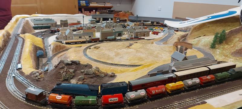
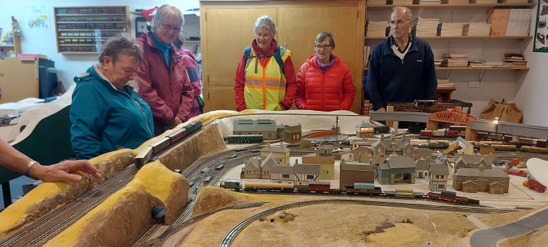
It was decided to have morning tea under cover. Wingatui Station (built in 1875) was a likely possibility. However, the leader veered off track and we arrived at Neil’s model railway instead.
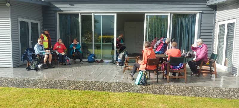
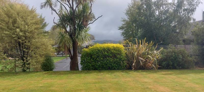
Morning tea in luxury at Morrisons. Caption and photo HelenView from their house of fog Caption and photo Helen
This of course provided shelter as he coped with the unexpected invasion and happily displayed rail/train manoeuvres.
Neil Morrisons trains – amazing Caption and photos Helen
Dry and refreshed, we passed the evidence of autumn in the yellow, gold and red tree colours, and wended our way back to the carpark after a pleasant 10 kms of Mosgiel Meanderings.
Hikers passing by Caption and photo Carole
Eleanore and Carole
The Trampers choice
As a weather alert was given, safety required that we could not go to Rosella Ridge, so it was decided we would meet at Woodhaugh Gardens. After discussion, we headed towards Bethunes Gully. The rain had eased so we walked beside the Leith with some nice street art on the walls of the Leith.
Street art surviving the students !. Caption and photo Pam
We continued past the gardens, into North East Valley, past Dunedin North Intermediate school, then Baldwin Street(no takers), Dunedin Hospice and Ross Home. We detoured into Chingford Park, a nice stone home, which catered for weddings.
Chingford Park- Discussing the weather!!! Caption and photo Pam
We stopped at Leith Harrier and Soccer grounds for morning tea.
Morning tea under shelter at Chingford Pavilion. Caption and photo Pam
Moving on we passed some garden plaques on a fence. Into Norwood Street we continued to Forrester Park (bmx bike park) then into Bethunes Gully. The good 35 minutes of uphill, required some reduction of gear before an uphill climb. On the way a large tree had fallen and was being removed. We passed a couple of waterfalls,5 bridges over Lyndsay Creek and got to the top at 12.05 – lunchtime.
Soggy sandwiches eaten on Bethunes track. Caption and photo Pam
The return to the bottom took 30 mins, past the Normanby Tavern (now closed), Ross Home, then via a track behind the Hospice, thanks John G. We continued back onto the main road to NEV shops back to Woodhaugh and the cars. As some had cooled off due to drizzle, it was decided no coffees but a couple of pieces of chocolate fudge sufficed.
Distance 16.18km Elevation 445m actual tramping time 3hrs 6min.
Thanks Graeme S for being TEC. A fun day out. Phil.
Feburary 2018
Thirteen turned out for coffee. (Judy pic and caption.)
3 -10 March 2023. Bannockburn. Trampers and Hikers and Bikers. Leaders: Anne and Rod Ward.
The club planned a trip to Bannockburn for three days of tramping and three of bike rides. This all started on Friday 3rd of March with accommodation at the old Bannockburn school now run by the Otago Outdoor Education Trust. Accommodation was a mix of the old schoolhouse, an attached cottage and the barracks for boys and girls at the other end. Anne and Rod had a full programme of activities for the six days, including delegating the evening meals to teams for the first four nights, this included providing nibbles, main course, dessert, and home baking for supper.
Friday 3rd March – Day 0
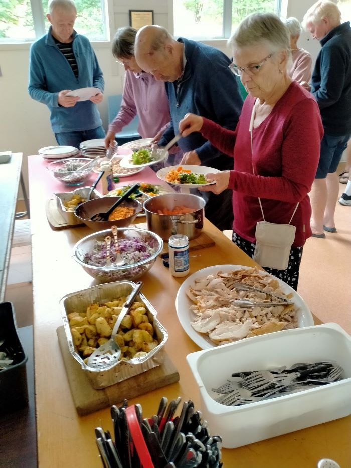
Travelled to Bannockburn and settled into the camp. It was a beautiful hot afternoon/evening under the veranda soaking up the atmosphere. With rooms sorted some had a swim, others happy to watch. Team 1 prepared scrumptious ham, salads, etc as required for the duty team.
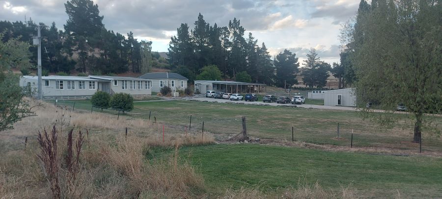
First night, settling in. Photo & caption JohnBannockburn Camp. Photo Helen
Friday 10th March
All that remained to do for those who stayed overnight was to pack up, tidy up, and head back home.
Thanks to all cooking groups for preparing and organizing meals, that were varied and enjoyable, great menus for the week.
Also to all the drivers for ferrying us to various start and pickup points, your service was invaluable and very much appreciated.
Overall our accommodation was well suited for our tramping group. Bannockburn Outdoor Trust was very obliging to our needs. I’m sure we’ll return for more adventures.
Saturday 4th March – Tramping
Day 1 – Kanuka Track plus Trail to Old Cromwell Town.
Lunches made, the tramping group (20) travelled to the Bendigo DOC Historic Reserve to complete the Kanuka Loop Track – 14kms from the Cromwell bridge to the turnoff onto Bendigo Loop Road and onto Mines Road to the carpark. The day was overcast with periods of drizzle so required jackets off and on as needed.
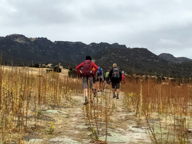
They are on their way. Photo & caption PhilMorning tea. Photo & caption JohnWorking out where Tarras Airport is? Photo & caption Phil
This track is 10.6km long, with elevation gain of 487vertical metres. It is a rugged trail with steep sections, but the elevation gains give you views from the Old Woman Range to the Saint Bathans. Underfoot it’s a variation of grass, tussock, rocky outcrops, with some good cover from the Kanuka and Manuka bush, Lunch was at the skyline ridge. Moving time for our tramp was just over 4 hours. Once back to the cars we drove up the hill to have a look at the relics of the old goldmining settlement of Welshtown, stone buildings and mineshafts from a bygone area. After much discussion we agreed the track rating would be 4.5.
The 3 hikers. Dave, Helen and Raewyn. Photo & caption Helen
The Hikers (3) enjoyed a walk on the track to Old Cromwell Town for coffee and return 5.2km each way.
Sunday 5th March – Tramping:
Day 2 –Kawarau River Track.
Due to rain overnight and start of Sunday morning we changed our walk to River Walk from Bannockburn Bridge up Kawarau River track (combined walk). Some walked return and others were given a lift back to camp where we had lunch. (4.5km each way) Very interesting walk which one day will join up with the carpark at the Goldfields Mining Centre.
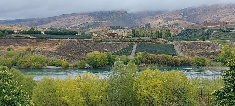
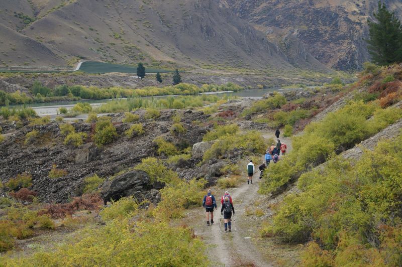
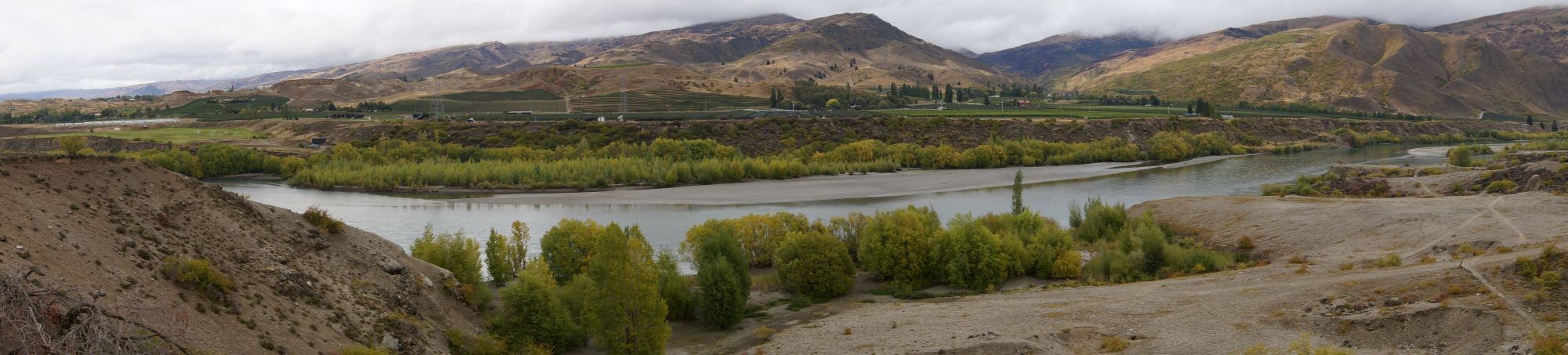
Beautiful views. Photo & caption HelenThe long and winding road. Photo & caption JohnMorning mist lifts on another day. Photo & caption John
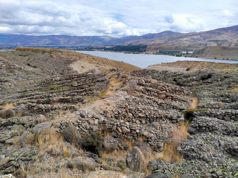
In the afternoon Ross took us to the Quartz Reef Point Track about 6kms up the lake from the Cromwell bridge for a brisk 30 min walk from the carpark to view the formation of diggings in the shape of leaves (herringbone tailings).
Hope this is worth it. Photo & caption JohnNo need to go to the gym back in the day. Photo & caption John
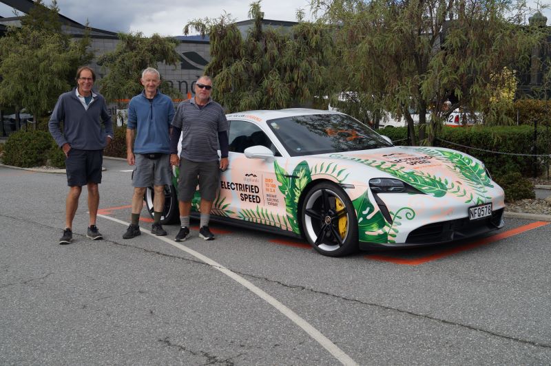
Some travelled back to Cromwell Pool for well-earned spa & swim while others visited Highland Park racetrack.
Boys and their toys. Photo & caption JohnPhoto HelenThis one took John’s fancy. Photo & caption HelenHelen laying down the law to her ‘boys’. Photo & caption Phil
Monday 6th March – Tramping. Day 3 – Bannockburn Sluicings, Stewart Town, Long Gully Loop Track
Beautiful weather for start of the day. Lunches made. We left cars at Bannockburn Camp just a short distance from School Camp and headed along Domain Road/Gibson Road to the start of sluicings and up to Stewart Town for morning tea with all of group.
High Tea under the trees at Stewart Town. Photo & caption PhilHeather’s photographic skills to the fore. Photo & caption JohnLovely old house. Photo & caption Helen
Here hikers and trampers parted ways, the hikers walking around through sluicings to Felton Road and back to carpark via coffee stopover.
Hikers at lunch at the Black Rabbit cafe in Bannockburn. Photo & caption Helen
The trampers headed further afield to complete Long Gully Loop Track 7kms, a steady uphill climb, where we stopped for lunch at the top and admired magnificent views of Bannockburn, its wineries and further down to Cromwell and Lake Dunstan. We couldn’t have chosen a better day; the scenery was amazing. Lunch over and back down steep incline to complete Loop Track, a tired but very satisfied group on completion of track.
Boundary riders. Photo & caption PhilWe did it. Photo & caption PhilA long way down. Photo & caption JohnViews of the Felton road vineyard. Photo & caption Neil
Many sore and tired muscles took refuge in the pool back at camp.
Wyn savouring Keith’s cooking. Photo & caption Phil
Neil started the evening meal with his version of grace, very apt for our group. Our yummy meal was followed by Neil’s quick wit for ‘News of the Day’ very entertaining thanks Neil. Shona and Keith arrived just in time to assist with meal preparation.
‘Hope Hill’ is a working farm located just south of Allanton. The owners over the years have given the TRTC permission to undertake tramps through their unique property. We parked in a paddock off the State Highway. The morning was clear and warm and 16 trampers were keen to get underway. Ahead of us was a winding farm track up to the top of the hill. With a few stops along the way to appreciate the views of the Taieri Plain we reached our morning tea stop in around 45 minutes.
A steady climb to admire views over the Taieri Plains Caption and photo Pam
After morning tea we continued on the farm track for a bit more time and then we turned left and walked on grassy pasture toward the sea.
Panorama- First glimpse of the Pacific Ocean. Caption and photo John
The interesting eastern view was unfolding for us and when we made our way up to a trig station we could see it all – Saddle Hill, Blackhead, Taieri Mouth, peninsulas beyond and forestry to the south.
Group photo using a timer Caption and photo John
After leaving the trig station we continued walking through the picturesque landscape with the ocean in the background. However, we had to leave this gentle part of the farm and tackle a steep downhill track that eventually led us to a large flat paddock. We followed sheep tracks through the paddock and eventually got to McLaren Gully Road. We turned right and had about 1.5kms to walk on the narrow, dusty gravel road. The road is used extensively by logging trucks. We were thankful that Lyn (one of our trampers) had contacted the haulage company and explained we would be on the road about midday, and they alerted their drivers to take extra care. We managed the road walk without incident. After passing wooded areas and an interesting old house the Hope Hill paddocks came back into view. We turned off the road and into the paddock at the earliest opportunity.
This side of the farm was drier and hotter and so it got a bit tougher for us. Our view now was the Taieri Plan, Dunedin Airport and surrounds.
Panorama – Allanton to the right. Caption and photo John
Our aim was to reach the two prominent cell phone towers near the top of a ridge and have our lunch. However, there was a steep climb for us to reach the towers so needless to say we enjoyed our lunch break when it came.
After lunch we continued climbing but on a gentler slope and then traversed several paddocks back to the farm track we had come up in the morning. We descended the farm track back to our cars.
It’s all downhill from here. Caption and photo Neil
More downhill Caption and photo Neil
And we’re still going down Caption and photo Neil
We walked around 14 kilometres and were all pleased to finish around 2.30pm as the day was getting hot and windy.
Thank you to Neil for all his work with helping us through fences and opening and closing gates.
Crossing fences has it’s challenges. Caption and photo John
Thank you also to Lyn for coming with us on the recce and helping us on the day.
13. 28/8/2019. Trampers. Hope Hill. M. Leader: Gordon.
The Hope Hill farm tramp started off at 9.50am, after parking cars in a paddock south of Allanton with 19 enthused trampers.
We followed a farm track straight up a ridge for nearly an hour
470. The farmer asks Are you fit and experienced trampers? (Phil K. pic and caption.)
which was pretty steep at times, arriving at the top for Smoko amongst some tussocks sheltering us from a coolish breeze.
Welcome morning tea stop at the top of Hope Hill. (Jenni pic and caption.)
The sun was shining brightly and some great views were had from the south end of the Taieri down to Mosgiel. We then set off toward the coast which provided views of Blackhead, Saddle Hill, & Scroggs Hill until we came to the ridge which would lead us down to McLaren Gully road.
Heading down to McLaren Gully road. (Gordon pic and caption.)
It was easy going for a start but got quite steep on the last half,
Pretty steep @ rocky in places. (Gordon pic and caption.)
but thankfully no twisted or broken ankles or knees were reported after reaching the flats at the bottom from where we carried on to the road. After walking on the road for a while we turned off to start heading back up toward the cell towers where a very welcome sunny spot was found for a much needed lunch break.
Perfect sunny lunch spot. (Gordon pic and caption.)
After lunch we started back up a gentle gradient track back to our morning smoko spot and down the track a bit further to where we turned off to go down a different ridge to the cars
478 Homeward Bound. (Phil K. pic and caption.)
so that we were walking on grass which most, felt easier on the feet than the gravel track.
We arrived about 2.30pm, then on to Wals for a great social hour.
Wals. (Helen pic and caption.)
A great tramp, great workout, great views, great company. Distance 14kms. – Gordon.
12. 18/1/2017. Hope Hill. M. Leader: Arthur.
Today our team was comprised of 7 regulars plus guest Kathleen from Canada and Dave coming across from the Hikers – 9 in all.
The tramp was on “Hope Hill” farm, just below Allanton and we parked in the paddock off State Highway 1. To begin, we had a 3/4 hour uphill walk on the farm road, and in doing so gained about 200 metres of altitude.
Morning tea was taken beside an old farm trailer,
Morning tea stop at top of hill. (Helen pic and caption.)
giving us a rest after the uphill bit. The weather was overcast, and just touching the top of Maungatua at the time. There were very good views from up on top.
Moving on, after paralleling the main road south for a short time, we changed direction towards the sea. We were able to view Scroggs Hill, Saddle Hill, Blackhead, and down to Taieri Mouth and beyond at times. The Peninsula was only vaguely visible in the misty conditions though.
Newly-weaned lambs were in the paddocks that we were walking through. Eventually we came to the boundary with the forestry, when the leader realised we had come too far. A little scouting found the top of the track we were to descend, requiring us to backtrack about 300 metres.
We followed a very steep track down through the bush, to emerge into a large paddock of ewes, who baa-ed a greeting to us, wondering where their lambs had got to.
Across the paddocks to McLaren Gully Road. A road walk for a while
Old farm house in the trees. (Helen pic and caption.)
before venturing back into the paddocks to climb up to our lunch spot in the shelter of a hut beside the 2 cell phone towers. It was a stiffish climb up to there,
Up the hill to lunch spot. (helen pic and caption.)
and lunch was eagerly anticipated. The breeze was cool and we sought the shelter. The weather was deteriorating now, the cloud lowering considerably. We were overlooking the airport, but the far side of the plain and far hills disappeared.
View from lunch stop. (Helen pic and caption.)
It seemed wise to make our lunch stop brief, but we had only started off again when fine drizzle arrived with the cool breeze we were facing into. We were still climbing for a while, but it was a gentle slope. Not too unpleasant.
Return to the cars was planned to take a different route, but we changed our minds due to the conditions, and descended the farm road that we had begun on – not so nice going down on it though.
It started to rain just as we got to the cars, so the timing was good. Keith’s distanceometer indicated that we had walked 14.2 km. A good tramp, giving us all a good workout on the hills – and it had been quite enjoyable, too.
Arriving back in Mosgiel, the cars detoured into “Wals” for a little while. – Art.
11. 20/4/2016. Hikers. Hope Hill from McLaren Gully Road. M. Leaders: Lester and George.
Logs being hauled down to be cut. (Jan B. pic)Log cutting & trucking on the spot. (Jan B. pic.)The steep pinch up to the masts. (Jan B. pic.)
Morning Tea view. (Liz pic and caption)Lunch view. (Liz pic and caption)Weed. (Liz pic and caption)
10. 16/2/2011. Hikers. Hope Hill from McLaren Road. Moderate. Leaders: Peter and Wendy.
9. 21/1/2009 Trampers. Wallaces’ Farm on Hope Hill and Forest tracks. Medium. Leaders: Keith, Glenice, George
Nine of us walked from foot of McLaren Gully Road through a paddock with a stand of larches, cut across the corner of a paddock newly laid down in grass but at present largely growing fat-hen, to climb a track up through scrub,
Track up through scrub. Glenice, Wendy
then manuka,
Emerging from manuka shortcut. Angela, Doug, Bob
then gorse
Gorse section of climb. Ian (Bob pic)
to arrive at the transmission mast by the macrocarpas, for morning tea. Here we enjoyed that panorama of the Taieri plain.
Panorama of Maungatua, Taieri Plain and airport. (Bob pic)
Along the farm ridge we inspected the historic site of the Harvard plane crash
Harvard crash site (Bob pic)
The wreckage of the Harvard of the No. 4 (Otago) Squadron Territorial Air Force which crashed on Hope Hill.
The Harvard crashed during a flight from Taieri on 16 Sep 1954. Both occupants of the plane, married airmen, were killed instantly when their night trainer hit the hill at an altitude of 2000ft. The men were Flying Officer Roanald Arthur Slade (30), of Dunedin, a territorial officer and Leading-aircraftman R. H Lester (30), a radio mechanic of the Taieri Air Force Station. The aircraft was one of three which left Taieri at 10.15 pm. on a training exercise. (ODT Sat 6 Sep 2009 “Within Living Memory” section).
and an antique trailer loaded with farm miscellanea.
Antique trailer. George, Doug
Further along Bob took advantage of an empty drinking trough to take a bath.
Bob bathing
and down a ridge to the right, stopping to photo Saddle Hill from the south
Panorama of Saddle Hill and Brighton coast (Bob pic)
into the forestry, with a surprisingly clear floor.
Down through open forestry. Keith, foreground.
Down, down, down, to cross a small stream then up, up up back out into the farm and further steeply up a ridge to a trig
Climb struggle over. (Bob pic)
and to complete a clockwise loop (has usually been down anticlockwise on previous occasions) and back along and down the way we came. A good day, little wind, cloud but still quite hot apart from a passing shower. – Ian.
8. 28/5/2008. Trampers. Hope Hill from McLaren Road. Easy+. Wallaces’ Farm on Hope Hill Leaders: Ian, Pat
Tea Break. Peter, Ken, George.
A chilly start in the carpark for a healthy turnout of hikers, trampers and walkers. We celebrated an 80th birthday for Anne Rose, who looked about 50, with several comments along the lines of “Hope I look like that when I’m 60 never mind 80″… A very good advert for the benefits of hiking!
We parked our cars on McLaren Gully Road and started the steep climb up Hope Hill, with someone saying no wonder it was called Hope Hill because you just hoped you would make it to the top. Morning tea was overlooking the Taieri Plains with the Taieri River and the airport down below and a panoramic vista in all directions. George gathered us together on one of the high points to tell us about a tragedy that happened here in the 1950s. A Harvard training aeroplane with 2 people on board crashed into the top of the hill, nose diving into the ground. It was found at the inquest that carbon monoxide had leaked into the plane from a pipe that ran through the cabin overcoming the pilots, probably before the plane crashed. Several people remembered the accident. We continued through Wallace’s farm, in places quite wet and muddy. At a trig we were able to see all along the coast as far as the peninsula, trying to name the headlands we could see. Then we wended our way down to a sheltered spot among some trees for lunch. We were a bit wary of the tall trees, as at a previous spot a large branch had crashed down making us all jump.
After lunch it was down, down, down a steep paddock and then a very steep track
Steep! Joyce, Lex, Ria, Tash, Peter, George, Evelyn?, Emma
Steep! Emma, Joyce, Hazel, George, Lex, Peter,
through bush until, along turnip paddocks and wet, wet, wet, we hit McLaren Gully Road again and made our way back down to the cars. Thank you to Pat and Ian for doing the recce on Saturday and Monday and making it a good circular walk. – Tash
4. Eastern Flagstaff. Trampers. Grade 4.5. $5. 15km. Leaders Ross Davies and Gwenda Farquharson
(Redwoods bike tracks – Old Pineapple Track – No track – Davies Track – Flagstaff Walkway – Spiers Road Track – street walk)
Keen to start the tramp (photo & caption John)
17 of us met up in Wakari Road at the carpark for the Redwoods bike tracks on a cloudy morning and headed off into the maze at 9.20am. It’s a lovely meander through the very tall trees. We emerged at the Booth Road end of the Pineapple track and took the track up to the water treatment plant.
Morning Tea at the pumping station (photo & caption John)
We had morning tea there a little after 10am on the uphill side before heading into the bush behind the plant. This was the entrance to the original Pineapple Track which was replaced by the current one in the late 1970s. Within a few minutes on a faint unmarked trail we crossed the McGouns Track and kept on straight up. The track is reasonably obvious. It was a bit greasy in places but is a nice contrast with the new track.
Mind your step (photo & caption Phil)
We emerged into the open area beside the new Pineapple Track but didn’t head over to Pineapple Point viewpoint as we’d been enveloped in cloud by then.
Regroup in the bush (photo & caption John)
Instead we retreated a little way back down the way we’d come before heading south through the bush, contouring around to the middle part of the Davies Track. There’s a slight ground trail, and some markers, probably noting trapping lines. Plus lovely big Totara trees and impressive cabbage trees. Towards the Davies Track there are blue triangle markers for another trap line and this leads on to the Davies Track about halfway up. We had a look at the alligator swamp but they were all hiding.
Feels like the jungle in Borneo (photo & caption Phil)
The upper part of the track was fairly muddy and slippery. Eventually we emerged from the bush, just below the cloud. After the fire a few years ago, the flax and gorse and grass are growing back, and it was saturated. With nowhere dry to stop, we carried on up to the Flagstaff Walkway and then a few more minutes towards the top where we found a sheltered dry spot beside the track for lunch, at about 12.45pm.
Lunch on a handy bank (photo & caption John)
After lunch we zoomed across the summit, then down a little way towards the Bullring. You have to keep your eyes out for the Spiers Road track branching off to the left, over the ridge and then plunging down towards Halfway Bush.
Within sight of civilization (photo & caption John)
After the light rain of the night before the track needing a bit of care.
Ross explains the site of the original road out of Dunedin (photo & caption John)
This was the route of the Snowy Mountain Road, the first overland route out of the new Dunedin to the north, over Flagstaff, over Swampy, over Hightop, and on north to Johnny Jones’ Cherry Farm at Waikouaiti via what is now the Mountain Road forestry road.
Ben Rudd’s stonewal (photo & caption Phil)
Further down we passed Ben Rudd’s stone wall, and then the site of a plane crash in 1943 which everyone survived, including the plane! From the bottom of Spiers Road it was a 30-minute street walk back to the cars, checking out the houses and gardens along the way. Most repaired to Coffee Culture in the olde Roslyn fire station for the de-brief.
Thanks Gwenda for helping out, and to everyone for sharing in another happy adventure.
Ross
Tramp details: Distance – 13 kms; height gain – 730 m; moving time – 3.75-4 hrs; elapsed time – 6.25 hrs.
Discussion afterwards agreed 4 or 4.5 for grade and I’m comfortable with 4.5 because of the extra height gain and the proportion of rough track involved.
9. 7/12/2022. Trampers Lamb Hill, Fiddlers Hut, 3 O’clock Stream. Grade 4.5 Leaders: Phil and Gwenda
Thanks again to 15-year managers Chris and Lucy Thomson for allowing us on their farm, split by the stream with an altitude of 180 to 700m above sea level. These 4550 hectares of steep exposed hill country run, alongside 10,880 ewes, 750 mixed aged Angus cows, including 200 yearlings in-calf heifers, recently scanning 97% in calf. The yearling girls well and truly pay their way going to the bull at 350-390kg LW an impressive feat given Lambhill’s challenging climate. (all other history can be looked up on the internet.)
We had 11 hardy trampers battle into a cold NE wind. We worked up from the airstrip a km before heading through the first gate and then headed NW into good terrain of green paddocks. We worked over to what was a tree line now removed, heading off more west beside the Angus cows and calves and then numerous paddocks of sheep with a lot of twin lambs.
Heads down into a cold southerly wind Caption and photo Pam
Lynn did her job of herding a lamb back to her mum. After an hour and a half we arrived at the top of the hill looking down on Fiddlers Hut and 3 O’clock Stream.
Descending to Fiddlers Hut across the stream. Caption and photo Ross
We found a crossing that wasn’t too deep and crossed the stream ready for lunch at hut by 12.44 pm.
“Walking on water”- 3 O’Clock Stream Caption and photo Pam
Lunching at Fiddlers Hut. Caption and photo RossInside Fiddlers Hut Caption and photo Pam
After lunch, we decided to return around the ridge to the east, 10 minutes in we thought we could hear the squeal of a falcon or its chicks, so we moved as quickly as possible not to disturb.
We could hear the Falcon’s calling in this gully. Caption and photo Pam
We then needed to head to the top of the ridge so we could work out how to return the way we had arrived. It was hard work and the wind was unforgiving.
Uphill With a Tail Wind – Phil to the fore Caption and photo Ross
So with a few rest stops’ we headed back to the cars. I must admit we were not quite as chirpy as the case on the way down. It was an impressive property but only the hardy would survive the wind. Back to the car, we munched on some chocolate goodies to revive energy.
Hindon must be a lonely spot in winter, but the land has magic not seen that often.
Thanks to tail-end Charlie Gwenda. Phil
Dist 16.51km elevation 628m time 4hrs actual walking (ala strava)
5. 7/12/2022. Hikers. Macandrew Bay. Grade 2 Leaders: Jill D. and Linda
Twenty eager hikers departed Macandrew Bay car park on a cool grey morning. We walked along the harbourside walkway as far as McTaggart Street where we stopped at the Company Bay reserve for morning tea. Unfortunately, the native plant nursery was closed for the day so we were unable to do the planned visit. However, Jill was able to provide us with some information on the work that was carried out there to provide native plants for planting out on the peninsula.
Jill giving a speech at morning tea. Caption and photo Helen
Onwards and upwards we made our way up the road and on to the track, climbing over some stiles, walking across farmland and up the hill towards Camp Rd.
How many stiles? Caption and photo Phil
We stopped several times to catch our breath and to admire the wonderful views of the peninsula. After the steady climb we reached our lunch stop on Camp Rd near Larnach Castle.
We did as the farmer instructed. Left the sheep to close the gate. Caption and photo Mike
We then continued our walk along to Pukehiki where we visited the lovely little community church, with its loo with a view!
Pukehiki Church is the background for our group photo. Caption and photo Helen
From here we walked along Highcliff Rd to Greenacres track and proceeded downhill to Macandrew Bay.
Screenshot Margreet
Some opted for an ice cream while others enjoyed refreshments at the Duck Cafe, while taking in the view of the lovely Macandrew Bay Beach on a nearly sunny afternoon. Jill and Linda
Phil at Jamestown in the Hollyford, in 2003, telling the grandiose stories of James Macandrew Caption and photo PhilStanding alongside James Macandrew’s grave and memorial Caption and photo Phil
18. 30/11/2022. Trampers. Post Office Creek track from the Waipori Village side. Grade 3. $14. 60km. Leaders: Barbara and Leah.
Despite ominous weather predictions for several days prior to the 30th, and heavy rain early that morning, the visual was more promising.Three vehicles and 14 trampers left the Peter Johnstone carpark heading towards Berwick and up the Waipori Falls Road, through the Village and continuing towards Lawrence. The big, locked orange gate, although on a side road, can’t be missed! Through the locked gate, past the new picnic area, following the road below the Mahinerangi Dam to cross the bridge and climb up into the Wenita section of Dunstan Road. The potholes aren’t for the fainthearted.
About to leave the cars (photo & caption John)
The walking track is off Patearoa Road which itself is off Moonlight Road and we parked at the junction of the two. The permit was left visible through the windscreen.
Excited to be ready to go (photo & caption John)
A quick morning tea, and the party set off on the 1km down-hill (remember what goes down at the beginning of the day must go up at the end!!) to the rustic signpost indicating Post Office Creek track. There was a brief delay while one driver (nameless) went back and spent a frenetic 5 minutes searching for car keys in order to lock the vehicle. Having found the keys in the backpack, they were left on the ground while the pack was rezipped. The person (also nameless) who had ferreted them away while the rezipping was underway should be afraid; very afraid! A brief detour a few minutes down the track proper took us to the now dilapidated fishing huts.
Fishermen’s Hut hidden in the trees above lake Mahinerangi (photo & caption Pam)“Watch your head John” as the track winds under the overhanging rock (photo & caption Pam)
A scramble back up the track and we were crossing the first of the creeks and negotiating the rock bivvy.
Post Office Creek rock bivvy (photo & caption Barbara)
The entire track follows the contour of the slope with very little up or down. Many of the guts had bridges in varying degrees of disrepair but which, it’s understood, are likely to be removed entirely in the near future, after the maintenance work in the forestry has been completed. The tracks will be realigned to navigate the guts minus bridges.
One at a time crossing the old wooden bridge (photo & caption Pam)
Pigs had been digging up the track which left it nice and soft underfoot and there were a few fallen branches we cleared as we went.
Escaped from the forest (photo & caption Jenni)
We left the canopy cover of the trees as we neared the re-sited Waipori School buildings where we sat and had our lunch. Half the group elected to follow Jill to the actual Post Office Creek while the remainder sat and chatted, walked down to the lake edge and poked around the buildings.
Disappointingly there was no fishing or poetry recitation.
Lunch beside the relocated school house once used by musterers (photo & caption Pam)Our industrious leader with historical info (photo & caption Jenni)
On the return of the wanderers, we set out again, retracing our steps, looking out for litter to take back to our vehicles. The last uphill kilometer was unwelcome but all 14 made it. A change of footwear, a little shenanigans with someone’s pack and sticks, and we headed back to the locked gate, this time heading to the right, over the Lake Mahinerangi causeway, through the fishing village and back to the Middlemarch Road at Lee Stream, enjoying a commentary from Jill who, for several decades, had farmed the property on both sides of the road.
End of track at Post Office Creek (photo & caption Pam)
One carload stopped for an icecream at Outram ($2 for 2 scoops being excellent value!), but weren’t joined by the other two, who must have thought 4.30pm too late for such extravagance!
An enjoyable day on an easy track which could well be considered for a combined day.
It would be possible to leave a 4WD vehicle at the bottom of the hill, at the signpost for the track, as we did on the recce, shortening the distance by 2 km.
Barbara
17. 2/6/2021. Combined trampers and hikers. Leader: Jill
A combined group of 42 people met at Andrew Reid’s hay barn on Mahinerangi Road and soon set off down the steep hill past the cattle yards. It was nice to have several visitors out today, as the weather gods were truly kind, and the ground underfoot was firm.
Down the hill Photo: Clive
We all enjoyed walking through the rolling country and down to Lake Mahinerangi, initially opposite the old Waipori school building.
Opposite Old Waipori School Photo: Pam
The lake was very low but still picturesque. We followed a gold miners water race to a now empty dam. One can only marvel at how adaptable and hardy those early gold miners were to seek their fortunes in this remote area!
Following the gold miners’ water race Photo: Pam
The trampers then went up through the farm, intending to walk several kilometres more than the hikers, but I am not sure there was much between us in the end!
On top of the world Caption and Photo: John
Another steep pinch Caption and photo: John
Trampers had lunch beside a tree lane with good expansive views and the Mahinerangi wind turbines were turning in the distance.
Trampers lunch break Caption and photo: John
Back down to the farm lane that we followed to THAT hill and our cars.
Distance covered was about 12.5 km. Jill
Screenshot: Colleen
After parting ways with trampers 14 hikers led by Chrissy (thank goodness) climbed up a fairly steep hill where we had a short lunch with the promise of another break at the top of the next paddock! Well, we somehow went through a wrong gate so instead of doing a loop we did a loop and a half to get back on track. We were all in good spirits until we saw the road we had to go back up to get to the cars.
Hikers view of the track back to the cars Photo: Clive
But it was onwards and upwards at our own paces and, getting overtaken by the trampers, we made it back. This was a hard walk for us, but our senior members were so impressive. Well done team. PS. we never did get that promised break?
All up it was a solid 12 kilometres. Thanks Chrissy. Jenny & Jan Y.
11 trampers enjoyed a beautiful day on Andrew Reid’s property. We parked at the woolshed and headed downhill before walking along a water race created by gold miners, to a now empty dam.
10409112nd—Quick stop morning tea. (Gordon pic and caption.)On old water race above Post Office Creek. (Phil pic and caption.)
We marvelled at how this race had been dug into the hillsides – and can barely imagine the living conditions of the early miners, one must certainly hope their toiling brought rewards!! There were a few fences to climb
Another Bloody fence. (Gordon pic and caption.)
but we were rewarded with nice views over Post Office Creek and then Lake Mahinerangi.
Surveying the Post Office Creek arm of Lake Mahinerangi. (Phil pic and caption.)
We then walked away from the lake, across a dam, and through paddocks up to the farm boundary with DCC forestry. Lunch was eaten in the shelter of the trees.
A very welcome lunch break. (Gordon pic and caption.)
Then a few more ups and downs but we basically walked through the paddocks beside Mahinerangi Road back to our cars.
A most enjoyable day.
Distance walked 15.5 km. – Jill.
15. 17/1/2018. Trampers. Post Office Creek. Leader: Jill.
Route map, courtesy Keith.
13 trampers met at Reid’s woolshed on Mahinerangi Road. We walked down the hill to Post Office creek, and had morning tea at the “camp” before taking the track through gold mine sluicings to the top end of Lake Mahinerangi – a very low lake today! After viewing the old Waipori school (which had been moved to this site to use as a musterer’s hut before Waipori village was drowned) …
School inspection. The “old” Waipori School moved to Post Office Creek before the raising of Mahinerangi. (Phil pic and caption.)
… we backtracked about 1 km and shortly after went up a very steep stock lane …
Onwards and upwards to the trig. (Phil pic and caption.)
… and lunched by the trig there, enjoying expansive views of the area.
Trig A4GT -618 m altitude. (Phil pic and caption.)
We continued up the farm track towards the back of the Maungatuas – the intention had been to look over to Waihola, but it was decided that was a bit far on this occasion! It was an easy return down hill to the bridge over Post Office creek – and to our cars.
Jill proudly displaying the new charging station for e bike travellers. (Phil pic and caption.)
An 18.5 km tramp enjoyed by all. – Jill.
14. 7/5/2014. Both. Reid homestead, Verter Burn to Post Office Creek and old school buildings. Leaders: Ken and Peter.
iPhone GPS distance: 12.1 km. Garmin stats: We walked 12.9km; Moving ave 4.3km/hr; Moving time 2h 58mins; Climbed 342mtrs; Max elevation 572mtrs. Allow a further km or two for the pedometer distance recorders, and then pick the figure that suits you!
21 of us parked in the Reid’s homestead backyard and made our way through one or two fences down to a bridge over the Verter Burn (near ‘1’ on the map) for morning tea.
Morning tea at Verter Burn crossing. (Heb pic, Ken caption)
We followed a road on the stream’s true left, which begs the question as to where originated the pond with its beautiful reflection on our left. (About ‘2’ on map.)
Reflection
Between 3 and 4 on the map, is where we approached the Verter Burn ford, into which we were to plunge later, but at this stage we swung off to our left to make our way through early gold-sluiced cliffs (8/4 on map) to finally cross the Post Office Creek and arrive at (5) the former Waipori School building (as reported to the writer) of the one-time but now submerged Waipori Township.
The Township of Waipori. The valley is now flooded and the town site is inundated. Photograph taken in 1890 by Charles Kerr.
We climbed the steep hill alongside the Post Office Creek’s true left to skirt on our right a forestry of densely branched trees (larches? [and unpruned!] with a scattering of eucalypt among them) for a lunch where the forestry road levelled out at the top (6).
Then it was back down to the school building and out to the aforementioned ford, which this time we crossed with variously successful attempts in keeping feet dry, (but mostly wet).
Beyond that, was the further challenge of the BIG CLIMB, of un-fond older members’ memory. A taranaki gate at its top was new to us, but Neil successfully unscrambled its complexity. Three more paddocks and gates took us out to the Mahinerangi Road ( 11) and along it to the homestead (12.1) again.
At Outram, the majority of the (now well-established) coffee club socialised at the Wobbly Goat, …
Apres-tramp coffee at Outram
although some betook themselves to the No 8 w Herbs cafe across the road. And that’s it. – Ian.
13. 28/11/2007. Trampers. Post Office Creek, fishermen huts return. Skyline track was closed on the day. Working on roads, trees. Easy. Leaders: Bill & Pat.
The day was fine and not too hot for
13 of us to tramp the Lake Mahinerangi water-race track to the fishermen huts. We had morning tea at the Post Office Creek Old School.
Tea Break. Hazel, Wendy, Doug, George, Ken, Shirley, Pat, Joyce, Arthur L
Immediately beyond that, the leaders had found for us the clearest approach to the larch forest that borders the lake, the tussock and bog being now badly infested with gorse. A leisurely lunch in the sun at the fishing huts and the return back. The Verter Burn barring the way in and out, as always, inspired a variety of creative crossing techniques, from direct plunging through the water boots and all, to bare feet, to plastic bags over boots and even to gumboots carried in.
Crossing techniques. Abe (bare feet), Peter, Pat (getting plastic bags), Doug (bags), Barbara and Wendy (boots on rocks), Arthur (gumboots)
The long hill climb back out of the Verter Burn gets no easier with age, but all agreed it was another good day out. – Ian
Back at cars. Pat, Barbara, Abe, Peter, Ken, Wendy
12. 8/11/2006. Trampers. Post Office Creek. Medium. Leaders: Ian, Doug M
11. 18/5/2005. Both. Post Office Creek. Leaders: Doug J, Bill M, Joyce S, Lesley G
10. 29/10/2003 Forestry roads return. Leaders:
Crib by the ford. Bob Peter Arthur Barbara Who? Molly
Crossing Verter Burn. Peter Who? Molly
The gate beyond Verter Burn.
School. Arthur H Bob Peter Arthur L
Lunch stop. Arthur & Barbara on a tea break on forestry road back out.
9. 25/4/2002 Leaders: Joyce S Shirley, Wendy B
8. 30/1/2002. Post Office Creek. Medium. Leaders: Joyce, Bob H, Donny.
7. 25/4/2001. Post Office Creek. Leaders: Joyce, Shirley McN, Wendy.
6. 5/4/2000. Post Office Creek. Leaders: Joyce, Bill McL, Nancy.
5. 26/5/1999. Post Office Creek. Leaders: Joyce, Nancy, Patricia.
4. 26/8/1998. Post Office Creek. Leaders: Joyce, Pat.
3. 4/2/1998. Post Office Creek to Huts and return from Robert Reids. Leaders: Denise, Ria L, Nel K.
2. 30/4/1997. Post Office Breek (sic) to huts round trip. (Robert Reids). Leaders: Eric and Dot, Joan H.
1. 8/4/1992. Post Office Creek – off Mahinerangi Road. Average. Leaders: Hartmann, Ted, Barbara M, Mary M