6. 20/04/2022. Hikers. Kuri Bush, Taieri Mouth. Jim and Betty Finnie.
Conditions were perfect for the 16 hikers as we commenced the hike at 9:40 from a layby south of Kuri Bush.
Dave with hankie hat (caption & photo Noi)
It was less than a half hour before the morning tea stop was at a prominent firm sand terrace. The tide afforded us a generous beach area for a leisurely meander that quickly changed after the Taieri River Bridge came into view.
Taieri Island/ Moturata (photo Alex)
It was a little exciting when a rogue seal lunged out of the water and took exception to hikers walking on his beach which required a hiker to take evasive action. I think the seal’s name may have been Vladimir.
Stand off (caption & photo Jenni)
The Taieri River Bridge had a very accommodating walk way that took us to our early lunch stop at the boat trailer park on the south side of the bridge.
Pontoon sit-upon for lunch (caption & photo Raewyn)
Retracing our way back to the cars was an uneventful stroll that made a total distance of approximately 10 km. All 16 hikers participated in the after hike stop off at the Brighton Beach Cafe. Service at the Cafe was good as we were the only clients they had while we were there.
In the numerous times that we have done this beach walk it is the first time for us to have crossed this bridge.
Taieri River Bridge in background (photo Alex)
Leaders were Jim and Betty Finnie.
5. 20/5/2015. Hikers. Kuri Bush, Taieri Mouth. E. Leaders: Pat and George.
GPS of route, courtesy Bruce.
31 of us emerged from our cars parked in Pat and Bill’s crib property in Kuri Bush.
Cars (John pic)
Pat led us out and along the path and road behind the settlement’s properties,
Eye catching fence. (John pic)
then out onto the main road and eventually down onto the beach. The 11.00 a.m. low tide provided us with a good firm beach to walk on. But whoa! Alex discovered he had inadvertently left his pack behind – now a good half kilometre back. So we just sauntered along to an early morning tea
Morning tea stop. (John pic)
to await Alex’s return, – and Liz who had waited back for him.
The day was still and warm, a contrast with the weather back at the car park where the cold of a wind had not yet been ameliorated with any of the sun’s rays. At the mouth of the Taieri, the sandbar to the island was high and dry. We crossed several of the rocky bits alongside the river but our leisurely pace hitherto made it not worthwhile crossing the last one. So here we stopped, ate lunch and watched the tidal level slowly beginning its return.
Interesting steps from beach to properties, behind lunch spot. (John pic)Not speaking? Wendy having found sand firm enough to support her seat. (John pic)Panorama.
We returned. The weather forecast of a strengthening nor-wester failed. The day was still calm.
Bleached branches still there from last time. (John pic)
It was good.
About to return from beach. (John pic)
Back to the crib. It was good to talk with Bill. Admire the house and its well-chosen paint colour. Return home. – Except that a quite large contingent resorted to Topiarys for a delightful, and at times hilarious, get together. – Ian.
4. 30/7/2014. Hikers. Kuri Bush, Taieri Mouth. Leaders: Pat and George.
Pat and Bill welcomed our cars onto their Kuri Bush property. There were about 22 of us. The path around the back of their and neighbouring properties took us past a paddock with this sturdy pony in it. Some thought it looked lonely.
A miniature horse
The back path took us eventually out to the road further on along which we single-filed (a passing speeding car reminding us why we had to be so cautious) before we were able to plunge off down through dunes to the beach. Just where we got down onto the sand, we were surprised by a seal resting on a hard by ridge. Although it eyed us cautiously, it was not going to stir.
A seal
Further on again, we stopped in the sun for a cuppa.
A cuppa on the way.
A long leisurely stroll …
Article from The Wash, ODT 28/8/2014. Elaine’s photo taken en route to Taieri Mouth.
… brought us to Taieri Mouth at last. As we rounded the entrance, a narrowed beach reminded us that today’s 0.3 m low tide was still on the high side.
A cave near the end.
Before we went too much further on, and as we were now at the tide’s turn, our leaders cautioned us to return through the narrowed beach neck to lunch back at the safer broader beach for lunch.
A lunch
We were a long straggling group as we trudged back. It was a surprise to see our seal still keeping station by our beach exit onto the road. Back at the house, we leisured in the sun till the last of our group arrived. Then leisured a bit more. Elaine designated the coffee break for the day to be the Topiary cafe again. Once seated there, we were struck by the effectiveness of new sound-absorbing ceiling and wall panels now installed. An inquiry from this reporter elicited the information that the panels were ‘Glass Fibre Substrate’, an accoustic blanket plasterboard and glass sandwich sort of thing. – Ian.
3. 25/9/2013. Hikers. Kuri Bush, Taieri Mouth. Leader: Fred.
GPS of beach route McLeans to Taieri MouthEn route to Taieri MouthLunch sheltered from the windUp to the road. Can’t remember why we did it!
2. 25/4/2012. Trampers. Kuri Bush, Taieri Mouth.
1. 25/1/2012. Hikers. Kuri Bush, Taieri Mouth. Leaders: Pat and Bill.
26. 10/11/2021. Three Kings – Heenan Road. M. Leaders: Cathy Ferguson and Sue Nichol
18 Hikers set off from double gates where we parked our cars about 9.15 on a very warm humid day.
Photo Cathy Ferguson
On a well formed farm track it is a steady climb through bush and morning tea was a stop, with views over the Taieri Plain.
Photo Cathy FergusonPhoto Cathy Ferguson
As we climbed higher there was several stops to enjoy the views of Lake Waipori, Lake Waihola and the wider Taieri.
Photo Cathy Ferguson
At the cattle yards where there was a small calf and 3 large cattle we turned right and walked up a rougher steep track until we reached the 3 Kings. Lunch stop was had at this point for a relax and a little banter.
We then headed back down the track to the vehicles. Amazing how going down always goes so much quicker.
A hot but warm day was finished with a drink at the Wobbly Goat.
25. 23/06/2021. Three Kings Trig F. M. Leaders: Eleanore and Peter
On a chilly calm morning, 23 rugged up trampers met at Heenan Road at 10:10am and headed through the gate, where we were greeted by a few cattle, who had made the track quite mucky. It is a steady climb up the farm track, enjoying views of lower Taieri at regroup stops.
By 11am we came across a sunny spot to enjoy smoko, probably halfway to 3 Kings.
Early view of the Taieri [Photo and caption John]Keeping to the farm track we continued climbing to the wooden cattle yards, then headed right up a lesser defined track, arriving at the first big rock, glistening in the sun and surrounded by smaller ones. Even though the air was very chilly, it was a good spot for photos and views.
Apparently Not the Three Kings [Photo and caption Pam Cocks]Next, keeping right, we followed the track up and around to 3 Kings, arriving around 12ish. They are 3 rocks, rather spread out, sort of in a row. There was plenty of that nasty Spaniard grass amongst Dracophyllum — common on the tops of Maungatua. Once again, we climbed on them, to take photos. Thin air up here at 647 metres!!
By now we were thinking about coffee and lunch, so we left on our way back down.
Soon after Trig F was spotted up a muddy cattle track so 16 of the group made the climb to say they had been to this trig which is slightly higher than 3 Kings at 703 metres.
Trig F has seen better days [Photo and caption Pam Cocks]Soon after, round 12:30ish, all met up on the track for lunch in the sun.
We had been given permission from land owners to visit their little hut in the bush near the cattle yards. It is really well set up, with a couple of beds, I would think many good times have been enjoyed in that hut.
Landowners Hut [Photo and caption Pam Cocks[We left the hut at 1:30pm for our downhill walk to the cars enjoying beaut views, particularly the intricate set of channels, swamps and lakes between Waipori and Waihola and also the Taieri river at the start of Taieri Gorge.
The descent [Photo and caption John]It is a nice way to end the day walking amongst the very old Beech trees amongst the native bush.
View over the Taieri Plains from below The Three Kings [Photo and caption Pam Cocks]On returning to the cars at 2:30pm, it was good to remove the muddy boots before going to Willowfield for coffee and cake. Another great outing, thanks Peter Gillespie and Arthur Heenan for great navigational skills leading us. This was the first visit to 3 Kings for some members. Good company, good friends, good fun makes us all happy.
I contacted Michelle & Steve and sent a couple of pics. thanking them for going through their property.
Eleanore Ryan & Peter Gillespie
From Strava courtesy Ross Davies
24. 14/11/2018. Hikers. Three Kings from Heenan Road. M. Leaders: Ian and Doug.
Thirty of those who weren’t away at the Hollyford Camp turned out to tackle the 4WD track up to Three Kings. Three Ramblers, who have chosen for themselves the name “The Eighties Plus” dropped back to continue at their own pace, getting ultimately as far up as the last gate on the track. The rest, with occasional rest stops and regroupings,
Morning tea with views of the Taieri. (Clive pic and caption.)
Ian explaining part of the history of the Taieri. (Clive pic and caption.) [Pointing out the original route up from Wesleydale Camp. – Ed]made it up the steadily graded track, overcoming the last very steep bits to reach the rocks high up on the Maungatua Range at its southern end by lunch time.
The day was fine and calm with only a little sharp wind up here persuading us to find our own sheltered but sunny spot for lunch. Quite a number of us were newer members and for many this was their first visit to these prominent rocks. Well done.
Lunch at Three Kings. (Ian pic and caption.)Our leaders Ian and Doug. (Clive pic and caption.)
After a leisurely lunch, it was back down the track again, this time each at their own pace now that it was a known route, and into the cars, to regather for coffee at Outram. A successful outing. – Ian and Doug.
23. 17/5/2017. Hikers. Three Kings from Heenan Road. M. Leaders: Ian and Doug.
Route map courtesy Ian. Nike pp not turned until 1km into trip so add 1km to all distances. (Ian pic and caption.)
We navigated our cars to what for the Hikers was a new entry spot. Back in 2006 the Todd Group had denied us access through the paddock next to the old Wesleydale Camp which gave us access to a lovely track through the bush above it opening to gorse leading to the FWD track above. Now, back at the bottom of a big dip in Heenan Road, there was an entry point to a parking spot up at the very bottom of that track, thanks to a hospitable owner’s permission.
Only 13 were able to turn out for the day. A first long-grassed paddock was the only steep effort, the track thereafter proving a delightfully modest steady gradient elevating us soon to impressive views over the Taieri plain. We stopped for morning tea at one such view,
Viewing the plain. (Ian pic and caption.)
but low cloud below us was beginning to condense obscuring the former clear air.
Later, where we at last emerged from the bush part of the route, we stopped to point out to newer members the old way by which we used to reach this point. Beyond here, the track now steadily steepened the nearer we got to the Three Kings. We took it slowly, with frequent rests and regroupings. Until behold, there was a new track cut right across an extensive cleared area, changing the whole aspect of what we used to experience eleven and more years ago. The new track was even steeper, but at last all got there.
We hunkered down for lunch beneath the principle rock, sheltering from a brief but wetting rain shower.
Shelter for some. (Ian pic and caption.)A clever perch. (Ian pic and caption.)
But that was it. The day remained calm, if cool. We returned back down the way we had come, all very pleased at having achieved our object. One older member expressed their delighted at achieving a return to the rocks after such a long absence, having given up all hope of ever making it again.
We stopped for coffee at George’s ‘hairy’ goat cafe, delighted to meet up there with the Trampers’ other half of the club, returned just before us.
A satisfying day. Roll on the wintry weekend ahead. – Ian.
22. 8/2/2017. Trampers. Maungatua Summit from Heenan Road. M. Arthur.
I believe this tramp was a “first’ for the club. We have been up to the “3 Kings” area many times in the past, but today we continued on to the summit.
A small group out today, only 4 of our regulars, 1 potential member and 1 guest: 6 in total.
We left the cars parked up a farm drive off Heenan Road. Our tramp began at 9.00 a.m. on the uphill farm road which goes around the south end of Maungatua, and out towards Mahinerangi.
It was a fine day, sunny but with many clouds. A cool S.W. breeze kept the temperature down.
Morning tea was taken in the last available sheltered spot, the leader being rubbished for stopping 5 minutes early though!
Up a farm track and then in to the tussock taking us up more steeply to trig “F” at 702 metres, from where we could look down onto the “3 Kings“.
Onward on a farm track, before turning off into the tussock for the last 3.25 km, single file following the fence line.
Beautiful moss. (Helen pic and caption.)
The summit was reached at 12.05 p.m. for our lunch stop. Sitting down in the shelter of the vegetation was necessary to get out of the wind. The sunny periods were very welcome as we ate and rested.
Before taking our leave, the obligatory photo of the group at the summit marker post was taken.
Arthur Carol Neil Helen and Neil. (Helen pic and caption.)Plaque on top. (Helen pic and caption.)
Just at this time the red helicopter flew over us at low altitude, our waves being returned.
Red helicopter giving us a wave. (Helen pic and caption.)
No rescue needed today, though, thankfully.
After about 2 km on the return journey we took to the farm track for the remainder. It was somewhat easier going, and also gave a little variation from the inward track.
The wind had eased early afternoon, and then changed to a southerly breeze. Showers were visible in the Balclutha-Milton direction, but were then going out to sea and not towards us.
Lower down we stopped briefly to admire the view out over the lower Taieri Plain. The whole area was bathed in sunshine, and was a real picture. The views from the top of Maungatua had been spoiled a little by all the cloud shadows on the landscape.
Back at the cars at 3.00 p.m. it had been a neat 6 hours from go to whoa. A very satisfactory day’s tramp in the leader’s opinion. Total distance was 17 km, and an altitude climb of 800 metres.
The timing was absolutely perfect!
As we sat down after ordering our drinks at “The Hairy Goat” the rain arrived!
Thanks to all who participated in the day’s very successful tramp. – Art.
21. 22/10/2014. Trampers. Three Kings. M.
This weeks tramp was to the “Three Kings” at the south end of the Maungatua’s. Six trampers travelled to McLaren Rd, drove around past the Lavender farm to our parking place just inside the farm yard gate. Jill went & got the key for us, & then drove back home again, leaving us to find our way up to the tops. The walk was on farm 4WD tracks all the way up, with just a short walk through tussock to the Three Kings where we had lunch in the shelter from a strong cold wind. Then it was a quick retreat back down again out of the wind, & back to the cars. Walked 12km; 4.1 km/h ave; 3hrs moving; climbed 690m.
The view from the top was very good, but the cold wind didn’t make for pleasant viewing. We practised our Coffee Club by calling into the Outram coffee shop on the way home where a good chat session was had. – Ken
18/10/2006 Jeff Todd of Todd Group 477 8902 (10/06). Todd Group had bought Wesleydale and paddock and allowed it to be used for army live firing! Access through all this area denied.
20. 26/4/2006. Trampers. Three Kings and Trig. Leaders: Evelyn C, Sabina.
19. 24/8/2005. Both. Wesleydale, Three Kings and option of Trig. Leaders: Ria, Irene, Val and Brian, Eleanor B.
18. 19/11/2003. Both. Three Kings from Farm sheds. Medium. Leaders: Trampers: Bill and Pat; Hikers: Les and Margaret, Carmel.
Down through Gorse. Wendy? Pat
George on rise, below Trig above Three Kings (19/11/2003)
17. 17/7/2002 Three Kings, Mill Creek, Kowhai. Spur Leaders: Bob H, Doug M, Wendy B
Long. Hard. Water. Steep down Kowhai Spur.
16. 10/7/2002. Wesleydale Methodist Youth Camp to 3 Kings. Leaders: Arthur and Barbara, Frank.
15. 22/11/2000 Leaders: Lex, Ian
14. 22/9/1999. Three Kings and Trig. Leaders: Lex, Bill H, Lesley S.
13. 12/8/1998. 3 Kings, Maungatua. Leaders: Irene, Shirley R.
12. 19/11/1997. Wesleydale to 3 Kings and Trig. Leaders Judith and Hugh, Ian.
11. 12/3/1997. Three Kings – Mill Creek Reserve – Kowhai Spur. Leaders: Bill H, Graham, Barbara McC.
10. 1/5/1996. Duncan’s Farm Road and return Kowhai Spur. Leaders: Bill H, Les S, Graham S, Doug M
9. 3/4/1996 Three Kings from Heenan Road to McLaren Road Start past Little Creek. Medium.
Seek permissions Leaders: Jack and Rosemary, Nelson and Dot.
8. 20/4/1994. Three Kings. Medium. Leaders: Margaret and Les, Ivan, Les W.
7. 6/10/1993. Mill Creek (back of the Maungatuas.) Medium. Leaders: Shirley McN, Ria L, Nel, Betty H.
6. 26/5/1993. Wesleydale Camp – uphill following 4WD track to Maungatuas. Great views. Medium. Leaders: Mary Y, Denise, Nola, Judith.
5. 9/9/1992. Wesleydale Camp to the Maungatuas. Follow 4WD Track. Average. Leaders: Joan, Betty, Jean, Diana.
4. 29/7/1992. Wesleydale Camp, up the hill following 4WD track to the Maungatuas. Lovely views. Average. Leaders: Daphne, Betty, Dave and Jean.
3. 23/10/1991. Maungatuas – Wesleydale to ‘3 Kings Rocks’. Steady up hill grade, but not a long tramp. Average+. Leaders: Nancy, Ray, Ted, Jack R.
2. 27/6/1990 Wesleydale to Three Kings. Average, if taken in easy stages. Don’t rush hill please. Leaders: George, Margaret D, Margaret B, Ria.
1. 8/3/1989. Three Kings. Good tramp up the Maungatuas. Great views of Lower Taieri. Leaders: Denise, George, Peggy.
25. 29 September 2021. Hikers. Otago Museum and the Fashion FWD Exhibition and a Springtime Walk. M. $5.00. Leaders: Jenny Finnerty, Noi McCunn
On Wednesday 19 hikers set off on a walk, starting at Botanical Gardens and walking to the Museum park for morning tea.
Morning tea in the Museum Reserve – photo Noi
We then went to have a wander around the Fashion Gallery Trail in the Museum after which we walked through the varsity to the St David Street zig zag.
Walking through the varsity – photo Noi
Otago University Clocktower Building – photo Noi
St David Street steps – photo Noi
Things had changed since I was a kid because Arana Hall had expanded and so now there is a locked gate at the top but lucky for us a lady swiped us in and swiped us out on the other side. Had a bit of tiki tour through studentville to Dundas Street but took a wrong track but ended up at the Cemetery.
Bush track up the hill – photo Noi
Bracken View – photo Noi
Alex took us to the gravesite of the 1st white baby born in Dunedin.
Alex at the gravesite – photo Jenny
Had lunch at the Rhododendron Del and after looking around we all met up at the Croque-O-Dile for coffee.
Magnolia tree in the Botanic Gardens – photo Jenny
Another walk done and dusted thanks hikers.
P.S. Was good to see our Brighton chums and others from town. Jenny and Noi.
13. 30/3/2011. Hikers. Seacliff. Russell Road, Enchanted Forest. Leaders: Marjorie and Bruce.
Twenty-two hikers set out up Russell Road at Seacliff at about 1000 on 30 March 2011 after parking near the gates of the Truby King Reserve. After approximately 1 km we opened the double Cyclone farm gates on the left and followed a track to a concrete fertilizer store area for topdressing. We then climbed the knoll north of this to have morning tea, north of Guilds Hill, with a view down to Doctors Point and Purakaunui.
View of Purakaunui from near Guilds Hill. (Bruce pic)
Wendy, Peter, Lex, Fred. (Bruce pic)
After morning tea we proceeded up Russell Road and opened the gate tied by string and a chain which was straight ahead (not the padlocked gate on the right which leads to a residence). We proceeded along this 4-wheel-drive section of Russell Road and then, when the track finished, another 150 metres to a paddock on the left over the brow of the hill where we had a view of Maori Peak below us on the right, Mt Watkin, and the surrounding valleys and hills.
Mt Watkin, Maori Peak. (John pic)
Retracing our steps, we proceeded back down Russell Road for lunch, at 1220, at the site of the Seacliff Asylum.
Lunch. (John pic)
After lunch we toured some of the asylum remains and the Enchanted Forest including the bluestone wall at the northern end of the asylum site where the sinking of the foundations began,
Bluestone wall. (John pic)
the remains of the Medical Superintendent’s house,the Admission Unit, and Clifton House.
Remnants including foundations and a brick chimney at the site of the main asylum building. (John pic)
We noted the heritage apple collection that has been established by the Truby King Reserve Committee which is available, according to the web, for foraging by both locals and visitors. Some of the apples were sampled. We looked out for the Magnolia tree, noted by Janet Frame, in Faces in the Water, to be the pride of the hospital, but did not spot it. Possibly the DCC, who administer the reserve, may be able to signpost it eventually.[(But you can click here for a view of it from another tramp – the tree) and The plaque] We returned to the cars at 1415 having had the benefit of a warm day, with blue skies and no wind, to appreciate the tranquil rural setting. – Marjorie and Bruce.
Tea break at top of Russell Road. In front: Elaine, Angela, Barbara, Bill
At Seacliff, turn left up Russell Road. Park cars at gates. Truby King Reserve sign.
Walk up road and beyond to ridge. past macrocarpa trees is a paper road to end of gorse. Turn right off road to bypass below gorse on right. Beyond and down to right at rocks find a marked track down through trees to split rock. Get permissions.
24 hikers arrived at Seacliff for an enjoyable hike on a pleasant calm day.
Cars were parked on the side of Russell road outside the gates of the Truby King reserve. Peter, Ian’s son and local resident was there to lead us as we hadn’t done this walk for a considerable time. He led us up the road and yet further up to the top of the ridge to see great views on the other side. Over, and down a paddock to avoid heavy gorse and we were on a FWD track leading gently NE to yet a better view NE to Puketapu and NW to Mt Watkins,
Mount Watkins in distance. Lesley, Peter, Fred
as well as the flats behind Karitane. Then it was down and across to the bush lining the ridge on whose other side Split Rock was hidden. But just before we did that, Joyce invited us to enjoy an early lunch on some accomodating rocks in most enjoyable calm sunshine.
Lunch above Split Rock. Wendy, Bill, Joyce, Pat, Chris, Jean
After that, it was down through the bush following markers through a twisting route to eventually arriving at the rock. Some took the trouble to clamber to its flat top to enjoy magnificent sights up and down the coast. After that, a very careful descent down the side of this huge rock revealed the split halfway down.
Several daring souls squeezed through, others electing to avoid the claustrophobic confines of the 20 odd metre journey. Then it was carefully further down the steep track,
past the rock’s bottom face and on down and across some bush to arrive at a netting fence through which a small gap allowed one at a time to squeeze through into an open grass paddock. A graded 4WD track took us a short distance down to the coastal road where we turned right and walked single file back along towards Seacliff. Opposite Peter’s place we climbed a rise and over a style Peter had built to walk up a track, stepped where necessary to eventually emerge into the wonder of the Reserve, with a beautiful round garden before us to admire. An old concrete bridge on our left introduced us to an ascending grassy road that took us past the foundations of Dr Charles Moore’s house, a bit sunken, but with steps down to the basement still intact. Further yet up the road and we admired the brass plaque inscribed with Janet Frame’s account of a walk, including fond reference to the magnolia tree just behind it. Further up yet and we arrived at a more carefully mown area at the top, centre-pieced with two magnificent spreading elms. The range of wonderful trees around us is beyond description but a huge eucalyptus and a grove of giant pines must be mentioned. A short walk and we were through the gates and back in our cars. Thank you Joyce and Lesley and Peter too for a rewarding day out. – Ian
11. 26/7/2006. Hikers. Enchanted Forest. Easy. Leaders: Jim & Thelma, Graham
No. 41 on old hardcopy list of 113 club tramps. “Holmes Track. Pine Hill. Farms. Year Round”
26 km from car park.
13. 21/4/2021. Hikers Pigeon Flat. Leaders: Betty and Jim Finnie.
Sixteen of the 21 hikers assembled at Nichols for refreshments after a 10 – 11 km hike. The weather was remarkably kind. The parking of the vehicles on the Waitati Valley Road worked well, followed by a 3.8 km up hill hike to the Leith Saddle & crossing S H 1, then following to the end of the Pigeon Flat Road.
“Posing on the Bridge of SH1. Truckies tooting at the ladies who were waving back enthusiastically.” – Photo and Caption Michael.“Lunch on Pigeon flat road.” – Photo and Caption Michael.
We then crossed 2 Farm properties & the Waitati Stream back to the cars.
“Nobody fell in the creek!” – Photo and Caption Michael.
The land owners were thanked for the privilege of allowing us on their properties.
Leaders Betty & Jim Finnie
12. Hikers Report for Waitati on 30/10/2019.
Twenty three hikers took welcomed refuge at the Blue Skin Cafe from the forecast down pour that struck our party a short distance from the cars. The hike was commenced in pleasant hiking conditions on the board walk to the west of Orokonui Lagoon from the Doctors Point Road.
Photo and Caption John – “I’ve seen friendlier skies”
Photo and Caption John – “I think I’ll have a muffin with my coffee today” Photo and Caption John – “Good to be back!”
From there it was a morning tea stop by the substation. From there we had foot paths to the Waitati school where it was hoped that a person from the Blueskin Resilient Communities Trust
would provide information on the schools addition of their solar panels, the BEL solar power buy back scheme & their involvement with the Eco House Build that is to be displayed at the Home &
Living show on the 2nd & 3rd of November at Forsyth Barr stadium. This house was constructed by women. It was due to attending to the final details of the Eco house that the BRCT were unable to oblige.
Photo and Caption John – “Enjoying the Opeke track”
The next point of interest was half way up View St we came upon a couple attending to fitting new number plates to a car. The woman who was obviously very proud of this just completed conversion of this vehicle to pure electric. (EV) The bonnet was lifted to show the very neat functional set up which had a range of 140 kilometres. She just had to have a photo of the car & amp;
group. At the top of View St we crossed a sheep paddock to the top of the Waitati cemetery.
Photo and Caption John – “So much History”
Photo and Caption John – “Old meets new”
Apart from the final downpour it was a pleasant stroll completing the eastern Orokonui Lagoon walkway to Doctors Point Road up to Opeke for lunch & return to the cars.
Photo and Caption John – “These are the good old days!!”
Leaders were Betty & Jim Finnie
11. 25/9/2019. Hikers. Pigeon Flat and Waitati. M. Judy K.
This was a new hike for the Club, pioneered by Jim and Betty Finnie and Judy Knox.Prompted by curiosity about how far the Pigeon Flat Rd went, we explored one day and by a mixture of good luck and ancient history (Judy taught one of the land owners 50 years ago!) the track down to the Waitati River was discovered.With owner Michael Lee’s permission, an afternoon was spent clearing gorse and broom to openthe track down the fence line.
17 hikers set off from the car park at the top of the motorway in a freezing wind with a forecast of rain and snow, but luckily this didn’t arrive. Down the Pigeon Flat Rd the wind was at our backs and morning tea on the roadside was quite sheltered.
(John G. pic.)
No-one was keen to linger, so it was on and over the motorway bridge, then ten minutes along to the junction with the paper road and a left turn onto a farm track.Ten more minutes took us to the locked gate, where Michael Lee had shown us the hidden key during the recce.Much easier than our scramble over it the first time!
After a regrouping at the farm sheds a right turn was made through two gates, across the paddocks and down to the bush.Another gate, then the fence line was followed for about 20 minutes,on our beautifully cleared track (thanks to Jim’s new chain saw), …
Track clearing on an earlier occasion. (Judy K pic and caption.)Jim and chainsaw. (Judy K pic and caption.)
… to another fence crossing. A sharp left to follow the lower fence where cattle had churned up a few muddy patches, then we crossed the fence again and descended to the river. It was a bit early for lunch, but too nice a spot to ignore, so there we stayed.
(John G. pic.)
After lunch and still a bit too cold to linger, we crossed the river (most with dry feet) for the short step climb up the paddock on side to the Waitati Valley Road. From there it was a long but pleasant trudge up the road back to the cars which were reached about 1.15pm. Our coffee stop was at Emersons.
(Judy pic.)
Special thanks to Michael Lee and Donna (Waitati side) for permission to cross their land. – Judy K.
10. 13/2/2008. Holmes Track, Pigeon Flat. Leaders: Peter and Wendy.
1. 7/4/2021. Takitakitoa Wetland/Lester Harveys 90th Birthday. All. Leaders. Raewyn, Phil and Jill D
Wow, what a magical place, right on our back door, we can come here anytime, a great place to bring the grand kids……. Just some of the comments from 45 folk as we surveyed the wetland from the look out after the initial 20 minutes of walking, and listened to Steve Dixon from Otago Fish and Game wax lyrical about his office and spot for building his house, and who would disagree with him?
“We all looked at the amazing view of the wetland.” – Photo and Caption Clive
Steve clearly had done a Health and Safety assessment, having first created additional steps and boardwalk to aid access to the lookout track. He outlined the land history of the area, including land swaps, to provide an effective area for the wetland, as well as the process of creating the lake through the formation of the bund, and how flows and water levels are managed.
The area was quickly adopted by a range of water fowl and aquatic life and the mai-mai’s are available and open to junior and novice game bird hunters, principally on the opening day of the game bird season.
“Steve from Fish and Game.” – Photo and Caption Clive
Following morning tea we backtracked from the lookout and carried on, past extensive and fast growing native plantings to skirt the wetland and finally to arrive on the bund, that effectively controls water depth in the wetland at around 800mm.
“Walking around the wetland.” – Photo and Caption
We strolled and shambled across the bund, where Steve outlined the fish pass process, including the inanga (whitebait) breeding habitat.
“Looking back to lookout.” – Photo and Caption Gordon
In addition to brown teal, mallard, ‘parries’, black swan, and one or two white faced heron were also observed. Some perch maybe establishing themselves in the wetland as well. The fishermen turned their eyes to the pools….In thanking Fish and Game for their hospitality it was commented that it was great to see a vision achieved so quickly, and with the right environment and support to see how nature can quickly be re established. Thanks also to the NZ Game Bird Habitat Trust for funding .
“The water comes and goes through here! – Photo and Caption John
Folk stretched out for the return walk to the cars, with Steve providing some assistance for hitch-hikers over the last few hundred metres. Thanks again Steve.
From the Wetland car park there was a steady procession of cars headed for Momona Hall to enjoy a convivial lunch with guest of honour Lester. The chairperson of the Hall committee provided an interesting over view of the history of the Hall, and outlined in some detail the restoration efforts, principally the magnificent murals and overall presentation of the Hall. Yes a great secret that should be more widely understood and appreciated.
“We are told the history of the hall and murals.” – Photo and Caption PamLester’s 90th birthday function.” – Photo and Caption Pam
Arthur outlined to the group Lester’s work and community contribution, including to the Club and presented a card to Lester, which was followed by a fairly rousing version of Happy Birthday Lester. In his response and subsequently the cutting of his chocolate and fruit cake, the latter so expertly baked by himself, Lester managed to squeeze in quite a bit of comment, acknowledging also Mrs Harvey’s 93rd birthday as well as their 65 years of marriage. Well done!
“I made my own 90th birthday cake.” – Photo and Caption Clive
In true tramping fashion justice was done to the lovely food, to which everyone had so ably contributed.
Many thanks to all involved in making the day first and foremost such a wonderful social occasion.
No. 106 on old hardcopy list of 113 club tramps. “Bus Trip to Old Central Railway”
4. 3/3/2021. Combined. Daisy Bank. Leaders: Theresa White and Sara McCormack
30 trampers gathered on a beautiful mild morning at the carpark. With everyone arriving promptly we
were able to get on the bus and be away just before 8.30. We paused to pick up Heather at the top of
the hill and had a comfort stop at Middlemarch. Arriving at Daisybank we all disembarked for morning
tea in the sun.
“Leaving the bus.” – Photo and Caption John
5 hikers decided to do a shorter walk so, after morning tea, they hopped back on the bus and were
transported back towards Hyde. They started their walk from Tiroiti giving them 6km for the day.
The remaining 26 trampers set a steady pace on the rail trail towards Hyde. First evidence we were on
an old railway line was the gangers Hut called Red Dwarf Hut. We regrouped in a nice shady area which
conveniently had a toilet. A few walked down the bank to check out the river.
The next gangers Hut was at Tiroiti. This one has some information boards inside. We then crossed the
Capburn Creek bridge (built in 1897) which has been left in its original .
“If only I had my fishing rod!” – Photo and Caption John.
“Regrouping in the shade.” – Photo and Caption Helen
The next bridge to cross was Prices Creek viaduct (built 1963). Shortly after was our lunch stop in the
shade of the bank of the Prices Creek tunnel which is lined in brick. 15 trampers ventured down the hill
to check out the Taieri River Diversion before having their lunch.
“Disappearing river.” – Photo and Caption John
After lunch, just another 3km and with the wind on our backs we were blown along, arriving at Hyde
where the hikers were relaxing in the shade.
“Great tail end Charlie work Theresa.” – Photo and Caption John
The Coffee kart, which also sold ice creams, did a good trade. We all rested in the shade before hopping
back on the bus, arriving back at the car park just before 4. A lovely walk in the sunshine.
3. 3/4/2019. All. Daisy Bank -Hyde. Rail Trail. leader: Bob.
After a delayed start owing to members being given differing start times the bus finally left the car park at 9am.
The morning was crisp and clear with the roadside verges having frost on them.
We arrived at Daisy Bank in time for morning tea on a calm sunny morning.
Morning tea at Daisybank. (Helen pic and caption.)
48 members set off towards Hyde on the rail trail that was excellent to walk on.
On the way. (Gordon pic and caption.)
We stopped for lunch by the Taieri River 6km into the 11km walk.
Viaduct and lunch stop. (Helen pic and caption.)
At the tunnel…
Prices creek tunnel entrance. (Gordon pic and caption.)Prices creek tunnel.(Gordon pic and caption.)
…some of the more energetic members went down to the river to see the 50 mtr diversion of the river through rock so they could mine for gold on the then dry river bed.
Surveying the diversion channel. (Phil pic and caption.)
We arrived at the Hyde Cafe at 2.30pm for an ice cream or a drink or both.
Finish and ice creams. (Gordon pic and caption.)
We left there at 3pm arriving back in Mosgiel just after four oclock.
Thanks to Richard Tranior of Good Time Tours for his excellent service.
– Bob & Peter.
2. 29/3/2011. All. Daisy Bank – Hyde. Rail Trail.
GPS of Railtrail route, courtesy Ken.
Bob’s bus was big and comfortable. Thanks to one or two club members rounding up extra passengers, numbers travelling managed (just) to reach the 30 needed to pay for it. We arrived at Daisy Bank at ten past ten so decided to start the walk with morning tea.
Morning Tea, under what shade was available. (John pic)
With Bev willing to play the role of back-marker, we were able to set off at our own times, at our own paces and with whomsoever we cared to link up.
A warm nor-wester tail-wind comfortably tempered what might otherwise have been too hot a day. But so vigorous was its assistance at times, it was difficult to maintain a dignified walking-pace.
The viaducts were great. This one, awesome.
Prices Creek Viaduct. (Ken pic)
To the left of the tunnel entrance was the following interesting notice.
Tunnel sign (John pic)
Ken, who in a previous life had worked with DoC, and had hammered some of the nails into the previous viaduct, on two – yes, two – occasions was willing to escort companions close-by at the time, down to the Taieri River diversion channel referred to in the above notice.
Diversion inlet. Can just see the outlet. (Ken pic)
Diversion outlet. (Ken pic)
Tunnel Entrance. (Ken pic).
Yours truly was willing to cast all photogenic illusions aside to grace a tunnel alcove with human interest.
Tunnel alcove. (Ken pic)
The cafe at the end did a roaring trade accommodating a big club spend-up. The day was still relatively young, and we were in no hurry to get back on the bus, so we didn’t, for a restful long while.
Hyde Hotel Cafe.
At long last, we were back on the bus and headed back to Dunedin through a surprising band of rain at one point. A good day out, well-enjoyed by all. – Ian
20/5/2009. Hikers. Daisy Bank to Hyde. Rail Trail. (Cancelled. Weather wet, windy. Middlemarch road closed. Snow.) Leaders: Neil, Evelyn C.
1. 2/12/2020. Hikers. Outram Historical Park. Leaders Judy and Catherine.
22 Hikers met at the West Taieri Rugby Club car park. We walked through the grounds, crossing the road and making our way along the riverbank to Ferguson’s new subdivision then up onto the green where we had morning tea.
“Along the stopbank at Outram” – Photo and Caption Clive
“Sue and Katherine our leaders”. – Photo and Caption Clive
“Morning tea” – Photo and Caption Clive
We then crossed the road at the Outram Bridge and made our way up George King Memorial Drive to the Historical Park.We were fortunate Neil Gamble one of the members was there and opened up 3 of the buildings for us to look through one being the old original Outram School which brought back many memories for Ady who started her schooling there.We then walked up to James Reids property Minchmoor having to detour from our usual track because of the trees being logged close by.
“A walk in the forest, trees being felled around us” – Photo and Caption Clive.
We walked through his paddocks over the top and eventually stopped for lunch overlooking Outram and the Taieri.
“Lunch above Outram”‘ – Photo and Caption Clive
“Looking down on Outram” – Photo and Caption Clive
The weather was very pleasant, We then proceeded down James, road to Outram where Jim Finnie had organised with his friend to see some of his vintage machinery for those that were interested, after which we went around the walkway at the Maungatua View subdivision before arriving back to carpark and coffee at the Wobbly Goat.
[No. 7 on old hardcopy list of 113 club tramps. “Creamery Rd. Ocean View. C Hughes. Farm. Lambing.”
Not during lambing September to October.
USE STILE AT END OF CREAMERY ROAD.
No. 84 on old hardcopy list of 113 club tramps. “Taieri View (Blairs) (East Taieri) Farm”
No. 104 on old hardcopy list of 113 club tramps. “Old Brighton Rd – Clevelands – Saddle Hill (See George Haggie) Farm”]
42. 14/10/2020. Trampers. Leaders: Jill Dodd and Peter Gillespie
If we were to believe the weather forecast for Wednesday, some people would have been deterred by the gale force winds, rain and snow down to about 400m but no, 15 hardy trampers set off from the carpark by the bridge on Stage Coach Rd. We walked up to Saddle Hill Rd in the full force of a very strong south west wind. Even though we had amazing views over the Taieri plains and beyond it was hard to find a slightly sheltered spot at the lookout for morning tea . Carrying on past Jaffreys hill to Scurr road where we descended to Ronganui (place of the soul) the property of Colin Mackintosh and Marjorie Orr, who escorted us through their property .
Photo and Caption Wendy – “Colin McIntosh and Marjorie Orr”
This is a little hidden treasure. A QE11 Covenent area on the east side of Saddle Hill. There is 20 hectares of regenerating native coastal forest Totara, Rimu, Kahikatea, Miro, Matau and Kanuka.
Photo and Caption Wendy – “Natives everywhere”.
Another 20 hectares of liquorice all sorts – a collection of exotic trees – Eucalyptus species, Macrocarpa, Californian Redwood, Tasmanian Blackwood and Pinus Radiata.
Bird song was all around us as we traversed the tracks and bridges meandering the property. This is all maintained by the owners who are the guardians of the land.
Photo and Caption Sarah – “The walk through the bush was special.”
The previous owner had done the planting of the exotics and the little stream the Murray River named after him.(His wife was a member of our tramping club -Eleanor Watt)
The stream was a very vivid orange colour and when Dave broke the dam! (of a couple of sturdy branches) the water movement was quite sluggish and gel like.
Photo and Caption Wendy – “Dave removing the dam.”
It is an iron ore residue from the now disused coal mines that are on the hillside .
A real surprise for us all was when Colin dug into an old rotten log where he finally found a Peripatus a living ancient velvet worm like creature. These worms have been around for 500 million years and found throughout NZ.
Photo and Caption Wendy – “Finding peripatus in old logs.”
These slightly blueish insignificant small creatures with 15 pairs of legs and 2 front antennae exist in this undisturbed environment but had created much excitement with the researchers at the museum when 1st found here. Lunch in the forest at a designated picnic area so very sheltered we were oblivious to the outside world.
Photo and Caption Sarah – “Lunch in a designated spot”.
The walk concluded by reading a poem, dedicated to the greatness of trees, and looking at the 30year old kauri tree.
Photo and Caption Wendy – “The poem”.
Photo and Caption Jill – “The 30 year old kauri tree.”
Photo and Caption Wendy – “Outstanding views!”
There was a car shuttle back to the bridge but we probably tramped about 14 kms and the rain (apart from a quick shower) stayed away till after we had our coffee and debrief at Blend. Only a week late from the expected visit of Judith Collins and her team and they still had cheese rolls in the cabinet!
An interesting day shared by some very passionate landowners so close to home.
41. 16/3/2019. Hikers. Saddle Hill. Leaders: Bob and Jenny.
Today was my 1st official time at being “the Tail end Charlie” with fluro jacket.
I’m often at the back but not with a fluro.. there were 21 hikers and our 3 lovely ramblers. I think I got the numbers right???
We met in a paddock in McMasters Road. I presume Bob had permission?
The hike up the Saddle was the one that the Rotary had done as a fundraiser for the Mosgiel Pool. We had morning tea at the entrance to the scrub area,after which we climbed up a stoney track.It was good workout for us all. We came out to a clearing with fabulous views of wonderful coast line. Quite a few minutes were taken to enjoy and then we carried on up to the top for a photo shoot.
(Alex photo.)
More panoramic views were taken in before we went down the hill,out of the cool breeze, and had a leisurely lunch looking out over the Taieri. We then wandered down the hill and out onto Saddlehill Road and back to the cars. Coffee was at the Village Green. Thanks Bob. – Jenny.
40. 19/9/2018. Trampers. Saddle Hill circuit. Leader: Eleanor.
On a very warm spring morning 14 trampers set off from Quarry road and walked up Coal Stage and Saddle Hill roads then down McMaster road. Enjoying a great display of Kowhai in full bloom, also a mix of blossom and animals along the way. One member recalls riding horses as a girl on a property we passed.
Just the best Kowhai forest around. (Phil pic and caption.)
We enjoyed smoko break overlooking the ocean. At this point with the sun shining brightly upon us, we decided to do an add on.
Welcome morning tea break after earlier start. (Gordon pic and caption.)
Turning onto Old Brighton road we headed to Fairfield, then crossed over to Flower street walked up the couple of hills crossing a stile into the water tank paddock. Once again (on both sides of the rather steep stile) with more great views, lunch and chatting was enjoyed.
View of Kaikorai Valley from lunch. (Gordon pic and caption.)Donkeys on Chain Hill road. (Gordon pic and caption.)
We then walked along Chain Hill road and back down Quarry road to our cars.
View of Mosgiel from overbridge. (Gordon pic and caption.)
Blend was the chosen coffee shop, we enjoyed catching up with 2 members unable to tramp on the day.
We reckon we walked 15 km, give or take a little.
Great to be back out with such an enthusiastic group of friends.
– Cheers Eleanore
(12/2/2017.)
Route map
39. 6/4/2016. Both. A Circumnavigation of Saddle Hill, majoring on the seaward slopes. Leaders: Bob, Doug and Arthur.
The Hikers took the bus, the Trampers, the beach.Apr 6 Tramp Saddle Hill 2016. … Distance not counting the bus travel 10.2 km. (Bruce pic and caption)
Trampers’ Report. Saddle Hill to the Sea. – Arthur.
Being the first Wednesday of the month, this was a combined operation. Together with the Hikers, our group parked beside the wool-shed on Saddle Hill Road, before walking through the “Saddle” and down through farmland on the other side. Special thanks to the landowners for giving us permission to do so. A suitable spot was found at 10 o’clock for morning tea.
All twenty-seven of us at morning tea, part-way down the slope.The view from our morning tea spot.
The two groups then split, with the Trampers forging ahead, as they had further to walk. We had 8 trampers now, and it was noticed that the 2 men were outnumbered by the ladies.
Continuing down through the sheep farm we climbed a style out on to Creamery Road. Going down the road now, we could view several lifestyle blocks with new houses on them. At the bottom of the hill a large contractor’s yard had obviously had much money spent on it.
Contractor’s Yard
We arrived down at the main road to Brighton at Ocean View. After a short walk along the road we were able to gain access to the beach at the car-park (Freedom Campers spot). Good use of the facilities here was made for a comfort stop.
The tide was well out, just beginning to come back in, allowing us to walk on good firm sand for several kilometres. Other people were making use of the beach too – walking, exercising dogs and especially horses.
The Kaikorai Stream was closed to the sea, allowing us to return to the road on the Waldronville side, past the Pistol Shooting Club. The walk along the beach took a neat hour. We found a suitable lunch stop beside the car park at the road.
The Trampers’ lunch spot. (Helen pic)
From there we had to walk across the bridge and along the road a short distance. It was a little difficult climbing through a fence back onto farmland – several comments were made at this time about some not being as young as they used to be!
Trampers. A fence scramble. (Helen pic)
With the Green Park Cemetery on our left we had a very pleasant uphill walk through the large field, but with one especially steep pinch, before squeezing around the end of a gate and out onto the Old Brighton Road – closed long ago by a large slip.
Along the Old Road and then up McMaster Road a short distance, before taking a short-cut through private property. A donkey brayed a welcome as we passed, and then the lady was gardening at the house.
Coming back onto McMaster Road, we found three of the Hikers talking to the man of the house at his mailbox. The road levelled off, and soon we were back to Saddle Hill Road where we caught up with the Hikers with about a kilometre to go.
There were good views from here of Mosgiel, …
Mosgiel from lookout.
… the Taieri and beyond. In fact we had great views all day on this tramp, and good weather to go with them.
Our combined tramp could not have been more successful, as both groups began and finished the day together.
A big thank-you to Bob for this. Everyone was back to the cars by 2.15 p.m. The Trampers covered a distance of about 14 km (estimated).
***** SAFE TRAMPING IS NO ACCIDENT *****
– Arthur.
Hikers’ Report.
As Arthur has covered most of the day’s main points, this need be only a supplementary one.
Where Creamery Road joins Brighton Road, various options emerged. Some drifted off: one had a car waiting for her, another walked to her home nearby, others shortened their walk by walking on the seaward side of the road to earlier catch the bus to Brighton and back. The remainder walked towards Brighton and waited at a convenient bus stop to catch the returning bus. The driver put on a mock-stern display, questioning our age entitlement and closely examining our Gold Cards. We had made his day, as we disported ourselves around his empty bus. From the Green Park Cemetery gates we made our way uphill behind the cemetery and were surprised (well, this reporter was) to see the beginnings of an eco-burial site of about twelve plots, aligned alongside a clump of bush, each plot planted with a native plant.
We lunched in a sheltered spot a little further on up the hill.
Hikers at lunch part way up hill.
…. Much further on, as we turned from McMaster Road into Saddle Hill Road, we were surprised and delighted to find ourselves caught up by the Trampers . The timing couldn’t have been better. Excellent planning, Bob. This has to have turned out the most rewarding “together-Tramp” yet! – Ian.
Cars parked at the southern entrance to the Green Park Cemetery. The leaders took us directly up through paddock from behind the cemetery, to swing right …
GPS of round route from Greenpark Cemetery south gate.
… and continue on
View en route. Blackhead (Liz pic)
Green Island
Another view en route. Green Island (Liz pic, using zoom lens, no doubt.)
to eventually reach the style at the top of Creamery Road. Down the road to the Brighton Road, north along here to drop of Bruce and Marjorie at the home and on to the Ocean View domain for lunch.
Out onto the beach and a long walk to arrive near the Kaikorai Estaury. Through sand hills, skirt estaury, through horse yards, out onto the Brighton Road, and back along to the cars.
37. 29/9/2010. Trampers. Saddle Hill from Old Brighton Road. Leaders: Keith and Glenis.
GPS Route Map, courtesy Ken.
Eight of us set off over a paddock much hollowed with slumps betraying old coal mine workings, caused probably by wooden props long since rotted, up towards Saddle Hill. (See last pic below.) As we approached the bush ahead of us, we were glad to be able to follow a cleared track that wound up to our left, foregoing the former track we used to take to the right, now heavily infested with gorse. The track further up was well grassed, but just SO boggy and wet, although drier in places. One such place was ideal for an early morning tea.
Morning Tea on log. (Ken pic)
On up through a second property and we crossed McMasters Road into a third property taking us up to the bush around Saddle Hill.
Bush track entrance.
The track through the bush took us round to the seaward side grassy slope and then it was up to another bush entrance for the last push to the top (473m, according to Ken), where there were views galore for our cameras. 11.00 a.m. and far too early for lunch.
Emma (Ken pic)
Saddle Hill trig. (Emma pic)
Mosgiel from Saddle Hill (Ken pic)
View south from Saddle Hill
We made our way down over a very bouldery grass paddock to Saddle Hill road, round into McMasters Road again to reach the place we had ascended, and then it was back down again. We found a most pleasant lunch spot softened by thick pine needles and sheltered in by pines. Then it was down and through the much-slumped paddock back to the cars.
Coal Mine slumps.
36. 27/2/2008. Hikers, Saddle Hill, Taieri Lookout, Medium. Leaders Dot Bennett, Chris
35. 25/1/2006. Trampers. Saddle Hill from Stevensons Farm. Medium. Leaders: George, Hazel.
34. 27/4/2005. Both. Creamery Road, Saddle Hill, Watts BushLeaders: Joyce, Hazel, Eleanor W, Eleanor B
33. 14/4/2004. Trampers. Saddle Hill via Creamery Road. Medium. Leaders: Doug J, Molly
28. 11/6/2003. Both. Saddle Hill through Pearsons.
Year round. Park overhead bridge. Contacts: Seek permissions. The Grange. Phone for appointment for permission to tramp on this property. “We like to see you face to face.” (Paddock with coal mine entrance and tram line track)
Park cars at motorway overhead bridge. Leaders: George, Hazel, Jack & Rosemary.
23. 9/8/2000.Saddle Hill and Jaffray Hill from the overhead bridge. Average. Leaders: George, Hazel, Molly
22. 9/8/2000. Saddle Hill – Walnut Grove. Park Overhead Bridge.Leaders: George, Hazel, Molly.
21. 31/5/2000 Saddle Hill, Law Road, from carpark. Long Tramp. Leaders: Lance & Lois, Betty B 20. 7/2/2000 Creamery Road Finnies, McIntosh (frmly Watts) Bush, return Scroggs Hill, Brighton Road, Beach. Nelson & Dot, Winnifred 19. 8/12/1999. Creamery Road, Watts Bush, Scroggs Hill. Leaders: Dot B, Joan H, Bob H. 18. 25/8/1999. Car Park, Saddle Hill, Law Road. Long tramp. Leaders: Frank and Lesley, Arthur and Barbara. Return Silverstream to car park. Long tramp. Leaders: Wendy, Evelyn M, Eleanor B, Hartmann 17. 24/3/1999. Creamery Road – Ocean View. Leaders: Doug and Ngaire, W W. 16. 20/5/1998. Creamery Road, Saddle Hill. Leaders: Daphne, Margaret D. 15. 1997 Saddle Hill, Jaffrays Farm, East Taieri Scouts Hall. Leaders: George, Betty B, Wendy 14. 26/11/1997. Saddle Hill, Fulton Hogans, Hills Clevelands etc. 5 hour tramp. Leaders: George, Betty B, Wendy. 13. 13/8/1997. Saddle Hill, Scroggs Hill, Walnut Grove. Leaders: Les W, Frank, Jack M. 12. 2/10/1996. McLeods – Saddle Hill. Average. Meet Ocean View carpark. Leaders: Eric & Dot, Pat 11. 6/9/1995. Creamery Road, Watts Bush, Scroggs Hill. Medium.Leaders: Eric and Dot, Joan H, Chris 10. 16/8/1995. Saddle Hill, Old Brighton Road, Taieri Lookout, Chain Hill, Fairfield. Medium. Meet at Fulton Hogan Yard, Old Brighton Road. Leaders: Rob Q, Nelson & Dot, Molly 9. 24/7/1996. Jaffrays and Saddle Hill from East Taieri Scout Hall. Average. Leaders: Dot T, Les and Mavis. 8. 15/6/1994. Creamery Road, Saddle Hill, Watts Walk (now Finnies, McIntosh), Scroggs Hill. Leaders: Eric & Dot, Chris, Joan H. 7. 28/7/1993. Start from car park, Saddle Hill to Law Road. Long Tramp. Leaders: Wendy, Evelyn M, Eleanor B, Hartmann 6. 23/6/1993 Creamery Road Finnies, Watts Bush (now McIntosh), return Scroggs Hill. Medium but long. Cars at Ocean View Picnic Ground. Leaders: Eric & Dot, Jack M, Joyce S 5. 20/11/1989. Saddle Hill and Jaffray Hill from the overhead bridge. Average. Leaders: Mavis, Peg A, Margaret S, Daphne 4. 30/3/1988 Saddle Hill and Jaffray Hill. A little bit of history. Meet at Saddle Hill Lookout. Leaders: Daphne, Peg A 3. 18/9/1991 Green Park – Saddle Hill, returning via Hare Street and beach. Splendid coastal views. Cars meet at Green Park Cemetery. Average. George, Eric & Dot, Les W 2. 20/9/1989 Creamery Road, Ocean View. Average. Meet Ocean View carpark. Leaders: Mary Y, Daphne, Betty B, Margaret D 1. 24/3/1989 Creamery Road, Ocean View. Leaders: Doug M, Eleanor W
10. 17/6/2020. Hikers. Woodhaugh gardens and the University area. Dawn Pool and Pam Clough.
20 people from the Hiking Group had a very pleasant 7k walk from the yacht club car park up 260 steps to the botanical gardens, where we enjoyed a beautiful view and morning tea.
We then wound our way down through the grounds, enjoying lots of things on the way, arriving at the duck pond, where we stopped for lunch.
An interesting walk through the University and back to the cars.
Just as the weather changed we reached the cafe by the stadium and all enjoyed a hot drink before heading back home.
Hope the trampers enjoyed their day.
Regards
Dawn Pool
9. 31/7/2019. Hikers. Treasures around the Leith. Jenni and Judy D.
Despite a rather iffy forecast, 18 hikers met to explore “Treasures around the Leith”. We met our Brighton contingent at the Malvern Street Bridge and proceeded to an early morning tea at the Woodhaugh Gardens. So off we set though the Botanic Gardens admiring the recent rose pruning, through the Clive Lister Garden, along and up through the terraced gardens and finally up a gentle track which lead us to Lovelock Avenue.
The weather held as we investigated the historic bell in the University’s quadrangle. This bell was part of the New Zealand Exhibition in 1865, before being moved to the stock exchange building in 1868. The full story was captured by the ODT on 3 February 2019.
(Jenni pic.)
From there, we ventured to the Otago Business School to view the outstanding architecture and the very cool photographic exhibition “Cuba through Kiwi eyes”. There was a great variety of excellent photographs, and we were fortunate to be able to see this. The exhibition closes on 2 August.
(Jenni pic.)(Jenni pic.)
We meandered along the side of the Leith, noting the exciting new $26m Music, Theatre and Performing Arts Development and checked out the new Leith bridge which links Dunedin with Port Chalmers for both walkers and cyclists.
(Jenni pic.)
We returned to the seating area outside the Stadium for lunch, which turned out to be an excellent shelter from the nippy Southerly.
(Jenni pic.)
Back along Union Street, as we passed the Multi Disciplinary Unit we talked about the world famous “Dunedin Study” and the amazing facilities they are housed in. Time was on our side so we entered the Student Union building and the Information Services building which has been cleverly joined by “The Link”. We marvelled at the space that the students enjoy today and the architectural features including a circular internal Oamaru stone wall. A highlight of the tramp was seeing the developments to alleviate flooding in the area and preservation of the St David bridge.
(Jenni pic.)
How fortunate we are to have so many treasures around the Leith.
Distance travelled around 9kms. Coffee and cake at Village Green. Special thanks to Judy Dennison for being “Tail End Charlie”. Today’s leader: Jenni Wright.
8. 28/11/2018. Hikers. Gardens / Leith Street. E. Leaders: Judy and Elaine.
Nike map of route, courtesy Ian.
After an overdose of rain, 23 hikers and four ramblers abandoned the planned Flagstaff/Swampy hike in favour of the Botanic Gardens area.
We parked in the gardens car park and wandered by various paths to the Rhododendron dell for a leisurely morning tea. The sun shone and the birds sang.
(Judy K. pic.)
Eventually we headed off over the road, into the northern cemetery where a successful search was made for Elaine’s ancestors.
(Judy K. pic.)
Leaving them undisturbed we headed off down the hill, and the steps, to Logan Park and around to the stadium for lunch. (Quite a relief to have toilets available at both morning tea and lunch!)
Lunch time. (Adrienne M pic and caption.)
The sun shone and a one-legged seagull enjoyed lots of titbits.From here it was a stroll across the road into Anzac Ave, then across to follow the Leith up through the University
(Judy K. pic.) [Inserted only at Judy’s request. Ed.](Judy K. pic.)
and so back to the Gardens, coffee, and the cars.
Judy and Elaine
7. 15/8/2018. Hikers. Gardens / Leith Street. E. Leaders: Dawn and Pam.
Edinburgh stone memorial. (Clive pic and caption.)Calm day on the harbour. (Clive pic and caption.)Après déjeuner scene, Upper Garden. (Ian pic and caption.)Nancy Syme fountain, Botanic Garden. (Lester told of Nancy Syme long time Mosgiel resident who dontated the fountain. (Clive pic and caption.)
6. 28/6/2017. Hikers. Leith walk Mouth to Woodhaugh. E. Leaders: Jan Y and Jan B.
Calm yachts where parked cars. (Ian pic and caption.Albatross wing bridge. Wired head and body difficult to discern. (Ian pic and caption.)Woodhaugh lunch. (Ian pic and caption.)Grafitti on lower Leith concrete way. (Ian pic and caption.)
1. 7/4/2021. All. Takitakitoa Wetland. Leaders. Raewyn, Phil and Jill D
Wow, what a magical place, right on our back door, we can come here anytime, a great place to bring the grand kids…….Just some of the comments from 45 folk as we surveyed the wetland from the look out after the initial 20 minutes of walking, and listened to Steve Dixon from Otago Fish and Game wax lyrical about his office and spot fng his house, and who would disagree with him.
“The popular view” – Photo and Caption John.“Steve from Fish and Game talking.” – Photo and Caption John
Steve clearly had done a Health and Safety assessment, having first created additional steps and boardwalk to aid access to the lookout track. He outlined the land history of the area, including land swaps, to provide an effective area for the wetland, as well as the process of creating the lake through the formation of the bund, and how flows and water levels are managed.
The area was quickly adopted by a range of water fowl and aquatic life and the mai-mai’s are available and open to junior and novice game bird hunters, principally on the opening day of the game bird season.
Photo and Caption John
Following morning tea we backtracked from the lookout and carried on, past extensive and fast growing native plantings to skirt the wetland and finally to arrive on the bund, that effectively controls water depth in the wetland at around 800mm. We strolled and shambled across the bund, where Steve outlined the fish pass process, including the inanga (whitebait) breeding habitat.
“The water and whitebait come and go from here!” – Photo and Caption John..
In addition to brown teal, mallard, ‘parries’, black swan, and one or two white faced heron were also observed. Some perch maybe establishing themselves in the wetland as well. The fishermen turned their eyes to the pools….
In thanking Fish and Game for their hospitality it was commented that it was great to see a vision achieved so quickly, and with the right environment and support to see how nature can quickly be re established. Thanks also to the NZ Game Bird Habitat Trust for funding .
Folk stretched out for the return walk to the cars, with Steve providing some assistance for hitch-hikers over the last few hundred metres. Thanks again Steve.
From the Wetland car park there was a steady procession of cars headed for Momona Hall to enjoy a convivial lunch with guest of honour Lester. The chairperson of the Hall committee provided an interesting over view of the history of the Hall, and outlined in some detail the restoration efforts, principally the magnificent murals and overall presentation of the Hall. Yes a great secret that should be more widely understood and appreciated.
“Learning of the History and murals of the hall.” – Photo and Caption Pam
Arthur outlined to the group Lester’s work and community contribution, including to the Club and presented a card to Lester, which was followed by a fairly rousing version of Happy Birthday Lester. In his response and subsequently the cutting of his chocolate and fruit cake, the latter so expertly baked by himself, Lester managed to squeeze in quite a bit of comment, acknowledging also Mrs Harvey’s 93rd birthday as well as their 65 years of marriage. Well done!
“I made this 90th birthday cake.” – Photo and Caption Clive
In true tramping fashion justice was done to the lovely food, to which everyone had so ably contributed.
“Lester’s 90th birthday function.” – Photo and Caption Pam
Many thanks to all involved in making the day first and foremost such a wonderful social occasion.
11/03/2020 Hikers and Ramblers Brighton Beach E Leaders Liz and Alex
Brighton Beach is always a beautiful spot to visit, and today was no exception.
Over 25 Hikers and Ramblers set out from the Brighton Bowling Club. The wind was cool so a vigorous walk along the beach towards Taieri Mouth got us warmed up before turning around and heading back to the surf club at Brighton for morning tea.
Photo and Caption Clive – “Brighton beach car park.”
Photo and Caption Clive – “Brighton Beach Surf Club”
We then headed off towards Ocean Beach, a tunnel and sand dunes. The blackberries were ripening nicely and provided a sweet treat. We were able to point out past and present Homes of ex all blacks, Community leaders and some colourful characters from Brighton’s history.
Photo and Caption Clive – “Ocean Beach tunnel.”Photo and Caption Clive – “Ocean Beach”
Photo and Caption Clive – “In the sand dunes”
By lunchtime we reached the old creamery coal mine. There were several tales to be told about the coal mining days and of tragedy in the deaths of two of the coal miners. We sat amongst the gum trees for lunch and listened to stories.
Photo and Caption Clive – “Lunch amongst the gum trees”
Photo and Caption Clive – “The old coal mine was over there.”
After lunch we walked up the hill and met Warren Harris who owns the site of the old coal mine. We were treated to a visit to his ‘Man Cave’ with some historic treasures and memorabilia.
Photo and Caption Clive – “Warren explains his collection.”
Photo and Caption Clive – “Tragic stories of coal mining days.”
Photo and Caption Clive – “Historical photos from Brighton.”Photo and Caption Clive – “The creamery.”
We then headed back into Brighton past some million dollar homes with fantastic sea views, followed by coffee and a natter at the Brighton Café.
5. 19/10/2019. Hikers. Long Beach. Leaders: John and Robert.
‘Someone once said to me to “Take a Hike” , finally I have!!’
Many of the 29 Hikers who turned up at the Long Beach Domain in mild , improving weather conditions , had hiked in the Long Beach area before.
The challenge for Dave and I , as leaders , was to provide ‘something different’ , a different experience , even a bit of an adventure for them.
We travelled a well trodden route:-
– Along the Beach to the Caves.
Photo and Caption Clive – “Starting out”
Photo John – Caption Clive – “Improvised driftwood memorial
Photo and Caption Clive – “Its a Long Beach
-To the South (other end ) of the Beach.
Photo and Caption Clive – “Tahuna kids rock climbing
Photo and Caption Clive – “The Cavern”
-Back to the mid beach starting point.
-Through the Domain , onto Town Streets.
-Onto a pleasant “loop” track towards the Beach ,and onto Town Streets again.
Photo and Caption Clive – “Stile climbing”
-Back to the cars via a short stop at the McCurdy-Grimman Hall.
Afternoon Tea (Coffee) was at a new venue for many ; the Oaken Cafe’.
Did Dave and I make the walk different , even an adventure?
“An adventure is when you don’t know what is going to happen”
I don’t think our Hikers did know quite what was going to happen , hopefully like most Hikes it was a bit of an adventure.
During the hike ,little talks on points of interest ,hopefully gave all a greater appreciation of the area’s treasures.
From Dave and I ,thanks for the opportunity to organise and run this hike.
4. 14/5/2014. Hikers. Long Beach. Easy. Leaders: Judy, Jennifer.
Long Beach Route
After a few days of rain 32 happy hikers shook off their cabin fever with a pleasant day at Long Beach. At the domain we examined the information boards …
Notice board
… before proceeding to the beach …
and morning tea in the sun on the sand at the first rock-climbing site.
Morning tea at the foot of Climbing Crag or Driver’s Rock, a one-time climbing wall of Judy’s. (John Panoramic pic)
At the far end of the beach the huge ball room cave was explored (nobody wanted to dance) …
Not dancing.
… and the numerous anchor points for intrepid climbers marvelled over.
Marvelling.2nd wall
Back along the beach to the east end we marched, with efforts to keep feet dry crossing the creek fruitless for some.
Fruitless for some. (John pic)
A leisurely lunch was had in the tussock above the beach, where there were obvious signs of sea lions, but none in residence. Fred had to scramble somewhat to deliver his usual chocolate treat to us all – thank you Fred, it’s always a highlight!
And a short stroll back and up through the pines to the village, where Fred told a few tales of some of the earlier residents of the area.
An extended social hour …
Social hour
… at the Orokonui Sanctuary ended a very happy day. – Judy
3. 3/2/2010. Both. Long Beach. Easy. Leaders: Bruce and Marjorie.
We have become accustomed to Bruce and Marjorie’s careful planning on any tramps they lead. First stop then, an information panel stop.
Bruce in full flight. (Bob pic and caption)
Then a walk to the large cave at the north end of the beach for morning tea.
The sea dragon contemplates its meal ?!? (Bob pic and caption)
Returning south a little way to smaller cave, Bruce told us the firm volcanic rocks here and and further south provided 166 different climbs. He encouraged us to detect various bolt points to assist climbers. Fred, who had had a crib here, pointed out the remains of a rusted ladder people once climbed as part of a short cut across to Purakaunui. Through a macrocarpa forest en route back to the cars we discovered unexploded paint balls left over from fights carried out here. Back near the cars Bruce further explained our next destination would be our lunch spot.
A natural park bench ? (Ian pic. Bob caption)
Bruce about to launch. (Bob pic and caption).
We followed off the road a winding path through recently planted natives to a pine plantation where we lunched. We came out another way back to the road past a memorial gate.
Gate sign. Bill, Fred, Bruce, Peter
Further south again to the end of the beach and more volcanic rock, clearly showing its hexangonal basaltic formation.
Joyce, the sea tulip!! (Bob pic and caption)
Back to the road and round behind some houses with Fred pointing out his former house and those of several others.
Margaret recalling the house she used to live in when it was at Henley(!) (Bob pic and caption) New roofing iron clearly revealed it had been cut in half for transportation and reassembled on site.
Thanks Bruce and Marjorie for not disappointing us. A most informative and enjoyable day out. – Ian
2. 18/7/2007. Hikers. Long Beach. Easy+. Leaders: Barbara and Arthur.
1. 1/12/2004. Hikers. Long Beach. Leaders: Bev H, Bev M
15. 18/9/2019. Hikers. Akatore Area. Leaders Bob Mitchell Kathryn Fagg
On another lovely spring day we left Peter Johnstone carpark and met with Bob who had organised the hike at the cattle yards on his son Braden’s Farm at Akatore. 18 hikers walked up the road and stopped for morning tea on the roadside where the views were great. We then walked through farm land and down to the beach where we had lunch. Then on through a bit of water
(Jan B. pic.) One of her own, sent when she noticed no one else had sent one.
… and followed the creek around …
(Jan B. pic.) One of her own, sent when she noticed no one else had sent one.
… up to the road.
(Jan B. pic.) One of her own, sent when she noticed no one else had sent one.
We then had a nice climb up the road until we arrived back at the cattle yards. It was an 8.5 k walk with roads, farmland, beach, water and a nice climb and then we finished off at the Brighton Cafe. – Kathryn.
14. 15/3/2017. Hikers. Akatore Farm, Stream and Beach. H. Leaders: Bob and Lesley.
Route Map, courtesy Clive. Cars parked up from lunch spot. Distance walked: about 8.5 km.
Bob lead 24 Hikers down the road to the bridge over the Akatore River,where we sat in the sun for morning tea.
Morning tea across the Akatore Bridge in the sun. (Ian pic and caption.)
The tide was low enabling us to walk along the estuary,to the coast.This included a few moments of rock hugging,with many helping hands to get around a bluff.
Rock hopping and climbing. (Clive pic and caption.)
A few people declined and returned to the road,to be picked up by Braden,Bob son,on his farm “mule”and some rejoined the group.
Akatore Creek mouth. (Clive pic and caption.)
It was a clear,sunny day,with little wind and the journey along farm tracks,above the rocks,was good hiking.We lunched and explored at a private beach, …
Kevin emerging from a cave on the beach at the lunch stop. (Ian pic and caption.)
… then climbed the hill back to the cars,completing about 9km.
It’s all uphill after lunch. (Clive pic and caption.)
It was a different route on a favourite area,enjoyed by all, with coffee at Wals. – Lesley.
13. 5/10/2016. Trampers. Akatore Farm and Beach. E. Leader: Arthur H.
The windscreen wipers worked away as the bus took us for our tramps, the Hikers being dropped off first to walk the Millennium Track from the Henley end.
The Trampers were taken to Taieri Mouth, and then down the Akatore Road to the Taieri Beach Road, where we dismounted.
It was right on 10 o’clock, so morning tea was attended to as the first priority. A convenient ledge sheltered us from the cool breeze and light rain.
We walked down a long paddock to reach the sea. The paddock being recently cultivated was quite sticky from the rain. Our boots grew in size somewhat.
It was quite a relief to reach a lovely sandy beach, with the tide well out.
Down on beach copy. (Helen pic and caption.)
Turning right, we headed south, aiming for the mouth of Akatore Creek. The light rain was easing off slowly and after a while desisted altogether.
Along the beach, then it was up in the paddocks briefly to avoid a difficult patch of rocks.
It was most pleasant following the coastline. Interesting rocks, some small sandy beaches and sandy patches interrupted the mostly rock.
Lovely beach. Helen pic and caption.)
Quite a lot of bird life was evident – lots of seagulls of course, oyster-catchers, pied stilts, a pair of terns overhead, and paradise ducks out in the paddock.
After inspecting an interesting cave, we had to climb up to the paddocks for a little. Descending again, we had a nice grassy strip of grass to follow, above the rocks.
We came to the Akatore Creek mouth at 12 noon. It was almost low tide, and with a considerable flow of water exiting the creek.
Lunch was partaken of in the shelter of a steep bank, with some lovely yellow flowers about The breeze was quite light, but cool.
Lunch spot at Akatore Creek. (Helen pic and caption.)
The next leg of our journey wass uphill through the farm paddocks. A large mob of very friendly dairy heifers followed us along the fenceline as far as they could.
At the top of the hill we devoured a little to the left to get a good view looking down onto the Akatore estuary and environs.
Road and tidal area. (Helen pic and caption.)
Out onto the road, we followed it for two kilometres to arrive back at our starting point at 1.35 p.m.
A little early for the bus, we walked the road to Taieri Mouth. Downhill was easy. A very friendly pet lamb wanted to join our group after escaping from his paddock. But we had to be firm! Near the Taieri Beach School is an animal park (closed) where we glimpsed various species, including alpacas, geese, deer and ostriches(?).
We kept walking along the road, not so enjoyable but many interesting houses and backyards could be viewed in Taieri Mouth. Eventually we came in sight of the bridge over the Taieri River and the bus parked at the southern end of it.
The Trampers came to the bus at 2.45, soon after the Hikers had finished. There had been seven in our group today, our distance travelled: 14.5 km maybe(?) (using a small-scale road map to estimate from) – please come back soon, Margreet!
The bus delivered us all back to Mosgiel, after which may invaded “Wals”, creating mayhem with the tables, but it was a good finish to the day. – Arthur.
12. 23/9/2015. Hikers. Akatore Farm and Beach. E. Leaders: Bob and Leslie.
Twenty-nine of us parked at the farm’s stock yards and walked back north along the road to enter a neighbouring property, go through past the homestead, out into paddocks and down to the coast for morning tea.
A rocky knoll tempted two or three of us to climb it and view the surroundings from there.
On top of knoll. (John pic)View from top of knoll. (Bob pic)
We climbed back out, this time heading south parallel to the coastline through paddocks, some grassed and one being freshly being turned over with a large six-furrow plough. We walked for a while down along beach and rocks …
Down to beachA seaside conversation
… before being obliged by the high tide to return up the the paddocks. Eventually we reached the Akatore mouth. And what a sight. What had formerly been a gentle rock-hugging stream was now a wide mouth of breaking surf from the near side right across to the farther one.
New Akatore mouth 1. (John pic)
New Akatore mouth 2 (John pic)
No beach, or none at this tide level. Bob led us along the outside of a fence upstream just a little to descend a steep back to a new beach where once the stream had flowed. He had provided us with a huge hawser rope tied to the fence and lengthened at its end with a strapping belt stretching right down to the new beach.
New beach. (John pic)
With its aid, we all made our way safely down the cliff-face, …
2nd descent
… each doing so in our own fashion.
We lunched there, finding seating on lumpy dry marram grass, on the new beach of sand that must have been metres deep. What a powerful transformation the high seas had made of the old mouth we had become accustomed to.
New Akatore mouth (See below in 2011 report, click on video of old creek mouth)
After lunch, Bob led us up the true left edge of the stream along an edge made very narrow with an ebbing tide that still had a long way to retreat. At the first point there was no option but to make one’s way around rock still surrounded by shallow water. Never mind. The rest of the way was dry, if pebbled with rocks larger and smaller in places, sandy in others. We made our way then up to the bridge where Bob introduced us to that steep road climb that takes one right up from sea level to the top where the road first turns down. It made for a good workout, giving hikers with their varying energy levels the chance to brave the climb at their own pace. However, beside the rope provision back at the lunch stop, behold there had also been Bob’s ute sitting down at the bridge for any who didn’t relish the prospect of the climb. But bravo, no one took it. And Bob was noble enough to leave it standing there, true to his leadership role, and climb with the rest, with the intention of walking back down later to retrieve it. Noble? Would might even say silly not to enjoy ride back up in triumphant style. Painful certainly, this reporter imagines. It’s a long hill climb to the top. Good on yer, Bob.
(It was too bad the ‘Nike + Running’ app fell over in a big way and has had to be re-down-loaded, – so no GPS record this time). This was a most interesting tramp, a replacement for the original one that had to be abandoned due to lambing. We all enjoyed the experience of a route the club had not done before, now made possible by the mighty changes the ocean had wrought on the Akatore’s mouth, and exploited by Bob. So thank you Bob (and sister Leslie!) for the planning and the advance provision of rope and ute. Great leadership! – Ian.
11. 26/11/2014. Hikers. Akatore Farm and Beach. E. Leaders: Leslie and Bev.
GPS of routeCuppa. (John pic)Lunch panorama. (John pic)Comfortable? (John pic)Paradise Duck Chicks in pond.
10. 26/6/2013. Trampers. Livingstonia Park to Akatore. Beach Walk.
On a day that could’ve turned to rain, [according to the forecast] 8 trampers turned up for the walk from Taieri Mouth to Akatore. This is a challenging walk over the beach rocky outcrops, with some easier sandy sections for good measure. In some places it is safer to take to the farm paddocks to bypass some deep splits in the rocks. We had morning tea at the carpark before leaving, as it was already 10am, then headed off down the beach. We reached the river mouth at about 12:30, & went in search of a sheltered spot to have lunch, as a bit of a wind had come up, making it a little unpleasant.
Lunch at Akatore River mouth. Pic has Pat obscured behind Eric. (Ken pic and caption)
We then retraced our steps, with two of the group deciding that the farm paddocks offered a better route back again. The rest of us did some beach, & some farm walk back to the cars, which took a bit longer than the outward trip due to tiredness creeping in. We arrived back at the carpark at about 4pm. (13.9km, 3hrs 44min, moving ave 3.7km/h.) – Ken
9. 8/2/2012. Hikers. Akatore farm walk. Akatore Rd about 5 kms from Taieri Mouth. Leaders: Bev, Chris.
8. 30/11/2011. Trampers. Taieri Mouth Livingstonia Park to Akatore. Beach walk.
Welcome smooth sand ahead after extensive rock hopping …
Five Paradise duck-lings in a farm pond. Couldn’t detect the sixth.
7. 15/4/2009 Trampers. Taieri Mouth Livingstonia Park to Akatore. Beach walk. Leader: Ria.
12 of us made the trip. A bit of a struggle for one or two but we all got there. Here George poses as an Indian shaman(?) in front of a cave.
click to enlarge
George
There were places where we had to clamber up to the paddocks before descending to the rocks again.
Bank climb Ian, Shaleen, George
This was a very narrow squeeze.
The narrowest squeeze. Wendy at back
The trip was well-timed, with low tide after 1.00 p.m. so there was room for plenty of rock work clambering …
Difficult descent. Pat, Ken, Joyce, Bill, Shaleen (in mid-flight), George, Doug
and beach sand. This is where we stopped for a pleasant cuppa.
Tea break. Lex, Ria, Bill, Pat, Wendy, George, Bob.
Five lunched down at the Akatore mouth, the rest content to dine in the paddock above.
Pat, George, Bill, Doug
The five “down at the mouth” are just visible from the paddock.
Akatore mouth from paddock. Ken, Shaleen, Doug, George and Ian at rear.
Here is just one of the ponds as we made our return, this time largely over paddocks.
Paddock walk return. Doug, Ian, Bill
Careful rock clambering challenged some, and for others the distance was a bit of a stretch. But it was another successful day with the weather remaining kind. – Ian
6. 6/2/2008 Taieri Mouth Livingstonia Park to Akatore Beach walk. Trampers. Leaders: Ria, Hazel.
Lunch stop at Akatore Stream mouth. Leonie, Keith H, Tash, Lex
Tramp Report for Wednesday February 6th 2008
A beautiful day greeted 16 trampers as we met at Livingstonia Park for the start of our walk from Taieri Beach to Akatore. Our leaders were Ria Lippers and Hazel Leslie who had done 2 recces to make sure they had it all under control as it was the first time the Taieri tramping club had done this walk.
Tea Break. Doug M, George, Keith, Glenice, Joyce, Pat, Bill, Ria
Tea Break. Carol, Tash, Keith H, Lex
It turned out to be quite an adventure as we scrambled up and down rocks between the lovely bays that stretched all the way along this stunning Otago coastline. The tide was at a tantalising level as the more adventurous felt it was possible to get round, while our leaders took the more secure upper route along the cliff top. It was great to have the choice. We had lunch where the Akatore River reaches the sea, an enchanting spot with crystal clear water and white sand. George had a paddle in the water and we all relaxed in the sun. The tide was coming in, so most of the way back was along the top grassy pathway, but we did manage to go along some of the wider beach areas. As we descended the rope walkway back down to Taieri Beach we were so surprised to see so many people sunbathing and swimming, all taking advantage of the amazing Waitangi Day weather. Carol and I couldn’t resist a quick paddle before returning to the cars where everyone was waiting for us !! – Tash
Beautiful day for a beach walk when 12 hikers parked their cars at Knarston Park. The tide was out so we were able to walk south along the beach for quite some way before having to go up a rope walk to the grass area above beach to get past an outcrop of rocks. Then back down onto beach and time to sit and relax with our morning tea. Such a lovely day and so clear, the views were great and sea bird life interesting. On down the beach until we came to another outcrop on rocks that for us, was impassable and we couldn’t find a place suitable for us to climb up to top. So we decided that although it was a bit early we would have our lunch and sit a bit longer than usual, just soaking up the scenery and views. Watched the tide gradually coming higher up a little inlet, examined some interesting seaweed and heard about some of the bird life from our expert, Lesley G. 12 happy hikers wandered back to cars along the beach mostly and all agreed we’d had a very relaxed and pleasant day.- Bev.
4. 26/2/1997 Akatore South Side. Leaders: Jack M, Hugh, Mary L. 3. 7/8/1996 Akatore Farm Walk. Average. Leaders: Jack M, Jean A, Ria H 2. 9/2/1994. Akatore. Medium. Leaders: Jack M, Eleanor, Judy & Rob 1. 30/1/1991 Akatore Forest Walks. Leaders:
8. 24/7/2019. All. Doug’s 90th. Alan Scurrs, Riverside Road. Leader: Alan.
24 th July proved to be a special day.
The Weather frosty cold to start ,then clear calm and pristine. An enthusiastic group of tramping club members 54 out walking in total.Some even cycled down from the Bush Road carpark to Alan and Kerry’s home. Here we were greeted by inquisitive Llamas.
We spread out through boggy farmlands with the bonus of country smells to accompany us on the way.
On the way down Owhiro Stream. (Gordon pic and caption.)
We followed some of the Taieri waterways onto the floodbanks which have over the years saved farmlands from being completely destroyed/submerged in floods. Alan had some photos of the extensiveness of the flooding over the years.
A catchup were the Owhiro Stream enters the Taieri River. (Gordon pic and caption.)the control gate into the ponding area. (Clive pic and caption.)
Morning tea was held beside the Mill stream pump house. The stream flows into the Taieri river. The river was full and very discoloured.
Morning tea Mill Creek. (Clive pic and caption.)
From here we split into smaller groups depending how far people wanted to walk back to the party house.
Overall walking distances ranged from the Ramblers’ ramble to the longest distance approx 10 kms and then a ride home for them.
Heading towards South Fork farm. (Gordon pic and caption.)Alan suppyling information on slipway at flood gates. (Gordon pic and caption.)
Alan had vehicles placed along the way to get all home by about 1 pm to be together to share Doug’s 90th birthday lunch. A real party lunch shared by all including some of our members who like to be involved with activities but not always able to join us on some of our weekly outings.
Lunch back at homestead. (Gordon pic and caption.)
Helen Morris spoke about Doug
Helen speaks about Doug.
– out most Wednesdays a very busy man with an immaculate house and garden, a perfect gentleman, and a great bagpiper and ball room dancer. Always wearing shorts!
Doug. (Helen pic and caption.)
A big Thankyou to Alan and Kerry hosts extraordinare for providing an idyllic location and perfect weather (hardly a breathe of wind ). We wish them well for their overseas trip next week and look forward to hearing of their experiences.
Jill on behalf of the club.
(Add 100m to kms, as turned GPS on late!) Route: Riverside Rd, School Rd, Taieri Flood bank, Siverstream Flood bank, McKay reserve, paper road.
Twenty-five of us started along Riverside Rd from cars parked at the end of Dukes Rd. Turned left into School Rd. At about the 3.3km mark (a tiny swiggle on the map) Peter let us in through a combination-locked gate to the Dunedin Model Aero Club site and welcome bench seats …
Cuppa at Dunedin Model Aero Club site on School Road.
… upon which to enjoy morning tea. One of us preferred …
An alternative hat
… sitting on a table, rather fancying himself in his newly acquired piece of headgear.
As we were walking back out onto School Road, Leader Peter told us in interesting detail the history of the road, originally the Mosgiel-Outram railway route. The raised bridge over the Taieri River necessitated a fully-laden passenger train locomotive stopping and waiting for twenty minutes to get up enough steam to get its load up and over. School Road was the most difficult part of the line to construct. Hector told us of the need of a foundation of flaxes to first undergird the permanent way over the Taieri swamp. At road’s end, we followed the old rail bed as it veered right and led us to the Taieri River flood bank, alongside an interesting flood gate structure, designed to release flood waters into the flood plain alongside when needed to alleviate flooding elsewhere.
Making our way alongside the river, we had to negotiate a tricky fence, armed with live electric (fortunately the stretchy kind) wires on either side. Eventually, we were able to carry on. Arriving near the river’s confluence with the Silverstream, we perched ourselves alongside the latter …
Lunch
… for a leisurely lunch. Fortunately the wind abated for the while we were there.
Up and along the Silverstream’s true right floodbank, under the Riverside Road bridge and on to a heavy flood gates structure protecting a large drainage ditch at the lower corner of the McKay’s Triangle Wildlife Management Reserve from flooding back.
We walked along the ditch’s true left through luxuriant spring grass freshly tracked by some vehicle’s wheels, a boon denied the leaders who had to brave the reserve completely lacking track indicators to keep them free of boggy underground. Along the way we passed by
Lake Kate
a lake, adding to the scenic variety of the reserve. We persisted up along the aforesaid ditch, seeking yet another lake that unfortunately failed to materialize. So back down to enter in via a mai-mai to circumvent the beautiful Lake Kate, …
Lake Kate
… unseeable from the track. Thank you leaders, for finding the way into this hidden jewel for us.
We were then cleverly led by twisting track and footbridge out to the other major track, this one bordering yet another drainage ditch set at right angles to the other. This led us in straight alignment with Duke Road, virtually its paper road extension, back up to the cars again.
Thanks to Peter and Lesley for a carefully planned trip with the McKay’s Reserve as a surprising cherry at the end. – Ian.
6. 4/8/2010. Both. Gladfield Road, School Road, Stop Bank, ret. E. Leaders: Bev, Ian.
GPS of route (Courtesy, Ken)
We parked the cars at the end of Dukes Road and made our way along Gladfield road, stopping at School Road for morning tea. Down School Road and crossing Riverside Road onto the Outram railway embankment to the Taieri River. Turning left, we followed the river down stream, keeping on the flood bank much of the way.
Continuing along the stop bank and bypassing Lindsay Road, we crossed over a flood gate immediately adjacent to the confluence of the Taieri and Silverstream rivers.
Shutting the stock gate on the flood gate. (Ken pic)
It was time for lunch, so we went down to shelter, sit and eat around a pile of bulldozed willow logs by the confluence.
Lunch1 (Ken pic)
Lunch2 (Ken pic)
Then it was up first one side, then the other of the Silverstream till we reached Gladfield Road and its pedestrian swing-bridge.
Bridge (Ken pic)
Then it was just back along Gladfield Road to the cars, and home.
A good day, with both groups together and 23 setting out. – Ian
5. 15/7/2009 Dukes Road, stop bank, School Road. Leaders: Marjorie, Peter.
4. 11/6/2008 Taieri Ramble from Dukes Road. Leaders:
Taieri in the winter. Who? Dot, Who? Margaret, Joyce, Lex, Arthur, Who?
A perfect winters day for the 20 hikers who parked their cars at the end of Dukes Rd to enjoy awalk on the roads and farmland on the Taieri Plains. We went along Gladfield Rd to School Rd where we found a spot to sit and have our welcome morning tea break. Off down School Rd for a short distance then on to farm land. Across paddocks, along stop banks, making the most of the beautiful sun and scenery which made this an especially enjoyable day out. Sat and had our lunch in a very pleasant spot amongst trees and near the Silverstream.
A Presidential munch. PeterThe ‘swing’ bridge
Then it was across more paddocks, over a ‘swing’ bridge and back to the cars. Not a hard hike but one everyone enjoyed very much. – Bev
3. 11/6/2008. Hikers. Dukes Road, Stop Bank, School Road. Easy. Leaders: Bob H, Bev H.
Park end Dukes Rd. Straight ahead SE to McKays Triangle Wildlife Management Reserve. (Seek permission for this part, although paper road.)
Turn Rt/SW by drainage ditch, across Taieri. Follow either of following alternatives:
1st Alt: Trampers. Carry on, cross Mosgiel/Outram Road, up hill, (seek permission for hill part) then left and down to Taieri upstream of bridge. Return down Taieri (Seek permissions, but probably not necessary) and back by reserve.
2nd Alt: Hikers. Turn left SE down to Taieri River flood gate. Followed river back along flood bank to Silverstream. Upstream to Riverside Rd and back to cars.
2. 4/7/2007. Both. Dukes Road, Stop Bank. easy. Leaders: George, Bob H, Les & Margaret, Bev H

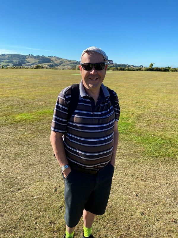
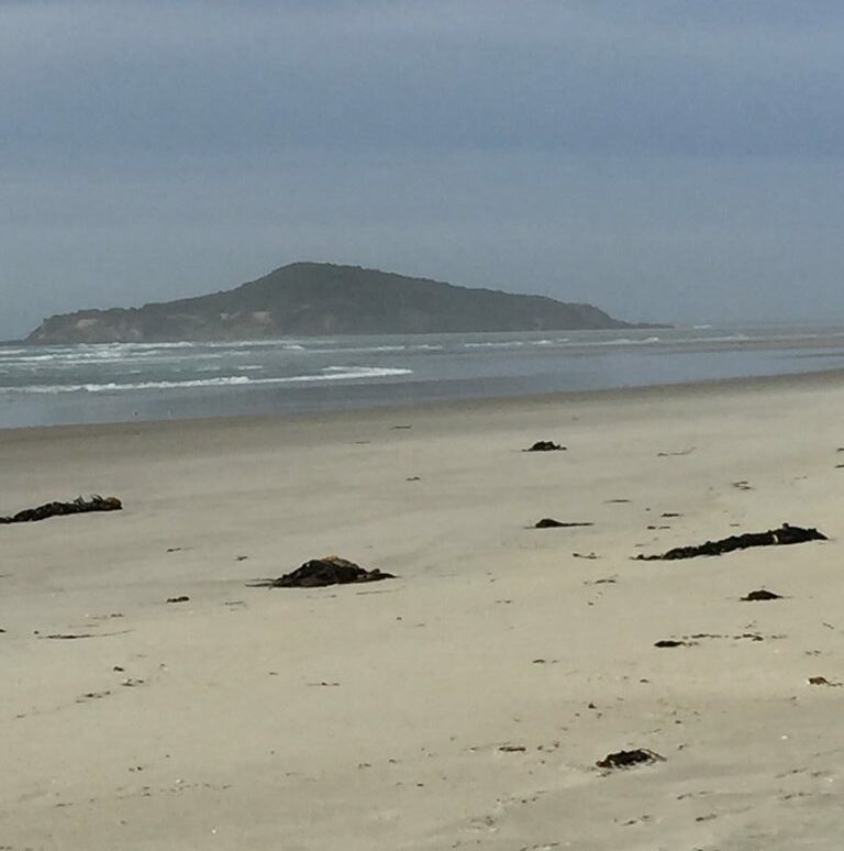
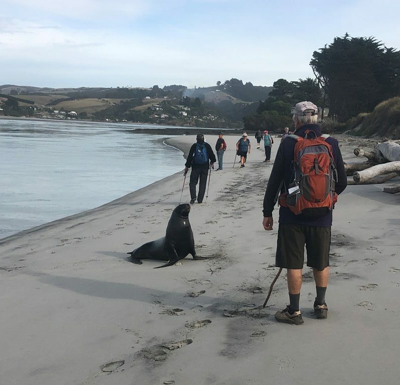


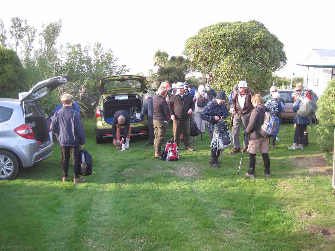
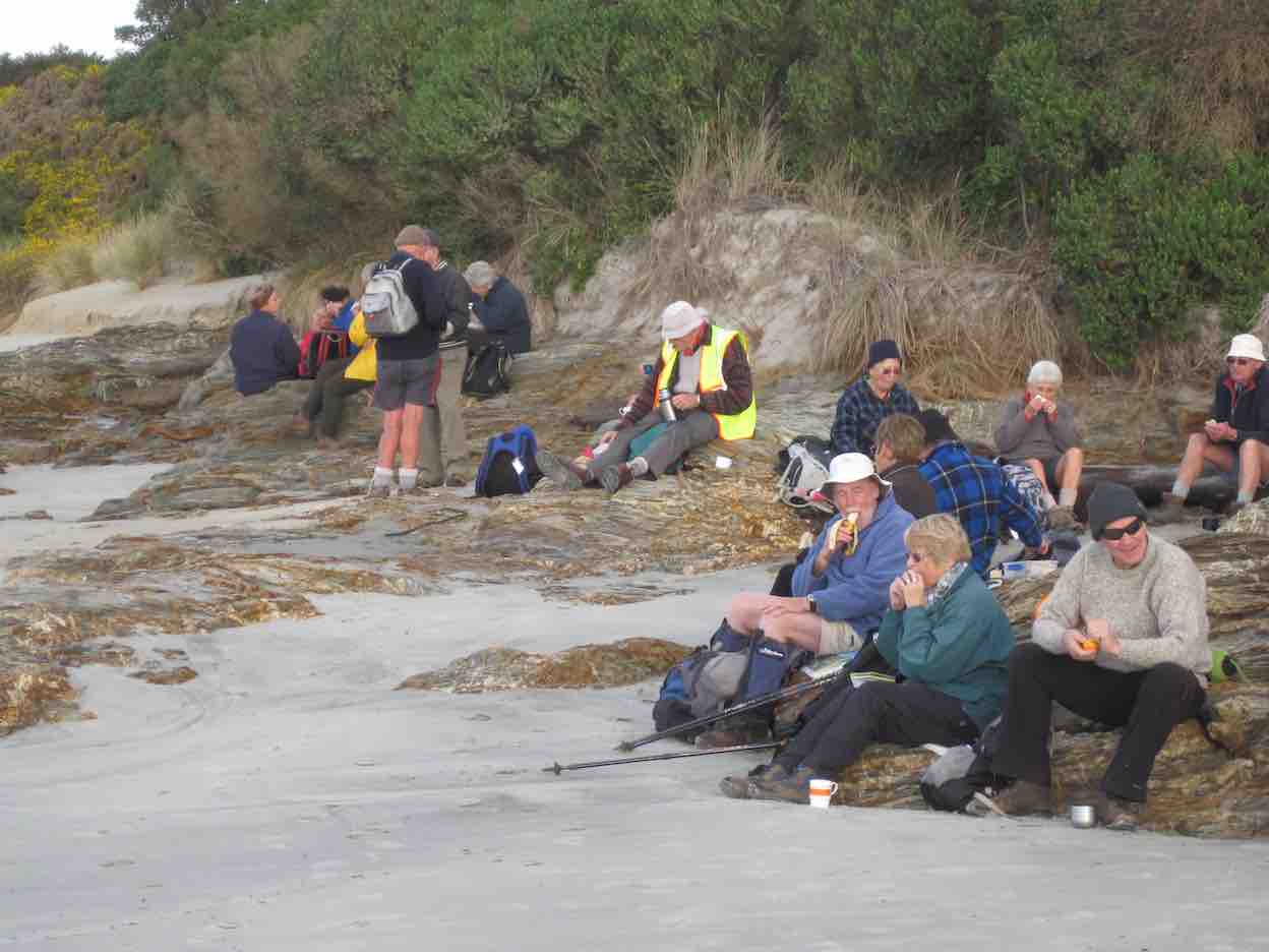


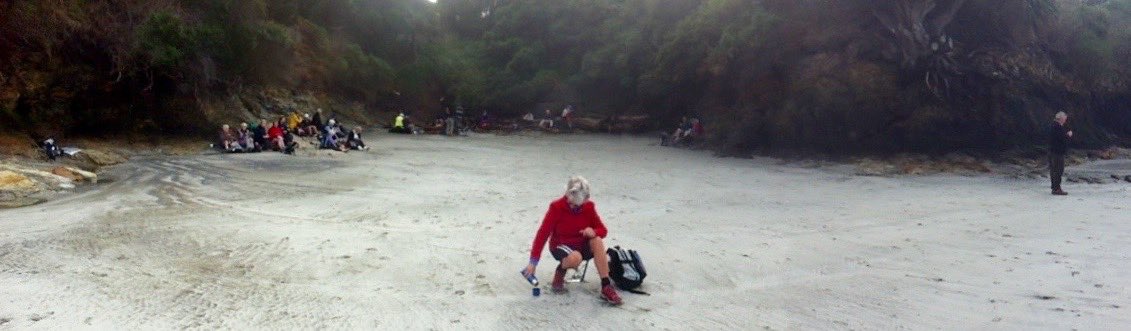

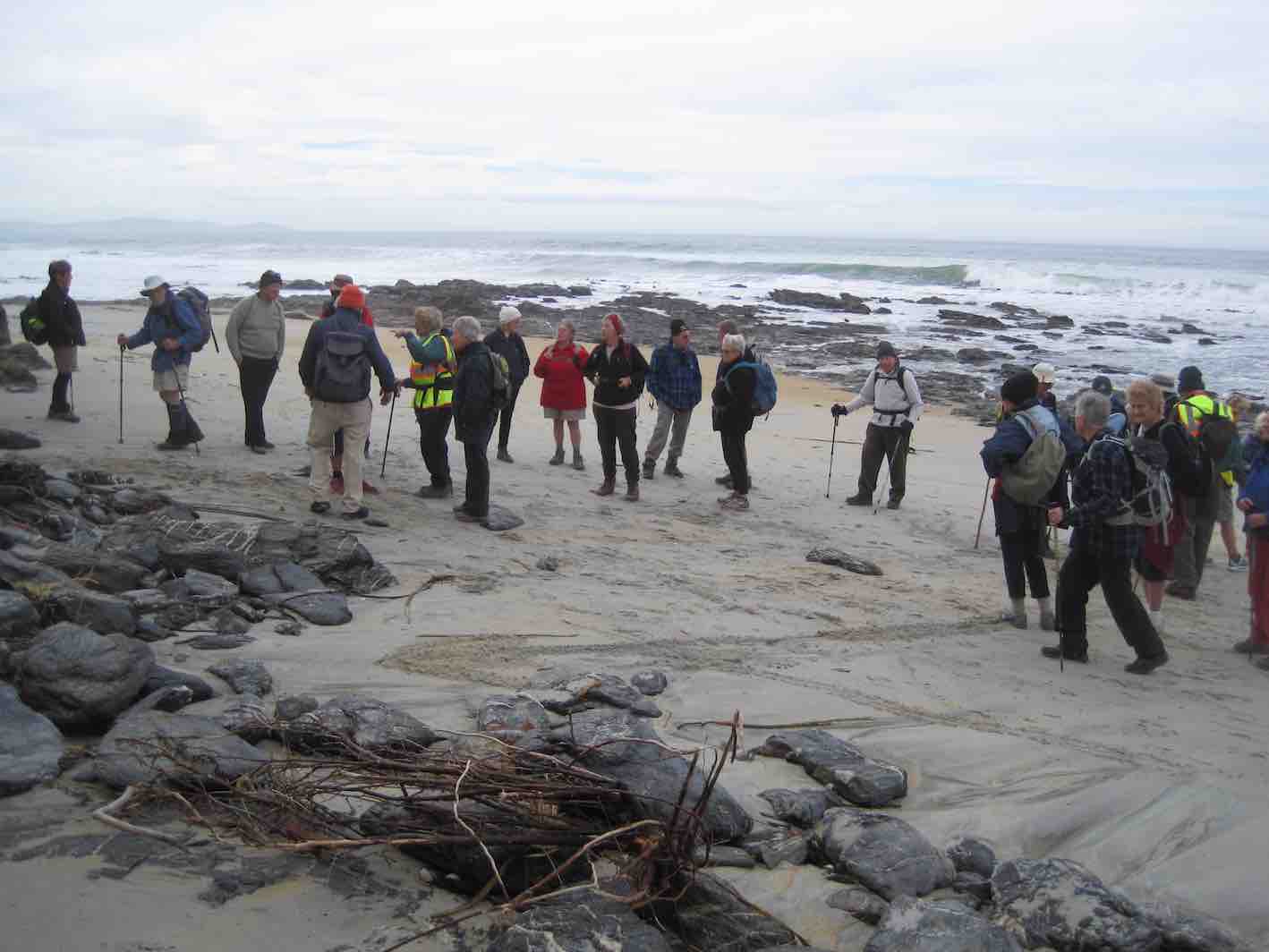
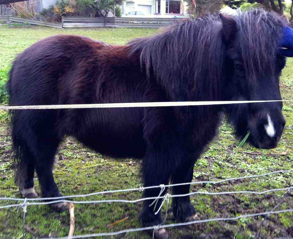
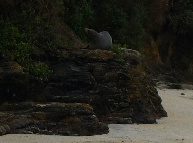
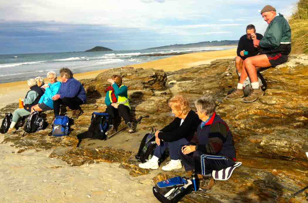
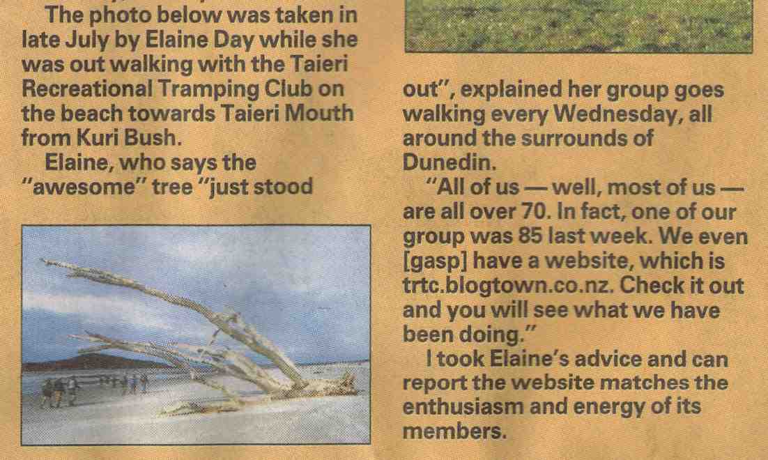
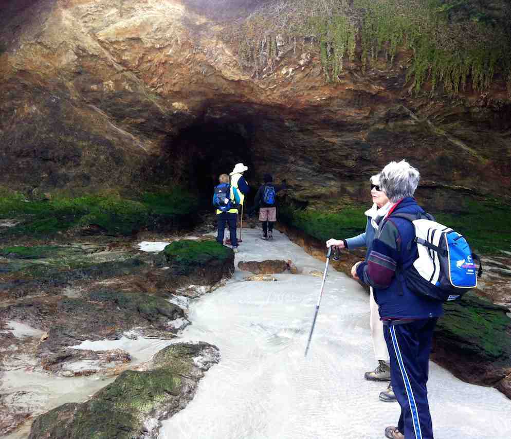
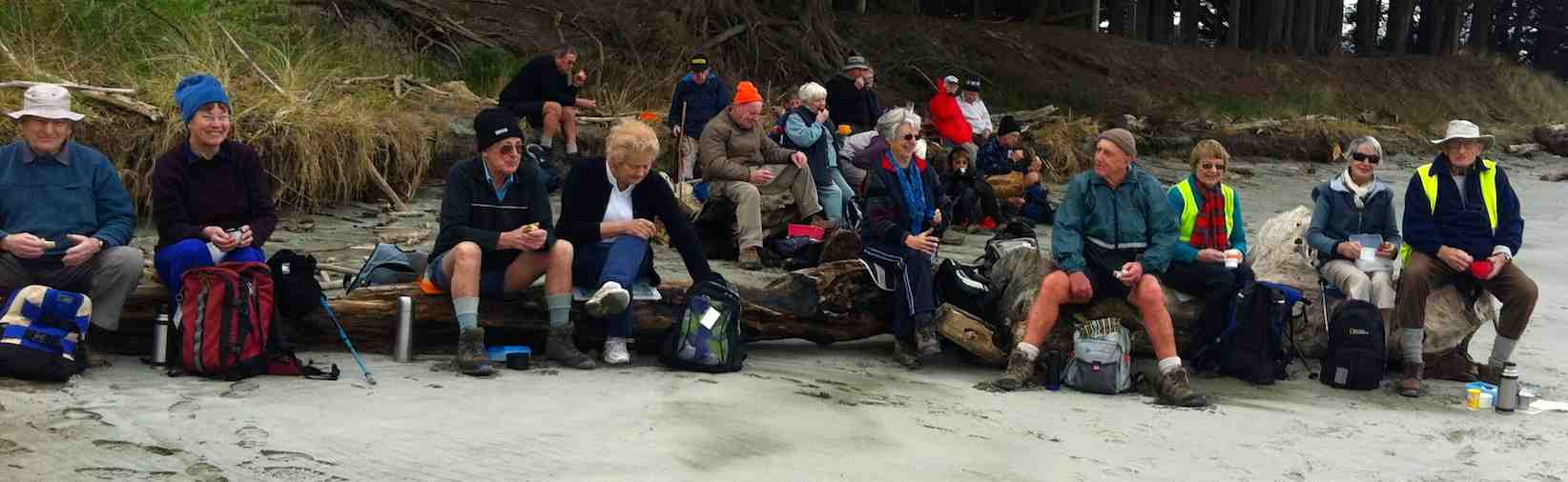
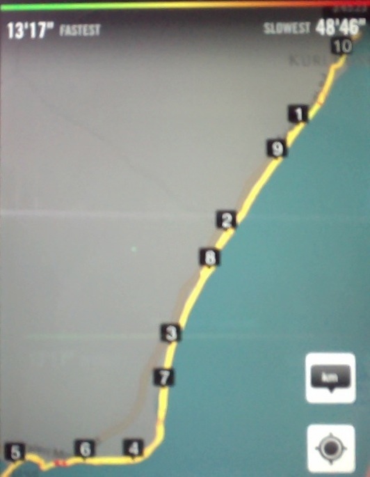
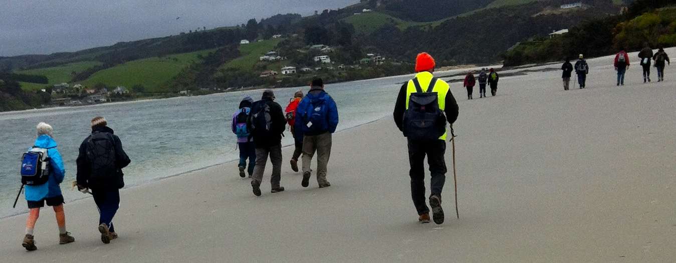
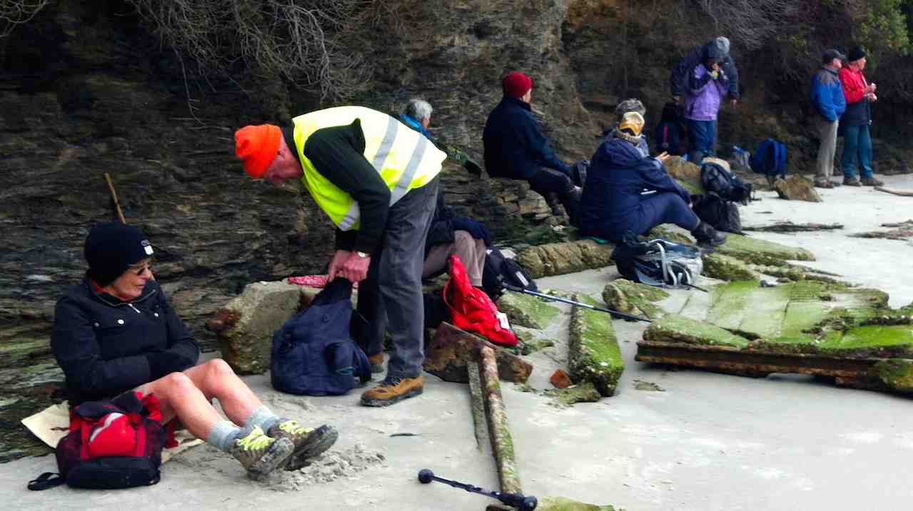
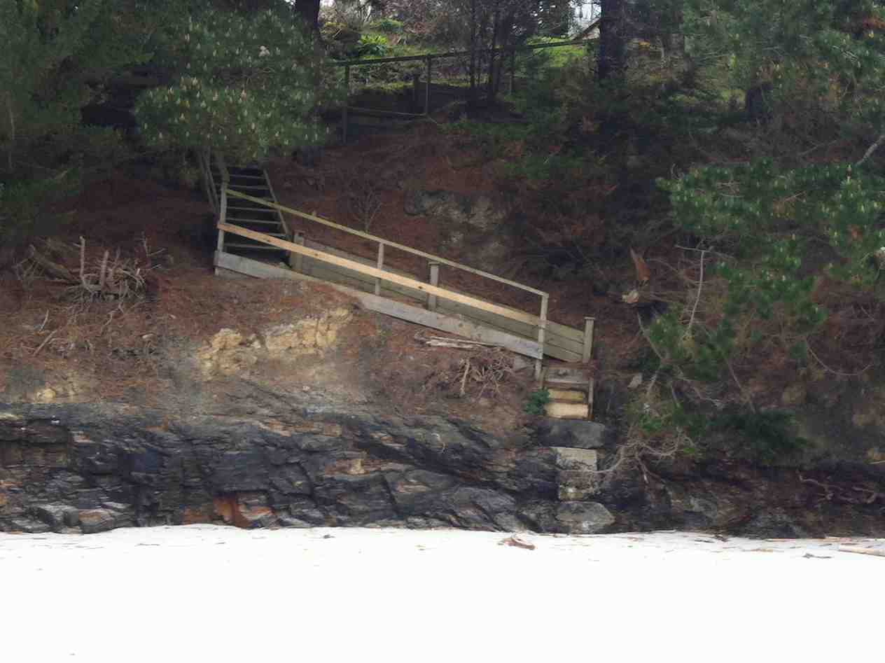
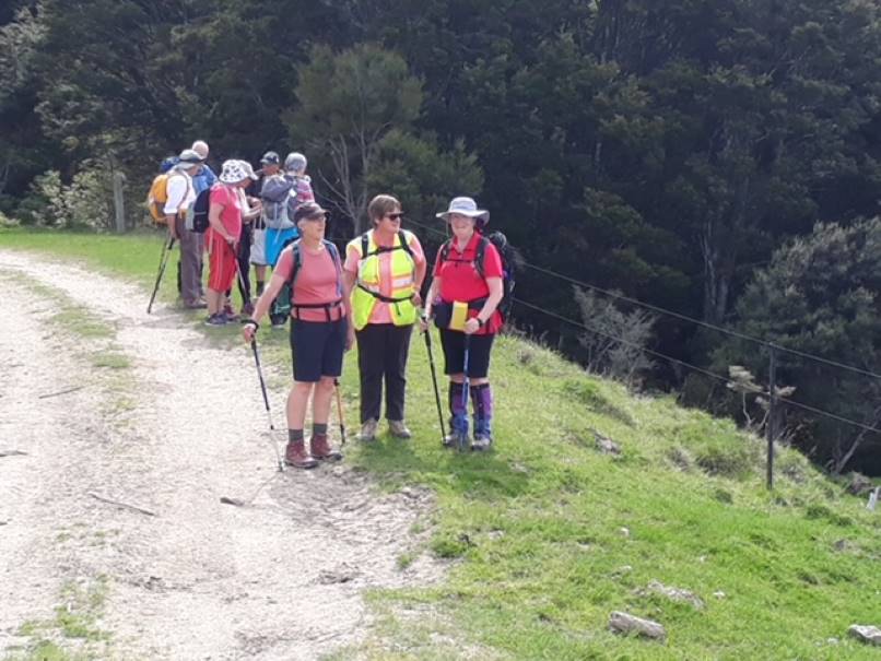
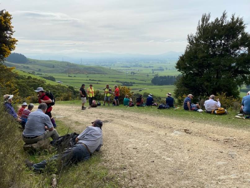
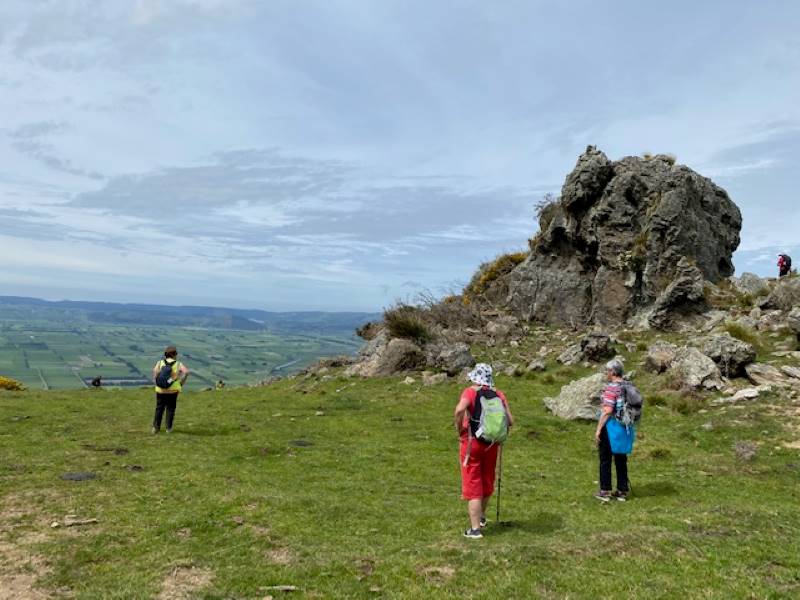
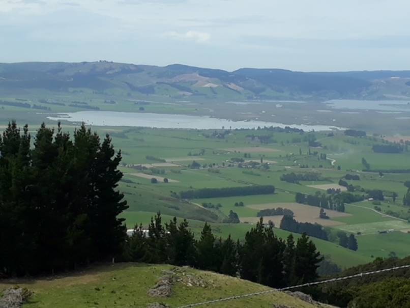
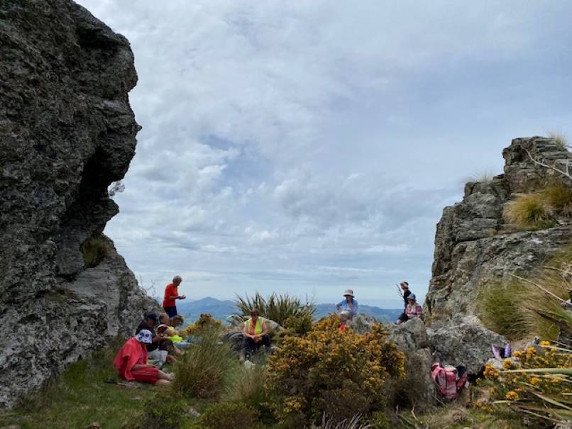
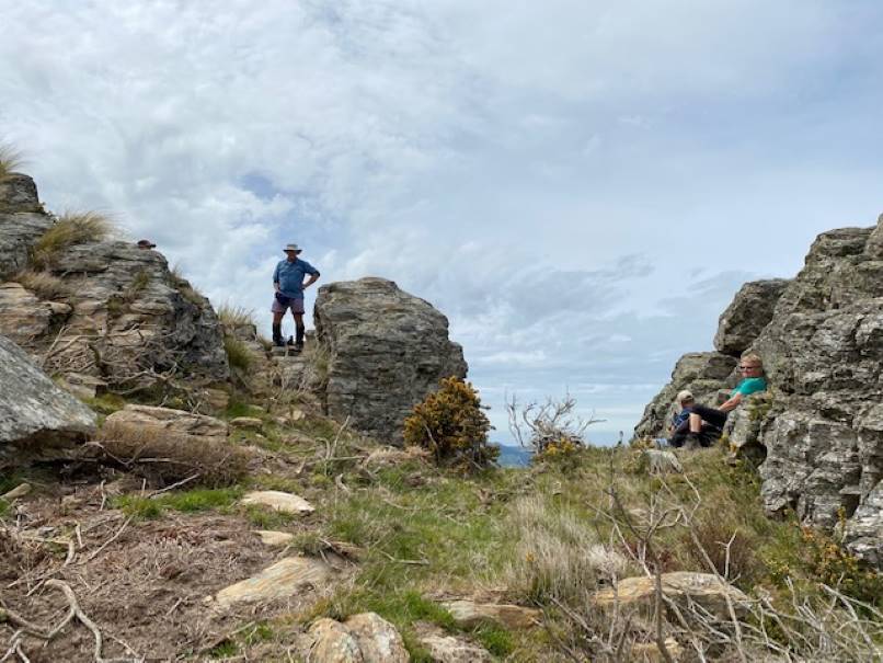
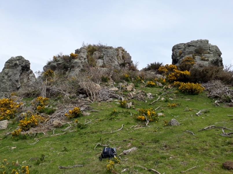
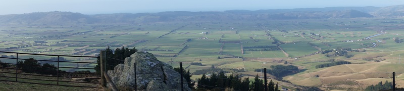

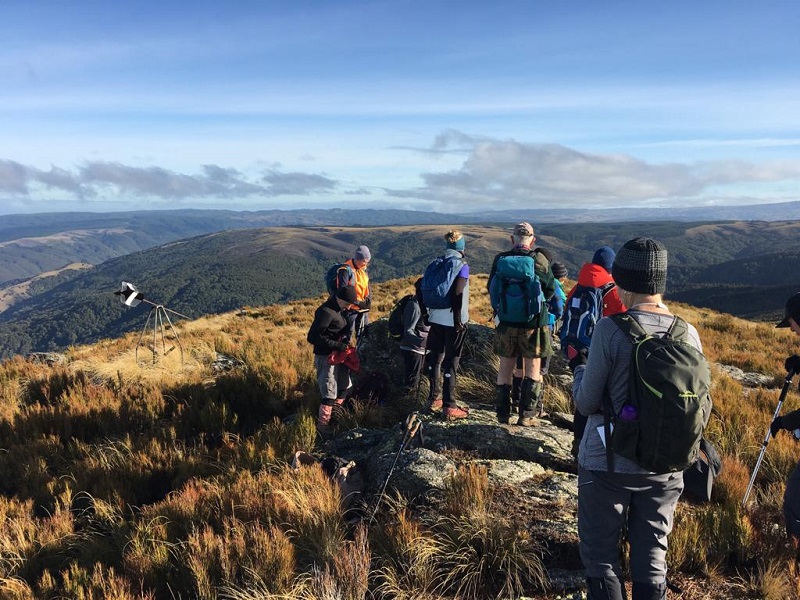
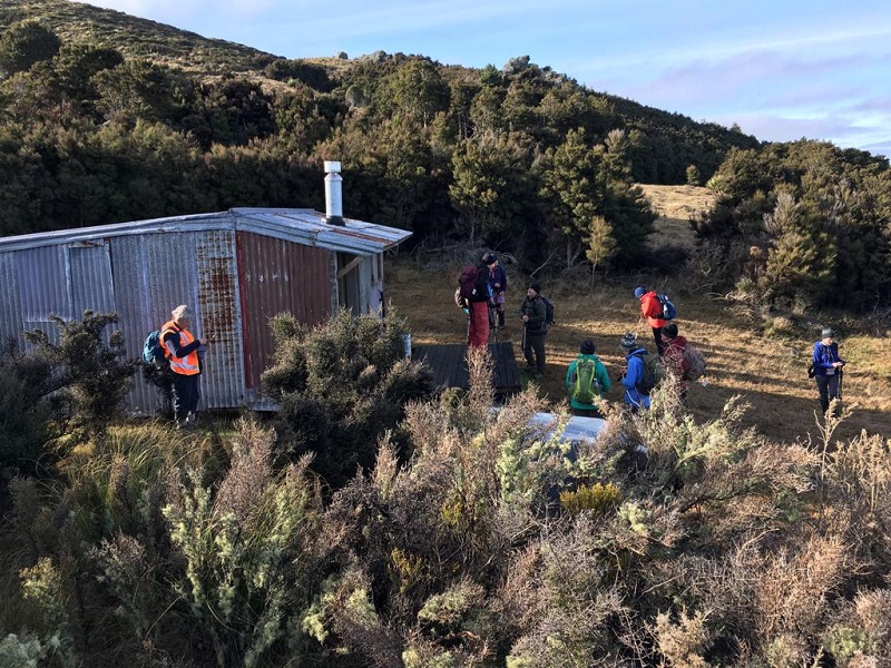
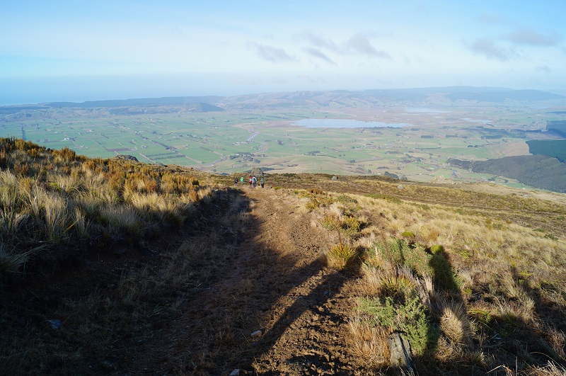

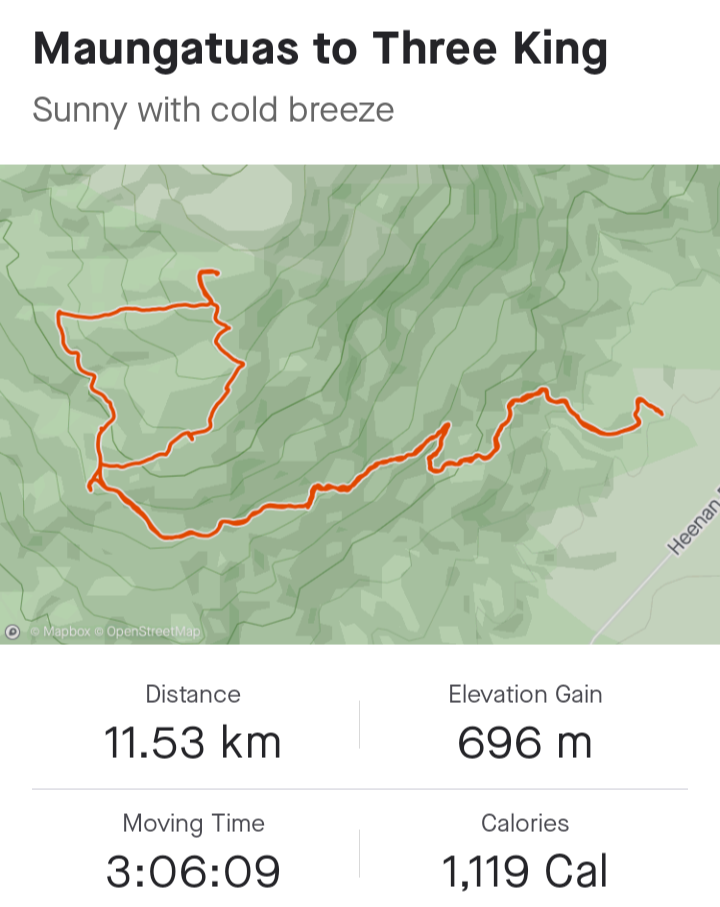
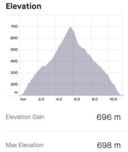
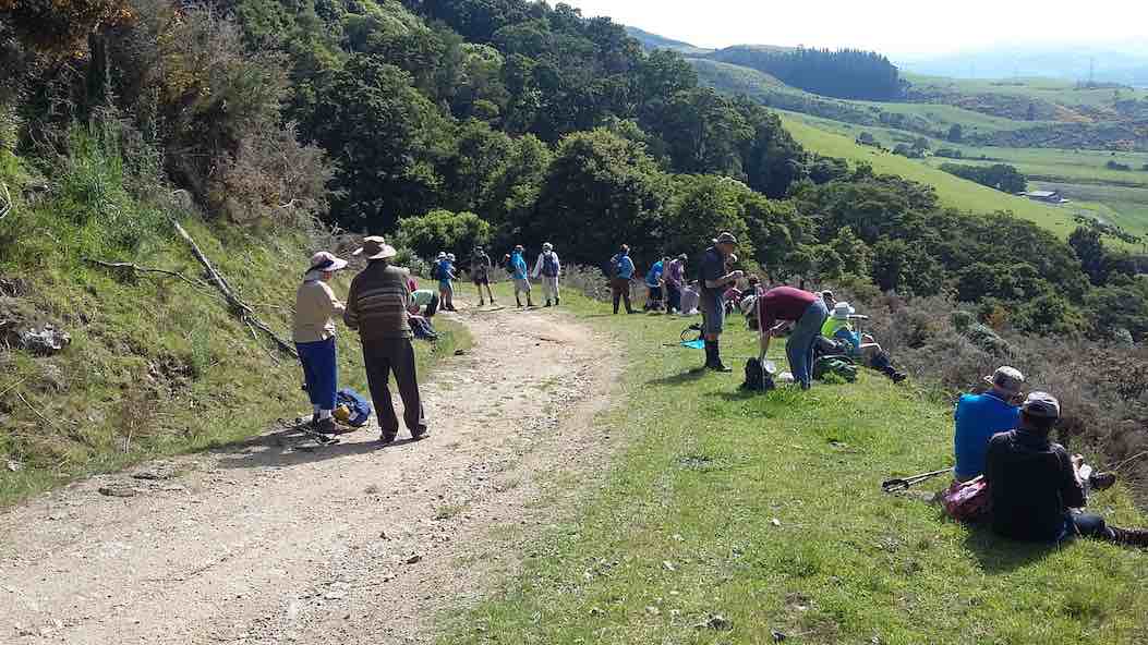
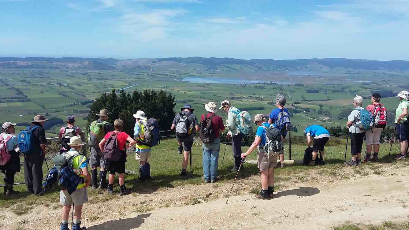
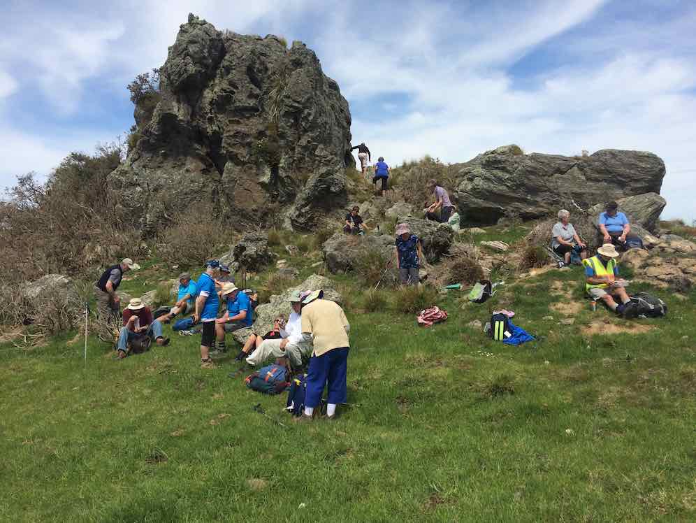
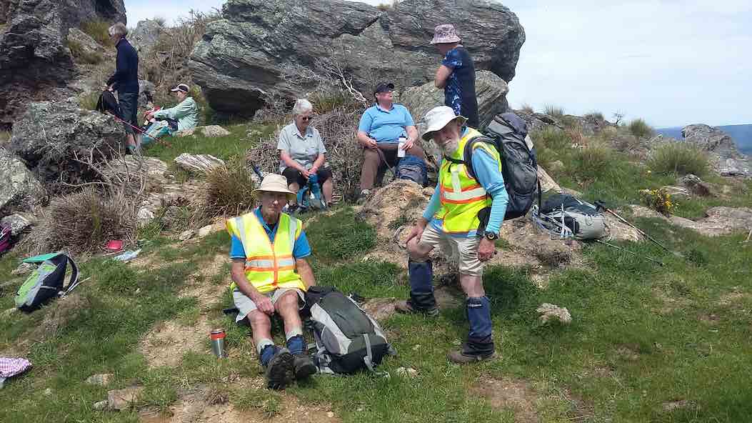

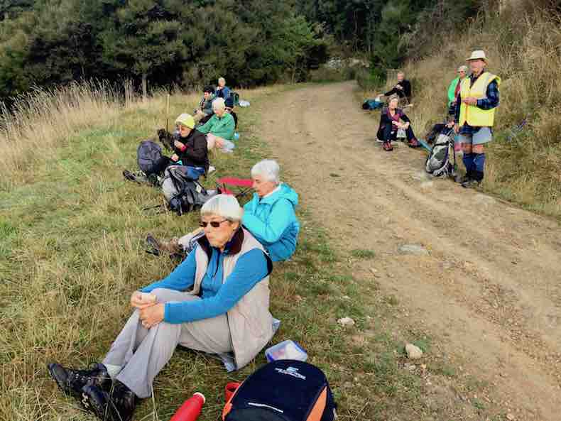
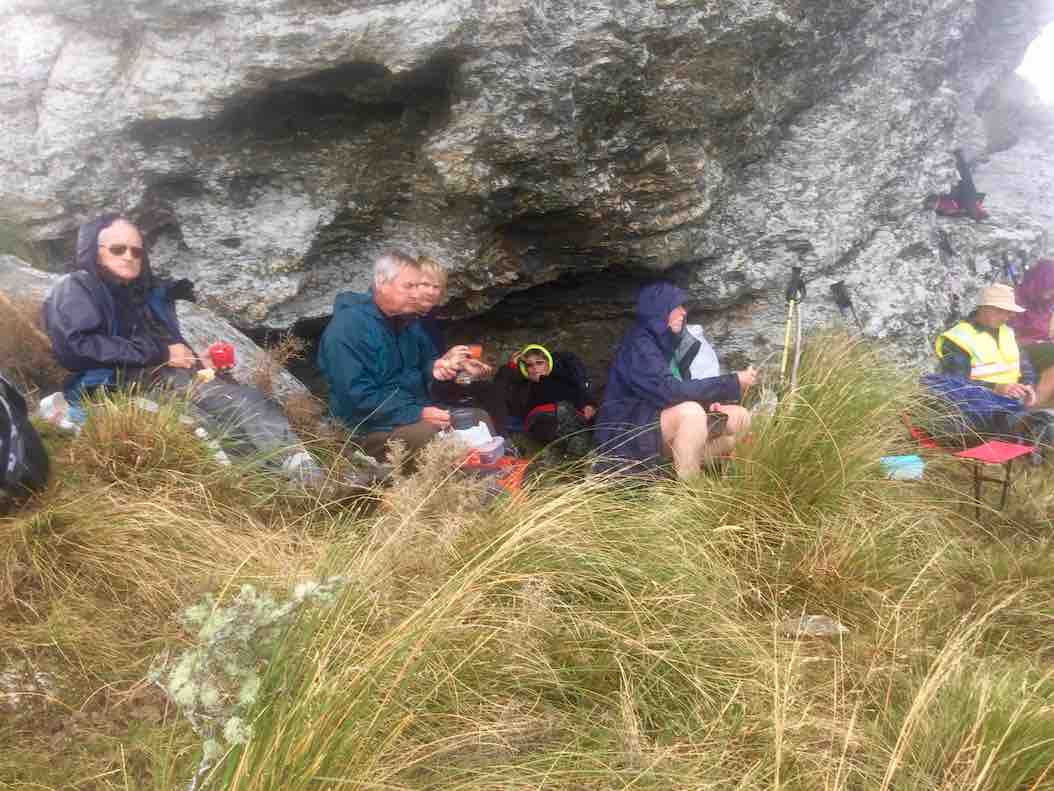

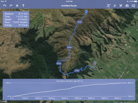

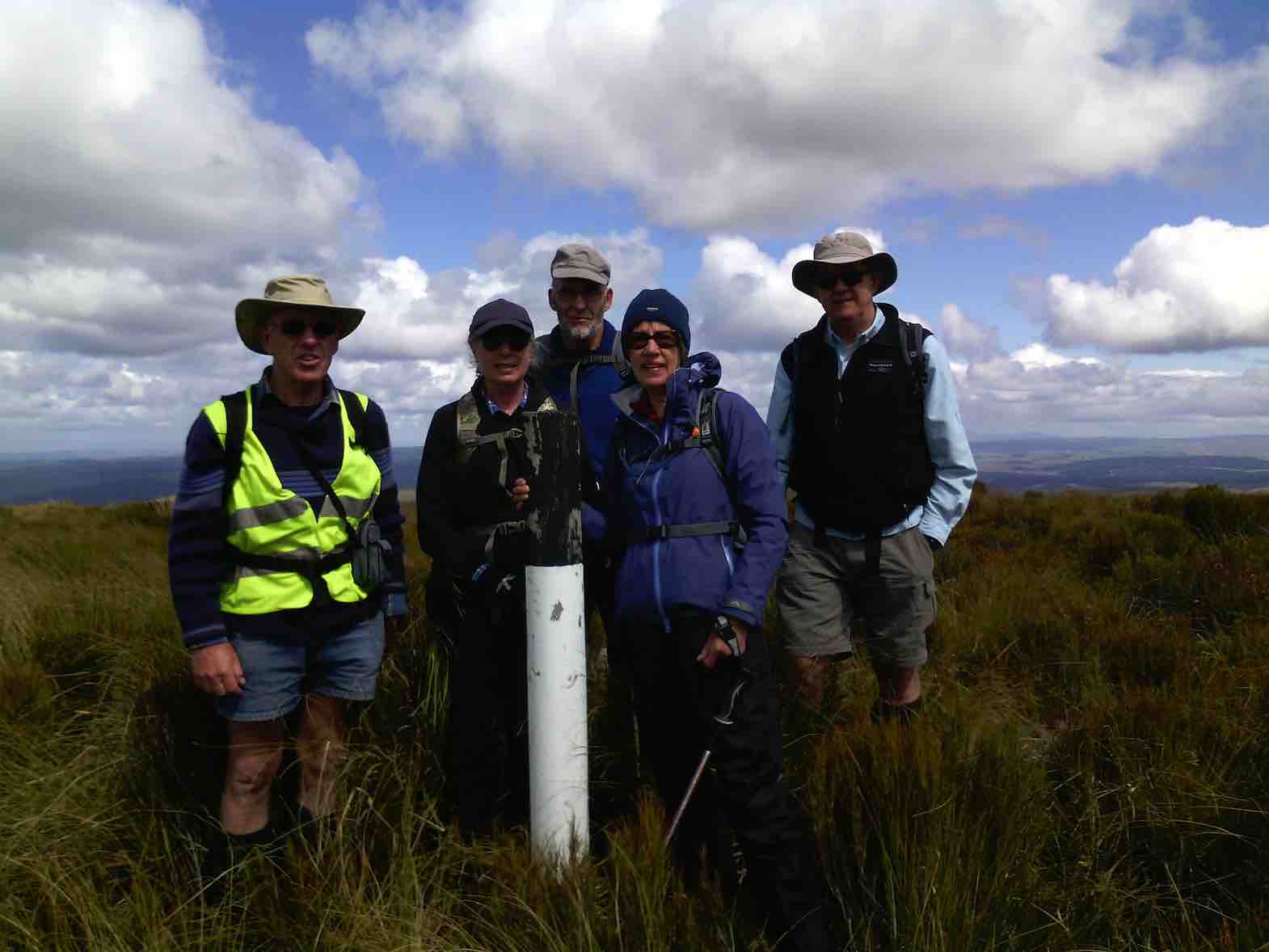
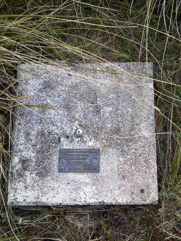

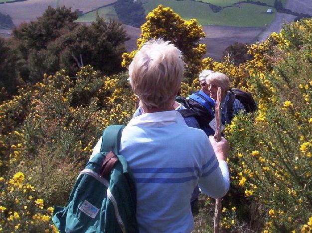

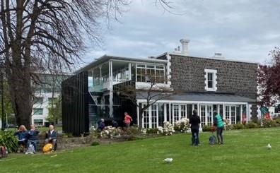
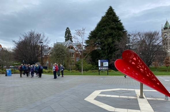
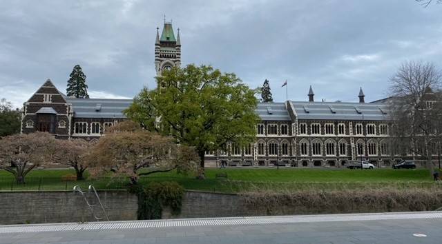

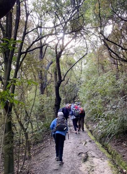
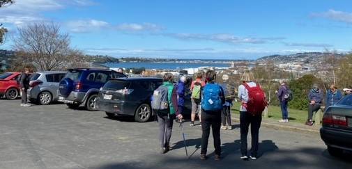
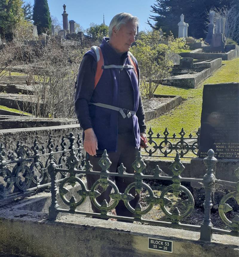
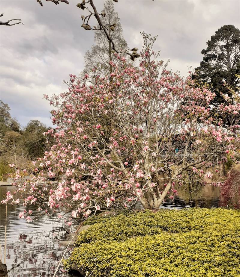
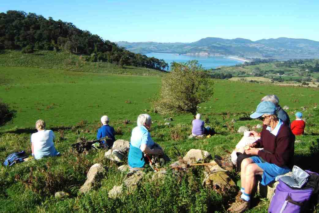
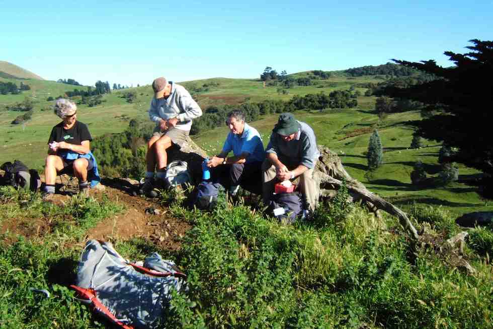
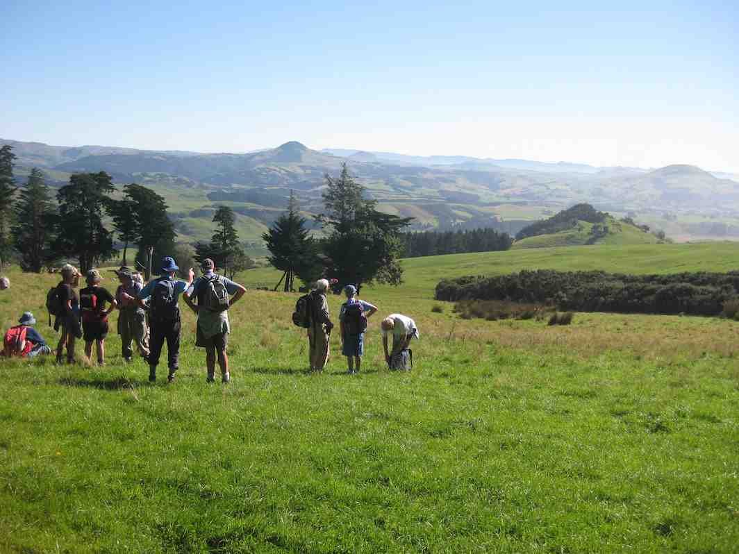
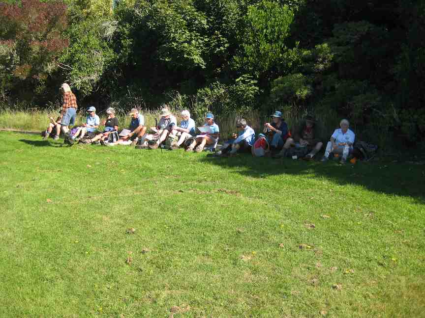
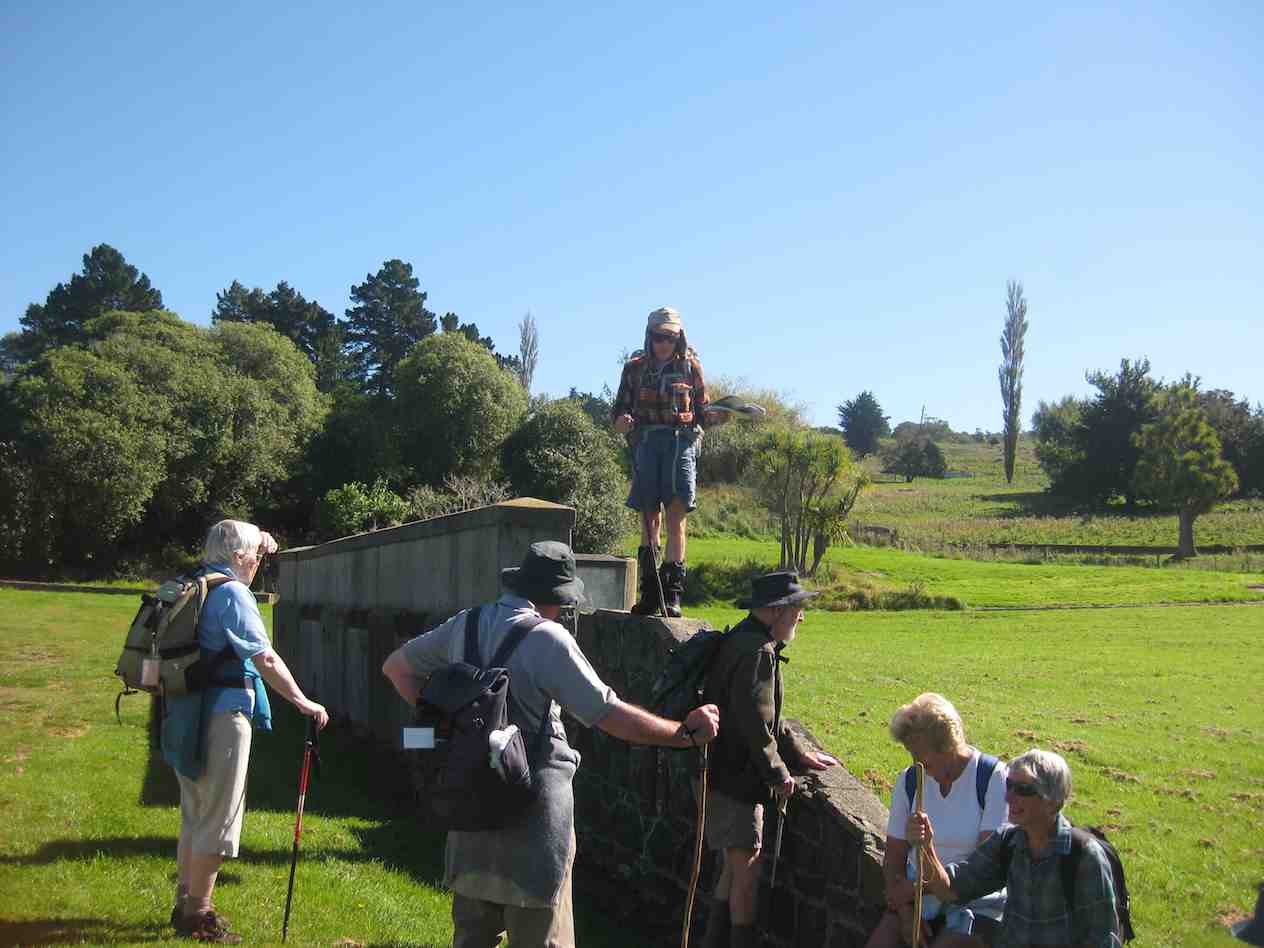
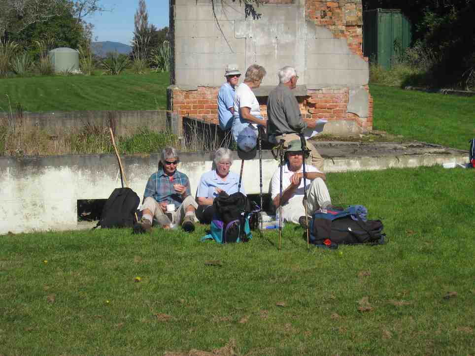
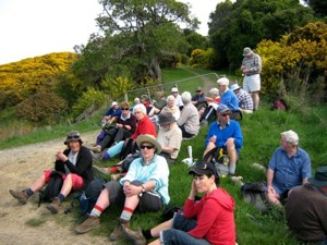
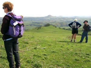
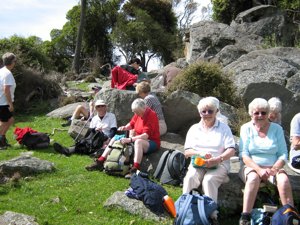
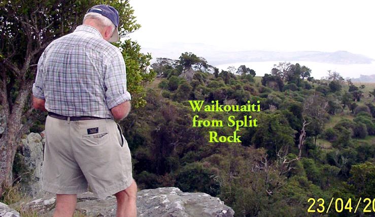

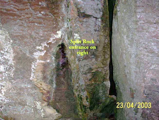
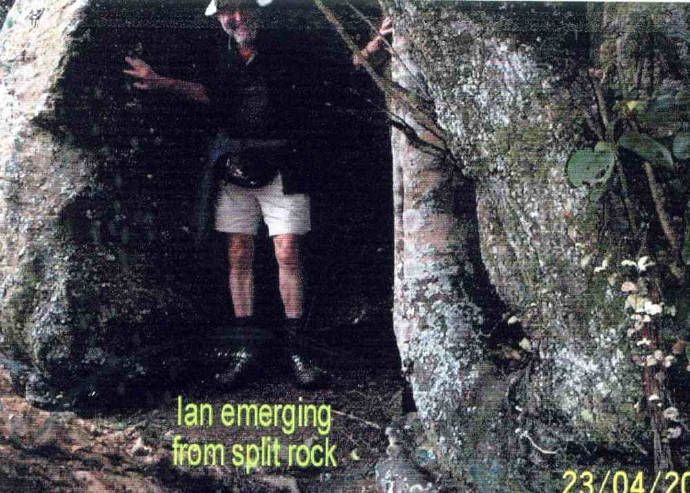
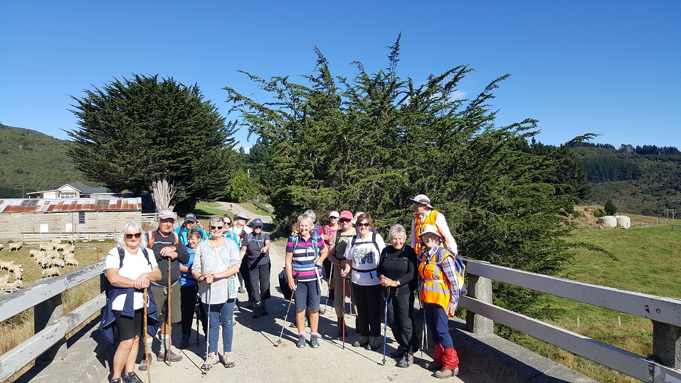
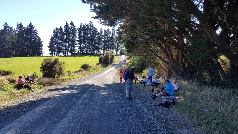
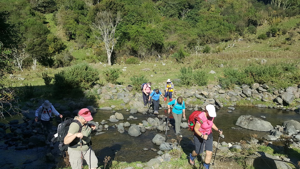
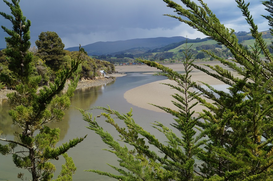
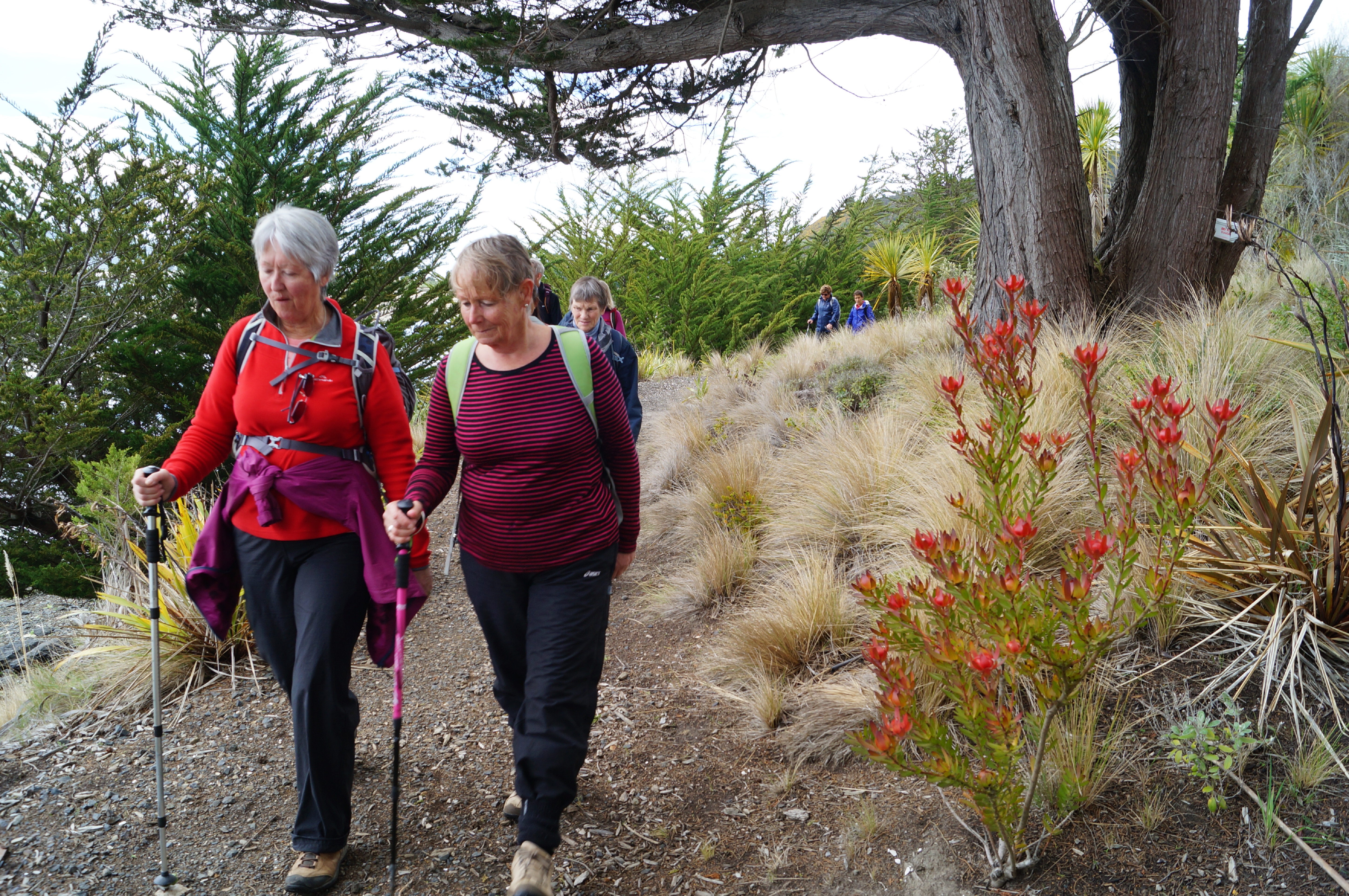
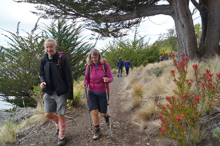
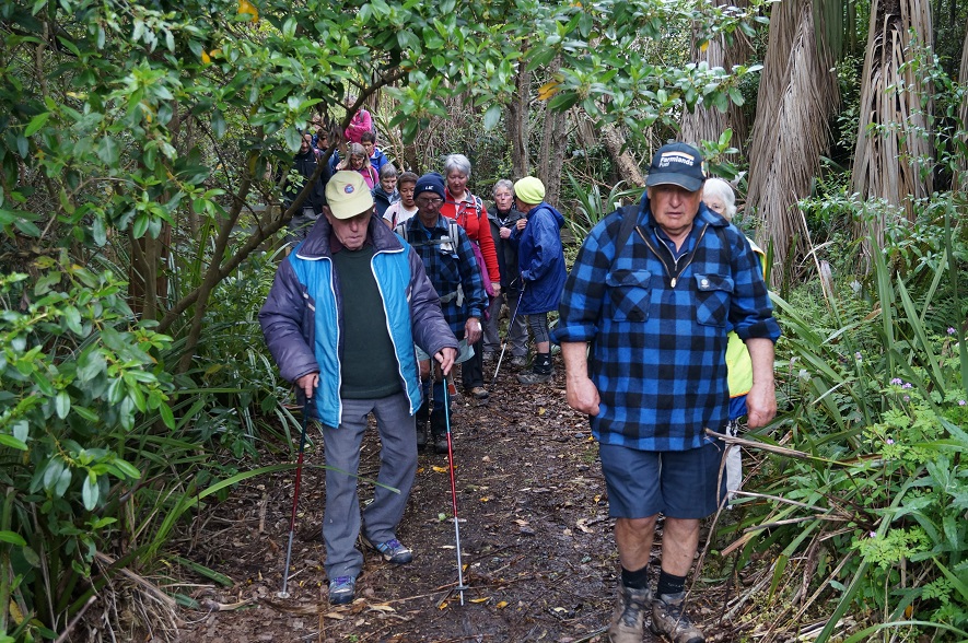
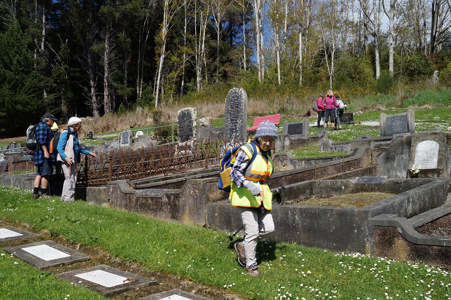
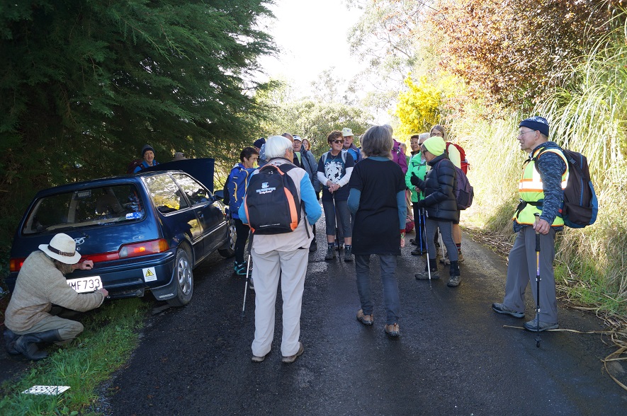
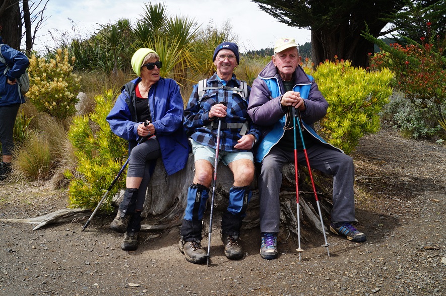
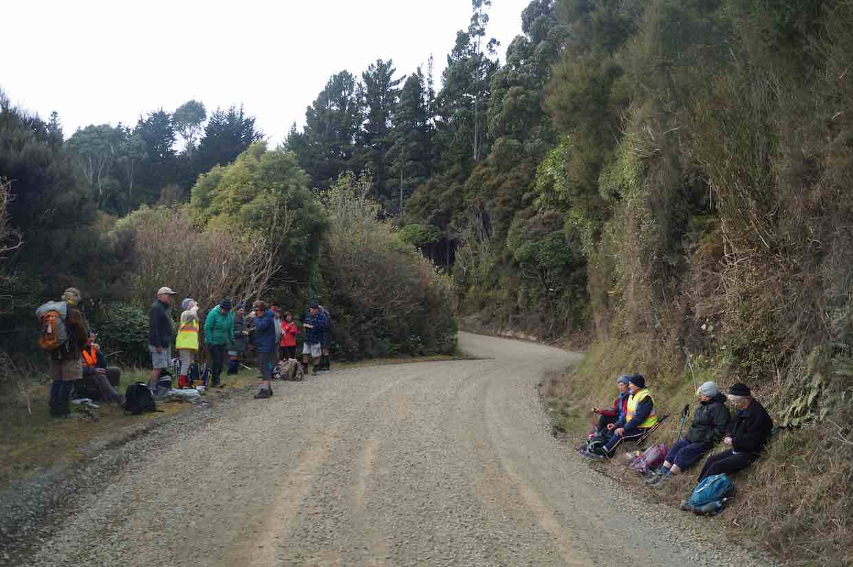

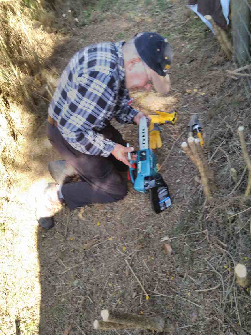
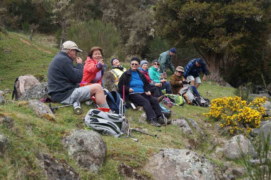
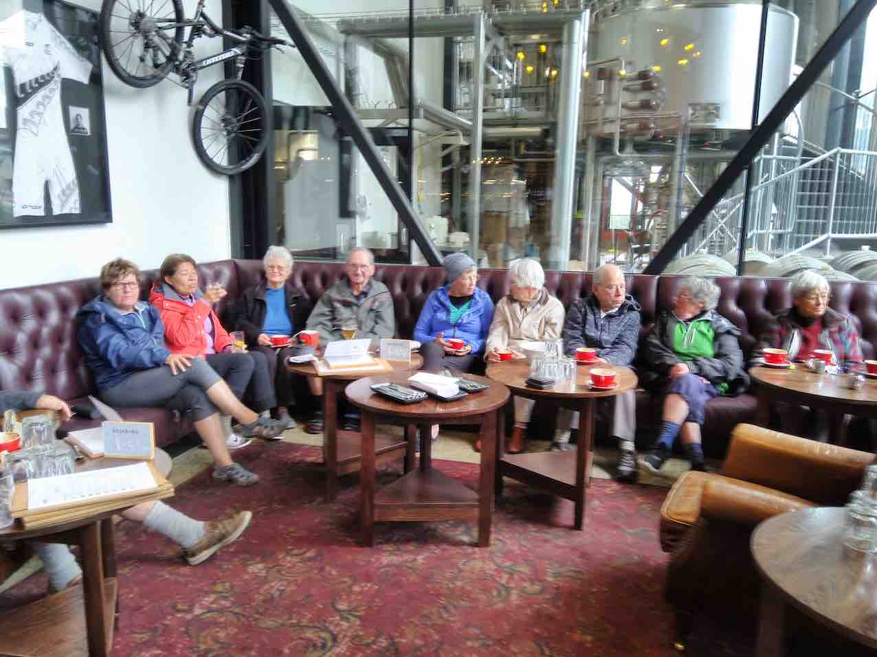
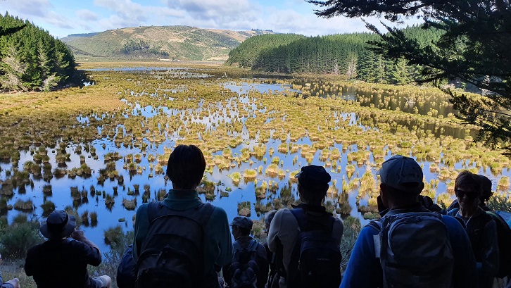
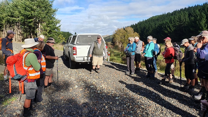

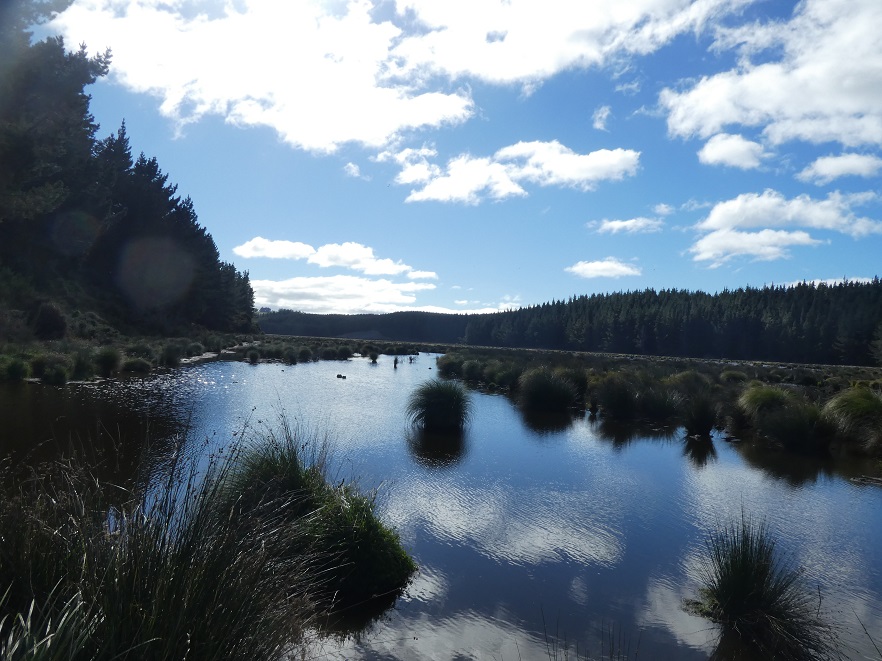


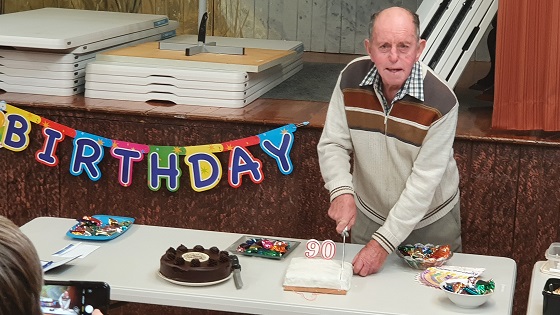
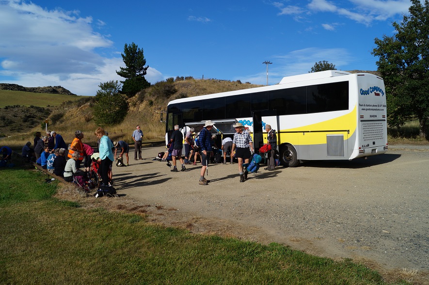
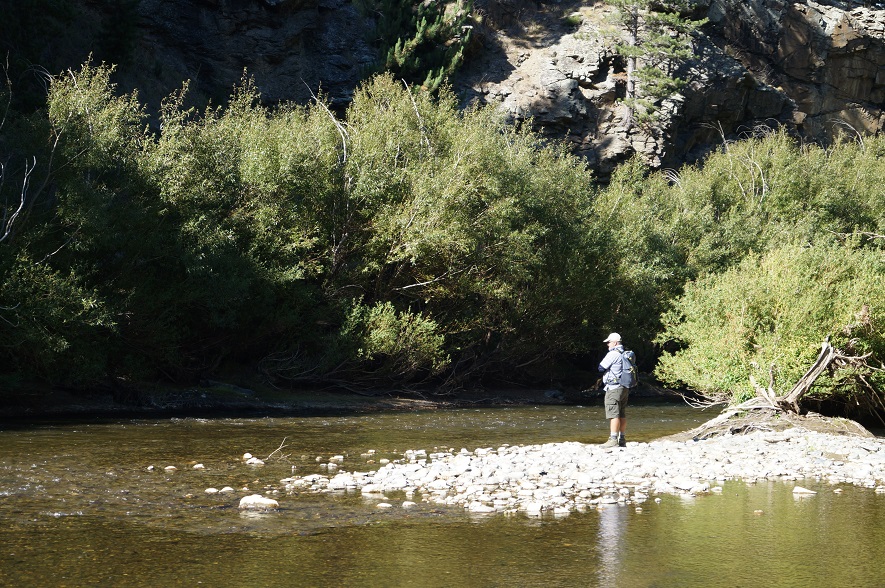
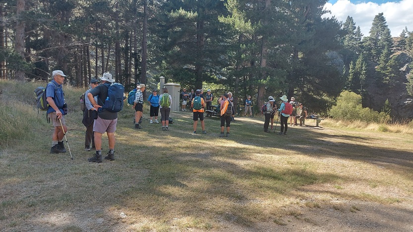
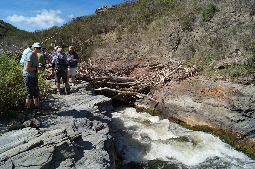
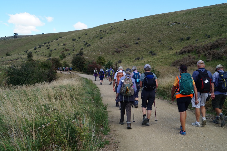
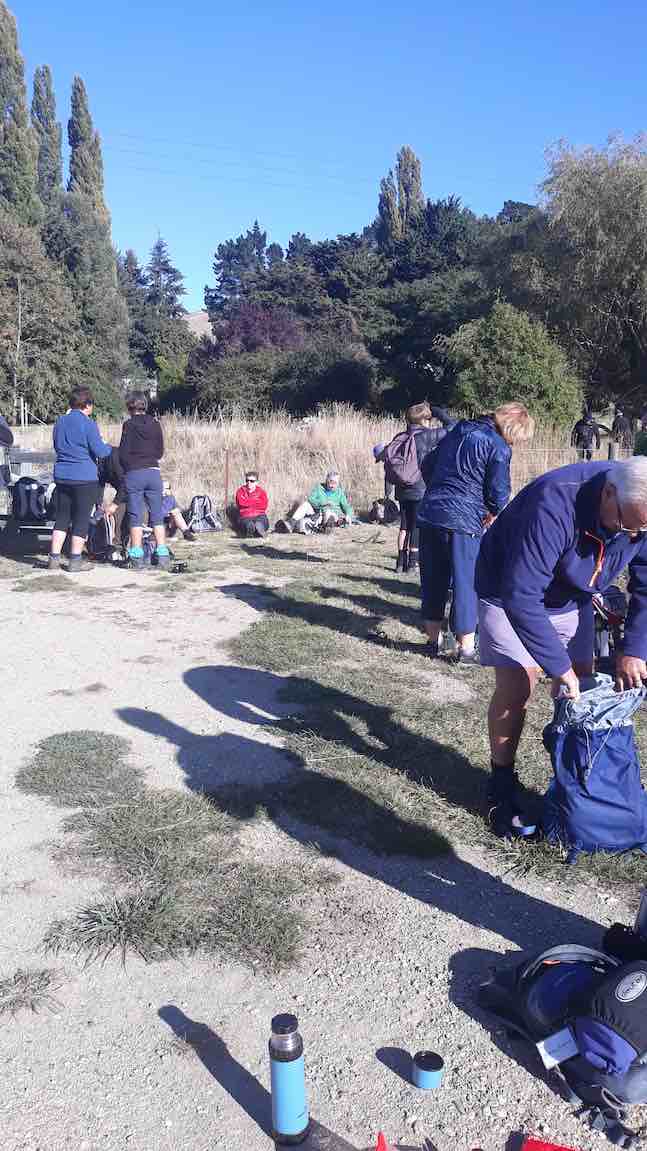
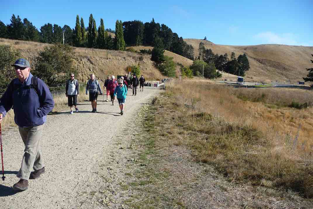
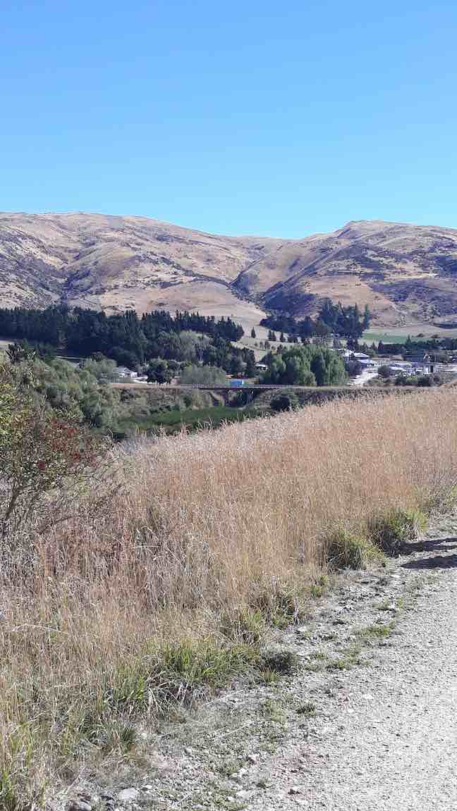
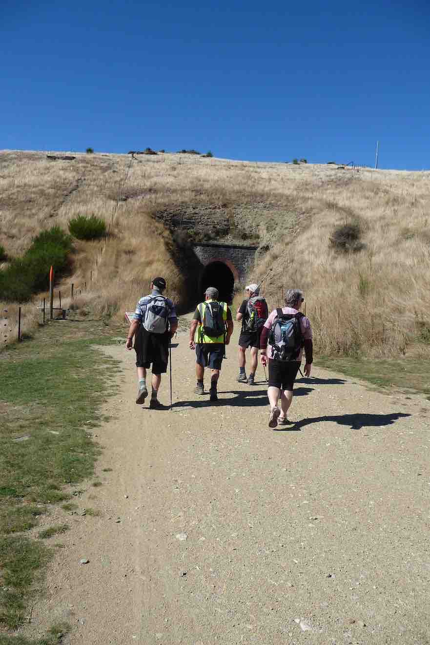
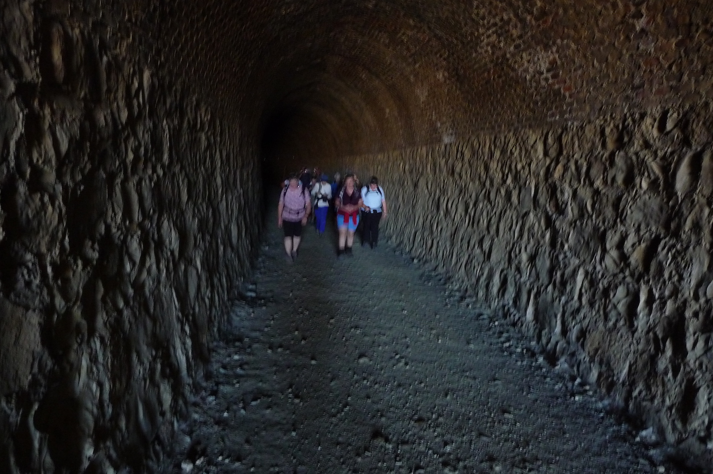
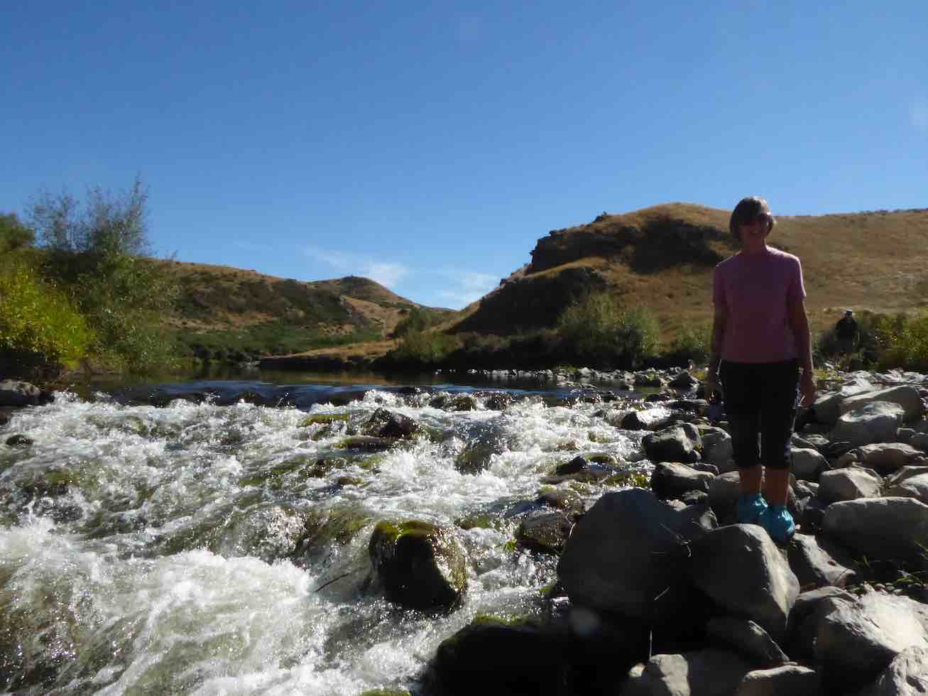
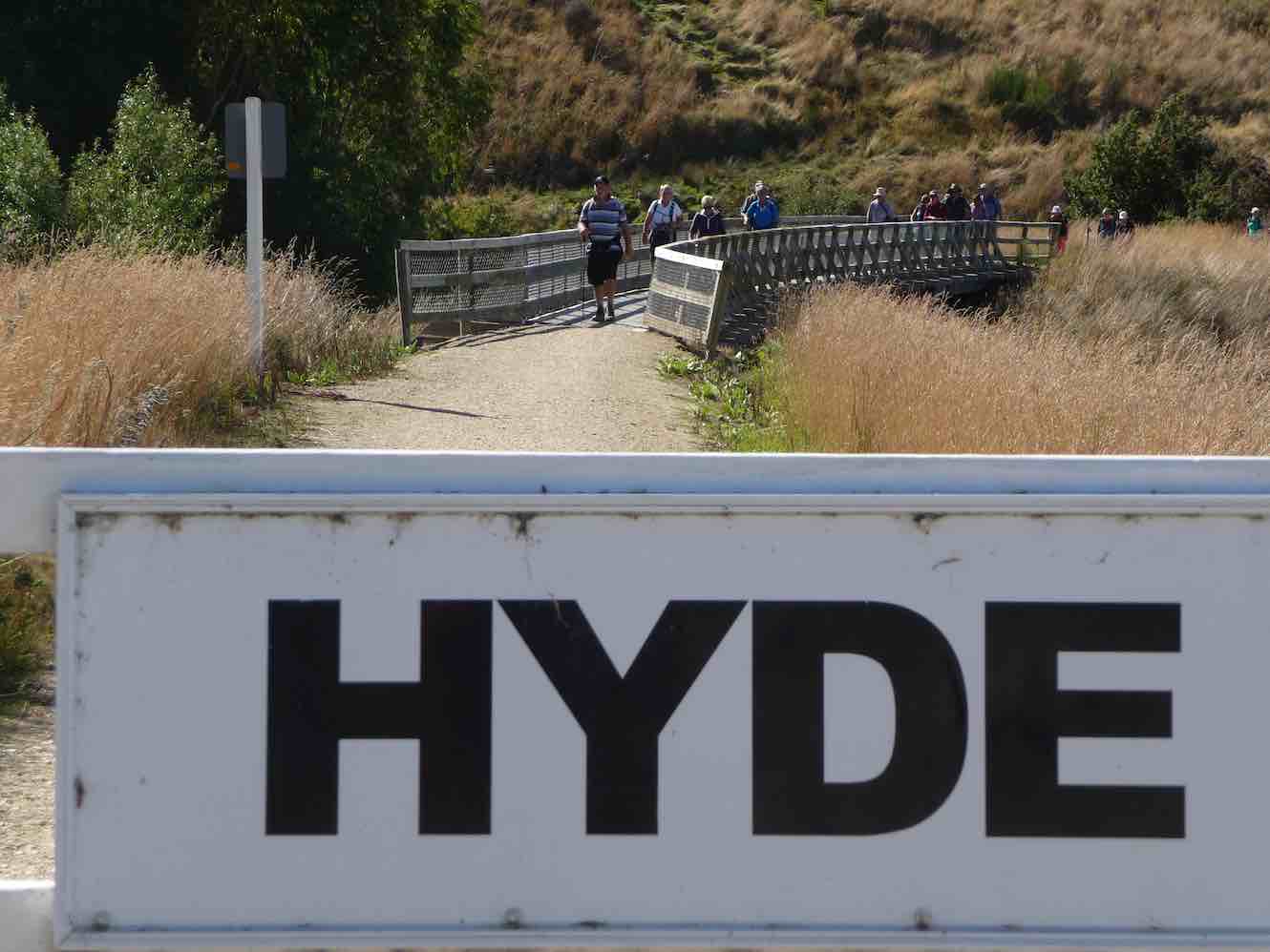
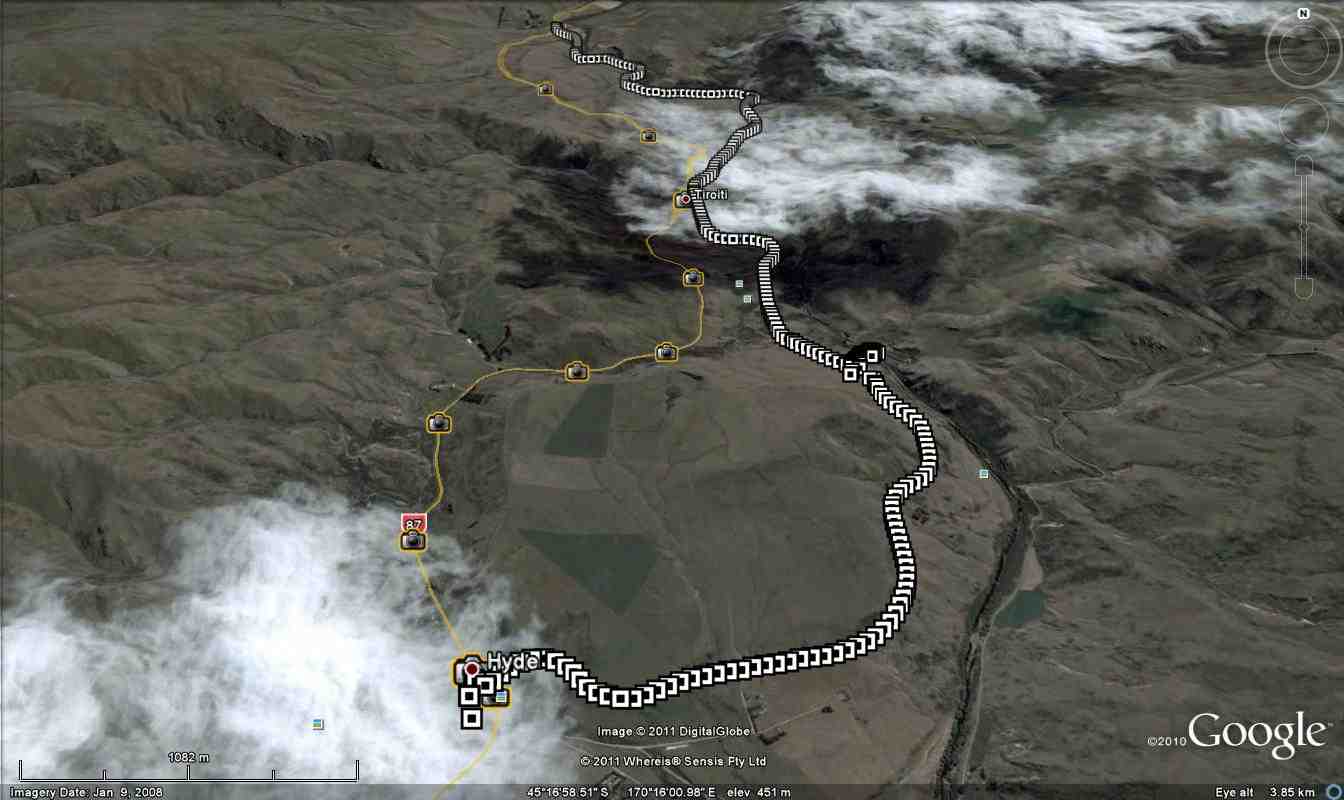
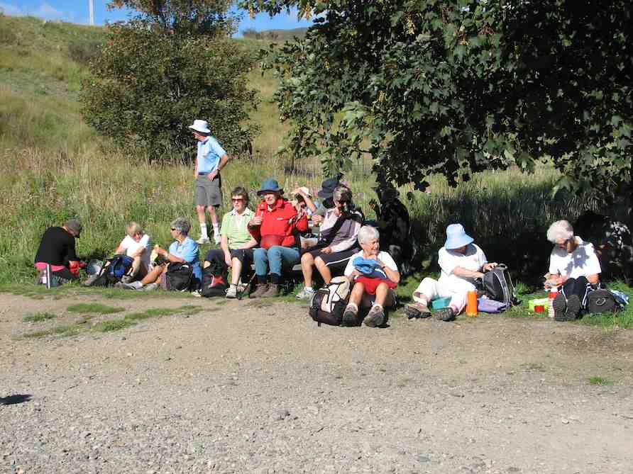
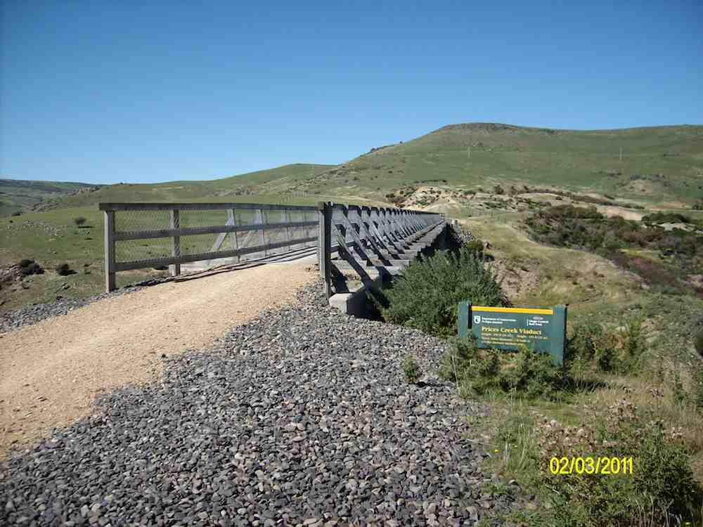
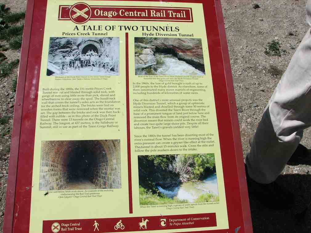
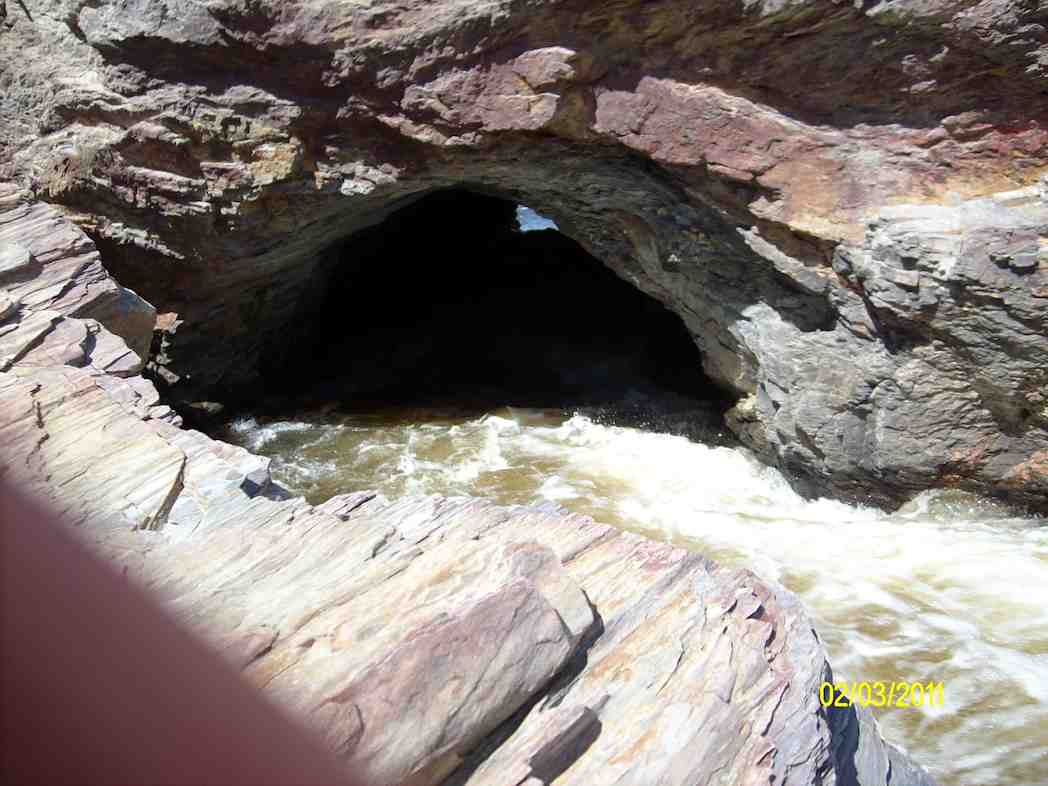
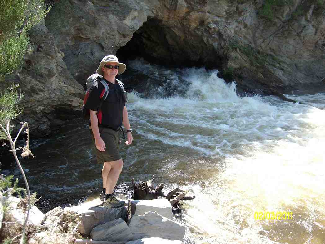
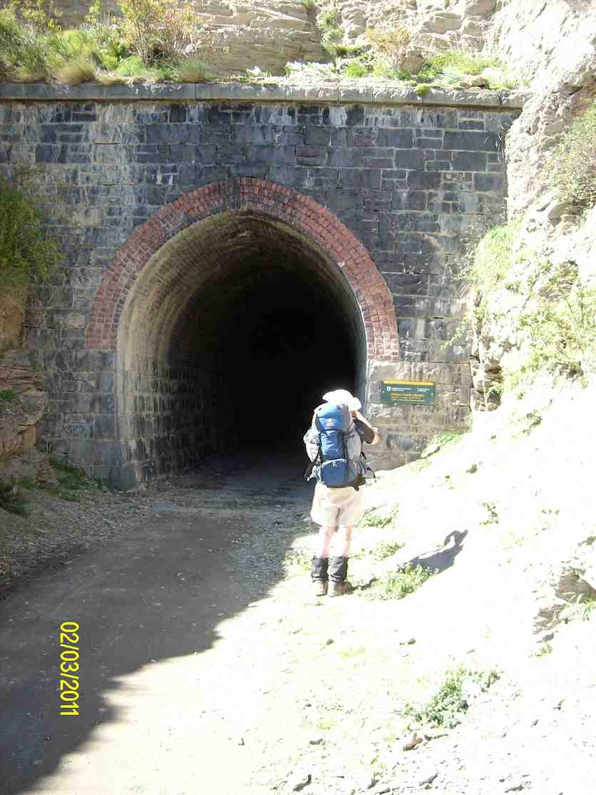
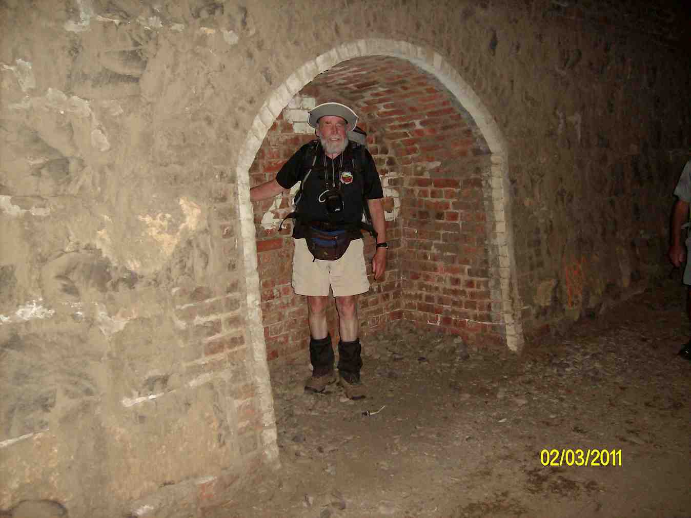
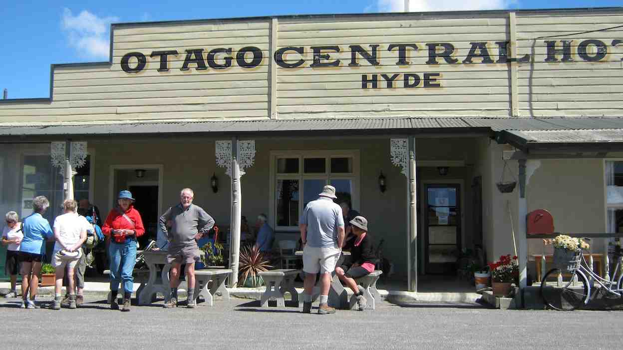
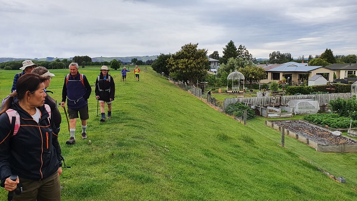
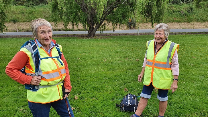
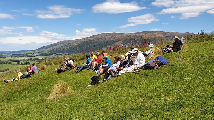


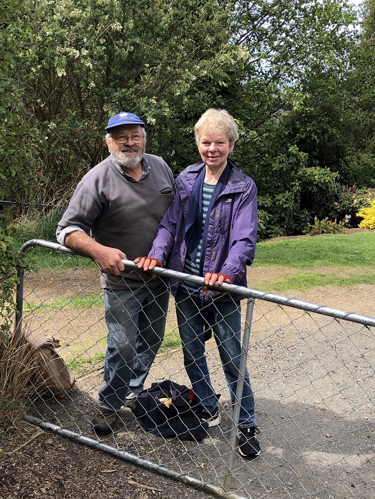
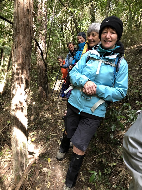
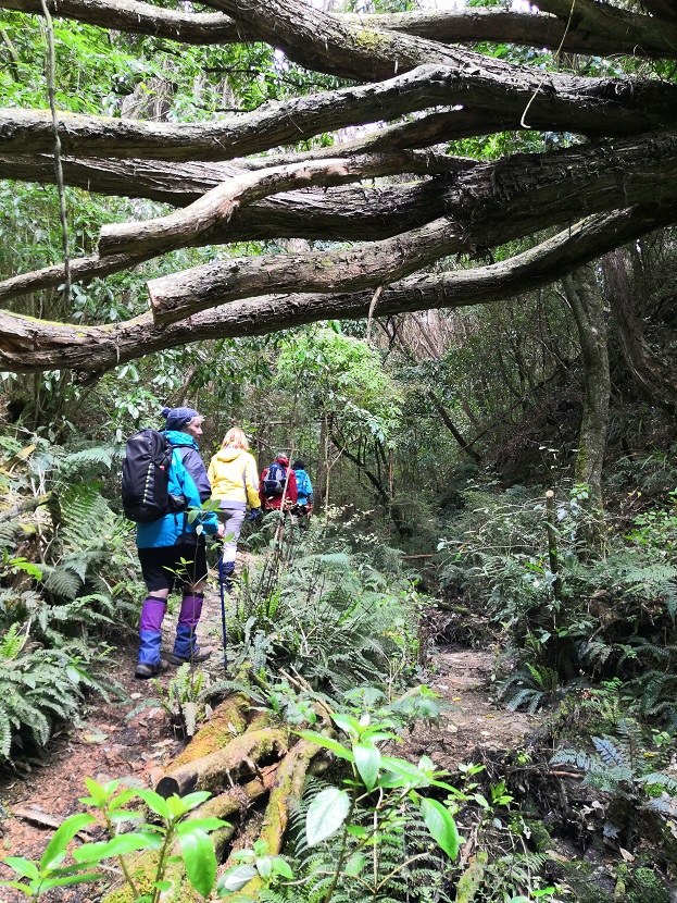
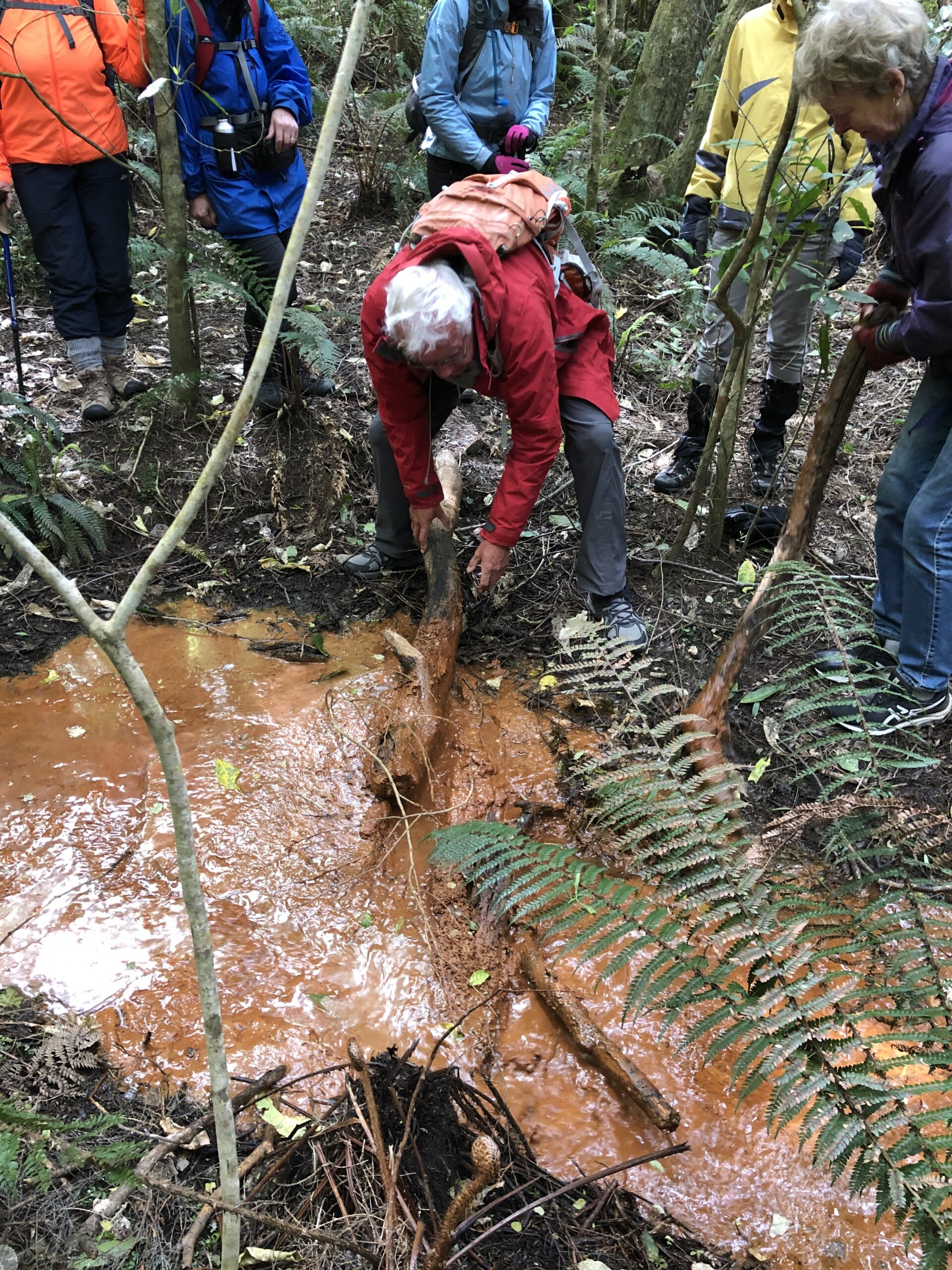
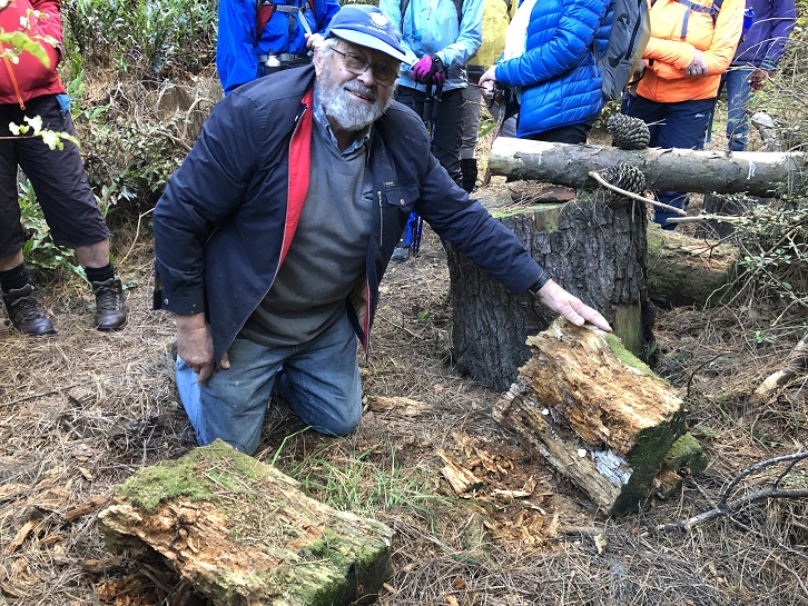
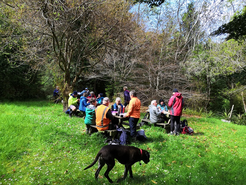
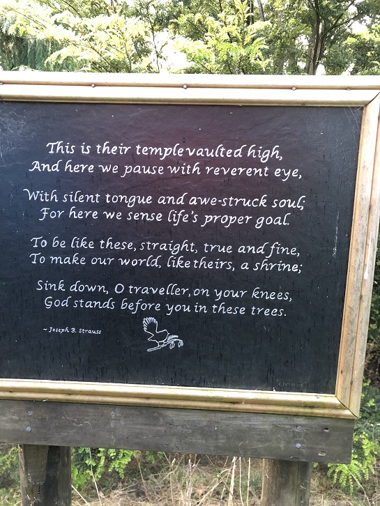

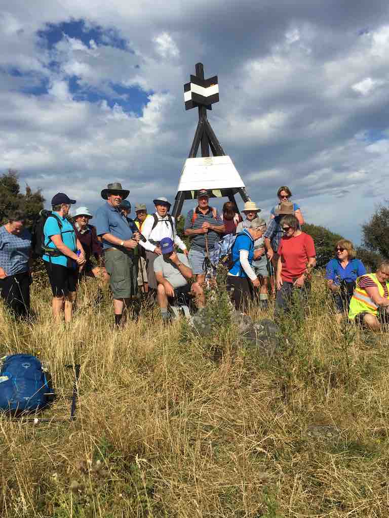
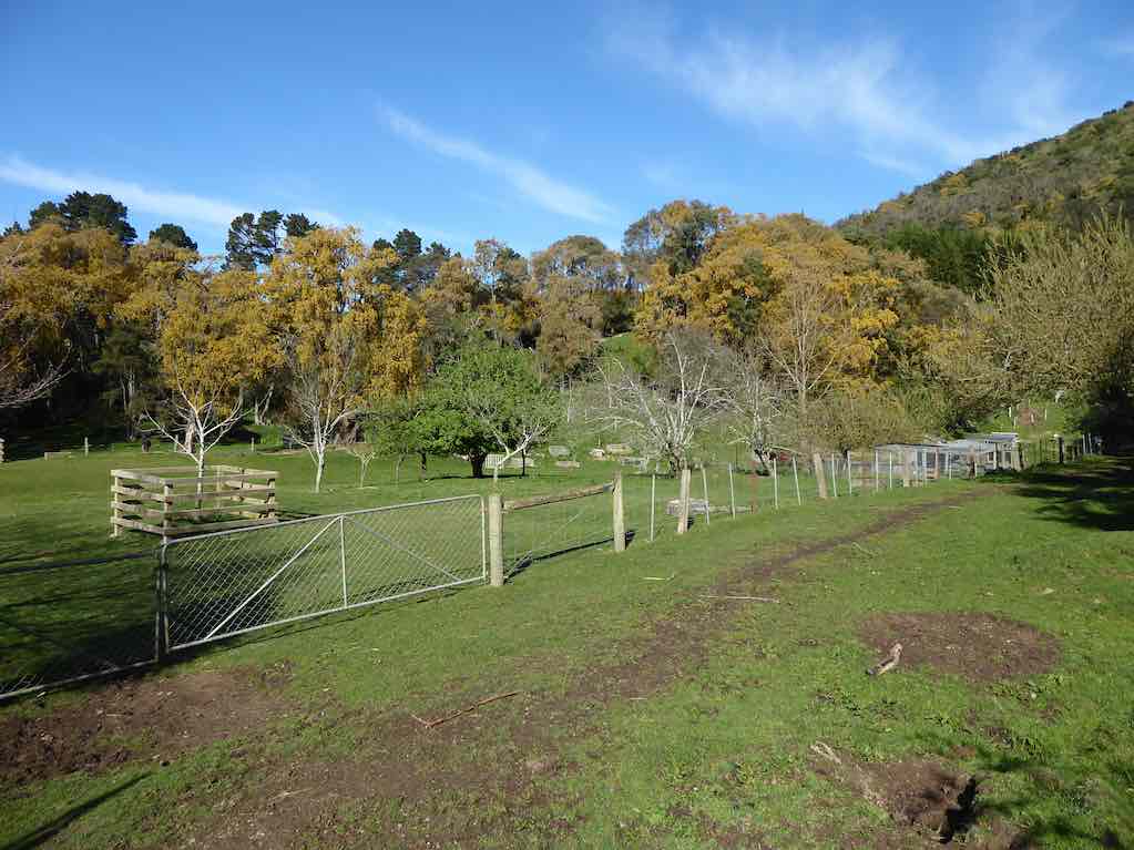
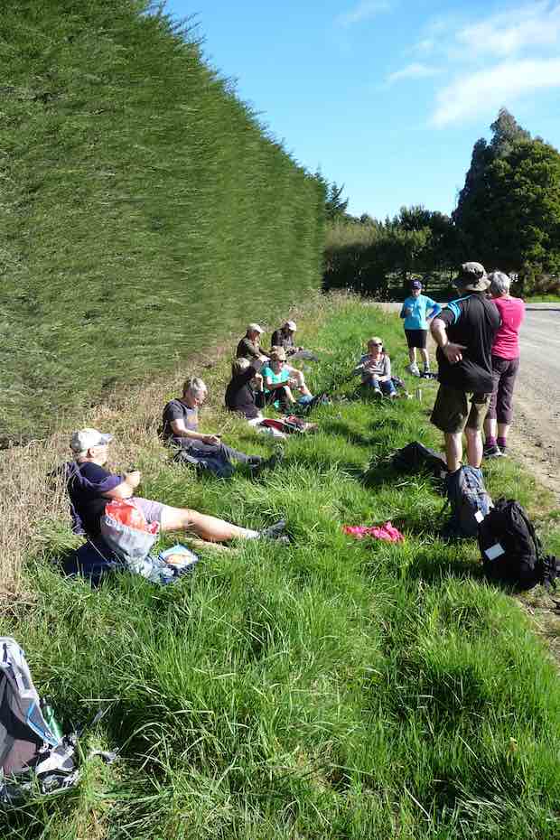
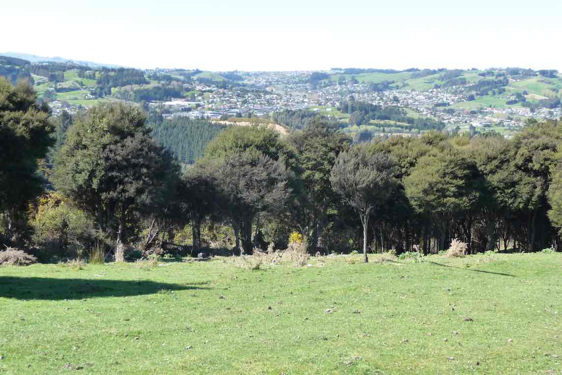
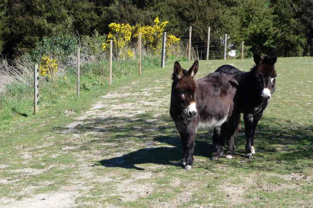

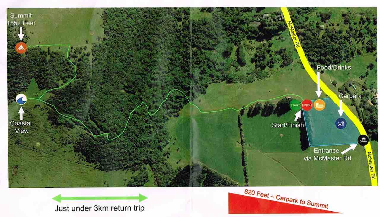
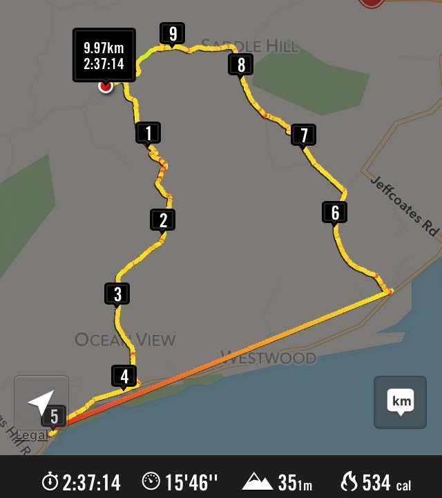
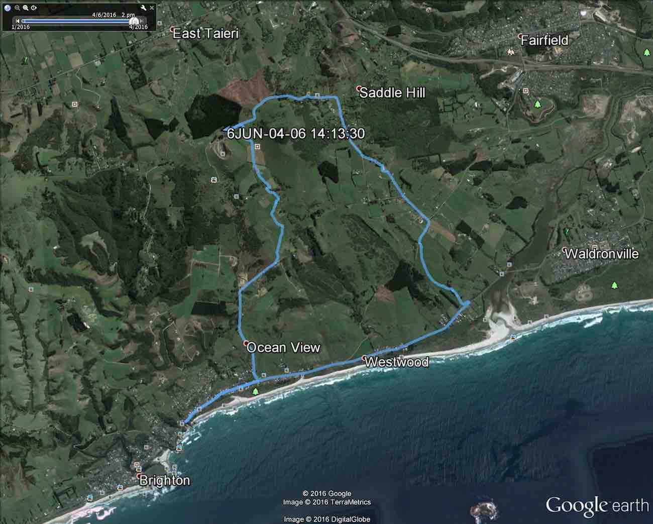


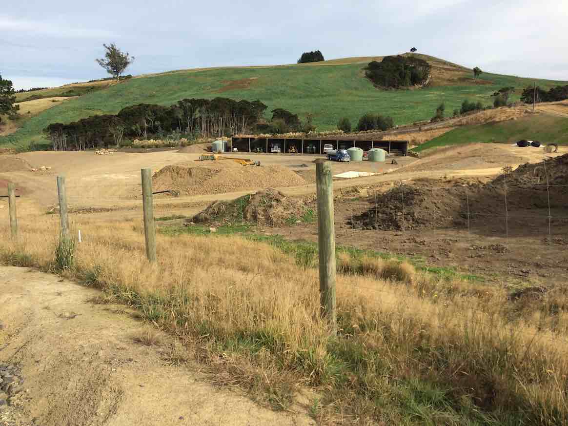
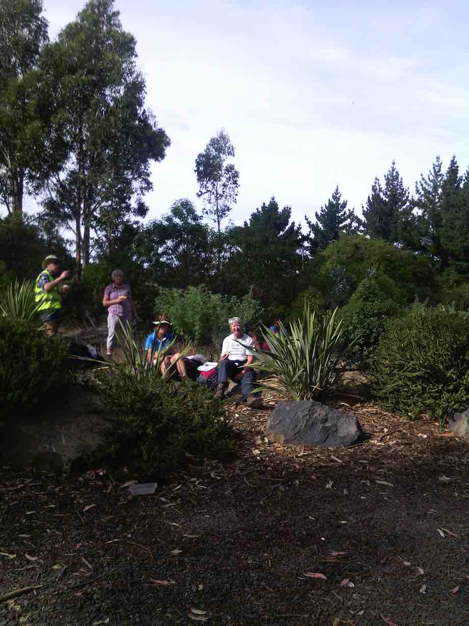
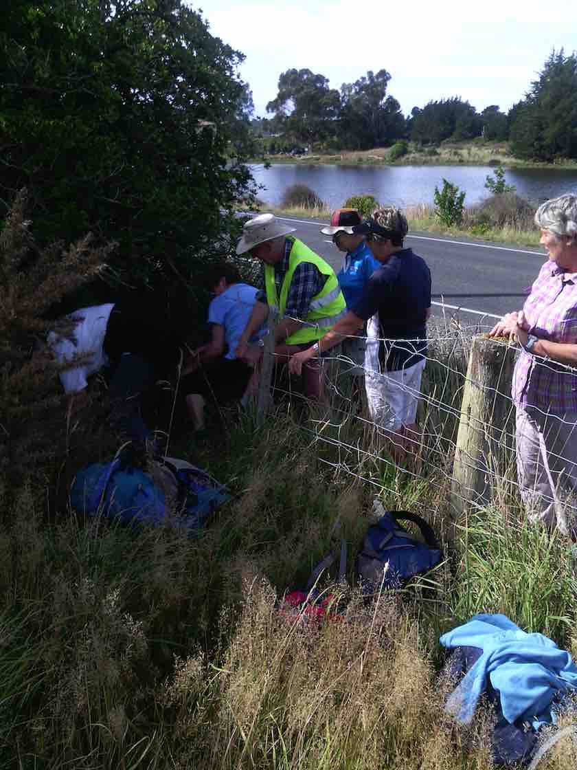
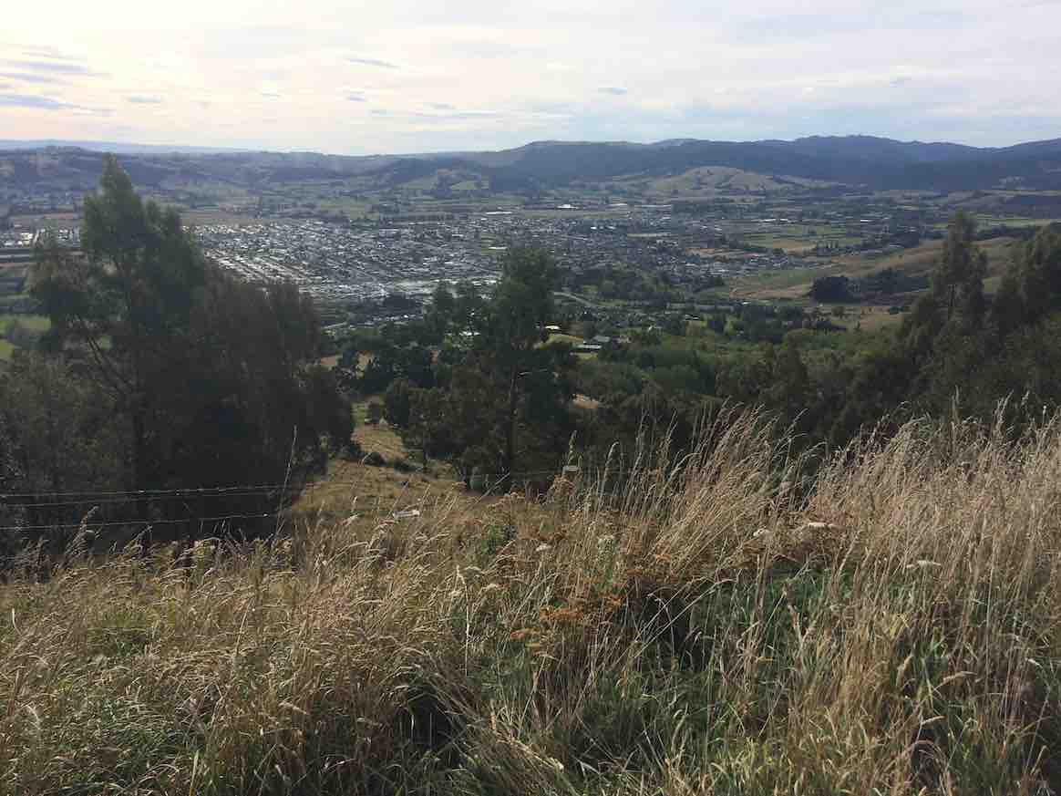
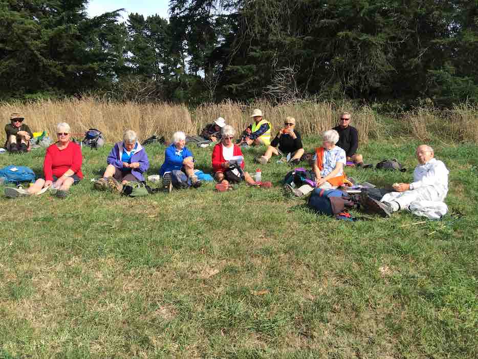
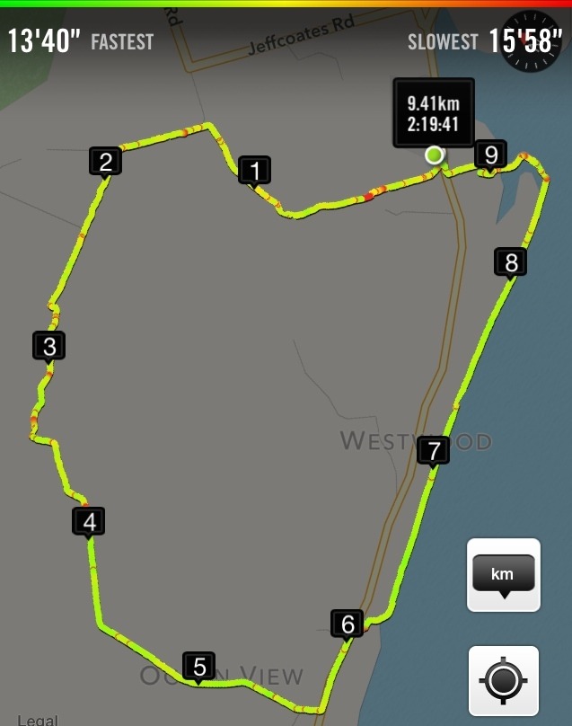
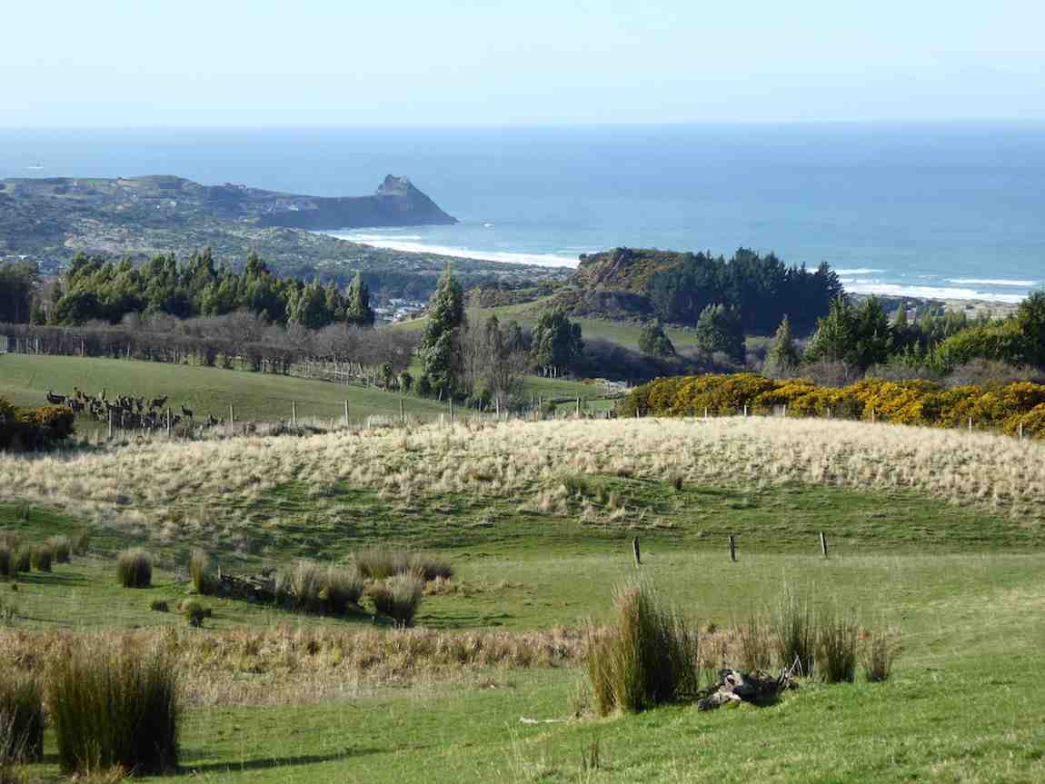
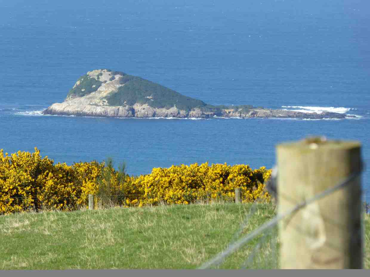
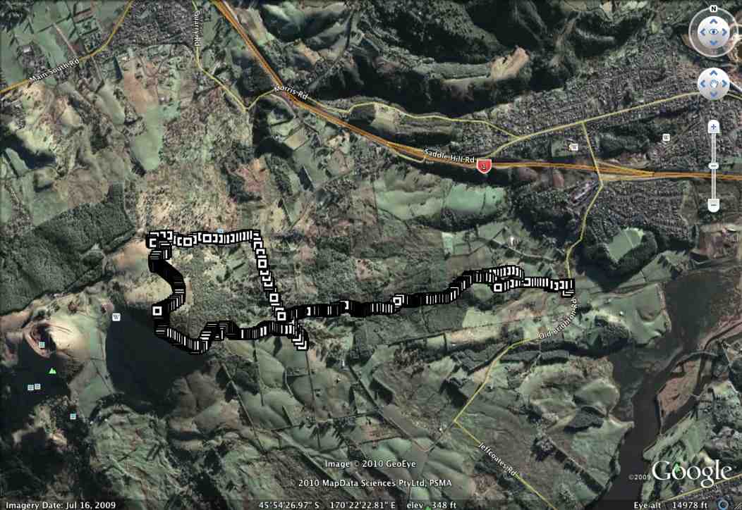
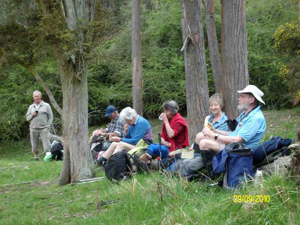
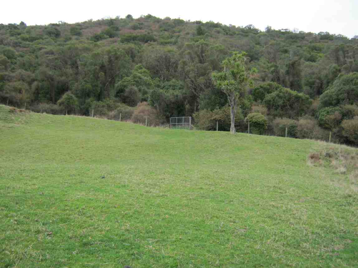
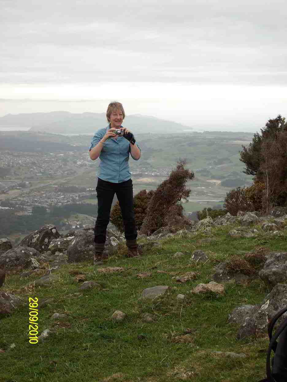

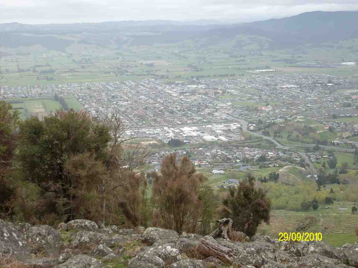
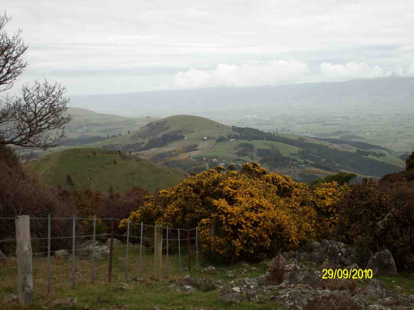
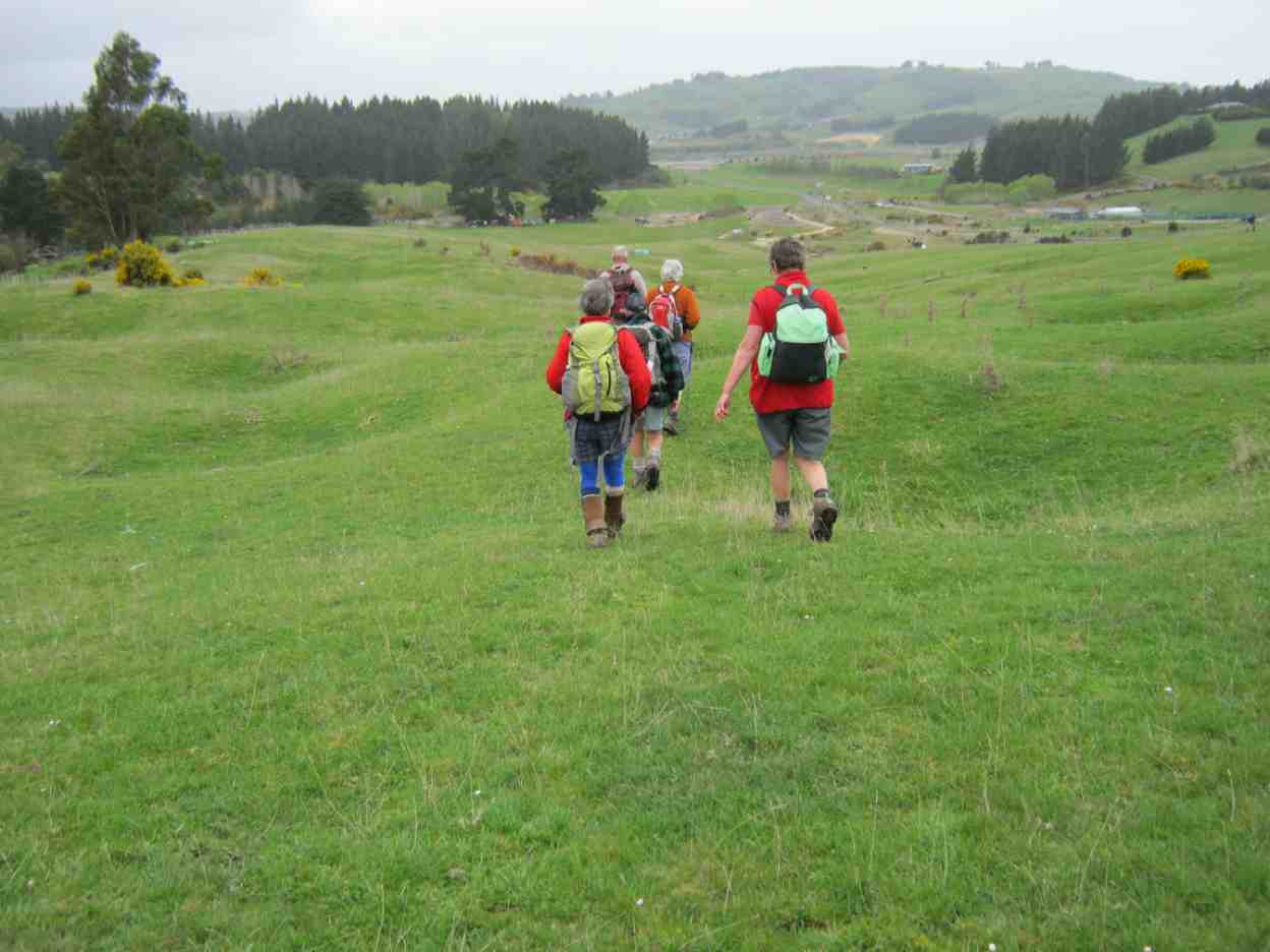


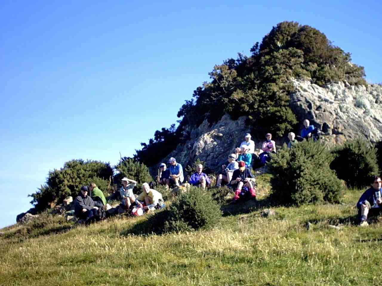


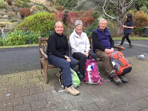
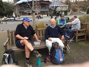
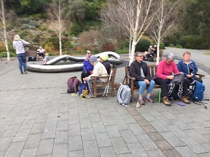
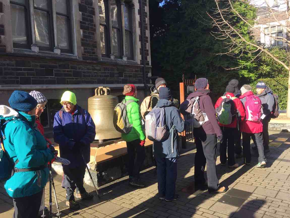
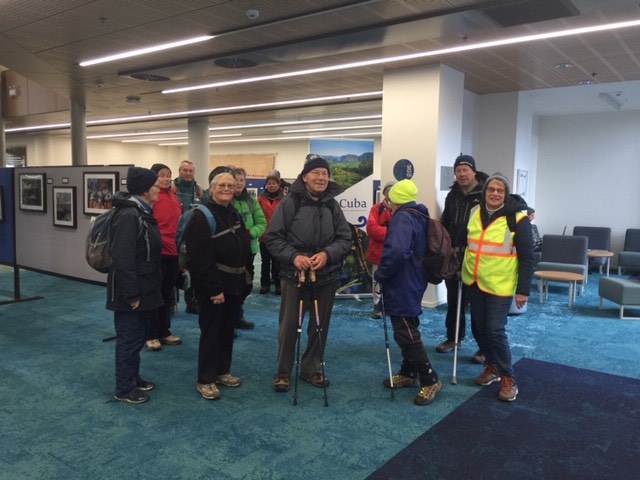
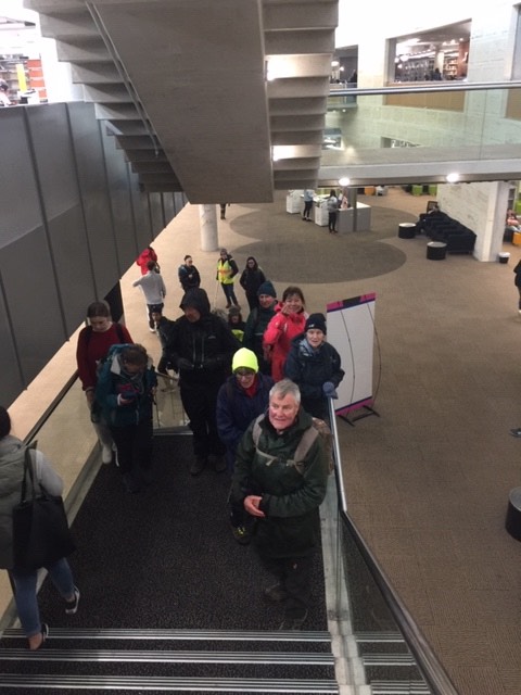
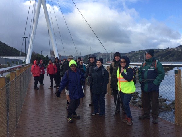
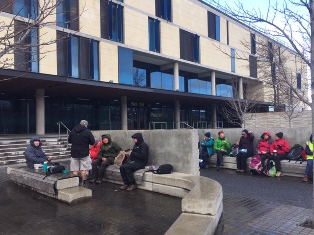
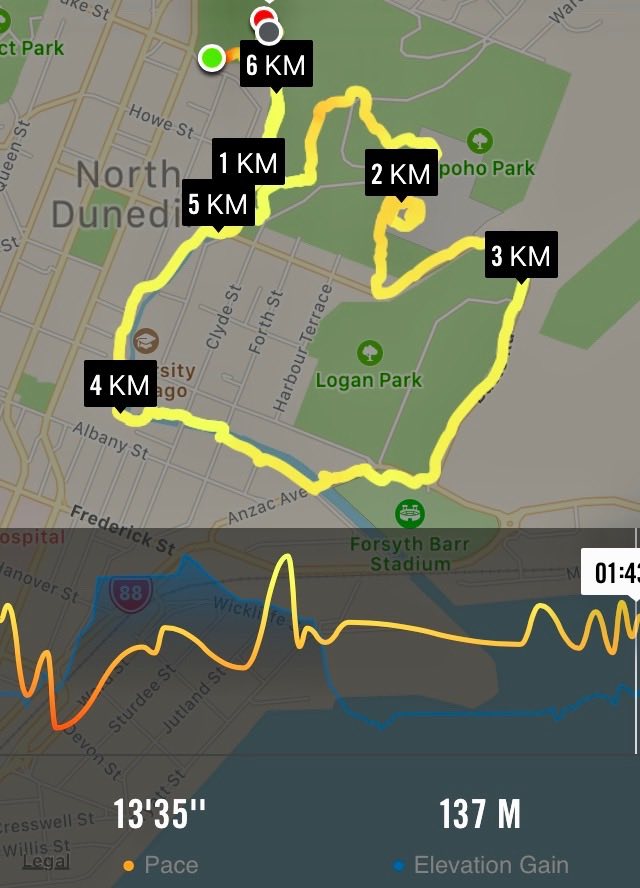
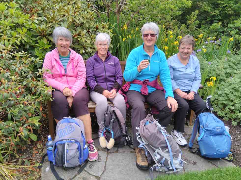

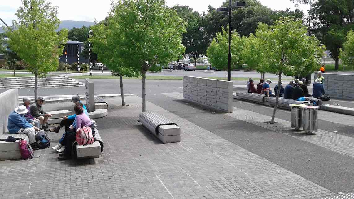
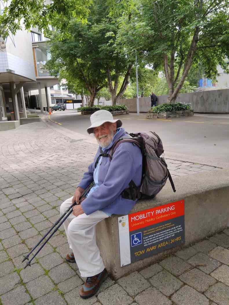
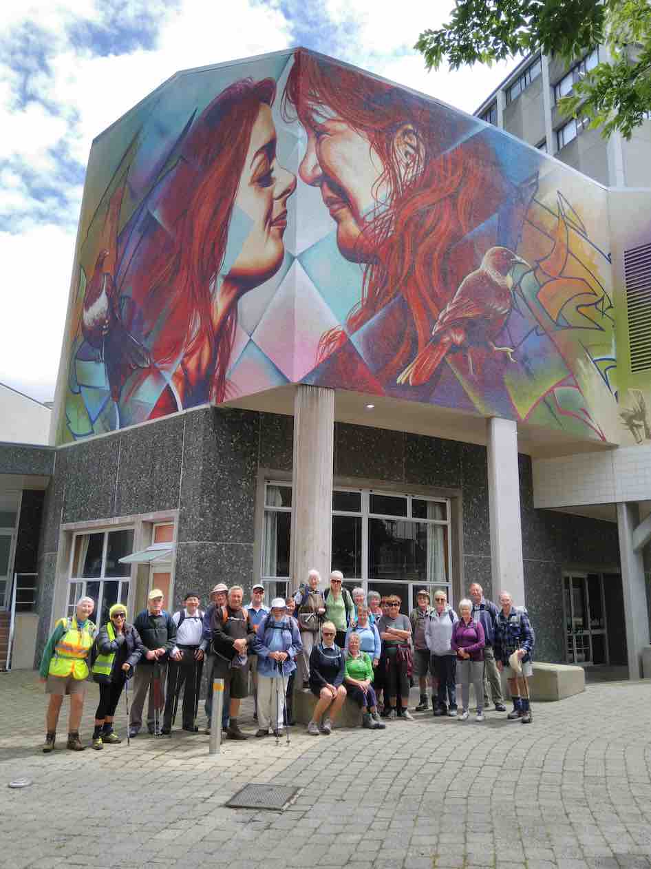
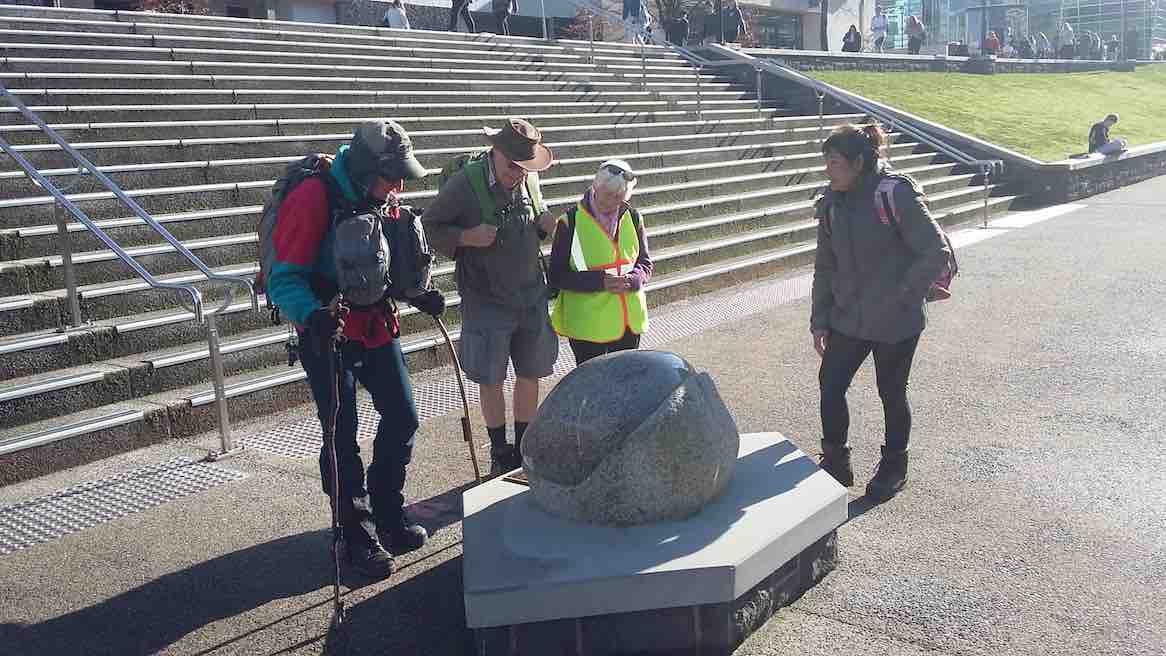
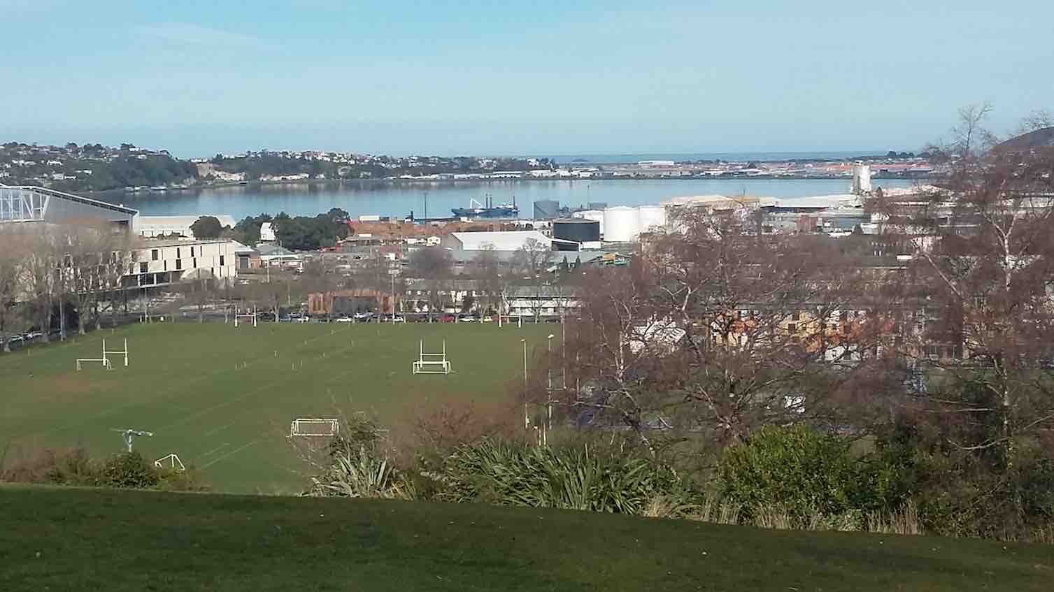
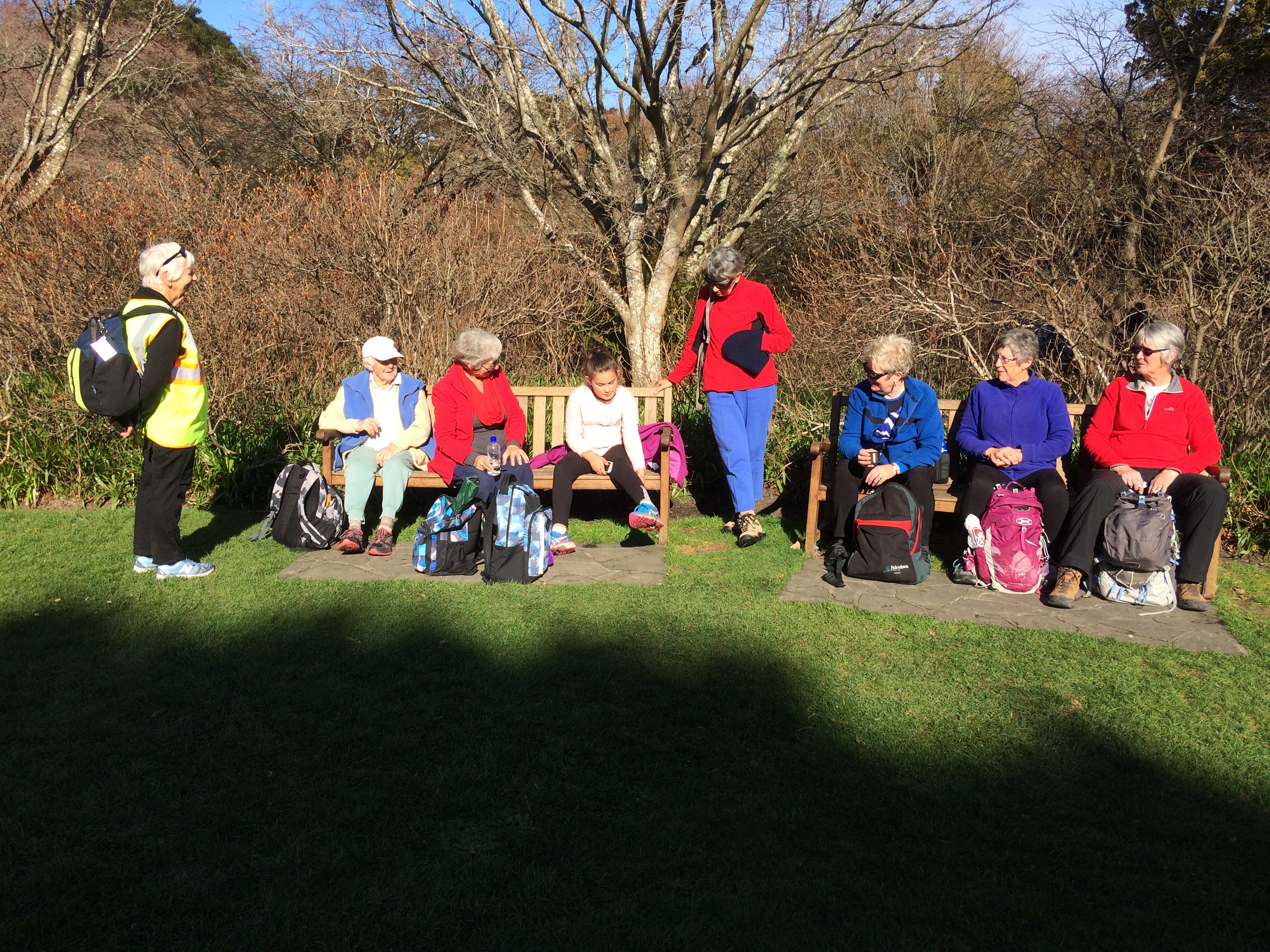
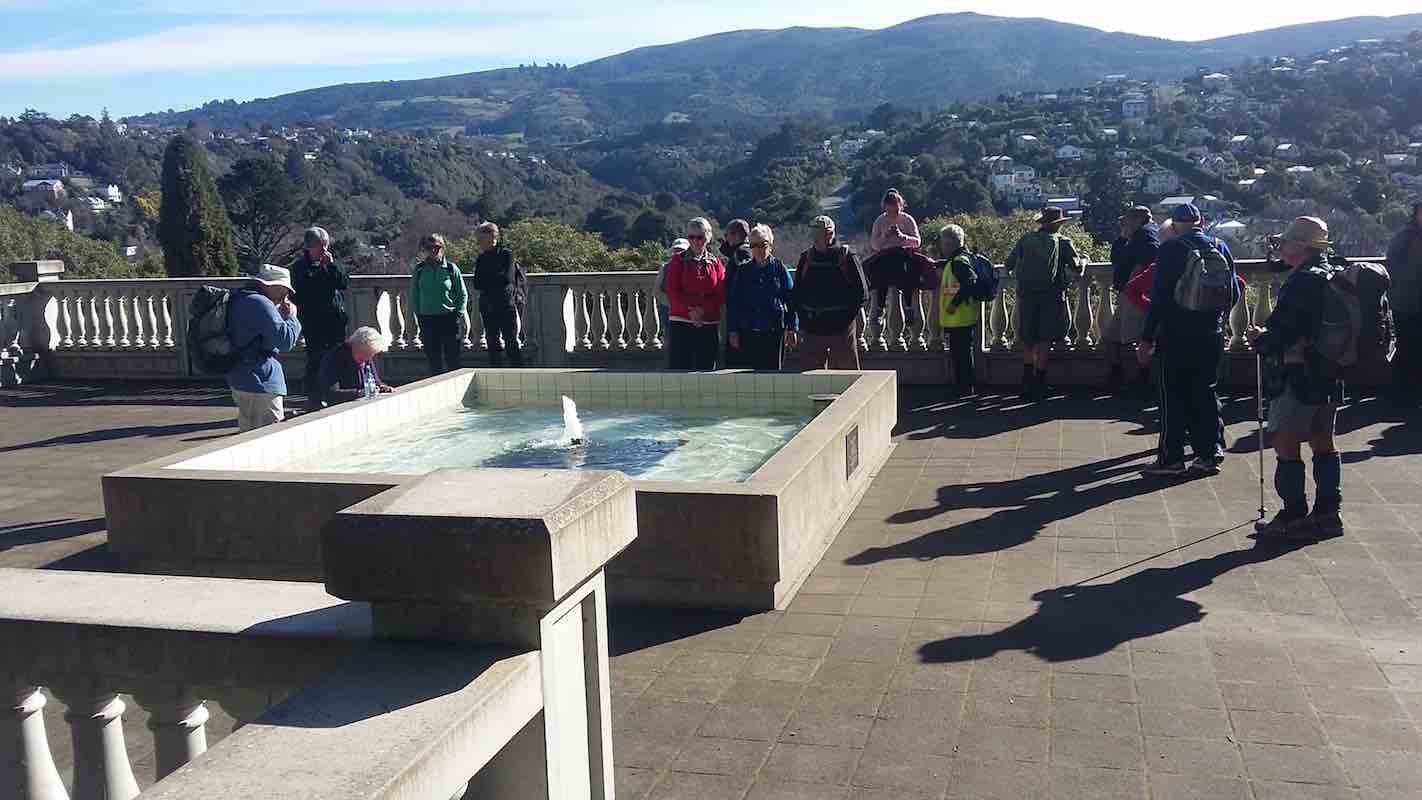


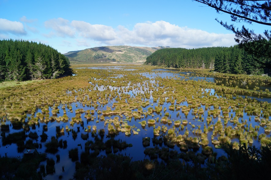
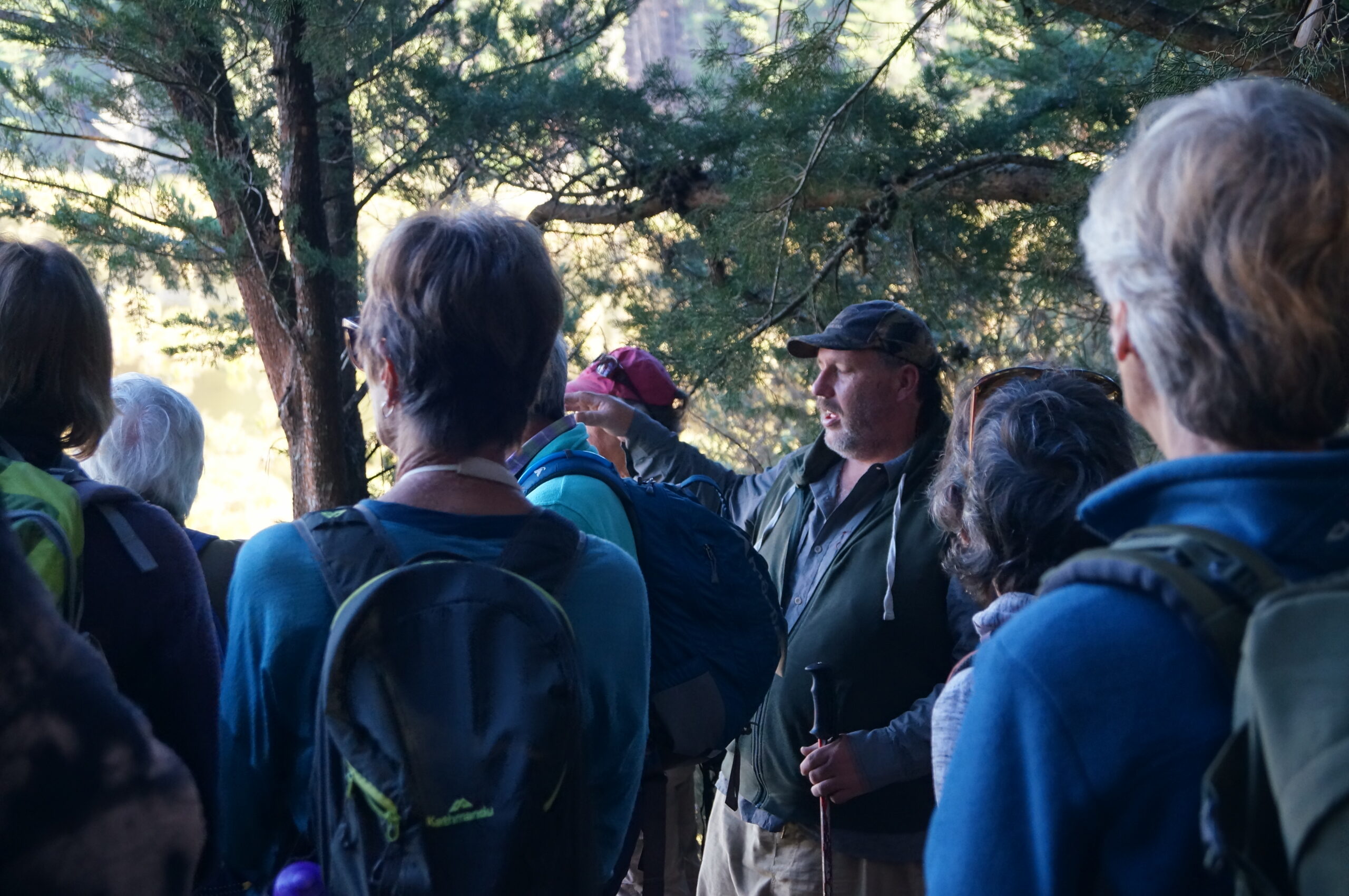
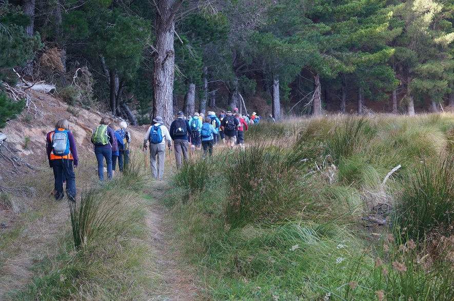
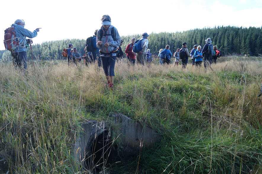
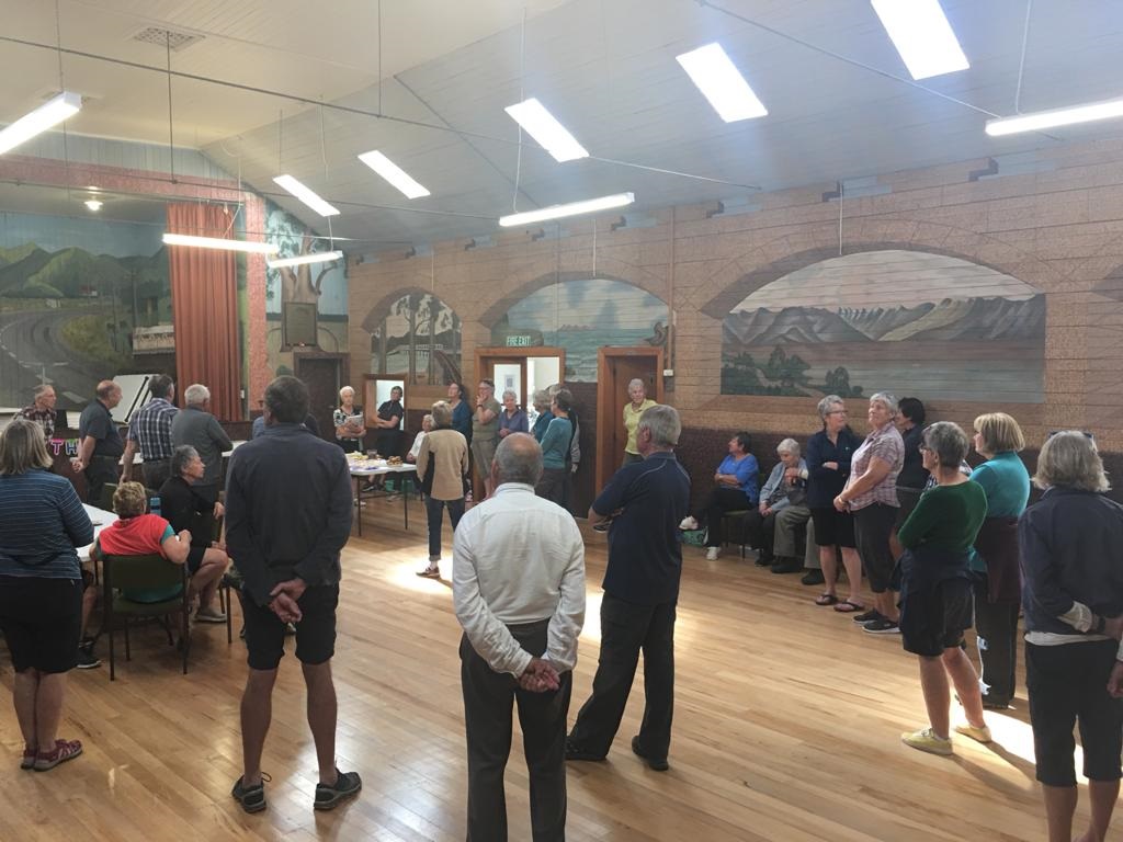

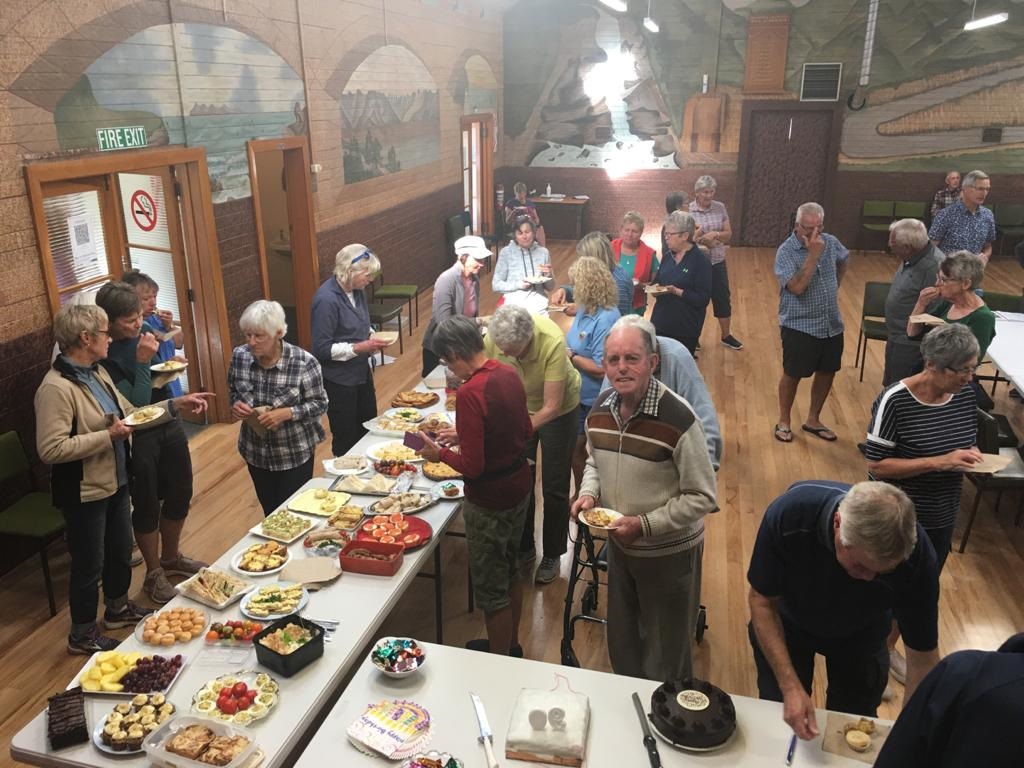
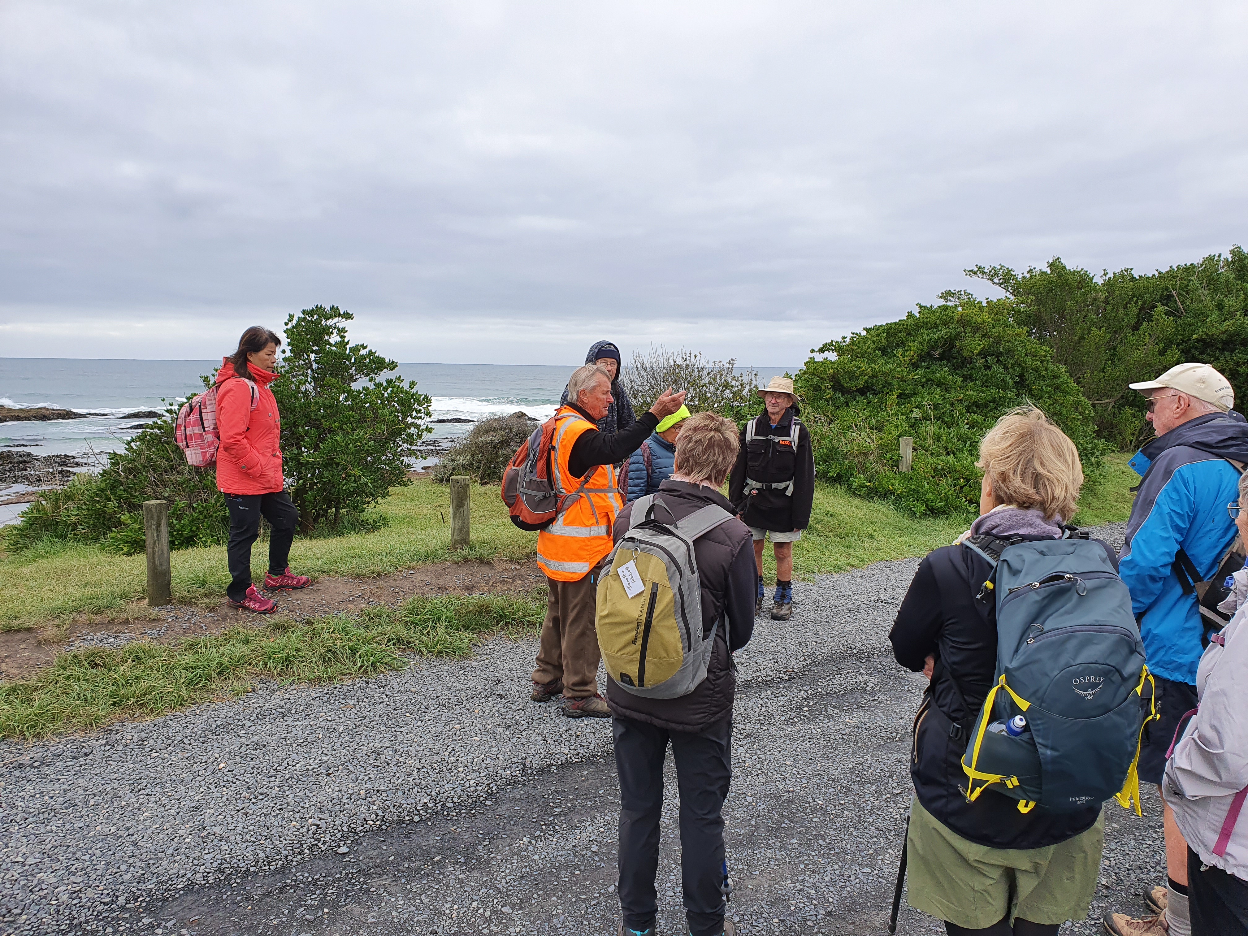
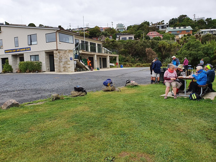
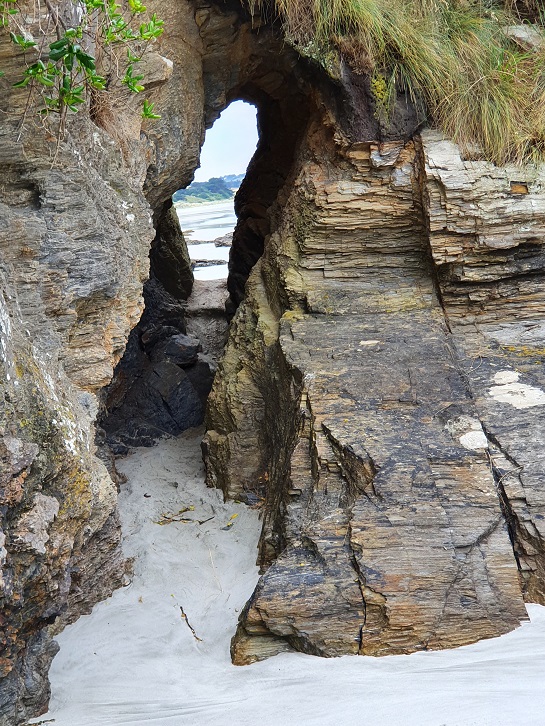
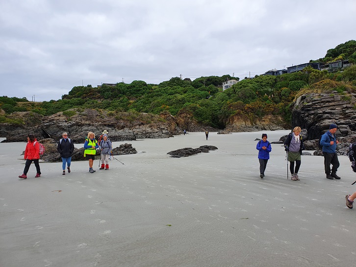
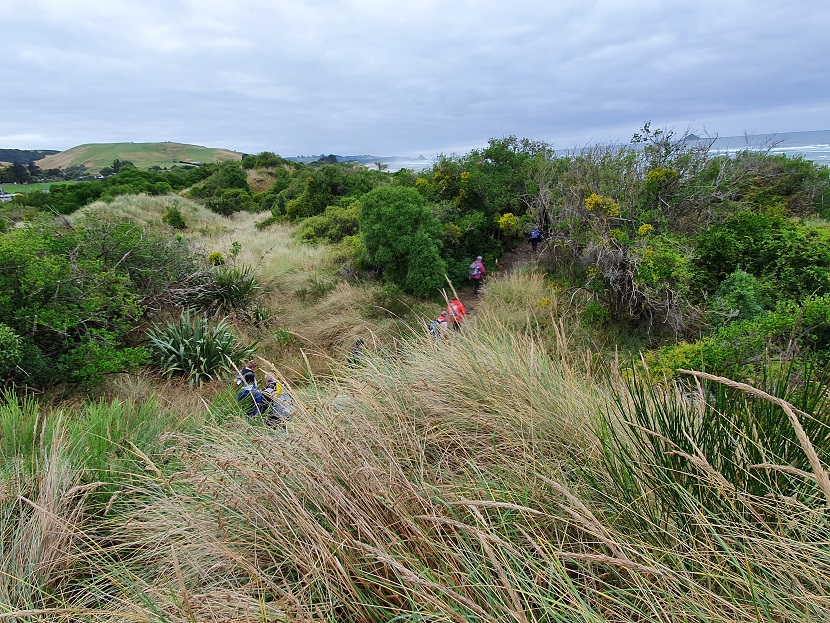
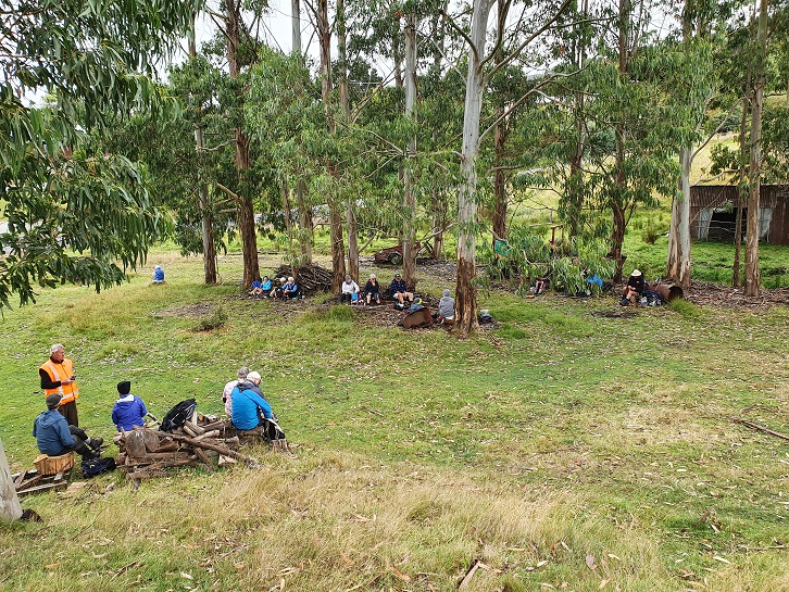
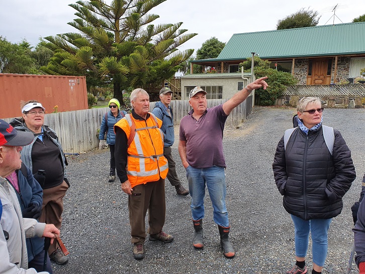

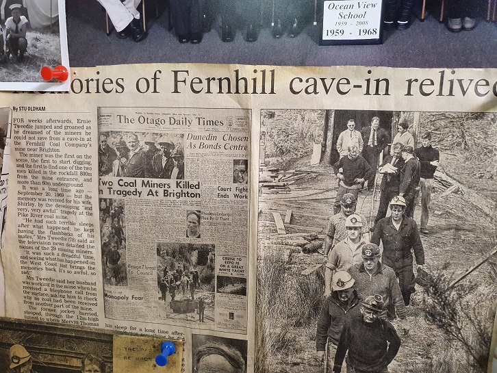
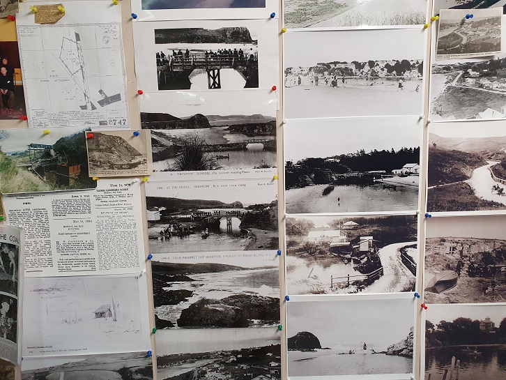
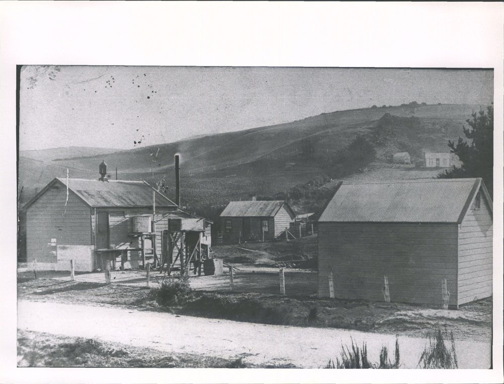
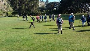
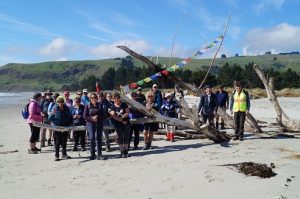
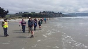
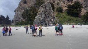
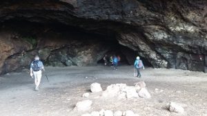


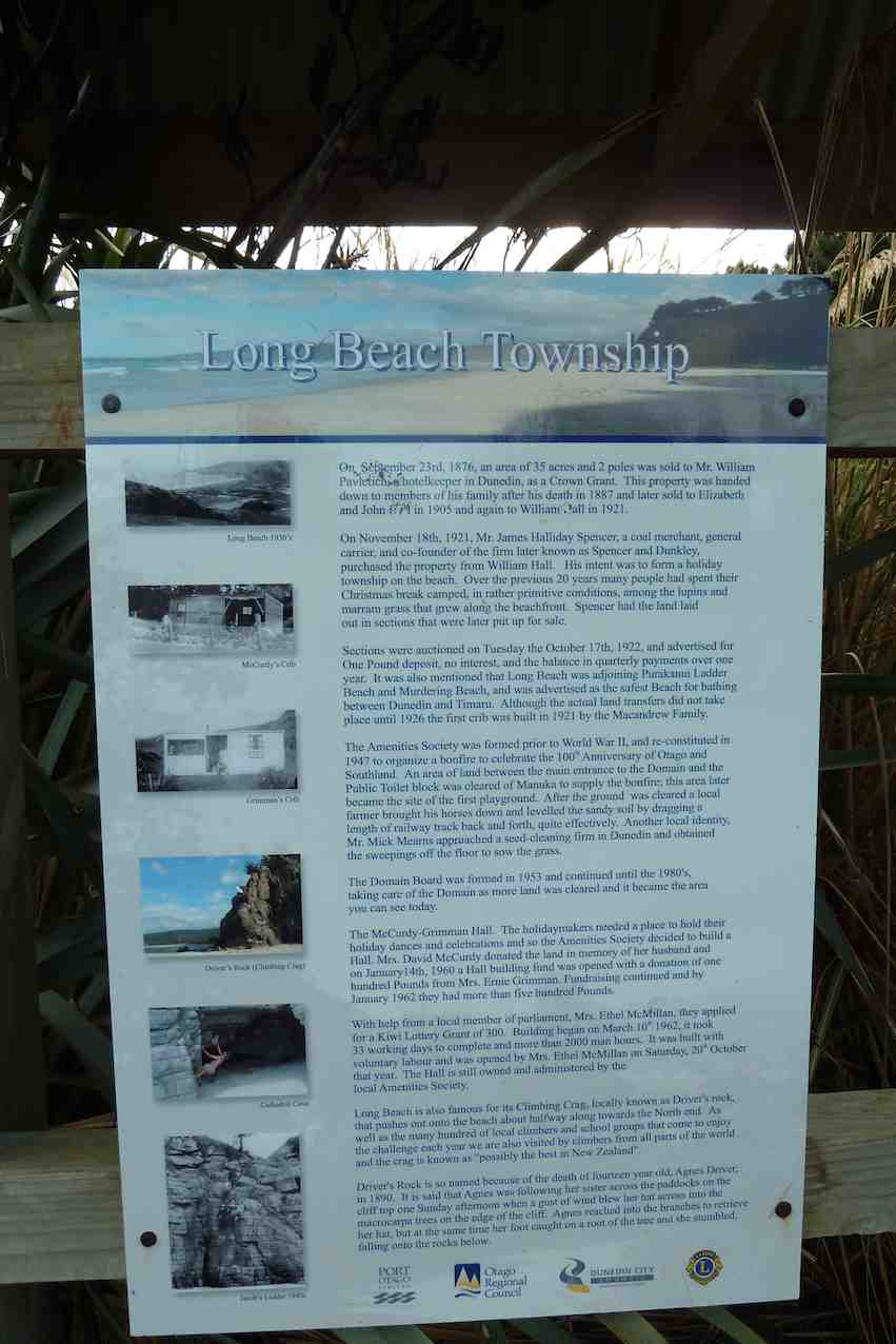
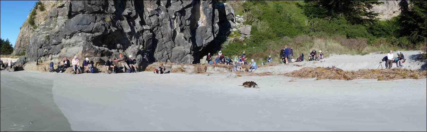
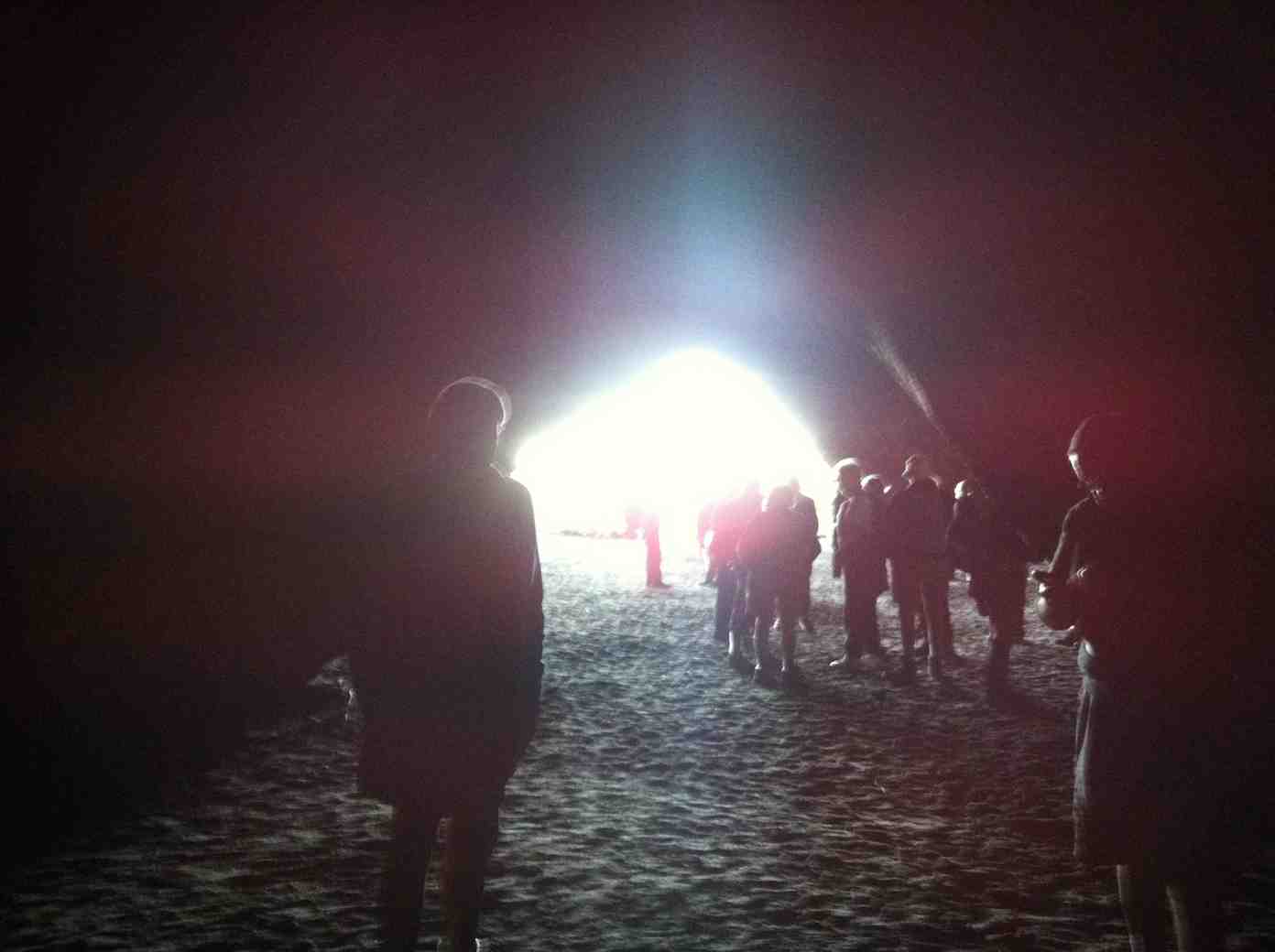
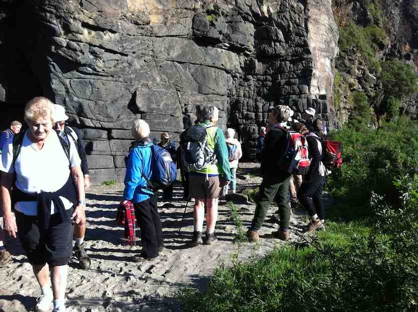
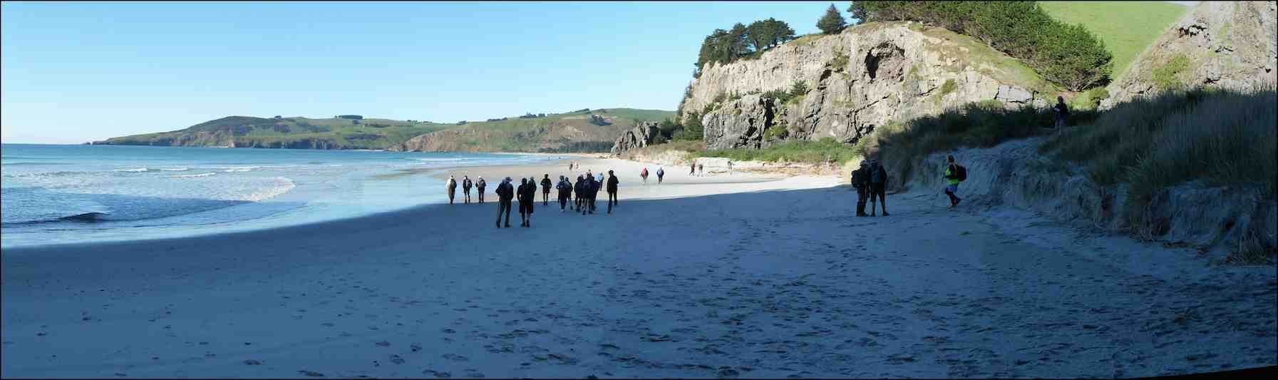
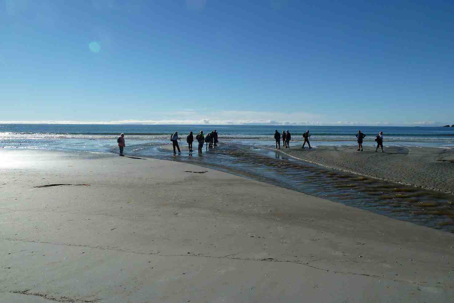
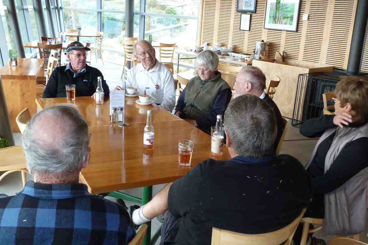


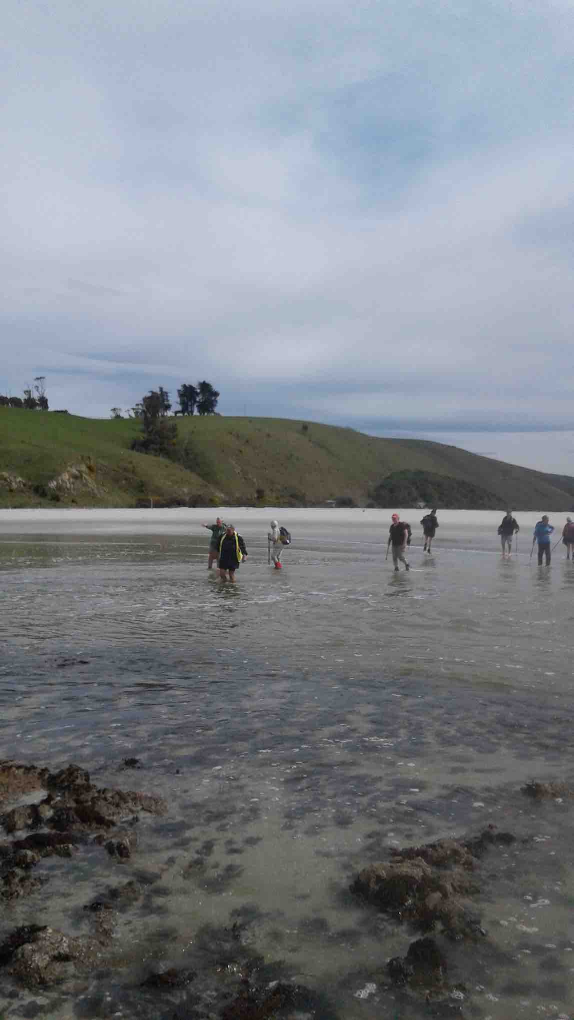
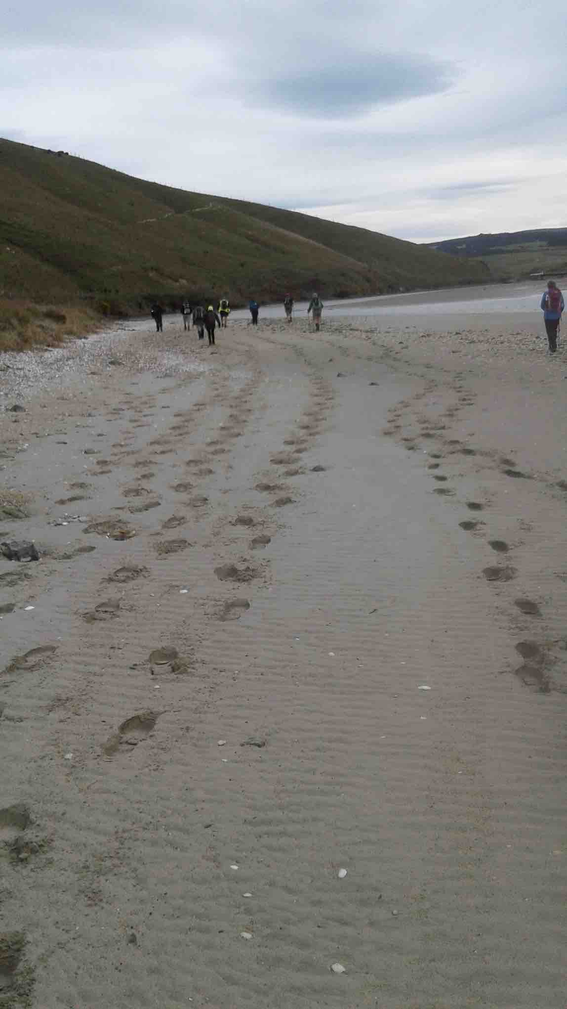

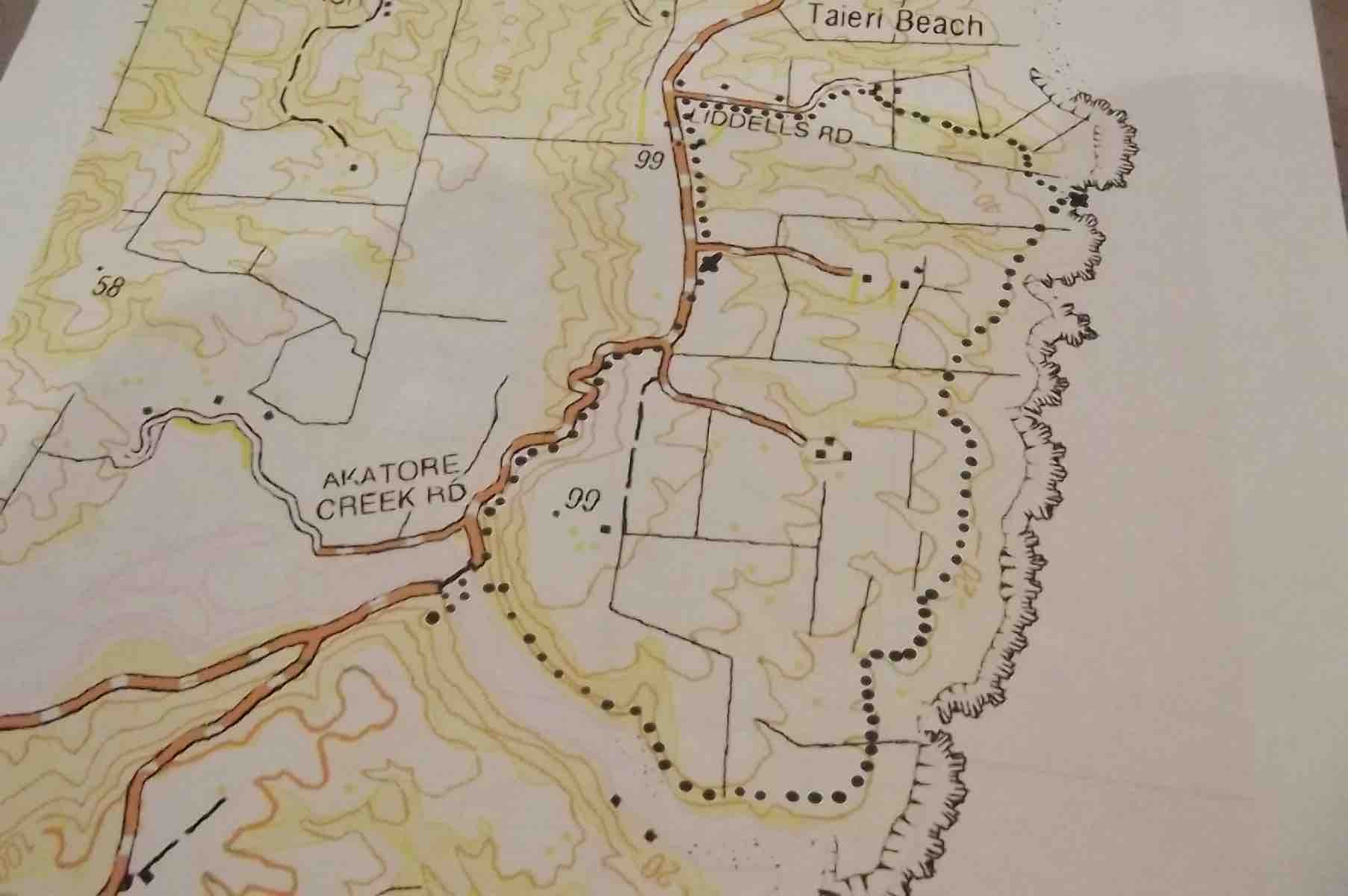
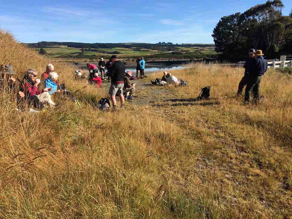
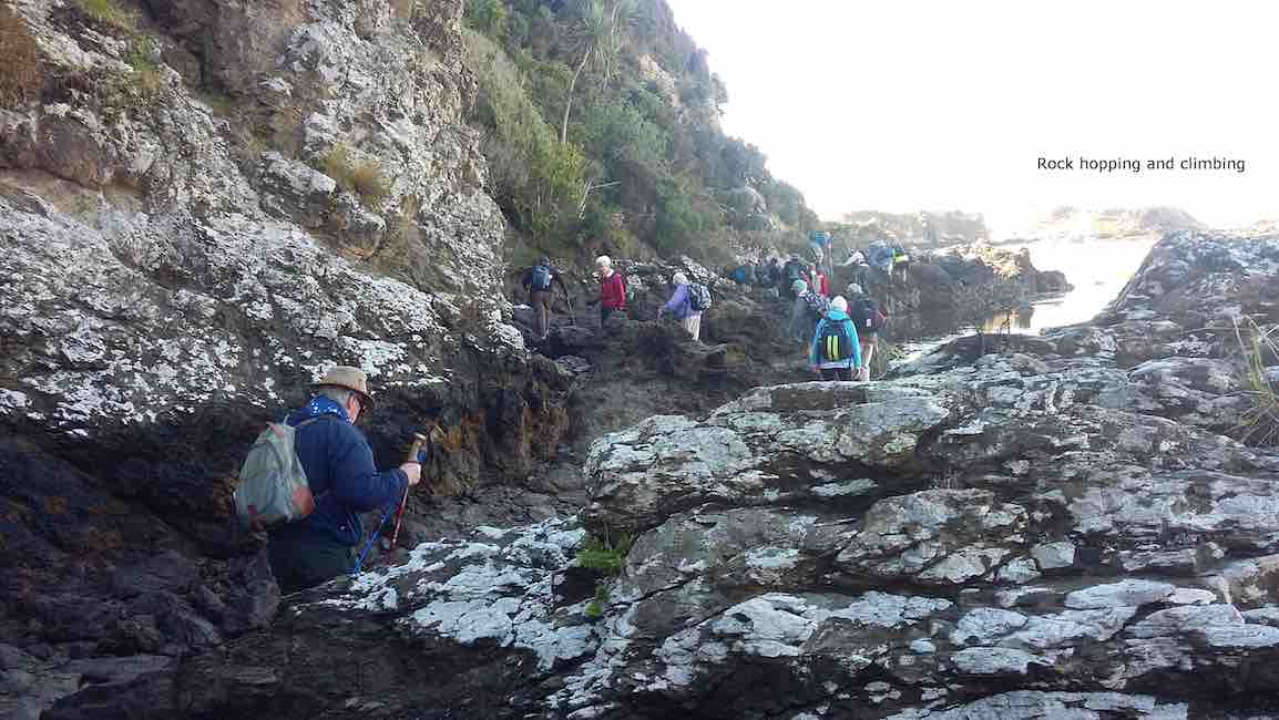
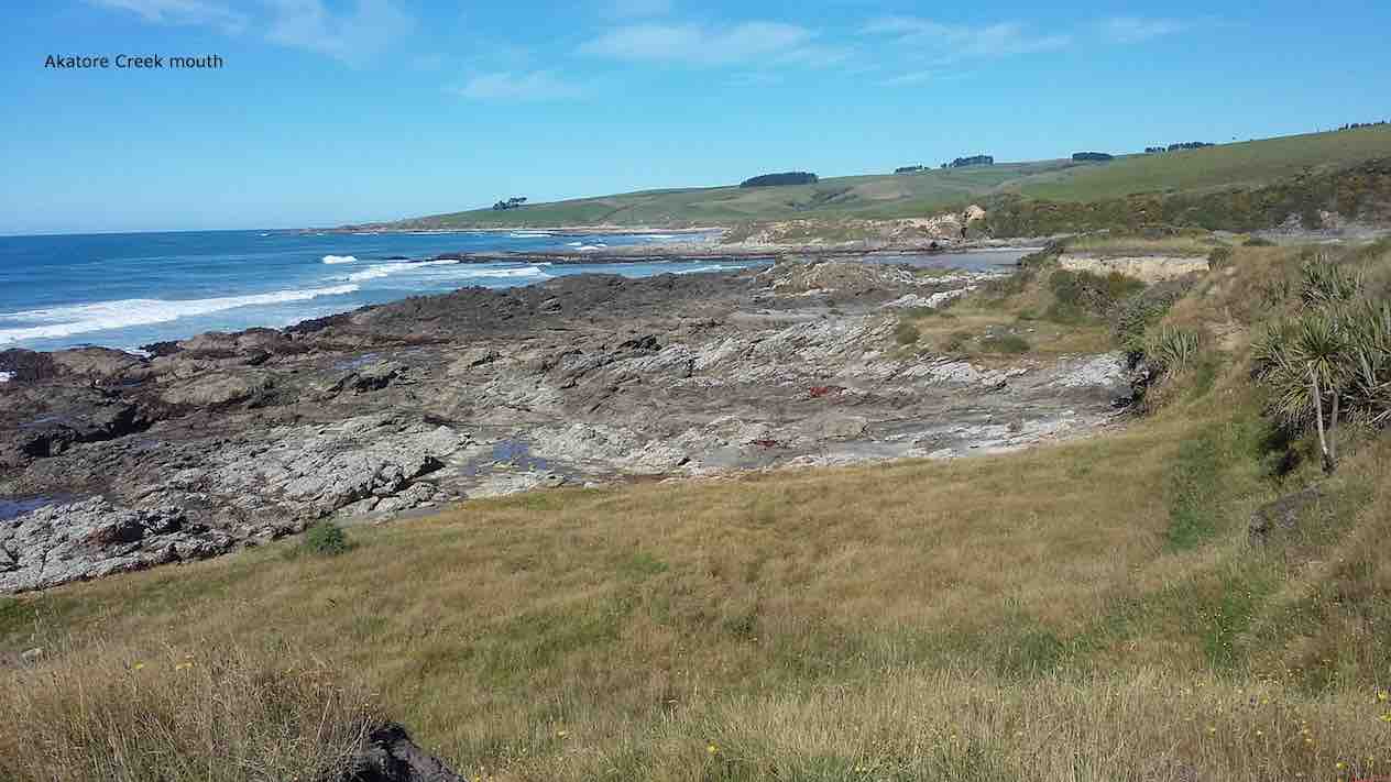
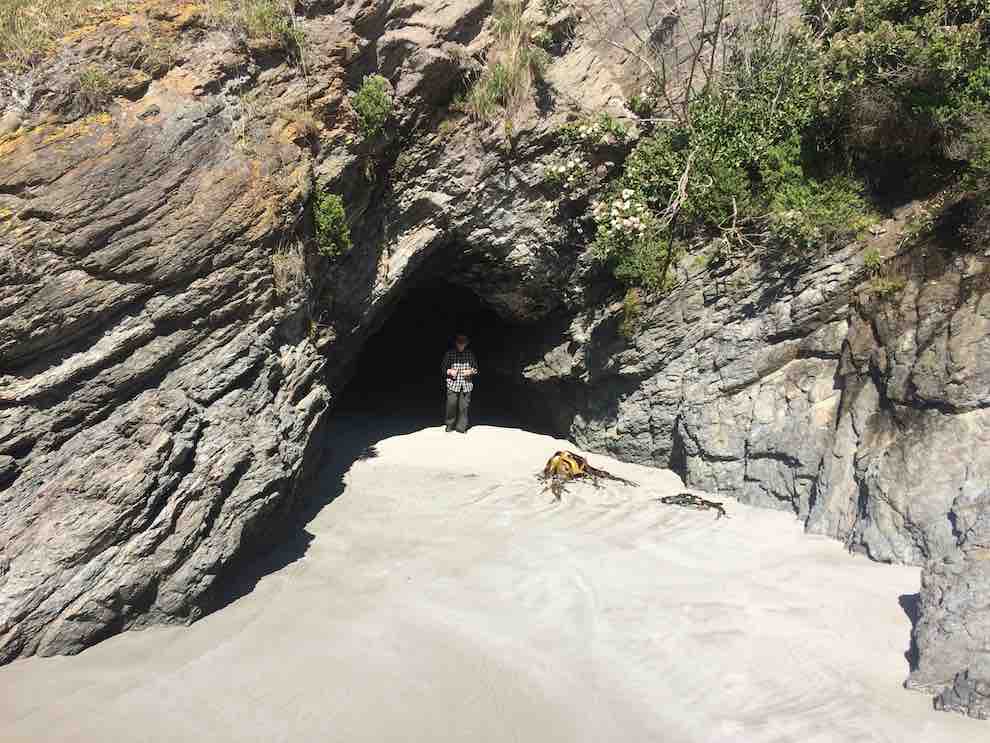
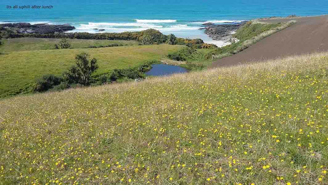
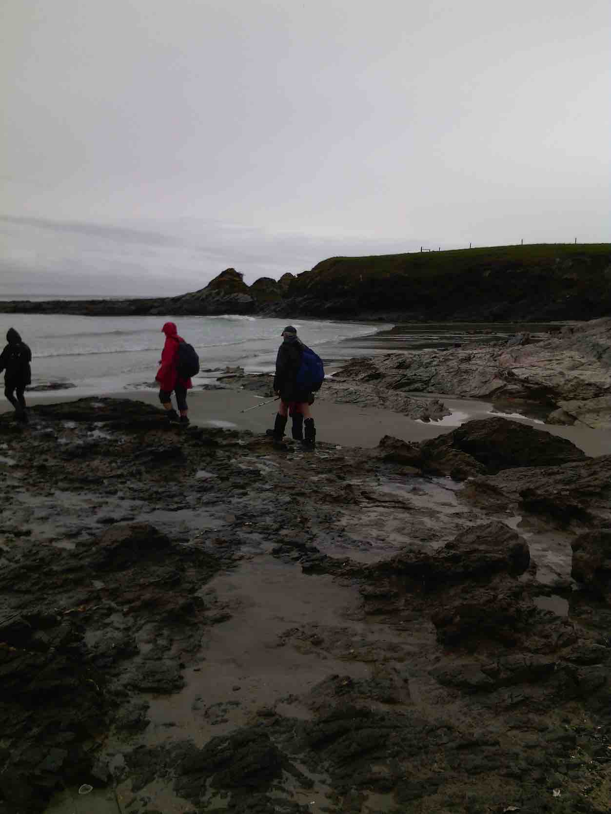
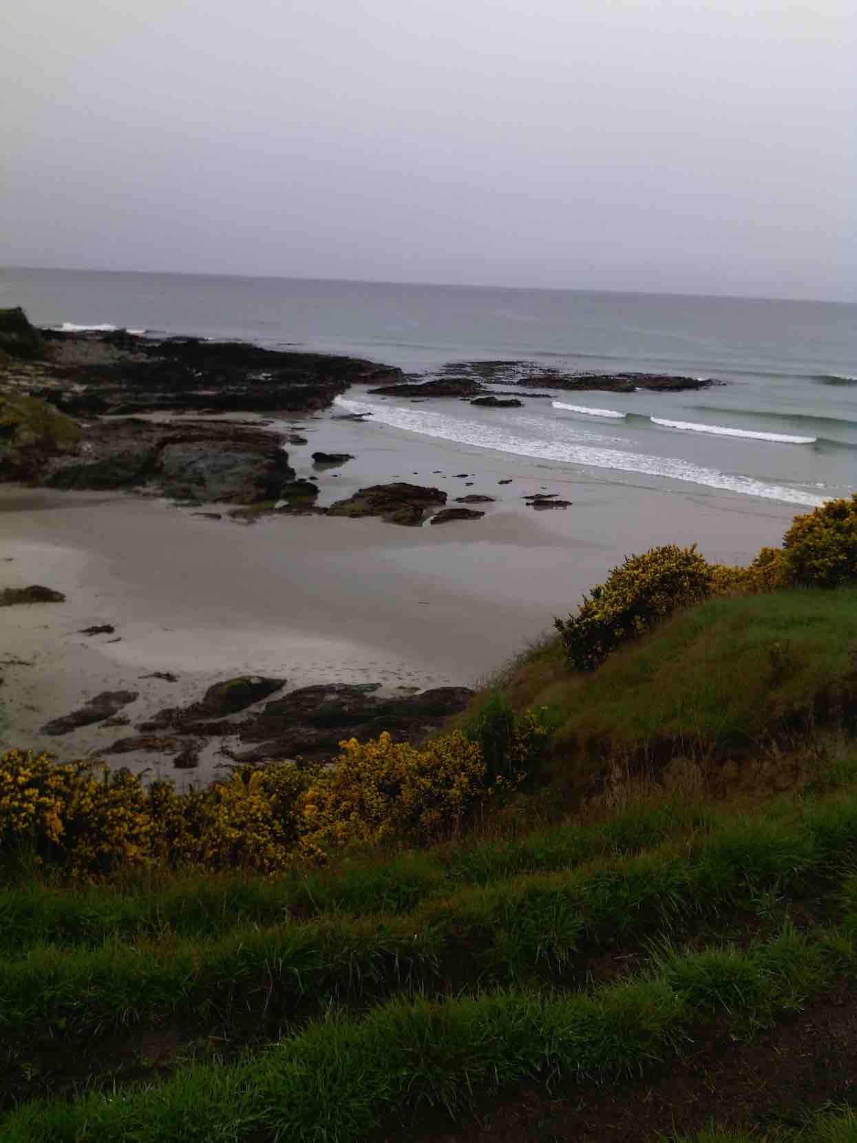


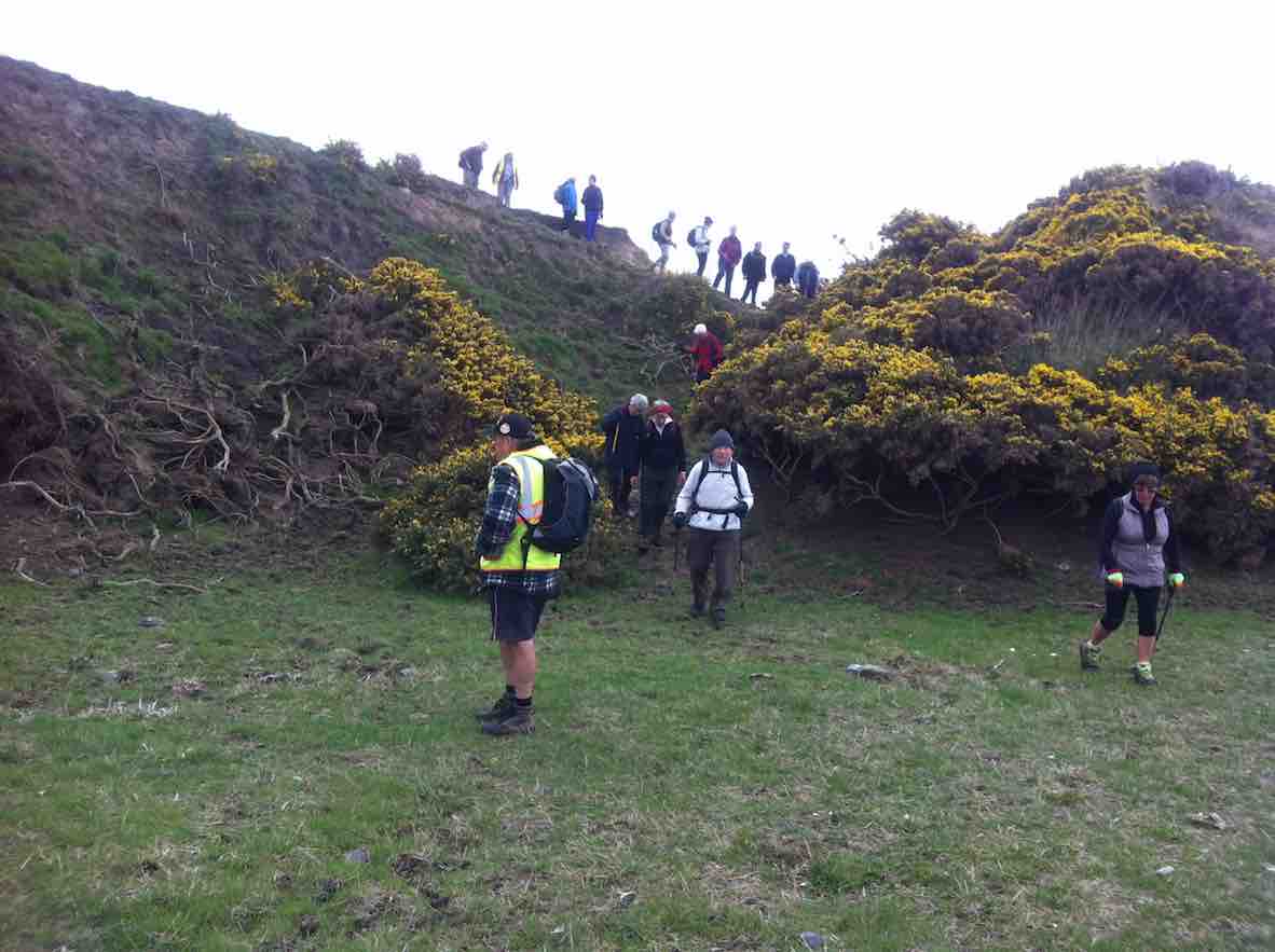
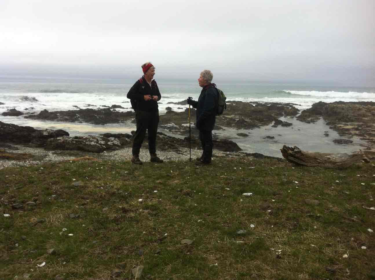
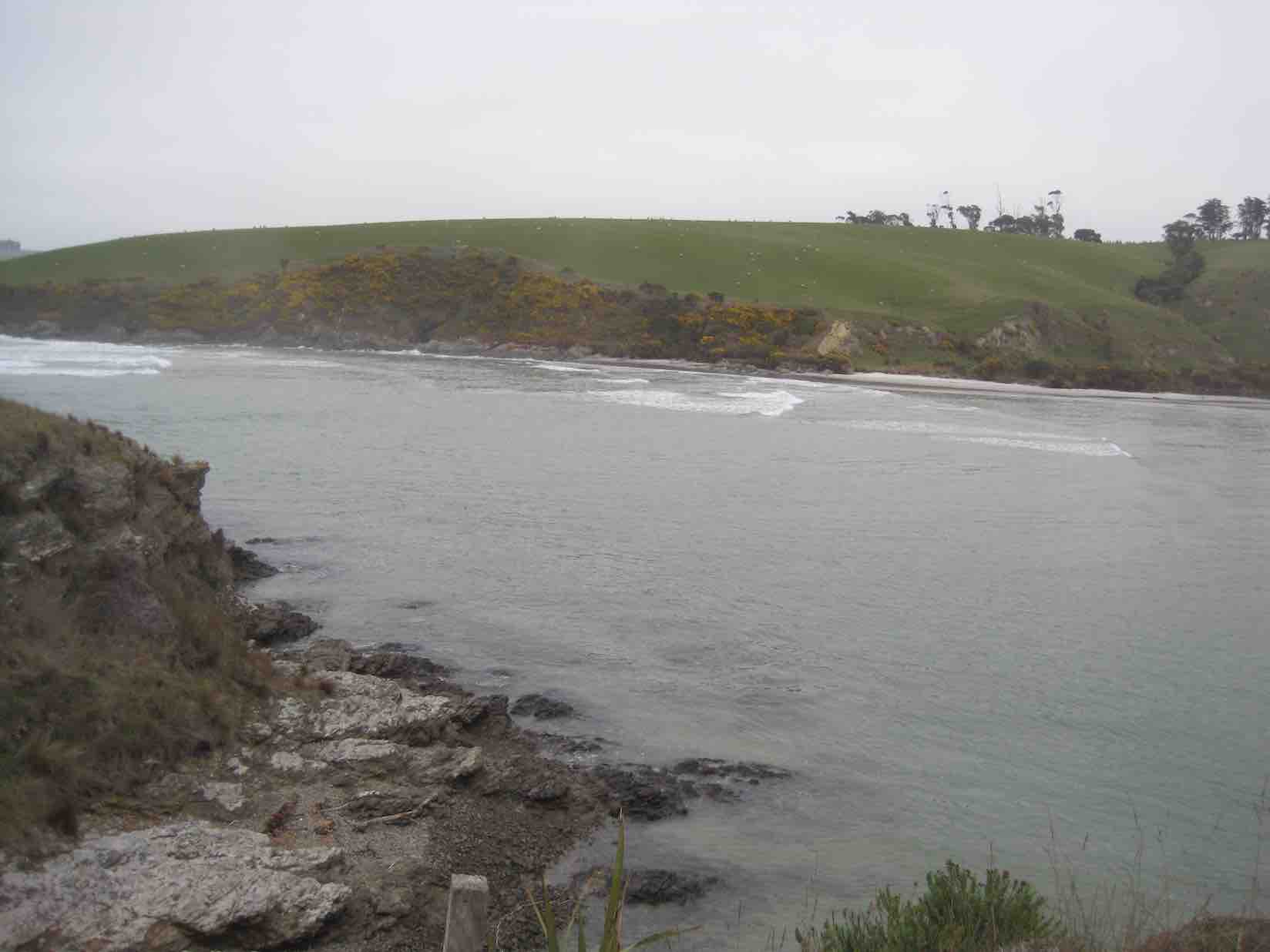

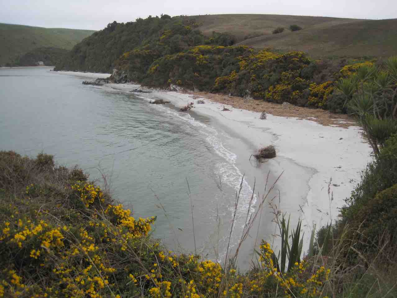
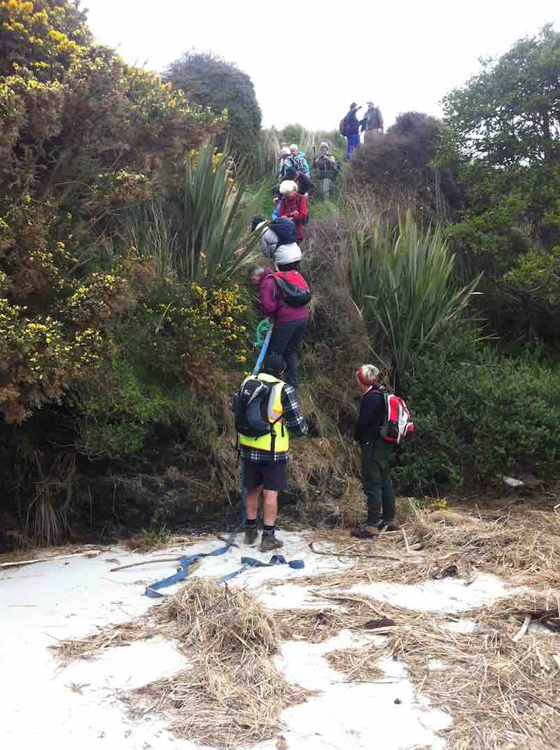
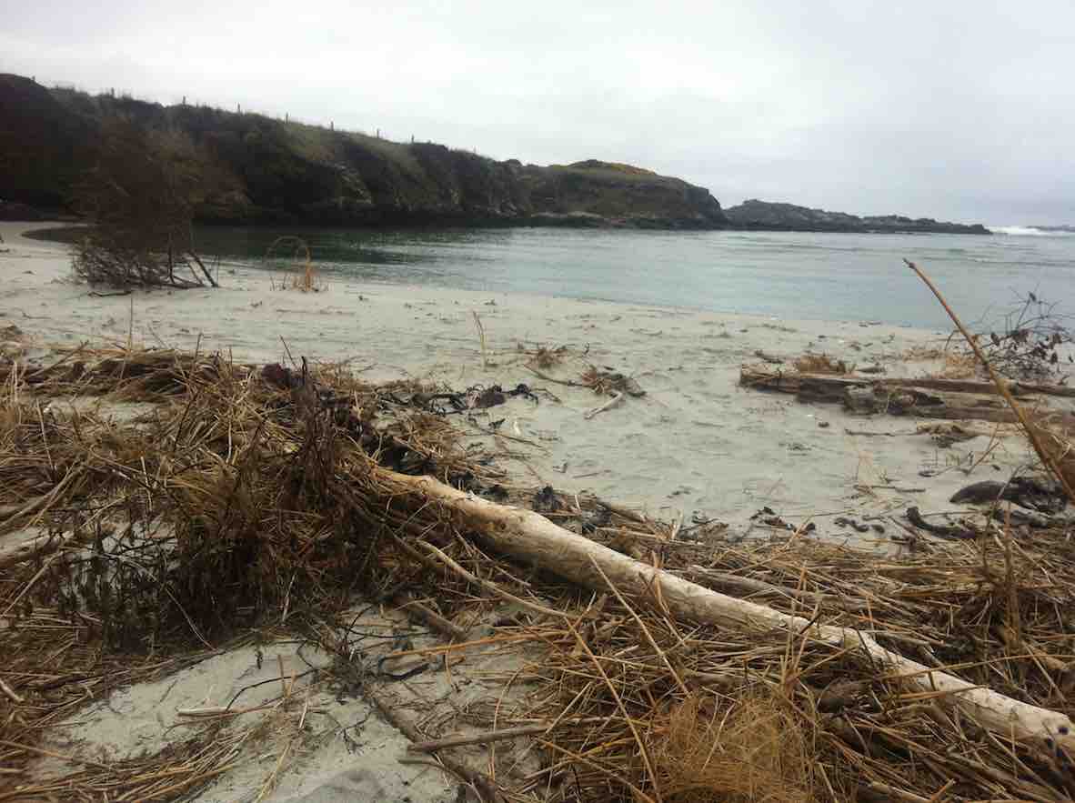
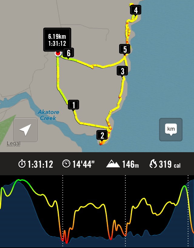
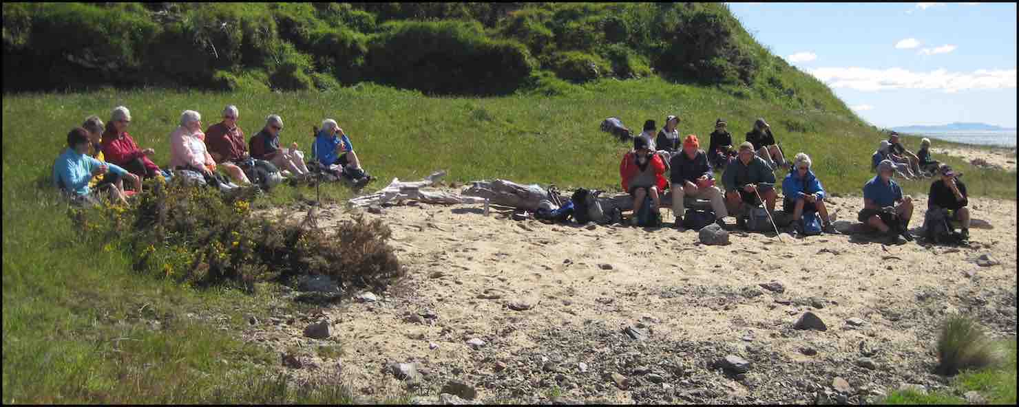
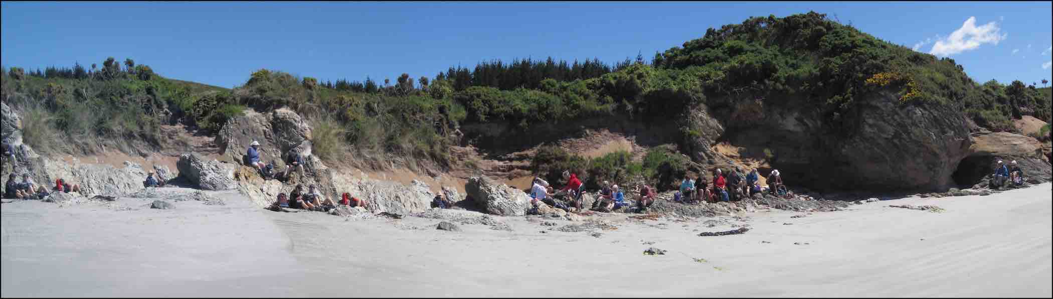

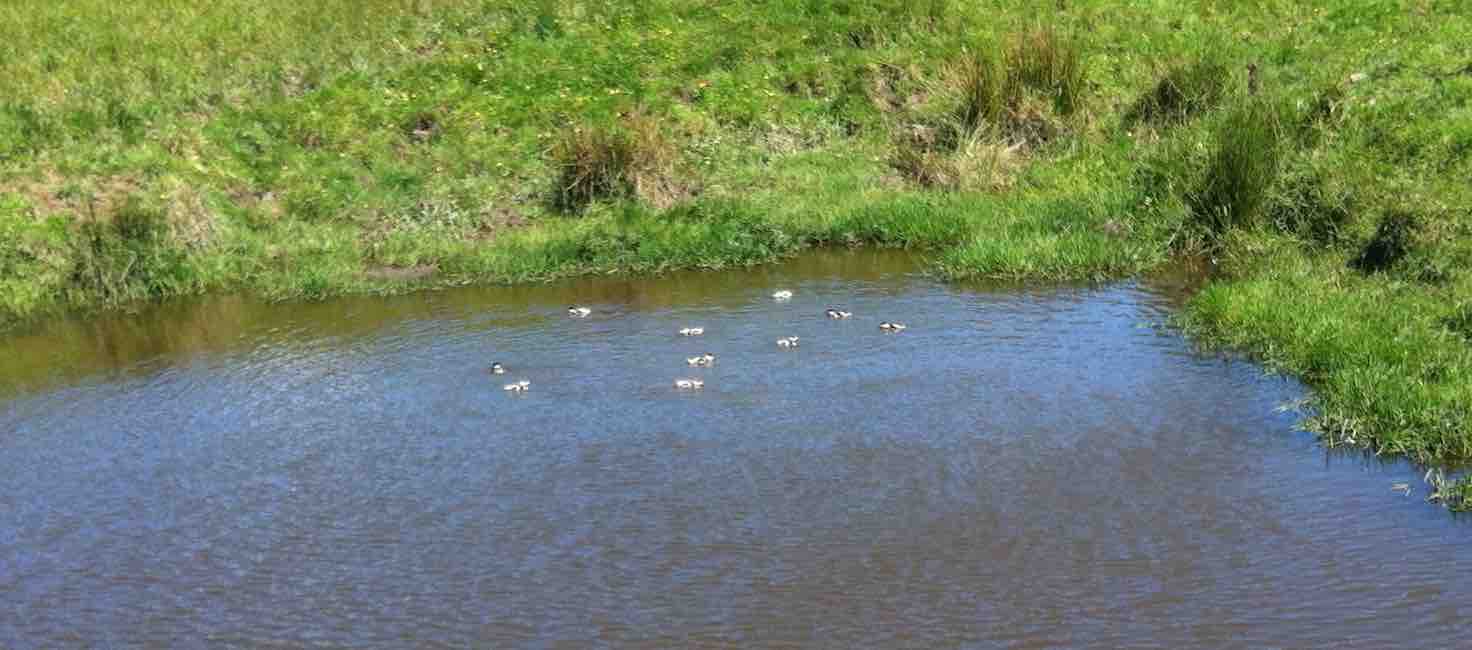
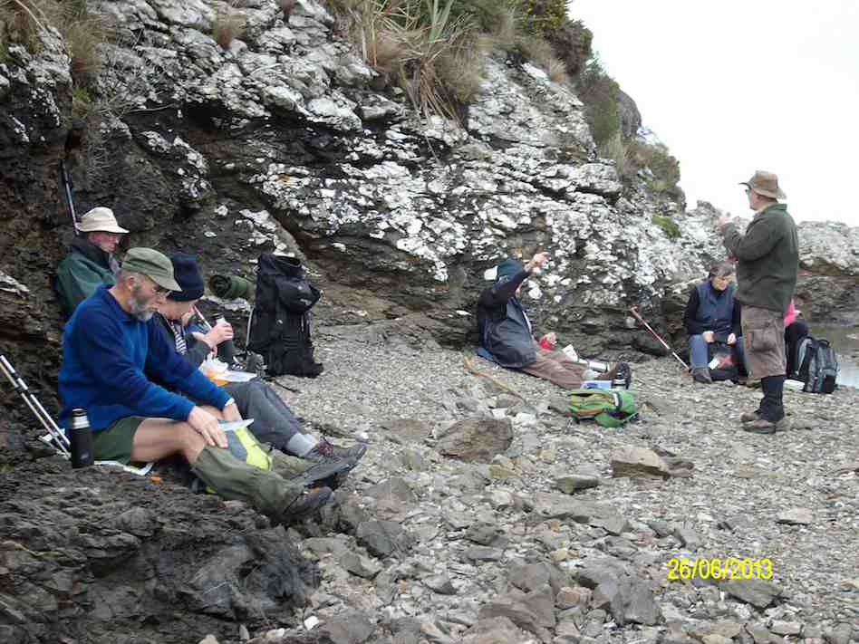
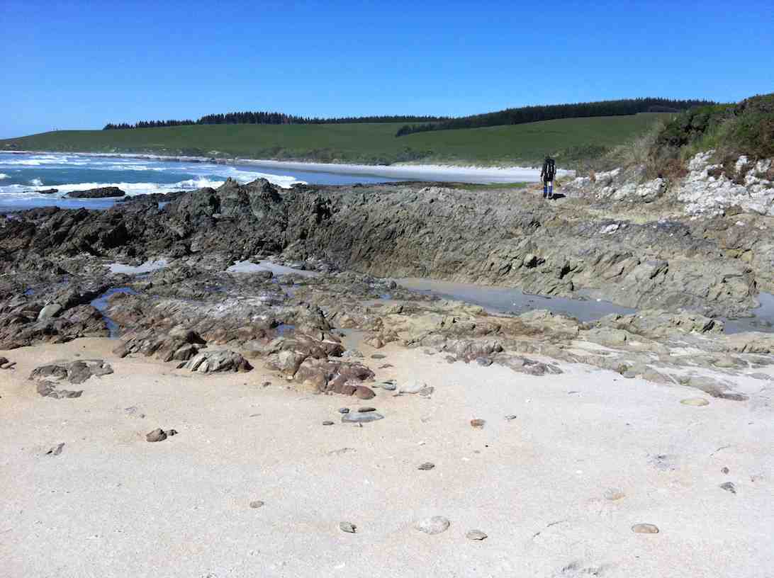
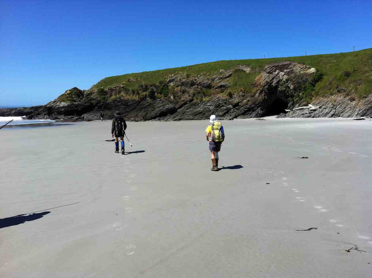


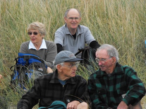
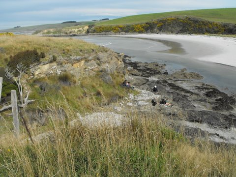
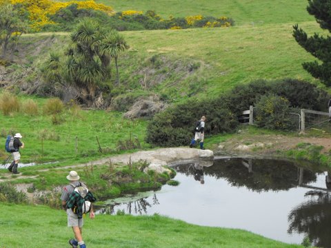


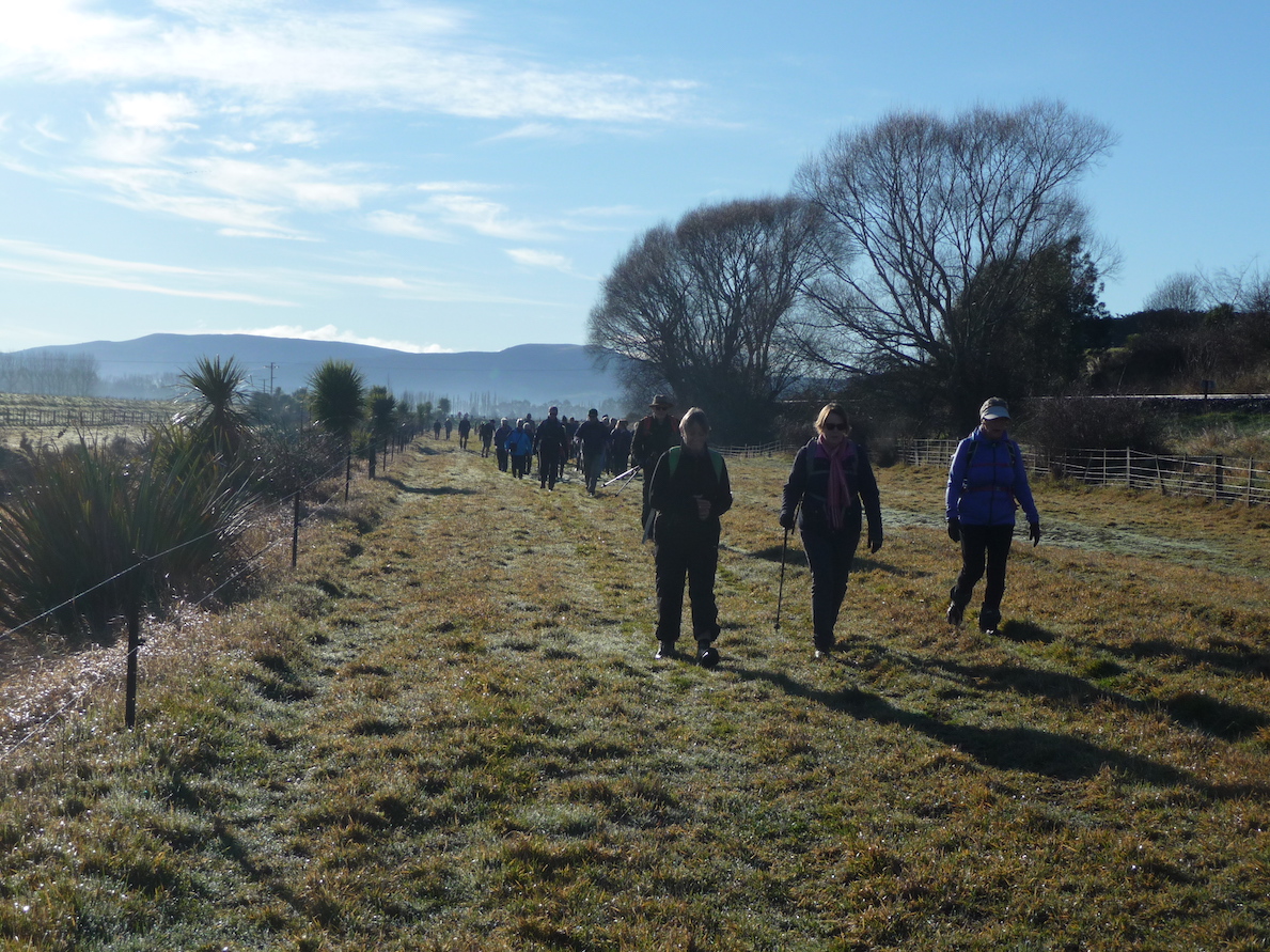
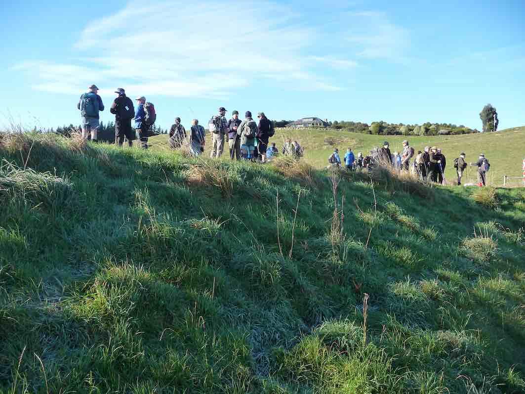
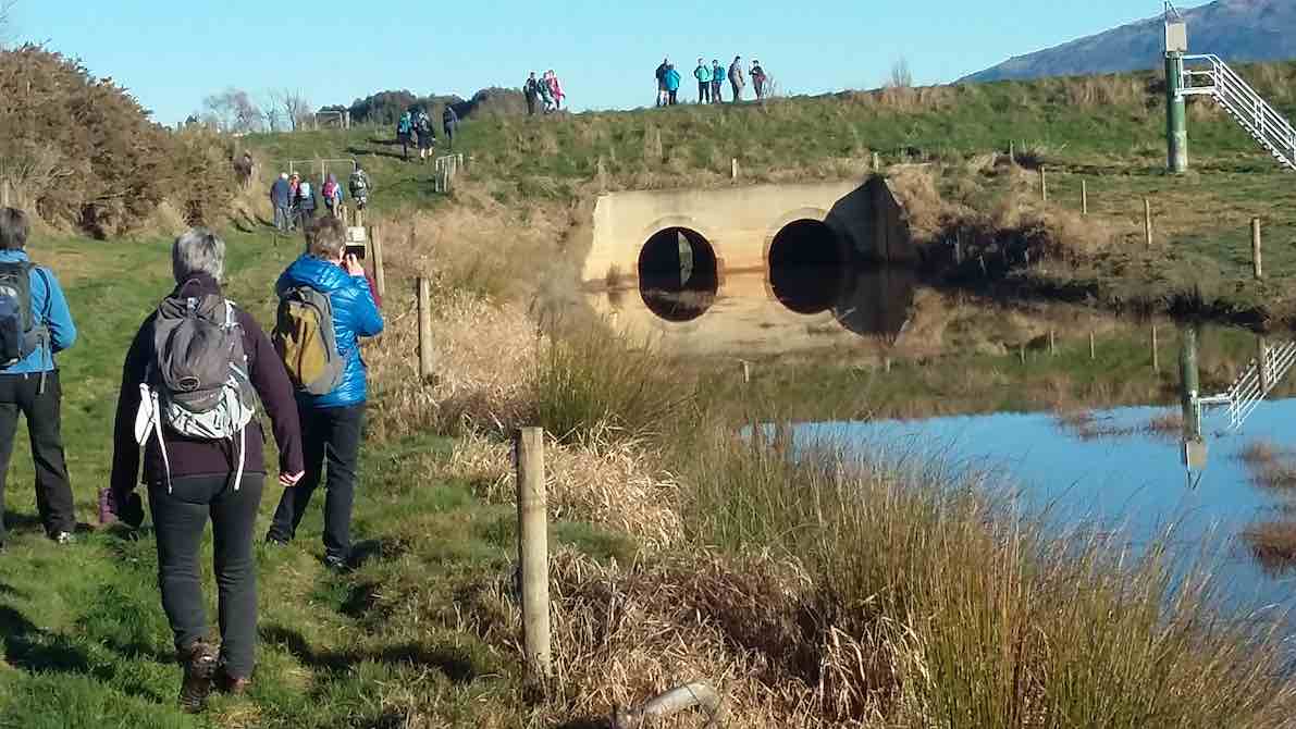
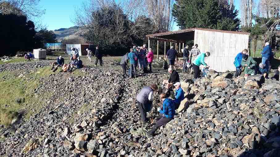
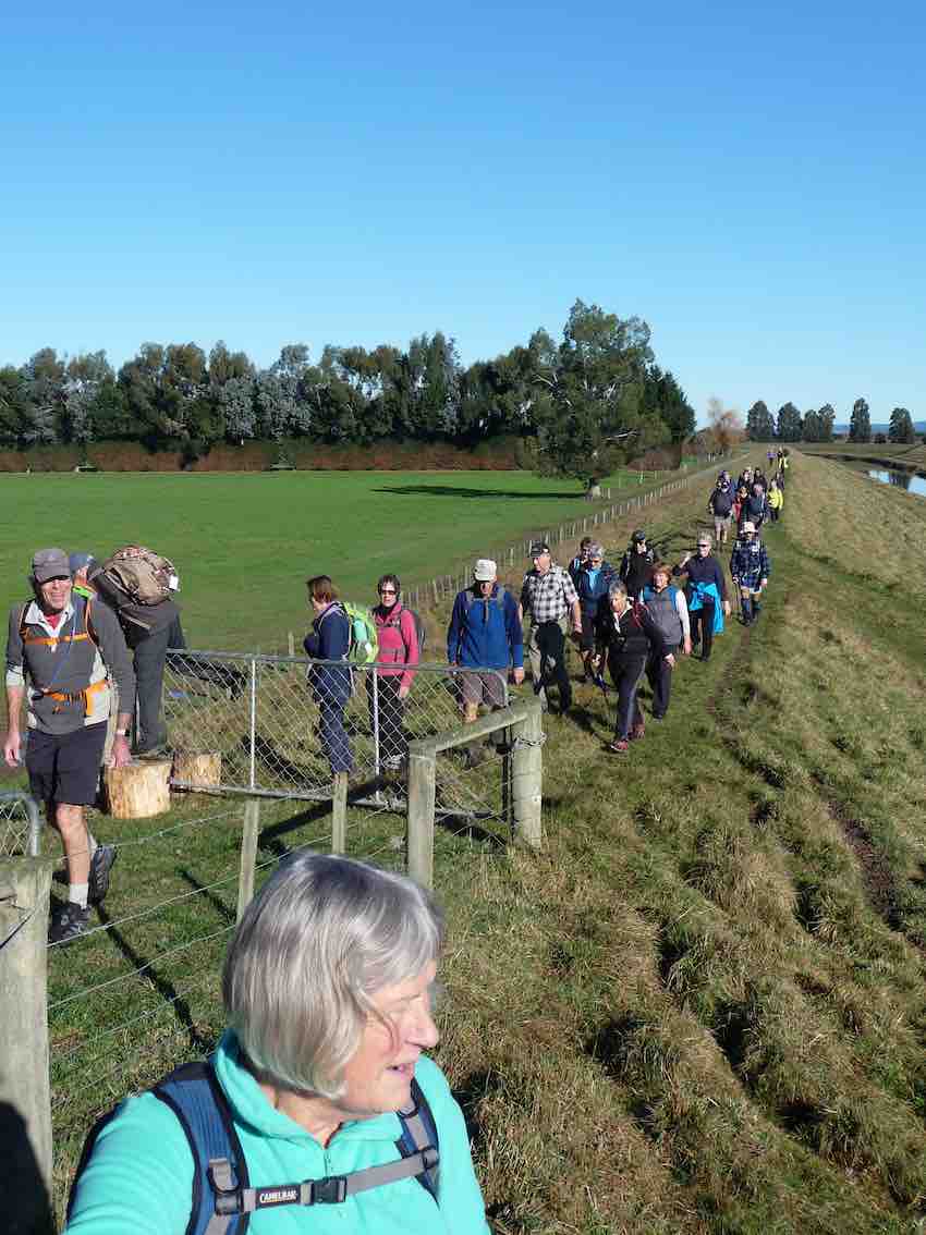
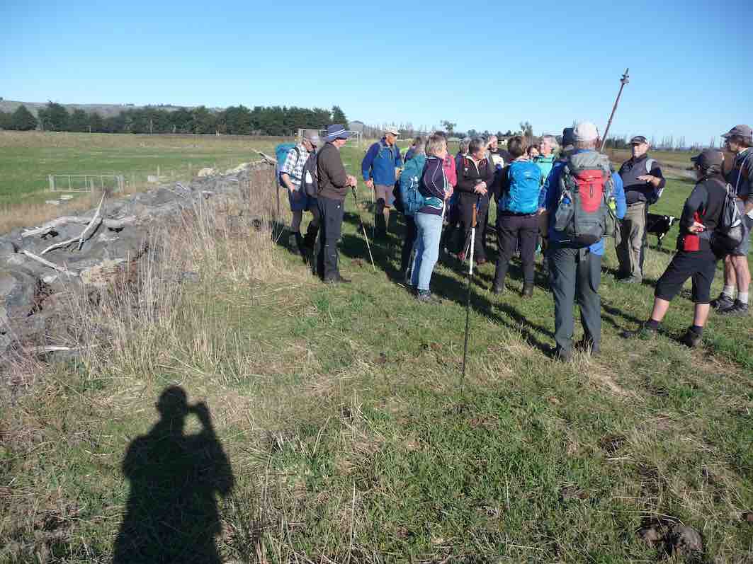
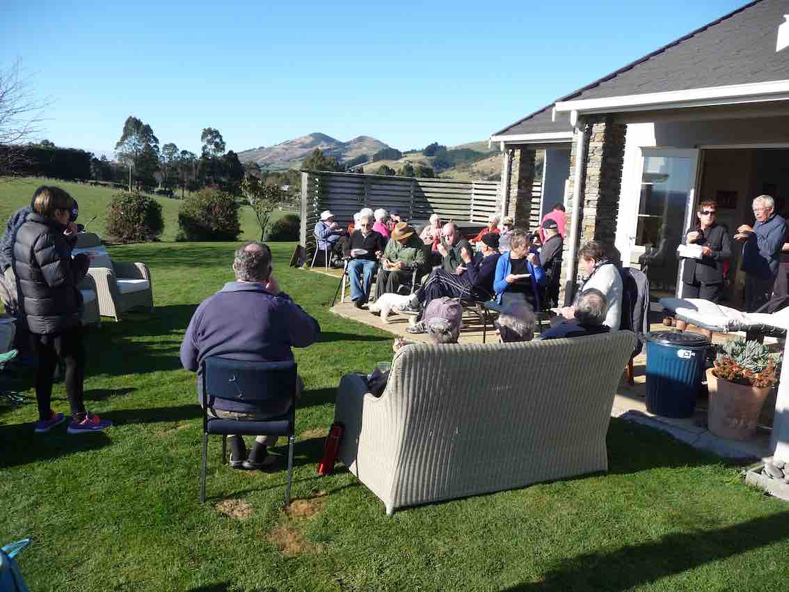
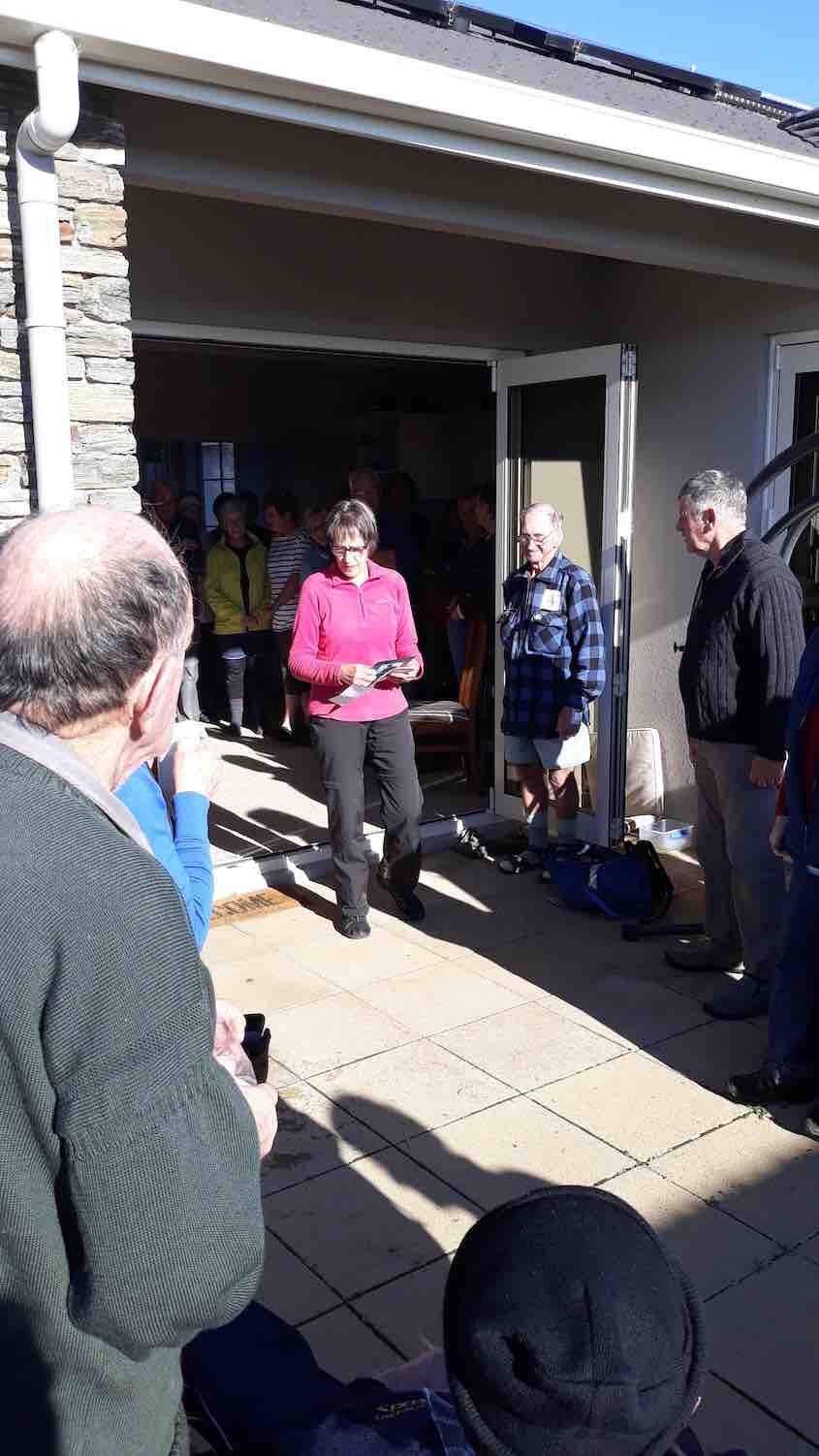
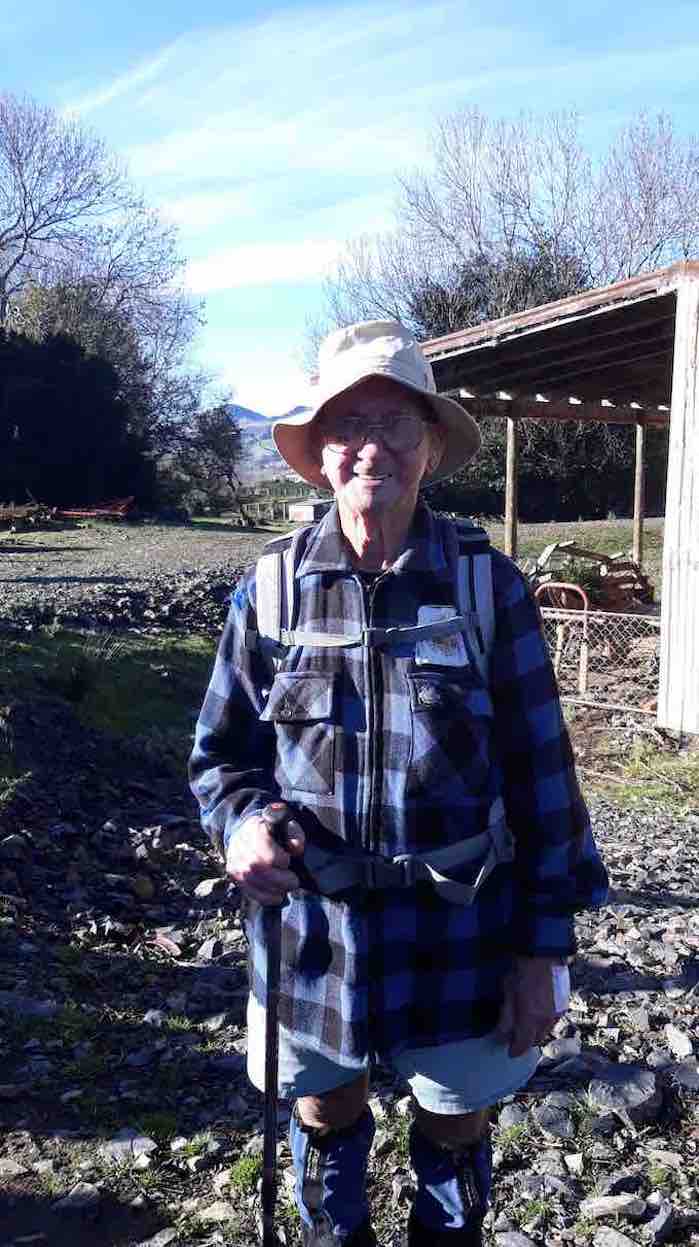
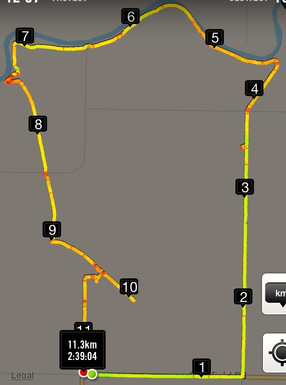
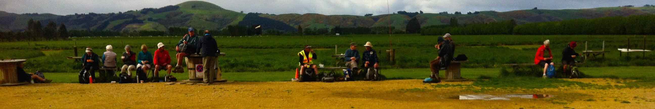
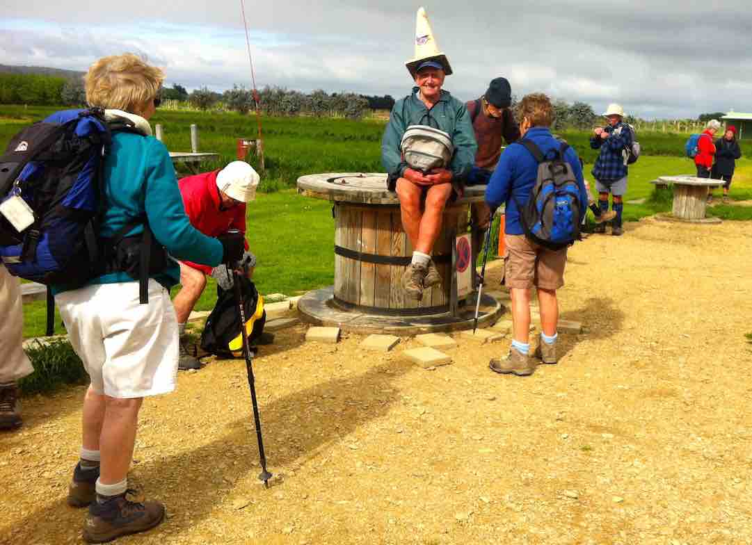
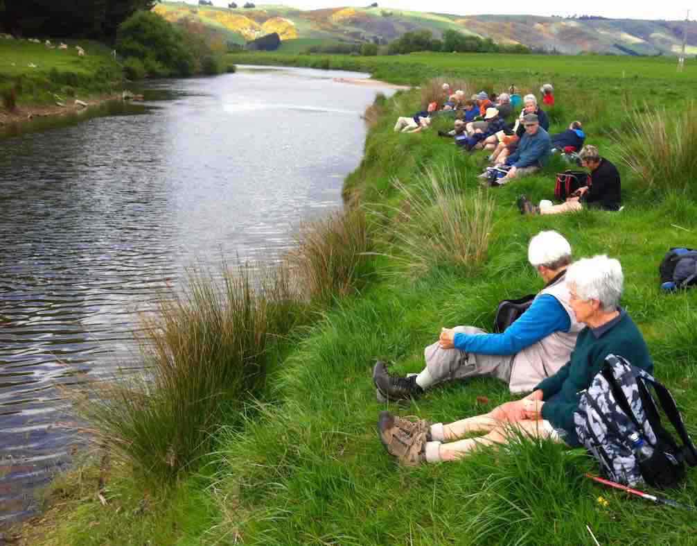
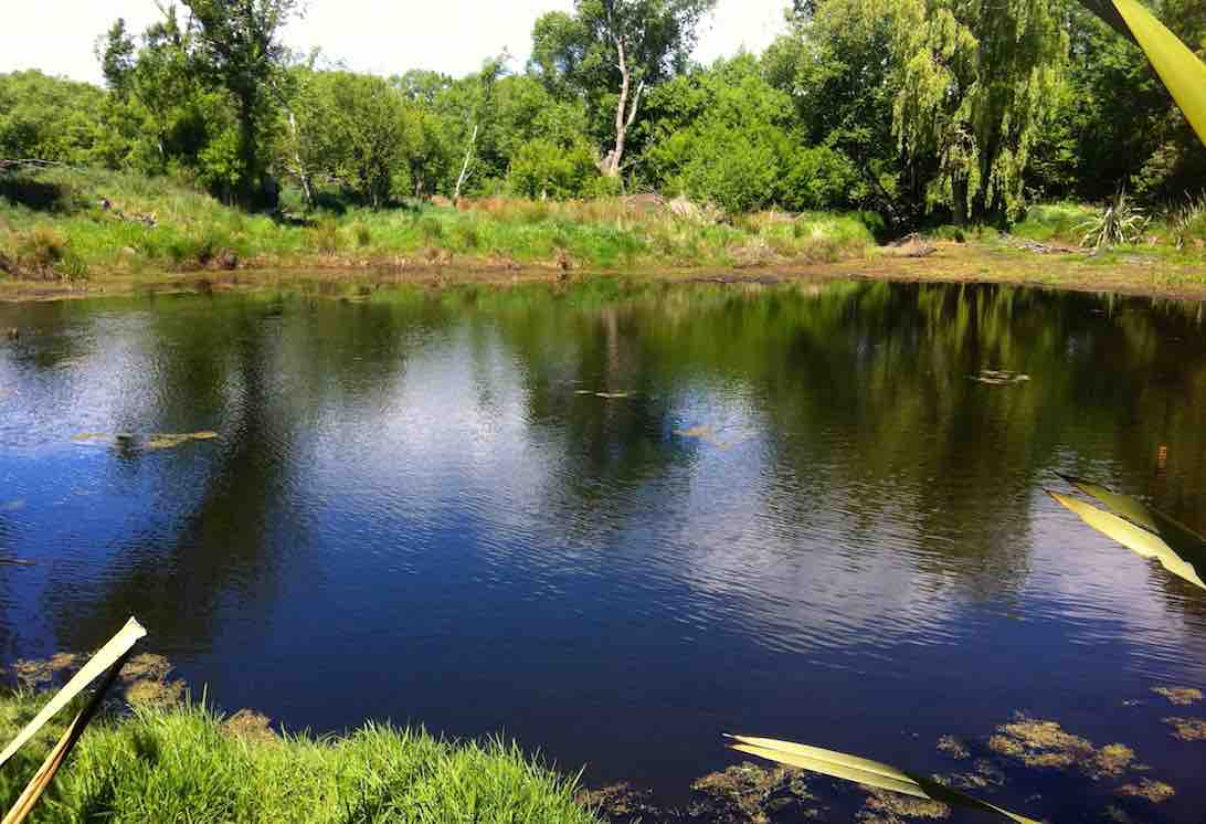

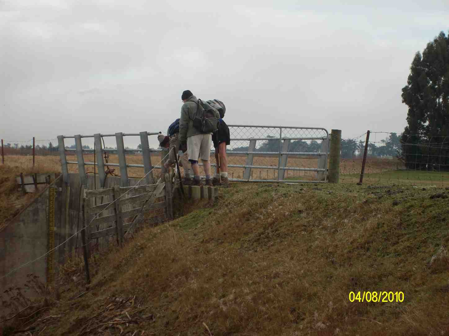
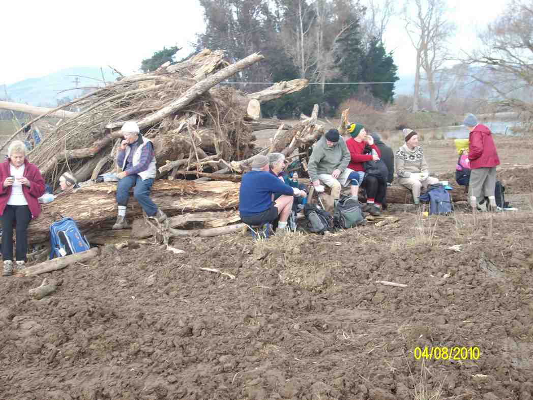

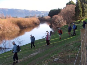
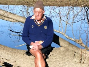


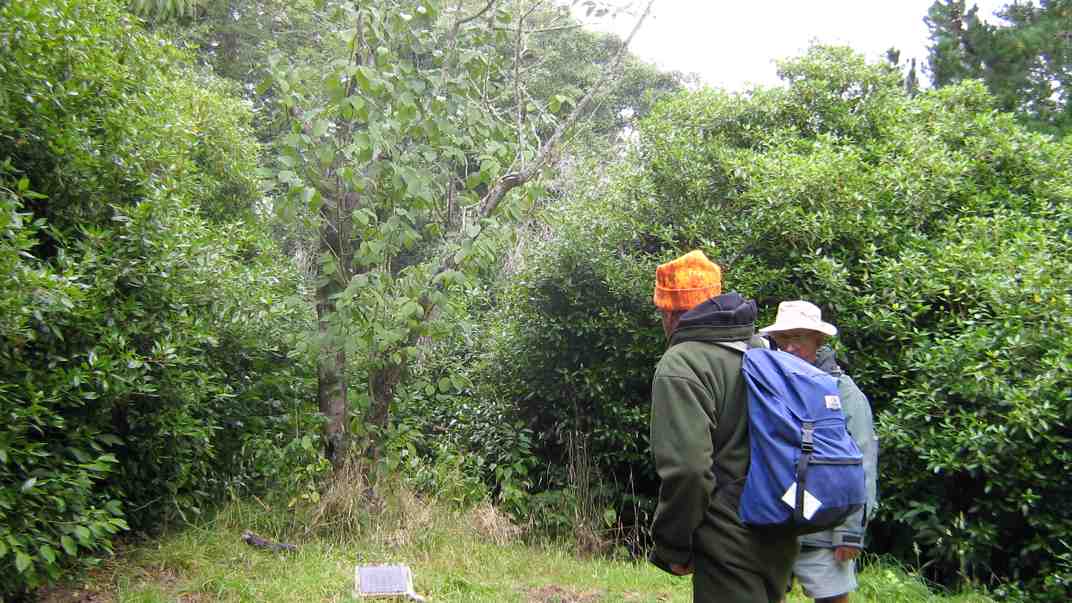