 8. 8 May 2024. Trampers. Gabriel’s Gully , Lawrence. Grade 4
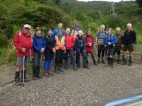
Wednesday 8th May saw 18 hardy trampers start at Gabriels Gully Lawrence to complete our walk on Otago Dam Track. Continue reading “Gabriels Gully, Lawrence. Bus Trip”
Taieri Recreational Tramping Club
Mid-week recreational and social walking group based in Mosgiel NZ
 8. 8 May 2024. Trampers. Gabriel’s Gully , Lawrence. Grade 4
Wednesday 8th May saw 18 hardy trampers start at Gabriels Gully Lawrence to complete our walk on Otago Dam Track. Continue reading “Gabriels Gully, Lawrence. Bus Trip”
Trotters Gorge – Information and Trips Library
4. 09/03/2022. Trampers. Trotters Gorge. Leaders: Arthur and Pam
The skies were overcast when leaving Mosgiel at 8.45am but once over the Northern motorway it became brighter and remained like that for the rest of the day.
We met the city trampers at the Waitati store and 5 cars with16 trampers were on their way to Trotters Gorge picking up a hitch hiker ( Heather) at Palmerston before continuing on SH1 past Shag Point with spectacular vistas of Katiki beach. At Hillgrove we turned left into Horse Range Road, arriving at Trotters Gorge Scenic Reserve 10:15.
Day packs on, poles, gloves at the ready we started off by walking through the first of six stream crossings – no stepping stones here, so straight through. The small stones were quite slippery under foot.
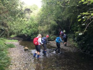
The wide formed track, which was muddy in parts, wove its way through native bush of kanuka, ribbonwood, wineberry and kowhai.
The birds were very vocal around this area- great to hear.
1km on we arrived at the University owned hut for morning tea on the veranda while John, ( a big kid at heart) enjoyed the rope swing.
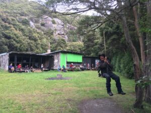
10:55, leaving the hut and the Trotters Creek area we were straight onto the un-maintained single track into the Trotters Gorge area.
The landscape changed dramatically to sheer rock bluffs which looked like limestone but are greywacke breccia conglomerate formed about 80 million years ago.
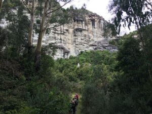
Here we saw the NZ Falcon (Karearea) flying high above the cliff and could hear the nestling’s whining sounds.
Continuing on through the eucalyptus trees we noticed the distinctive smell of its leaves- a camphoraceous smell, slightly medicinal.
Further on along the flats the track became quite swampy and after crossing a small stream we started our climb up hill.
With gloves on and walking poles ready, we made our way up the track through the overgrown gorse to arrive at the top (11:50) for lunch.
From here we could see over to Moeraki and the sea but the Pine Forests obscured better views.
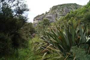
After lunch we headed back down the same track with ever changing views and were fortunate to get another glimpse of the falcons.
Back at the reserve we embarked on the 700m walk to the Cave.
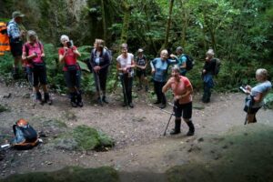
This maintained track follows a tributary of the Trotters Creek through beautiful native broadleaf forest.
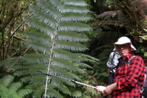
On the track we came across a very large NZ Silver fern and as we approached the Cave we were greeted by a Black Fantail (Piwakawaka).
The caves had been sculptured by the river many years ago.
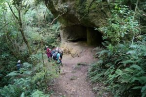
Returning the same way back to the cars it was on to Palmerston -continuing on the Horse Range Road, passing through forestry and then rolling farm land to the “Coffee cup” cafe .
Here we enjoyed great coffee, cake and ice cream in the cafe court yard.
Another great day with the TRTC. Pam
3. 7/6/2017. All. Bus Trip. Trotters Gorge. Leaders; Keith, Dave and Arthur.
Hike app route map, courtesy Ian. (About a km short, due to slowness to engage the app.
We followed the road in a north to north-west direction, winding around somewhat, and going…
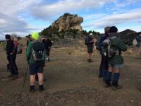
…uphill twice before descending again. The distinctive rock formations of the area could be frequently seen.
Eventually we came to a much longer uphill section, but the grade was good.
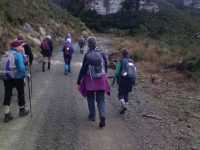
A regroup was necessary at the top as the hill had sorted out the faster people.
There was a light breeze up here, so we found a sheltered spot in Fantail Road at which to stop for our lunch It was nice in the sun.
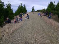
Lunchtime over, it was only a few minutes’ walk till we left the road to begin the descent into Trotters Gorge. At first, for a short distance, the 4WD track was bare clay, steep, and a bit slippery. Once past that bit progress was good, and eventually we reached Trotters Creek. We were down in the canyon now, with ever-changing views of the rock cliffs.
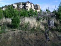

They look like limestone, but are actually greywacke -breccia conglomerate formed about 80 million years ago. About 12,000 years ago Trotters Creek was a much larger river and carved out the gorge.
Our track followed the bottom of the gorge now, with 6 stream crossings to make,
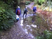
the water being 3 or 4 inches deep at each. We reached the picnic area and the bus just after 2 pm, after an enjoyable day’s tramp.
?Ramblers report of day at Trotters Gorge.
After the trampers and hikers were dropped off, the 10 of us who had opted for a shorter walk stayed on the bus while the driver drove to the pick-up spot. This took him a bit of manoeuvring. By this time we were really looking forward to a cup of tea, so we walked along the road to a nice sunny spot to sit and enjoy it. We walked back to the bus and got a map from driver which showed a bush track with a shortish loop track not too far along. The 10 of set off on this really lovely track. After a while 4 of our group opted to go back leaving the rest to carry on. We came to the loop track and decided to have a look at it as there was a cave to view not too far a long. Anyway, our loop track proved to be rather more difficult than we had bargained on being very steep up hill and very slippery with mud etc. However, having hauled ourselves up using scrub, roots or a friendly hand, to say nothing of crawling on hands and knees, we decided to carry on as we weren’t keen on returning the way we had come and hoped that the way down would be less challenging! This proved to be marginally right. We decided at about 12.20pm to have lunch sitting in the cave. The way down was slightly better but still required a lot of care. Once again we managed by sliding on backsides, hanging on to trees or whatever else presented its self, and helpful advice and hands of companions. It has to be said here that the one in front with help and advice quite a bit of the time was none other than our 90 yr old and sight impaired Molly!!
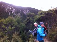
We were at no time lost, and as there were 6 of us, in no danger of not having someone to go for help if needed. We had not been given any time to be back at bus and as, in the past, a bus trip has always meant a whole day out, we didn’t feel any concern about time as it was before 3pm. We actually felt quite proud of ourselves and what we’d achieved by just taking our time and giving each other support and help. – Bev
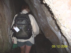
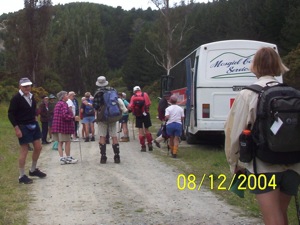
2. 8/12/2004. Both. Bus Trip. Trotters Gorge. Leaders: Ria, Doug J, Catherine, Joyce.
1. 8/10/2003. Both. Trotters Gorge. Bus. Medium. Leaders: Trampers: Joyce, Pat McL; Hikers: Nancy, Catherine.
Moeraki – Information and Trips Library
5. 2 February 2022. Combined trampers and hikers. Moeraki. Leaders Valerie Bell & Barbara Shackell, Jay Devlin & Bob Mitchell.
Twenty-eight intrepid beachcombers met together at an overcast Hampden Beach having carpooled up that morning – or camped overnight – and immediately had morning tea.
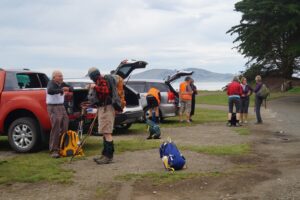
Low tide was 10.54am which permitted walking along the shore including around the rocky headlands for those who preferred, or joining the Millennium Track before the headlands and enjoying the bush area through into Moeraki Village.
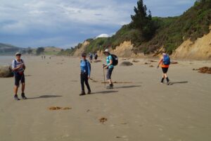
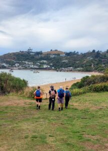
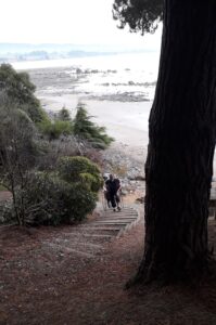
A third option was for those who might have wanted a shorter walk to just go as far as they felt comfortable with, and to meet back at the carpark in time to join everyone for afternoon tea at Vanessa’s on SHI in Hampden village.
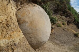
Some interesting rock formations were seen along the way and not all of them boulder formation.
It was a beautiful day for the walk, not being too sunny and therefore hot, and not being so cool as to be unpleasant to sit in the playground area for lunch.
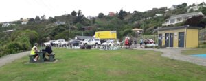
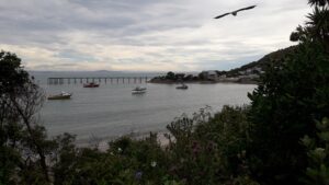
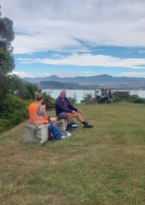
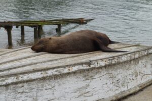
At least one leader had assumed that the leading bunch of four women – who took to the headlands as though they were born to it – would continue past the two open eating establishments, past the now closed Fleurs, and up the Millennium Track to the lookout on the Hill above the bay. That leader was mistaken, as she discovered, with the miscreants arriving back at the playground having eaten their Tavern bought Fish & Chips without taking the trek to the lookout!
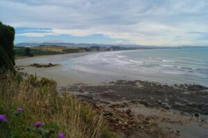
After lunch, we straggled out along the beach to return to the cars and enjoy an efficiently produced afternoon tea at Vanessa’s. Thanks to Dave R for the suggestion.
Depending on the fitbit or app relied on, we walked between 12-14 km.
Leaders: Jay, Bob, Valerie & Barbara
4. 2018-08-01. All. Bus trip. Moeraki. Leaders: Adrienne and Bev.
Report Combined Bus Trip – Moeraki 1/8/18
45 outdoor seekers got on the bus at Mosgiel to head to Moeraki for the club’s annual combined bus trip.
We started at the lookout at Moeraki …
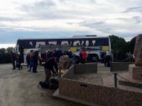
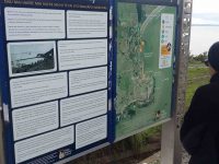
… and wandered down the Millennium track with great views of the sea and Moeraki Bay. The first seal sighting included a baby seal which was eagerly photographed. A Crested shag was also seen. It was a short wander down to the surrounds of the famous Fleur’s Restaurant. Here morning tea was partaken …
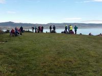
… with lovely views of the fishing boats (known for catching blue cod) in the bay. It was a cool start but gradually the cloud cleared and the sun warmed us up.
The track followed the shoreline through trees and shrubs. On one part of the track the big slump in Moeraki was very evident which has affected some roads and properties.
We then walked down onto the beach, the tide being low, and some walkers seeing what seemed like a leopard seal. It was a pleasant walk 2km up the beach to the Moeraki Boulders. According to Maori legend the boulders represent eel baskets and food that was spilled from the loss of Arai-te-uru, one of the large canoes that came from distant Hawaiki. The Boulders are concretions consisting of mud , fine silt and clay , cemented by calcite.
After a number of photographs …
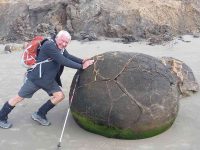
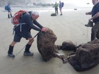
… some of the group headed up to Hampden beach. Erosion by the sea was very evident along the low cliffs.
Lunch was had along the beach some near the boulders …
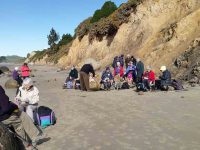
…and others at the picnic tables at Hampden Beach.
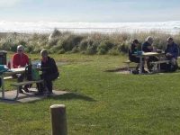
The lure of big double icecreams at the store was too much for some.
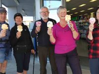
They were sampled with smiles as we walked back.
We all met up at the Boulders’ carpark around 2pm and then headed down to Shag point. The drive in was past icon kiwi cribs, some originally belonging to coal miners of the past, to the boat ramp. We had a wander around the area seeing more lazing seals. There was an old coal mine that used to operate in the cliffs. This was where, years ago, Mollie went to the local school at the age of 5. At that time when the mine was operating the school had a roll of 80. 10 years later when she left the school, it only had 18 students. The mine closed in the early 70’s and had shafts running underground beneath the sea as well as inland.
It was then back on the bus, with a group of great people for the trip home. Some feeling very relaxed after some good sea air!!
Thanks to President Jill for her superb organisation.
Dave M
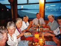
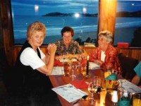
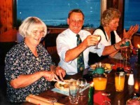
3. 15/12/1997. Tenth Anniversary Dinner, Moeraki. People pics.
(Click to enlarge)

2. Friday 22/9/1992 – Sunday 23/9/1992. Moeraki Motor Camp. 23 attended. Leaders: Bob & Audrey
1. 22-23/9/1989. Moeraki Motor Camp. Leaders: Bob & Audrey. 24 attended this weekend camp. Everyone had a great time and Audrey and Bob were thanked for a job well done.
No. 106 on old hardcopy list of 113 club tramps. “Bus Trip to Old Central Railway”
4. 3/3/2021. Combined. Daisy Bank. Leaders: Theresa White and Sara McCormack
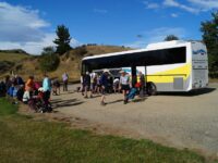
30 trampers gathered on a beautiful mild morning at the carpark. With everyone arriving promptly we
were able to get on the bus and be away just before 8.30. We paused to pick up Heather at the top of
the hill and had a comfort stop at Middlemarch. Arriving at Daisybank we all disembarked for morning
tea in the sun.
5 hikers decided to do a shorter walk so, after morning tea, they hopped back on the bus and were
transported back towards Hyde. They started their walk from Tiroiti giving them 6km for the day.
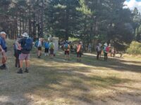
The remaining 26 trampers set a steady pace on the rail trail towards Hyde. First evidence we were on
an old railway line was the gangers Hut called Red Dwarf Hut. We regrouped in a nice shady area which
conveniently had a toilet. A few walked down the bank to check out the river.
The next gangers Hut was at Tiroiti. This one has some information boards inside. We then crossed the
Capburn Creek bridge (built in 1897) which has been left in its original .
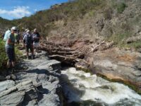
The next bridge to cross was Prices Creek viaduct (built 1963). Shortly after was our lunch stop in the
shade of the bank of the Prices Creek tunnel which is lined in brick. 15 trampers ventured down the hill
to check out the Taieri River Diversion before having their lunch.
After lunch, just another 3km and with the wind on our backs we were blown along, arriving at Hyde
where the hikers were relaxing in the shade.
The Coffee kart, which also sold ice creams, did a good trade. We all rested in the shade before hopping
back on the bus, arriving back at the car park just before 4. A lovely walk in the sunshine.
3. 3/4/2019. All. Daisy Bank -Hyde. Rail Trail. leader: Bob.
After a delayed start owing to members being given differing start times the bus finally left the car park at 9am.
The morning was crisp and clear with the roadside verges having frost on them.
We arrived at Daisy Bank in time for morning tea on a calm sunny morning.
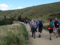
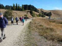
48 members set off towards Hyde on the rail trail that was excellent to walk on.
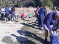
We stopped for lunch by the Taieri River 6km into the 11km walk.
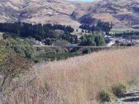
At the tunnel…
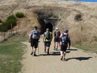
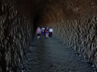
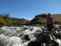
…some of the more energetic members went down to the river to see the 50 mtr diversion of the river through rock so they could mine for gold on the then dry river bed.
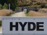
We arrived at the Hyde Cafe at 2.30pm for an ice cream or a drink or both.
We left there at 3pm arriving back in Mosgiel just after four oclock.
Thanks to Richard Tranior of Good Time Tours for his excellent service.
– Bob & Peter.
We knocked it off!! 17 Taieri Recreational trampers bounded up the Gully, leaving the car park in damp, windy, but improving weather conditions.
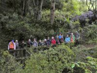
Not knowing what we were in for, we started up the track, the ferns and other coverage had grown since Dave had tramped it a few months ago, and going in early part was slow going, with some parts on hand and knees, but mood was chirpy, as the track improved, but the climb was upwards continually.
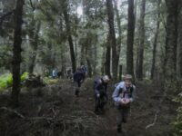
We came to a stream crossing which required good concentration, with a good climb 30 minutes through magnificent beech forest and very little birdlife sadly.
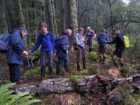
With a good 75 minutes walking it was time for morning tea to recharge energy levels and the odd question of how far to top. The reply was sorry a good
hour and a quarter. After 30 minutes of chatter, it was packs on and off we clambered through
some nice ground cover for 20 minutes, then some real grunty climbs , stopped the talking,
everyone showed encouragement to those needing it. Remember a lot of society, half the groups age, would have turned back long ago. We continued, a long time had passed, before the light at end of the tunnel through mist in the
bus , YES!! flax and grasses with a waratah with a white plastic cover in the rock. Sadly a strong wind blowing mist over the sign telling us it was 14km and 5 hr trek to the bottom of whiskey gully or option b, 1hr down a gully back
joining the track we came up.
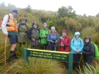
After clambering up to this sign it only took about 4 minutes to decide that these were bad options, due to hands freezing from the cold wind whipping through us, we took pictures of the first 7 at top and then the next hardy ladies who made up the next group, well done crew, 17 hardy trampers all made the top of Black Gully, fantastic job!! With decision made, we descended back down for 15 minutes to a lunch spot, Well Earned. After a food recharge we returned down the nice forest, mainly beech below manuka.
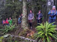
This was when it hit us, how steep the climb to the top was, it became quite a hard drop for 45 minutes but the group chattered and took in the magic bush and forest, most take for granted. With stream crossing done we showed the spirit that bonded the group back through the overgrowth at the early part of trek, completing tramp bang on 5 hours, being approx. 8.9kms of hard out tramping, well done all. Back to base where we could clean up and begin nibbles and well earned drinks before we would enjoy the company of Helen’s younger brother Jeff at the family farm, Crookstown originally named by her parents.
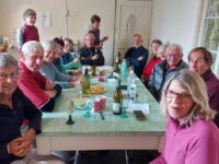
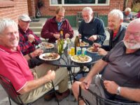
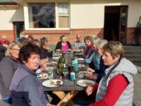
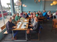
We had meat, potatoes, salads and pudding prepared ready for all. We arrived at the farm, no brother there, but we bowled on in, sorted salads , potatoes and started up barbeque to cook meat, ten minutes on Jeff (brother) and his son James arrived back from milking cows, happy to see group and knowing his food for tea was being cooked. As all was ready, Jeff’s wife Margie arrived home , she was welcomed as the feast began, then believe it or not the sun shone and completed a great day. It was a great feed, followed by a tasty pudding. It was a great night, nearly completed, but young Jill Reid was not going to let the night stop there, with a cheeky grin she asked Jeff one last request , would you sing a song or two before we going, Jeff did not need too much persuasion, the entray from his latest CD was a song about his youngest son Ben called “That’s Ben”. He told us in his earlier singing years how the names in America, such as Arizona, Alabama, made well known songs this is where the idea came to sing a song he wrote also from CD, Down over Crookston, their family farm, with a round of applause the lucky audience asked for one more request, which he was happy to sing, and told us how Garry Morris American Country and Western star, had made famous, the song, “Take Him Home” from the famous show Les Misirables, and he if he could remember all the words, sang it to perfection, what a fantastic surprise to a special day, whoohoo what an end to a special day!!
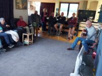
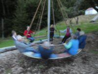
(Anyone wanting the CD can be purchased for $15 Helen can organise purchase). On return to camp the kids of the group played on the camps swings slides, roundabouts, a nightcap then zzzzz.
The final day on Thursday, saw a few sore bodies, Camp at Black Gully tidy, we left, morning coffee at Top Nosh, with no lack of get up and go, we got to car park, then set off tramping through fabulous bush to the flowing waterfall at whiskey gully.
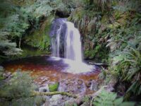
Some of the men took a drink from mug left on the pole, the water was pure, gold coloured being leached from lichen and leaves and chilled to perfection. After lunch we returned, to carpark, then walked up to lookout, no mist, the view of hills and Tapanui.
The three days had ended, some took off home others called in at Whitechapel Church to view antiques etc, note the owner had won a stage of tour de France in the 1960s.
Well done Taieri Recreational Tramping Group, special people, special times!!
Helen and Phil
Continue reading “Bus Trip: Blue Mountains, Waikaia Forest and surrounds, Beaumont, West Tapanui”
No. 111 on old hardcopy list of 113 club tramps. “Bus Trip. Walk Millers Flat to Beaumont”
5. 2/10/2019. Both. Bus Trip. Millers Flat/Horseshoe Bend – Beaumont. Rail Trail-Road/ORC Millennium Track-Road. M. Eleanore and Bob.
On a chilly spring morning, 45 members assembled at 8:15 a.m. eager to board bus and head Central for a walk along the Clutha Gold Trail.
We arrived at the Island Block entry at 10:10 a.m., luckily to a convenient hay barn where we had smoko.
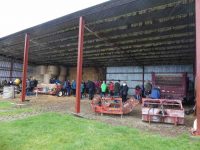
This was followed by a show of hands to see who was keen to layer up and head off in a shower of rain—17 accepted the offer to hike 3km round the hill track …
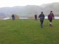
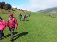
… to the Horseshoe bend swing bridge crossing the Clutha …
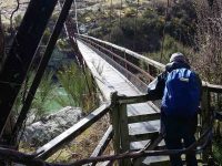
… to meet up with the rest of the group.
Meanwhile, we travelled to Millers Flat, crossing the Clutha and turned right heading back down the rather narrow gravel road (managed to meet a twin cab and trailer coming our way, he backed off and let us through). We passed the Lonely Grave site, then soon after arrived at Horseshoe Bend. Car Park was probably not designed as a bus turn, however, Wayne successfully manoeuvred his bus turn.
The majority got off in sunshine
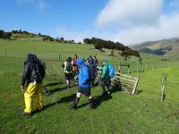
to head along the trail. Looking back we spotted the first group hot on our heels.
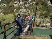
The Ramblers were happy to enjoy the bus trip back to Beaumont where some intended to hike along from the bridge and back. I also heard a whisper on the bus, some were happy to try out lunch at the hotel.
We stopped for lunch
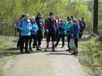
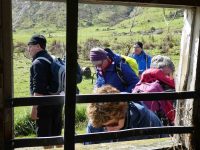
by a little old shed and cattle stop at 12:15 p.m. for half an hour firstly in sunshine,
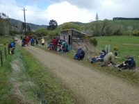
followed by another shower (Lots sheltered in the shed).
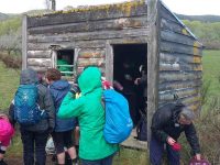
We all set off
enjoying looking at fresh bright willow leaves, healthy Hereford cows,
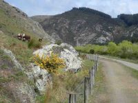
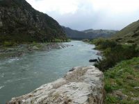
the mighty Clutha,
blossom
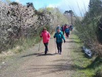
and particularly the easy grade of the track.
We arrived back to the bus …
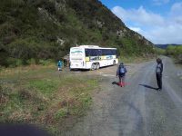
… at 3.00 p.m. after a 14km (17km) trot along the trail.
Afternoon tea was pre arranged at the hotel for $10. We were greeted with very friendly staff and a great spread, including scones with jam and cream! YUM. We thanked them and they thanked us for the business. Was great to observe how happy everyone was enjoying catching up with each other. Particularly, with Judy Knox, who was on her last outing before moving to Townsville. I am sure you will come back and visit us Judy. We sure will miss you!!
We arrived home about 5:15 p.m. after a great day out. Thanks to the Club for subsidising the bus.
Eleanore and Bob.
Continue reading “Bus Trip: Millers Flat – Beaumont rail trail / Millennium Track”
2/10/2013. Bus Trip. Roxburgh. River Walk, bridge to Pinders Pond. Leaders: Chris and Dot.
The first thing to say is Bravo to Chris and Dot for their planning a most interesting tramp; and providing Continue reading “Bus Trip: Roxburgh and Bullock Track”
Trotters Gorge – Information and Trips Library
28/2/1996. Bus Trip – Post Office Creek – Government Track. Downhill all the way. Leaders: Jack R, Barbara McC, Joyce, Mary Y.