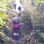
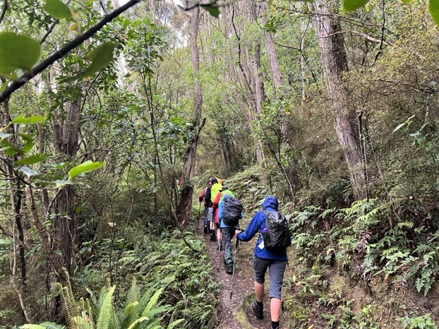
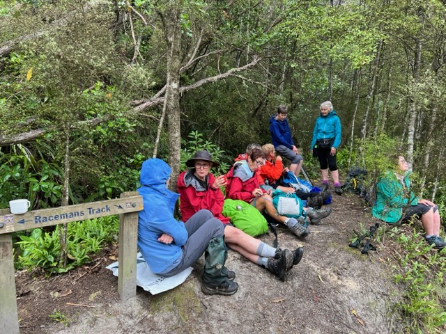
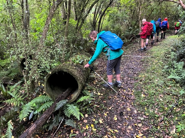
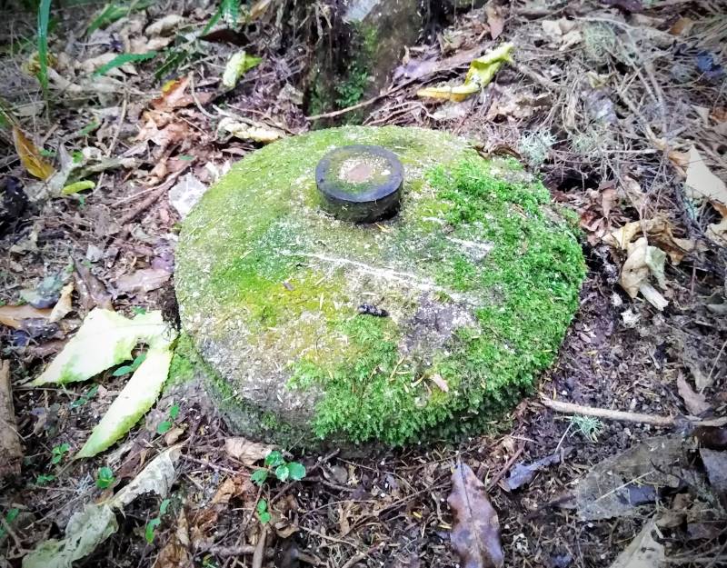
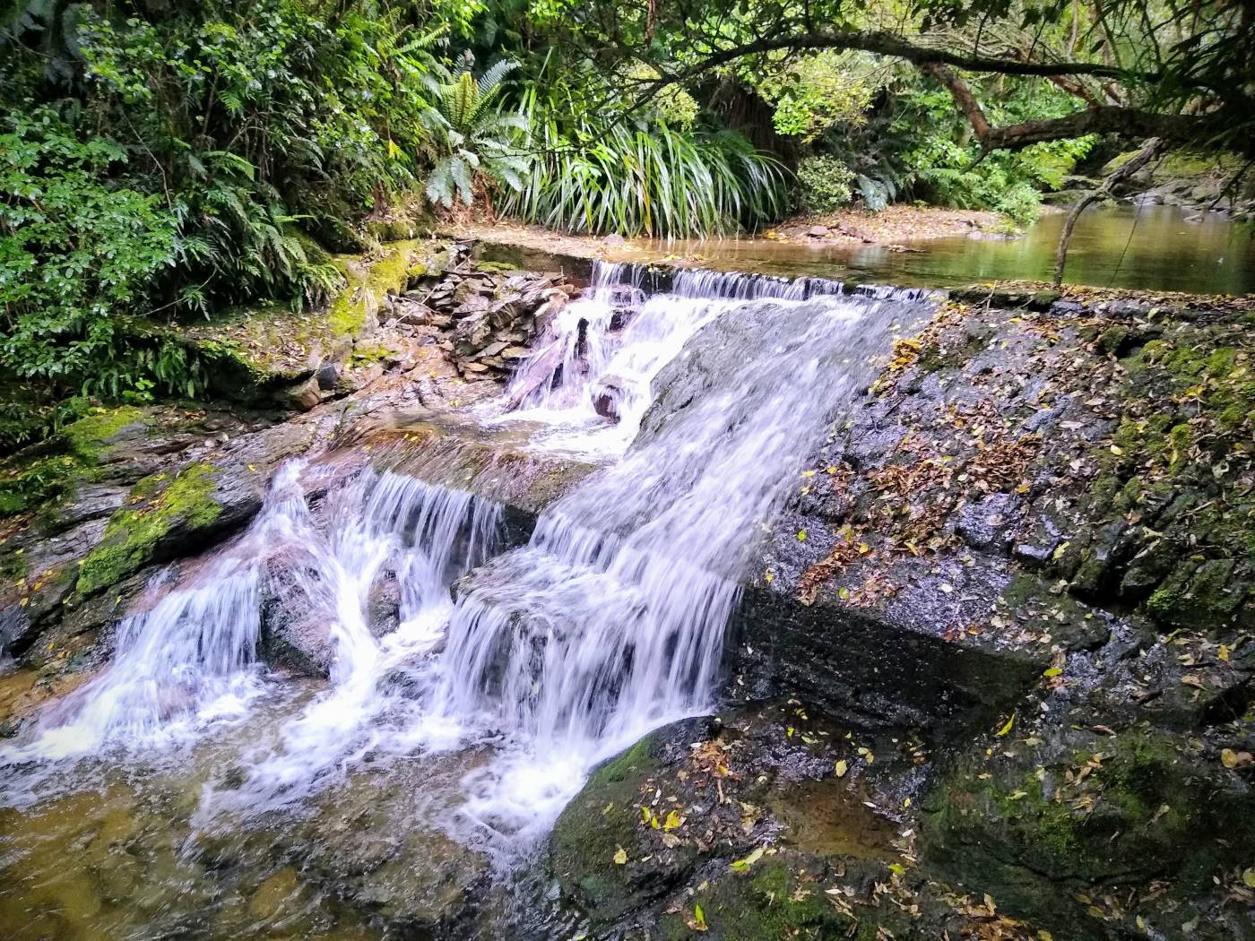
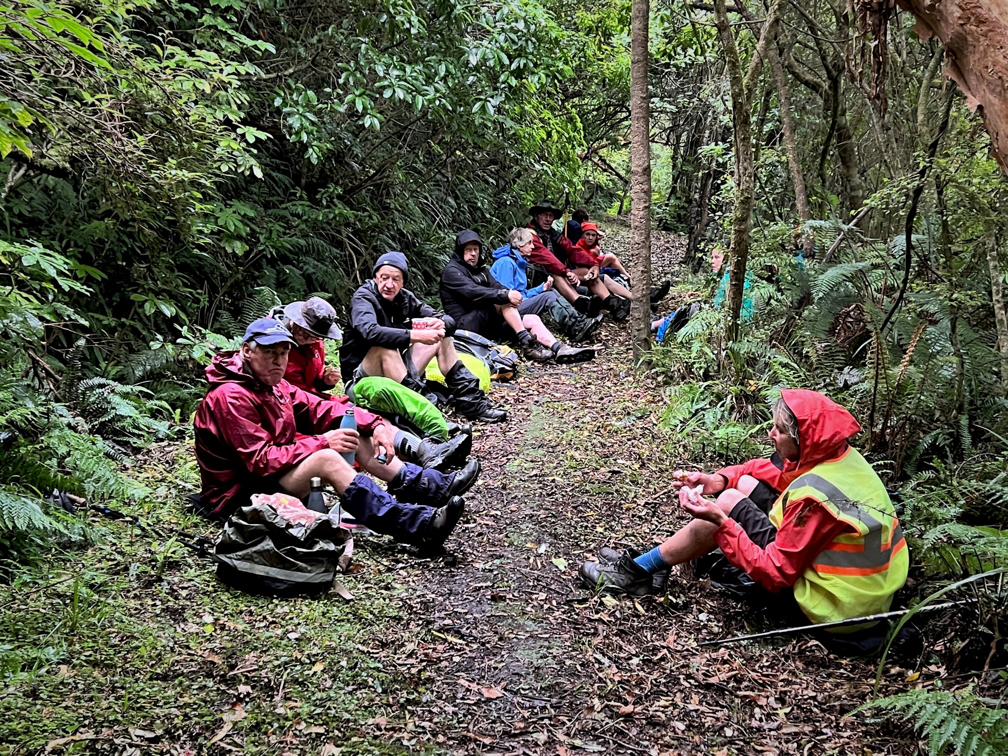
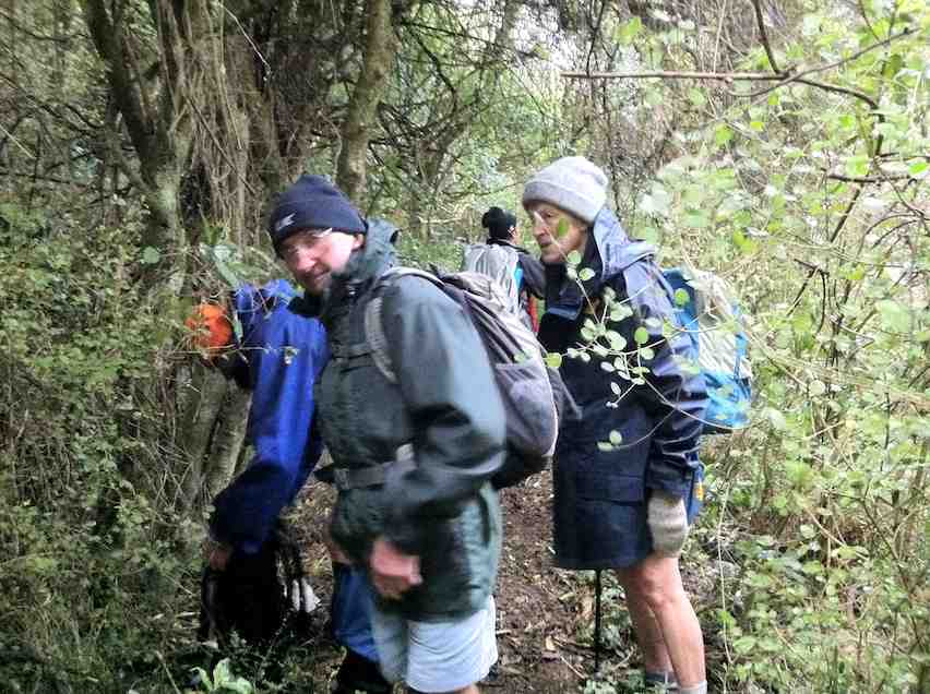
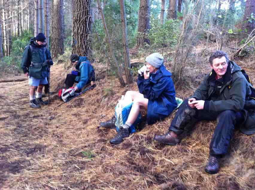
 12/02/2025. Powder Ridge to Long Ridge (return). Grade 5. Leaders: Pam Cocks, Esther Willis.
Fabulous day – and the writer is officially pooped.
Taieri Recreational Tramping Club
Mid-week recreational and social walking group based in Mosgiel NZ

12/02/2025. Powder Ridge to Long Ridge (return). Grade 5. Leaders: Pam Cocks, Esther Willis.
Fabulous day – and the writer is officially pooped.
This page of club tramps and hikes in the Fairfield, Green Island and Mosgiel surrounds area and groups together trips incorporating Lower Silverstream and Invermay.
Road distances from Mosgiel carpark.
Former Foot-bridge over Silverstream. Also Swing-bridge
Lower Silverstream tramps. 2023 – 1996 (23 trips, 8 with report and photos, 5 with reports only, 8 with no reports, 2 with photos only)
Invermay/Silverstream 29/6/2022 (1 trip with report and photos)
This page of club tramps and hikes in the Silver Peaks area groups together those trips to the Greengage Track (map) which incorporates Raingauge Spur, Swampy Ridge, Rollinsons and Green Ridge Tracks.
Road distances from Mosgiel carpark.
The Greengage Track runs between Raingauge Spur and the Green Ridge Track. There is a number of ways to access this track – the following provides 3 options.
Option 1 – via Raingauge Spur which is via Rollinsons Road and will require a key to the gate approx. 2 km’s from the “Elbow” where the Raingauge track starts. A key is currently held by the club President.
Option 2 – via the Swampy Ridge Track. Access to the summit of Swampy is via Rollisons Road (option 1) with the track commencing from the Swampy Summit. This route joins the Green Ridge which forks with Greengage.
Option 3 – via Waitati. Turn left onto Double Hill Road which joins Semple Road to the starting point of he Green Ridge Track.
30/10/2024. Greengage Track. Trampers. Leaders: Graeme Souter and Graham Thurlow.
Greengage Track. 2019-2014 (3 trips with reports and photos)
This page of club tramps and hikes in the Whare Flat area groups together trips to Powder Ridge (map)
Road distances from Mosgiel carpark.
TRTC Grading Information – trips incorporating these tracks are generally given a TRTC grading of 5. This is indicative only, as trips can be allocated a higher or lesser grading depending on the route taken. For more detailed analysis refer to Grading Information.
Silver Peaks Forest for background information on the nearby area. DCC land.
Powder Ridge Maintained by Green Hut Track Group.
Powder Ridge track runs between Racemans and Long Ridge Tracks. It is best accessed from Racemans Track approximately 30 -40 minutes from the Whare Flat carpark along the Silverstream Valley Road off Dukes Road North (just before Three Mile Hill)
12/02/2025. Powder Ridge to Long Ridge (return). Grade 5. Leaders: Pam Cocks, Esther Willis.
Powder Ridge tramps. 2021 – 1991 (13 trips, 6 with reports and photos, 1 with photos only, 6 with no reports or photos)
This grouping of Club tramps and hikes covers trips in the West via SH87 area including the flood banks on the Taieri River and incorporates Silverstream, Riverside Road and the Owhiro Stream,
Road distances from Mosgiel carpark.
Taieri Plains Tramps. 2003 – 2019. (8 trips including 5 with reports).
Lower Silverstream Tramps. 2023 – 1996 (23 trips including 15 with reports).
20. 11/01/2023. Racemans Circuit, Trampers. Grade 4 (regraded 3 – see below). Leaders: Neil Hodgkin, Julie MacKenzie.
Trampers: 10 women, 4 men
Weather: Low cloud, drizzly, calm, 16 degrees
Track: 14 kms, 3.5 hours walking and 170 m height gain.
A good, mainly flat walking surface, the odd muddy patch, and sometimes short, sharp, steep, descents/ascents in and out of side creeks.
Several crossings of the Silverstream and even though the flow was low, care was needed and poles were helpful with slippery and unstable rocks.
As a first up tramp for 2023 it was great and a very suitable tramp for the weather conditions. In the bush there was no precipitation and no wind. We had the usual stop for smoke-o …
…and got to the weir about midday…
…but decided to move on down the track for lunch where it was less noisy.
On our return I as leader came face to face with six barking and not so friendly dogs who were eventually followed by a female runner who didn’t seem to worry. She said that the dogs were barking because we had sticks, but I didn’t believe her. What goes up must come down so we were expecting their return and when we heard them approaching we all stood off the track, sticks by our sides and gave them a TRTC guard of honour!
Grading: The grade of this tramp is solely dependent on the flow and depth of the Silverstream. The way it was on Wednesday, I’d put it at 2.5 – 3, but with more water it would certainly be a 3 -3.5 I think.
Neil.
Continue reading “Silverstream Water-Race, Racemans, Top Weir”
This page of club tramps and hikes in the Whare Flat area groups together trips within the Silverstream catchment and includes Racemans, Tunnel Gully, Powder Creek and Chalkies. (map)
Road distances from Mosgiel carpark.
TRTC Grading Information – trips incorporating these tracks are generally given a TRTC grading of 3. This is indicative only, as trips can be allocated a higher or lesser grading depending on the route taken. For more detailed analysis refer to Grading Information.
Racemans Track, Weir, Origins.
Whare Flat School and Surrounds History.
14/05/2025. Racemans. Grade 3. Hikers. Leaders: Wendy Langley, Eleanore Ryan.
14/08/2024. Tunnel Gully, McRaes, Racemans, Powder Creek Detour. Grade 3. Trampers. Leaders: Phil Keene & Gary Mort.
26/06/2024. Whare Flat, Waiora, Schoolhouse, Tunnels Track, McRaes Weir, Racemans. Grade 2.5. Hikers. Leaders: Bruce Spittle, Adrienne Ensor.
Pump House, Tunnels, McRaes Weir, Racemans, Return (2004 – 2020, 10 trips with 6 reports).
Schoolhouse, Tunnels, McRaes Circuit (1989 – 2019, 9 trips with 6 reports).
Silverstream Water-Race, Racemans, Weir (1992 – 2023, 21 trips with 6 reports).
Tramps Associated with the Whare Flat Schoolhouse (1995 – 2017, 5 trips with 3 reports).
School House, Tunnels, McRaes, Steve Amies, Whare Flat Road Return. 2007 (1 trip with report – no photos)
11 kms to Silverstream car park.
Whare Flat – Information and Trips Library
Tunnels, McRaes, Racemans, Top Weir, Silverstream – Information and Trips Library
30. 22/2/2017. Hikers. Whare Flat. Leaders: Peter D, Janice.
Whare Flat/McRaes Weir (not quite) Wednesday 22nd Feb
26 happy hikers on a lovely sunny morning – what could go wrong?
Seven opted to drive up to the locked gate on Rollinson Rd and walk on to the start of the Steve Amies Track, where they enjoyed a pleasant amble to the picnic area and a leisurely lunch in the sun, before returning to the cars and off to Topiary for the usual coffee stop.
Little did they know of the drama that was developing below….
The other 19 left the cars at the park near the pump house, and set off up the track on the steep grunt that takes longer but avoids the water crossing and the possibility of wet feet.
However, Ian opted to do the shorter, easier version, risking wet boots, and meeting us in the clearing just past the swing bridge.
Ian reached the clearing safely and with plenty of time. In his own words –
’Ho hum. Oh! Time to get out the puffer and see how it might get me up the next climb and manage to avoid that first 5 min. heavy breathing before the blood vessels adjust and let me get away. Bummer.
(I had not used it for ever so long as usually I remember when it’s too late to use. It’s worked well on earlier occasions, but not in this case, standing, waiting, for such a long time before climbing.)
Started to feel faint. Got worse. Lay down, ended looking like a wee gnome in the grass, as one of you said. The rest you know better than I do!!!’
So, here was Ian, looking worse by the minute. While he was attended to by those with medical experience, we debated the options.
It seemed at this point that Ian was recovering – his colour was better and he was lucid. Two people set off for the cars. Over the swing bridge and just past the gate to the road they realised the house on the right was occupied. But no landline and still no cell phone coverage. The wonderful lady (who had a key to the gate!) drove them out to the cars. One went on to get coverage and call for help. The other returned, to find that Ian’s condition had worsened, necessitating CPR. Gulp. Back down the road – kind lady again drove. The police car was met at the (un)locked gate and immediately radioed URGENT to the ambulance.
Things happened fast. In just over an hour from Ian’s collapse the ambulance was at the swing bridge and Ian was stabilised and stretchered across the bridge, and off to A & E.
It was now 11.30 and we were all rather shell-shocked. Five decided to call it a day. Two went to break the news to Shirley, and the other three heading home.
The remaining 13 headed up the track to the next clearing where a very sober lunch was had. Then up the track we climbed to McRaes Weir Track. It was decided that the weir could wait for another day, and we headed back along the race track to the road and down to the cars, with rain starting to fall and the track becoming muddy and slippery.
Coffee at Topiary was welcome!
Thanks to everyone for the able assistance that was provided in so many ways. Ian is fine – he had a reaction to the ‘puffer’ and after tests and checks, was allowed home that evening.
LESSONS LEARNED:
29. 1/5/2013 Both. Steve Amies. Leaders: Ian and George.
This time we left from the schoolhouse, making it more of a road walk. We had morning tea on the lower Rollinson Rd and lunch in the track clearers’ picnic area, after inspecting the helicopter landing pad a little beyond.
As we returned down the road, we were surprised to see the helicopter, and shortly after the tank truck making their way towards where we had been. Apparently this was the day to carry out the weed spraying we had been notified about – and we were now making a timely exit. A tramp for 25 of us and of 10.5 km according to Peter’s pedometer and 25. – Ian.
26. 15/6/2011. Trampers. Schoolhouse, Tunnels, McRaes, Racemans, ret. Medium.
6. 23/10/1996. Trig Q. Average. Leaders: Margaret and Les, Doug J.
5. 7/6/1995 Trig Q from Whare Flat School. Medium+. Shorter trip available. Leaders: Bob H, George, Jack R, Nancy
No. 57 on old hardcopy list of 113 club tramps.
In 1876 a report was written for the Dunedin City Council outlining the various options available for the supply of water to the low-lying areas in the city. The two options available were the Leith Valley supply which was to be very expensive, or the Silverstream supply which would be cheap and effective but would supply water to only the low levels.
In December 1877, during the on-going debate over the two systems there came a dry spell and Ross Creek Reservoir was so low that a fire in the city drained the reservoir. This incident served to motivate a decision and in December 1877 the Silverstream project was decided on.
By 1880 13 miles of water race was constructed out of a total of 18 miles and in 1881 it consisted of 29 km of winding open earth ditch 3 to 4 feet across, timber sluices, tunnels, weirs and steel pipes. It began at the top weir on Silver Stream and wound around the western slopes of Swampy Summit, Flagstaff and Three Mile Hill to the Southern Reservoir in Kaikorai Valley. It was opened on 15th December, 1881. All eastern tributaries of Silver Stream from the top weir to the Three Mile Hill Road were diverted into the open race by small masonry inlets.
Water shortages still recurred from time to time and it was soon found that the Silverstream scheme was not as wonderful as previously thought. In times of heavy rain the open water-race could not cope with the volume of water while there was not enough storage at the Southern Reservoir for a long period of heavy draw-off.
In 1895 it was decided that additional pumping and storage was required. The final location for a pumping station was at Powder Creek. In 1920 an electric pump was installed at the bottom weir, pumping water up a pipeline and into the water-race when needed. Apart from in 1890, it was not used again until 1928. By 1933 the population growth and the increase in water use made it practical to appoint a full-time attendant at the pumping station.
Since the early 1940s, land subsidence and the need for constant maintenance resulted in much of the open water-race being replaced with pipeline. The water-race in this area of tracks was the only major part that was not piped. Following a severe flood in 1957, the water-race above the pumping station was closed. After this, water for the race was pumped from the pumping station directly up the hill into the open water race.
The Silver Stream Water-Race was abandoned in the late 1960s. The current pumping station moves water along a buried pipeline following a new route to the Southern Reservoir.
In the late 1980s the Track Clearing Group began to re-open and develop the Silver Stream Water-Race Tracks. This group, with the assistance from the WEA over 50s Tramping Club continues to do great work in maintaining these tracks. The late Steve Amies was the founder of both groups and instrumental in re-opening the tracks.
Other matters receiving attention during this time were the afforestation of the water reserves and the detection and prevention of pollution. Considerable planting was done around the Leith and Silverstream catchments. The aim of this policy was commercial as well as functional. It was claimed that afforestation kept down noxious weeds, kept the area free from stock and rabbits, and increased the efficiency of the area as a water catchment as well as increasing the beauty of the country.
Since 1948 the open water race has been progressively replaced with a pipeline. The catchment lies to the West of the Flagstaff-Silverpeak divide, and comprises 4275 hectares which is largely council owned with much of it in native bush, some in tussock and some in exotic plantation.
– Adapted From City Forests Ltd hard copy information sheet and DoC Silver Stream Water-Race Tracks.