
Bus Trip: Roxburgh and Bullock Track
2/10/2013. Bus Trip. Roxburgh. River Walk, bridge to Pinders Pond. Leaders: Chris and Dot.
The first thing to say is Bravo to Chris and Dot for their planning a most interesting tramp; and providing Continue reading “Bus Trip: Roxburgh and Bullock Track”
Protected: Committee Minutes 2/9/2013
AGM Minutes Aug 2013
Minutes of the 26th Annual General Meeting of Taieri Recreational Tramping Club held in the Presbyterian Church McKerrow Room on 25 August 2013 at 1.30 p.m.
ATTENDANCE. P Bathgate, W Bathgate, D Bennett, P Clough, S Cooney, E Day, F Deans, E Finnie, J Finnie, I Fleming, G Haggie, B Harvey, L Harvey, I Hebbard, C Hughes, V Jackson, J Knox, R Lippers, B McIntosh, P McLean, W McLean, K McVie, D Moir, P Randall, J Shaw, L Smith, M Smith, B Spittle, T Stratton, G Such, M Vaughan, J Yardley. (31)
APOLOGIES. N Buckley, E Cooper, J Dodd, L Donaldson, A Landrebe, B Landrebe, H Leslie, C Morrison, N Morrison, D Pearce, D Pool, M Spittle, D Such.
That the apologies be received. Moved B Harvey, seconded I Hebbard. Carried.
MINUTES of the 25th Annual General Meeting OF 25 August 2012, having been circulated, were taken as read.
That these minutes be confirmed as a true and accurate record of that meeting. Moved I Fleming, seconded P Bathgate. Carried.
ANNUAL REPORT. President B Harvey presented her report.
That the report be adopted. Moved B Harvey, seconded M Smith. Carried.
FINANCIAL REPORT. Treasurer I Fleming presented his report.
That the report be received, the audited Financial Statement be adopted, that Auditor T Stratton be thanked and that he be reappointed as Auditor for the coming year. Moved I Fleming, seconded L Smith. Carried.
ELECTION OF OFFICERS
PRESIDENT.
L Smith. Nominated B Harvey, seconded D Bennett.
There were no other nominations.
B Harvey declared L Smith elected. Applause.
VICE PRESIDENT.
J Knox. Nominated L Smith, seconded M Smith.
There were no other nominations.
B Harvey (who continued to chair the meeting) declare J Knox elected. Applause.
SECRETARY.
I Fleming. Nominated J Knox, seconded C Hughes.
There were no other nominations.
B Harvey declared I Fleming elected. Applause.
TREASURER.
J Yardley. Nominated I Fleming, seconded P Clough.
There were no other nominations.
B Harvey declared J Yardley elected. Applause.
COMMITTEE.
The last committee meeting had recommended this be limited to five members.
That the committee be limited to five members. Moved J Knox, seconded B Harvey. Carried.
Nominations:
G Such. Nominated L Smith, seconded P Bathgate.
I Hebbard. Nominated R Lippers, seconded G Haggie.
D Bennett. Nominated M Smith, seconded C Hughes.
K McVie. Nominated I Hebbard, seconded R Lippers.
B Landrebe. Nominated W Bathgate, seconded G Such.
E Day. Nominated C Hughes, seconded J Knox.
C Hughes. Nominated M Smith, seconded L Smith.
L Harvey. Nominated L Smith, seconded G Such.
Two scrutineers were appointed for a secret ballot.
T Stratton. Nominated J Knox, seconded B Harvey.
B Spittle. Nominated B Harvey, seconded G Such.
There was general acceptance of this.
GIFTS Three gifts were presented.
H Leslie (in absentia). For her beautiful cards used on occasions of sorrow and also in appreciation of land-owners granting permission to tramp on their property.
M Smith. For hosting tramp programme meetings.
S Fleming. For hosting committee meetings.
GENERAL BUSINESS
Two motions and one amendment had been emailed in advance out the secretary and forwarded out to the club.
FIRST MOTION – in the name of I Hebbard and K McVie.
That the combined hike on the Wednesday of each month be dropped, as it doesn’t normally suit the abilities of some trampers.
Explanation: The trampers [and some of the hikers] complain about having to stand around far too often, getting cold, while waiting for the slow ones to catch up.
The combined hike came about as an idea 13 years ago, & was adopted for a 12 month trial period, & then it became the norm. it was also, at the time this was suggested, that the club should plan ahead, & be flexible.
The mover and seconder presented and spoke to the motion. There was general discussion.
AMENDMENT – in the name of I Fleming.
That the motion: “That the combined hike on the Wednesday of each month be dropped, as it doesn’t normally suit the abilities of some trampers.”
be amended to read: “That the combined hike on the first Wednesday of each month be retained, but there be established as well a scheduled tramp for those whose abilities the combined one doesn’t normally suit.”
Note 1. The combined tramp, although it doesn’t suit some trampers, does suit others who enjoy the monthly combined one.
Note 2. The combined tramp, although merely a convention, has been cherished by many, I believe, in whose minds the word ‘Recreational’ implies renewing contact and fellowship with each other from time to time.
The mover presented and spoke to this amendment. Seconded L Smith.
There was general discussion.
B Harvey put the amendment to the vote. Carried.
The amendment then became the substantive motion.
There were not further amendments.
The amendment was carried.
THIRD MOTION in the name of K McVie and I Hebbard.
That the start time of 9:30 in the winter months, be changed to 9:00.
Explanation: This is purely a safety remit. On the shortest day 2013, there was more daylight at 8:00am than at 5:00pm. We feel this is a safety feature, as if trouble should occur on a tramp or hike, it allows more time to deal with it, before darkness sets in.
The mover and seconder presented and spoke to the motion.
There was general discussion.
B Harvey put the motion to the vote. It was lost.
The scrutineers had returned with the committee election findings.
Those elected to the committee were:
D Bennett, E Day, L Harvey, C Hughes, G Such.
The scrutineers were thanked and discharged, and the voting papers would be destroyed.
ANY OTHER BUSINESS
There was general discussion. A number of points were mentioned.
Gifts were presented to the out-going President, B Harvey and later, to J Knox for her presentation.
B Harvey declared the meeting closed at 2.46 p.m.
B Harvey invited Judy Knox to give here powerpoint presentation of her expedition to Patagonia.
Subscription payments and refreshments followed.
Confirmed……………………………………………………………. Date………………………………..
Protected: AGM Minutes 25/8/2013
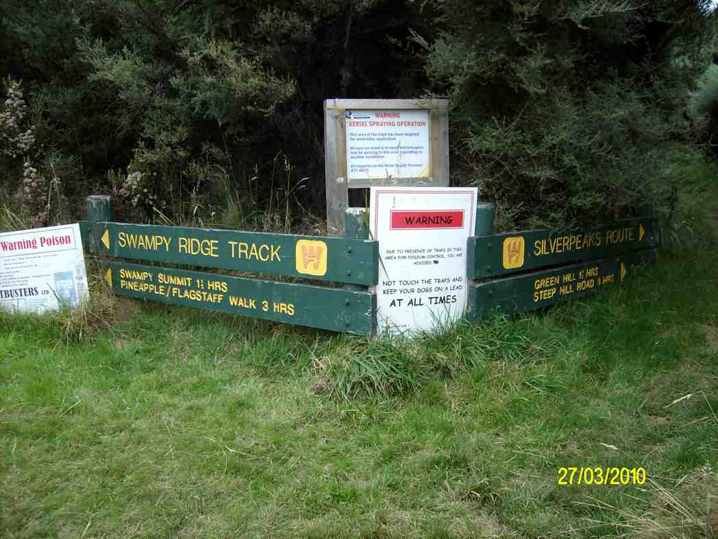
Swampy from Access/Rollinsons Road
4. 17/7/2013. Trampers. Rollinsons Rd, Rollinsons Track, Swampy Ridge track along to Hightop, & return.
4 trampers set out from the locked gate On Rollinsons Rd. which was a little icy in places & there was still some snow showing in parts as well. We were all amazed at the amount of destruction that the snow had caused, with 15cm Manuka splintered like matchwood, & everything sort of flattened.
We had morning tea in the shelter by the picnic area, & then climbed up to the elbow, where we went straight ahead on Rollinsons Track, which was running with water in parts, & covered with snow in other areas.
After reaching the Swampy Ridge track we set off towards Hightop, but soon found our way impeded by fallen Manuka. We negotiated this for a kilometer or two before arriving at a very large & difficult blockage, so as it was almost mid-day, we decided to have lunch, & then return to the cars. – Ken.
3. 31/3/2010. Trampers. Rollinsons, Swampy Ridge, Hightop. Leaders: Ria, Ian
The tramp differed from intentions. For one thing, the leaders had done no recce due to a failure to find a date suitable to both. For another, it had been four years since we had last tackled the track, and memories were a little hazy. Going in from the elbow of Rollinson Road, we were first surprised to find the Rollinson Track sign missing, replaced by one announcing “Tarns”. We wondered at this, but were pleased to find the track fairly well marked by fluorescent pink tape.
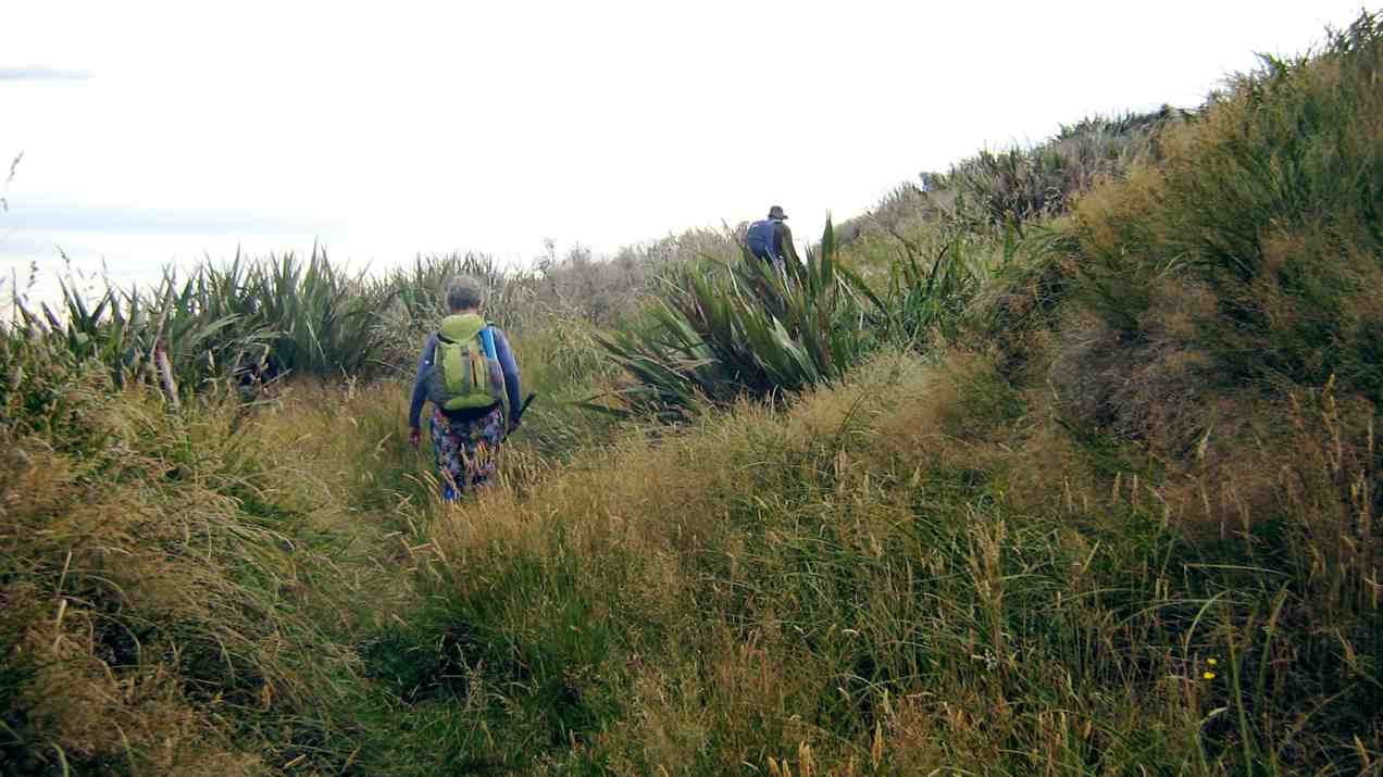
These led us helpfully deeper into the swamp. The dry summer had left the track beautifully only damp where there would normally have been mud.
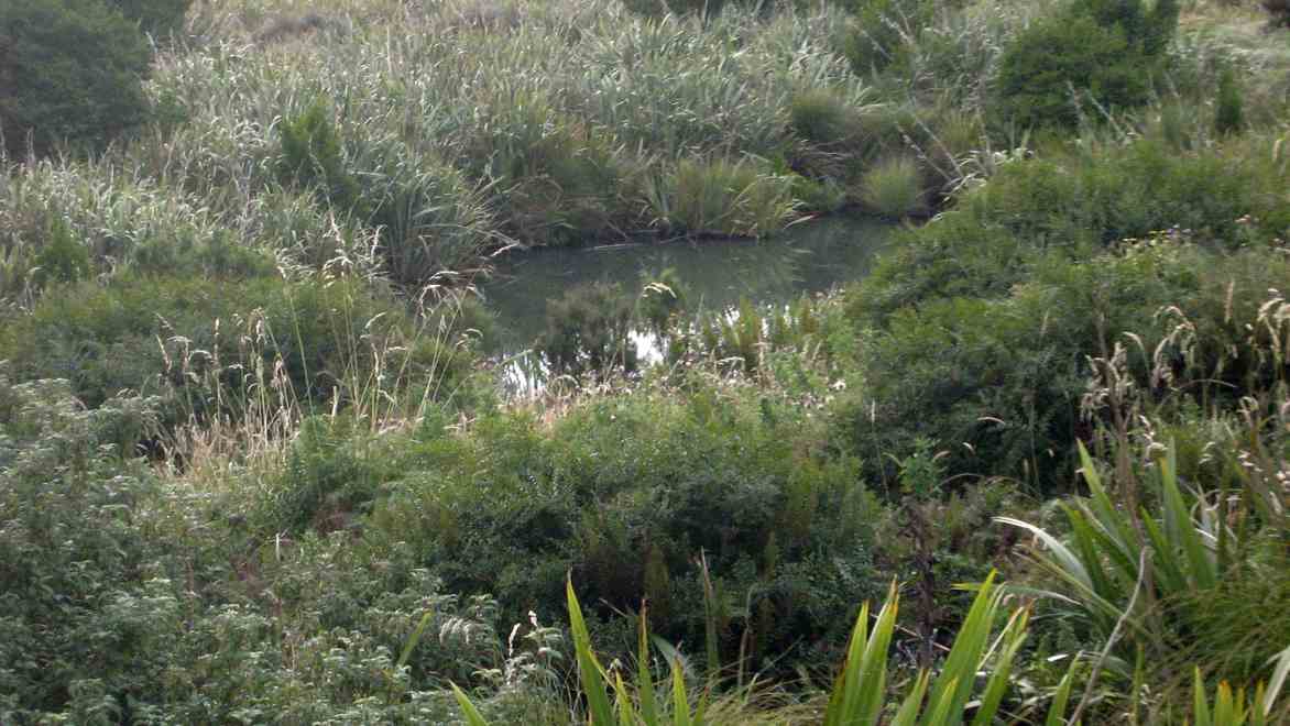
Second surprise. The helpful pink tapes had led us down to Swampy Lagoon. Obviously the “tarns”, or one of them. Were there others?
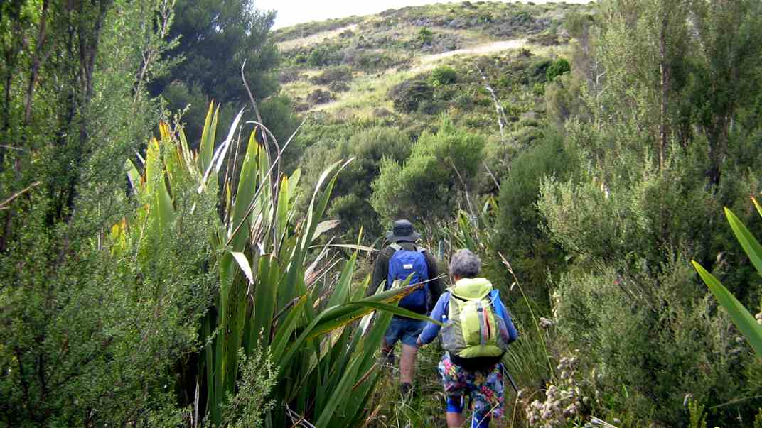
Oh dear. Where to from here? With reflective hindsight, we should have resisted the seductive tapes way further back and sought out the true Rollinsons, once upon a time indicated with Les Murcott’s green markers, some still there in places but now very faded. We should have paid them more attention. But we had been suckered by the pink. So what to do? We knew we were well off the track, and that anyway, up at the top was Swampy Ridge track. So we set off up a vertically vertical ridge, pulling ourselves up with tufts of tussock and grass, to eventually gain the track, after much heaving and huffing.
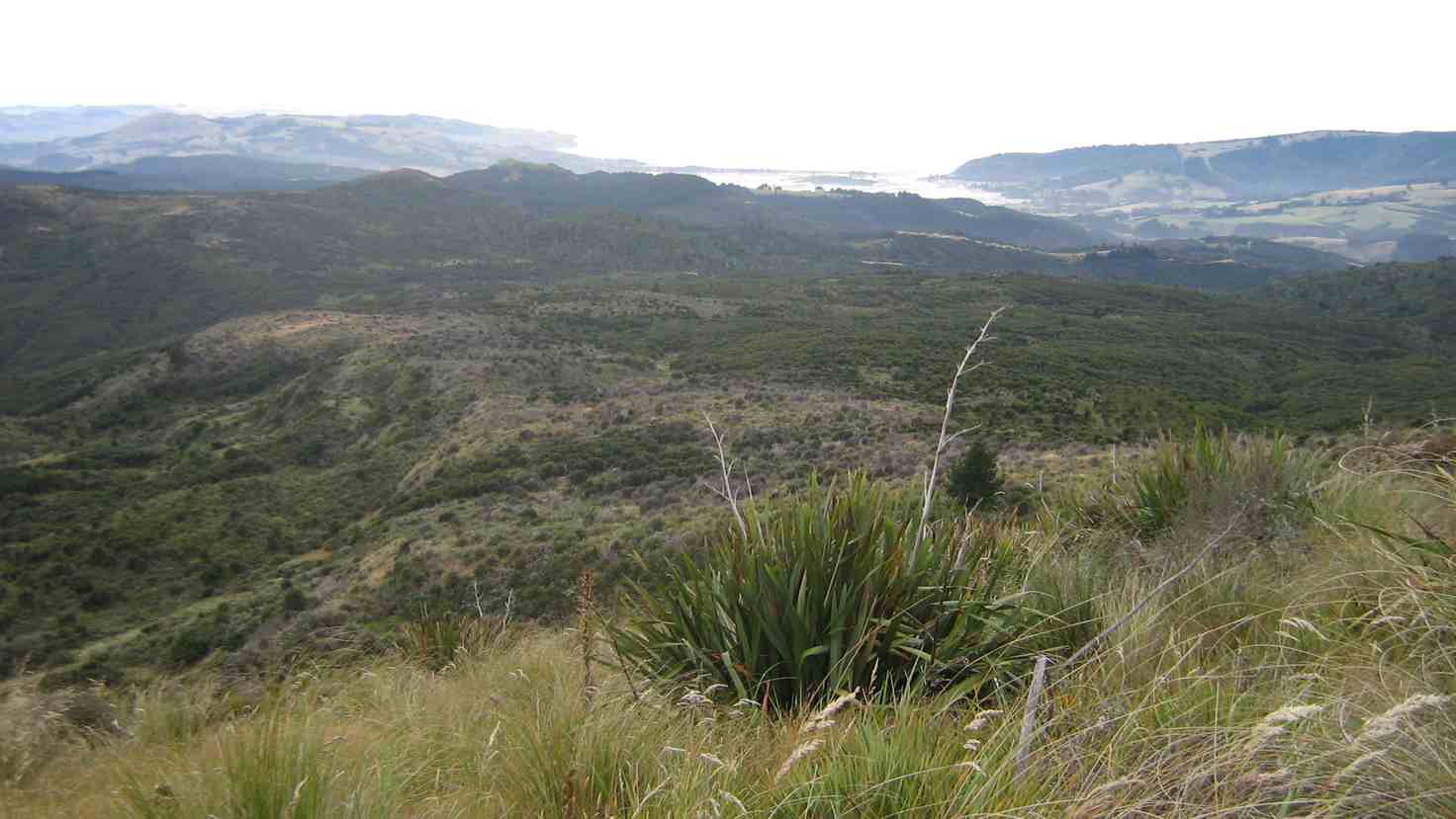
Later on, northwards to where the Ridge Track had considerably descended (!), we found the pole indicating where Rollinsons track DID emerge onto the ridge, by way of a MUCH easier climb.
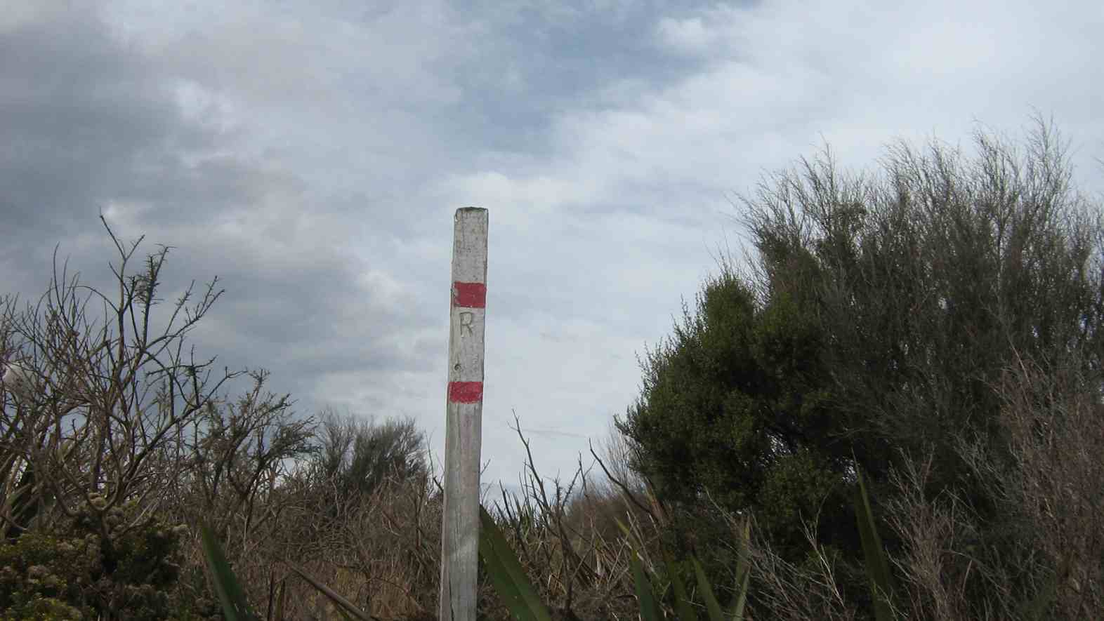
Near the north end of Swampy Ridge Track,
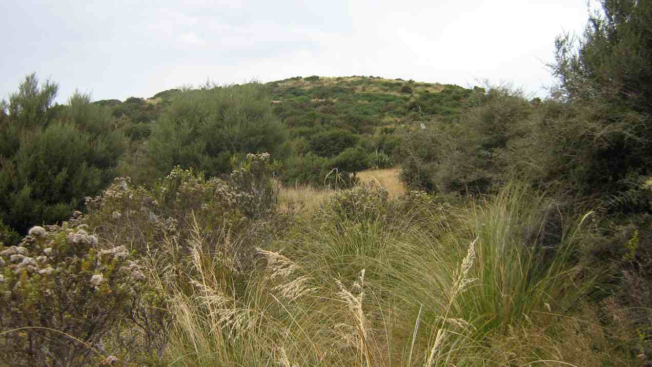
we attempted a climb of Clump Peak on our right, as our way to Hightop on our left had appeared too scrubby.
2. 5/10/1988. Swampy from Access Road gate. Average Climb. Great views around summit (bring binoculars. Return by Flagstaff weather permitting. Car shuttle if required. Leaders: Bob H, Ria L, Jean Y
See Flagstaff Name for its origin.
But even here a thick belt of gorse blocked our way so we hunkered down for lunch interrupted by a VERY light shower which was magically terminated by dint of one or two of us donning parkas.
Back then, along Swampy Ridge and up to swampy summit topped by the Airways VHF receiver station. Descending the Rollinson accesss road to the elbow completed our extended circuit. Six of us had come out for the day. – Ian.
1. 5/10/1989. Swampy from Access/Rollinsons Road gate. Average climb. Great views around summit. Return by Flagstaff weather permitting. Car shuttle if required. Leaders: Bob, Ria, Mary.
Committee Minutes 24/6/2013
Minutes of a Committee meeting of the Taieri Recreational Tramping Club held on 24 June 2013 at 9.30 a.m. at the home of L & M Smith, 73A Forfar St, Mosgiel.
Present. D Bennett, I Fleming (Sec/Treas), L Gowans, C Hughes, B Harvey (Pres), W McLean, K McVie, L Smith.
Apologies. P Bathgate.
Moved I Fleming, Seconded L Gowans, that the apologies be received. Carried.
Minutes. I Fleming moved that the minutes of the meetings held on 20/3/2013, 15/4/2013 and 15/5/2013 having been circulated, be taken as read and confirmed as true and accurate records of those meetings. Seconded D Bennett. Carried.
Correspondence.
23/4/2012. DCC. Ross Creek alterations. Scan of first page sent to club.
I Fleming moved that the correspondence be received. Seconded C Hughes, Carried.
Treasurer’s Report.
I Fleming presented a report.
Auditing of accounts and the financial statement.
As the treasurer was going to be in Wellington for the critical period immediately following the end of the financial year, he proposed W Bathgate be interim treasurer for the period and outlined arrangements he proposed making for getting the accounts audited and the financial statement printed.
Cheque Ac Balance: $699.64 Petty Cash: $18.60.
Cheques for approval:
18/4/2013. 365924. B Harvey. Photocopying Tramping Programme copies.
I Fleming moved that the report be received and the above cheque be passed for payment. Seconded K McVie, Carried.
A.G.M. agenda.
There was considerable discussion regarding the agenda of the AGM, especially concerning who might be approached as President in the light of Vice President K McVie standing down.
There was thought it needed to be someone with experience.
There was discussion too regarding committee nominations. Several present would make themselves available but were willing to stand down if there were others nominated.
Gifts
L Smith moved that S Fleming, B Harvey, H Lesley, and M Smith be given $25.00 Grocery vouchers. Seconded L Gowans. Carried.
Speaker
B Harvey moved that Judy Knox be invited to be the speaker. Seconded, D Bennett. Carried.
Afternoon tea.
C Hughes offered to bring the tea, coffee, milk and sugar.
Subscriptions. L Gowans and D Bennett offered to collect and receipt payments.
Official photos taken at the 25th Anniversary Dinner.
K McVie had made them digitally available. B Harvey and C Hughes offered to get copies printed, set up a table at the AGM and take orders.
First Wednesday combined tramp.
B Harvey opened the topic of the (recently questioned) practice of Trampers and Hikers being together on the first Wednesday of the month.
There was considerable discussion for and against the practice. The matter of changing attitudes and demographics in society and clubs was discussed. It was agreed this would be a lively subject of debate at the AGM.
President B Harvey declared the meeting closed at 11.00 a.m.
Protected: Committee Minutes 15/5/2013
Trig Q, Steve Amies track tramps
No. 57 on old hardcopy list of 113 club tramps. “Trig Q from Whare Flat. N Strang. Key from WEA. Year Round”
15 km from car-park.
Racemans, Steve Amies Loop,Coal Creek – Information and Trips Library
9. 1/5/2013 Both. Steve Amies. Leaders: Ian and George.
This time we left from the schoolhouse, making it more of a road walk. We had morning tea on the lower Rollinson Rd and lunch in the track clearers’ picnic area, after inspecting the helicopter landing pad a little beyond.
As we returned down the road, we were surprised to see the helicopter, and shortly after the tank truck making their way towards where we had been. Apparently this was the day to carry out the weed spraying we had been notified about – and we were now making a timely exit. A tramp for 25 of us and of 10.5 km according to Peter’s pedometer and 25. – Ian.
8. 1/2/2012 Both. Steve Amies from Access Road. Leaders: Arthur and Barbara.
Sixteen of us left our cars at the locked gate on Rollinson access Rd and made our way up to the Track Clearers’ Picnic area. The leaders took us round many of the little nooks and crannies (they just seem to multiply of their own accord), stopping to inspect the labels fronting each bush planting. Of poignant note in front of one bush was a label printed with the name of Les Murcott, whose funeral a number of us had attended only a fortnight earlier.
We stopped off for our tea break.
Arthur led us down and across to Trig Q, and then on down Little Coal Creek until we got to the look-out. We careful negotiated some quite steep parts of the track and avoided any casualties. Then came the more arduous climb back up to the trig and across to the Steve Amies.
This latter track had a much more moderate decline (we stuck to only its upper reaches!), past another look-out, before making another turn around further down, to wander back up to the trig and on to the picnic area for lunch.
On the way across the wee saddle, we stopped to investigate the meaning of a sign indicating a sheltered area, whose side track opened out to a large open area in the bush, marked with a large white wooden equal-armed cross, laid flat on the grass. After some discussion, we decided the area was also to serve as a helicopter emergency landing spot. (There was even a ‘waiting room’ bench for passengers.)
Back up at the picnic area, our leaders discovered for us yet another alcove with ample tables and seats for a comfortable lunch.
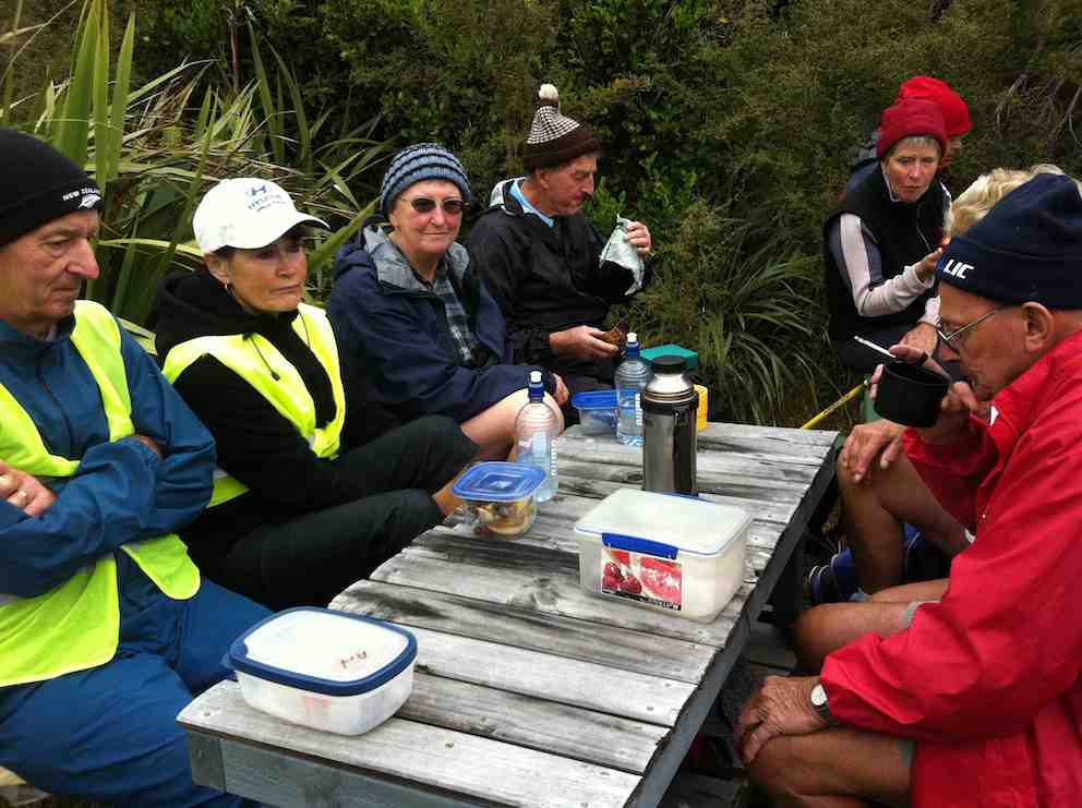
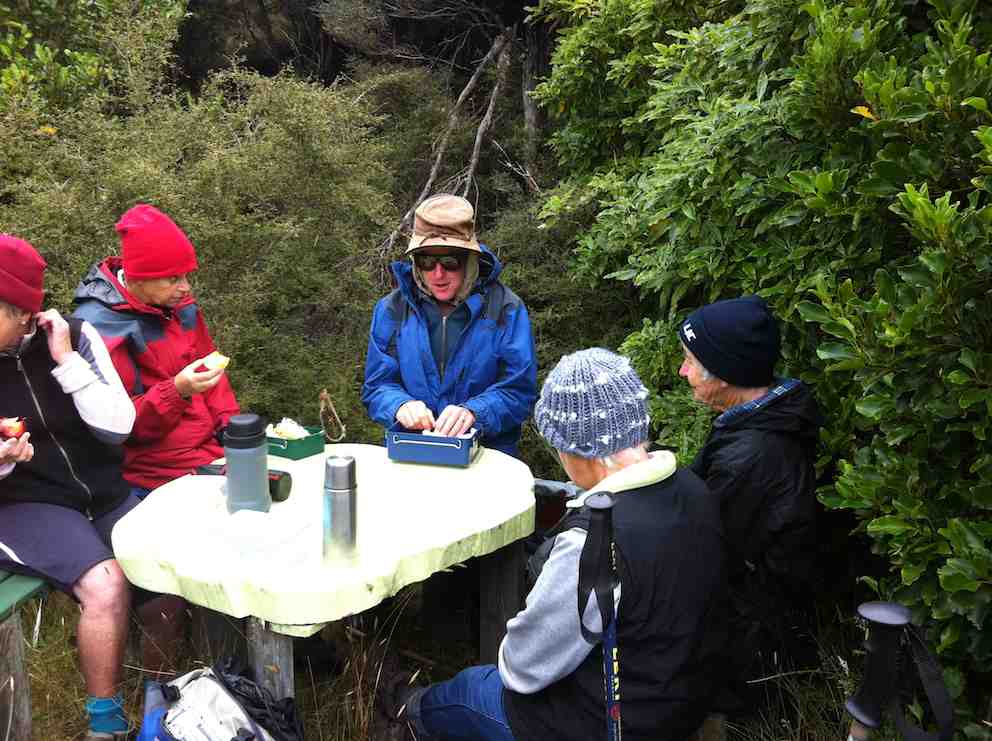
Our leaders took us out to the road by a route different from the one we had entered by, and lo and behold, a salubrious shelter, doubtless erected by the track clearers for their comfort. Bravo.
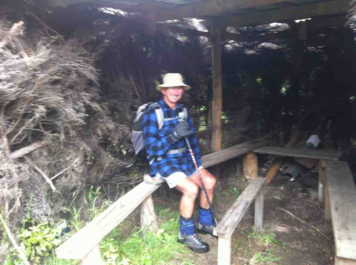
Then we had only a stroll back down Rollinson Road to the cars. A leisurely 5.5 km walk, (as measured by two with their measuring devices.) Thank you, Barbara and Arthur for your careful leadership. – Ian.
7. 18/3/2009. Hikers. Steve Amies from Access Rd Hikers E+ Bev H, Joyce S
6. 25/7/2007. Hikers. Access Road, Steve Amies. Leaders: Bob H, Graham.
click to enlarge

5. 19/5/2007 Trig Q from Silverstream via Steve Amies track. Steve Amies Track Circuit Leaders: Ria L, Hazel
4. 27/7/2005. Hikers. Steve Amies, Trig Q. Bob H, Les W, Mary M.
3. 2/2/2000. Trig Q from Silverstream via Steve Amies track. Steve Amies Track Circuit Leaders: Peter B, Lex
2. 23/10/1996. Trig Q. Average. Leaders: Margaret and Les, Doug J.
1. 7/6/1995 Trig Q from Whare Flat School. Medium+. Shorter trip available. Leaders: Bob H, George, Jack R, Nancy
Protected: Committee Minutes 15/4/2013
Protected: Committee Minutes 20/3/2013
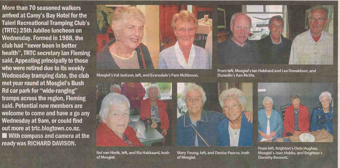
25th Anniversary
Protected: Committee Minutes 20 February 2013
Clifden – Te Anau Trip
2-3/2/2013. Trip. Clifden Caves, Te Anau, Lake Henry, Kepler Rainbow Reach to Moturau. – Leader: Heb.
Heb pick us up at 7.30 on Saturday and drove us in the Mosgiel RSA Courtesy Van via a Cafe stop at Gore, Nightcaps, and Ohai to the stop pictured below for lunch.
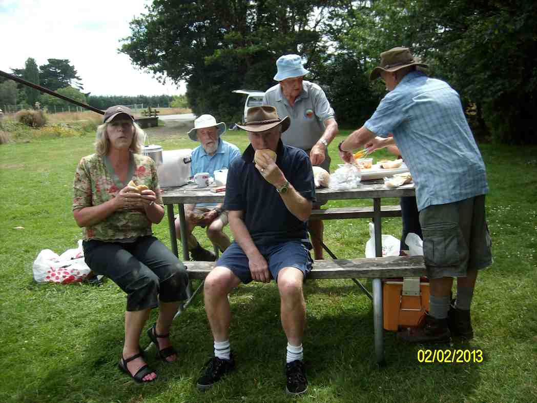
Then it was up to the Clifden Caves carpark and the start of the underground expedition.
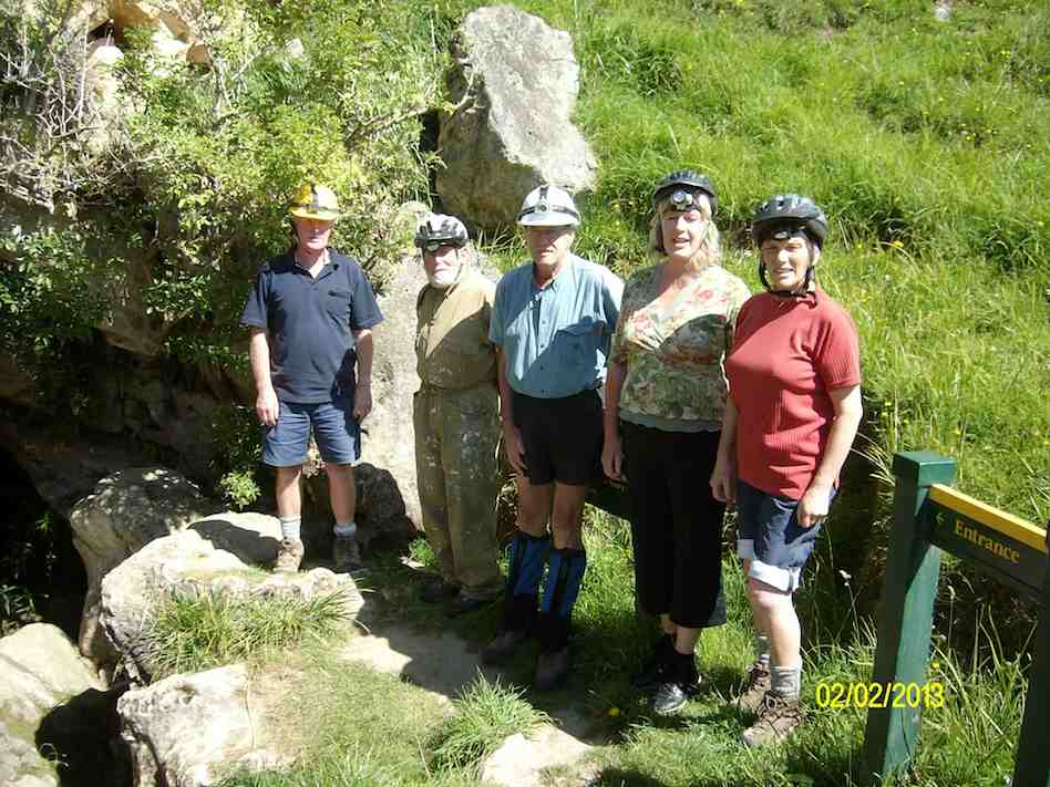
Click Clifden-Caves for DoC article. Its “Activity” section describes the actual experience.
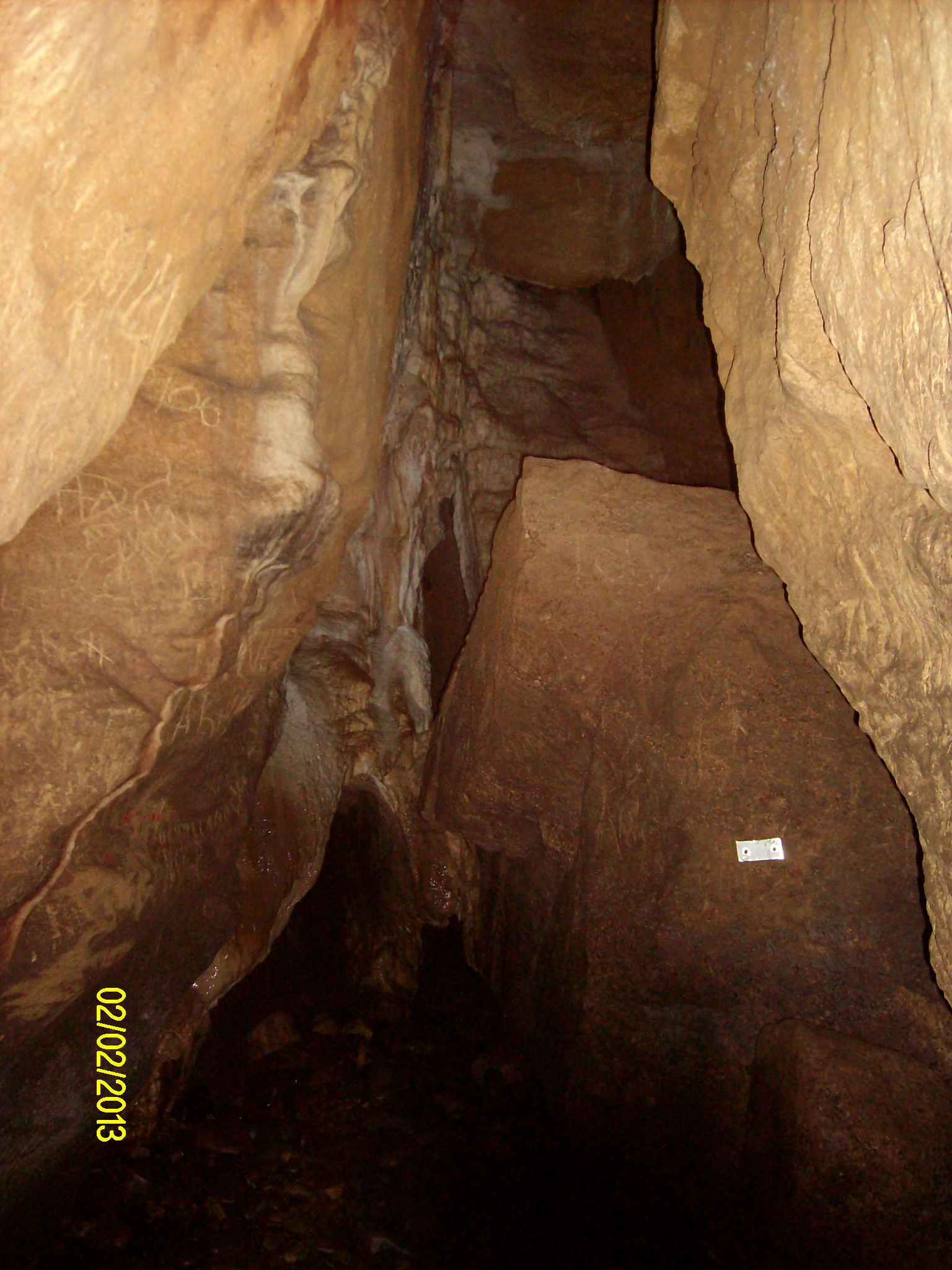
The silver markers kept us on the safe route. Yellow ones warned us of sidetracks to avoid. The route involved quite a bit of stepping over, crawling under and squeezing through.
And then we arrived at the large deep Moon Pool which could be navigated only by stepping around its left side on a narrow , sloping but nice and grippy, ledge. However immediately prior to beginning the ledge experience, Heb slipped into and jammed in a much smaller narrow pothole on the track just before it, (one he had never noticed before) and it took all Ken’s strength in one arm to hold onto him and enable him to eventually lever his wet self out. A sobering moment.
Only two then took to the ledge skirting the pool to its further side and on out, the way incorporating several very helpful longish up-and-down fixed ladders en route.
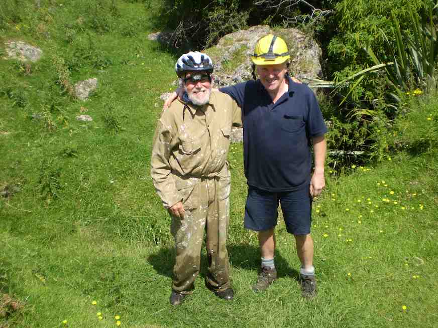
The other three more prudently (discretely? wisely?) turned back.
Back at the van, with Heb dried out and into a change of clothes, it was on to the Te Anau Sea Scouts Hall at Te Anau for the overnight stay.
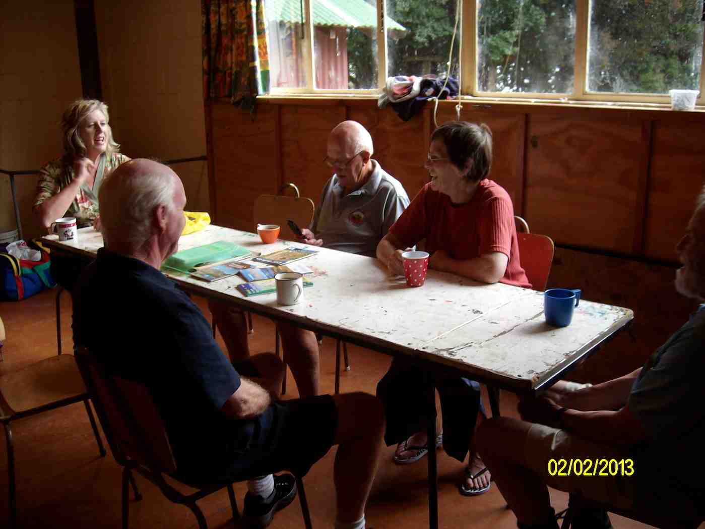
An evening stroll was a circumnavigation of lake Henry nearby.
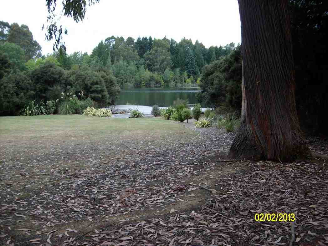
Later it was Petanque for some; later bed for all.
Next morning, after breakfast, we drove to and walked the Kepler from Rainbow Reach to Moturau Hut.
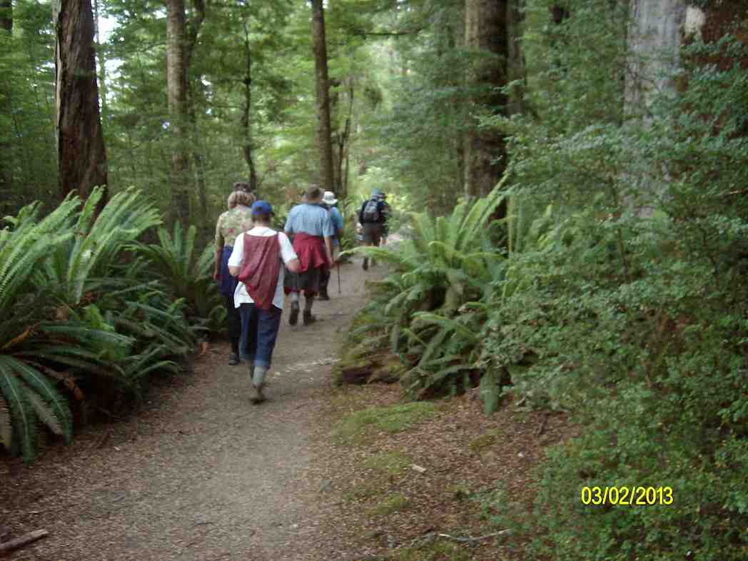
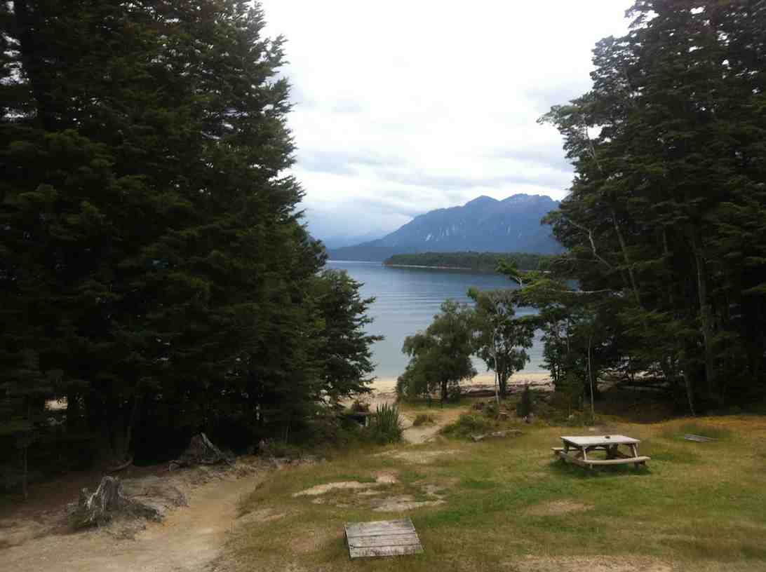
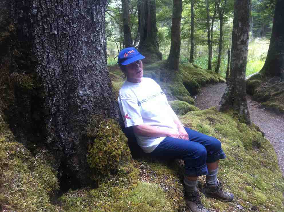
We returned from Te Anau via Mossburn and Gore, arriving back at 6.00 p.m. Thanks to Heb from the other six of us for a well-organized weekend trip – Ian
Lake Mahinerangi, Verterburn Road, Picnic Place
21/11/2012. Hikers. Mahinerangi Picnic Area. M. Leaders: Wendy and Peter.
2/5/2007. Hikers. Mahinerangi Picnic Grounds. Leaders:Neil, Catherine
30/3/2004. Hikers. Mahinerangi Picnic Grounds. Leaders:Ria L, Catherine
12/11/2003. Hikers. Mahinerangi Picnic Grounds. Medium. Leaders: Joyce, Ray
20/9/1995. Mahinerangi, Picnic Ground. Easy+. Leaders: Ria L, Catherne, Peggy M, Colleen.
29/6/1994. Lake Mahinerangi, Verterburn Road, Picnic Place. Leaders: Catherine, Ria L, Peggy M, Heyden.