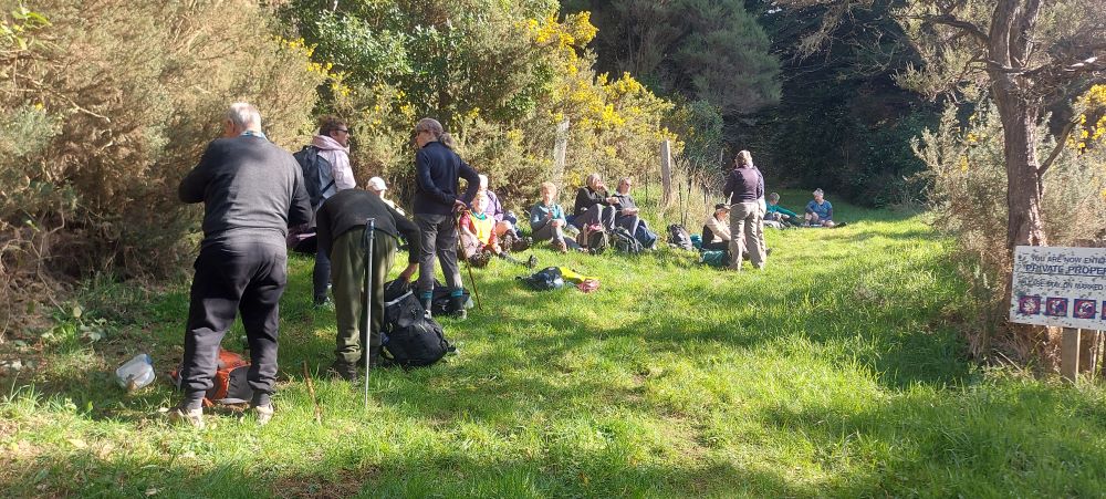
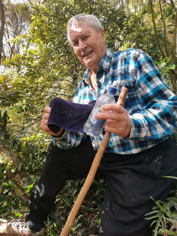
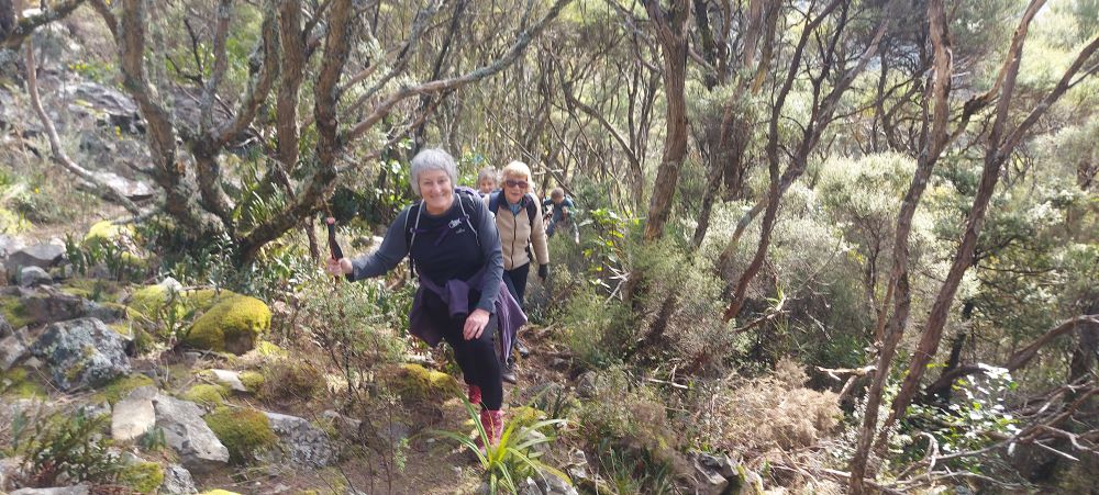
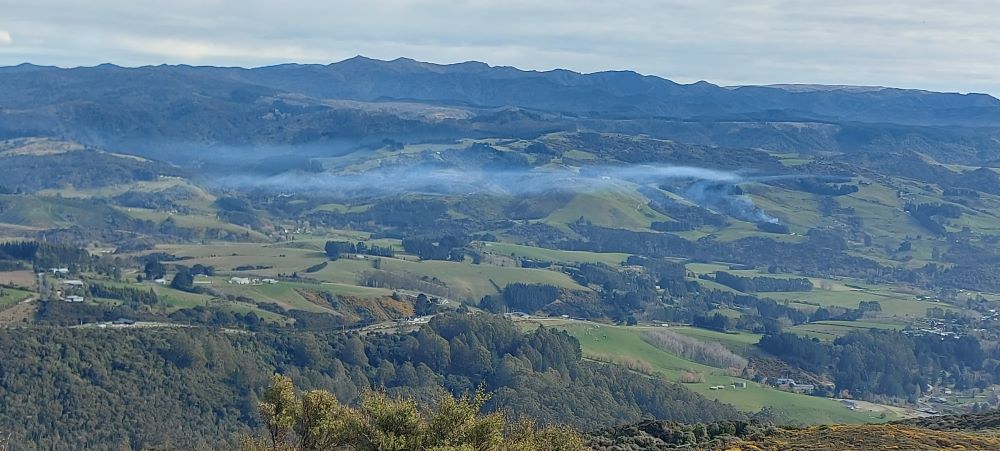
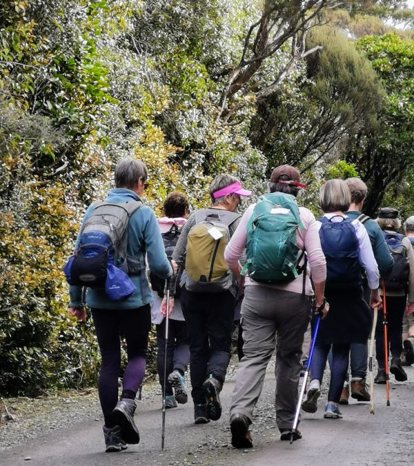
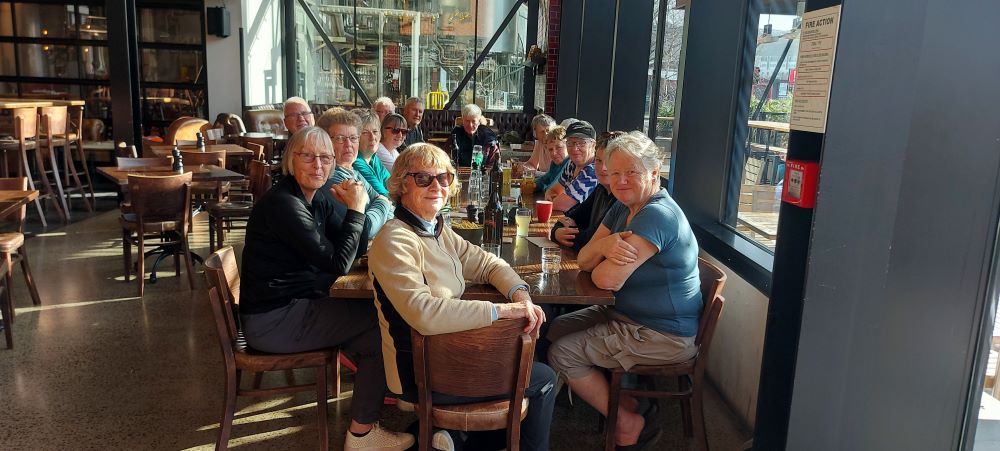
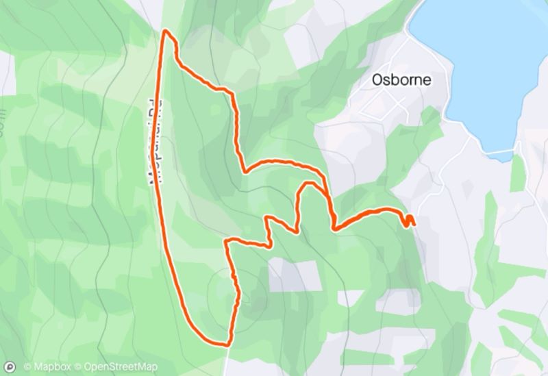
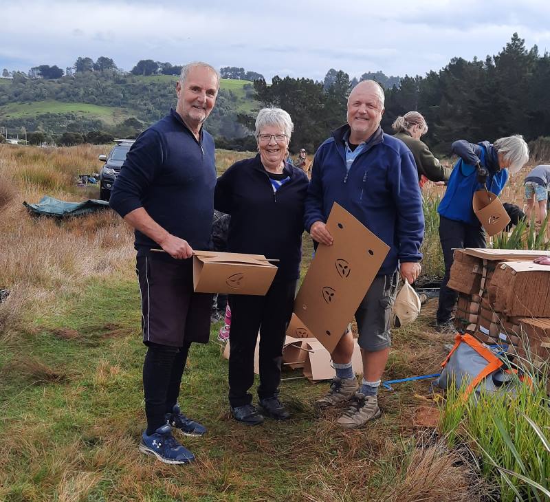
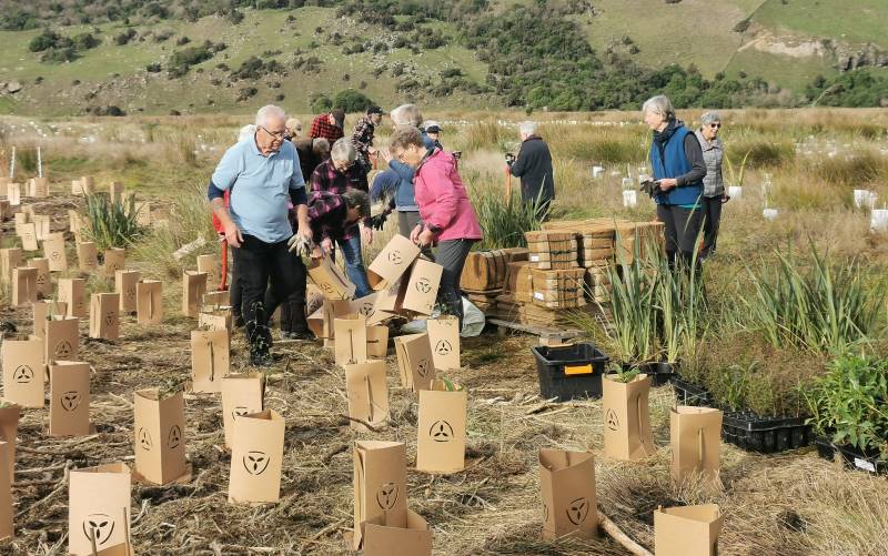
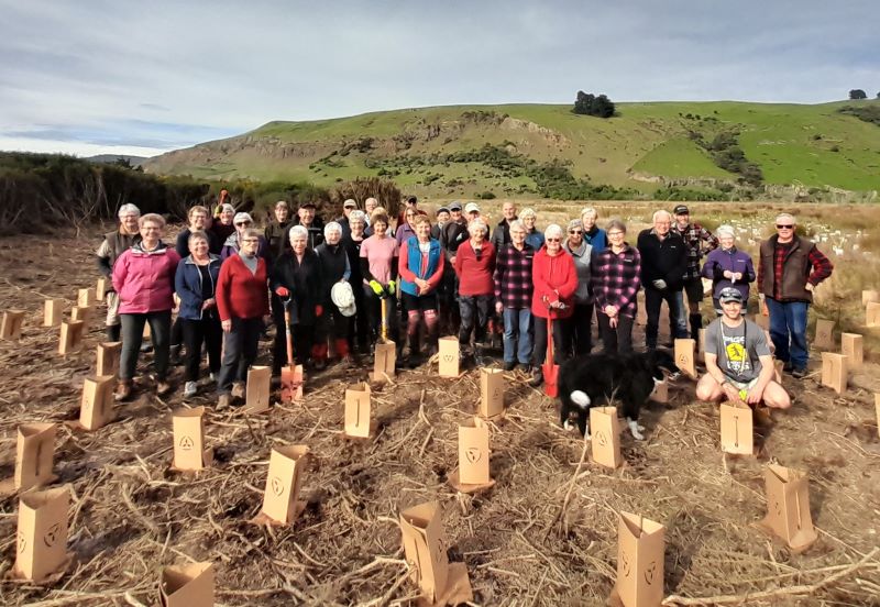
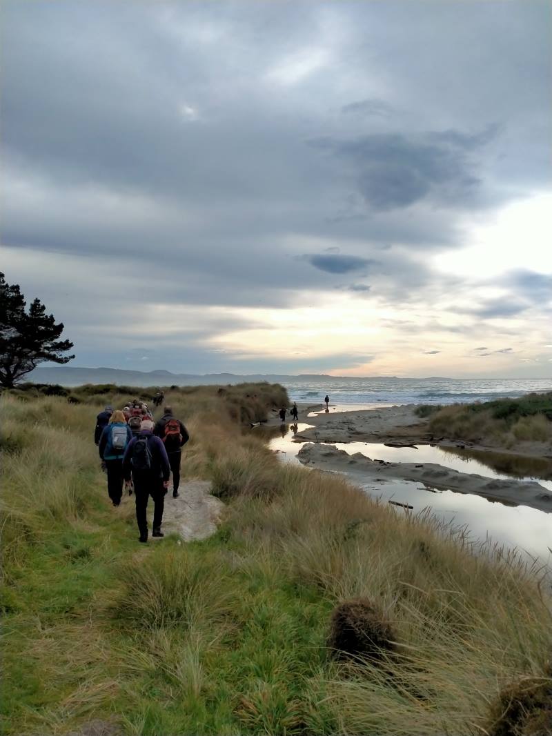
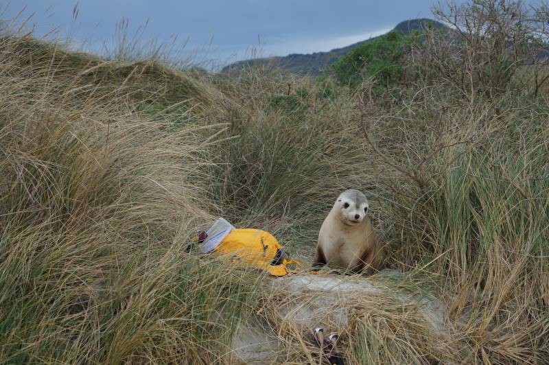
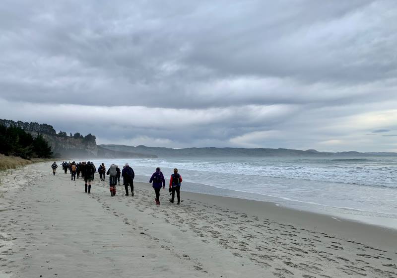
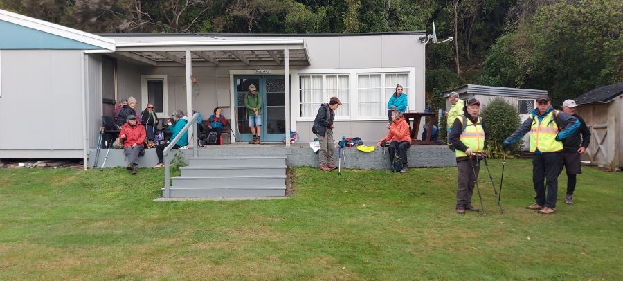
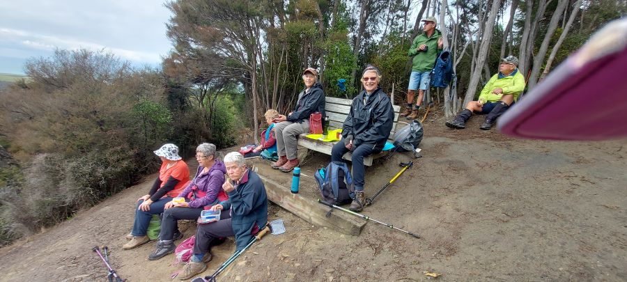
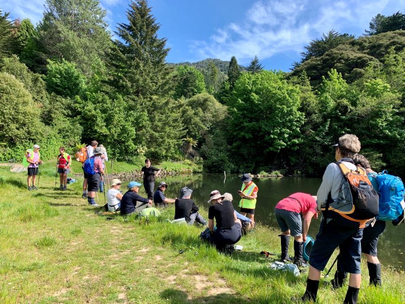
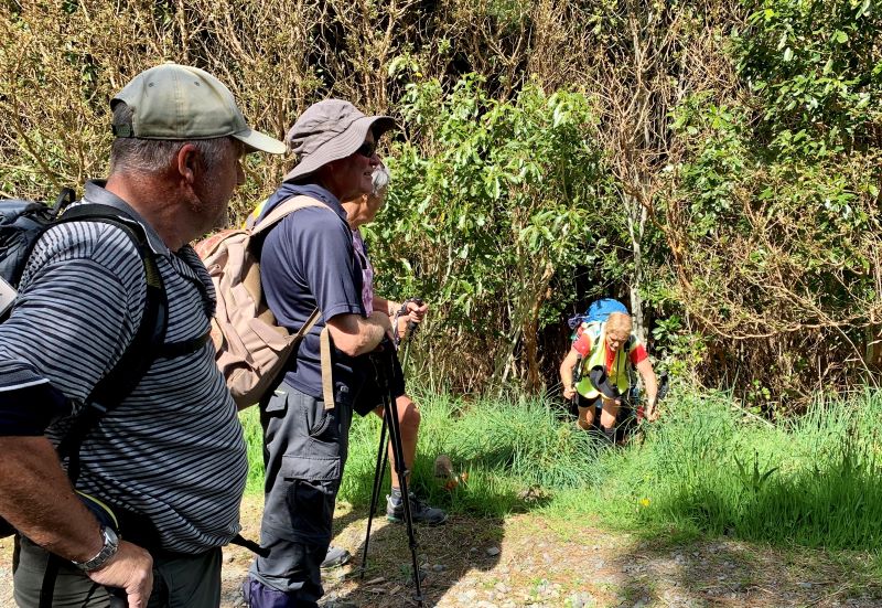
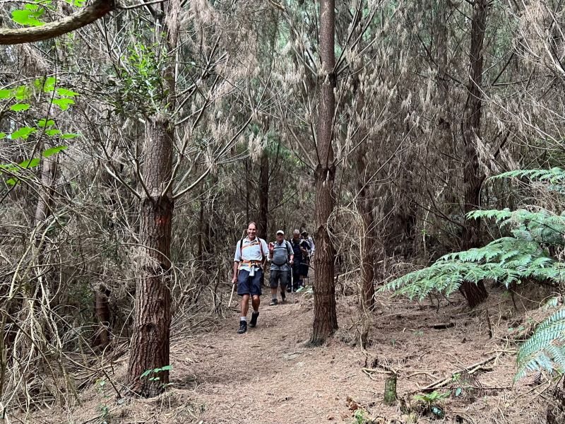
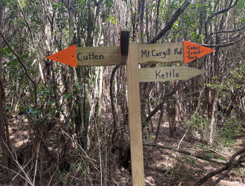
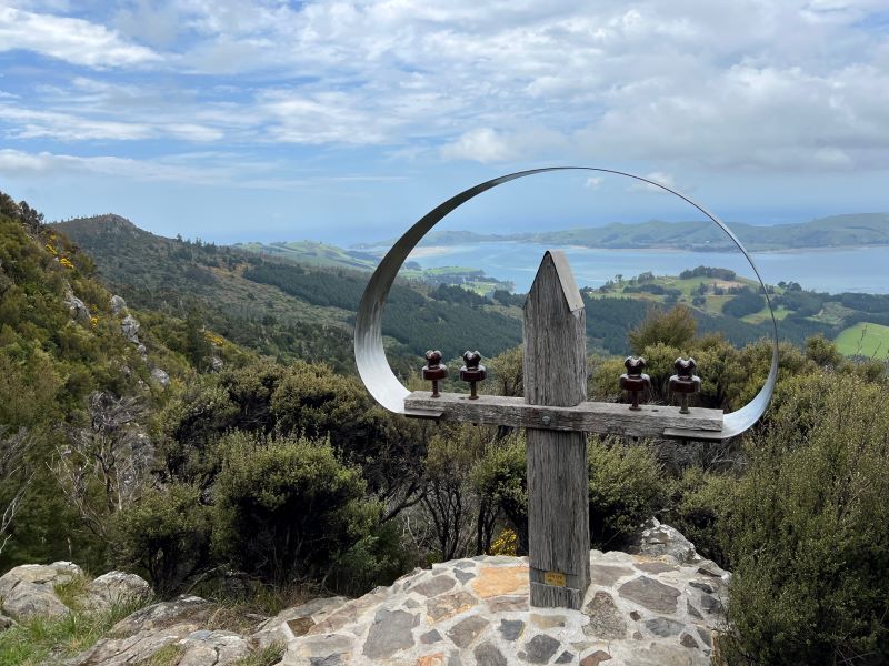
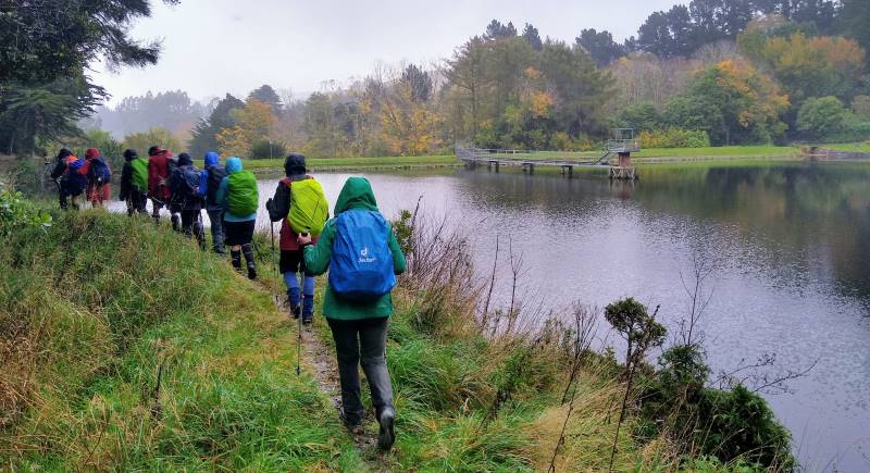
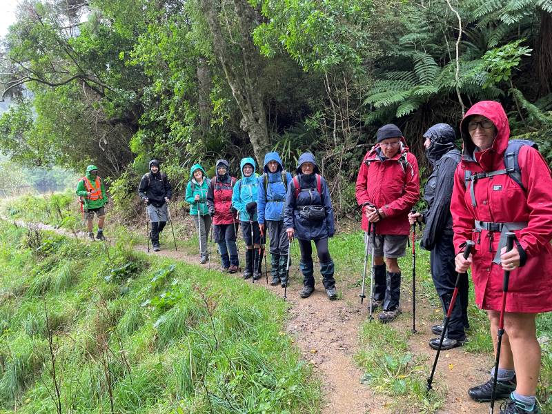
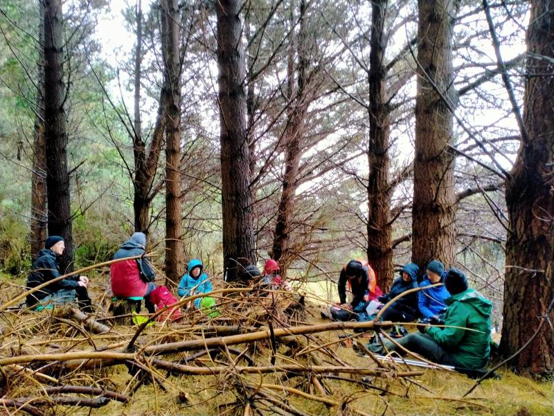
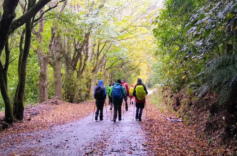
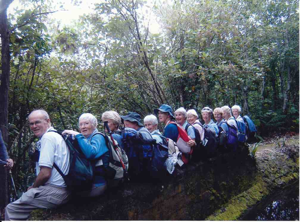
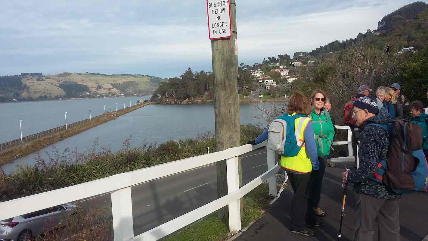
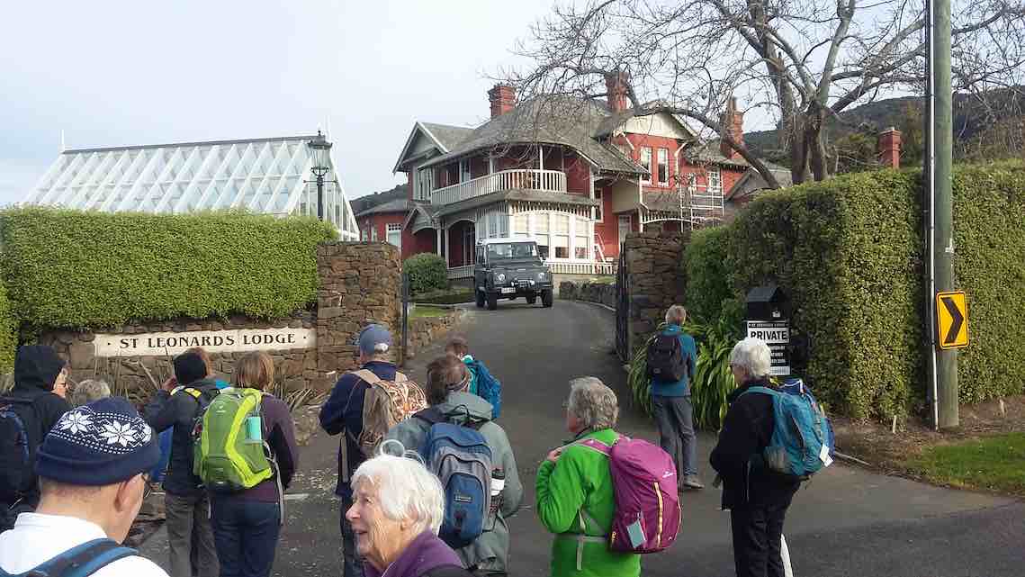
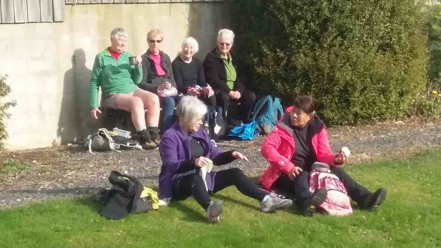
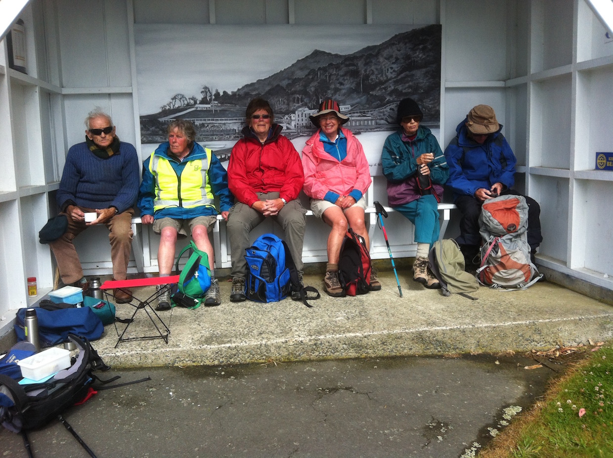
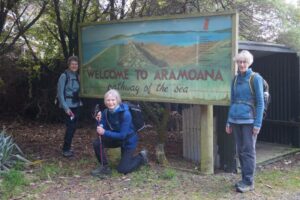
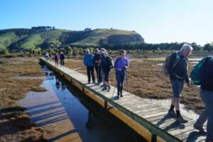
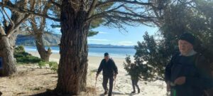
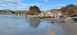
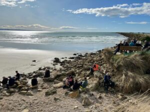
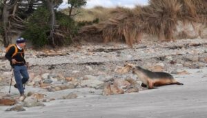
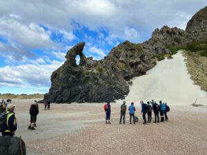
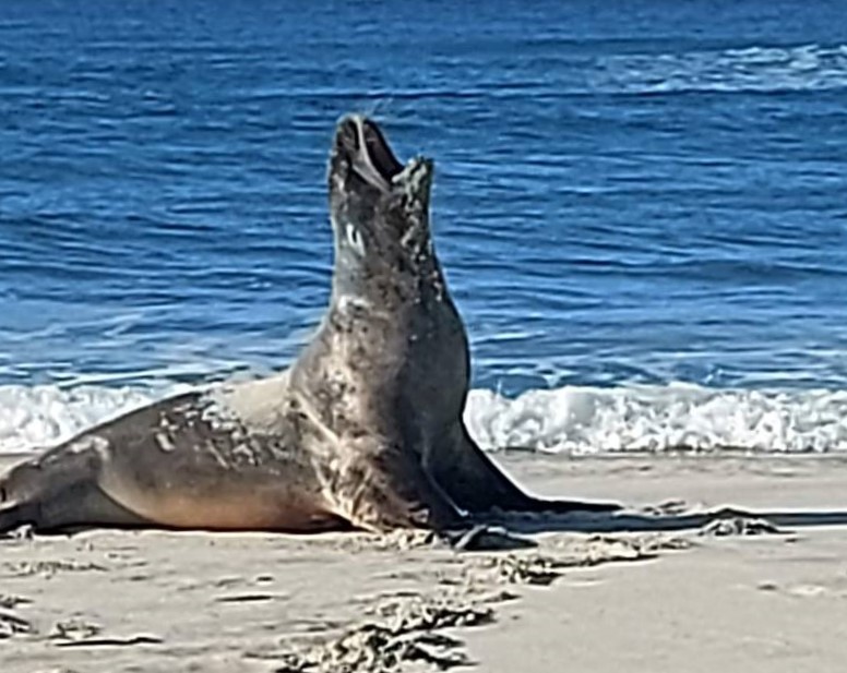
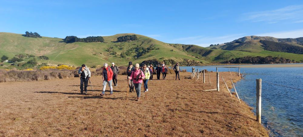
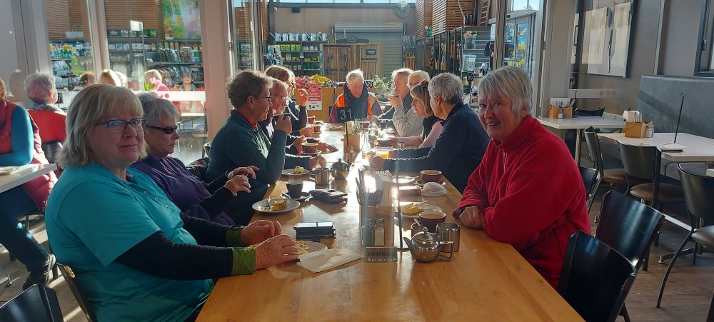
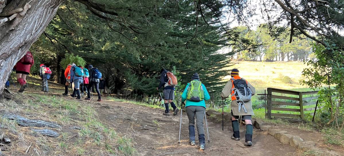
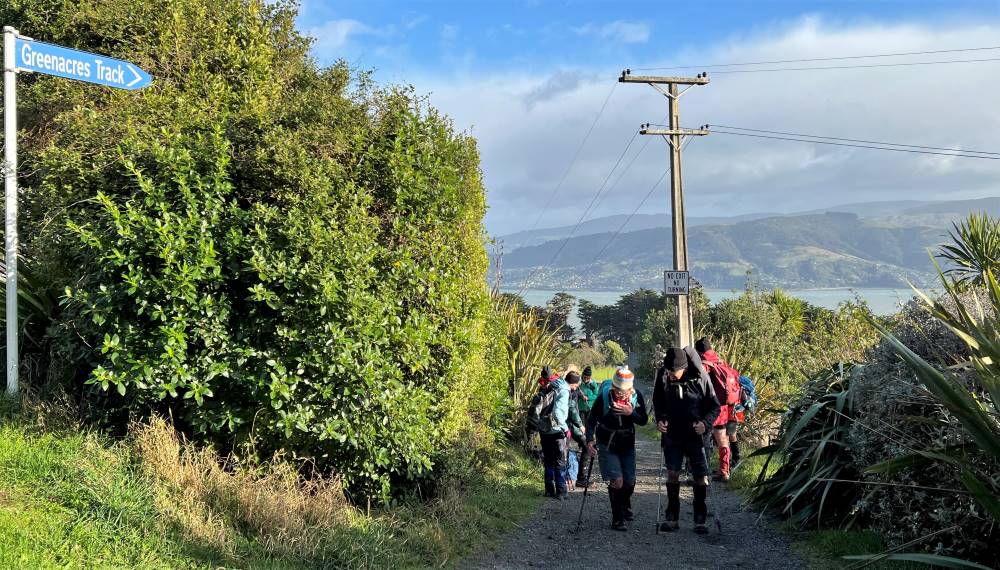
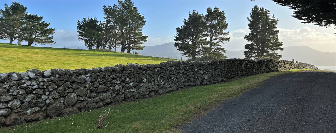
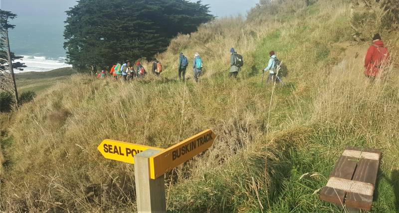
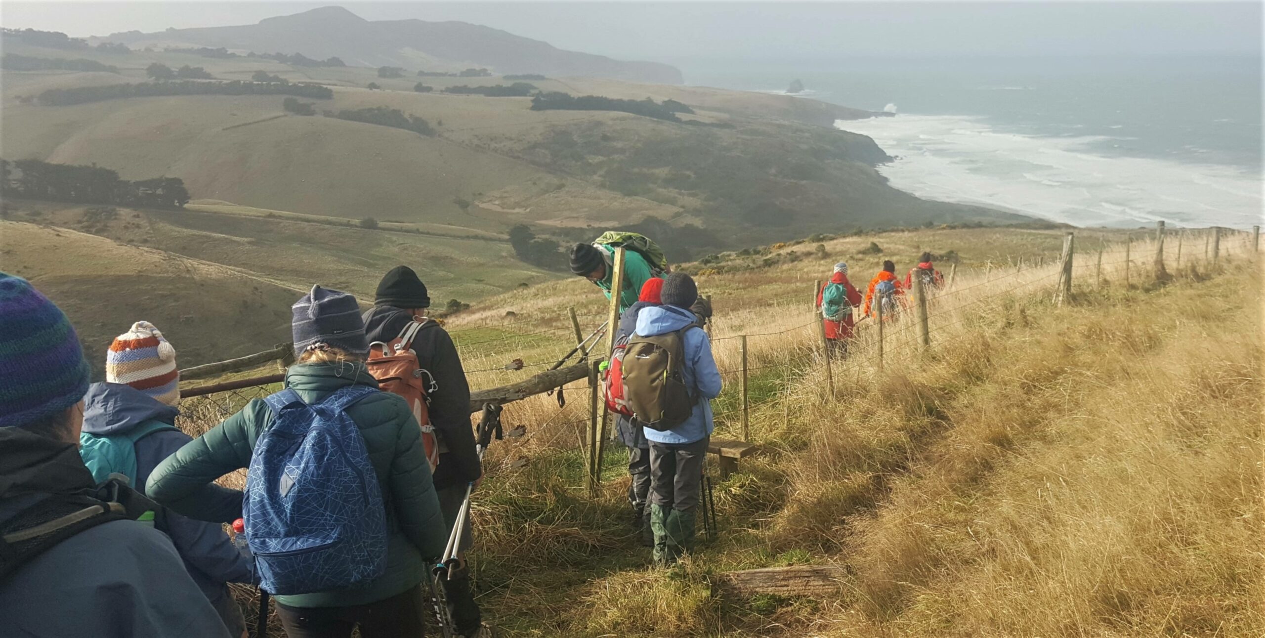
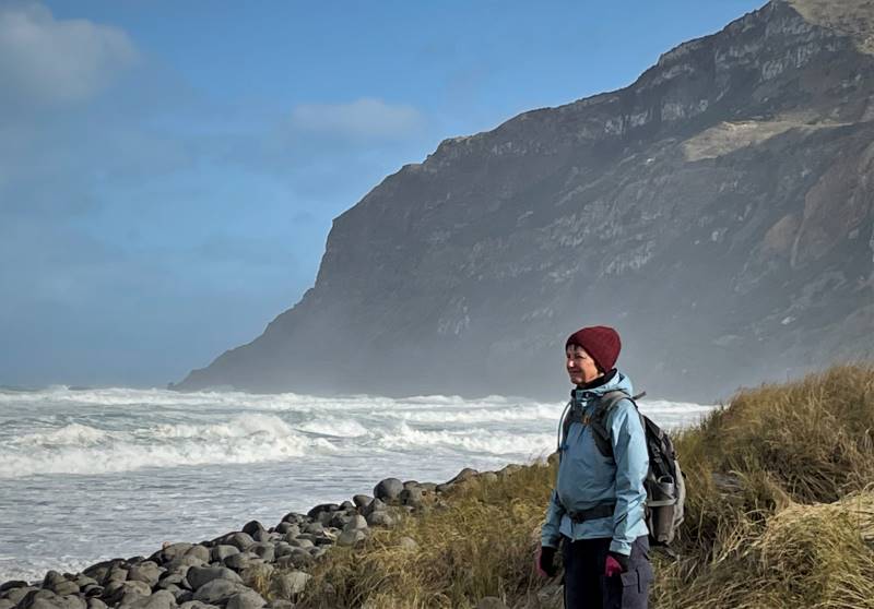
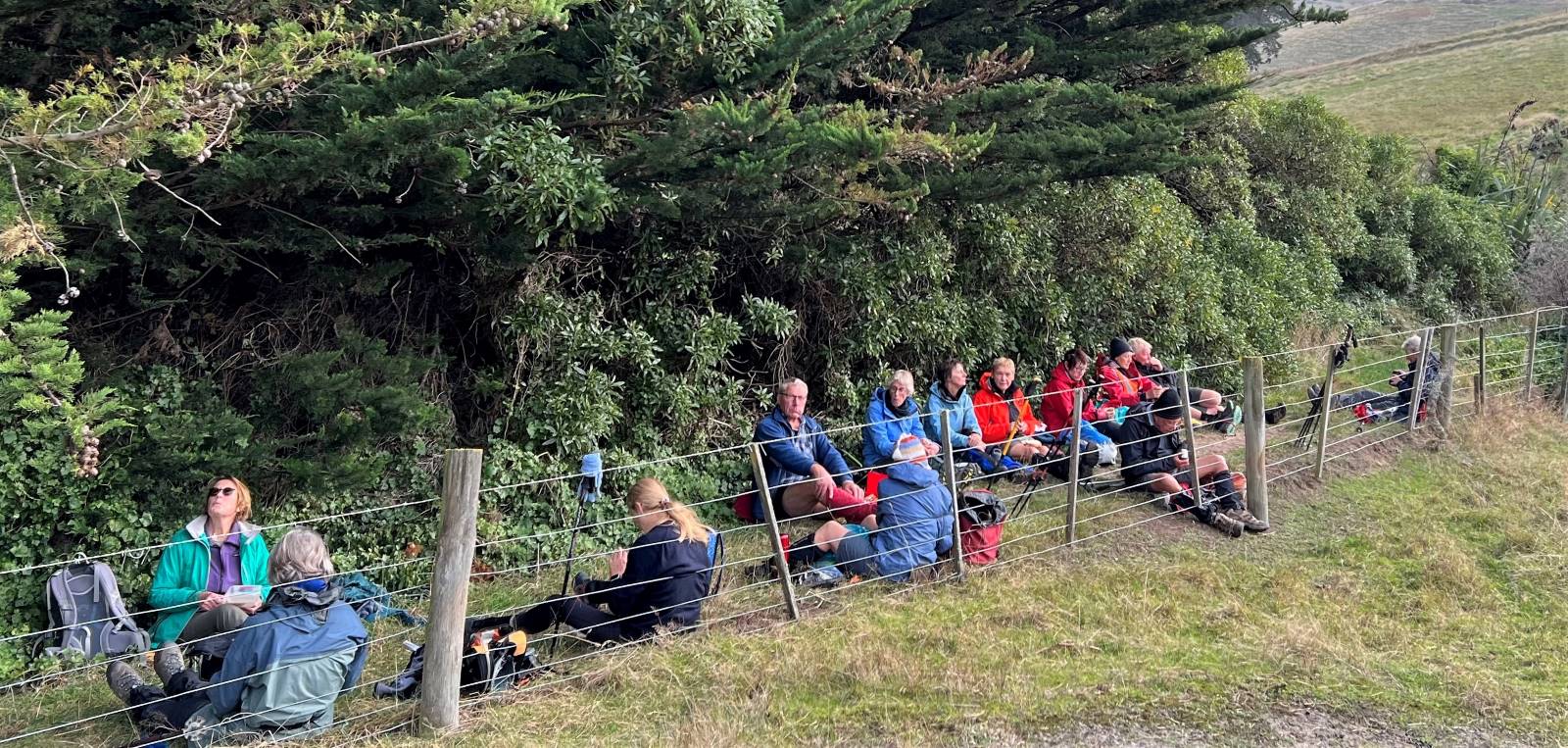
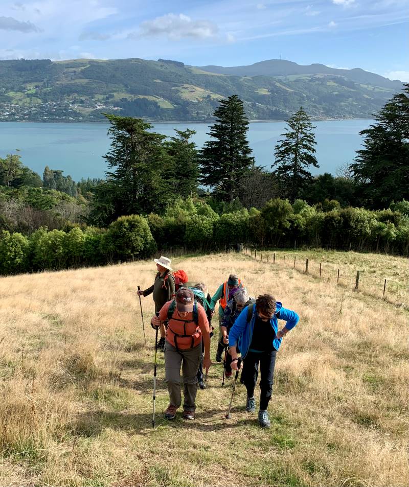
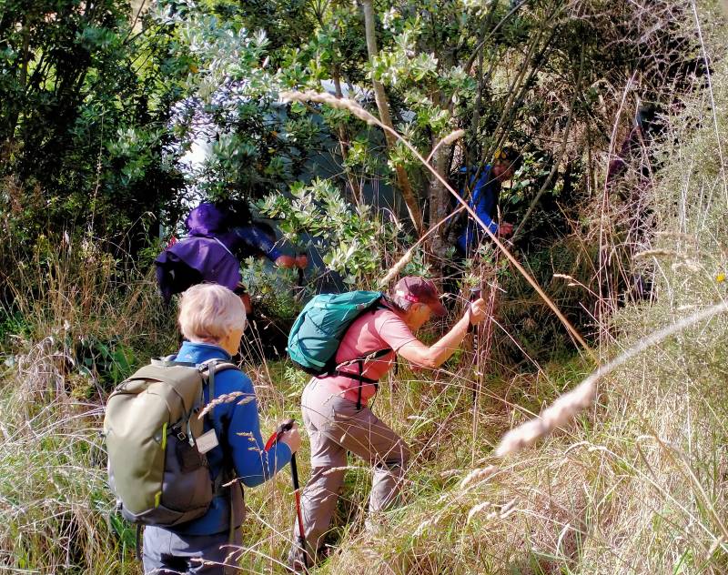
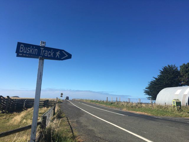
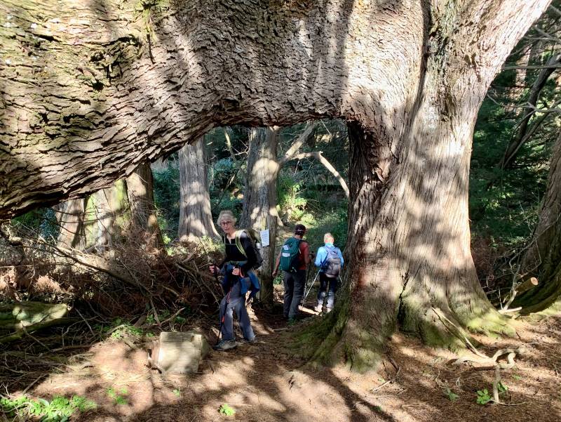
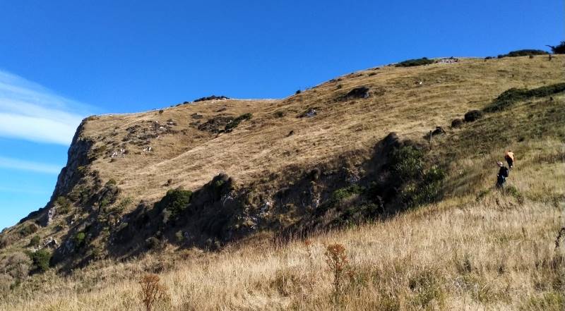
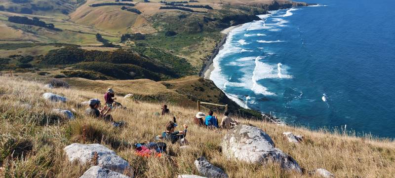
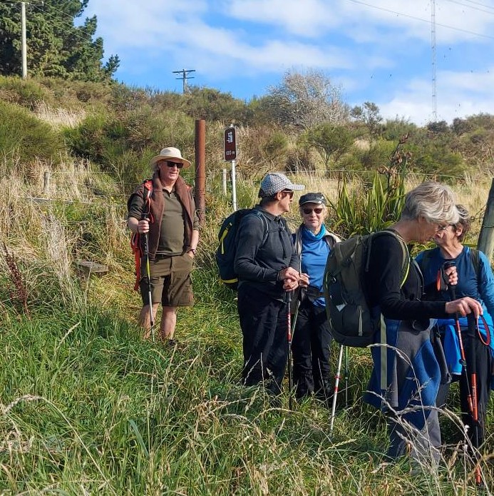
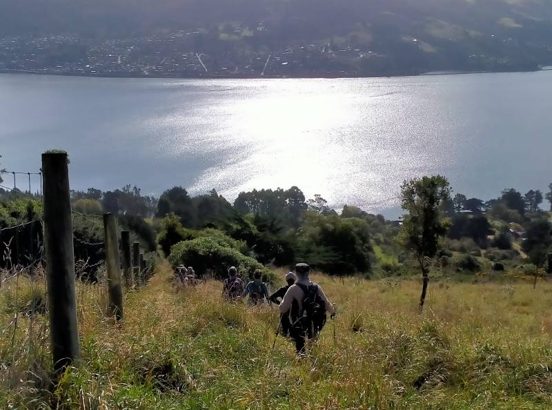
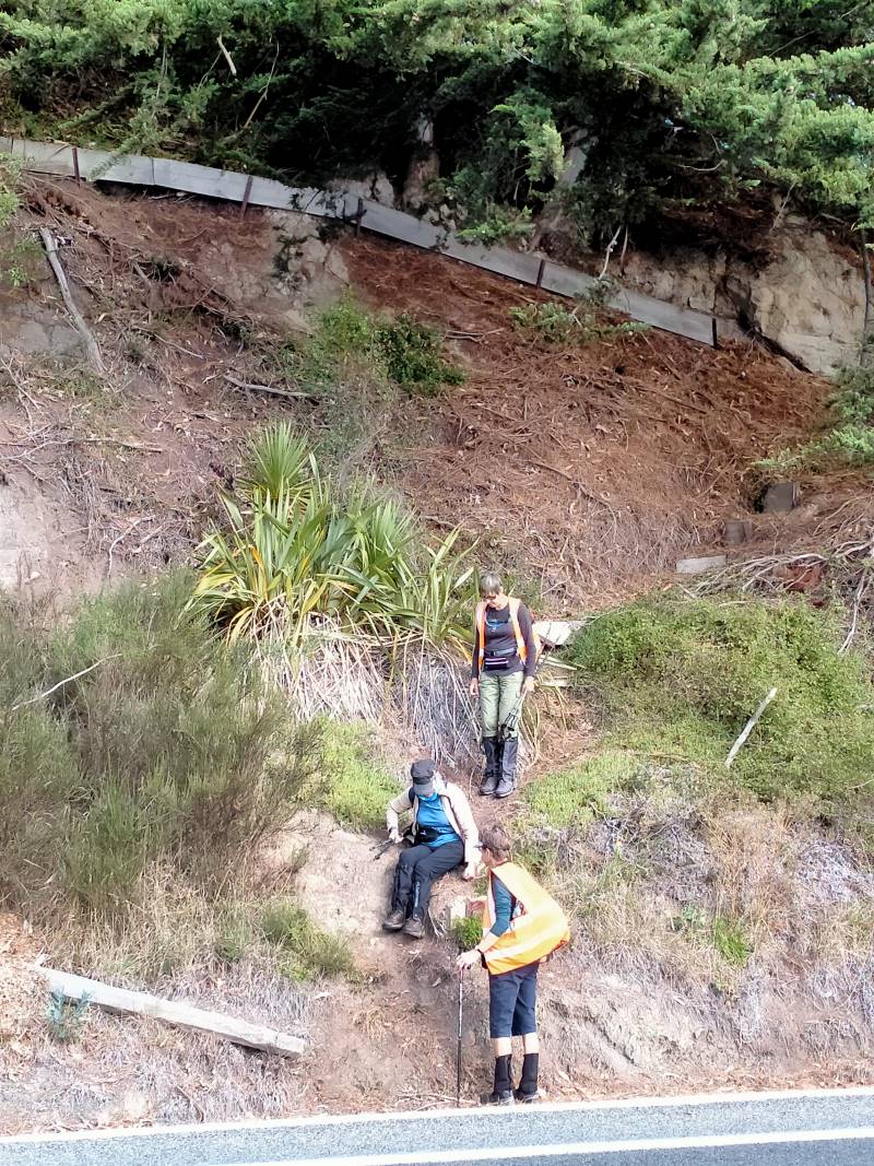
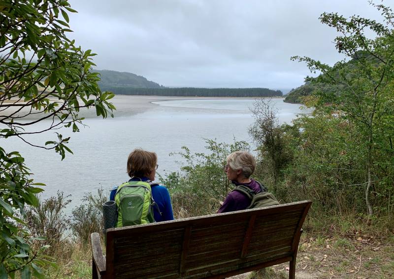
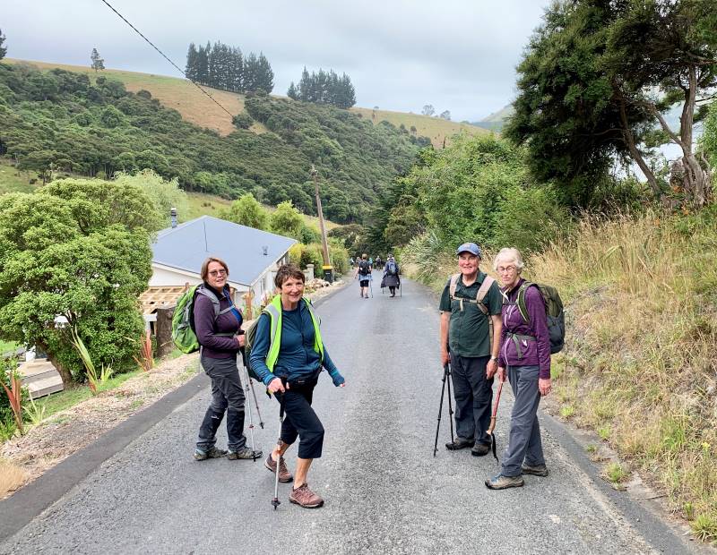
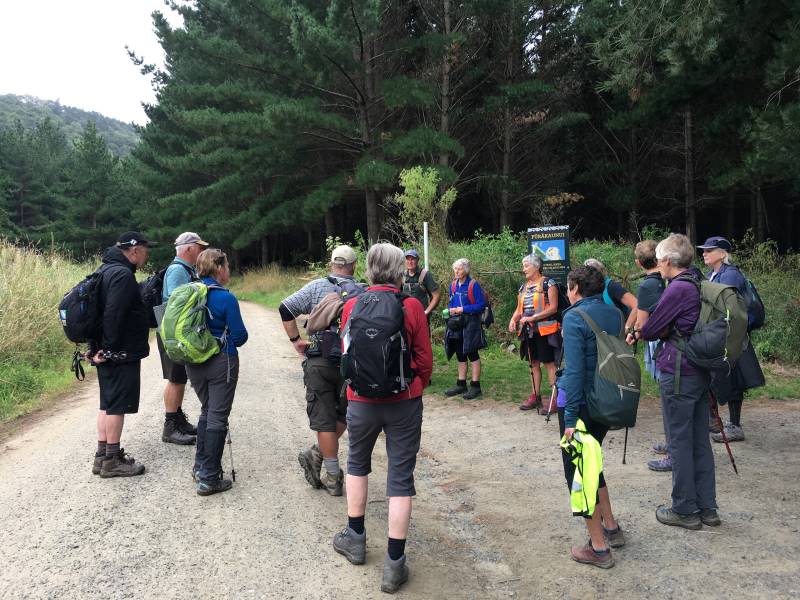
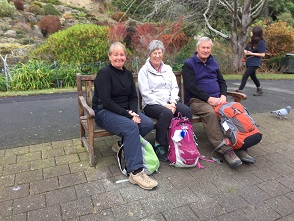
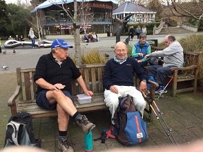
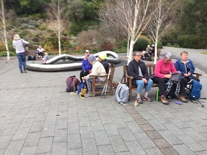
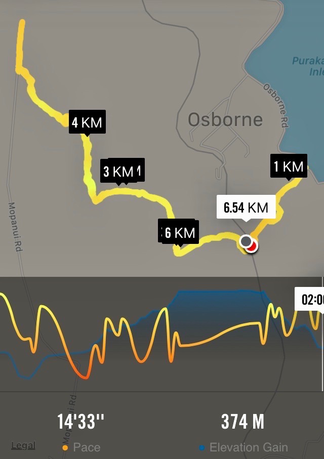
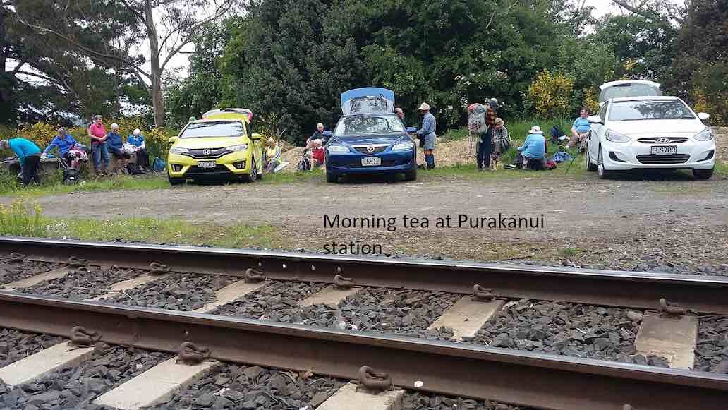
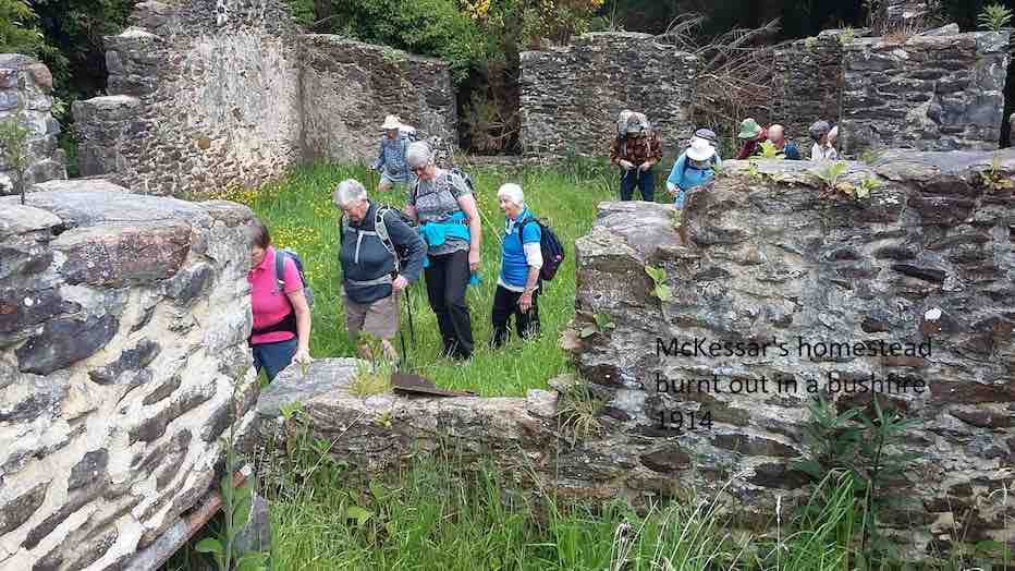
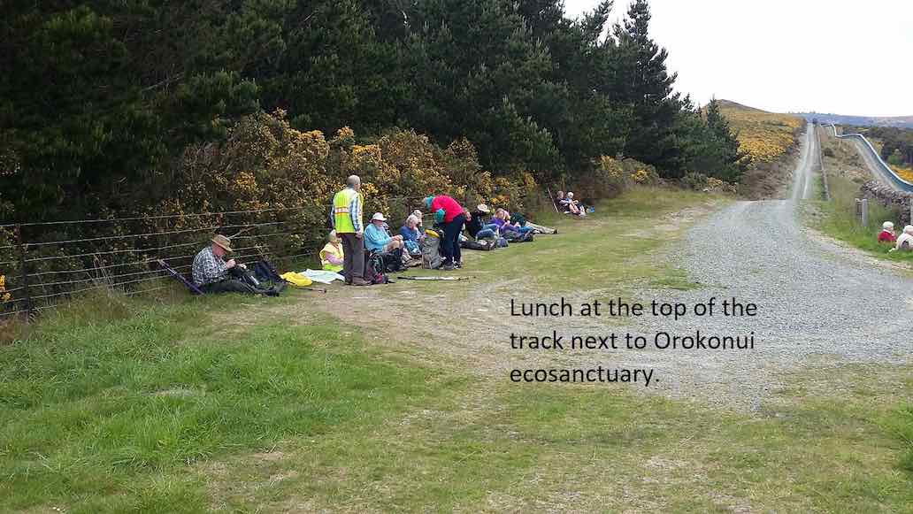
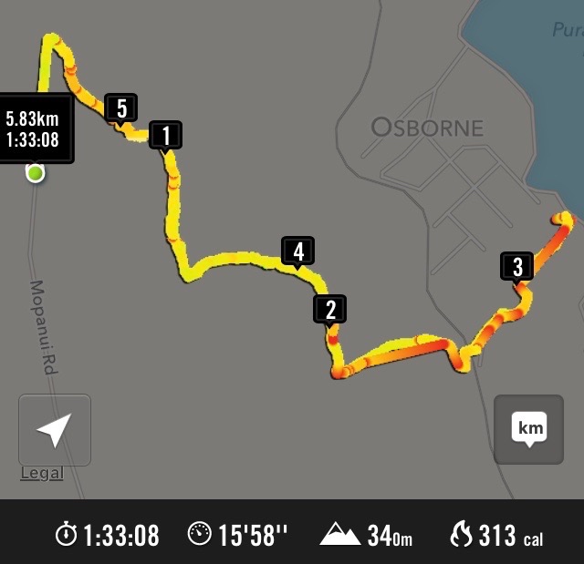
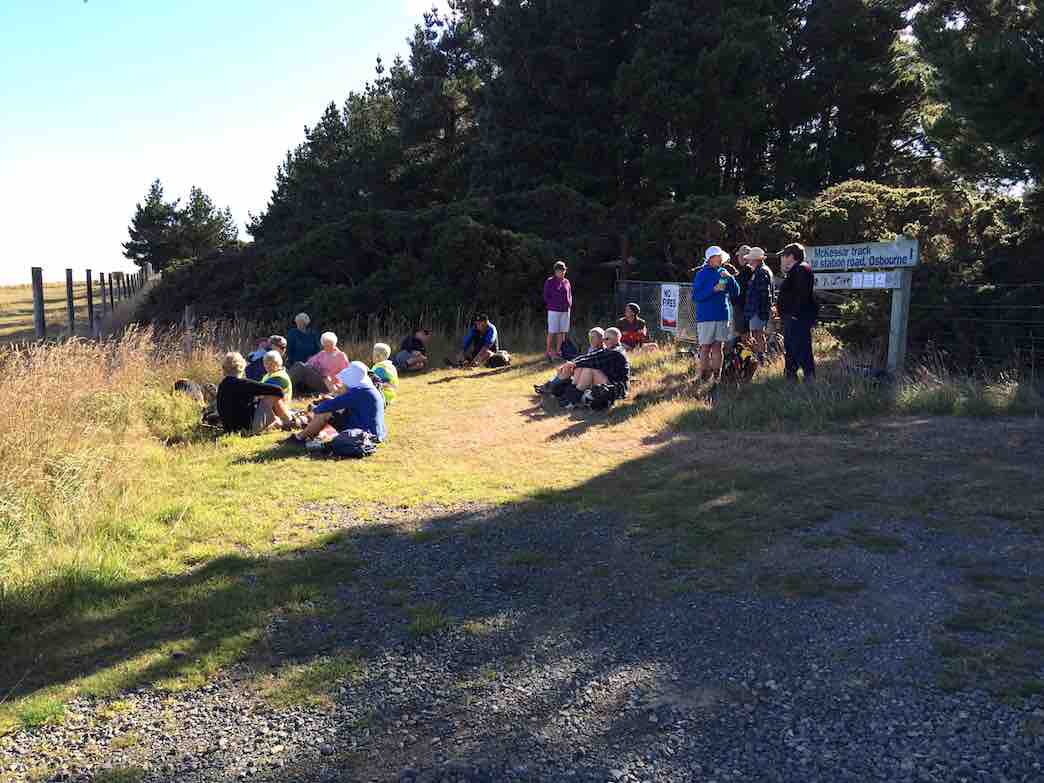
Aug 25 2023

Doctors Point, McKessar, Mopanui, Ridgeline

Published by under Beach,Hikers

37 km from car park to Mopanui Road end, and 40 km to
foot of McKessar Road.

The private land owners for the Pigeon Flat Walk are. 

Michael Lee   0224312212   Pigeon Flat end.

Ross Illingworth  021143304  Waitati Valley end.

The stone-walled ruins on Mckessar Track


15. 23/08/2023. Hikers. Mopanui, McKessars Track. Grade 3. Leaders: Margreet and Neil Simpson

On a perfect hiking day, 18 adventurers in 5 cars grouped up at Borlases Rd on the Southern outskirts of Pt.Chalmers. From there we convoyed towards Long Beach turning off to Osborne, before crossing the “under repair” causeway. The next left turn put us on a steep gravel road past the iconic Mopanui homestead before parking at the Purakanui/Osborne railway siding.

The team set off up the hill with great gusto. Smoko was had on a sun-drenched glade at the intersection of the Mopanui/McKessar tracks.

Hikers 23 Aug Mopanui Morning tea. Helen

Morning tea. Photo & caption Helen

Hikers 23 Aug Mopanui Alex 82 years youngs. Margreet

Alex 82 years young. Photo & caption Margreet

We zig-zagged to the top of the track where we turned off to enter the well ribboned bush track towards the summit. The track got steeper, and the rocks got rockier, but did the chatter get quieter? Not one decibel!

Hikers 23 Aug Mopanui Steep and rocky headig to the top. Helen

Steep and rocky heading to the top. Photo & caption Helen

Hikers 23 Aug Mopanui Beautiful view from the top. Margreet

Beautiful view from the top. Photo & caption Margreet

Hikers 23 Aug Mopanui Inland view Helen

Inland view. Photo Helen

After a catch-up rest just before the summit; we broke clear to take in the fantastic vista from the trig station. There being no wind. A long lunch was enjoyed, before we tackled the short steep descent to Mopanui Rd.

Hikers 23 Aug Mopanui Lunch at the trig. Margreet

Lunch at the trig. Photo & caption Margreet

It was a pleasant jaunt back to the cars via McKessar track looking in at the old farm homestead enroute.
Emersons was an excellent venue to cap the day off with refreshments.

HIkers 23 Aug Mopanui Road walk back to the cars. Margreet

Road walk back to the cars. Photo & caption Margreet

Hikers 23 Aug Mopanui McKessar house remains of. Helen

McKessar house remains of. Photo & caption Helen

Hikers 23 Aug Mopanui Emersons for cold and hot drinks. Helen

Emersons for cold and hot drinks. Photo & caption Helen

Vertical distance climbed was 407 metres and walking distance was about 8km.

Screenshot_20230823_170231_com.strava_edit_93758512420067

Strava screenshot of the route.


Continue Reading »

One response so far

Jun 04 2023

Halo Project Planting

Published by under Both Hikers & Trampers

1. Halo Project Planting Combined Leader: Jill

Wednesday proved to be warm balmy day, when 35 eager TRTC members met at Long Beach  to give a few hours volunteering  on DOC reclaimed land behind the sand dunes .
We were met by the project manager, Jeanne, who was very well organized with equipment ready for us to start after morning tea.


Getting ready to get started Caption and photo John

Getting ready to get started Caption and photo John

This is how it's done Caption and photo Phil

This is how it’s done Caption and photo Phil

The work involved was digging holes, planting natives and flaxes and making protective heavy cardboard collar’s to go around the newly planted specimens.

Great teamwork Caption and photo Raewyn

Great teamwork Caption and photo Raewyn

They thought they were just the best Caption and photo Ady

They thought they were just the best Caption and photo Ady

Photo Margreet

Photo Margreet

When the project is completed there will be about 38000 plantings (we did approx 800).  Since starting last year, the success rate is 85-90ish%.
There were a couple of other small groups volunteering like a team building exercise.

Photo Barbara

Photo Barbara

We deserve a walk to the beach Caption and photo Phil

We deserve a walk to the beach Caption and photo Phil

Lunch was on the beach but, unbeknown to us, a young sealion appeared from the dunes behind ready to share time with some of the group.  This really did give them one big fright, so our lunchtime was shortened.

The smell of salmon sandwiches brings a young sea lion from out of hiding Caption and photo John

The smell of salmon sandwiches brings a young sea lion from out of hiding Caption and photo John

We did continue down the beach a little further before heading back to the cars.

Continuing after lunch along lovely Long Beach Caption and photo Marjke

Continuing after lunch along lovely Long Beach Caption and photo Marjke

Some of us went to a quirky little cafe Santosha in Port Chalmers.
I think we all enjoyed the experience and especially being able to help with a community project. Perhaps another time.
Thanks to John for his help and support.

Continue Reading »

One response so far

Apr 01 2023

Taieri Mouth

Published by under Hikers

No. 78 on old hardcopy list of 113 club tramps. “Knarston Park Sth Coast (Ask Jean Young) Farm”

Location: 31.5 km.


15. 29/3/2023. Millennium Track, Taieri Mouth.  Leaders Dave and Mike

I seriously questioned my sanity on the drive from sub tropical Port Chalmers to Mosgiel for this weeks walk. The torrential rain and hailstones on the Southern Motorway left me with a sense of foreboding. However, 17 hikers eventually assembled at the meeting place at Knarston Park on Taieri Beach for what turned out to be a really enjoyable walk with the predicted rain showers non-existent.

Morning smoko was held on the verandah at Jay’s river mouth crib where we could admire the house extension at one neighbouring property and the dismantling of a Kauri boat on another.

29 Mar Hikers Millenium Track morning tea Helen

Morning tea at Jay’s crib. Photo & caption Helen

From there it was a pleasant river side walk on the Millennium Track and boardwalks before starting the grunt up the hill to the welcome seats where we had lunch before re-tracing our steps back to the cars.

29 Mar Hikers Millenium Track On the track Mike

Millennium Track. Photo & caption Mike

29 Mar Hikers Millenium Track Taieri view Helen

View from the lunch seat. Photo & caption Helen

29 Mar Hikers Millenium Track Lunch Helen

Lunch. Photo Helen

Consensus of opinion is that the grade should be re-classified as a 3.5 as Sir Edmund Hillary got a Knighthood for climbing hills that steep. The return to the cars was achieved without mishap and tiffin was taken by some at the Brighton Cafe.

Thanks to Dave Roberts for leading at a leisurely pace that made the uphill sections enjoyable. Total distance walked was 9.5km

Mike Webb

Continue Reading »

2 responses so far

Nov 13 2022

Sawyers Bay, Golf Course and Reservoir

Published by under Hikers,Trampers and tagged: ,

Distance from carpark: 26 km


9/11/2022. Trampers. Sawyers Bay Mt Cutten. Leaders Lyn and Diane

18 Trampers met at Reservoir Road after experiencing civil works and road closures.The weather was favourable with the promise of great views from the Mt Cutten summit. Mt Cutten was named after William Cutten who was an early settler, involved in the establishment of the Otago Daily Times. Cutten built a house located in Sunshine, Dunedin called Belmont which later became known as La Scala restaurant owned by the Massetti Family in 1955.

9 Nov Mt Cutten Morning tea Marijke

Morning tea at the first reservoir. Photo & caption Marijke

We had morning tea at the Sawyers Bay Reservoir then made our way up the track through native bush and pine trees to reach the road which headed up the hill to Cedar Creek Reservoir which was constructed in the 1950s as a backup water supply for Port Chalmers. It is no longer used, and the pipeline is now connected to the DCC supply.

9 Nov Mt Cutten Lyn coming out of the bush Marijke

Crawling from the dark into the lightness. Photo & caption Marijke

9 Nov Mt Cutten Striding it out through the pines Pam

Striding it out through the pines. Photo & caption Pam

9 Nov Mt Cutten sign Lyn

Photo Lyn

It was a steady climb to top of Mt Cutten where we had lunch enjoying the spectacular 360-degree views some of which included Port Chalmers, the Peninsula, The Spit at Aramoana and the harbour entrance at Taiaroa Heads.


9 Nov Mt Cutten Stunning views towards the harbour entrance Marijke

Stunning views towards the harbour entrance. Photo & caption Marijke

We walked along a massive cliff on the harbour side to view a stainless-steel sculpture of a entangled telegraph pole which was created by Andrew Drummond a New Zealand Sculptor and Painter who paid tribute to Len Lye. (Len Lye 1901-1980 was born in Christchurch, Len was internationally recognised as one of the 20th century most original artists, Pioneer Film Maker, Poet, Writer and Painter.)

9 Nov Mt Cutten Len Lye Pam

Sculpture tribute to Len Lye, NZ Sculptor 1901-1980, south of the summit. Photo & caption Pam

9 Nov Mt Cutten I can see you Phil! John

I can see you Phil! Photo & caption John

After lots of photo opportunities and a slight change in the weather we headed back down the track to cedar creek reservoir to walk the track around the water edge making sure we had a team photo on the bridge.

9 Nov Mt Cutten Timer photo (I'm taller than I thought). The full group. John

Timer photo (I’m taller than I thought). The full group. Photo & caption John

Unfortunately, we were either too late or too early for the Rhododendrons in flower. We will have to put Mt Cutten on the trip programme for 2023.

9 Nov Mt Cutten Mirror reflection on upper Cedar Creek reservoir John

Mirror reflection on upper Cedar Creek reservoir. Photo & caption John

Some of the vehicles headed over North Road to avoid road works and to have a coffee and ice cream at Black Road Grocer. A great day with amazing views and excellent company.
Trip distance 10.3 ks elevation Mt Cutten 539 metres.


27/04/2022. Trampers. Sawyers Bay Mt Cutten. M. Leaders: Lyn Keene and Diane Bezett

Eleven Trampers left Mosgiel and travelled to Sawyers Bay to attempt to Climb Mt Cutten. The weather was not looking great as we drove down the Port Chalmers highway.   We parked on Reservoir Road and walked up the track through beautiful bush and then around the Sawyers Bay Reservoir where we found a dry area under the trees and had morning tea.

Autumn weather

Autumn weather as we circumnavigate the lower reservoir Caption and photo Ross

We continued through bush and then up a 4wheel drive track to the Cedar Creek Reservoir.

cedar dam

Cedar Dam Caption and photo Phil

It was constructed in the 1950s as a backup water supply for Port Chalmers. It is no longer used and the pipeline is now connected to the DCC supply.  We walked around the reservoir through rhododendrons and native bush.

Brave hardy souls

Photo Lyn

We picked a spot under the pine trees to have lunch.

soggy sandwiches

Soggy sandwiches for lunch Caption and photo Phil

Meantime the rain was getting stronger so a decision was made not to tramp to the summit and leave Mt Cutten for another day.

Next time

Next time Caption and photo Phil

Suggestion was made to possibly look at returning in November when the rhododendrons are in flower.

descending

Descending towards the cars Caption and photo Ross

History –  Mt Cutten was named after William Cutten who was an early settler and was involved in the establishment of the Otago Daily Times. He  built the house located in Sunshine Dunedin called Belmont also known as La Scala.

Andrew Drummond, a New Zealand Sculptor and Painter, dedicated a tribute to Len Lye.  The sculpture, a stainless steel entangled telegraph pole, was erected on the South side of Mt Cutten looking over the Sawyers Bay, Port Chalmers and parts of the peninsula.  Len Lye 1901-1980 was born in Christchurch.  He was internationally recognised as one of the 20th century most original artists, Pioneer Film Maker, Poet, Writer and Painter.

Mt Cutten elevation 308 metres   Mt Cutten is situated nearby Mt Martin and south of Mt Kettle (545 Metres)

Lyn Keene


12/9/2012. Hikers. Sawyers Bay, Golf Course and Reservoir. Leaders: Chris, Elaine.


21/3/2010. Hikers. Sawyers Bay, Golf Course and Reservoir. Leaders: Chris, Dorothy.

About 18 hikers parked cars in Station Rd, Sawyers Bay, on a pleasant morning and set off for an area most of us hadn’t been to before. From the cars we headed up Station Rd, turning right into Stevenson Avenue and then left into Reservoir Road. Had our morning tea sitting by the side of the road admiring the view across the harbour to Larnach Castle. Then it was on past the Golf club to the end of Reservoir Road. Back down a short distance and then we turned in to a track that lead us to the reservoir which was in such a lovely setting in the bush with a variety of trees, including deciduous, which added to the colours.There was a track right round and we walked round this, enjoying birds and bush.

Reservoir above Sawyers Bay (Bill pic)

Reflection (Bill pic)

Fore…. (Bill pic and caption)

… and aft. (Elaine pic. Bill caption)

The Crocodile (Bill pic and caption)

We sat in a lovely grassy, area beside the reservoir for our lunch. Then it was back down to the cars. We all agreed what a pleasant surprise it was and how much we had enjoyed discovering it. Very many thanks to our leaders, Chris and Dororthy. -Bev

No responses yet

Oct 22 2022

West Harbour Recreation Trail

Published by under Hikers

20 km from car park
8. 19/10/2022. St Leonards. Grade 1.5. Helen and Linda

Eighteen of us met at the Ravensbourne carpark opposite the old hotel, and in beautiful sunshine we walked along Totara St above the main road along to the park at the end where we had morning tea. From there we sauntered down the hill and crossed Ravensbourne Rd to the walkway and followed it until we got to Burkes.

Helen Ingrams 2

Photo Helen

The bus stop there has a striking monochrome mural (or ‘Muriel’ to longtime Coro viewers) of the old brewery that used to stand on the site.

Helen Ingrams 1

Photo Helen

Up to the streets above Ravensbourne Rd, all named after native birds where we walked to St Leonards passing well kept gardens including one with a stall of plants from Bluestone Nurseries for sale which the keen gardeners amongst us were very interested in. We saw both Lodges in St Leonards, and stopped for an early lunch at the end of Takahe Terrace on the edge of a sports ground. Then back down to the walkway which took us all the way back to the Ravensbourne carpark. A very relaxed and enjoyable day.

Jenny flexing her muscles on the exercise machine Ravensbourne walkway.

Jenny flexing her muscles on the exercise machine Ravensbourne walkway. Caption and photo Linda

We stopped at Emersons for a coffee on the way home. Thanks to Raewyn for organising this hike. And a  special thanks to Linda for leading the group at short notice.  Helen

7. 12/6/2019. West Harbour Walkway. E. Jay and Raewyn.
On a very nice winter’s day 30 enthusiastic hikers made their way to the Carpark opposite the
Ravensbourne Hotel to start the walk along the West Harbour walk and cycle way.   We stopped 15 minutes along the track for morning tea and those that felt a need had a turn on the exercise equipment to test
their skills.   Along  the way we came across a  railway maintenance crew  doing work on the track.  This really fascinated many though mainly the men. I’m sure with a bit of encouragement they would have
jumped the fence to have a try at hammering in the squiggly steel rods.   Further along  we left the track at Burkes and crossed a very busy road to walk up the various streets including Kiwi St, Kaka St. down Pukeko St. past  St Leonards Hall and school.

C.1) Great views of the harbourc

Great views of the harbour. (Clive pic and caption.)

On the way we enjoyed  looking at  historical homes and lovely gardens including St Leonards Lodge

C.3) One of the grand housesc

One of the grand houses. (Clive pic and caption.)

and  University Lodge.  We had lunch in the sunshine at
the St Leonards Park.

C.2) Lunch at St Leonards' football clubc ground

Lunch at St Leonards’ football club ground. (Clive pic and caption.)

After lunch we returned to our cars walking the whole way on the track and also had the pleasure of watching the large tanker and tug boat making their way up the harbour.  A very
pleasant 10.5kms.   Coffee stop was at the stadium.  – Raewyn and Jay.

6. 19/7/2017. Hikers. Boat Harbour to St Leonards ret. Leaders: Bev and Judy.
21 hikers parked at the Otago yacht Club and walked the cycle/walkway to St Leonards and back, a total of 11 ks.

Route map, courtesy Ian.

21 hikers parked at the Otago yacht Club and walked the cycle/walkway to St Leonards and back, a total of 11 ks – not bad for a mid-winter day with planned hikes cancelled due to illness of leaders.  Morning tea was had on the yacht club verandah as it was still a bit chilly.  With a cold breeze in our faces we stepped it out briskly …

Walkway name. (Ian pic and caption.)

A ship. (Ian pic and caption.)

… to St Leonards where lunch was eaten with a bit of sunshine to help.  The return trip saw us well spread out with unfit ones like myself dragging the chain a bit at the back of the pack.  We were reunited at the University coffee shop where a pleasant social hour was spent. – Judy.

5. 13/1/2016 Hikers. Ravensbourne – Burks – St Leonards. Leaders: Judy and Adrienne, Helen.
Route map

Route map

We parked cars down below the Ravensbourne Hotel and took the walkway to Burkes where we morning-tead.

Cuppa in bus shelter

Cuppa in bus shelter

Cuppa on lawn

Cuppa on lawn

We took the old road to St Leonards reflecting on its probably origin as just a track through the bush following the easiest gradient. We turned up Kiwi Street, along Kaka Street, admiring well-kept properties there, down Pukeko  and along past St Leonards Hall and the school. Up Ruru to view the mock Tudor House.

Tudor house by the harbour

Tudor house by the harbour

Down again  to front past the University Lodge  Gates, and next it, St Leonards Lodge. Then along to St Leonards Park for lunch.

Ready for sun or shower

Sun/shower security.

Ladies on the lawn

Ladies on the lawn.

Returning back to the cars we were relieved the cold southerly had abated somewhat. Thanks to Judy, Adrienne and Helen for excellent leadership. – Ian.

4. 29/10/2014 Hikers. Ravensbourne Walkway. E. Leaders: Peter and Wendy.

On the 29th October a very good group of hikers started off from the boat club on from the stadium. The day was cool to start with then got warm and sunny.
Pub

Harbour View Hotel (John Pic)

What a pleasure it is to walk on this wonderful walkway. There was so much going on in the harbour and train tracks. A very large goods train sped past us
Train

Train (John pic)

and a not very tidy rail car …
Shabby railcar (John pic)

Shabby railcar (John pic)

… I thought was up and down the track a few times.
The $12million Otago tug
Tug

Tug (John pic)

chuffed along the channel following [Tug illustration chosen shows the tug going the other way earlier. Sorry. Ed.] a cargo ship …
Ship. (John caption)

Ship. (John pic)

… going to the Dunedin wharf.
Lunch stop was very sheltered, with plenty to watch on the walkway – runners … cyclists … mums with prams …
Two of our group caught the eye of another group and had their photo taken which was published in the Star local paper on Thursday 30th.
I was very taken with a stone sofa on the side of the walkway.
Looking very nonchalant (John pic, Fred caption)

Looking very nonchalant! (John pic, Fred caption)

Who made it and how long has it been there?
All up we walked over 10km Lets hope this walkway does find its way to Port Chalmers in the future.
We spoke to a young girl on the track from Uni. She was part of a group of students from the Mining dept. She was amazed when Mollie told her how old she was. Then Doug came striding along and I said he was the same age. She was very impressed with us.
We had a coffee at the Plaza which is the cafe at the stadium in the uni part.
Have a good week everyone. – Elaine.
3. 27/3/2013 Hikers. Pedestrian-Cycle Track Rowing Club to St Leonards. E. Leaders: Arthur and Barbara.
GPS

“GPS” of route.

ship

LPG tanker viewed from walkway

2. 9/3/2011. Hikers Pedestrian/Cycle track North End Rowing Club to Maia E. Leaders: Arthur and Barbara.

1. 17/6/2009 Hikers Pedestrian/Cycle track North End Rowing Club to Maia E $4.00 Leaders: Lois & Lance

7 members (Molly, Neil, Lois, Lance, Bev, Margaret and Angela) set off at 10am from the University Aquatic Centre (just north of the Boat Harbour, via Leander St- opposite Butts Road on the way to Port Chalmers beside Palmers Quarry – now known as Shiel Concrete) for a brisk stroll to the Ravensbourne Yacht Club, stopping a while for morning tea.

From there we proceeded to Maia crossing the railway line at Hume Pipeworks, opposite the Ravensbourne Hotel, which looked closed for the winter.

There are extensive notices in yellow & red advising one NOT to cross the railway line but in this case we had no alternative as the walkway from the Ravensbourne yacht club proceeded on the left-hand side of the yacht club on the site of the second railway line which has since been removed.

Upon leaving Maia we proceeded up Ascog Road & along Totara St and down Adderley Terrace to the Ravensbourne Hotel, across the road to the overbridge at the Ravensbourne Yacht club and back to the cars.

The walk took approx 1 1/2 hours and because of the cool temperatures and accompanying wind chill factor it was decided to go home for lunch.

An enjoyable walk taking 3 hours (includes an hour travelling time) – Angela.

No responses yet

Aug 07 2022

Aramoana

Published by under Hikers

Aramoana: Pathway of the Sea.
The Spit, known as Shelley Beach.
The Mole: The mole has deprived the Spit of its natural supply of sand.
In 1992 a short board walkway was constructed at this point to try and stop further erosion. Managed by Port of Otago.
Spit Beach. Known as Big Beach. Rock to explore. Great sand slope, towering volcanic cliffs.
Key Rock.
Salt marsh flats. Path. Conservation area. Managed by DOC.

41 km from car park.

17. 03/08/2022. Aramoana. Combined Trampers and Hikers. Grade 2. $10. Leaders Gail Williams and Heather Kirk, Max Wilson and Graeme Souter.

At last some decent weather. No rain, just clear skies and a sunny day. It was really great to see everyone again after the seemingly long enforced break with 40 keen hikers/ trampers heading off to our outing at Aramoana.
3 Aug Combined Welcome Sign

Aramoana welcoming committee (photo & caption John).

After quickish morning tea and a catch up on birthday shouts at the carpark the group was herded off to the Domain for a comfort stop before the short walk along the track / boardwalk out onto the salt flats.

3 Aug Combined Board Walk

On the Board Walk (photo & caption John)

Following a quick count to ensure we hadn’t lost anyone we returned the way we came back to the carpark then onto Shelley Beach. This takes you to the harbour entrance with Taiaroa Heads opposite.

3 Aug Combined Oldies

Two of our oldies enjoying their day out (photo & caption Helen)

The tide was favourable, so we were able to clamber over some rocks at the end of the beach to round the spit past the old pilot wharf quietly eroding away.

3 Aug Combined 40 trampers along beach

Forty trampers/hikers well spread out along the beach past The Spit (photo & caption Marijke)

We were greeted by a large bull sea lion resting in the shallows. He didn’t seem to be too concerned about us trudging past so after he posed for a few photos we left him to it and carried on back to the carpark. The plan was to head out to the end of the Mole for lunch however with the wind starting to get up a bit and time pressing on it was decided to give that a miss and instead we would have lunch. This turned out to be an inspired move as it meant we would make our deadline for afternoon tea later on. The cafe had expressly informed us they were closing on the dot at 3pm.

3 Aug Combined lunch break

Lunch on the rocks by the Mole (photo & caption Pam)

Following lunch John gave a small talk to the group on the workings of the locator beacons we carry on all tramps and hikes. I think this was very useful as it is important for everyone to be aware of what to do in the unlikely event of an emergency.

3 Aug Combined John's talk locator beacon

Gathering around for PBL refresher by John (photo & caption Jenni)

It was very tempting to push the button for a helicopter but as there were no takers for a ride, we headed off down Aramoana Beach.
Now everyone saw another sea lion on the beach making a nuisance of itself by chasing those who got a bit close. That is except for Jim.

3 Aug Combined Jim & seal

Jim took his eye off the seal. Panic. (photo & caption Ady)

It was an impressive turn of speed from Jim (he would not be out of place at the Comm. Games 50 metre dash) once the animal had him in his sight. After much hilarity and no injuries, we continued along the beach to the impressive rock formations then along a track in the sand dunes that took us back through the township to the cars.

3 Aug Combined Heart Rock

Keyhole Rock or Heart Rock as known to local’s (photo & caption Pam)

Upon returning it was generally accepted we walked a total of 8 kms and it is most pleasing to report that even we lost no one returning with our full quota of 40. It was then off to Port Chalmers for a coffee / tea / beer at a great wee cafe called the Galley.
After the trials and tribulations of the last few weeks it was a great day out with lots of laughter and of course great companionship.
Graeme

Continue Reading »

No responses yet

Jun 17 2022

Allans Beach

27 km from car-park.


7. 14 June 2023. Hikers. Allans Beach. Grade 2, $9, 39km, Leaders: Bruce Spittle, Alex Griffin
Fifteen hikers, including new hikers Heather and Val, set off from the car park at the end of Allans Beach road with clear skies but a chilly breeze. We briefly explored the east end of the beach as far as the waves allowed and then had morning tea in the shelter of the sand hills where there was some sun.
Morning tea in a cool wind Hikers Helen

Morning tea in a cool wind (Photo & Caption Helen)

We walked the length of the beach to the outlet of Hoopers Inlet where the tide was coming in noticing two sea lions on the way.
Mr Sea Lion Hikers Helen

Mr Sea Lion (Photo & Caption Helen)

Morning tea view Hike Helen

Morning tea view (Photo & Caption Helen)

We then followed the sand on the edge of the inlet to near the fence at the end where the inlet turns to the right and had lunch, at about 12, in a relatively sunny sheltered spot.
After lunch we explored the salt marsh area as far as the tide allowed and some more sea lions were spotted.
Along the marshlands Hike Helen

Along the marshlands (Photo & Caption Helen)

We retraced our steps to the west end of the beach and ascended into the sand hills about 100 m from the end of the sand hills near the inlet and after finding our way through some vegetation found the track through the farm leading back to Allans Beach road.
View of Harbour Cone Hike Helen

View of Harbour Cone (Photo & Caption Helen)

We arrived at the cars about 1405. Distance travelled approximately 9.5 km. The weather was reasonable for winter with sunshine and little wind most of the way. The views of the inlet and hills were tranquil. Coffee was had at Nichols.
Coffee at Nichols Hike Helen

Coffee at Nichols (Photo & Caption Helen)

Thanks to Co-leader, Alex Griffin and to Liz Griffin for liaising with Nichols.
Bruce Spittle

Continue Reading »

No responses yet

May 27 2022

Buskin Track from Top Tramps

Published by under Trampers

No. 55 on old hardcopy list of 113 club tramps. “Buskin Track, Boulder Beach, Paradise Track. Year Round. Penguins”
Boulder Beach closed December – January during yellow eyed penguin nesting and moulting.

Distances from car-park: Top of Buskin Track 24 km, Glenfalloch 24 km, Macandrew Bay 25 km.


25/05/2022.  Trampers.  Greenacres, Buskin, Paradise Tracks. M. Leaders: Anne and Rod Ward

It started as a cold blustery day when we departed from Mosgiel, proceeding down the bay with white caps plentiful on the harbour. 14 hardy souls started the Greenacres Track at 0940.

IMG_2266 Pam Res 1200

Starting off climbing up Greenacres Track (photo and caption Pam)

Conditions were better than expected once we started our journey up Greenacres Track and turned right to walk along Highcliff Road to the start of the Buskin Track.

IMG_2271 Pam Res 1000

Top of Greenacres track at Highcliff Rd (photo and caption Pam)

IMG_2275 Pam Res 1400

Stone fence standing the test of time (photo and caption Pam)

IMG_3440 Anne 1600

Morning tea stop at top of Buskin Track (photo and caption Anne)

We stopped for a cuppa at the start of the Buskin Track then proceeded down the track to the junction of Paradise Track. Buskin Track was surprisingly sheltered from the cold southerly wind.

20220525_110936 Anne Res 1000

Heading down Buskin Track sheltered from wind towards beach (photo and caption Anne)

20220525_112026 Anne Res 1000

Clearing style at beginning Buskin track (photo and caption Anne)

After a side walk to Boulder Beach which was spectacular with crashing waves, foam whipping up the beach and blustery cold wind we returned to a sheltered spot at the start of the Paradise Track for lunch.

IMG_7626 Lyn Res 800

Sarah looking north watching waves (photo and caption Lyn)

IMG_7627 Lyn Res 1000

Dave watching huge waves (photo and caption Lyn)

IMG_2296 Pam 1600

A sheltered lunch spot on Paradise track (photo and caption Pam)

IMG_2297 Pam 1200

Looking back on Boulder Beach as we climb up Paradise Track (photo and caption Pam)

Ascending up Paradise Track without stopping and a cold southerly on our backs we again joined Highcliff Road then back down Greenacres Track to our vehicles.

Everyone enjoyed the walk and as tramp leader I must congratulate everyone for being so well prepared for the extreme conditions that never eventuated.

Finished our walk at 1440 and headed to “The Duck” at Macandrew Bay for a well-deserved coffee.

Anne & Rod Ward

IMG_2327 Pam Res 1000

Strava screenshot of tramp by Pam)

(Elapsed time 4h 45m)

13/04/2022 Trampers. Glenfalloch and Beyond. M Leaders: Pam and Helen

Glenfalloch’s name is Gaelic and means “Hidden Valley”.  Glenfalloch was established in 1871 by George Russell. It covers 12 hectares (30 acres). In 1917 Philip Barling purchased Glenfalloch and it was opened to the public by his son in 1956. It was brought by the Mills family in 1960 and in the late 1960’s the Otago Peninsula Trust purchased the property.  We can be very grateful to have this asset to enjoy every season of the year.

9.40am saw Phil and his harem of nine set off through the woodland gardens of Glenfalloch following a path which took us to the Bridal Lawn, over the Russell stream bridge to admire the ferns and woodland foliage before climbing up many steps to a four-wheel drive track and the start of our first big ascent.

Bridal Lawn Pam

Glenfalloch in autumn Caption and photo Pam

As we steadily climbed, this track petered out into a single overgrown track which took us to the boundary line.

Steep Marijke

There were some steep uphills after leaving the Glenfalloch grounds Caption and photo Marijke

Here we pushed our way through low Manuka branches to the fence where packs and poles were thrown over before we squeezed through the wires.

there was a track here phil

“There was a track here when I did the recce” Caption and photo Phil

Then it was a steady zigzag climb up Claremont Farm to just below Highcliff Rd where we stopped for morning tea while enjoying the great vista’s back over the city, the sparkling water of the harbour and to Port Chalmers and beyond. Jill D’s birthday treat of easter eggs got us going again walking up Highcliff Road for 15mins to Penzance Kennels and the start of Buskin track.

Buskin Track Sign

Buskin track sign

This track weaved its way down the side of the hill, again with spectacular views now of the Pacific Ocean and rolling farmland out to Sandfly Bay. This single file track was mostly grass with the odd churned up muddy patches trampled by cattle, but some boards had been placed in situ. We eventually came to a junction with Braidwood track to Boulder Beach and Highcliff Track to the right. We continued on the Highcliff track through clumps of macrocarpa trees until we came out in the open again.

Marijke old trees

What stories these old trees could tell! Very impressive huge trunks. Caption and photo Marijke

The track weaved its way towards the sea and then suddenly it was a steep grunt up to the top to the White Rocks (lichen covered) for lunch.

Look where we are climbing Phil

Look where we are climbing – to Highcliff Caption and photo Phil

Again, enjoying spectacular views over Boulder Beach, towards Sandfly Bay and Mt Charles, Phil handed around chocolate treats from Betty and Jim (thank you soo much).

Helen lunch

Beautiful lunch view looking down to boulder beach Caption and photo Helen

With the sugar rush we were off again and, as we walked around a corner, the views changed again to Tomahawk, St Clair Beach and Black head. When Highcliff Track finished, we continued on Karetai Rd to where it meets Highcliff Rd.  A 20-minute walk down Highcliff Rd brought us to the unmarked District Track.

District track Helen

Starting place for the District Track Caption and photo Helen

Once Phil cleared the grass around the stile, we scrambled down through long grass following the fence line for 20 mins to another stile and from there continued through trees towards Portobello Road.

District Track Phil

From sea to shining sea Caption and photo Phil

A very steep final descent brought us onto Portobello Road.

Last steep descent Phil

Nearly back to where we started. Caption and photo Phil

We had a 20 minute walk on the shared pathway to Glenfalloch where we were joined by Raewyn, Claire and Jan for coffee, cake and ice cream on the deck in the last rays of sunshine.

Phil's Harem

Phil’s harem Caption and photo Phil

Thank you Helen for filling in at the last minute as Tail End Charlie and to Jason allowing us access through Claremont Farm.  Pam Cocks

Track Route Pam

Tramp map courtesy Pam


Continue Reading »

No responses yet

Feb 13 2022

Purakaunui, Mopanui, north face, ret.

Published by under Trampers

6. 09/02/2022. Trampers.  Purakanui Leaders: Chris Wither and Jill Davie

With low cloud obscuring the hilltops, sixteen trampers headed to the beautiful Purakanui Inlet and parked at the Mopanui Road picnic ground.  The intention had been to climb to the top of Mopanui to enjoy the wonderful views there, but the weather meant a change of plan was required.

After a 2km hike around the edge of the inlet the group stopped for morning tea.

inlet view Marijke resized

Diane and Heather discussing the lovely Purakanui inlet from a well placed seat along the track to the township Caption and photo Marijke

We then headed up steep Purakanui Station Road to Osborne Station.  From there, thanks to Peter remembering that mates from some decades ago used to hike from Osborne to the station to catch the train to school, the group discovered a great 1km long track below the railway line that led through the bush to the Osborne township.

Osborne township Maijke resized

Visiting Osborne township on the way. It has some very innovative building ideas. Caption and photo Marijke

From there we made our way through the pines and over the dunes to Mapoutahi for lunch.

Regroup Pine trees Pam resized

Regrouped before heading to lunch at Canoe Beach Caption and photo Pam

Mopoutahi view Pam resized

View towards Purakanui from Mapoutahi Caption and photo Pam

This was followed by the short climb to the centre of the peninsula where there were great views to be had.

Purakanui Beach John resized

Purakanui Beach stretching into the distance Caption and photo John

Canoe Beach panorama John resized

Canoe Beach Caption and photo John

We retraced our steps around the Purakanui Inlet to the cars to complete the 14.3km long tramp. Chris

Strava Pam resized

Strava thanks to Pam

Continue Reading »

No responses yet

Jun 19 2020

Woodhaugh Gardens and Leith

Published by under Hikers,Year round

19 km from car park.
10. 17/6/2020. Hikers. Woodhaugh gardens and the University area. Dawn Pool and Pam Clough.
 20 people from the Hiking Group had a very pleasant 7k walk from the yacht club car park up 260 steps to the botanical gardens, where we enjoyed a beautiful view and morning tea.
IMG_0877res
We then wound our way down through the grounds, enjoying lots of things on the way, arriving at the duck pond, where we stopped for lunch.
IMG_0878res
 An interesting walk through the University and back to the cars.
IMG_0876res
 Just as the weather changed we reached the cafe by the stadium and all enjoyed a hot drink before heading back home.
Hope the trampers enjoyed their day.
Regards
Dawn Pool

Continue Reading »

No responses yet

Aug 29 2018

McKessar Track

Published by under Uncategorized

37 km from car park to Mopanui Road end, and 40 km to
foot of McKessar Road.

3. 29/8/2018. Hikers. McKessar Track from Foot. E. Leaders: Jim and Betty.

The sun was not shining when we left the car park and as we approached Port Chalmers it looked like it would be a day destined for coffee only.  As we continued our journey, there was a marked improvement in the weather as we reached the Purakaunui Railway Park.  From the car park the walk was down hill to Sea level then back up the road to the cars for the morning tea break.  All the Twenty Two then walked up to our lunch stop at Mopanui Road where we sat with our heads in the cloud.  The up hill climb included a breather to marvel at in the relics of the McKessar Homestead.  We descended back down the track & into the cars for our refreshment stop at the Plazza Café.  Conditions could be described as a little moist. – Betty & Jim Finnie

2. 15/11/2017. Hikers. Purakaunui Station. McKessar Track, Mopanui Road. E. Leaders: Jim and Betty.

Route map, courtesy Ian.

Starting off from the site of the old Purakanui railway station, a party of twenty hikers made the short road walk down hill to the Purakaunui inlet for an then returned, for the morning tea stop at the cars.

(Clive pic.) [Cars at the station a first for the Club. – Ed.]

This was followed by the hike up the McKessar Track in very pleasant conditions to our lunch stop at the end of Mopanui Road.  We had a breather on the uphill climb where Ian showed us the relics of the old McKessar homestead.

(Clive pic.)

An after-lunch

(Clive pic.)

stroll beyond the road end, took us to a point which gave us an excellent view to the north.  Little time was required for the pleasant stroll down hill back to the cars, which took us to our refreshment stop at the stadium Plaza cafe. –  Betty and Jim

1. 9/3/2016. Hikers. Mopanui Road, McKessar Track, Albert Road. E. Leaders: Bev, Lesley.

GPS of McKessar trek

GPS of McKessar trek

Horse Drinking Trough on Mount Cargill Road.

Horse Drinking Trough on Mount Cargill Road.

Orokonui Village

Orokonui Village

Hikers' cuppa at top of McKessar Track

Hikers’ cuppa at top of McKessar Track

One response so far

Apr 09 2000

Cape Saunders Lighthouse

Published by under Uncategorized

Cape Saunders Lighthouse and the grave of the two children.

“Cape Saunders on the Otago Peninsula, was named by Captain James Cook after Sir Charles Saunders, the First Lord of the Admiralty, the commander of the fleet which captured Quebec in 1759.

Early shipping into the town of Dunedin via Port Chalmers was hindered because of the lack of lighthouses marking the harbour on the peninsula so often ships arriving from England sailed past the harbour entrance and headed further north. It was not uncommon during the 1850s for ships to spend days searching for the harbour entrance and the Otago Provincial Council recognized the importance of lights so in 1863 appointed James Balfour as Provincial Marine Engineer. It was not before time as in 1860 only 60 vessels had arrived at the port but by 1863 this had increased to 983.

Balfour arrived from Scotland later in 1863 with both the lantern forTaiaroa Head and Cape Saunders (the lanterns from Scotland and lens from France respectably). He immediately set to work designing his first lighthouse for the council at Taiaroa Head and this light was lit on 2 January, 1865. The original light was red to distinguish itself from the proposed light at Cape Saunders.

Meanwhile the Otago Provincial Council had begun planning the lighthouse at Cape Saunders, buying land off the local Maori at a place called Kaimata in 1862 but a lack of funds halted the project.

So the Provincial Government erected a 12 foot white stone beacon on the Cape in 1868. But this proved to be totally inadequate for the job as ships often steamed pass the harbour entrance not having seen the beacon.

The Otago Daily Times was to report on January 13 1865, that the Cape Saunders Light apparatus was displayed at the first New Zealand Exhibition in Dunedin.

After the Marine Board was formed in 1862, James Balfour was appointed Colonial Marine Engineer in 1866 when this board was changed to the Marine Department.

By now the light equipment for Cape Saunders was still idle so it was used at Nugget Point which was lit in 1870.

In 1875, the Marine Department led by John Blackett and Captain Johnson, decided to build a new light at nearby Matakitaki Point which had easier access and was not so exposed to fog. This 28 foot wooden tower similar in design to Akaroa was constructed in 1878 and the light was first lit on 1 January, 1880.

The first Head Keeper was James Nelson, who was transferred from The Brothers lighthouse.

Tragedy was to plague the lighthouse in it’s first few years. In December 1882 Mr. Nelson’s wife died suddenly. As the youngest child of the family was only 20 months old, the Marine Department granted the keepers request to transfer out of the Department into the Customs Department. But before he was transferred on March 19, 1883, the two year old daughter of the Assistant Keeper (Patrick Henaghan) and the youngest child of the Mr. Nelson died when the cow shed they were playing in caught fire. Later another child died of illness and six months later, the son of the new Head Keeper fell over the cliff and broke his wrist.

The wooden tower was replaced in 1954 by a steel latticework tower and a new mains powered electric beacon. However, this tower didn’t  last due to salt water corrosion and was replaced again in 1967 with the old lantern room from Kaipara Lighthouse.

The light was fully automated in April 1980.

In June of 2006, the lighthouse was again replaced, this time with a modern aluminum tower. The backup diesel generator was removed and new battery pack was installed to supply backup power if the mains power fails.

The old Kaipara Head lantern room has been sent back to Kaipara where it will be restored.

The lens and lighting equipment is displayed at the Port Chalmers Museum.

DIRECTIONS:

Situated on the Otago Peninsula. Currently a restricted area on private land.

A modern aluminum tower is now in use.

– Extracted from NEW ZEALAND LIGHTHOUSES, Cape Saunders (1880)  NZ Lighthouses Text and photographs. Copyright © 1999-2009  Mark Phillips. All rights reserved.

No responses yet

Apr 01 1992

From Old Mount Cargill Road Lookout

Published by under Assess Further

Click Mount Cargill history for background information
1/4/1992. From old main north road Lookout, over paddocks to Port Chalmers. Returning via Grahams Bush. Leaders: Marie F, Denise

No responses yet

Nov 29 1990

Health Loaf – Catherine

Published by under Loaves,Penguins Dec- Feb

3/4 cup brown sugar
1 cup bran
1 cup wholemeal flour and 1 tspn BP OR 1 cup self-raising flour
1 cup mixed fruit
1/4 cup wheat germ
1 cup milk
1 tspn vanilla essence

Mix all together in bowl.
Put in lined loaf tin.
Bake at 180C for 1 hour.
(Acknowledgement: Christine, Port Chalmers)

No responses yet

May 07 1988

Lake Mahingerangi and Waipori

Published by under Uncategorized

Waipori Monday

Waipori Monday

Waipori/Mahinerangi

Waipori/Mahinerangi

Extracted from David Still:

THE WAIPORI GOLDFIELD: A Brief History

Gold discovered at Waipori

On 17th December 1861, [a certain] O’Hara and his mates reported a new gold field at Waipori. … and on the 20th December 1861 … about 400 miners working on the banks of the Lammerlaw Creek and its tributaries. Soon there were tents and some stores scattered all along the creek, and the entire population was calculated to be about 2,000.

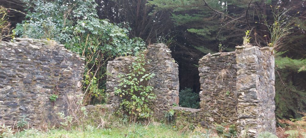
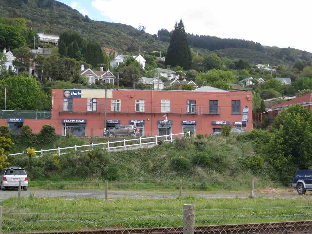
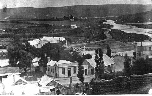
The Township of Waipori

The place called the township was a wretched site, perched on the cone of two small hills, difficult of ascent and limited in area. Five miles further down at the junction of the Waipori River and Lammerlaw Creek there began to form another township on level ground near the old road and ford, and so the town (first known as Waipori Junction) was born.

The School

Mr. James Edward Wilson was appointed as teacher in 1866 and later under his real name of James Payne Baker. … In 1911, the school was reduced to one teacher from then on. …  and in 1925 Catherine O’Reilly.


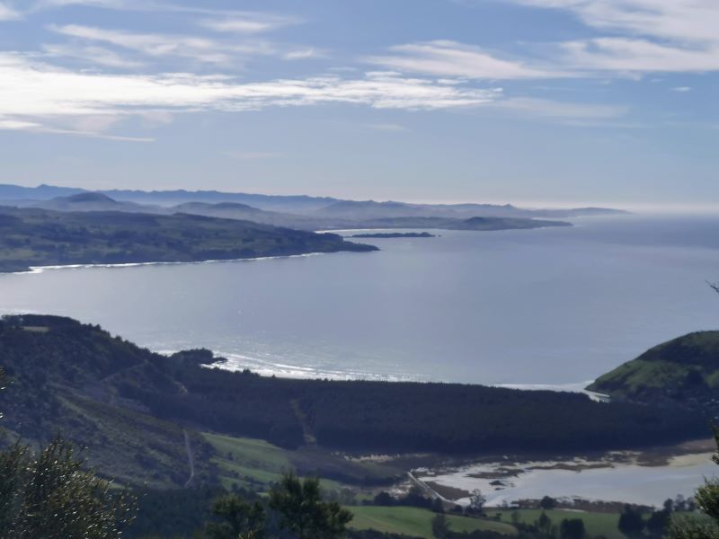
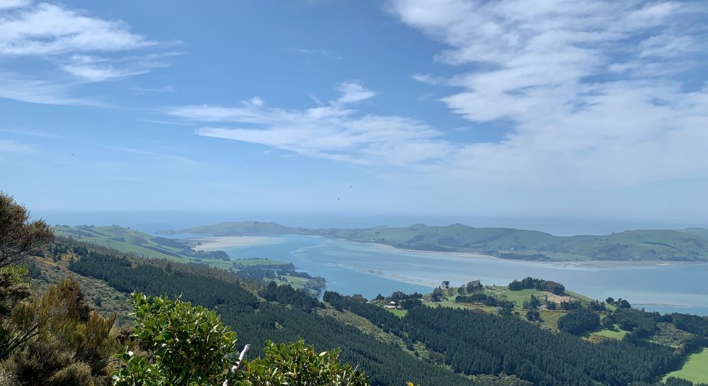
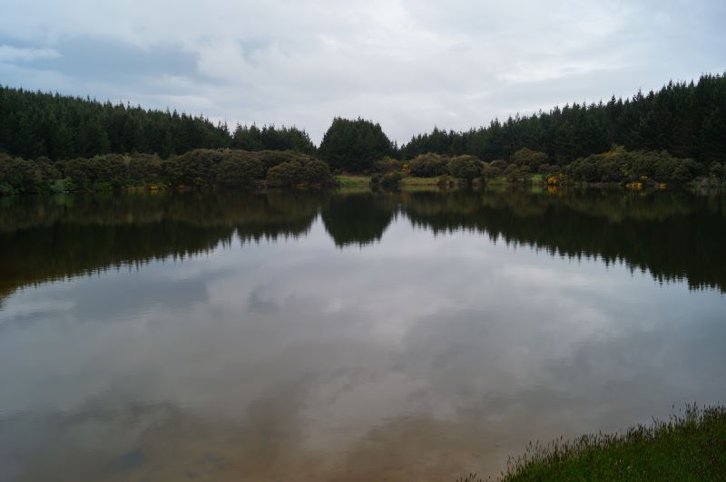
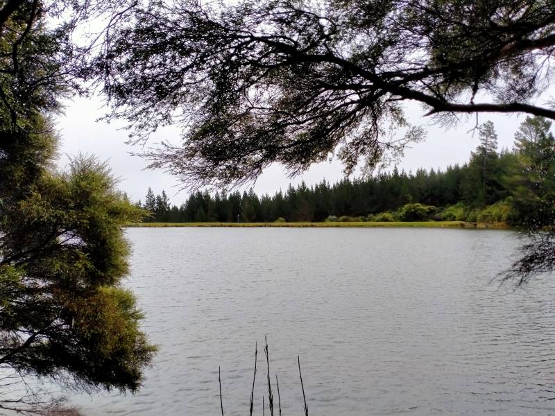
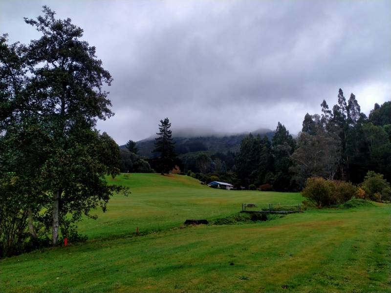
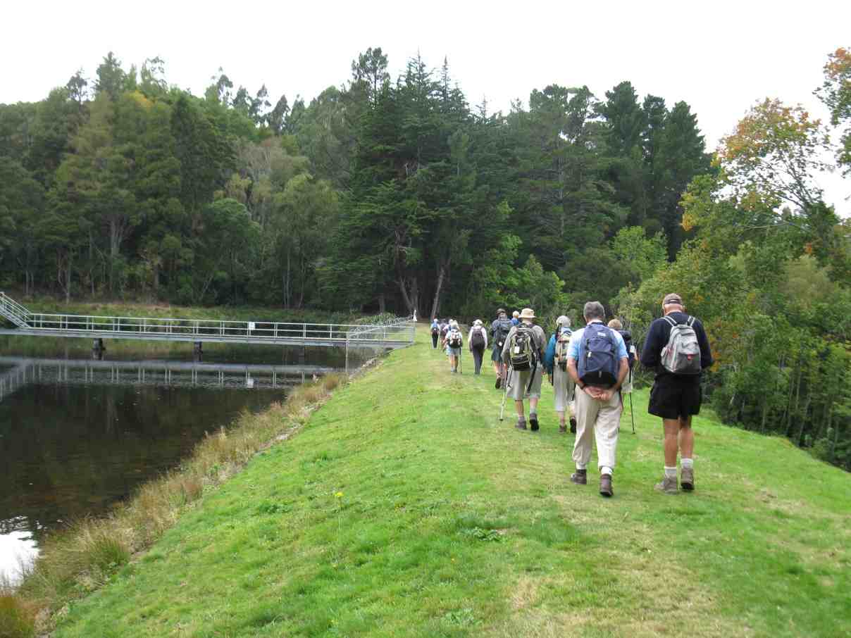
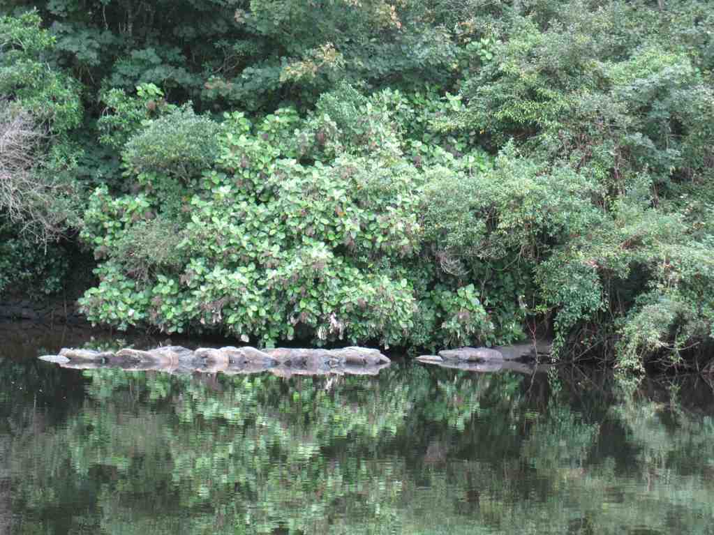
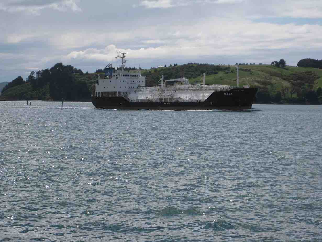
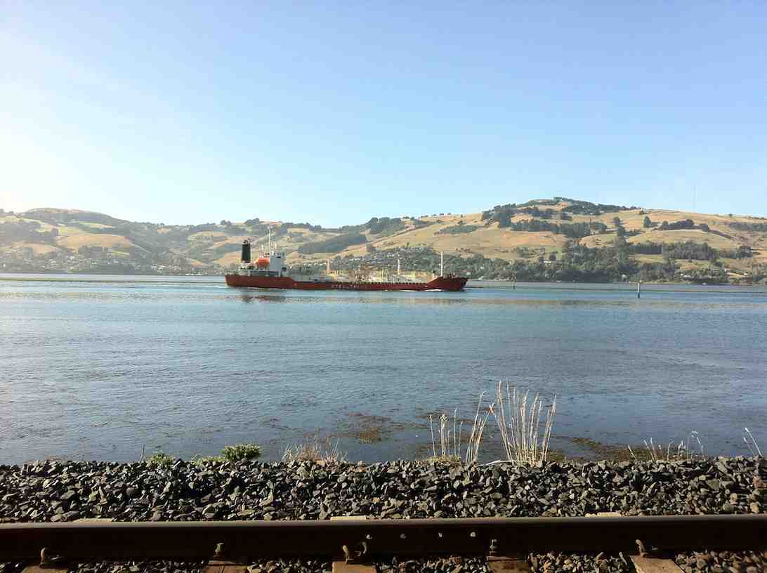
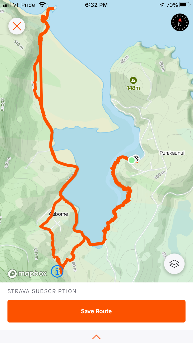
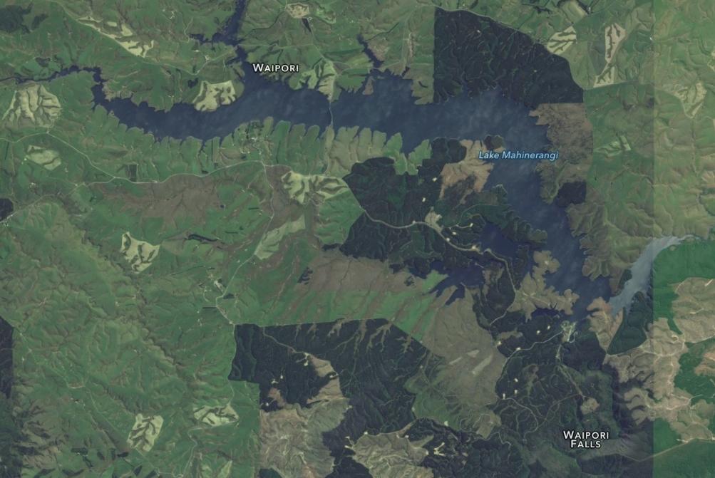
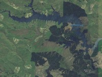
Lake Mahinerangi is a small lake formed when a dam was built on the Waipori River for hydroelectric generation.

The Waipori hydro-electric scheme includes a network of four dams and power stations and produces a maximum output of 84 MW.
The lake itself, was named after Olive Mahinerangi Barnett, the daughter of William Barnett, mayor of Dunedin 1911-1912.
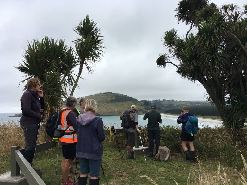
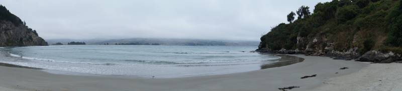
Lake Mahinerangi

The tributaries of the Waipori River are in the Lammerlaw Range. The river descends gradually until the Waipori Gorge, where it suddenly drops 222 metres in approximately 4,000 metres. Which makes the gorge an ideal site for a hydro-electric scheme.

Lake Mahinerangi was formed by a 20.4 metre high dam, with work beginning in 1927 and completed in 1931, with a powerhouse of 3,000 kW capacity. The new lake submerged the mining township of Waipori and mining interests had actively opposed the building of the dam as Waipori Flat was still being actively mined. In 1920, the Dunedin City Corporation Empowering Act was successfully pushed through Parliament to enable the use of the Waipori River as a hydro-electric reservoir.

The Mahinerangi Dam was increased to its final height of 33.5 metres in 1946. By 1955, two more generating stations had been built downstream from the original powerhouse. There have been further replacements and additions to generating capacity between the 1960s and 1980s.
Ref: http://www.geocaching.com/geocache/GC40XTJ_lake-mahinerangi-otago?guid=2a93463a-0c4d-40e0-a083-d45b514a7aa6

Victoria University of Wellington Library
Victoria University of Wellington logo
New Zealand Electronic Text Collection

Home
About
Help

[advanced search]
▼ About this page

Title: The Cyclopedia of New Zealand [Otago & Southland Provincial Districts]

Author: Cyclopedia Company Limited

Publication details: The Cyclopedia Company, Limited, 1905, Christchurch

Part of: The Cyclopedia of New Zealand

Creative Commons Attribution-Share Alike 3.0 New Zealand Licence

License: Creative Commons Attribution-Share Alike 3.0 New Zealand Licence
Share:
Other formats

TEI XML file ePub eBook file

Connect

mail icontwitter iconBlogspot iconrss icon

▼ Browse collection

People
Projects
Works
Subjects
Autobiography; Biography; Journals; Correspondence
Contemporary Māori and Pacific Islands
Historical Māori and Pacific Islands
Language
Literary Criticism and History
Literature
New Zealand History
Science and Natural History

The Cyclopedia of New Zealand [Otago & Southland Provincial Districts]
Waipori

Previous Section | Table of Contents | Up | Next Section
Waipori.

Waipori is a scattered mining district, and forms the eastern portion of the county of Tuapeka. The township is situated about the centre of the mining district, and is fourteen miles from Lawrence, and twenty-five to the west of Outram. It is connected with Lawrence by a coach service, which carries the mails. The township stands at an elevation of about 1300 feet above sea level. Quartz mining has been carried on at Waipori since the early days of settlement, and during recent years the most modern systems of dredging and hydraulic elevating have also been in vogue. The township has a post and telegraph office, a school, hotels, and stores.
Waipori In 1898.

Waipori In 1898.

The Waipori Post And Telegraph Office is at present carried on in the business premises of Mr. F. W. Knight. Mails are despatched and received thrice weekly. Telegraph messages are transmitted at the usual rates by telephone to Lawrence. There is a money order office, but no savings bank.

Mr. Fred William Knight , J.P., Postmaster and Telegraphist, at Waipori, was born at Shirley, in Hampshire, England, in 1856. When four years of age he came to Victoria with his parents by the ship “Essex.” In 1862 the family came to New Zealand in the steamer “Aldinga,” and went to Waitahuna, where Mr. William Knight, father of Mr. Knight, carried on business as a baker with much success. The family then went to Miller’s Flat, and in October, 1864, removed to Waipori, where Mr. page 692 Knight has resided ever since, and has been intimately connected with nearly all the public affairs of the district. For over twenty years he has been a member of the local school committee, and has been many times its chairman. In 1887, Mr. Knight became a member of the Waipori Lodge of Oddfellows, in which he attained the highest position, and has for about twenty years held the office of permanent secretary. He now usually represents the lodge at the district meetings. In February, 1884, he was appointed a Justice of the Peace, and in that capacity he acts as deputy-coroner for the district. Mr. Knight was one of the founders and first chairman of the present Miners’ Association. For several years he represented Waipori riding in the Tuapeka County Council. Besides being a Justice of the Peace, and postmaster and telegraphist, he now holds an appointment as clerk of the Wardon’s Court, and formerly he held the office of Registrar of Births, Deaths and Marriages. Mr. Knight was a member of the Waitahuna licensing committee, when that body existed, and he afterwards contested the Taieri licensing election and obtained over 600 votes, but was not successful. He was appointed a trustee of the Waipori cemetery in 1884, and still holds that office. Since 1882 he has carried on business at Waipori as a general storekeeper; he also has the sole bakery business of the district, and does a fair trade in butchering. Mr. Knight having lived in goldmining districts nearly all his life, takes great interest in everything pertaining to the mining industry. He has owned some valuable mining properties, including several water-races and two quartz crushing batteries, and he also owns a good deal of other property in Waipori. In 1884 he married Mary, third daughter of Mr. Richard Lean, of “The Rocks,” Port Chalmers, and has five sons and two daughters. He has recently purchased, from his father-in-law, the fine property at Port Chalmers, known as “The Rocks,” and will probably settle there if he ever leaves Waipori.
Mr. F. W. Knight.

Mr. F. W. Knight.
“The Rocks,” Port Chalmers, Property Of Mr. F. W. Knight, Waipori.

“The Rocks,” Port Chalmers, Property Of Mr. F. W. Knight, Waipori.

Bridge Hotel (W. E. S. Knight, proprietor), Waipori. This is a two-storey wooden building, containing thirty-five rooms, including a bathroom, billiard-room, three sitting-rooms, and a large dining-room. There is ample stable accommodation attached to the premises.
page 693

Mr. Samuel Caudwell , sometime Proprietor of the Bridge Hotel, Waipori, was born in Nottinghamshire, England, in 1833. In 1852 he came out to Victoria, and went to Castlemaine, Mount Alexander, Bendigo, Sandy Creek, McIntyre’s, Mount Maldon and all the principal goldfields. Within two months of the discovery of Gabriel’s Gully, he landed in New Zealand. He immediately went to the field, and paid one shilling for the carriage of every one pound of food, tools, etc. For some time he was fairly successful, and he returned to Australia, where he became interested in various quartz mining ventures. About Christmas, 1866, he came back to New Zealand, and ever after resided at Waipori. On his return he engaged in ground sluicing, but sold out all his rights, waterraces, etc., and became a hotelkeeper. Mr. Caudwell was chairman of the local school committee. During a mining boom he and others sold the O.P.Q. claim to the New Zealand Minerals Company, Ltd., for £5000 cash. While he was on the Victorian goldfields Mr. Caudwell paid as much as £160 per ton for freight from Melbourne to Bendigo, and bought flour at £25 per sack, butter 6s per pound, sugar 3s per pound, and salt 3s per pound. Mrs Caudwell came to New Zealand from Victoria in the early sixties. Mr. Caudwell died on the 8th of December, 1901.

Mr. William J. Farrell , formerly owner of the Waipori Deep Lead, is a native of Belfast, Ireland, and arrived in New Zealand in 1874. Shortly after landing he joined an exploration party on the West Coast, but returned to Dunedin and entered commercial life, from which he retired in 1888. Mr. Farrell invested capital in the Macetown district, and for years was the managing director of several companies. In 1882 he made a special journey to America, for the purpose of acquiring a knowledge of modern improvements in mining. With that end in view, he visited Colorado and Nevada, and other great mining centres. In two years he returned to the colonies and acquired the “Homeward Bound,” “Lady Fayre,” “Golden Treasure,” “Victor Emmanuel,” “Morning Star,” “Black Angel,” “Garibaldi,” and “Maryborough” mines, and other properties in the Macetown district. Following in the footsteps of the late Mr. J. C. Brown, M.H.R., who floated the Blue Spur mine, Lawrence, Mr. Farrell went to London, and successfully floated one of his group, known as the Premier Consolidated Gold Mining Company, Ltd., for the sum of £70,000. This company is now named the Glenrock, Ltd., and with a total expenditure of about £18,000, it had (up to the end of 1899) obtained gold to the value of £35,000, and was still working at a handsome profit. Mr. Farrell considered that this success was largely due to working the mine under the “Incline” principle, which was at first termed a Yankee notion. During Mr. Farrell’s absence from the colony, this plan was allowed to drop, but when he returned, he, as managing director, insisted on its resumption, and brought it to a successful issue. The Deep Lead at Waipori was another mine the development of which bears witness to Mr. Farrell’s resourceful enterprise. Mr. Farrell also invested in tin mines in the Rexhill district, Tasmania, where, according to the Government Geologist’s official report, “It is nothing unusual to find large blocks of tin which yield from sixty to seventy per cent, of pure metallic tin.”
Bridge Hotel, Waipori.

Bridge Hotel, Waipori.
Mr. W. J. Farrell.

Mr. W. J. Farrell.

Previous Section | Table of Contents | Up | Next Section

Home | Advanced Search | About | Help

© 2014 Victoria University of Wellington | Contact us | Conditions of use

No responses yet

« Prev - Next »