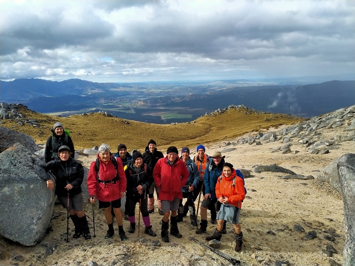
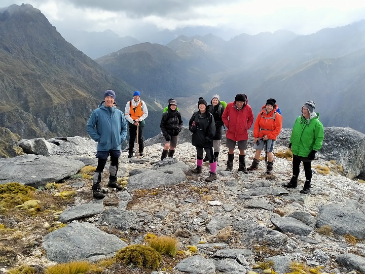
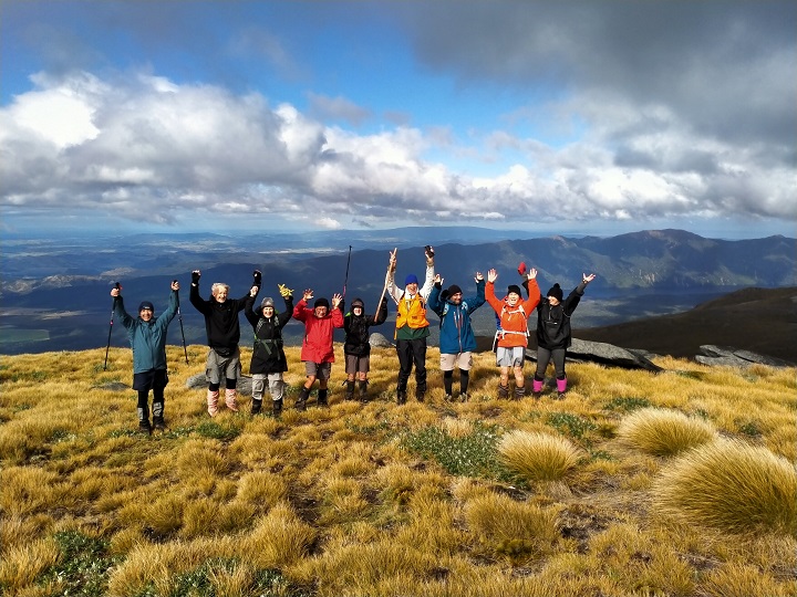
Sunday 5th March – Tramping:
Day 2 –Kawarau River Track.
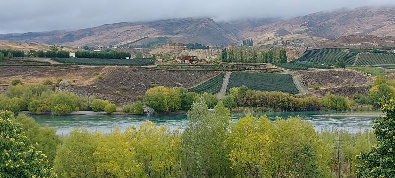
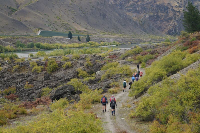
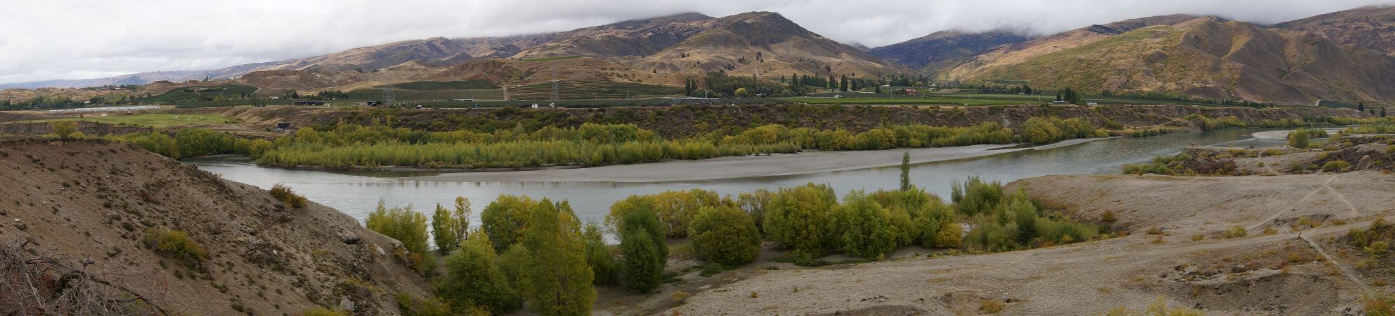
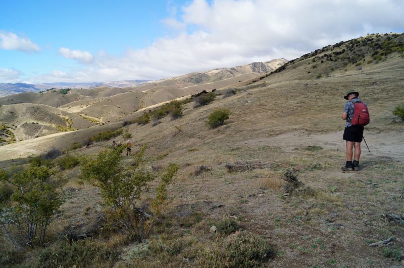
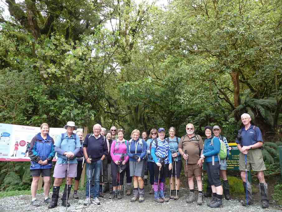
Due to rain overnight and start of Sunday morning we changed our walk to River Walk from Bannockburn Bridge up Kawarau River track (combined walk). Some walked return and others were given a lift back to camp where we had lunch. (4.5km each way) Very interesting walk which one day will join up with the carpark at the Goldfields Mining Centre.
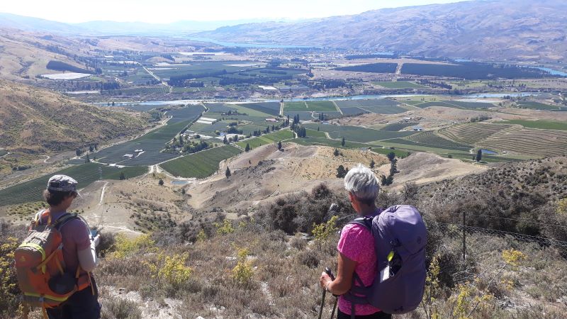
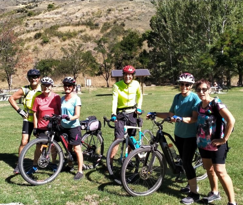
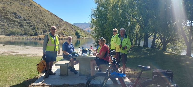
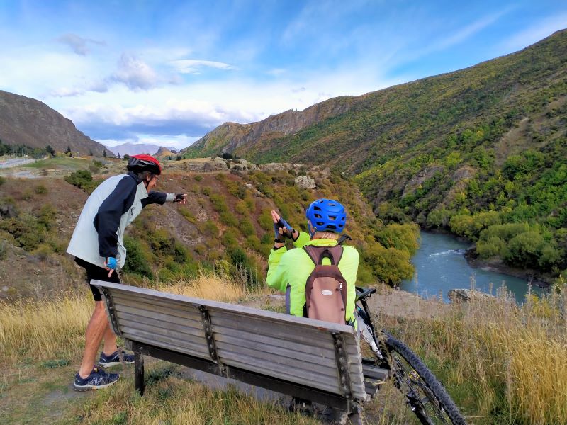
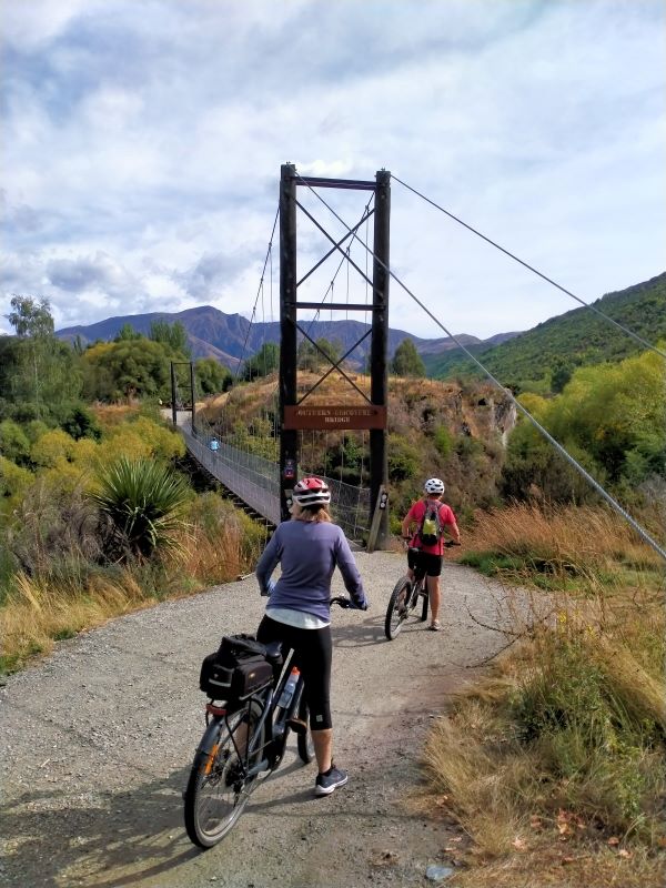
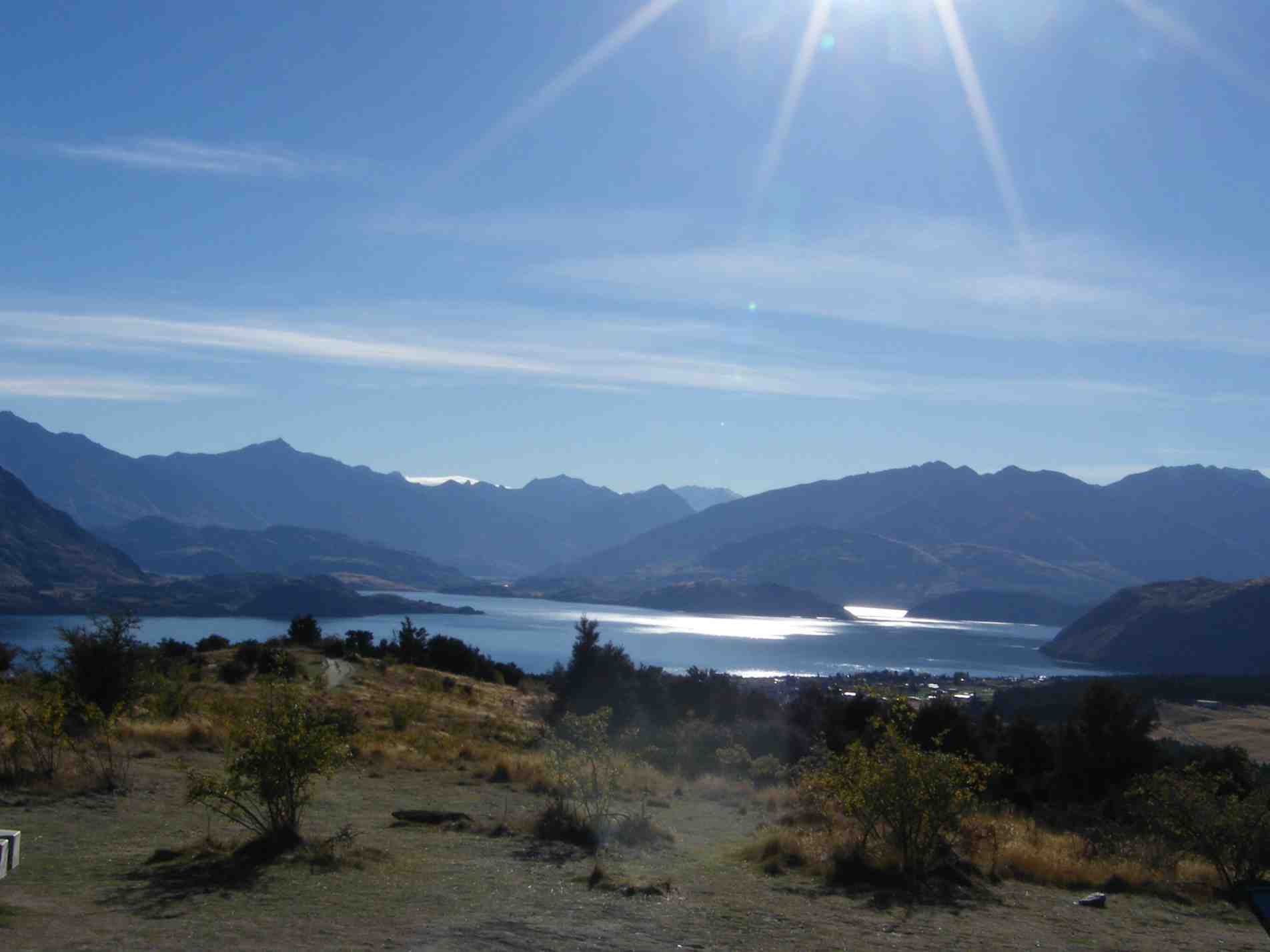
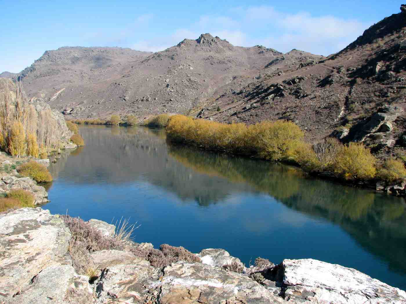
Beautiful views. Photo & caption HelenThe long and winding road. Photo & caption JohnMorning mist lifts on another day. Photo & caption John
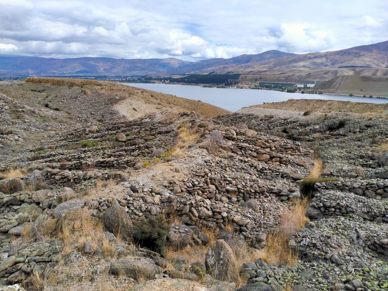
In the afternoon Ross took us to the Quartz Reef Point Track about 6kms up the lake from the Cromwell bridge for a brisk 30 min walk from the carpark to view the formation of diggings in the shape of leaves (herringbone tailings).
Hope this is worth it. Photo & caption JohnNo need to go to the gym back in the day. Photo & caption John
Some travelled back to Cromwell Pool for well-earned spa & swim while others visited Highland Park racetrack.
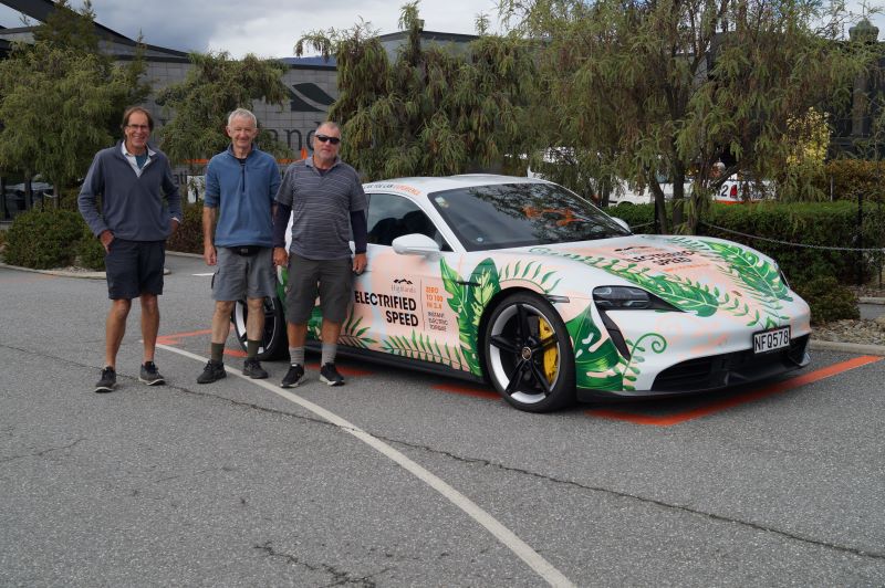
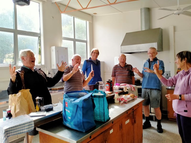
Boys and their toys. Photo & caption JohnPhoto HelenThis one took John’s fancy. Photo & caption HelenHelen laying down the law to her ‘boys’. Photo & caption Phil
Monday 6th March – Tramping. Day 3 – Bannockburn Sluicings, Stewart Town, Long Gully Loop Track
Beautiful weather for start of the day. Lunches made. We left cars at Bannockburn Camp just a short distance from School Camp and headed along Domain Road/Gibson Road to the start of sluicings and up to Stewart Town for morning tea with all of group.
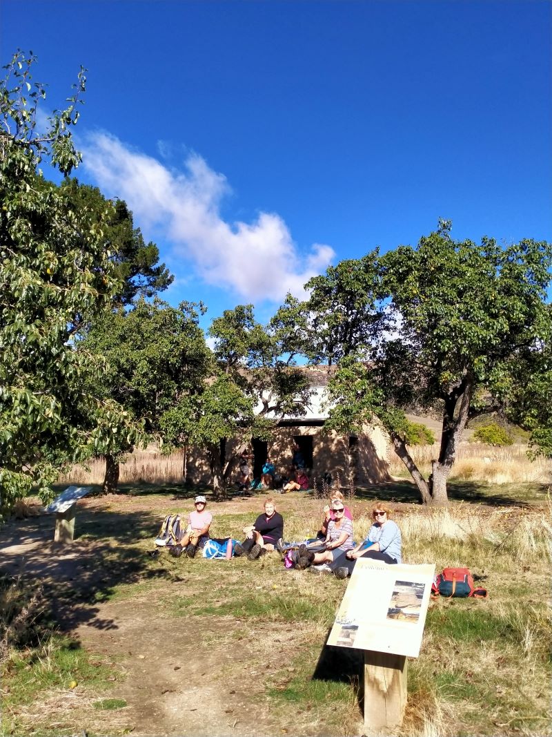
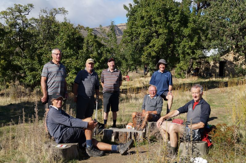
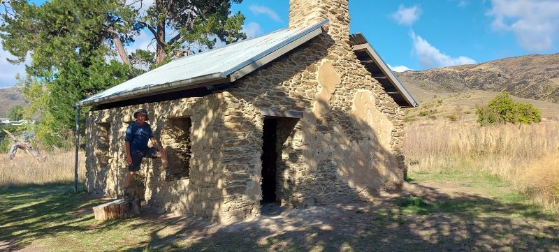
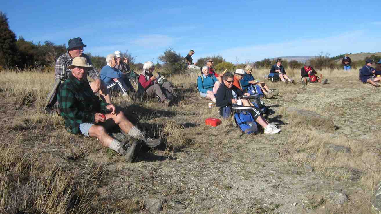
High Tea under the trees at Stewart Town. Photo & caption PhilHeather’s photographic skills to the fore. Photo & caption JohnLovely old house. Photo & caption Helen
Here hikers and trampers parted ways, the hikers walking around through sluicings to Felton Road and back to carpark via coffee stopover.
Hikers at lunch at the Black Rabbit cafe in Bannockburn. Photo & caption Helen
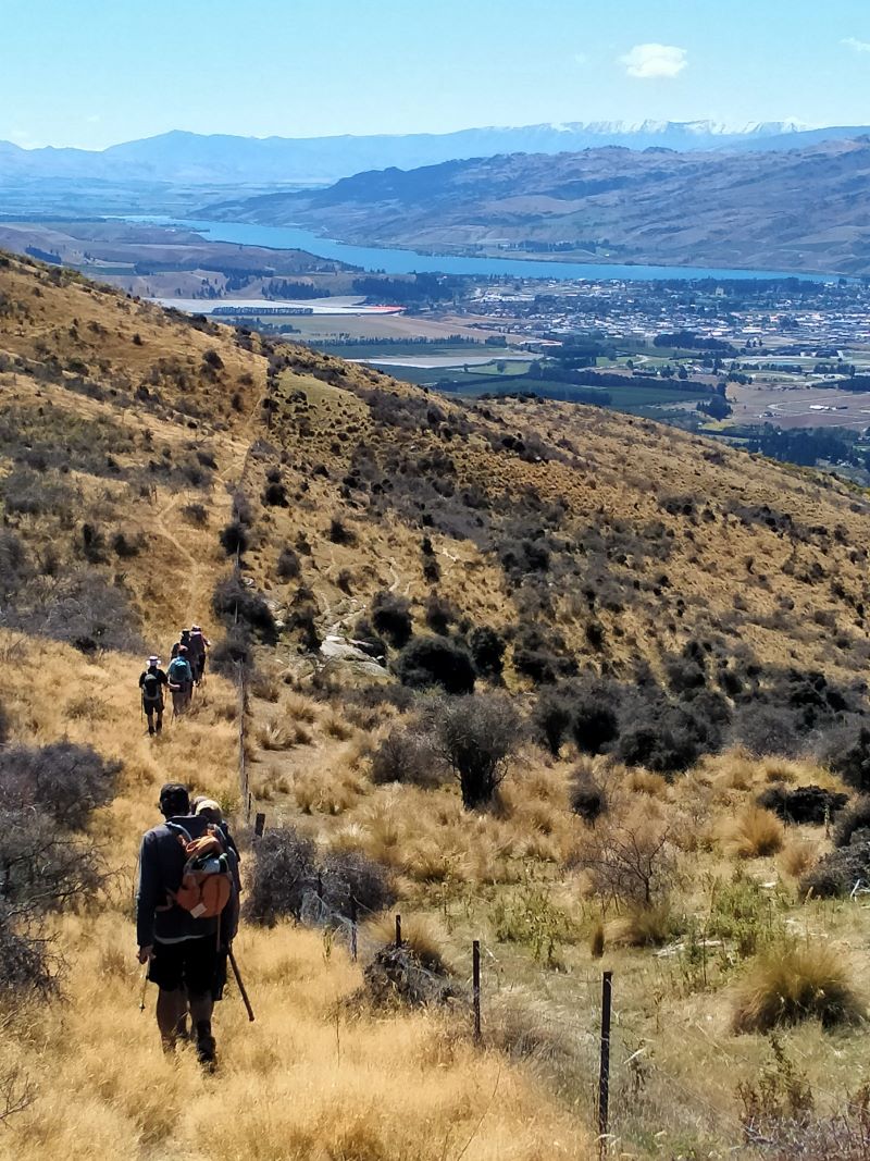
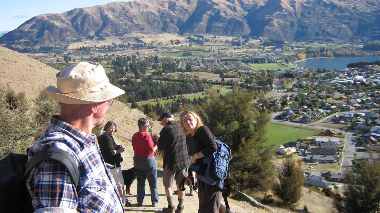
The trampers headed further afield to complete Long Gully Loop Track 7kms, a steady uphill climb, where we stopped for lunch at the top and admired magnificent views of Bannockburn, its wineries and further down to Cromwell and Lake Dunstan. We couldn’t have chosen a better day; the scenery was amazing. Lunch over and back down steep incline to complete Loop Track, a tired but very satisfied group on completion of track.
Boundary riders. Photo & caption PhilWe did it. Photo & caption PhilA long way down. Photo & caption JohnViews of the Felton road vineyard. Photo & caption Neil
Many sore and tired muscles took refuge in the pool back at camp.
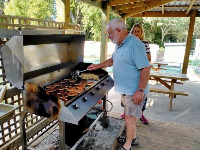
Wyn savouring Keith’s cooking. Photo & caption Phil
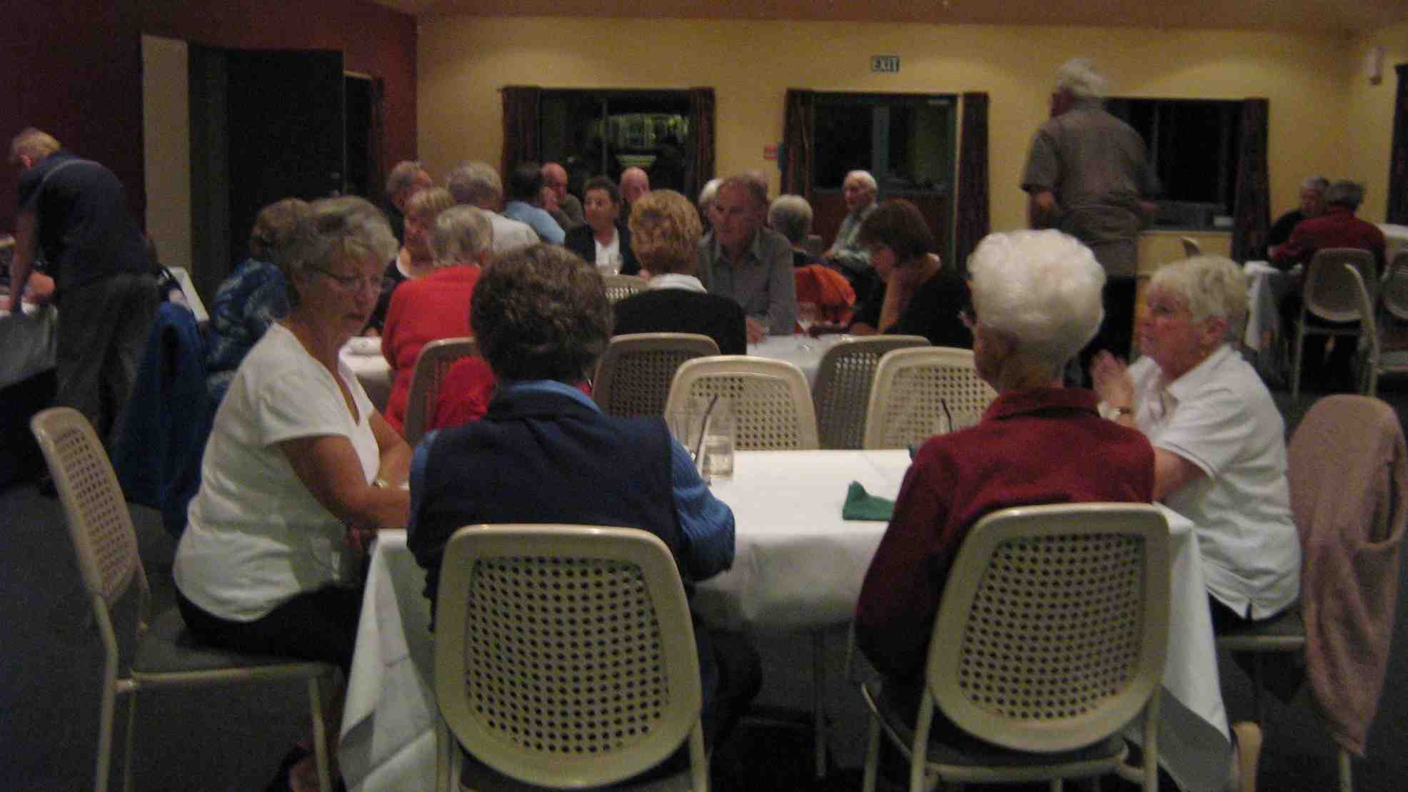
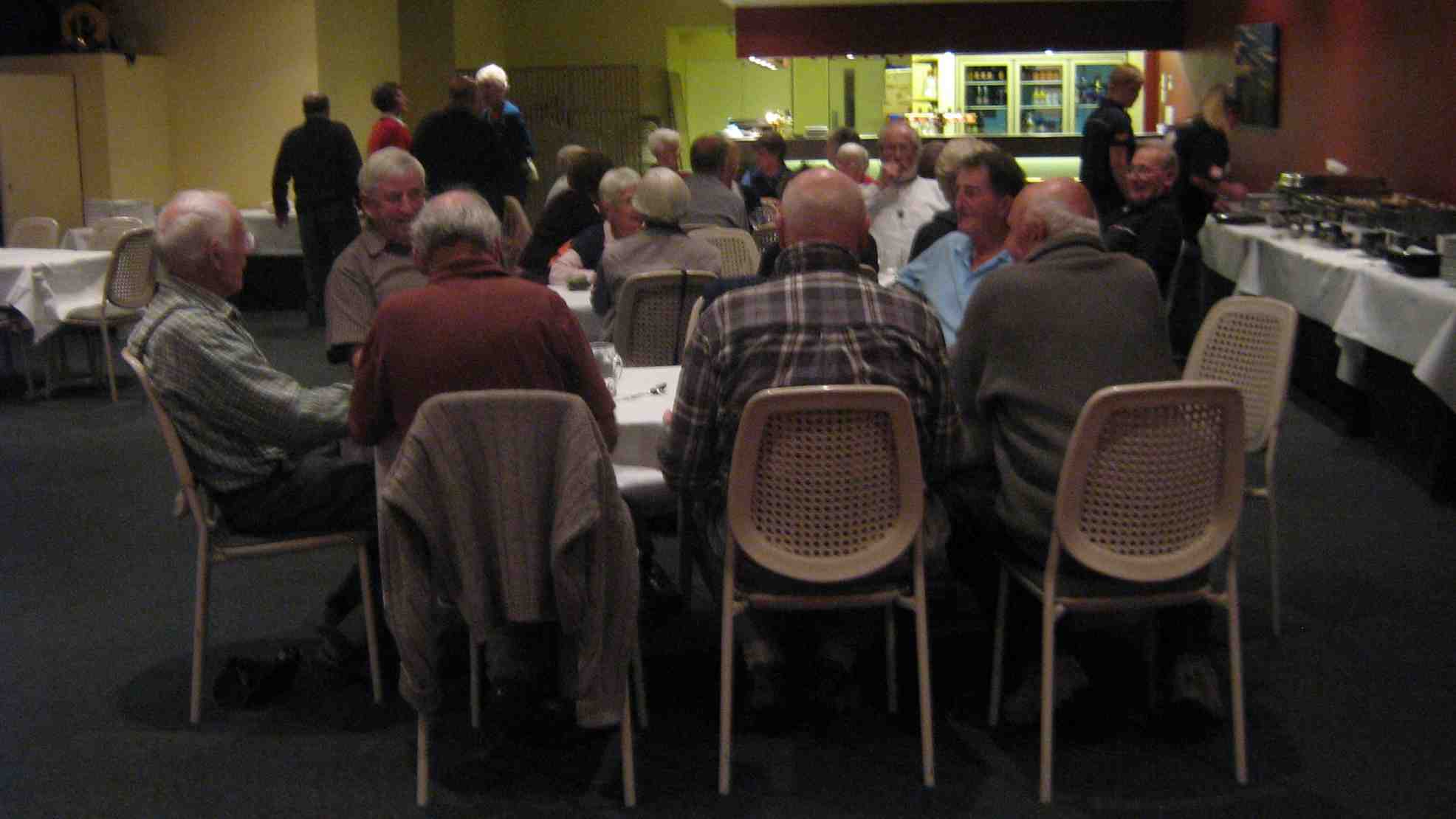
Neil started the evening meal with his version of grace, very apt for our group. Our yummy meal was followed by Neil’s quick wit for ‘News of the Day’ very entertaining thanks Neil. Shona and Keith arrived just in time to assist with meal preparation.
Tuesday 7th March – Biking Day 4 – Bike to Bannockburn Camp to Smiths Way and return.
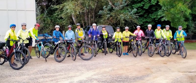
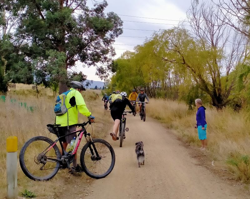
This was the start of the biking days so some of the trampers headed home after breakfast. After swapping poles for bikes our (15 bikers) first ride was from Bannockburn camp to Old Cromwell, Pisa Moorings and up to Smiths Way a round trip of about 52kms, on the return we stopped at the coffee shop for mostly our own homemade lunch; jolly decent of them to allow this for just a few cups of coffee. This was a 3-hour trip so we were home early.
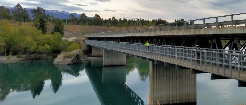
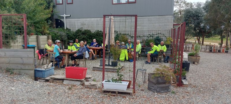
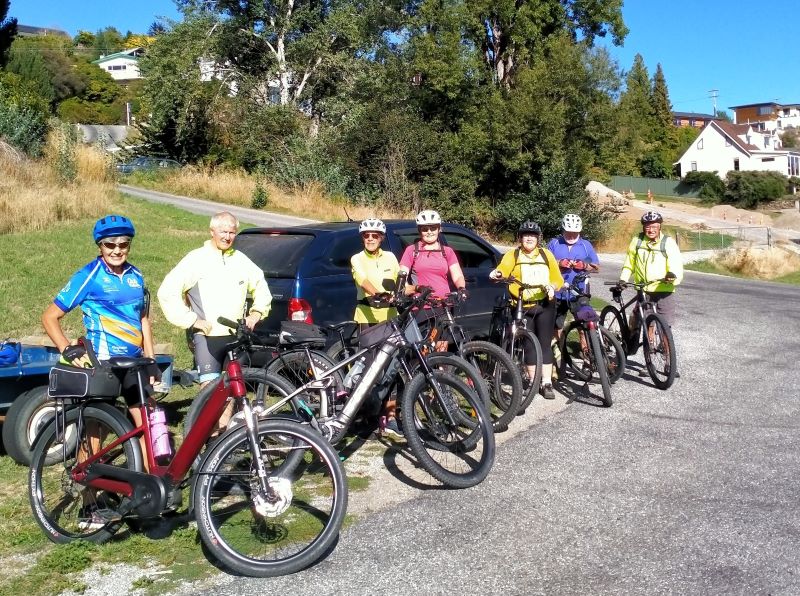
Tour de Dunstan starters. Photo & caption PhilCrossing Bannockburn Bridge. Photo & caption PhilBilly plays chicken. Photo & caption PhilLunch at Pisa Moorings. Photo & caption HelenThe census stumps the brains trust. Photo & caption Phil
Wednesday 8th – Biking Day 5: Biking Lake Dunstan Trail and Millennium Track to Alexandra.
Getting a bit more adventurous, so this was a big day for some. The logistics keep our coordinator on the ball with lots of options offered and only one trailer to pick up bikes.
Starting at Alexandra. Photo & caption Phil
Some headed off from the camp to the Lake Dunstan Trail and others did the same but went down another 12kms on the Millennium track to Alexandra. Others started at the other end and came back, and a few did only the Millennium track. Everyone met at the Clyde Rowing club for lunch. It was perfect weather.
Sculpture on the trail. Photo & caption PhilThe Bannockburn starters arrive; the following numbers to weigh in are… Photo & caption PhilLunch at the rowing club. Photo & caption Helen
Thursday 9th – Biking
Day 6: Biking from Gibston to Arrowtown and Back.
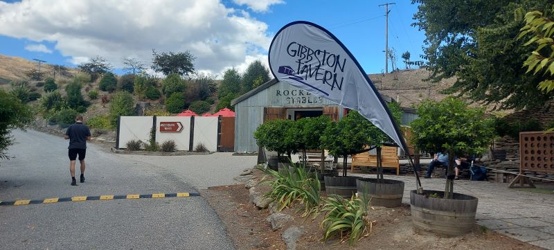
Final day, so we loaded the trailer and two cars with 12 bikes and headed to Gibbston Tavern, from there we rode to Arrowtown on the Gibbston River Wine Trail and Arrow River Bridge Trail, via the bungee jump bridge: 22km each way.
Well spotted Phil, congratulations. Photo & caption (other) PhilCrossing the rubicon? Photo & caption Phil
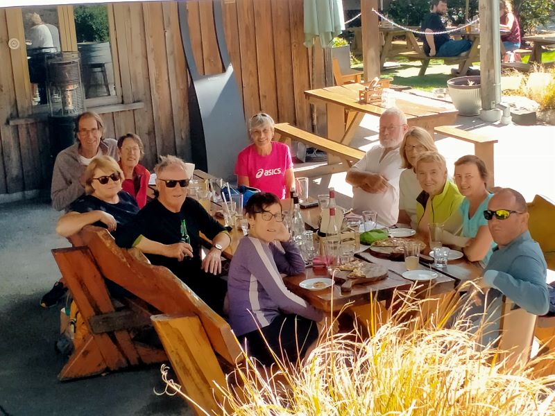
Lunch at Arrowtown was pretty much a pie for everyone with a coffee or tea to wash it down, the riders returned to the Gibbston Tavern for a cool drink and pizza mid-afternoon, tea that night was light with all the leftovers from the week.
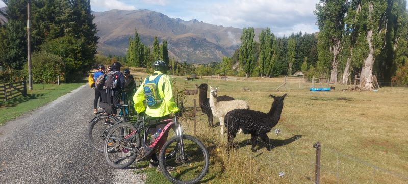
What a pie, definitely not a Jimmy’s. Photo & caption Phil Friends in the paddock and Dave. Photo & caption HelenPizza and cool beverage. Photo & caption HelenA well earned pizza and ginger (alcoholic) beer at the Tavern. Photo & caption Phil
4. 12-16 April 2021. Borland Trip. Leaders: Raewyn and Phil Keene.
Day 1
At last, after a few weeks of planning, and watching weather reports etc. we were underway, and all before 9am on the day!
After 2 hours of driving we emerged through the forest at the Dunsdale reserve, at 1 minute past the estimated time on Raewyn’s manifest; this proving to be an ongoing source of feedback as we completed each part of the day and week. A pretty impressive lineup of cars too, and the groundsman cutting the lawns had to move on until we had departed.
We were walking by 11.30am up the true left side of the Dunsdale stream, to emerge at Forks Flat clearing, before crossing a bridge and returning down the true right side, where there were some impressive matai and other podocarp trees.
“The Team on Dunsdale loop.” – Photo and Caption Gordon
Back by 12.30pm for lunch at the various picnic tables and away at 1pm, on time!
Some topping up of petrol at Winton was followed by one of those road trips where all roads lead to Clifton Suspension Bridge, except when you have too much chatter in the vehicle, miss a turn off and end up nearly at Mossburn for a venison pie….. with one vehicle down Peter gave an interesting outline, on the Bridge, of the ups and downs of the Manapouri Project. The major down being the adverse effects on the Waiau River and it’s life force and downstream communities. Having communicated with the errant vehicle we moved on up the Southern Scenic Route turning off near Blackmount onto the Lake Monowai Rd and up to Borland Lodge. Black skies into the west were foreboding….. We all settled in quickly and hey presto the first of 4 lovely evening meals was whipped up and devoured, in anticipation of some hard tramping ahead. After searching the web pages of the weather gods, it was decided we would start with the easier of the 4 main walks on the agenda.
Day 2
South-North Borland to Lodge
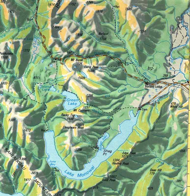
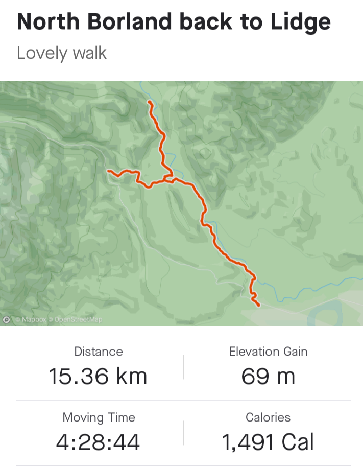
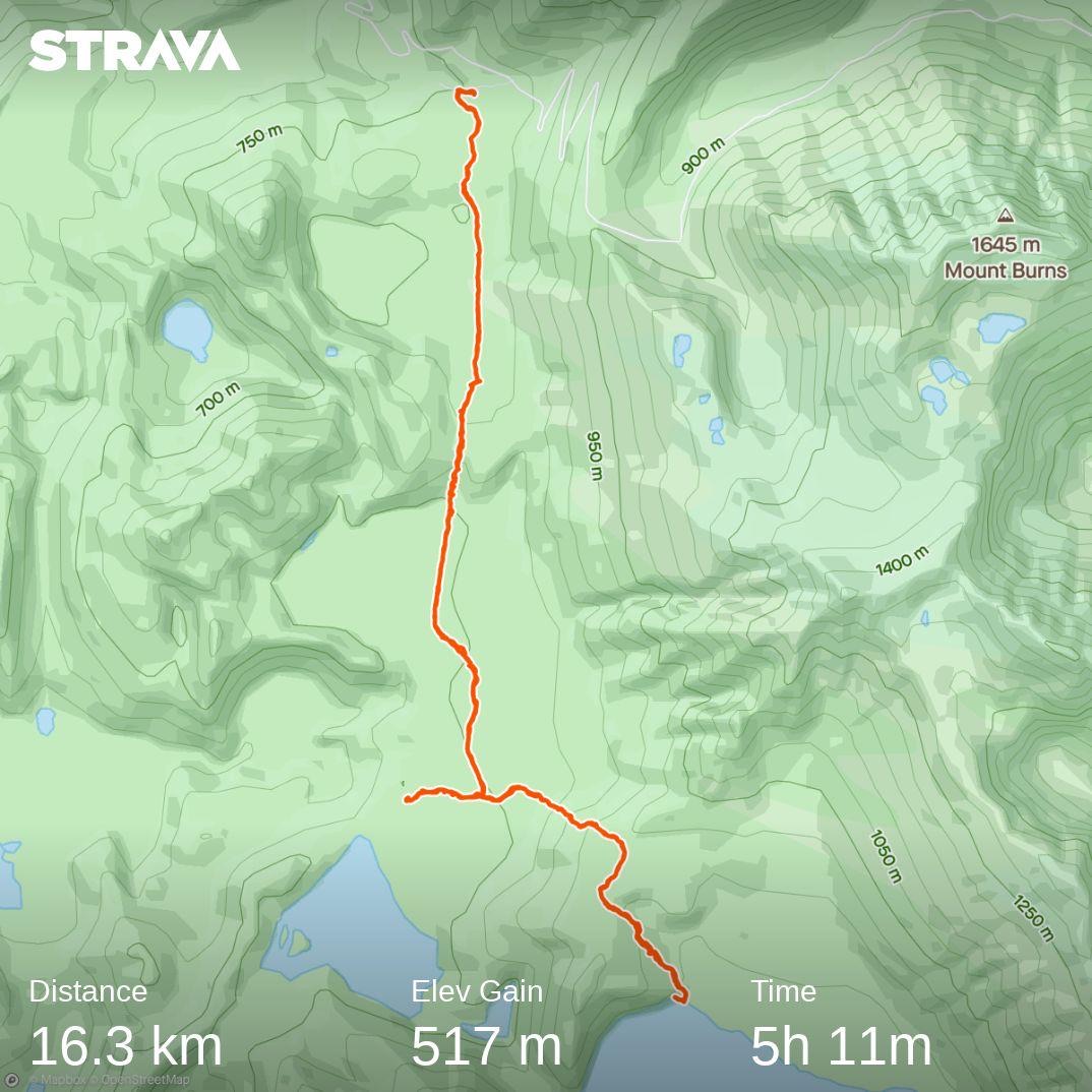
“Map of North Borland to the Lodge.” – Photo and Caption Ross
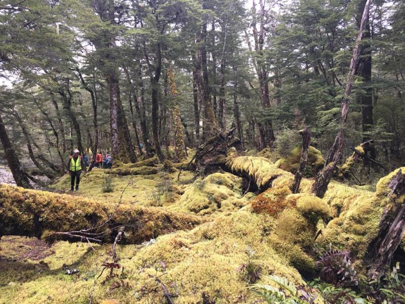
Up up and away on time at 9am, with the bulk of the group opting to do the South ‘n’ North Borland/Rock Bivvy return to the Lodge, whilst Raewyn’s group did Lodge to South Borland return. With help from the smaller group, we ferried everyone to a drop off on the Saddle Rd, and set off across, down and through fields of moss carpets and crown ferns at the base of high limestone cliffs.
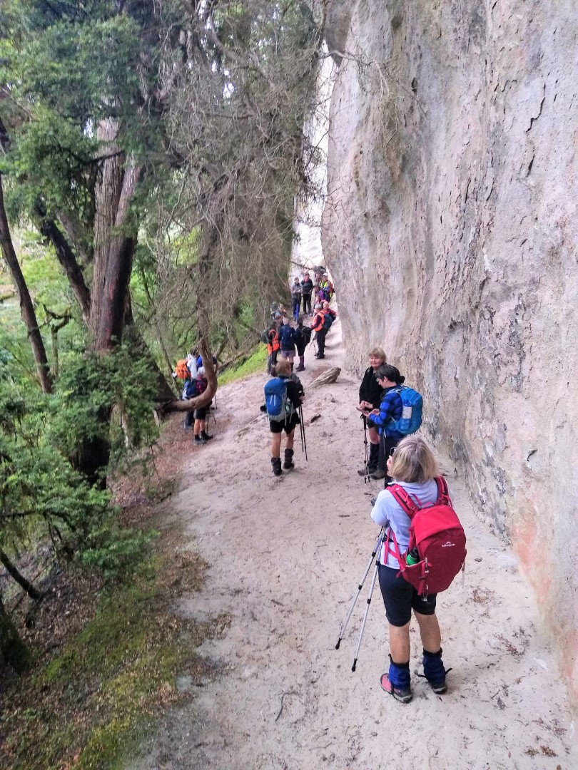
“Passing by Sandstone bluffs.” – Photo and Caption Ross“South Borland Limestone cliffs” – Photo and Caption Gordon
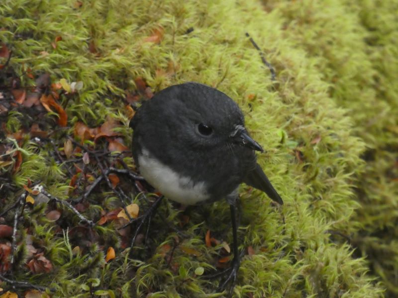
Along the way we were accompanied by tomtits, fantails and the odd Robin or two.
“A friend on the track!” – Photo and Caption Gordon
We morning tea’d on a high bank overlooking the South Borland stream, with views of Mt Titiroa in the foreground.
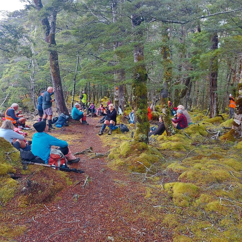
“Morning tea on a bank overlooking the South Borland stream.” – Photo and Caption Helen
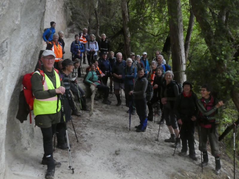
From here we turned off, walked across a swing-bridge over the stream, and carried on to what has to be the best rock bivy in the world?
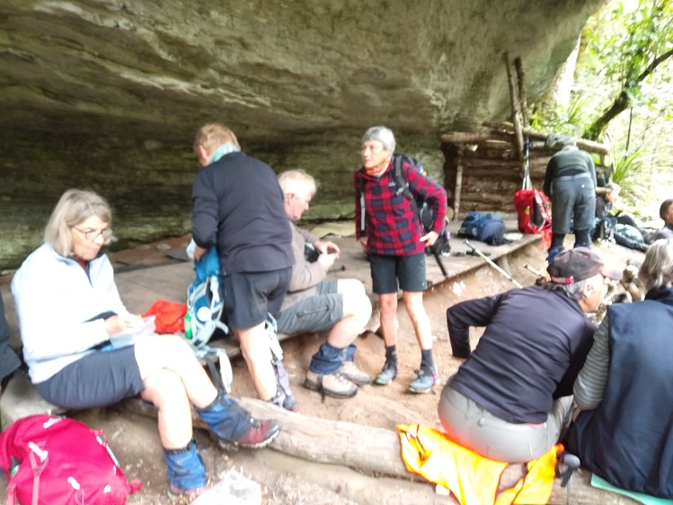
“The big rock bivy” – Photo and Caption Dave
Along the way we had an interesting chat with Fiordland’s Robin Hood, who was hoping to get a deer with his bow and arrow! We lunched sharpish at the rock bivy, then returned down the North Borland and over the swing-bridge, turning left to follow the track above and alongside the main Borland River back to the Lodge. The babbling brook was quite large in places, and oh those deep pools must be home to some gigantic trout? We returned to the lodge over the swing-bridge on the Pig stream, past lots of emergency shelters, erected by school pupils as part of their outdoor training activities. In parallel, Raewyn’s group (or rather Keith’s harem?) set off from the Lodge just after 10am once the ferrying of hikers and cars was complete. Walking in reverse of the above, they enjoyed their walk through the moss covered forest and Keith too was interested in those trout pools (even to the extent of standing beside a tree to peer into the depths, to later discover it was overhanging the stream with no roots below!). Final destination was the turn-off spot above, and once they discovered that no-one was waiting to return with them, they had lunch back further on the track around a previously used campfire. Sandflies were biting, so the journey back was soon started.
The only first aid required was to Jan’s shoe which lost its sole.
Everyone’s efforts were rewarded by another lovely meal, a great social atmosphere with lots of board and card games underway. But earlyish to bed to ready for the day ahead, this time on the Borland Bivy to Green Lake and return walk, and hopefully on the Mt Burns Alpine tarns walk.
Day 3
Borland Bivy to Green Lake return – Mt Burns Alpine Walk
“Green and Island lakes walks.” – Photo and Caption Ross
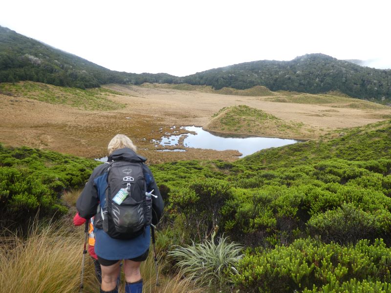
A perfect split of people to vehicles meant Phil’s group was away sharpish at 8.20am, arriving through the mist to a clear Borland Saddle, where some time was taken to take in the views and anticipate the Alpine walk on our return later in the day. Then on down the Grebe Valley side of the Saddle to find ample parking under the pylons near the entrance at the bivy. A slightly wetter forest than on day 2 meant the yellow carpet had given way to a rich green, and we bobbled along through a low saddle, then down and across a large but boggy clearing.
“Bobbling along on a boggy clearing.” – Photo and Caption Phil
Bang on 10.00am we had morning tea, either in the edge of the forest or around patches in the sphagnum moss.
“The sphagnum moss.” – Photo and Caption Pam
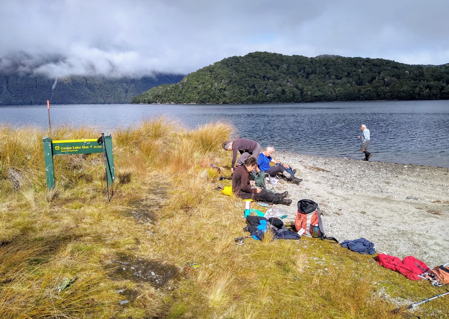
On through another low forest saddle, this time with a picturesque tarn surrounded by sharp colours, not unlike a geothermal pool. The bush and tussock tracks were more pronounced than at the time of the recce, thanks no doubt to the pitter patter of hunters feet through the roar period, and no wonder with hearing regular bugles all day long, and a bit later on, some Kea squawking. The next tussock clearing was on another scale, vast wonderful high red tussock, and drier under foot and eventually we entered another short forest walk and came to the junction with the Island Lake track. Everyone was travelling well, so we agreed to stay together and box on. We were immediately met by a good old fashion ‘grunt’, requiring good breathing spots about each third of the way up; it didn’t quite look this steep on the map! Having ascended we travelled along the ridge, but with 3 hours gone and still wanting to do some of the Alpine walk later in the day, the majority of the group opted for lunch. The famous five moved (rumoured to be running?) on to the edge of the Green Lake, descending and ascending the quite steep ridge.
“The runaway 5 at Green Lake.” – Photo and Caption Ross
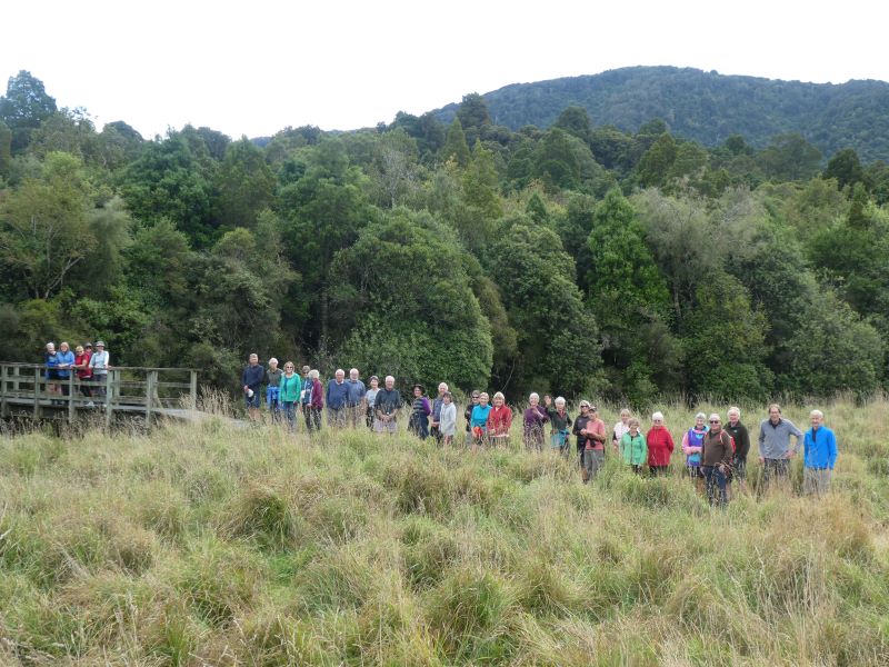
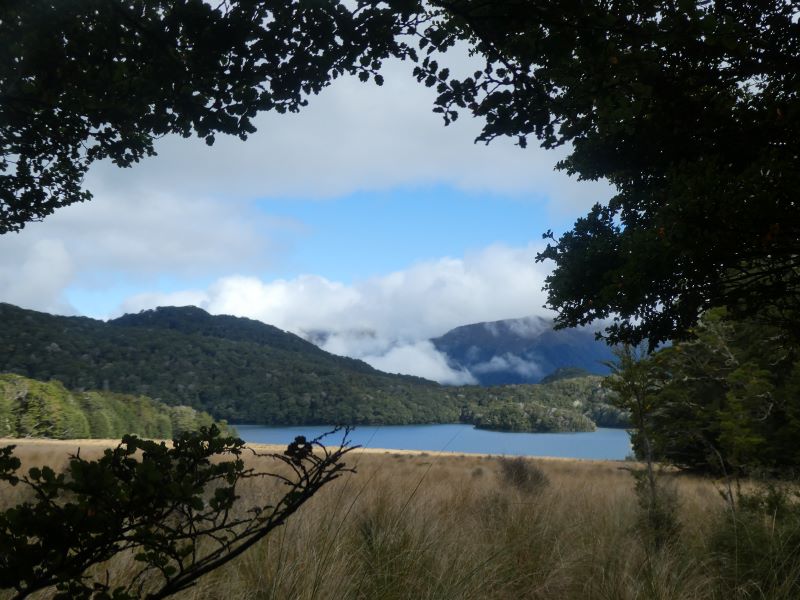
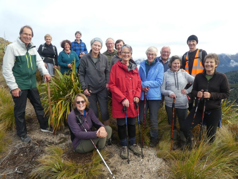
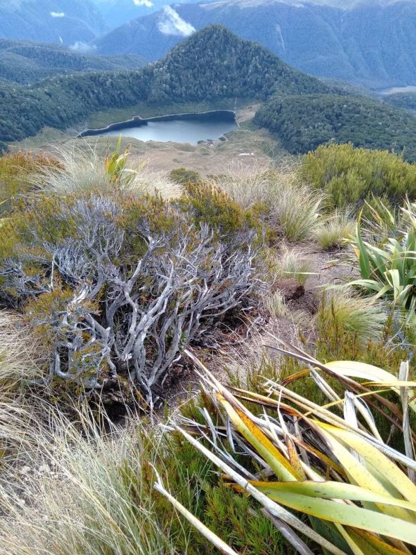
The majority returned to the Island Lake track and went down to the outlet, catching up with the famous five an hour and a half later, allowing for a nice group photo with the lake in the background. Island Lake was rumoured to be the most picturesque on the day?
“A View of Island Lake.” – Photo and Caption Gordon“The group who walked in search of the lakes.” – Photo and Caption Gordon
From here we returned at a solid pace back to the cars, visualising the best spot to put our bush hut close to nearby tarns, and guessing where those roaring stags were. An inspection of the bivvy found an entry in the hut book from Raewyn’s group, who had completed part of the walk. Their three cars left later and also stopped at the saddle for a look. Still a little misty, they headed down to the pylon park and walked through the forest to the first clearing on the Green Lake walk to view the valley. Too boggy for morning tea there, they back tracked to find a dryer spot in the forest. Back to the cars, they drove on another 5kms to the Grebe Valley lookout where the mist had cleared for a great view down the valley. Also stopped there were a couple of deer hunters using modern technology to look for deer down below. Discussion developed and soon a few binocular sets were out, deer seen and photos taken. From there they returned to the Saddle for lunch, ventured through the Goblin forest and completed the Alpine Walk up far enough to enjoy the spectacular scenery.
This was the point Phil’s group returned to, and most went above the bush line to enjoy the big picture, which was pretty good!
“On the ridge looking down to a natural tarn.” – Photo Karen
On down the Saddle road and returned to the Lodge for more, well you know, great food and socialising but noticeably most sneaking off to bed a little earlier than the night before.
Day 4
Mt Eldrig ascent/descent
Lodge to Lake Monowai and return Mt Eldrig:
A close to even split for either walk, with 15 ready and willing at 8.45am to head for Mt Eldrig (an unofficial name, there is a Loch Eldrig in Scotland. Eldrig has become synonymous with deer trapping, named after a 10 th century monk Aelric who dug trenches to lead deer into net traps). With just 3 vehicles the steep ascent and parking arrangements up the pylon road was easily achieved, and off we went through quite an overgrown entrance, but the track settling down to one of steady to steep beech track, some fallen logs and bogs, and large rocks making it a little difficult to navigate; fortunately DOC had placed more numerous -markers on the trees. We morning tea’d right on10.00am where we had some great views but also had to seek some shelter from a strong NW wind. Another 45 minutes saw us emerge above the bush line onto
steep tussock/bog country with the track progressively giving way to poled markers. We followed these for another half hour, where 3 of the group decided to rest, awaiting the return of the main
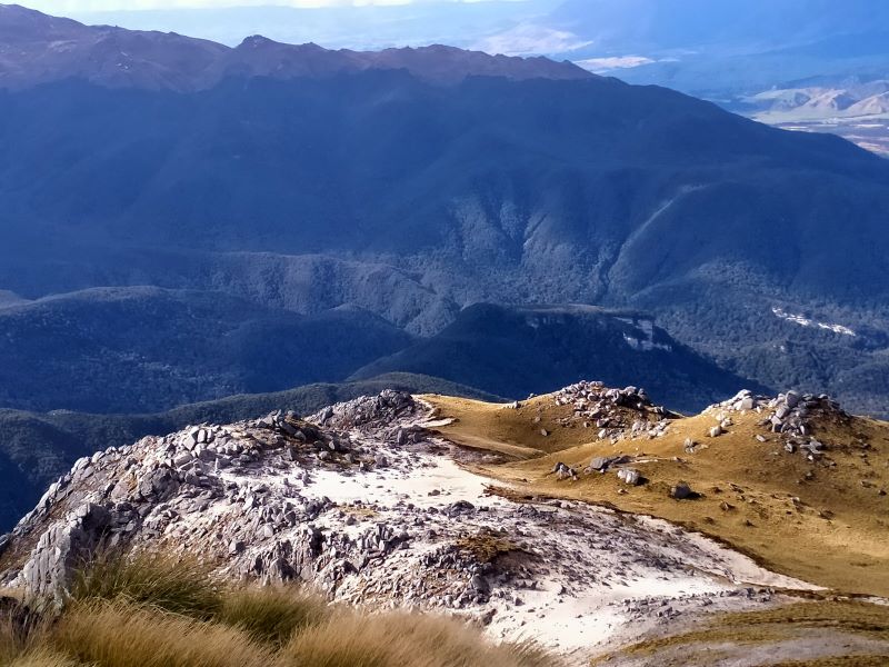
group. They carried on and up and around to come to a significant white granite outcrop, providing spectacular views into and beyond the Borland valley, as well as to Te Wae Wae Bay,
Lake Monowai and the Takitimus, and up to the forward peak of Eldrig.
“A significant white outcrop” – Photo and Caption Phil
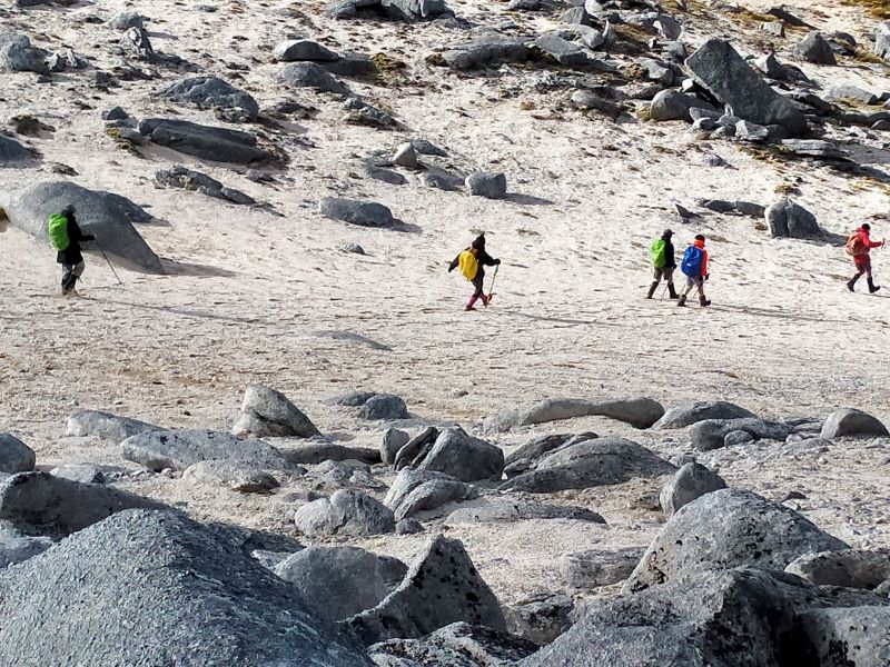
“The lunchtime team on Eldric.” – Photo and Caption Phil
We took some group photos, with two folk returning to the other 3 and then on down to a car and back to the Lodge. The remaining 10 had a good lunch break and then over the next hour and half ascended/descended this forward peak, through lovely alpine herb-fields, gentians, with some Edelweiss flowers seeking shelter at the base of rocks; this brought forward the inevitable song from the Sound of Music and we could hear the ‘echo’ albeit at a much higher and tuneful pitch, from Raewyn’s group the day before on the Alpine Walk just over the hill! Finally all 10 ascended to admire the views, and the 1000m vertical drop a few metres behind us.
“Atop Mt Eldrig into the West.” – Photo and Caption Phil‘The first Mexican wave on Eldrig’ – Photo and Caption Phil
Group photos, into the west, and into the east were taken before we made the steady, steep, slippery descent, with one or two slightly embarrassing moments along the way.
Lodge to Lake Monowai:
With Raewyn overseeing, Esther & Pam led 18 on the track from behind the lodge and over Burnt Ridge. Different forest again, gave way to a couple of boggy areas, then a climb up to the ridge for morning tea. Onward across the ridge and down the other side with a few narrow and/or steep areas to negotiate before coming out on the flat. Following the clear markers, the walk travels through broom etc and then along the pine forest edge to the main Monowai road. A 1km walk along the road comes to the main car park & boat ramp at Lake Monowai.
“The boat harbour area of Lake Monowai” – Photo and Caption Gordon
The boat harbour area of Lake Monowai – Photo Gordon
Meantime, a few of the team had stayed behind, so they drove two cars round to the same spot to join them for lunch. Lunch was under the beech trees at quite damp picnic tables with the lake below. After lunch, a stroll to the flood gates and group photo with the lake.
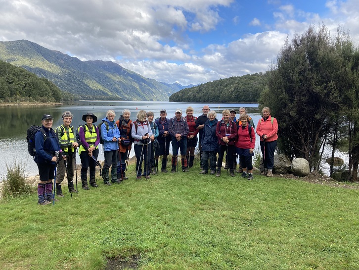
“Group Photo at Lake Monowai.” – Photo and Caption Raewyn
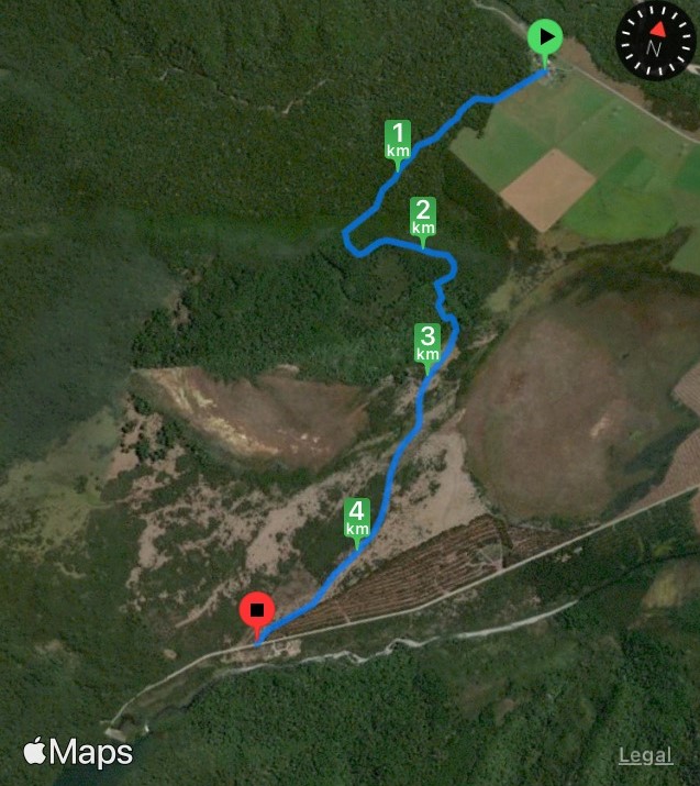
“Borland lodge to Lake Monowai” – Photo and Caption Raewyn
A few opted to return by car, the rest were led back by Esther & Pam (thanks ladies).
During the evening meal breaks Judge Mellish outlined an extensive list of sins that everyone had committed during the days, except himself of course! He had spies everywhere, resulting in the singing of Happy Birthday to Ross. Helen thanked the leaders and their teams for the great meals, while Esther expressed thanks to Raewyn and Phil for the organisation of the week and made a presentation from the group. To which Raewyn and Phil say thanks again to everyone for making it a successful foray into Fiordland. This part of Fiordland, apart from the power lines and road, is close to what it has always been, and provides a sense of adventure for those who encounter it on it’s terms. Phil encapsulated this by reading Wendell Berry’s lines from “the ancient fear of the unknown”
“Always in the big woods when you leave familiar ground and step off alone into a new place there will be, along with the feelings of curiosity and excitement, a little nagging of dread. It is the ancient fear of the unknown, and it is your first bond with the wilderness you are going into”.
Day 5
Ah parting is such sweet sorrow – An orderly departure unfolded with the camp being left spick and span; it was heartening to see many follow Raewyn’s final manifest, with many visiting Rakatu Wetlands where we encountered Mark Sutton, the project manager and a board member of the Game Bird Habitat Trust, who had received our blog on the Takitakitoa wetland – small world. Also just like a run on the bank in days of share market collapse, there was a run on Venison pies at Bracken Hall in Mossburn, the quality of the pies passing the test of all who ate, and ate…..
Raewyn and Phil
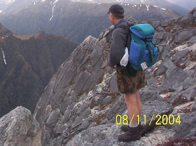
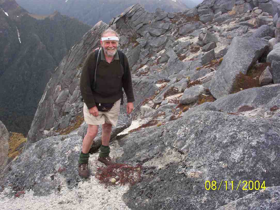
3. 6/11/2004.Mt Burns. Leader: Ian Fleming. 45 min return
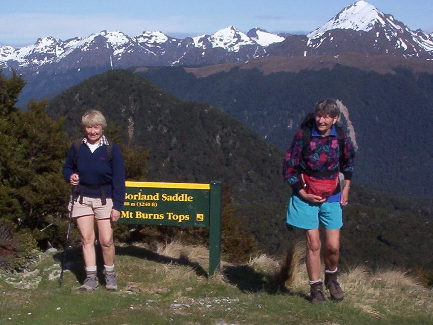
A short track leads from the Borland Saddle car park (the summit of the Borland Road) through the bush to the open tops of Mt Burns. Numerous tarns and superb views make the area particularly attractive.
Borland Saddle. Mt Burns Tops. Pat, Brenda
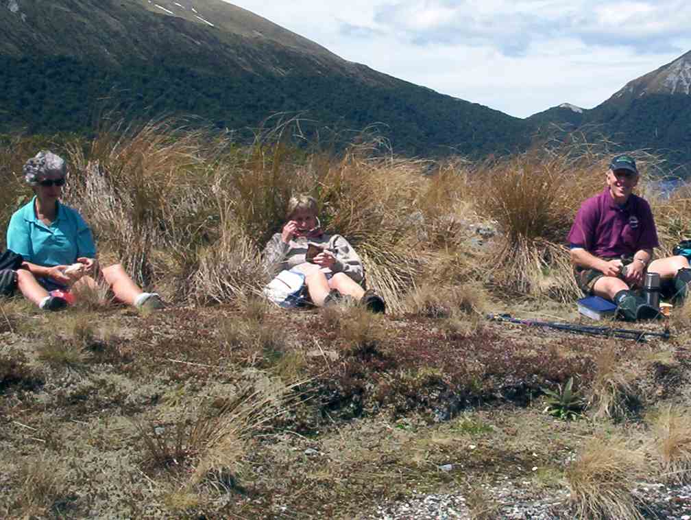
Lunch. Wendy, Shirley, Arthur H
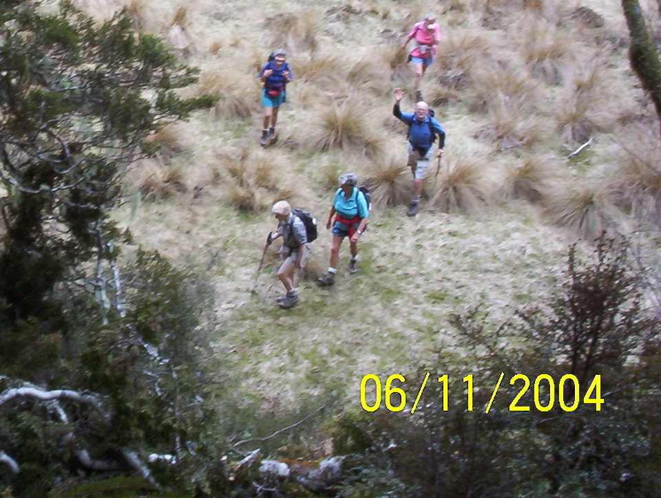
Facing climb on way out. Tom? Wendy, Brenda, Bill, Shirley
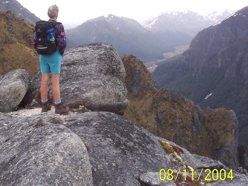
Steeply down under overhanging cliff. Only Pat recognizable.
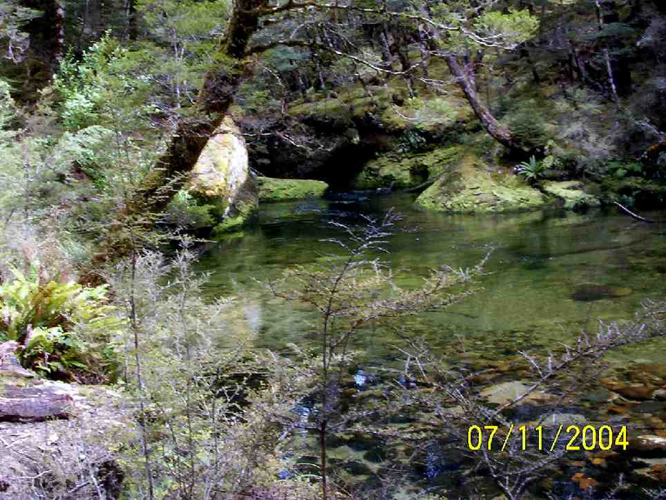
Pool. The furtherest upstream we got.
2.Mt Eldrig Route to Bushline. Mo 7/4/03-Fri 11/4/03 Leaders: Ian Fleming. 4-5 hrs return.
Sign posted off Borland road. Follow the main pylon access road. The track starts at the end of this road. A steep climb for approximately 2 km (1.5 hrs) following a well-marked route to the open tussock tops. Snow poles mark the route onto the slopes of Mt Eldrig.
Brenda. Mt Eldrig
Arthur. Mt Eldrig
Ian Mount Eldrig summit
Last Day. Brenda, Peter, Bill Ian, Nancy, Tom, Pat, Dorothy, Wendy, Arthur, Shirley
Mo 7/4/03-Fri 11/4/03 Leaders: 1. Friday 27/10/1995 – Monday 30/10/1995. Combined meals. Arranged car passengers. Camp Parents: Bill and Lesley, Dot and Nelson. 33 attended.
12/11/2018. Hollyford Camp. M. Phil. Trampers: 12-16 Nov: Hollyford Camp. M. Phil.
Hollyford Escapades:12-16 November 2018
Planning to execution seemed to go very well as everyone was at Waihola early….. this being a trait that continued for every start during the week.
18 intrepid walkers in 6 cars set off and bang on time arrived at Cocoa’s Café at Mandeville airport for a necessary kick start to getting to Te Anau reasonably refreshed.First stop was at the DOC I-site to get hut tickets and check the weather, then it was food and petrol top-ups plus a visit to the best public loos in the world for most – albeit some of us had to go back to the car to get the entry gold coin!
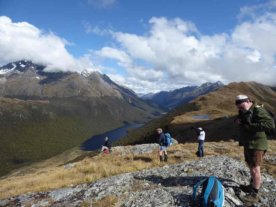
The clearing weather meant the drive up through Te Anau Downs and the Eglinton Valley was pretty well up to the Mercedes car advert standard, then after a brief stop at Knobs Flat we arrived at The Divide.With clear tops on the Livingstone Range, it was decided to attack Key Summit,
At the Divide about to head up Key Summit . (Gordon pic and caption.)
initially via the Routeburn/Greenstone track, before branching off on the zig zags to the Summit and, for some, beyond the well known tourist look out.The group split into 3 as each limit was reached; lovely views of Lake Marian, the Darrans, the Hollyford and also the Greenstone Caples were in view and appreciated.
On Key Summit looking to the Greenstone: McKellar Saddle ( and Caples). (Phil pic and caption.)
We finally descended in good time and once back in the cars, moved into the Hollyford proper.Turning right into the Lower Hollyford Rd we stopped, read and discussed the memorial to Davey Gunn that celebrated his 56 mile journey over bush tracks from Big Bay to the Milford Rd in 23 hours to raise support for the injured in a plane crash there.What the books don’t say is Davey had a cuppa then returned to Big Bay to carry on his guided trip… he had also cracked some ribs getting plane passengers from the crash in the surf….
Finally we arrived at Gunn’s Camp and settled in to our ‘little huts on the Prairie’…… followed by good craic and a variety of well cooked dinners.
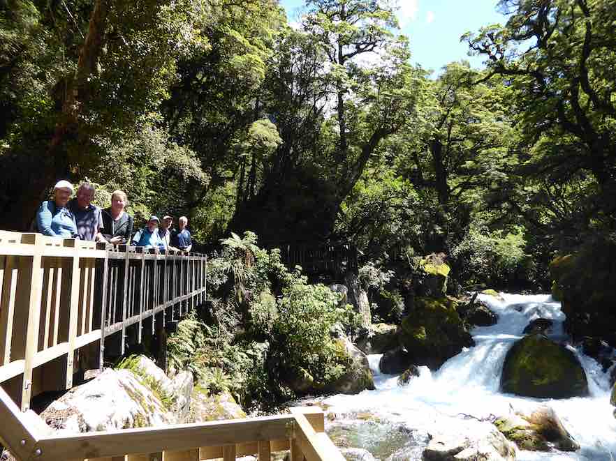
We were at the Lake Marian track ahead of time on the Tuesday morning, everyone keen to get going.Crossing the Hollyford River involved the first swing bridge for the week, then some time was taken on the Gantries overlooking the tumbling waters of Marian Creek;
Marian Creek cascading. (Phil pic and caption.)
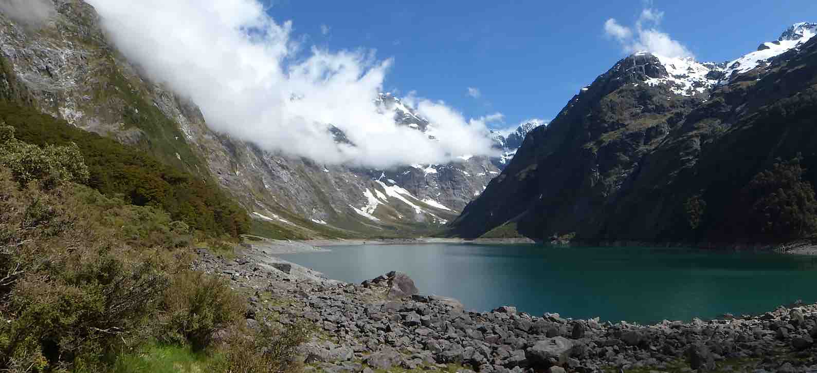
from there it was a steady 2 hour walk up to the Lake, to be greeted by emerald clear water and towering peaks,
Lake Marian in all her glory. ( Phil pic and caption.)
capped off by some loud avalanches at the top of the valley (they resembled large waterfalls).We stayed here for a good 40 minutes enjoying a very special environment, before returning.
It was a sign of the nature of the track that the return time was also 2 hours……
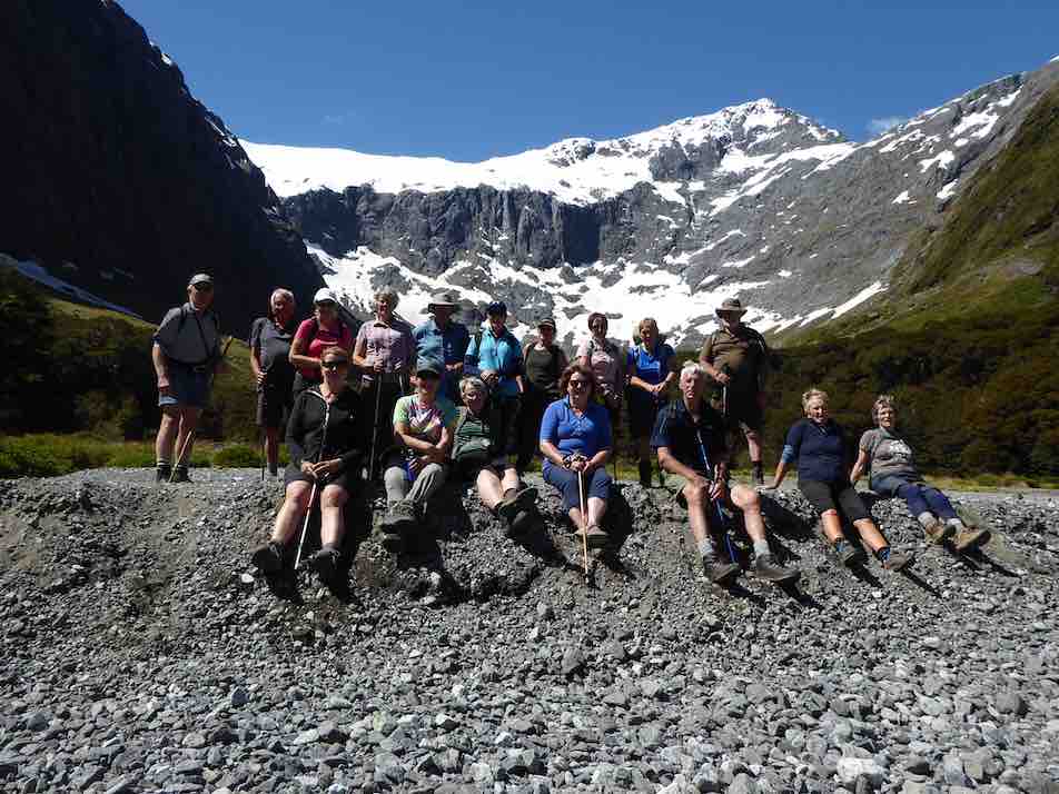
After lunch, having ensured that no-one laid down on their bunk, we travelled up the Upper Hollyford and just before the Homer Tunnel, veered off to park in the Gertrude Valley carpark.We then rambled a while to the base of the Saddle, enjoying the amphitheatre of surrounding peaks as well as the early celmisias, ourisias and Mt Cook lilies that were smiling back at us.
Gertrude Valley with Saddle behind. (Phil pic and caption.)
Once back at the cars we returned to Camp, allowing for a short stop at Falls Creek where new carparks and Gantries have ensured another great stop on the Milford Rd.
The Camp was busier on the second night with the Stray Bus arrival, plus some trampers who had arrived from the Demon Trail, telling of tall stories and lots of trees over the track, and loads of hunters and jet boaters in the huts…
Wednesday dawned fine and we travelled to the road end, where we set off to enjoy the Hollyford Walk;
Heading off down the Hollyford Track. (Gordon pic and caption.)
guarded over by towering mountains named mostly after Ngatimamoe and Ngai Tahu chiefs intersprinkled with mountains named after bureaucrats, nieces and mothers;
Mt Karetai. (Phil pic and caption.)
we rambled through forest of Beech, Miro, Matai, Totara, Kamahi and Rimu, finally arriving at Hidden Falls Hut for lunch (having already stopped off at the Hidden Falls to get showered upon).
Lunch at Hidden Falls. (Phil pic and caption.)
A few green hooded orchids spread throughout the moss and liverwort track edges.
Following lunch, 5 hikers turned right and returned to the road end by 4pm, whilst 13 trampers turned left and after 40 minutes begun the ascent of Little Homer Saddle;through the forest gaps great views of Mts Madeline and Tutoko were enjoyed and after another 30 minutes we were at the top of the saddle;whilst not high, the effort was considerable in the heat of the day…… a drop off to the Little Homer Falls
Little Homer Falls. (Gordon pic and caption.)
followed with tree falls along the way becoming a little harder to limbo under….. the Falls drew everyone to them and then after a well earned break we set off for Lake Alabaster through self pruning beech forest.As we veered in to the Pyke Valley, we were greeted by tall straight Kahikatea.
Finally we emerged into a clearing where the Pyke Lodge of the Guided walk stood and gazed upon the majestic view of Mt. Madeline dominating the Hollyford skyline.
A further 20 minutes of tired tramping followed before we arrived at Lake Alabaster
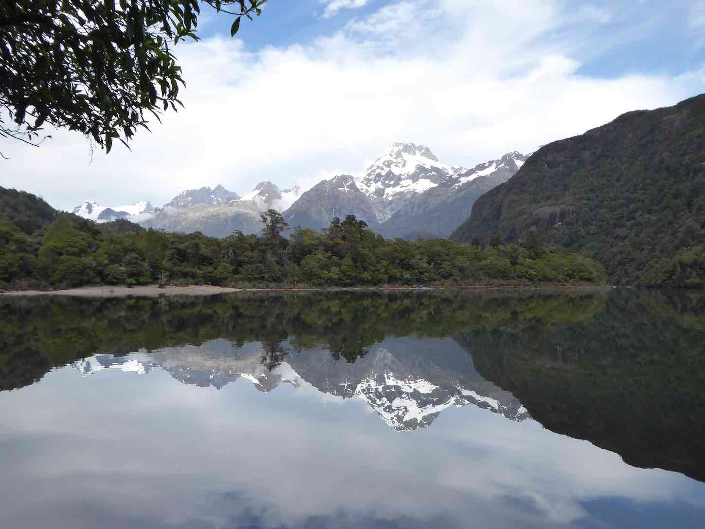
First views of Lake Alabaster. (Gordon pic and caption.)
– 7.5 hours after we started, and according to GPS estimations some 2 kilometres longer than official publications credit, at just on 23 kilometres for the day!
Progressively the breezes dropped and shadows and mountain and forest reflections dominated the Lake,
The Darran Mountains and Mt Madeline reflections in Alabaster. (Phil pic and caption.)
interspersed with splashes of delight as keen trampers (some) had a ‘swim’ and dried off before the sand-flies could do damage.
A good spread of birdlife was enjoyed along the walks including tui, bellbird, grey warbler, (bush robin at Marian),shining cookoo, ruru (at night!), chaffinch and the melodious Kaka.Masses of perching orchids (the bamboo – Earina mucronata) adorned tree branches around the shoreline.
We had the company of a small number of other trampers for the first night at Alabaster.
On the Thursday morning, helped by feedback from trampers off the ‘Demon Trail’, 10 decided to follow the dotted lines on the map along side the Lake up the Pyke Valley;this in effect being a bush bash with the lapping levels of the Lake the easier going.About half way along we stopped at a large flowing creek…. fishing and fossicking were undertaken, with not a lot of luck, though style was fine.
Returning through thick bush we stumbled upon a small ‘grave site’ and then returning to the hut we had a cuppa and lunch, before crossing the largest swing bridge in Fiordland over the Pyke River, to touch upon the Demon Trail.A hundred metres of this was enough to convince us that we should save this for another time…..!
Our second night at Alabaster was a very social affair, with jet boaters …
What do jet boat drivers have that fellow walkers don’t? (Phil pic and caption.)
… and pack rafters arriving along with a range of trampers heading up or down the valleys from or to the Coast.Deer had been shot, trout caught, a jet boat sunk and being expensively recovered with helicopters ….so much to catch up on….. and best of all, no news from the outside world!Mattresses were spread throughout the common areas to accommodate all.
Notwithstanding the week of walking everyone was up and away at 6.50 am on the last morning, well before the official start time, as a slight rain began to fall…and fall….and fall.At last we were experiencing a Fiordland shower… becoming so consistent and insistent that when the time came we made a detour to Hidden Falls Hut for an early brunch to recharge, before the last 2 hours trudge to the road end.We took 1.5 hours off the incoming time, very commendable as we were going uphill all the way!(but then apparently the GPS said the distance was shorter…) ah we are better off without these new contraptions!
After 6 hours tramping we quickly reorganised before driving to Gunn’s Camp where we checked for final messages from the Hikers, picked up belongings, then drove back to Te Anau and civilisation.We caught up with the Hikers at a local Café which was being inundated by bus loads of tourists, they were swarming and biting better than sand-flies!
The Hikers meantime, had an enjoyable day trip to Milford Sound on the Thursday.First stop was the well known Chasm, and then they made a call into the Milford Sound Lodge.What used to be a backpackers hostel now has several new cabins and areas for motorhomes, all well laid out with the Cleddau River nearby.
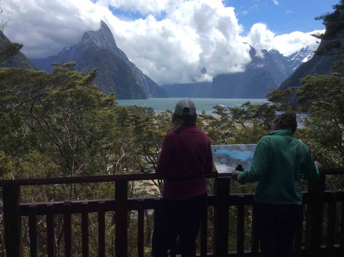
Enjoying Milford Sound. (Raewyn pic and caption.)
The coffee wasn’t bad either apparently!On the way out they made a stop at the historic bridge over the Tutoko River and a lookout near the tunnel entrance.Friday for them dawned with heavy rain so the decision was made to stay put, light the fire and relax in the common room awaiting the trampers return. By 1pm they decided to head for Te Anau for lunch and rendezvous there as originally planned.
Overall
A most enjoyable 5 days of great company, tracks and views to click the camera at.Four days of sunshine out of five is not a bad record in Fiordland terms. Next stop Martins and Big Bays?
Gunn’s Camp
Everyone felt at home here and the accommodation and facilities most appropriate for a stay.It is a very good base for exploring northern Fiordland, whether sightseeing, fishing, hunting or walking and would save multiple trips to and from Te Anau – or to just step back in pace or in time.
14/2/2018. Report on Mt Aspiring Hut Trip 12-15th February
Eight keen trampers signed up for this trip. Wendy and I tramped in to Aspiring Hut early on Monday 12th February to secure bedding in one room for all of us. Jill, Clare, Janine, Keith, Helen and Phil arrived late in the afternoon after battling a head on Northwest wind and driving rain. This walk was 9km and approx. 2.5 hours. Aspiring Hut is owned by the NZ alpine club and operated by DOC. It was built in 1949 and its exterior is covered in river schist stones. It is about to undergo a refurbishment which includes earthquake strengthening and interior lining. There are 39 bunks altogether in two bunk rooms. Gas cookers are supplied during the summer season. We all soon settled and prepared our meals.
The next morning it was partly cloudy. The scenery from the hut was superb without going anywhere!
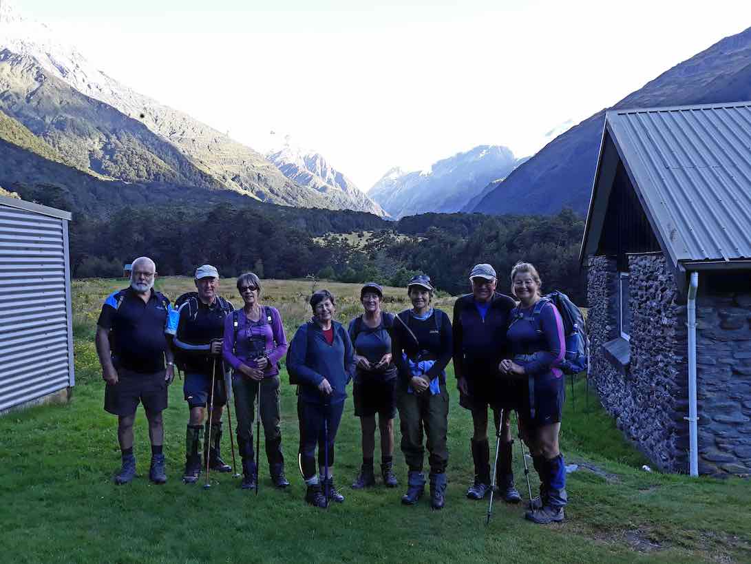
Group. (Helen pic and caption.)
We decided to go up the valley to Pearl flat (2 hours). The valley walk is very pleasant through beech forest and open grassland surrounded by high mountains with clinging glaciers.
We then decided to go up to the Liverpool hut (10 bunks). (1134m – Helen). This track was steeper than expected but the team coped extremely well. We walked up through beech forest on a steep track with rocks and tree roots.
Half way up to Liverpool Biv. (Phil pic and caption.)
This took 2.5 hours. The views from above the hut were superb – either looking down onto the valley below …
View from the Hut hill.(Helen pic and caption.)
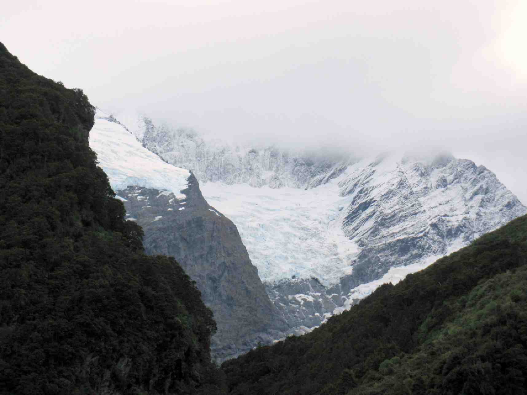
… or glaciers on Mt Barff and Mt Liverpool. We were also looking across to French ridge hut which is used by climbers to climb Mt Aspiring.
We got back to Aspiring Hut after a 9 hour walk knowing we had done it!!
That night of the 13th the hut and camping area had its record number of guests at 84. We felt like very rare Kiwis!!!
The next morning was perfectly fine – however our legs knew they had worked the day before. Unfortunately Wendy had to leave as she had work early the next day. This time we decided to go up the Cascade saddle track …
Liverpool done, off to the Cascade.(Phil pic and caption.)
… – a pleasant walk through red and beech forest.
Morning tea on way to Cascade Saddle. (Helen pic and caption.)
This finally led up to a lookout after 2.5 hours. (1184m. – Helen). The views of the 2 valleys and mountains all around were amazing, especially looking at Mt Aspiring.
Above the bush line on Cascade Saddle. (Phil pic and caption.)
There were quite a few people heading up to the saddle.
On returning to the hut the ladies enticed the men to go down to the river for a dip. [No pics supplied! – Ed.] This was very, very refreshing especially for those who got under the water!!
Another interesting meal was cooked by all. There were a lot fewer in the hut – the men played poker with hilarity. Someone was heard talking in their sleep!
After breakfast and packing up we headed off down to the car park. The weather deteriorated with the following North west wind very strong – even blowing 2 of us over on the grass. The dust was rising in the river bed. The rain followed and it was quite wet by the time we got to the carpark. Rob Roy glacier was left for another day! We were then off home having coffee and ice creams on the way.
Thanks to all of the team for making it a fun trip.
Also thanks to Eleanor for suggesting the trip but unfortunately was unable to make it.
16-19/4/2010. April Camp. Albert Town Lodge. Leaders: Bill and Pat.
Friday. Mount Iron.
Those of us arriving in the early afternoon agreed to tackle Mount Iron. Some drove and arrived early, others of us walked the distance. Here are the ‘walkers’ climbing the zigzag track.
Wanaka from Mount Iron Track. Doug, George, Leonie.
We had been preceded by those who went by car and had already ‘peaked’ and departed again.
On top of Mount Iron. Elaine, Bob, Evelyn, Pat, Joyce. (Bill pic)
We descended by the track on the far side and had good views across to Albert Town.
Albert Town from Mount Iron track. Ian.
At the bottom of the steep track, we did a bit of cross-country work to arrived back at the camp. En route, we got a phone enquiry from Bill as to the whereabouts of some of those still descending the track. As a result, a considerate car set out to pick them from the track bottom. Brilliant day. Good start to the camp.
Saturday. From Raspberry Flat.
Aspiring Hut Track.
West Matukituki. (Bill pic)
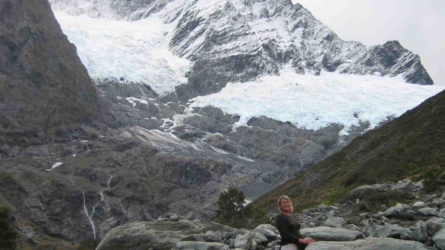
Rob Roy Glacier from West Matukituki. (Bill pic)
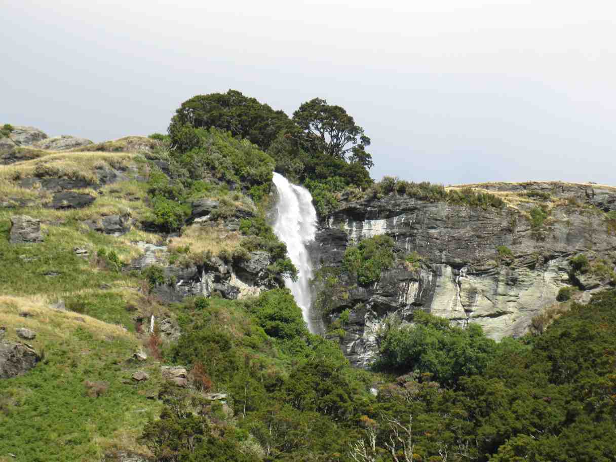
Waterfall in the West Matukituki. (Bill pic)
Rob Roy Glacier track.
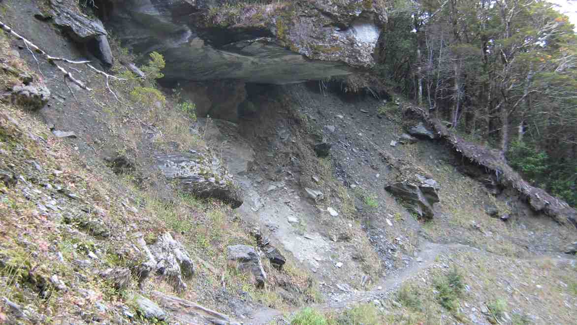
Eight of us set off across the swing bridge across the West Matukituki to climb through the lovely Beech Forest track. At one point on the track a sign warned us not to linger below this big overhang.
Large Rock overhang on track.
The track led us onward and upward to finally emerge on a heavily washedout area, obviously having happened quite recently, as indicated by the still-flattened grass on its edges. It would have needed a very heavy deluge to have left so much destruction. Washed-down boulders were enormous.
Leoni backgrounded by foreground washout and distant glaciers
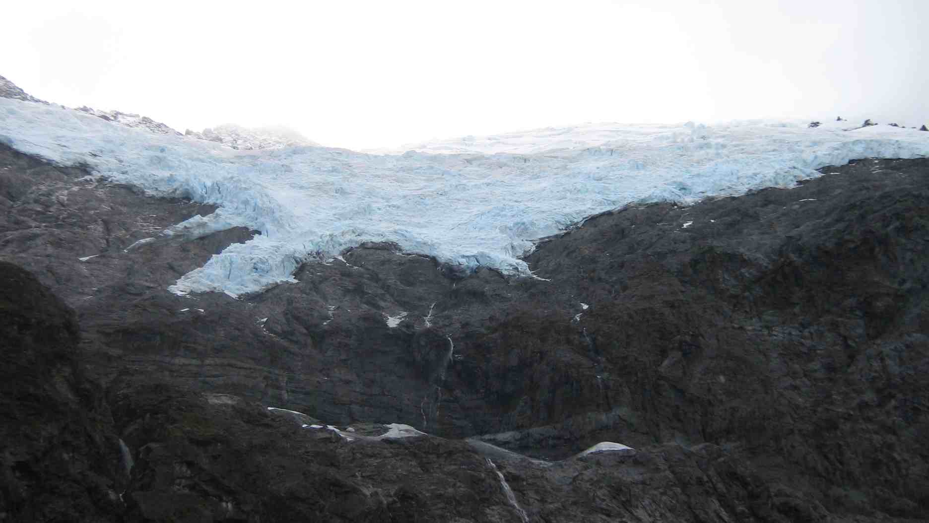
View of left part of glacier
Recently-formed tracks led us across the washout to an area beyond where grass and shrubs had escaped the destruction. We found a spot partly sheltered from the cool breeze. We had small birds and scuttling mice for company.
Lunch among the area bypassed by the washout. George, Doug, Leonie.
After our leisurely lunch before the wonderful view, we picked our way back across the devastation of the washout and were pleasantly surprised to find the other half of our group had arrived and we now enjoying their lunch. We stopped to talk.
2nd group’s lunch further down the washout. George, Evelyn, Wendy, Lesley, Graham, Leonie.
We eventually turned back down the track. Down a bit, we re-examined an up-to-date toilet, standing bravely alone, surrounded by another local washout, but one not as severe as that further up.
Returning down a part of the track beside the stream. Lesley and Wendy
Impressive rock overhanging a pool.
More heavy rocks
Back at Raspberry Flat, and prepared to await the trampers to Aspiring Hut, who had a much longer tramp, we were surprised they had truncated their walk and were instead awaiting us.
We stopped occasionally on the way back to catch glimpses of Mount Aspiring, now quite clearly visible and with a trail of cloud streaming off its lee side. Great sight.
Saturday evening.
Most of us sat down to an arranged meal at the pub before returning to the lodge for the Happy Hour and arrangements for Sunday.
Evening meal at Albert Town Pub
2nd shot of evening meal at Albert Town Pub
At the Happy Hour, the planned ascent of Roys Peak (formerly known as Mount Roy) was cancelled due to only two trampers wishing to tackle it and and concerns about safety with only two going. Instead, a walk along the Hawea River track for all was the eventual decision, with car shuttle arrangements engendering much discussion.
Bob provided some lively and much appreciated Scottish music on his violin. Thanks Bob.
Sunday.
Although there had been some (needless as it turned out) concern about how Saturday’s weather would develop, Sunday dawned, and remained, brilliantly clear. It was to be a short walk, so it was a case of stringing out the time in order to avoid getting back to the Lodge before lunch! This we accomplised by stretching ourselves out over a considerable distance, occasionally stopping to regroup.
Lake Hawea? (Bill pic)
Of course the two tea stops got us all together again. On both occasions, we found excellent river views to relax by.
Morning tea by Hawea River
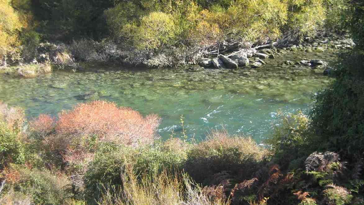
Morning tea view of river
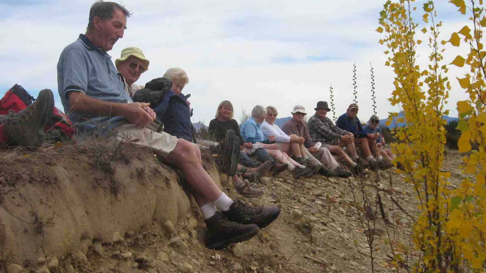
The lunch stop was a happy discovery at the last spot before the track diverged away from the river. It was rather early, but heck, we had to spin out the time somehow. A steep bank provided a brilliant opportunity for ancient legs to dangle comfortable over its edge.
Lunch on bank of Hawea River
Lunch on bank of Hawea River
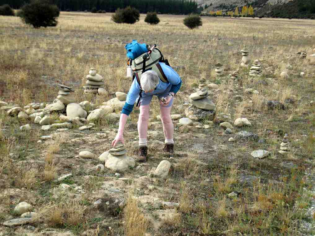
A surprise along the track was the large number of cairns formed from a plentiful supply of convenient rocks. Young Joyce had a great time.
Cairns. Joyce
Rest near the end. George, Doug, Peter.
The highest quality swing bridge we had ever seen took us back across the Hawea River. Would love to know what it cost! Then it was just a short walk across to the Lodge. A wide, gravelled, level walk all the way. Very appropriate for cyclists, of whom there were many. But rather hard-surfaced for walkers. And we had managed to get back to the Lodge after lunch-time after all.
Sunday Evening.
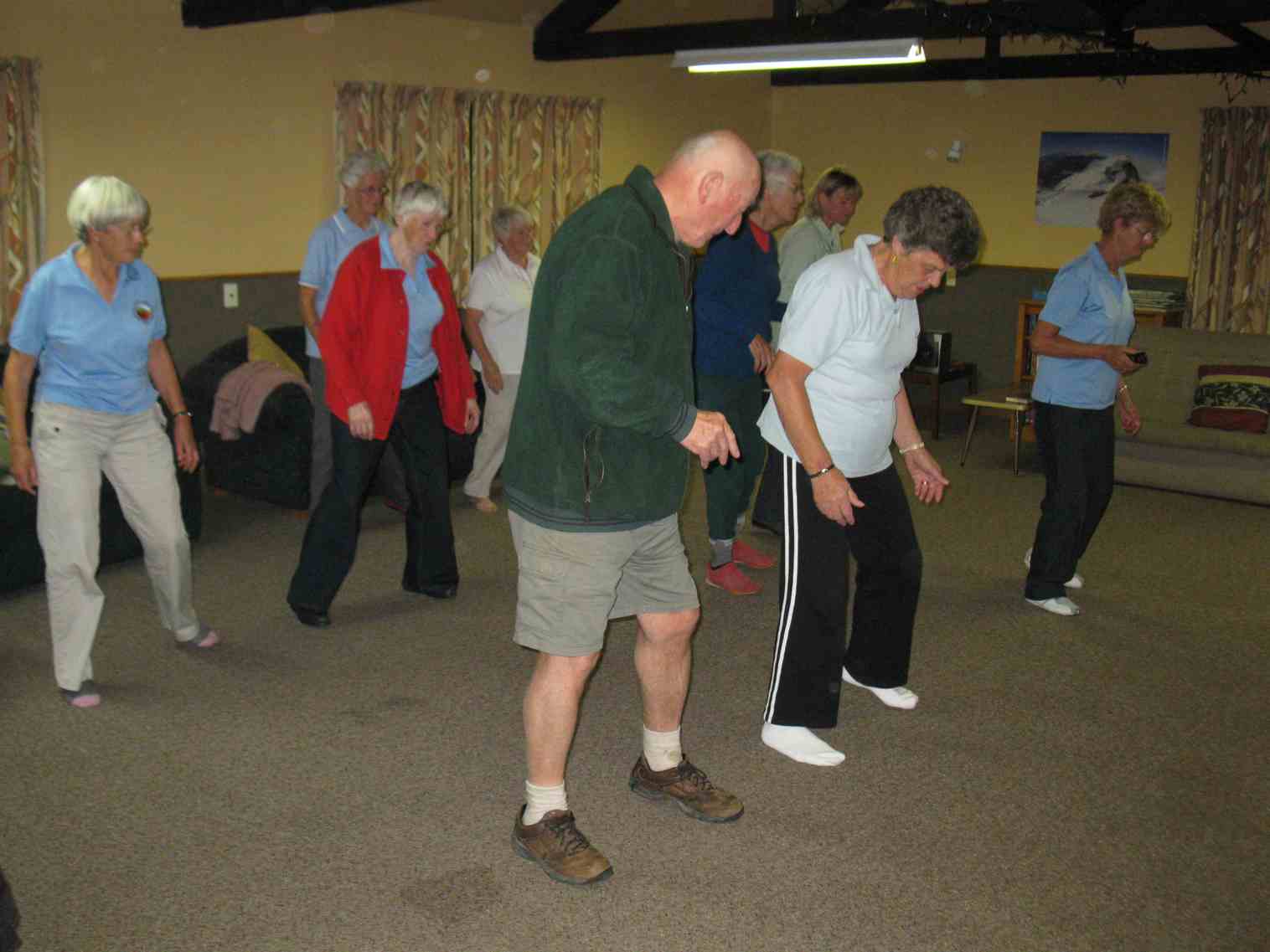
Line-dancing teachers, Lesley and Evelyn got a lot of us moving with some easy and more sophisticated steps. Later, the other Evelyn taught some Scottish dancing with the help of Bob and his fiddle.
Line Dancing
Thank you Bill and Pat for organising and leading a very successful camp. Facilities were superb and 22 live-in and three live-out members had a very enjoyable time. Unfortunately two others living more remotely were unable to join with us as it turned out. – Ian.
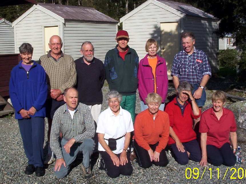
8-12/11/2004. November Camp. Albert Town.
31/10/1997 Albert Town Camp. Leader: Margaret D.
During the first weekend of November, 1997, 25 members of the Taieri Recreational Tramping Club spend a most enjoyable time in the Wanaka area based at the very comfortable Albert Town Lodge.
Their first walk covered the Mount Iron area on Friday afternoon, followed on Saturday by a longer walk through the Wanaka outlet, along the shores of the lake and back to Albert Town.
On Sunday, a more ambitions 50km trip was taken to the Mt Aspiring National Park area where the destination was the Rob Roy Glacier. The weather was fine but extremely windy so crossing the swing bridge over a branch of the Matukituki River was an exhilarating experience for most club members, but well worthwhile once the shelter of the beech forest was reached.
A 2 hour zigzag climb thorough the bush afforded some wonderful views as the glacier-fed Rob Roy stream cascaded down the mountain.
Finally the track opened above the bush line revealing fantastic views of the Rob Roy Glacier across the valley. As members sat and enjoyed a well-earned lunch joined by a family of voracious keas, several huge avalanches thundered down the opposite slopes, providing an unforgettable sight.
The downhill return journey to the vehicles was accomplished in quick time but it was discovered that the warm NW wind had caused a thaw on the tops which, while providing many spectacular waterfalls, played havoc with several fords across the gravel access roads. As a consequence of the startling rise in the level of these streams several cars had to be marooned for the night although sufficient transport was available to shuttle all members back to base.
7. 27-29/4/2007 Alexandra Holiday Park Camp Leader: Ian (New owners, less hospitable regarding lodge) Day 1. 28 April. Knobbies Tramp. click to enlarge
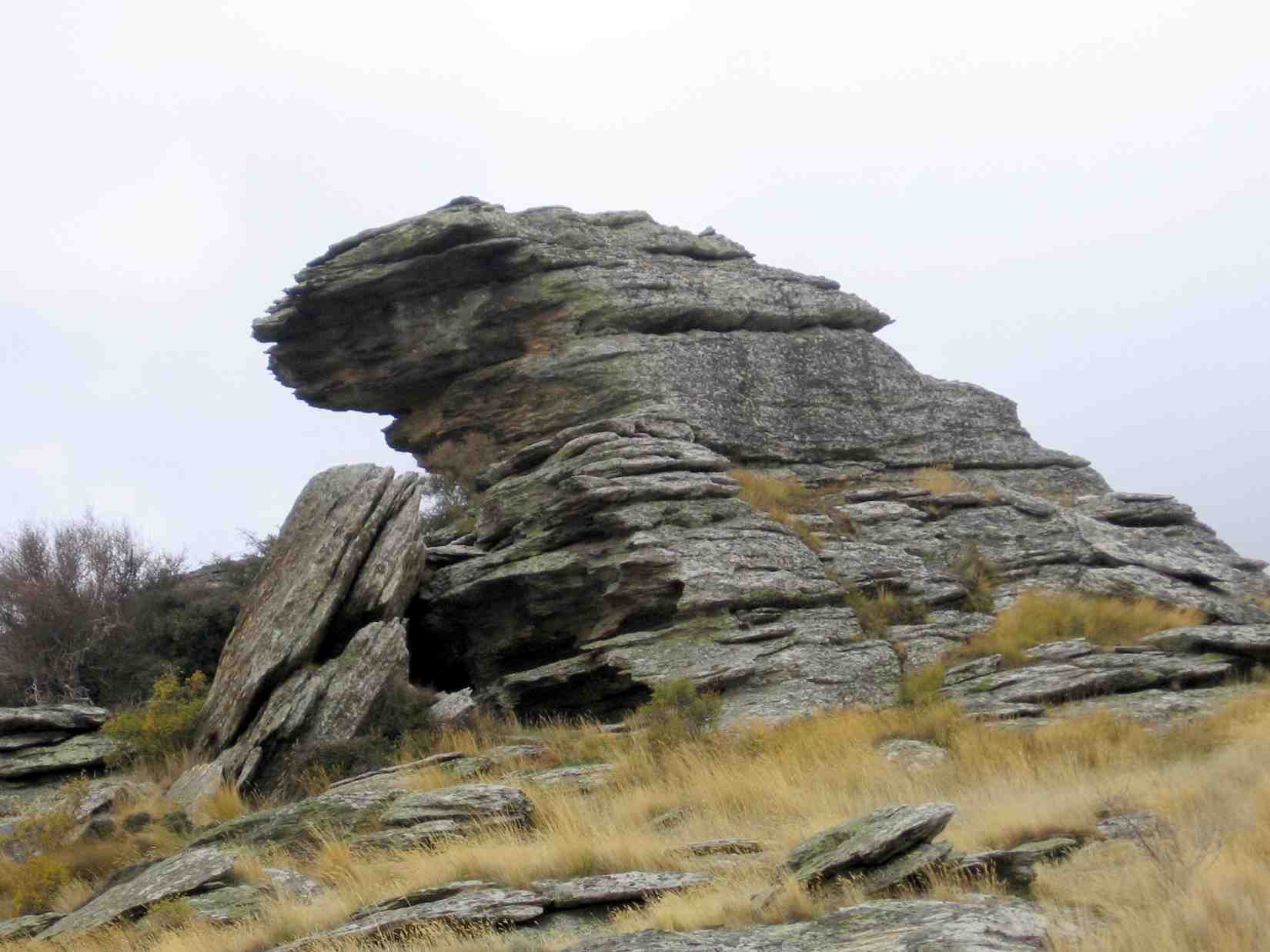
Rocks on Knobby Range (Pat pic)
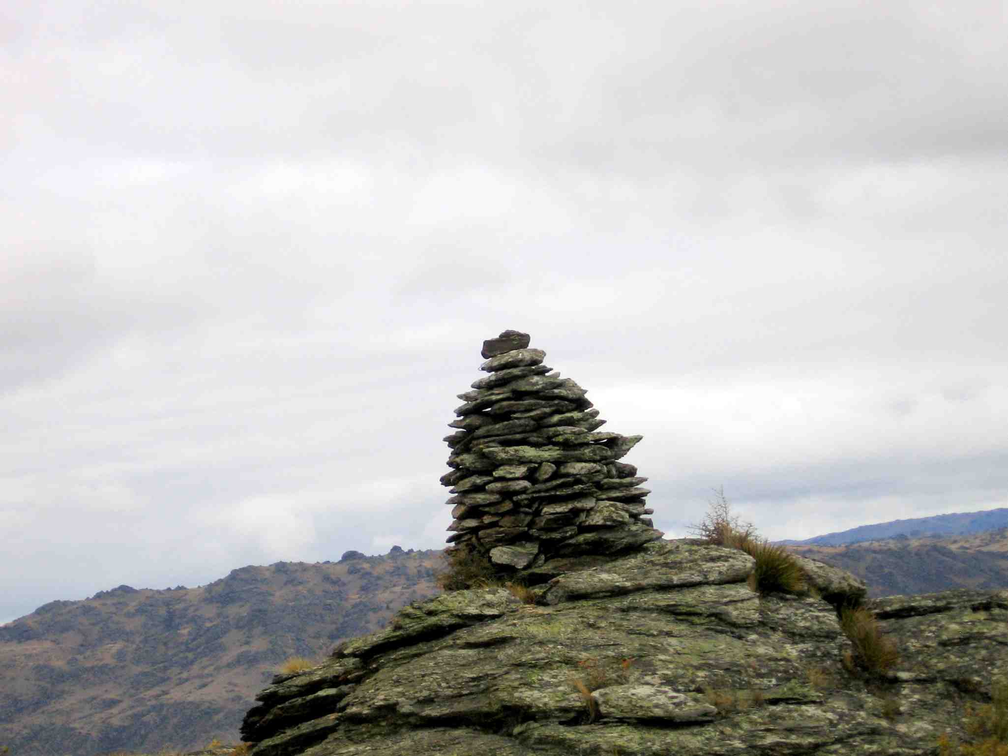
Rock on Knobby Range. (Pat pic)Cairn on Knobby Range. (Pat pic)
Day 2. 29 April. Lake walk.
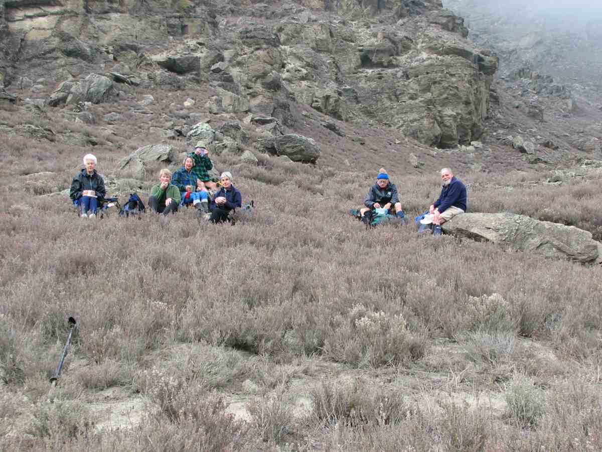
Lunch. Dot, Pat, Ria, Doug, Molly, George, Ian (Bill pic)Rock outcrops above track (Bill pic)Lake Roxburgh scene (Bill pic)Rock bivvy. Joyce, Pat. (Bill pic)Pat gives lesson in tying laces. Dorothy, Ria, Joyce, Pat. (Bill pic)
6. 20-24/11/2006. Camp. Alexandra
5. 2001
4. 6/1997
3. Friday 6/11/1992 – Sunday 8/11/1992. Alexandra Holiday Park Camp. Combined meals.
2. 9-12/1990. Leader: Margaret Smith.
Attended by 20 people.
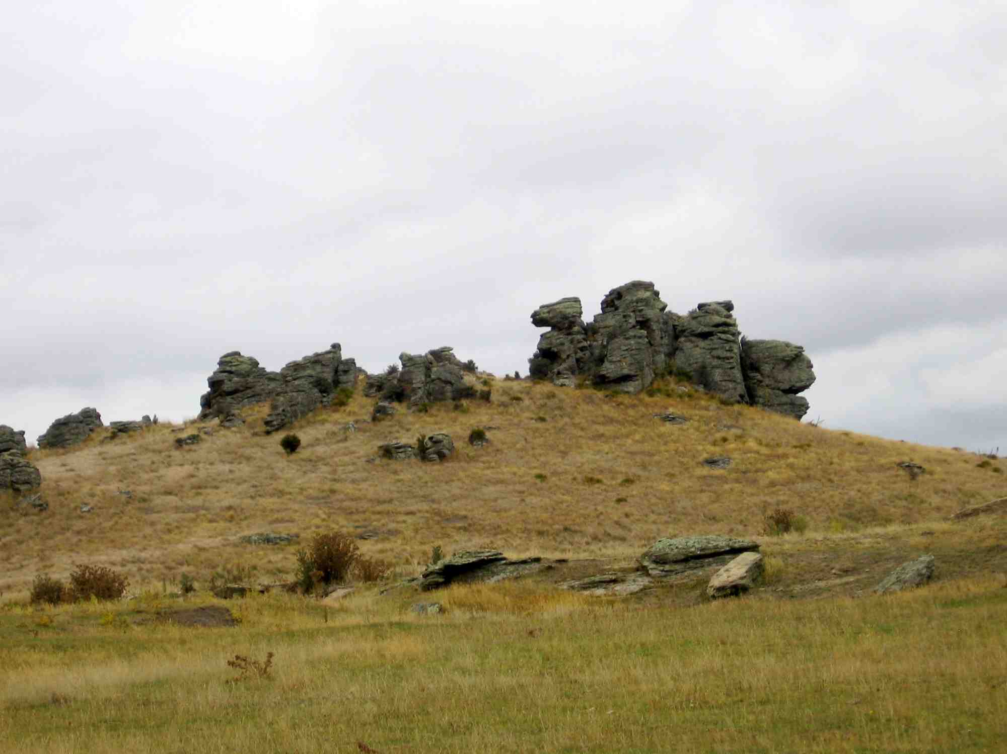
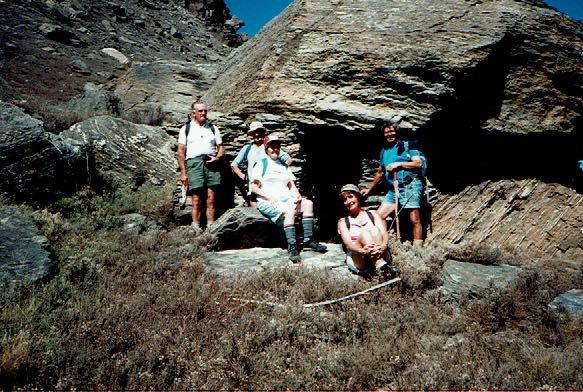
1. 10/3/90. Alexandra.“10/3/90. Miners’ House with natural roof of rock slab. Bob Heenan, Les Smith, Catherine Tither & Ted Chinside.” (Ian pic, scanned from Peg Chisholm photo collection.)
As far up Aston Burn as we got. Ian, Pat, Graham, Arthur, Evelyn
Hikuraki Lodge, RD2, Te Anau. (Phone and fax numbers removed as now changed.) Make cheque out to Landcorp Farming.
Lodge after 3rd house after gravel road turn-off from road to Te Anau.
We have the whole lodge to ourselves. Bunkroom: 7 lower bunks, 5 uppers. total: 12. 2 rooms take 3 ea. 1 takes 4. Total: 22.
el range & oven, rangette, pans, el frypan, older microwave, crockpot, 2 small fridges. sm freezer (2x1ft), 2 toilets, two showers over baths. $17 pppn or $195 group booking per night.
Take own toilet paper, food, sleeping bags. (covered mattresses, fitted sheets, pillows supplied. p/cases available/supplied?) Wood & coal supplied for heating.
A glorified DoC hut setup really. No radio or TV.